Trails in Germany
36,852 hiking trails, each with its route, climb, walking time and grade.
All trails, page 138 of 768
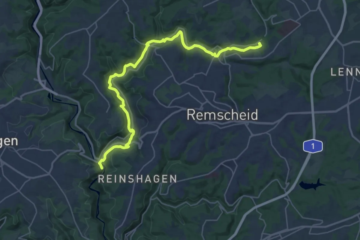
Demanding · Trail
Erlebnisweg Morsbach
23.0 km · ↑ 559 m · 6 h 38 min
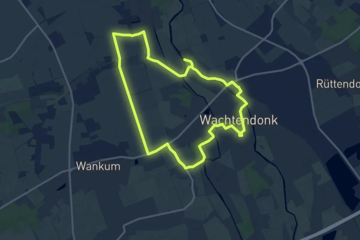
Easy · Trail
Erlebnisweg Nord
7.6 km · ↑ 9 m · 1 h 55 min
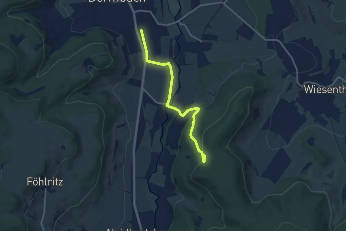
Easy · Trail
Erlebnisweg Rhönpaulus Ibengarten
7.0 km · ↑ 183 m · 2 h 4 min
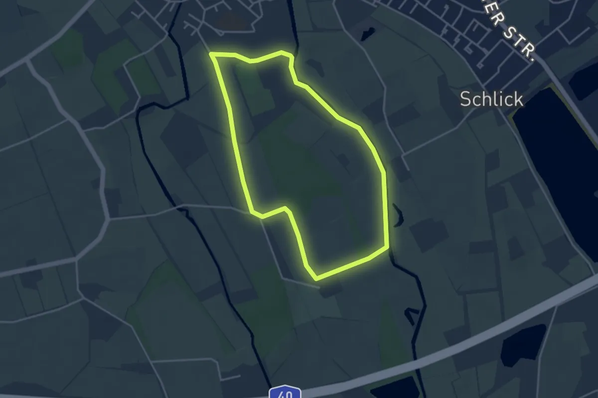
Easy · Trail
Erlebnisweg Süd
3.2 km · ↑ 4 m · 48 min
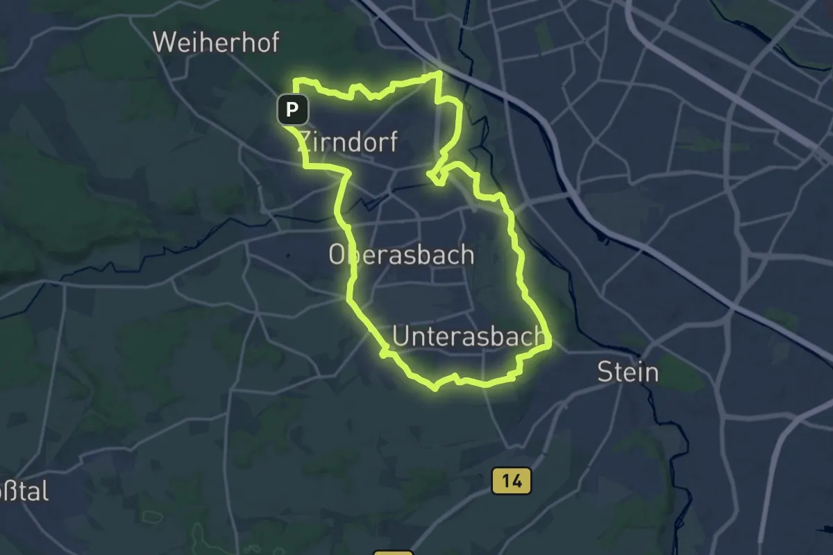
Medium · Summit
Erlebnisweg Wallensteins Lager
17.8 km · ↑ 148 m · 4 h 46 min
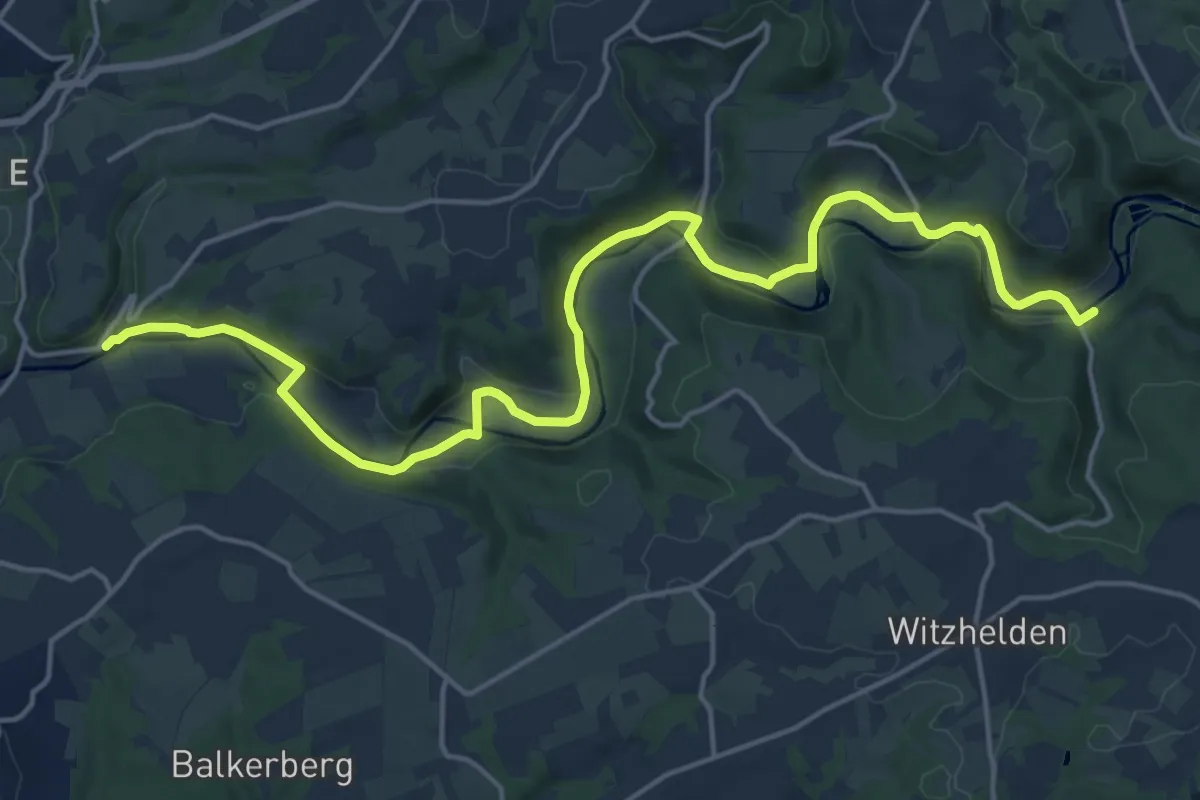
Demanding · Trail
Erlebnisweg Wupper
18.8 km · ↑ 337 m · 5 h 10 min
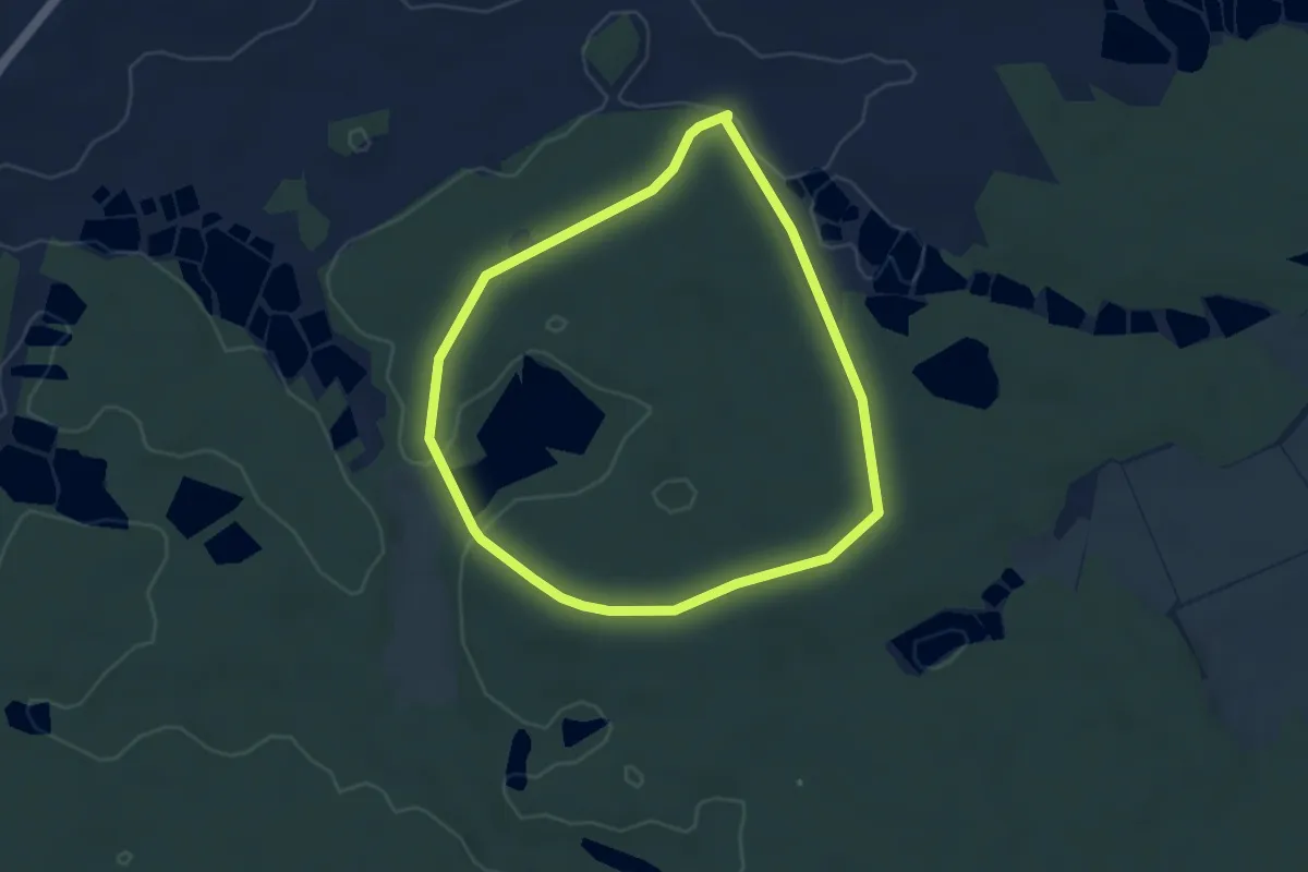
Easy · Trail
Erlebniswelt Waldnaabaue
3.6 km · ↑ 40 m · 59 min
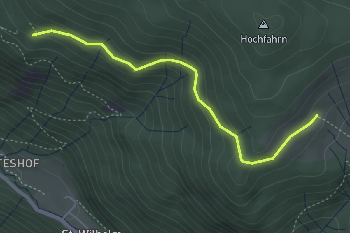
Easy · Trail
Erlenbacher Hütte - Kleiner Luchsfelsen
3.7 km · ↑ 190 m · 1 h 17 min
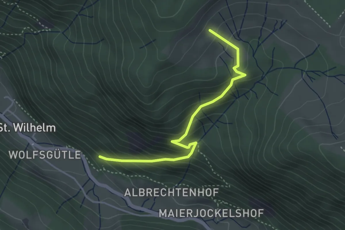
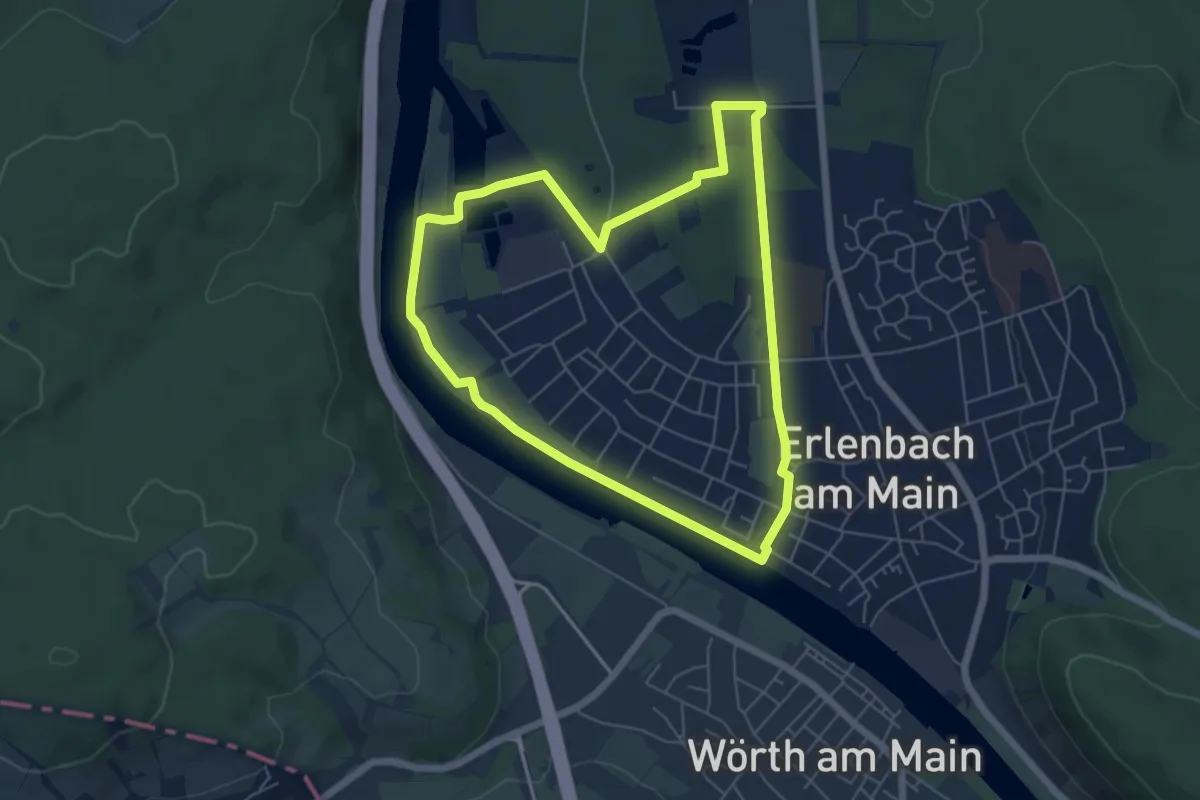
Medium · Trail
Erlenbacher Hütte - Unterm Rappenfelsen
3.6 km · ↑ 355 m · 1 h 38 min
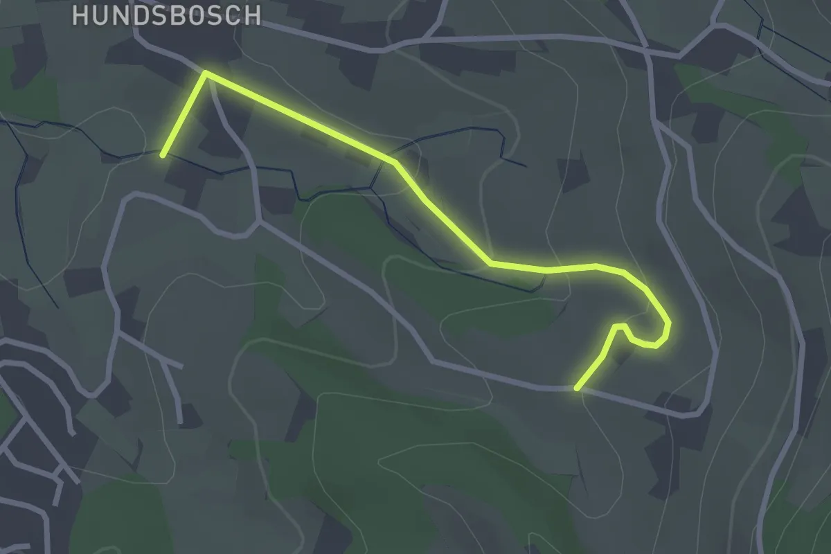
Easy · Trail
Erlenbach Planeten-Main-Rundweg
5.4 km · ↑ 22 m · 1 h 23 min
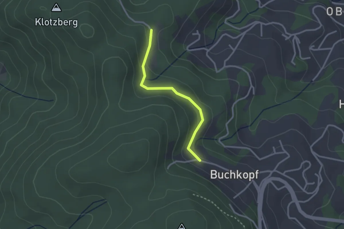
Easy · Trail
Erlenbadquelle - Unterer Kammersbrunn
2.5 km · ↑ 91 m · 48 min
Easy · Trail
Erlenbrunnen - Rößbühl
2.2 km · ↑ 89 m · 42 min
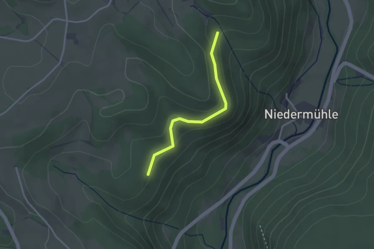
Easy · Trail
Erlen - Happenmoos
2.2 km · ↑ 57 m · 39 min
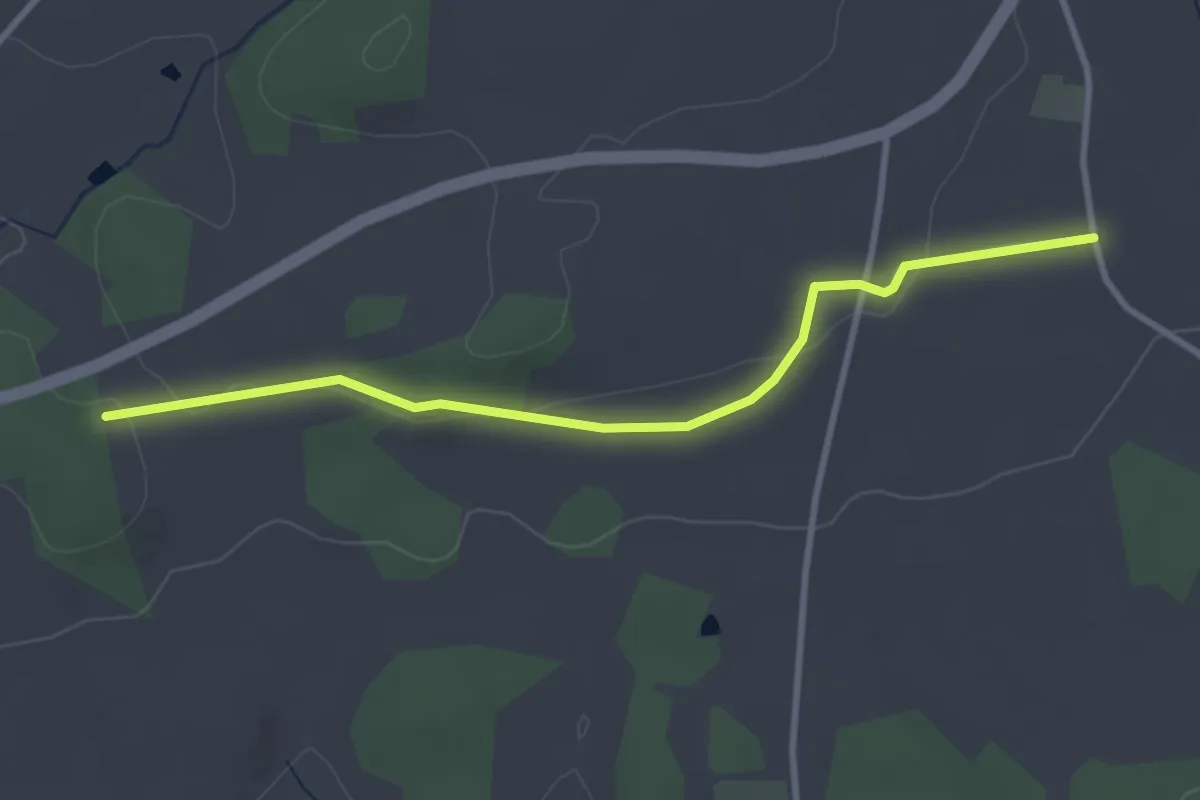
Easy · Trail
Erlenholzweg
3.1 km · ↑ 27 m · 47 min
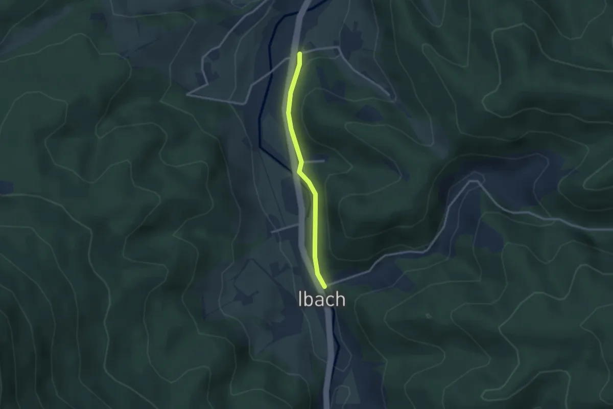
Easy · Trail
Erlen - Ibach Jägerhaus
2.3 km · ↑ 54 m · 39 min
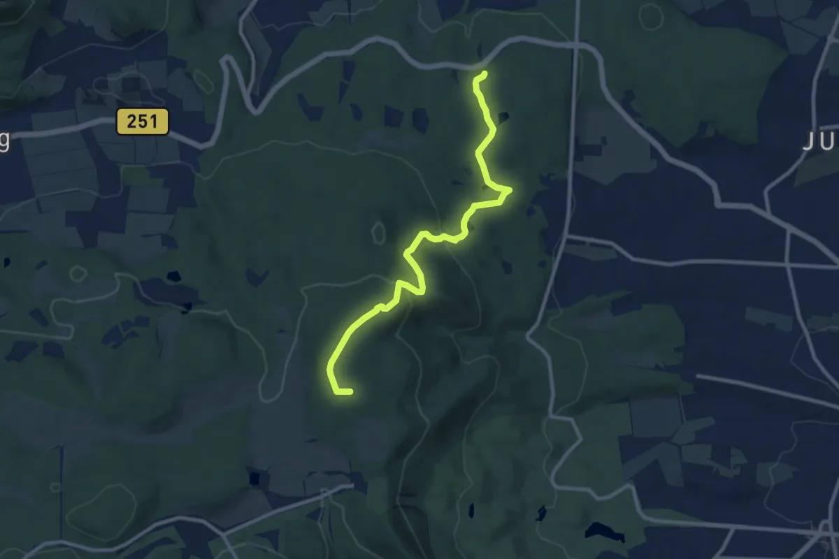
Medium · Summit
Erlenloch - Herkules
8.5 km · ↑ 251 m · 2 h 33 min
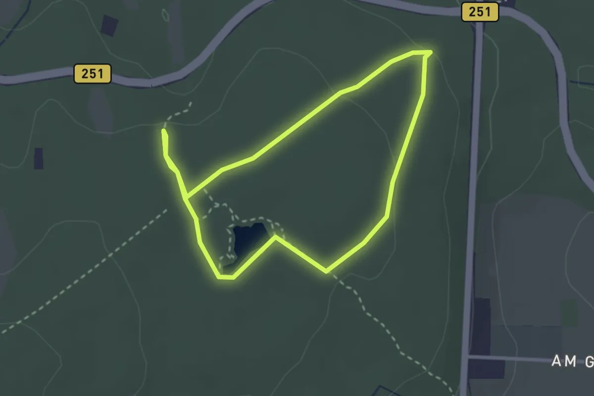
Easy · Trail
Erlenloch, Naturparkweg 24
2.3 km · ↑ 38 m · 40 min
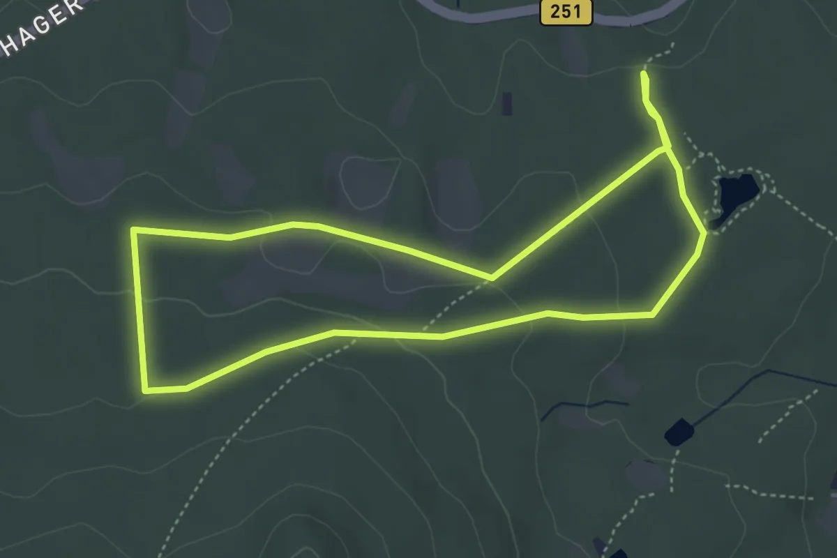
Easy · Trail
Erlenloch, Naturparkweg 28
3.8 km · ↑ 73 m · 1 h 7 min
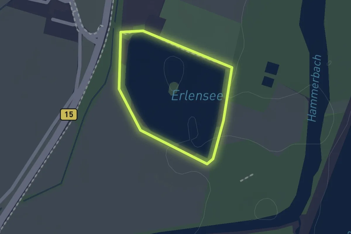
Easy · Trail
Erlensee Rundweg
1.1 km · ↑ 0 m · 16 min
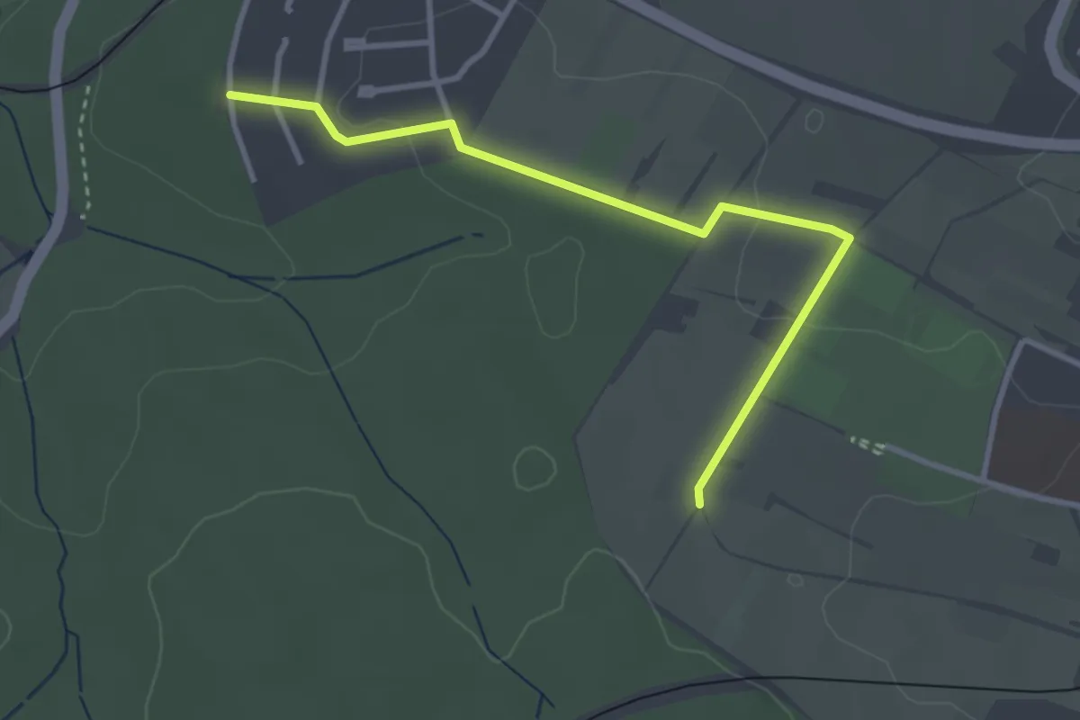
Easy · Trail
Erlensiegen - Reichenbach St. Barbara-Straße
3.2 km · ↑ 22 m · 48 min
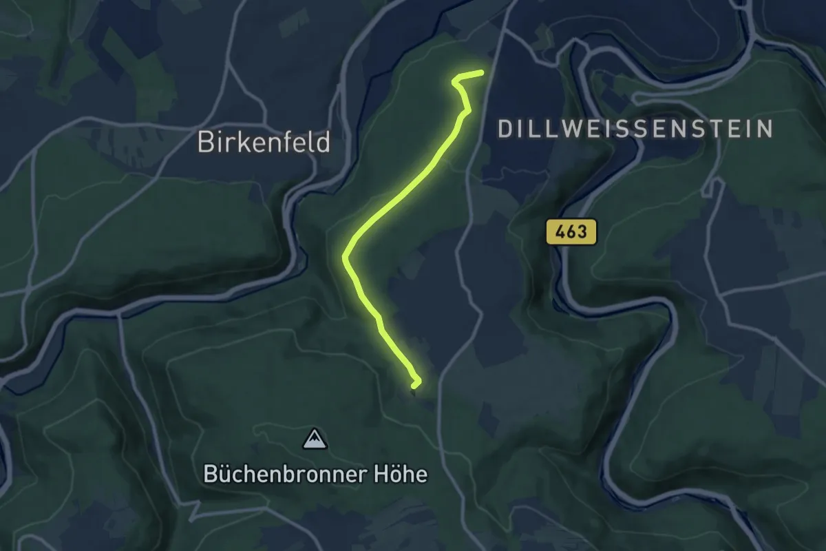
Easy · Trail
Erlesberg - Sonnenberg
7.9 km · ↑ 168 m · 2 h 14 min
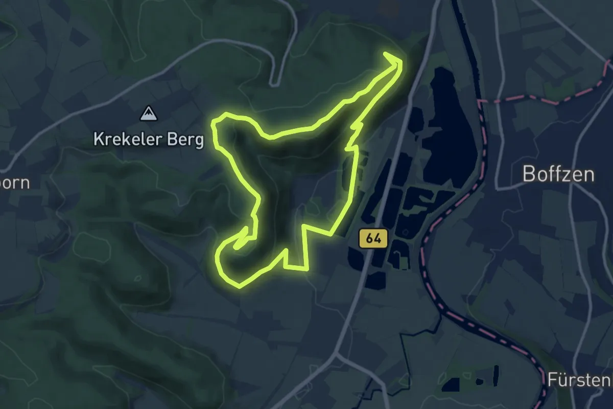
Medium · Summit
Erlesene Natur - Dem Wasserdrachen auf der Spur
9.7 km · ↑ 319 m · 3 h 7 min
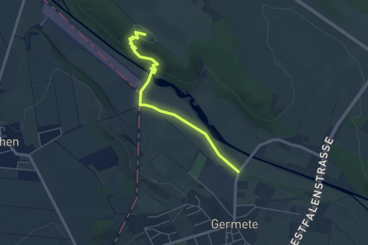
Easy · Trail
Erlesene Natur - GPS-Erlebnispfad Ossendorf
2.0 km · ↑ 12 m · 34 min
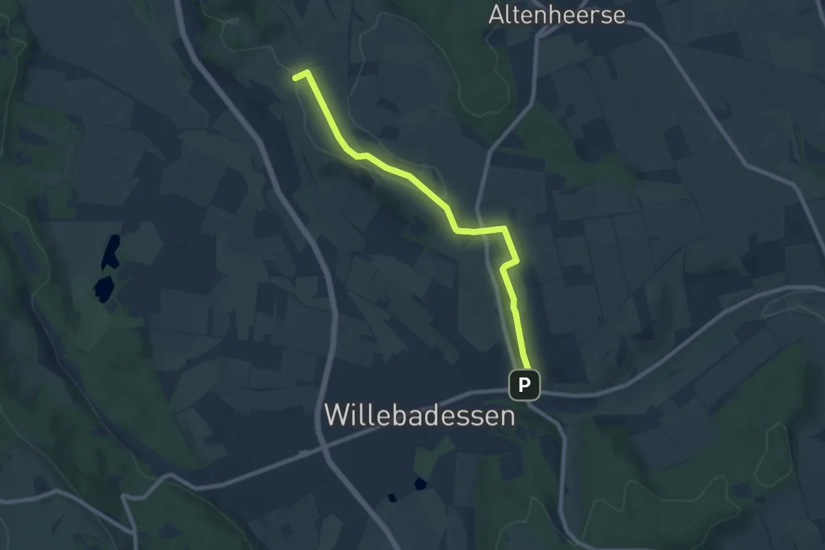
Easy · Trail
Erlesene Natur - Schmetterlingspfad Willebadessen
6.4 km · ↑ 87 m · 1 h 42 min
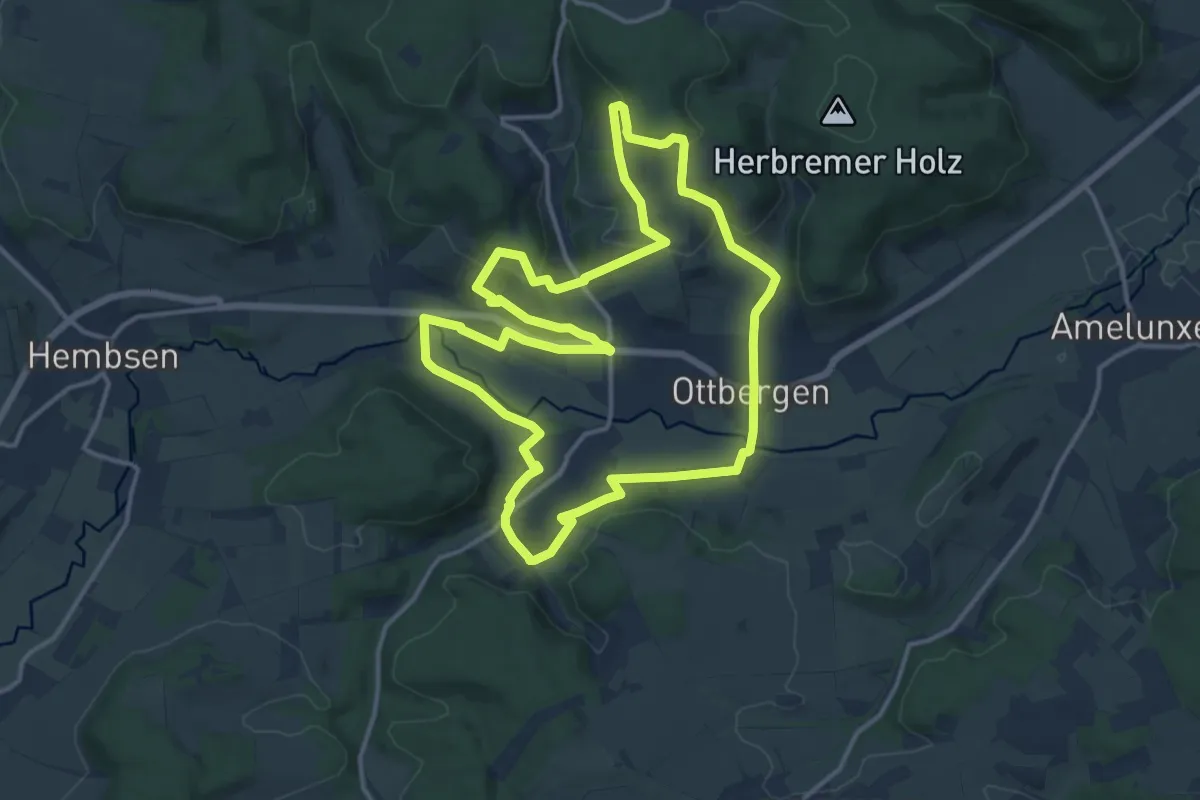
Medium · Trail
Erlesene Natur - Wege der Vielfalt
12.9 km · ↑ 372 m · 4 h 2 min
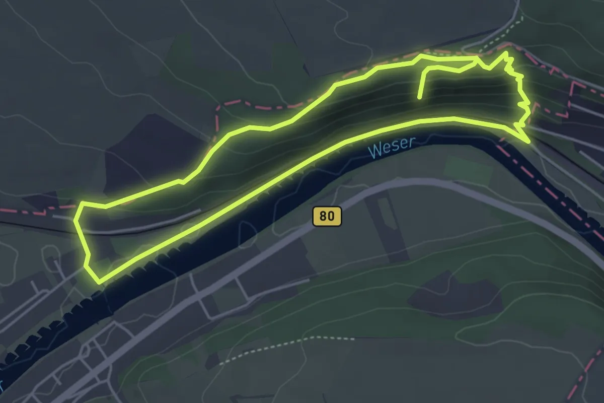
Easy · Trail
Erlesene Natur - Weser Skywalk
4.2 km · ↑ 195 m · 1 h 27 min
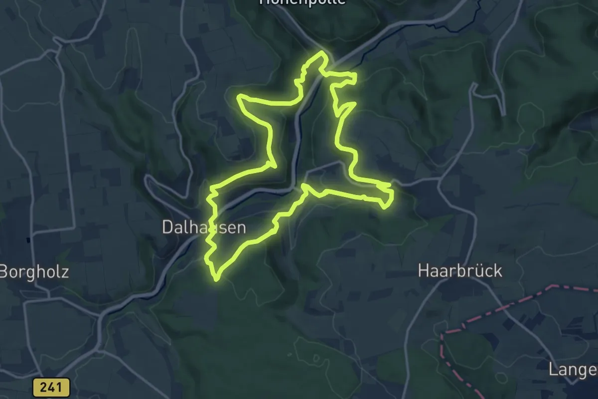
Medium · Trail
Erlesene Natur - Wo der Bock zum Gärtner wird
12.7 km · ↑ 527 m · 4 h 18 min
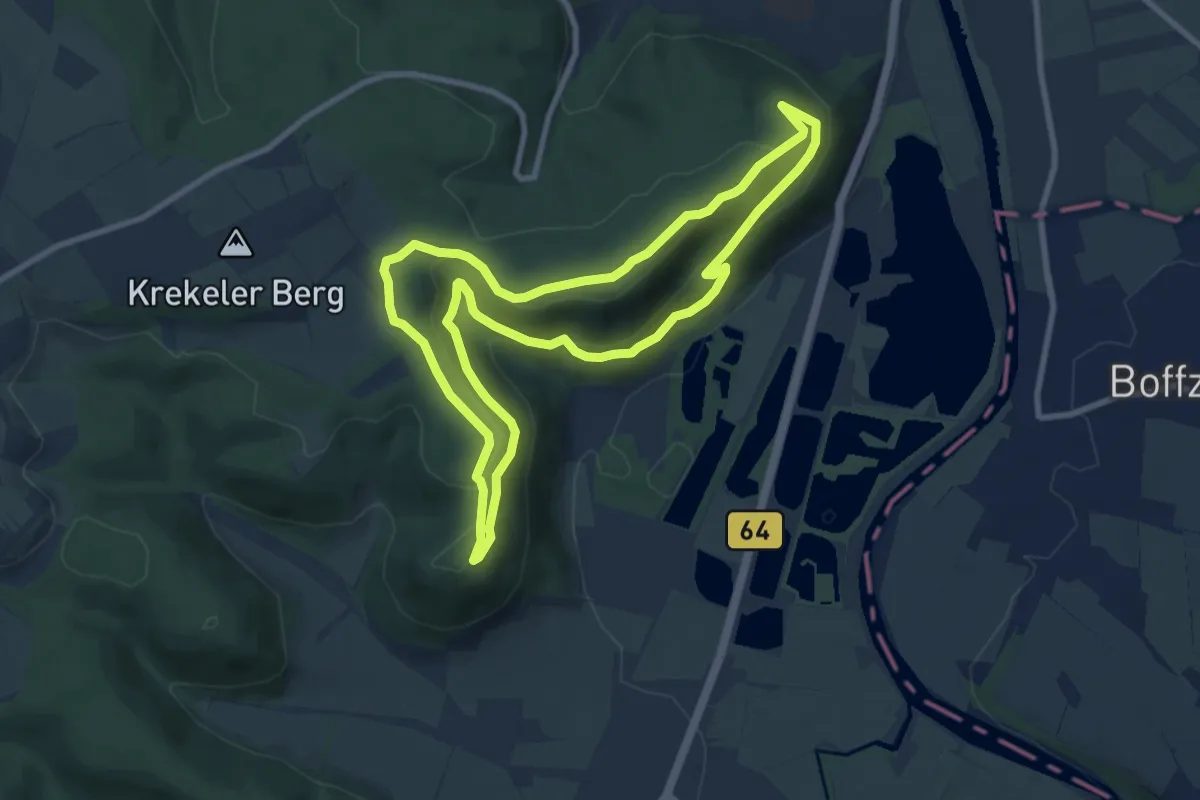
Medium · Summit
Erlesene Natur - Zu Besuch im Paradies
8.3 km · ↑ 247 m · 2 h 37 min
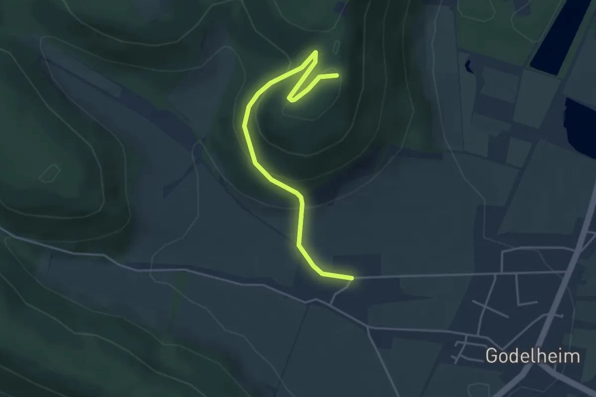
Easy · Trail
Erlesene Natur - Zu Besuch im Paradies
1.9 km · ↑ 10 m · 35 min
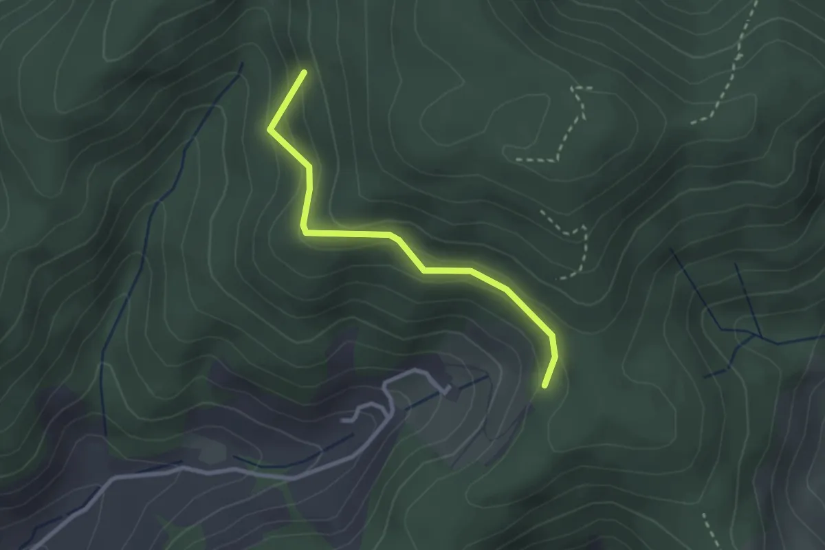
Easy · Trail
Erlets - Osterbachsattel
2.4 km · ↑ 153 m · 54 min
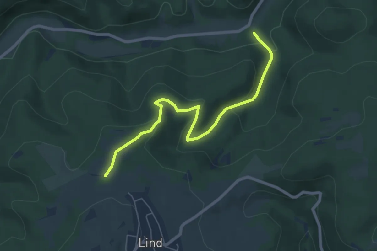
Easy · Trail
Ermschosser Weg
5.0 km · ↑ 196 m · 1 h 36 min
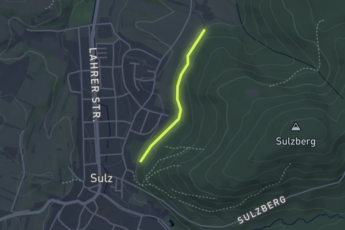
Easy · Trail
Ernethof - Sulz Friedhof
2.1 km · ↑ 30 m · 33 min
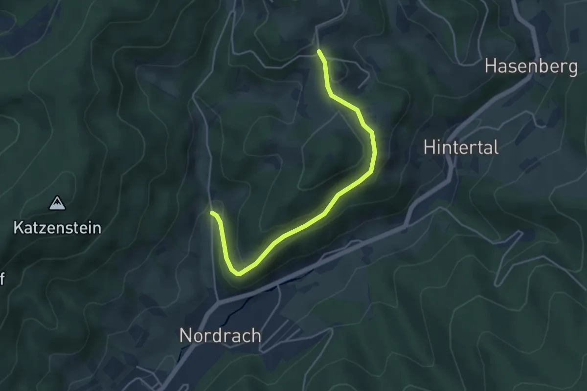
Easy · Trail
Ernsbach - Haaseneck
3.8 km · ↑ 144 m · 1 h 13 min
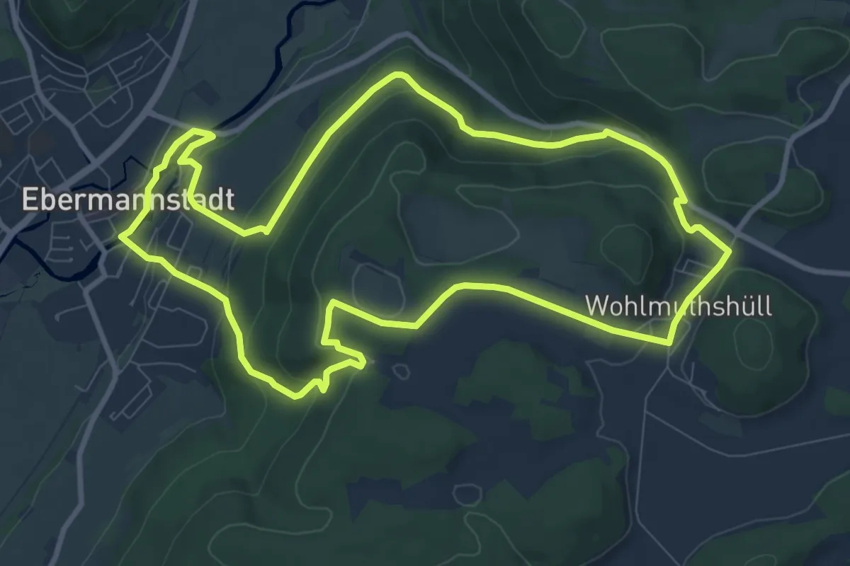
Medium · Summit
Ernst-Schlösser-Weg
8.9 km · ↑ 252 m · 2 h 46 min
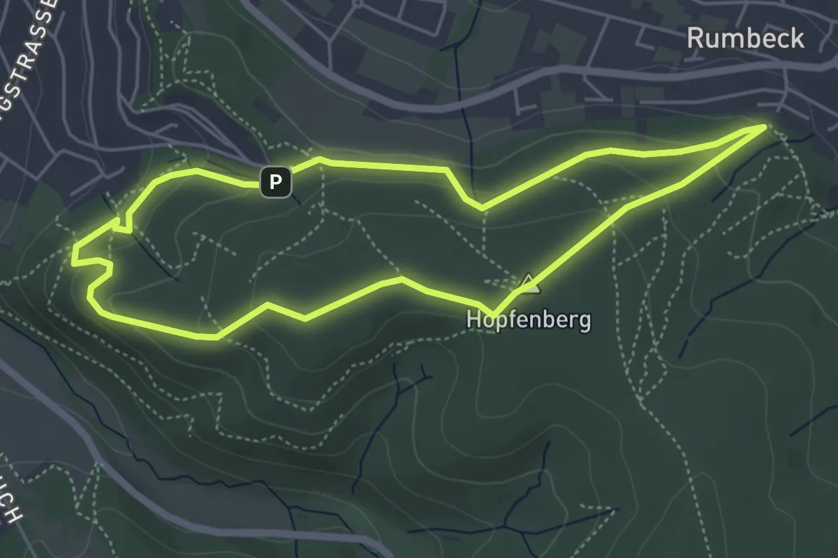
Easy · Summit
Ernst-Sluet-Weg
4.3 km · ↑ 146 m · 1 h 23 min
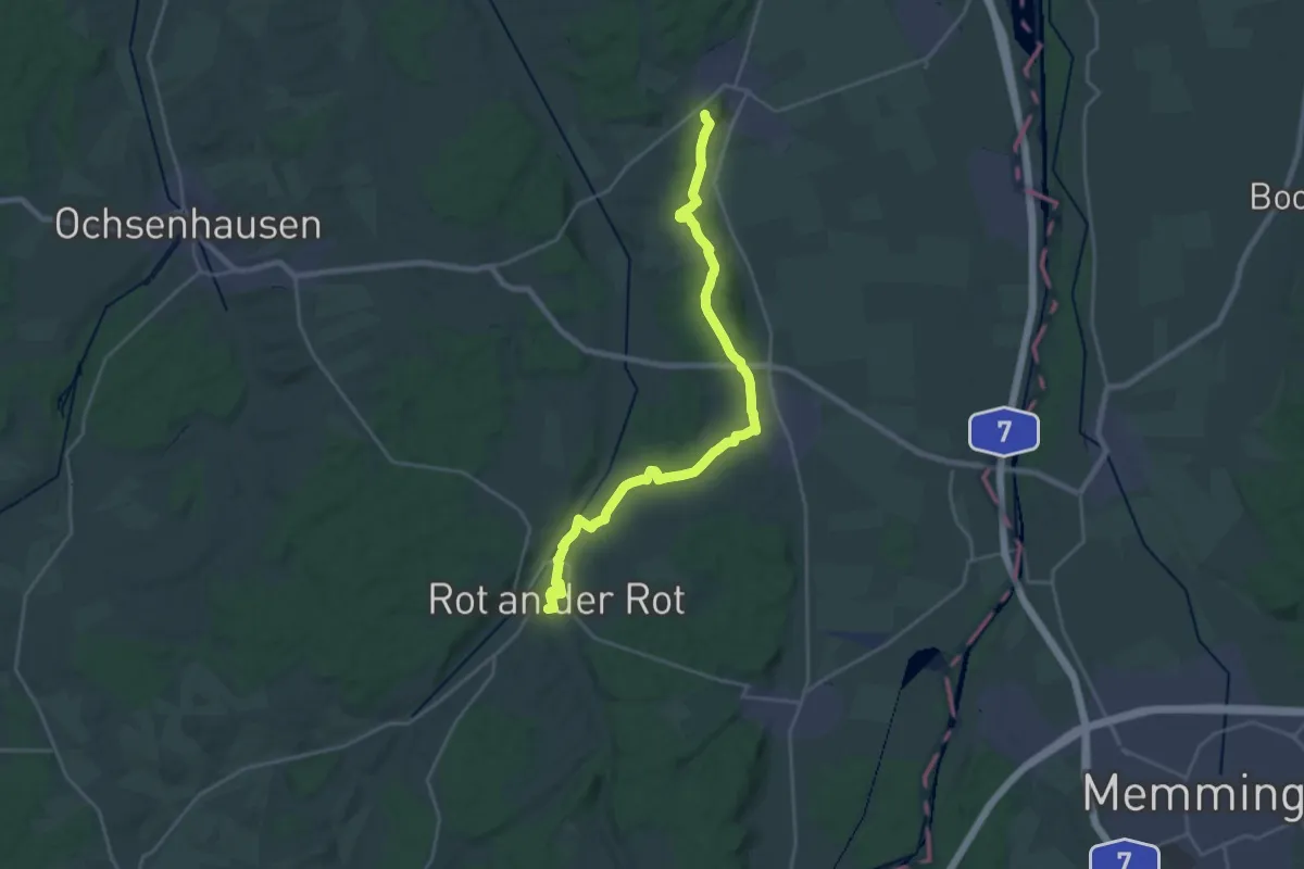
Demanding · Trail
Erolsheim - Rot
23.7 km · ↑ 318 m · 6 h 18 min
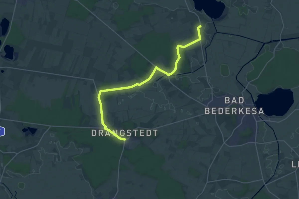
Demanding · Trail
Erotik-Wanderweg
20.0 km · ↑ 77 m · 4 h 53 min
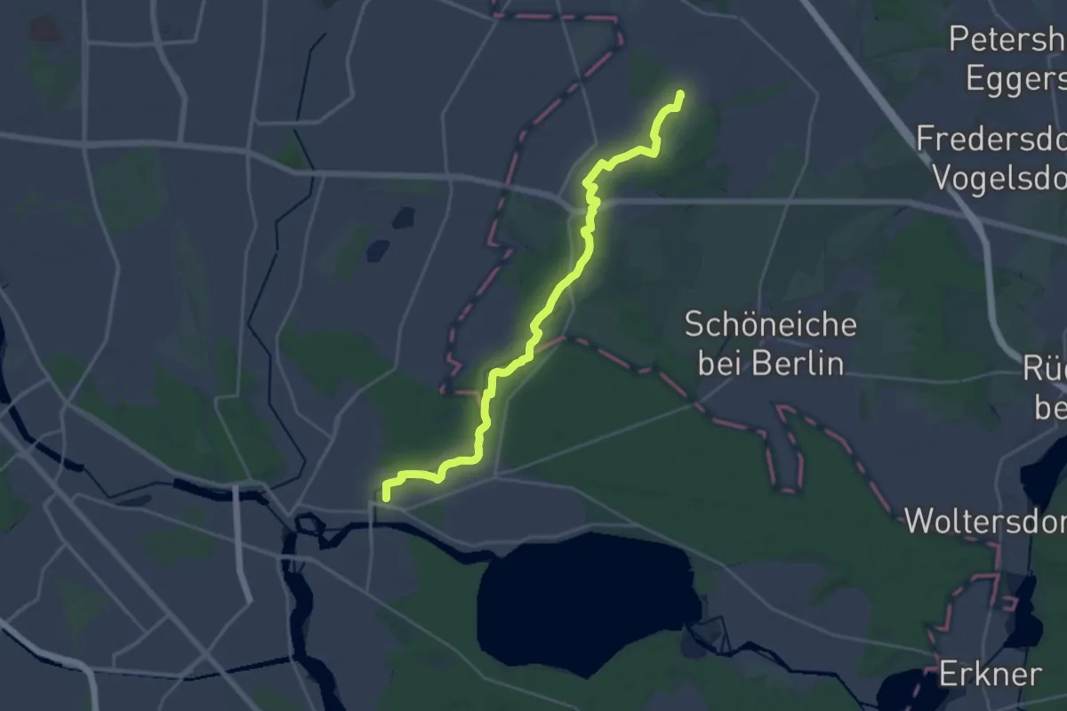
Demanding · Trail
Erpetal Wanderweg
22.5 km · ↑ 56 m · 5 h 26 min
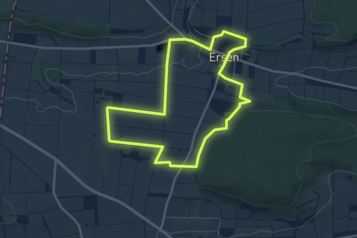
Easy · Trail
Ersen - E1
5.6 km · ↑ 76 m · 1 h 34 min
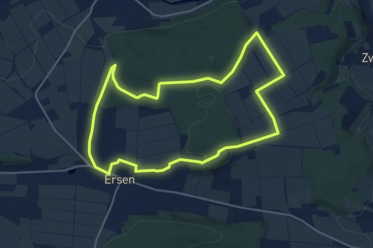
Medium · Trail
Ersen - E2
8.5 km · ↑ 142 m · 2 h 26 min
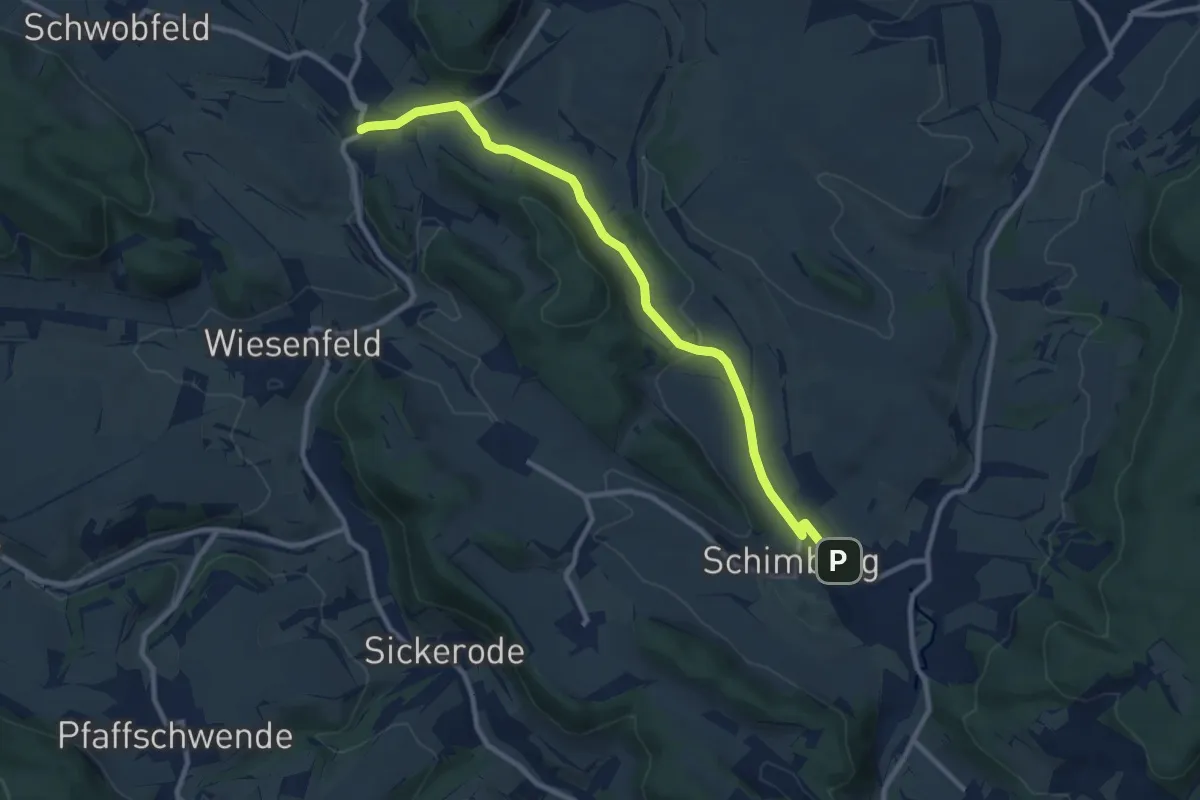
Medium · Trail
Ershausen - Rüstungen
9.3 km · ↑ 162 m · 2 h 33 min
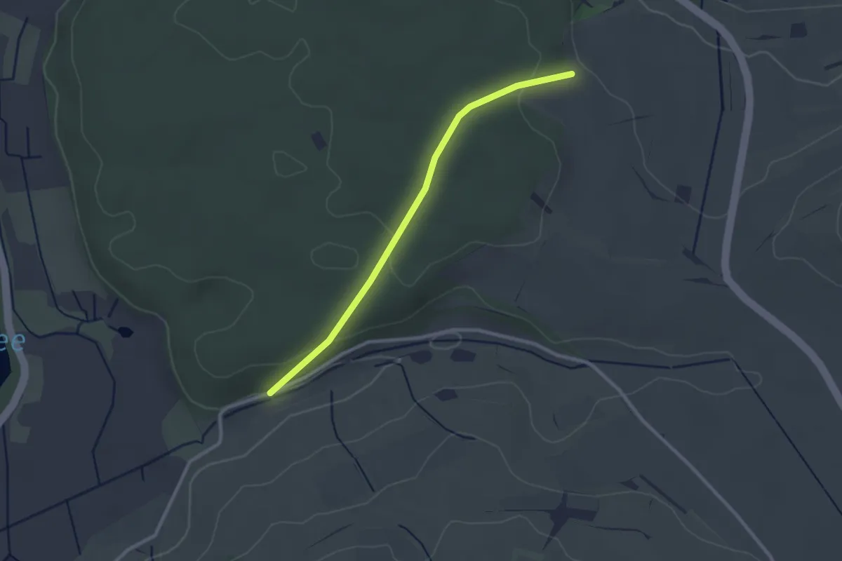
Easy · Trail
Ertenhag - Am Binninger Ried
2.5 km · ↑ 67 m · 44 min
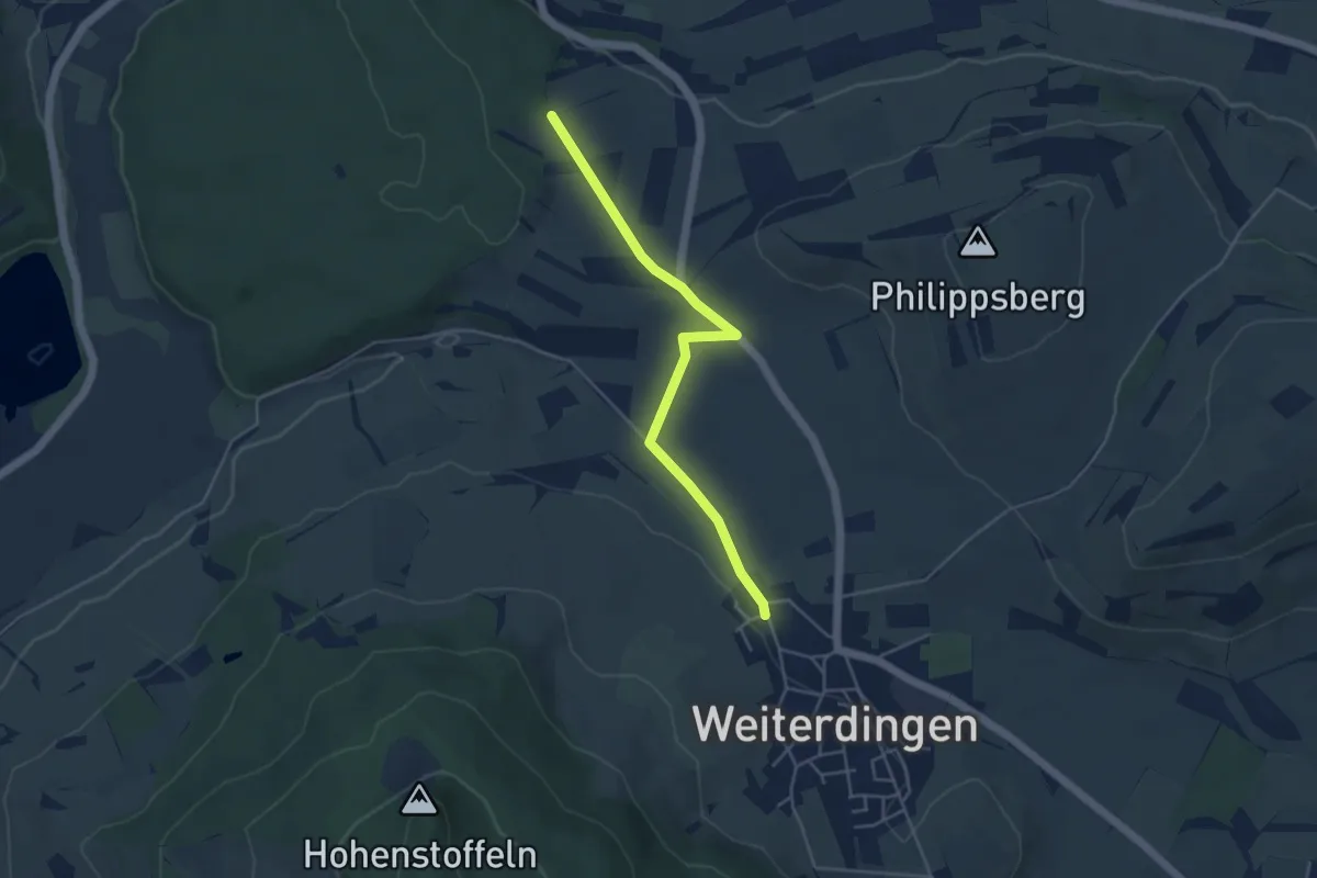
Easy · Trail
Ertenhag - Weiterdingen Weidenbuschstraße
4.3 km · ↑ 28 m · 1 h 5 min
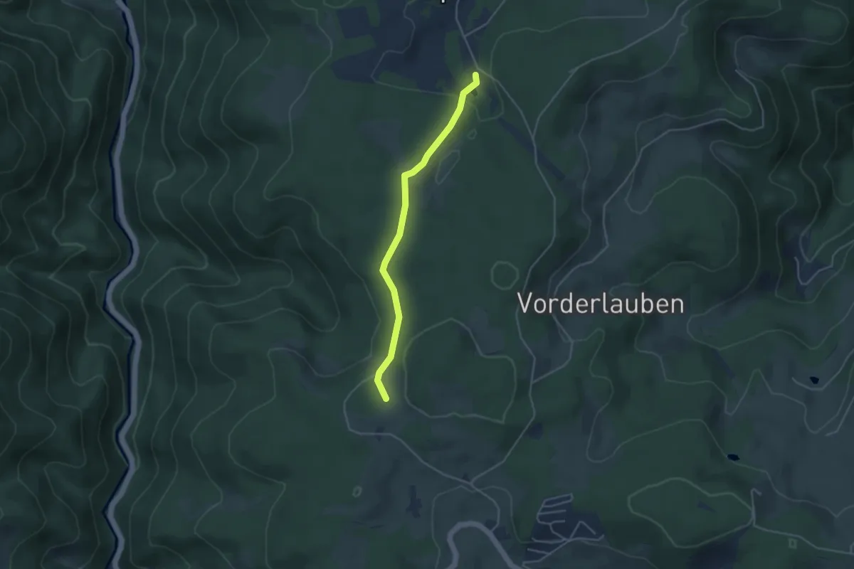
Easy · Trail
Erwin-Schweizer-Heim - Gummele Kreuz
3.6 km · ↑ 92 m · 1 h 3 min
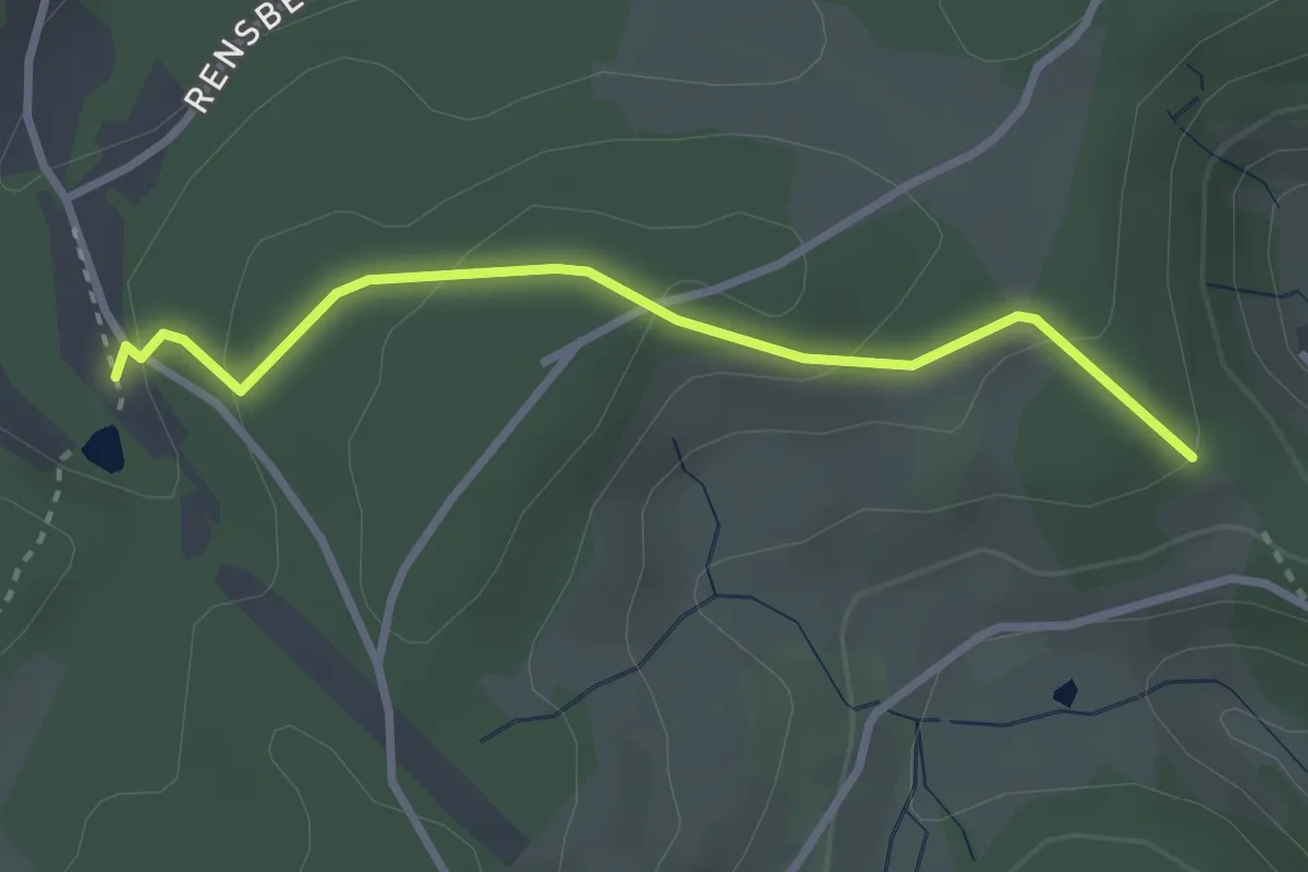
Easy · Trail
Erwin-Schweizer-Heim - Schärtissenbauer
2.7 km · ↑ 130 m · 55 min
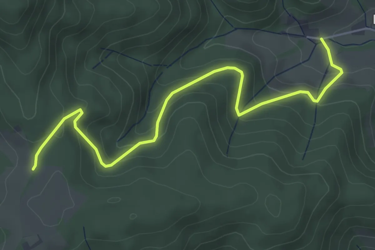
Easy · Trail
Erzbach Ponyhof - Höflewald
5.2 km · ↑ 315 m · 1 h 55 min
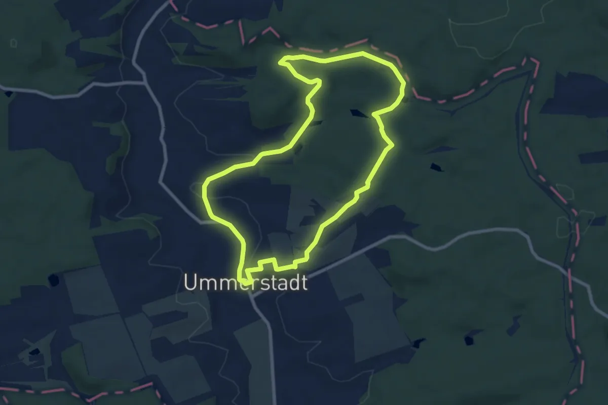
Easy · Summit
Erzberg-Weg
6.9 km · ↑ 144 m · 2 h 3 min
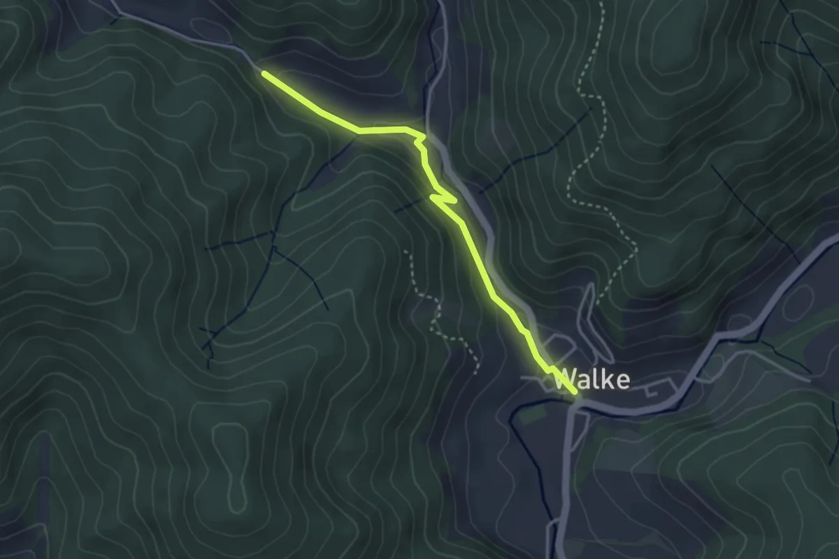
Easy · Trail
Erzenbach Martinshanselhof - Walke Rathaus
3.1 km · ↑ 120 m · 59 min