Trails in Germany
36,852 hiking trails, each with its route, climb, walking time and grade.
All trails, page 139 of 768
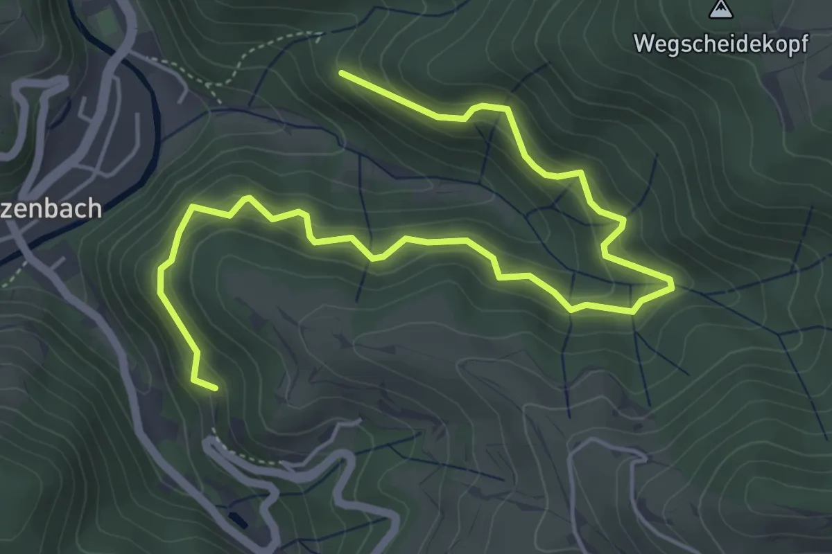
Medium · Trail
Erzenwald - Grüneck
6.1 km · ↑ 555 m · 2 h 39 min
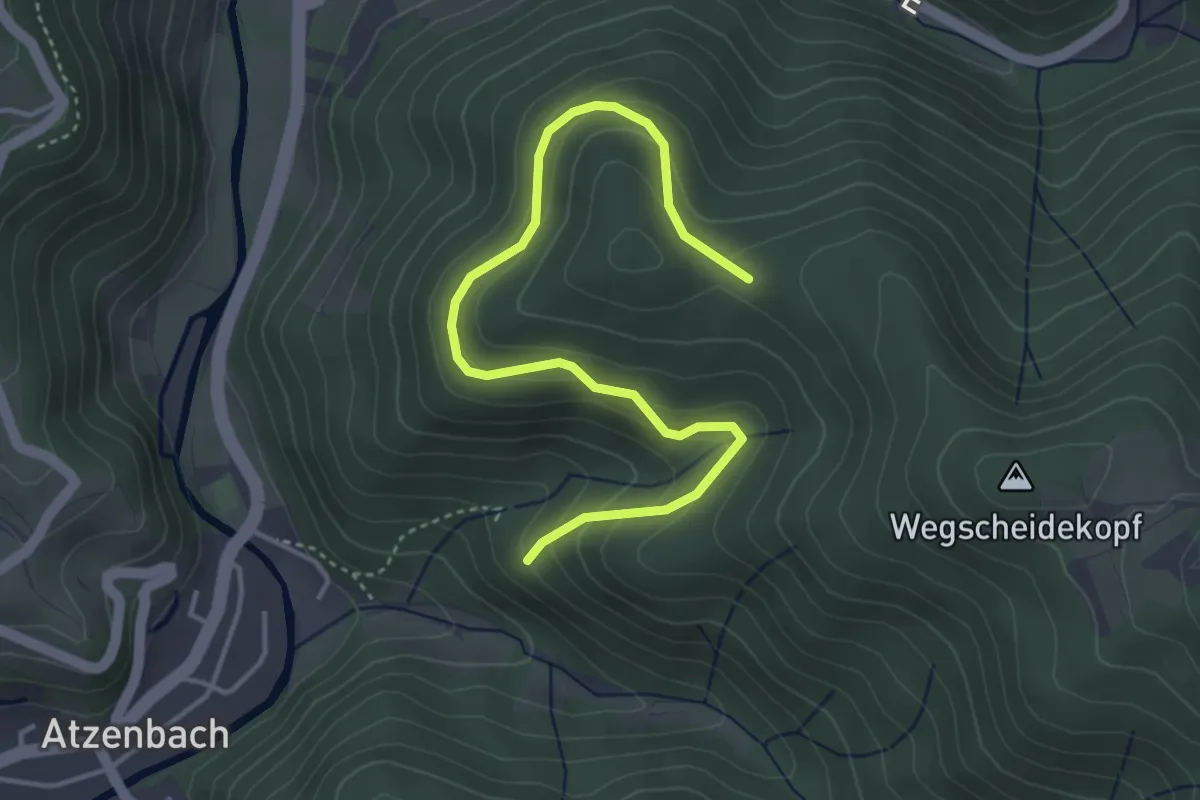
Easy · Trail
Erzenwald - Wegscheidekopf
4.3 km · ↑ 281 m · 1 h 38 min
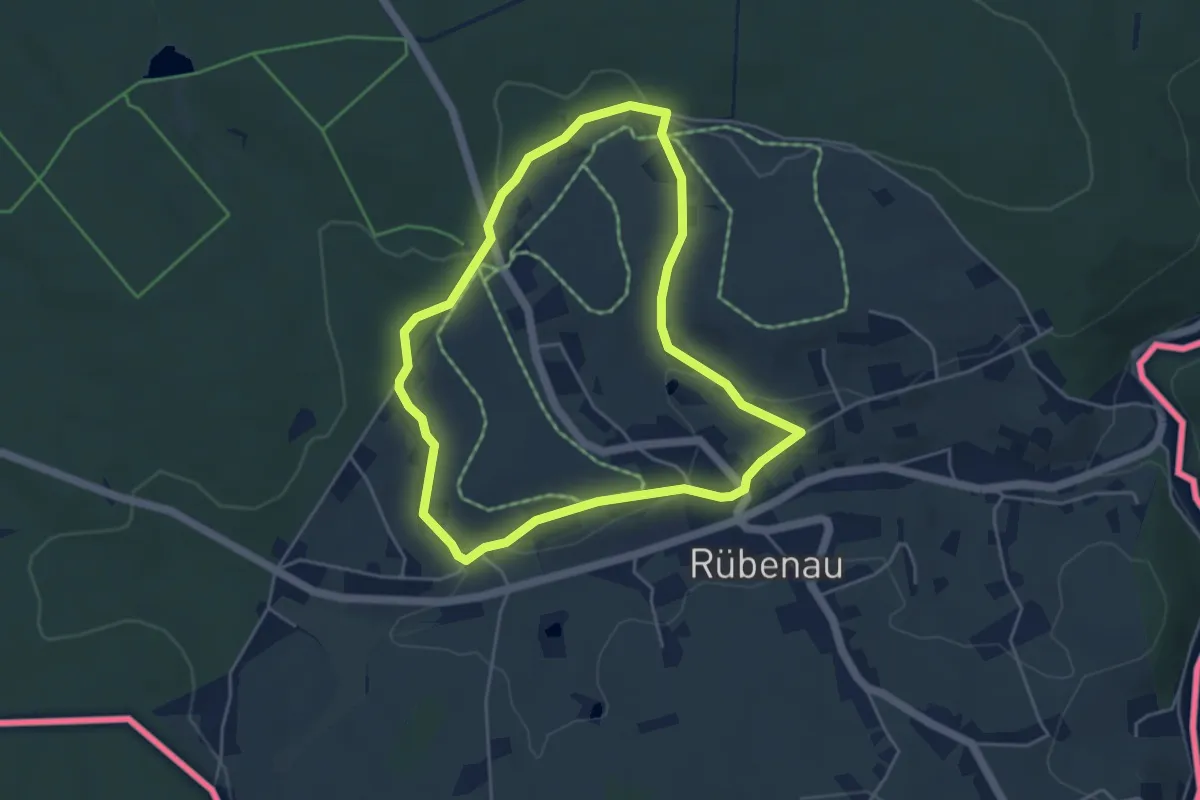
Easy · Trail
Erzgebirgischer Naturlehrpfad
4.0 km · ↑ 81 m · 1 h 11 min
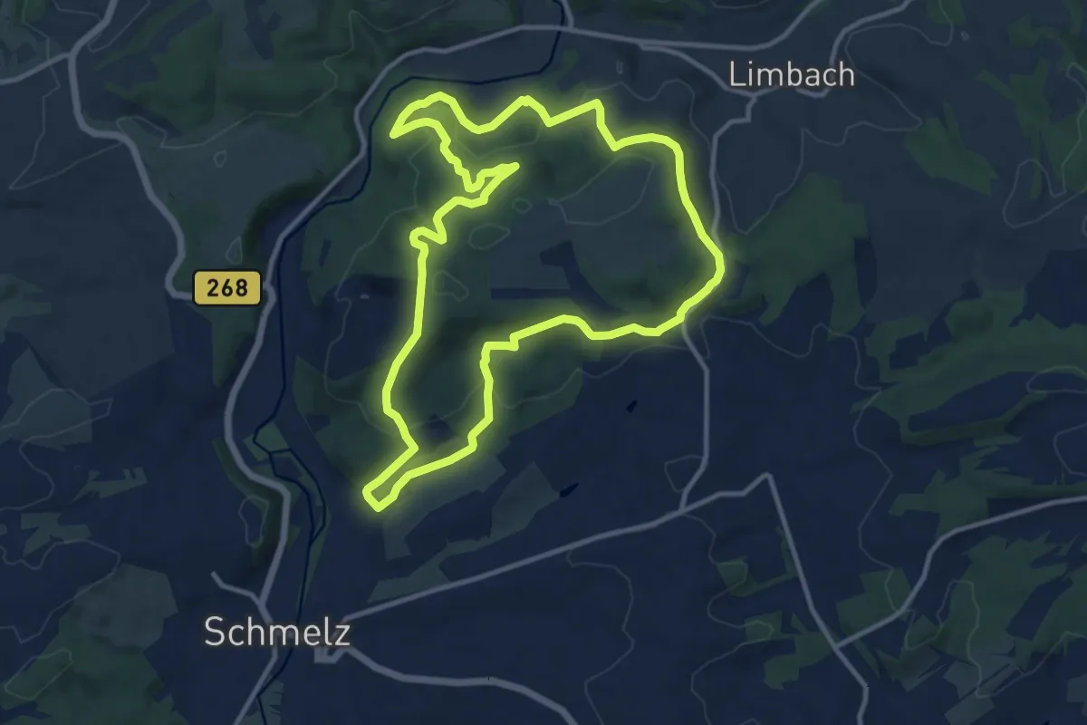
Medium · Summit
Erzgräberweg
11.1 km · ↑ 396 m · 3 h 38 min
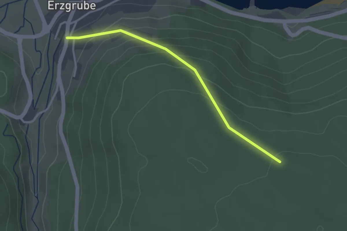
Easy · Trail
Erzgruber Steige - Erzgrube Rathaus
2.6 km · ↑ 162 m · 57 min
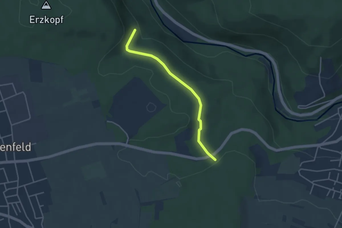
Easy · Trail
Erzkopfbrunnen - Binsenwald
2.7 km · ↑ 37 m · 44 min
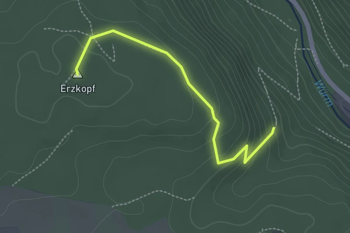
Easy · Summit
Erzkopf - Erzkopfbrunnen
2.4 km · ↑ 83 m · 45 min
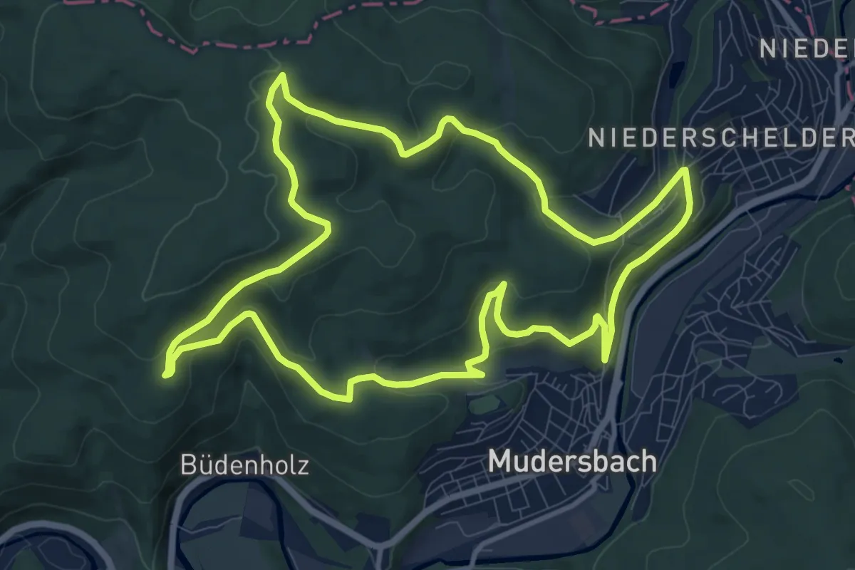
Medium · Trail
Erzquellweg
10.0 km · ↑ 324 m · 3 h 12 min
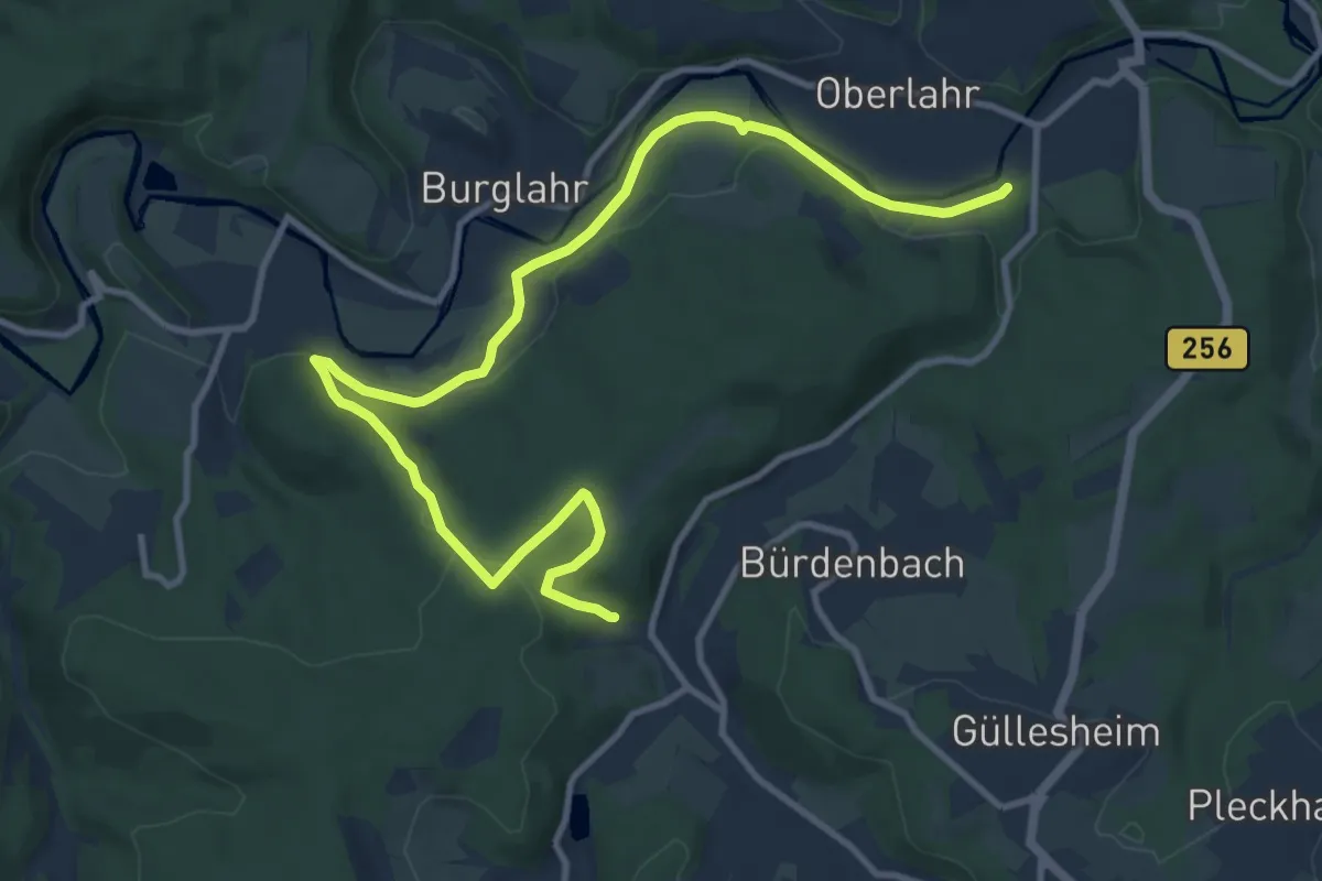
Medium · Trail
Erz-Wanderweg
12.4 km · ↑ 269 m · 3 h 30 min
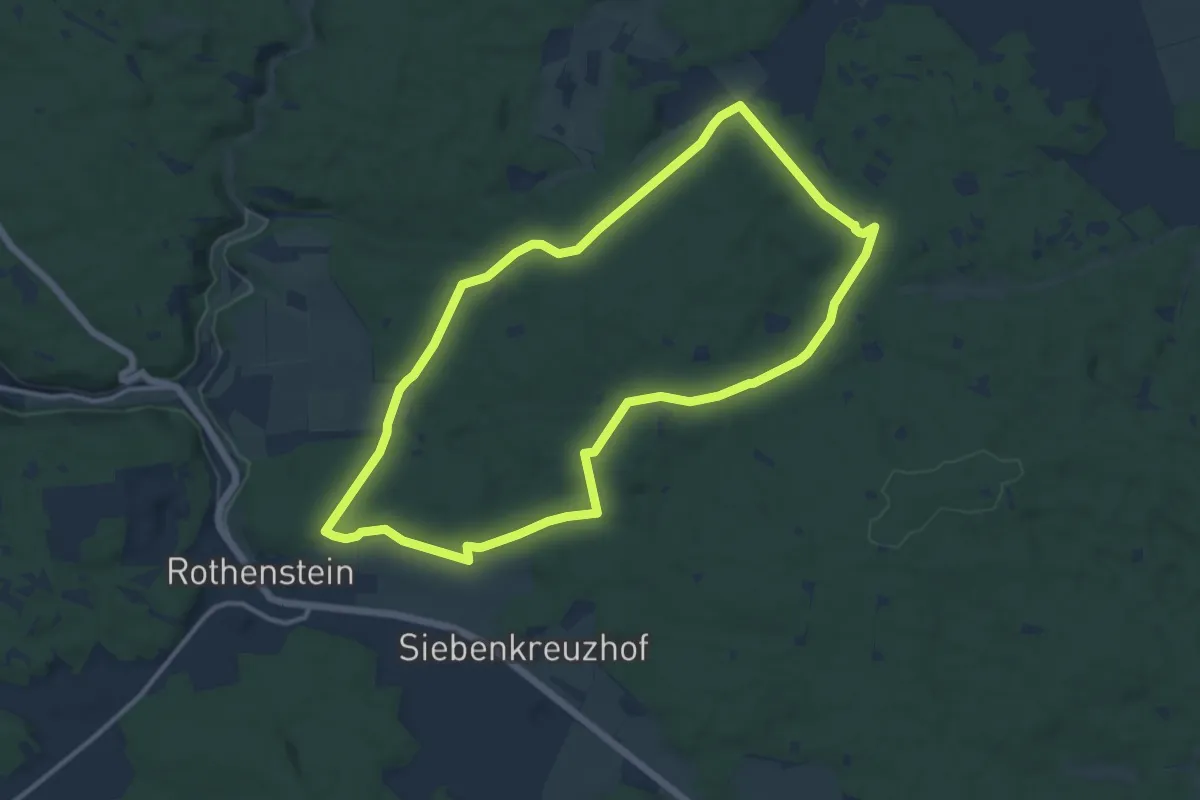
Medium · Trail
Erzweg
11.4 km · ↑ 132 m · 3 h 8 min
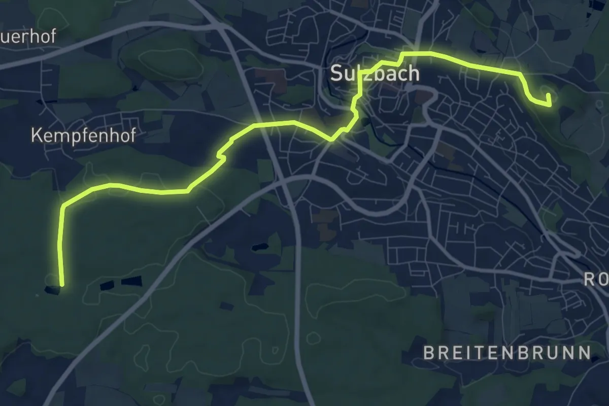
Medium · Summit
Erzweg (4) Wegvarinate in Sulzbach-Rosenberg
10.6 km · ↑ 225 m · 2 h 59 min
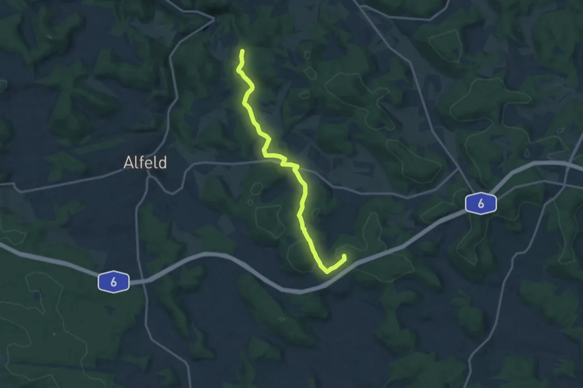
Medium · Summit
Erzweg Birgland Schlaufe
11.7 km · ↑ 248 m · 3 h 17 min
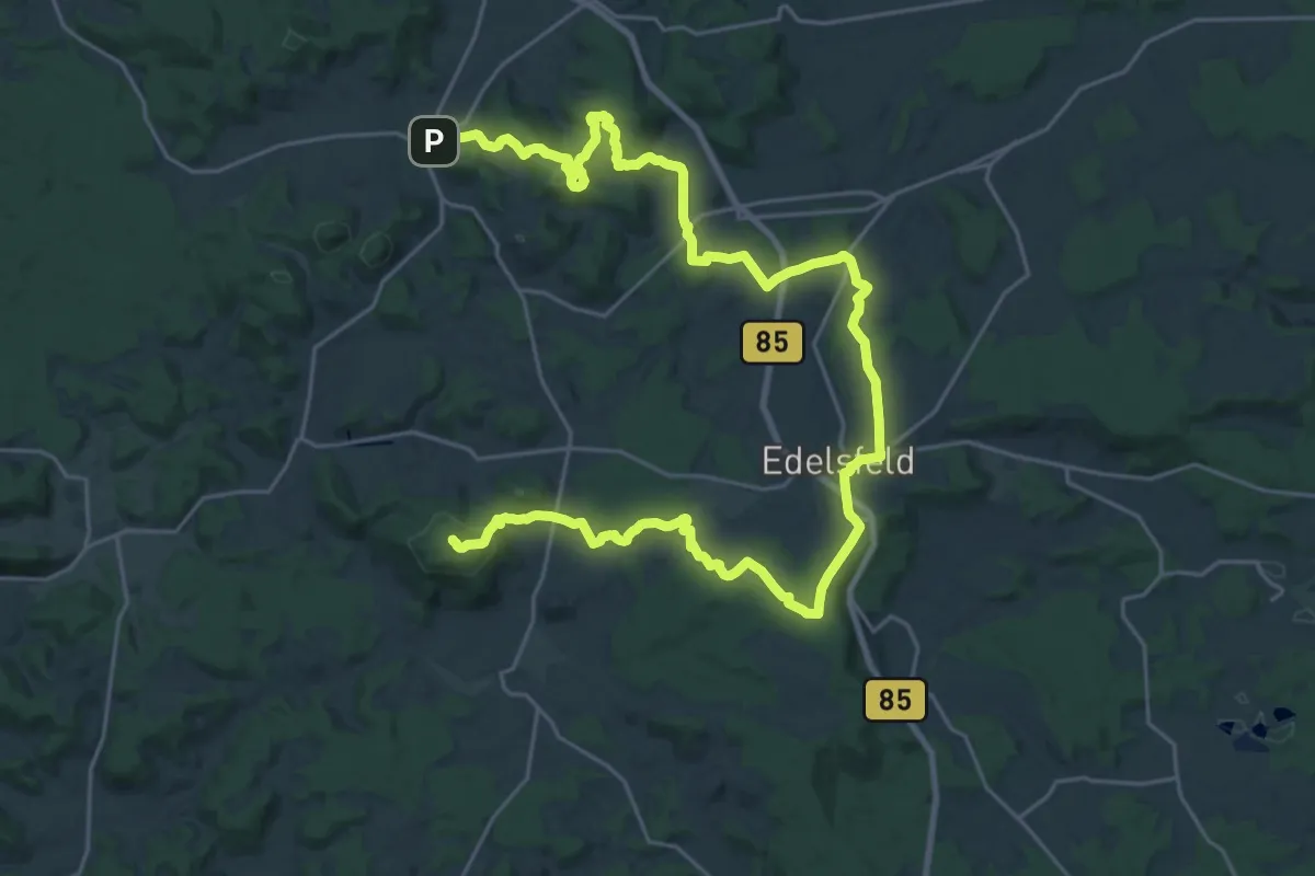
Demanding · Summit
Erzweg Edelsfelder Schlaufe
34.6 km · ↑ 914 m · 10 h 9 min
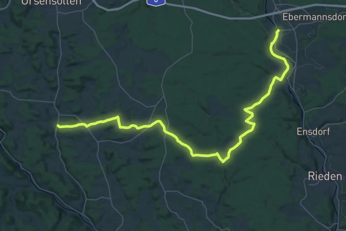
Demanding · Trail
Erzweg, Etappe 10: Theuern - Heimhof
19.5 km · ↑ 366 m · 5 h 39 min
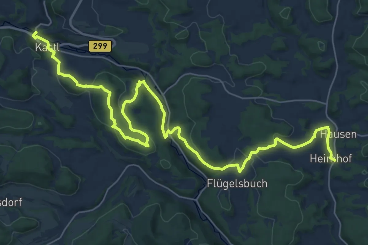
Demanding · Trail
Erzweg, Etappe 11: Heimhof - Kastl
25.4 km · ↑ 625 m · 7 h 21 min
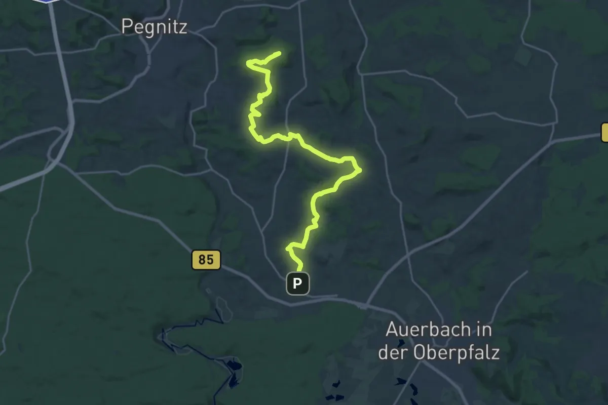
Demanding · Summit
Erzweg, Etappe 1: Pegnitz - Michelfeld
21.0 km · ↑ 320 m · 5 h 40 min
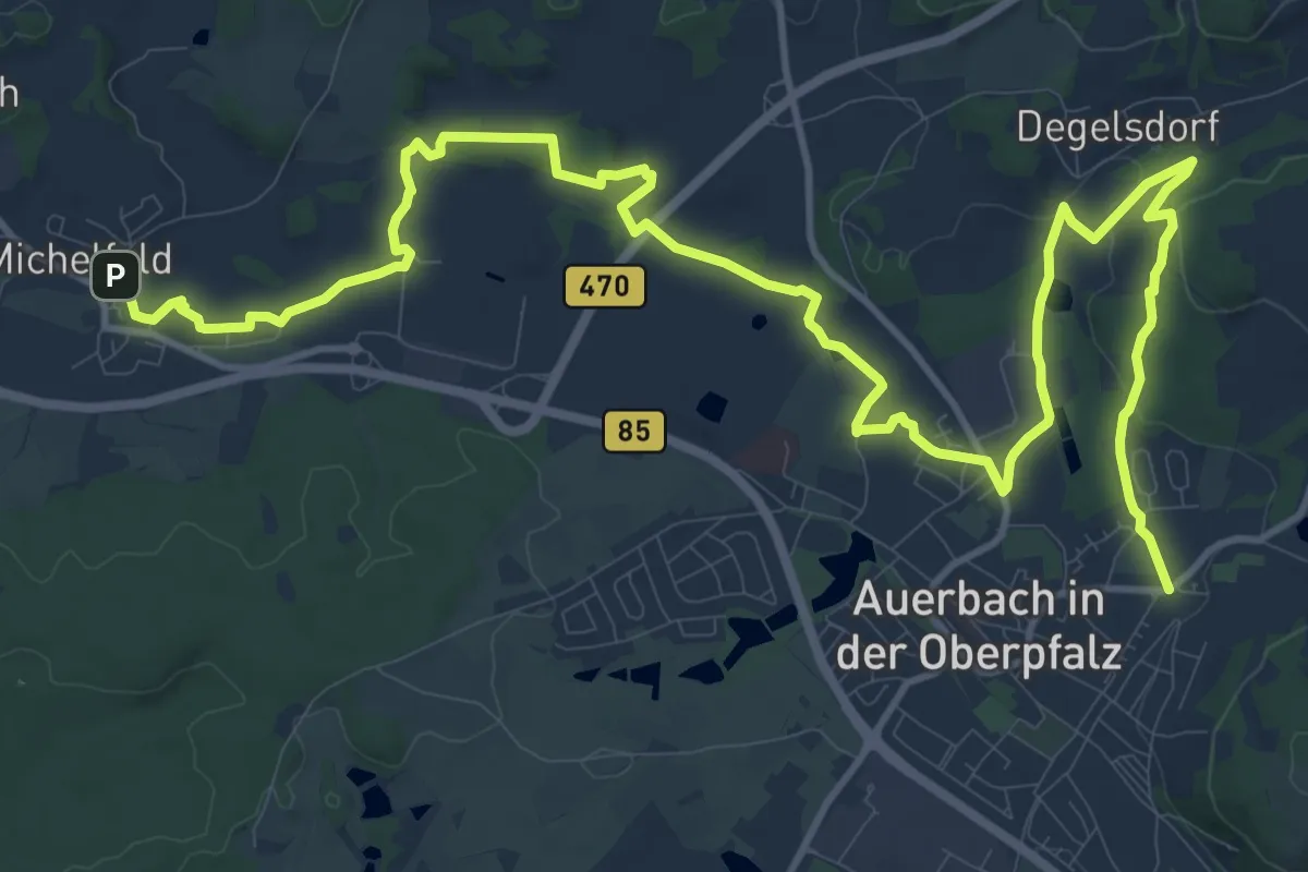
Demanding · Trail
Erzweg, Etappe 2: Michelfeld - Auerbach
18.2 km · ↑ 217 m · 4 h 47 min
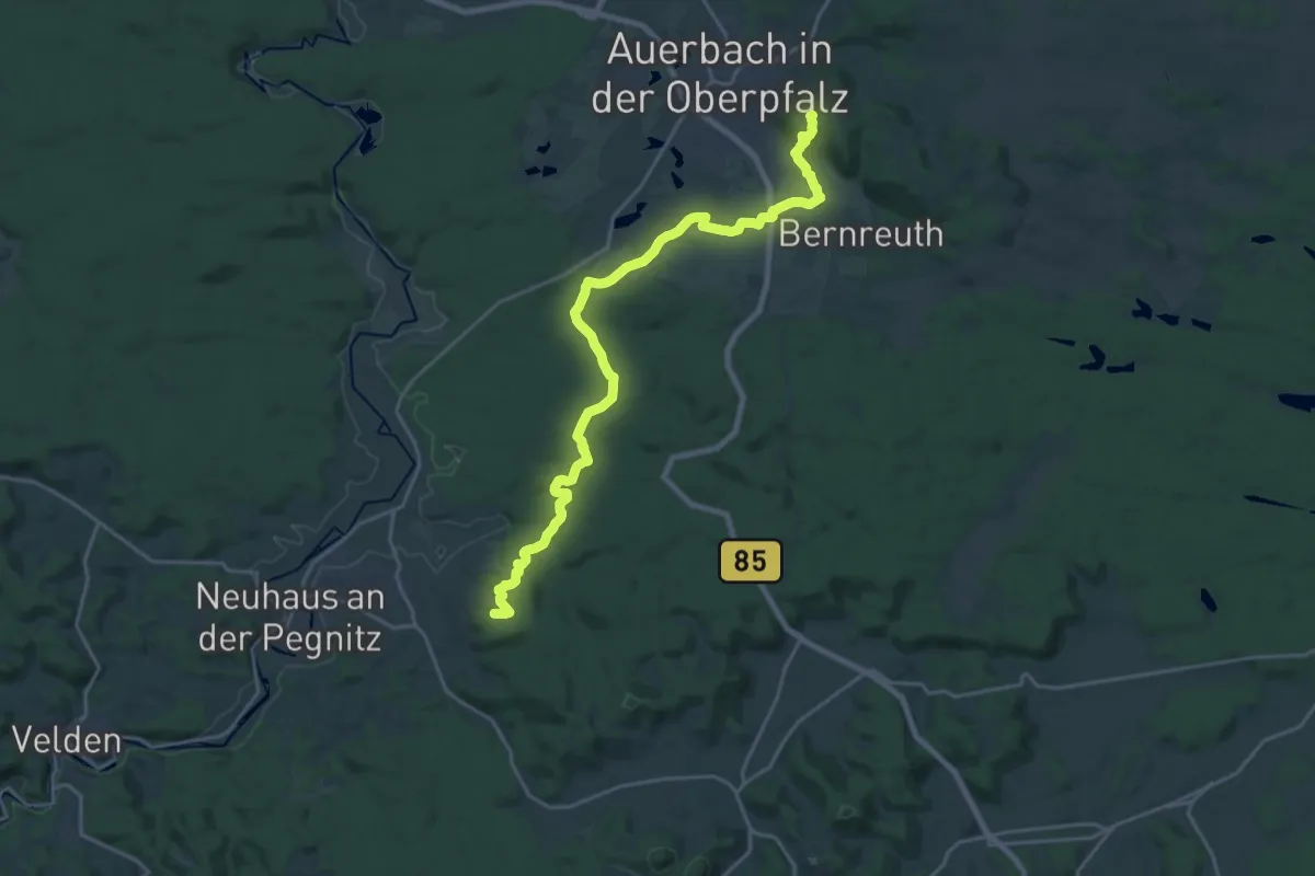
Demanding · Summit
Erzweg, Etappe 3: Auerbach - Neuhaus
22.7 km · ↑ 521 m · 6 h 30 min
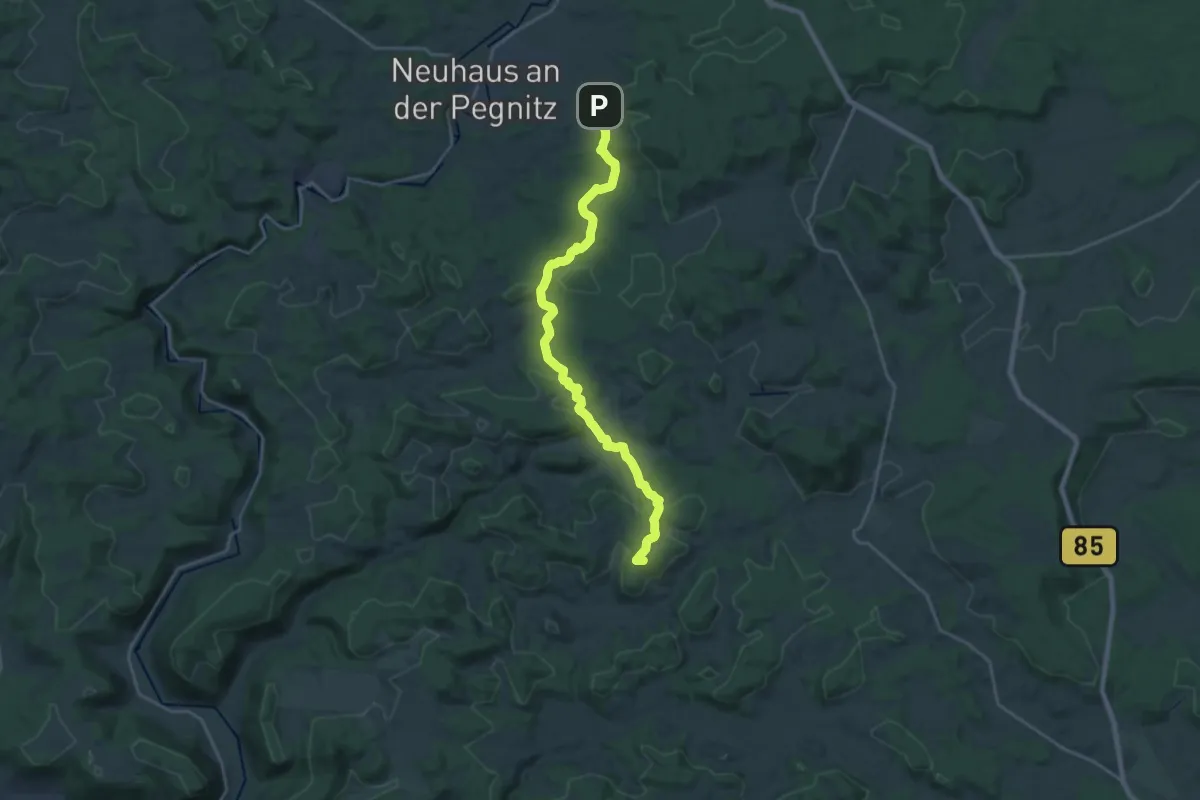
Demanding · Summit
Erzweg, Etappe 4: Neuhaus - Etzelwang
21.9 km · ↑ 474 m · 6 h 11 min
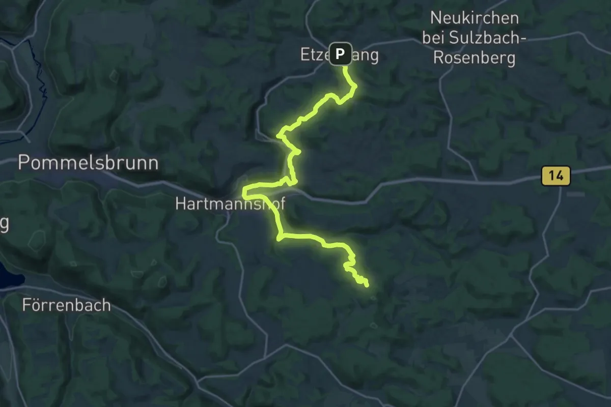
Demanding · Trail
Erzweg, Etappe 5: Etzelwang - Lichtenegg
22.4 km · ↑ 693 m · 6 h 47 min
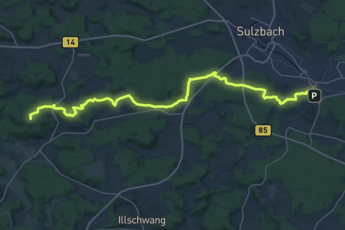
Demanding · Summit
Erzweg, Etappe 6: Lichtenegg - Sulzbach
26.0 km · ↑ 481 m · 7 h 10 min
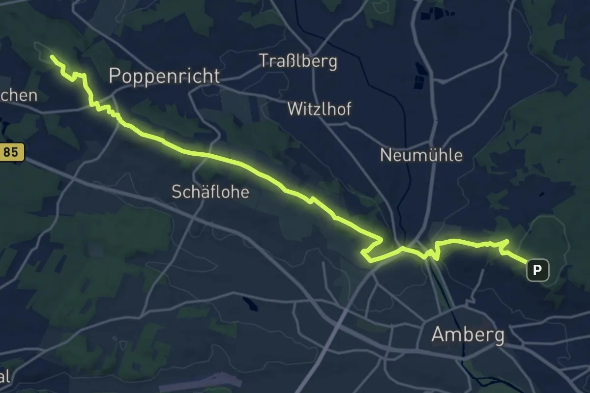
Demanding · Summit
Erzweg, Etappe 7: Sulzbach - Amberg
18.6 km · ↑ 423 m · 5 h 19 min
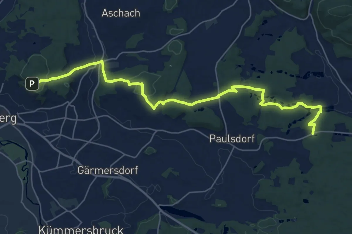
Demanding · Trail
Erzweg, Etappe 8: Amberg - Paulsdorf
21.7 km · ↑ 555 m · 6 h 19 min
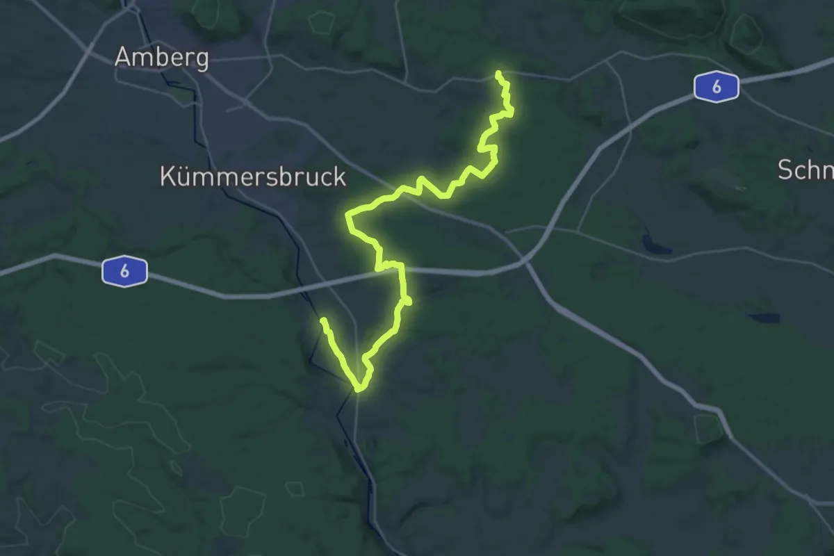
Medium · Trail
Erzweg, Etappe 9: Paulsdorf - Theuern
16.4 km · ↑ 160 m · 4 h 29 min
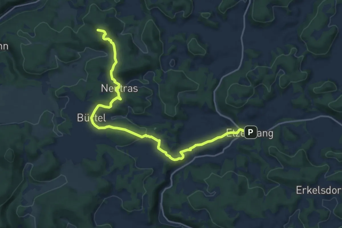
Demanding · Summit
Erzweg Hirschbacher Schlaufe
14.1 km · ↑ 418 m · 4 h 14 min
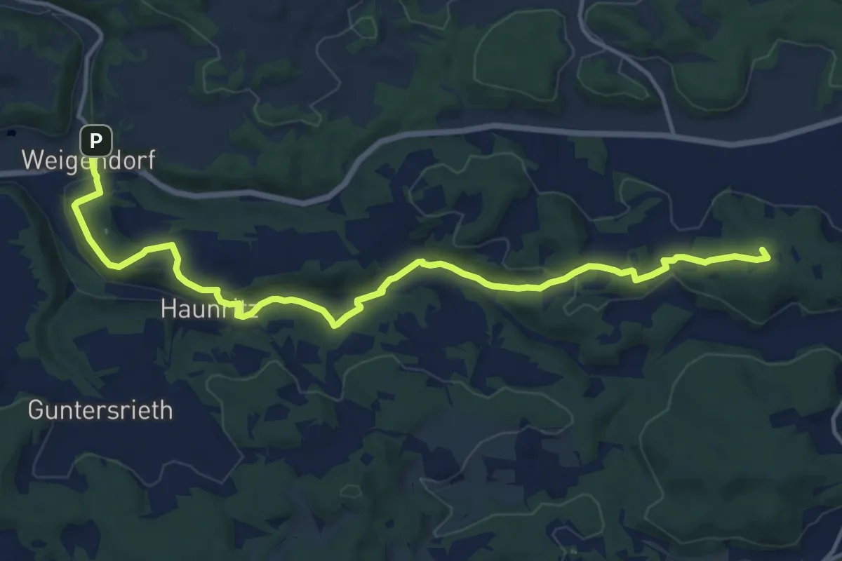
Medium · Summit
Erzweg Högener Schlaufe
14.1 km · ↑ 453 m · 4 h 18 min
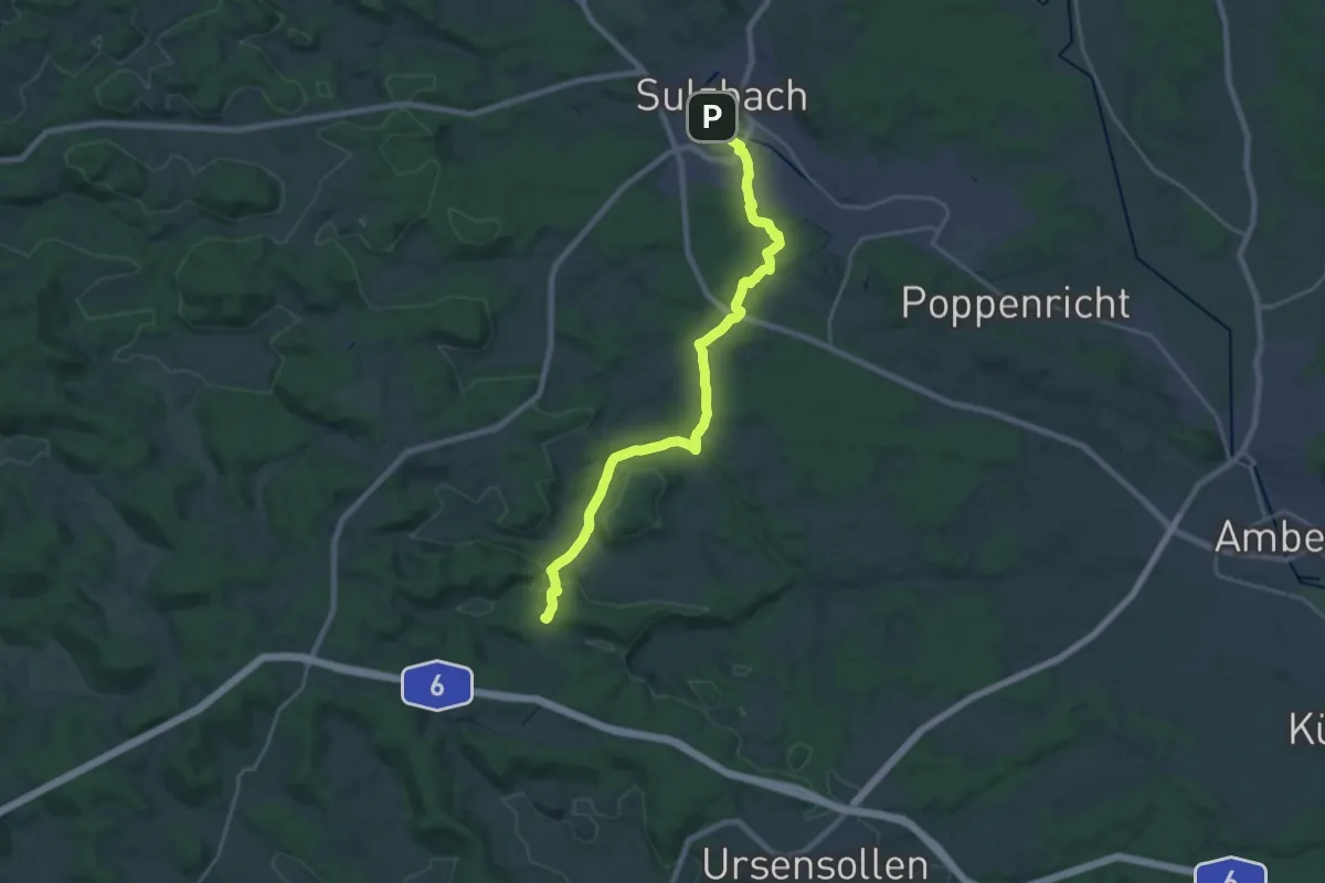
Demanding · Summit
Erzweg Illschwanger Schlaufe
21.4 km · ↑ 427 m · 5 h 58 min
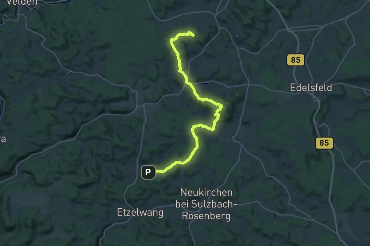
Demanding · Summit
Erzweg Königssteiner Schlaufe
24.3 km · ↑ 902 m · 7 h 41 min
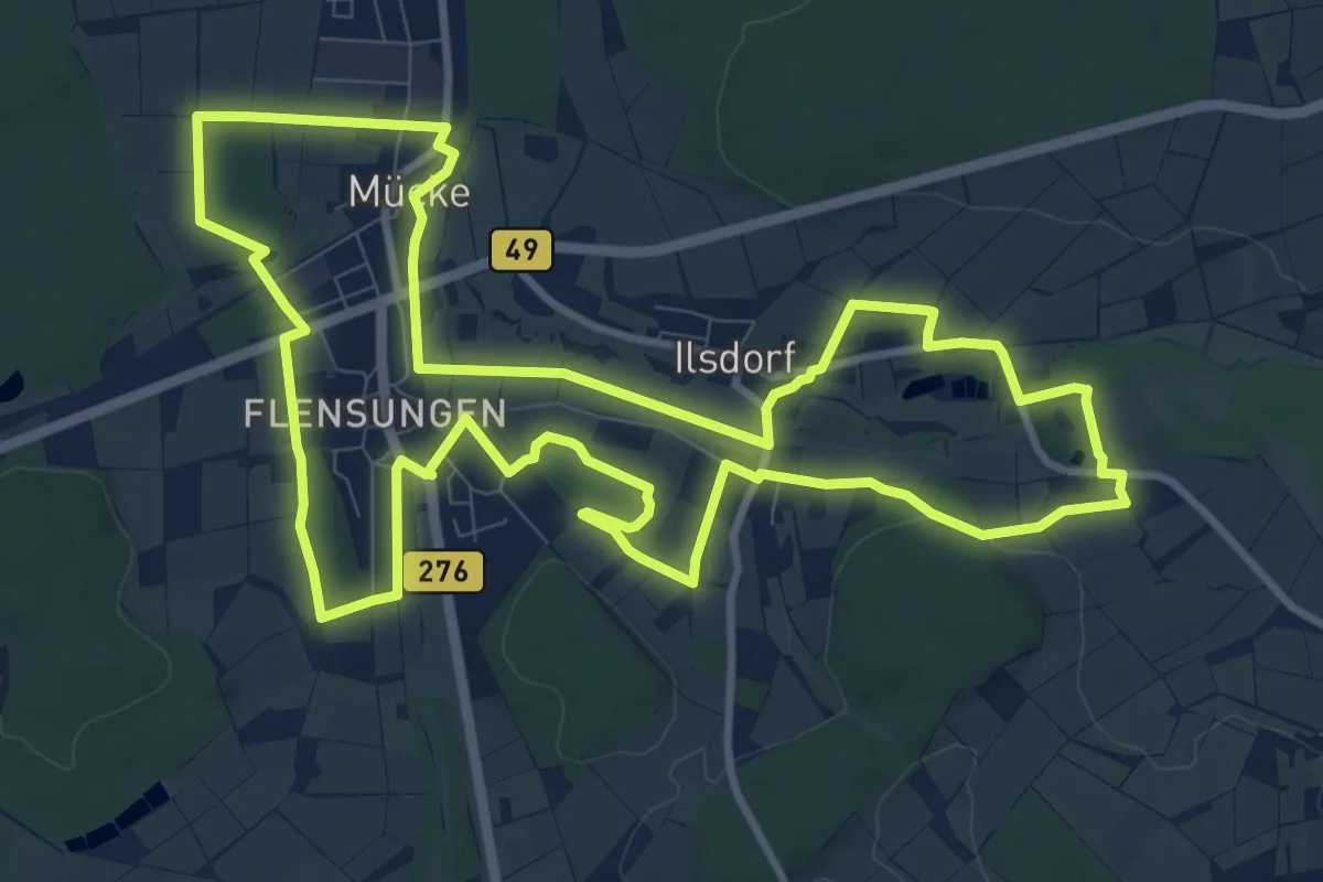
Medium · Trail
Erzweg Mitte
10.8 km · ↑ 93 m · 2 h 54 min
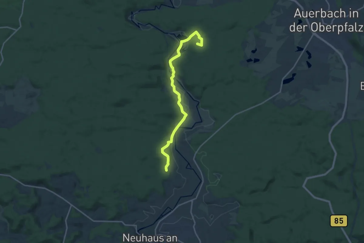
Medium · Summit
Erzweg Neuhauser Schlaufe
12.5 km · ↑ 229 m · 3 h 27 min
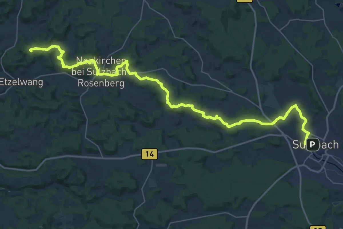
Demanding · Summit
Erzweg Neukirchener Schlaufe
33.3 km · ↑ 853 m · 9 h 43 min
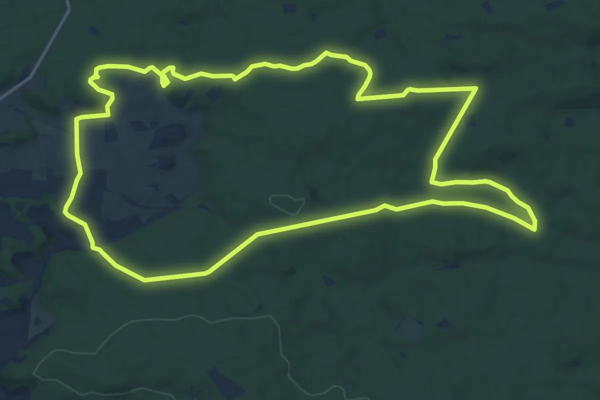
Medium · Trail
Erzweg Rundwanderweg Plech
12.9 km · ↑ 223 m · 3 h 43 min
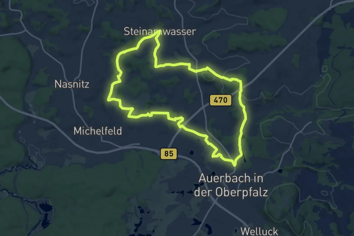
Medium · Summit
Erzweg, Tagestour Auerbach
13.3 km · ↑ 189 m · 3 h 44 min
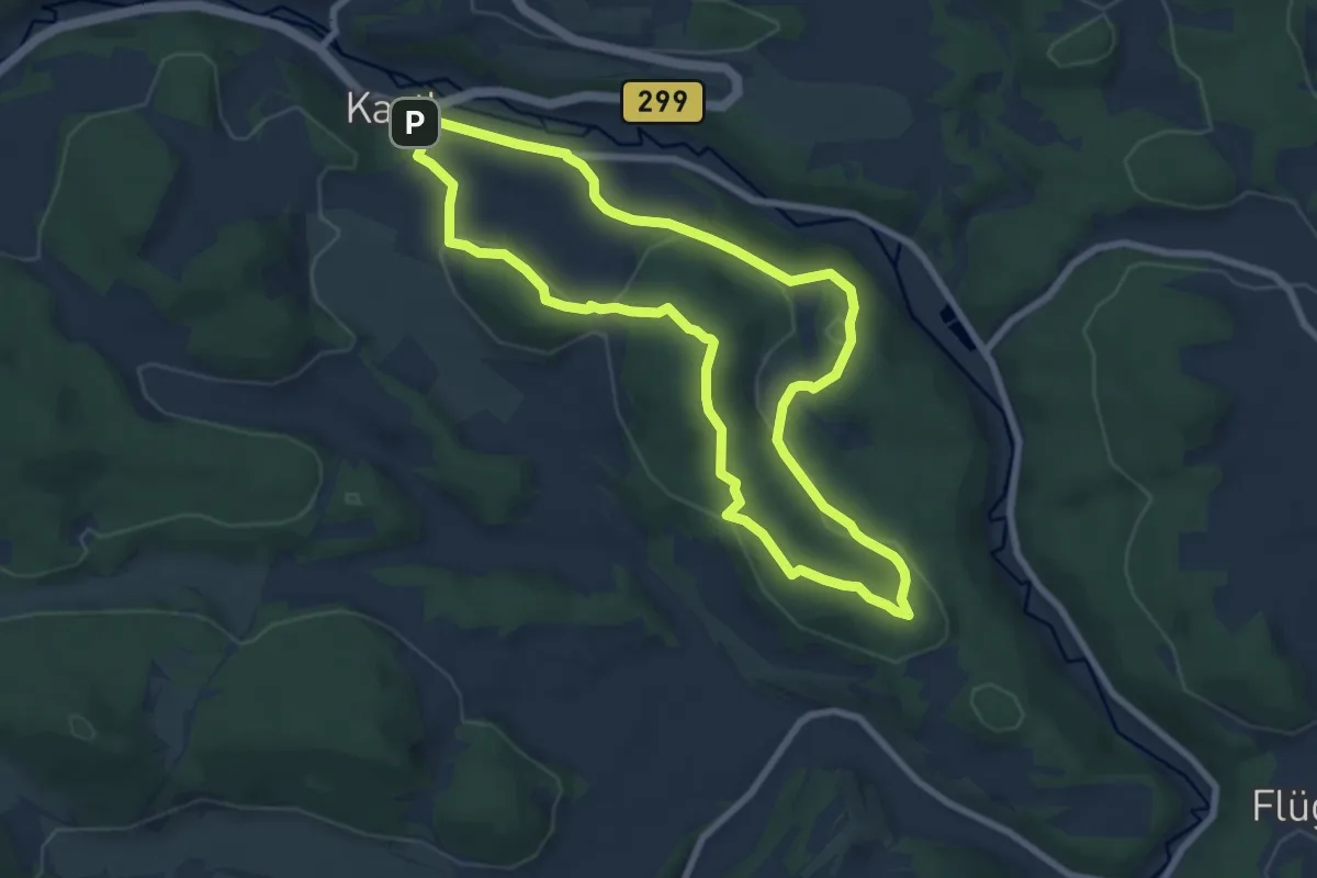
Easy · Trail
Erzweg Tagestour Kastl / Grünring Rundwanderweg
7.2 km · ↑ 209 m · 2 h 15 min
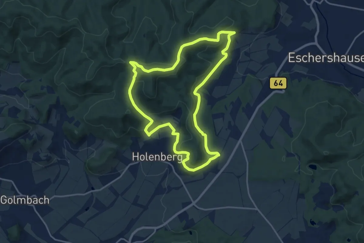
Medium · Summit
Es 1
10.8 km · ↑ 373 m · 3 h 30 min
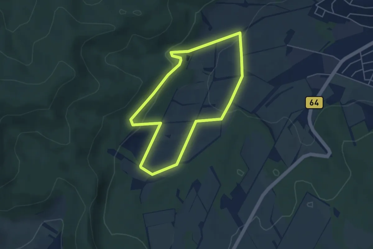
Easy · Trail
Es 2
3.7 km · ↑ 105 m · 1 h 9 min
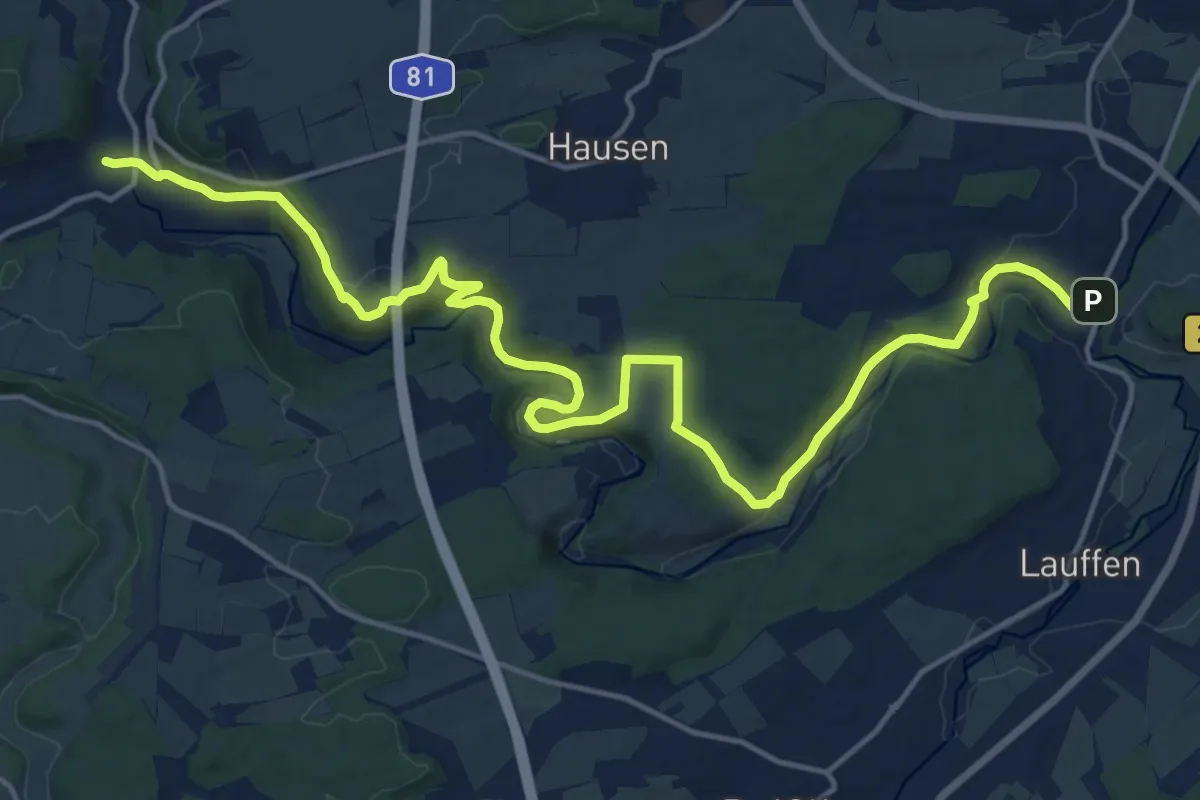
Demanding · Trail
Eschachweg
20.0 km · ↑ 500 m · 5 h 48 min
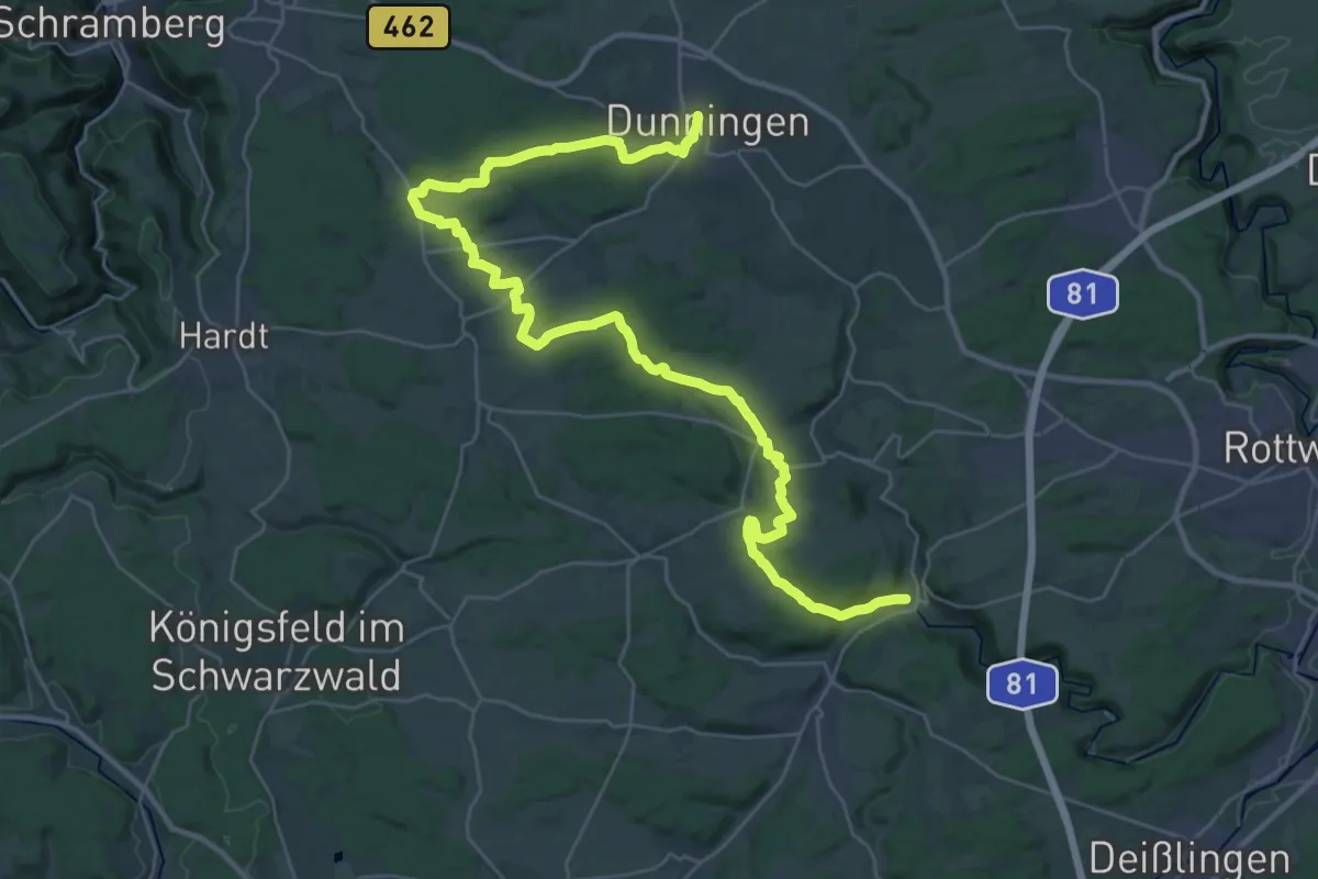
Demanding · Trail
Eschachweg (Teufenbach-Variante)
19.8 km · ↑ 268 m · 5 h 30 min
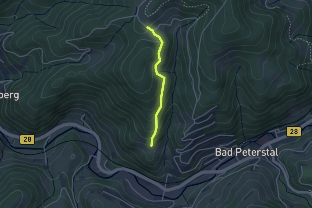
Easy · Trail
Eschacker - Mattenhöfle
2.2 km · ↑ 146 m · 50 min
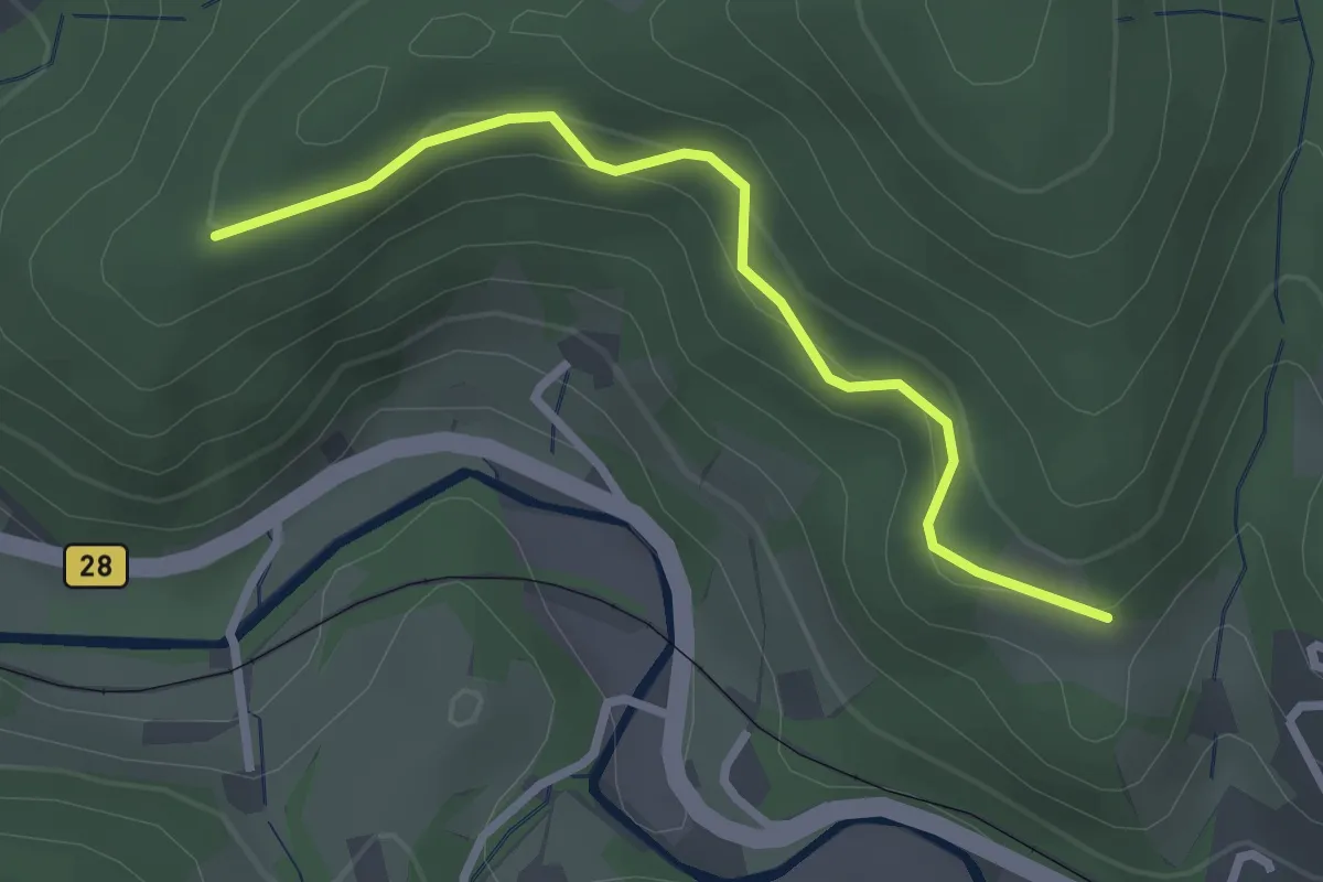
Easy · Trail
Eschacker - Schirmkopf
2.5 km · ↑ 141 m · 54 min
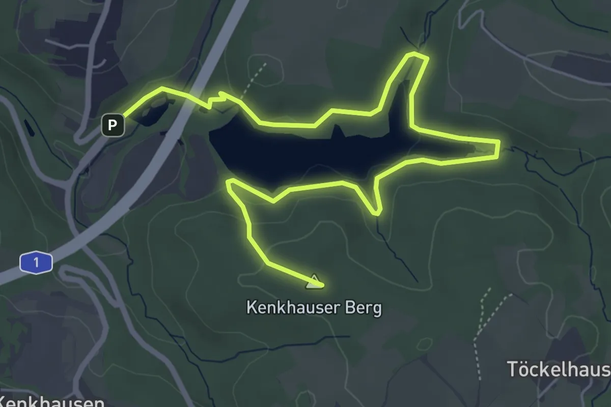
Easy · Summit
Eschbach Talsperrentrail
7.2 km · ↑ 210 m · 2 h 10 min
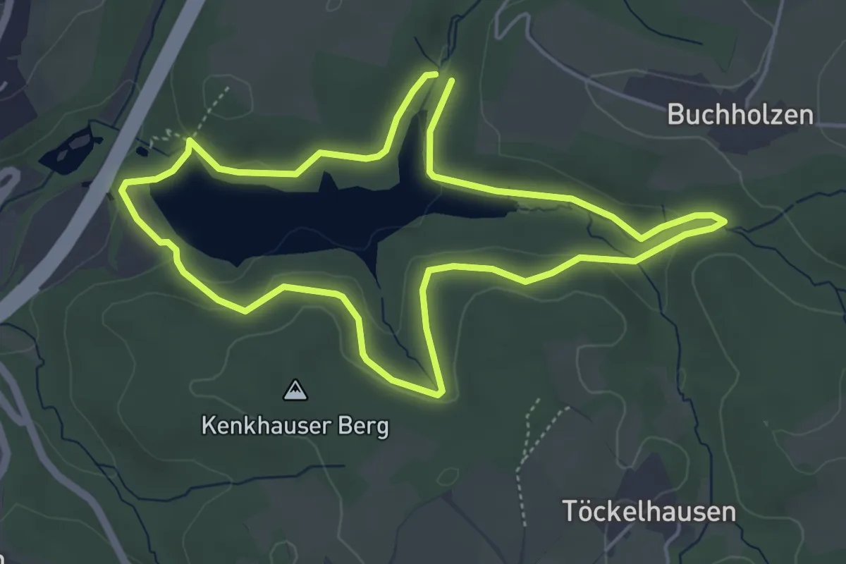
Easy · Trail
Eschbach-Talsperre Rundweg A1
4.2 km · ↑ 97 m · 1 h 15 min
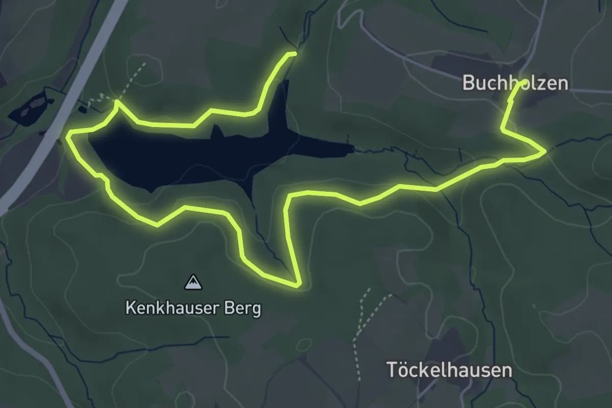
Easy · Trail
Eschbach-Talsperre Rundweg A2
3.6 km · ↑ 93 m · 1 h 6 min
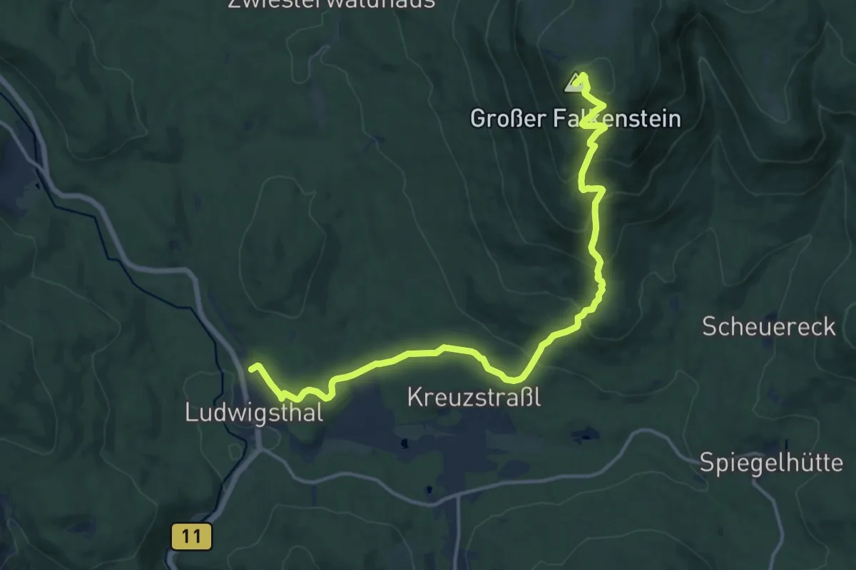
Medium · Summit
Esche
15.0 km · ↑ 763 m · 5 h 12 min
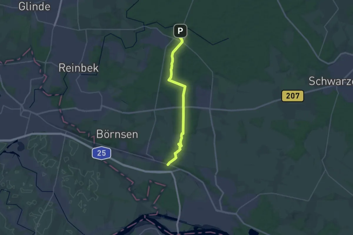
Demanding · Trail
Escheburg - Friedrichsruh - (ES -FR)
19.2 km · ↑ 144 m · 4 h 51 min
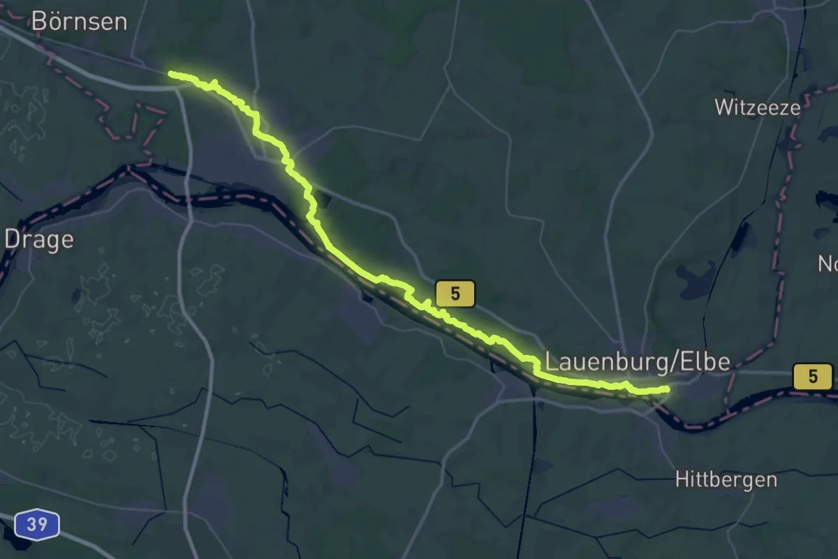
Demanding · Trail
Escheburg - Lauenburg (ES-L)
23.6 km · ↑ 387 m · 6 h 43 min
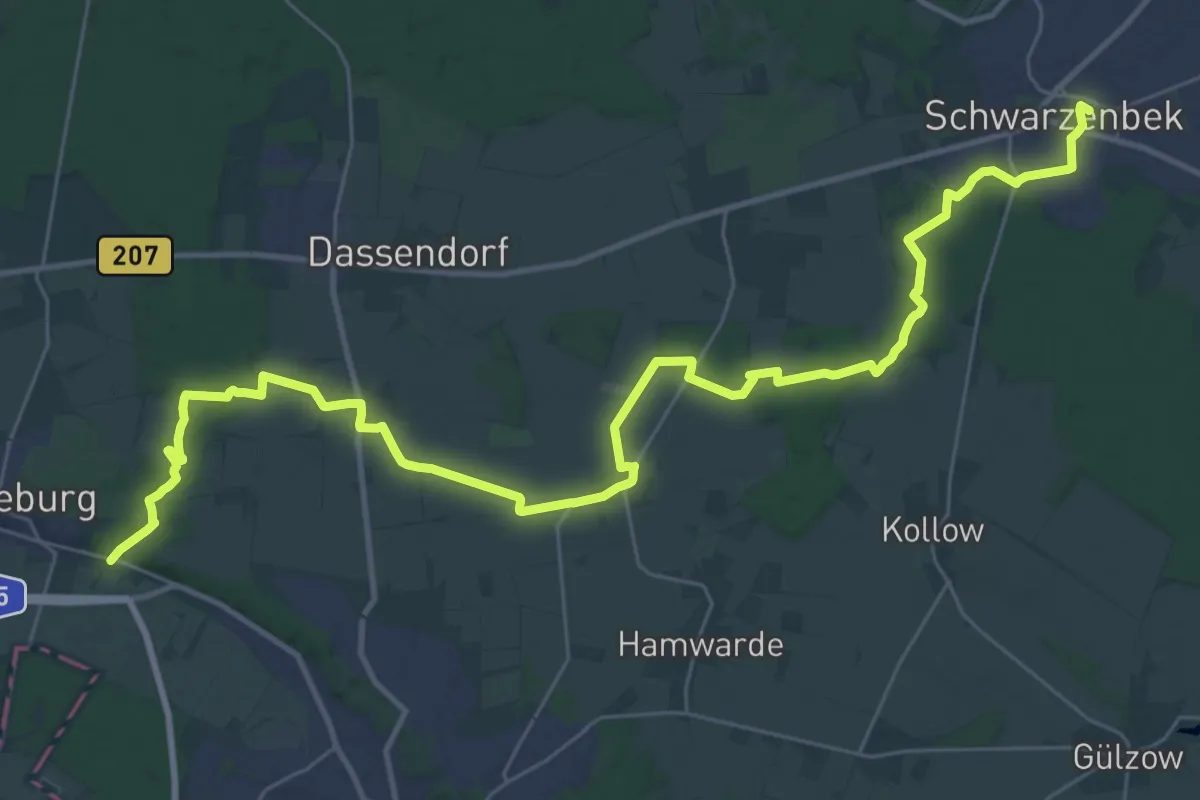
Medium · Trail
Escheburg - Schwarzenbek (ES - SB)
17.7 km · ↑ 128 m · 4 h 41 min
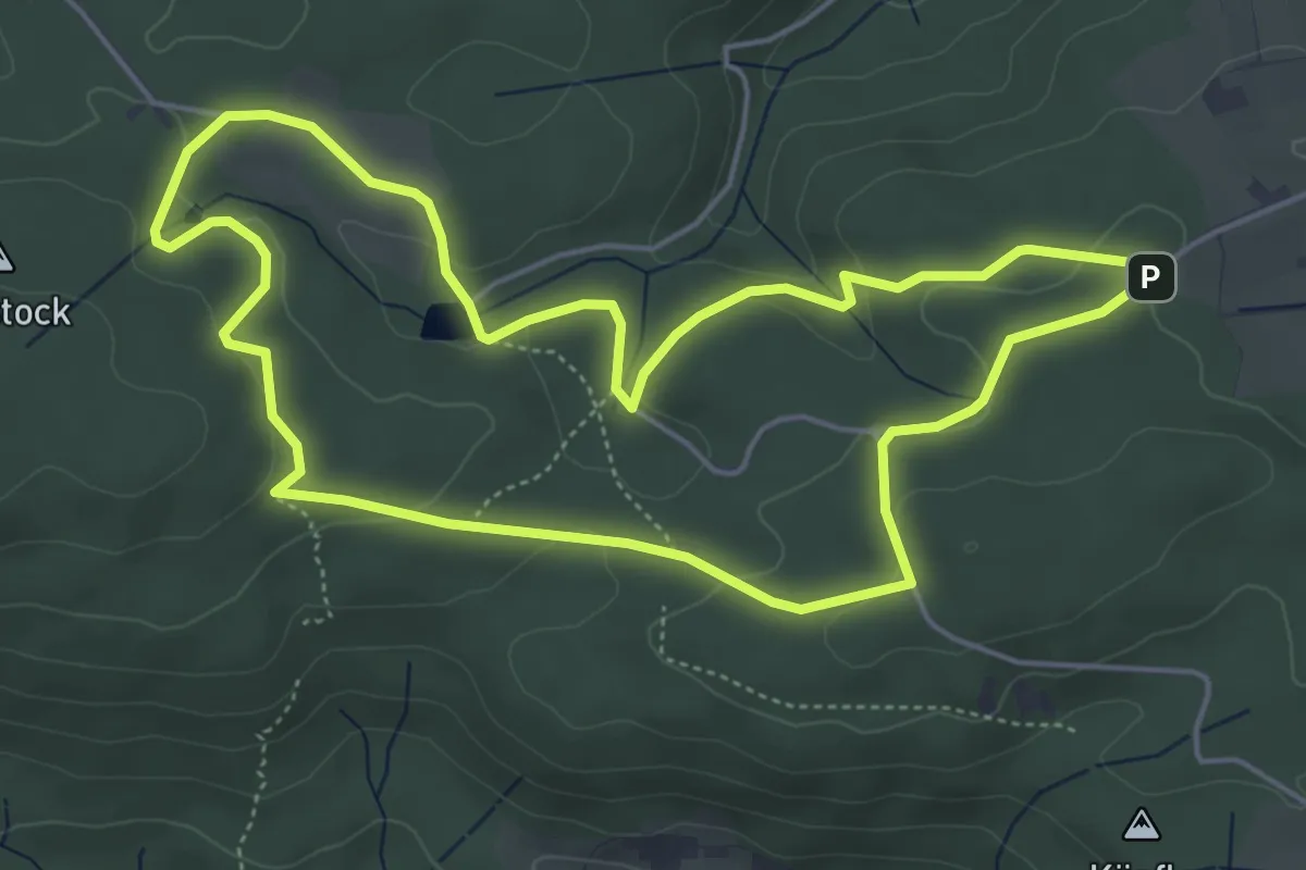
Easy · Trail
Eschelhof - Familientour
5.0 km · ↑ 124 m · 1 h 31 min