Trails in Germany
36,852 hiking trails, each with its route, climb, walking time and grade.
All trails, page 142 of 768
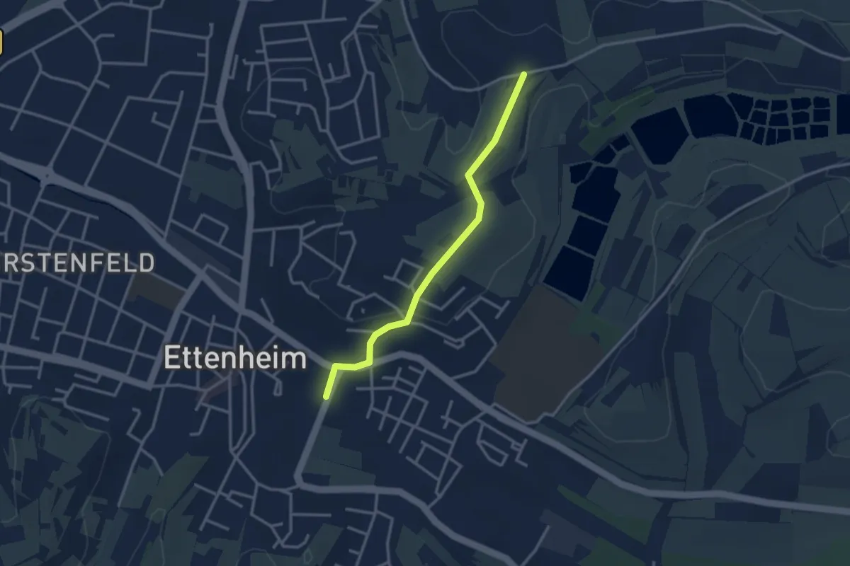
Easy · Trail
Ettenheim Am Quartier - Gänsberg
2.7 km · ↑ 47 m · 45 min
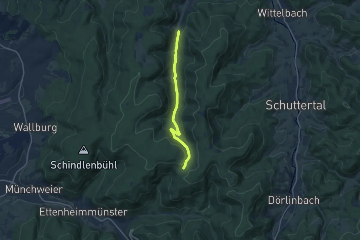
Medium · Trail
Ettenheimer Hütte - Hammerschmiede
9.1 km · ↑ 282 m · 2 h 46 min
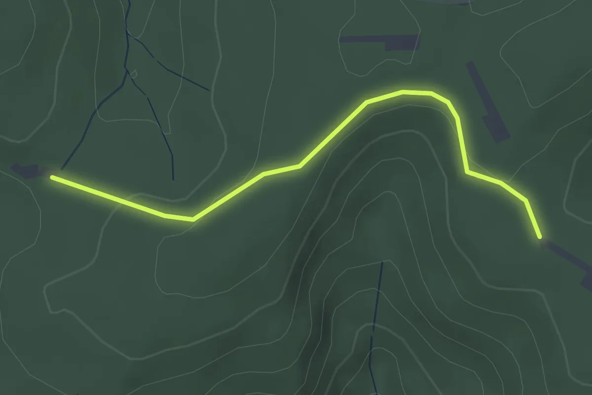
Easy · Trail
Ettenheimer Hütte - Schwiebögle
3.0 km · ↑ 92 m · 54 min
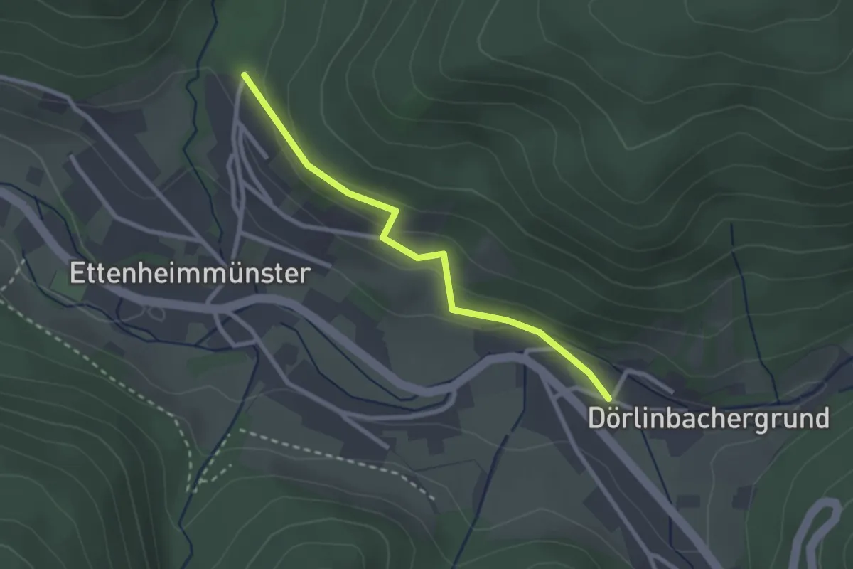
Easy · Trail
Ettenheimmünster Am Dörlinbach - Lautenbach Parkplatz
2.3 km · ↑ 99 m · 46 min
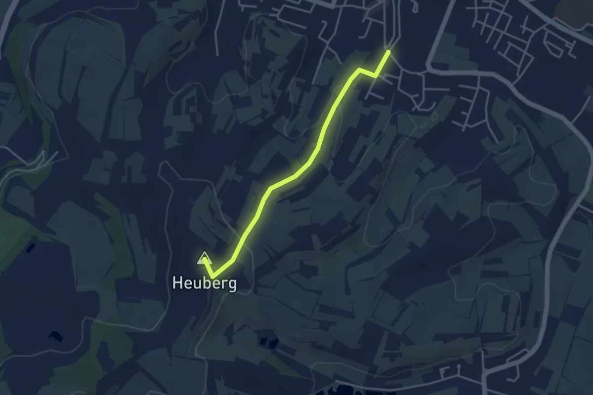
Easy · Summit
Ettenheim Oberes Stadttor - Heuberg Hohlgasse
3.3 km · ↑ 94 m · 58 min
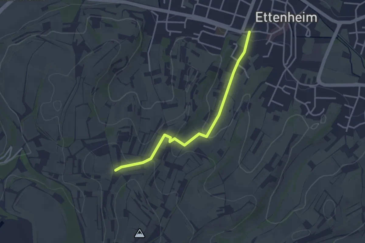
Easy · Trail
Ettenheim Prinzengarten - Rappentanz
2.9 km · ↑ 69 m · 50 min
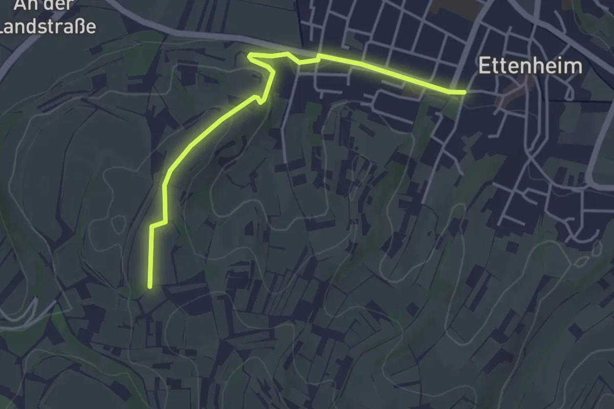
Easy · Trail
Ettenheim Prinzengarten - Rötelberg
3.8 km · ↑ 47 m · 59 min
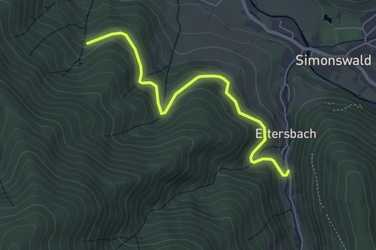
Easy · Trail
Ettersbach - Gasse
4.7 km · ↑ 302 m · 1 h 45 min
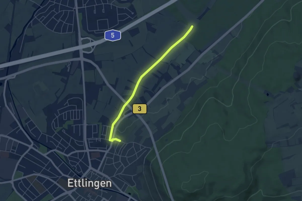
Easy · Trail
Ettlingen Alexiuskapelle - Horber Loch
4.9 km · ↑ 35 m · 1 h 13 min
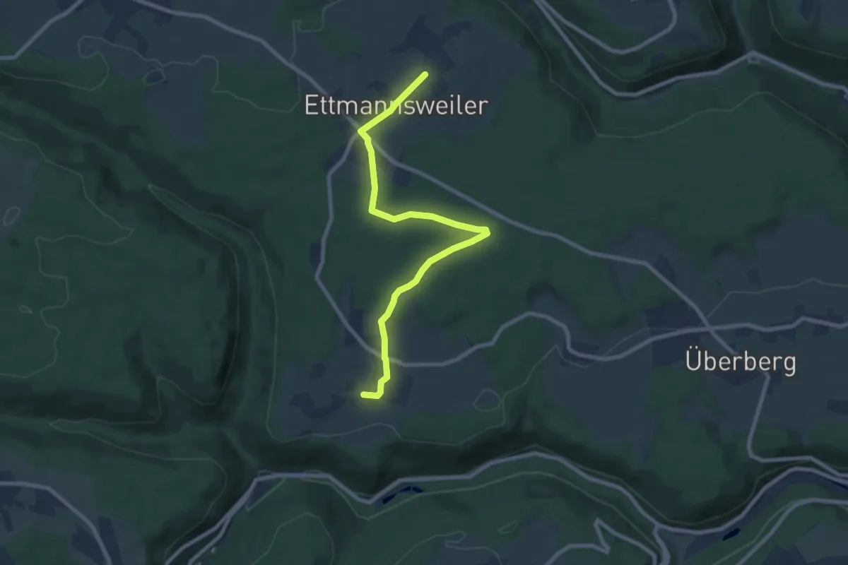
Easy · Trail
Ettmannsweiler Marktgasse - Beuren
7.8 km · ↑ 97 m · 2 h 3 min
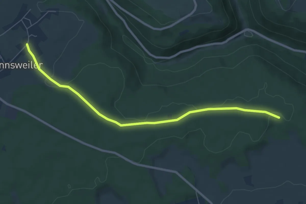
Easy · Trail
Ettmannsweiler Marktgasse - Überberg Heerweg
6.4 km · ↑ 84 m · 1 h 41 min
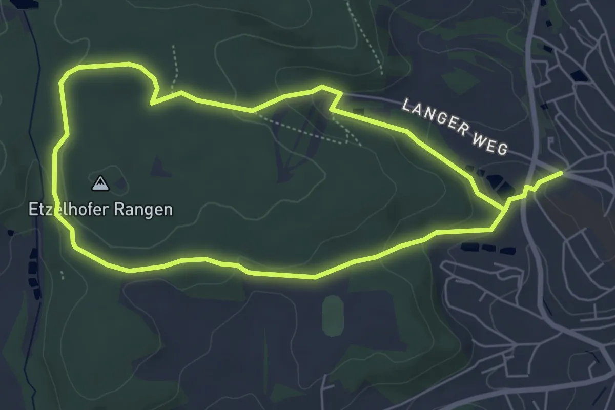
Easy · Trail
Etzelhofer Rangen
5.0 km · ↑ 111 m · 1 h 29 min
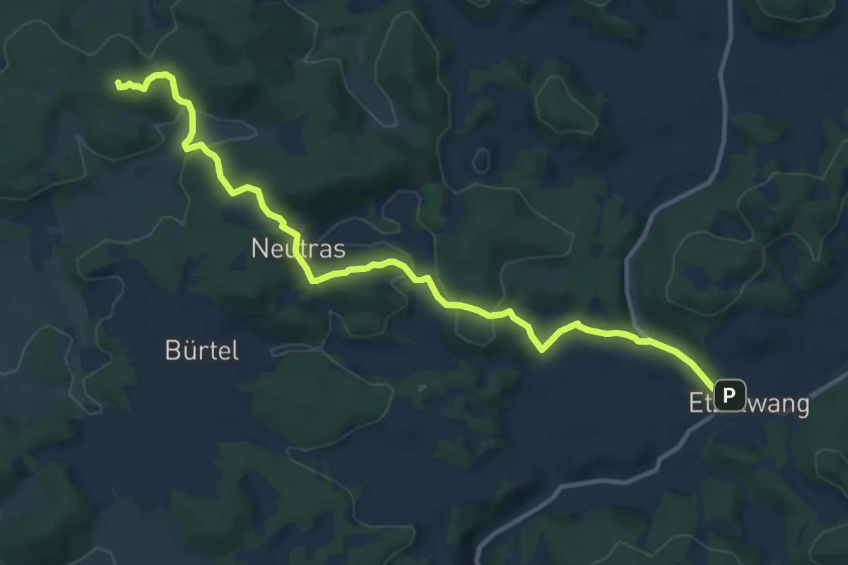
Medium · Summit
Etzelwang – Hirschbach
10.6 km · ↑ 348 m · 3 h 15 min
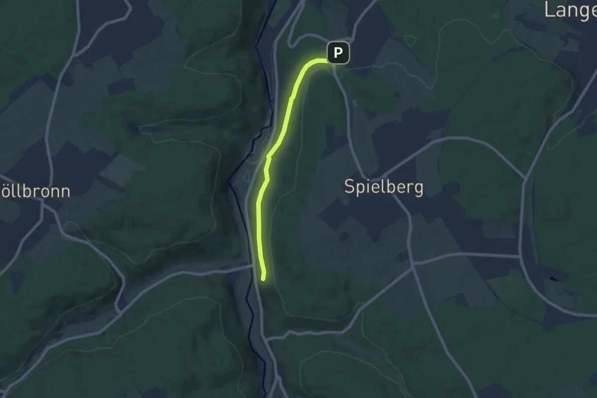
Easy · Trail
Etzenrot Hohbergstraße - Fischweier Talberg
5.6 km · ↑ 114 m · 1 h 34 min
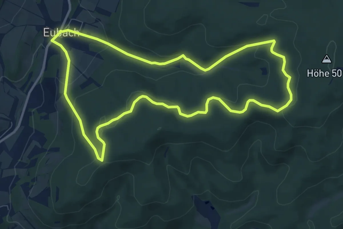
Easy · Trail
Eubach Rundweg E1
7.7 km · ↑ 222 m · 2 h 24 min
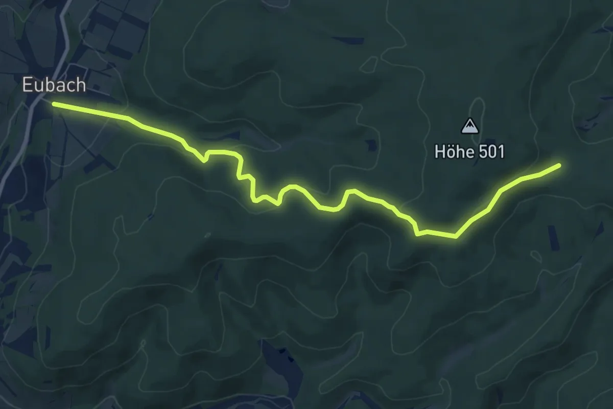
Easy · Trail
Eubach Rundweg E2
4.3 km · ↑ 205 m · 1 h 26 min
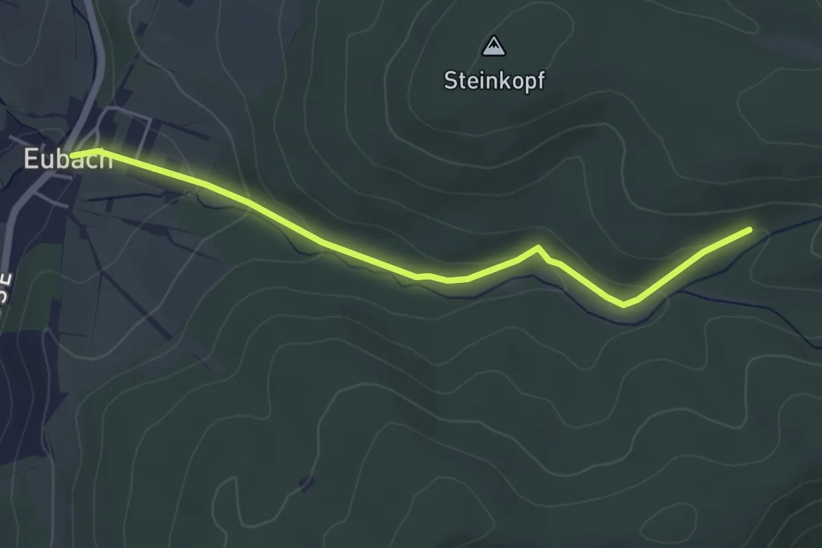
Easy · Trail
Eubach Rundweg E3
2.0 km · ↑ 0 m · 34 min
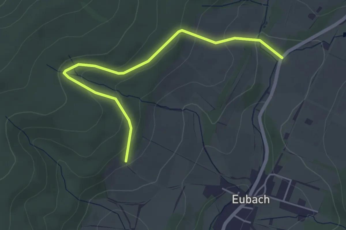
Easy · Summit
Eubach Rundweg E4
2.1 km · ↑ 59 m · 40 min
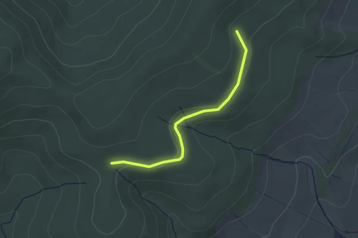
Easy · Trail
Eubach Rundweg E5
1.3 km · ↑ 18 m · 22 min
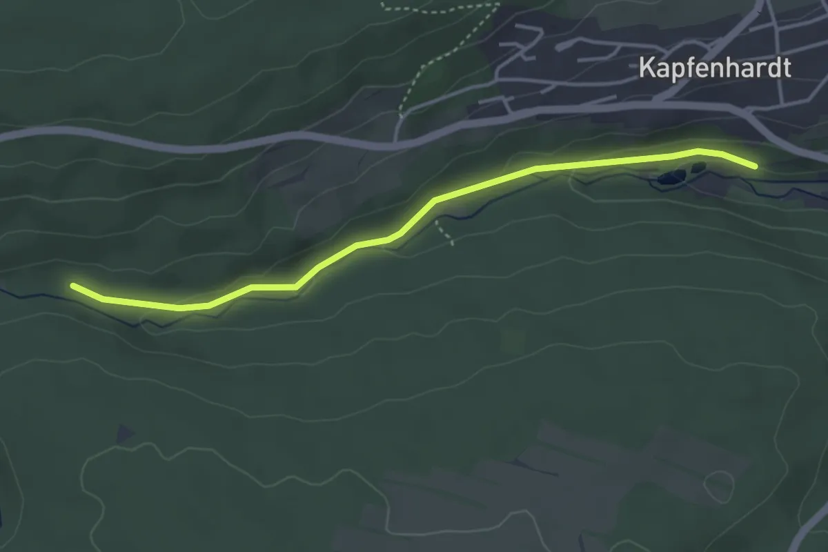
Easy · Trail
Eulenbach - Jägerhof
3.7 km · ↑ 73 m · 1 h 2 min
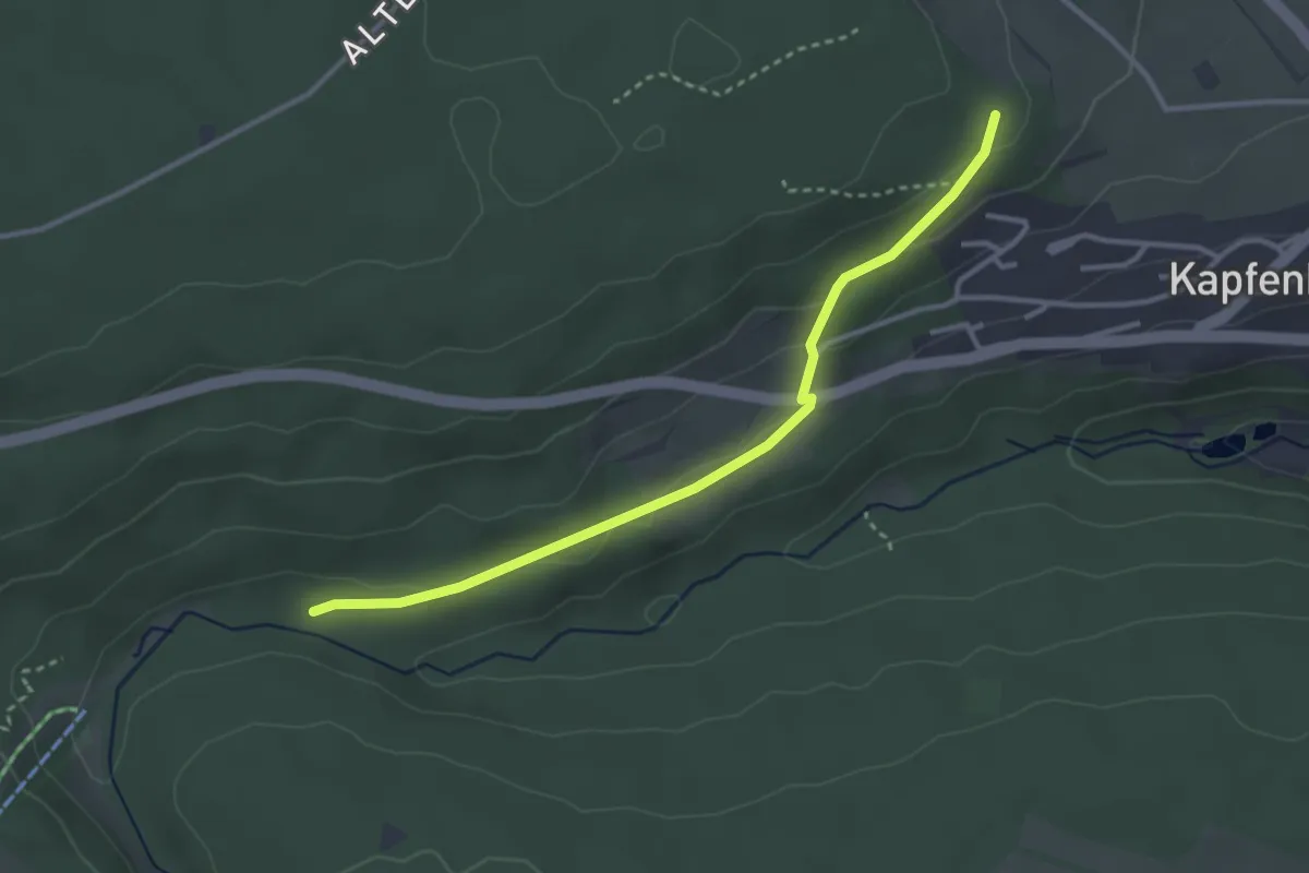
Easy · Trail
Eulenbach - Müsse
3.1 km · ↑ 65 m · 53 min
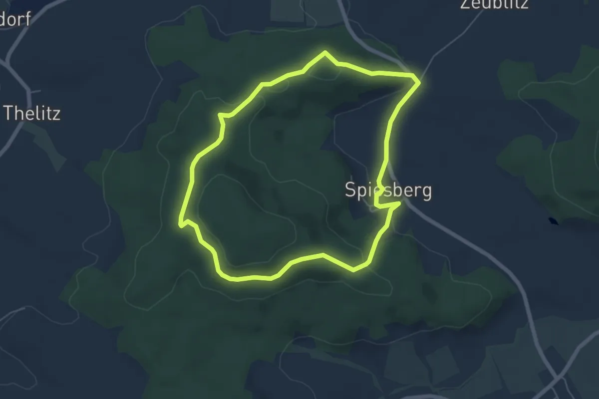
Easy · Summit
Eulenberg Rundweg
5.0 km · ↑ 120 m · 1 h 31 min
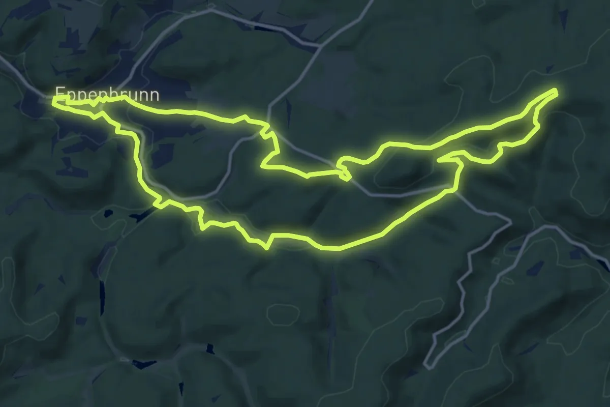
Medium · Summit
Eulenfels-Tour
13.0 km · ↑ 262 m · 3 h 49 min
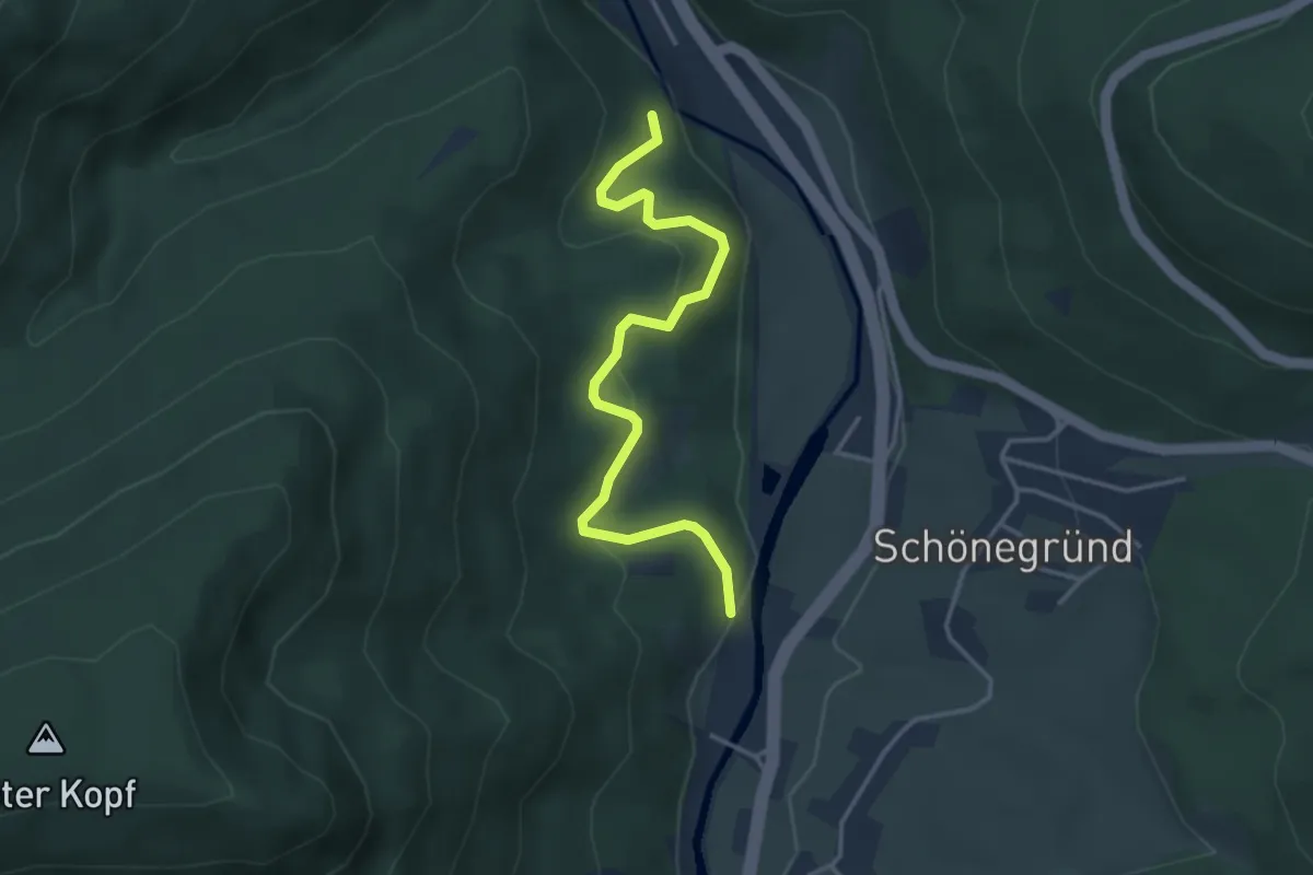
Easy · Trail
Eulengrund - Sulzwald
3.6 km · ↑ 213 m · 1 h 19 min
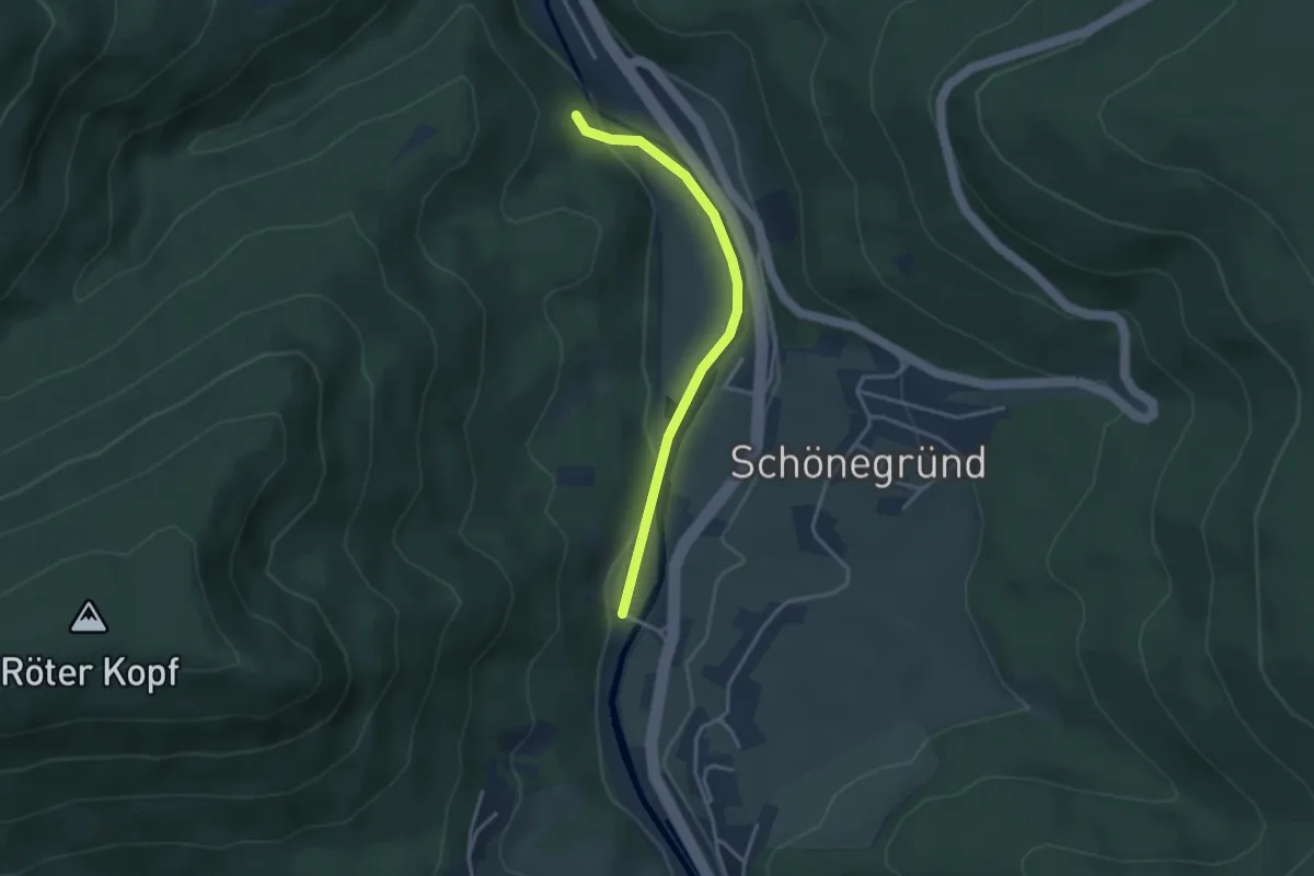
Easy · Trail
Eulengrund - Sulzwiesen
3.0 km · ↑ 62 m · 51 min
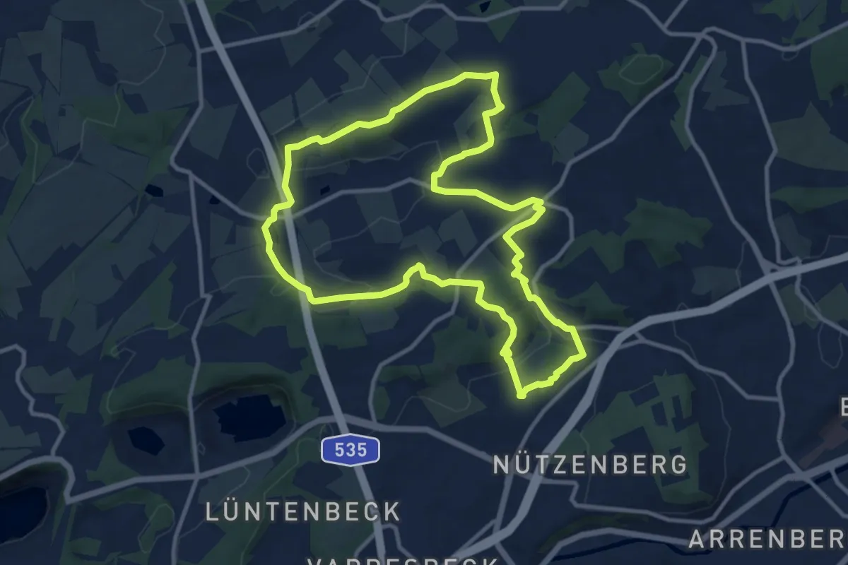
Medium · Trail
Eulenkopf Rundweg 1
9.4 km · ↑ 185 m · 2 h 46 min
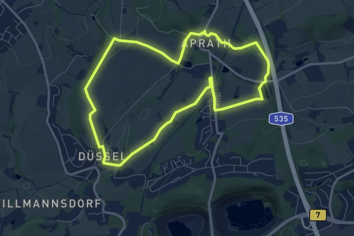
Easy · Trail
Eulenkopf Rundweg 2
6.5 km · ↑ 95 m · 1 h 50 min
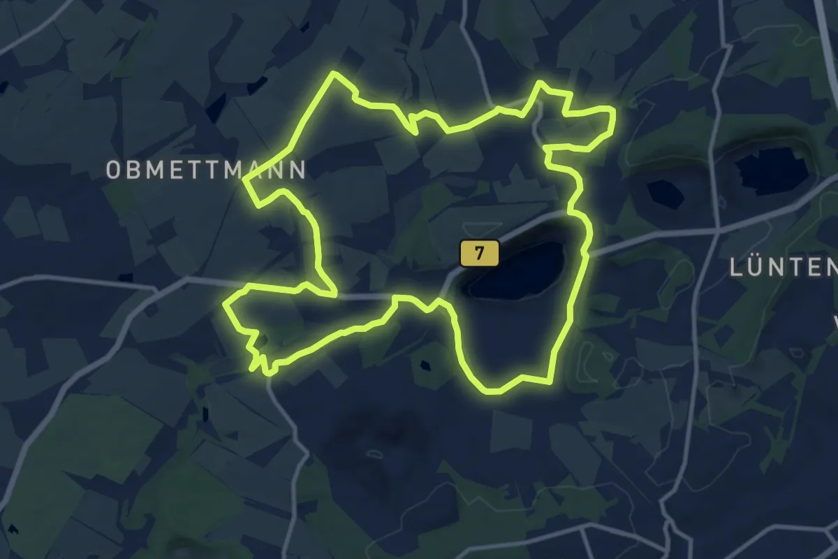
Medium · Trail
Eulenkopf Rundweg 3
11.7 km · ↑ 156 m · 3 h 16 min
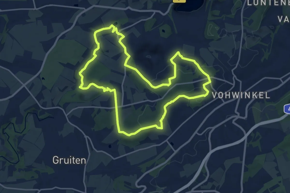
Medium · Trail
Eulenkopf Rundweg 4
12.0 km · ↑ 209 m · 3 h 27 min
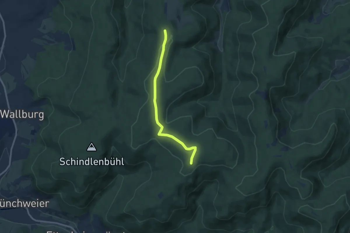
Easy · Trail
Eulenkopf - Schmalzgrüble Bühl
6.4 km · ↑ 90 m · 1 h 43 min
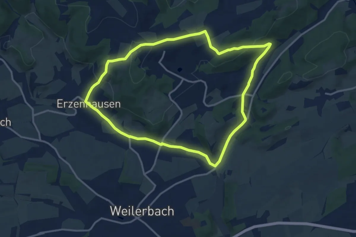
Medium · Summit
Eulenkopftour
8.8 km · ↑ 210 m · 2 h 39 min
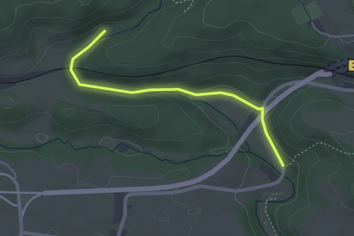
Easy · Trail
Eulenmühle - Unter der Gauchachtalbrücke
2.8 km · ↑ 45 m · 45 min
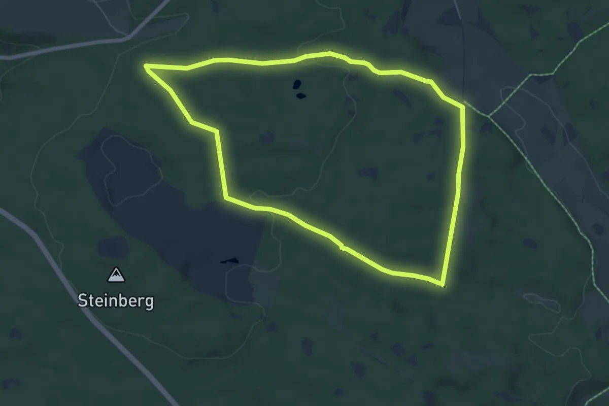
Easy · Trail
Eulennestweg
6.0 km · ↑ 91 m · 1 h 41 min
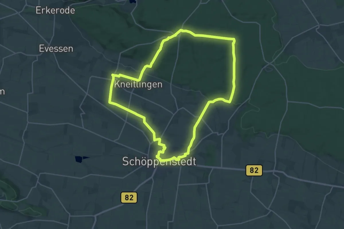
Demanding · Summit
Eulenspiegel Wanderweg
20.4 km · ↑ 255 m · 5 h 40 min
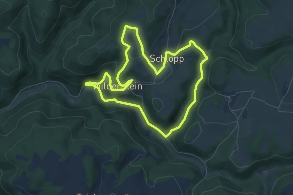
Easy · Trail
Eulenspiegel-Weg KU 56
6.1 km · ↑ 199 m · 1 h 58 min
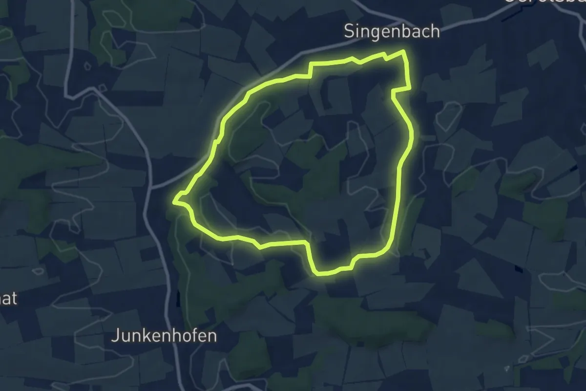
Easy · Trail
Eulenthal
7.1 km · ↑ 76 m · 1 h 56 min
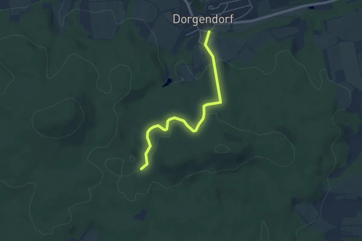
Easy · Trail
Eulen-Wanderweg
4.2 km · ↑ 103 m · 1 h 13 min
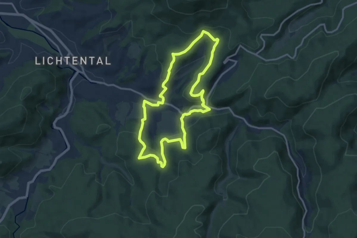
Medium · Trail
Eulenweg
8.0 km · ↑ 315 m · 2 h 41 min
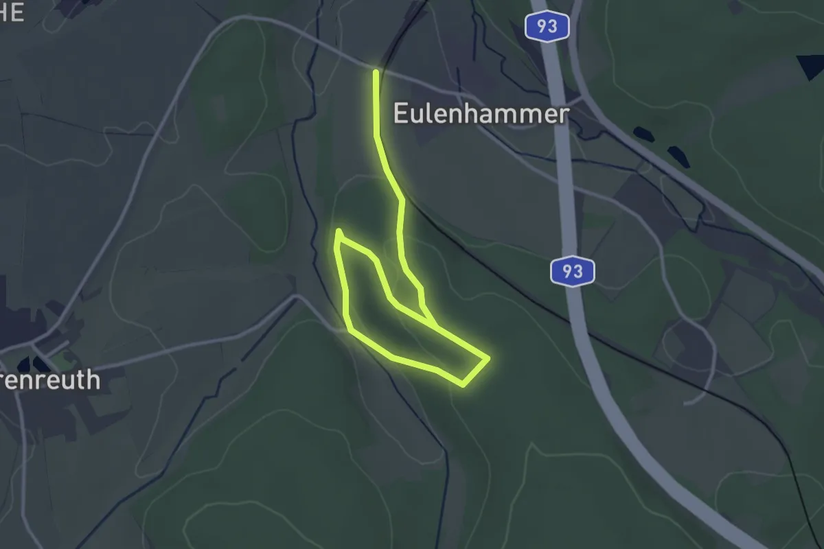
Easy · Trail
Eulenweg
3.8 km · ↑ 84 m · 1 h 4 min
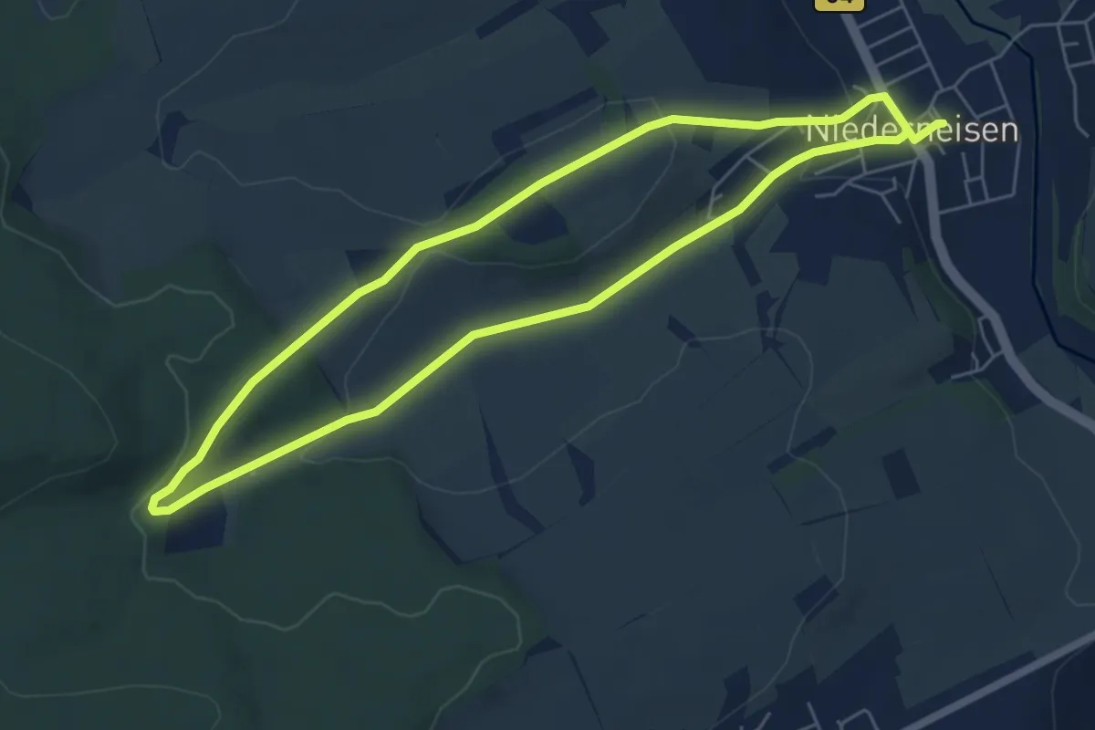
Easy · Trail
Eulenweg
5.3 km · ↑ 128 m · 1 h 36 min
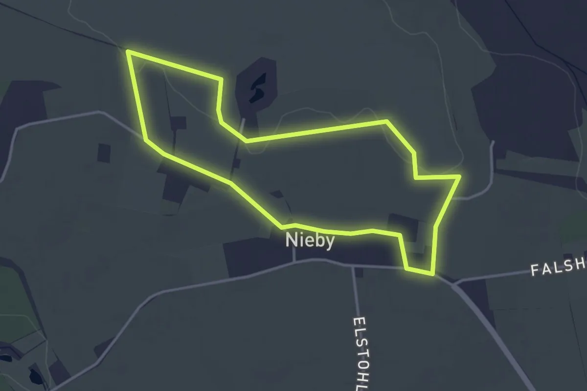
Easy · Trail
EulenWeg
2.9 km · ↑ 13 m · 45 min
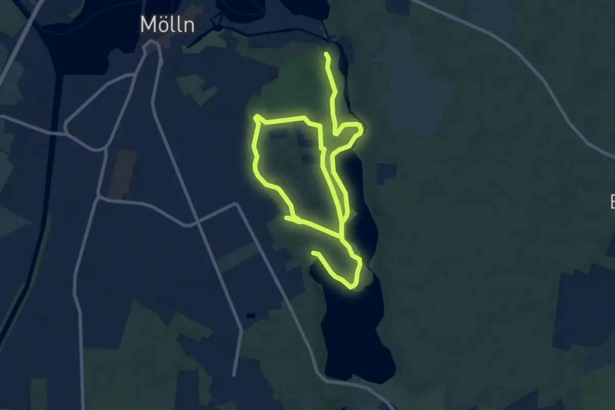
Easy · Trail
Eulenweg erlebnisreich-Wildpark
6.1 km · ↑ 46 m · 1 h 38 min
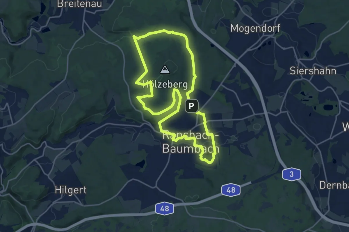
Medium · Trail
Eulerweg
13.3 km · ↑ 215 m · 3 h 47 min
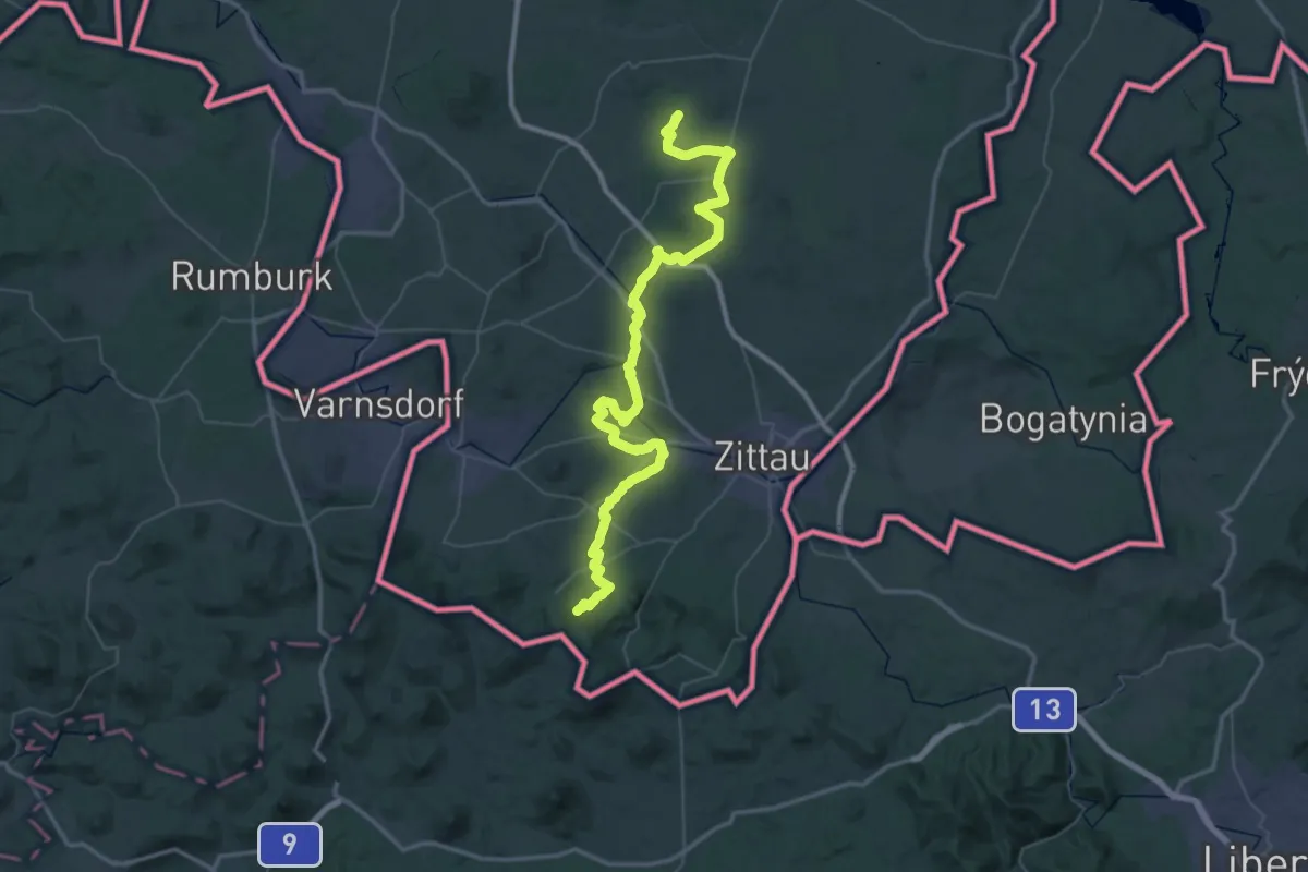
Demanding · Summit
Eulkretscham - Jonsberg - Stern (grüner Strich)
62.7 km · ↑ 1118 m · 17 h 13 min
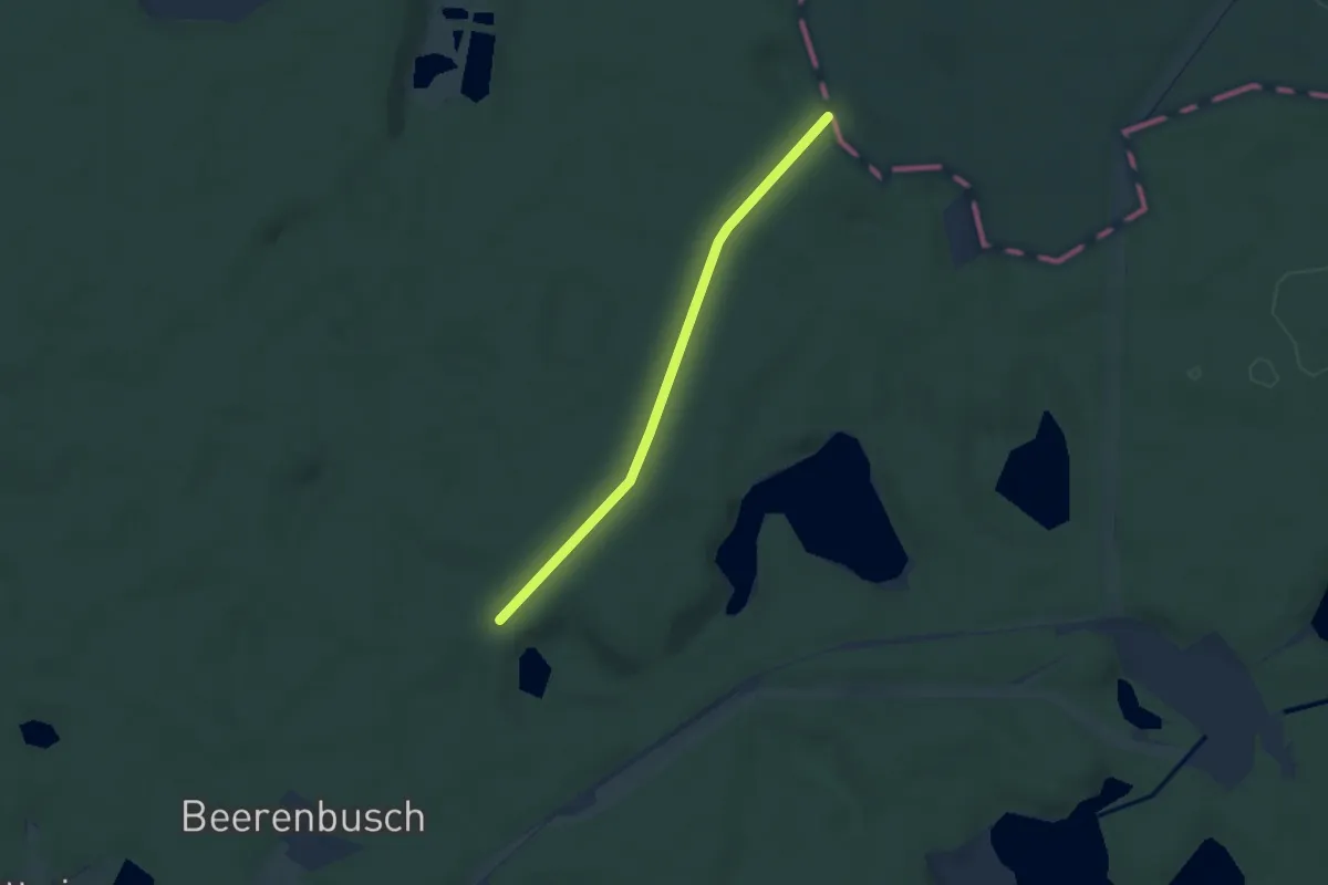
Easy · Trail
Europäischer Fernwanderweg E10, Deutschland, Brandenburg
4.6 km · ↑ 14 m · 1 h 7 min
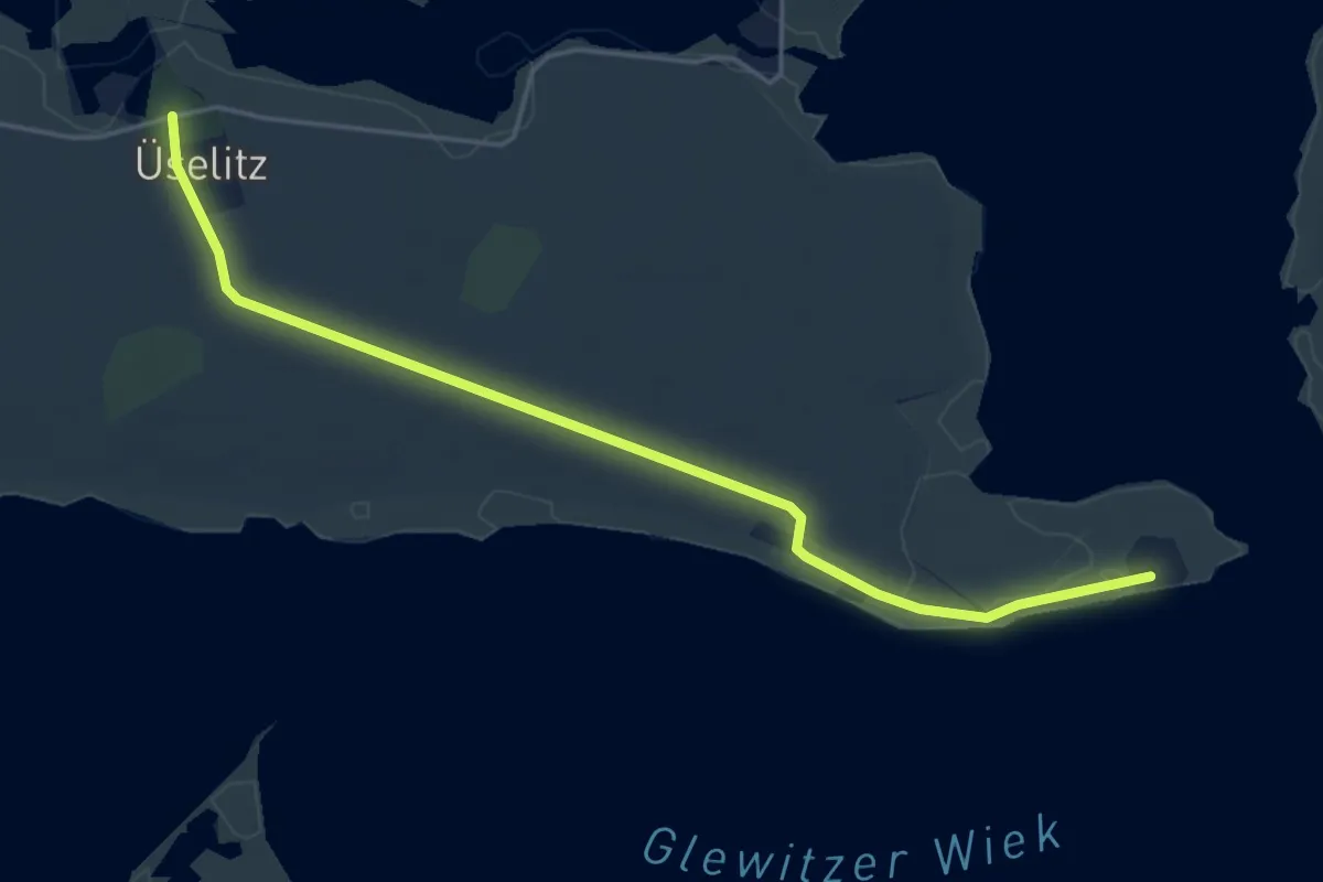
Easy · Trail
Europäischer Fernwanderweg E10, Deutschland, Rügen/Vorpommern,Zubringer Tannenort
4.3 km · ↑ 8 m · 1 h 2 min
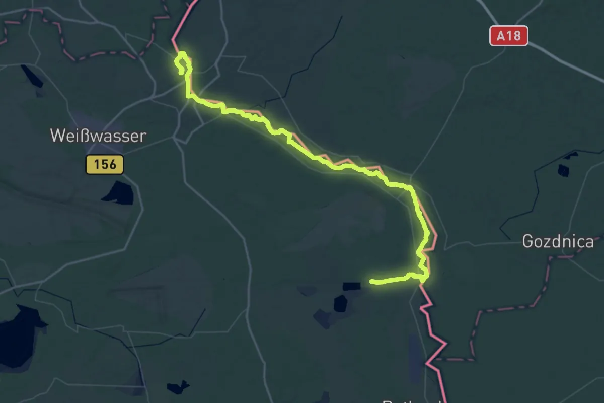
Demanding · Summit
Europäischer Fernwanderweg E10, Deutschland, Sachsen
72.1 km · ↑ 360 m · 17 h 49 min
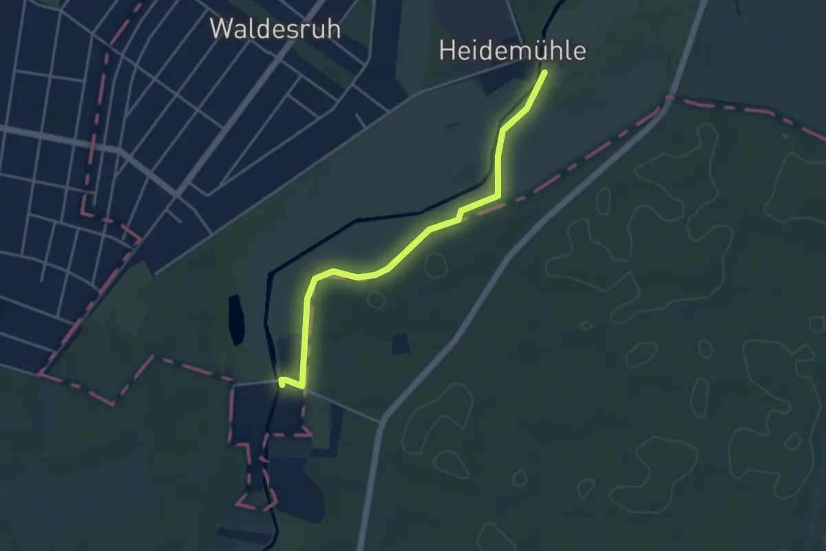
Easy · Trail
Europäischer Fernwanderweg E11, Brandenburg (O)
3.3 km · ↑ 4 m · 48 min