Trails in Germany
36,852 hiking trails, each with its route, climb, walking time and grade.
All trails, page 143 of 768
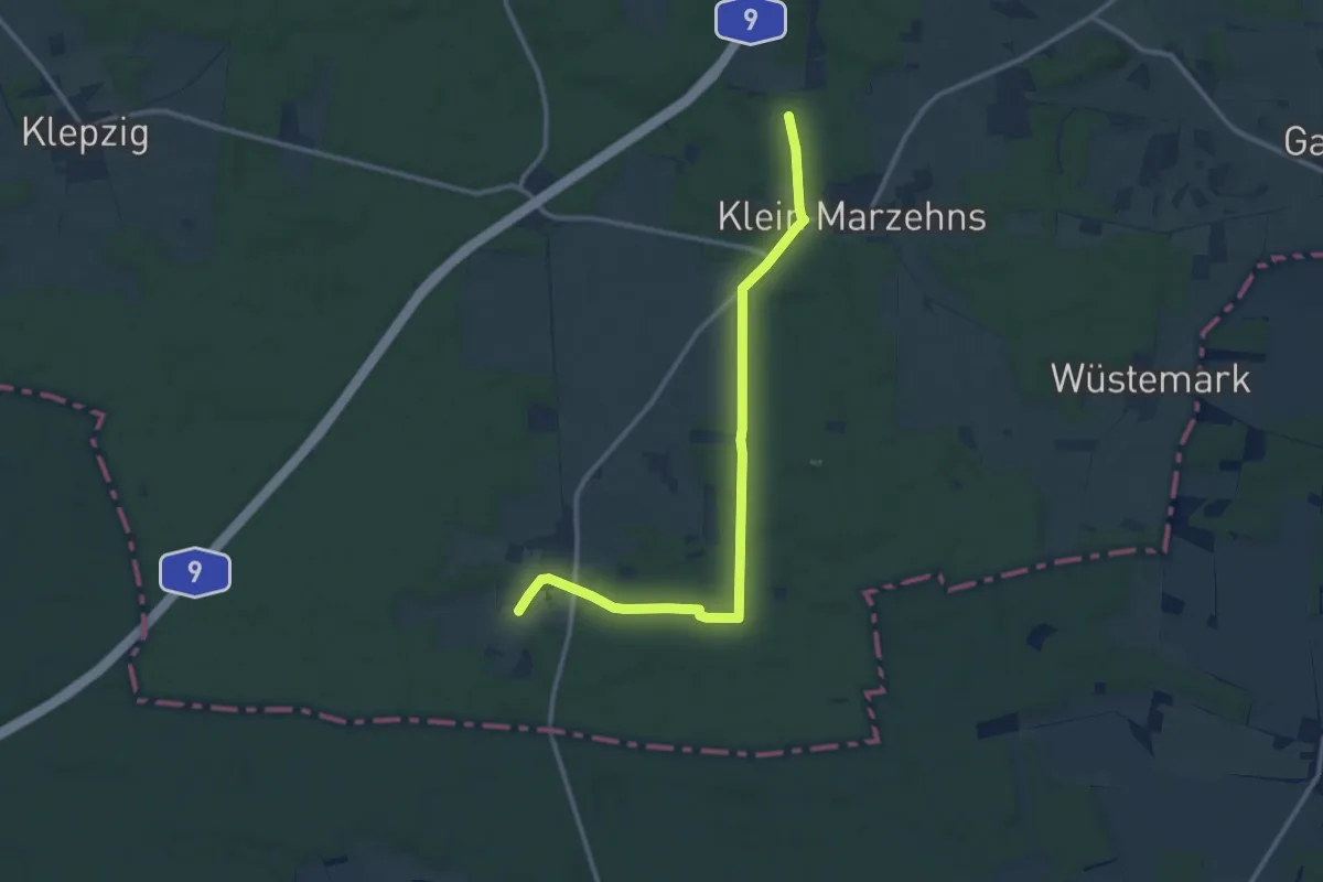
Medium · Trail
Europäischer Fernwanderweg E11, Brandenburg (W)
10.9 km · ↑ 105 m · 2 h 48 min
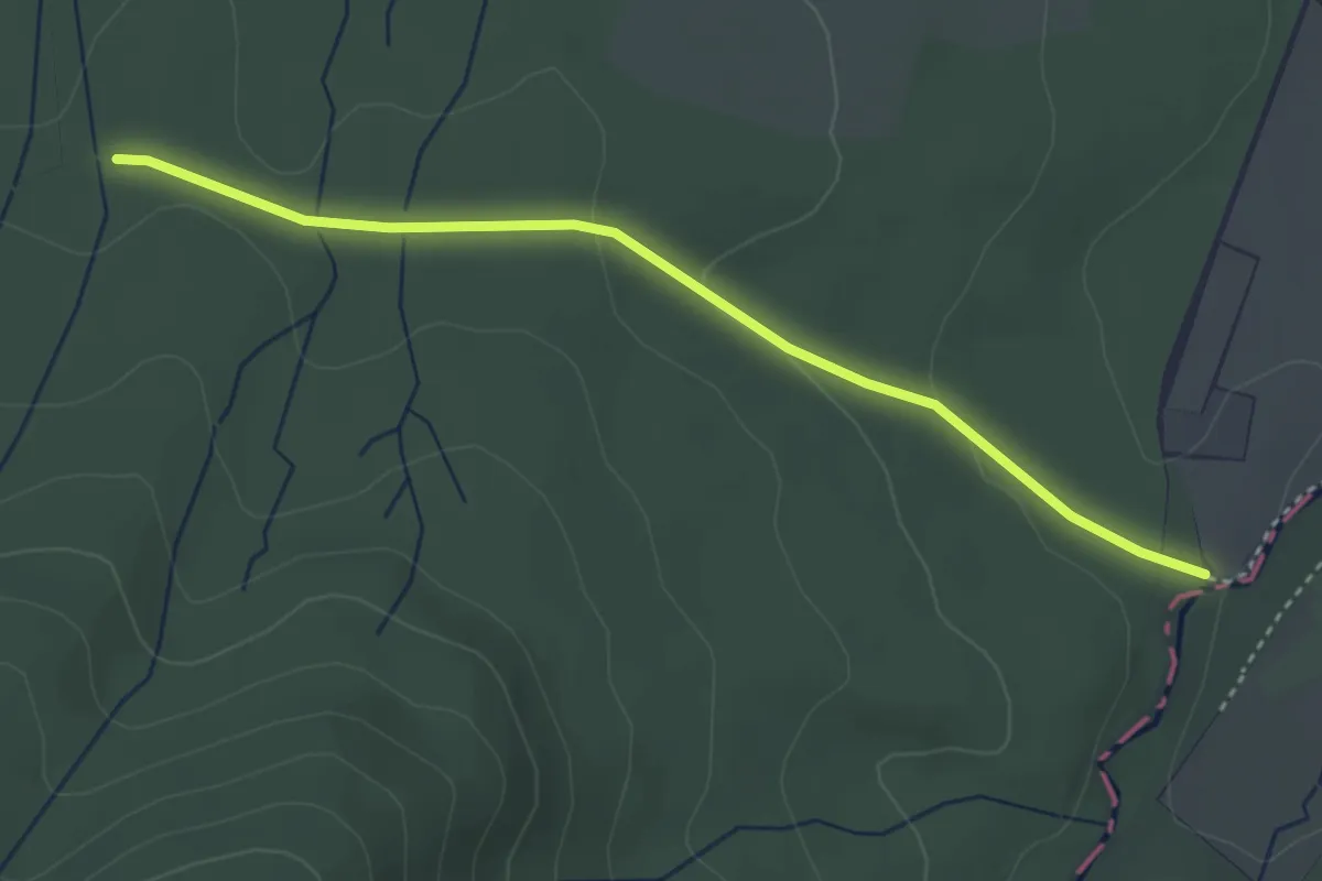
Easy · Trail
Europäischer Fernwanderweg E11, Niedersachsen (O)
3.3 km · ↑ 63 m · 54 min
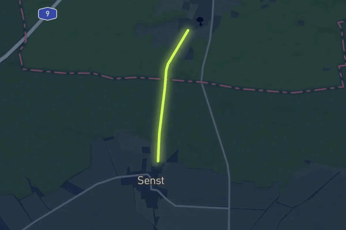
Easy · Trail
Europäischer Fernwanderweg E11, Sachsen-Anhalt (O)
4.4 km · ↑ 37 m · 1 h 8 min
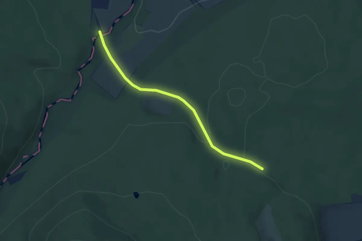
Easy · Trail
Europäischer Fernwanderweg E11, Sachsen-Anhalt (W)
3.0 km · ↑ 61 m · 51 min
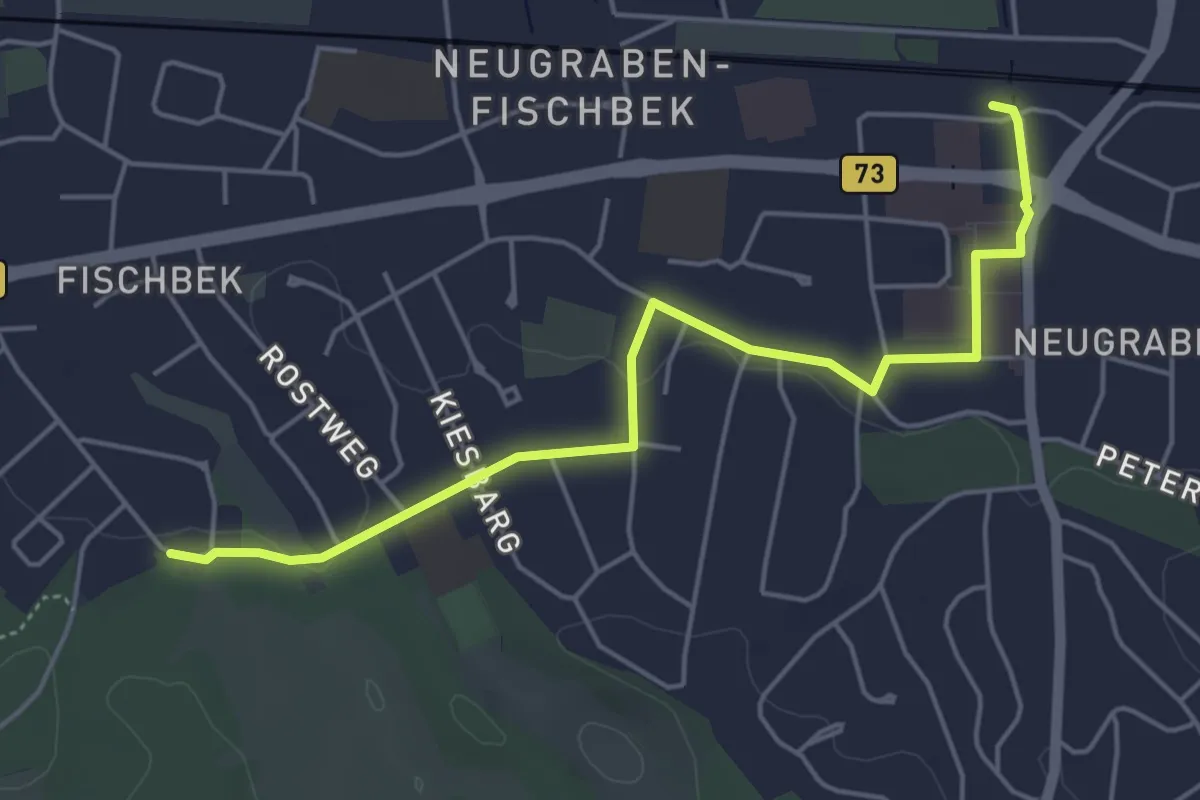
Easy · Trail
Europäischer Fernwanderweg E1, Deutschland, Hamburg - Abzweig Neugraben Bahnhof
4.6 km · ↑ 12 m · 1 h 7 min
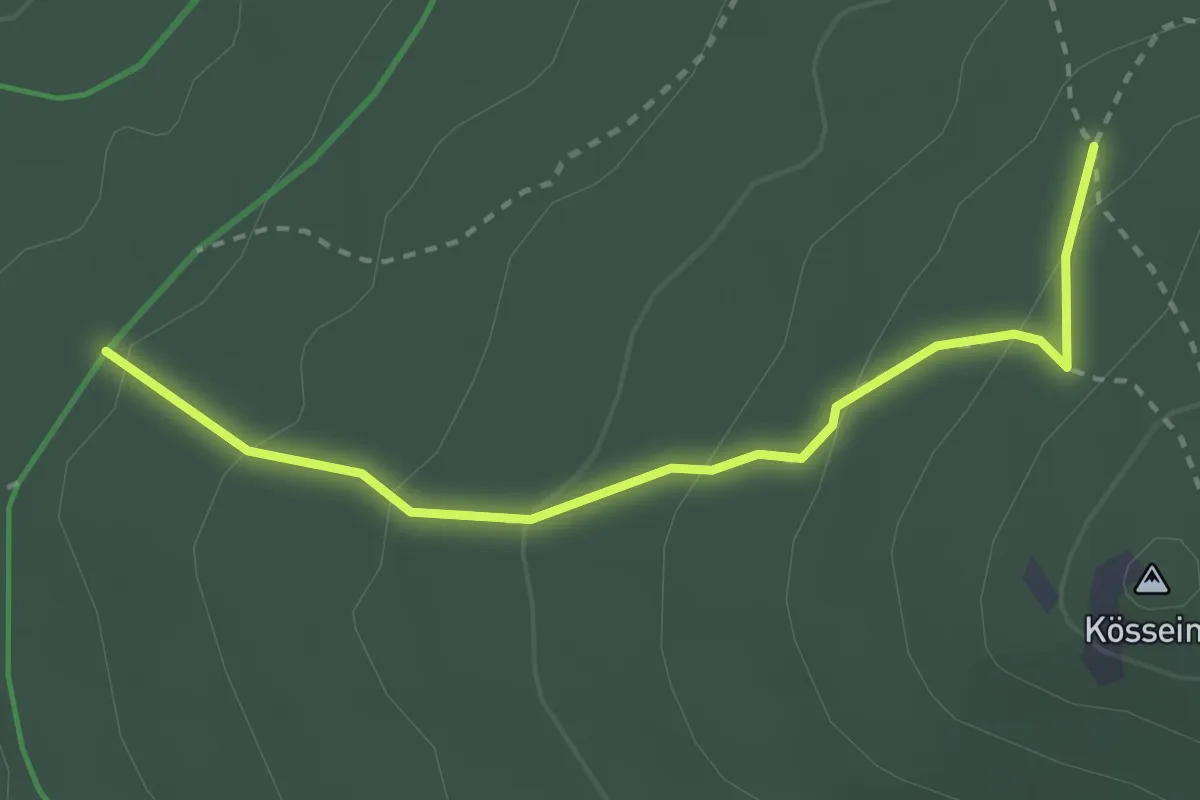
Medium · Trail
Europäischer Fernwanderweg E3, Bayern (Gebiet FGV)
2.7 km · ↑ 151 m · 58 min
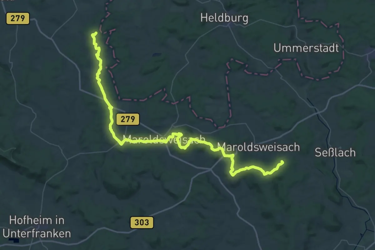
Demanding · Trail
Europäischer Fernwanderweg E3, Bayern (West)
29.3 km · ↑ 596 m · 8 h 34 min
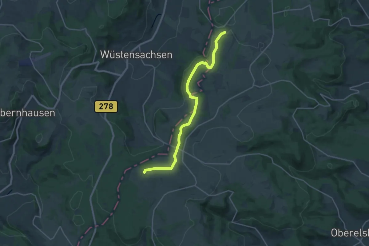
Medium · Summit
Europäischer Fernwanderweg E3, Bayrische Rhön
15.2 km · ↑ 274 m · 4 h 11 min
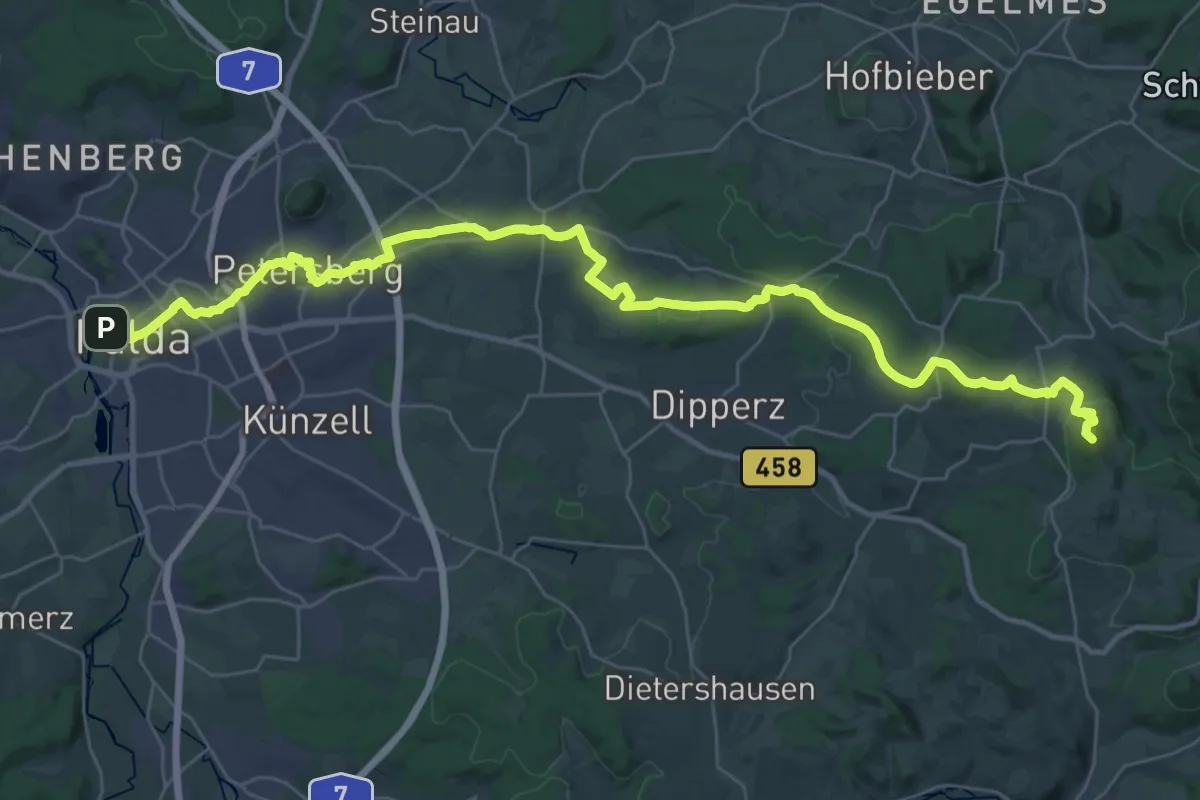
Demanding · Summit
Europäischer Fernwanderweg E3, Hessische Rhön (Fulda - Milseburg)
40.1 km · ↑ 701 m · 10 h 59 min
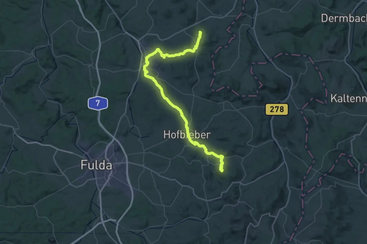
Demanding · Summit
Europäischer Fernwanderweg E3 (Nordroute Thüringen)
64.7 km · ↑ 1417 m · 18 h 21 min
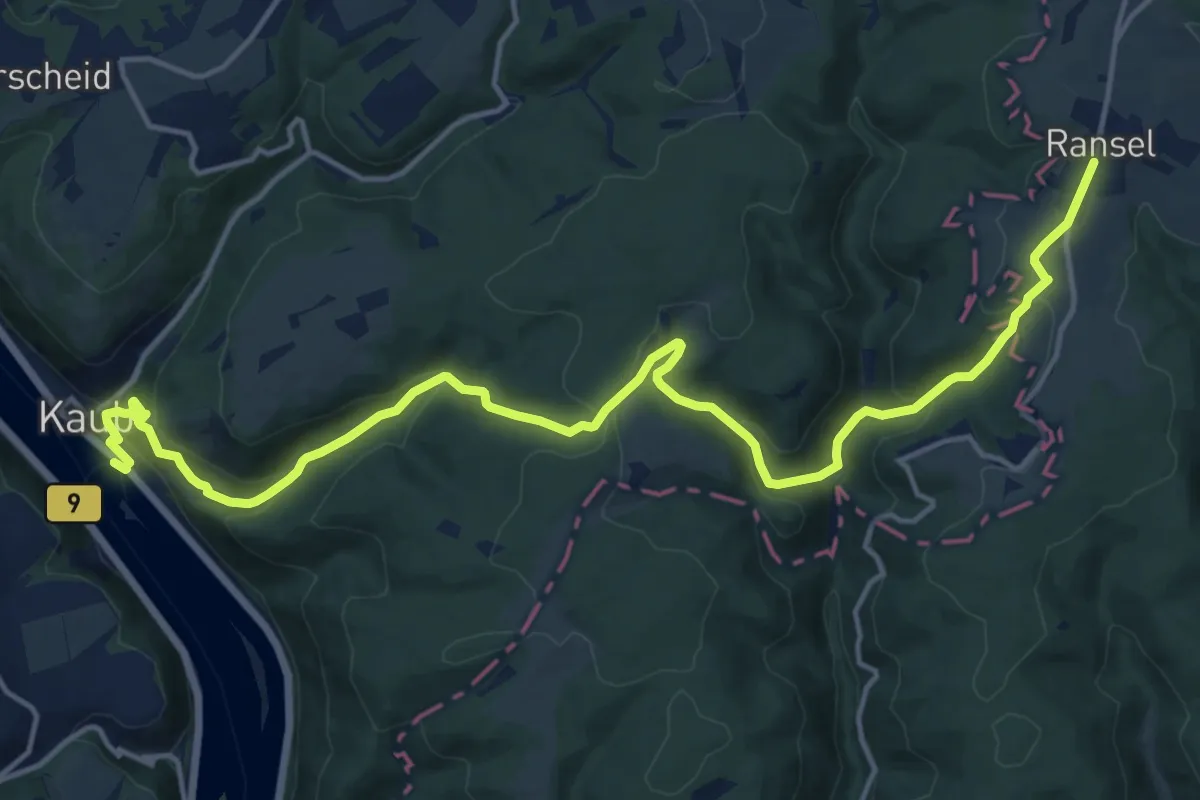
Demanding · Trail
Europäischer Fernwanderweg E3, Rhein - Taunus
17.8 km · ↑ 821 m · 6 h
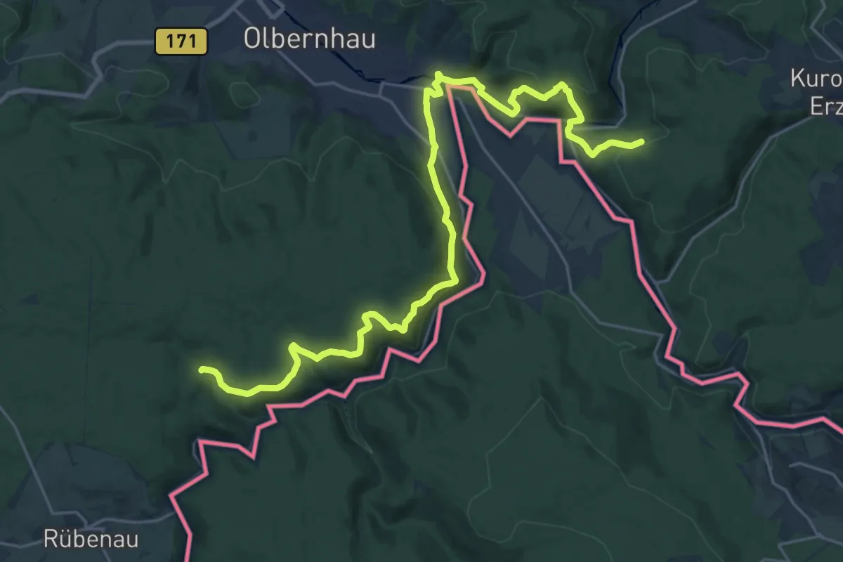
Demanding · Trail
Europäischer Fernwanderweg E3, Sachsen (Mitte)
25.1 km · ↑ 794 m · 7 h 39 min
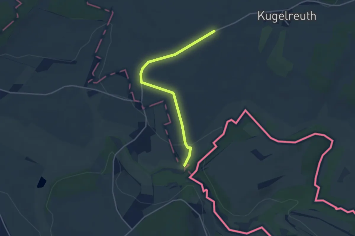
Easy · Trail
Europäischer Fernwanderweg E3, Sachsen (West)
3.1 km · ↑ 59 m · 51 min
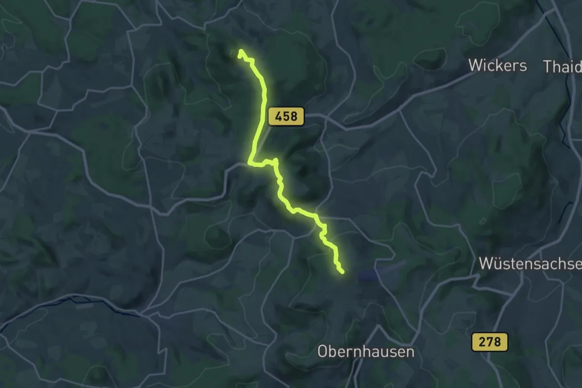
Medium · Summit
Europäischer Fernwanderweg E3 und E6, Hessische Rhön (Milseburg - Heidelstein)
15.6 km · ↑ 596 m · 4 h 58 min
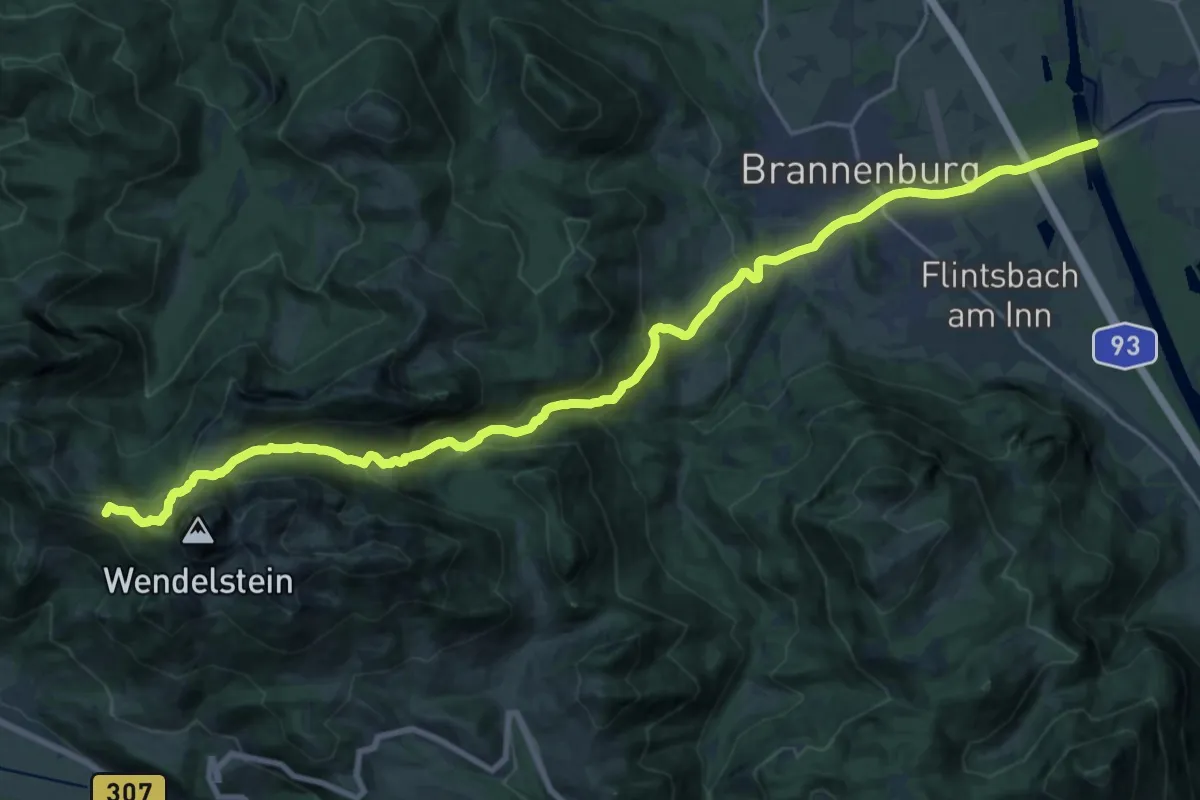
Demanding · Summit
Europäischer Fernwanderweg E4 - Teil Deutschland (Region Wendelstein)
25.2 km · ↑ 1228 m · 8 h 37 min
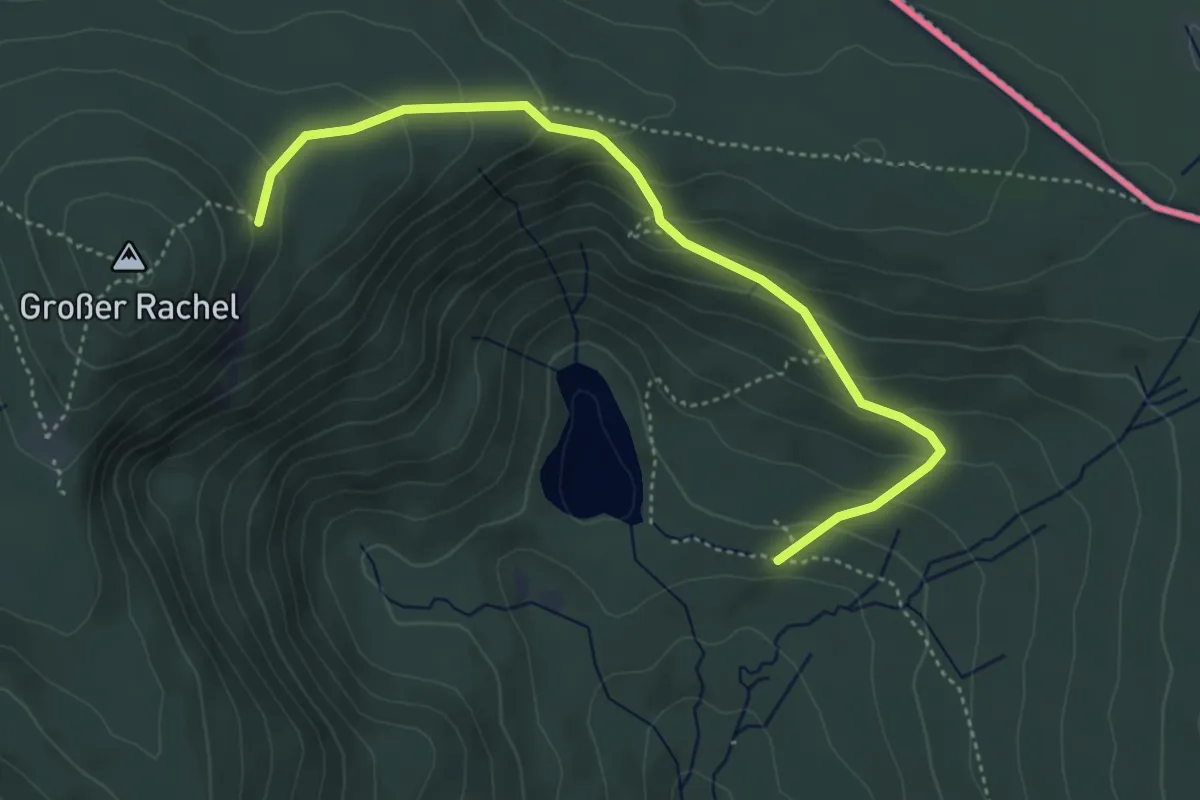
Easy · Trail
Europäischer Fernwanderweg E6, Deutschland, Alternative Bayerischer Wald
4.4 km · ↑ 287 m · 1 h 40 min
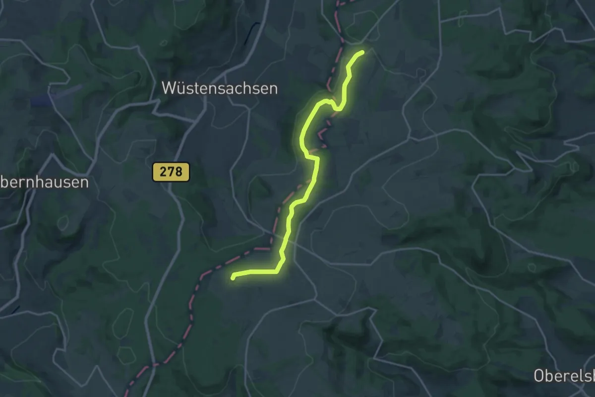
Medium · Summit
Europäischer Fernwanderweg E6, Deutschland, Bayrische Rhön
15.2 km · ↑ 274 m · 4 h 11 min
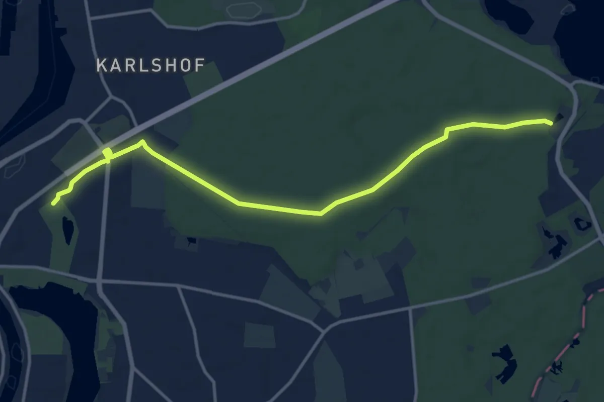
Medium · Trail
Europäischer Fernwanderweg E6, Deutschland, Exkurs Lübeck-Ost
10.0 km · ↑ 43 m · 2 h 28 min
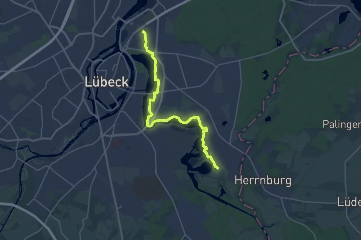
Medium · Trail
Europäischer Fernwanderweg E6, Deutschland, Exkurs Lübeck-Süd
15.3 km · ↑ 22 m · 3 h 39 min
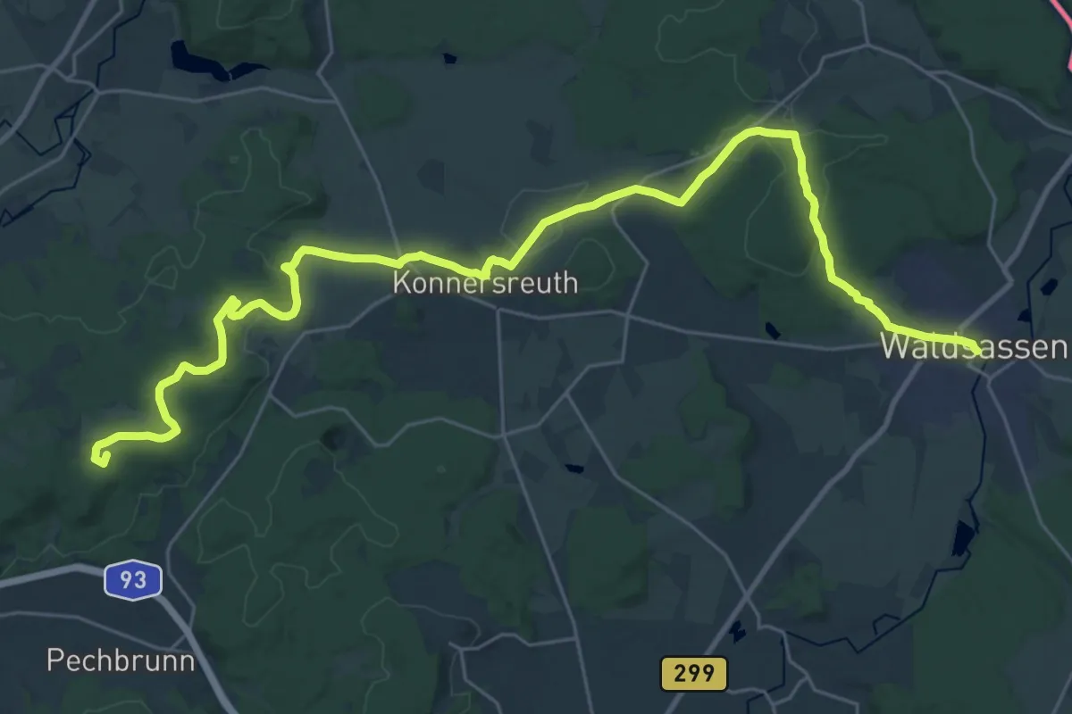
Demanding · Summit
Europäischer Fernwanderweg E6, Deutschland, Fichtelgebirge
33.0 km · ↑ 539 m · 8 h 58 min
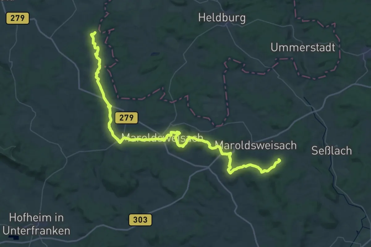
Demanding · Trail
Europäischer Fernwanderweg E6, Deutschland, Frankenwald
29.3 km · ↑ 596 m · 8 h 34 min
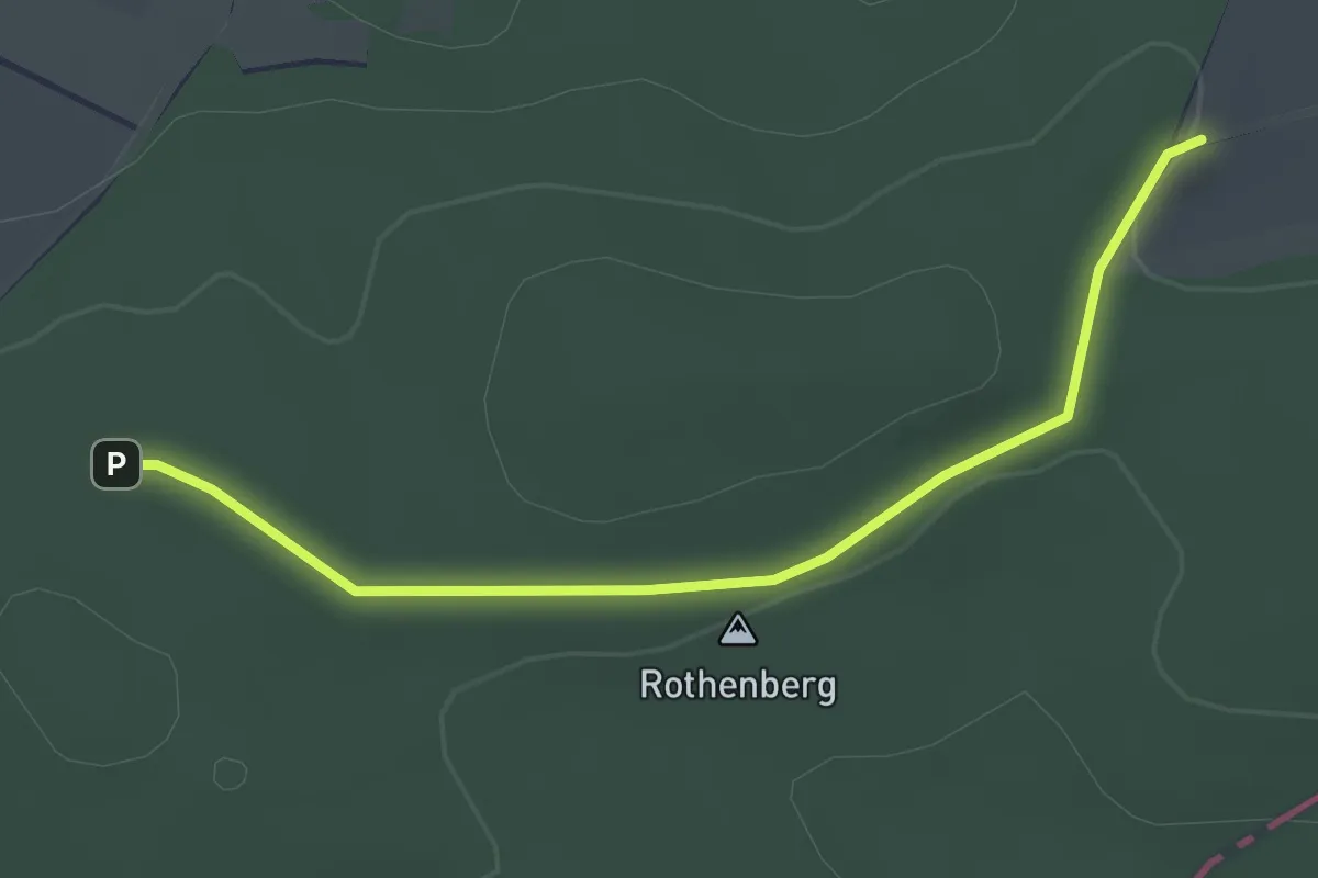
Easy · Trail
Europäischer Fernwanderweg E6, Deutschland, Niedersachsen
2.7 km · ↑ 22 m · 41 min
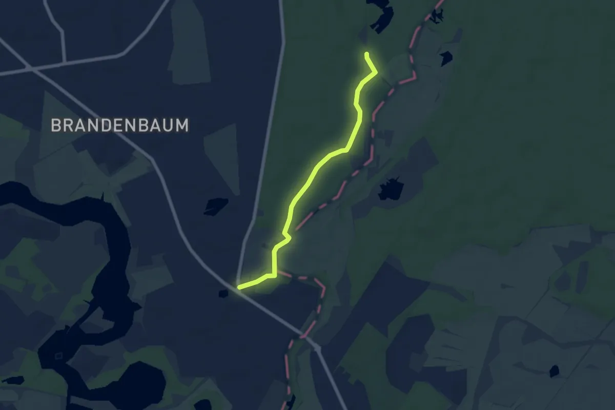
Easy · Trail
Europäischer Fernwanderweg E6, Deutschland, Schleswig-Holstein
4.8 km · ↑ 9 m · 1 h 9 min
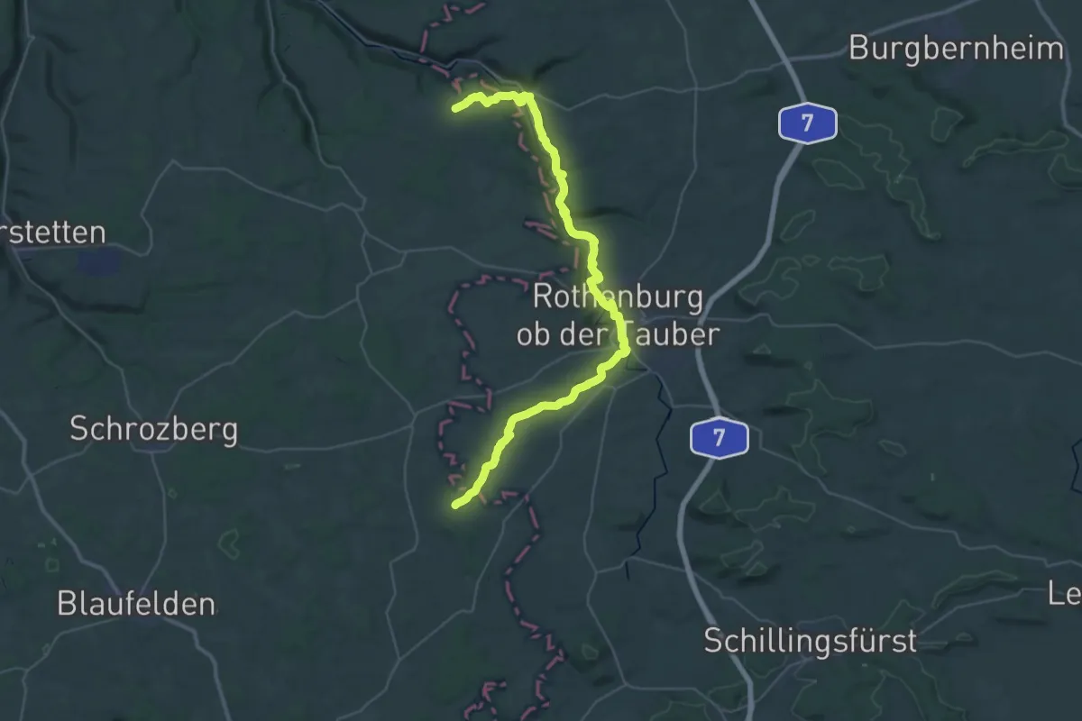
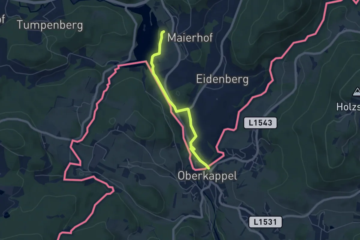
Demanding · Trail
Europäischer Fernwanderweg E8, Baden-Württemberg
21.2 km · ↑ 483 m · 6 h 21 min
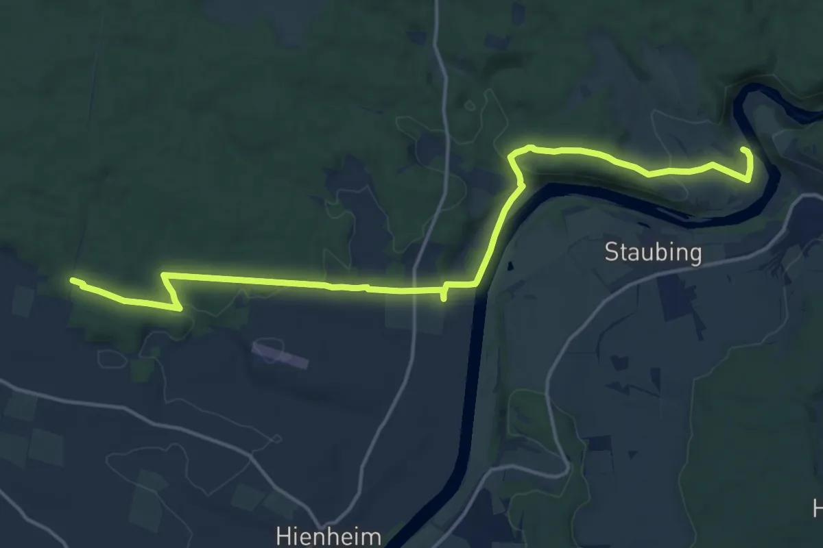
Easy · Trail
Europäischer Fernwanderweg E8, Bayerischer Wald-Verein
4.4 km · ↑ 73 m · 1 h 12 min
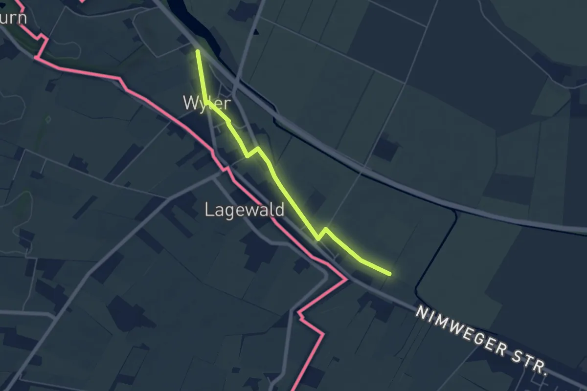
Medium · Trail
Europäischer Fernwanderweg E8, Fränkischer Albverein
16.6 km · ↑ 316 m · 4 h 36 min
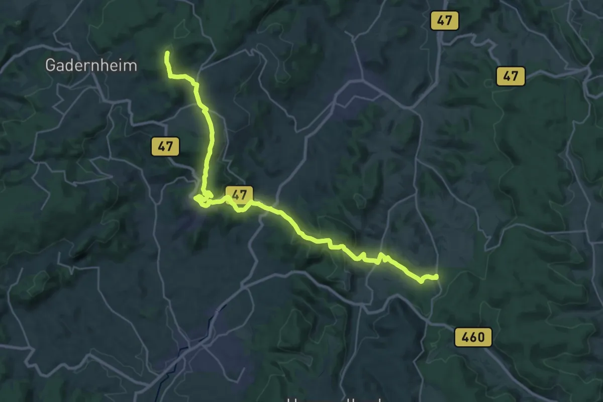
Easy · Trail
Europäischer Fernwanderweg E8, Nordrhein-Westfalen
4.6 km · ↑ 22 m · 1 h 8 min
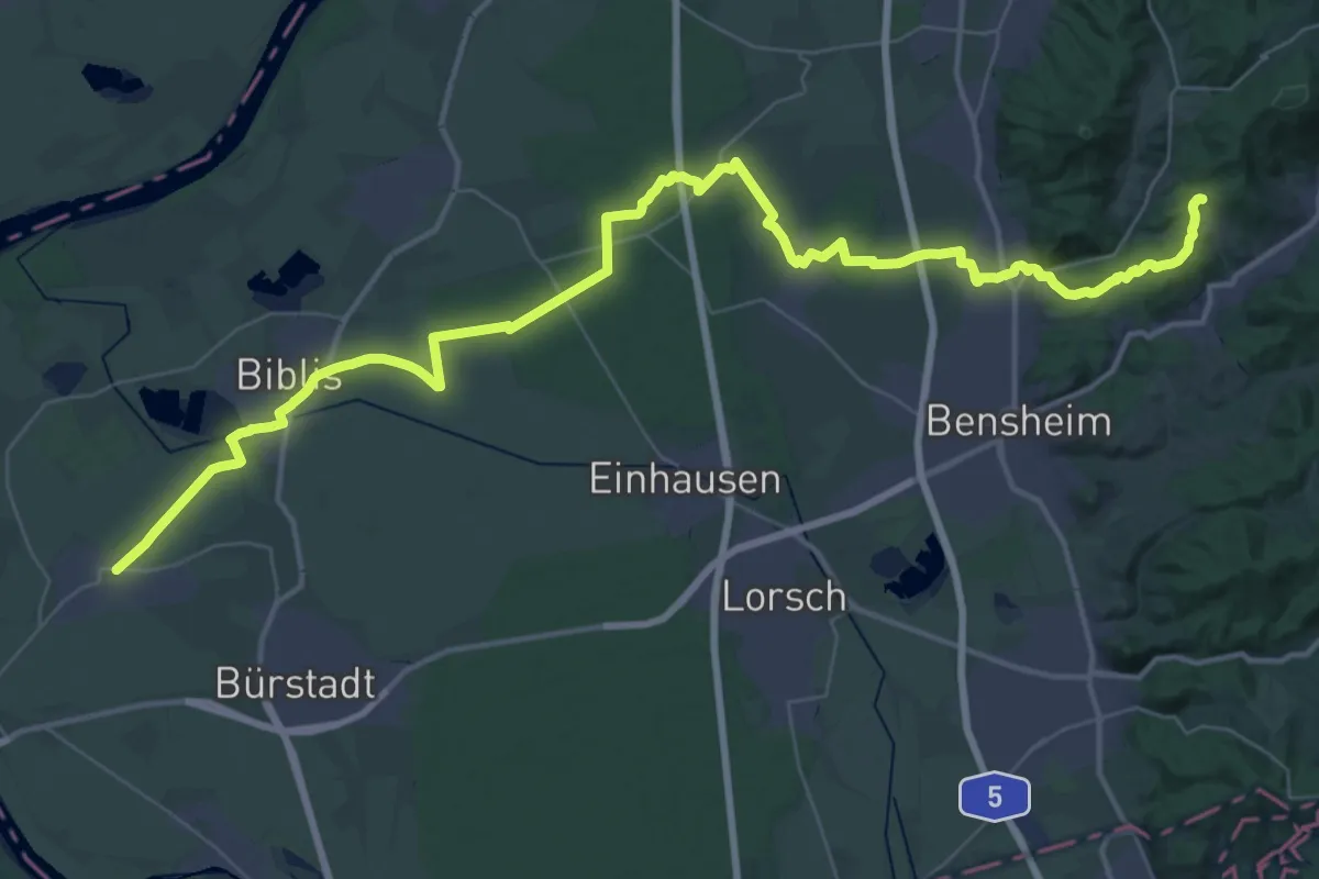
Demanding · Summit
Europäischer Fernwanderweg E8, Odenwald Ost
27.1 km · ↑ 1021 m · 8 h 37 min
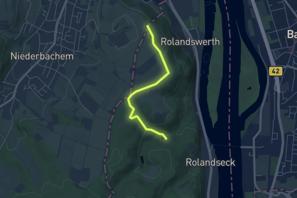
Demanding · Trail
Europäischer Fernwanderweg E8, Odenwald West
26.8 km · ↑ 262 m · 7 h 11 min
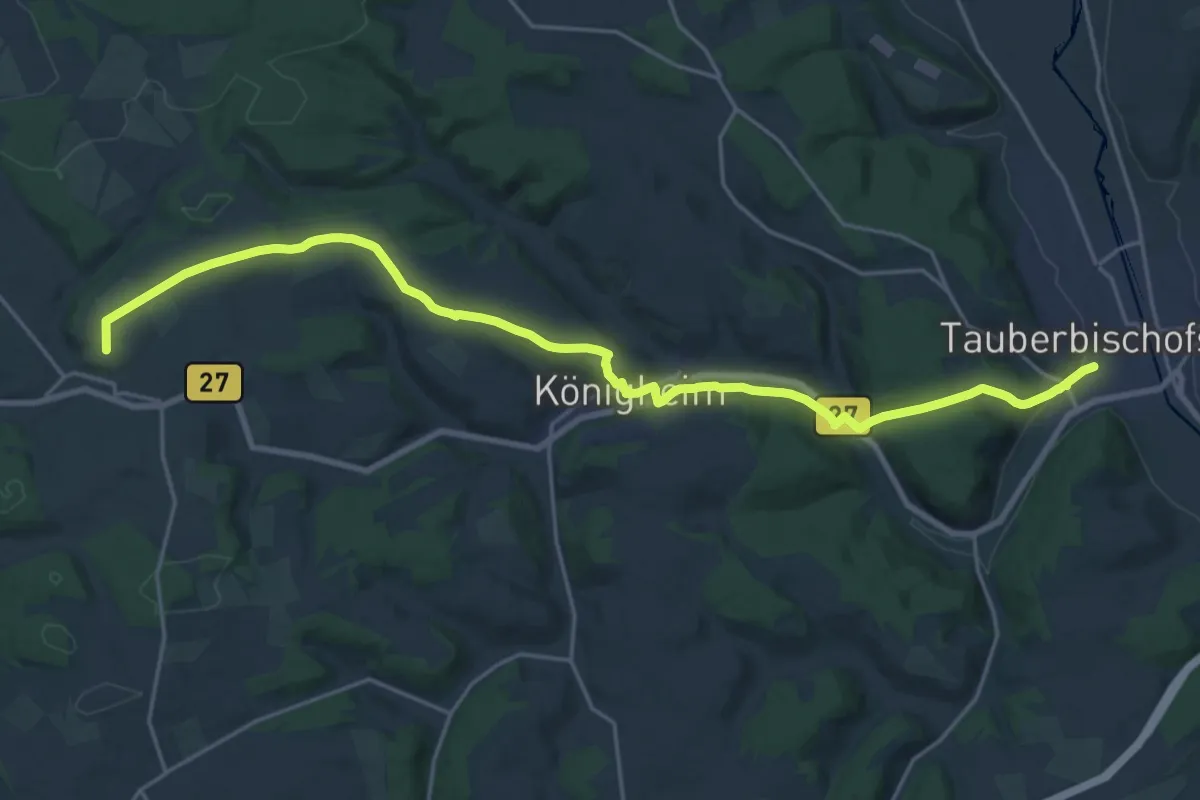
Easy · Trail
Europäischer Fernwanderweg E8, Rheinland-Pfalz
4.3 km · ↑ 92 m · 1 h 13 min
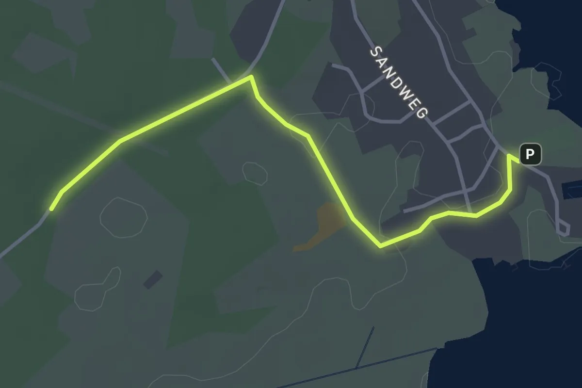
Demanding · Trail
Europäischer Fernwanderweg E8, Südvariante Baden-Württemberg
23.1 km · ↑ 486 m · 6 h 31 min
Easy · Trail
Europäischer Fernwanderweg E9A (Naturparkweg)
3.0 km · ↑ 5 m · 43 min
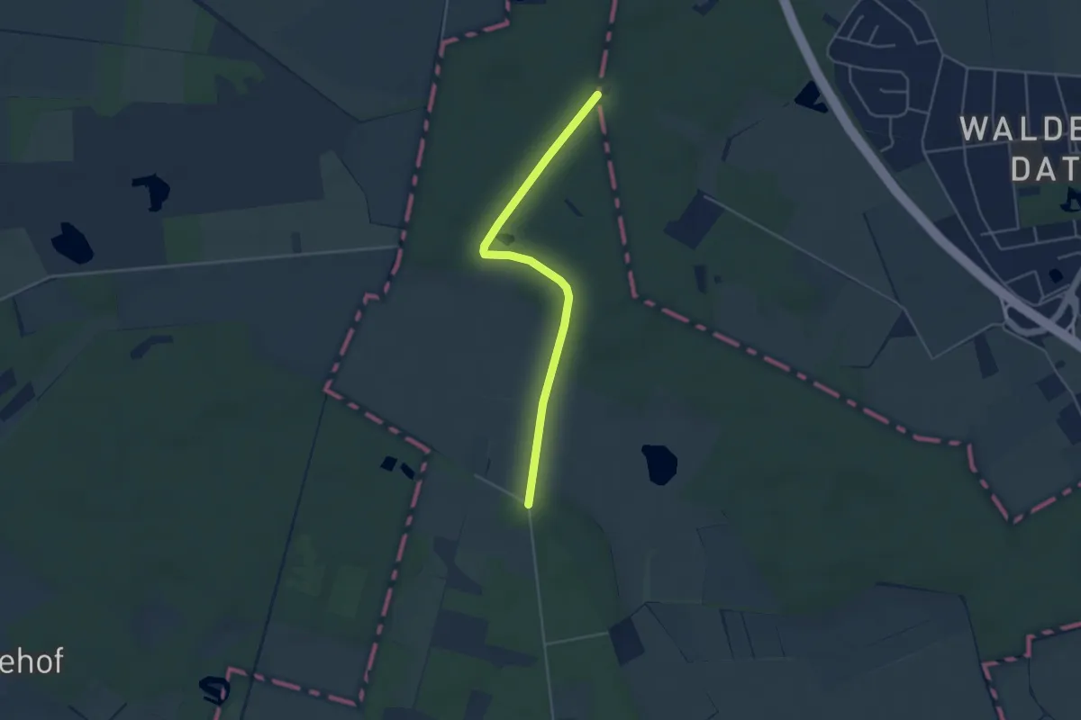
Easy · Trail
Europäischer Fernwanderweg E9, Deutschland, Hamburg
3.7 km · ↑ 21 m · 55 min
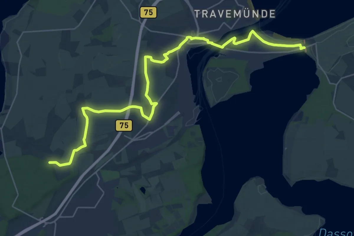
Demanding · Trail
Europäischer Fernwanderweg E9, Deutschland, Schleswig-Holstein (Lübeck)
23.0 km · ↑ 57 m · 5 h 33 min
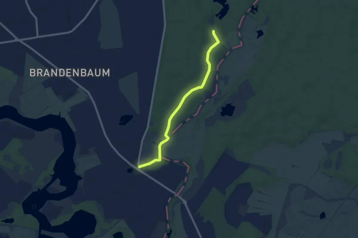
Easy · Trail
Europäischer Fernwanderweg E9, Deutschland, Schleswig-Holstein (Ost)
4.8 km · ↑ 9 m · 1 h 9 min
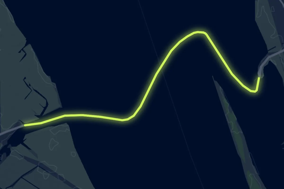
Medium · Trail
Europäischer Fernwanderweg E9, Deutschland, Schleswig-Holstein (West)
10.4 km · ↑ 0 m · 2 h 28 min
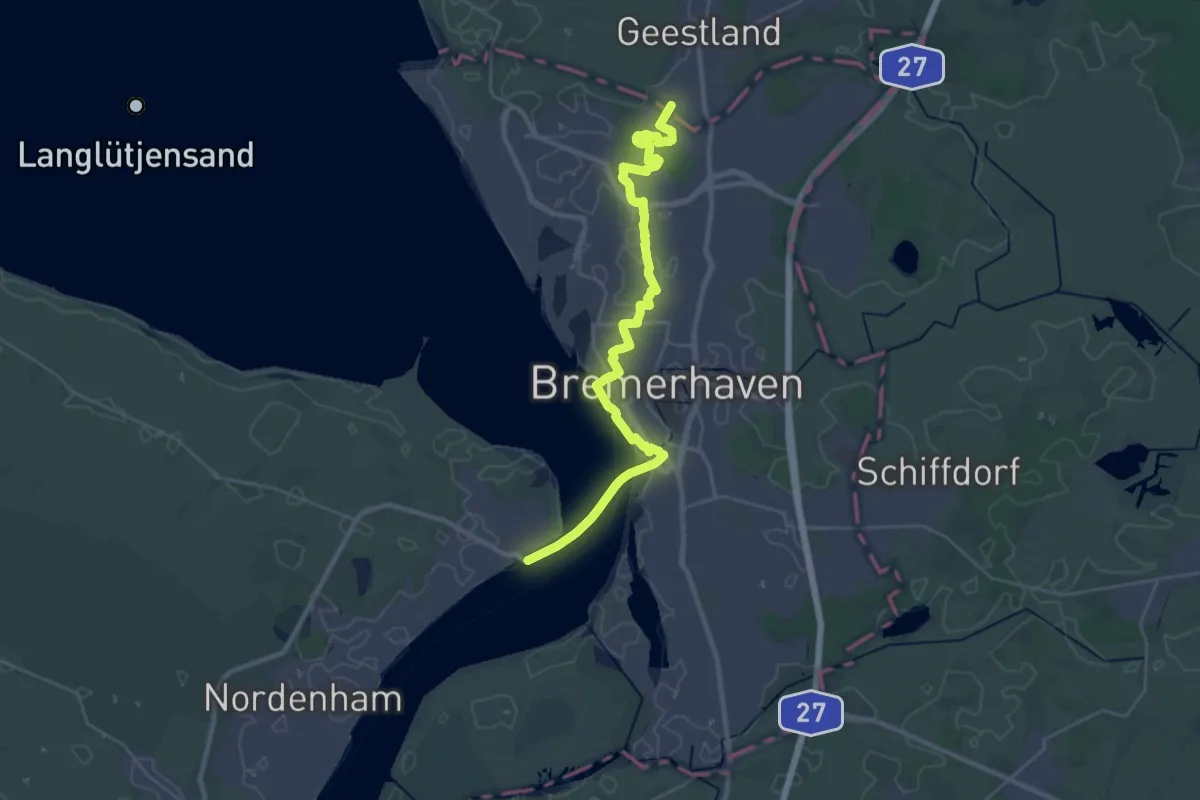
Demanding · Trail
Europäischer Fernwanderweg E9 / International coastal route, Deutschland, Niedersachsen
28.8 km · ↑ 47 m · 6 h 54 min
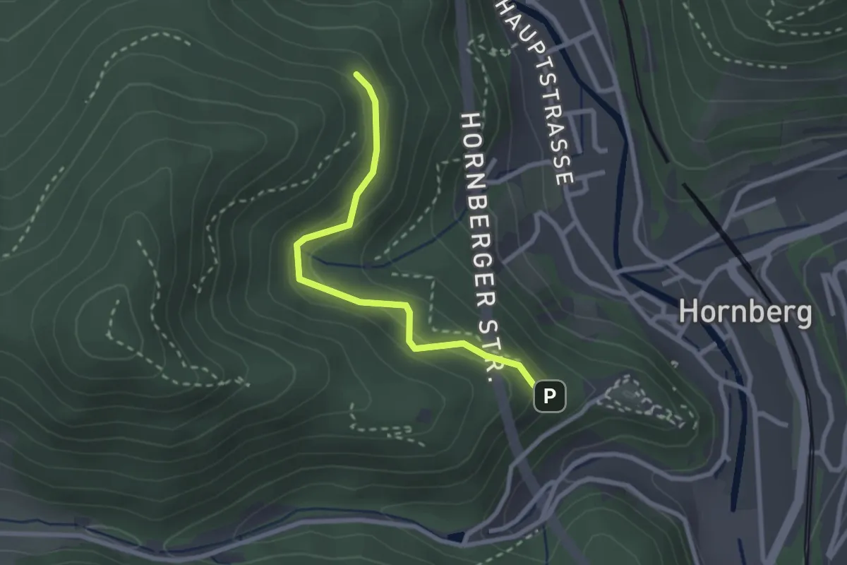
Easy · Trail
Europakurve - Unter der Schlossschanze
2.3 km · ↑ 149 m · 53 min
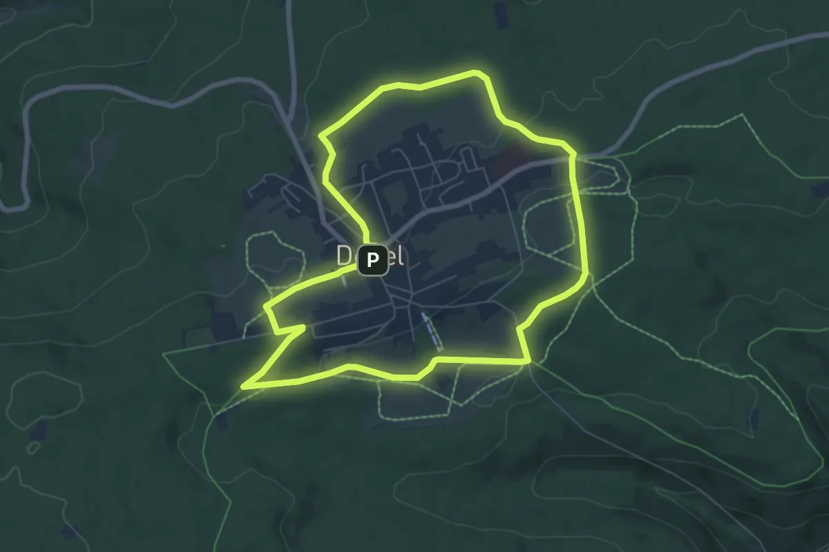
Easy · Summit
Europarundweg
6.5 km · ↑ 122 m · 1 h 53 min
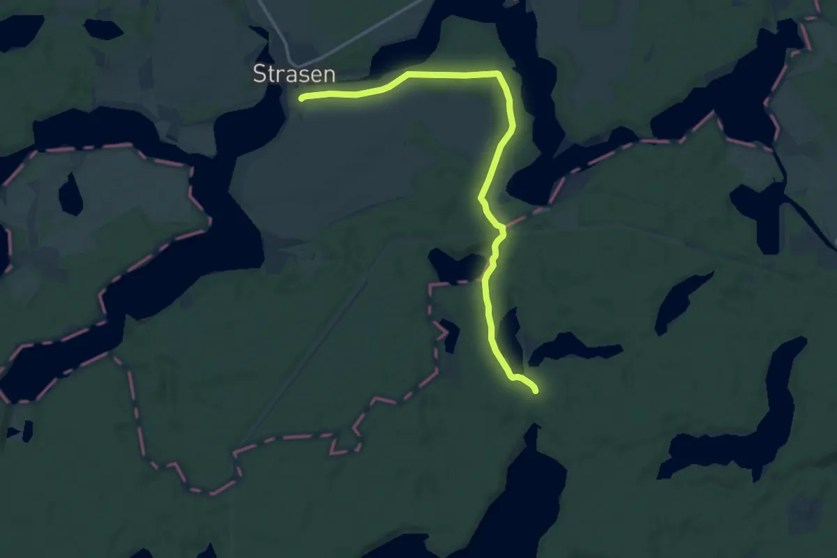
Medium · Trail
European hiking path E10, Germany, Alternative
13.4 km · ↑ 116 m · 3 h 25 min
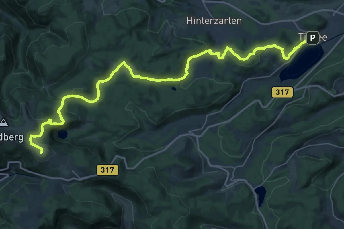
Demanding · Summit
European Long distance path E1 - part Germany, Baden-Wuerttemberg (alternative route Feldberg)
32.2 km · ↑ 1038 m · 9 h 51 min
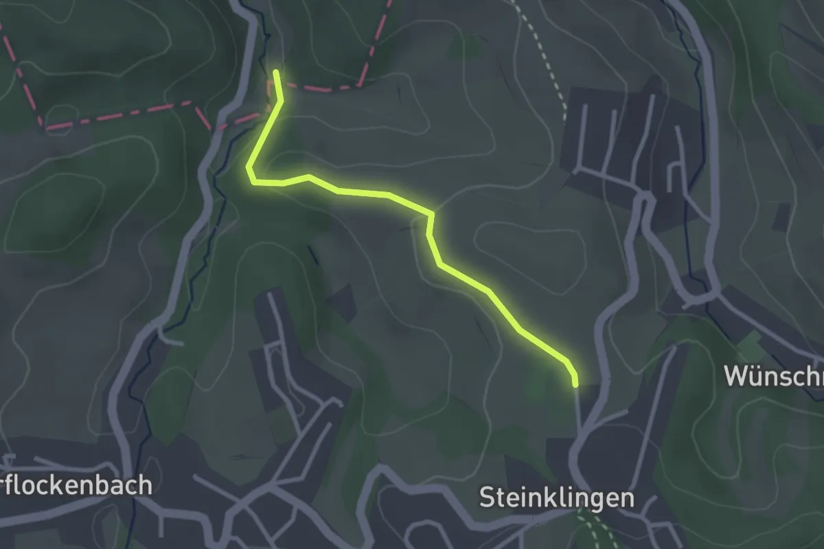
Easy · Trail
European Long distance path E1 - part Germany, Baden-Wuerttemberg (region Forest of Odes south)
2.4 km · ↑ 66 m · 42 min
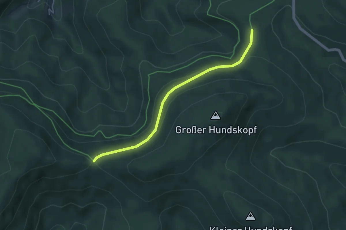
Easy · Trail
European Long distance path E1 - part Germany, Baden-Wuerttemberg (region Schwarzwald centre)
3.6 km · ↑ 91 m · 1 h 3 min
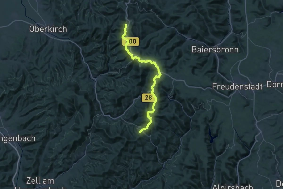
Demanding · Summit
European Long distance path E1 - part Germany, Baden-Wuerttemberg (region Schwarzwald north)
42.7 km · ↑ 1097 m · 12 h 28 min
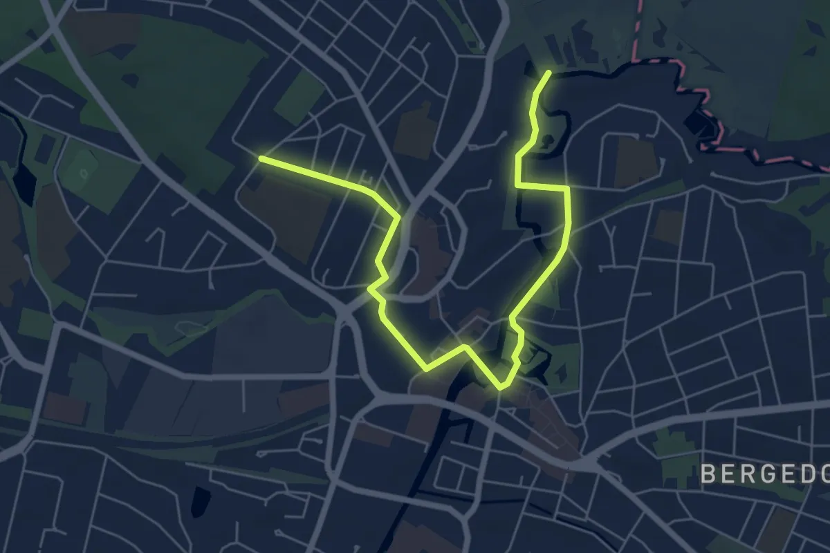
Easy · Trail
European Long distance path E1 - part Germany, Hamburg (alternative route Bergedorf)
6.1 km · ↑ 26 m · 1 h 29 min
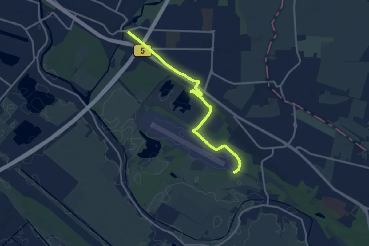
Easy · Trail
European Long distance path E1 - part Germany, Hamburg (alternative route Boberger Düne)
7.3 km · ↑ 70 m · 1 h 53 min
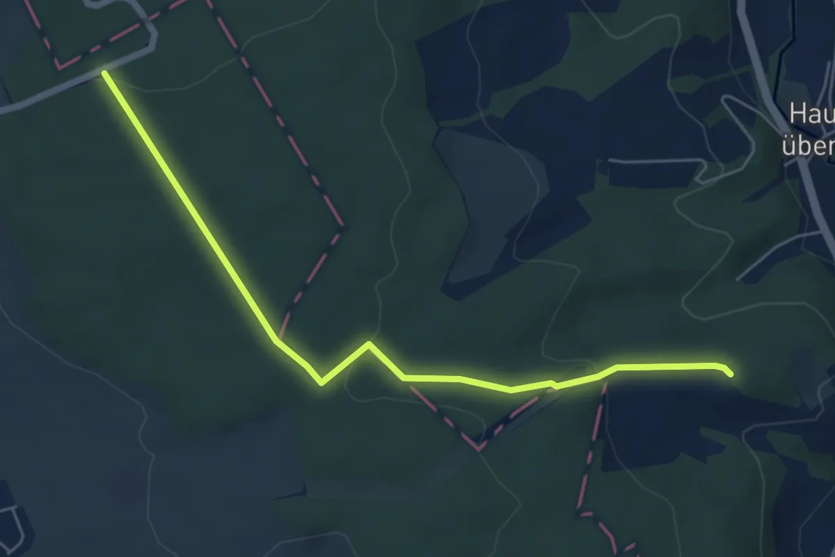
Easy · Trail
European Long distance path E1 - part Germany, Hessen (region Taunus centre)
5.3 km · ↑ 136 m · 1 h 32 min
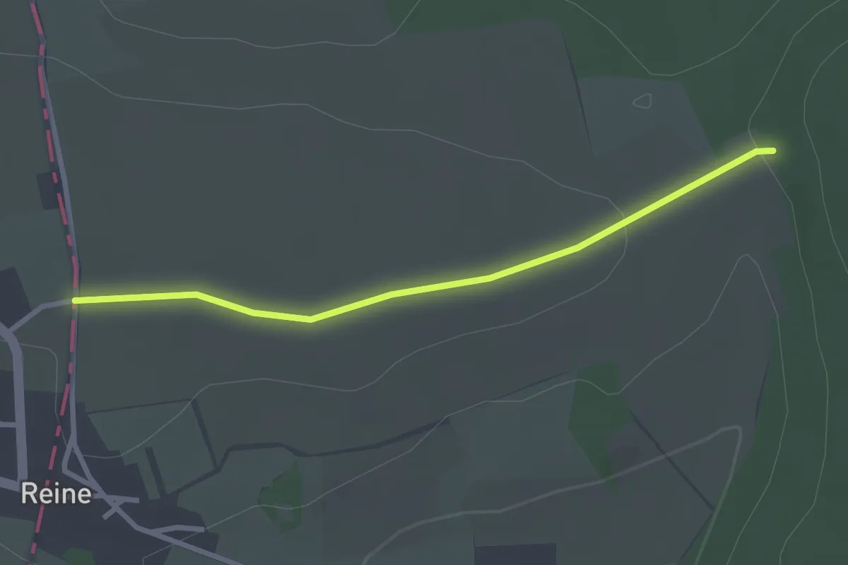
Easy · Trail
European Long distance path E1 - part Germany, Niedersachsen
2.4 km · ↑ 43 m · 40 min