Trails in Germany
36,852 hiking trails, each with its route, climb, walking time and grade.
All trails, page 144 of 768
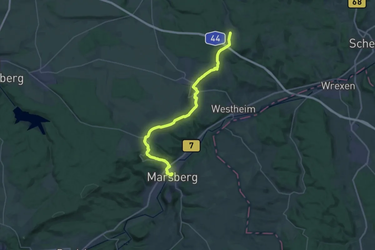
Demanding · Summit
European Long distance path E1 - part Germany, Nordrhein-Westfalen (North)
27.4 km · ↑ 608 m · 7 h 47 min
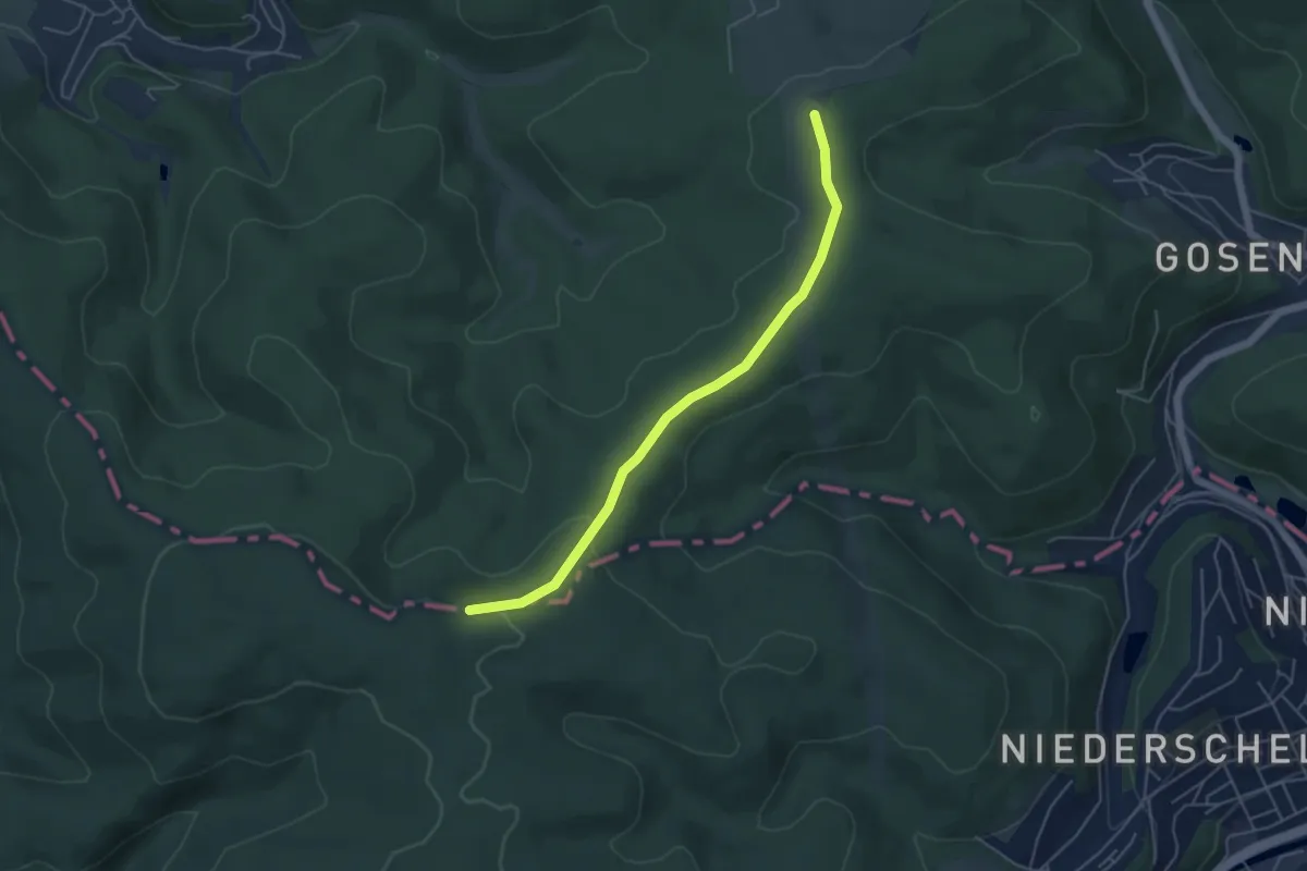
Easy · Trail
European Long distance path E1 - part Germany, Nordrhein-Westfalen (south)
4.5 km · ↑ 91 m · 1 h 16 min
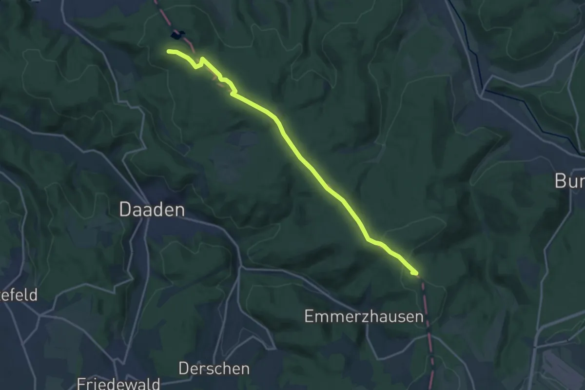
Medium · Summit
European Long distance path E1 - part Germany, Reinland-Pfalz (North)
13.7 km · ↑ 235 m · 3 h 45 min
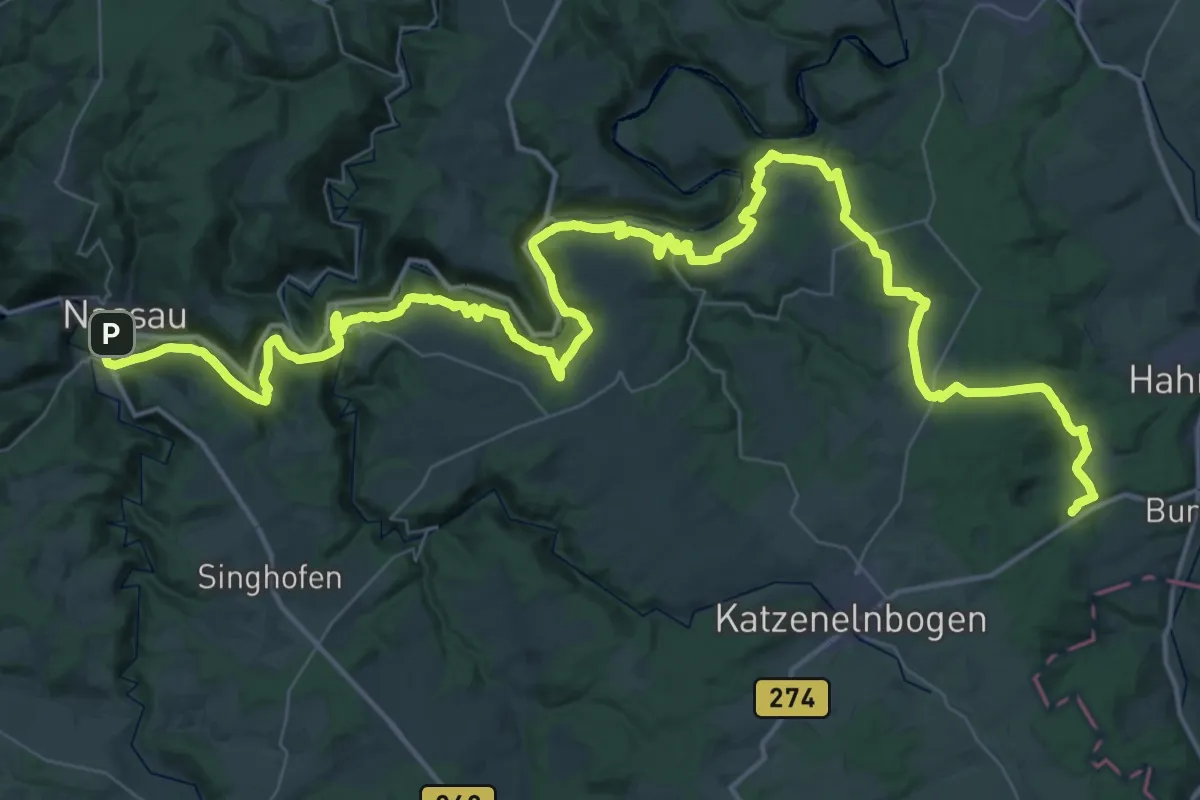
Demanding · Summit
European Long distance path E1 - part Germany, Reinland-Pfalz (region Taunus West)
67.7 km · ↑ 2330 m · 21 h 1 min
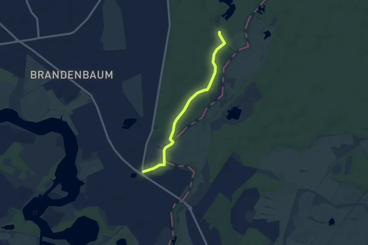
Easy · Trail
European Long distance path E1 - part Germany, Schleswig-Holstein
4.8 km · ↑ 9 m · 1 h 9 min
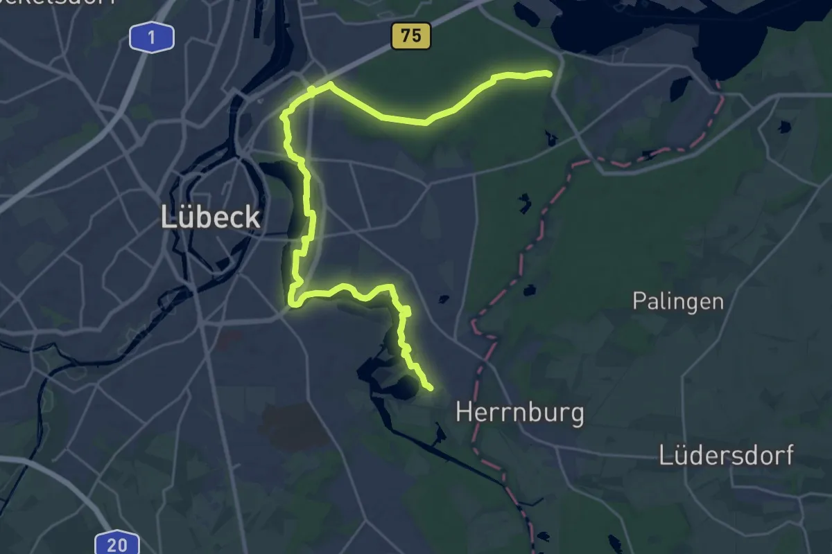
Demanding · Trail
European Long distance path E1 - part Germany, Schleswig-Holstein (alternative route Lübeck)
25.3 km · ↑ 72 m · 6 h 8 min
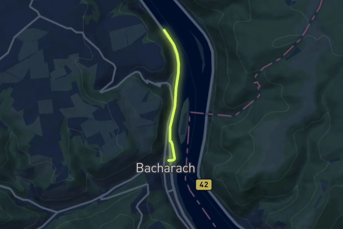
Easy · Trail
European long distance path E3 - part Saarland, Rheinland-Pfalz
4.1 km · ↑ 64 m · 1 h 6 min
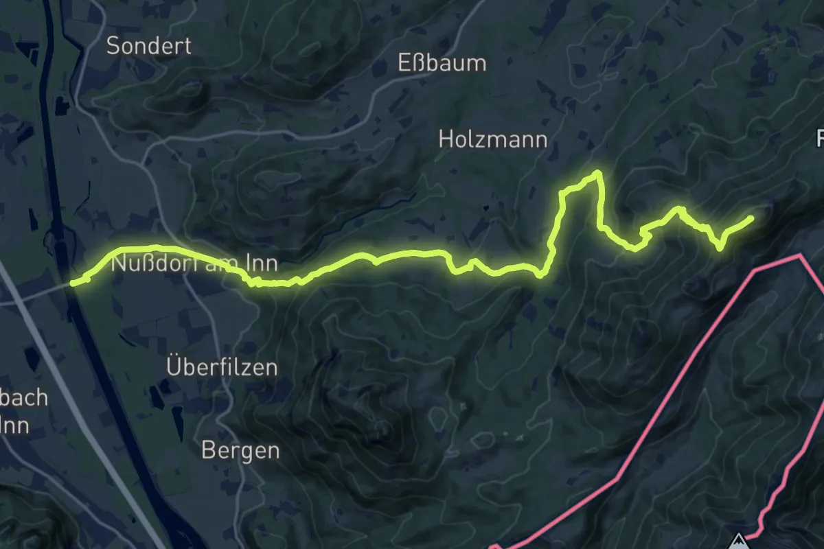
Demanding · Summit
European Long distance path E 4 - part Germany (region Chiemgau)
24.6 km · ↑ 1254 m · 8 h 31 min
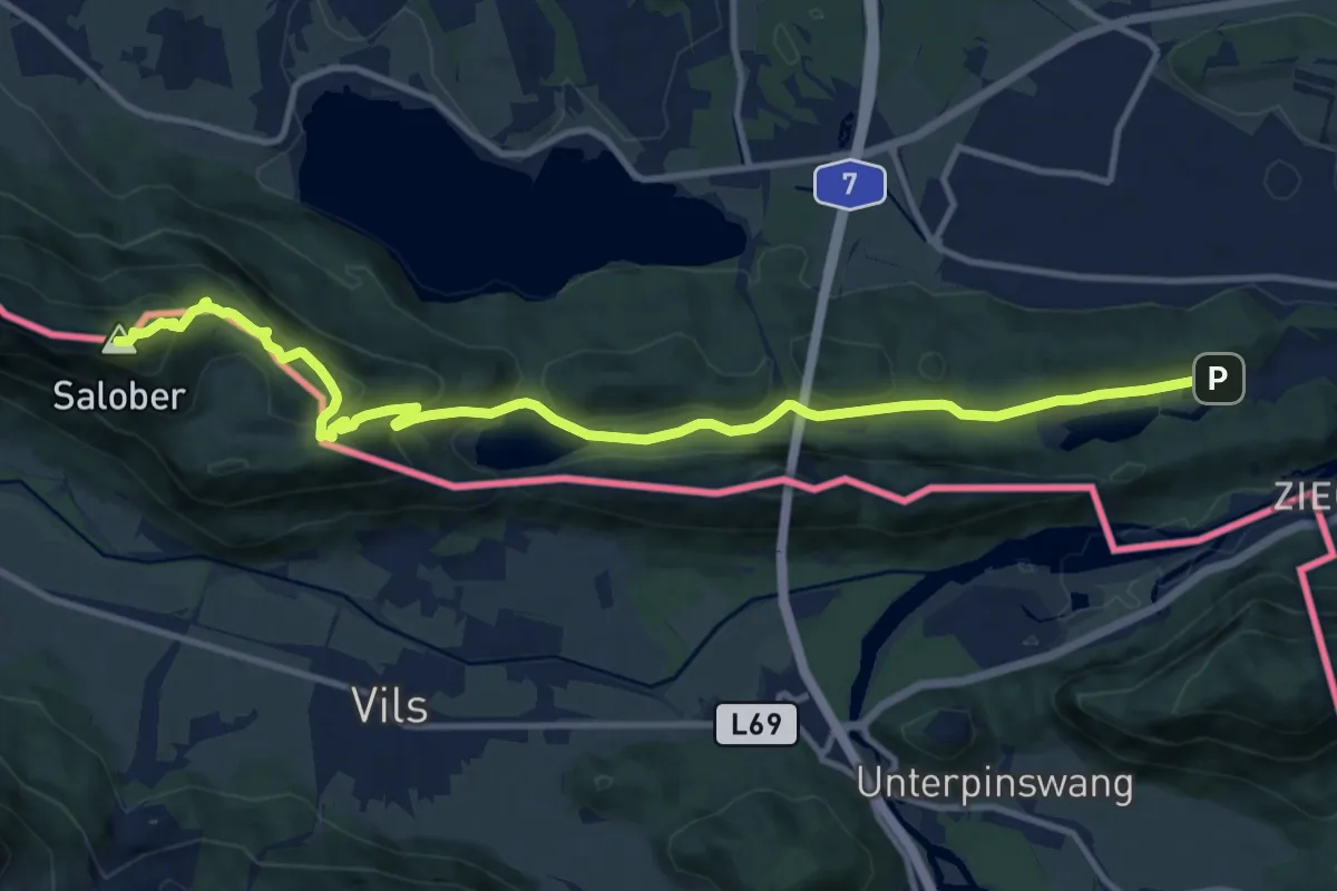
Medium · Summit
European Long distance path E 4 - part Germany (region Oberammergau)
13.4 km · ↑ 660 m · 4 h 36 min
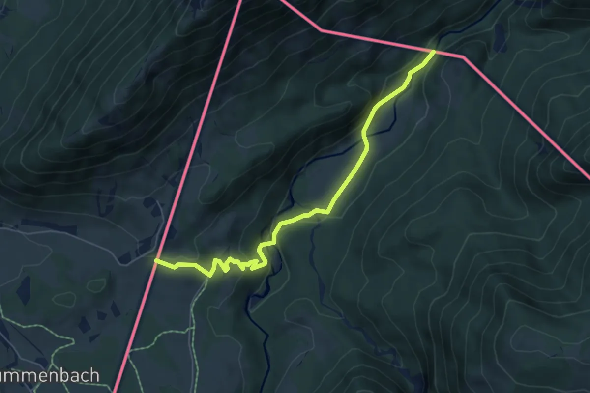
Easy · Trail
European Long distance path E 4 - part Germany (segment austria)
5.9 km · ↑ 184 m · 1 h 47 min
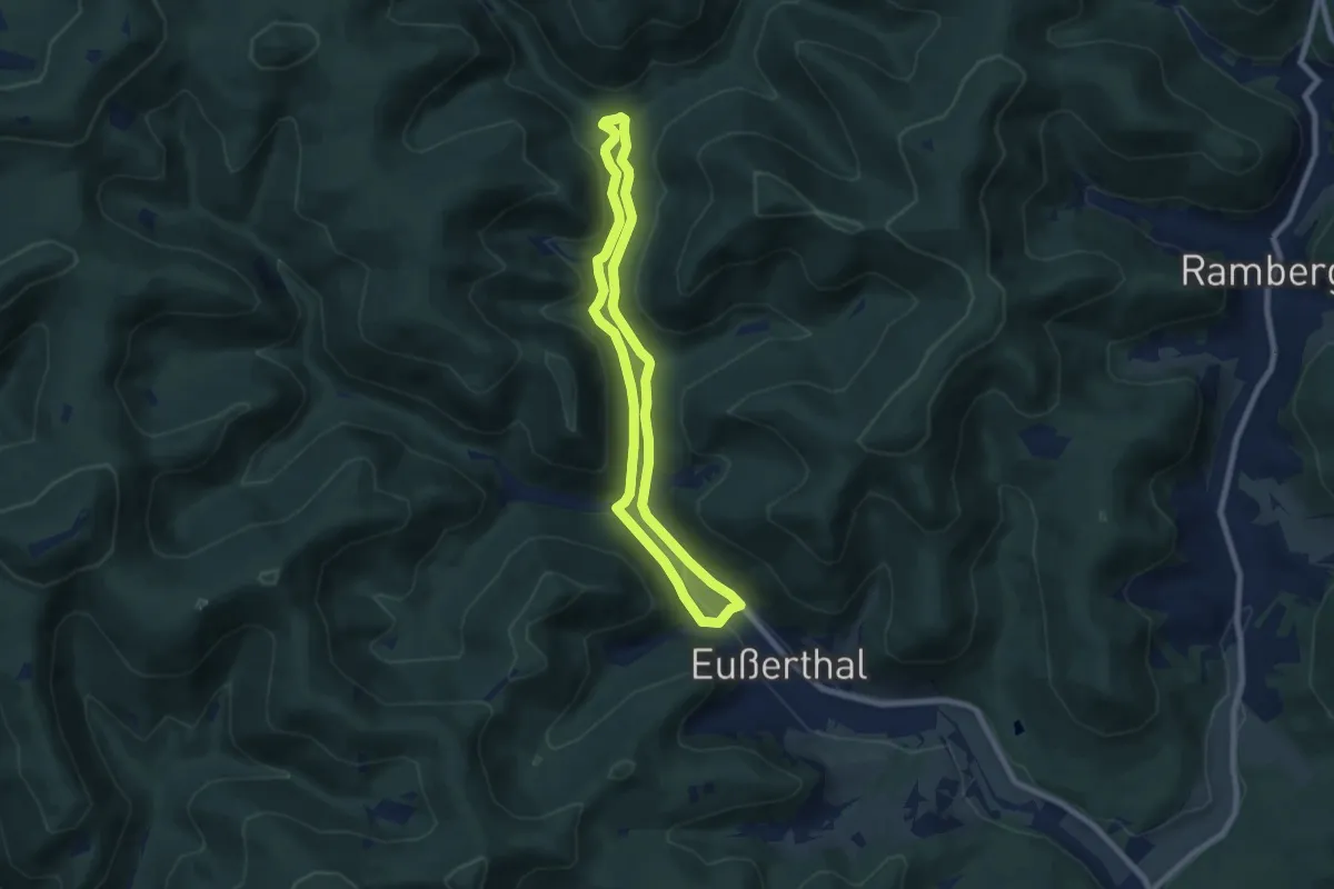
Easy · Trail
Eußerthal Rundweg 1
6.4 km · ↑ 167 m · 1 h 58 min
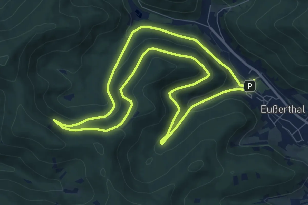
Easy · Trail
Eußerthal Rundweg 2
7.4 km · ↑ 288 m · 2 h 29 min
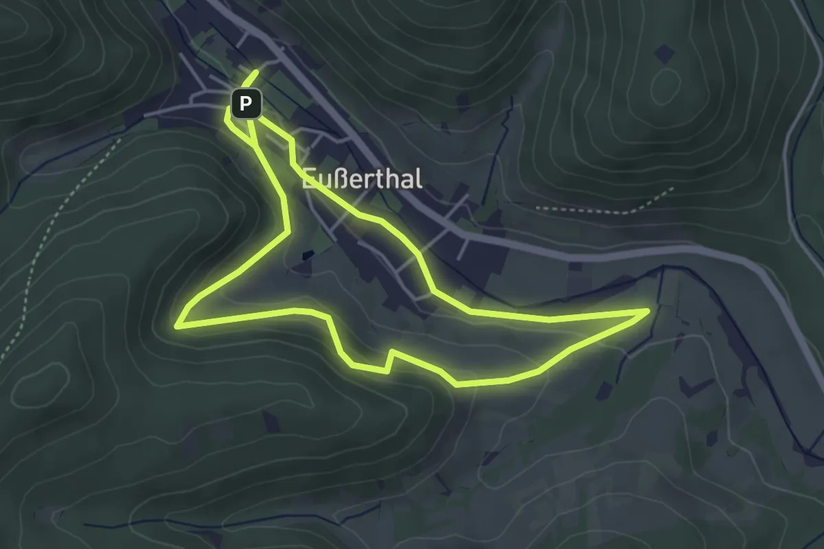
Easy · Trail
Eußerthal Rundweg 5
3.9 km · ↑ 136 m · 1 h 16 min
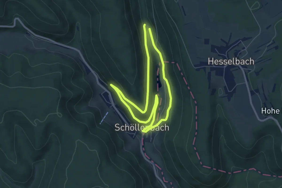
Easy · Trail
Euterbachtal-Weg
5.4 km · ↑ 141 m · 1 h 40 min
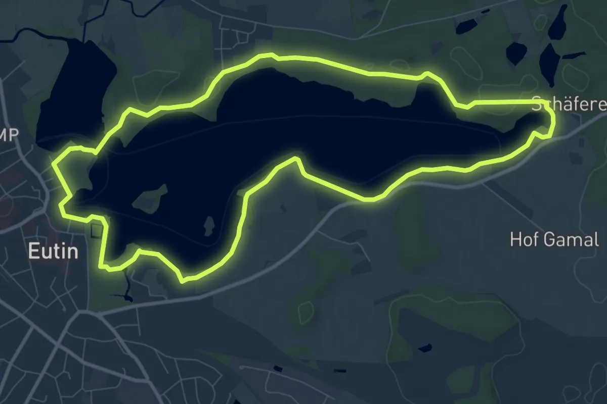
Medium · Trail
Eutiner See Rundweg
8.9 km · ↑ 75 m · 2 h 22 min
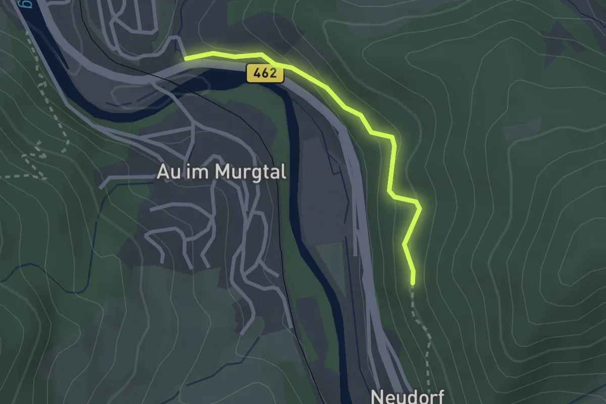
Easy · Trail
Evangelische Kirche - Schlechtauberg
2.1 km · ↑ 102 m · 42 min
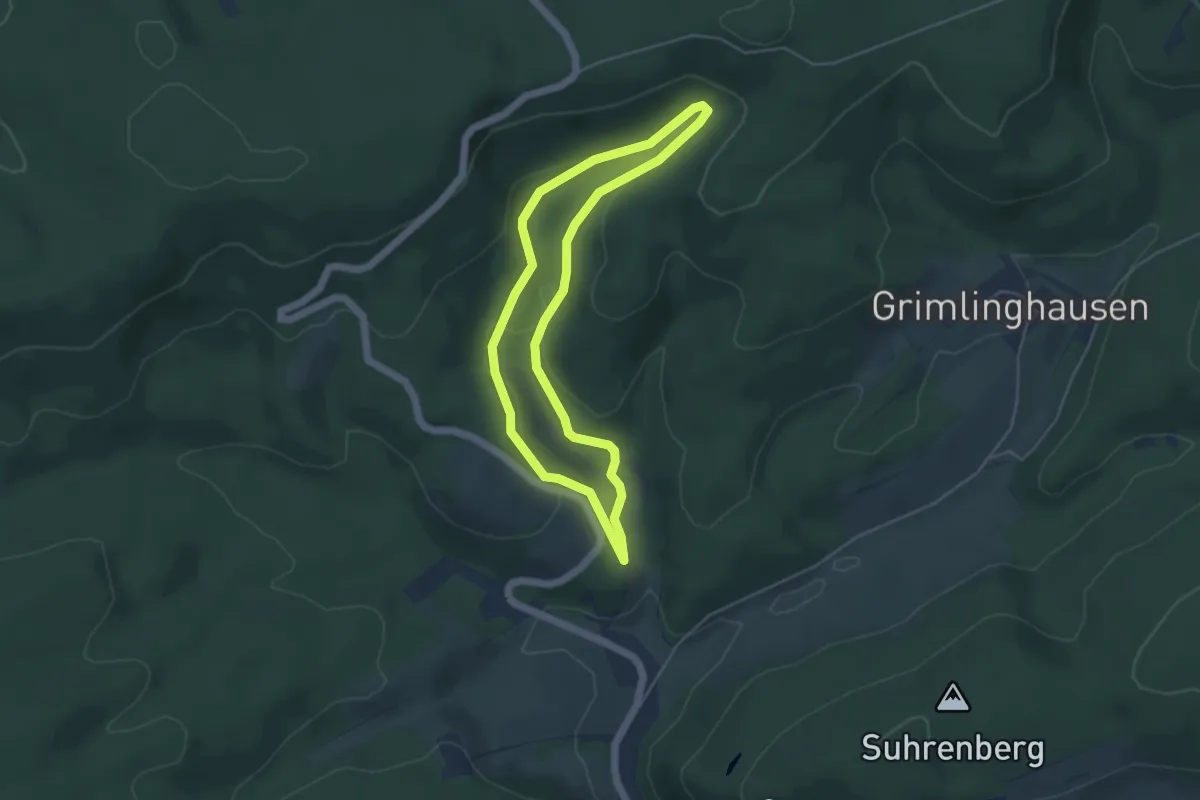
Easy · Trail
Evenkopf Rundweg A3
3.9 km · ↑ 116 m · 1 h 13 min
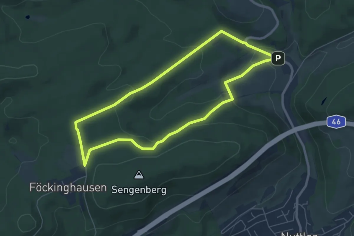
Medium · Trail
Evenkopf Rundweg A6
5.0 km · ↑ 151 m · 1 h 34 min
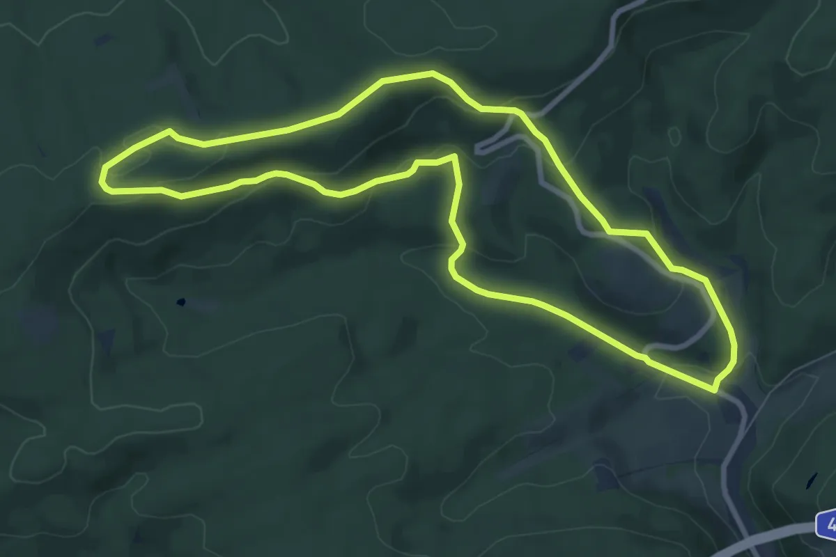
Medium · Summit
Evenkopf Rundweg A7
7.1 km · ↑ 208 m · 2 h 14 min
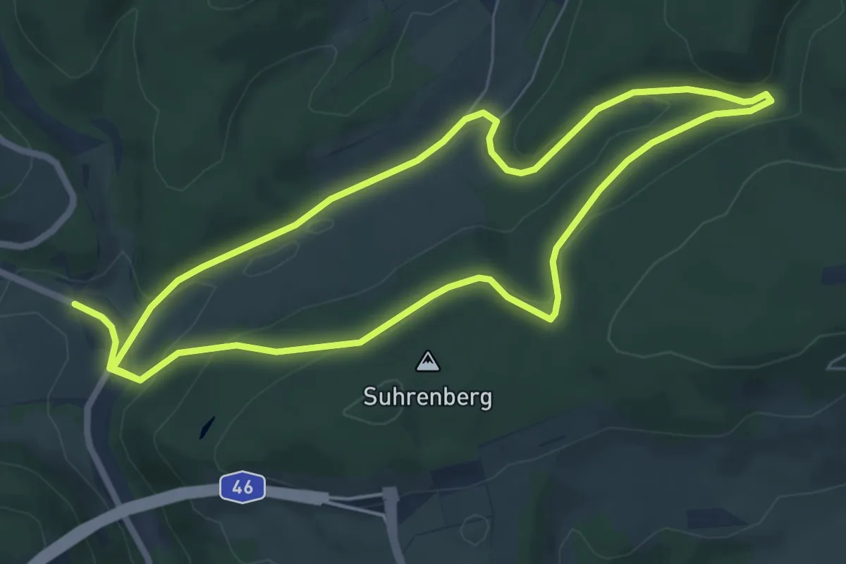
Easy · Trail
Evenkopf Rundweg A8
5.7 km · ↑ 169 m · 1 h 47 min
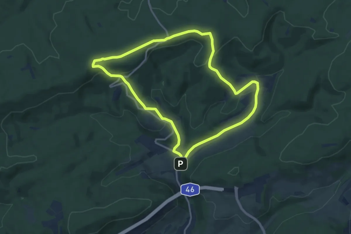
Medium · Trail
Evenkopf Rundweg A9
8.1 km · ↑ 240 m · 2 h 32 min
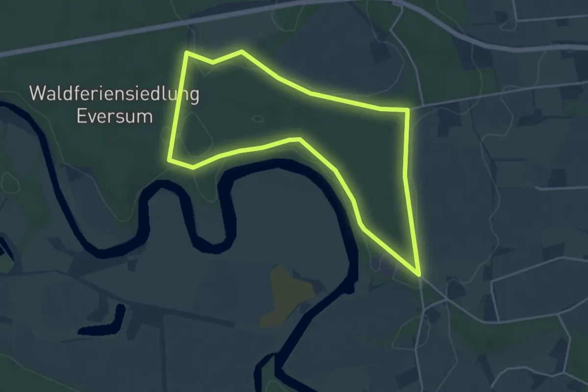
Easy · Trail
Eversum Rundweg A1
3.4 km · ↑ 4 m · 52 min
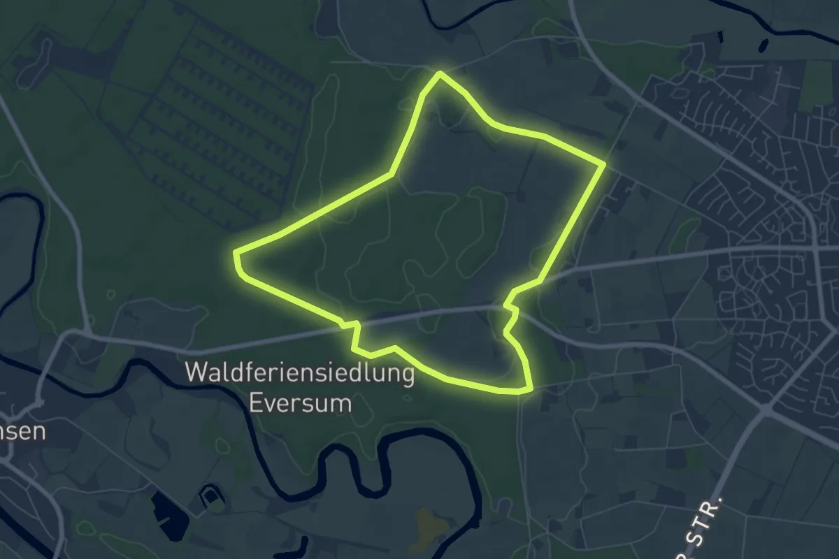
Easy · Trail
Eversum Rundweg A2
6.2 km · ↑ 18 m · 1 h 36 min
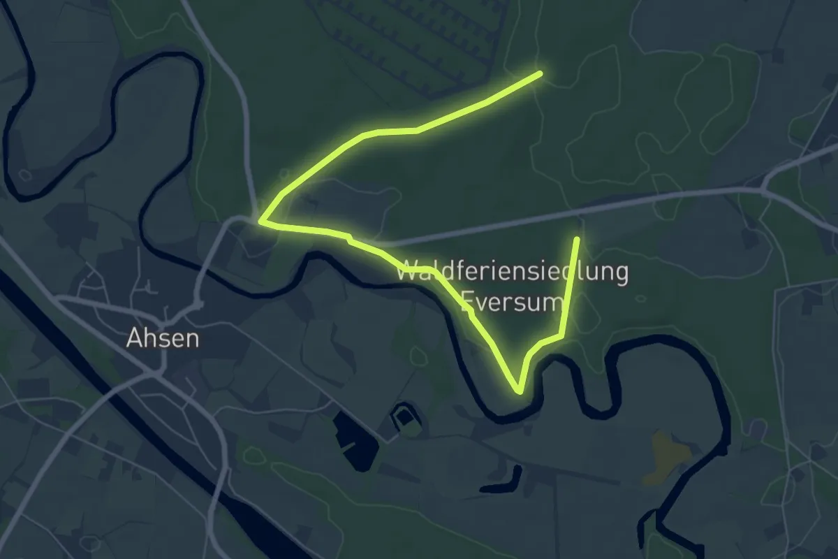
Easy · Trail
Eversum Rundweg A3
3.8 km · ↑ 14 m · 59 min
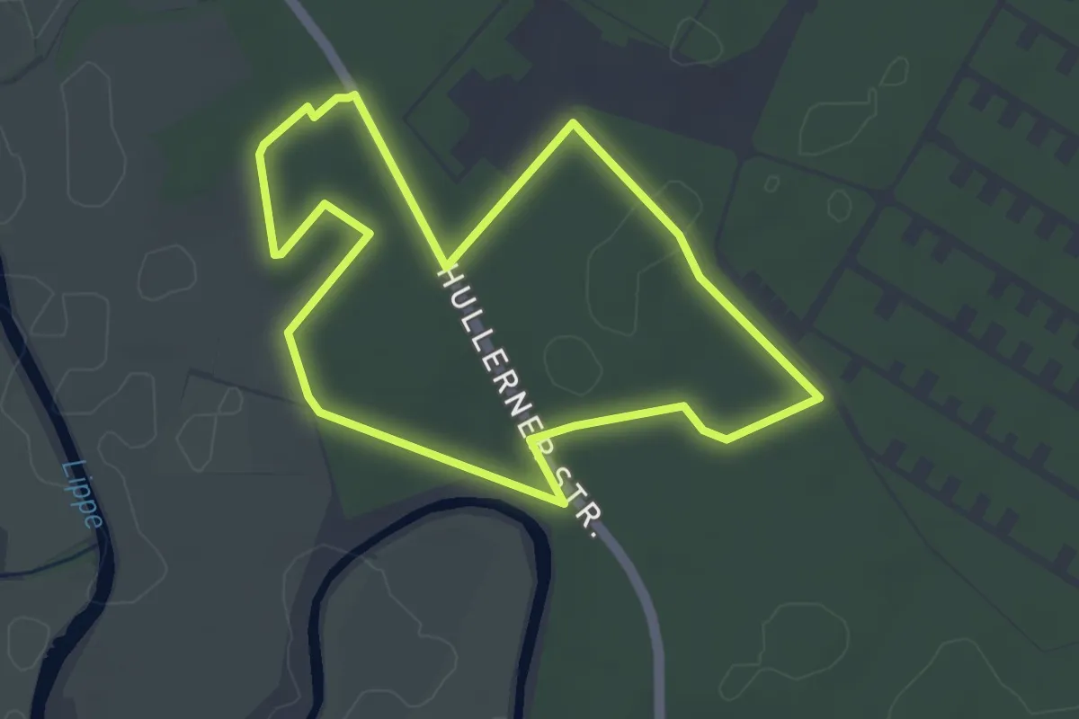
Easy · Trail
Eversum Rundweg A4
3.5 km · ↑ 9 m · 54 min
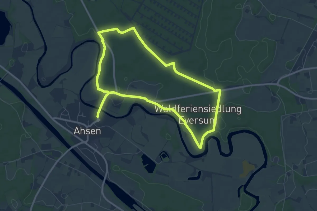
Easy · Trail
Eversum Rundweg A5
6.3 km · ↑ 26 m · 1 h 38 min
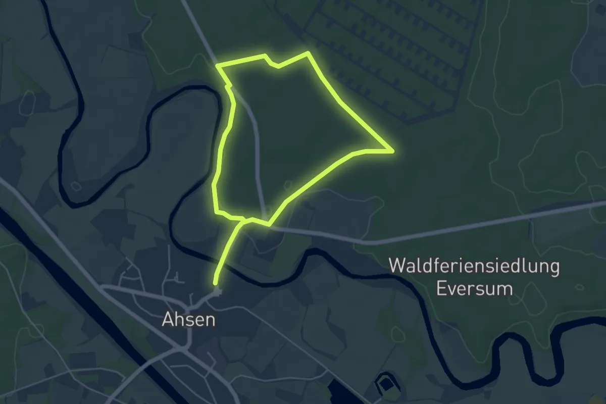
Easy · Trail
Eversum Rundweg A6
3.7 km · ↑ 27 m · 59 min
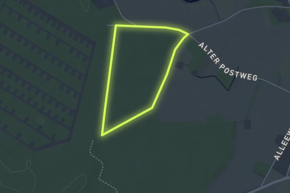
Easy · Trail
Eversum Rundweg A7
2.4 km · ↑ 4 m · 37 min
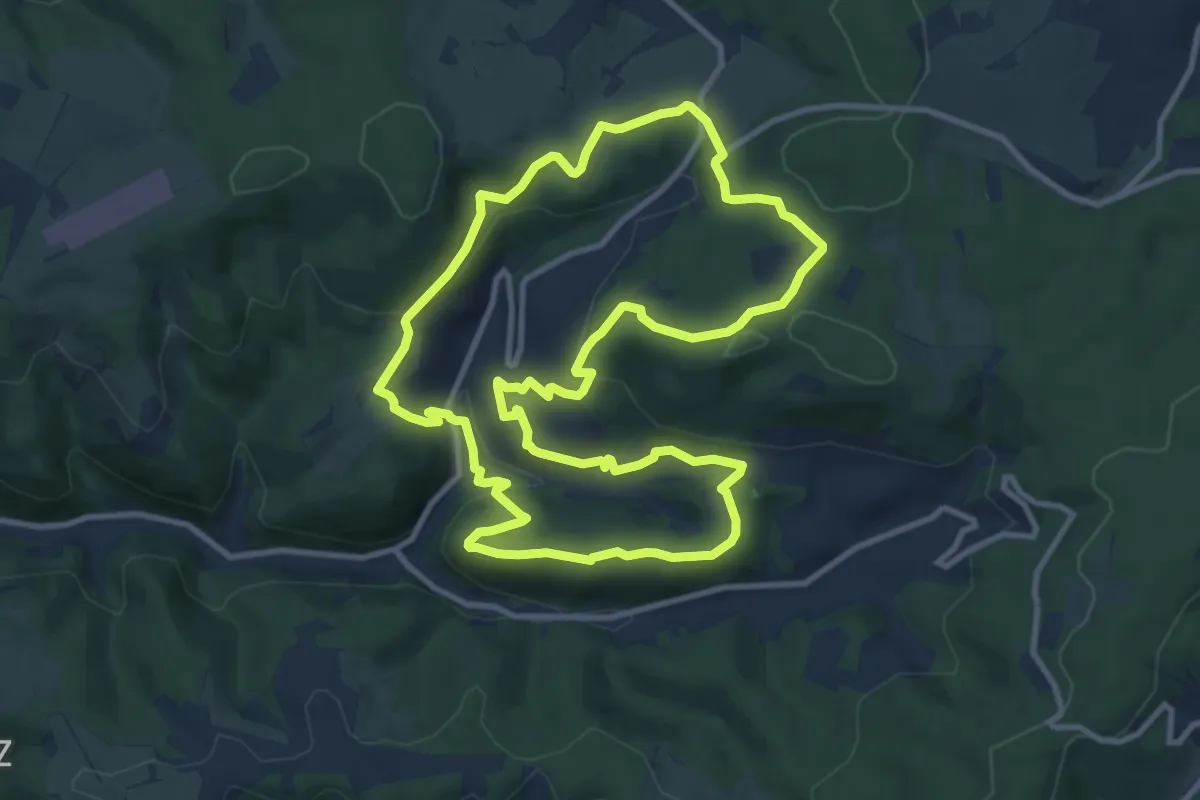
Medium · Trail
Evingsener Rundweg
10.0 km · ↑ 362 m · 3 h 17 min
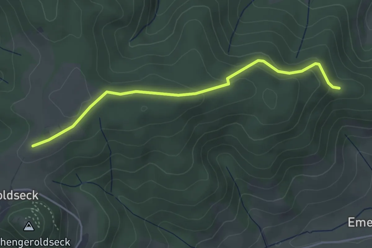
Easy · Trail
Ev. Jugendheim - Sturmbühl
3.8 km · ↑ 118 m · 1 h 9 min
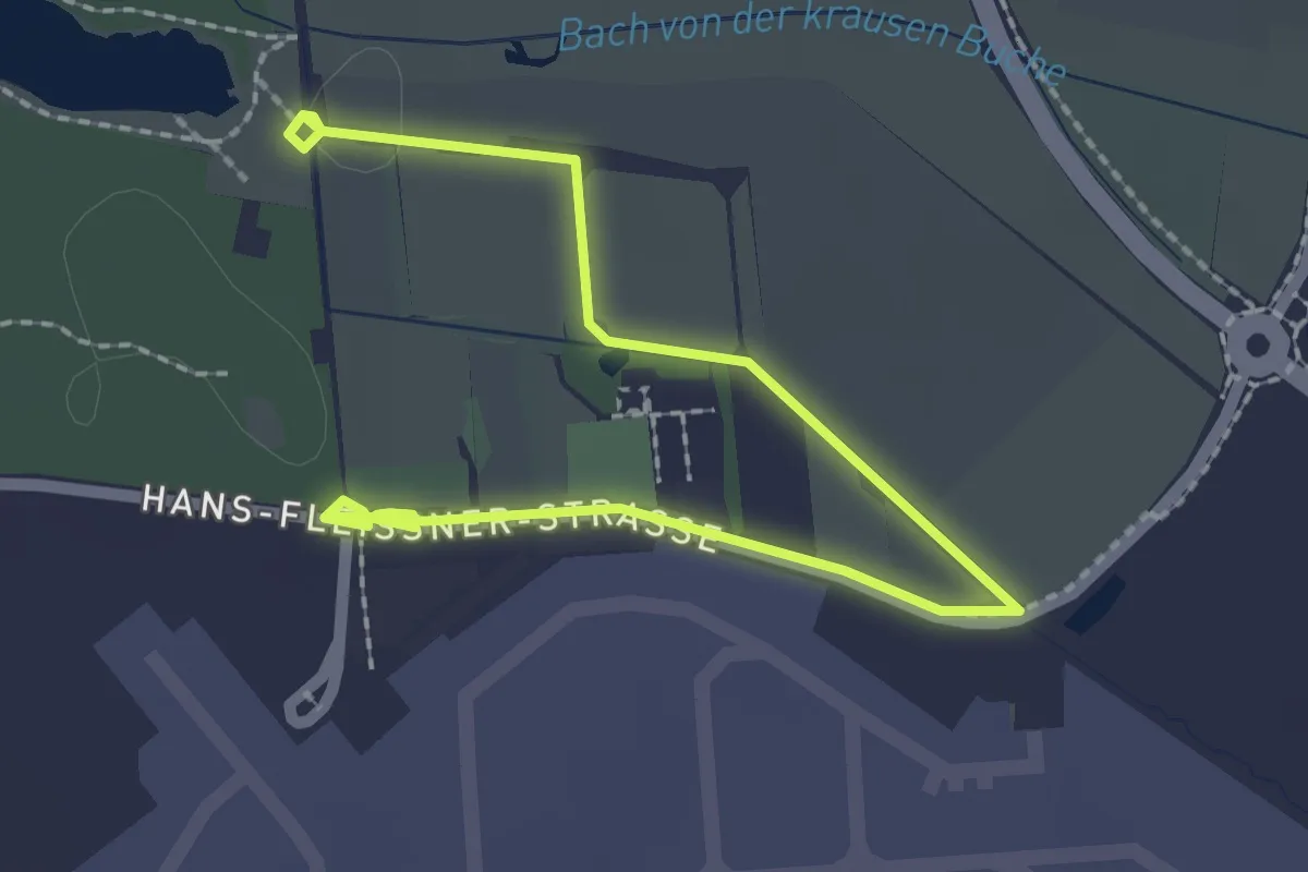
Easy · Trail
Evolutionsweg
2.8 km · ↑ 5 m · 40 min
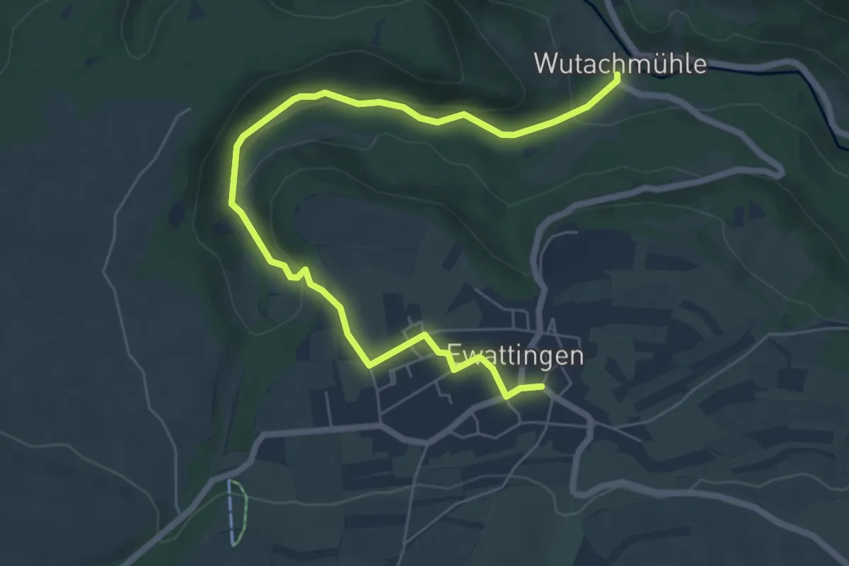
Easy · Trail
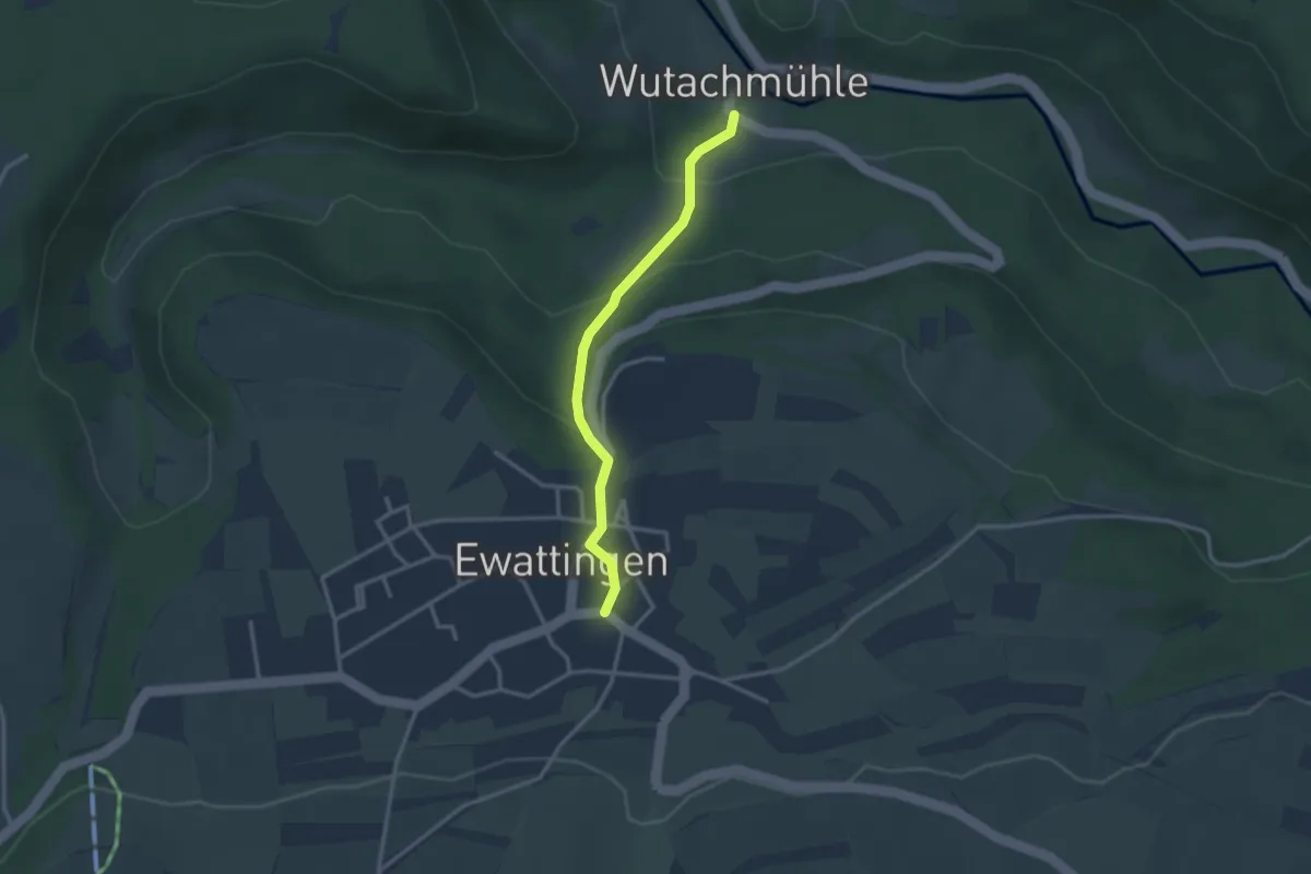
Ewattingen Rathaus - Wutachmühle
7.2 km · ↑ 177 m · 2 h 4 min
Easy · Trail
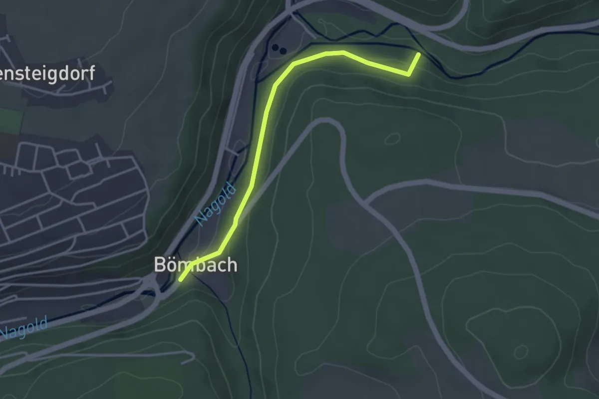
Ewattingen Rathaus - Wutachmühle Ehemalige Gipsmühle
2.7 km · ↑ 155 m · 58 min
Easy · Trail
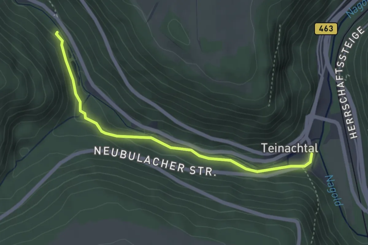
E-Werk - Altensteig Boysen-Bömbach
3.1 km · ↑ 66 m · 53 min
Easy · Trail
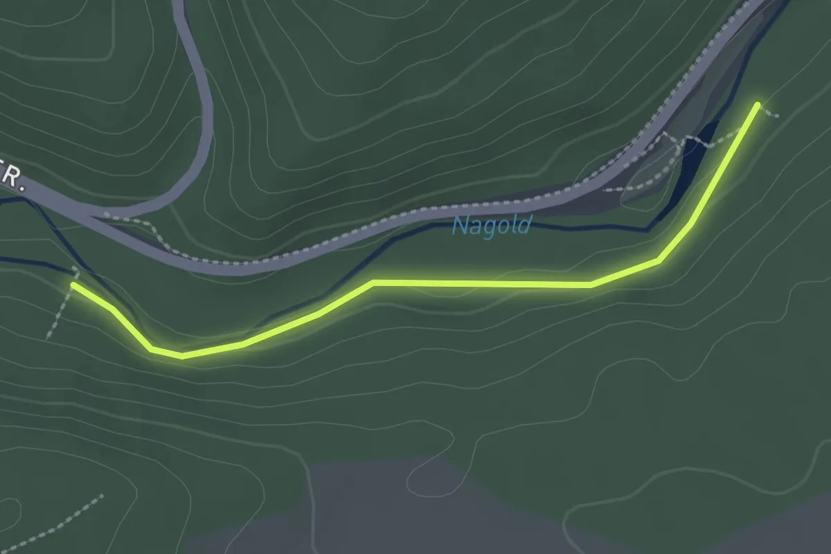
E-Werk - Langsches Brückle
3.6 km · ↑ 69 m · 1 h 1 min
Easy · Trail
E-Werk - Monhardter Wasserstube
2.3 km · ↑ 39 m · 38 min
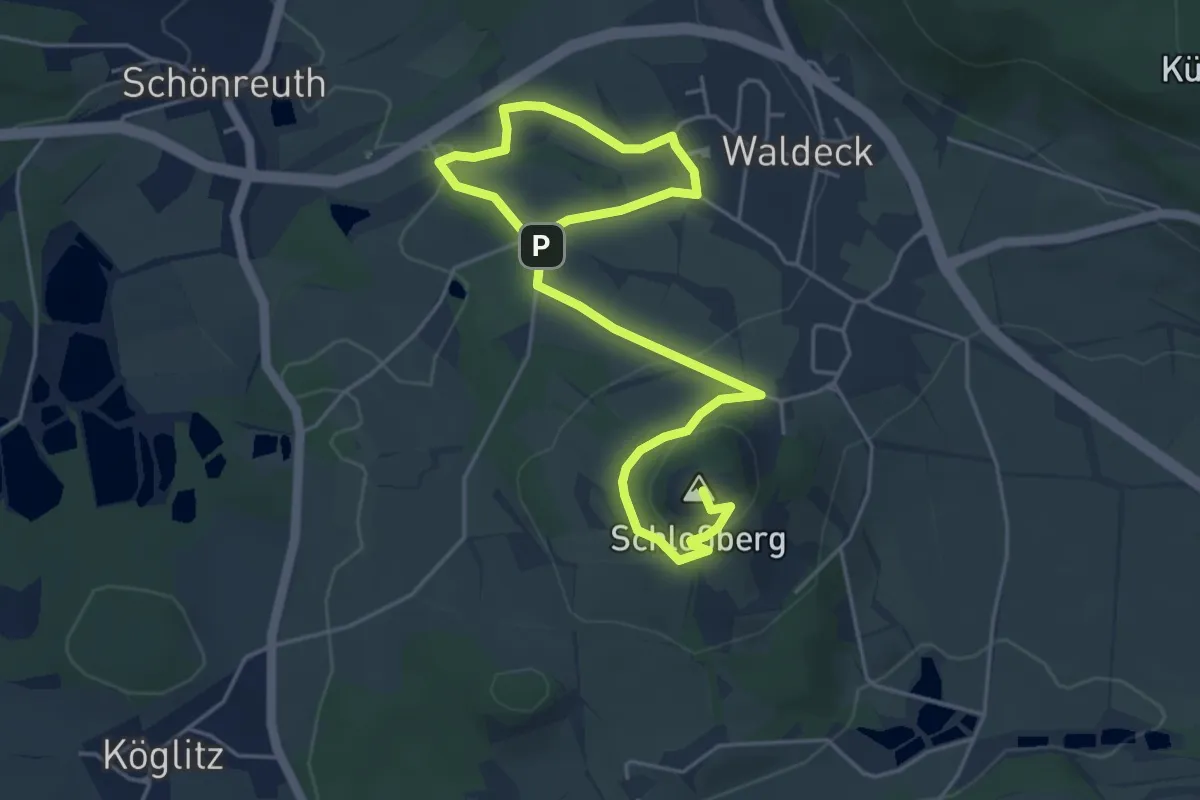
Easy · Summit
Ewilpa "Essbarer Wildpflanzenweg"
6.5 km · ↑ 152 m · 1 h 51 min
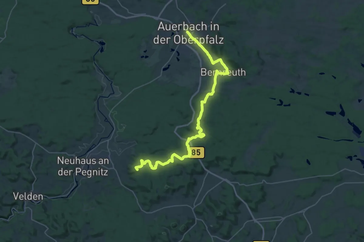
Demanding · Summit
Exkursionspfad
30.9 km · ↑ 653 m · 8 h 42 min
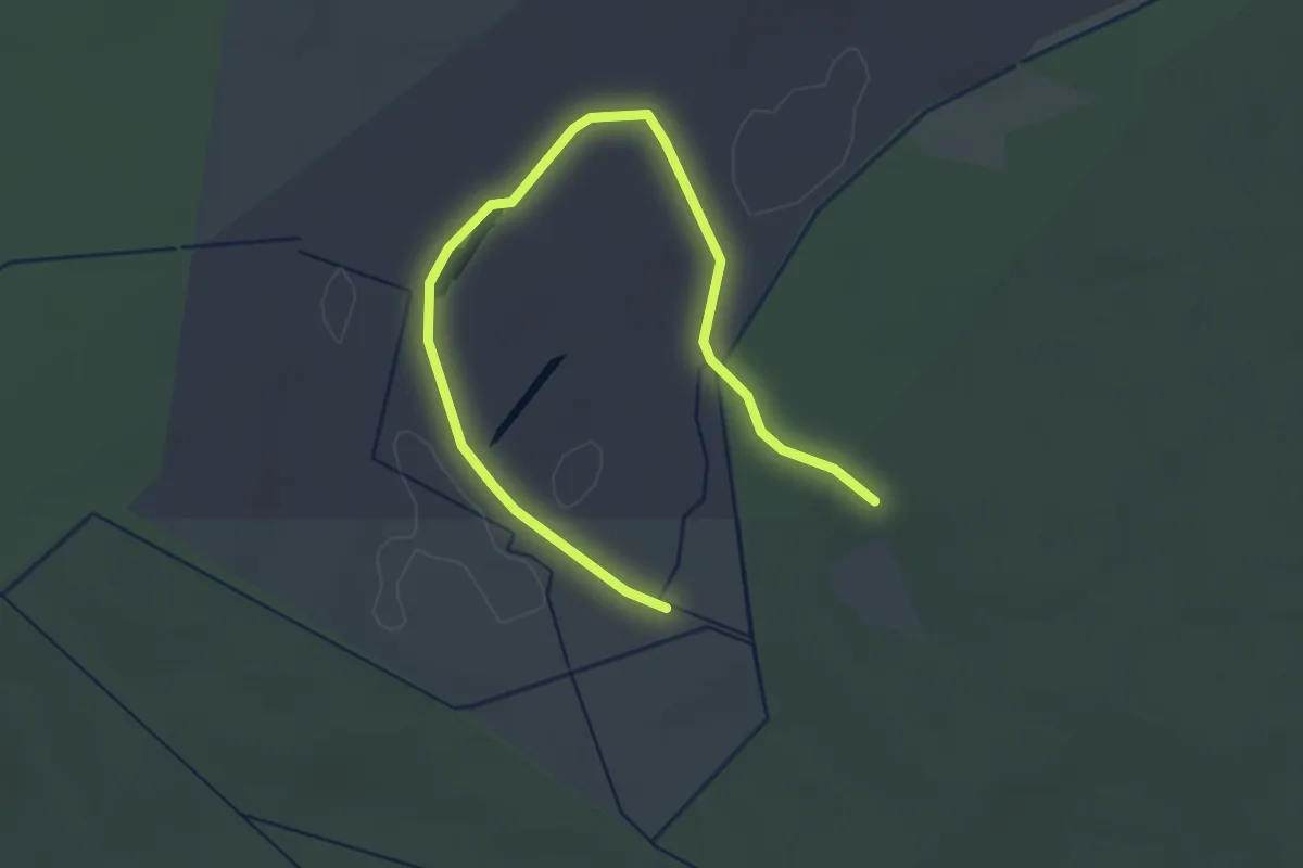
Easy · Trail
Exkursionsweg Großes Riebnitzer Moor
3.4 km · ↑ 5 m · 49 min
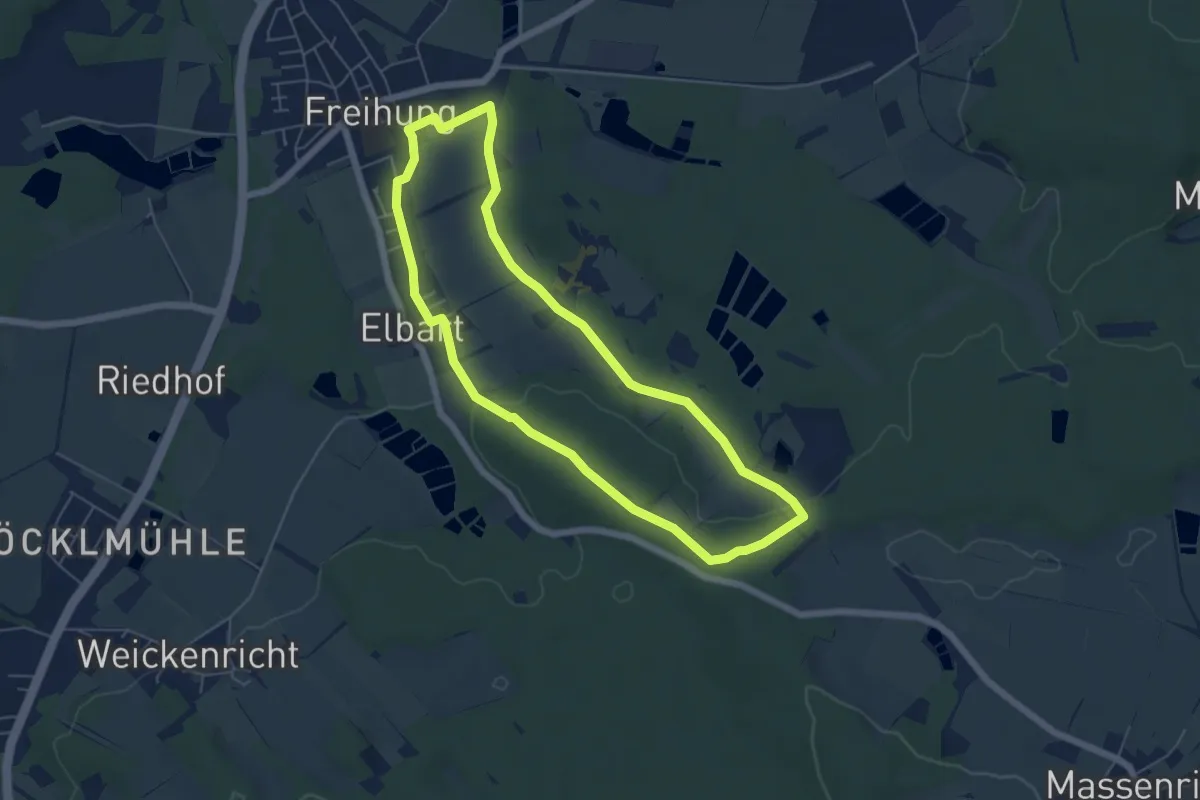
Easy · Trail
Expedition Erdgeschichte Freihung,
5.3 km · ↑ 84 m · 1 h 30 min
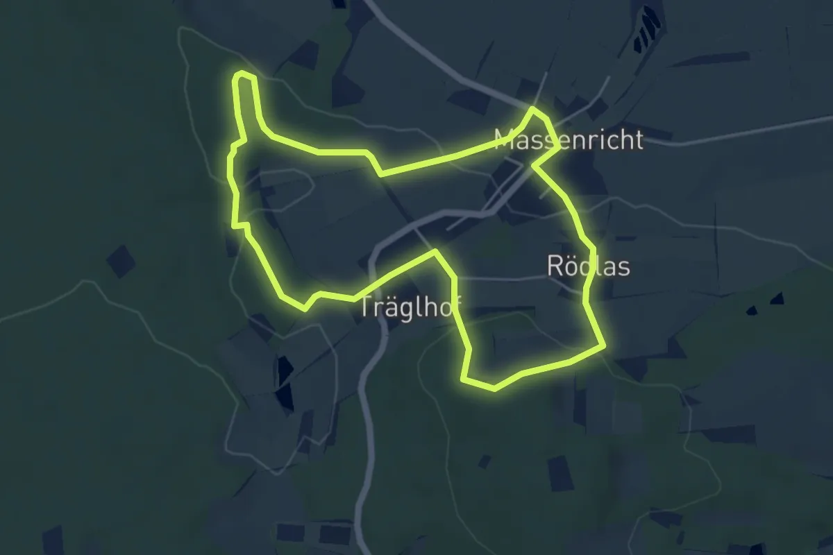
Easy · Trail
Expedition Erdgeschichte Massenricht
4.7 km · ↑ 122 m · 1 h 26 min
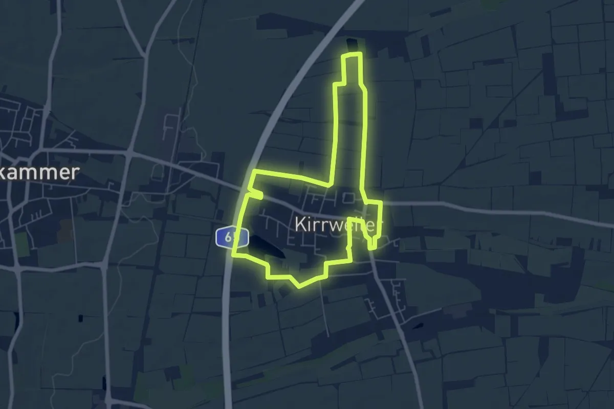
Easy · Trail
EXPO-Rundweg Kirrweiler
5.7 km · ↑ 13 m · 1 h 28 min
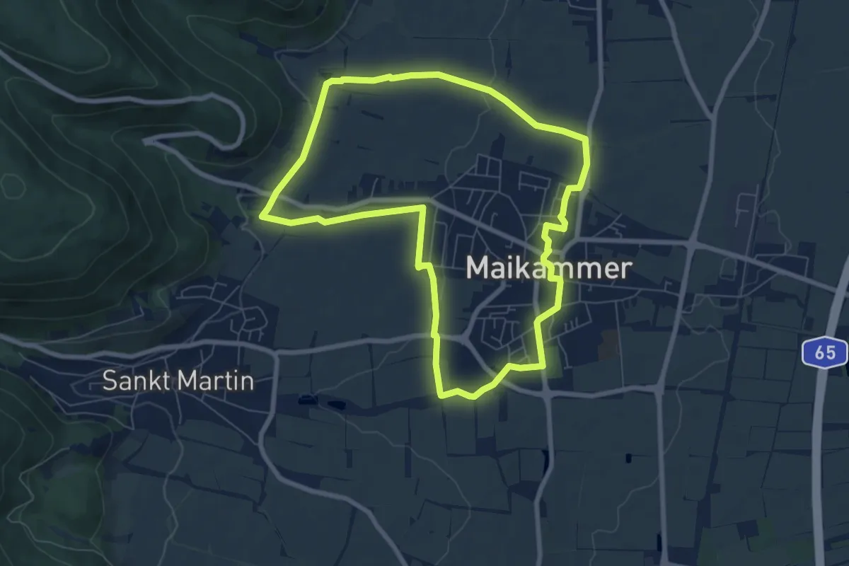
Easy · Trail
EXPO-Rundweg Maikammer
6.7 km · ↑ 94 m · 1 h 53 min
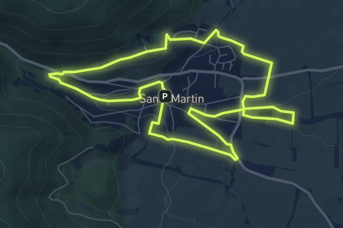
Easy · Trail
EXPO-Rundweg St. Martin
6.7 km · ↑ 162 m · 2 h 2 min
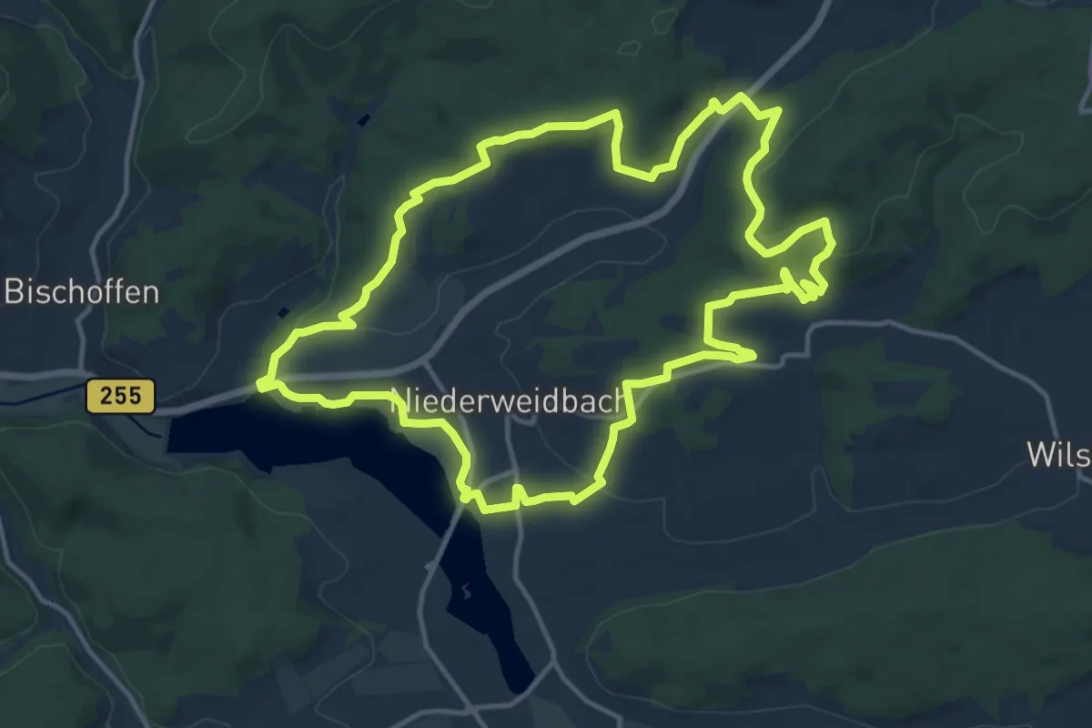
Medium · Trail
Extratour Aartalsee-Panoramaweg
12.9 km · ↑ 279 m · 3 h 50 min
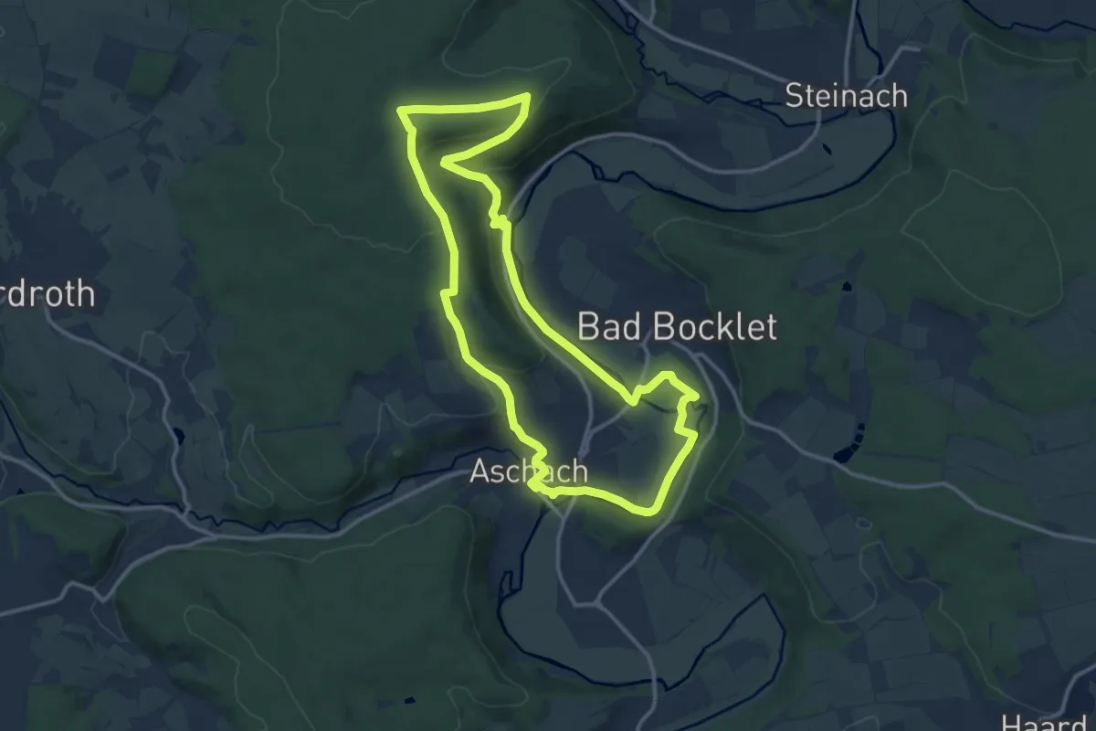
Medium · Trail
Extratour Bad Bockleter
11.9 km · ↑ 243 m · 3 h 31 min
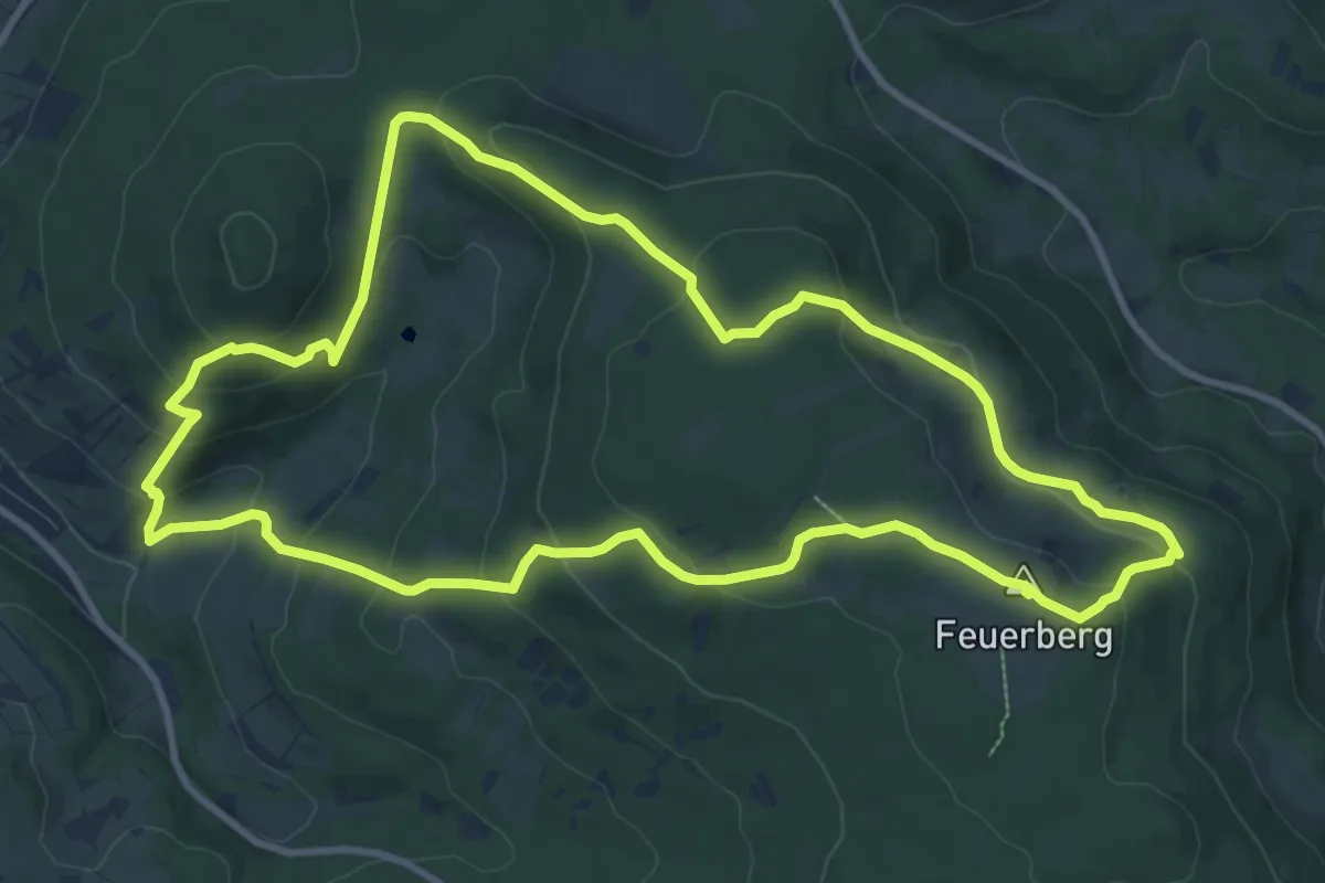
Medium · Summit
Extratour Basaltweg
10.1 km · ↑ 452 m · 3 h 30 min
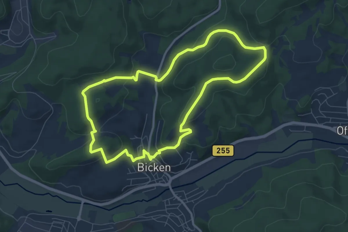
Easy · Summit
Extratour Bickener Ritterspuren
7.1 km · ↑ 224 m · 2 h 16 min