Trails in Germany
36,852 hiking trails, each with its route, climb, walking time and grade.
All trails, page 145 of 768
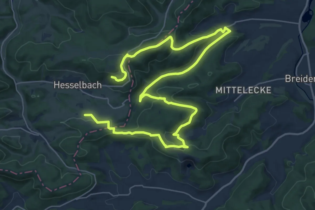
Medium · Summit
Extratour Boxbachpfad
14.0 km · ↑ 395 m · 4 h 18 min
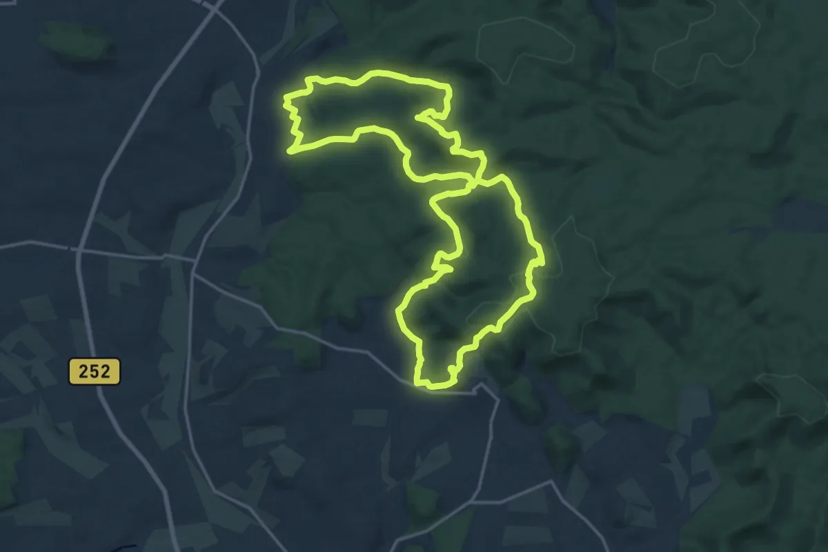
Medium · Trail
Extratour Christenberg
16.0 km · ↑ 439 m · 4 h 57 min
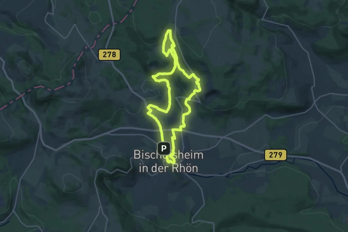
Medium · Trail
Extratour Der Böschemer
14.4 km · ↑ 442 m · 4 h 34 min
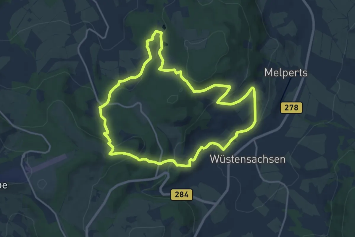
Medium · Trail
Extratour Der Ehrenberger
10.0 km · ↑ 365 m · 3 h 17 min
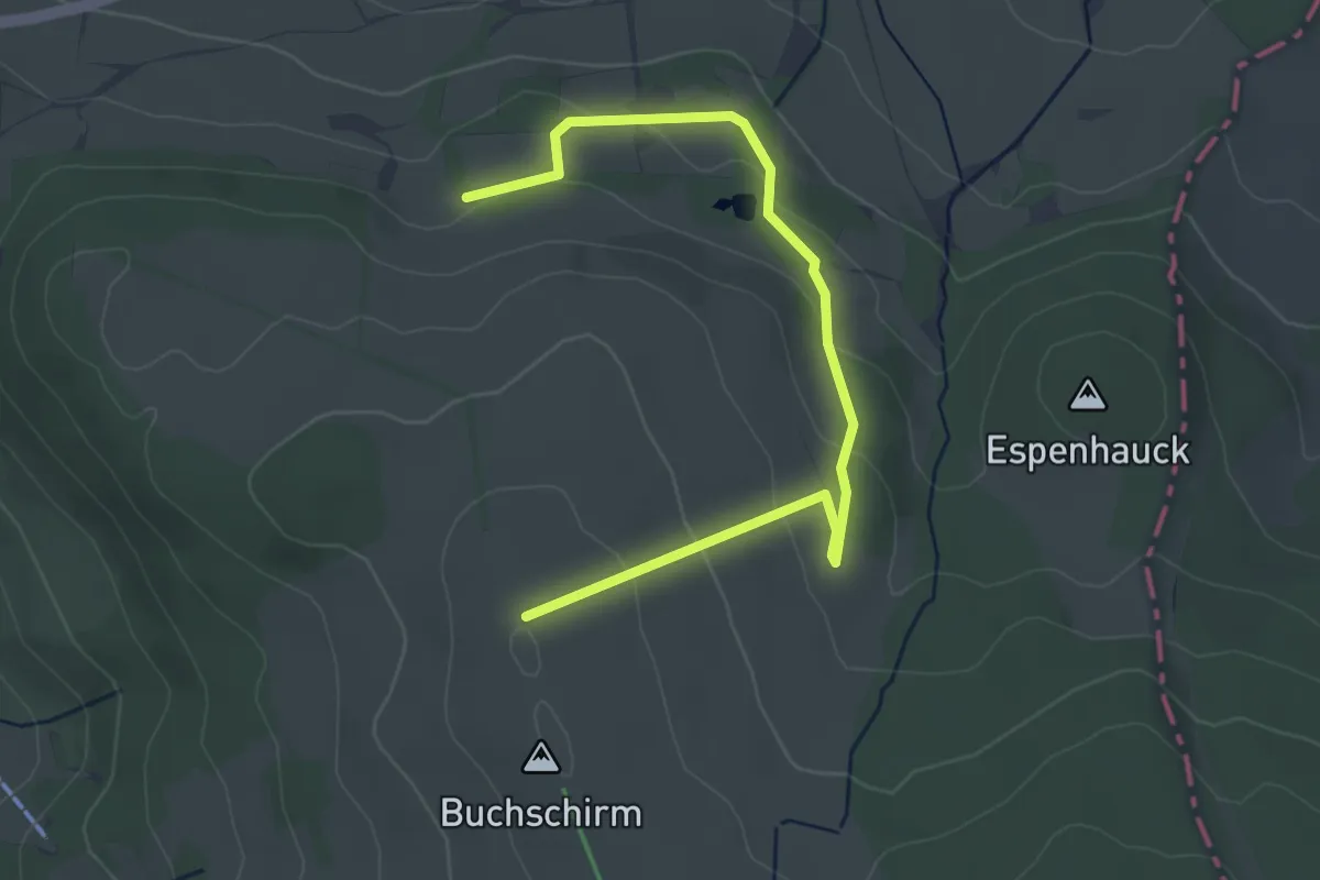
Easy · Trail
Extratour Der Hilderser
2.0 km · ↑ 123 m · 44 min
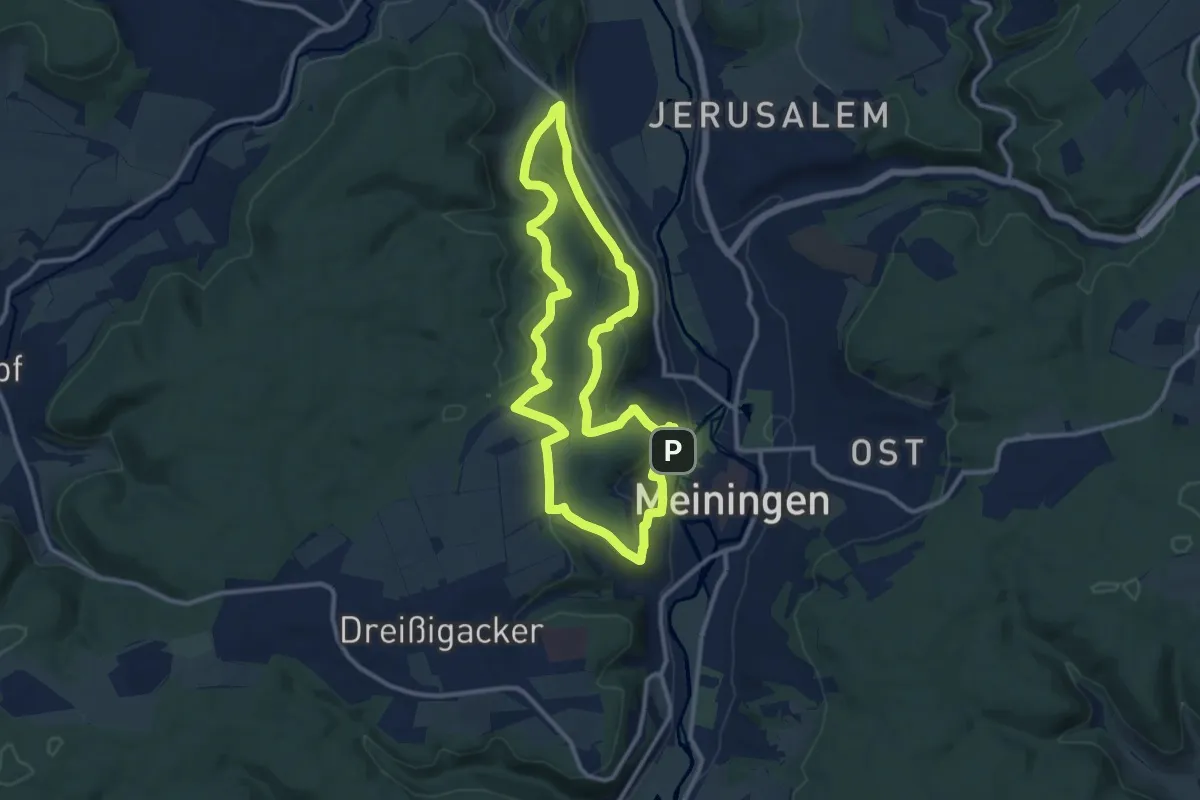
Medium · Summit
Extratour Der Meininger
10.5 km · ↑ 312 m · 3 h 19 min
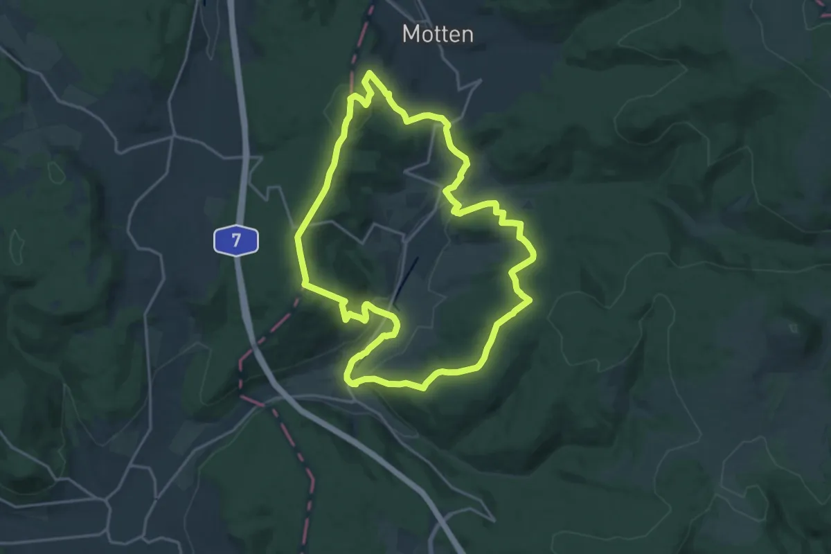
Medium · Summit
Extratour Der Mottener
15.8 km · ↑ 486 m · 5 h
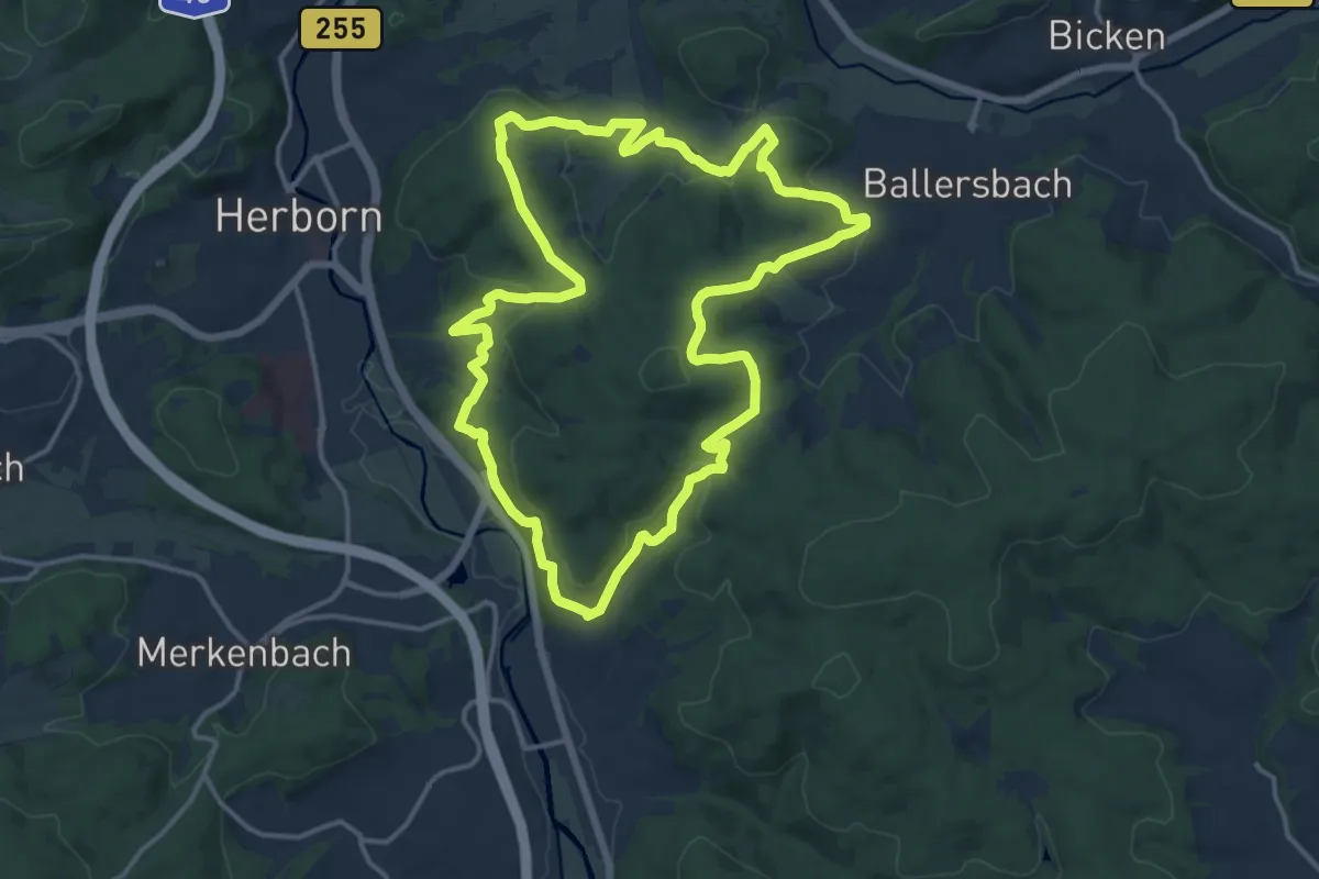
Medium · Trail
Extratour Dernbachwiesen
13.5 km · ↑ 412 m · 4 h 16 min
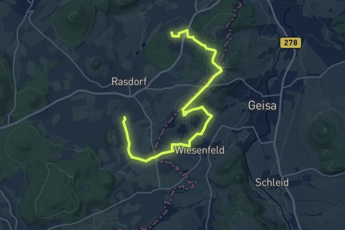
Medium · Trail
Extratour Der Rasdorfer
9.2 km · ↑ 180 m · 2 h 42 min
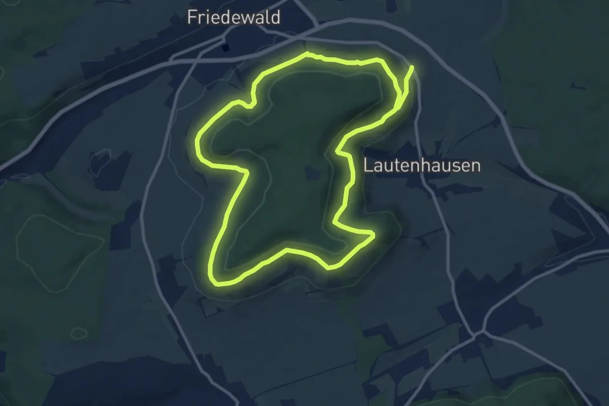
Medium · Trail
Extratour Dreienberg
8.7 km · ↑ 226 m · 2 h 38 min
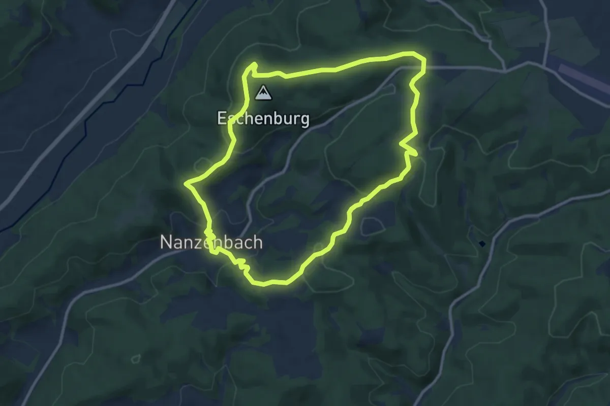
Medium · Trail
Extratour Eschenburgpfad
8.8 km · ↑ 261 m · 2 h 46 min
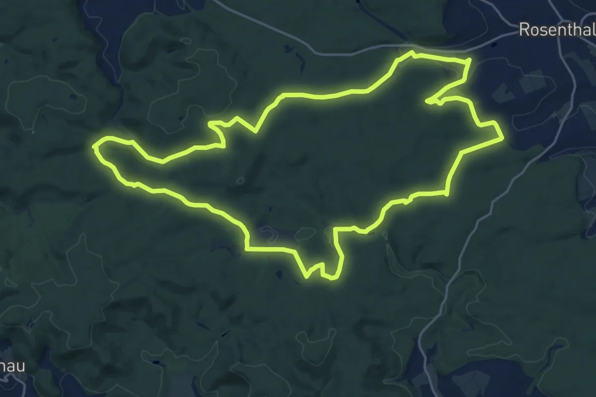
Demanding · Summit
Extratour Franzosenwiesen
18.2 km · ↑ 303 m · 5 h 12 min
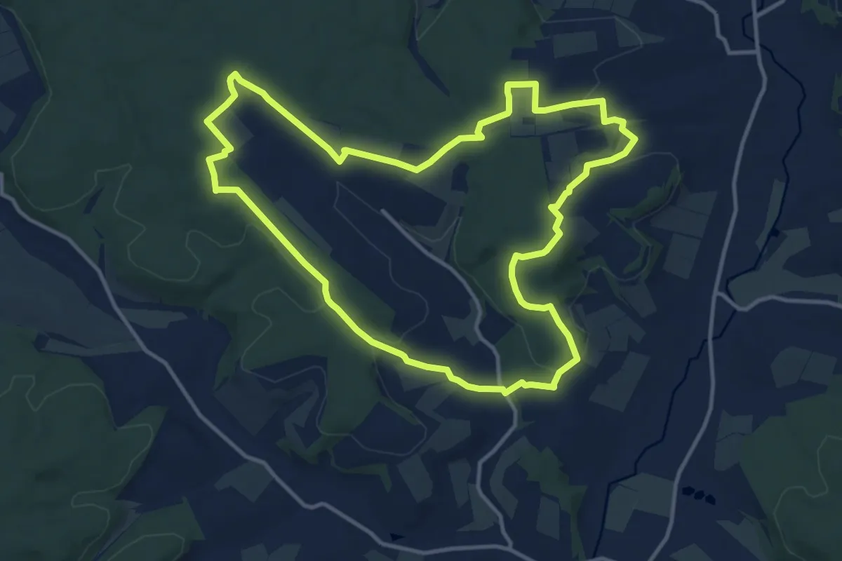
Medium · Trail
Extratour Galgenberg
11.3 km · ↑ 238 m · 3 h 20 min
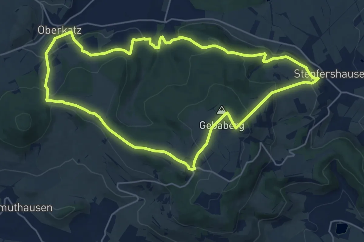
Medium · Summit
Extratour Gebaweg
15.0 km · ↑ 528 m · 4 h 53 min
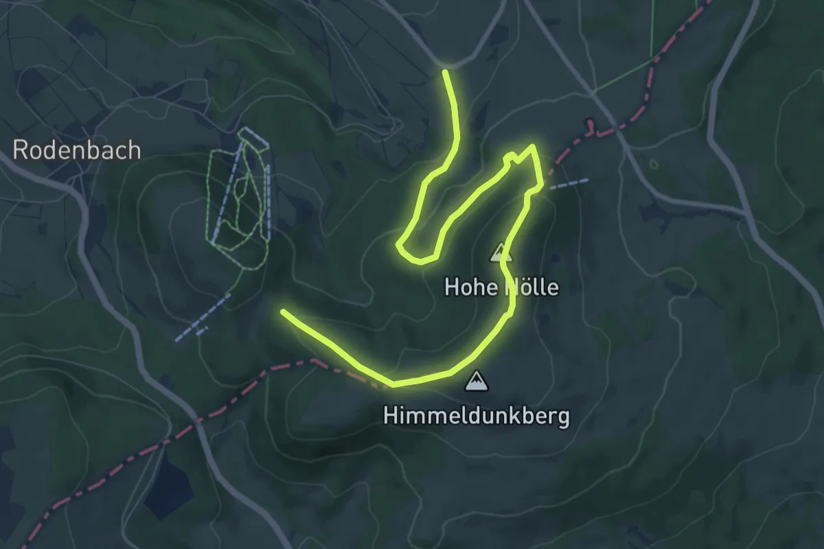
Easy · Summit
Extratour Gersfeld
4.8 km · ↑ 252 m · 1 h 41 min
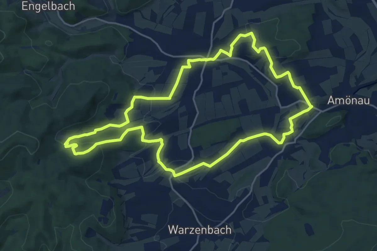
Medium · Summit
Extratour Gisonenpfad
13.6 km · ↑ 311 m · 4 h 4 min
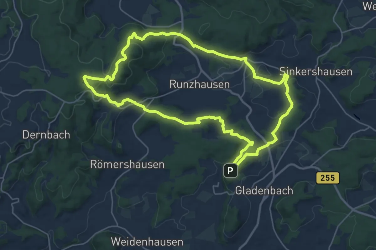
Medium · Summit
Extratour Gladenbacher Berglandring
16.7 km · ↑ 423 m · 5 h 5 min
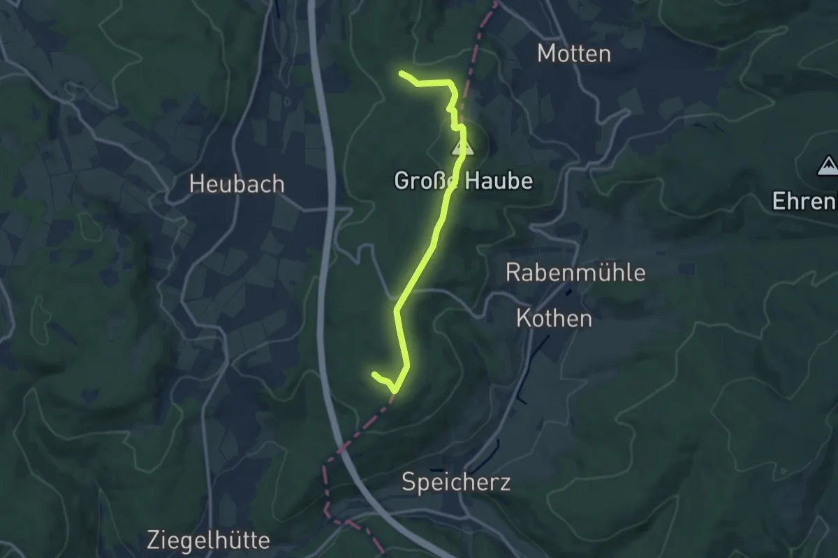
Easy · Summit
Extratour Haubentour
4.6 km · ↑ 106 m · 1 h 25 min
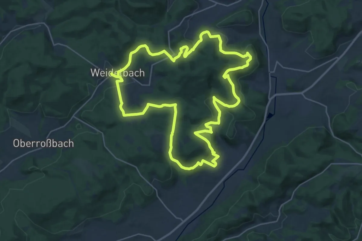
Demanding · Trail
Extratour Haubergstour
19.8 km · ↑ 622 m · 6 h 18 min
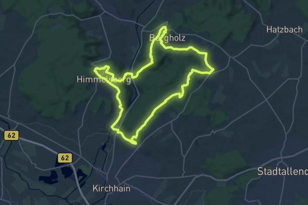
Demanding · Summit
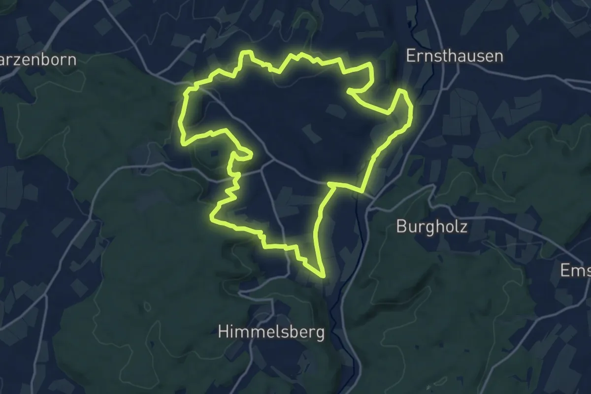
Extratour Himmelsberg
18.3 km · ↑ 416 m · 5 h 28 min
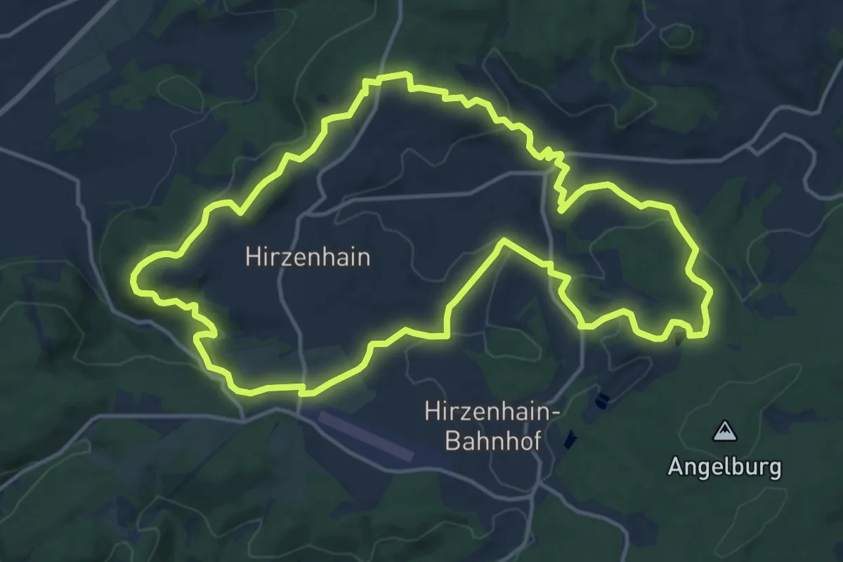
Medium · Summit
Extratour Hirzenhainer Höhenflug
13.4 km · ↑ 383 m · 4 h 11 min
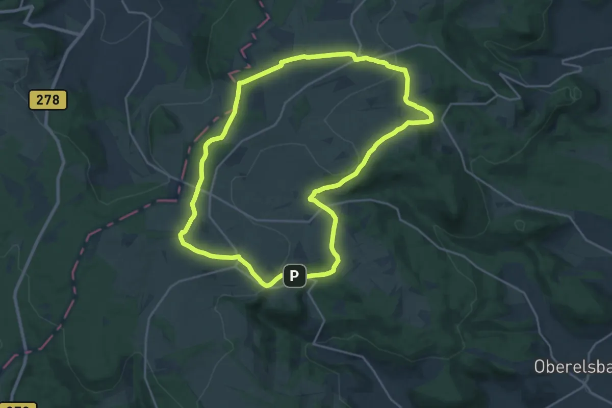
Medium · Summit
Extratour Hochrhöntour
14.7 km · ↑ 313 m · 4 h 21 min
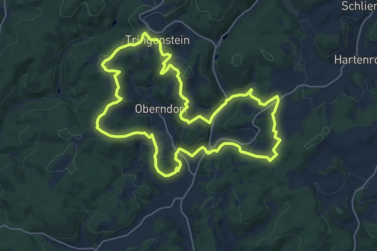
Medium · Summit
Extratour Hohe Straße
13.9 km · ↑ 362 m · 4 h 15 min
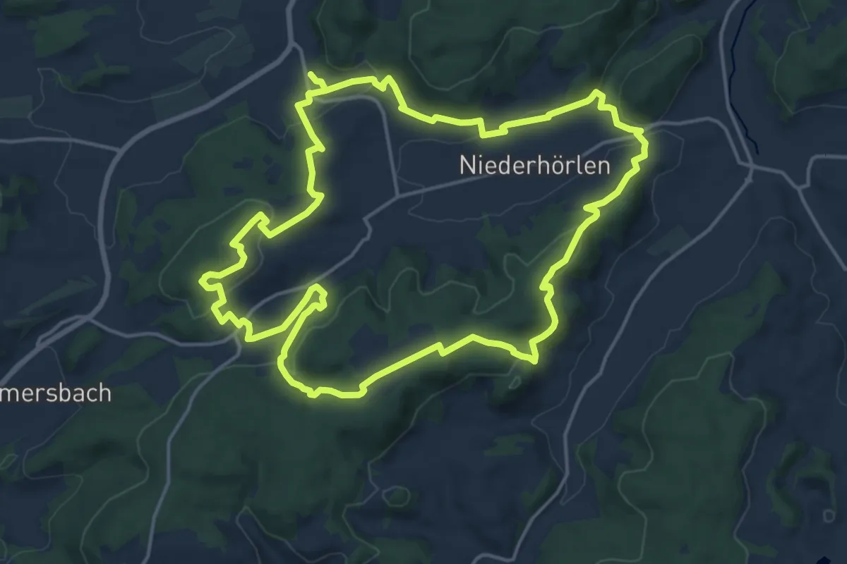
Medium · Summit
Extratour Hörlepanoramaweg
15.4 km · ↑ 413 m · 4 h 44 min
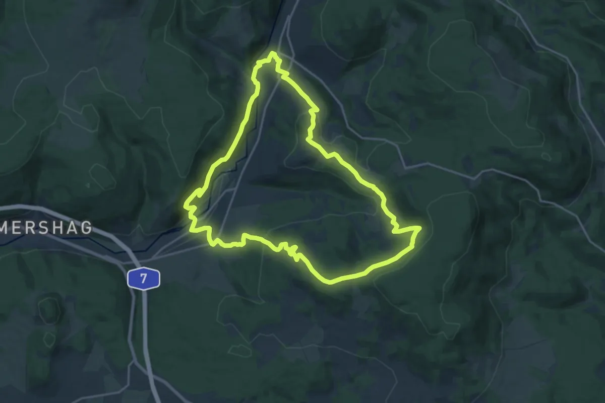
Medium · Summit
Extratour Hüttentour
15.7 km · ↑ 530 m · 5 h 5 min
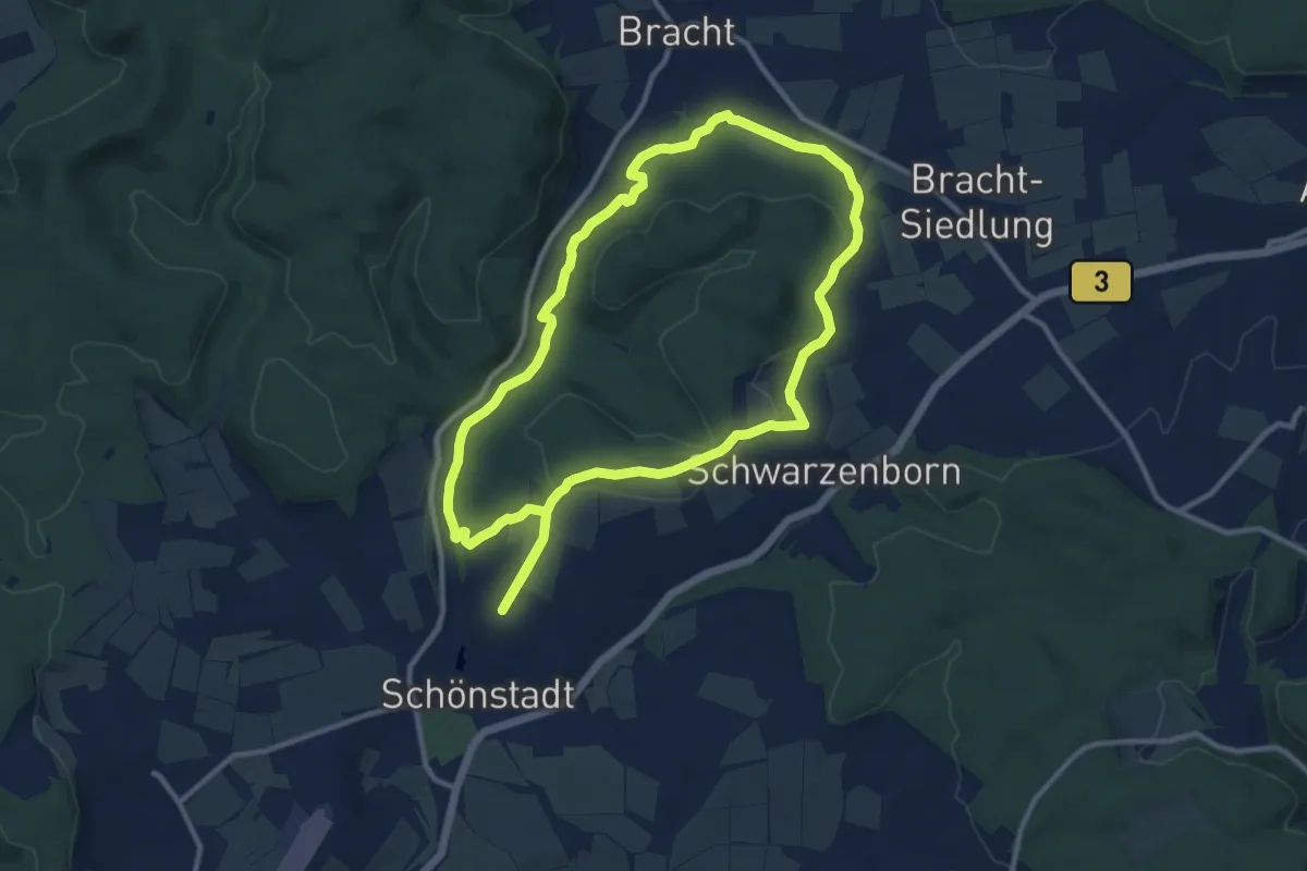
Medium · Trail
Extratour Junkernpfad
9.9 km · ↑ 182 m · 2 h 52 min
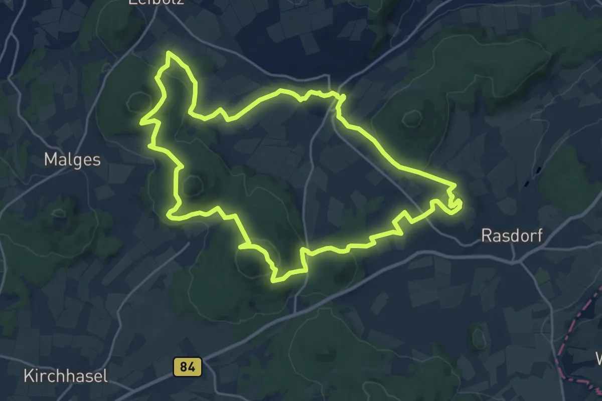
Medium · Summit
Extratour Kegelspiel
17.4 km · ↑ 483 m · 5 h 24 min
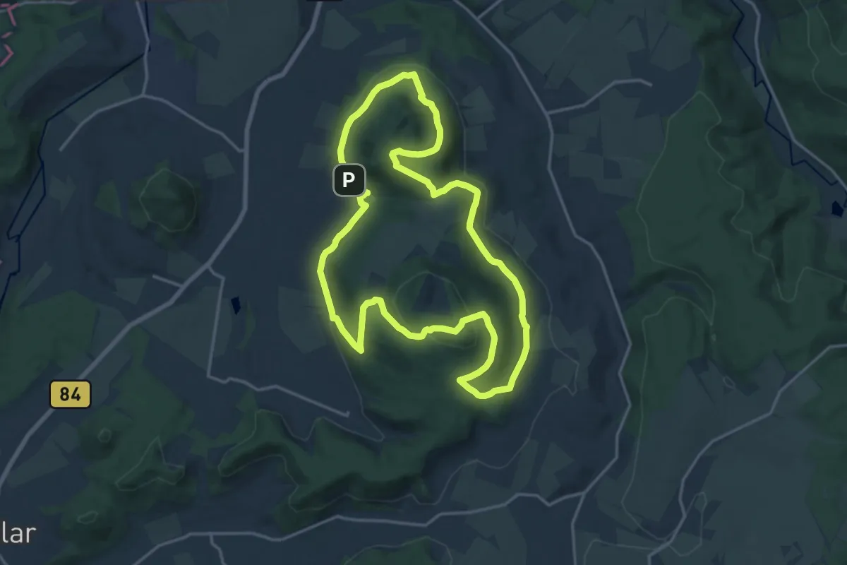
Medium · Summit
Extratour Keltenpfad
14.8 km · ↑ 441 m · 4 h 39 min
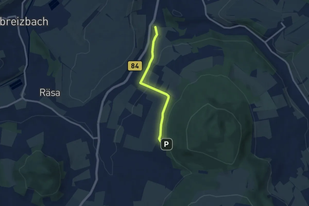
Easy · Trail
Extratour Keltenpfad: Zubringer
5.0 km · ↑ 164 m · 1 h 33 min
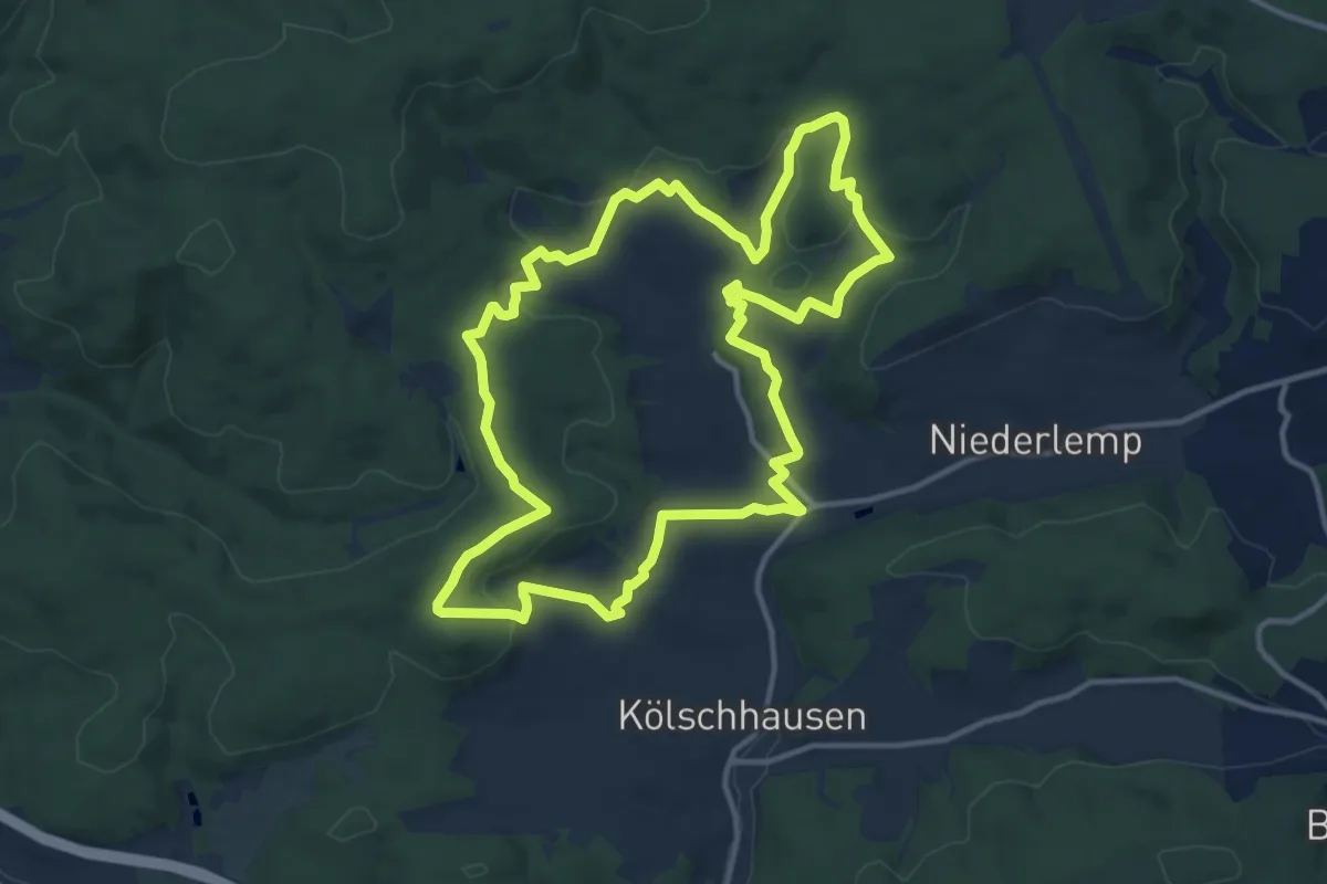
Medium · Summit
Extratour Köhlerweg
12.2 km · ↑ 311 m · 3 h 43 min
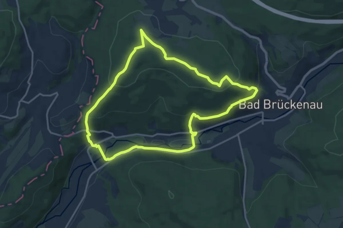
Medium · Trail
Extratour Königsweg
8.9 km · ↑ 299 m · 2 h 53 min
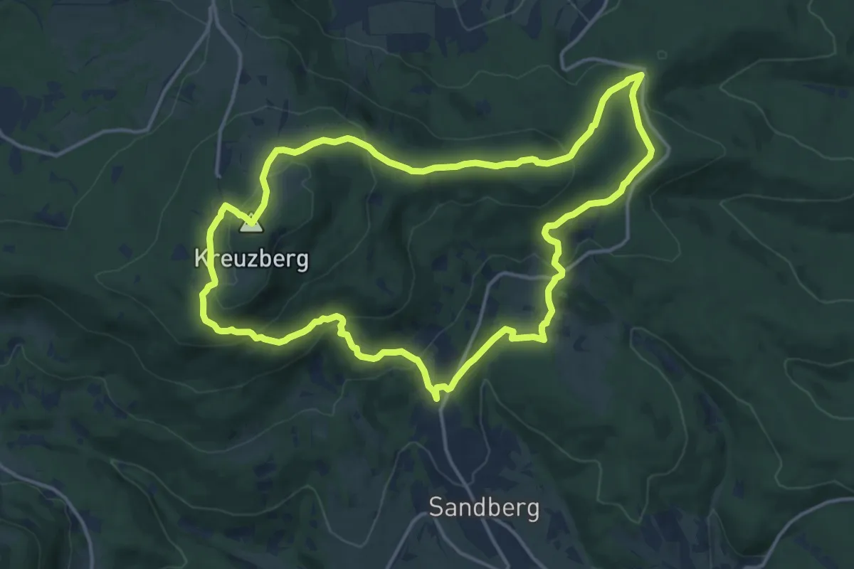
Medium · Summit
Extratour Kreuzbergtour
13.1 km · ↑ 484 m · 4 h 20 min
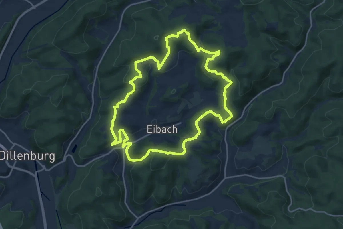
Medium · Trail
Extratour Kuckucksweg
11.6 km · ↑ 356 m · 3 h 41 min
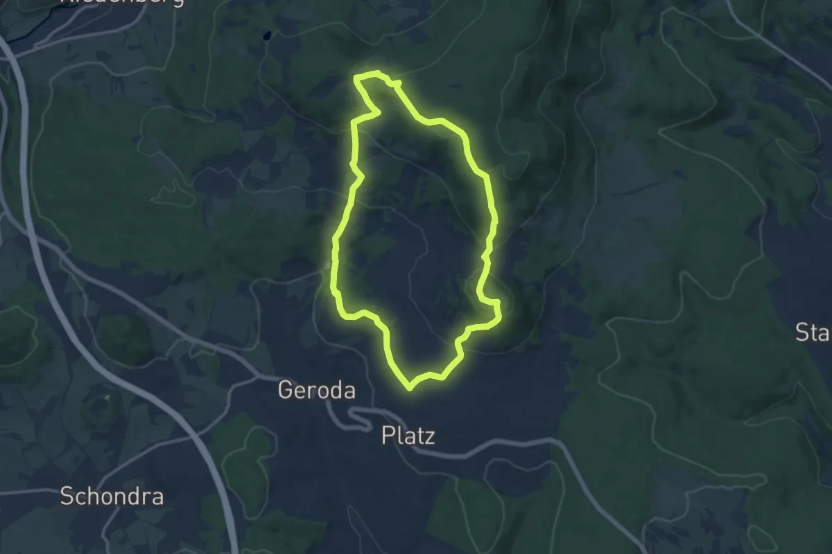
Medium · Summit
Extratour Kuppenweg
10.0 km · ↑ 358 m · 3 h 17 min
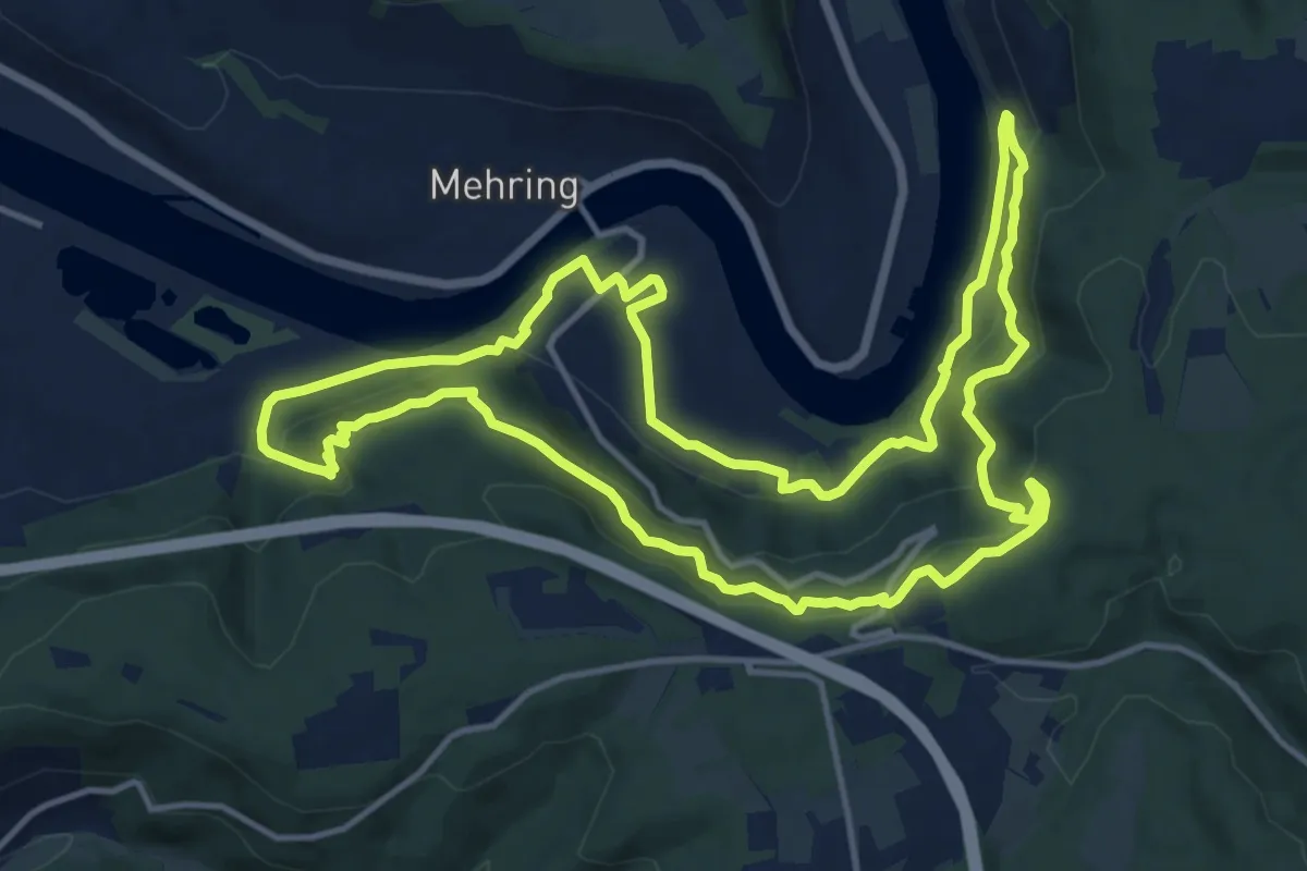
Expert · Trail
Extra Tour Mehringer Schweiz
13.6 km · ↑ 691 m · 4 h 54 min
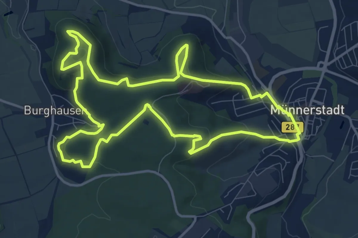
Medium · Trail
Extratour Michelsberg
9.2 km · ↑ 287 m · 2 h 56 min
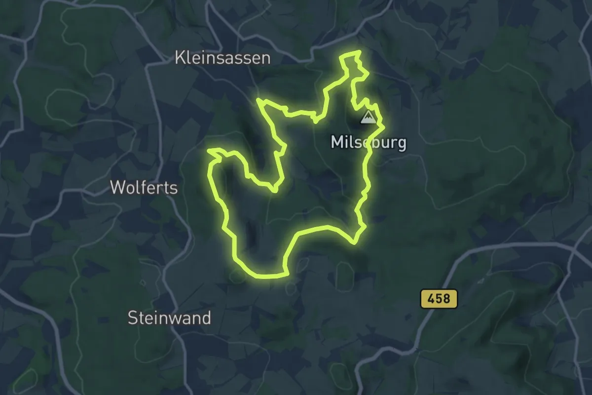
Medium · Summit
Extratour Milseburg
10.7 km · ↑ 470 m · 3 h 42 min
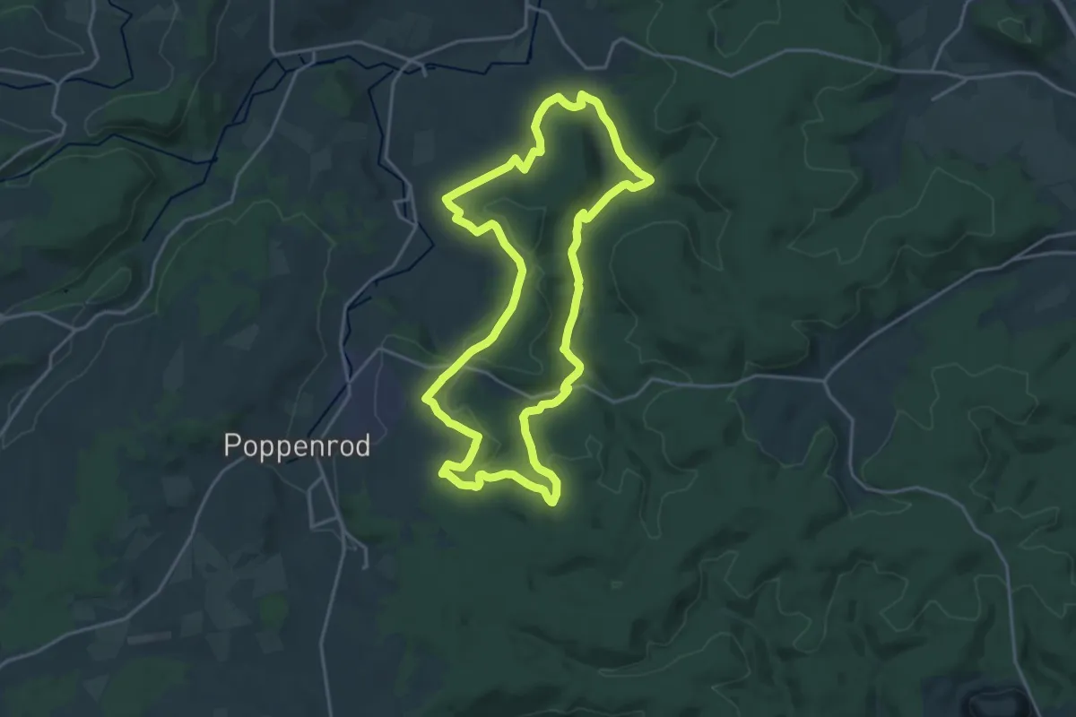
Medium · Summit
Extratour Mühlentour
17.5 km · ↑ 263 m · 4 h 57 min
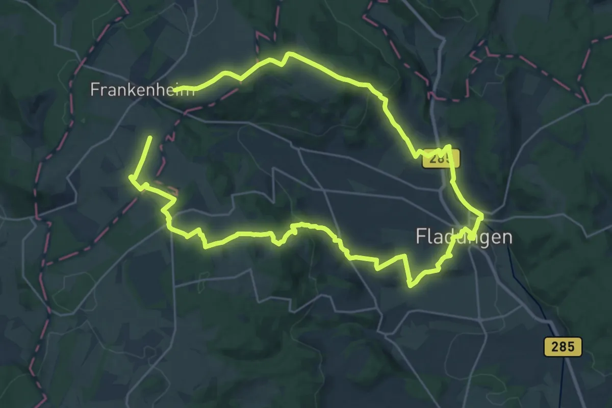
Demanding · Summit
Extratour Museumstour
18.8 km · ↑ 470 m · 5 h 43 min
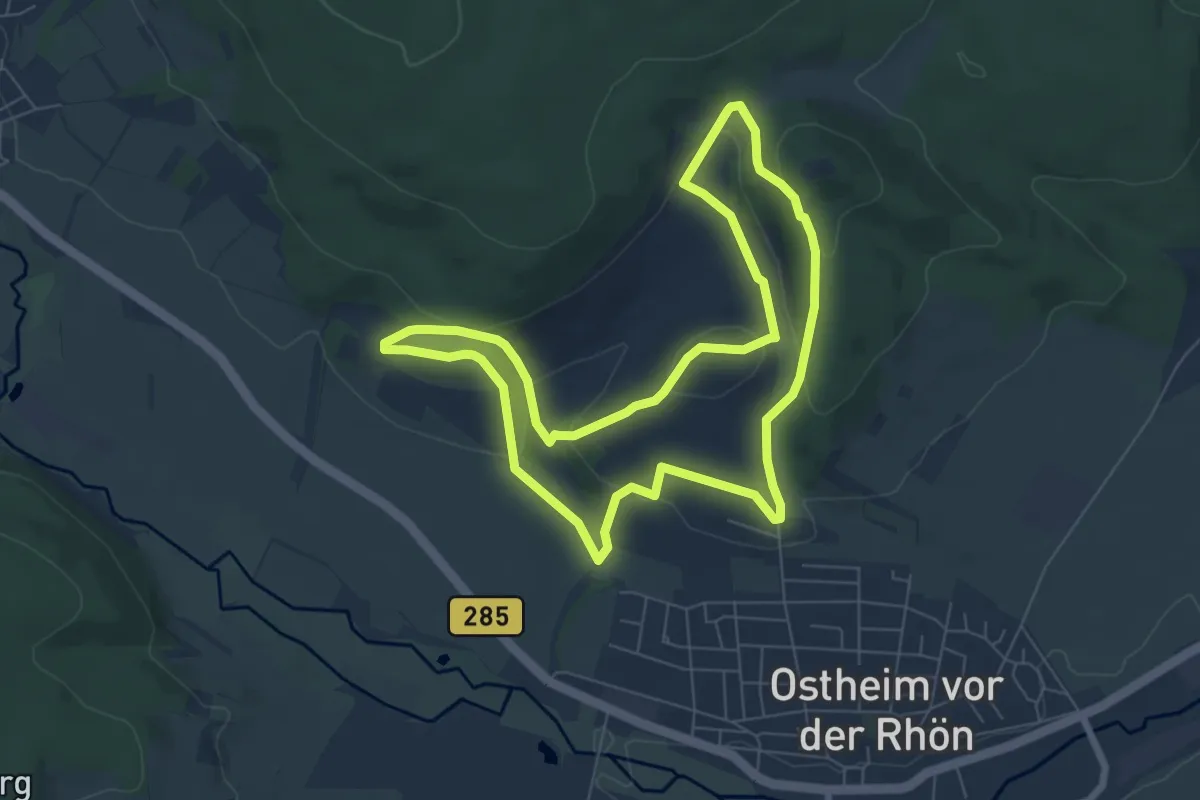
Easy · Summit
Extratour Ostheimer
6.5 km · ↑ 238 m · 2 h 9 min
Medium · Summit
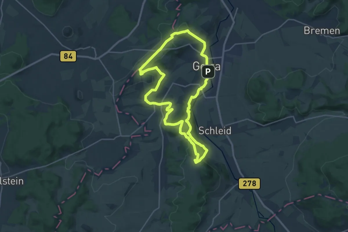
Extratour Panoramaweg
15.8 km · ↑ 278 m · 4 h 33 min
Medium · Summit
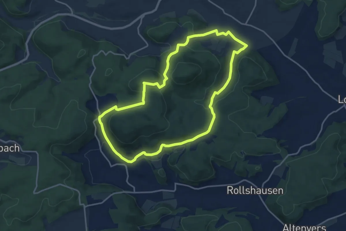
Extratour Point-Alpha-Weg
14.5 km · ↑ 374 m · 4 h 25 min
Medium · Trail
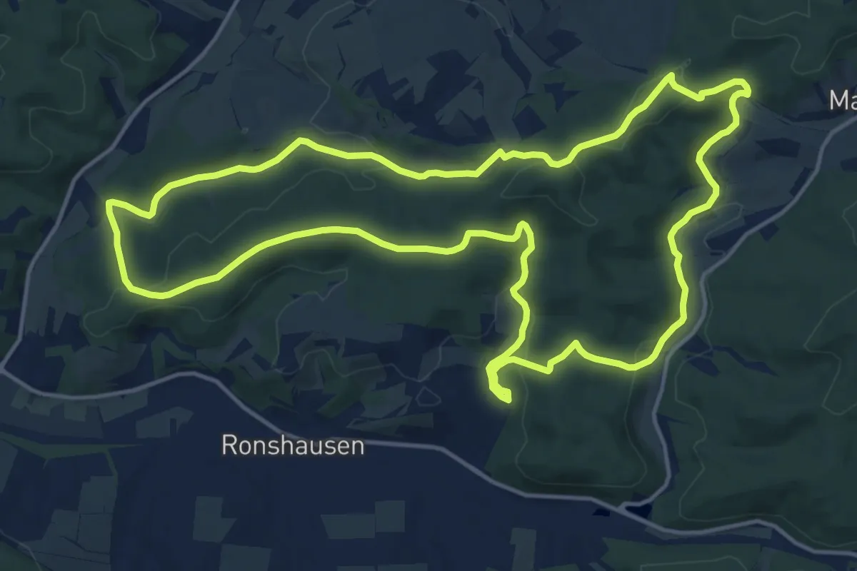
Extratour Postraubroute
10.9 km · ↑ 263 m · 3 h 18 min
Medium · Summit
Extratour Ronshausen
14.2 km · ↑ 375 m · 4 h 21 min
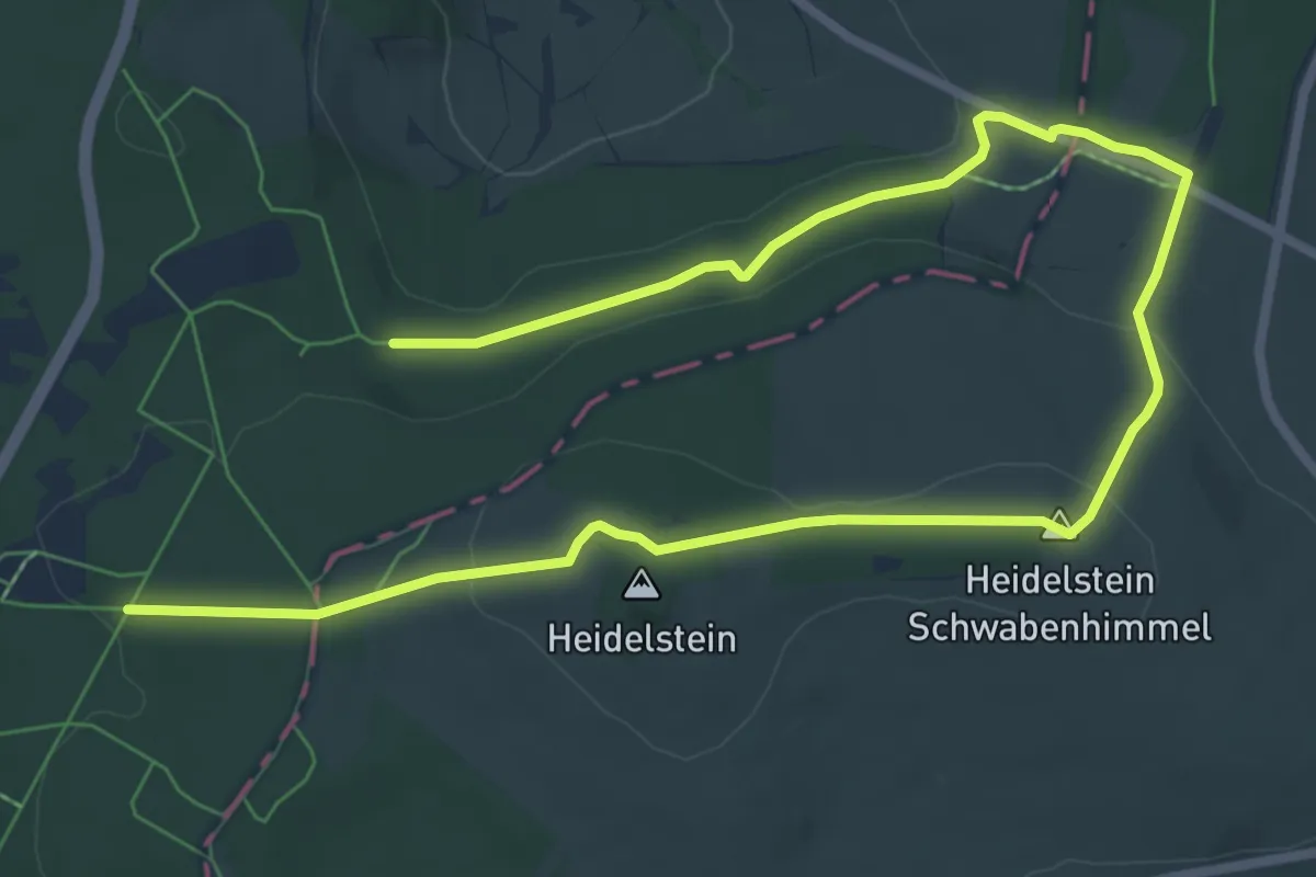
Easy · Summit
Extratour Rotes Moor
5.1 km · ↑ 126 m · 1 h 32 min
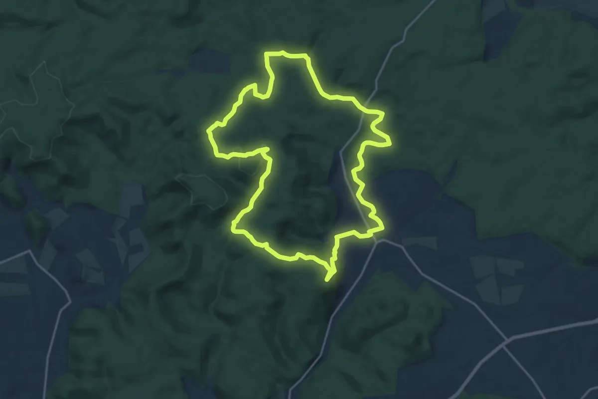
Medium · Summit
Extratour Rotes Wasser
14.5 km · ↑ 274 m · 4 h 13 min
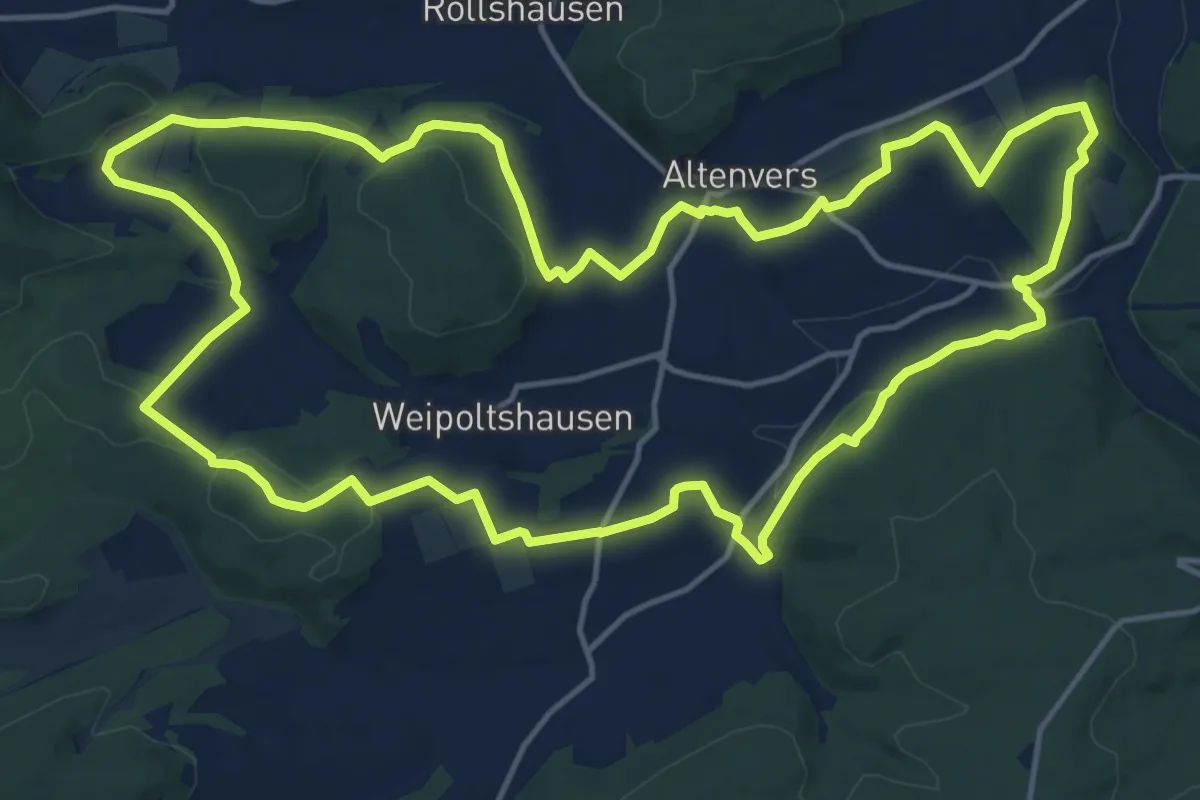
Medium · Trail
Extratour Schauinsland
16.2 km · ↑ 271 m · 4 h 38 min
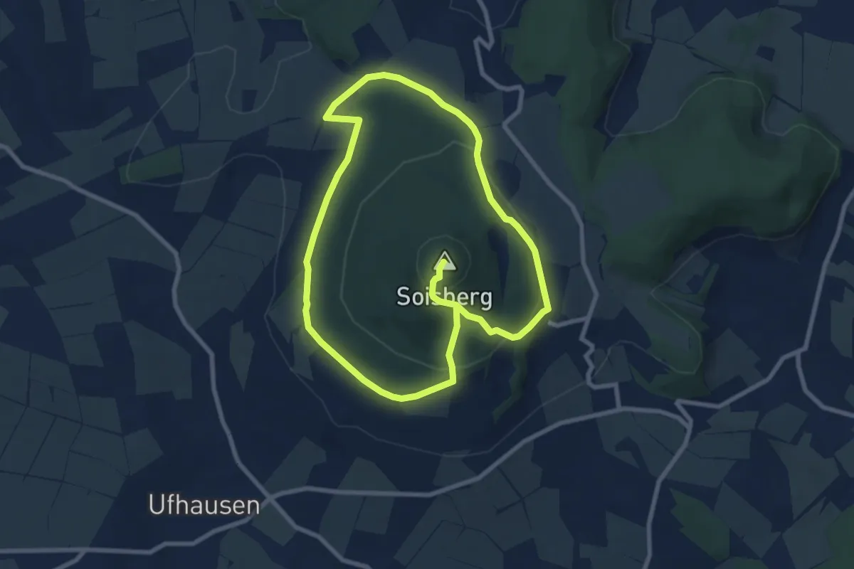
Easy · Summit
Extratour Soisberg
6.7 km · ↑ 246 m · 2 h 11 min