Trails in Germany
36,852 hiking trails, each with its route, climb, walking time and grade.
All trails, page 146 of 768
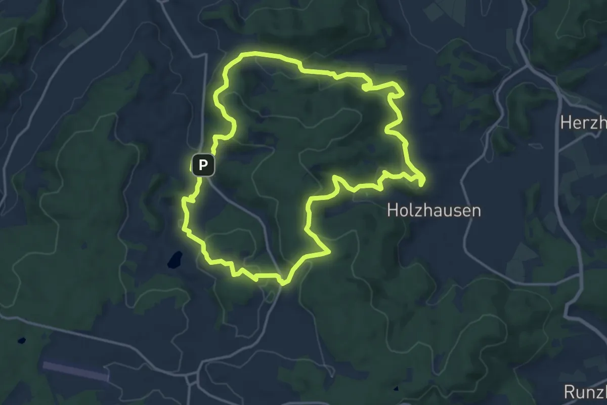
Medium · Trail
Extratour Steinperfer Runde
13.5 km · ↑ 426 m · 4 h 18 min
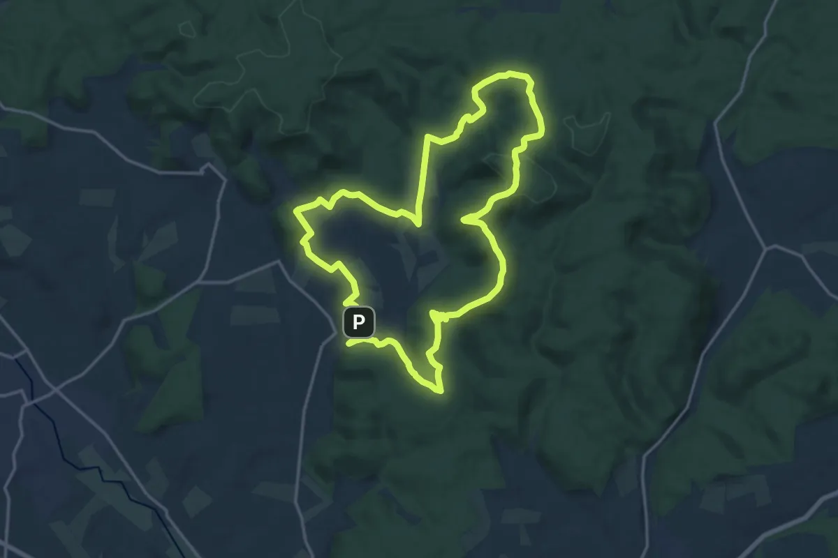
Medium · Summit
Extratour Stirnhelle
13.9 km · ↑ 333 m · 4 h 12 min
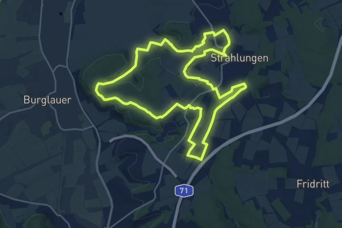
Medium · Summit
Extratour Strahlungen
12.7 km · ↑ 218 m · 3 h 38 min
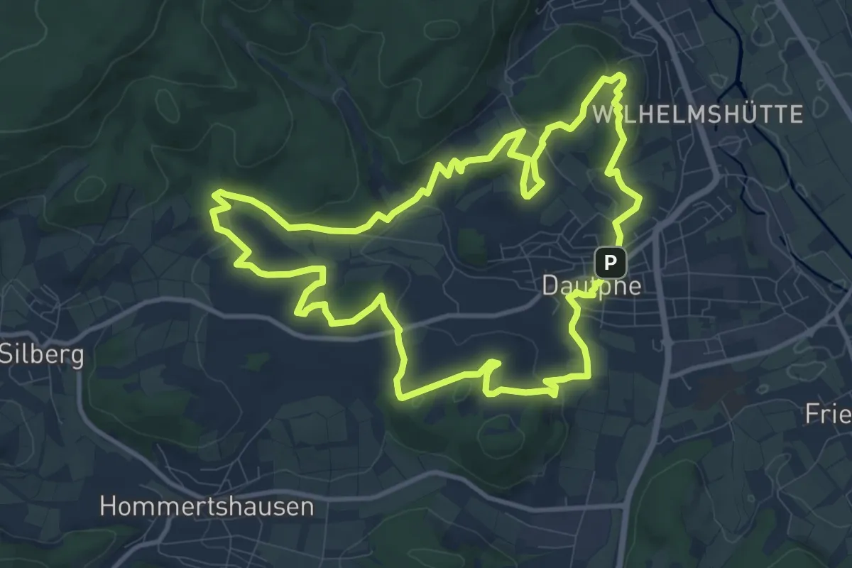
Medium · Summit
Extratour Streuobstroute
10.2 km · ↑ 222 m · 3 h 2 min
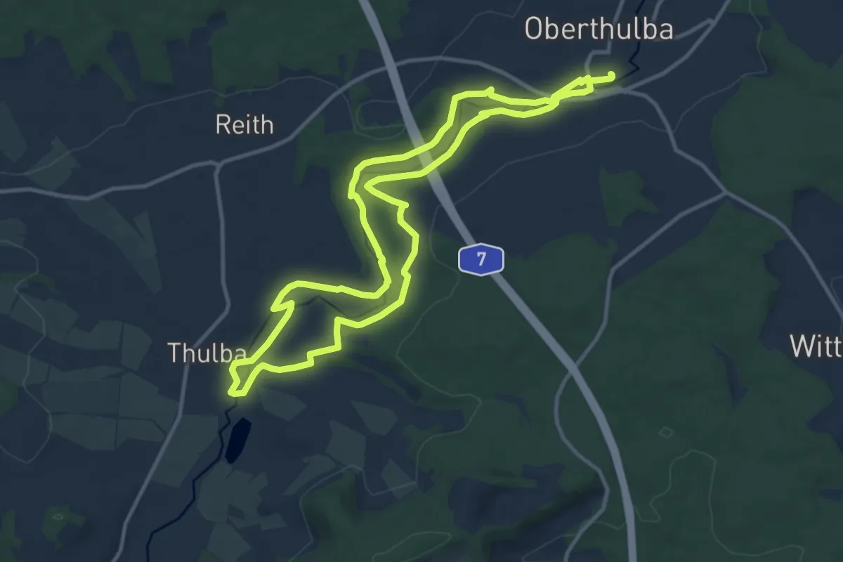
Medium · Trail
Extratour Thulbataler
10.3 km · ↑ 105 m · 2 h 48 min
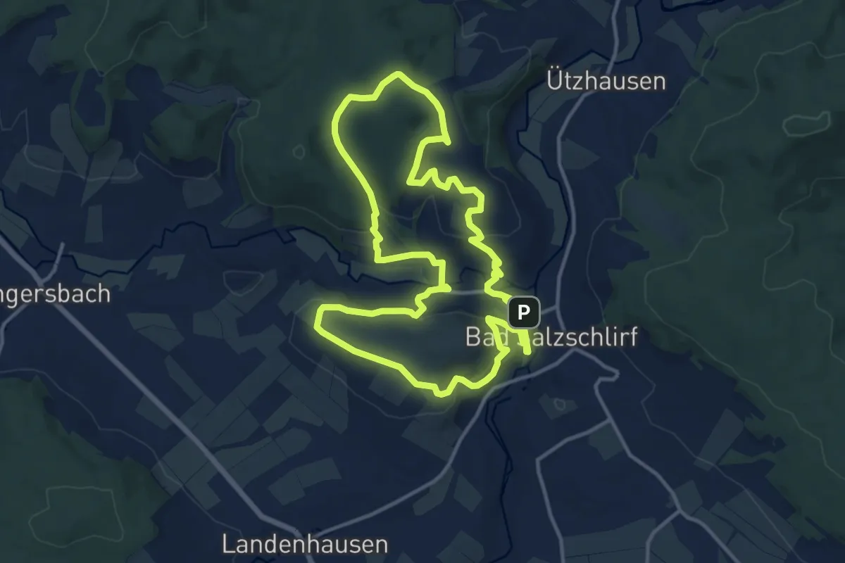
Medium · Summit
Extratour Tour de Natur
11.6 km · ↑ 320 m · 3 h 36 min
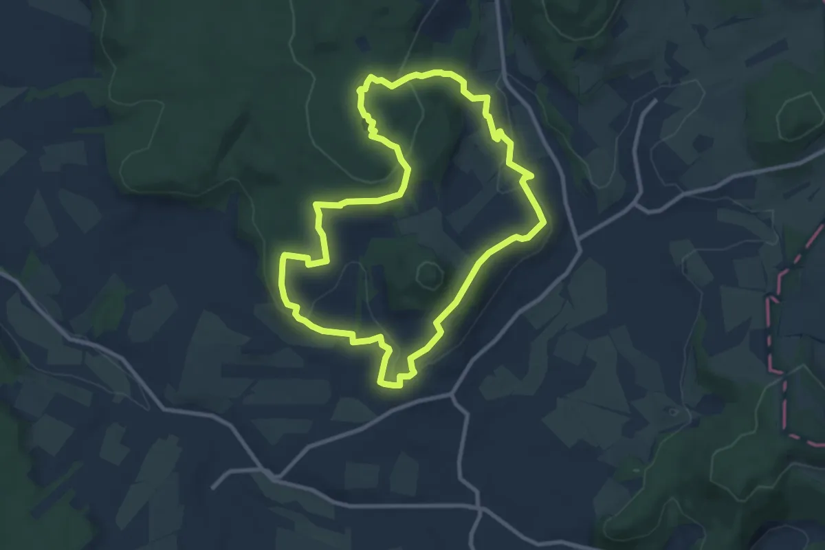
Easy · Summit
Extratour Ulmenstein
8.0 km · ↑ 242 m · 2 h 31 min
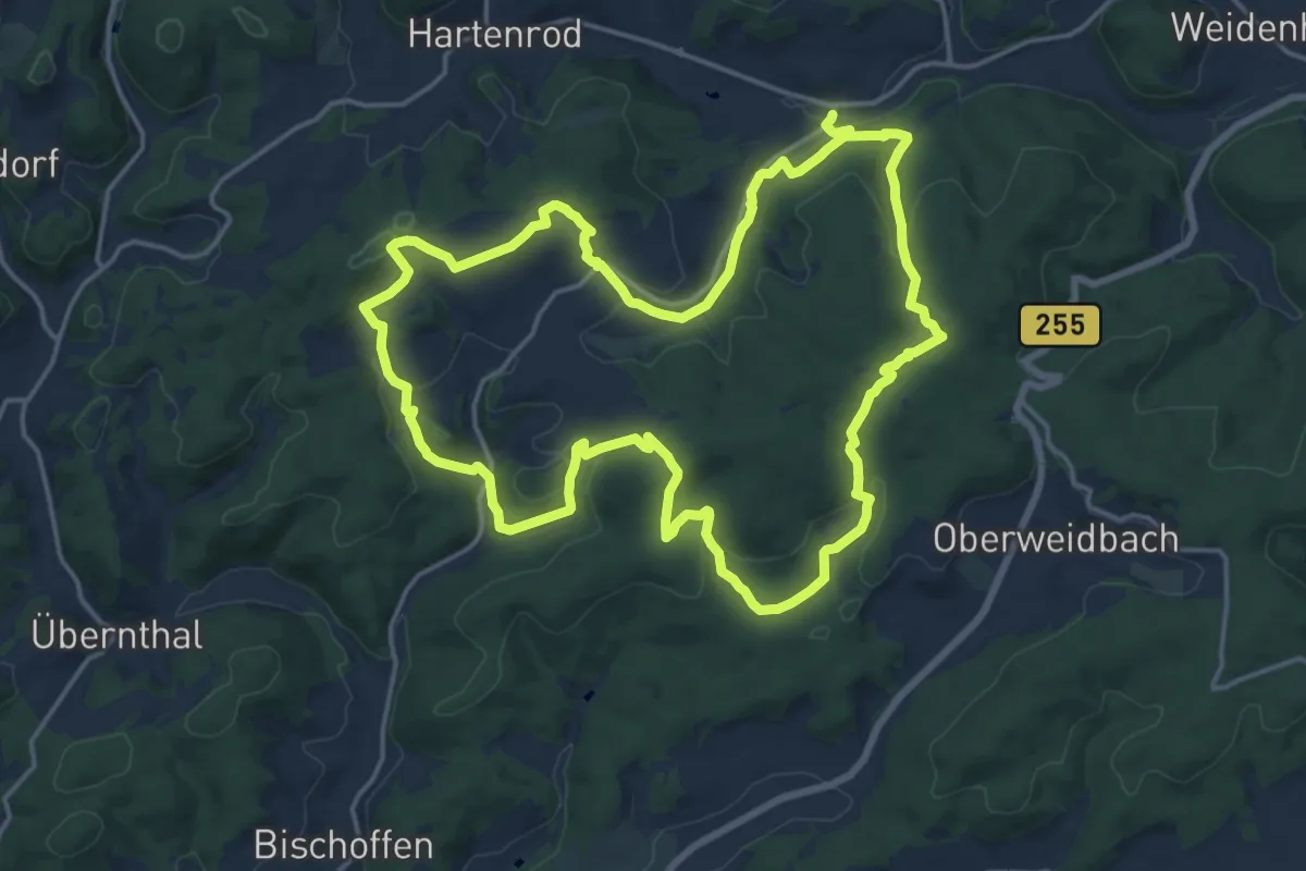
Medium · Summit
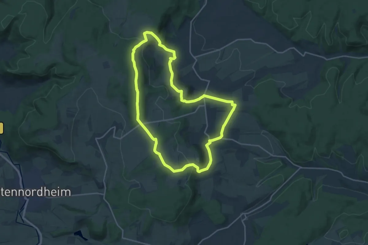
Extratour Viertälerweg
16.2 km · ↑ 453 m · 5 h 3 min
Medium · Summit
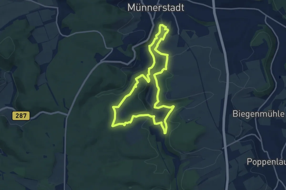
Extratour Vorderrhönweg
14.0 km · ↑ 397 m · 4 h 21 min
Medium · Trail
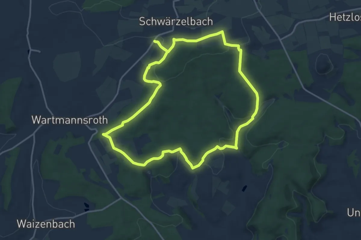
Extratour Wacholderheide
9.8 km · ↑ 166 m · 2 h 49 min
Medium · Trail
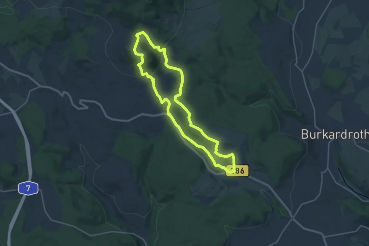
Extratour Wald-Brand
11.7 km · ↑ 250 m · 3 h 28 min
Medium · Summit
Extratour Waldfenster
11.3 km · ↑ 327 m · 3 h 33 min
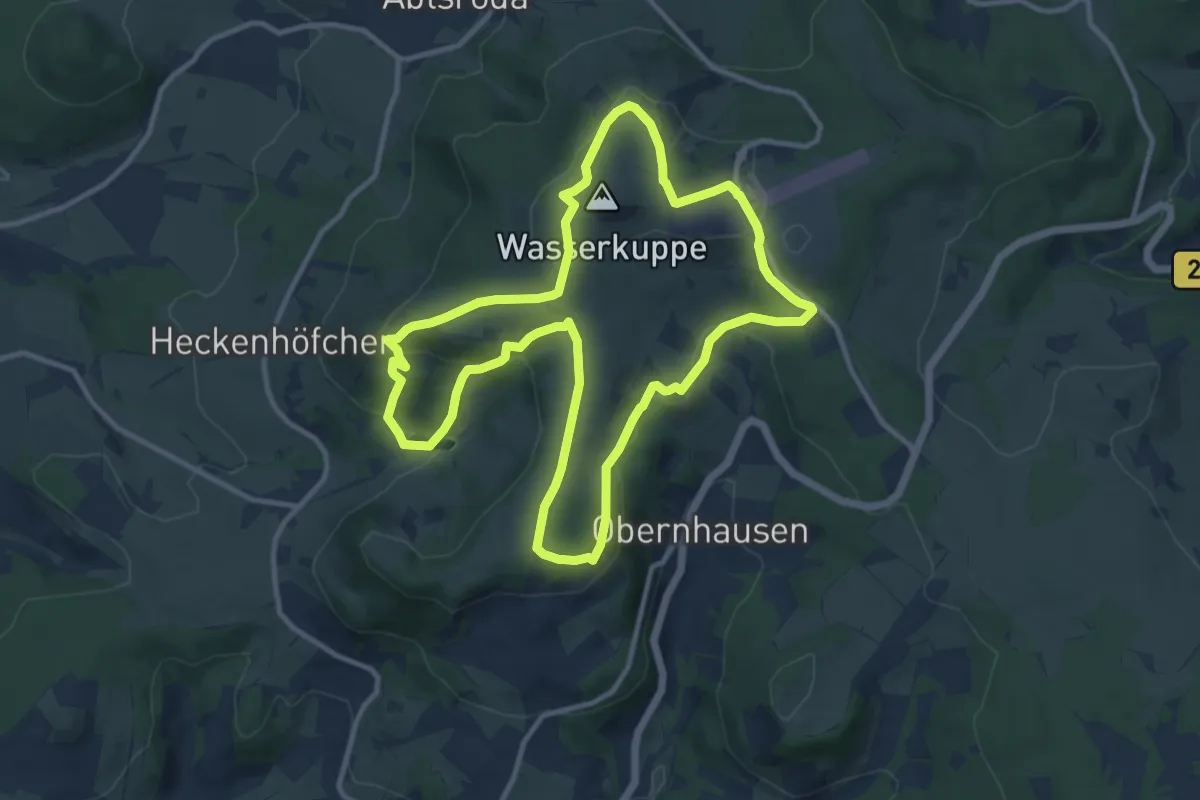
Medium · Summit
Extratour Wasserkuppe
10.5 km · ↑ 348 m · 3 h 23 min
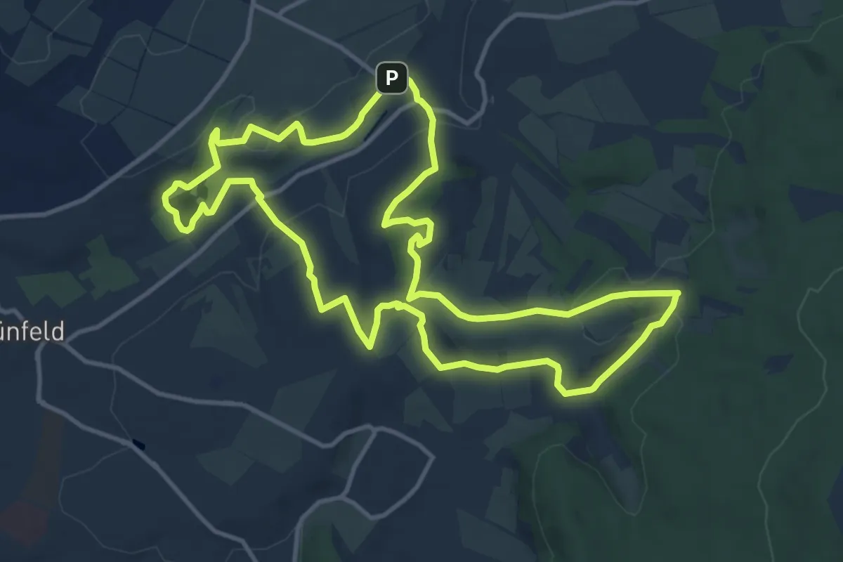
Medium · Summit
Extratour Weinberg
10.9 km · ↑ 217 m · 3 h 12 min
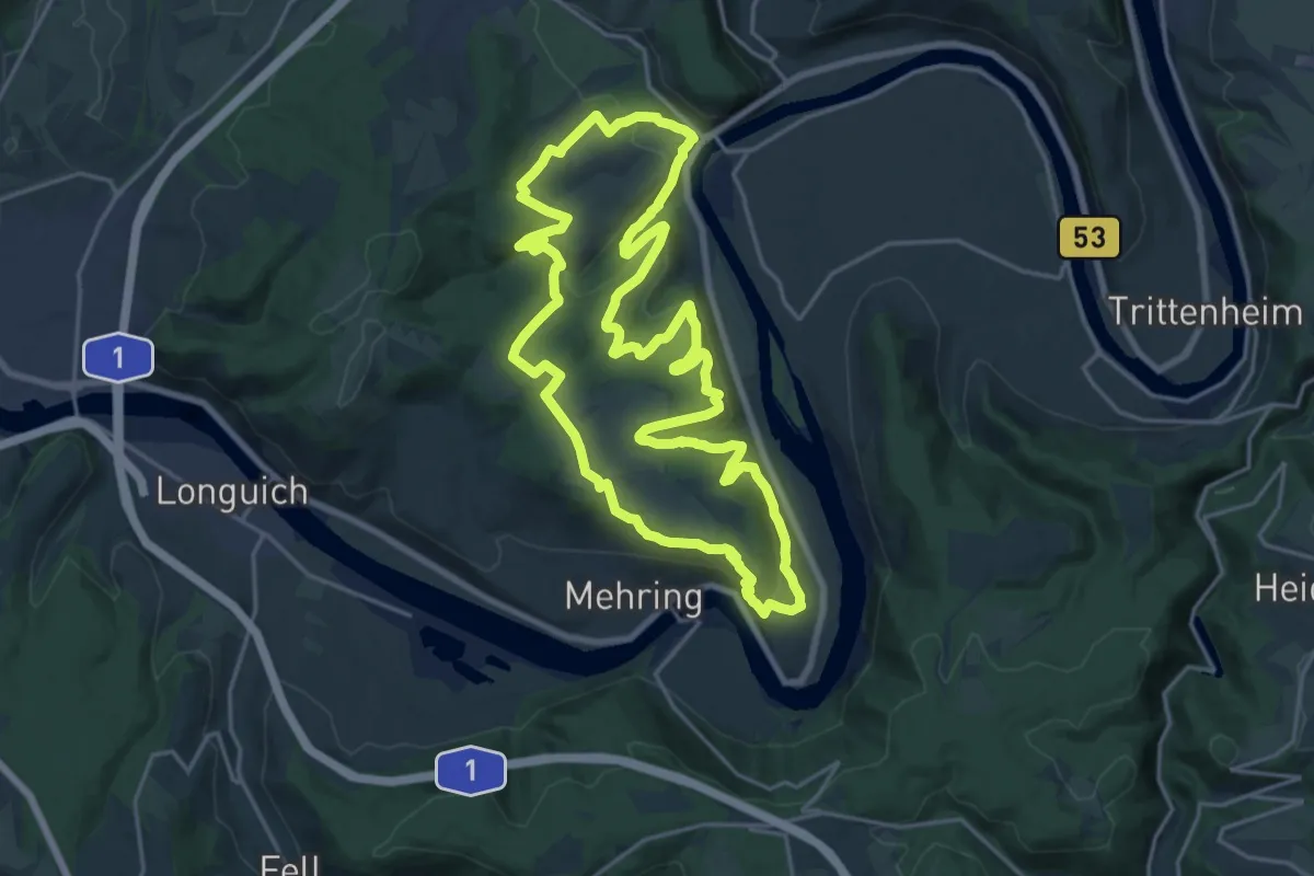
Demanding · Trail
Extratour Zitronenkrämerkreuz
20.0 km · ↑ 661 m · 6 h 25 min
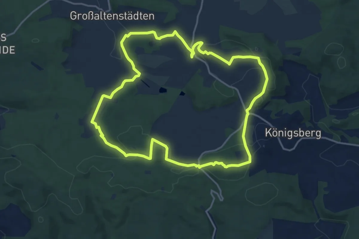
Medium · Summit
Extratour Zweiburgentour
11.2 km · ↑ 216 m · 3 h 16 min
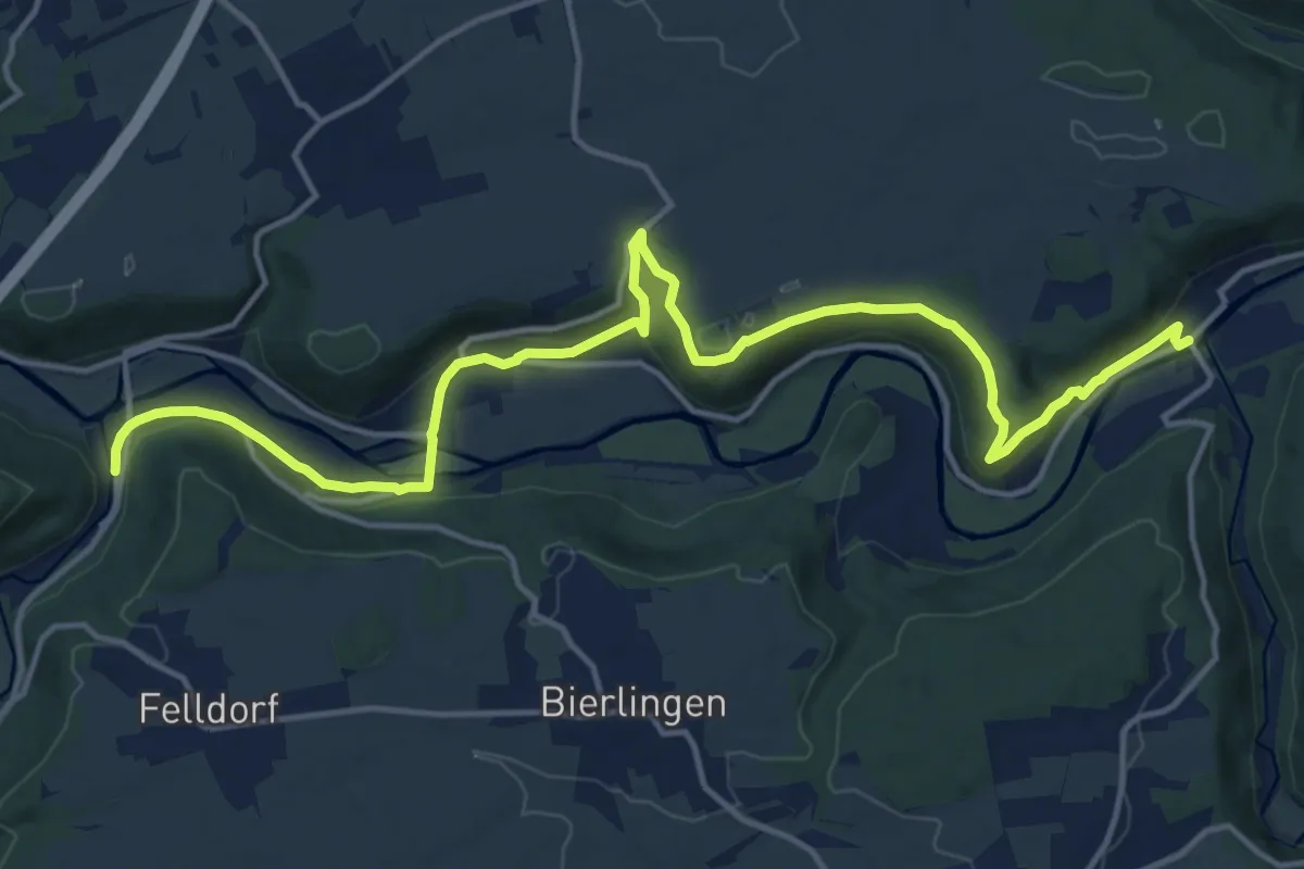
Medium · Trail
Eyach - Bieringen
17.4 km · ↑ 407 m · 5 h
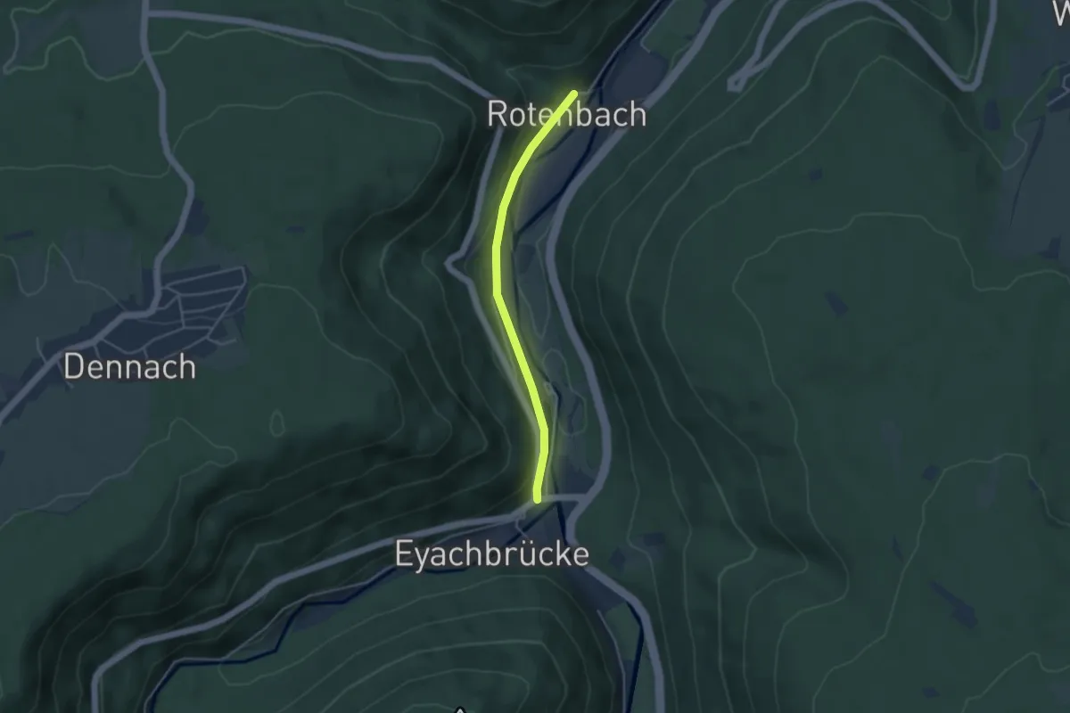
Easy · Trail
Eyachbrücke Gänsbrunnen - Rotenbach
3.4 km · ↑ 76 m · 58 min
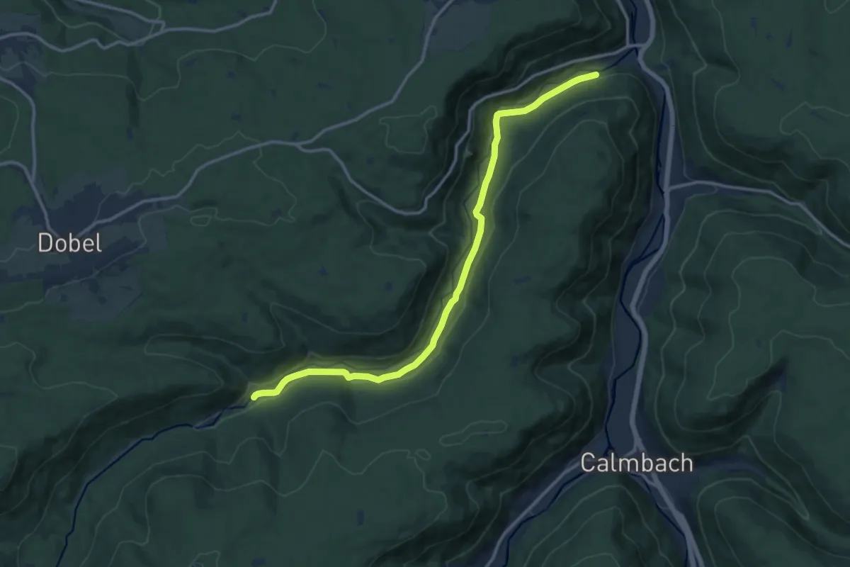
Medium · Trail
Eyachmühle - Eyachhang
12.3 km · ↑ 232 m · 3 h 25 min
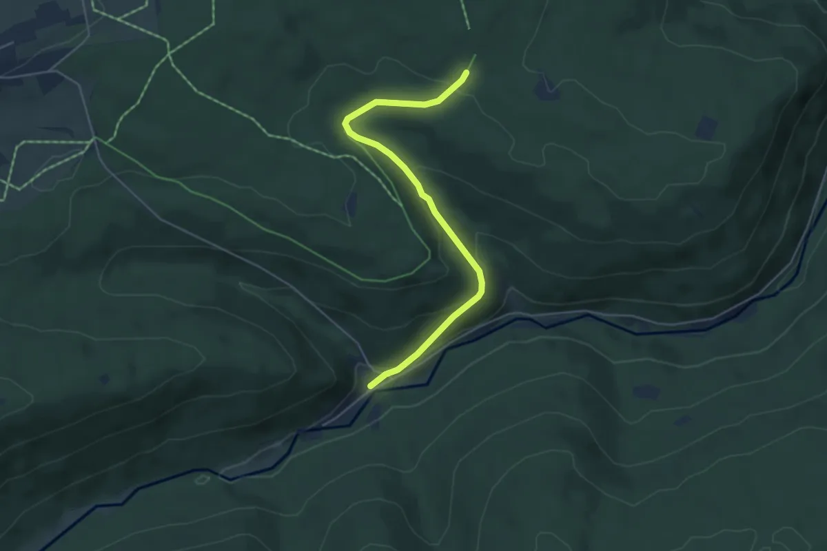
Easy · Trail
Eyachmühle - Schwabhauser Hütte
4.6 km · ↑ 197 m · 1 h 30 min
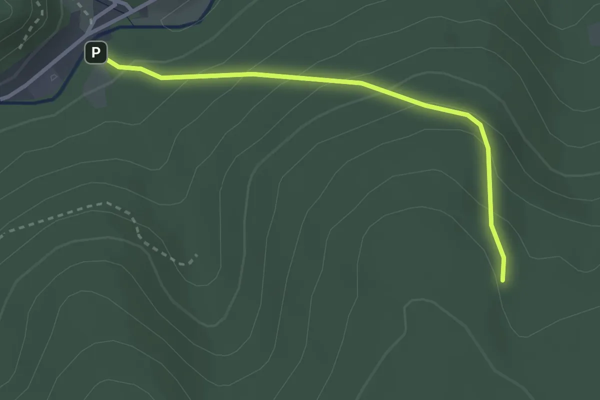
Easy · Trail
Eyachmühle - Spitzhütte
2.6 km · ↑ 188 m · 1 h 2 min
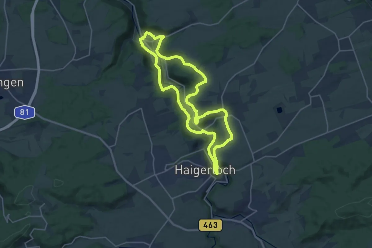
Medium · Trail
Eyachtal-Rundweg
14.7 km · ↑ 411 m · 4 h 33 min
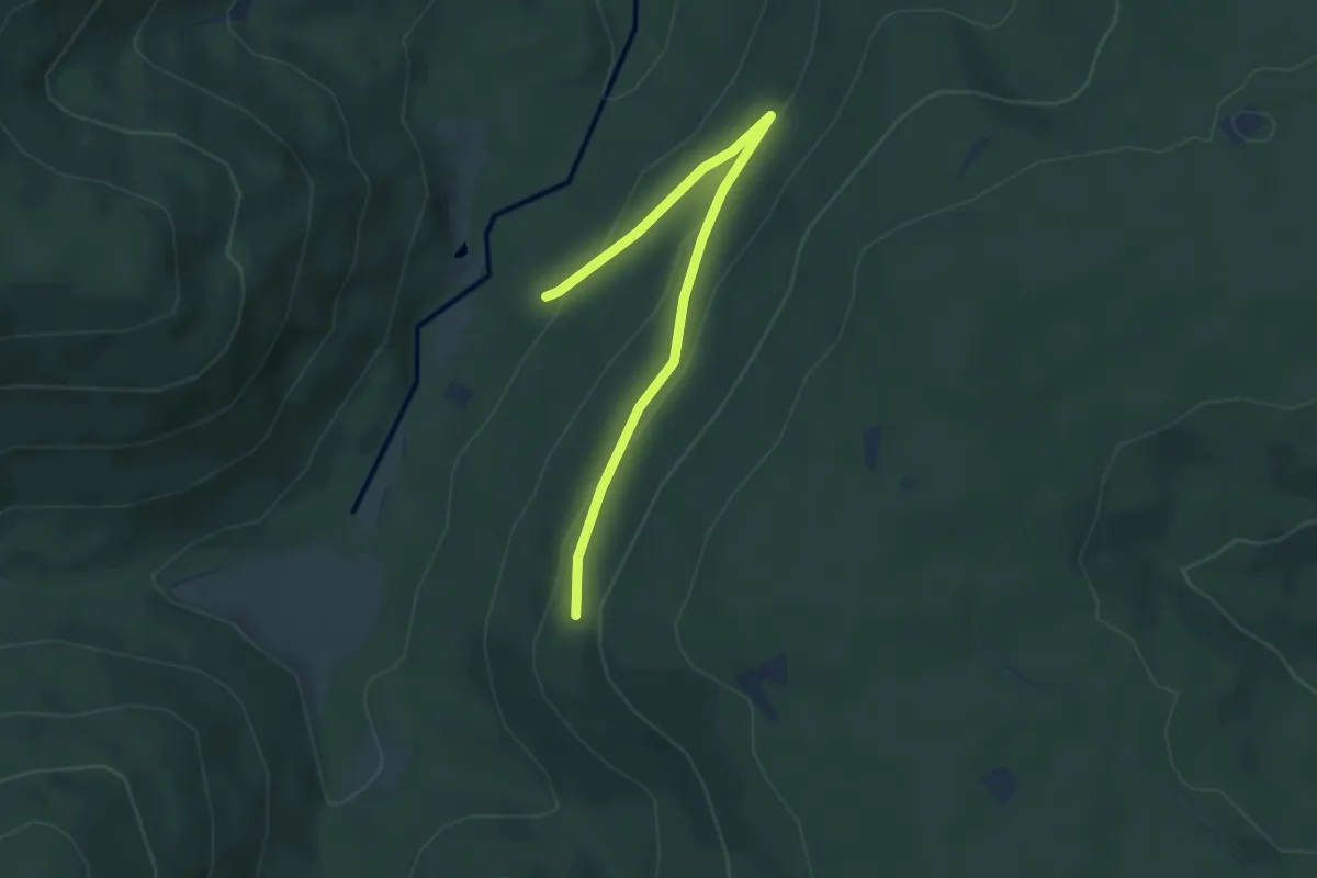
Easy · Trail
Eyachtalweg - Linienhang
3.9 km · ↑ 128 m · 1 h 12 min
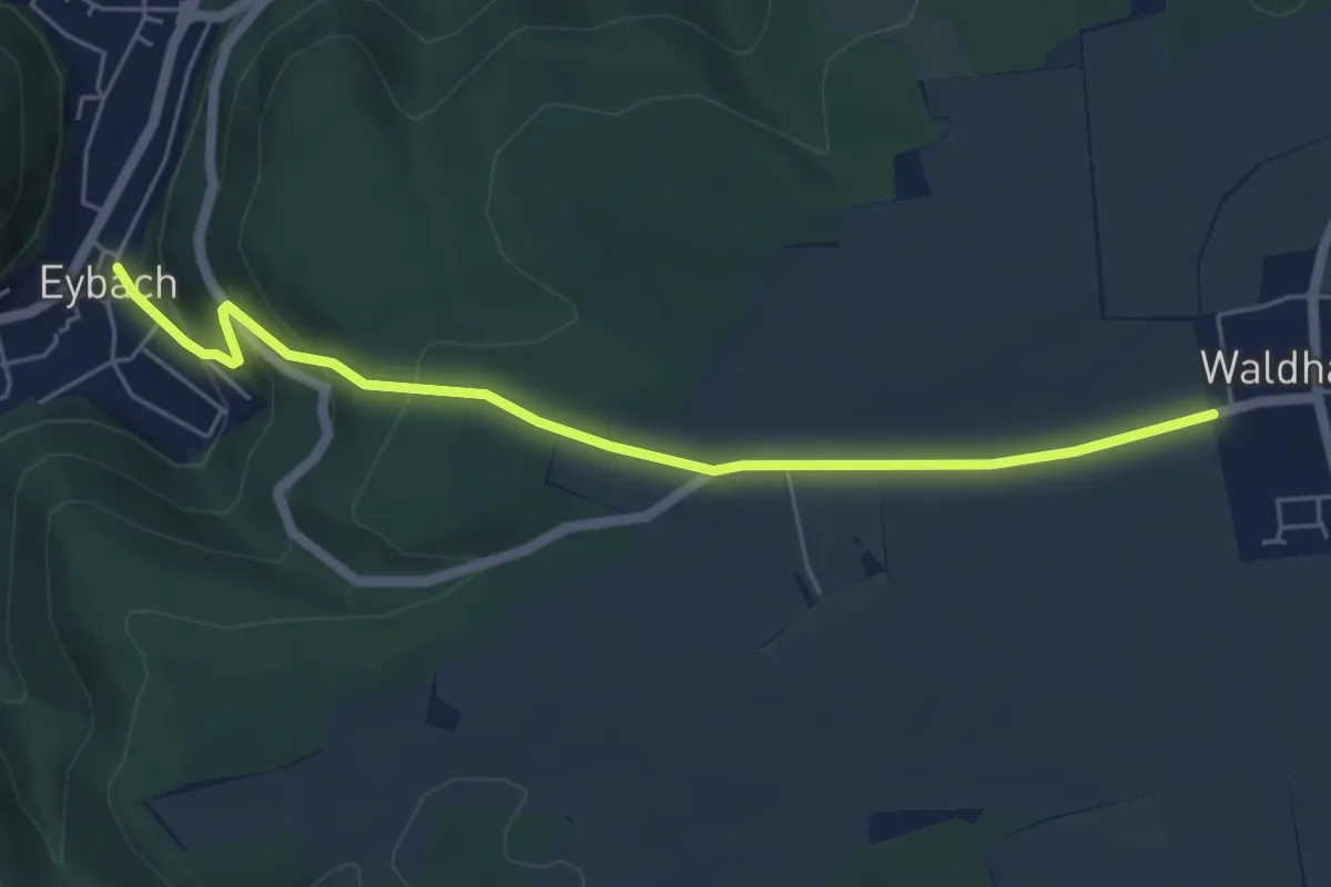
Easy · Trail
Eybach Christophshof Waldhausen
5.4 km · ↑ 197 m · 1 h 42 min
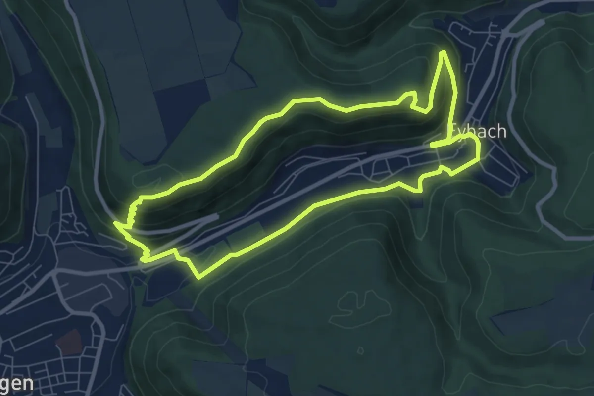
Medium · Trail
Eybacher Felsensteig
6.7 km · ↑ 254 m · 2 h 13 min
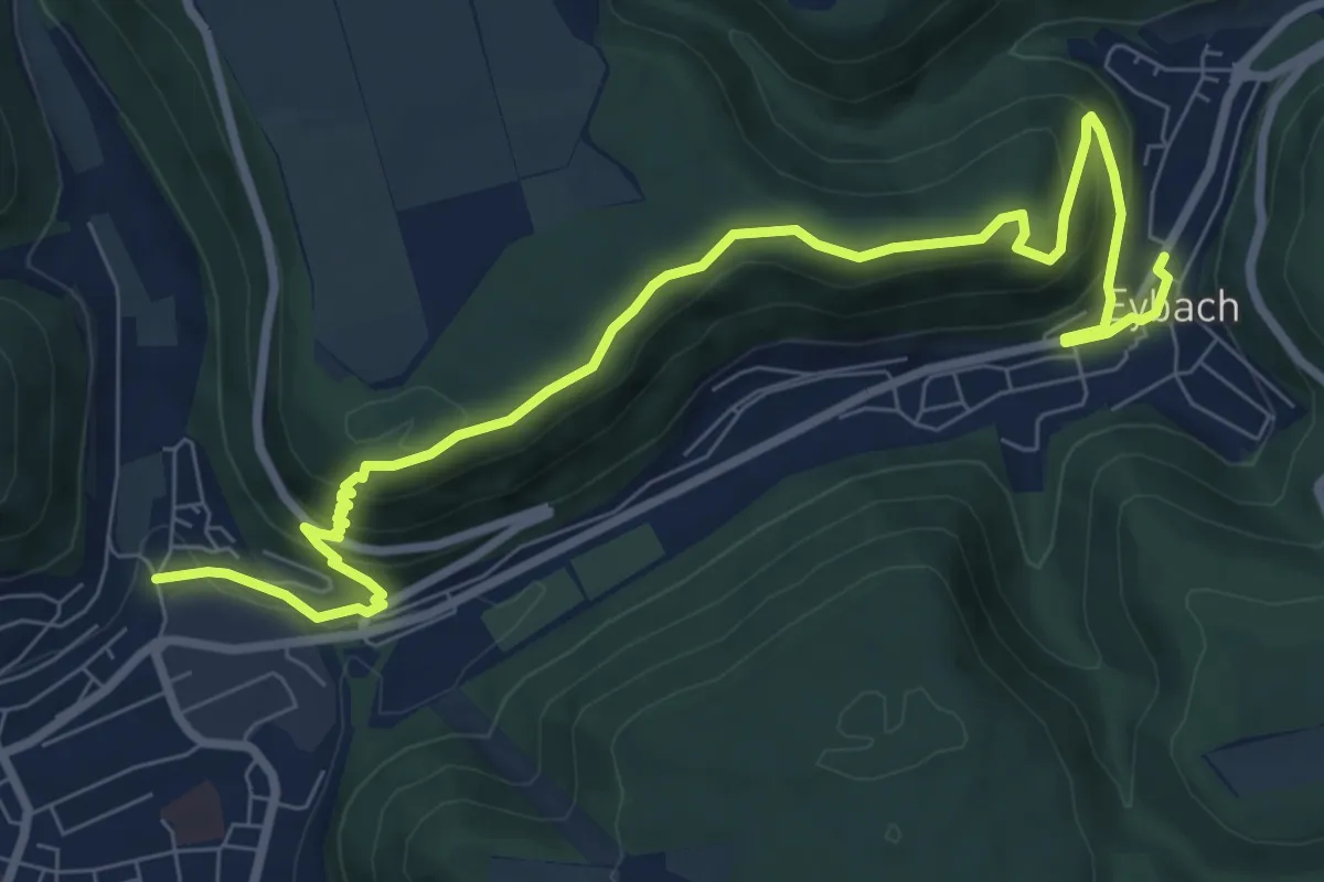
Medium · Trail
Eybach - Geislingen
9.7 km · ↑ 397 m · 3 h 9 min
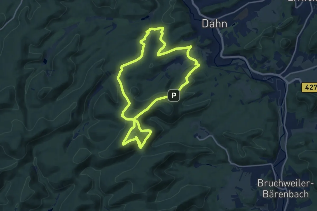
Medium · Summit
Eyberg-Tour
11.0 km · ↑ 451 m · 3 h 44 min
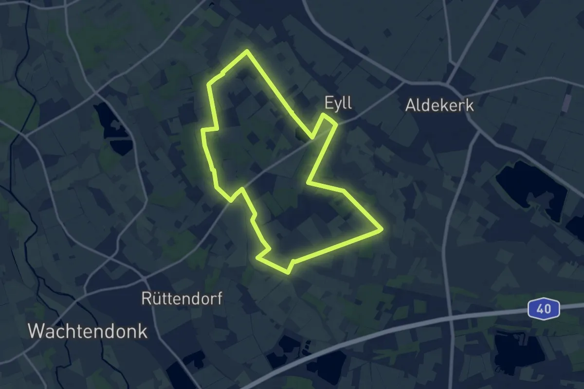
Medium · Trail
Eyller See Rundweg A1
11.7 km · ↑ 23 m · 2 h 59 min
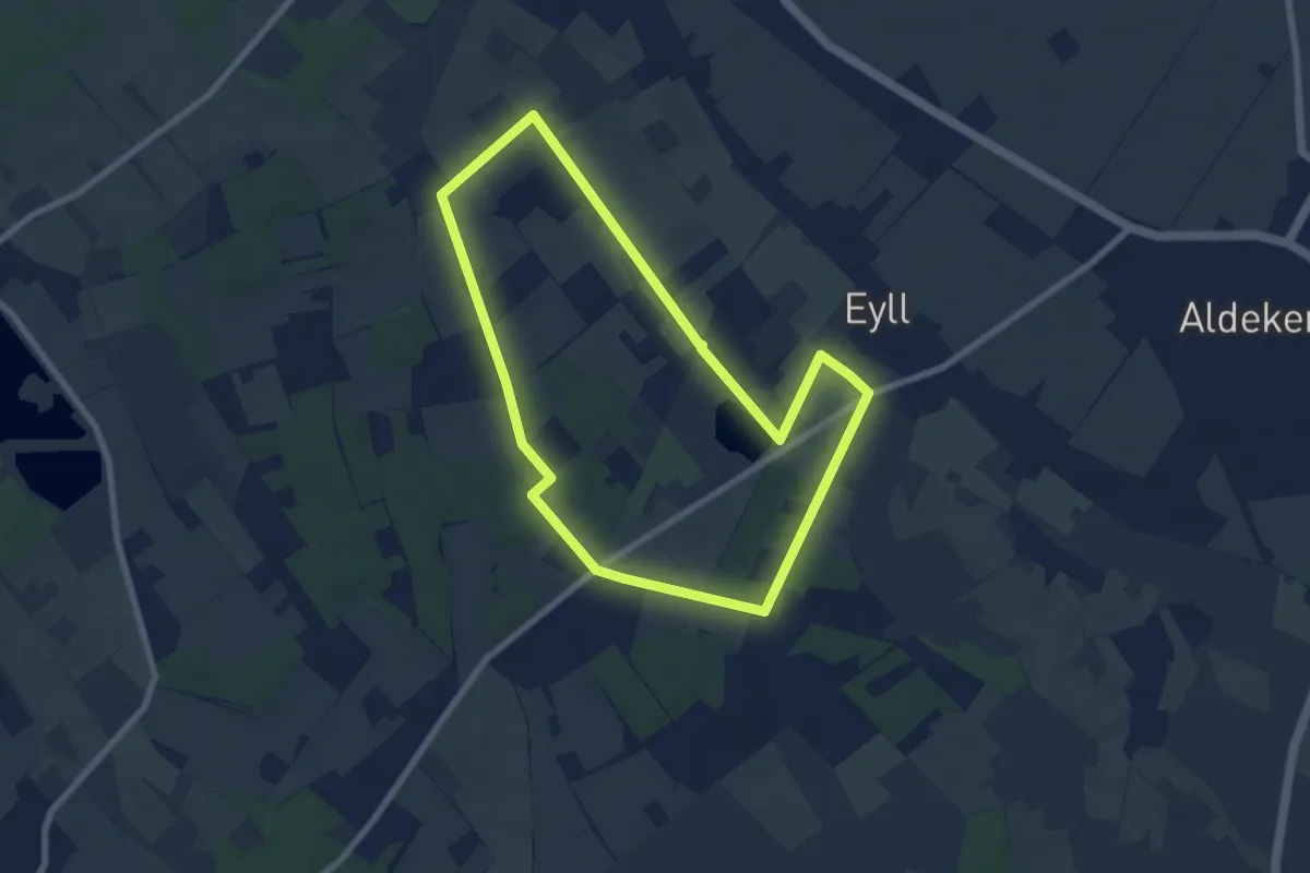
Easy · Trail
Eyller See Rundweg A2
6.5 km · ↑ 8 m · 1 h 39 min
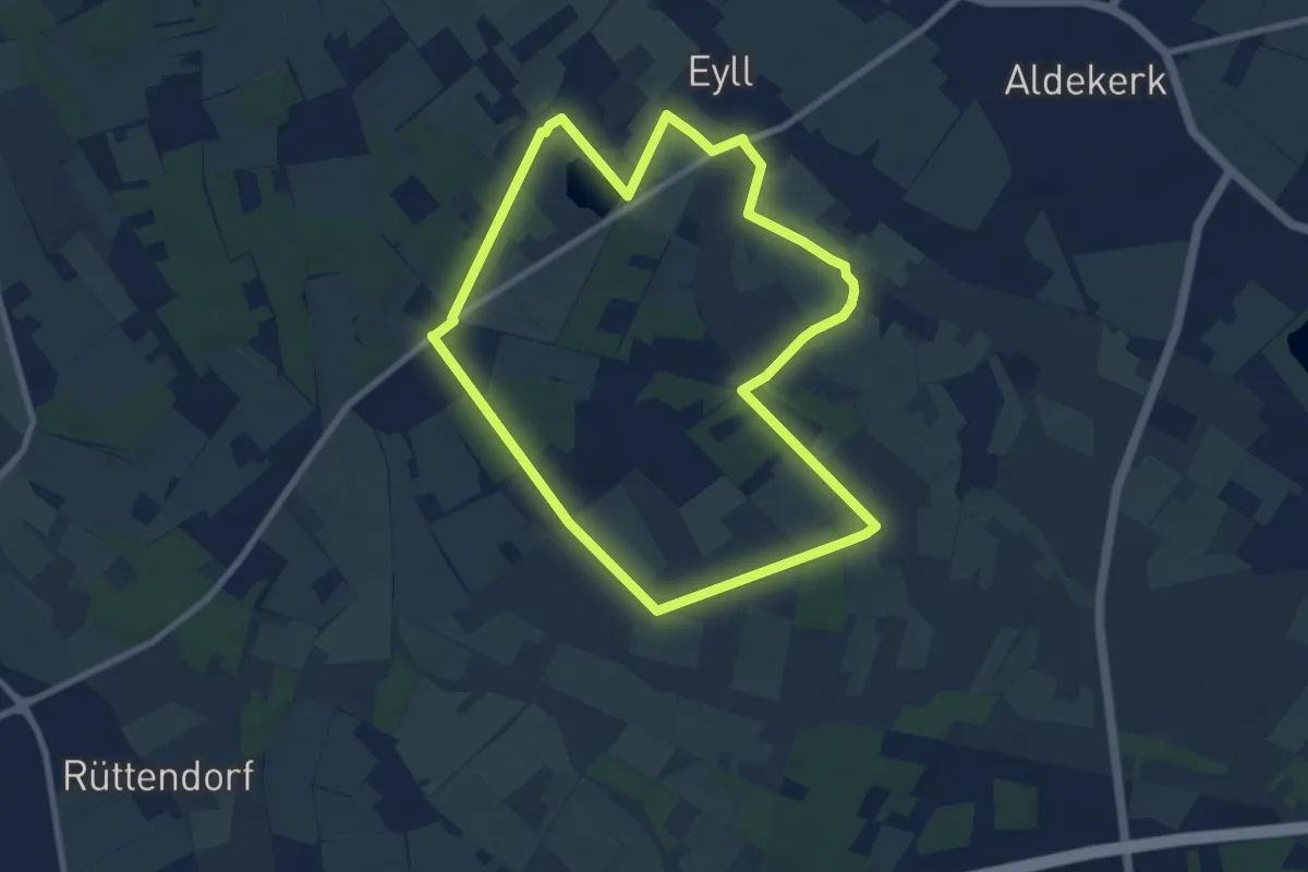
Easy · Trail
Eyller See Rundweg A3
7.6 km · ↑ 13 m · 1 h 56 min
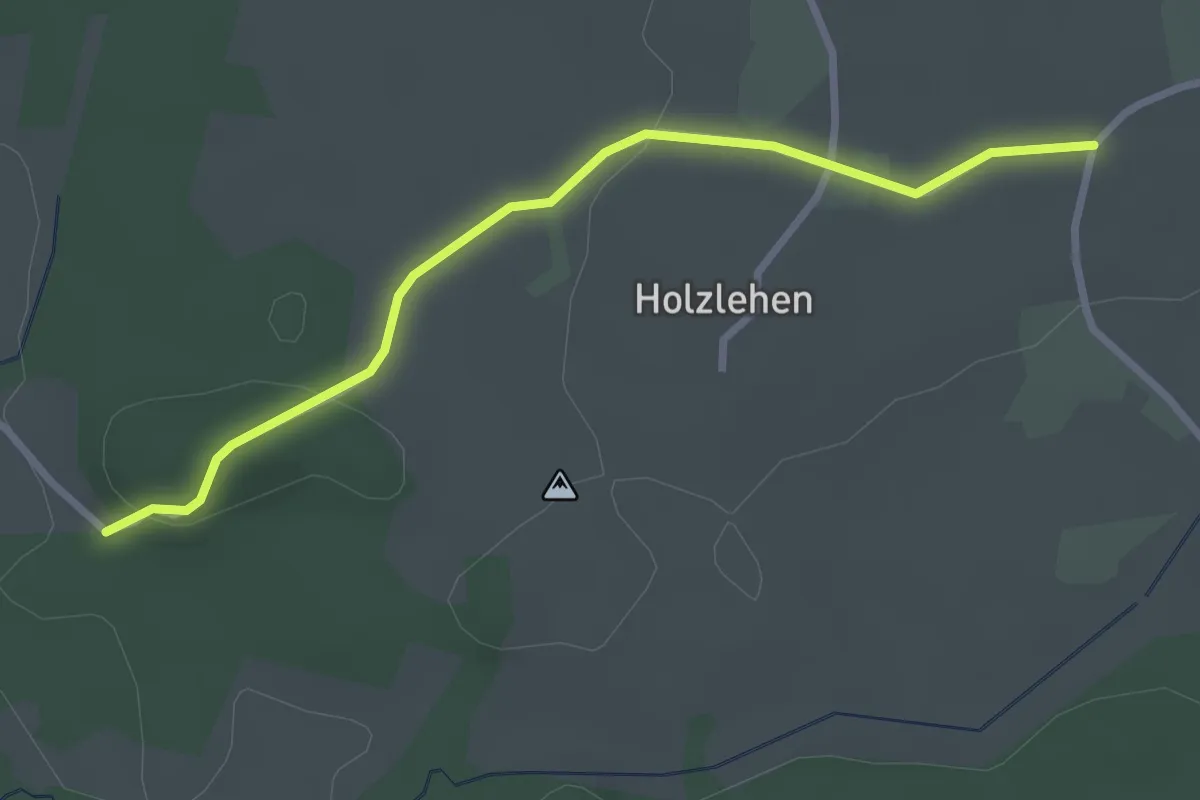
Easy · Trail
F2
2.8 km · ↑ 54 m · 47 min
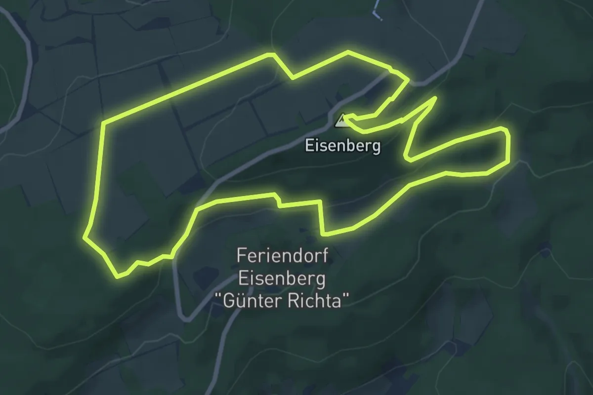
Easy · Summit
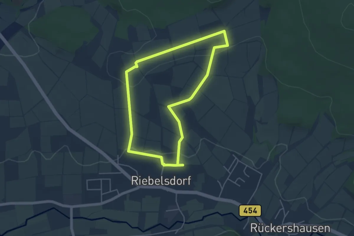
Fabelweg "Eisenberg Panoramaweg"
6.7 km · ↑ 187 m · 2 h 4 min
Easy · Summit
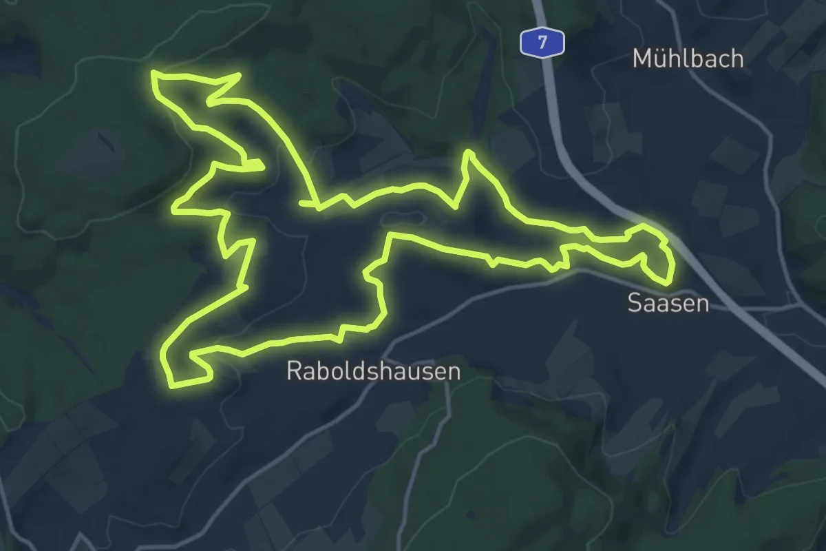
Fabelweg "Kin Orem"
3.6 km · ↑ 67 m · 1 h 2 min
Medium · Trail
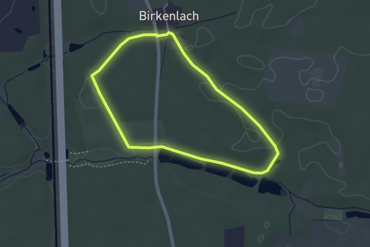
Fabelweg "Raboldshäuser Ritterweg"
14.8 km · ↑ 332 m · 4 h 24 min
Easy · Trail
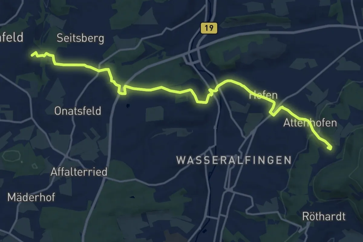
Faberhof Rundweg
2.9 km · ↑ 27 m · 47 min
Medium · Trail
Fachsenfelder Arbeiterweg
13.9 km · ↑ 298 m · 3 h 56 min
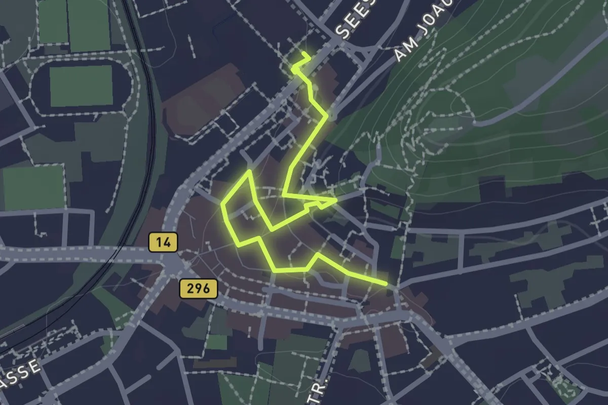
Easy · Trail
Fachwerkpfad
2.2 km · ↑ 56 m · 39 min
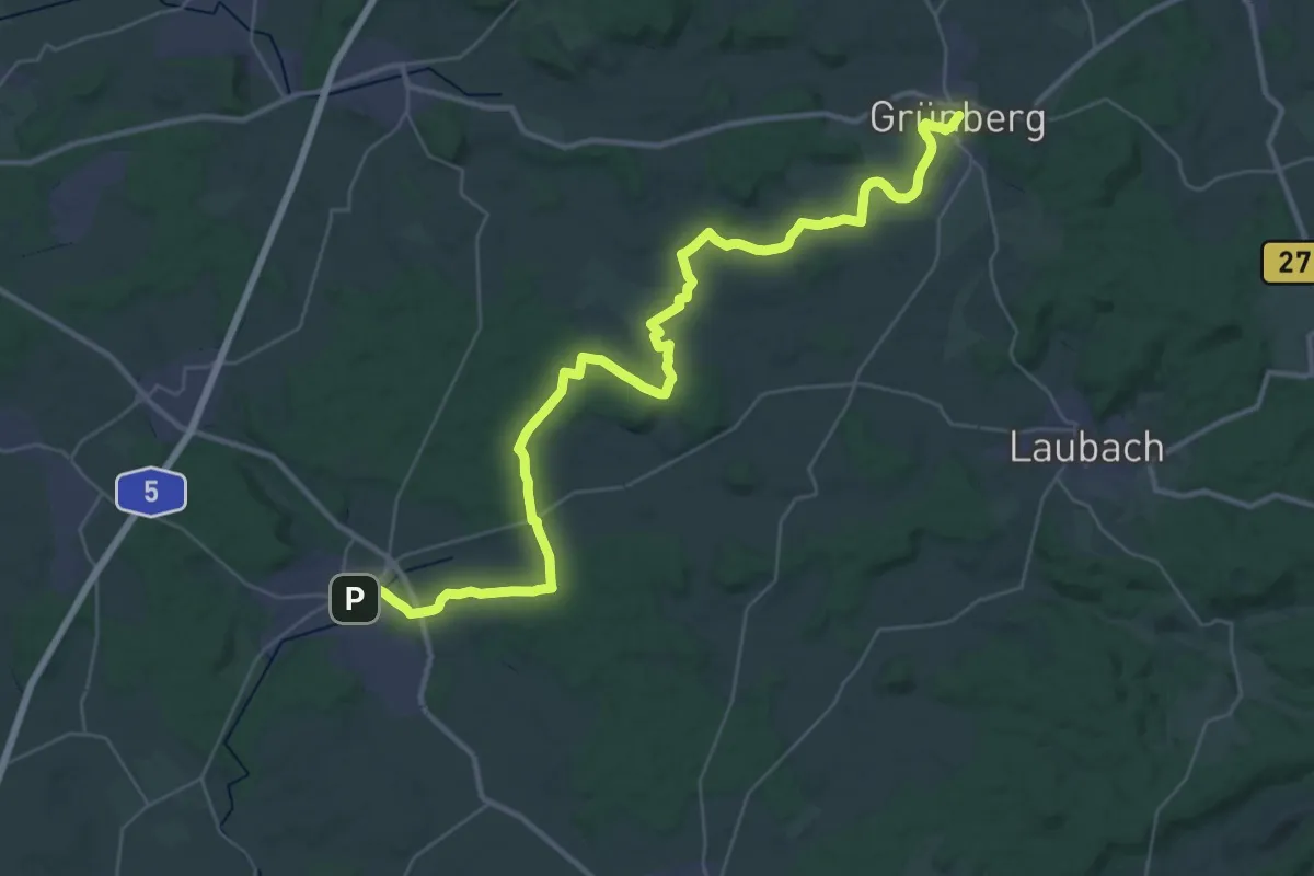
Demanding · Trail
Fachwerkwanderweg
19.7 km · ↑ 205 m · 5 h 19 min
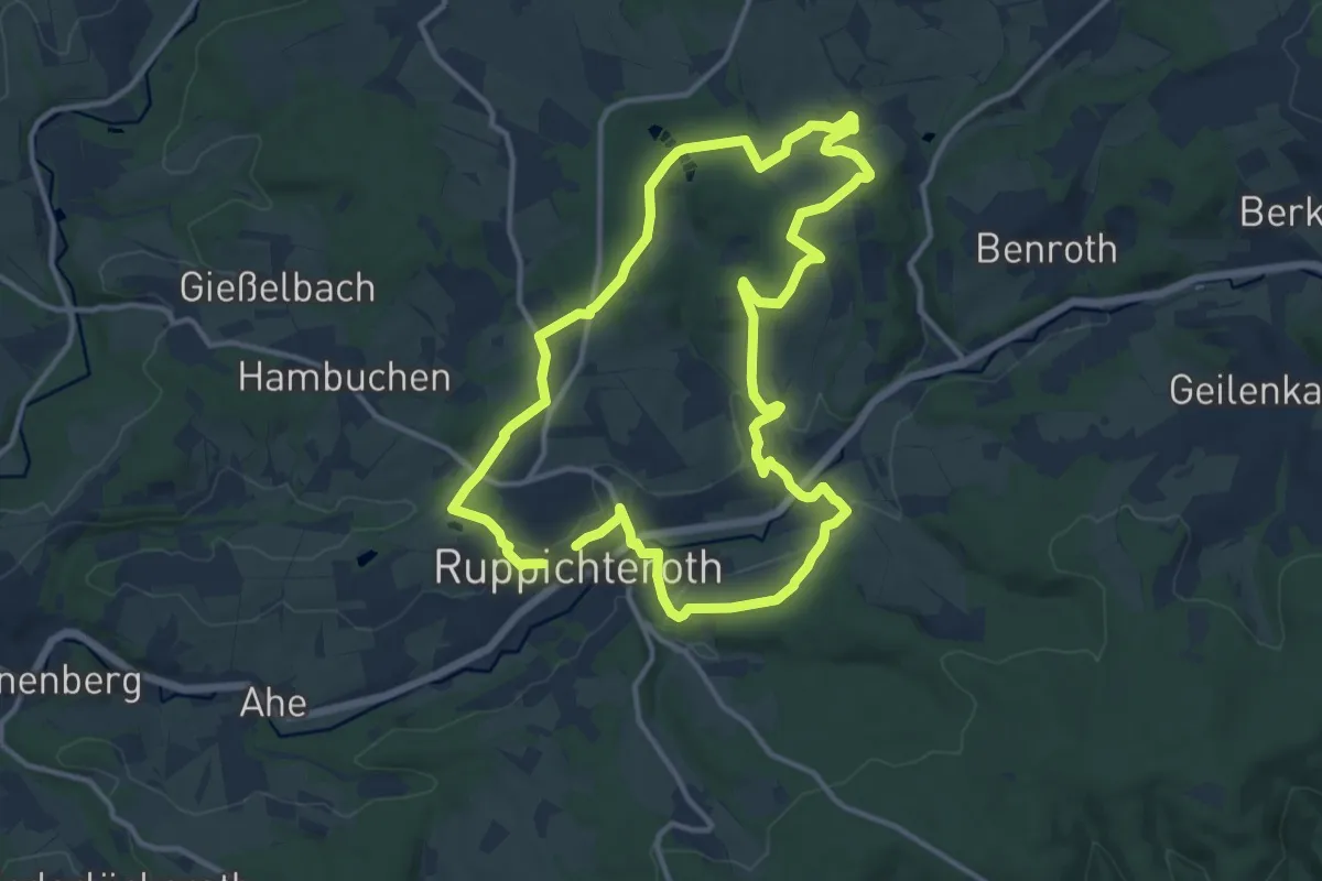
Medium · Trail
Fachwerkweg [22]
11.3 km · ↑ 203 m · 3 h 16 min
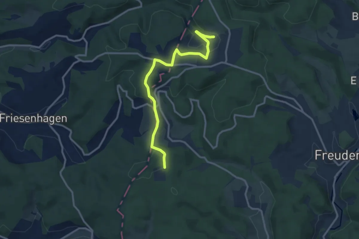
Easy · Trail
Fachwerkweg "Wilder Mann"
3.7 km · ↑ 58 m · 1 h 3 min
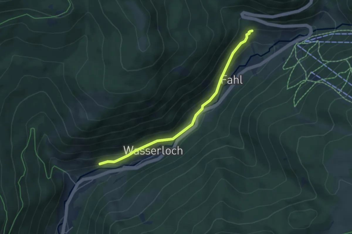
Easy · Trail
Fahler Wasserfall - Panoramaweg
4.4 km · ↑ 182 m · 1 h 26 min
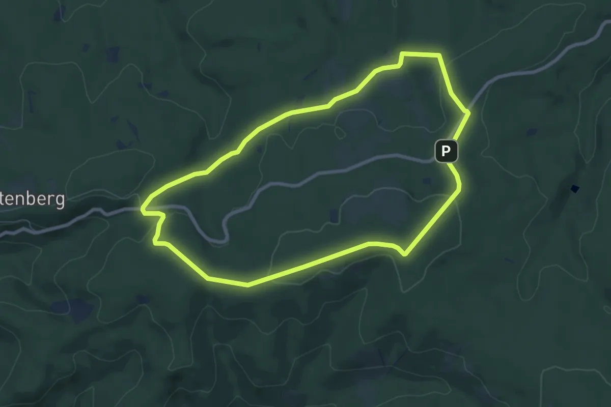
Easy · Trail
Fahne-Hagensberg A5
6.7 km · ↑ 139 m · 1 h 59 min
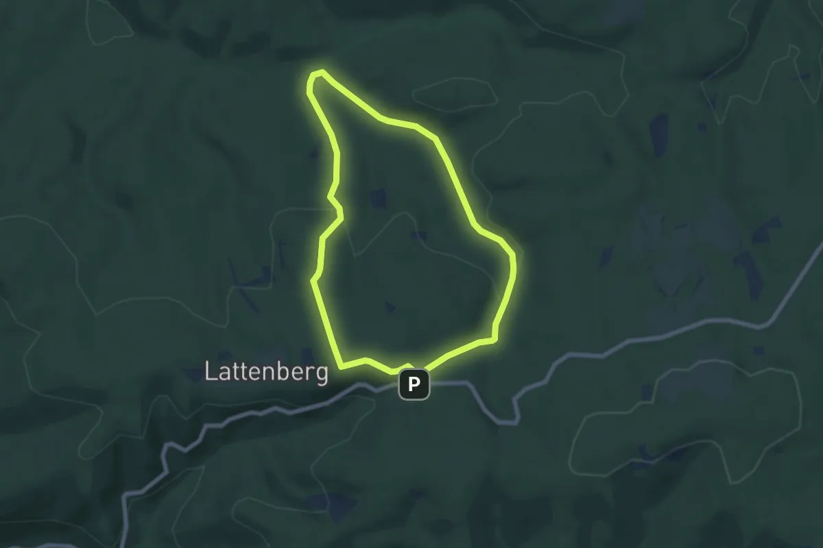
Easy · Summit
Fahne Rundweg A8
5.3 km · ↑ 123 m · 1 h 36 min
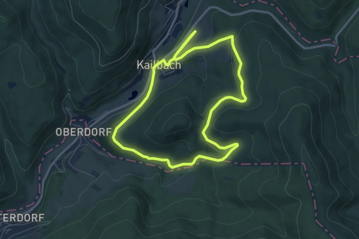
Easy · Trail
Fahrbach-Weg
6.3 km · ↑ 181 m · 1 h 58 min
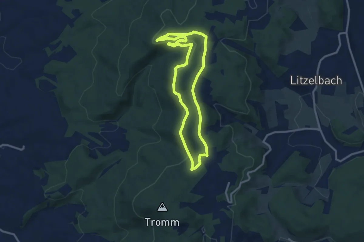
Easy · Summit
Fahrenbacherkopf-Weg
6.0 km · ↑ 159 m · 1 h 51 min
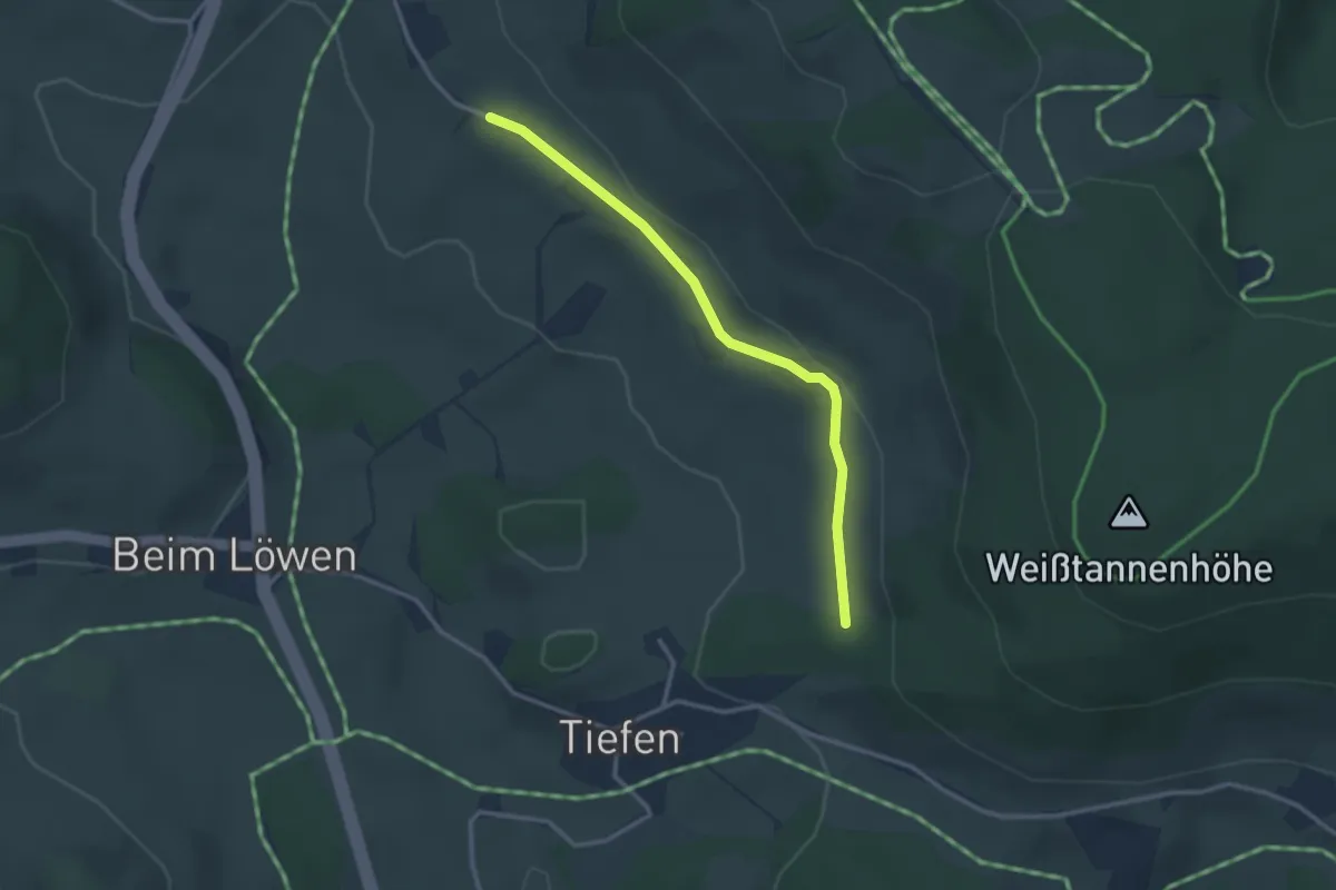
Easy · Trail
Fahrenberg Mathislehof - Hoheckweg
2.8 km · ↑ 37 m · 44 min
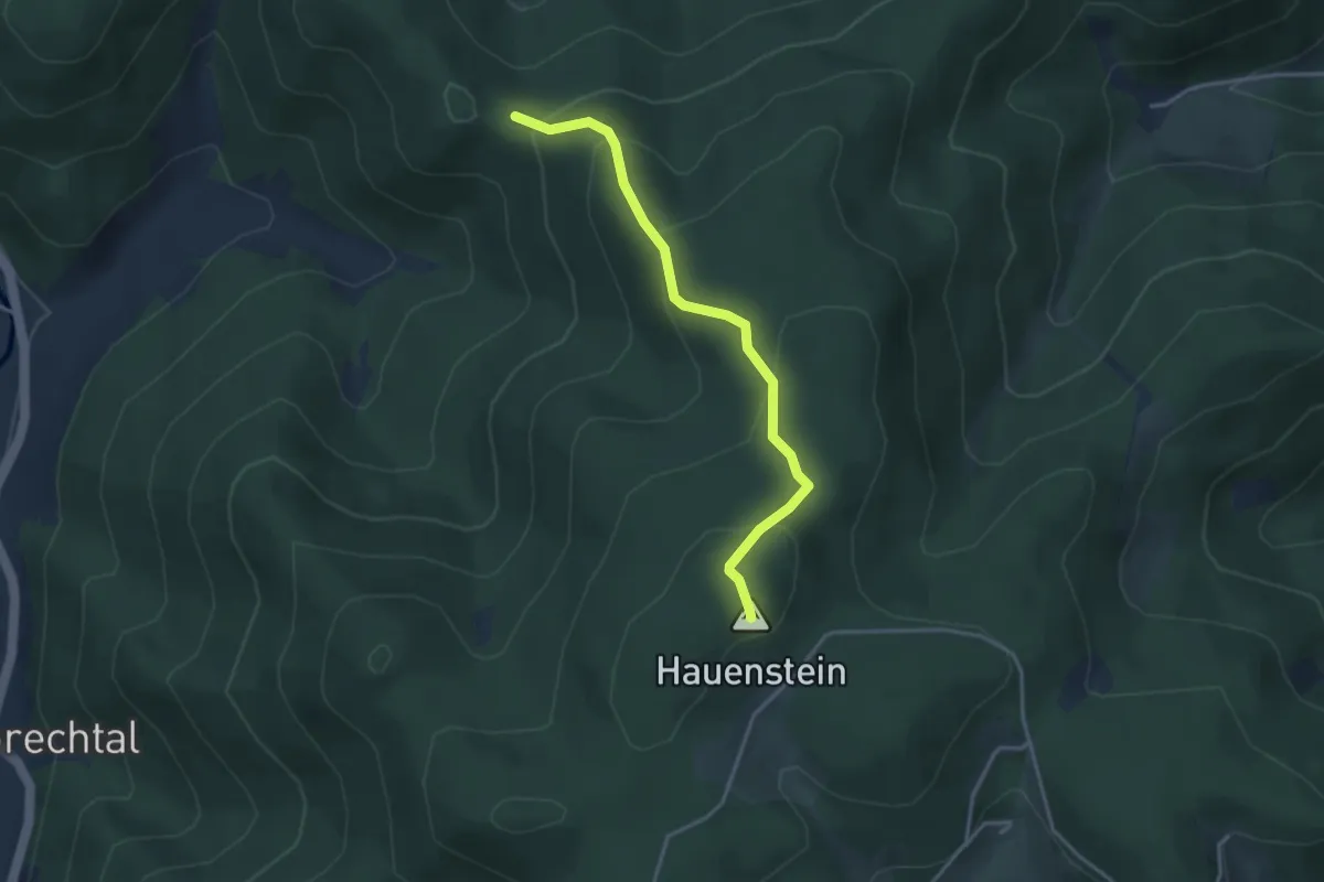
Easy · Summit
Fährlefelsen - Hauenstein
3.4 km · ↑ 224 m · 1 h 17 min
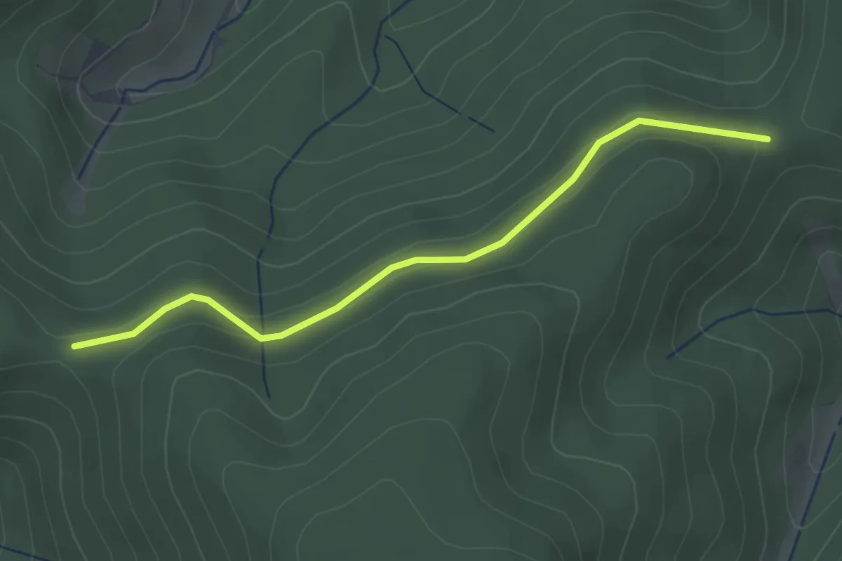
Easy · Trail
Fährlefelsen - Offenbacher Eckle
3.0 km · ↑ 85 m · 53 min