Trails in Germany
36,852 hiking trails, each with its route, climb, walking time and grade.
All trails, page 147 of 768
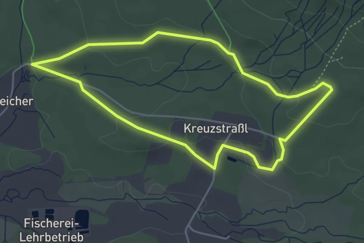
Easy · Trail
Falke
3.7 km · ↑ 76 m · 1 h 6 min
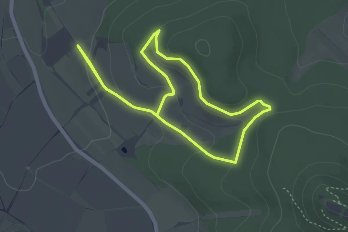
Easy · Trail
Falkenberger Hüttentour
3.1 km · ↑ 85 m · 58 min
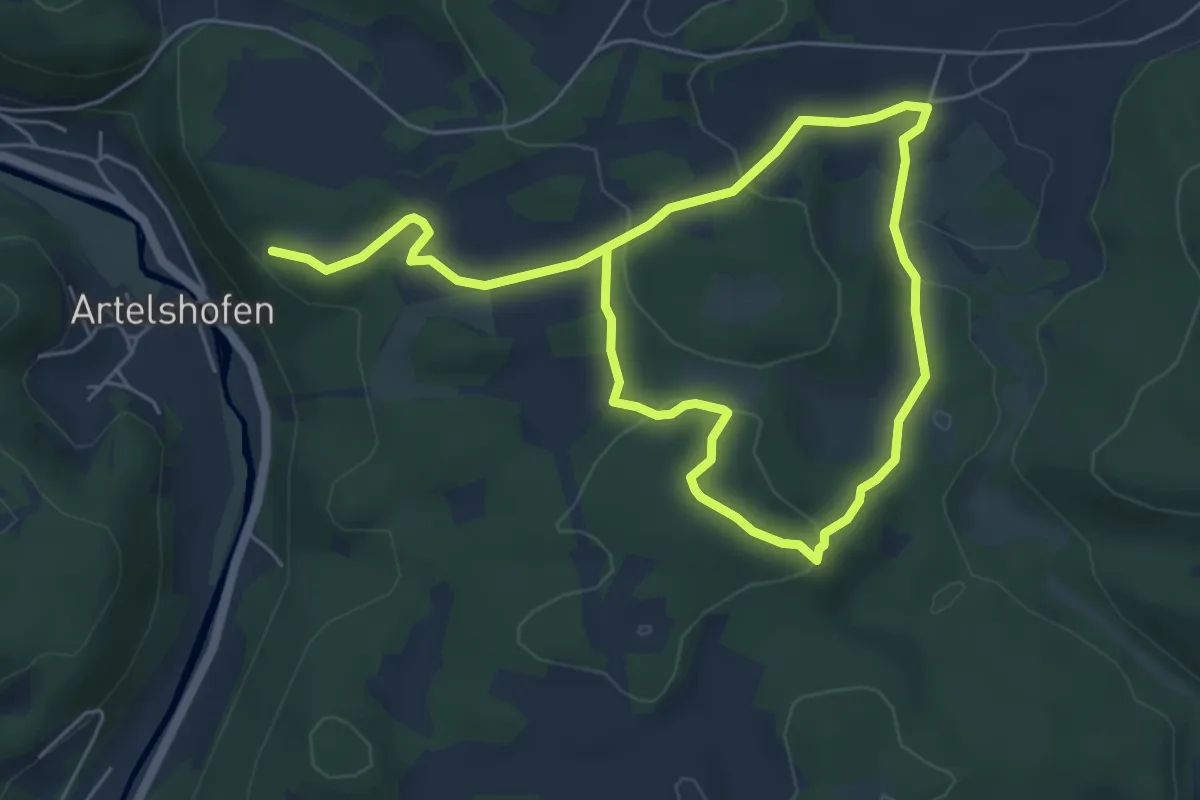
Easy · Summit
Falkenberghaus–Windloch–Schlangenfichte
4.4 km · ↑ 94 m · 1 h 19 min
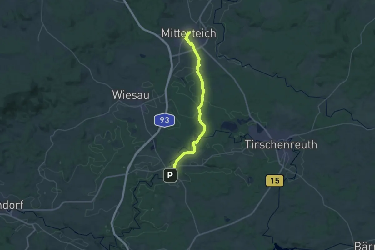
Demanding · Trail
Falkenberg - Mitterteich
26.3 km · ↑ 193 m · 6 h 37 min
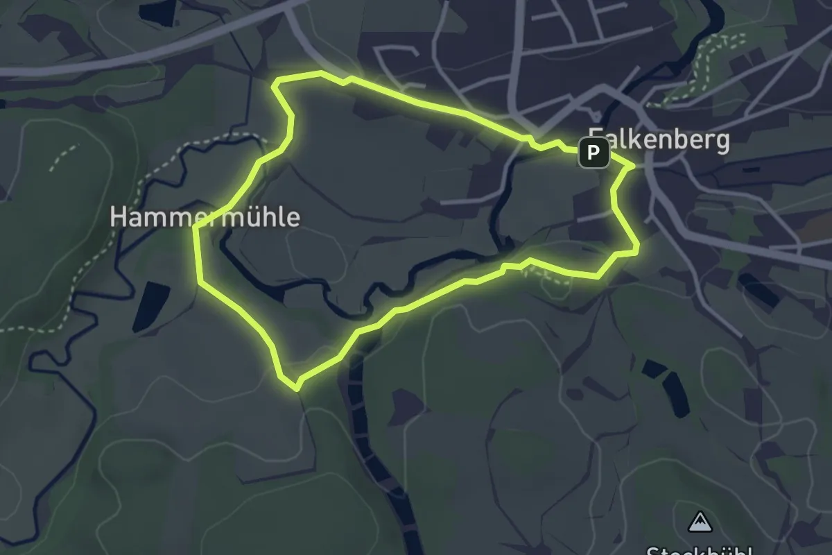
Easy · Summit
Falkenberg Rundwanderweg 1
2.9 km · ↑ 36 m · 49 min
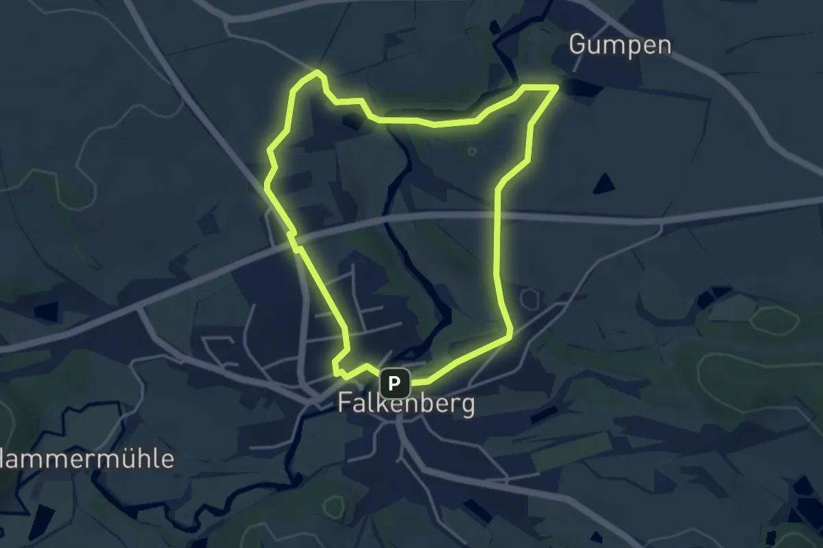
Easy · Trail
Falkenberg Rundwanderweg 2
3.5 km · ↑ 41 m · 58 min
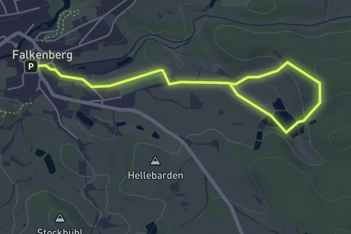
Easy · Trail
Falkenberg Rundwanderweg 3
2.5 km · ↑ 57 m · 44 min
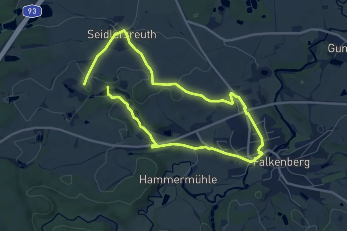
Easy · Trail
Falkenberg Rundwanderweg 4
5.2 km · ↑ 51 m · 1 h 24 min
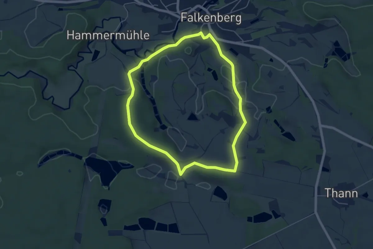
Easy · Summit
Falkenberg Rundwanderweg 5
4.4 km · ↑ 82 m · 1 h 17 min
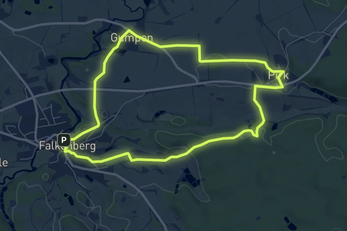
Easy · Summit
Falkenberg Rundwanderweg 6
6.9 km · ↑ 93 m · 1 h 55 min
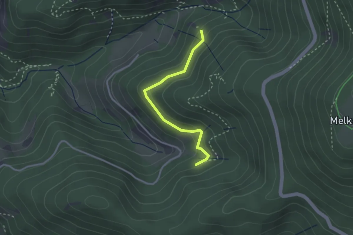
Easy · Trail
Falkenschrofen - Winterhalde
2.3 km · ↑ 121 m · 48 min
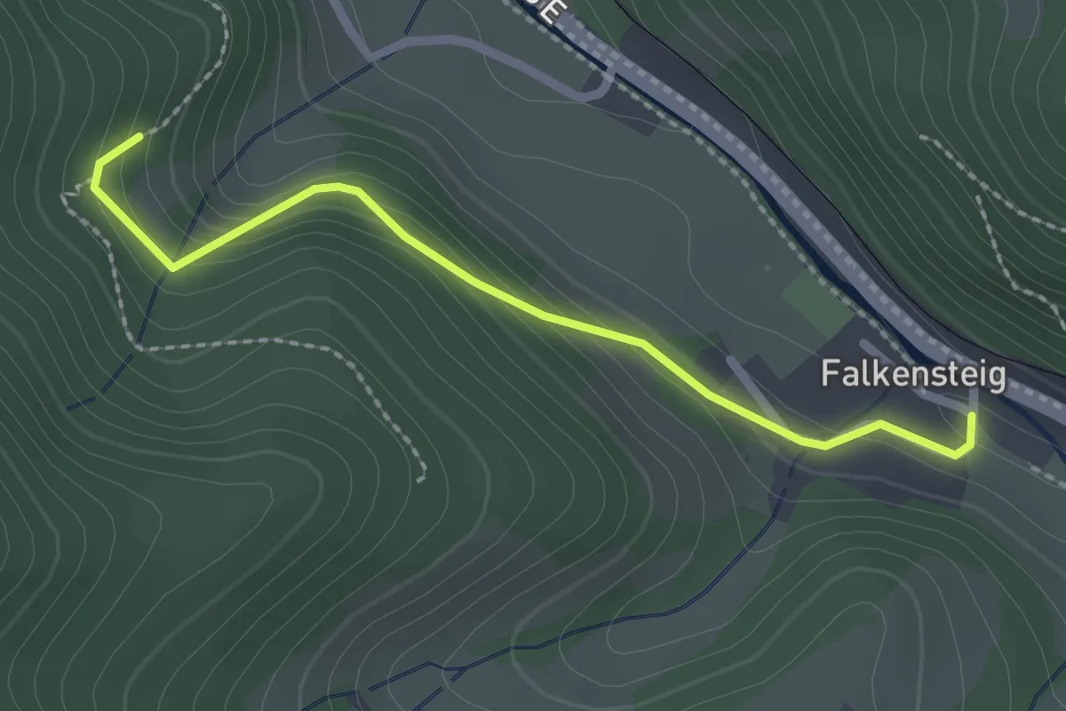
Easy · Trail
Falkensteig Schule - Schweizerlehofweg
2.1 km · ↑ 121 m · 46 min
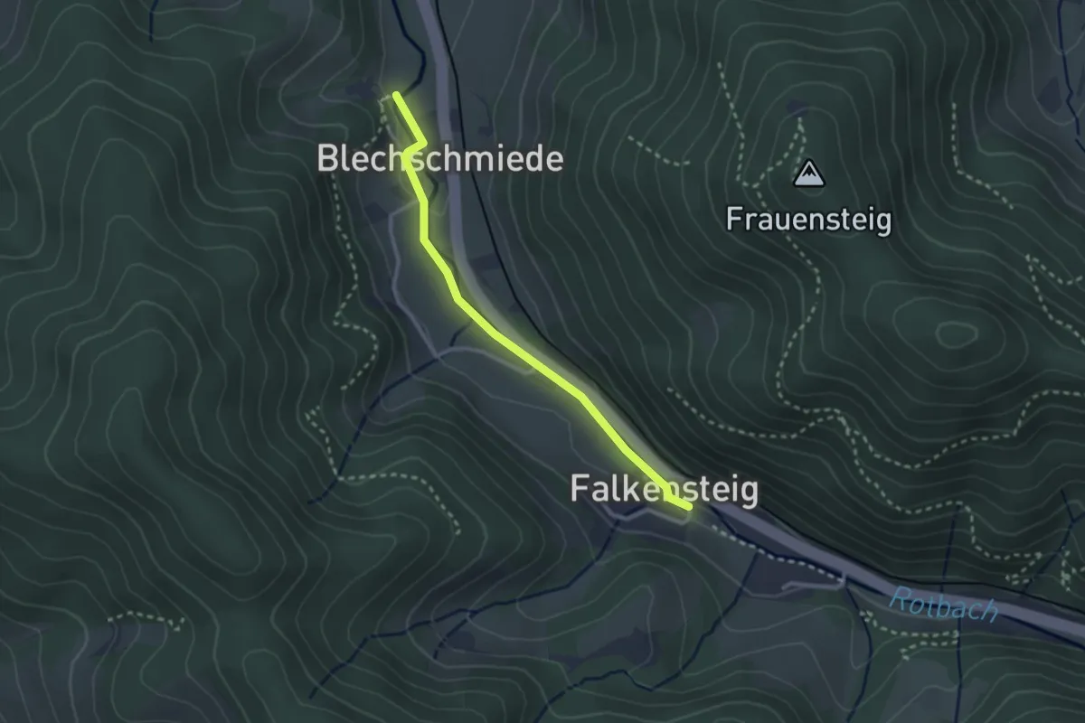
Easy · Trail
Falkensteig Schule - Untere Blechschmiede
2.5 km · ↑ 31 m · 39 min
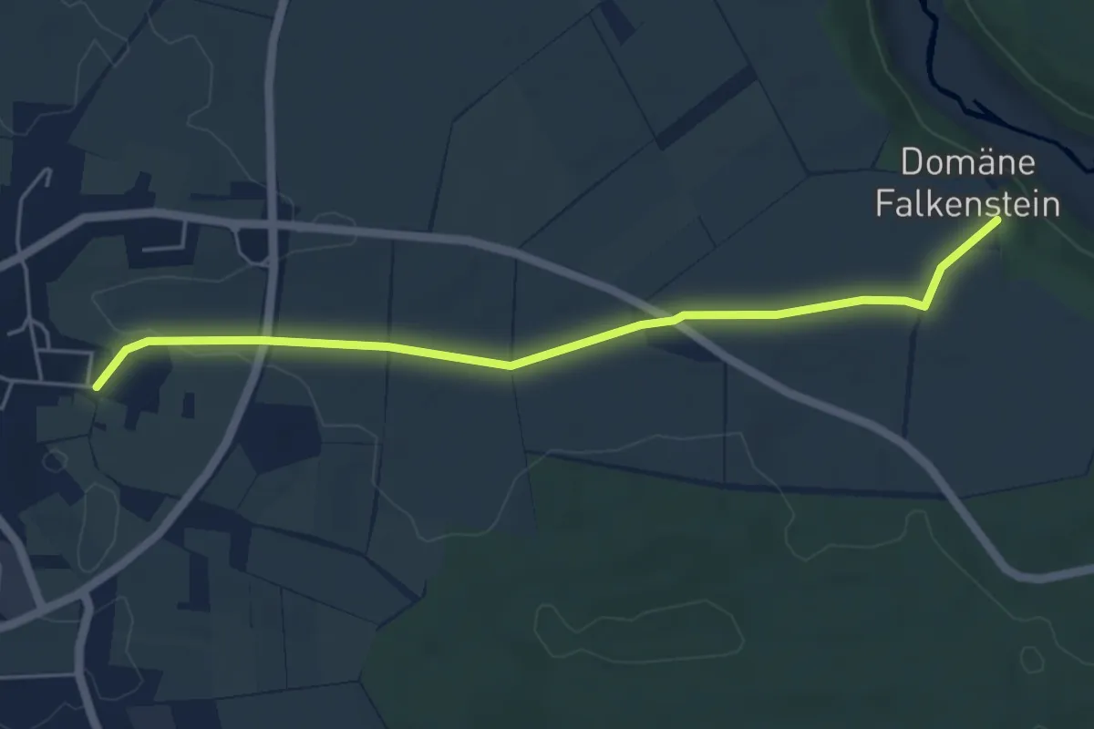
Easy · Trail
Falkenstein - Dettingen
5.0 km · ↑ 30 m · 1 h 14 min
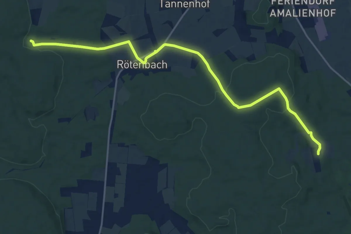
Medium · Trail
Falkenteich - Bibersohl
13.8 km · ↑ 218 m · 3 h 44 min
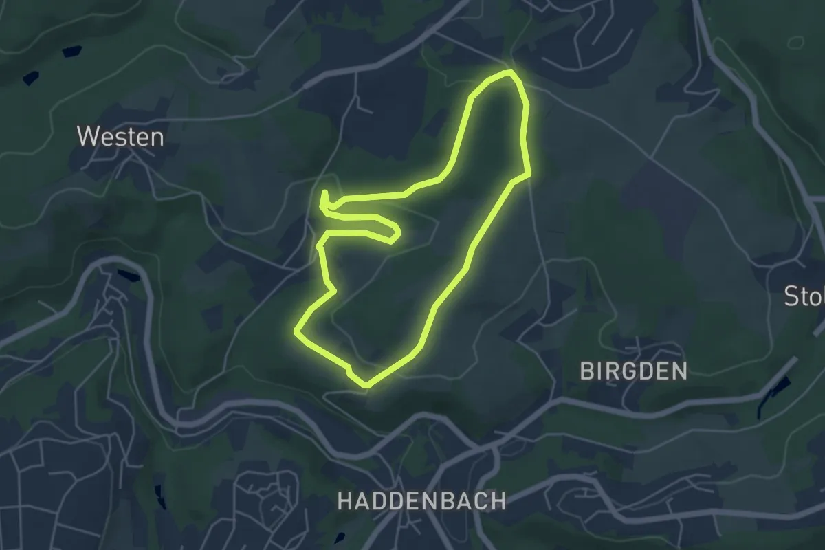
Easy · Trail
Falknerei Rundweg A4
4.1 km · ↑ 94 m · 1 h 14 min
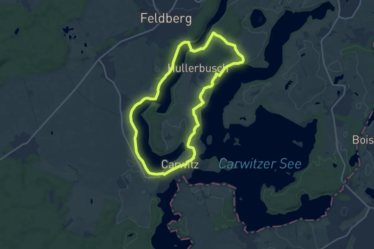
Medium · Summit
Falladas Fridolinwanderung
9.6 km · ↑ 92 m · 2 h 37 min
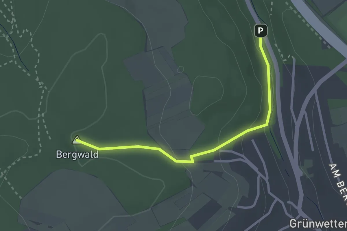
Medium · Summit
Fallbrunnen - Funkturm Wettersbach
2.4 km · ↑ 82 m · 45 min
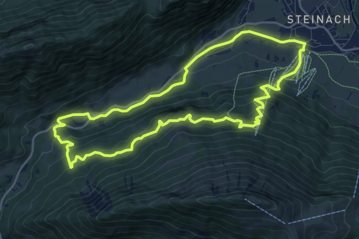
Medium · Trail
Fallmühle-Schwarzwandweg
9.8 km · ↑ 501 m · 3 h 32 min
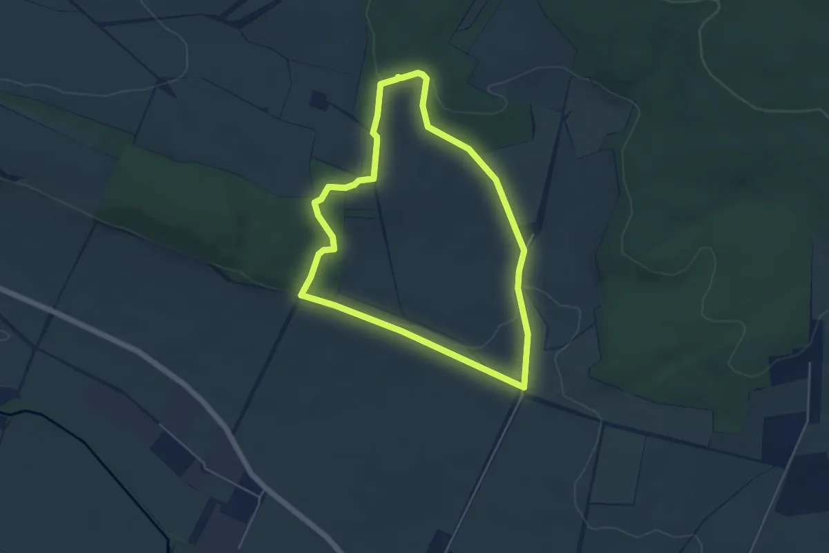
Easy · Trail
Fallsteinklausen-Runde
4.0 km · ↑ 65 m · 1 h 9 min
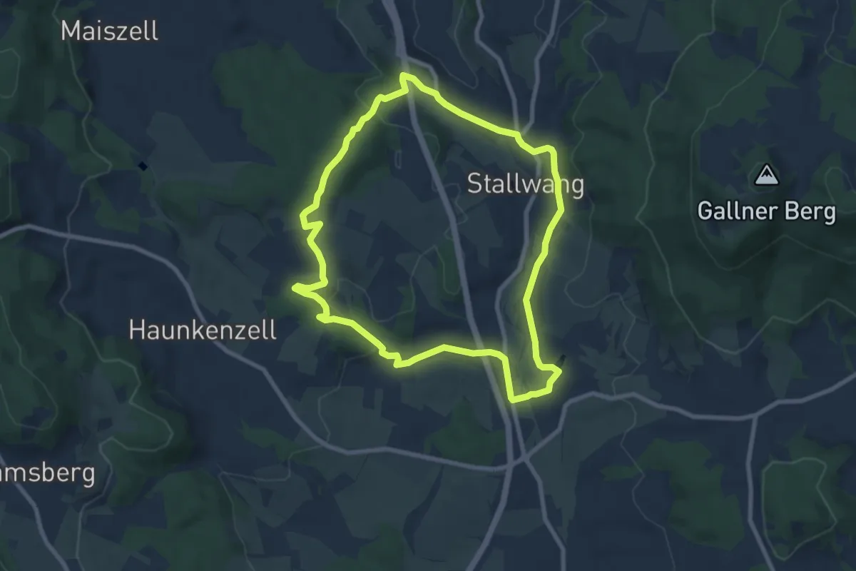
Easy · Trail
Faltl-Edi-Weg
7.2 km · ↑ 182 m · 2 h 12 min
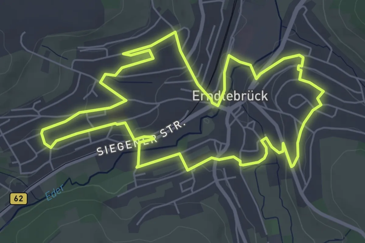
Easy · Trail
Familien-Apfel-Weg
5.7 km · ↑ 104 m · 1 h 39 min
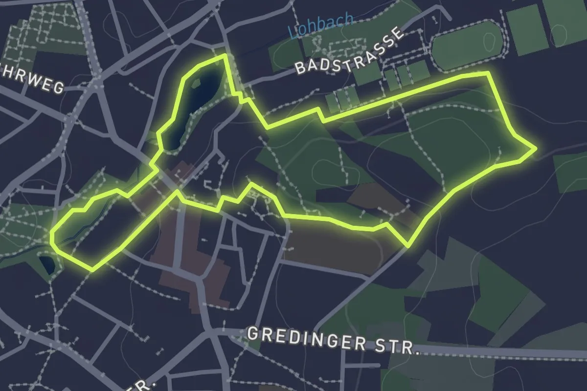
Easy · Trail
Familien-Erlebnispfad
2.8 km · ↑ 36 m · 46 min
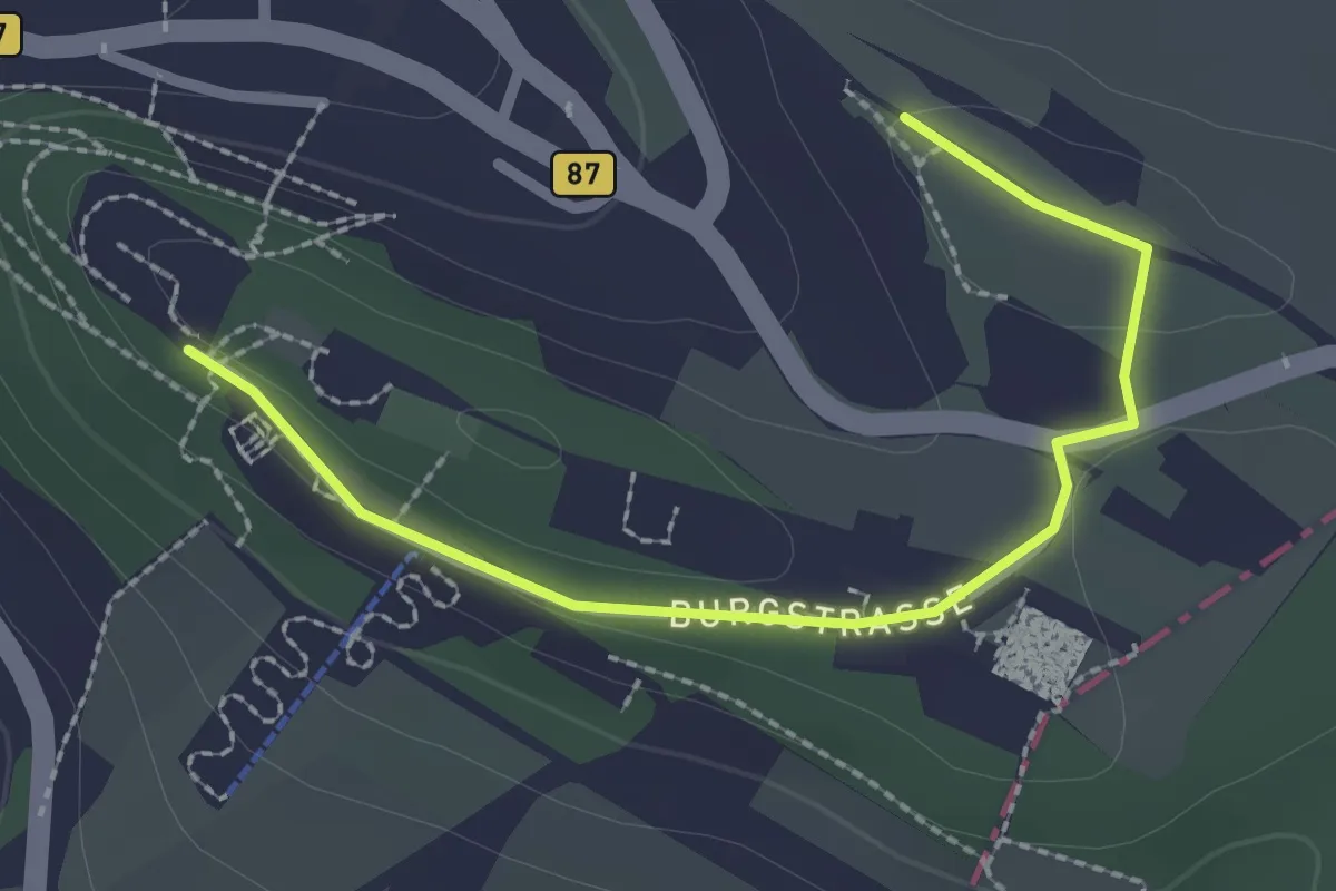
Easy · Trail
Familienerlebnisweg
2.3 km · ↑ 10 m · 34 min
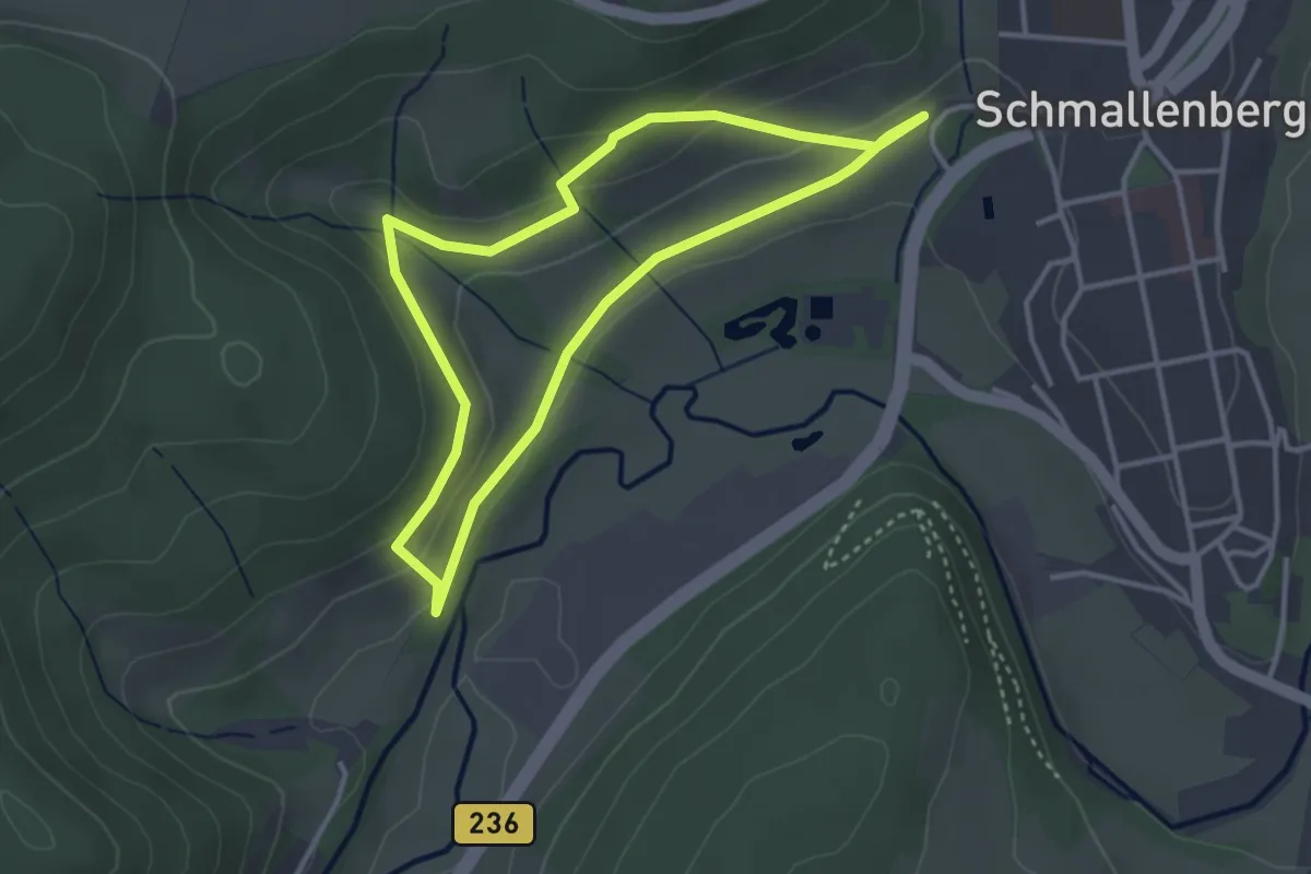
Easy · Trail
Familienerlebnisweg Schmallenberg
2.9 km · ↑ 78 m · 54 min
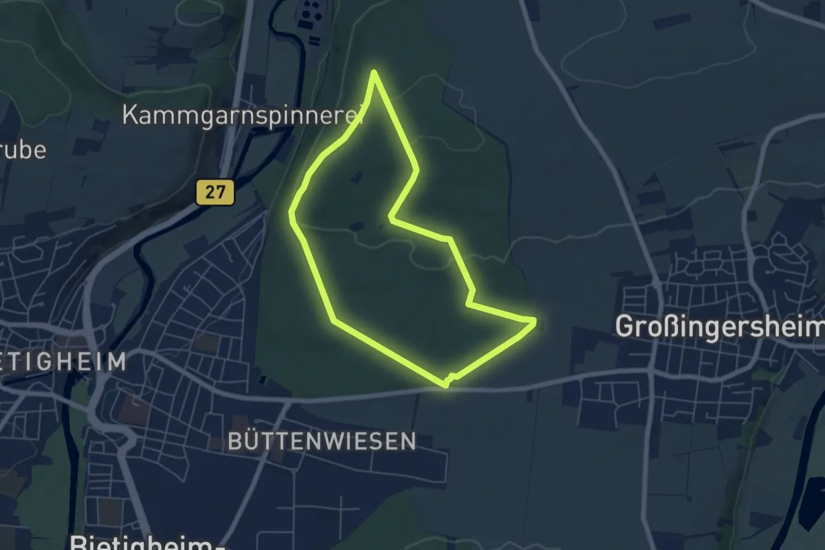
Easy · Trail
Familienmartinusweg im Bietigheimer Forst
5.1 km · ↑ 67 m · 1 h 25 min
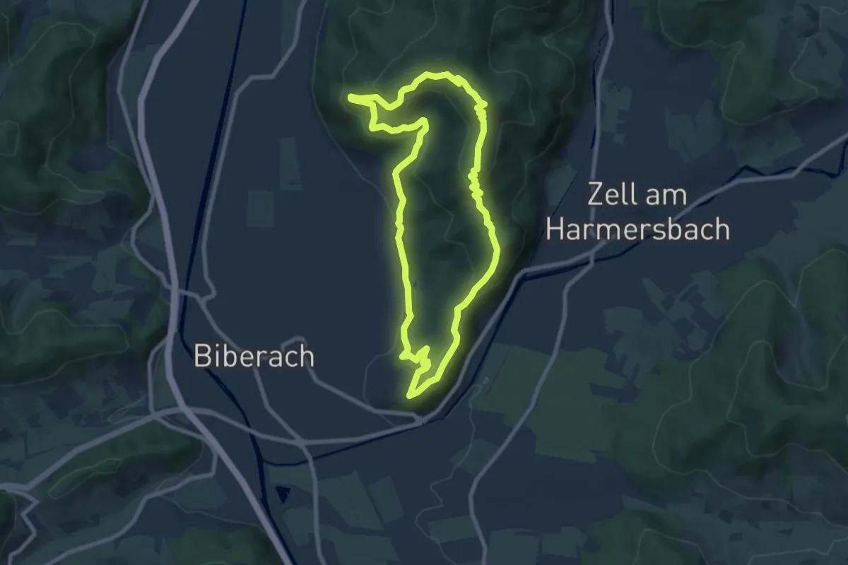
Medium · Summit
Familien-Panoramaweg Biberach
7.2 km · ↑ 362 m · 2 h 35 min
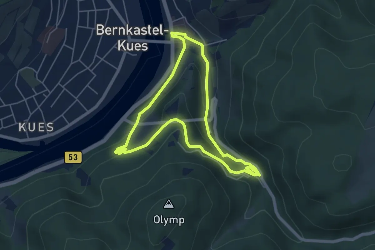
Easy · Trail
Familien-Rundweg
4.0 km · ↑ 168 m · 1 h 22 min
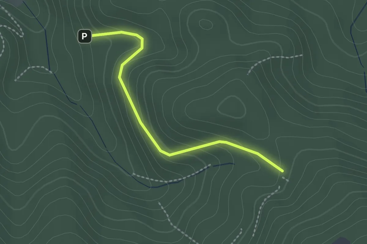
Easy · Trail
Familienwald - Fohrenbühl
2.0 km · ↑ 114 m · 44 min
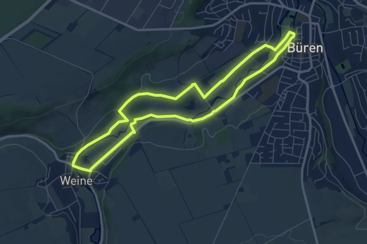
Easy · Trail
Familienwanderung mit Erlebnisfaktor
6.2 km · ↑ 66 m · 1 h 41 min
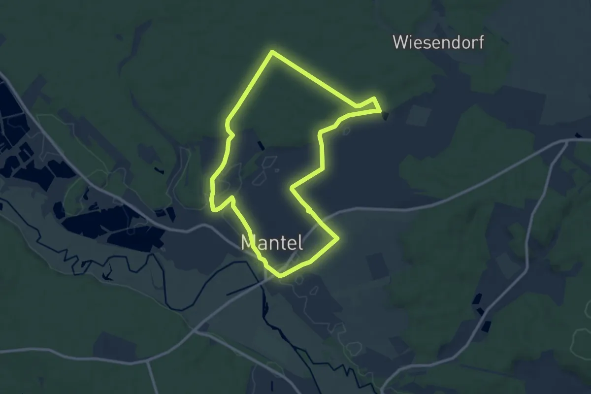
Medium · Trail
Familienwanderweg
8.0 km · ↑ 38 m · 2 h 5 min
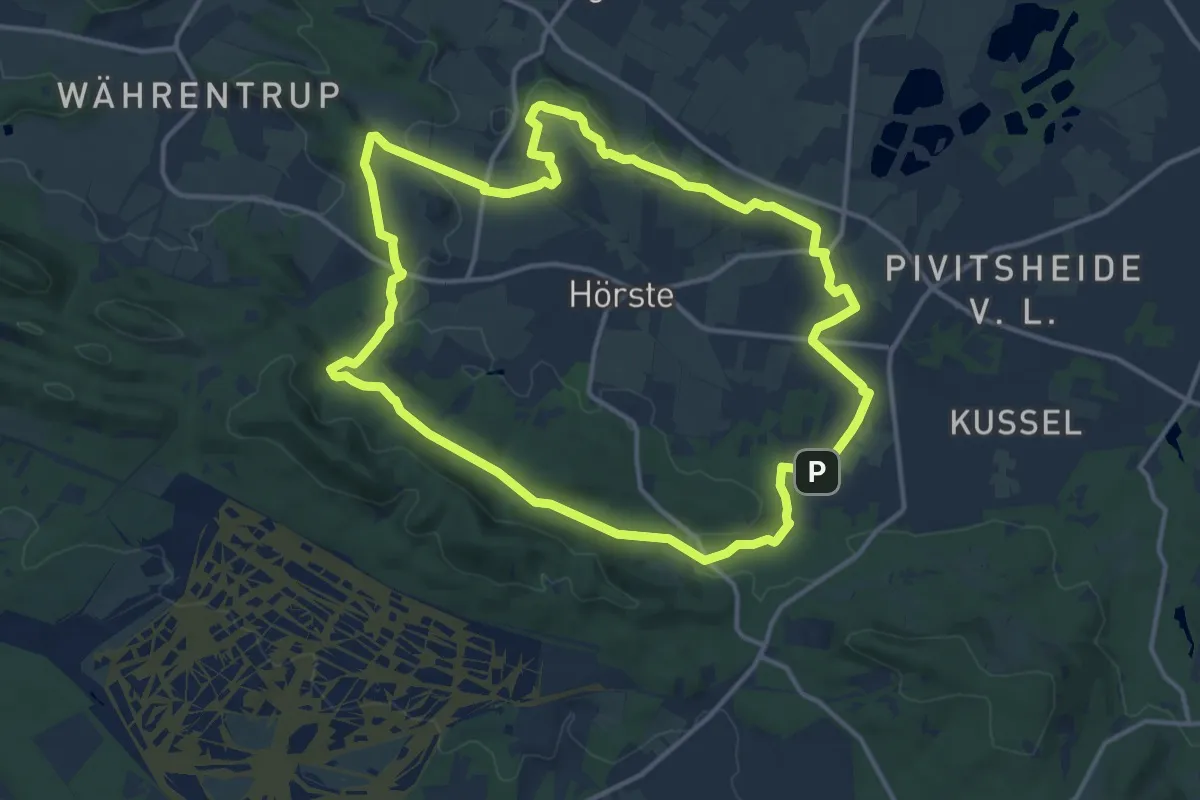
Medium · Summit
Familienwanderweg
12.5 km · ↑ 213 m · 3 h 36 min
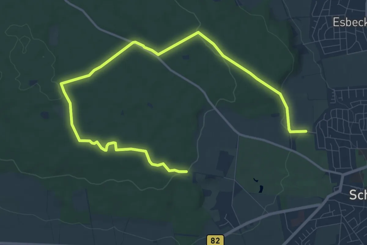
Medium · Trail
Familienwanderweg
12.2 km · ↑ 156 m · 3 h 12 min
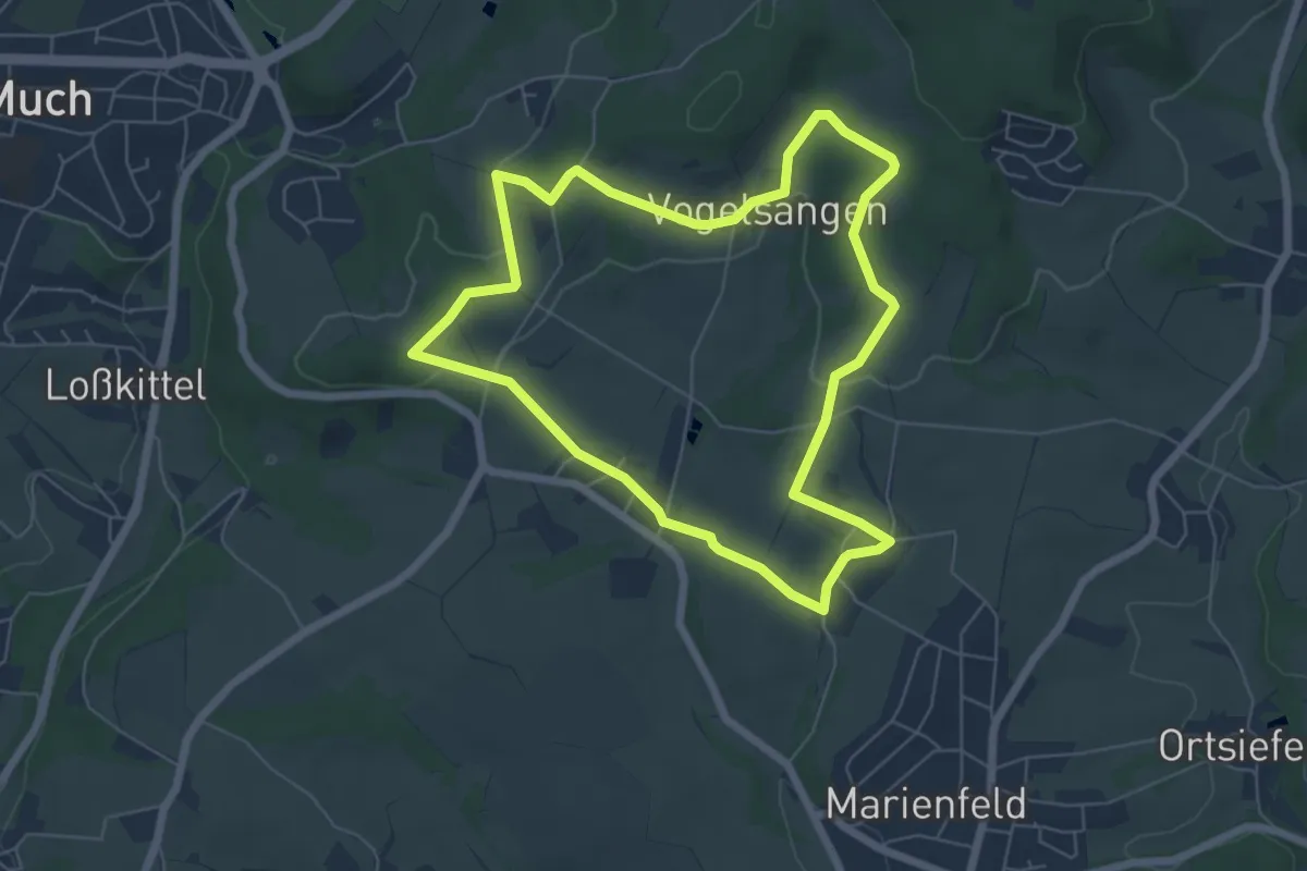
Easy · Trail
Familienwanderweg Much
5.6 km · ↑ 101 m · 1 h 37 min
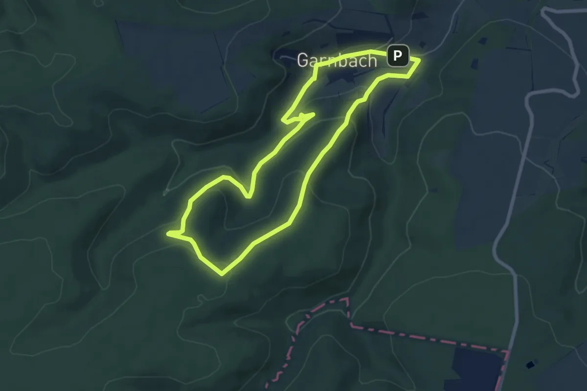
Easy · Summit
Familienwanderweg Rabenswald
5.6 km · ↑ 183 m · 1 h 48 min
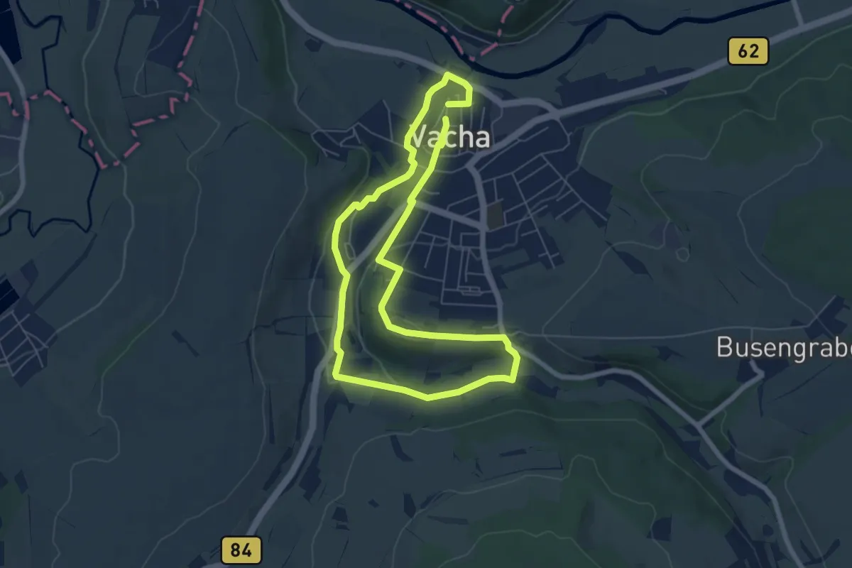
Easy · Trail
Familienwanderweg Vietche im Töfpche
5.4 km · ↑ 75 m · 1 h 31 min
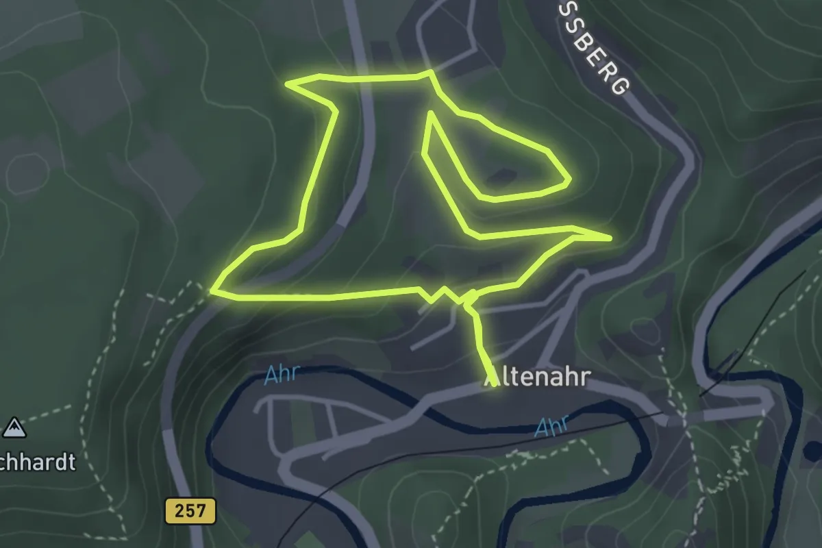
Easy · Trail
Familienweg
3.1 km · ↑ 123 m · 1 h 3 min
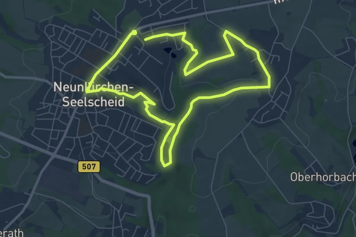
Easy · Trail
Familienweg
5.8 km · ↑ 63 m · 1 h 35 min
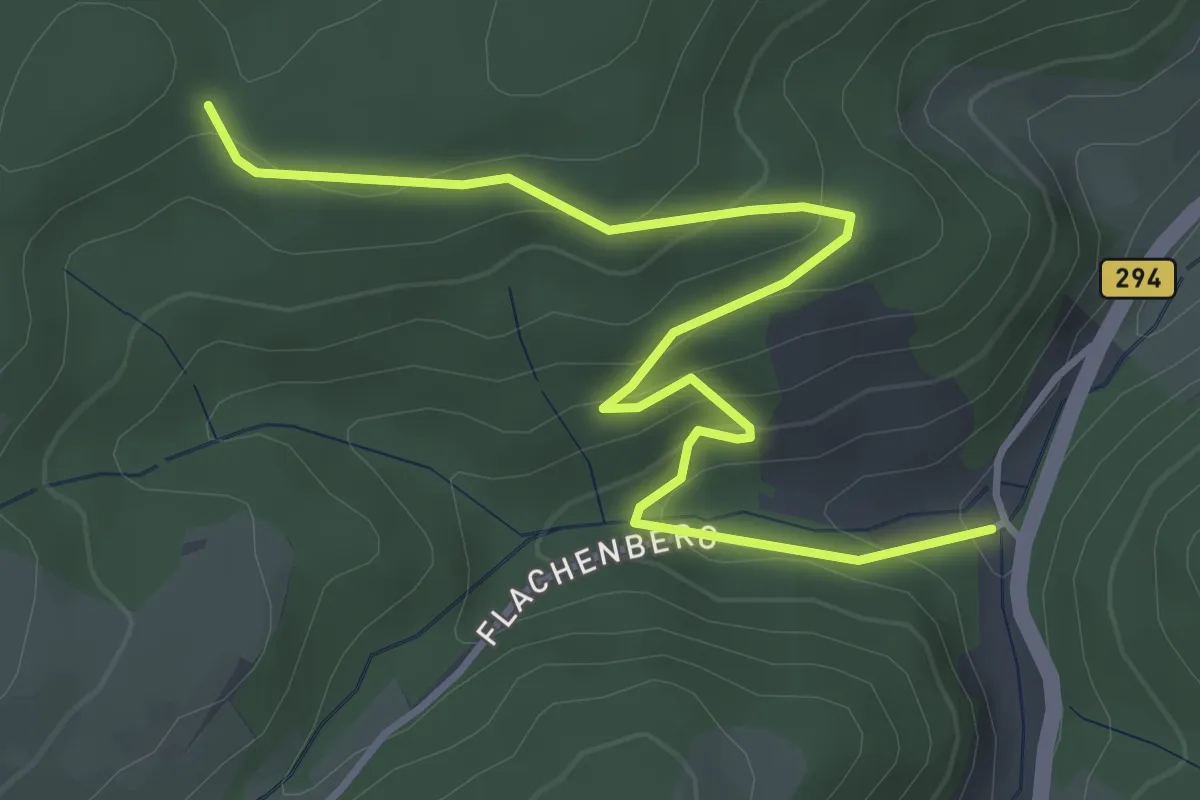
Easy · Trail
Fannis Kaiserhof - Schmidbure Eck
4.4 km · ↑ 221 m · 1 h 31 min
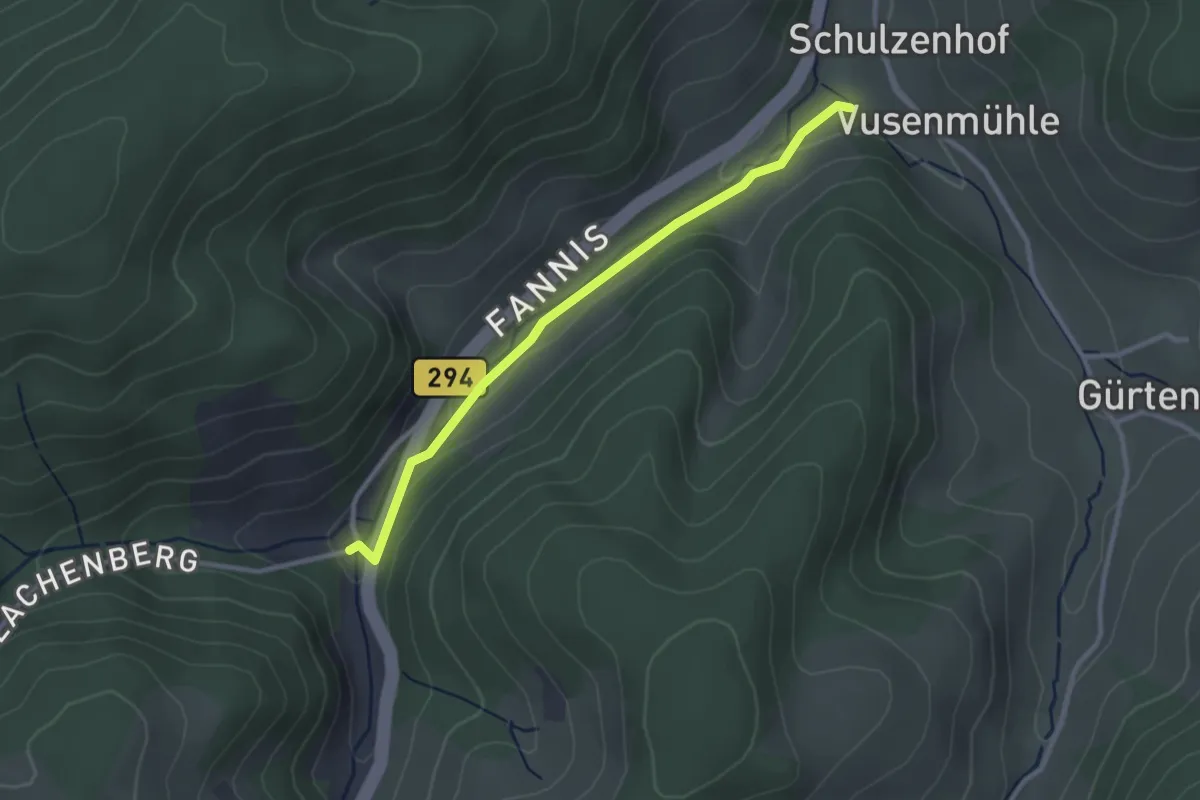
Easy · Trail
Fannis Kaiserhof - Stein
2.7 km · ↑ 81 m · 48 min
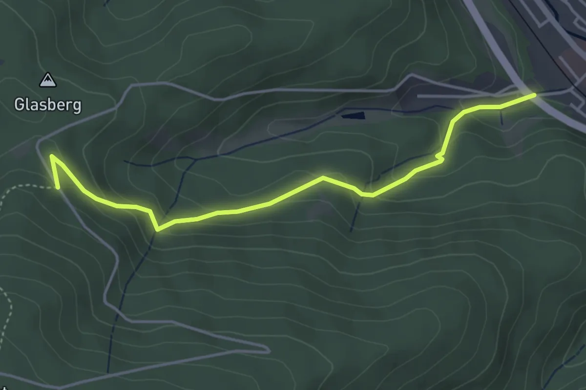
Easy · Trail
Färbe - Saiger Kreuz Turmweg
4.1 km · ↑ 239 m · 1 h 30 min
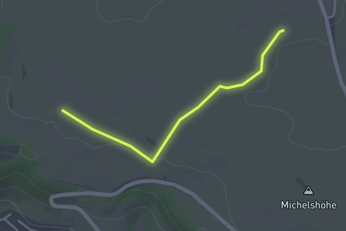
Easy · Trail
Farnäcker - Klingeläcker
2.8 km · ↑ 17 m · 42 min
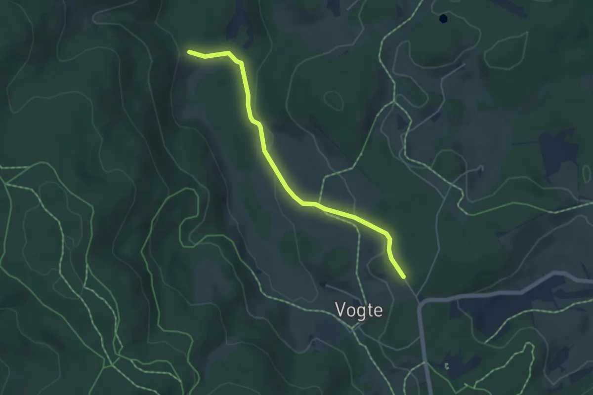
Easy · Trail
Farnberg - Korallenhäusle
4.2 km · ↑ 100 m · 1 h 13 min
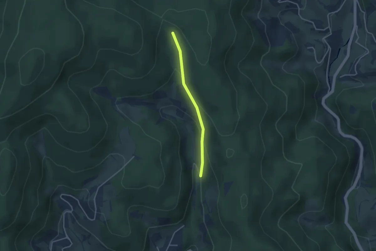
Easy · Trail
Farnbühl - Hintermatt
2.4 km · ↑ 129 m · 51 min
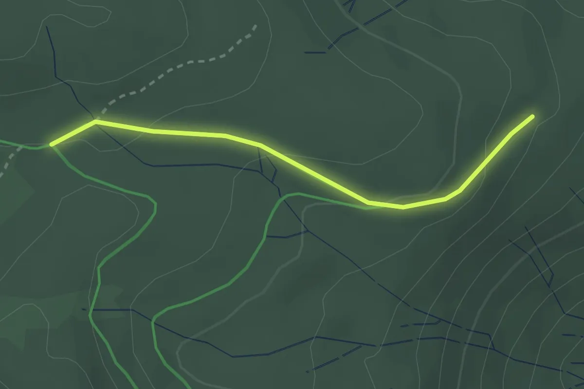
Easy · Trail
Farnwitte - Holzmatt
2.4 km · ↑ 79 m · 44 min
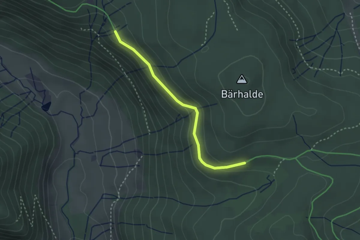
Easy · Trail
Farnwitte West - Hochkopfweg
2.6 km · ↑ 111 m · 52 min
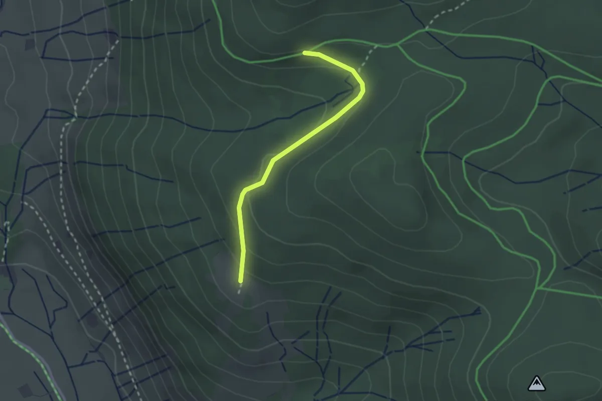
Easy · Trail
Farnwitte West - Köpfle
2.2 km · ↑ 89 m · 43 min
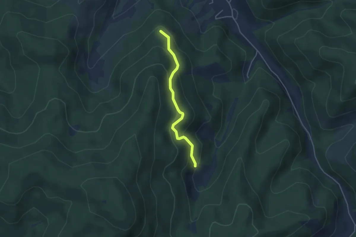
Easy · Trail
Farrenhalde - Beim Forsthaus
2.9 km · ↑ 232 m · 1 h 12 min