Trails in Germany
36,852 hiking trails, each with its route, climb, walking time and grade.
All trails, page 148 of 768
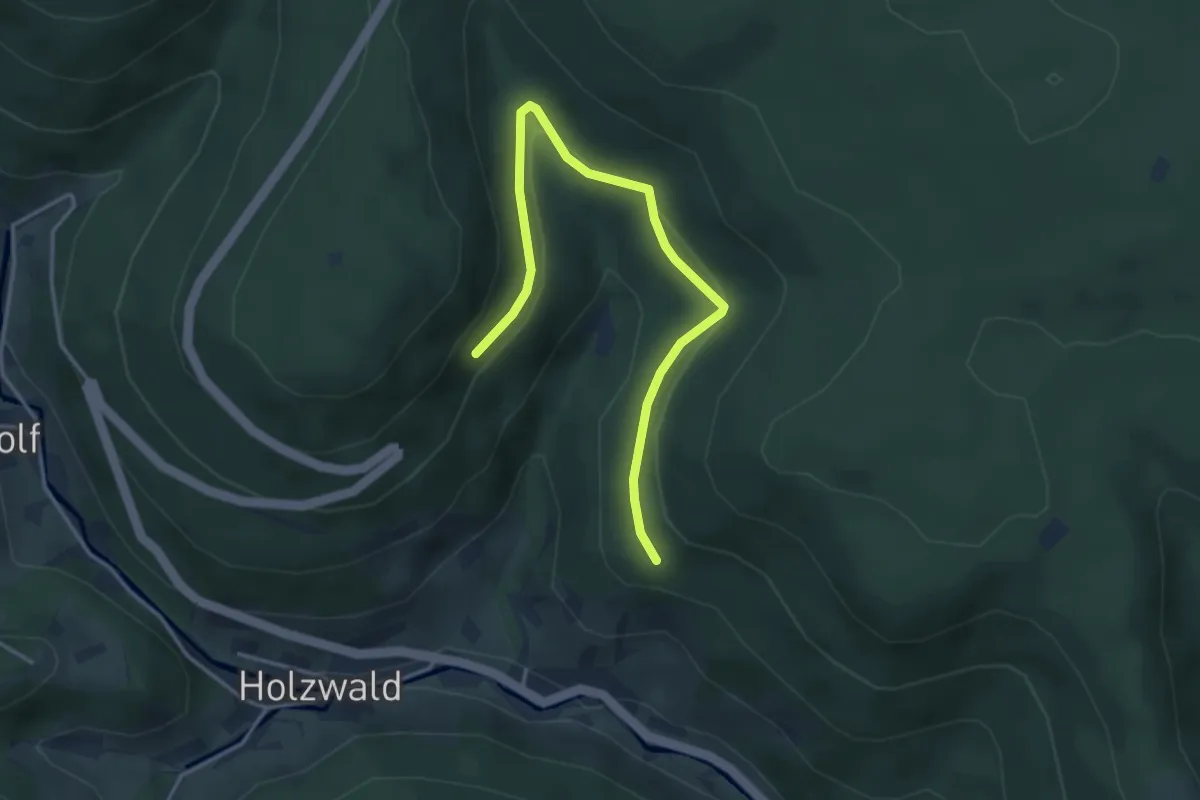
Easy · Trail
Farrenhalde - Hochbehälter Holzwald
3.8 km · ↑ 161 m · 1 h 15 min
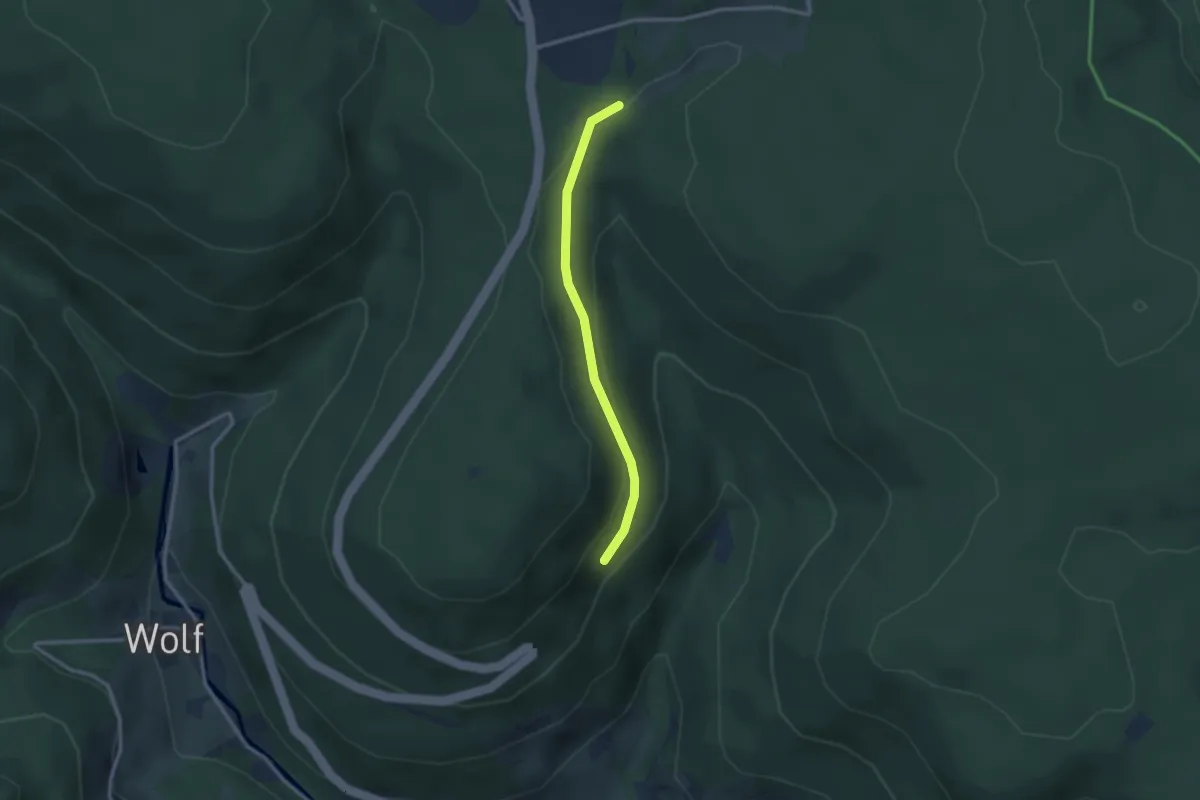
Easy · Trail
Farrenhalde - Rimbach Kläranlage
2.4 km · ↑ 101 m · 47 min
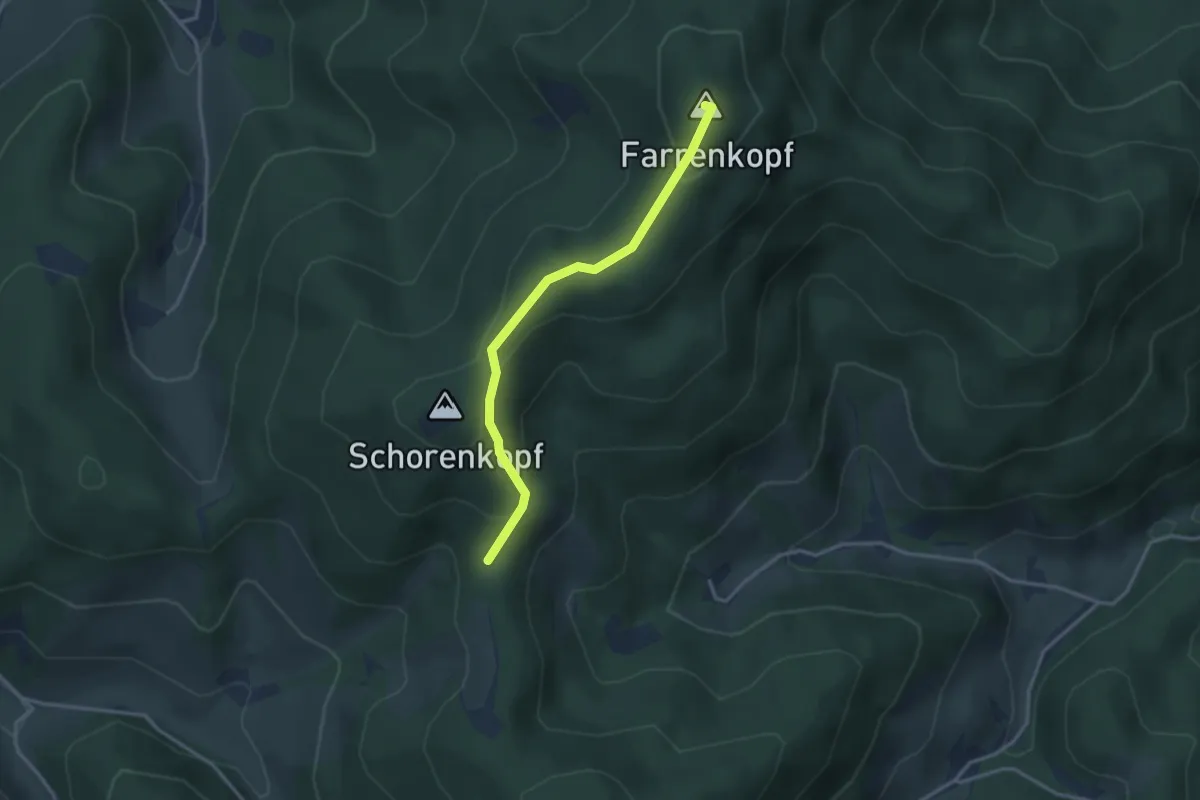
Easy · Summit
Farrenkopf - Am Schorenkopf
2.9 km · ↑ 146 m · 1 h
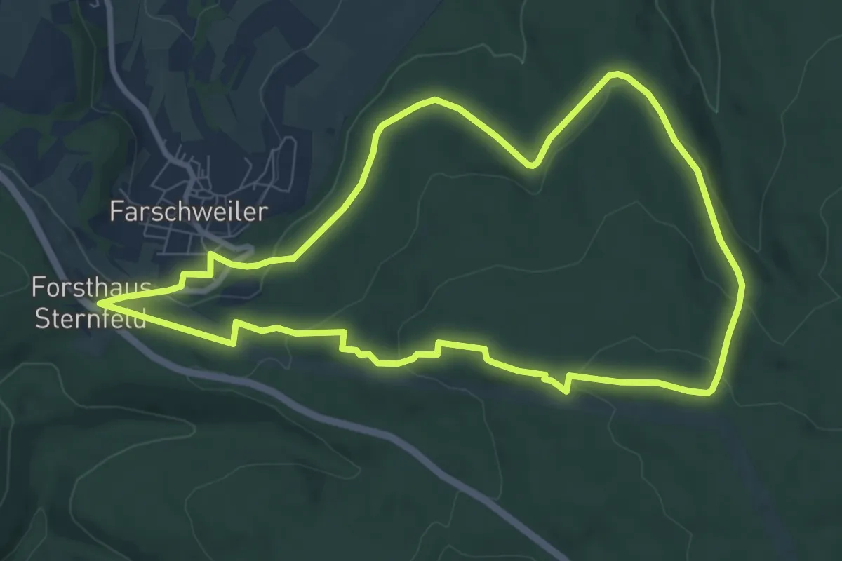
Easy · Trail
Farschweiler 1
7.7 km · ↑ 205 m · 2 h 22 min
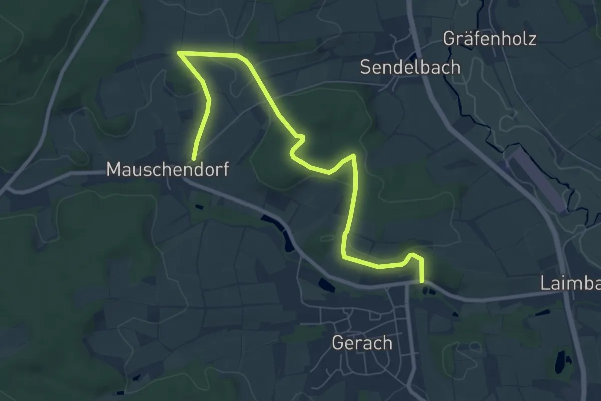
Easy · Trail
Fasanen-Wanderweg Gerach
7.6 km · ↑ 86 m · 1 h 58 min
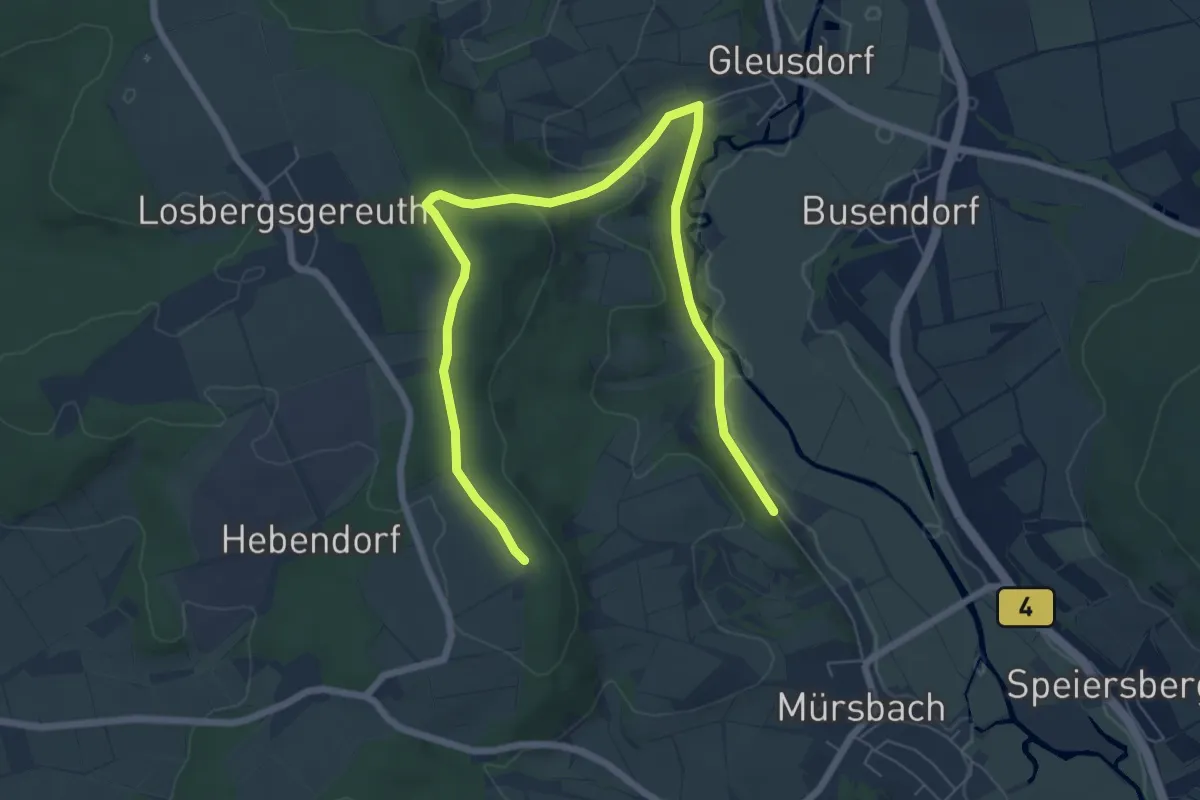
Medium · Trail
Fasan-Wanderweg Mürsbach
8.4 km · ↑ 193 m · 2 h 24 min
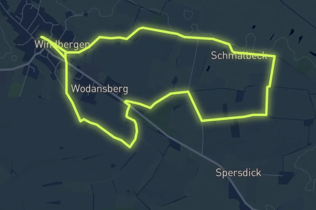
Medium · Trail
Fasanweg
8.1 km · ↑ 30 m · 2 h 5 min
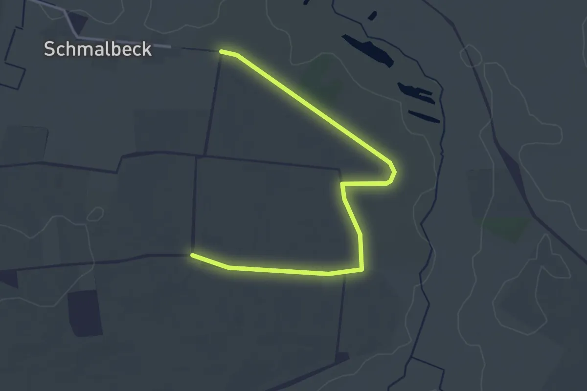
Easy · Trail
Fasanweg,Moorrunde
3.4 km · ↑ 9 m · 50 min
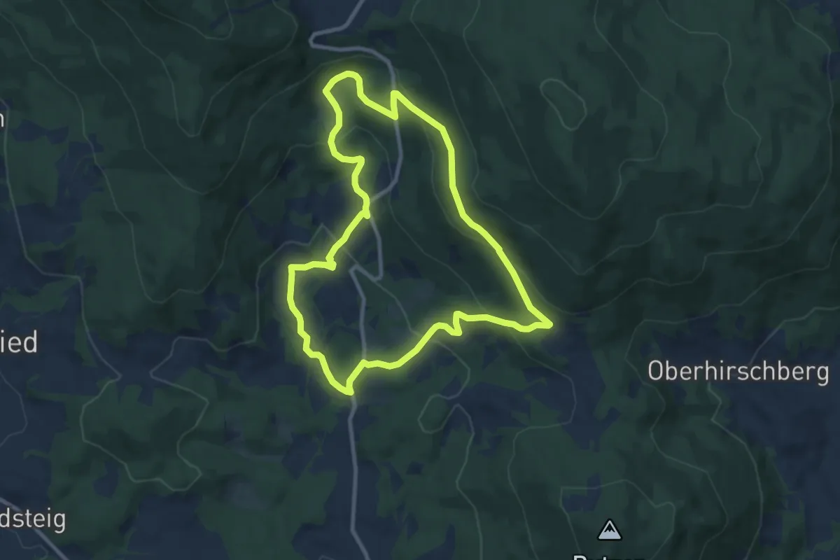
Medium · Trail
Faßlehenweg
8.2 km · ↑ 345 m · 2 h 48 min
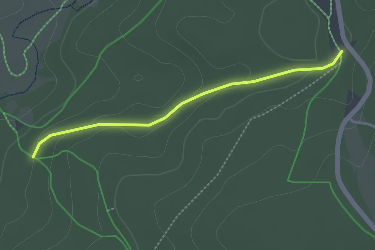
Easy · Trail
Faulenfürster Eck - Mühlenweg Spannerhausweg
2.2 km · ↑ 38 m · 37 min
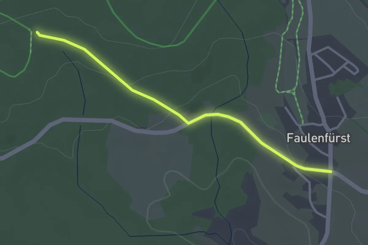
Easy · Trail
Faulenfürst - Fohrenbühl
2.8 km · ↑ 65 m · 48 min
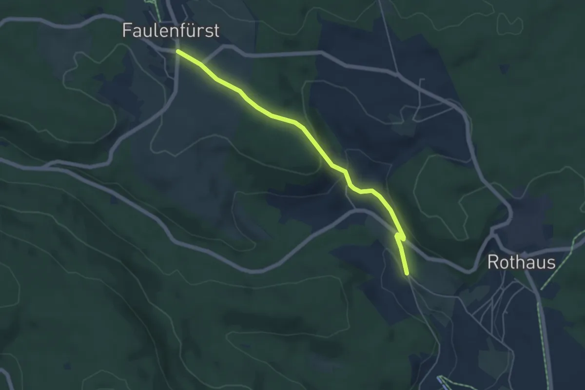
Easy · Trail
Faulenfürst - Speckhüsli
4.6 km · ↑ 143 m · 1 h 24 min
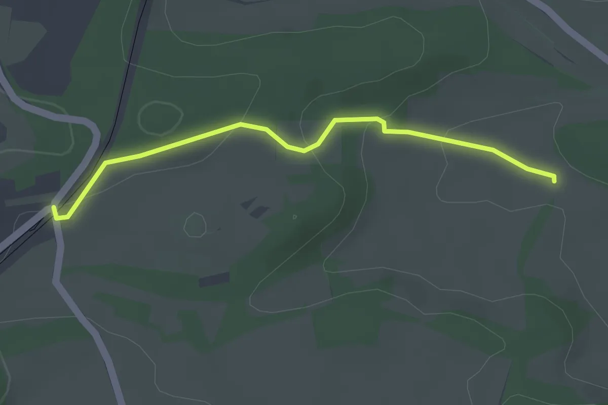
Easy · Trail
Faulstätt - Bahnhof Altheim-Rexingen
2.8 km · ↑ 76 m · 50 min
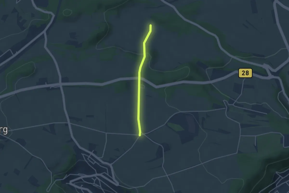
Easy · Trail
Faulstätt - Stallberg
2.6 km · ↑ 76 m · 46 min
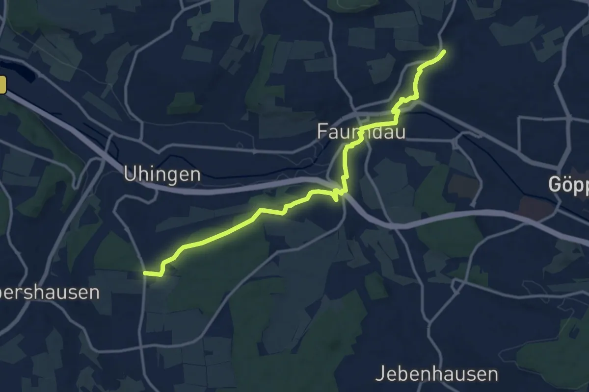
Medium · Trail
Faurndau - Schloss Filseck - Charlottenseeblaue Raute
11.0 km · ↑ 138 m · 2 h 54 min
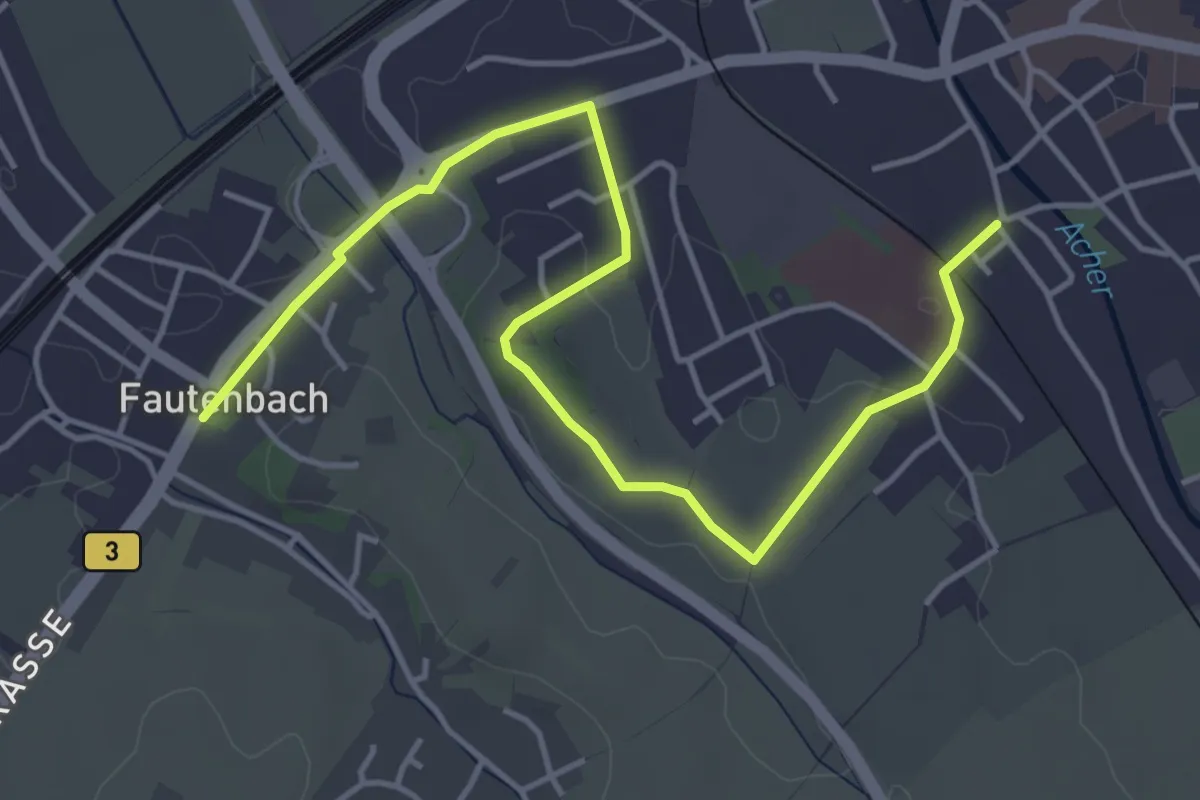
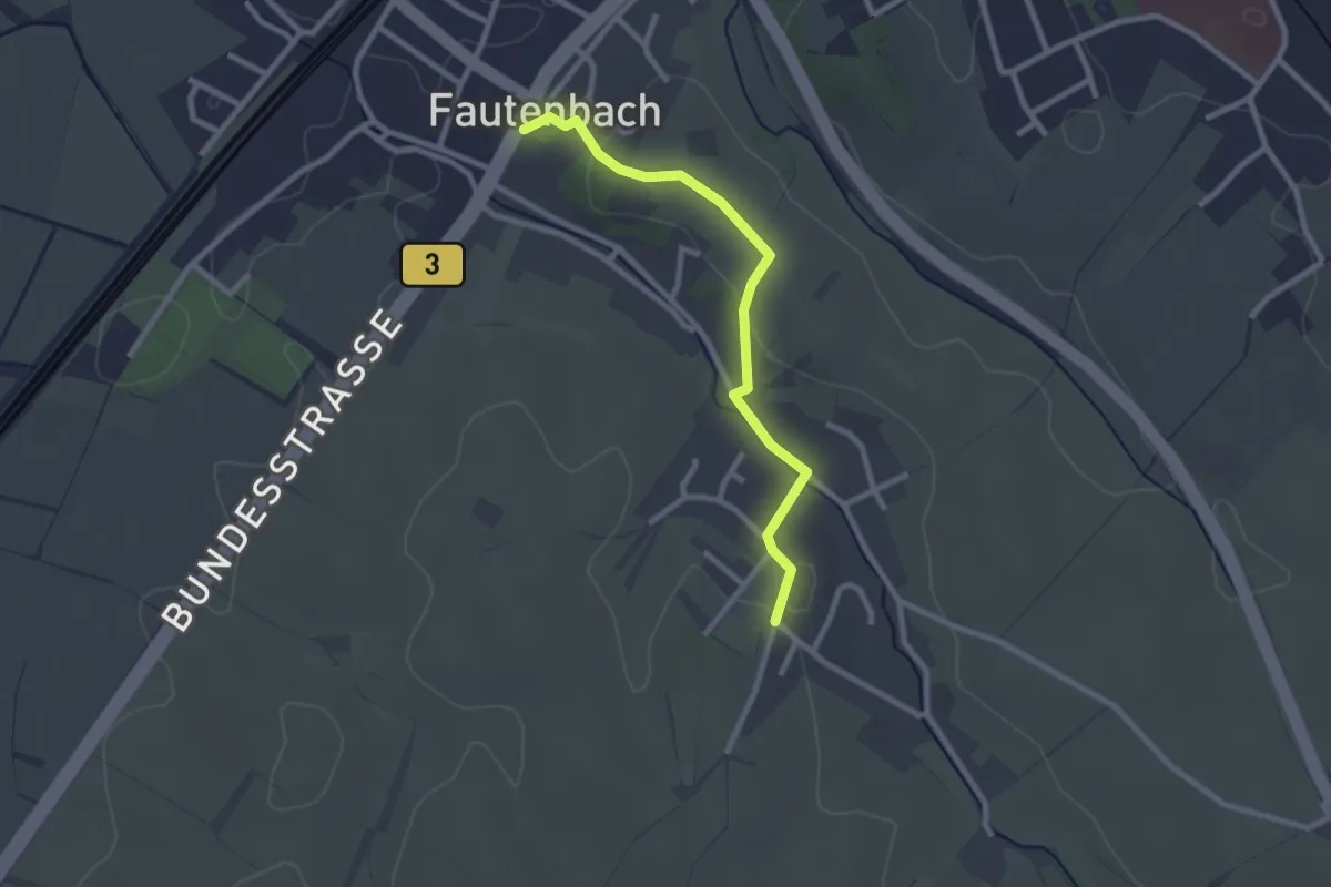
Easy · Trail
Fautenbach Rathaus - Achern Krankenhaus
5.2 km · ↑ 47 m · 1 h 20 min
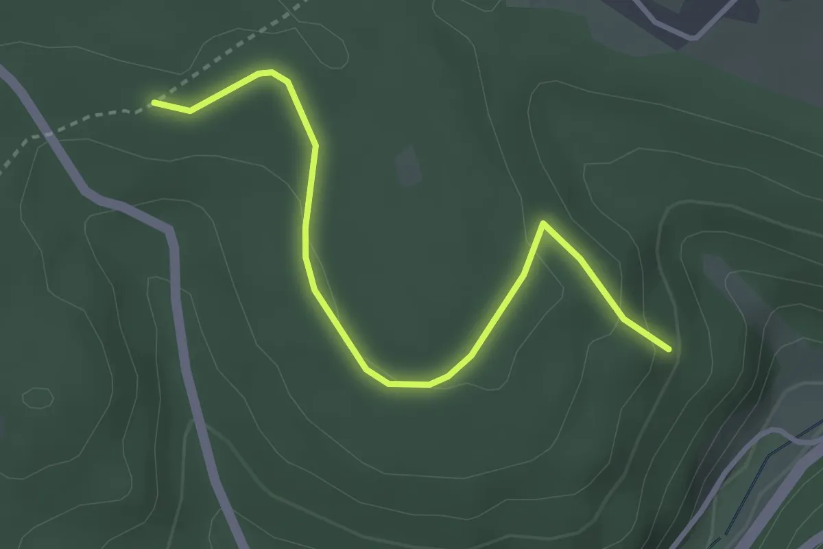
Easy · Trail
Fautenbach Rathaus - Fautenbach Alte Kirche
2.4 km · ↑ 45 m · 39 min
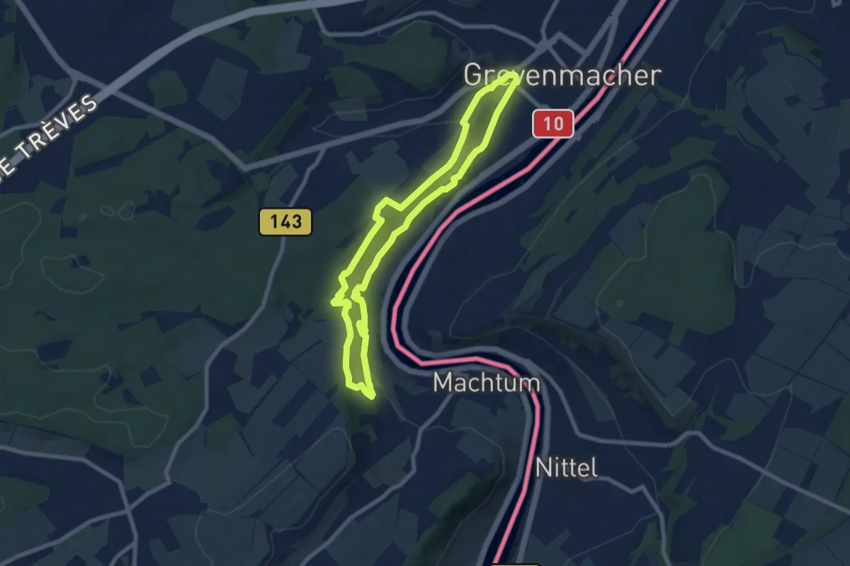
Easy · Trail
Fautsburg - Schulweg
3.2 km · ↑ 103 m · 59 min
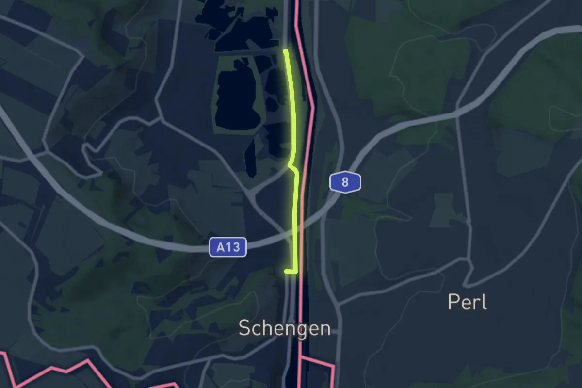
Easy · Trail
FB Grevenmacher I
6.5 km · ↑ 200 m · 2 h 4 min
Easy · Trail
FB Remerschen
4.0 km · ↑ 5 m · 58 min
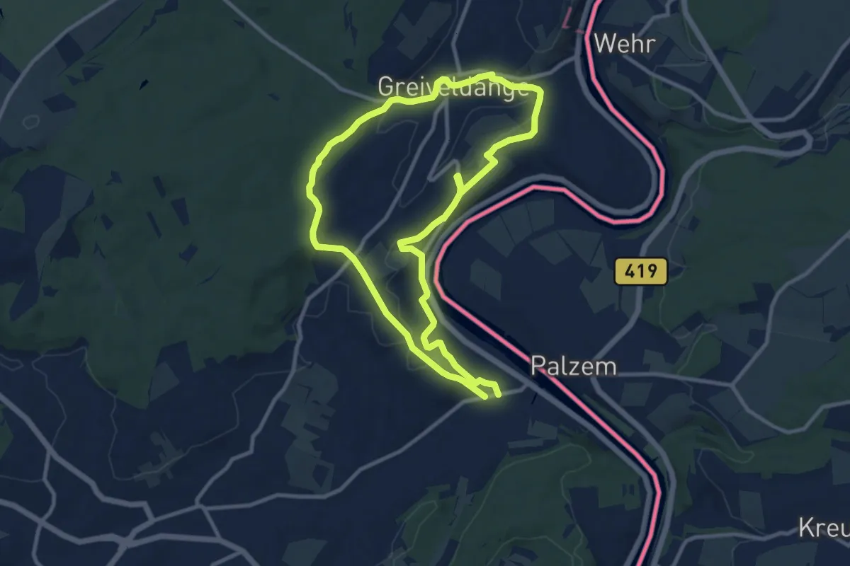
Medium · Trail
FB Stadtbredimus
8.8 km · ↑ 204 m · 2 h 39 min
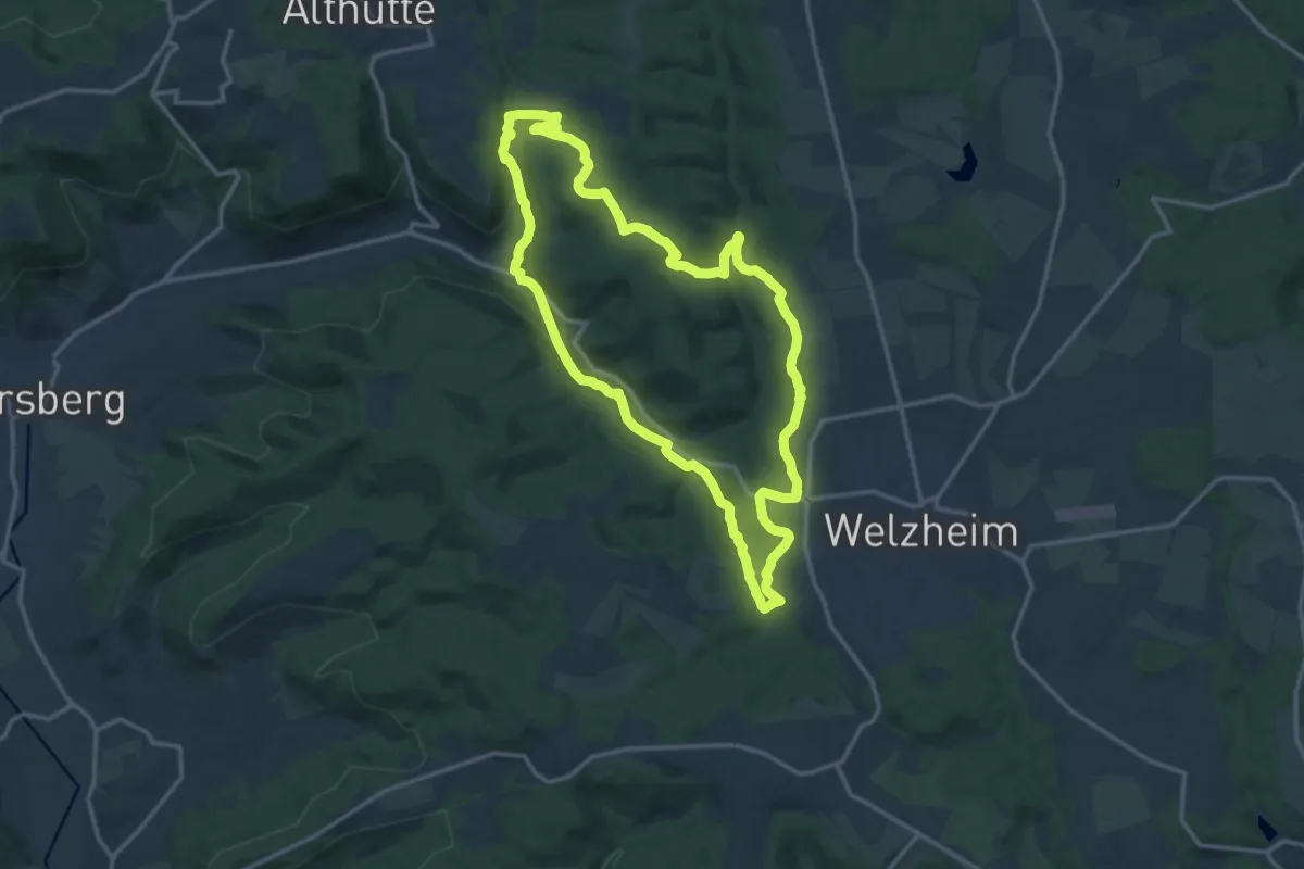
Demanding · Summit
FeenSpuren Drei Schluchten
13.3 km · ↑ 358 m · 4 h 6 min
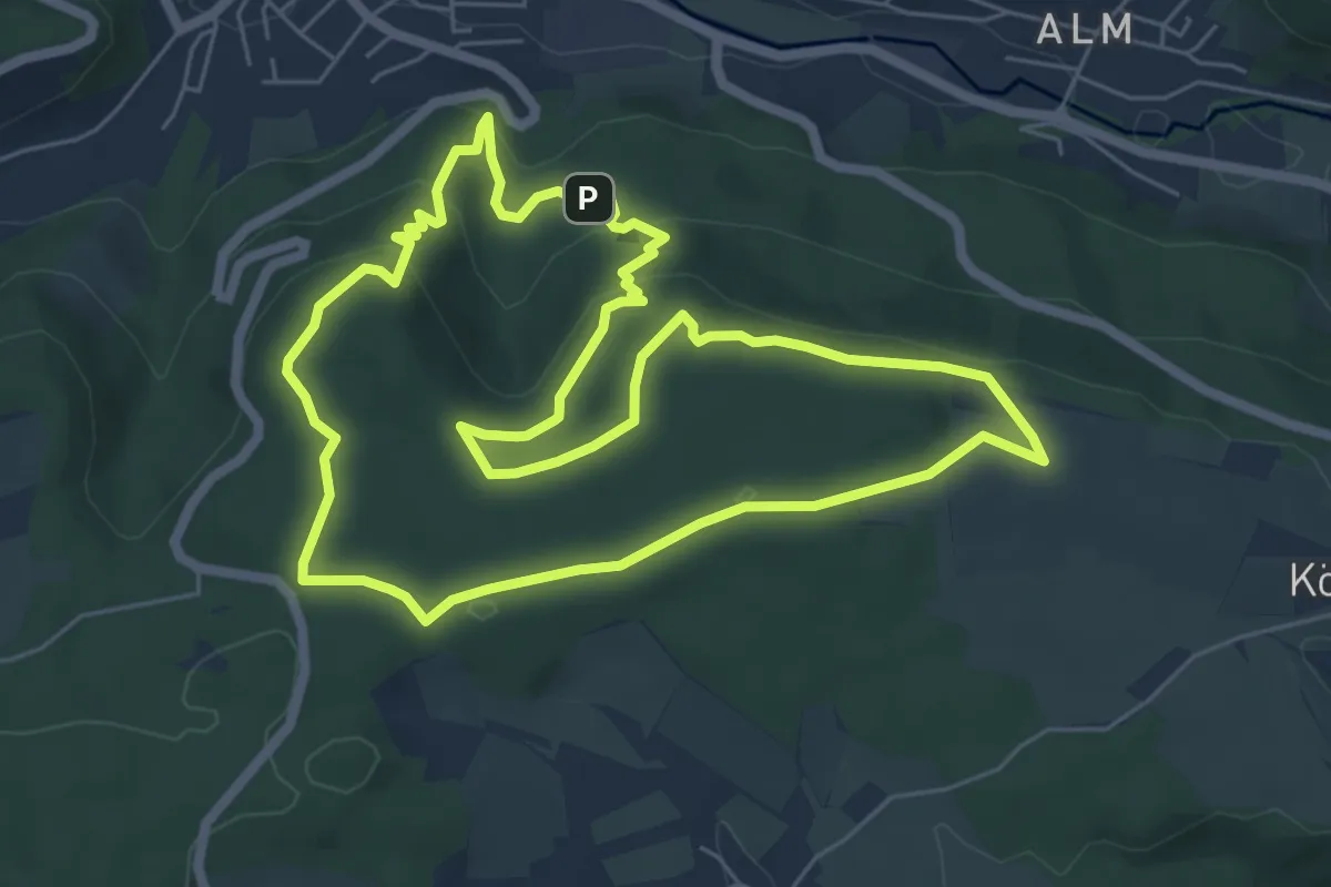
Medium · Trail
FeenSpuren Felsenmeer
6.3 km · ↑ 195 m · 1 h 59 min
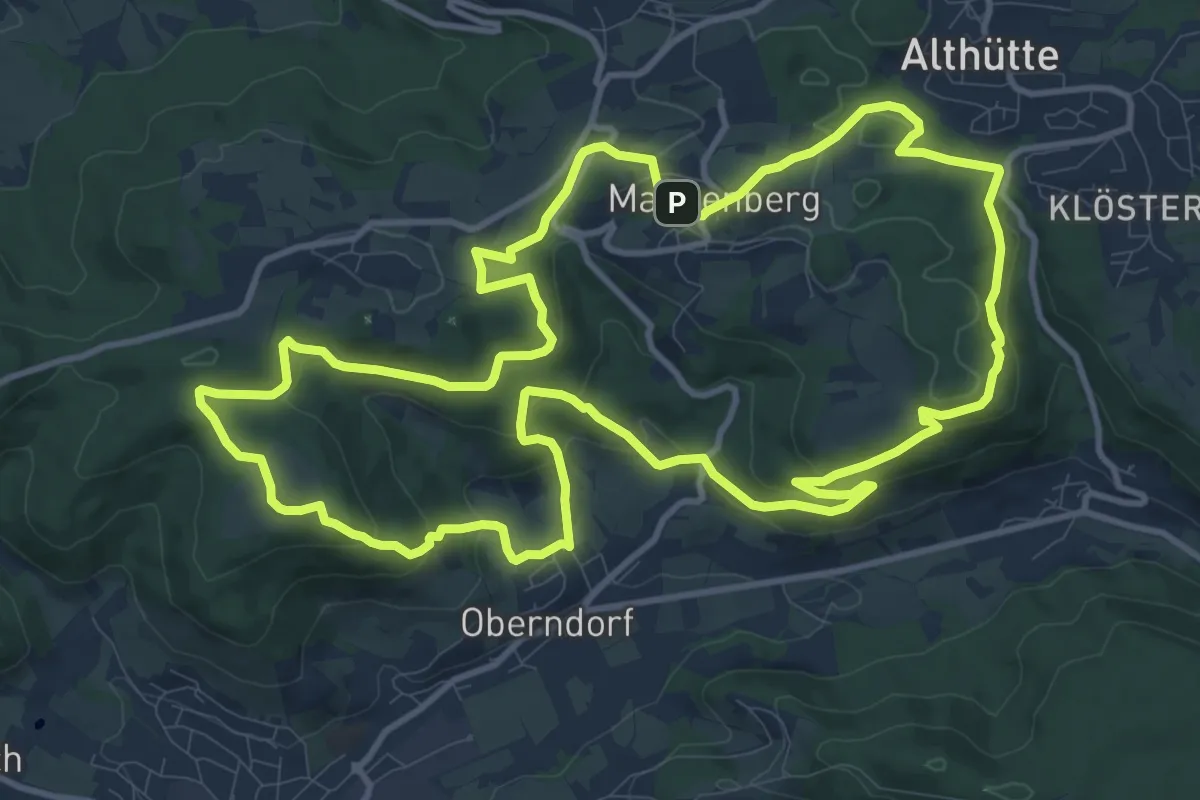
Medium · Summit
FeenSpuren Höhenzauber
12.5 km · ↑ 429 m · 4 h 3 min
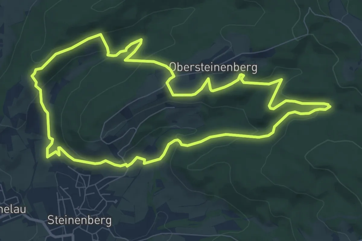
Medium · Trail
Feenspuren Landschaftszauber
8.4 km · ↑ 249 m · 2 h 39 min
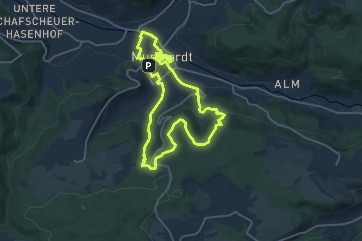
Medium · Trail
FeenSpuren Murrhardter Feenpfad
8.0 km · ↑ 227 m · 2 h 30 min
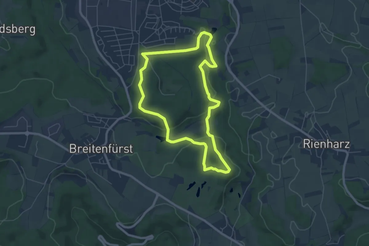
Easy · Trail
FeenSpuren Römerwald
5.6 km · ↑ 156 m · 1 h 44 min
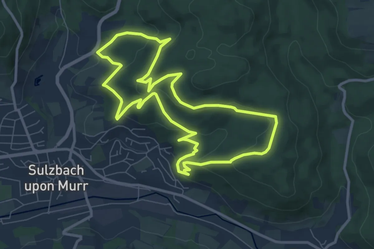
Easy · Trail
FeenSpuren Sagenhafter Femelwald
6.9 km · ↑ 298 m · 2 h 23 min
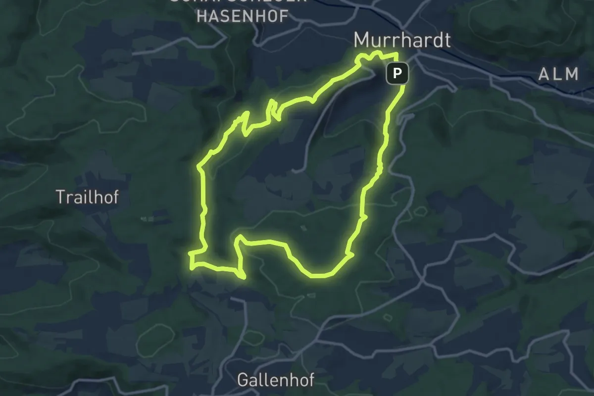
Medium · Trail
FeenSpuren Waldklingen
10.8 km · ↑ 379 m · 3 h 31 min
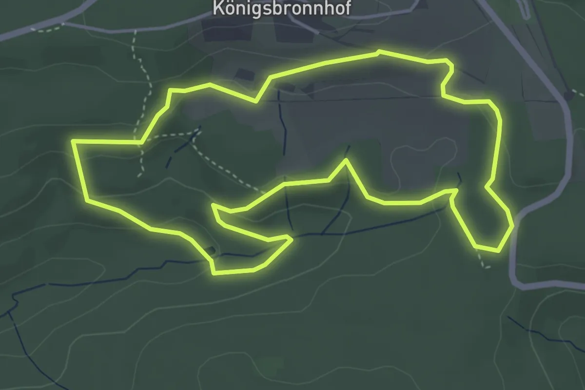
Easy · Trail
FeenSpuren Waldzauber
4.2 km · ↑ 115 m · 1 h 18 min
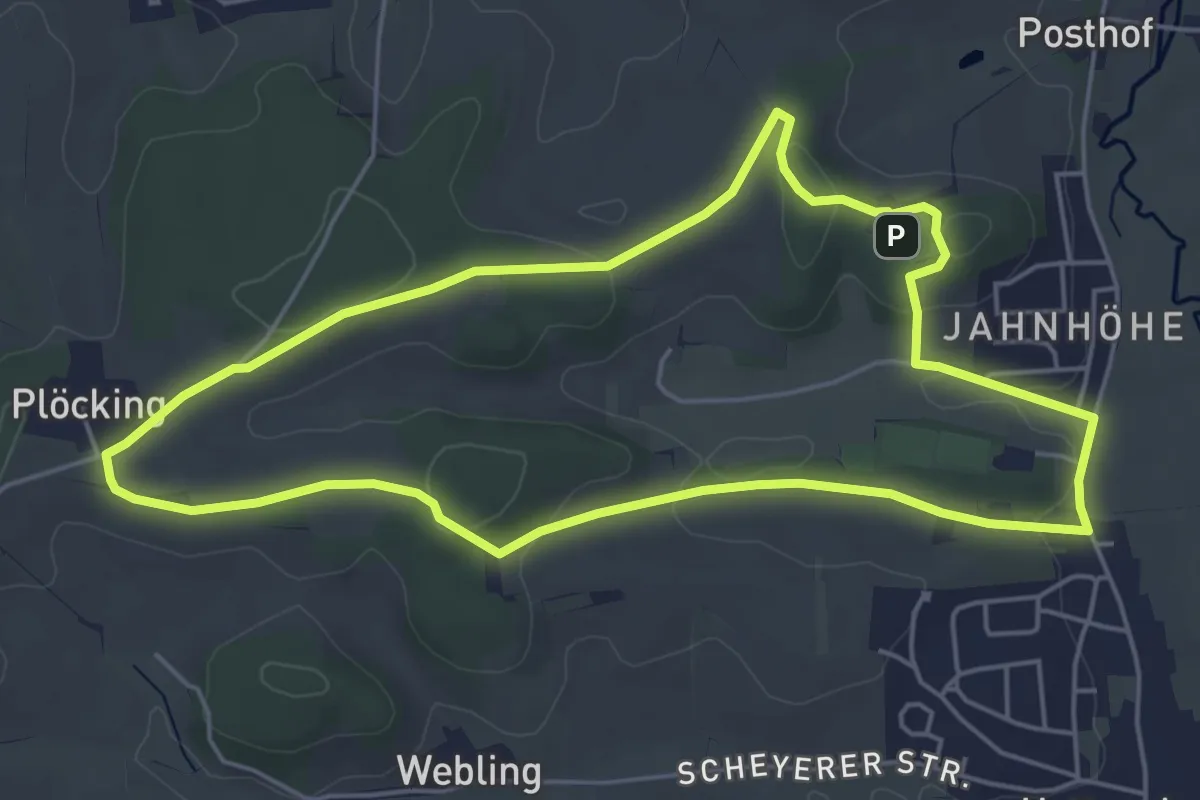
Easy · Trail
Feierabend-Runde
5.1 km · ↑ 80 m · 1 h 27 min
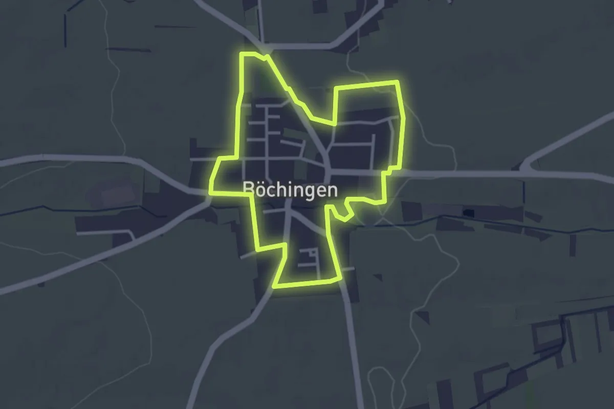
Easy · Trail
Feierabendweg Böchingen
2.9 km · ↑ 9 m · 45 min
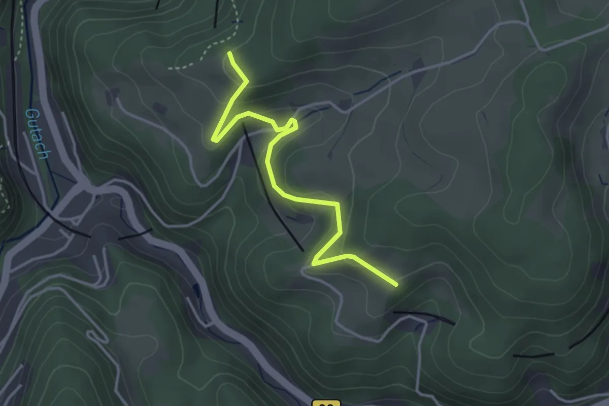
Easy · Trail
Feißesberg - Gibbesbach
3.4 km · ↑ 192 m · 1 h 14 min
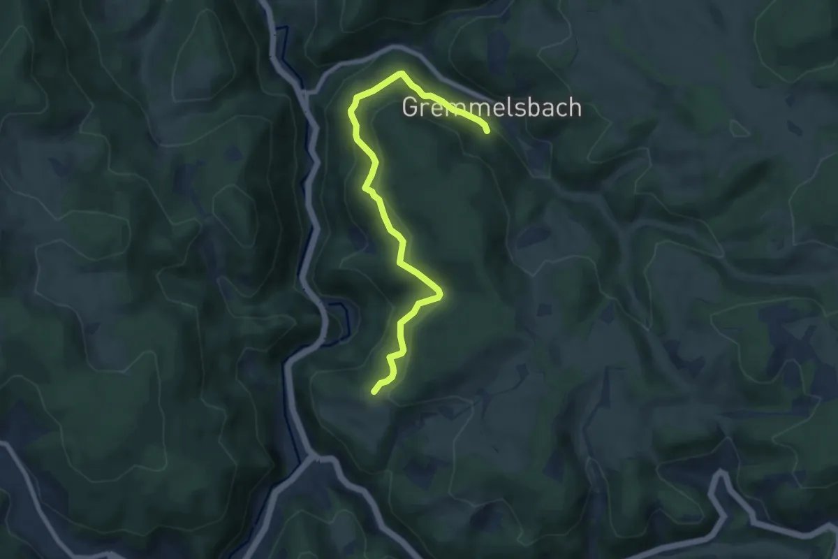
Medium · Trail
Feißesberg West - Bahnunterführung
7.0 km · ↑ 443 m · 2 h 37 min
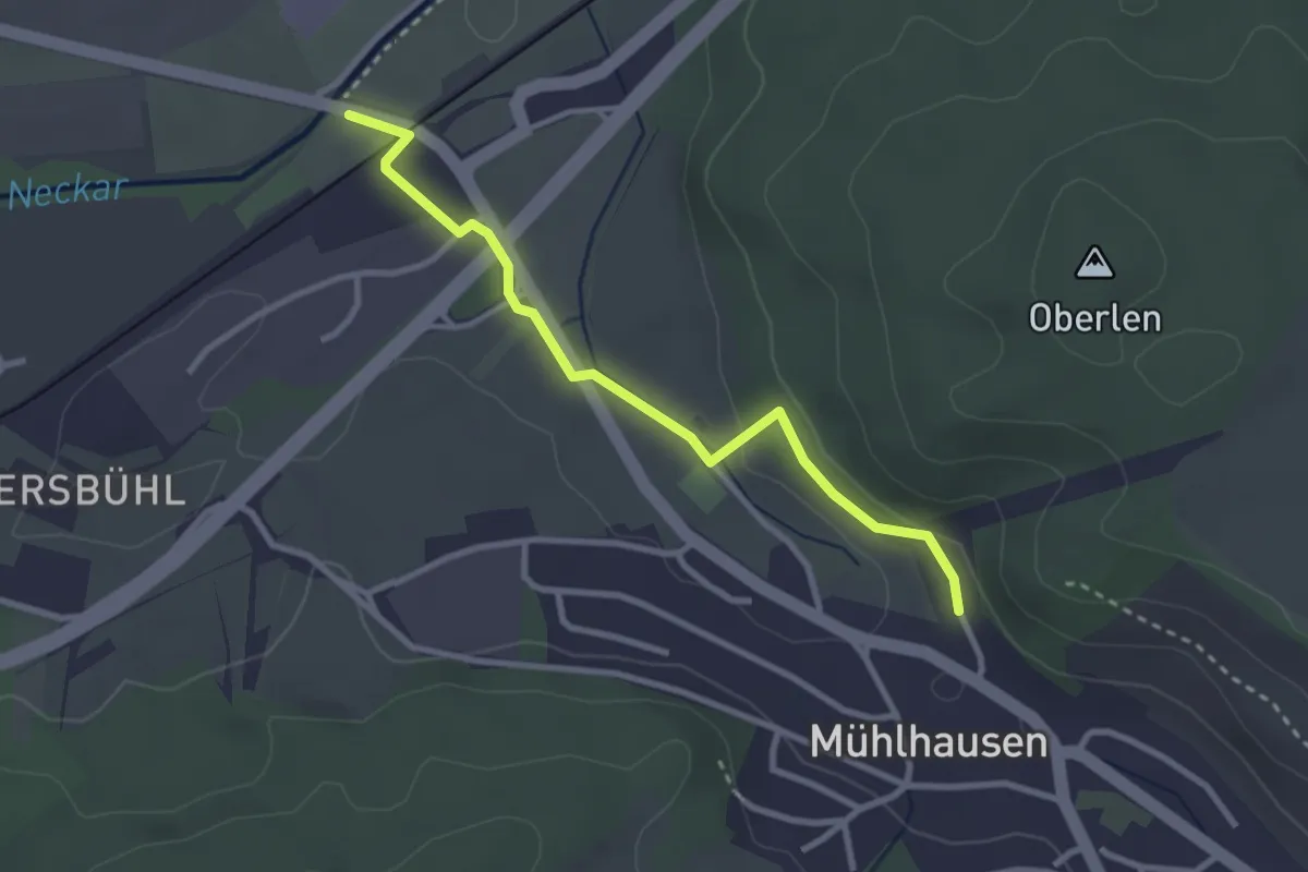
Easy · Trail
Feiste Wiesen - Scheibenweg
2.8 km · ↑ 34 m · 45 min
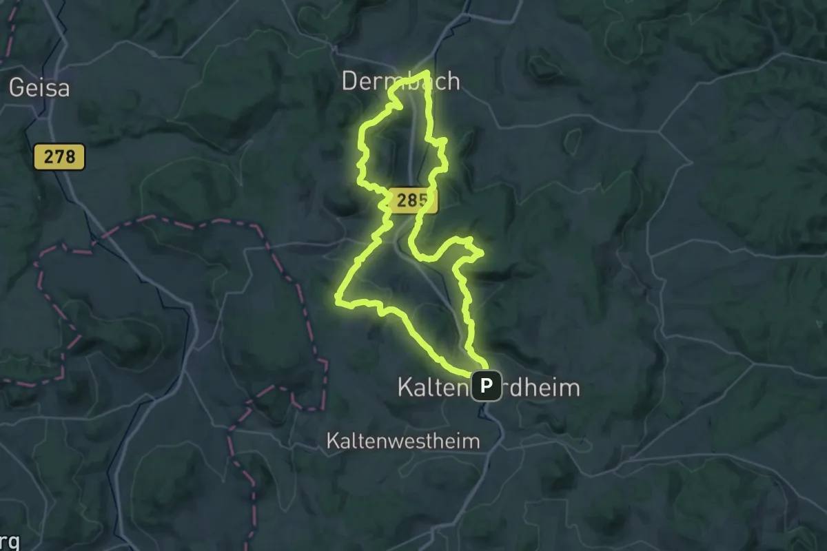
Demanding · Summit
Feldatalrundweg
34.6 km · ↑ 1082 m · 11 h
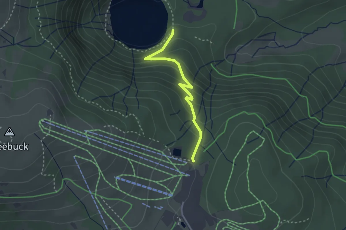
Medium · Trail
Feldbergbahn Talstation - Feldsee
2.5 km · ↑ 161 m · 56 min
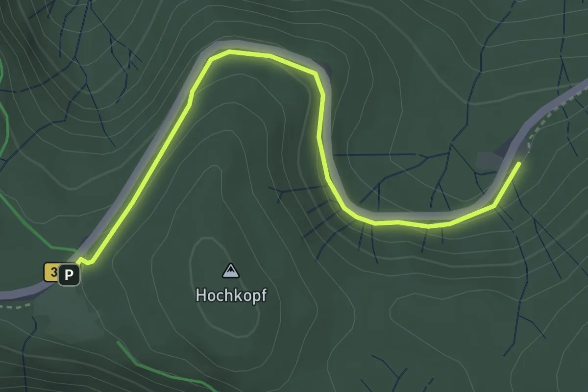
Easy · Trail
Feldberg Caritashaus - Kohlplatz
3.8 km · ↑ 167 m · 1 h 15 min
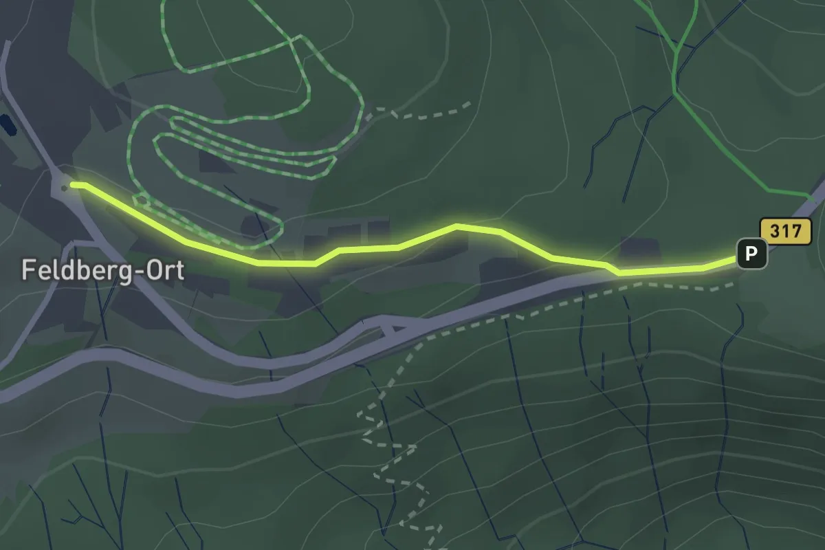
Easy · Trail
Feldberg Klusenhang - Feldberger Hof
2.3 km · ↑ 42 m · 37 min
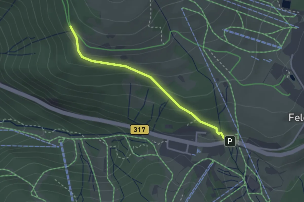
Easy · Trail
Feldbergpass - Wiesentalblick
2.5 km · ↑ 128 m · 52 min
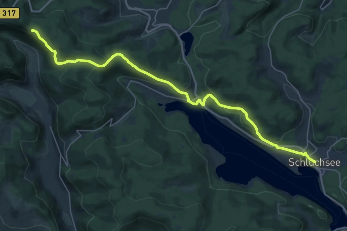
Demanding · Trail
Feldberg - Schluchsee
22.3 km · ↑ 776 m · 6 h 58 min
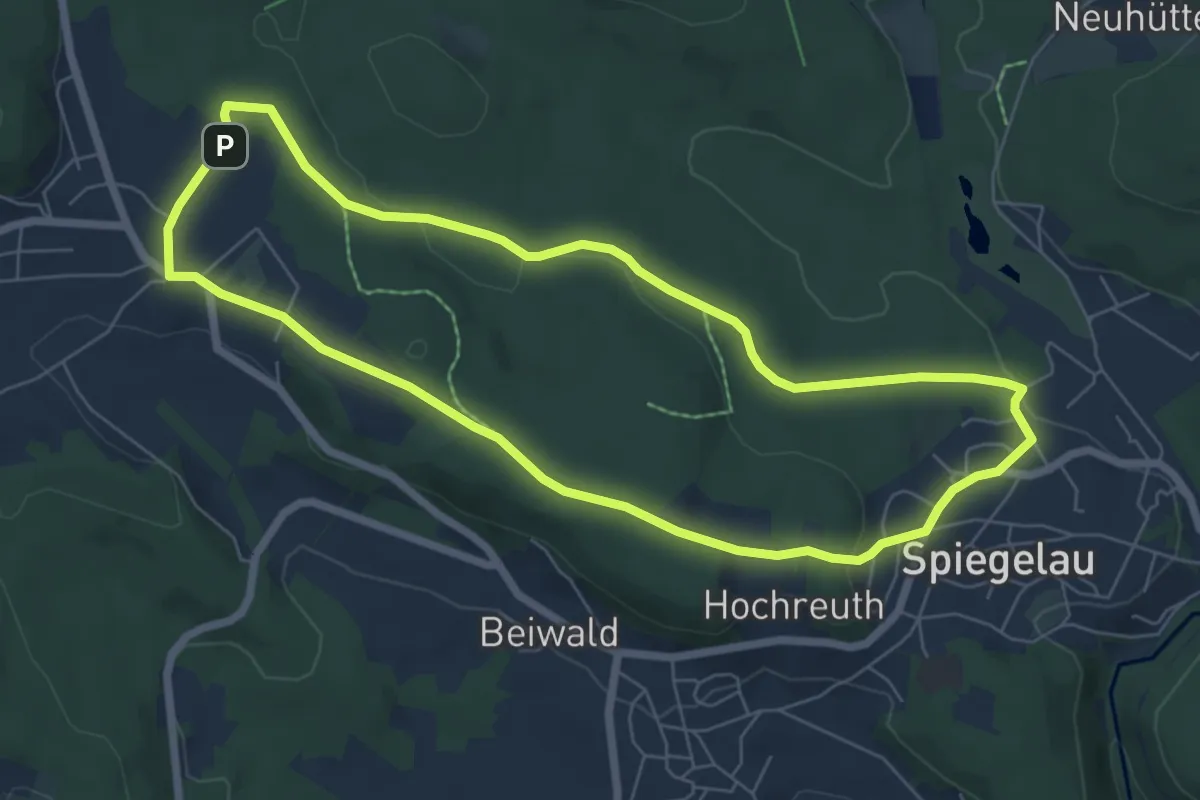
Easy · Summit
Feldhase
6.3 km · ↑ 94 m · 1 h 46 min
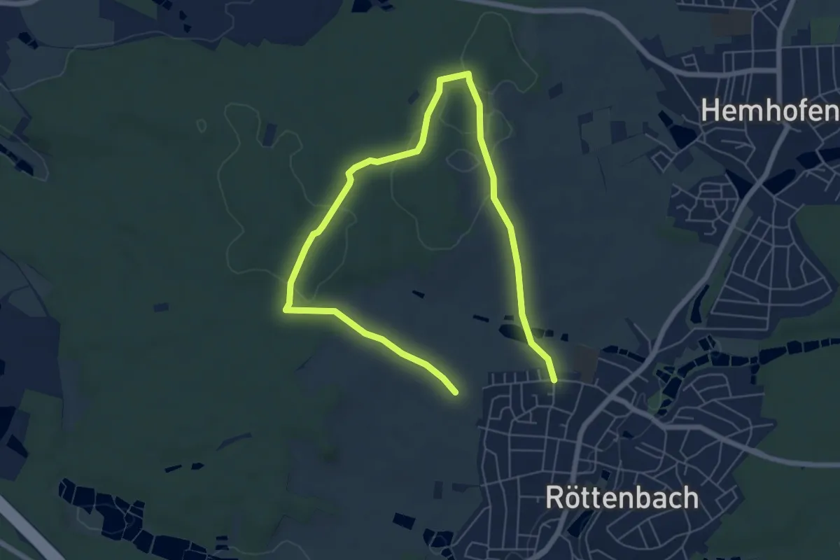
Medium · Trail
Feldhasenweg
8.7 km · ↑ 97 m · 2 h 15 min
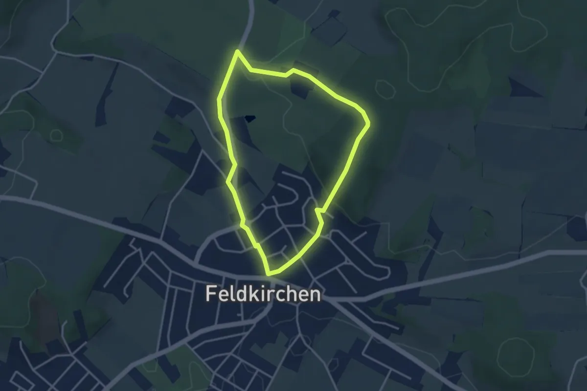
Easy · Trail
Feldkirchner Kreuzweg
2.8 km · ↑ 90 m · 54 min
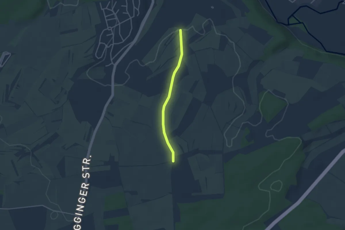
Easy · Trail
Feldkreuz - Im Grund
2.7 km · ↑ 22 m · 41 min
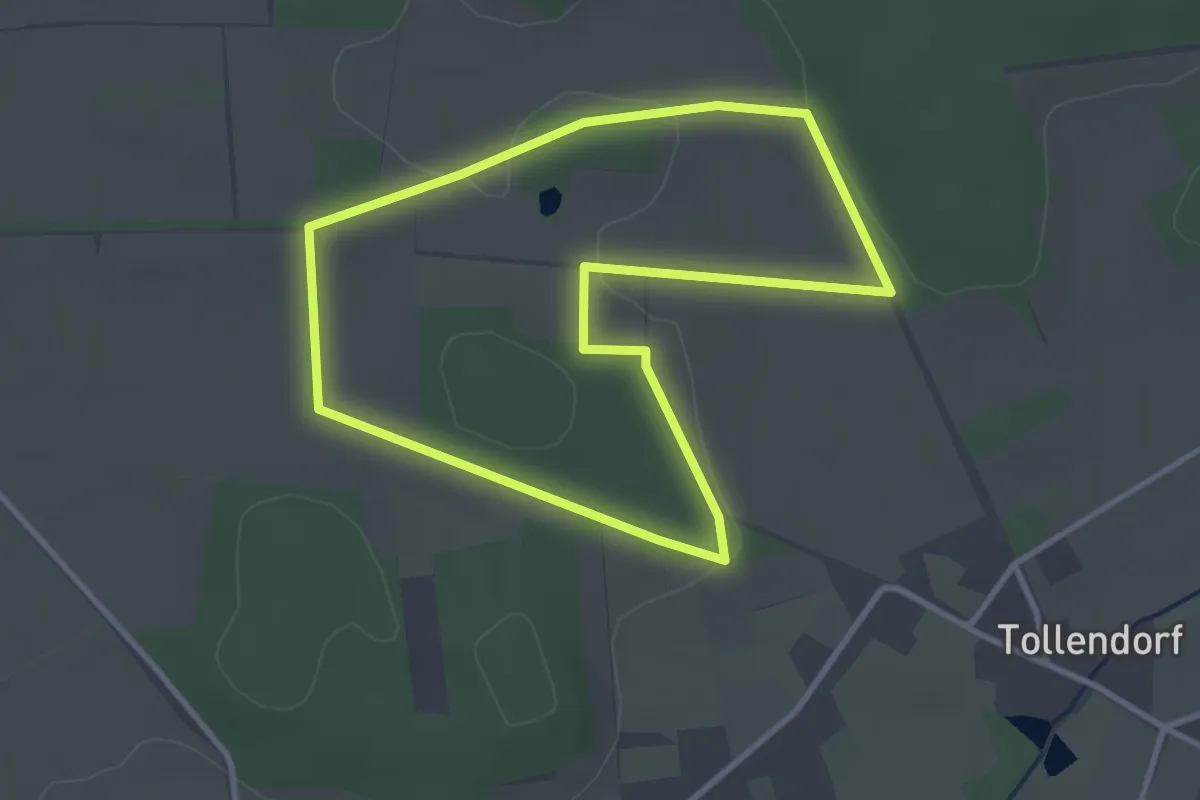
Easy · Trail
Feldlilienpfad Govelin
2.8 km · ↑ 29 m · 45 min
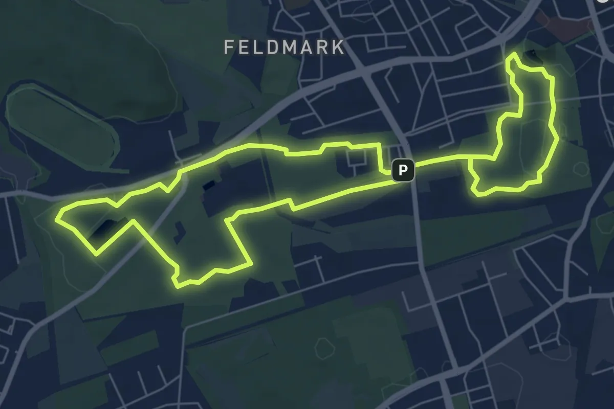
Easy · Trail
Feldmark Rundweg O
6.1 km · ↑ 17 m · 1 h 33 min
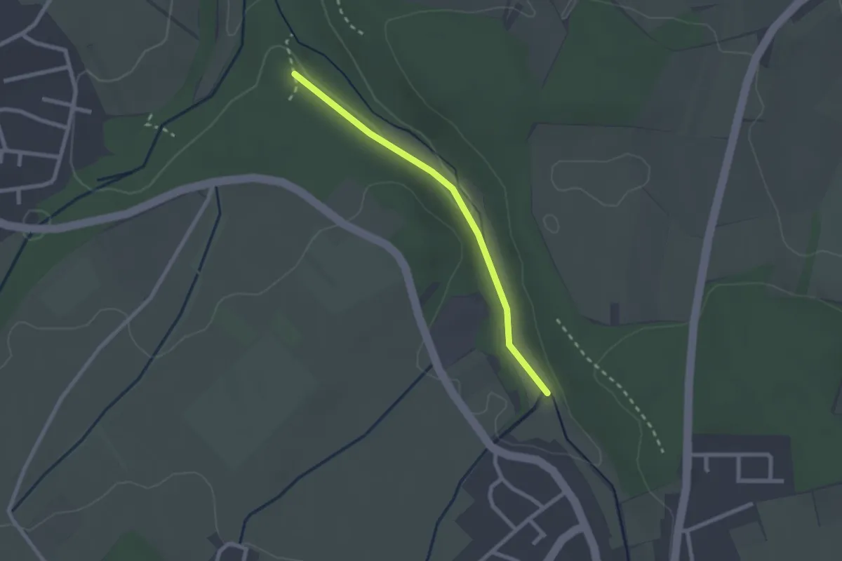
Easy · Trail
Feldrennacher Bach - Am Feldrennacher Bach
2.0 km · ↑ 14 m · 31 min