Trails in Germany
36,852 hiking trails, each with its route, climb, walking time and grade.
All trails, page 152 of 768
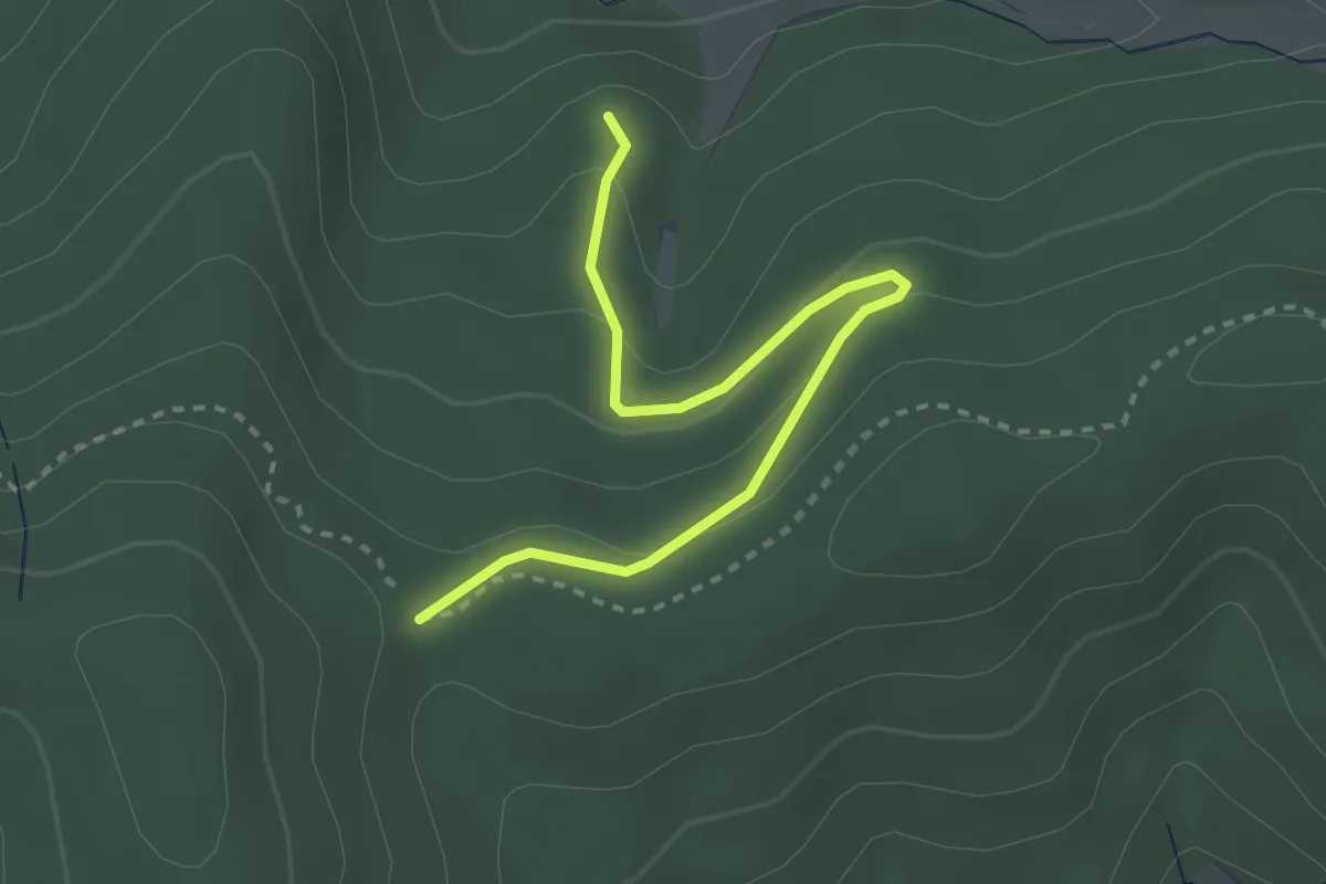
Easy · Trail
Fischenberger Weg - Stühle
3.0 km · ↑ 134 m · 59 min
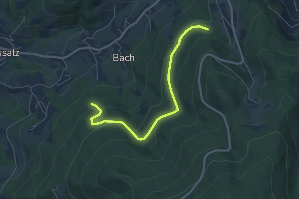
Easy · Trail
Fischerberg - Hubrütte
5.2 km · ↑ 170 m · 1 h 36 min
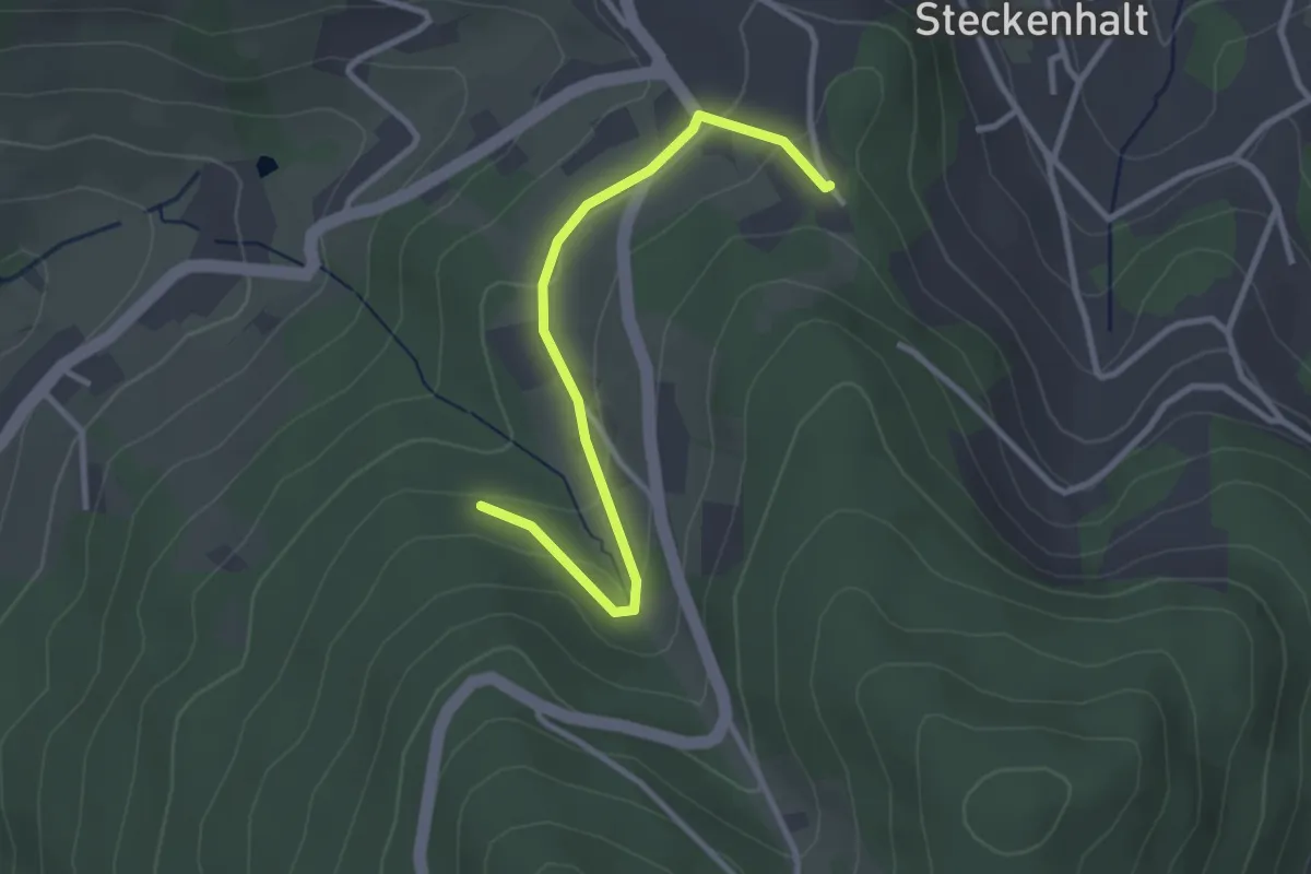
Easy · Trail
Fischerberg - Immenstein
2.9 km · ↑ 109 m · 55 min
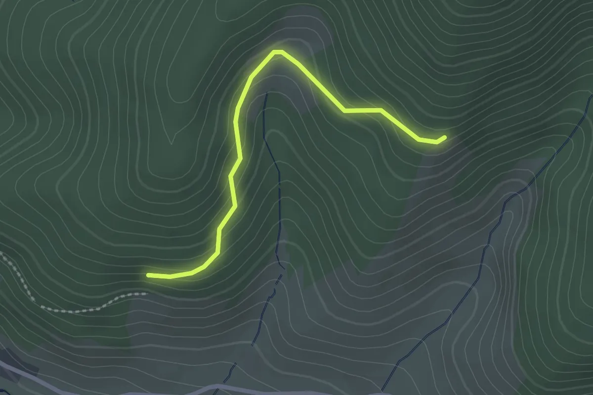
Easy · Trail
Fischerdobel - Obereck
2.1 km · ↑ 140 m · 49 min
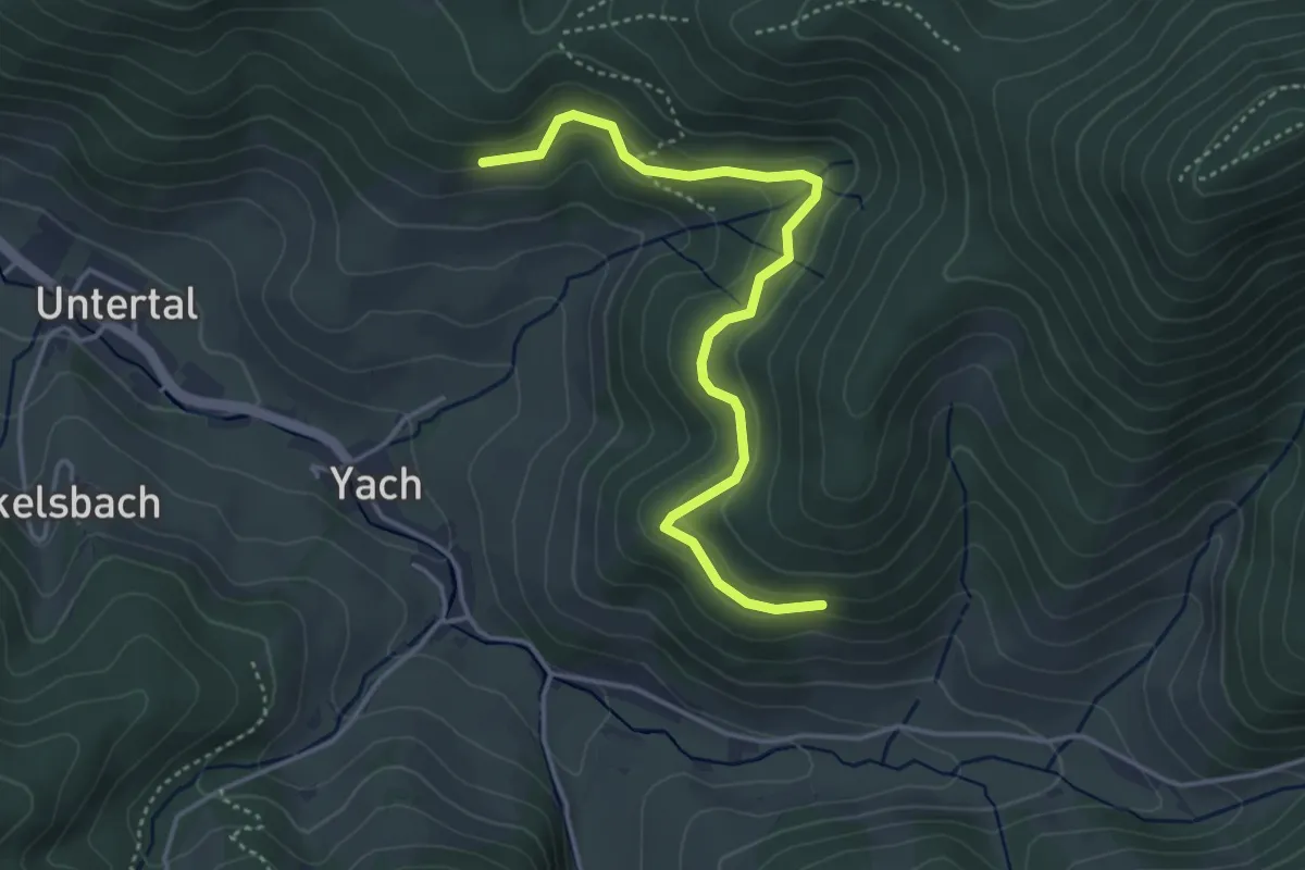
Easy · Trail
Fischerdobelweg - Fischerdobel
4.0 km · ↑ 147 m · 1 h 16 min
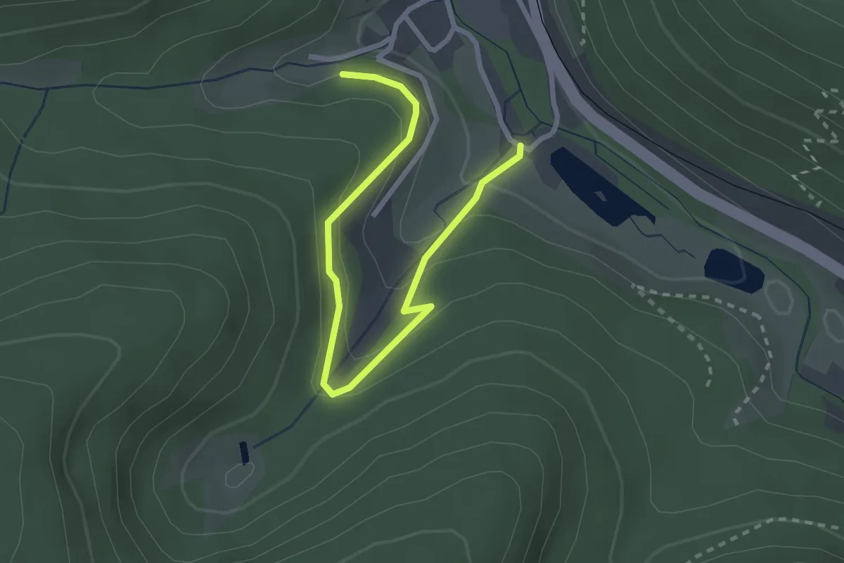
Easy · Trail
Fischerhäusle - Reichenbächle
2.8 km · ↑ 170 m · 1 h 2 min
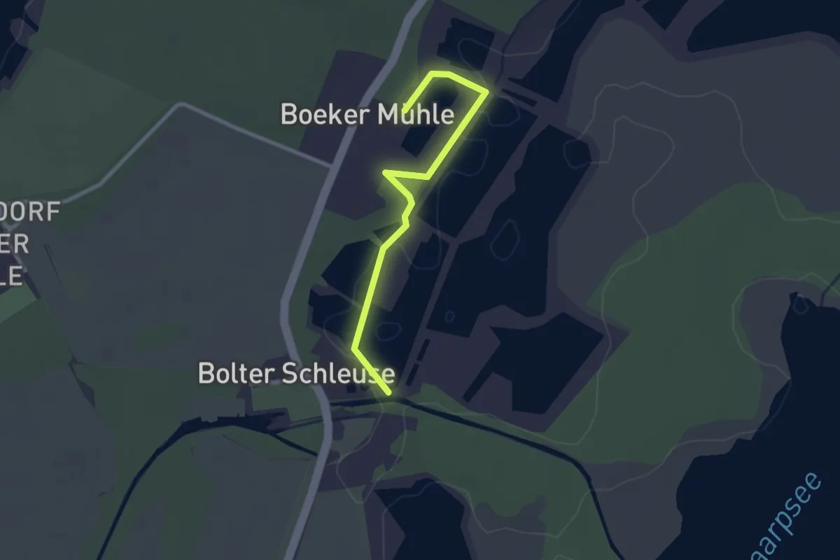
Easy · Trail
Fischers Land Boek
2.2 km · ↑ 4 m · 31 min
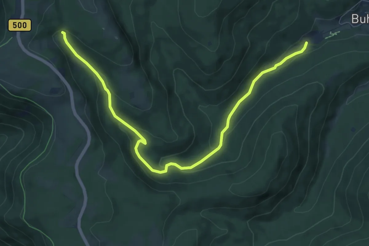
Medium · Trail
Fischerstüble - Murgursprung
8.5 km · ↑ 275 m · 2 h 36 min
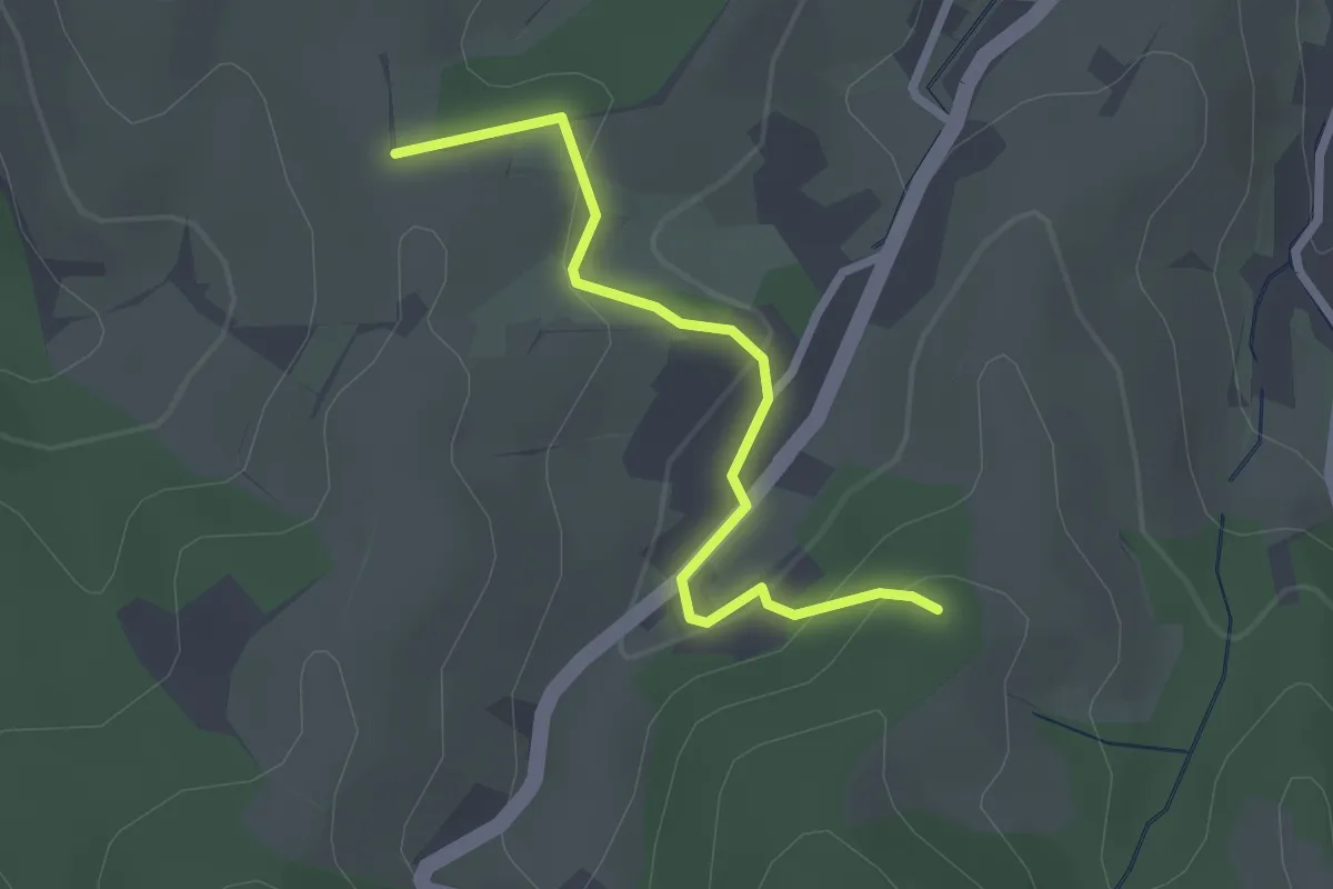
Easy · Trail
Fischers-Wäldele - Scherd
2.3 km · ↑ 78 m · 42 min
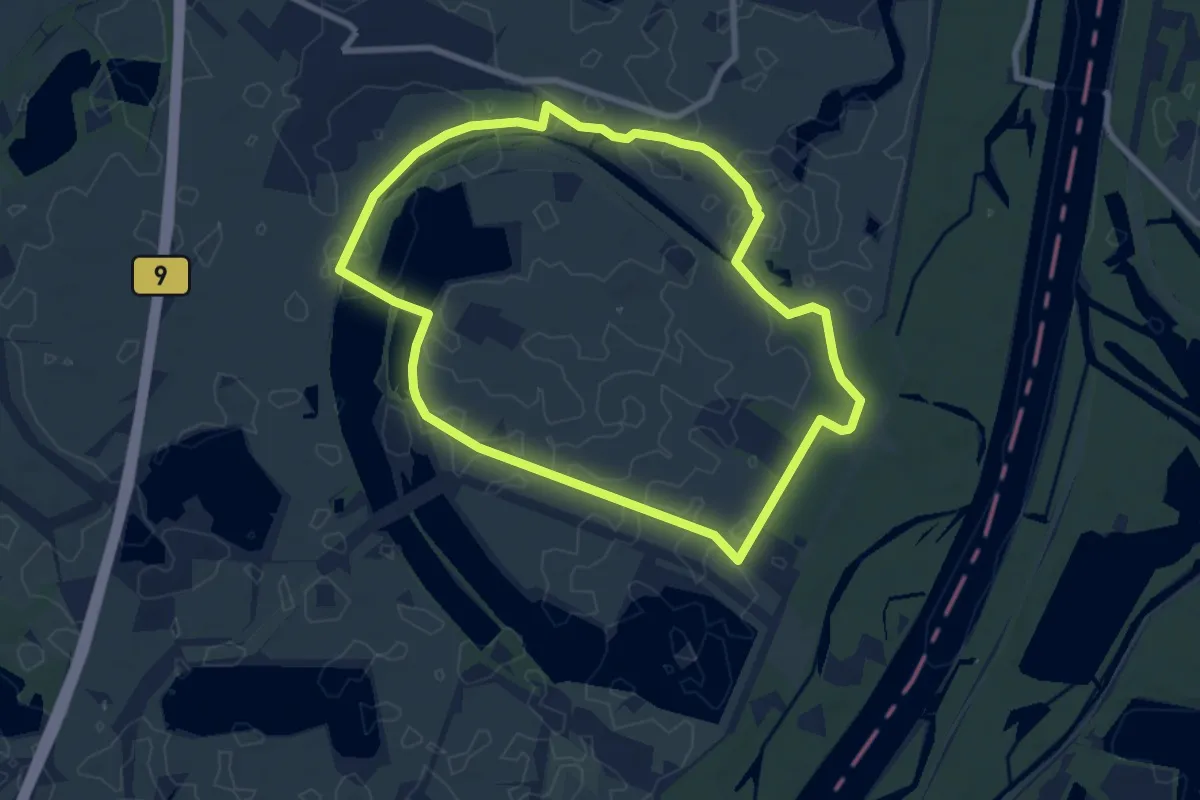
Easy · Trail
Fischerweg
7.4 km · ↑ 10 m · 1 h 52 min
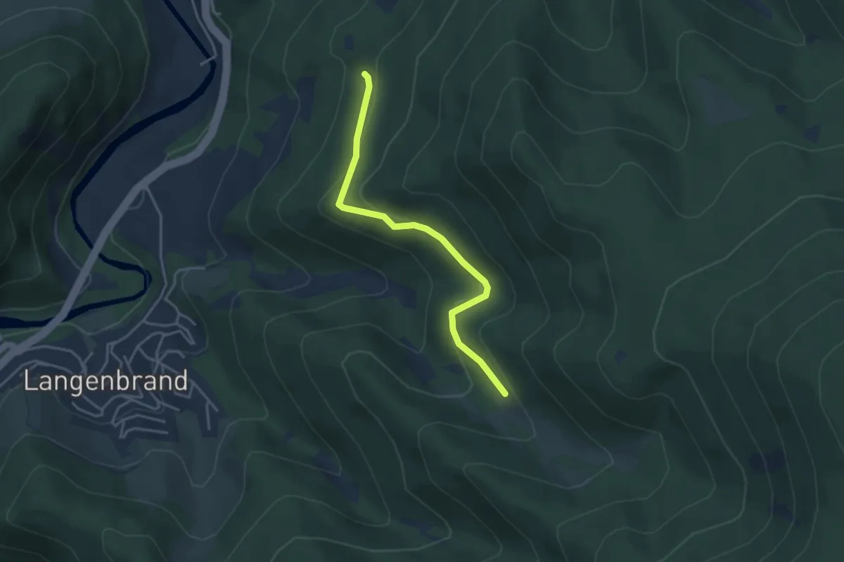
Easy · Trail
Fischerweg - Hohlenstein
3.4 km · ↑ 183 m · 1 h 12 min
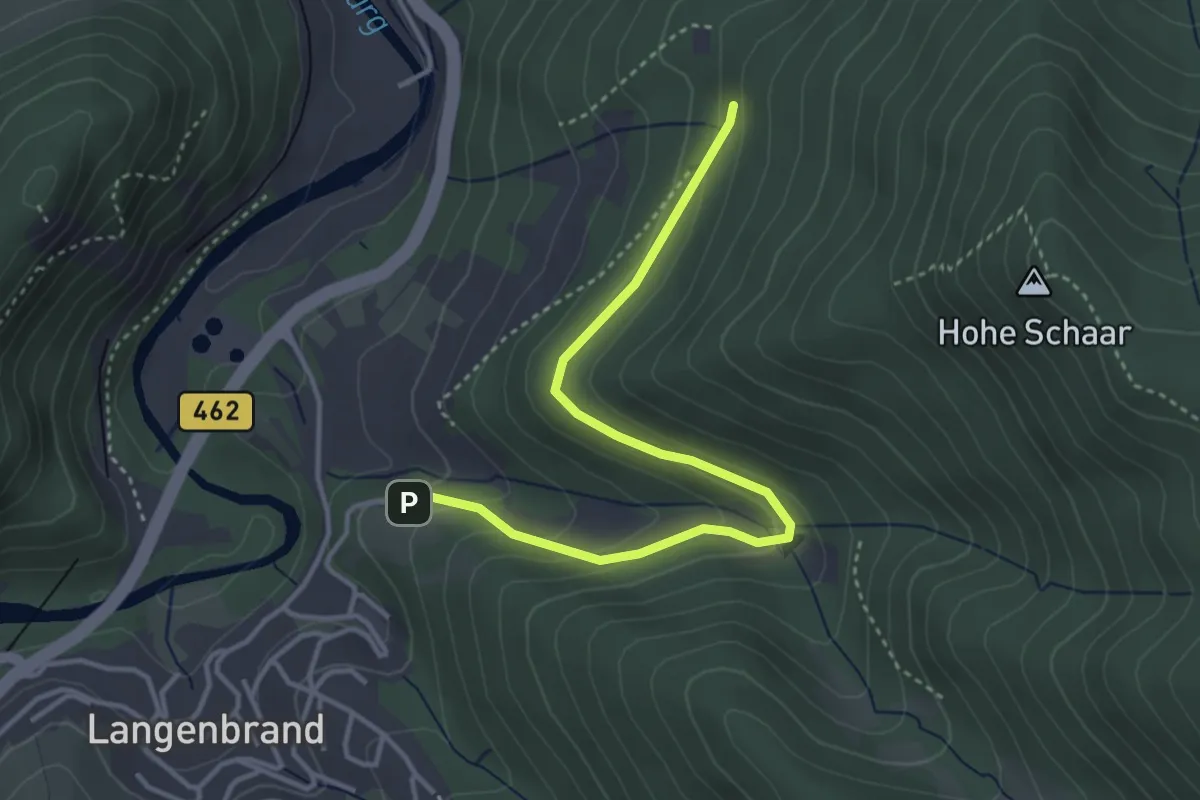
Easy · Trail
Fischerweg - Schönblick
3.8 km · ↑ 155 m · 1 h 13 min
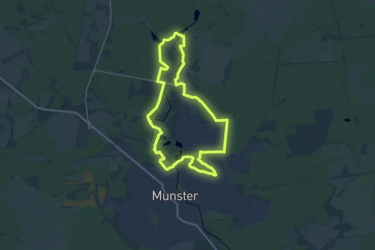
Medium · Trail
Fischeweg
13.5 km · ↑ 38 m · 3 h 28 min
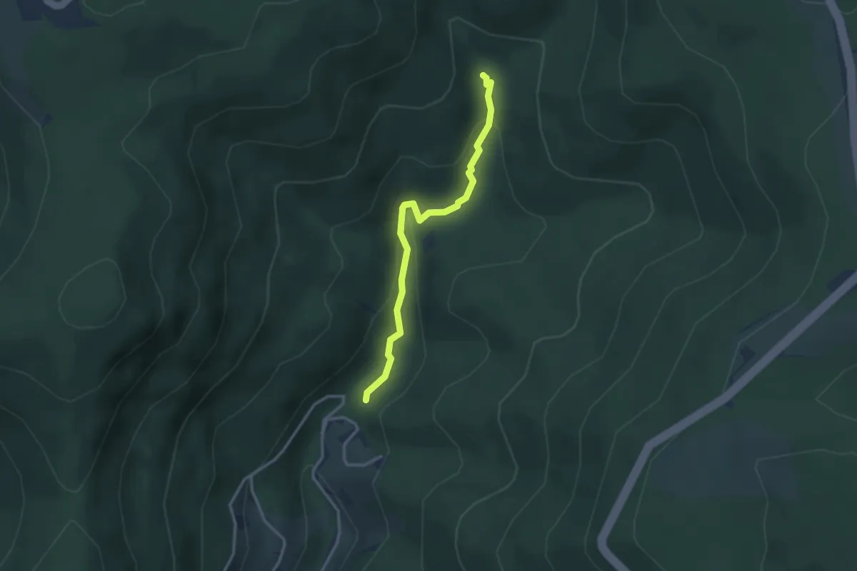
Easy · Trail
Fischfelsenhütte - Wildrench-Uferweg
2.8 km · ↑ 91 m · 51 min
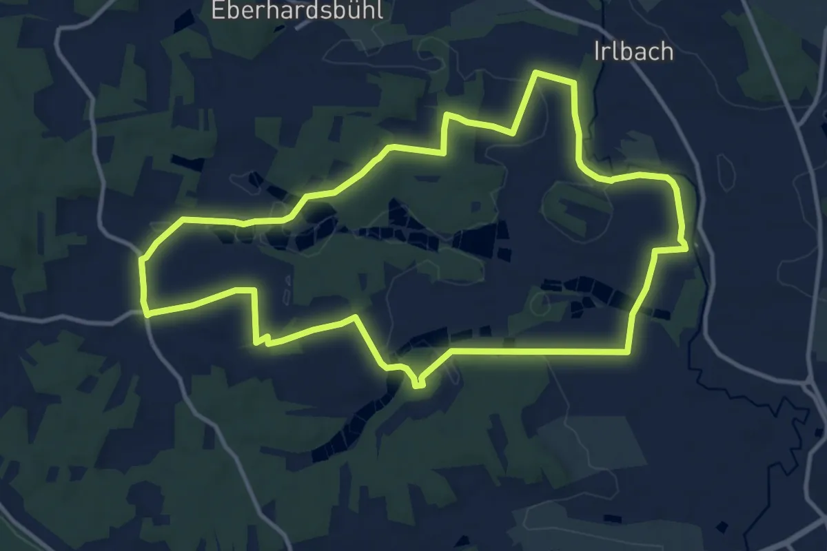
Medium · Trail
Fischgründetour
10.7 km · ↑ 98 m · 2 h 53 min
Medium · Trail
Fisch-Lehrpfad Aisch
9.4 km · ↑ 22 m · 2 h 16 min
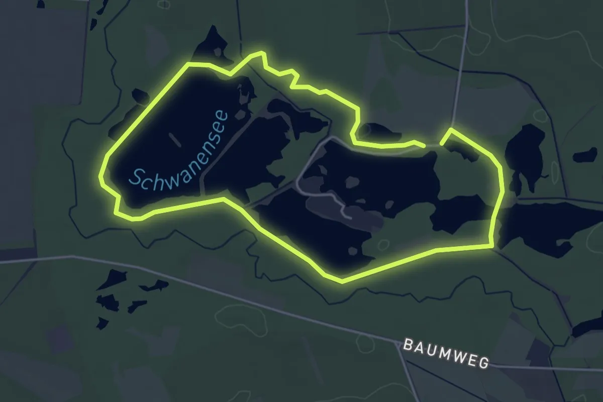
Easy · Trail
Fischteichweg
4.0 km · ↑ 0 m · 1 h
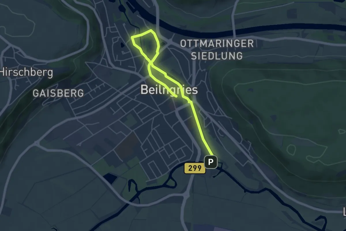
Easy · Trail
Fisch- und Naturlehrpfad
2.8 km · ↑ 4 m · 42 min
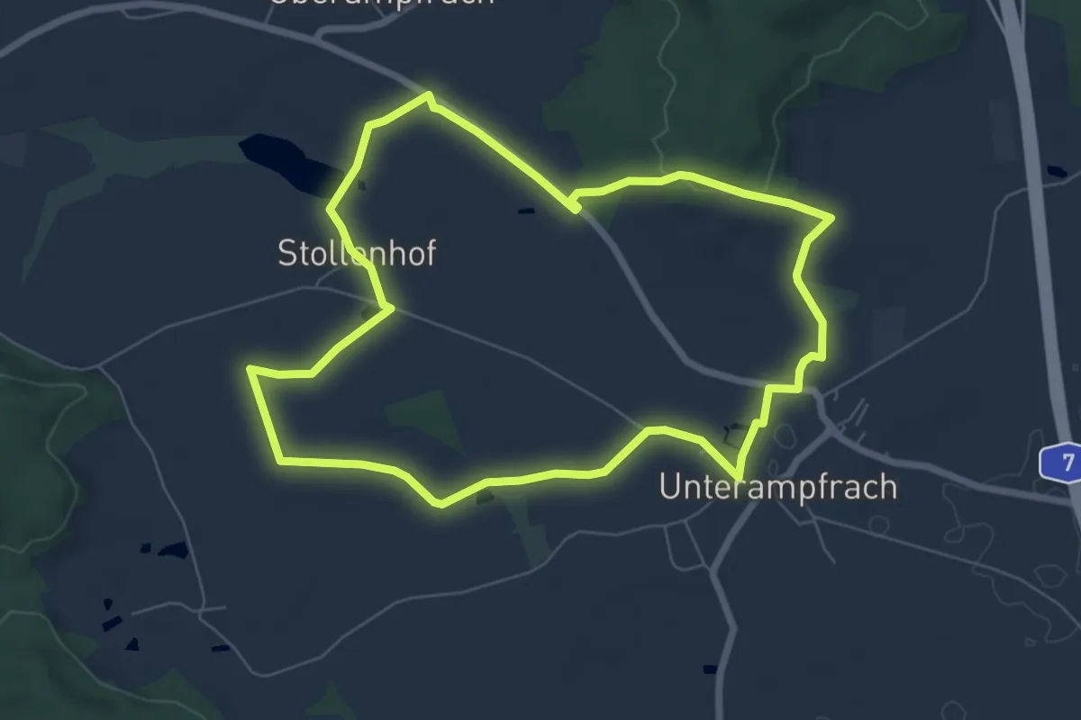
Easy · Trail
Fischweg Schnelldorf
6.5 km · ↑ 75 m · 1 h 47 min
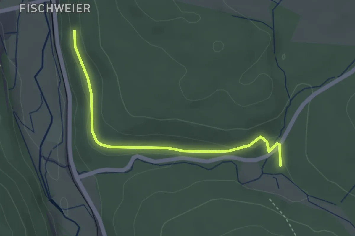
Easy · Trail
Fischweier Talberg - Diebswiesen Ponyhof
3.0 km · ↑ 41 m · 48 min
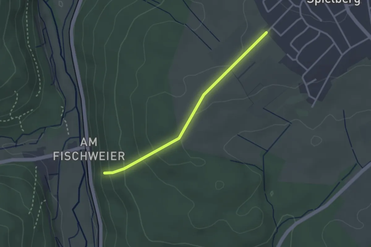
Easy · Trail
Fischweier Talberg - Im Zeil
2.5 km · ↑ 85 m · 46 min
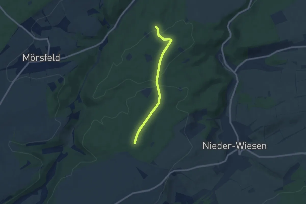
Easy · Trail
Fischweiher
2.3 km · ↑ 42 m · 39 min
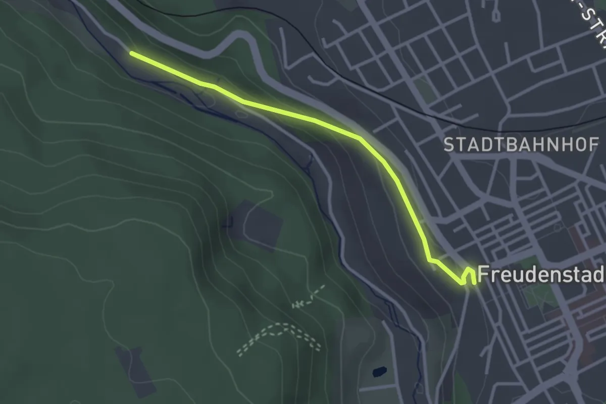
Easy · Trail
Fischweiher - Freudenstadt Adler-Anlagen
2.8 km · ↑ 83 m · 50 min
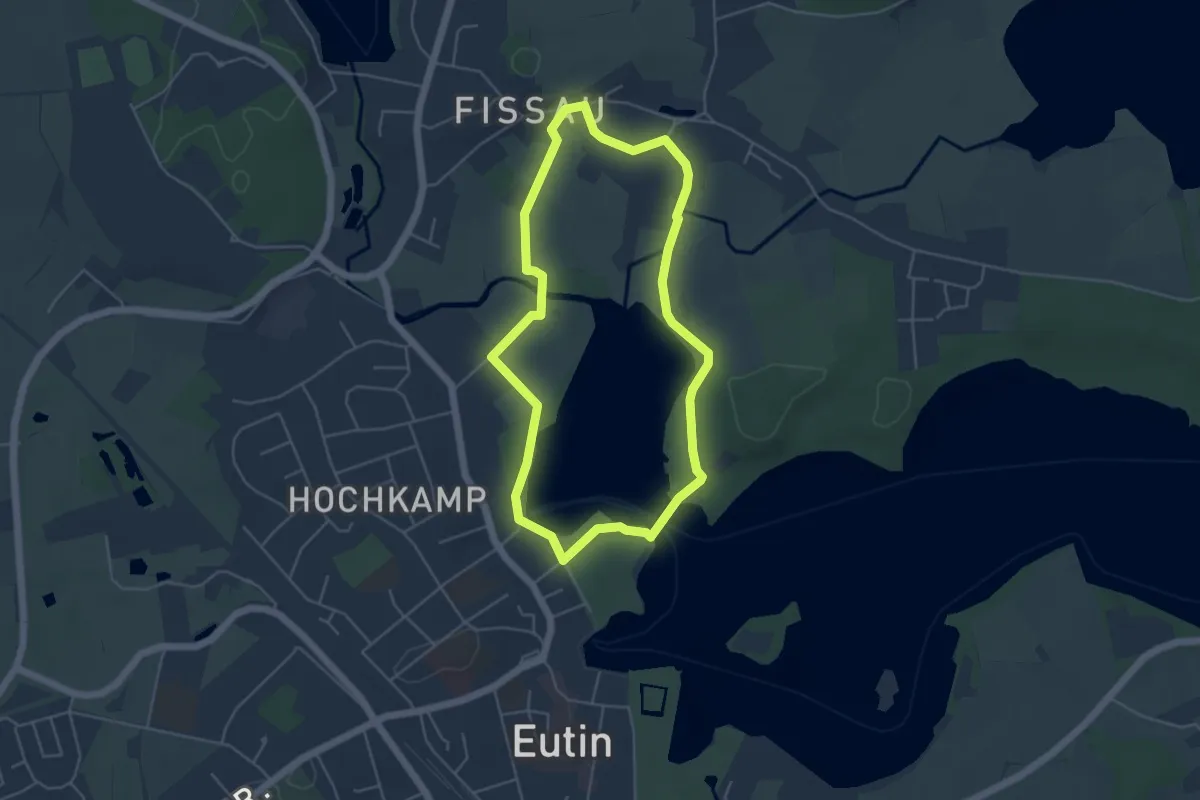
Easy · Trail
Fissauer Bucht Route
3.9 km · ↑ 20 m · 1 h 1 min
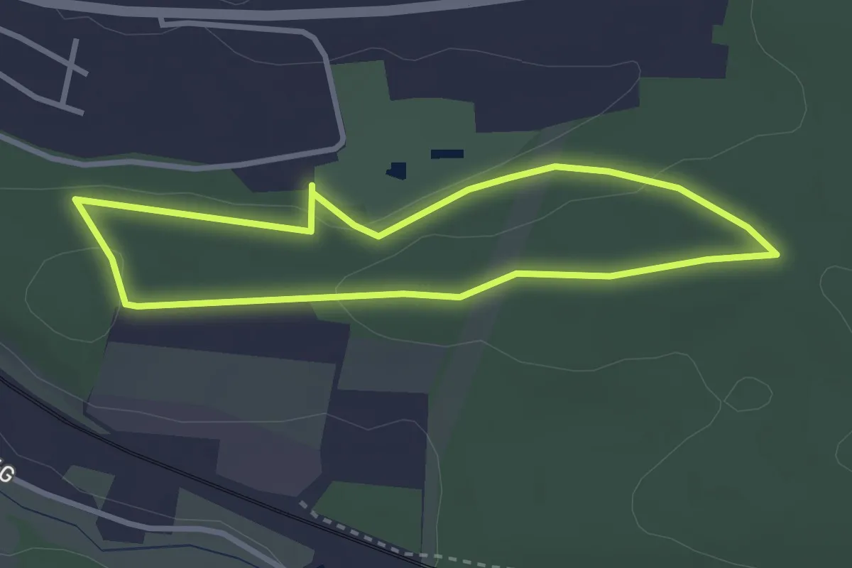
Easy · Trail
Fitness Parcours Neustadt an der Aisch
2.5 km · ↑ 44 m · 43 min
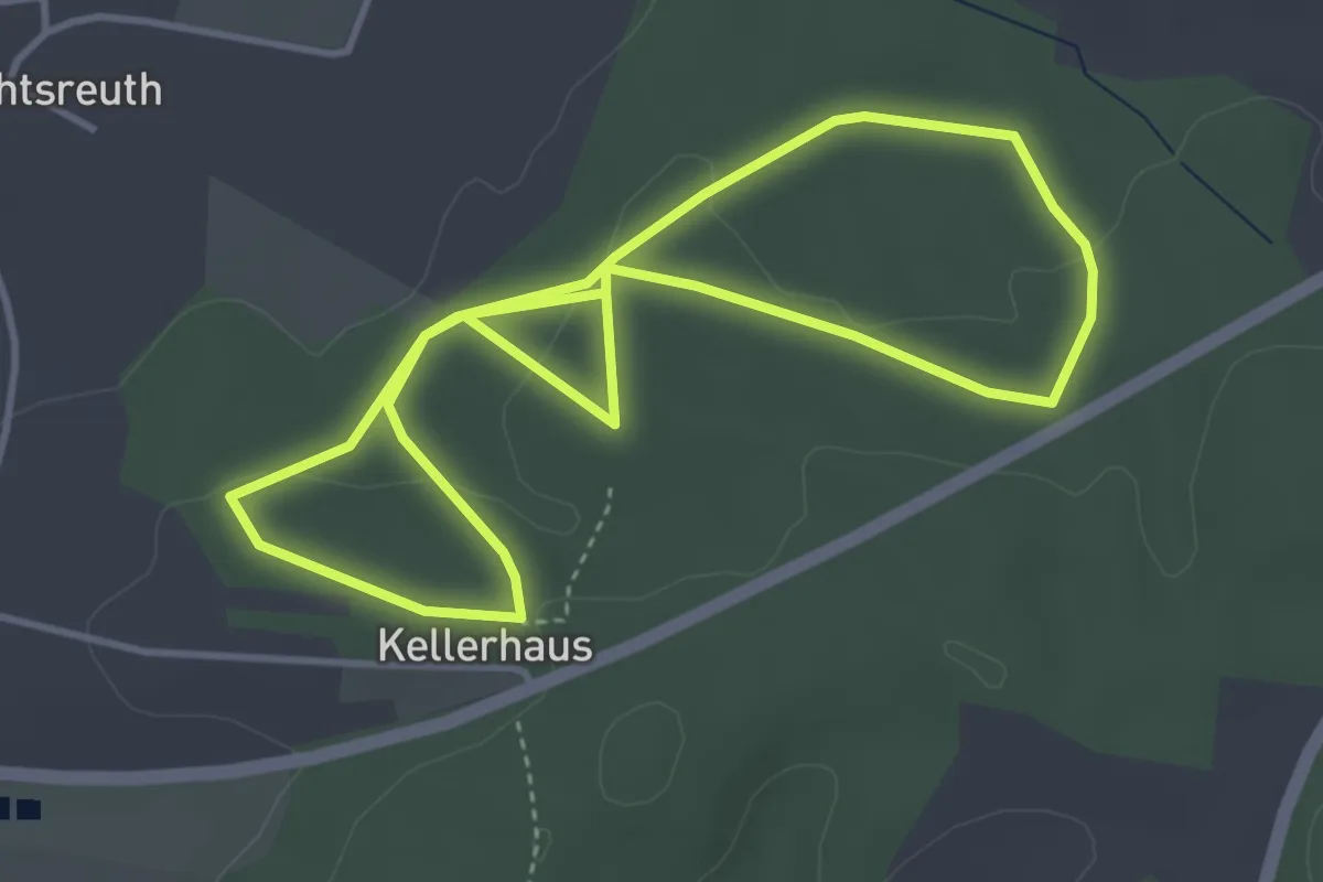
Easy · Trail
Fitness-Pfad
3.7 km · ↑ 71 m · 1 h 5 min
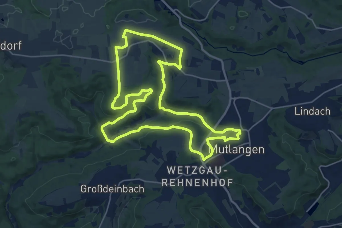
Medium · Trail
Fitnessrunde Mutlangen 3
15.7 km · ↑ 257 m · 4 h 28 min
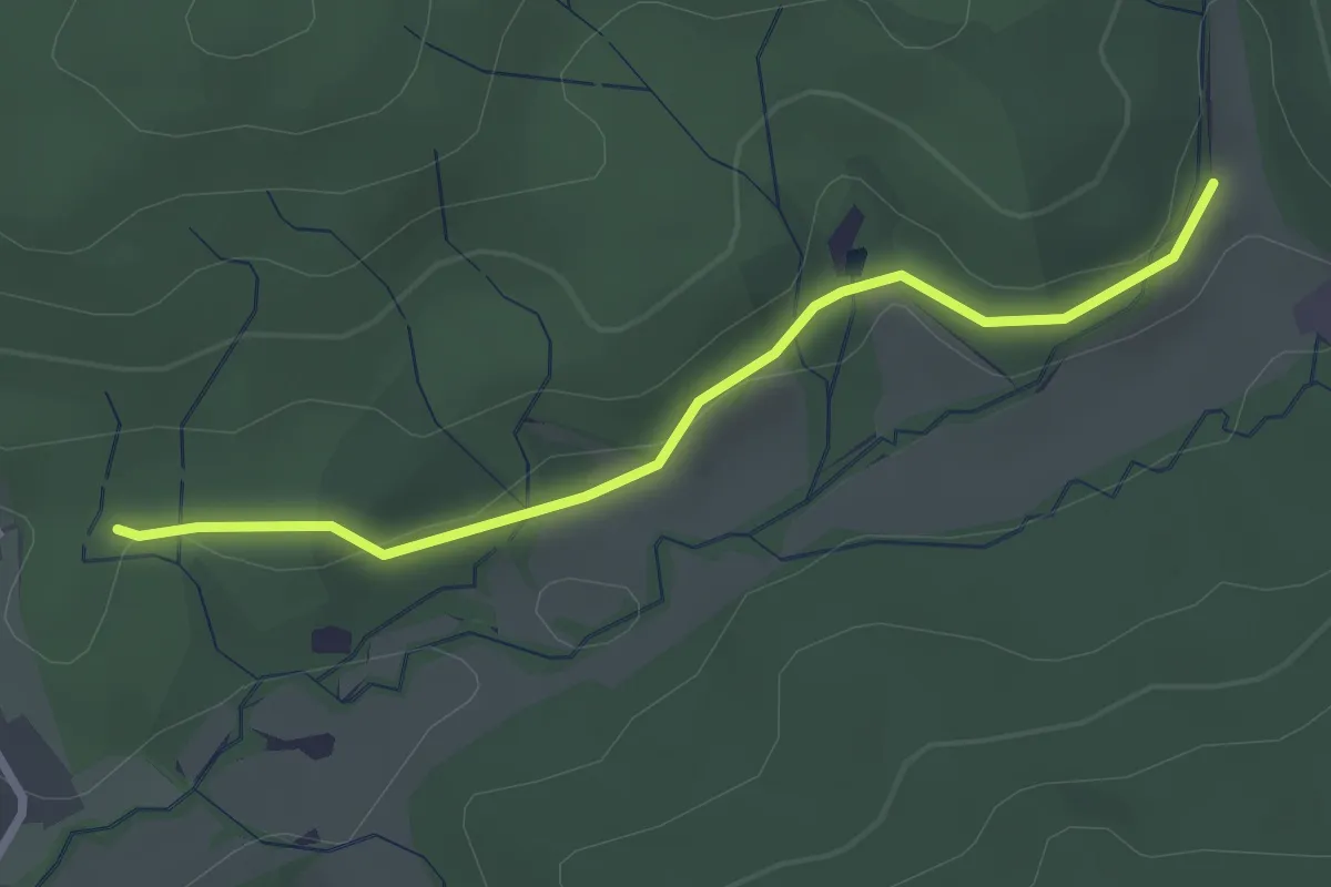
Easy · Trail
Fitnessrunde Mutlangen 3a
2.5 km · ↑ 25 m · 39 min
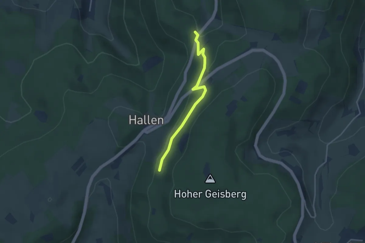
Easy · Trail
Fixenplatz - Hallen
2.6 km · ↑ 93 m · 50 min
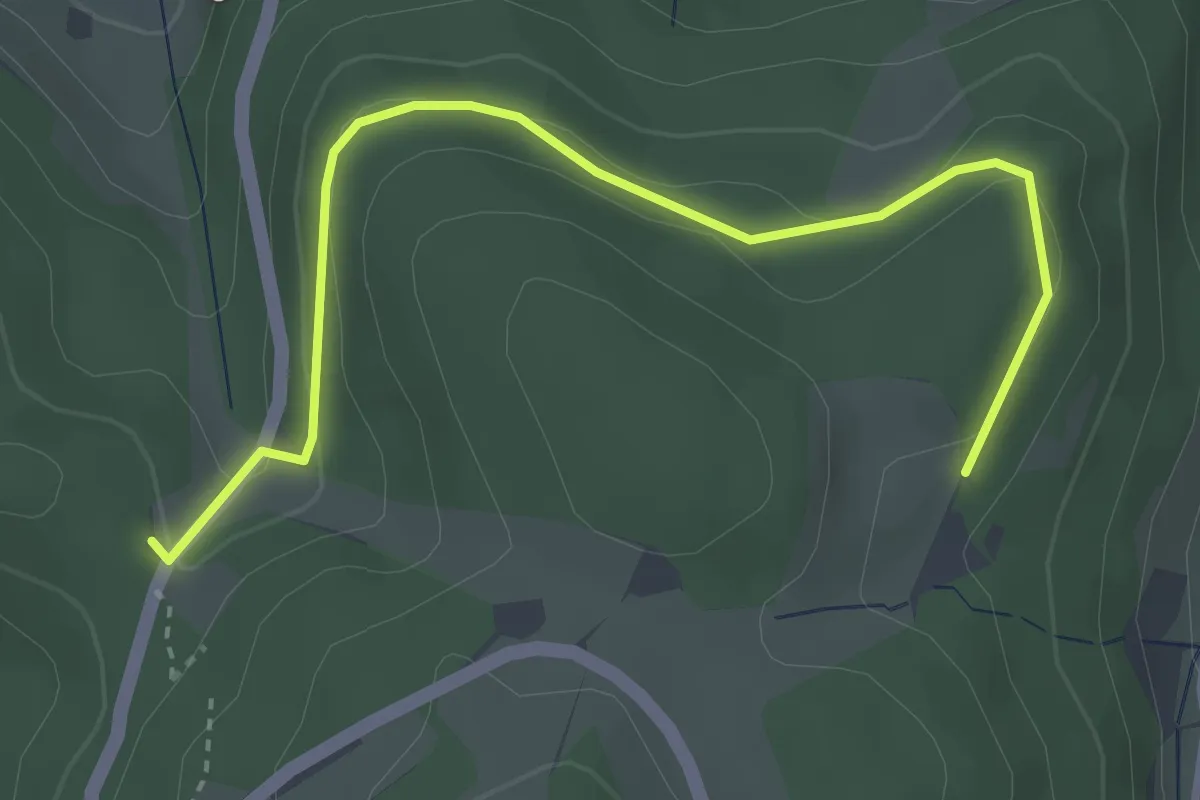
Easy · Trail
Fixenplatz - Kinderheim
3.7 km · ↑ 126 m · 1 h 9 min
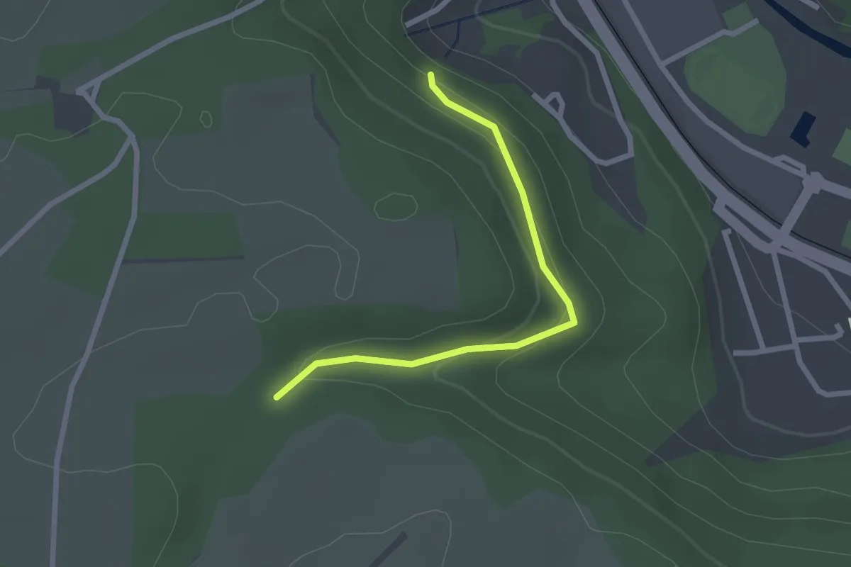
Easy · Trail
"FIXME: Roter Punkt Wanderweg"
2.1 km · ↑ 108 m · 44 min
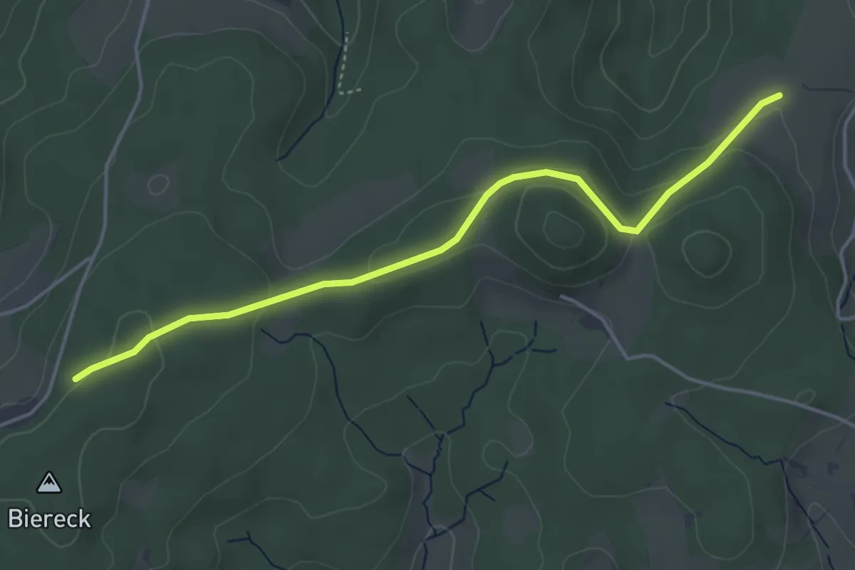
Easy · Trail
Flachenberg - Biereck
4.4 km · ↑ 134 m · 1 h 20 min
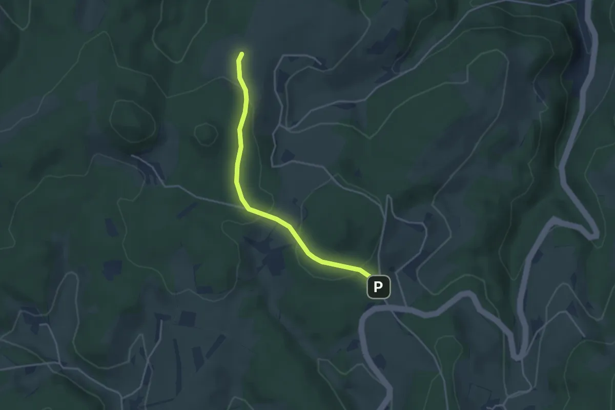
Easy · Trail
Flachenberg - Heidburg-Pass
3.3 km · ↑ 124 m · 1 h 3 min
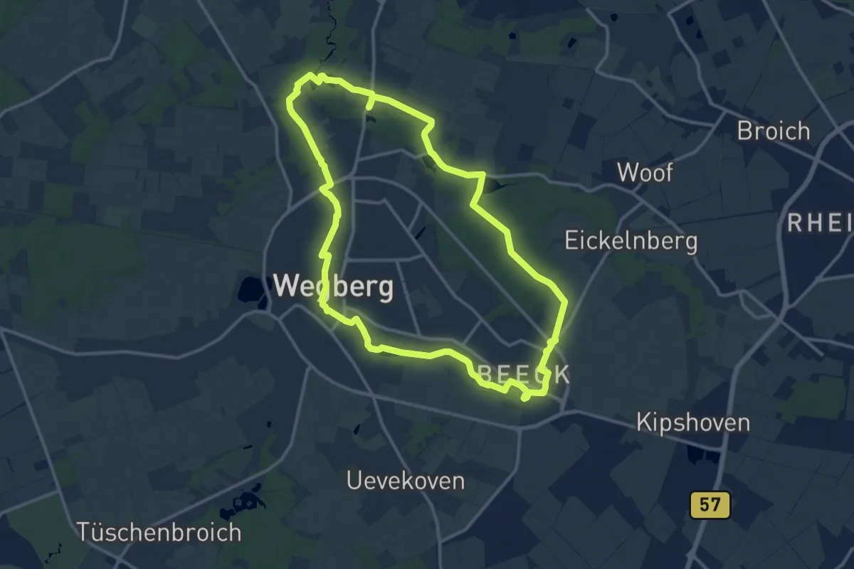
Medium · Trail
Flachsroute
11.6 km · ↑ 35 m · 2 h 59 min
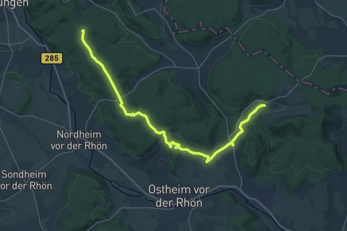
Demanding · Summit
Fladungen-Mellrichstadt
22.1 km · ↑ 561 m · 6 h 26 min
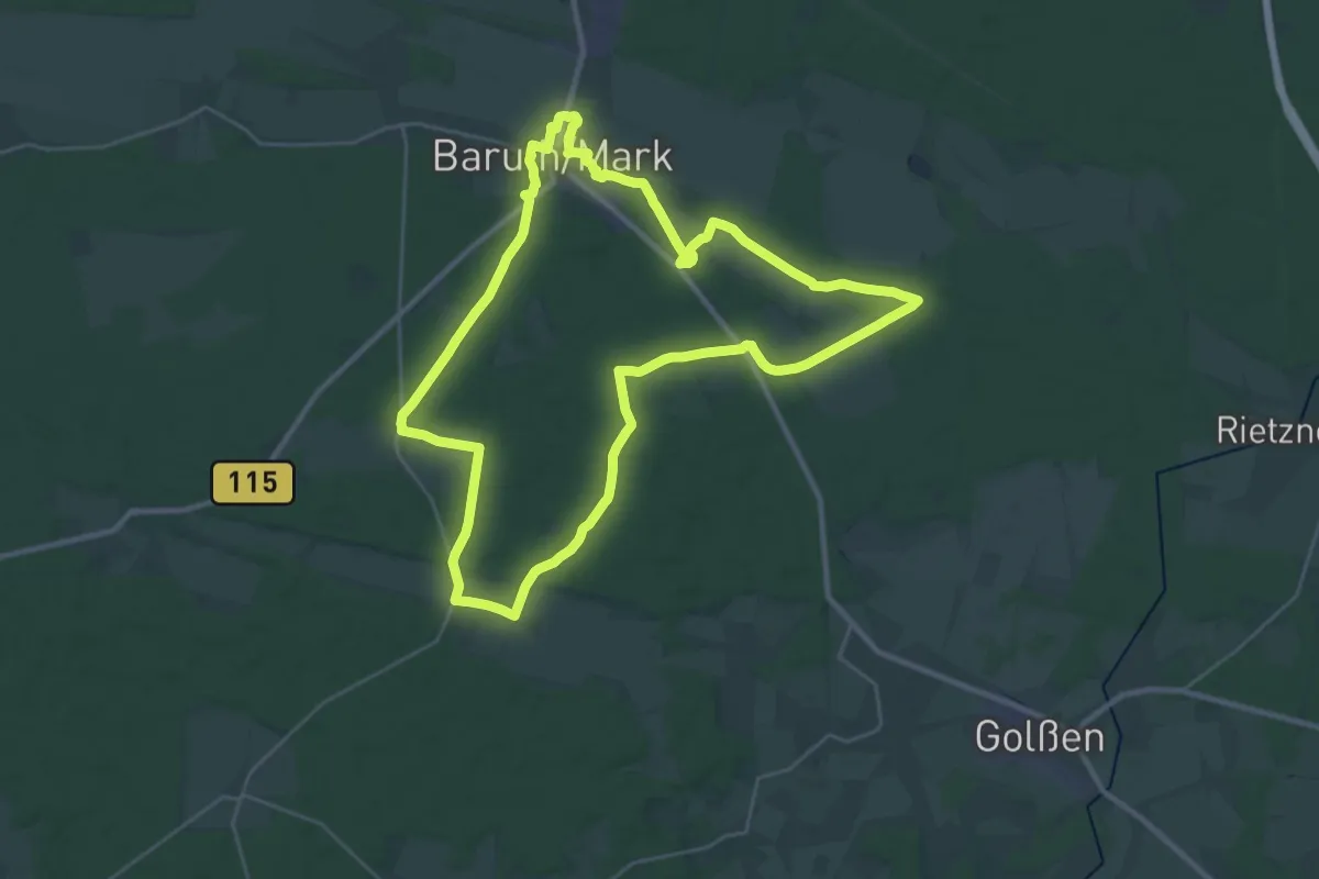
Demanding · Trail
Fläming-Glashütte-Weg
26.8 km · ↑ 172 m · 7 h 4 min
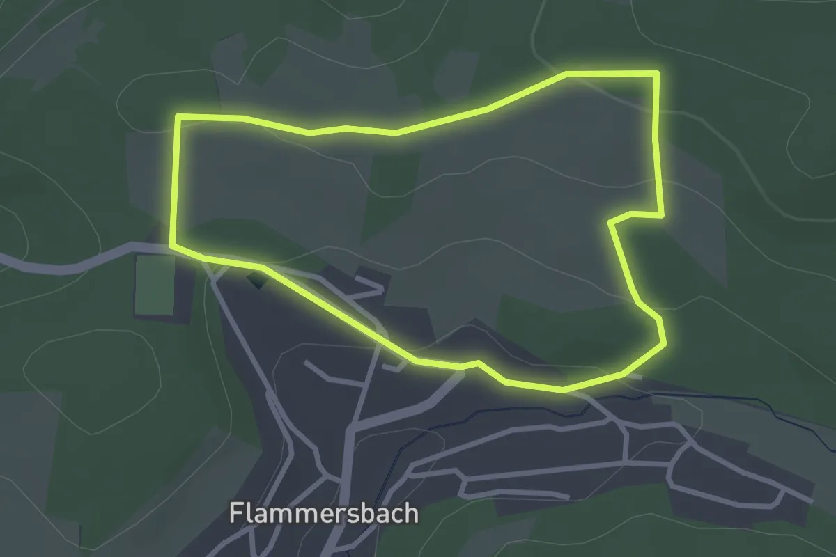
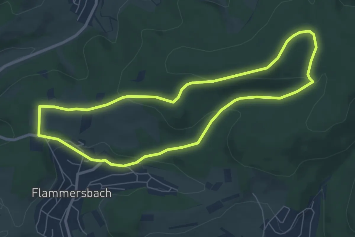
Easy · Trail
Flammersbach Rundweg A1
2.5 km · ↑ 74 m · 47 min
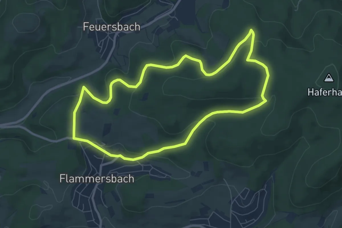
Easy · Trail
Flammersbach Rundweg A2
5.4 km · ↑ 144 m · 1 h 39 min
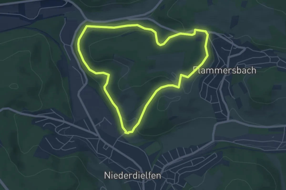
Easy · Trail
Flammersbach Rundweg A3
6.6 km · ↑ 205 m · 2 h 6 min
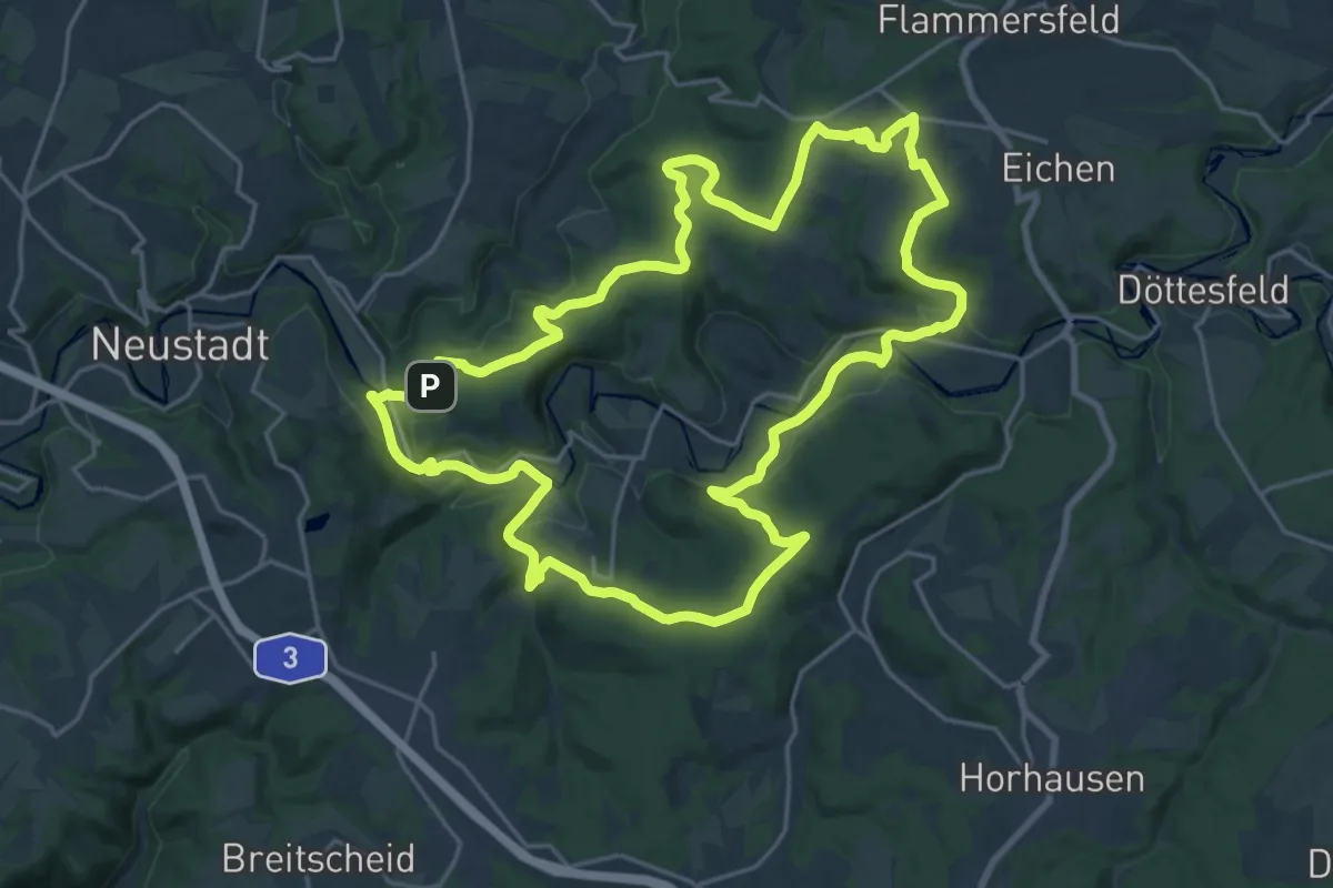
Easy · Trail
Flammersbach Rundweg A4
4.7 km · ↑ 149 m · 1 h 30 min
Demanding · Summit
Flammersfeld 6
20.6 km · ↑ 446 m · 6 h 8 min
Medium · Trail
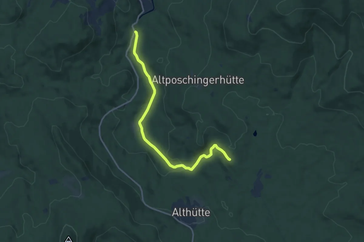
Flanitzwinterweg
10.5 km · ↑ 139 m · 2 h 47 min
Medium · Trail
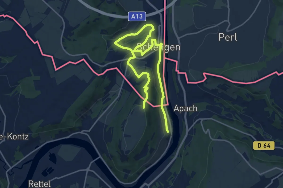
Fleche Bleu Schengen
14.6 km · ↑ 389 m · 4 h 18 min
Medium · Trail
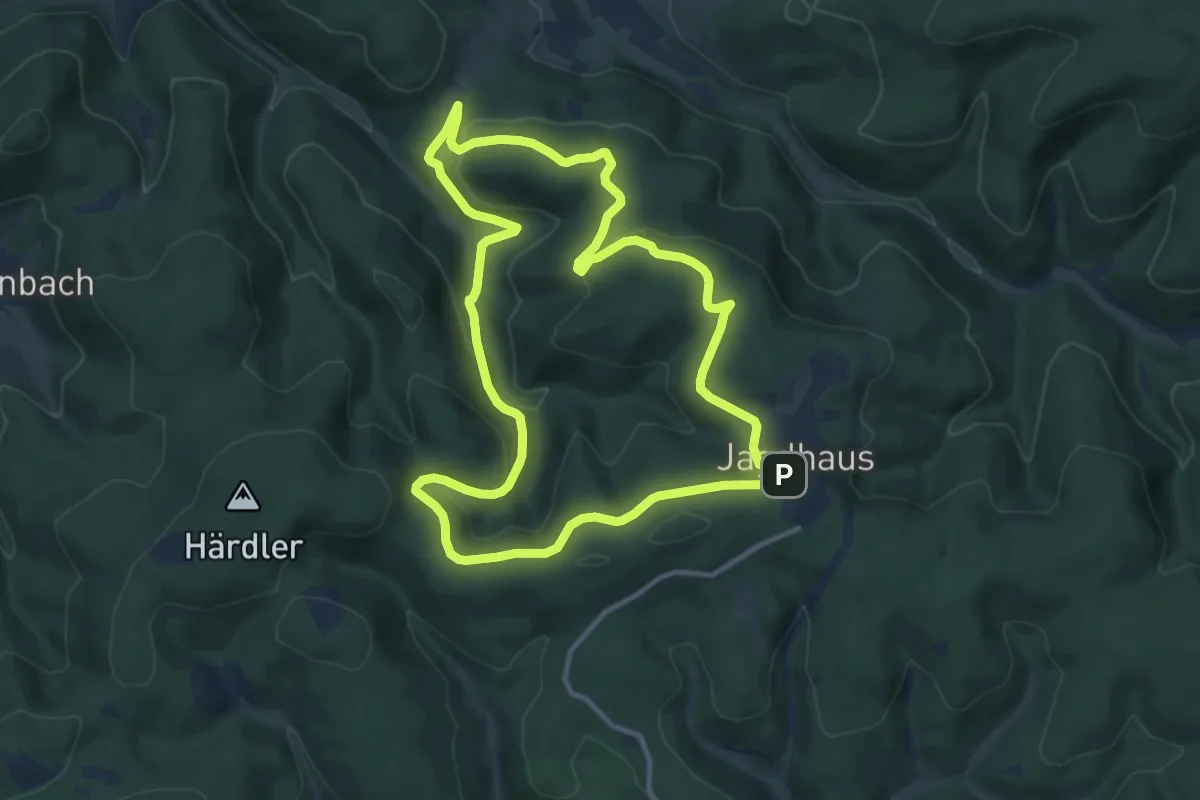
Fleckenberg Rundweg F1
10.6 km · ↑ 330 m · 3 h 21 min
Medium · Trail
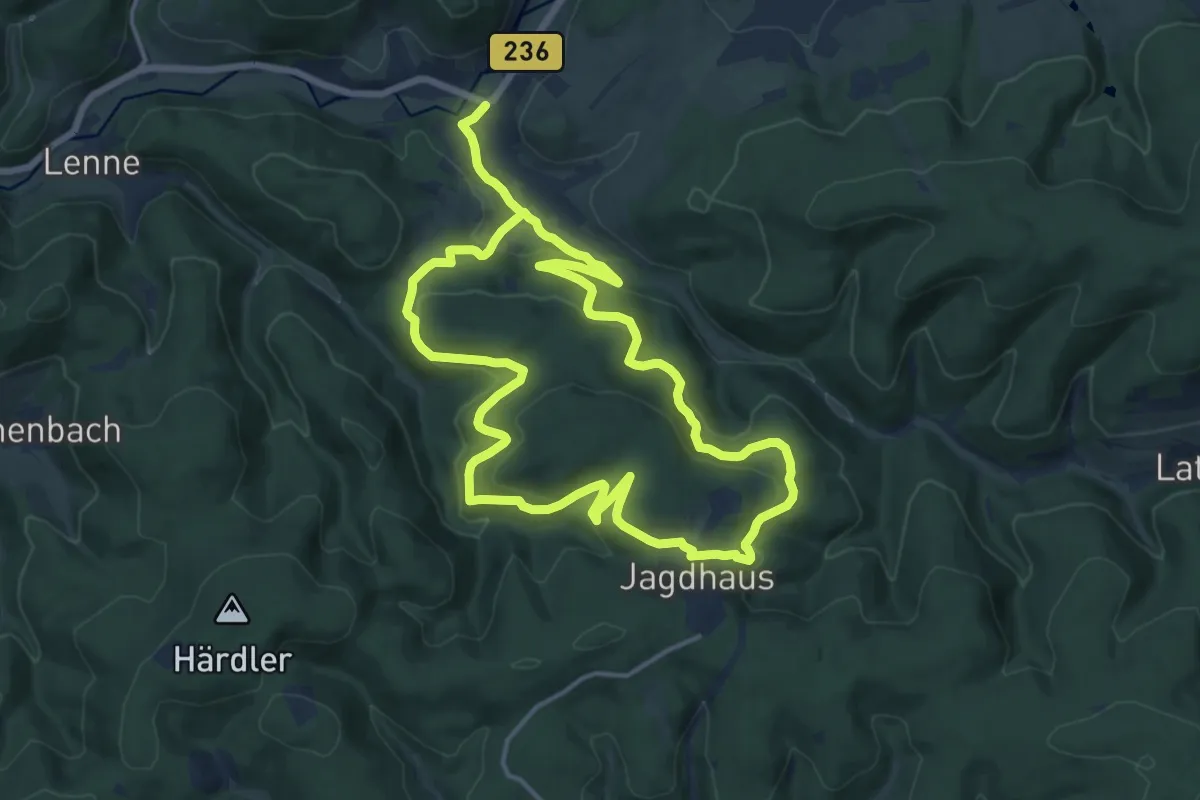
Fleckenberg Rundweg F2
12.7 km · ↑ 455 m · 4 h 10 min
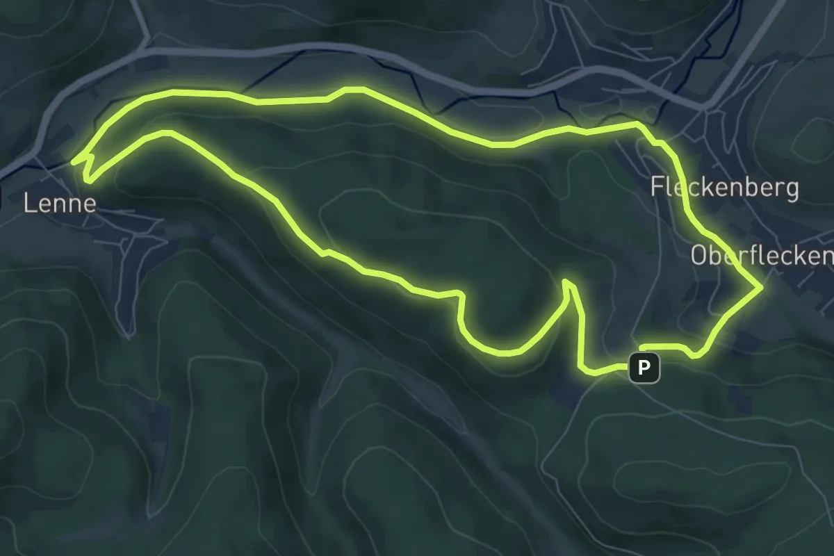
Easy · Trail
Fleckenberg Rundweg F3
7.8 km · ↑ 186 m · 2 h 21 min
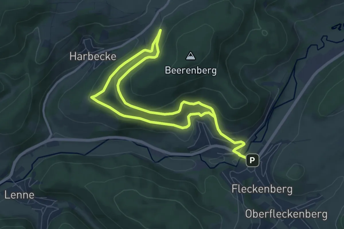
Medium · Trail
Fleckenberg Rundweg F4
12.4 km · ↑ 370 m · 3 h 43 min
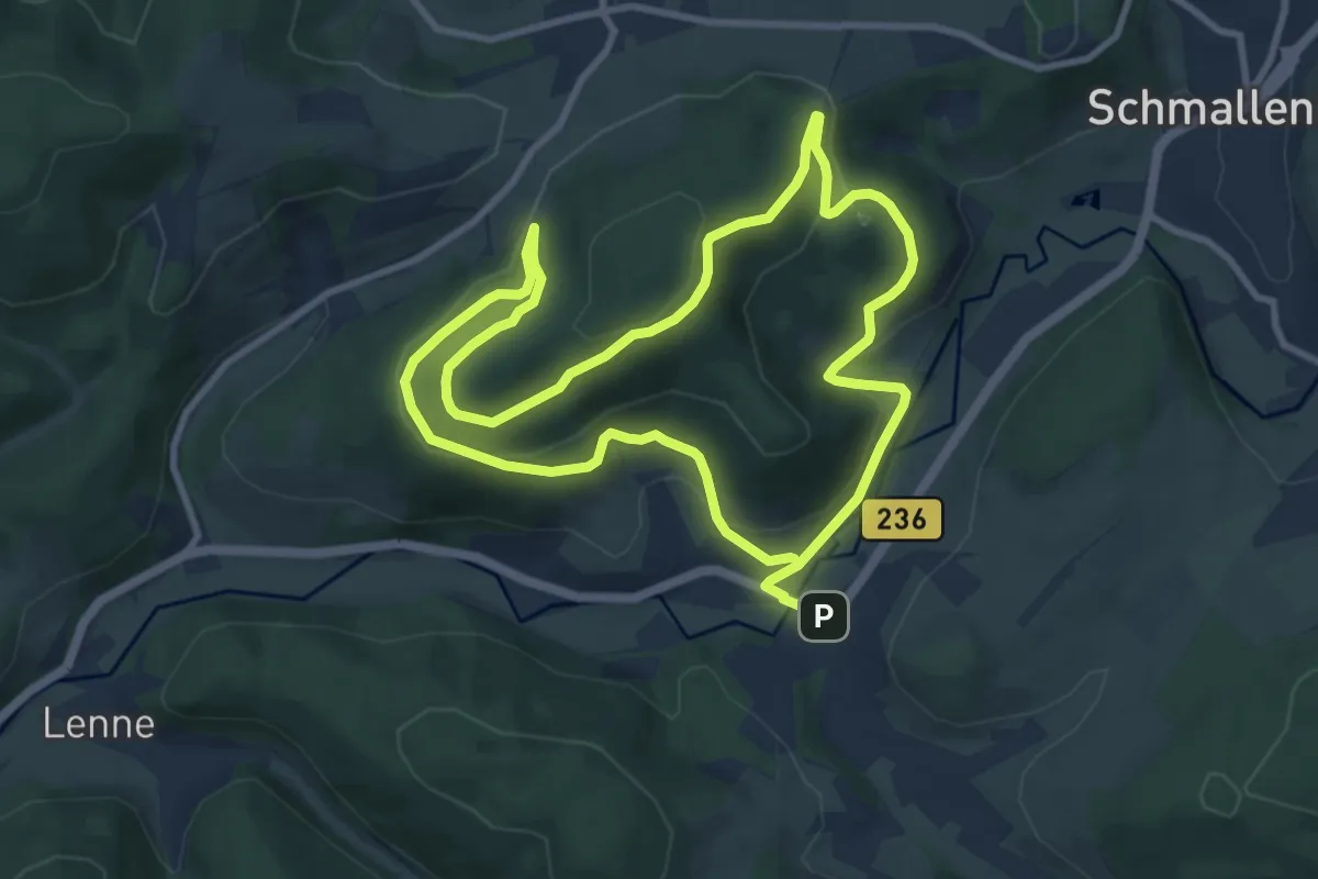
Medium · Trail
Fleckenberg Rundweg F5
8.6 km · ↑ 326 m · 2 h 51 min