Trails in Germany
36,852 hiking trails, each with its route, climb, walking time and grade.
All trails, page 153 of 768
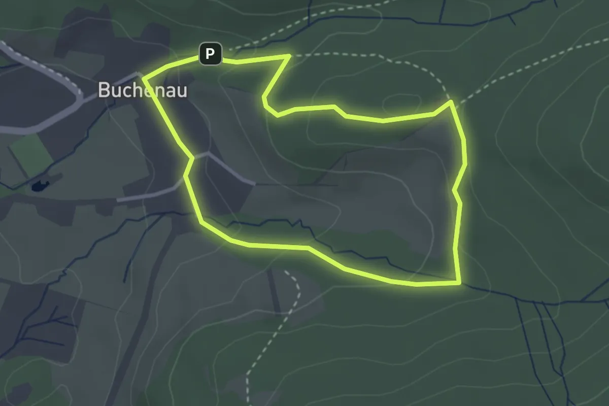
Easy · Summit
Fledermaus
2.6 km · ↑ 89 m · 51 min
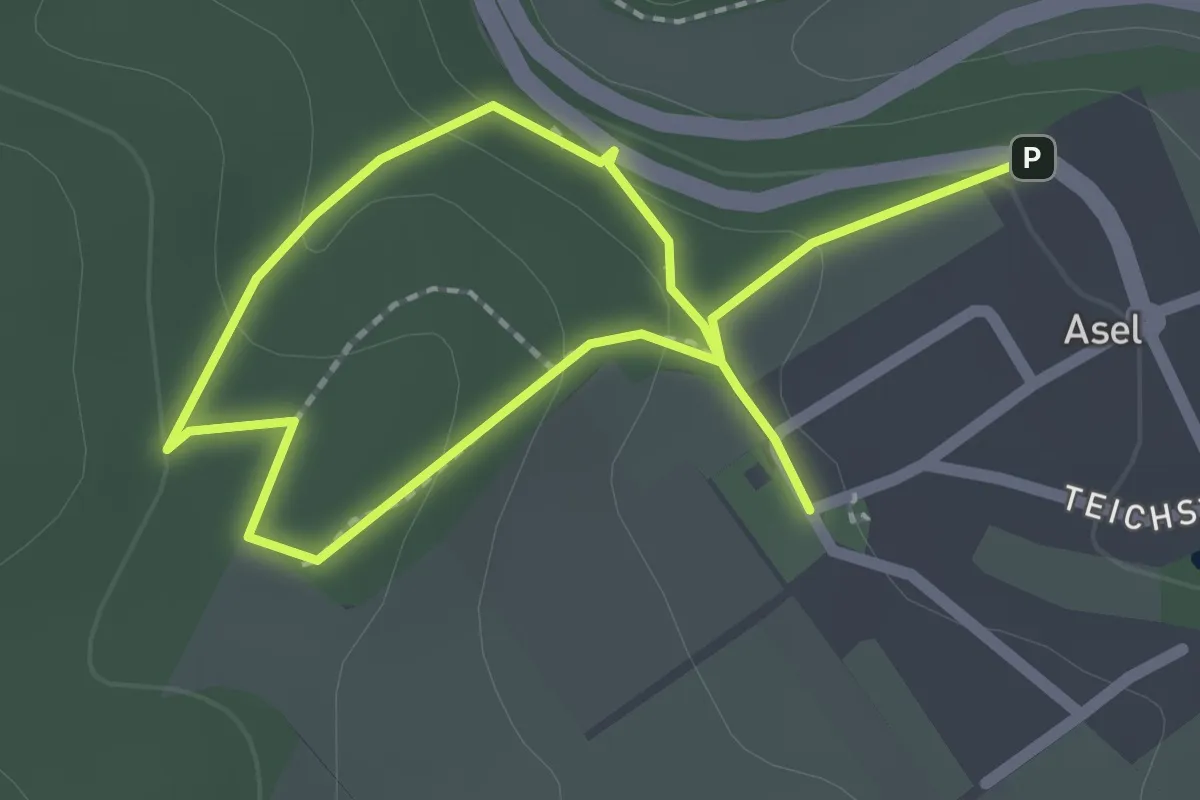
Easy · Trail
Fledermauslehrpfad Asel
3.0 km · ↑ 112 m · 57 min
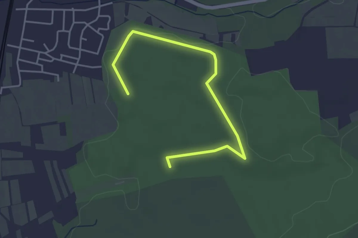
Easy · Trail
Fledermauslehrpfad Breitengüßbach
4.0 km · ↑ 28 m · 1 h 1 min
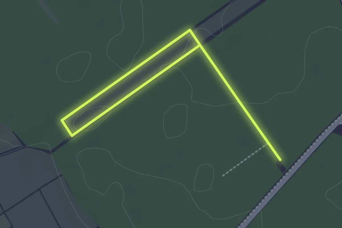
Easy · Trail
Fledermauslehrpfad - Fledermäuse im Seligenstädter Stadtwald
1.6 km · ↑ 8 m · 25 min
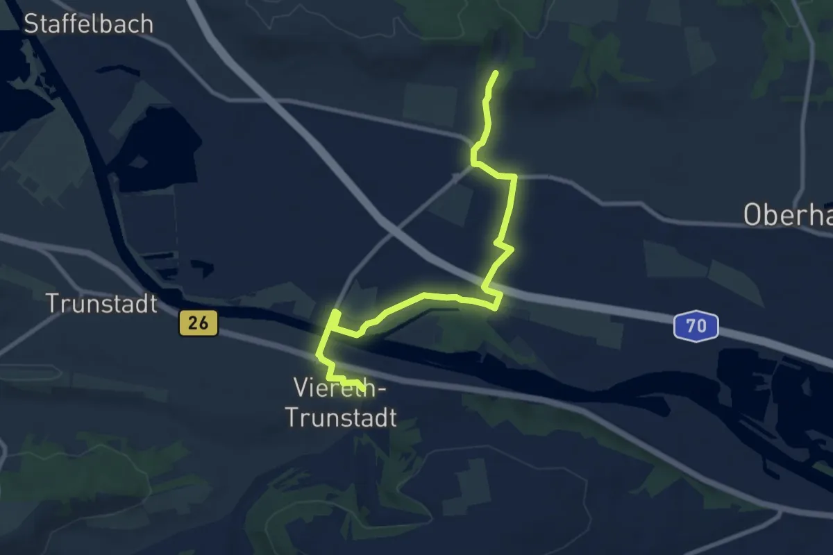
Medium · Trail
Fledermausweg Viereth-Unterhaid
8.2 km · ↑ 51 m · 2 h 3 min
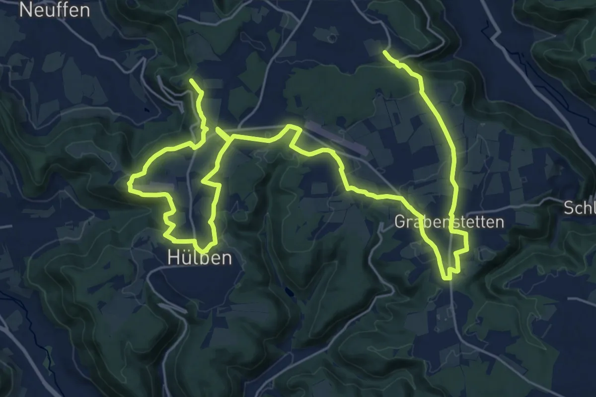
Medium · Trail
Fleggaronde
17.8 km · ↑ 168 m · 4 h 50 min
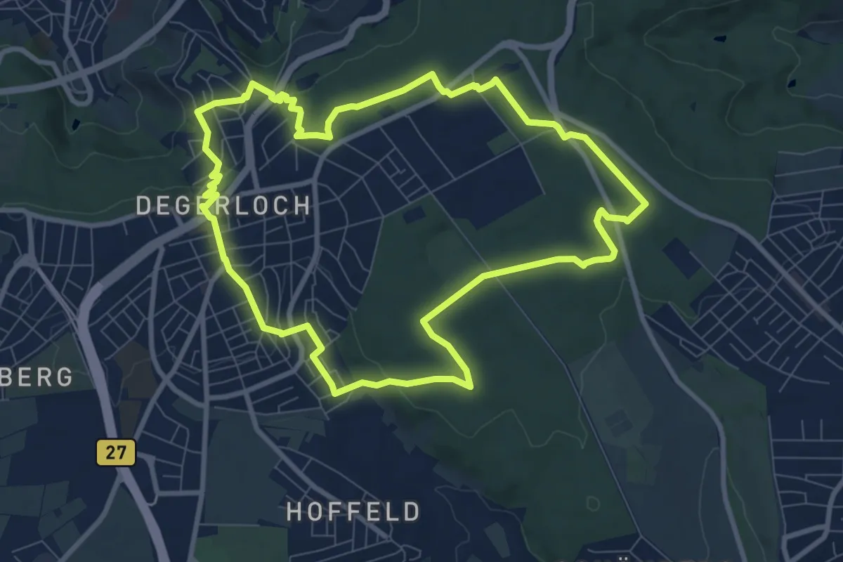
Medium · Summit
Fleggaweg Degerloch
8.3 km · ↑ 145 m · 2 h 23 min
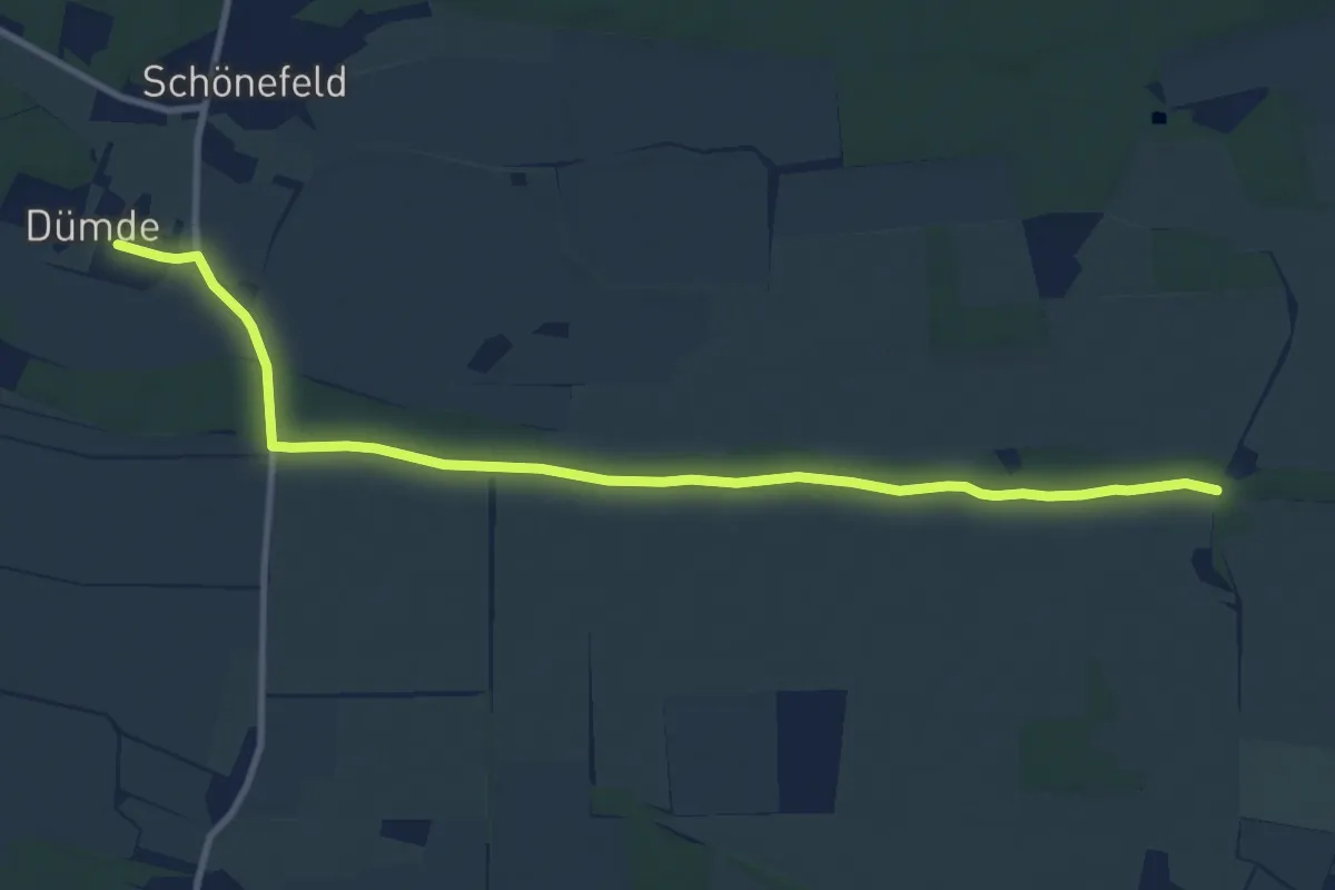
Medium · Trail
Flemmingwiesenweg
10.2 km · ↑ 23 m · 2 h 28 min
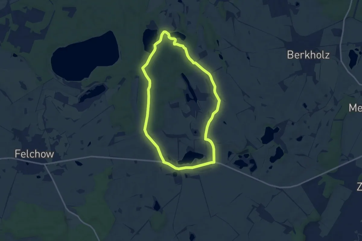
Medium · Trail
Flemsdorfer Wald
9.0 km · ↑ 77 m · 2 h 25 min
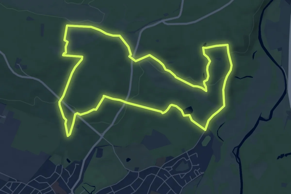
Medium · Summit
Fliegenberg-Tour
8.4 km · ↑ 137 m · 2 h 24 min
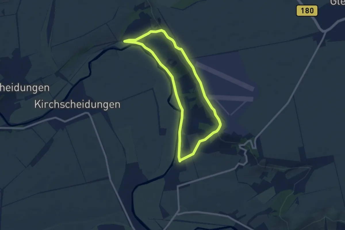
Easy · Trail
Fliegerrundweg Dorndorf
5.8 km · ↑ 115 m · 1 h 42 min
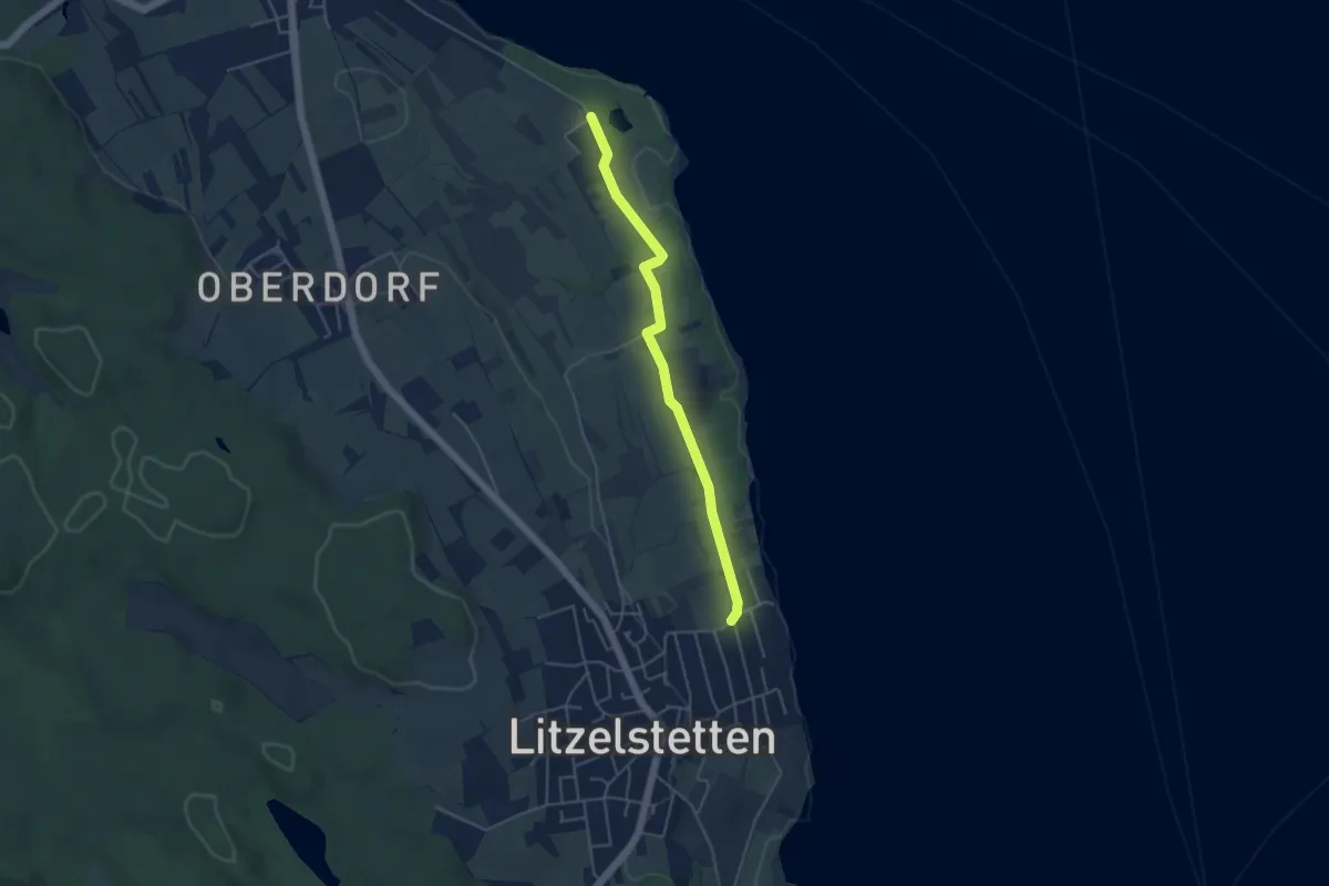
Easy · Trail
Fließhorn - Litzelstetten Strandbad
4.2 km · ↑ 49 m · 1 h 6 min
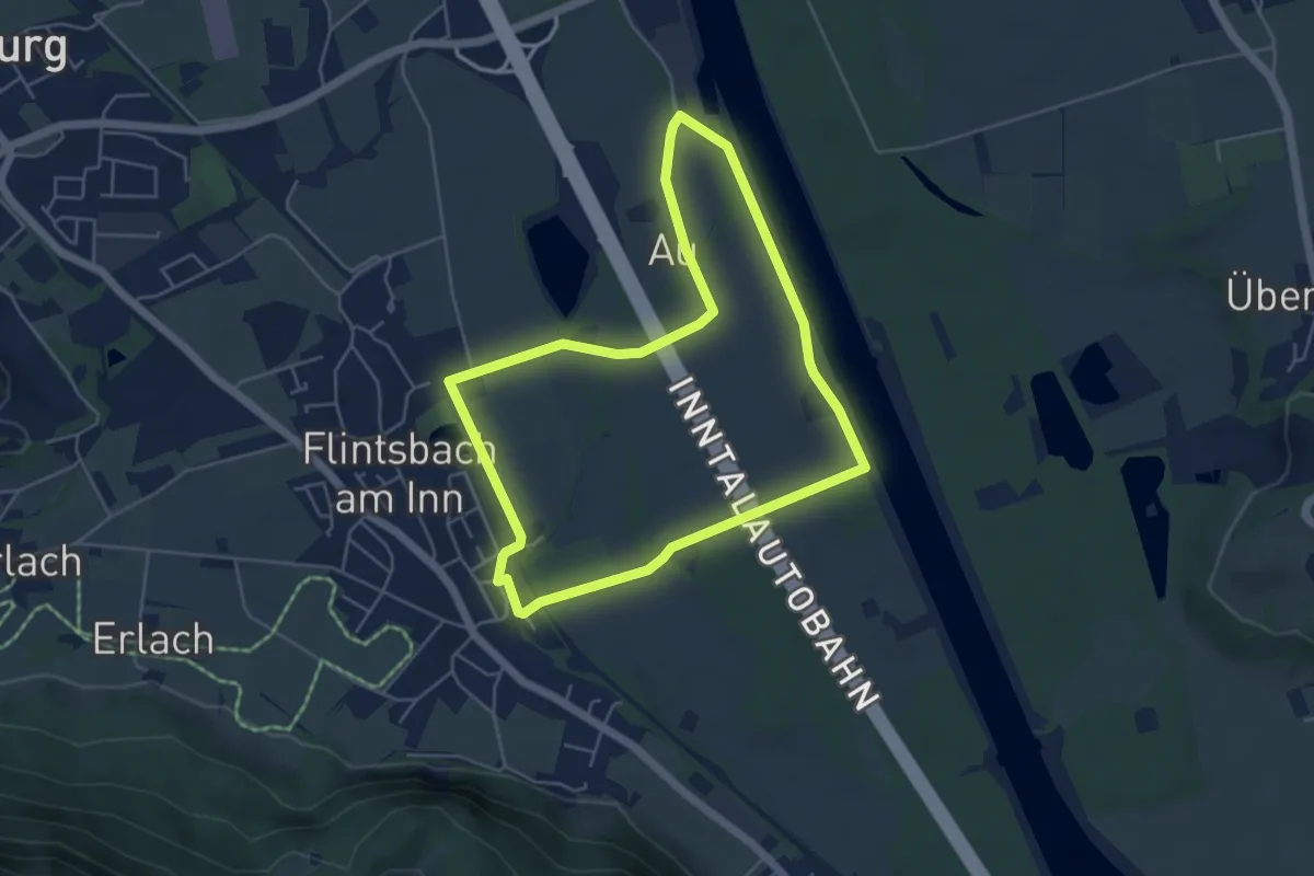
Easy · Trail
Flintsbach - Dettendorfer-Tour
4.7 km · ↑ 13 m · 1 h 13 min
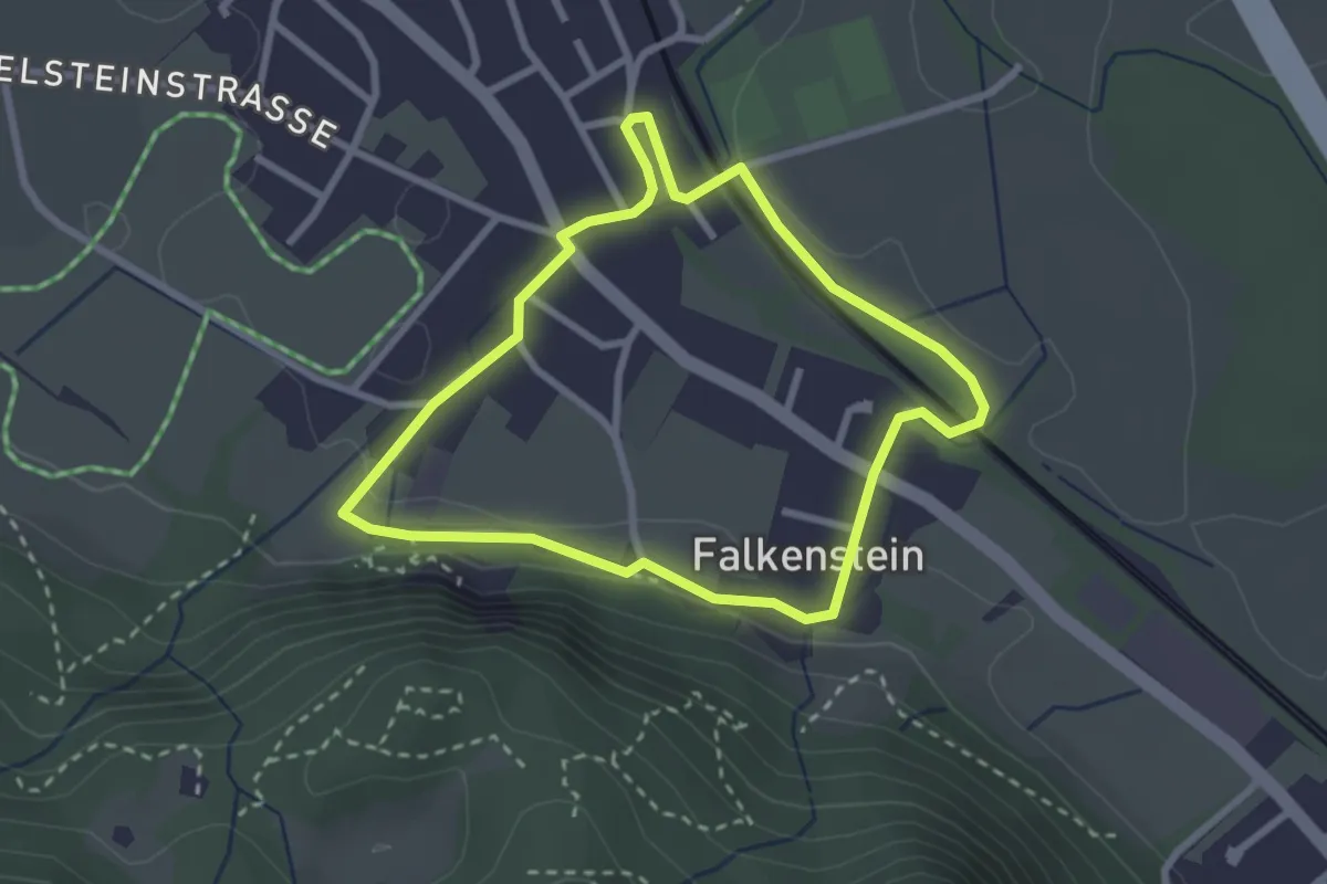
Easy · Trail
Flintsbach - Falkenstein-Tour
2.5 km · ↑ 40 m · 42 min
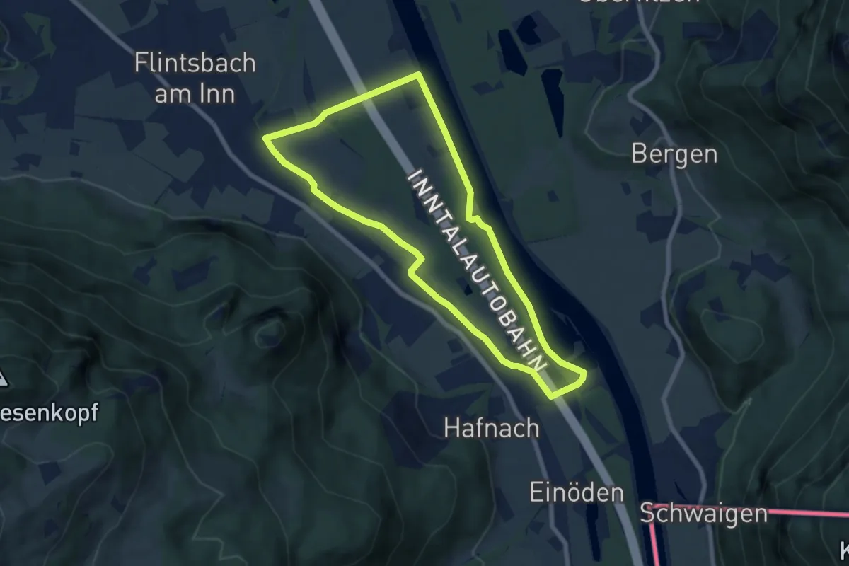
Easy · Trail
Flintsbach - Gletschergarten-Tour
6.3 km · ↑ 28 m · 1 h 38 min
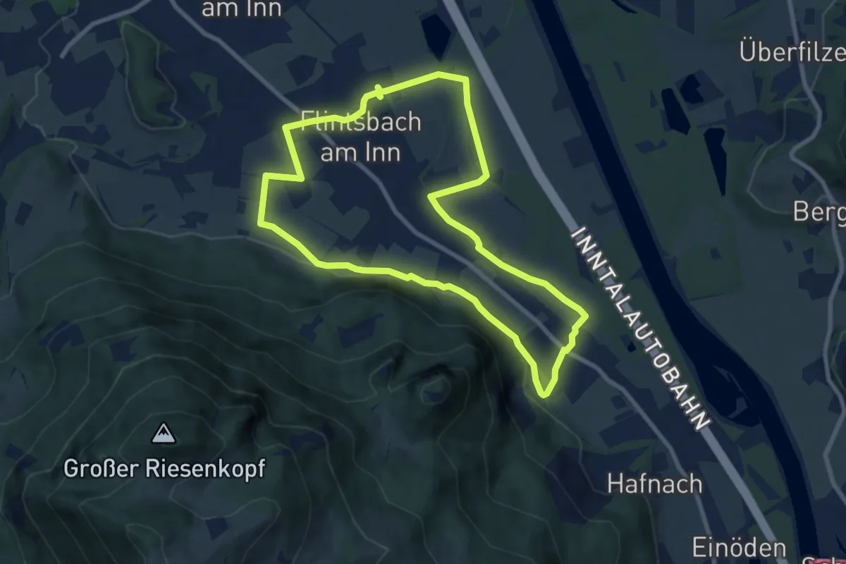
Easy · Trail
Flintsbach - Rund um Flintsbach-Tour
7.5 km · ↑ 76 m · 2 h 3 min
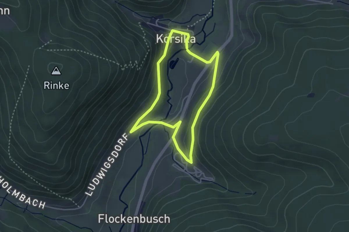
Easy · Trail
Flockenbusch 3: Korsika-Weg
2.8 km · ↑ 93 m · 54 min
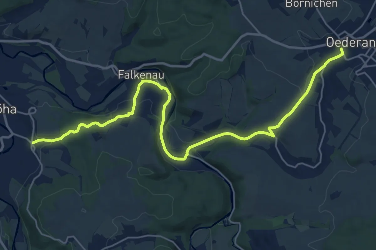
Demanding · Trail
Flöha-Schweddey-Oederan
18.1 km · ↑ 307 m · 4 h 56 min
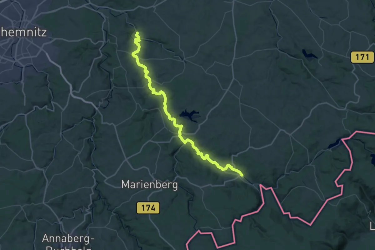
Demanding · Trail
Flöhatal-Wanderweg
34.0 km · ↑ 584 m · 9 h 43 min
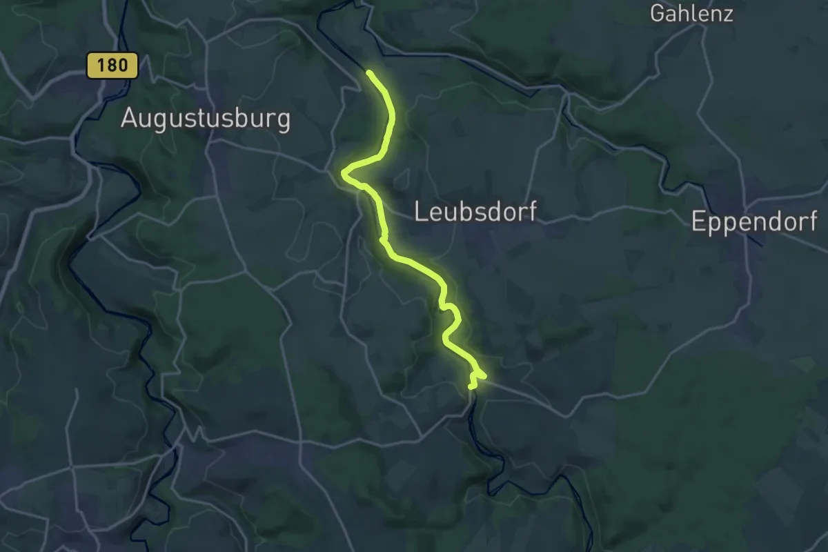
Medium · Trail
Flöhatal-Wanderweg
15.1 km · ↑ 197 m · 4 h
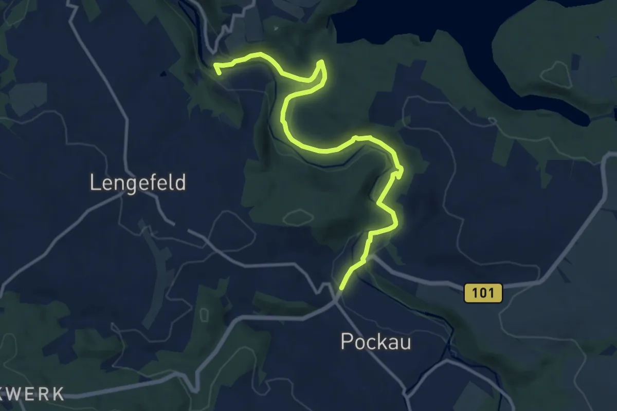
Medium · Trail
Flöhatalweg rechts, Reifland-Pockau
10.6 km · ↑ 190 m · 2 h 55 min
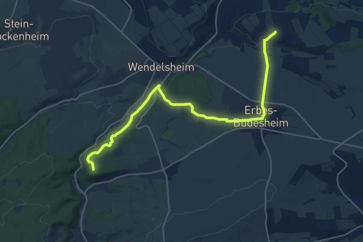
Medium · Summit
Flonheim - Schniftenbergerhof
15.1 km · ↑ 323 m · 4 h 15 min
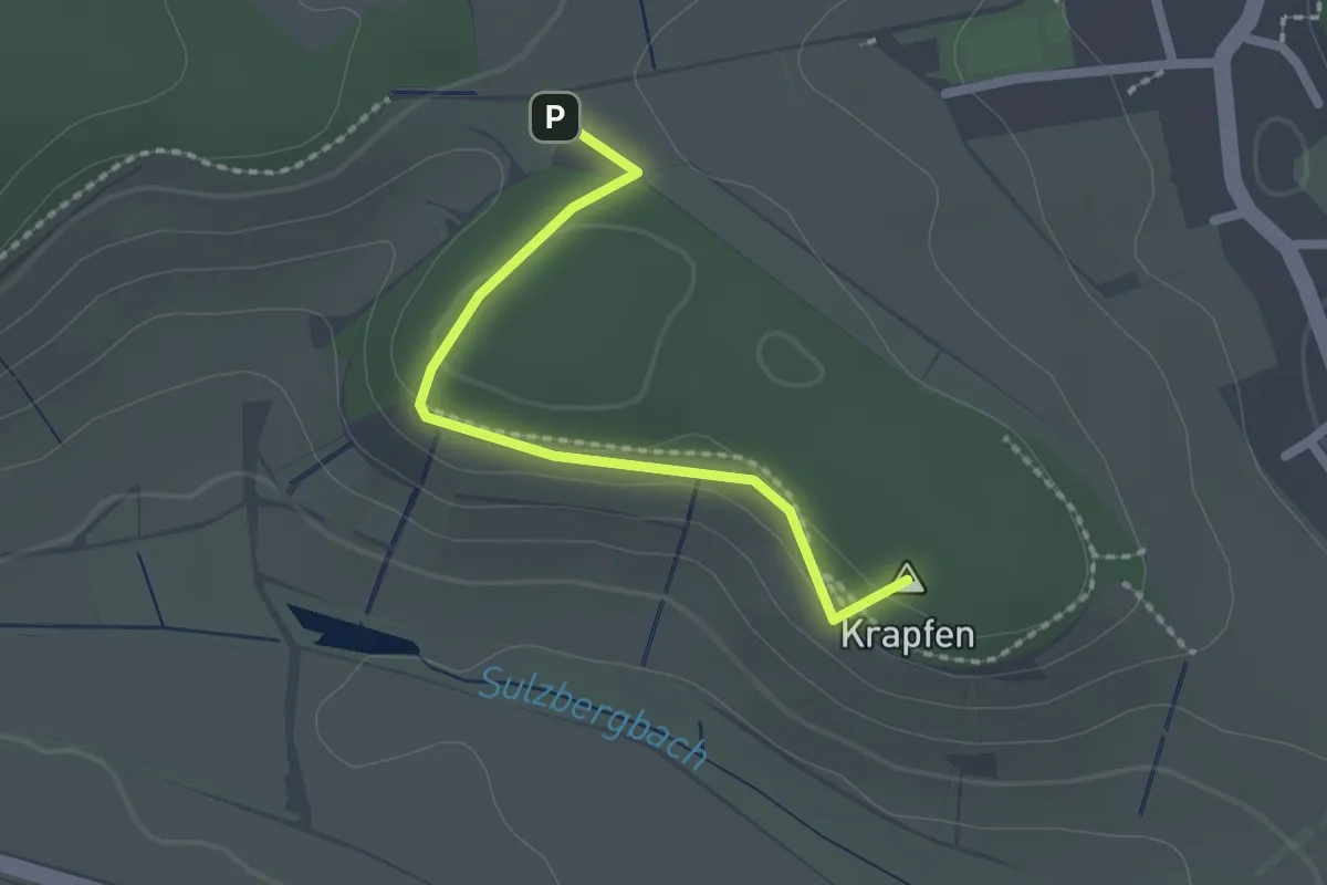
Easy · Summit
Flora-Fauna & Panorama
1.9 km · ↑ 32 m · 31 min
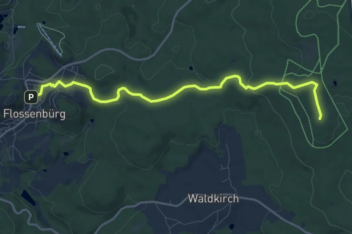
Medium · Summit
Flossenbürg - Schellenberg
9.4 km · ↑ 214 m · 2 h 41 min
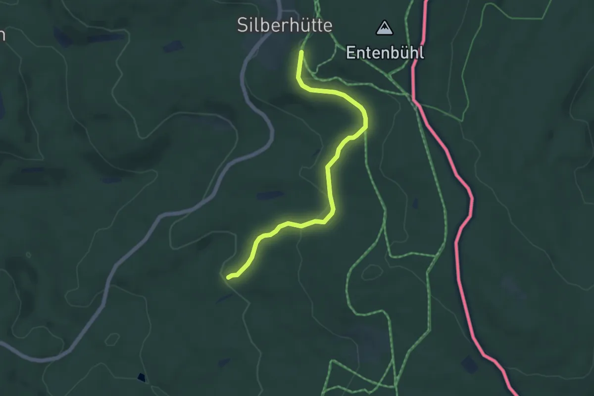
Easy · Trail
Flossenbürg-Silberhütte
4.5 km · ↑ 107 m · 1 h 18 min
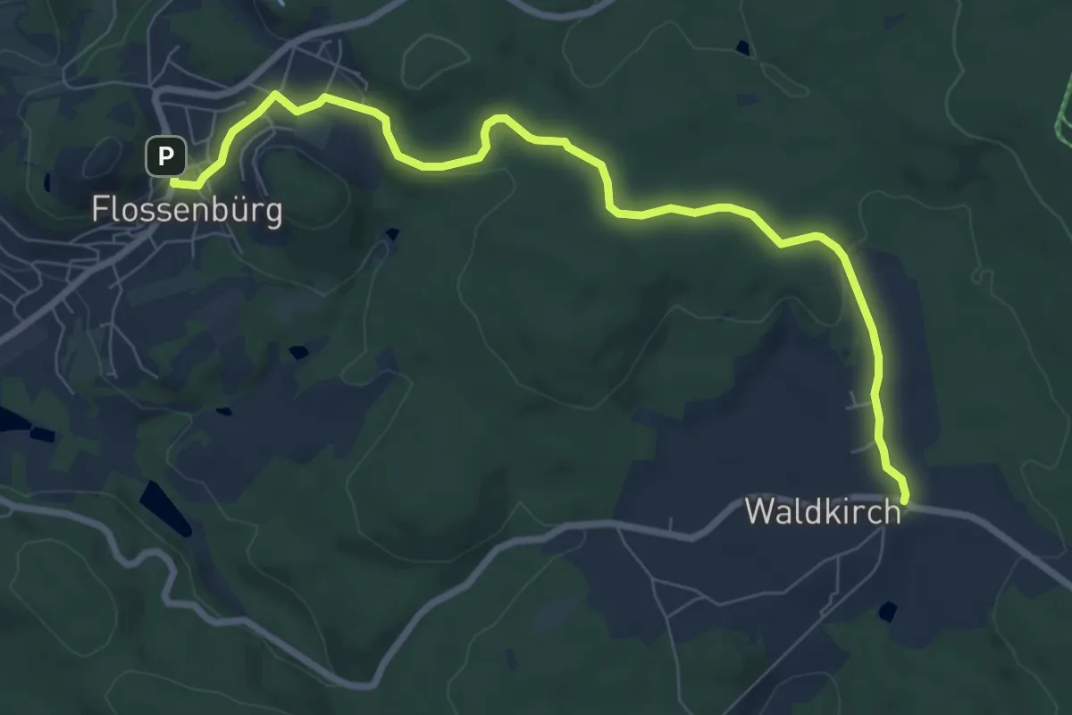
Medium · Trail
Flossenbürg-Waldkirch
8.1 km · ↑ 135 m · 2 h 12 min
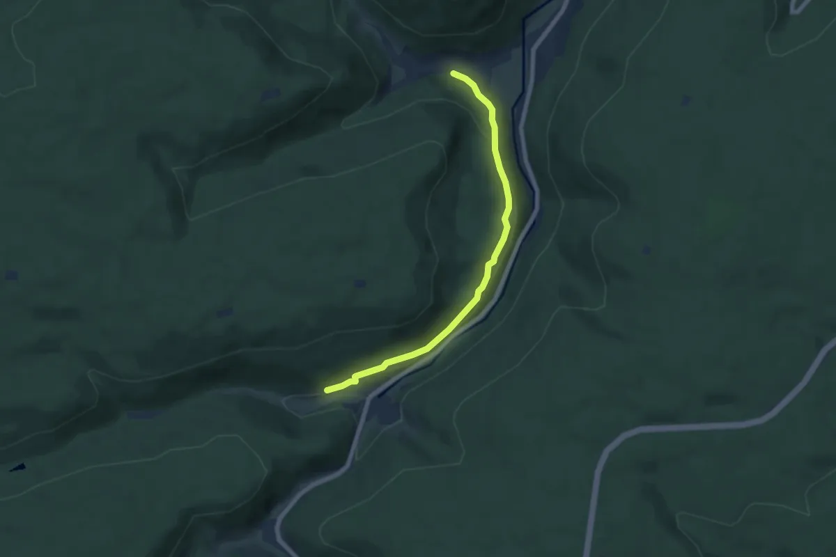
Easy · Trail
Flößerhaus - Bärloch
5.6 km · ↑ 175 m · 1 h 43 min
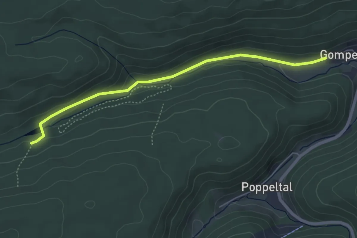
Easy · Trail
Flößerhaus - Kaltenbachsee
4.5 km · ↑ 76 m · 1 h 13 min
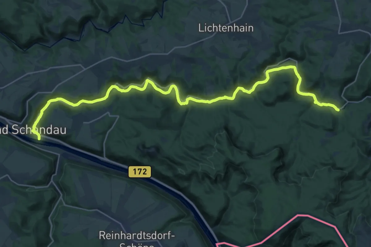
Expert · Trail
Flößersteig
26.0 km · ↑ 555 m · 7 h 20 min
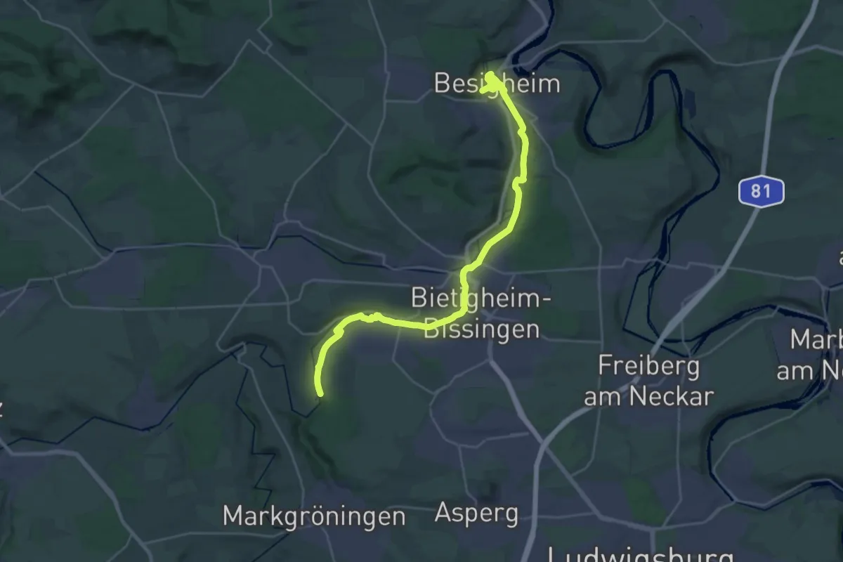
Demanding · Trail
Flößerweg
26.5 km · ↑ 149 m · 6 h 35 min
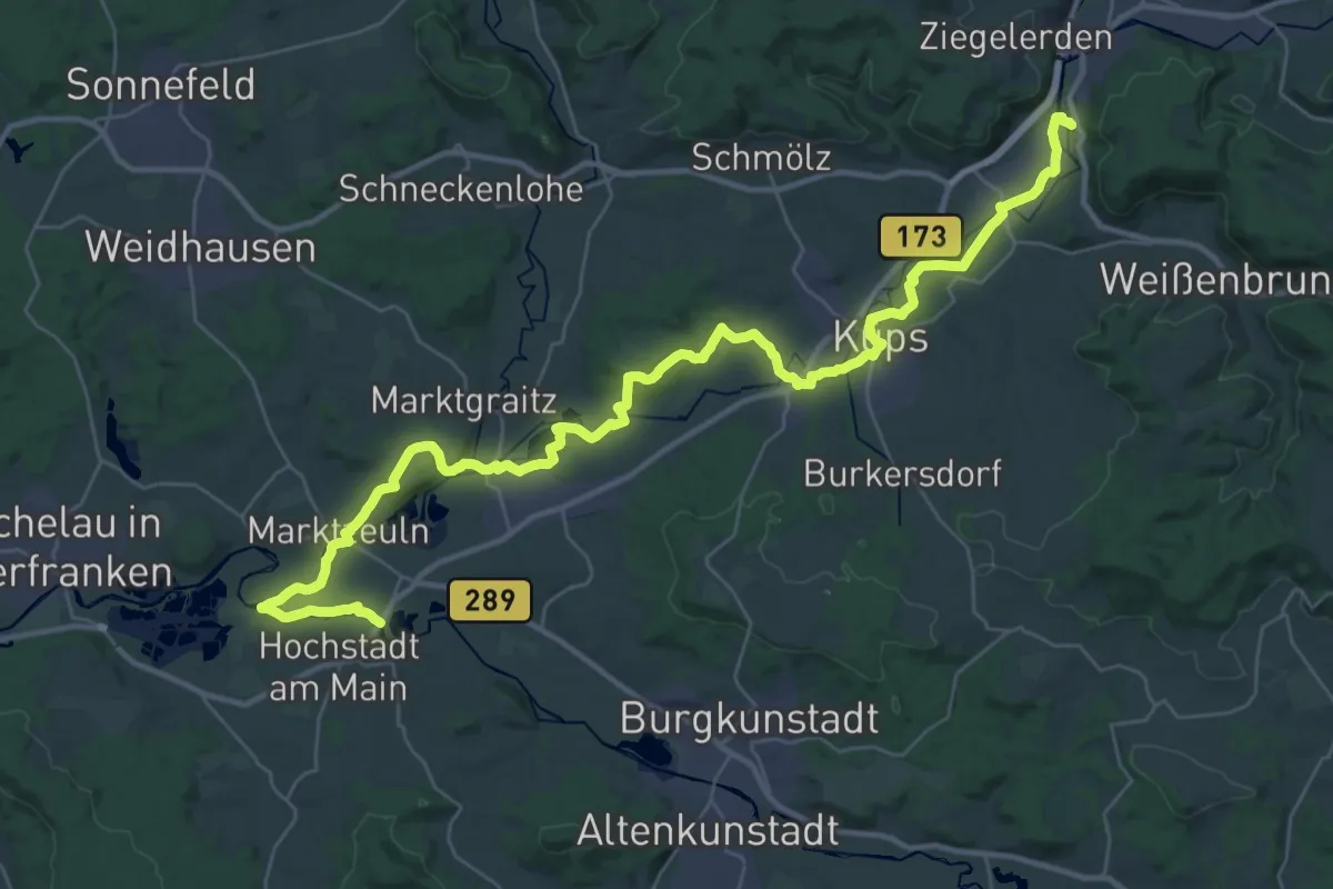
Demanding · Trail
Flößerweg
20.7 km · ↑ 175 m · 5 h 34 min
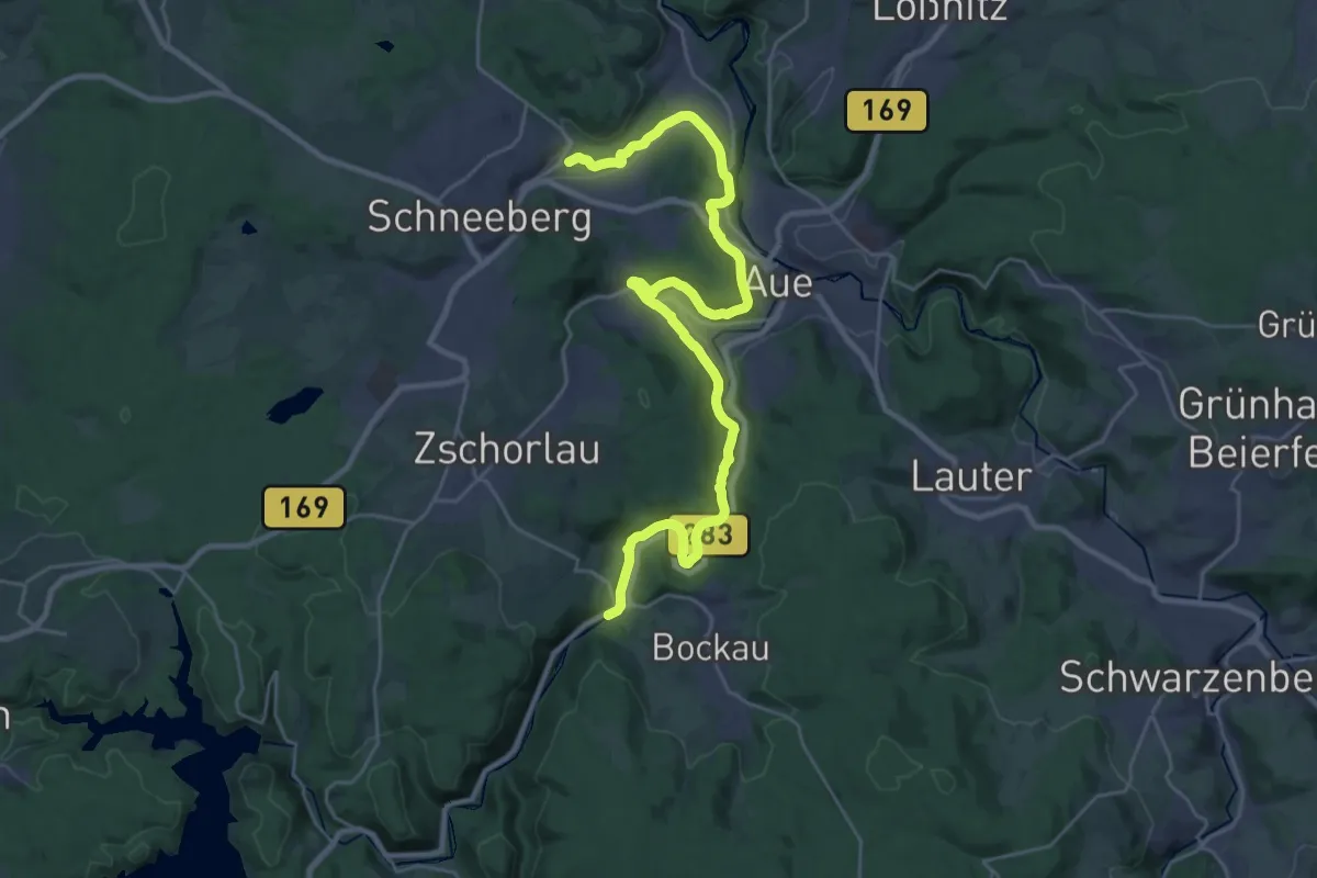
Demanding · Trail
Floßgraben
28.8 km · ↑ 498 m · 7 h 53 min
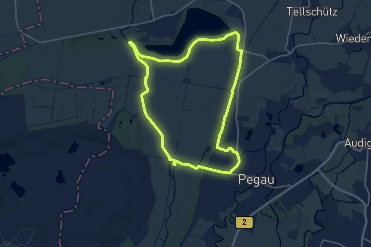
Medium · Trail
Floßgraben Wanderweg
10.5 km · ↑ 22 m · 2 h 40 min
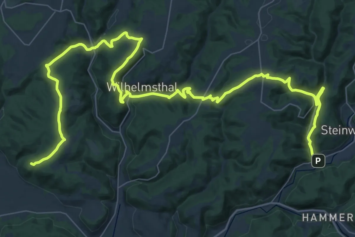
Demanding · Summit
Floßherren-Weg
43.0 km · ↑ 1240 m · 12 h 51 min
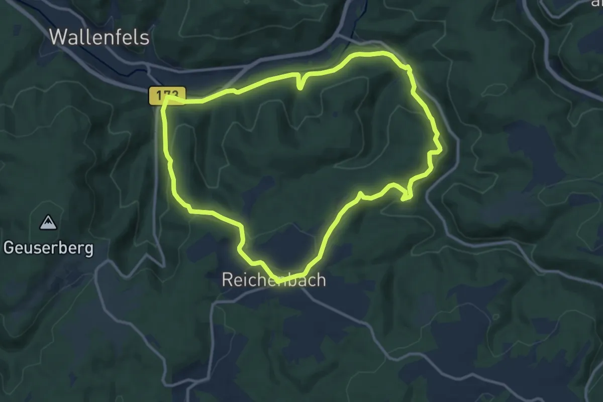
Medium · Trail
Floßländen-Weg RWF 54
9.9 km · ↑ 333 m · 3 h 11 min
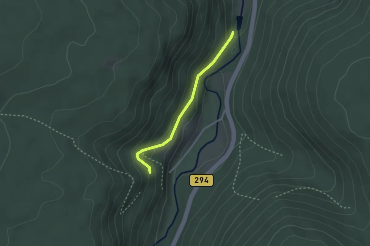
Easy · Trail
Floßstube Seelach - Schulwegle
2.1 km · ↑ 109 m · 44 min
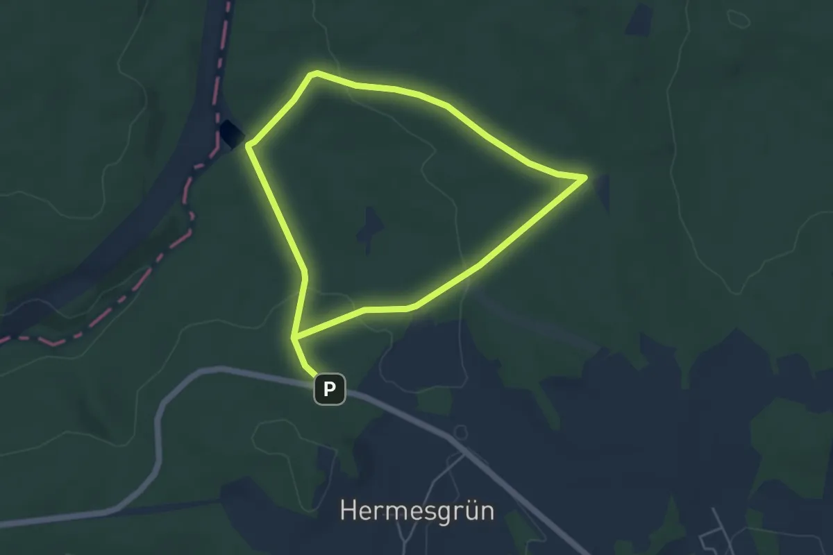
Easy · Trail
Floßteichweg DÖ 90
3.9 km · ↑ 61 m · 1 h 6 min
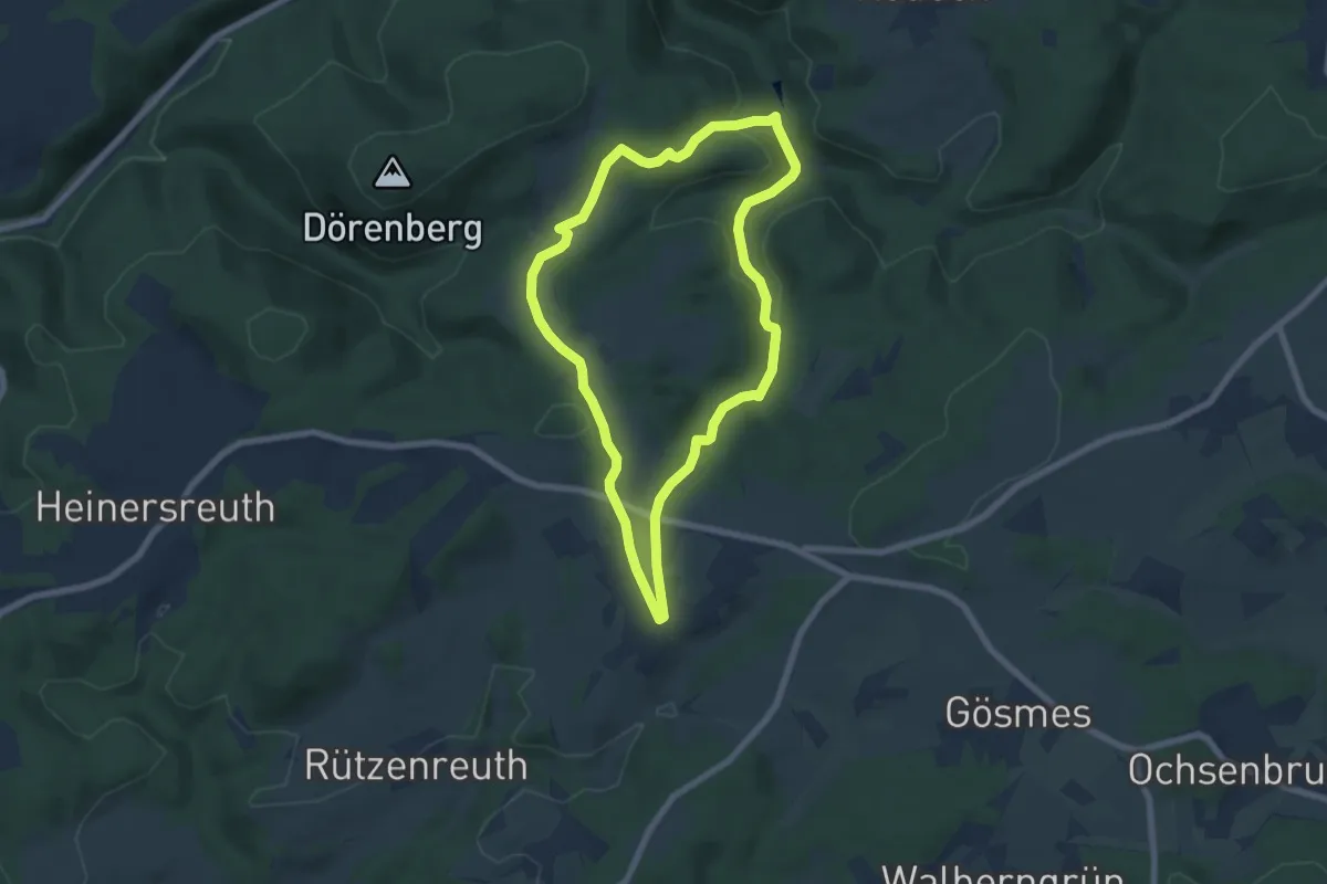
Easy · Trail
Floßteich-Weg OS 18
6.1 km · ↑ 159 m · 1 h 51 min
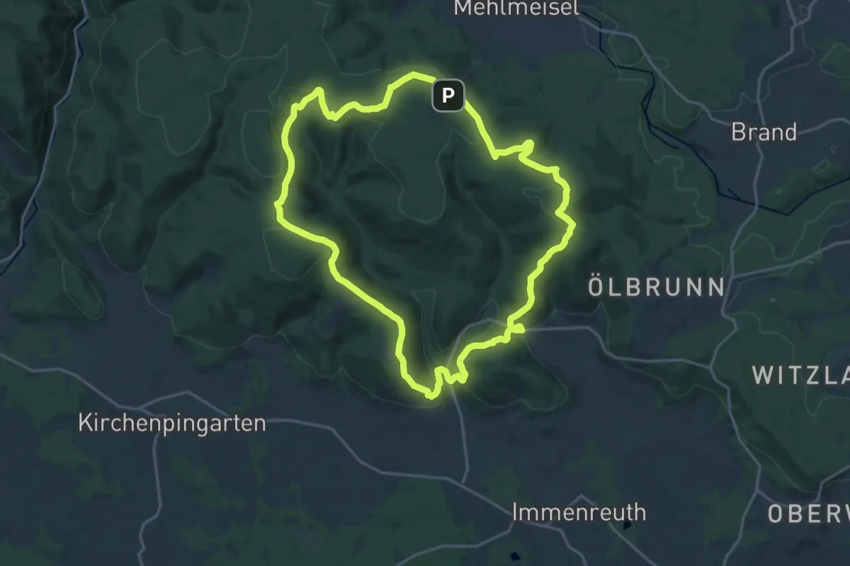
Medium · Trail
Flötztalweg
17.1 km · ↑ 508 m · 5 h 23 min
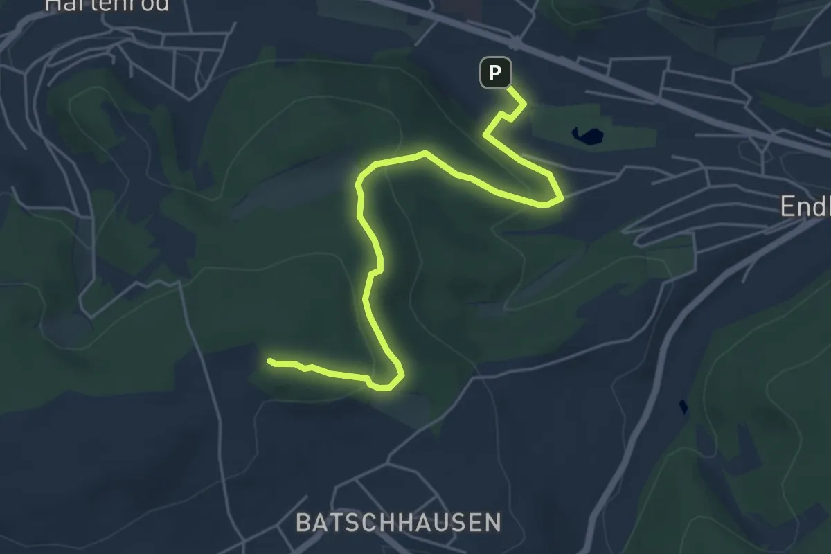
Easy · Trail
Flowtrail Bad Endbach Fußweg
4.9 km · ↑ 169 m · 1 h 31 min
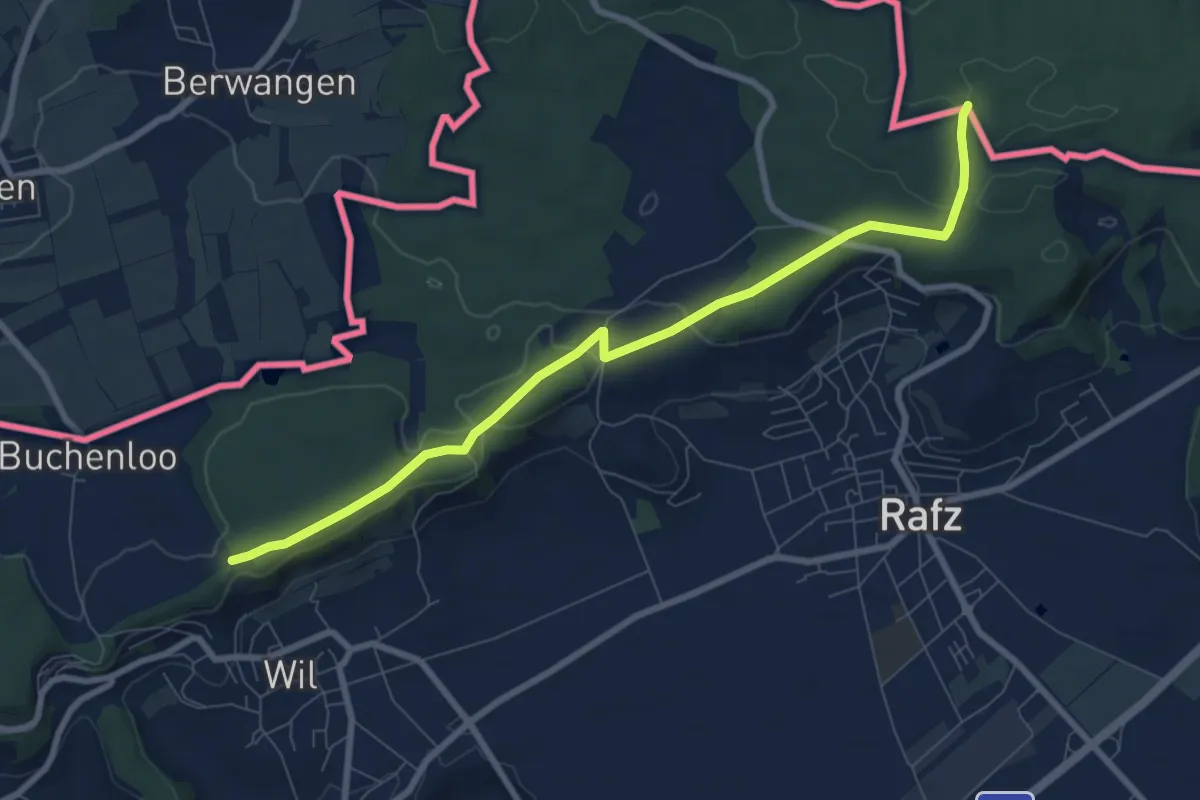
Medium · Trail
Flüestig - Rafzerstein
8.3 km · ↑ 97 m · 2 h 10 min
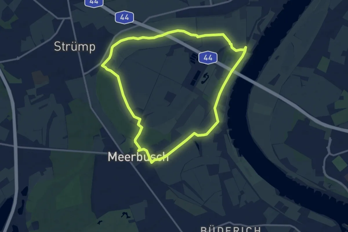
Medium · Trail
Flughafenbrücke Rundweg A2
8.5 km · ↑ 4 m · 2 h 9 min
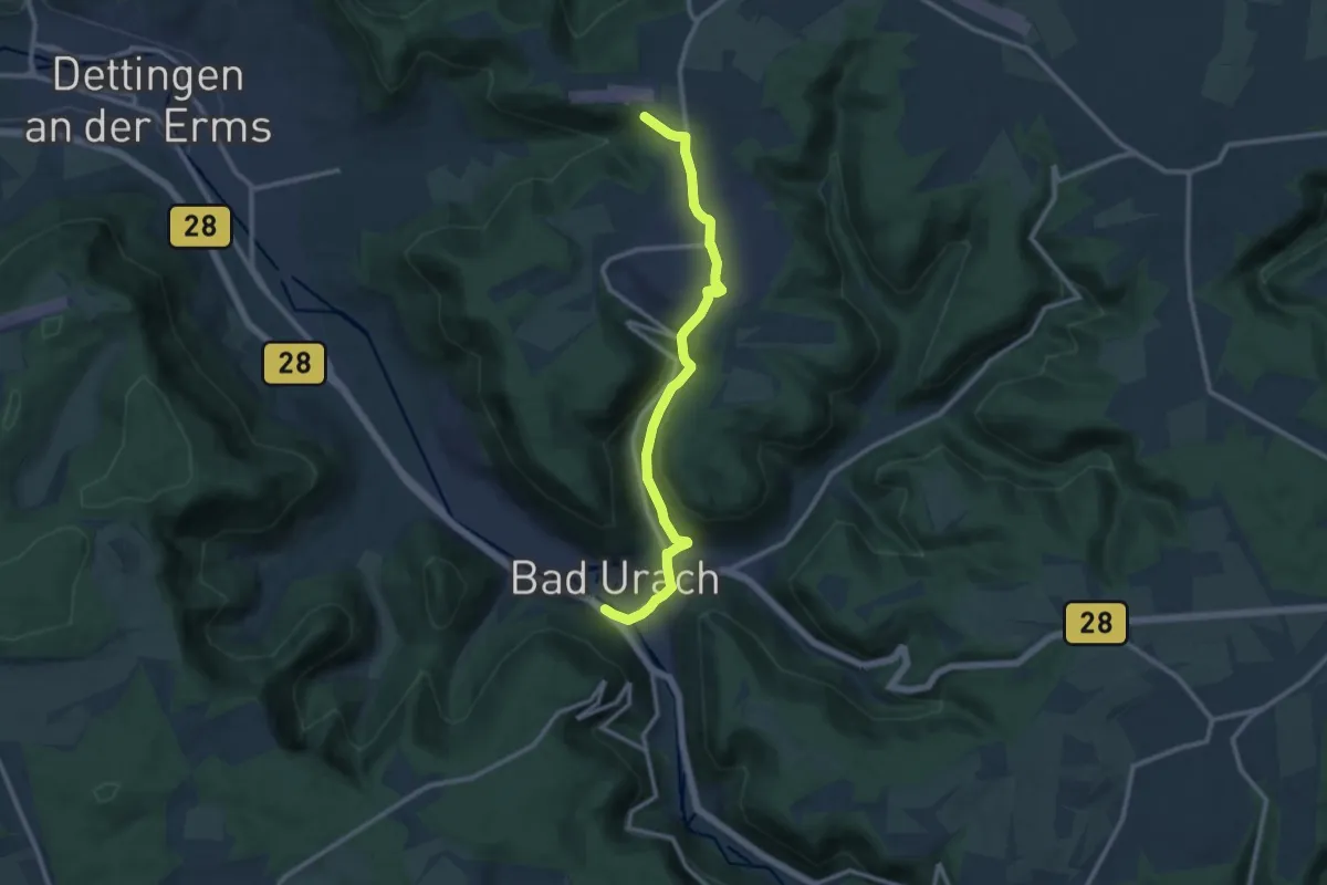
Medium · Trail
Flugpatz Hülben - Bad Urach
10.8 km · ↑ 300 m · 3 h 12 min
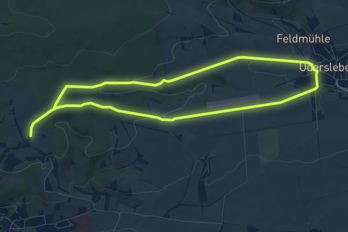
Easy · Summit
Flugplatzweg
7.5 km · ↑ 102 m · 2 h 7 min
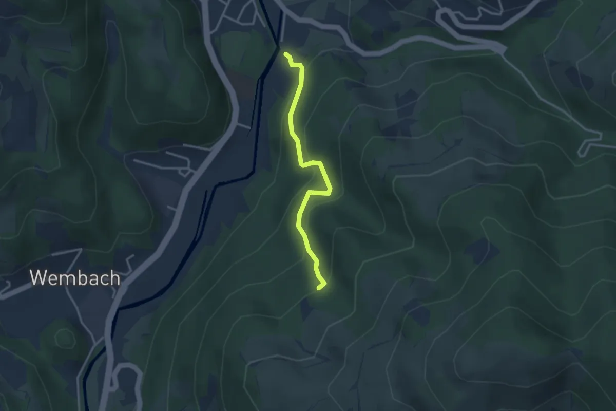
Easy · Trail
Flühweg Abzw. Urwaldpfad - Unterhalb Holzer Kreuz
2.6 km · ↑ 199 m · 1 h 3 min
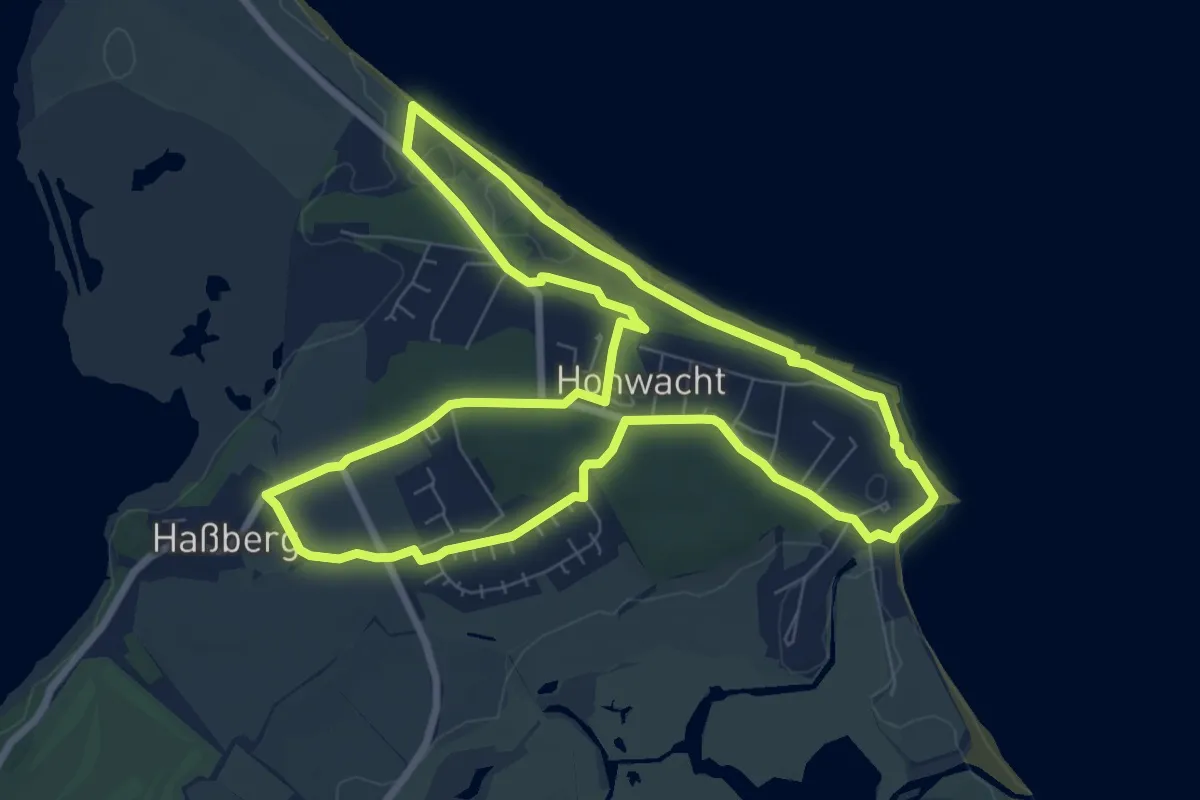
Easy · Trail
Flunderroute
7.1 km · ↑ 48 m · 1 h 53 min
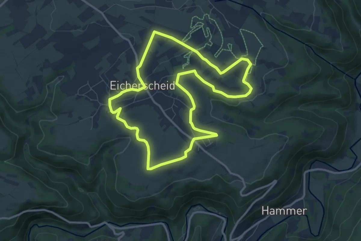
Easy · Trail
Flurheckenweg Eicherscheid
7.8 km · ↑ 81 m · 2 h 7 min
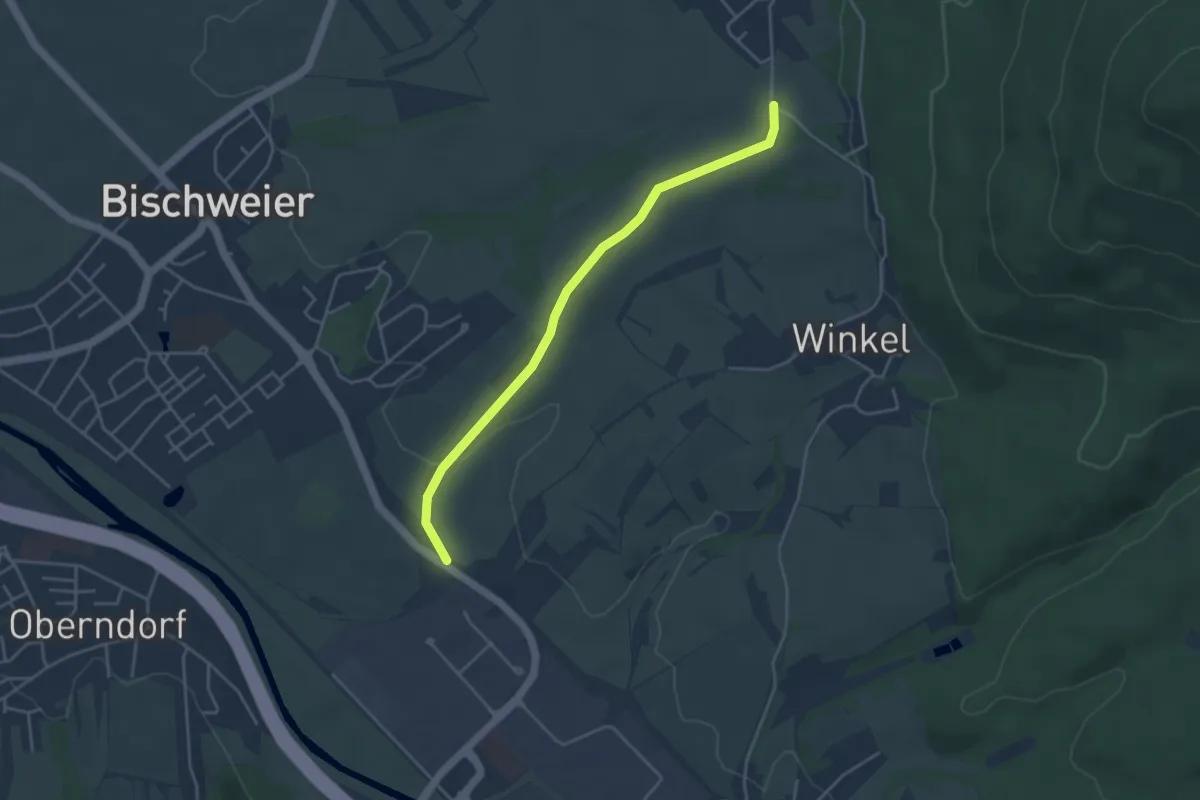
Easy · Trail
Flurkreuz Untergasse - Brettweg Abzweig Oberweier
3.9 km · ↑ 39 m · 1 h