Trails in Germany
36,852 hiking trails, each with its route, climb, walking time and grade.
All trails, page 154 of 768
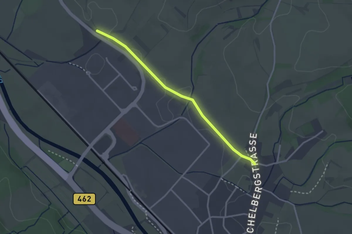
Easy · Trail
Flurkreuz Untergasse - St. Sebastianus-Kapelle
2.5 km · ↑ 4 m · 37 min
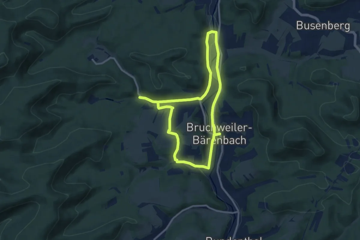
Easy · Trail
Flurkreuzweg Bruchweiler-Bärenbach
7.2 km · ↑ 100 m · 2 h 1 min
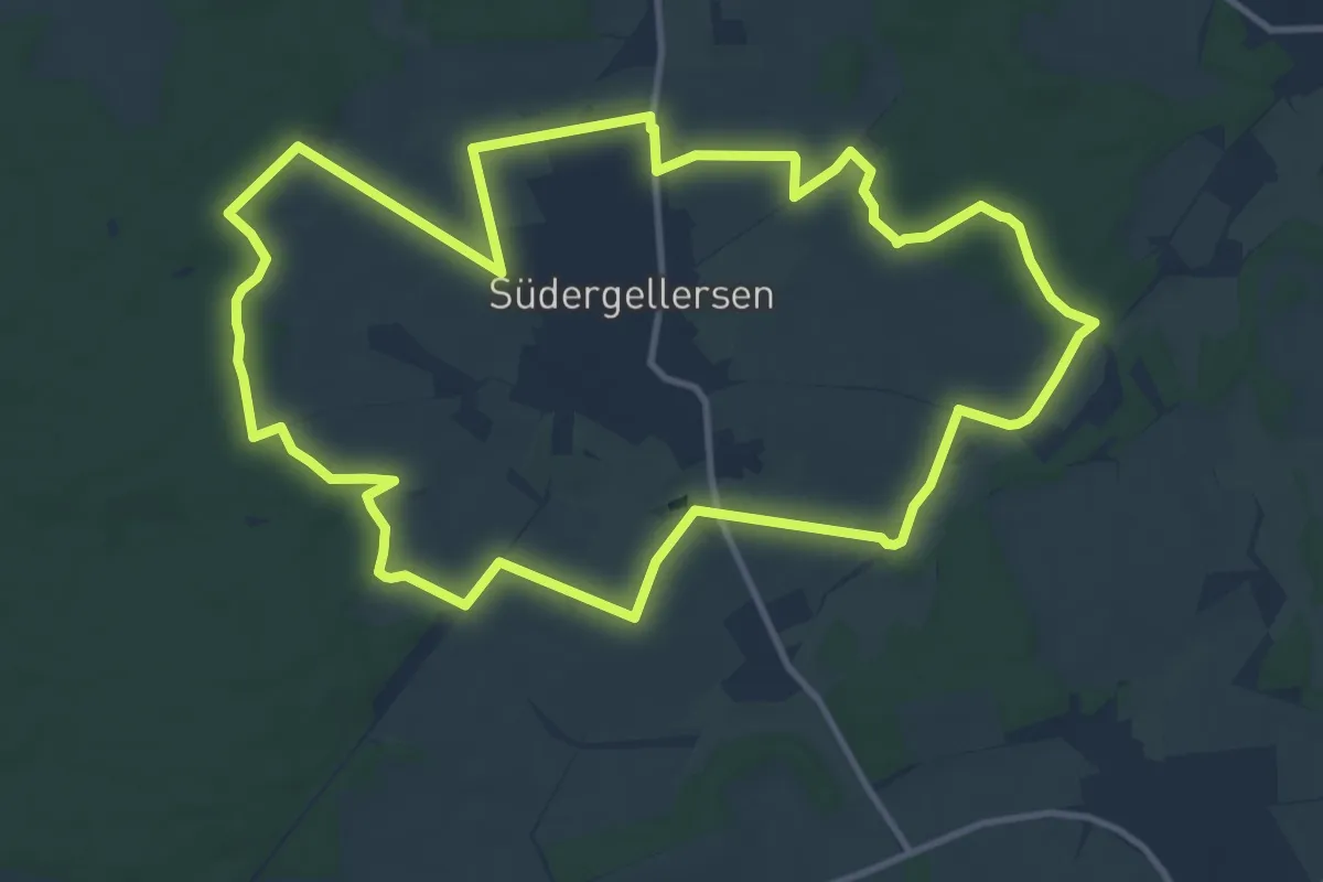
Medium · Trail
Flurlehrpfad Südergellersen
11.0 km · ↑ 62 m · 2 h 54 min
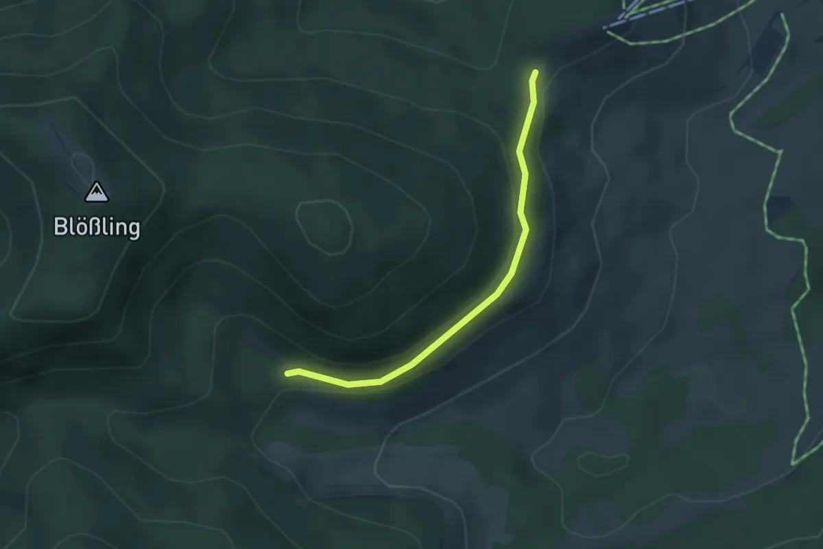
Easy · Trail
Flüssen - Nödemle
3.0 km · ↑ 73 m · 52 min
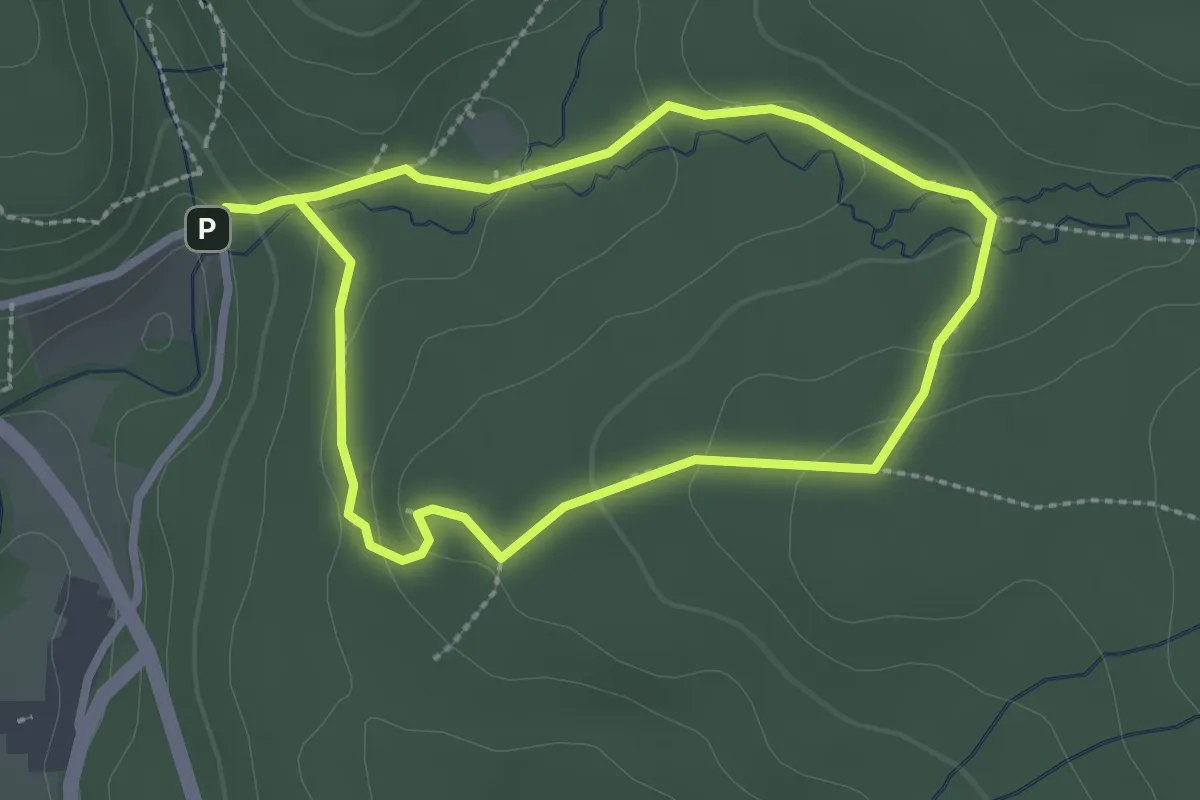
Easy · Trail
Flusskrebs
2.3 km · ↑ 84 m · 45 min
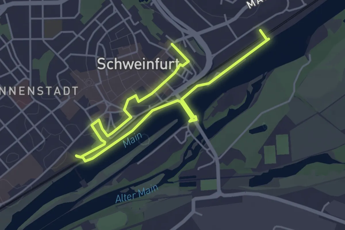
Easy · Trail
Fluß und Fleiß
5.8 km · ↑ 41 m · 1 h 27 min
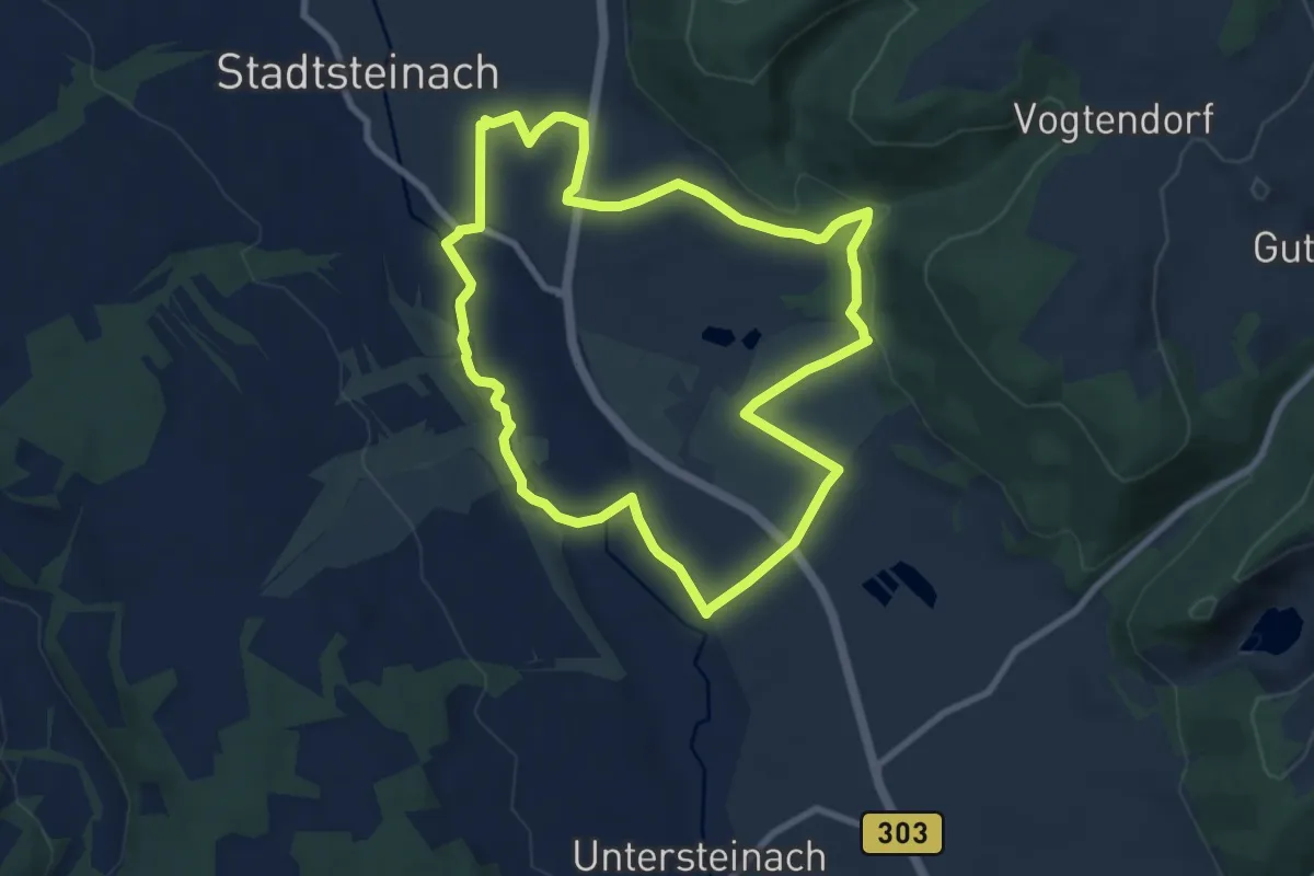
Easy · Trail
Fluss- und Teichufer-Weg KU 34
7.8 km · ↑ 87 m · 2 h 8 min
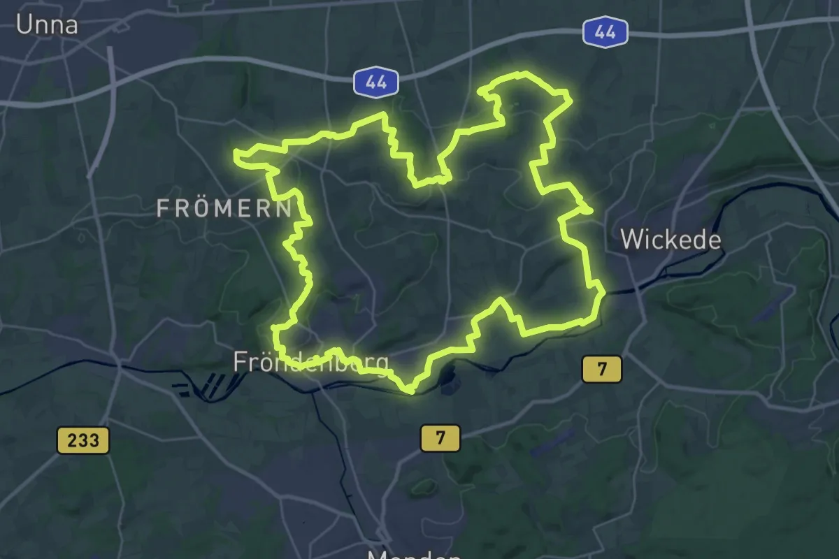
Demanding · Trail
(F) Mauritiusweg-Fröndenberg
34.9 km · ↑ 382 m · 9 h 33 min
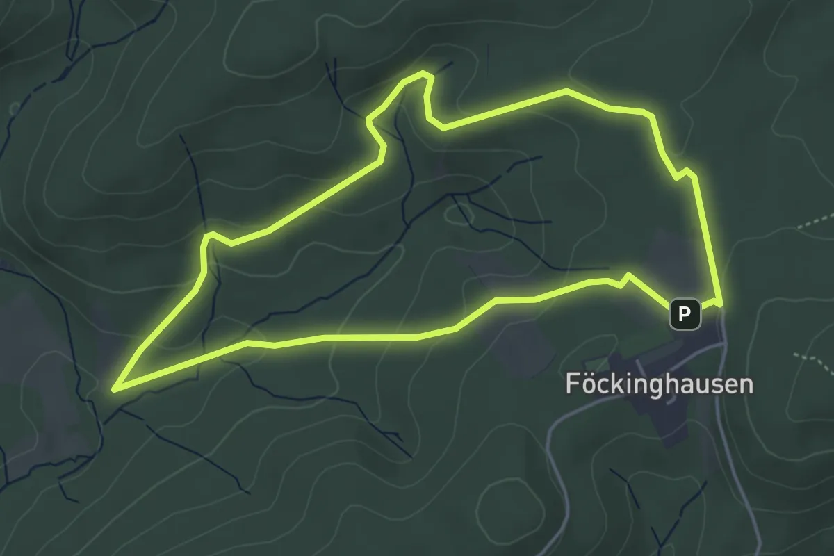
Easy · Trail
Föckinghausen Rundweg A1
4.2 km · ↑ 135 m · 1 h 21 min
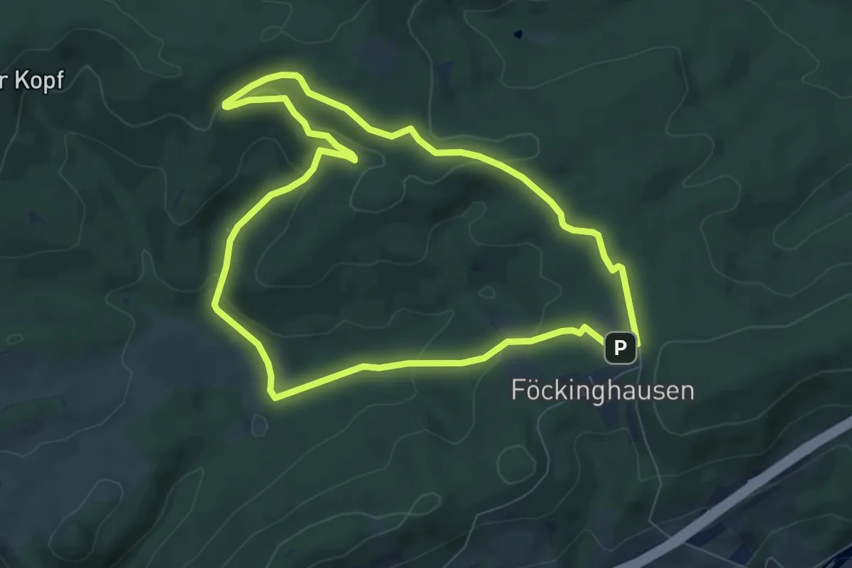
Easy · Trail
Föckinghausen Rundweg A3
6.5 km · ↑ 178 m · 2 h 1 min
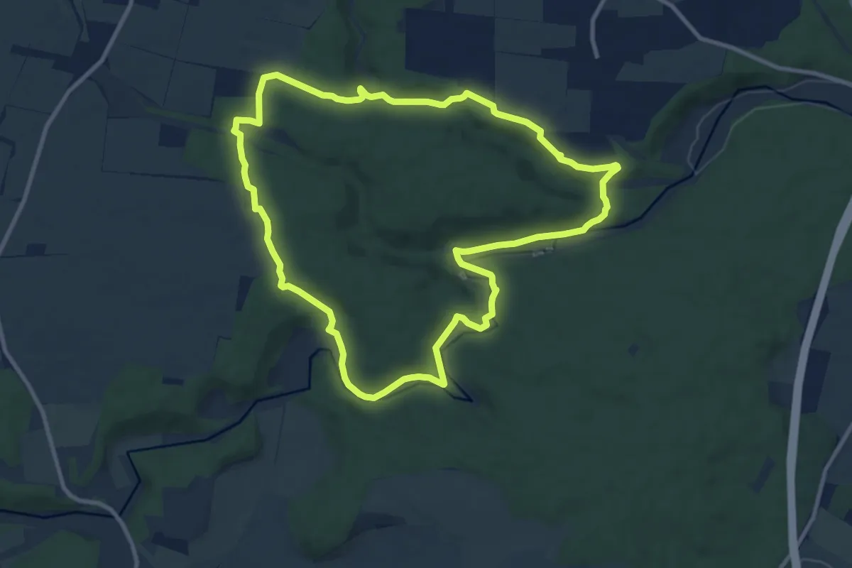
Medium · Trail
Fohlenhausrunde
9.2 km · ↑ 166 m · 2 h 40 min
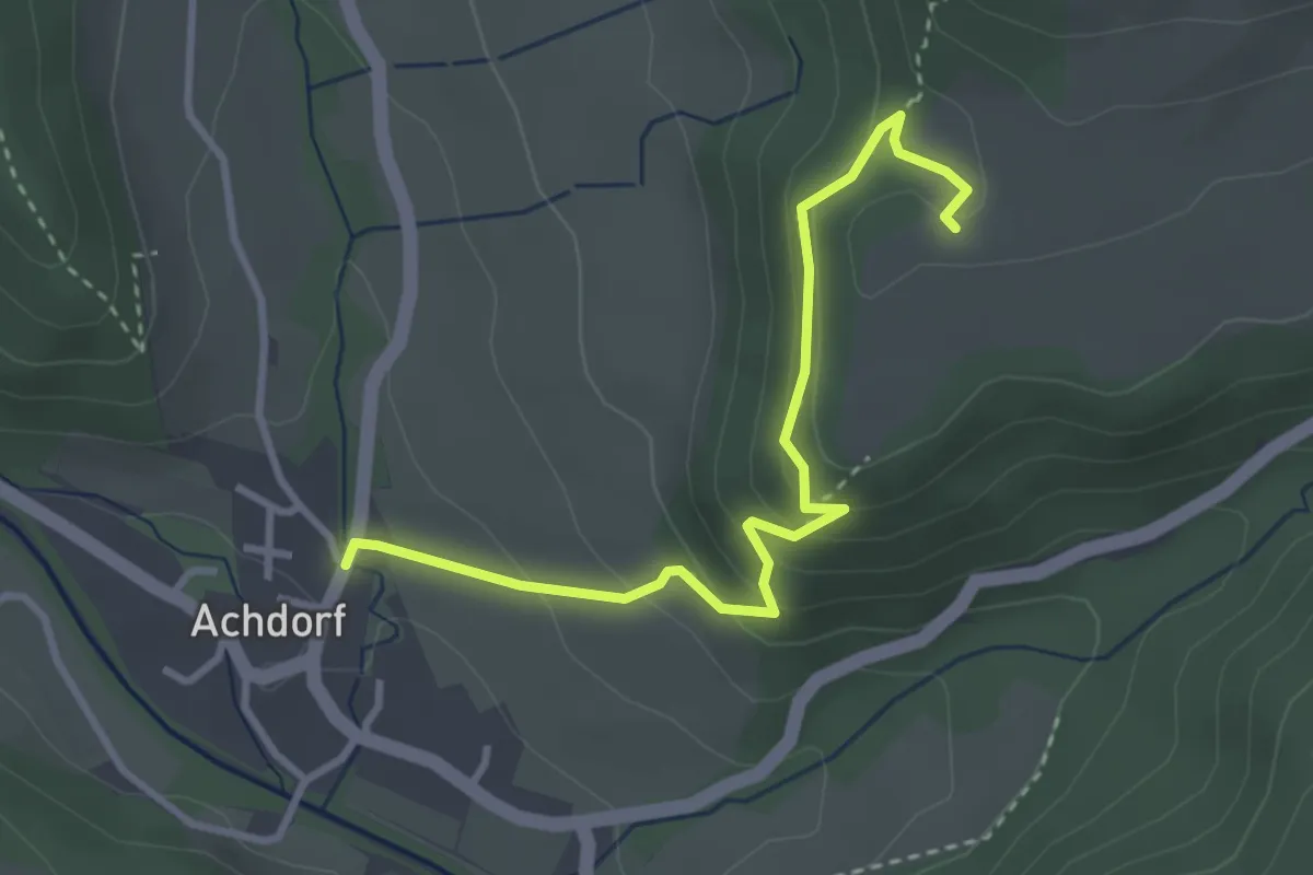
Easy · Trail
Fohlenstall - Achdorf Krottenbachbrücke
3.3 km · ↑ 208 m · 1 h 14 min
Easy · Trail
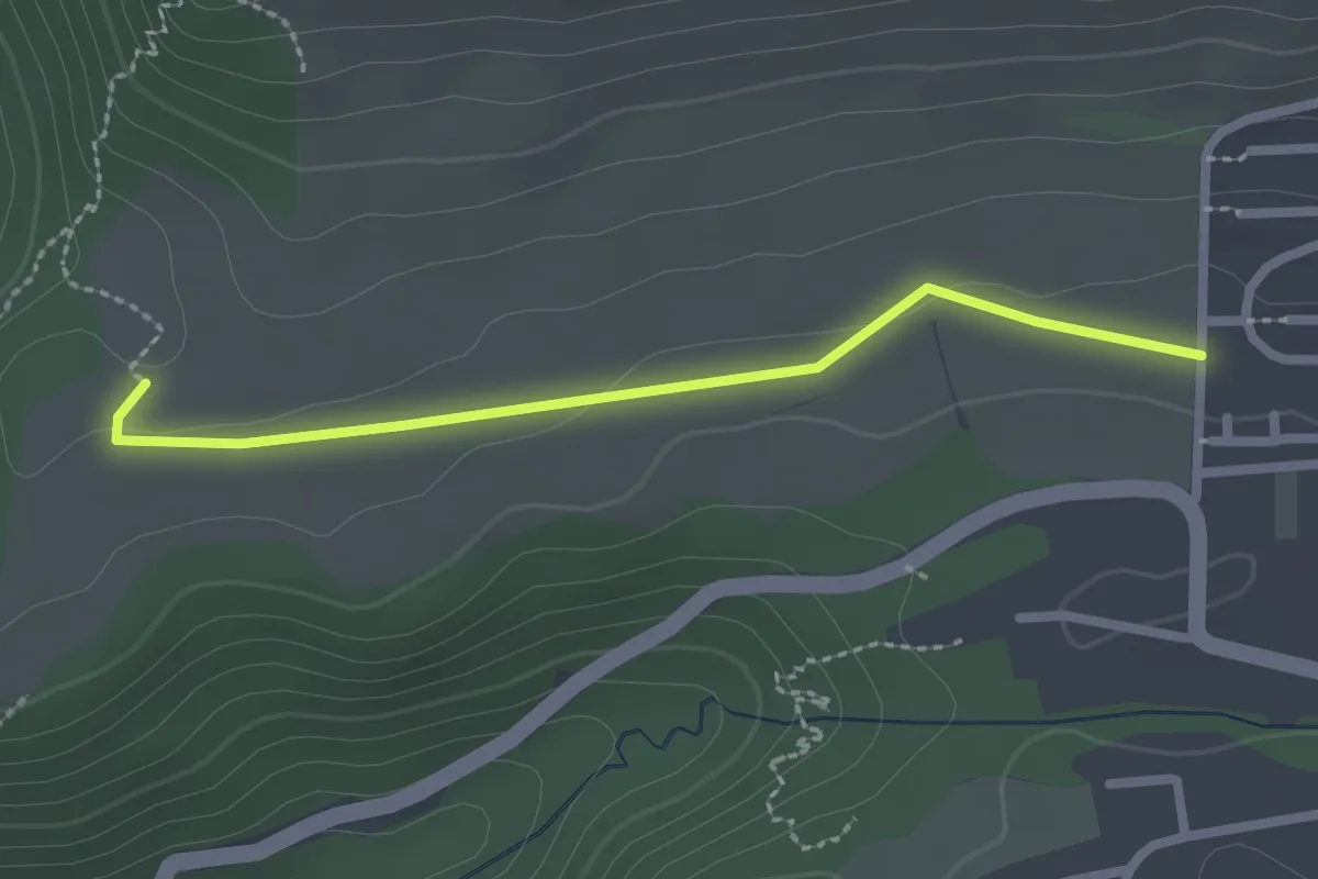
Fohlenstall - Scheibenrain
2.2 km · ↑ 17 m · 33 min
Easy · Trail
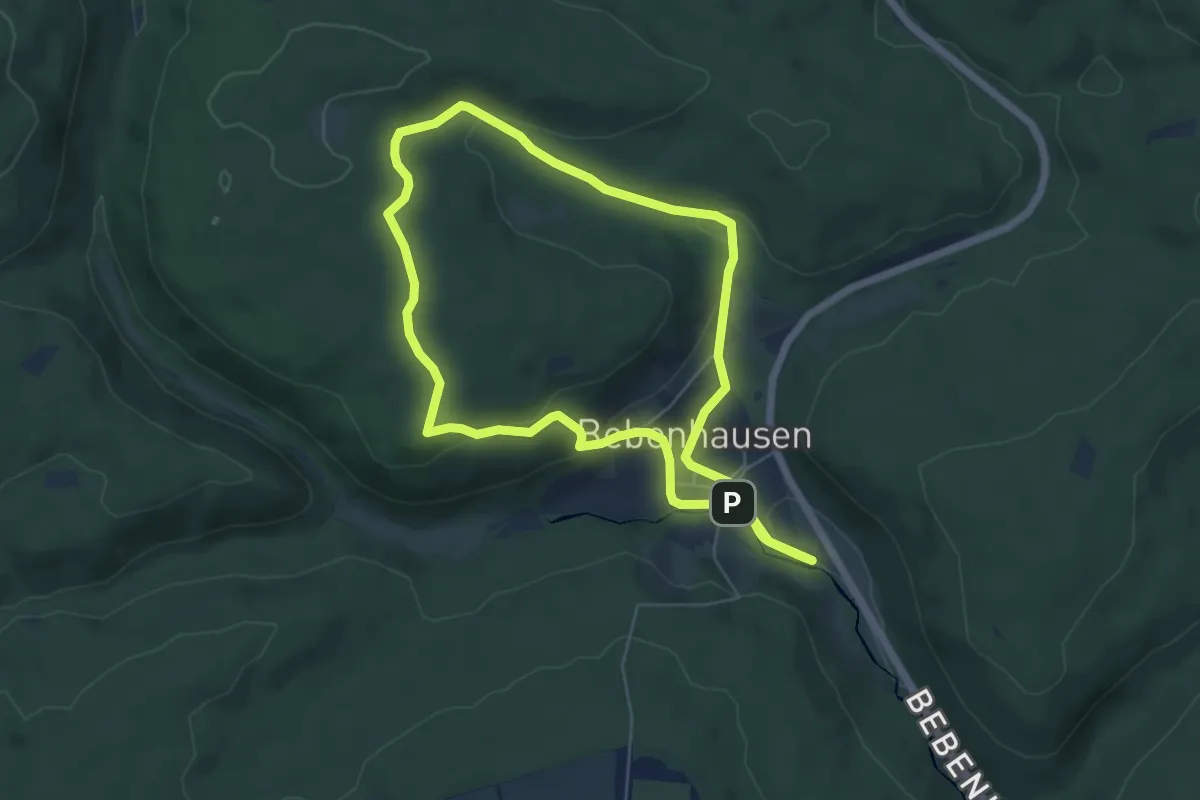
Fohlenweide-Runde
5.5 km · ↑ 144 m · 1 h 40 min
Easy · Trail
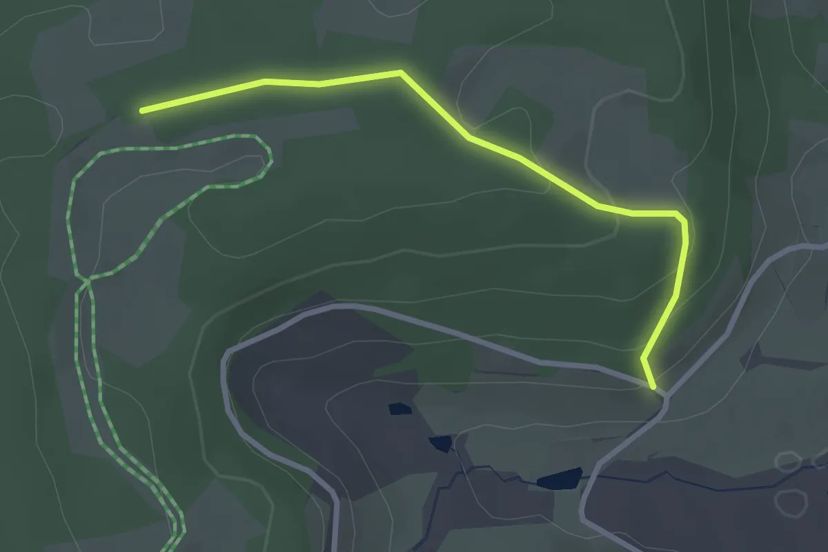
Föhrenbächle - Auf der Eck Ost
2.5 km · ↑ 92 m · 48 min
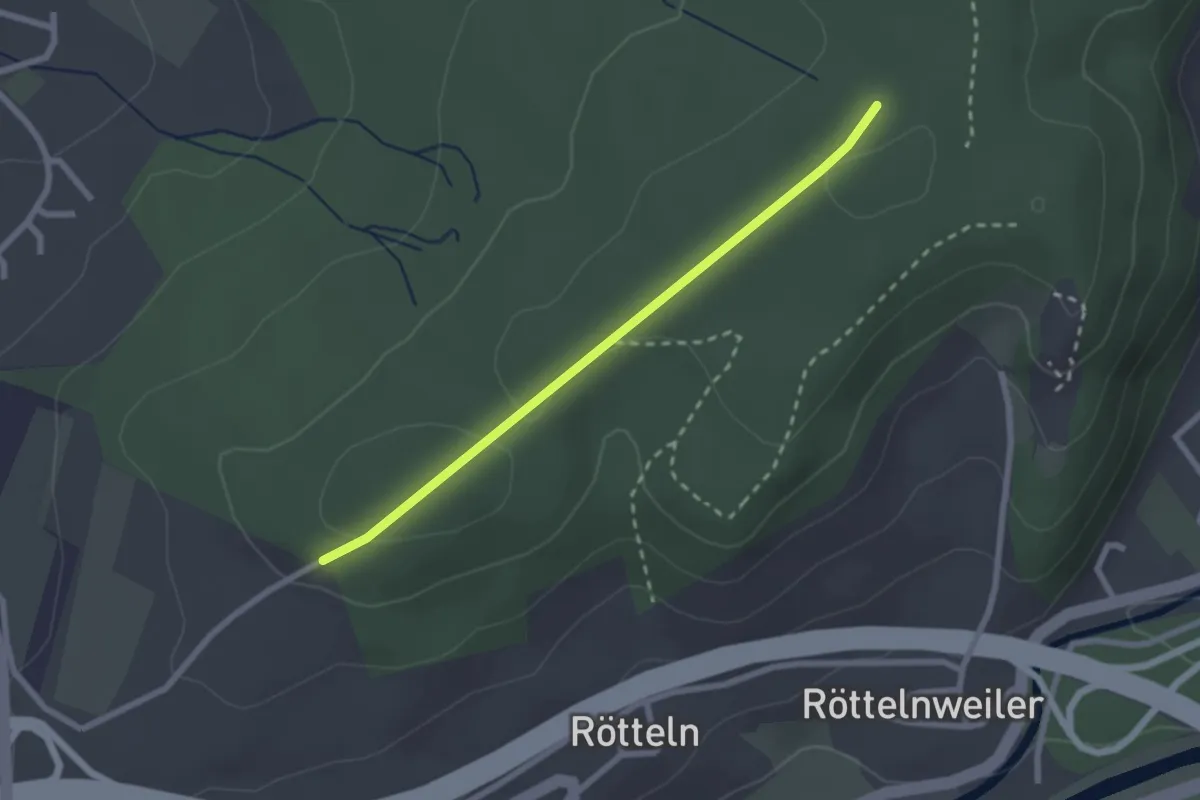
Easy · Trail
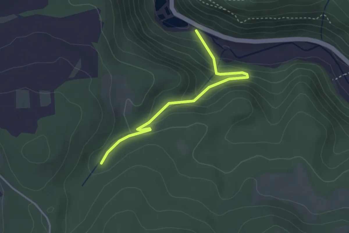
Föhrenberg - Pumpwerk
3.1 km · ↑ 180 m · 1 h 8 min
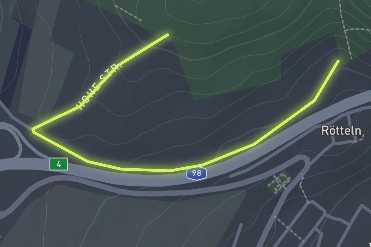
Easy · Trail
Fohrenbuck - Nikolausgraben
2.2 km · ↑ 29 m · 35 min
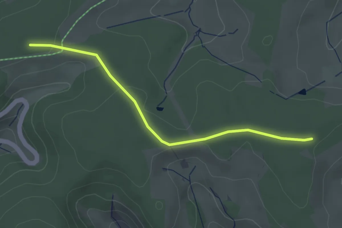
Easy · Trail
Fohrenbuck - Oberhalb Kirche Rötteln
2.9 km · ↑ 71 m · 50 min
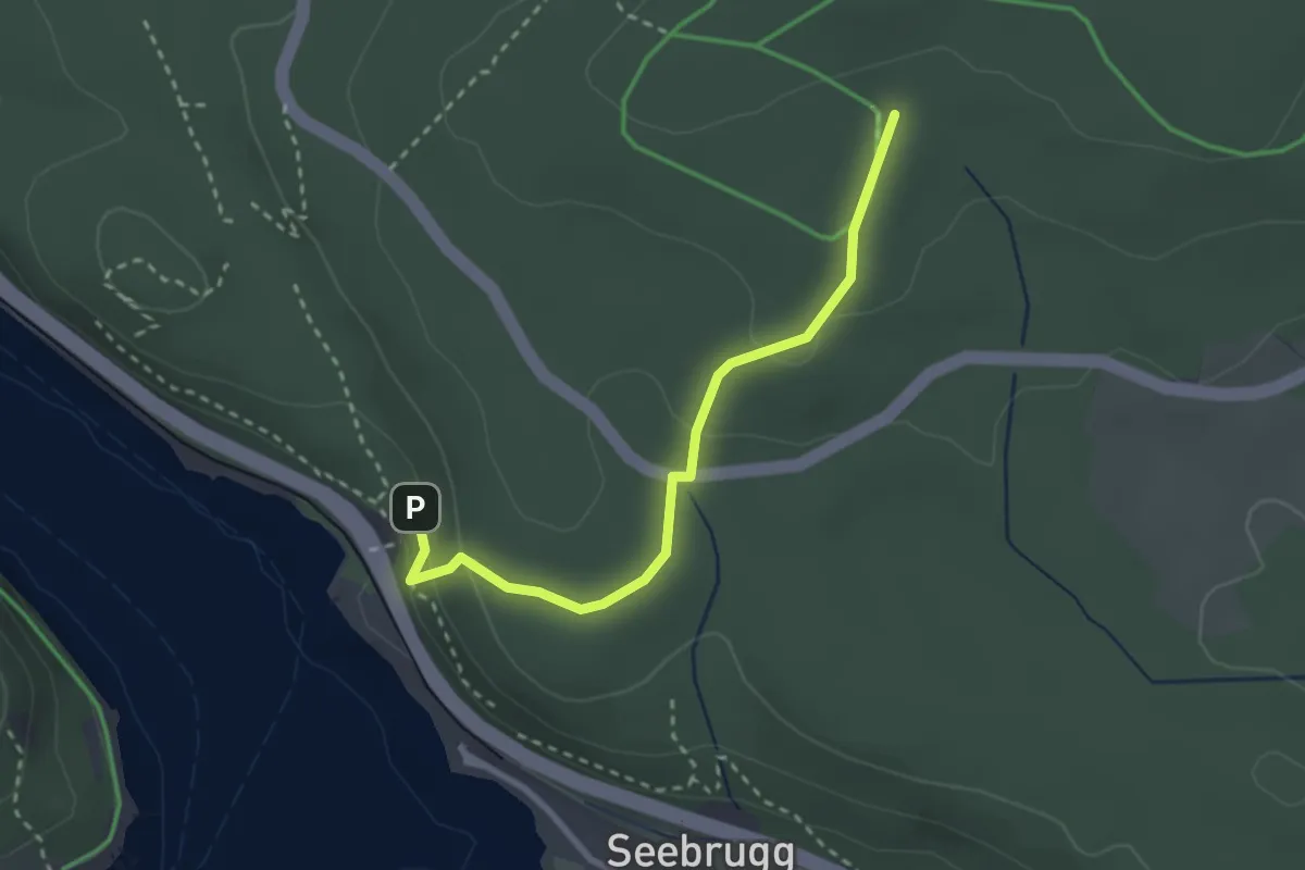
Easy · Trail
Fohrenbühl - Hippen Ost
3.3 km · ↑ 45 m · 53 min
Easy · Trail
Fohrenbühl - Kohlgrube
2.7 km · ↑ 100 m · 51 min
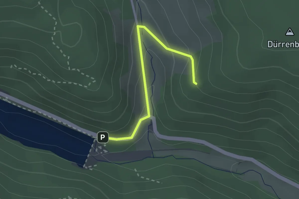
Easy · Trail
Fohrenbühl - Linachtalsperre
2.1 km · ↑ 99 m · 43 min
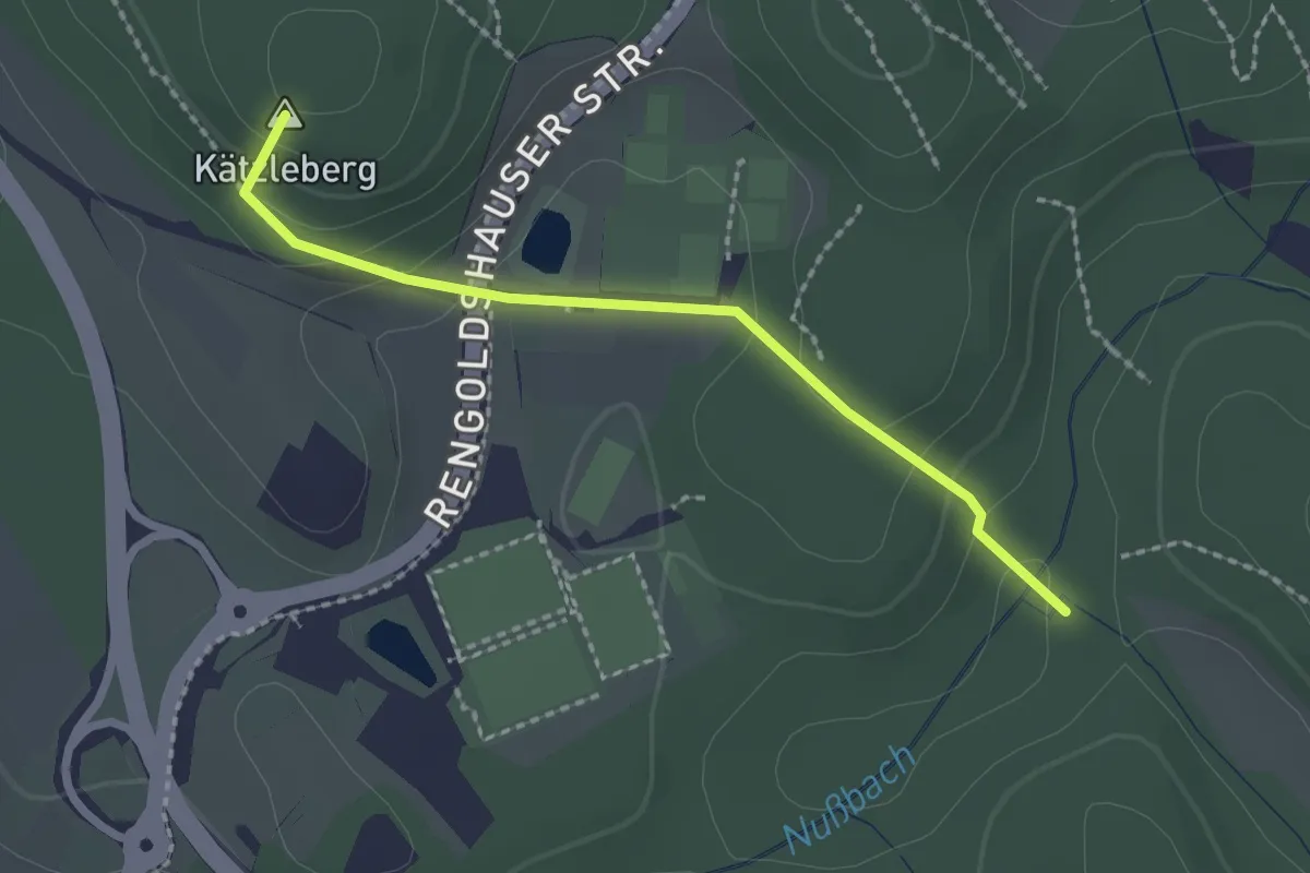
Easy · Summit
Fohrenbühl - Nußbachtal
2.0 km · ↑ 104 m · 42 min
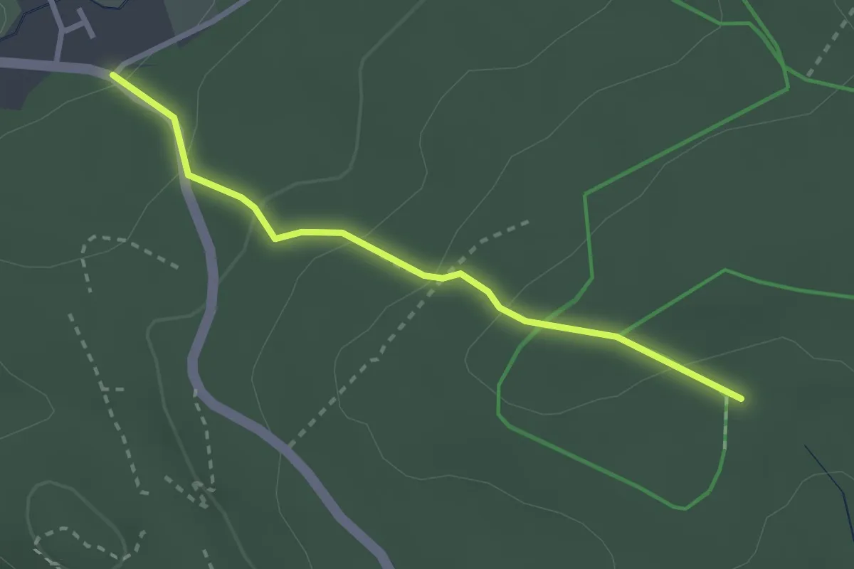
Easy · Trail
Fohrenbühl - Unterer Mühlenweg
2.5 km · ↑ 115 m · 50 min
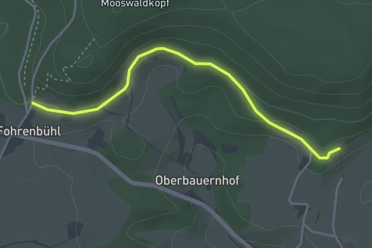
Easy · Trail
Fohrenbühl Waldparkplatz - Dollenhof
3.2 km · ↑ 78 m · 56 min
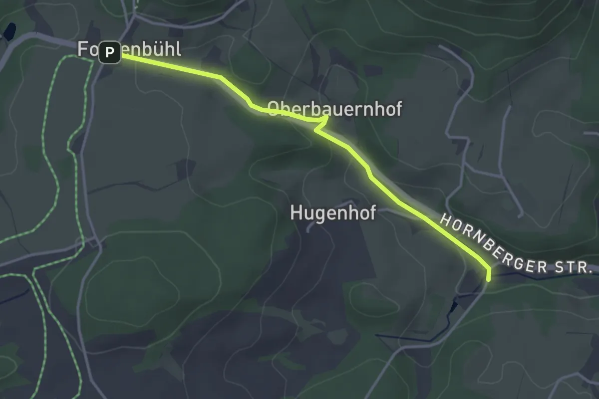
Easy · Trail
Fohrenbühl - Wiesbauernhof
3.3 km · ↑ 94 m · 59 min
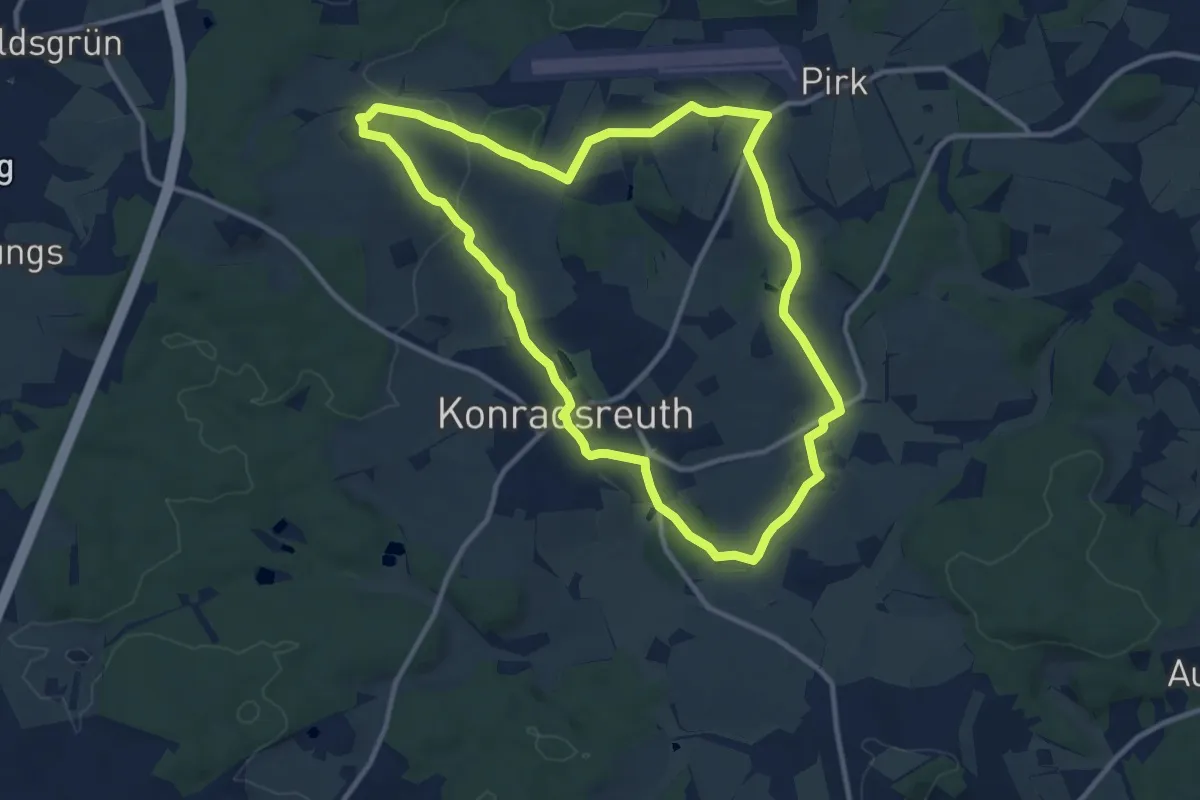
Medium · Trail
Föhrenreuther Weg US 83
10.2 km · ↑ 146 m · 2 h 52 min
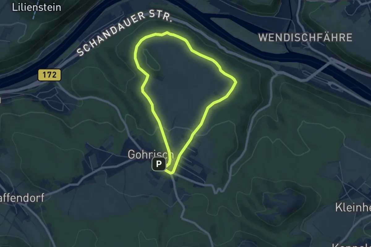
Easy · Trail
Folgen Rundweg
4.9 km · ↑ 56 m · 1 h 21 min
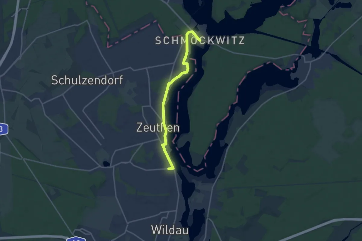
Medium · Trail
Fontanewanderweg
11.4 km · ↑ 17 m · 2 h 43 min
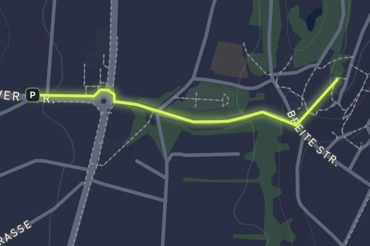
Easy · Summit
Fontanewanderweg
1.6 km · ↑ 14 m · 24 min
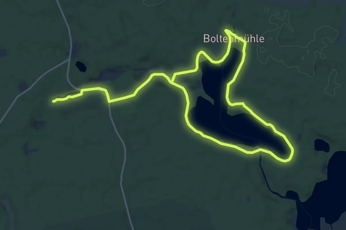
Medium · Trail
Fontanewanderweg
10.6 km · ↑ 147 m · 2 h 59 min
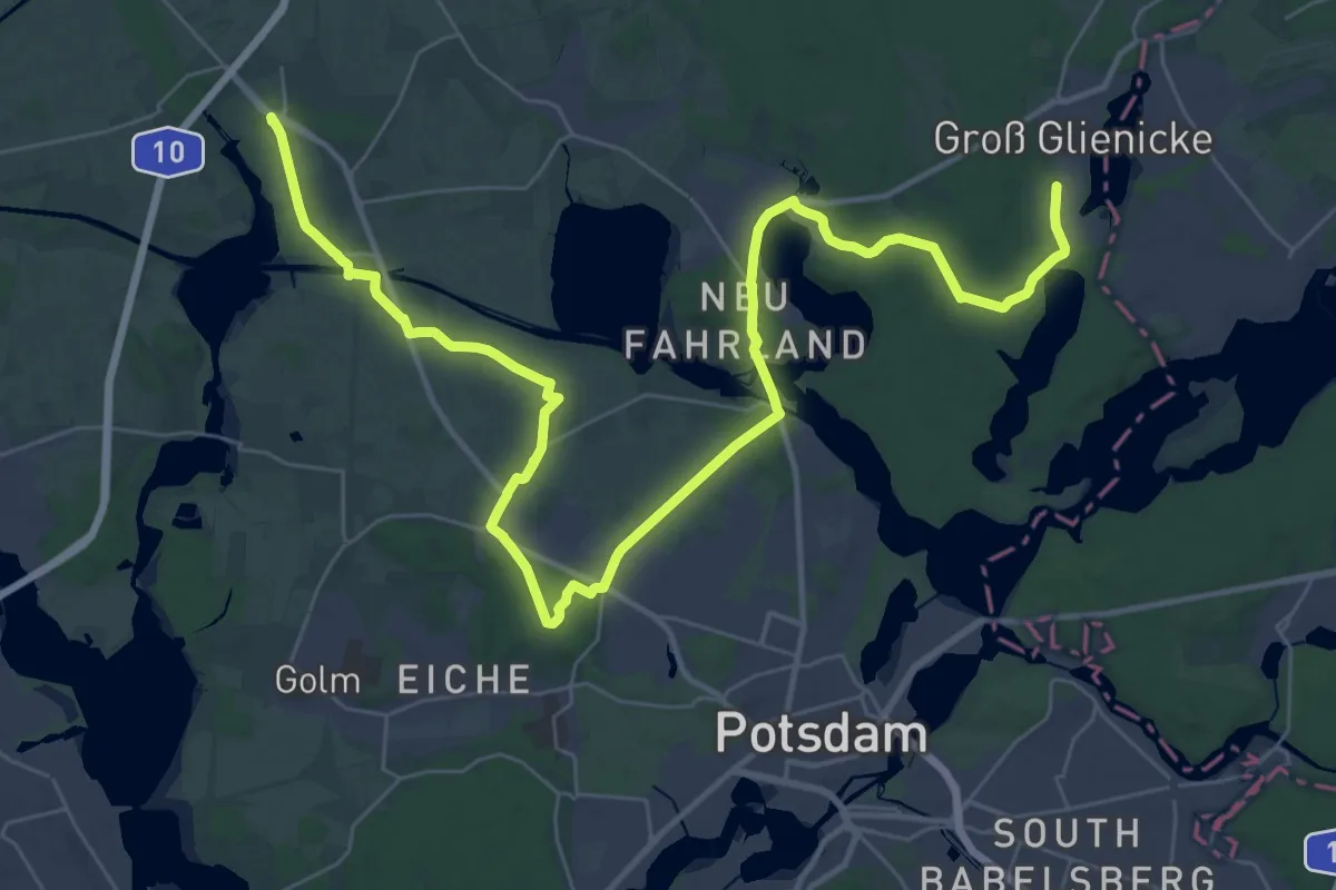
Demanding · Summit
Fontaneweg F3
42.7 km · ↑ 315 m · 10 h 45 min
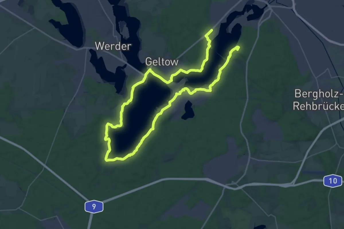
Demanding · Summit
Fontaneweg F6
51.5 km · ↑ 310 m · 12 h 50 min
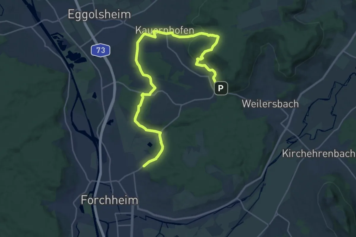
Demanding · Trail
Forchheim-Högelstein-Rettern
21.9 km · ↑ 533 m · 6 h 19 min
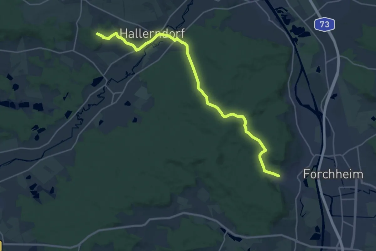
Demanding · Trail
Forchheim-Kreuzberg (1)
18.6 km · ↑ 371 m · 5 h 12 min
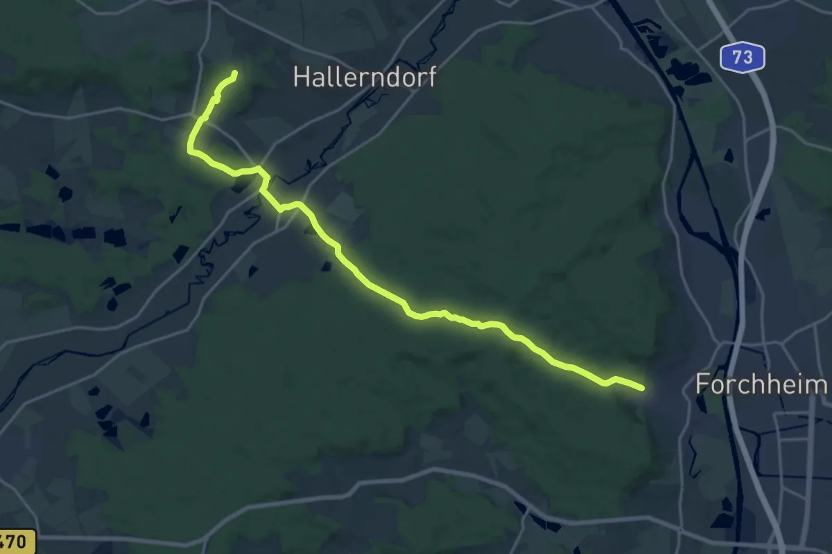
Demanding · Summit
Forchheim-Kreuzberg (2)
19.0 km · ↑ 335 m · 5 h 13 min
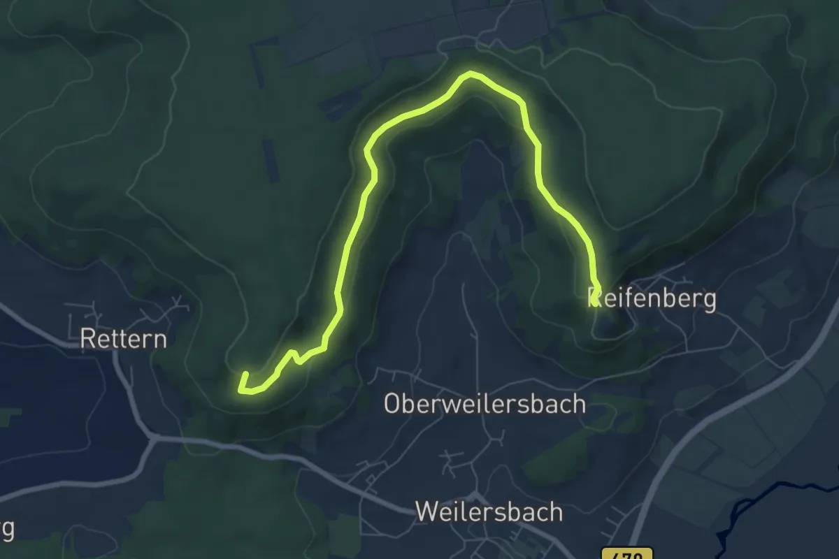
Easy · Summit
Forchheim-Reifenberg
7.8 km · ↑ 213 m · 2 h 18 min
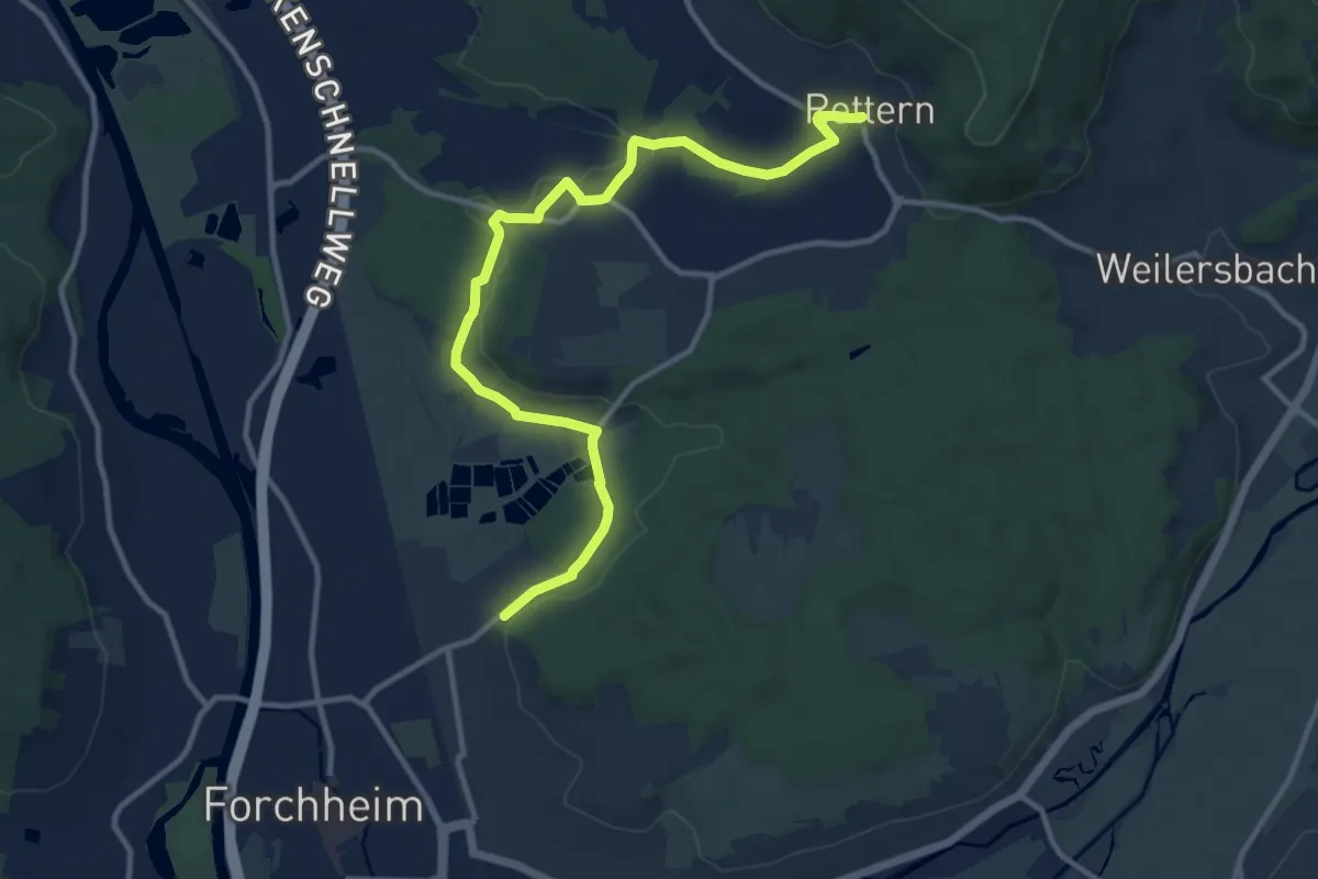
Medium · Trail
Forchheim-Rettern
11.9 km · ↑ 168 m · 3 h 11 min
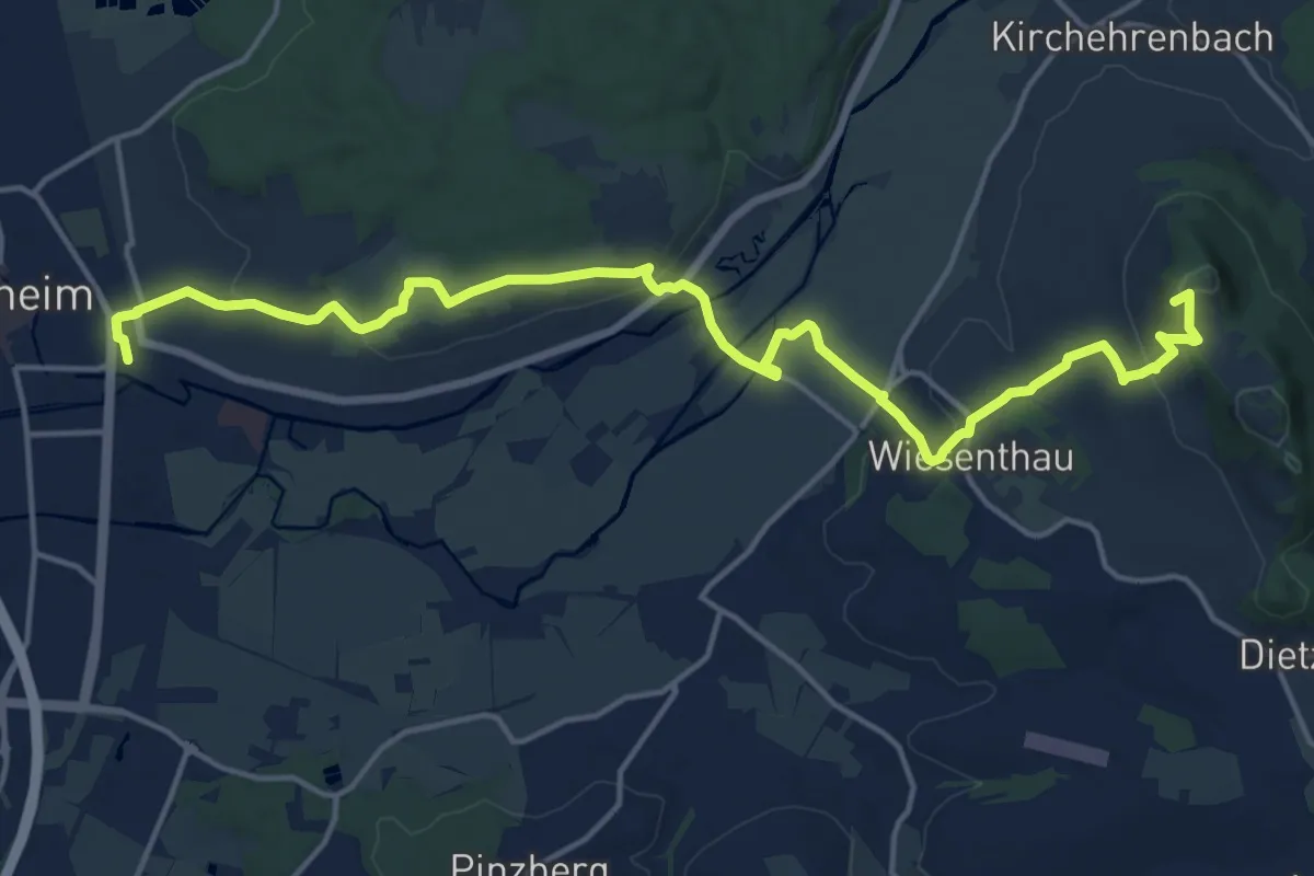
Medium · Summit
Forchheim-Walberla
17.9 km · ↑ 390 m · 5 h 4 min
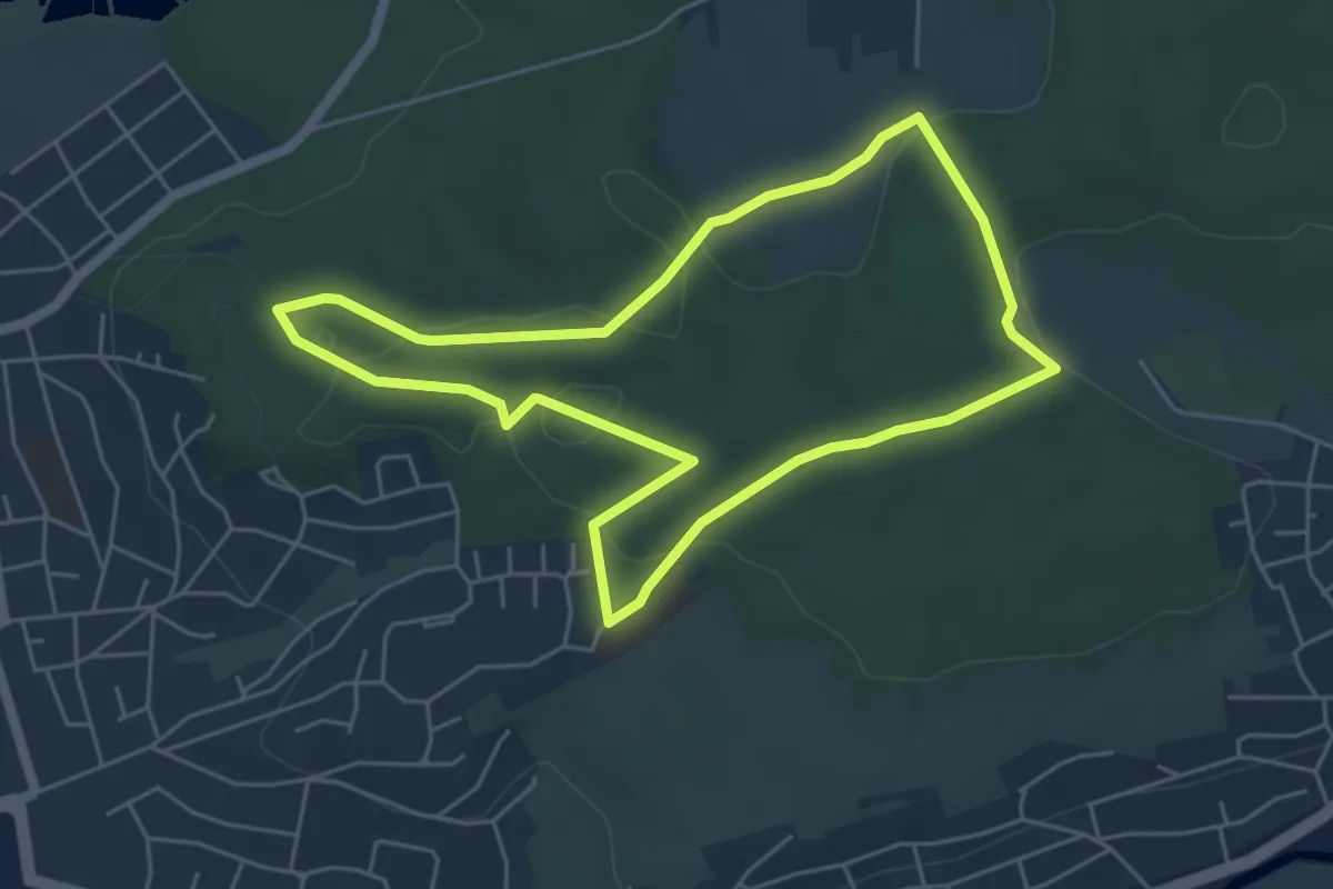
Easy · Summit
Forchheim Walking-Fitness Route
4.8 km · ↑ 65 m · 1 h 21 min
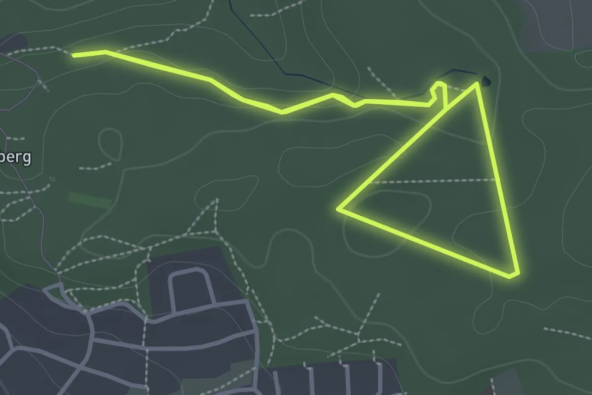
Easy · Trail
Forchheim Walking-Jungbrunnen Route
2.9 km · ↑ 38 m · 48 min
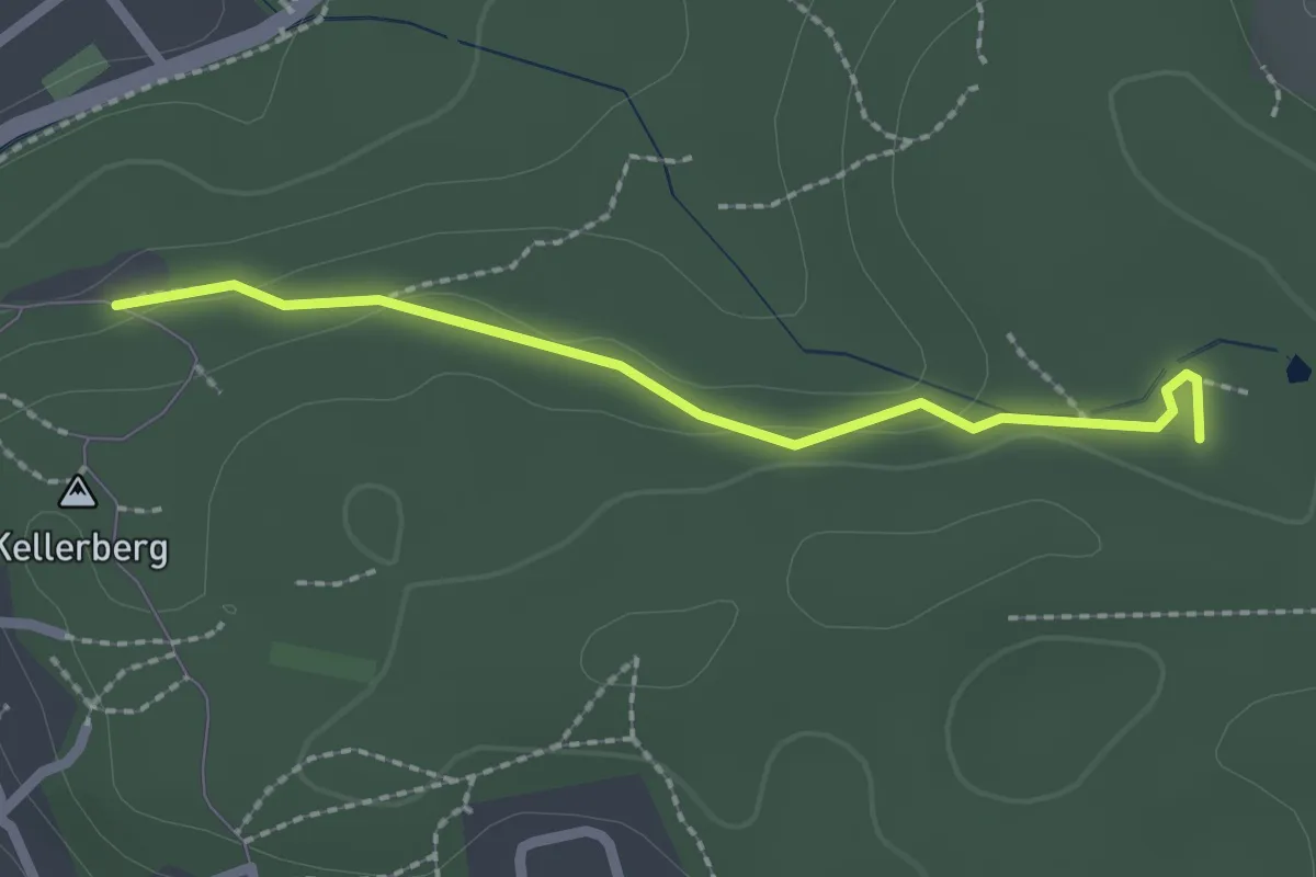
Easy · Trail
Forchheim Walking-Technik Route
2.0 km · ↑ 36 m · 33 min
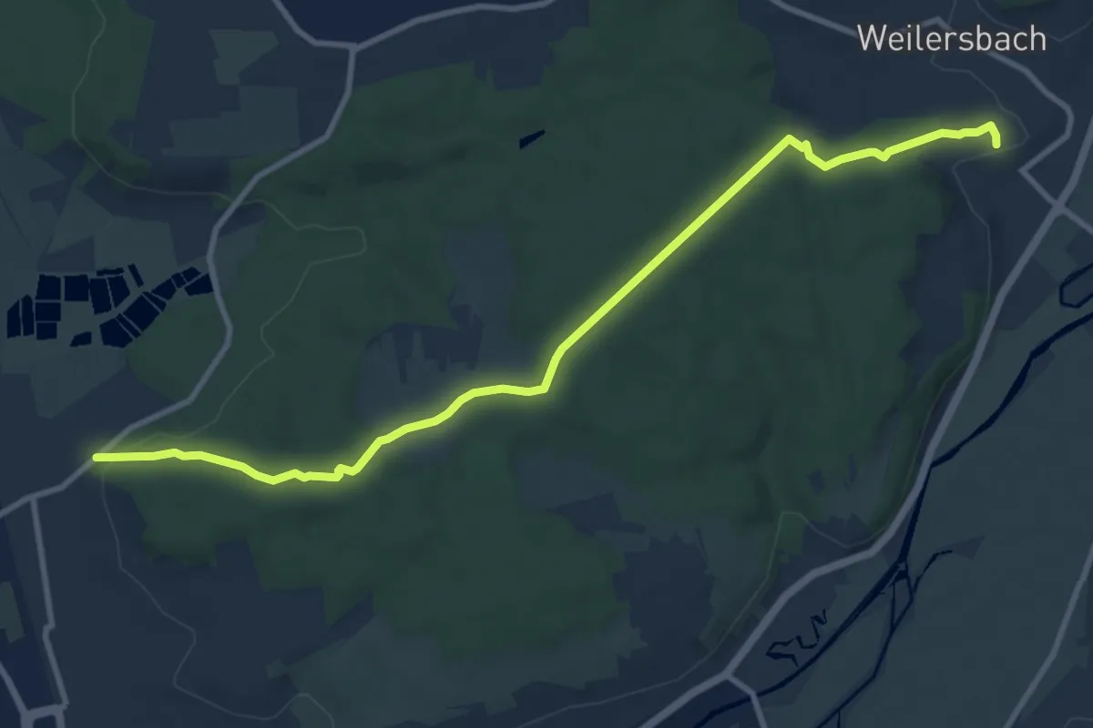
Medium · Trail
Forchheim-Weilersbach
10.1 km · ↑ 182 m · 2 h 47 min
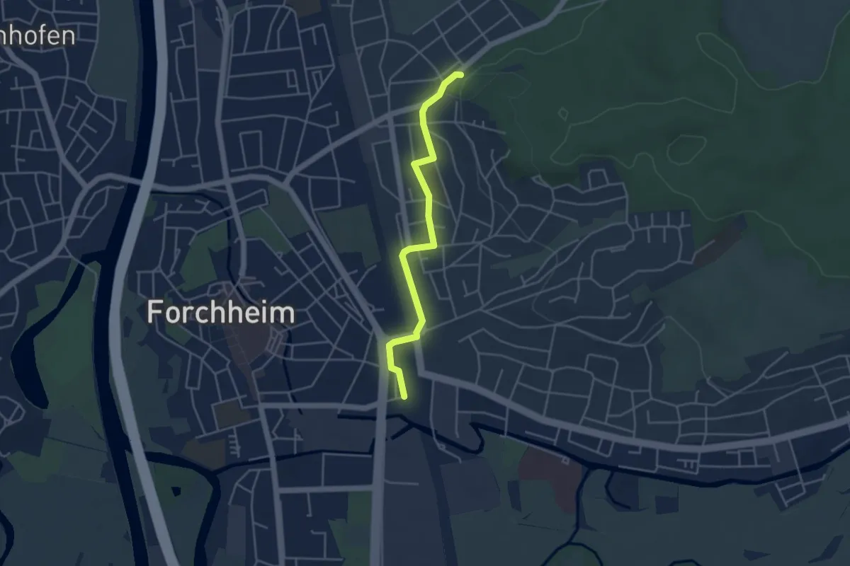
Easy · Trail
Forchheim Zubringer Bahnhof - Kellerwald
3.7 km · ↑ 22 m · 56 min
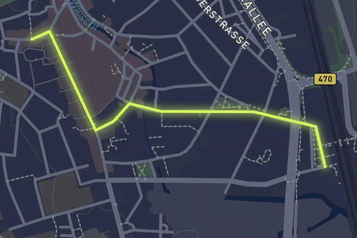
Easy · Trail
Forchheim Zubringer Bahnhof - Rathausplatz
2.4 km · ↑ 0 m · 34 min
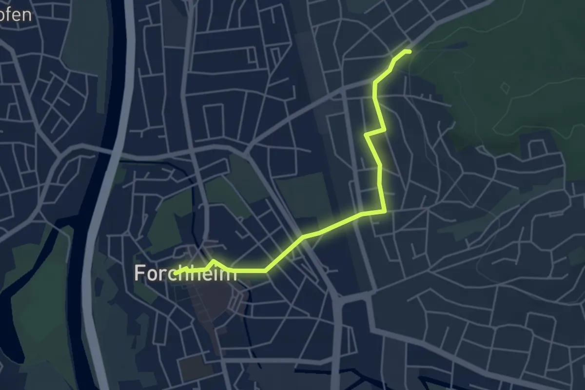
Easy · Trail
Forchheim Zubringer Rathausplatz - Kellerwald
4.1 km · ↑ 23 m · 1 h 1 min
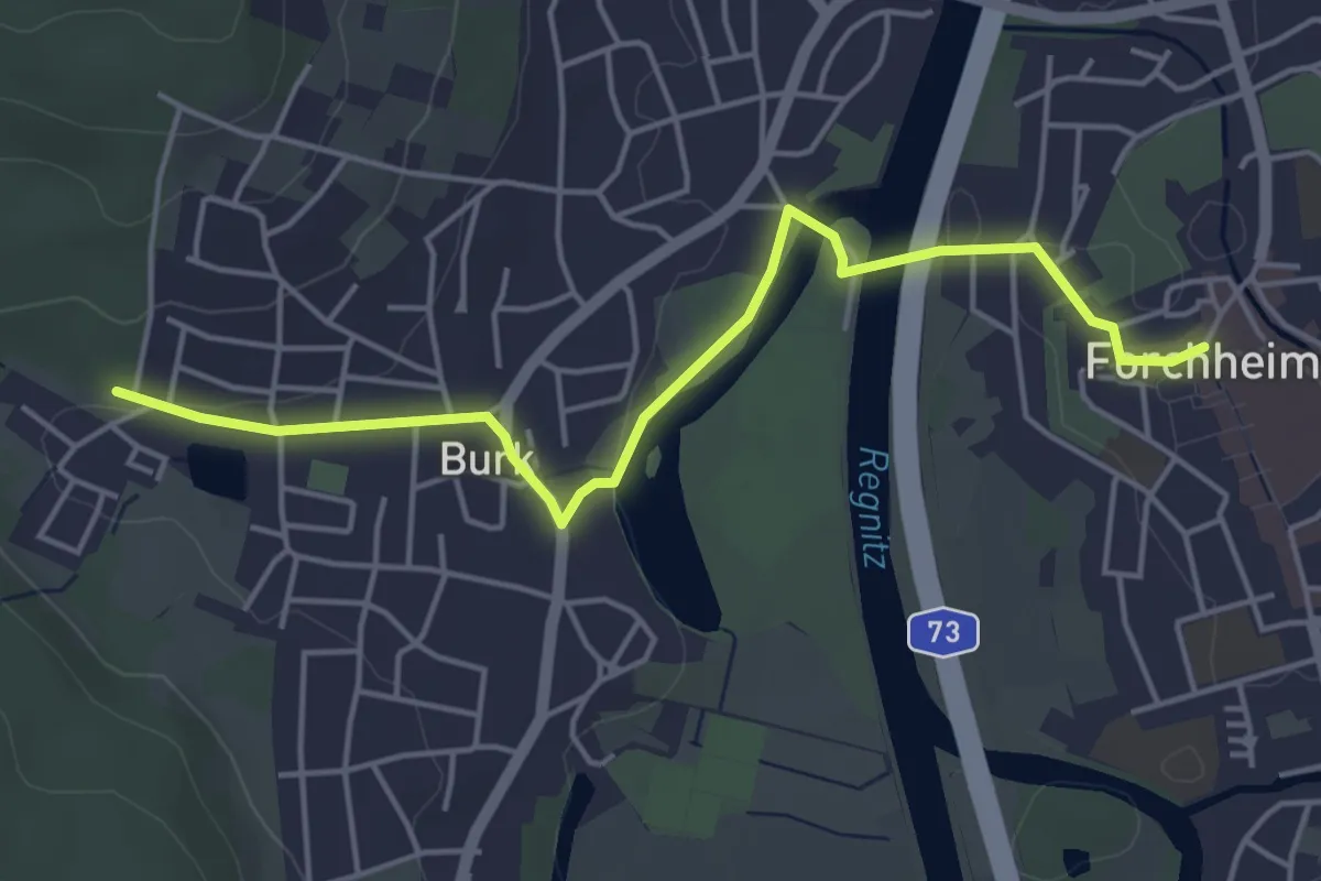
Easy · Trail
Forchheim Zubringer Rathausplatz - Wanderparkplatz Röthen
4.6 km · ↑ 38 m · 1 h 10 min
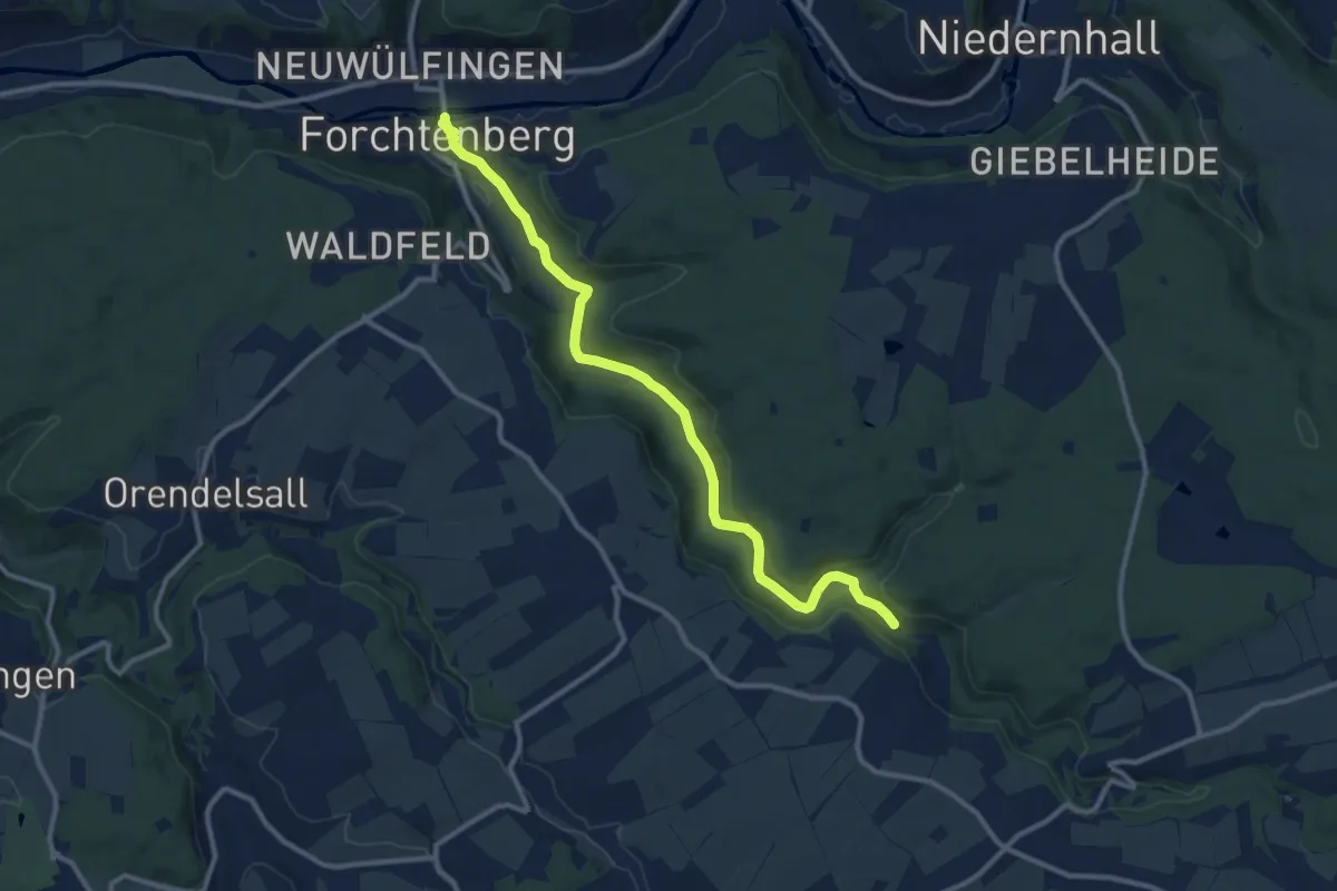
Medium · Trail
Forchtenberg - Neureut HW8
11.0 km · ↑ 236 m · 3 h 6 min
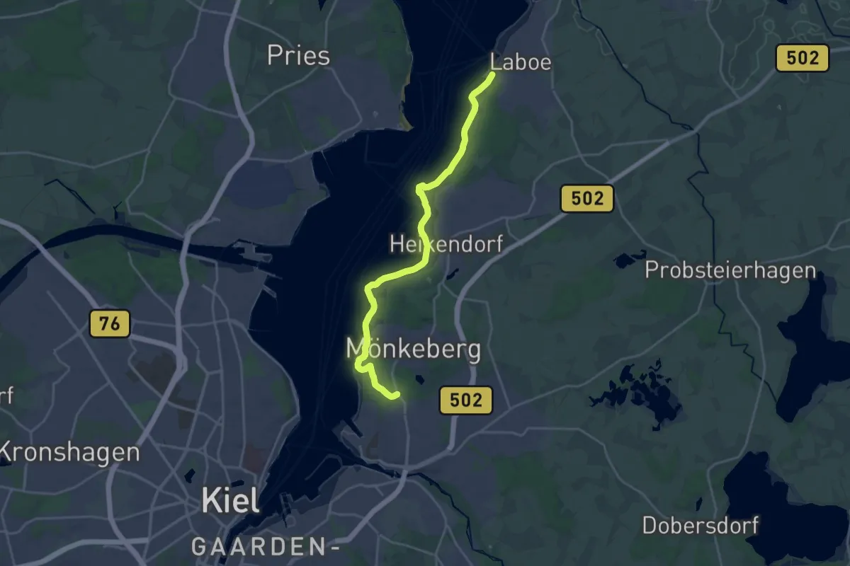
Medium · Trail
Fördewanderweg
17.9 km · ↑ 219 m · 4 h 41 min