Trails in Germany
36,852 hiking trails, each with its route, climb, walking time and grade.
All trails, page 155 of 768
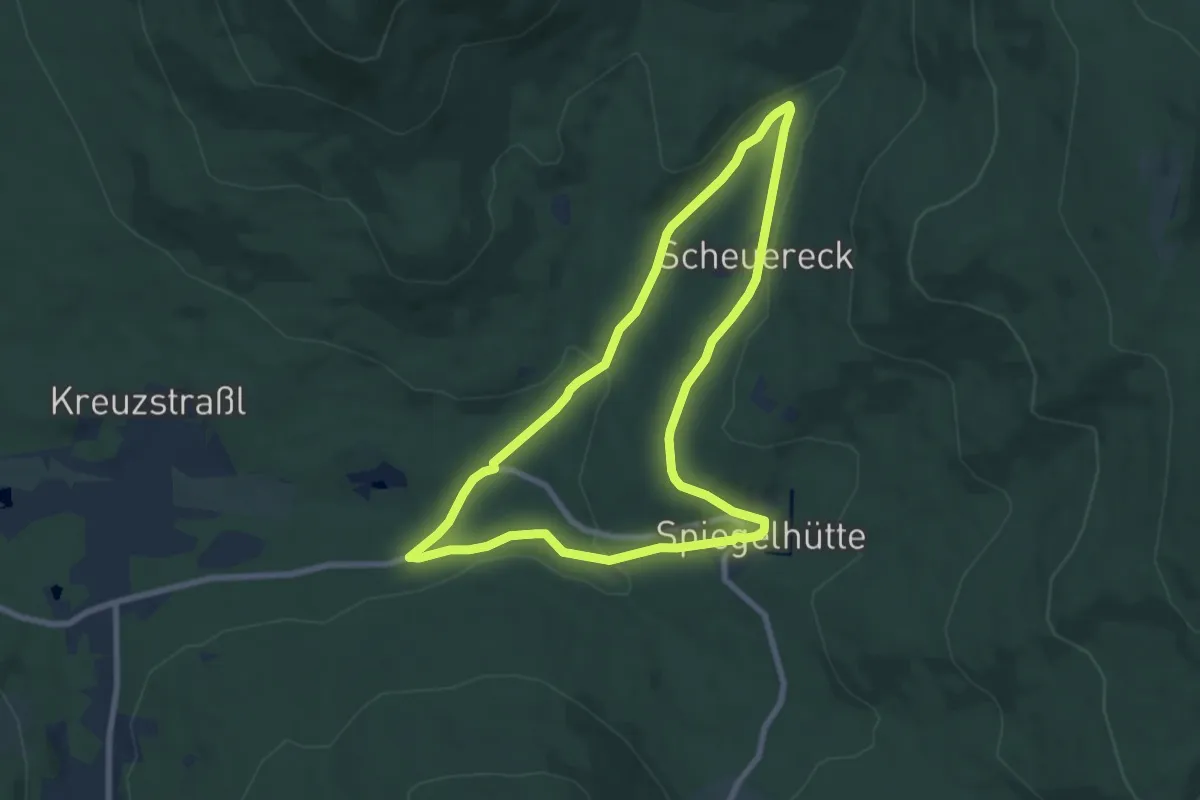
Easy · Trail
Forelle
7.0 km · ↑ 145 m · 2 h 5 min
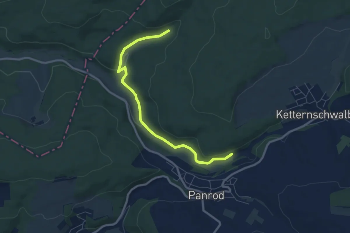
Easy · Trail
Forelle
3.1 km · ↑ 62 m · 55 min
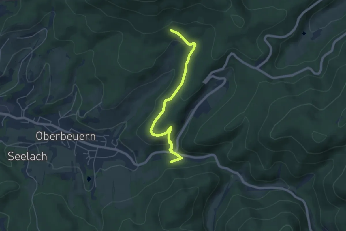
Medium · Trail
Forellenhof - Horloch
4.5 km · ↑ 150 m · 1 h 23 min
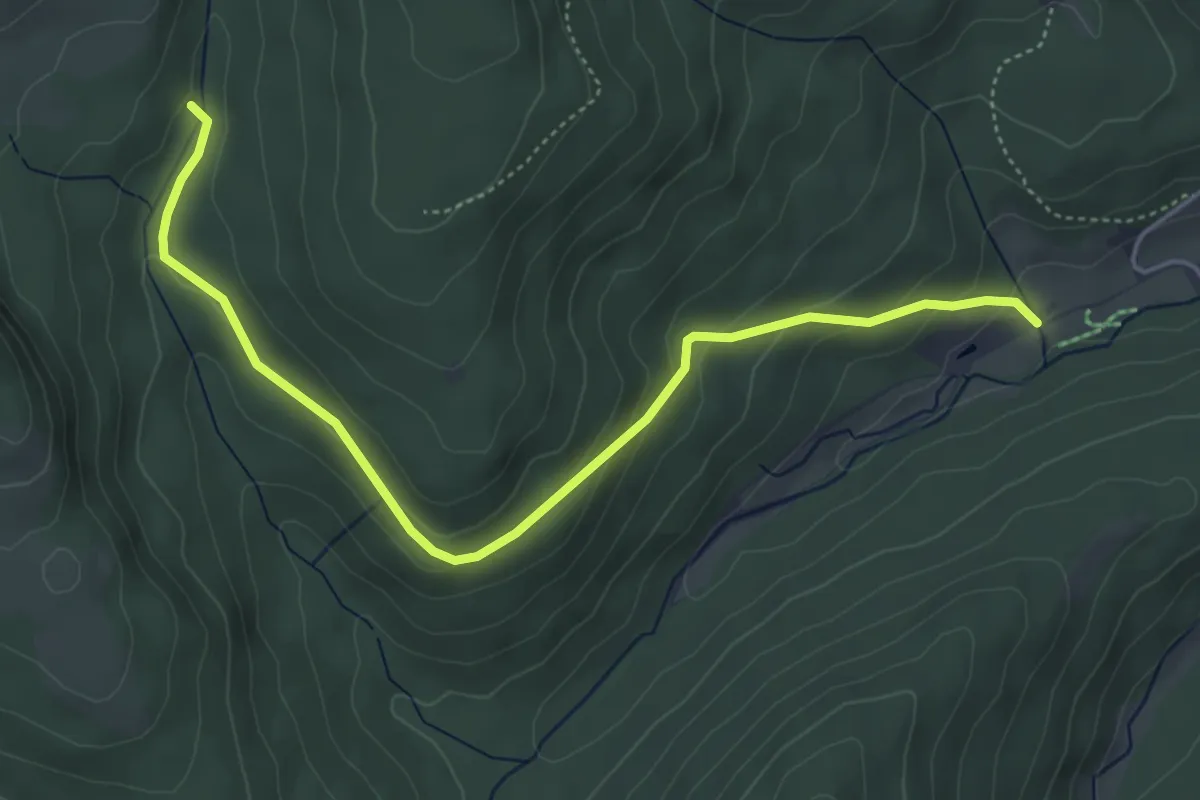
Easy · Trail
Forellenhof - Hubertushütte
5.1 km · ↑ 220 m · 1 h 41 min
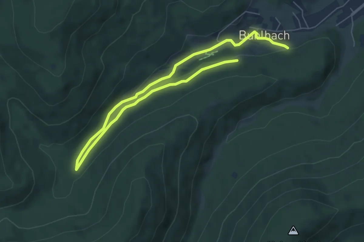
Easy · Trail
Forellenhof-Runde
4.0 km · ↑ 58 m · 1 h 8 min
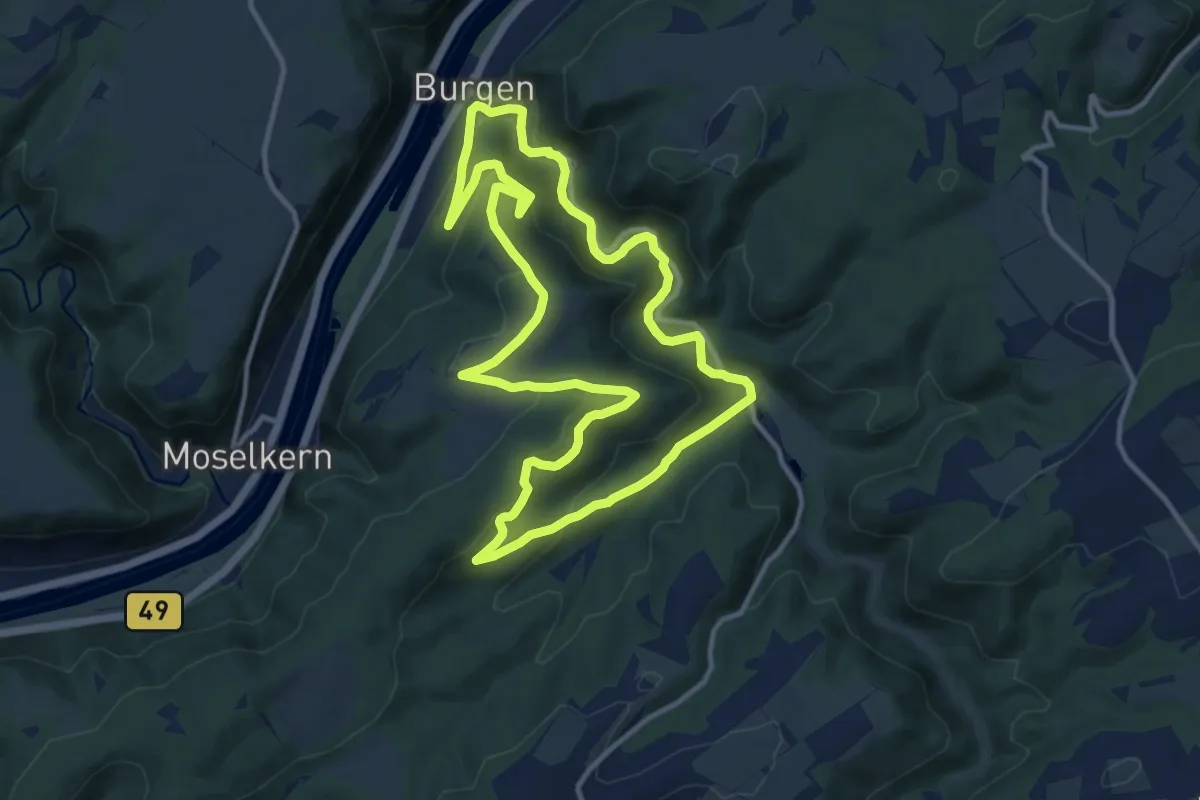
Medium · Trail
Forellenweg
11.1 km · ↑ 400 m · 3 h 39 min
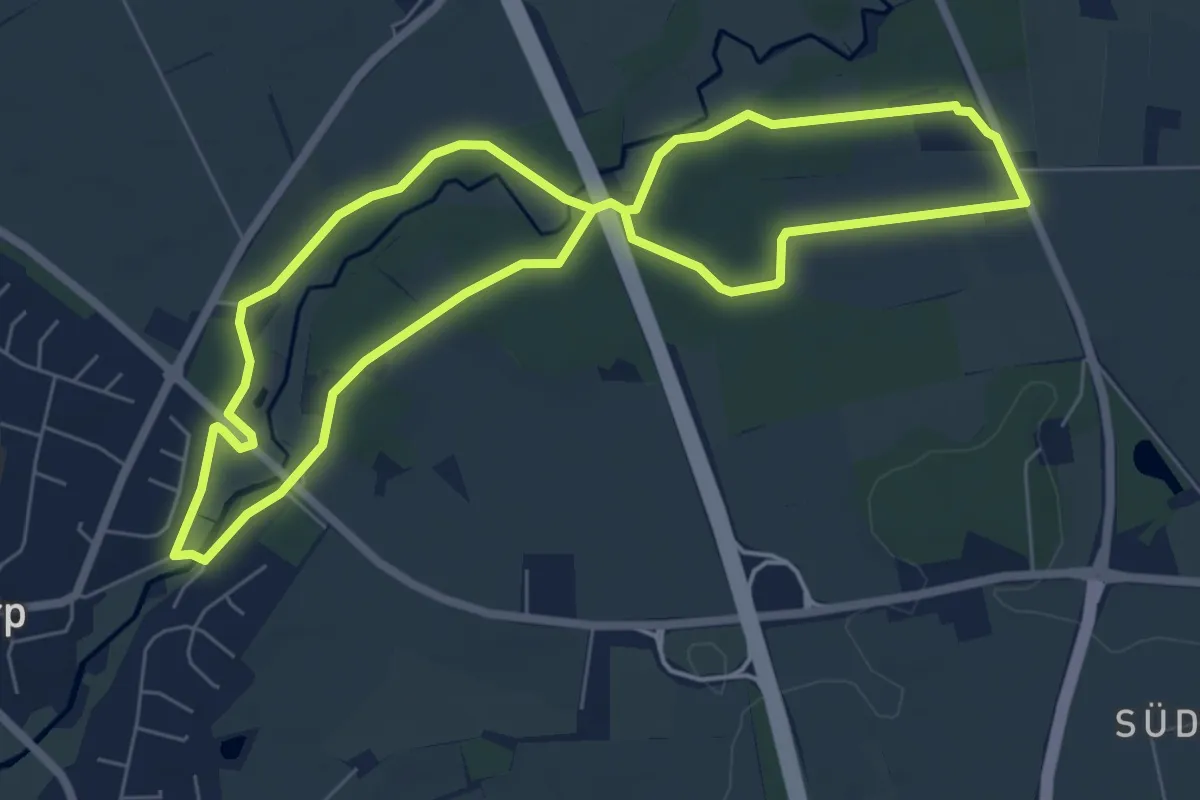
Easy · Trail
Forellenweg
5.5 km · ↑ 28 m · 1 h 26 min
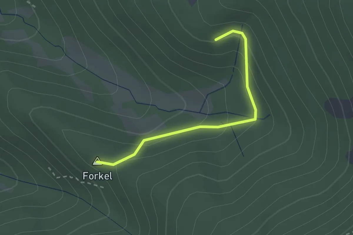
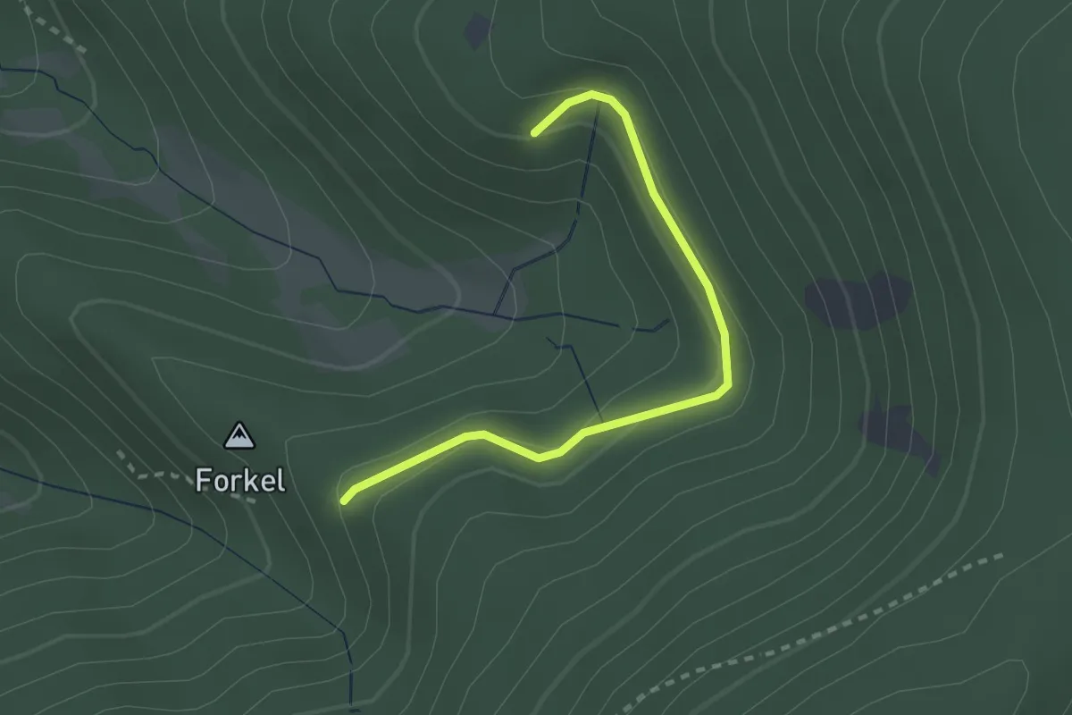
Easy · Summit
Forkel - Riedberg
2.1 km · ↑ 139 m · 47 min
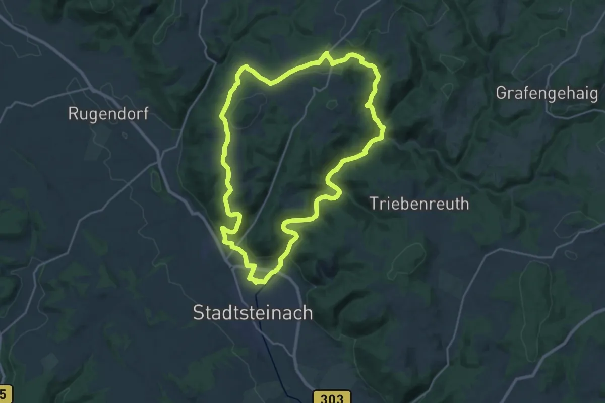
Easy · Trail
Forkel - Riedberg
2.4 km · ↑ 105 m · 47 min
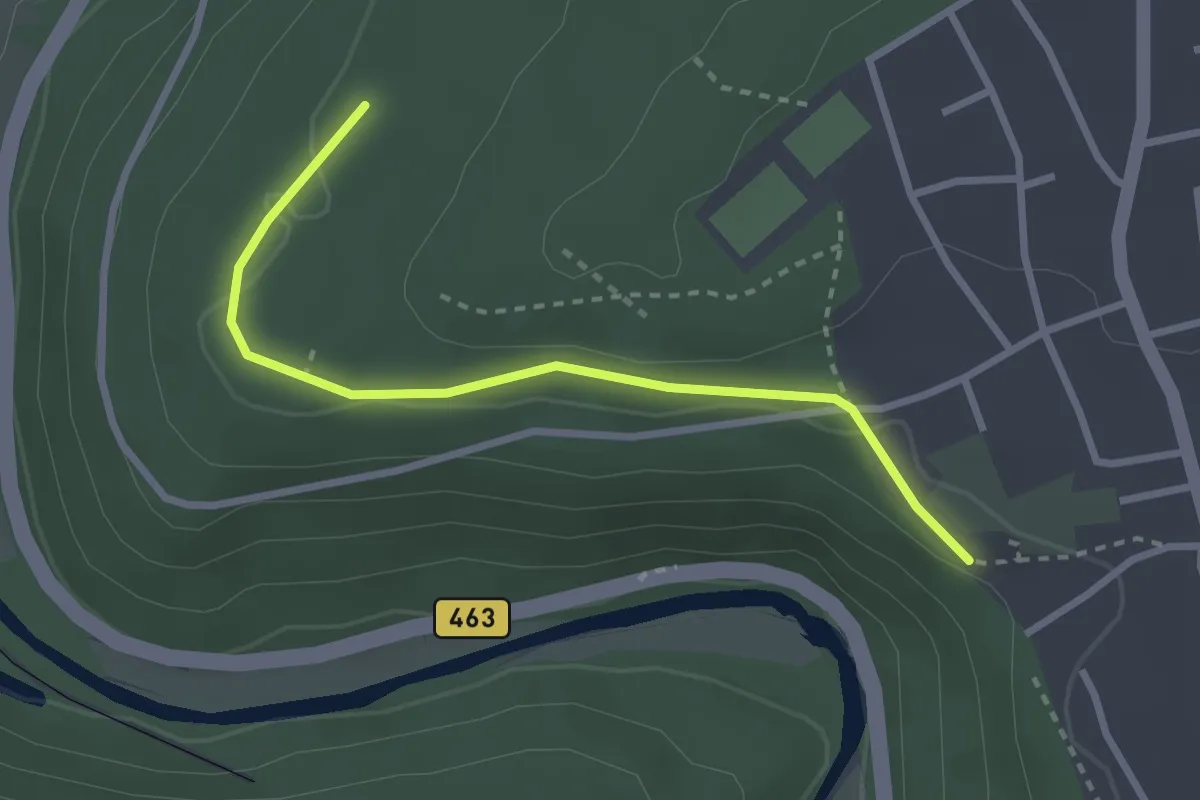
Medium · Trail
Forkel-Weg KU 35
16.9 km · ↑ 382 m · 5 h 3 min
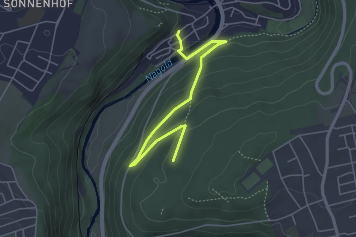
Easy · Trail
Forlenschlag - Herrmannsklinge
2.7 km · ↑ 52 m · 45 min
Easy · Trail
Forlenschlag - Weißenstein
4.3 km · ↑ 160 m · 1 h 22 min
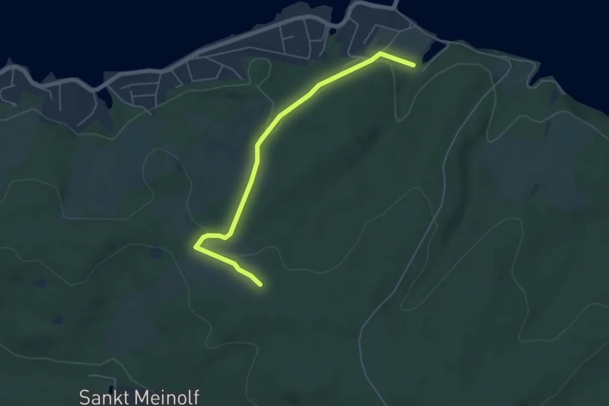
Easy · Trail
Förmecketal Rundweg A5
2.2 km · ↑ 0 m · 36 min
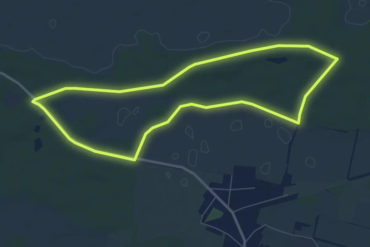
Easy · Trail
Forstbaumweg
6.0 km · ↑ 17 m · 1 h 33 min
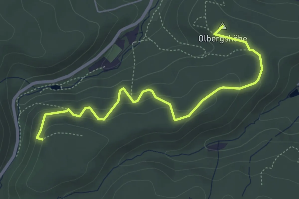
Medium · Summit
Forstbotanischer Wanderweg Gernrode
4.9 km · ↑ 197 m · 1 h 41 min
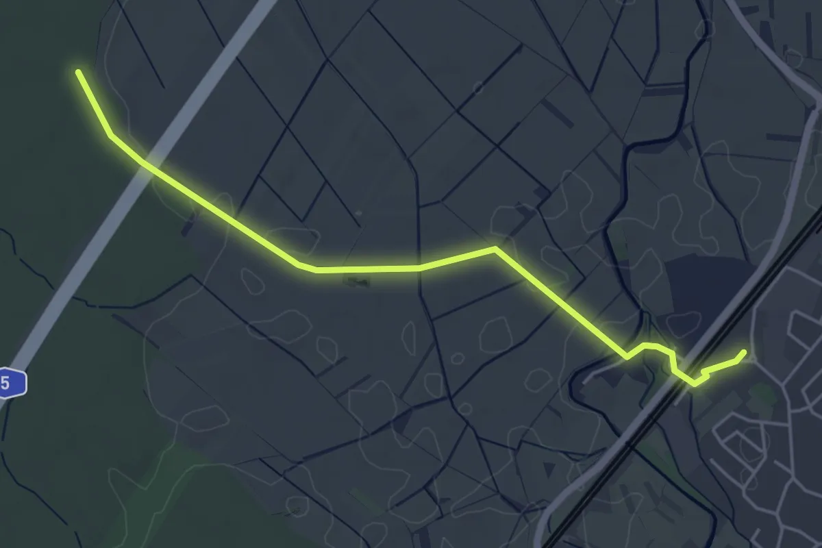
Easy · Trail
Förstel - Renchen Bahnhof
4.8 km · ↑ 4 m · 1 h 8 min
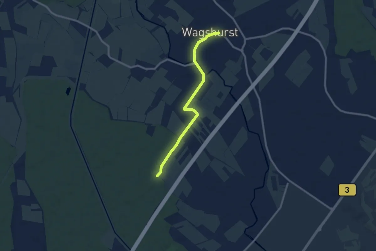
Easy · Trail
Förstel - Wagshurst Ortsmitte
6.2 km · ↑ 15 m · 1 h 29 min
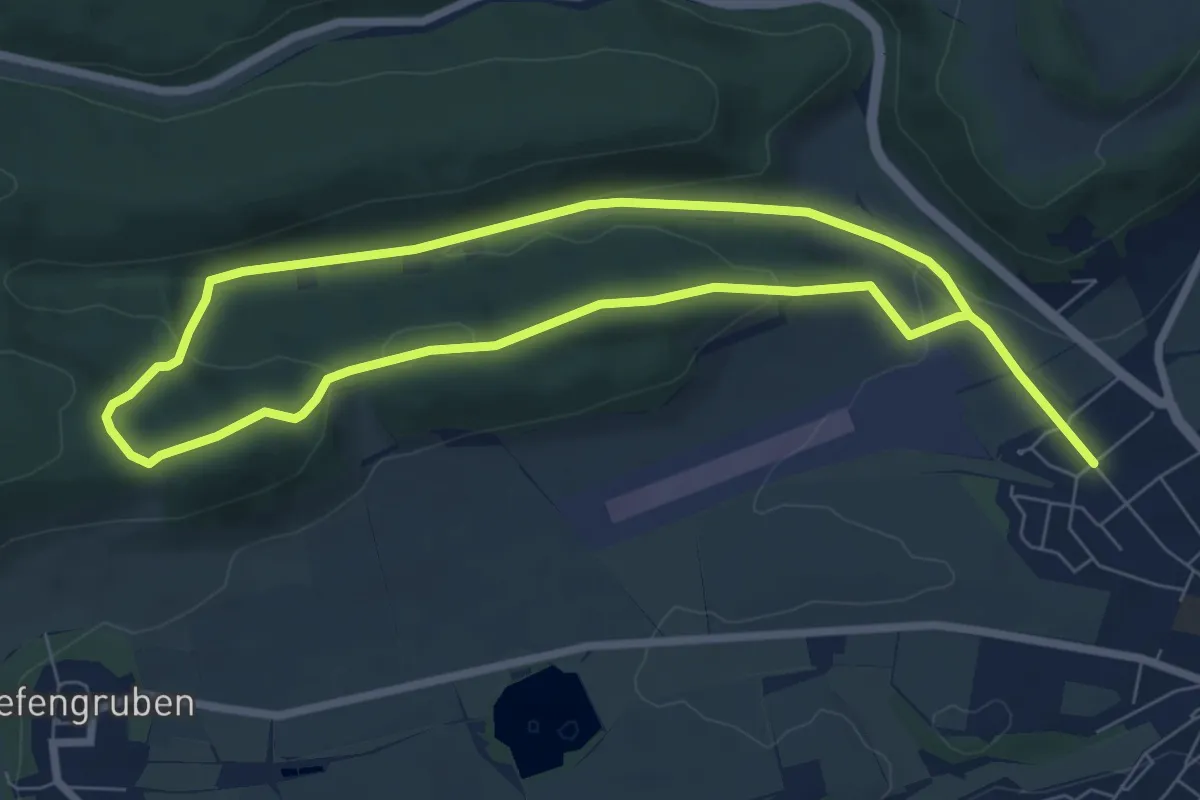
Medium · Trail
Förster-Brommer-Weg
12.4 km · ↑ 303 m · 3 h 35 min
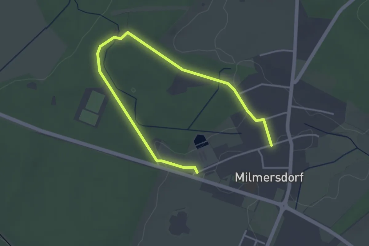
Easy · Trail
Försterrunde
4.1 km · ↑ 14 m · 59 min
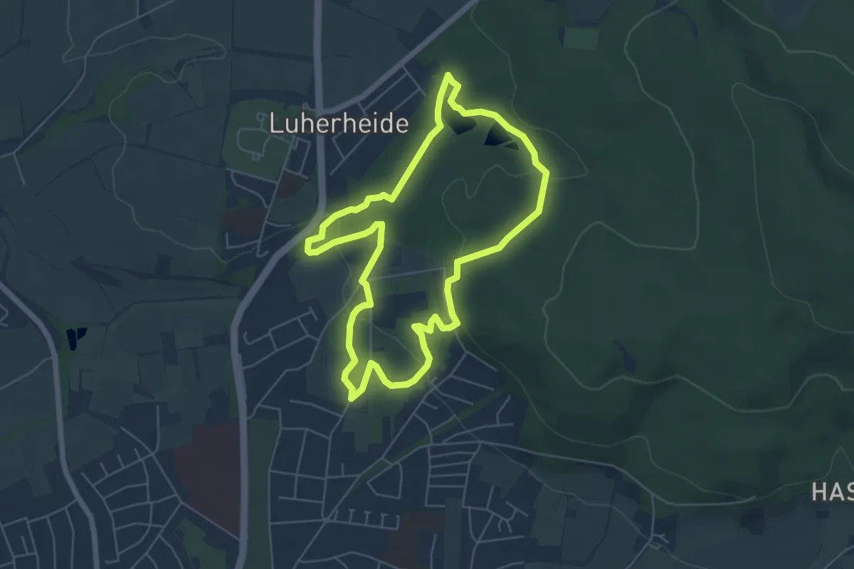
Easy · Trail
Försterteiche und Staffpark
4.9 km · ↑ 112 m · 1 h 28 min
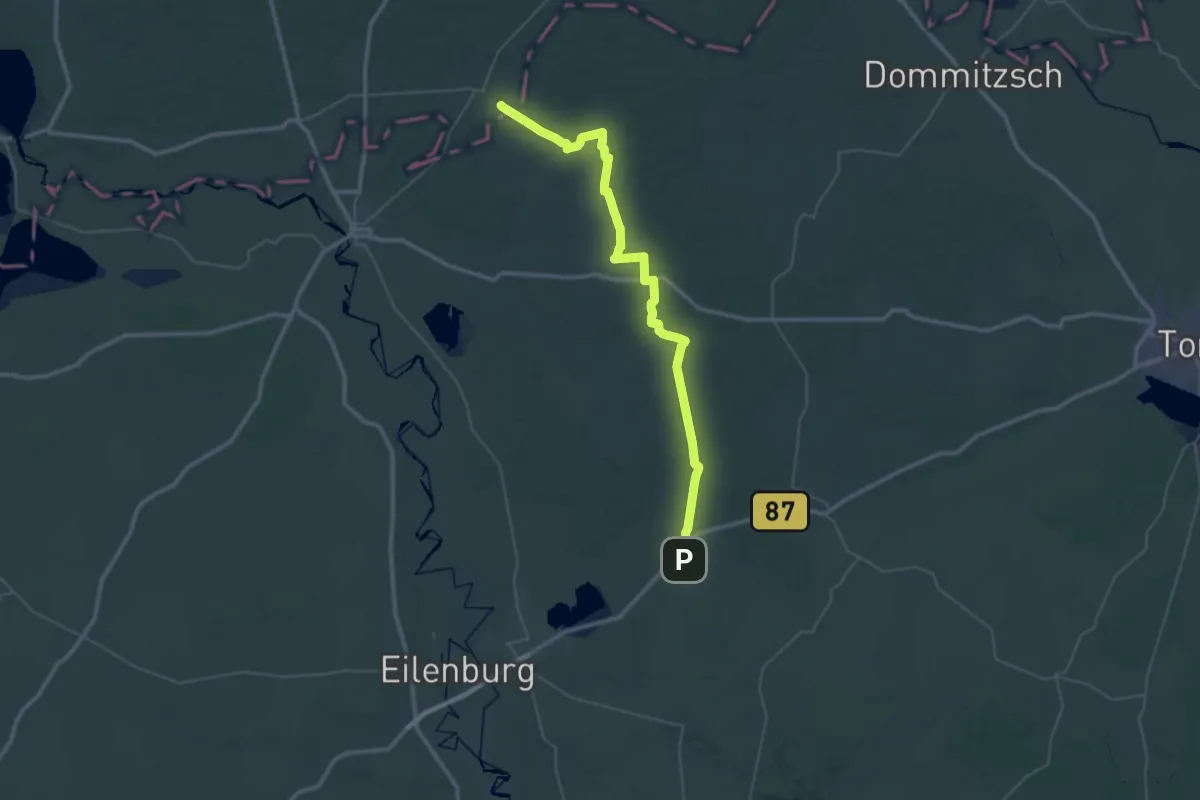
Demanding · Trail
Försterweg
21.6 km · ↑ 107 m · 5 h 37 min
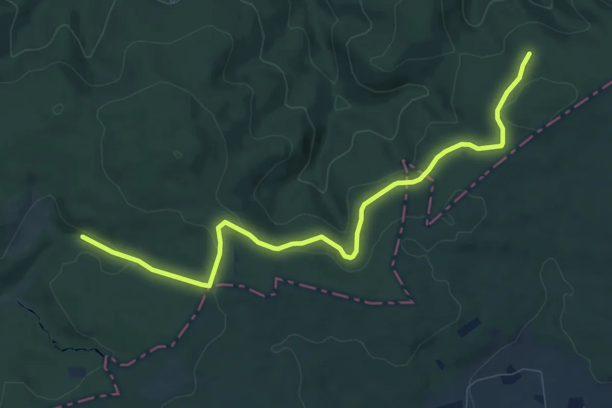
Medium · Trail
Försterweg (Erlebnisweg Sieg Nr. 10)
8.6 km · ↑ 172 m · 2 h 24 min
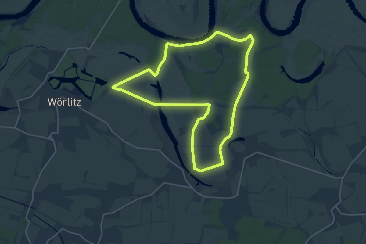
Medium · Trail
Förster Wöpke Weg
14.6 km · ↑ 31 m · 3 h 43 min
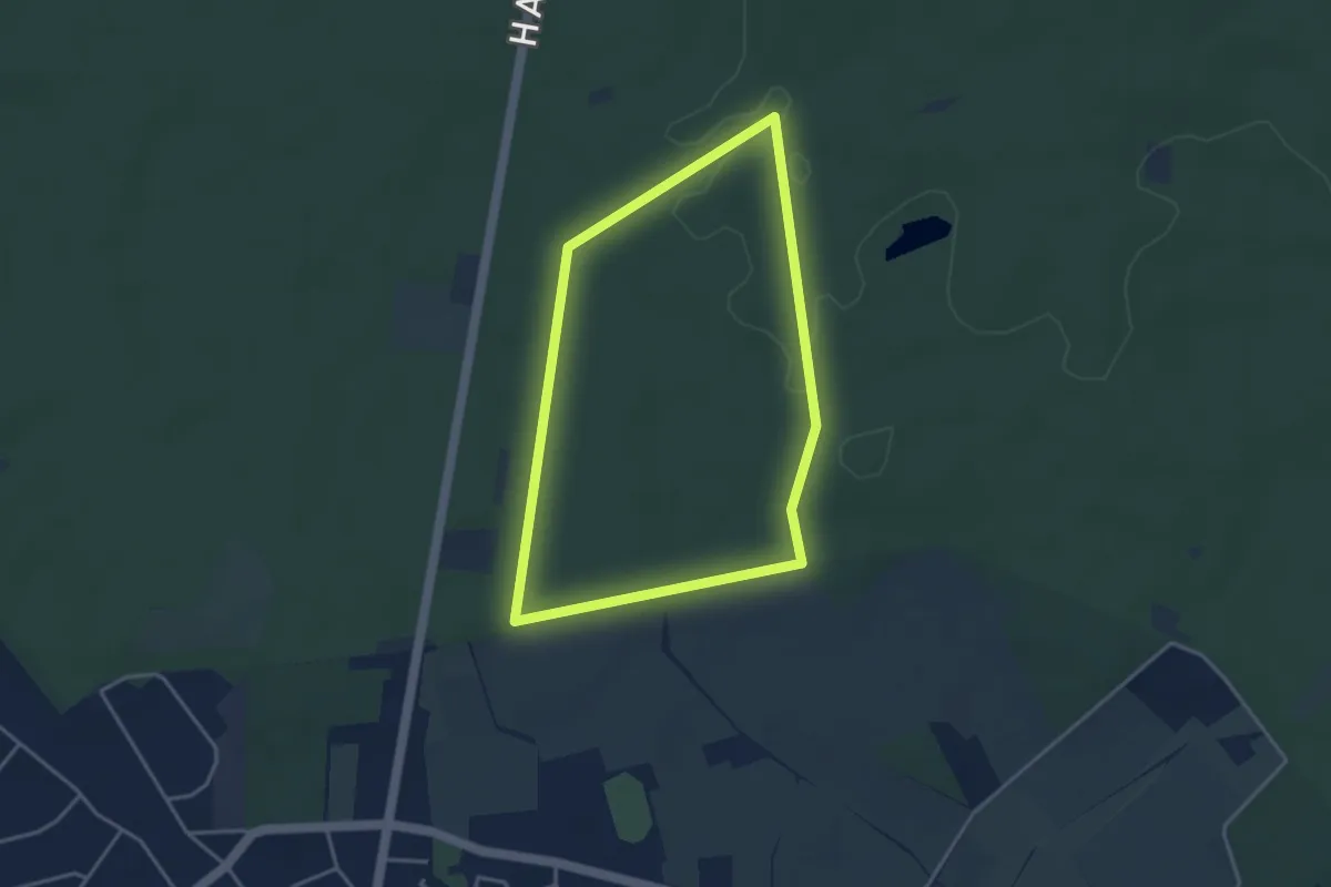
Easy · Trail
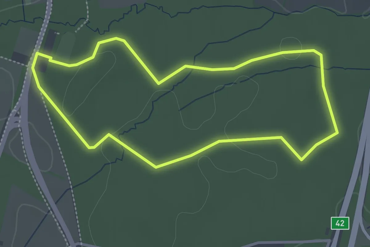
Forsthaus Haidberg Rundweg A3
3.2 km · ↑ 17 m · 50 min
Easy · Trail
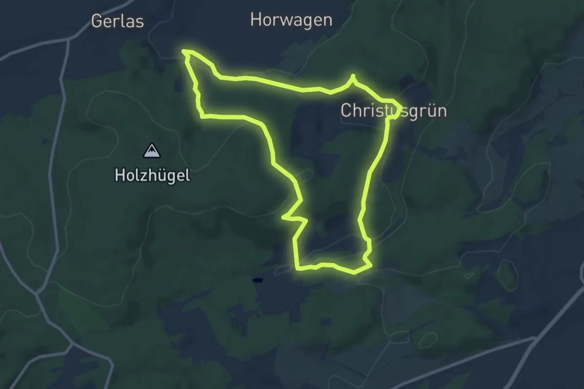
Forsthaus Specht Rundweg A1
2.5 km · ↑ 8 m · 39 min
Easy · Trail
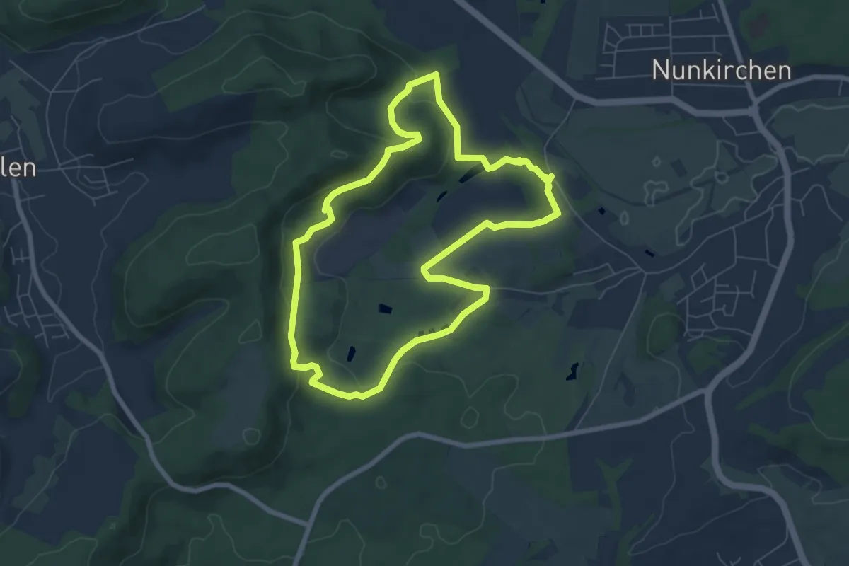
Forsthaus-Weg US 42
7.9 km · ↑ 232 m · 2 h 29 min
Easy · Trail
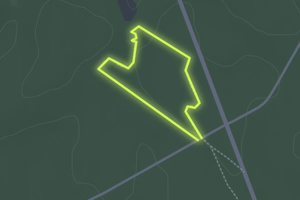
Forsthofrunde
6.3 km · ↑ 167 m · 1 h 56 min
Easy · Trail
forstlicher Lehrpfad
1.2 km · ↑ 5 m · 19 min
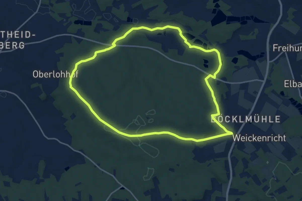
Medium · Trail
Forstloherunde
11.5 km · ↑ 146 m · 3 h 11 min
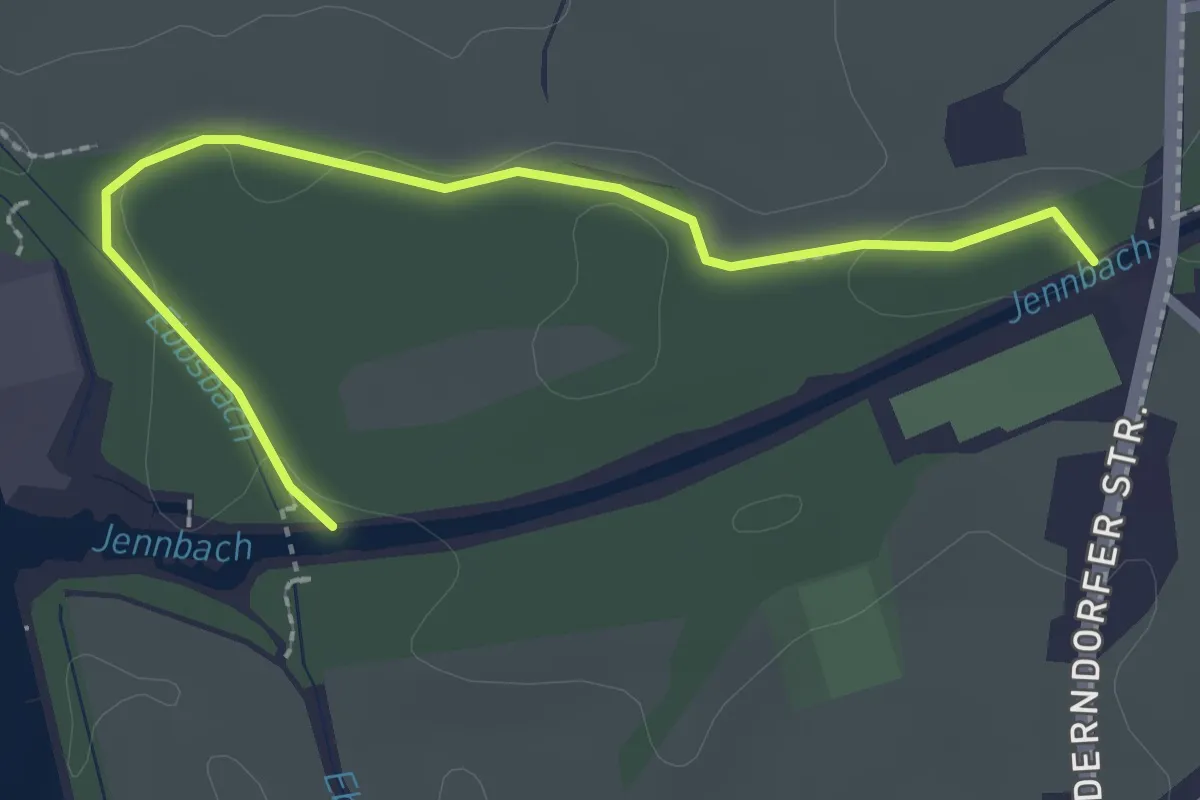
Easy · Trail
Forstmeile
2.5 km · ↑ 13 m · 37 min
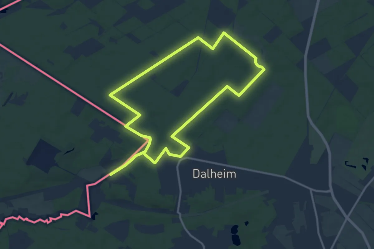
Medium · Trail
Forst Meinweg
8.4 km · ↑ 32 m · 2 h 10 min
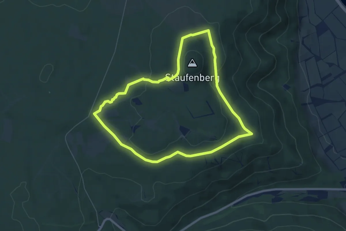
Easy · Trail
Forstmeisterrunde
5.5 km · ↑ 87 m · 1 h 34 min
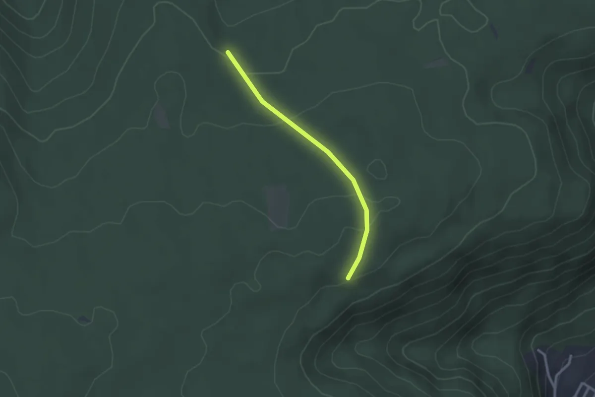
Easy · Trail
Forstmeisters Gfäll - Posthäusle
2.1 km · ↑ 56 m · 37 min
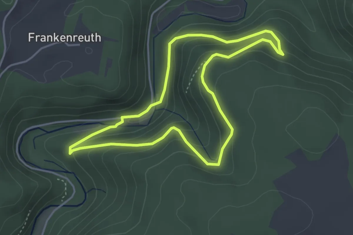
Easy · Trail
Forstmeistersprung-Weg KU 31
3.4 km · ↑ 177 m · 1 h 14 min
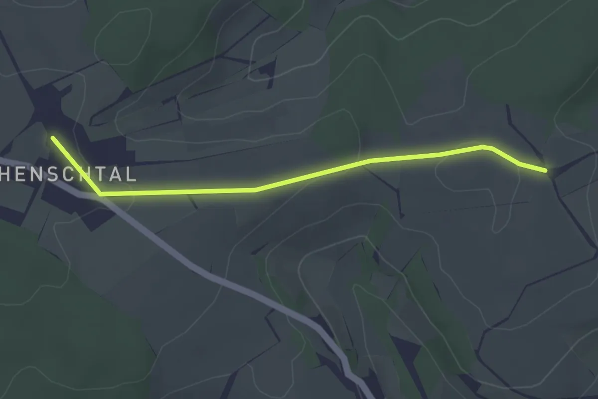
Easy · Trail
Forstmeister-Vay-Weg
1.4 km · ↑ 32 m · 25 min
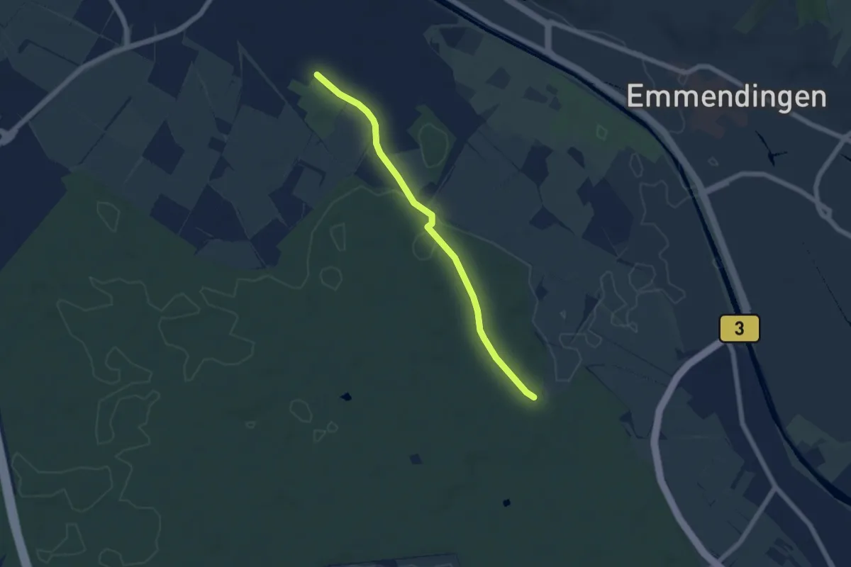
Easy · Trail
Forstrat-Hof-Eiche - Teningen E.-Schindler-Stadion
4.9 km · ↑ 21 m · 1 h 12 min
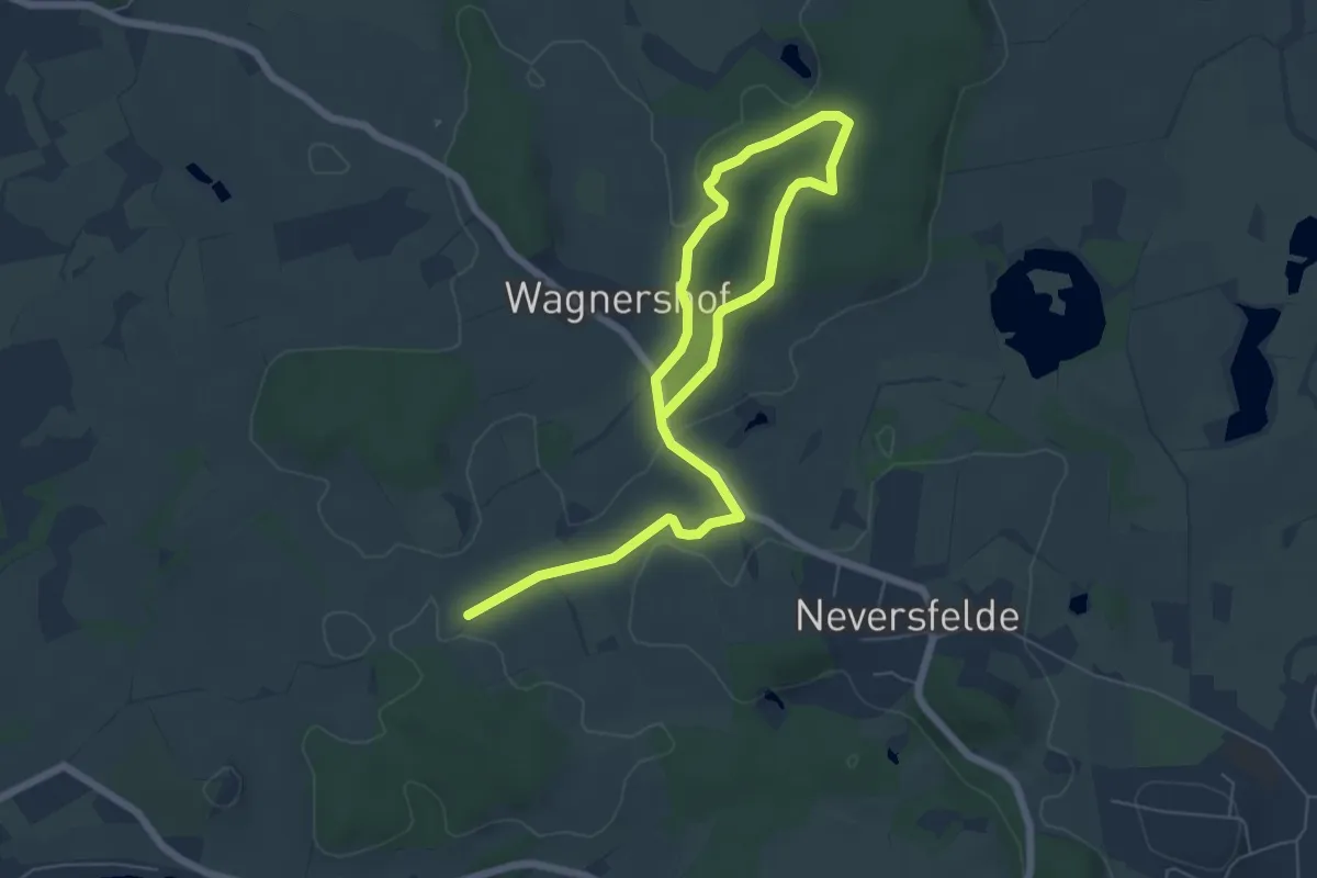
Easy · Trail
Forst-Route
7.7 km · ↑ 71 m · 1 h 58 min
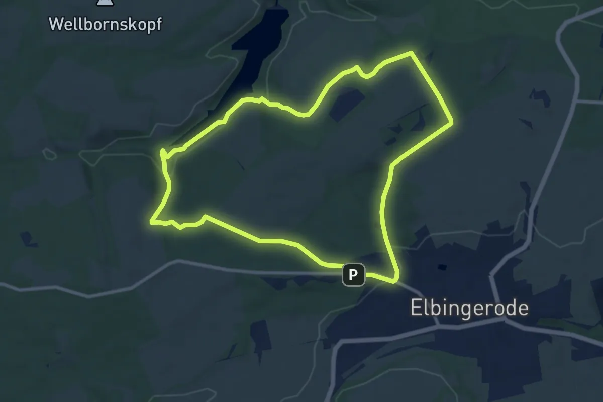
Easy · Trail
Forstrundwanderweg
7.4 km · ↑ 146 m · 2 h 10 min
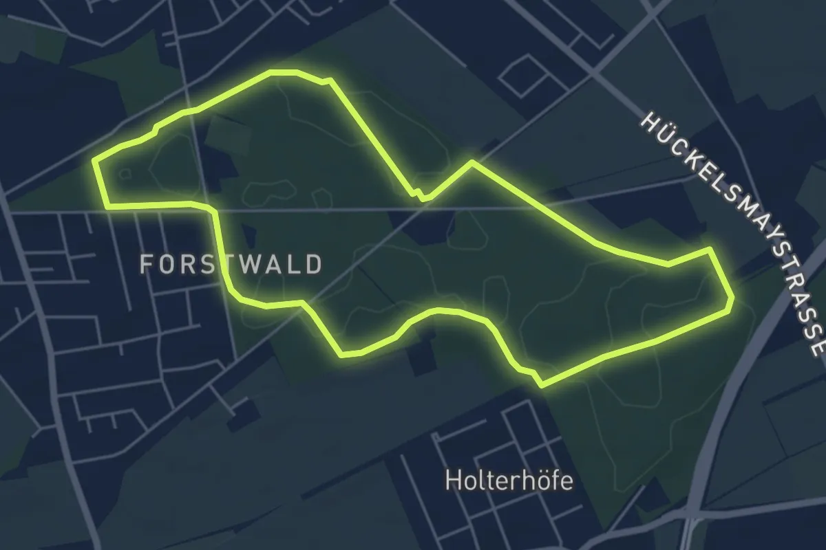
Easy · Trail
Forstwald Rundweg A1
4.9 km · ↑ 18 m · 1 h 15 min
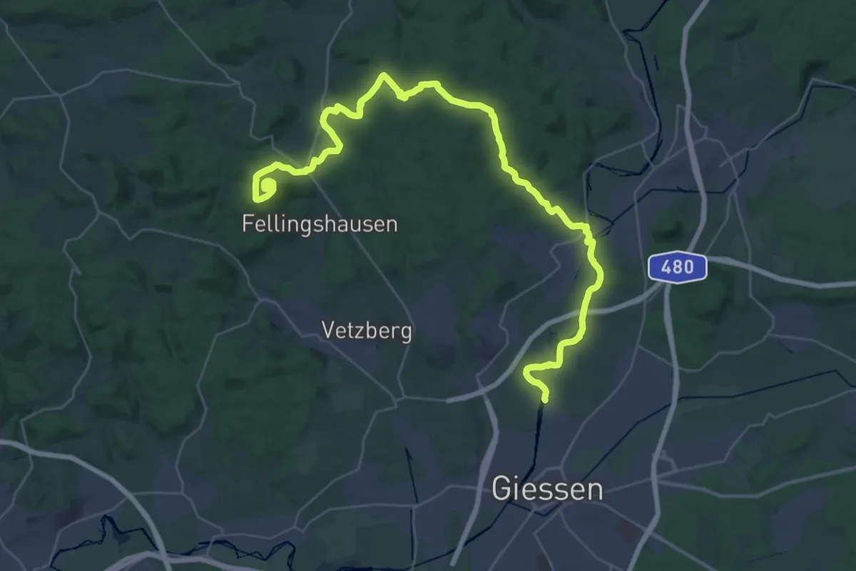
Demanding · Summit
Forstweg
40.8 km · ↑ 571 m · 10 h 52 min
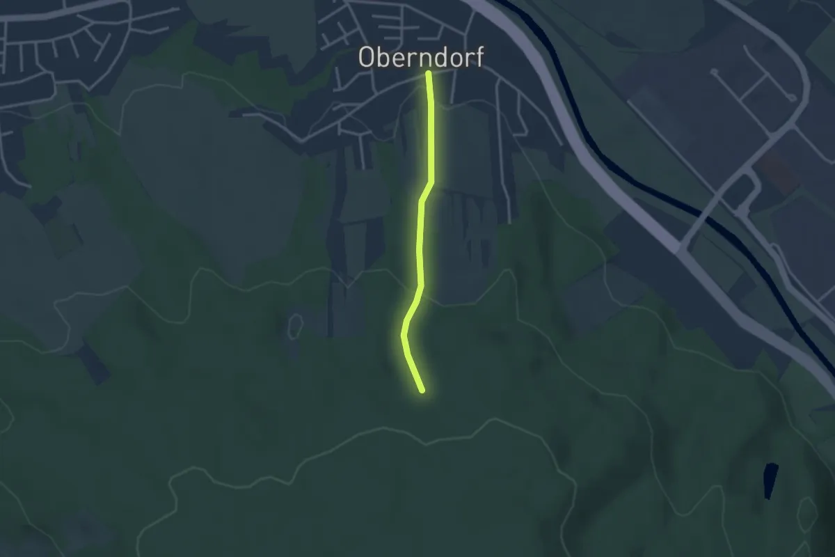
Easy · Trail
Fortelgasse - Brünnele
2.3 km · ↑ 86 m · 44 min
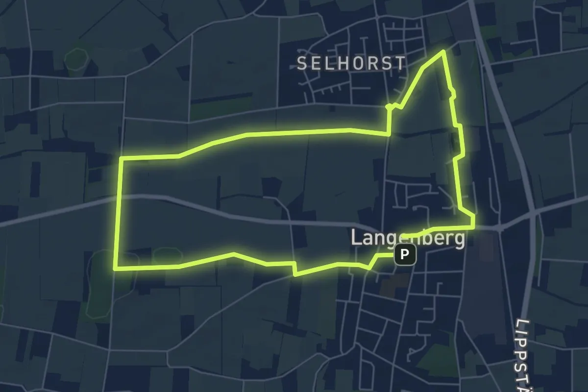
Easy · Trail
Forthbachweg
5.7 km · ↑ 30 m · 1 h 29 min
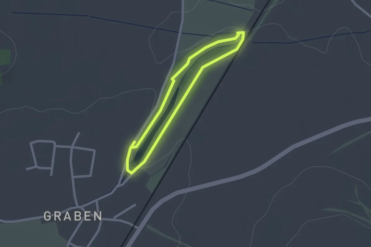
Easy · Trail
Fossa Carolina
1.6 km · ↑ 9 m · 25 min
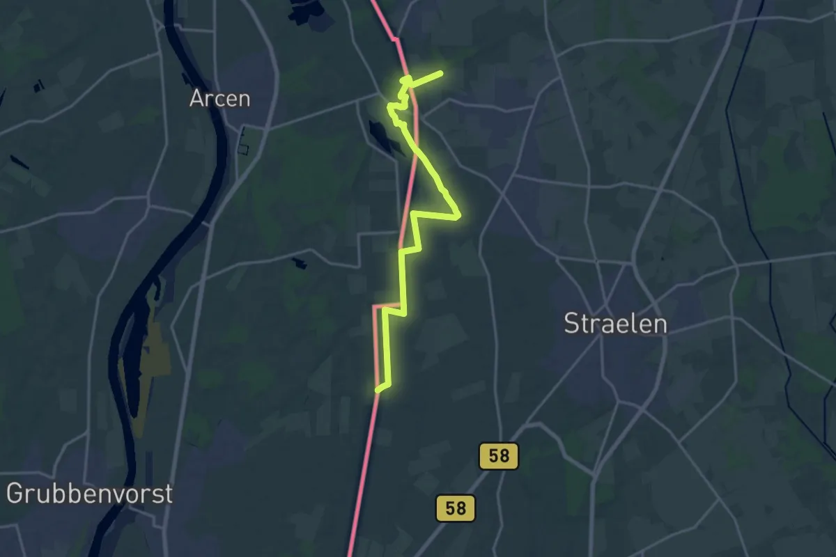
Medium · Trail
Fossa-Eugeniana-Wanderweg
15.9 km · ↑ 41 m · 3 h 51 min
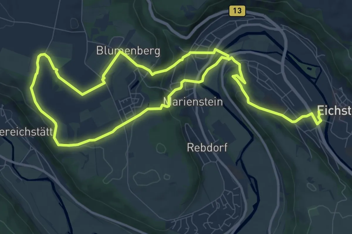
Medium · Trail
Fossilienpfad
8.0 km · ↑ 241 m · 2 h 32 min
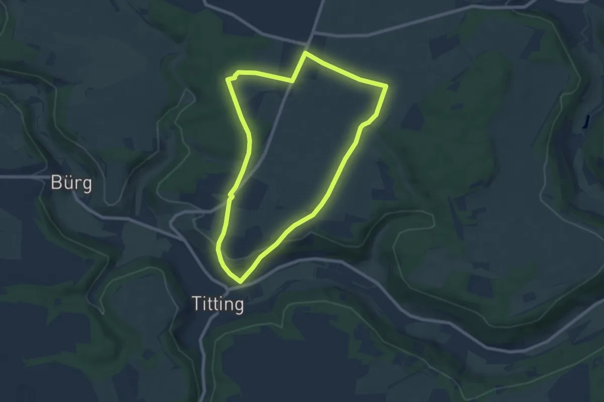
Easy · Trail
Fossilienweg
6.0 km · ↑ 89 m · 1 h 41 min
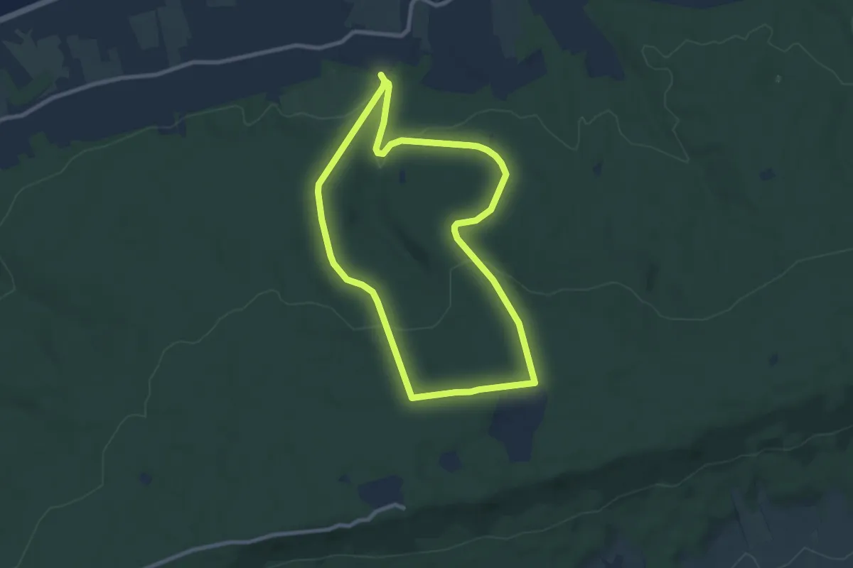
Easy · Trail
Fox Eichen-Rundweg
7.1 km · ↑ 167 m · 2 h 8 min
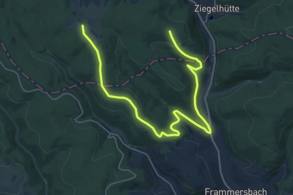
Medium · Summit
Frammersbach Nordic Walking-Runde 5
8.5 km · ↑ 240 m · 2 h 39 min