Trails in Germany
36,852 hiking trails, each with its route, climb, walking time and grade.
All trails, page 164 of 768
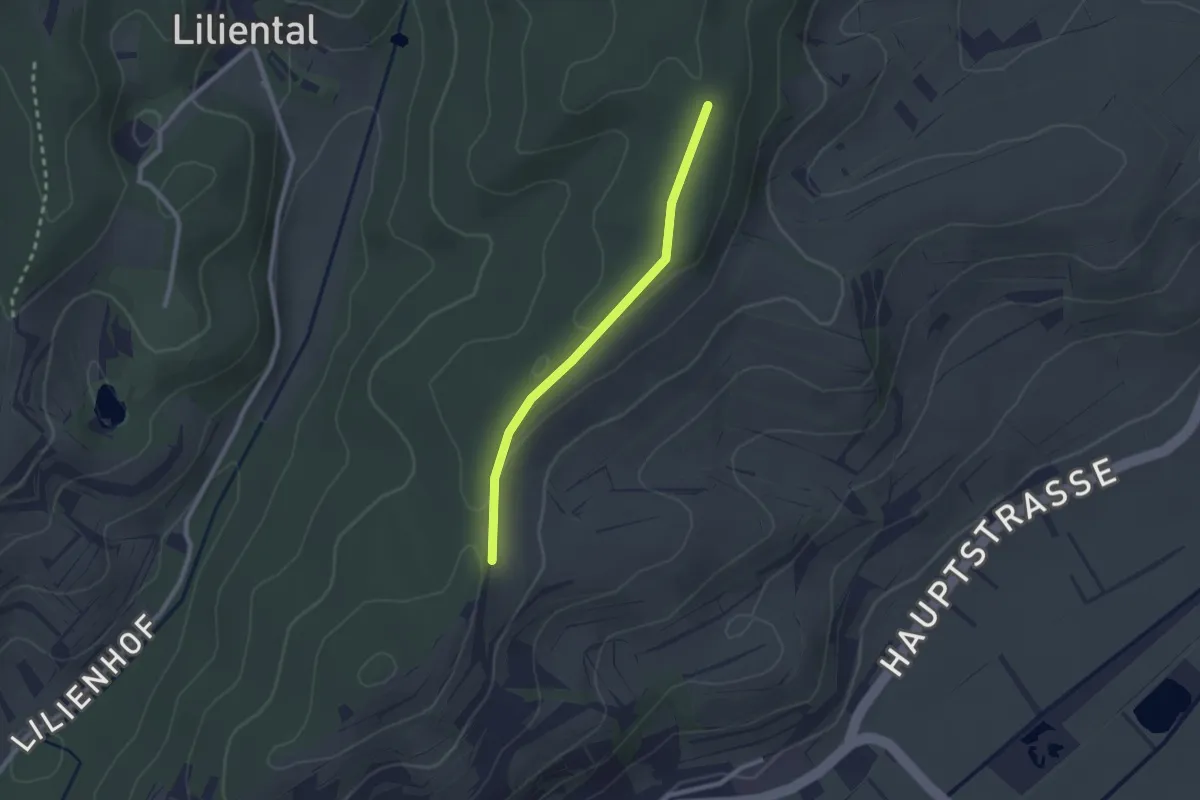
Easy · Trail
Gagenhart - Kastanienplatz
2.1 km · ↑ 50 m · 36 min
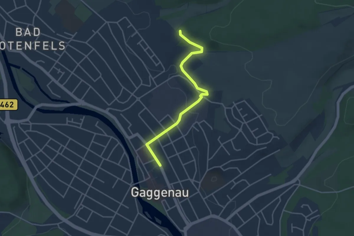
Easy · Trail
Gaggenau Bahnhof - Großer Wald
3.3 km · ↑ 47 m · 53 min
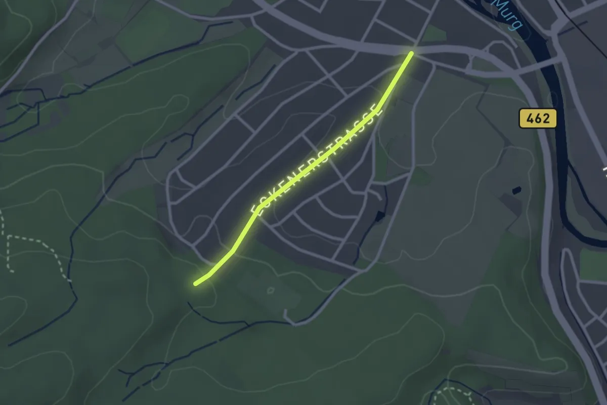
Easy · Trail
Gaggenau Eckenerstraße - Waldparkplatz Naturlehrweg
2.1 km · ↑ 72 m · 39 min
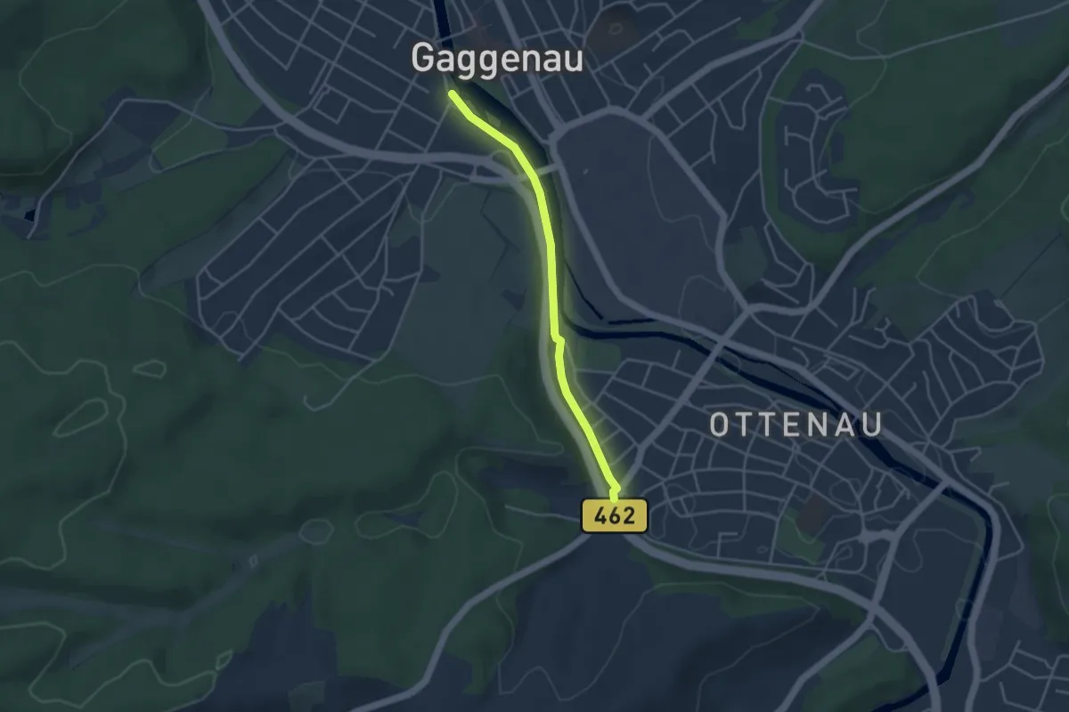
Easy · Trail
Gaggenau Evangelische Kirche - Ottenau Siedlung
3.3 km · ↑ 69 m · 56 min
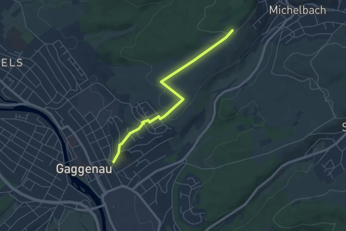
Easy · Trail
Gaggenau Goethegymnasium - Große Eiche
4.8 km · ↑ 114 m · 1 h 23 min
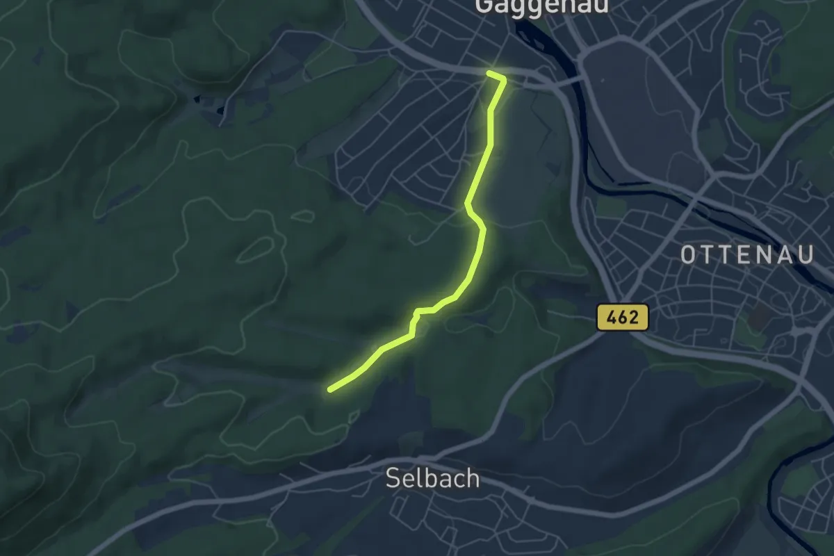
Easy · Trail
Gaggenau - Höllbach
4.4 km · ↑ 122 m · 1 h 18 min
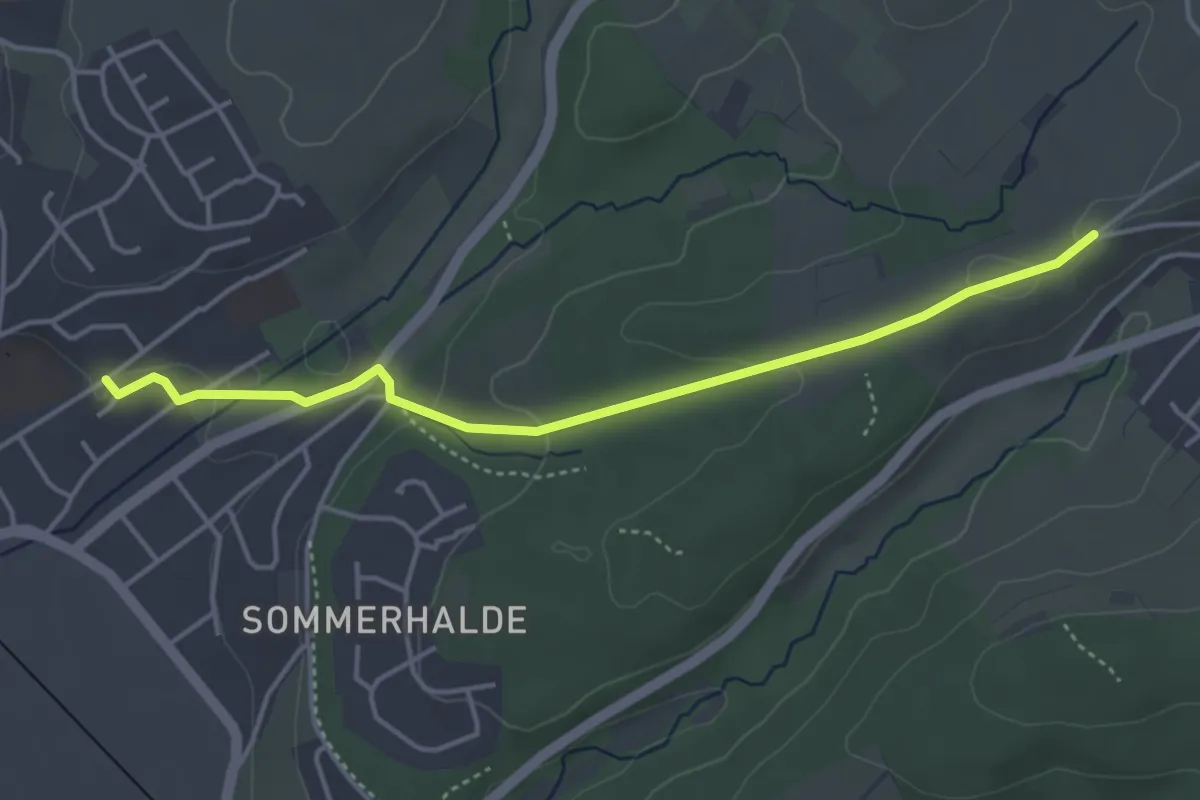
Easy · Trail
Gaggenau Körnerstraße - Jägeräcker
4.0 km · ↑ 76 m · 1 h 7 min
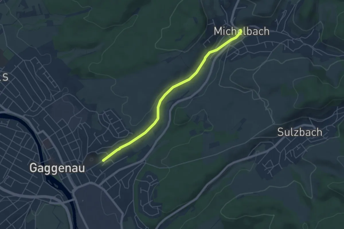
Easy · Trail
Gaggenau Körnerstraße - Michelbach Kirche
4.9 km · ↑ 61 m · 1 h 18 min
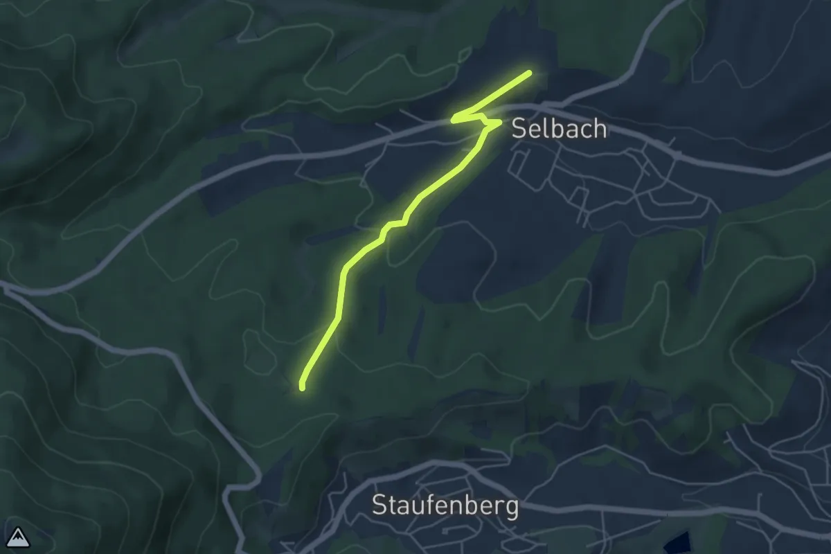
Easy · Trail
Gaggenau - Merkur
4.3 km · ↑ 129 m · 1 h 17 min
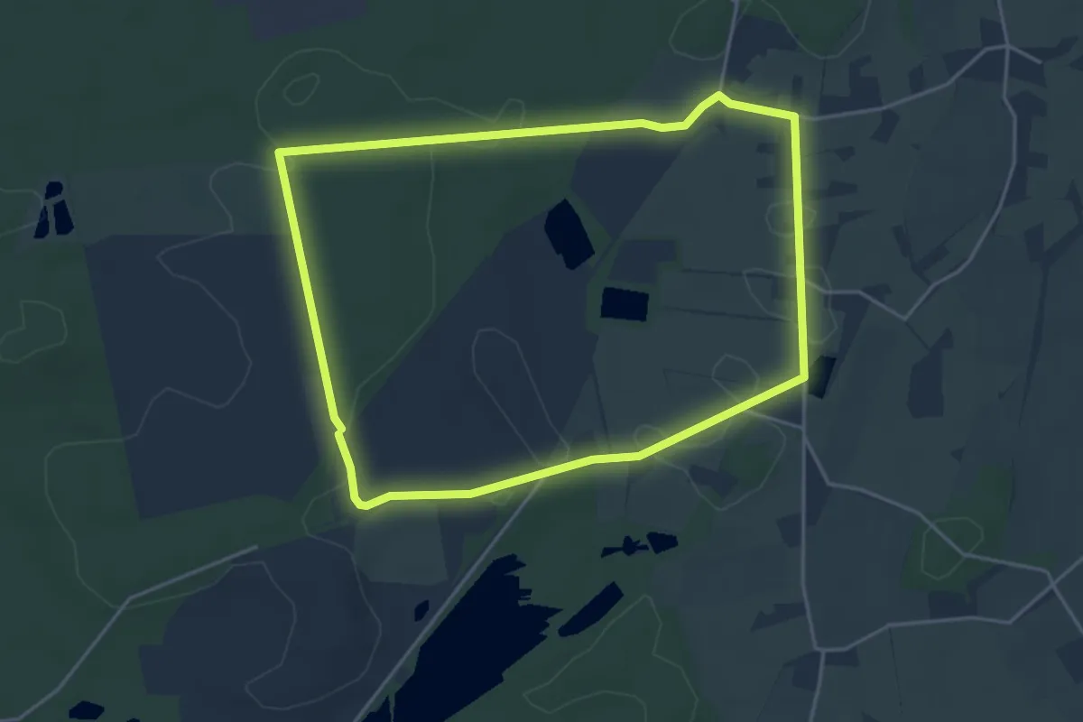
Easy · Trail
Gahlen Rundweg A1
3.8 km · ↑ 4 m · 58 min
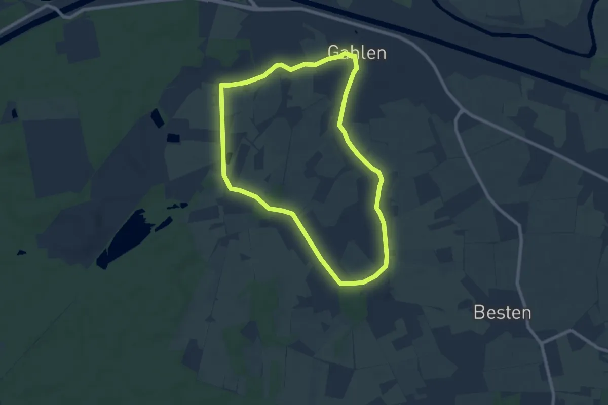
Easy · Trail
Gahlen Rundweg A2
5.7 km · ↑ 17 m · 1 h 28 min
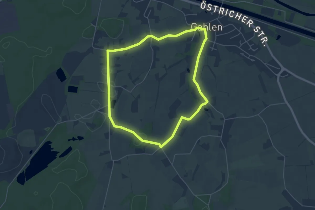
Easy · Trail
Gahlen Rundweg A3
4.4 km · ↑ 12 m · 1 h 8 min
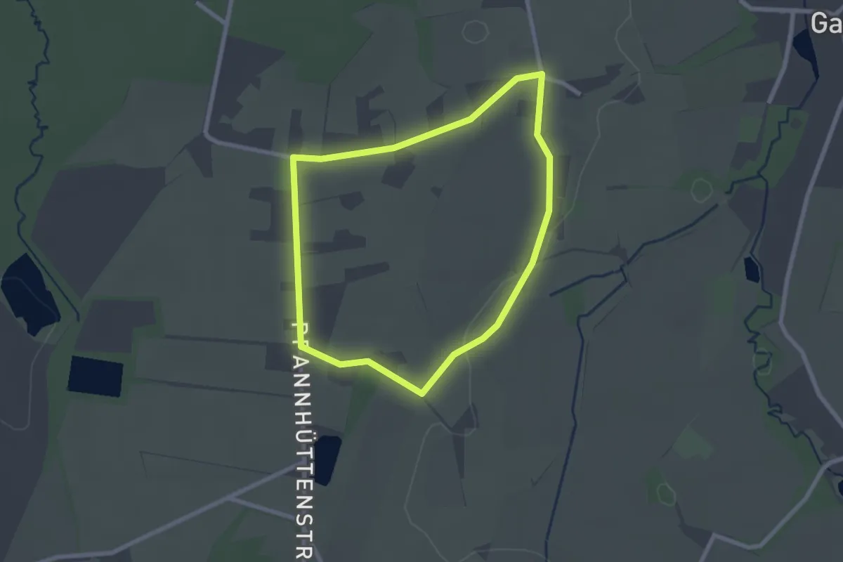
Easy · Trail
Gahlen Rundweg A4
1.9 km · ↑ 4 m · 30 min
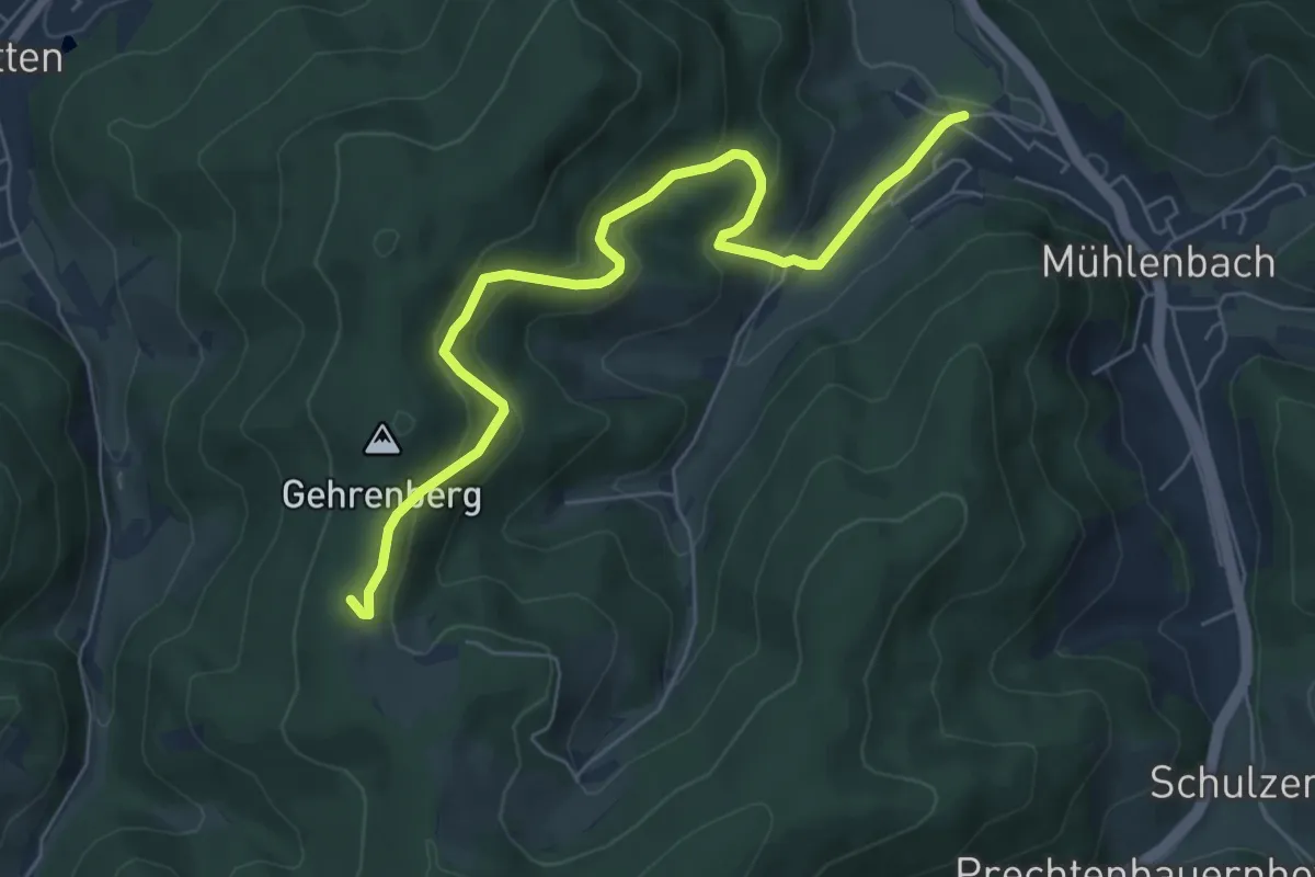
Medium · Trail
Gährenberg - Mühlenbach Sportplatz
6.6 km · ↑ 371 m · 2 h 22 min
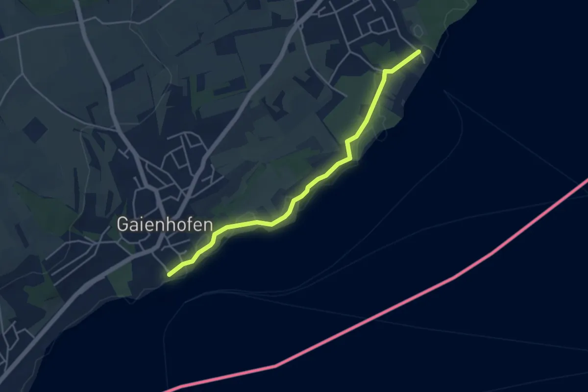
Easy · Trail
Gaienhofen Landesteg - Hornstaad/Bootshafen
4.0 km · ↑ 13 m · 58 min
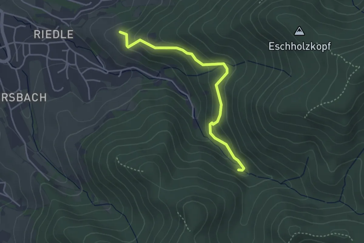
Easy · Trail
Gaigaß - Unterm Böcklinstein
3.4 km · ↑ 214 m · 1 h 16 min
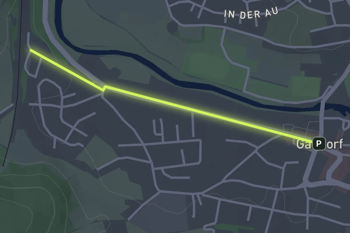
Easy · Trail
Gaildorf Bhf - Marktplatz
2.4 km · ↑ 20 m · 36 min
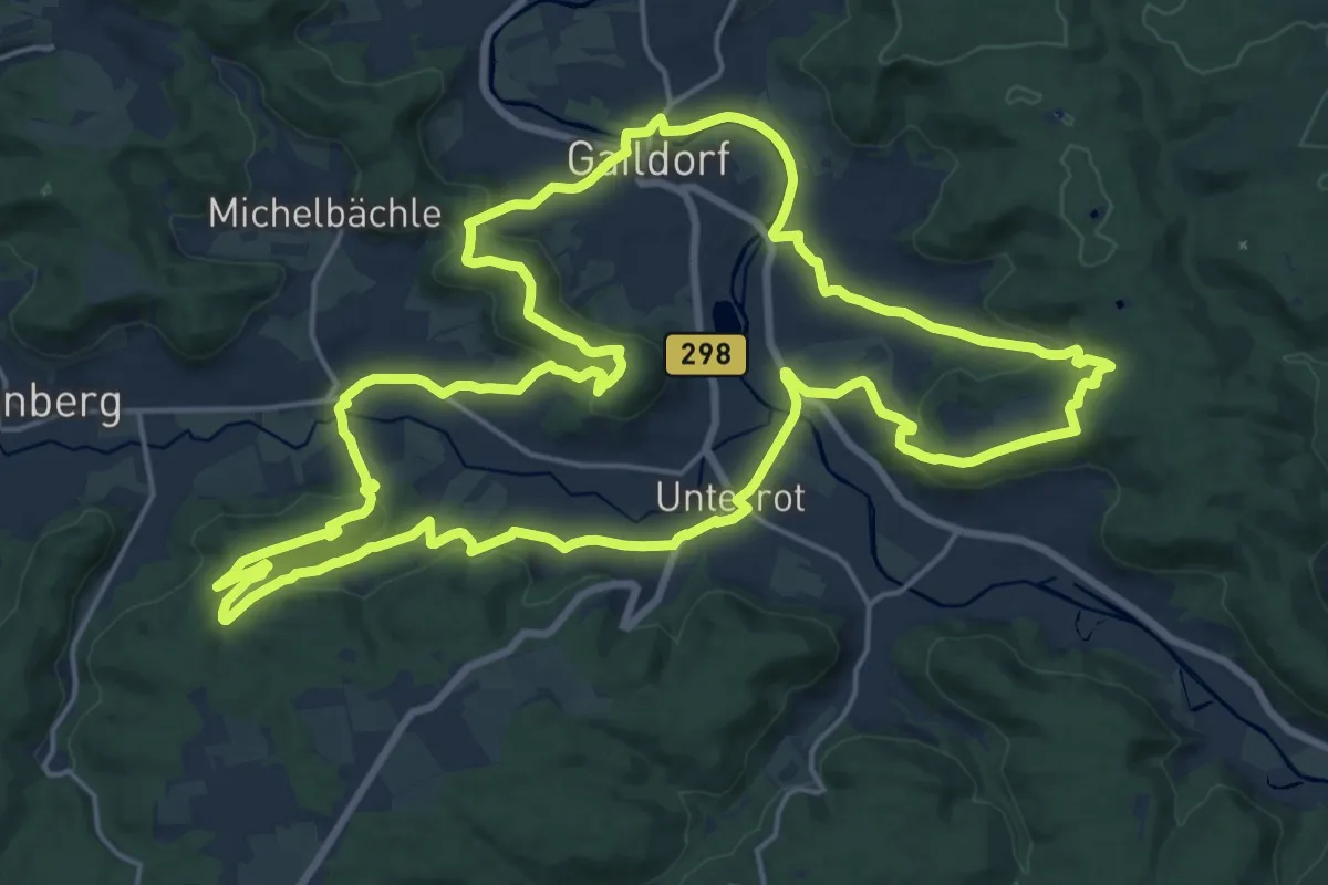
Demanding · Summit
Gaildorfer Runde
21.1 km · ↑ 555 m · 6 h 27 min
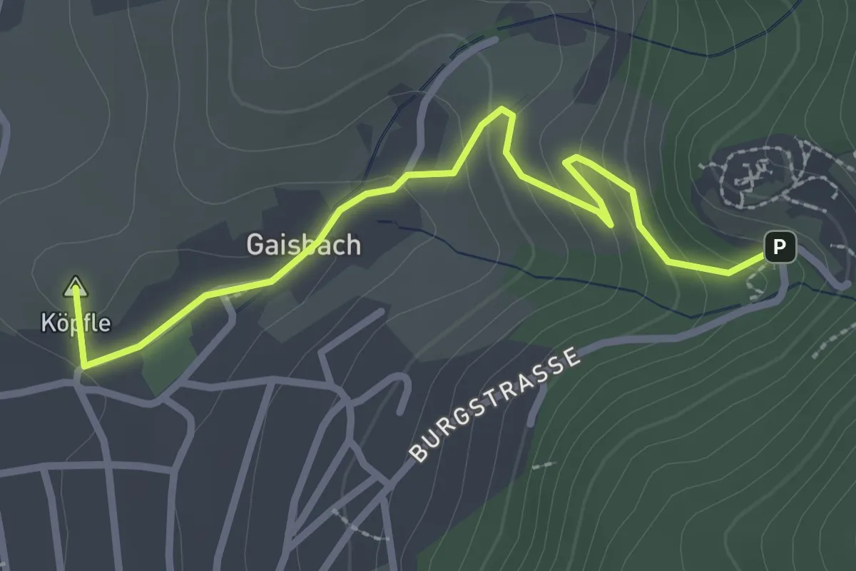
Easy · Summit
Gaisbach - Schauenburg Parkplatz
2.7 km · ↑ 146 m · 57 min
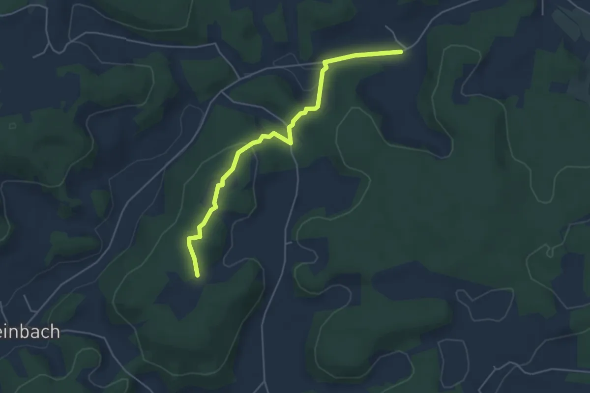
Easy · Trail
Gaishaim - Rittmannshof
4.1 km · ↑ 76 m · 1 h 8 min
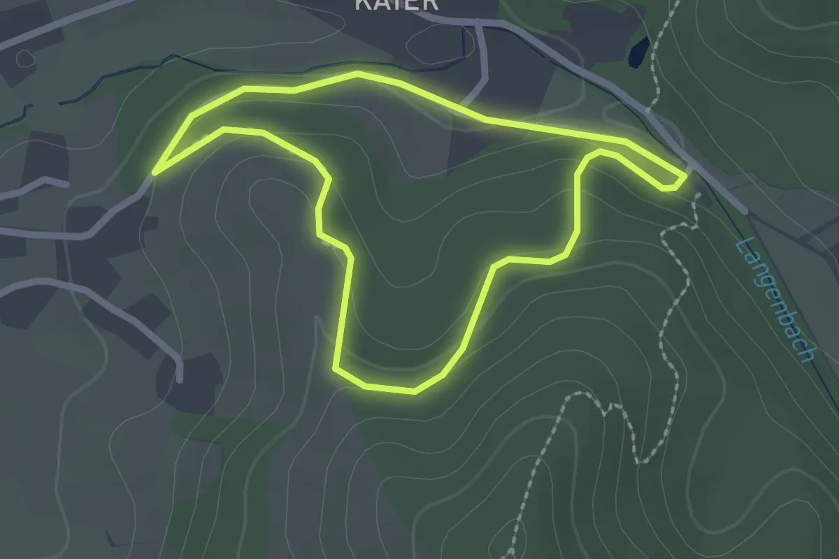
Easy · Trail
Gaishalde-Weg
1.9 km · ↑ 67 m · 38 min
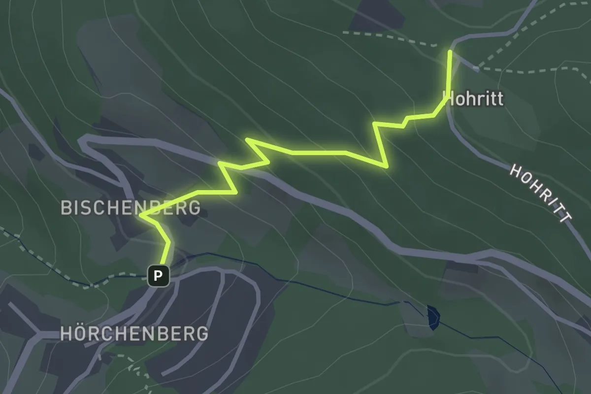
Easy · Trail
Gaishölle oben - Hohritt
2.6 km · ↑ 206 m · 1 h 4 min
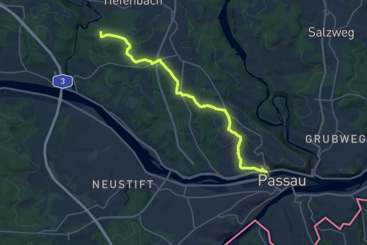
Medium · Summit
Gaißa - Hacklberg
17.1 km · ↑ 350 m · 4 h 47 min
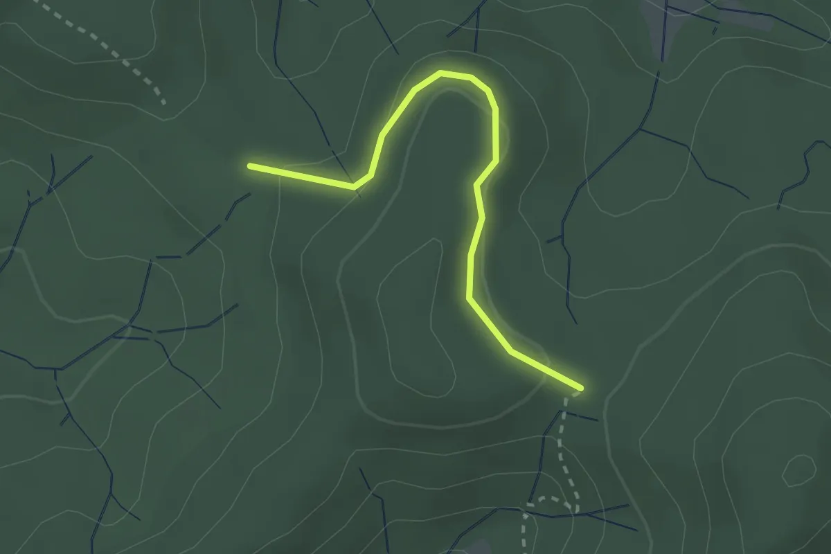
Easy · Trail
Gaisstatthütte - Kreuzweghütte
2.3 km · ↑ 62 m · 40 min
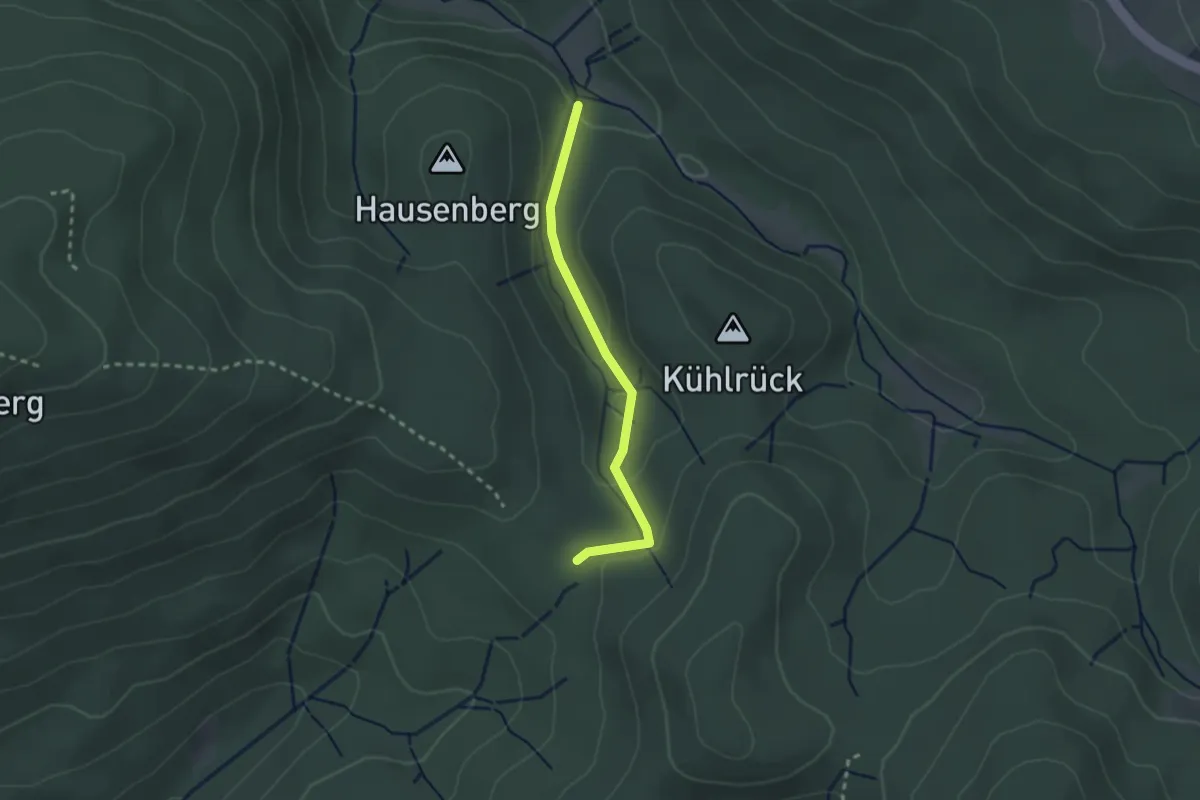
Easy · Trail
Gaisstatthütte - Kühlrück
2.2 km · ↑ 91 m · 43 min
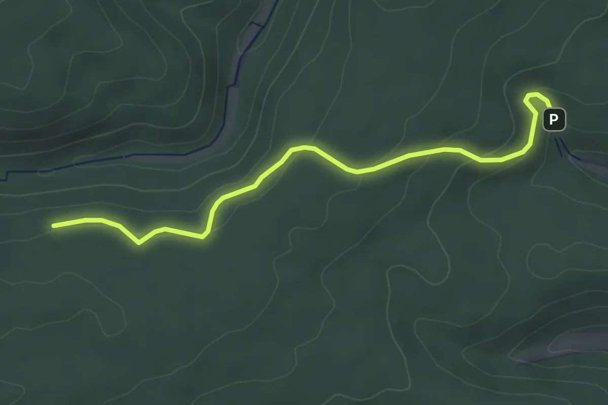
Easy · Trail
Galantsteig - Eigental
4.4 km · ↑ 138 m · 1 h 20 min
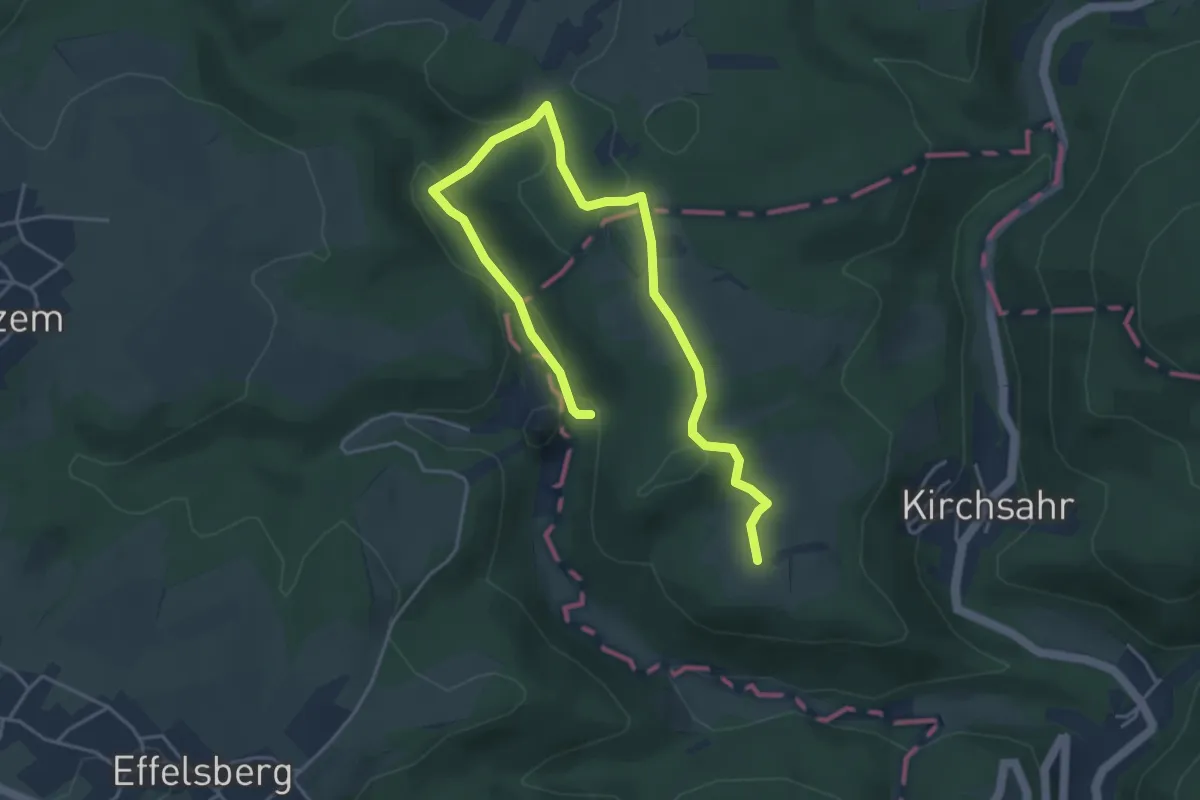
Easy · Trail
Galaxienweg
5.3 km · ↑ 106 m · 1 h 29 min
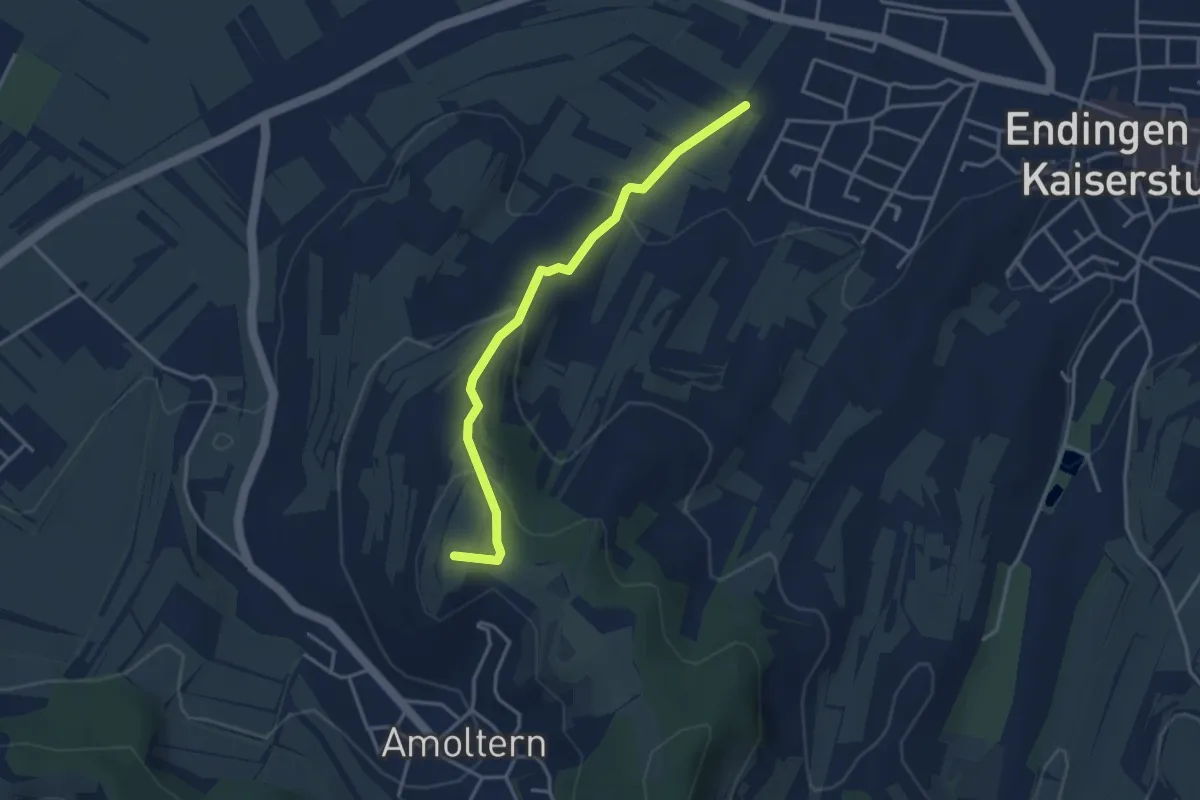
Easy · Summit
Galgenberg - Bühle
3.4 km · ↑ 121 m · 1 h 4 min
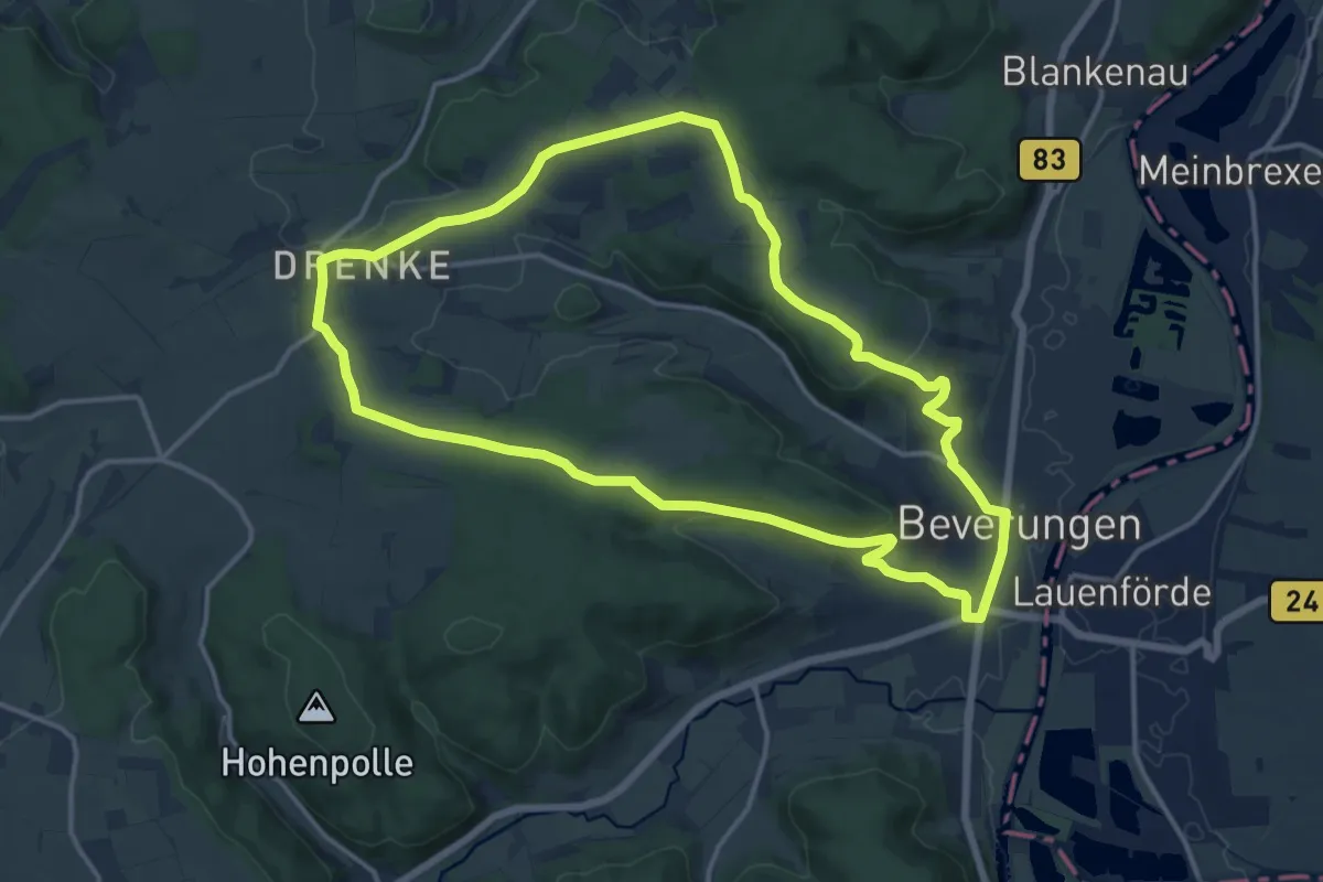
Medium · Trail
Galgenberg-Drenke-Selsberg
13.1 km · ↑ 208 m · 3 h 44 min
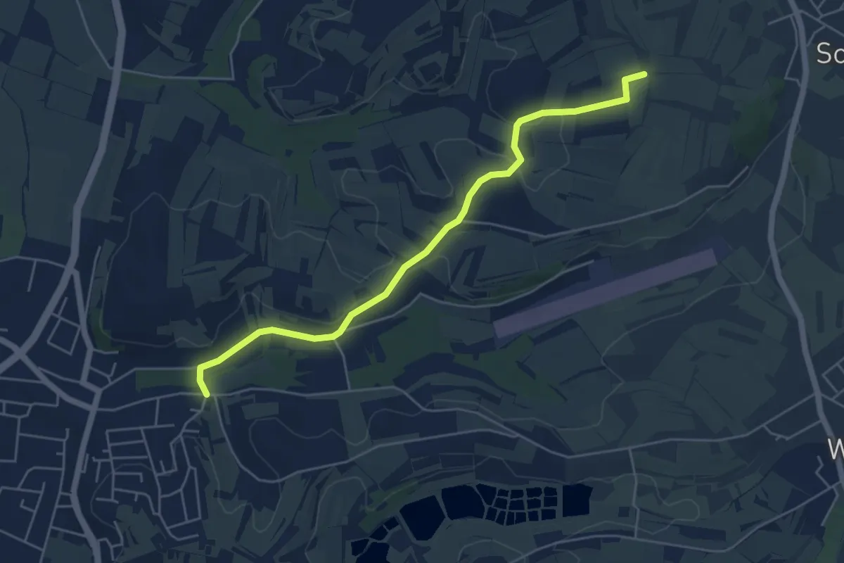
Easy · Trail
Galgenberg - Hinter dem Schloss
5.1 km · ↑ 68 m · 1 h 22 min
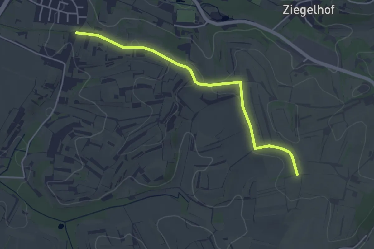
Easy · Trail
Galgenberg - Mahlberger Buck
3.8 km · ↑ 36 m · 58 min
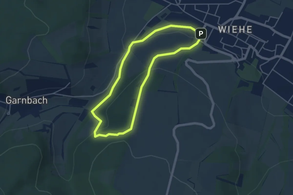
Easy · Trail
Galgenberg Rundweg Wiehe
3.2 km · ↑ 89 m · 59 min
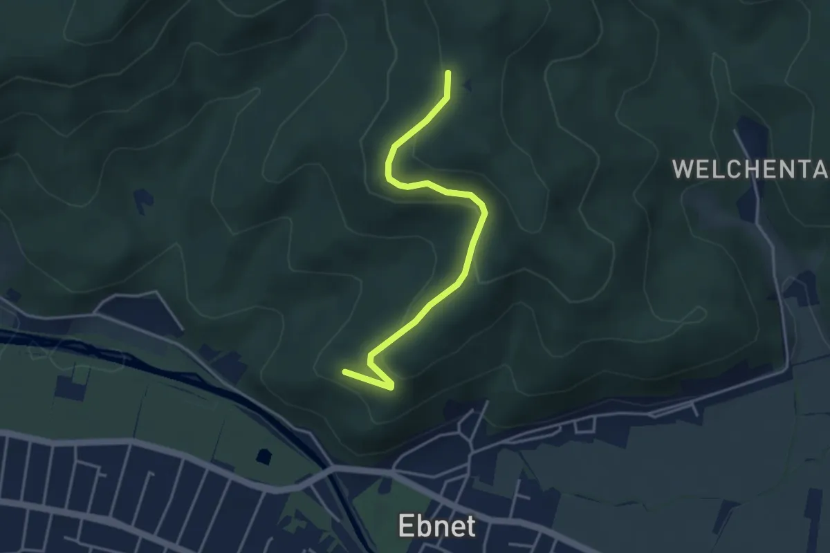
Easy · Trail
Galgenberg - St. Wendelinweg
3.5 km · ↑ 164 m · 1 h 11 min
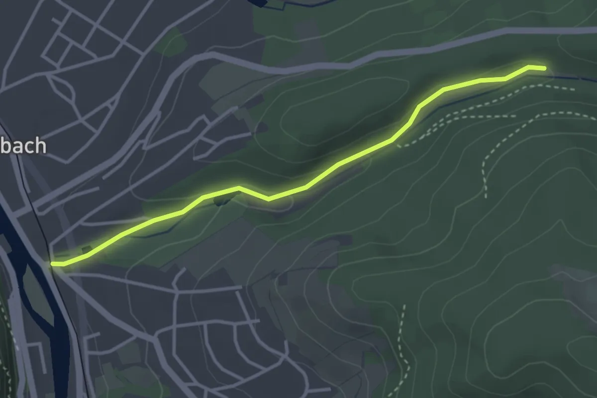
Easy · Trail
Galgenbergweg - Kurpark
3.2 km · ↑ 77 m · 56 min
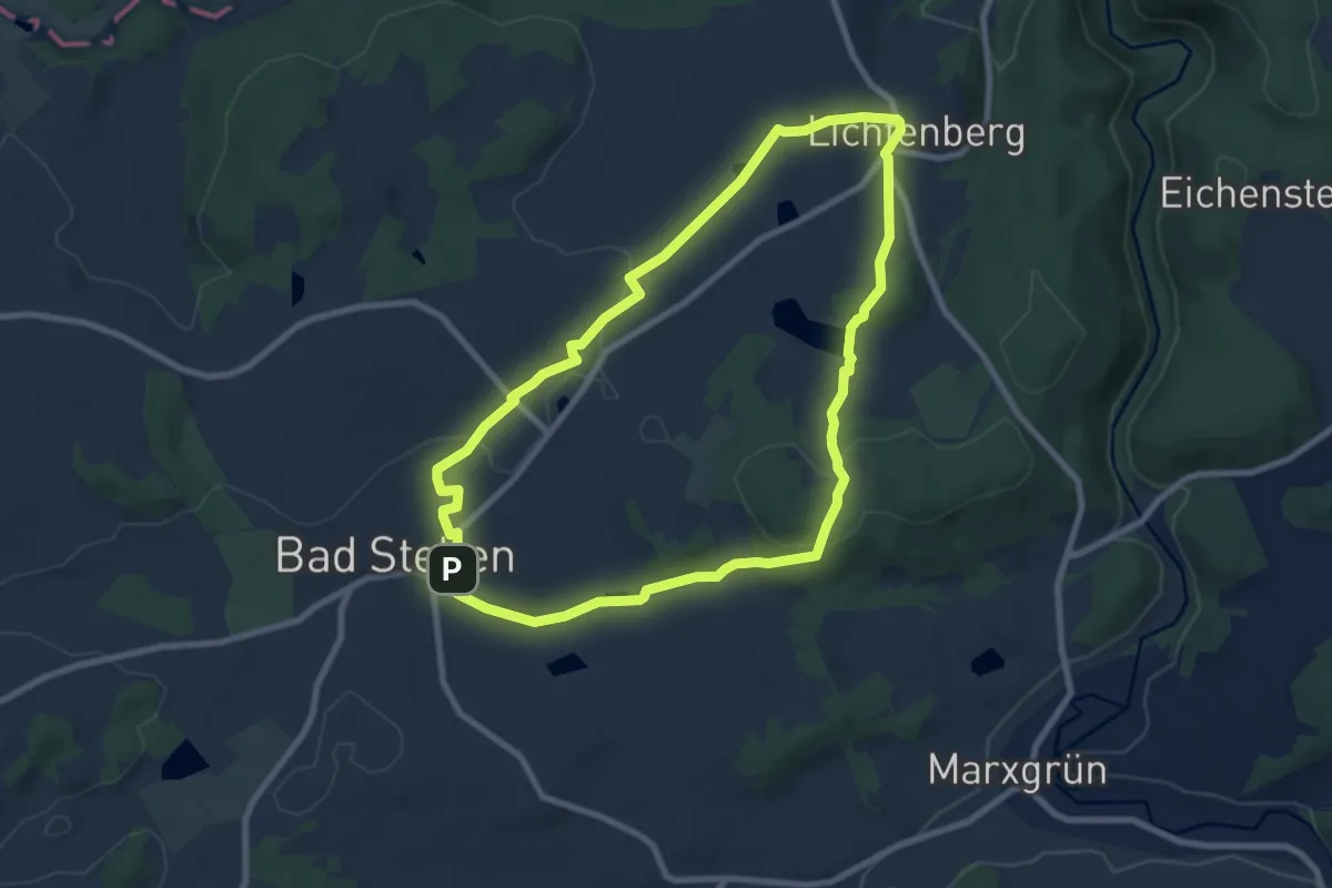
Easy · Trail
Galgenberg-Weg US 51
7.6 km · ↑ 120 m · 2 h 10 min
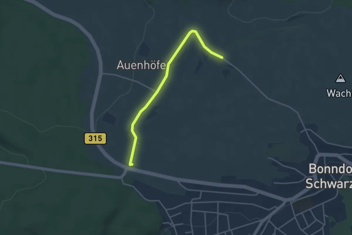
Easy · Trail
Galgenbuck - Schleierweg
2.9 km · ↑ 33 m · 46 min
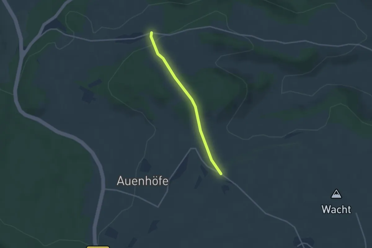
Easy · Trail
Galgenbuck - Tiefental
2.4 km · ↑ 69 m · 44 min
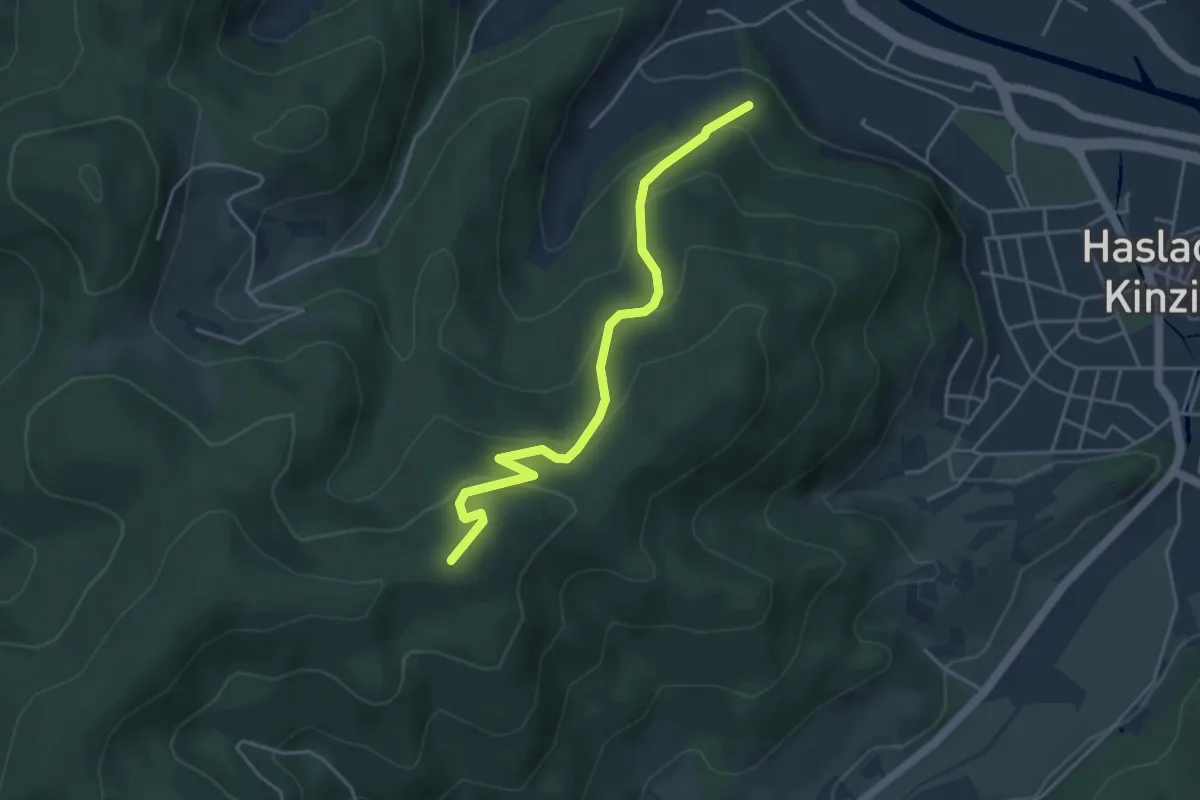
Medium · Trail
Galgenbühl - 7 Lochen
4.1 km · ↑ 289 m · 1 h 36 min
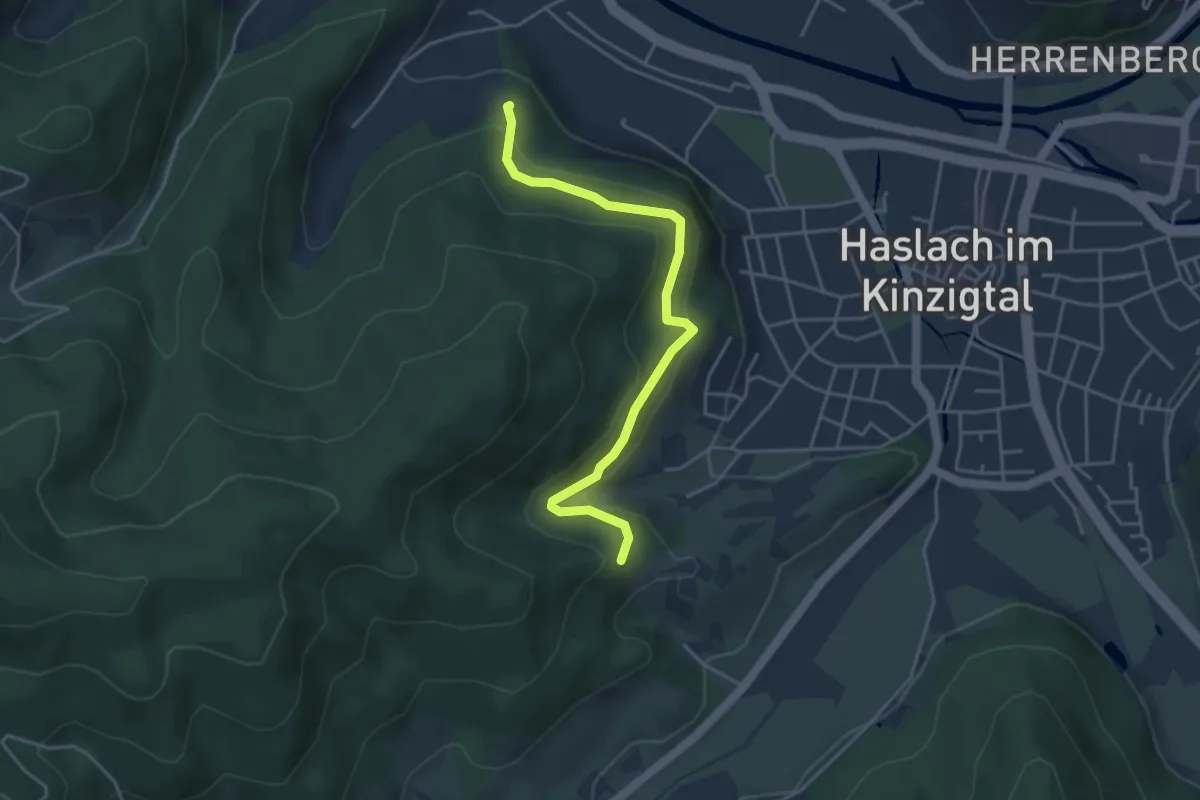
Easy · Trail
Galgenbühl - Sommerhalde
4.1 km · ↑ 225 m · 1 h 27 min
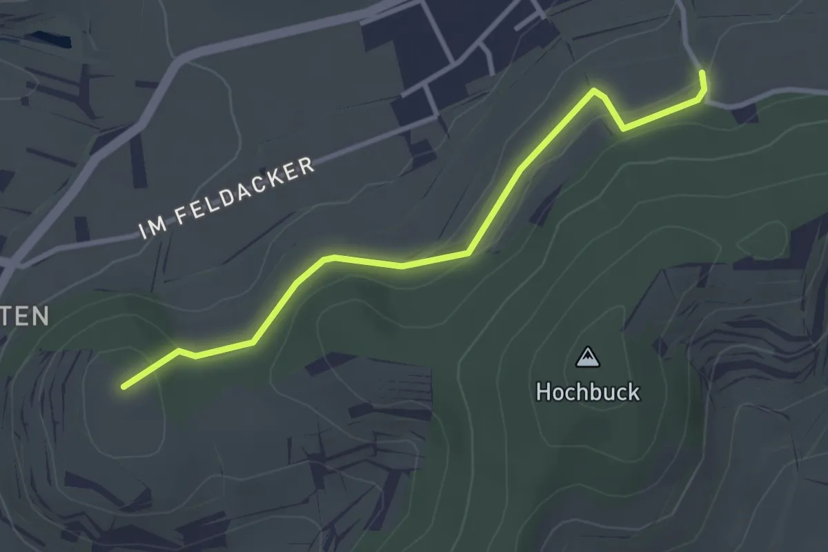
Easy · Summit
Galgenbühl - Willburg
2.9 km · ↑ 74 m · 51 min
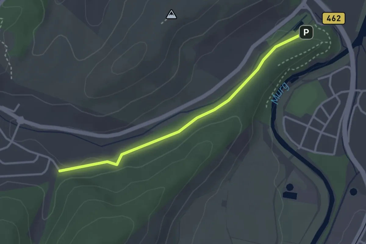
Easy · Trail
Galgenbusch - Selbacher Weg
2.9 km · ↑ 20 m · 44 min
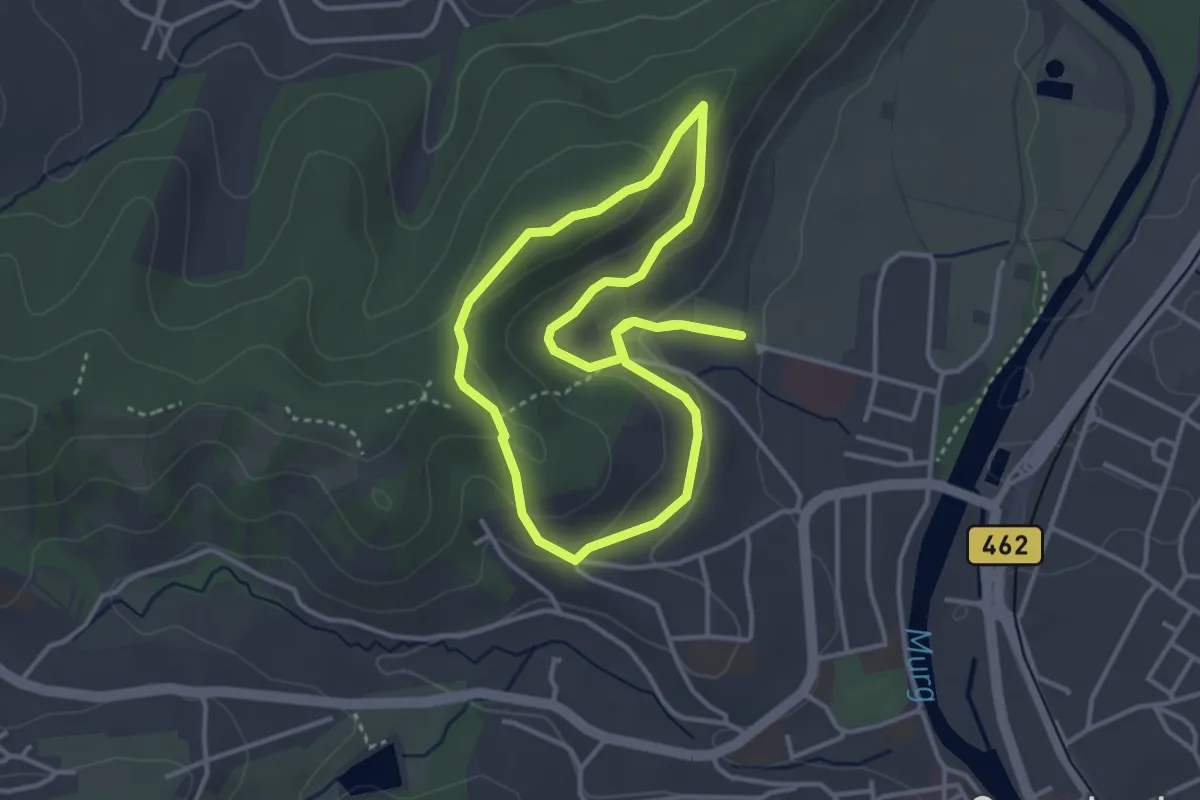
Easy · Trail
Galgenbuschweg
3.2 km · ↑ 100 m · 1 h 1 min
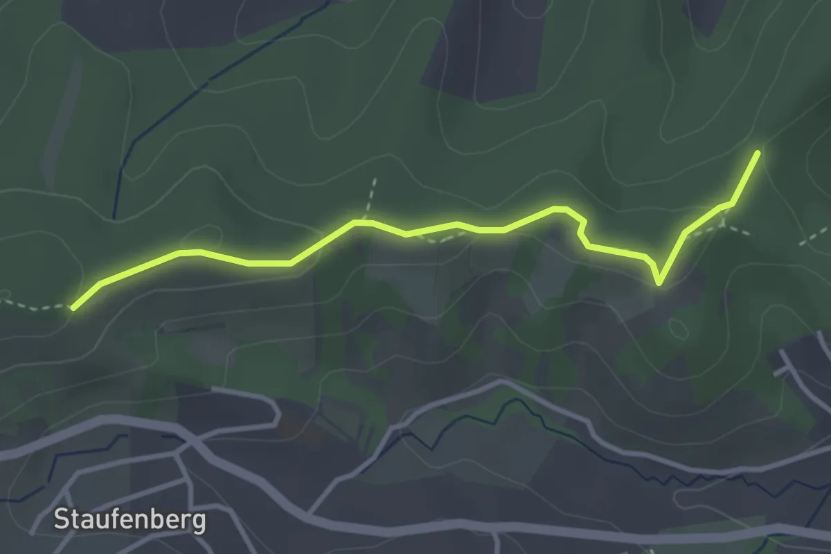
Easy · Trail
Galgeneck - Grossenberg
3.1 km · ↑ 63 m · 53 min
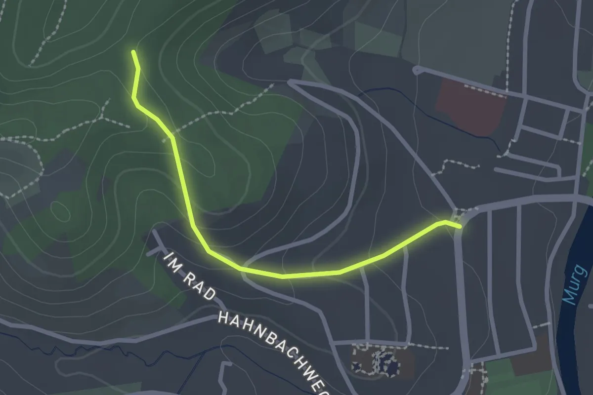
Easy · Trail
Galgeneck - Hans-Thoma-Straße
2.0 km · ↑ 90 m · 40 min
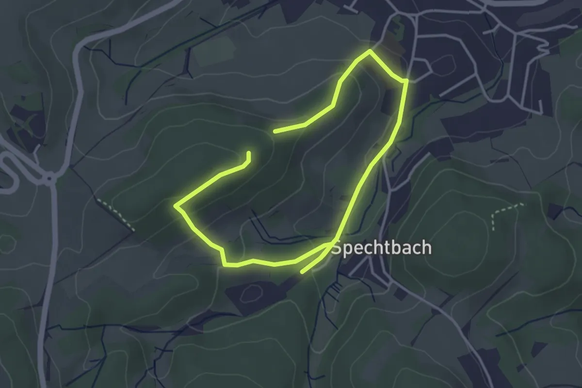
Easy · Summit
Galgenhöhenweg
2.6 km · ↑ 112 m · 53 min
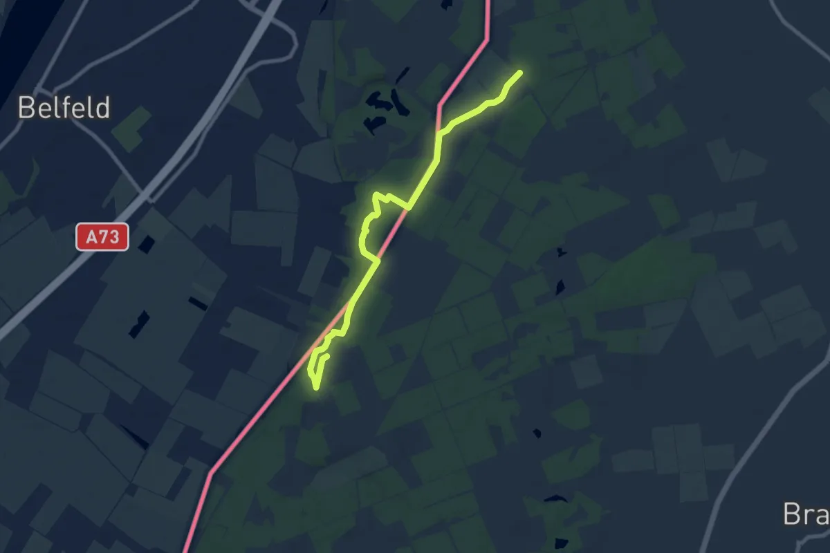
Easy · Trail
Galgenvenn
3.8 km · ↑ 17 m · 1 h
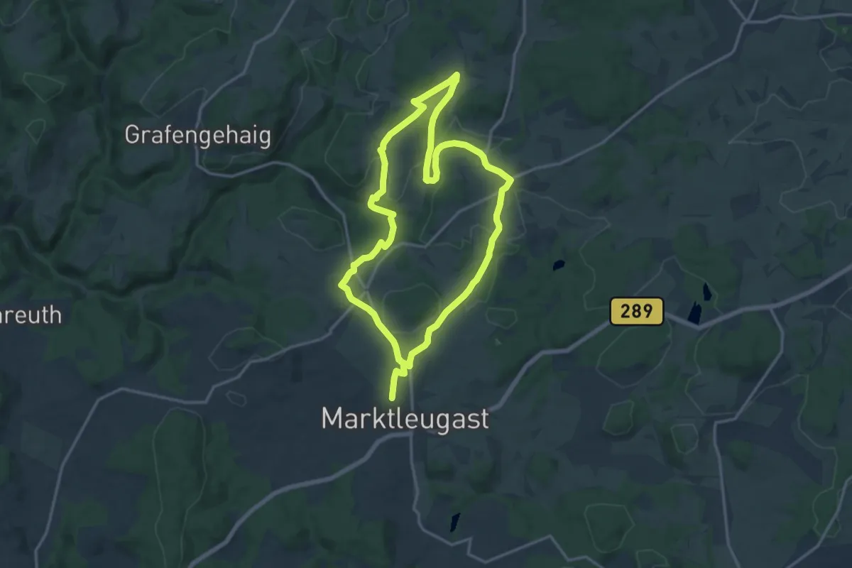
Demanding · Trail
Galgen-Weg KU 73
24.8 km · ↑ 373 m · 6 h 40 min
Easy · Trail
Gallbrunnen - Forstmeisters Gfäll
2.1 km · ↑ 44 m · 35 min