Trails in Germany
36,852 hiking trails, each with its route, climb, walking time and grade.
All trails, page 165 of 768
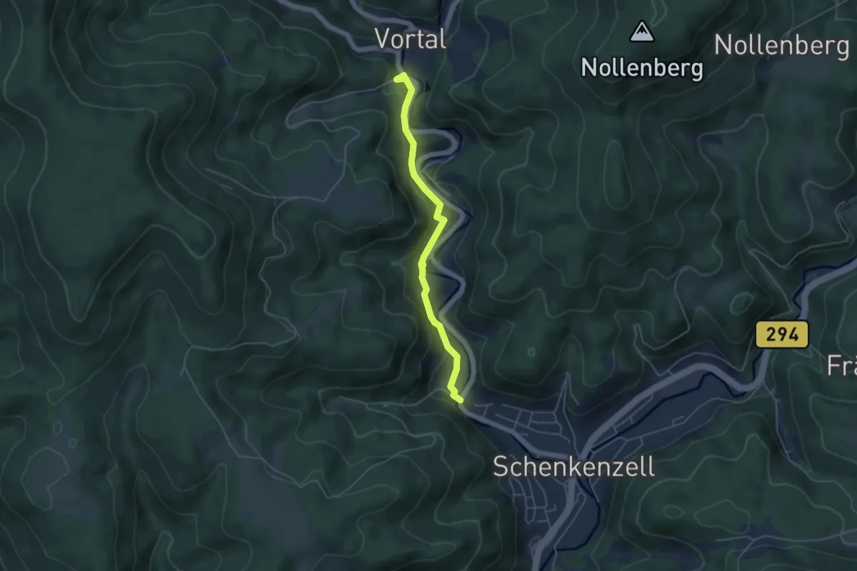
Easy · Trail
Gallenbächle - Eselbach
4.3 km · ↑ 205 m · 1 h 27 min
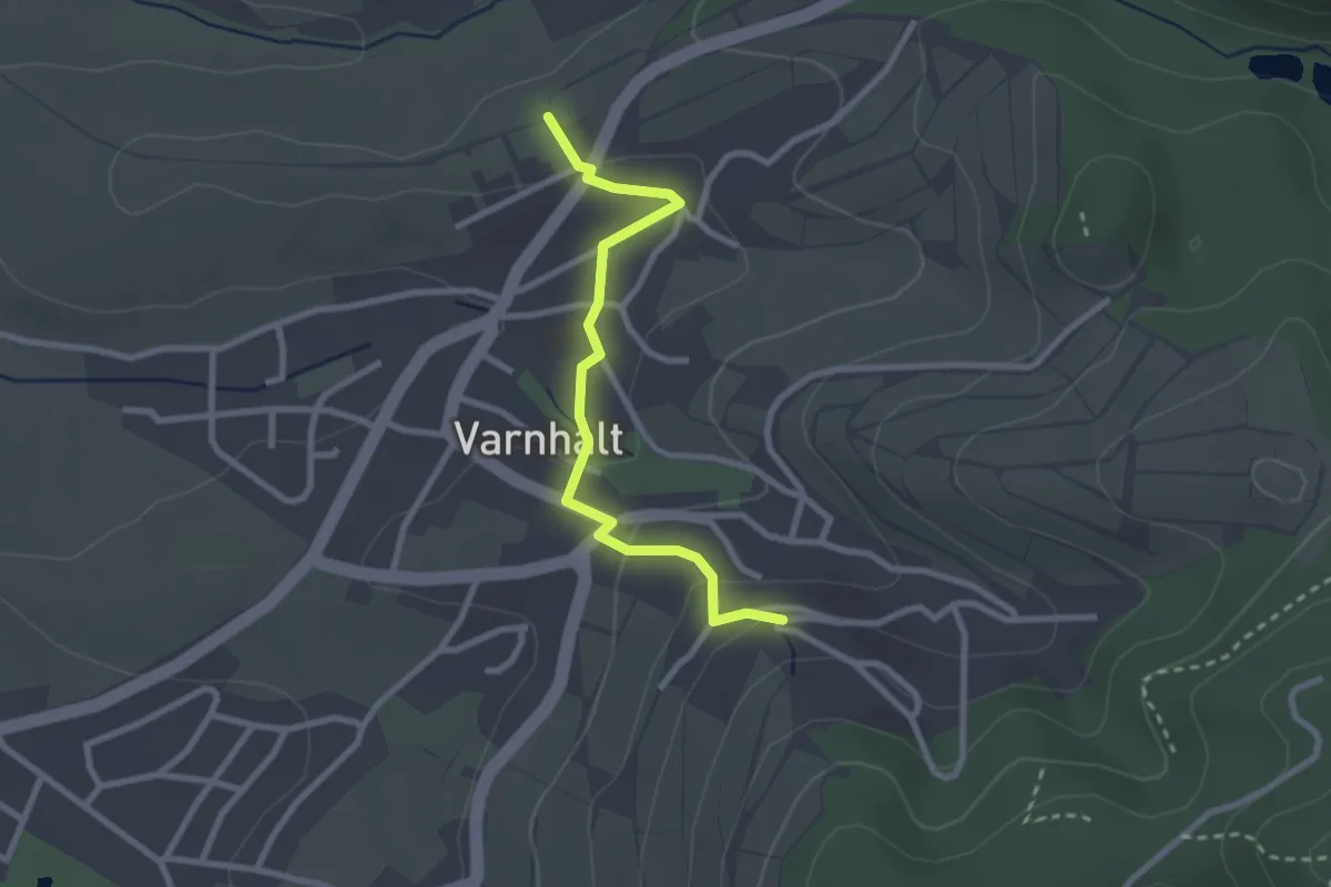
Easy · Trail
Gallenbach - Varnhalt Auf der Alm
2.5 km · ↑ 77 m · 46 min
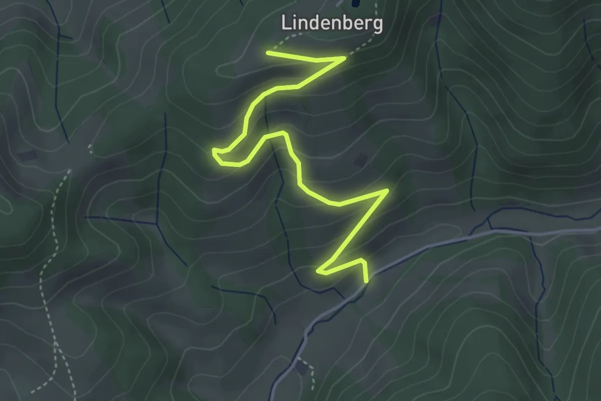
Easy · Trail
Gallihof - Kreuzweg
4.3 km · ↑ 225 m · 1 h 31 min
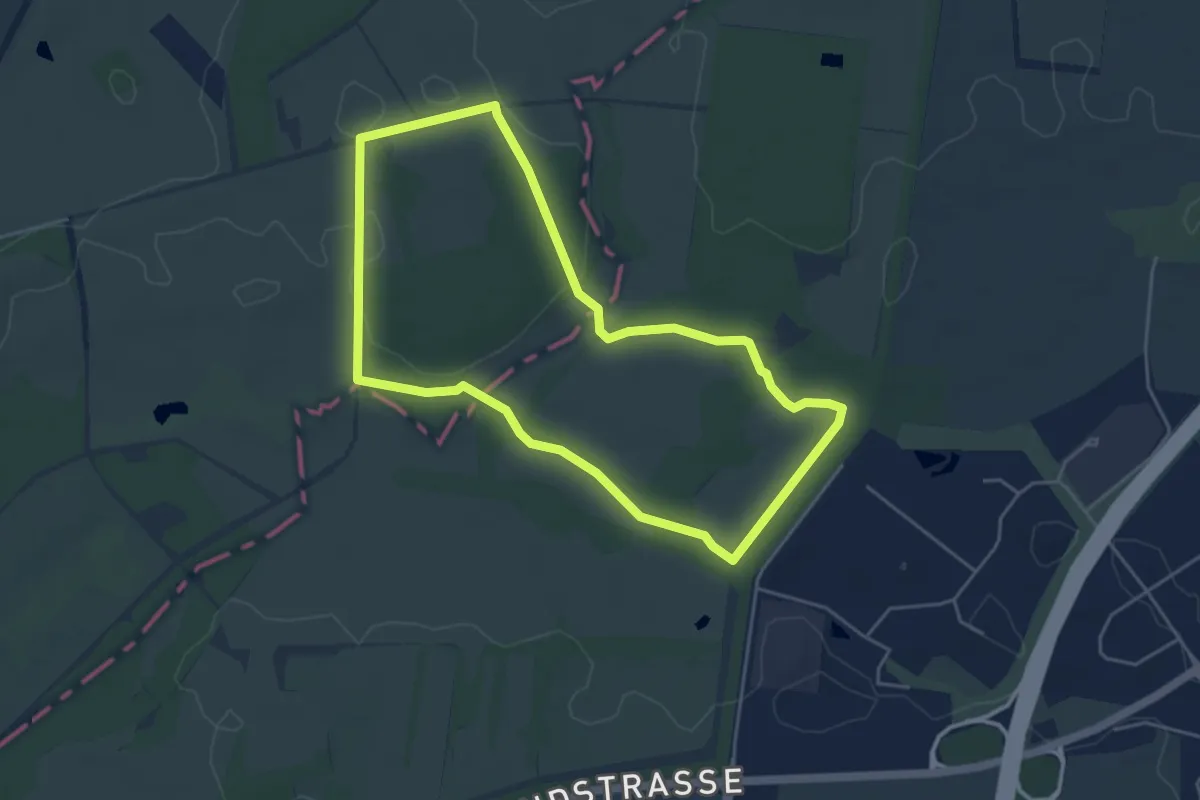
Easy · Trail
Gallo-Way
4.0 km · ↑ 18 m · 1 h 2 min
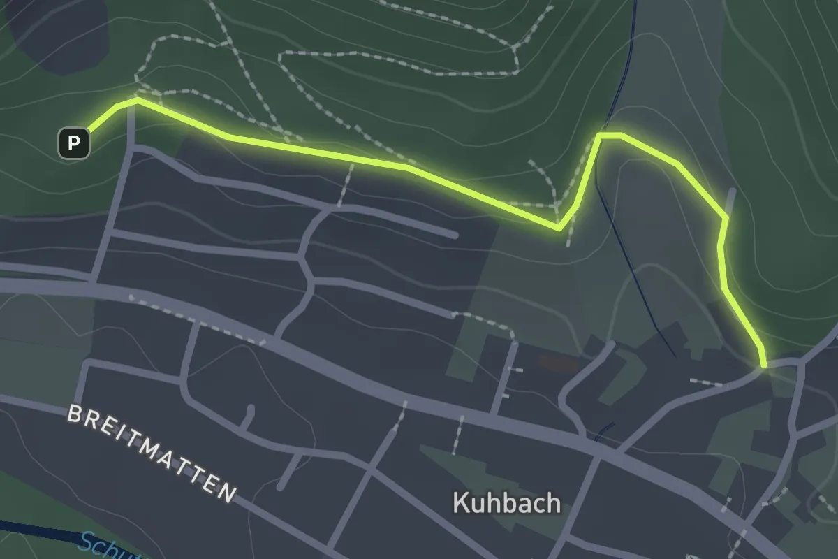
Easy · Trail
Galluskirche - Robinsoneck
2.2 km · ↑ 64 m · 39 min
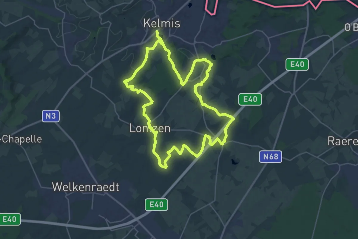
Demanding · Trail
Galmeiveilchenweg
20.3 km · ↑ 232 m · 5 h 34 min
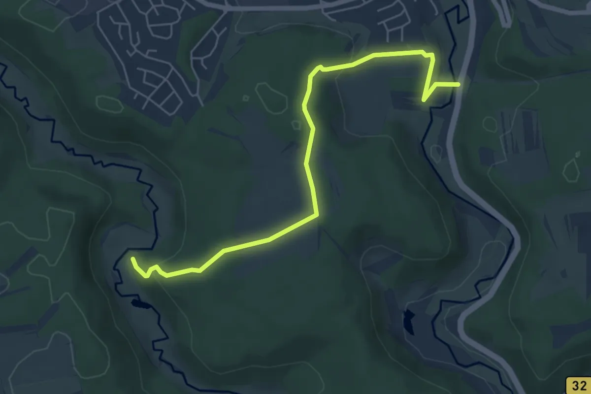
Easy · Trail
Gammertingen - Altes Schloß
5.6 km · ↑ 170 m · 1 h 41 min
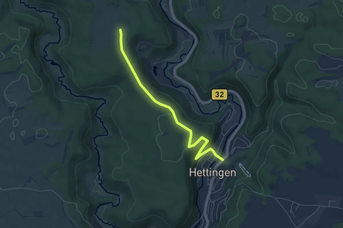
Easy · Trail
Gammertingen - Hettingen
5.8 km · ↑ 133 m · 1 h 39 min
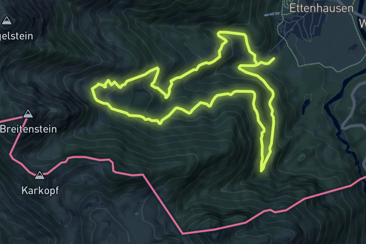
Medium · Trail
Gamsweg
9.1 km · ↑ 596 m · 3 h 35 min
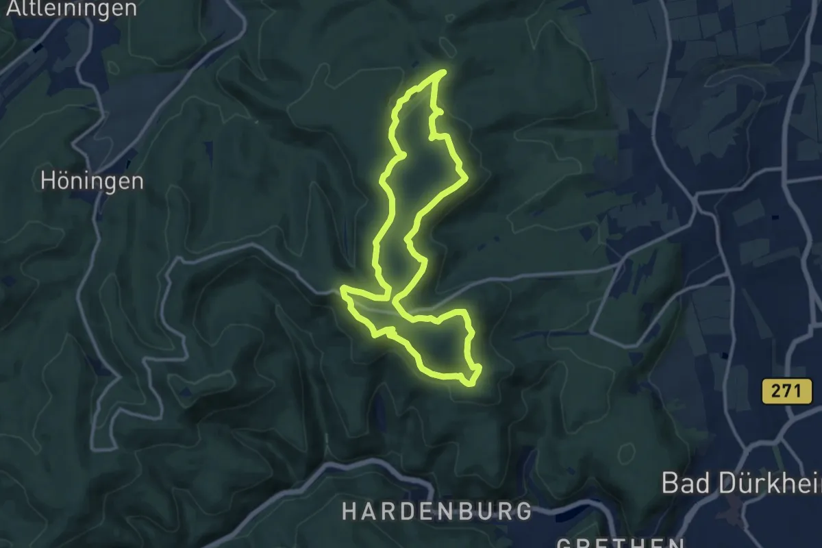
Medium · Summit
Ganerbenweg
10.4 km · ↑ 229 m · 3 h 6 min
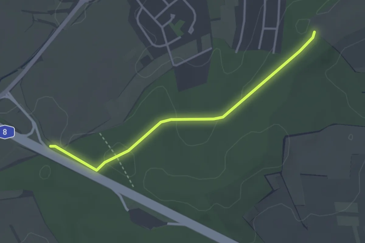
Easy · Trail
Gansäcker - Im Steinig
3.0 km · ↑ 64 m · 51 min
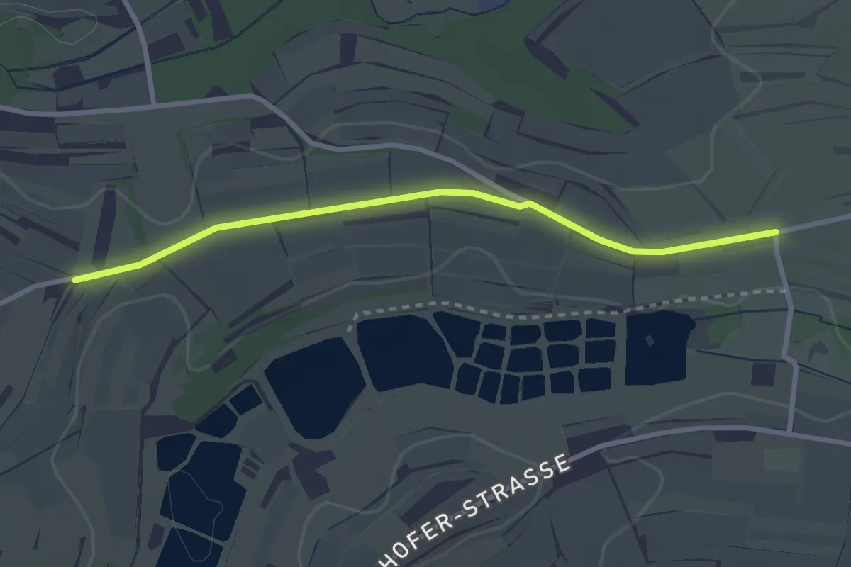
Easy · Trail
Gänsberg - Seltenbach
2.7 km · ↑ 22 m · 41 min
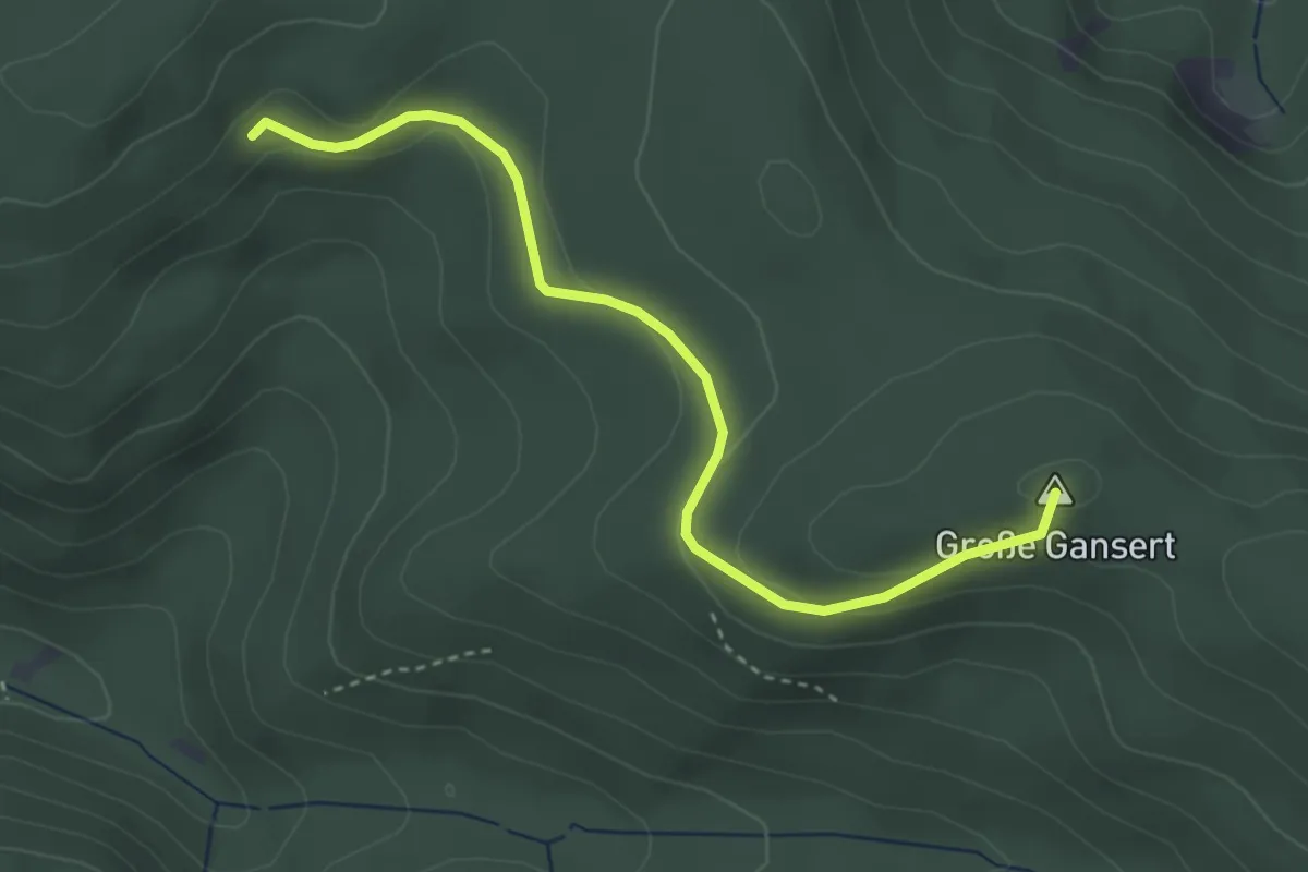
Easy · Summit
Gansert - Langer Sudel
3.4 km · ↑ 112 m · 1 h 3 min
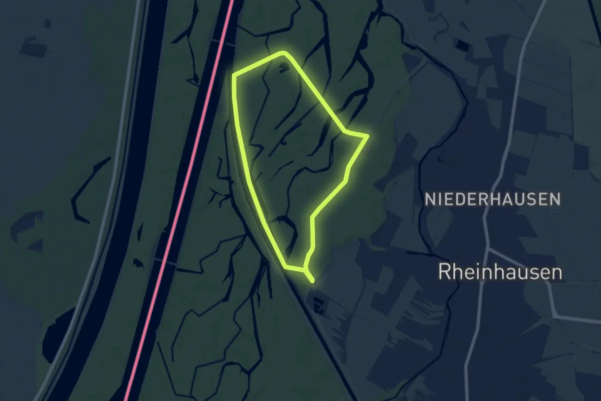
Easy · Trail
Gänseweg
5.4 km · ↑ 10 m · 1 h 22 min
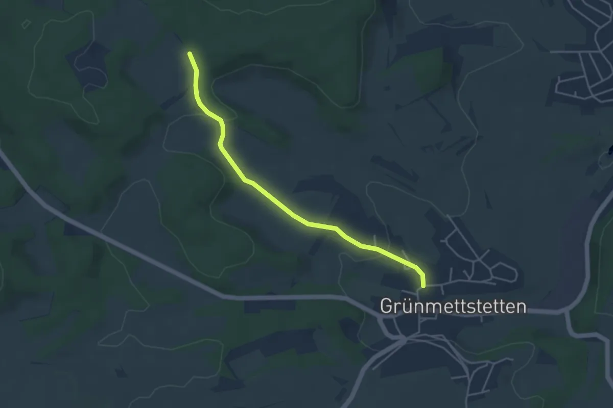
Easy · Trail
Gansschnabel - Grünmettstetten Aschenberg
3.7 km · ↑ 74 m · 1 h 2 min
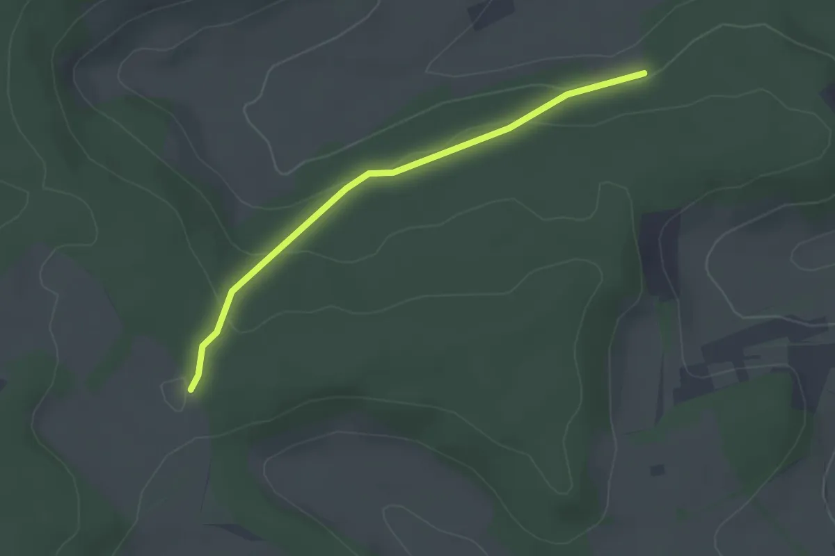
Easy · Trail
Gansschnabel - Orthalde
2.5 km · ↑ 71 m · 45 min
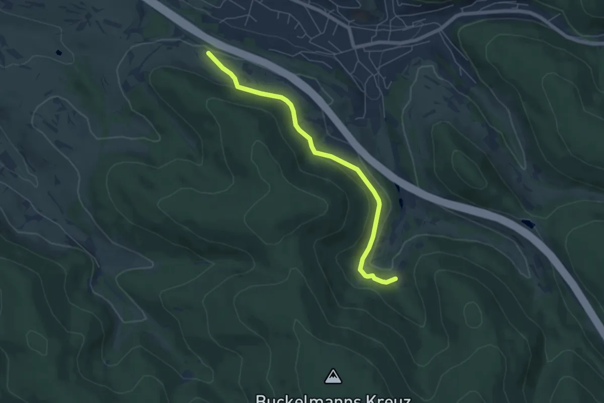
Easy · Trail
Gäns-Weg Waldaschaff
5.3 km · ↑ 114 m · 1 h 30 min
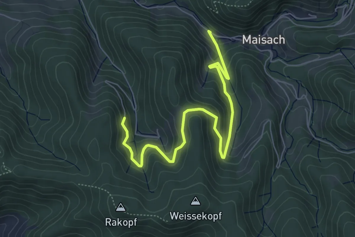
Medium · Trail
Gantersgrund - Hilsenhof
6.1 km · ↑ 427 m · 2 h 21 min
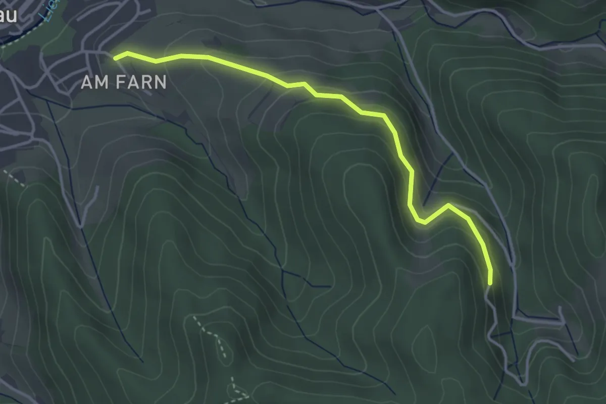
Easy · Trail
Gantersgrund - Oppenau Farn
3.5 km · ↑ 258 m · 1 h 23 min
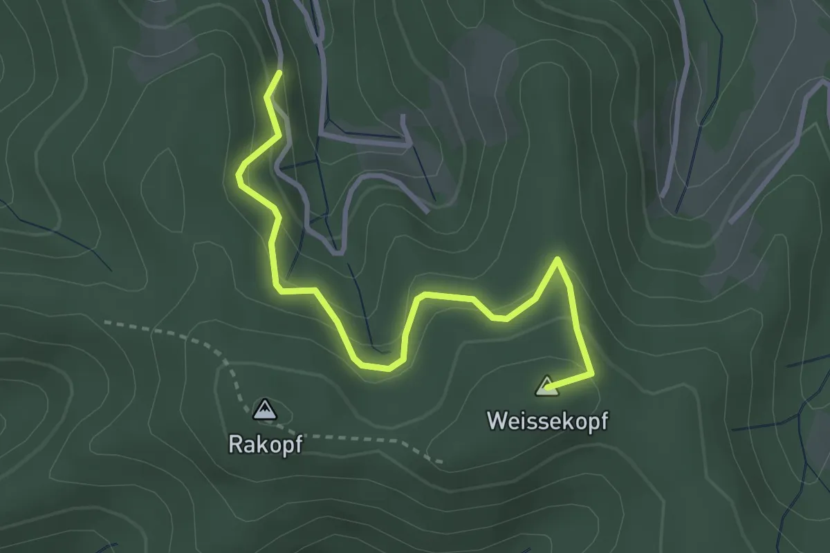
Easy · Summit
Gantersgrund - Weberskreuz
3.1 km · ↑ 240 m · 1 h 15 min
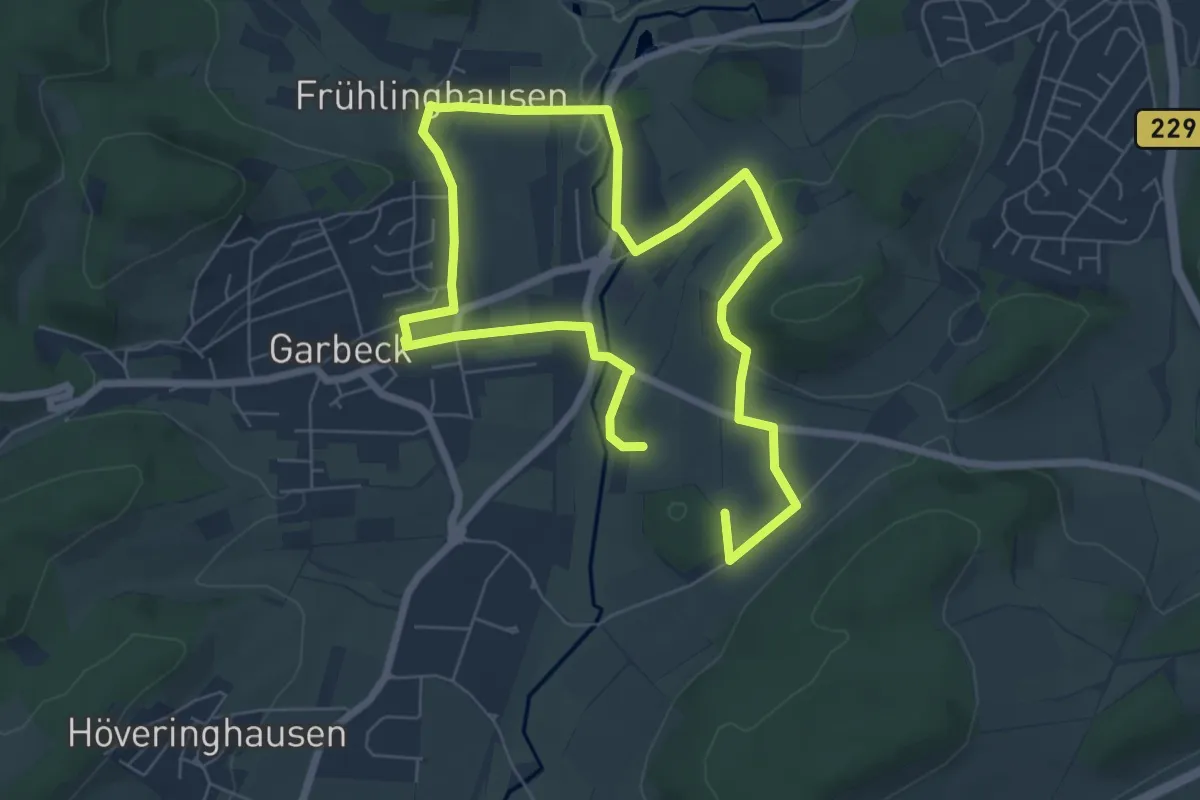
Medium · Summit
Garbeck Rundweg A1
10.5 km · ↑ 175 m · 2 h 51 min
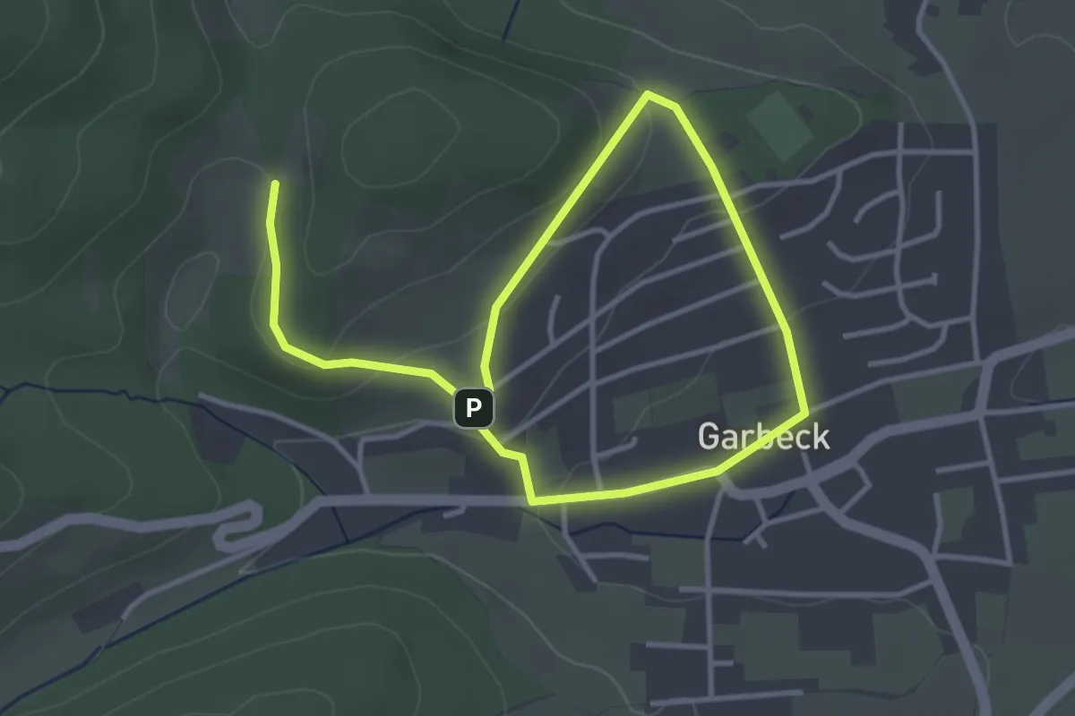
Easy · Trail
Garbeck Rundweg A6
5.1 km · ↑ 159 m · 1 h 33 min
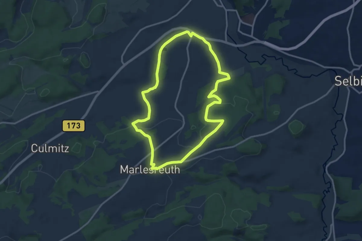
Medium · Trail
Garles-Weg OS 43
8.4 km · ↑ 155 m · 2 h 26 min
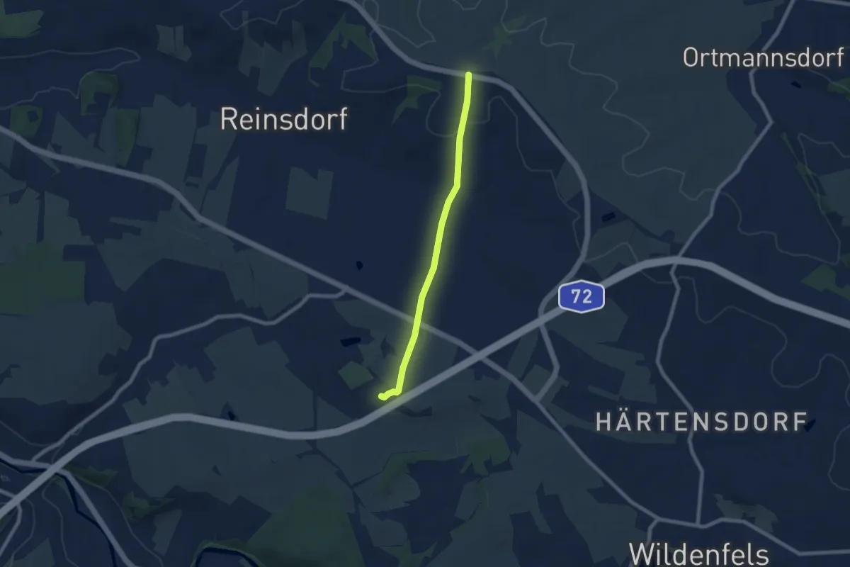
Easy · Trail
Garnsteig
5.9 km · ↑ 114 m · 1 h 38 min
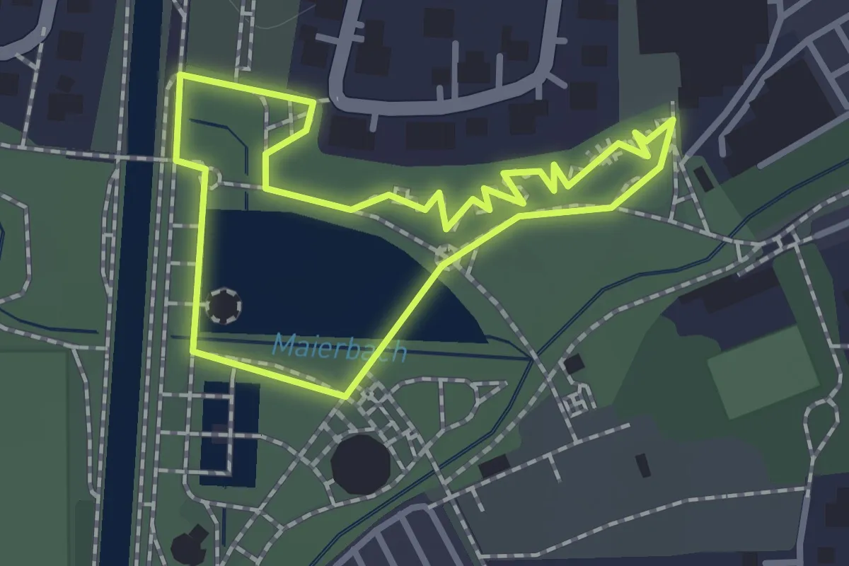
Easy · Trail
Garten des Lebens
1.0 km · ↑ 0 m · 14 min
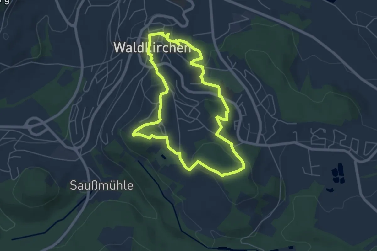
Medium · Trail
Gartenschau-Rundweg
4.7 km · ↑ 144 m · 1 h 30 min
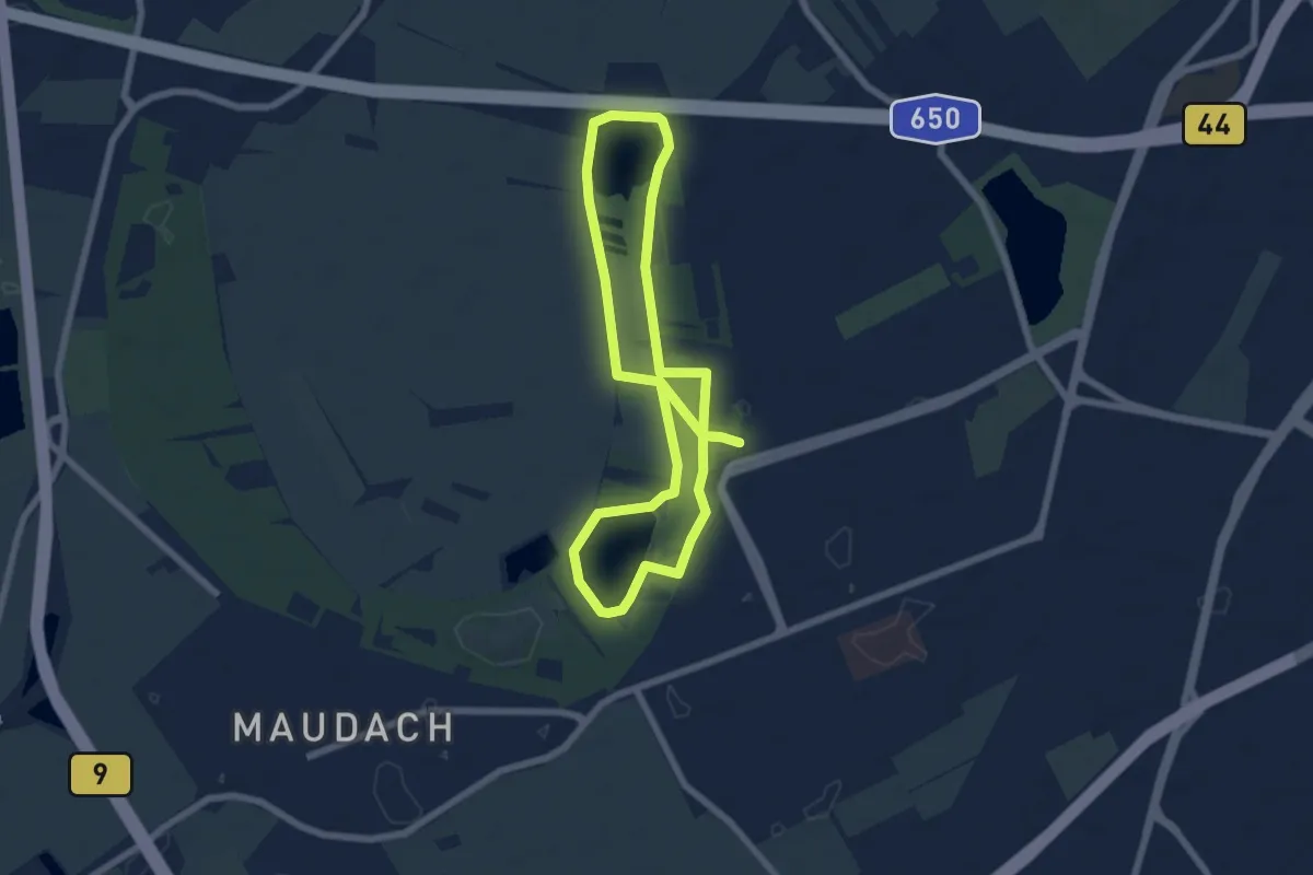
Easy · Trail
Gartenstädter Rundweg
6.0 km · ↑ 9 m · 1 h 31 min
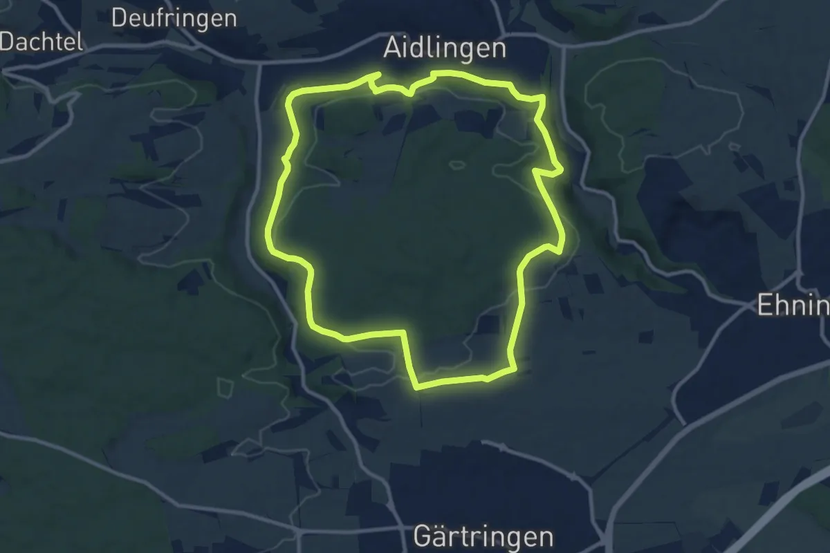
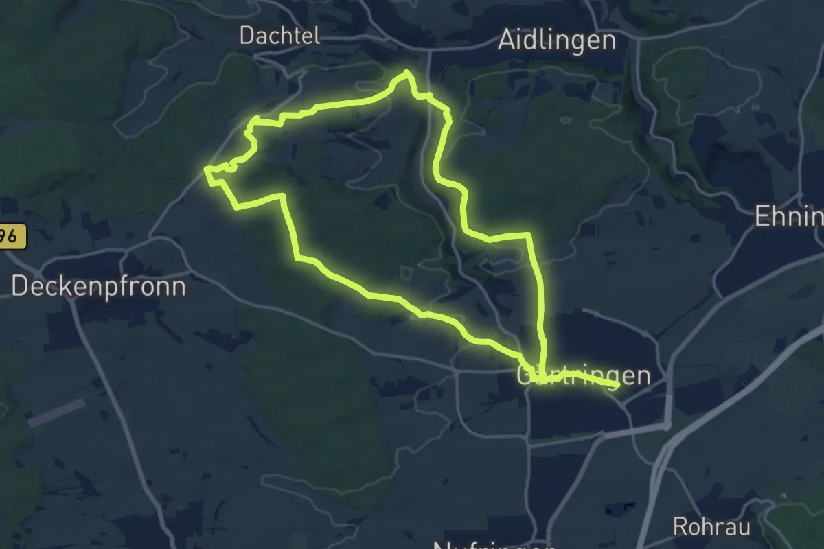
Medium · Trail
Gärtringer Rundweg 1
9.7 km · ↑ 192 m · 2 h 50 min
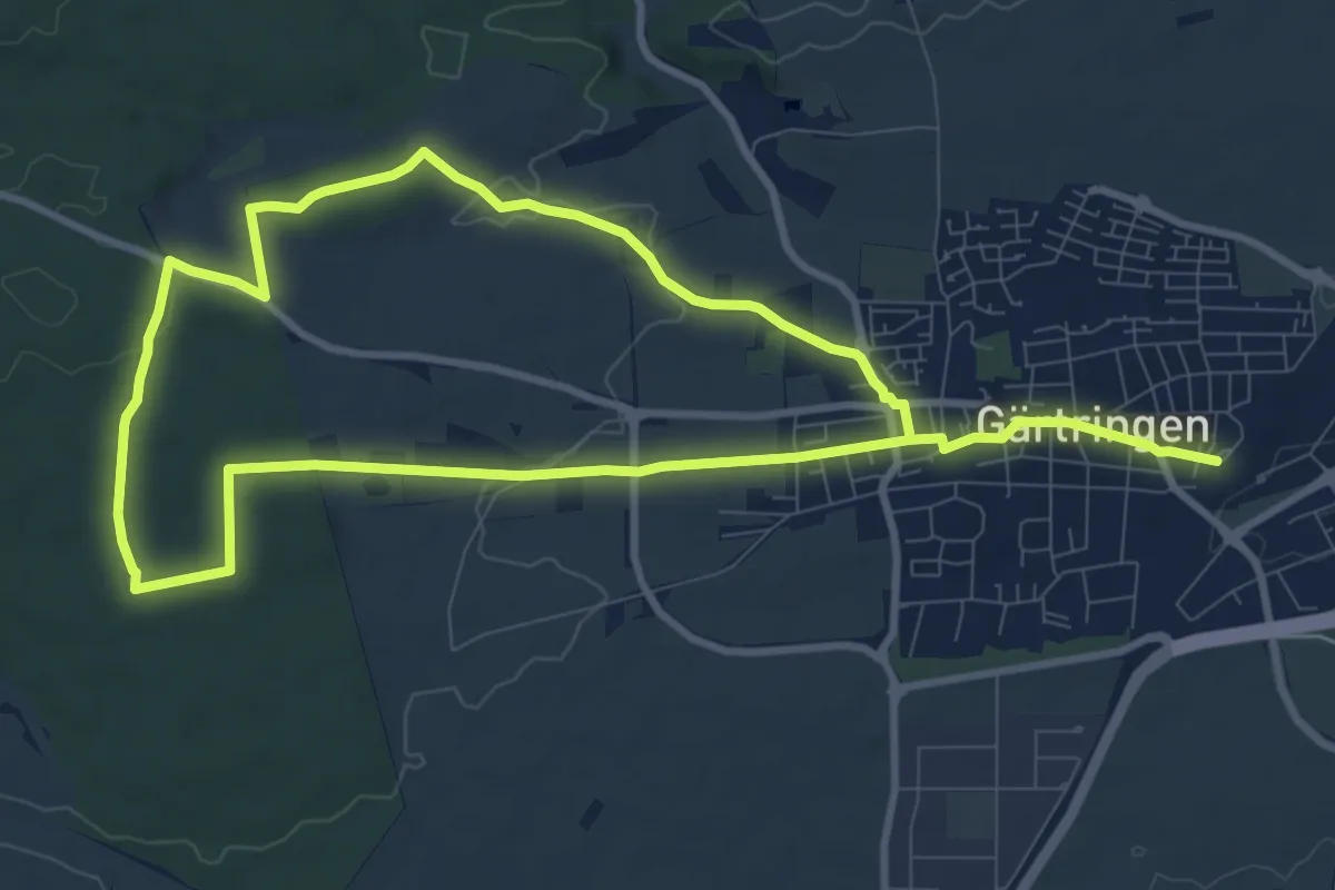
Medium · Trail
Gärtringer Rundweg 2
15.0 km · ↑ 216 m · 4 h 13 min
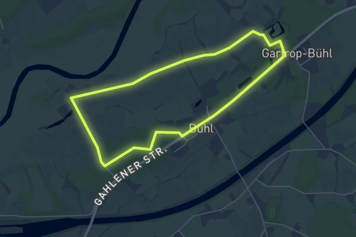
Medium · Trail
Gärtringer Rundweg 3
8.5 km · ↑ 74 m · 2 h 17 min
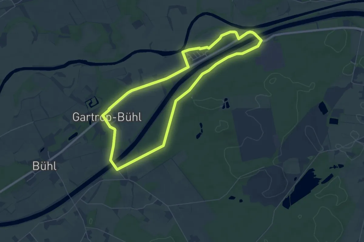
Easy · Trail
Gartrop Rundweg A5
4.5 km · ↑ 14 m · 1 h 9 min
Easy · Trail
Gartrop Rundweg A6
6.0 km · ↑ 35 m · 1 h 34 min
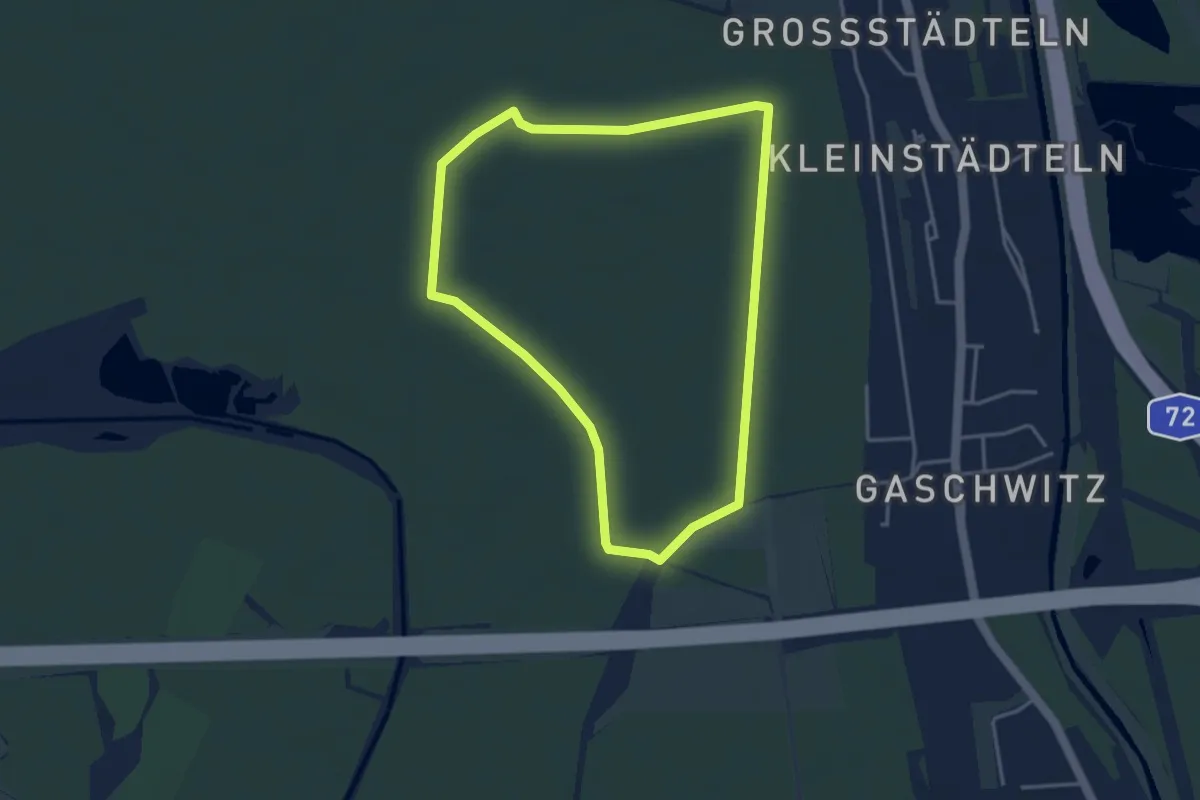
Easy · Trail
Gaschwitzer Linie
3.3 km · ↑ 0 m · 50 min
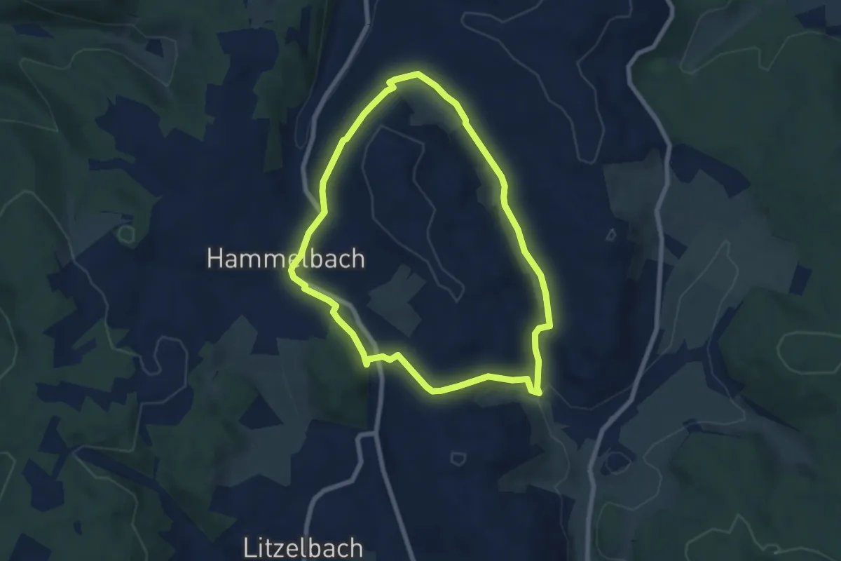
Easy · Trail
Gaßbachtal-Weg
5.7 km · ↑ 143 m · 1 h 44 min
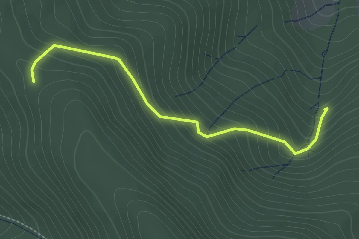
Easy · Trail
Gasse - An der Eck
2.4 km · ↑ 185 m · 58 min
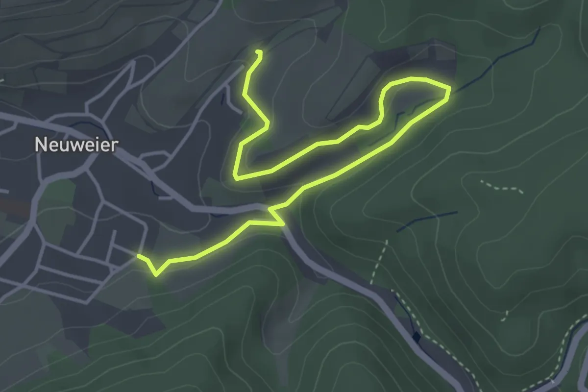
Easy · Trail
Gasseckbrünnele - Klein Matzengraben
4.6 km · ↑ 124 m · 1 h 21 min
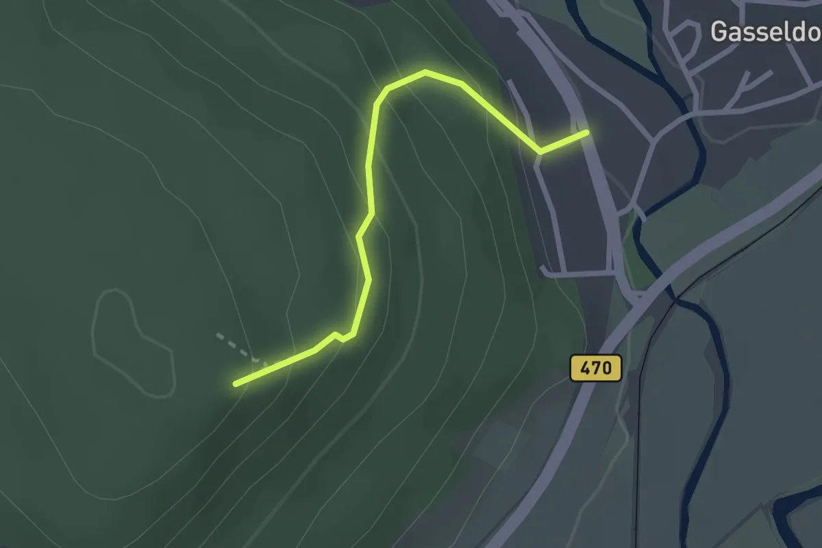
Easy · Trail
Gasseldorf-Druidenstein
2.0 km · ↑ 180 m · 52 min
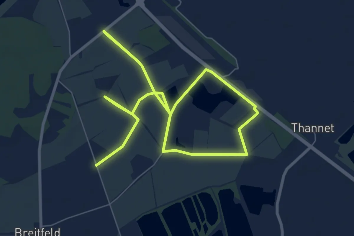
Medium · Trail
Gassiweg
11.2 km · ↑ 0 m · 2 h 39 min
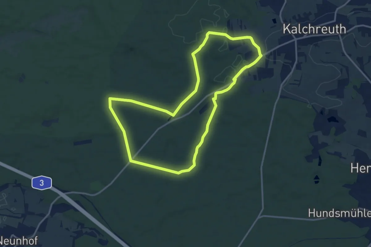
Medium · Trail
Gasthaus Dreilinden Weg
10.1 km · ↑ 79 m · 2 h 42 min
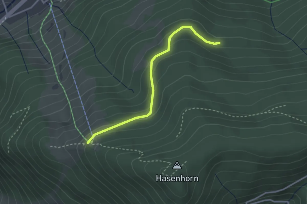
Easy · Trail
Gasthaus Hasenhorn - Mausboden
2.6 km · ↑ 115 m · 51 min
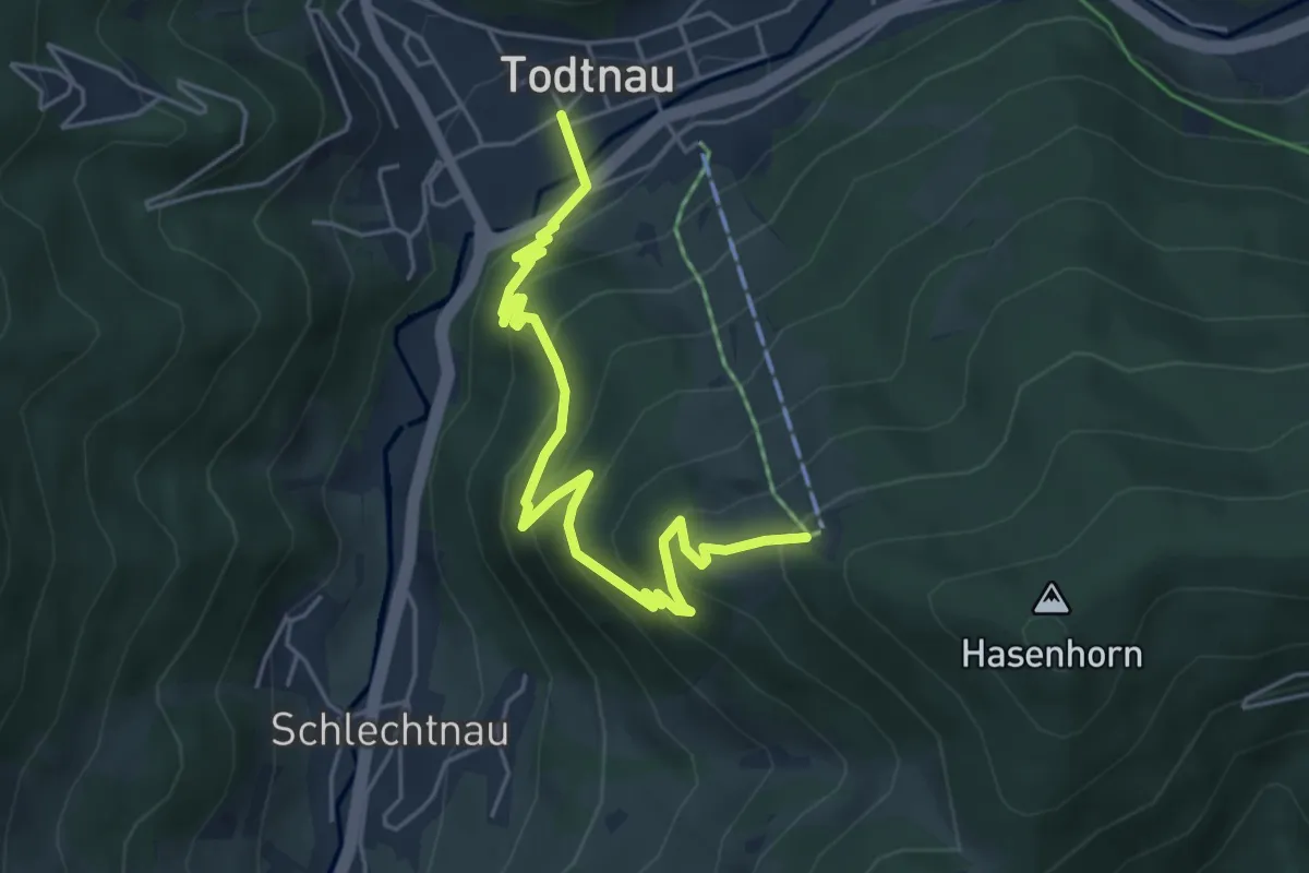
Medium · Trail
Gasthaus Hasenhorn - Todtnau Tourist-Information
5.5 km · ↑ 371 m · 2 h 6 min
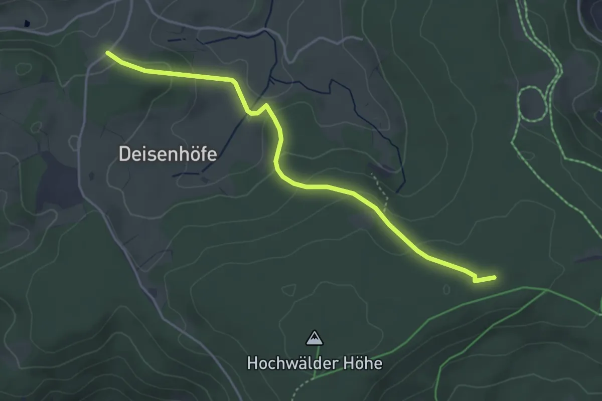
Easy · Trail
Gasthaus Staude - Hochwälder Höhe Bengelhütte
4.0 km · ↑ 145 m · 1 h 15 min
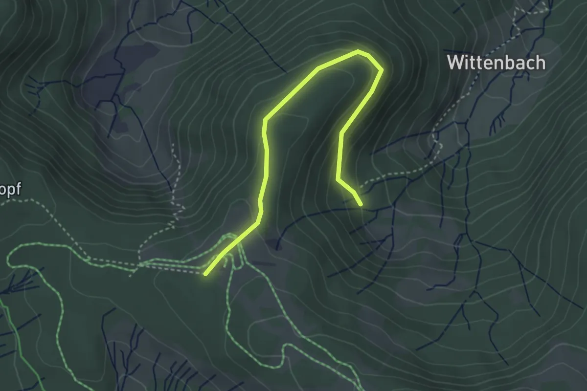
Easy · Trail
Gasthaus Stübenwasen - Oberwittenbach
3.7 km · ↑ 203 m · 1 h 19 min
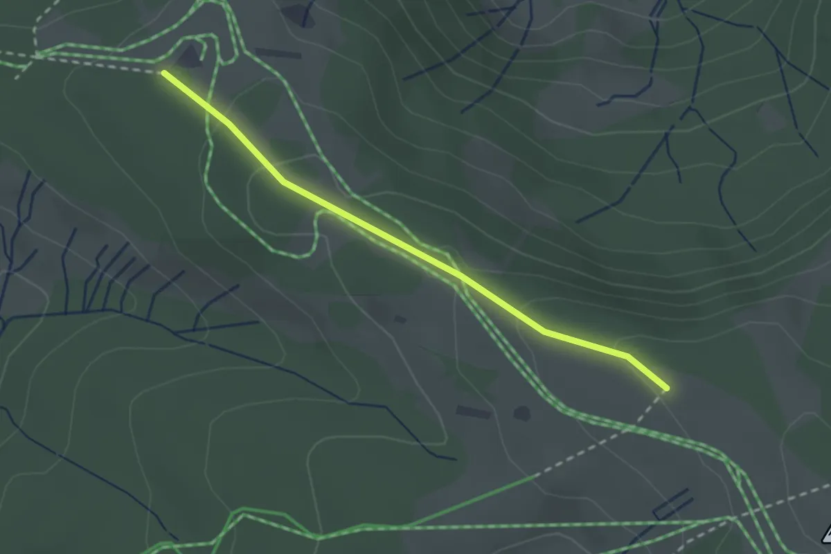
Easy · Trail
Gasthaus Stübenwasen - Stübenwasen
2.4 km · ↑ 91 m · 45 min
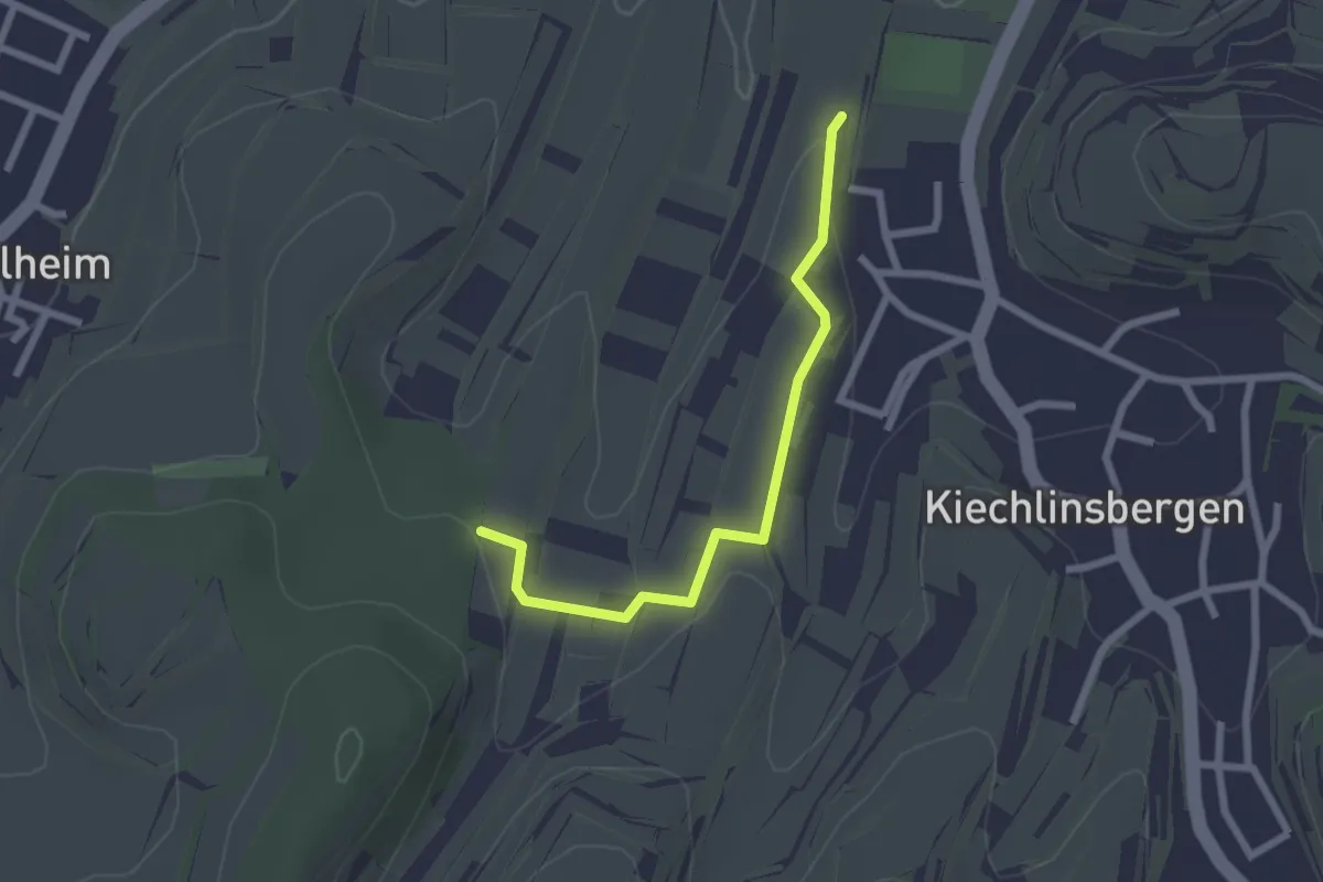
Easy · Trail
Gätterle - Tiefental
2.2 km · ↑ 28 m · 35 min
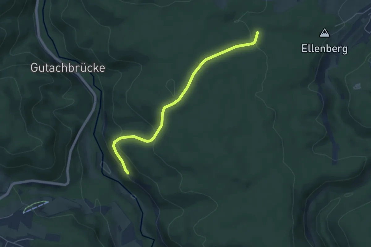
Easy · Trail
Gatterwald - Matzenmoos
4.7 km · ↑ 201 m · 1 h 33 min
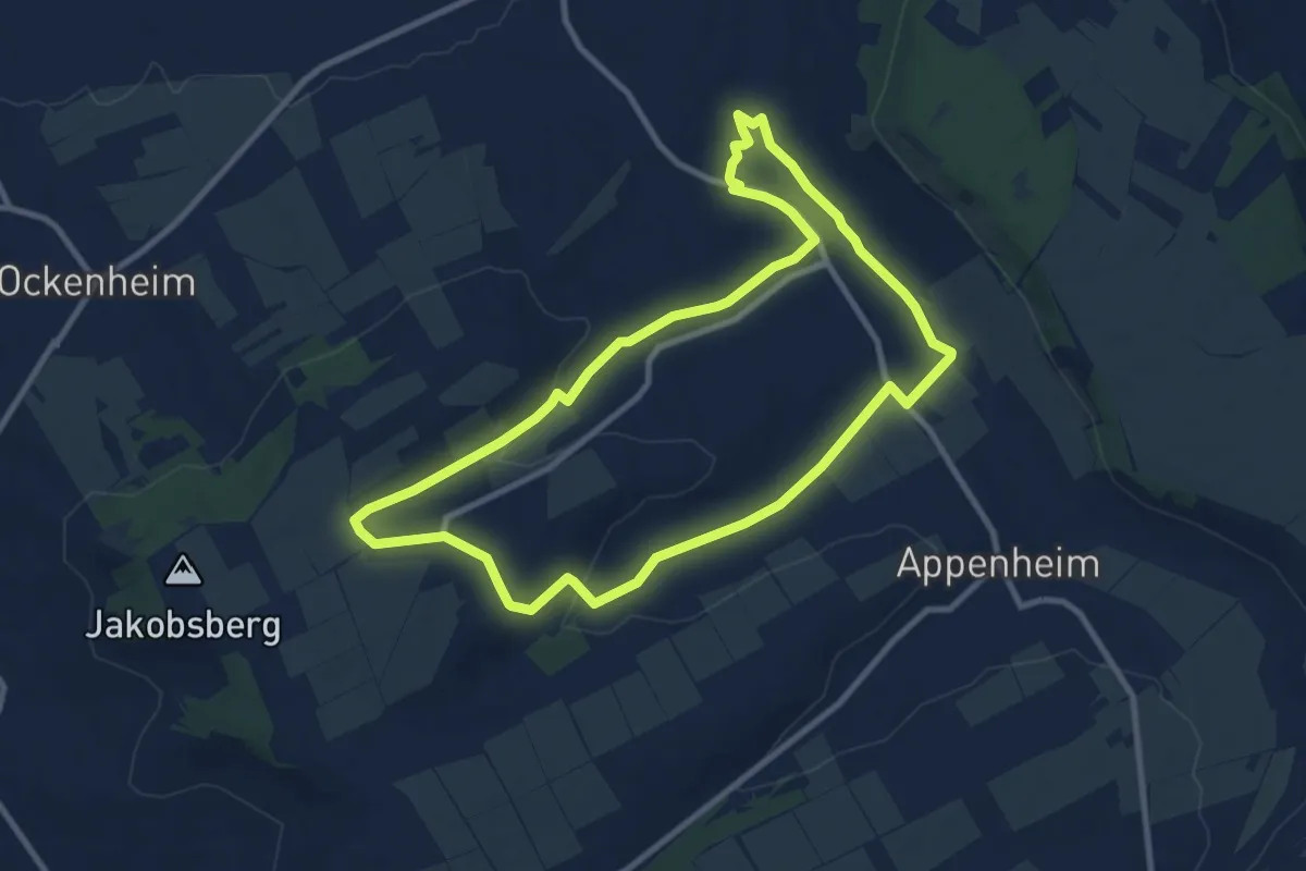
Medium · Trail
Gau-Algesheim: Dreibächeweg
9.1 km · ↑ 141 m · 2 h 34 min
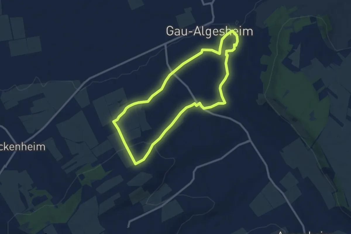
Easy · Trail
Gau-Algesheim: Rundweg Rabenschule
6.4 km · ↑ 138 m · 1 h 54 min