Trails in Germany
36,852 hiking trails, each with its route, climb, walking time and grade.
All trails, page 166 of 768
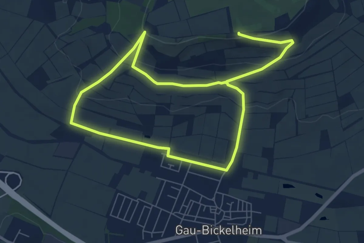
Medium · Trail
Gau-Bickelheim
10.9 km · ↑ 326 m · 3 h 17 min
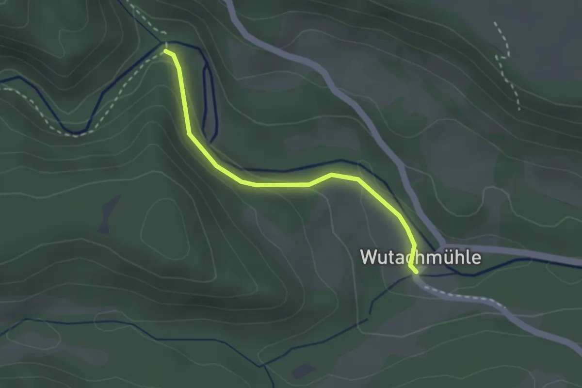
Easy · Trail
Gauchachmündung Kanadiersteg - Wutachmühle
2.3 km · ↑ 85 m · 44 min
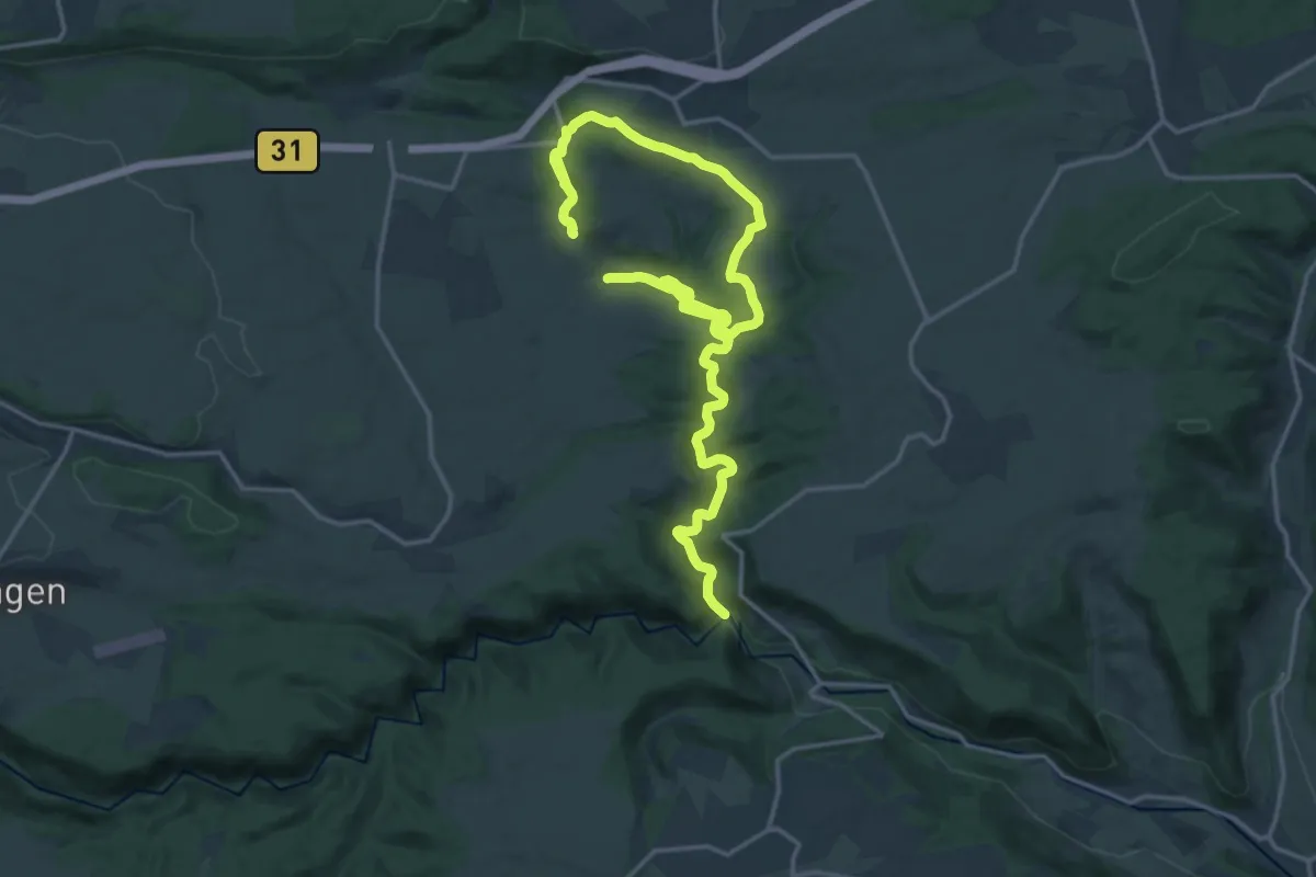
Medium · Trail
Gauchach-Rundweg
14.1 km · ↑ 213 m · 4 h 2 min
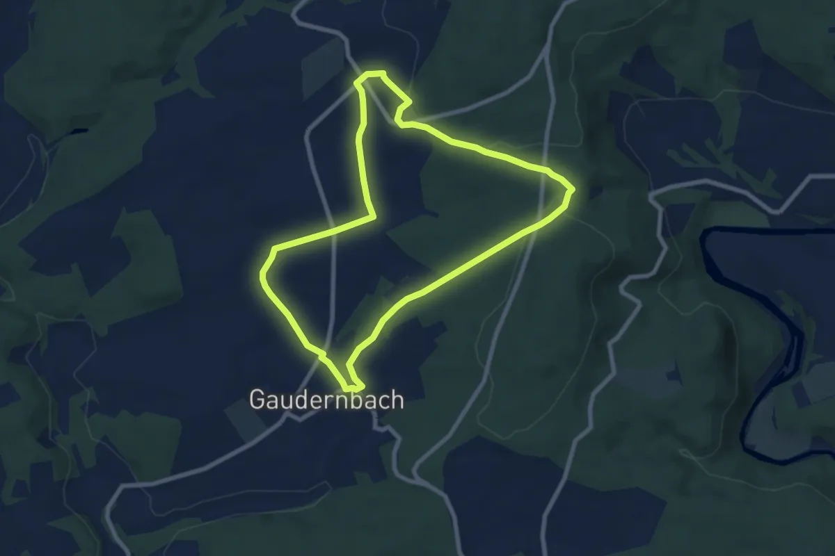
Easy · Trail
Gaudernbach - Hasselbach - Spießwald
6.5 km · ↑ 121 m · 1 h 53 min
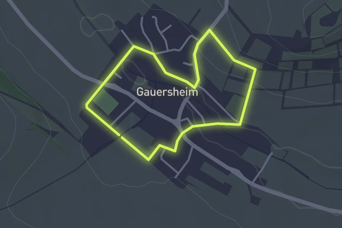
Easy · Trail
Gauersheim - Marienweg
2.3 km · ↑ 43 m · 41 min
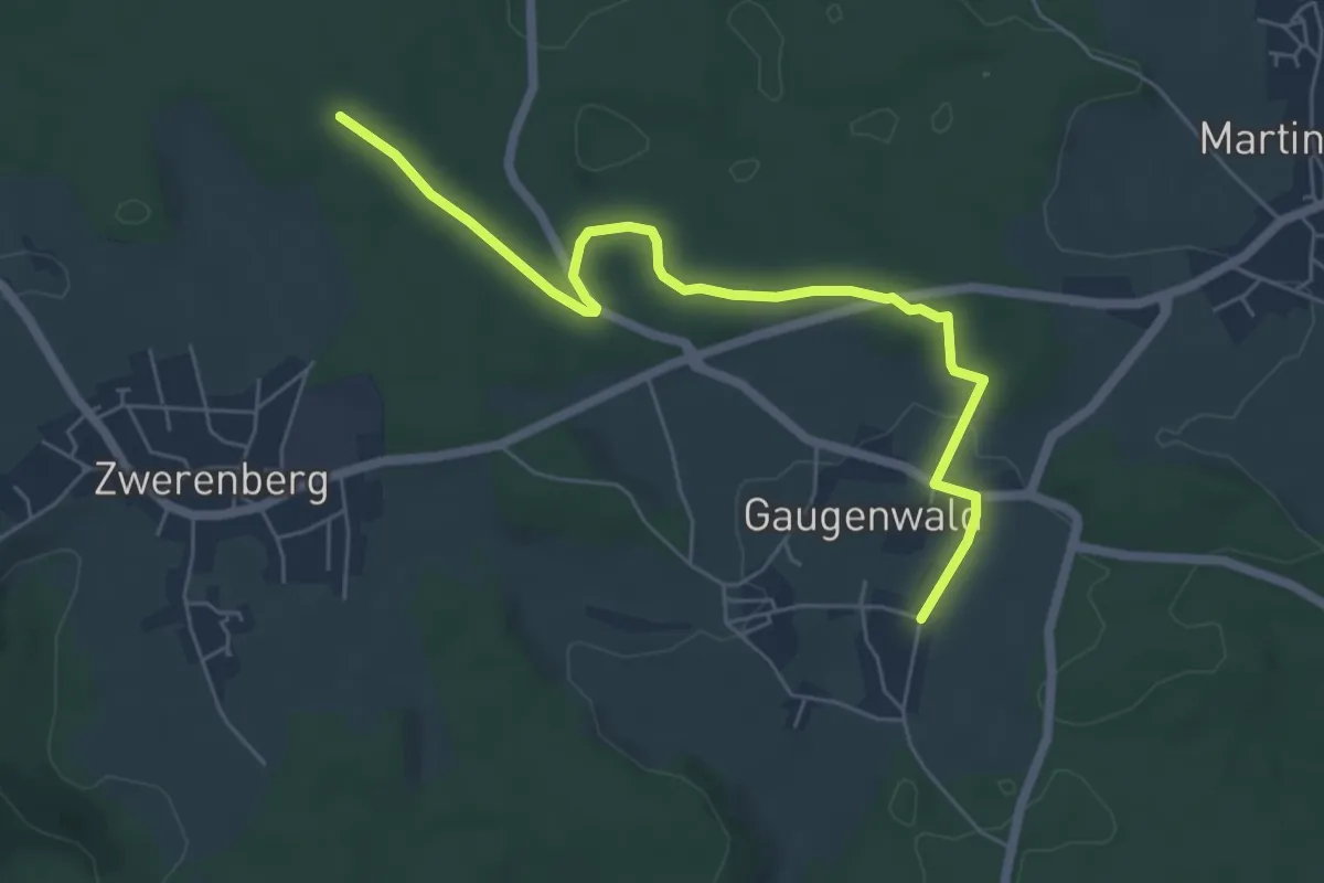
Easy · Trail
Gaugenwald Wildgehege - Allmend
6.0 km · ↑ 55 m · 1 h 32 min
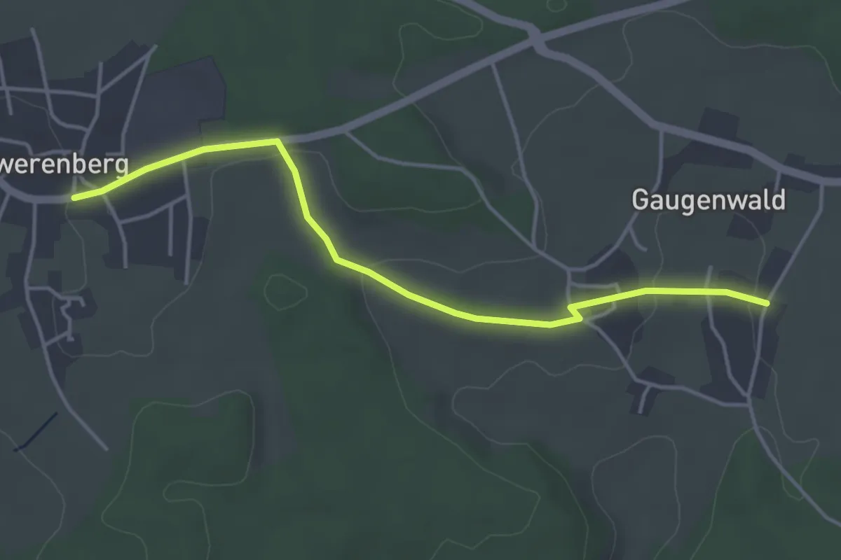
Easy · Trail
Gaugenwald Wildgehege - Zwerenberg Lamm
4.0 km · ↑ 66 m · 1 h 6 min
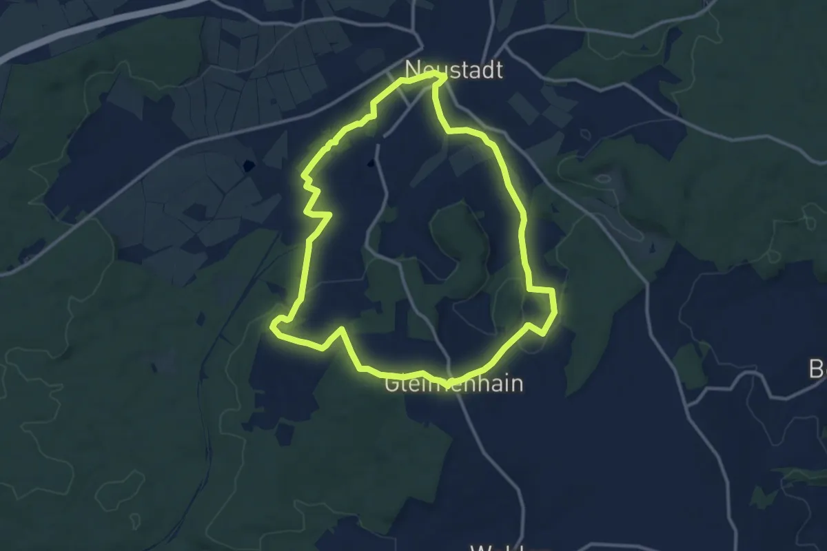
Medium · Summit
Gauklerrunde
10.6 km · ↑ 148 m · 2 h 58 min
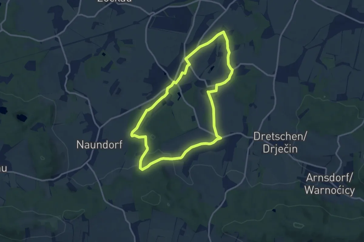
Medium · Trail
Gaußiger Runde
8.8 km · ↑ 83 m · 2 h 22 min
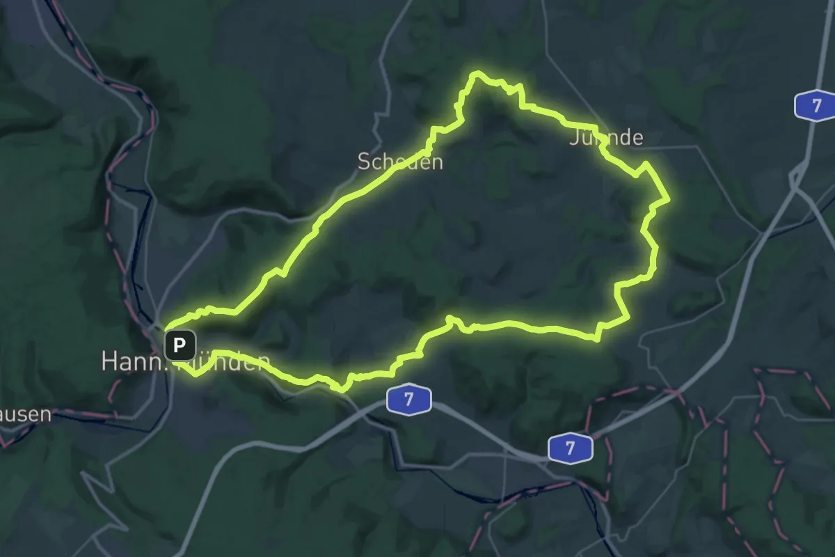
Demanding · Summit
Gaußrunde
36.5 km · ↑ 873 m · 11 h 1 min
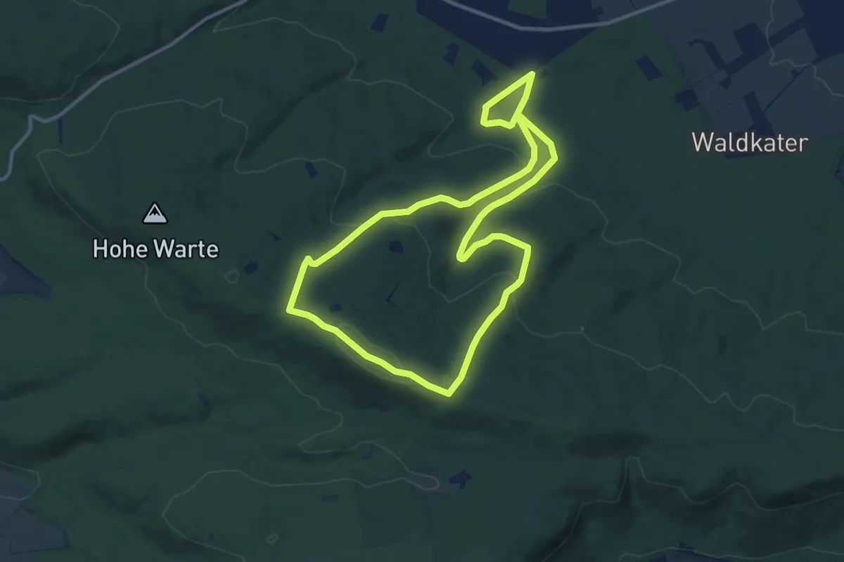
Medium · Summit
Gaußstein & Annaturm
9.6 km · ↑ 289 m · 3 h 1 min
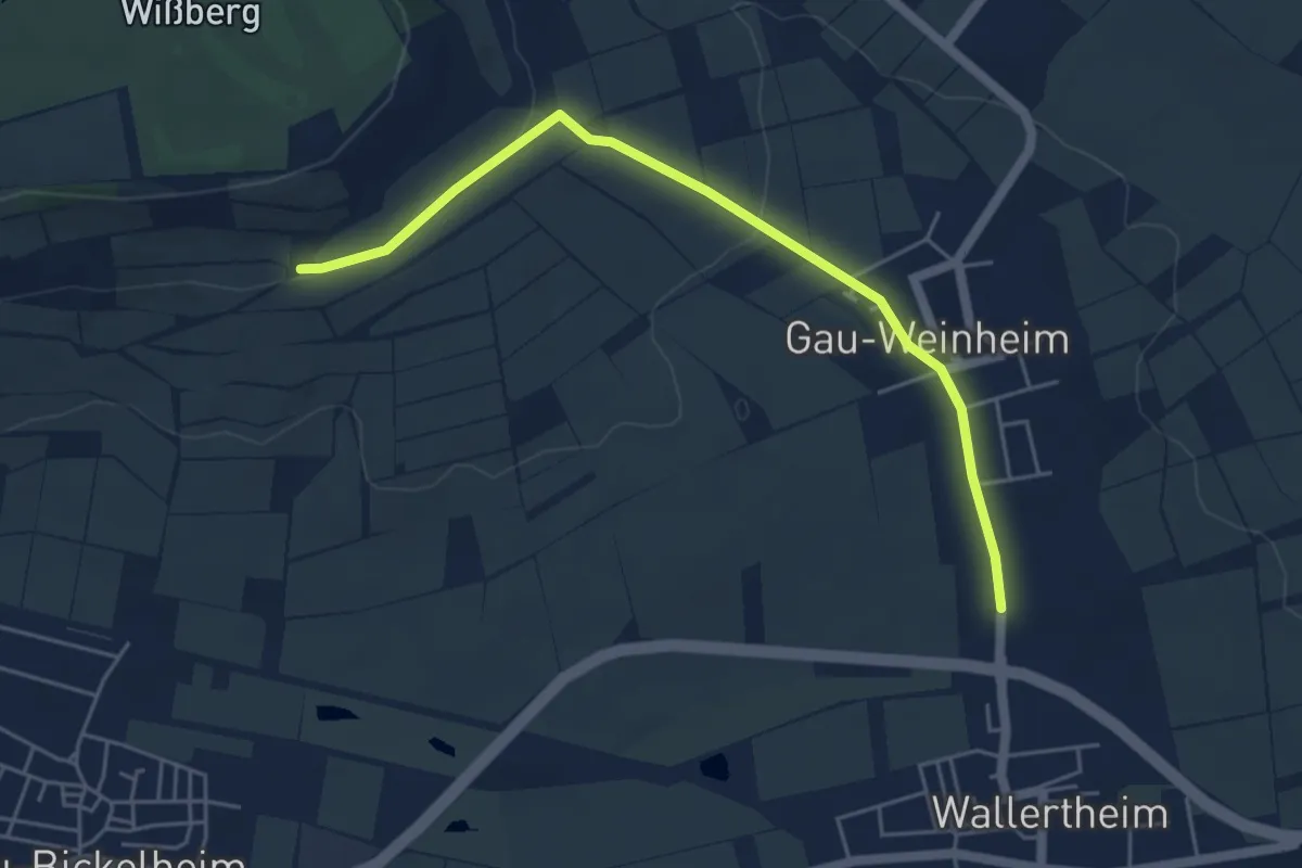
Easy · Trail
Gau-Weinheim
2.4 km · ↑ 0 m · 38 min
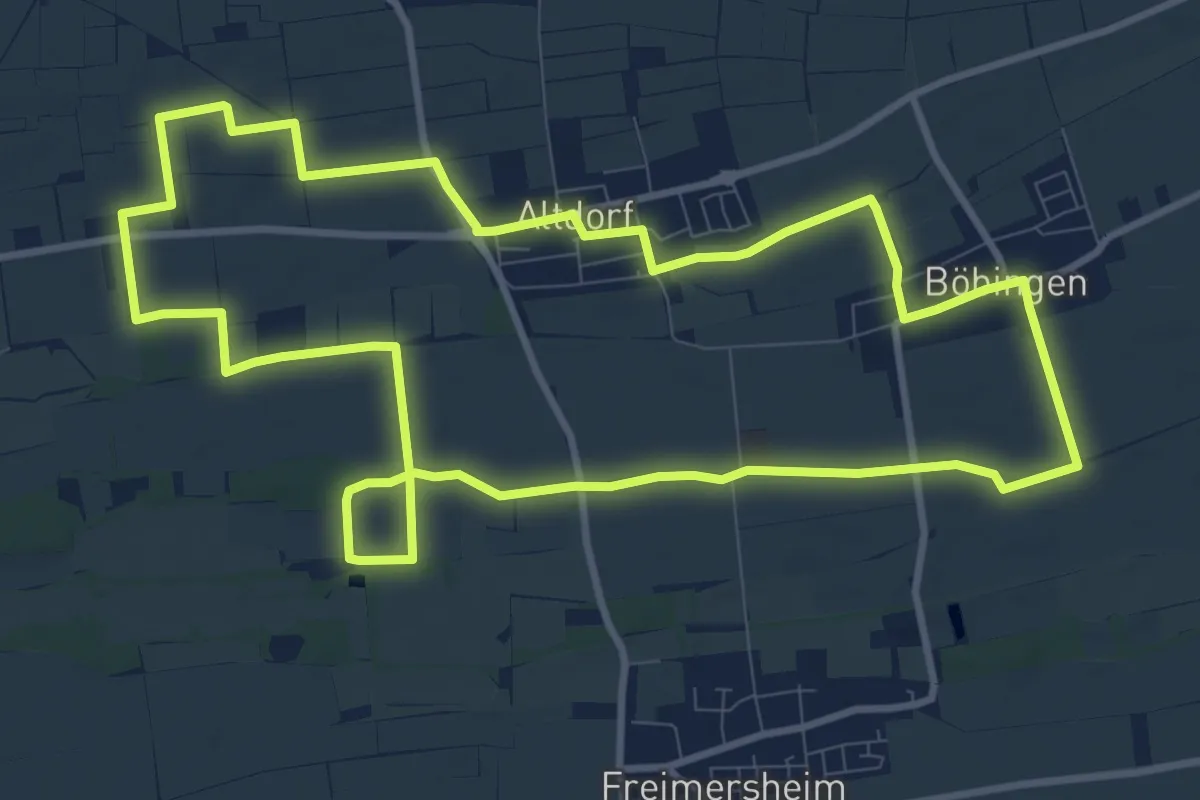
Medium · Trail
Gäuwiesenweg
10.5 km · ↑ 17 m · 2 h 40 min
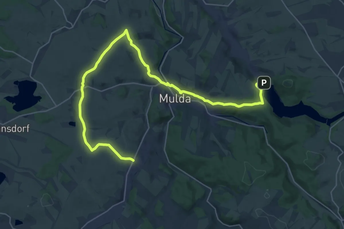
Demanding · Trail
[GB] Zethau – TS Lichtenberg
26.4 km · ↑ 478 m · 7 h 16 min
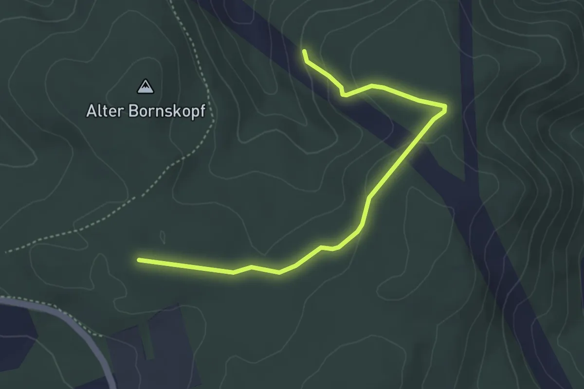
Easy · Trail
Gebhardshain Rundweg G10
4.2 km · ↑ 110 m · 1 h 13 min
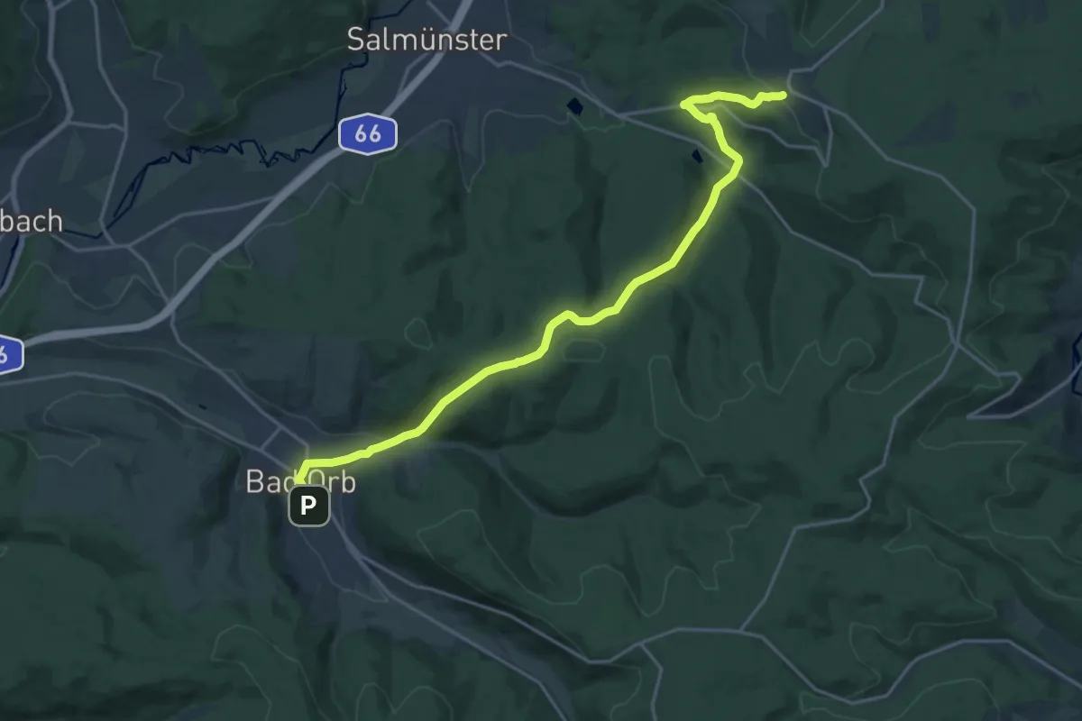
Demanding · Trail
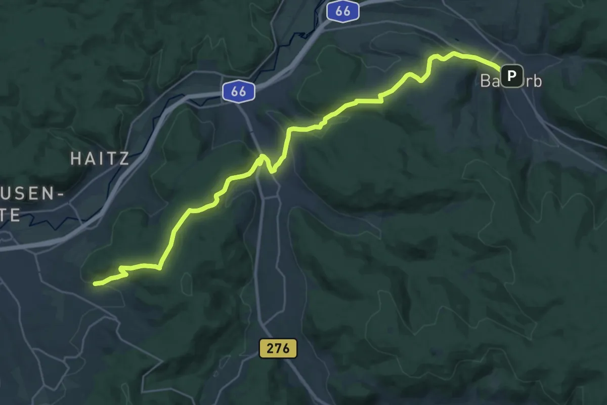
Gebietswanderweg: Bad Orb => Alsberg
19.1 km · ↑ 583 m · 5 h 46 min
Demanding · Trail
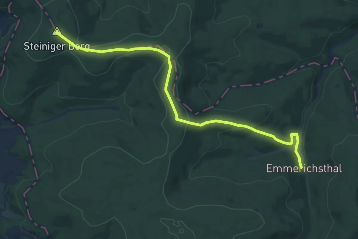
Gebietswanderweg: Bad Orb => Altenhaßlau
25.8 km · ↑ 727 m · 7 h 40 min
Medium · Summit
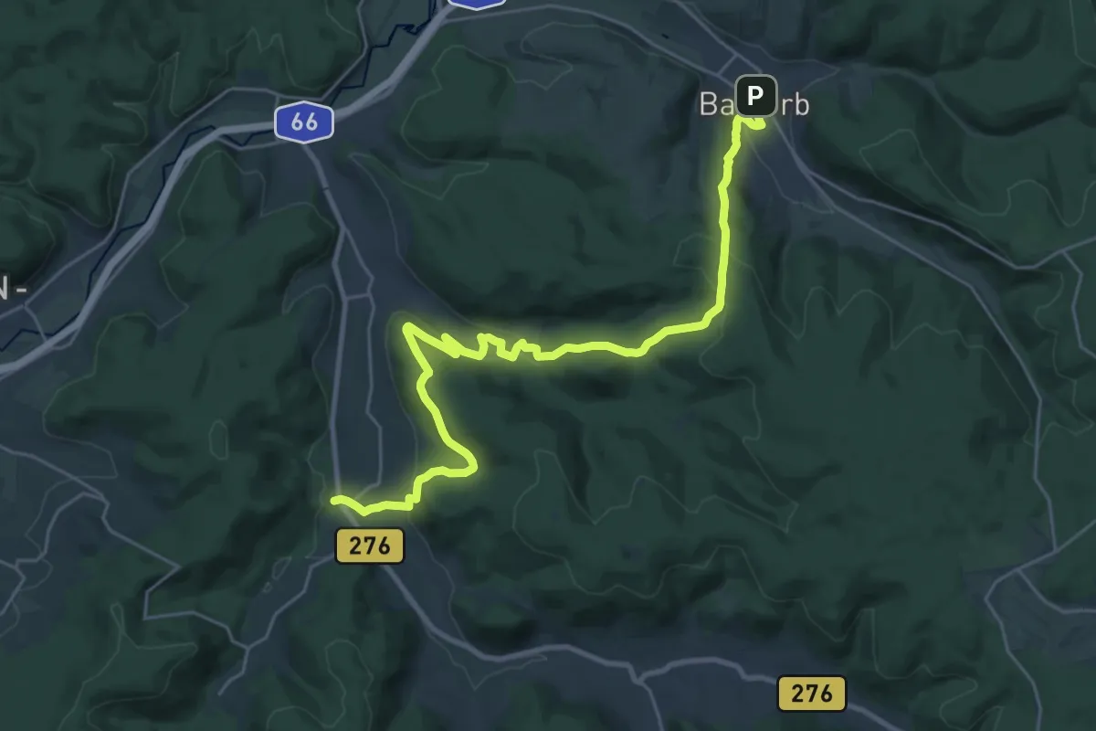
Gebietswanderweg: Bad Orb => Emmerichsthal
11.9 km · ↑ 291 m · 3 h 26 min
Demanding · Trail
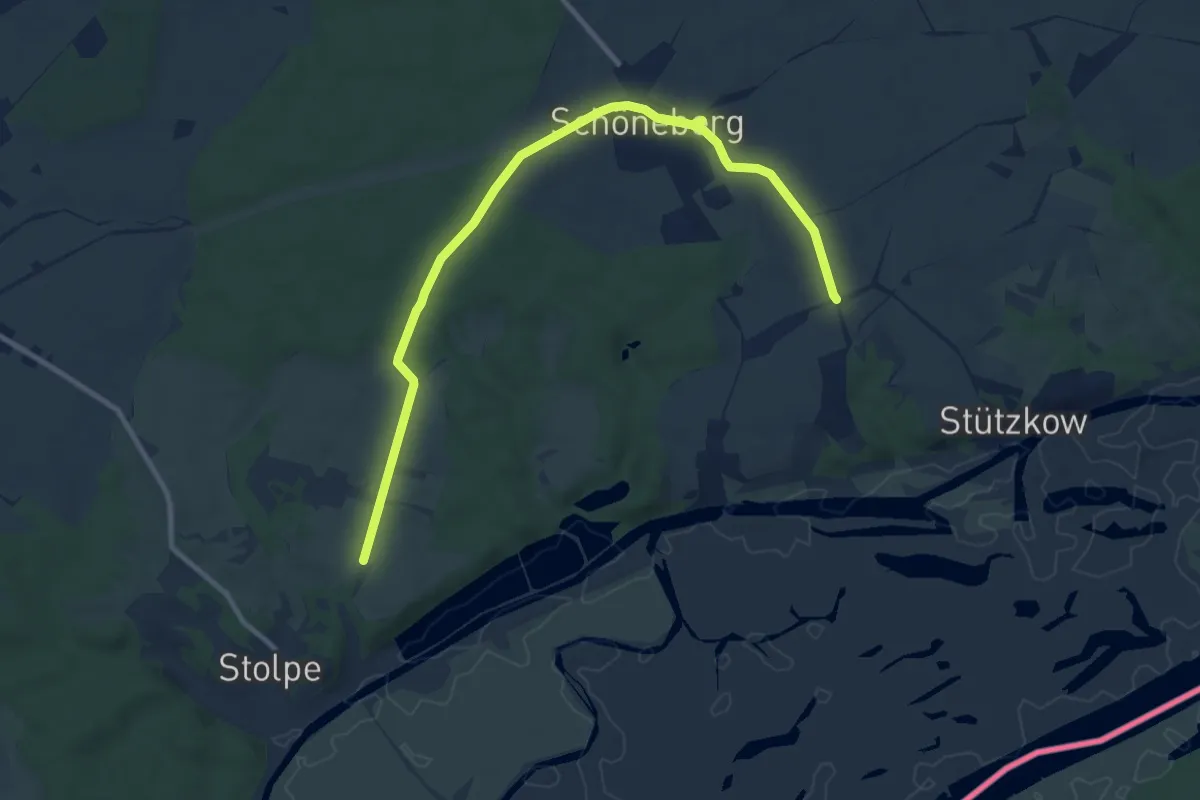
Gebietswanderweg: Bad Orb => Lützel
26.7 km · ↑ 759 m · 7 h 57 min
Medium · Trail
Gebietswanderweg Geesow - Schwedt - Stolzenhagen
11.5 km · ↑ 71 m · 2 h 53 min
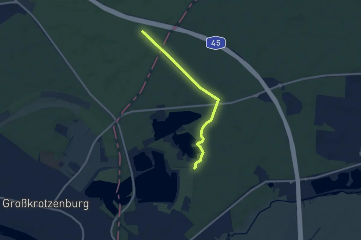
Easy · Trail
Gebietswanderweg: Großkrotzenburg => Kahl
5.4 km · ↑ 30 m · 1 h 21 min
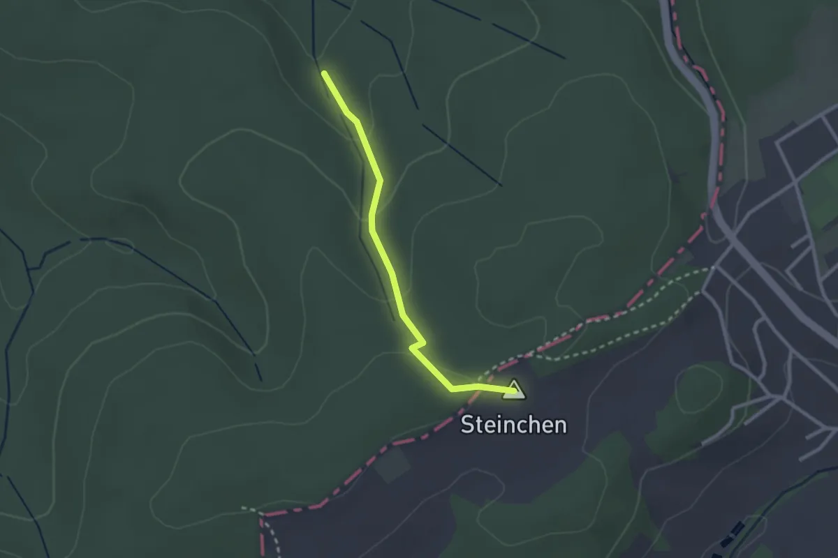
Easy · Summit
Gebietswanderweg: Hailer => Frohnbügel
2.1 km · ↑ 79 m · 41 min
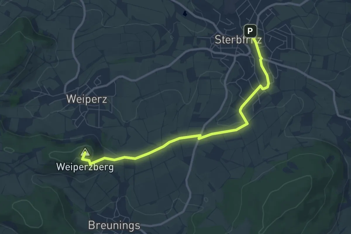
Easy · Summit
Gebietswanderweg Hohenzell - Sterbfritz
7.6 km · ↑ 148 m · 2 h 8 min
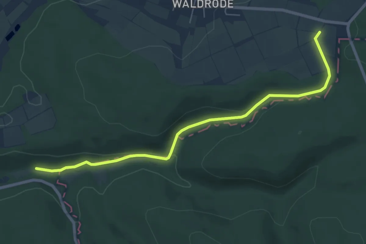
Easy · Trail
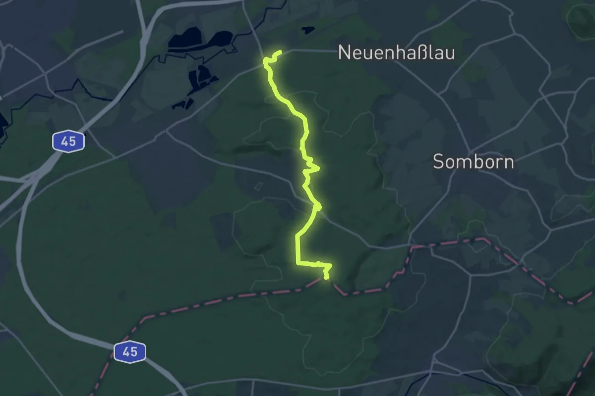
Gebietswanderweg: Horbach => Kleinkahl
5.6 km · ↑ 105 m · 1 h 33 min
Medium · Trail
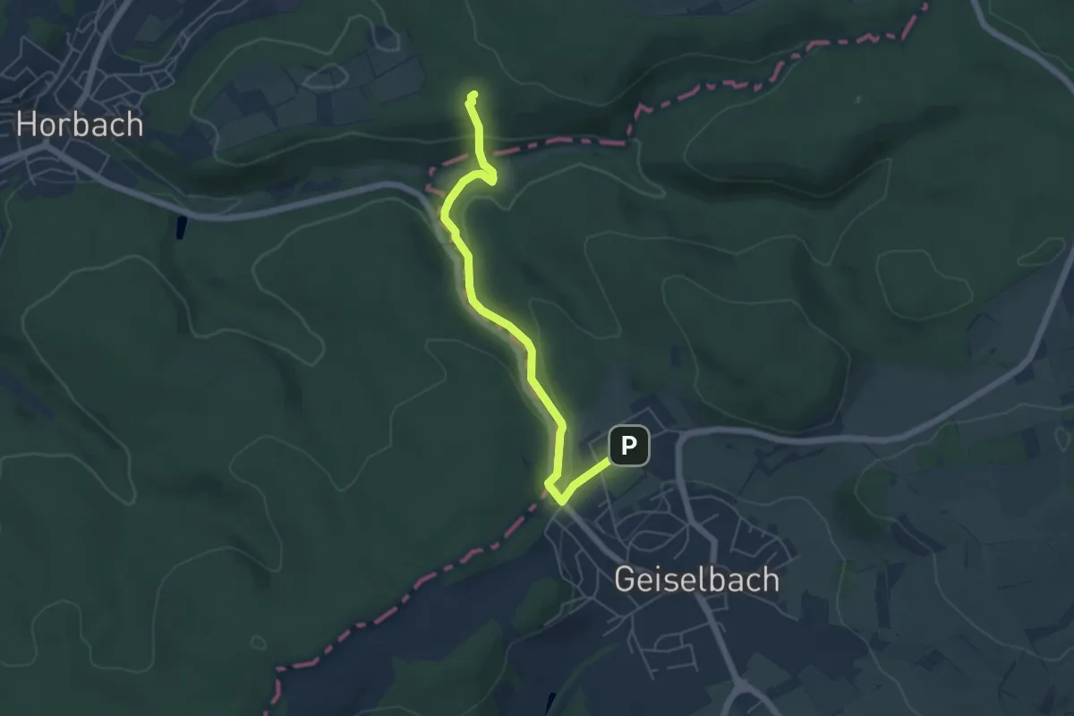
Gebietswanderweg: Langenselbold => Oberrodenbach
14.1 km · ↑ 274 m · 3 h 56 min
Easy · Trail
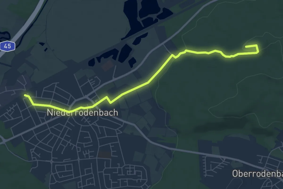
Gebietswanderweg: Meerholz => Geiselbach
5.0 km · ↑ 144 m · 1 h 29 min
Easy · Summit
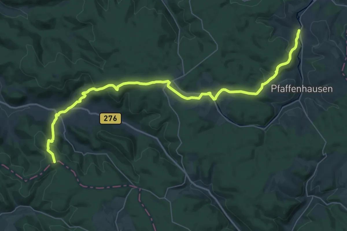
Gebietswanderweg: Niederrodenbach => Somborn
7.5 km · ↑ 85 m · 1 h 58 min
Medium · Trail
Gebietswanderweg: Oberndorf => Bieber (Birkenhainer Str.)
16.6 km · ↑ 555 m · 5 h 18 min
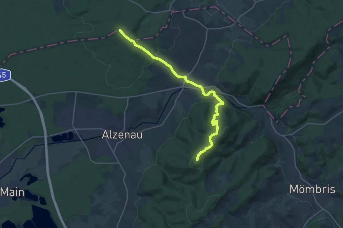
Medium · Summit
Gebietswanderweg: Oberrodenbach => Alzenau (Hahnenkamm)
15.9 km · ↑ 431 m · 4 h 41 min
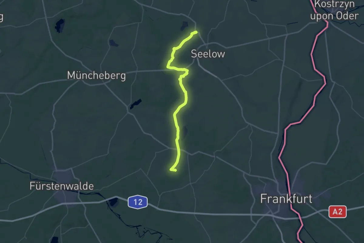
Demanding · Trail
Gebietswanderweg Platkower Mühlenfließ
28.0 km · ↑ 101 m · 7 h 15 min
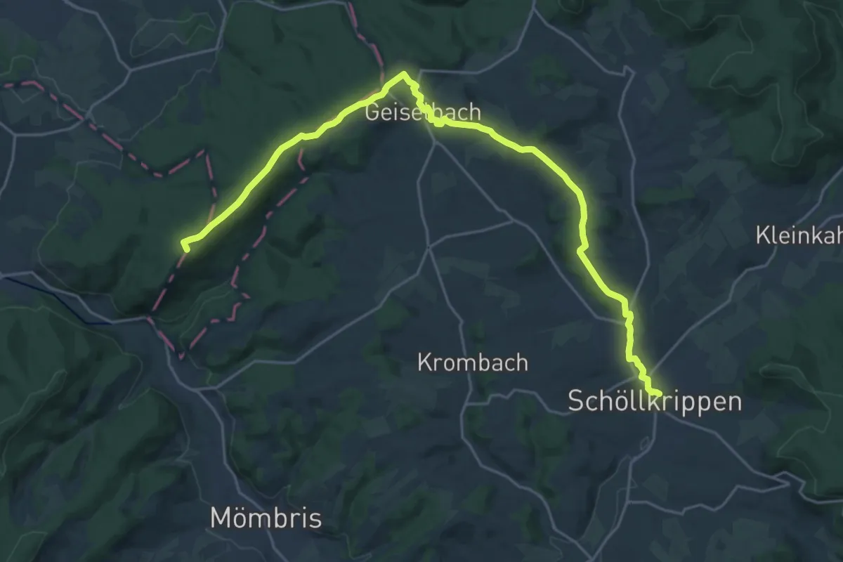
Demanding · Summit
Gebietswanderweg Rote Diagonale
23.3 km · ↑ 371 m · 6 h 18 min
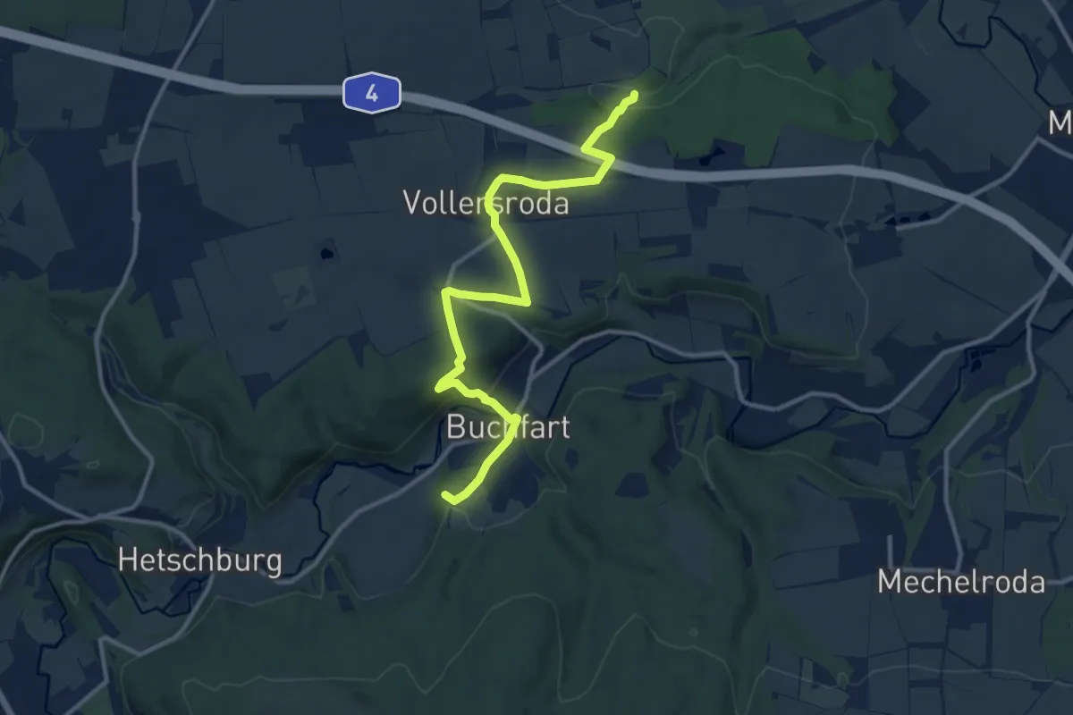
Medium · Summit
Gebietswanderweg roter Balken
11.2 km · ↑ 247 m · 3 h 11 min
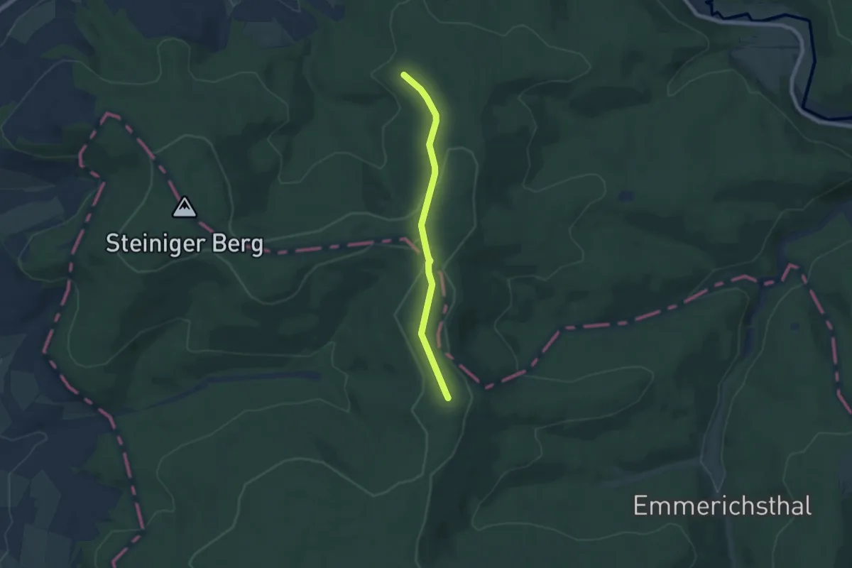
Easy · Summit
Gebietswanderweg Roter Balken
5.3 km · ↑ 92 m · 1 h 27 min
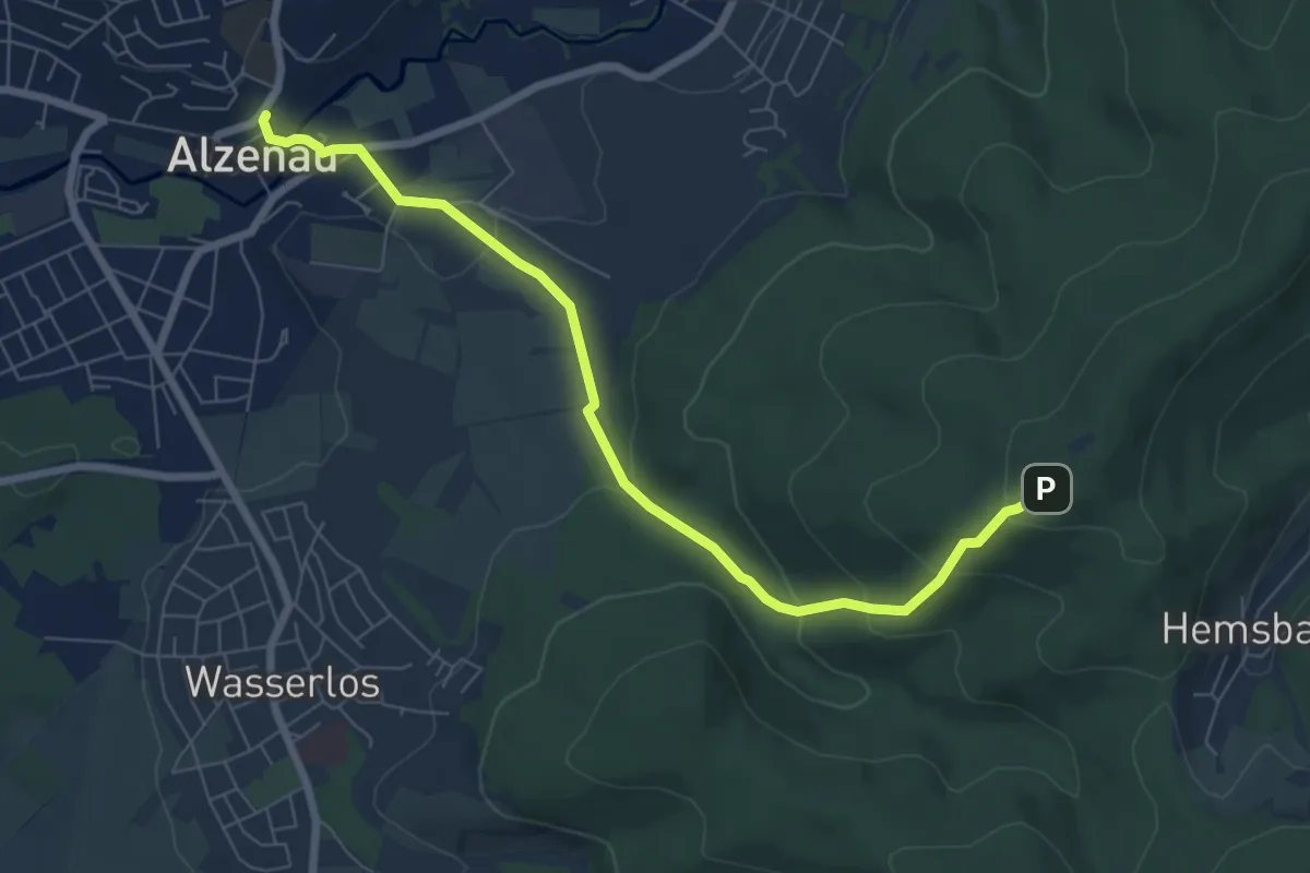
Easy · Trail
Gebietswanderweg Roter Balken: Alzenau, Bahnhalt Burg => Hahnenkamm
6.9 km · ↑ 288 m · 2 h 15 min
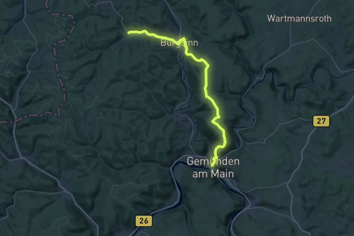
Demanding · Trail
Gebietswanderweg Roter Balken, Gemünden - Burgsinn - Fellen
19.1 km · ↑ 306 m · 5 h 28 min
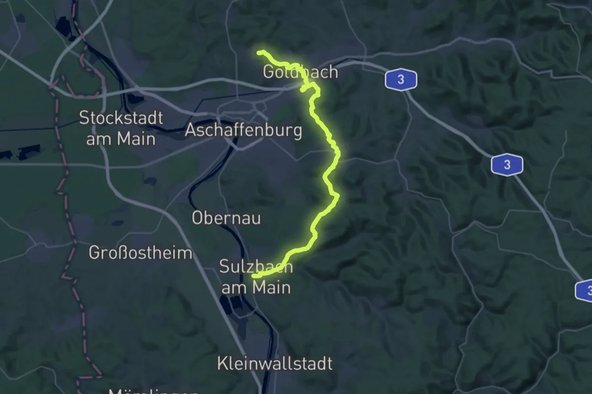
Demanding · Trail
Gebietswanderweg Roter Balken: Goldbach - Sulzbach
18.2 km · ↑ 317 m · 5 h 18 min
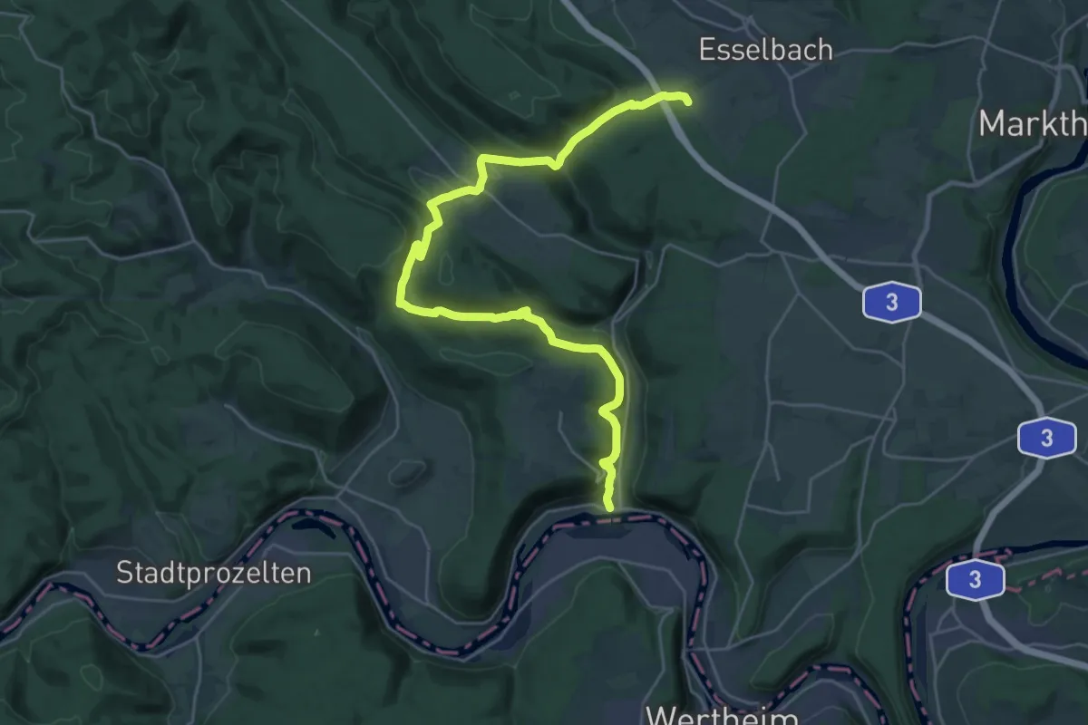
Demanding · Summit
Gebietswanderweg Roter Balken: Hafenlohrtal - Hasloch
27.8 km · ↑ 850 m · 8 h 24 min
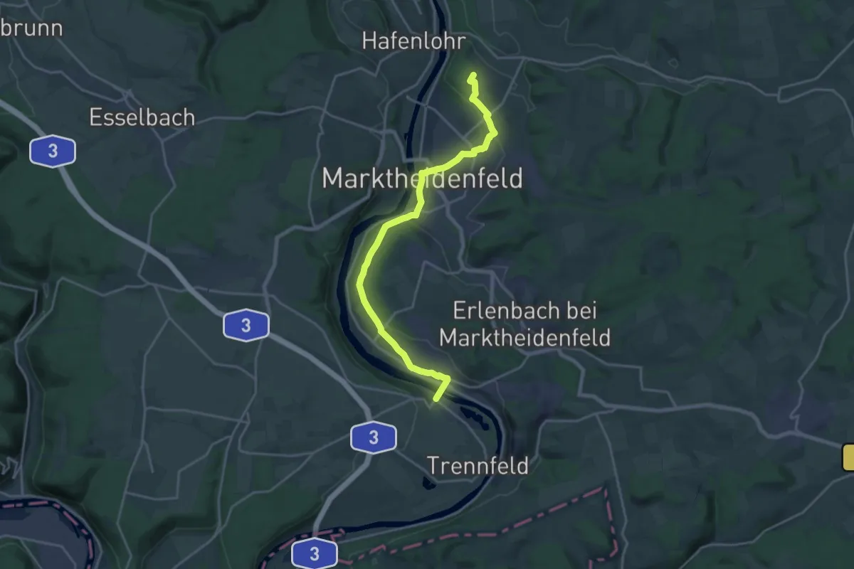
Medium · Summit
Gebietswanderweg Roter Balken: Hafenlohrtal - Lengfurt
17.9 km · ↑ 263 m · 4 h 48 min
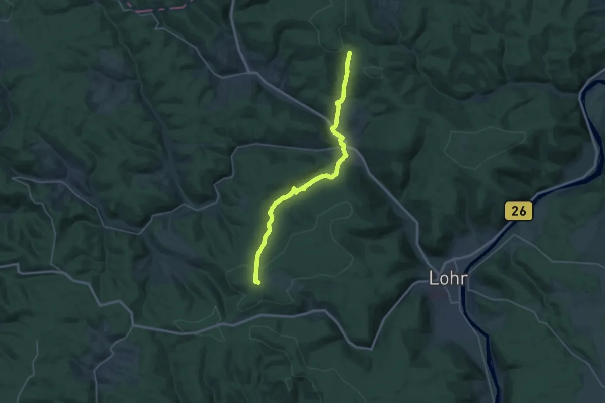
Demanding · Summit
Gebietswanderweg Roter Balken Haseltal - Partenstein
22.6 km · ↑ 716 m · 6 h 54 min
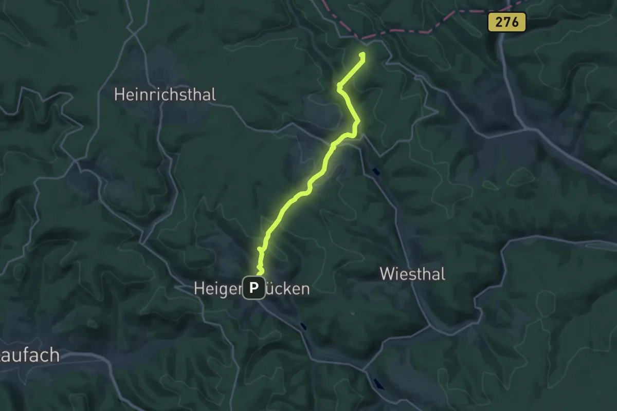
Medium · Summit
Gebietswanderweg Roter Balken: Heigenbrücken - Mosborn
15.5 km · ↑ 539 m · 4 h 49 min
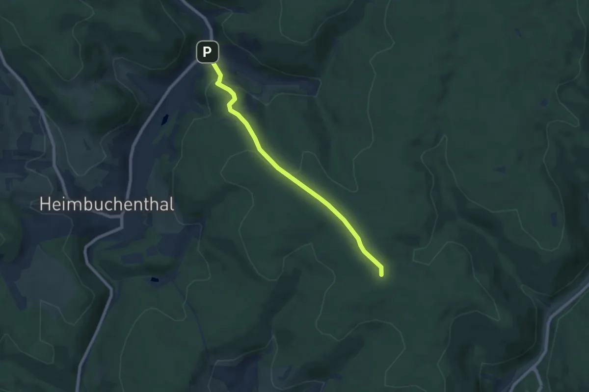
Easy · Summit
Gebietswanderweg Roter Balken: Heimbuchenthal
5.6 km · ↑ 203 m · 1 h 46 min
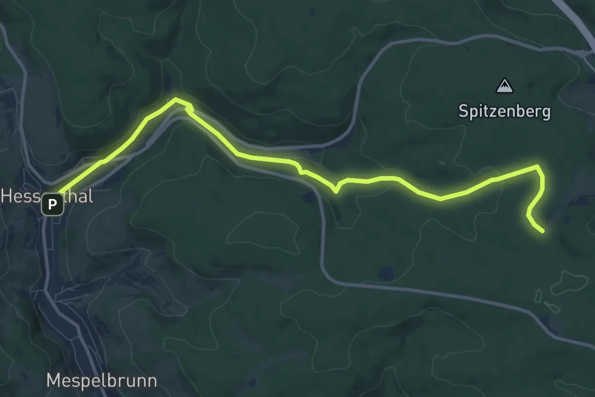
Medium · Trail
Gebietswanderweg Roter Balken: Hessenthal - Holzlege (bei Echterspfahl)
10.4 km · ↑ 209 m · 2 h 55 min
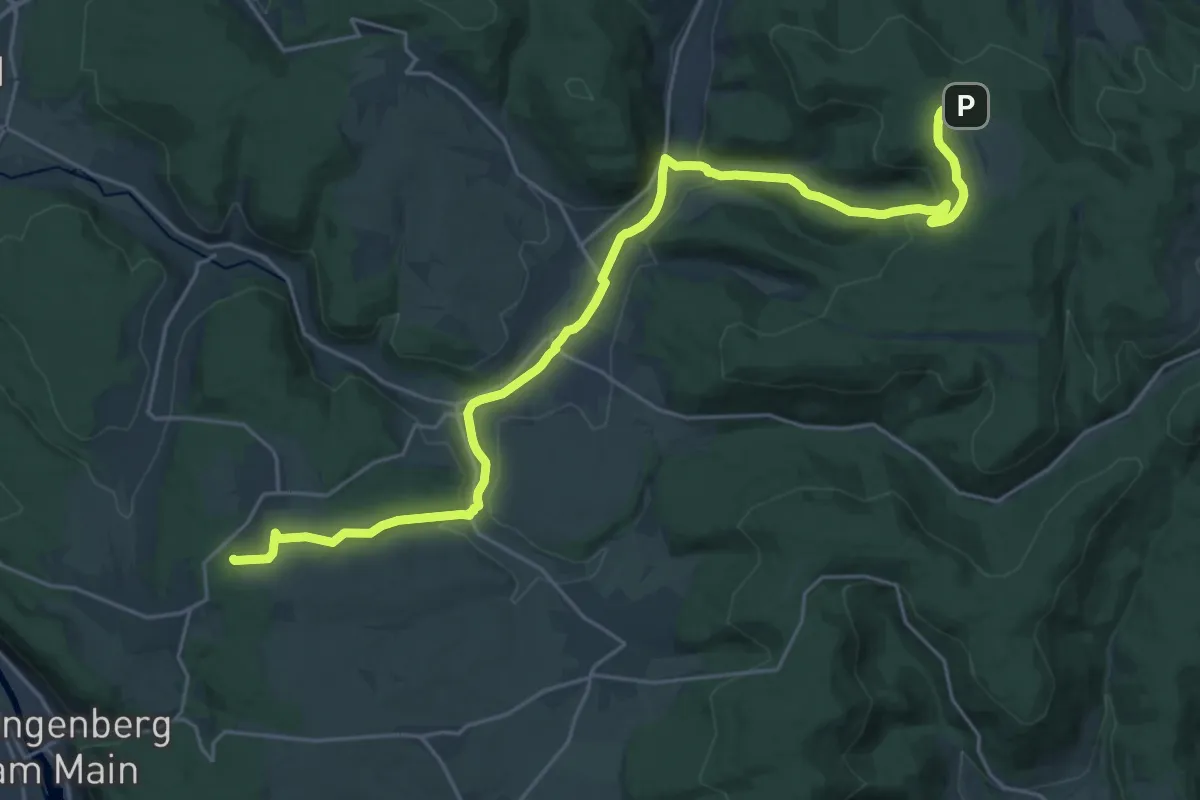
Demanding · Summit
Gebietswanderweg Roter Balken, Klingenberg - Geishöhe
26.1 km · ↑ 539 m · 7 h 20 min
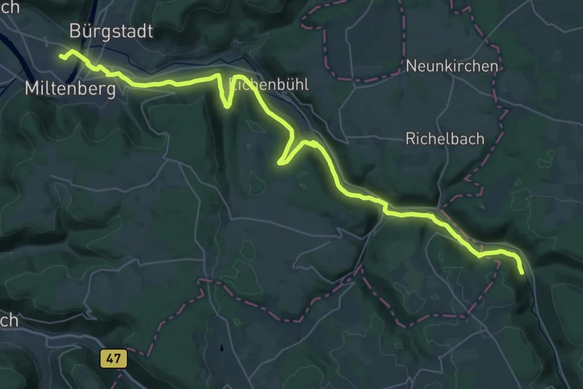
Demanding · Trail
Gebietswanderweg Roter Balken Miltenberg - Steinfurt
19.0 km · ↑ 442 m · 5 h 39 min
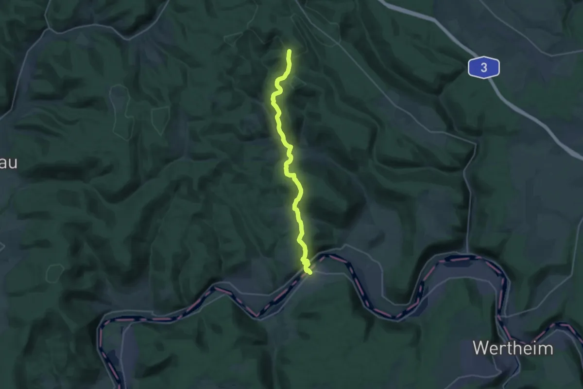
Demanding · Trail
Gebietswanderweg Roter Balken: Mondfeld - Altenbuch Dianalust
19.4 km · ↑ 869 m · 6 h 28 min
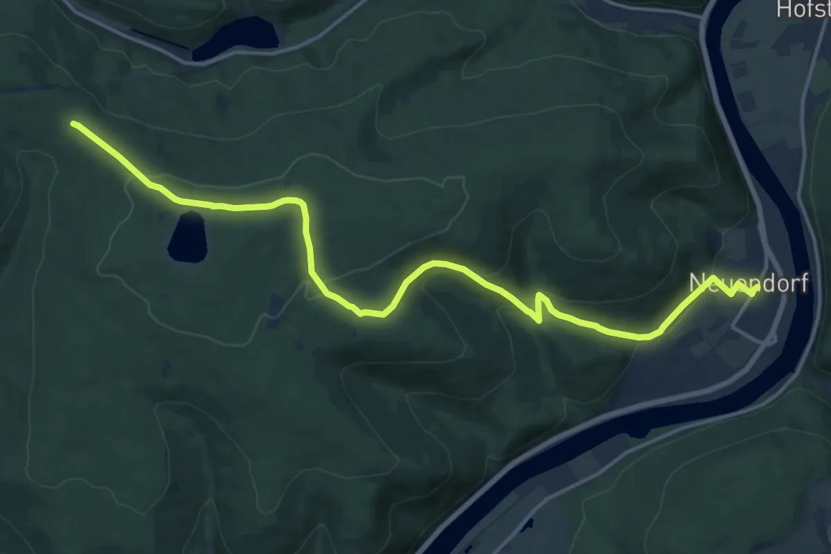
Medium · Trail
Gebietswanderweg Roter Balken: Neuendorf - Langenprozelten Kraftwerk
15.4 km · ↑ 522 m · 4 h 46 min
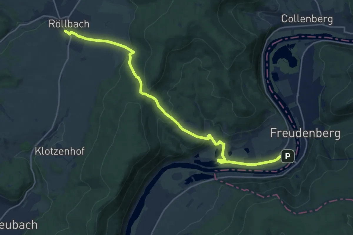
Medium · Trail
Gebietswanderweg Roter Balken, Röllbach - Kirschfurt
15.8 km · ↑ 420 m · 4 h 38 min
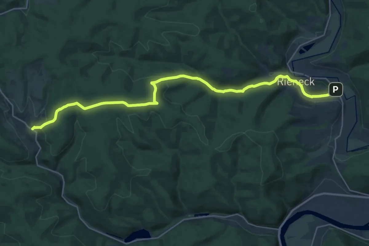
Demanding · Trail
Gebietswanderweg Roter Balken, Ruppertshütten - Rieneck
20.7 km · ↑ 513 m · 6 h 1 min