Trails in Germany
36,852 hiking trails, each with its route, climb, walking time and grade.
All trails, page 167 of 768
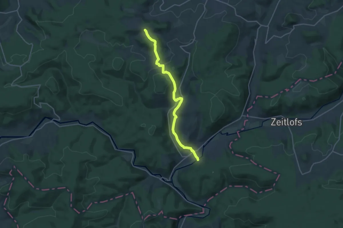
Medium · Trail
Gebietswanderweg Roter Doppelbalken Altengronau - Streitrain
15.7 km · ↑ 346 m · 4 h 27 min
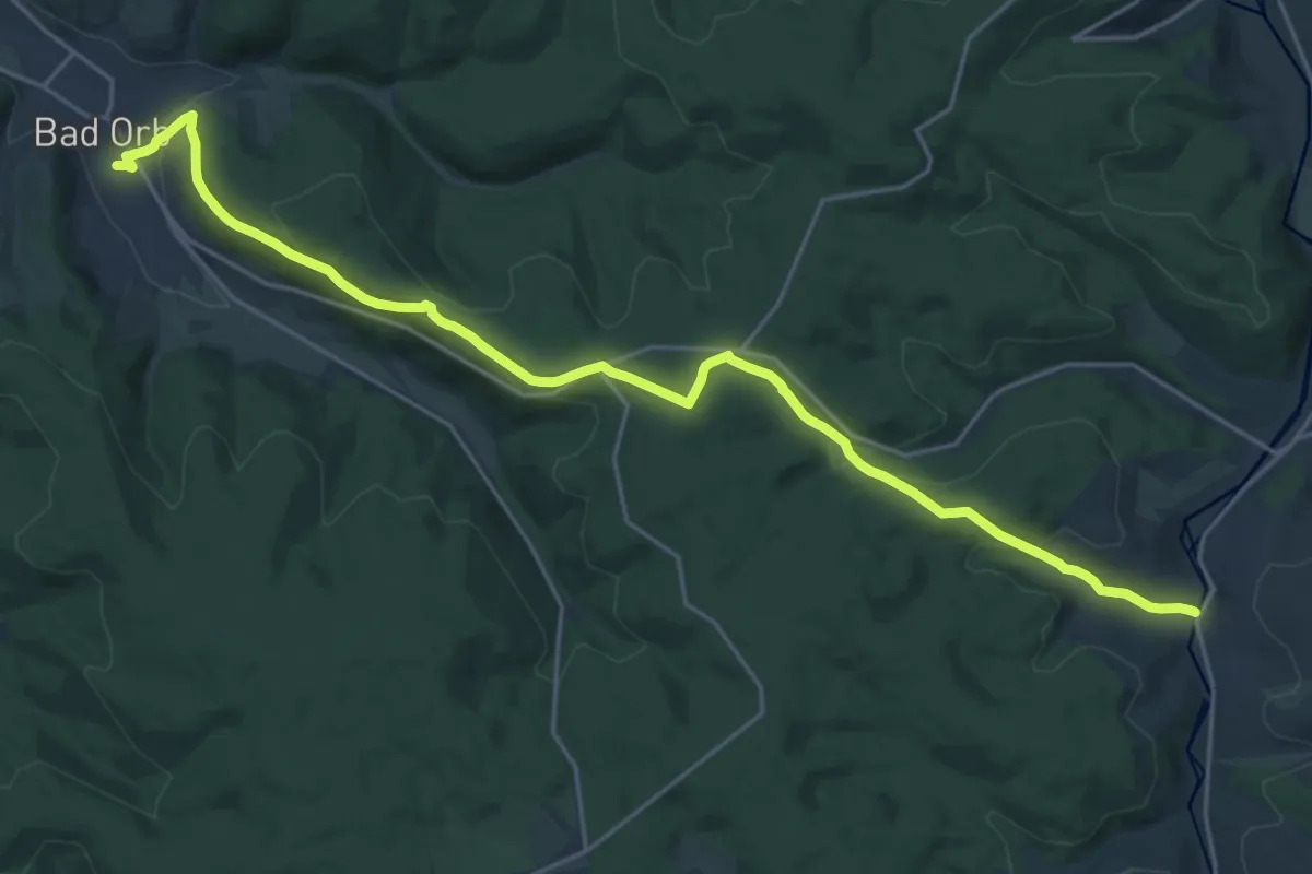
Demanding · Trail
Gebietswanderweg Roter Doppelbalken: Bad Orb - Oberndorf
22.2 km · ↑ 602 m · 6 h 33 min
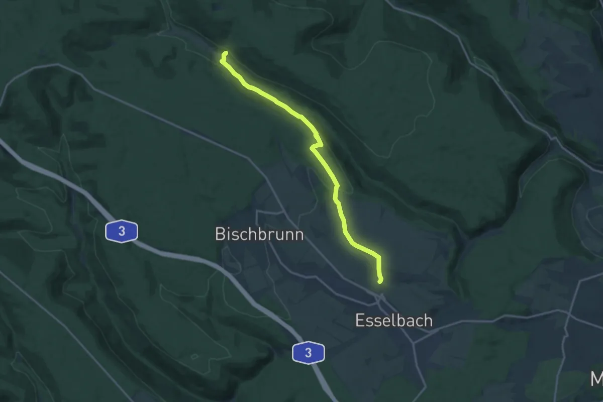
Medium · Cabin
Gebietswanderweg Roter Doppelbalken: Esselbach - Sylvan
12.6 km · ↑ 253 m · 3 h 31 min
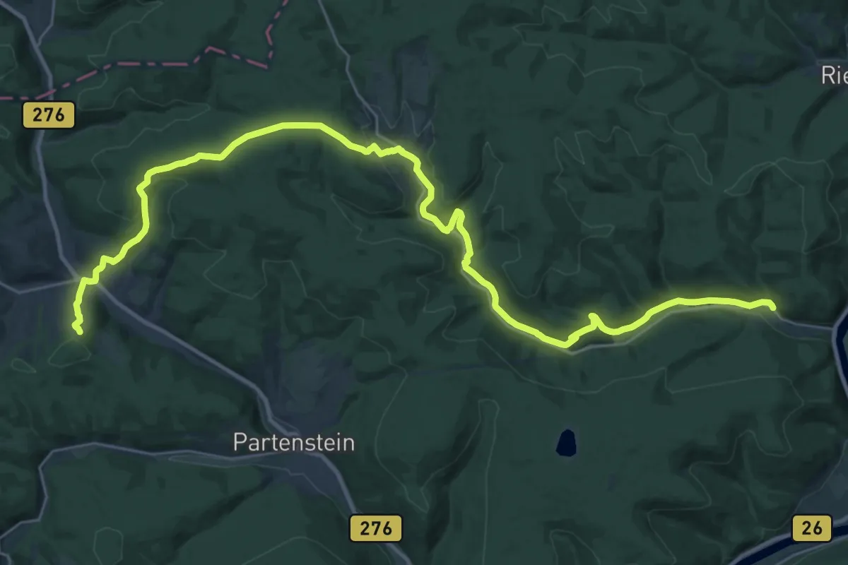
Medium · Trail
Gebietswanderweg Roter Doppelbalken Frammersbach-Langenprozelten
17.5 km · ↑ 404 m · 5 h 21 min
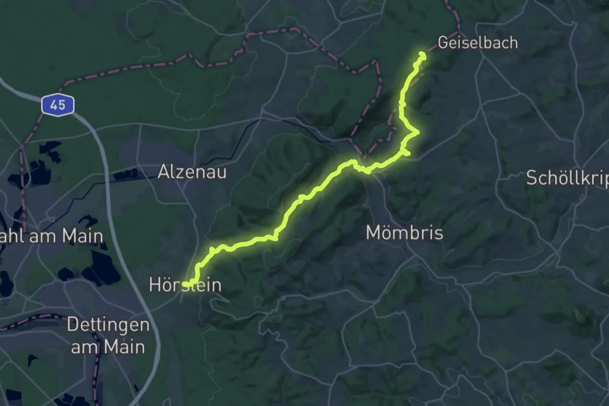
Medium · Trail
Gebietswanderweg Roter Doppelbalken: Hörstein => Geiselbach
14.4 km · ↑ 576 m · 4 h 45 min
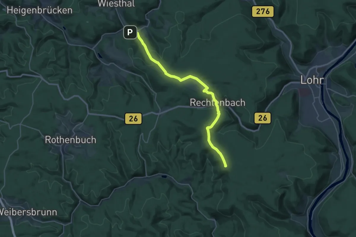
Demanding · Summit
Gebietswanderweg Roter Doppelbalken: Krommenthal - Burg Rothenfels
21.8 km · ↑ 710 m · 6 h 41 min
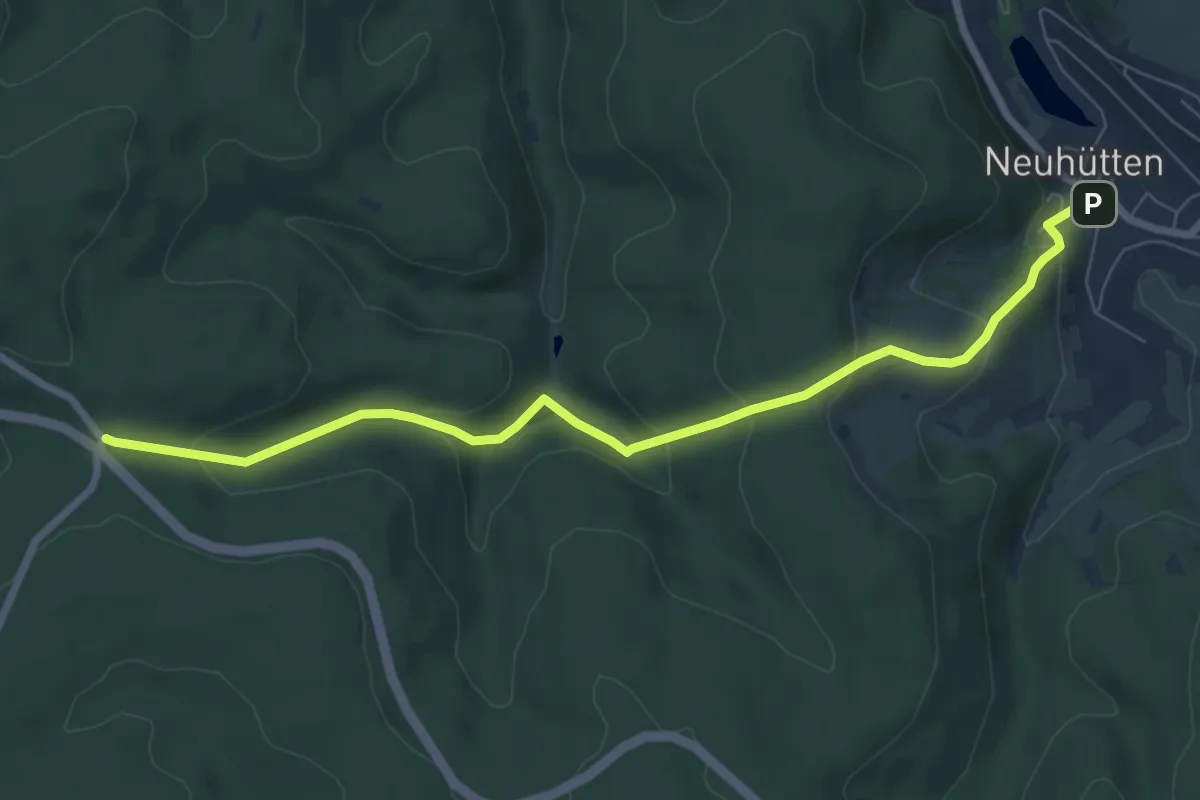
Medium · Trail
Gebietswanderweg Roter Doppelbalken: Neuhütten - Sieben Wege
7.4 km · ↑ 341 m · 2 h 29 min
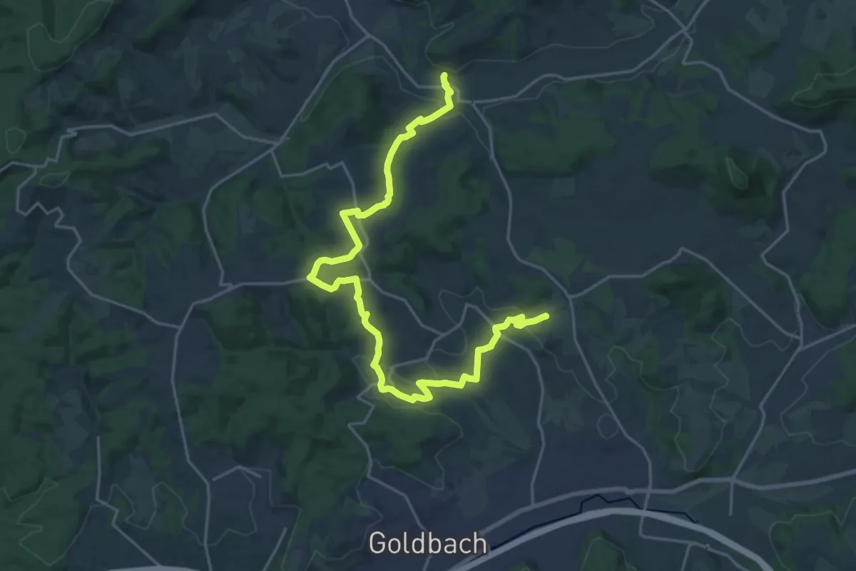
Demanding · Summit
Gebietswanderweg Roter Doppelbalken: Rottenberg => Schimborn
22.0 km · ↑ 451 m · 6 h 10 min
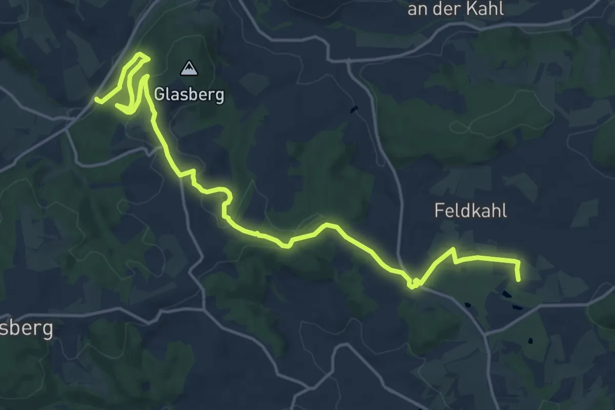
Medium · Trail
Gebietswanderweg Roter Schrägbalken: Heimbacher Mühle - Feldkahl
16.0 km · ↑ 392 m · 4 h 37 min
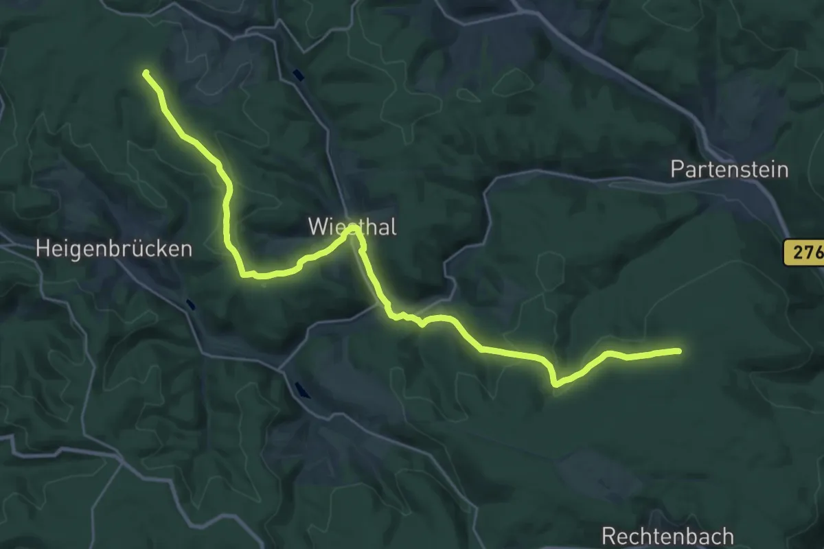
Demanding · Summit
Gebietswanderweg Roter Schrägbalken, Kleinkahl - Heinrichsthal
27.2 km · ↑ 650 m · 7 h 49 min
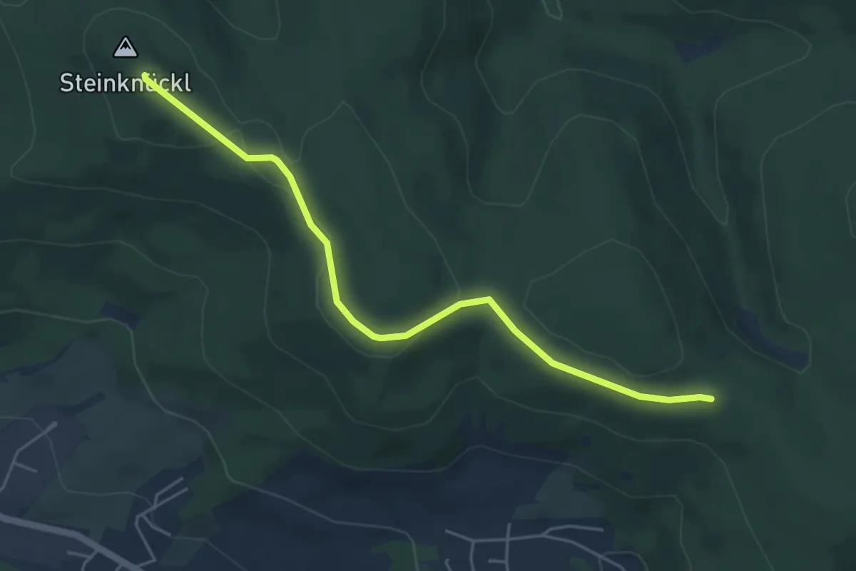
Easy · Summit
Gebietswanderweg Roter Schrägbalken Laufach - Waldaschaff
4.7 km · ↑ 63 m · 1 h 14 min
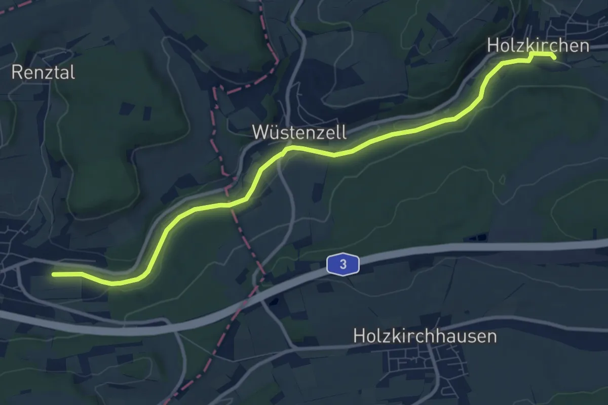
Medium · Trail
Gebietswanderweg roter Schrägstrich
9.3 km · ↑ 96 m · 2 h 24 min
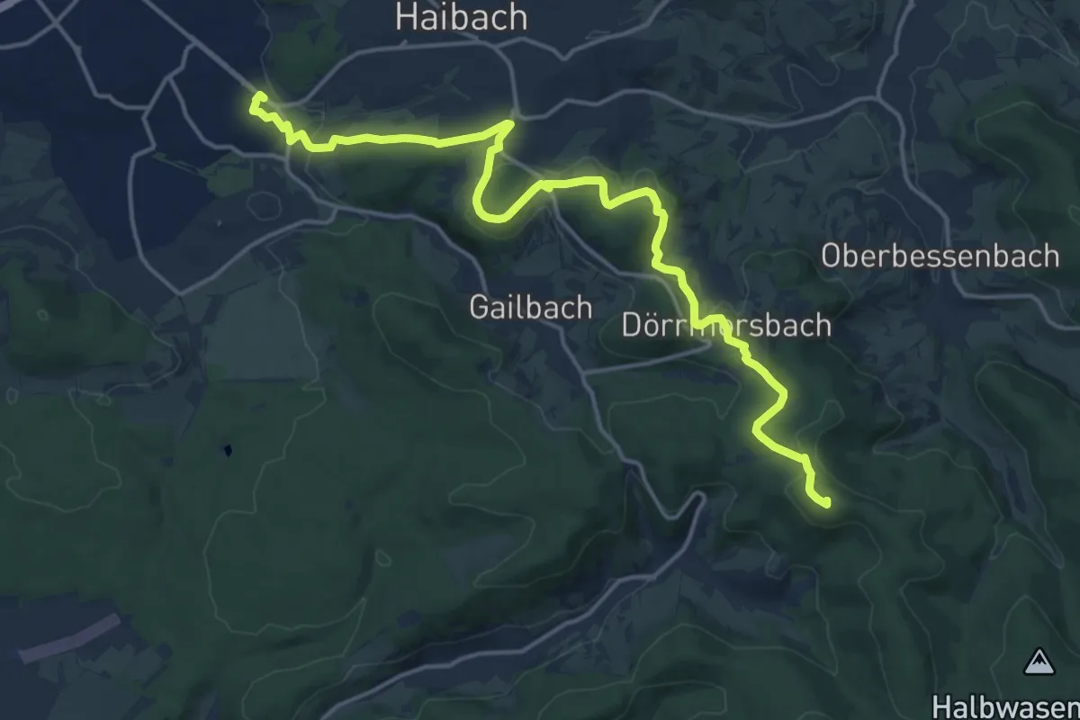
Medium · Summit
Gebietswanderweg Roter Schrägstrich Aschaffenburg - Hohe Wart
17.2 km · ↑ 445 m · 5 h 2 min
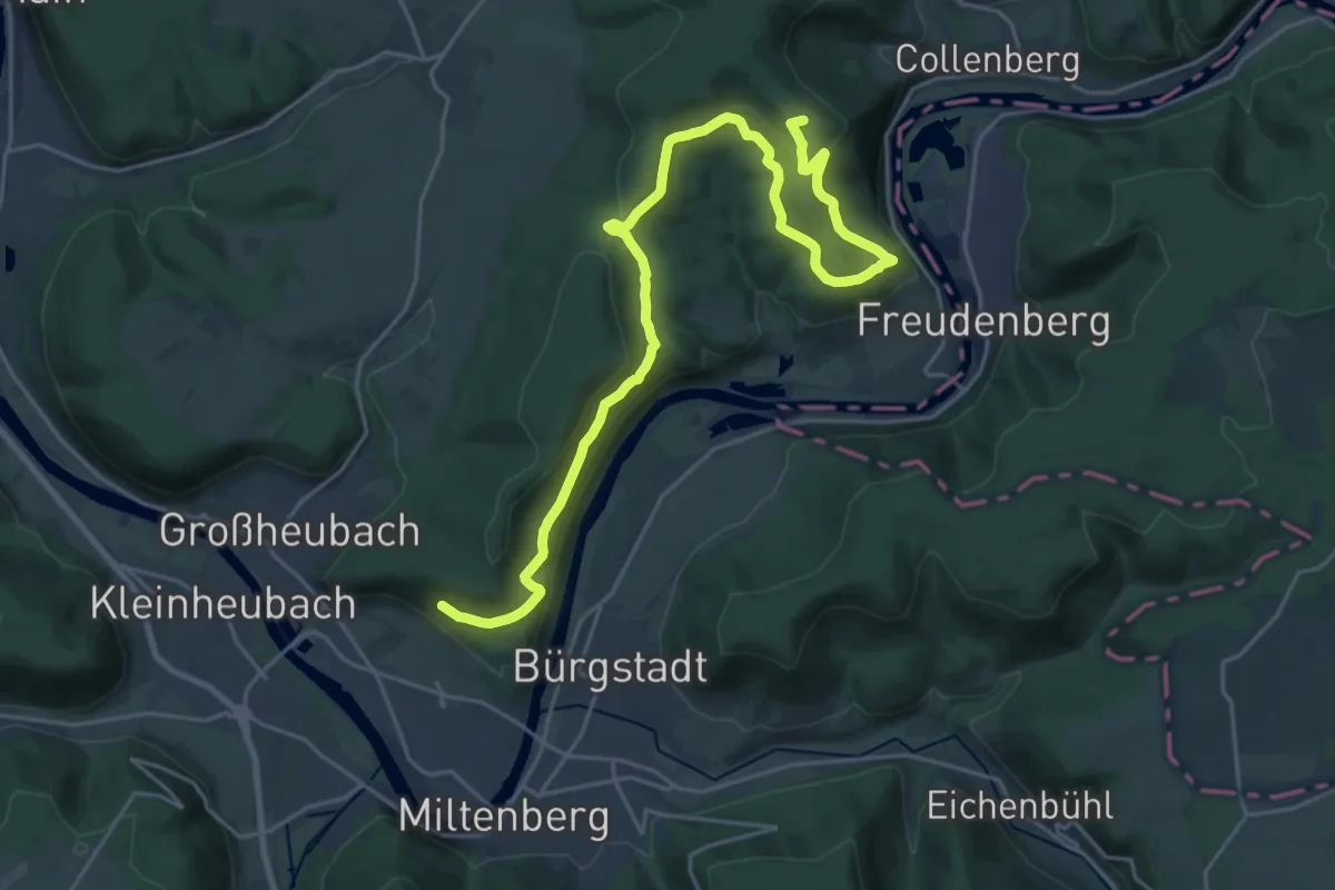
Demanding · Summit
Gebietswanderweg Roter Schrägstrich, Eichelsbach-Kloster Engelberg
26.6 km · ↑ 770 m · 7 h 57 min
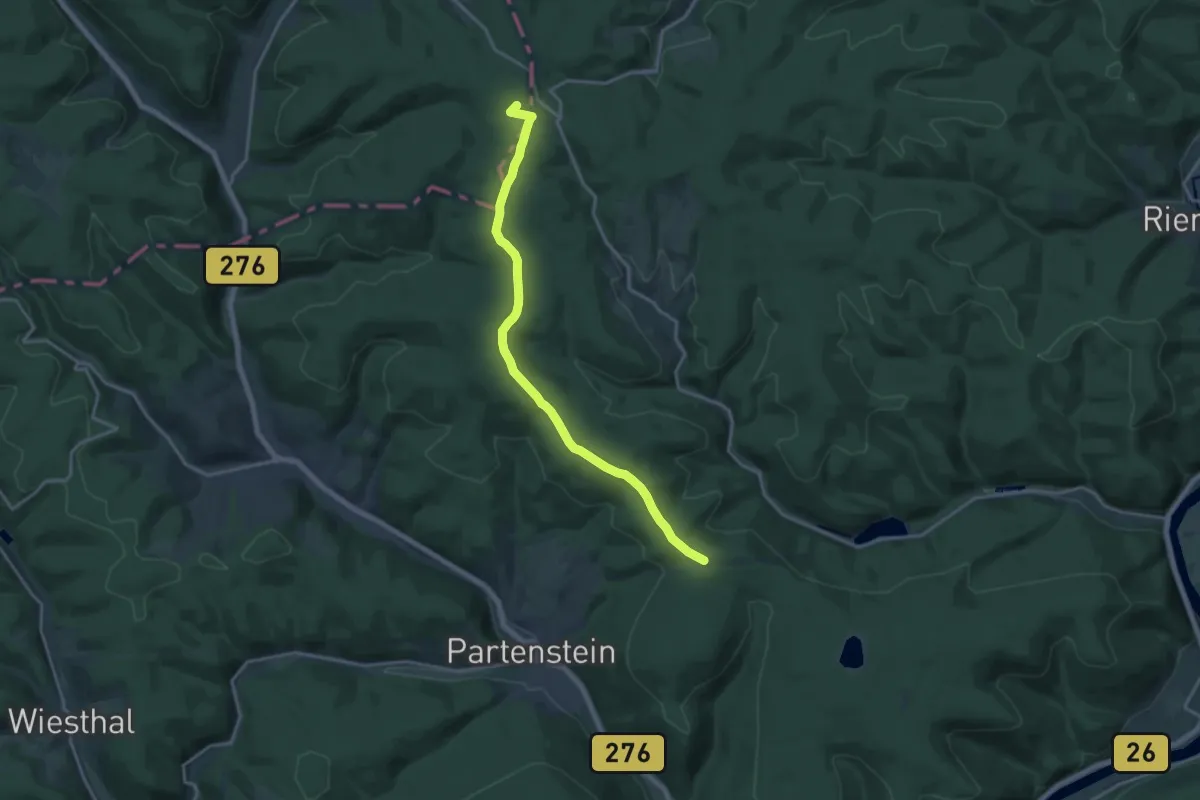
Medium · Summit
Gebietswanderweg Roter Schrägstrich: Flörsbach - Langenprozelten Kraftwerk
16.1 km · ↑ 221 m · 4 h 17 min
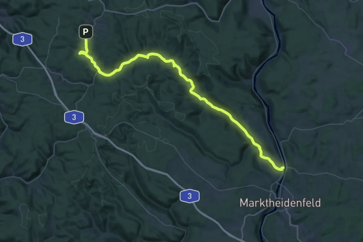
Demanding · Trail
Gebietswanderweg Roter Schrägstrich, Hafenlohrtal - Rothenfels
25.2 km · ↑ 242 m · 6 h 55 min
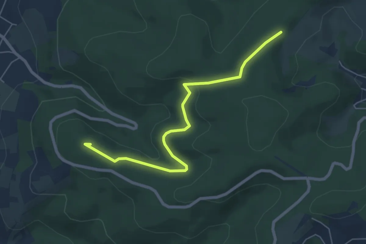
Easy · Summit
Gebietswanderweg Roter Schrägstrich: Hohl - Rückersbacher Schlucht
4.9 km · ↑ 105 m · 1 h 23 min
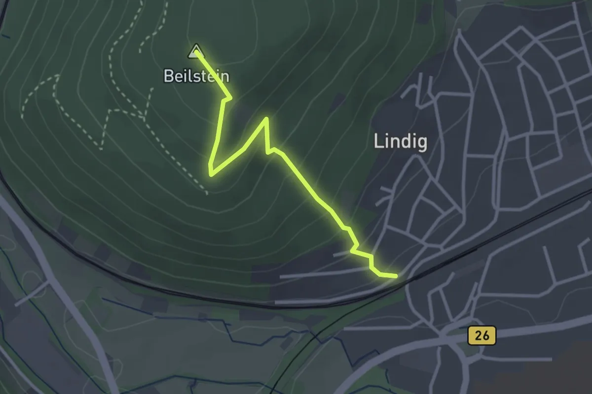
Easy · Summit
Gebietswanderweg Roter Schrägstrich Lohr - Langenprozelten Kraftwerk
2.6 km · ↑ 198 m · 1 h 2 min
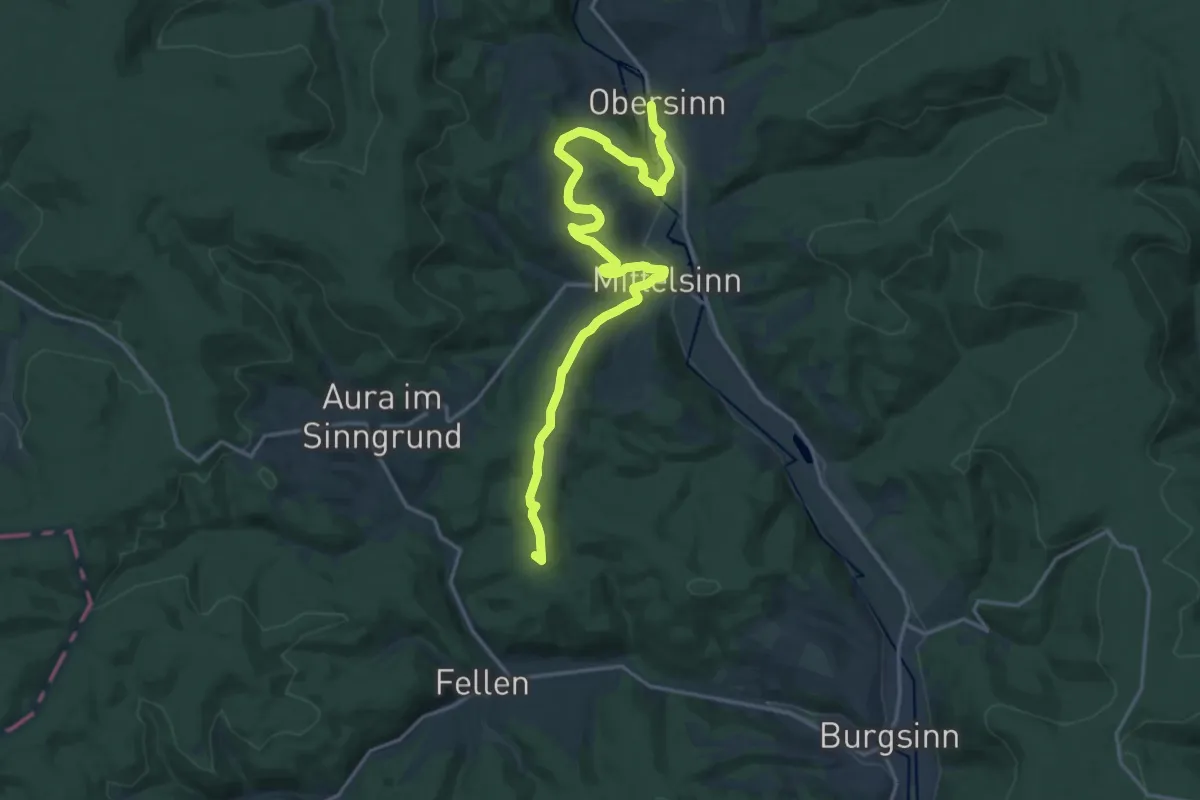
Demanding · Summit
Gebietswanderweg Roter Schrägstrich: Rieneck - Obersinn
18.9 km · ↑ 543 m · 5 h 39 min
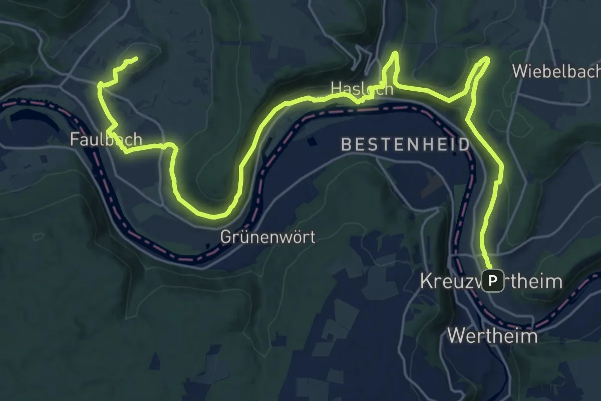
Demanding · Summit
Gebietswanderweg Roter Schrägstrich Unteraltenbuch - Kreuzwertheim
27.8 km · ↑ 650 m · 7 h 58 min
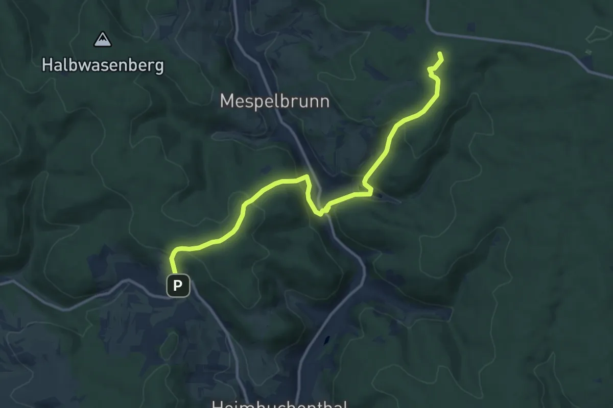
Medium · Summit
Gebietswanderweg Roter Schrägstrich: Volkersbrunn => Echterspfahl
11.2 km · ↑ 456 m · 3 h 38 min
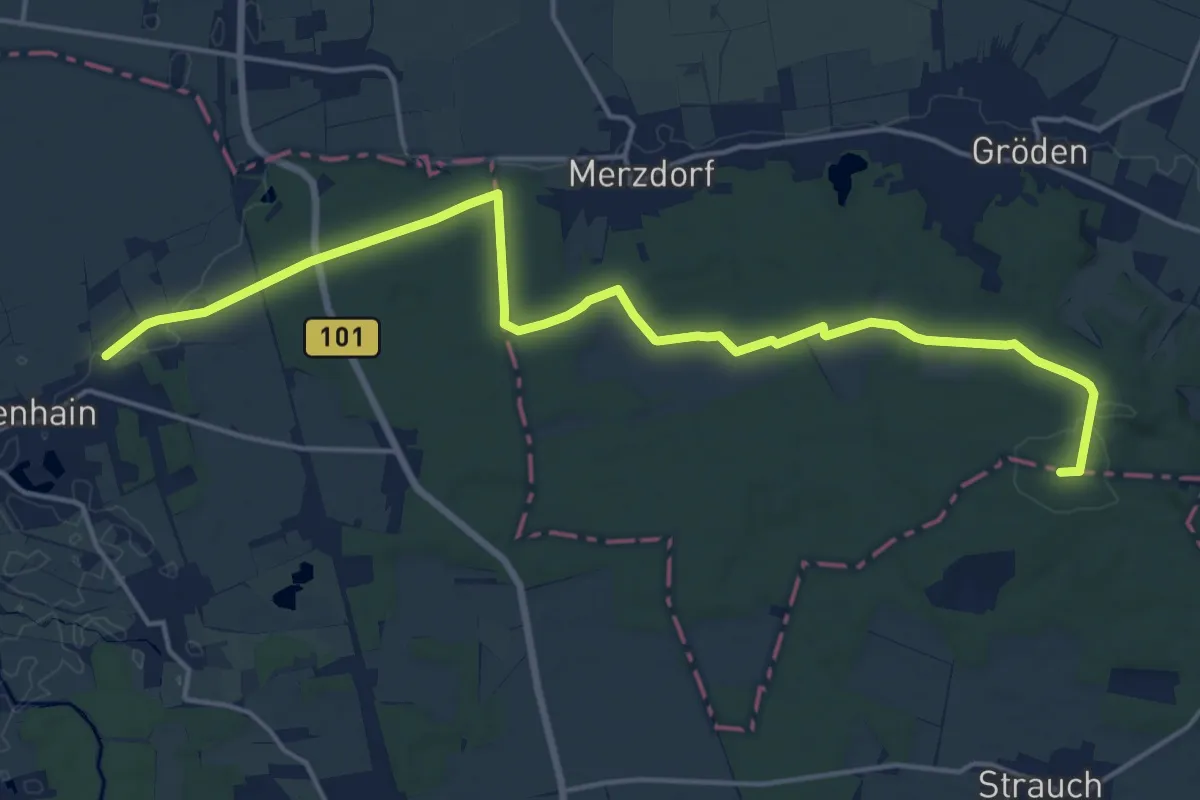
Medium · Summit
Gebietswanderweg Roter Strich
17.8 km · ↑ 118 m · 4 h 27 min
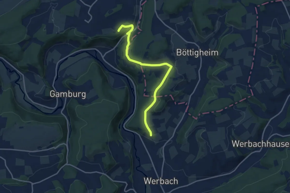
Medium · Trail
Gebietswanderweg (roter Strich) Nr. 88
10.4 km · ↑ 233 m · 2 h 58 min
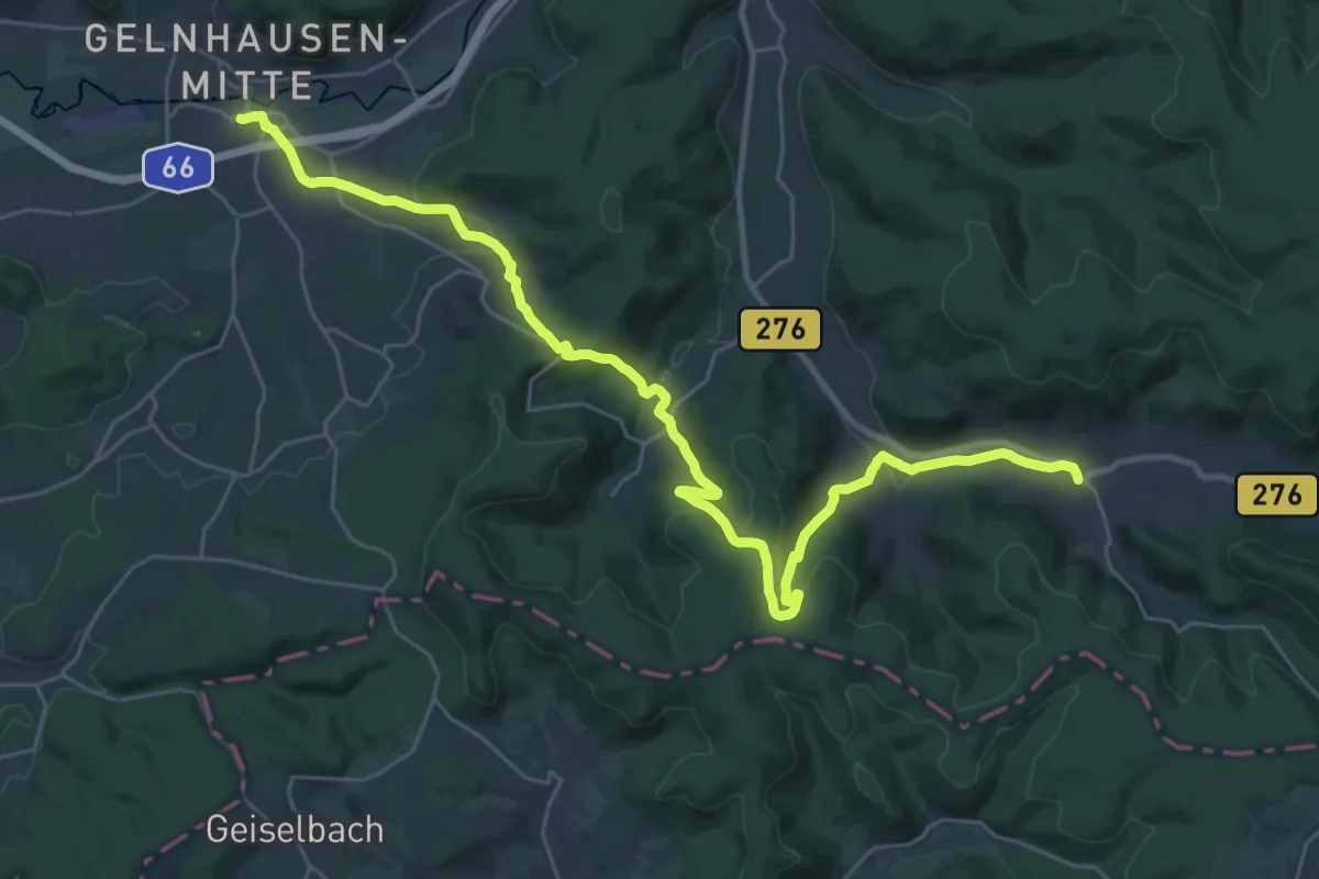
Medium · Trail
Gebietswanderweg Rotes Dreieck: Altenhaßlau => Bieber
16.1 km · ↑ 481 m · 5 h 2 min
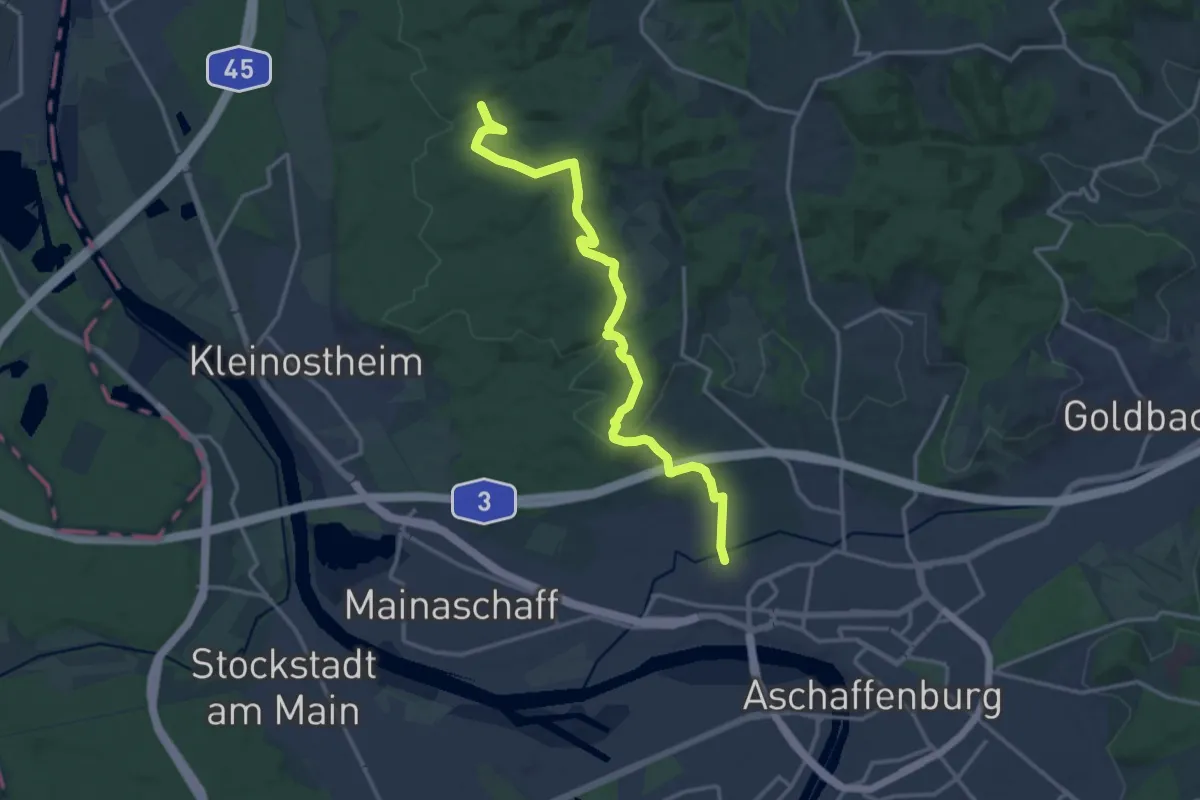
Medium · Trail
Gebietswanderweg Rotes Dreieck: Aschaffenburg - Rückersacher Schlucht
15.0 km · ↑ 403 m · 4 h 25 min
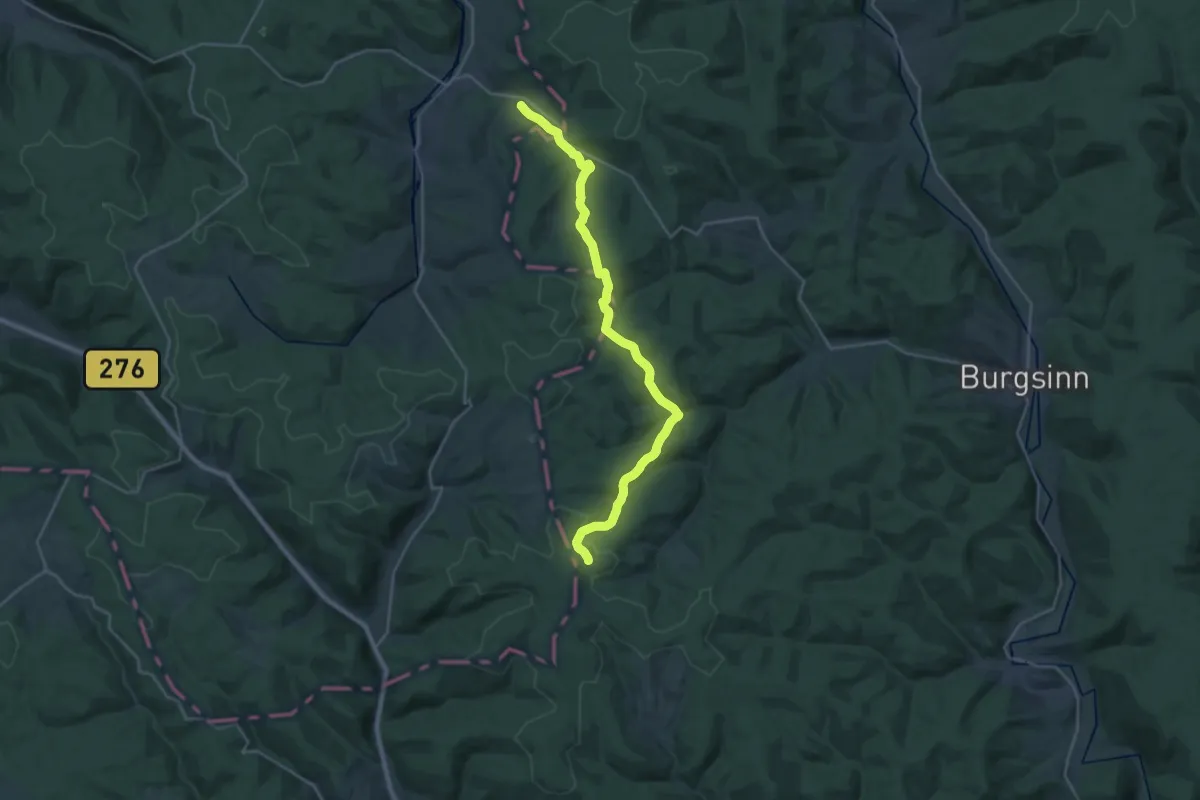
Demanding · Trail
Gebietswanderweg Rotes Dreieck: Burgjosser Heiligen - Bayrische Schanz
25.3 km · ↑ 734 m · 7 h 34 min
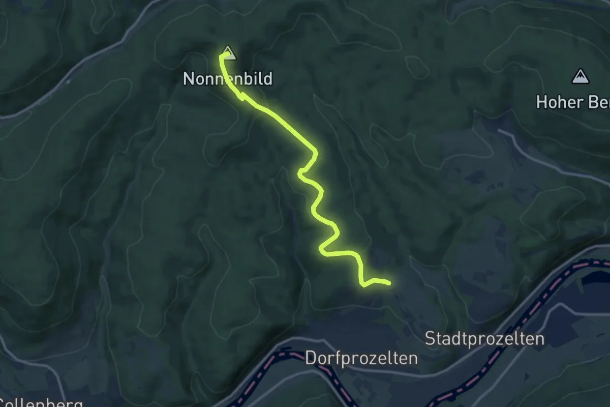
Medium · Summit
Gebietswanderweg Rotes Dreieck Dorfprozelten - Eselsweg
9.8 km · ↑ 304 m · 2 h 59 min
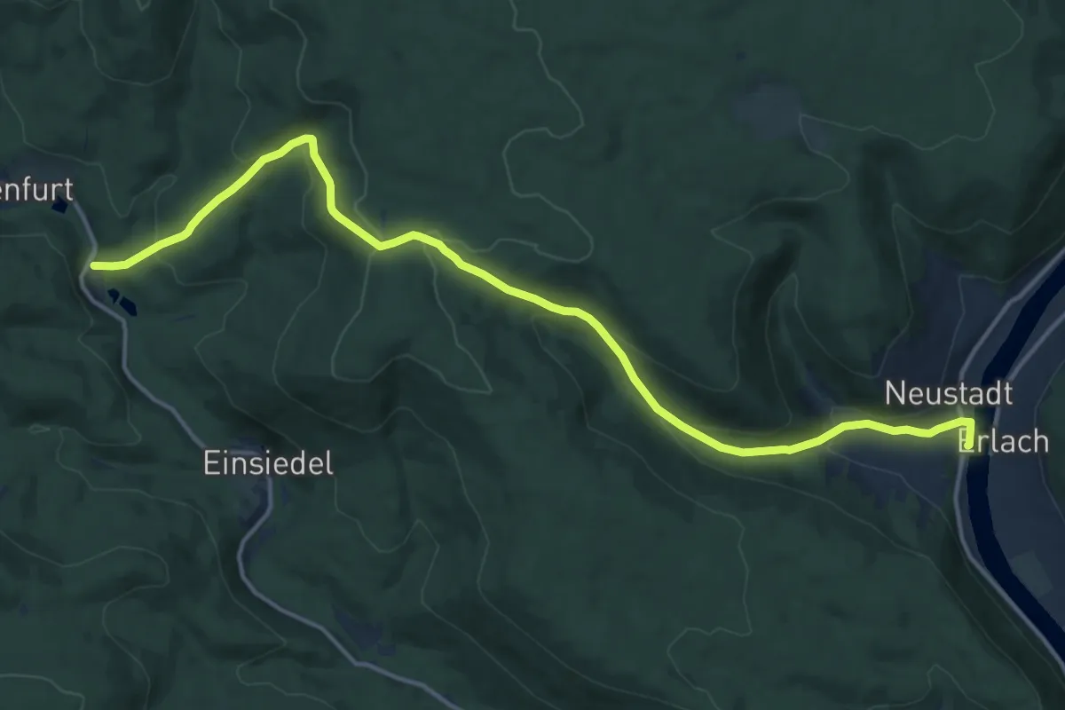
Medium · Trail
Gebietswanderweg Rotes Dreieck, Hafenlohrtal Forsthaus Diana - Neustadt am Main
15.3 km · ↑ 628 m · 4 h 58 min
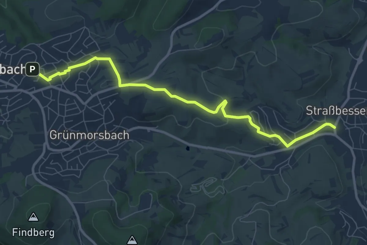
Easy · Trail
Gebietswanderweg Rotes Dreieck: Haibach -> Straßbessenbach
7.6 km · ↑ 155 m · 2 h 8 min
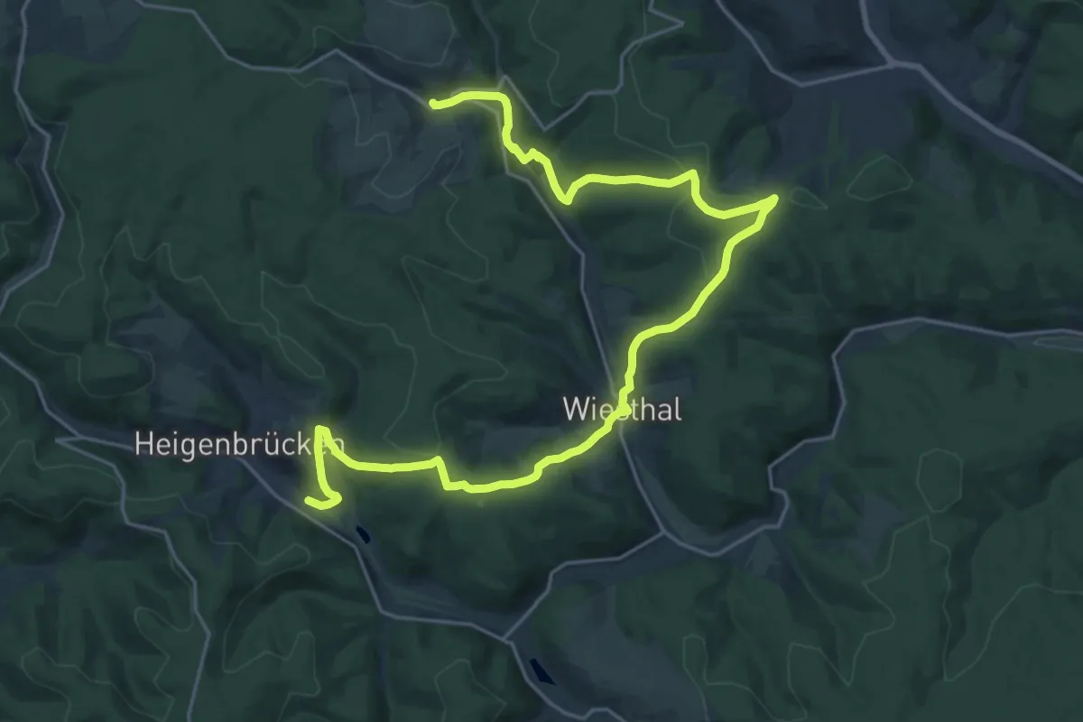
Demanding · Trail
Gebietswanderweg Rotes Dreieck: Heigenbrücken - Habichtstal
26.3 km · ↑ 763 m · 7 h 52 min
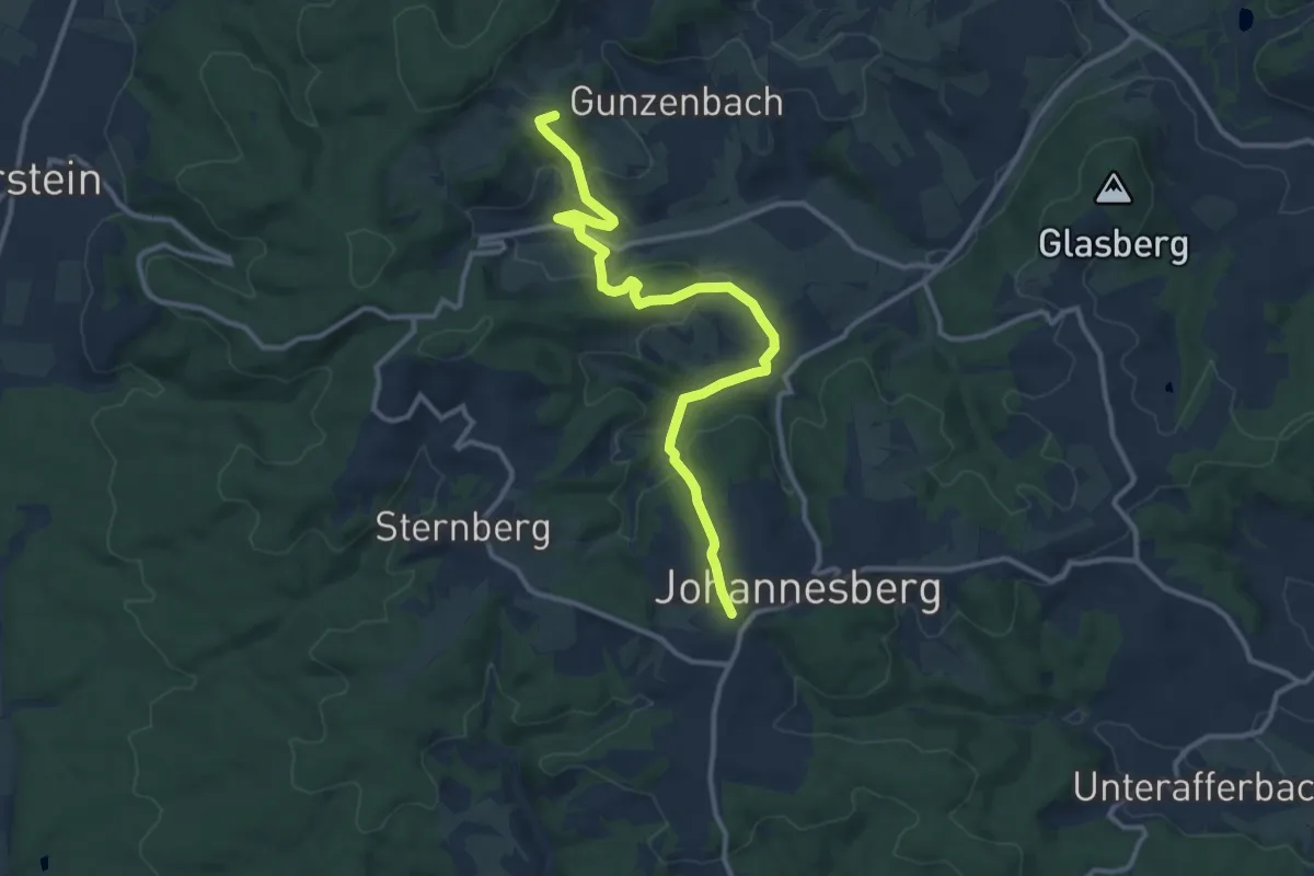
Medium · Summit
Gebietswanderweg Rotes Dreieck: Hohl => Johannesberg
11.6 km · ↑ 429 m · 3 h 40 min
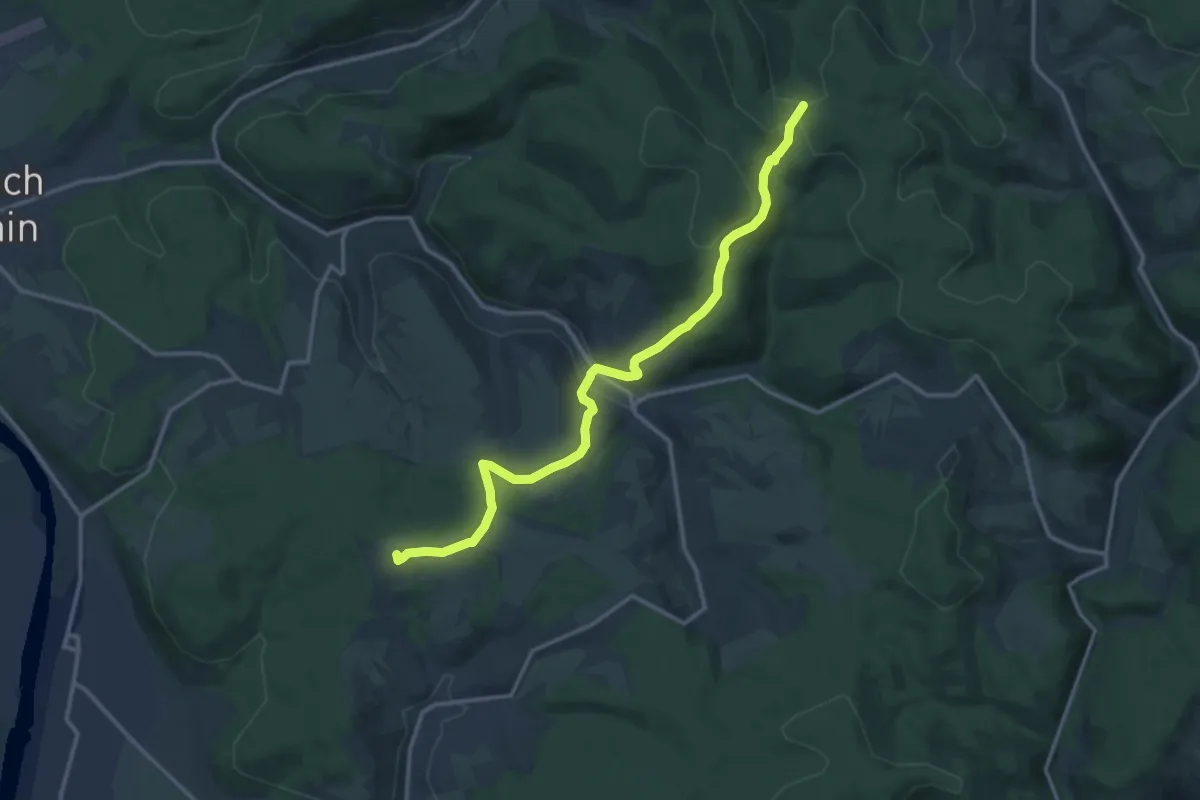
Medium · Summit
Gebietswanderweg Rotes Dreieck, Kleinwallstadt - Hohe Wart
13.5 km · ↑ 390 m · 4 h 2 min
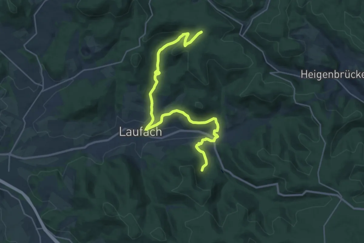
Demanding · Trail
Gebietswanderweg Rotes Dreieck: Laufach -> Hain
18.9 km · ↑ 599 m · 5 h 45 min
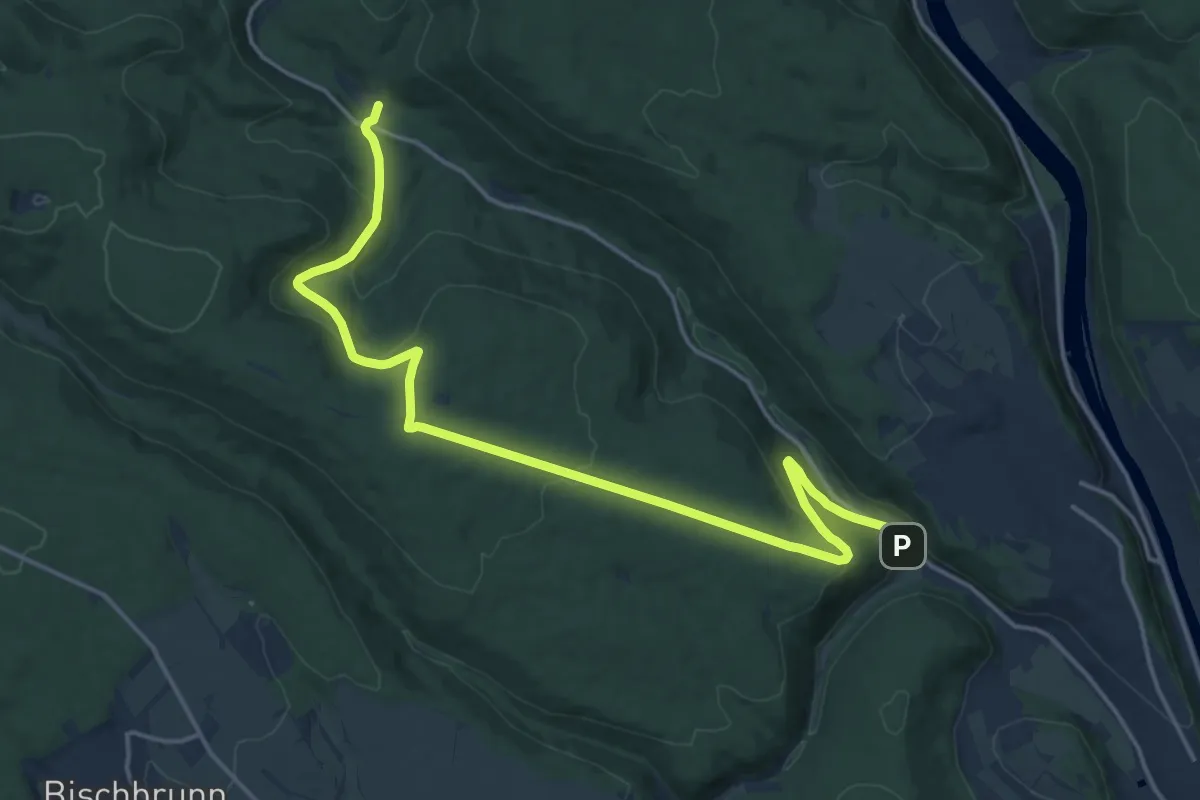
Demanding · Trail
Gebietswanderweg Rotes Dreieck, Lindenfurter Hof - Windheim Zeltplatz
18.1 km · ↑ 513 m · 5 h 22 min
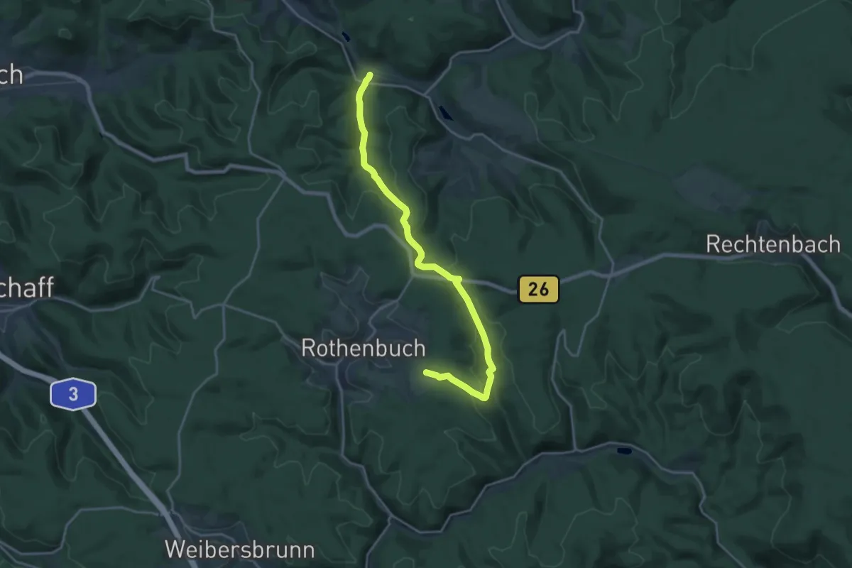
Medium · Trail
Gebietswanderweg Rotes Dreieck Lohrbach - Bomigsee
17.4 km · ↑ 437 m · 5 h 3 min
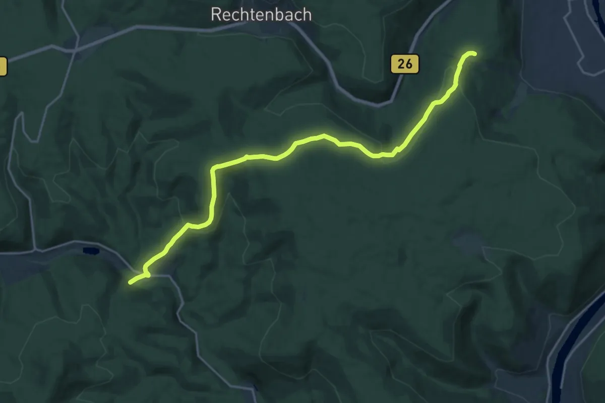
Medium · Trail
Gebietswanderweg Rotes Dreieck, Lohr - Erlenfurt
16.5 km · ↑ 554 m · 5 h 6 min
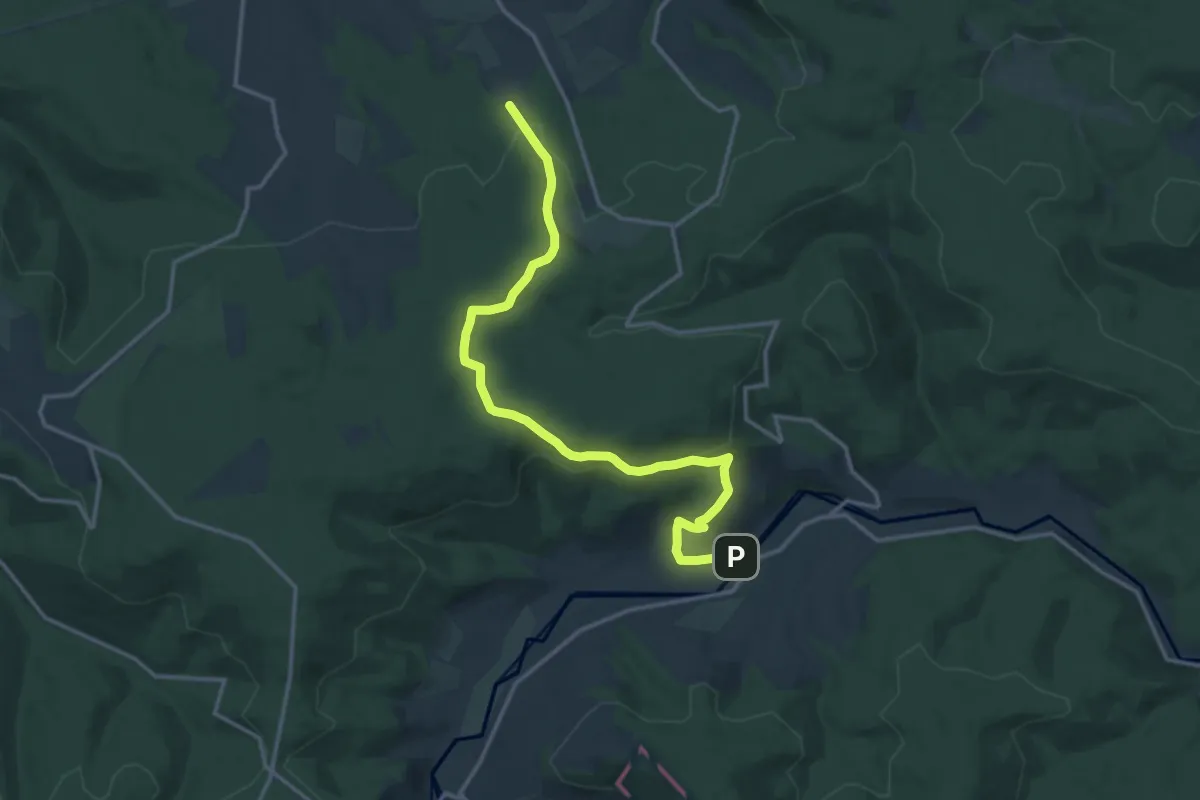
Medium · Trail
Gebietswanderweg Rotes Dreieck: Marjoß - Zubringer Eselsweg
14.7 km · ↑ 342 m · 4 h 12 min
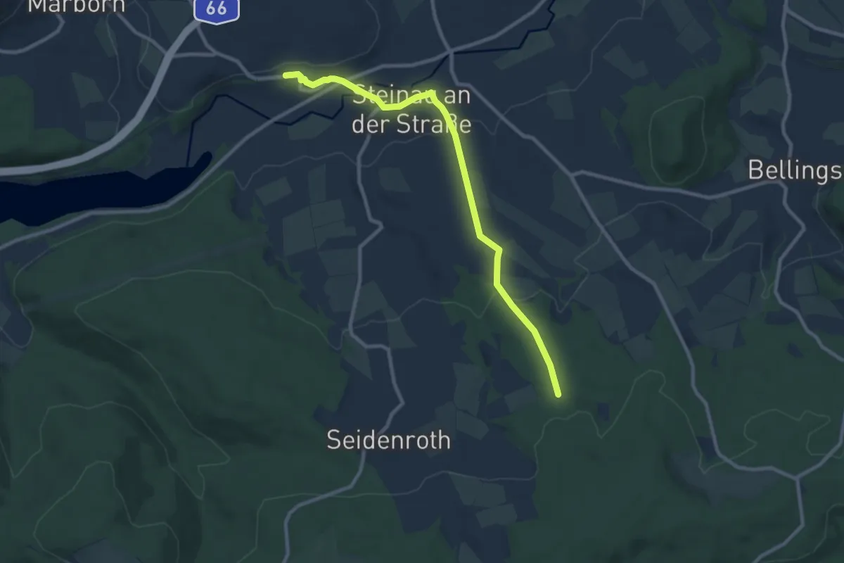
Medium · Trail
Gebietswanderweg Rotes Dreieck, Steinau - Zubringer Eselsweg
8.6 km · ↑ 230 m · 2 h 31 min
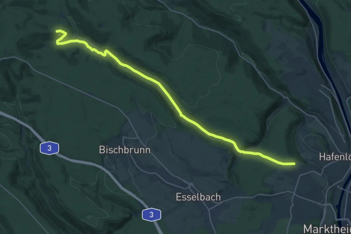
Demanding · Summit
Gebietswanderweg Rotes Dreieck Waldaschaff - Hafenlohr
22.5 km · ↑ 475 m · 6 h 20 min
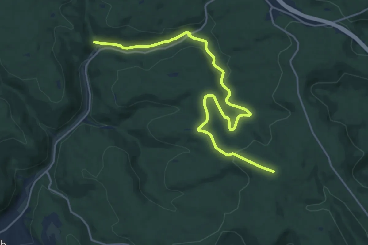
Medium · Summit
Gebietswanderweg Rotes Dreieck, Wasserhaus im Dammbachtal - Kropfbrunn bei Schollbrunn
13.5 km · ↑ 316 m · 3 h 52 min
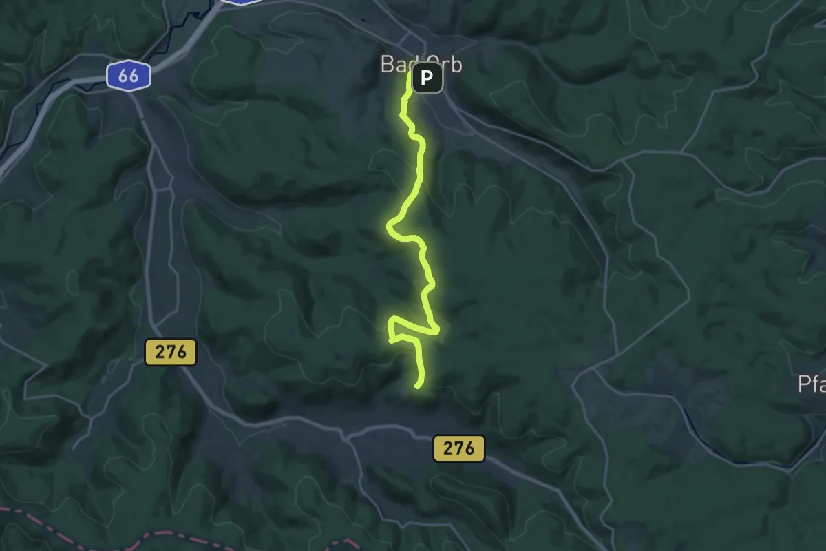
Demanding · Trail
Gebietswanderweg Rotes X, Bad Orb - Bieber
19.0 km · ↑ 515 m · 5 h 37 min
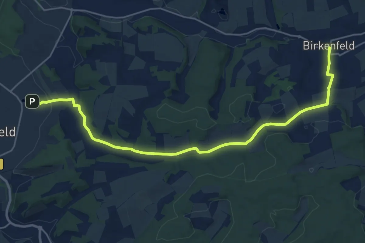
Medium · Trail
Gebietswanderweg Rotes X - Birkenfeld -> Marktheidenfeld
15.4 km · ↑ 198 m · 4 h 3 min
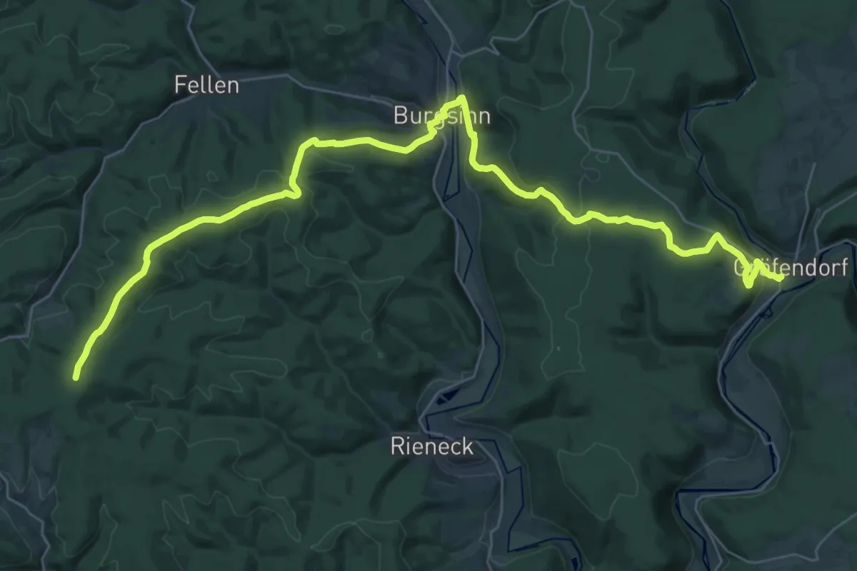
Demanding · Summit
Gebietswanderweg Rotes X, Burgsinn - Bayerische Schanz
39.7 km · ↑ 865 m · 11 h 15 min
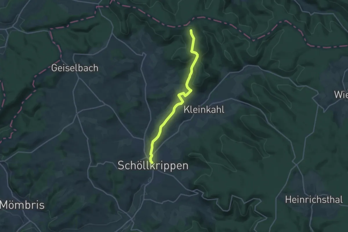
Medium · Summit
Gebietswanderweg Rotes X: Eidengesäß => Schöllkrippen
14.5 km · ↑ 296 m · 4 h 4 min
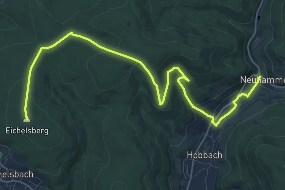
Medium · Summit
Gebietswanderweg Rotes X, Elsenfeld Bhf. - Hobbach Neuhammer
13.5 km · ↑ 359 m · 3 h 58 min
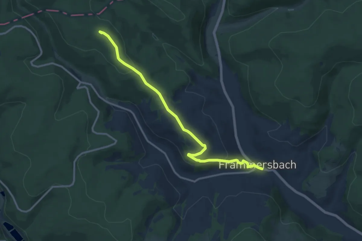
Medium · Summit
Gebietswanderweg Rotes X: Frammersbach - Mosborn
8.4 km · ↑ 208 m · 2 h 26 min
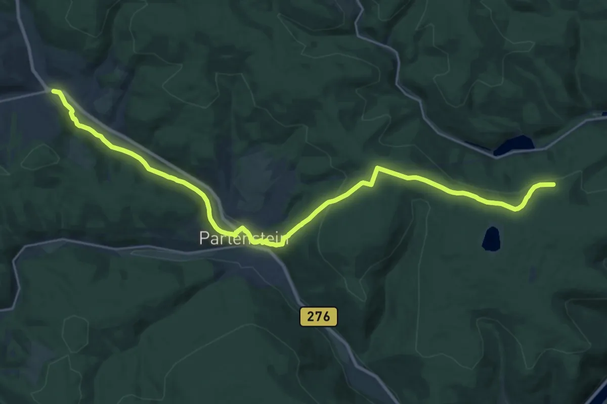
Demanding · Trail
Gebietswanderweg Rotes X, Frammersbach - Partenstein - Langenprozelten Kraftwerk
22.9 km · ↑ 530 m · 6 h 33 min
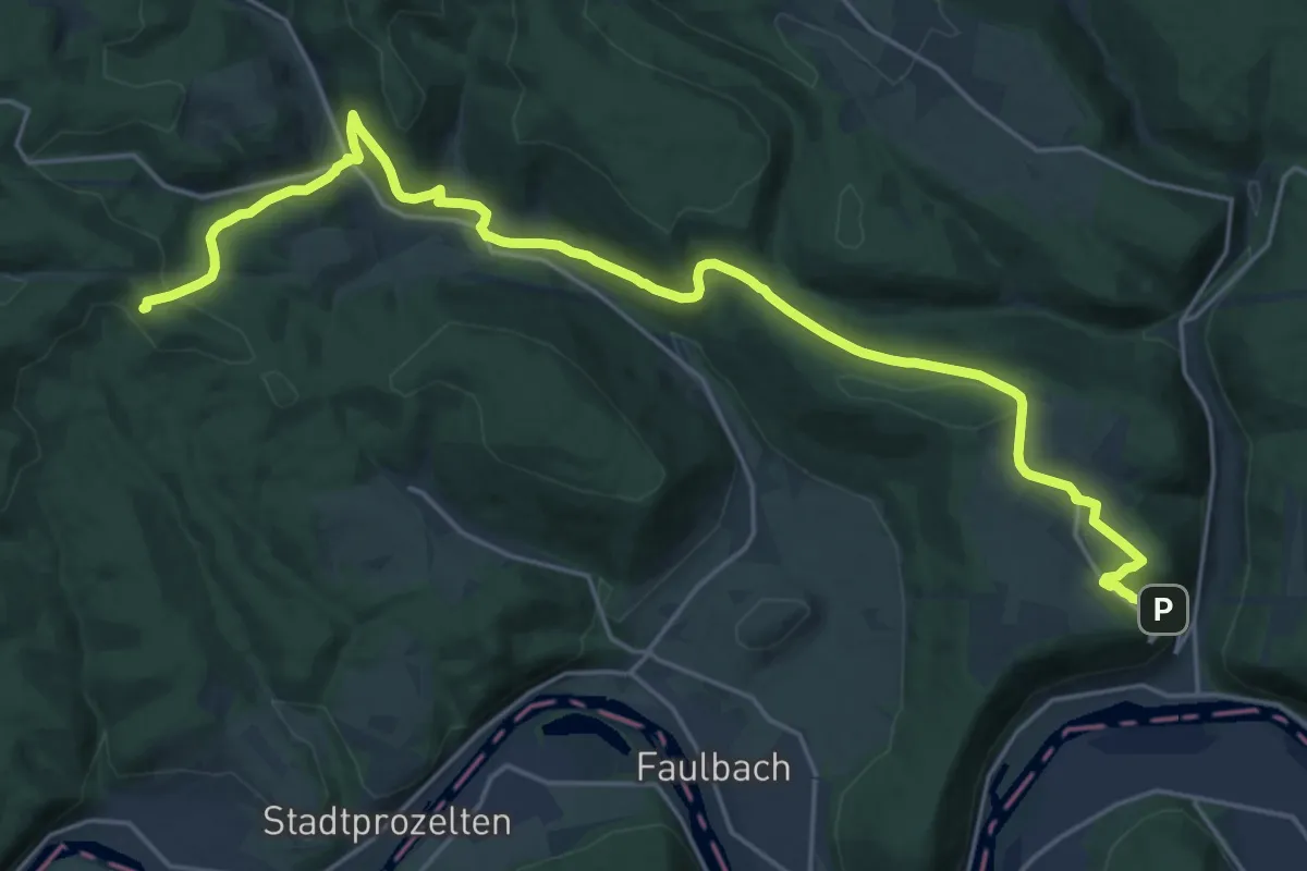
Demanding · Trail
Gebietswanderweg Rotes X, Hasloch - Altenbuch (Eselsweg)
24.2 km · ↑ 722 m · 7 h 16 min