Trails in Germany
36,852 hiking trails, each with its route, climb, walking time and grade.
All trails, page 168 of 768
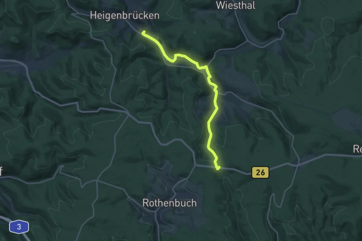
Medium · Trail
Gebietswanderweg Rotes X, Heigenbrücken - Niklaskreuz
15.1 km · ↑ 267 m · 4 h 8 min
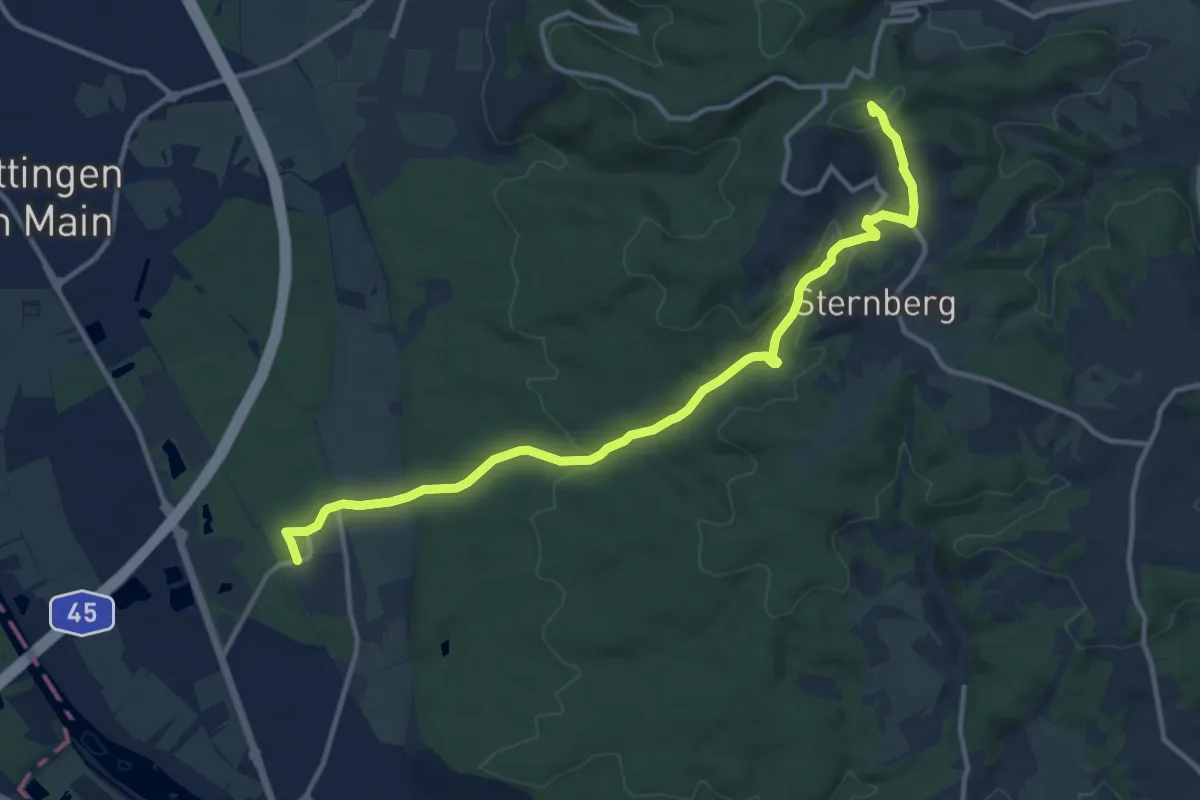
Medium · Summit
Gebietswanderweg Rotes X: Kleinostheim(Wallstadt) - Rückersbach - Wasserlos
12.3 km · ↑ 303 m · 3 h 34 min
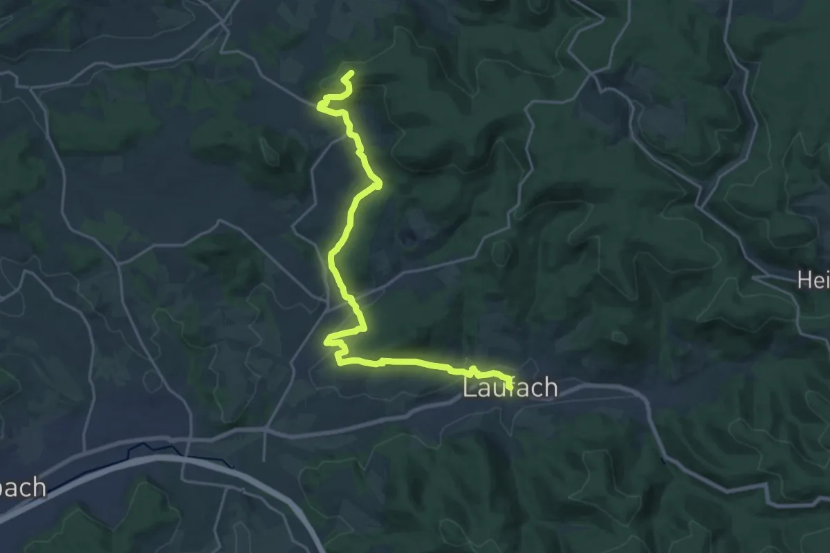
Demanding · Summit
Gebietswanderweg Rotes X: Laufach - Wiesbütt
19.8 km · ↑ 609 m · 5 h 59 min
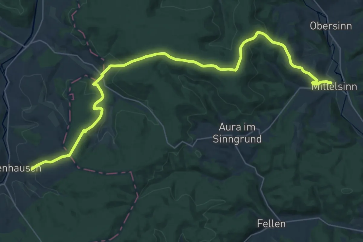
Medium · Trail
Gebietswanderweg Rotes X, Mittelsinn - Wegscheid
14.2 km · ↑ 308 m · 4 h 19 min
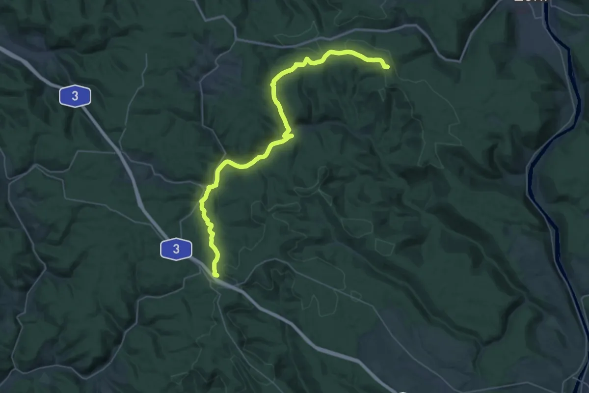
Demanding · Summit
Gebietswanderweg Rotes X - Rohrbrunn - Löwensteinscher Park - Wachenmühlen
33.3 km · ↑ 702 m · 9 h 23 min
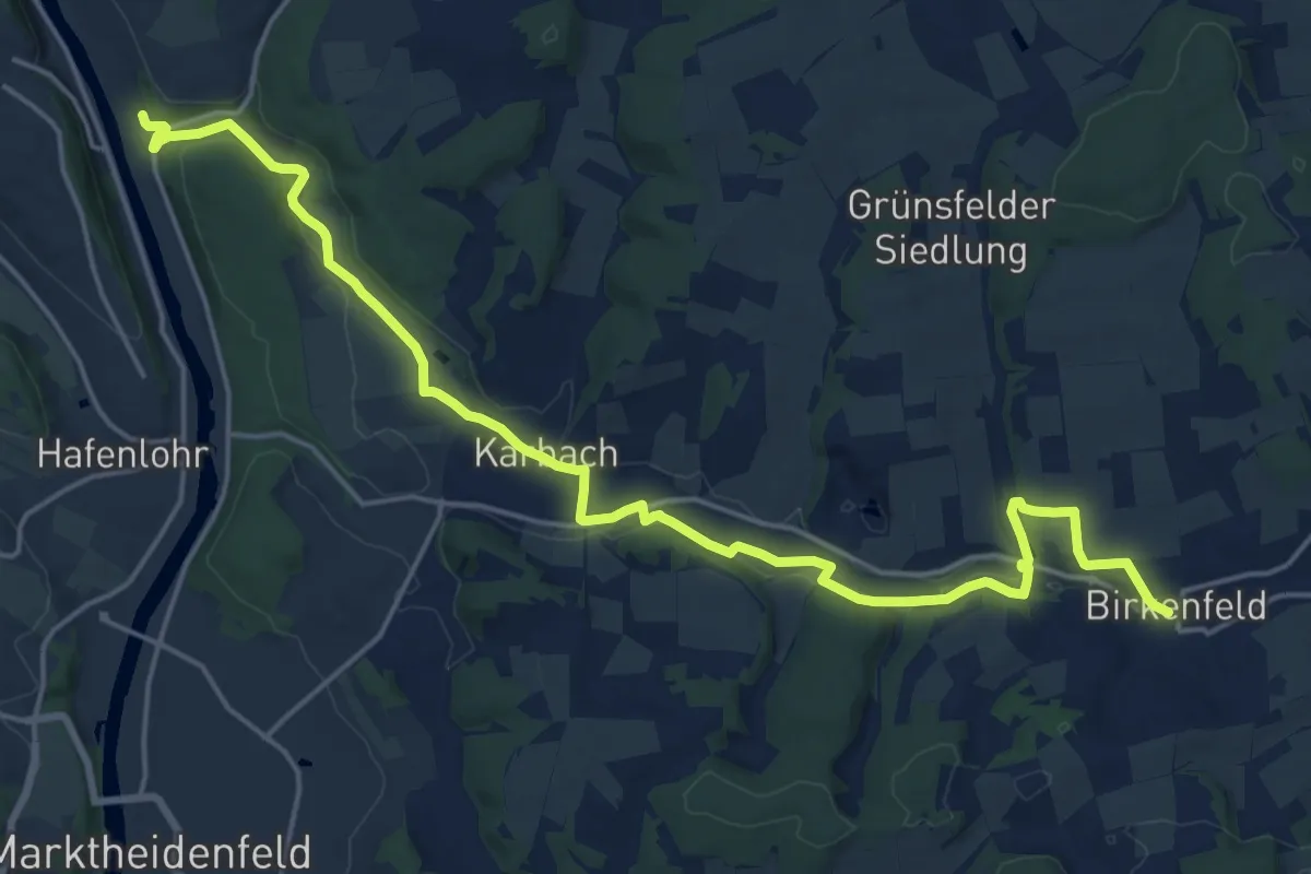
Demanding · Trail
Gebietswanderweg Rotes X - Zimmern ->| Karbach -> Birkenfeld
20.9 km · ↑ 265 m · 5 h 31 min
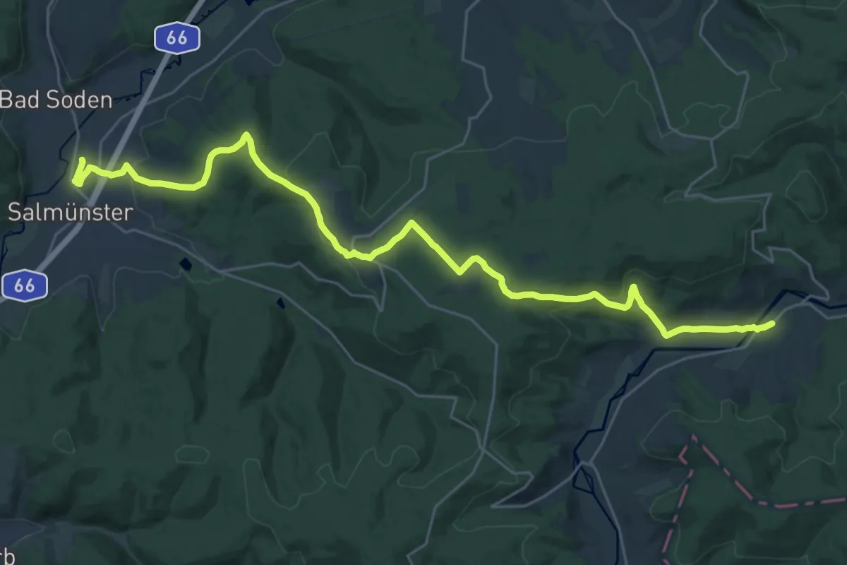
Medium · Trail
Gebietswanderweg: Salmünster => Marjoß
14.4 km · ↑ 357 m · 4 h 19 min
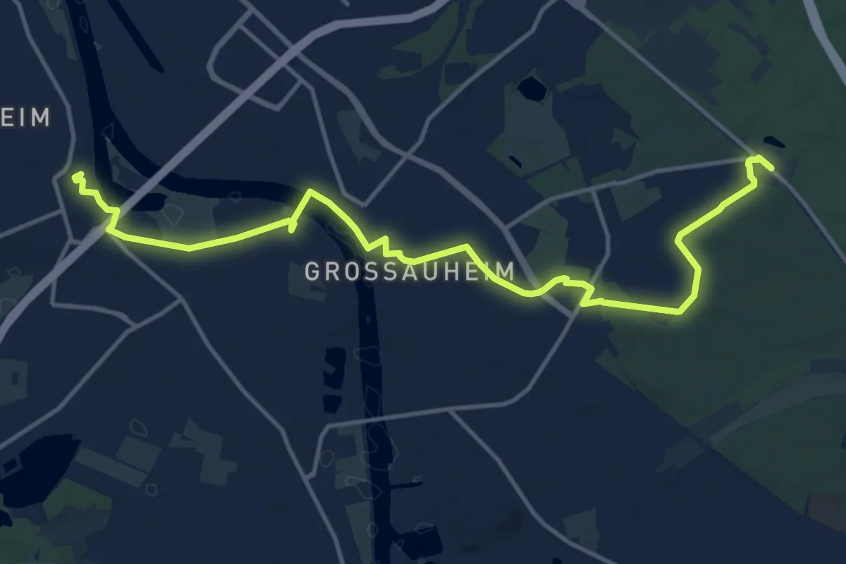
Medium · Trail
Gebietswanderweg: Steinheim => Großauheim
13.7 km · ↑ 22 m · 3 h 17 min
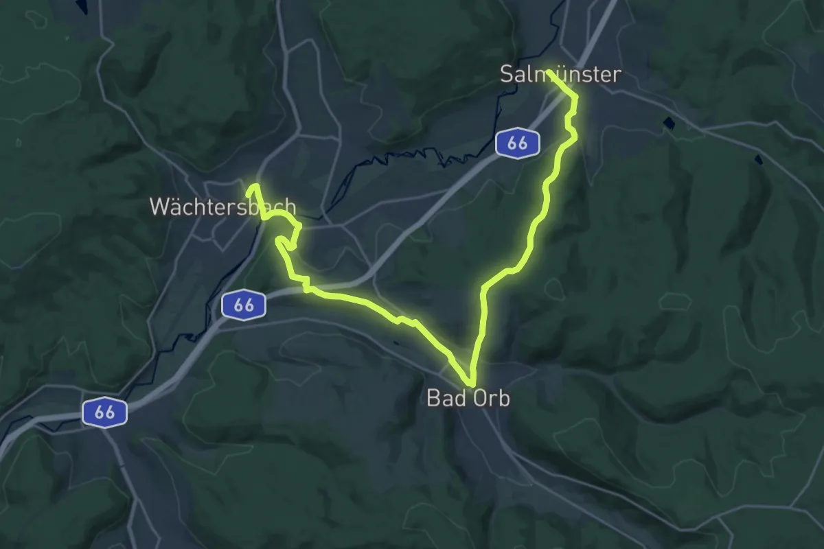
Demanding · Trail
Gebietswanderweg: Wächtersbach => Salmünster
25.3 km · ↑ 562 m · 7 h 12 min
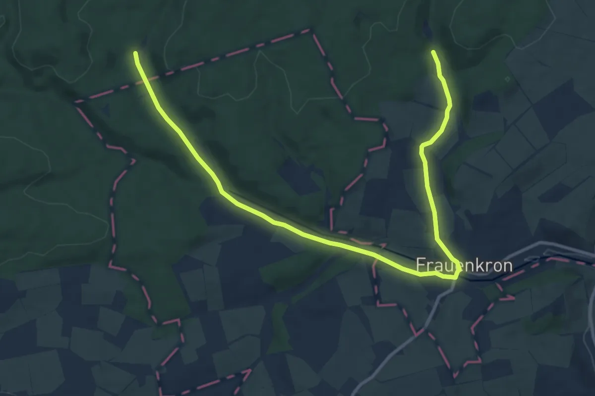
Medium · Trail
Gebirgsstelzen- und Schwarzstorchpfad
11.3 km · ↑ 104 m · 2 h 54 min
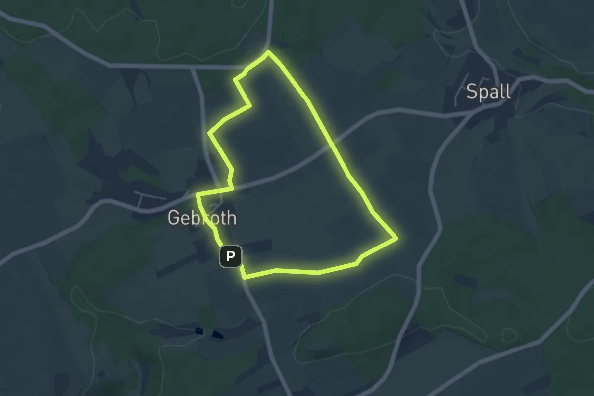
Easy · Trail
Gebrother Obstweg
3.7 km · ↑ 34 m · 1 h
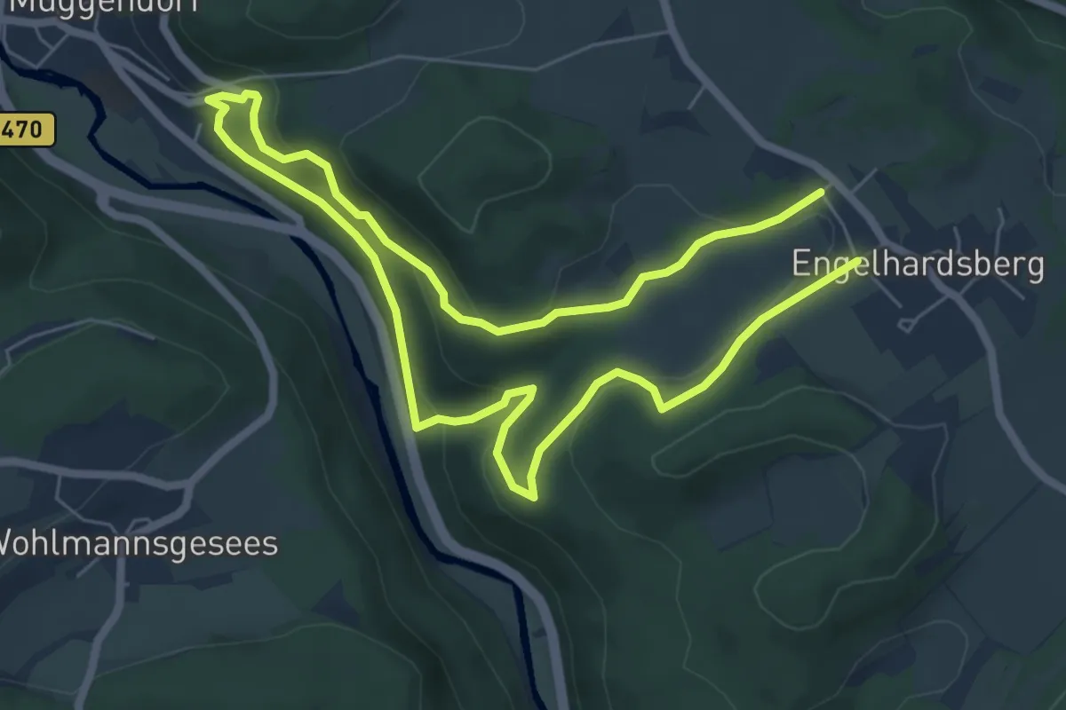
Easy · Trail
Gebürgsweg
5.3 km · ↑ 236 m · 1 h 49 min
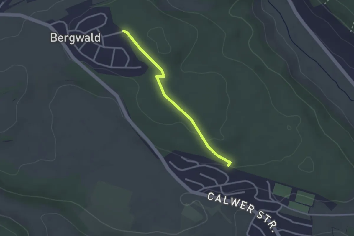
Easy · Trail
Gechingen - Dachtel
2.2 km · ↑ 34 m · 35 min
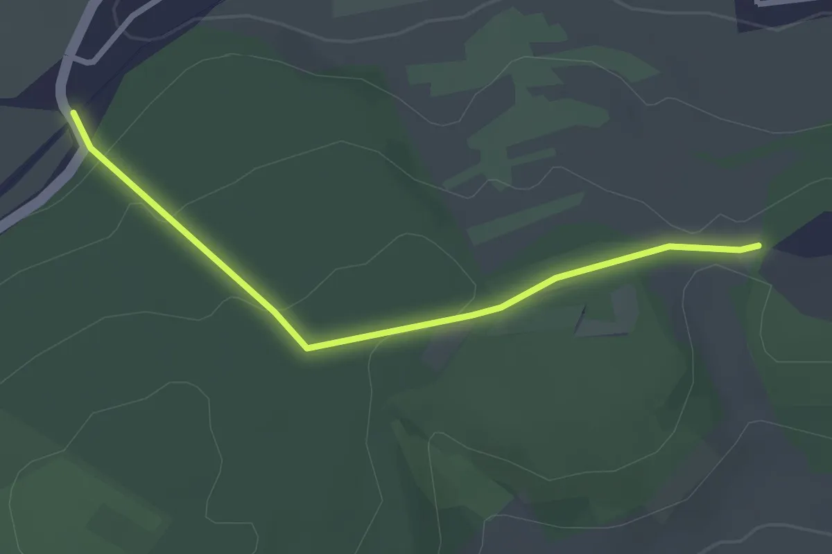
Easy · Trail
Gechingen Feuchtbiotop - Zimmerplatz
2.5 km · ↑ 75 m · 45 min
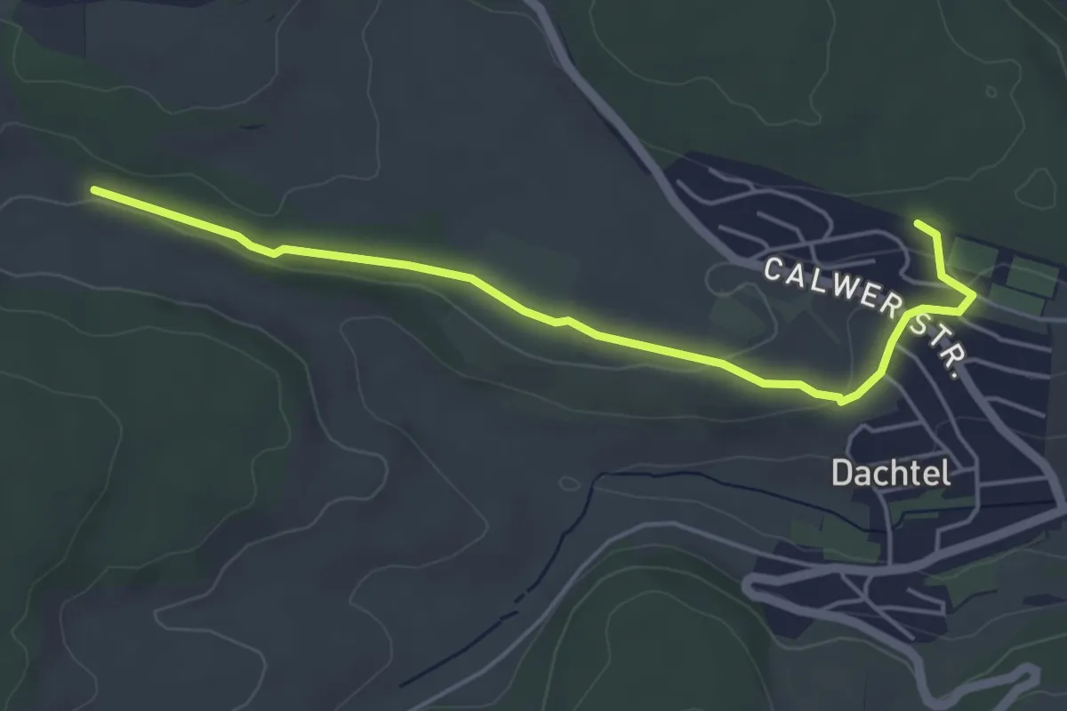
Easy · Trail
Gechingen Hülsental - Deufringen Sportheim
4.7 km · ↑ 123 m · 1 h 23 min
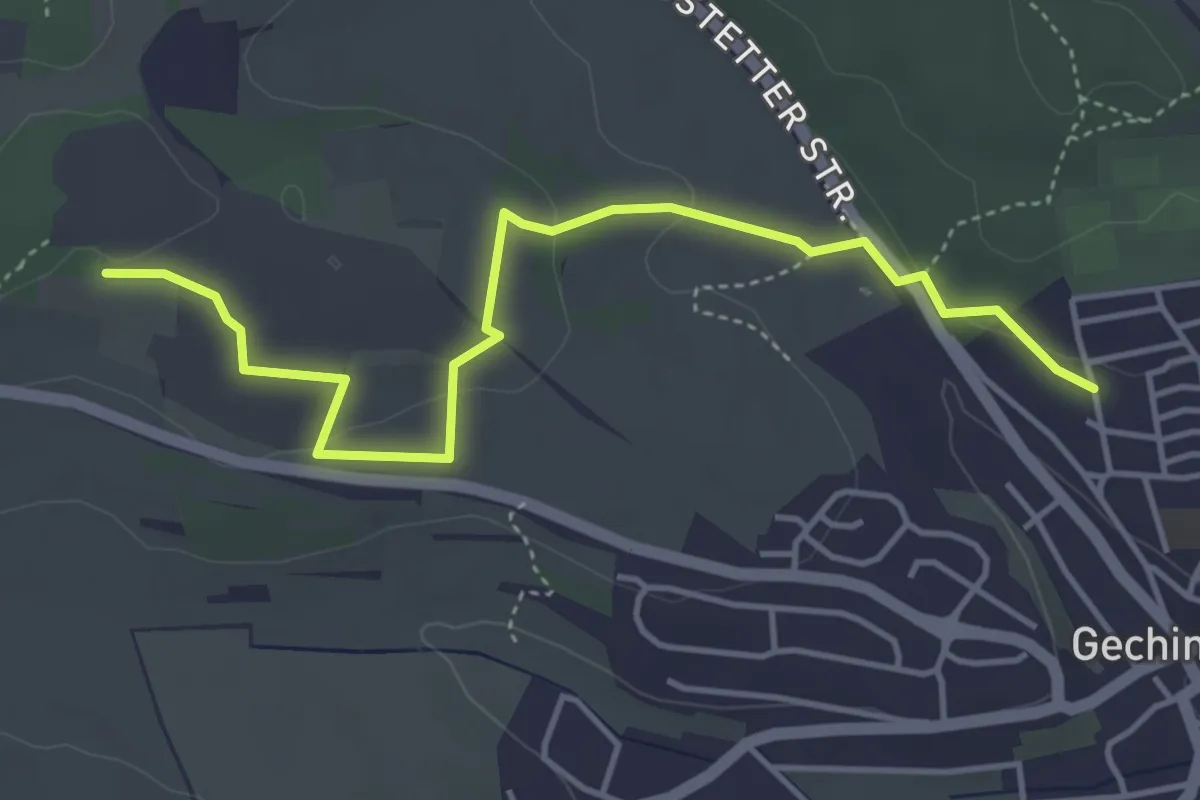
Easy · Trail
Gechingen Tulpenweg - Hirschgehege
4.5 km · ↑ 86 m · 1 h 16 min
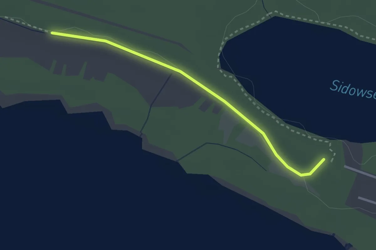
Medium · Trail
Gedenkstättenweg
2.3 km · ↑ 4 m · 34 min
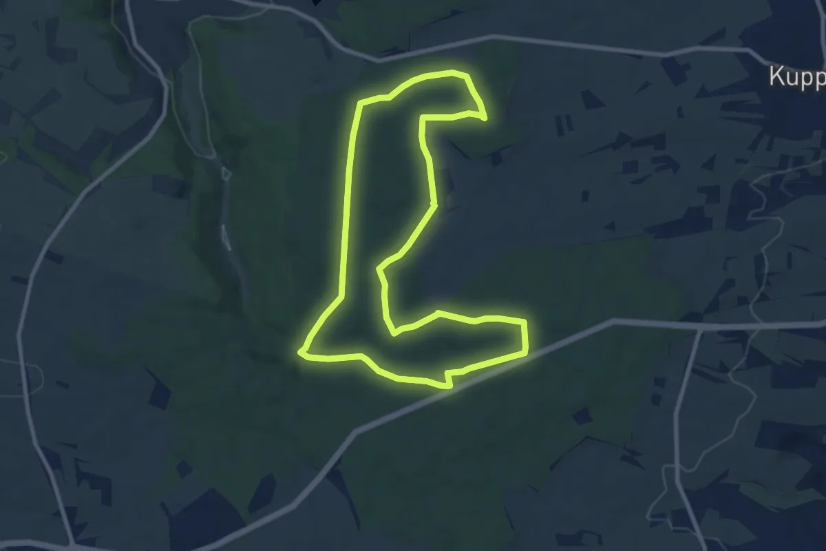
Easy · Trail
Gedenkstein Route
7.7 km · ↑ 82 m · 2 h 6 min
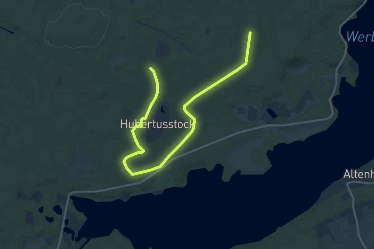
Easy · Trail
Gedenksteinwanderweg
5.0 km · ↑ 43 m · 1 h 20 min
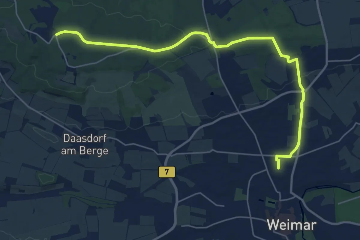
Demanding · Trail
Gedenkweg Buchenwaldbahn
18.6 km · ↑ 245 m · 4 h 56 min
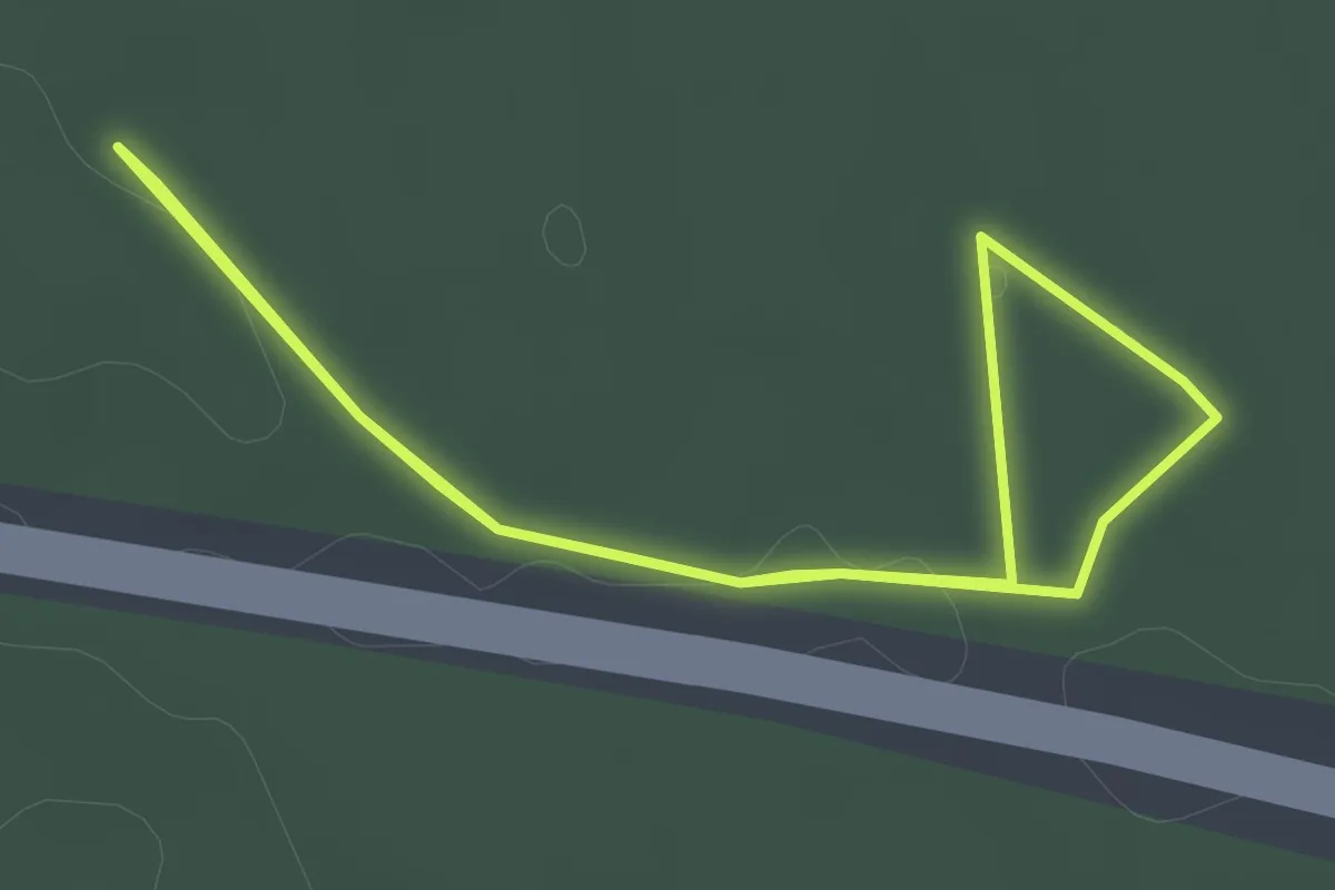
Easy · Trail
Gedenkweg Kuno
2.2 km · ↑ 9 m · 34 min
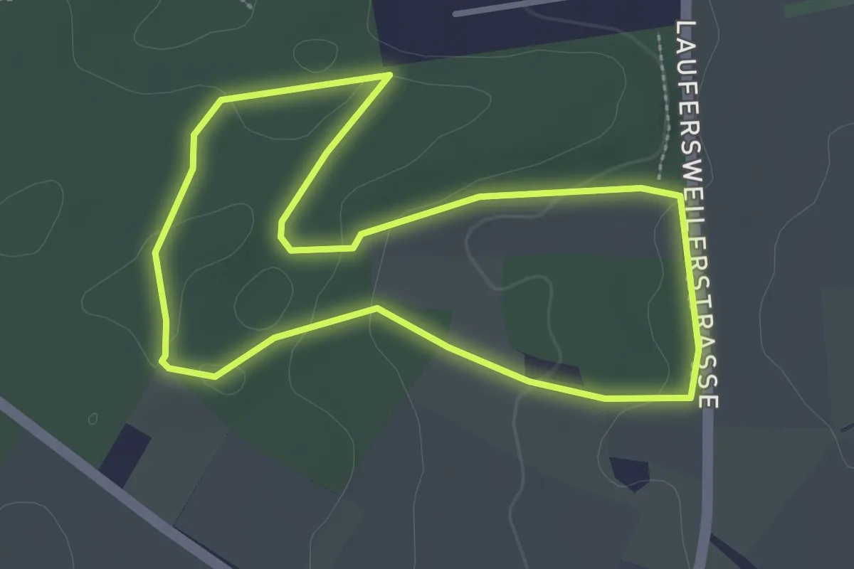
Easy · Trail
Gedichte Pfad Sohren
2.6 km · ↑ 48 m · 46 min
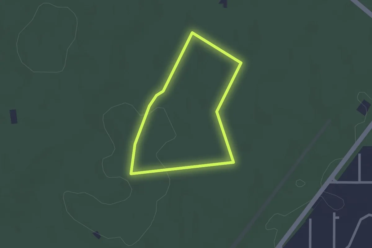
Easy · Trail
Gedichtpfad
1.6 km · ↑ 4 m · 24 min
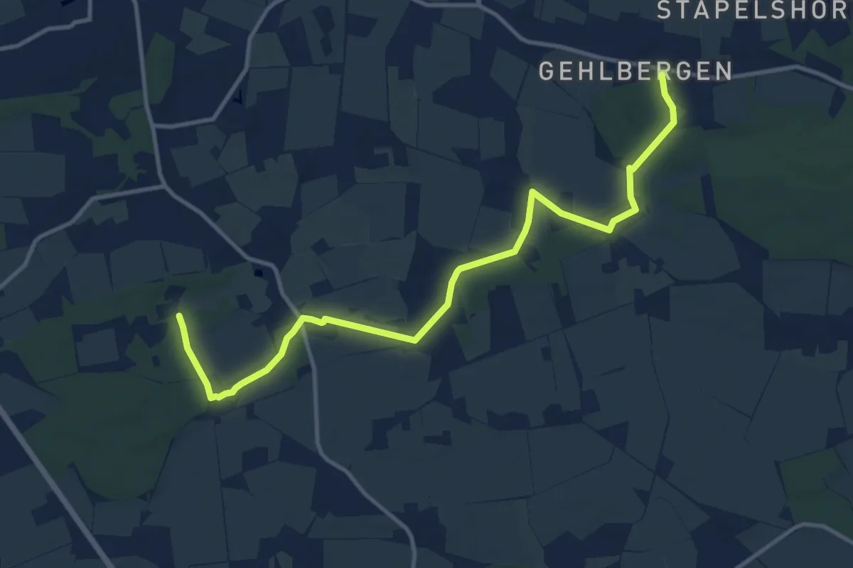
Medium · Trail
Geestrandweg
10.9 km · ↑ 133 m · 2 h 52 min
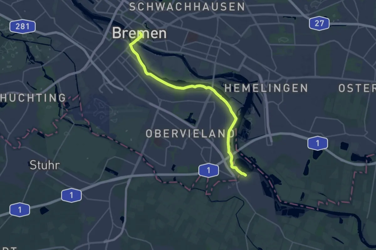
Demanding · Trail
Geestweg
18.6 km · ↑ 47 m · 4 h 30 min
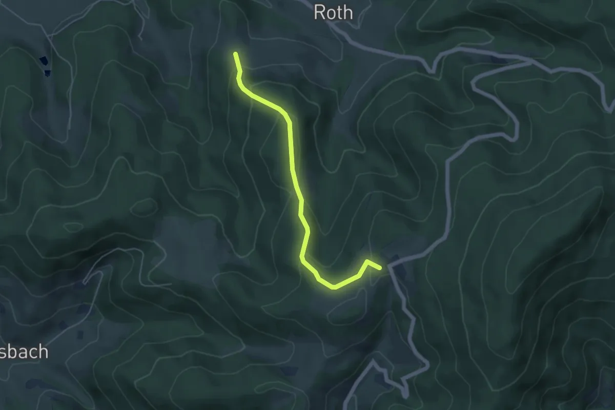
Easy · Trail
Gefäll - Nillhöfe
4.5 km · ↑ 255 m · 1 h 36 min
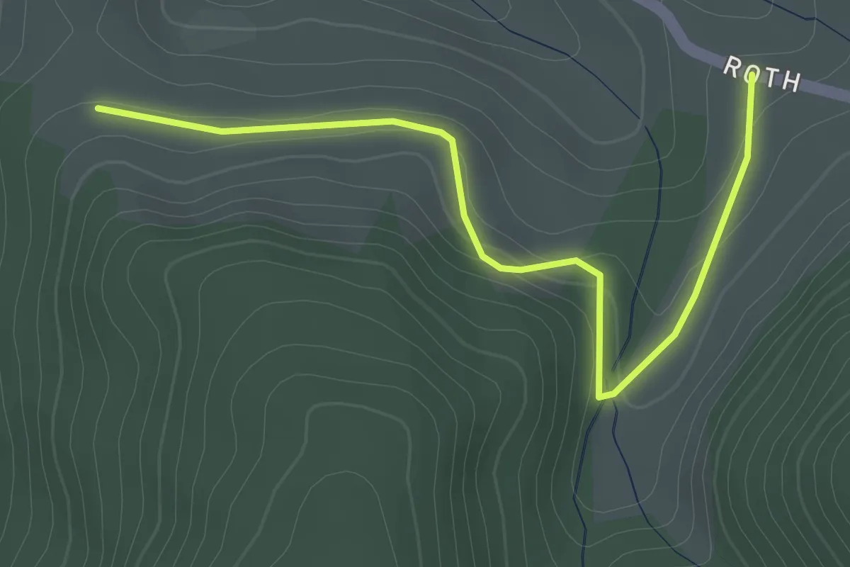
Easy · Trail
Gefäll - Roth
2.9 km · ↑ 92 m · 52 min
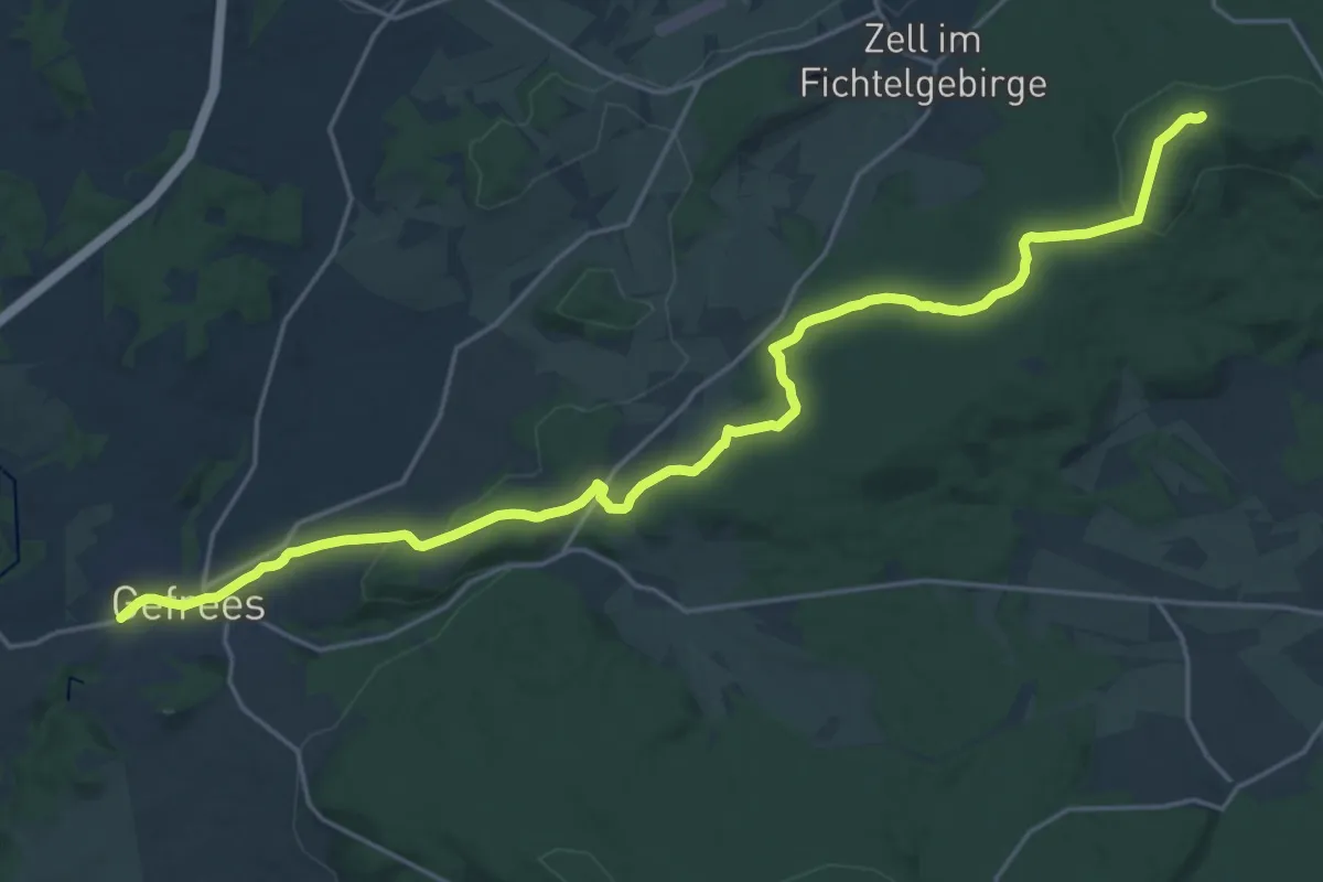
Demanding · Trail
Gefrees-Großer Waldstein
22.5 km · ↑ 472 m · 6 h 20 min
Easy · Trail
Gefrees Rundwanderweg Nr. 1
4.7 km · ↑ 123 m · 1 h 27 min
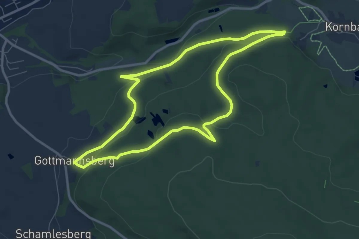
Easy · Trail
Gefrees Rundwanderweg Nr. 2
6.4 km · ↑ 162 m · 1 h 57 min
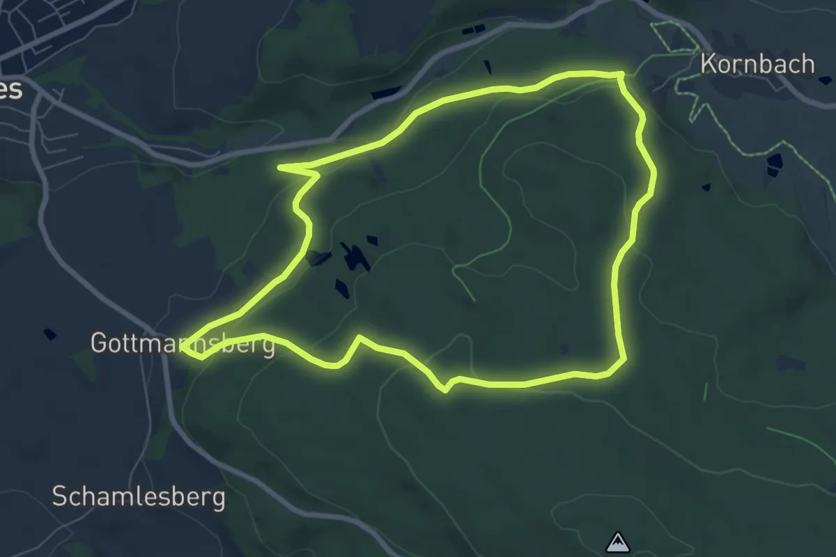
Easy · Trail
Gefrees Rundwanderweg Nr. 3
6.9 km · ↑ 212 m · 2 h 11 min
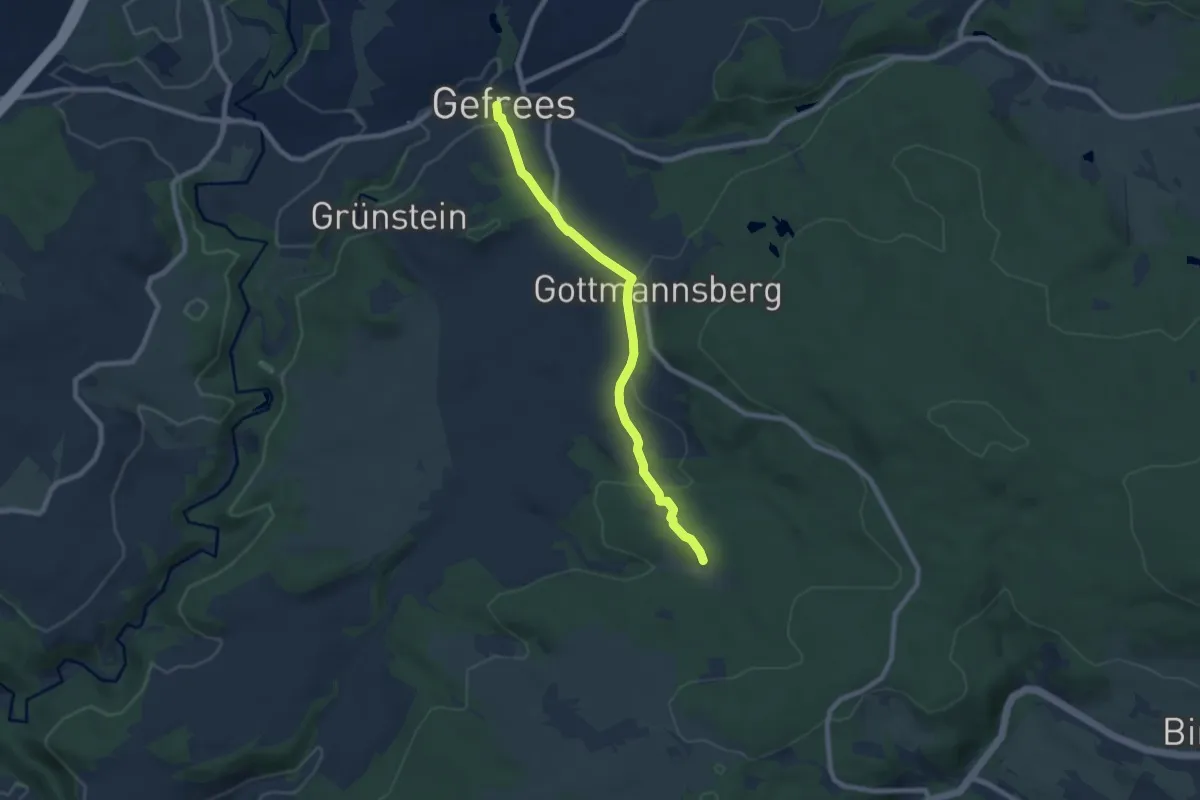
Easy · Trail
Gefrees-Schweinsbach
7.2 km · ↑ 209 m · 2 h 8 min
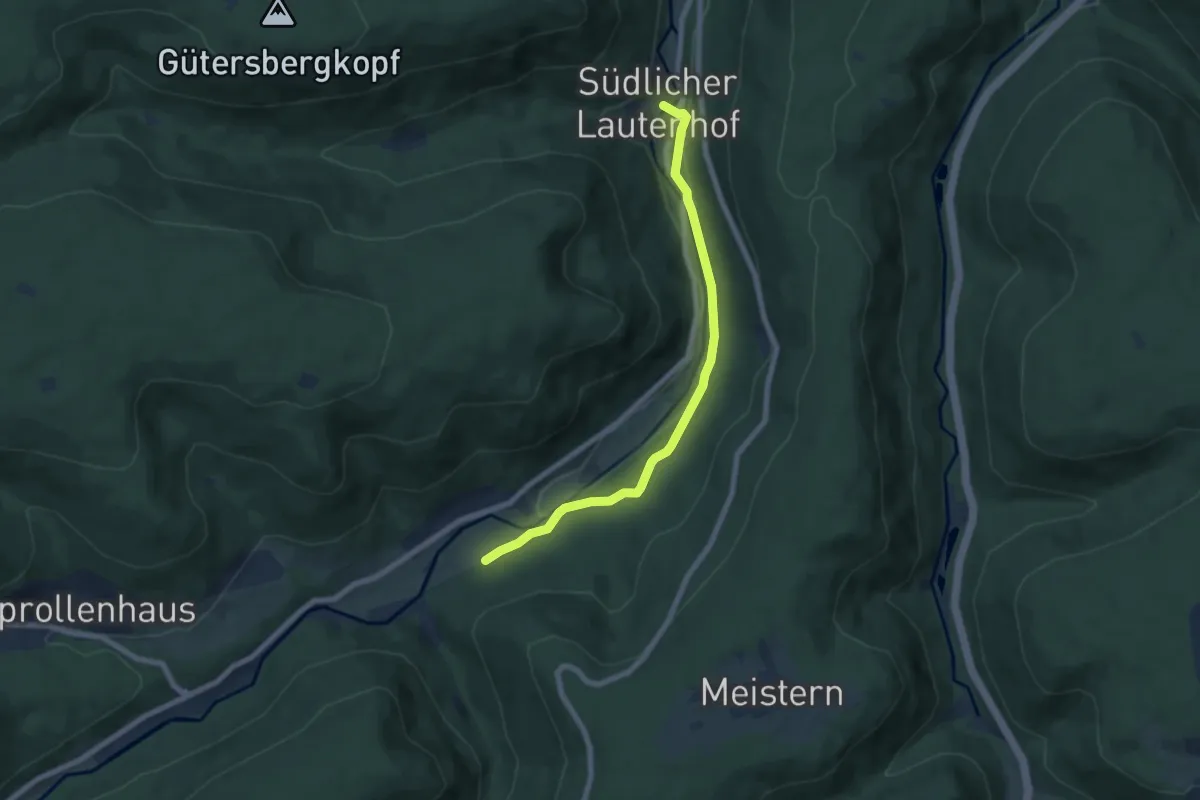
Easy · Trail
Gegenüber Christophshof - Lautenhof
6.5 km · ↑ 129 m · 1 h 48 min
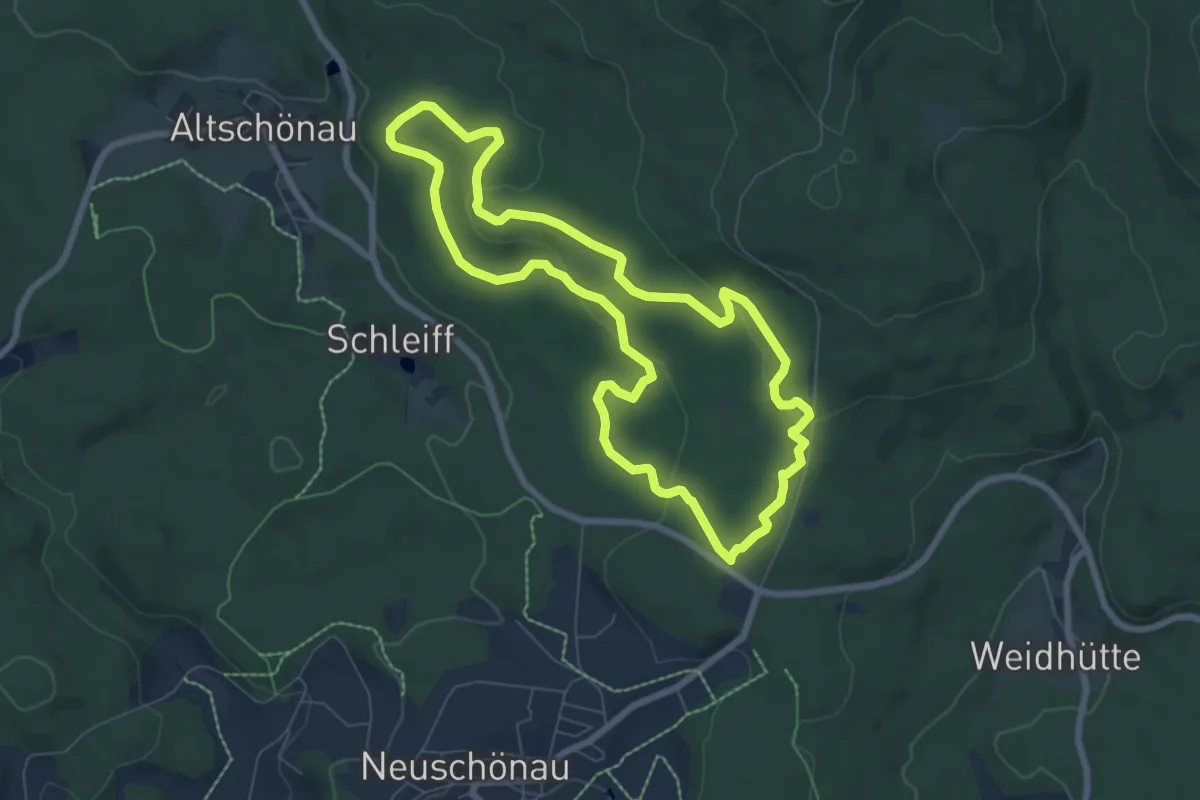
Easy · Summit
Gehegerundweg
6.7 km · ↑ 136 m · 1 h 58 min
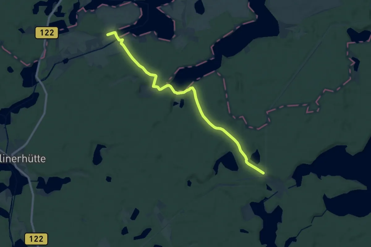
Medium · Trail
Geheimnisvolle Moore
14.2 km · ↑ 119 m · 3 h 36 min
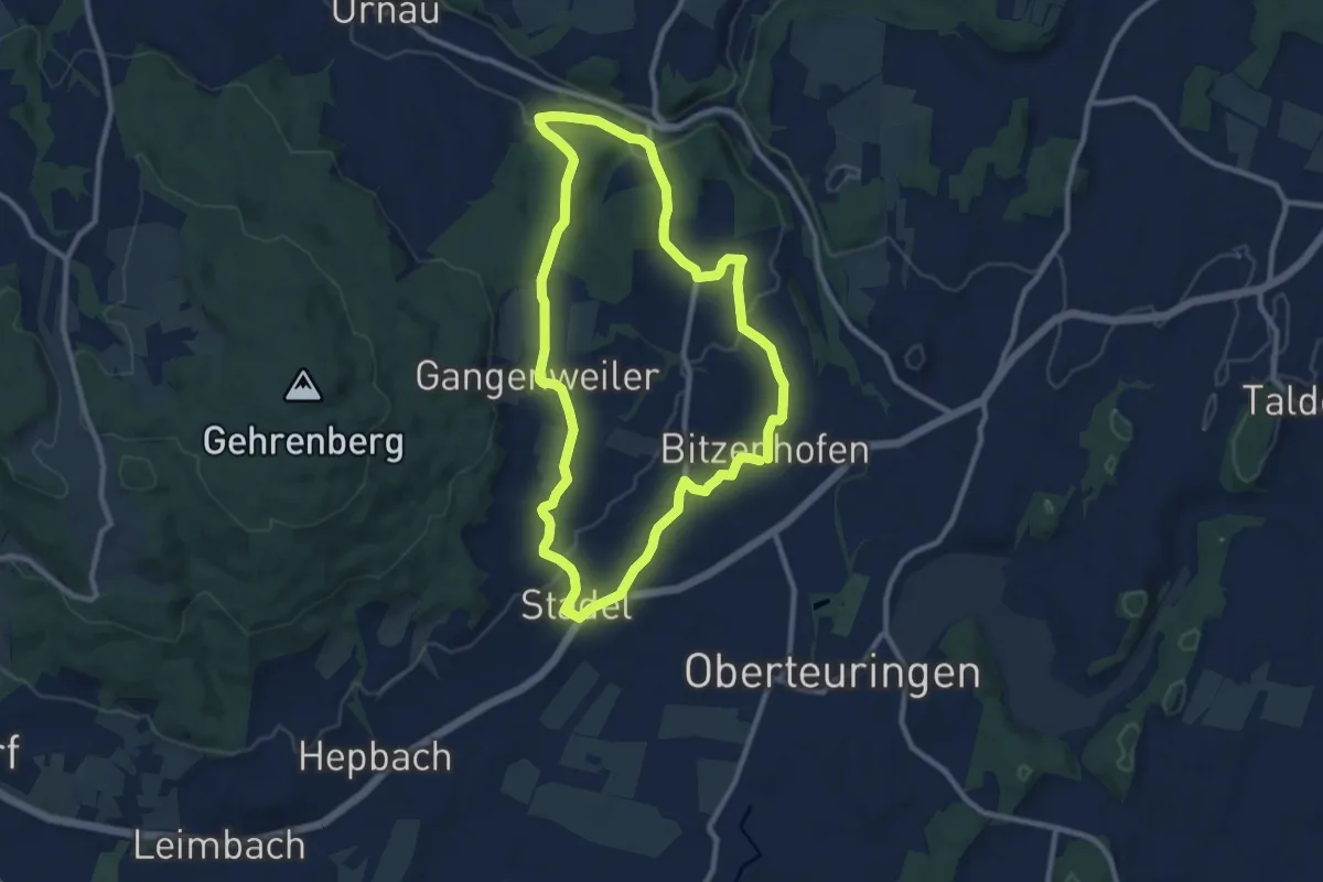
Medium · Trail
Gehrenbergweg
9.1 km · ↑ 167 m · 2 h 38 min
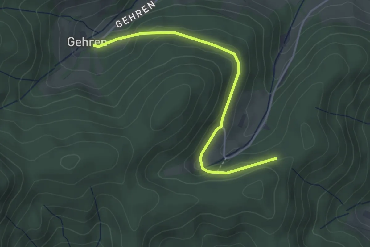
Easy · Trail
Gehrenhöfe - Im Branden
3.7 km · ↑ 87 m · 1 h 3 min
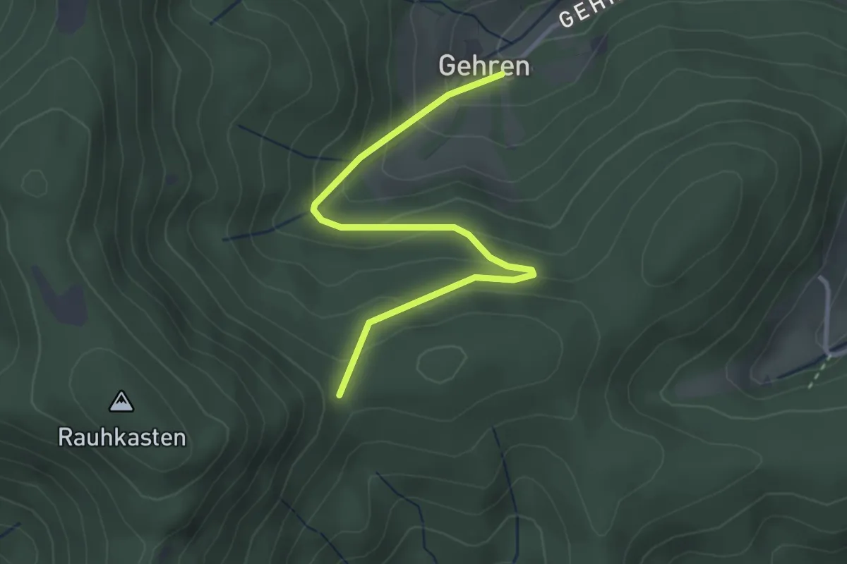
Easy · Trail
Gehrenhöfe - Schönwasen
3.1 km · ↑ 196 m · 1 h 9 min
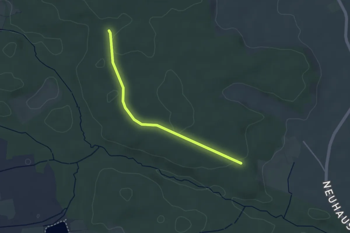
Easy · Trail
Gehrenwald - Bohremerwald
3.0 km · ↑ 36 m · 48 min
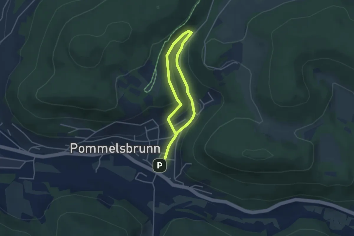
Easy · Trail
Gehrestal-Rundweg
2.3 km · ↑ 109 m · 48 min
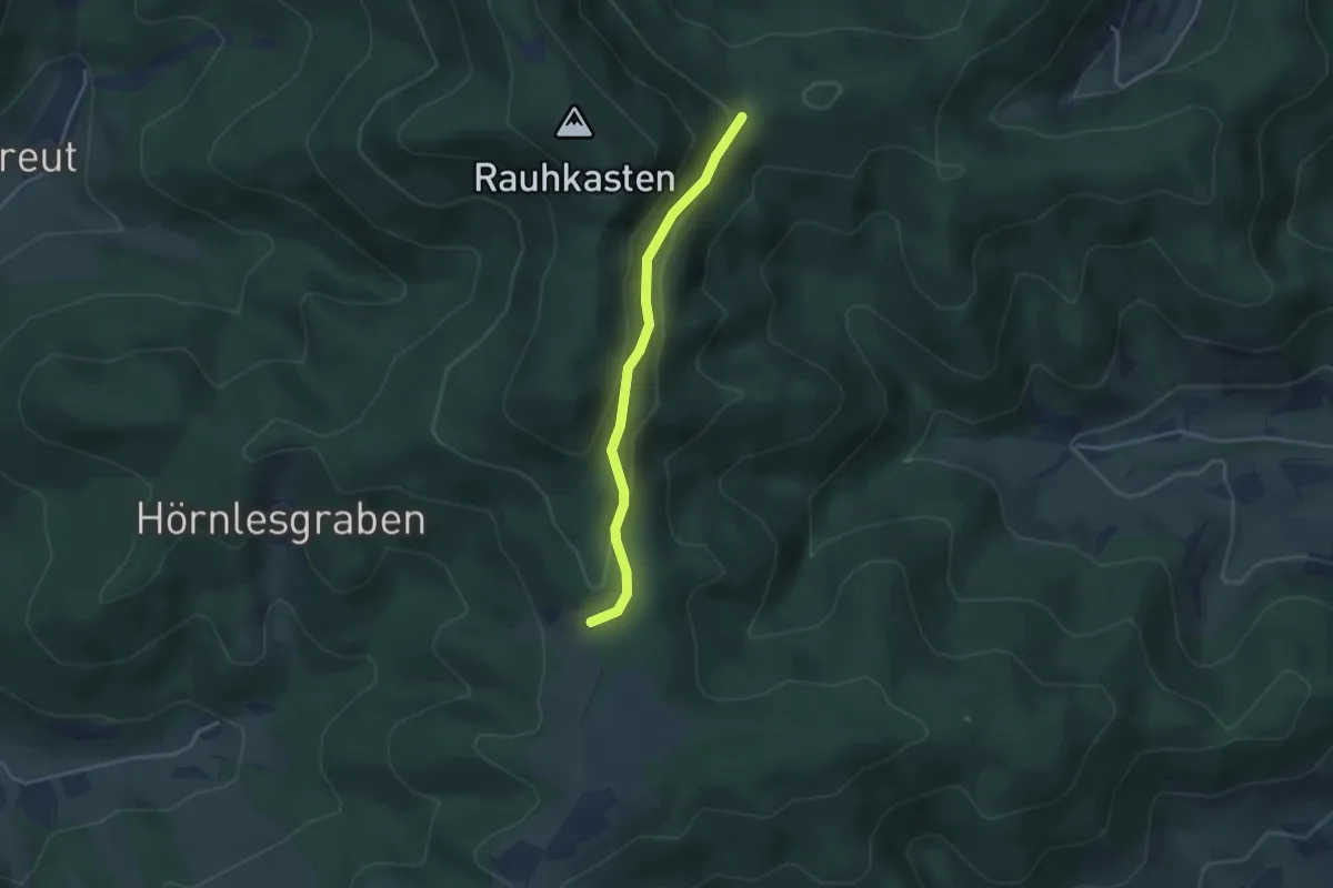
Easy · Trail
Gehringers Halde - Schönwasen
3.1 km · ↑ 124 m · 1 h
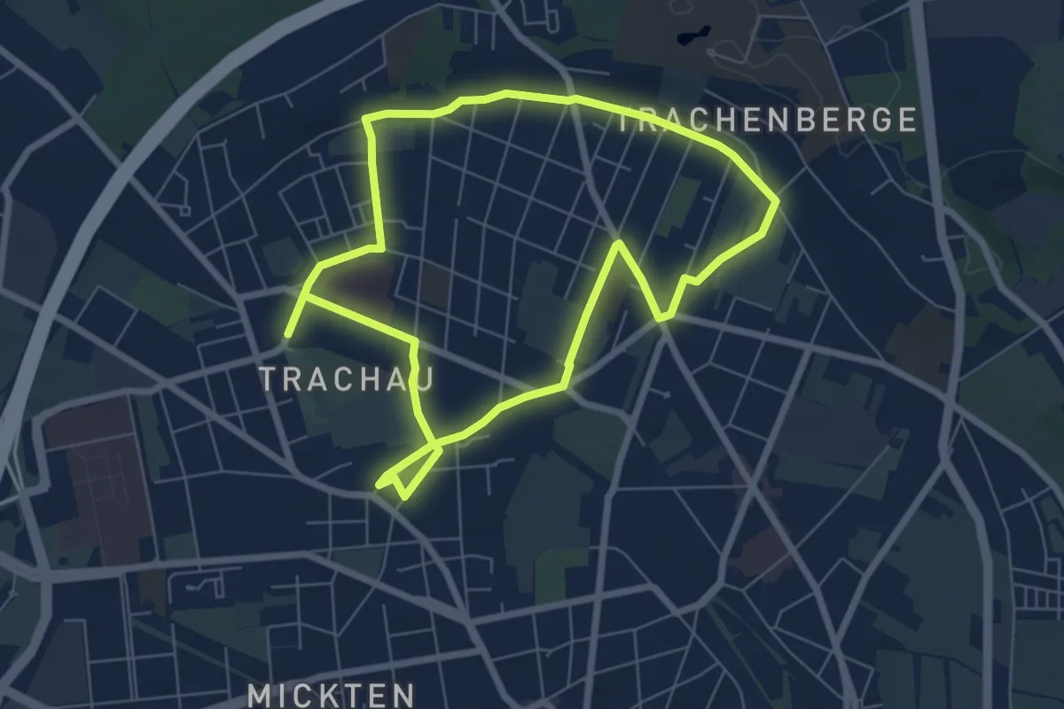
Easy · Trail
Geh-sundheitspfad
5.8 km · ↑ 9 m · 1 h 28 min
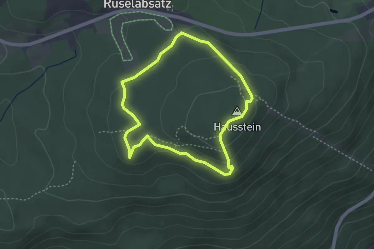
Medium · Summit
GEHsundheitsweg
2.8 km · ↑ 70 m · 52 min
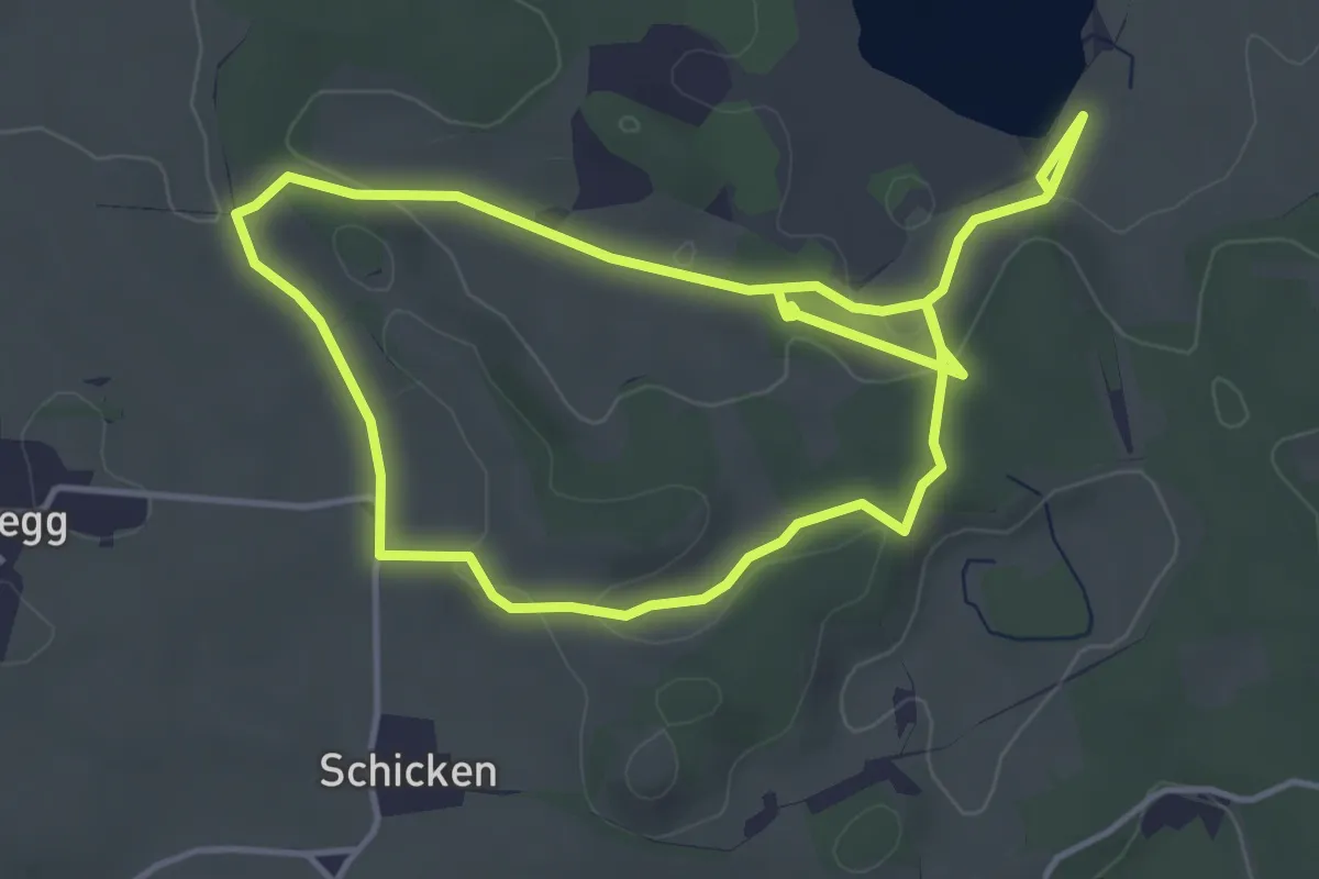
Easy · Trail
Ge(h)zeiten
7.8 km · ↑ 135 m · 2 h 9 min
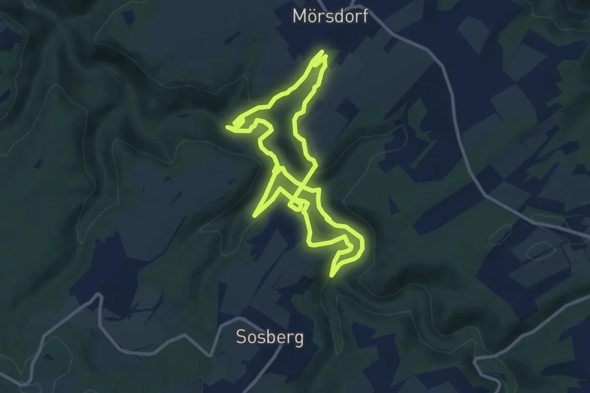
Medium · Trail
Geierlayschleife
7.9 km · ↑ 324 m · 2 h 42 min
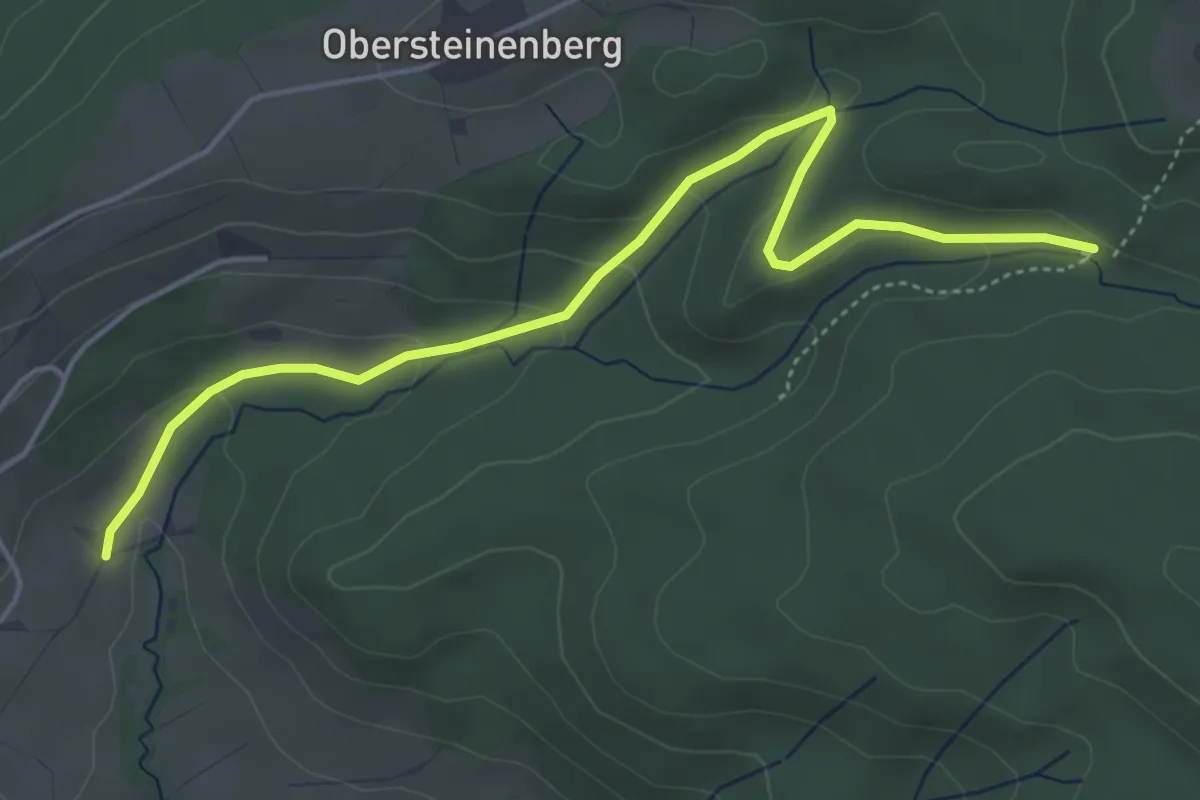
Easy · Trail
Geigelsberg
4.9 km · ↑ 132 m · 1 h 27 min
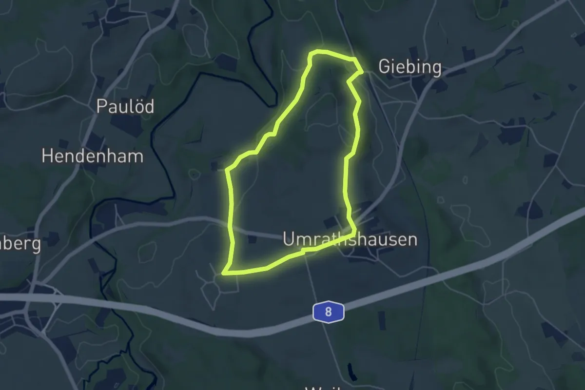
Easy · Trail
Geigeralm-Runde
4.2 km · ↑ 73 m · 1 h 13 min
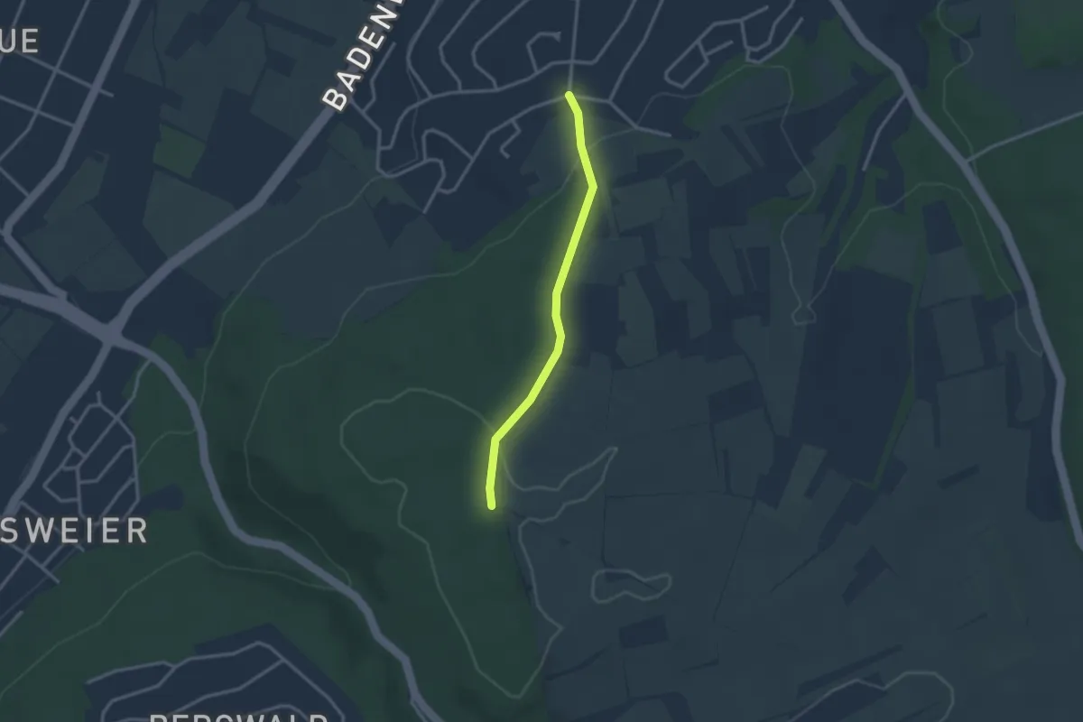
Easy · Trail
Geigersberg - Grünberg
2.4 km · ↑ 73 m · 44 min