Trails in Germany
36,852 hiking trails, each with its route, climb, walking time and grade.
All trails, page 169 of 768
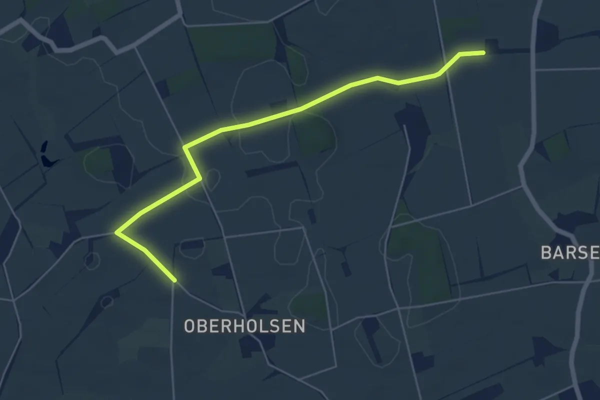
Easy · Trail
Geinegge-Rundweg
2.4 km · ↑ 24 m · 38 min
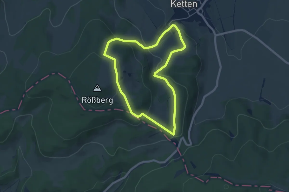
Easy · Trail
Geisaer Amt - Rundwanderweg 3
4.0 km · ↑ 174 m · 1 h 23 min
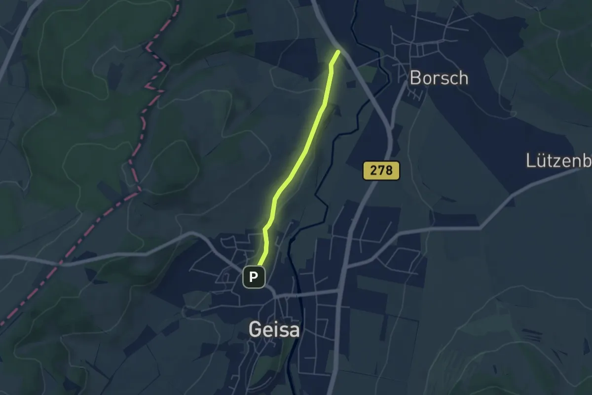
Easy · Trail
Geisa-Merkers
3.8 km · ↑ 62 m · 1 h 2 min
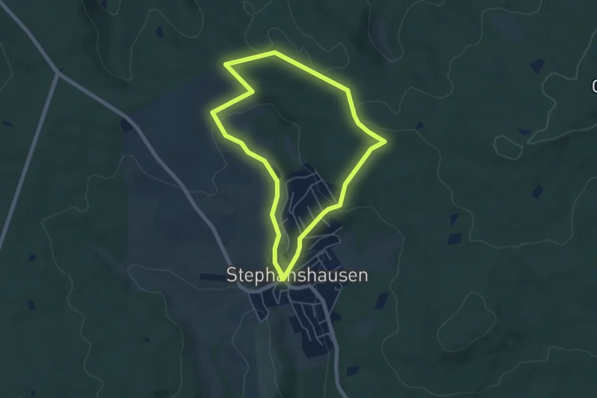
Easy · Trail
Geisenheimer Rundweg A
4.2 km · ↑ 115 m · 1 h 19 min
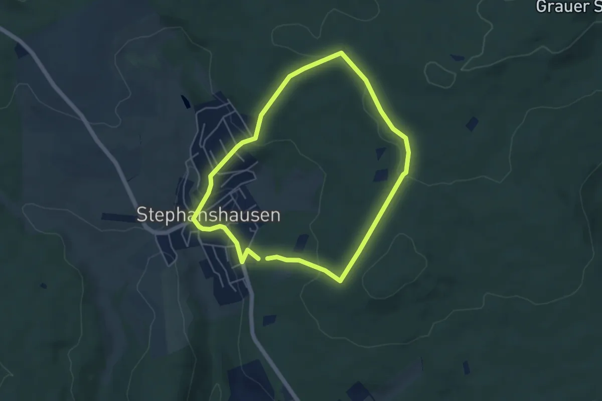
Easy · Trail
Geisenheimer Rundweg B
4.0 km · ↑ 112 m · 1 h 15 min
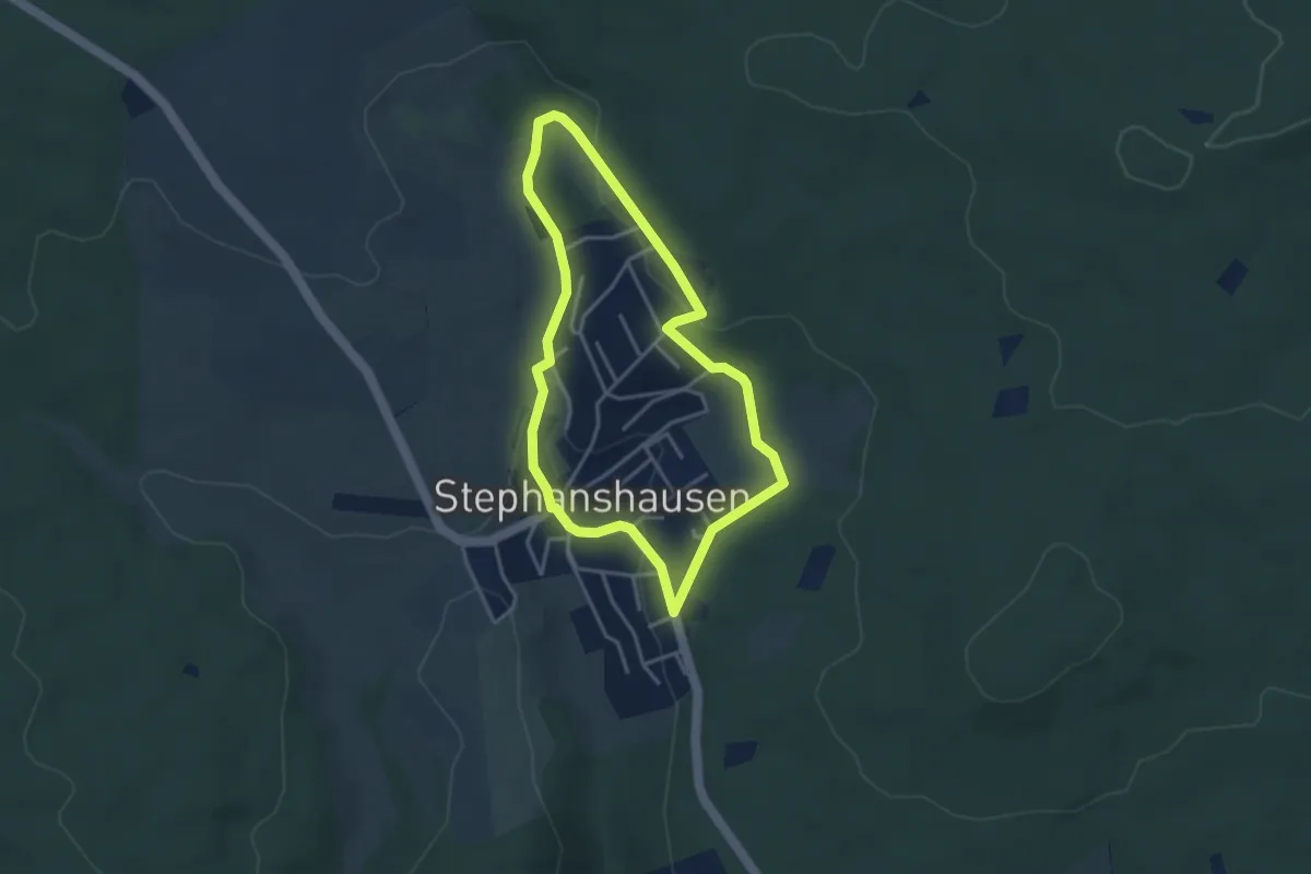
Easy · Trail
Geisenheimer Rundweg C
3.1 km · ↑ 79 m · 57 min
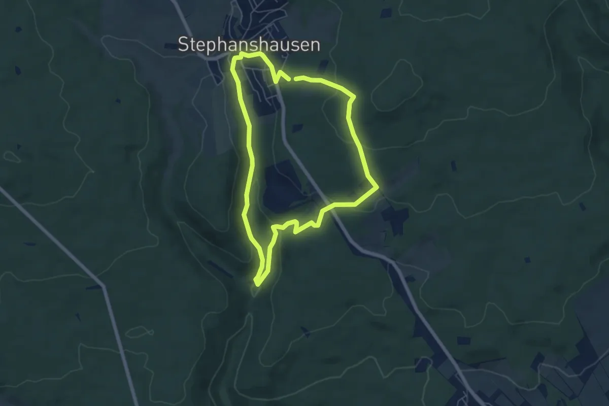
Easy · Trail
Geisenheimer Rundweg D
5.0 km · ↑ 155 m · 1 h 35 min
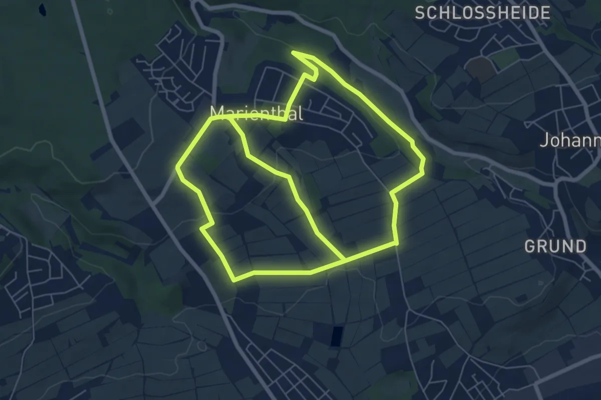
Easy · Trail
Geisenheimer Rundweg F
6.5 km · ↑ 186 m · 1 h 59 min
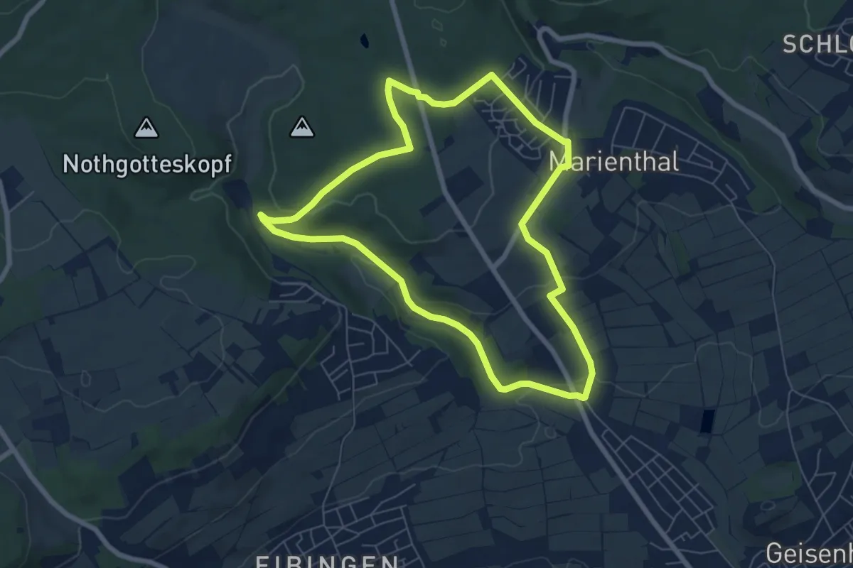
Easy · Trail
Geisenheimer Rundweg G
6.1 km · ↑ 132 m · 1 h 49 min
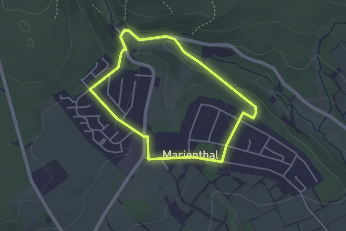
Easy · Trail
Geisenheimer Rundweg H
2.7 km · ↑ 62 m · 48 min
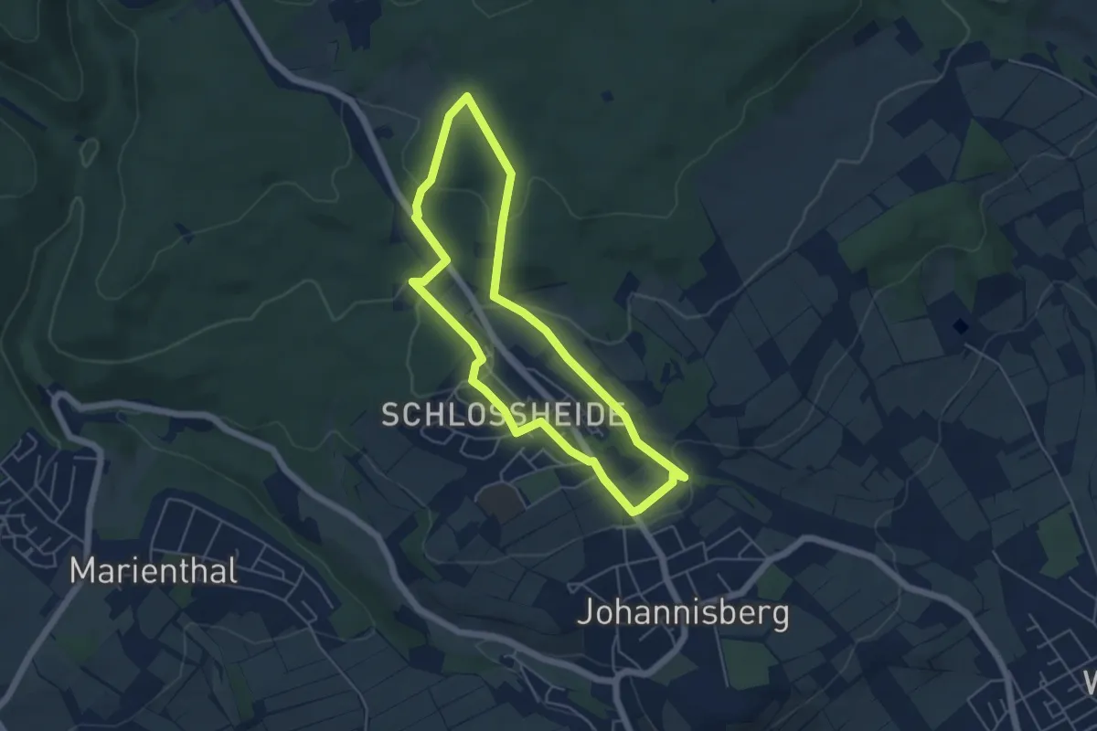
Easy · Trail
Geisenheimer Rundweg I
4.4 km · ↑ 118 m · 1 h 21 min
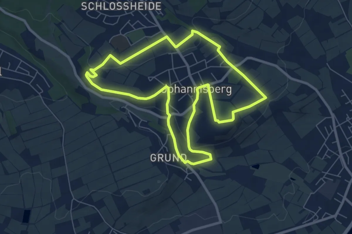
Easy · Trail
Geisenheimer Rundweg J
6.0 km · ↑ 123 m · 1 h 47 min
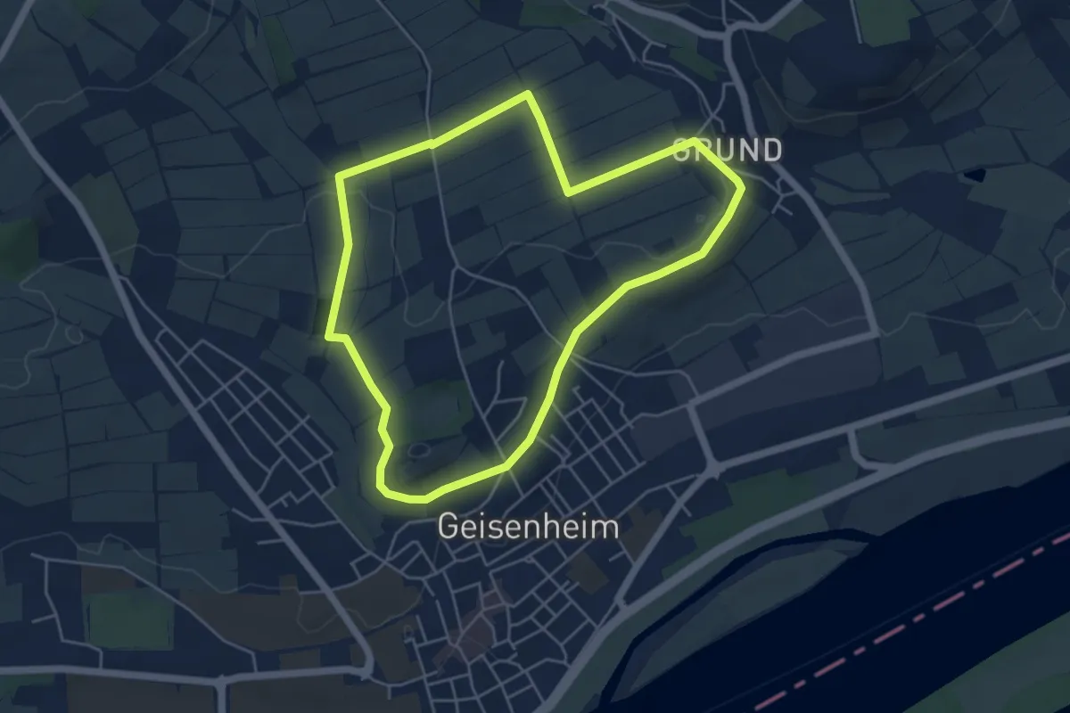
Easy · Trail
Geisenheimer Rundweg K
4.5 km · ↑ 56 m · 1 h 14 min
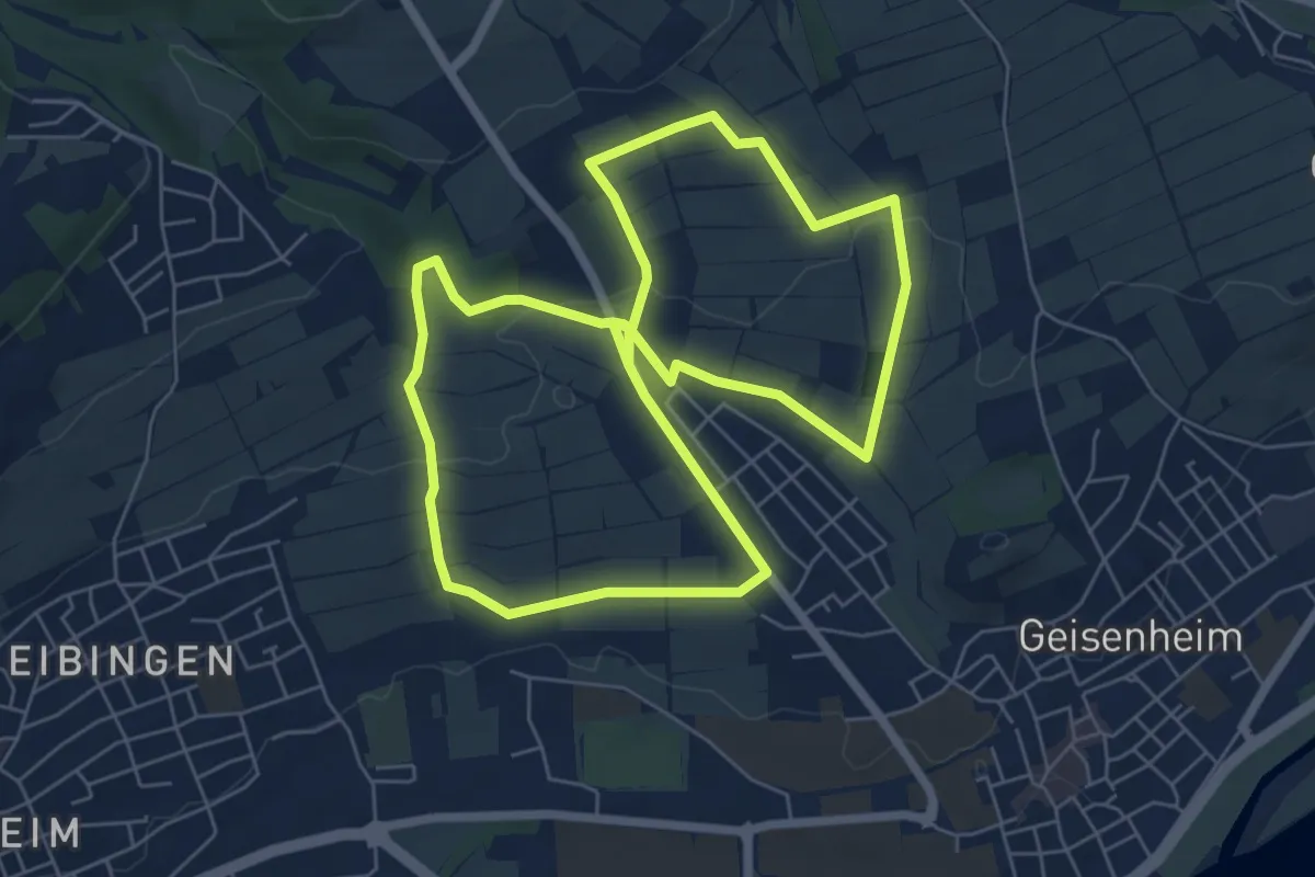
Easy · Trail
Geisenheimer Rundweg L
6.2 km · ↑ 117 m · 1 h 48 min
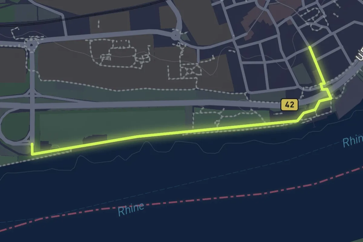
Easy · Trail
Geisenheimer Rundweg M
1.3 km · ↑ 4 m · 19 min
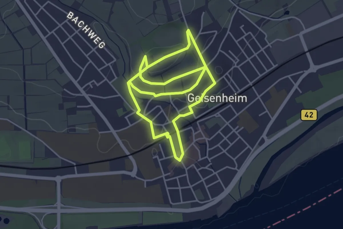
Easy · Trail
Geisenheimer Rundweg O
3.5 km · ↑ 40 m · 59 min
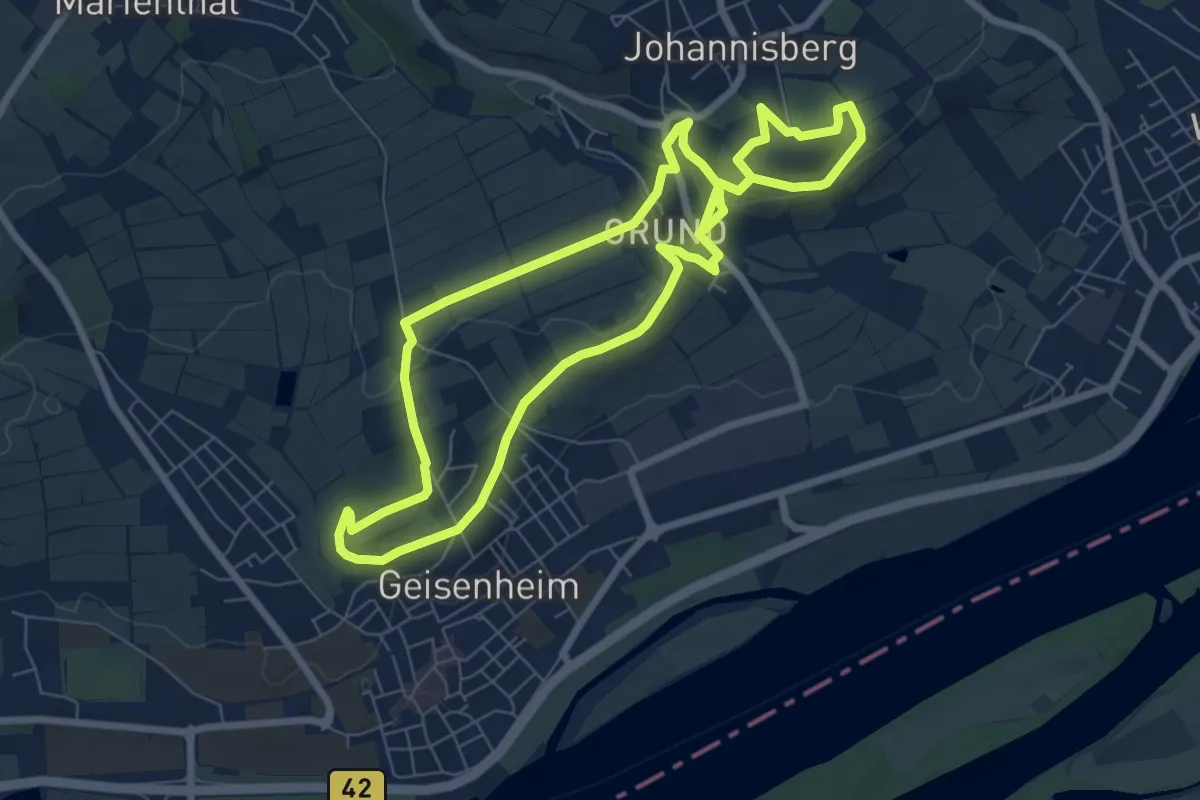
Easy · Trail
Geisenhimer Weinlehrpfad
6.7 km · ↑ 133 m · 1 h 57 min
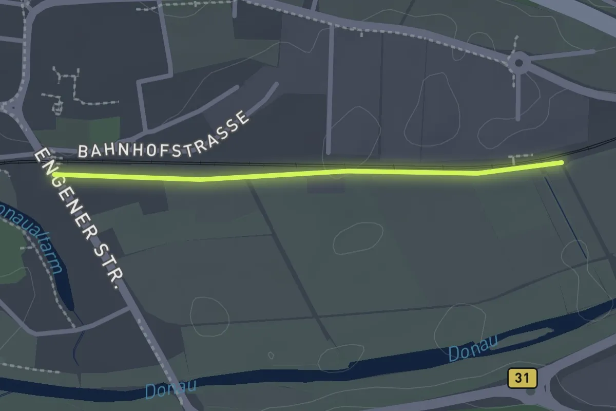
Easy · Trail
Geisingen Bahnübergang - Riedweg
2.0 km · ↑ 12 m · 30 min
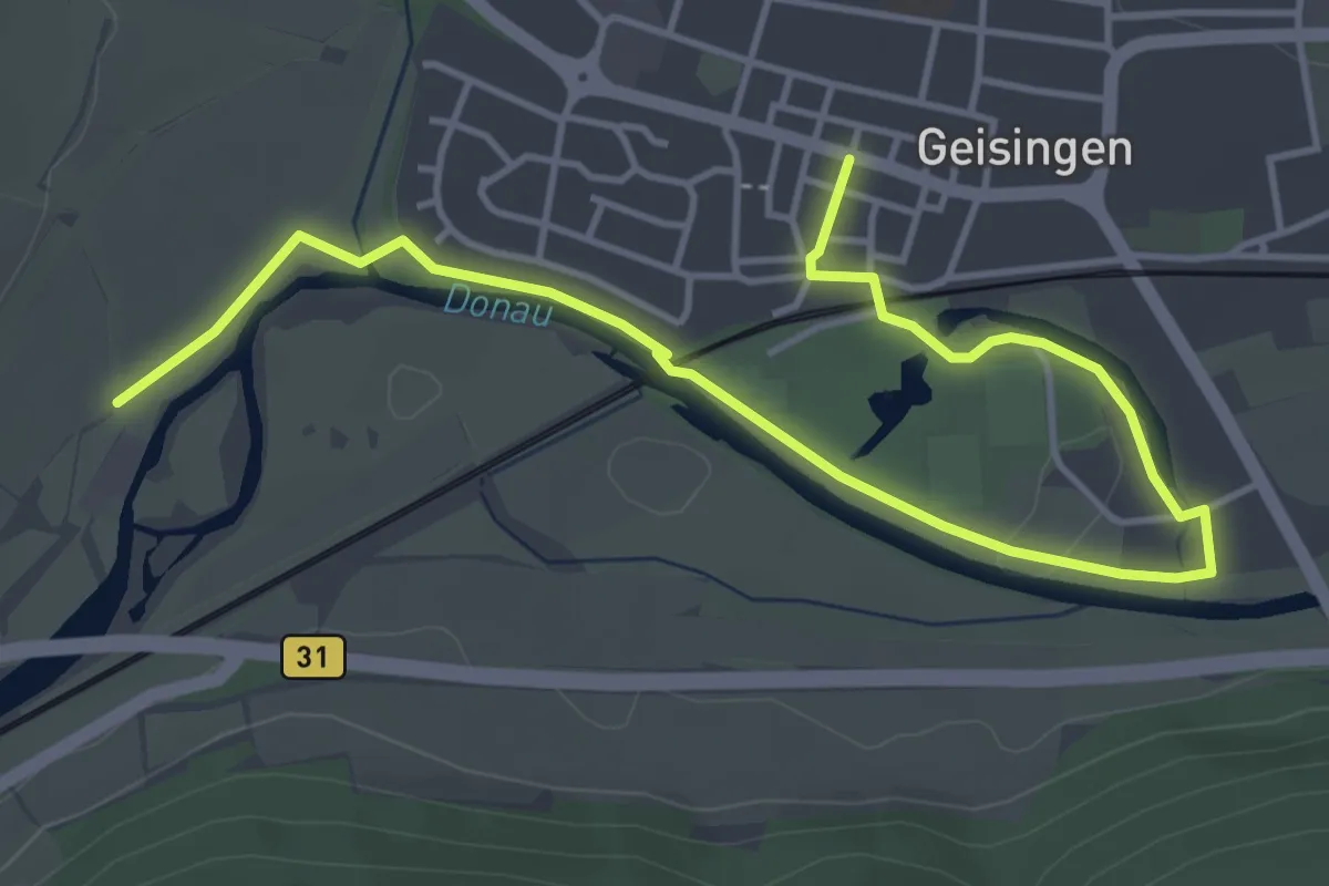
Easy · Trail
Geisingen Rathaus - Geisingen Mühle
5.5 km · ↑ 4 m · 1 h 18 min
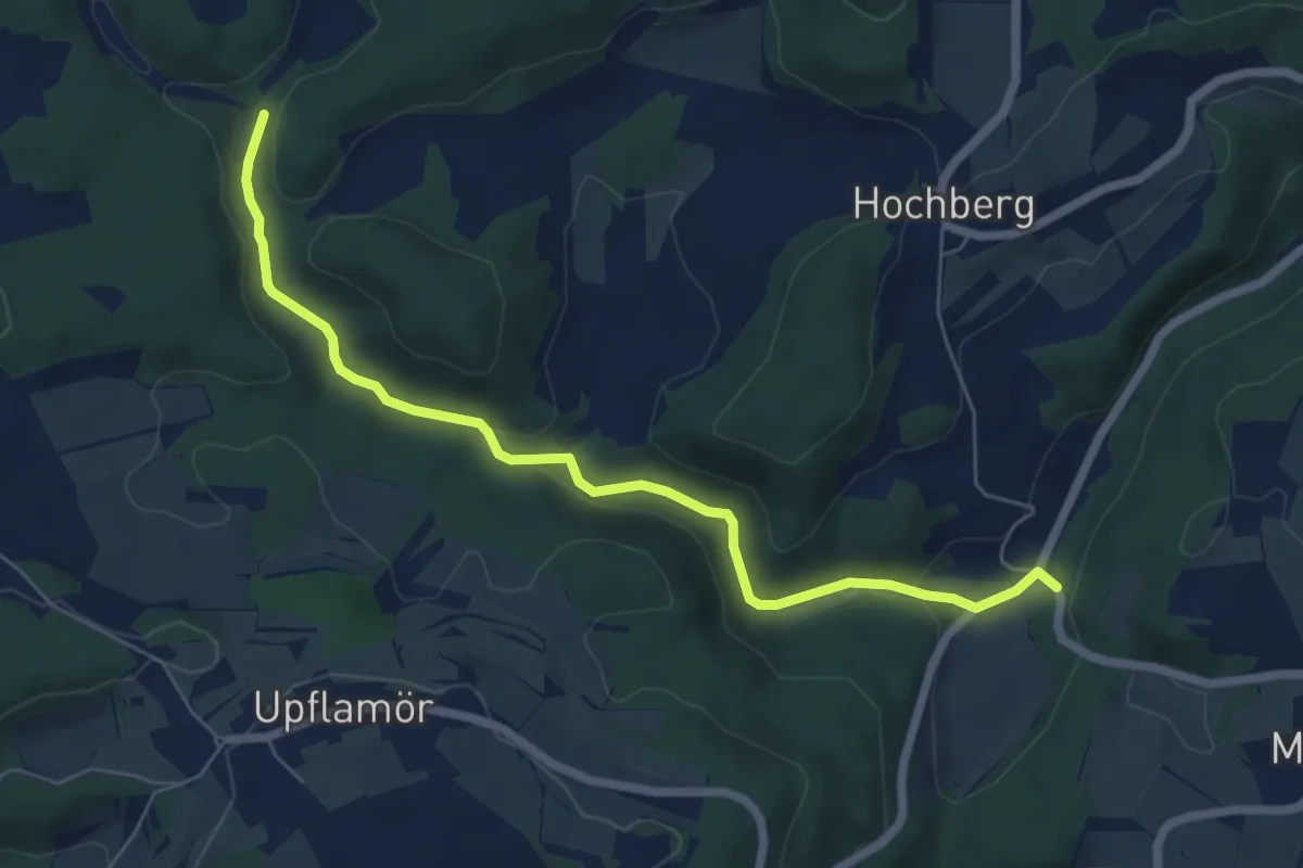
Easy · Trail
Geisinger Tal - K6745 Tobelbach HW2
6.5 km · ↑ 141 m · 1 h 50 min
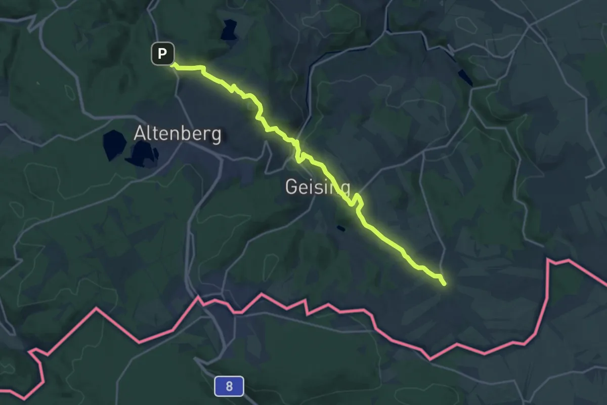
Demanding · Trail
Geising - Schmiedeberg (grüner Strich)
18.7 km · ↑ 602 m · 5 h 43 min
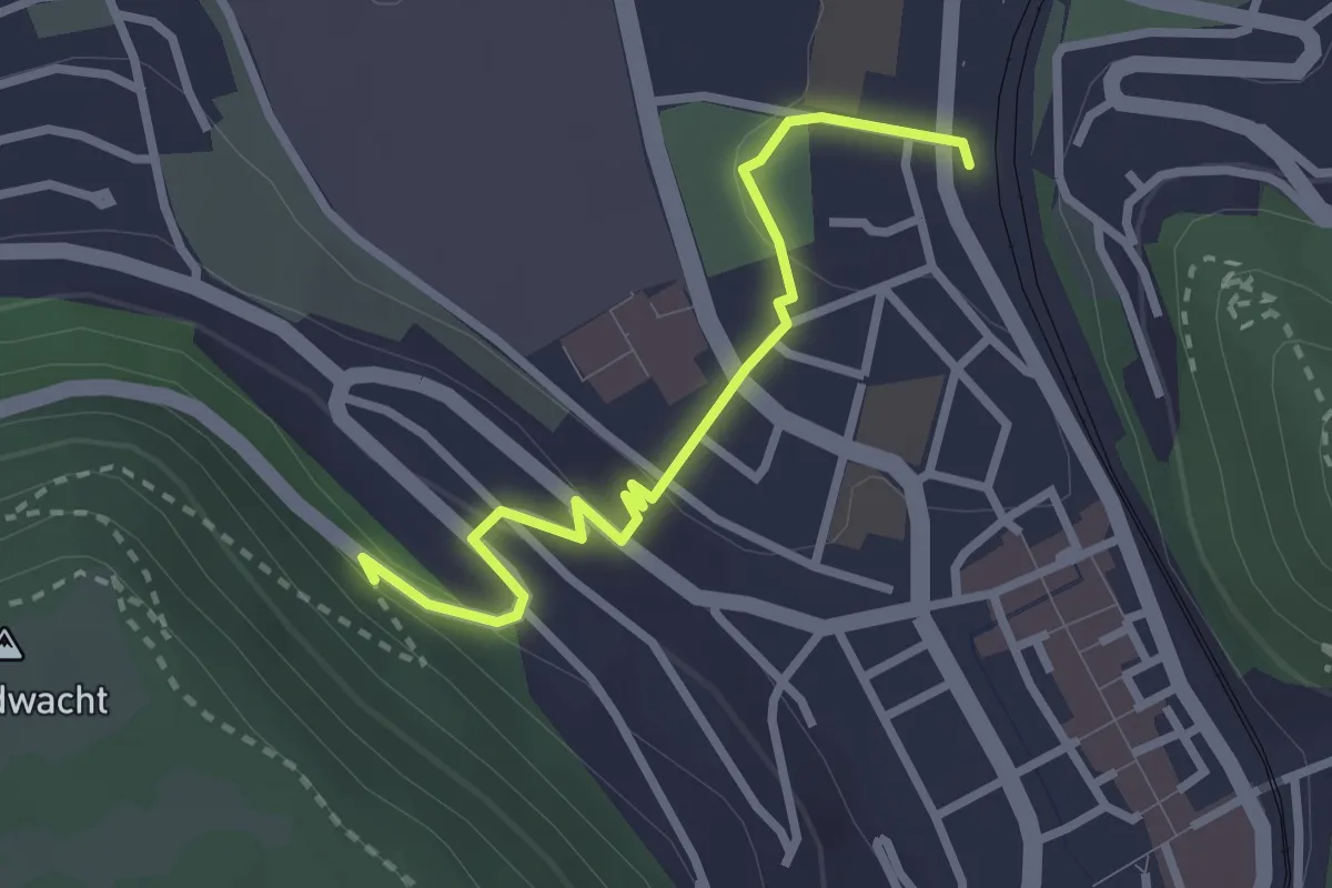
Easy · Trail
Geislingen - Abzweig Türkheimer Straße (Ostlandkreuz)
2.6 km · ↑ 81 m · 48 min
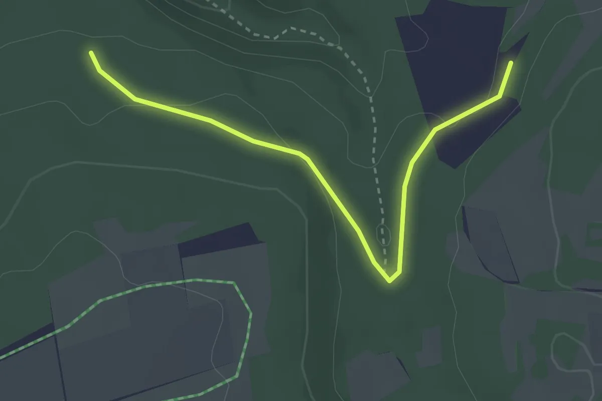
Easy · Trail
Geislingen (Stadtkirche) - Schertelshöhle
3.1 km · ↑ 76 m · 54 min
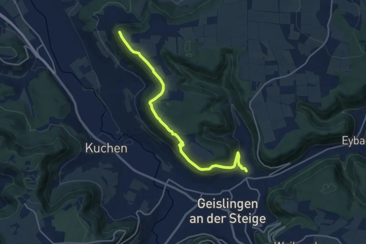
Medium · Summit
Geislingen Steige - Hohenstein
11.8 km · ↑ 432 m · 3 h 43 min
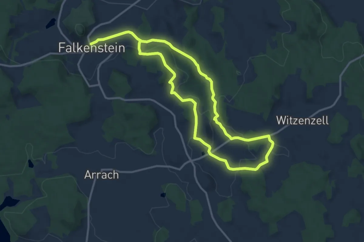
Medium · Trail
Geissbachweg
15.8 km · ↑ 350 m · 4 h 29 min
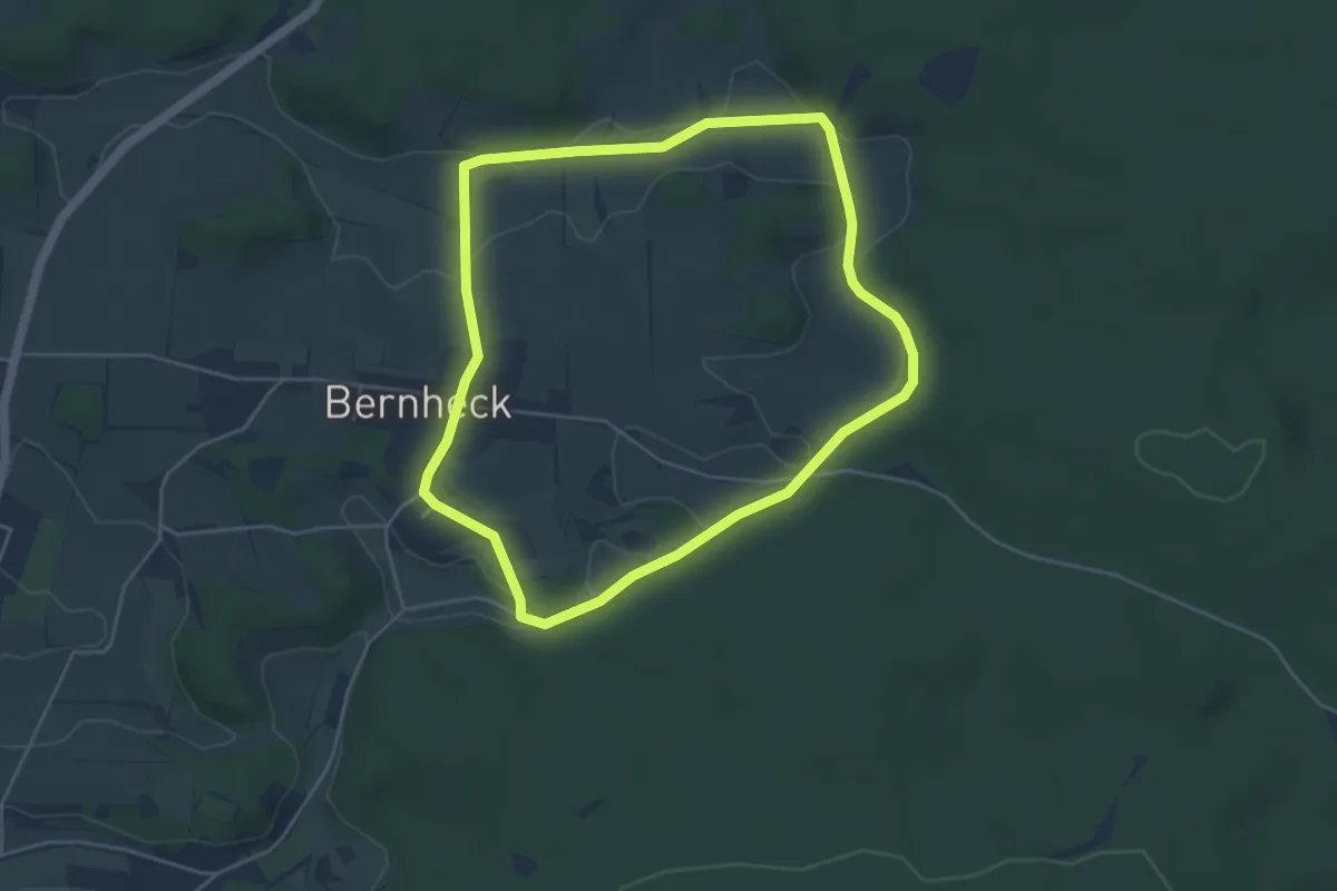
Easy · Summit
Geißbock-Runde
4.2 km · ↑ 55 m · 1 h 10 min
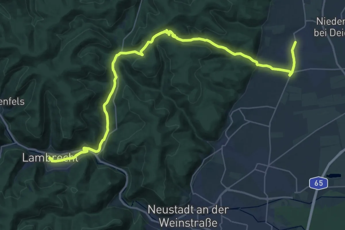
Medium · Trail
Geißbockweg
14.7 km · ↑ 406 m · 4 h 35 min
Easy · Trail
Geißelhart - Enzwald
3.8 km · ↑ 95 m · 1 h 7 min
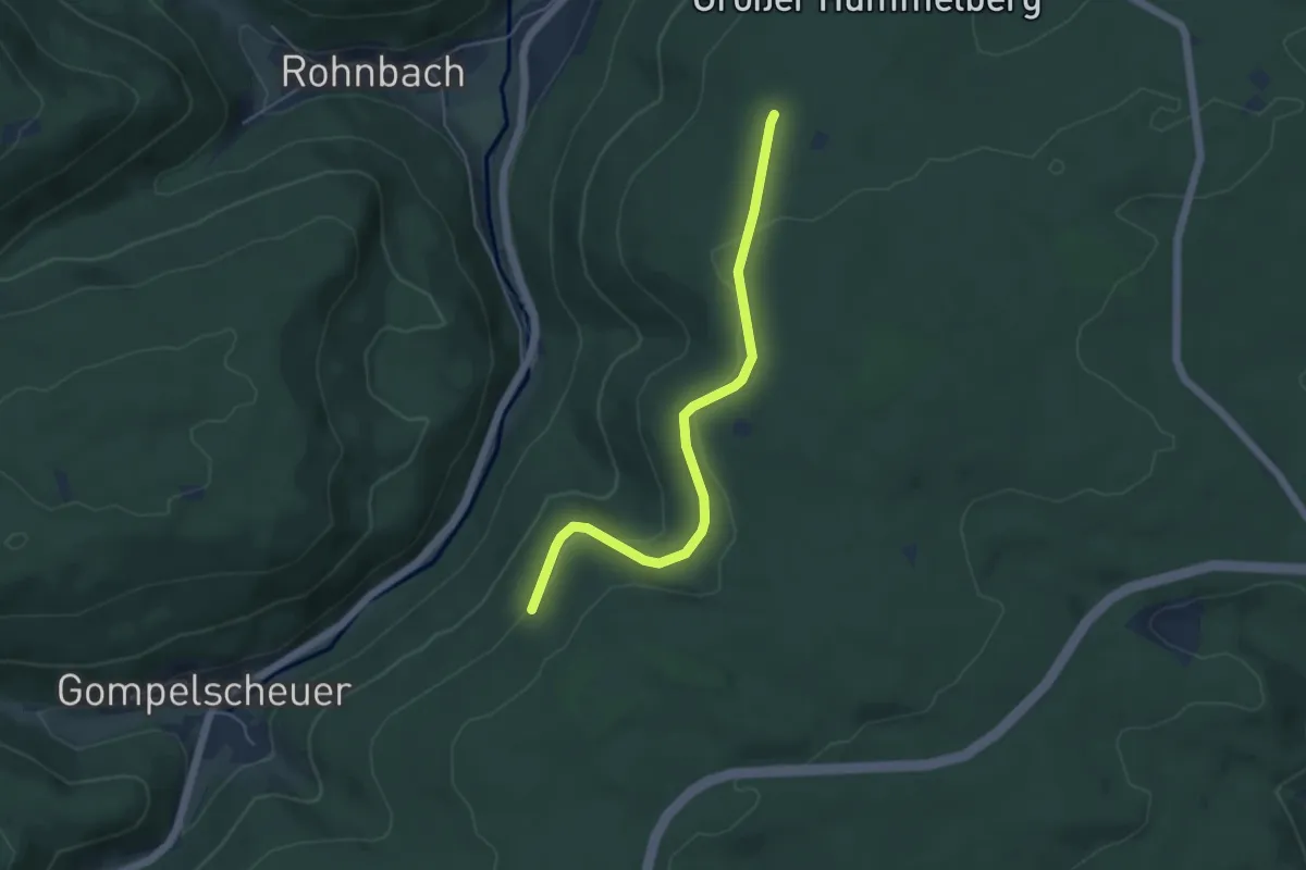
Easy · Trail
Geißelhart - Hummelberghütte
4.7 km · ↑ 124 m · 1 h 23 min
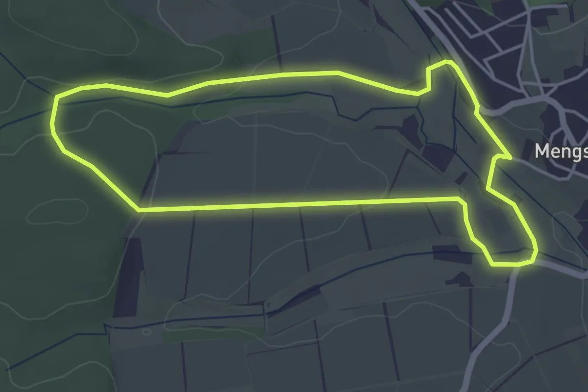
Easy · Trail
Geißestall/Lohfeld-Runde
3.7 km · ↑ 52 m · 1 h 2 min
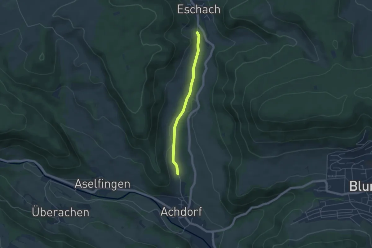
Easy · Trail
Geißhornabzweigung - Riedeck
3.7 km · ↑ 45 m · 58 min
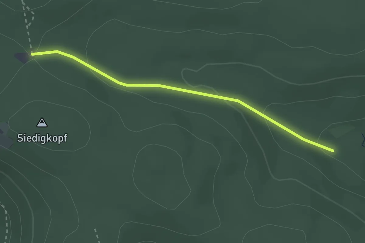
Easy · Trail
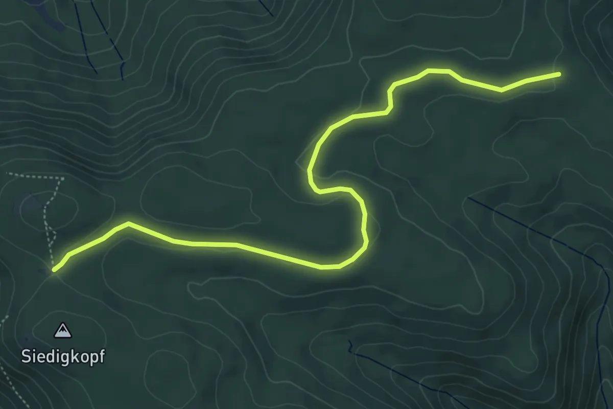
Geißschleifsattel - Hilseckhütte
2.4 km · ↑ 83 m · 45 min
Easy · Trail
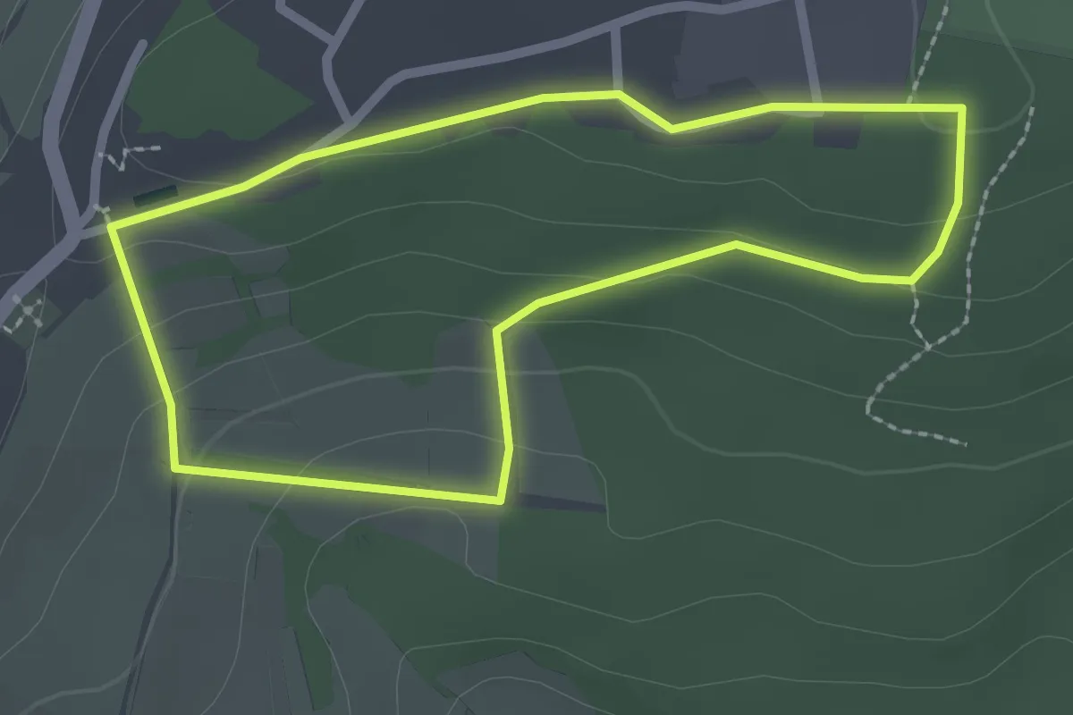
Geißschleifsattel - Ramsbacher Holzplatz
6.3 km · ↑ 89 m · 1 h 41 min
Easy · Trail
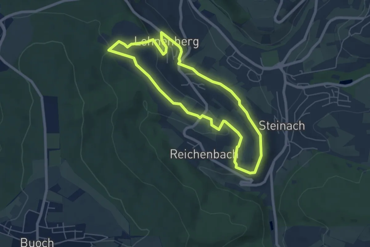
Geißsteinweg
2.0 km · ↑ 57 m · 38 min
Easy · Trail
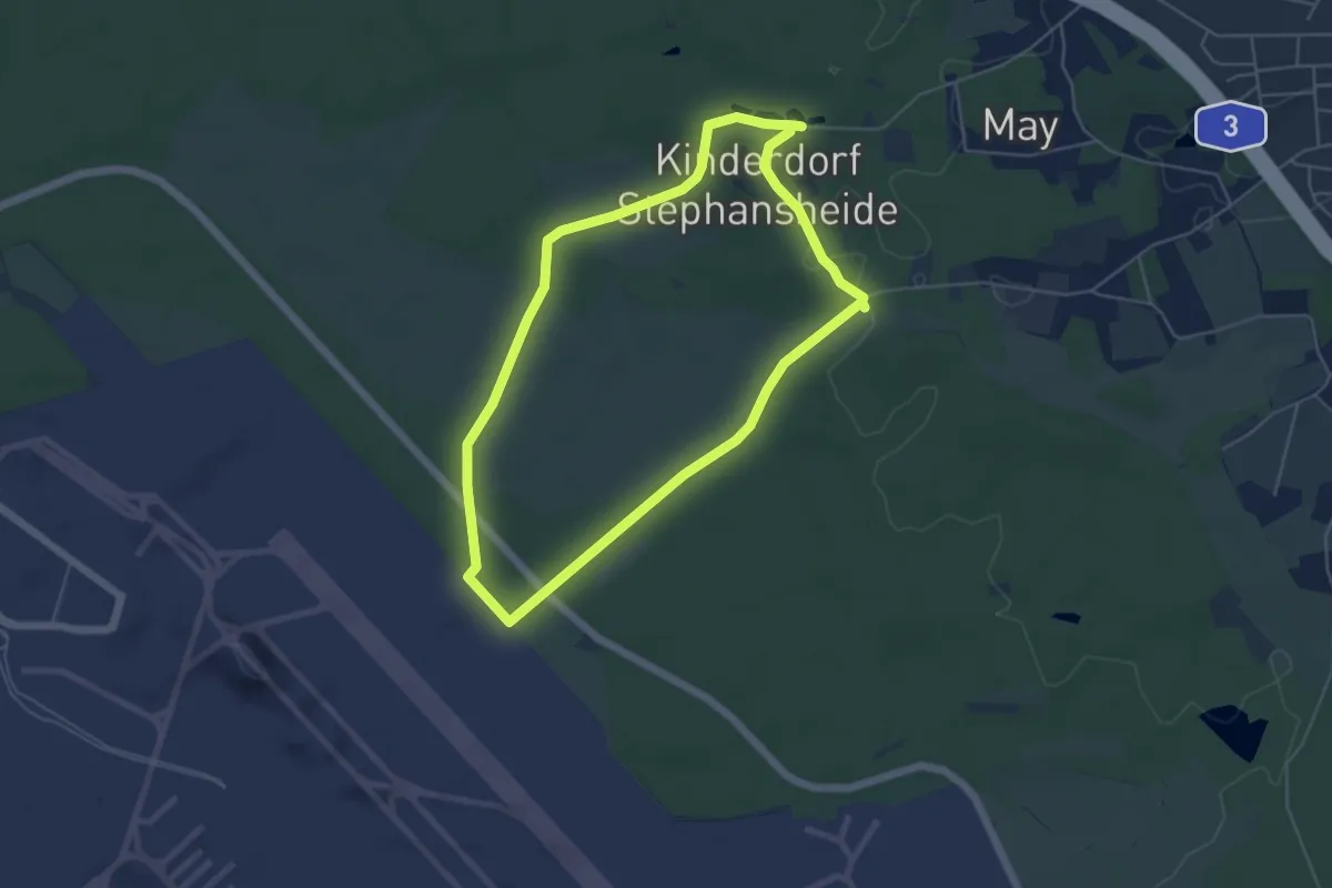
Geißwand-Rundweg
4.8 km · ↑ 110 m · 1 h 26 min
Easy · Summit
Geisterbusch-Tour
4.5 km · ↑ 28 m · 1 h 11 min
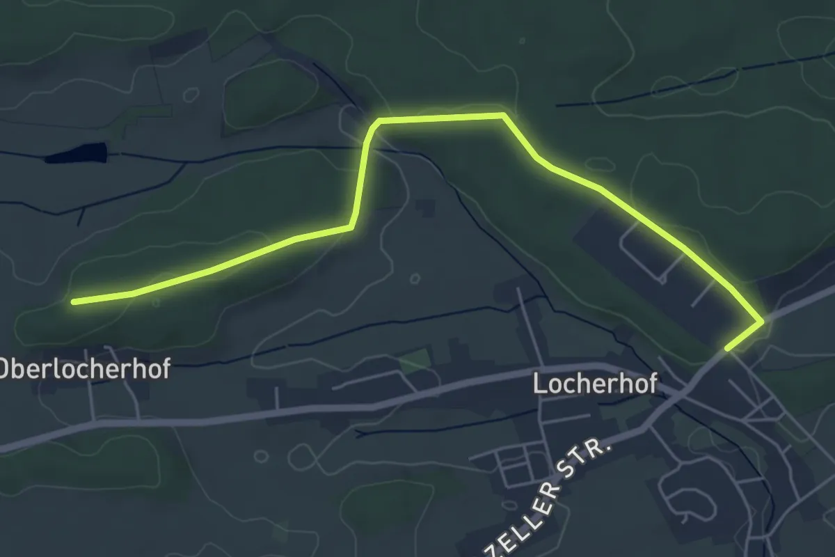
Easy · Trail
Geisterstein - Locherhof Hochberg
5.5 km · ↑ 67 m · 1 h 26 min
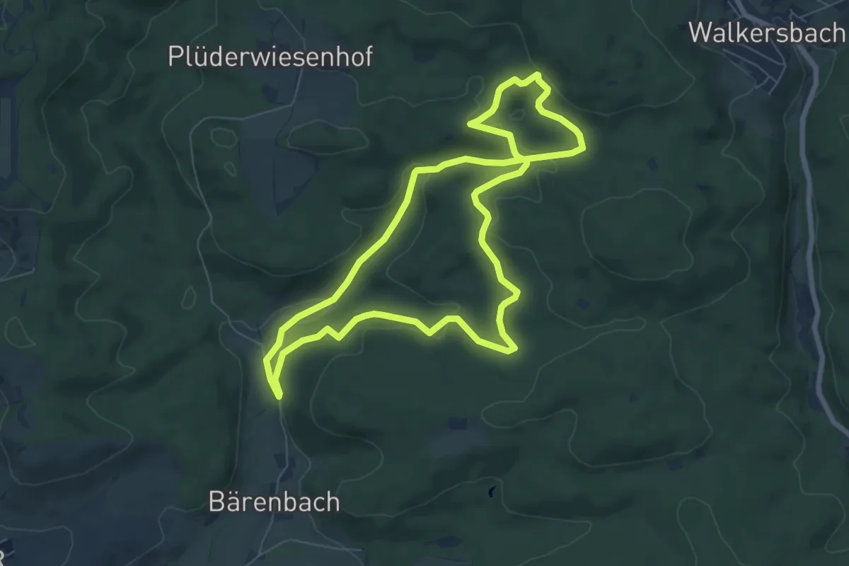
Easy · Trail
Geiststeinweg
6.4 km · ↑ 191 m · 2 h
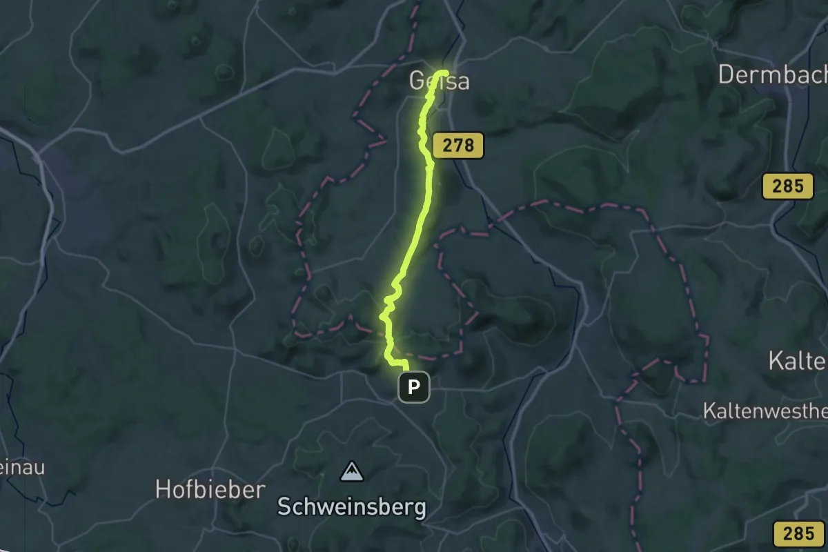
Demanding · Trail
Geisweg
27.5 km · ↑ 585 m · 7 h 45 min
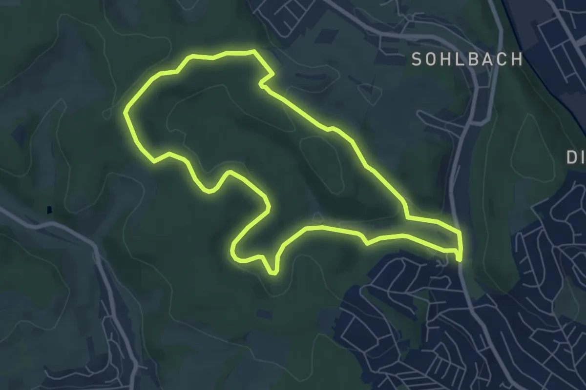
Easy · Trail
Geisweid Rundweg A1
6.0 km · ↑ 125 m · 1 h 47 min
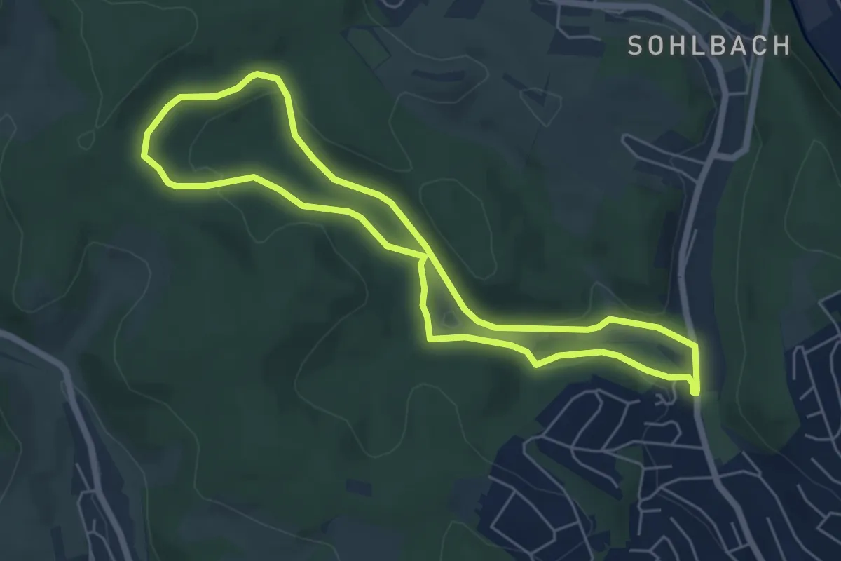
Easy · Trail
Geisweid Rundweg A2
4.9 km · ↑ 108 m · 1 h 28 min
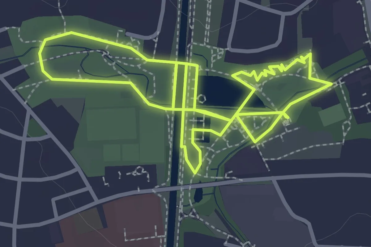
Easy · Trail
Gelassenheitsweg 1: Sieben Elemente
2.7 km · ↑ 0 m · 40 min
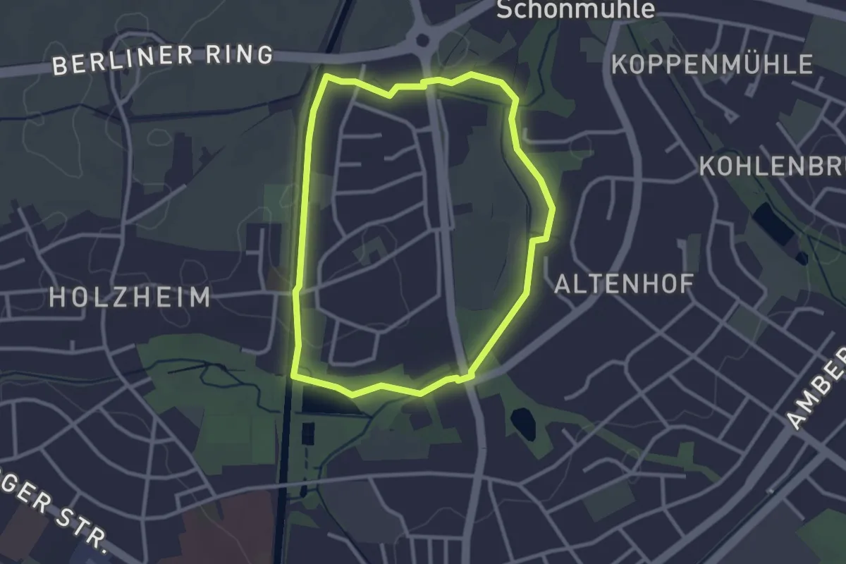
Easy · Trail
Gelassenheitsweg 4: Großer Barfußweg
2.5 km · ↑ 8 m · 39 min
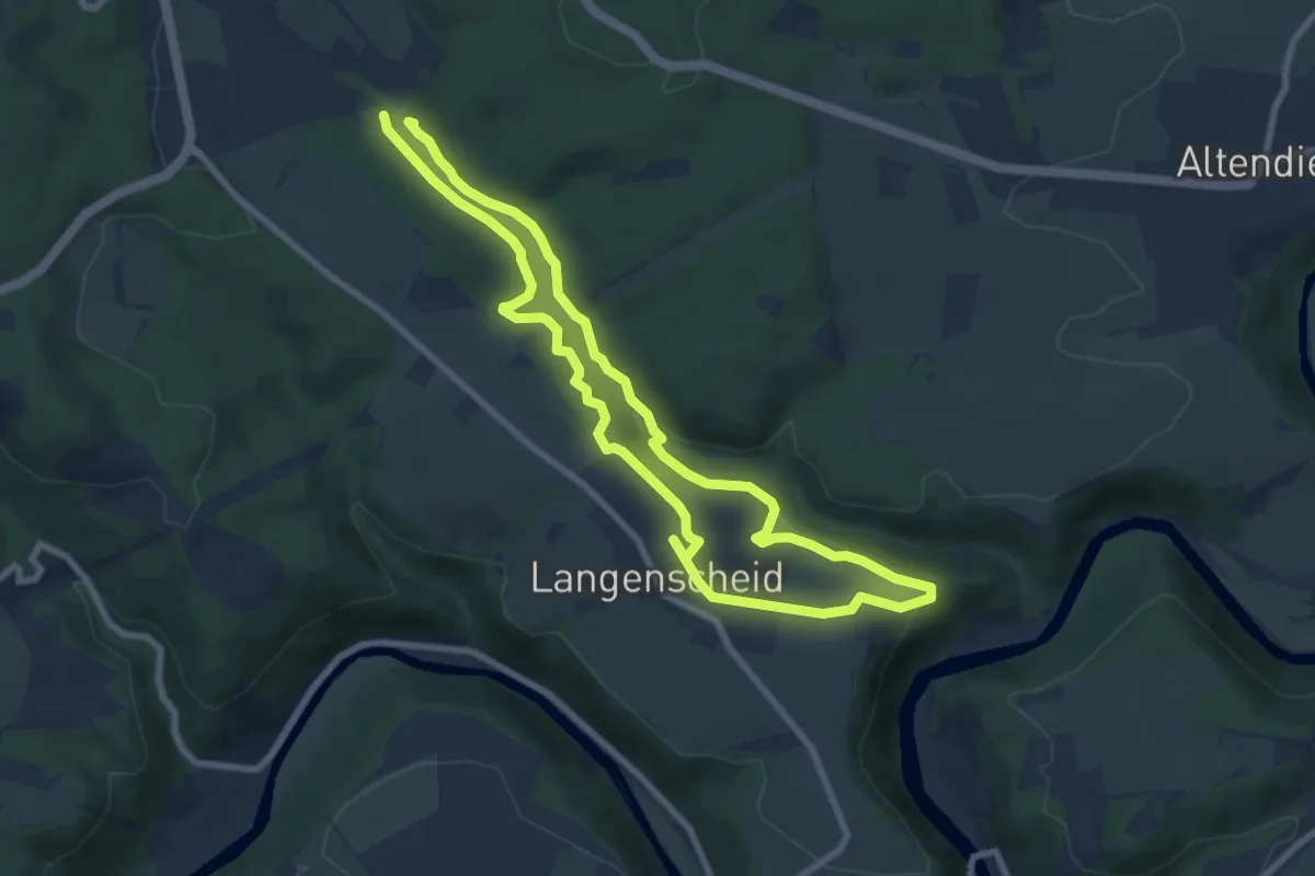
Easy · Trail
Gelb
7.1 km · ↑ 125 m · 2 h 2 min
Easy · Trail
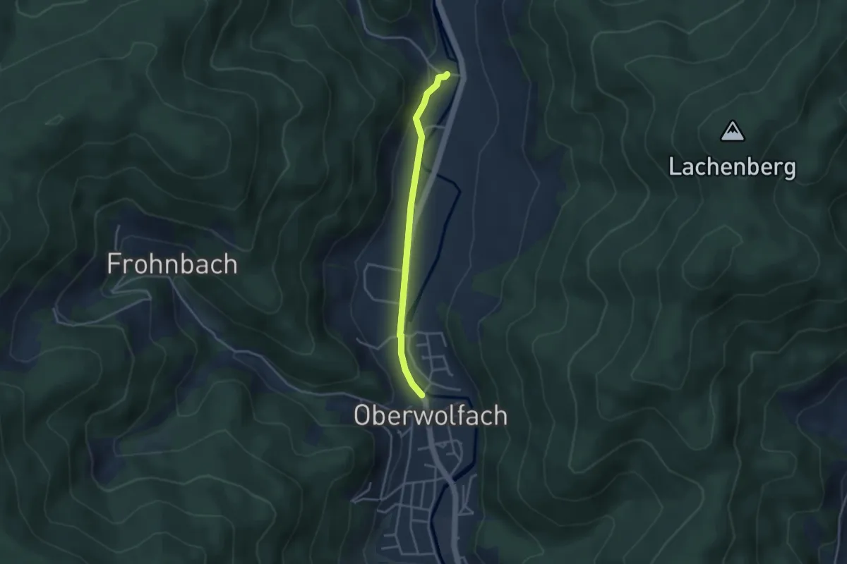
Gelbachbrücke - Untere Grünachbrücke
3.0 km · ↑ 60 m · 50 min
Medium · Trail
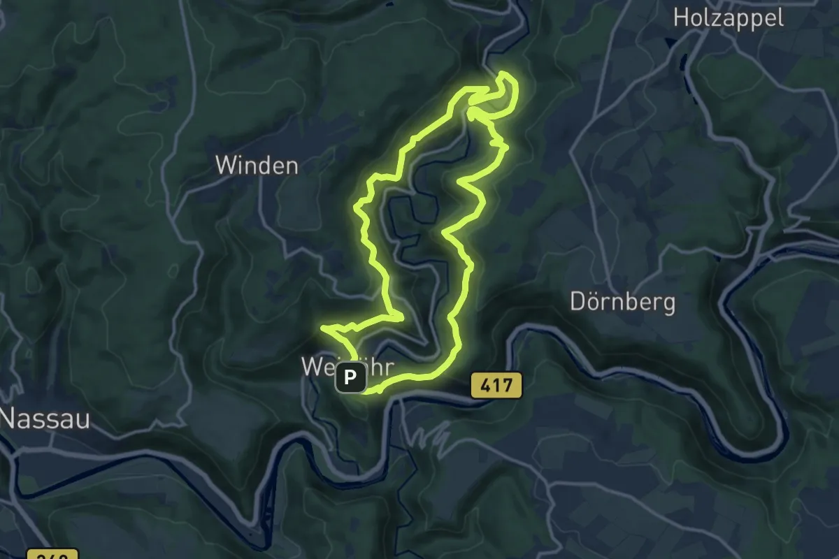
Gelbachhöhen-Tour
11.8 km · ↑ 501 m · 4 h 2 min
Medium · Trail
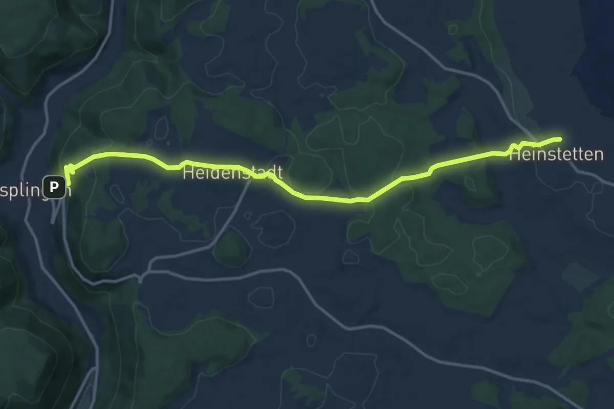
gelbe Gabel Heinstetten - Nusplingen
11.8 km · ↑ 376 m · 3 h 37 min
Medium · Trail
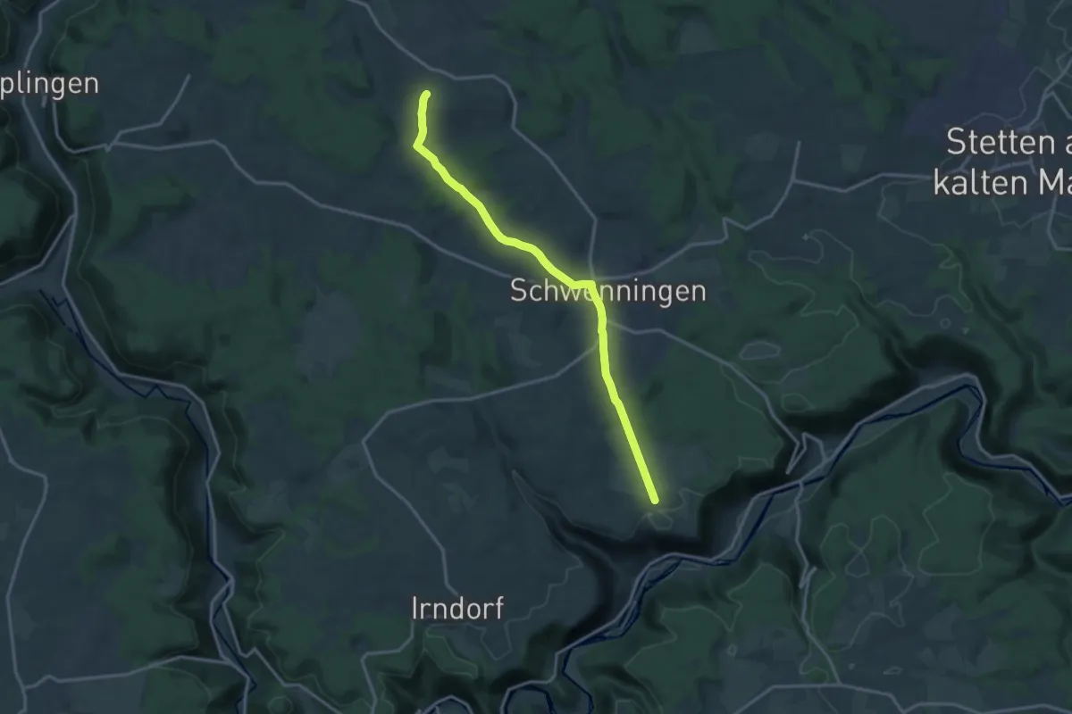
gelbe Gabel Heinstetten - Schwenningen - Mittelösch
14.2 km · ↑ 231 m · 3 h 52 min