Trails in Germany
36,852 hiking trails, each with its route, climb, walking time and grade.
All trails, page 176 of 768
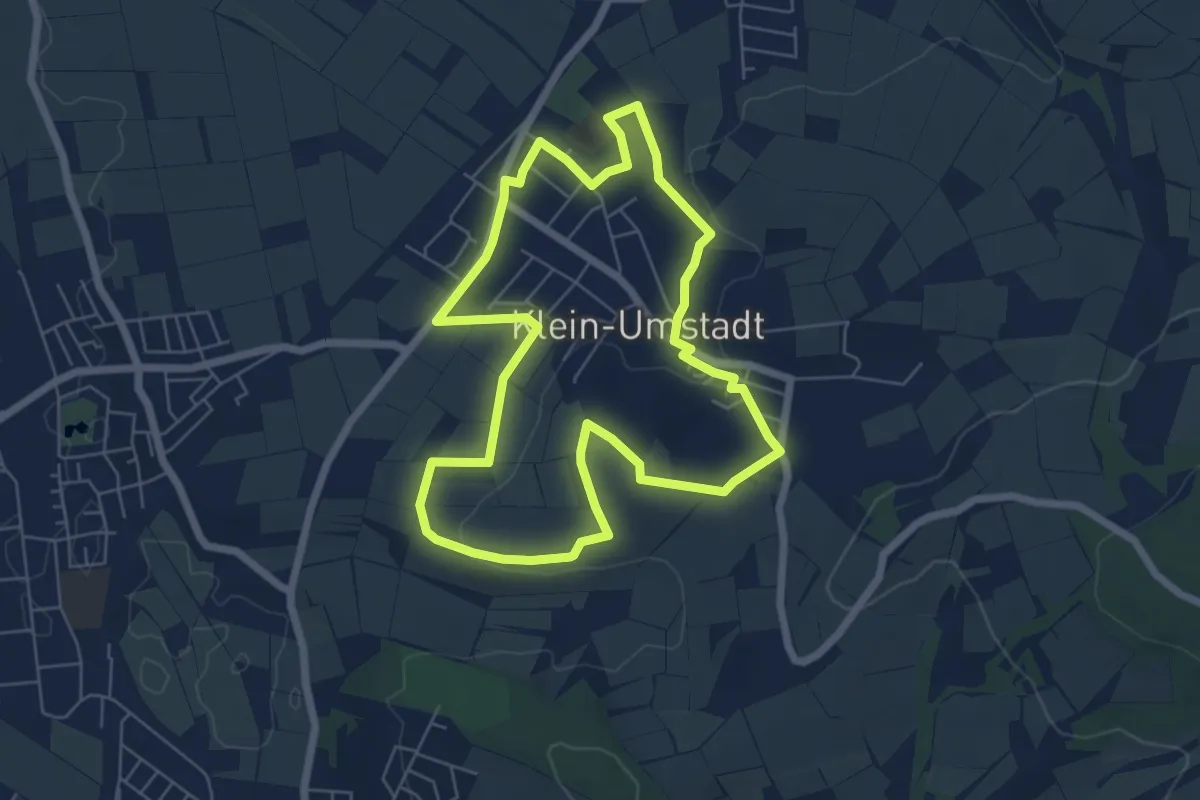
Easy · Trail
Geo-Lehrpfad Klein-Umstadt : Die Kleine Bergstraße – Landschaft, Mensch und Umwelt
5.8 km · ↑ 59 m · 1 h 34 min
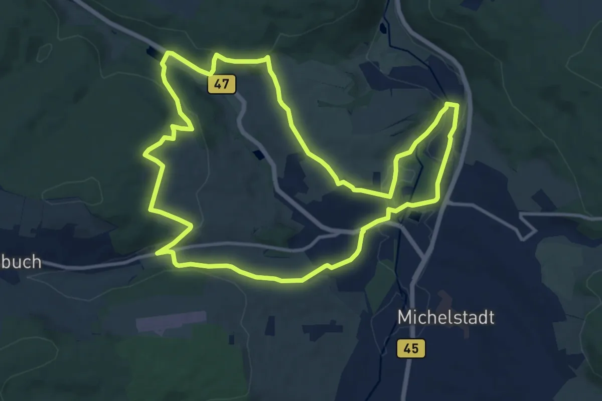
Medium · Trail
Geo-Lehrpfad Michelstadt : Kulturhistorischer Wanderweg Steinbach
10.2 km · ↑ 217 m · 3 h 1 min
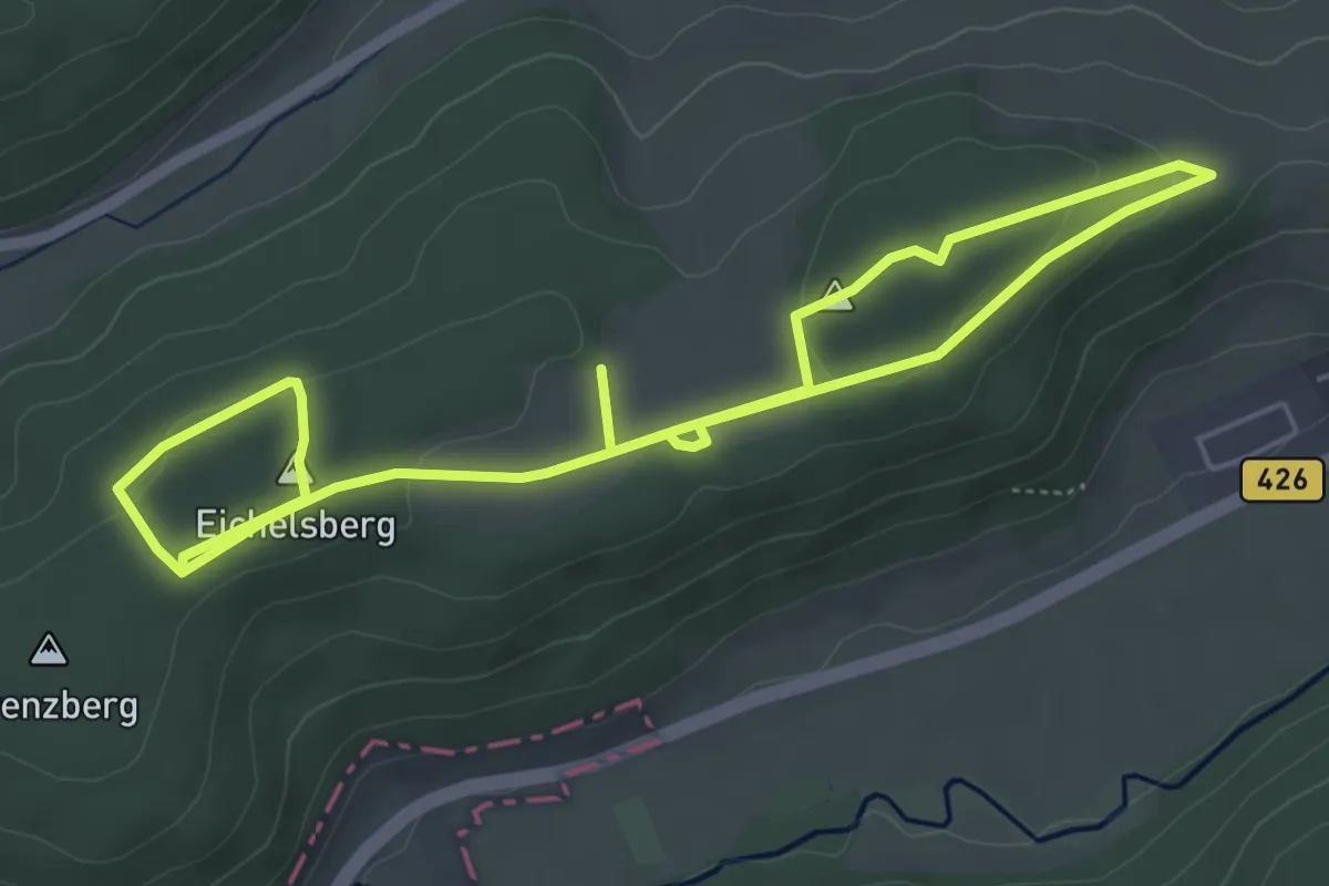
Easy · Summit
Geo-Lehrpfad Mömlingen : Feuer und Wasser
4.3 km · ↑ 77 m · 1 h 14 min
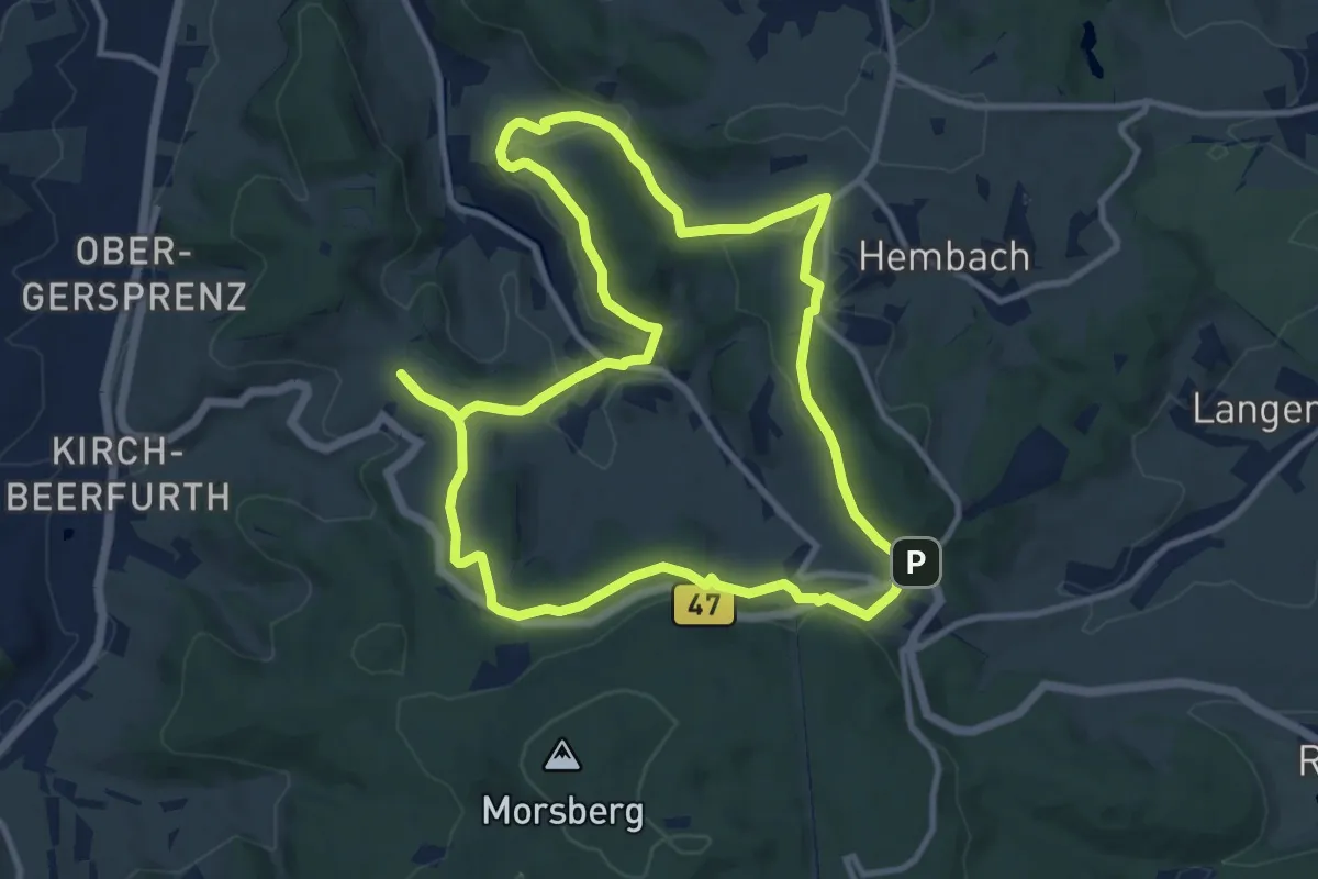
Medium · Trail
Geo-Lehrpfad Ober-Kainsbach : Baustein, Erz und schwerer Spat (orange)
10.6 km · ↑ 232 m · 3 h 8 min
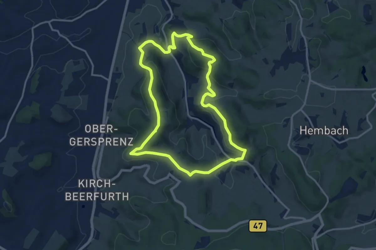
Medium · Summit
Geo-Lehrpfad Ober-Kainsbach : Baustein, Erz und schwerer Spat (rot)
9.0 km · ↑ 323 m · 2 h 57 min
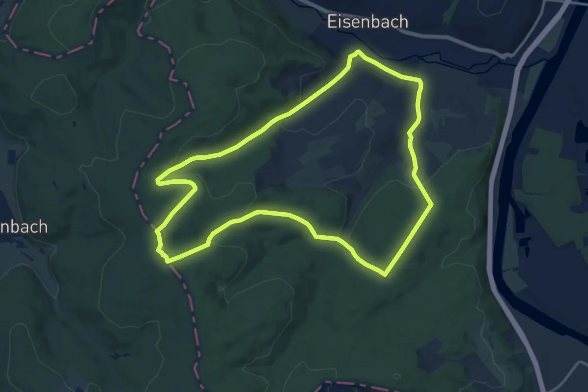
Medium · Trail
Geo-Lehrpfad Obernburg 2: Eisenbacher Runde
10.7 km · ↑ 292 m · 3 h 19 min
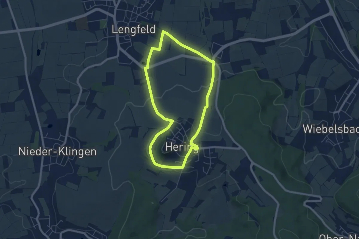
Easy · Trail
Geo-Lehrpfad Otzberg : Kulturlandschaftslehrpfad
5.1 km · ↑ 118 m · 1 h 32 min
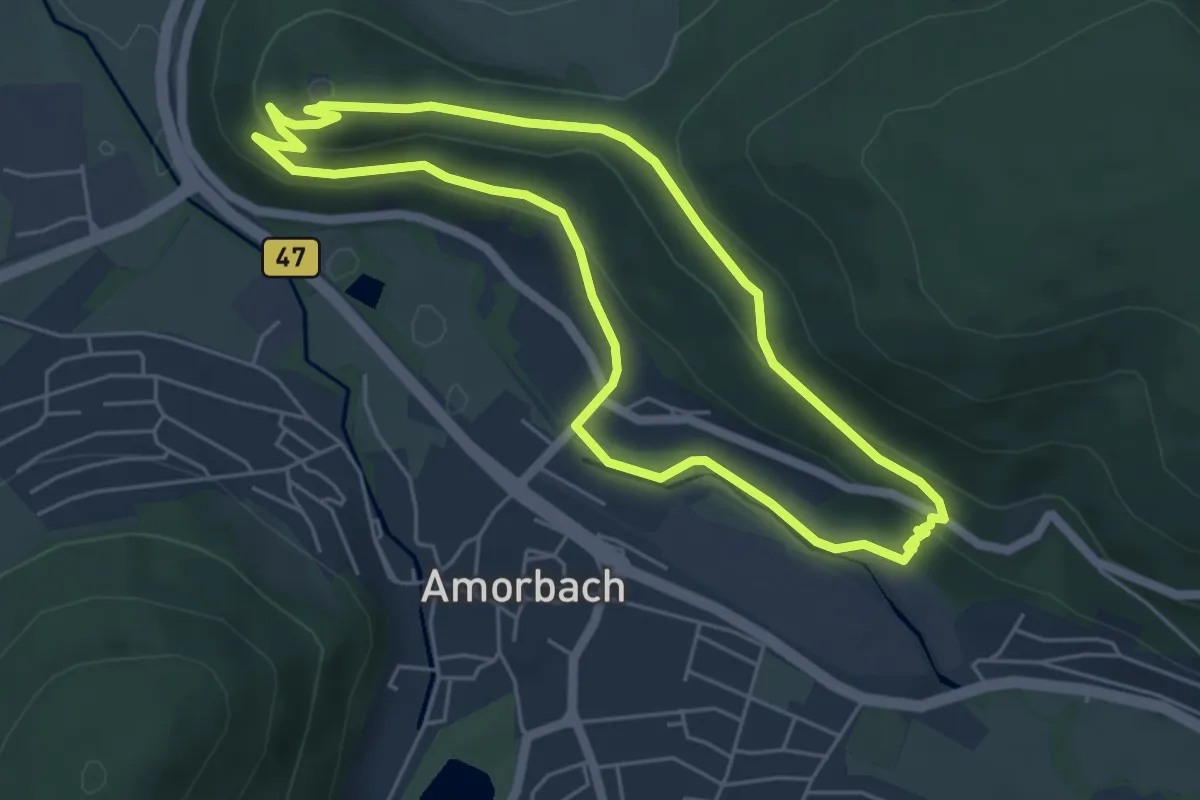
Easy · Summit
Geo-Lehrpfad: Sandstein-Weg
4.8 km · ↑ 181 m · 1 h 36 min
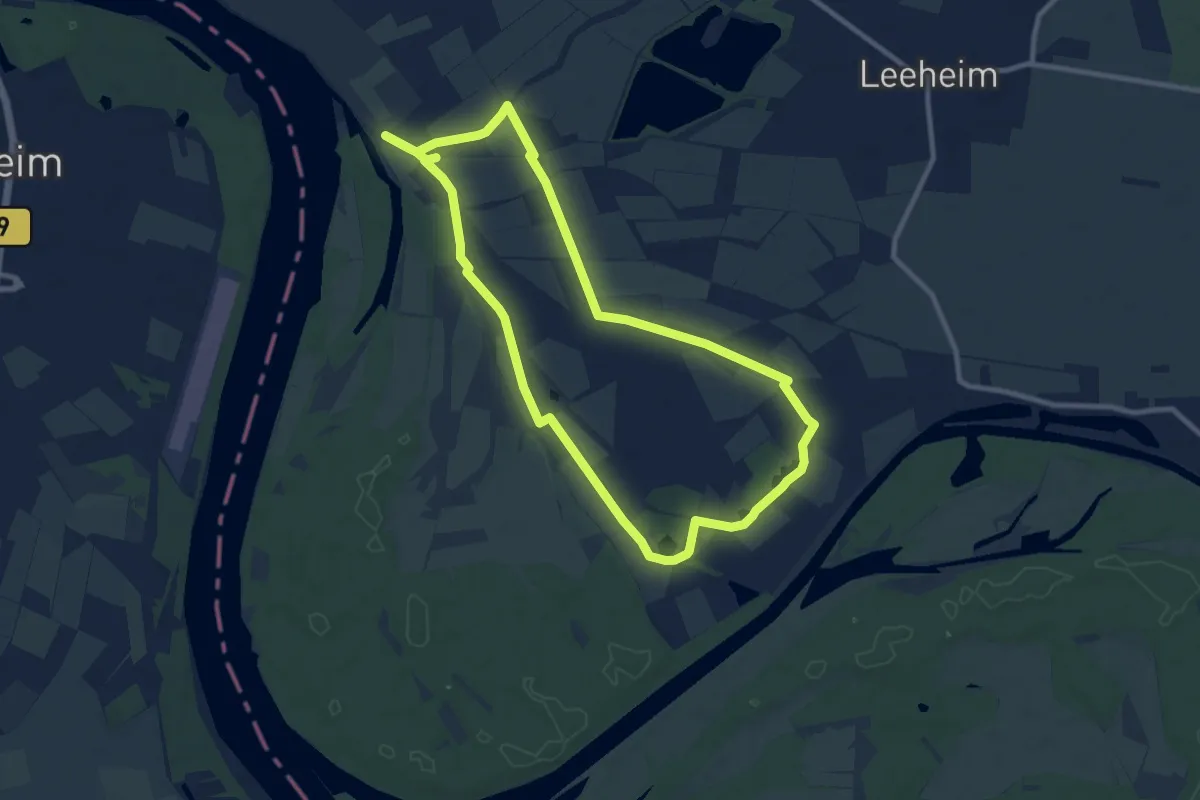
Medium · Trail
Geo-Lehrpfad "Stromtalwiesen"
9.0 km · ↑ 8 m · 2 h 17 min
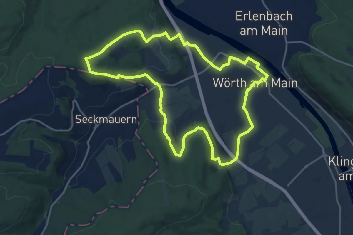
Medium · Summit
Geo-Lehrpfad Wörth : Im Zeichen der Schifffahrt
10.8 km · ↑ 315 m · 3 h 23 min
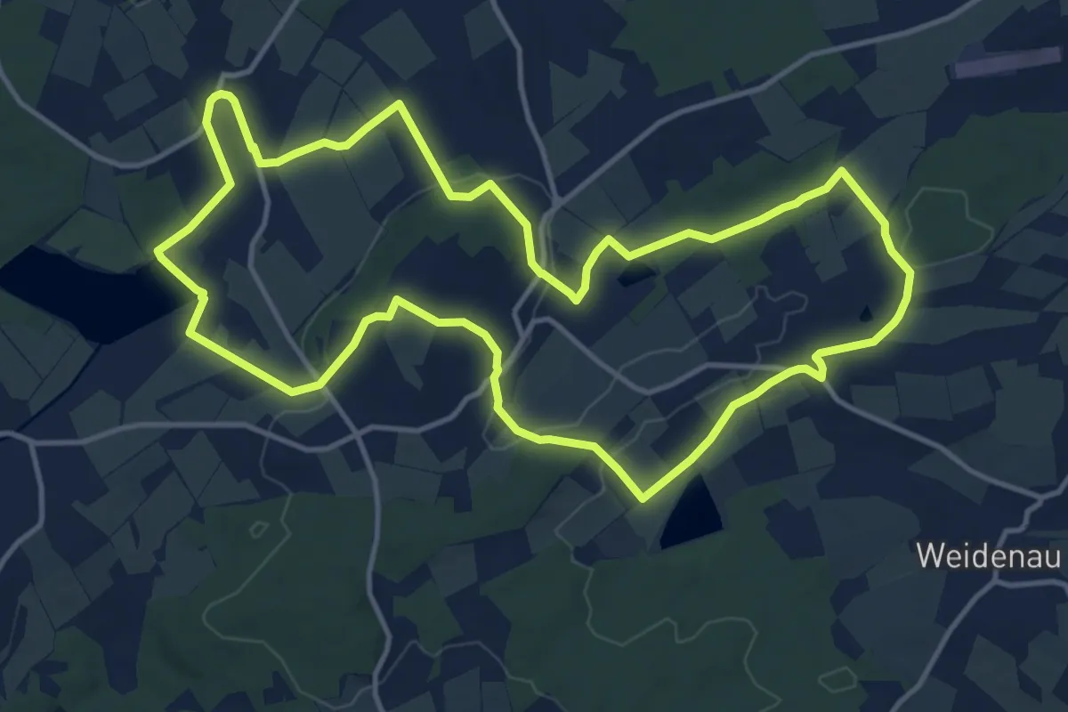
Medium · Trail
Geologie & Geistliches
12.7 km · ↑ 195 m · 3 h 36 min
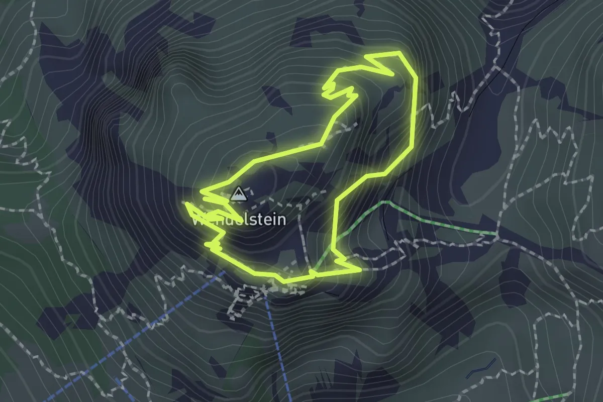
Medium · Summit
Geologie Rundweg
1.7 km · ↑ 236 m · 57 min
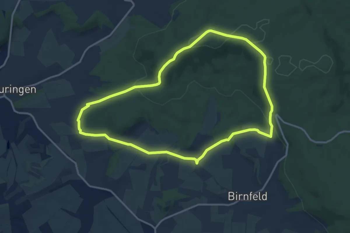
Medium · Summit
Geologieweg Stadtlauringen
8.4 km · ↑ 179 m · 2 h 30 min
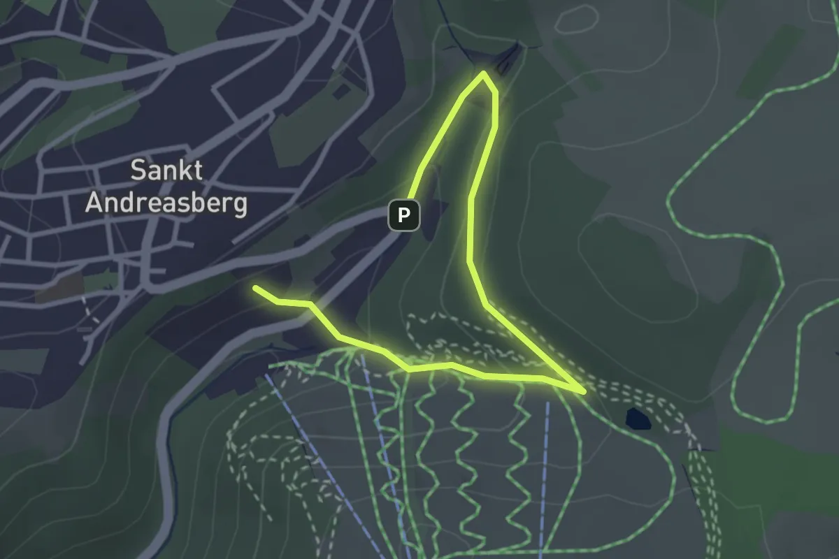
Easy · Trail
Geologisch-Bergbauhistorischer Wanderweg
3.2 km · ↑ 130 m · 1 h 2 min
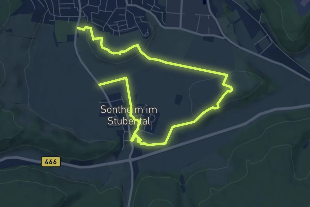
Easy · Summit
Geologischer Lehrpfad
5.5 km · ↑ 92 m · 1 h 34 min
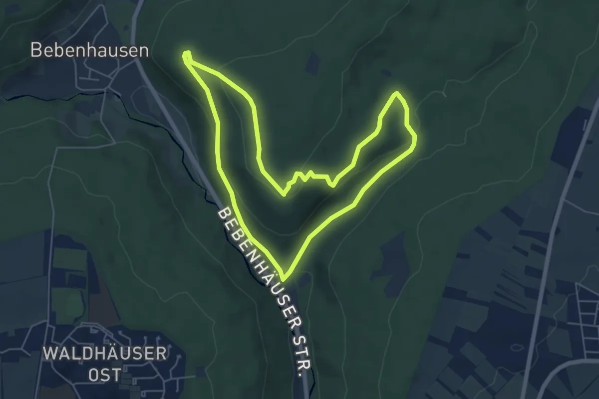
Easy · Summit
Geologischer Lehrpfad
5.0 km · ↑ 140 m · 1 h 34 min
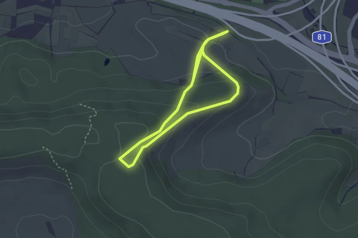
Easy · Trail
Geologischer Lehrpfad
2.4 km · ↑ 136 m · 53 min
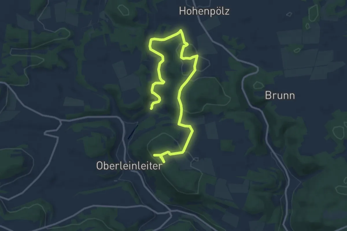
Medium · Trail
Geologischer Lehrpfad
11.6 km · ↑ 251 m · 3 h 17 min
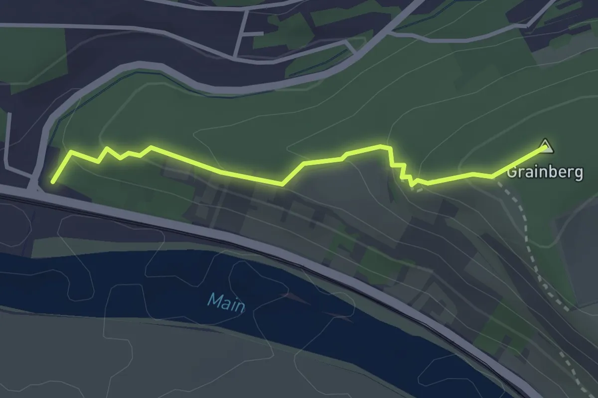
Easy · Summit
Geologischer Lehrpfad
2.6 km · ↑ 139 m · 55 min
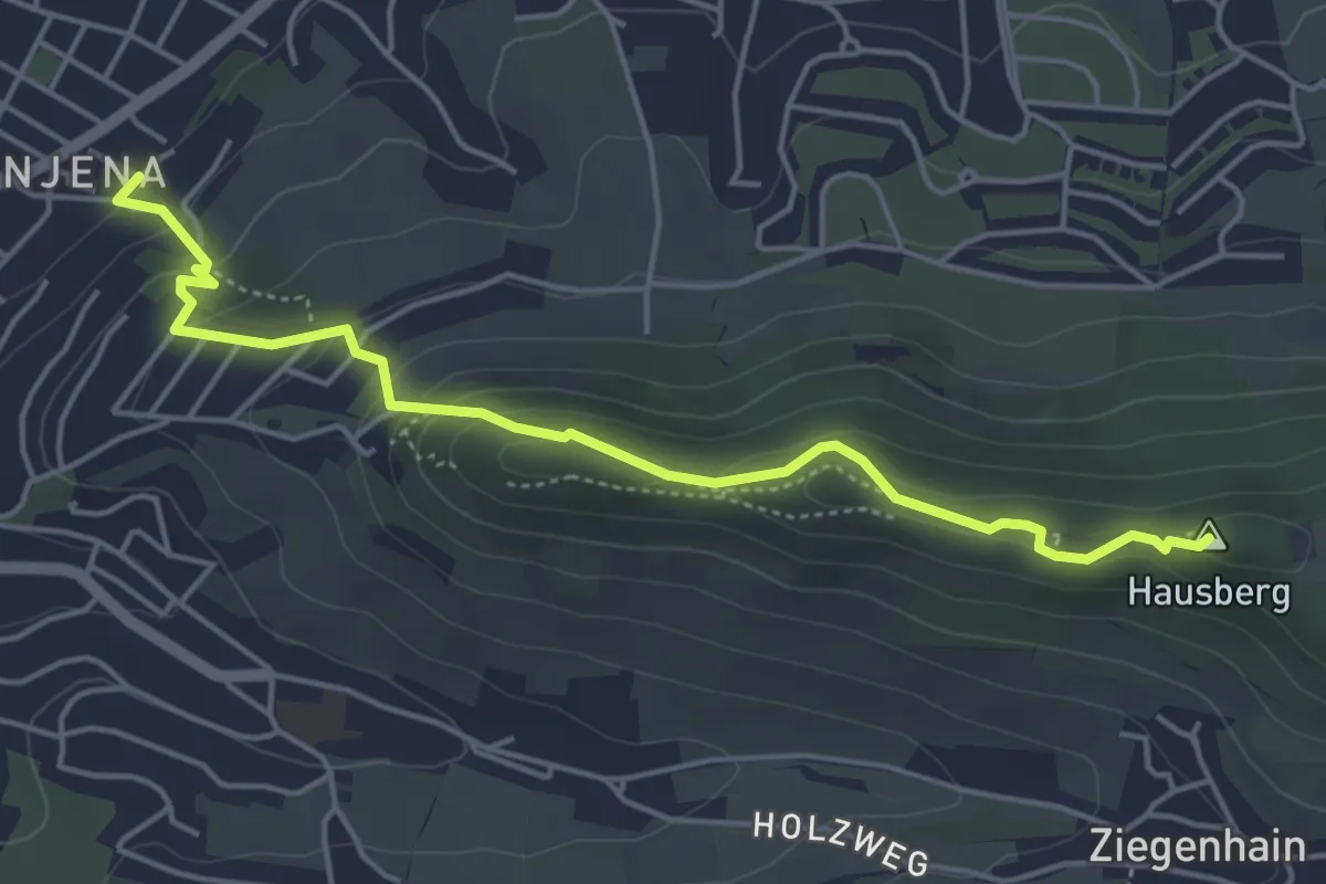
Easy · Summit
Geologischer Lehrpfad Jena
4.6 km · ↑ 210 m · 1 h 32 min
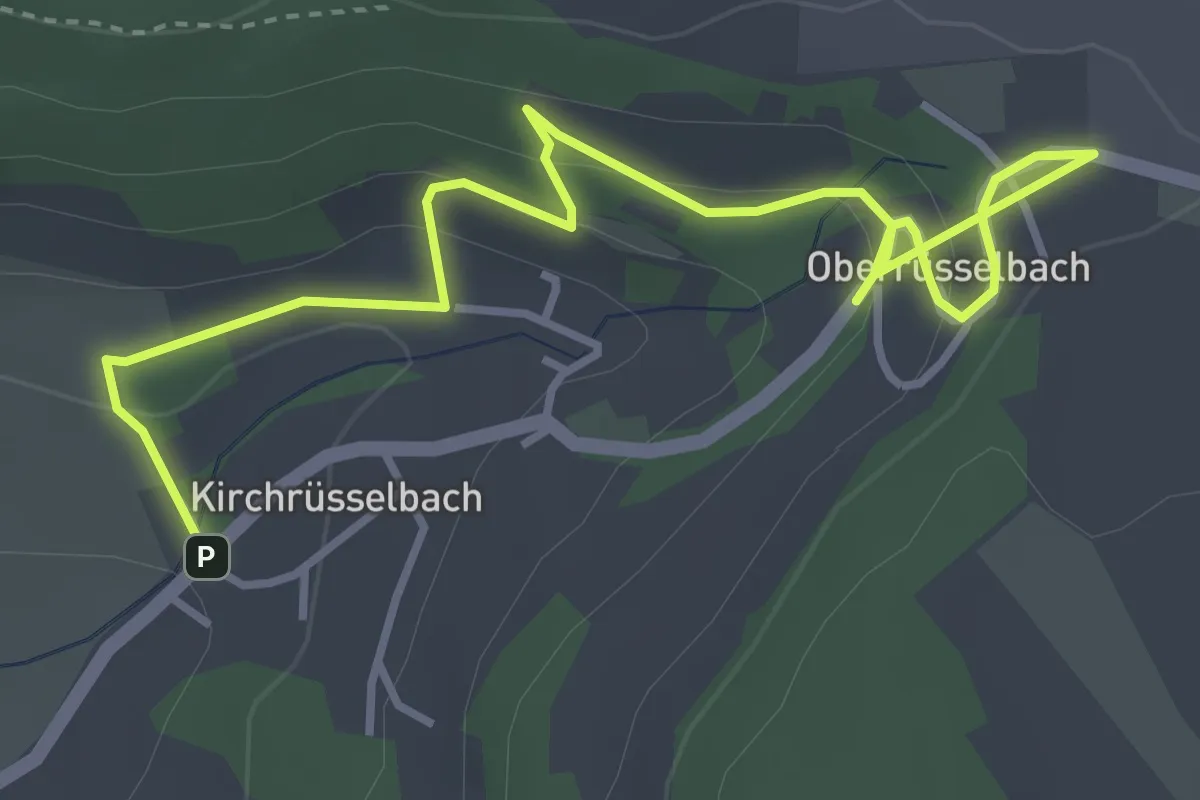
Easy · Trail
Geologischer Lehrpfad Rüsselbach
4.5 km · ↑ 184 m · 1 h 28 min
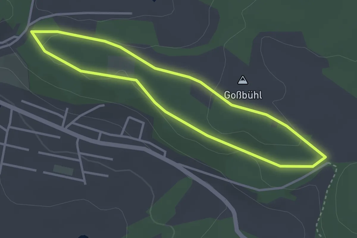
Easy · Summit
Geologischer Lehrpfad Tännesberg
2.7 km · ↑ 43 m · 46 min
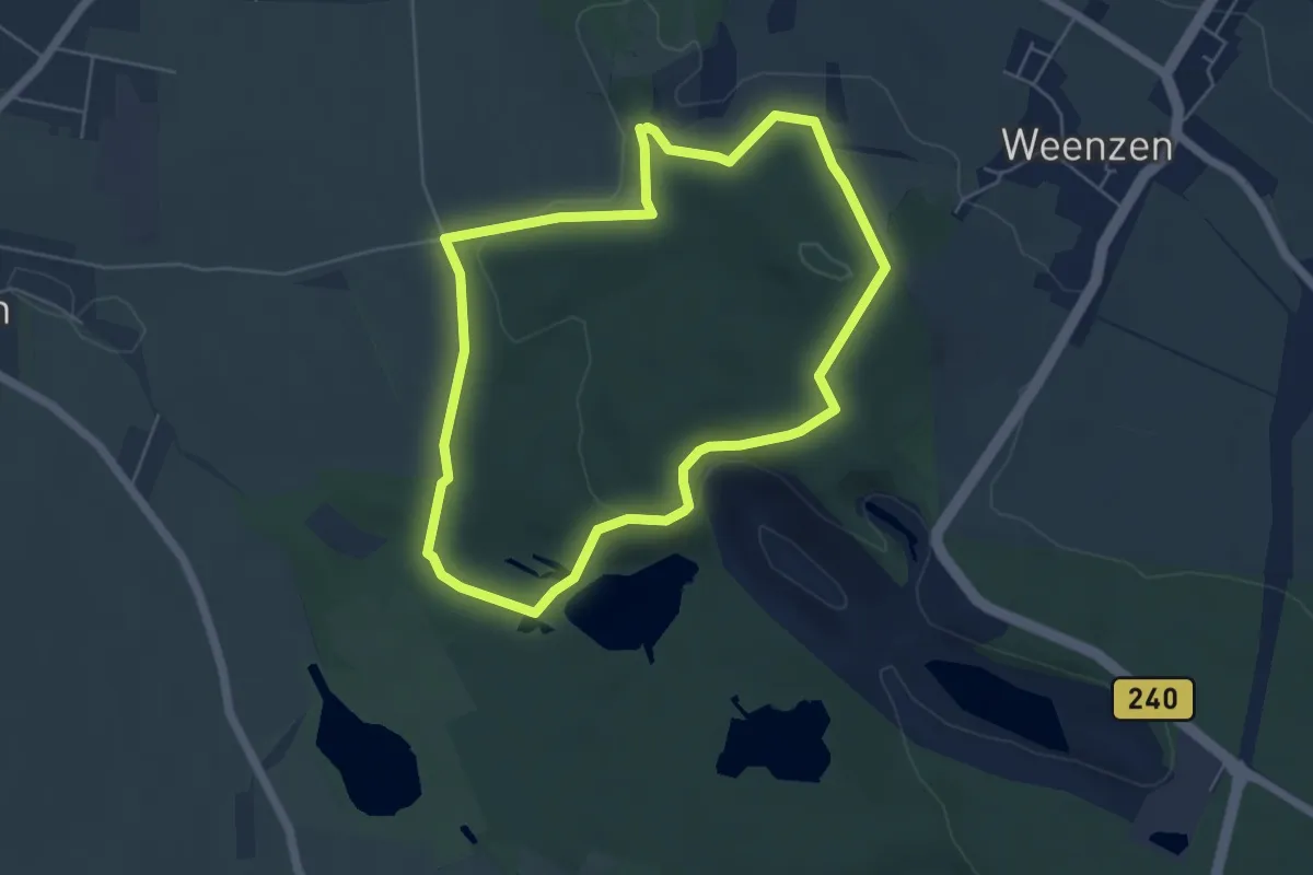
Easy · Trail
Geologischer Lehrpfad Weenzerbruch
4.6 km · ↑ 92 m · 1 h 21 min
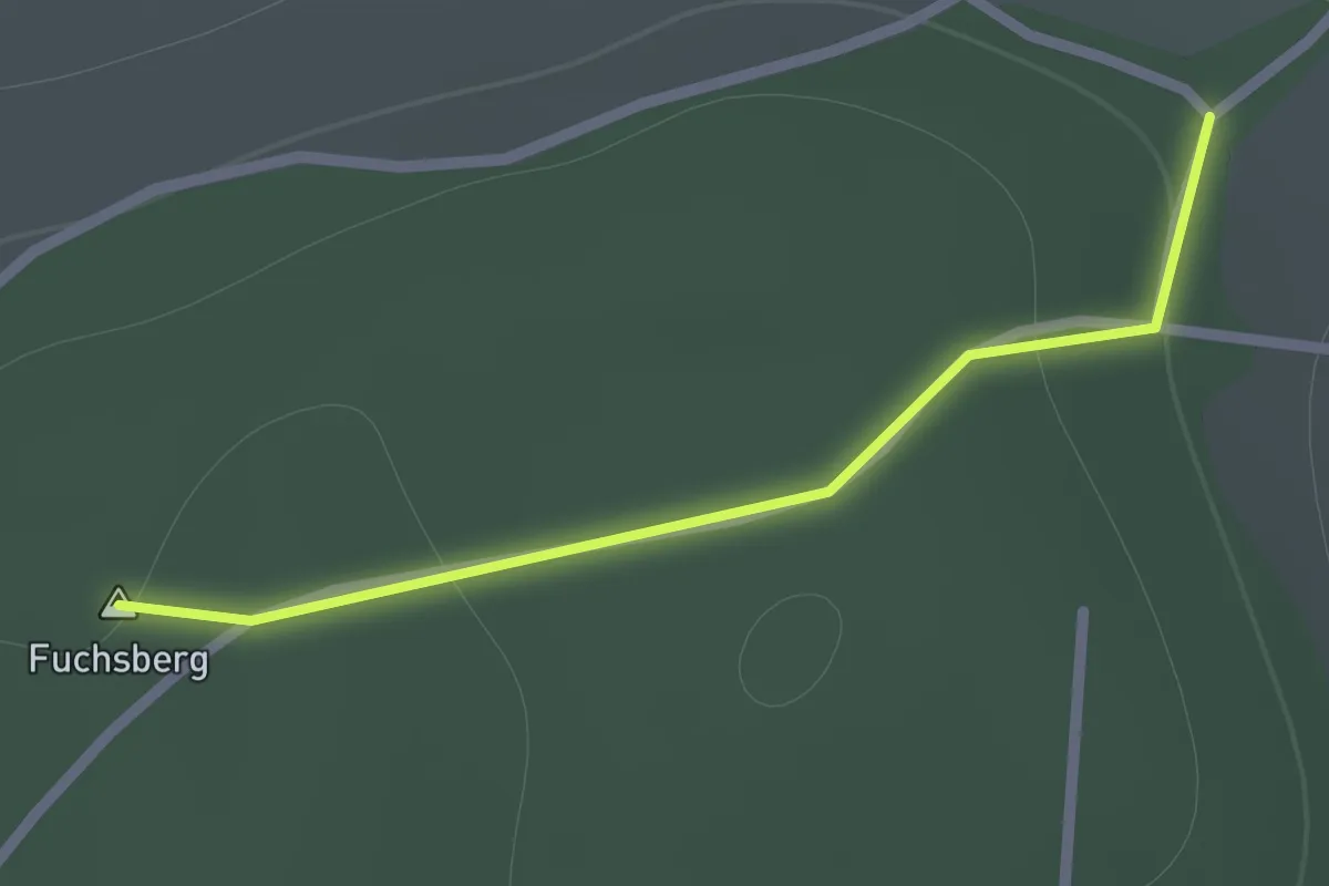
Easy · Summit
Geologischer Lehrpfad, Zusatzschleife
0.8 km · ↑ 15 m · 13 min
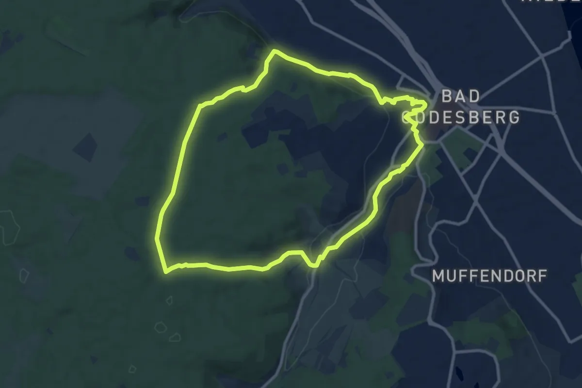
Medium · Trail
Geologischer Lehr- und Wanderpfad
8.4 km · ↑ 165 m · 2 h 27 min
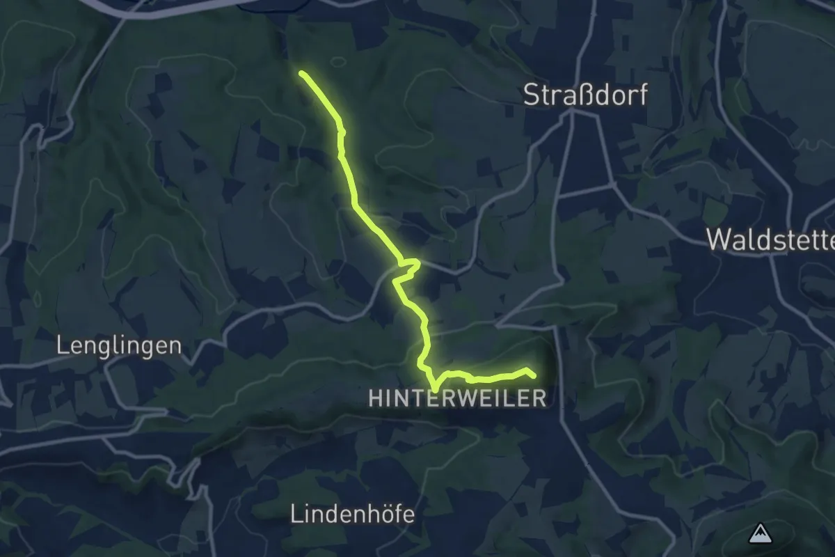
Medium · Summit
Geologischer Pfad
9.4 km · ↑ 392 m · 3 h 3 min
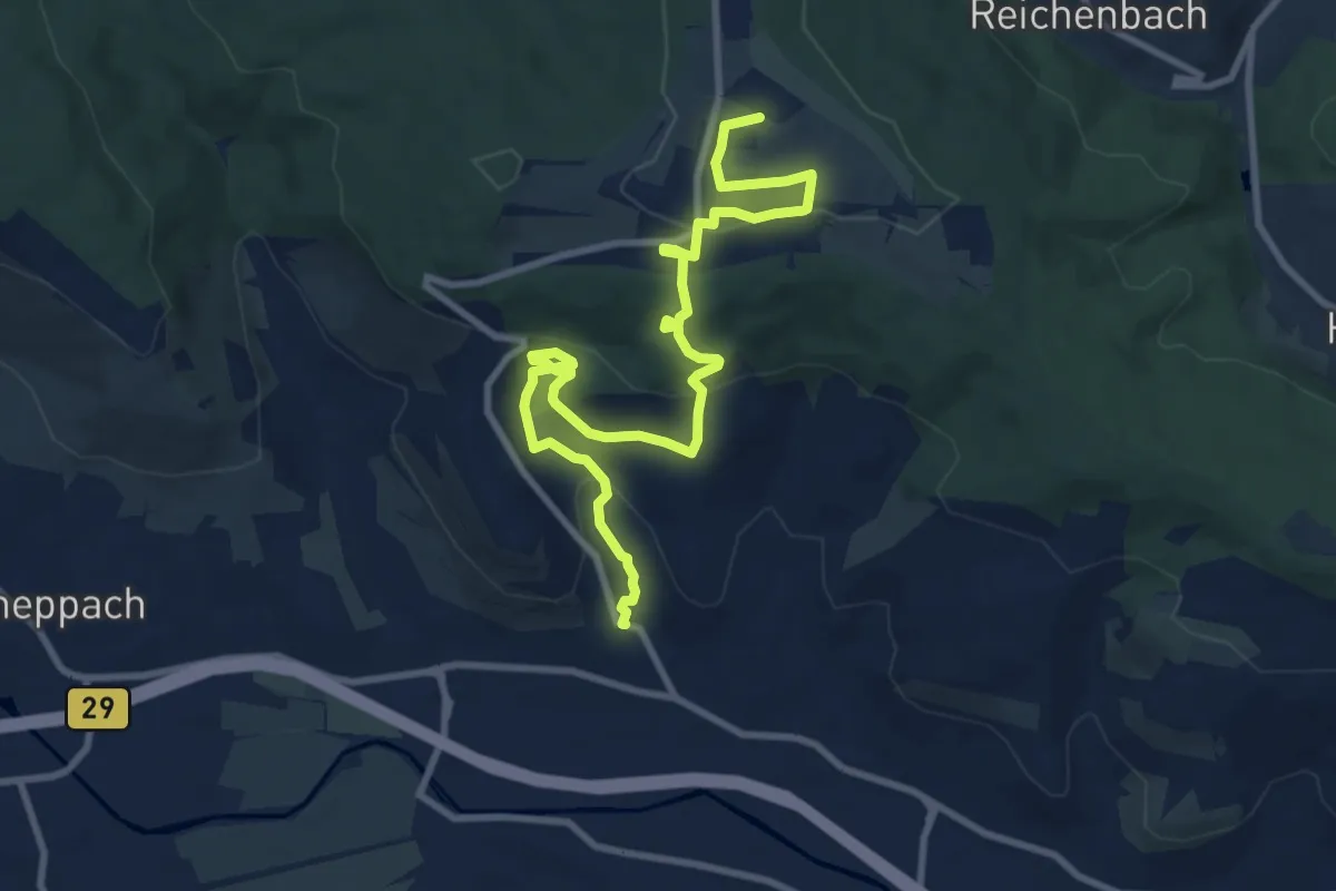
Medium · Summit
Geologischer Pfad
11.0 km · ↑ 370 m · 3 h 24 min
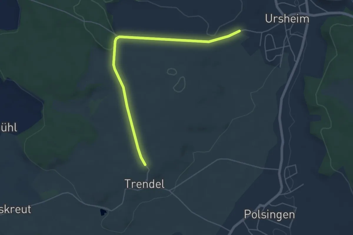
Easy · Trail
Geologischer Pfad Polsingen
4.9 km · ↑ 38 m · 1 h 15 min
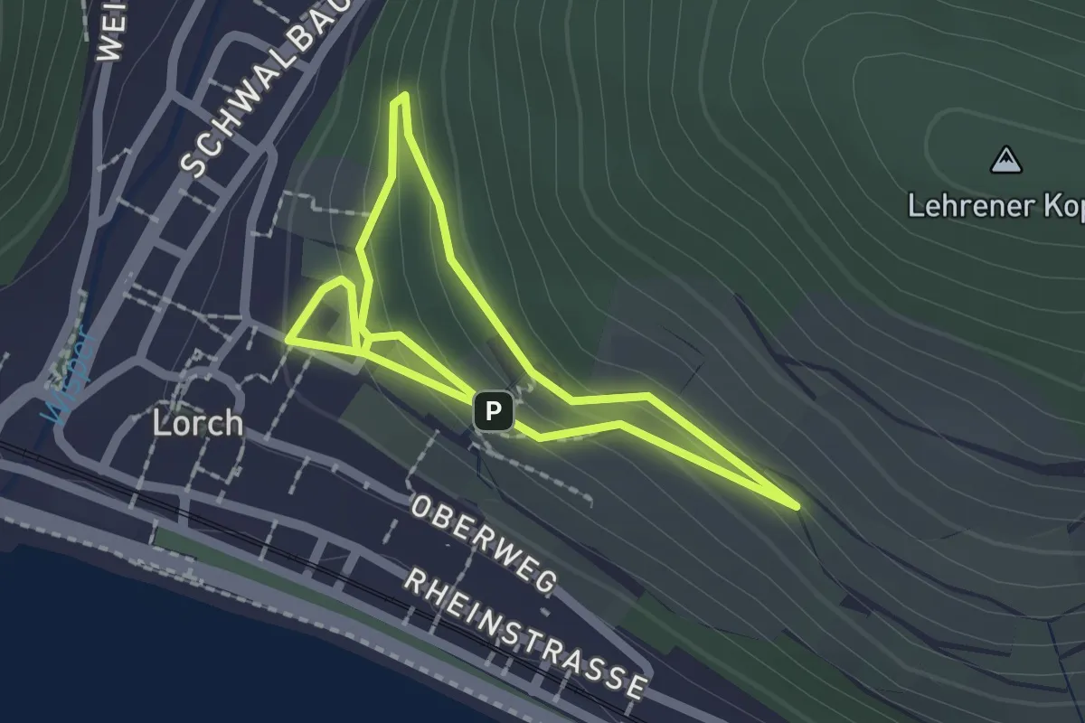
Easy · Trail
Geologischer Rundwanderweg Lorch
1.5 km · ↑ 67 m · 32 min
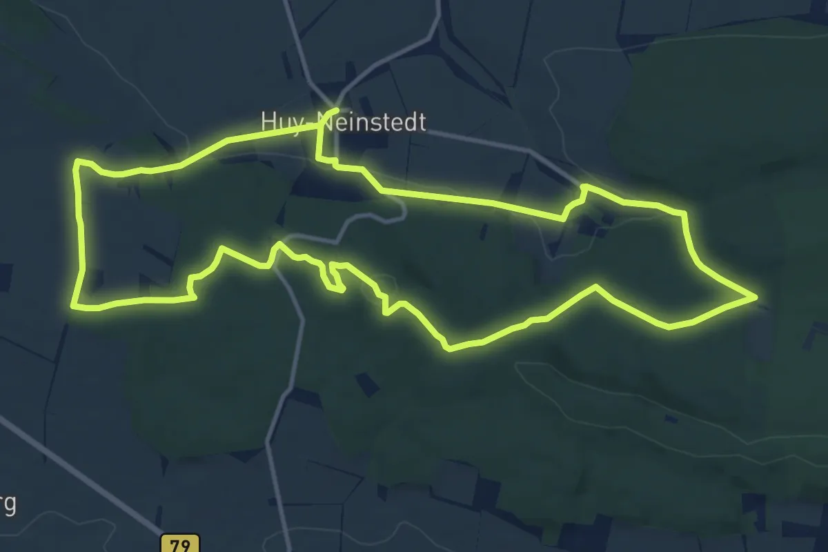
Medium · Summit
Geologischer Rundweg West
11.5 km · ↑ 171 m · 3 h 14 min
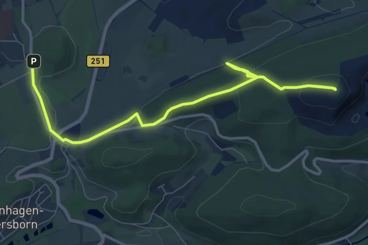
Easy · Trail
Geologischer Sprung
4.3 km · ↑ 169 m · 1 h 25 min
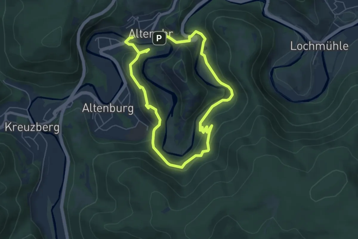
Medium · Trail
Geologischer Wanderweg Altenahr
4.4 km · ↑ 183 m · 1 h 30 min
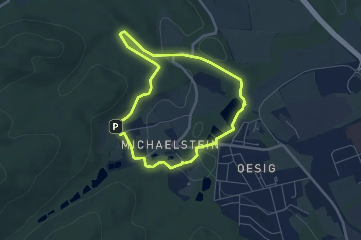
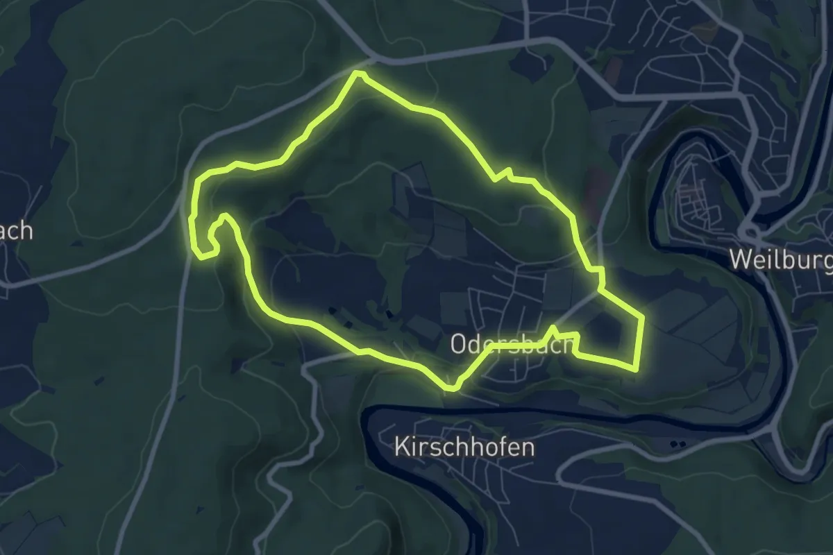
Easy · Trail
Geologischer Wanderweg Blankenburg
4.0 km · ↑ 43 m · 1 h 5 min
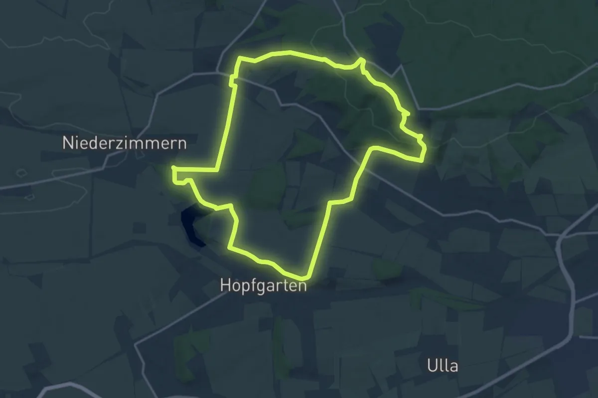
Easy · Trail
Geologischer Wanderweg - Steinbruch - Grube Erhaltung
7.3 km · ↑ 198 m · 2 h 16 min
Medium · Trail
Geologischer Wanderweg - Westlicher Ettersberg
13.9 km · ↑ 275 m · 4 h 4 min
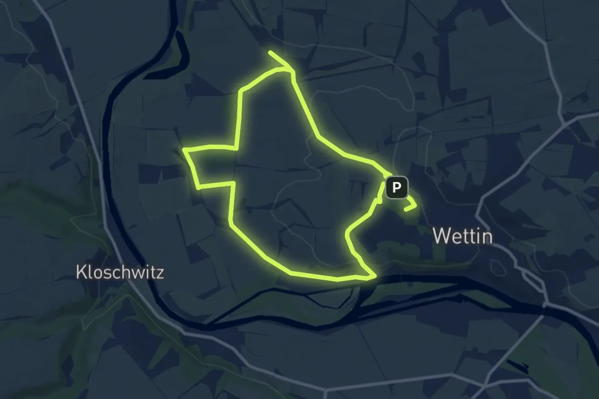
Easy · Summit
Geologischer Wanderweg Wettin
7.7 km · ↑ 79 m · 2 h 6 min
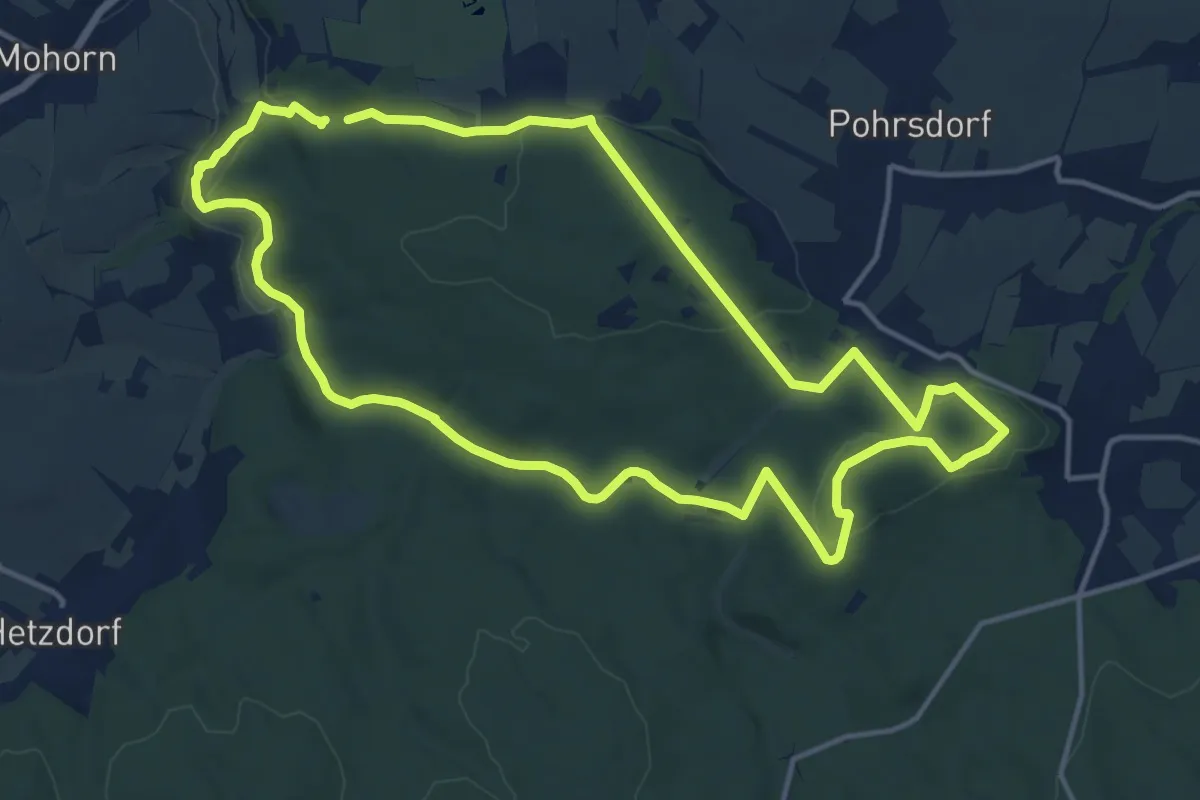
Medium · Summit
Geologisches Freilichtmuseum - Rundweg
13.3 km · ↑ 238 m · 3 h 50 min
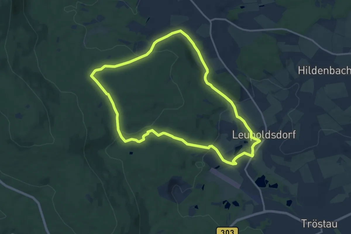
Medium · Trail
Geologisch-historischer Lehrpfad Leupoldsdorf-Vordorf
9.5 km · ↑ 192 m · 2 h 47 min
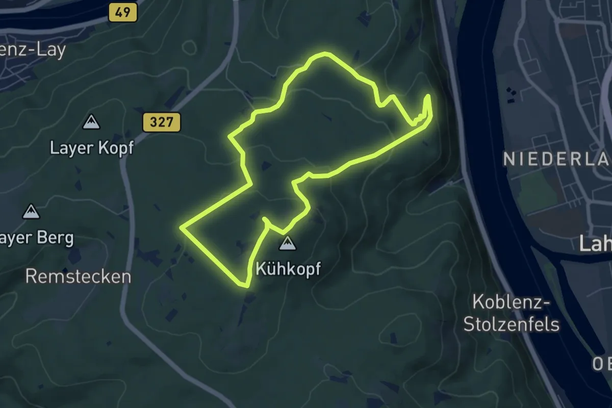
Easy · Summit
Geologisch-landeskundlicher Wanderweg
6.3 km · ↑ 212 m · 2 h 2 min
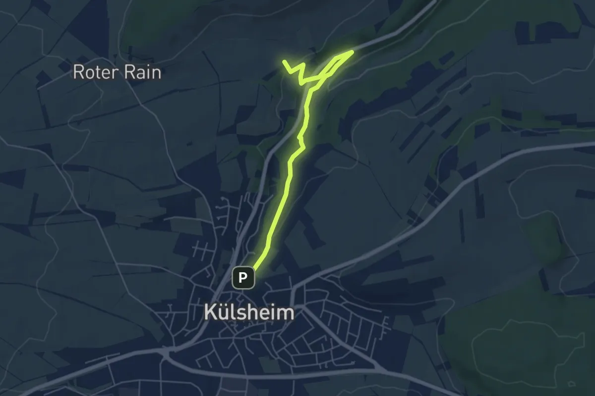
Easy · Trail
Geologisch-naturkundlicher Wanderweg
5.0 km · ↑ 100 m · 1 h 25 min
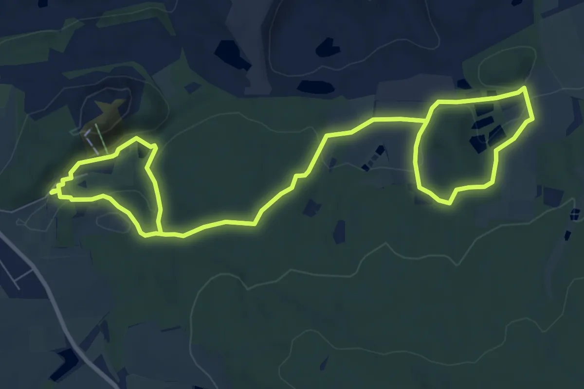
Medium · Trail
GeoPark Kaolinrevier Hirschau - Schnaittenbach
11.6 km · ↑ 238 m · 3 h 16 min
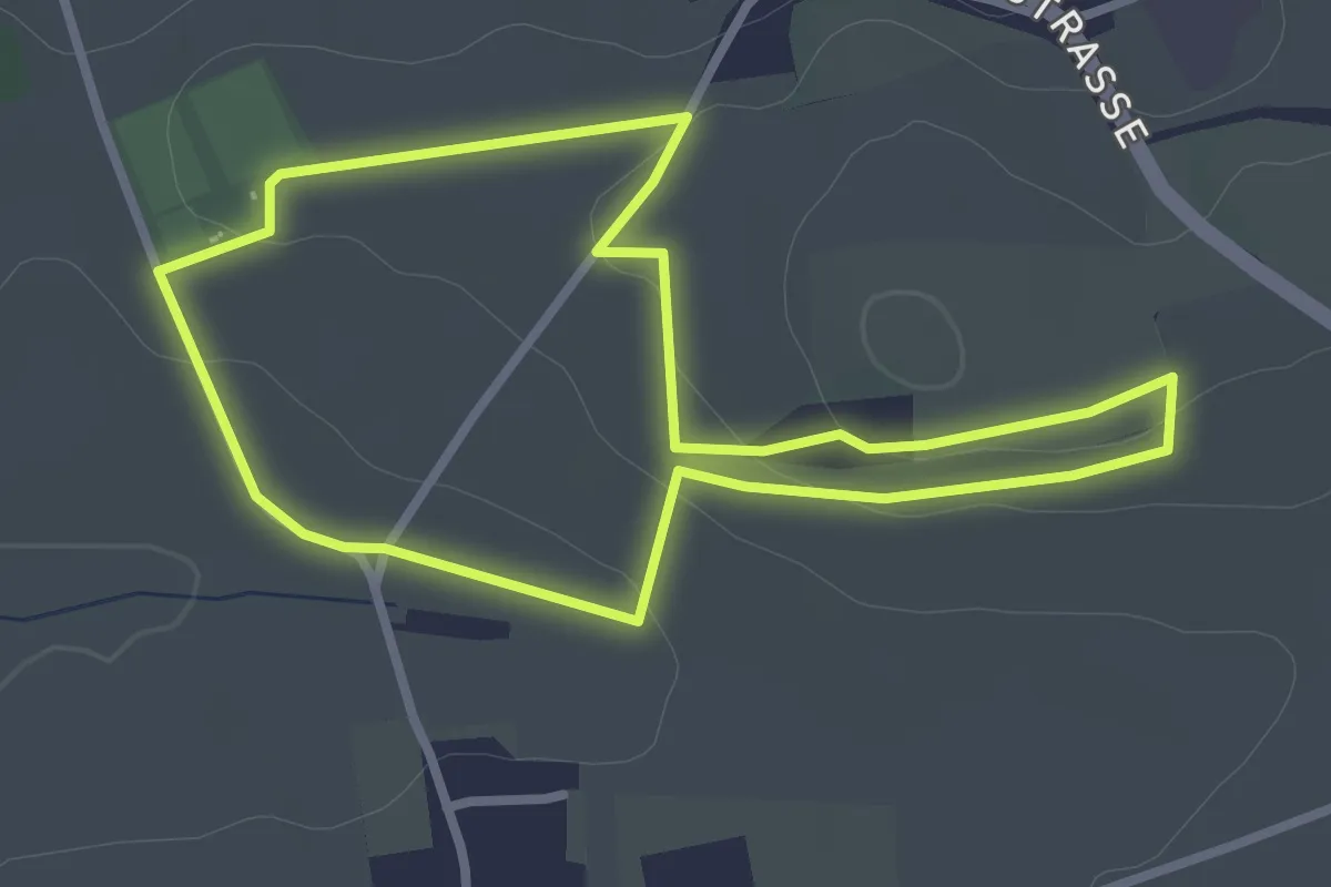
Easy · Trail
Geopark Lehrpfad Glaubenberg
2.7 km · ↑ 44 m · 46 min
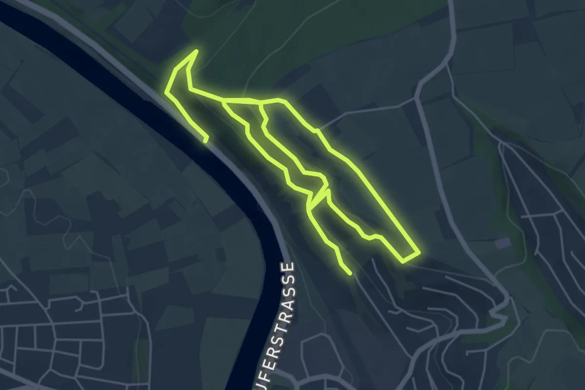
Easy · Trail
Geopark-Pfad Naturerlebnis Schreckberg
4.4 km · ↑ 234 m · 1 h 35 min
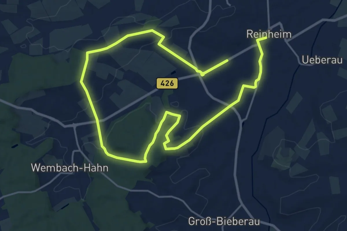
Demanding · Trail
Geopark-Pfad Reinheimer Hügelland
21.6 km · ↑ 427 m · 6 h 1 min
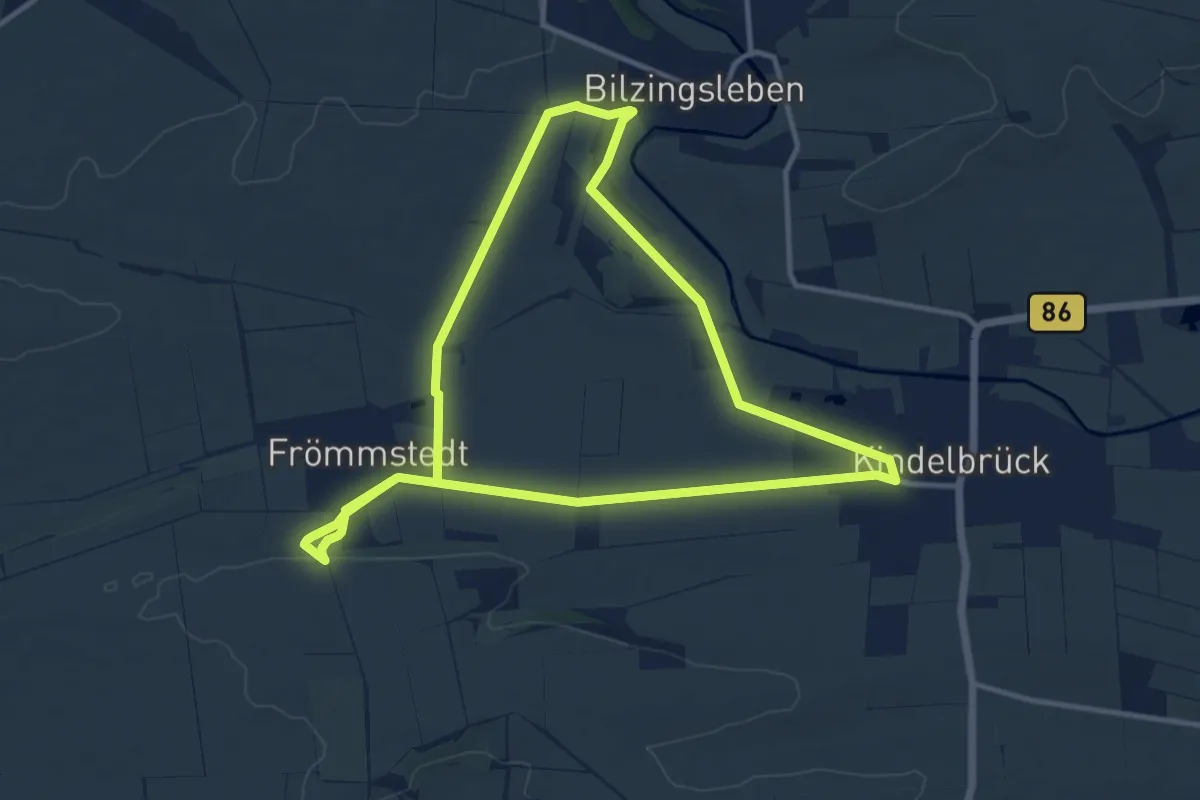
Medium · Trail
Geopark Steinrinne
10.6 km · ↑ 101 m · 2 h 53 min
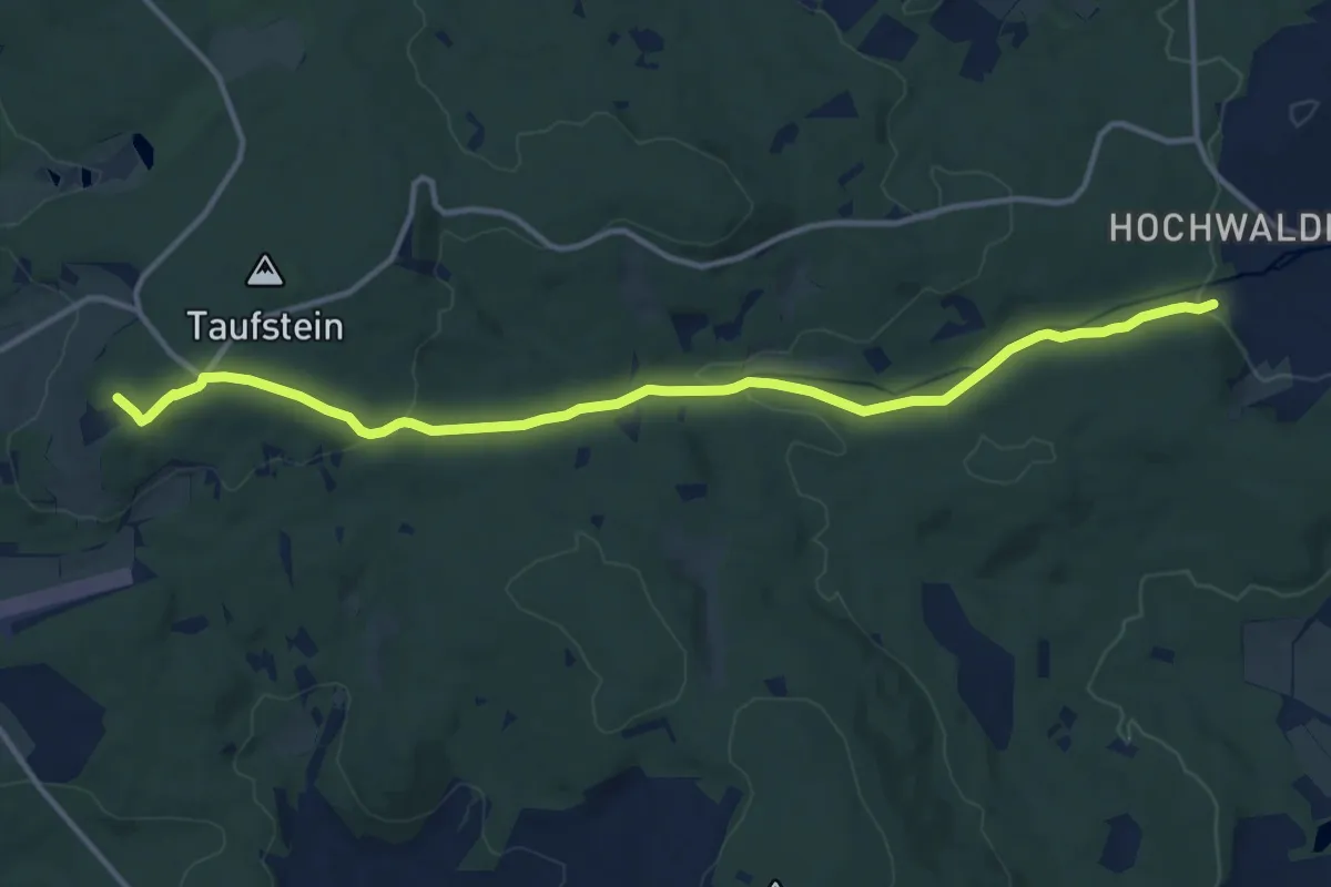
Medium · Summit
Geopfad
12.6 km · ↑ 269 m · 3 h 34 min
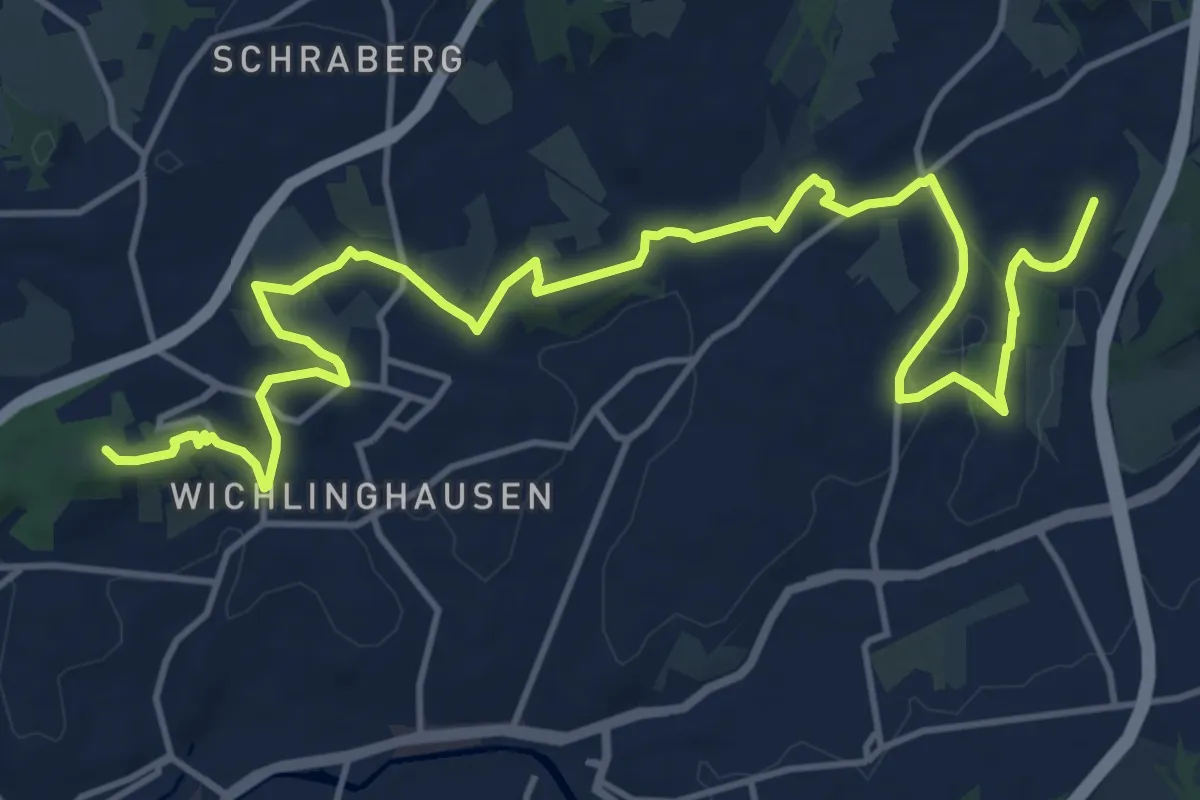
Medium · Summit
Geopfad Barmen
16.7 km · ↑ 307 m · 4 h 37 min
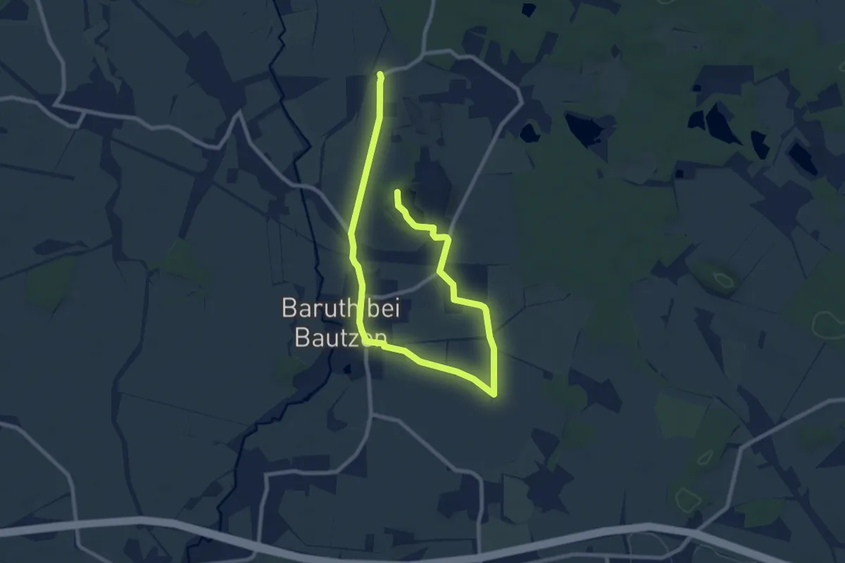
Medium · Trail
Geopfad »Baruths heiße Vergangenheit«
10.8 km · ↑ 41 m · 2 h 38 min