Trails in Germany
36,852 hiking trails, each with its route, climb, walking time and grade.
All trails, page 177 of 768
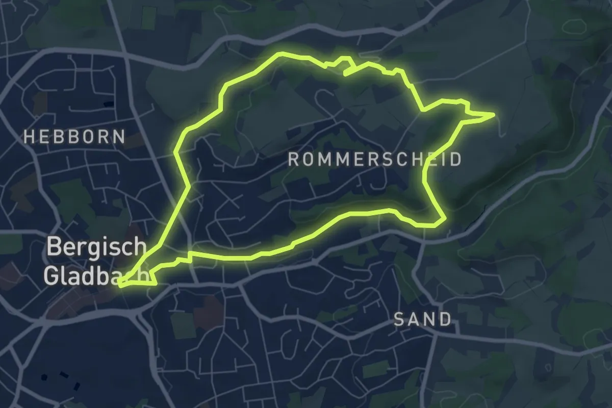
Easy · Trail
Geopfad Berg. Gladbach
6.9 km · ↑ 100 m · 1 h 56 min
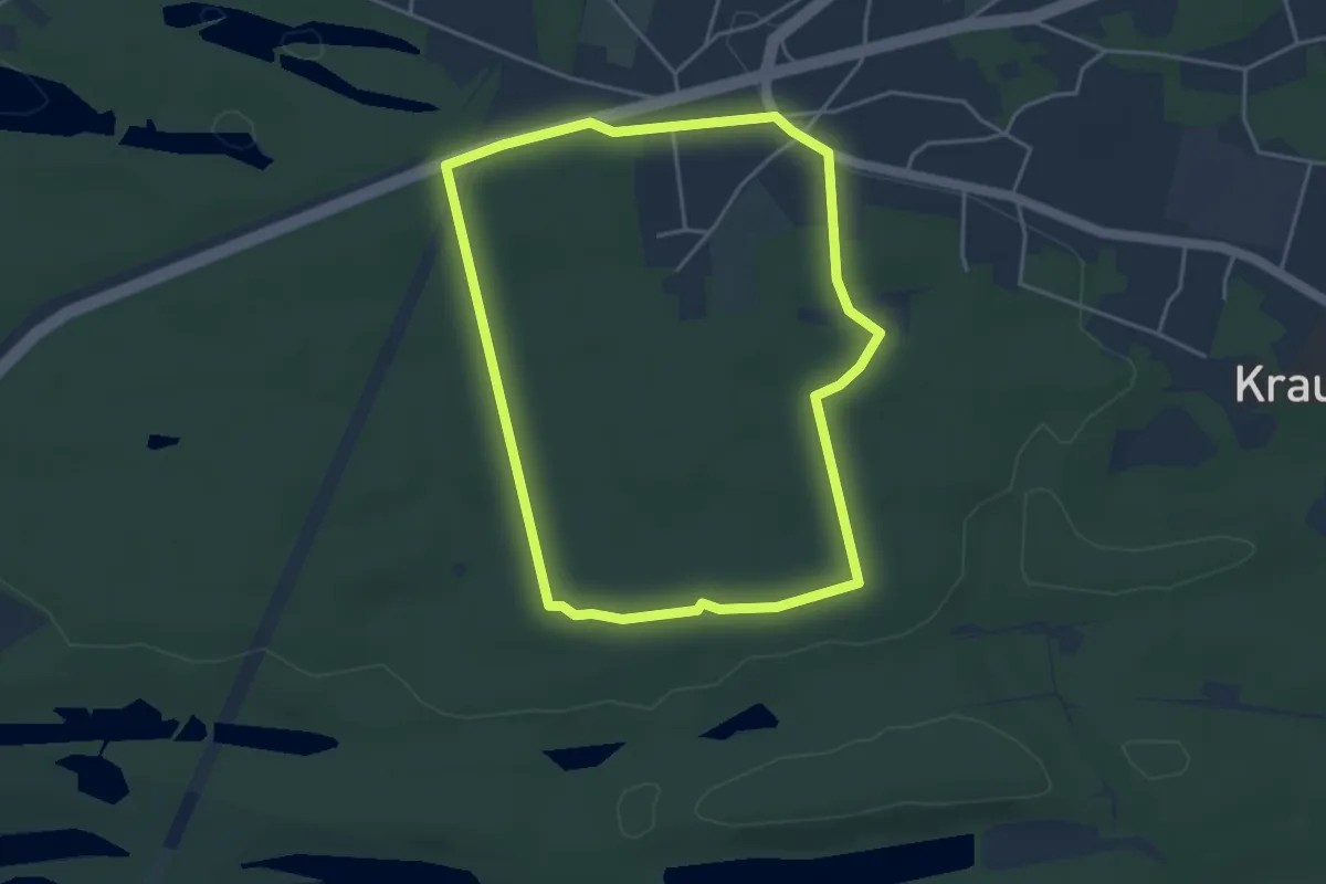
Easy · Summit
Geopfad Drachenberge
3.7 km · ↑ 13 m · 57 min
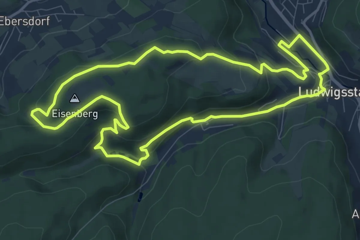
Medium · Summit
Geopfad Eisenberg
8.6 km · ↑ 290 m · 2 h 46 min
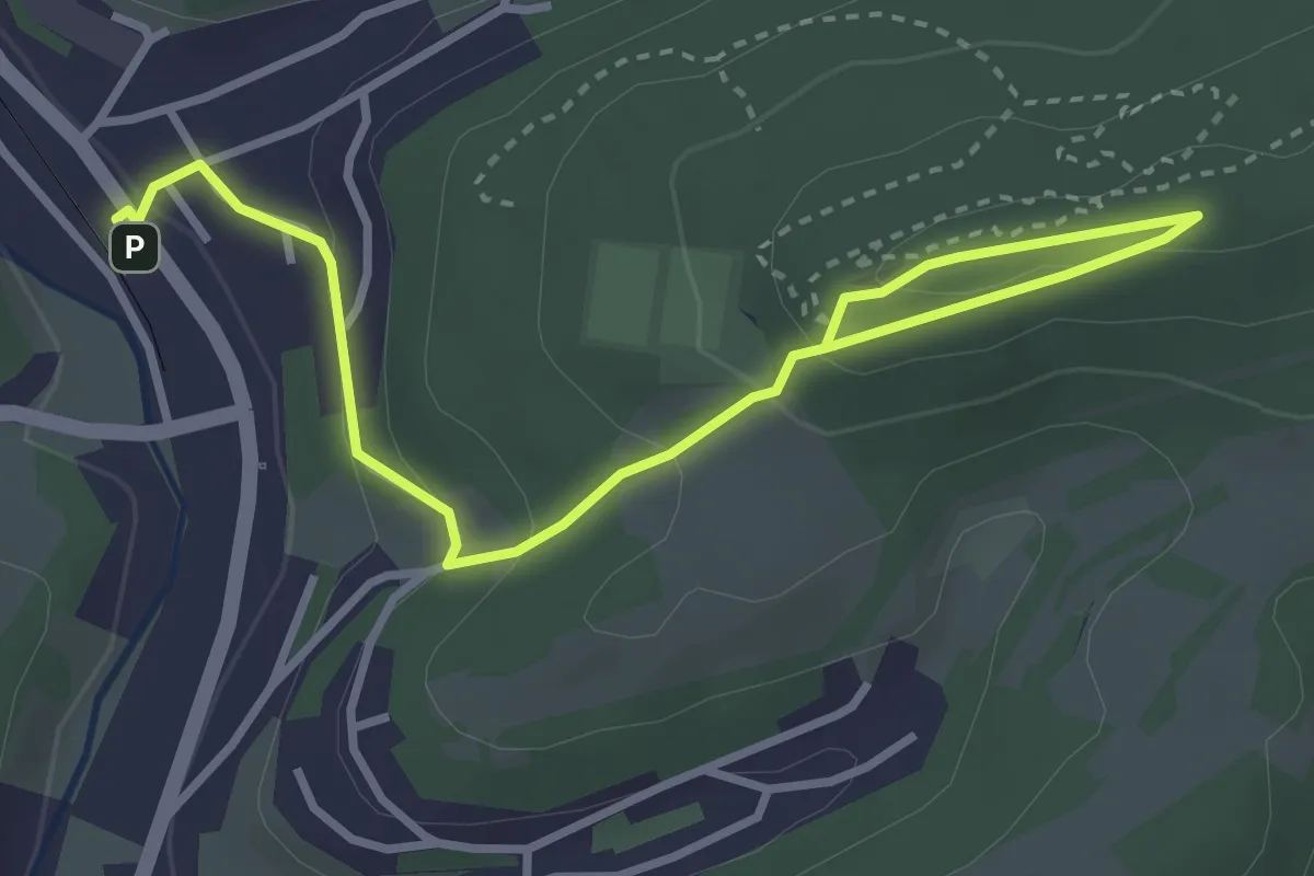
Easy · Trail
Geopfad Fladensteine
2.0 km · ↑ 143 m · 44 min
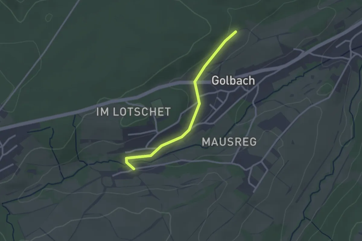
Easy · Trail
Geopfad Golbach
2.3 km · ↑ 13 m · 34 min
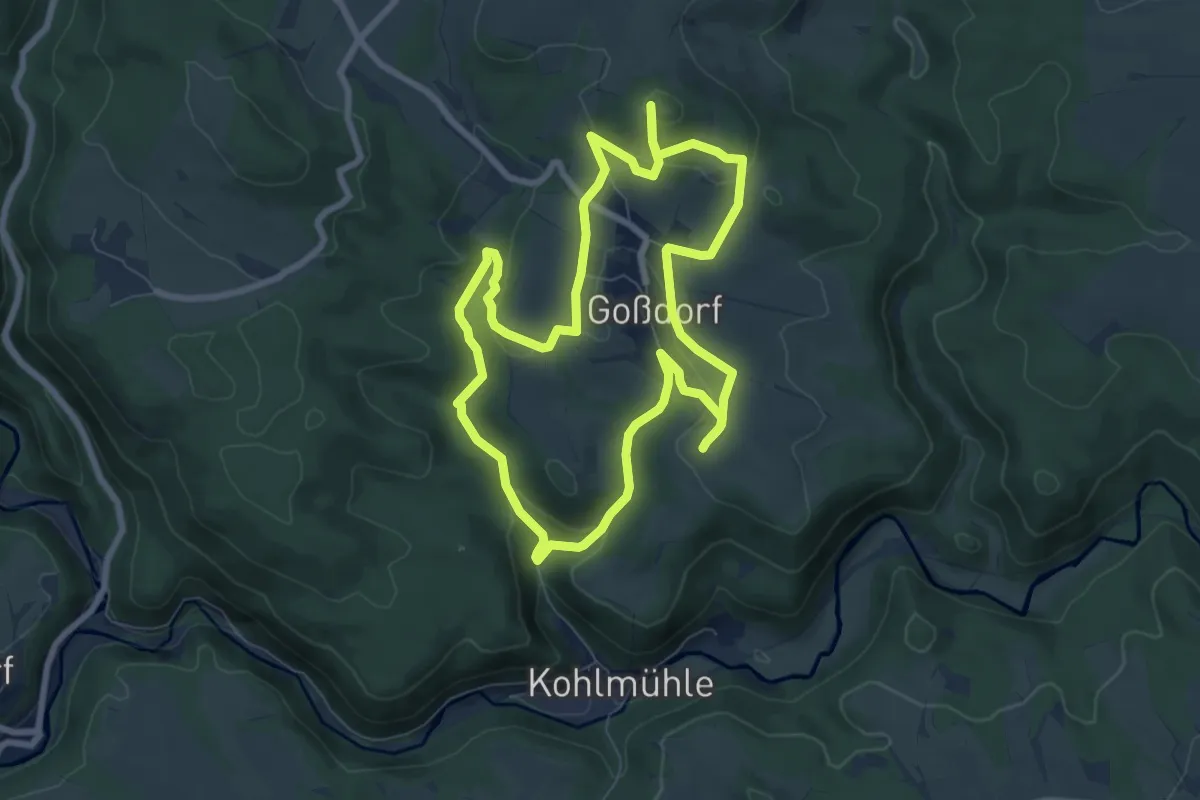
Easy · Summit
Geopfad Goßdorf
7.2 km · ↑ 224 m · 2 h 17 min
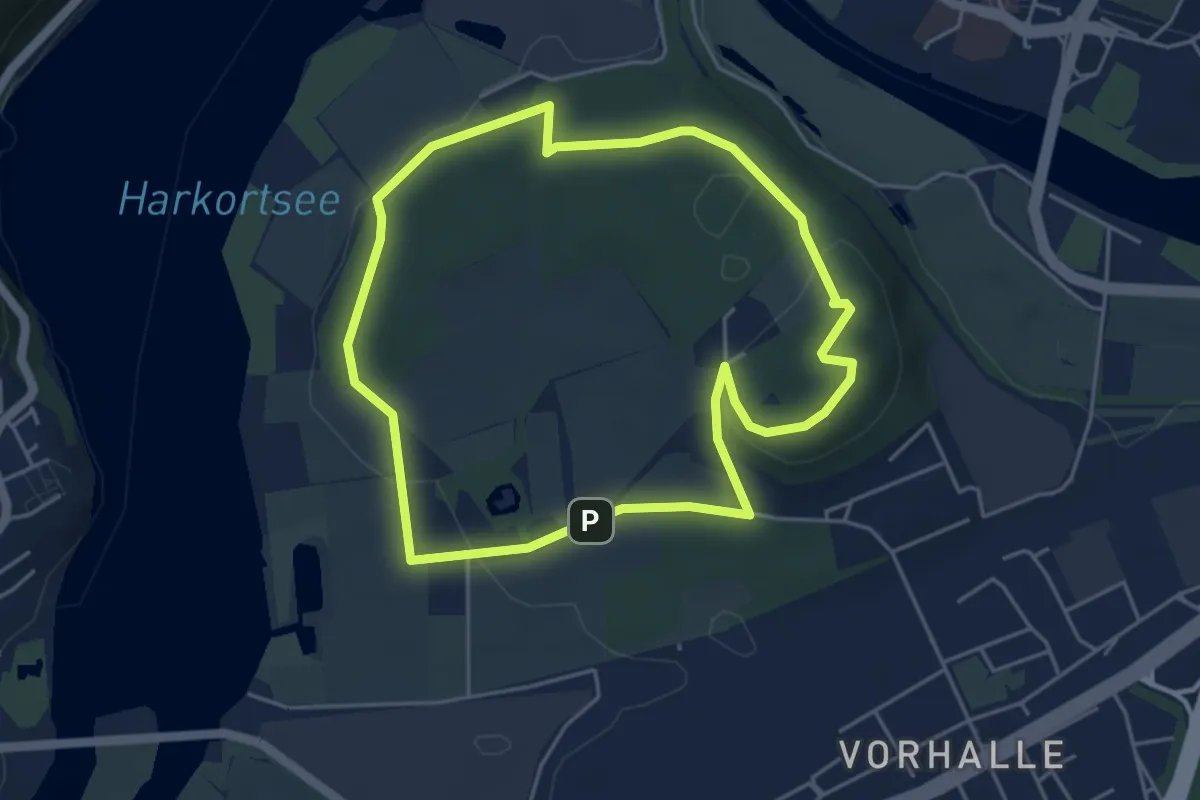
Easy · Summit
Geopfad Kaisberg
4.1 km · ↑ 95 m · 1 h 14 min
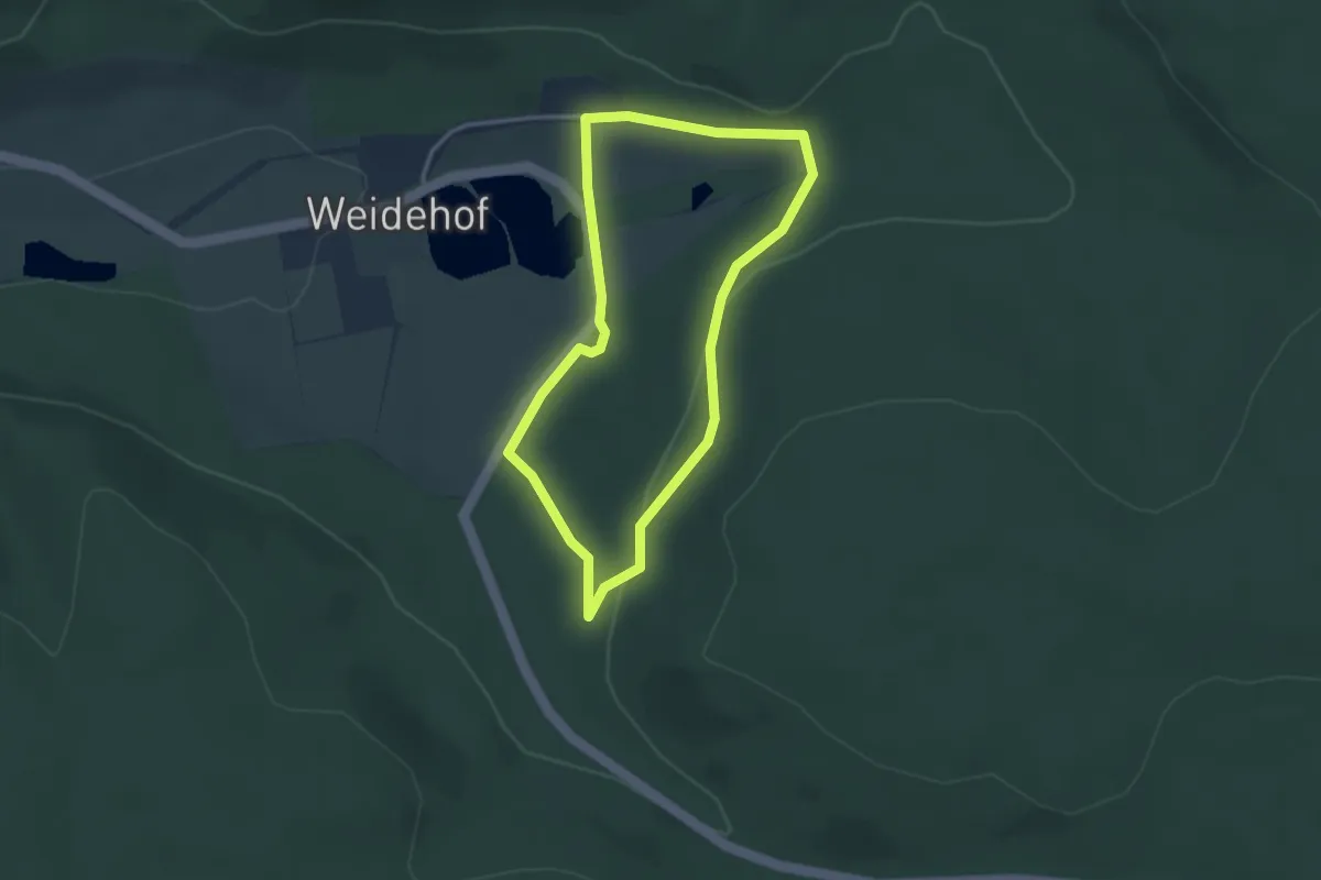
Easy · Trail
Geopfad Reitlingstal
2.6 km · ↑ 51 m · 46 min
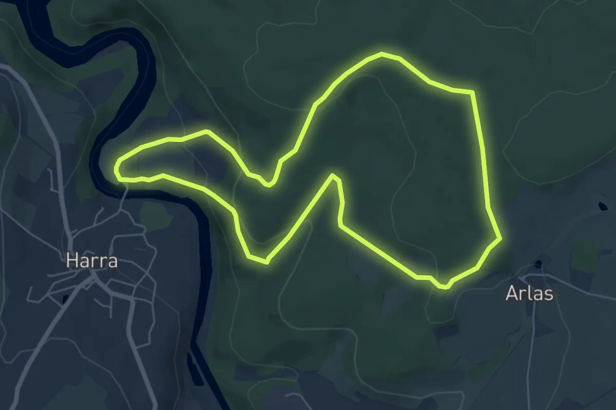
Easy · Trail
Geopfad Rosskunst
5.9 km · ↑ 181 m · 1 h 51 min
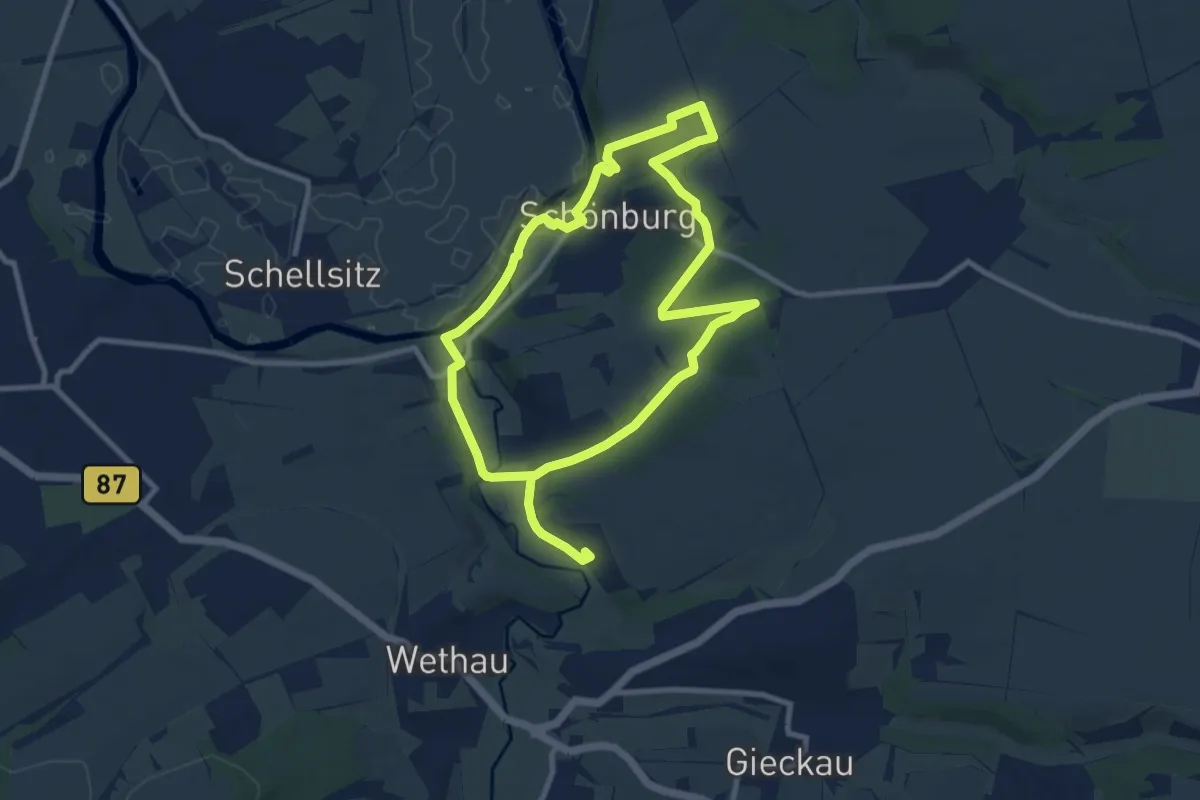
Medium · Trail
Geopfad Schönburg
15.8 km · ↑ 212 m · 4 h 11 min
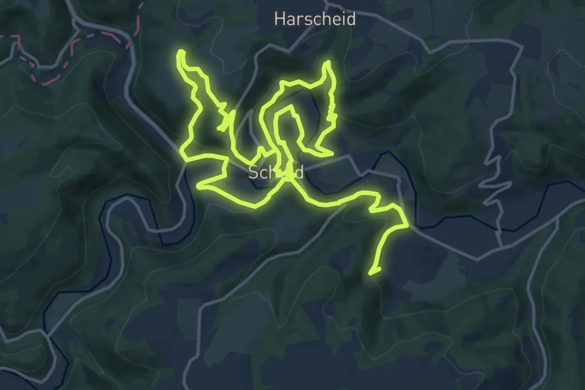
Medium · Summit
GEO-Pfad Schuld
12.0 km · ↑ 448 m · 4 h
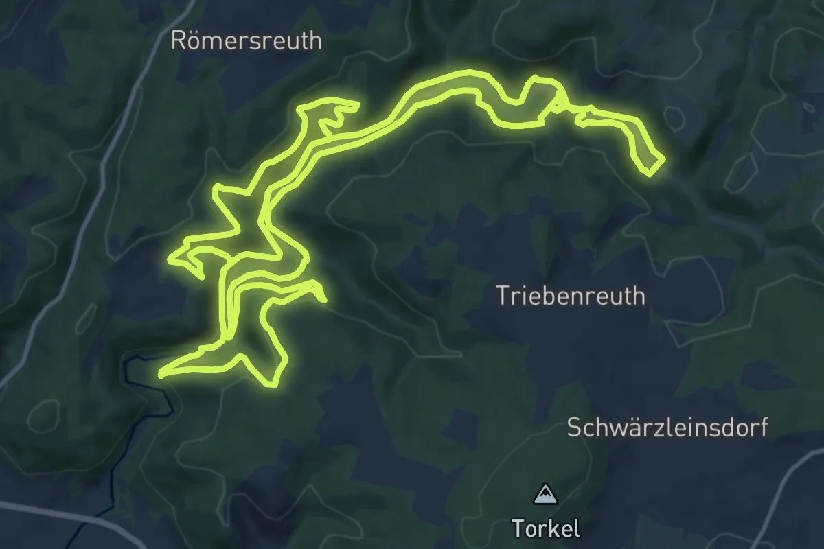
Medium · Trail
Geo-Pfad Steinachtal
16.4 km · ↑ 499 m · 5 h 12 min
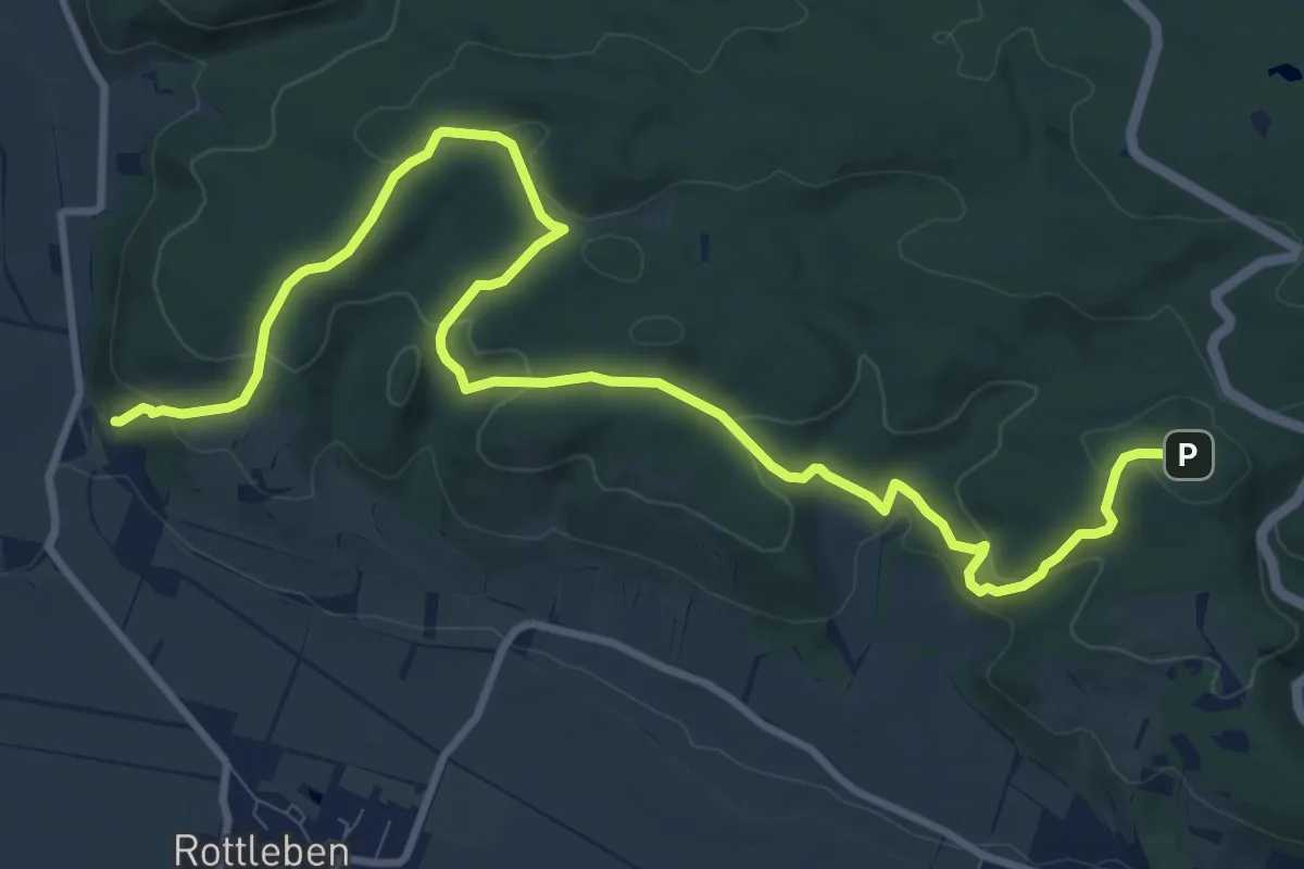
Easy · Summit
GeoPfad Südkyffhäuser
6.0 km · ↑ 186 m · 1 h 58 min
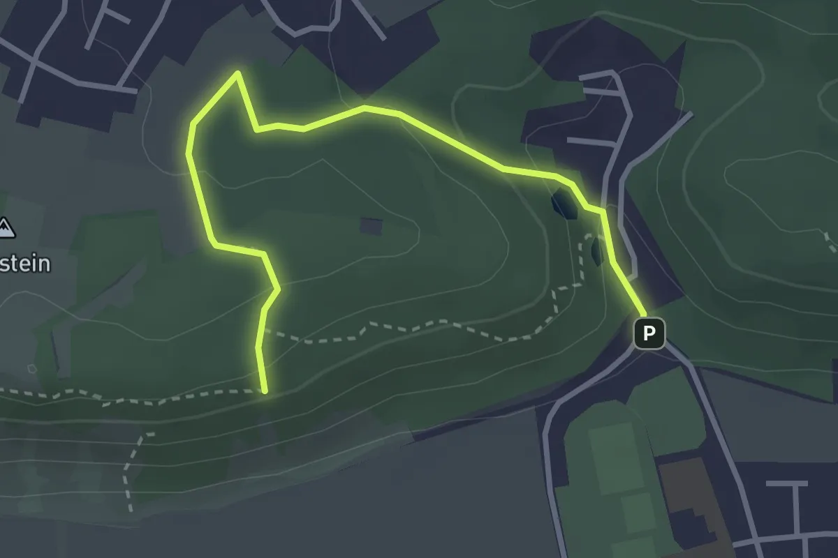
Easy · Trail
Geopfad Tegernheimer Schlucht
3.2 km · ↑ 125 m · 1 h 1 min
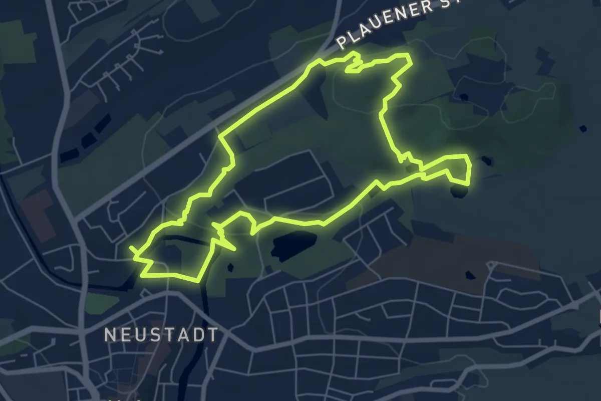
Easy · Trail
Geopfad Theresienstein
5.9 km · ↑ 108 m · 1 h 43 min
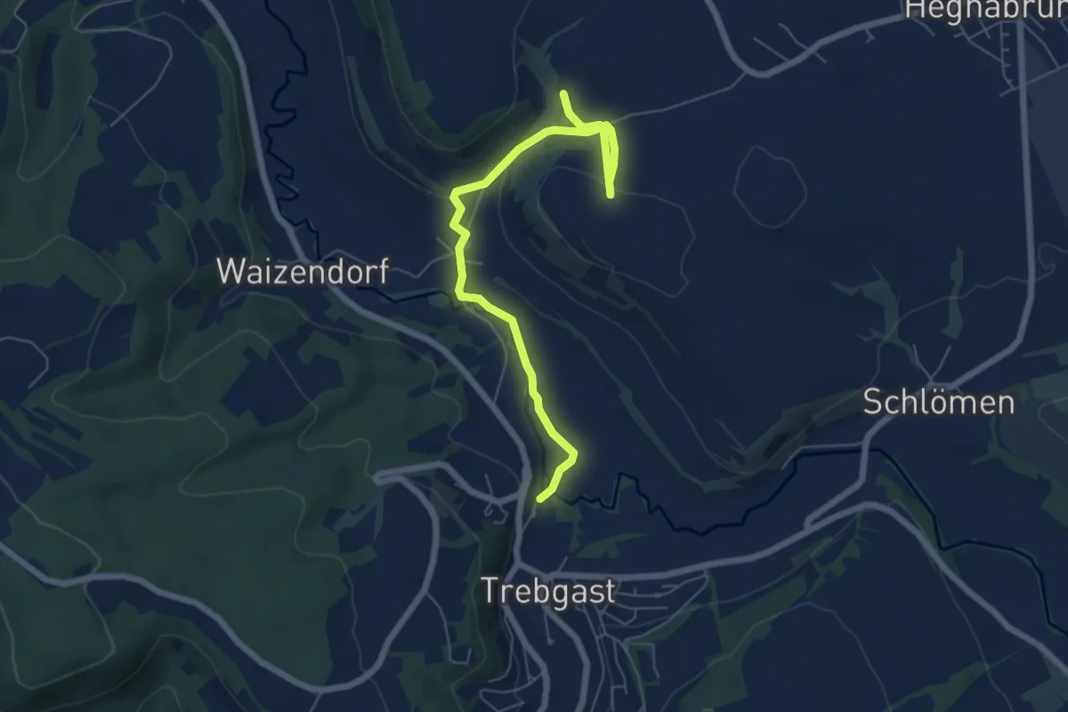
Easy · Trail
Geopfad Trebgast-Feuln
6.2 km · ↑ 113 m · 1 h 43 min
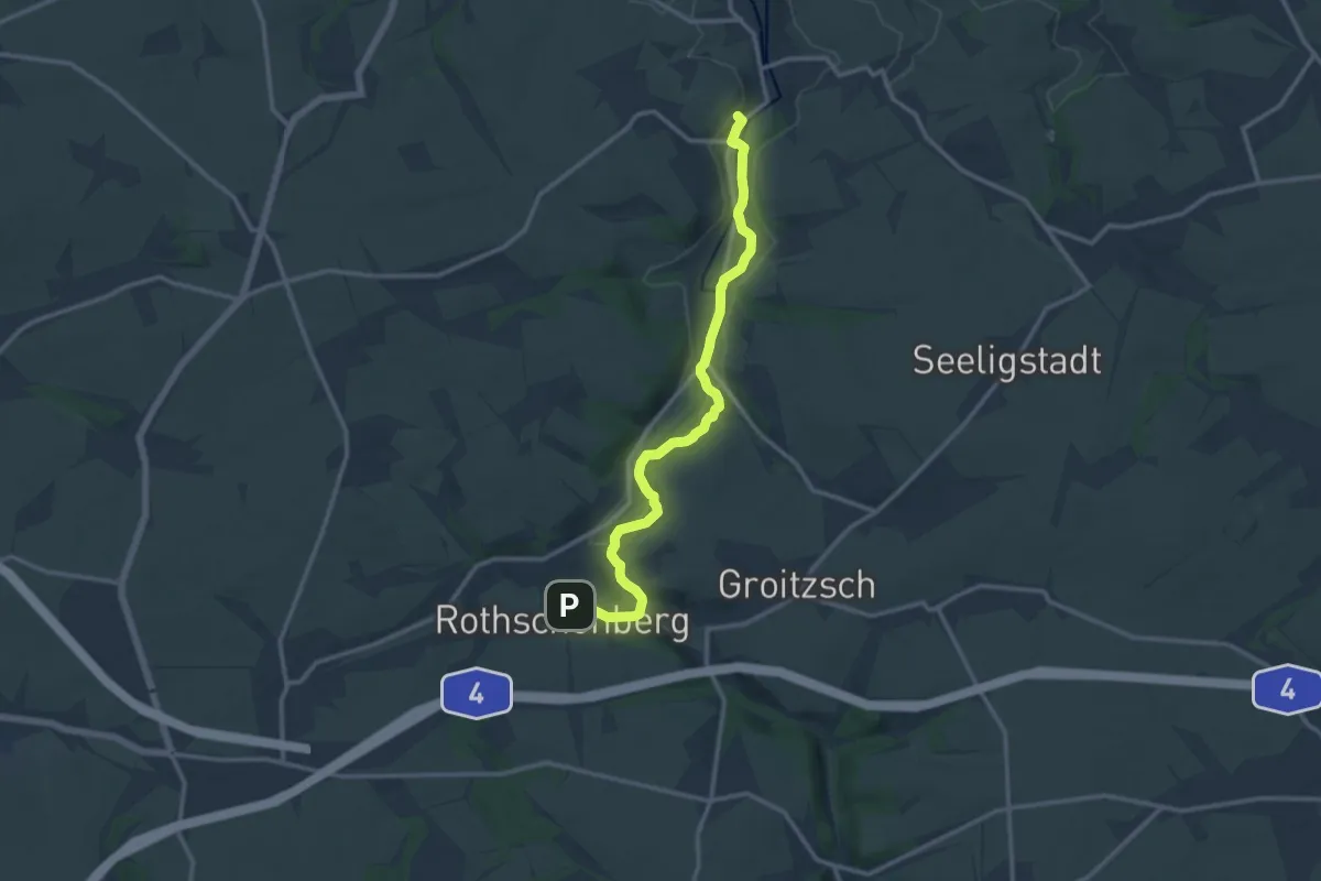
Medium · Trail
Geopfad Triebischtal
12.2 km · ↑ 182 m · 3 h 17 min
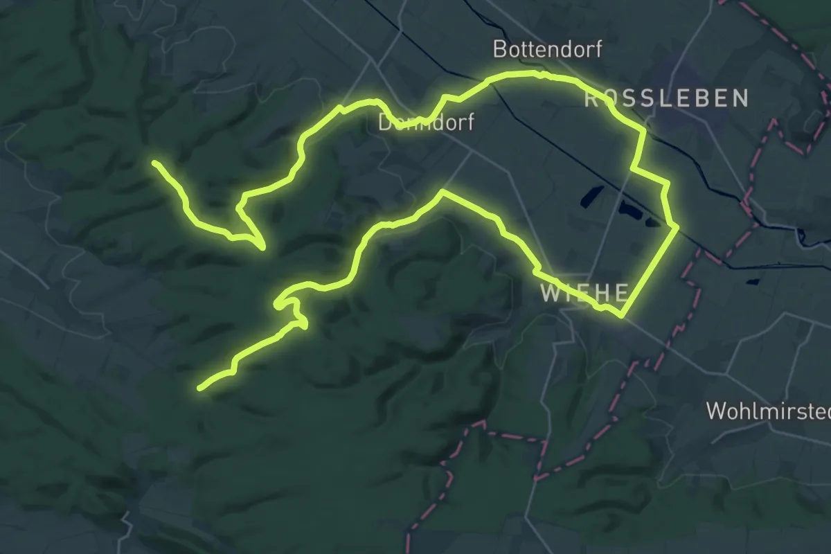
Demanding · Summit
Geopfad Unstrut/Hohe Schrecke
56.1 km · ↑ 699 m · 14 h 46 min
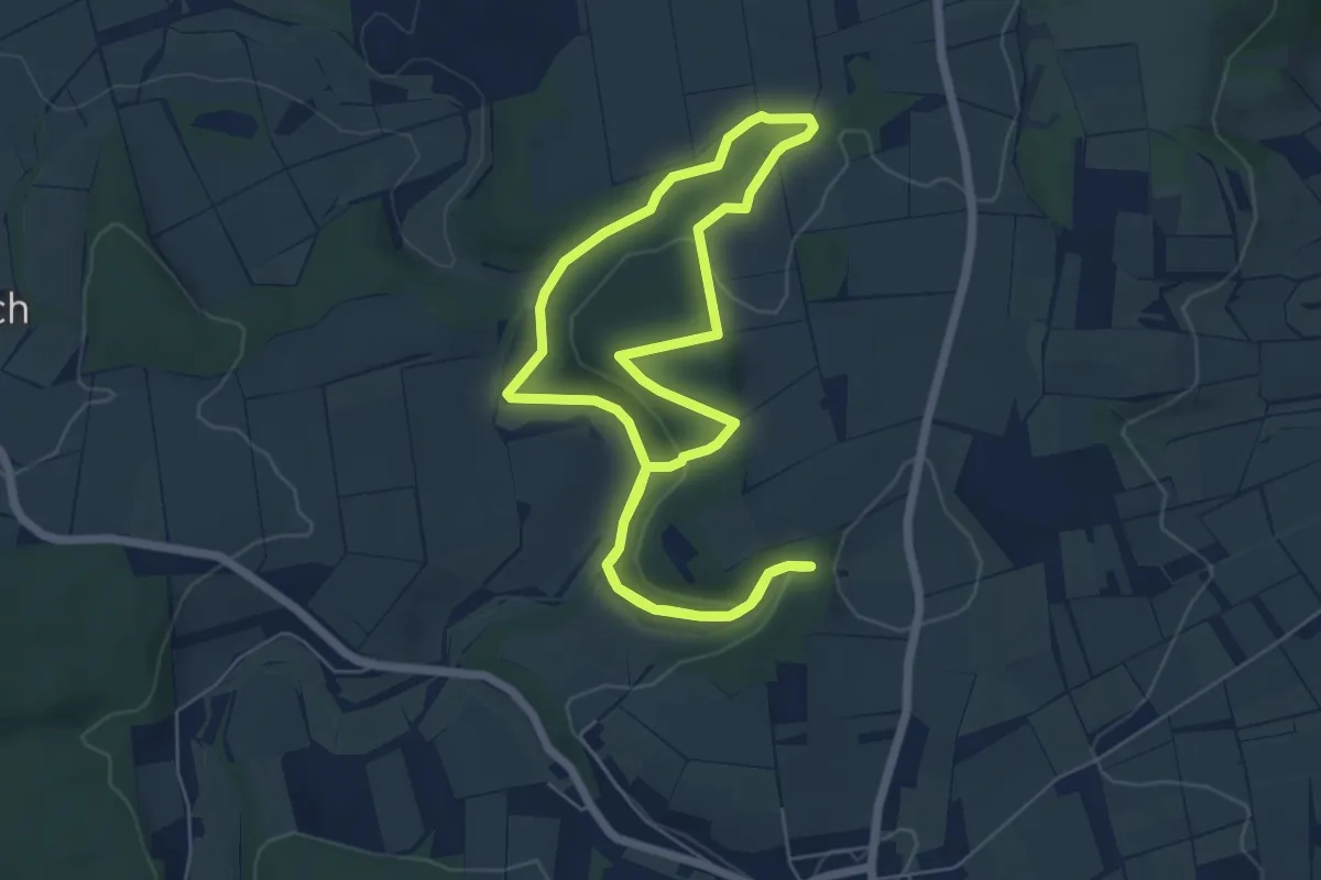
Easy · Trail
GeoPfad Unteres Wattertal
5.4 km · ↑ 123 m · 1 h 37 min
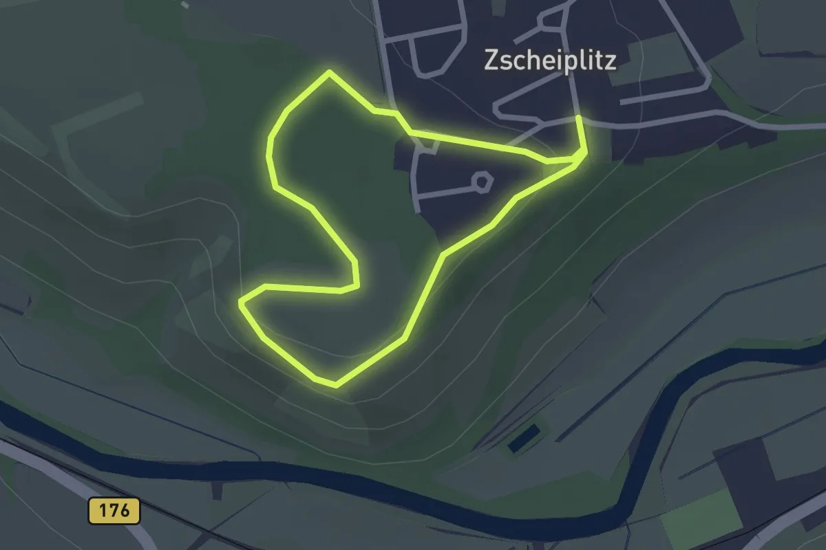
Easy · Trail
Geopfad Zscheiplitz
1.8 km · ↑ 44 m · 34 min
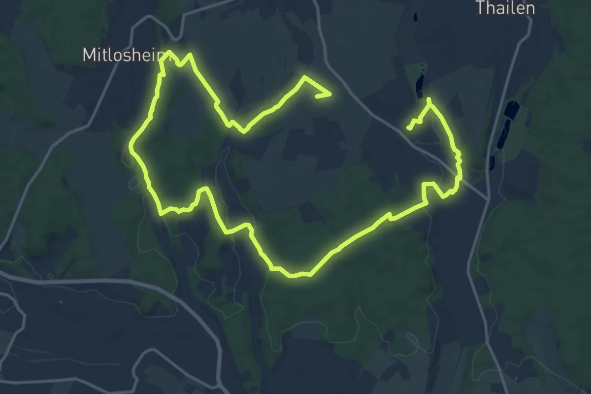
Demanding · Summit
Georgi Panoramaweg
21.5 km · ↑ 315 m · 5 h 46 min
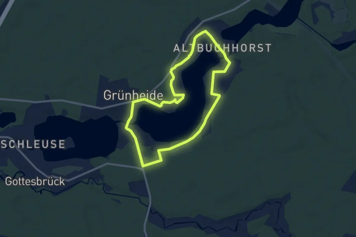
Easy · Trail
Georg-Kaiser-Rundwanderweg
6.0 km · ↑ 26 m · 1 h 34 min
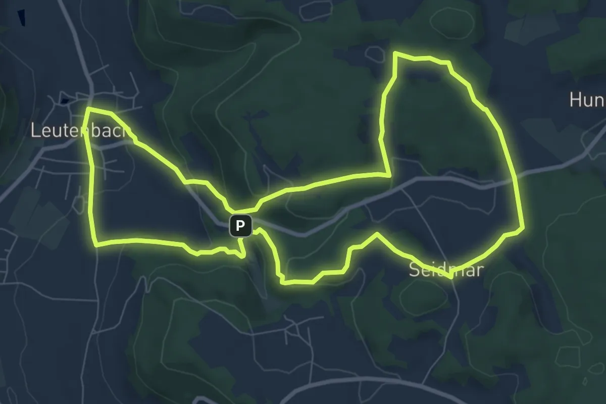
Medium · Trail
Georg-Kanzler-Gedächtnisweg
8.4 km · ↑ 253 m · 2 h 38 min
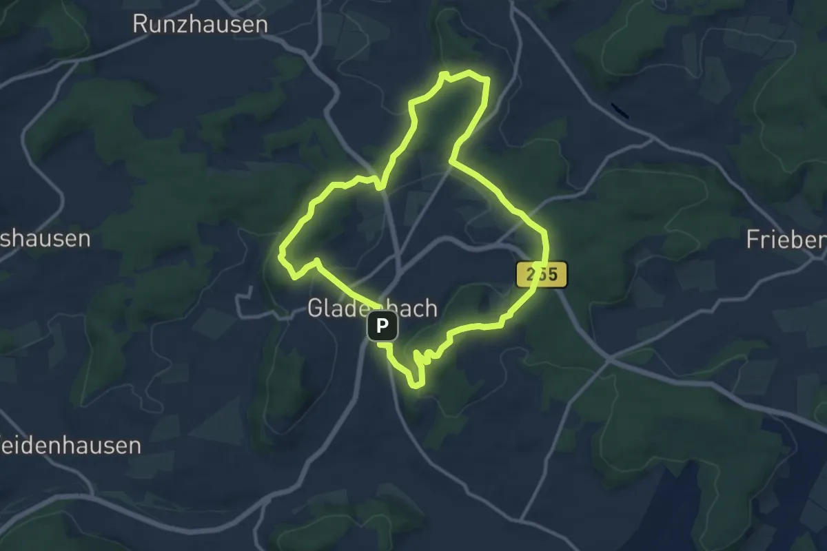
Medium · Summit
Georg Ludwig Hartwig Weg
9.8 km · ↑ 234 m · 2 h 58 min
Medium · Summit
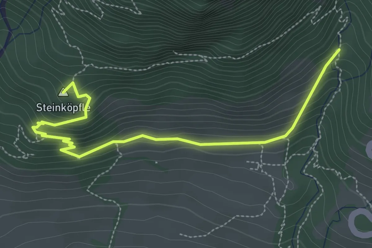
Georg´s Geowelt Forscherpfad
4.4 km · ↑ 269 m · 1 h 43 min
Medium · Summit
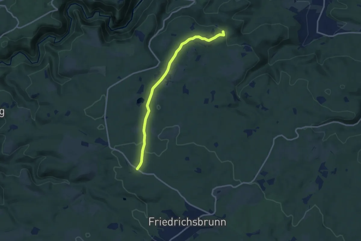
Georgshöhe - Friedrichsbrunn
8.8 km · ↑ 144 m · 2 h 23 min
Medium · Summit
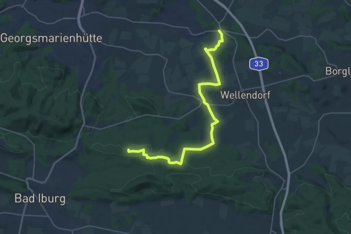
Georgsmarienhütter Null - Etappe 1
17.3 km · ↑ 159 m · 4 h 26 min
Demanding · Summit
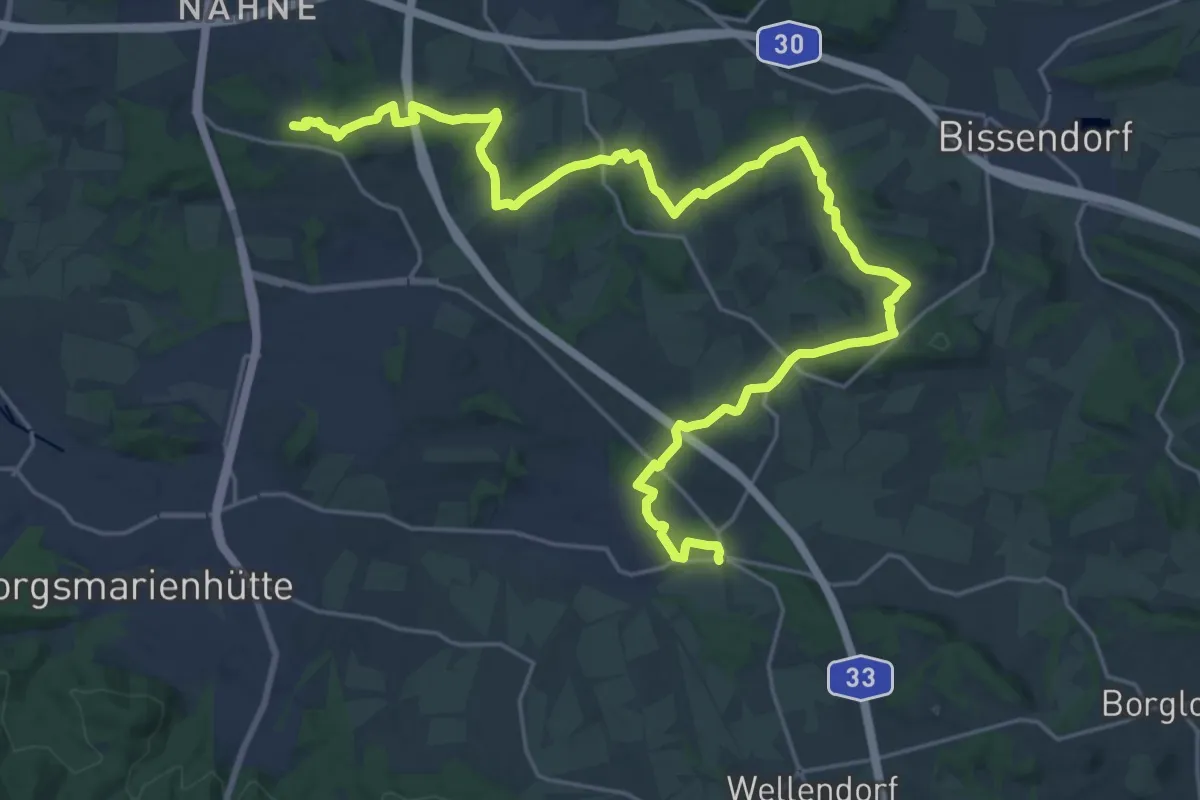
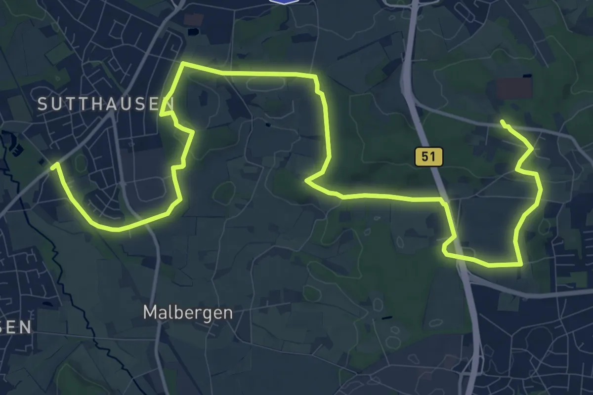
Georgsmarienhütter Null - Etappe 2
27.0 km · ↑ 541 m · 7 h 33 min
Medium · Trail
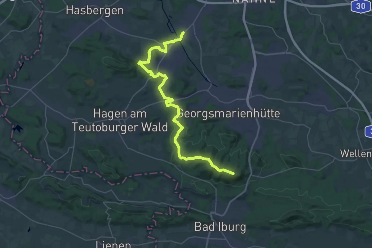
Georgsmarienhütter Null - Etappe 3
16.2 km · ↑ 152 m · 4 h 10 min
Demanding · Summit
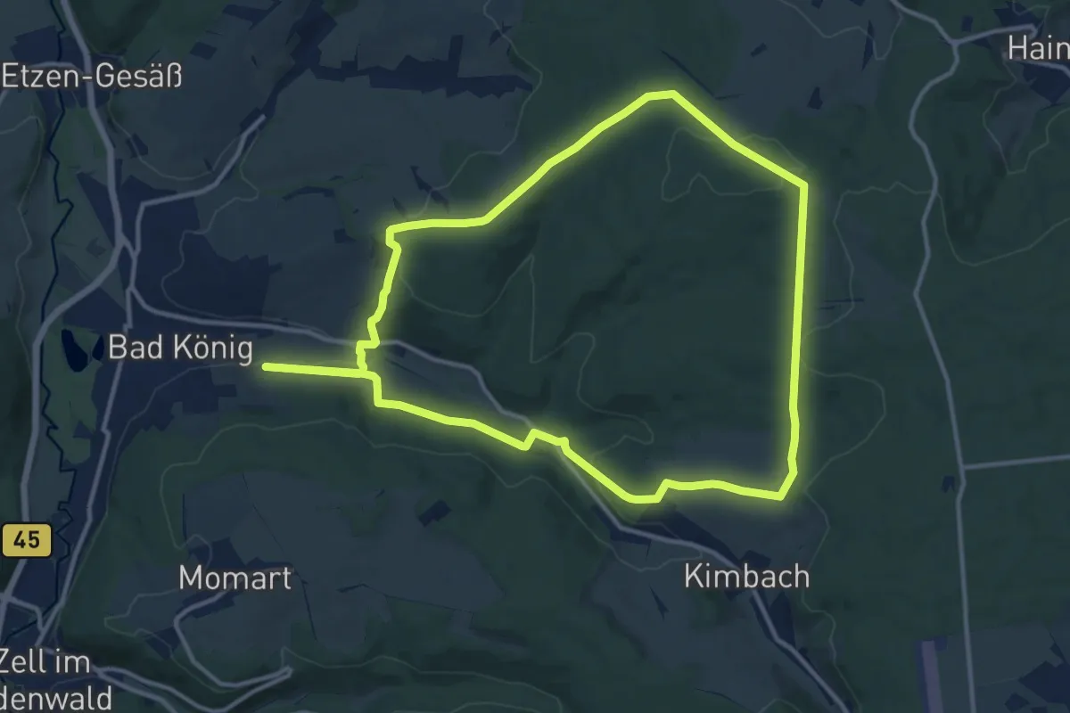
Georgsmarienhütter Null - Etappe 4
26.1 km · ↑ 529 m · 7 h 19 min
Medium · Summit
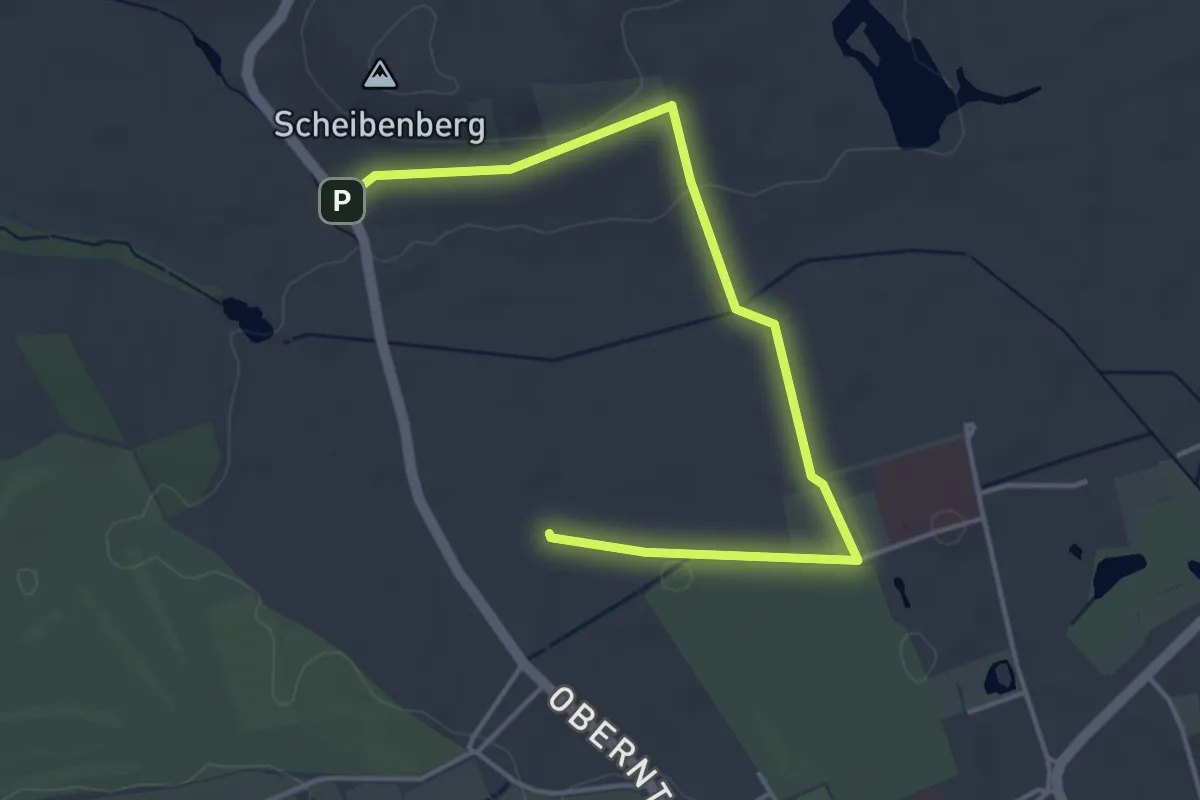
Georg-Vetter-Rundwanderweg
11.8 km · ↑ 284 m · 3 h 34 min
Easy · Trail
Georg-Wilhelm-Steller-Naturerlebnispfad
2.2 km · ↑ 20 m · 36 min
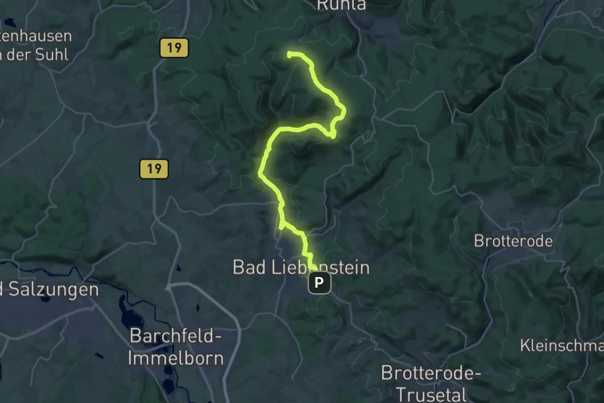
Demanding · Summit
GeoRoute 9 - Ruhlaer Insel
24.0 km · ↑ 594 m · 6 h 58 min
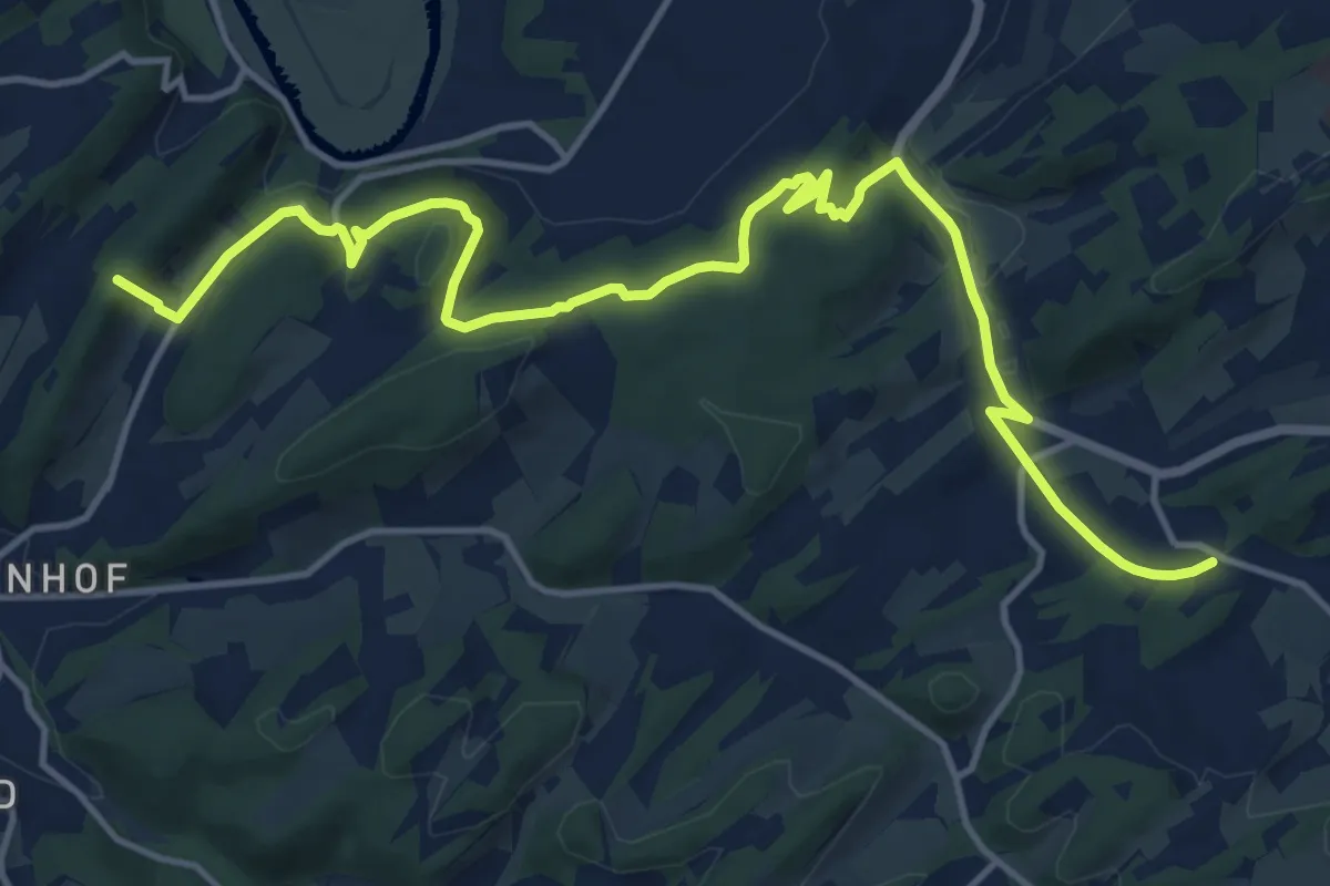
Medium · Summit
GeoRoute Ruhr (Südroute)
15.4 km · ↑ 412 m · 4 h 31 min
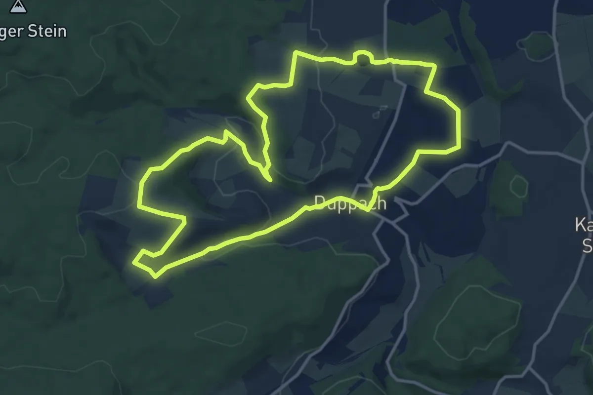
Medium · Trail
Georundweg Duppach
10.2 km · ↑ 212 m · 3 h
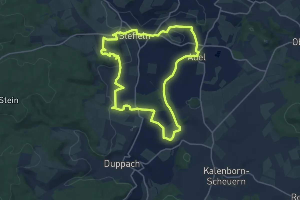
Medium · Trail
Georundweg Steffeln
10.7 km · ↑ 157 m · 3 h
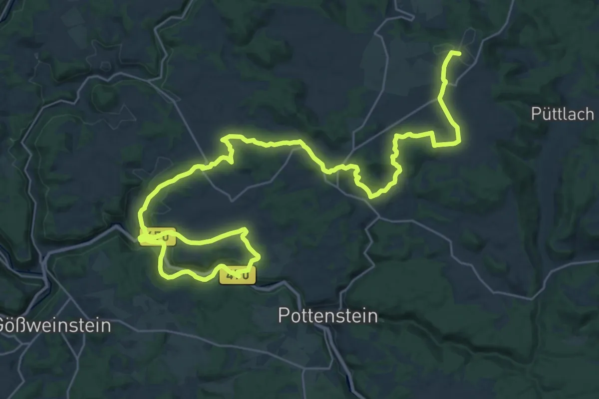
Demanding · Summit
Geotopweg Pottenstein
36.7 km · ↑ 719 m · 10 h 14 min
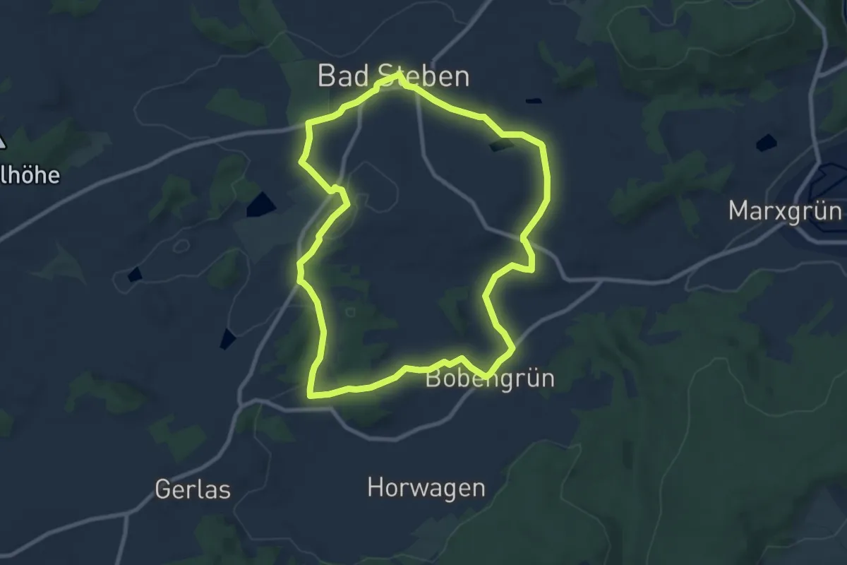
Easy · Trail
Geotop-Weg US 43
7.8 km · ↑ 114 m · 2 h 12 min
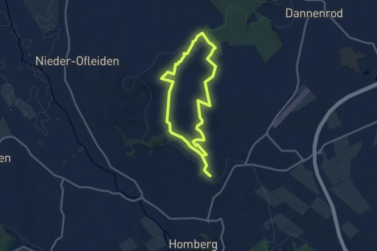
Easy · Summit
GeoTour Felsenmeer
5.9 km · ↑ 109 m · 1 h 43 min
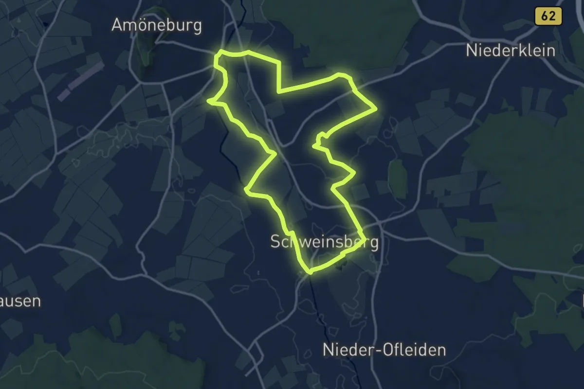
Medium · Summit
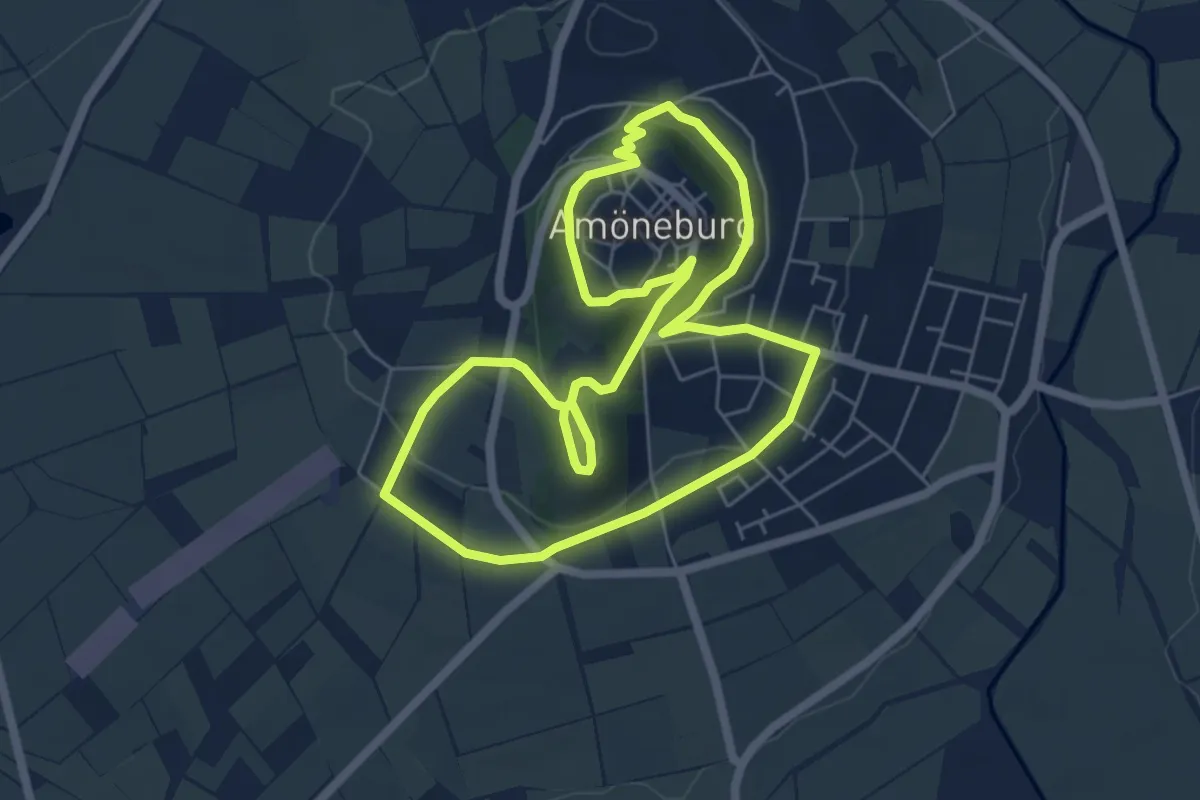
Geotour Kreuz & Quer
12.3 km · ↑ 61 m · 3 h 12 min
Medium · Trail
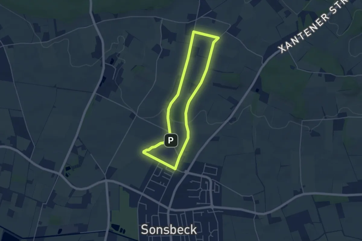
Geotour Stock & Stein
5.3 km · ↑ 157 m · 1 h 40 min
Easy · Trail
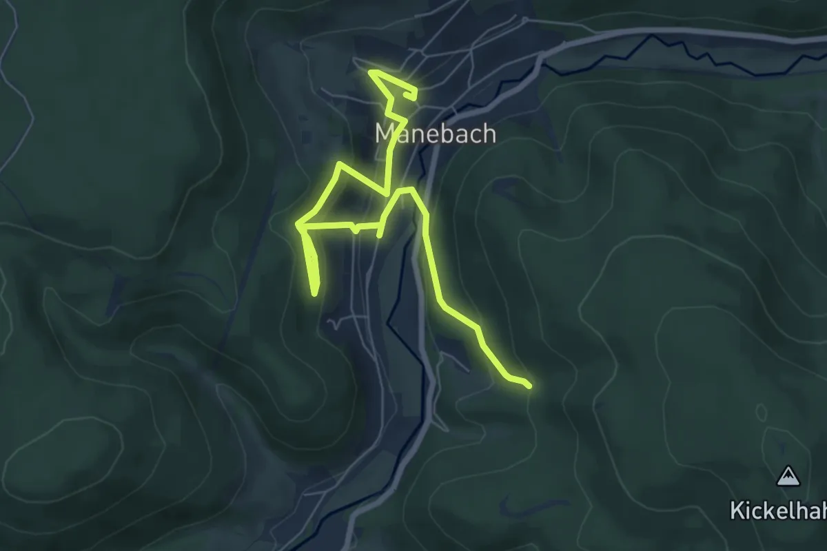
Geowanderweg Sonsbeck
3.8 km · ↑ 43 m · 1 h 3 min
Easy · Trail
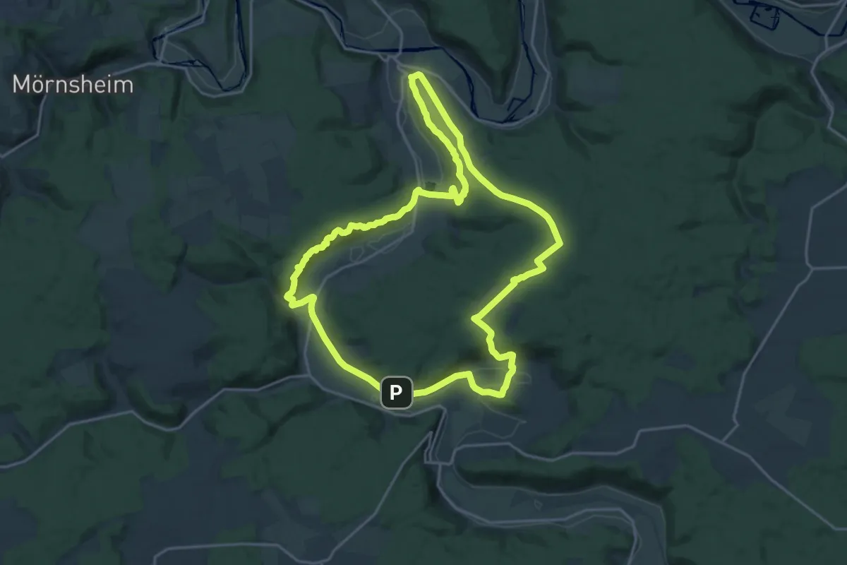
Geo-Weg-Manebach
3.7 km · ↑ 147 m · 1 h 18 min
Demanding · Trail
Geoweg Urdonautal
18.1 km · ↑ 518 m · 5 h 39 min
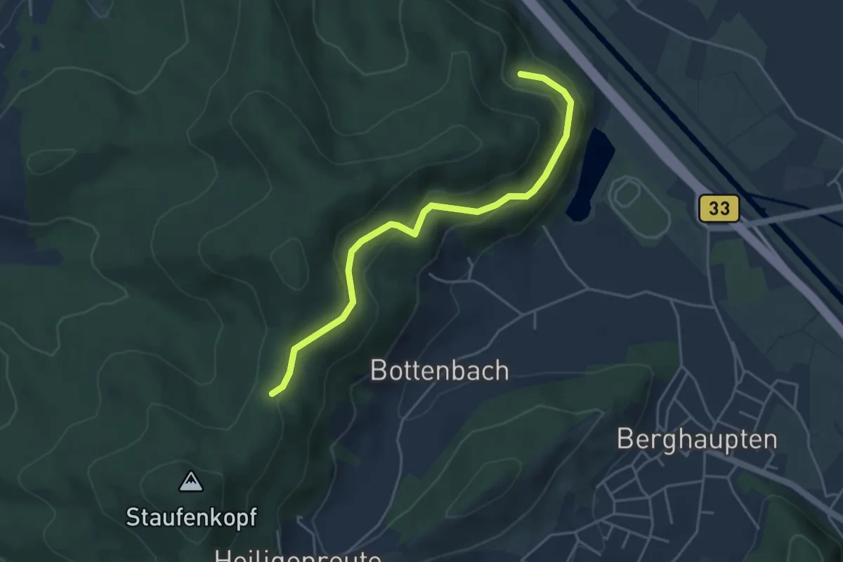
Easy · Trail
Gepperts Loch - Sägereck
4.2 km · ↑ 170 m · 1 h 21 min
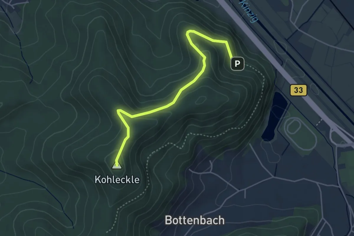
Easy · Summit
Gepperts Loch - Sägereck
4.0 km · ↑ 194 m · 1 h 21 min
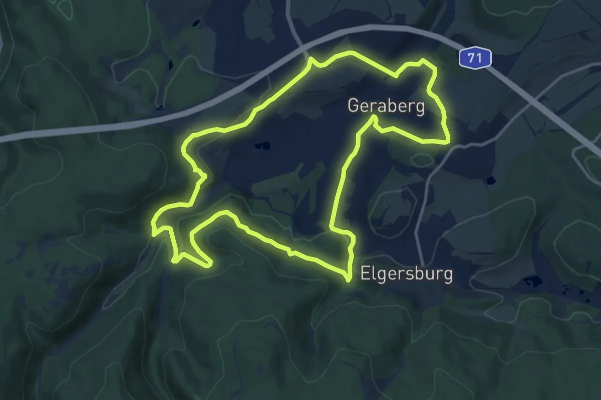
Medium · Trail
Geraberger Rundwanderweg
10.9 km · ↑ 348 m · 3 h 28 min
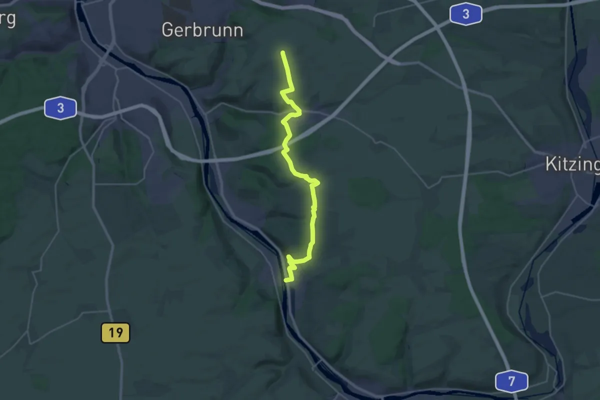
Demanding · Summit
Gerbrunn - Sommerhausen
21.8 km · ↑ 452 m · 6 h 8 min