Trails in Germany
36,852 hiking trails, each with its route, climb, walking time and grade.
All trails, page 178 of 768
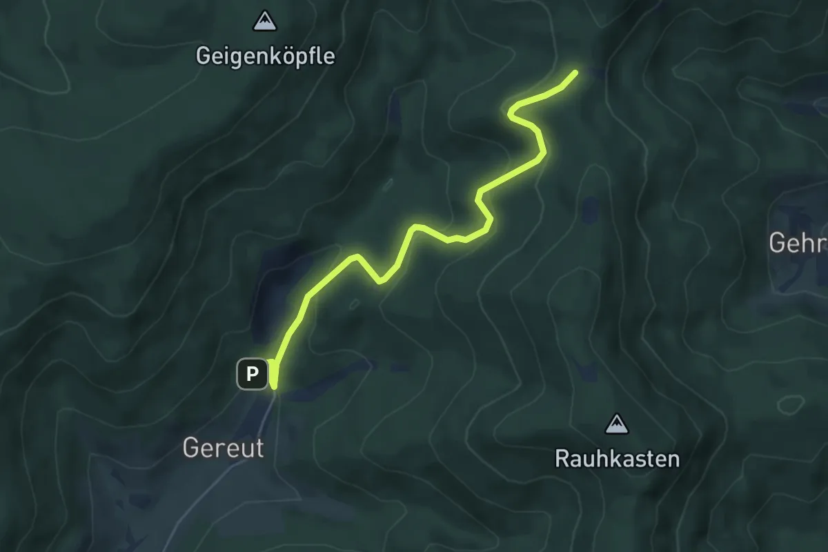
Easy · Trail
Gereut Steinbruch Parkplatz - Guttahütte am Rebmesserstein
5.0 km · ↑ 259 m · 1 h 45 min
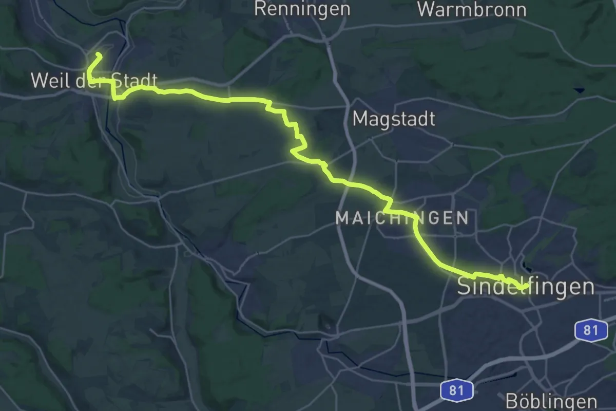
Demanding · Trail
Gerhard-Hörmann-Weg Sindelfingen - Weil der Stadt
29.4 km · ↑ 274 m · 7 h 32 min
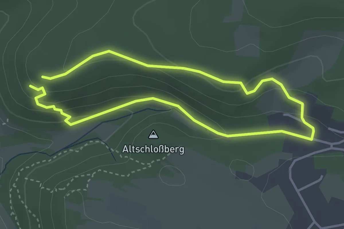
Easy · Summit
Gerhard-Stude-Gedächtnissteig
2.6 km · ↑ 114 m · 54 min
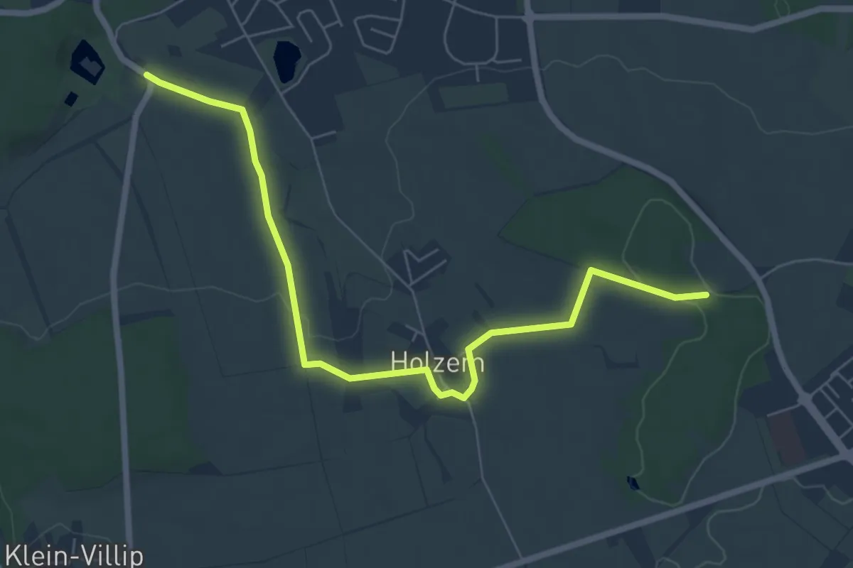
Easy · Trail
Gerichtsweg
6.5 km · ↑ 80 m · 1 h 42 min
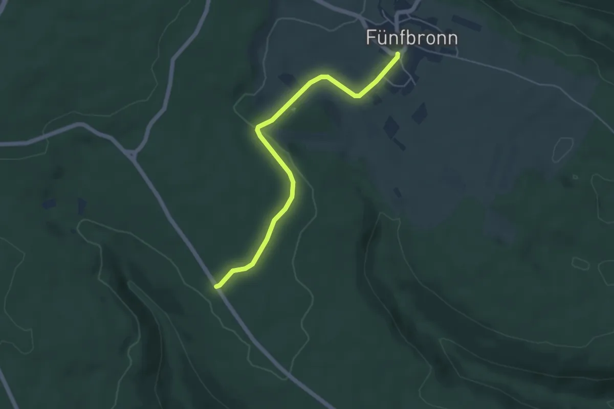
Easy · Trail
Gerlacher Weg - Fünfbronn
4.7 km · ↑ 72 m · 1 h 15 min
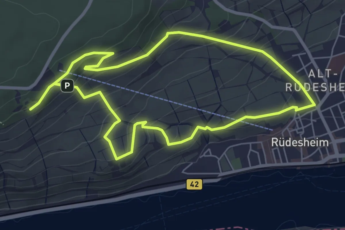
Easy · Trail
Germaniarunde
5.1 km · ↑ 249 m · 1 h 48 min
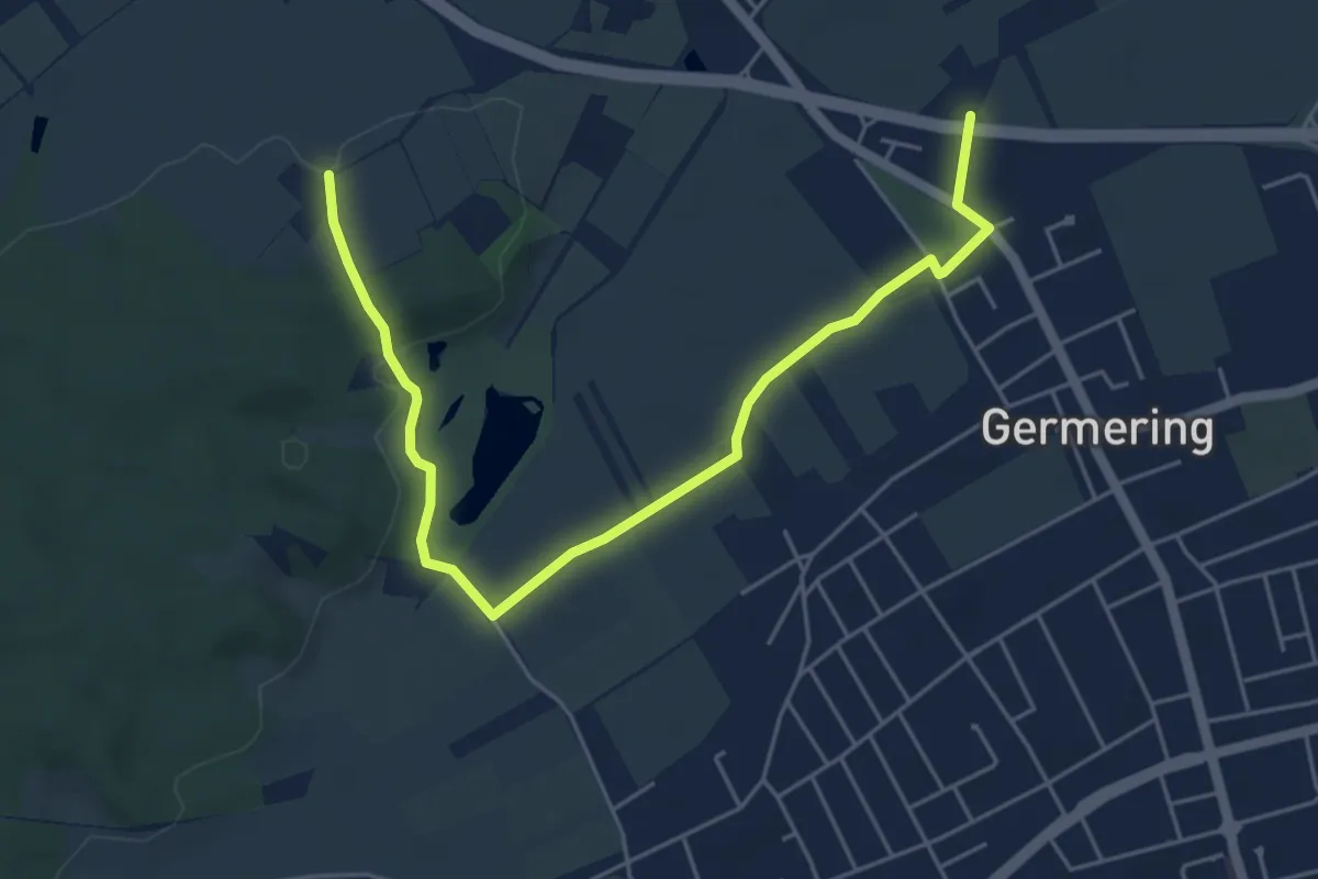
Easy · Trail
Germeringer Wanderweg 1
5.8 km · ↑ 45 m · 1 h 28 min
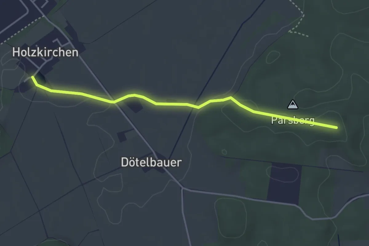
Easy · Trail
Germeringer Wanderweg 8
3.7 km · ↑ 30 m · 57 min
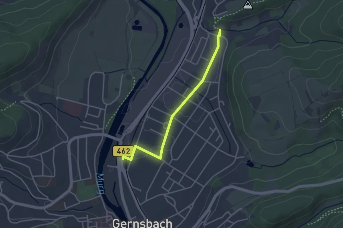
Easy · Trail
Gernsbach Bahnhof - Parkplatz Laufbachtal
2.8 km · ↑ 5 m · 41 min
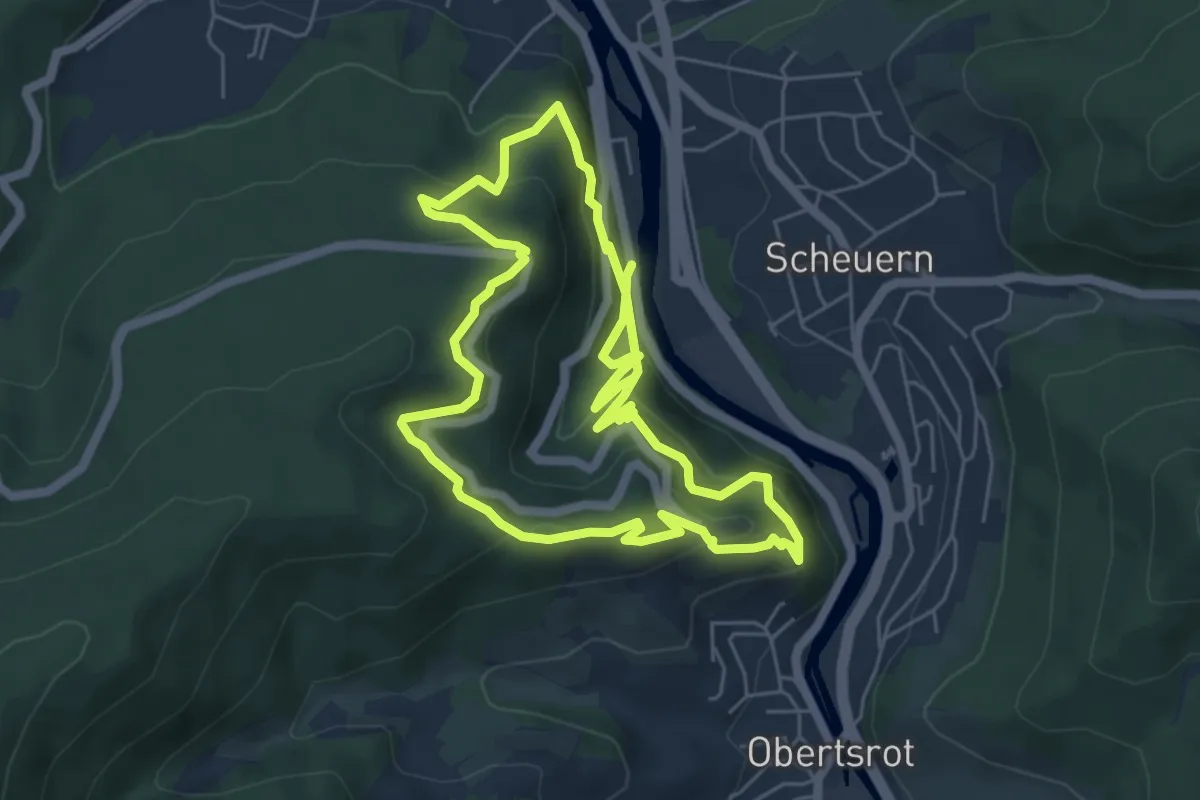
Medium · Trail
Gernsbacher Sagenweg
5.4 km · ↑ 448 m · 2 h 18 min
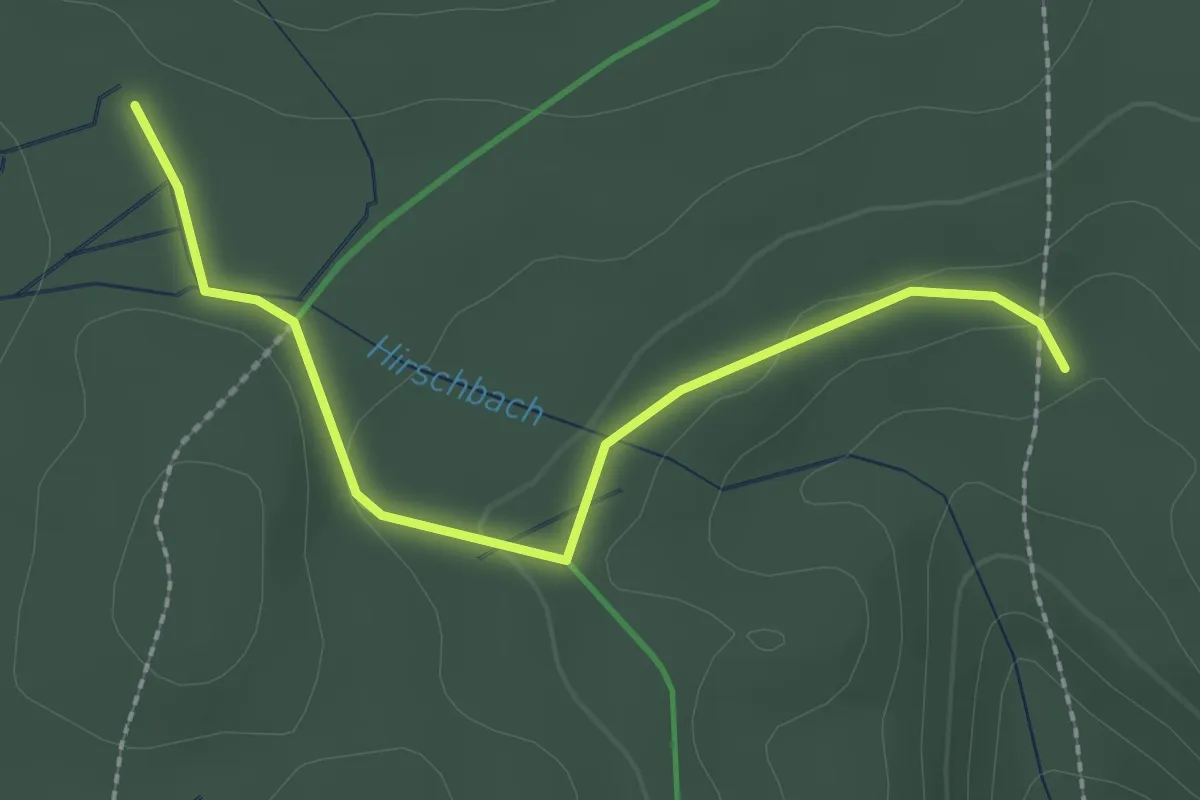
Easy · Trail
Gernsbacher Steige - Viereichenhütte
2.3 km · ↑ 59 m · 41 min
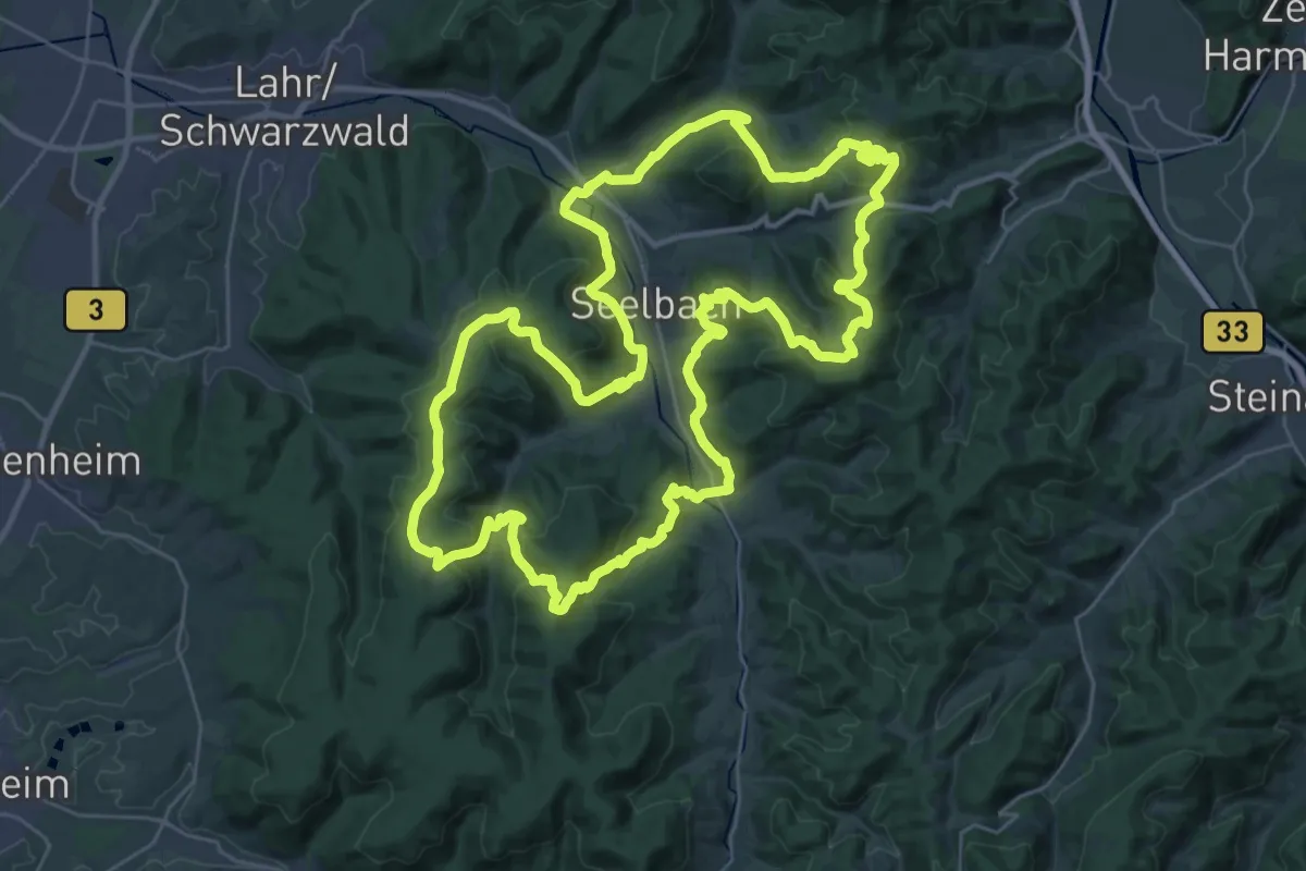
Demanding · Summit
Geroldsecker Qualitätsweg
34.9 km · ↑ 1339 m · 11 h 37 min
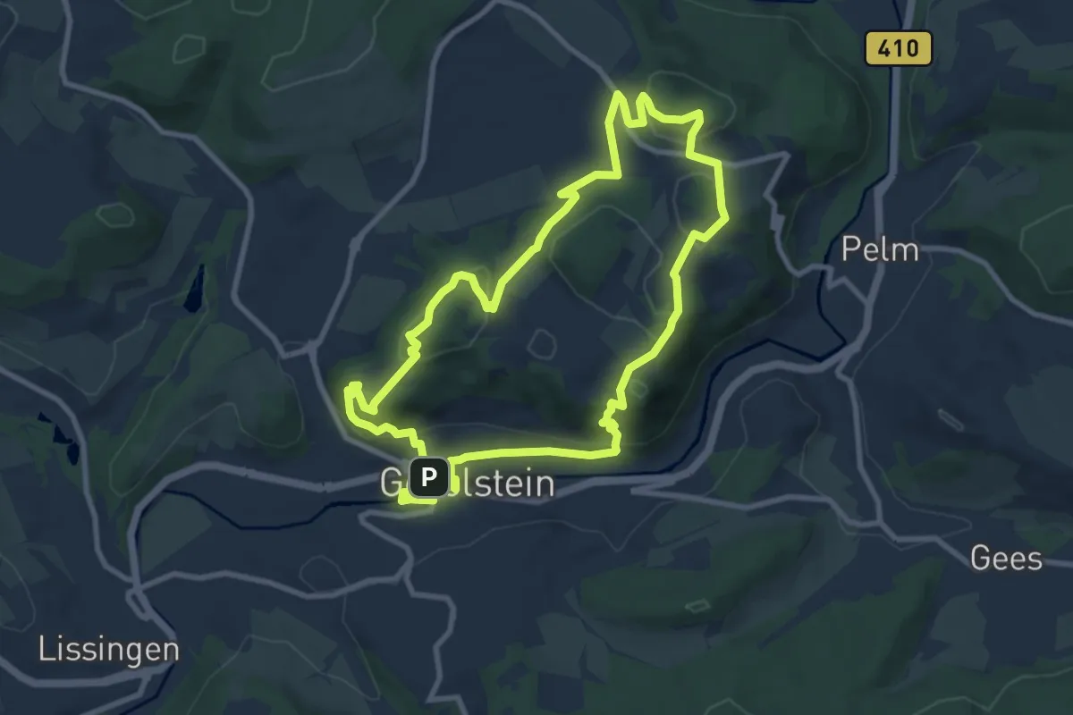
Medium · Summit
Gerolsteiner Felsenpfad
8.4 km · ↑ 264 m · 2 h 40 min
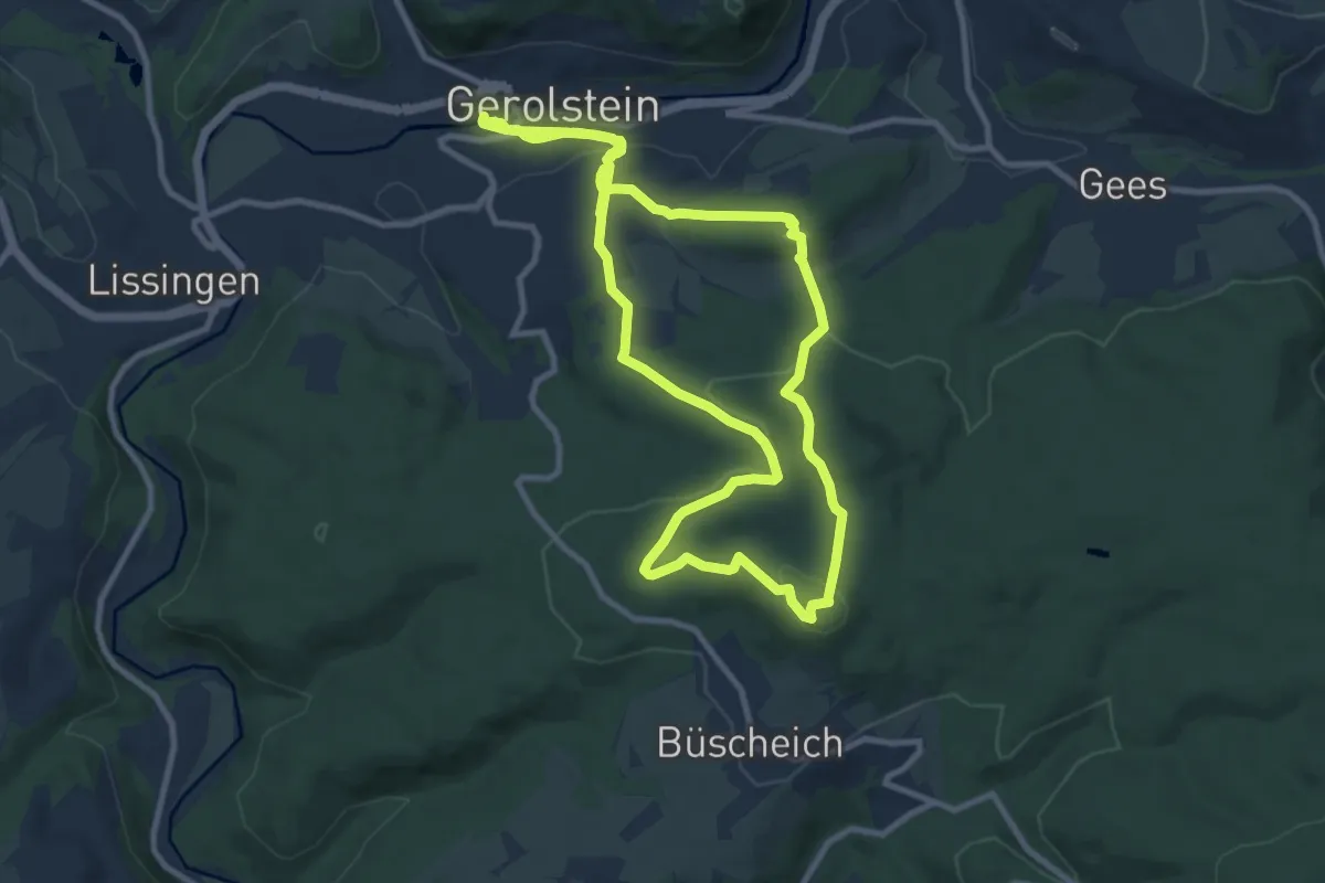
Demanding · Trail
Gerolsteiner Keltenpfad
19.8 km · ↑ 553 m · 5 h 52 min
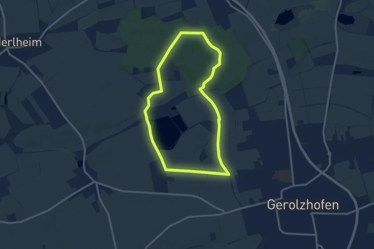
Easy · Trail
Gerolzhöfer Wanderweg
6.5 km · ↑ 25 m · 1 h 40 min
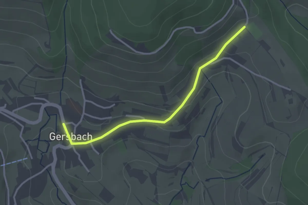
Easy · Trail
Gersbach Ortsmitte - Gersbach Sportplatz
2.7 km · ↑ 76 m · 49 min
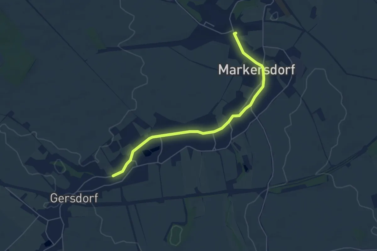
Easy · Trail
Gersdorf - Markersdorf
4.9 km · ↑ 9 m · 1 h 11 min
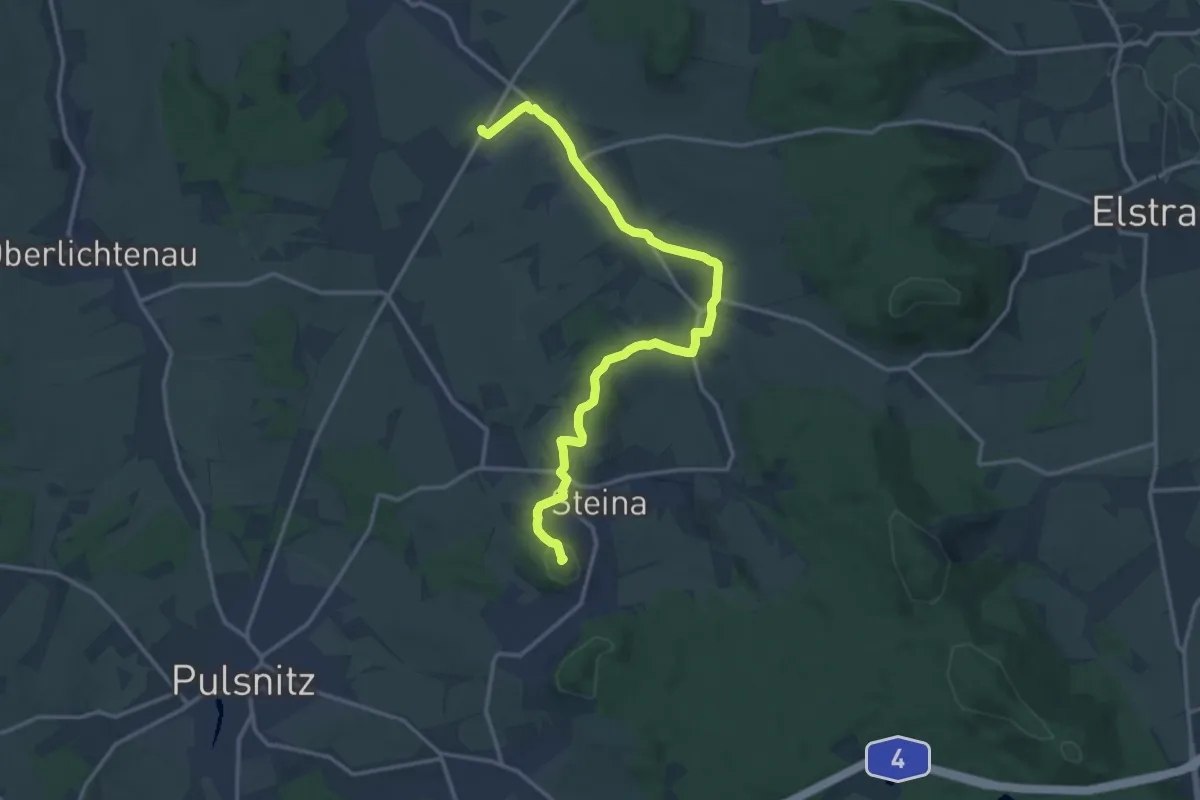
Medium · Summit
Gersdorf - Schwedenstein
14.5 km · ↑ 226 m · 3 h 55 min
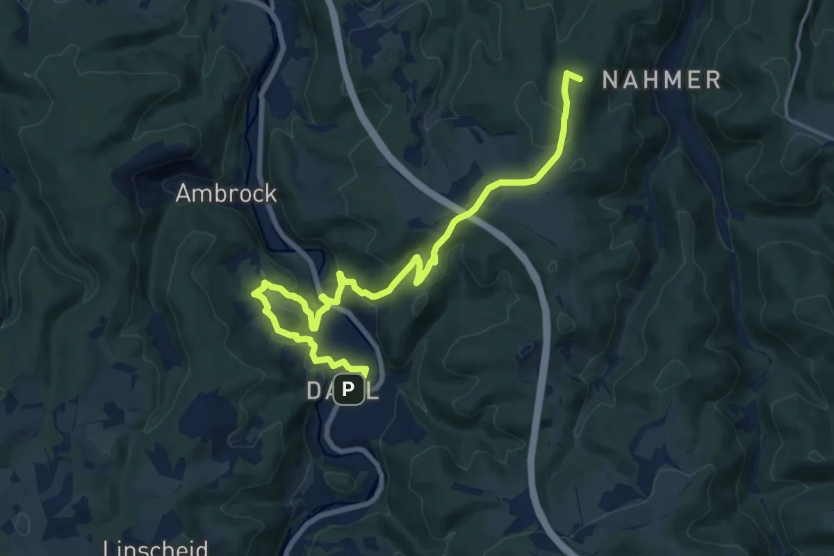
Medium · Summit
Gersteinweg
14.9 km · ↑ 467 m · 4 h 32 min
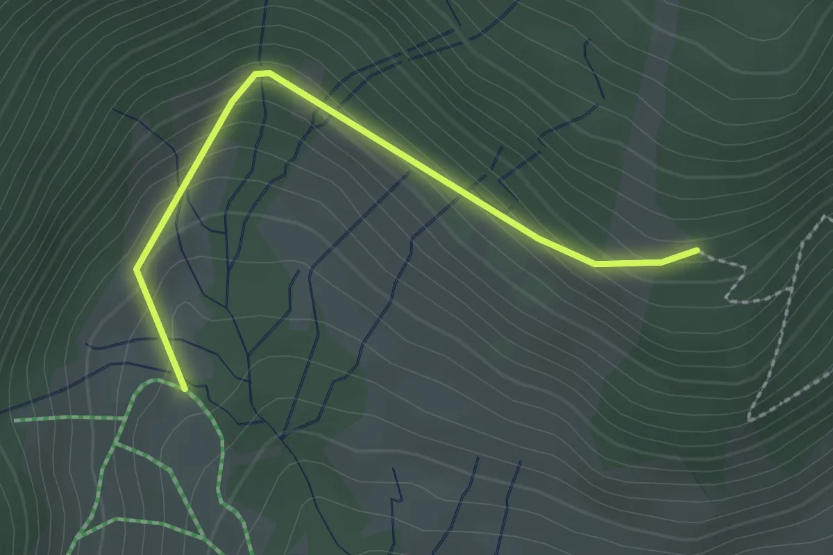
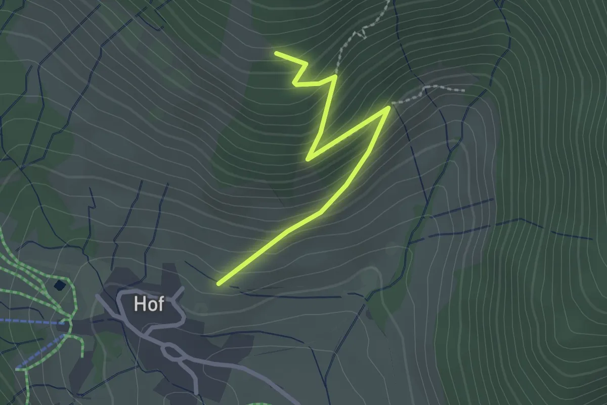
Easy · Trail
Gerstenfelsen - Hohfelsen
2.2 km · ↑ 175 m · 54 min
Easy · Trail
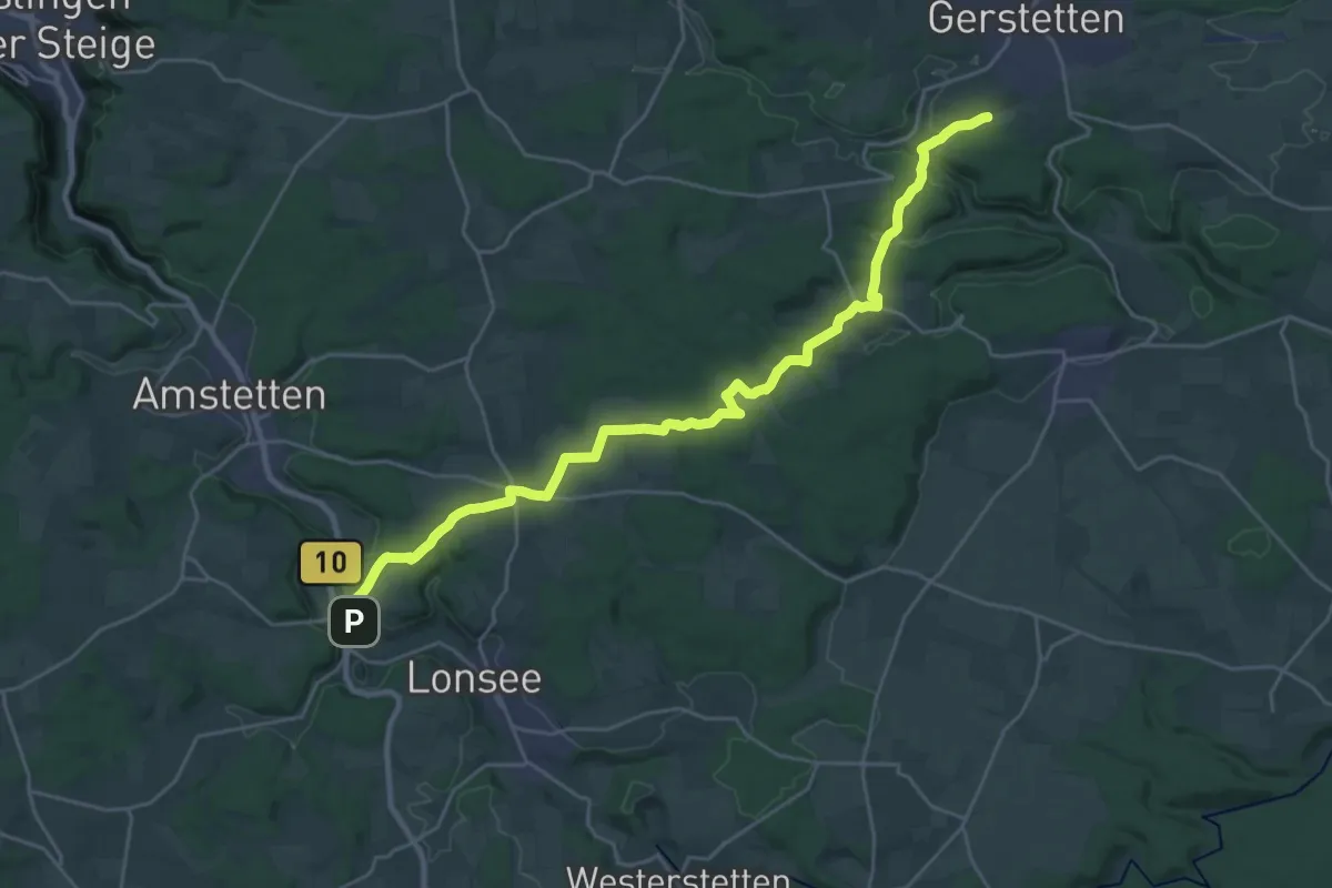
Gerstenfelsen - Kirchrain
2.2 km · ↑ 224 m · 1 h 1 min
Demanding · Trail
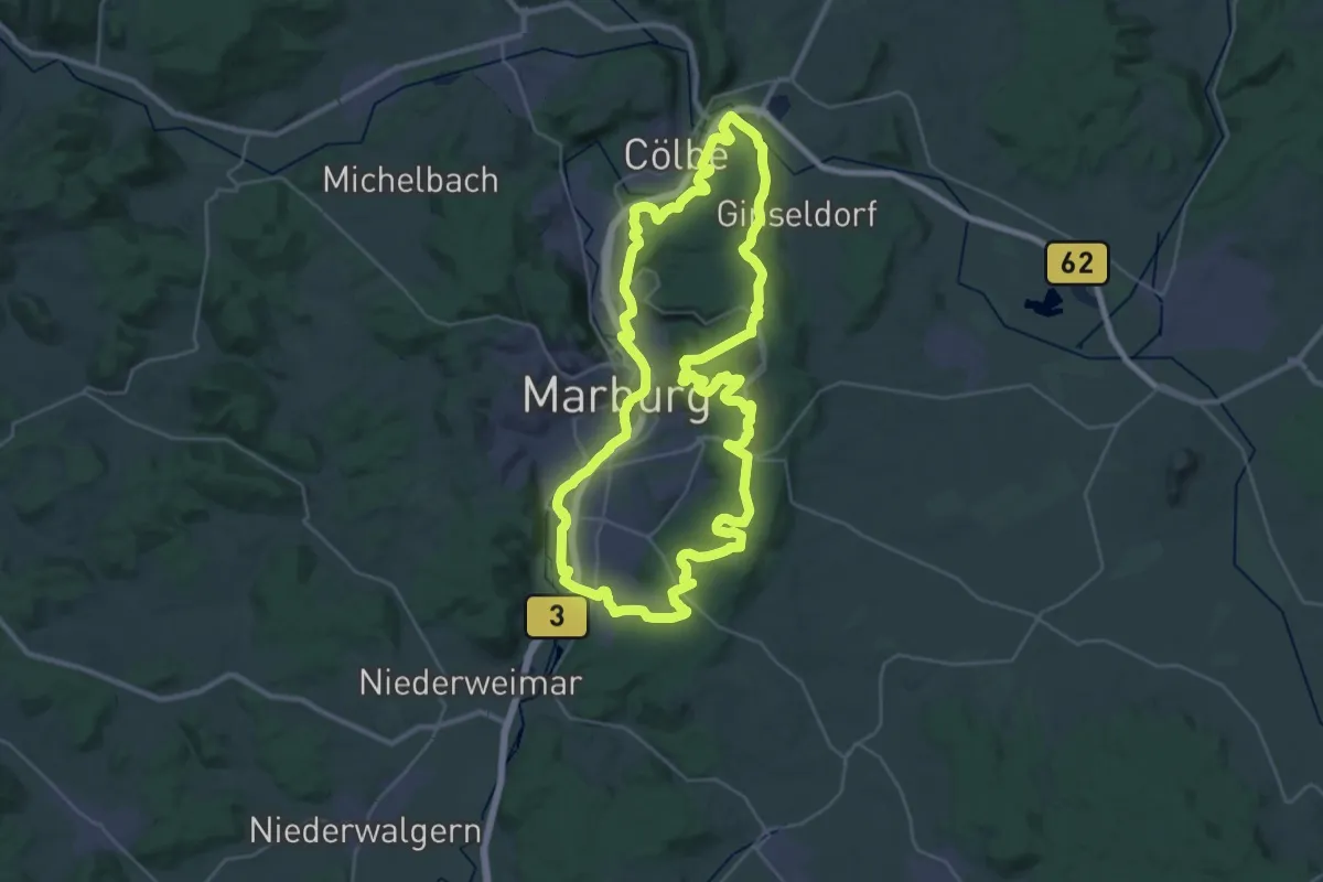
Gerstetten - Urspring
27.4 km · ↑ 546 m · 7 h 40 min
Demanding · Summit
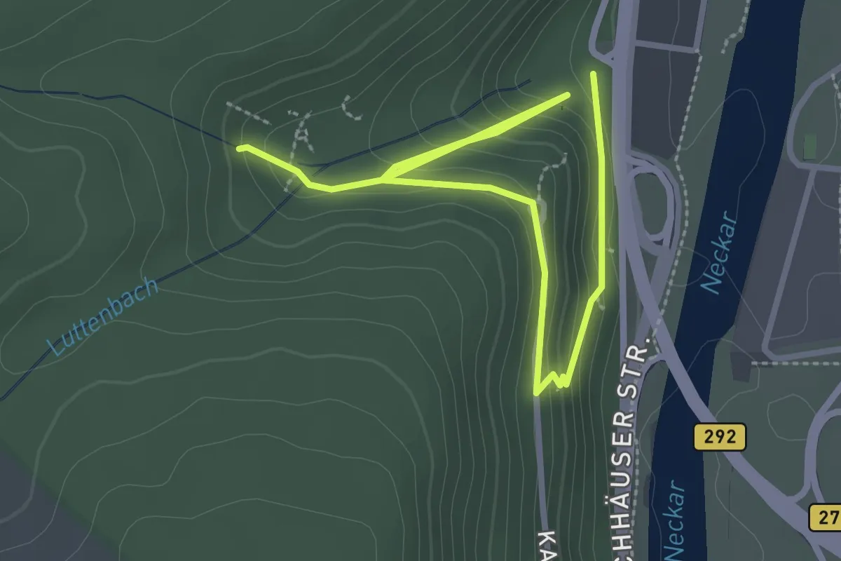
Gert-Siebert-Weg
32.0 km · ↑ 617 m · 9 h 20 min
Easy · Trail
Geschichtslehrpfad Goldfisch
1.8 km · ↑ 61 m · 38 min
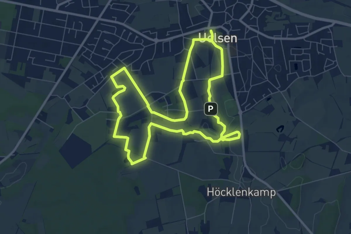
Easy · Summit
Geschichtspark Uelser Quellen-Erlebnispfad
6.8 km · ↑ 39 m · 1 h 47 min
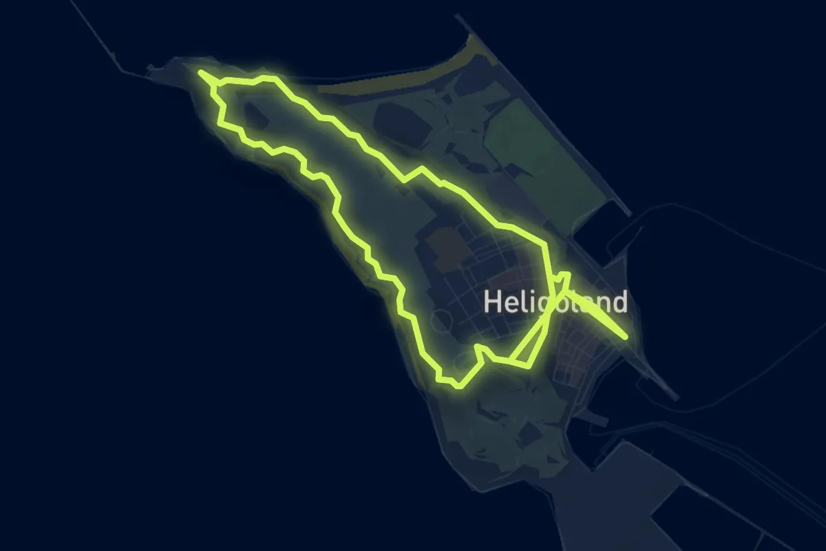
Easy · Summit
Geschichtspfad
4.0 km · ↑ 77 m · 1 h 11 min
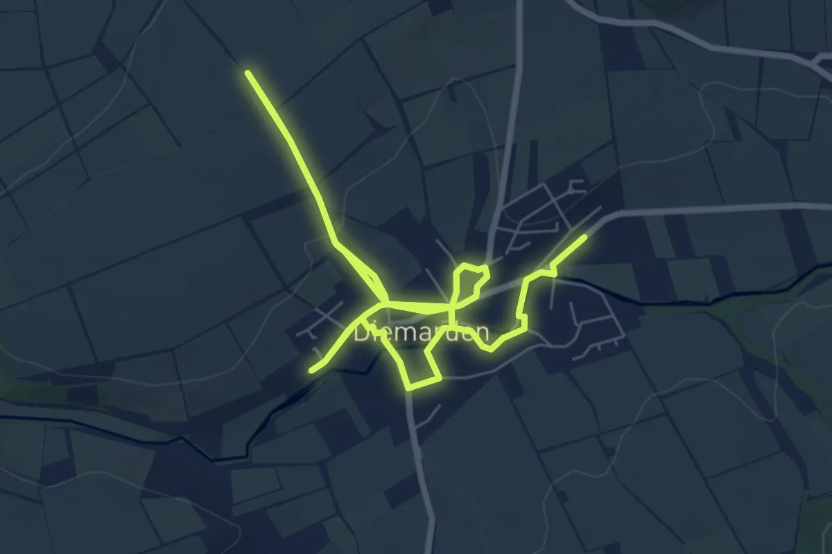
Medium · Trail
Geschichtspfad Diemarden
10.6 km · ↑ 128 m · 2 h 47 min
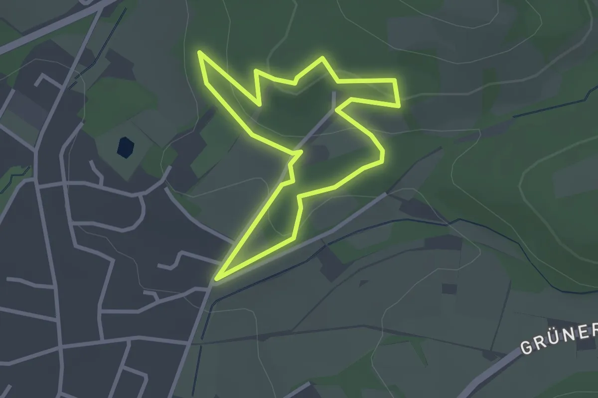
Easy · Trail
Geschichtspfad Kaffeemühle
2.1 km · ↑ 61 m · 40 min
Easy · Summit
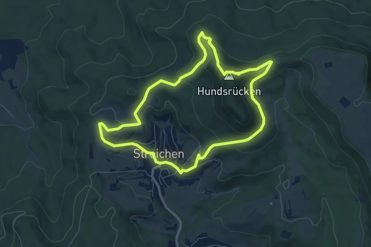
Geschichtspfad Streichen
6.5 km · ↑ 244 m · 2 h 9 min
Demanding · Trail
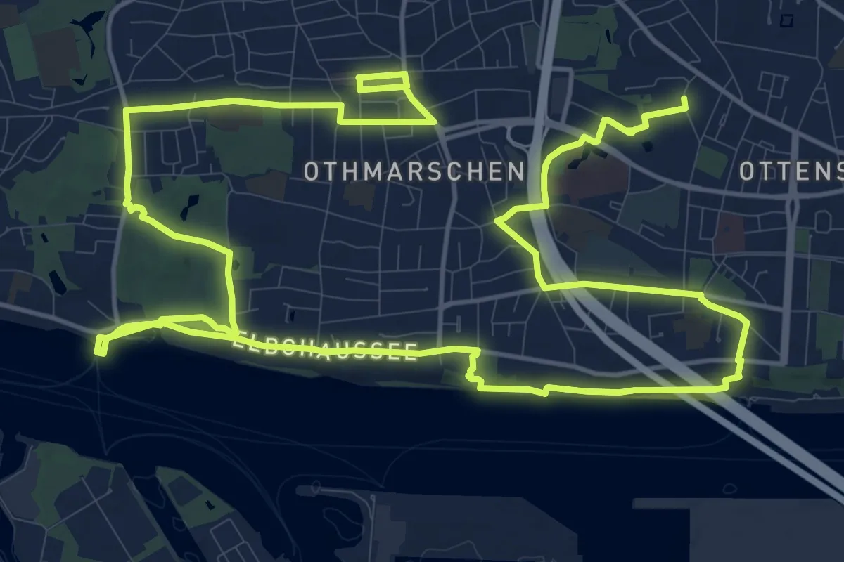
Geschichts- und Kulturpfad Othmarschen
24.8 km · ↑ 177 m · 6 h 14 min
Easy · Trail
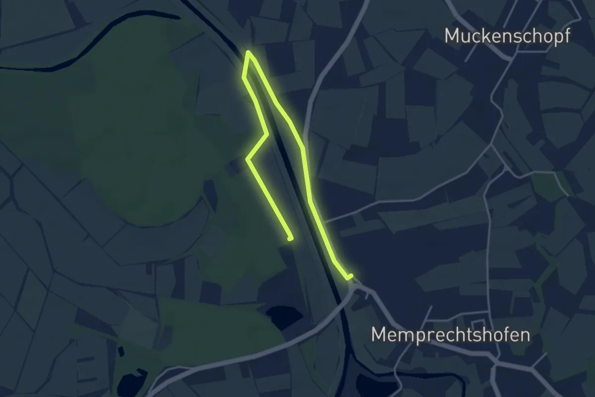
Geschichts- und Naturlehrpfad
2.2 km · ↑ 0 m · 34 min
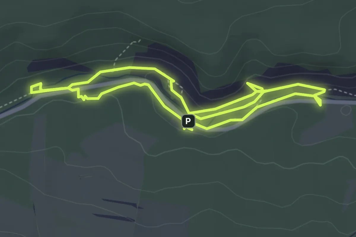
Medium · Trail
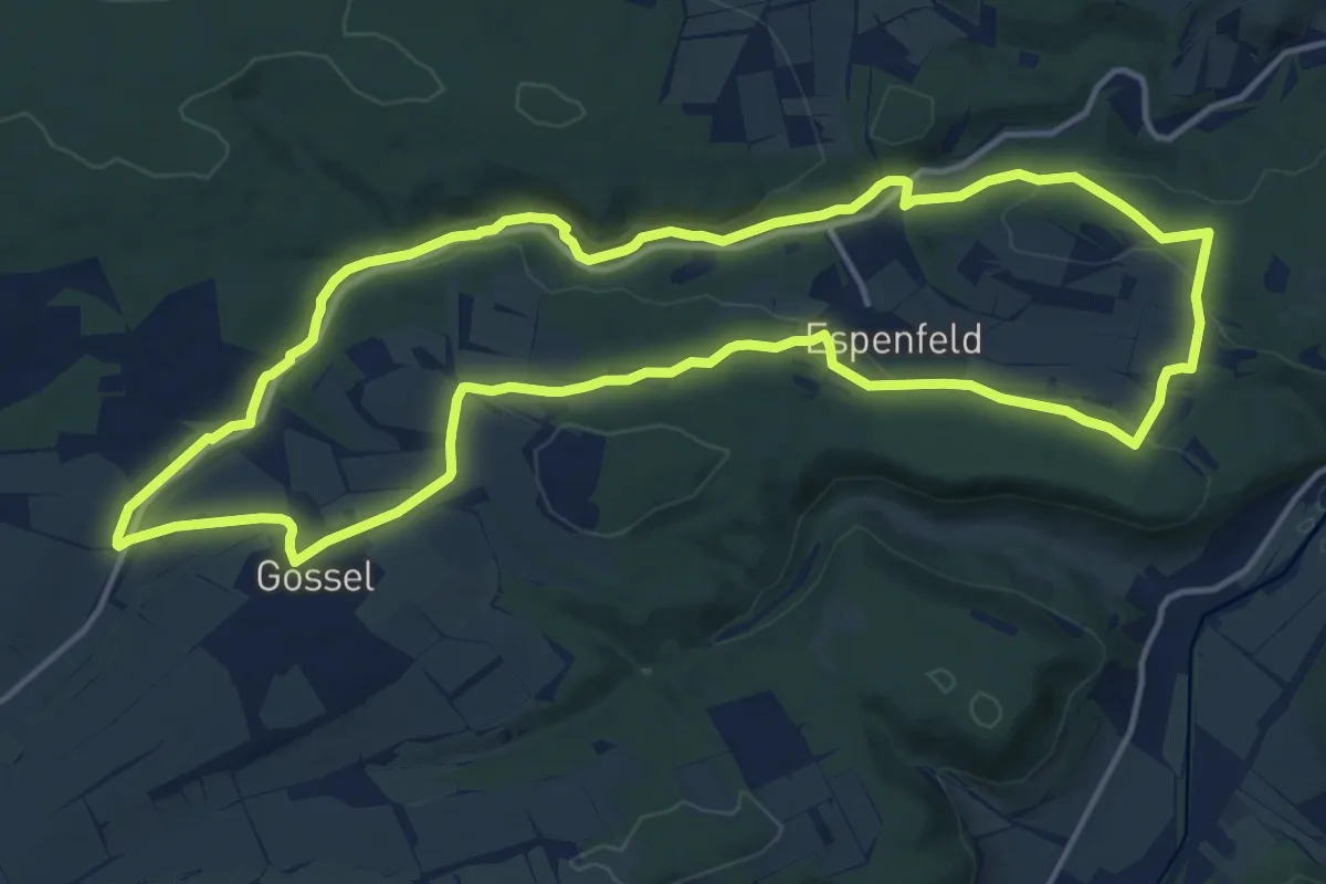
Geschichts- und Naturlehrpfad im Jonastal - Großer Wanderweg
14.3 km · ↑ 246 m · 4 h 6 min
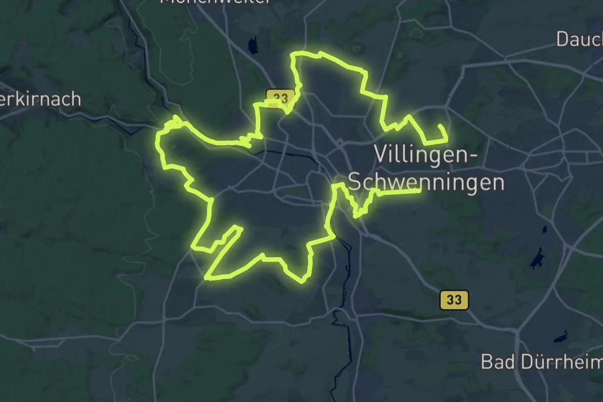
Medium · Trail
Geschichts- und Naturlehrpfad im Jonastal - Kleiner Wanderweg
7.4 km · ↑ 129 m · 2 h 2 min
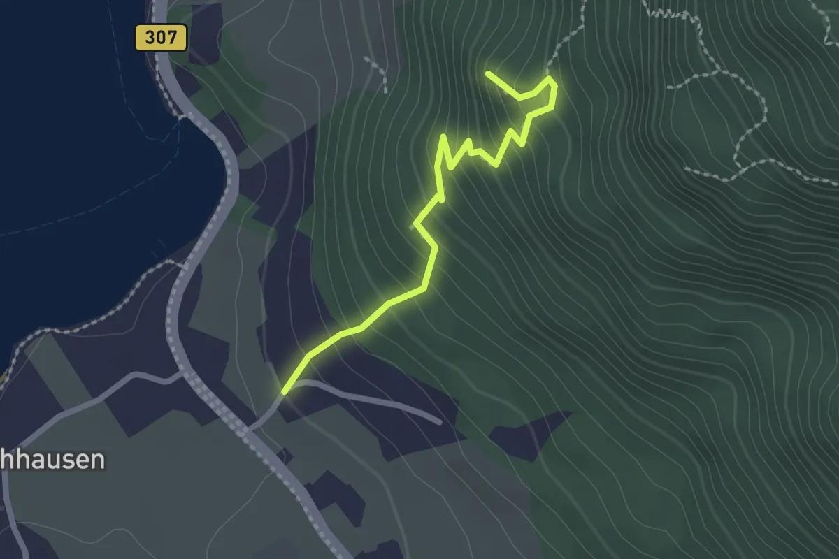
Demanding · Summit
Geschichts- und Naturlehrpfad Villingen
58.9 km · ↑ 696 m · 15 h 25 min
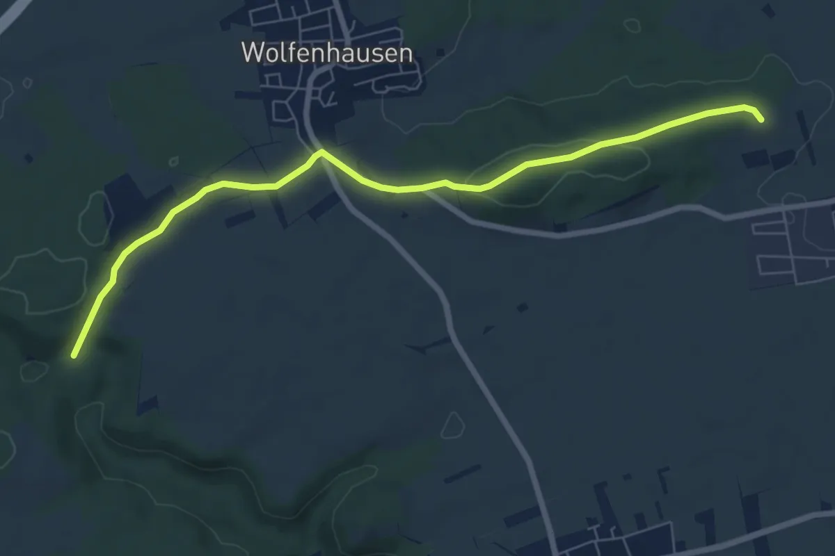
Easy · Trail
Geschichts- und Naturwanderweg zur Burgruine Hohenwaldeck
2.1 km · ↑ 264 m · 1 h 4 min
Easy · Trail
Geschichtswanderweg Neustetten
7.0 km · ↑ 126 m · 1 h 56 min
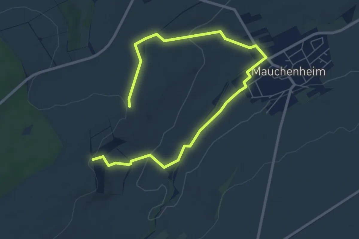
Medium · Trail
Geschichtsweg Mauchenheim
8.0 km · ↑ 141 m · 2 h 12 min
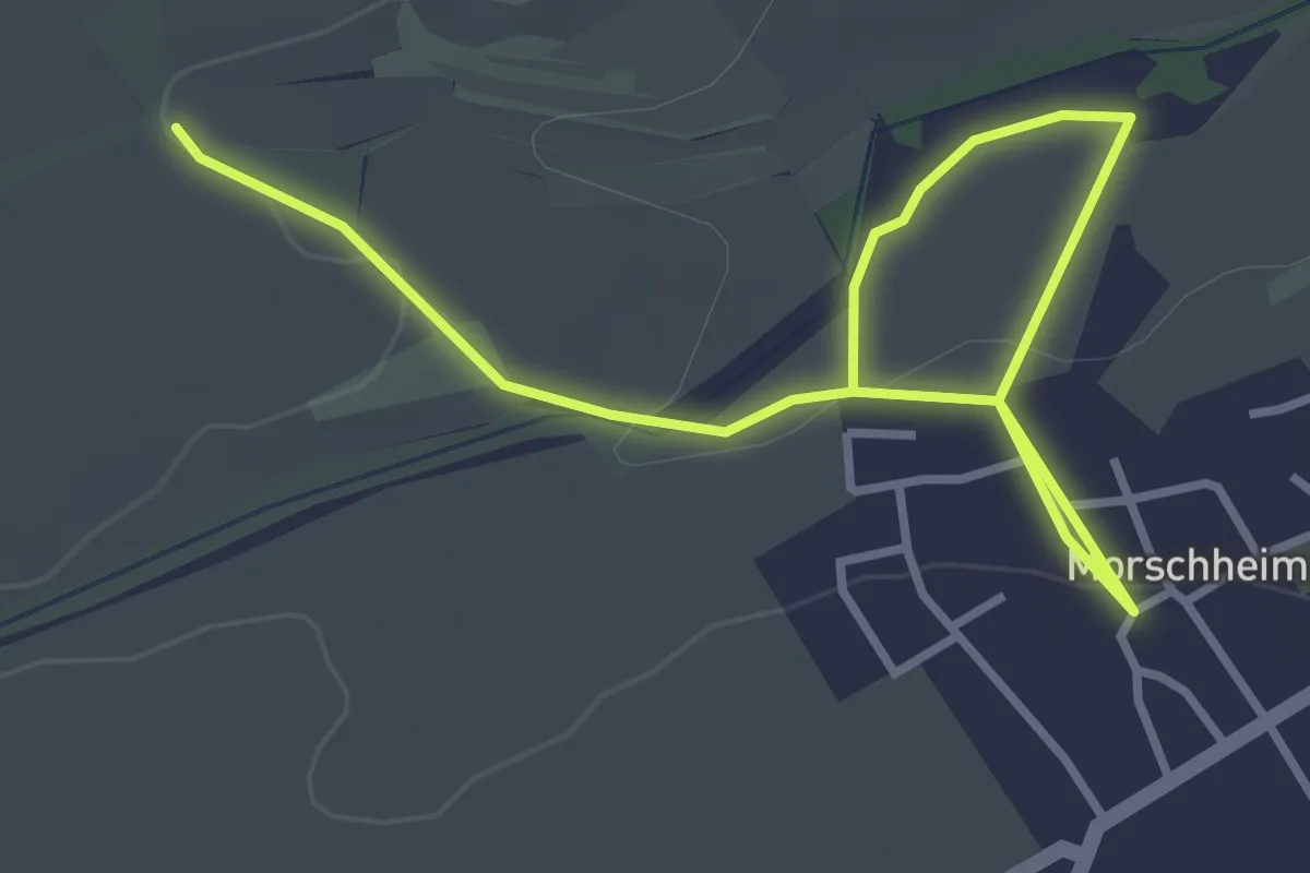
Easy · Trail
Geschichtsweg Morschheim
4.2 km · ↑ 79 m · 1 h 10 min
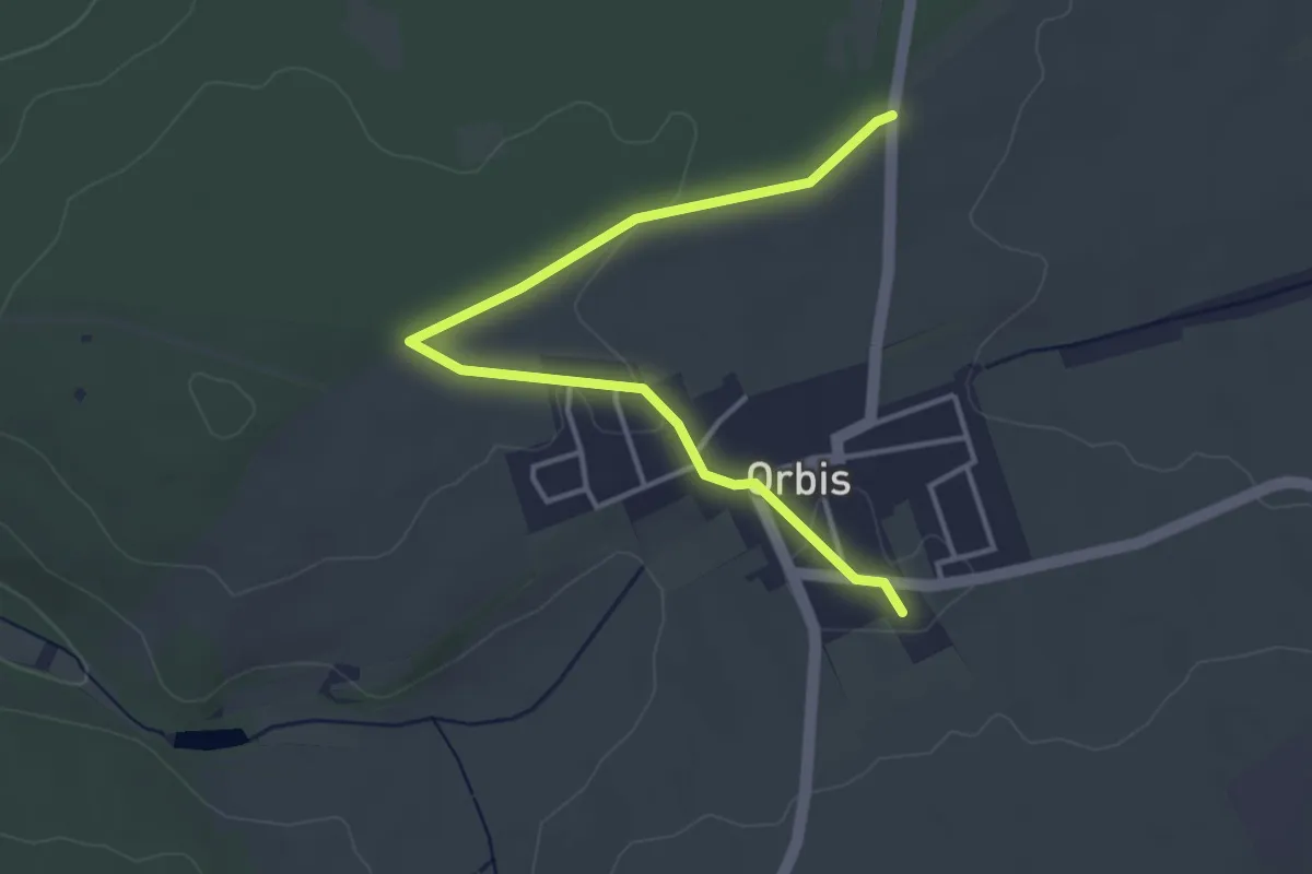
Easy · Trail
Geschichtsweg Orbis
3.9 km · ↑ 31 m · 1 h
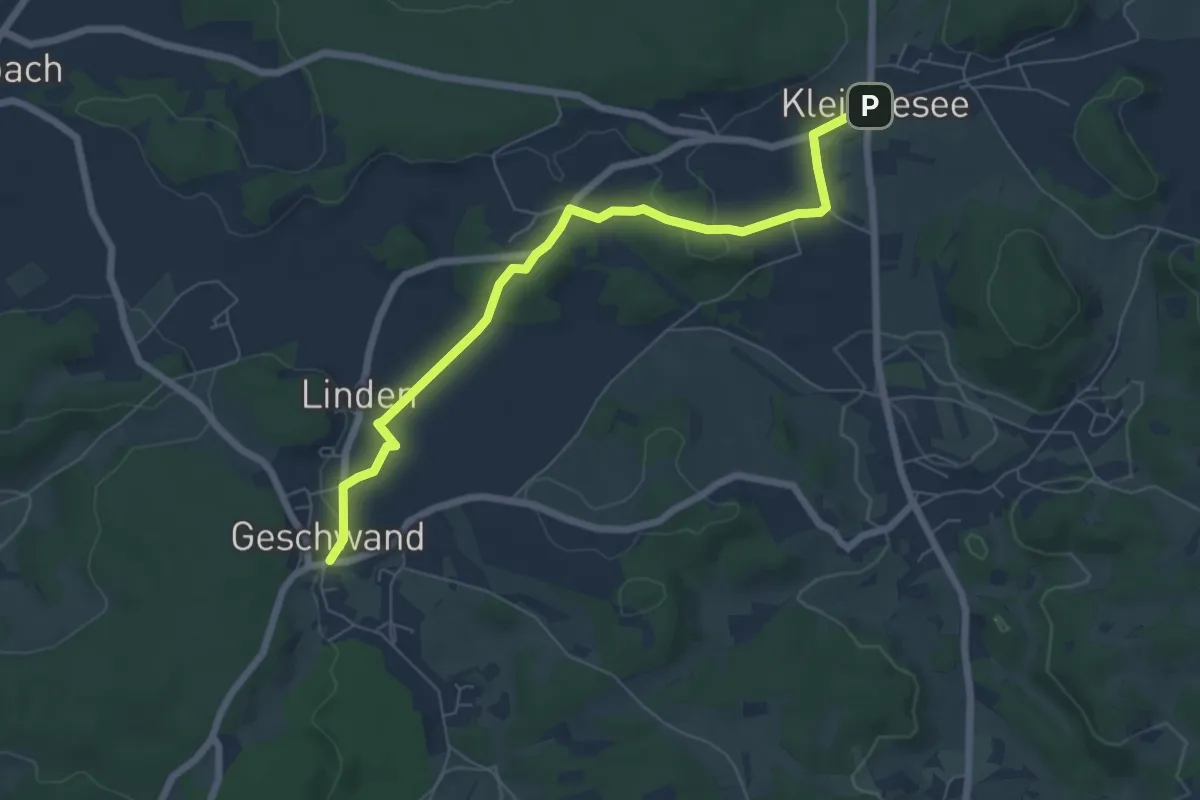
Easy · Trail
Geschwand-Kleingesee
6.4 km · ↑ 97 m · 1 h 43 min
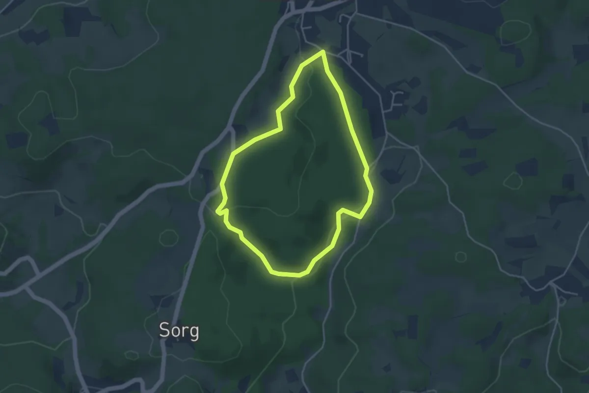
Easy · Trail
Geschwand Rundwanderweg Franzosenstein
3.3 km · ↑ 88 m · 1 h 1 min
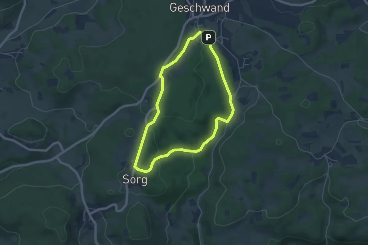
Easy · Trail
Geschwand Rundwanderweg Signalstein
4.1 km · ↑ 111 m · 1 h 16 min
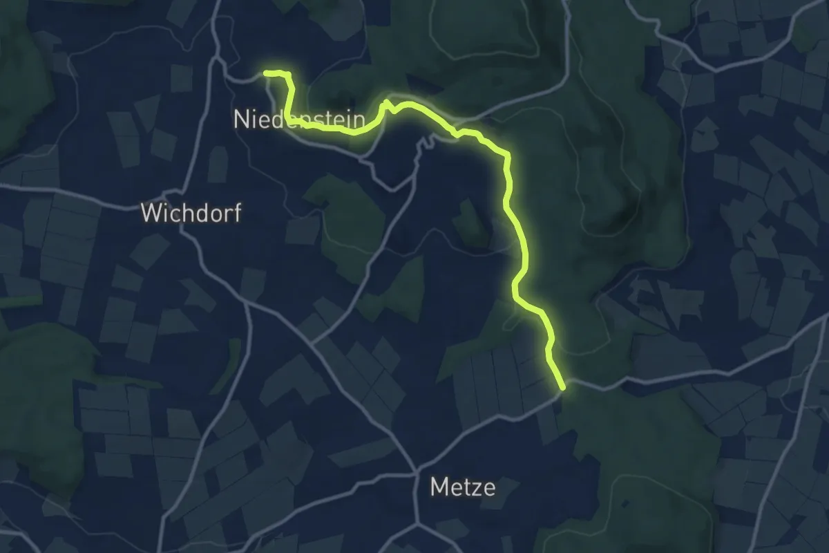
Medium · Trail
Gestecke - Niedenstein
10.1 km · ↑ 267 m · 2 h 58 min
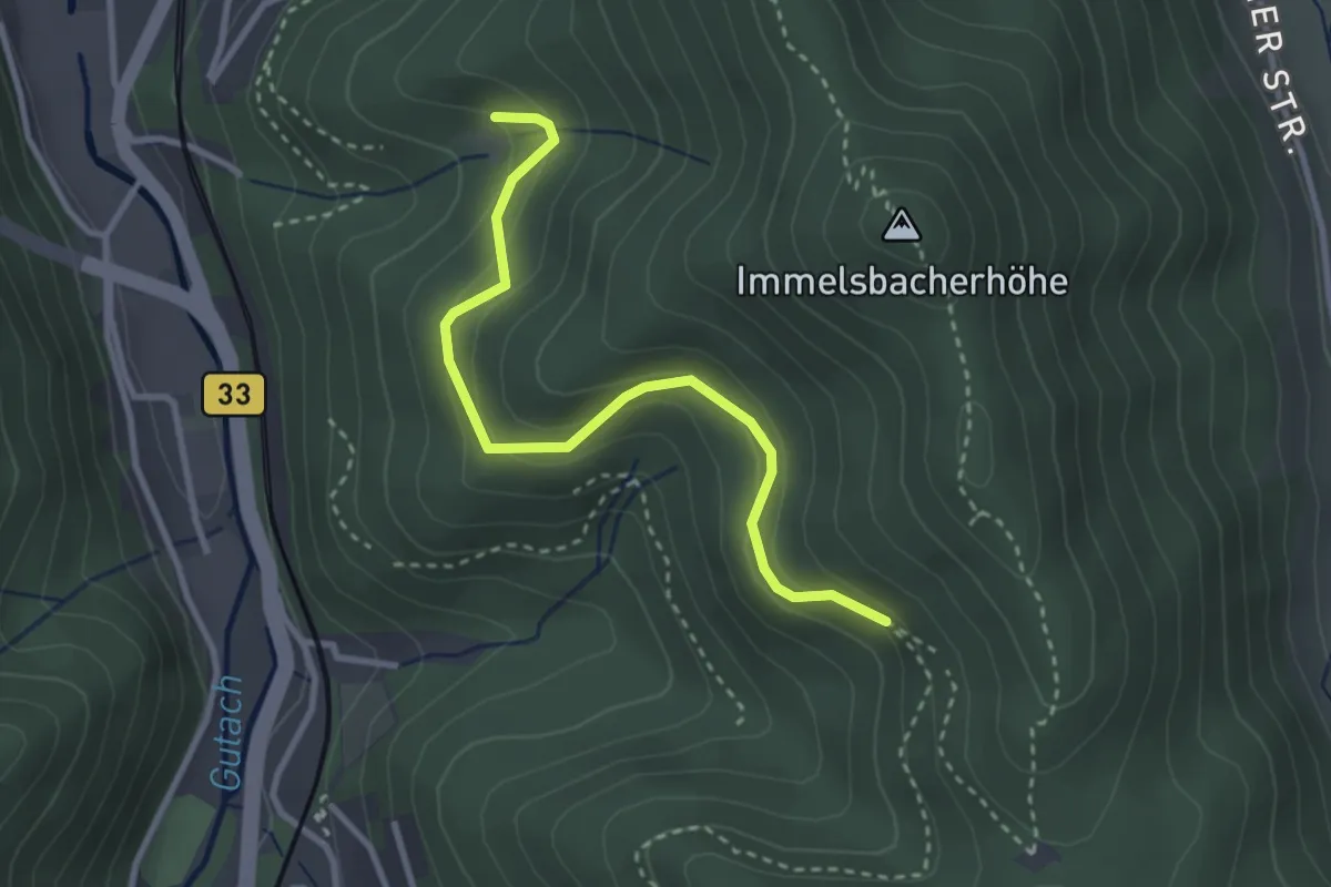
Easy · Trail
Gesundbrunnen - Palmdobel
3.0 km · ↑ 189 m · 1 h 7 min
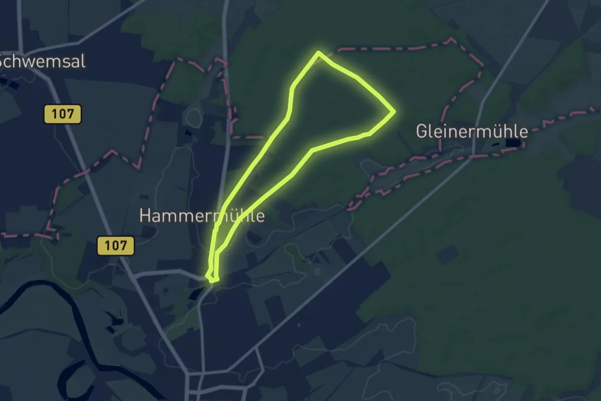
Easy · Trail
Gesundbrunnenweg
6.9 km · ↑ 32 m · 1 h 48 min
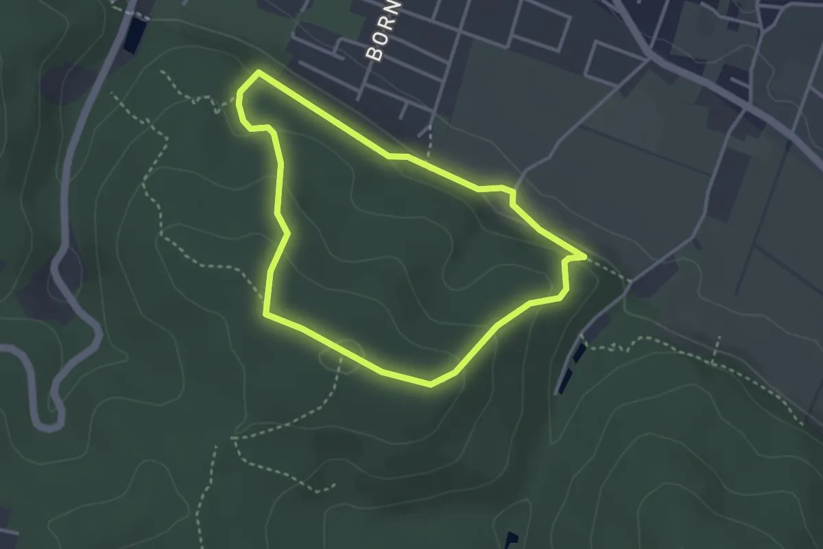
Easy · Summit
GesundheitsPfad 1 Rot
2.6 km · ↑ 112 m · 54 min
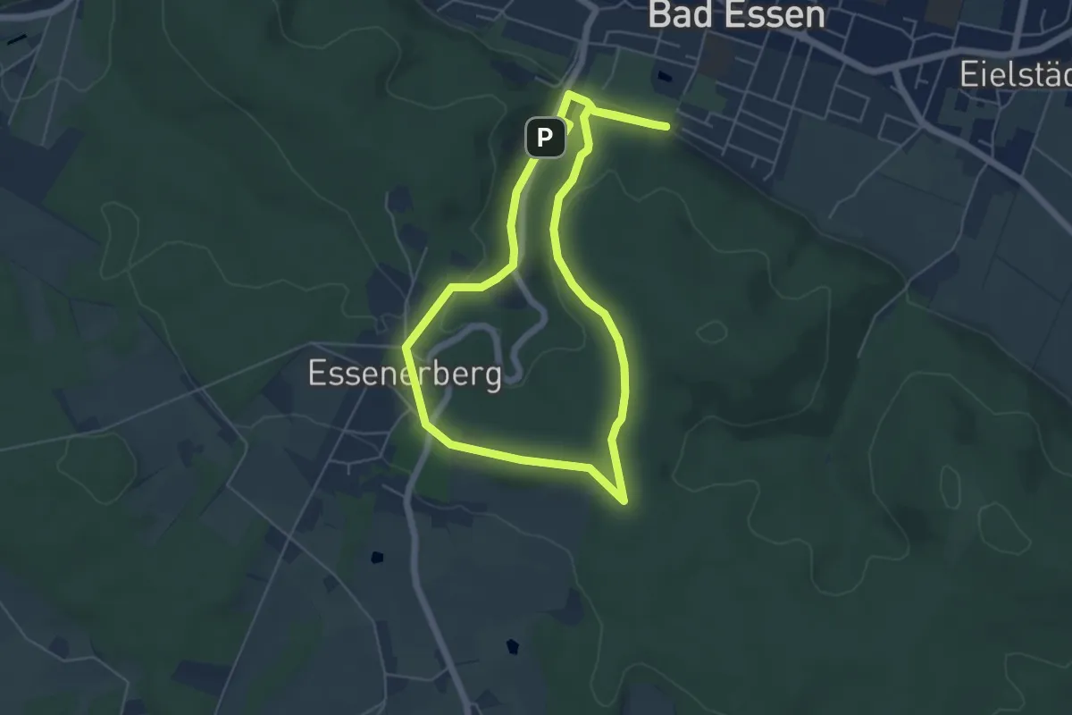
Easy · Summit
GesundheitsPfad 2 Lila
4.6 km · ↑ 88 m · 1 h 20 min
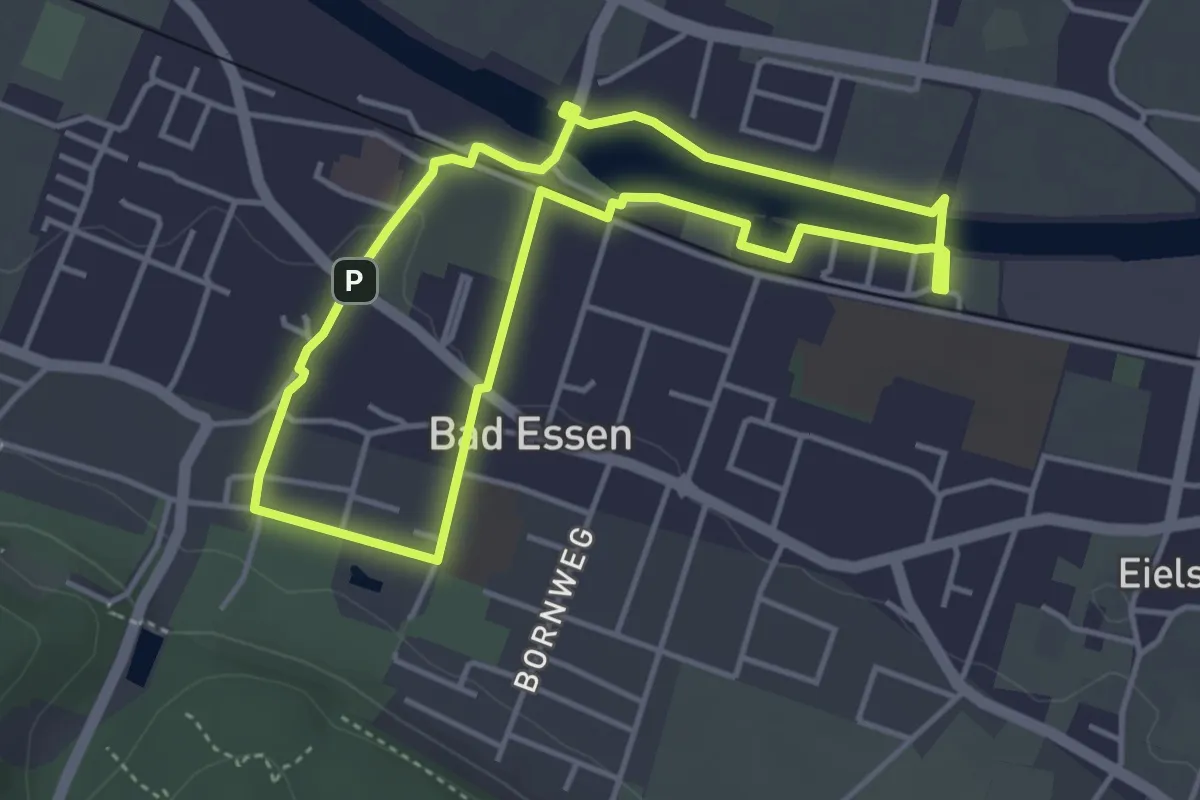
Easy · Trail
GesundheitsPfad 3 Blau
3.5 km · ↑ 21 m · 55 min