Trails in Germany
36,852 hiking trails, each with its route, climb, walking time and grade.
All trails, page 179 of 768
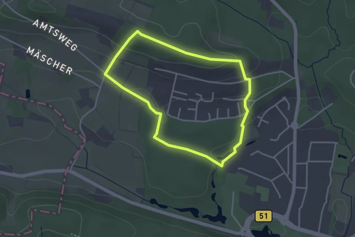
Easy · Trail
GesundheitsPfad Barfuß Wanderfit (blau/mittel)
2.5 km · ↑ 63 m · 46 min
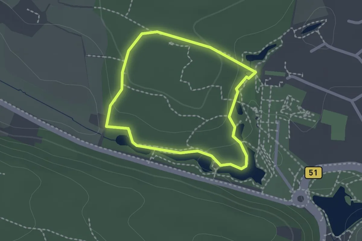
Easy · Trail
GesundheitsPfad Barfuß Wanderfit (grün/leicht)
1.4 km · ↑ 23 m · 24 min
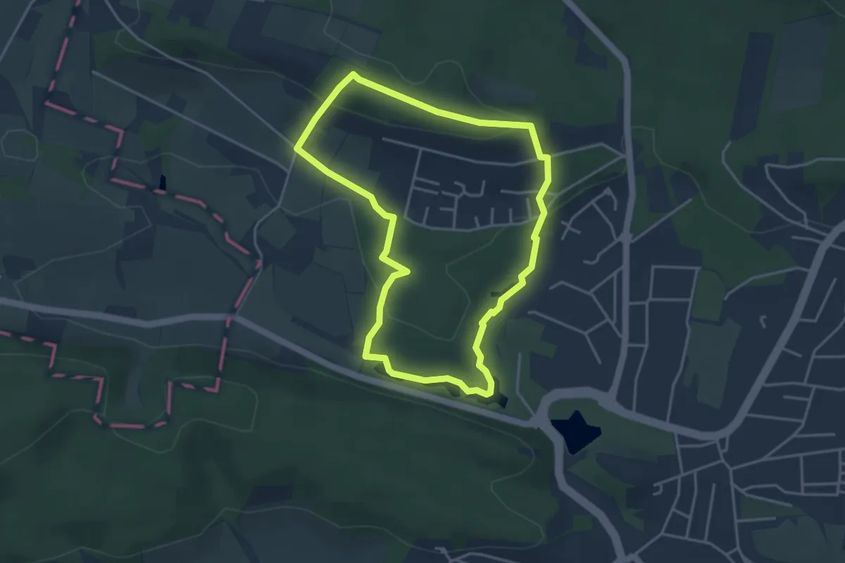
Easy · Trail
GesundheitsPfad Barfuß Wanderfit (rot/schwer)
3.3 km · ↑ 73 m · 59 min
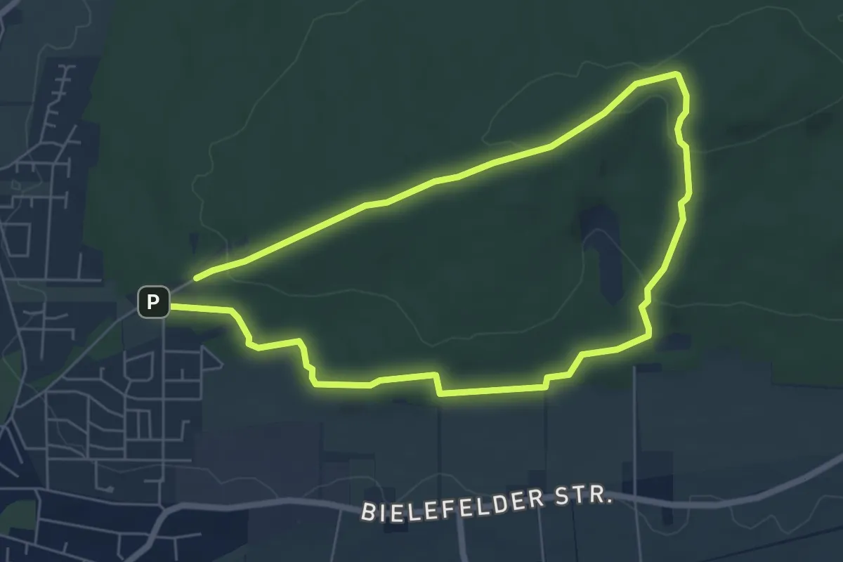
Easy · Summit
GesundheitsPfad Rückenfit
4.9 km · ↑ 103 m · 1 h 26 min
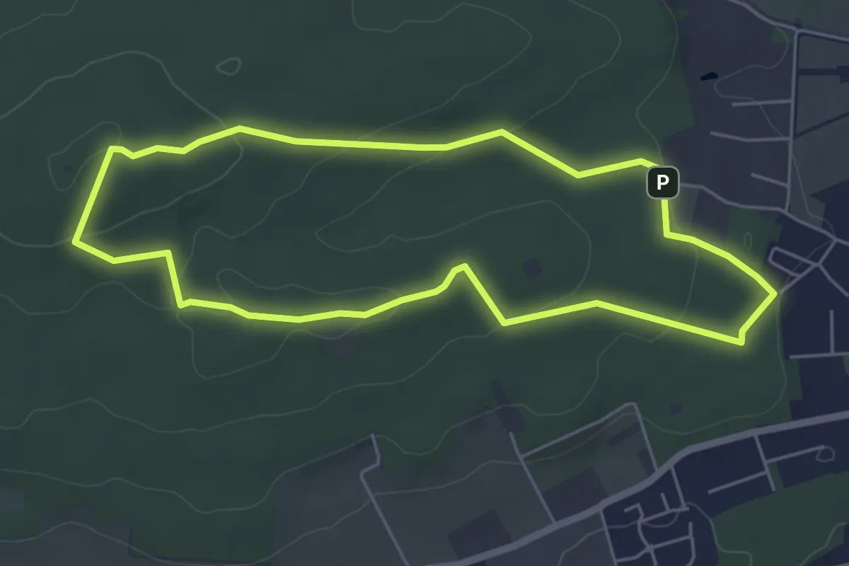
Easy · Summit
GesundheitsPfad WanderHerz
4.4 km · ↑ 88 m · 1 h 18 min
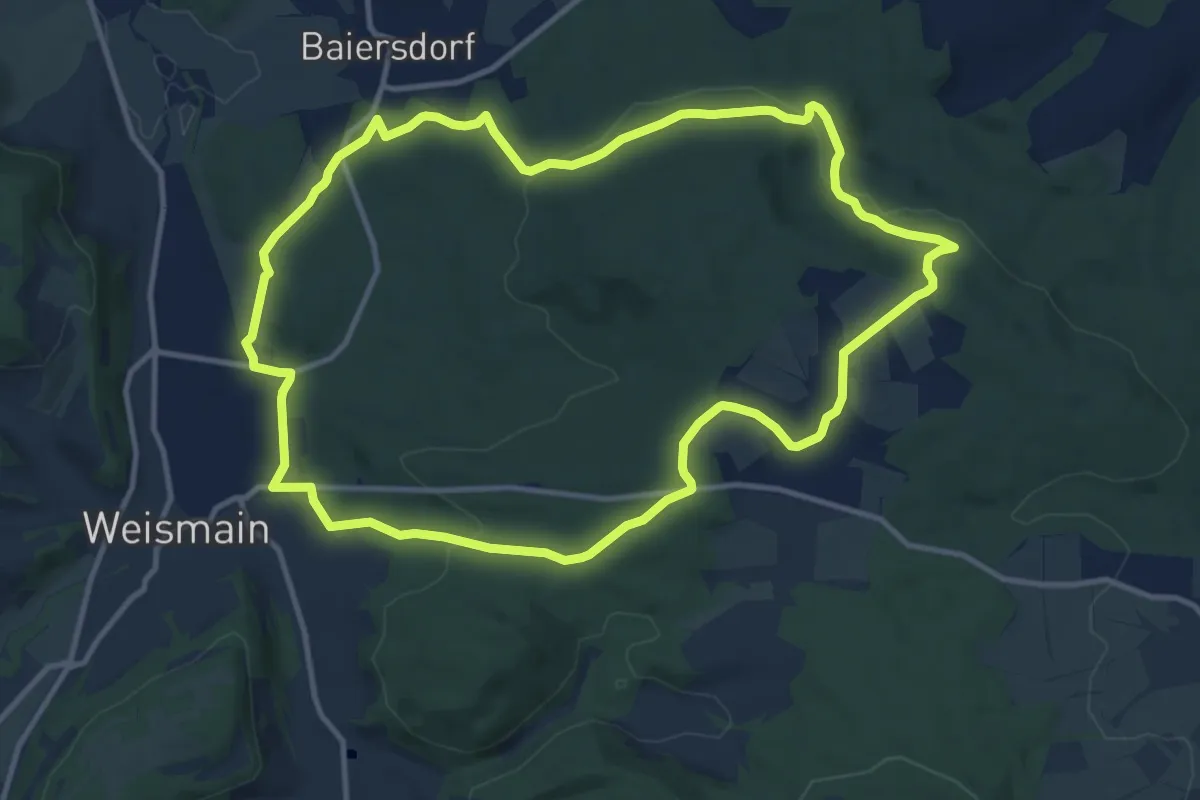
Medium · Trail
Geutenreuther Spange
11.3 km · ↑ 236 m · 3 h 21 min
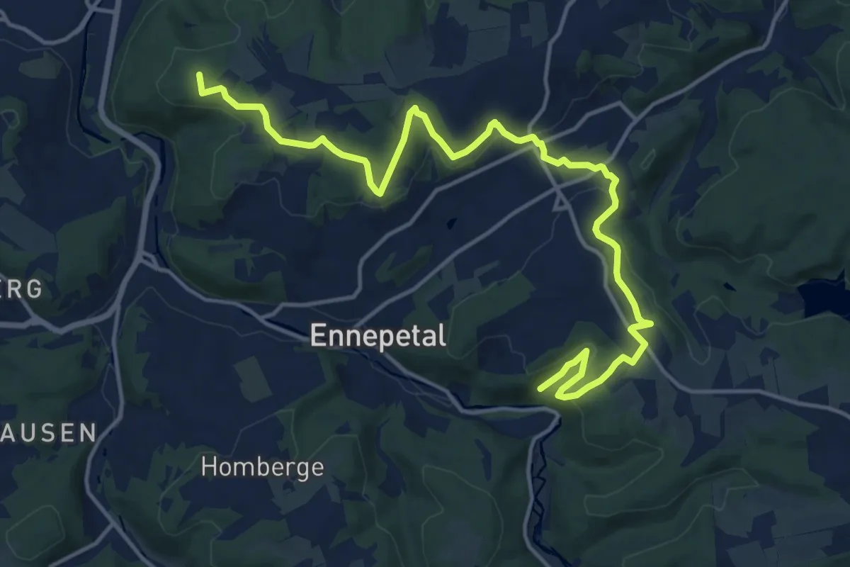
Medium · Summit
GEV-Nirgena - EN-Voerde - EN-Ahlhausen
15.6 km · ↑ 380 m · 4 h 30 min
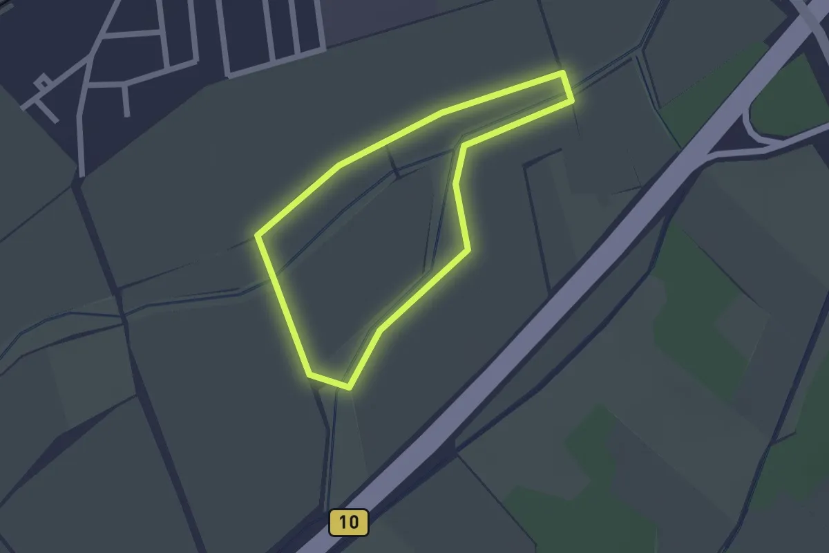
Easy · Trail
Gewässererlebnispfad Feldgraben - Landgraben
1.5 km · ↑ 0 m · 23 min
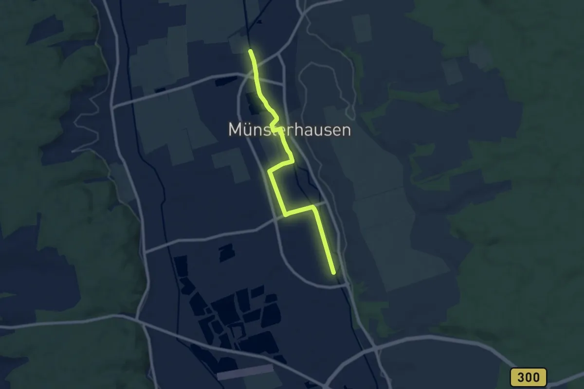
Easy · Trail
Gewässerinformations Erlebnispfad Münsterhausen
7.2 km · ↑ 8 m · 1 h 43 min
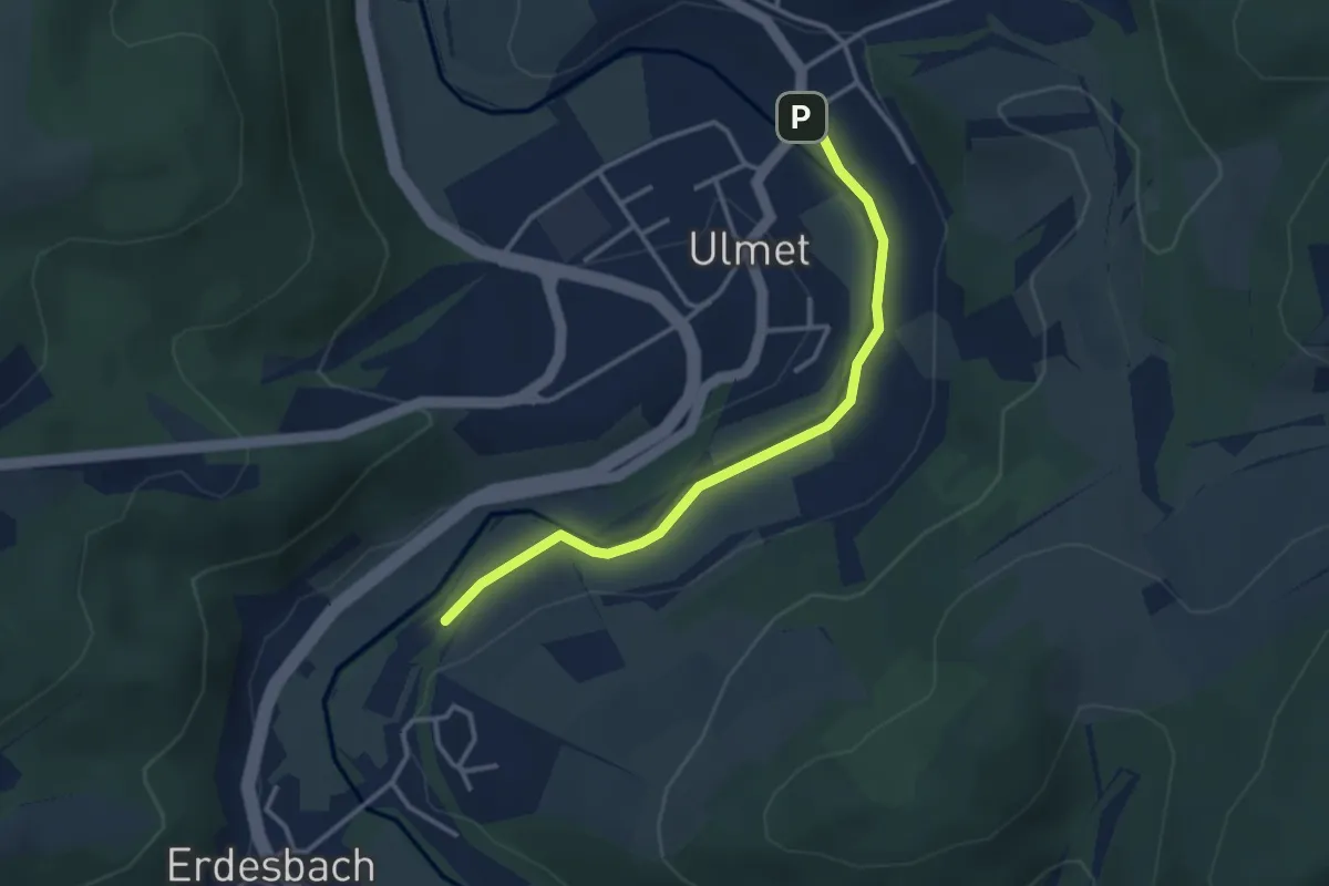
Easy · Trail
Gewässerlehrpfad
3.1 km · ↑ 4 m · 44 min
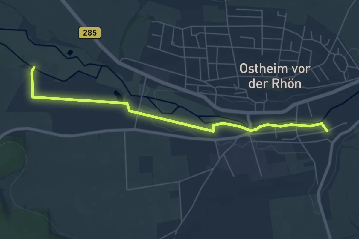
Easy · Trail
Gewässerlehrpfad
5.2 km · ↑ 12 m · 1 h 15 min
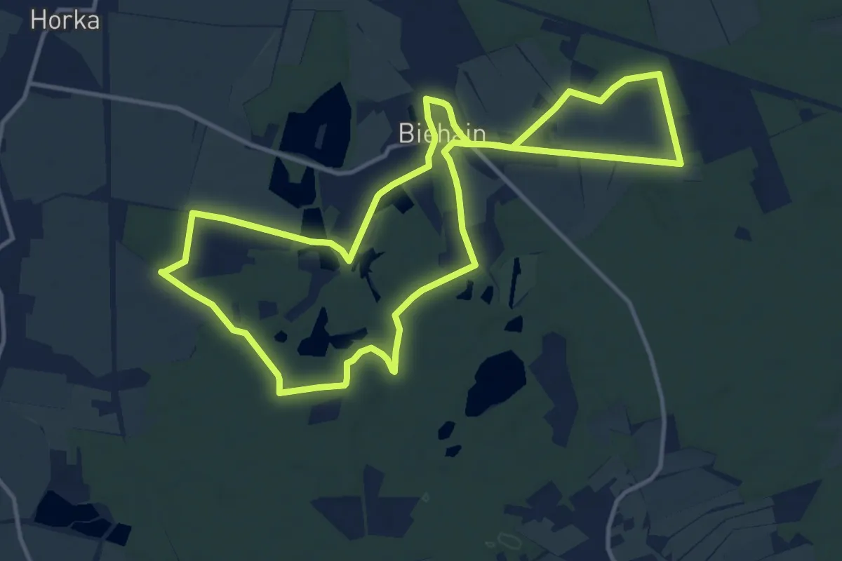
Medium · Trail
Gewässerlehrpfad
10.8 km · ↑ 40 m · 2 h 47 min
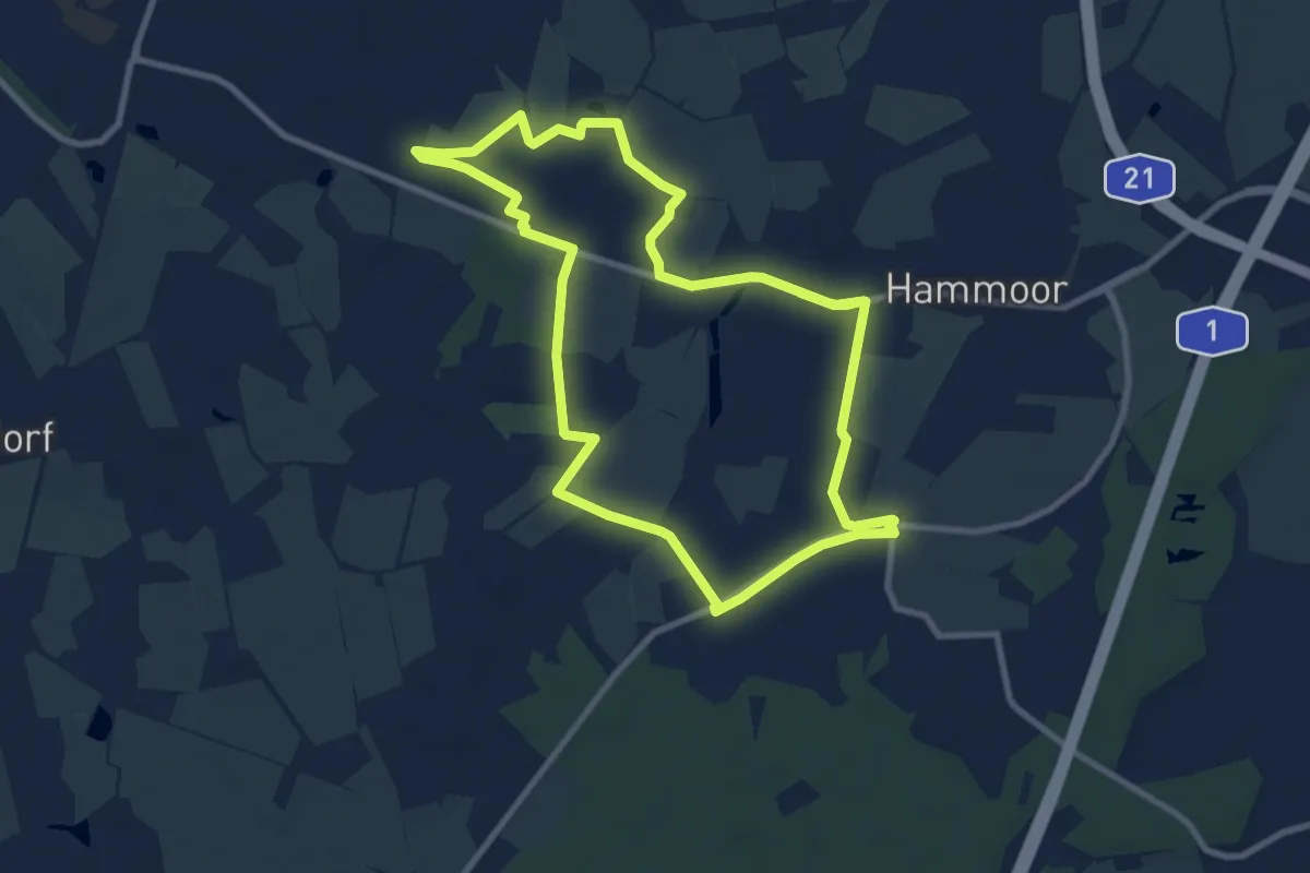
Medium · Trail
Gewerbeweg
8.1 km · ↑ 4 m · 2 h 1 min
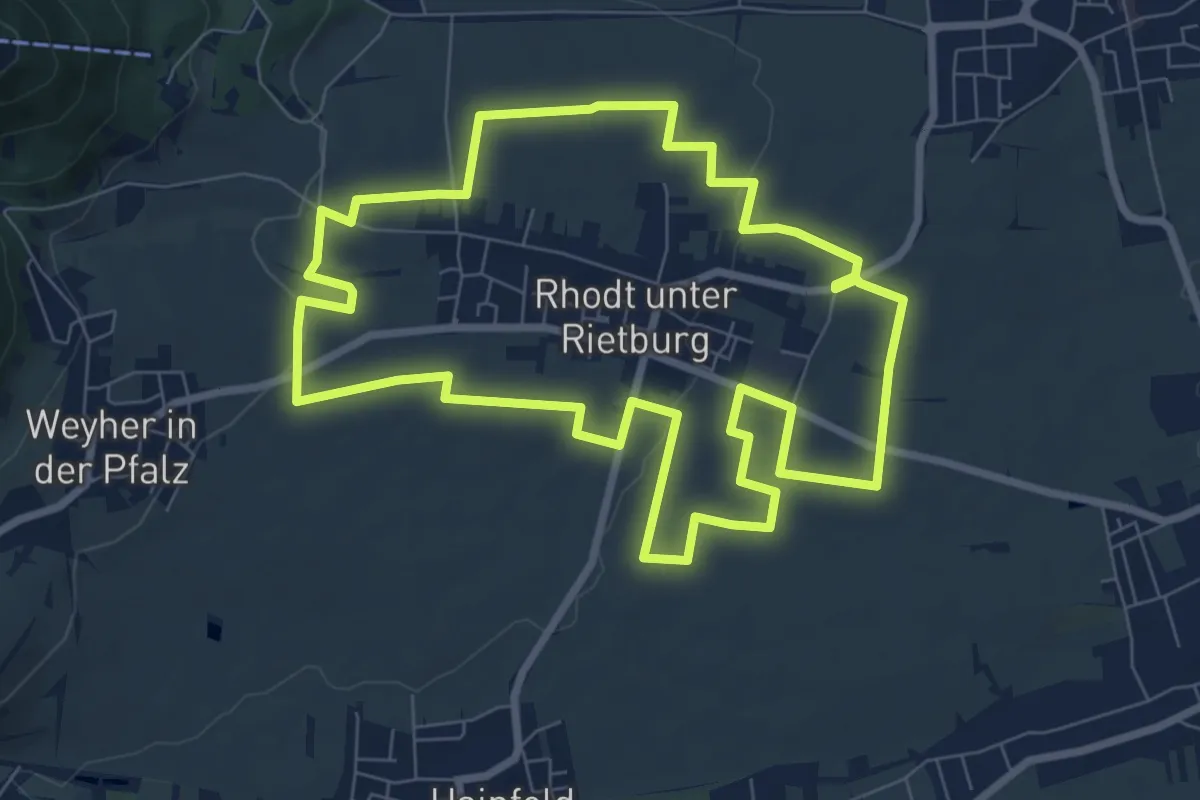
Easy · Trail
Gewürztraminerrundweg Rhodt
7.8 km · ↑ 86 m · 2 h 8 min
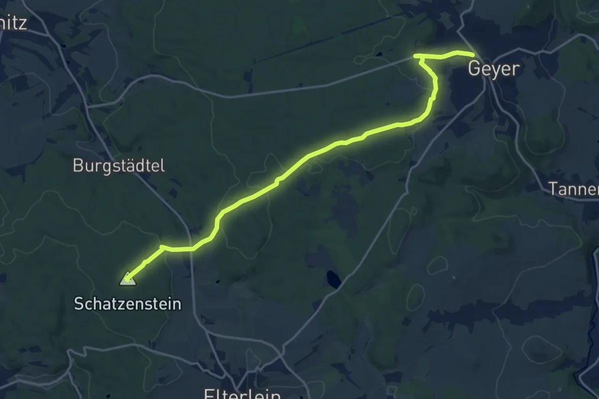
Medium · Summit
Geyer-Waschleithe
15.6 km · ↑ 319 m · 4 h 23 min
Easy · Trail
Gfällhalde - Steinatal
2.6 km · ↑ 64 m · 45 min
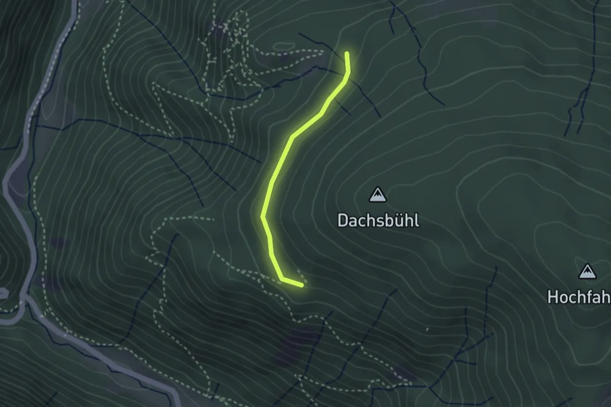
Easy · Trail
Gfällmatte - Kleiner Luchsfelsen
2.2 km · ↑ 72 m · 40 min
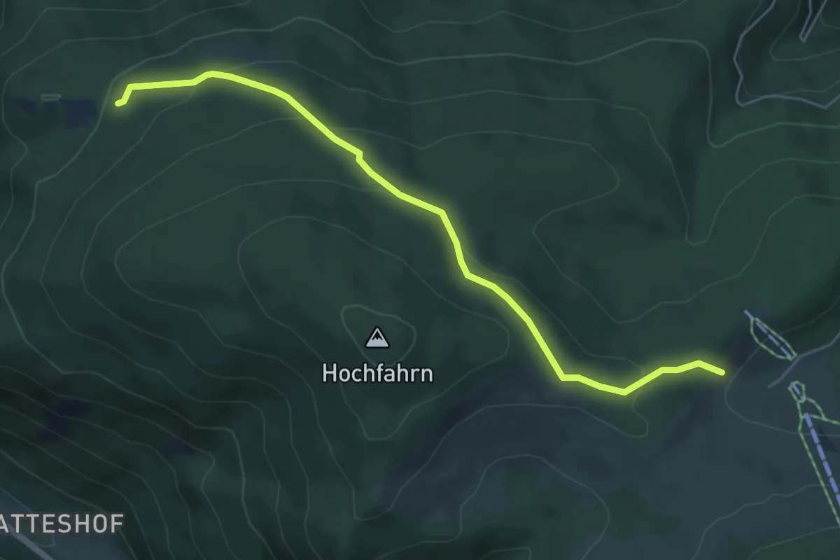
Easy · Trail
Gfällmatte - Stollenbach Kleiner Lift
5.6 km · ↑ 258 m · 1 h 52 min
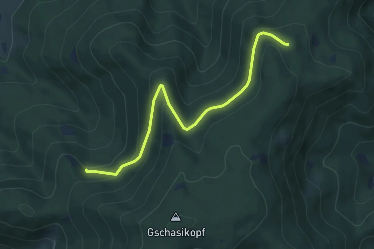
Easy · Trail
Gferch - Schwiegrube
5.6 km · ↑ 253 m · 1 h 53 min
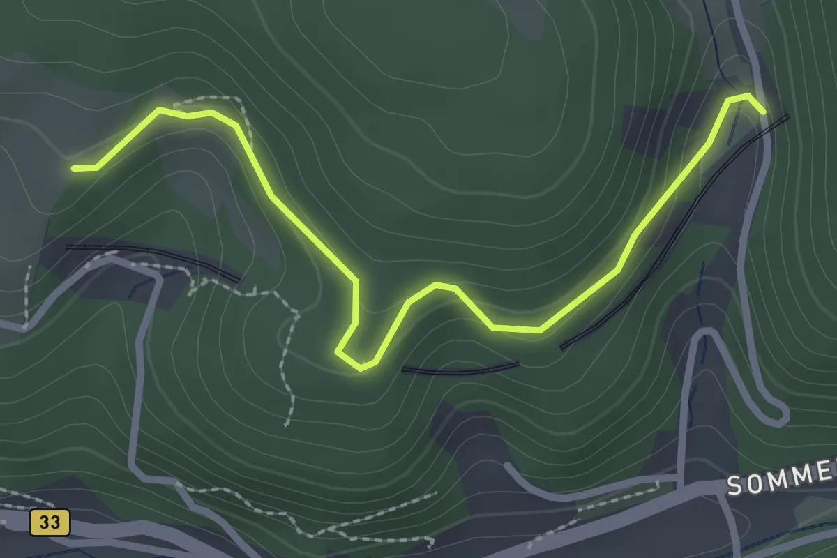
Easy · Trail
Gibbesbach - Bahnübergang Kreisbach
2.6 km · ↑ 97 m · 49 min
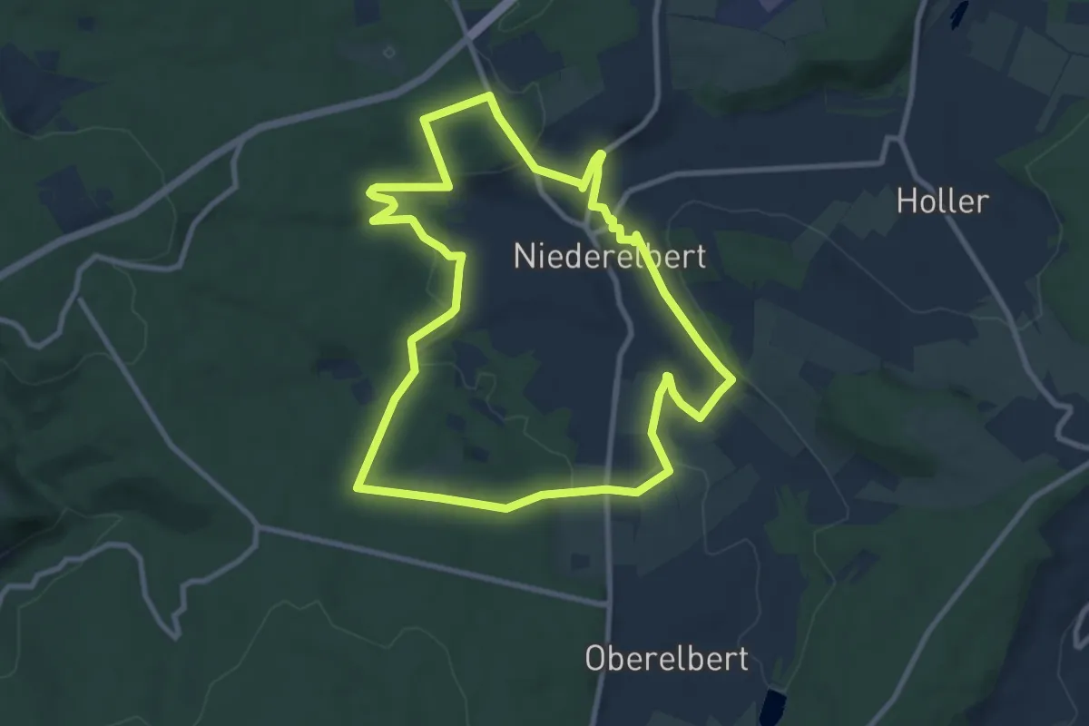
Medium · Trail
Gickelsweg Niederelbert
8.6 km · ↑ 228 m · 2 h 38 min
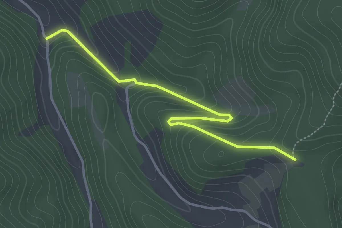
Easy · Trail
Giedensbach - Grünberghütte
3.1 km · ↑ 179 m · 1 h 7 min
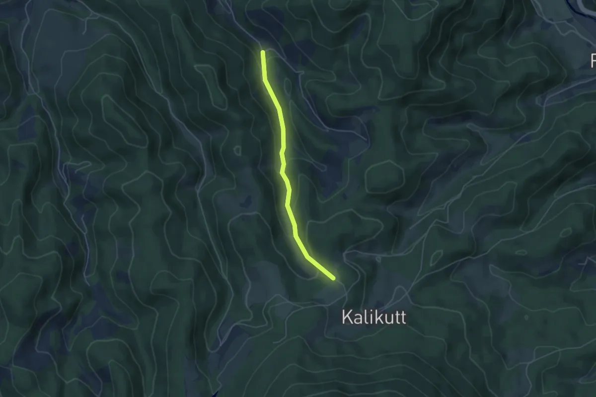
Easy · Trail
Giedensbach - Rieh
4.0 km · ↑ 221 m · 1 h 25 min
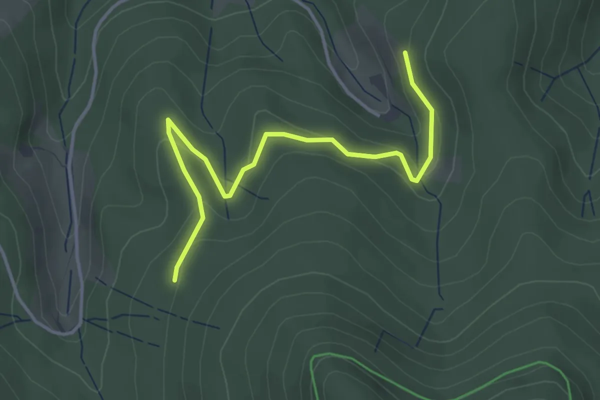
Easy · Trail
Giehmatt - Lottereck
3.7 km · ↑ 143 m · 1 h 11 min
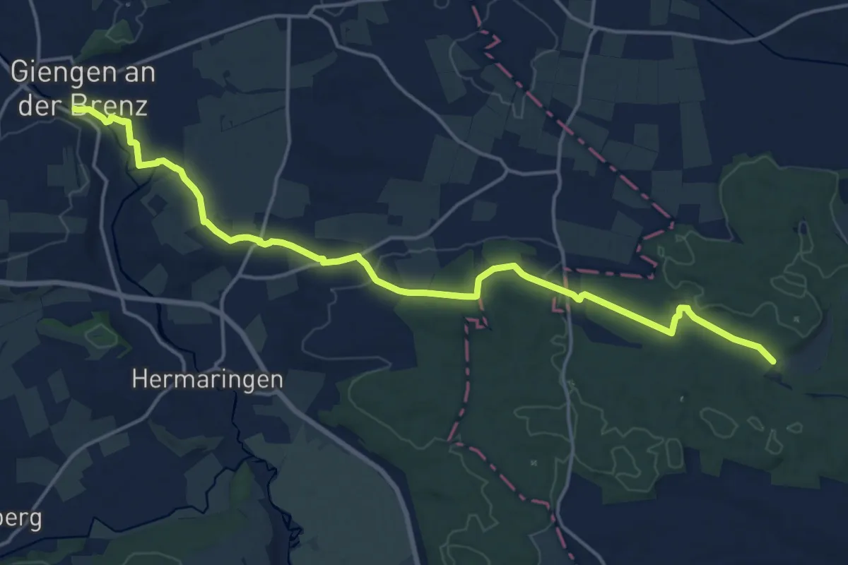
Medium · Trail
Giengen - Dillingen
17.6 km · ↑ 148 m · 4 h 28 min
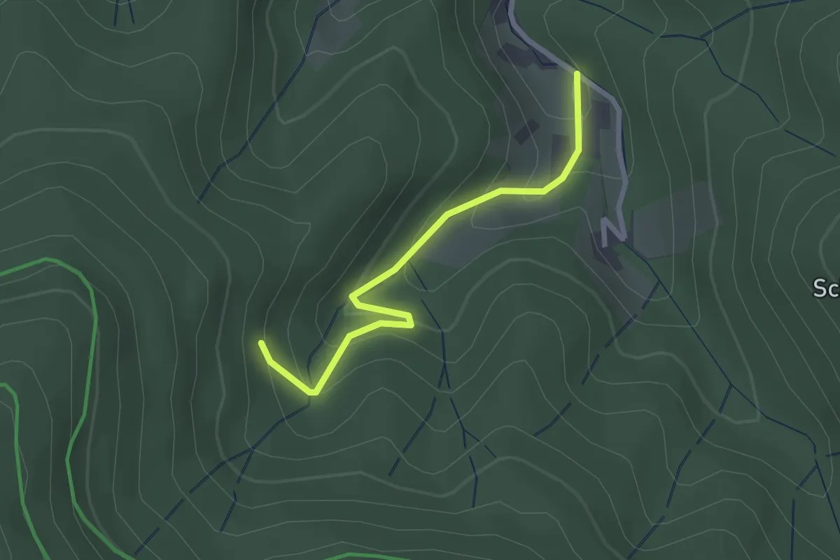
Easy · Trail
Gieringerloch - Heiberschrofen
2.2 km · ↑ 168 m · 53 min
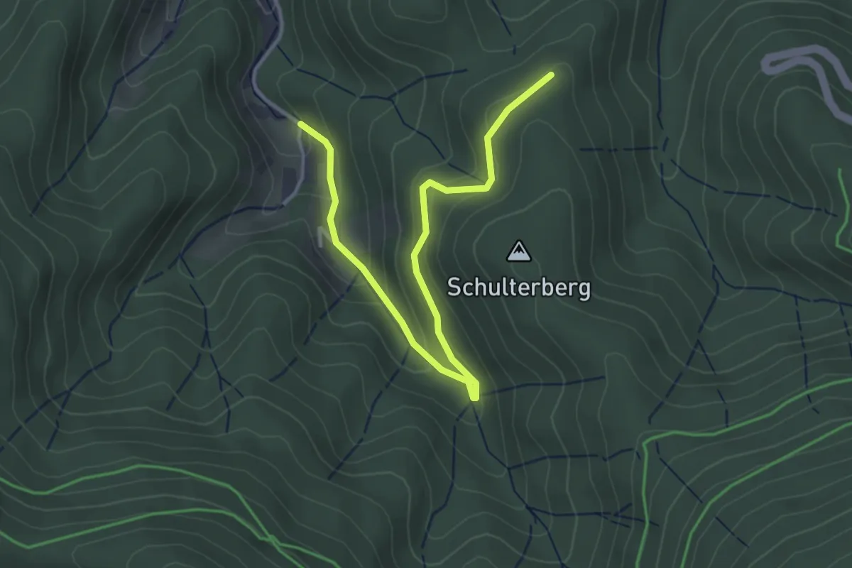
Easy · Trail
Gieringerloch - Schulterberg
3.9 km · ↑ 192 m · 1 h 20 min
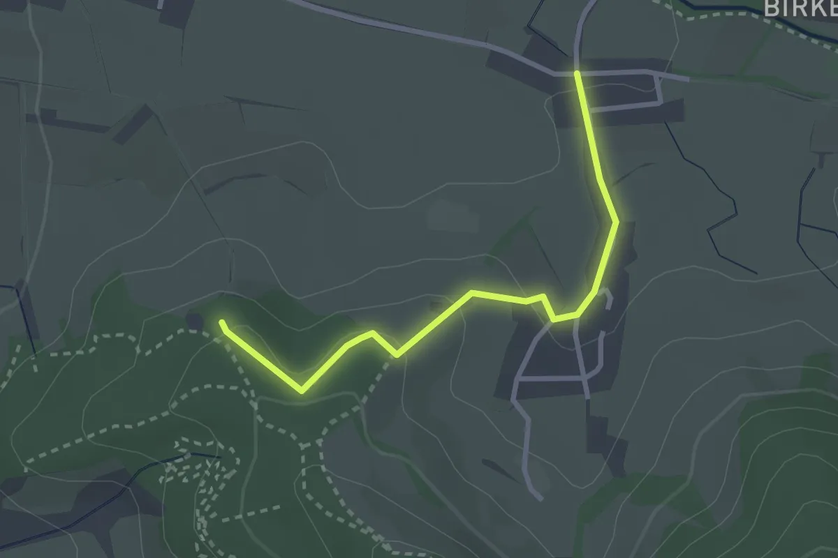
Easy · Trail
Giersberg Parkplatz - Höfen
2.6 km · ↑ 94 m · 49 min
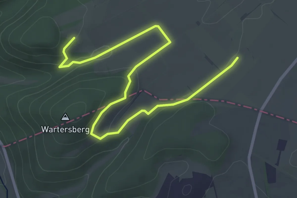
Easy · Trail
Giershagener Bergbauspuren
6.0 km · ↑ 135 m · 1 h 42 min
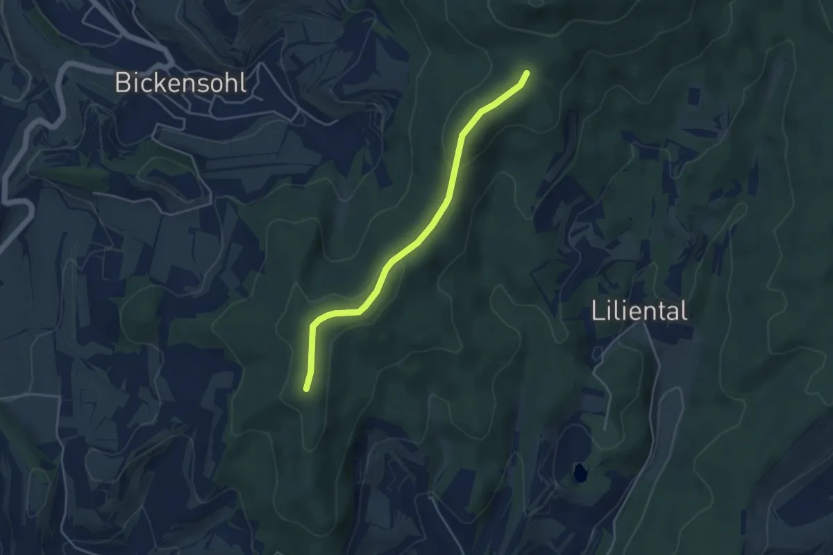
Easy · Trail
Gierstein - Adlerhorstsattel
3.8 km · ↑ 79 m · 1 h 4 min
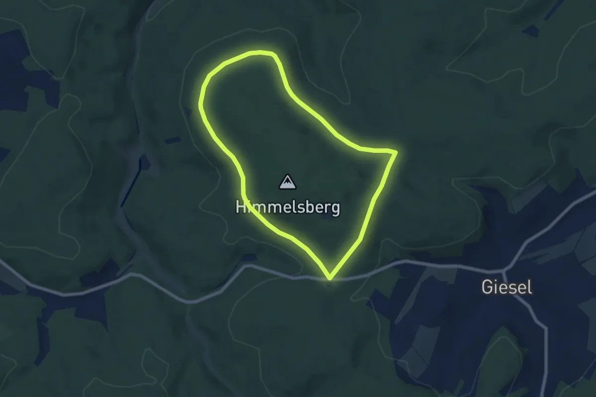
Easy · Trail
Gieseler Forst Nord 1
5.5 km · ↑ 58 m · 1 h 30 min
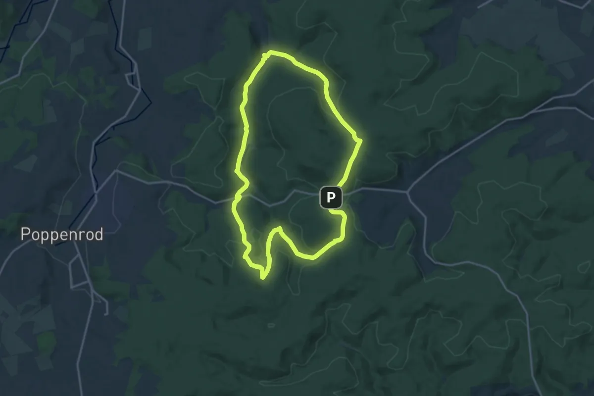
Medium · Trail
Gieseler Forst Nord 2
13.1 km · ↑ 269 m · 3 h 52 min
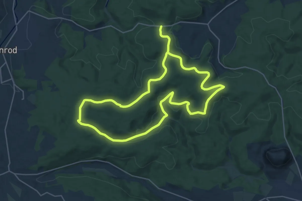
Medium · Trail
Gieseler Forst Nord 3
16.0 km · ↑ 216 m · 4 h 29 min
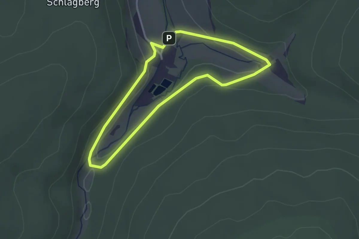
Easy · Trail
Gieseler Forst Nord 4
2.4 km · ↑ 45 m · 43 min
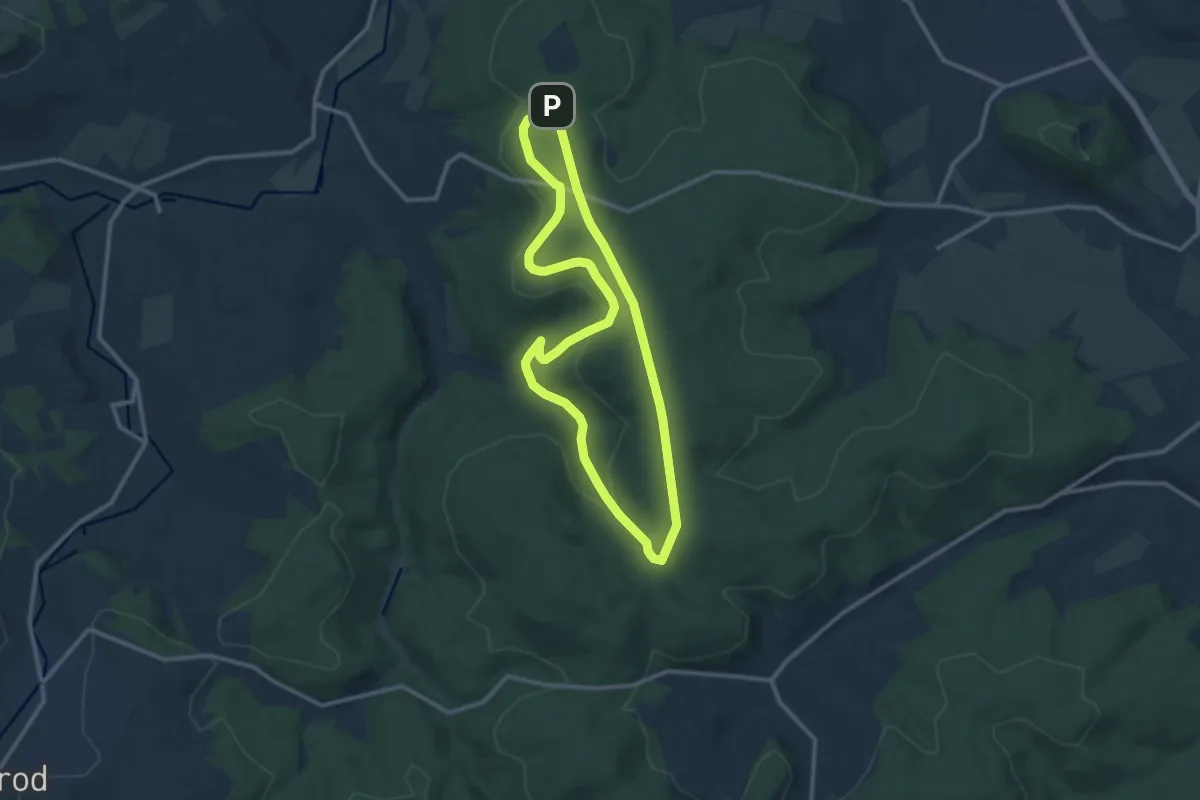
Medium · Summit
Gieseler Forst Nord 5
10.1 km · ↑ 148 m · 2 h 50 min
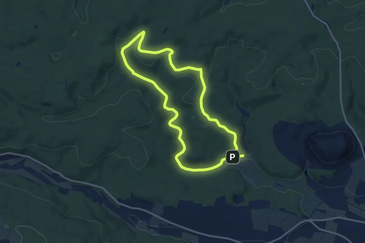
Medium · Trail
Gieseler Forst Süd 1
8.5 km · ↑ 131 m · 2 h 24 min
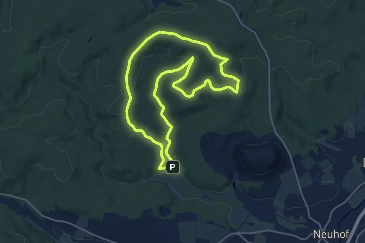
Medium · Summit
Gieseler Forst Süd 2
10.3 km · ↑ 158 m · 2 h 55 min
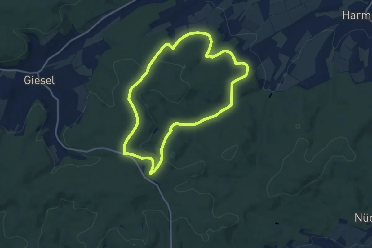
Medium · Trail
Gieseler Forst Süd 3
8.5 km · ↑ 148 m · 2 h 26 min
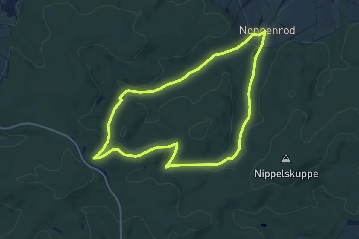
Easy · Trail
Gieseler Forst Süd 4
7.5 km · ↑ 128 m · 2 h 9 min
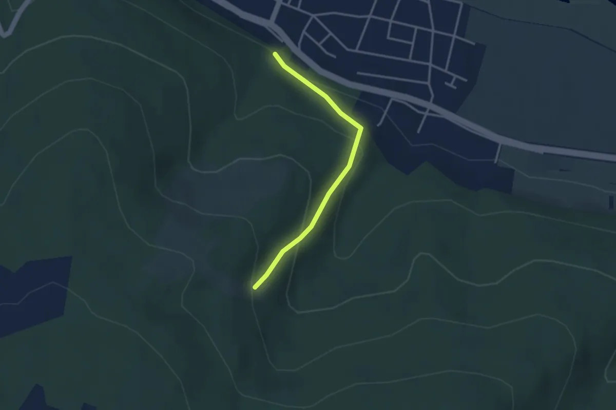
Easy · Trail
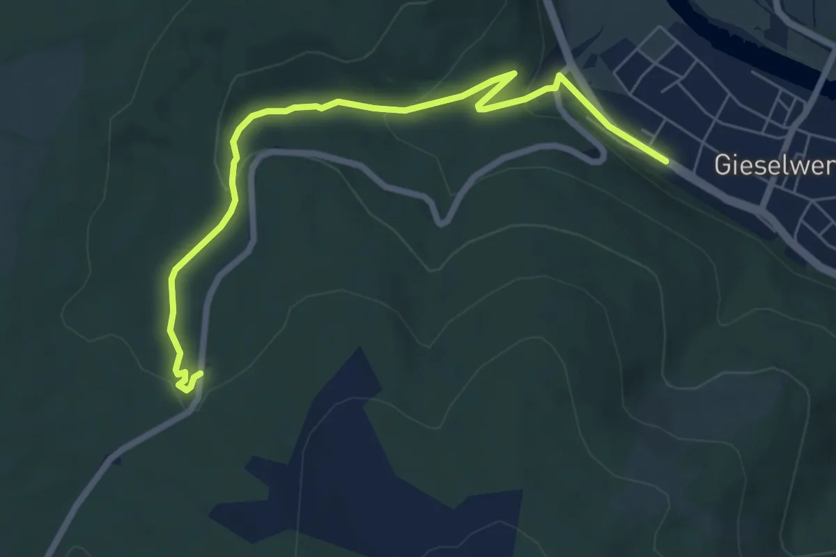
Gieselwerder, Gi 2
2.5 km · ↑ 148 m · 55 min
Medium · Trail
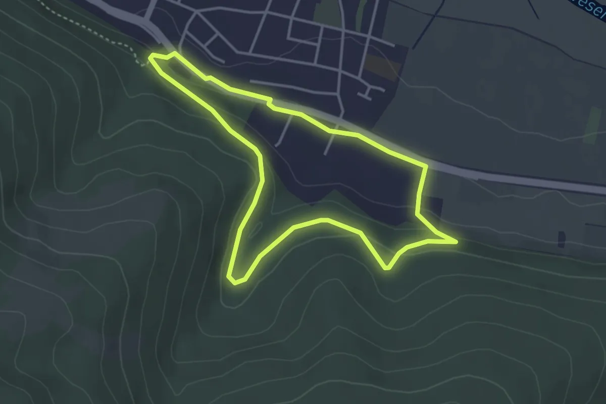
Gieselwerder, Gi 2
6.1 km · ↑ 181 m · 1 h 50 min
Easy · Trail
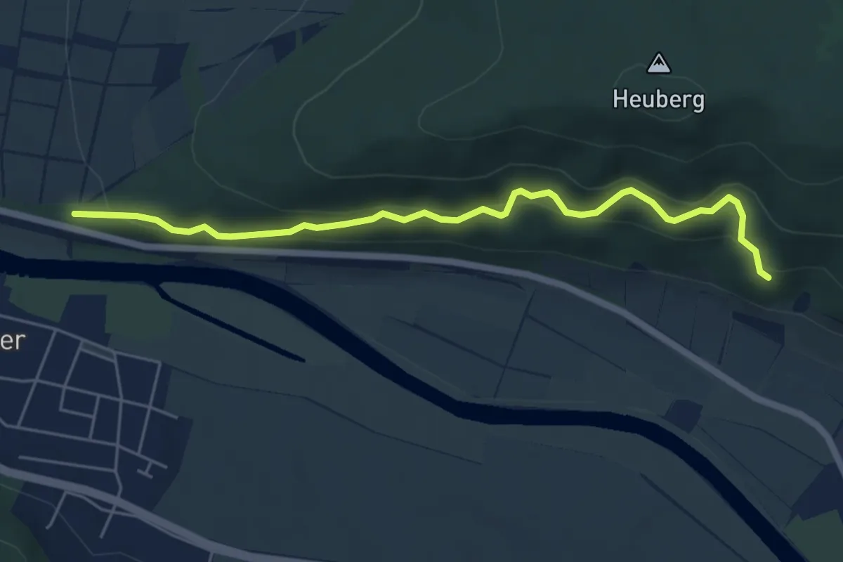
Gieselwerder, Gi3
3.2 km · ↑ 93 m · 1 h 1 min
Medium · Trail
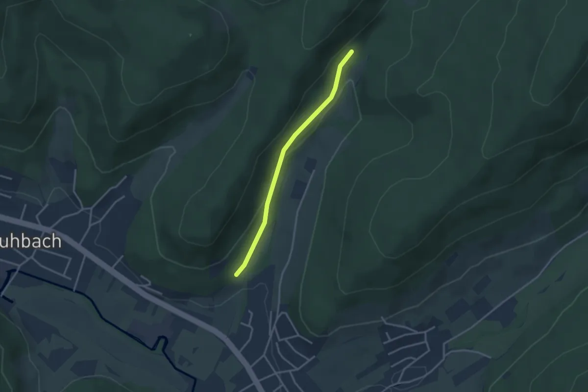
Gieselwerder Gi5
5.0 km · ↑ 289 m · 1 h 48 min
Easy · Trail
Gieseneckbrunnen - Oberer Rebberg
2.6 km · ↑ 70 m · 46 min
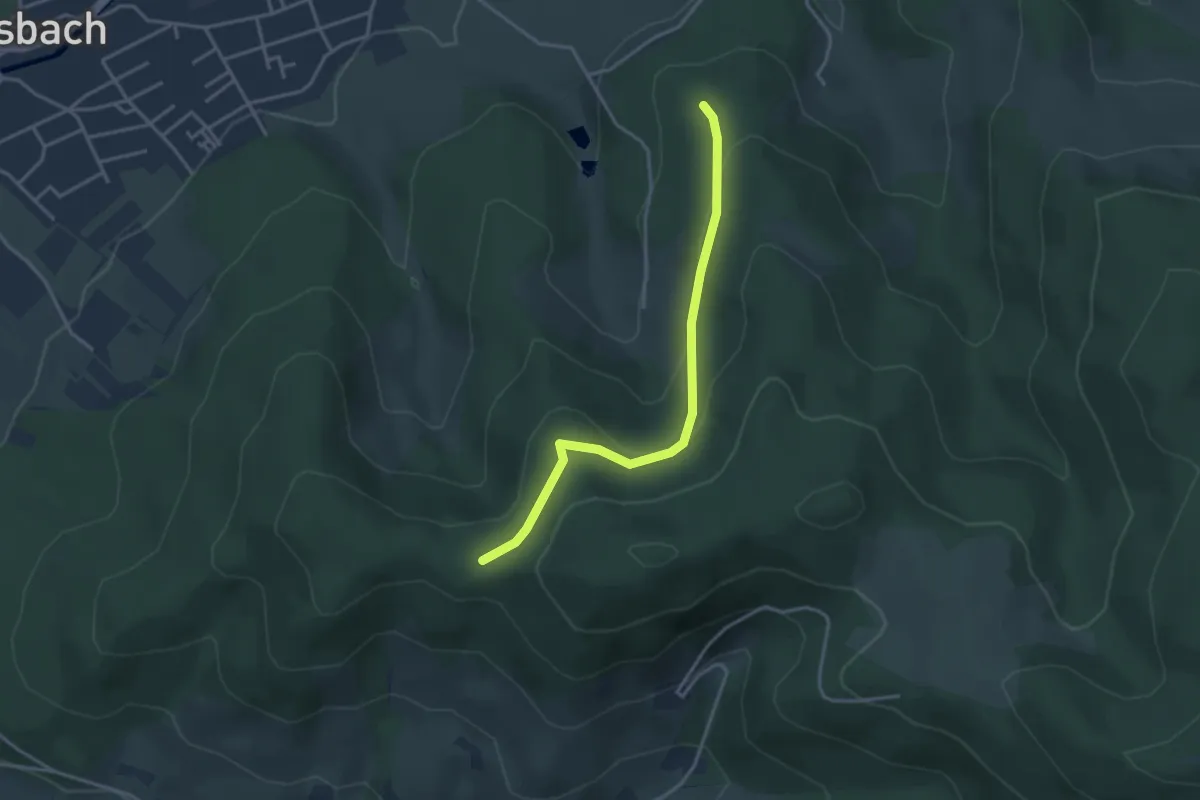
Easy · Trail
Gieseneck - Buchenwald
3.3 km · ↑ 121 m · 1 h 3 min
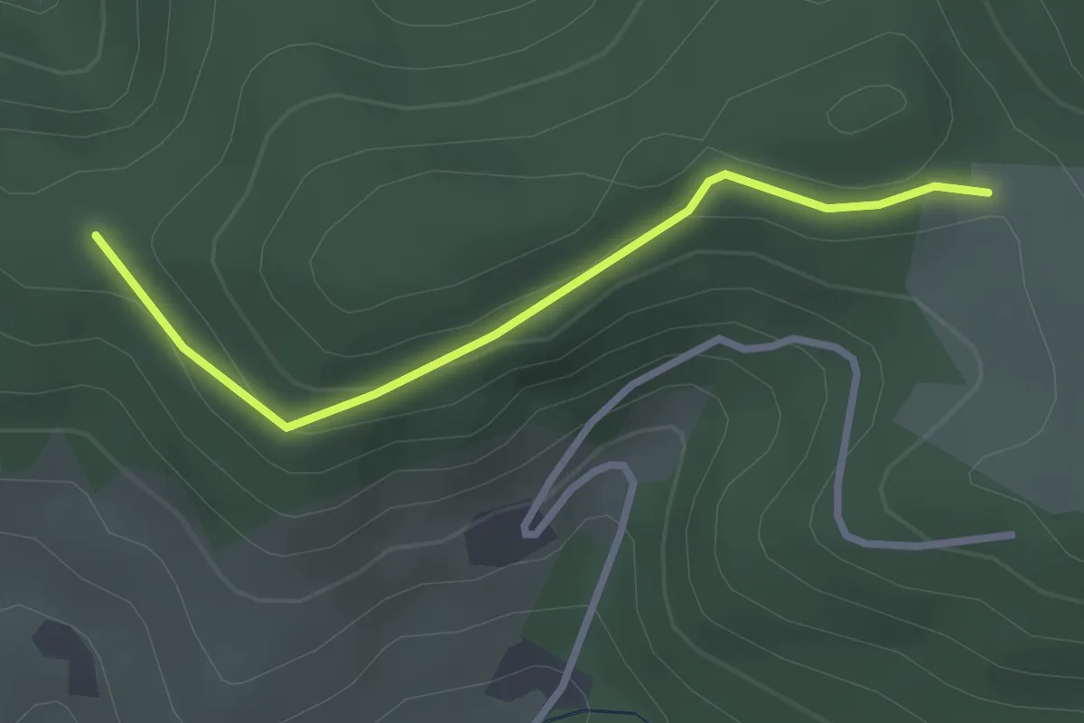
Easy · Trail
Gieseneck - Kohlplatz
2.5 km · ↑ 86 m · 47 min
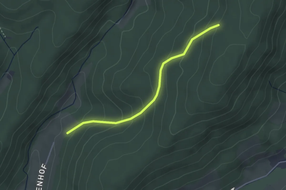
Easy · Trail
Giesenhof - Schwarzlachweg
3.0 km · ↑ 191 m · 1 h 7 min
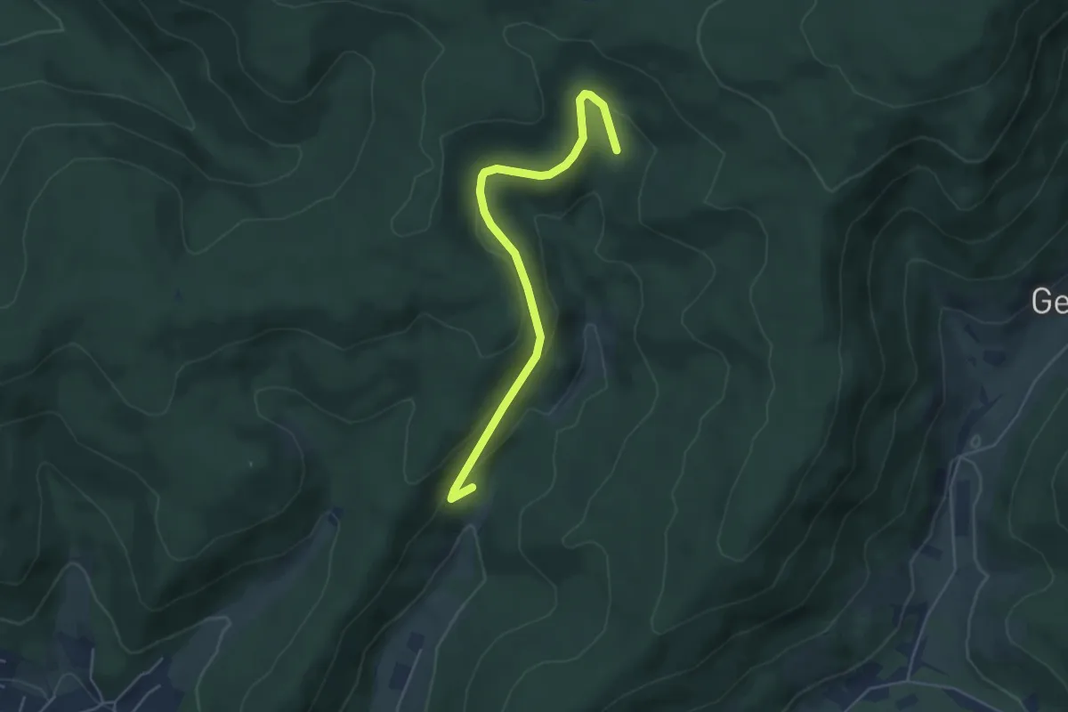
Easy · Trail
Giesenquelle - Oberer Rebberg
4.6 km · ↑ 177 m · 1 h 28 min