Trails in Germany
36,852 hiking trails, each with its route, climb, walking time and grade.
All trails, page 180 of 768
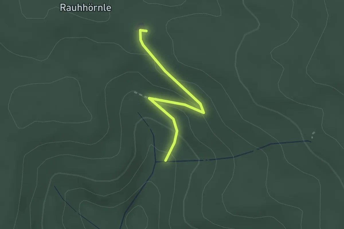
Easy · Trail
Giesenquelle - Rauhhörnlehütte
2.1 km · ↑ 88 m · 41 min
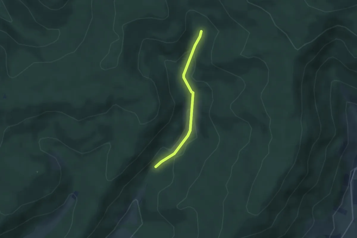
Easy · Trail
Giesenquelle - Spitalbrunnen
2.6 km · ↑ 90 m · 48 min
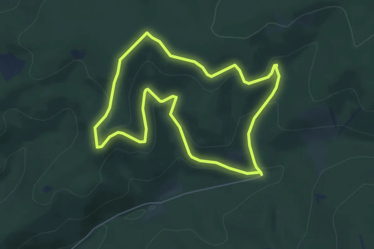
Easy · Trail
Giesmecke Rundweg A2
4.8 km · ↑ 224 m · 1 h 42 min
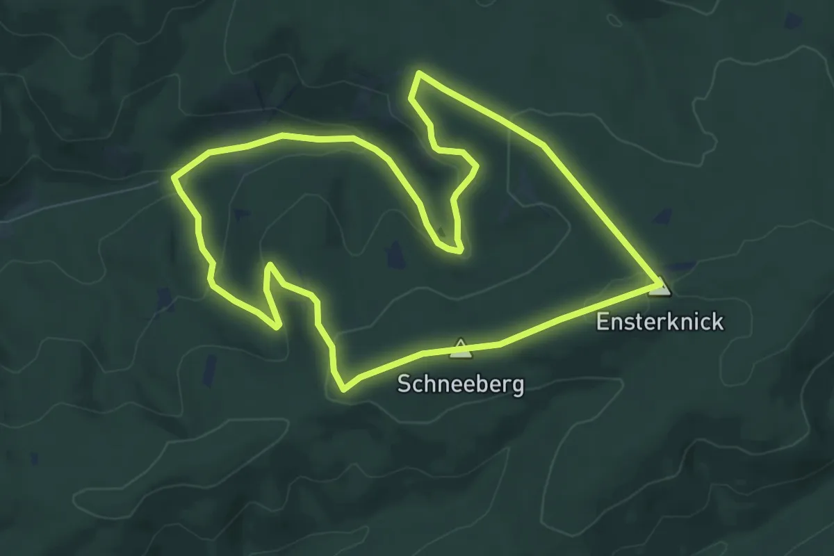
Easy · Summit
Giesmecke Rundweg A3
7.8 km · ↑ 206 m · 2 h 23 min
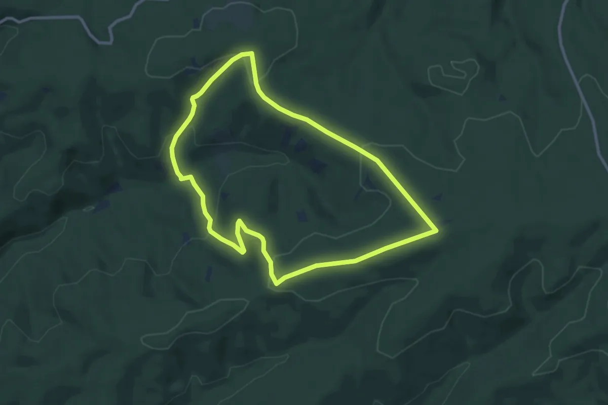
Easy · Summit
Giesmecke Rundweg A4
7.7 km · ↑ 234 m · 2 h 25 min
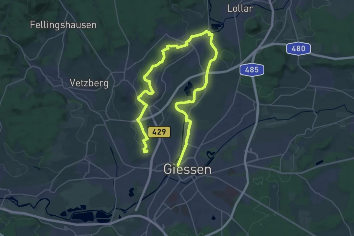
Medium · Trail
Gießener Panoramaweg
16.7 km · ↑ 169 m · 4 h 31 min
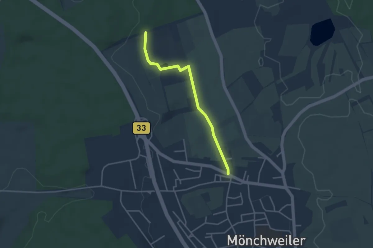
Easy · Trail
Gifitzenmoos - Mönchweiler Post
2.7 km · ↑ 22 m · 41 min
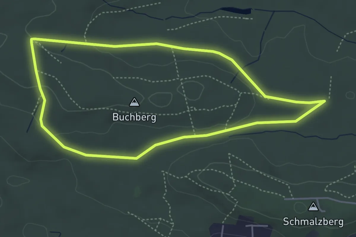
Easy · Trail
Giftige Natter
4.1 km · ↑ 54 m · 1 h 8 min
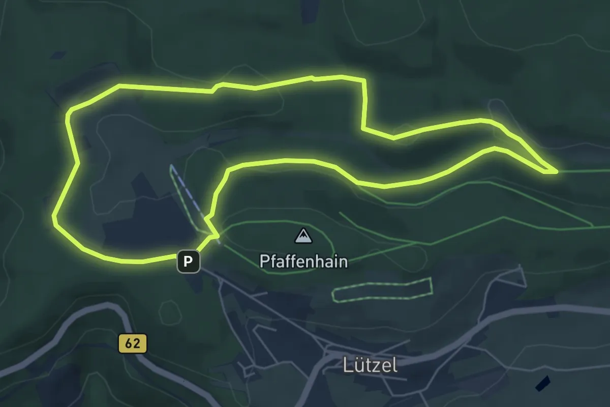
Easy · Trail
Giller Rundwanderweg A2
5.5 km · ↑ 136 m · 1 h 40 min
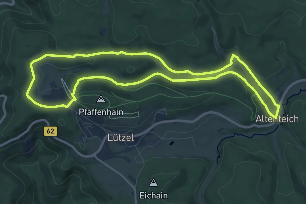
Medium · Trail
Giller Rundwanderweg A3
9.1 km · ↑ 159 m · 2 h 38 min
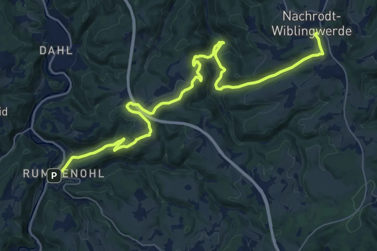
Medium · Trail
[-] Gipfelkreuzweg
13.0 km · ↑ 623 m · 4 h 27 min
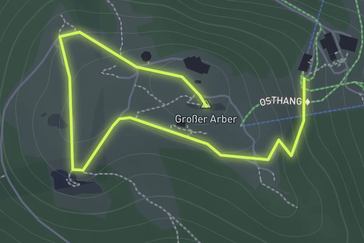
Easy · Summit
Gipfel Rundwanderweg (C)
2.2 km · ↑ 107 m · 46 min
Medium · Summit
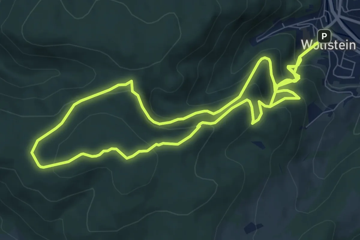
Gipfelsteig
8.5 km · ↑ 620 m · 3 h 23 min
Easy · Trail
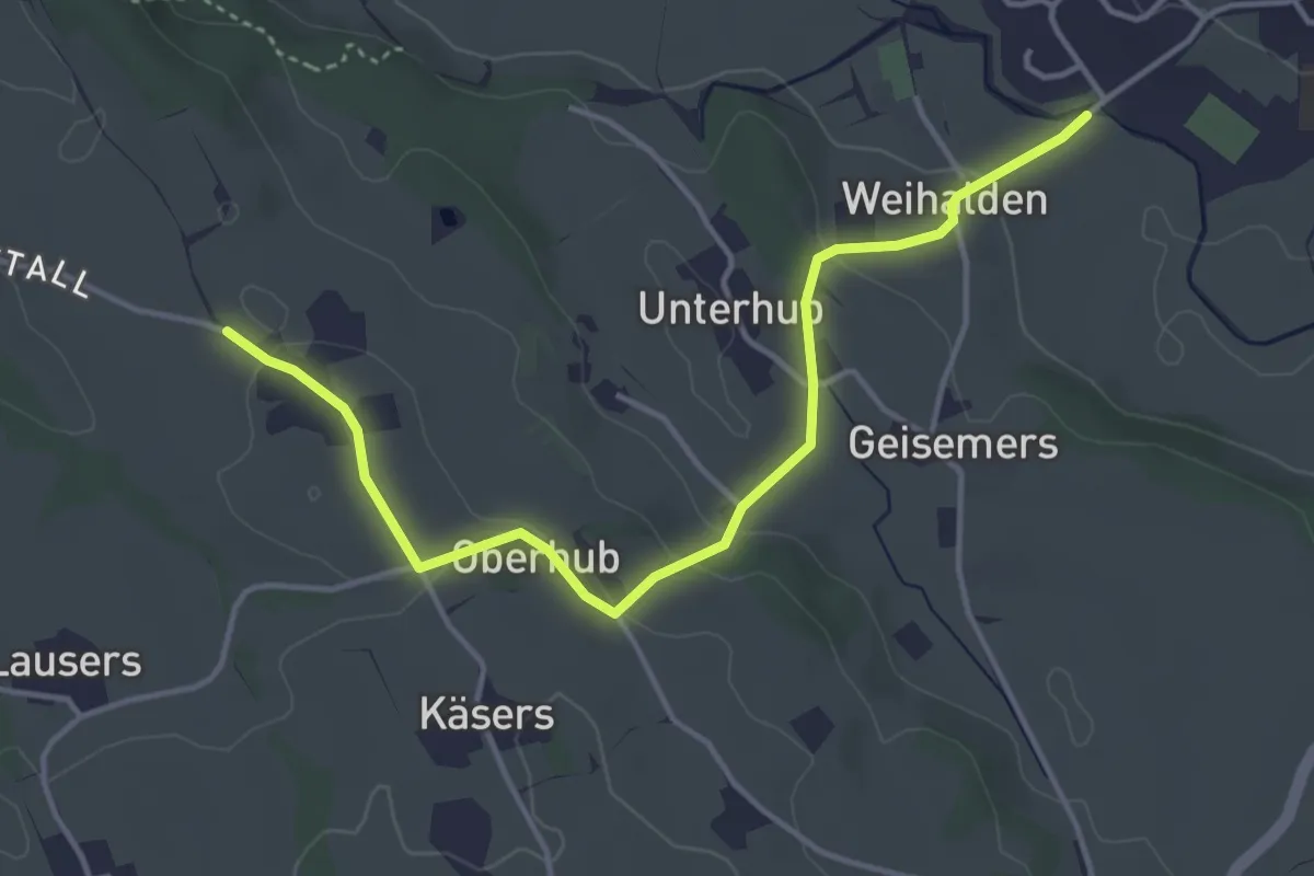
Gipfelstürmer
4.3 km · ↑ 109 m · 1 h 15 min
Demanding · Summit
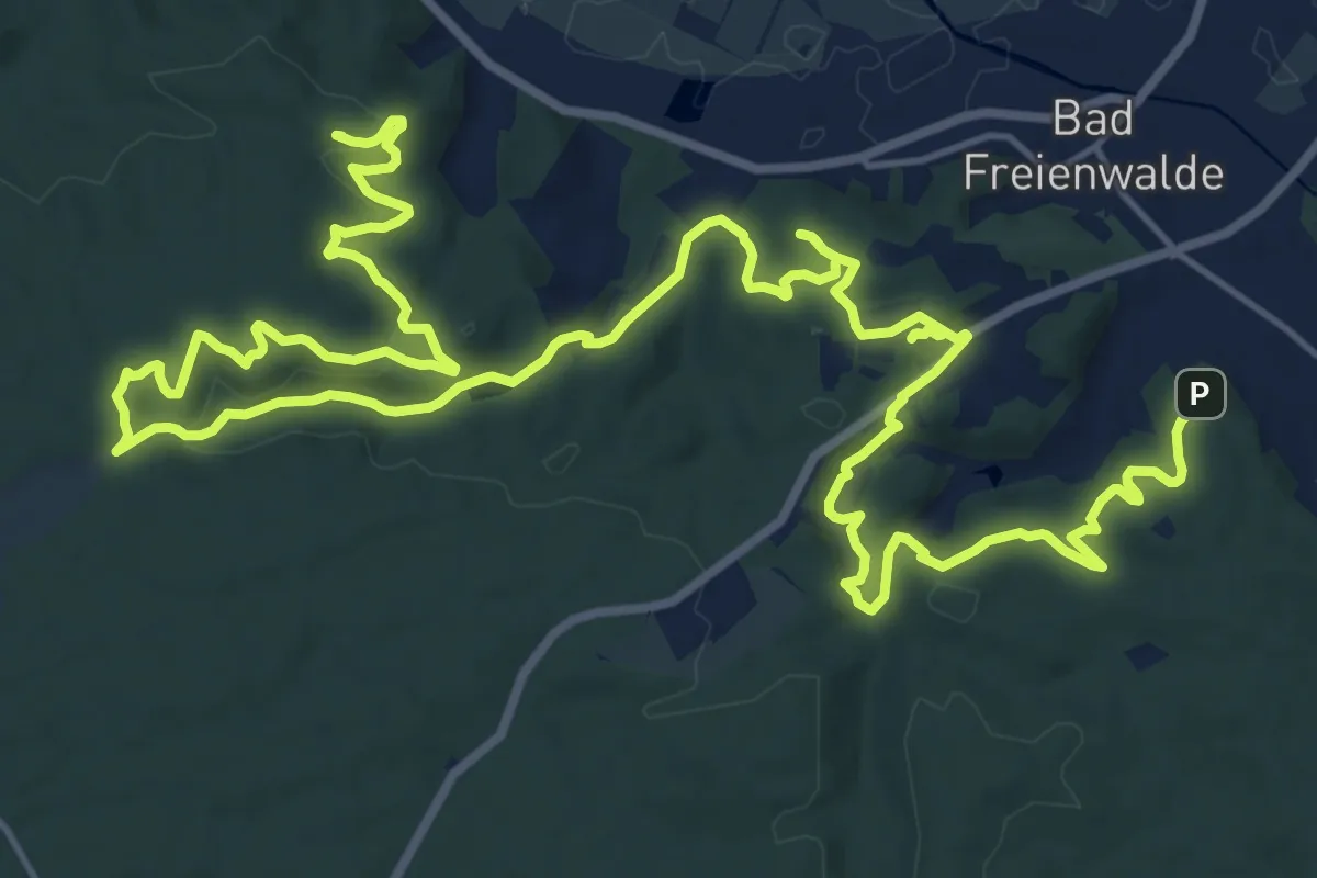
Gipfelstürmer
27.3 km · ↑ 687 m · 7 h 56 min
Demanding · Summit
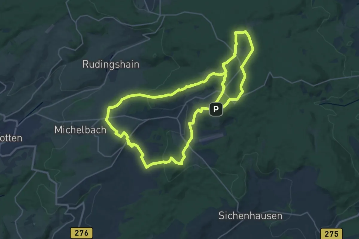
Gipfeltour Schotten
18.7 km · ↑ 444 m · 5 h 39 min
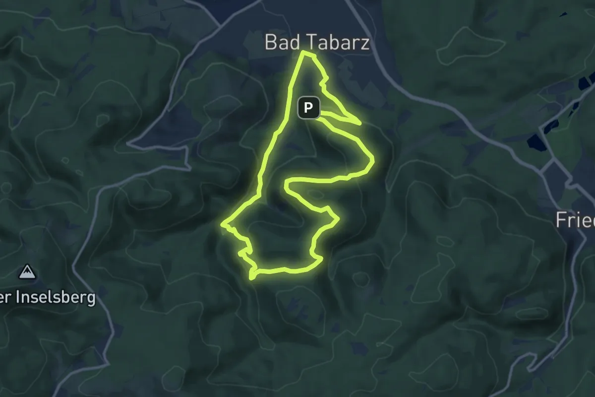
Medium · Summit
Gipfel- und Aussichtstour
10.1 km · ↑ 365 m · 3 h 19 min
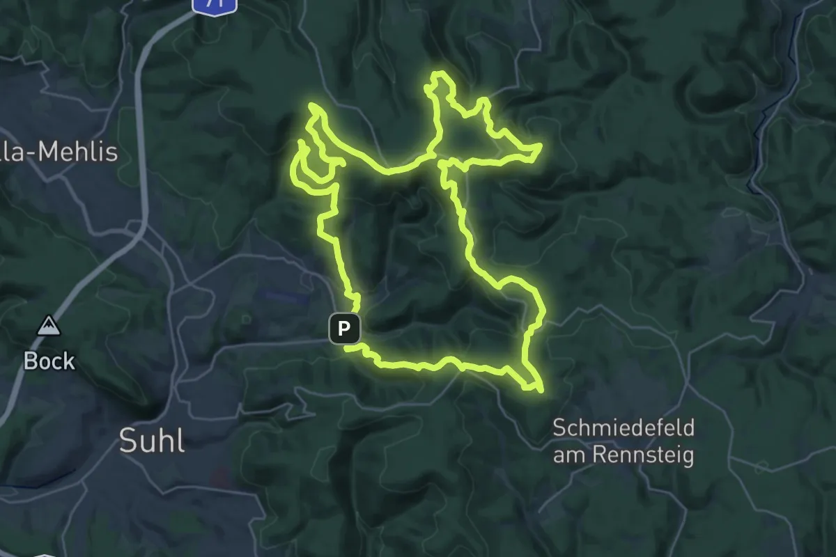
Demanding · Summit
Gipfelwanderweg Suhl (Thüringer Wald)
29.0 km · ↑ 896 m · 9 h 11 min
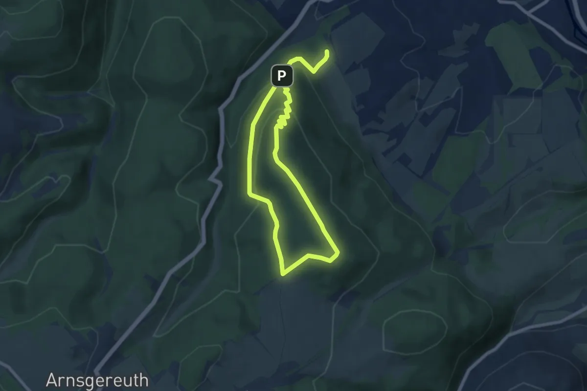
Easy · Summit
Gipfelweg
5.0 km · ↑ 206 m · 1 h 44 min
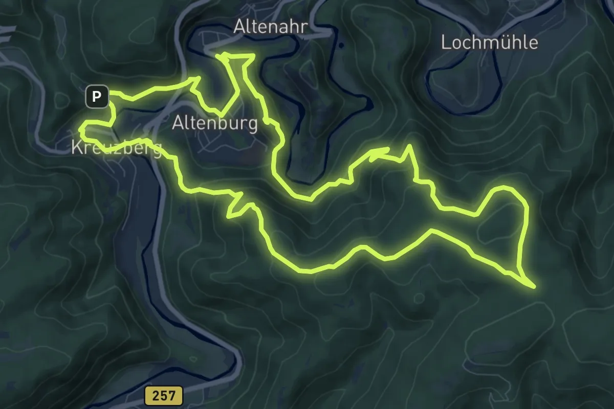
Medium · Summit
Gipfelweg
11.8 km · ↑ 476 m · 3 h 59 min
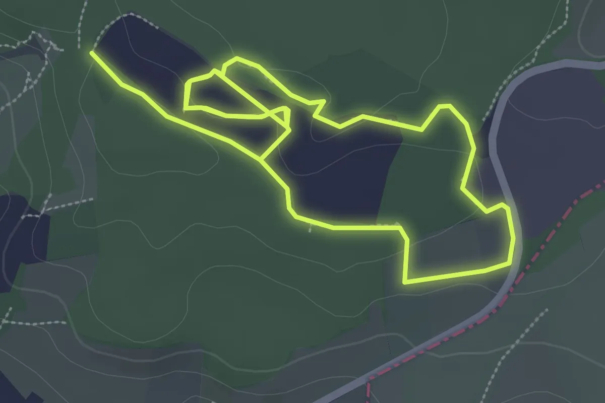
Easy · Trail
Gipspfad Mehholz
5.9 km · ↑ 63 m · 1 h 32 min
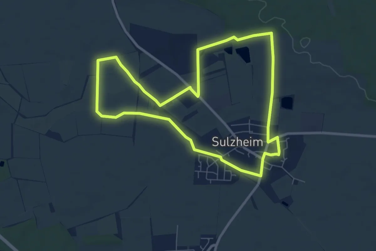
Easy · Trail
Gipsrundweg
6.4 km · ↑ 34 m · 1 h 41 min
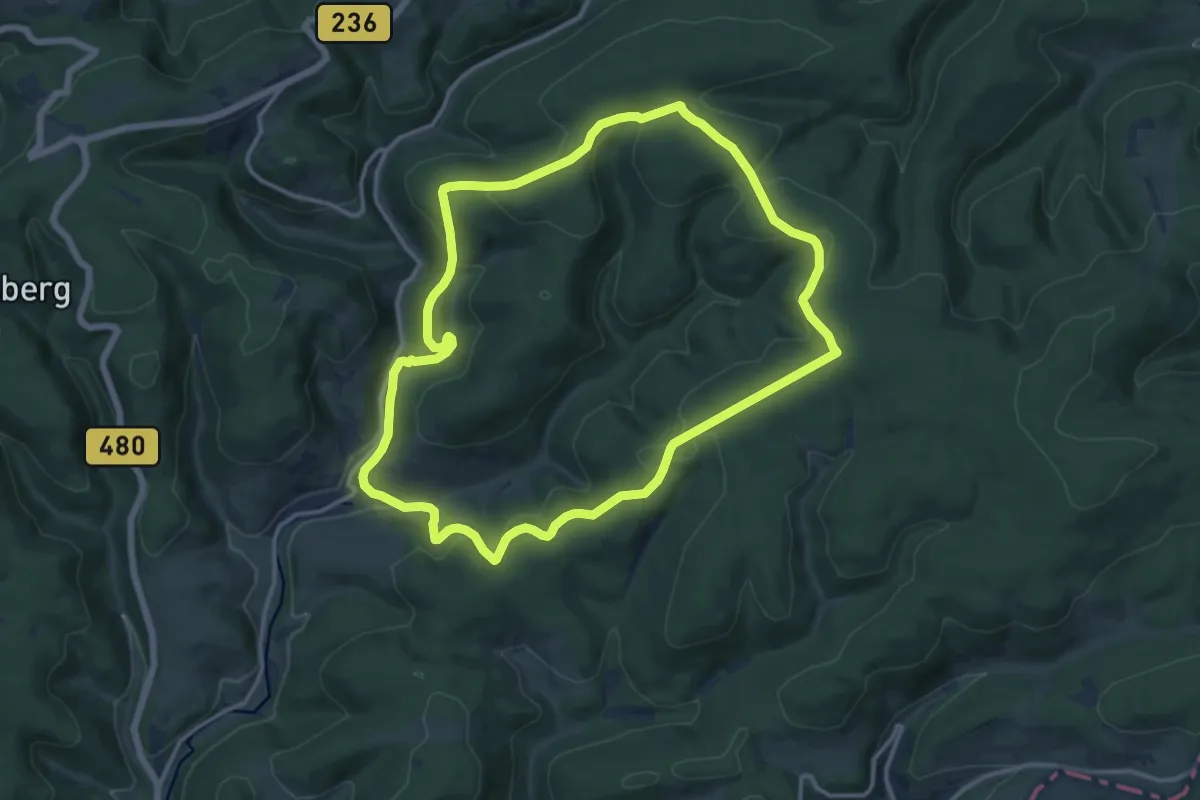
Medium · Summit
Girkhausen Rundweg G11
11.8 km · ↑ 331 m · 3 h 40 min
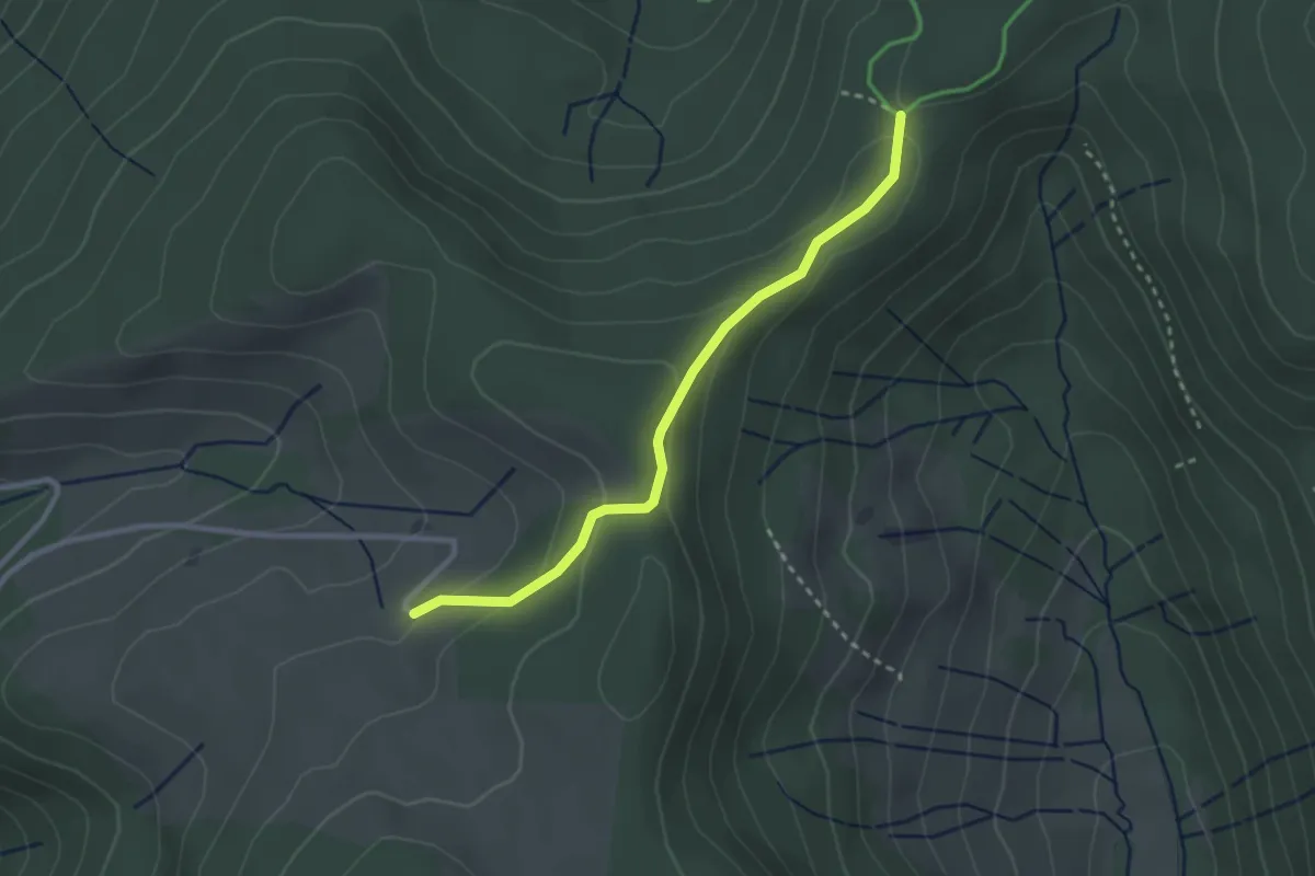
Easy · Trail
Gisiboden - Bernauer Kreuz
2.6 km · ↑ 97 m · 50 min
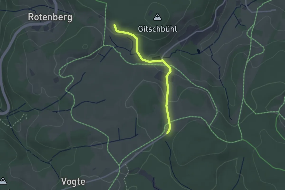
Easy · Trail
Gitschbühl - Blindenhöhe
2.3 km · ↑ 53 m · 39 min
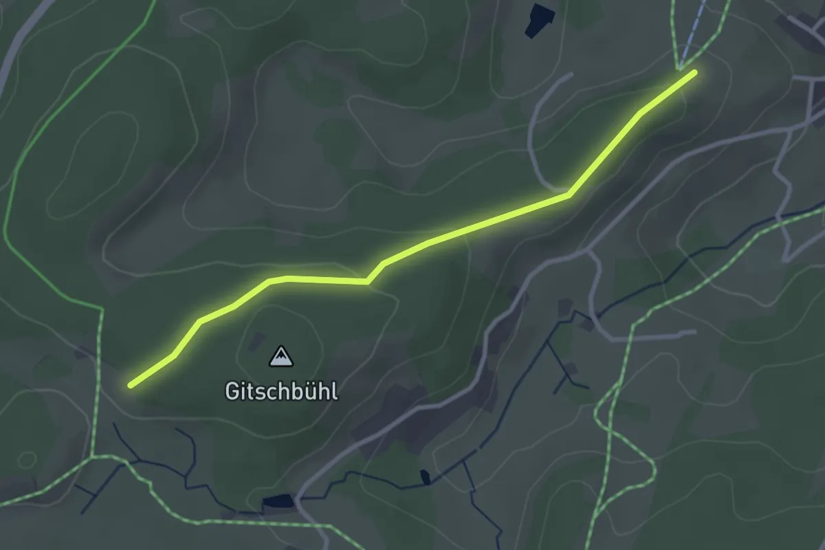
Easy · Trail
Gitschbühl - Winterberg
2.9 km · ↑ 82 m · 52 min
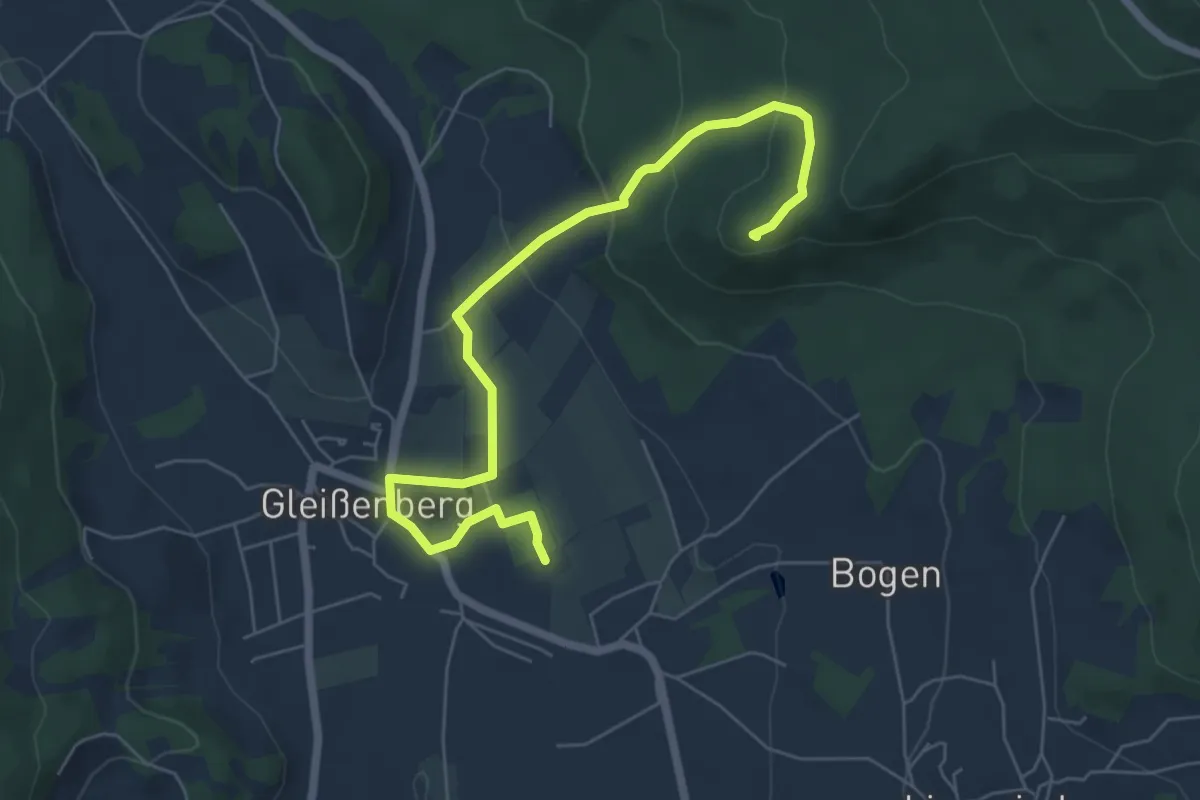
Easy · Summit
Gl4 »Burgstallweg« (Gleißenberg)
6.5 km · ↑ 214 m · 2 h
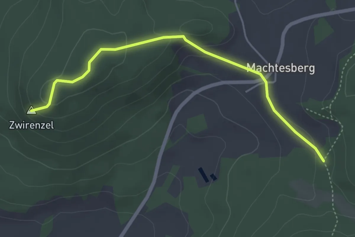
Easy · Summit
Gl5 »Zwirenzelsteig«
4.1 km · ↑ 147 m · 1 h 17 min
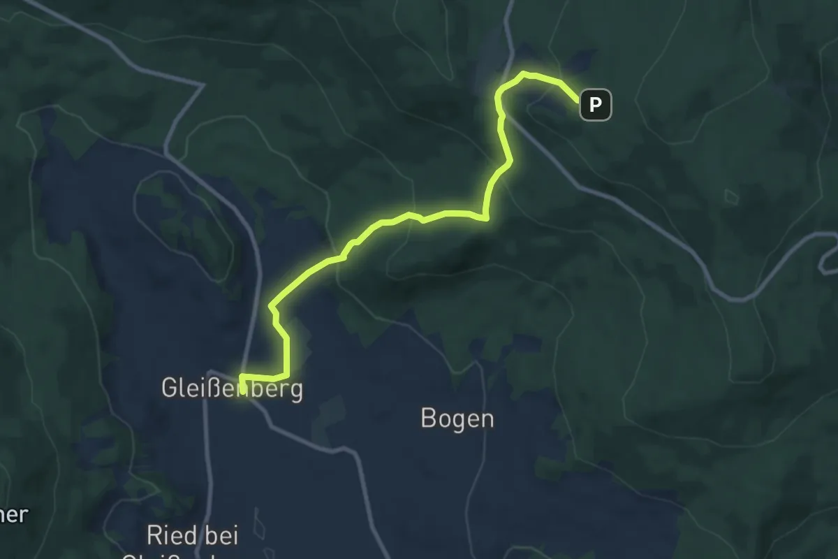
Medium · Trail
Gl6 »Gibachtweg« (Gleißenberg)
8.5 km · ↑ 442 m · 2 h 58 min
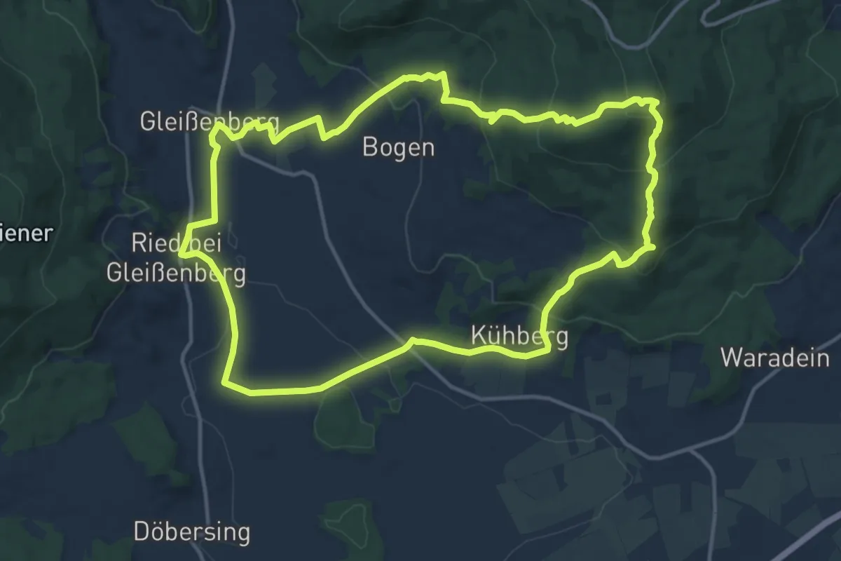
Medium · Summit
Gl7 »Kirschbaumriegelweg« (Gleißenberg)
12.6 km · ↑ 465 m · 4 h 10 min
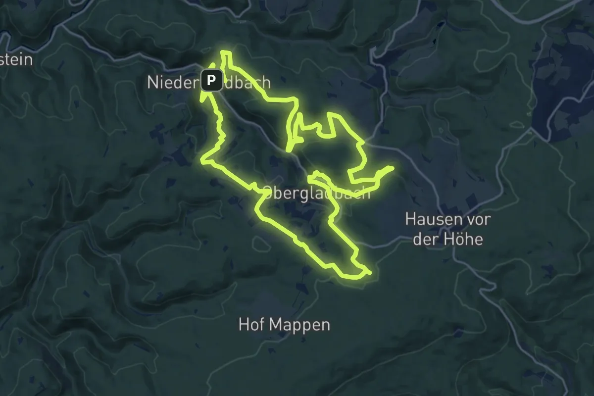
Demanding · Summit
Glaabacher Almauftrieb
18.4 km · ↑ 586 m · 5 h 52 min
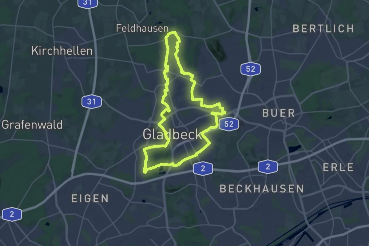
Demanding · Trail
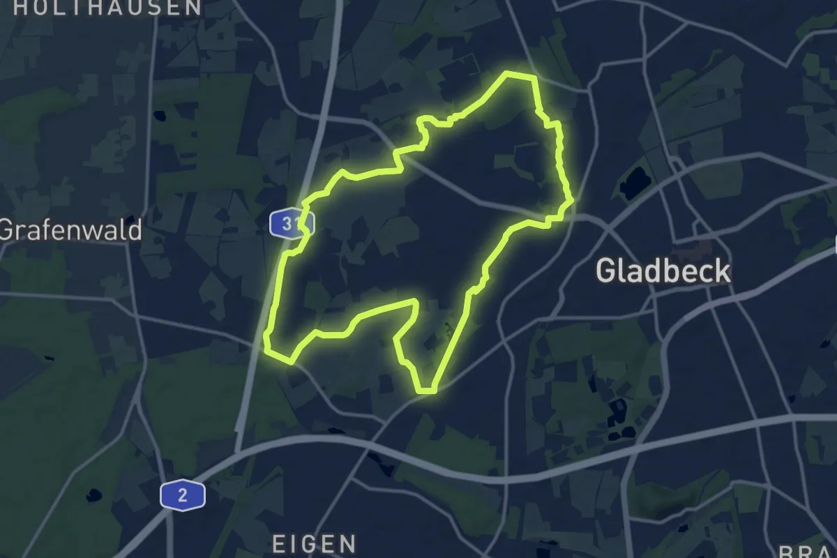
Gladbeck Rundweg A4
20.3 km · ↑ 74 m · 5 h 13 min
Medium · Trail
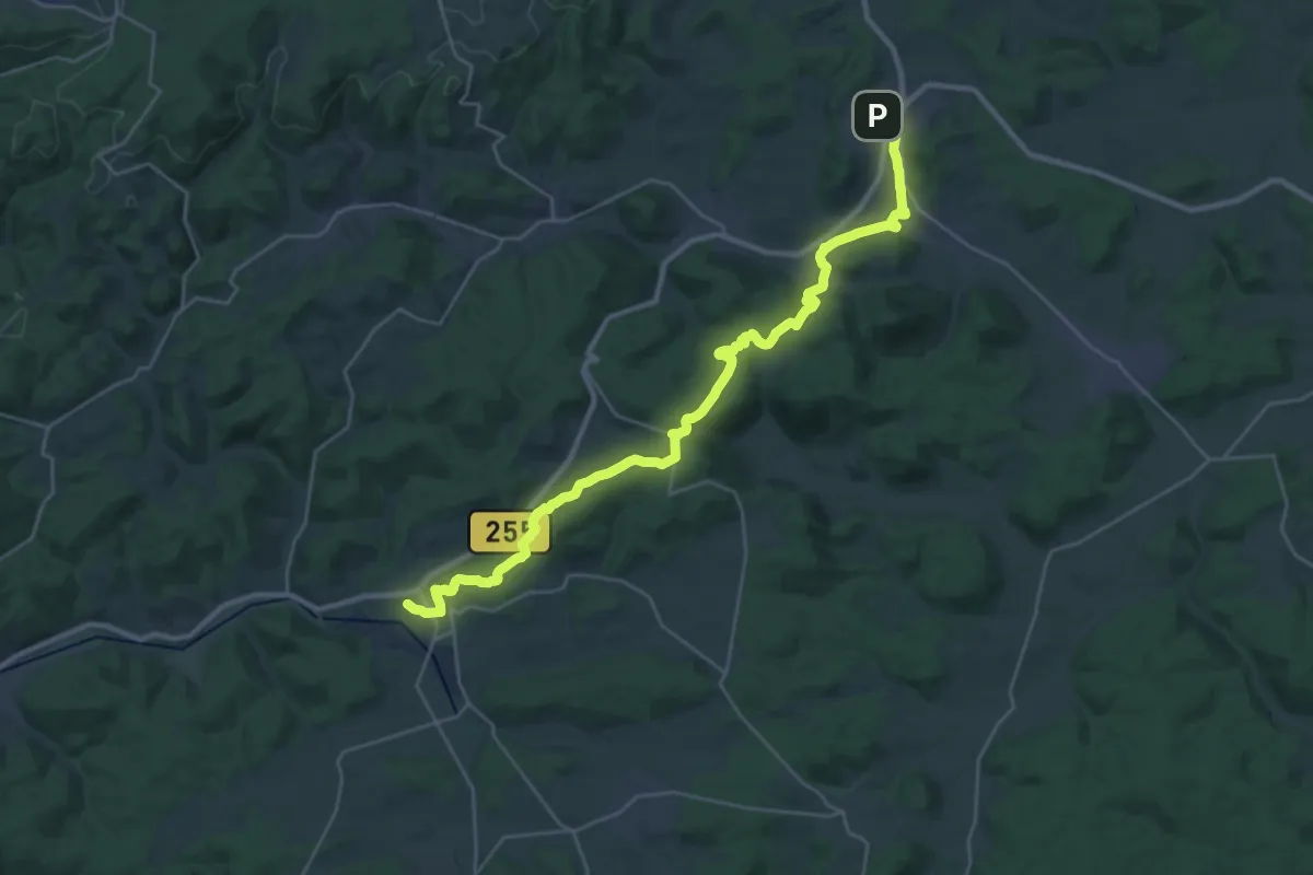
Gladbeck Rundweg A5
12.1 km · ↑ 34 m · 3 h 6 min
Medium · Trail
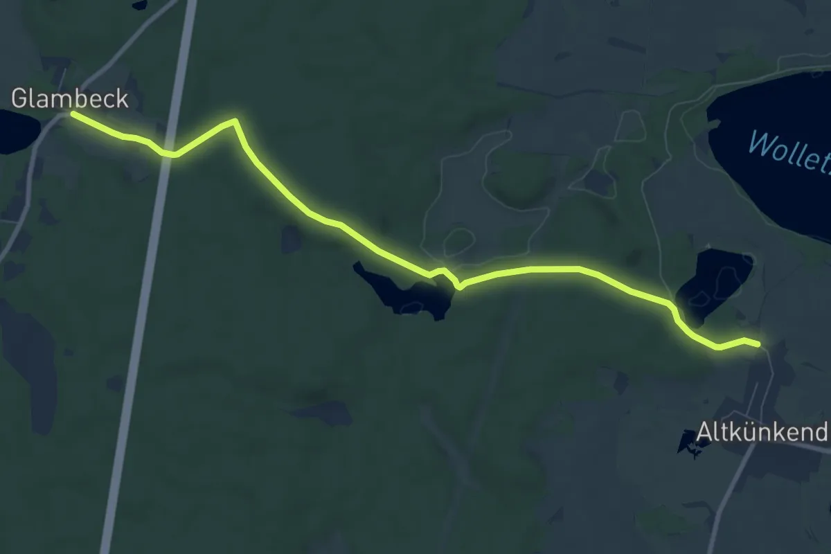
Gladenbacher Weg
15.1 km · ↑ 342 m · 4 h 31 min
Medium · Trail
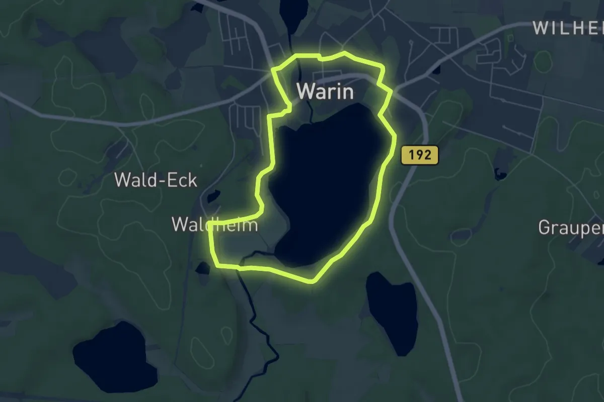
Glambeck-Altkünkendorf
8.5 km · ↑ 113 m · 2 h 16 min
Easy · Summit
Glammsee-Rundtour
5.0 km · ↑ 31 m · 1 h 18 min
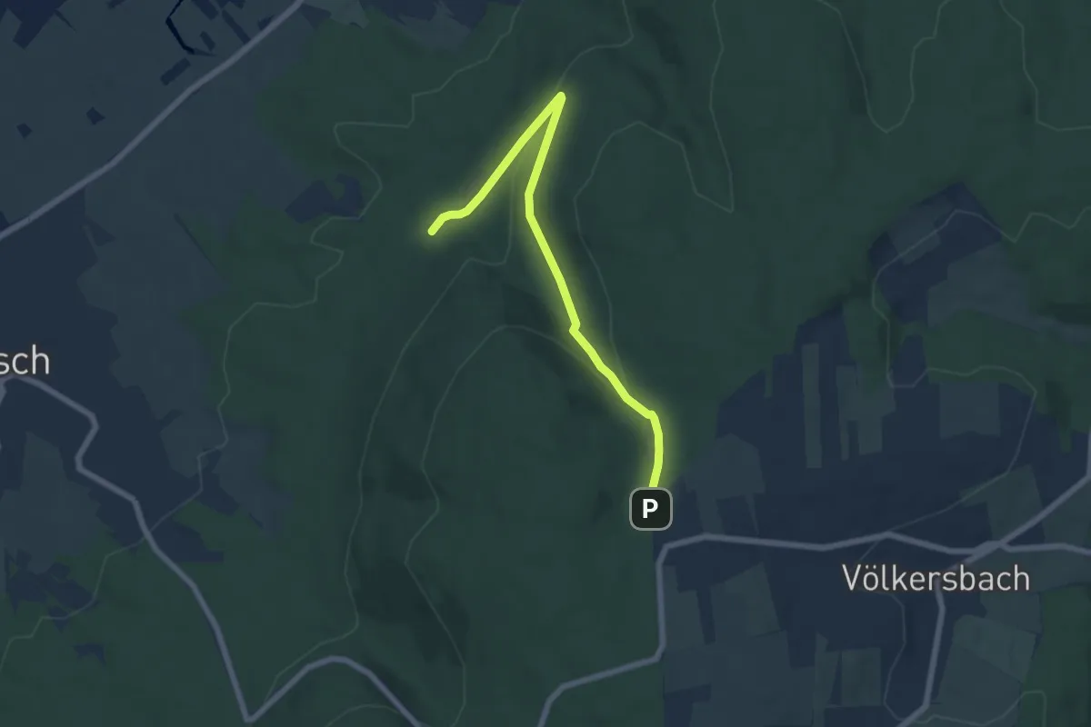
Easy · Trail
Glasäcker - Glasbachbrunnen
6.1 km · ↑ 205 m · 1 h 54 min
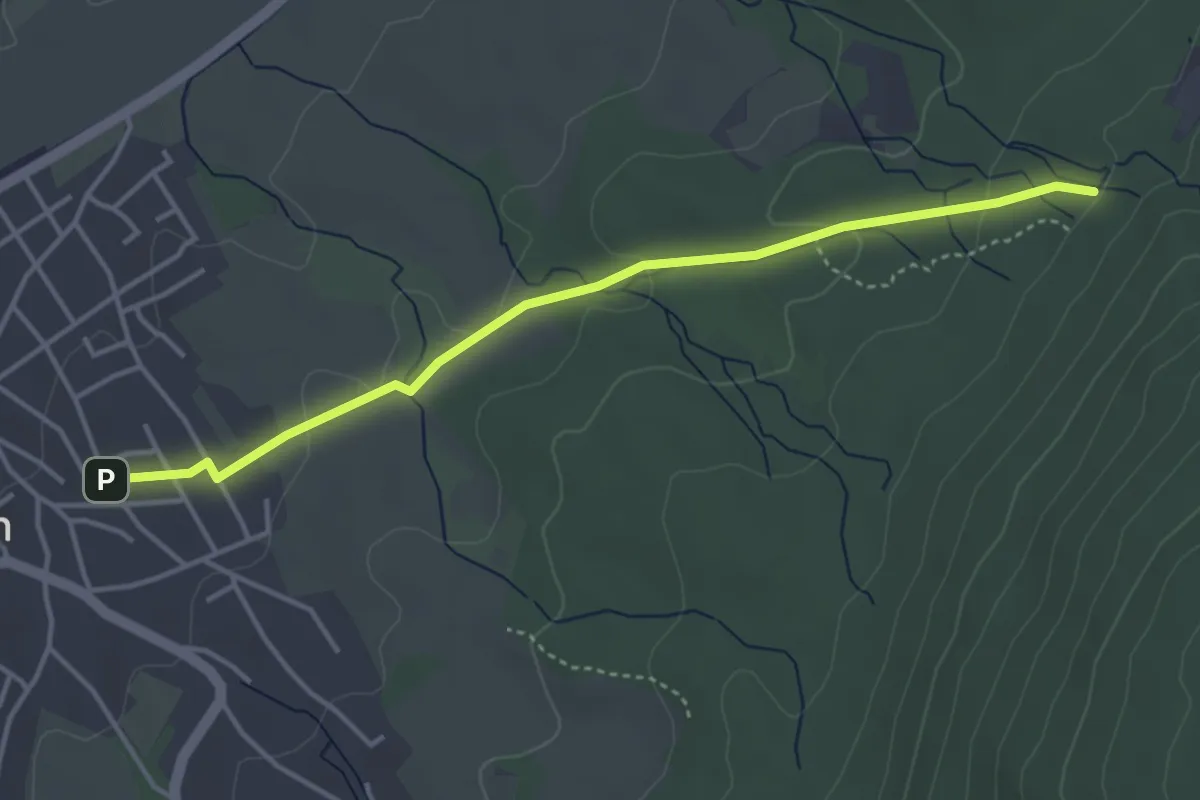
Easy · Trail
Glasbachbrunnen - Malsch Amtfeldstraße
3.9 km · ↑ 90 m · 1 h 6 min
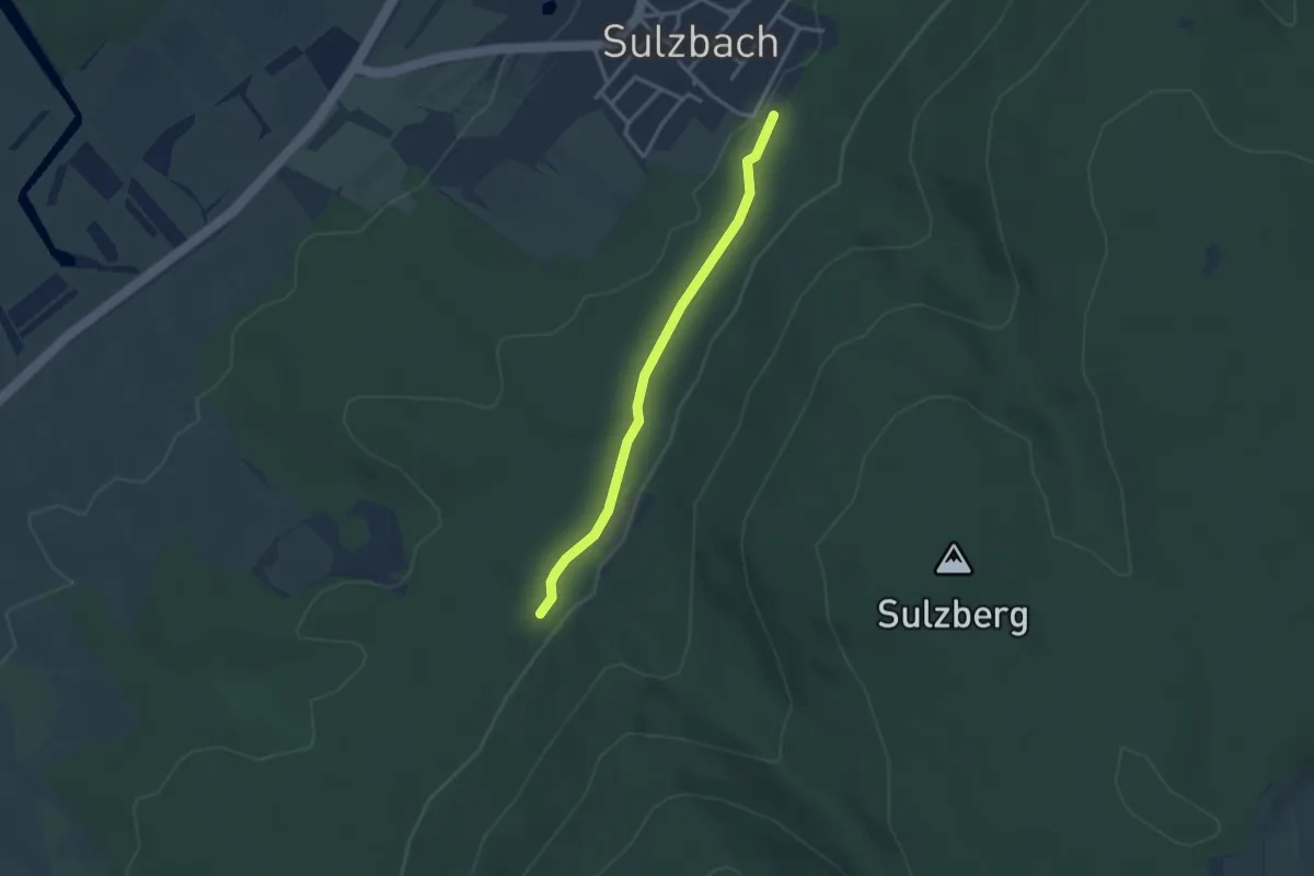
Easy · Trail
Glasbachbrunnen - Sulzbach Festplatz
2.7 km · ↑ 29 m · 42 min
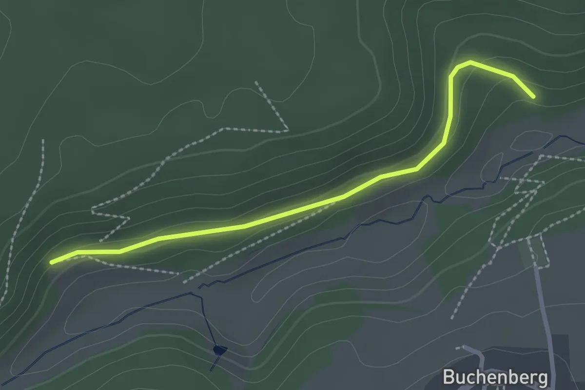
Easy · Trail
Glasbachtal Grillplatz - Glashalde
2.3 km · ↑ 64 m · 41 min
Easy · Trail
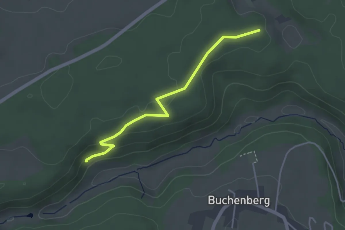
Glasbachtal Grillplatz - Glaswaldhütte
3.2 km · ↑ 82 m · 56 min
Easy · Trail
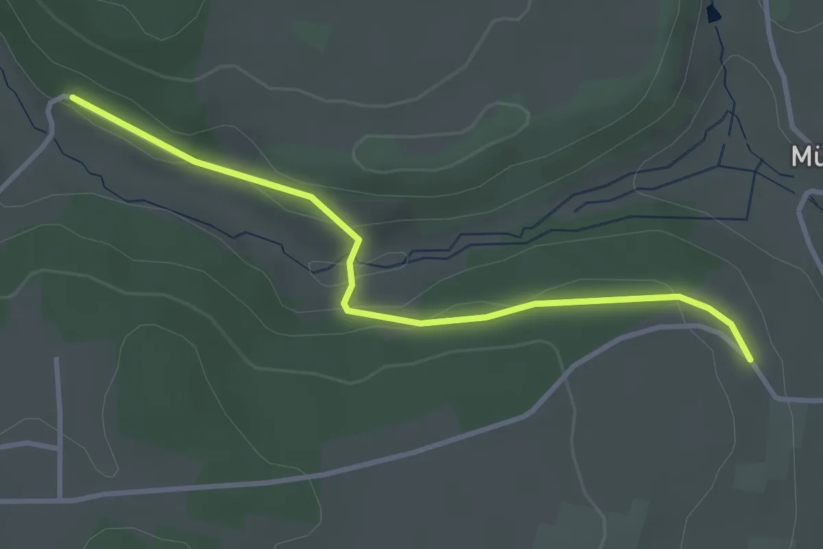
Glasbachtal-Lindenloch - Rauhe Albblick
3.0 km · ↑ 58 m · 51 min
Easy · Trail
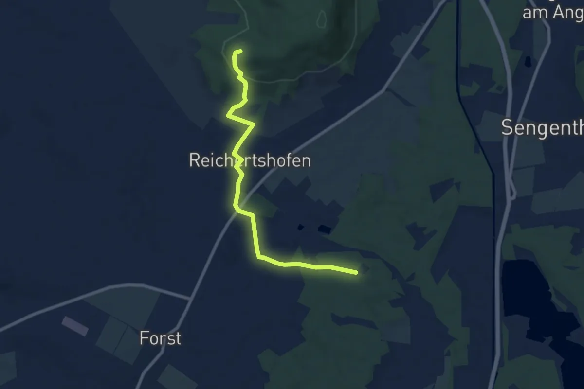
Glasberg – Murlach
6.7 km · ↑ 140 m · 1 h 54 min
Medium · Trail
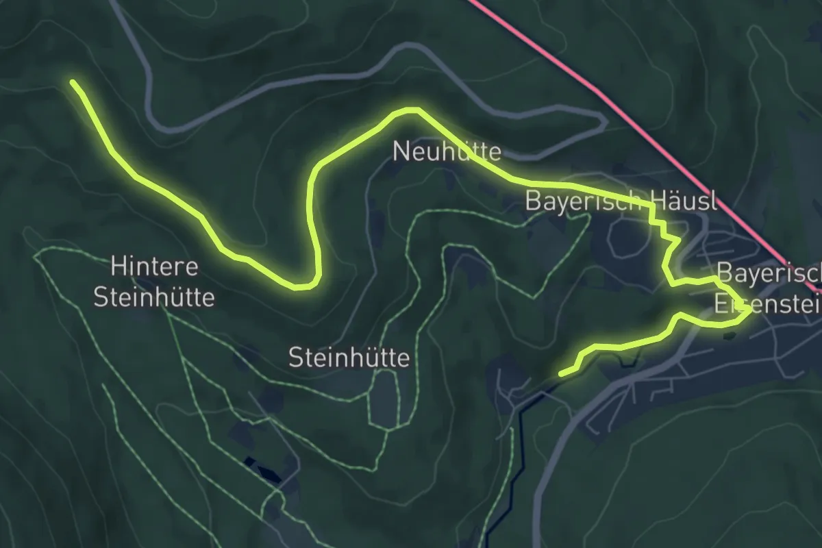
Gläserner Steig
10.3 km · ↑ 273 m · 3 h 1 min
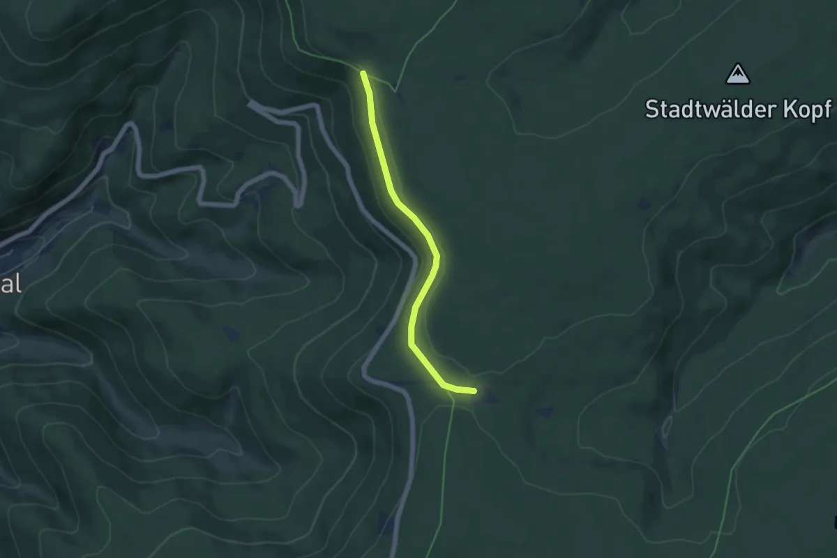
Easy · Trail
Glasertwald - Kreuzlehütte
4.2 km · ↑ 78 m · 1 h 10 min
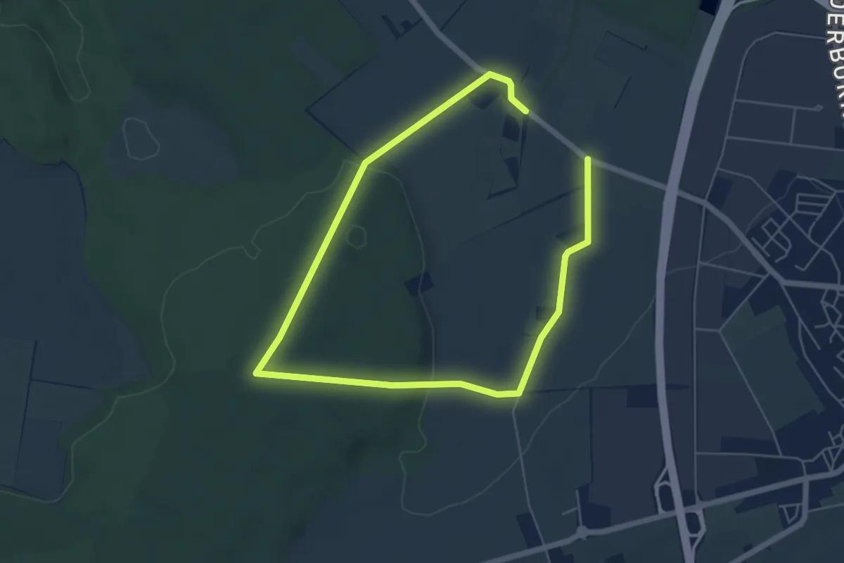
Easy · Trail
Glaserweg
7.9 km · ↑ 100 m · 2 h 5 min
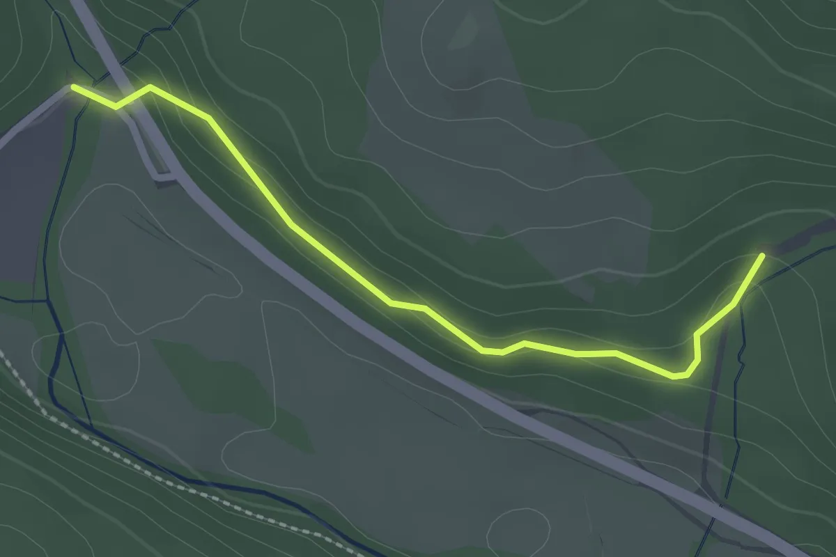
Easy · Trail
Glashofbrücke - Heuberg
2.2 km · ↑ 57 m · 38 min
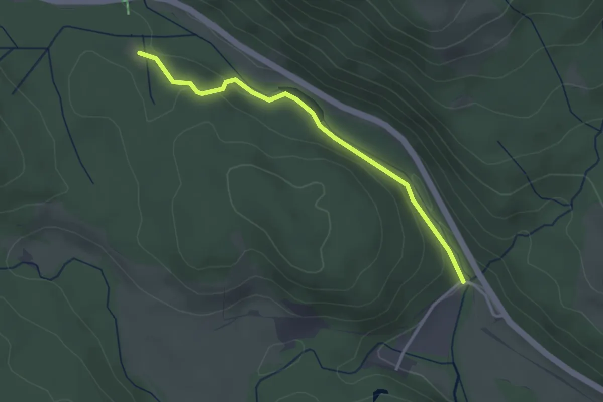
Easy · Trail
Glashofbrücke - Hubertusplatz
2.9 km · ↑ 51 m · 47 min