Trails in Germany
36,852 hiking trails, each with its route, climb, walking time and grade.
All trails, page 181 of 768
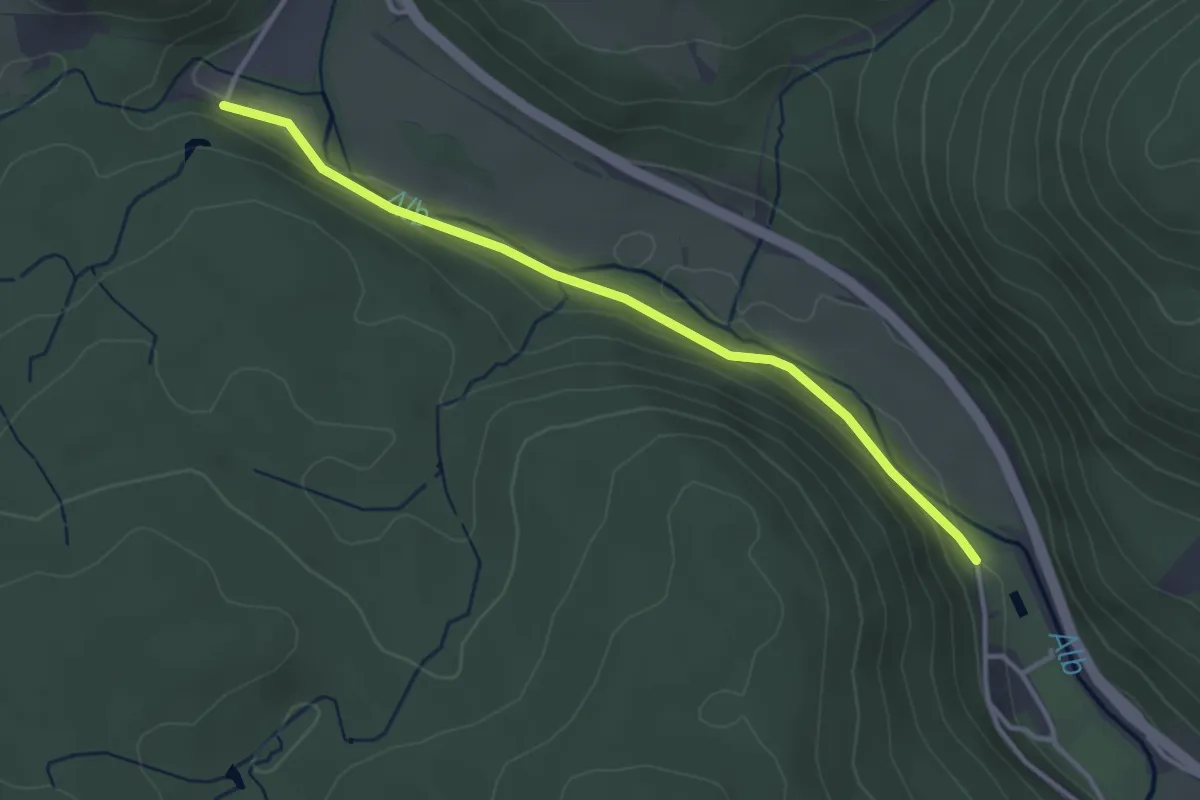
Easy · Trail
Glashofsäge - St. Blasien Ehem. Schwimmbad
3.4 km · ↑ 29 m · 52 min
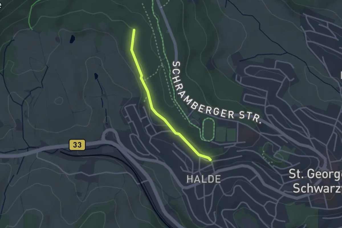
Easy · Trail
Glashof - St. Georgen Waldstraße
2.3 km · ↑ 58 m · 40 min
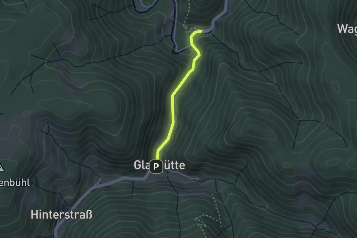
Easy · Trail
Glashütte - Hexenlochmühle
2.1 km · ↑ 68 m · 38 min
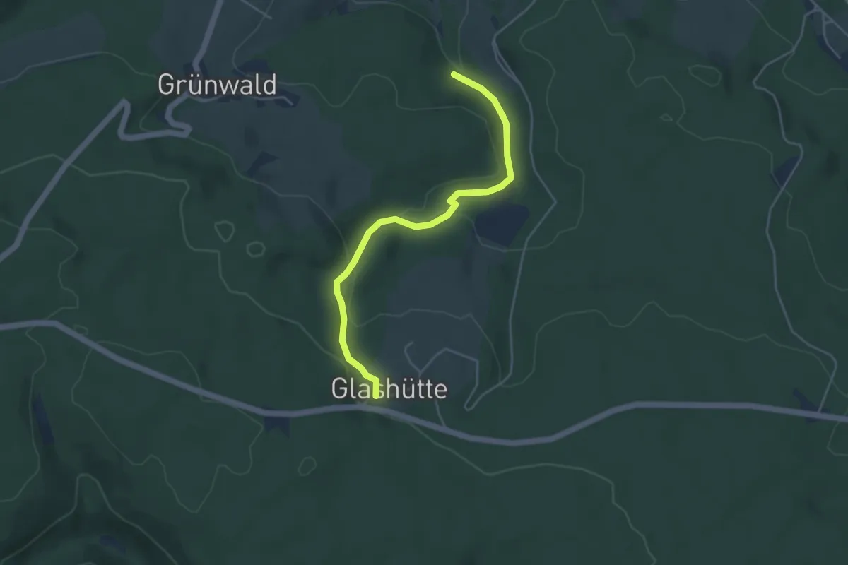
Easy · Trail
Glashütte Höhengasthof - Grimmelwald
4.1 km · ↑ 123 m · 1 h 15 min
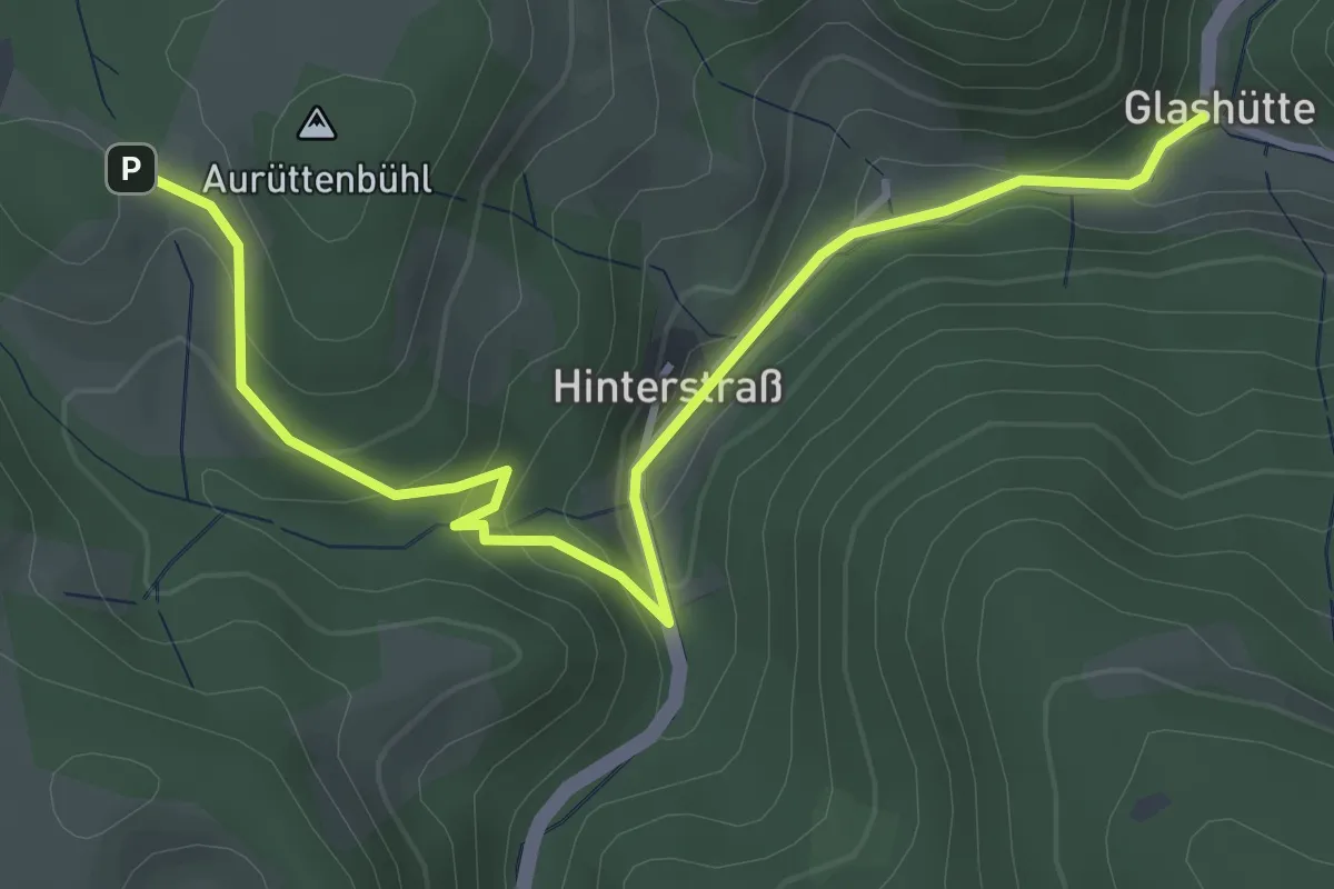
Easy · Trail
Glashütte - Kreutzhof
4.2 km · ↑ 231 m · 1 h 29 min
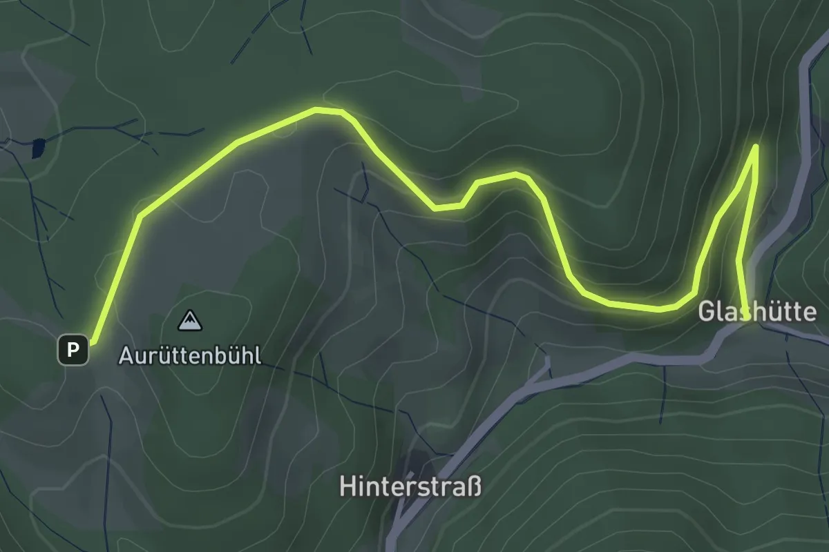
Easy · Trail
Glashütte - Kreutzhof
4.5 km · ↑ 249 m · 1 h 36 min
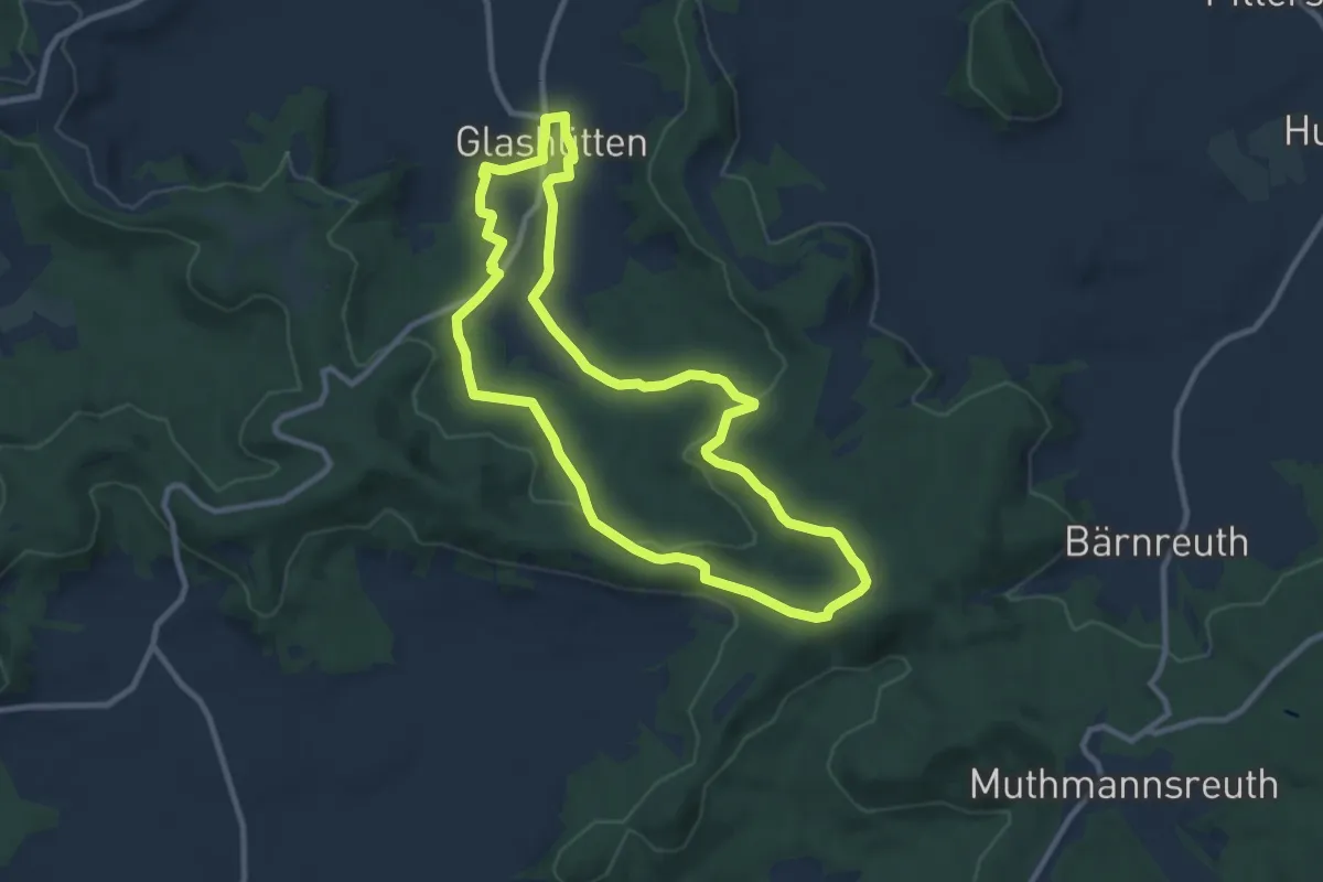
Medium · Trail
Glashütten Brunnen-Rundweg
8.9 km · ↑ 147 m · 2 h 33 min
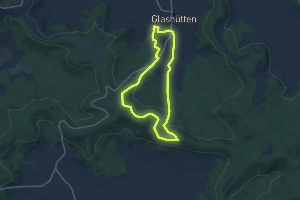
Easy · Trail
Glashütten Fuchsbau-Rundweg
5.9 km · ↑ 159 m · 1 h 49 min
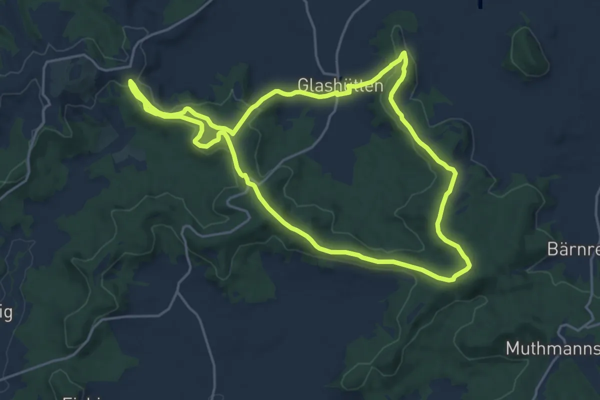
Medium · Summit
Glashütten Höhen-Rundweg
13.8 km · ↑ 287 m · 4 h 4 min
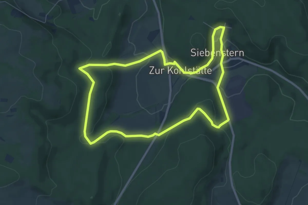
Easy · Trail
Glashüttenrundweg Süd
6.0 km · ↑ 169 m · 1 h 52 min
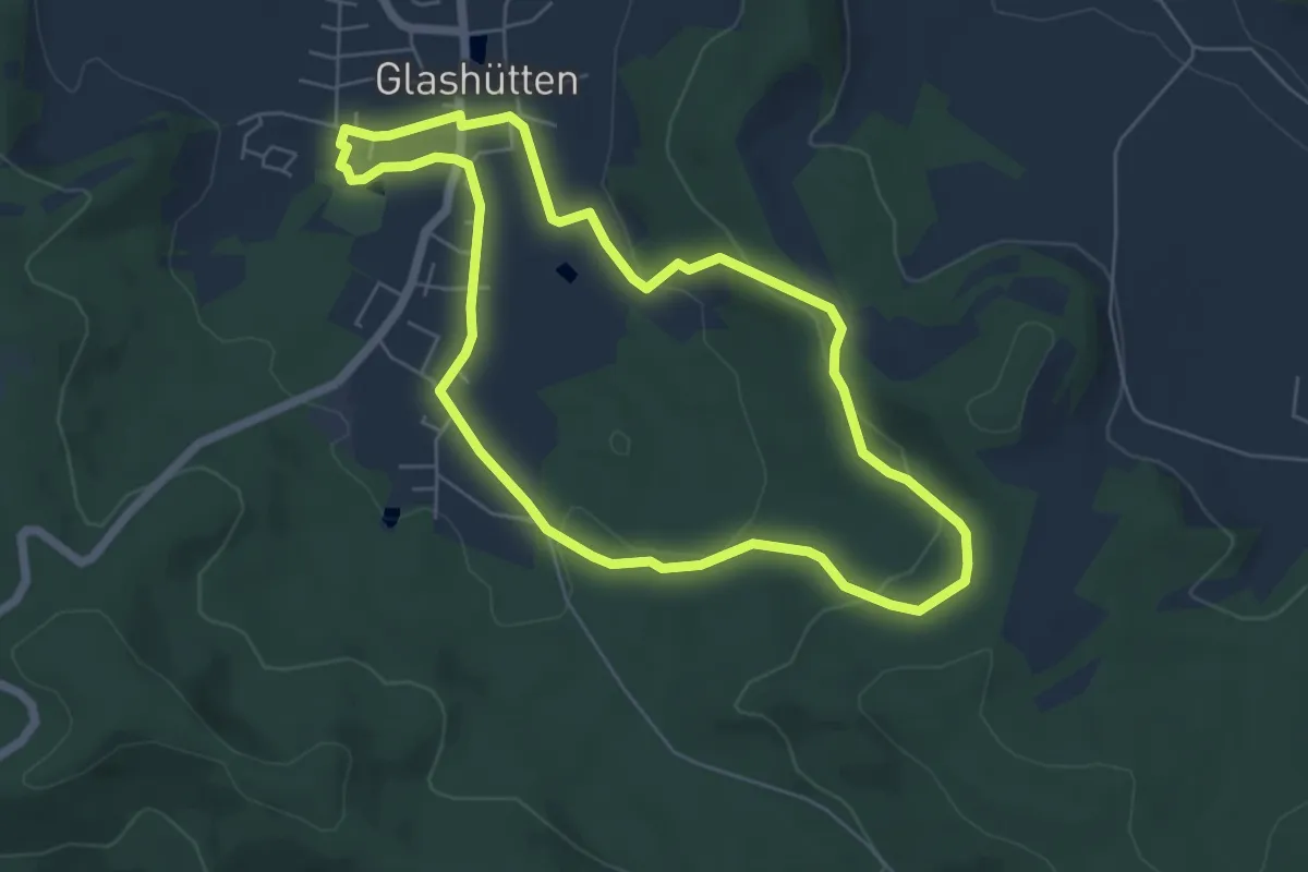
Easy · Trail
Glashütten Salzlecken-Rundweg
5.4 km · ↑ 131 m · 1 h 38 min
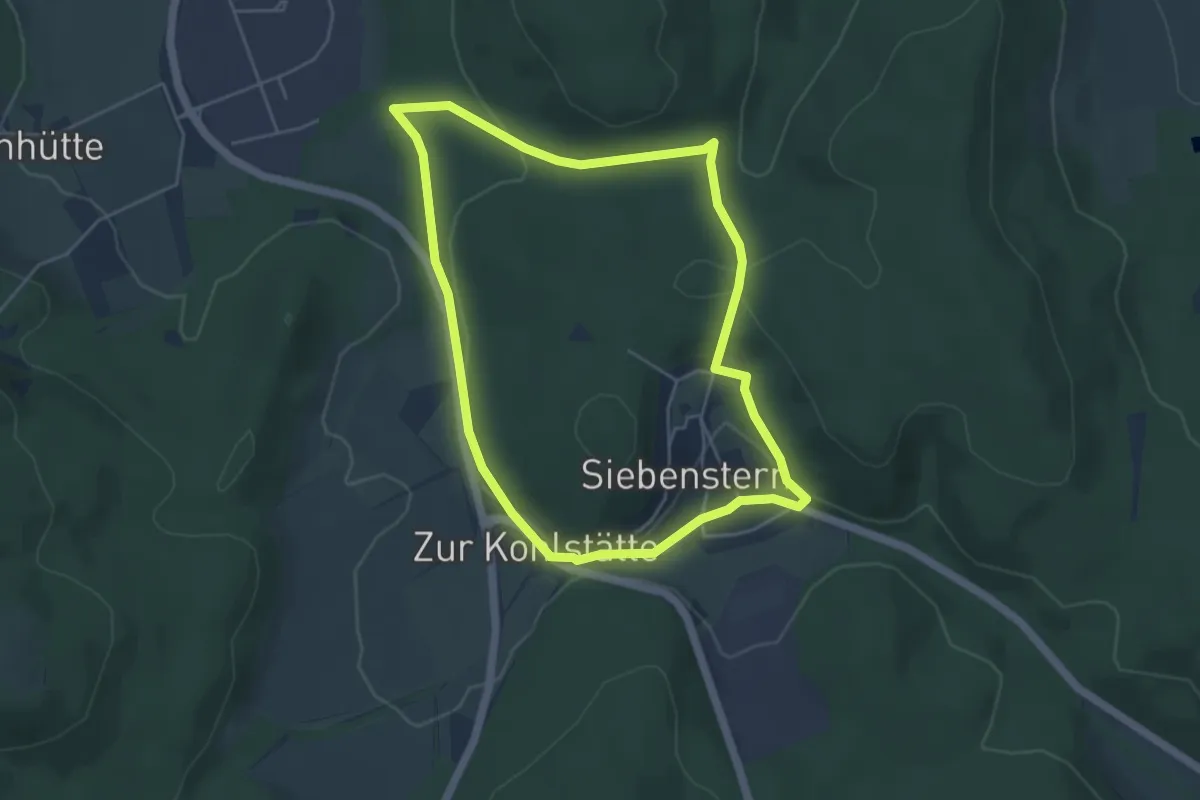
Easy · Trail
Glashüttenweg Nord
4.1 km · ↑ 124 m · 1 h 18 min
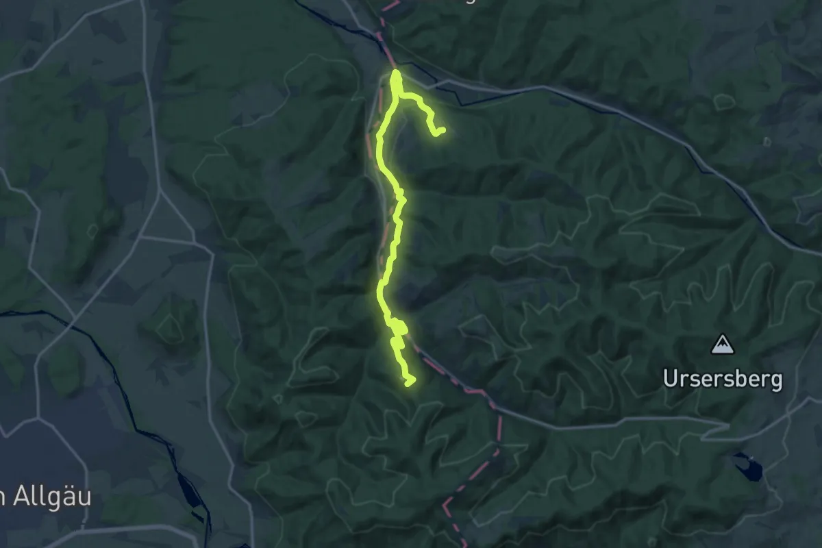
Medium · Summit
Glasmacherweg
15.2 km · ↑ 514 m · 4 h 43 min
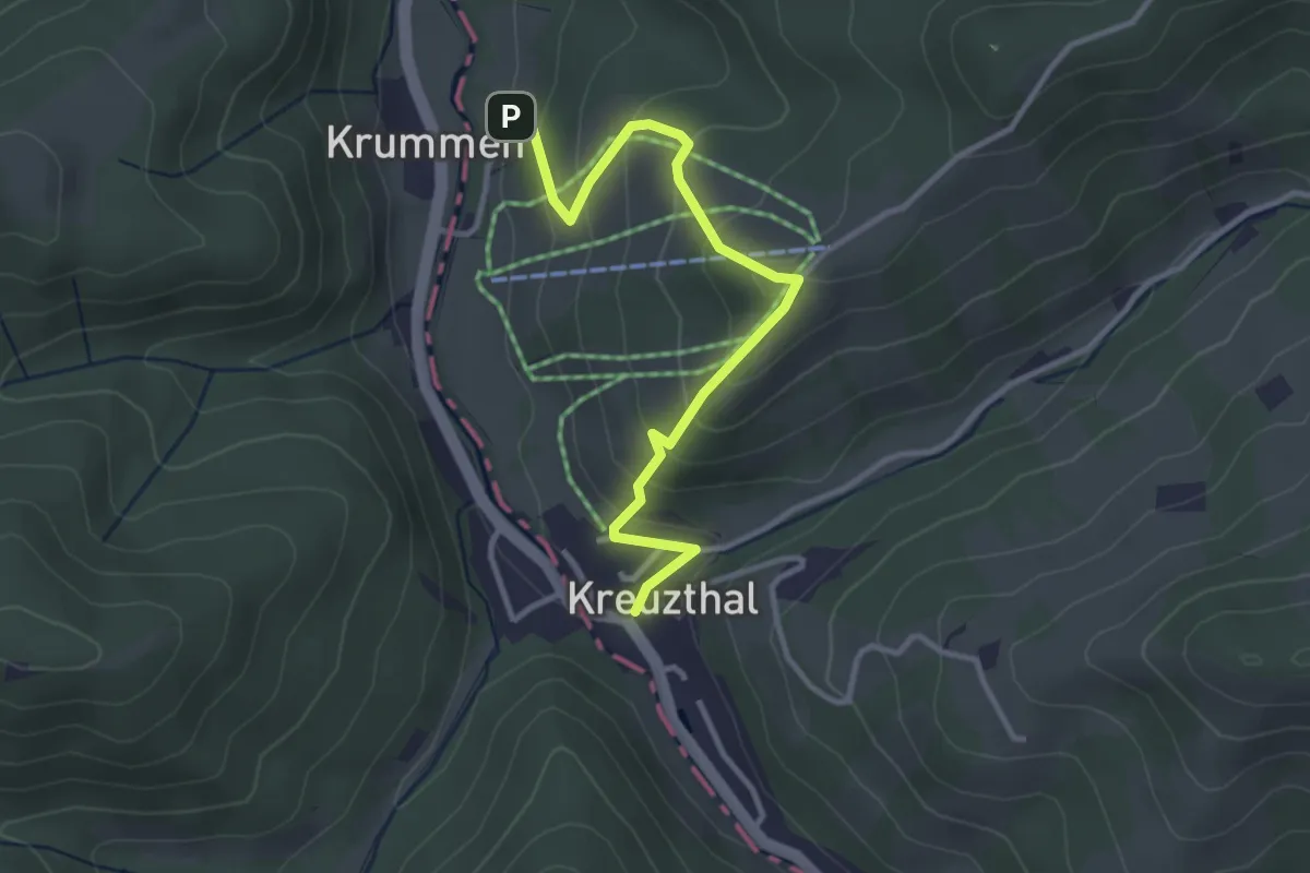
Easy · Trail
Glasmacherweg, Variante Kreuzberg
3.3 km · ↑ 225 m · 1 h 17 min
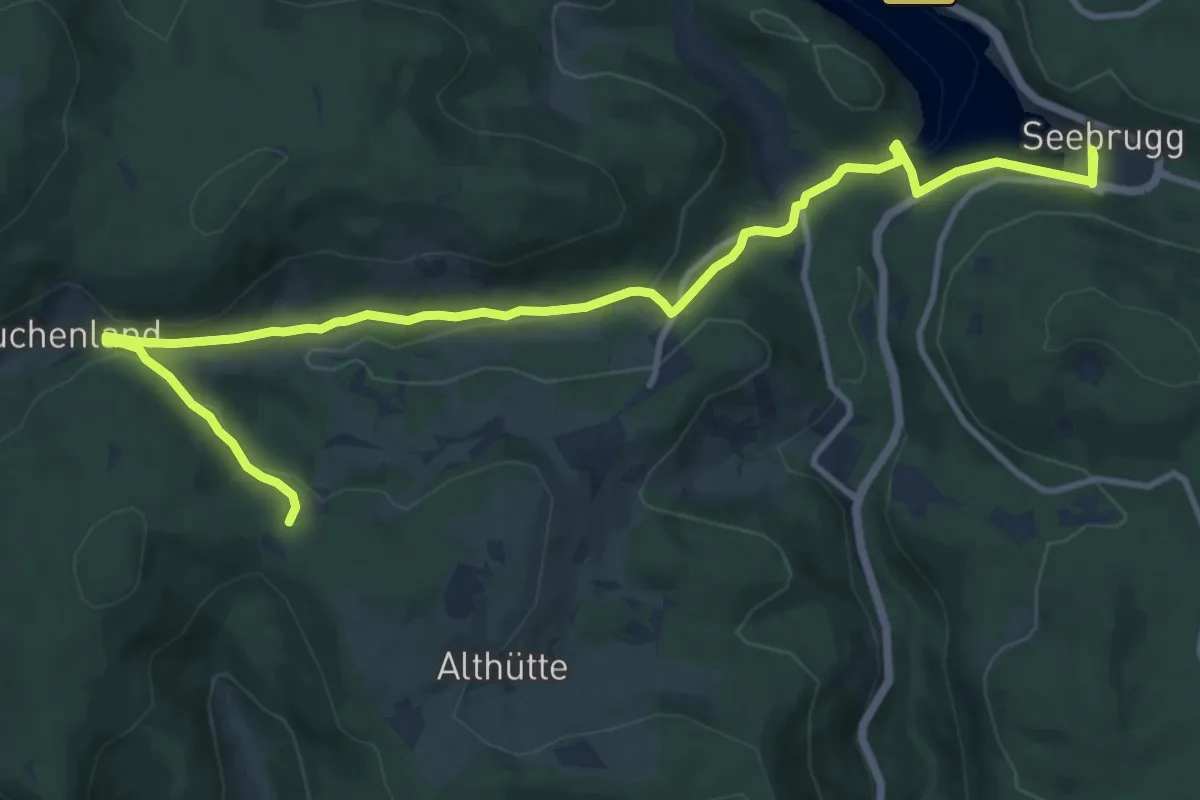
Medium · Trail
Glasträgerweg
13.7 km · ↑ 348 m · 3 h 59 min
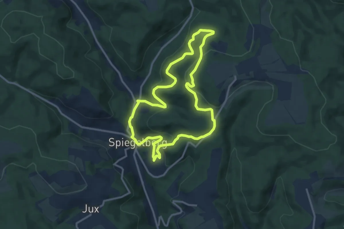
Easy · Trail
Glaswanderweg
7.3 km · ↑ 273 m · 2 h 25 min
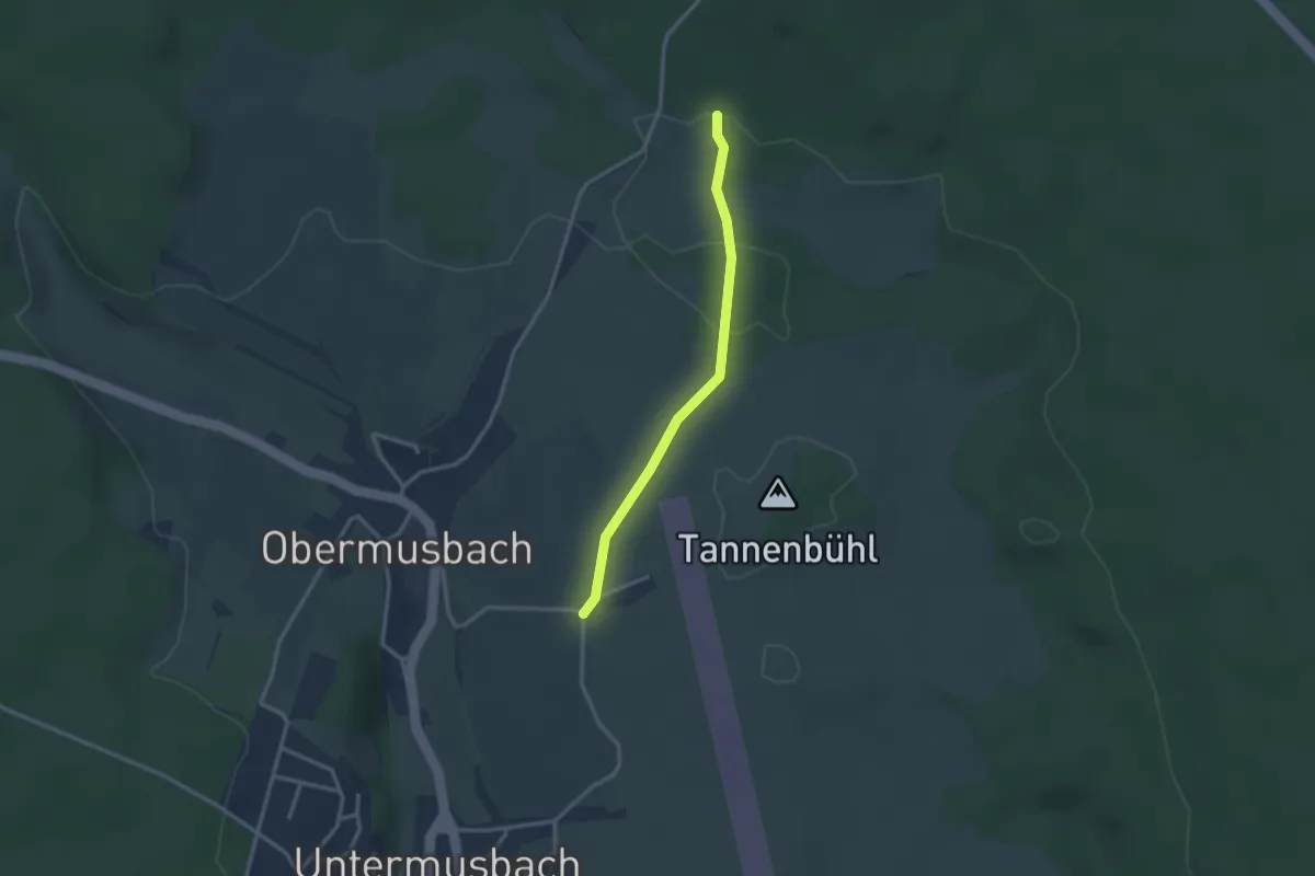
Easy · Trail
Glattbächle - Segelflugplatz Obermusbach
2.5 km · ↑ 13 m · 38 min
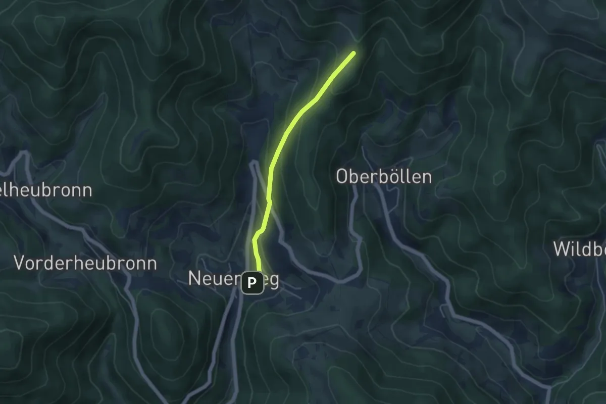
Easy · Trail
Glatte Brache - Neuenweg Rathaus
3.7 km · ↑ 255 m · 1 h 25 min
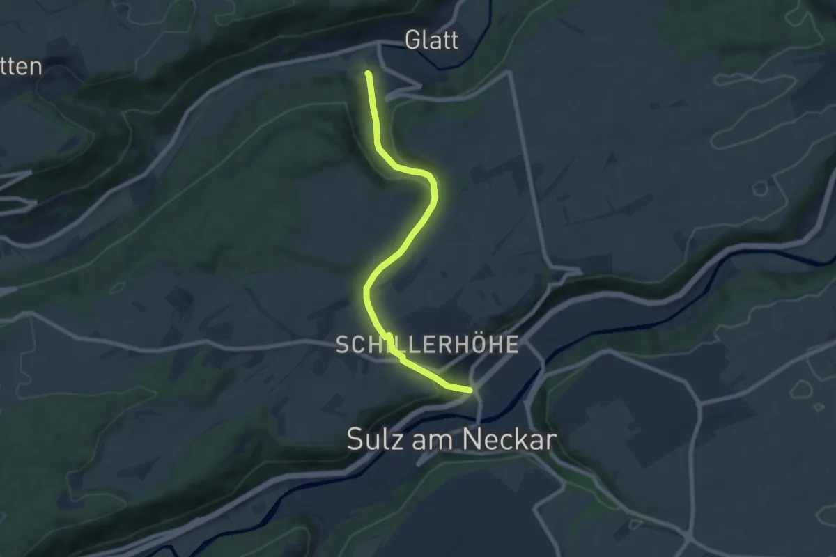
Easy · Trail
Glatt-Sulz a.N.
6.3 km · ↑ 206 m · 1 h 57 min
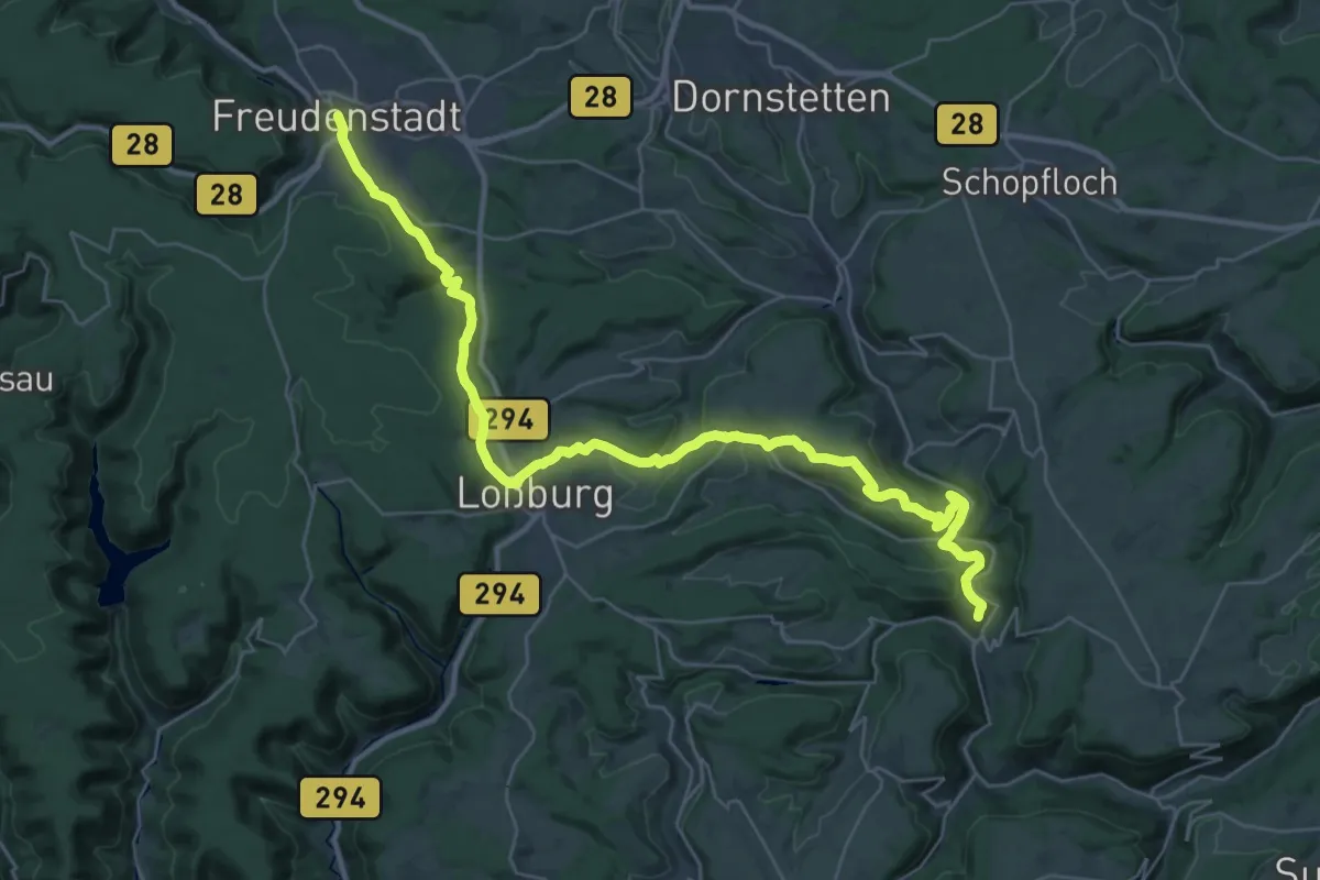
Demanding · Trail
Glatttal-Höhenweg
18.1 km · ↑ 375 m · 5 h 27 min
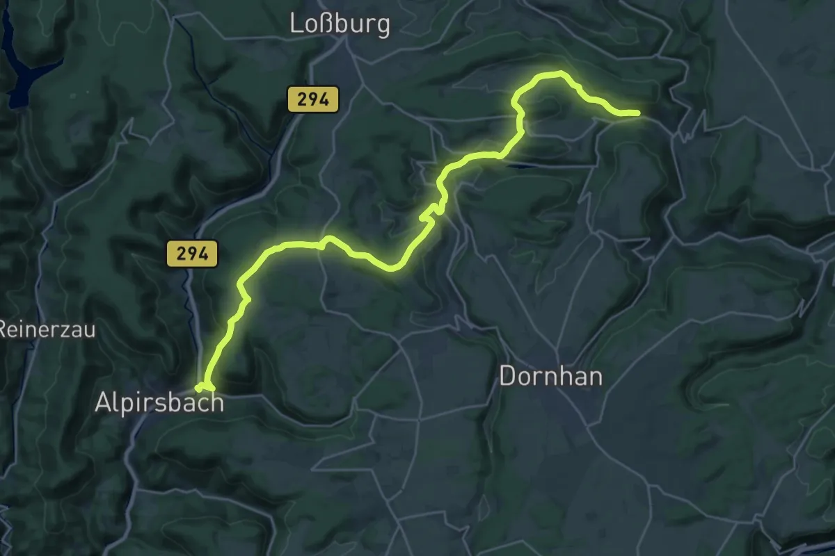
Medium · Trail
Glatttal-Höhenweg
14.8 km · ↑ 380 m · 4 h 34 min
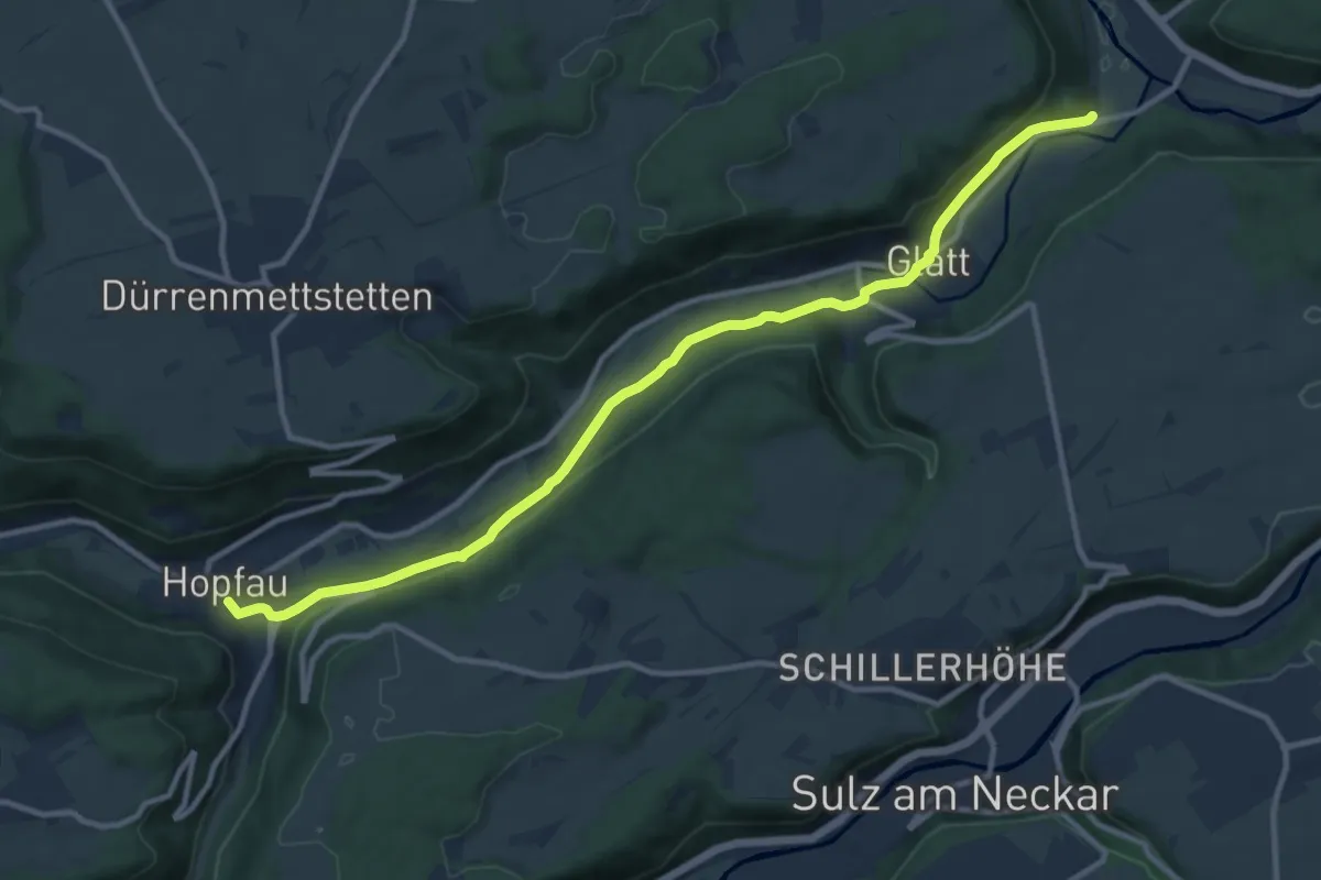
Medium · Trail
Glatttalweg
11.7 km · ↑ 243 m · 3 h 18 min
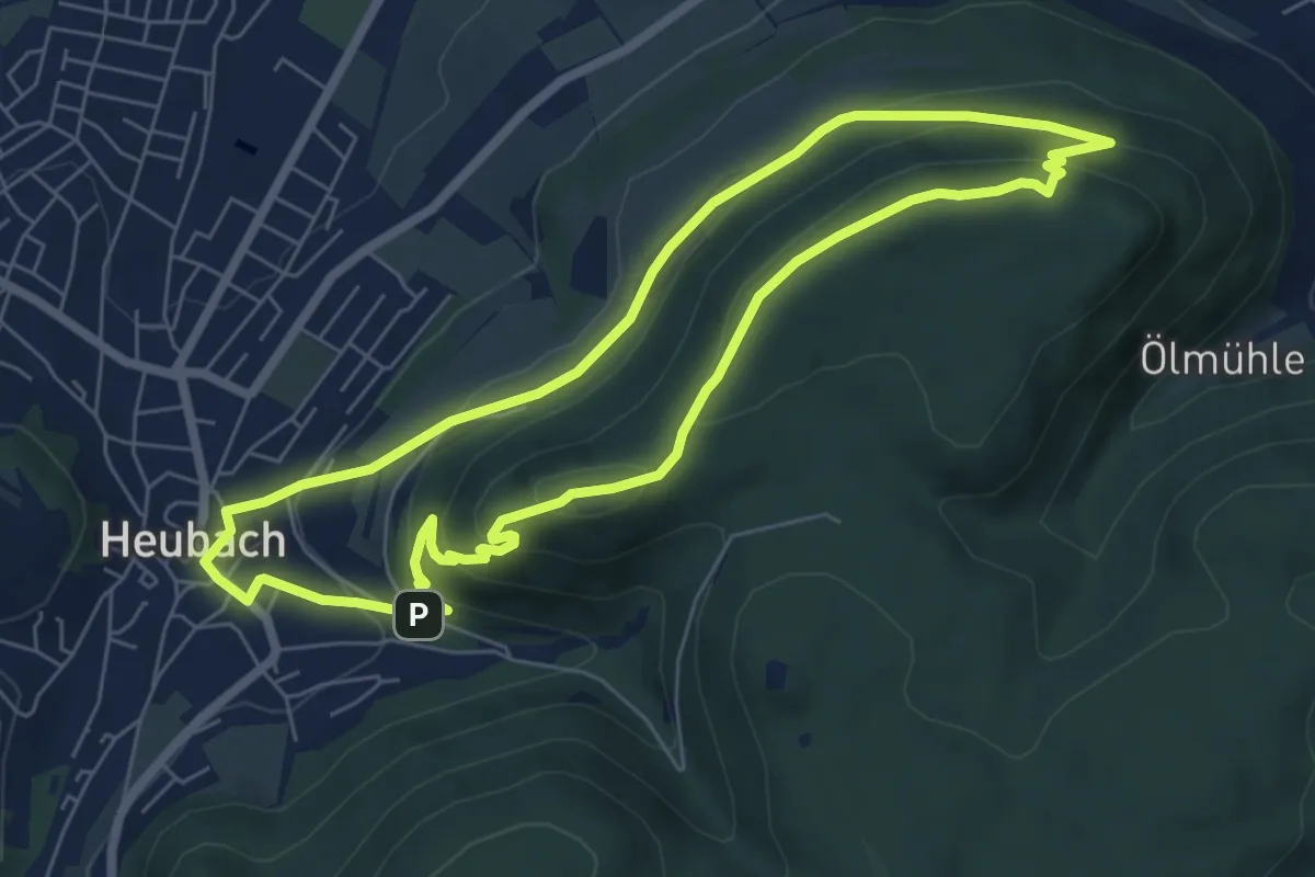
Medium · Summit
Glaubensweg 10
6.2 km · ↑ 275 m · 2 h 8 min
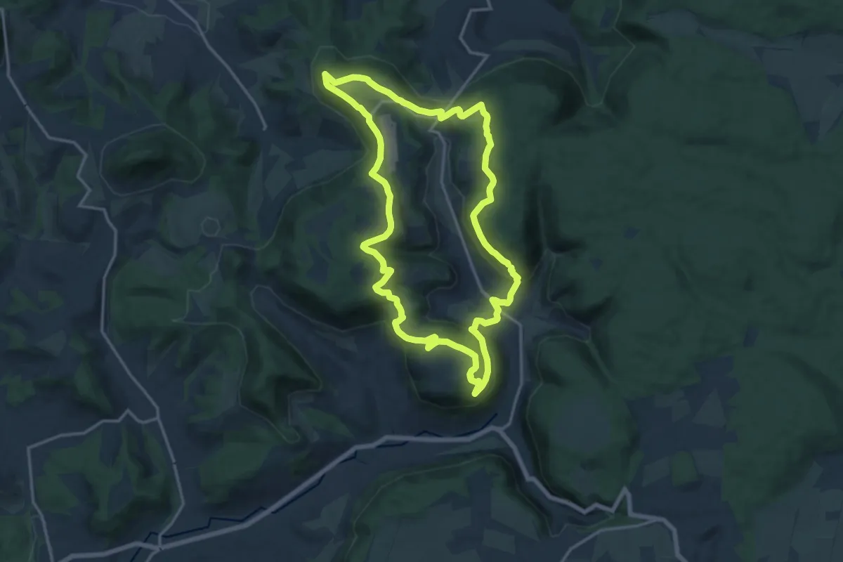
Medium · Summit
Glaubensweg 12
14.0 km · ↑ 467 m · 4 h 31 min
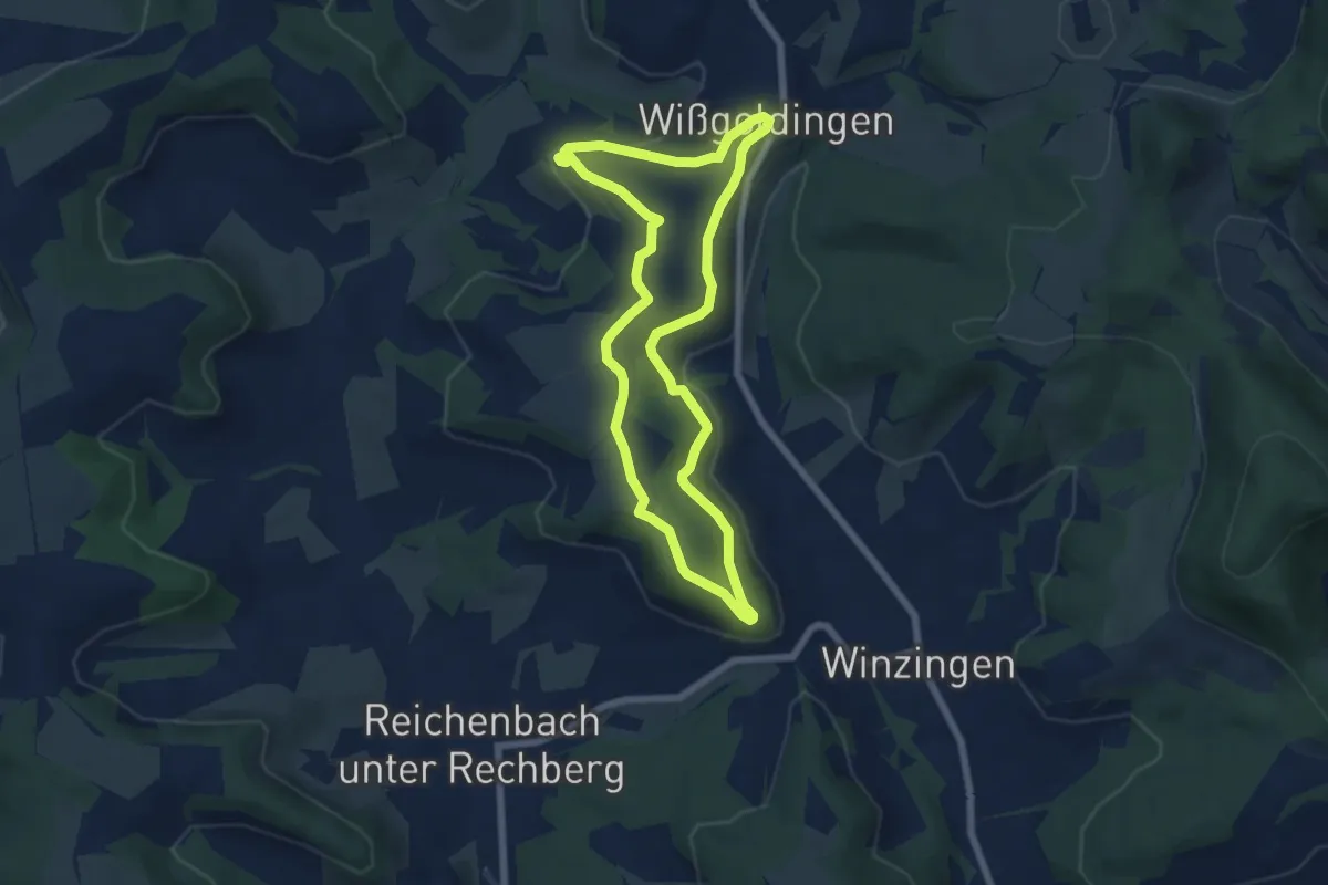
Easy · Trail
Glaubensweg 14
6.0 km · ↑ 121 m · 1 h 46 min
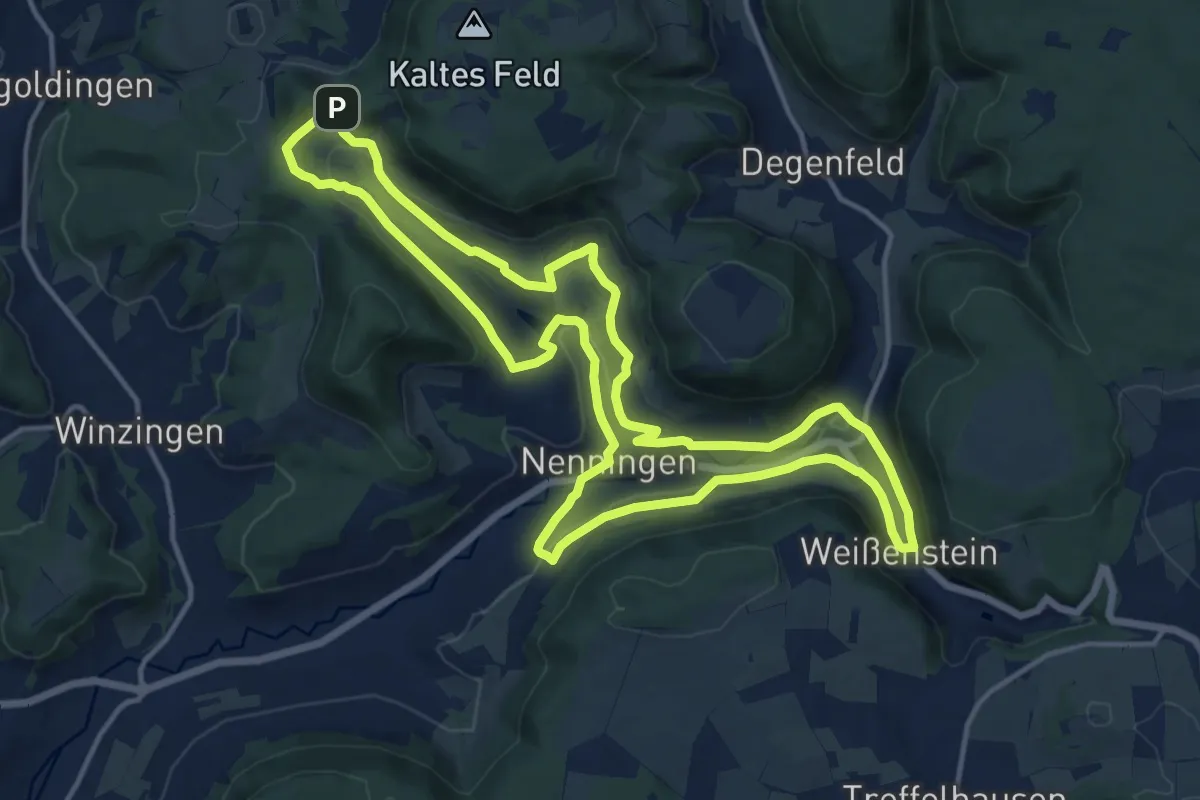
Medium · Summit
Glaubensweg 14 Christentalweg
14.2 km · ↑ 340 m · 4 h 17 min
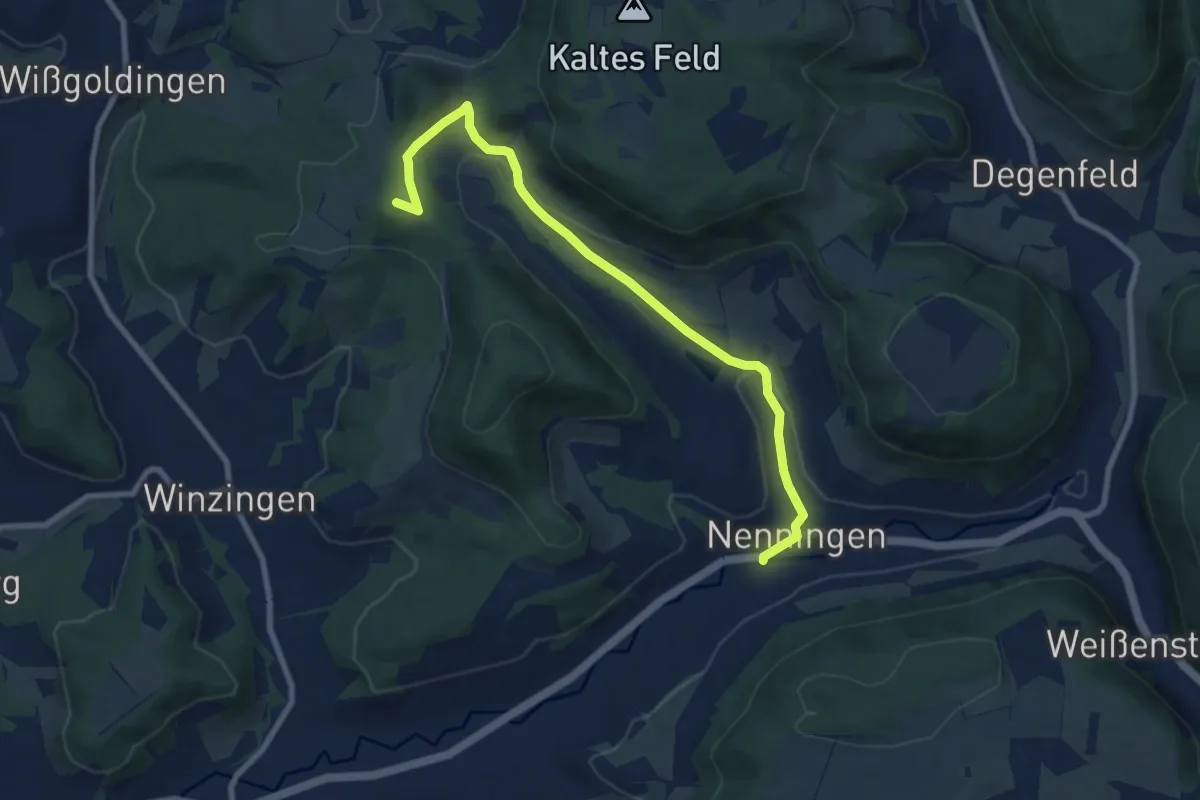
Medium · Summit
Glaubensweg 15 Heldenbergweg
8.3 km · ↑ 237 m · 2 h 36 min
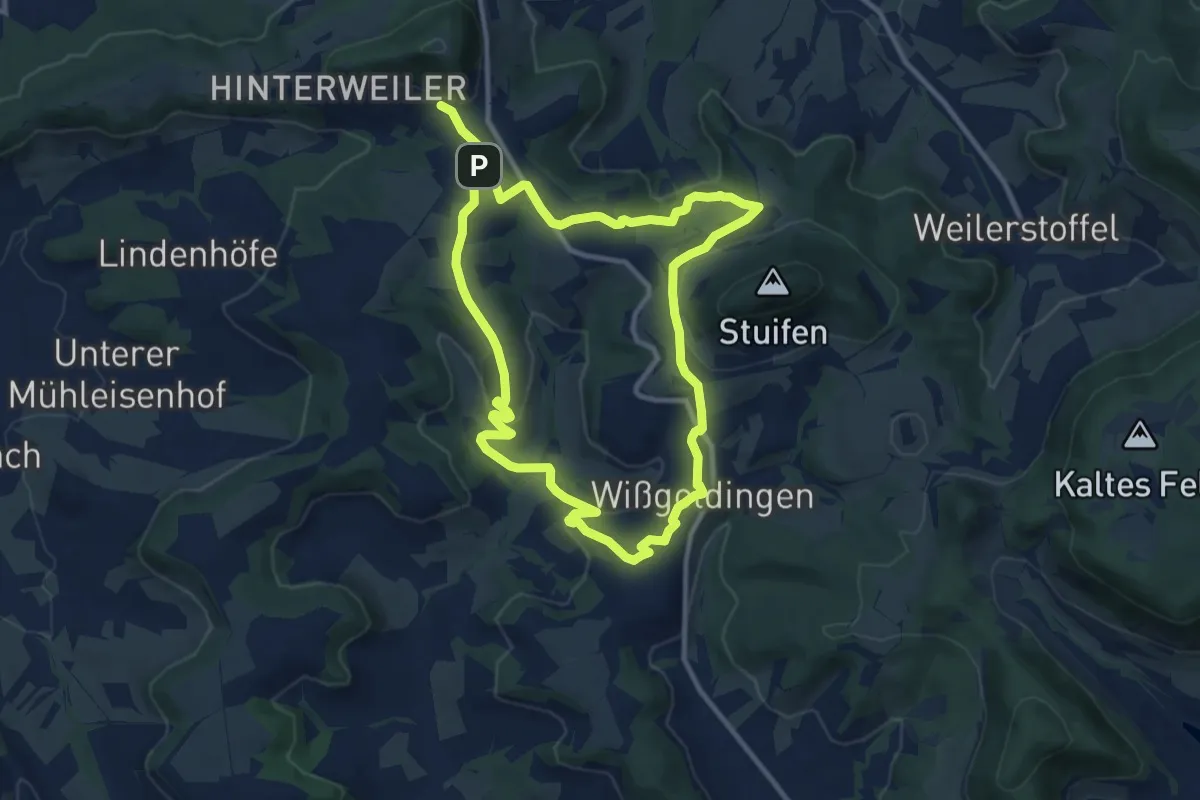
Demanding · Trail
Glaubensweg 17
19.2 km · ↑ 514 m · 5 h 39 min
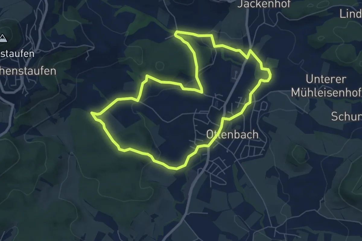
Easy · Trail
Glaubensweg 20
6.2 km · ↑ 104 m · 1 h 46 min
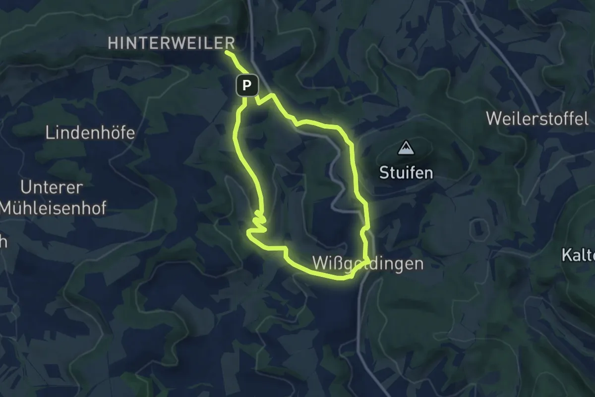
Medium · Trail
Glaubensweg 24
15.2 km · ↑ 384 m · 4 h 25 min
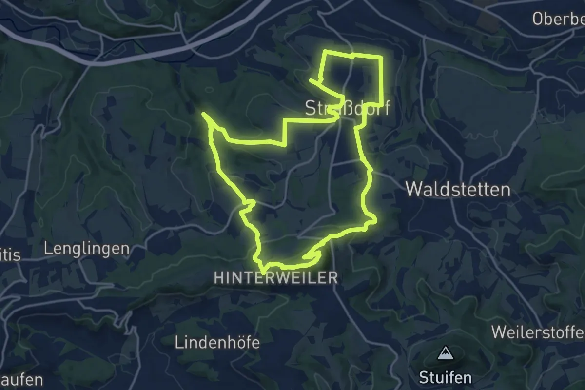
Medium · Summit
Glaubensweg 25
14.8 km · ↑ 402 m · 4 h 34 min
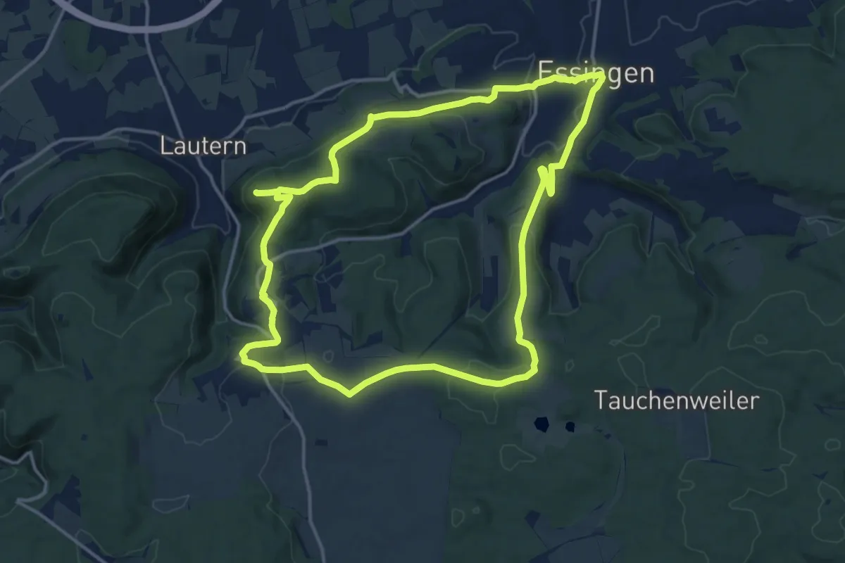
Medium · Trail
Glaubensweg 26
13.5 km · ↑ 331 m · 4 h 7 min
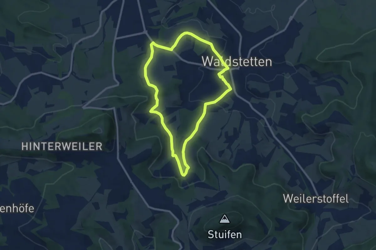
Easy · Trail
Glaubensweg 4
6.7 km · ↑ 115 m · 1 h 56 min
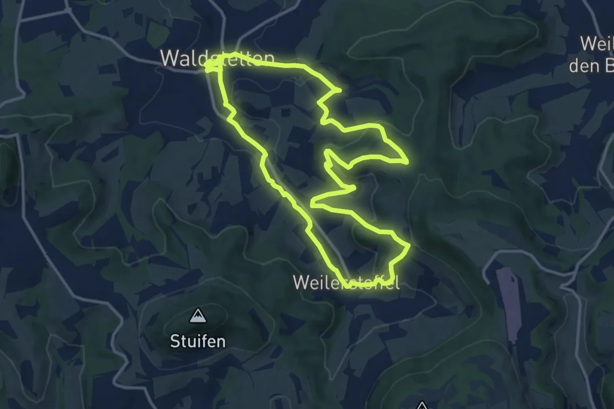
Medium · Trail
Glaubensweg 5
10.6 km · ↑ 354 m · 3 h 25 min
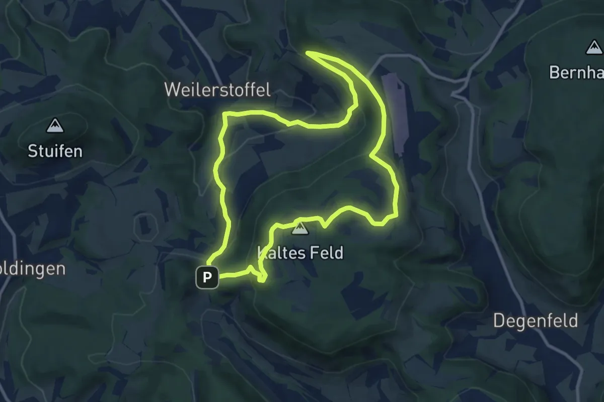
Medium · Summit
Glaubensweg 6 - Weilerstoffel
8.4 km · ↑ 348 m · 2 h 52 min
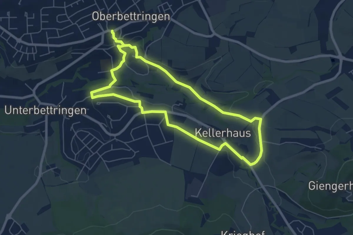
Easy · Trail
Glaubensweg 7
5.2 km · ↑ 85 m · 1 h 29 min
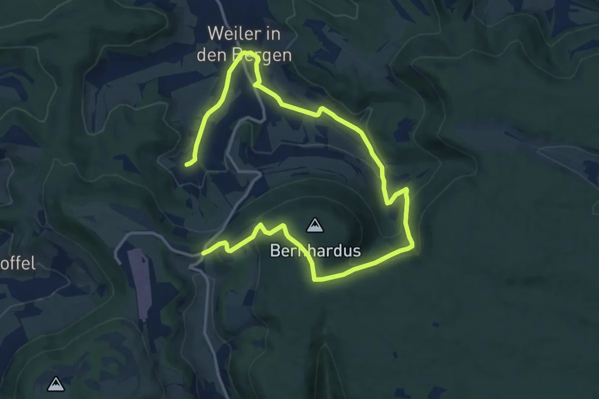
Medium · Trail
Glaubensweg 8
15.7 km · ↑ 559 m · 4 h 55 min
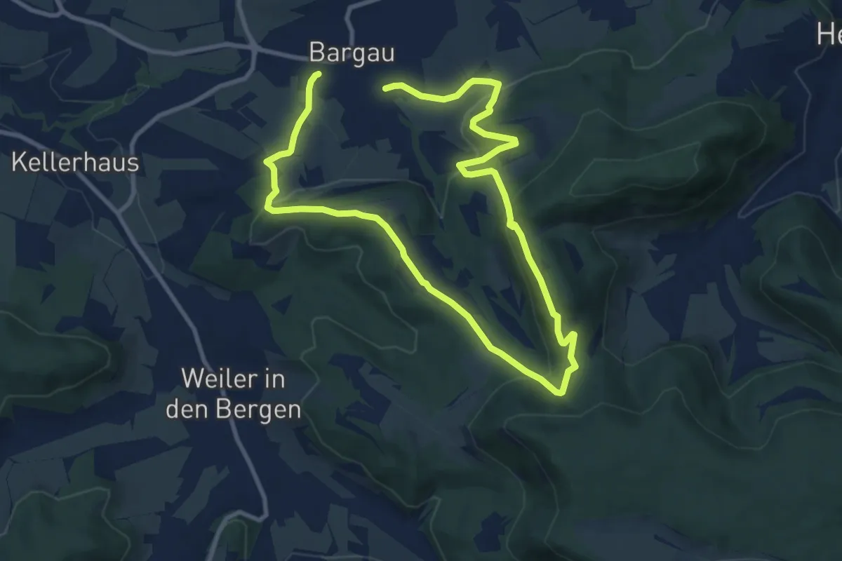
Medium · Trail
Glaubensweg 9
15.0 km · ↑ 585 m · 4 h 48 min
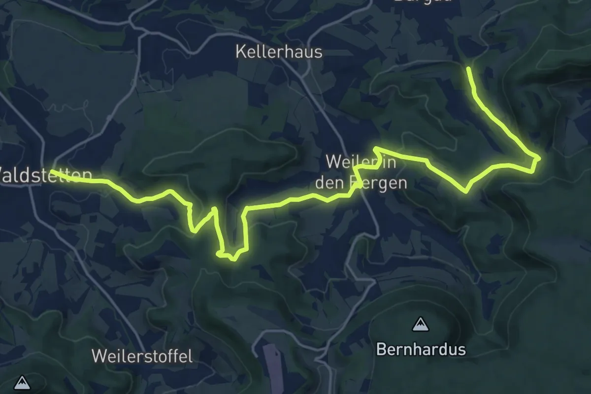
Demanding · Trail
Glaubensweg a
21.3 km · ↑ 687 m · 6 h 31 min
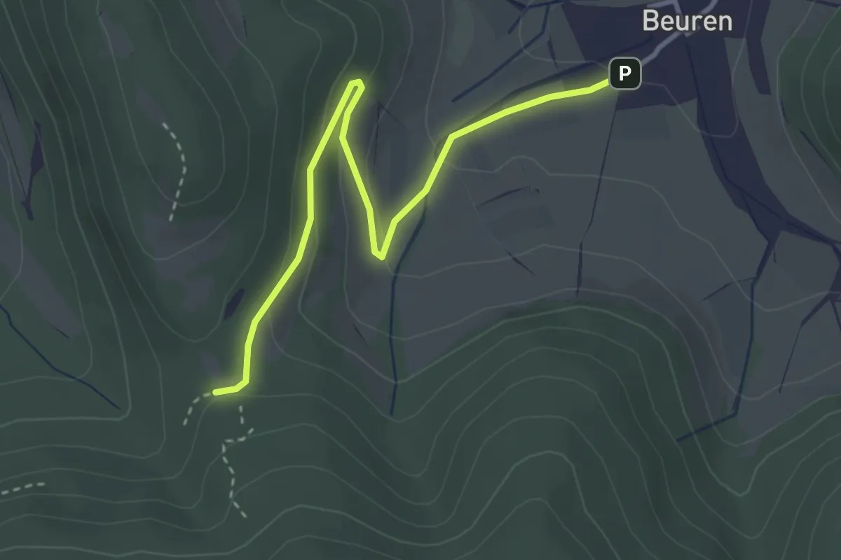
Easy · Trail
Glaubensweg b
3.4 km · ↑ 122 m · 1 h 4 min
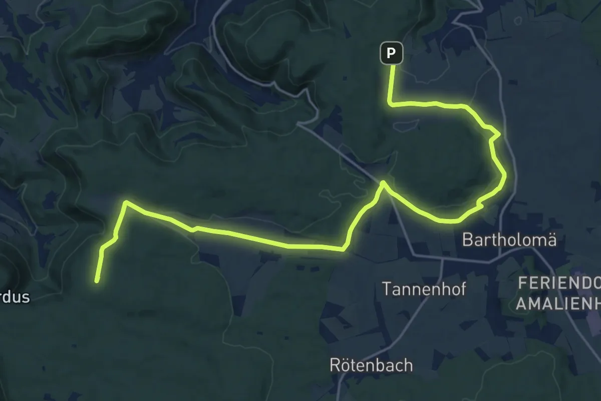
Demanding · Summit
Glaubensweg c
22.1 km · ↑ 342 m · 5 h 57 min
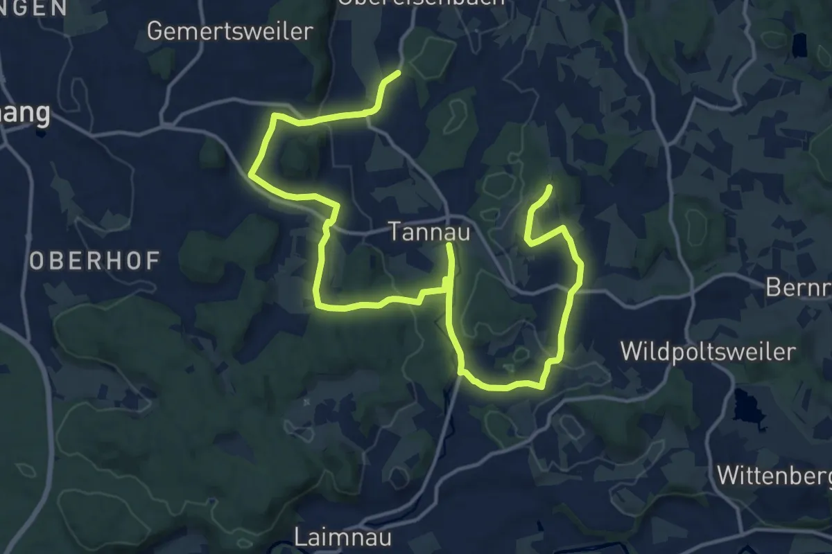
Medium · Trail
Glaubensweg Tannau
10.0 km · ↑ 120 m · 2 h 46 min
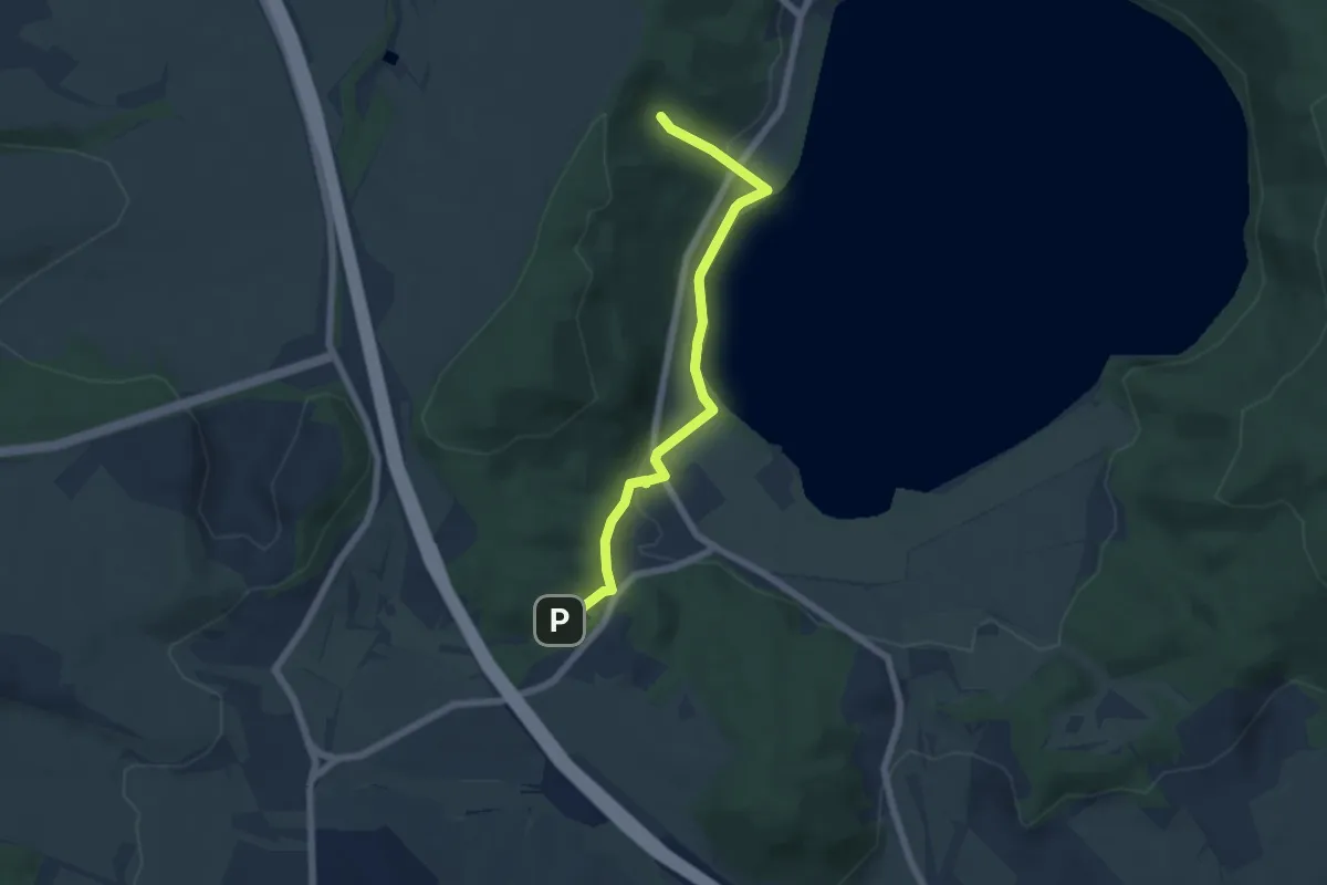
Easy · Trail
Glees 2
5.4 km · ↑ 216 m · 1 h 45 min
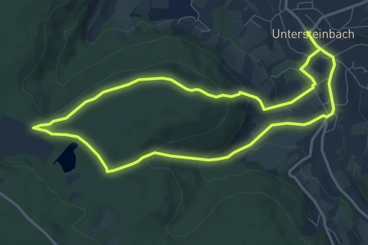
Easy · Trail
Gleichener See Runde
6.7 km · ↑ 195 m · 2 h 5 min
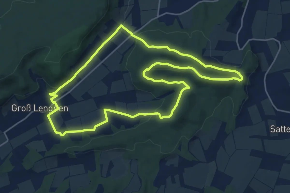
Medium · Summit
Gleichen_R1
11.3 km · ↑ 267 m · 3 h 24 min
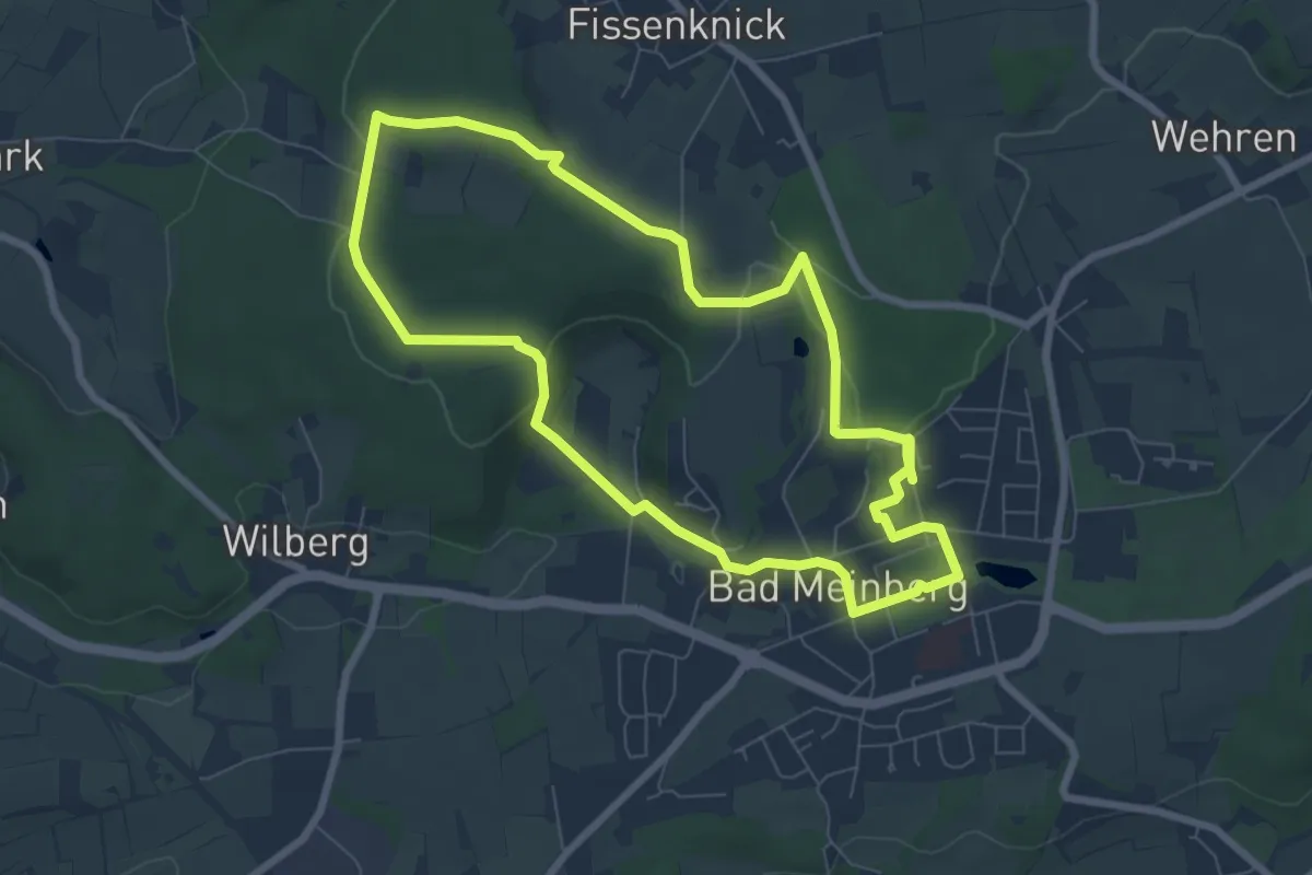
Easy · Trail
Gleichgewicht - Wanderweg Massbruch [Bad Meinberg] (VitalWanderWelt)
6.5 km · ↑ 111 m · 1 h 52 min
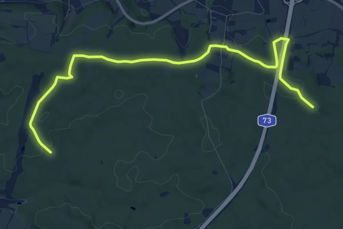
Medium · Trail
Gleisenauer Weg (Niederfüllbach)
11.7 km · ↑ 161 m · 3 h 6 min
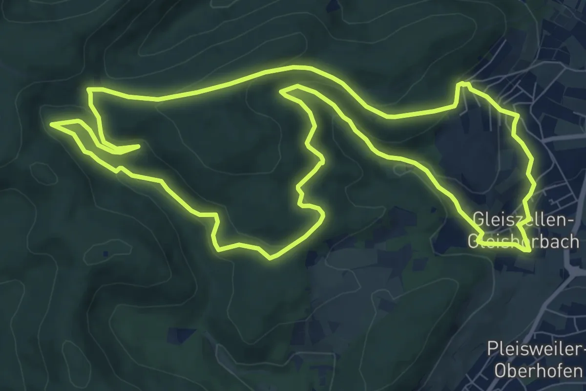
Medium · Summit
Gleiszellen: Mischwald-Wanderweg
10.0 km · ↑ 387 m · 3 h 20 min