Trails in Germany
36,852 hiking trails, each with its route, climb, walking time and grade.
All trails, page 182 of 768
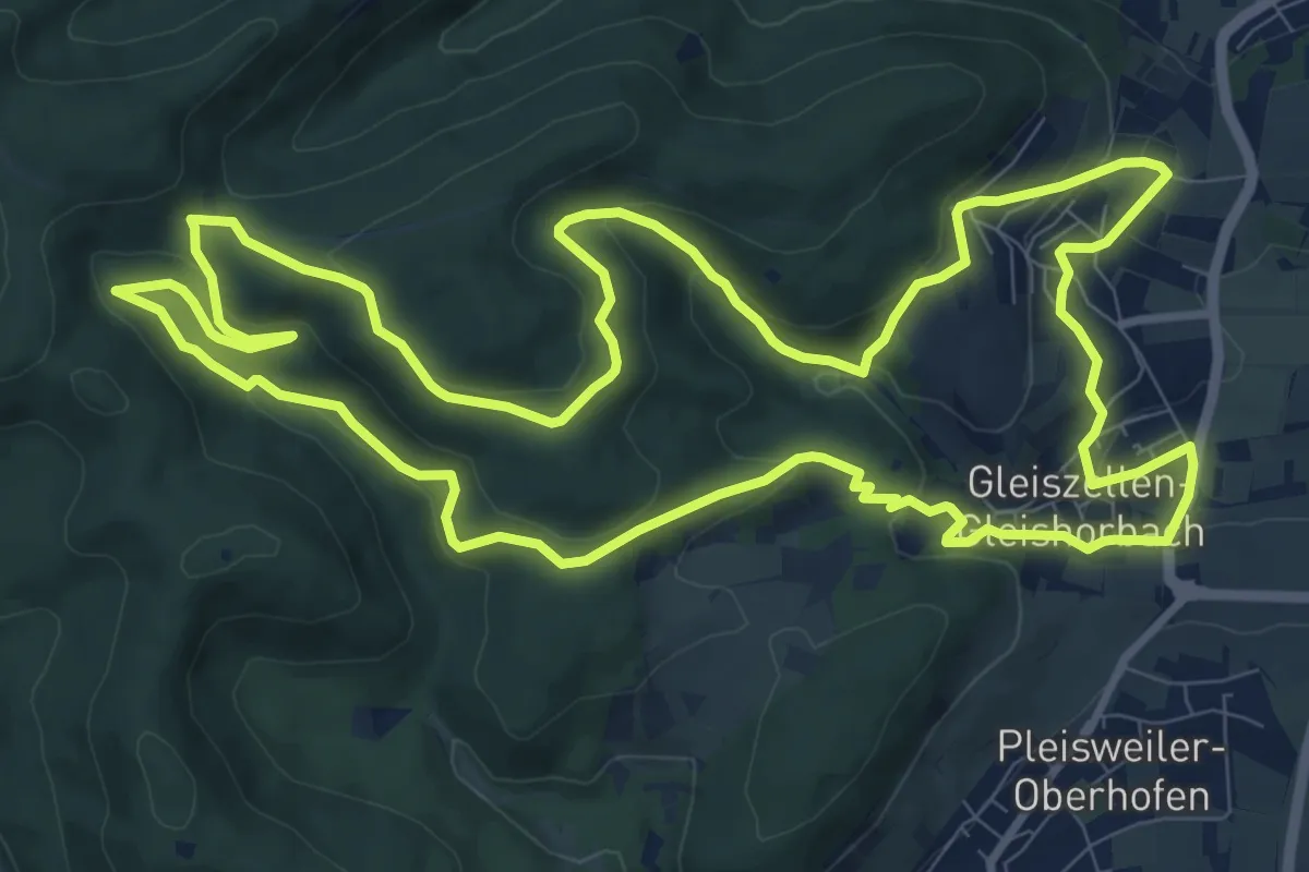
Medium · Summit
Gleiszellen: Sauhausbrunnen-Weg
11.1 km · ↑ 384 m · 3 h 36 min
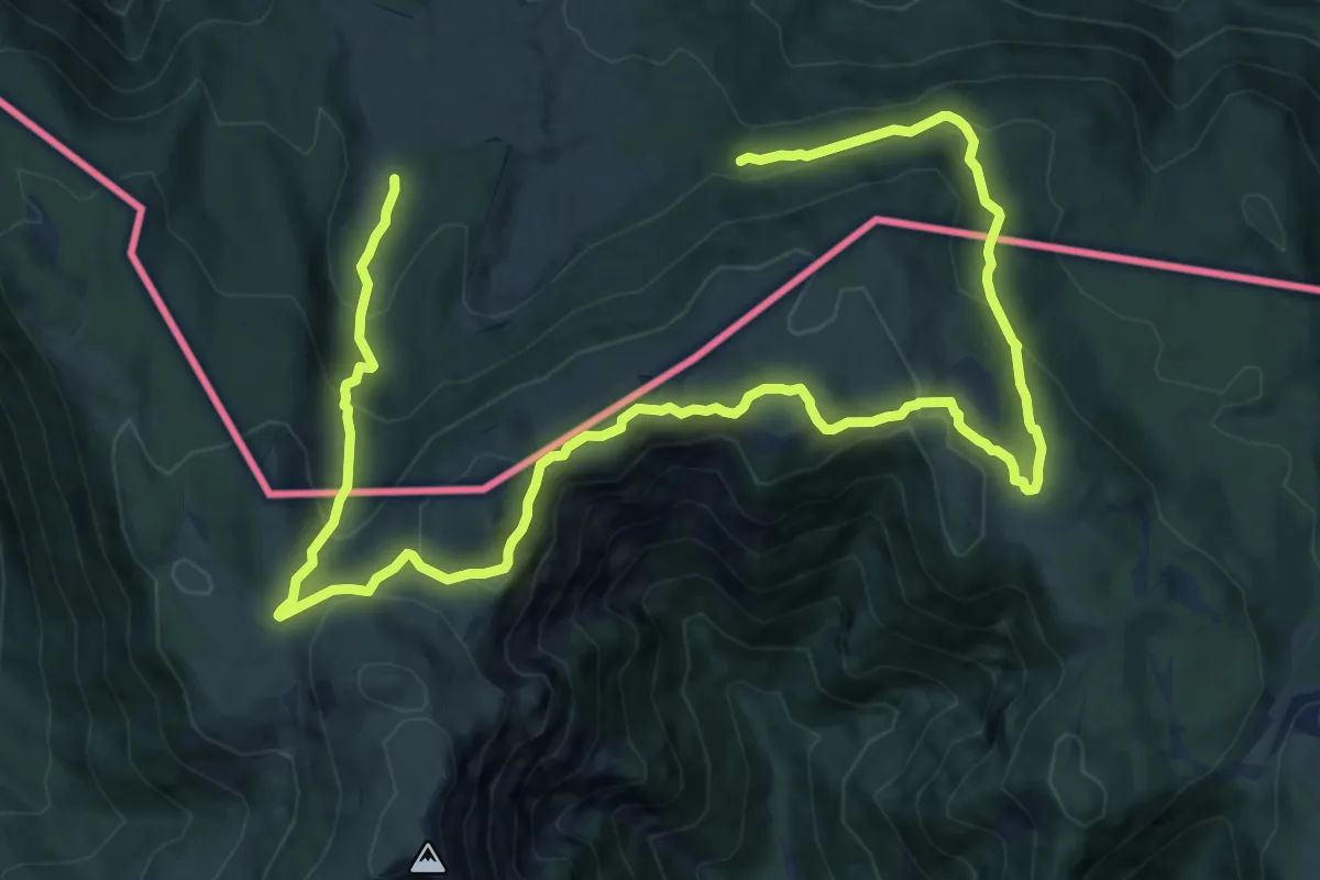
Medium · Summit
Gletscherblick
9.7 km · ↑ 472 m · 3 h 27 min
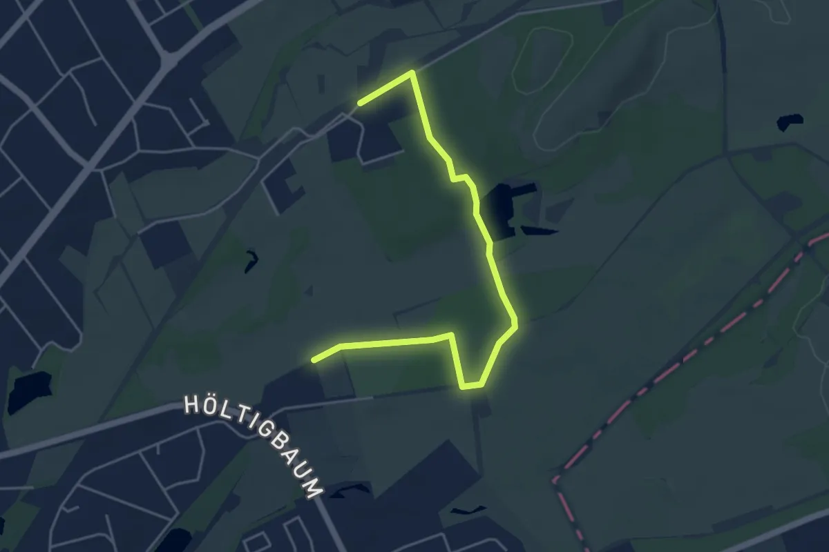
Easy · Trail
Gletscherspur
2.1 km · ↑ 4 m · 32 min
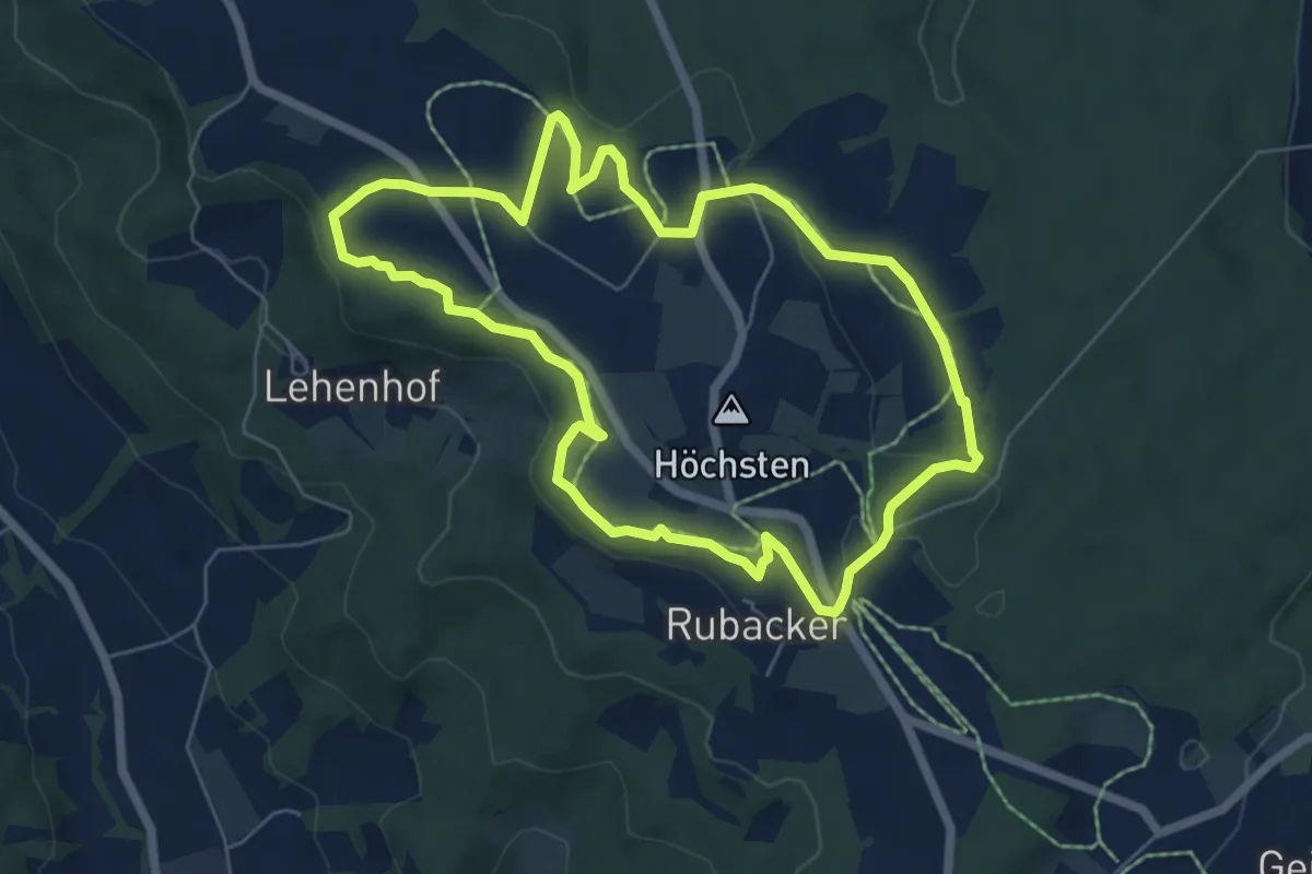
Easy · Trail
Gletscherspuren - Der Höchste
6.0 km · ↑ 87 m · 1 h 41 min
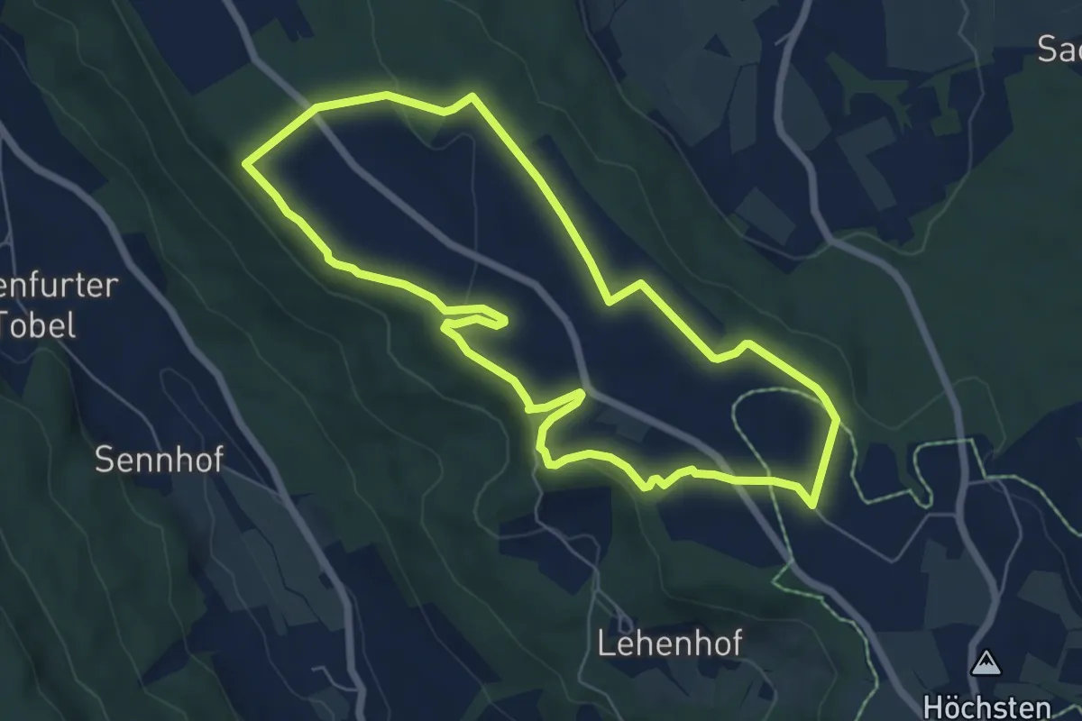
Easy · Trail
Gletscherspuren - Kantenlauf
6.1 km · ↑ 112 m · 1 h 46 min
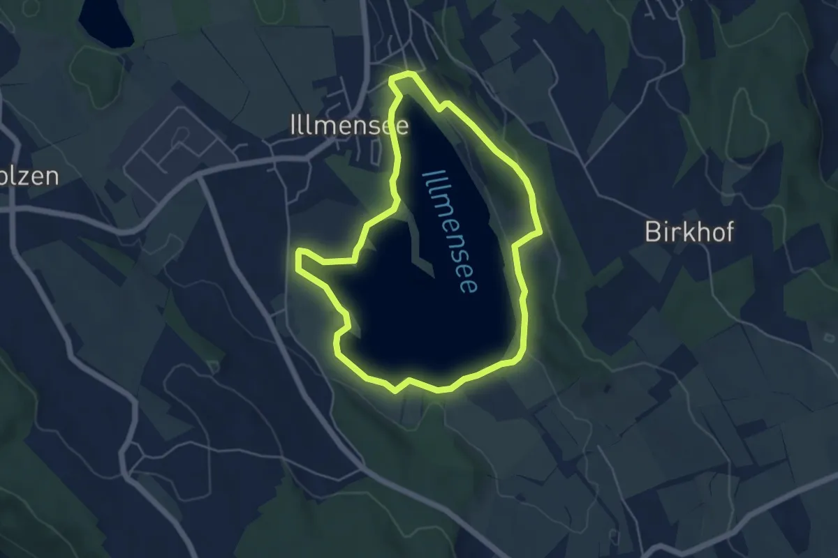
Easy · Trail
Gletscherspuren - Uferrunde
4.4 km · ↑ 60 m · 1 h 14 min
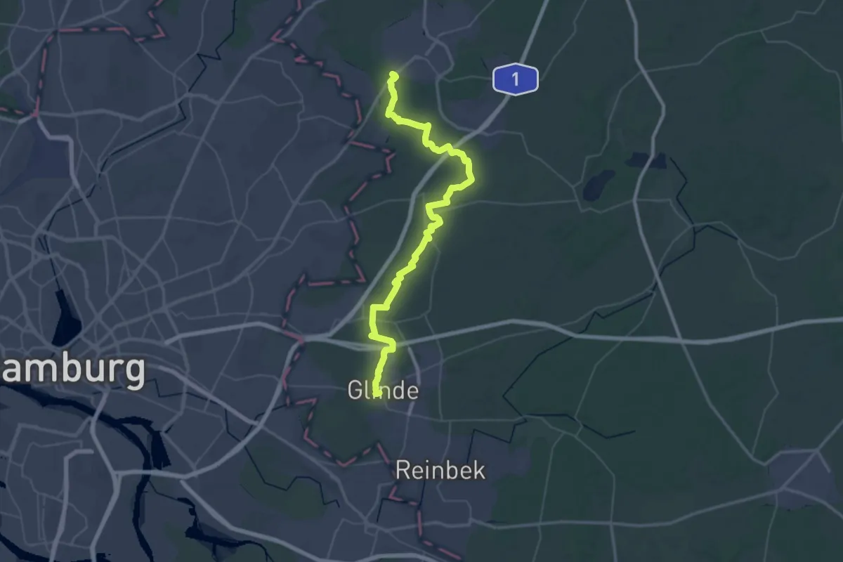
Demanding · Trail
Glinde - Ahrensburg (GL-AH)
22.7 km · ↑ 58 m · 5 h 49 min
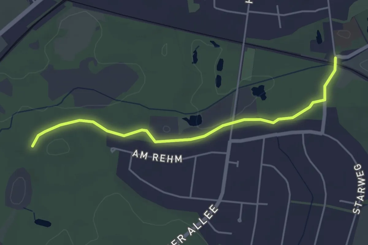
Easy · Trail
Glinde - Ahrensburg (GL-AH) Alternative Ahrensburg Ost
3.7 km · ↑ 18 m · 55 min
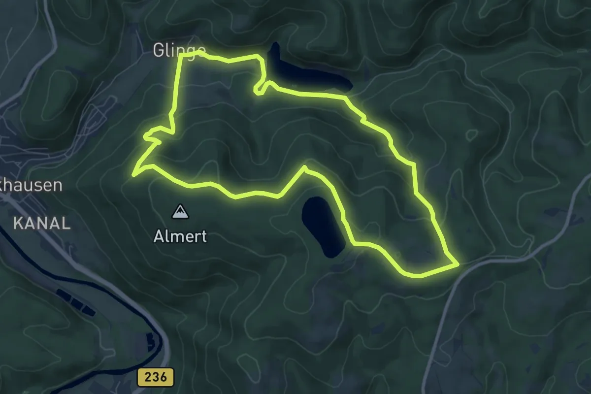
Medium · Trail
Glinge Rundweg U
7.8 km · ↑ 354 m · 2 h 44 min
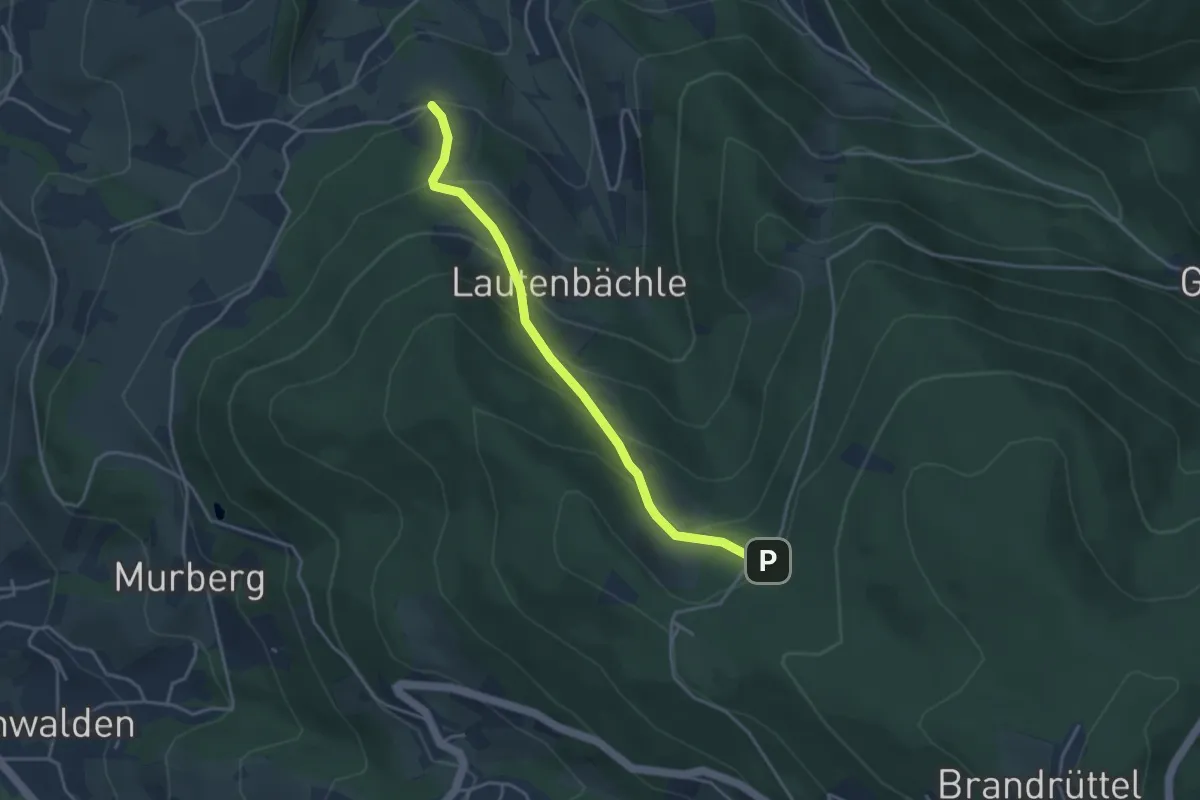
Easy · Trail
Glöckelsberg - Oberes Lautenbächle
3.6 km · ↑ 294 m · 1 h 29 min
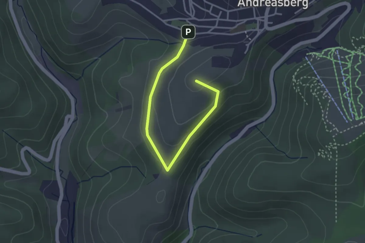
Easy · Summit
Glockenberg-Umrundung
3.0 km · ↑ 85 m · 54 min
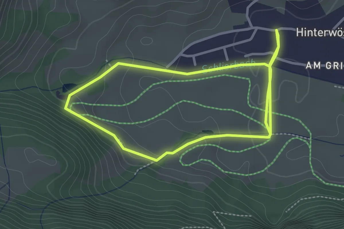
Easy · Trail
Glockenbichl Rundweg
4.9 km · ↑ 105 m · 1 h 23 min
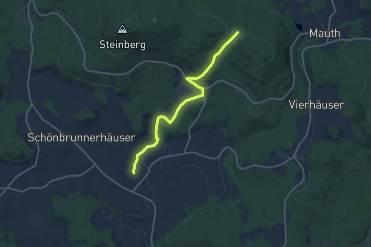
Medium · Trail
Glockenblume
8.5 km · ↑ 222 m · 2 h 29 min
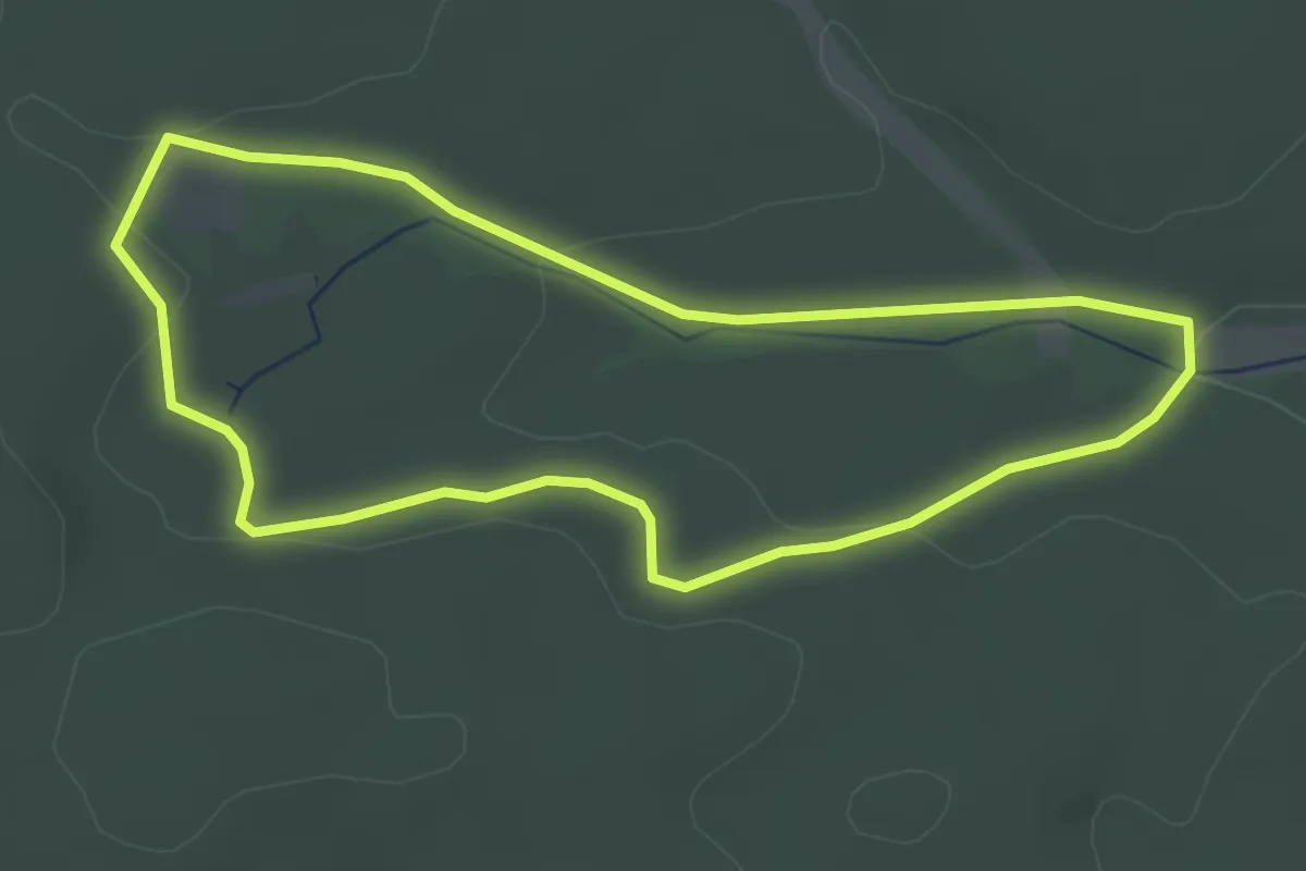
Easy · Trail
Glockenborn-Runde
3.1 km · ↑ 40 m · 51 min
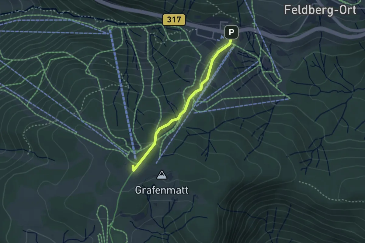
Easy · Summit
Glockenführe - Hebelhof Parkplatz Grafenmatt
2.6 km · ↑ 143 m · 55 min
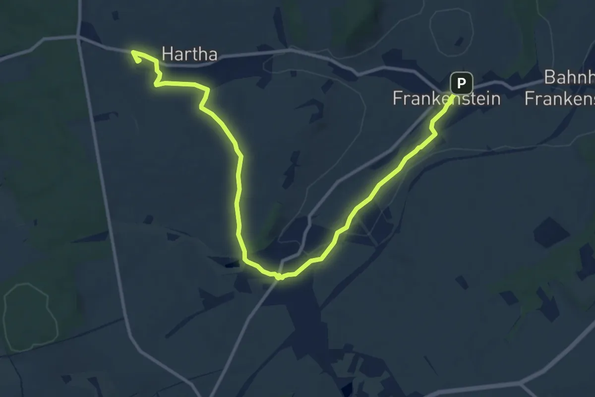
Medium · Trail
Glockenpfad zur Kirche Frankenstein
11.1 km · ↑ 122 m · 2 h 54 min
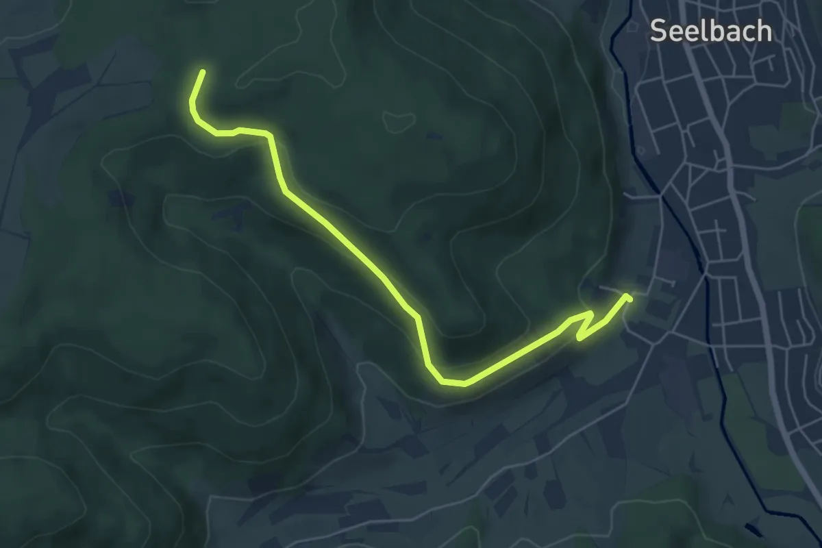
Easy · Trail
Glockenwald - Schägenest
5.4 km · ↑ 240 m · 1 h 47 min
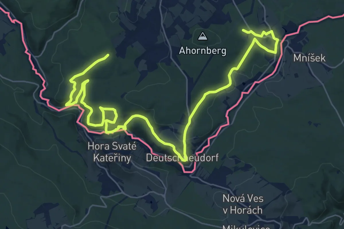
Medium · Trail
Glockenwanderweg
14.8 km · ↑ 268 m · 4 h 19 min
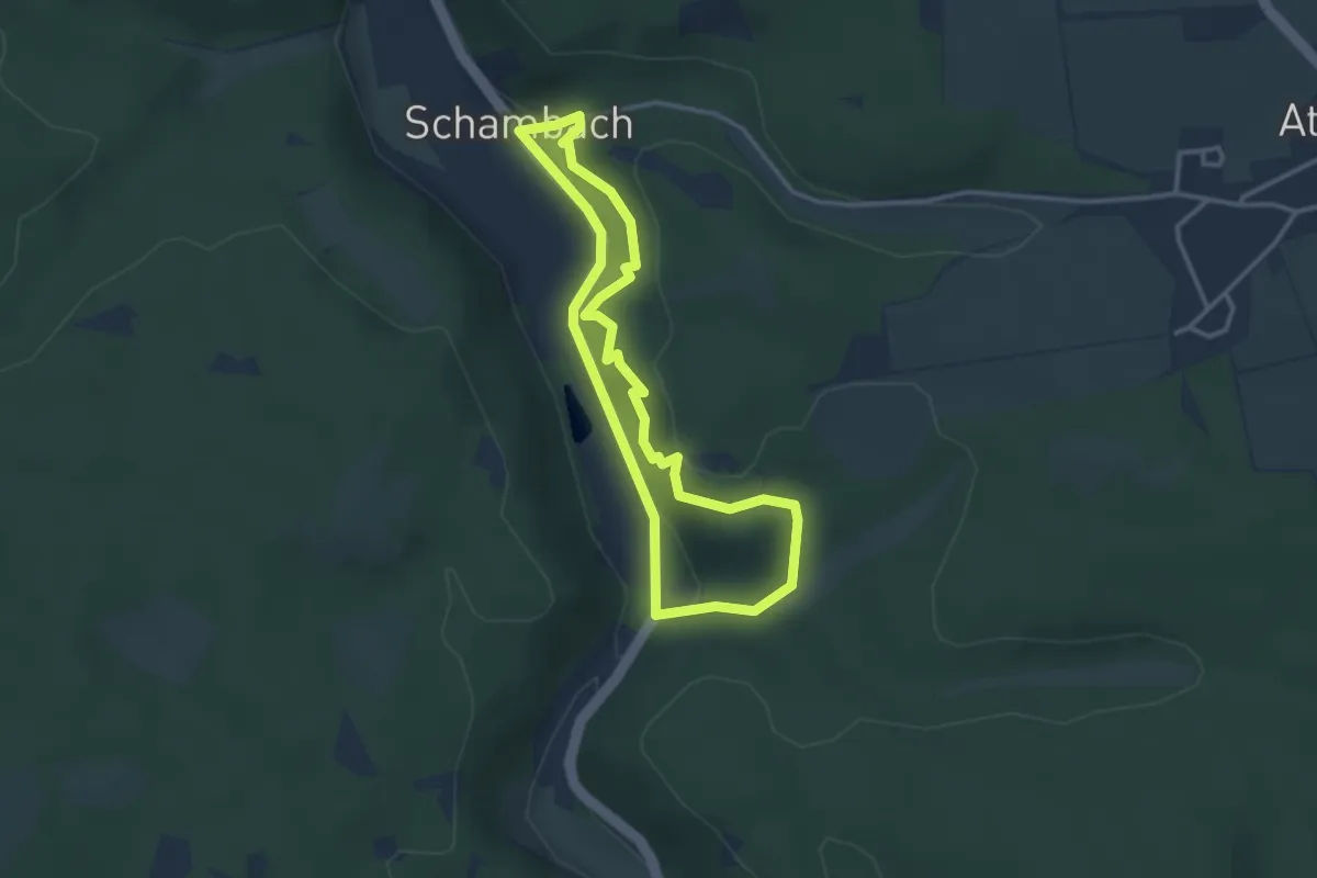
Medium · Trail
Glockersteig
2.9 km · ↑ 133 m · 1 h
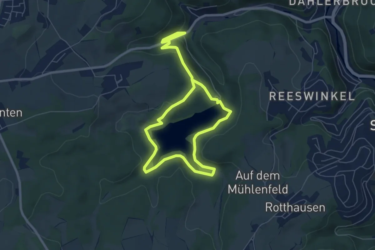
Easy · Trail
Glörtalsperre Rundweg A1
4.9 km · ↑ 147 m · 1 h 34 min
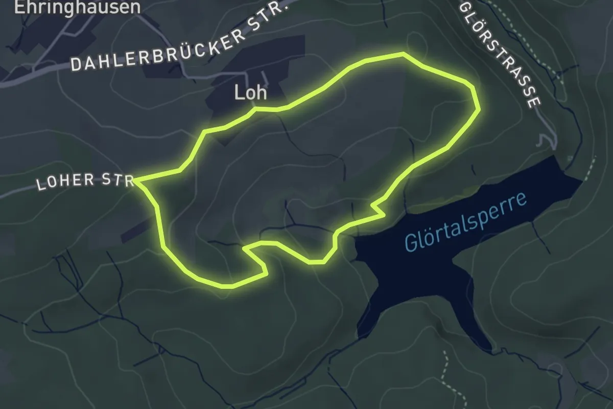
Easy · Trail
Glörtalsperre Rundweg A2
3.4 km · ↑ 89 m · 1 h 2 min
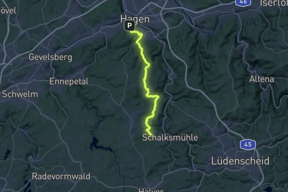
Medium · Trail
Glörtalsperre-Weg [Quadrat]
17.7 km · ↑ 606 m · 5 h 40 min
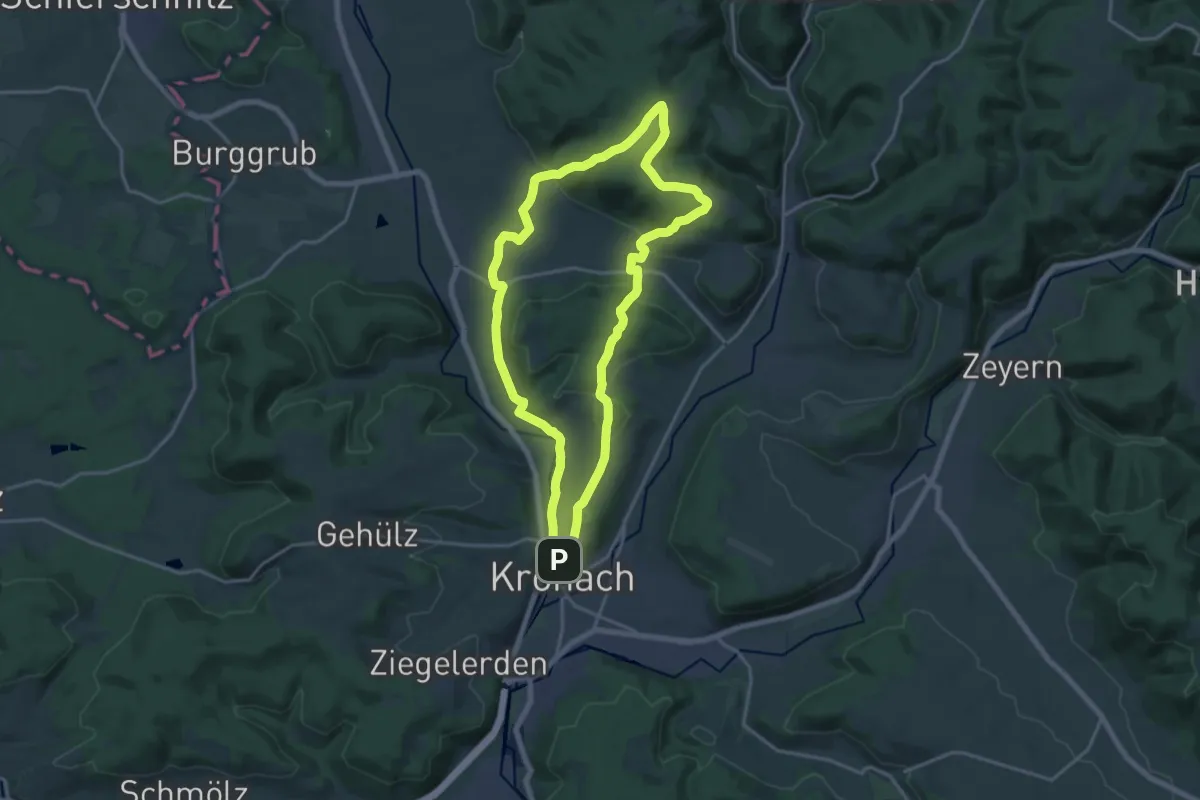
Demanding · Summit
Glosberger Weg KC 14
16.1 km · ↑ 410 m · 4 h 55 min
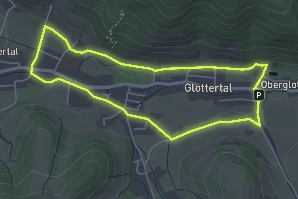
Easy · Trail
Glottertäler Engelweg
3.6 km · ↑ 59 m · 1 h 2 min
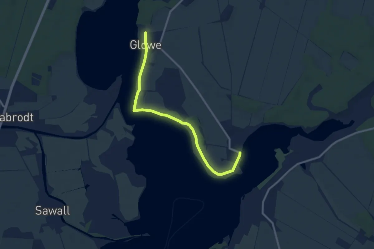
Easy · Trail
Glowe-Sarkow
6.8 km · ↑ 13 m · 1 h 38 min
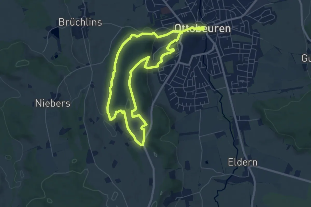
Easy · Trail
Glücksplaneten-Tour
6.0 km · ↑ 117 m · 1 h 45 min
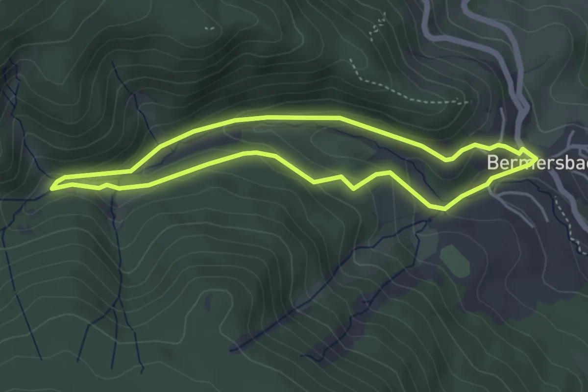
Easy · Trail
Glücksweg
3.6 km · ↑ 142 m · 1 h 13 min
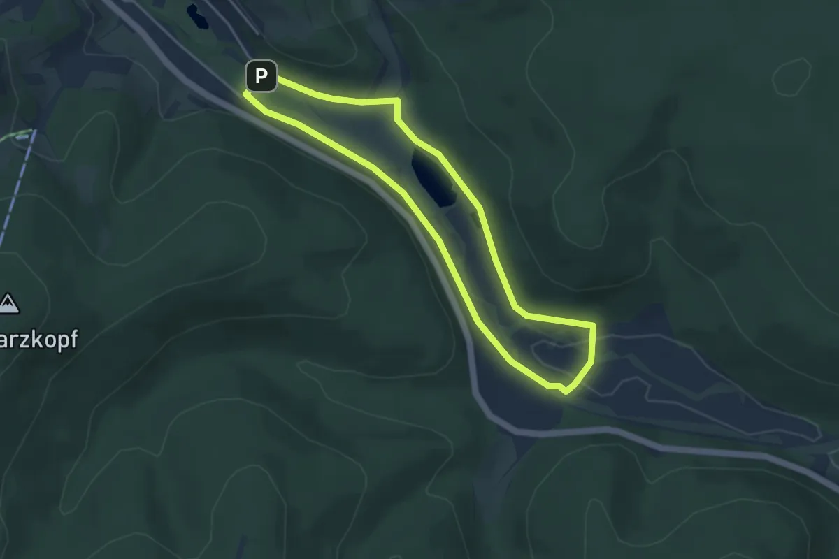
Easy · Trail
Glücksweg
3.5 km · ↑ 22 m · 55 min
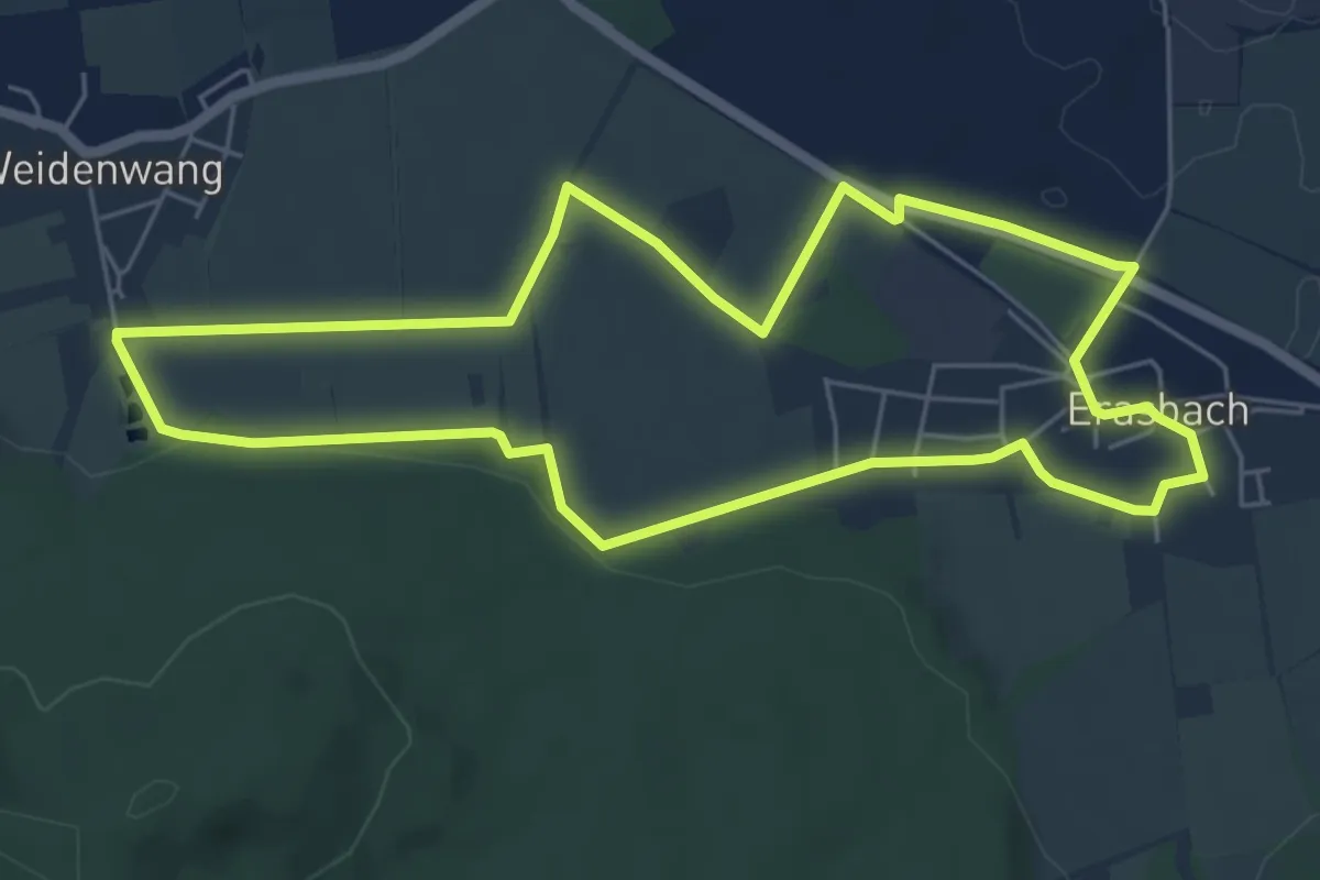
Easy · Trail
Gluck-Wanderweg
5.5 km · ↑ 49 m · 1 h 30 min
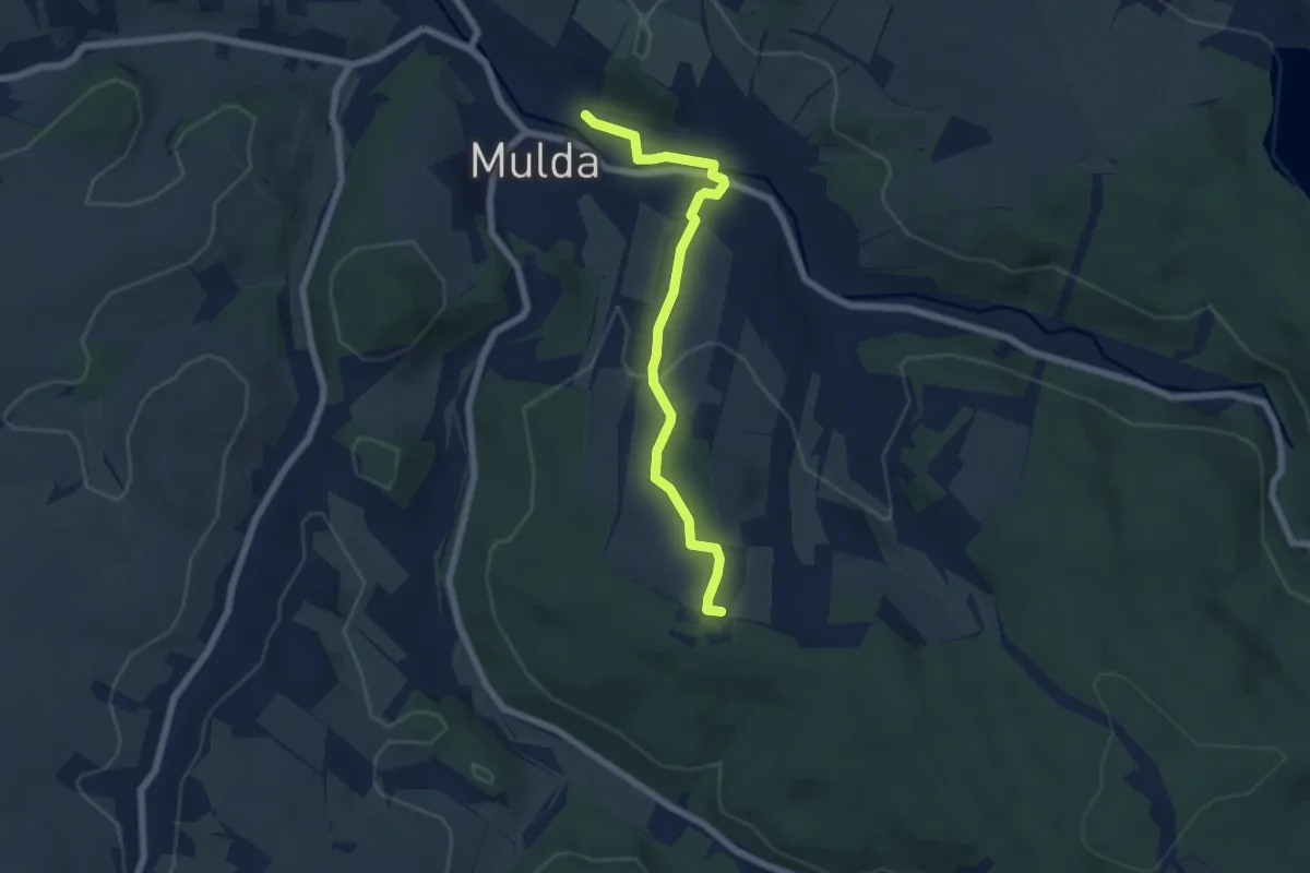
Easy · Summit
[G] Mulda Blockhausen
5.6 km · ↑ 147 m · 1 h 38 min
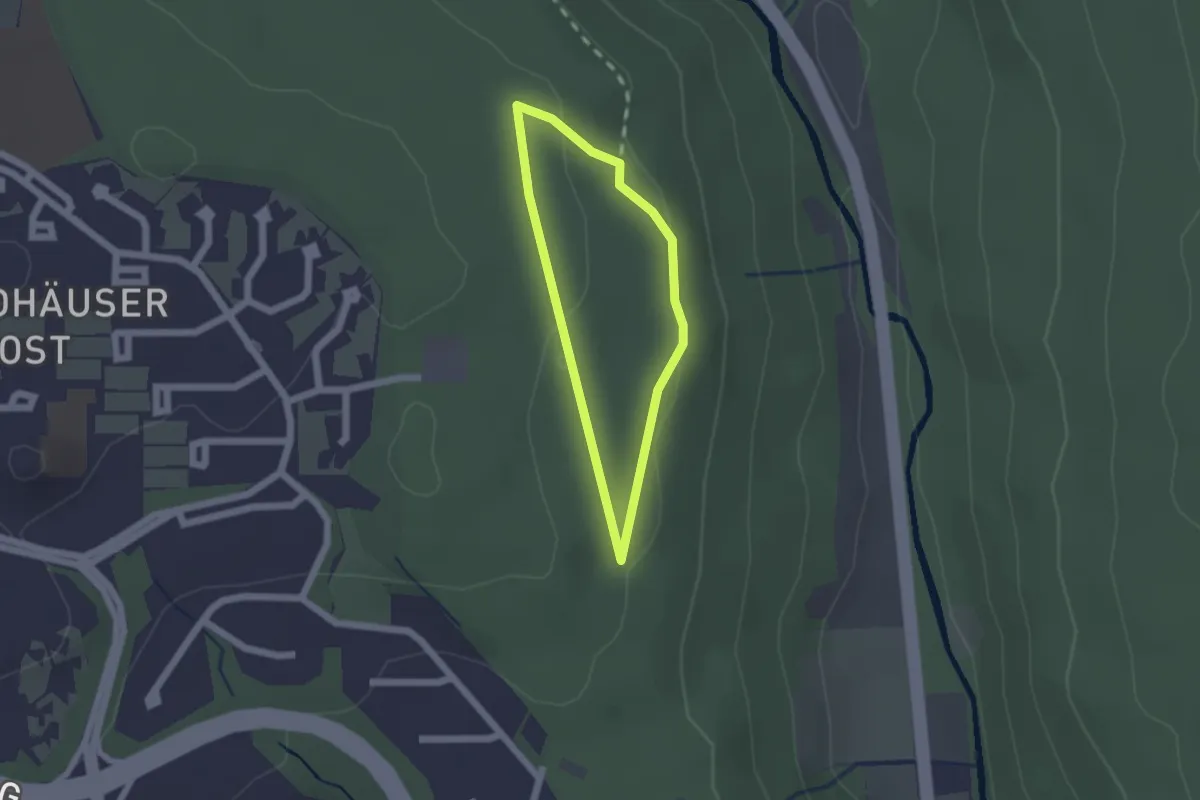
Easy · Trail
G'mütswegle - Pfad für mentale Fitness
1.4 km · ↑ 28 m · 24 min
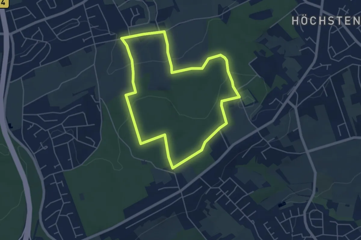
Easy · Trail
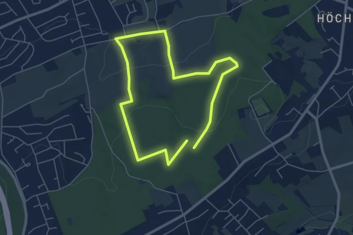
[GN1] Dortmund-Mittelhöchsten Rundweg
4.3 km · ↑ 79 m · 1 h 14 min
Easy · Trail
[GN2] Dortmund-Mittelhöchsten Rundweg
3.7 km · ↑ 72 m · 1 h 5 min
Medium · Trail
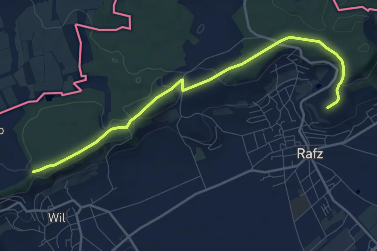
Gnal - Flüestig
8.9 km · ↑ 130 m · 2 h 23 min
Easy · Trail
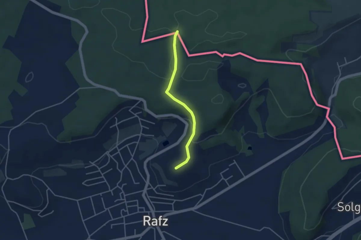
Gnal - Rafzerstein
2.9 km · ↑ 81 m · 52 min
Medium · Trail
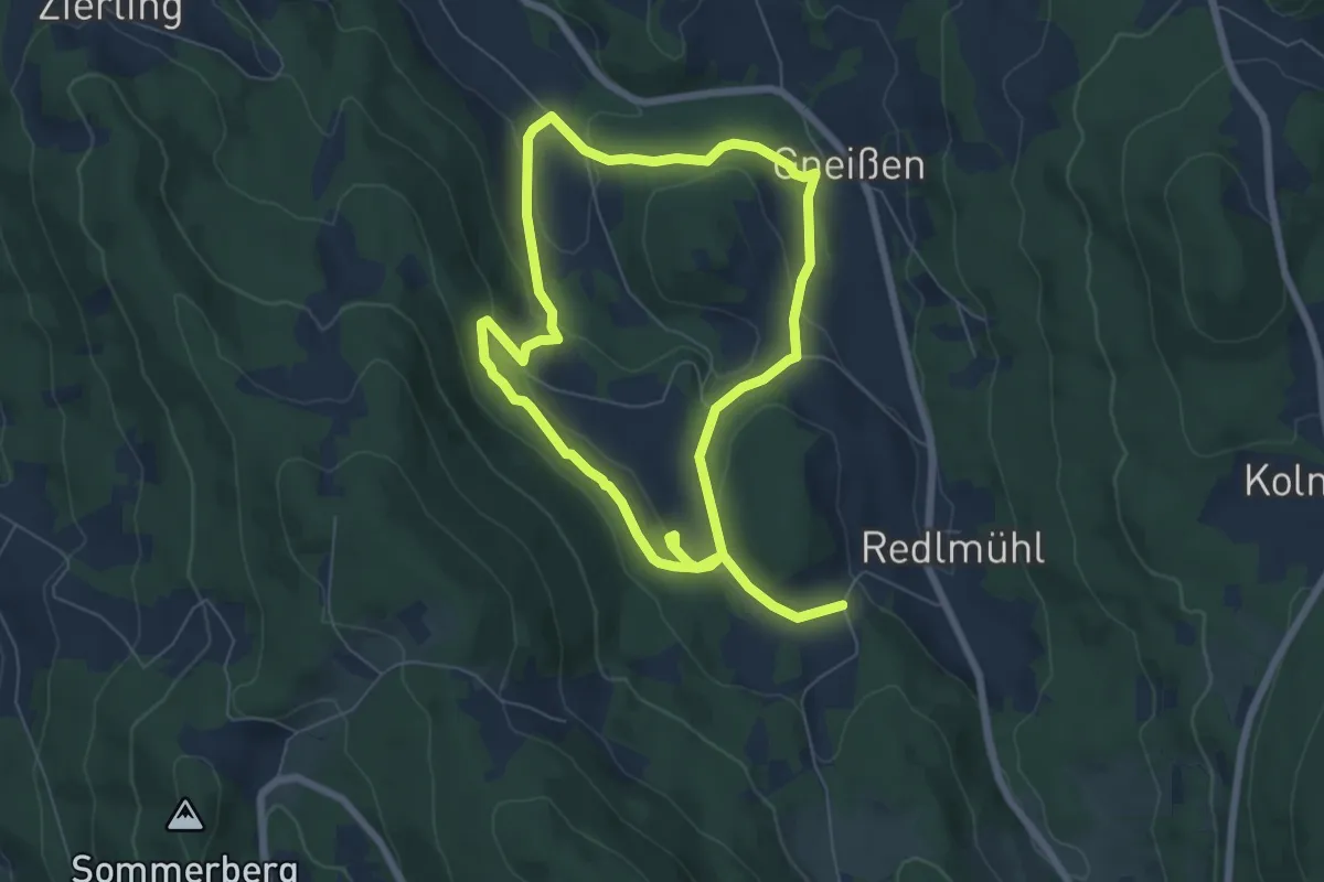
Gneißen-Maierhof-Rundweg (Rattenberger Wanderweg 8)
11.8 km · ↑ 381 m · 3 h 37 min
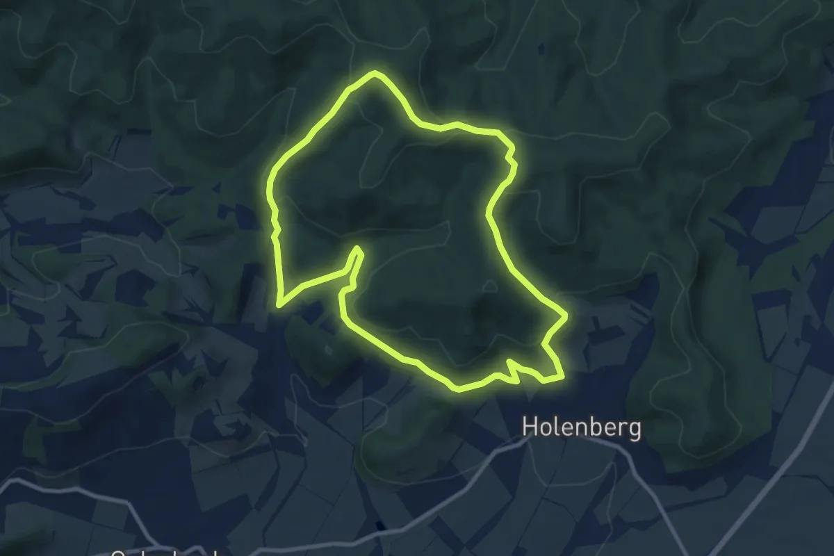
Medium · Summit
GO1 Wilder Vogler
8.1 km · ↑ 328 m · 2 h 44 min
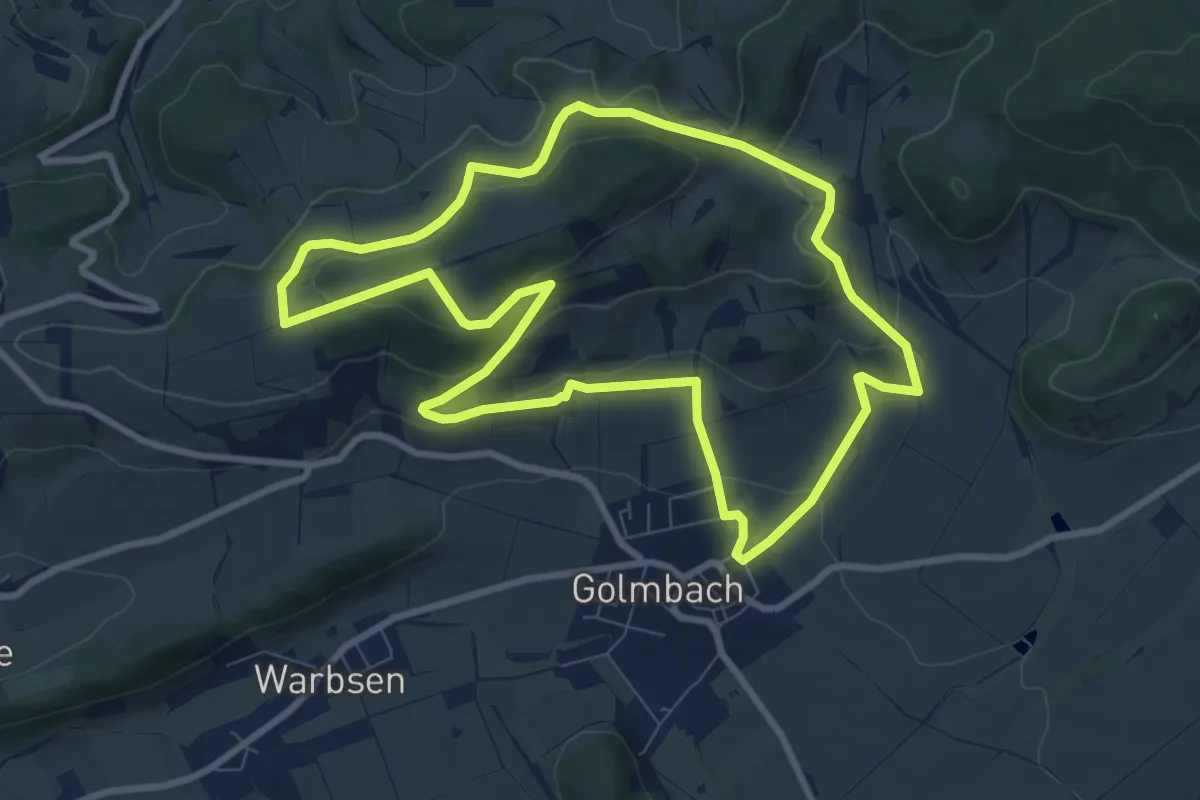
Medium · Trail
Go 2
8.0 km · ↑ 237 m · 2 h 31 min
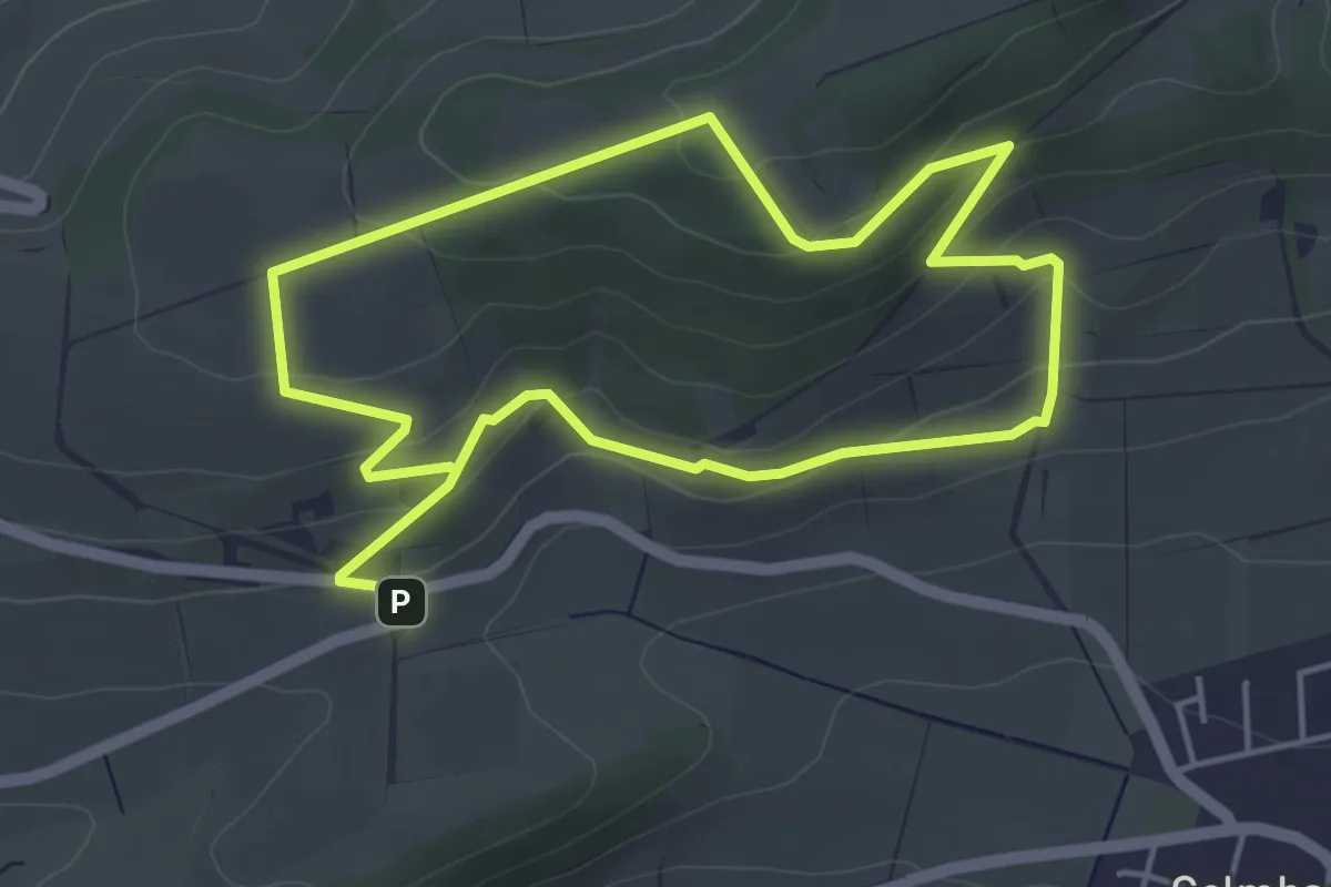
Easy · Trail
Go 3
3.9 km · ↑ 172 m · 1 h 20 min
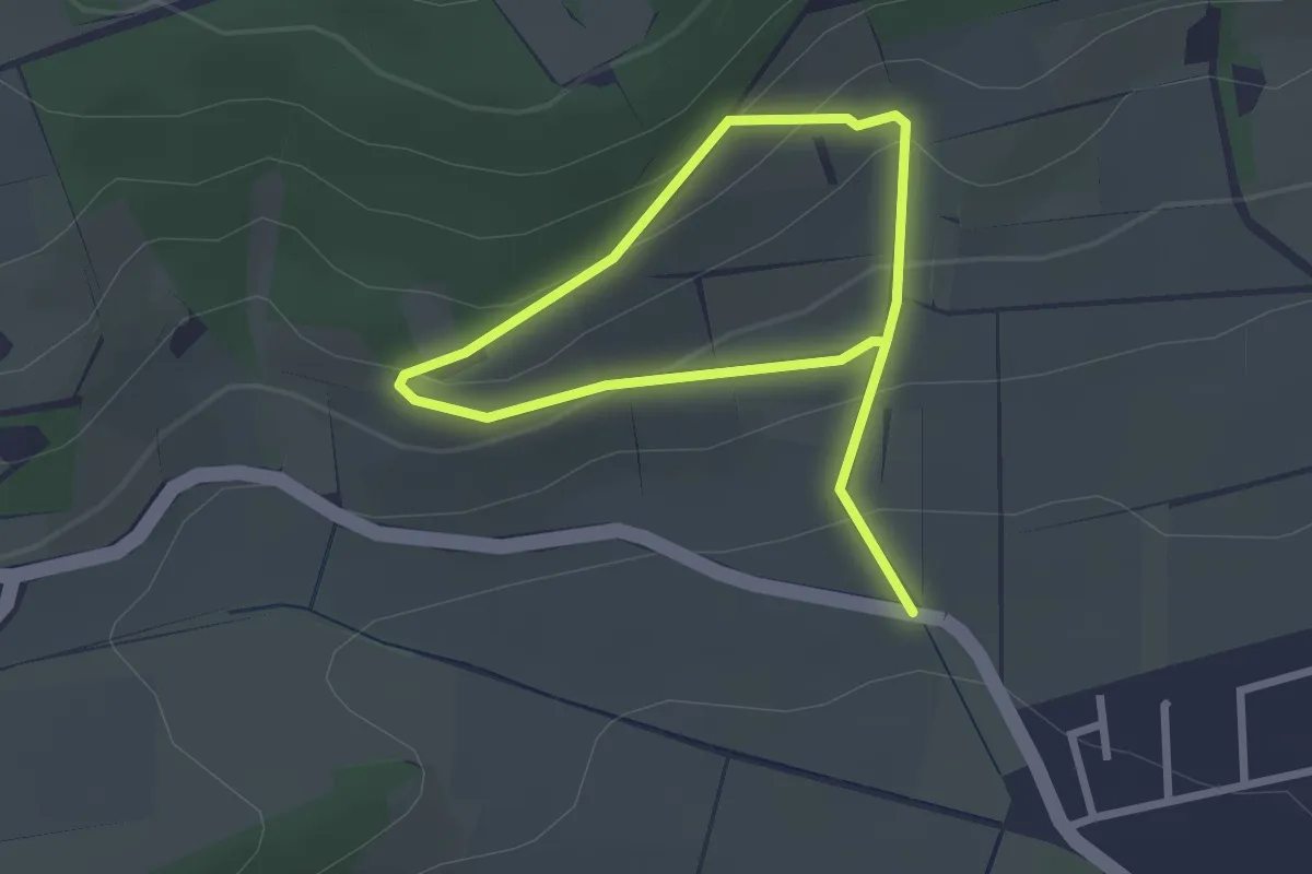
Easy · Trail
Go 4
1.7 km · ↑ 91 m · 39 min
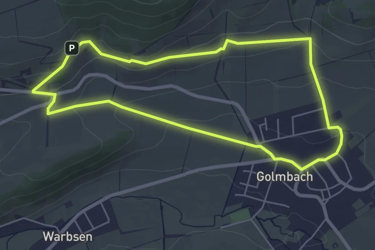
Easy · Trail
Go 5
4.3 km · ↑ 107 m · 1 h 19 min
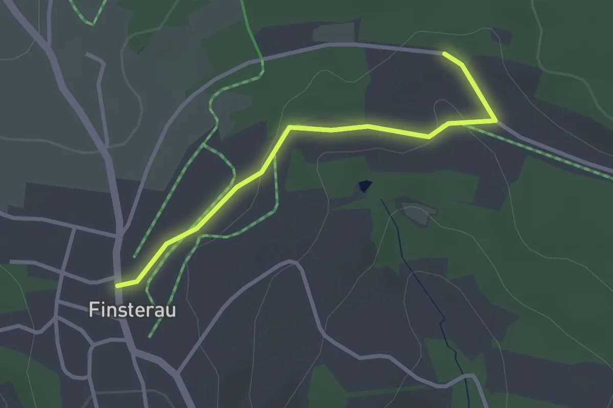
Easy · Trail
Gockel (Rundweg-Finsterau-Jugendferiendorf)
2.5 km · ↑ 39 m · 40 min
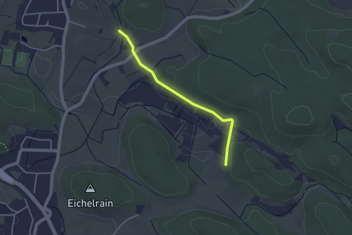
Easy · Trail
Gockelsberg - Kellhof
2.6 km · ↑ 27 m · 40 min
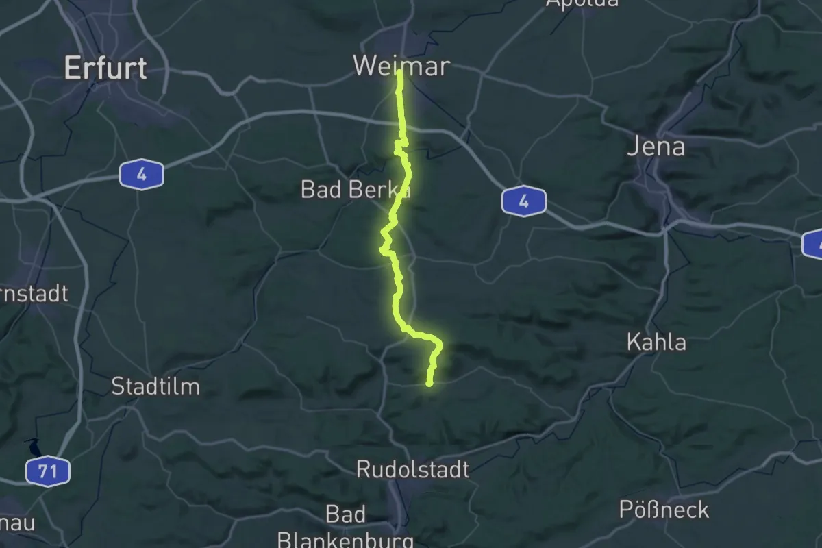
Demanding · Trail
Goethe-Erlebnisweg
29.3 km · ↑ 745 m · 8 h 53 min
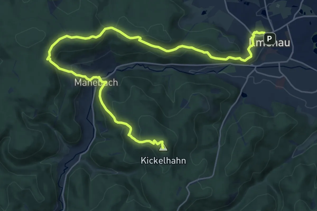
Demanding · Summit
Goethewanderweg
21.1 km · ↑ 939 m · 7 h 1 min
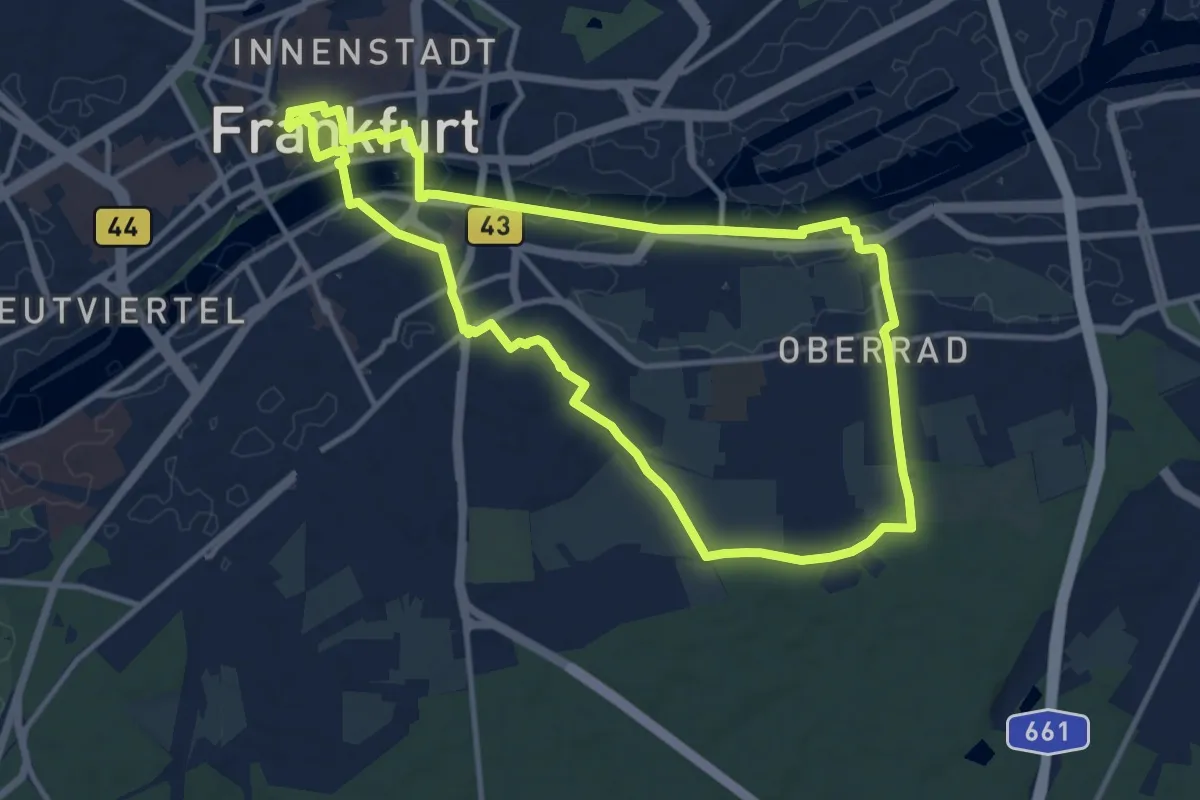
Medium · Trail
Goetheweg
11.1 km · ↑ 77 m · 2 h 57 min
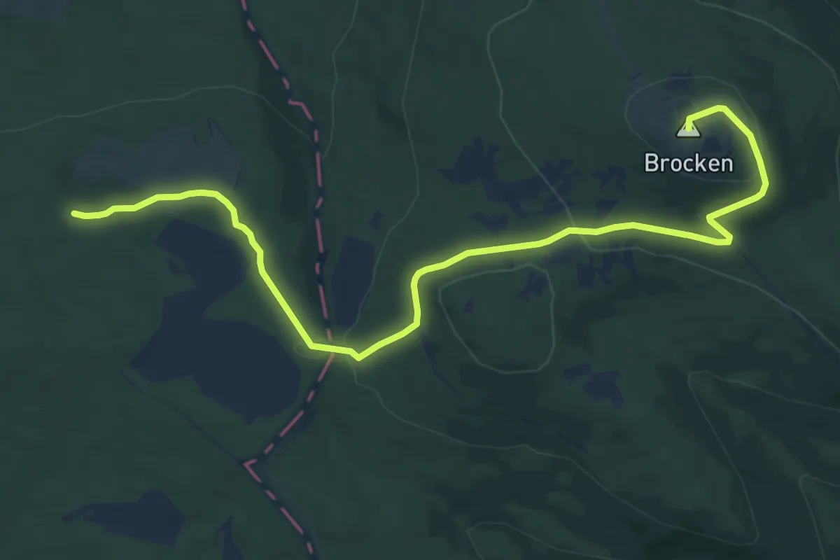
Medium · Summit
Goetheweg
12.2 km · ↑ 299 m · 3 h 31 min
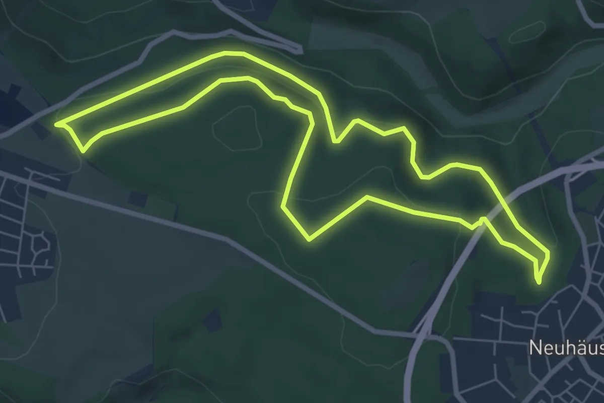
Medium · Summit
Goetheweg-Nonnenheck
5.8 km · ↑ 183 m · 1 h 50 min