Trails in Germany
36,852 hiking trails, each with its route, climb, walking time and grade.
All trails, page 184 of 768
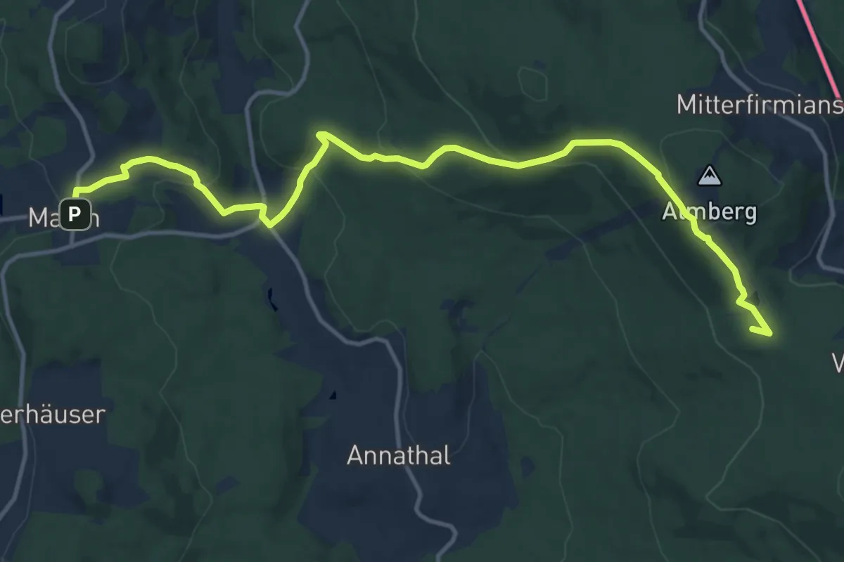
Medium · Summit
Goldsteig N19: Mauth - Philippsreut
13.5 km · ↑ 527 m · 4 h 20 min
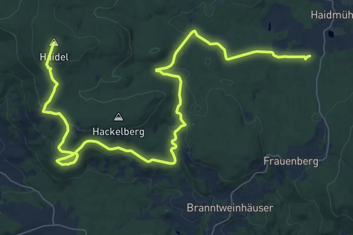
Demanding · Summit
Goldsteig N20: Philippsreut - Haidmühle
32.3 km · ↑ 669 m · 9 h 5 min
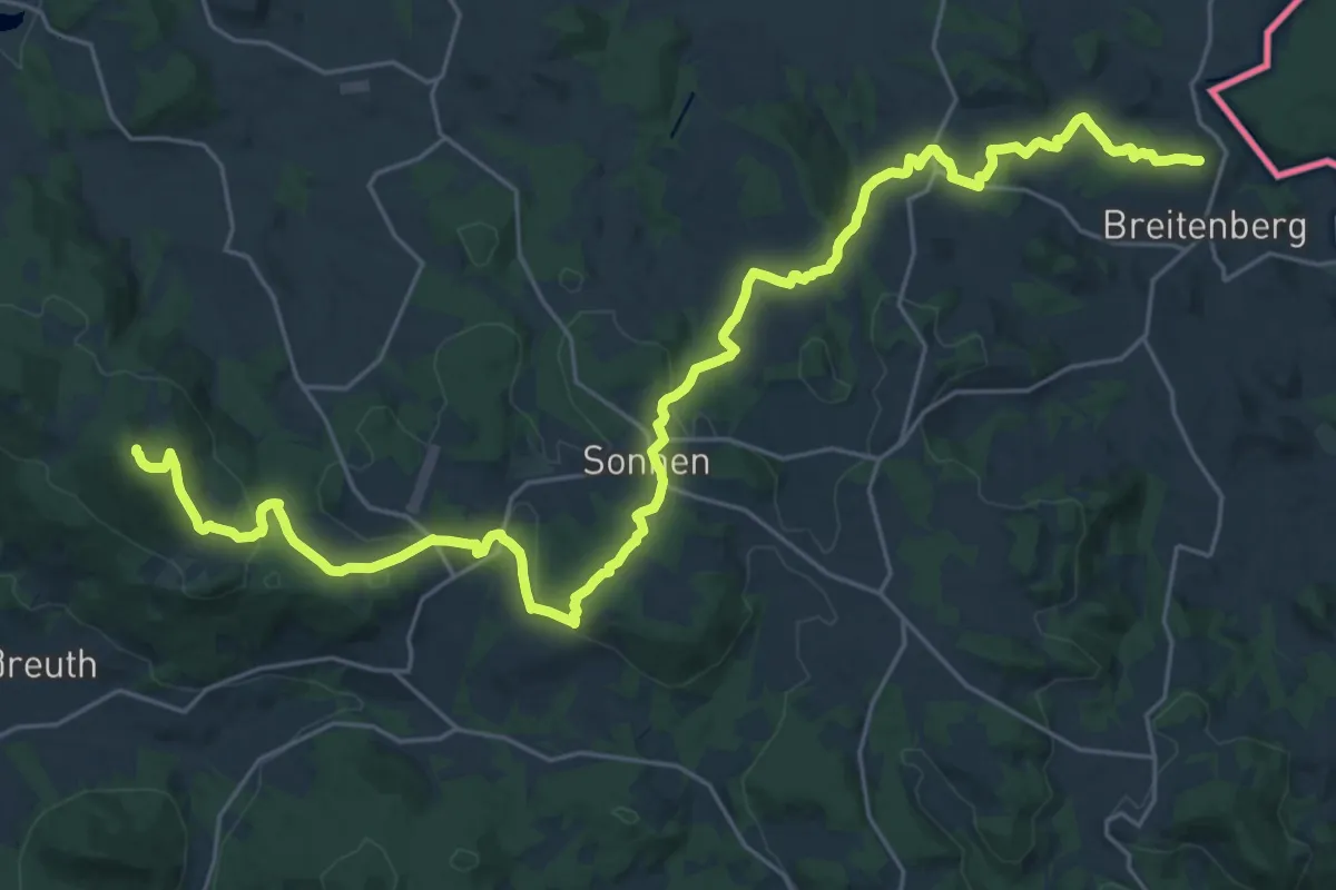
Demanding · Summit
Goldsteig N22: Breitenberg - Hauzenberg
33.4 km · ↑ 961 m · 9 h 58 min
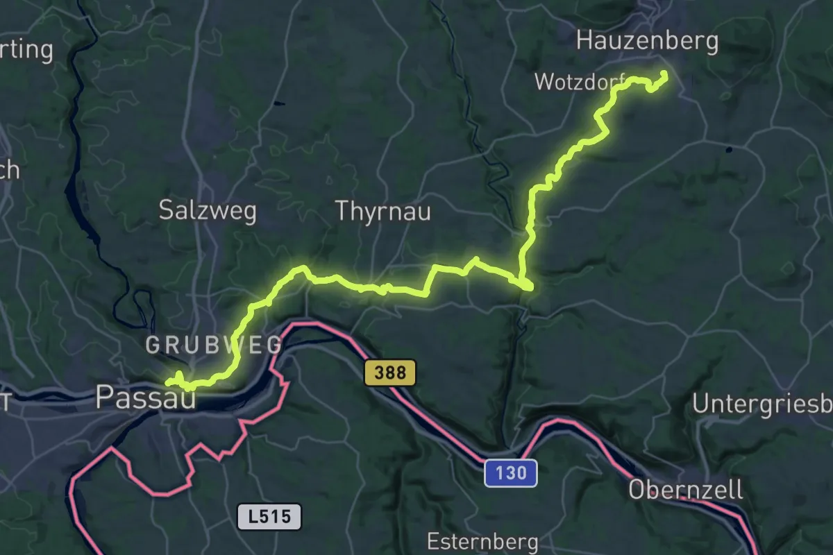
Demanding · Trail
Goldsteig N23: Hauzenberg - Passau
21.1 km · ↑ 587 m · 6 h 36 min
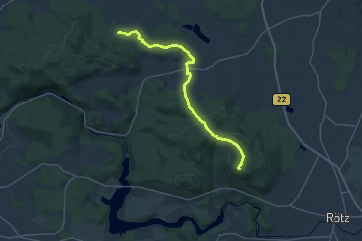
Demanding · Summit
Goldsteig N8-Teilabschnitt: Abzweigung Nord-Südroute - Rötz
13.5 km · ↑ 416 m · 4 h 6 min
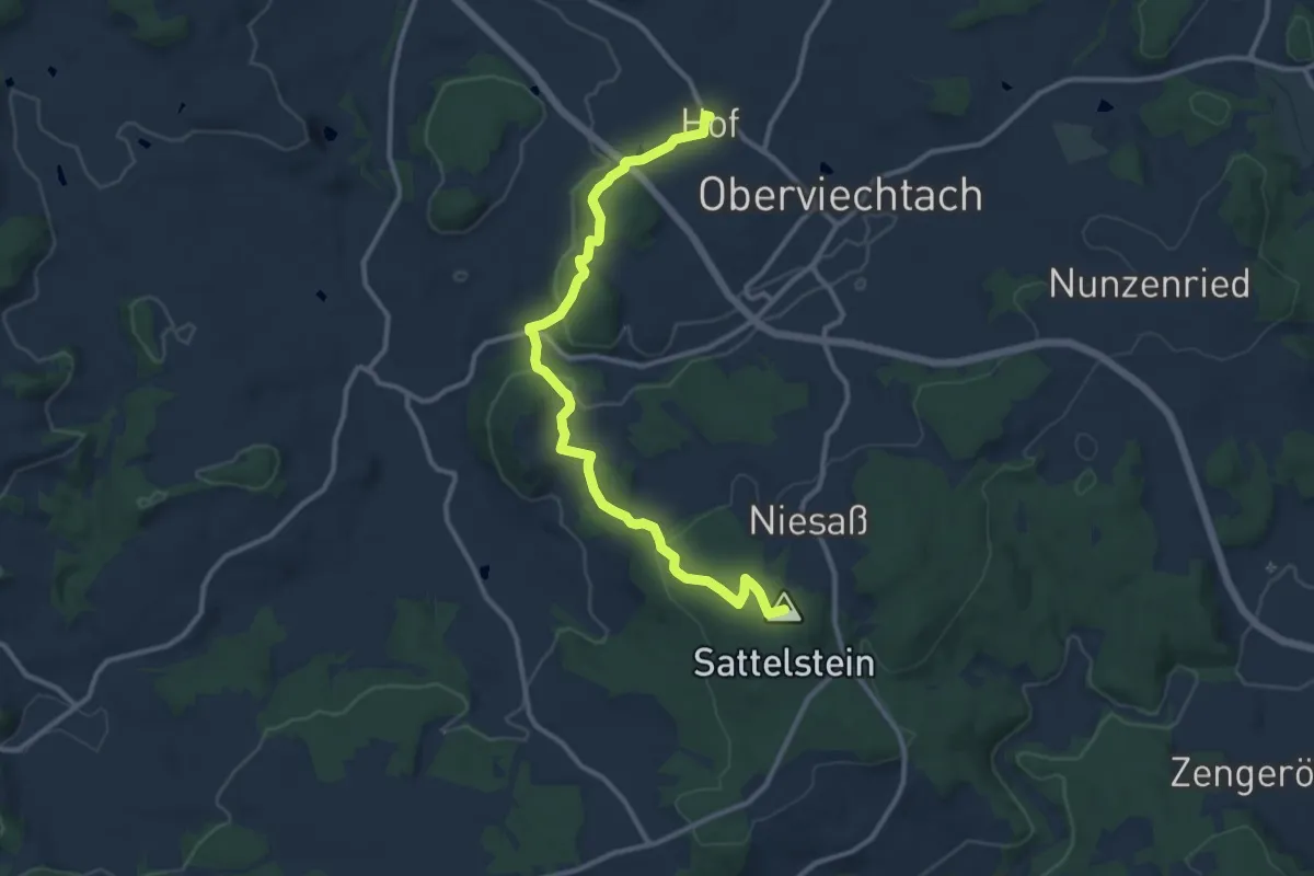
Medium · Summit
Goldsteig N8-Teilabschnitt: Oberviechtach - Abzweigung Nord-Südroute Kulzer Moos
11.2 km · ↑ 353 m · 3 h 24 min
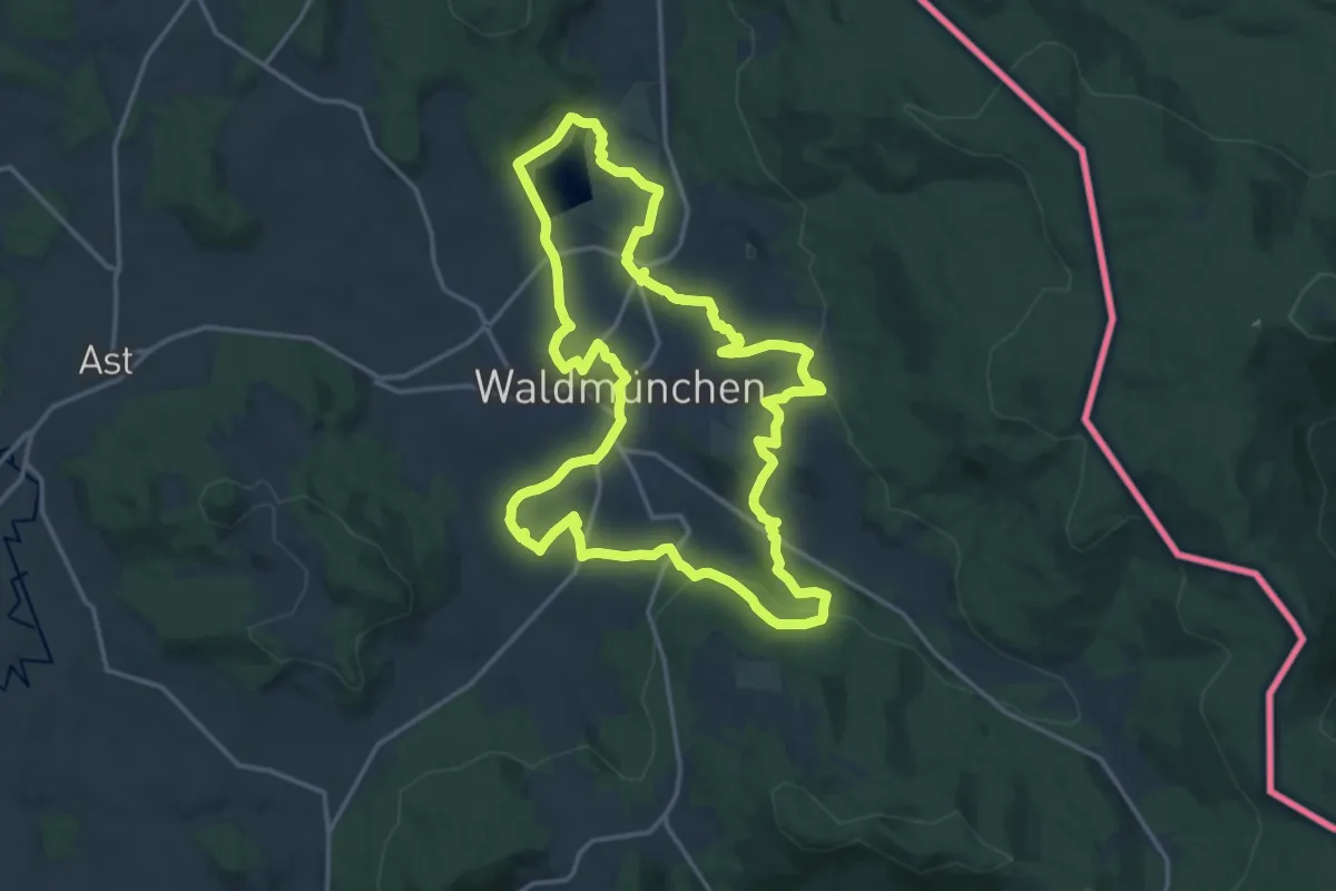
Medium · Trail
Goldsteig Rundweg Nr.10 Waldmünchen
15.9 km · ↑ 362 m · 4 h 45 min
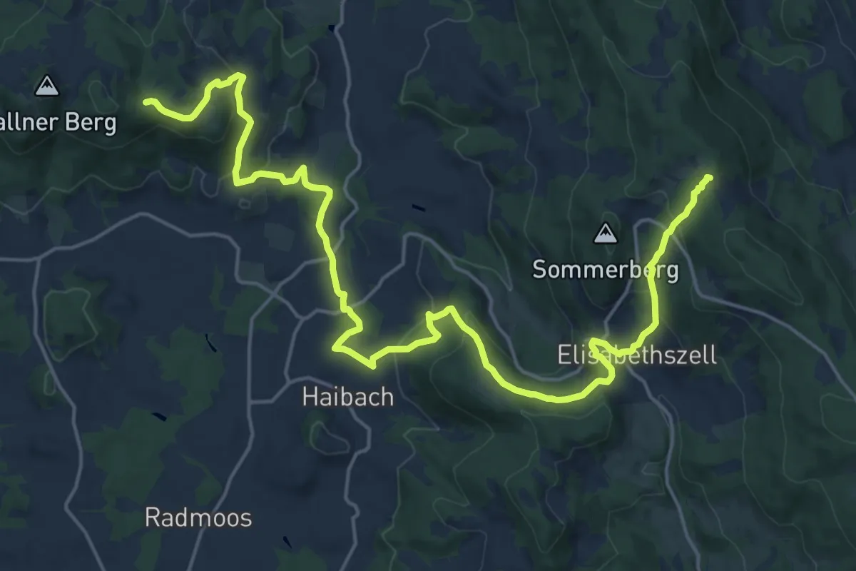
Demanding · Cabin
Goldsteig Rundweg Nr.27A Haibach
22.6 km · ↑ 936 m · 7 h 22 min
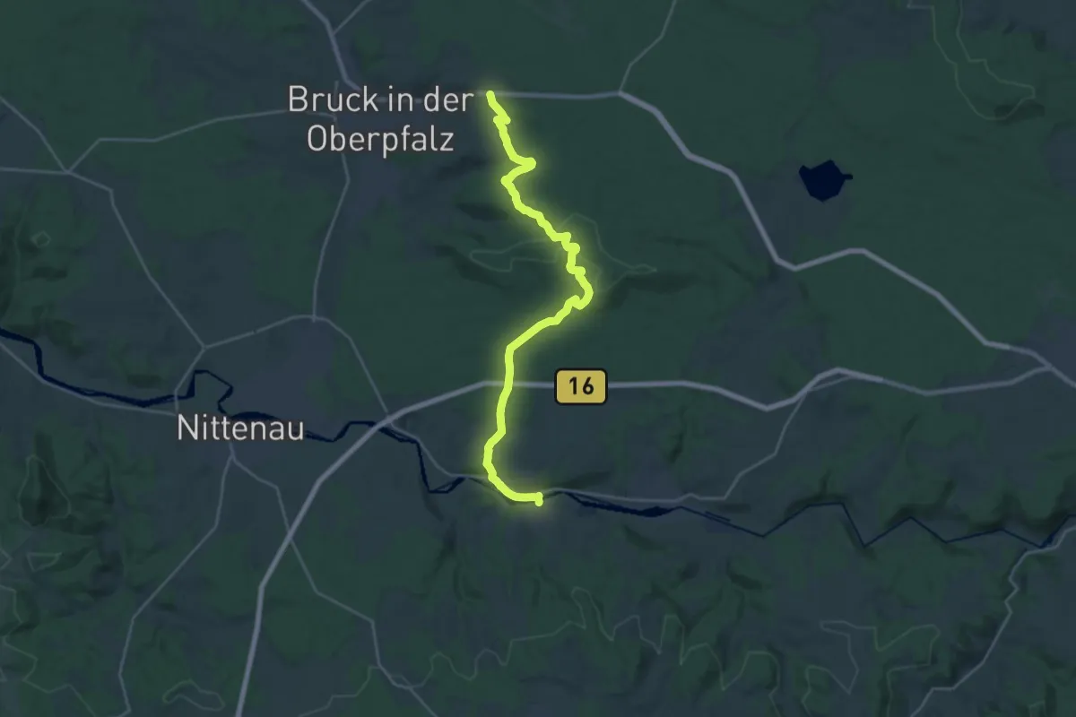
Demanding · Trail
Goldsteig S10: Mappach - Walderbach
23.7 km · ↑ 356 m · 6 h 22 min
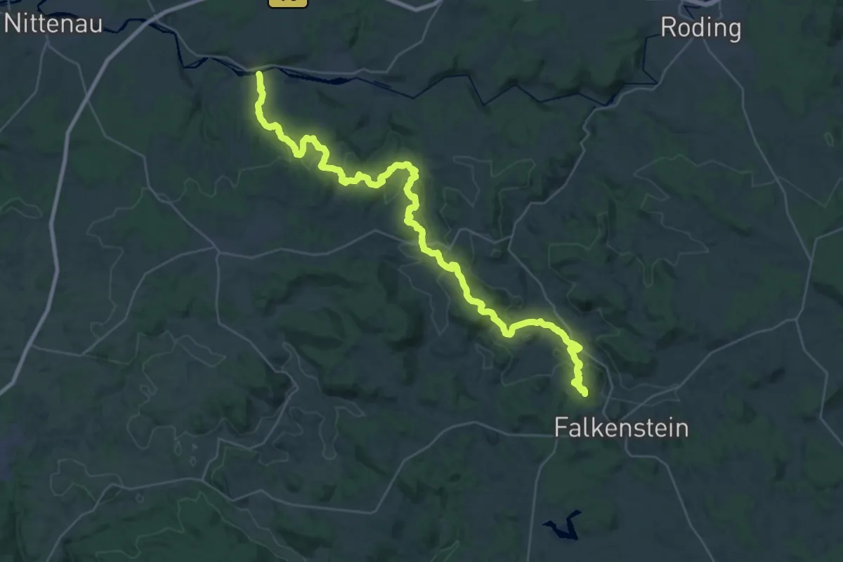
Demanding · Summit
Goldsteig S11: Walderbach - Falkenstein
40.0 km · ↑ 1297 m · 12 h 16 min
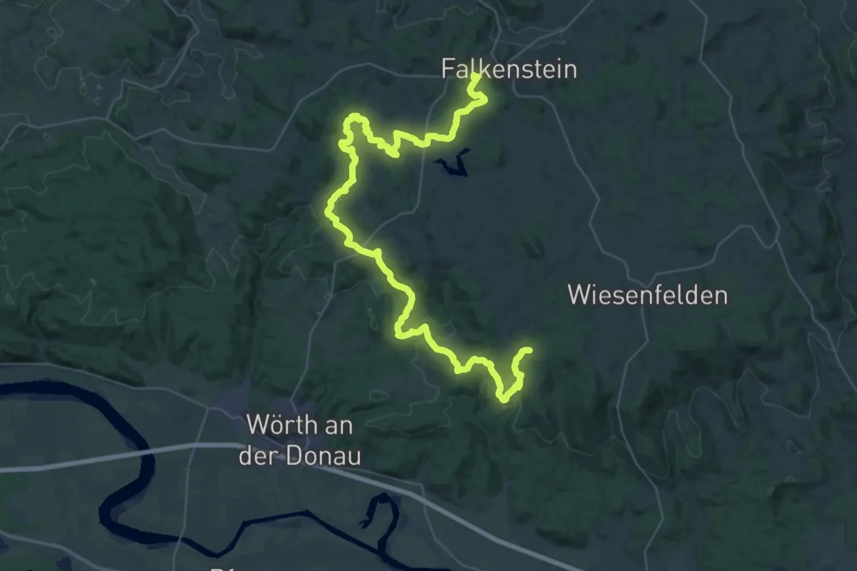
Demanding · Trail
Goldsteig S12: Falkenstein - Wiesenfelden
24.0 km · ↑ 583 m · 7 h 15 min
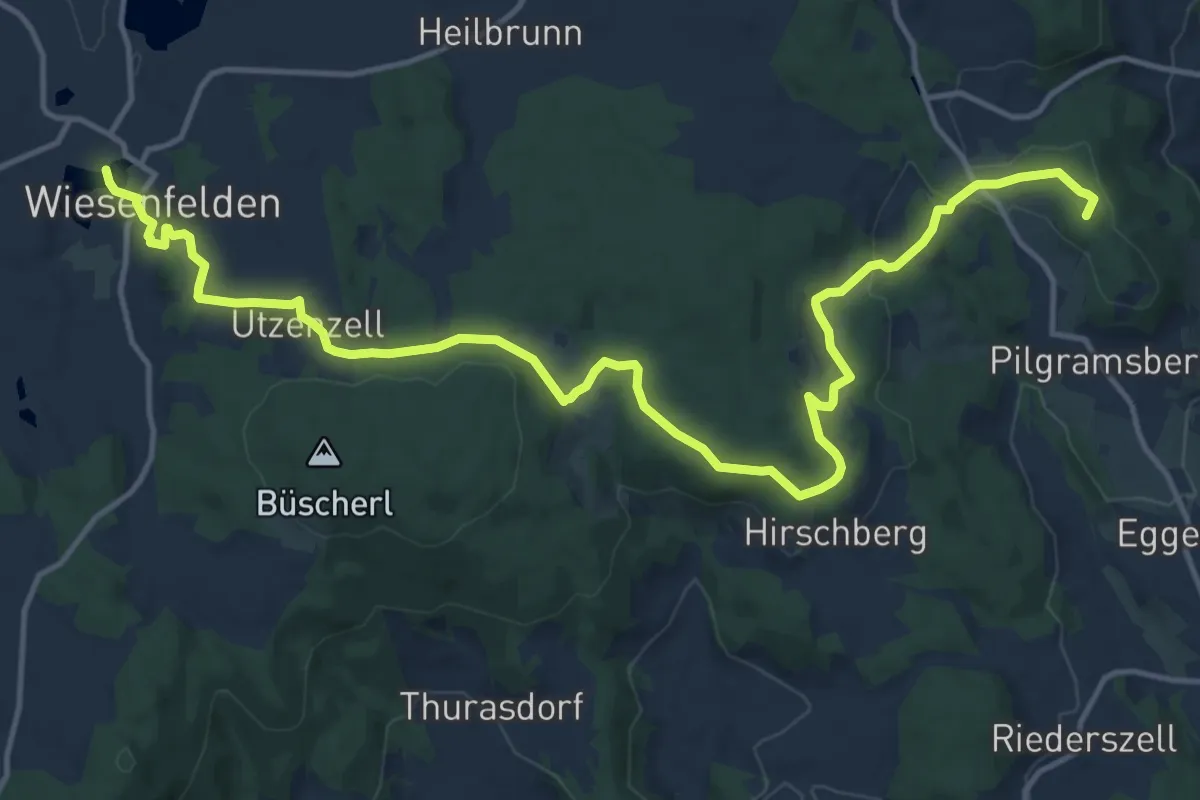
Medium · Summit
Goldsteig S13: Wiesenfelden - Haunkenzell
17.2 km · ↑ 361 m · 4 h 51 min
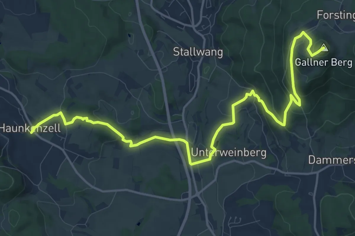
Medium · Summit
Goldsteig S14: Haunkenzell - Konzell
13.7 km · ↑ 472 m · 4 h 15 min
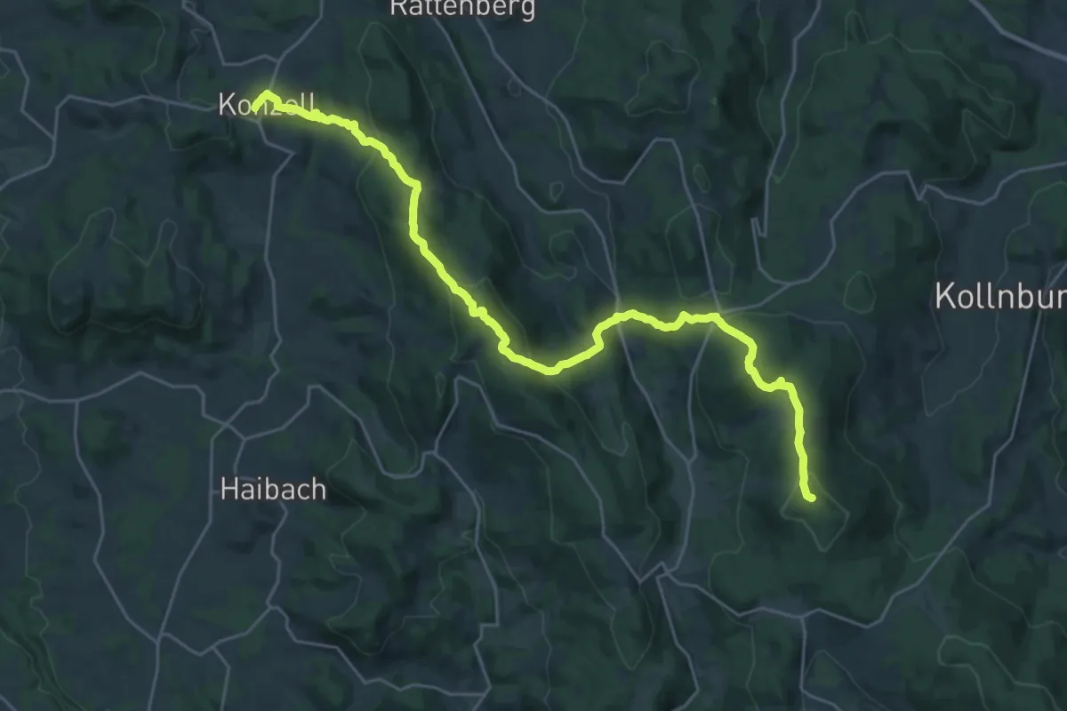
Demanding · Summit
Goldsteig S15: Konzell – Sankt Englmar
27.4 km · ↑ 1354 m · 9 h 24 min
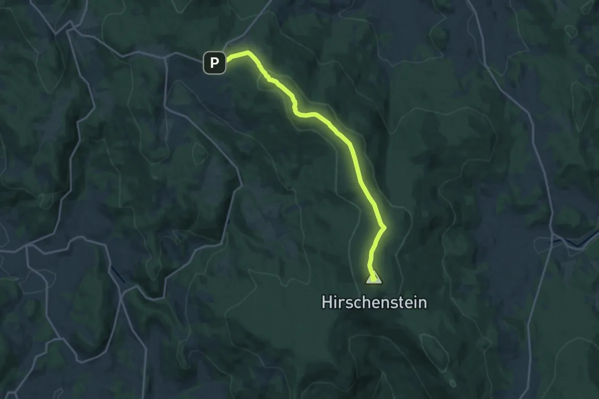
Medium · Summit
Goldsteig S16: Sankt Englmar - Grandsberg
14.3 km · ↑ 354 m · 4 h 9 min
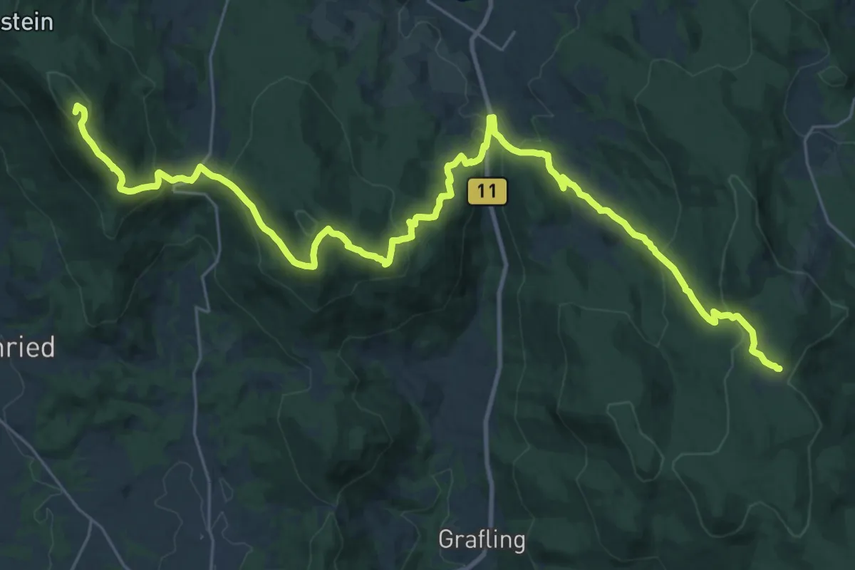
Demanding · Summit
Goldsteig S17: Grandsberg – Landshuter Haus
33.6 km · ↑ 1439 m · 11 h 3 min
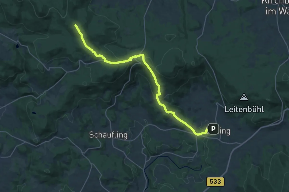
Demanding · Summit
Goldsteig S18: Landshuter Haus – Lalling
21.9 km · ↑ 752 m · 6 h 48 min
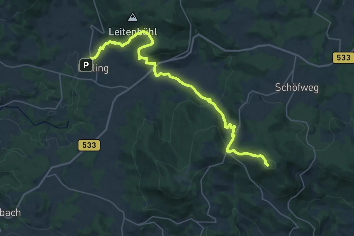
Demanding · Summit
Goldsteig S19: Lalling - Zenting
22.5 km · ↑ 1039 m · 7 h 33 min
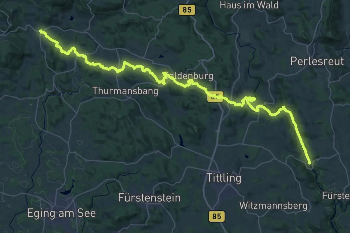
Demanding · Trail
Goldsteig S20: Zenting - Schrottenbaummühle
21.9 km · ↑ 535 m · 6 h 40 min
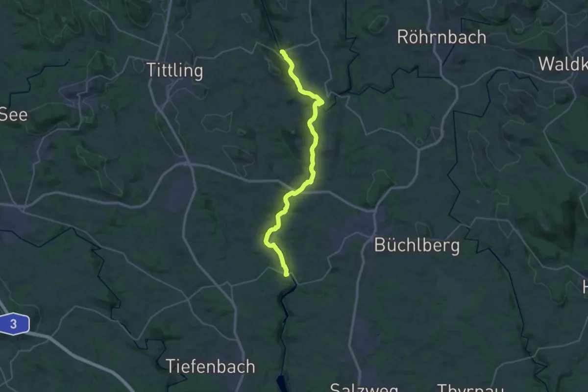
Demanding · Trail
Goldsteig S21: Schrottenbaummühle - Fischhaus
23.6 km · ↑ 382 m · 6 h 24 min
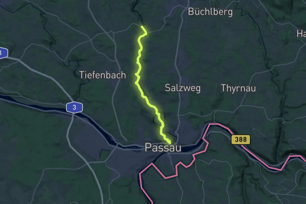
Demanding · Trail
Goldsteig S22: Ruderting - Passau
23.4 km · ↑ 574 m · 6 h 46 min
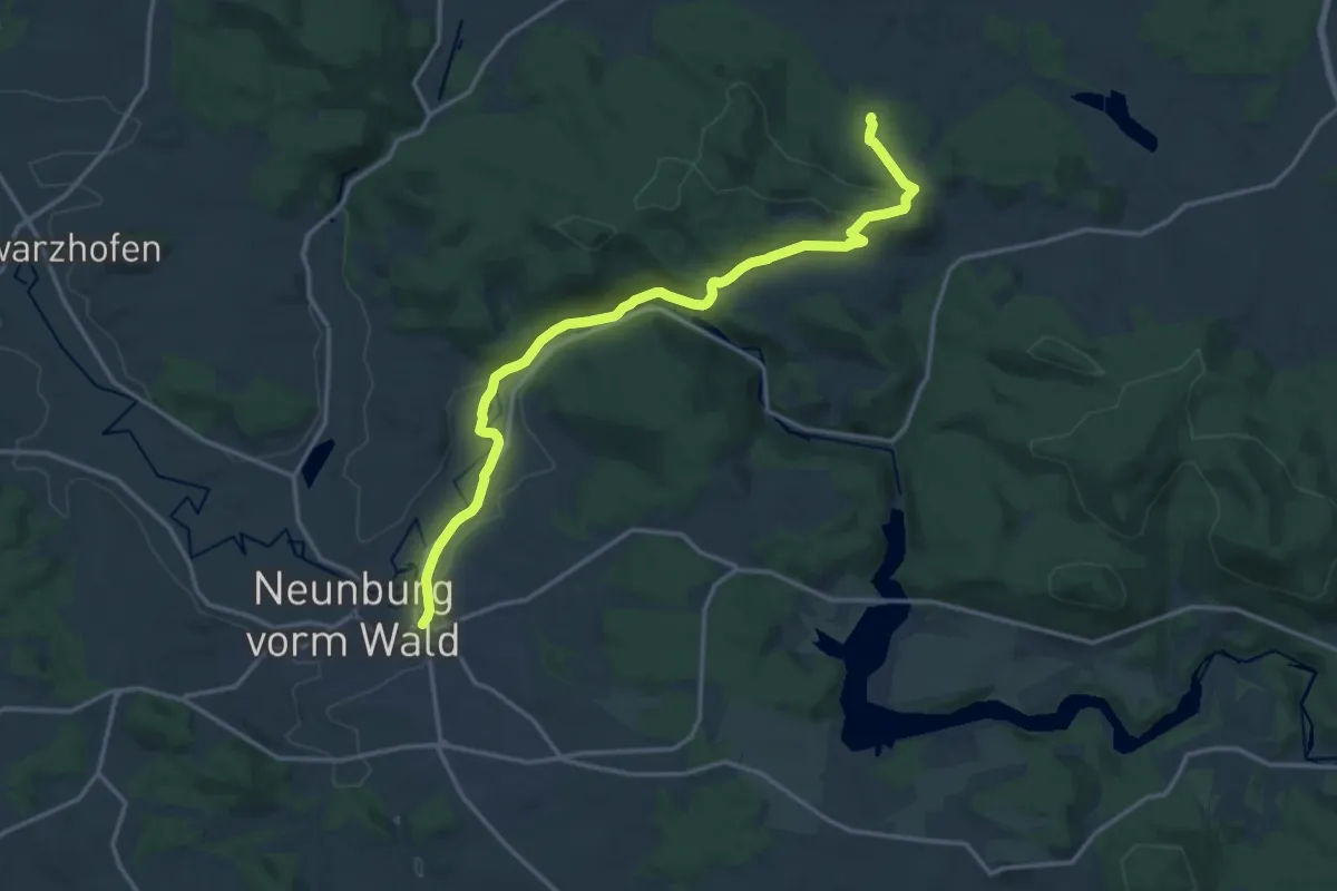
Medium · Trail
Goldsteig S8: Verzweigung Kulzer Moos - Neunburg v.W.
15.9 km · ↑ 377 m · 4 h 35 min
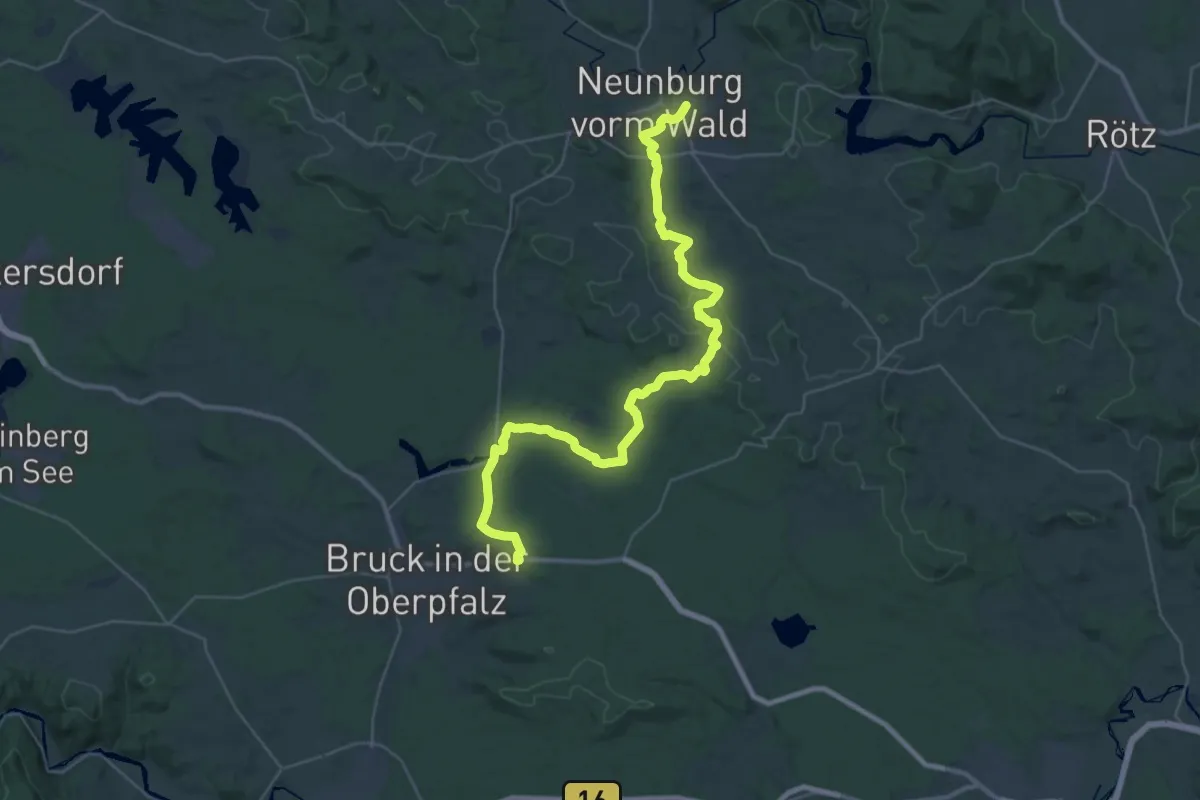
Demanding · Trail
Goldsteig S9: Neunburg v.W. - Mappach
20.0 km · ↑ 263 m · 5 h 33 min
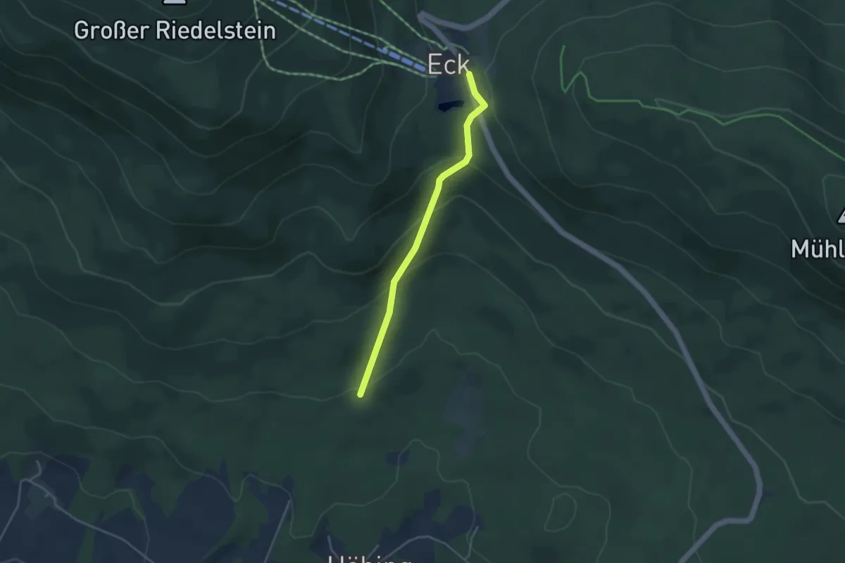
Easy · Trail
Goldsteig Verbindungsweg Nr.28A Pröller → Arnbruck
3.3 km · ↑ 187 m · 1 h 11 min
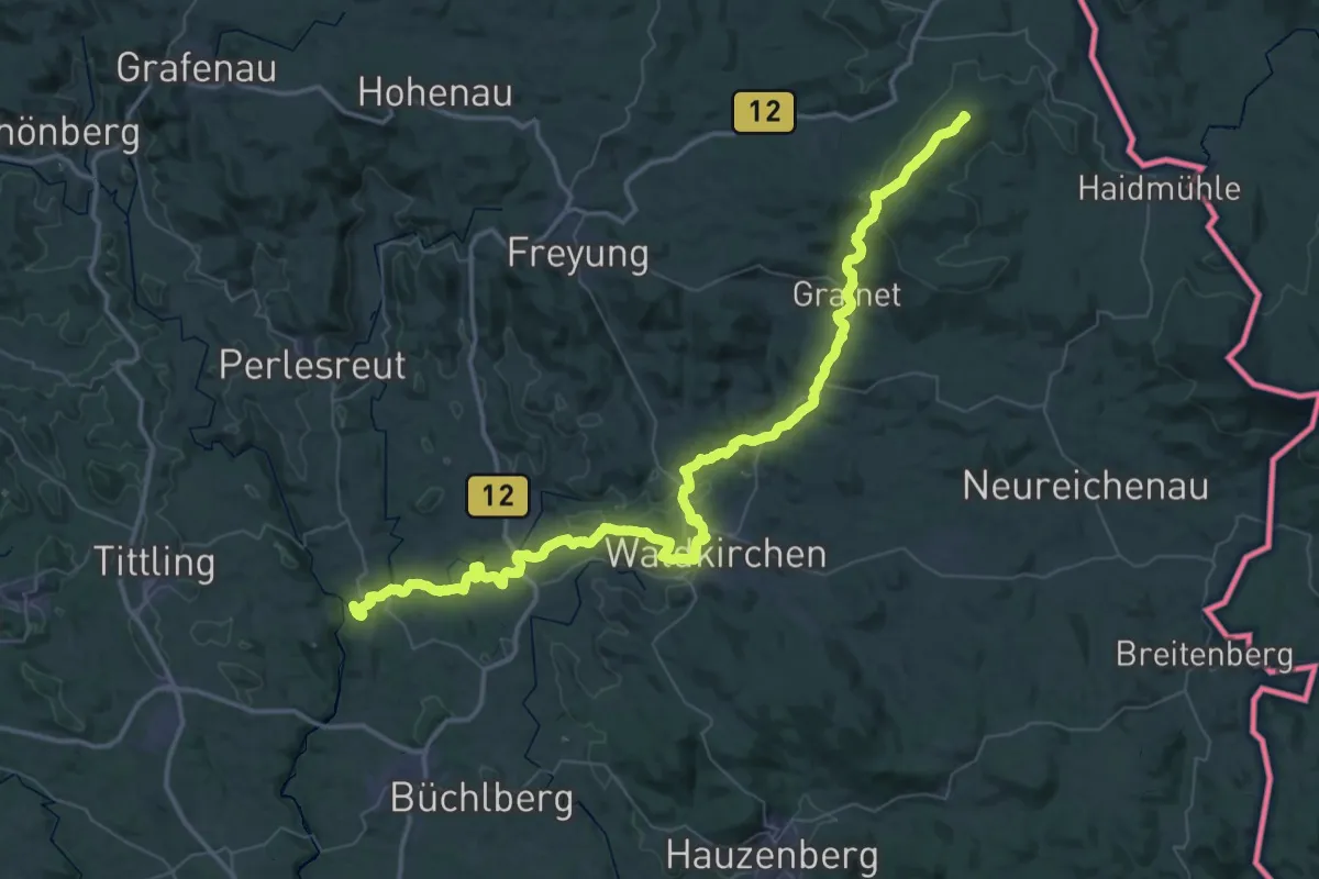
Demanding · Summit
Goldsteig Verbindungsweg Unterer Goldener Steig
66.7 km · ↑ 1870 m · 19 h 48 min
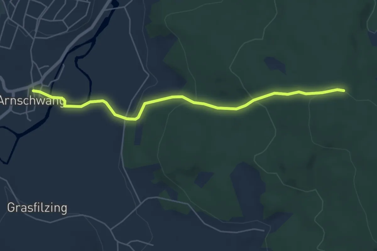
Easy · Trail
Goldsteig Zuweg Nr.11A Arnschwang → Goldsteig
4.8 km · ↑ 174 m · 1 h 31 min
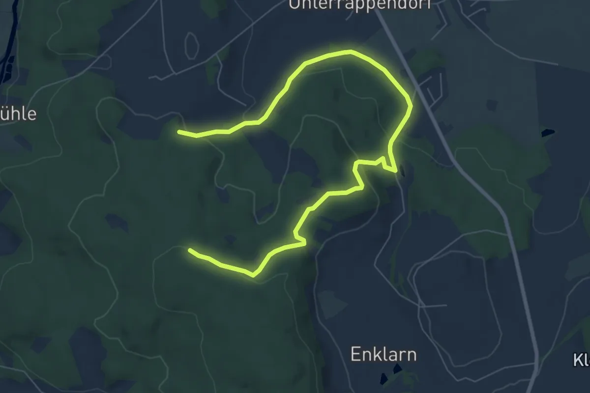
Medium · Trail
Goldsteig Zuweg Nr.11C Steinbruchsee
8.7 km · ↑ 257 m · 2 h 37 min
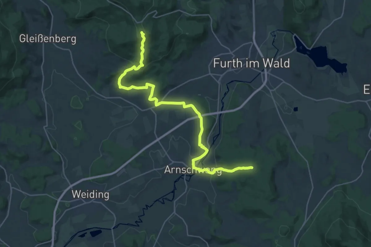
Demanding · Summit
Goldsteig Zuweg Nr.11 Gibacht → Arnschwang
24.3 km · ↑ 801 m · 7 h 29 min
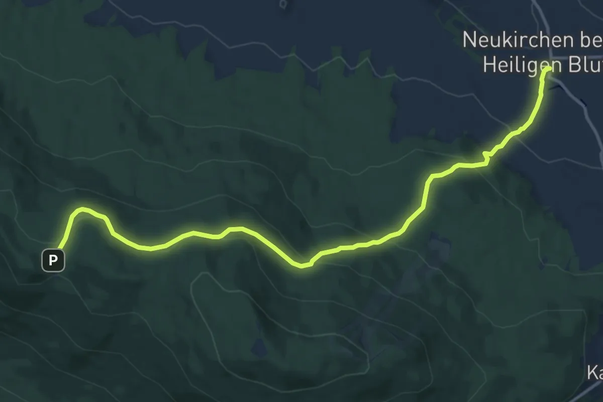
Medium · Trail
Goldsteig Zuweg Nr.12 Neukirchen beim Heiligen Blut → Diensthütte Hohen Bogen
12.4 km · ↑ 519 m · 4 h 4 min
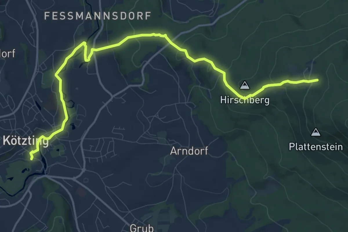
Medium · Trail
Goldsteig Zuweg Nr.14 Kötzting → Reitenberg
12.9 km · ↑ 383 m · 3 h 52 min
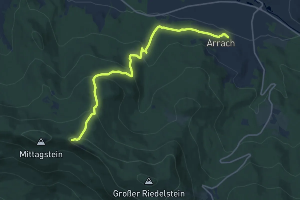
Medium · Trail
Goldsteig Zuweg Nr.15 Arrach → Kaitersberg
11.2 km · ↑ 542 m · 3 h 49 min
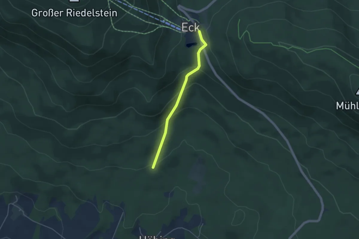
Easy · Trail
Goldsteig Zuweg Nr.16 Höbing - Eck
3.3 km · ↑ 187 m · 1 h 11 min
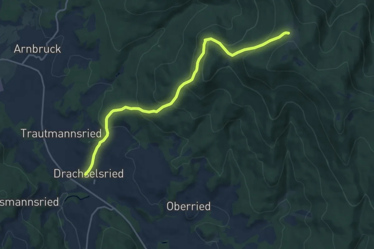
Medium · Trail
Goldsteig Zuweg Nr.17 Drachselried-Heugstatt
12.8 km · ↑ 637 m · 4 h 25 min
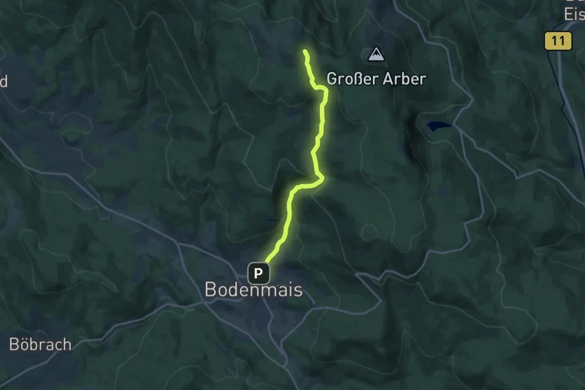
Medium · Cabin
Goldsteig Zuweg Nr.18 Bodenmais - Chamer Hütte
12.1 km · ↑ 630 m · 4 h 13 min
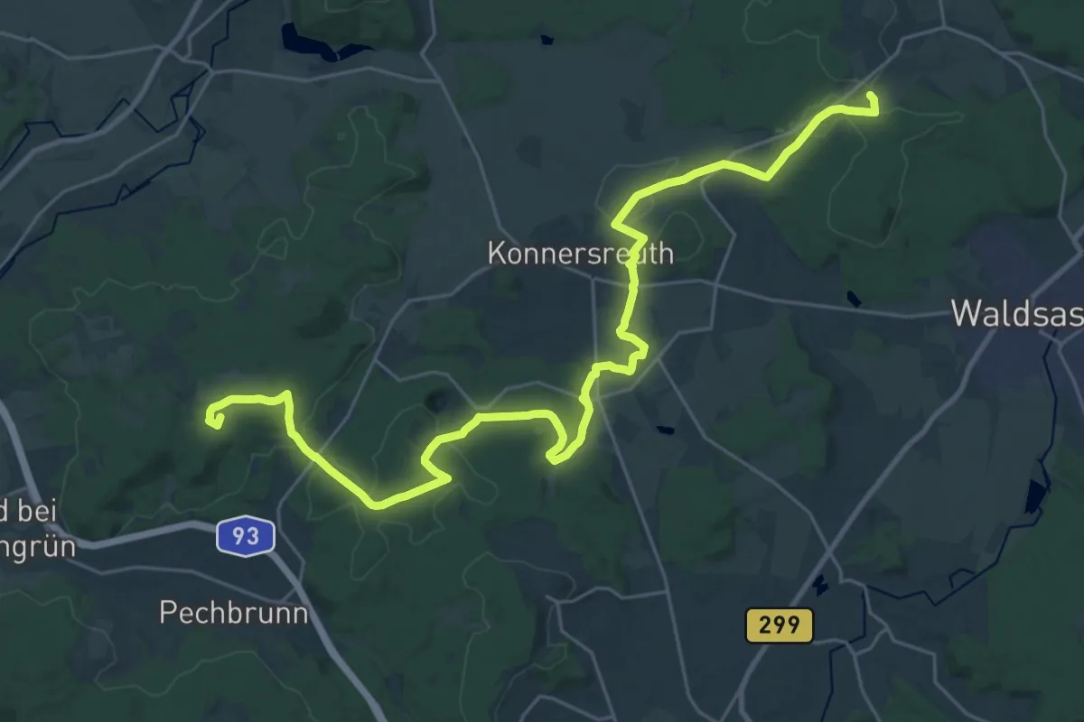
Demanding · Summit
Goldsteig Zuweg Nr.1A Marktredwitz → Kappl
31.7 km · ↑ 492 m · 8 h 33 min
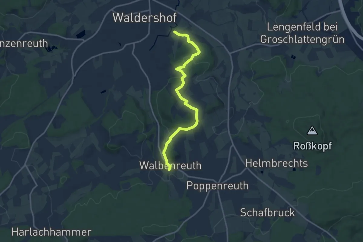
Medium · Trail
Goldsteig Zuweg Nr.1B Waldershof → Walbenreuth
9.7 km · ↑ 240 m · 2 h 49 min
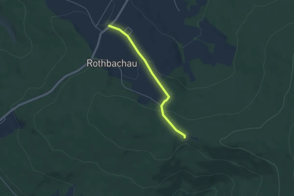
Easy · Trail
Goldsteig Zuweg Nr.20a, Herzogsreut - Schwendreut
3.5 km · ↑ 116 m · 1 h 4 min
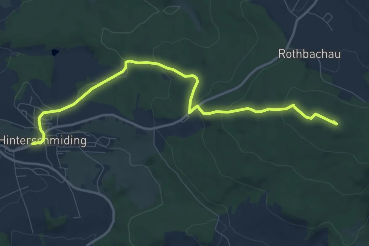
Medium · Summit
Goldsteig Zuweg Nr.20 b, Hinterschmieding - Leopoldsreut
8.7 km · ↑ 269 m · 2 h 38 min
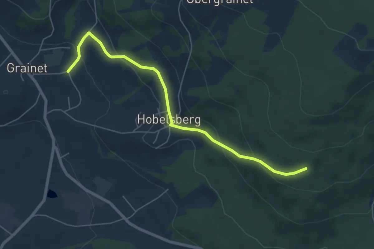
Easy · Trail
Goldsteig Zuweg Nr.21, Grainet - Kohlstattbrunn
5.0 km · ↑ 205 m · 1 h 37 min
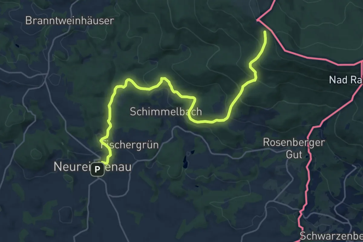
Demanding · Trail
Goldsteig Zuweg Nr.23, Neureichenau - Dreisessel
18.8 km · ↑ 672 m · 5 h 54 min
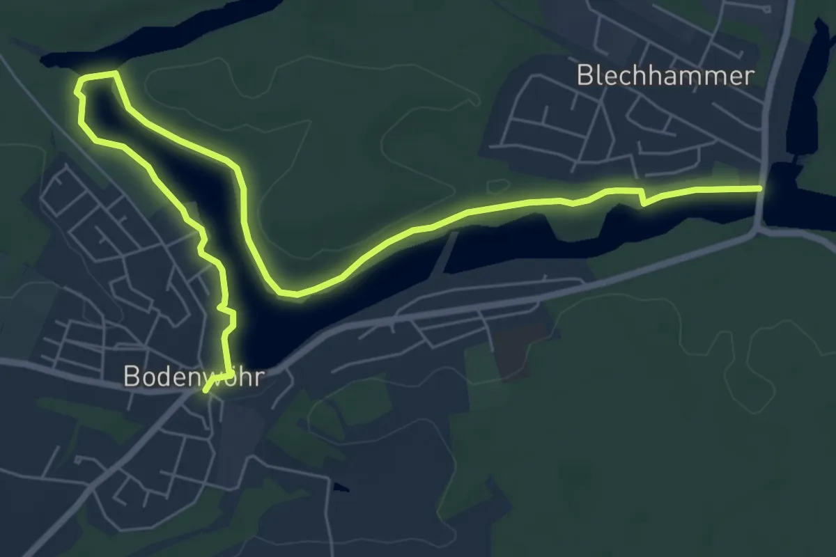
Medium · Trail
Goldsteig Zuweg Nr.24A Bodenwöhr Nord → Blechhammer
8.2 km · ↑ 48 m · 2 h 3 min
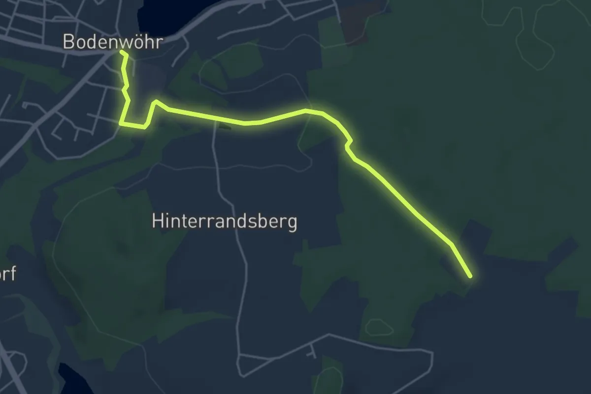
Easy · Trail
Goldsteig Zuweg Nr.24B Bodenwöhr → Birkhof
4.5 km · ↑ 70 m · 1 h 13 min
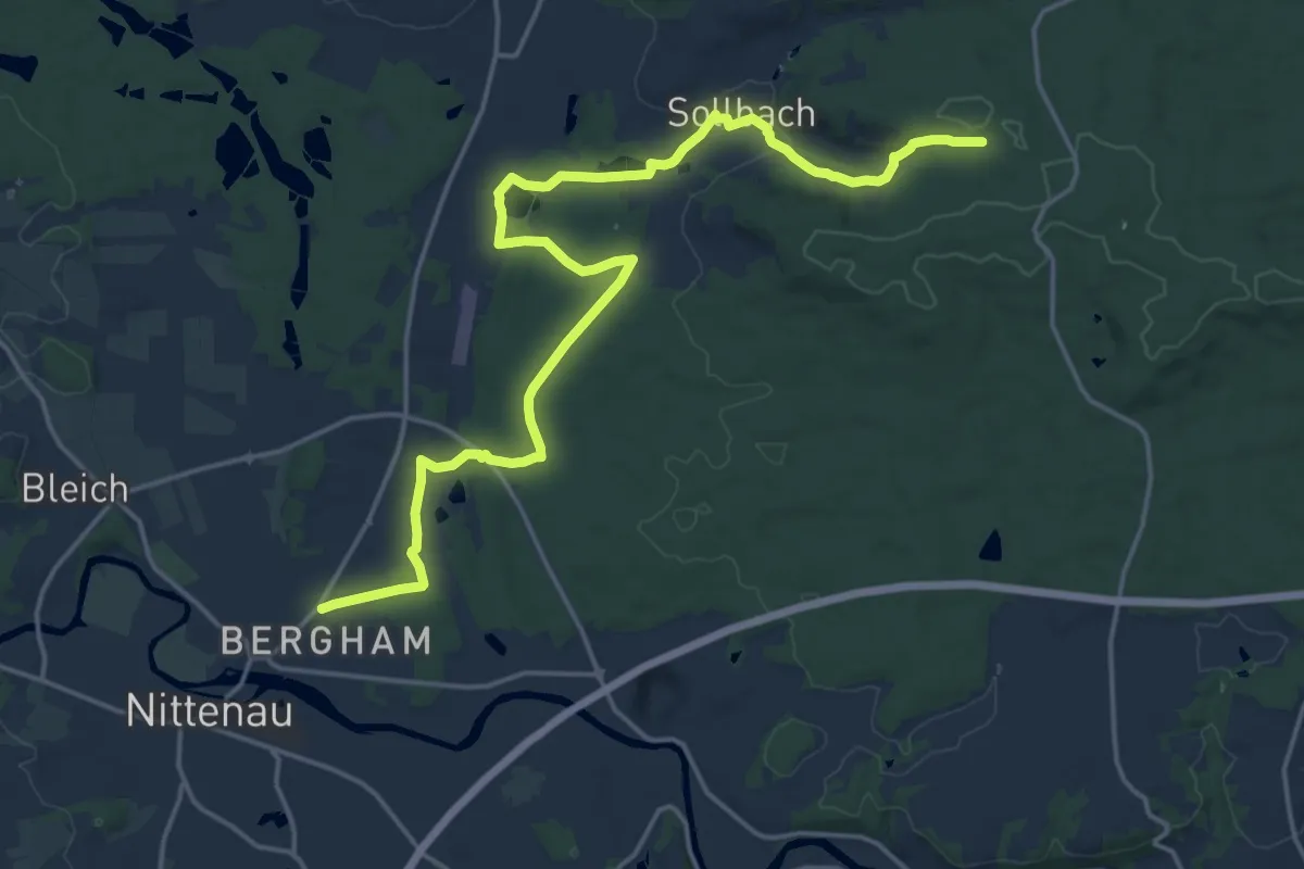
Demanding · Trail
Goldsteig Zuweg Nr.25A Nittenau → Goldsteig
19.8 km · ↑ 230 m · 5 h 10 min
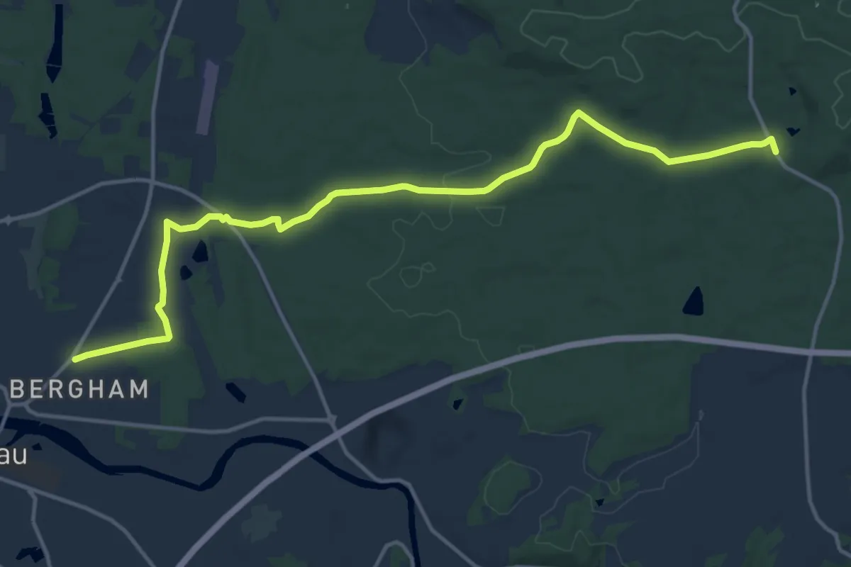
Medium · Trail
Goldsteig Zuweg Nr.25B Nittenau → Waldhaus Einsiedl
14.2 km · ↑ 133 m · 3 h 39 min
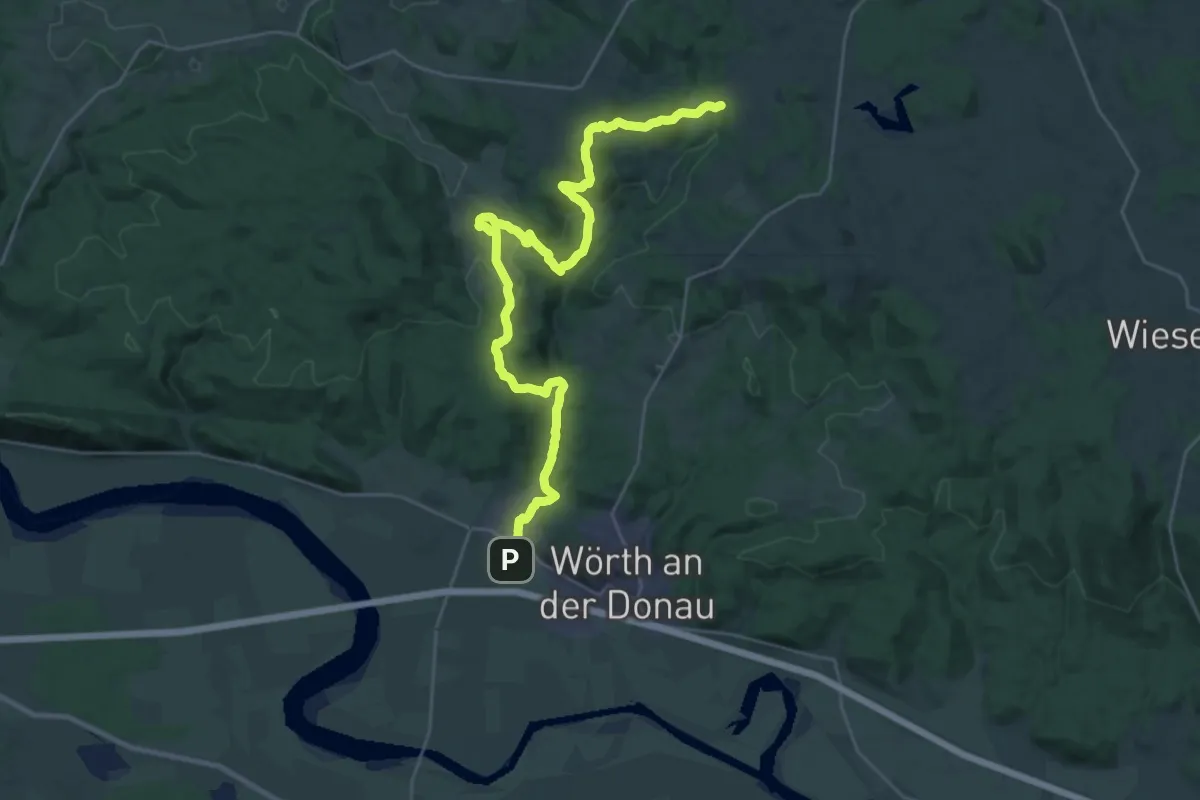
Medium · Trail
Goldsteig Zuweg Nr.26 Wiesent → Höllbachtal
15.8 km · ↑ 506 m · 4 h 58 min
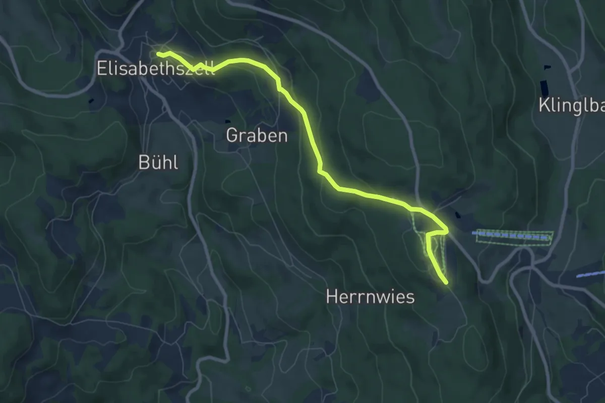
Easy · Trail
Goldsteig Zuweg Nr.27D Elisabethszell → Maibrunn
7.4 km · ↑ 257 m · 2 h 18 min
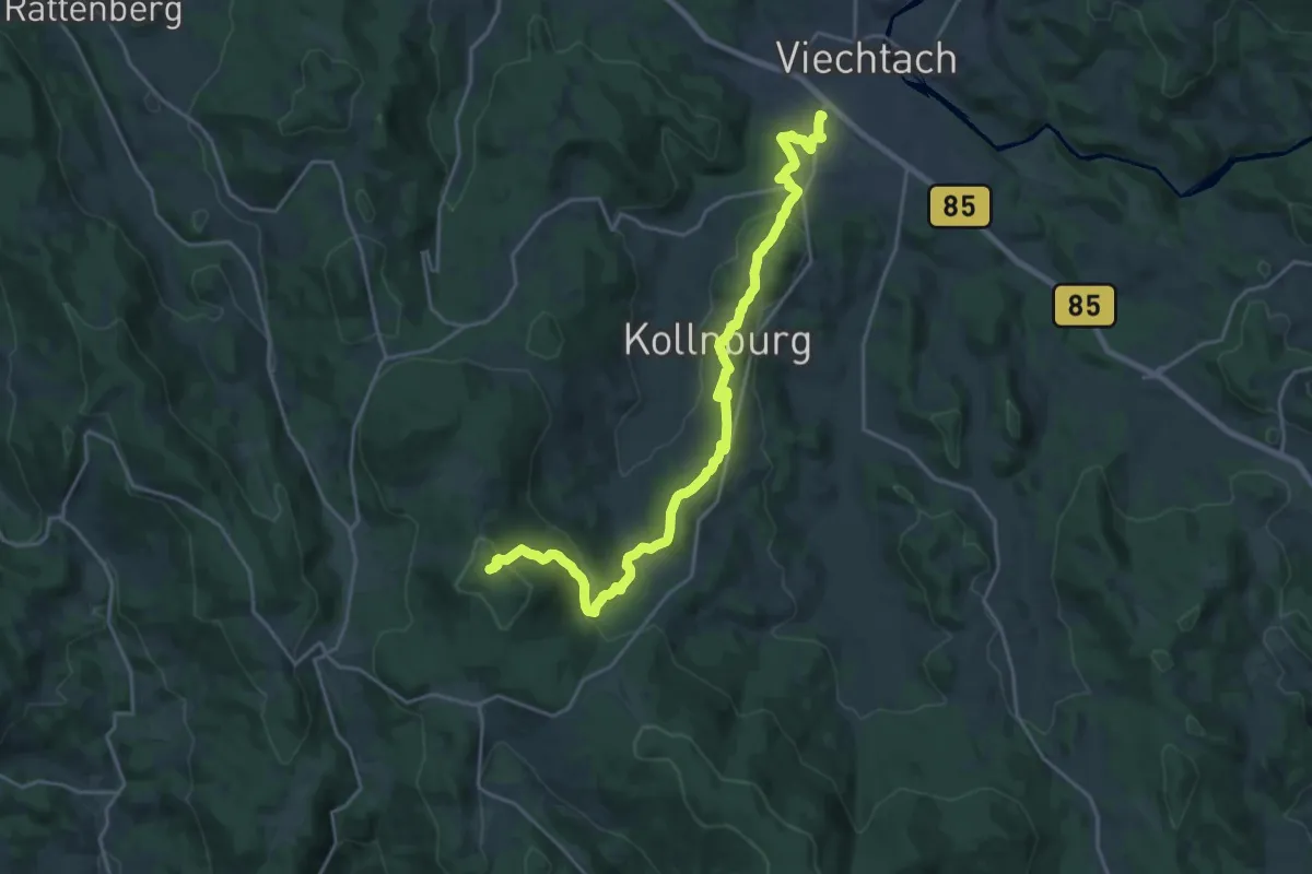
Demanding · Summit
Goldsteig Zuweg Nr.28 Viechtach → Pröller
22.3 km · ↑ 835 m · 7 h 4 min
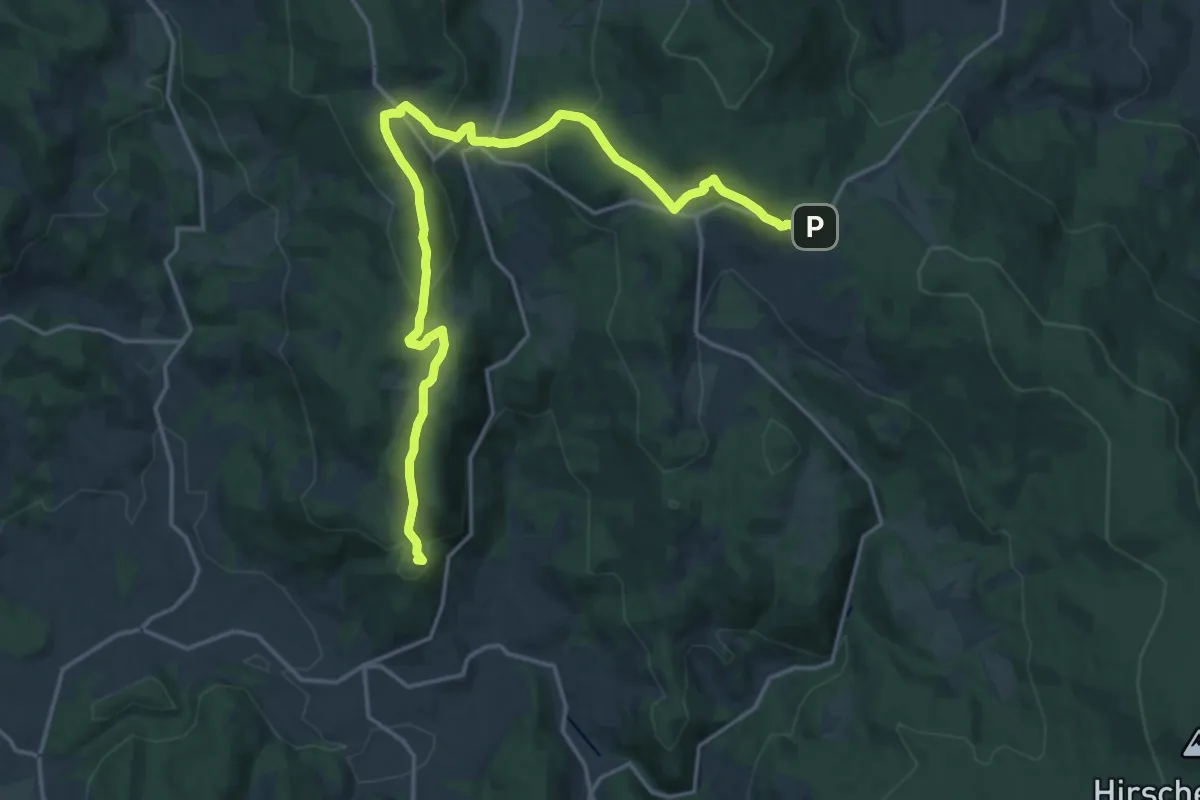
Demanding · Summit
Goldsteig Zuweg Nr.29 Neukirchen → Maibrunn → St. Englmar
19.2 km · ↑ 632 m · 5 h 54 min