Trails in Germany
36,852 hiking trails, each with its route, climb, walking time and grade.
All trails, page 185 of 768
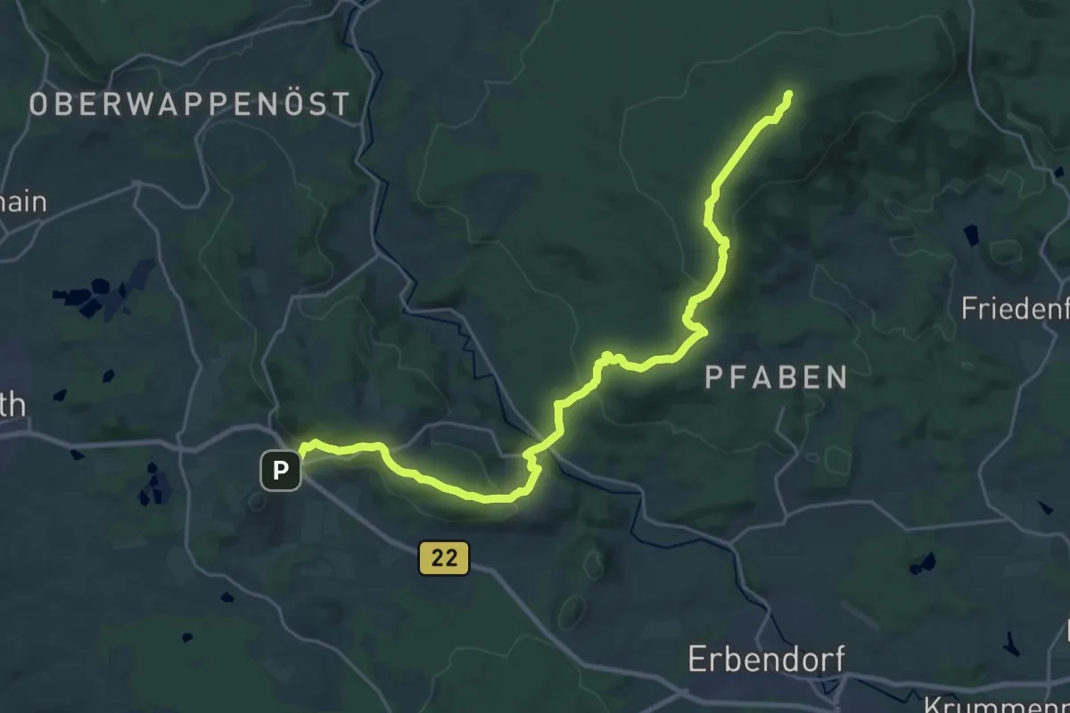
Demanding · Summit
Goldsteig Zuweg Nr.2A Waldeck → Burgruine Weißenstein
25.8 km · ↑ 883 m · 8 h 1 min
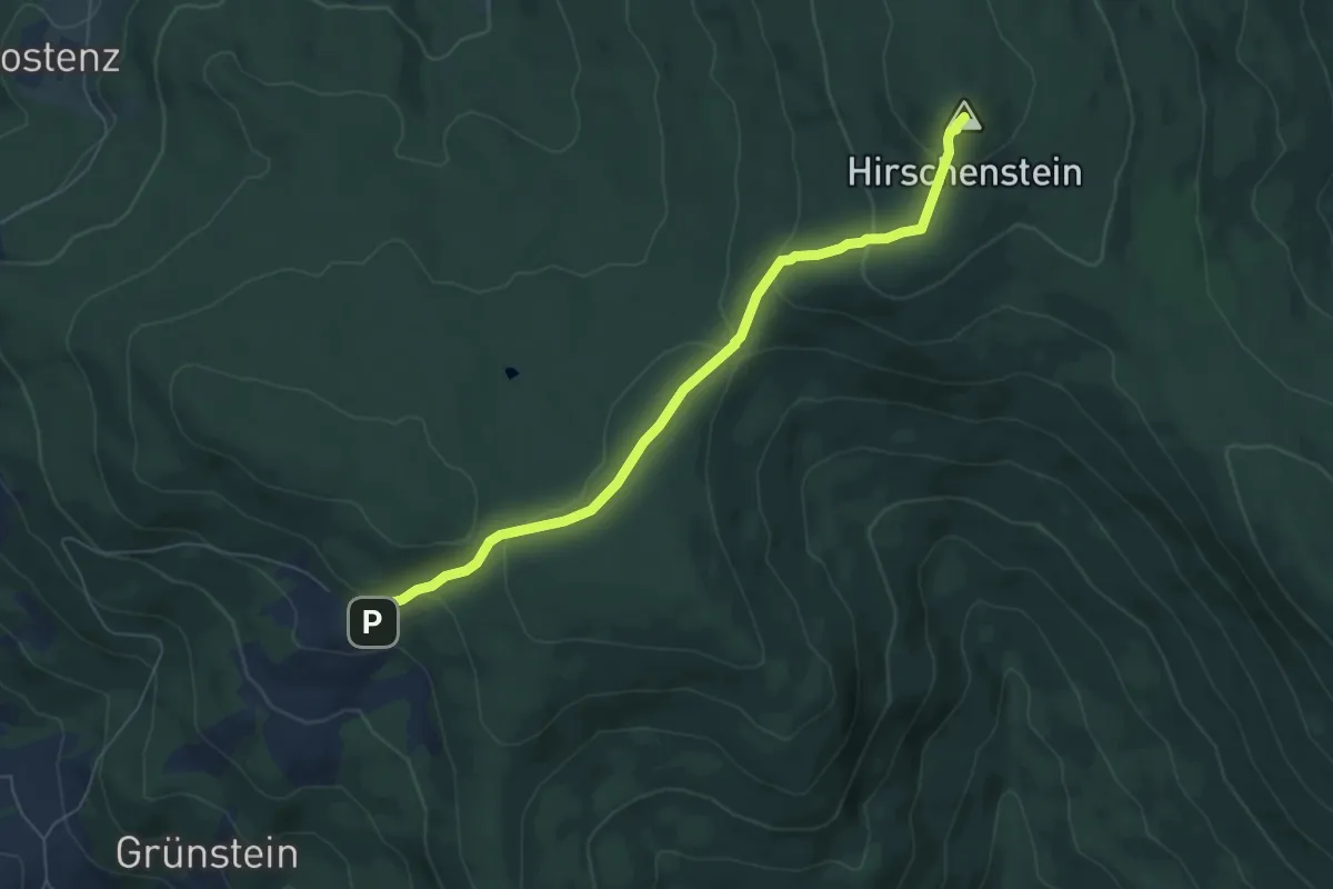
Medium · Summit
Goldsteig Zuweg Nr.30 Grandsberg - Hirschenstein
6.1 km · ↑ 274 m · 2 h 2 min
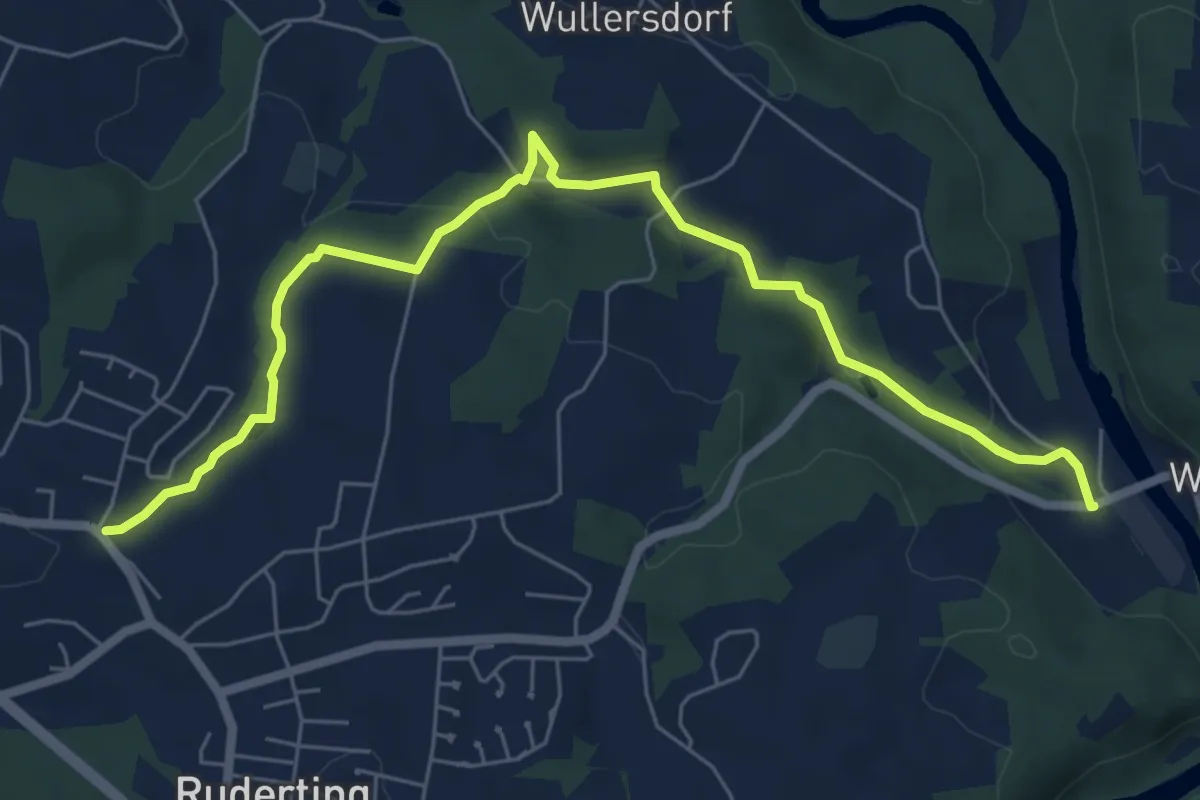
Easy · Trail
Goldsteig Zuweg Nr.34 Ruderting - Fischhaus
7.1 km · ↑ 137 m · 1 h 59 min
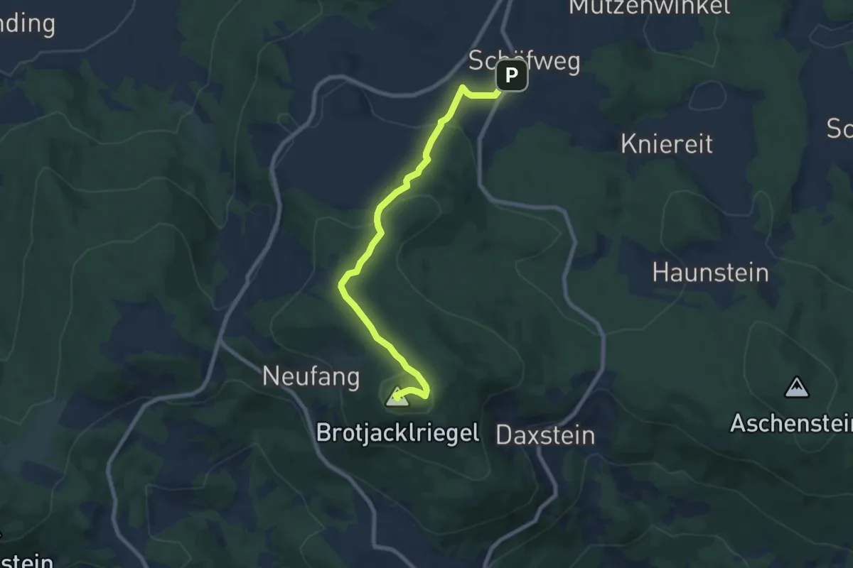
Easy · Summit
Goldsteig Zuweg Nr.35 Schöffweg → Brotjacklriegel
7.3 km · ↑ 254 m · 2 h 17 min
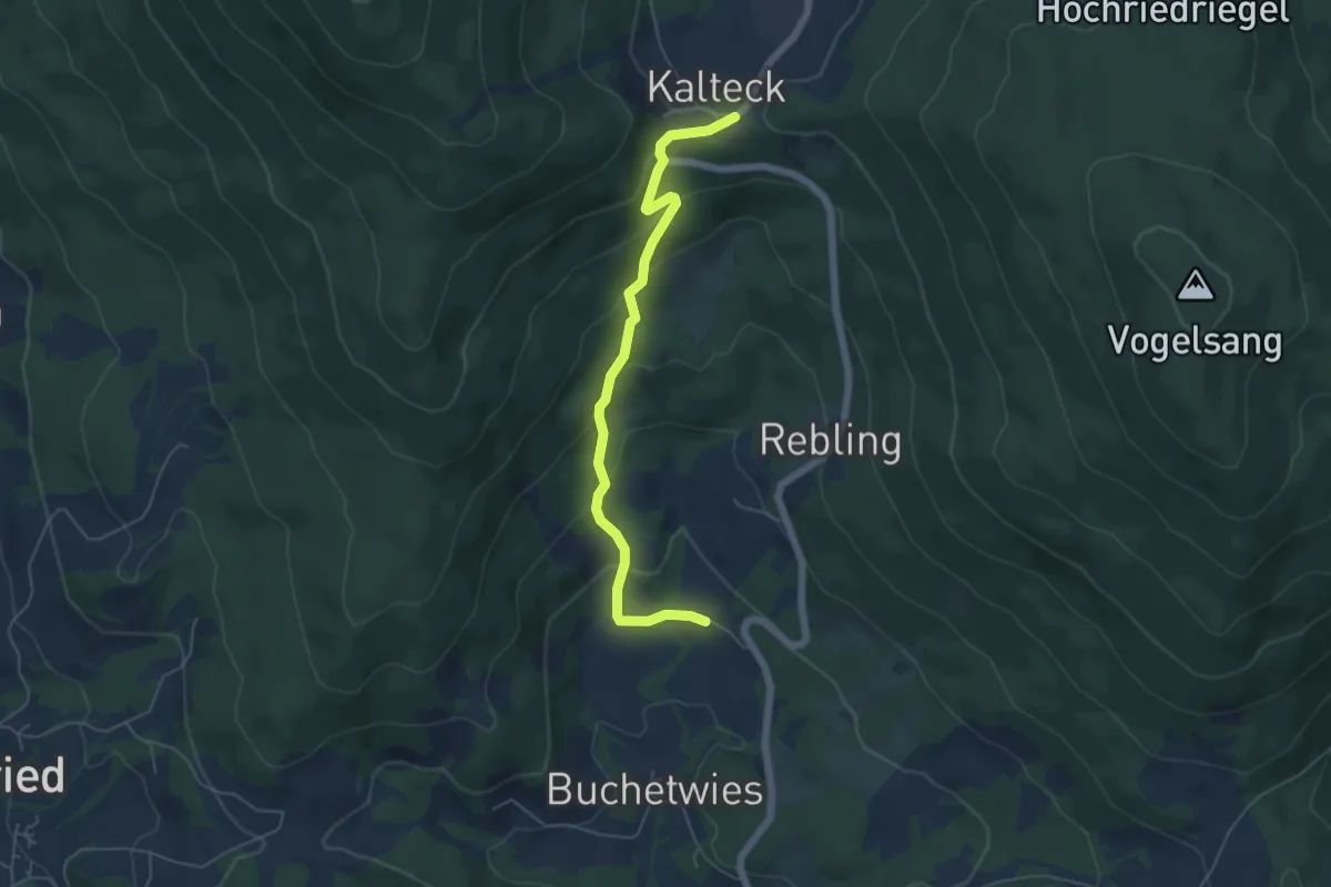
Easy · Trail
Goldsteig Zuweg Nr.36 Buchet - Kalteck
5.2 km · ↑ 284 m · 1 h 51 min
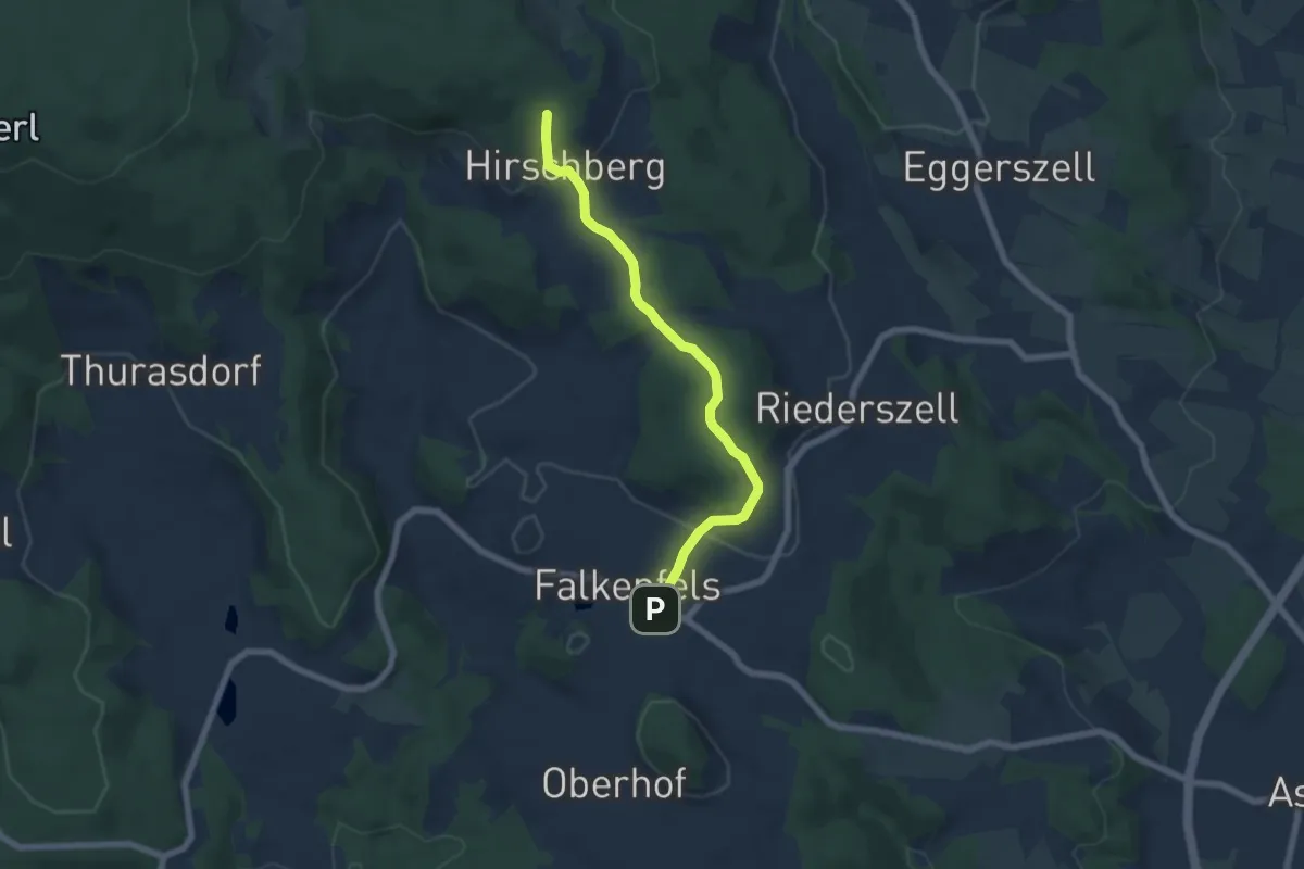
Easy · Trail
Goldsteig Zuweg Nr.37 Falkenfels → Riedelhänge
5.8 km · ↑ 180 m · 1 h 46 min
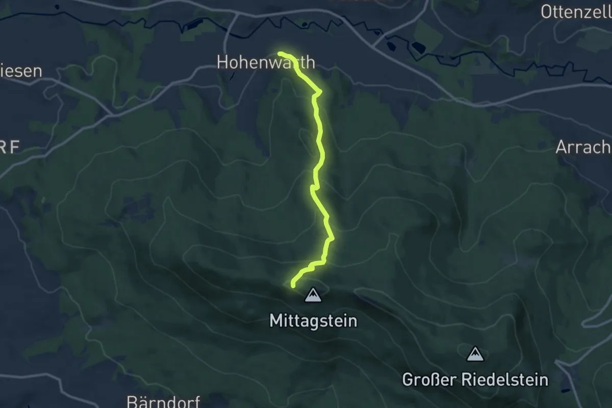
Medium · Trail
Goldsteig Zuweg Nr.38 Hohenwarth → Kaitersberg
8.2 km · ↑ 503 m · 3 h 2 min
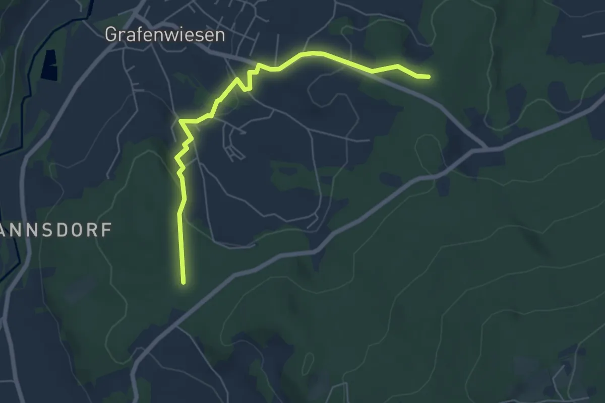
Easy · Trail
Goldsteig Zuweg Nr.39 Goldsteig → Grafenwiesen
5.3 km · ↑ 147 m · 1 h 34 min
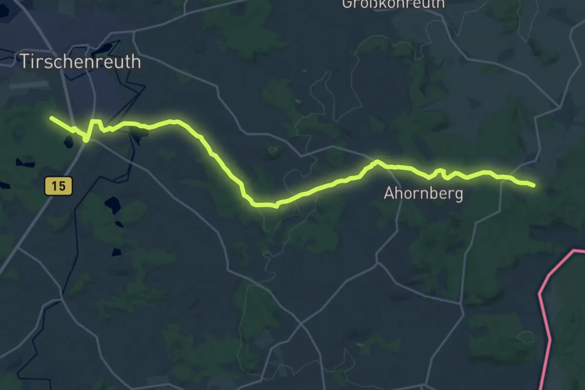
Demanding · Trail
Goldsteig Zuweg Nr.3A Tirschenreuth → Griesbach
25.1 km · ↑ 337 m · 6 h 40 min
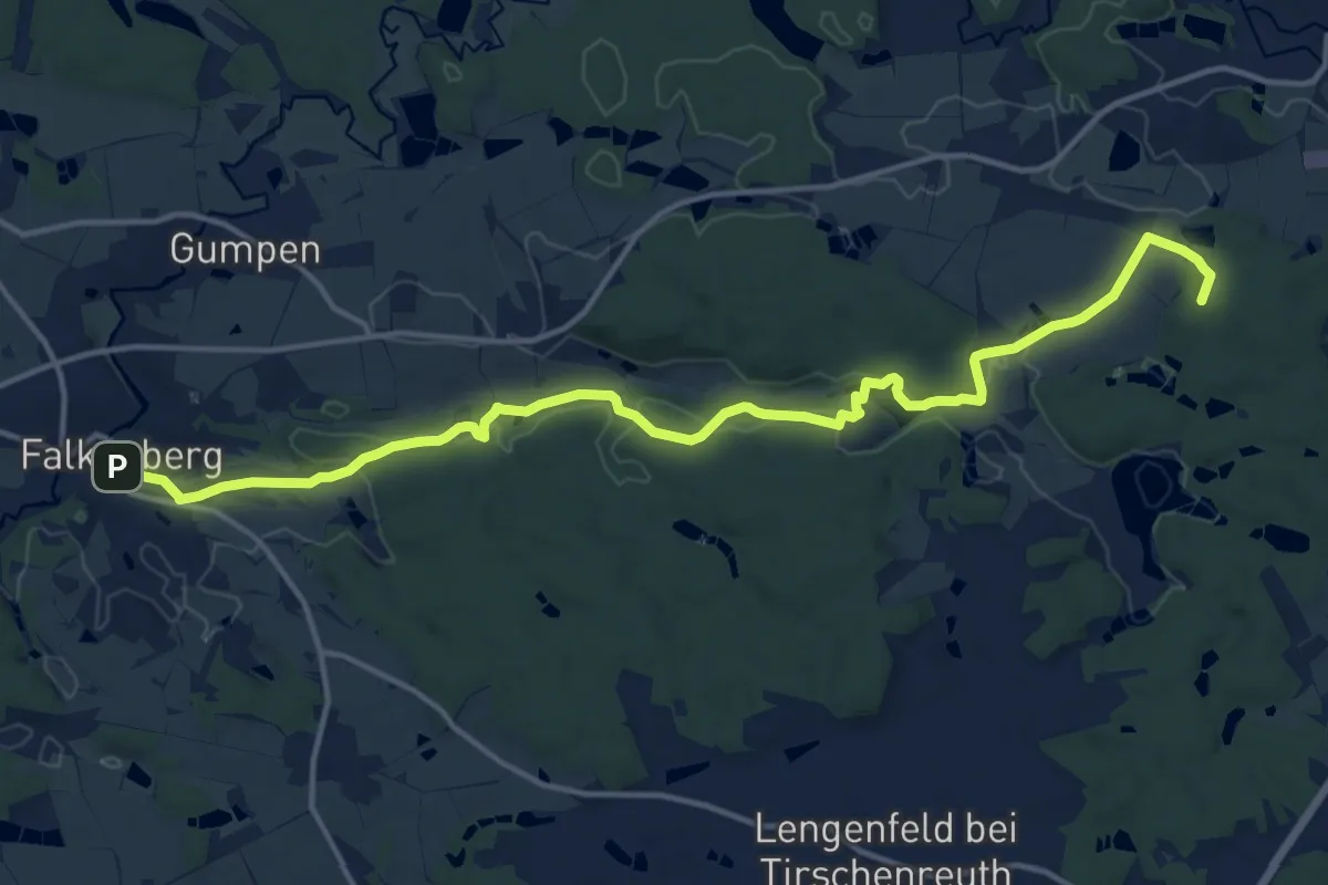
Medium · Summit
Goldsteig Zuweg Nr.3B Tirschenreuth → Falkenberg
15.5 km · ↑ 213 m · 4 h 7 min
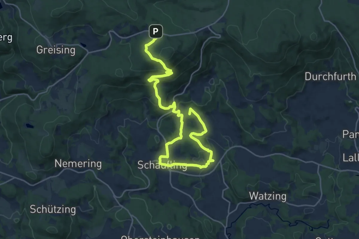
Demanding · Summit
Goldsteig Zuweg Nr.40 Russelabsatz → Datting
21.1 km · ↑ 774 m · 6 h 40 min
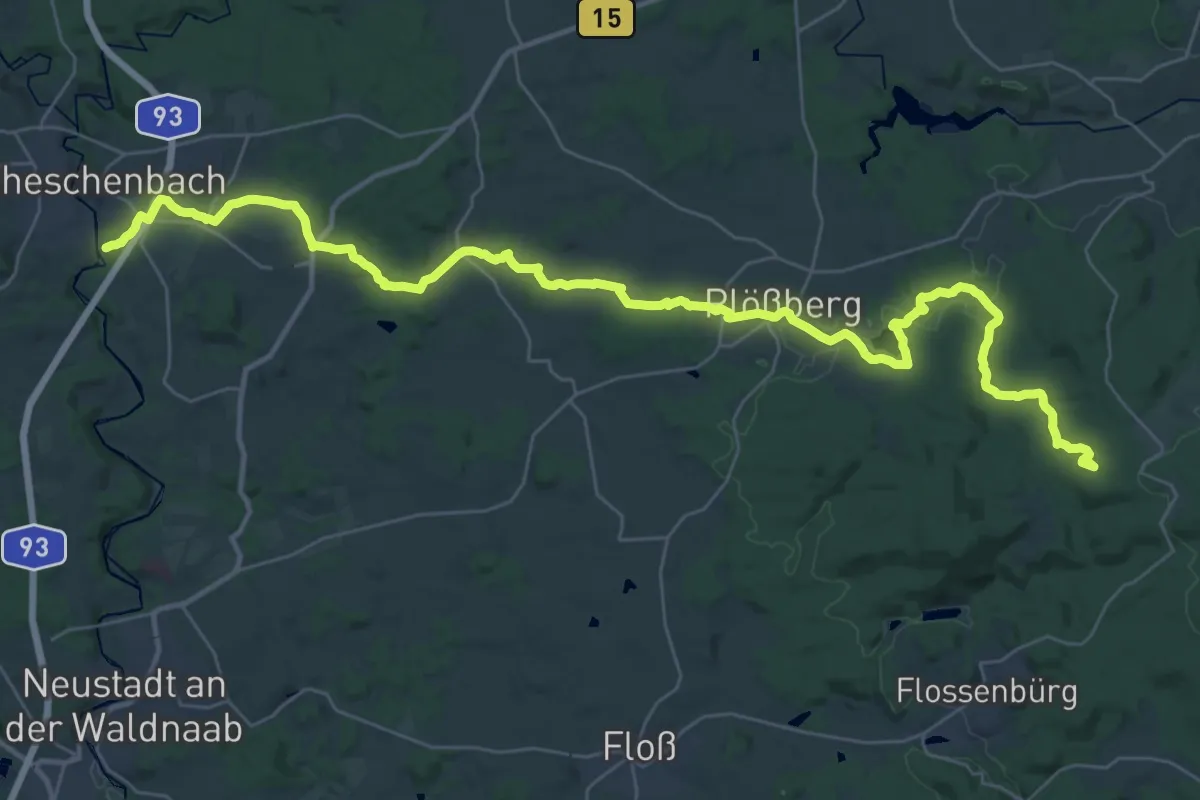
Demanding · Summit
Goldsteig Zuweg Nr.4 Silberhütte → Plössberg → Neuhaus
42.9 km · ↑ 699 m · 11 h 38 min
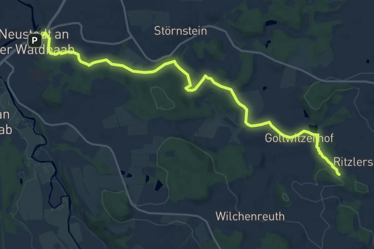
Medium · Trail
Goldsteig Zuweg Nr.5A Ritzlersreuth → Neustadt a.d.Waldnaab
13.7 km · ↑ 208 m · 3 h 41 min
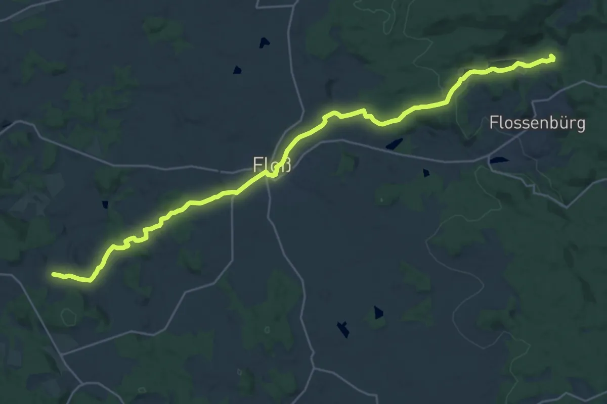
Demanding · Summit
Goldsteig Zuweg Nr.5 Silberhütte → Wilchenreuth
24.7 km · ↑ 455 m · 6 h 49 min
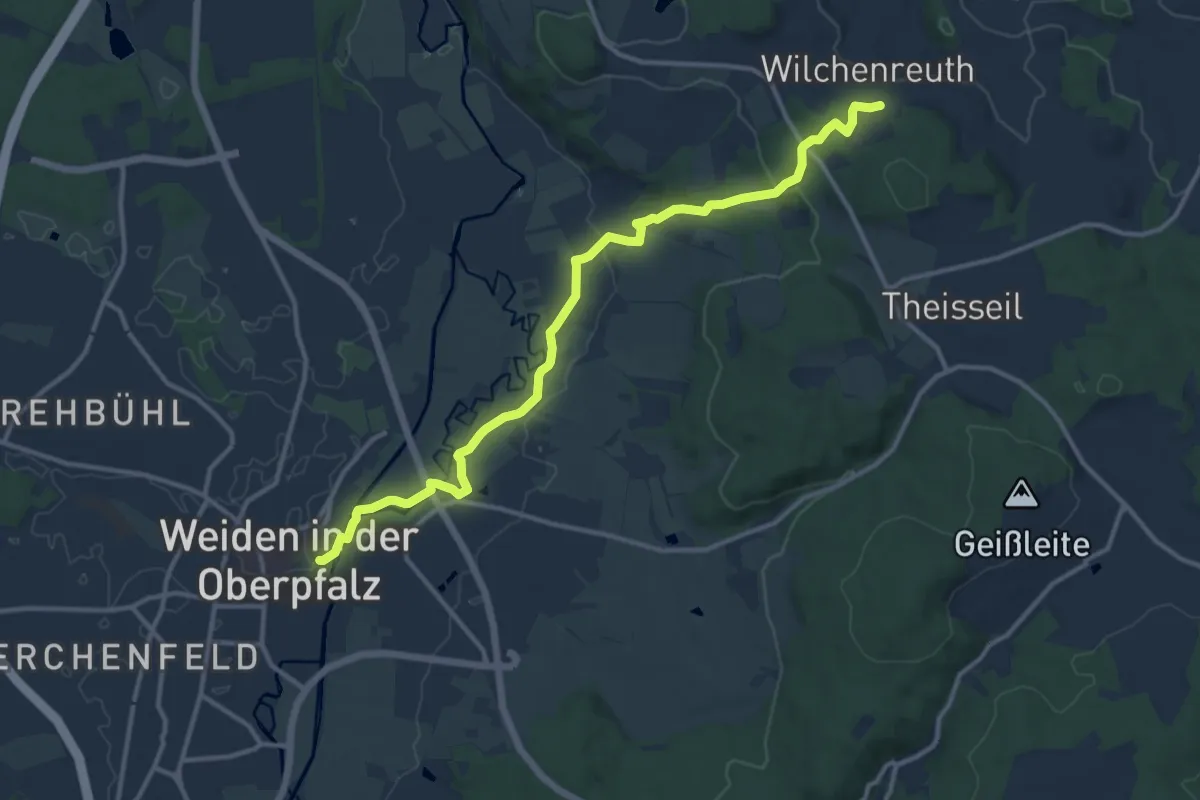
Medium · Trail
Goldsteig Zuweg Nr.6A Weiden → Wilchenreuth
12.7 km · ↑ 208 m · 3 h 26 min
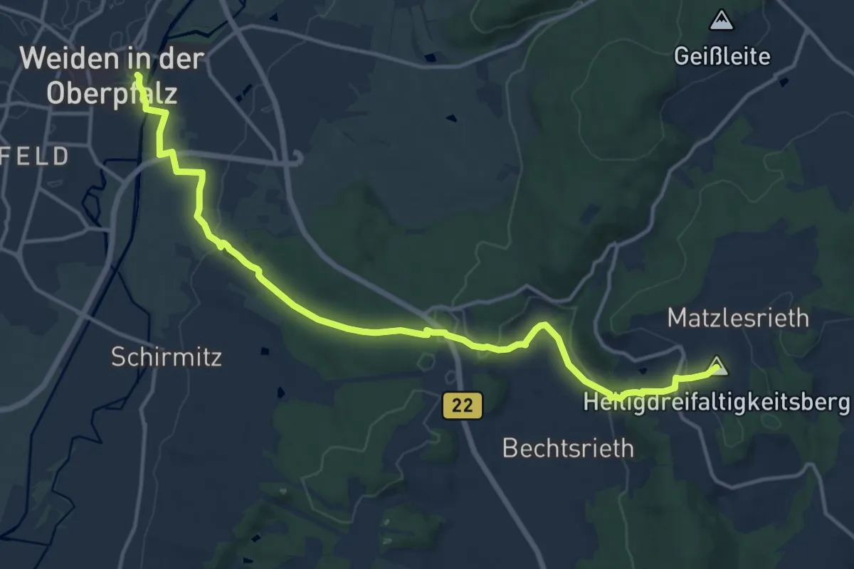
Medium · Summit
Goldsteig Zuweg Nr.6B Weiden → Muglhof
14.4 km · ↑ 332 m · 4 h 7 min
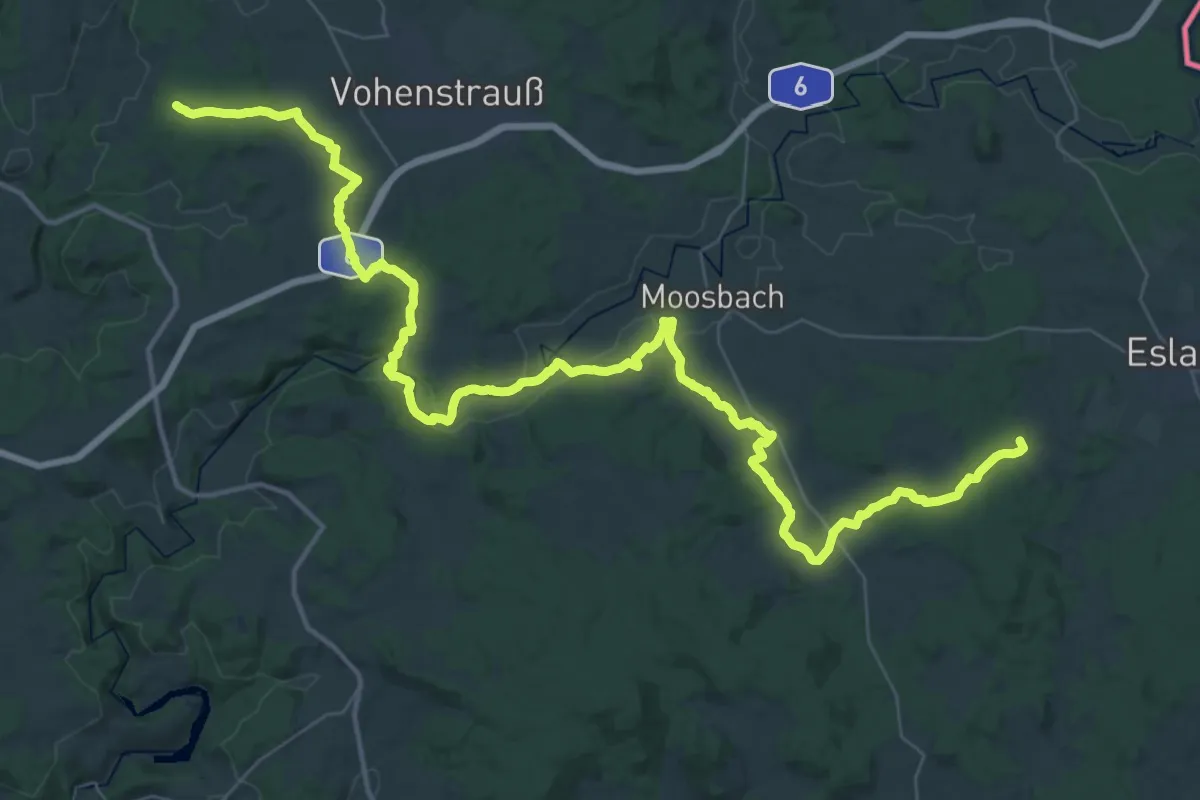
Demanding · Summit
Goldsteig Zuweg Nr.7 Eslarn → Elm
54.7 km · ↑ 943 m · 14 h 57 min
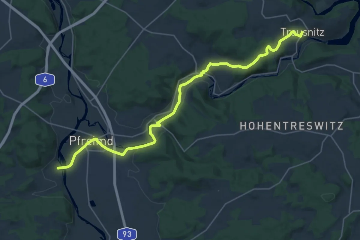
Demanding · Trail
Goldsteig Zuweg Nr.8A Pfreimd → Trausnitz
20.3 km · ↑ 302 m · 5 h 27 min
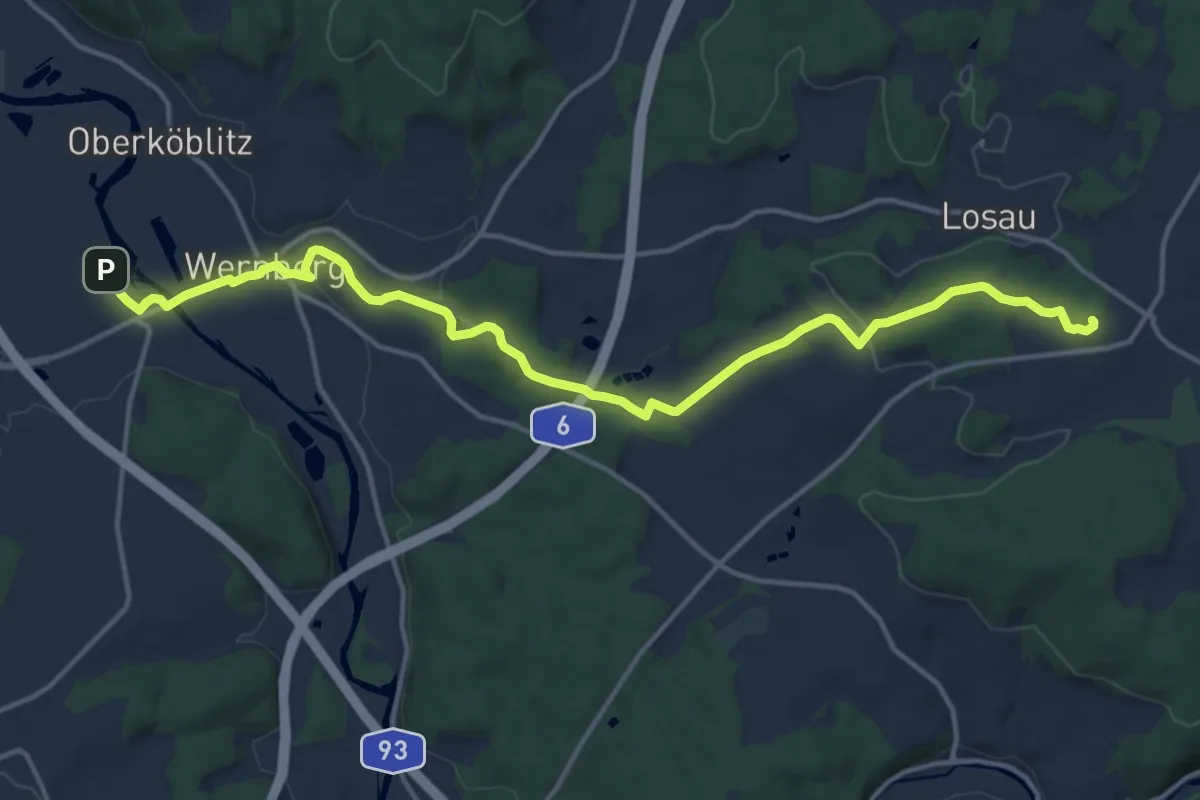
Medium · Summit
Goldsteig Zuweg Nr.8 Wernberg-Köblitz → Pfreimdtal
15.7 km · ↑ 255 m · 4 h 16 min
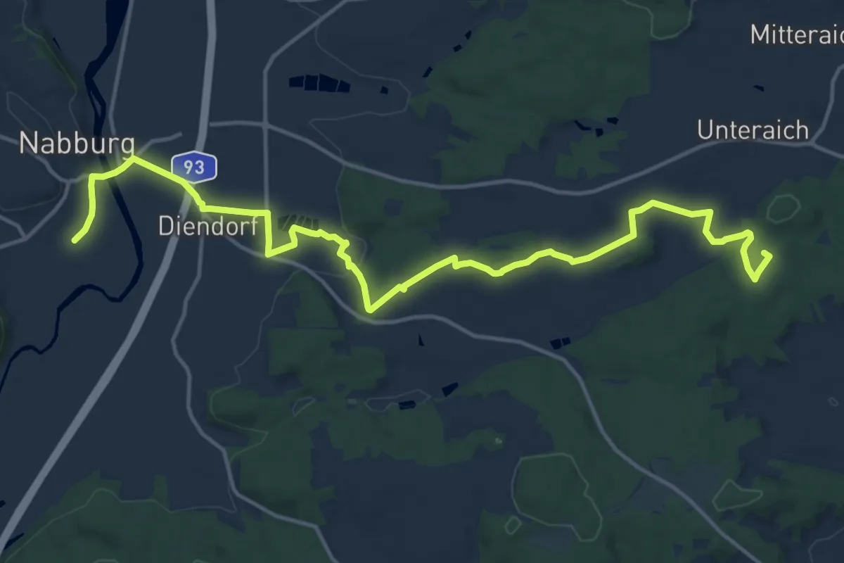
Medium · Summit
Goldsteig Zuweg Nr.9A Nabburg → Obermurach
16.3 km · ↑ 293 m · 4 h 29 min
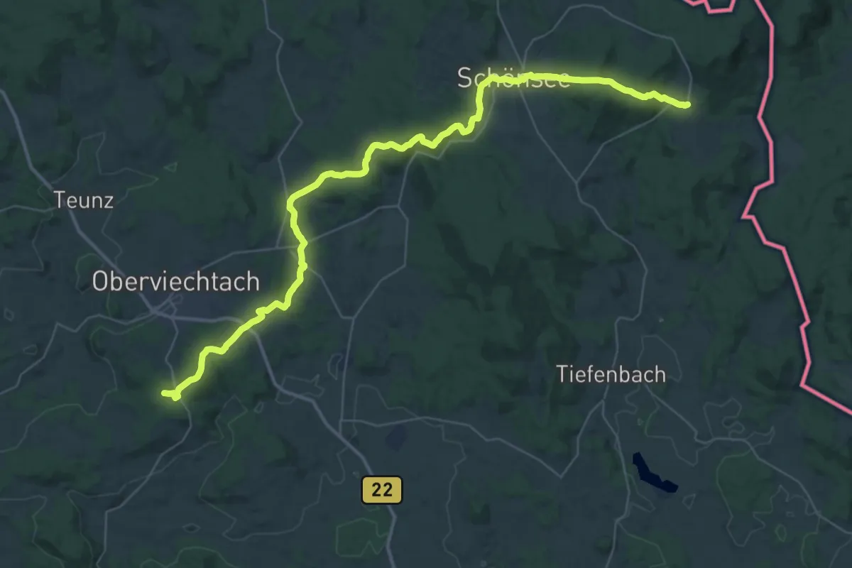
Demanding · Trail
Goldsteig Zuweg Nr.9B Oberviechtach → Stadlern
22.2 km · ↑ 564 m · 6 h 45 min
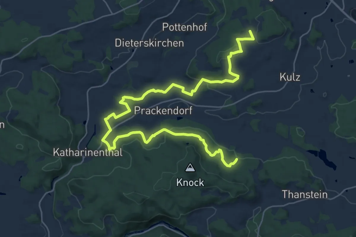
Demanding · Trail
Goldsteig Zuweg Nr.9C Katharinenthal
24.6 km · ↑ 584 m · 7 h 5 min
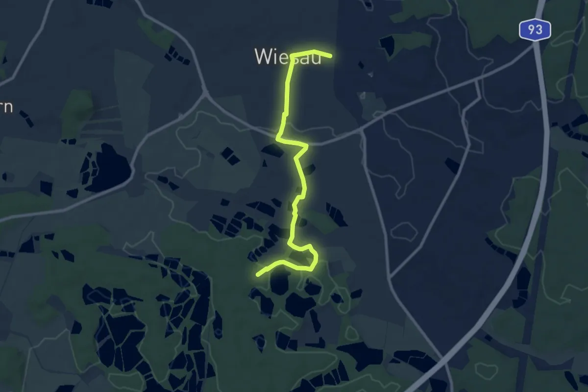
Easy · Trail
Goldsteig Zuweg Wiesau - Badeseen
7.7 km · ↑ 71 m · 1 h 58 min
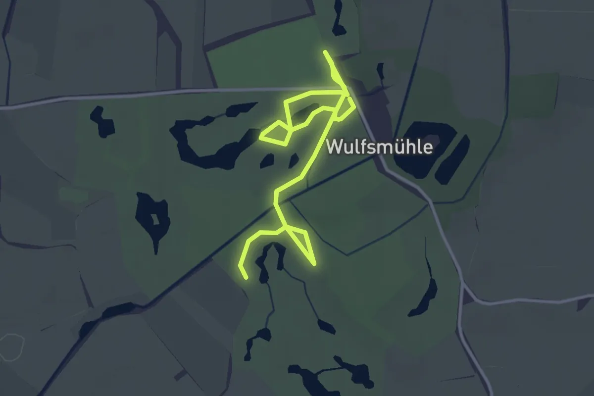
Easy · Trail
Golfcartpfade Wulfsmühle
3.8 km · ↑ 0 m · 54 min
Easy · Trail
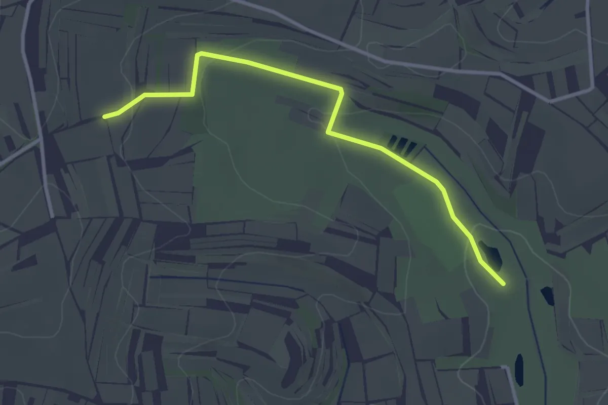
Golfplatz - Rienloch
3.0 km · ↑ 70 m · 52 min
Easy · Trail
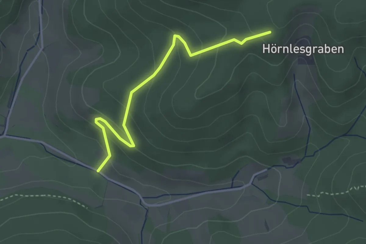
Golfplatz Stiftshof - Hörnlesgraben
3.2 km · ↑ 186 m · 1 h 10 min
Medium · Summit
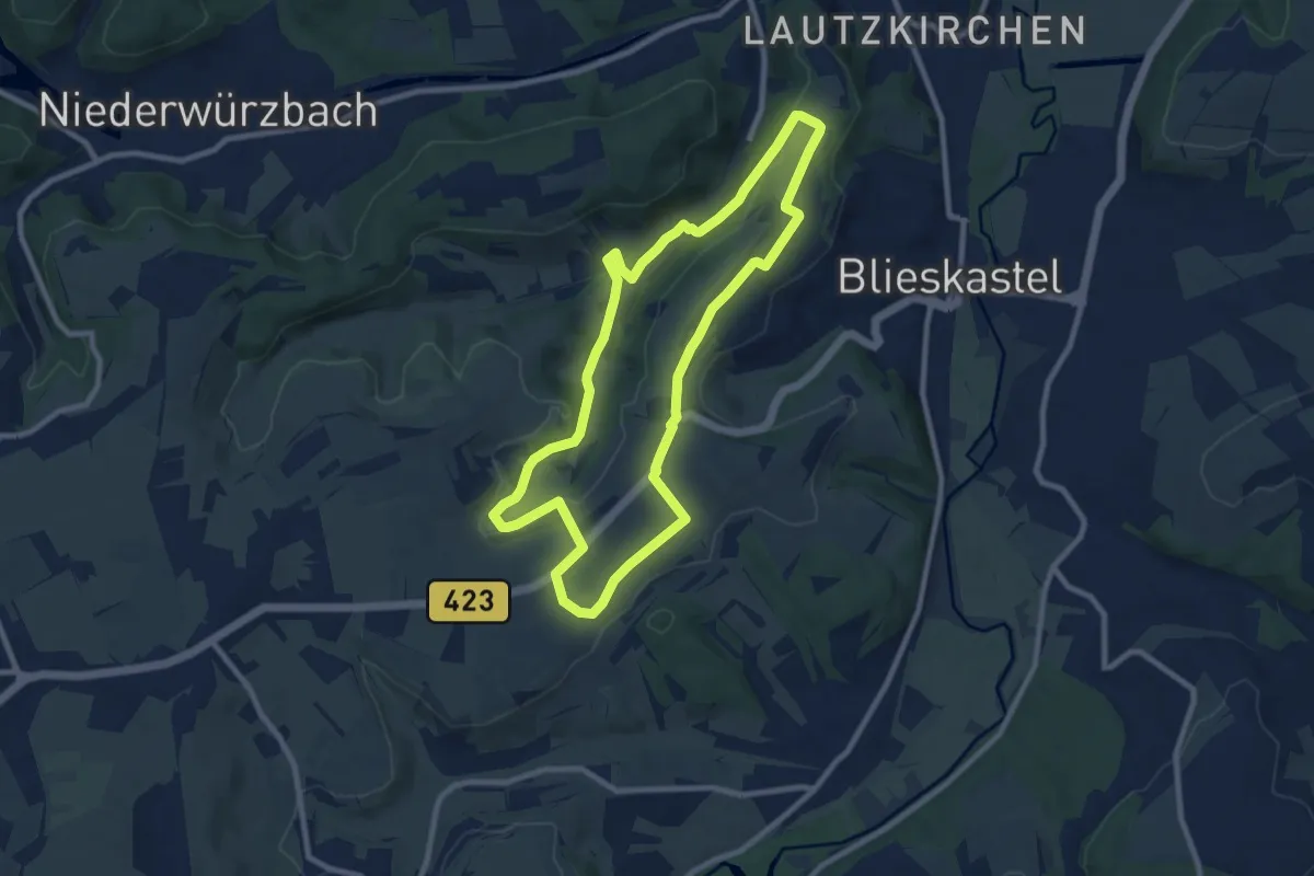
Gollenstein Runde
8.3 km · ↑ 152 m · 2 h 25 min
Easy · Trail
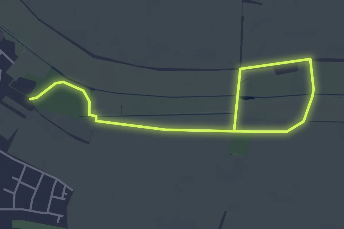
Goller Erlebnispfad Altes Neckarbett
2.2 km · ↑ 0 m · 32 min
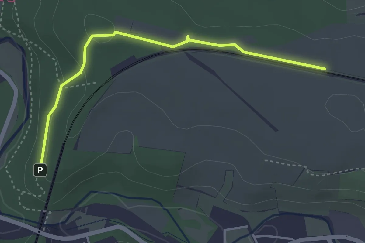
Easy · Trail
Göltzschtalbrücke-Obermylau-Karl-Marx-Ring Mylau
1.6 km · ↑ 40 m · 28 min
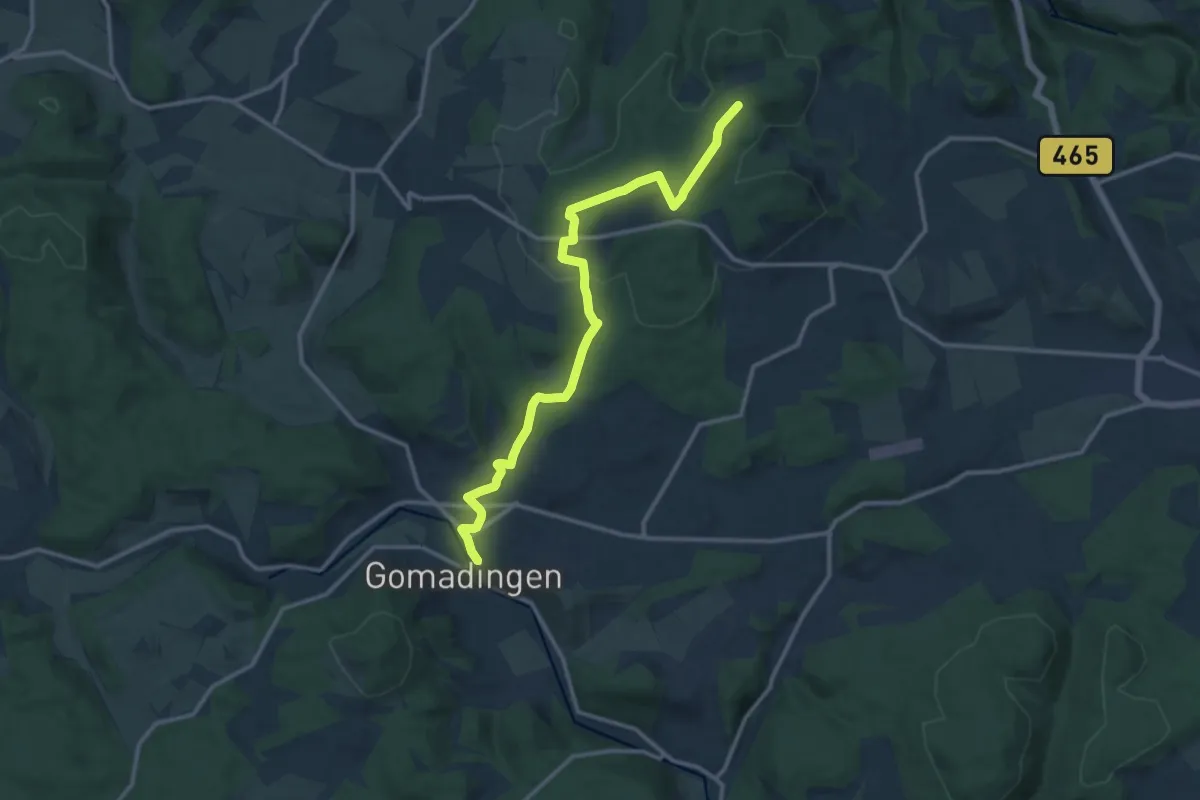
Medium · Trail
Gomadingen - Eisenrüttel
12.9 km · ↑ 288 m · 3 h 41 min
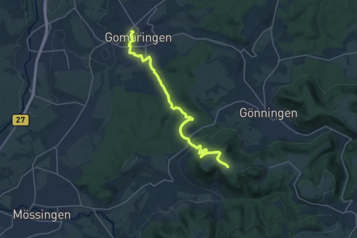
Medium · Trail
Gomaringen - Roßberg
14.9 km · ↑ 389 m · 4 h 21 min
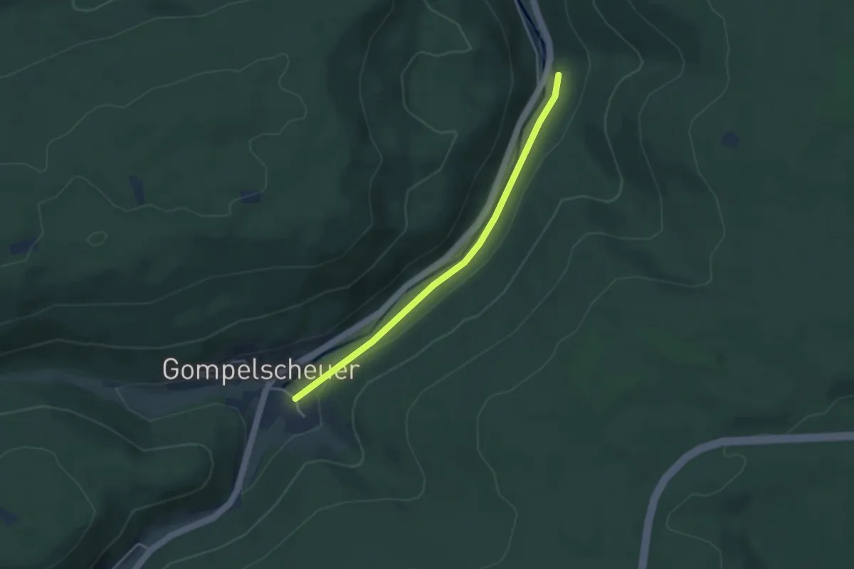
Easy · Trail
Gompelscheuer Alte Krone - Petersmühle
3.3 km · ↑ 86 m · 58 min
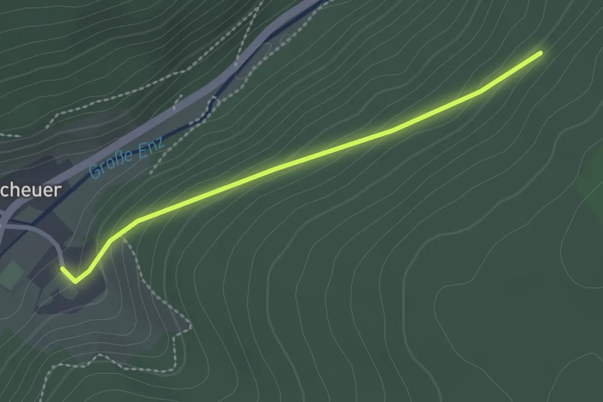
Easy · Trail
Gompelscheuer - Geißelhart
2.2 km · ↑ 115 m · 46 min
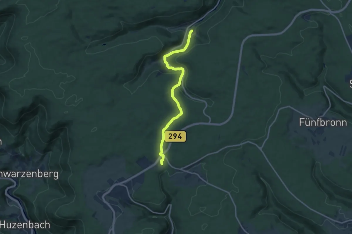
Medium · Trail
Gompelscheuer - Urnagold
9.9 km · ↑ 388 m · 3 h 11 min
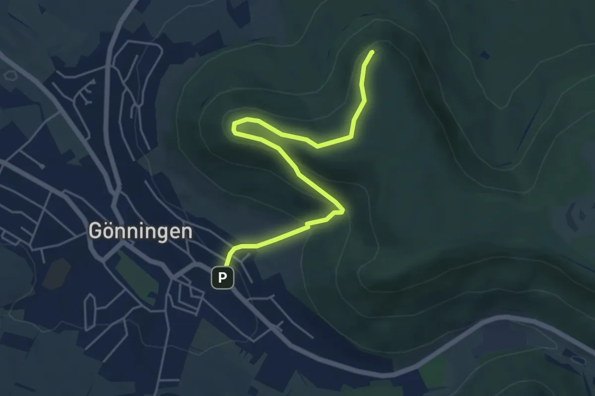
Easy · Summit
Gönningen-Hochwiesen Pfullinger Berg
4.7 km · ↑ 233 m · 1 h 36 min
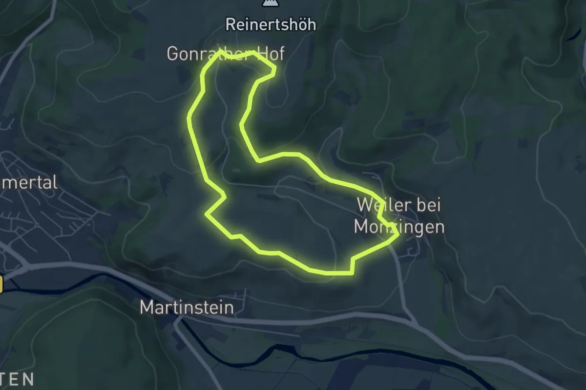
Easy · Trail
Gonrather Hof W2
5.4 km · ↑ 153 m · 1 h 41 min
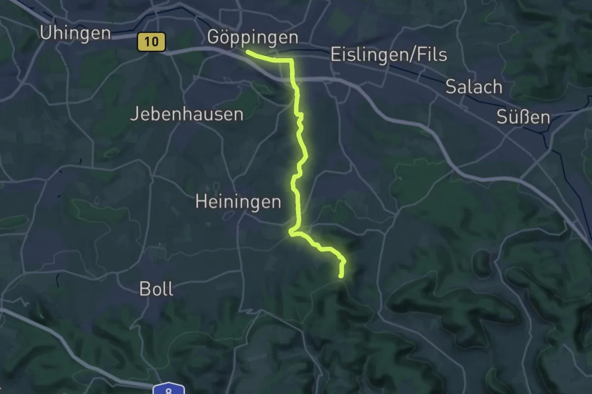
Demanding · Trail
Göppingen - Fuchseck
18.7 km · ↑ 274 m · 5 h
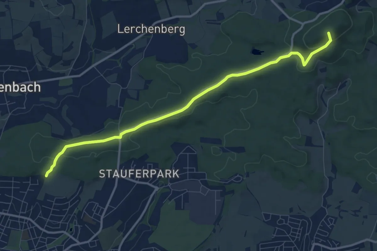
Medium · Summit
Göppingen-Hörnle
9.2 km · ↑ 201 m · 2 h 37 min
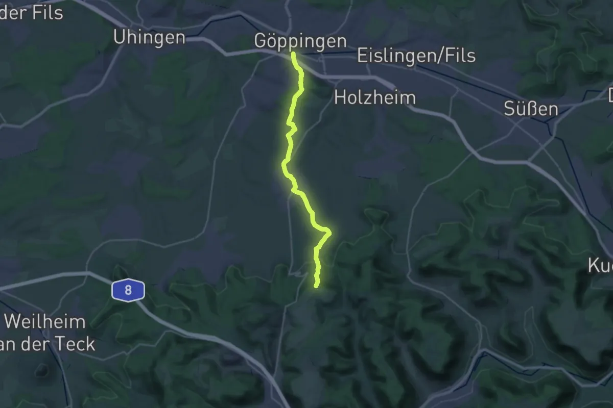
Demanding · Summit
Göppingen - Sielenwang
18.8 km · ↑ 512 m · 5 h 33 min
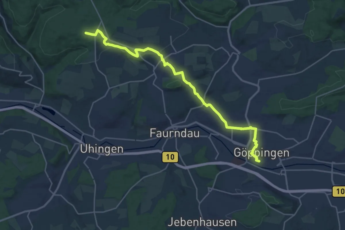
Demanding · Trail
Göppingen-Wangen blauer Balken
18.3 km · ↑ 316 m · 5 h
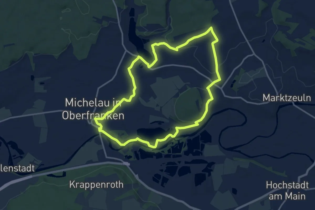
Medium · Trail
Göritzenrundweg
9.7 km · ↑ 79 m · 2 h 36 min
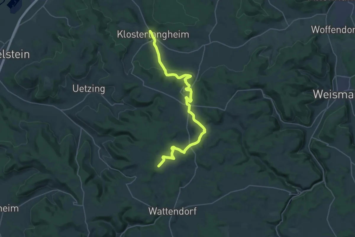
Demanding · Trail
Gorkumweg (Klosterlangheim)
23.9 km · ↑ 532 m · 6 h 47 min
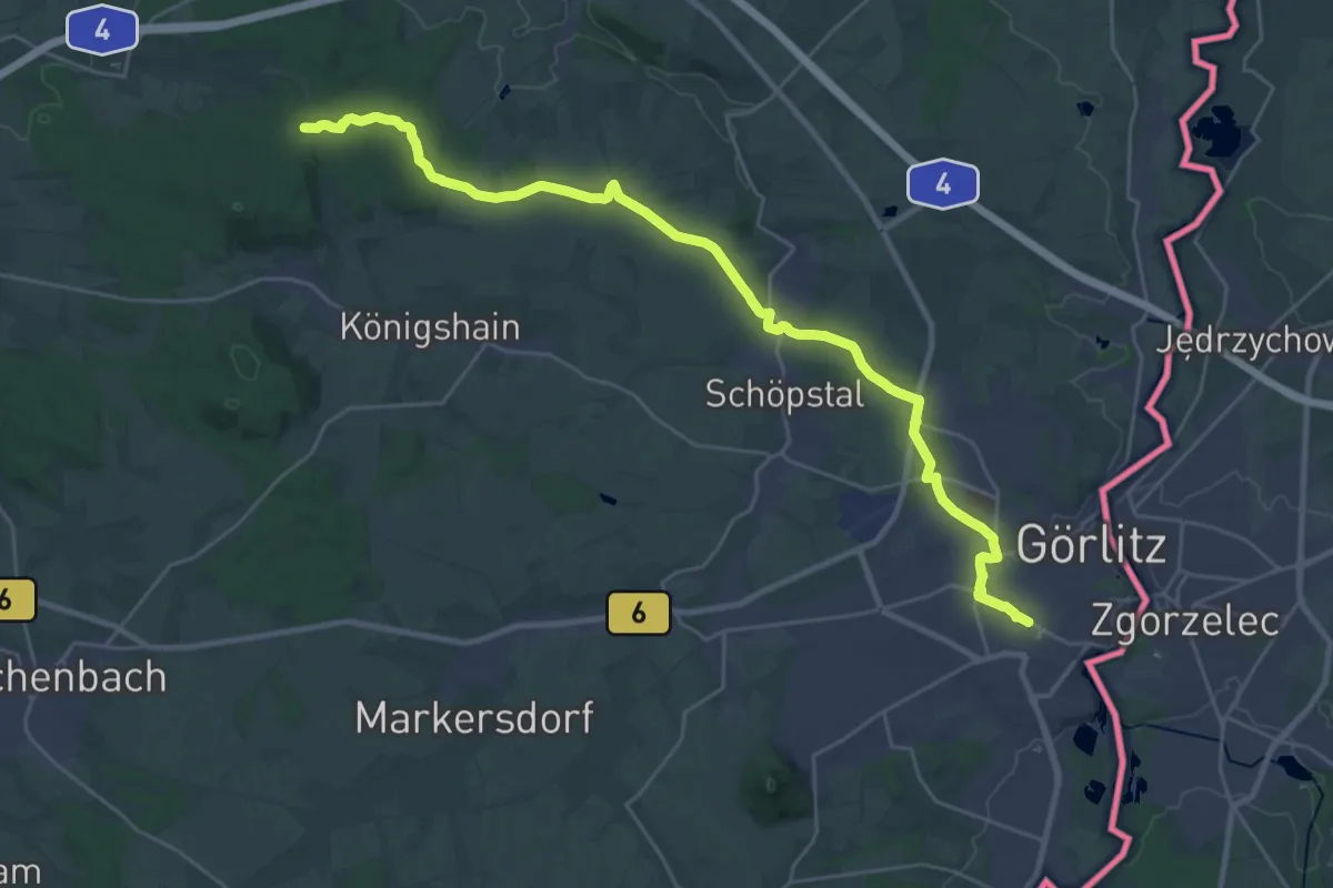
Demanding · Trail
Görlitz - Königshain Hochstein
27.8 km · ↑ 295 m · 7 h 12 min
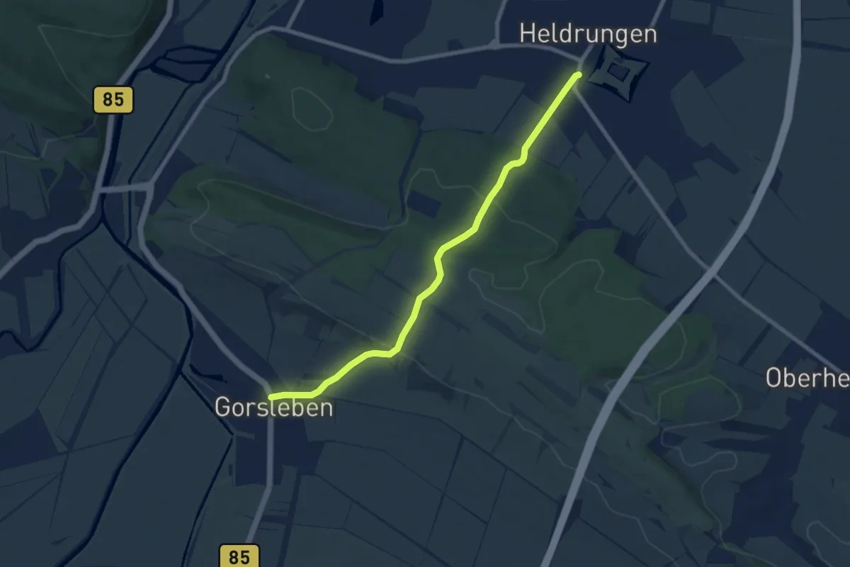
Easy · Trail
Gorsleben-Wasserschloß Heldrungen
6.9 km · ↑ 198 m · 2 h 4 min
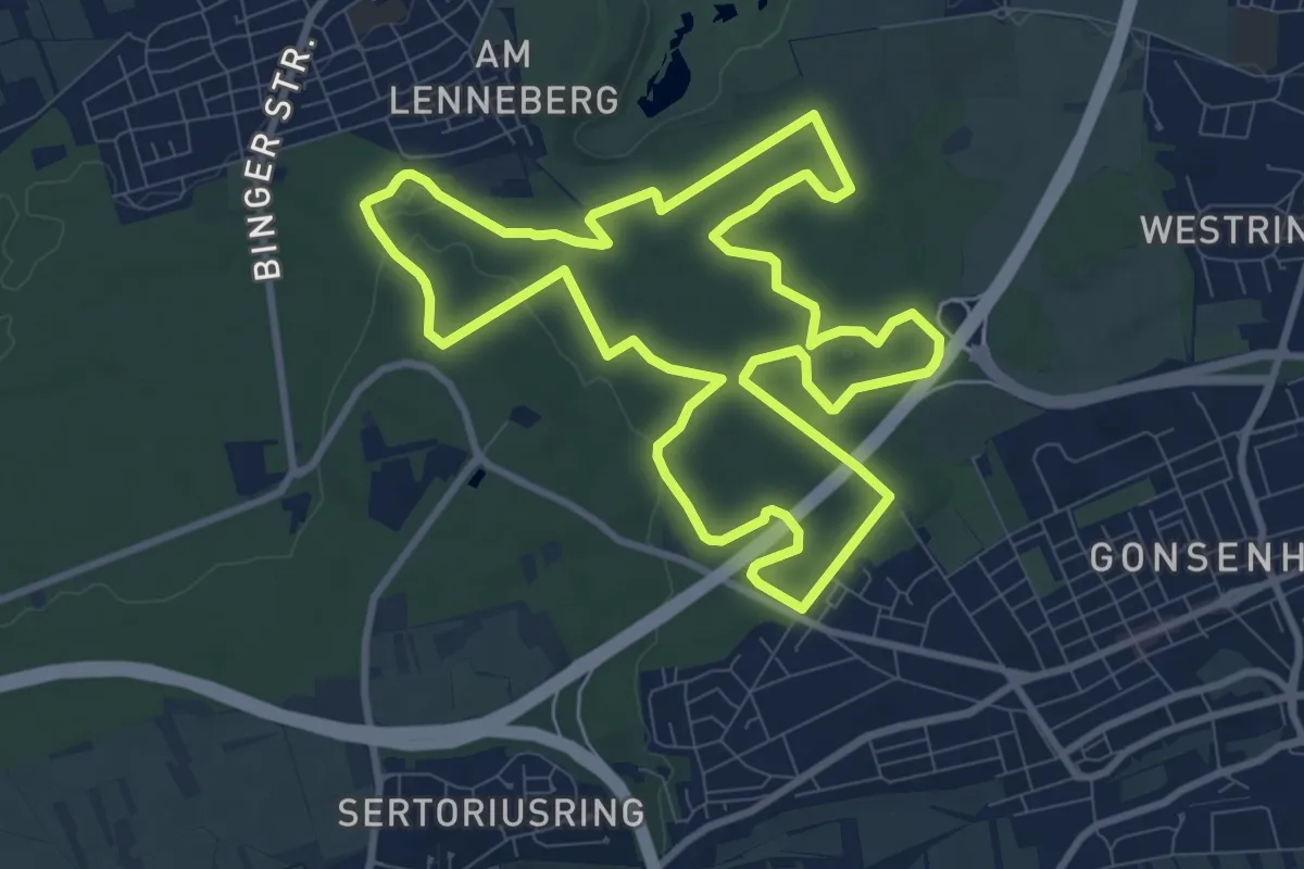
Medium · Summit
GO! Runde
9.5 km · ↑ 58 m · 2 h 31 min
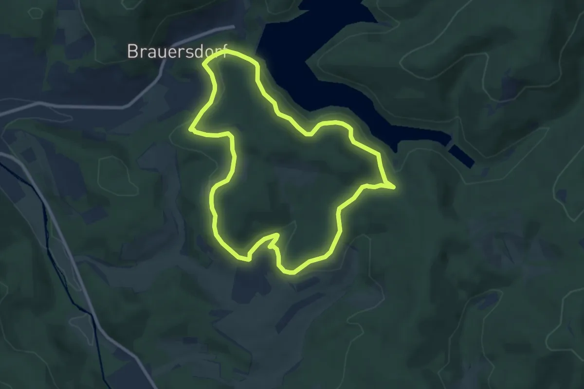
Easy · Trail
Gösberg Rundweg A3
6.8 km · ↑ 228 m · 2 h 11 min
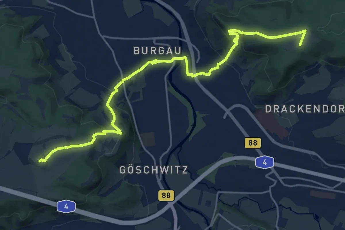
Demanding · Summit
Göschwitz-Trießnitz-Sommerlinde-Drackendorf
15.5 km · ↑ 517 m · 4 h 47 min
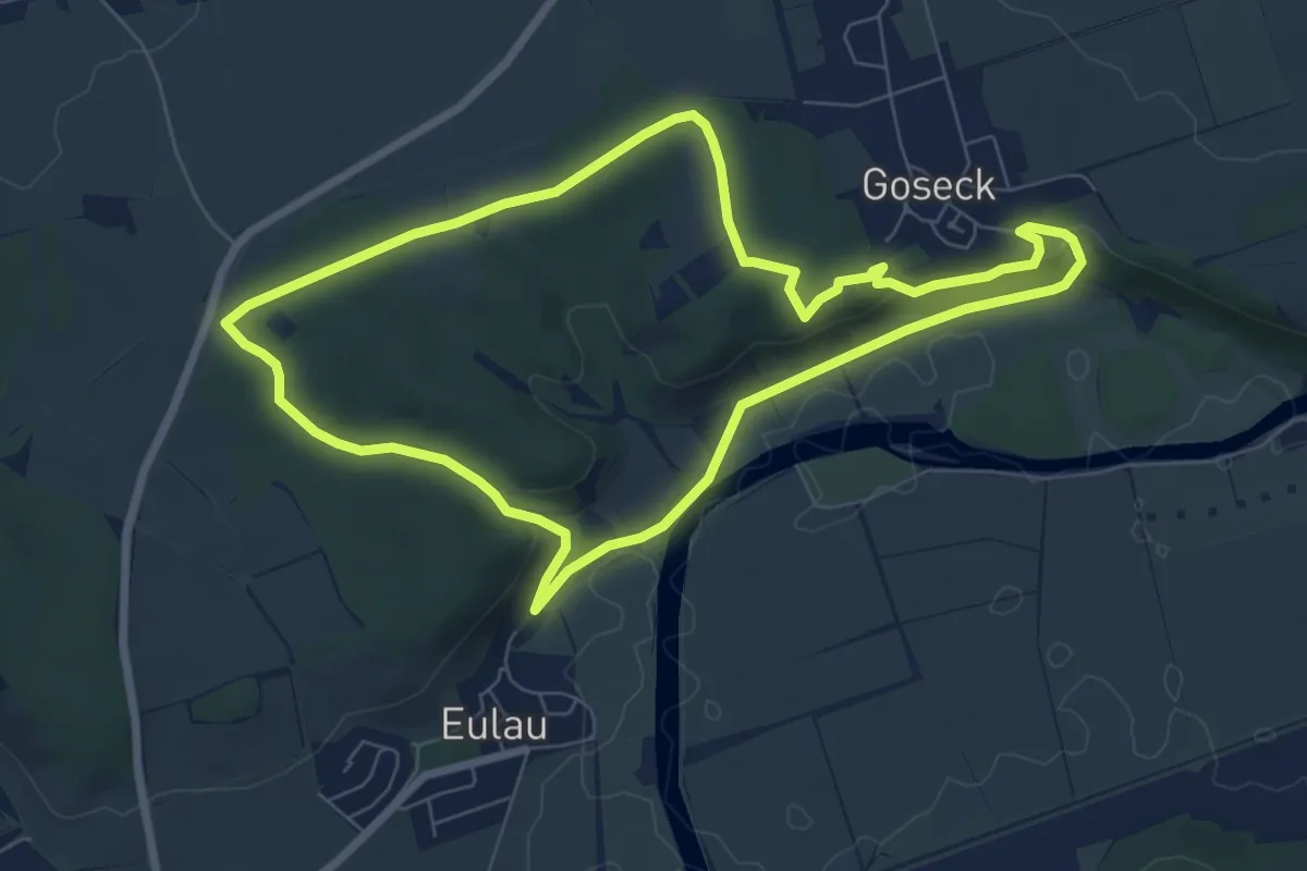
Easy · Trail
Goseck-Eulau Rundweg
6.7 km · ↑ 107 m · 1 h 55 min