Trails in Germany
36,852 hiking trails, each with its route, climb, walking time and grade.
All trails, page 186 of 768
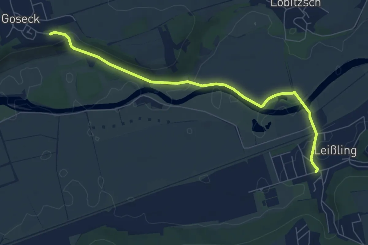
Easy · Trail
Goseck Leißling
6.2 km · ↑ 65 m · 1 h 37 min
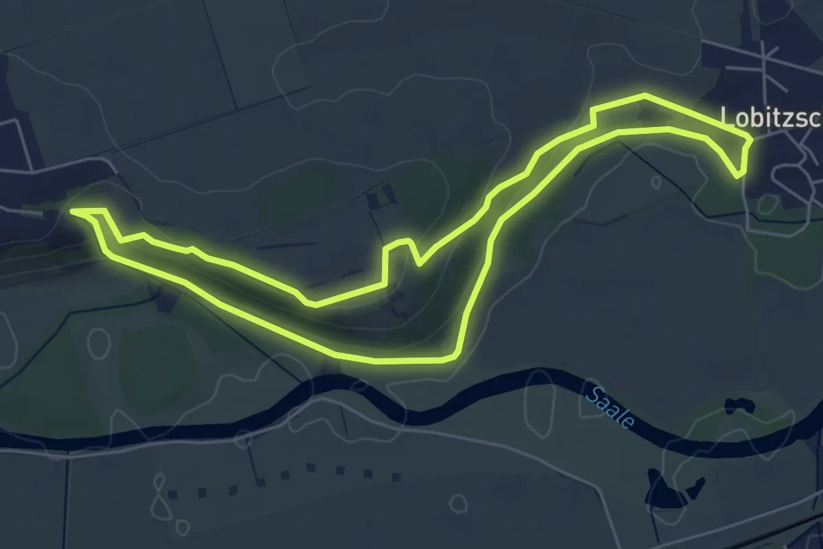
Easy · Trail
Goseck-Lobitzsch-Rundweg
5.0 km · ↑ 89 m · 1 h 27 min
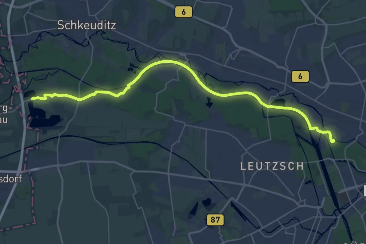
Demanding · Summit
Gose-Wanderweg
26.0 km · ↑ 60 m · 6 h 17 min
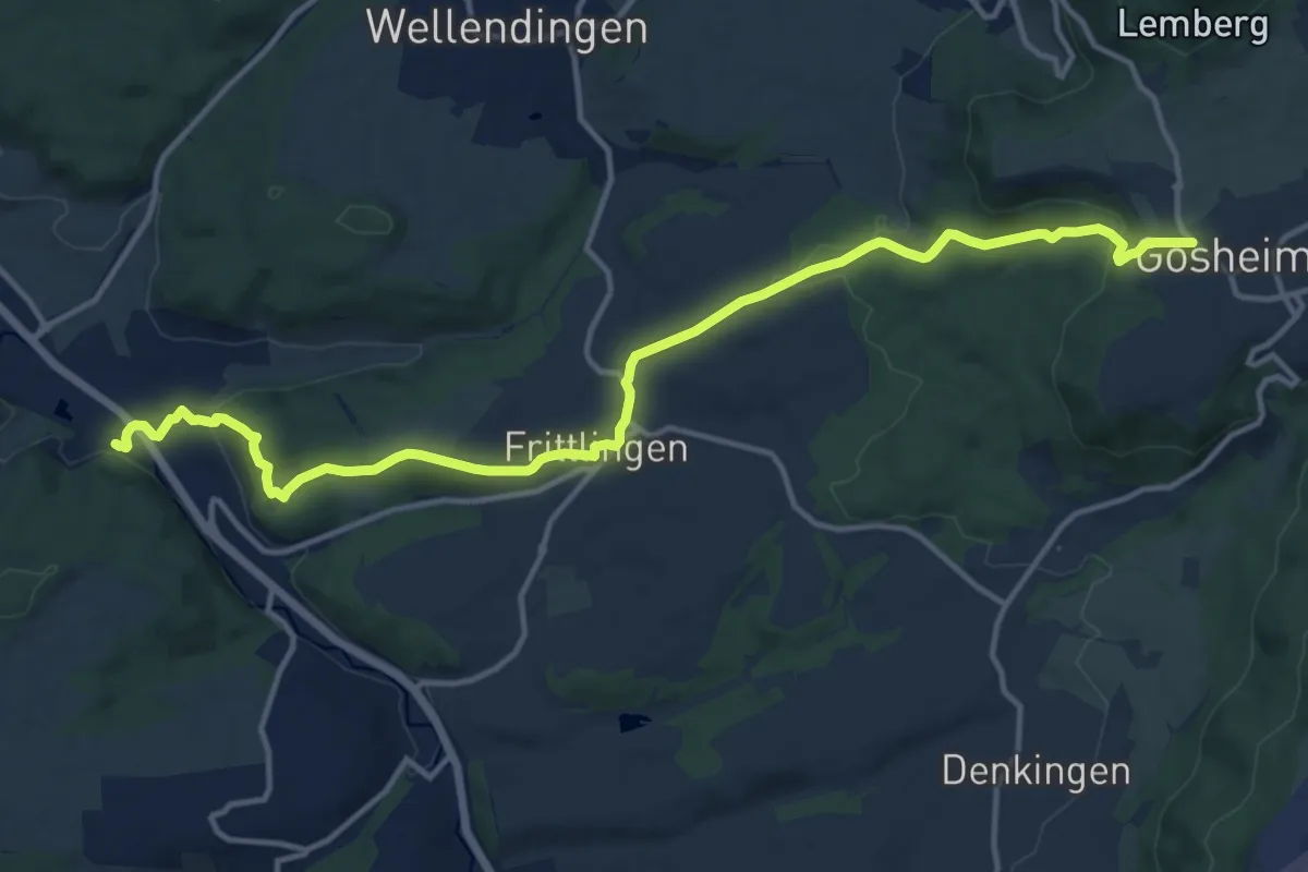
Medium · Trail
Gosheim - Neufra
15.2 km · ↑ 387 m · 4 h 25 min
Medium · Summit
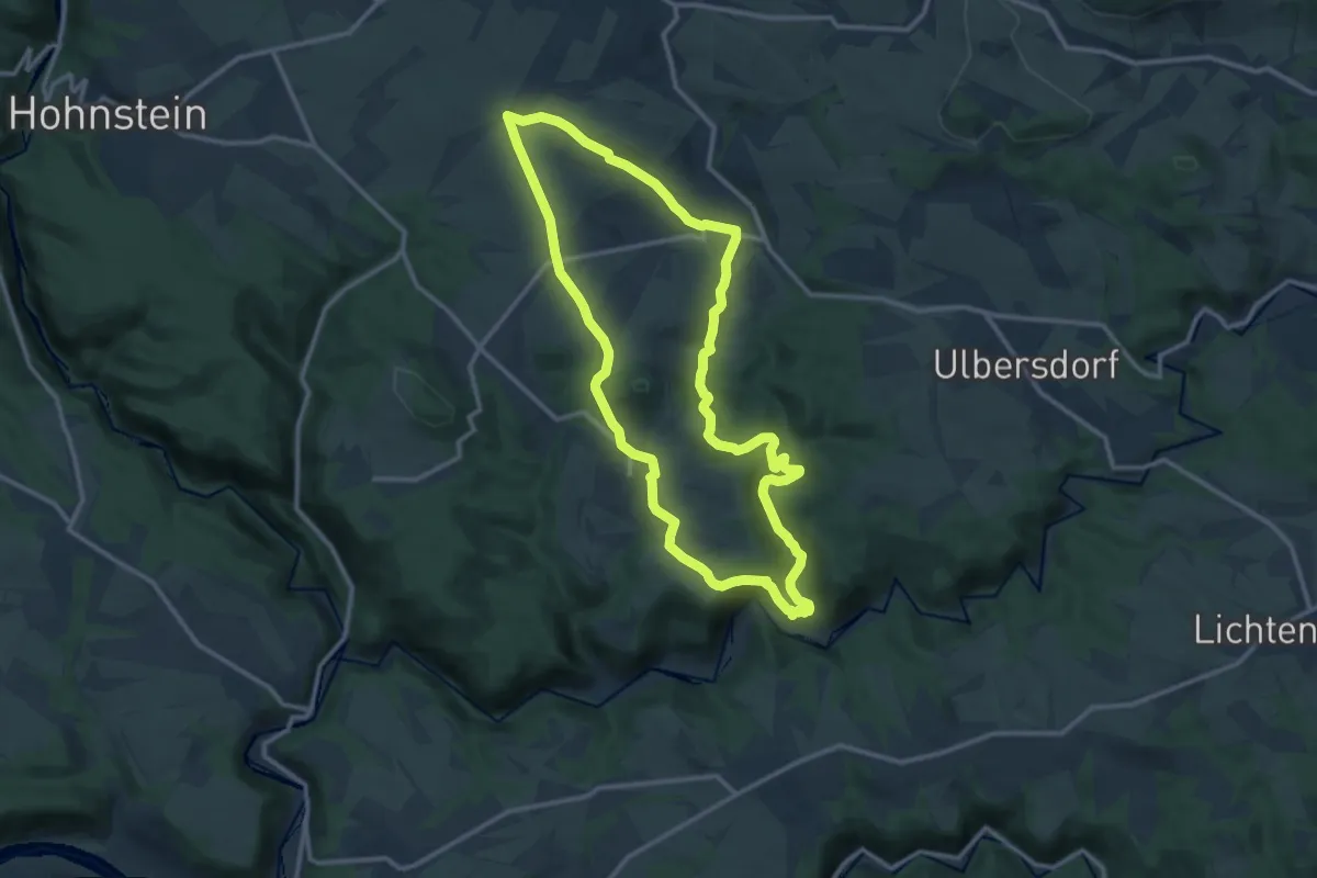
Goßdorf
11.3 km · ↑ 275 m · 3 h 25 min
Easy · Trail
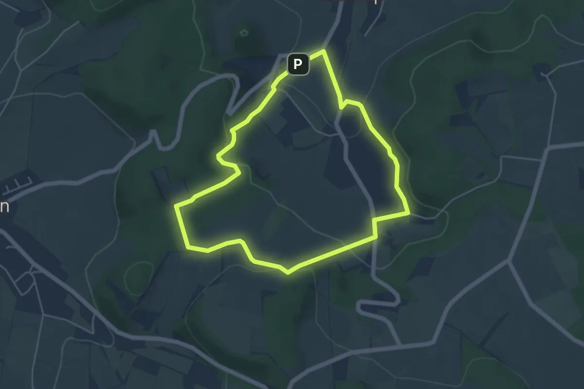
Gösselgang
3.9 km · ↑ 114 m · 1 h 13 min
Medium · Trail
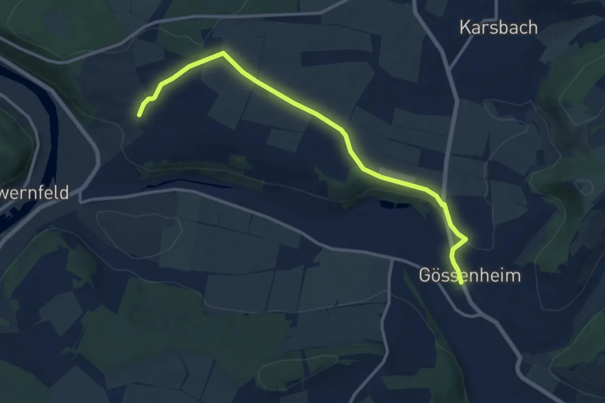
Gössenheim, blaues Aa auf Gelb
9.2 km · ↑ 169 m · 2 h 33 min
Medium · Trail
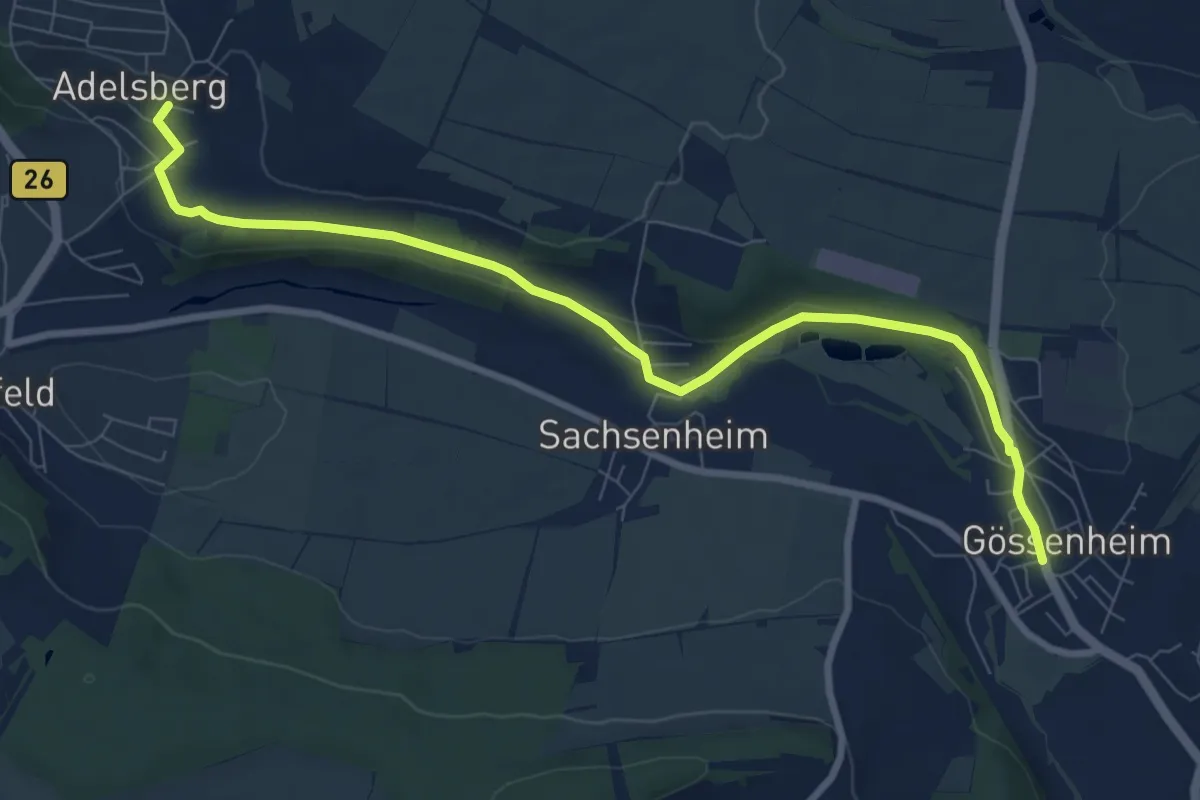
Gössenheim, blaues Ab auf Gelb
8.7 km · ↑ 147 m · 2 h 22 min
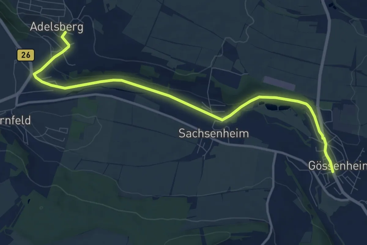
Medium · Trail
Gössenheim, blaues Ac auf Gelb
9.9 km · ↑ 142 m · 2 h 39 min
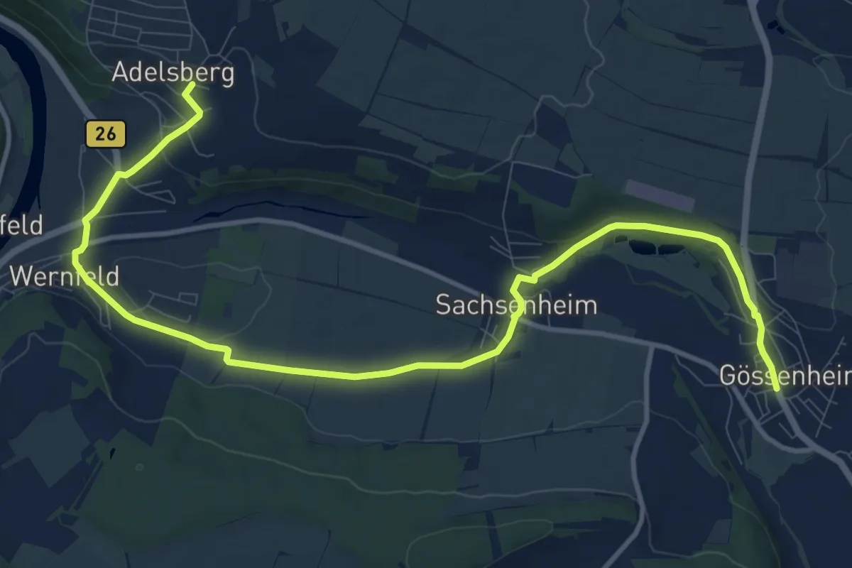
Medium · Trail
Gössenheim, blaues Ad auf Gelb
12.5 km · ↑ 206 m · 3 h 25 min
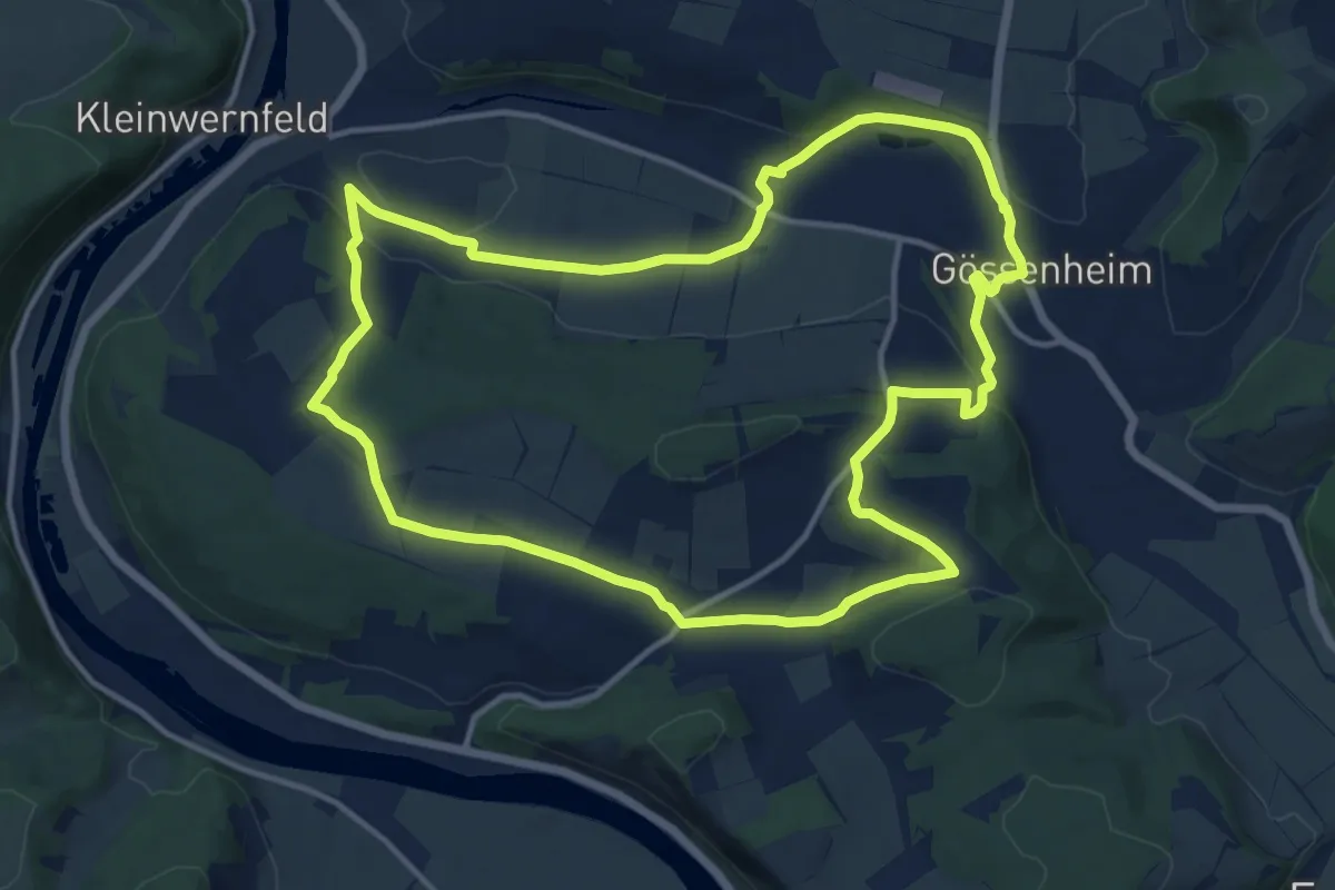
Medium · Trail
Gössenheim, blaues B auf Gelb
12.9 km · ↑ 230 m · 3 h 44 min
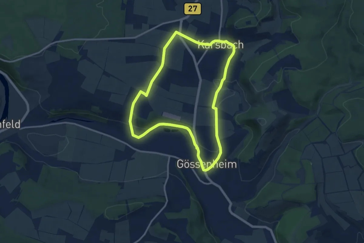
Medium · Trail
Gössenheim, blaues C auf Gelb
8.6 km · ↑ 117 m · 2 h 25 min
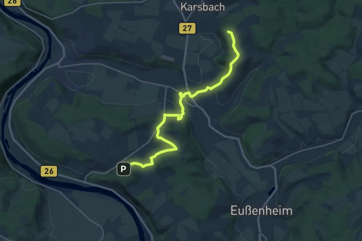
Medium · Summit
Gössenheim, blaues Da auf Gelb
15.3 km · ↑ 385 m · 4 h 27 min
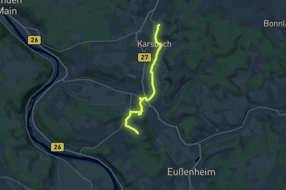
Medium · Trail
Gössenheim, blaues Db auf Gelb
13.9 km · ↑ 185 m · 3 h 41 min
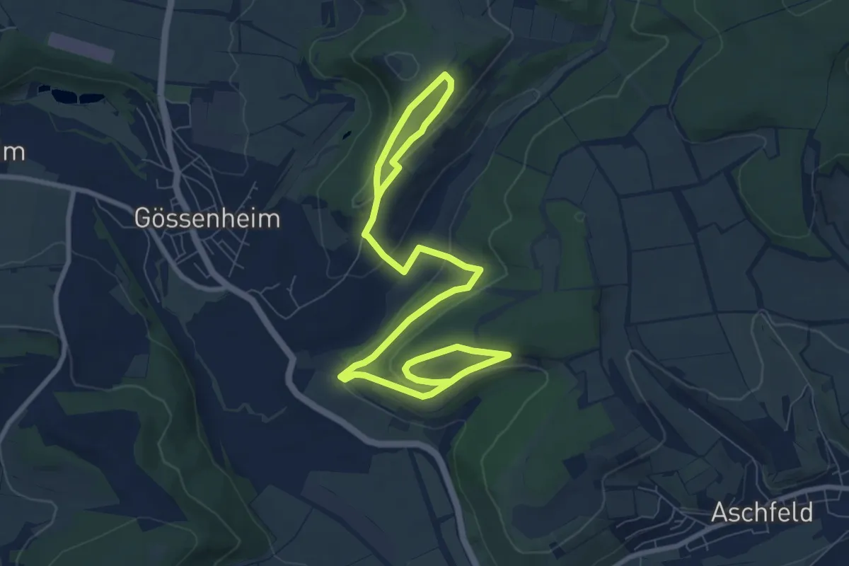
Medium · Trail
Gössenheim, blaues F auf Gelb
11.3 km · ↑ 344 m · 3 h 25 min
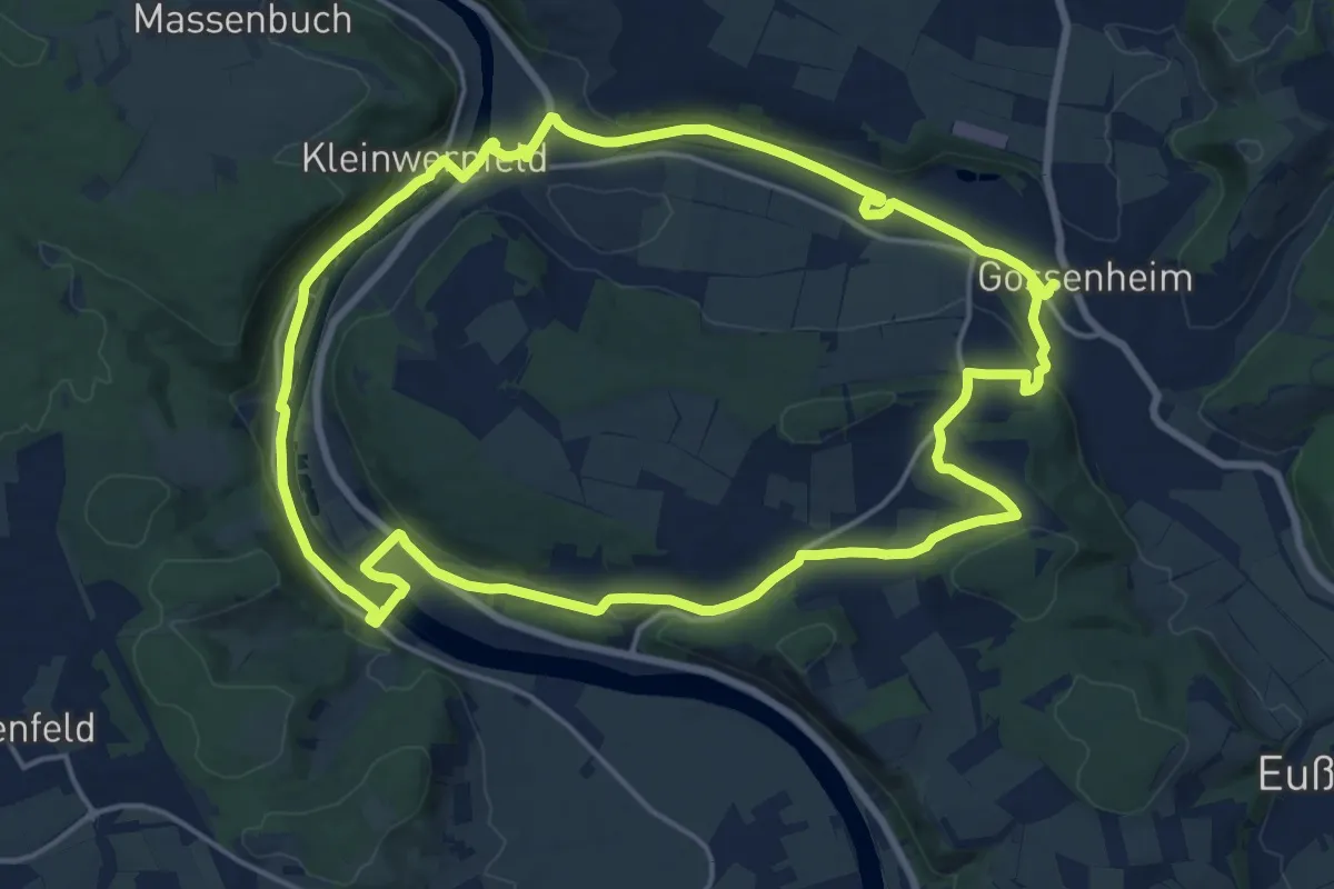
Medium · Trail
Gössenheim, blaues G auf Gelb
17.3 km · ↑ 202 m · 4 h 45 min
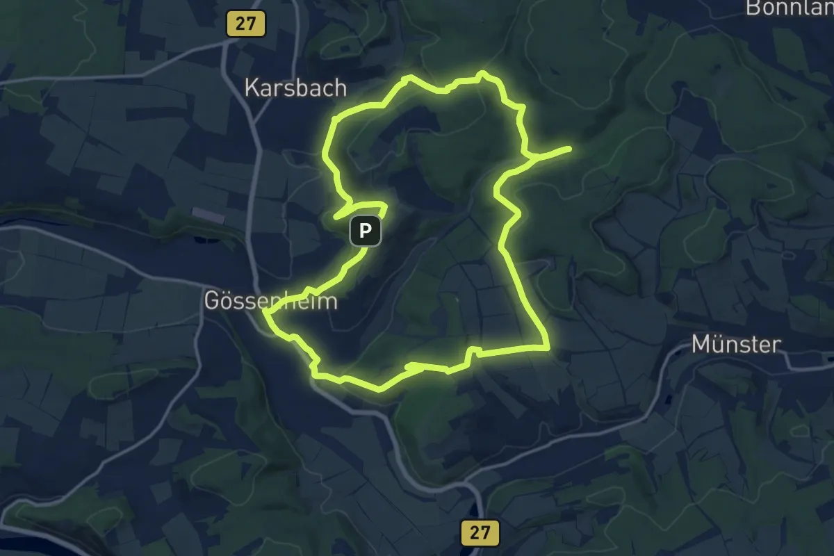
Medium · Trail
Gössenheim, blaues Ia auf Gelb
14.9 km · ↑ 402 m · 4 h 35 min
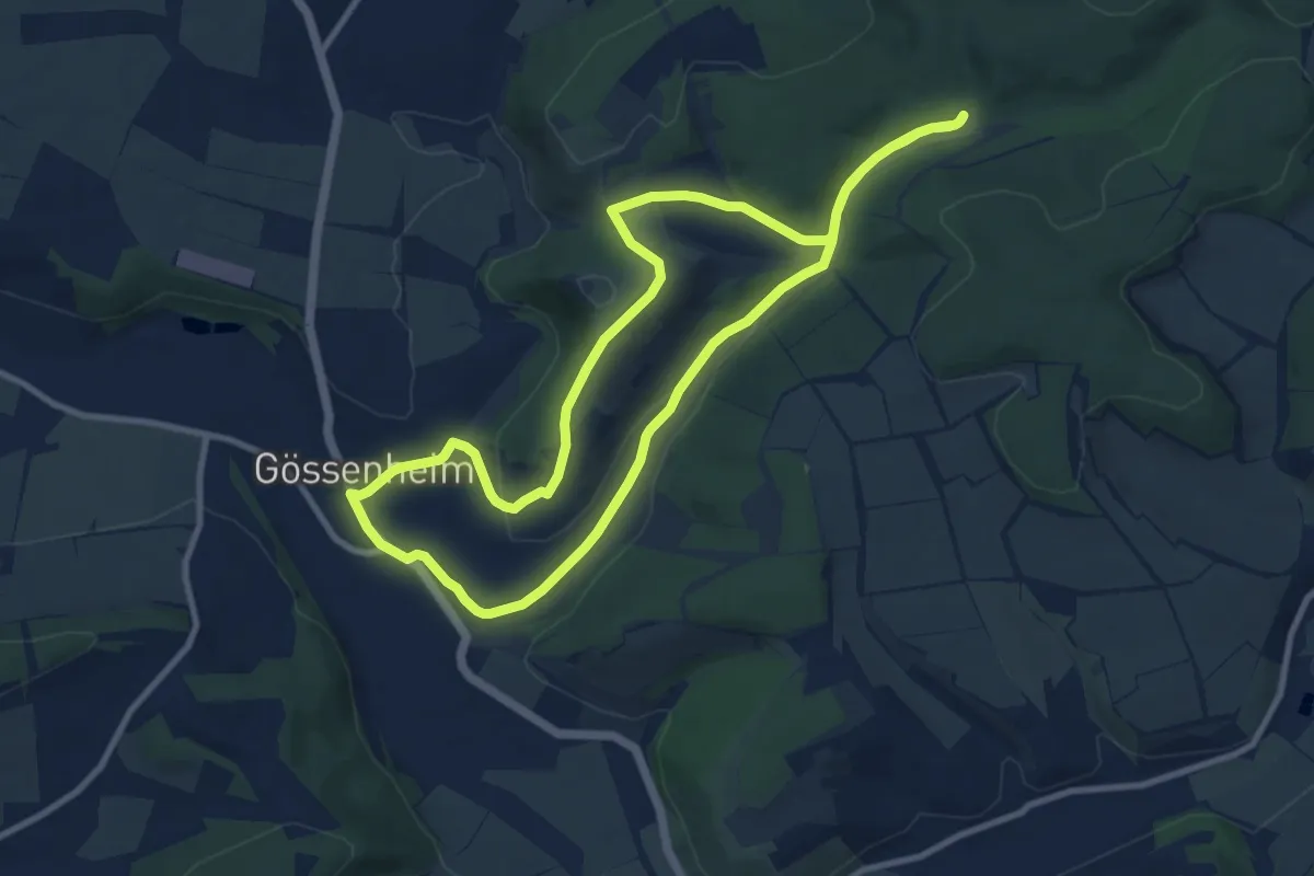
Medium · Trail
Gössenheim, blaues Ib auf Gelb
9.2 km · ↑ 128 m · 2 h 34 min
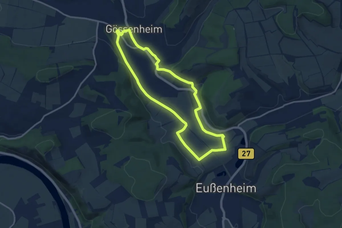
Medium · Trail
Gössenheim, blaues J auf Gelb
8.4 km · ↑ 77 m · 2 h 15 min
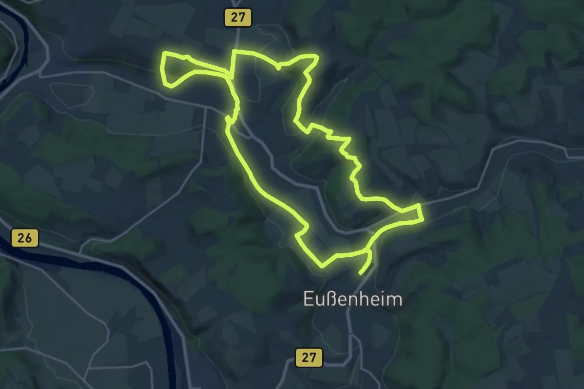
Demanding · Trail
Gössenheim, blaues K auf Gelb
18.4 km · ↑ 351 m · 5 h 22 min
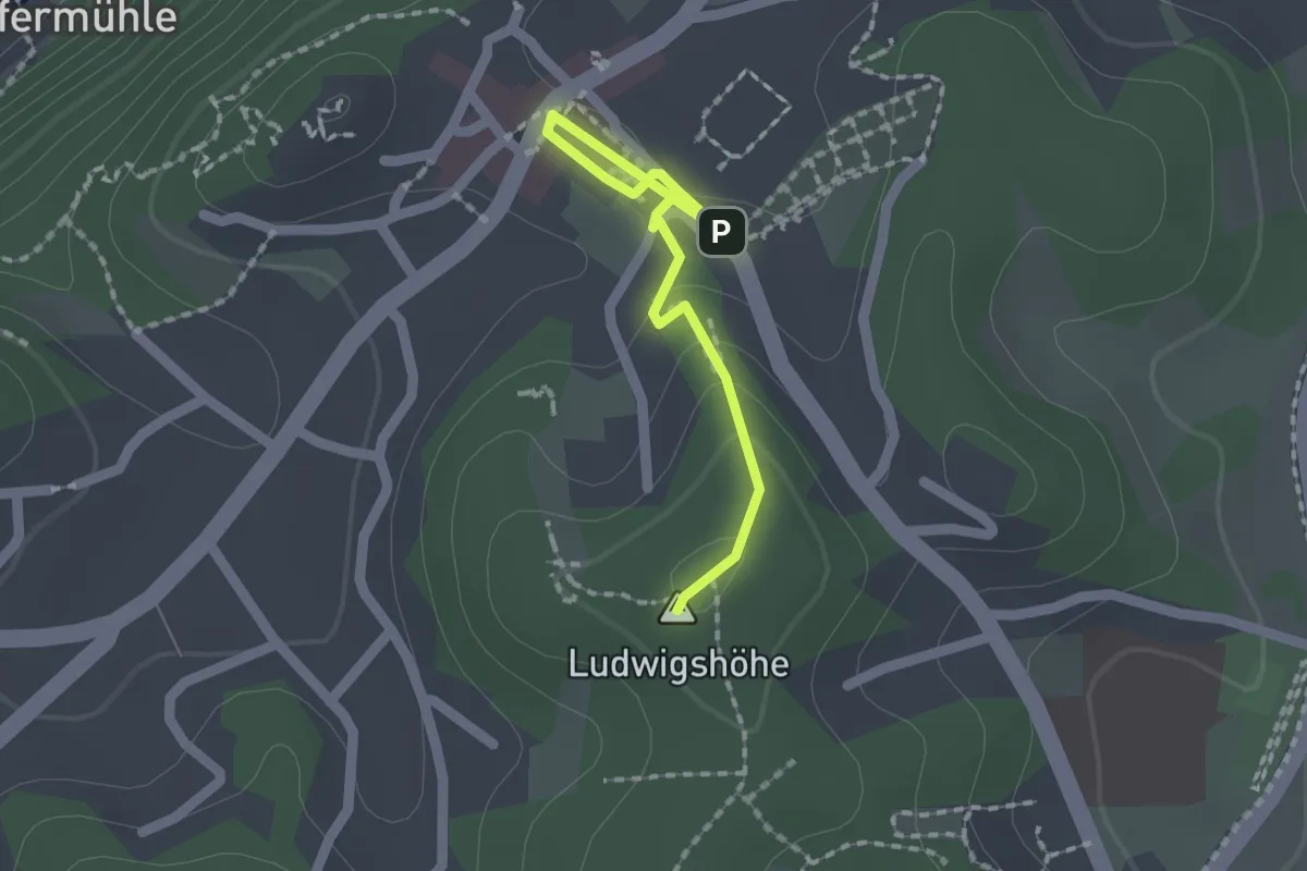
Easy · Summit
Gößweinsteiner Sagenweg
2.4 km · ↑ 89 m · 48 min
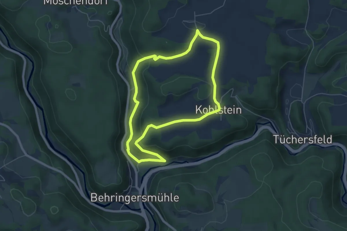
Easy · Trail
Gößweinstein-Kohlstein
5.0 km · ↑ 134 m · 1 h 33 min
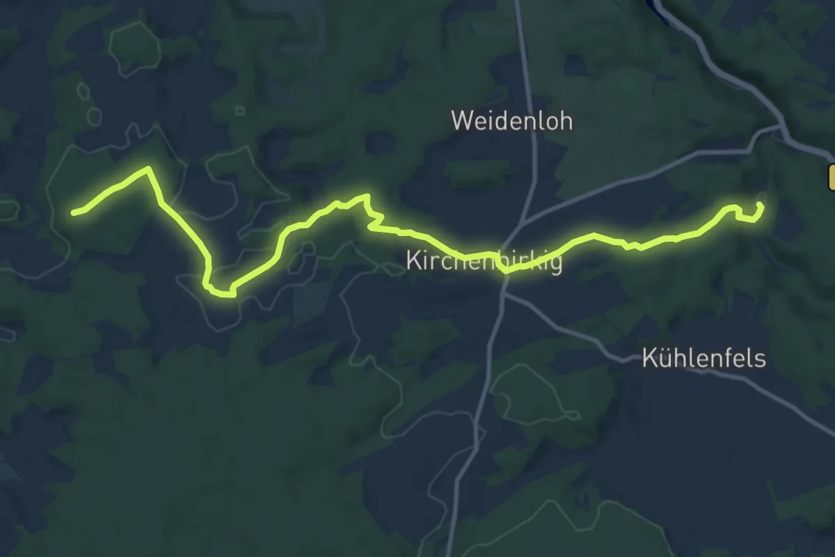
Medium · Summit
Gößweinstein-Mittelmühle
12.4 km · ↑ 199 m · 3 h 22 min
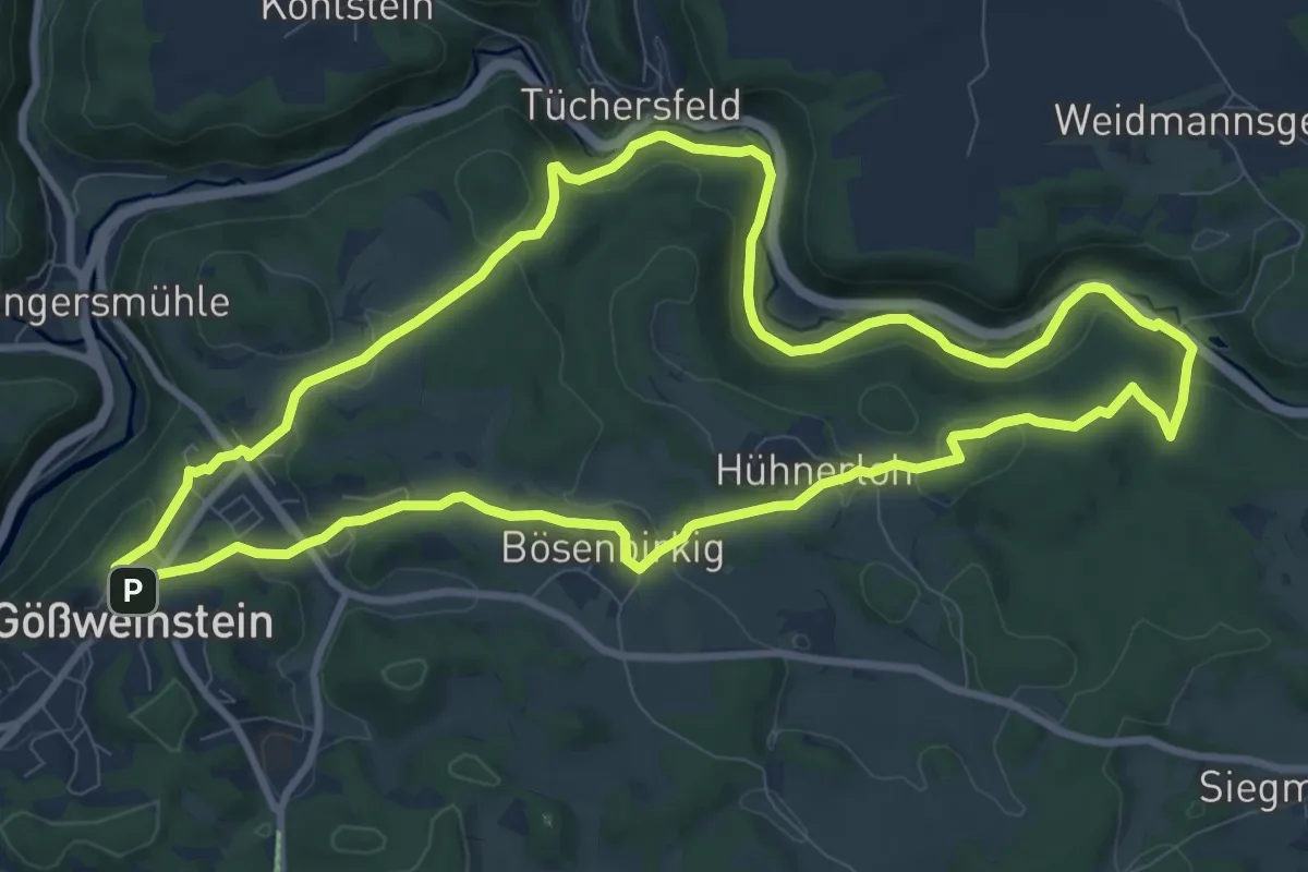
Medium · Trail
Gößweinstein Terrainweg "Grünes Herz"
9.7 km · ↑ 227 m · 2 h 55 min
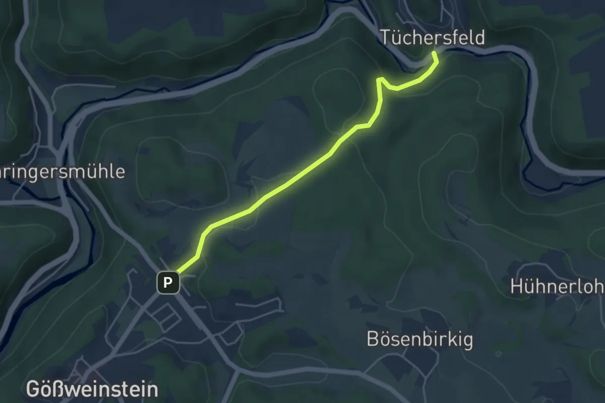
Easy · Trail
Gößweinstein-Tüchersfeld
3.8 km · ↑ 133 m · 1 h 12 min
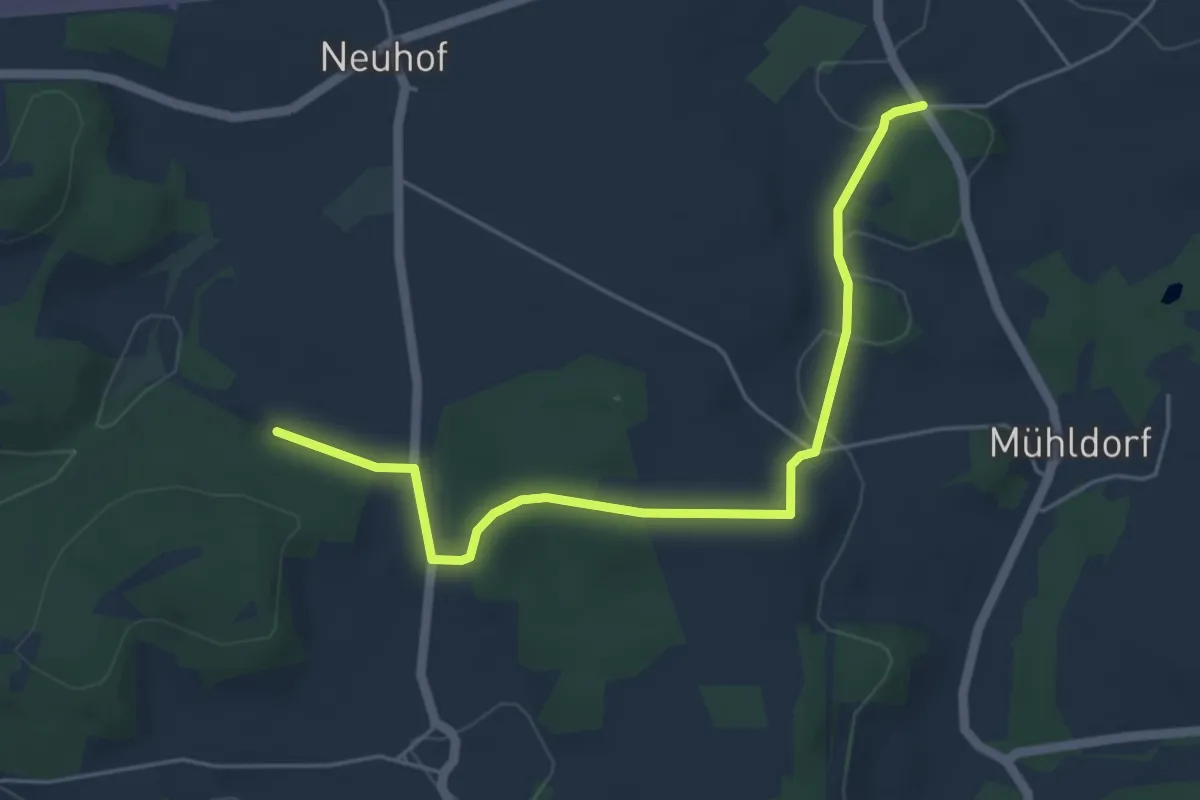
Easy · Trail
Gößweinstein-Weißenbrunn
5.0 km · ↑ 94 m · 1 h 24 min
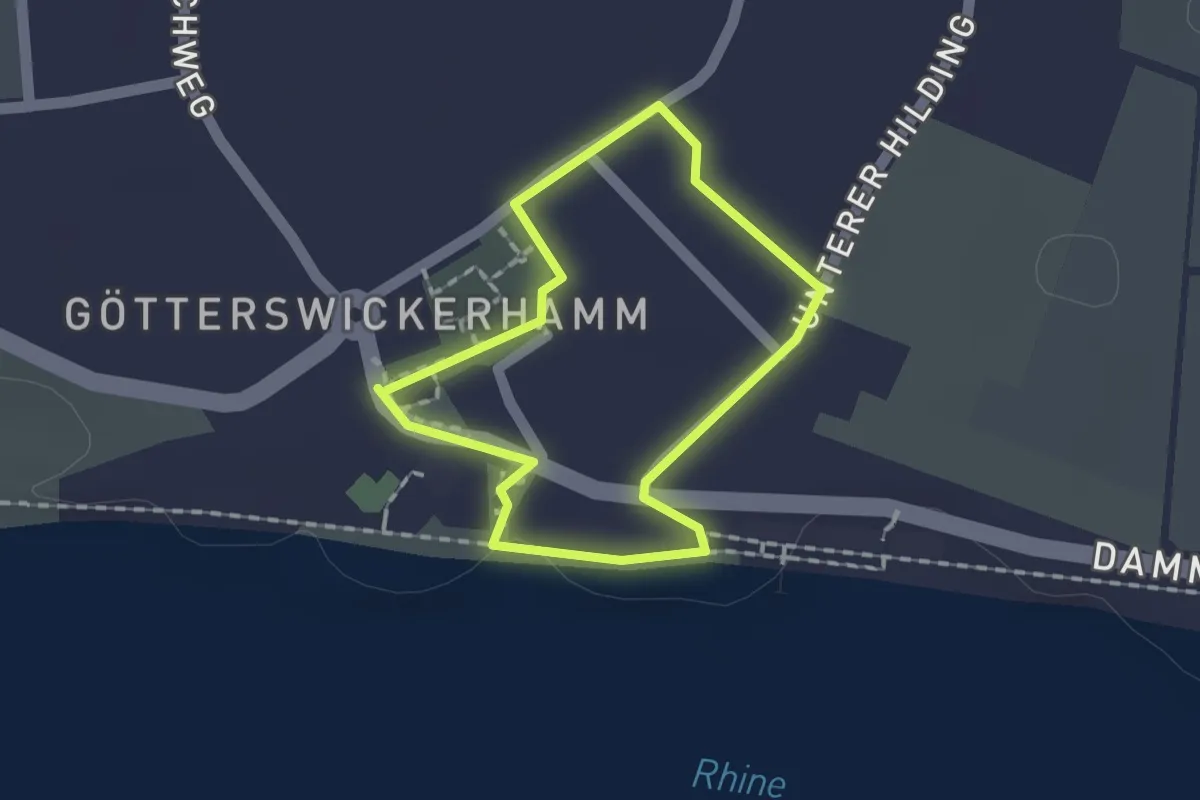
Easy · Trail
Götterswickerhamm Rundweg B
1.2 km · ↑ 4 m · 18 min
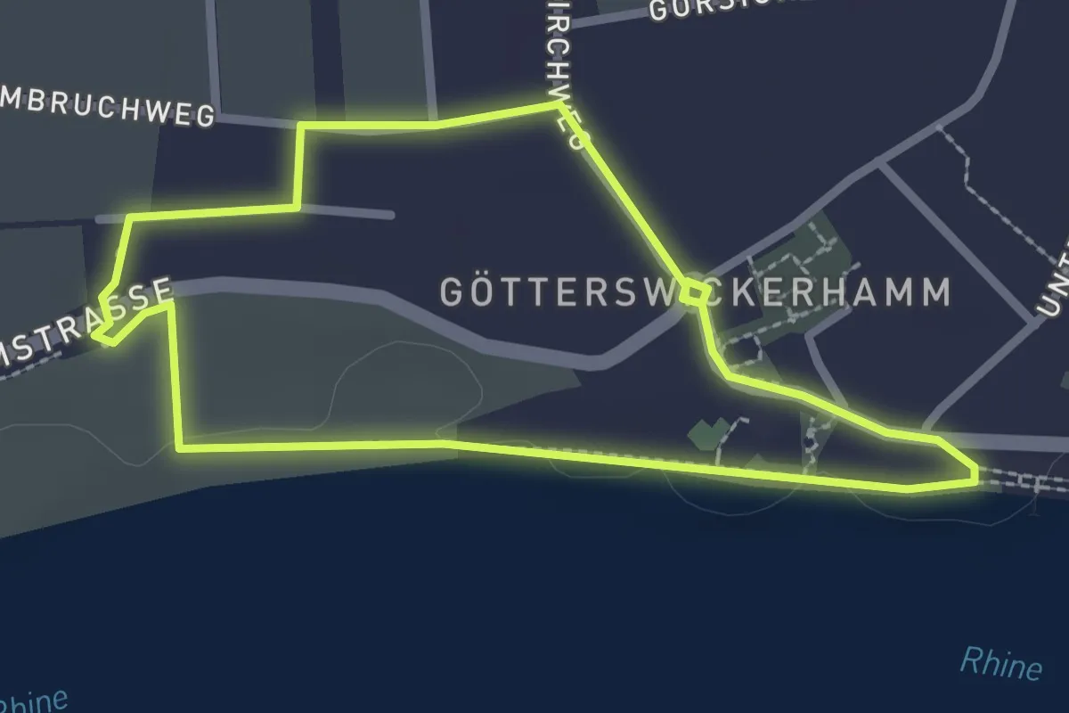
Easy · Trail
Götterswickerhamm Rundweg C
2.1 km · ↑ 8 m · 33 min
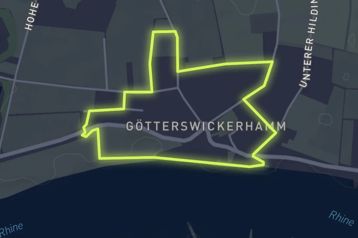
Easy · Trail
Götterswickerhamm Rundweg D
3.0 km · ↑ 5 m · 46 min
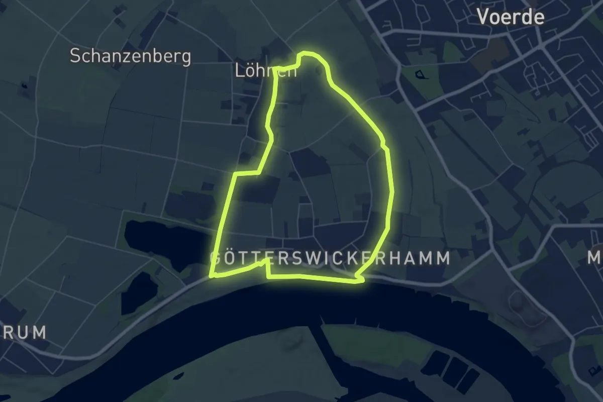
Easy · Trail
Götterswickerhamm Rundweg E
5.6 km · ↑ 5 m · 1 h 24 min
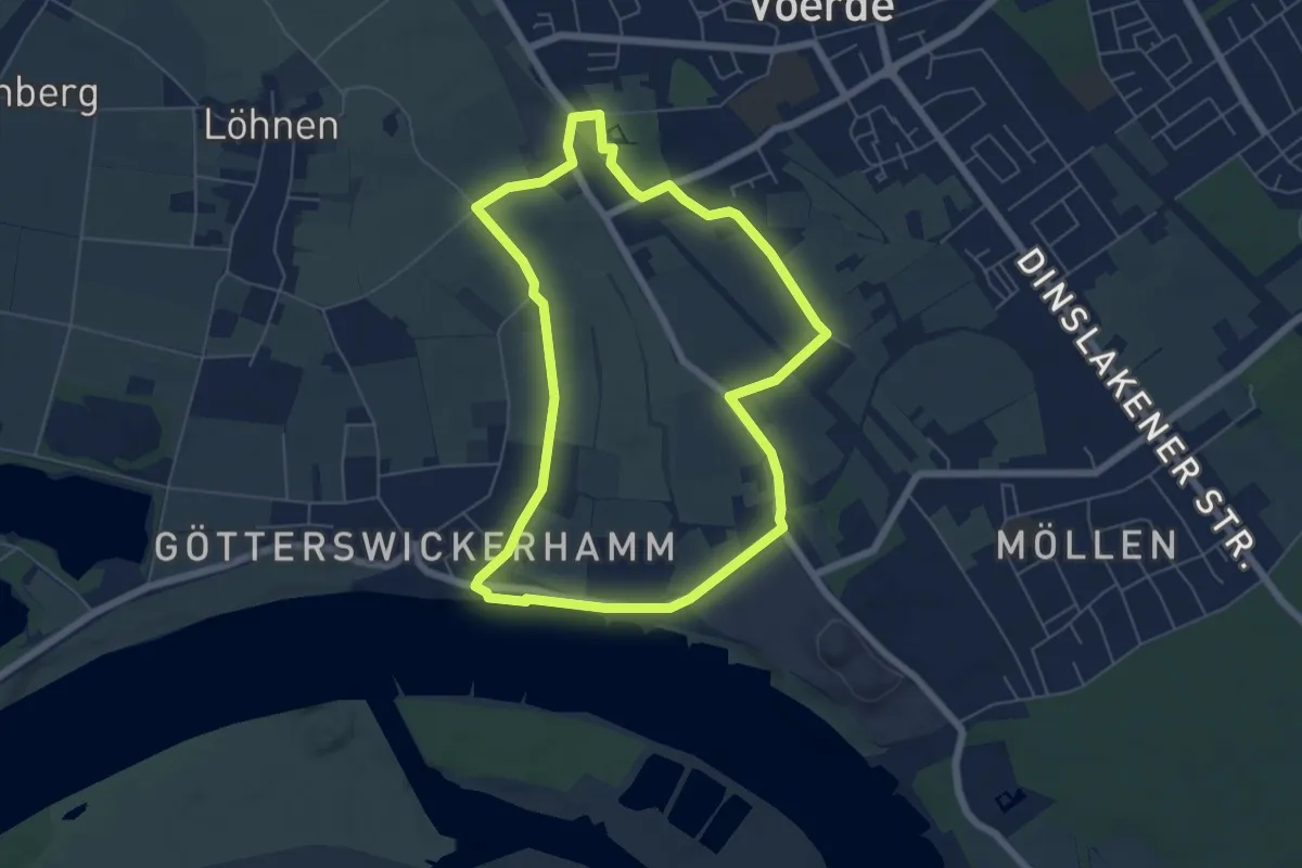
Easy · Trail
Götterswickerhamm Rundweg F
5.4 km · ↑ 5 m · 1 h 22 min
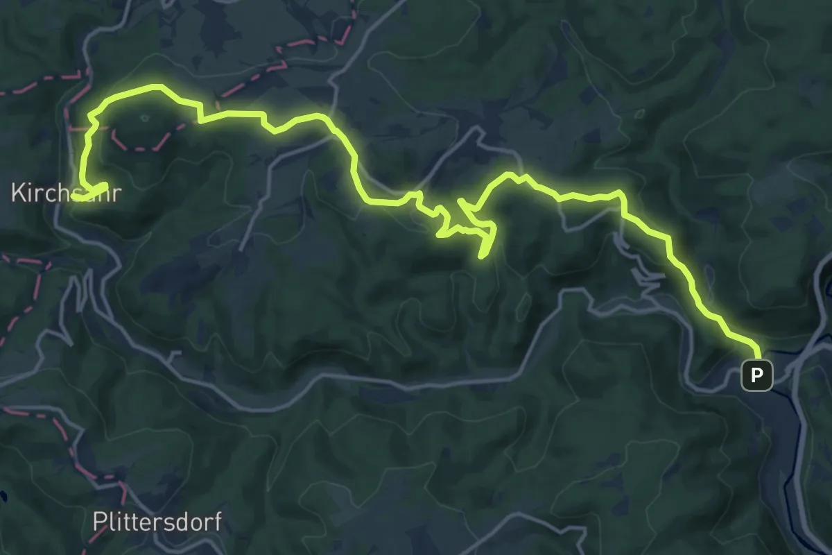
Demanding · Trail
Gottfried-Kinkel-Weg
19.3 km · ↑ 693 m · 6 h 3 min
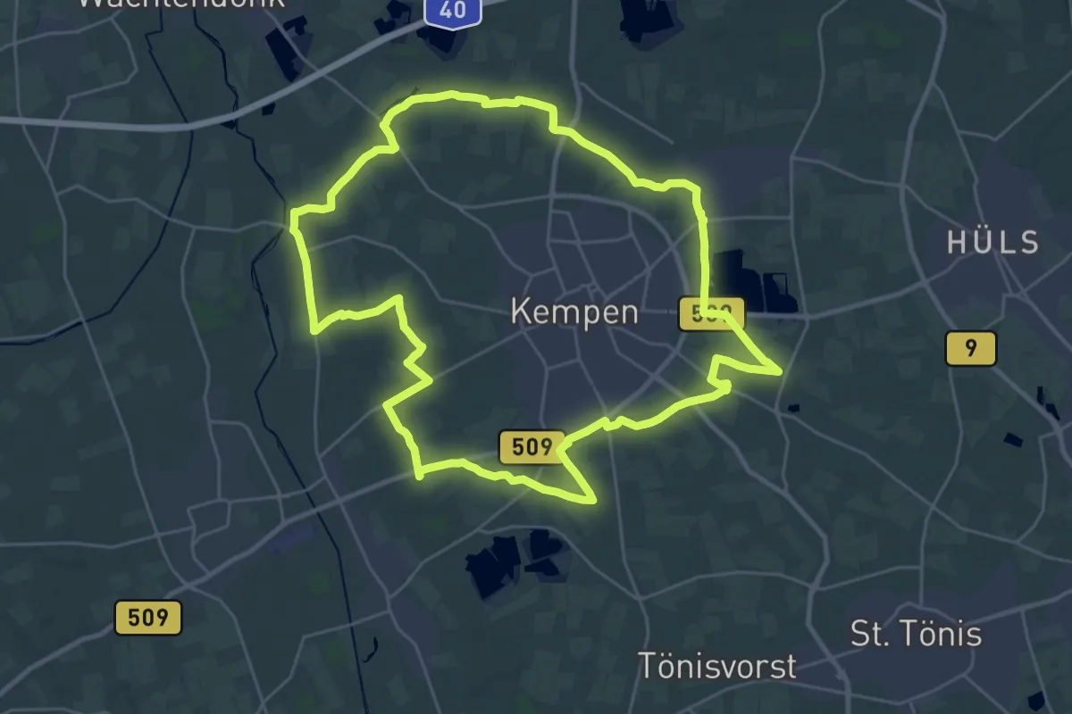
Demanding · Trail
Gottfried-Klinkenberg-Weg
26.4 km · ↑ 18 m · 6 h 38 min
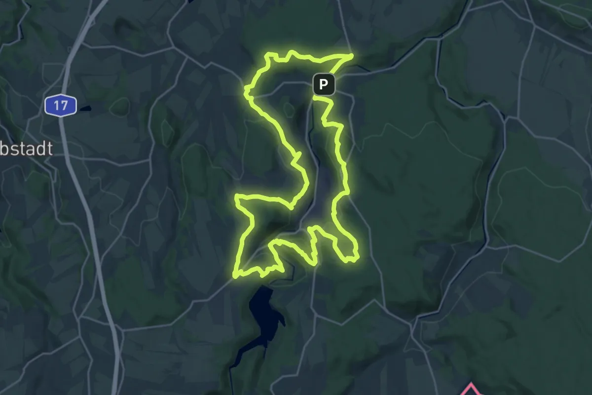
Demanding · Summit
Gottleubataler Panoramaweg
20.6 km · ↑ 629 m · 6 h 30 min
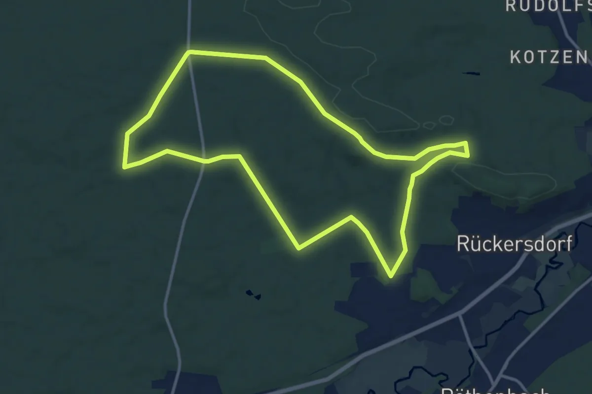
Medium · Trail
Gottlieb-Groh-Runde (rot)
10.0 km · ↑ 99 m · 2 h 43 min
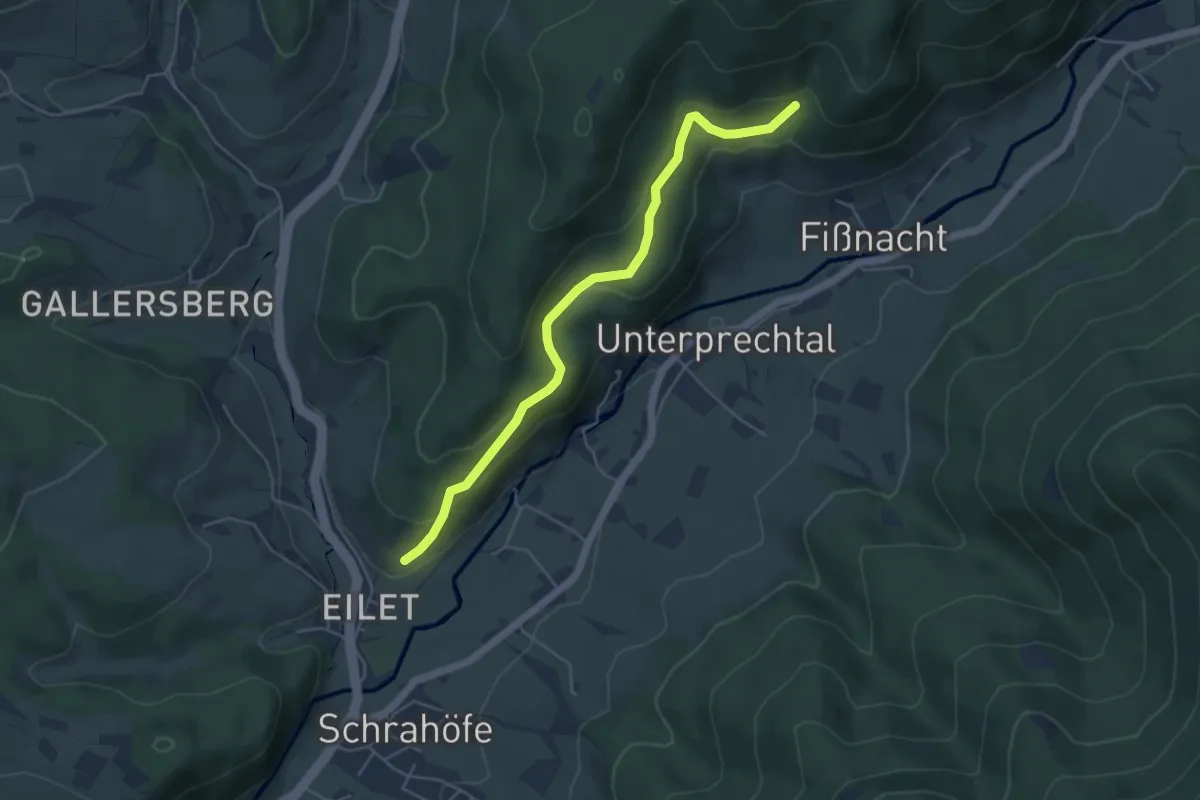
Easy · Trail
Gottmattdobel - Am Galgen
4.8 km · ↑ 237 m · 1 h 39 min
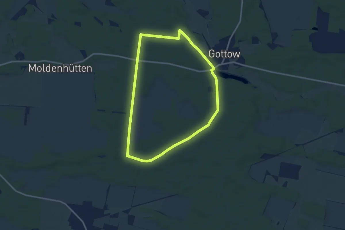
Easy · Trail
Gottower Waldweg
7.4 km · ↑ 29 m · 1 h 55 min
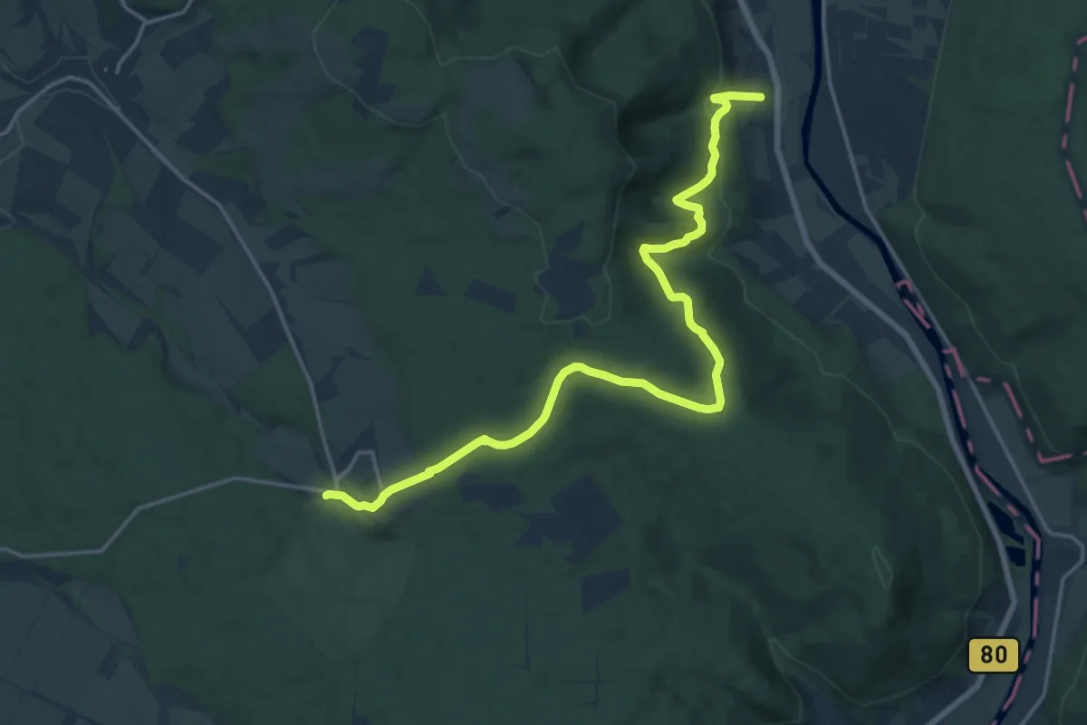
Medium · Trail
Gottstreu - Sababurg
17.2 km · ↑ 438 m · 5 h
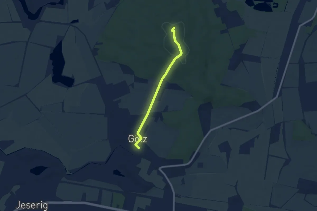
Easy · Summit
Götz - Götzer Berge
4.4 km · ↑ 79 m · 1 h 13 min
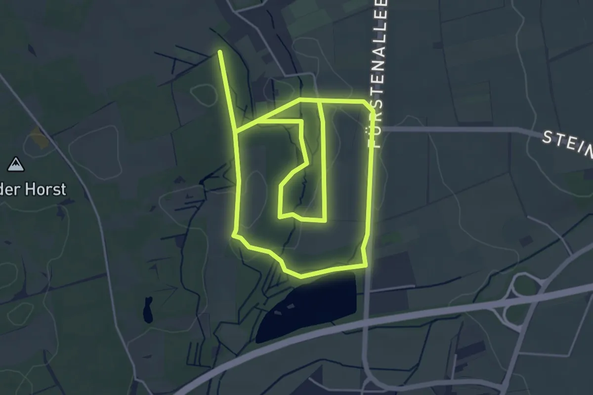
Easy · Trail
GPS-Erlebnispfad im "Kleinen Bruch"
7.7 km · ↑ 54 m · 1 h 56 min
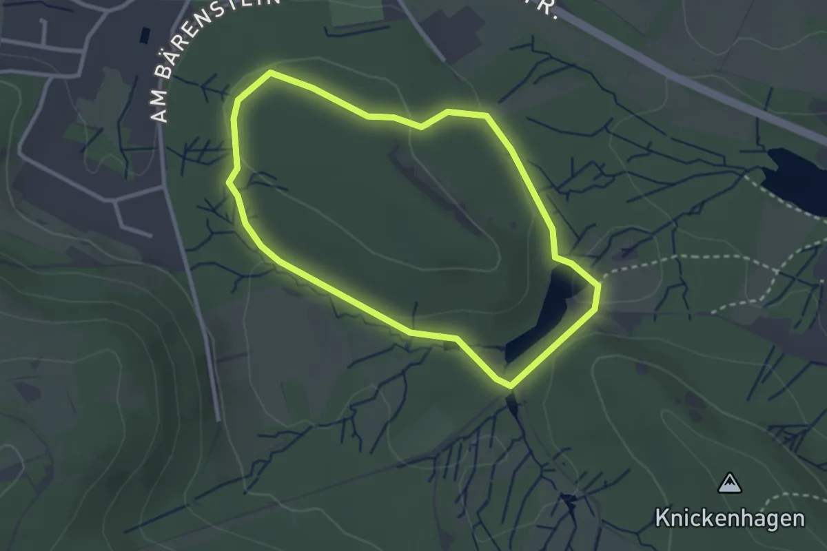
Easy · Trail
GPS-Naturerlebnispfad Bärenstein-Route [Externsteine]
2.3 km · ↑ 49 m · 42 min
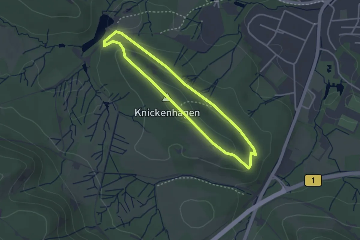
Easy · Summit
GPS-Naturerlebnispfad Knickenhagen-Route [Externsteine]
2.5 km · ↑ 63 m · 45 min
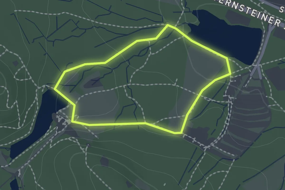
Easy · Trail
GPS-Naturerlebnispfad Schliepstein-Route [Externsteine]
1.4 km · ↑ 25 m · 25 min
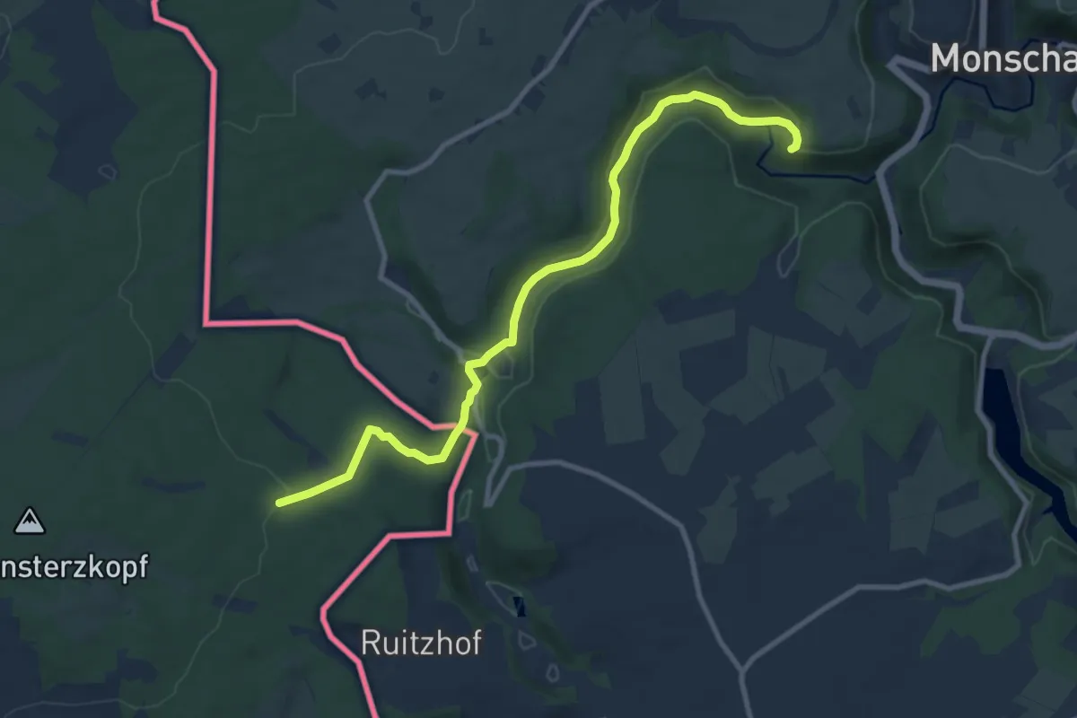
Medium · Summit
GR 14 Parcours Principal
9.2 km · ↑ 182 m · 2 h 35 min
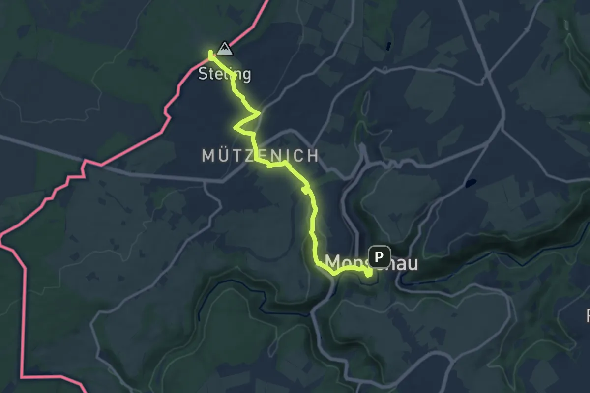
Medium · Summit
GR 15 De la Lorraine belge à l'Eifel
10.3 km · ↑ 271 m · 3 h 1 min
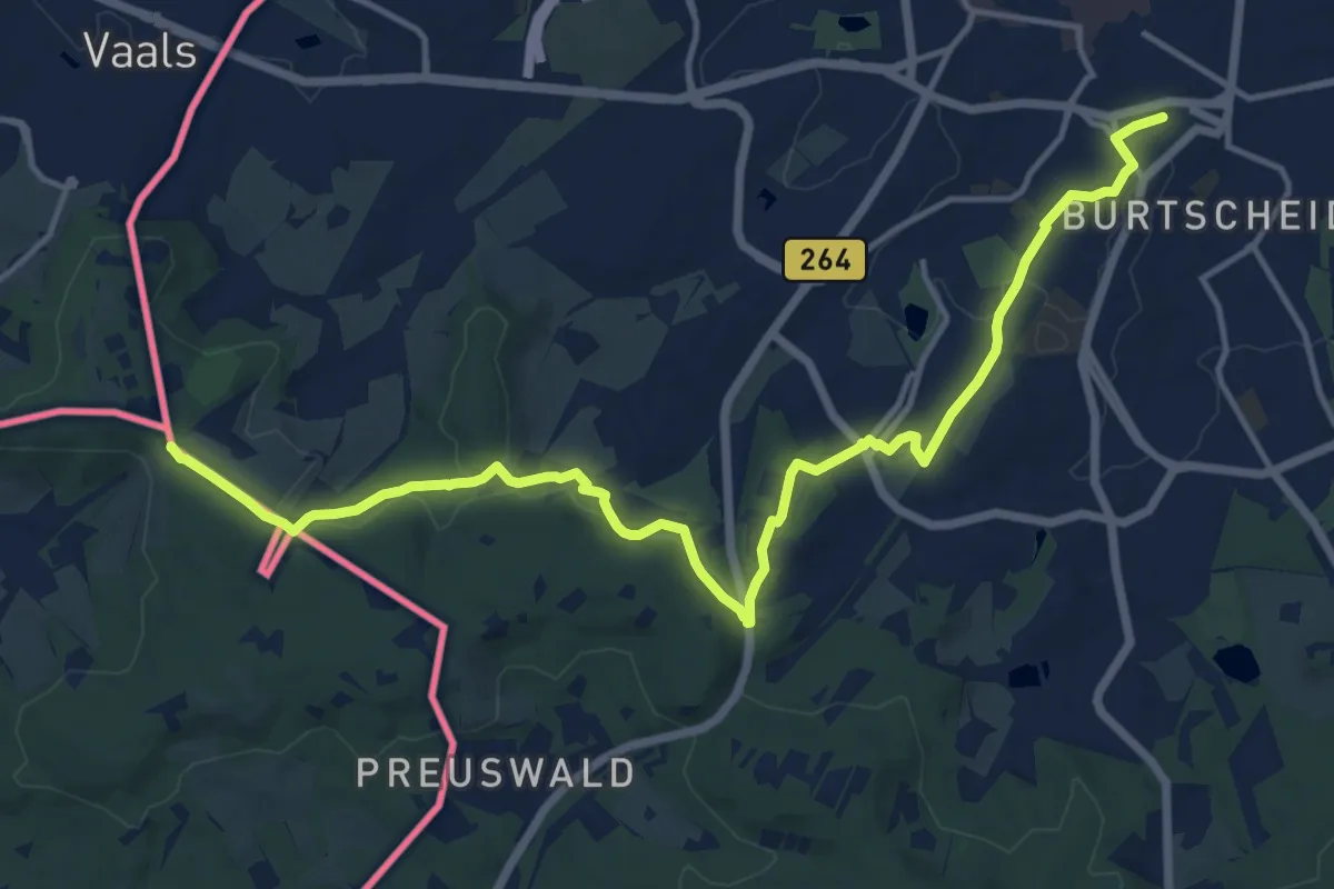
Medium · Summit
GR 56 Liaison Gare Aix-la-Chapelle
15.3 km · ↑ 318 m · 4 h 18 min
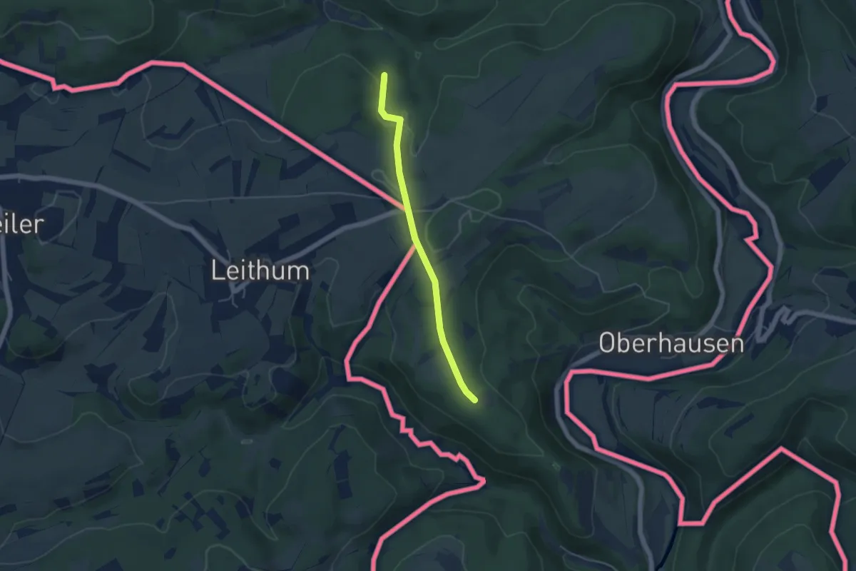
Easy · Trail
GR 56 Sentiers de l'Est de la Belgique | Parcours principal : Sentier des Frontières
3.9 km · ↑ 75 m · 1 h 5 min
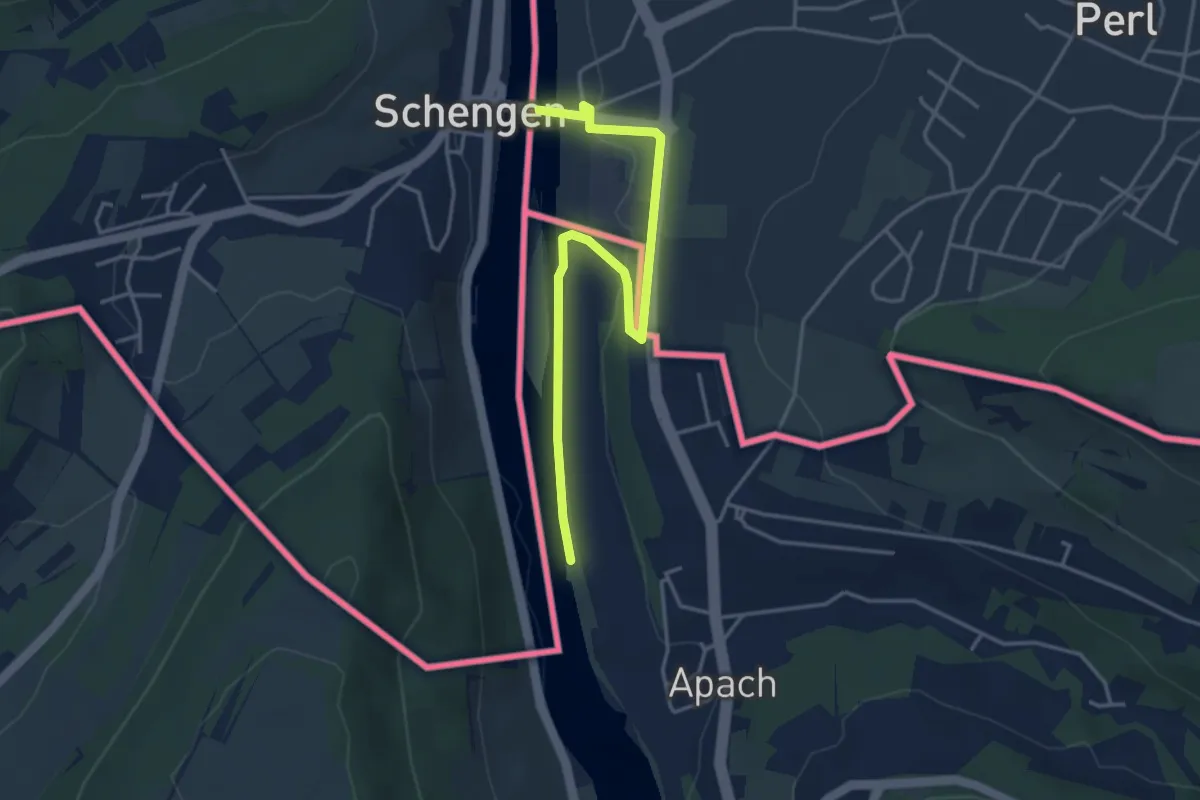
Easy · Trail
GR 5 Lorraine
4.0 km · ↑ 28 m · 1 h 1 min