Trails in Germany
36,852 hiking trails, each with its route, climb, walking time and grade.
All trails, page 188 of 768
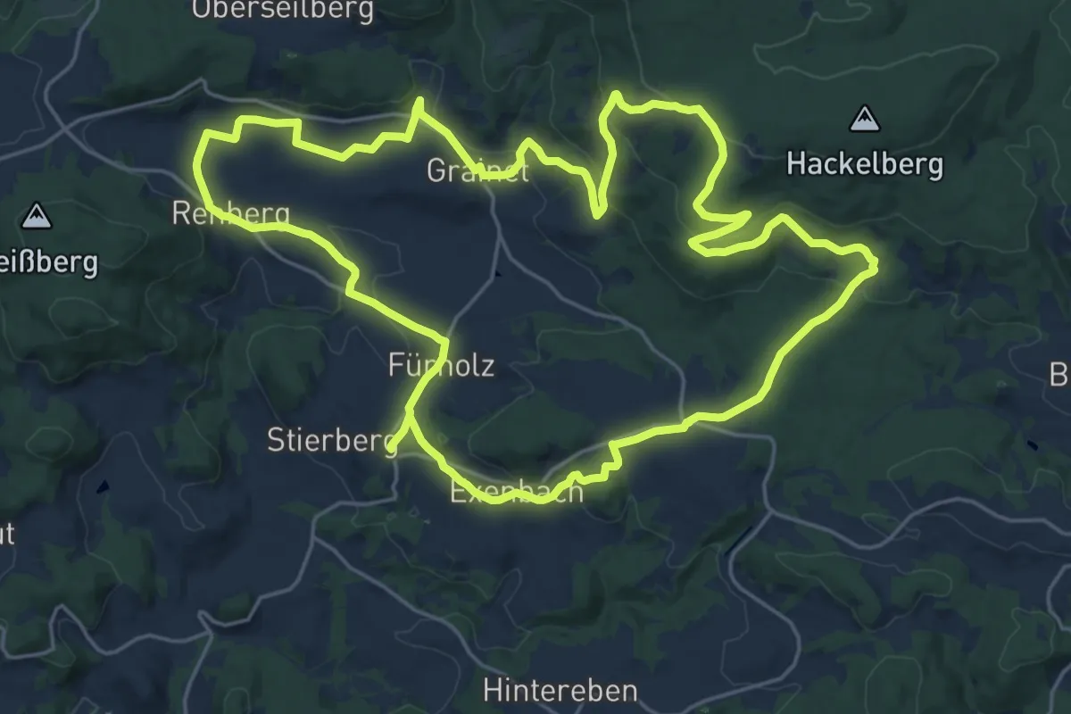
Demanding · Trail
Graineter Kapellenweg
21.6 km · ↑ 576 m · 6 h 38 min
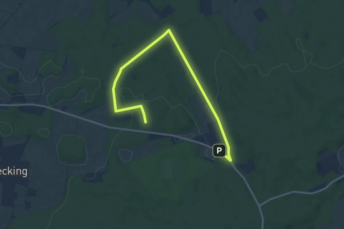
Easy · Trail
Granat Rundweg A4
4.4 km · ↑ 51 m · 1 h 12 min
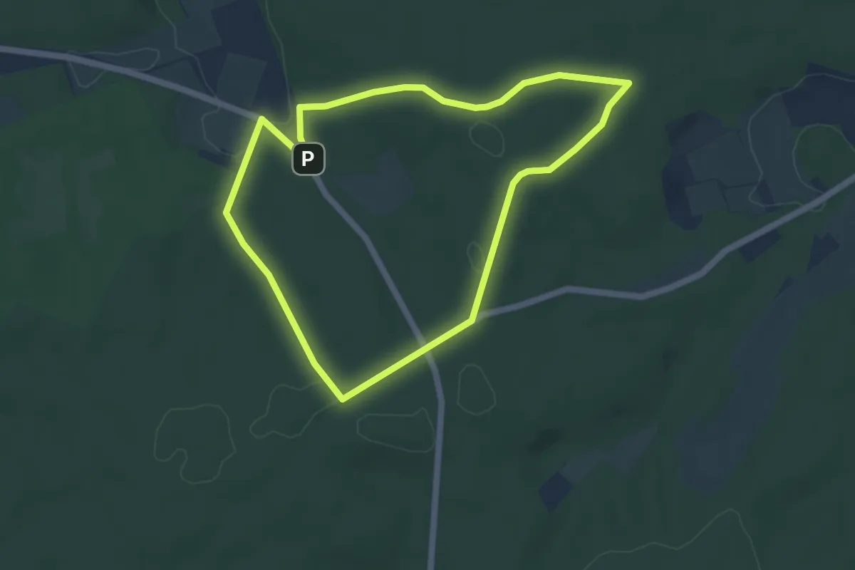
Easy · Trail
Granat Rundweg A6
4.3 km · ↑ 78 m · 1 h 15 min
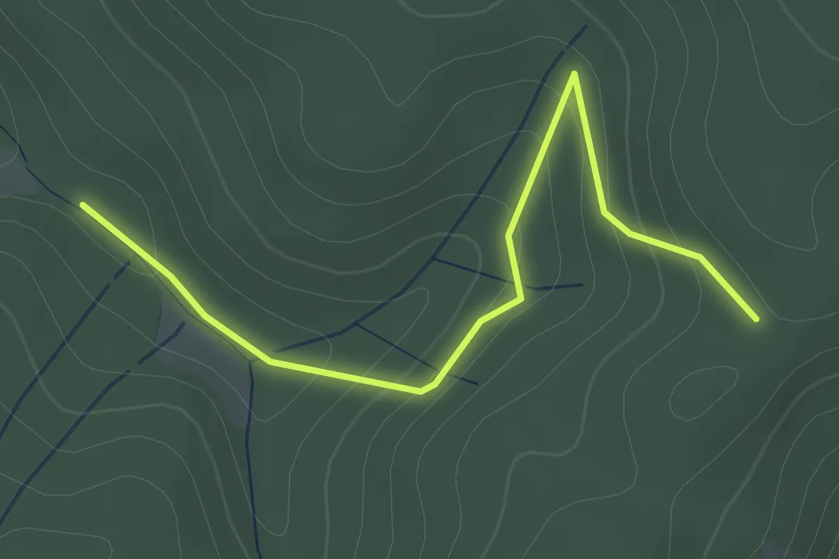
Easy · Trail
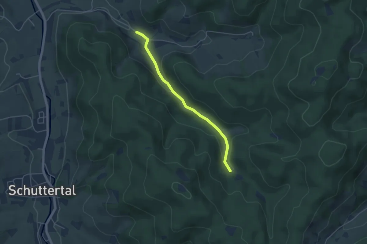
Grangert - Heidenbauerneck
2.3 km · ↑ 113 m · 48 min
Easy · Trail
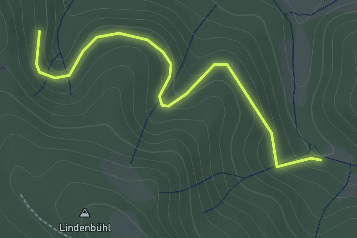
Grangert-Platzmatt - Kambach
3.6 km · ↑ 109 m · 1 h 5 min
Easy · Trail
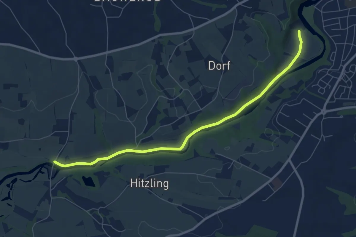
Grangert-Platzmatt - Schuttereckle
2.4 km · ↑ 103 m · 48 min
Easy · Trail
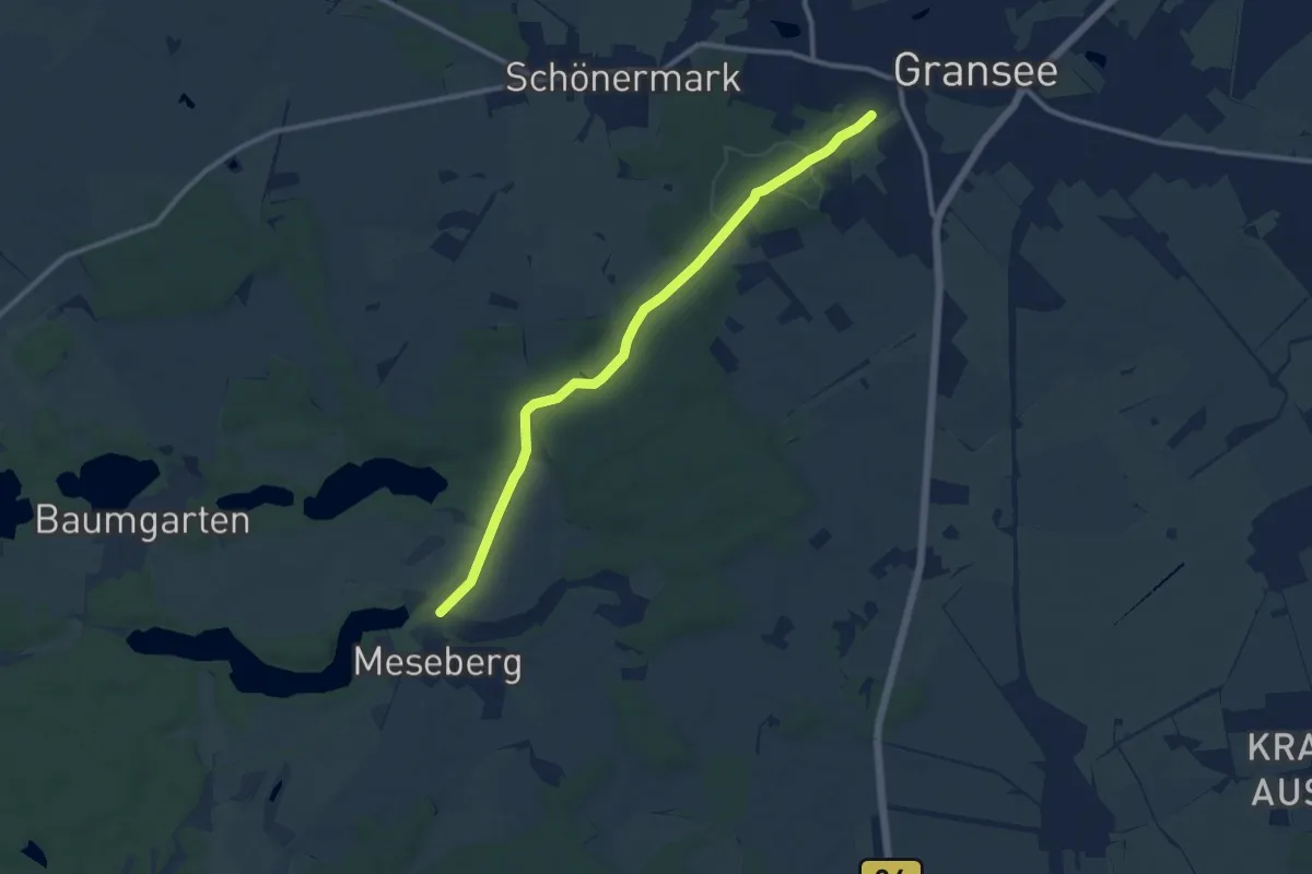
Granitthemenweg
7.0 km · ↑ 37 m · 1 h 44 min
Medium · Trail
Gransee-Meseberg
9.6 km · ↑ 108 m · 2 h 30 min
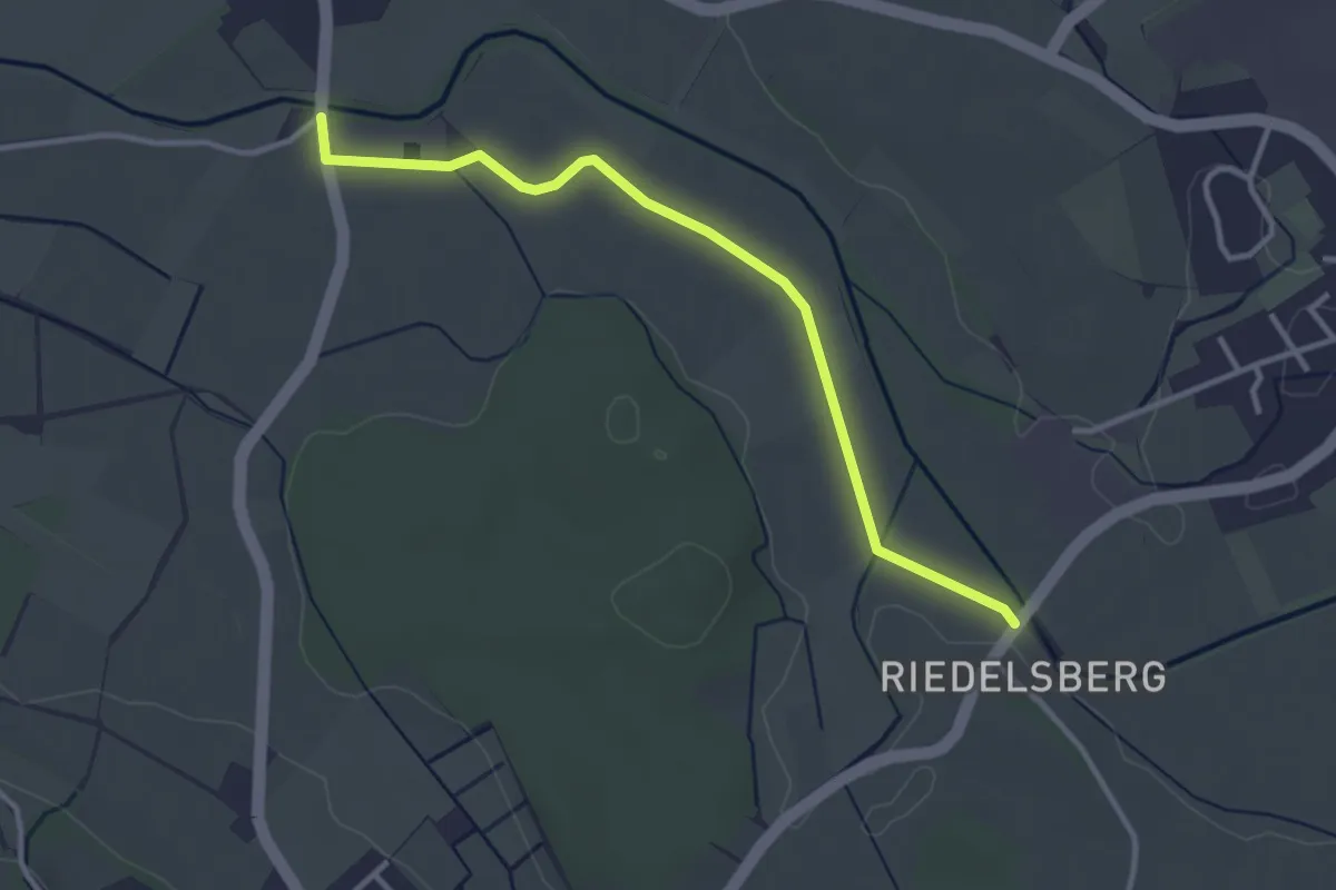
Easy · Trail
Grasbeuren - Ahausen
3.3 km · ↑ 0 m · 46 min
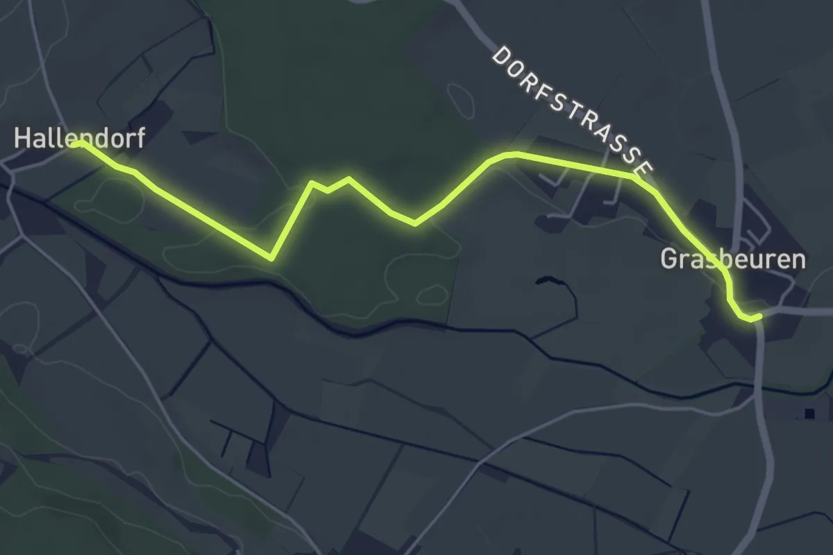
Easy · Trail
Grasbeuren - Hallendorf
5.0 km · ↑ 20 m · 1 h 14 min
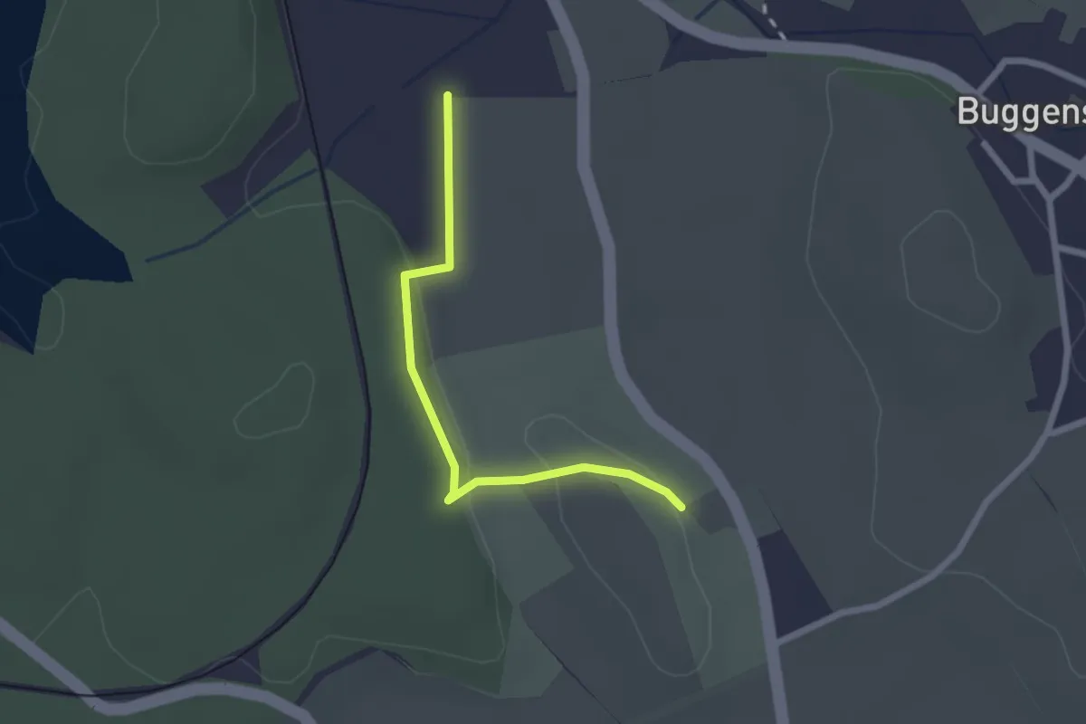
Easy · Trail
Grasbeuren - Killenweiher
2.1 km · ↑ 25 m · 33 min
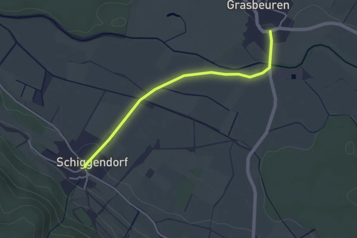
Easy · Trail
Grasbeuren - Schiggendorf
3.2 km · ↑ 23 m · 49 min
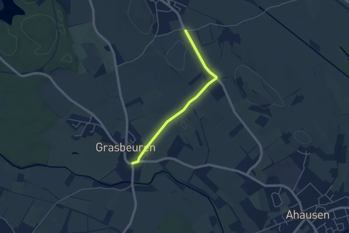
Easy · Trail
Grasbeuren - Wehausen
3.7 km · ↑ 21 m · 55 min
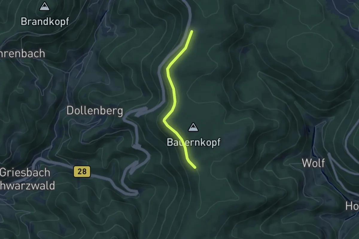
Easy · Trail
Graseck - Heuplatz
4.1 km · ↑ 135 m · 1 h 15 min
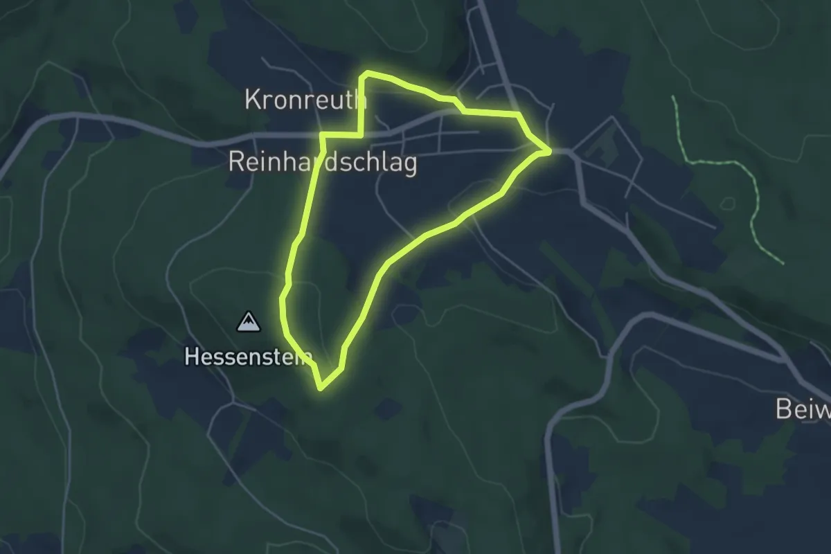
Easy · Summit
Grasfrosch
3.8 km · ↑ 105 m · 1 h 10 min
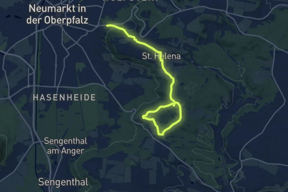
Easy · Trail
Graßahofer Rundweg
7.6 km · ↑ 204 m · 2 h 17 min
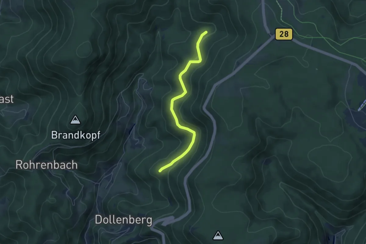
Easy · Trail
Grasstöck - Schwarzgrund
5.1 km · ↑ 152 m · 1 h 32 min
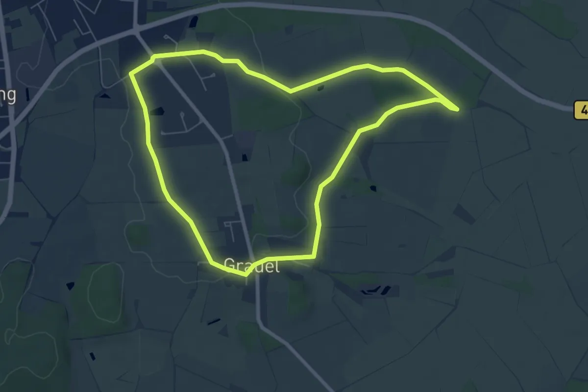
Easy · Trail
Grauels Blau Route
5.7 km · ↑ 37 m · 1 h 30 min
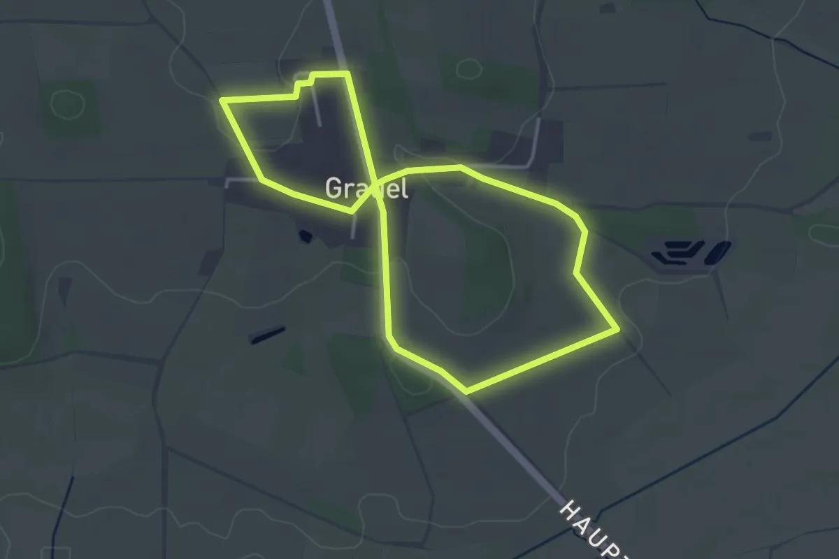
Easy · Trail
Grauels Gelbe Route
2.9 km · ↑ 36 m · 48 min
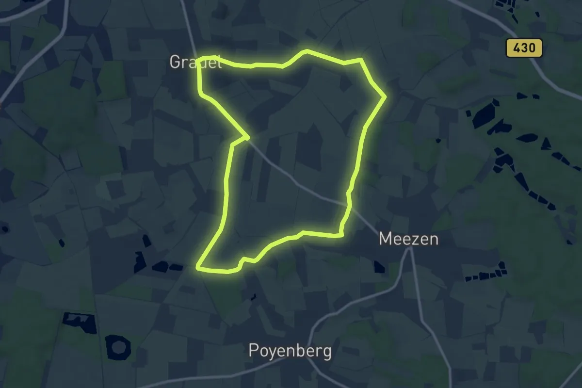
Medium · Trail
Grauels Grüne Route
8.7 km · ↑ 43 m · 2 h 17 min
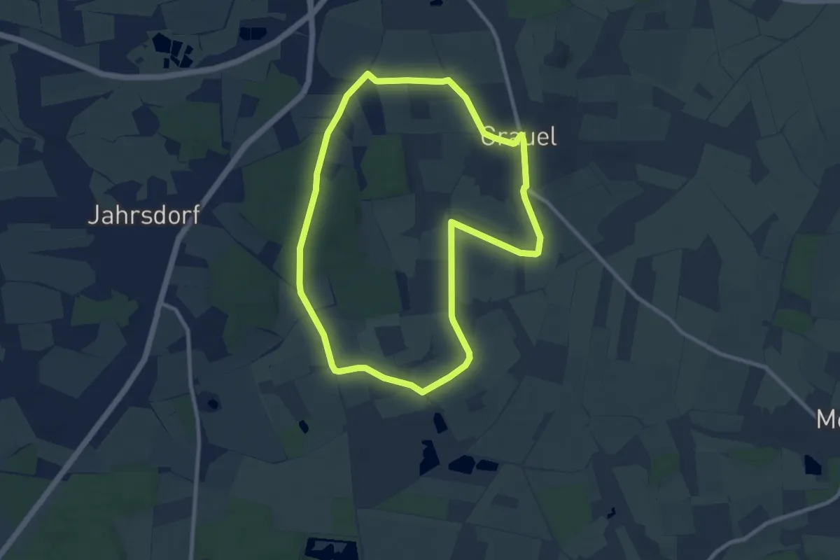
Easy · Trail
Grauels Rote Route
7.2 km · ↑ 60 m · 1 h 56 min
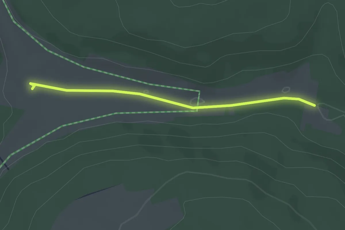
Easy · Trail
grauer Stein
2.4 km · ↑ 8 m · 35 min
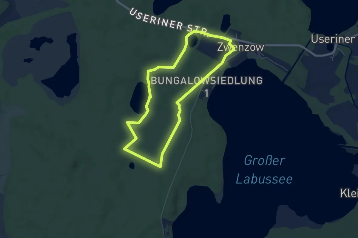
Easy · Trail
Graue Stämme Zwenzow
5.0 km · ↑ 27 m · 1 h 19 min
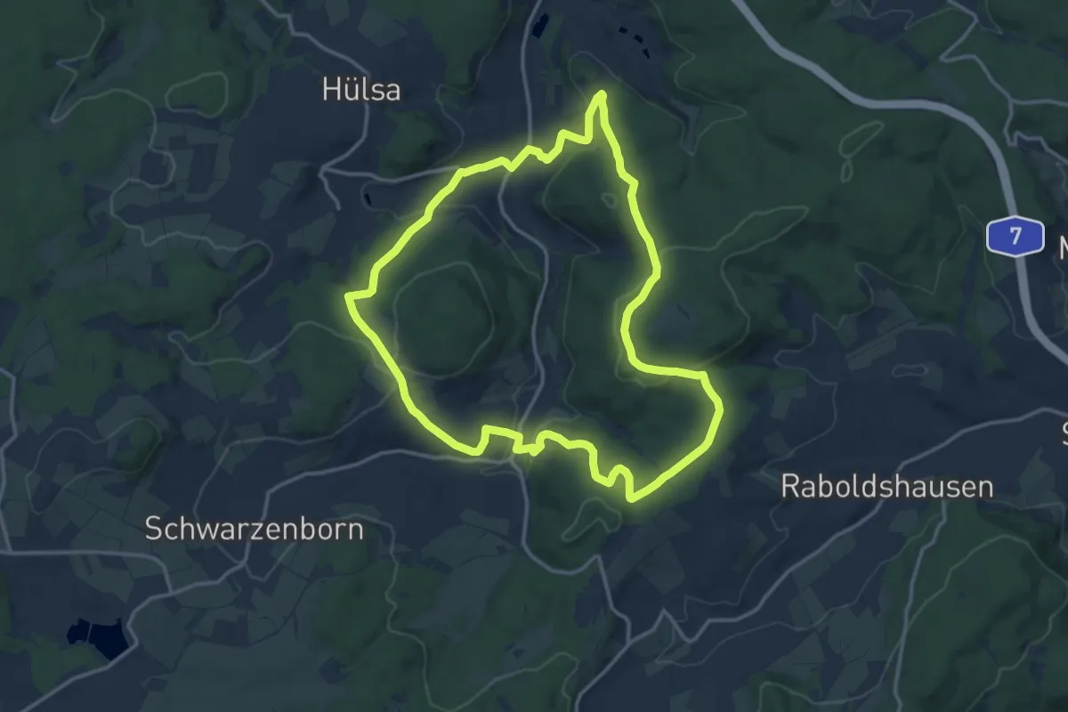
Medium · Trail
Grebenhagener Weg
12.6 km · ↑ 326 m · 3 h 51 min
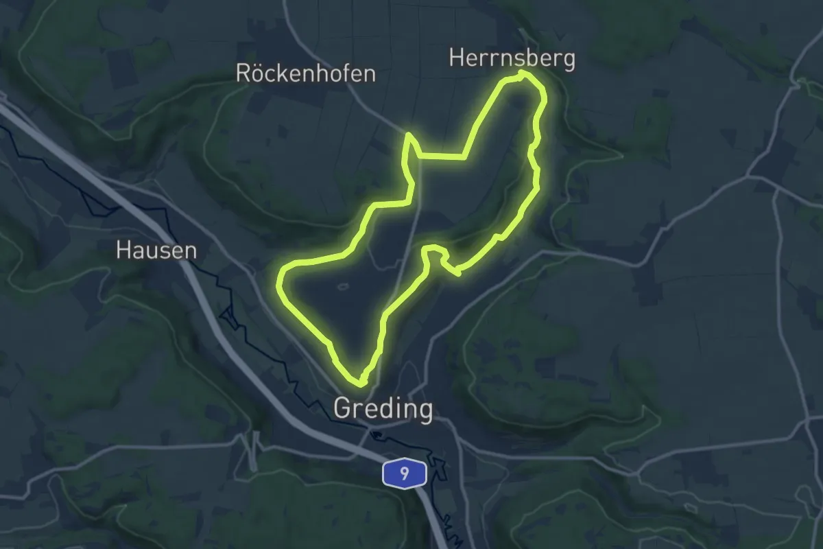
Medium · Trail
Greding 1
10.5 km · ↑ 213 m · 3 h 5 min
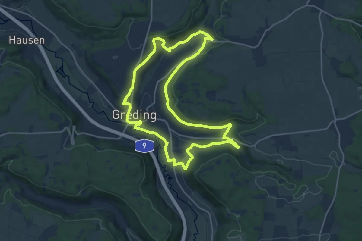
Medium · Trail
Greding 10
12.1 km · ↑ 258 m · 3 h 35 min
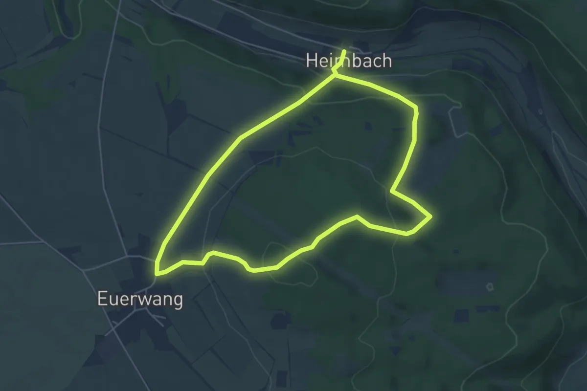
Easy · Summit
Greding 2
4.7 km · ↑ 180 m · 1 h 33 min
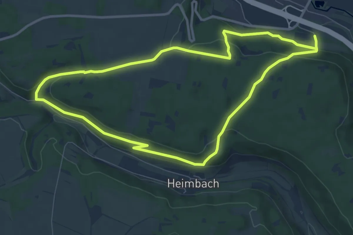
Easy · Trail
Greding 3
7.3 km · ↑ 220 m · 2 h 17 min
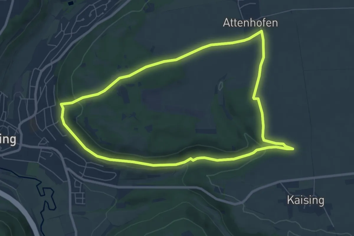
Easy · Trail
Greding 4
6.6 km · ↑ 120 m · 1 h 54 min
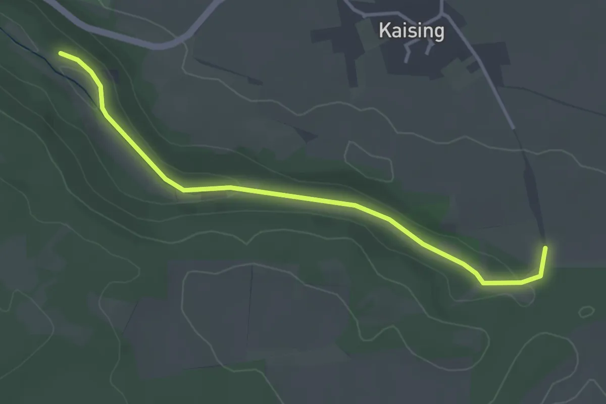
Easy · Trail
Greding 5
3.5 km · ↑ 41 m · 54 min
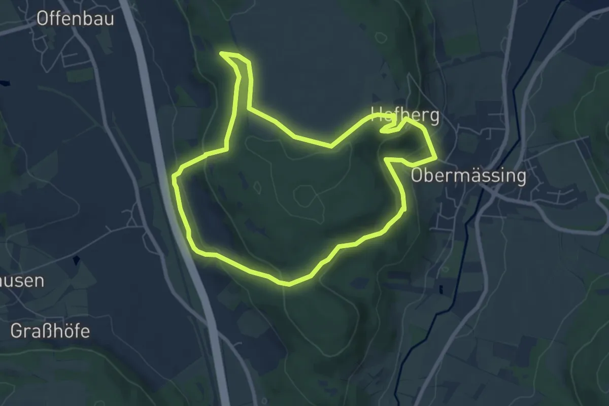
Easy · Trail
Greding 6
6.4 km · ↑ 245 m · 2 h 7 min
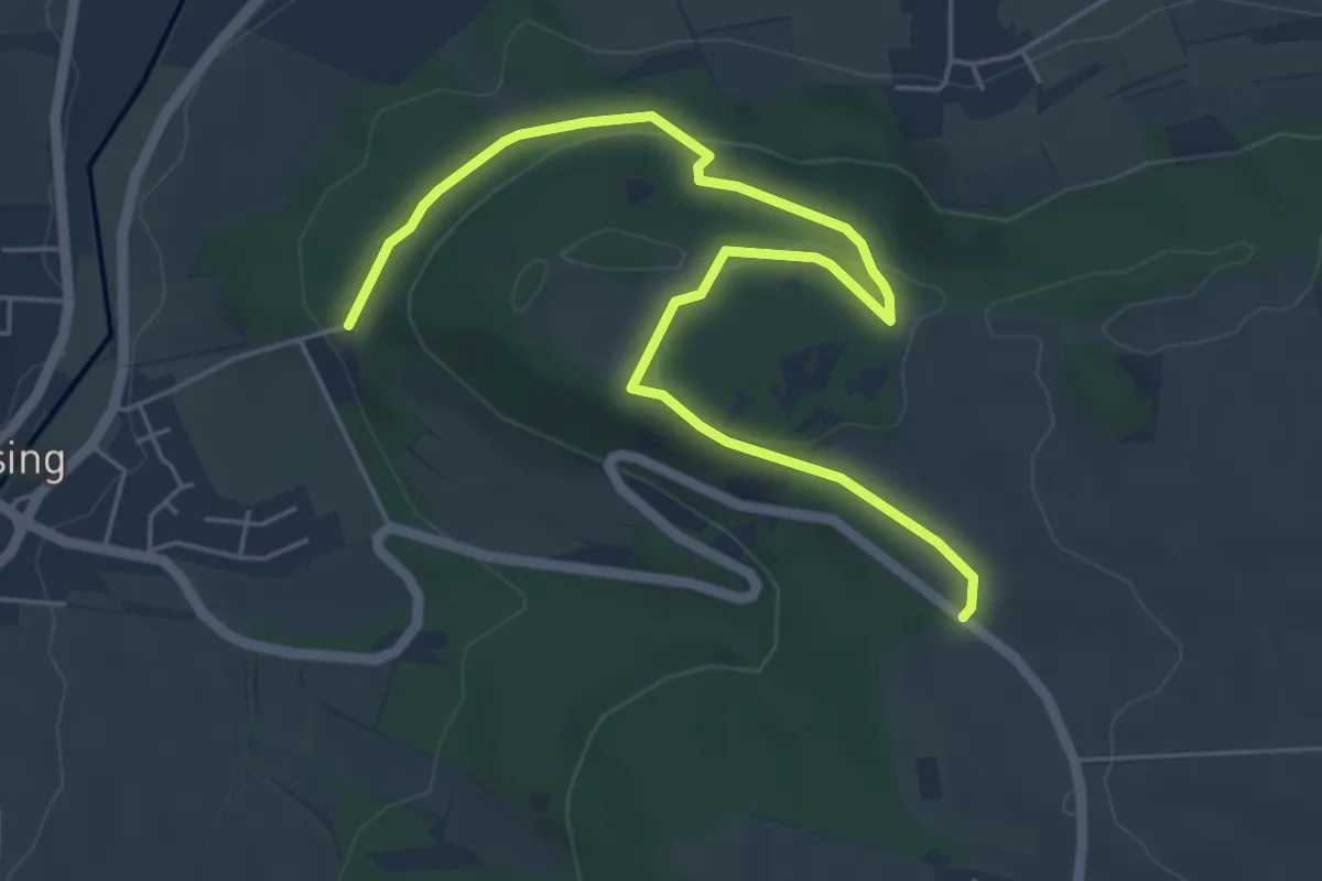
Easy · Trail
Greding 7
3.1 km · ↑ 31 m · 53 min
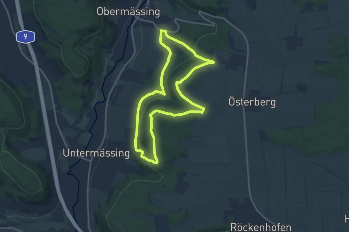
Medium · Trail
Greding 8
8.2 km · ↑ 232 m · 2 h 33 min
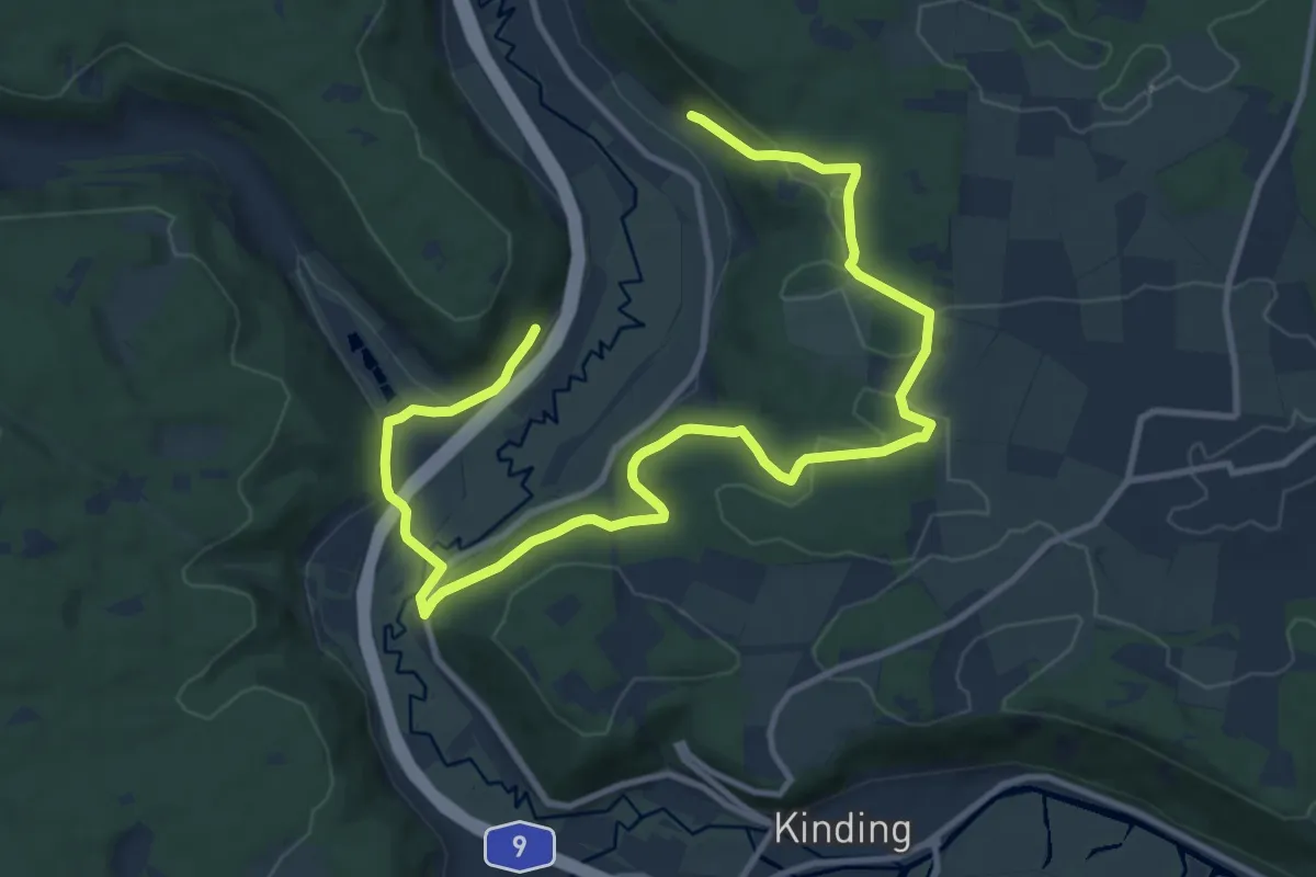
Easy · Trail
Greding 9
7.2 km · ↑ 192 m · 2 h 13 min
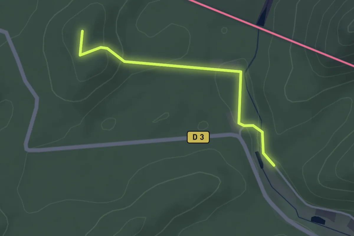
Easy · Summit
Green triangle
2.9 km · ↑ 81 m · 51 min
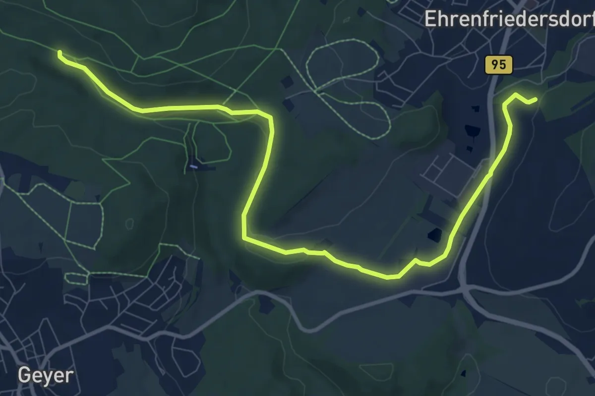
Medium · Trail
Greifensteine-Röhrgrabenweg-Ehrenfriedersdorf
10.2 km · ↑ 82 m · 2 h 35 min
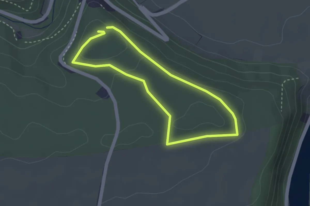
Easy · Trail
Greifvohellehrpfad
2.4 km · ↑ 33 m · 40 min
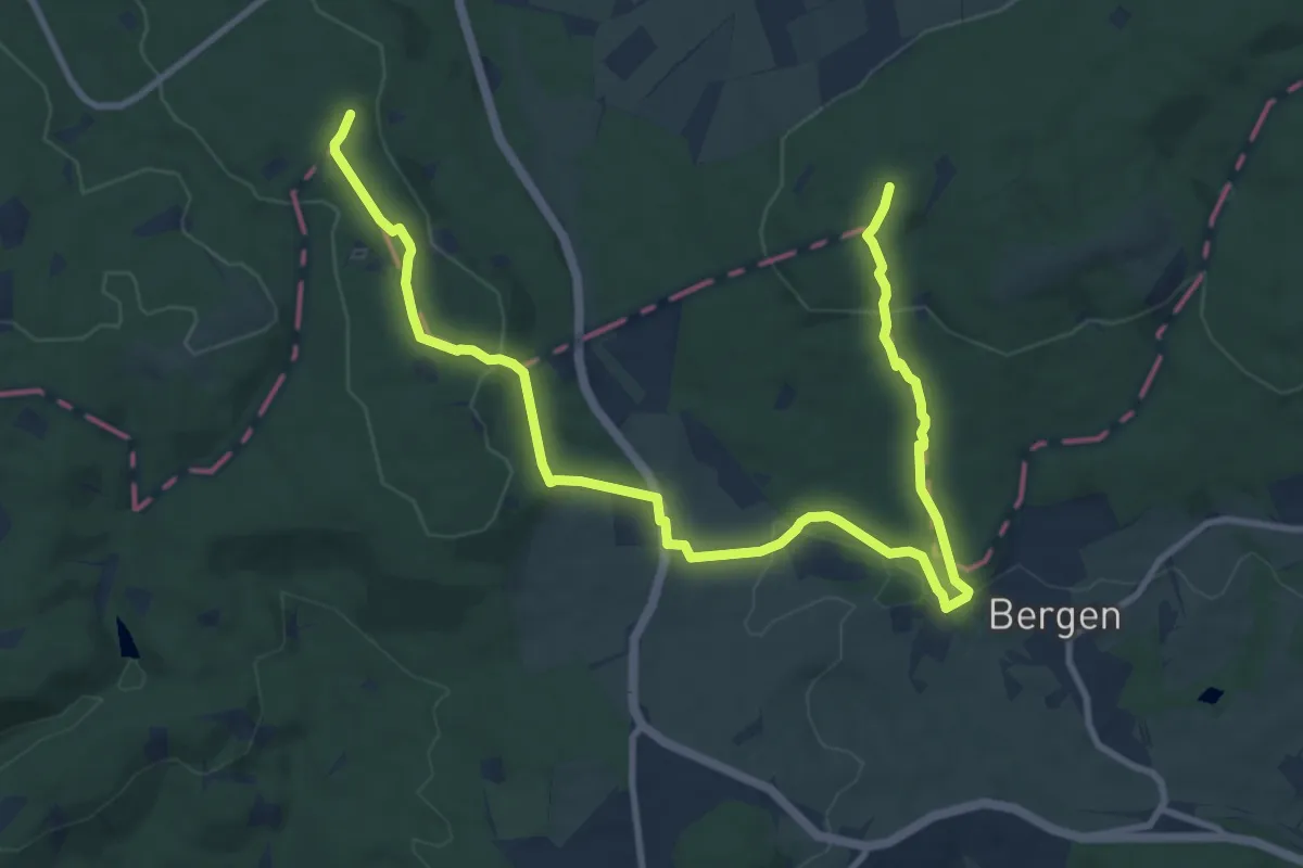
Easy · Summit
Greimerather Höhenweg
6.3 km · ↑ 164 m · 1 h 57 min
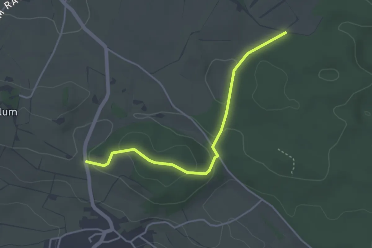
Easy · Trail
Greistel - Altreb
3.4 km · ↑ 53 m · 55 min
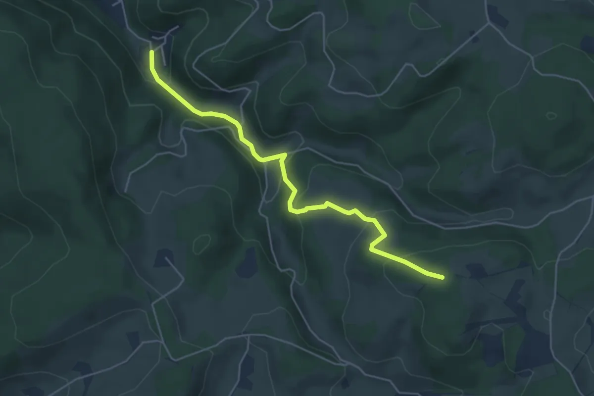
Easy · Trail
Gremmelsbach Sommerberg - Hörnlisberg
4.5 km · ↑ 269 m · 1 h 39 min
Easy · Trail
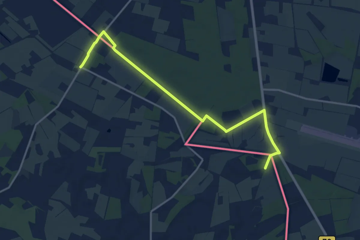
Grenswandeling Ratum-Huppel
4.9 km · ↑ 5 m · 1 h 14 min
Medium · Trail
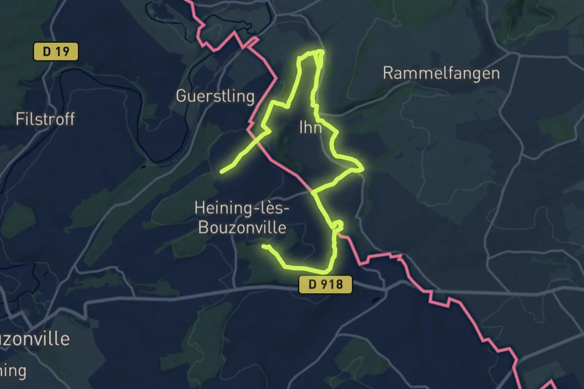
Grenzblickweg
10.5 km · ↑ 193 m · 3 h 3 min
Medium · Trail
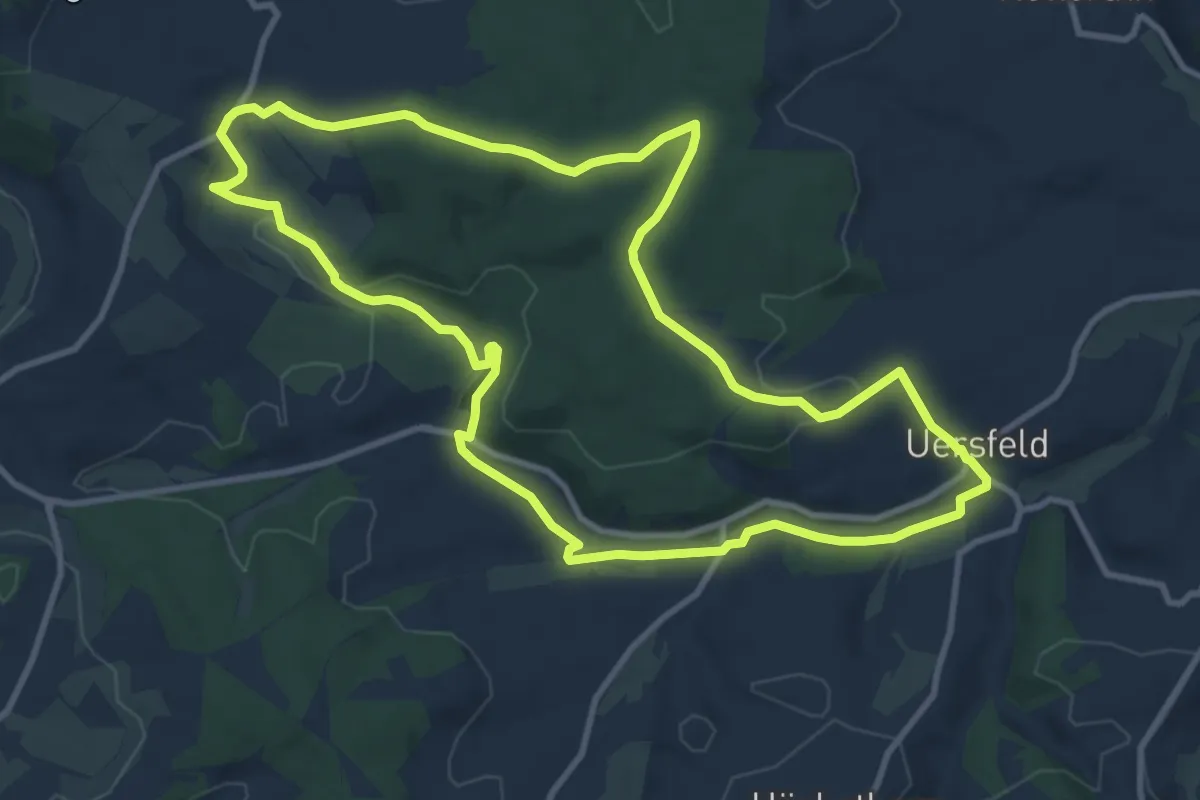
Grenzen, Galgen und Geschichte - Themenrundweg Geschichtsstraße
9.9 km · ↑ 142 m · 2 h 47 min
Demanding · Trail
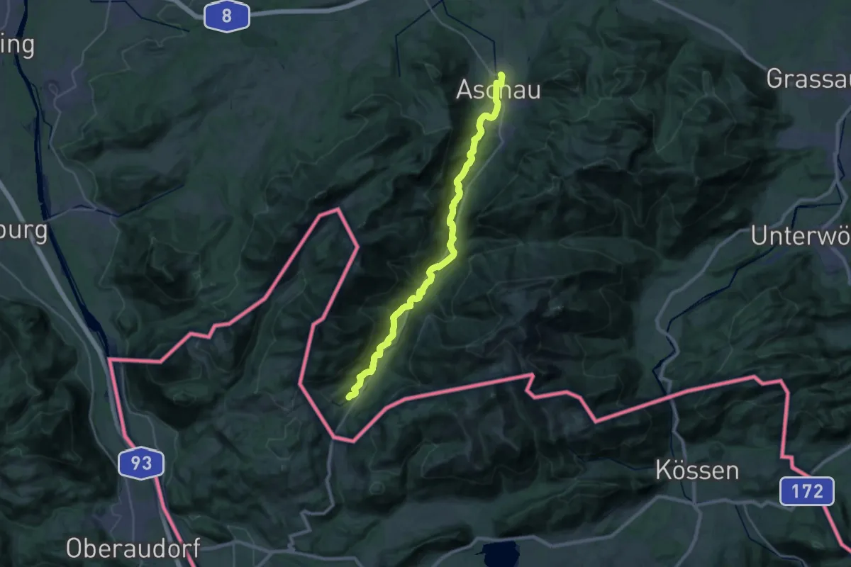
Grenzenlos Wanderweg (Aschau i. Chiemgau-Sachrang)
26.7 km · ↑ 529 m · 7 h 27 min
Demanding · Trail
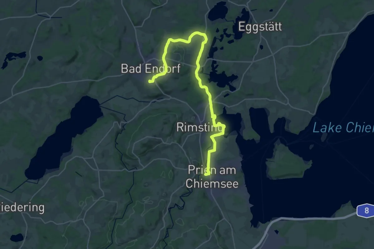
Grenzenlos Wanderweg (Bad Endorf-Prien a. Chiemsee)
30.3 km · ↑ 269 m · 7 h 44 min
Medium · Trail
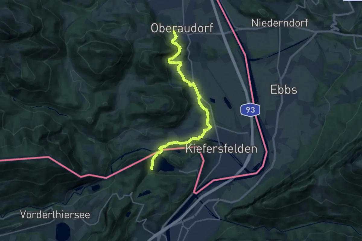
Grenzenlos Wanderweg (Oberaudorf-Kufstein)
14.9 km · ↑ 464 m · 4 h 32 min
Demanding · Trail
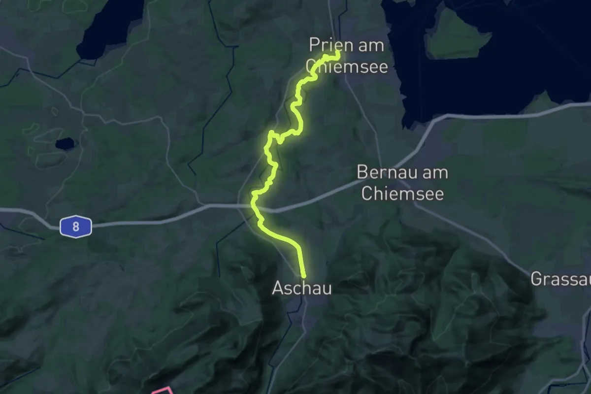
Grenzenlos Wanderweg (Prien a. Chiemsee-Aschau i. Chiemgau)
27.5 km · ↑ 423 m · 7 h 25 min
Demanding · Trail
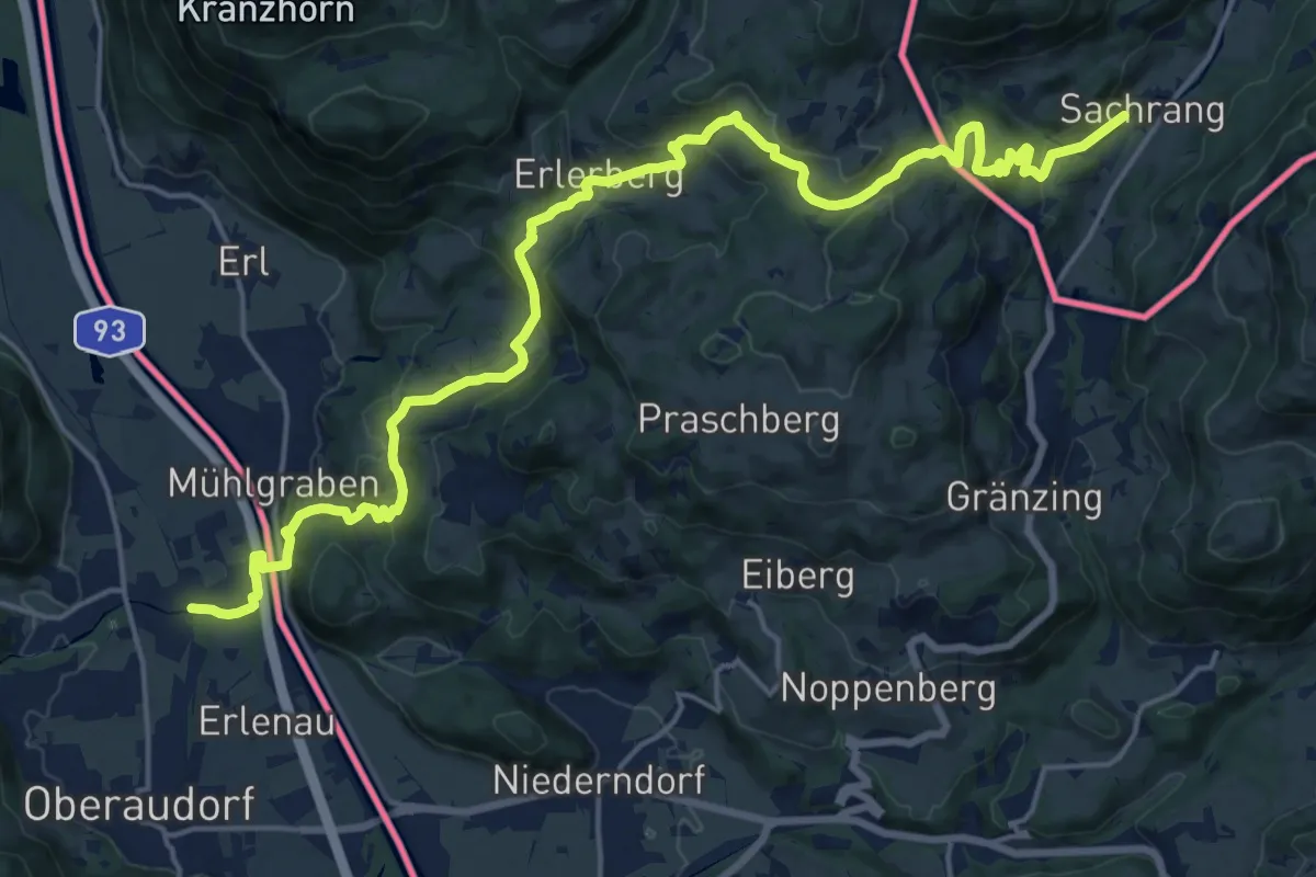
Grenzenlos Wanderweg (Sachrang-Oberaudorf)
22.7 km · ↑ 876 m · 7 h 15 min