Trails in Germany
36,852 hiking trails, each with its route, climb, walking time and grade.
All trails, page 189 of 768
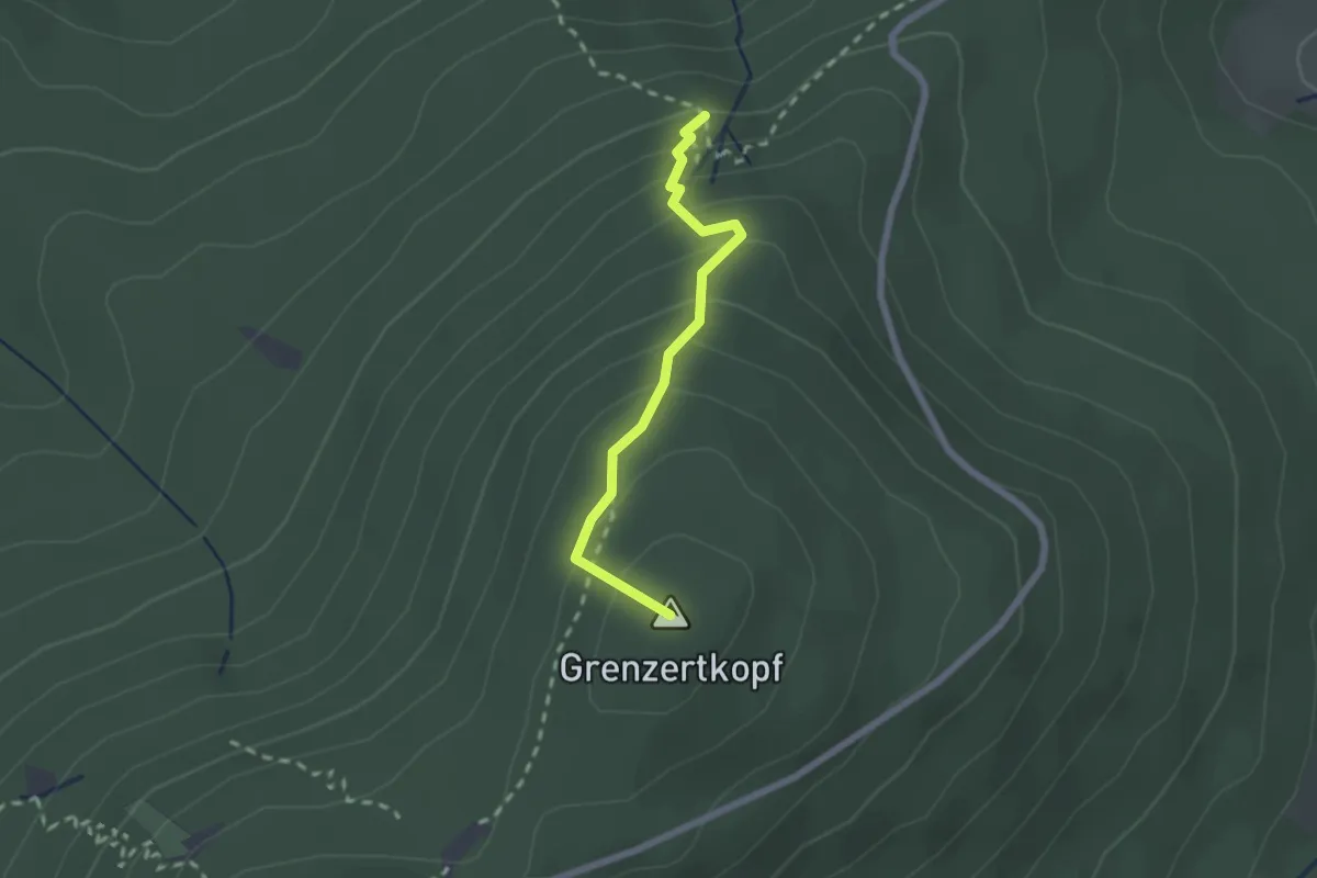
Medium · Summit
Grenzertparkplatz - Großes Loch
1.9 km · ↑ 189 m · 51 min
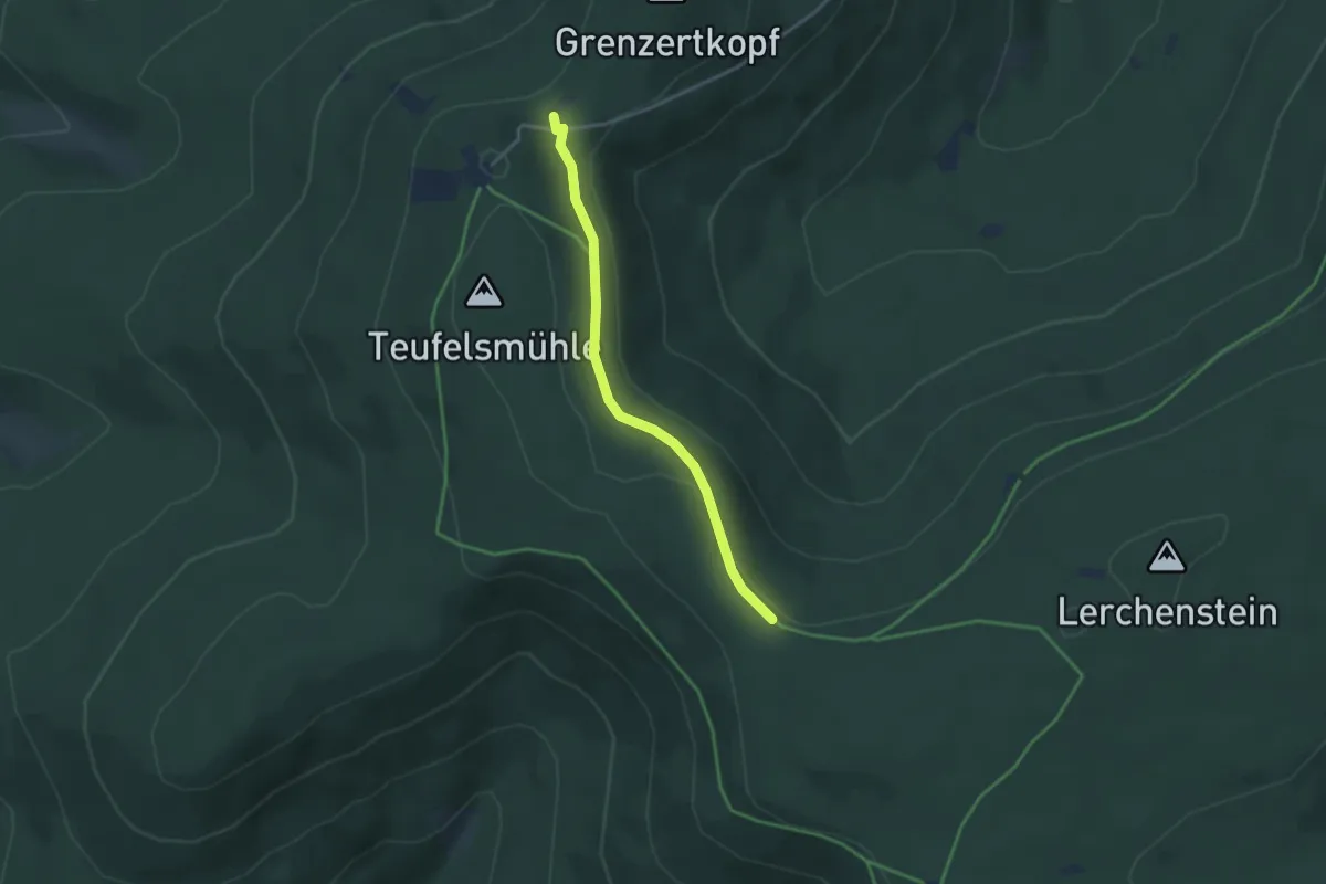
Easy · Trail
Grenzertparkplatz - Steinerne Sitzbank
3.1 km · ↑ 70 m · 53 min
Easy · Trail
Grenze Steinigtwolmsdorf-Gemeindeamt
2.3 km · ↑ 23 m · 36 min
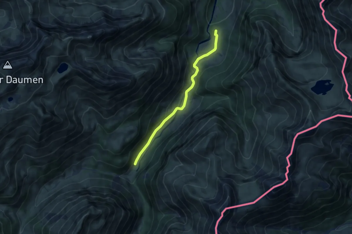
Easy · Summit
Grenzgänger Busfahrt zwischen Etappen 5 und 6
7.5 km · ↑ 197 m · 2 h 12 min
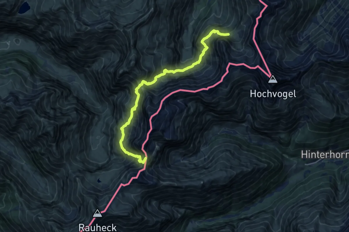
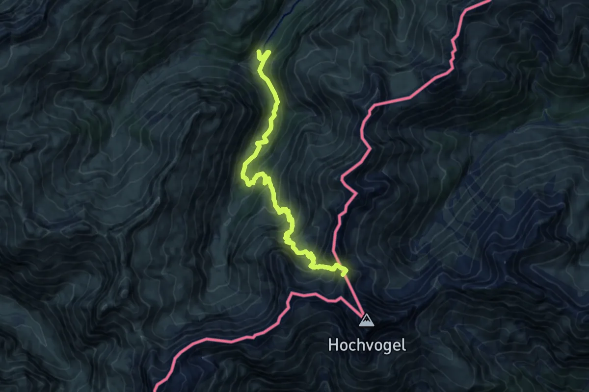
Demanding · Summit
Grenzgänger Etappe 4
15.8 km · ↑ 1572 m · 7 h 8 min
Expert · Summit
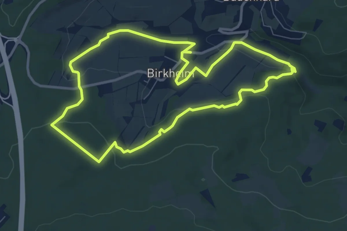
Grenzgänger Etappe 5
14.7 km · ↑ 1371 m · 6 h 27 min
Easy · Trail
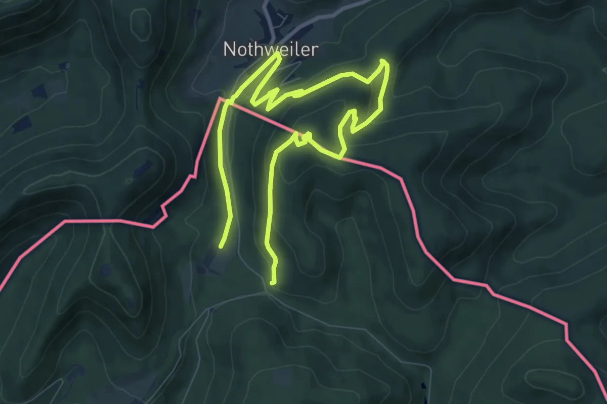
Grenzgängerweg Birkheim
6.7 km · ↑ 163 m · 2 h 1 min
Easy · Summit
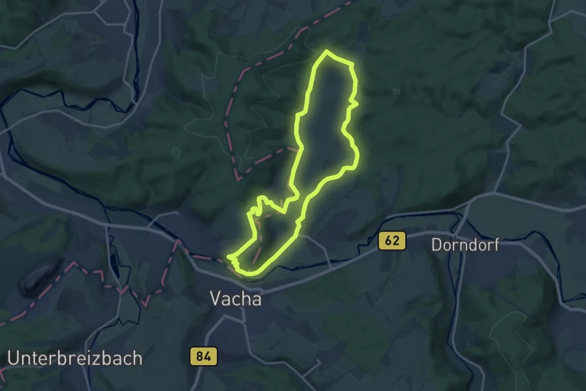
Grenzgängerweg / Le sentier à saute frontier
6.0 km · ↑ 226 m · 1 h 58 min
Medium · Trail
Grenz-Gedächtnisweg
12.7 km · ↑ 265 m · 3 h 45 min
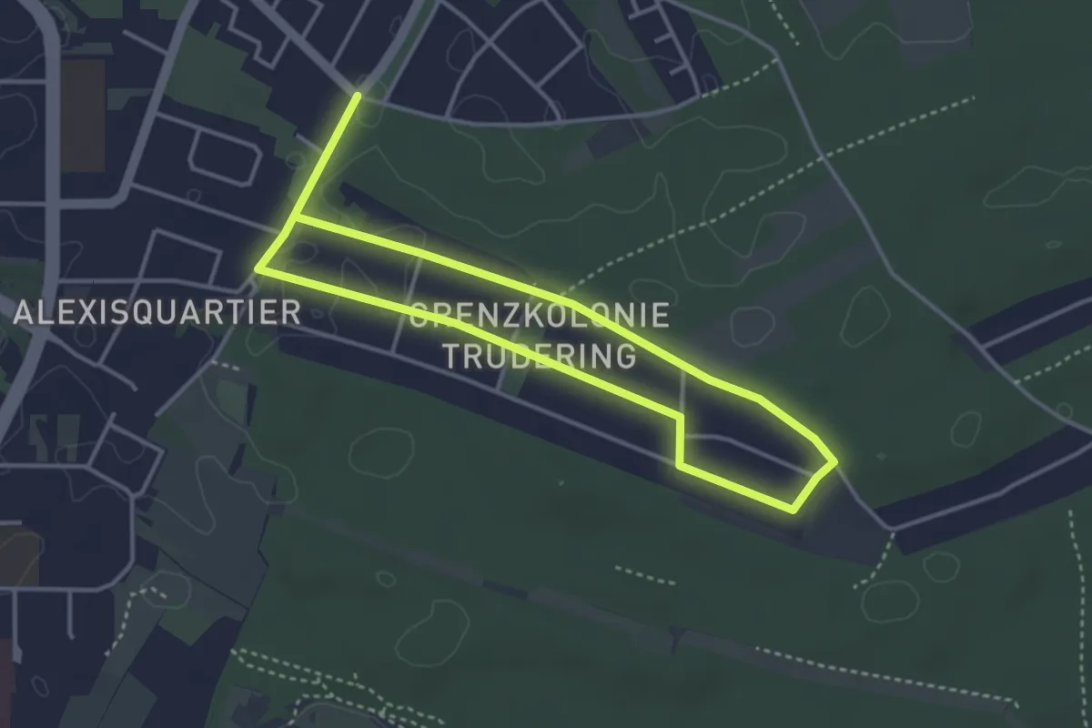
Easy · Trail
Grenzkolonie Trudering (Verbindung Isar-Inn - Neuperlach)
3.2 km · ↑ 8 m · 49 min
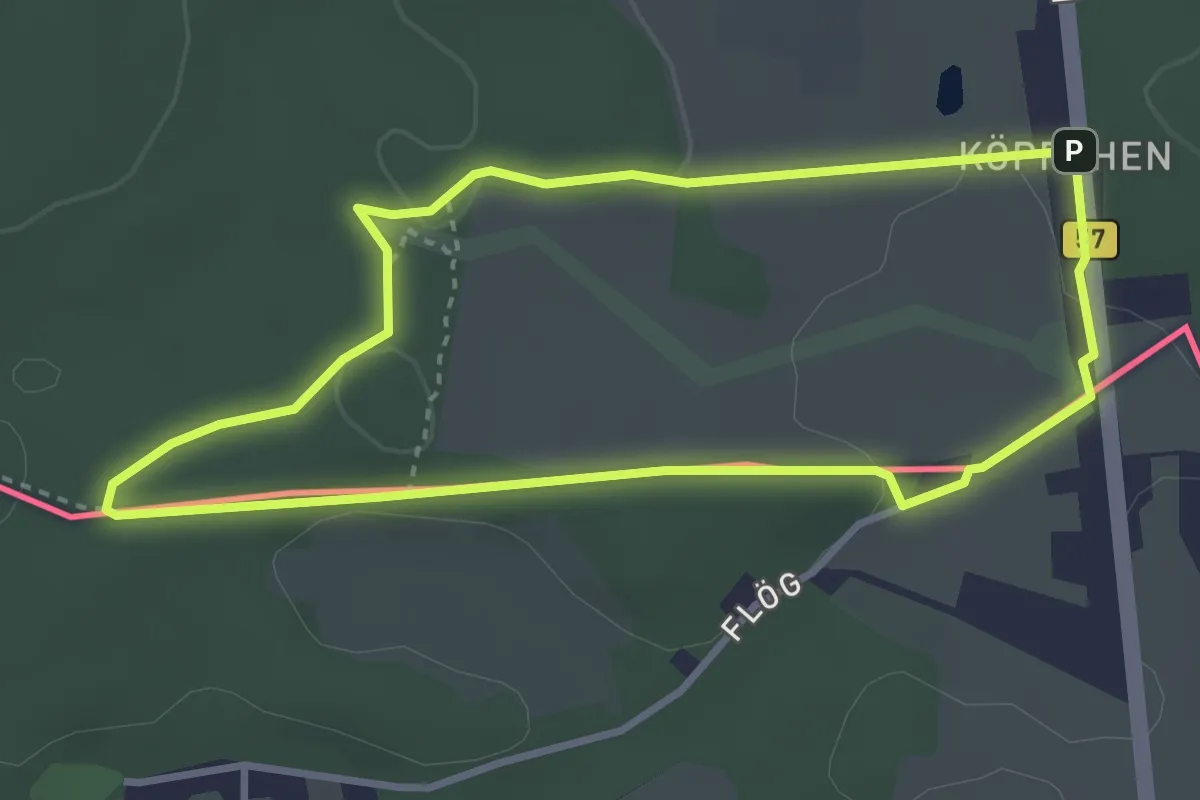
Easy · Trail
Grenzkunstroute021 - fragil
2.9 km · ↑ 33 m · 48 min
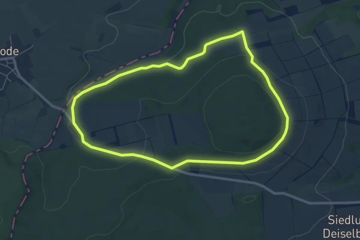
Easy · Trail
Grenzland-Rundweg 1
5.0 km · ↑ 102 m · 1 h 28 min
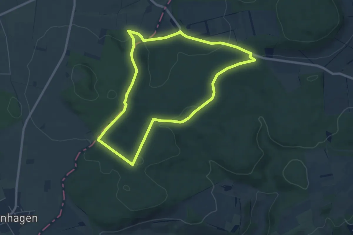
Easy · Trail
Grenzland-Rundweg 2
5.4 km · ↑ 81 m · 1 h 31 min
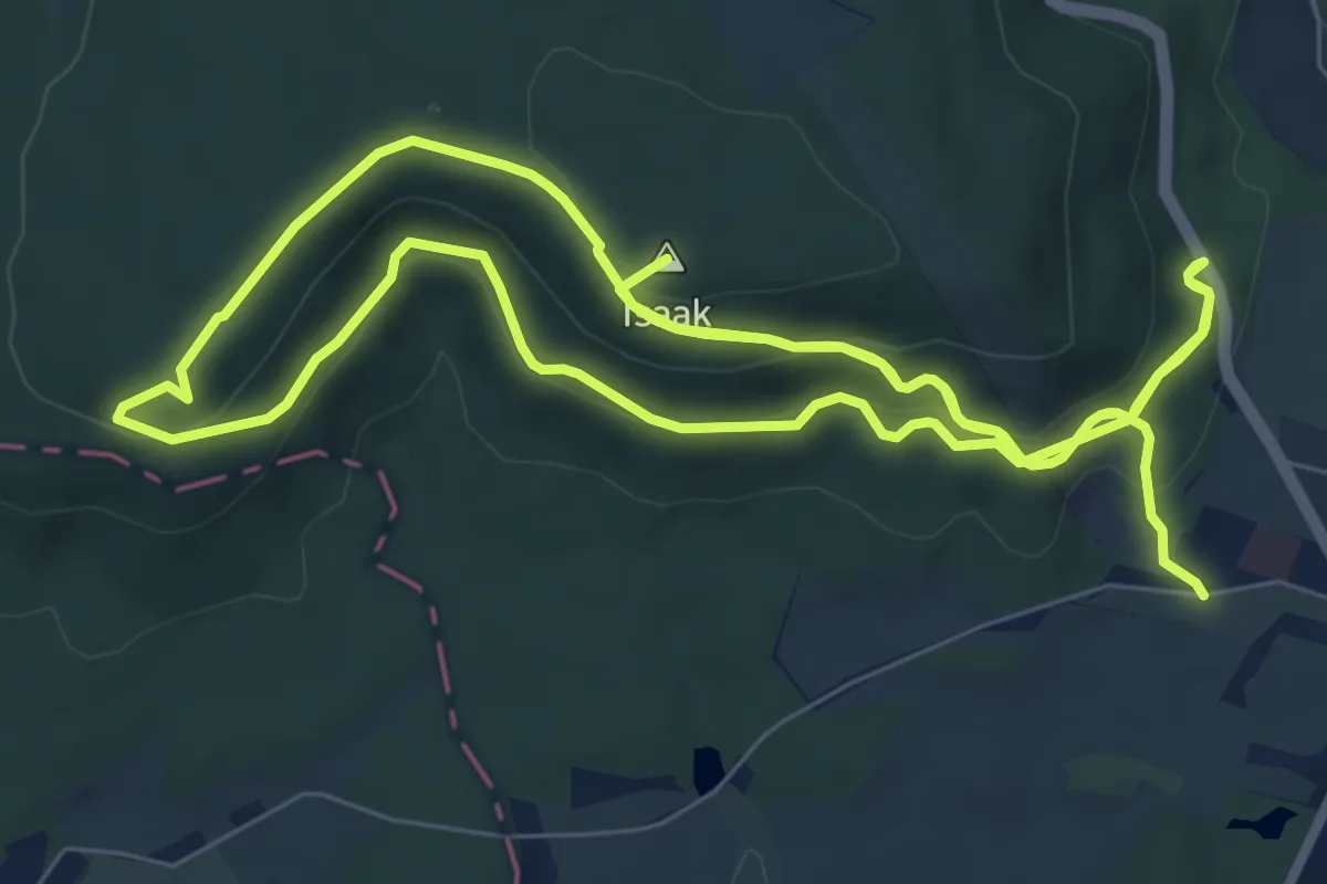
Medium · Summit
Grenzlandtour Sonneberg
16.1 km · ↑ 697 m · 5 h 18 min
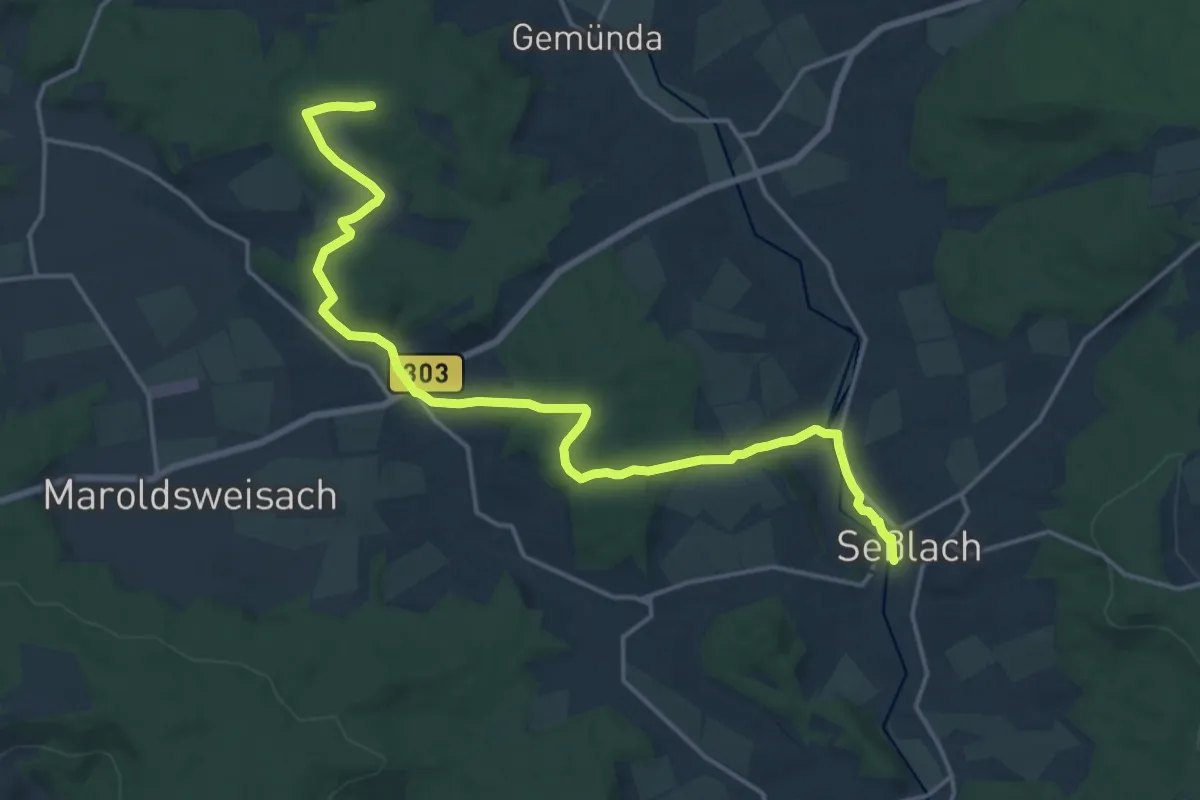
Medium · Trail
Grenzlandweg
9.4 km · ↑ 186 m · 2 h 42 min
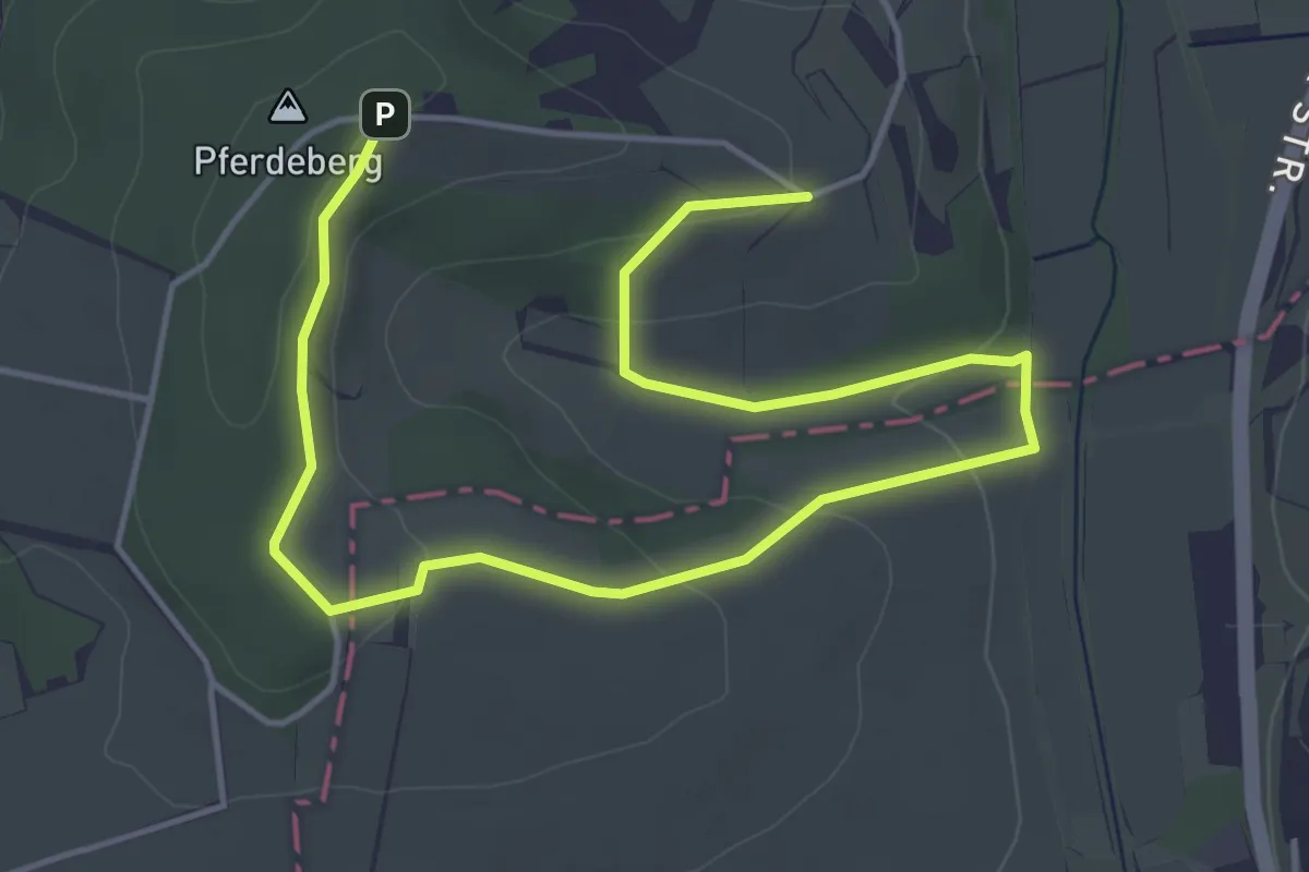
Easy · Trail
Grenzlandweg
5.9 km · ↑ 140 m · 1 h 42 min
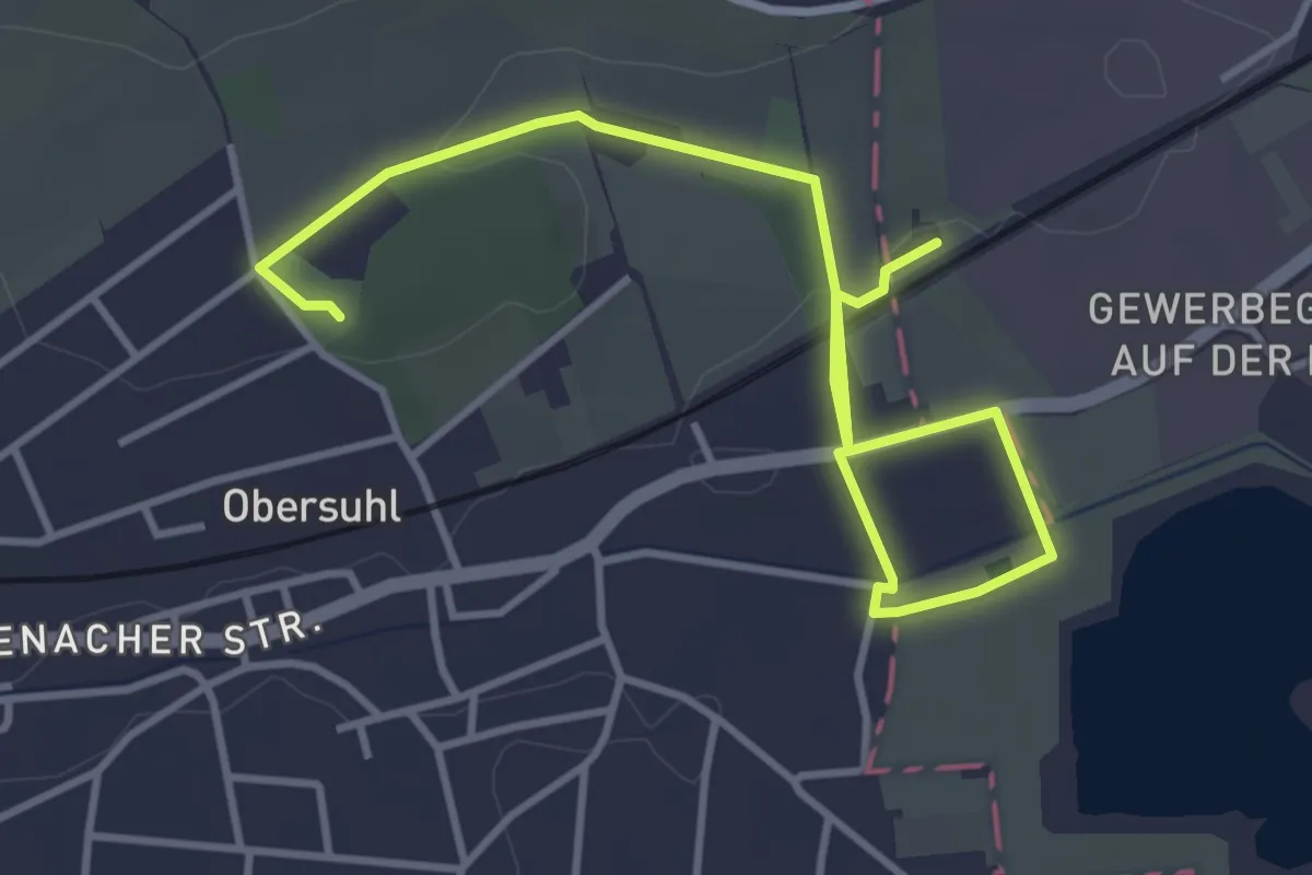
Easy · Trail
Grenzlehrpfad Obersuhl
4.5 km · ↑ 36 m · 1 h 9 min
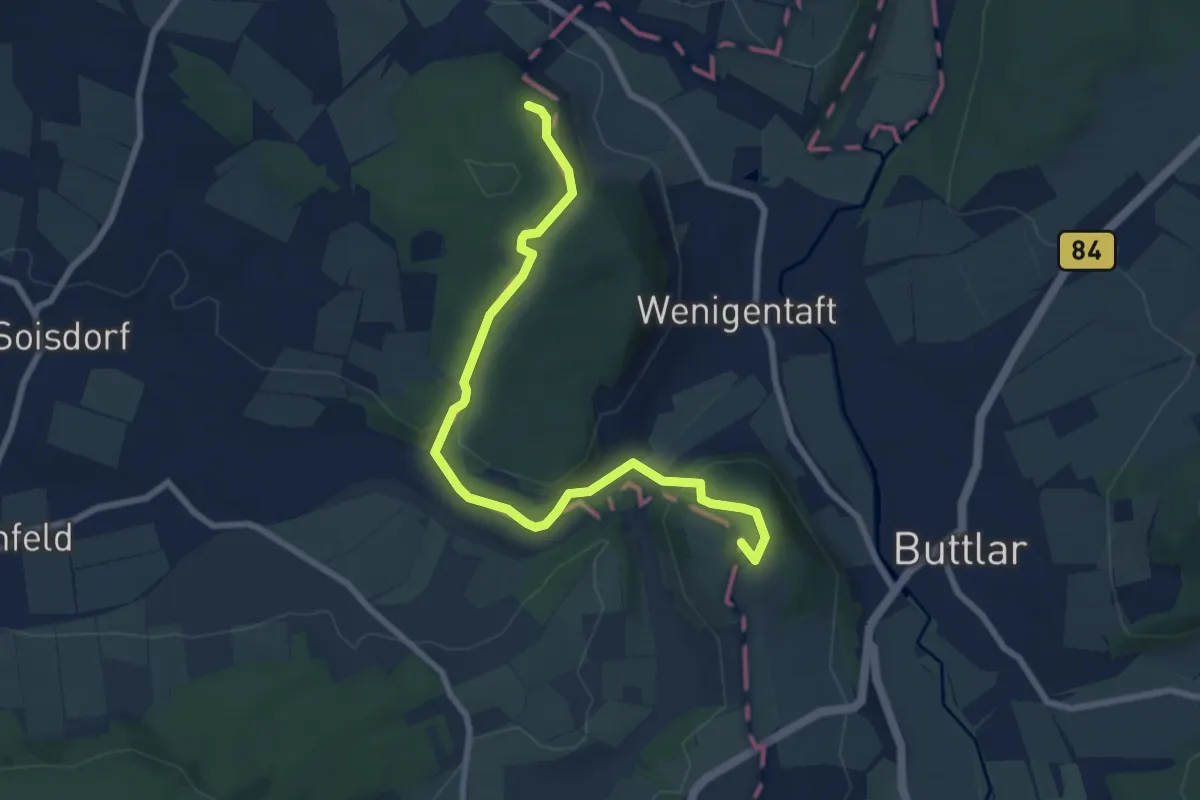
Easy · Summit
Grenzlehrpfad Point Alpha
8.0 km · ↑ 261 m · 2 h 27 min
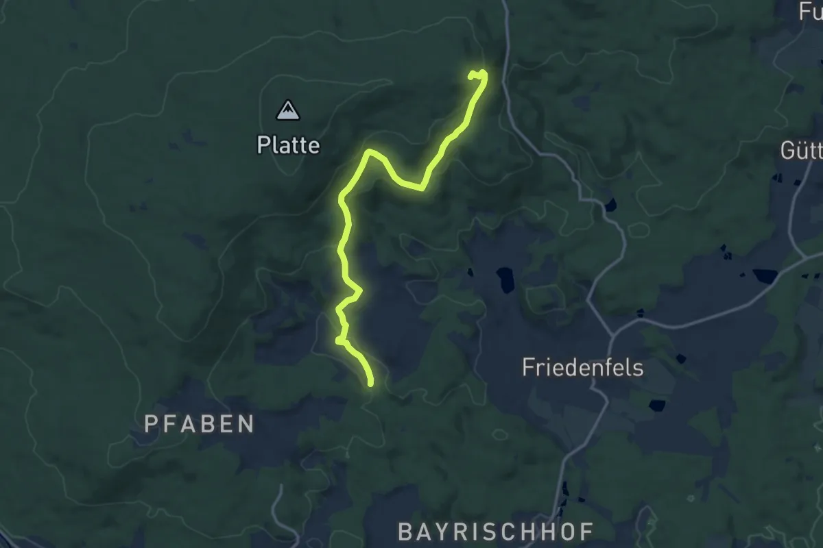
Medium · Summit
Grenzmühle-Ruine Weißenstein
11.9 km · ↑ 420 m · 3 h 44 min
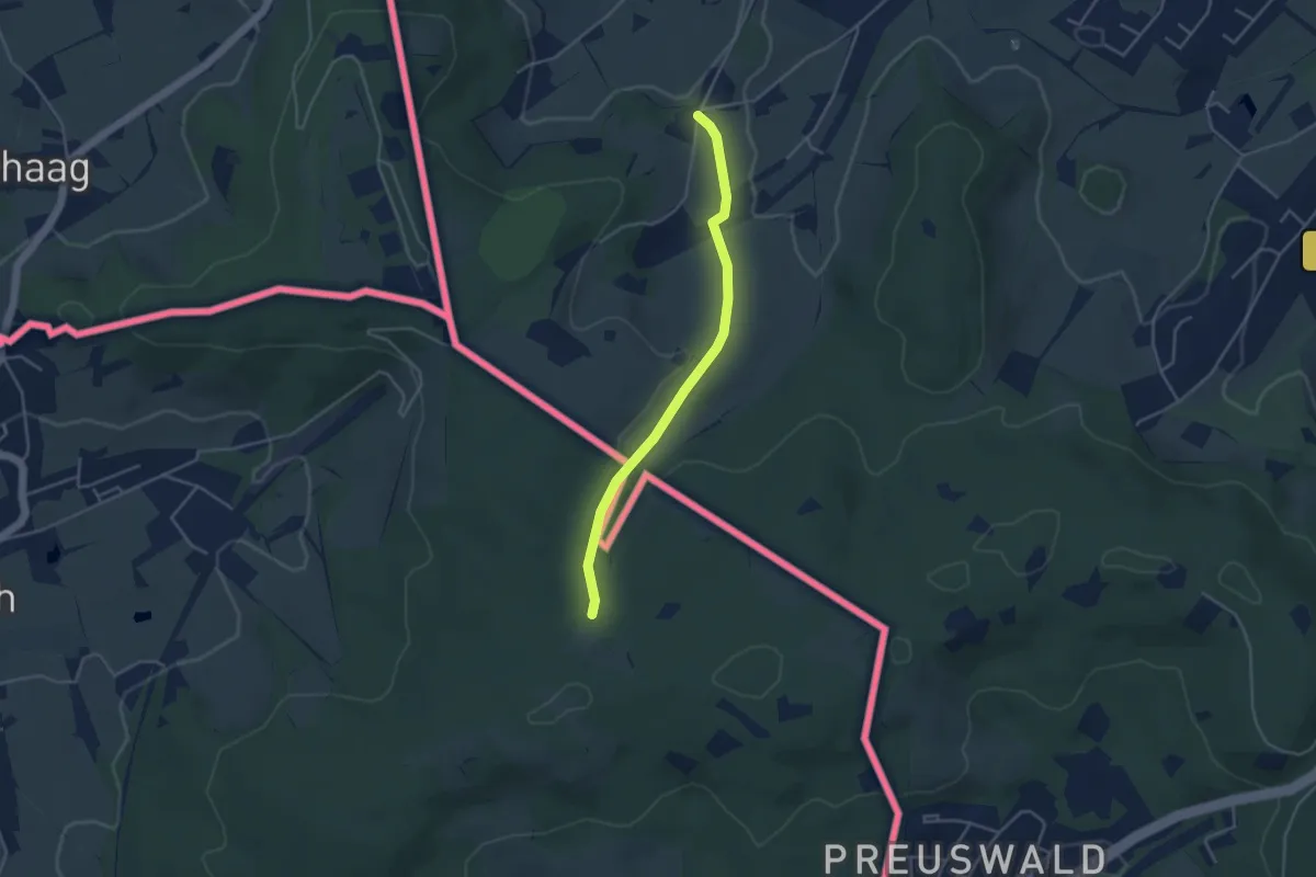
Easy · Trail
GrenzRouten: Geusenweg
3.5 km · ↑ 88 m · 1 h 1 min
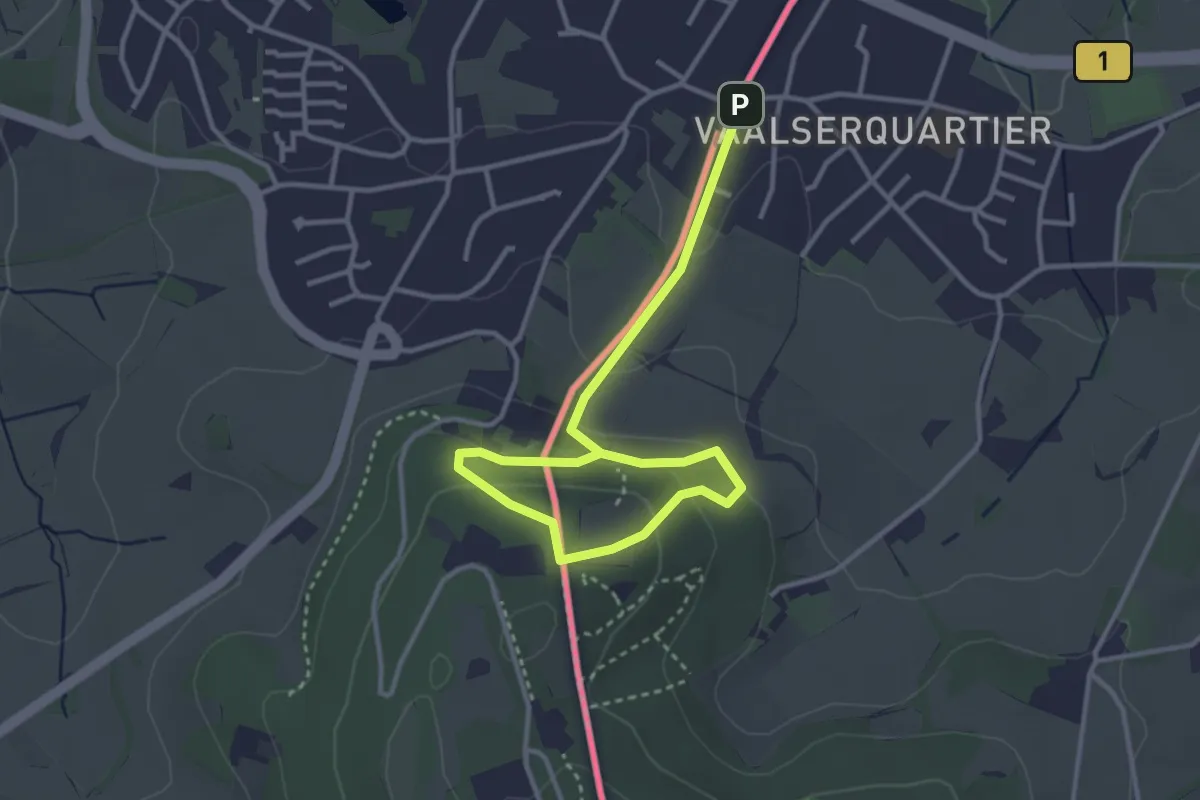
Easy · Trail
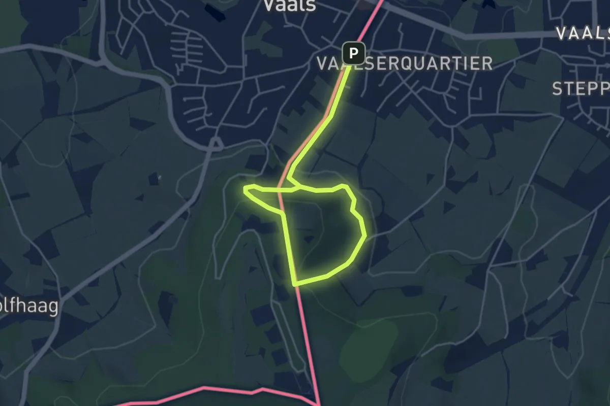
GrenzRouten: Naturerlebnispfad 1,9 km (Rot)
1.9 km · ↑ 115 m · 42 min
Medium · Trail
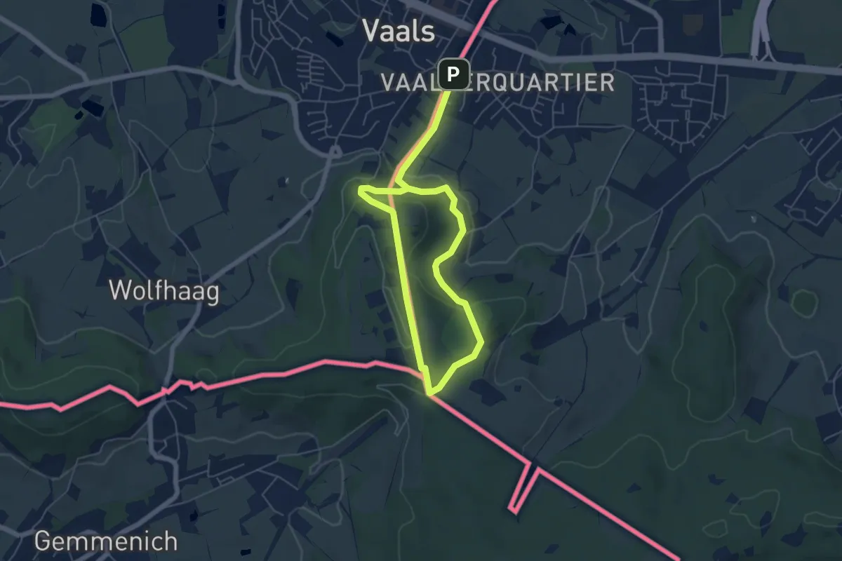
GrenzRouten: Naturerlebnispfad 2,4 km (Grün)
2.4 km · ↑ 115 m · 49 min
Medium · Summit
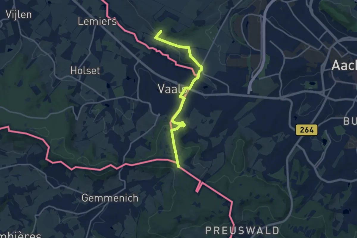
GrenzRouten: Naturerlebnispfad 4,4 km (Blau)
3.8 km · ↑ 133 m · 1 h 13 min
Medium · Summit
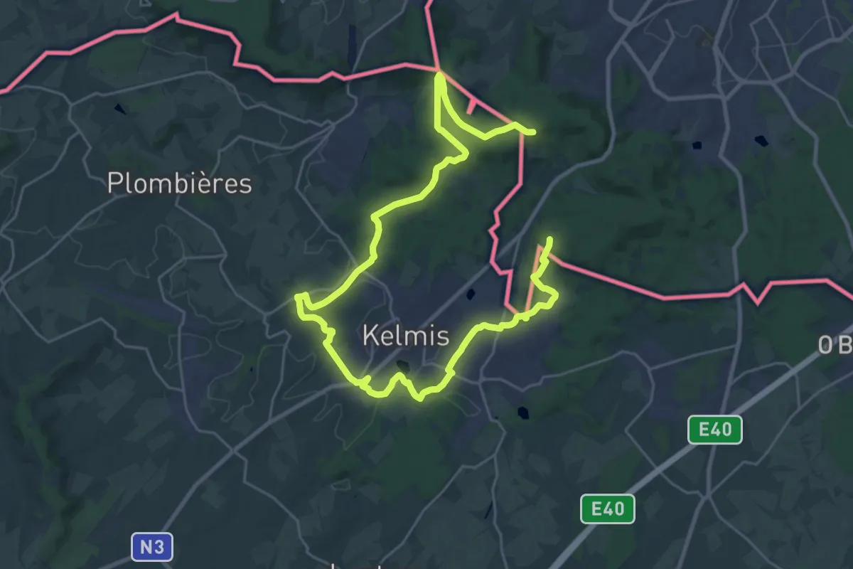
GrenzRouten: Route 1 - Achse Raeren - Orsbach
10.3 km · ↑ 299 m · 3 h 5 min
Medium · Summit
GrenzRouten: Route 2 - Neutral-Moresnet
16.3 km · ↑ 254 m · 4 h 35 min
Easy · Summit
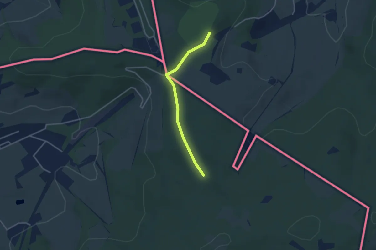
GrenzRouten: Route 4 - Landgraben
1.1 km · ↑ 14 m · 19 min
Medium · Summit
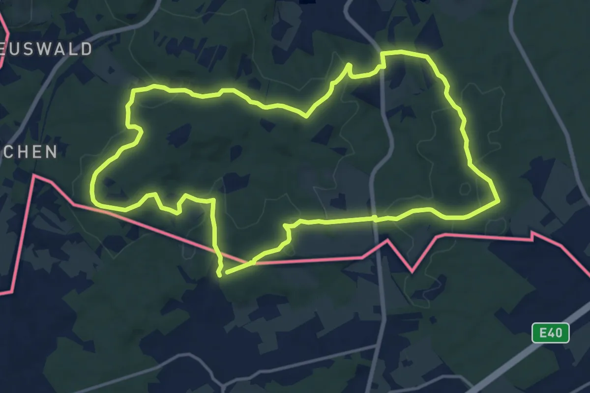
GrenzRouten: Route 5 - Aachener Wald
11.5 km · ↑ 232 m · 3 h 22 min
Medium · Summit
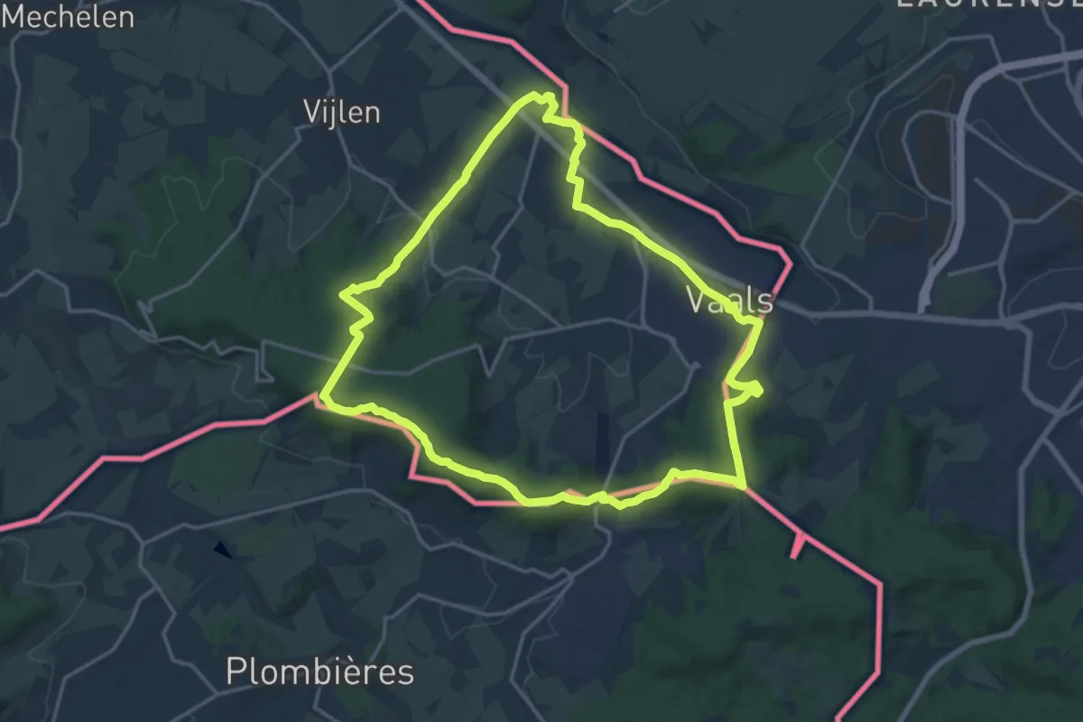
GrenzRouten: Route 6 - Vallis
15.3 km · ↑ 248 m · 4 h 22 min
Easy · Trail
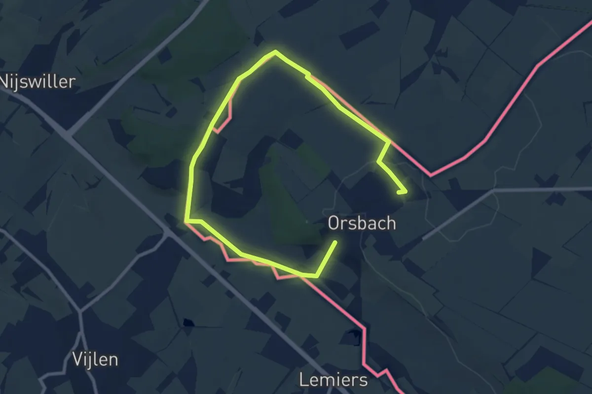
GrenzRouten: Route 7 - Orsbach
5.0 km · ↑ 82 m · 1 h 24 min
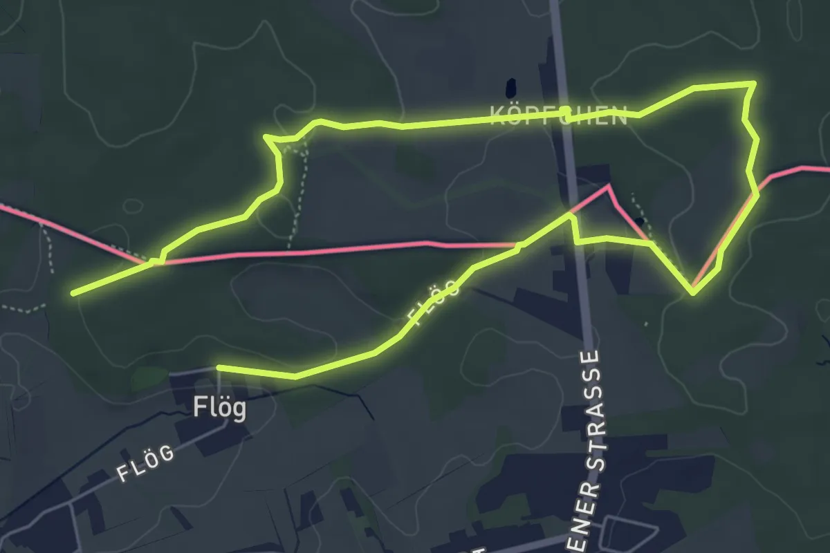
Easy · Summit
GrenzRouten: Rundweg Köpfchen
4.6 km · ↑ 53 m · 1 h 15 min
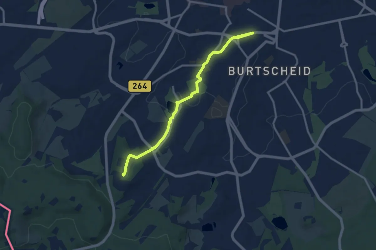
Easy · Summit
GrenzRouten: Verbindungsweg Aachen Hbf - Entenpfuhl
7.1 km · ↑ 99 m · 1 h 53 min
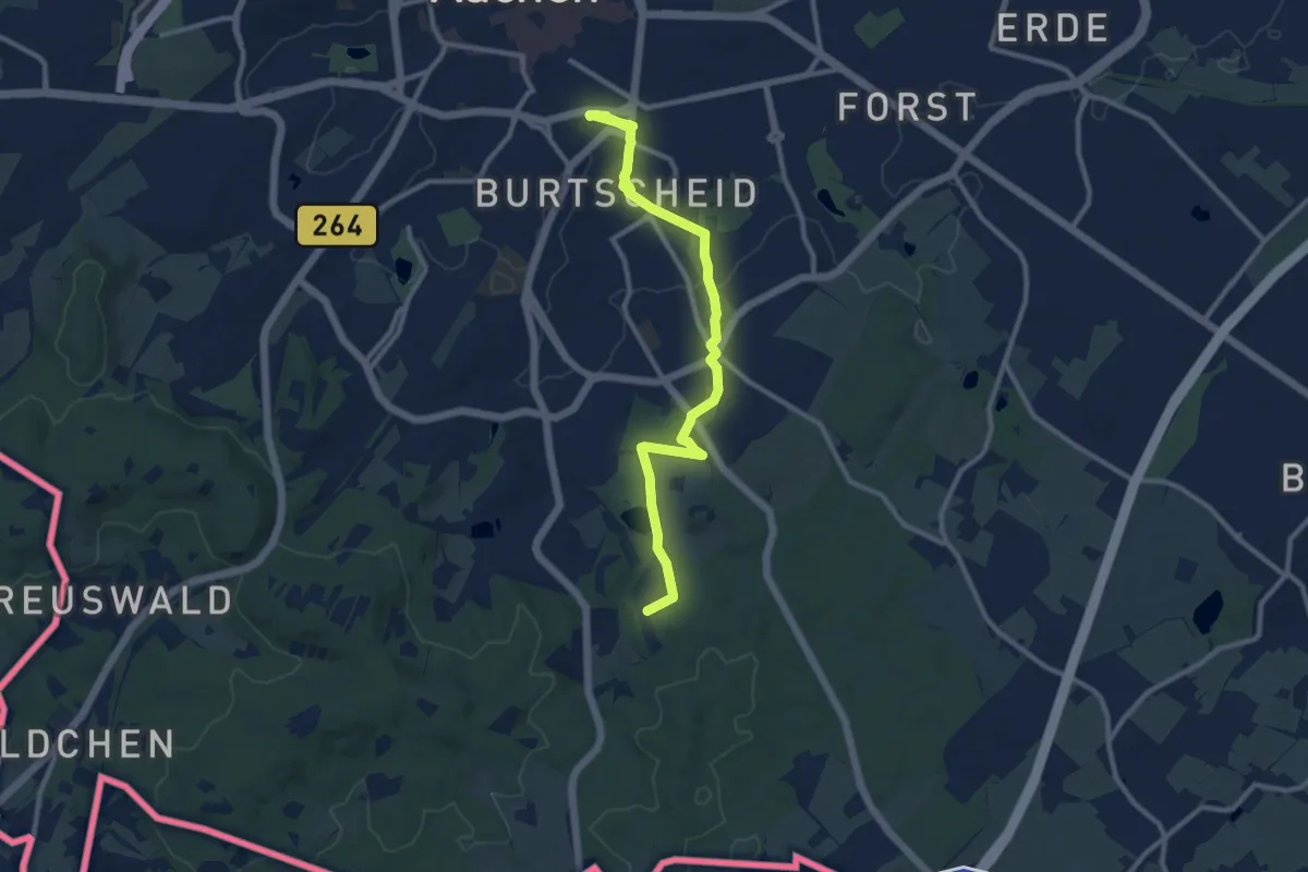
Medium · Trail
GrenzRouten: Verbindungsweg Aachen Hbf - Köpfchen
10.2 km · ↑ 93 m · 2 h 37 min
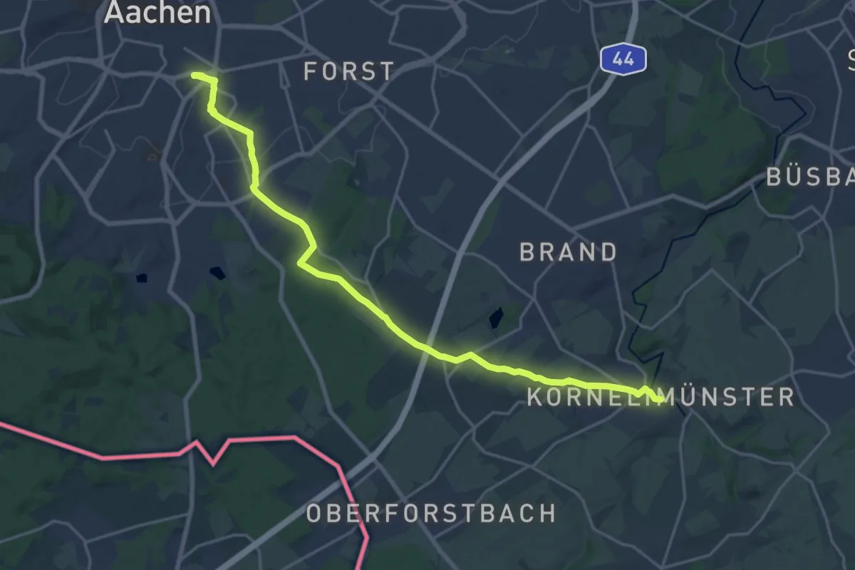
Demanding · Trail
GrenzRouten: Verbindungsweg Aachen Hbf - Kornelimünster ("Münsterpfad", Zuweg zum Eifelsteig)
19.3 km · ↑ 177 m · 4 h 57 min
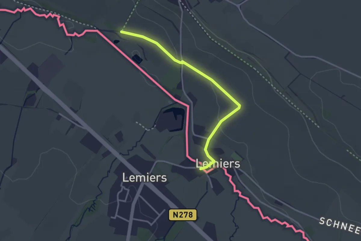
Easy · Trail
GrenzRouten: Verbindungsweg Lemiers - Orsbach
2.7 km · ↑ 38 m · 44 min
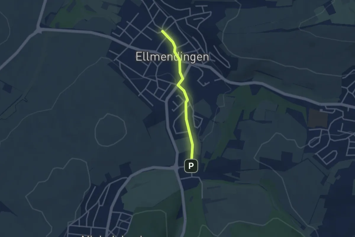
Easy · Trail
Grenzsägmühle - Ellmendingen Arnbach
2.4 km · ↑ 17 m · 36 min
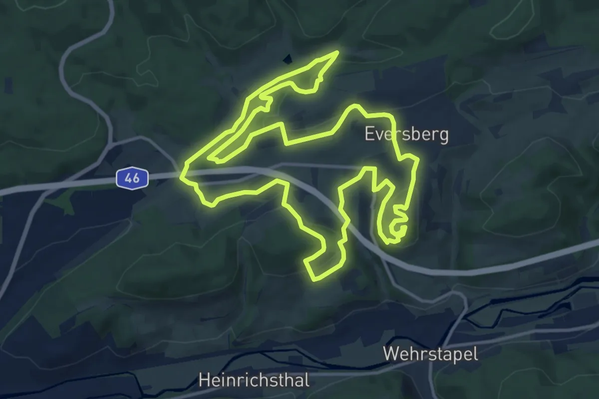
Medium · Summit
Grenzstadt-Weg
12.1 km · ↑ 352 m · 3 h 48 min
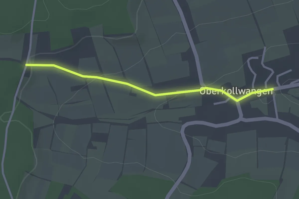
Easy · Trail
Grenzstein - Oberkollwangen Angelbach
2.4 km · ↑ 61 m · 41 min
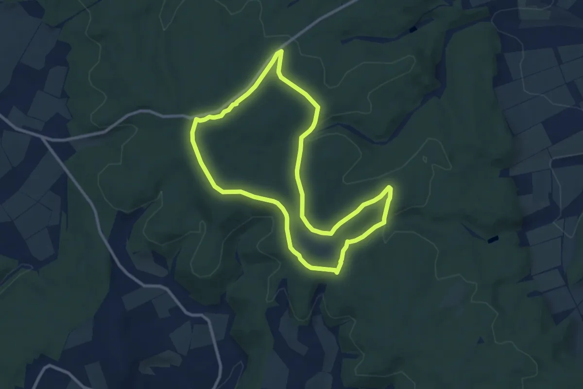
Easy · Trail
Grenzsteinpfad
7.7 km · ↑ 122 m · 2 h 12 min
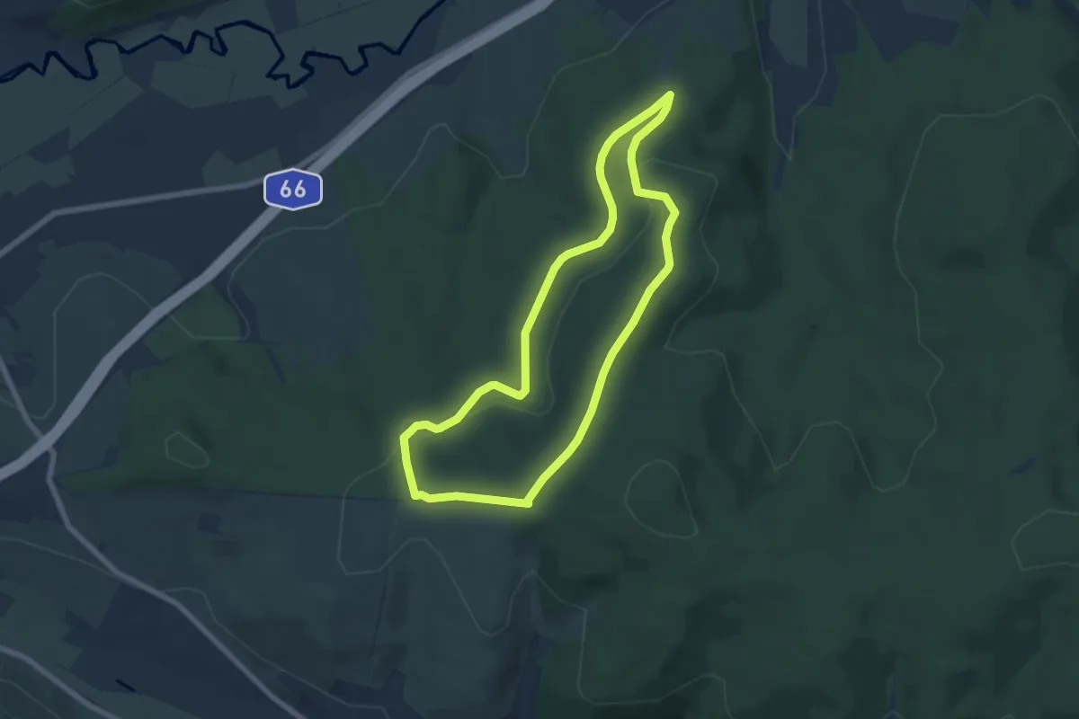
Easy · Trail
Grenzstein-Rundwanderweg Ost
5.6 km · ↑ 106 m · 1 h 38 min
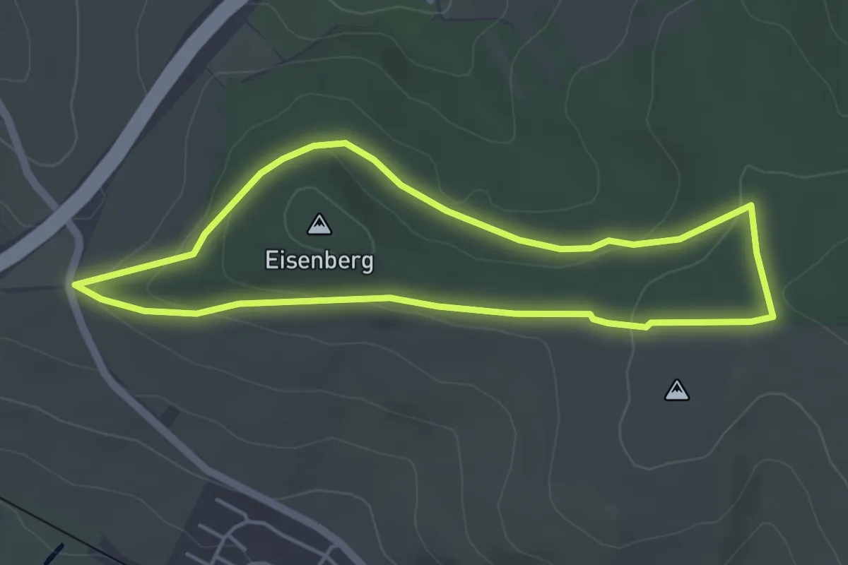
Easy · Trail
Grenzstein-Rundwanderweg West
3.9 km · ↑ 79 m · 1 h 9 min
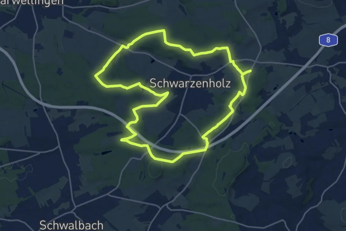
Medium · Summit
Grenzsteinwanderweg
14.5 km · ↑ 251 m · 4 h 10 min
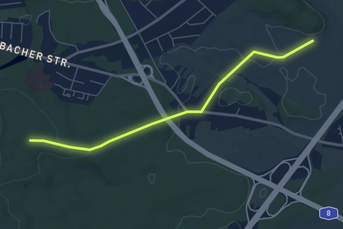
Easy · Summit
Grenzsteinweg
5.2 km · ↑ 92 m · 1 h 26 min
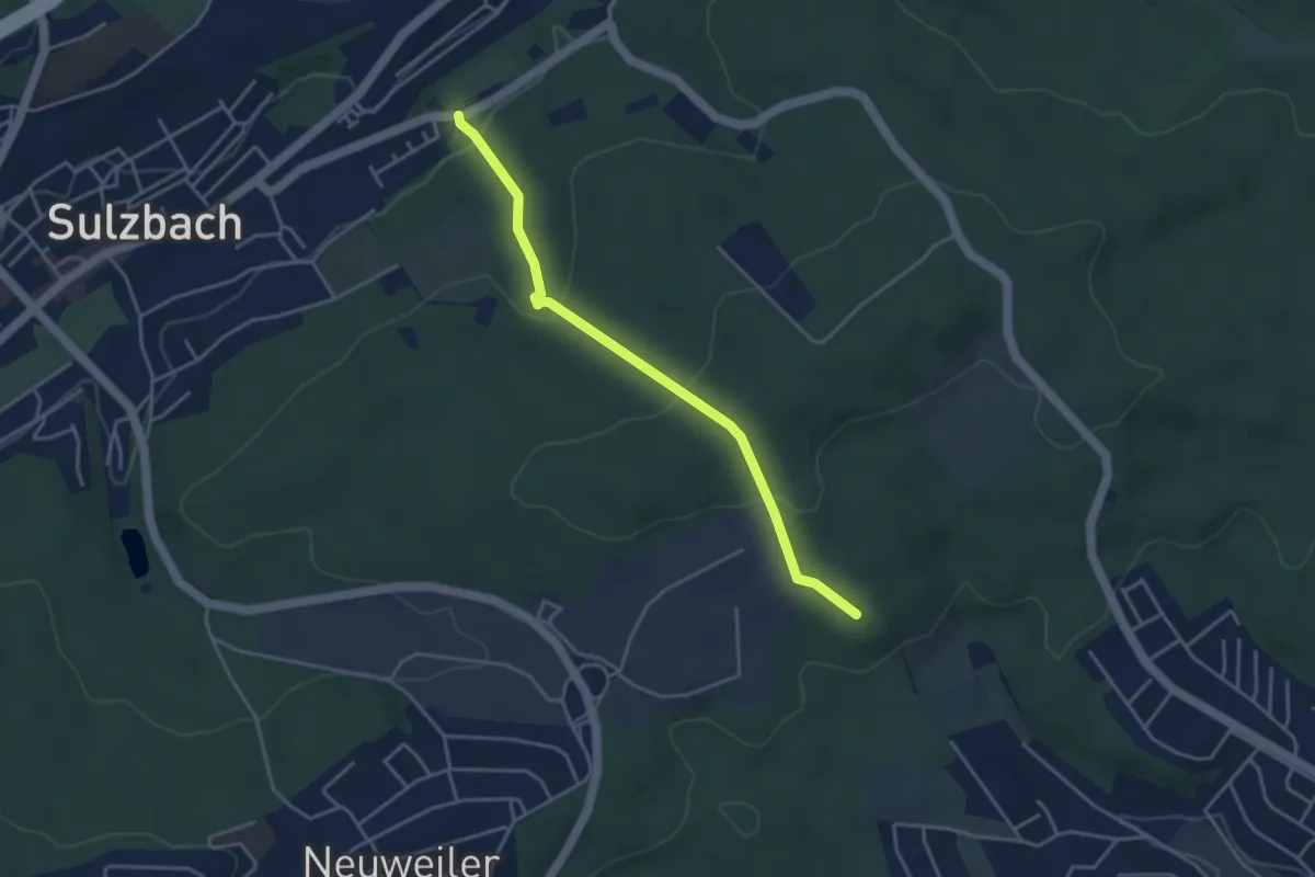
Easy · Trail
Grenzsteinweg
3.6 km · ↑ 168 m · 1 h 13 min
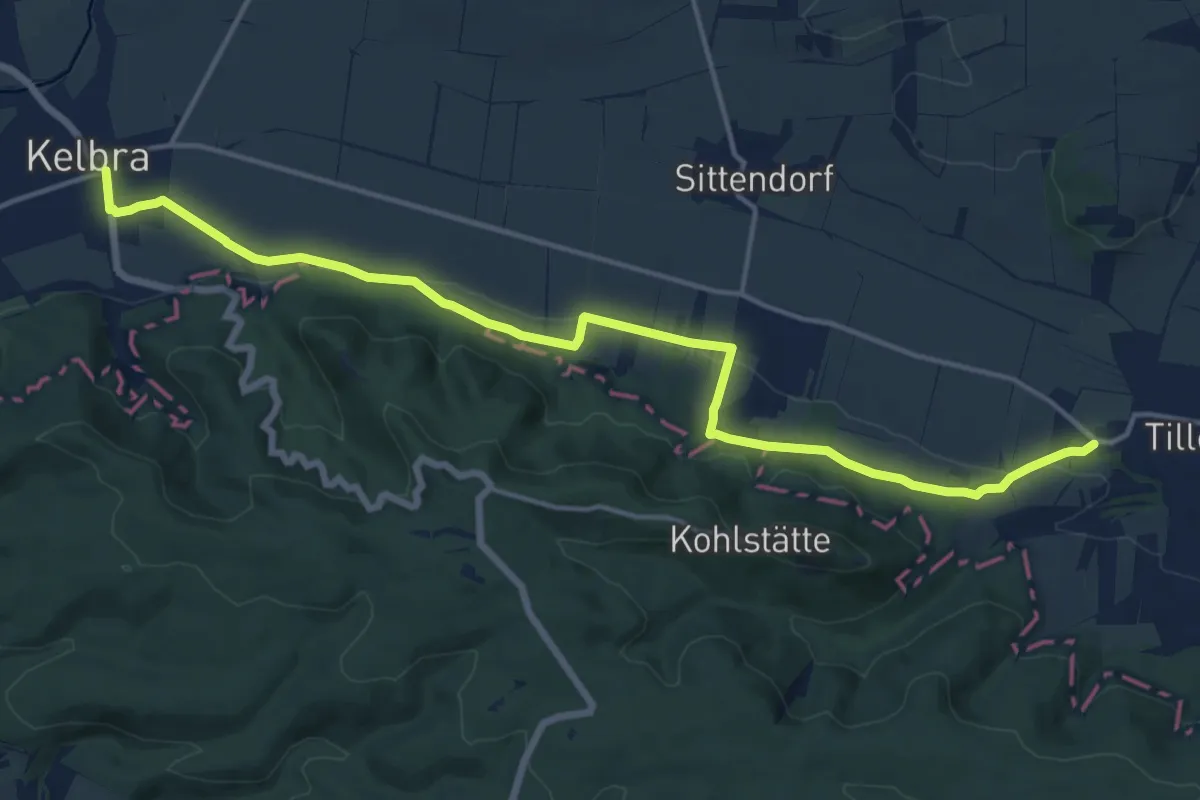
Medium · Trail
Grenzsteinweg
15.5 km · ↑ 278 m · 4 h 16 min
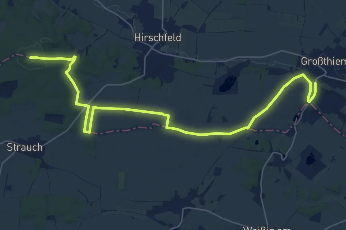
Demanding · Summit
Grenzsteinweg
22.1 km · ↑ 229 m · 5 h 43 min
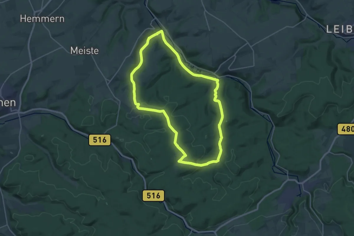
Medium · Summit
Grenzstein-Weg
17.2 km · ↑ 316 m · 4 h 59 min
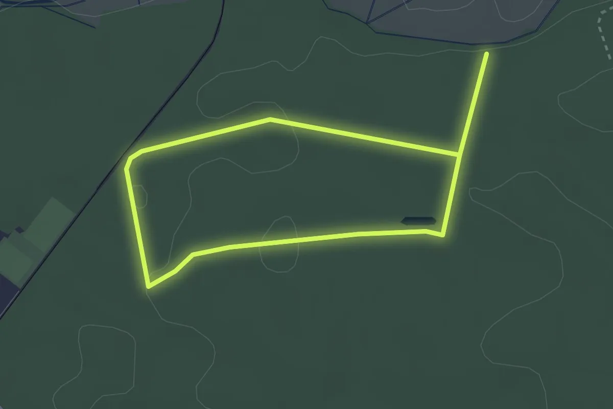
Easy · Trail
Grenzsteinweg Eichen
4.6 km · ↑ 39 m · 1 h 10 min
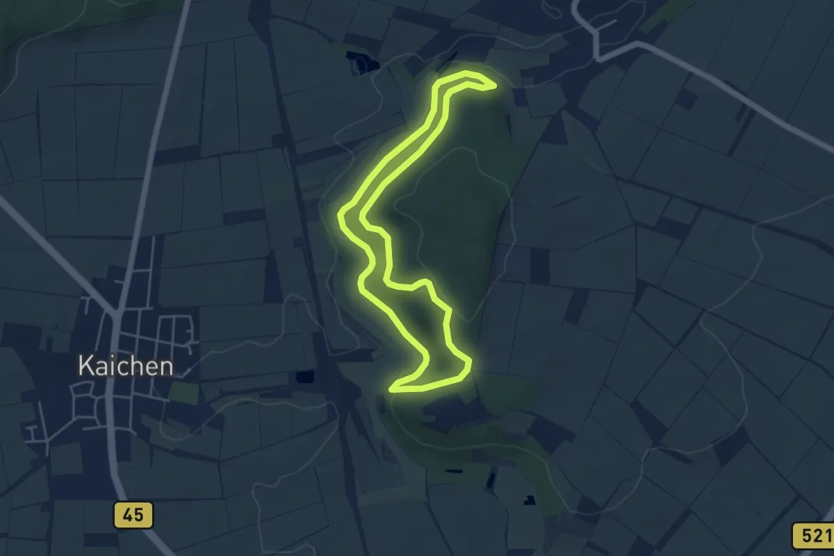
Easy · Trail
Grenzsteinweg Erbstadt
4.2 km · ↑ 76 m · 1 h 12 min