Trails in Germany
36,852 hiking trails, each with its route, climb, walking time and grade.
All trails, page 190 of 768
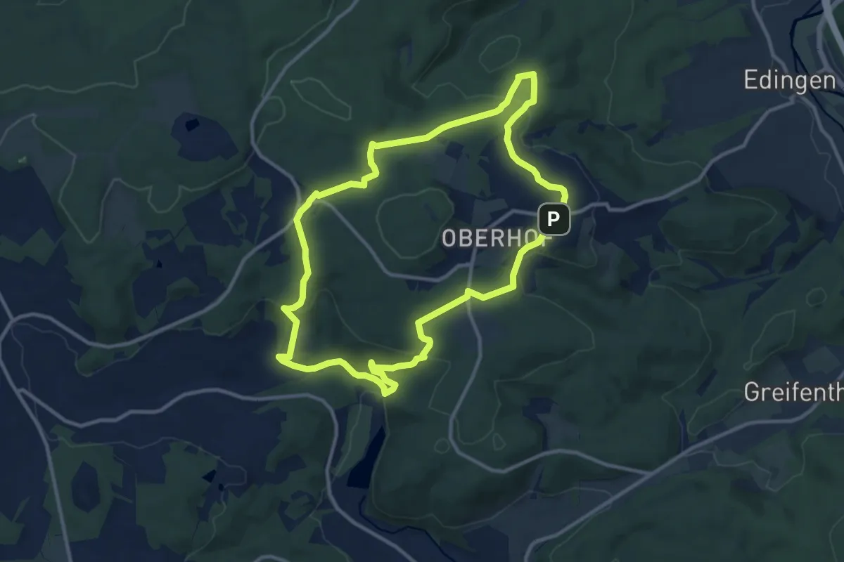
Medium · Trail
Grenzsteinweg Greifenstein
9.8 km · ↑ 287 m · 3 h 5 min
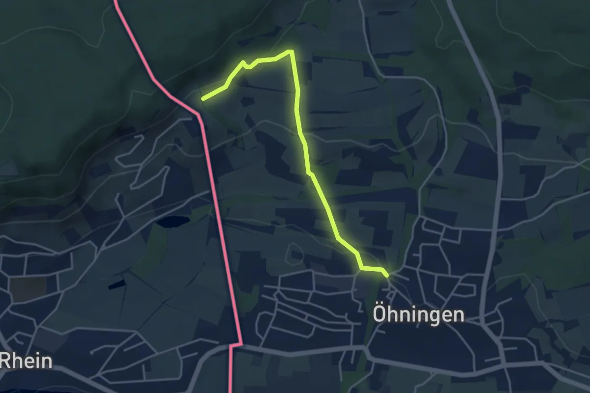
Easy · Trail
Grenzübergang Hof Bleiki - Öhningen Nödbachbrücke
3.5 km · ↑ 133 m · 1 h 7 min
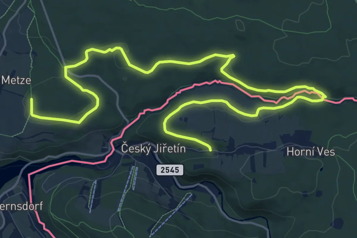
Medium · Trail
Grenzüberschreitender Lehrpfad - Neugrabenflöße
17.9 km · ↑ 238 m · 4 h 44 min
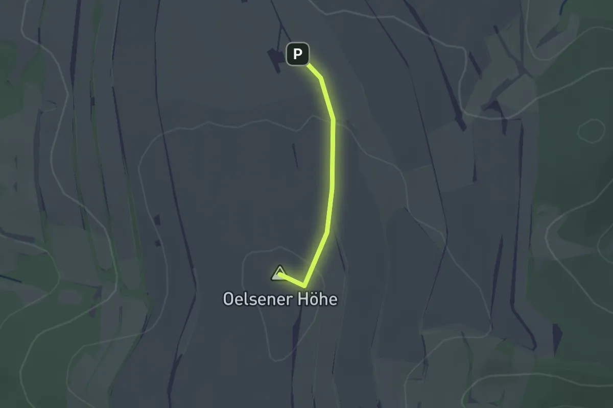
Easy · Summit
Grenzüberschreitender montanhistorischer Wanderweg Bergießhübel-Krupka
1.4 km · ↑ 31 m · 24 min
Easy · Summit
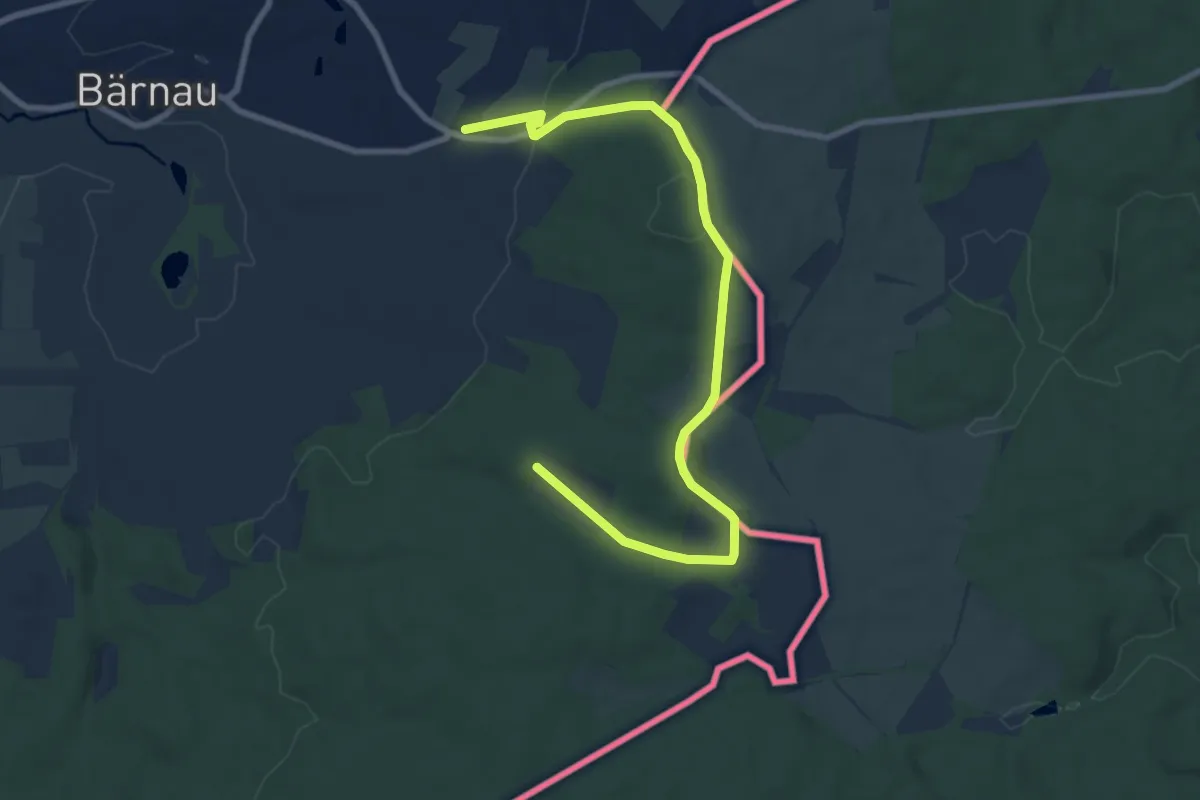
Grenz- und Pascherweg
4.6 km · ↑ 178 m · 1 h 29 min
Easy · Trail
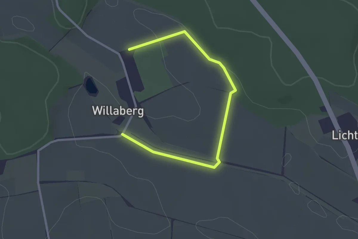
Grenzwanderweg 2,5 km
2.8 km · ↑ 31 m · 43 min
Medium · Trail
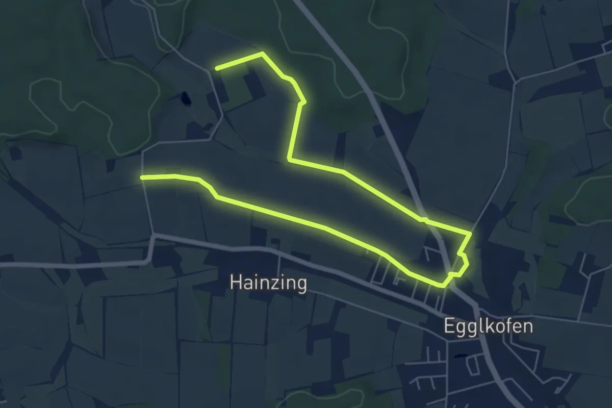
Grenzwanderweg 6 km
8.1 km · ↑ 58 m · 2 h 2 min
Easy · Trail
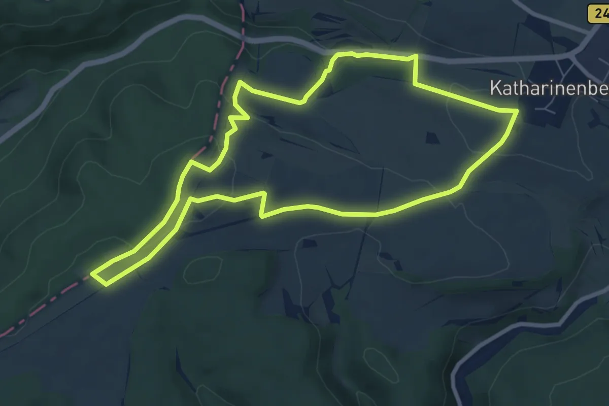
Grenzwanderweg Katharinenberg
6.6 km · ↑ 137 m · 1 h 56 min
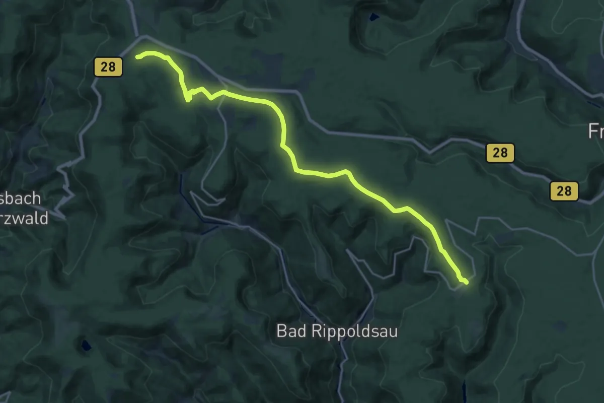
Demanding · Trail
Grenzweg
18.9 km · ↑ 276 m · 5 h 4 min
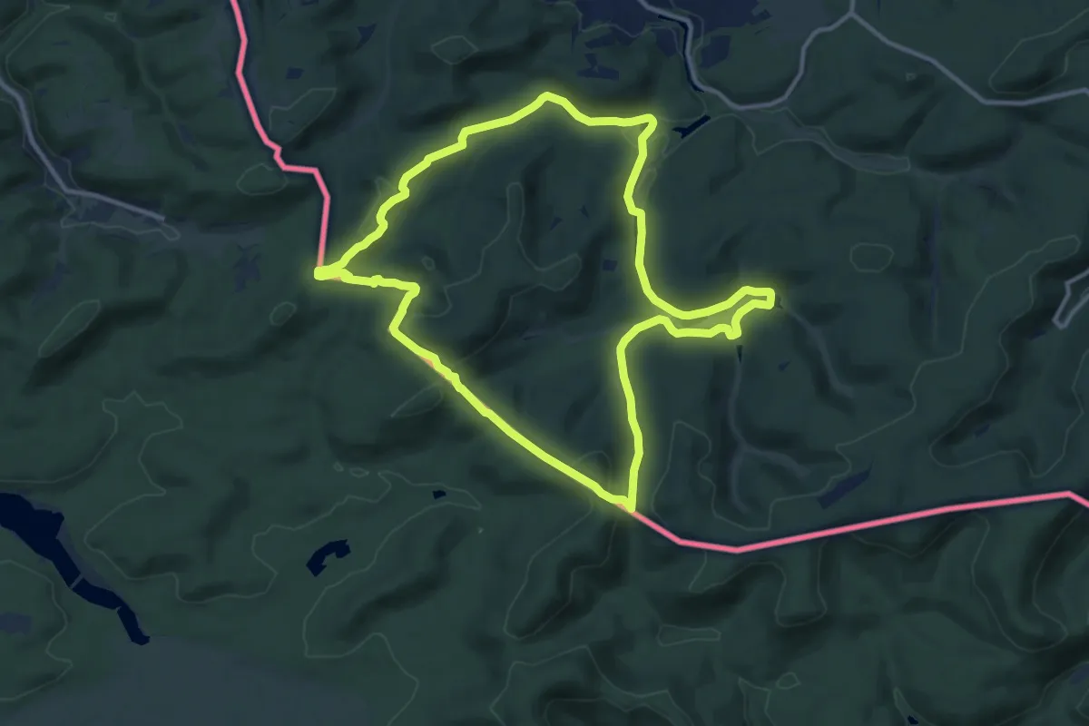
Medium · Summit
Grenzweg
11.3 km · ↑ 321 m · 3 h 31 min
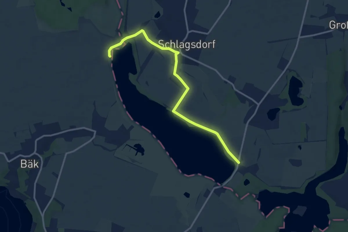
Medium · Trail
Grenzwege Schlagsdorf
8.4 km · ↑ 31 m · 2 h 3 min
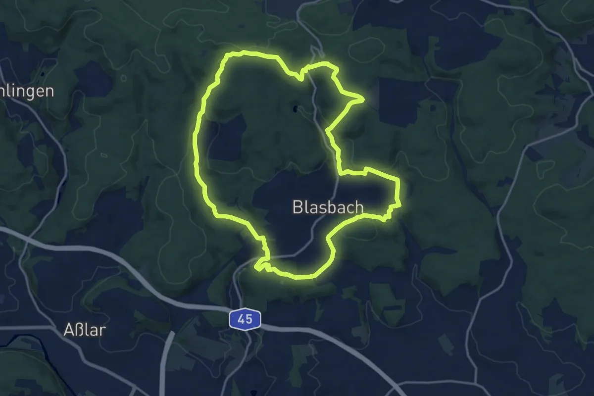
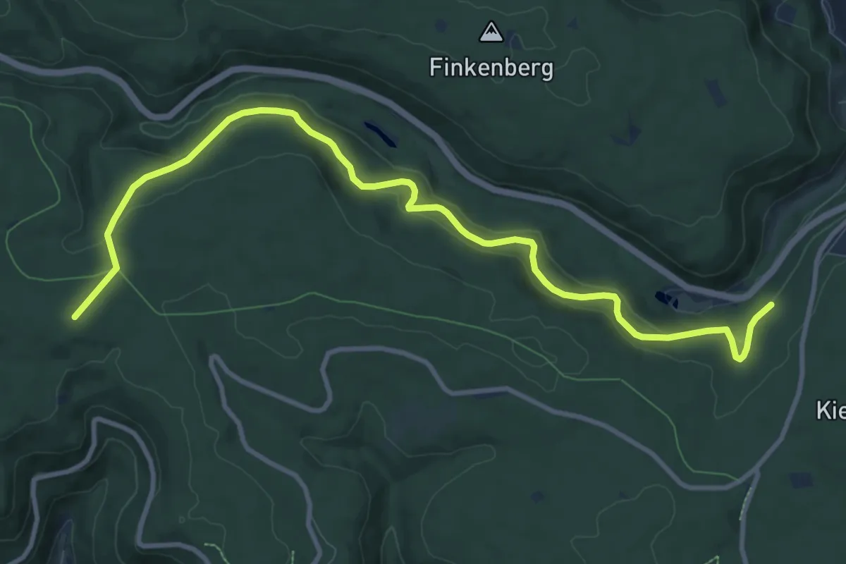
Medium · Trail
Grenzweg Gemarkung Blasbach
13.3 km · ↑ 361 m · 4 h 7 min
Medium · Cabin
Grenzweg - Mittelweg
11.0 km · ↑ 484 m · 3 h 39 min
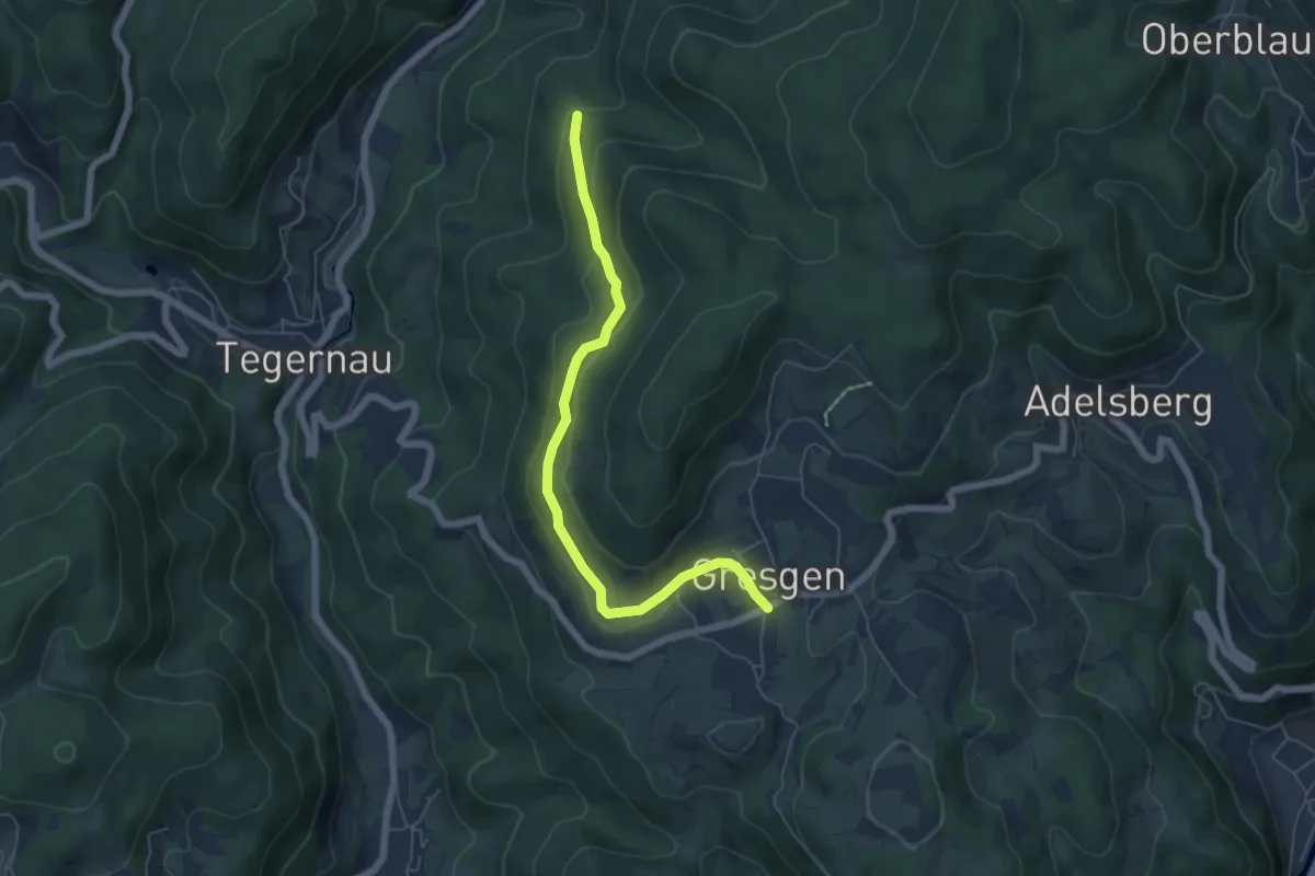
Easy · Trail
Gresgen - Brandenbrückle
5.7 km · ↑ 161 m · 1 h 42 min
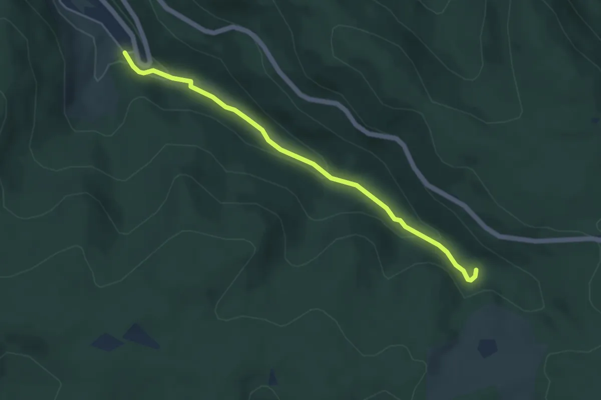
Easy · Trail
Gretelsbach - Hinterer Münstergraben
4.1 km · ↑ 149 m · 1 h 18 min
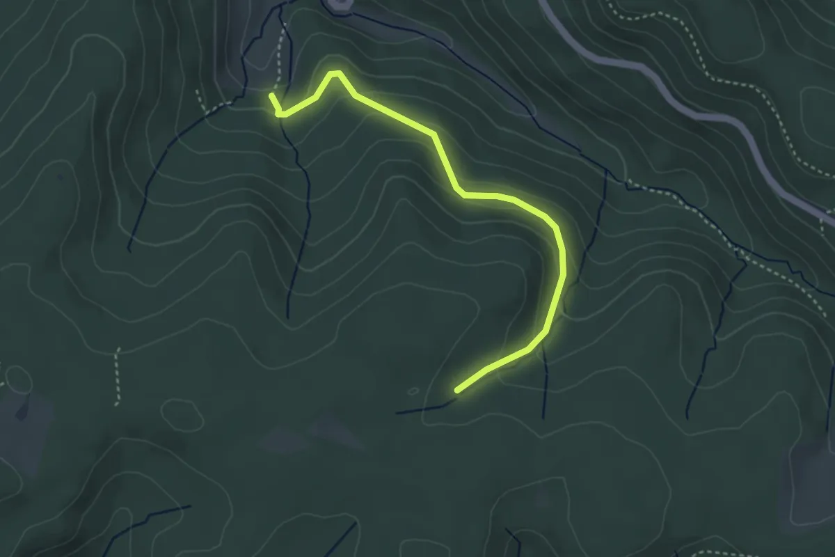
Easy · Trail
Gretelsloch - Hubertushütte
3.6 km · ↑ 186 m · 1 h 15 min
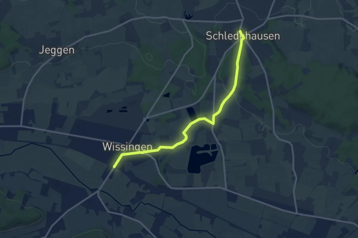
Medium · Trail
Gretescher Turm - Wissingen
8.4 km · ↑ 69 m · 2 h 8 min
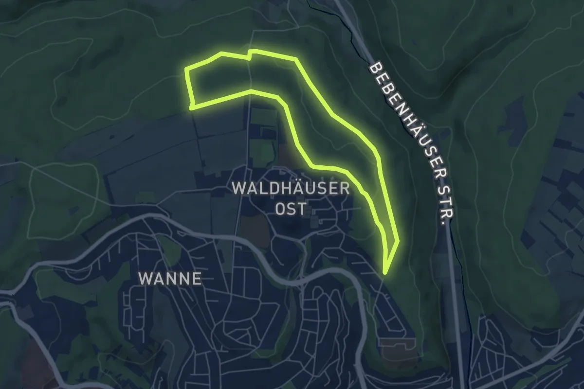
Easy · Trail
Grete-Waltz-Runde
5.3 km · ↑ 92 m · 1 h 32 min
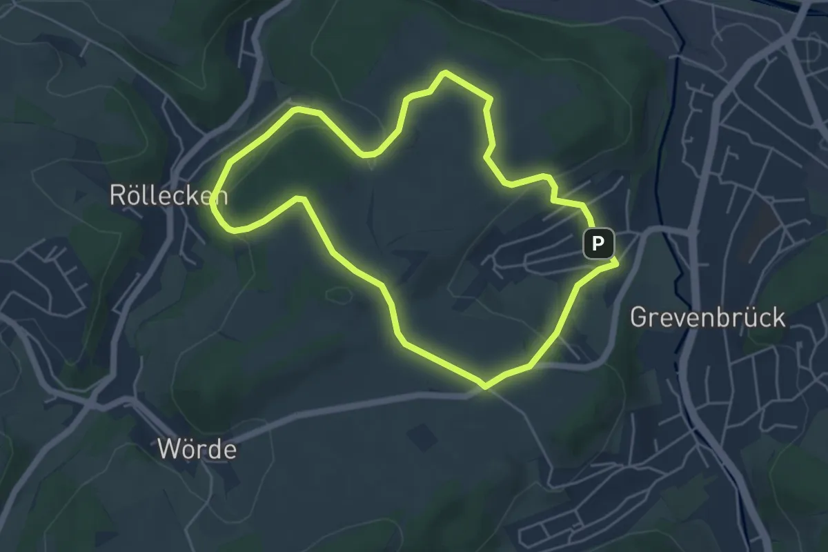
Easy · Summit
Grevenbrück Rundweg A18
4.3 km · ↑ 96 m · 1 h 17 min
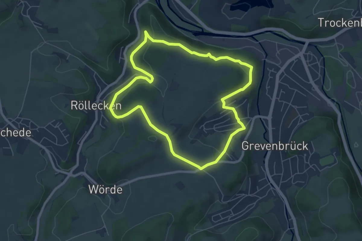
Easy · Summit
Grevenbrück Rundweg A19
5.5 km · ↑ 156 m · 1 h 43 min
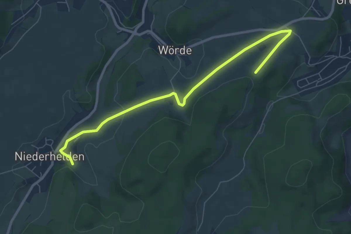
Easy · Trail
Grevenbrück Rundweg A20
6.5 km · ↑ 84 m · 1 h 43 min
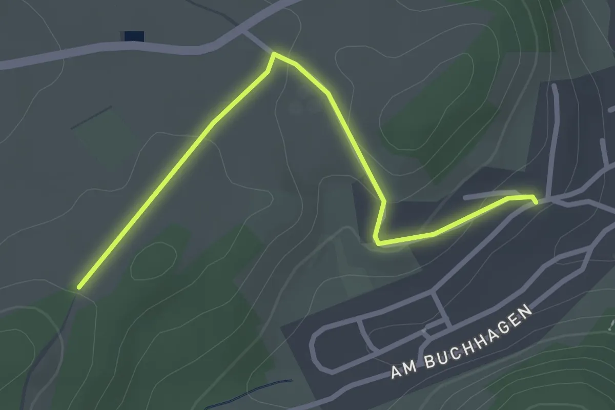
Easy · Trail
Grevenbrück Rundweg A21
2.3 km · ↑ 56 m · 40 min
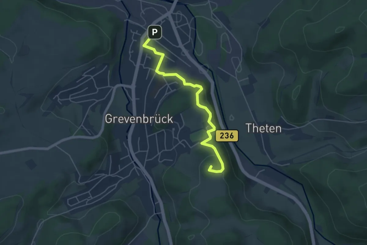
Easy · Summit
Grevenbrück Rundweg A24
4.4 km · ↑ 189 m · 1 h 28 min
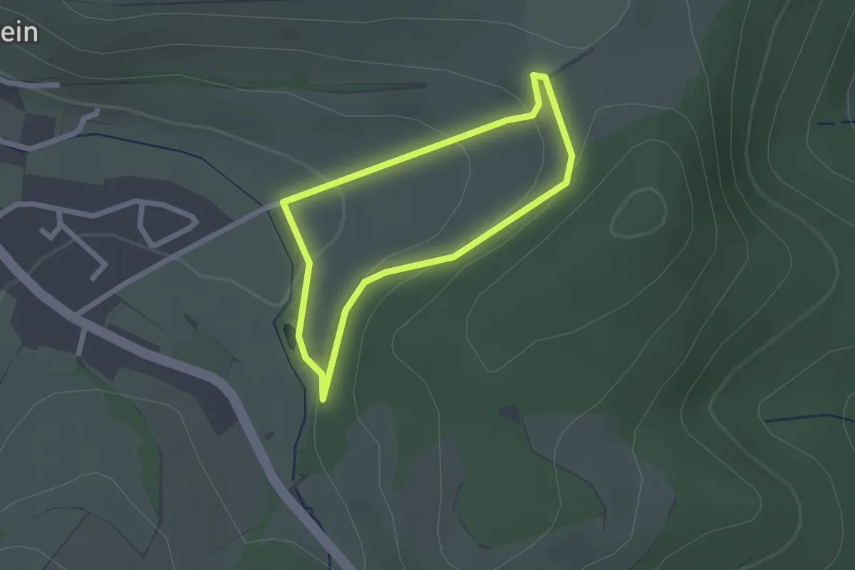
Easy · Summit
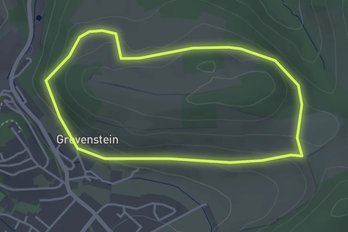
Grevenstein Rundweg A1
1.6 km · ↑ 56 m · 31 min
Easy · Trail
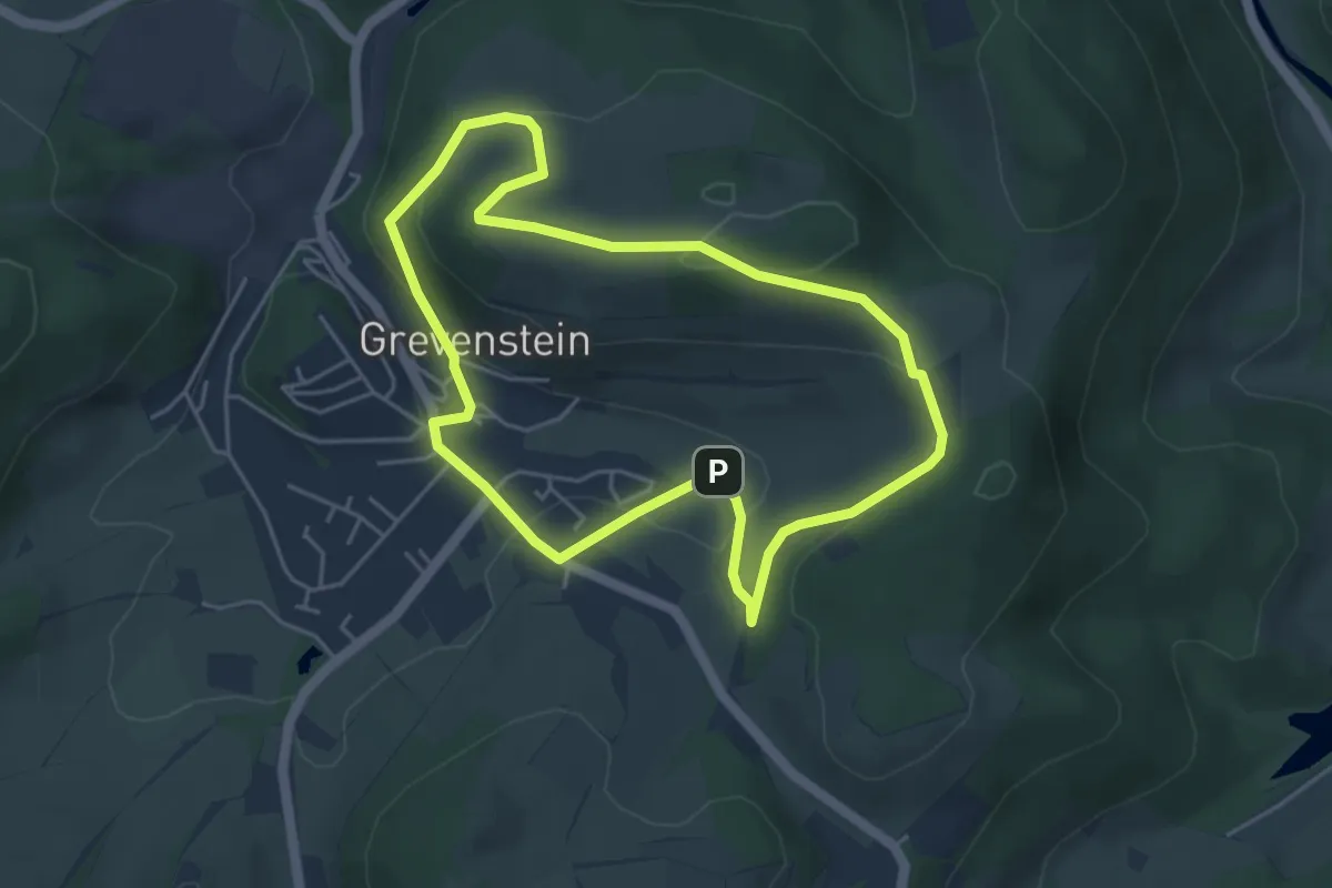
Grevenstein Rundweg A2
2.9 km · ↑ 80 m · 54 min
Easy · Summit
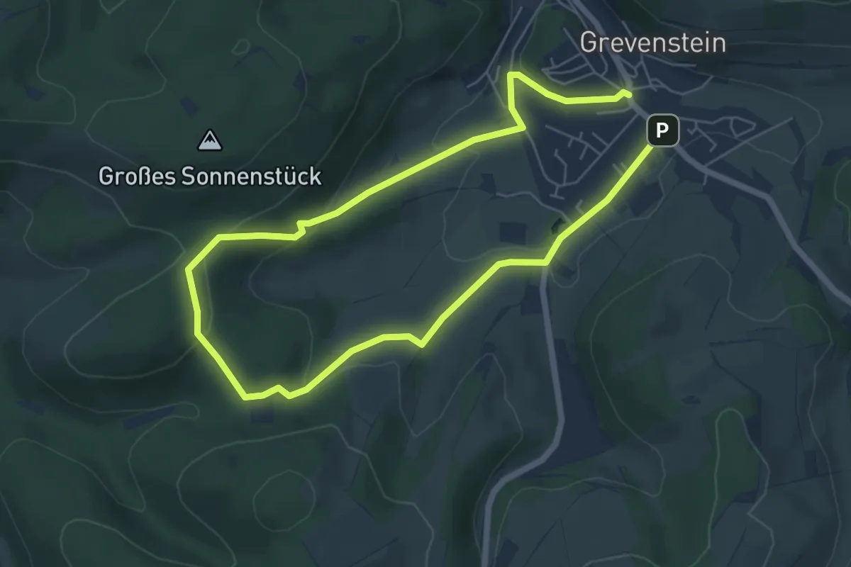
Grevenstein Rundweg A3
4.1 km · ↑ 129 m · 1 h 18 min
Easy · Trail
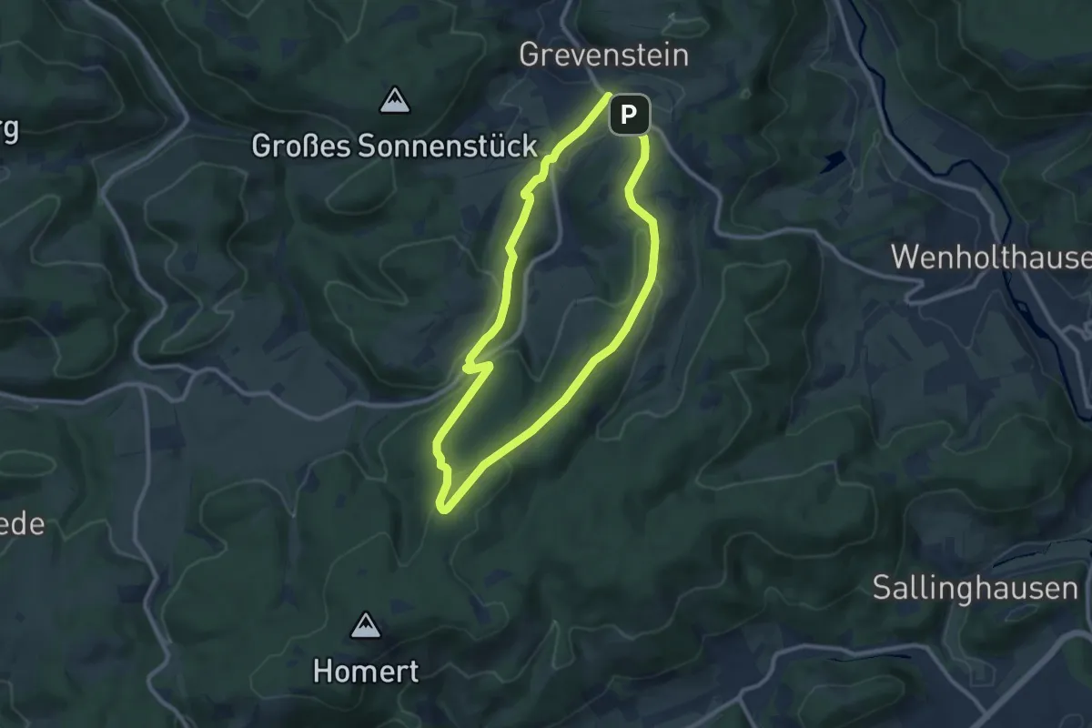
Grevenstein Rundweg A4
4.6 km · ↑ 120 m · 1 h 24 min
Medium · Summit
Grevenstein Rundweg A5
8.1 km · ↑ 237 m · 2 h 33 min
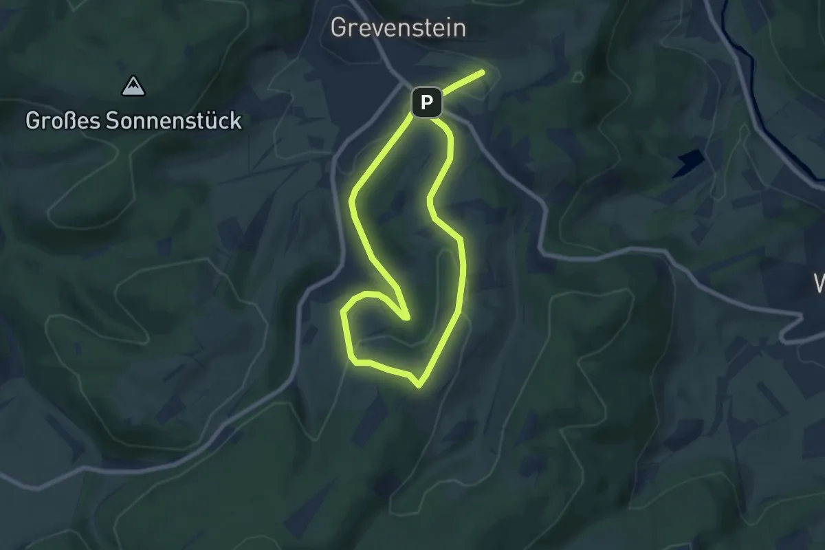
Easy · Trail
Grevenstein Rundweg A6
5.2 km · ↑ 153 m · 1 h 38 min
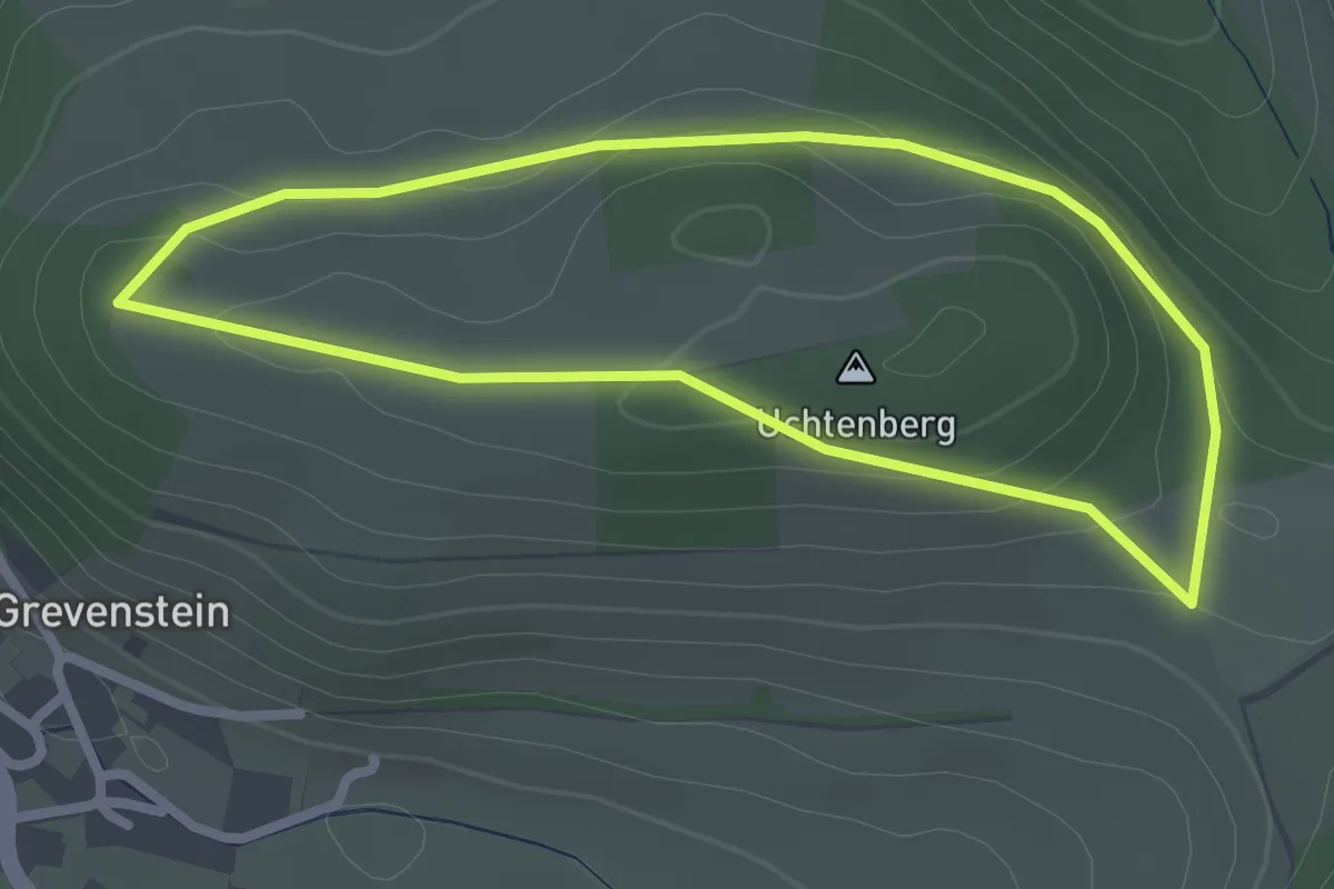
Easy · Summit
Grevenstein Rundweg G1
2.2 km · ↑ 54 m · 39 min
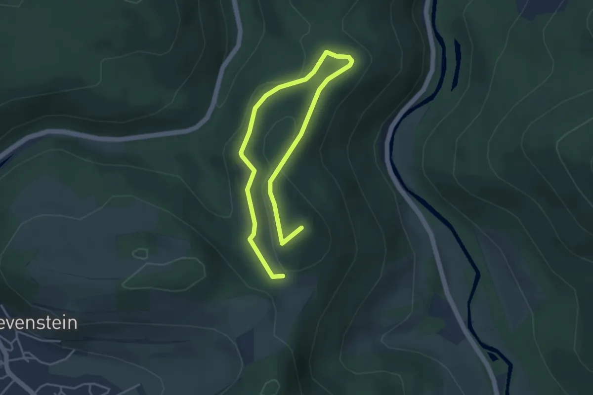
Easy · Summit
Grevenstein Rundweg G2
4.9 km · ↑ 170 m · 1 h 32 min
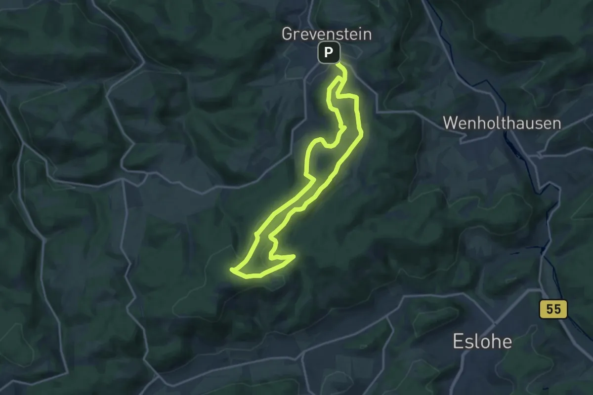
Medium · Summit
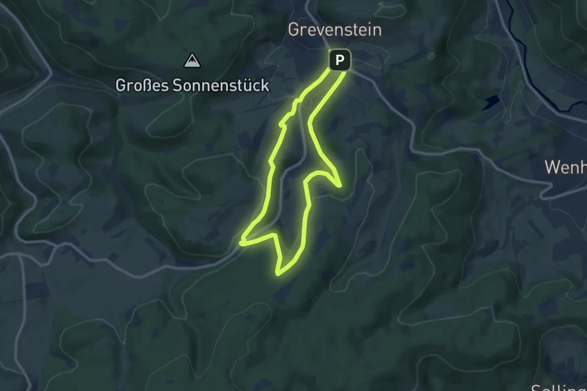
Grevenstein Rundweg G3
11.4 km · ↑ 328 m · 3 h 33 min
Easy · Trail
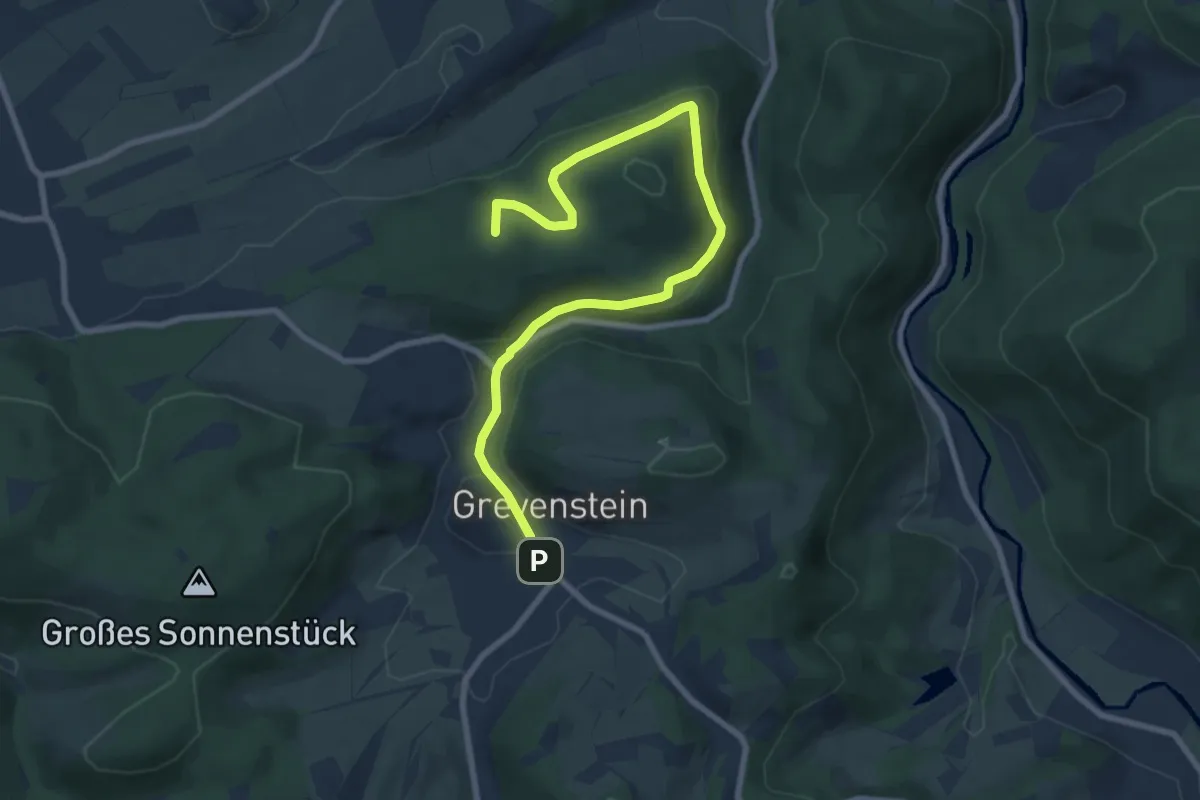
Grevenstein Rundweg G4
6.9 km · ↑ 215 m · 2 h 12 min
Medium · Summit
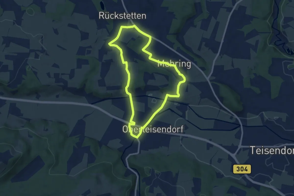
Grevenstein Rundweg G6
8.7 km · ↑ 231 m · 2 h 34 min
Easy · Trail
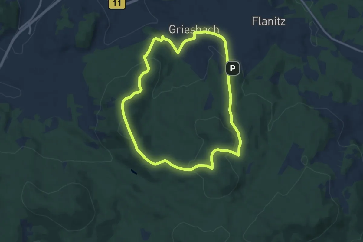
Griesacker-Weg Nr. 23
6.7 km · ↑ 74 m · 1 h 50 min
Medium · Summit
Griesbachrunde (24)
7.7 km · ↑ 237 m · 2 h 27 min
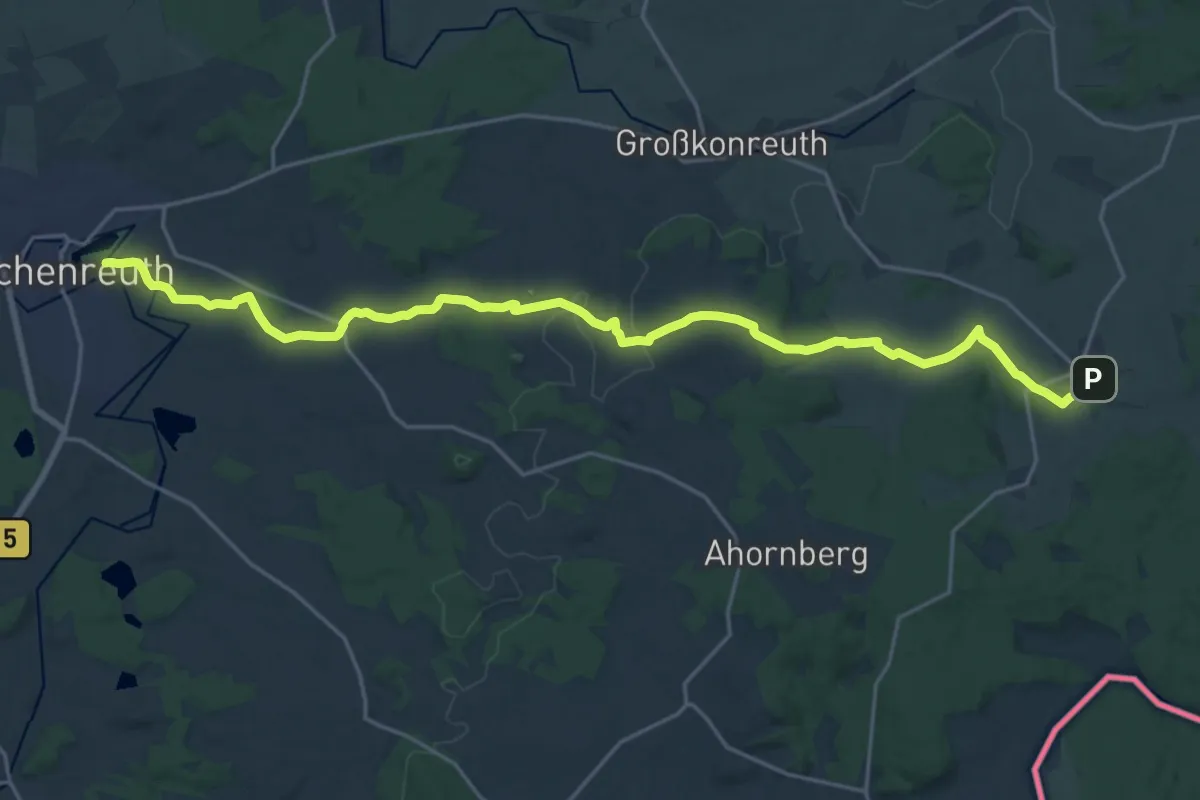
Demanding · Trail
Griesbach-Tirschenreuth-Wiesau
23.3 km · ↑ 395 m · 6 h 21 min
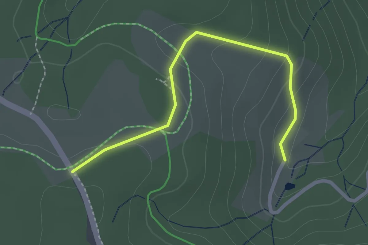
Easy · Trail
Grieshaberbauer - Grieshaberhöhe
2.0 km · ↑ 68 m · 37 min
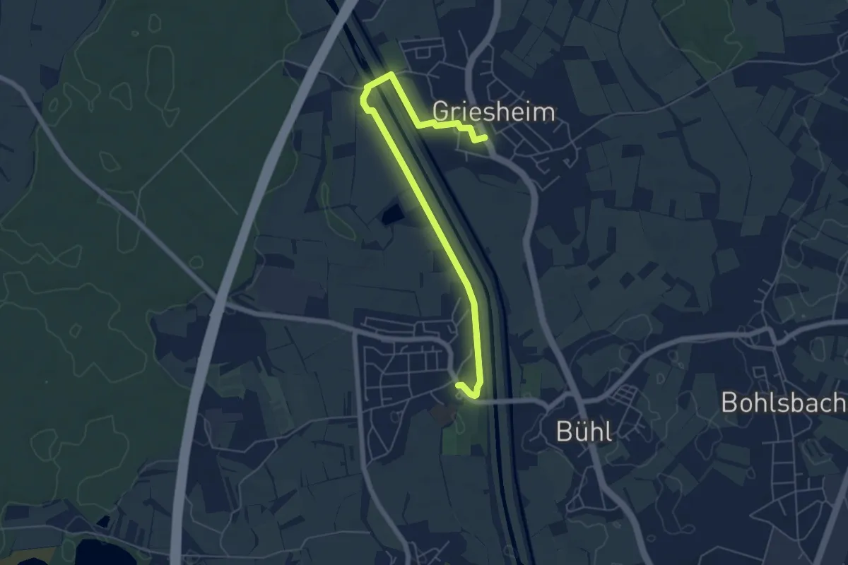
Easy · Trail
Griesheim Kirche - Weier Kirche
5.9 km · ↑ 8 m · 1 h 24 min
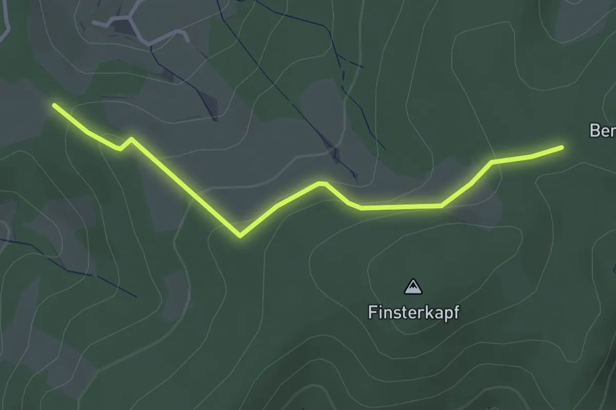
Easy · Trail
Grießbaums Wegkreuz - Bösmatte
2.9 km · ↑ 141 m · 59 min
Easy · Trail
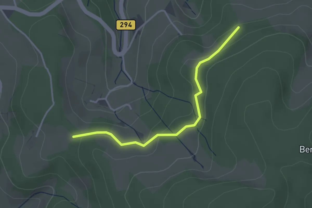
Grießbaums Wegkreuz - Panoramablick Dietental
2.9 km · ↑ 68 m · 49 min
Easy · Summit
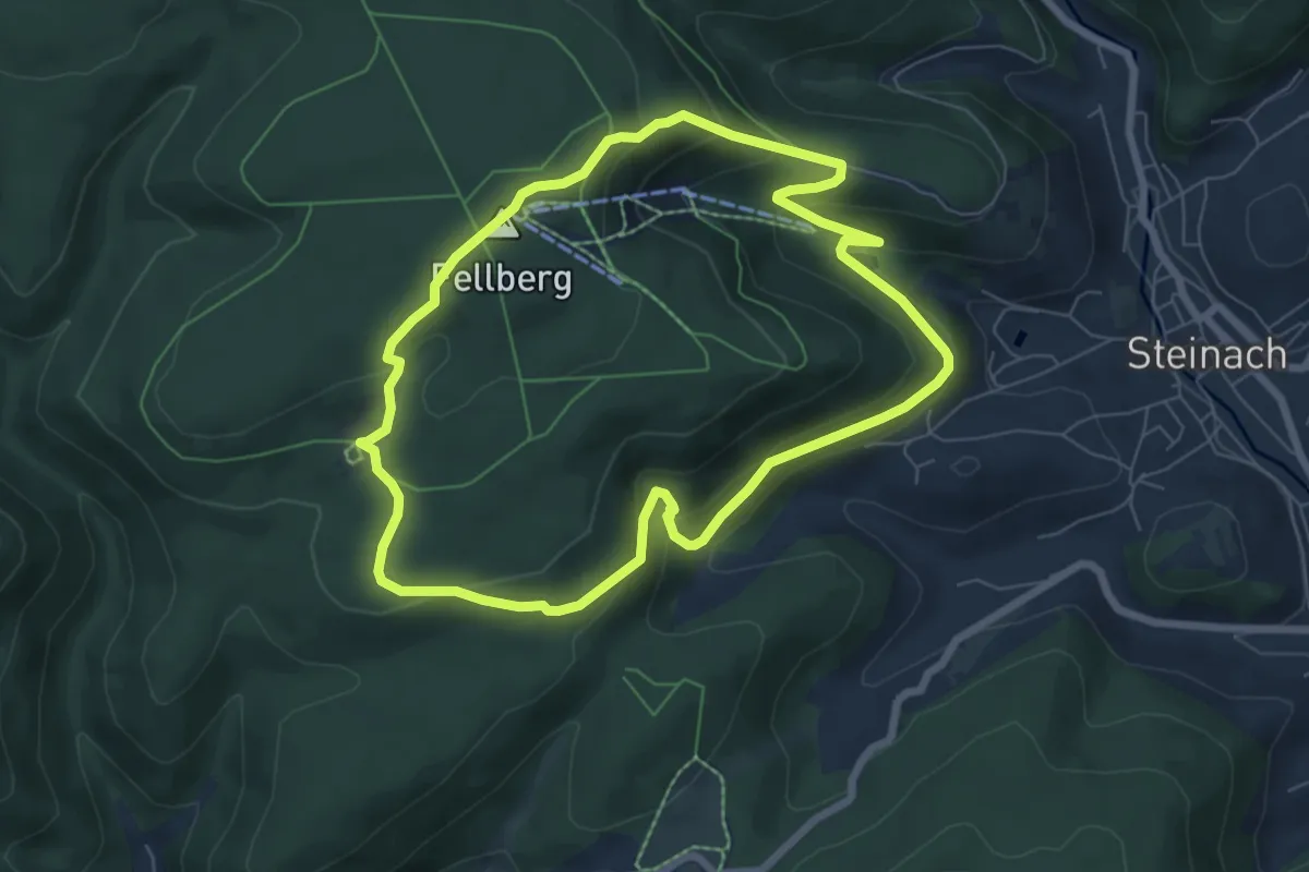
Griffelpfad
6.2 km · ↑ 260 m · 2 h 6 min
Medium · Trail
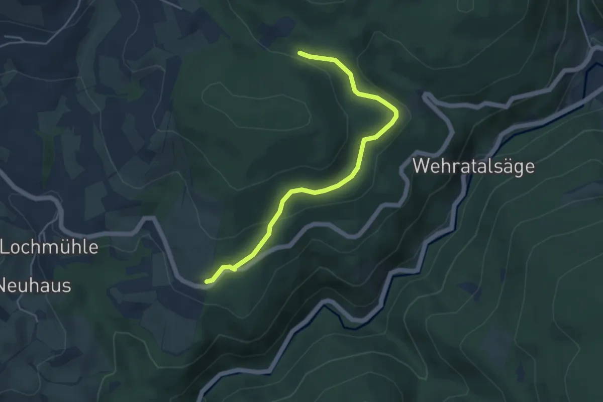
Grillhütte Dickicht - Atschel
4.2 km · ↑ 143 m · 1 h 18 min
Easy · Trail
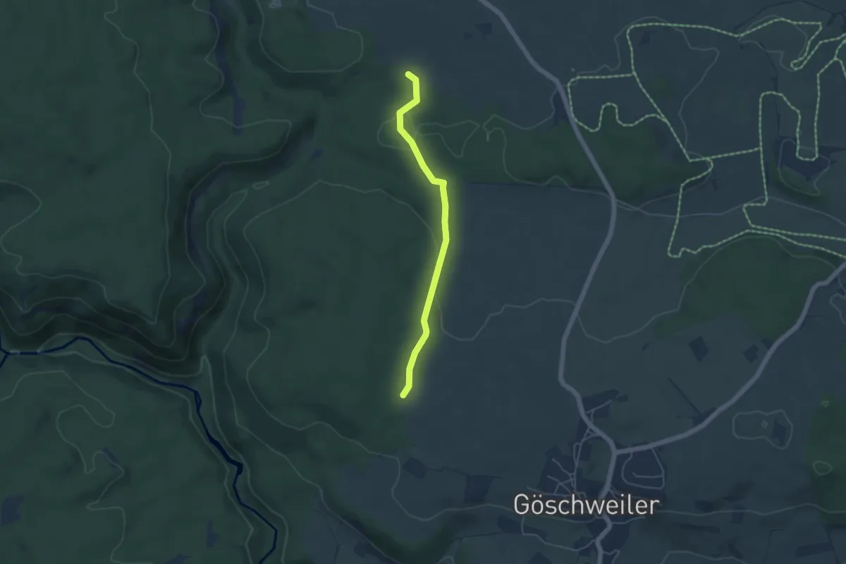
Grillhütte Göschweiler - Krebsgraben
4.3 km · ↑ 56 m · 1 h 8 min
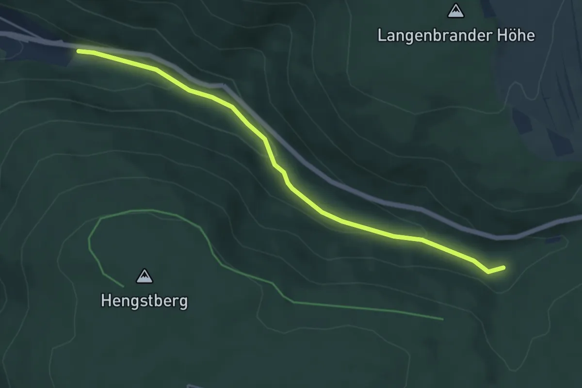
Easy · Trail
Grillplatz Förteltal - Unterer Förtelberg
4.5 km · ↑ 152 m · 1 h 24 min
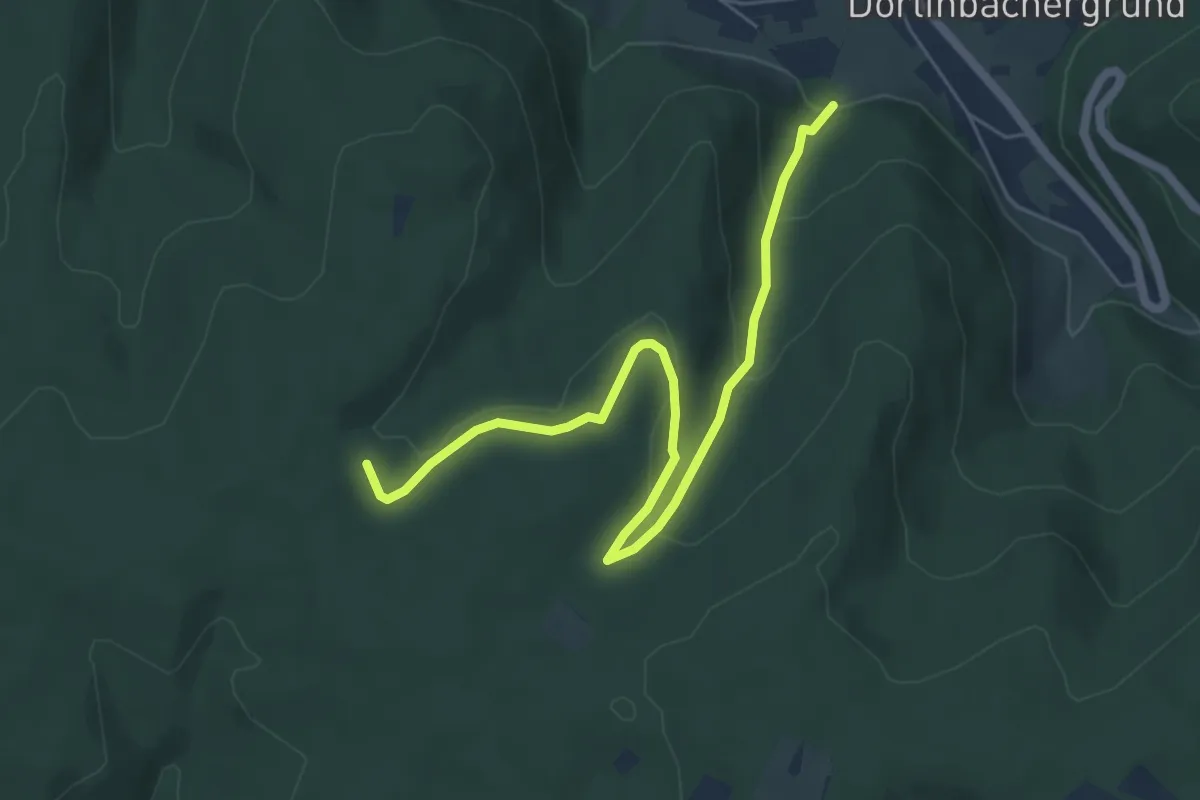
Easy · Trail
Grillplatz Glasbach - Klosterwald
6.1 km · ↑ 216 m · 1 h 55 min
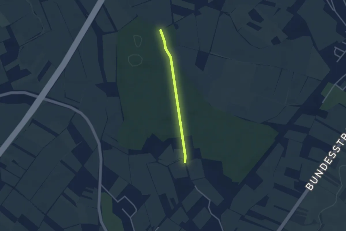
Easy · Trail
Grillplatz Önsbach - Acherner Schlag
2.1 km · ↑ 14 m · 32 min
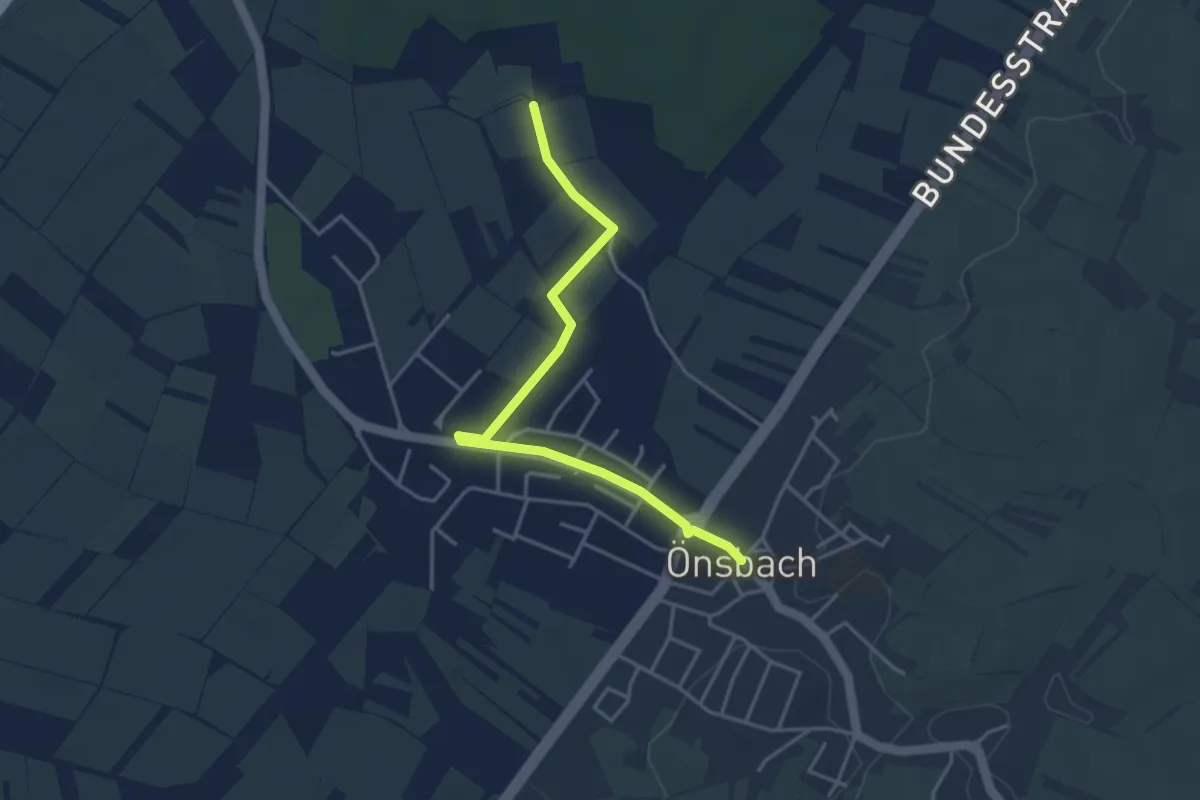
Easy · Trail
Grillplatz Önsbach - Önsbach Ortsmitte
3.8 km · ↑ 8 m · 55 min