Trails in Germany
36,852 hiking trails, each with its route, climb, walking time and grade.
All trails, page 191 of 768
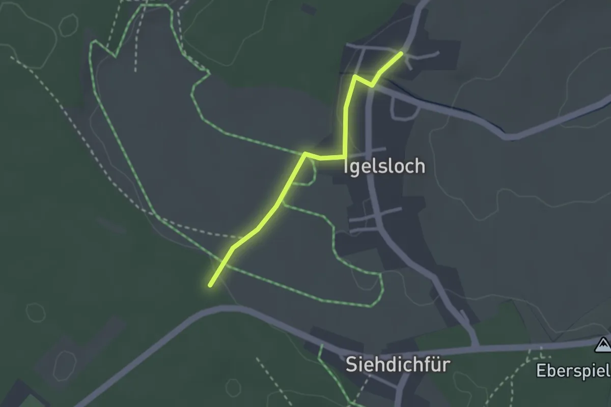
Easy · Trail
Grillplatz Siehdichfür - Igelsloch
2.1 km · ↑ 32 m · 34 min
Easy · Trail
Grillplatz Siehdichfür - Rollmiss
2.7 km · ↑ 17 m · 41 min
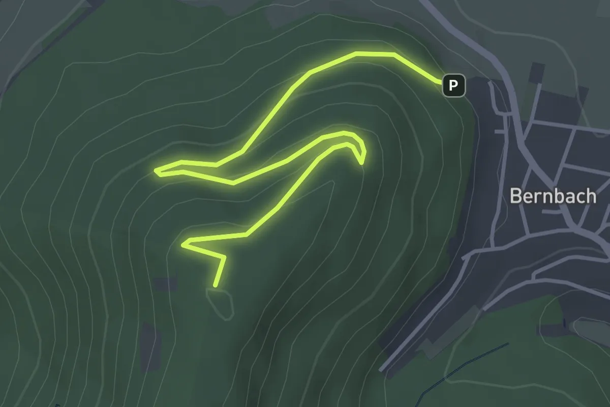
Easy · Summit
Grillplatz Tannschach - Unterm Mauzenstein
4.3 km · ↑ 217 m · 1 h 29 min
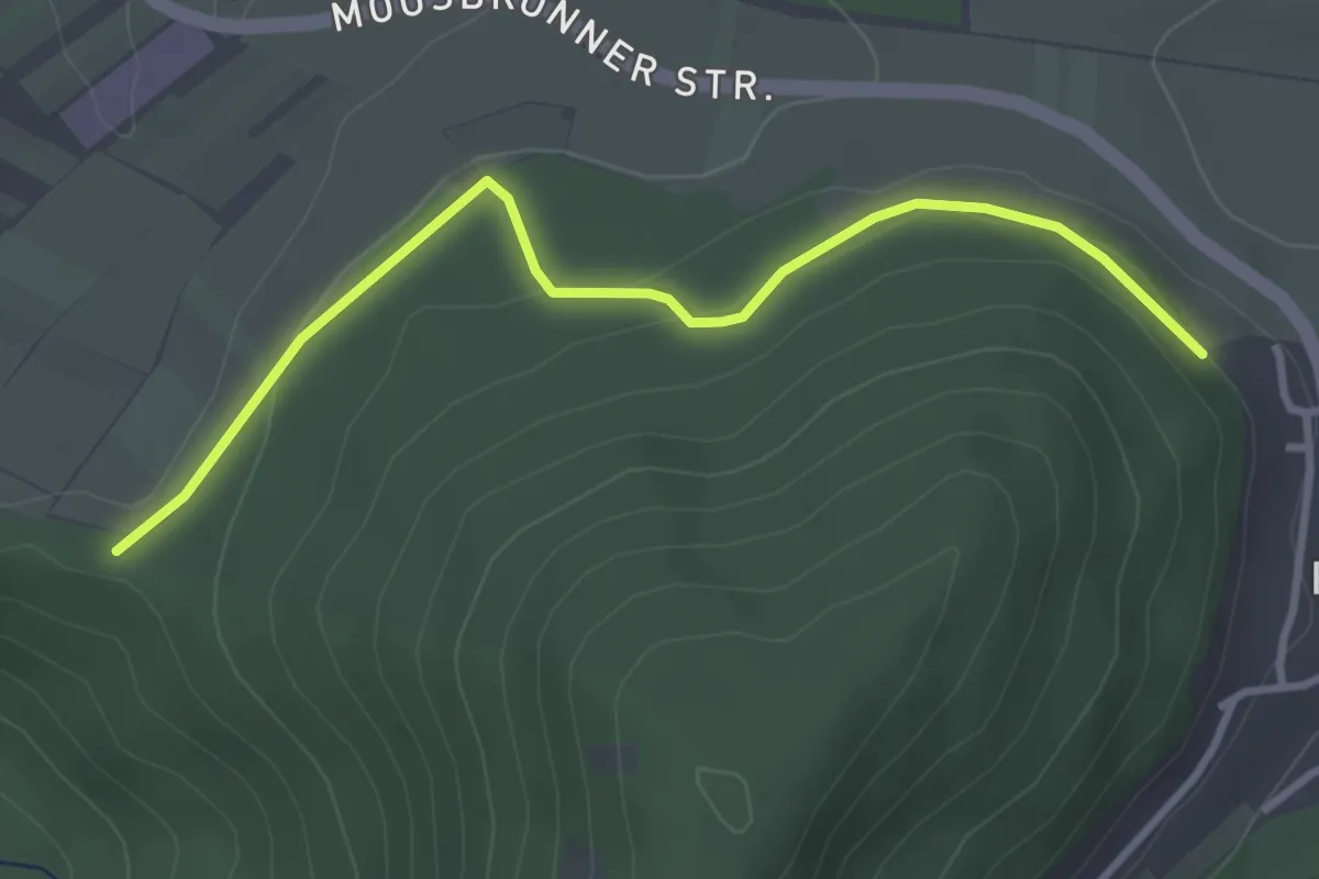
Easy · Trail
Grillplatz Tannschach - Wasenhütte
3.3 km · ↑ 64 m · 55 min
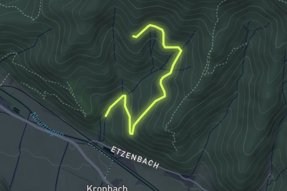
Easy · Trail
Grillplatz Wölfental - Kletterwald
3.7 km · ↑ 215 m · 1 h 20 min
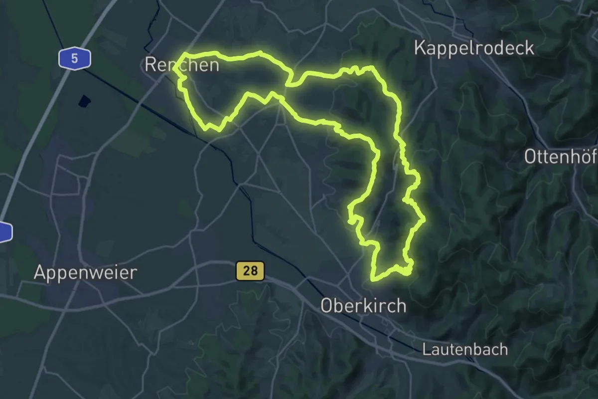
Demanding · Summit
Grimmelshausen-Rundweg
28.4 km · ↑ 775 m · 8 h 47 min
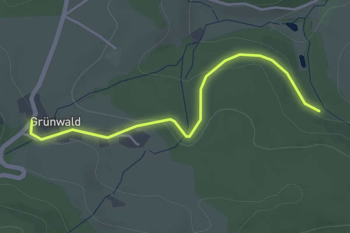
Easy · Trail
Grimmelwald - Grünwald
3.0 km · ↑ 70 m · 51 min
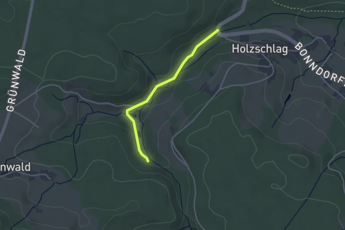
Easy · Trail
Grimmelwald - Holzschlag An der B 315
2.5 km · ↑ 42 m · 41 min
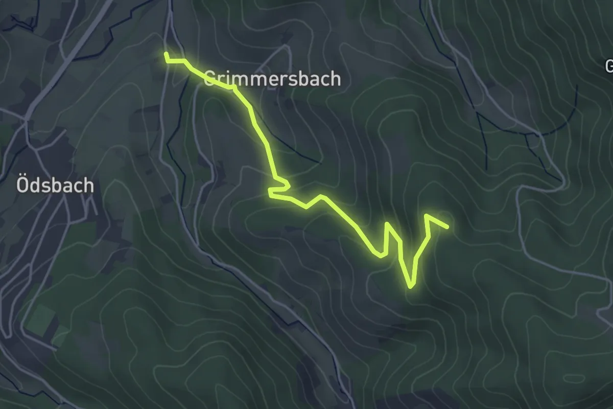
Easy · Trail
Grimmersbacher Eck - Ödsbach Neumatt
4.4 km · ↑ 229 m · 1 h 32 min
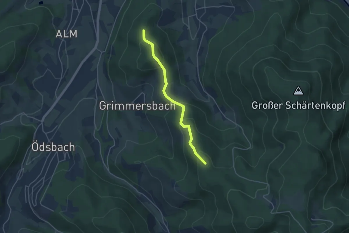
Easy · Trail
Grimmersbacher Eck - Wille Gott
3.3 km · ↑ 213 m · 1 h 14 min
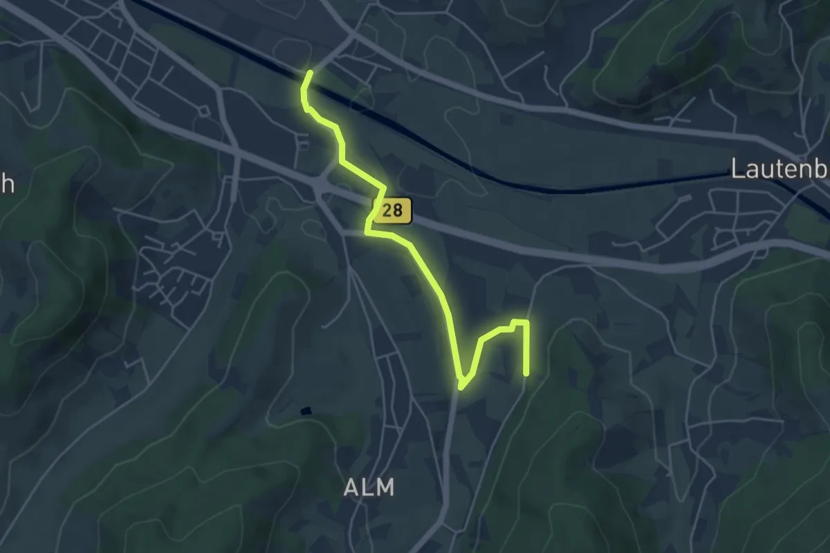
Easy · Trail
Grimmersberg - Oberkirch Schwimmbad
4.6 km · ↑ 49 m · 1 h 11 min
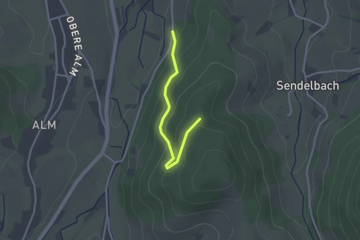
Easy · Trail
Grimmersberg - Wille Gott
2.1 km · ↑ 121 m · 45 min
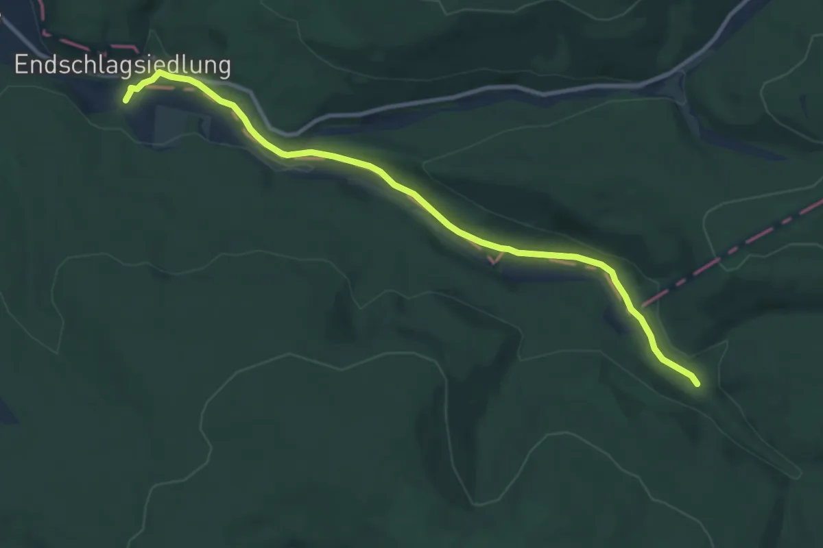
Easy · Trail
Grimmsteig
4.5 km · ↑ 108 m · 1 h 19 min
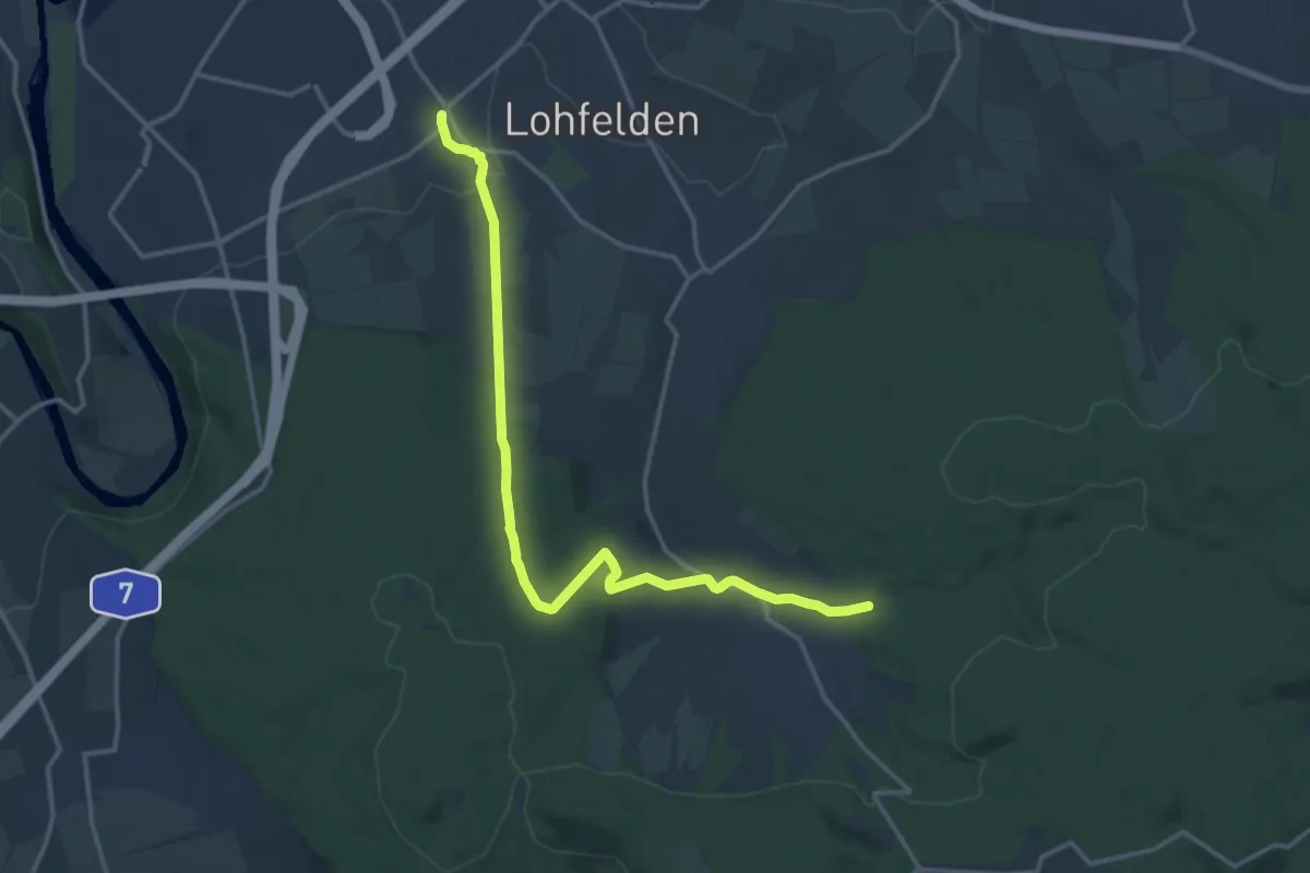
Medium · Trail
Grimmsteig-Route-Lohfelden
14.6 km · ↑ 395 m · 4 h 18 min
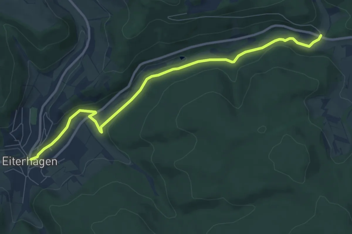
Easy · Trail
Grimmsteig Zubringer Eiterhagen-Grundmühle
7.8 km · ↑ 106 m · 2 h 4 min
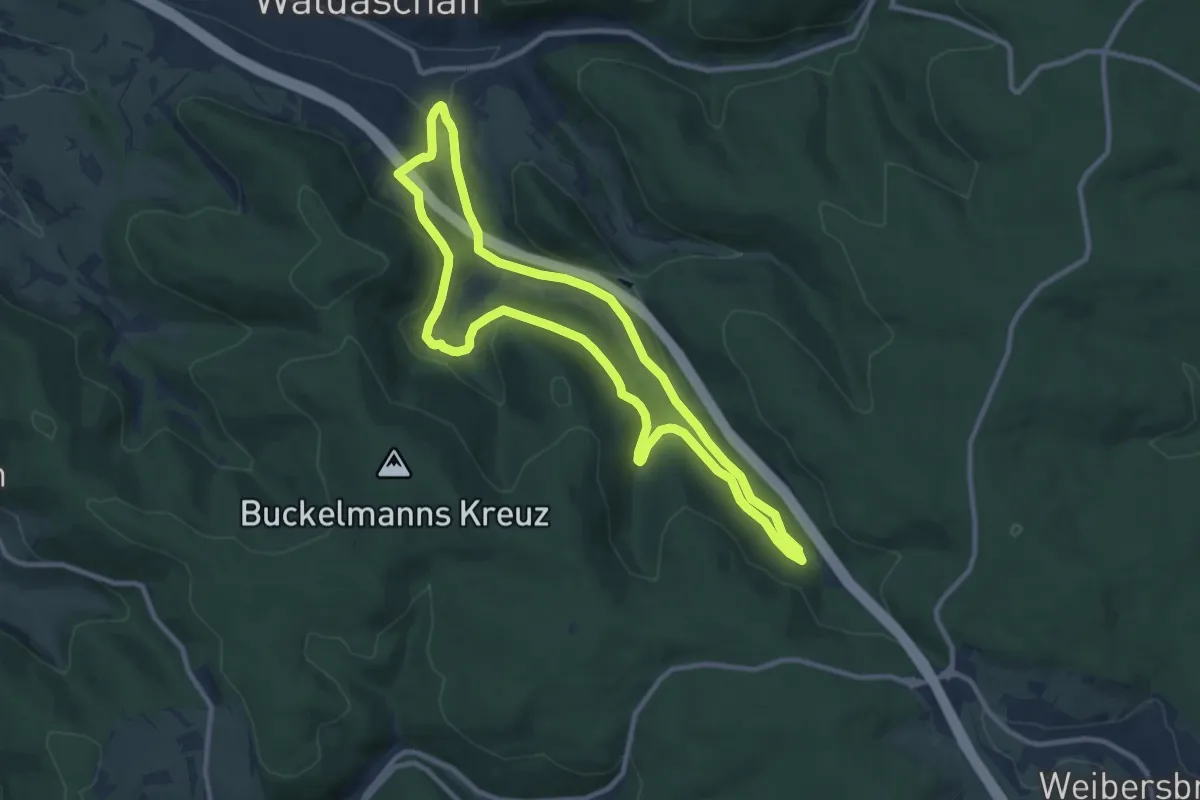
Medium · Trail
Grimm-Weg Waldaschaff
9.3 km · ↑ 221 m · 2 h 48 min
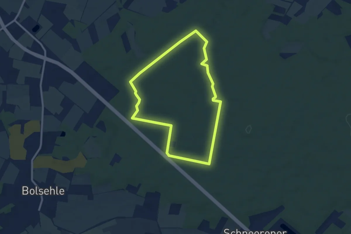
Easy · Trail
Grinderwald-Tour
5.8 km · ↑ 32 m · 1 h 31 min
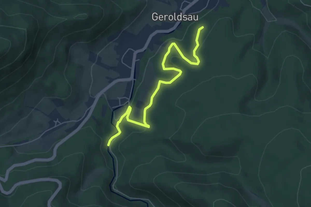
Easy · Trail
Grobbach Brücke - Schatzbühl
5.6 km · ↑ 234 m · 1 h 49 min
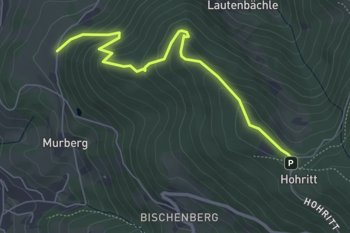
Easy · Trail
Grobekopf - Hohritt
5.2 km · ↑ 318 m · 1 h 55 min
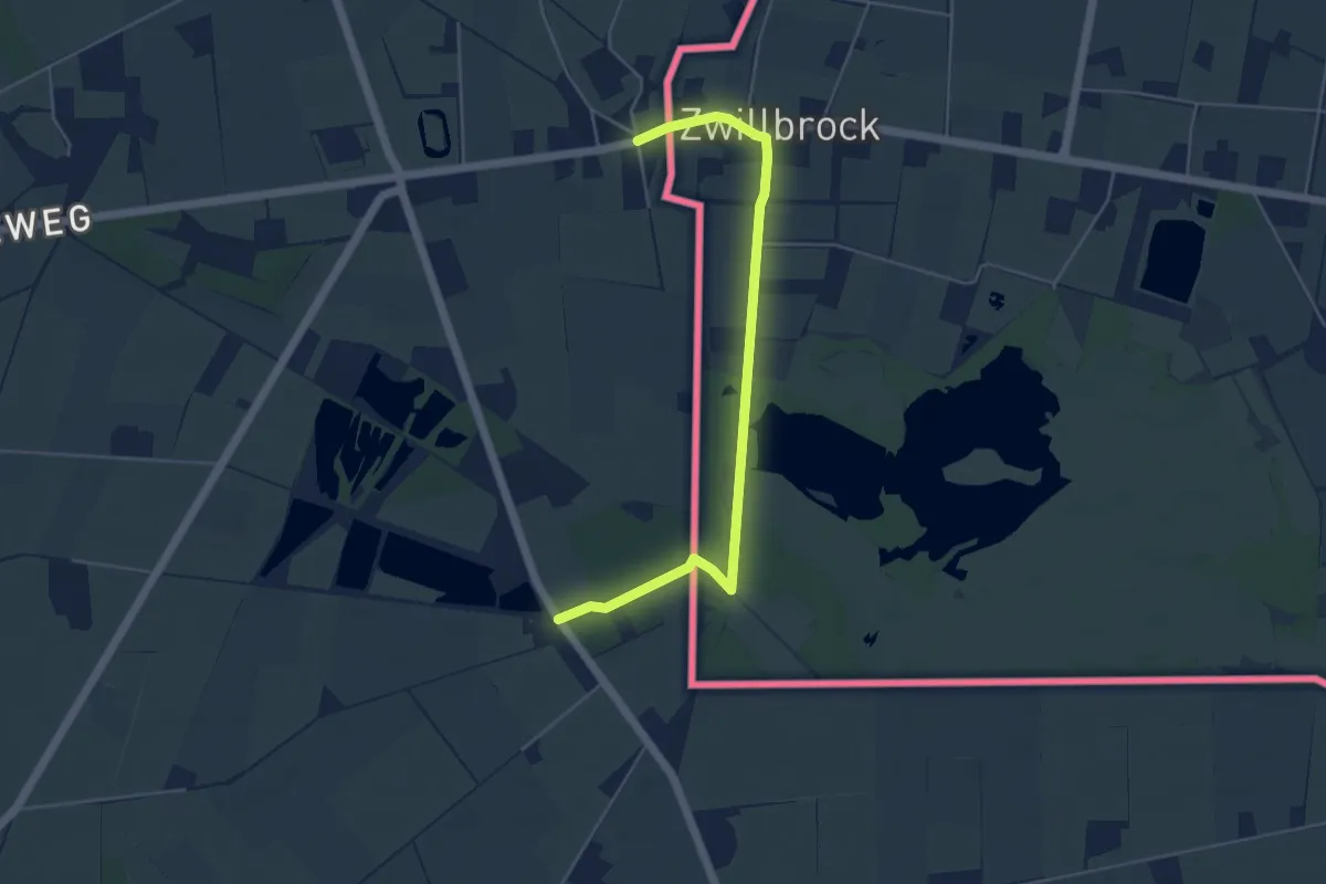
Easy · Trail
Groene Grenswandeling
2.3 km · ↑ 4 m · 35 min
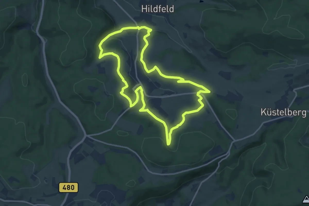
Medium · Summit
Grönebacher Dorfpfad
10.4 km · ↑ 261 m · 3 h 10 min
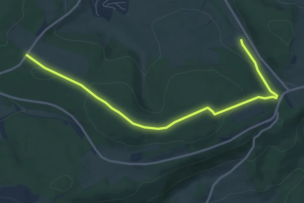
Easy · Summit
Grönebacher Rundweg
3.5 km · ↑ 56 m · 1 h 1 min
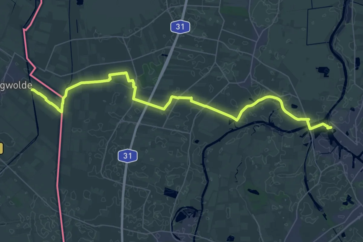
Demanding · Trail
Groot Frieslandpad - 22
33.3 km · ↑ 0 m · 7 h 52 min
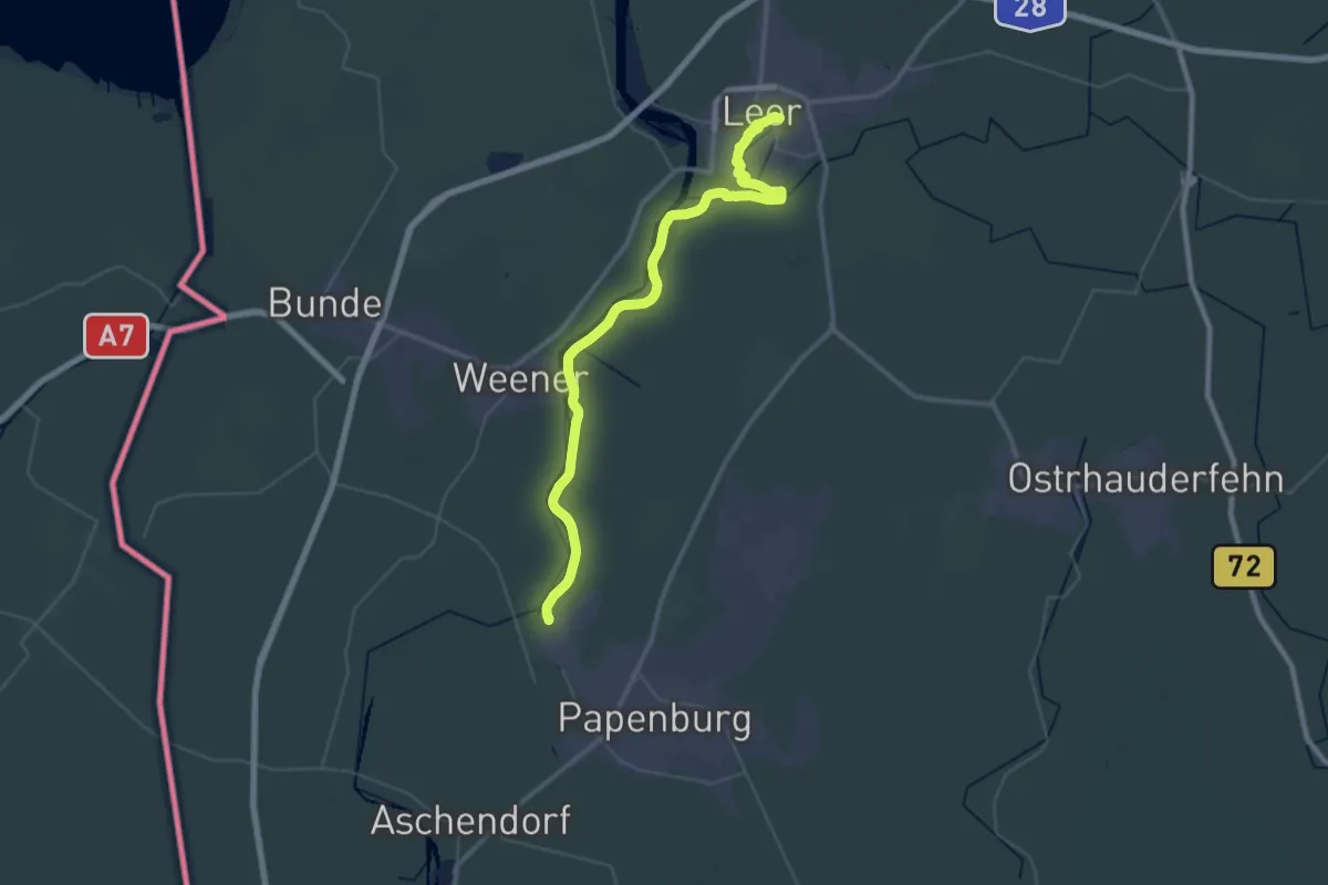
Demanding · Trail
Groot Frieslandpad - 23
21.8 km · ↑ 12 m · 5 h 28 min
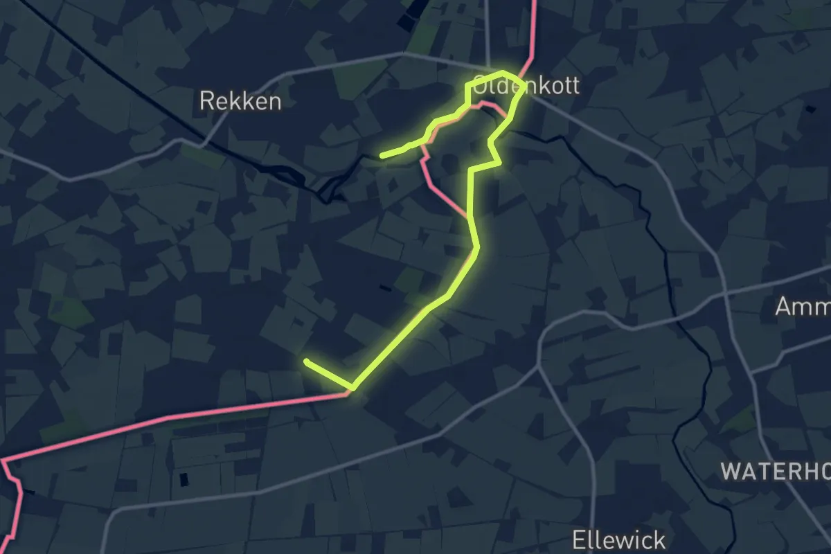
Easy · Trail
Groot Heurneroute
5.1 km · ↑ 8 m · 1 h 17 min
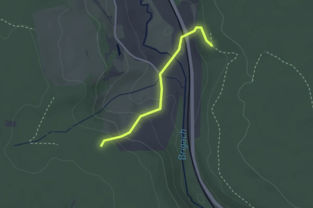
Medium · Trail
Gropperhof - Groppertal
2.1 km · ↑ 92 m · 42 min
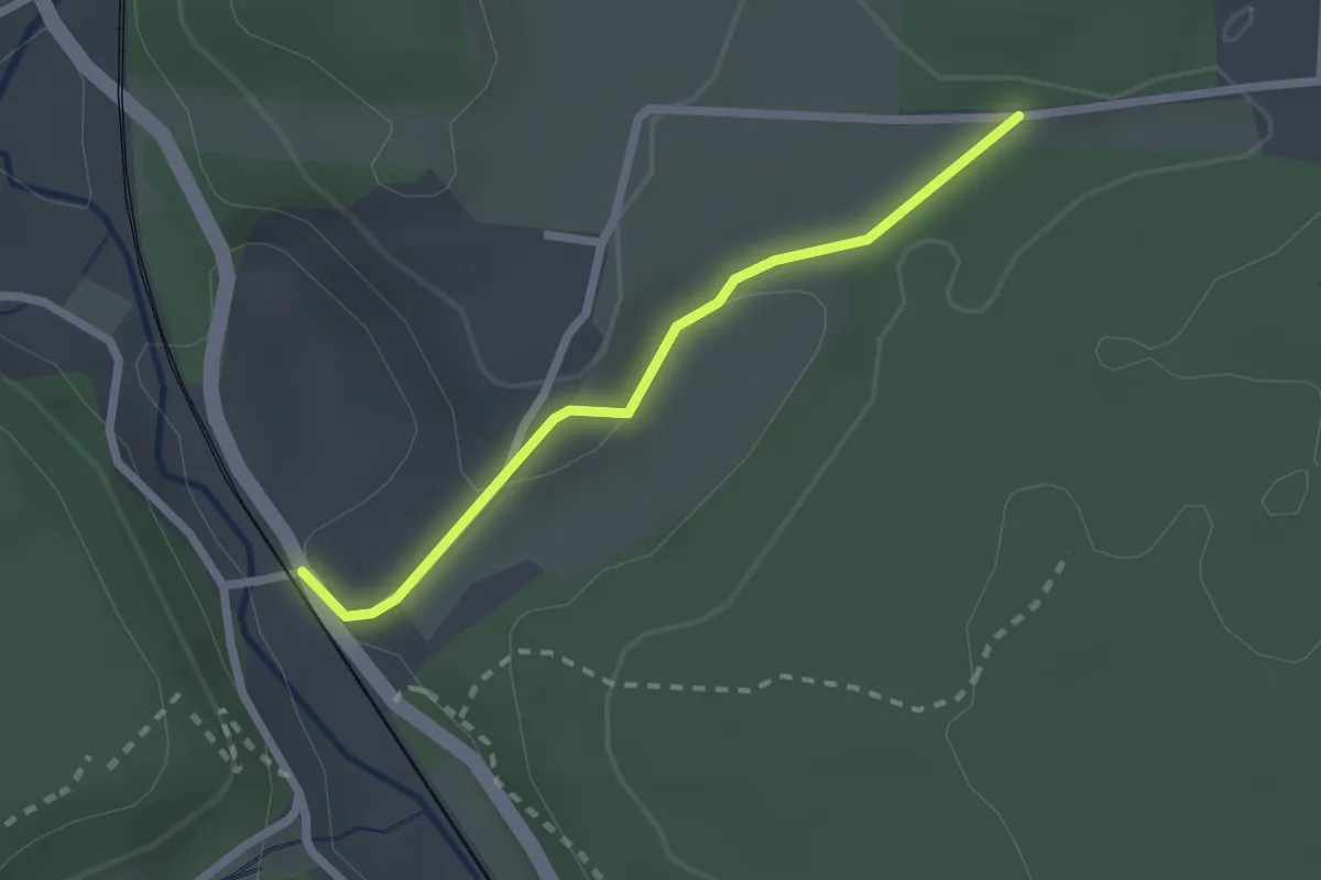
Easy · Trail
Groppertal Forelle - Ellenwinkel
2.0 km · ↑ 45 m · 34 min
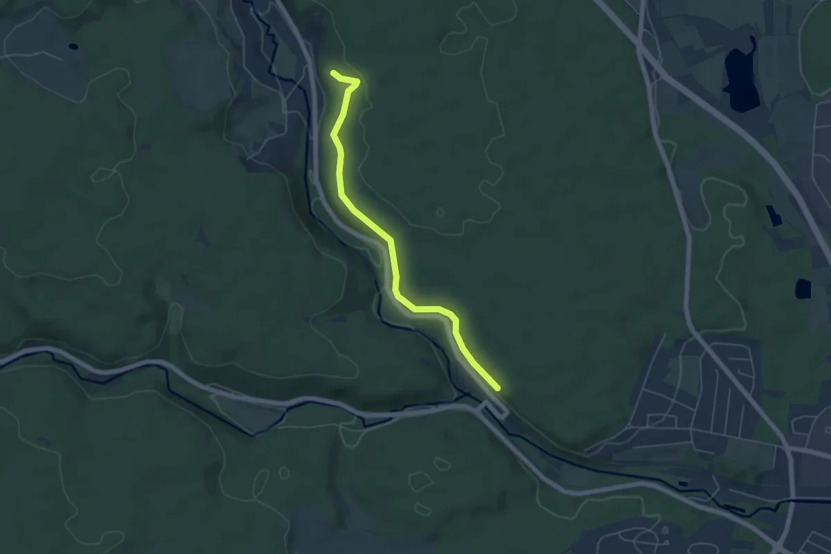
Easy · Trail
Groppertal - Oberhalb Kirnacher Bahnhöfle
4.9 km · ↑ 130 m · 1 h 26 min
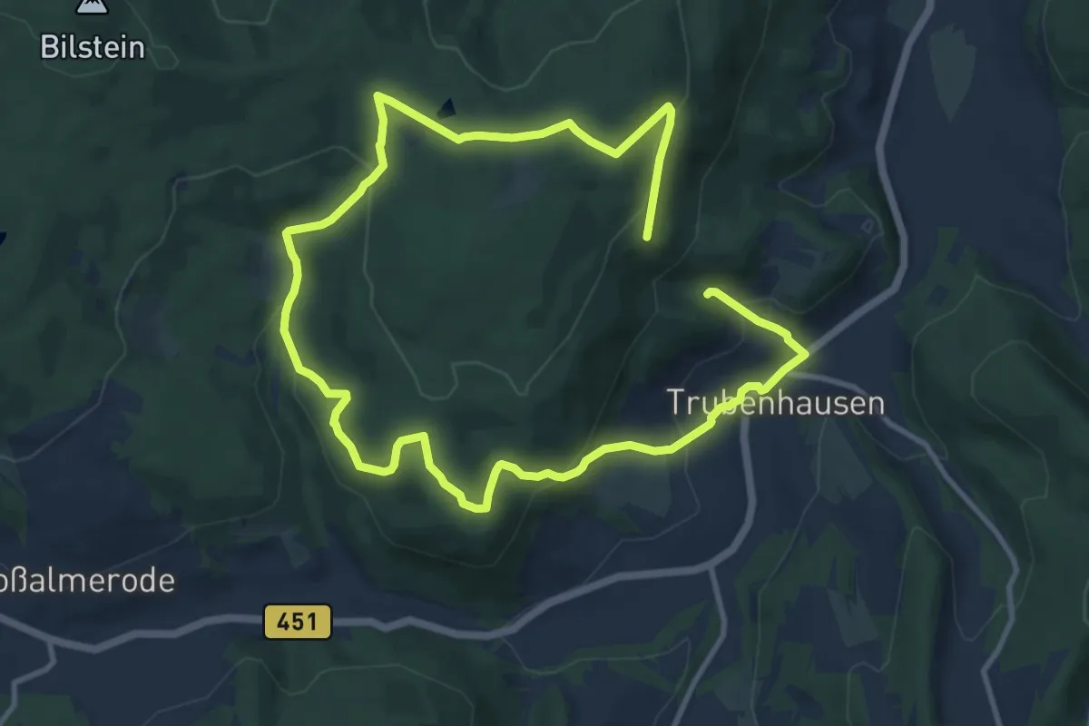
Medium · Summit
Großalmerode, Rundweg 18
8.2 km · ↑ 278 m · 2 h 43 min
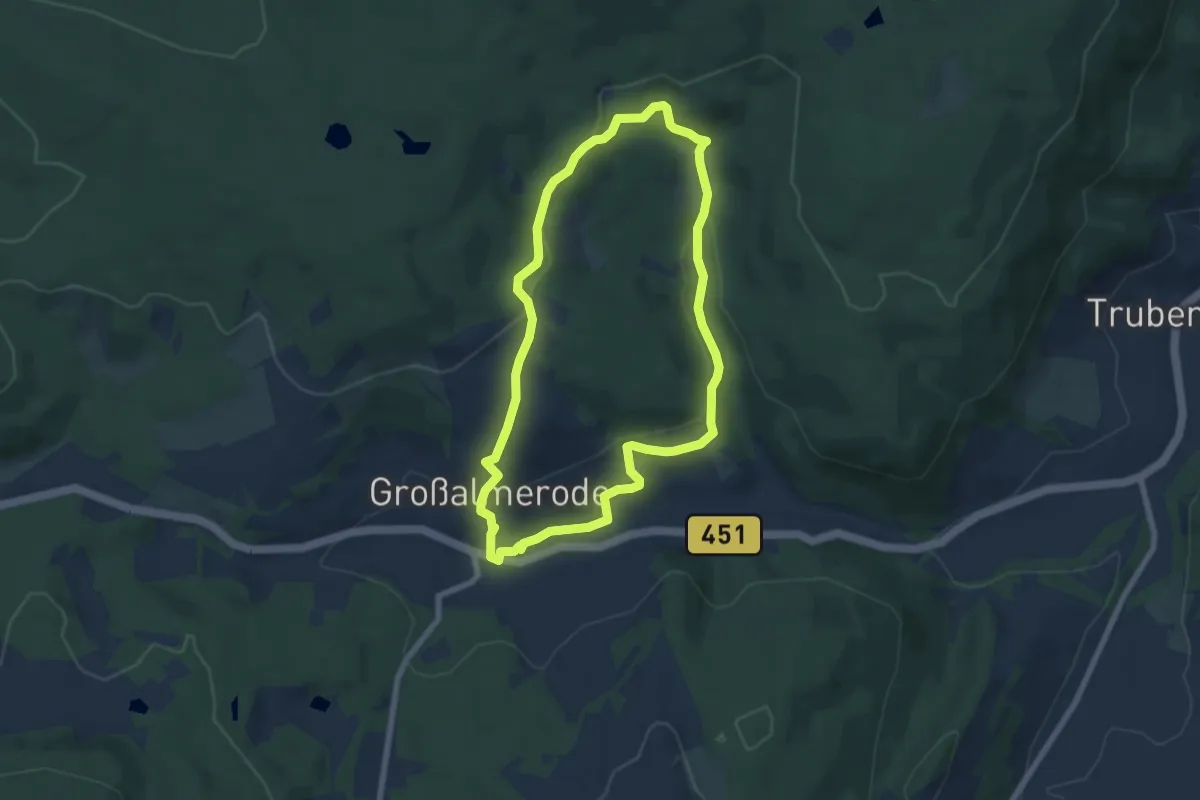
Easy · Trail
Großalmerode, Rundweg 2
6.2 km · ↑ 205 m · 1 h 59 min
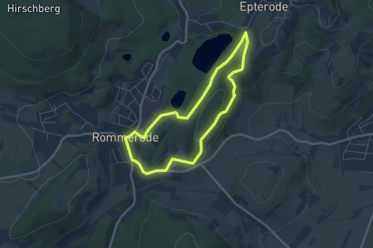
Easy · Trail
Großalmerode, Rundweg 21
4.7 km · ↑ 124 m · 1 h 26 min
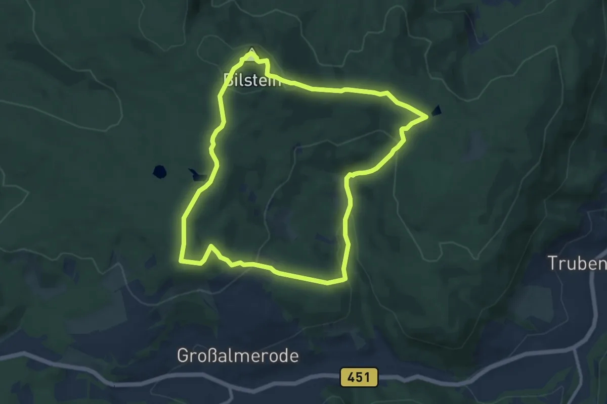
Easy · Summit
Großalmerode, Rundweg 6
7.9 km · ↑ 254 m · 2 h 32 min
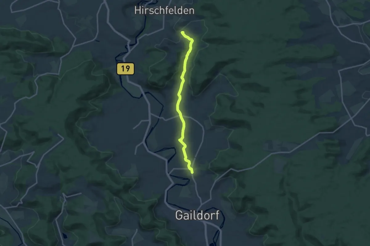
Medium · Trail
Großaltdorf - Höll
10.8 km · ↑ 166 m · 2 h 55 min
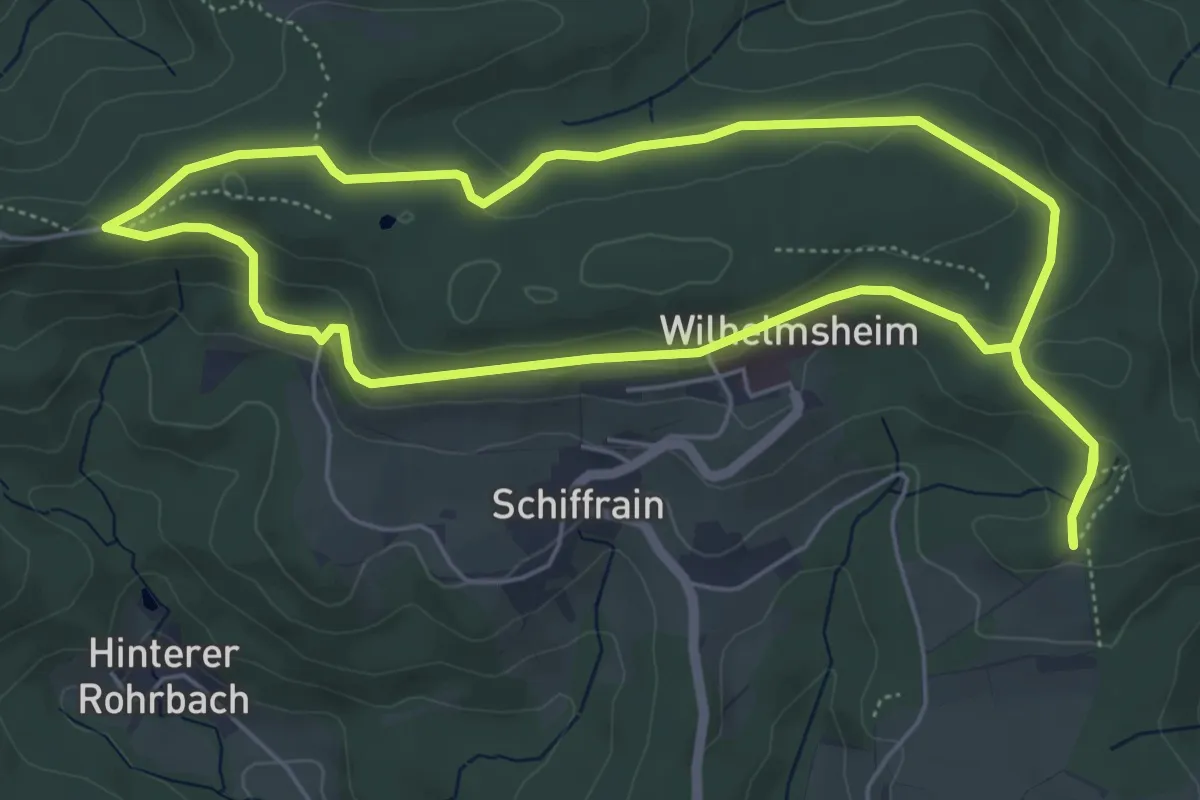
Easy · Trail
Großartige Aussicht
5.5 km · ↑ 123 m · 1 h 39 min
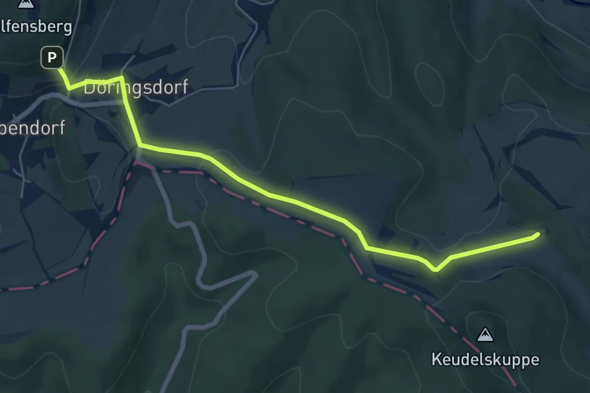
Easy · Trail
Großbartloff - Wilbich - Geismar - Döringsdorf - Geismar - Großbartloff
2.7 km · ↑ 74 m · 50 min
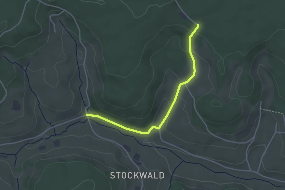
Easy · Trail
Großbauer Weg - Krumpenloch
3.1 km · ↑ 86 m · 55 min
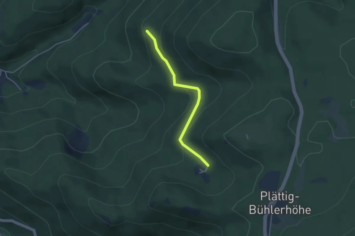
Easy · Trail
Große Buche - Kohlbergwiese
2.7 km · ↑ 105 m · 51 min
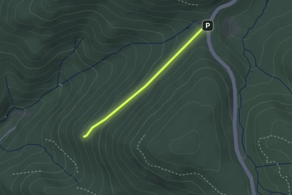
Easy · Trail
Große Buche - Schwanenwasen
2.1 km · ↑ 81 m · 41 min
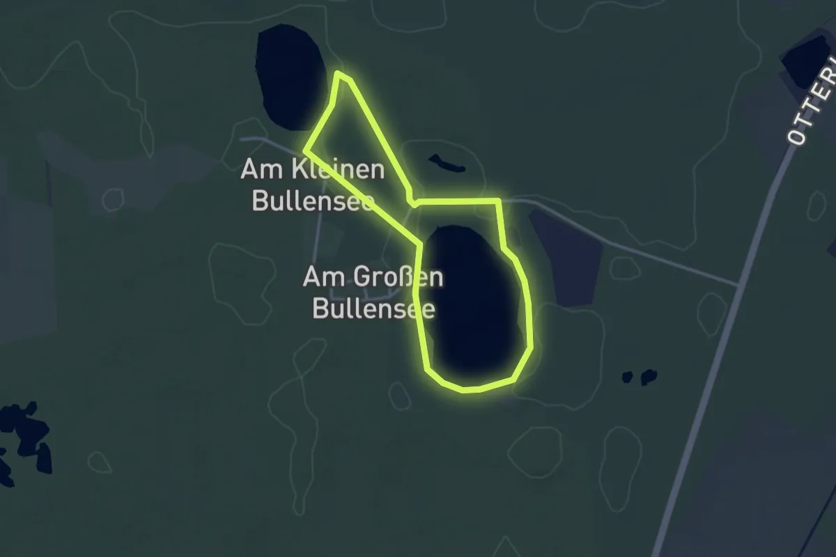
Easy · Trail
Große Bullenseerunde Rotenburg
2.4 km · ↑ 0 m · 36 min
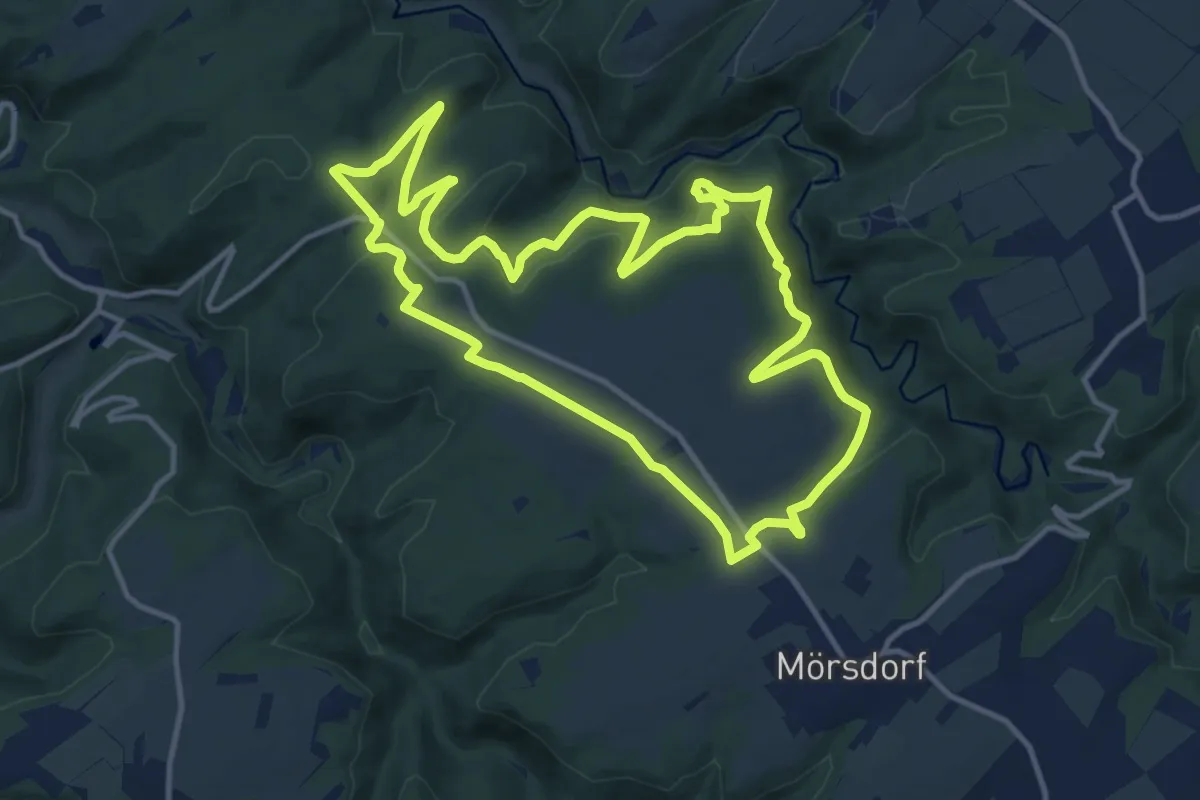
Medium · Trail
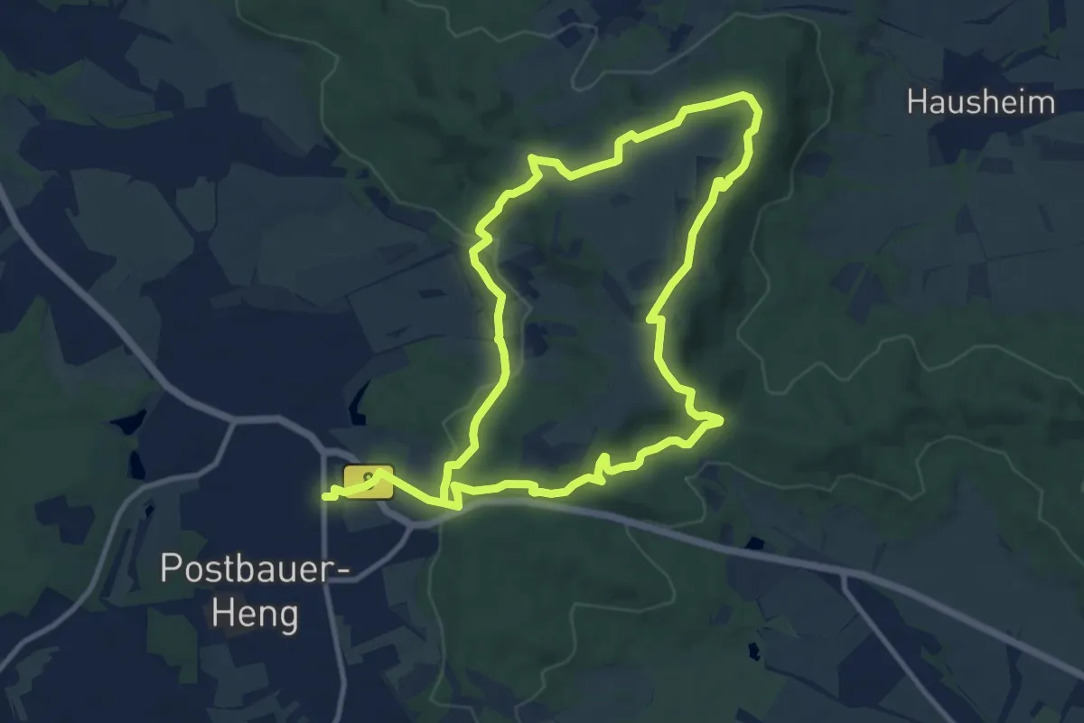
Große Dachskaul-Runde
12.1 km · ↑ 395 m · 3 h 52 min
Medium · Trail
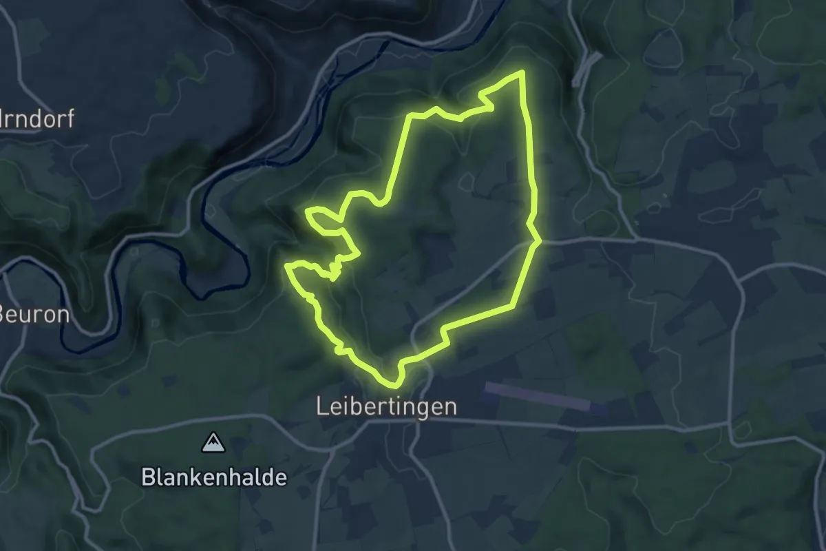
Große Dillbergrunde
9.6 km · ↑ 274 m · 2 h 58 min
Medium · Trail
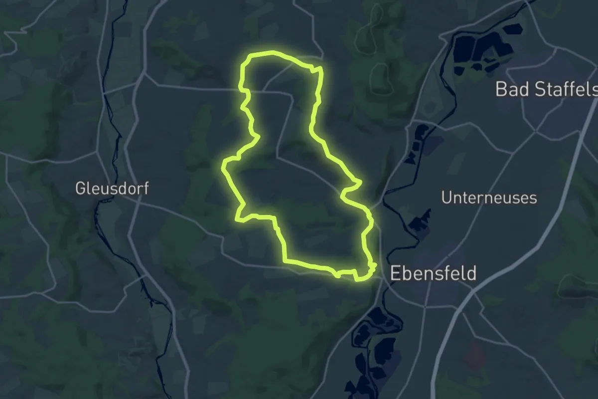
Große Donautraufrunde
9.9 km · ↑ 268 m · 3 h 3 min
Medium · Trail
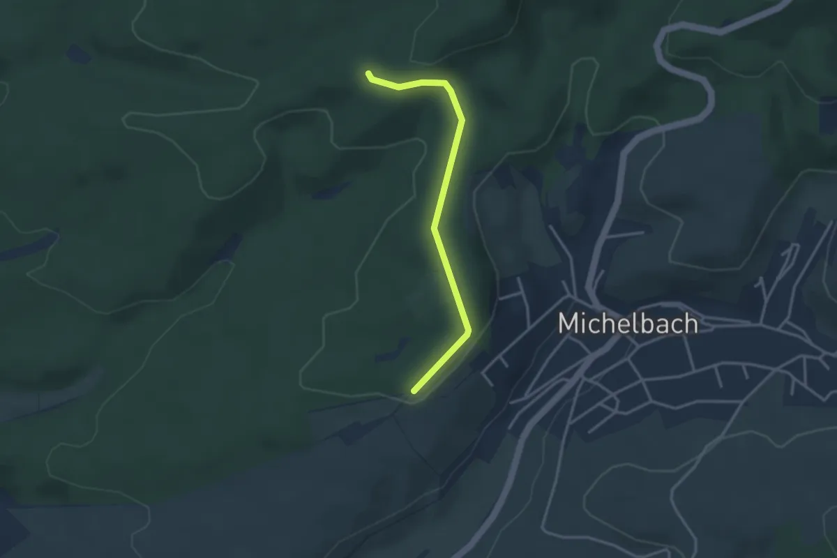
Große Döringstädter Runde
16.5 km · ↑ 259 m · 4 h 41 min
Easy · Trail
Große Eiche - Kieserstraße
2.8 km · ↑ 60 m · 47 min
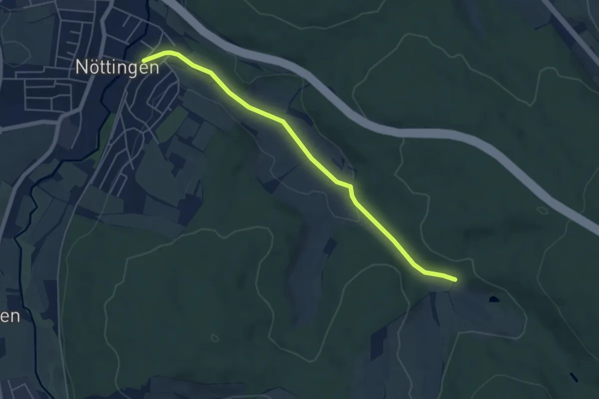
Easy · Trail
Große Eiche - Nöttingen Schule
4.9 km · ↑ 61 m · 1 h 18 min
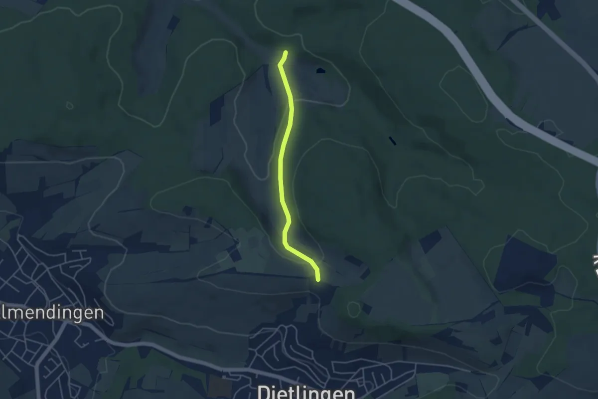
Easy · Trail
Große Eiche - Sommerhälde
3.4 km · ↑ 98 m · 1 h 1 min
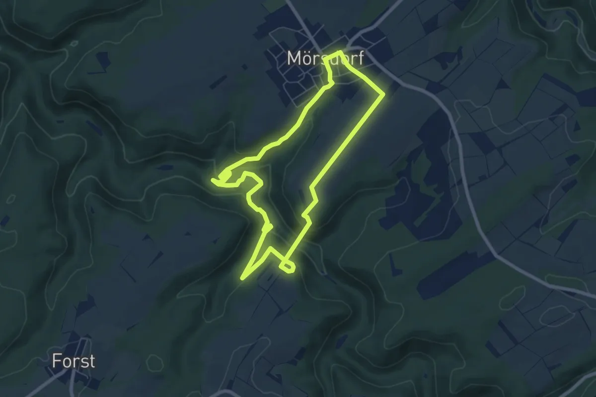
Easy · Trail
Große Geierley Schleife
6.0 km · ↑ 230 m · 2 h
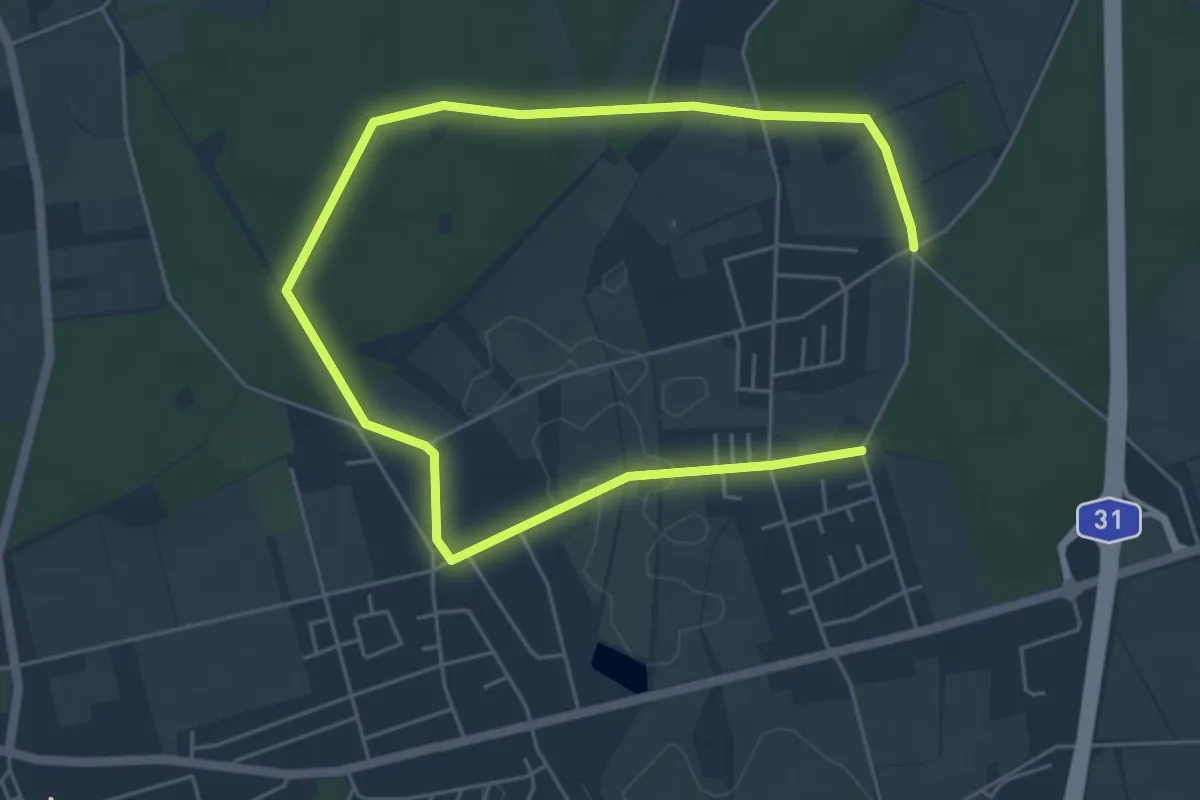
Easy · Trail
Große Heide Rundweg A1
3.7 km · ↑ 27 m · 58 min