Trails in Germany
36,852 hiking trails, each with its route, climb, walking time and grade.
All trails, page 195 of 768
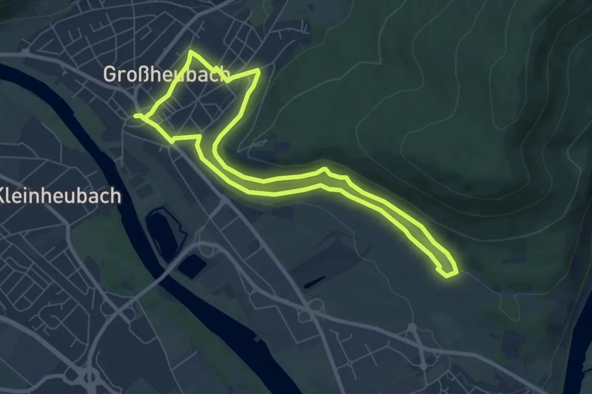
Easy · Trail
Großheubach Rundwanderweg 1
6.1 km · ↑ 122 m · 1 h 48 min
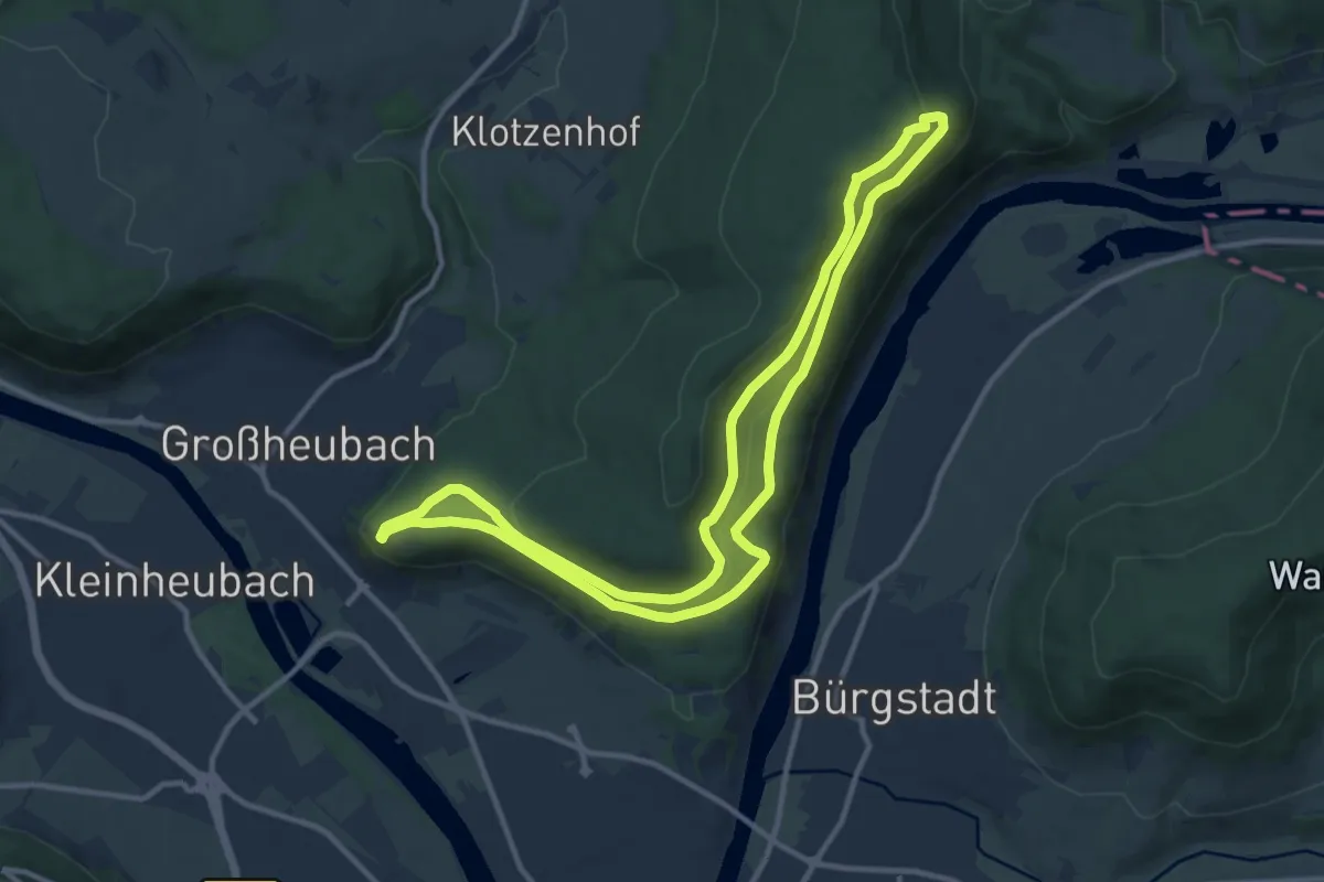
Medium · Trail
Großheubach Rundwanderweg 2
10.9 km · ↑ 288 m · 3 h 20 min
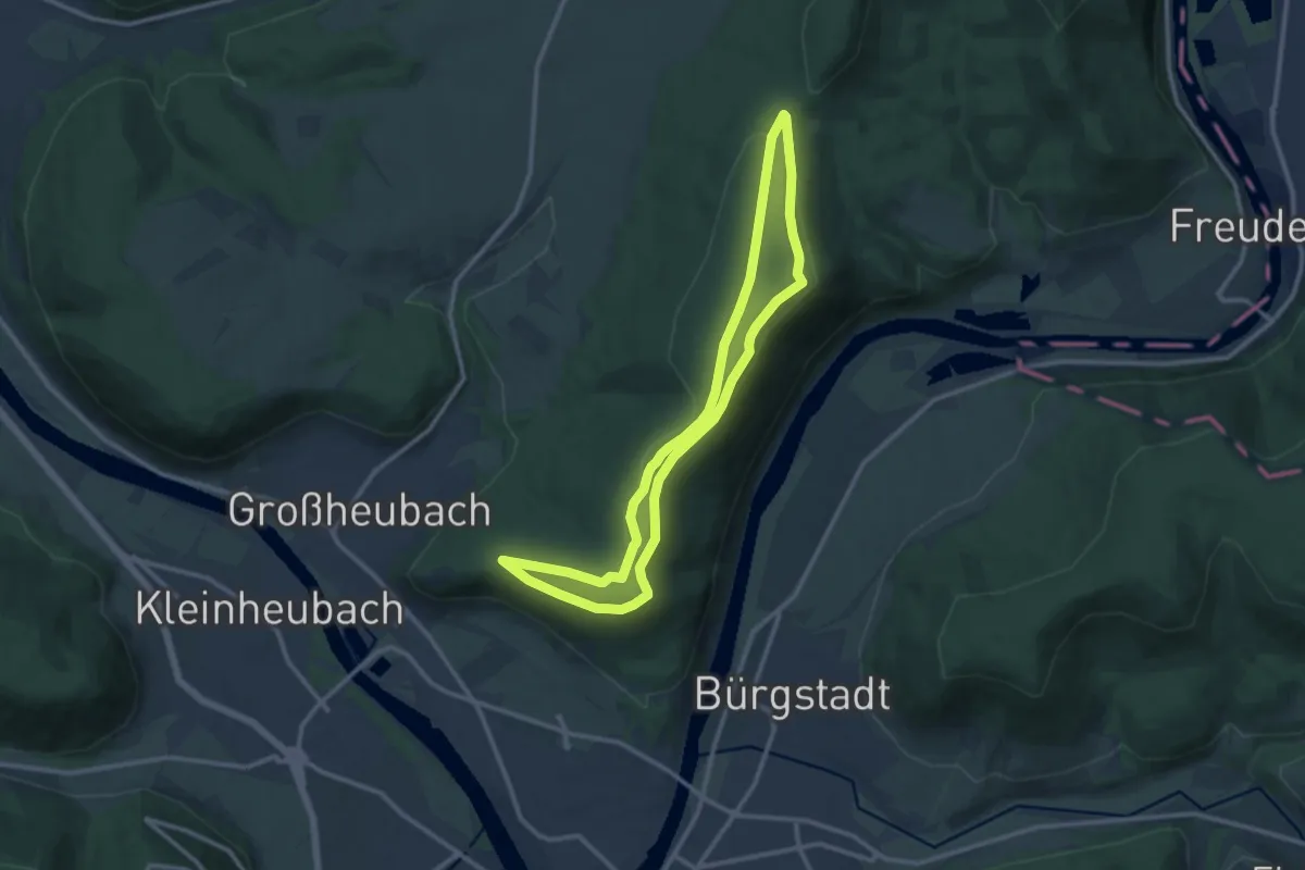
Medium · Summit
Großheubach Rundwanderweg 3
10.4 km · ↑ 235 m · 3 h 7 min
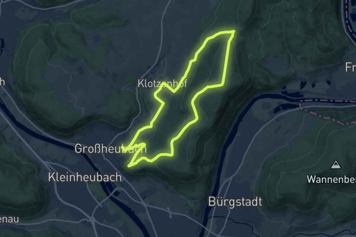
Medium · Trail
Großheubach Rundwanderweg 4
12.4 km · ↑ 334 m · 3 h 50 min
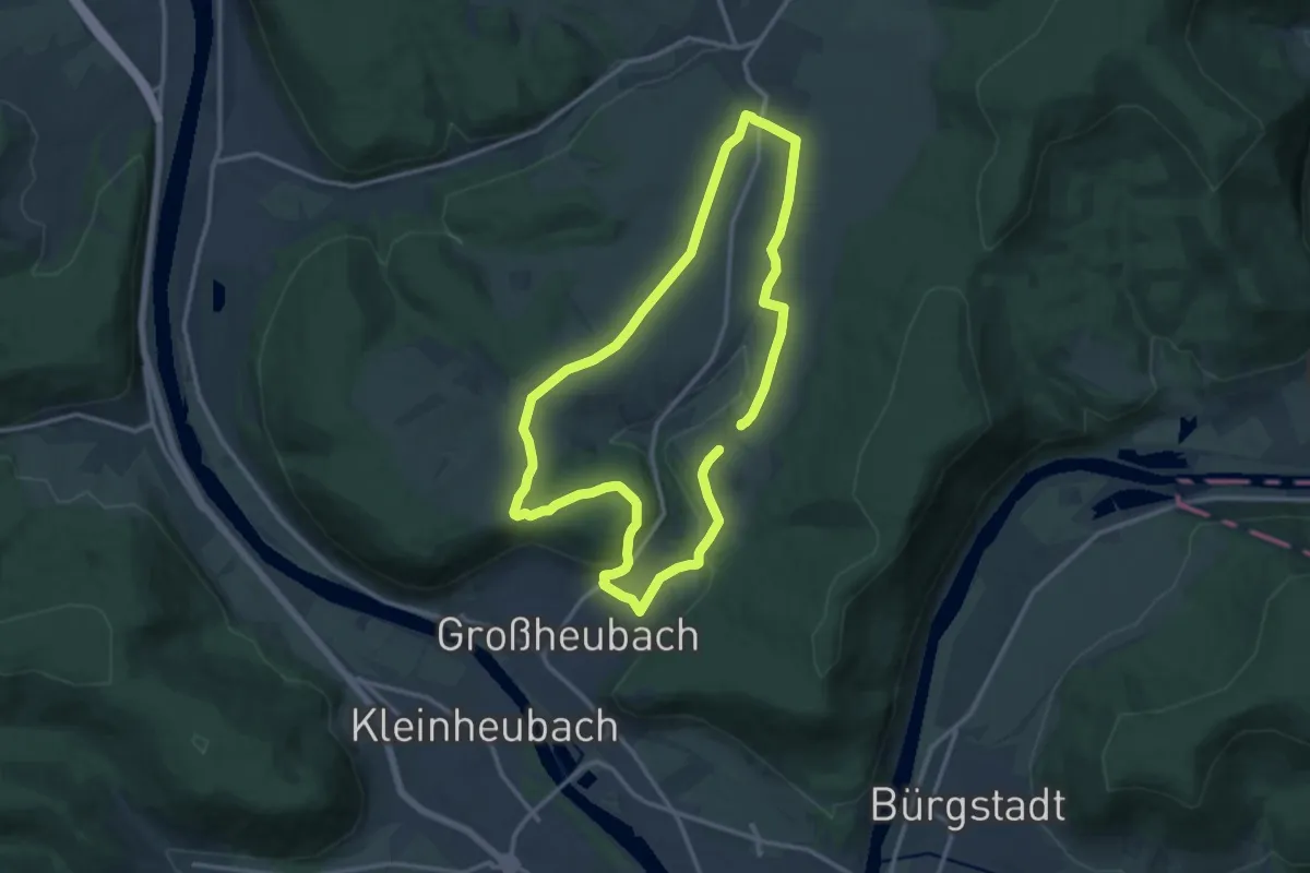
Medium · Trail
Großheubach Rundwanderweg 6
11.5 km · ↑ 182 m · 3 h 15 min
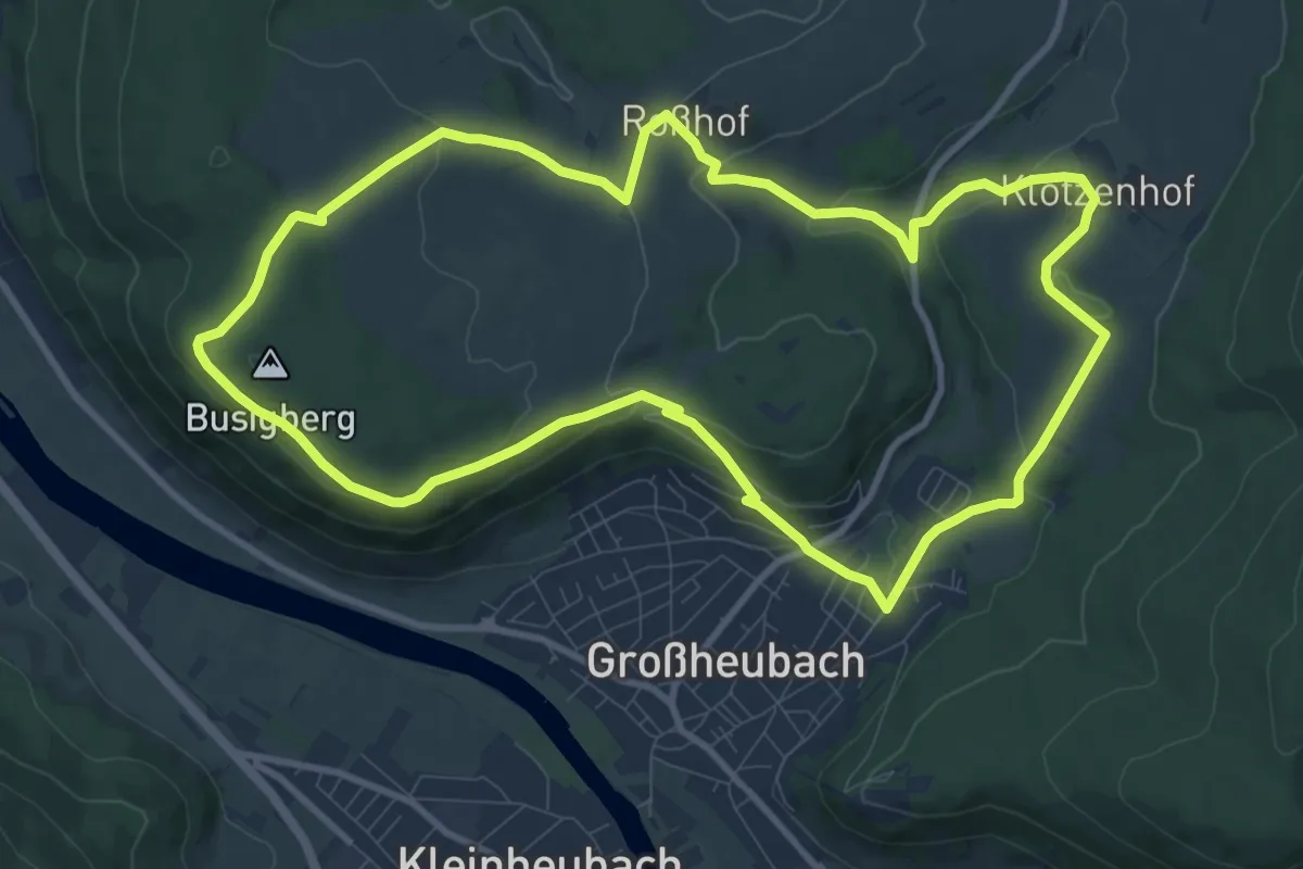
Medium · Trail
Großheubach Rundwanderweg 7
10.0 km · ↑ 262 m · 3 h 5 min
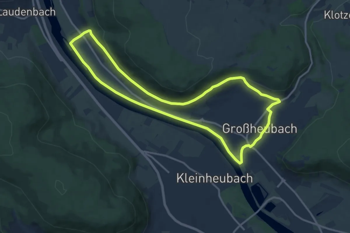
Medium · Trail
Großheubach Rundwanderweg 8
8.7 km · ↑ 103 m · 2 h 24 min
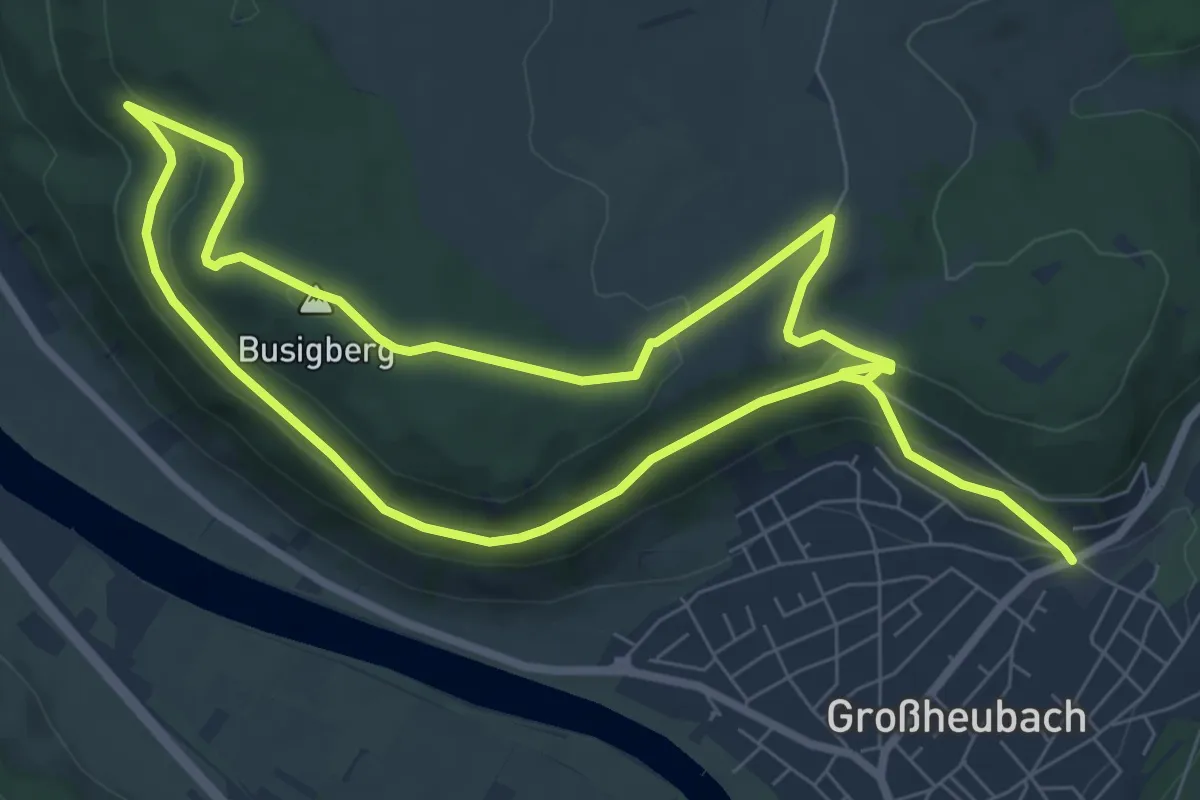
Easy · Summit
Großheubach Rundwanderweg 9
7.0 km · ↑ 225 m · 2 h 12 min
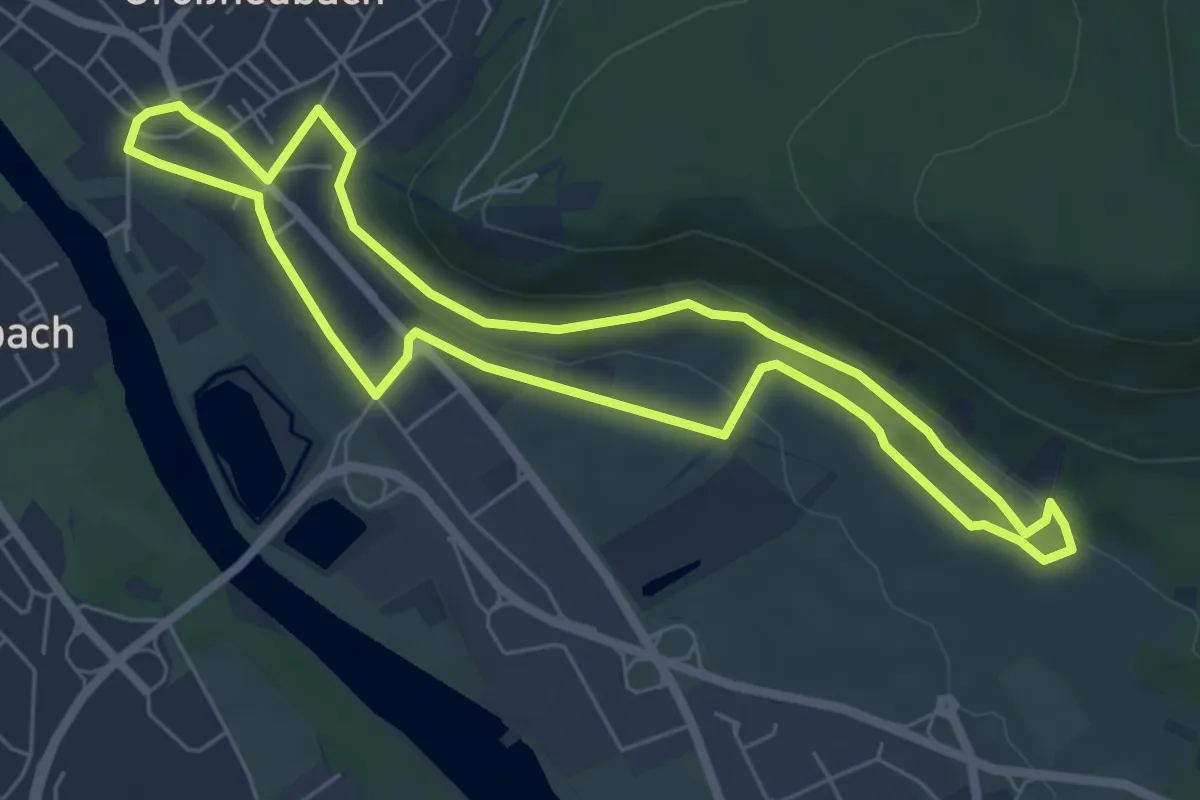
Easy · Trail
Großheubach Weinlehrpfad
5.7 km · ↑ 91 m · 1 h 37 min
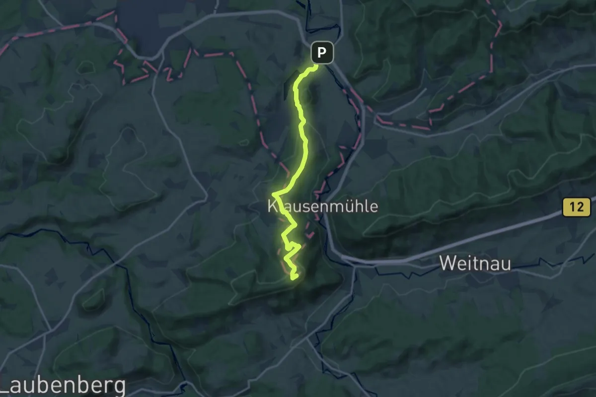
Medium · Summit
Großholzleute - Riedholzer Kugel
12.5 km · ↑ 362 m · 3 h 44 min
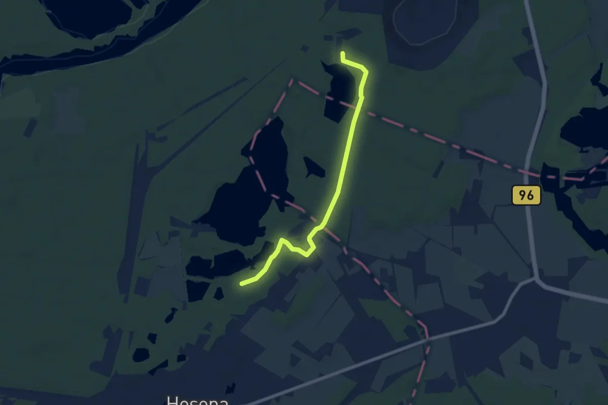
Easy · Trail
Großkoschen - Hosena
5.6 km · ↑ 38 m · 1 h 25 min
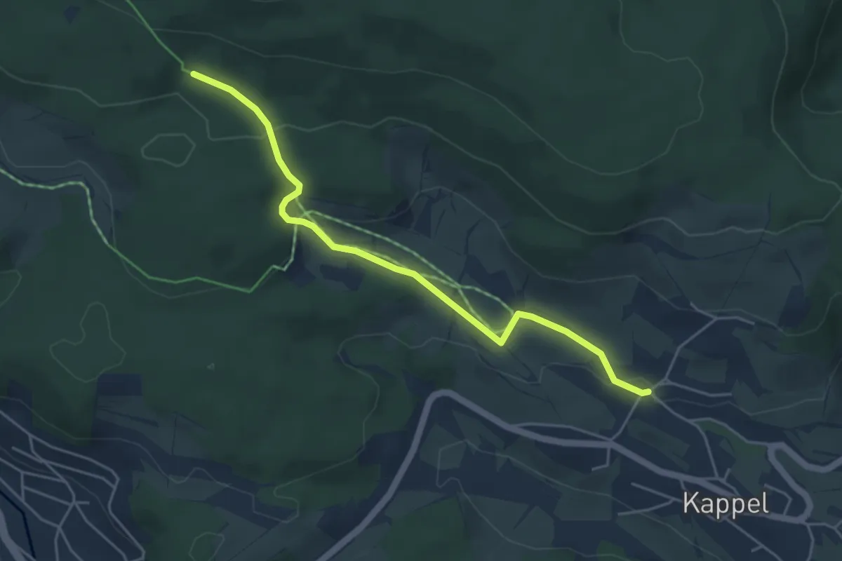
Easy · Trail
Großmoos - Kappel Gasthaus Blume
4.6 km · ↑ 132 m · 1 h 22 min
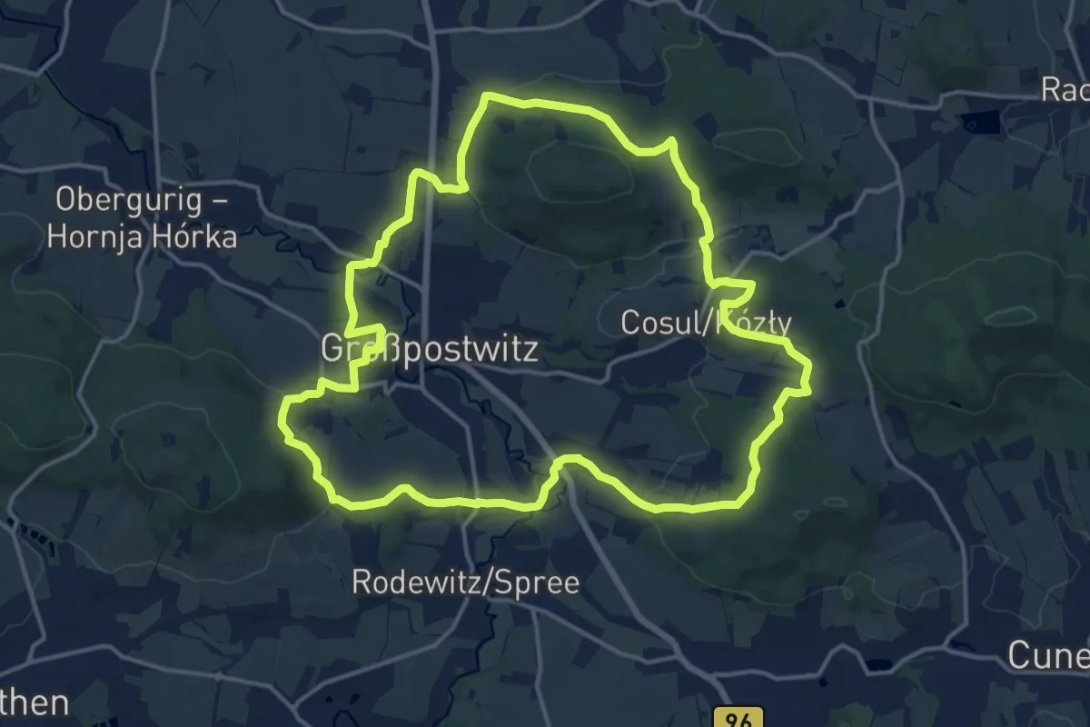
Medium · Summit
Großpostwitzer Rundwanderweg
14.8 km · ↑ 362 m · 4 h 29 min
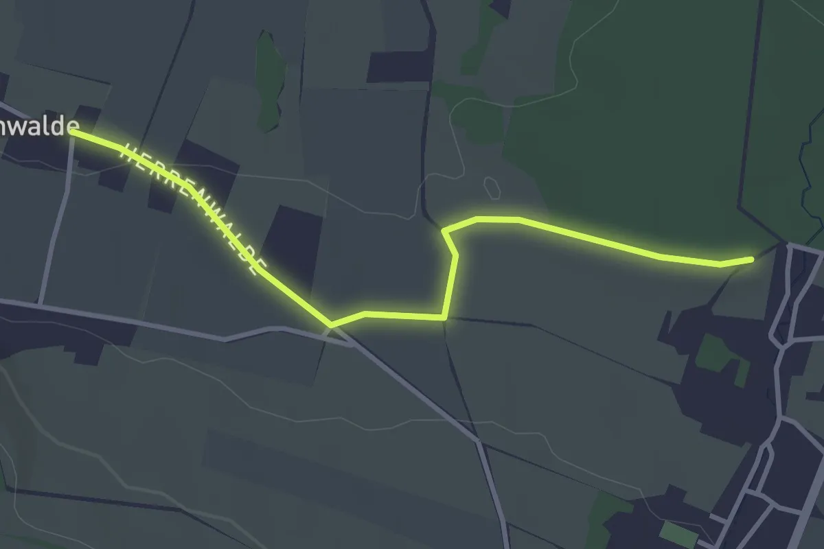
Easy · Trail
Großschönau - Herrenwalde (gelber Strich)
3.0 km · ↑ 32 m · 47 min
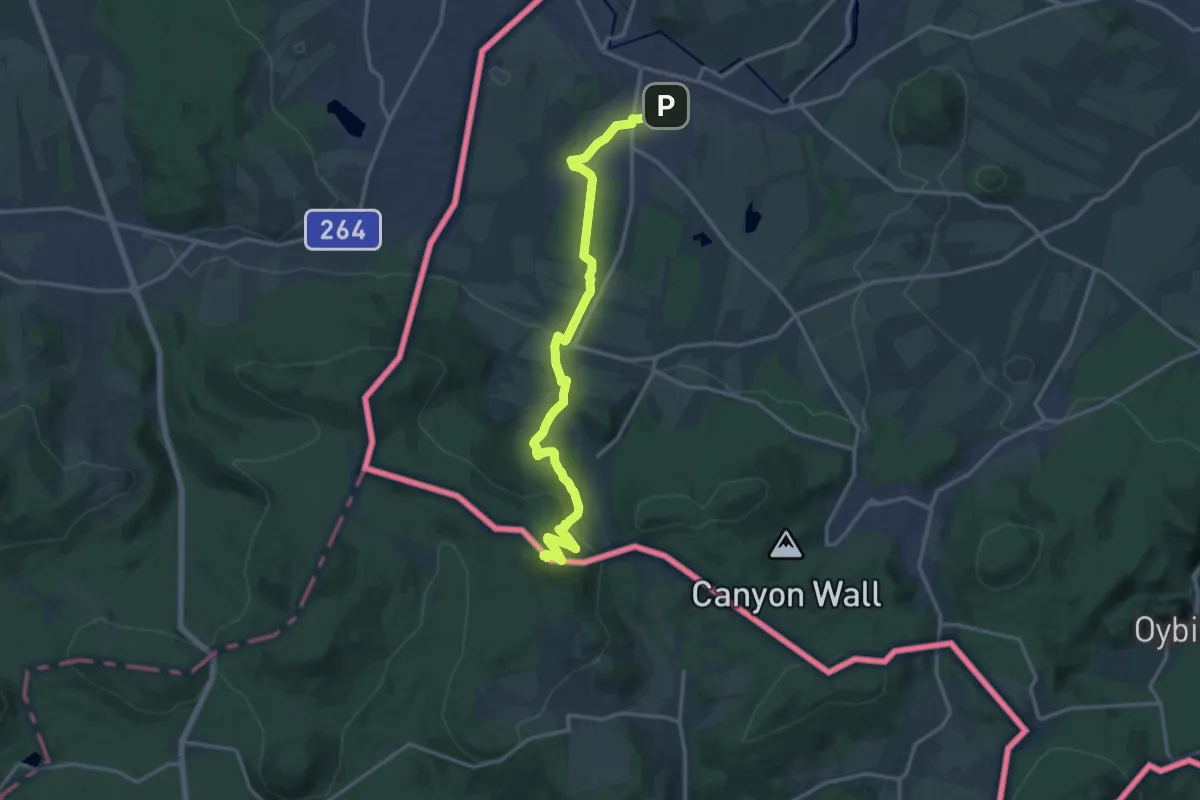
Medium · Summit
Großschönau - Lausche (grüner Strich)
14.8 km · ↑ 464 m · 4 h 31 min
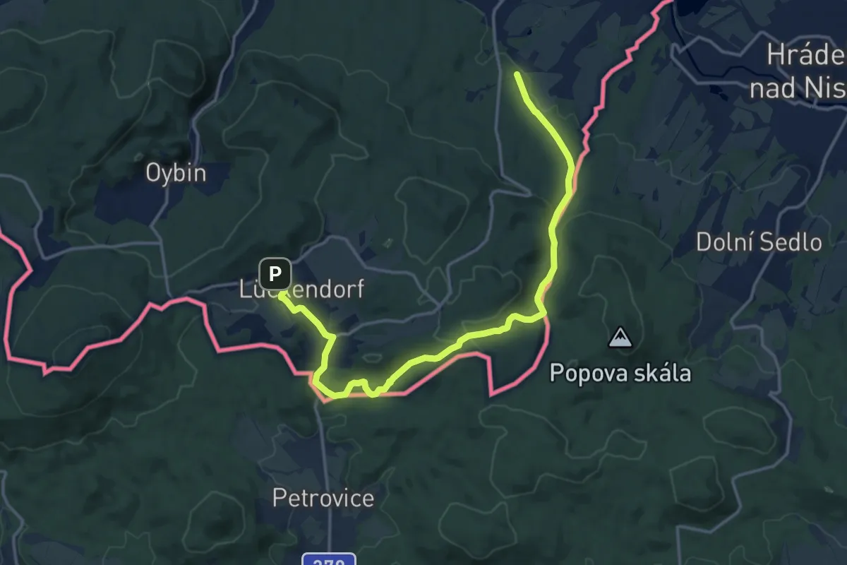
Medium · Trail
Großschönau - Lückendorf
15.6 km · ↑ 394 m · 4 h 32 min
Medium · Summit
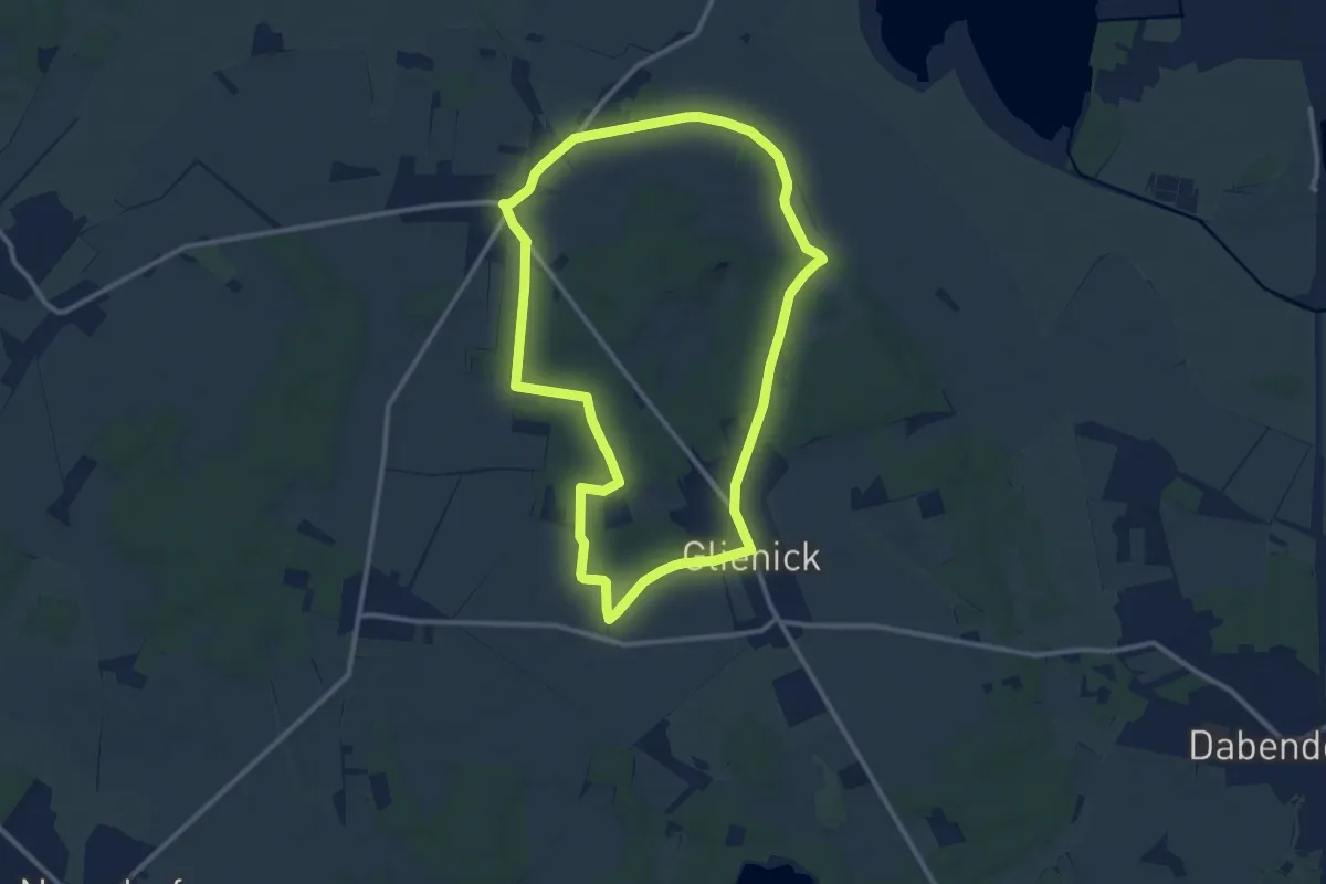
Groß Schulzendorf Rundweg
10.0 km · ↑ 52 m · 2 h 37 min
Medium · Trail
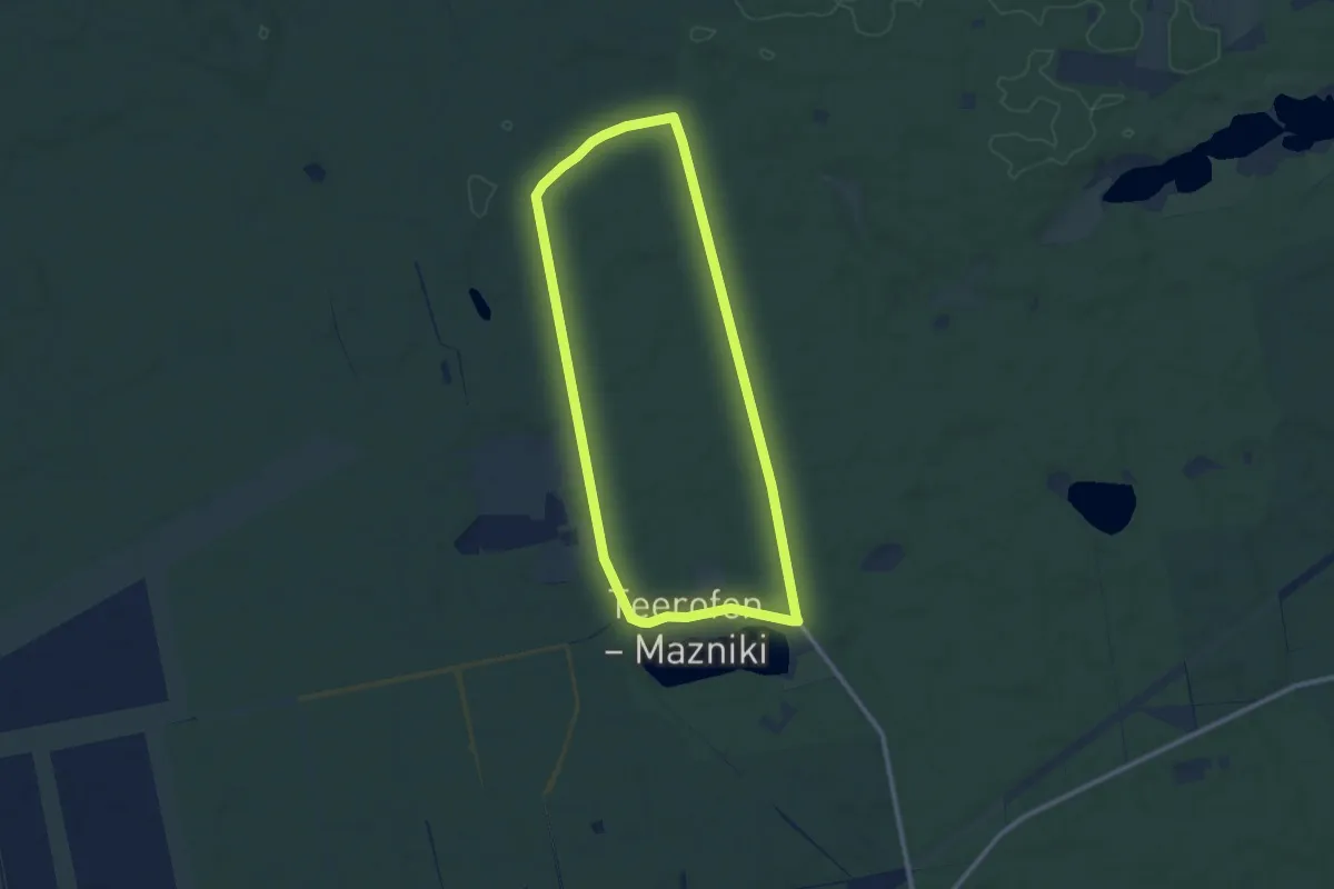
Großsee Runde
9.0 km · ↑ 30 m · 2 h 18 min
Easy · Trail
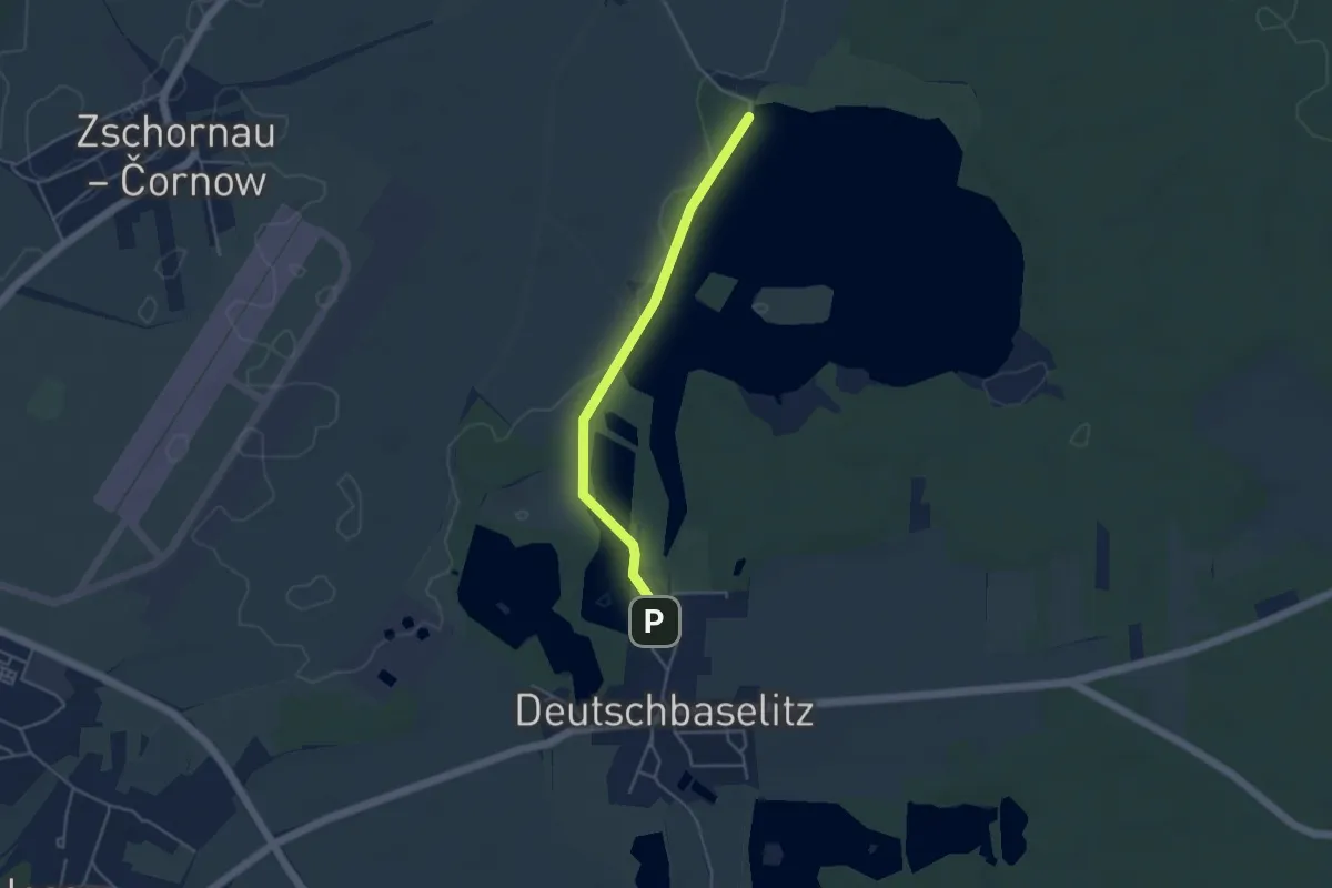
Großteich Deutschbaselitz
3.6 km · ↑ 13 m · 53 min
Easy · Trail
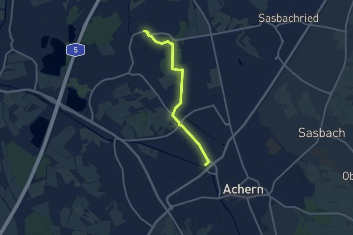
Großweier Feuerwehrhaus - Achern Bahnhof Westseite
6.5 km · ↑ 18 m · 1 h 34 min
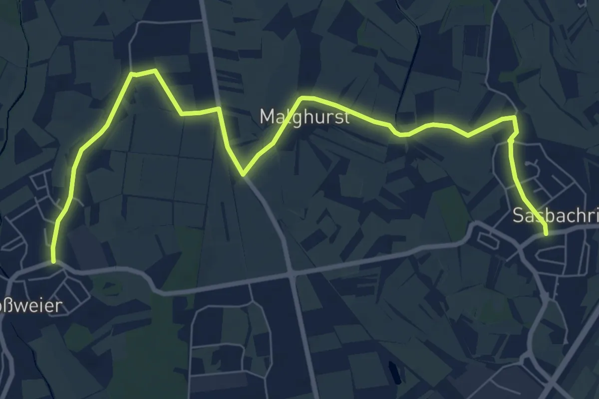
Medium · Trail
Großweier Feuerwehrhaus - Sasbachried Ortsmitte
8.5 km · ↑ 8 m · 2 h 2 min
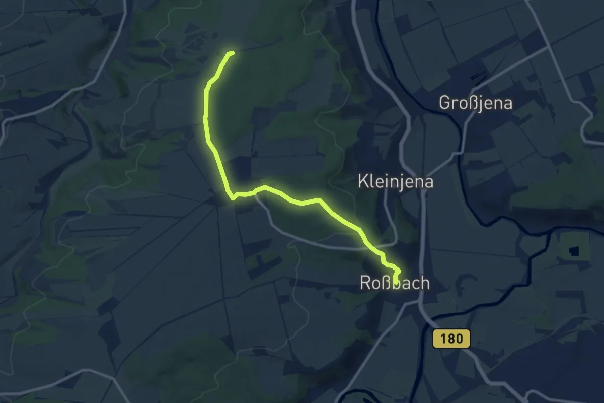
Medium · Trail
Großwilsdorfer Weg
8.6 km · ↑ 130 m · 2 h 19 min
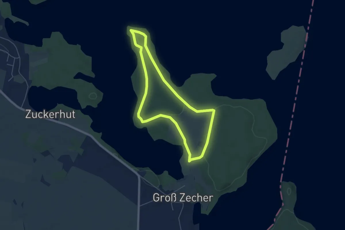
Easy · Trail
Großzecher Werder
4.2 km · ↑ 31 m · 1 h 7 min
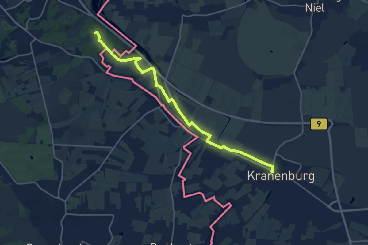
Medium · Trail
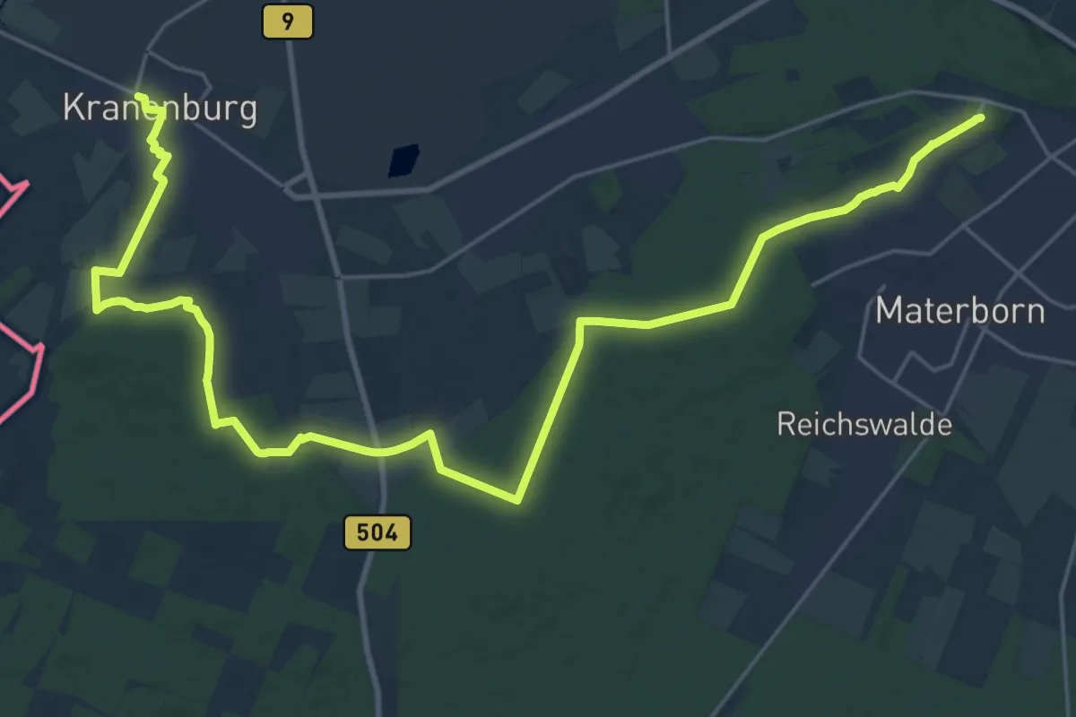
Grote Rivierenpad - 14
13.0 km · ↑ 96 m · 3 h 17 min
Demanding · Summit
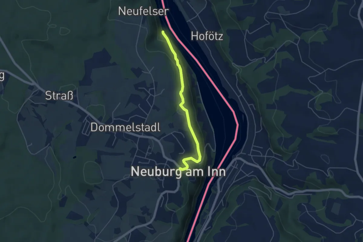
Grote Rivierenpad - 15
28.5 km · ↑ 293 m · 7 h 22 min
Easy · Trail
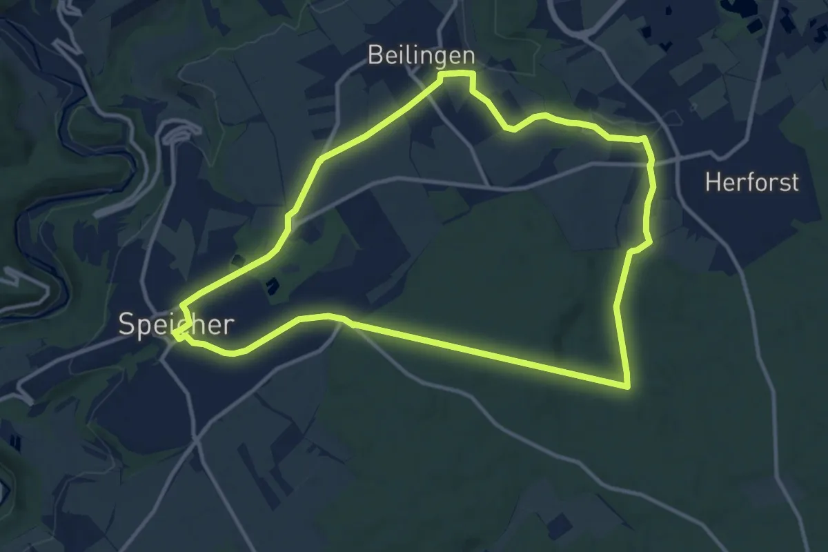
Grotte-Innufer
4.3 km · ↑ 152 m · 1 h 20 min
Medium · Trail
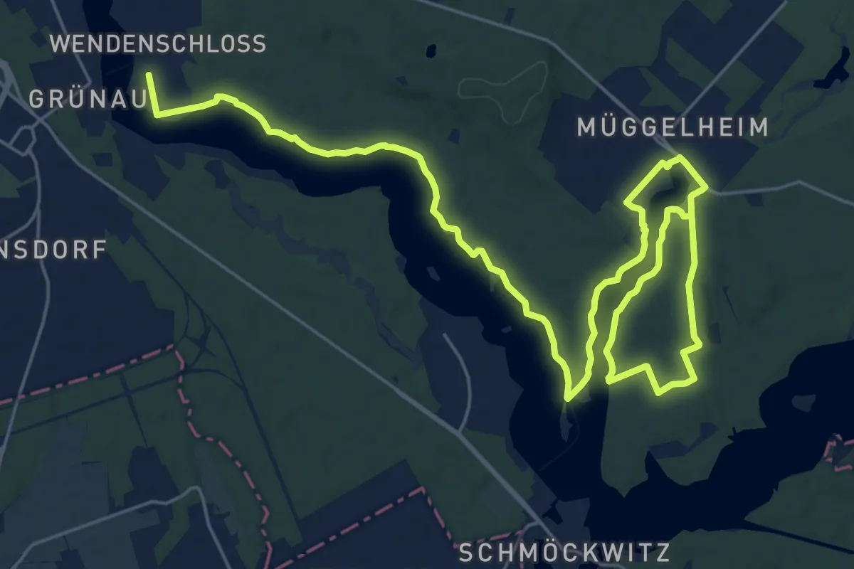
Grottenweg
10.5 km · ↑ 112 m · 2 h 52 min
Demanding · Trail
Grottewitz-Wanderweg
30.4 km · ↑ 189 m · 7 h 35 min
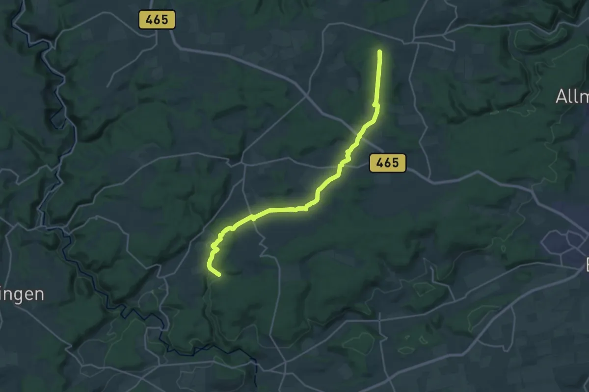
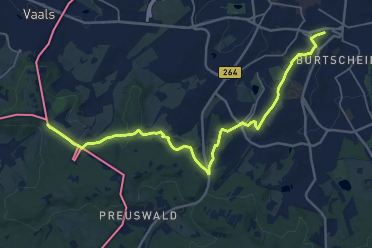
Demanding · Trail
Grötzingen - Mundingen
20.9 km · ↑ 366 m · 5 h 44 min
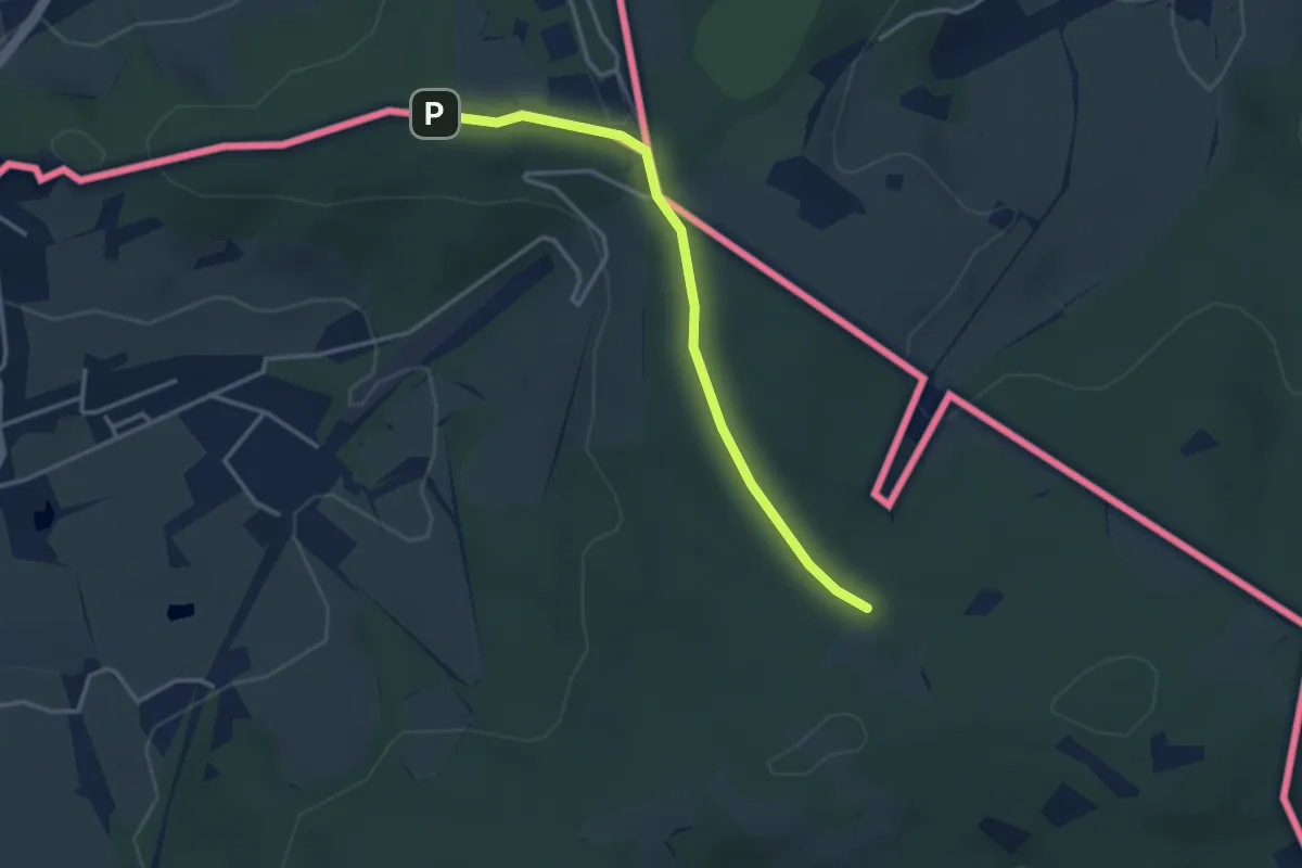
Medium · Summit
GRP 563 Liaison gare Aix-la-Chapelle
15.3 km · ↑ 318 m · 4 h 18 min
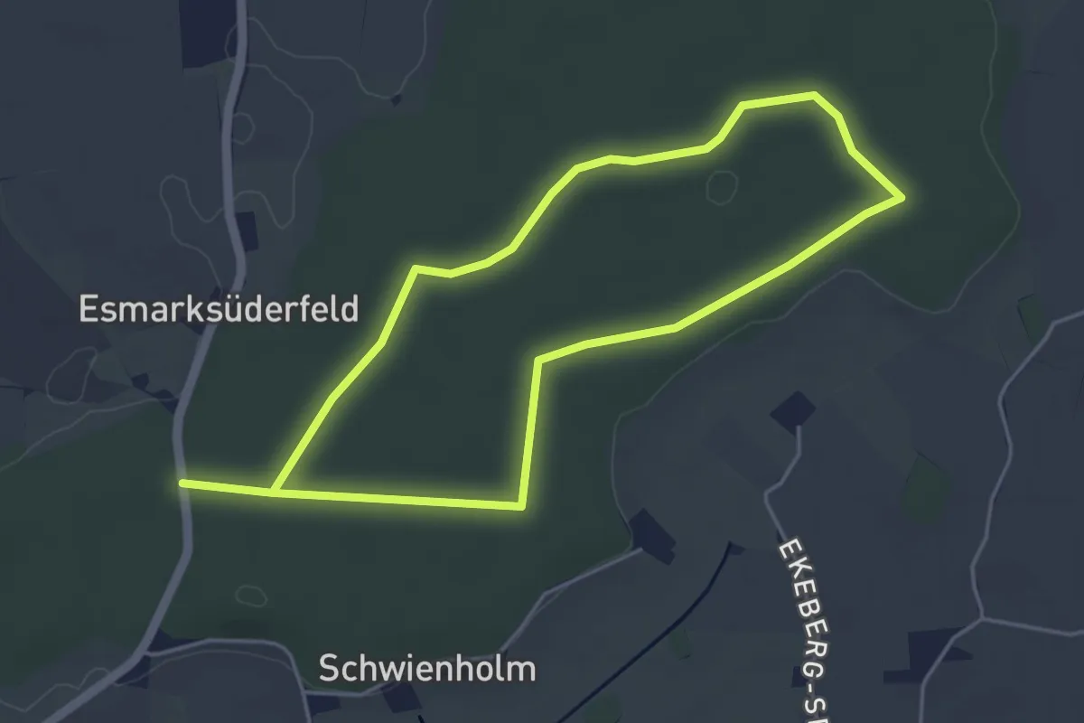
Easy · Summit
GRP 563 Tour du Pays de Herve
1.5 km · ↑ 13 m · 24 min
Easy · Trail
Gr. Rundweg, Rehbergholz
3.4 km · ↑ 4 m · 52 min
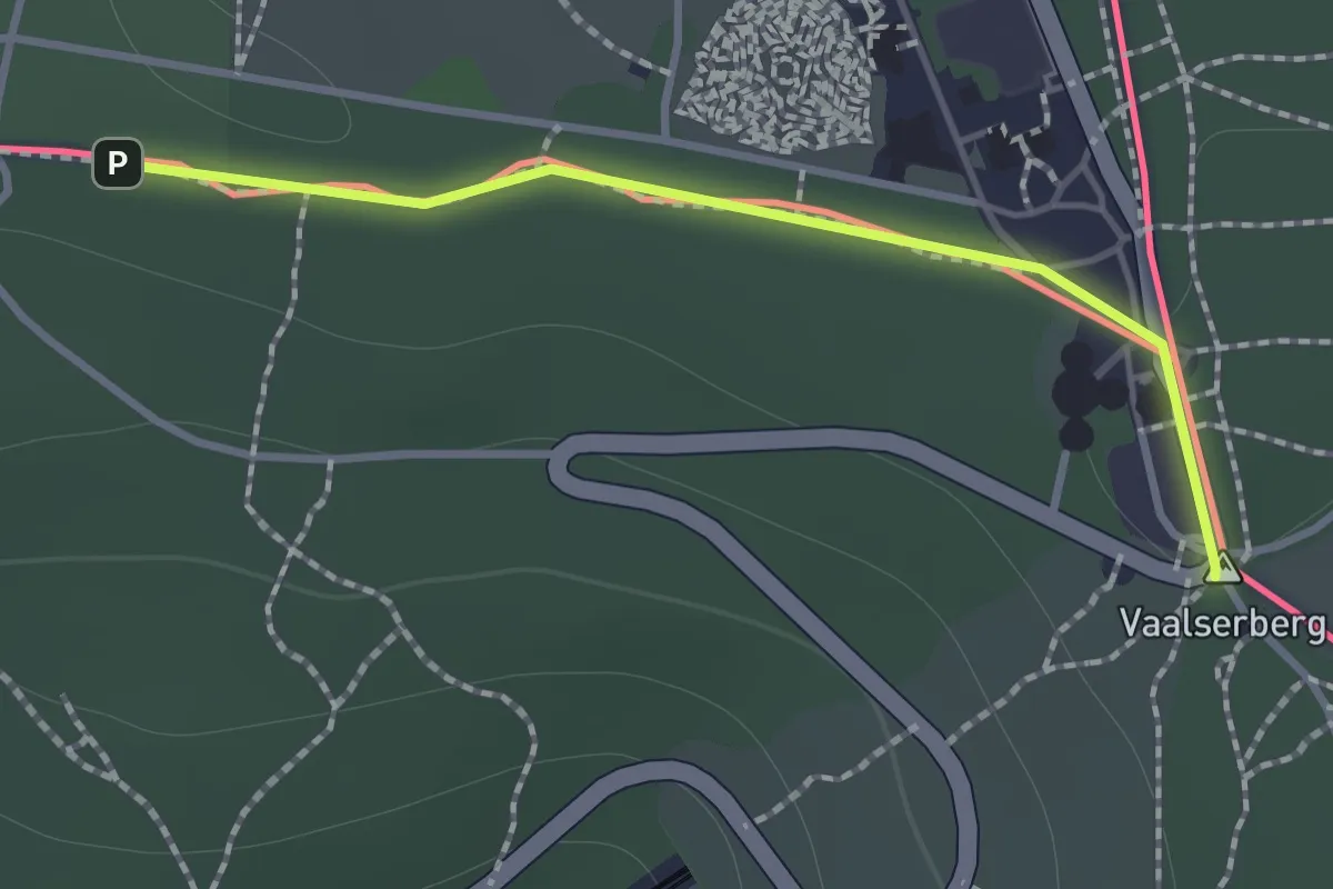
Easy · Summit
GRT-BVW 21 Limbourg - Clermont-sur-Berwinne
1.1 km · ↑ 4 m · 16 min
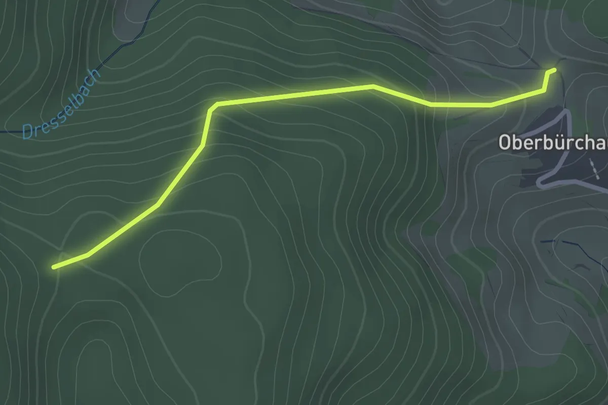
Easy · Trail
Grube - Hübschwasen
2.4 km · ↑ 157 m · 55 min
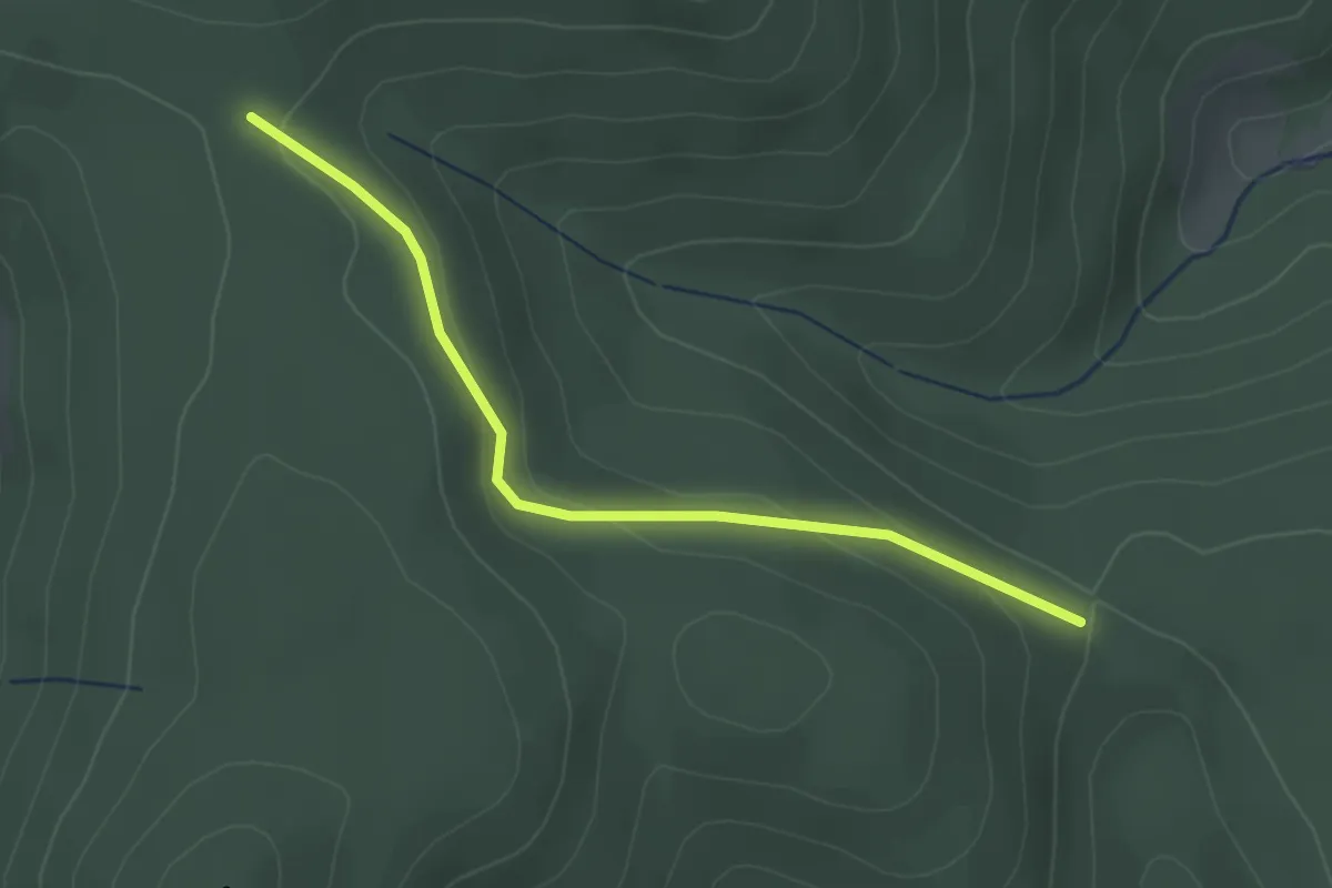
Easy · Trail
Grube - Jungholz
2.7 km · ↑ 114 m · 52 min
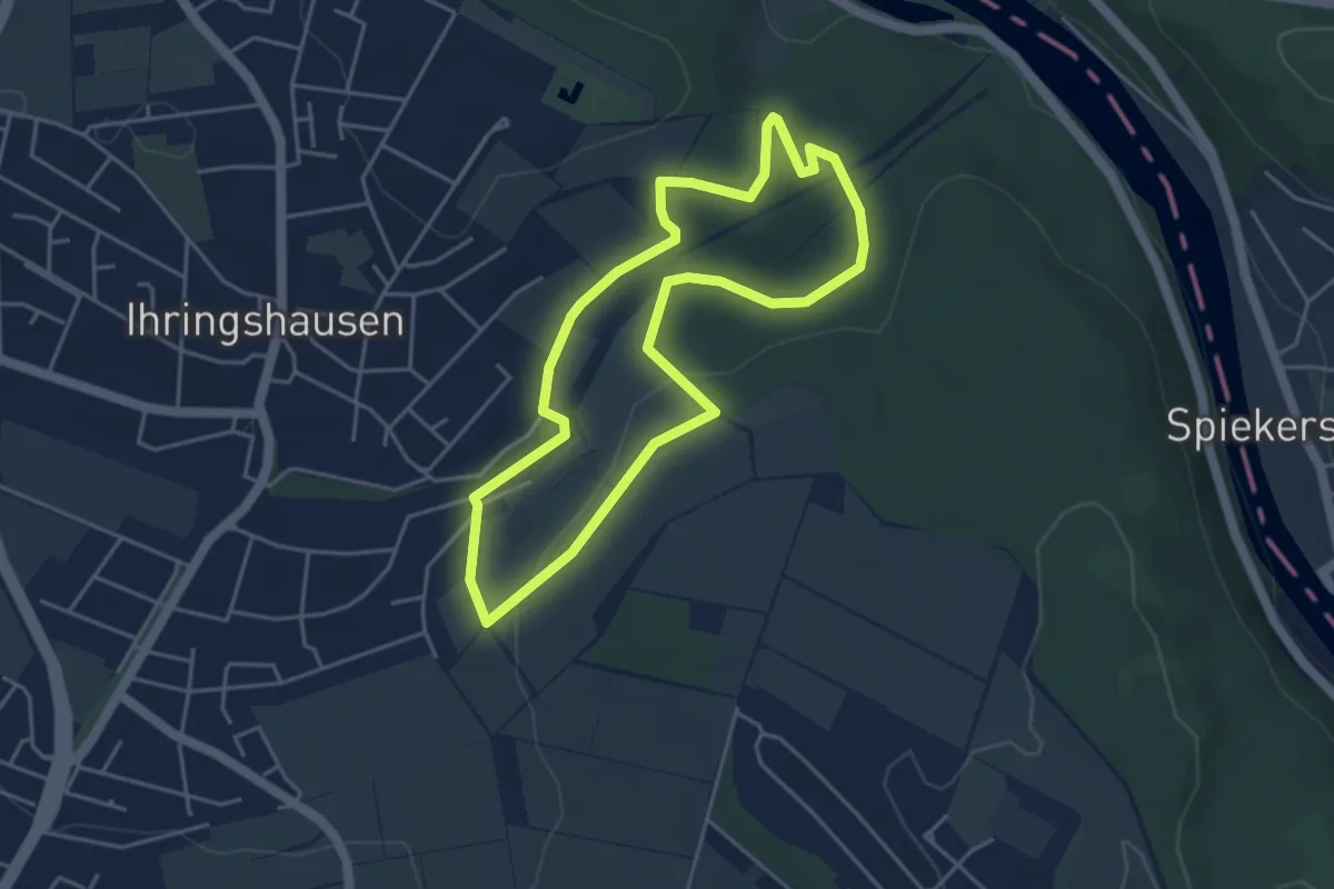
Easy · Trail
Grubenbachweg
3.8 km · ↑ 55 m · 1 h 4 min
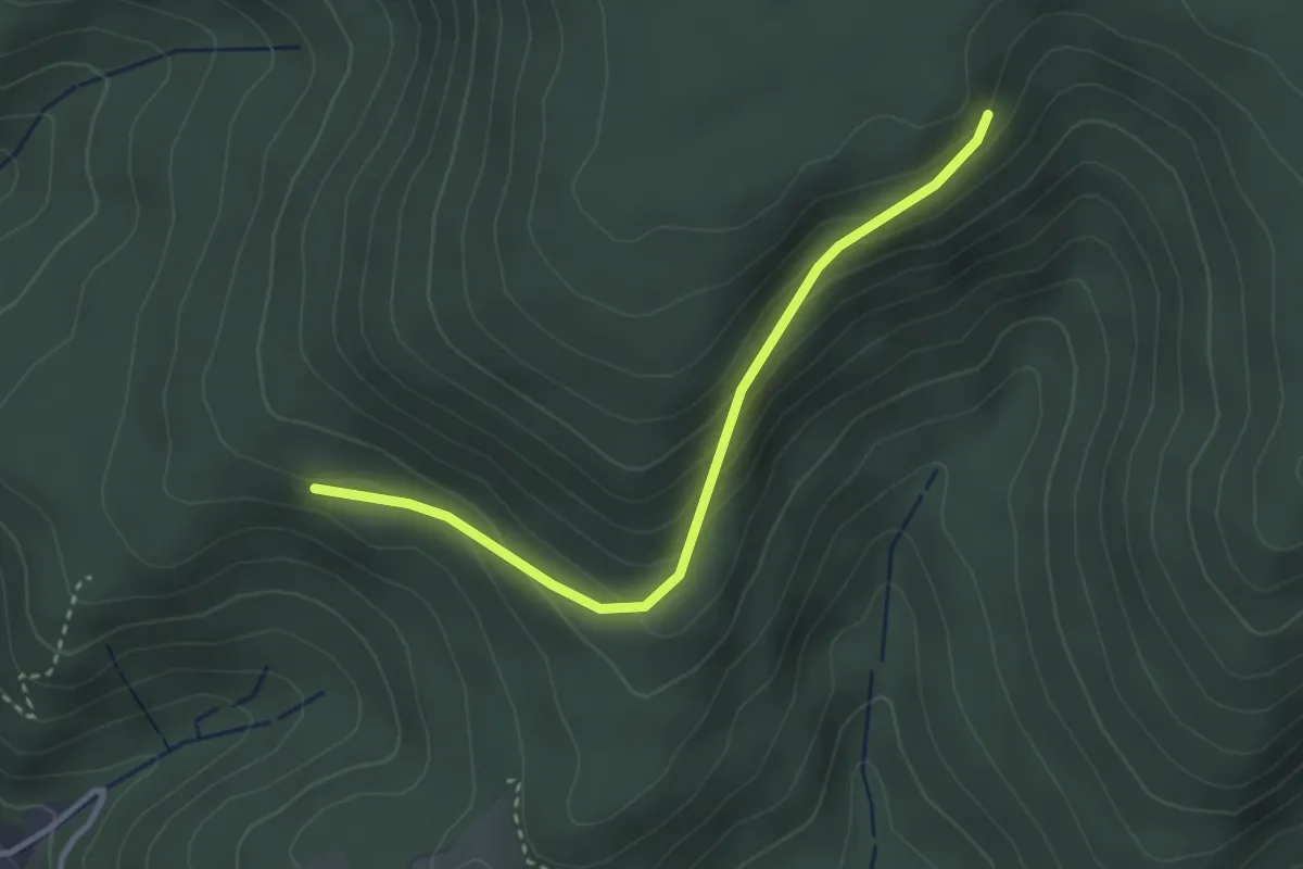
Easy · Trail
Grubenberg - Scheiterweg
3.0 km · ↑ 181 m · 1 h 6 min
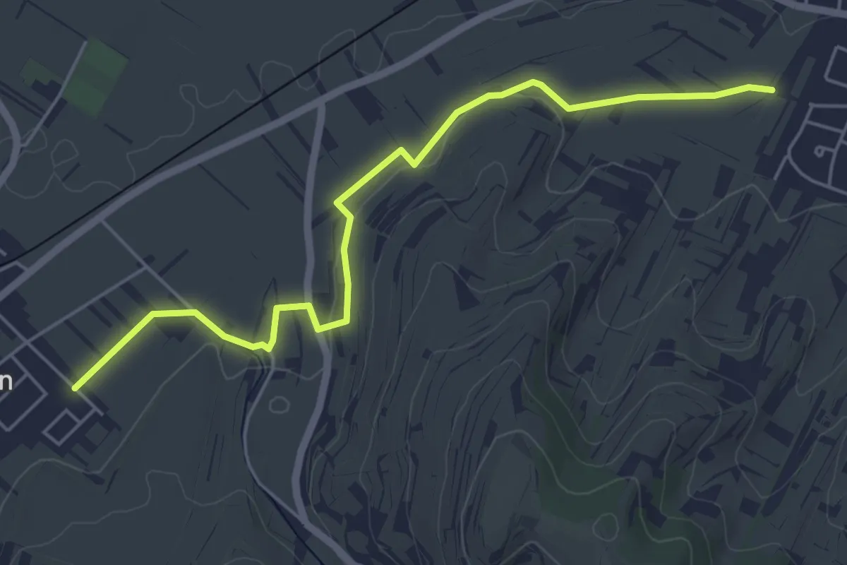
Easy · Trail
Grubenfeld - Bühle
5.6 km · ↑ 44 m · 1 h 25 min
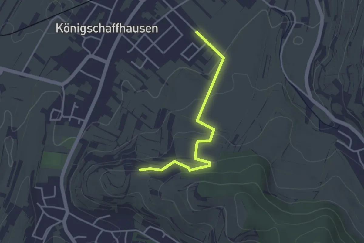
Easy · Trail
Grubenfeld - Eichert
2.9 km · ↑ 114 m · 56 min
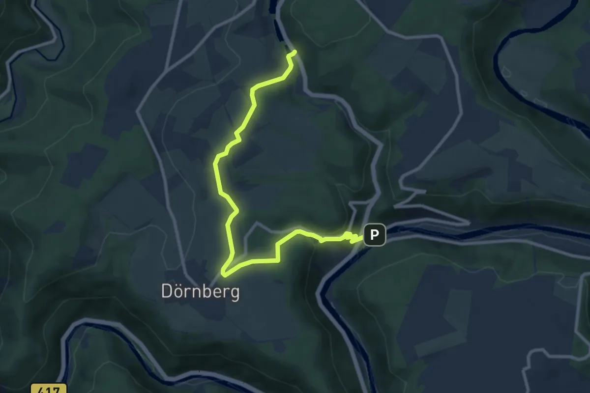
Medium · Trail
Grubenwanderweg
8.2 km · ↑ 273 m · 2 h 32 min
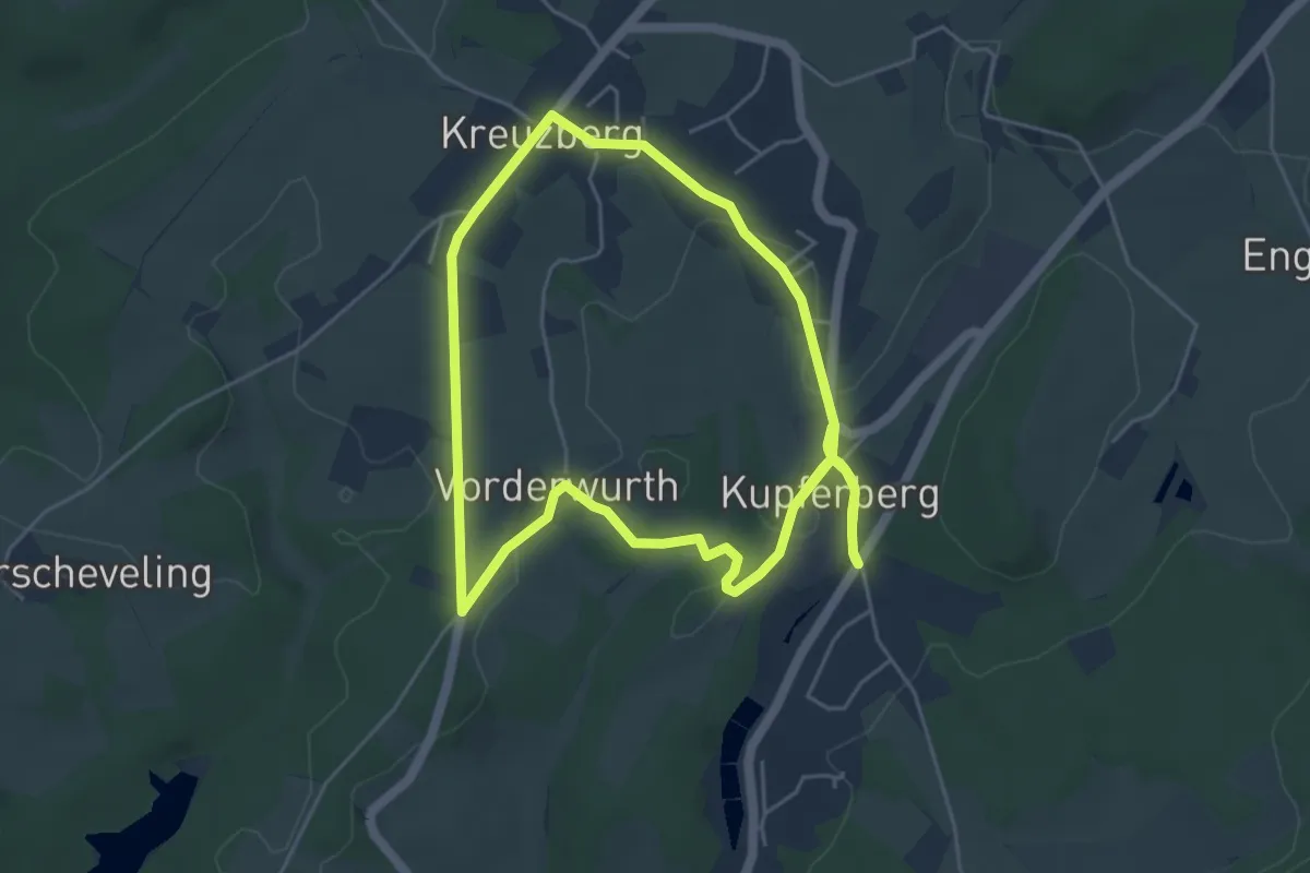
Medium · Trail
Grubenwanderweg
9.5 km · ↑ 78 m · 2 h 25 min
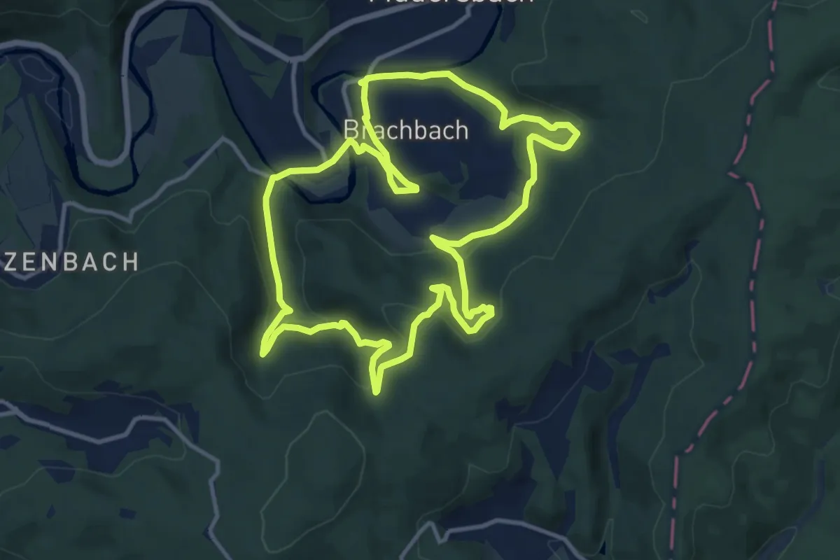
Medium · Trail
Gruben-Wanderweg Brachbach
10.2 km · ↑ 386 m · 3 h 23 min
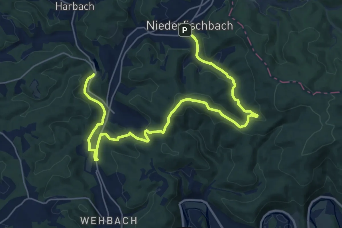
Medium · Summit
Grubenwanderweg Niederfischbach
10.3 km · ↑ 309 m · 3 h 15 min
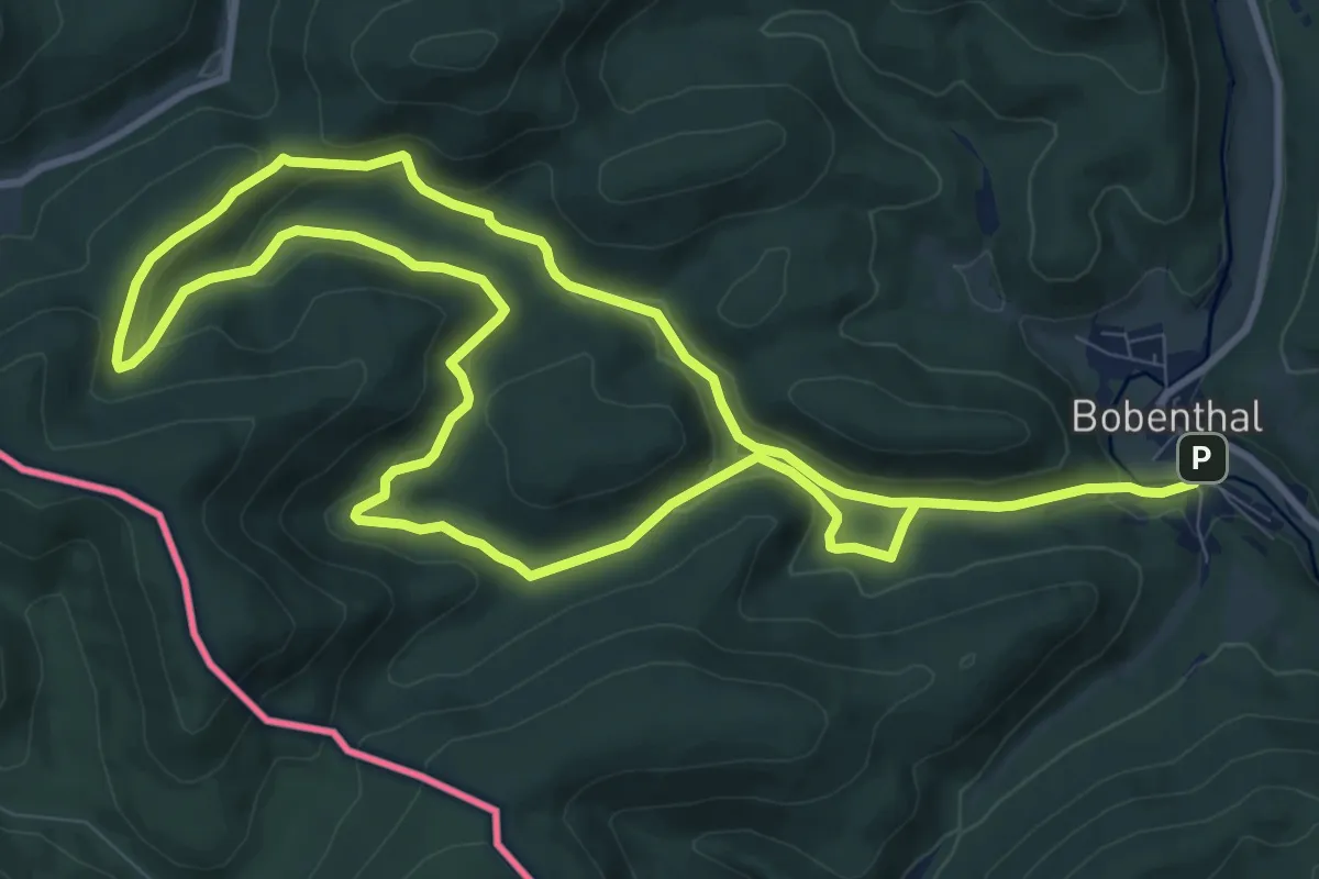
Demanding · Trail
Grubenweg
18.7 km · ↑ 530 m · 5 h 34 min
Easy · Trail
Grubenweg F8
2.7 km · ↑ 168 m · 1 h
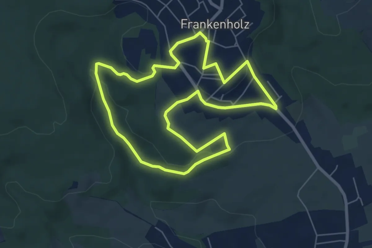
Easy · Trail
Grubenweg Frankenholz
5.1 km · ↑ 139 m · 1 h 34 min
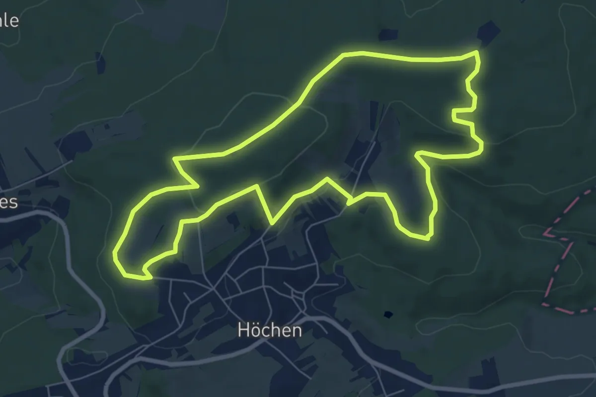
Easy · Summit
Grubenweg Höchen
7.0 km · ↑ 164 m · 2 h 6 min
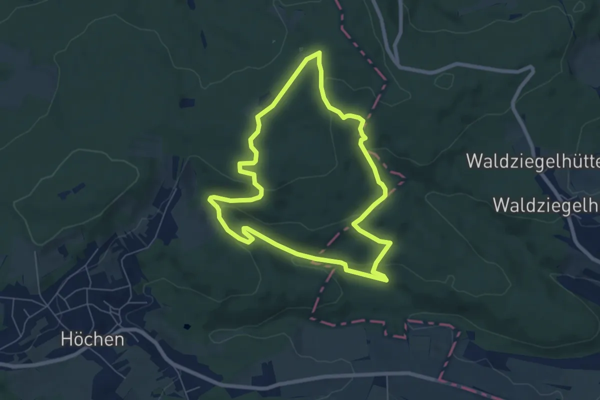
Easy · Trail
Grubenweg Nordfeld
5.6 km · ↑ 163 m · 1 h 45 min