Trails in Germany
36,852 hiking trails, each with its route, climb, walking time and grade.
All trails, page 196 of 768
Easy · Trail
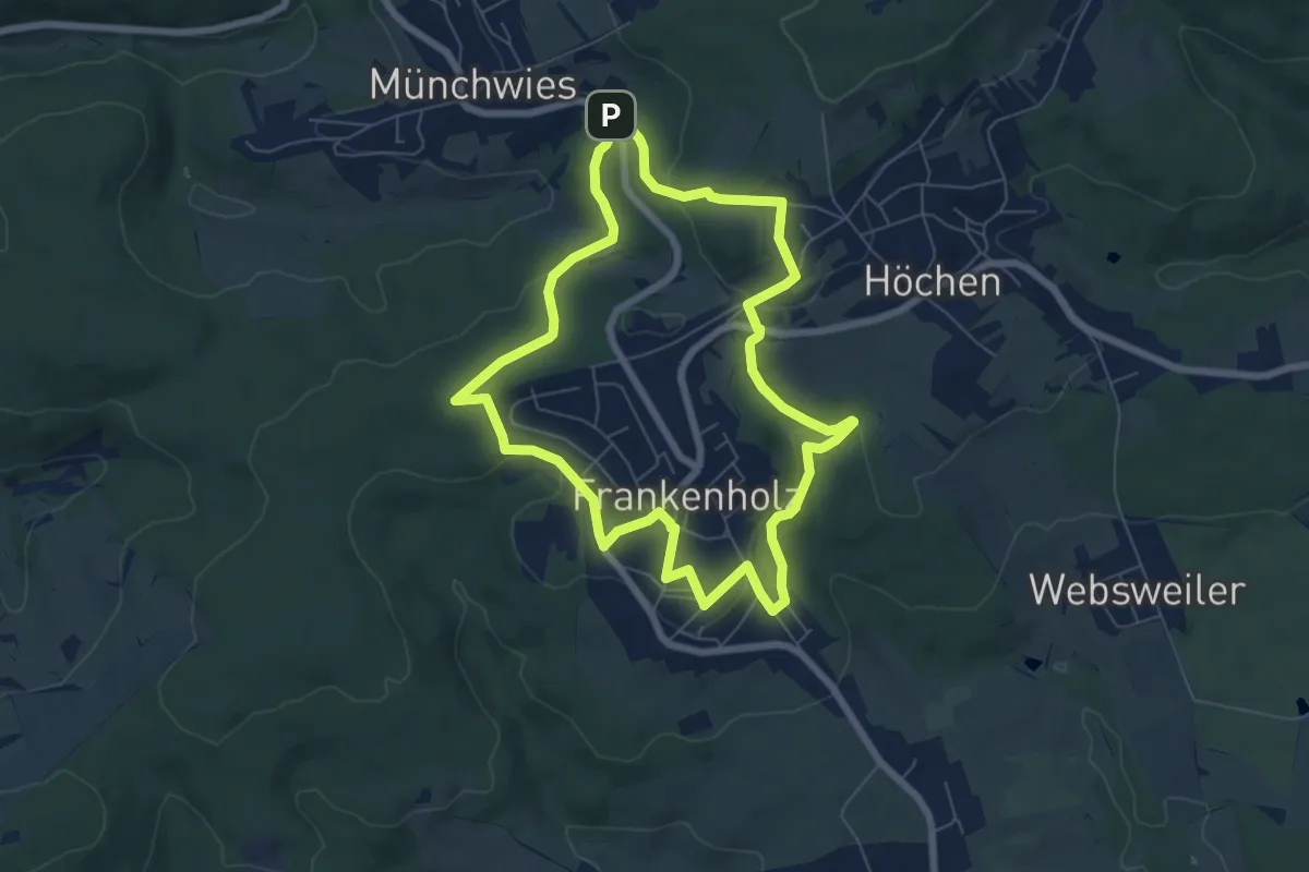
Grubenweg Schacht III
6.3 km · ↑ 205 m · 2 h 1 min
Easy · Trail
Gruber Kopf - Metzenberg
2.0 km · ↑ 71 m · 38 min
Easy · Trail
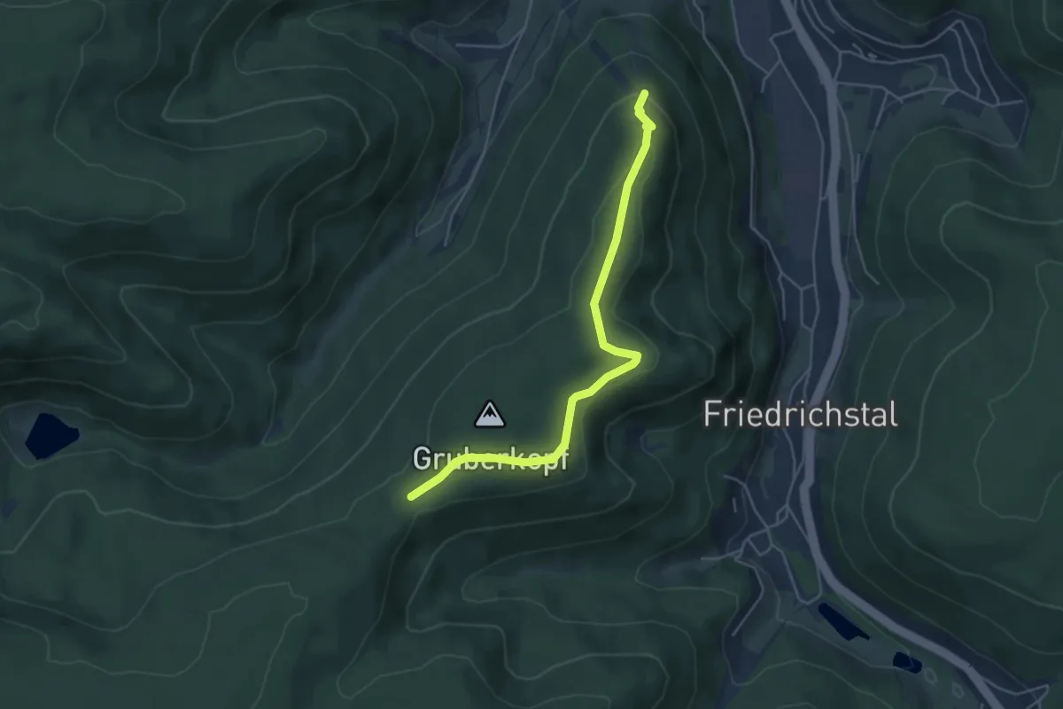
Gruber Kopf - Stöckerkopf
4.6 km · ↑ 140 m · 1 h 23 min
Easy · Trail
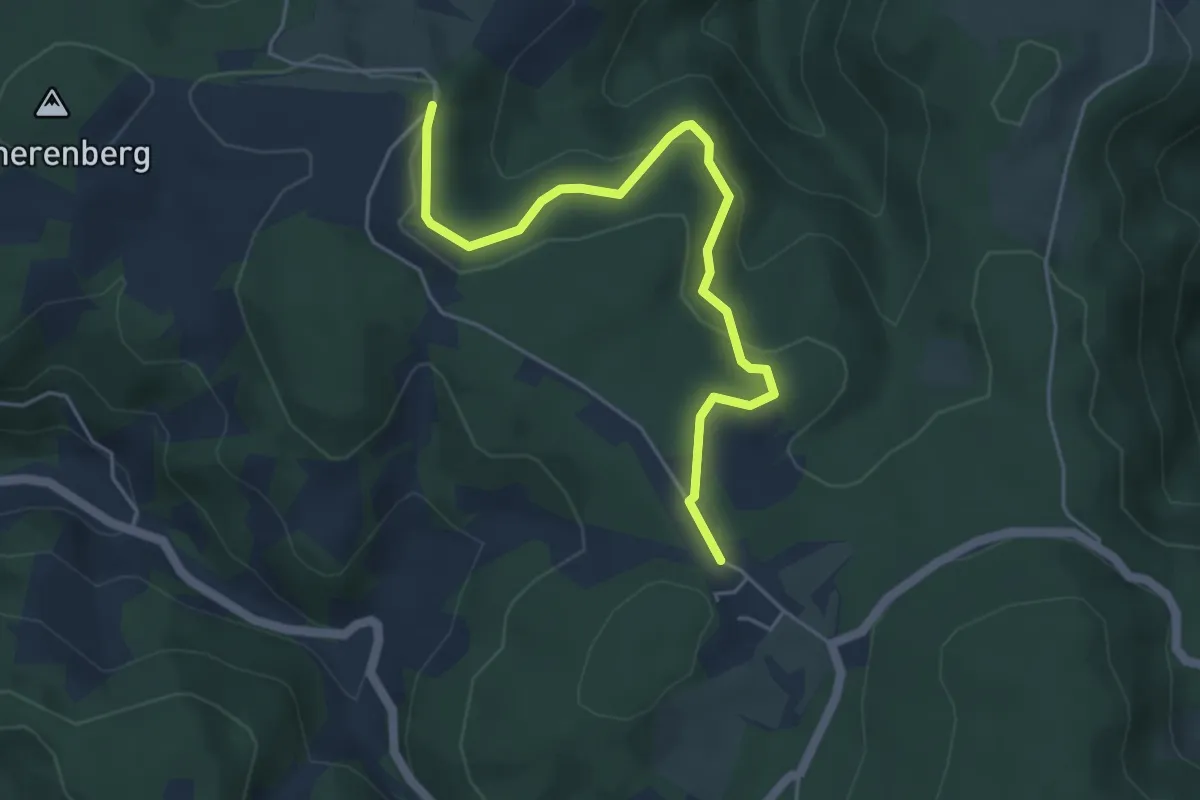
Grubhöhe - Moosenmättle
4.9 km · ↑ 180 m · 1 h 33 min
Easy · Trail
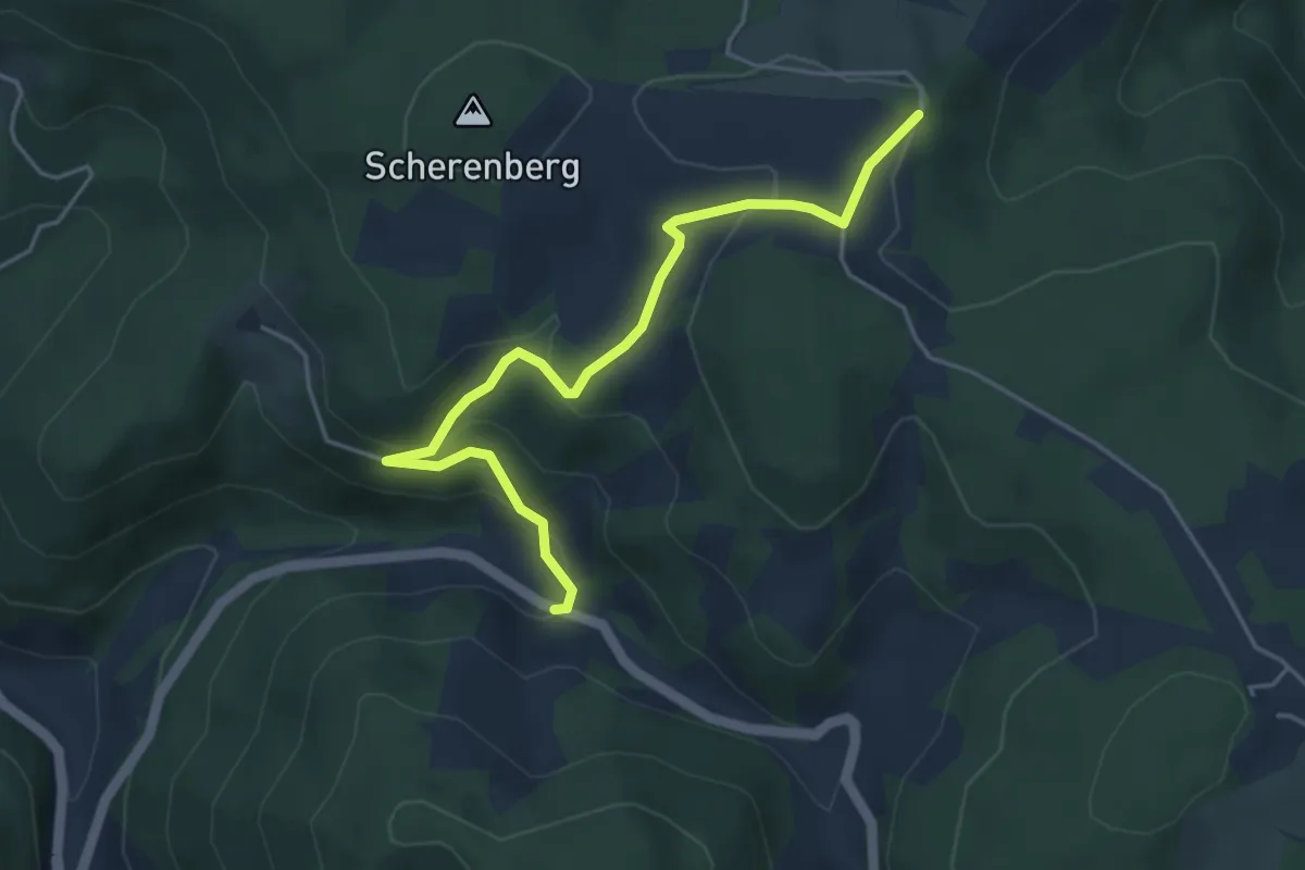
Grubhöhe - Sumhof
4.5 km · ↑ 196 m · 1 h 30 min
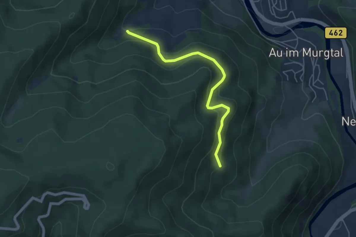
Easy · Trail
Grüb - Lehmannshütte
4.1 km · ↑ 261 m · 1 h 31 min
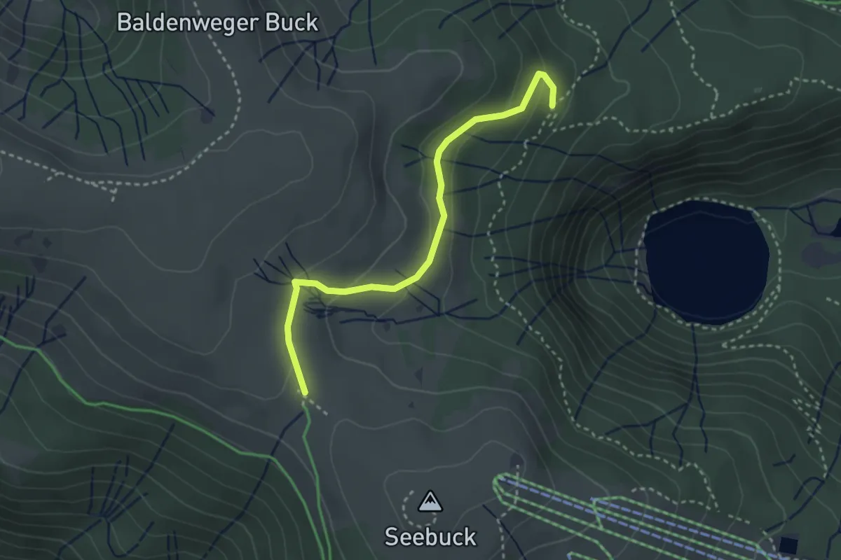
Medium · Trail
Grüblesattel - Unterm Grüble
3.0 km · ↑ 106 m · 56 min
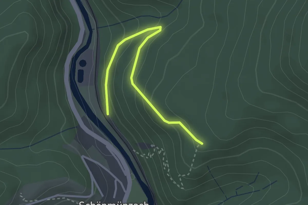
Easy · Trail
Grub - Thummelhalde
2.7 km · ↑ 158 m · 59 min
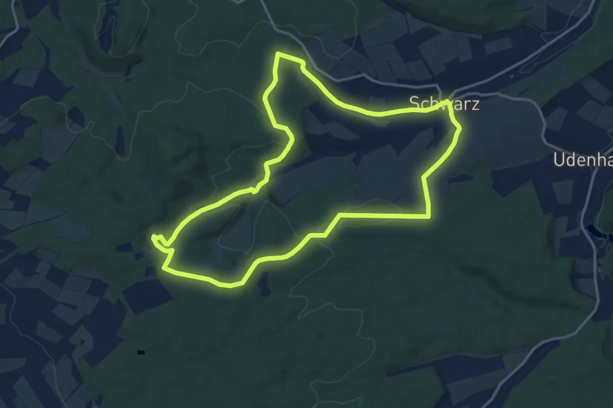
Medium · Trail
Gruendchentour ( black)
11.6 km · ↑ 215 m · 3 h 22 min
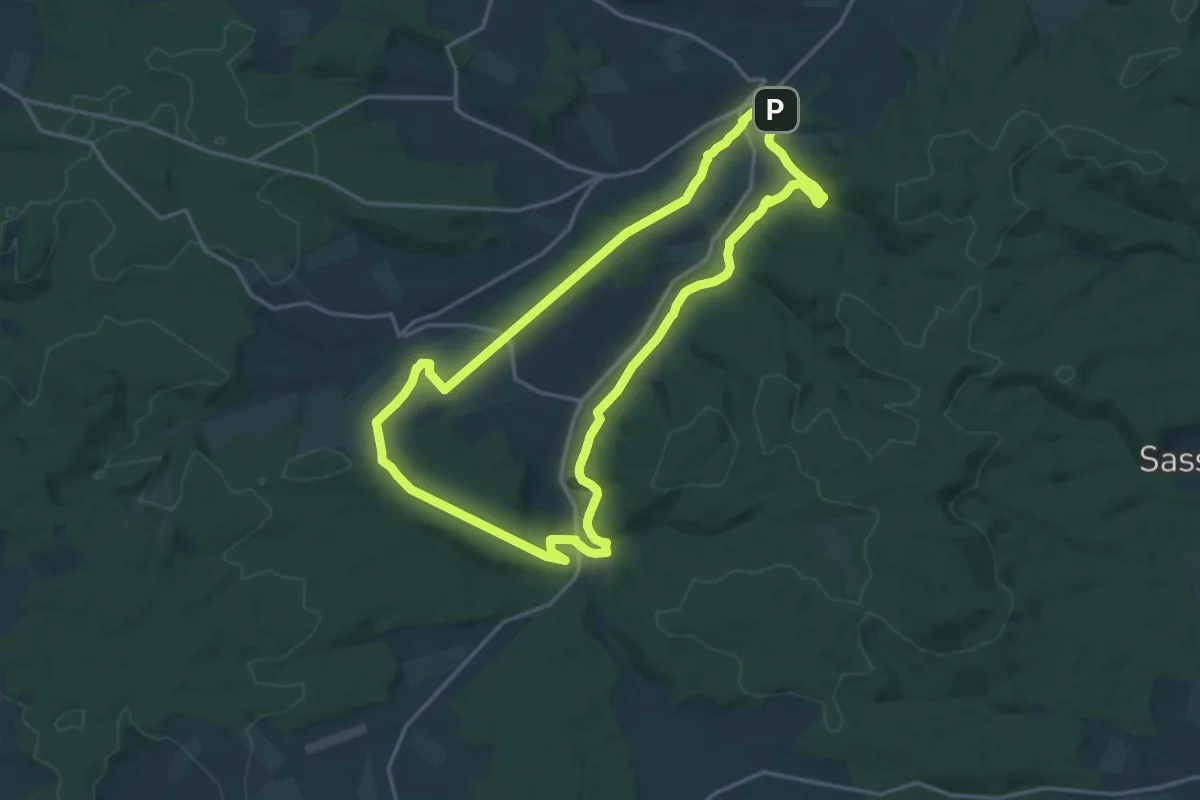
Medium · Trail
Gruendchentour (green)
16.0 km · ↑ 230 m · 4 h 30 min
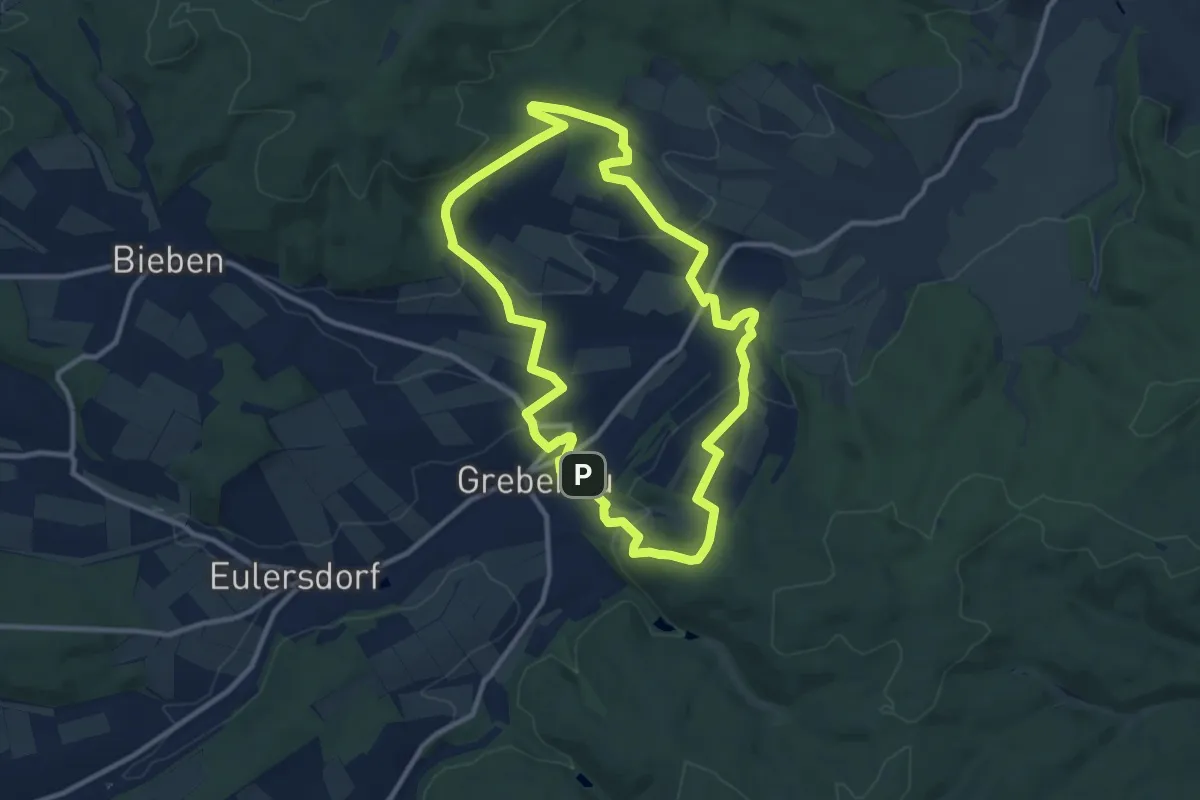
Medium · Summit
Gruendchentour (red)
9.8 km · ↑ 255 m · 3 h
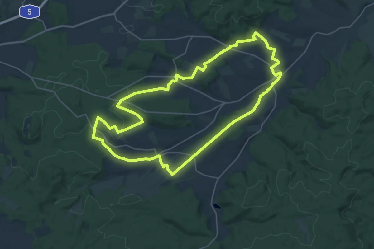
Demanding · Summit
Gruendchentour (yellow)
19.1 km · ↑ 356 m · 5 h 32 min
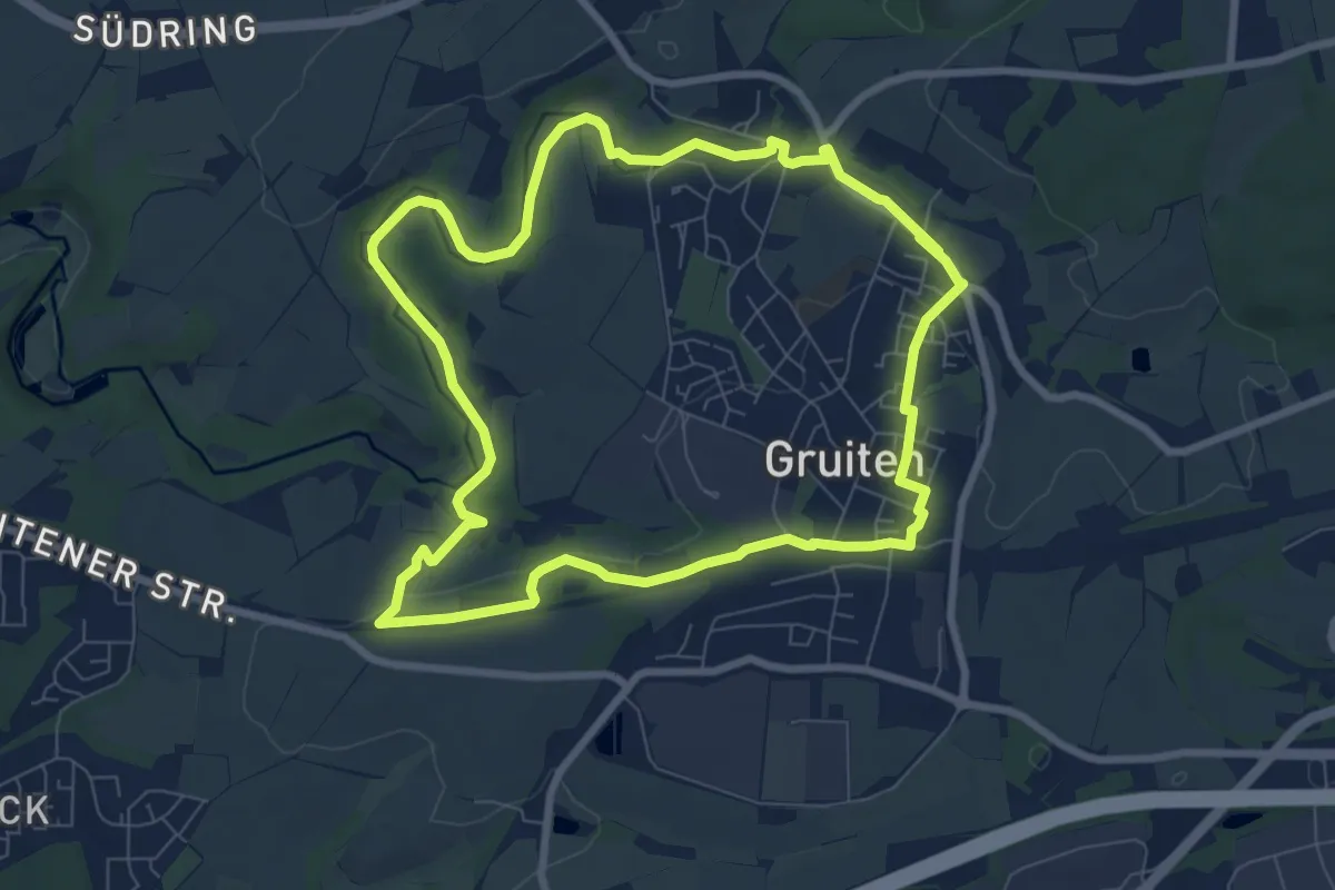
Easy · Summit
Gruiten Rundweg A2
7.4 km · ↑ 73 m · 2 h
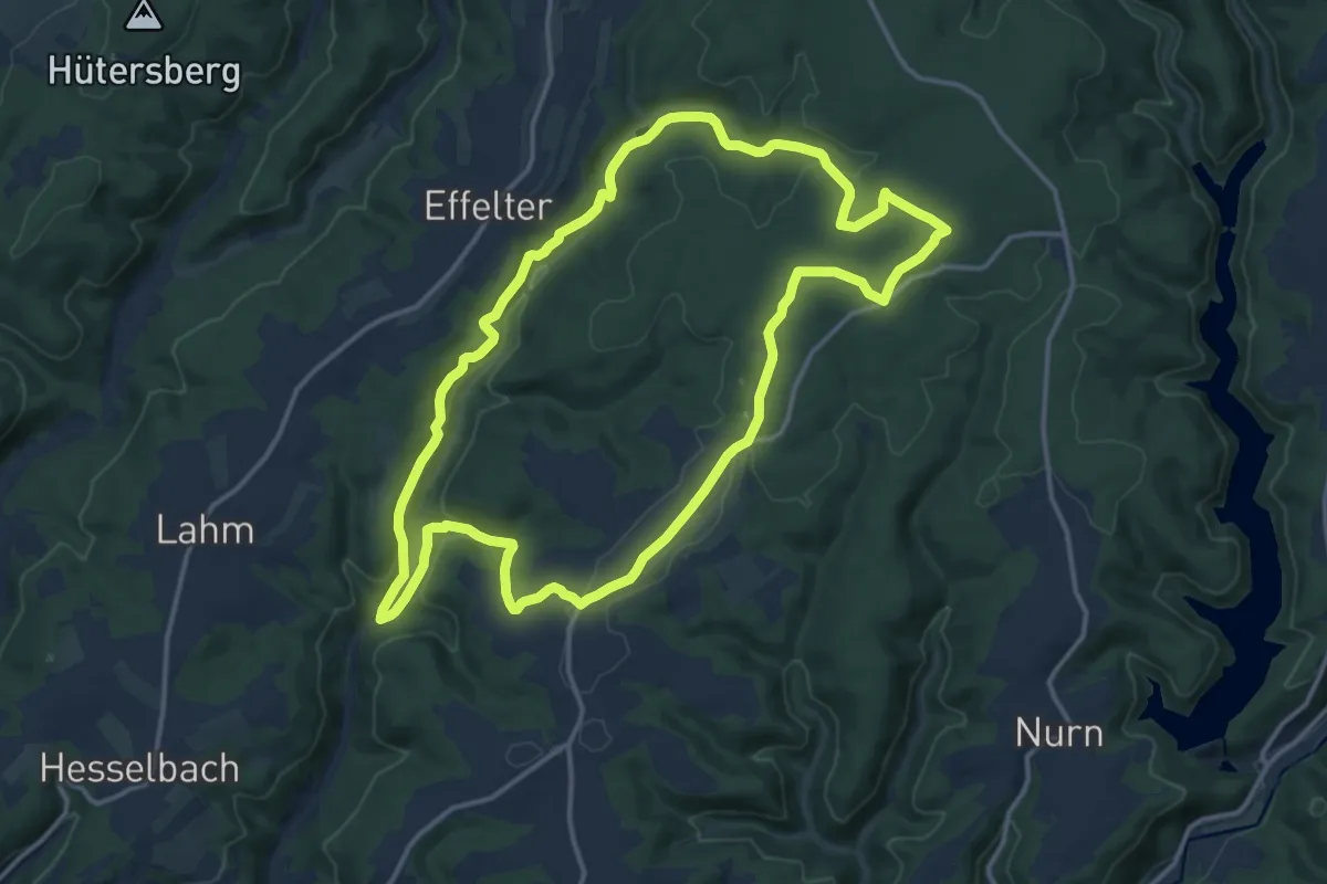
Medium · Trail
Grümpel-Floßteich-Weg KC 82
13.6 km · ↑ 311 m · 4 h 5 min
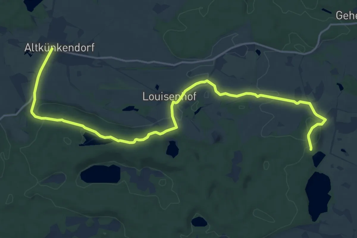
Medium · Trail
Grumsiner Genusswanderweg
14.5 km · ↑ 191 m · 3 h 51 min
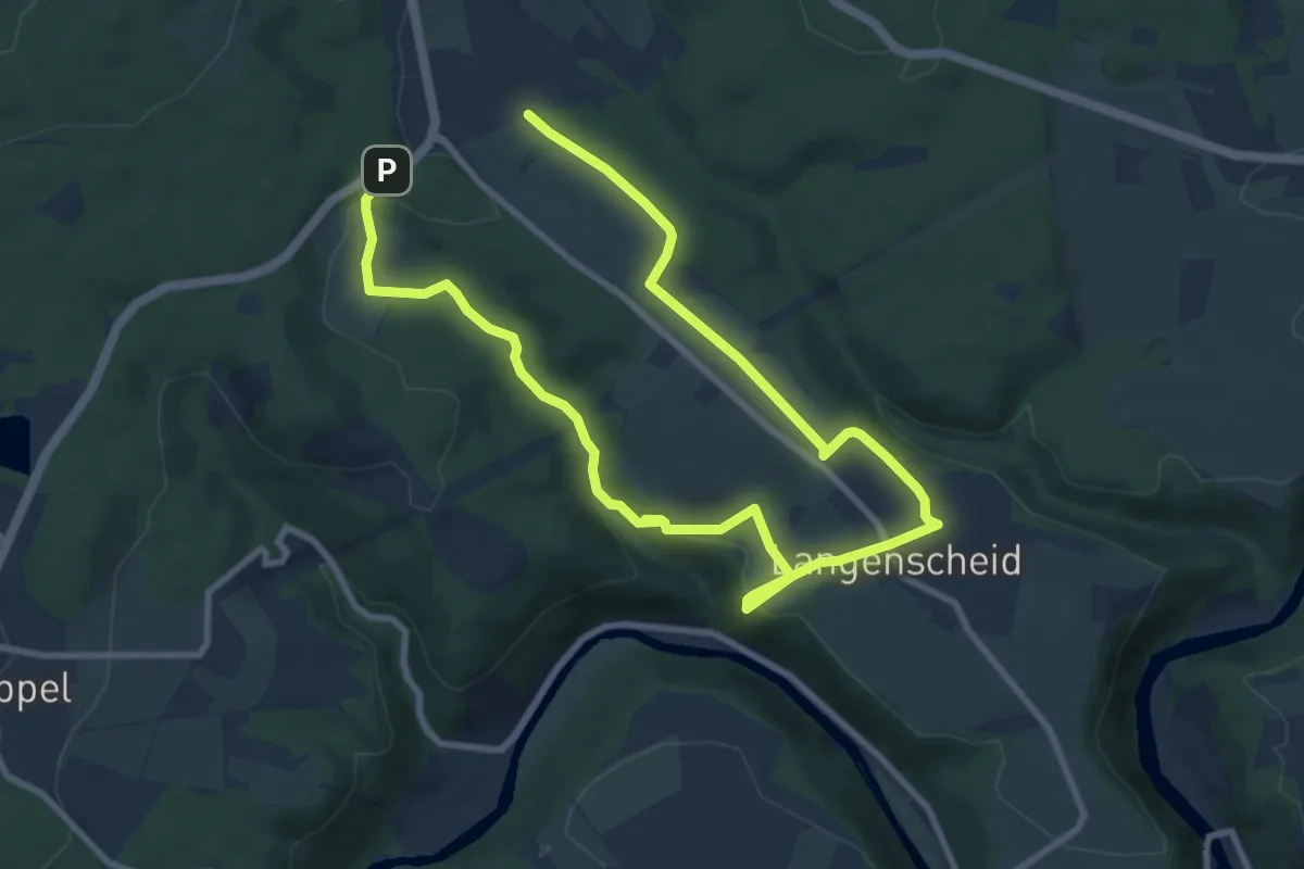
Medium · Trail
Grün
13.5 km · ↑ 297 m · 3 h 51 min
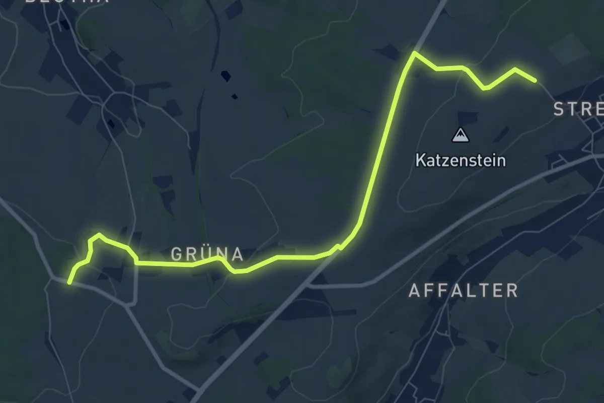
Medium · Trail
Grüna-Affalter
8.4 km · ↑ 128 m · 2 h 15 min
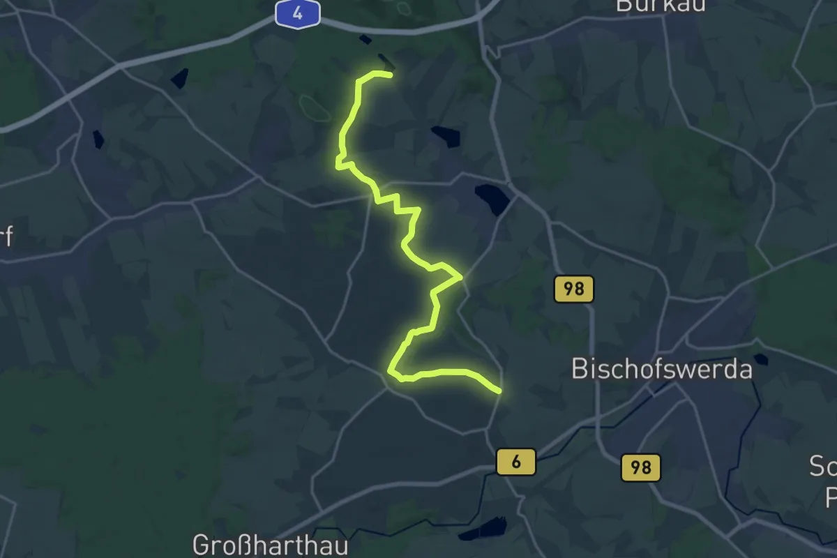
Demanding · Trail
Gruna-Wanderweg
18.2 km · ↑ 184 m · 4 h 42 min
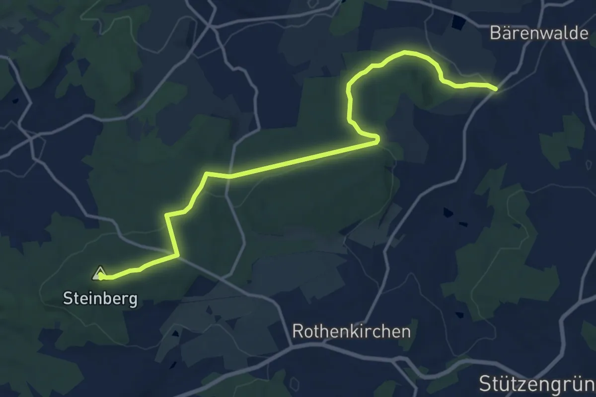
Medium · Summit
grün Bärenwalde-Steinberg-Stangengrün
12.5 km · ↑ 187 m · 3 h 21 min
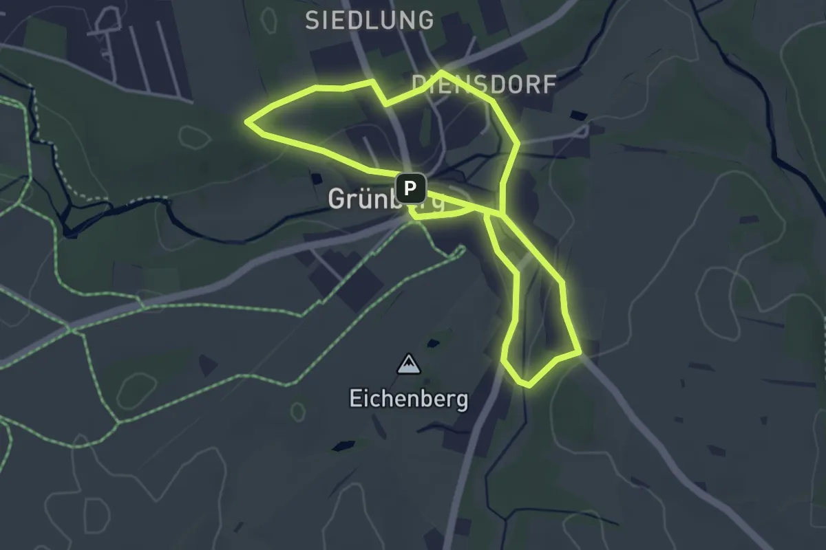
Easy · Trail
Grünberger Acht
3.2 km · ↑ 32 m · 53 min
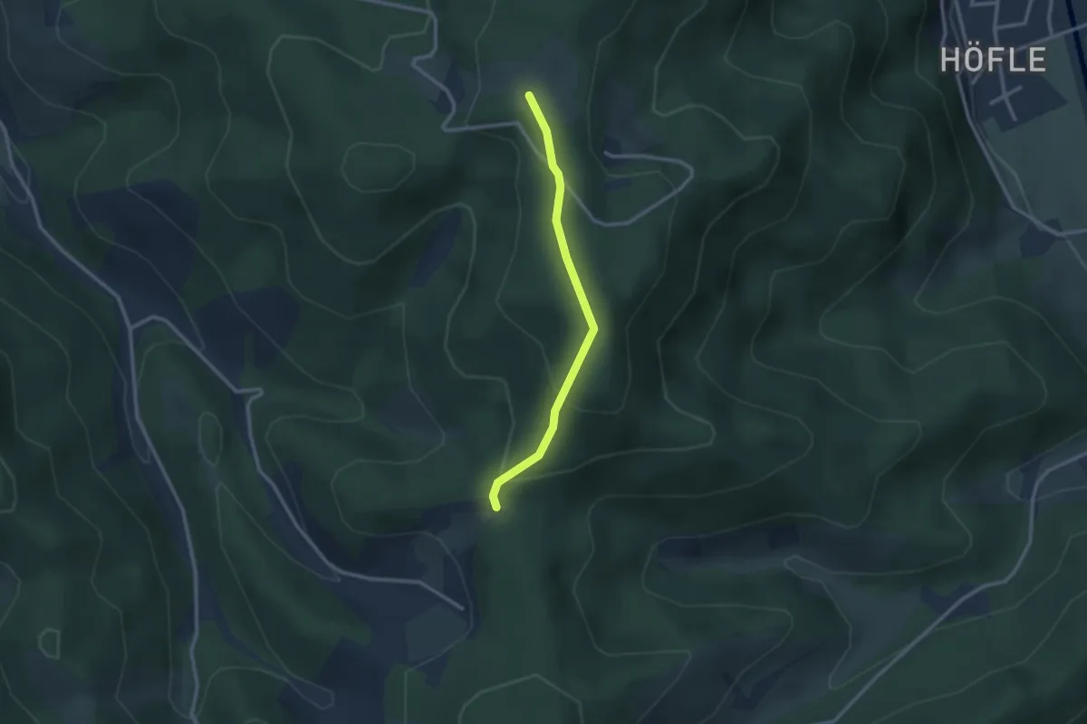
Easy · Trail
Grünberghütte - Otschenfeld
2.3 km · ↑ 100 m · 45 min
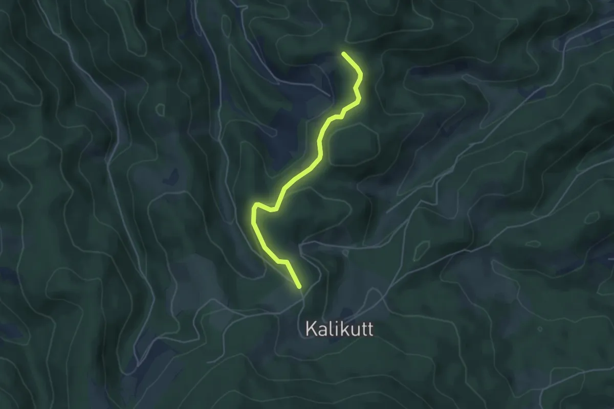
Easy · Trail
Grünberghütte - Unterer Sandbühl
3.9 km · ↑ 93 m · 1 h 8 min
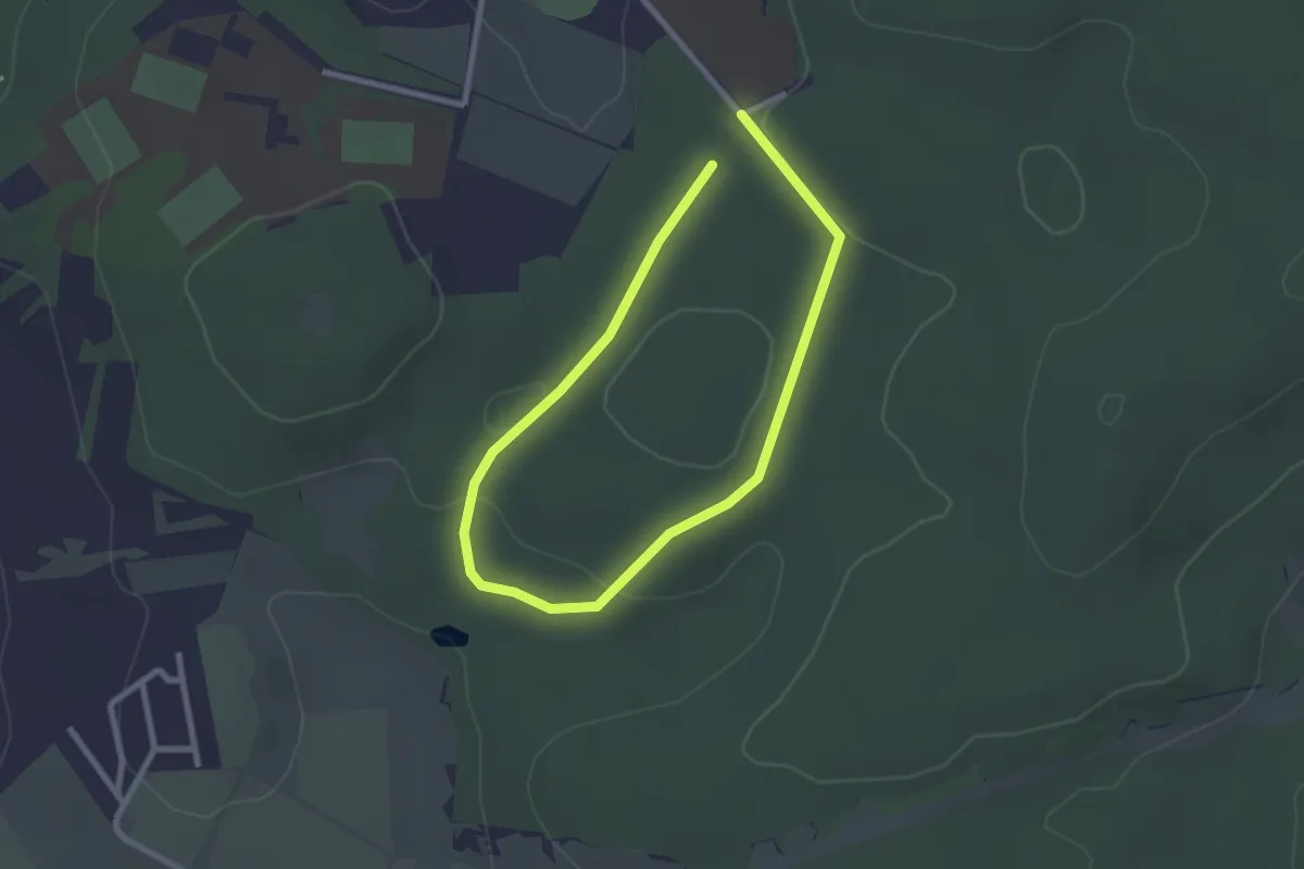
Easy · Trail
Grünberg - Nordic 1 Schnupper-Strecke
1.8 km · ↑ 24 m · 31 min
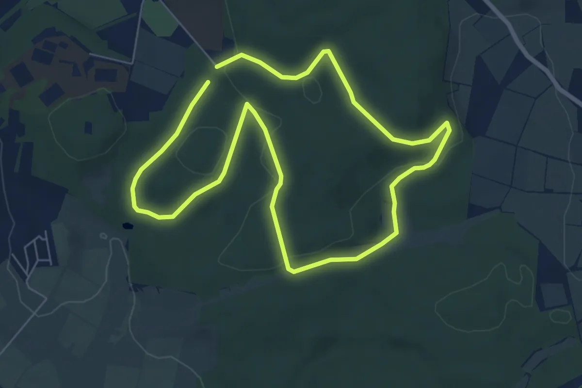
Easy · Trail
Grünberg - Nordic 2 Raubschloß-Route
5.2 km · ↑ 105 m · 1 h 32 min
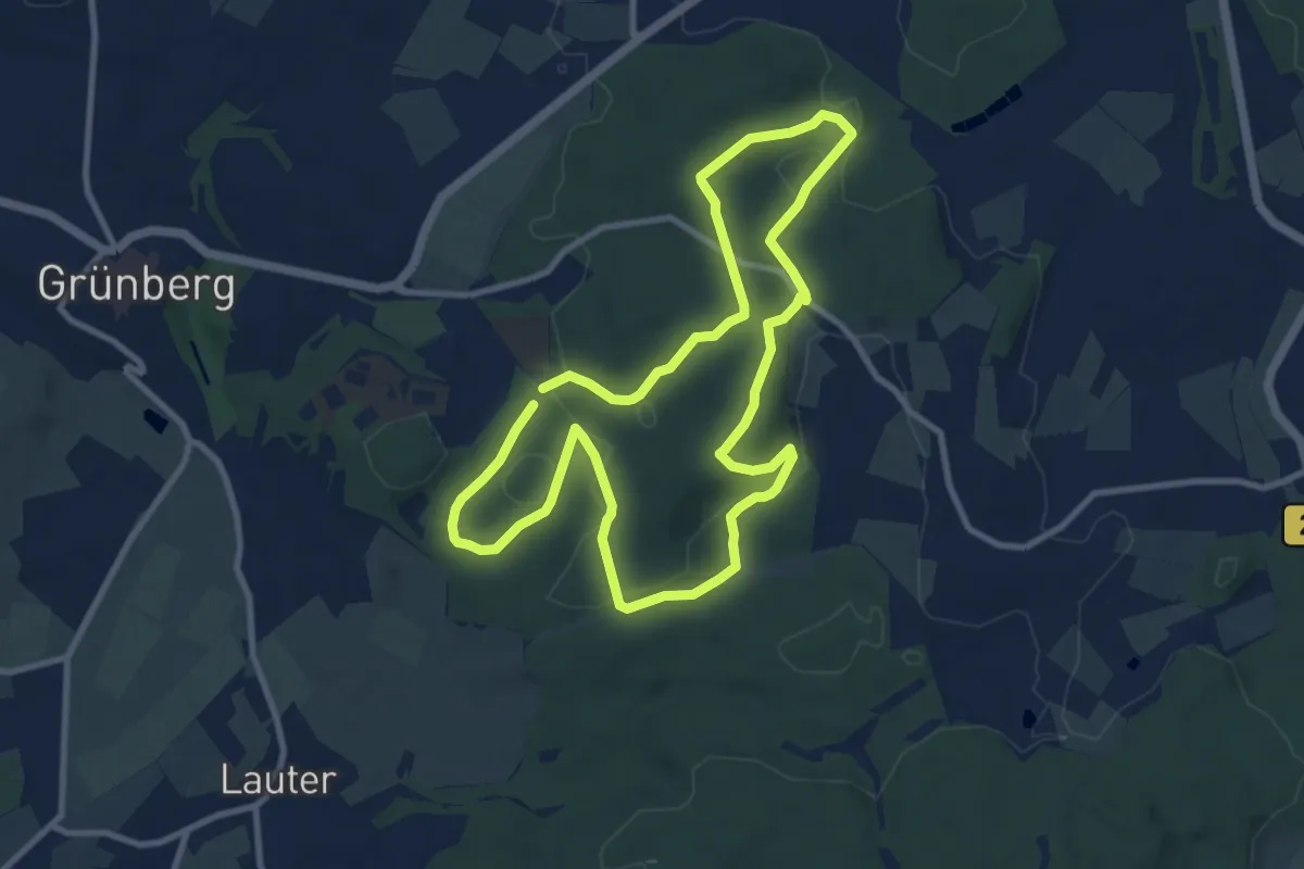
Medium · Trail
Grünberg - Nordic 3 Teichkopf-Route
8.5 km · ↑ 155 m · 2 h 28 min
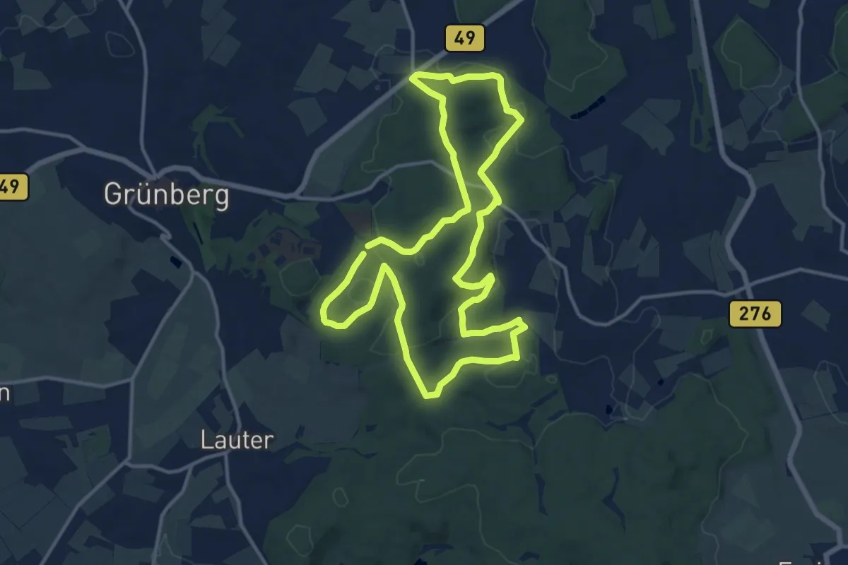
Medium · Trail
Grünberg - Nordic 4 Stadtwald-Route
11.5 km · ↑ 220 m · 3 h 22 min
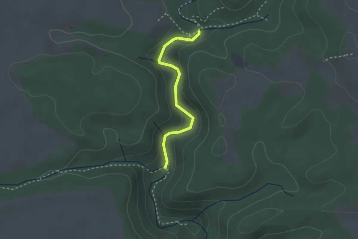
Medium · Trail
Grünburg - Tränkebachmündung
2.2 km · ↑ 33 m · 35 min
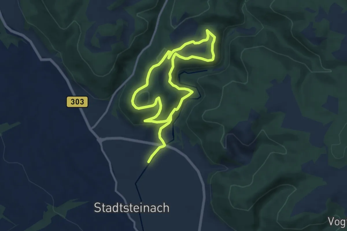
Medium · Trail
Grünbürg-Weg KU 33
12.8 km · ↑ 398 m · 3 h 53 min
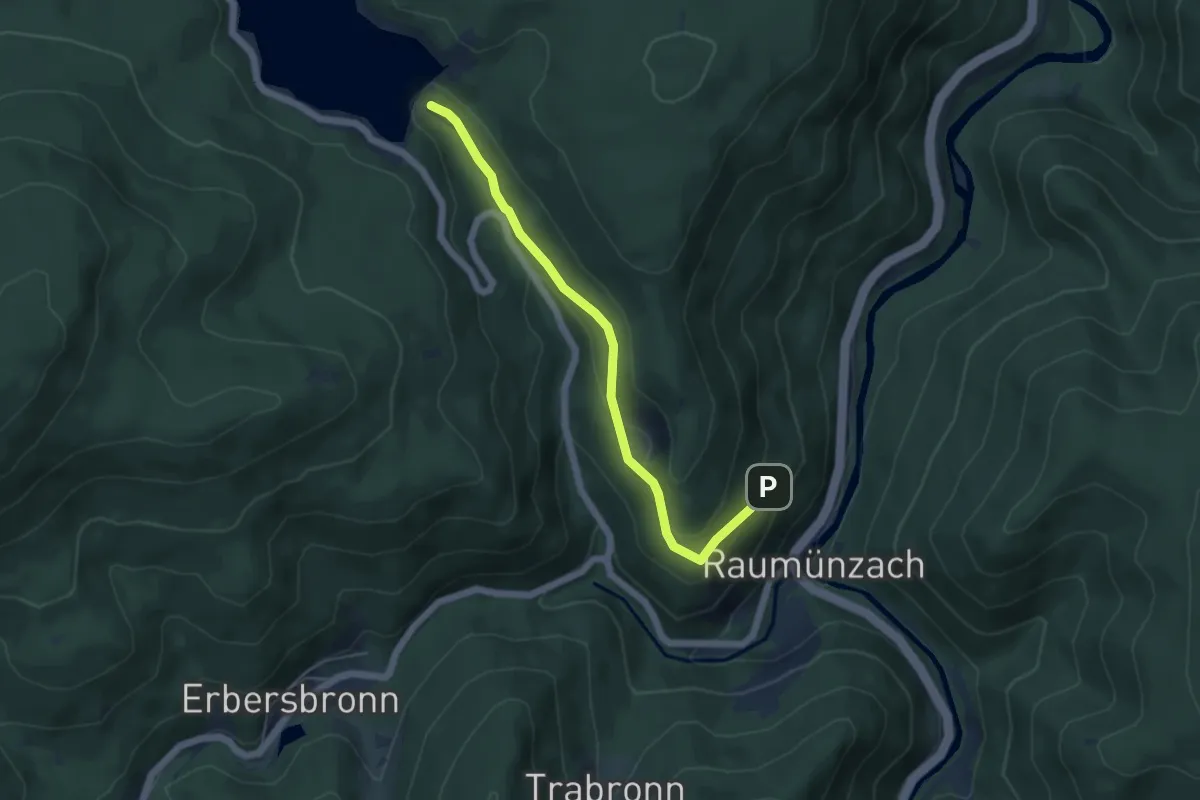
Easy · Trail
Grundablass - Schneiderskopf
4.8 km · ↑ 172 m · 1 h 31 min
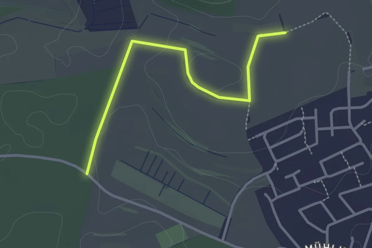
Easy · Trail
Grund - Am Rötenberg
2.5 km · ↑ 16 m · 38 min
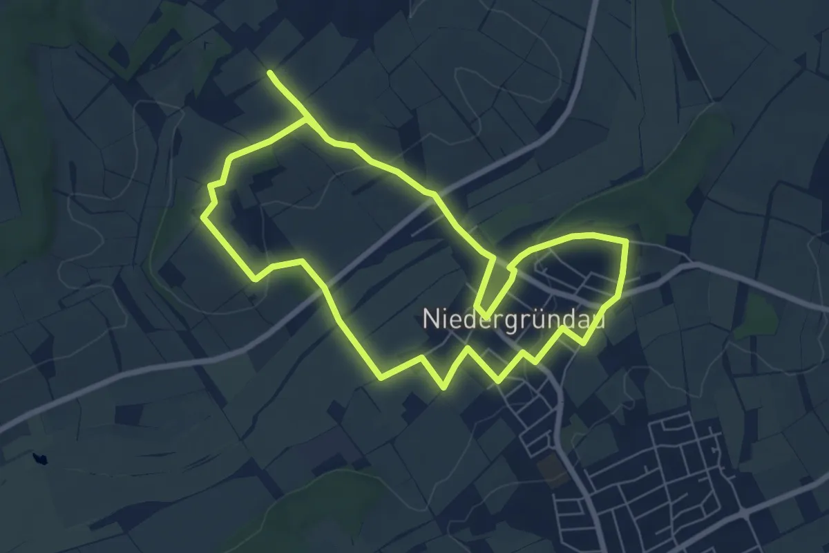
Easy · Trail
Gründau 2 - Dorf des Landhadels
6.4 km · ↑ 86 m · 1 h 47 min
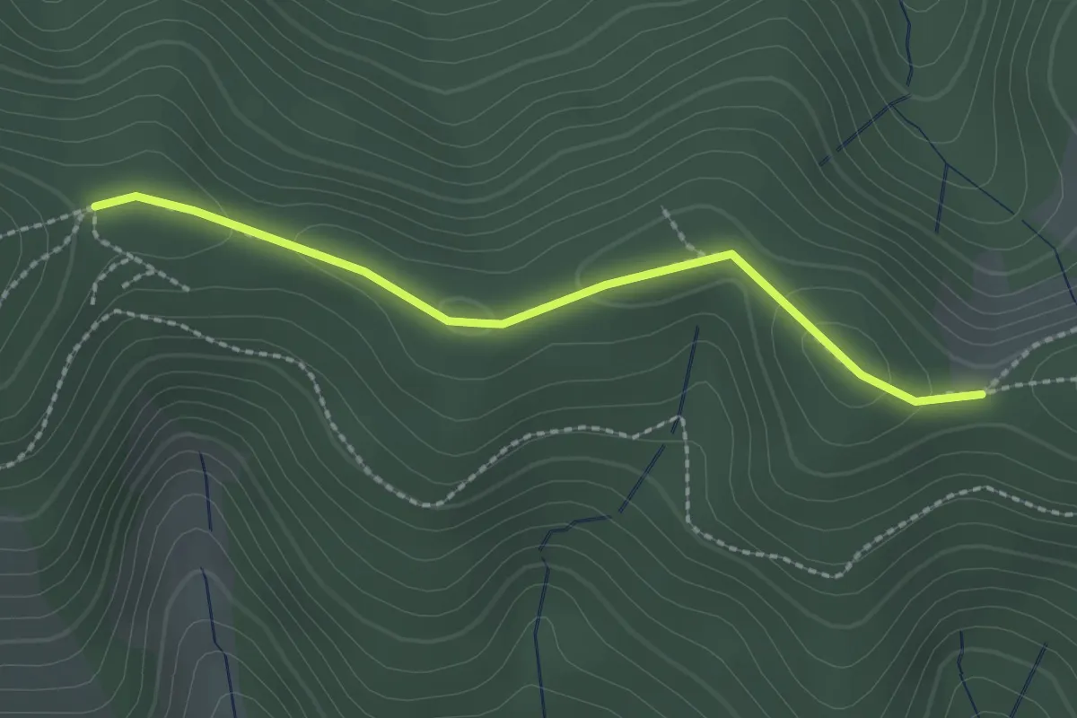
Easy · Trail
Grundhofwald - Wuspeneck
2.1 km · ↑ 62 m · 38 min
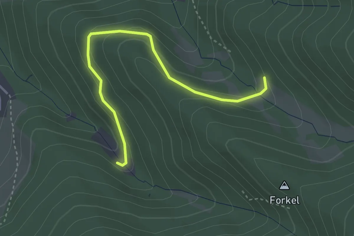
Easy · Trail
Grundplatz - Hohlenstein
3.1 km · ↑ 138 m · 1 h 2 min
Easy · Summit
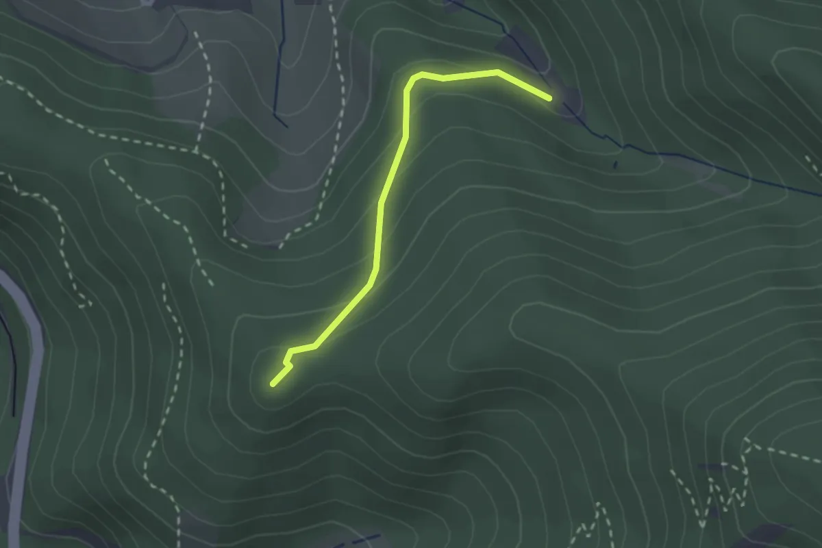
Grundplatz - Latschighang
2.0 km · ↑ 122 m · 45 min
Easy · Trail
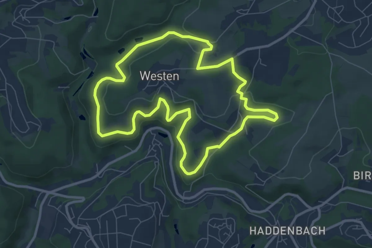
Grund Rundweg A3
6.6 km · ↑ 170 m · 2 h 1 min
Medium · Trail
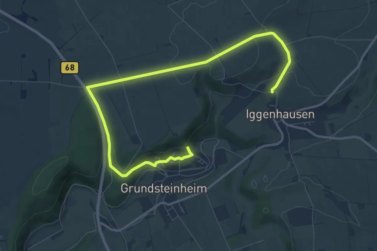
Grundsteinheim Rundweg G2
9.9 km · ↑ 208 m · 2 h 47 min
Easy · Trail
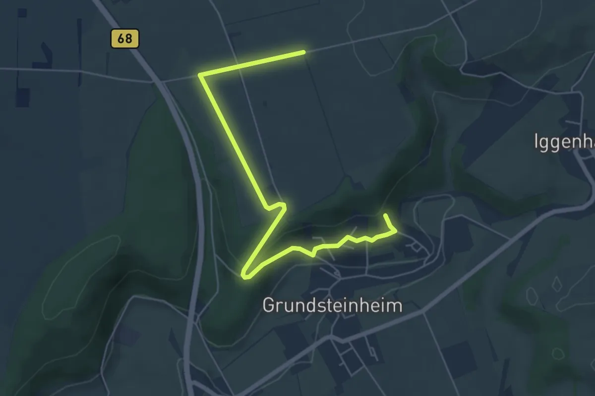
Grundsteinheim Rundweg G3
5.4 km · ↑ 115 m · 1 h 32 min
Easy · Trail
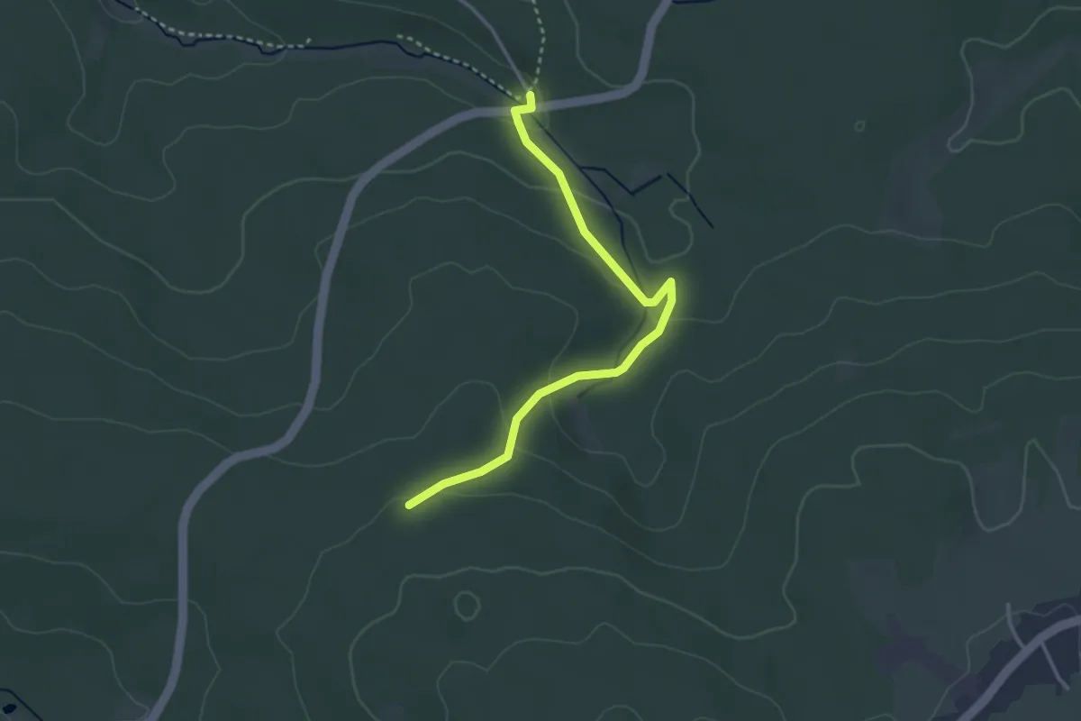
Grundstich - Parkplatz Axtbachtal
3.1 km · ↑ 103 m · 57 min
Medium · Summit
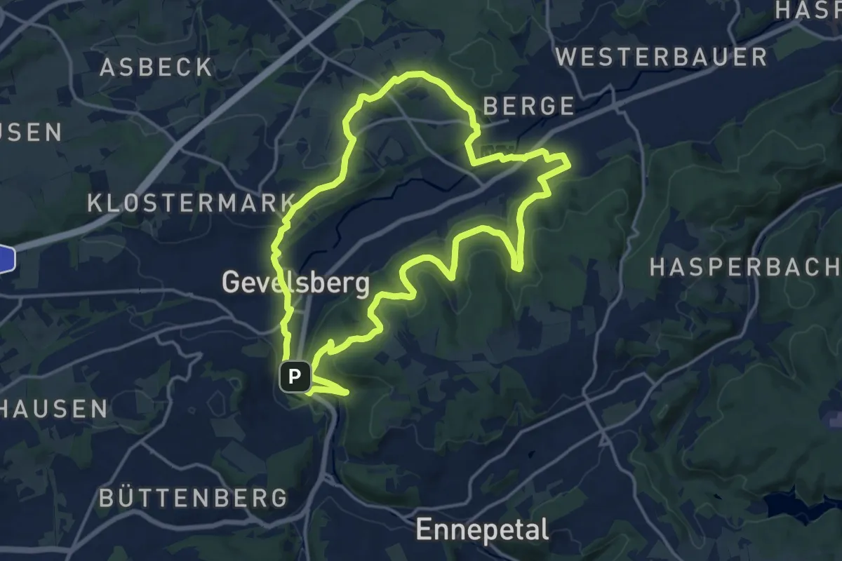
(G) Rund um Gevelsberg
14.1 km · ↑ 348 m · 4 h 17 min
Easy · Trail
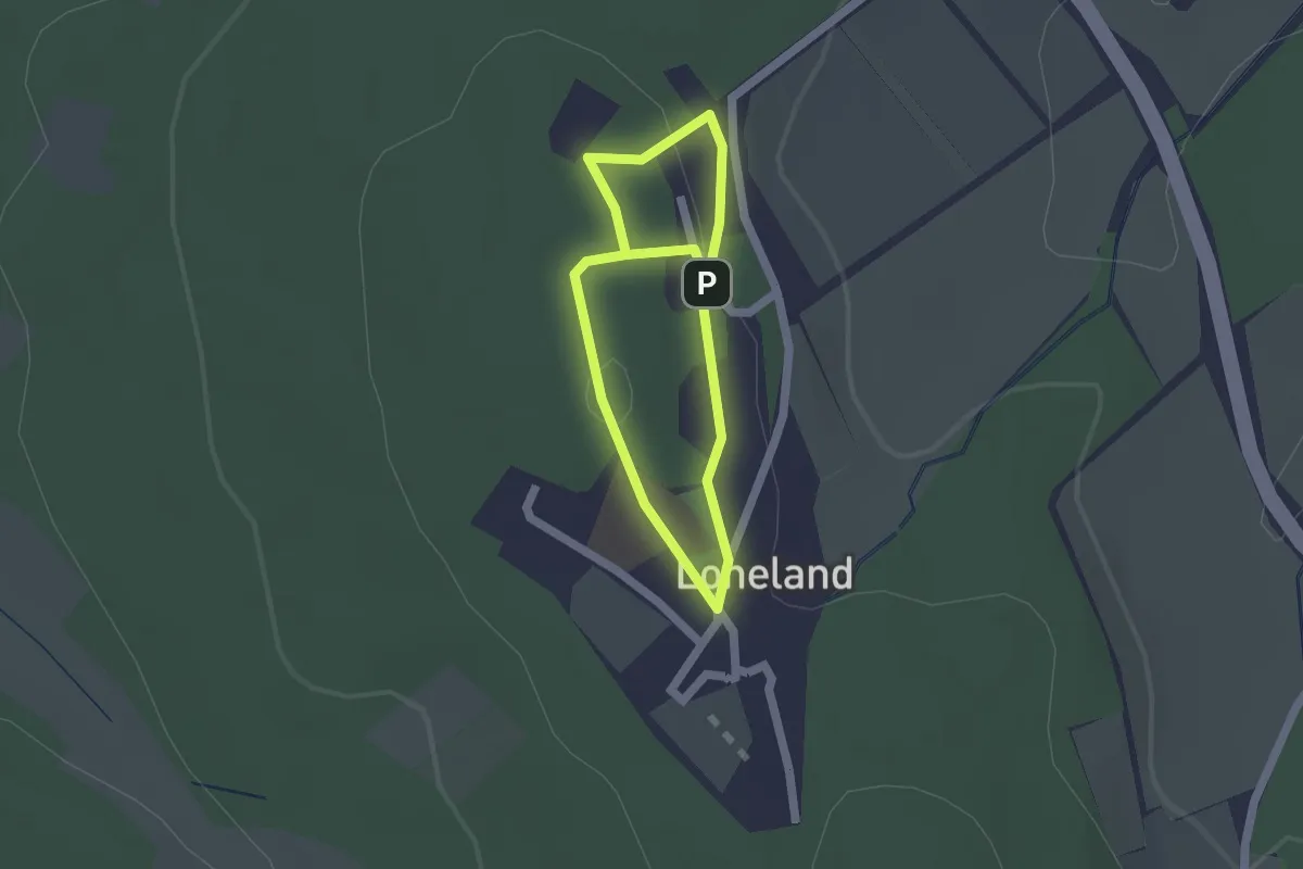
Gründungsgeschichte Loheland - Audiowalk
1.3 km · ↑ 23 m · 22 min
Easy · Trail
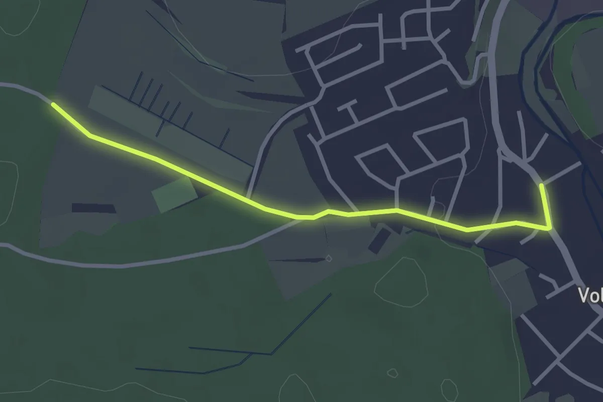
Grund - Volkertshausen Wehribrücke
2.7 km · ↑ 18 m · 40 min
Easy · Trail
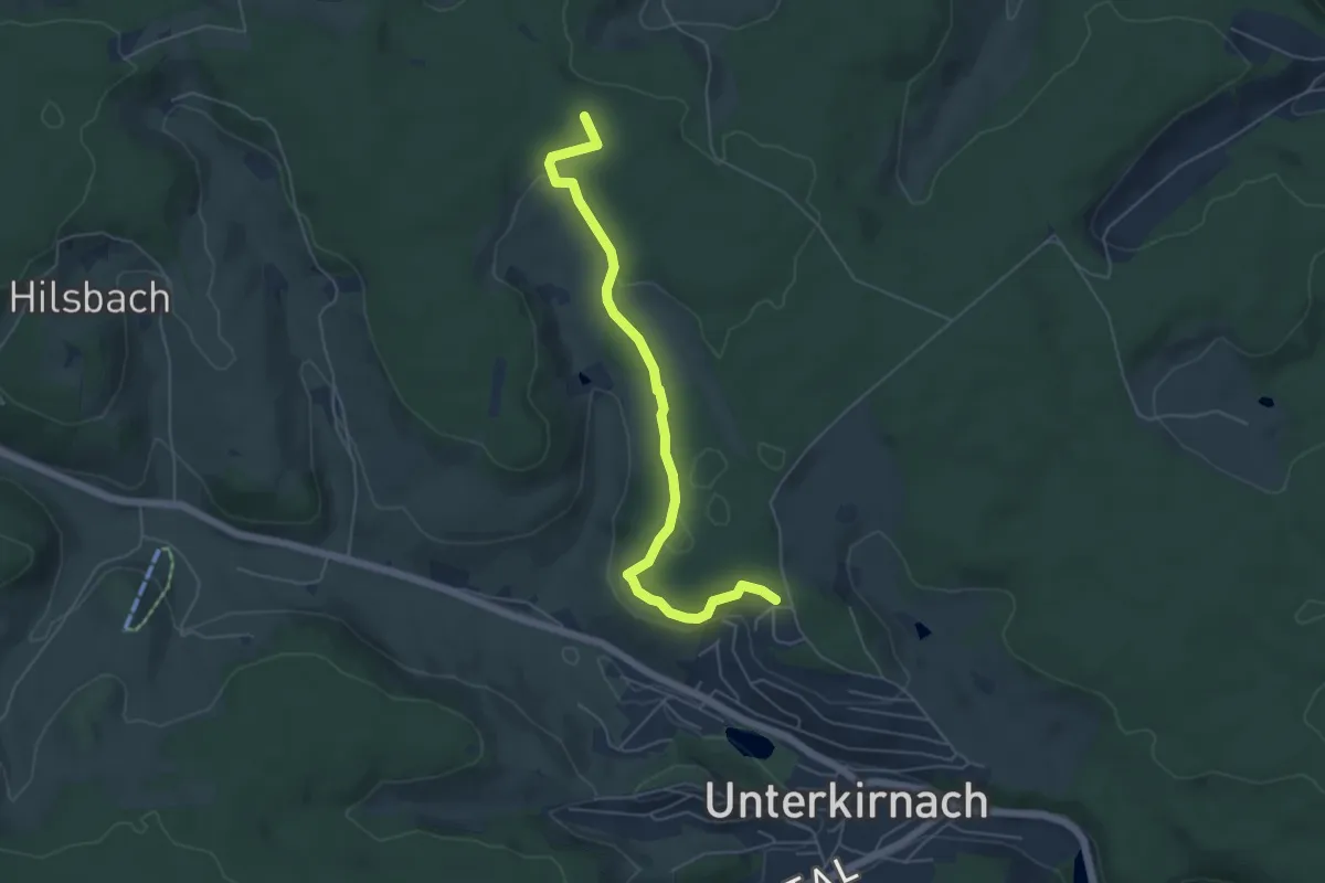
Grundwald - Am Wald
5.4 km · ↑ 101 m · 1 h 29 min
Easy · Trail
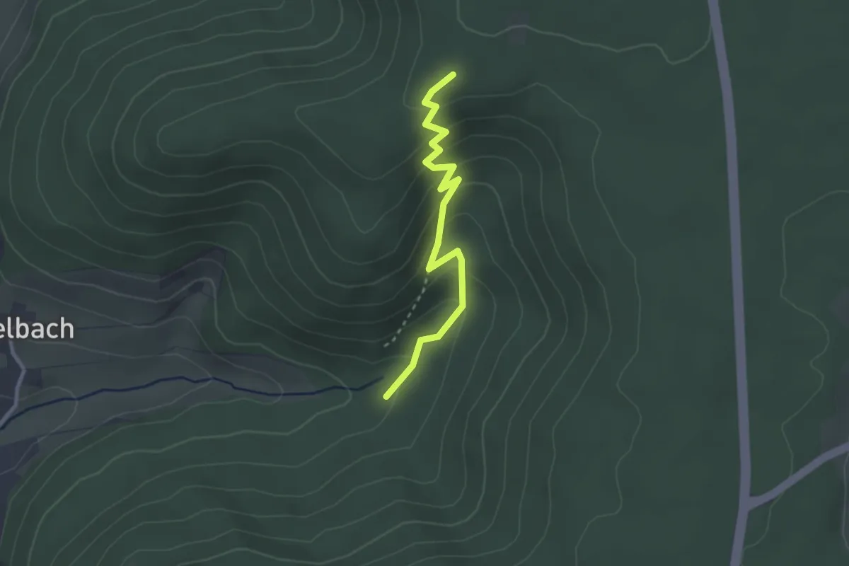
Grundwald-Hütte - Zwerenberg
2.6 km · ↑ 183 m · 1 h 1 min
Easy · Trail
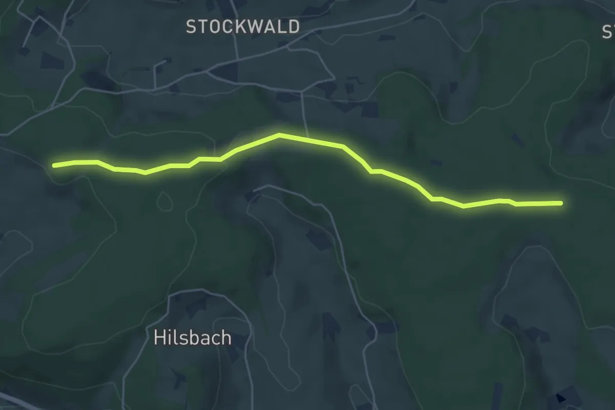
Grundwald - Kammerer Höhe
5.1 km · ↑ 82 m · 1 h 23 min
Easy · Trail
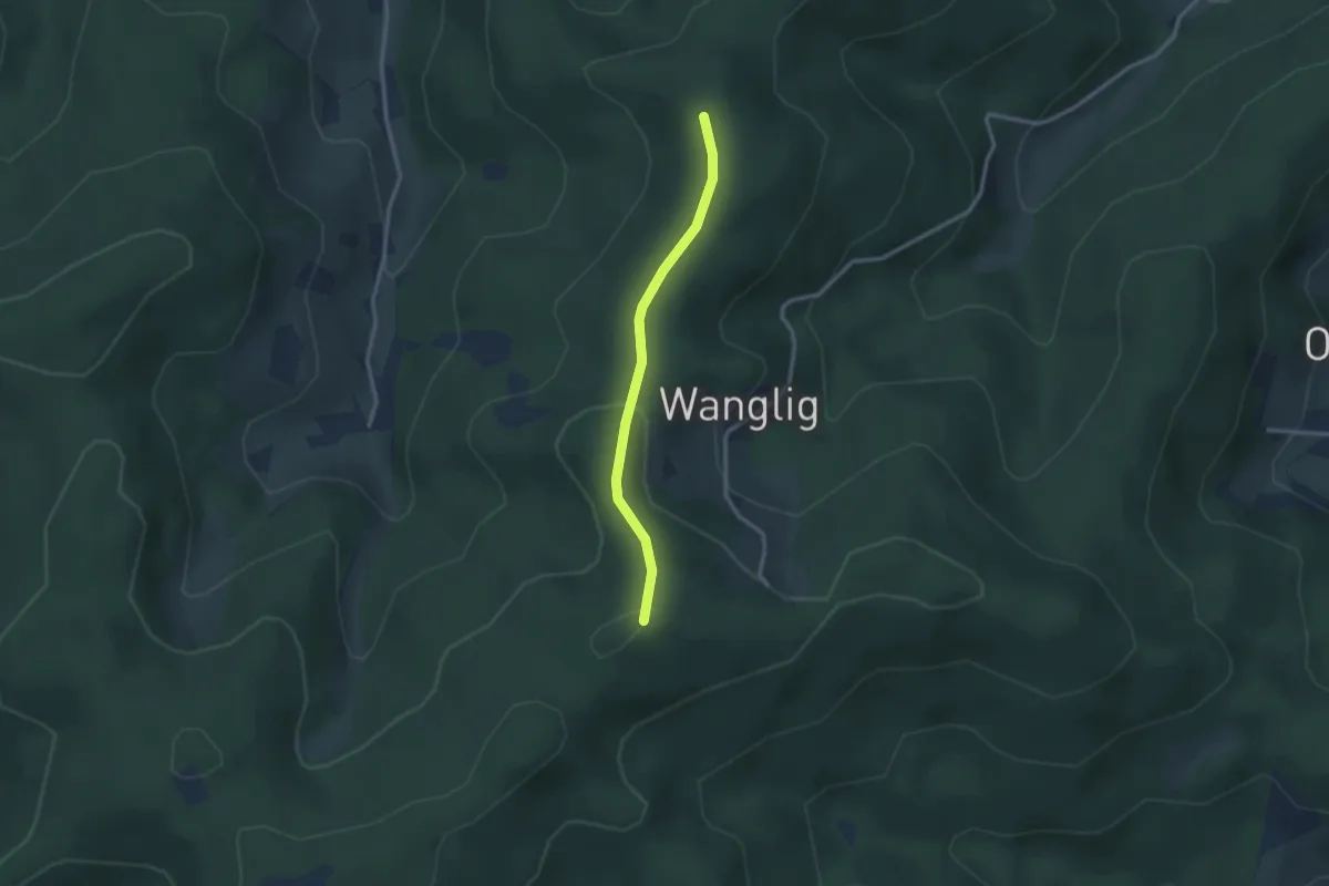
Grundwald - Niederbacher Eck
2.4 km · ↑ 79 m · 44 min
Easy · Trail
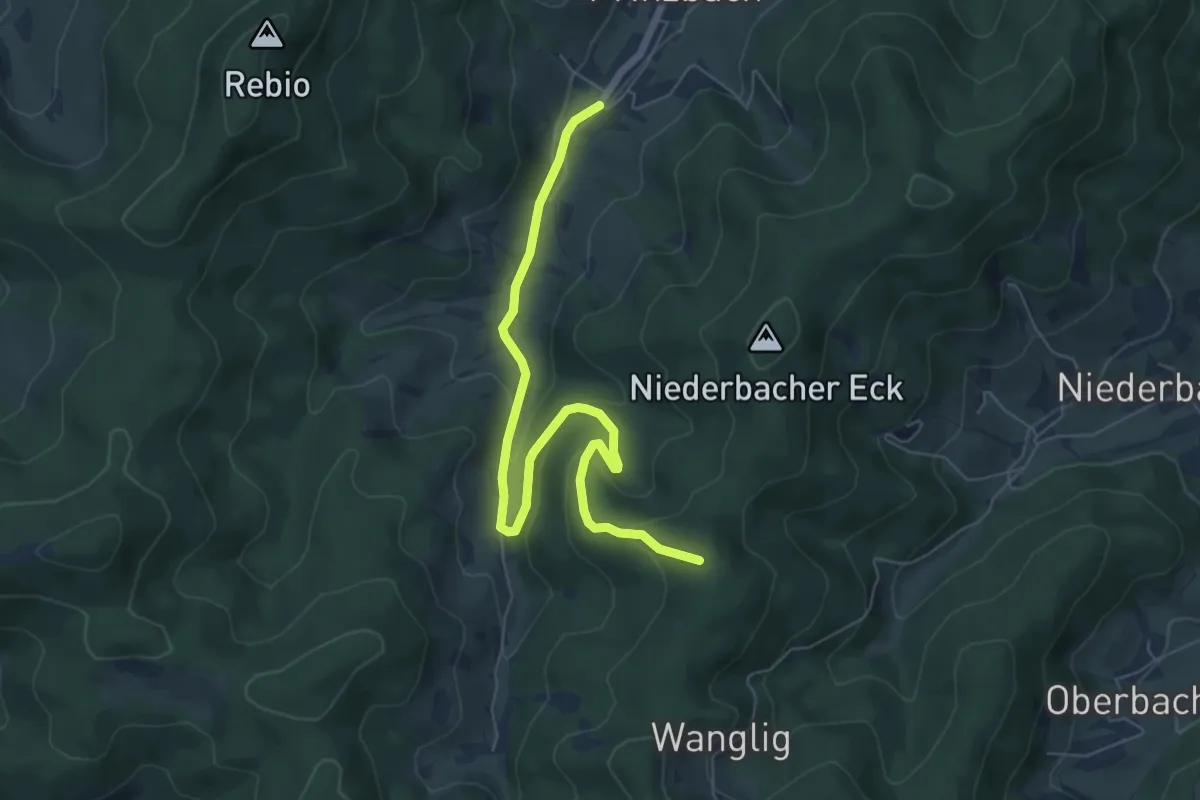
Grundwald - Prinzbach Kirche
6.7 km · ↑ 269 m · 2 h 10 min
Easy · Trail
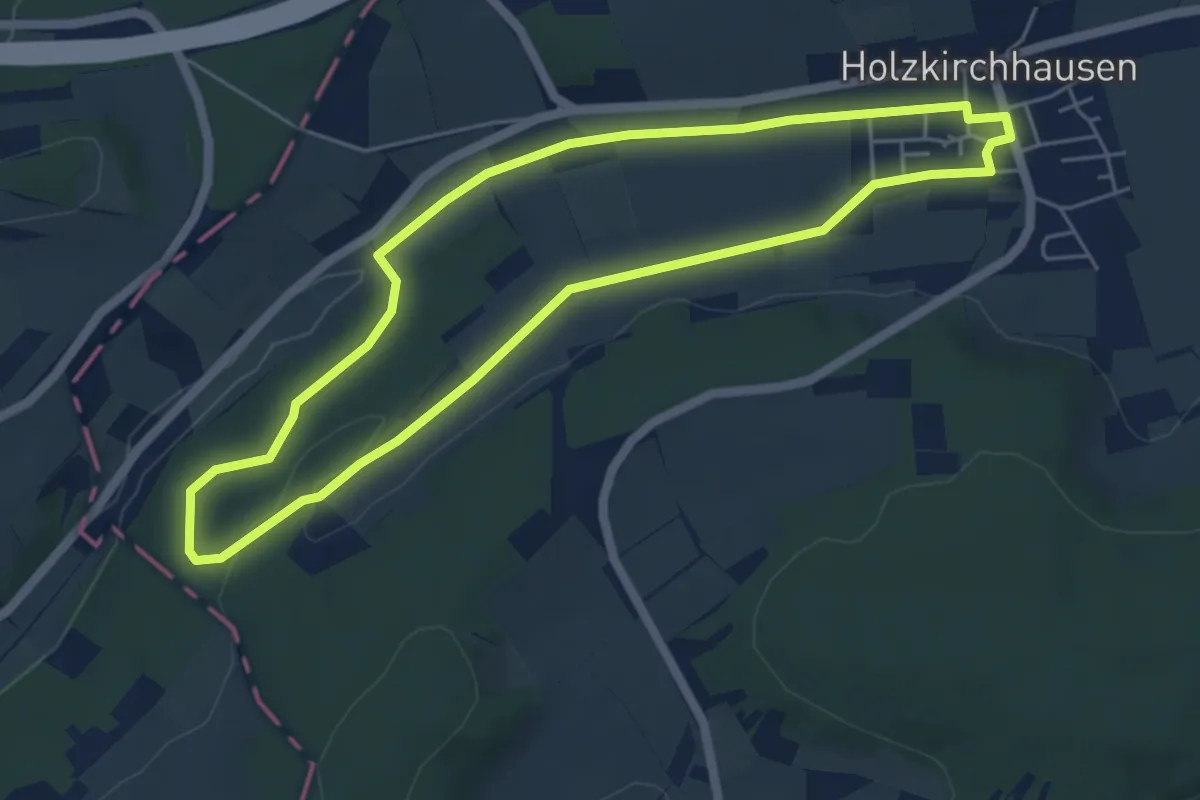
Grundwaldrunde
4.9 km · ↑ 54 m · 1 h 20 min
Easy · Trail
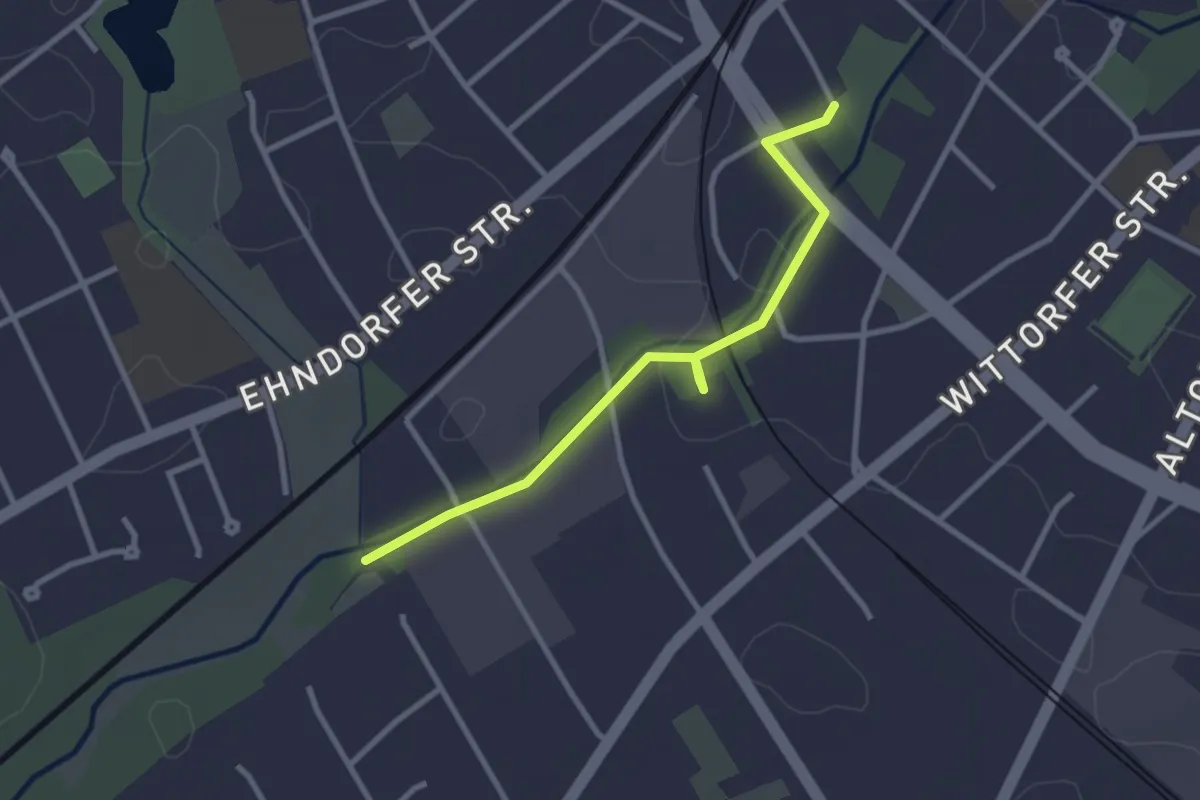
Grüne Achse "Schwaleniederung"
2.5 km · ↑ 4 m · 35 min