Trails in Germany
36,852 hiking trails, each with its route, climb, walking time and grade.
All trails, page 199 of 768
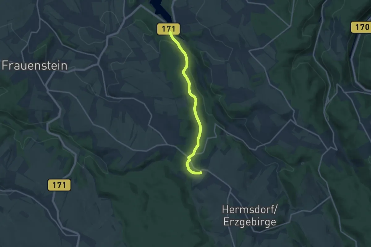
Medium · Trail
Grüner Punkt
10.2 km · ↑ 227 m · 2 h 53 min
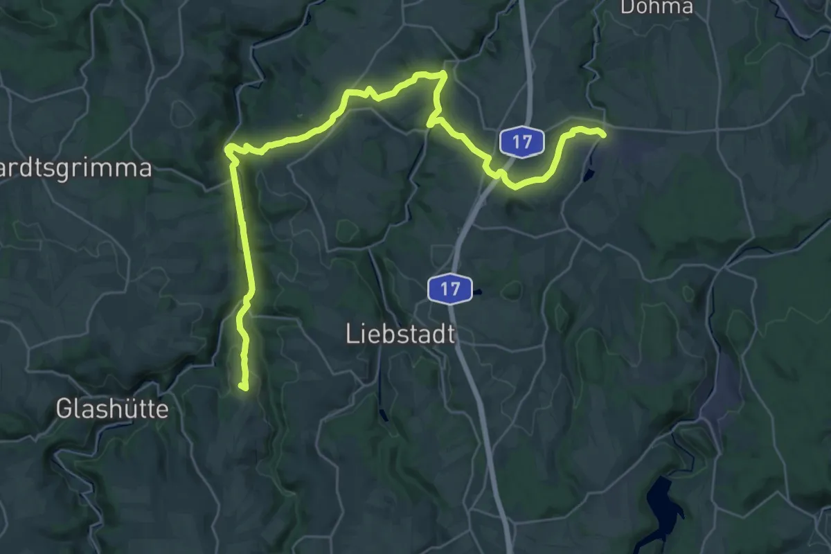
Demanding · Summit
Grüner Punkt
33.0 km · ↑ 695 m · 9 h 18 min
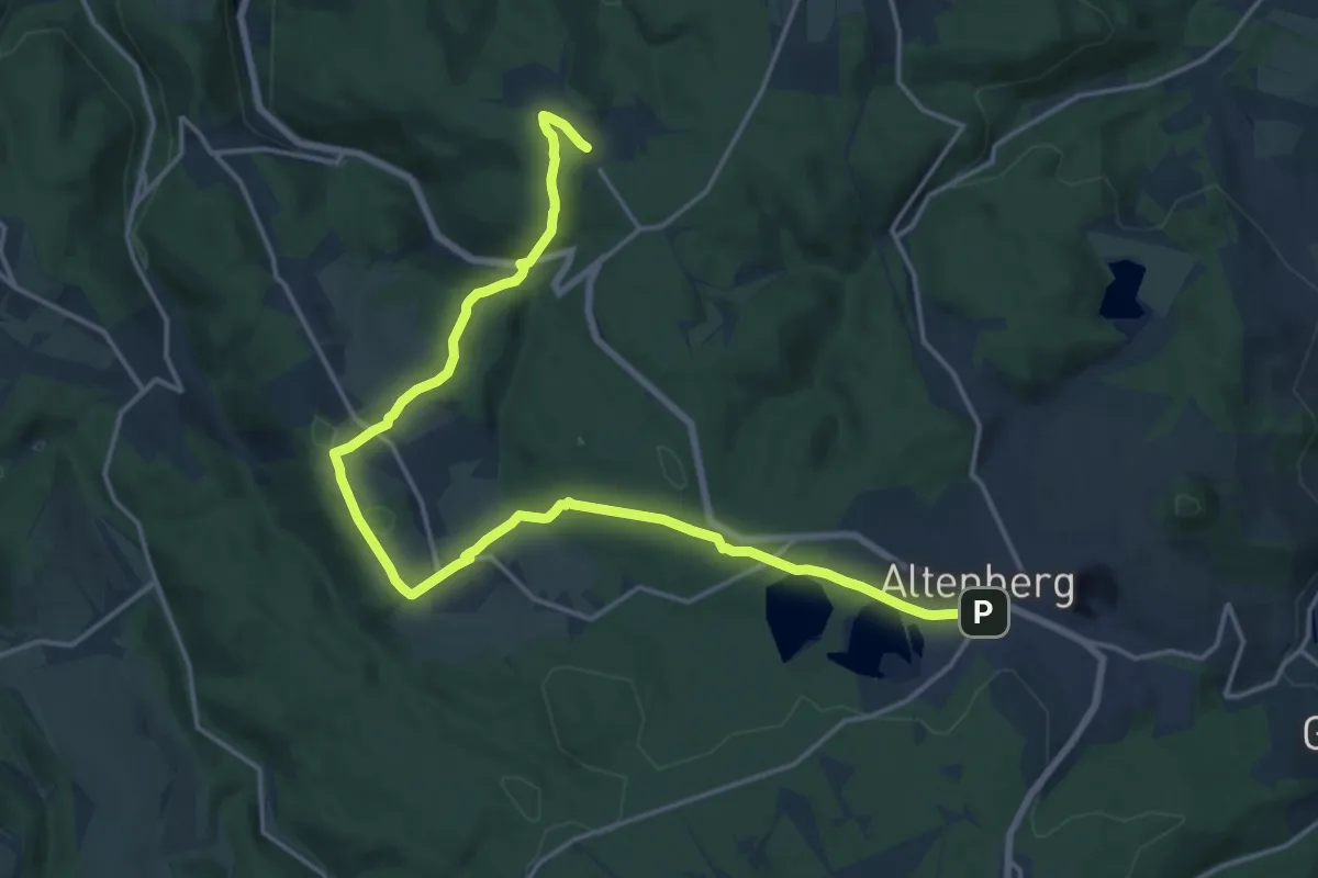
Demanding · Trail
Grüner Punkt
19.5 km · ↑ 477 m · 5 h 38 min
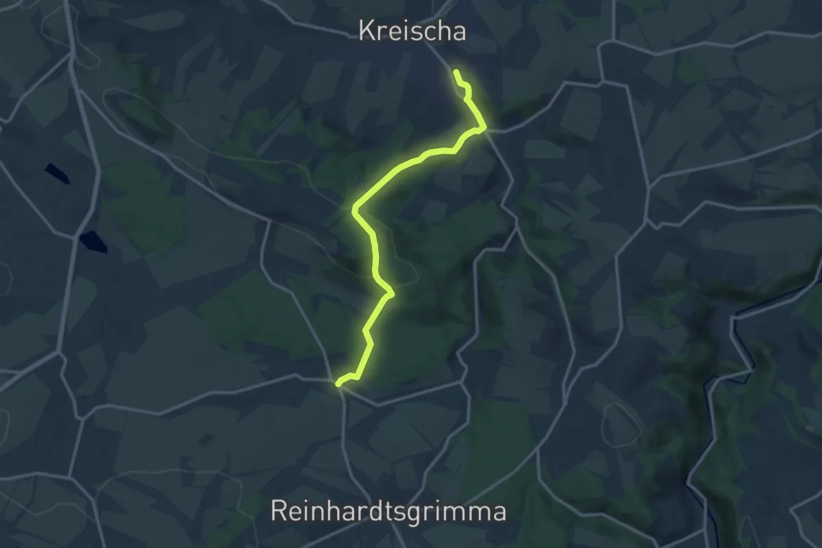
Medium · Trail
Grüner Punkt
10.8 km · ↑ 359 m · 3 h 19 min
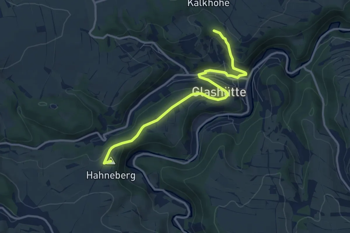
Medium · Summit
Grüner Punkt
8.1 km · ↑ 251 m · 2 h 28 min
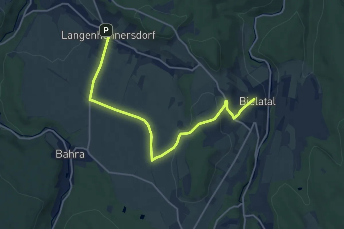
Medium · Trail
Grüner Punkt
10.6 km · ↑ 211 m · 2 h 58 min
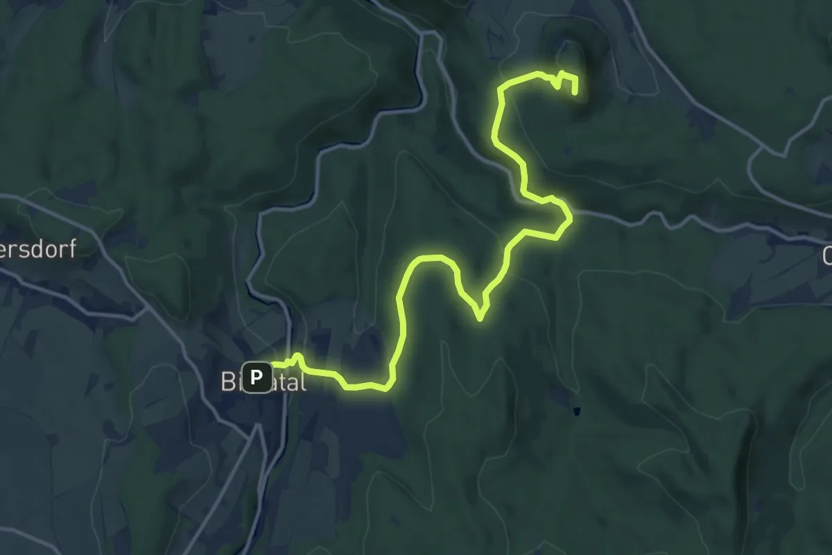
Medium · Summit
Grüner Punkt
13.8 km · ↑ 445 m · 4 h 14 min
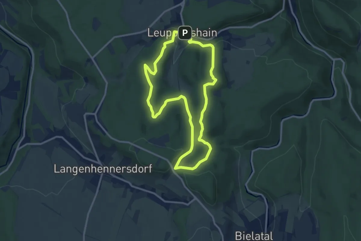
Medium · Trail
Grüner Punkt
7.4 km · ↑ 139 m · 2 h 9 min
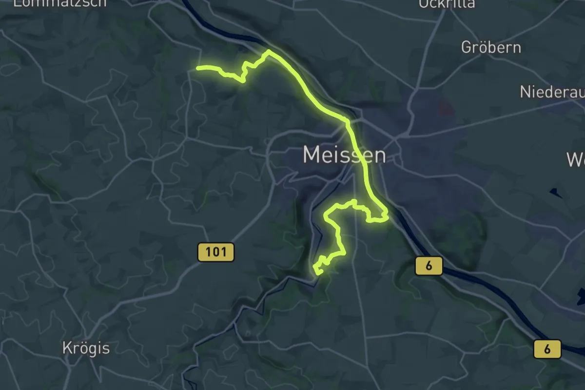
Demanding · Summit
Grüner Punkt
25.0 km · ↑ 408 m · 6 h 47 min
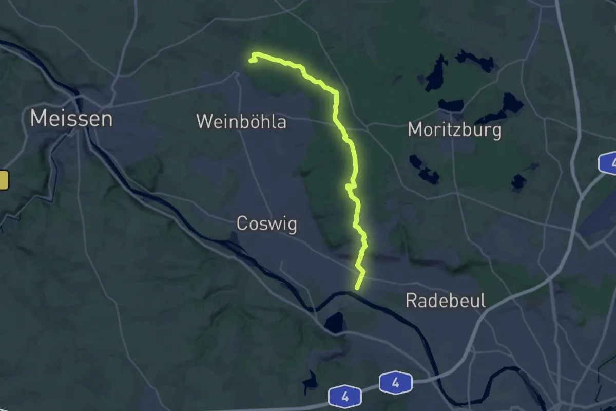
Demanding · Summit
Grüner Punkt
26.1 km · ↑ 235 m · 6 h 40 min
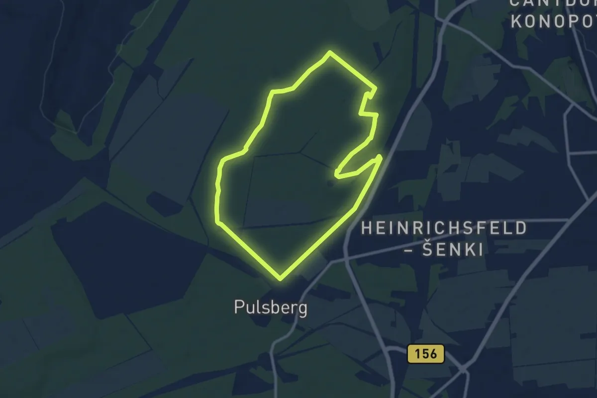
Easy · Summit
Grüner Punkt
7.5 km · ↑ 37 m · 1 h 58 min
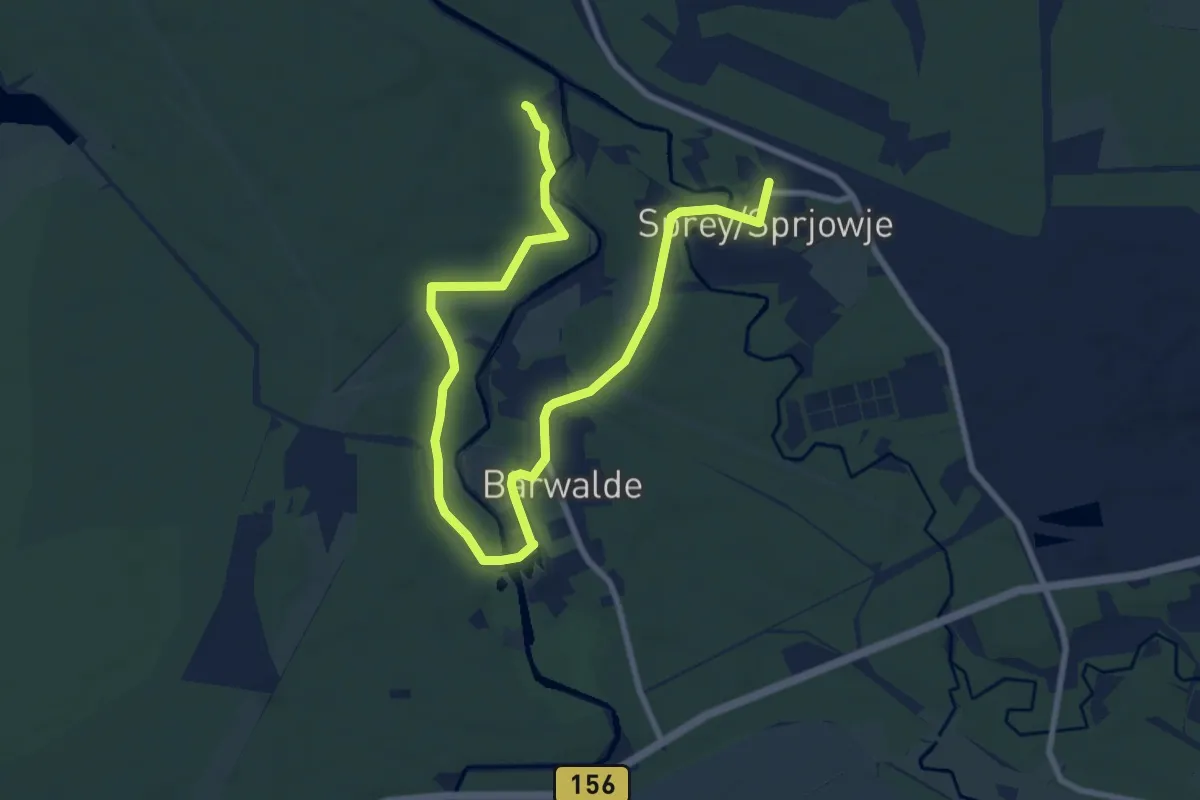
Medium · Trail
Grüner Punkt
11.0 km · ↑ 48 m · 2 h 42 min
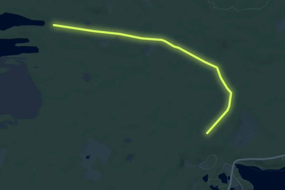
Easy · Trail
Grüner Punkt
3.4 km · ↑ 27 m · 54 min
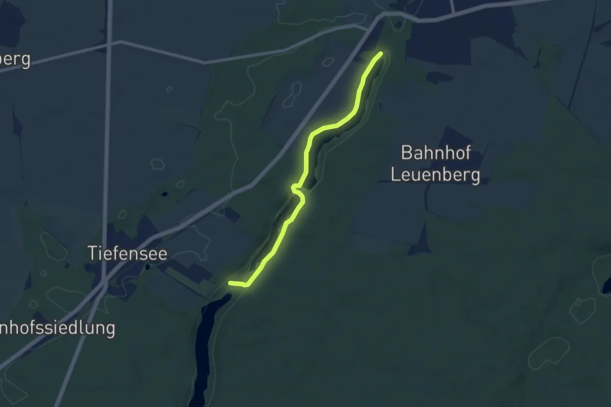
Easy · Trail
Grüner Punkt
6.1 km · ↑ 34 m · 1 h 30 min
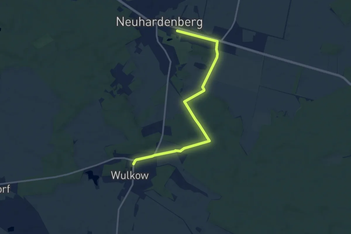
Medium · Trail
Grüner Punkt
9.7 km · ↑ 42 m · 2 h 23 min
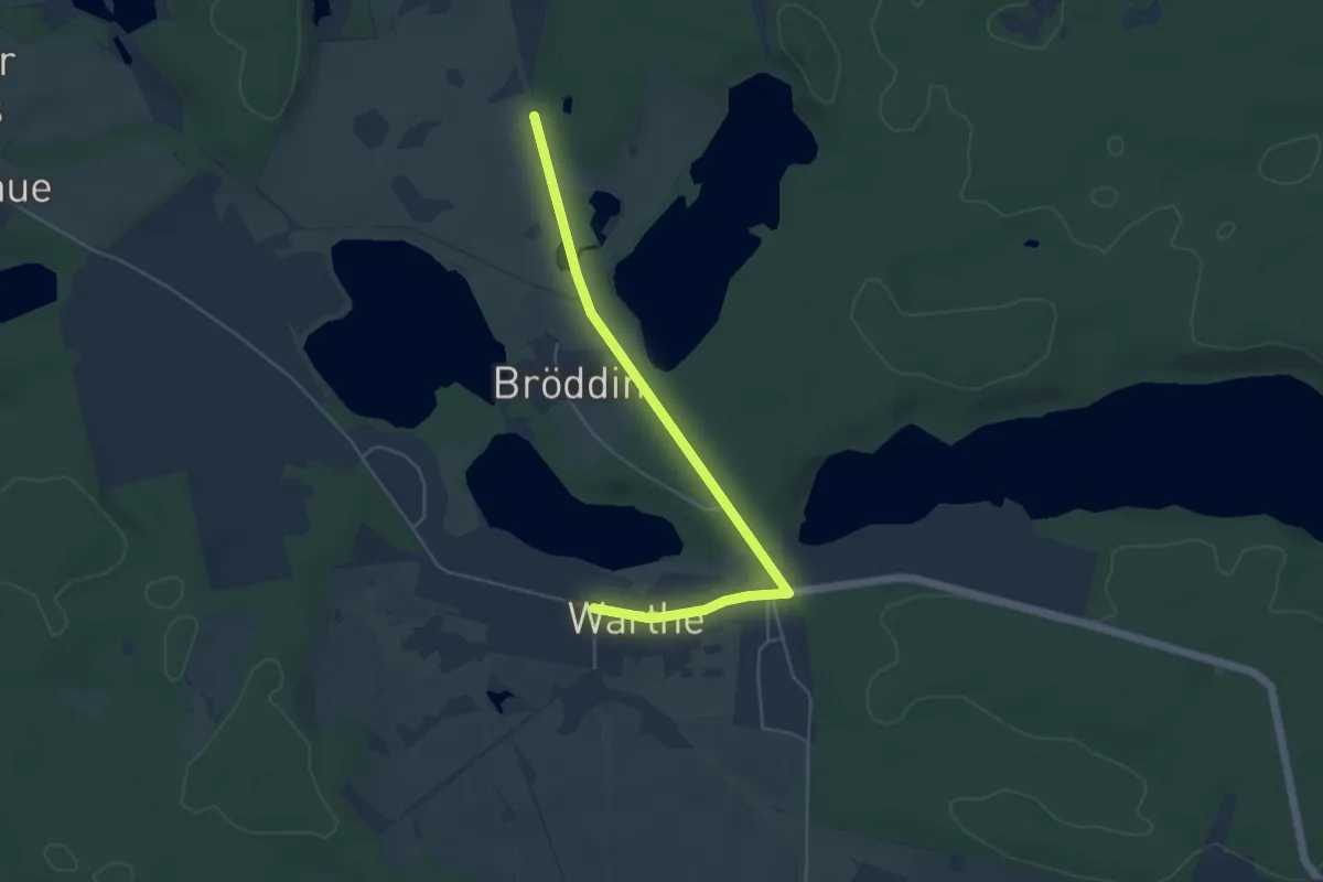
Easy · Trail
Grüner Punkt
4.4 km · ↑ 23 m · 1 h 6 min
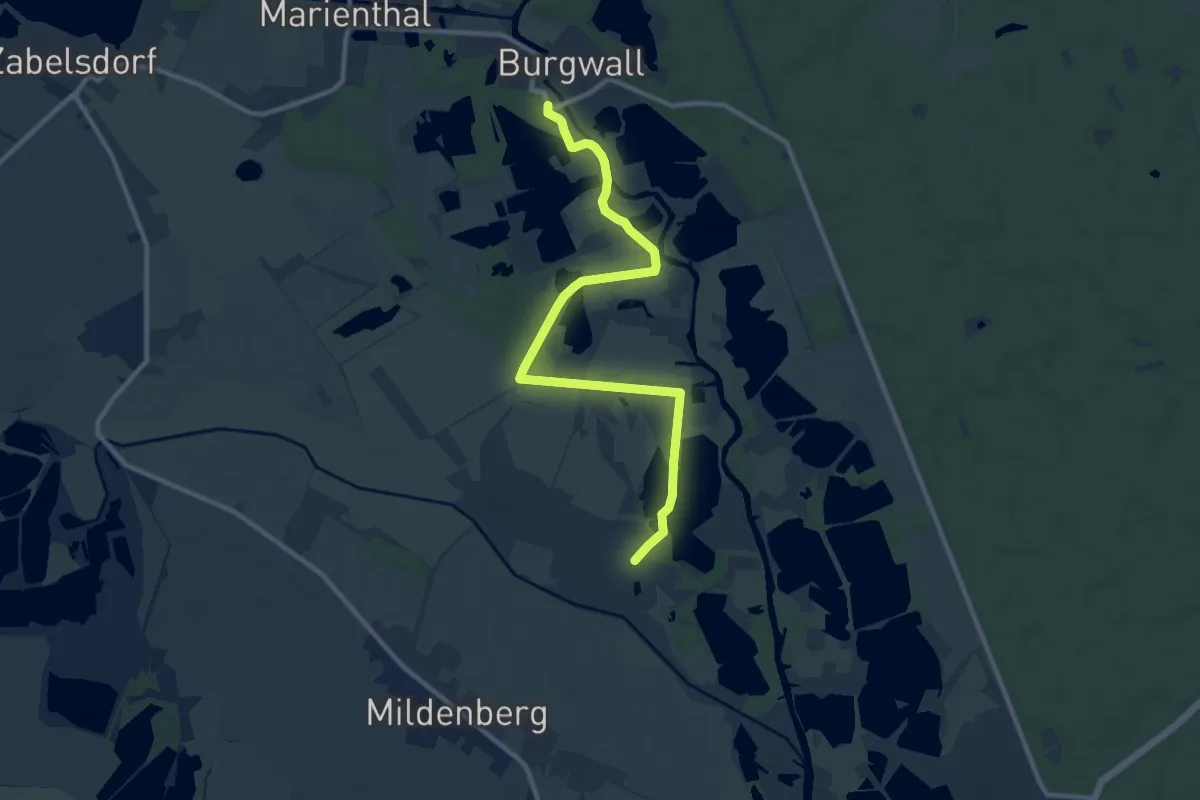
Medium · Trail
Grüner Punkt
10.1 km · ↑ 13 m · 2 h 24 min
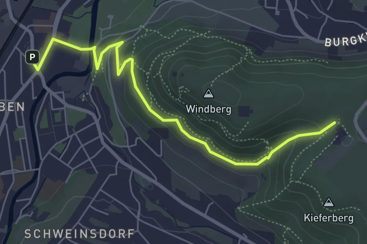
Easy · Trail
Grüner Punkt auf den Windberg hoch
5.4 km · ↑ 178 m · 1 h 39 min
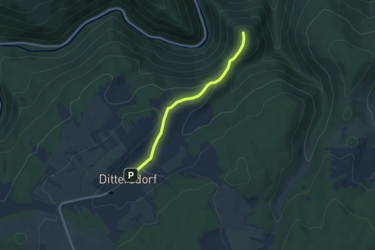
Easy · Summit
Grüner Punkt Bad Blankenburg - Dittersdorf
4.4 km · ↑ 144 m · 1 h 21 min
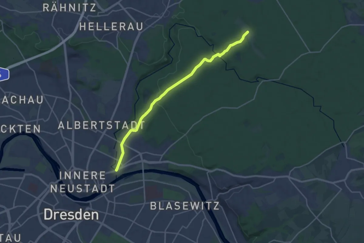
Medium · Trail
Grüner Punkt "Dresdner Heide, Marienallee - Hofewiese"
15.6 km · ↑ 174 m · 4 h 4 min
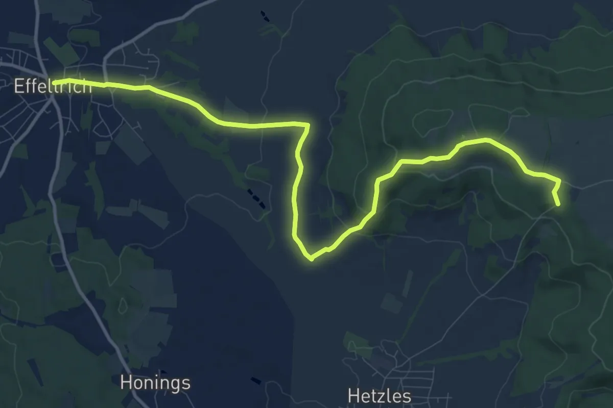
Medium · Trail
Grüner Punkt Effeltrich - Streitbaum
12.1 km · ↑ 294 m · 3 h 29 min
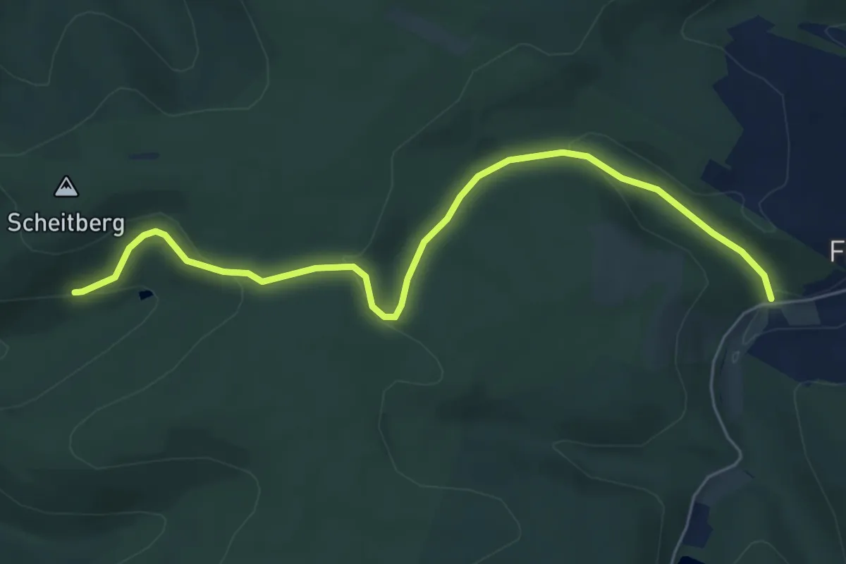
Easy · Trail
Grüner Punkt Friedebach
5.5 km · ↑ 153 m · 1 h 38 min
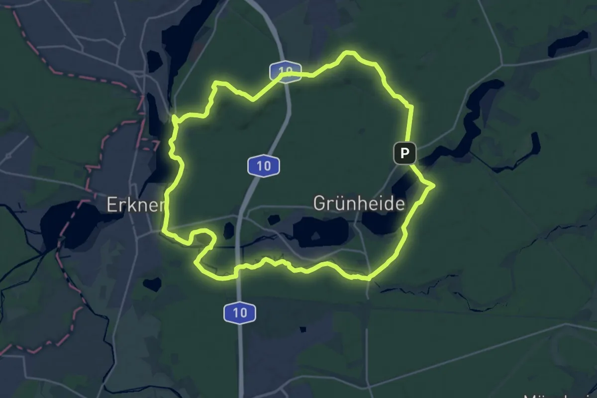
Demanding · Summit
Grüner Punkt Höhenwanderweg
20.1 km · ↑ 112 m · 5 h 16 min
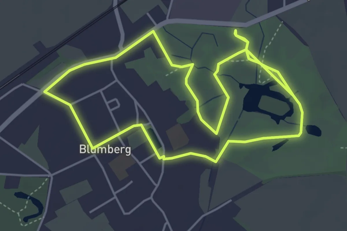
Easy · Trail
Grüner Punkt Lenné-Park Rundweg
4.0 km · ↑ 4 m · 1 h 1 min
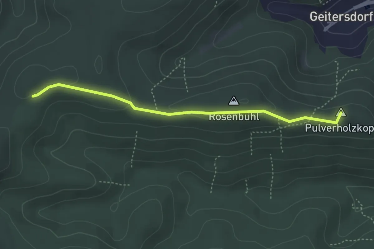
Easy · Summit
Grüner Punkt Planzwirbach - Pulverholzweg
3.7 km · ↑ 87 m · 1 h 3 min
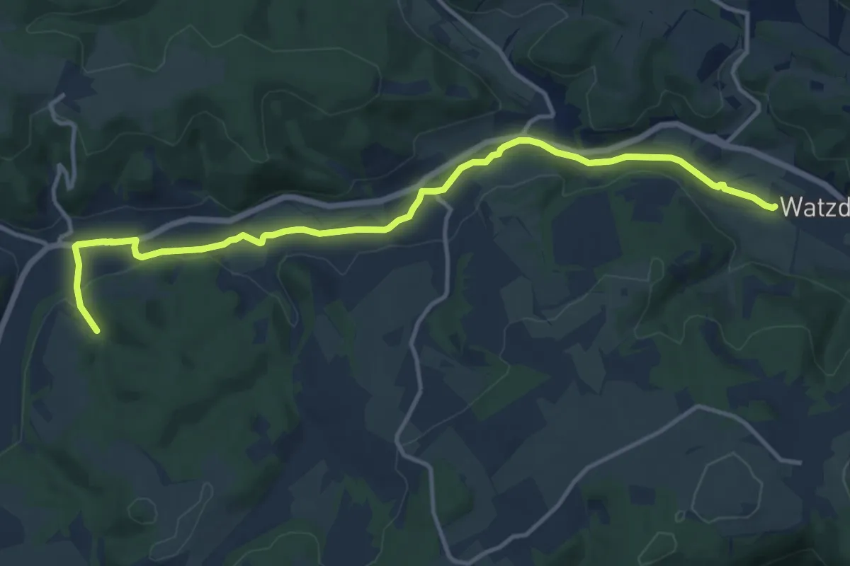
Medium · Trail
Grüner Punkt, Rinnetal
12.0 km · ↑ 84 m · 3 h
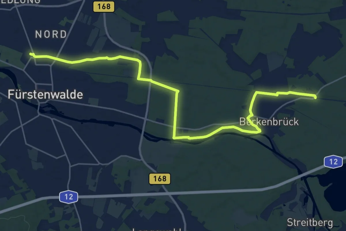
Demanding · Trail
Grüner Punkt - Route 10
21.3 km · ↑ 41 m · 5 h 8 min
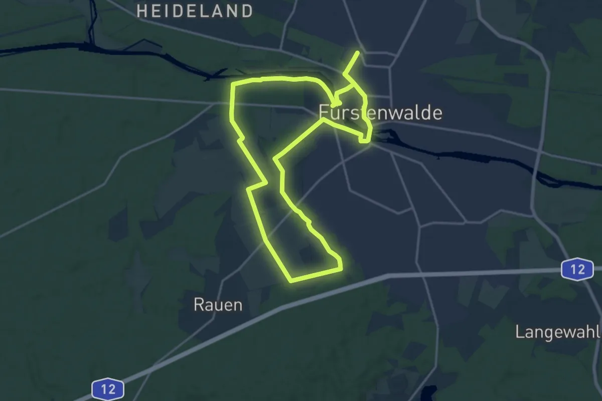
Medium · Summit
Grüner Punkt - Route 5
14.1 km · ↑ 45 m · 3 h 37 min
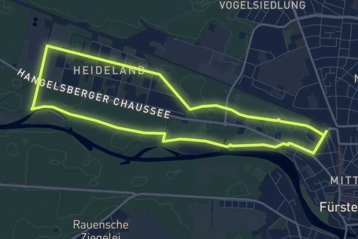
Medium · Trail
Grüner Punkt - Route 8
8.3 km · ↑ 21 m · 2 h 7 min
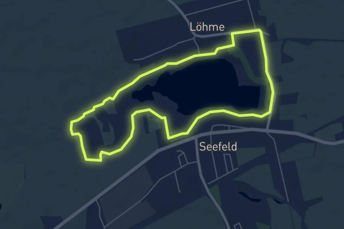
Easy · Trail
Grüner Punkt Rundweg Haussee
4.9 km · ↑ 8 m · 1 h 15 min
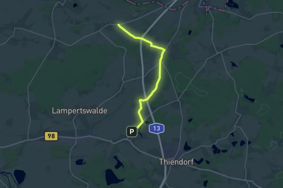
Medium · Trail
Grüner Punkt, Schönfeld,-Linz-Blochwitz
15.4 km · ↑ 92 m · 3 h 50 min
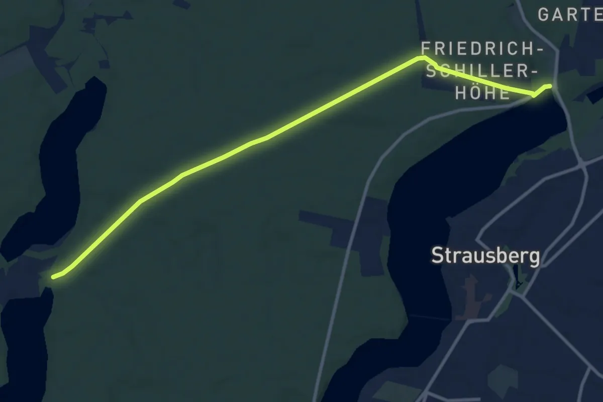
Medium · Trail
Grüner Punkt Spitzmühle - Strausberg Stadt
9.0 km · ↑ 48 m · 2 h 14 min
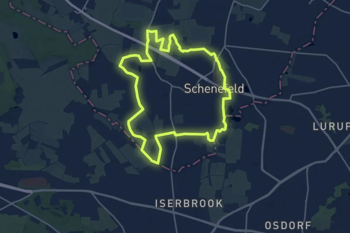
Medium · Trail
Grüner Ring Schenefeld
11.4 km · ↑ 13 m · 2 h 52 min
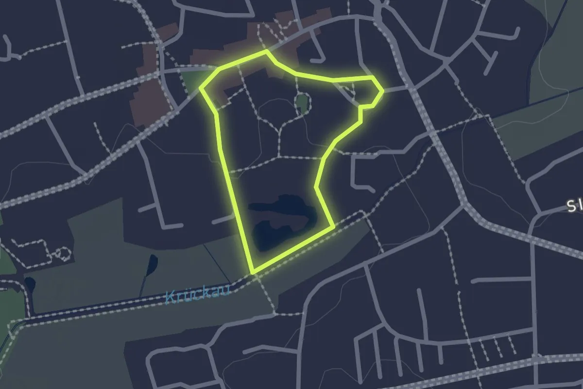
Easy · Trail
Grüner Rundweg
1.2 km · ↑ 0 m · 19 min
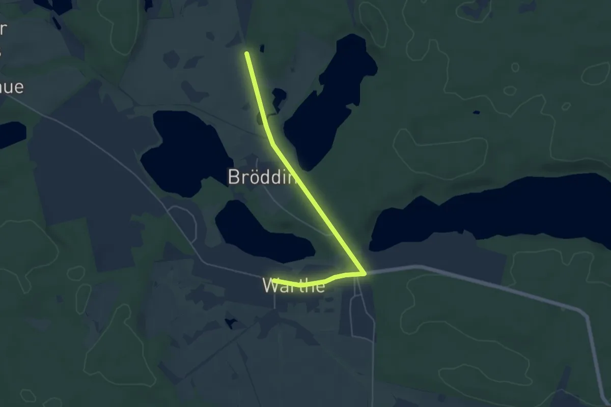
Easy · Trail
Grüner Schrägstrich
4.4 km · ↑ 23 m · 1 h 6 min
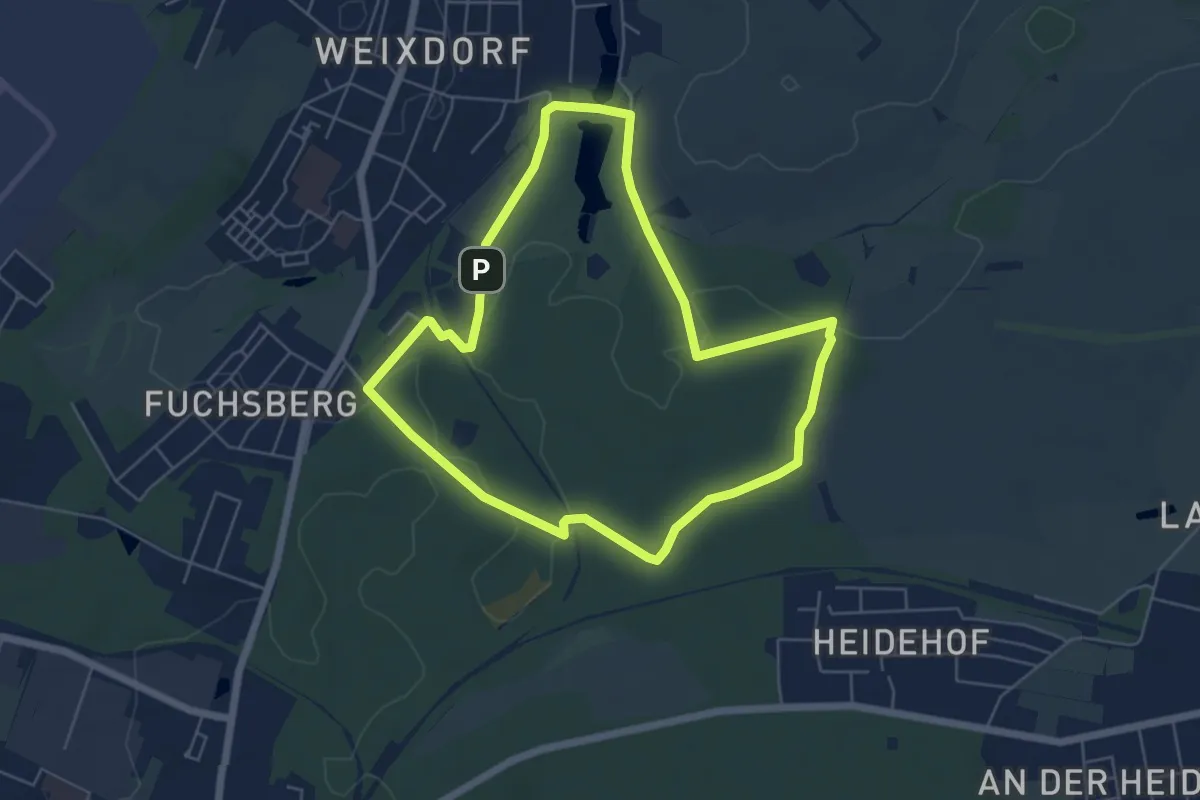
Easy · Trail
Grüner Schrägstrich "Weixdorfer Lehrpfad"
5.1 km · ↑ 27 m · 1 h 19 min
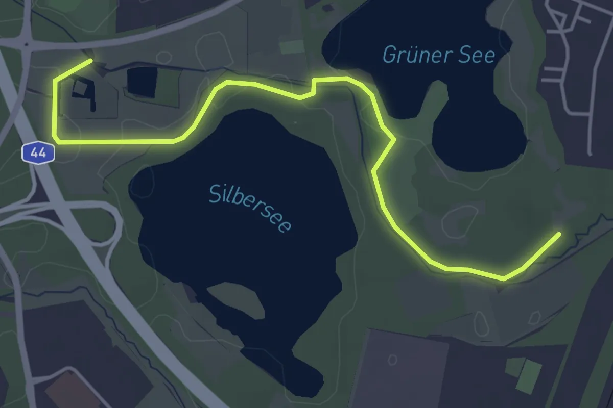
Easy · Trail
Grüner See Rundweg A10
2.2 km · ↑ 5 m · 33 min
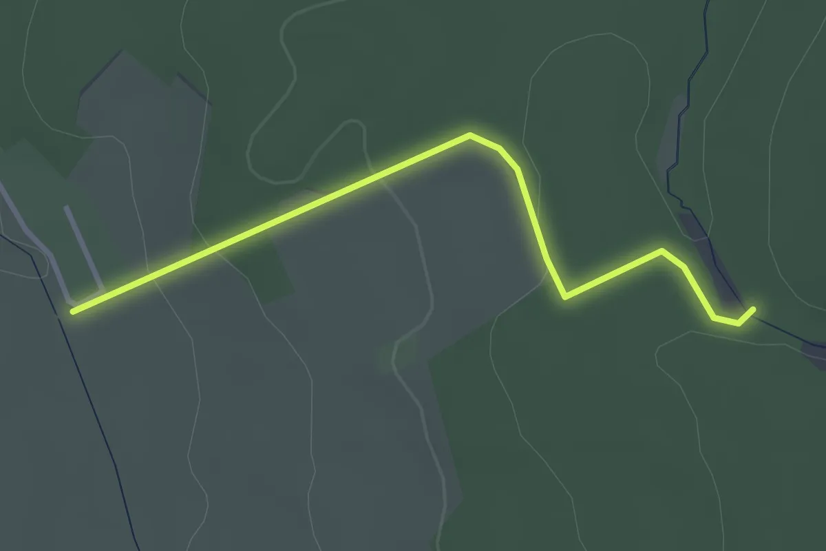
Easy · Trail
Grüner Strich
2.8 km · ↑ 92 m · 51 min
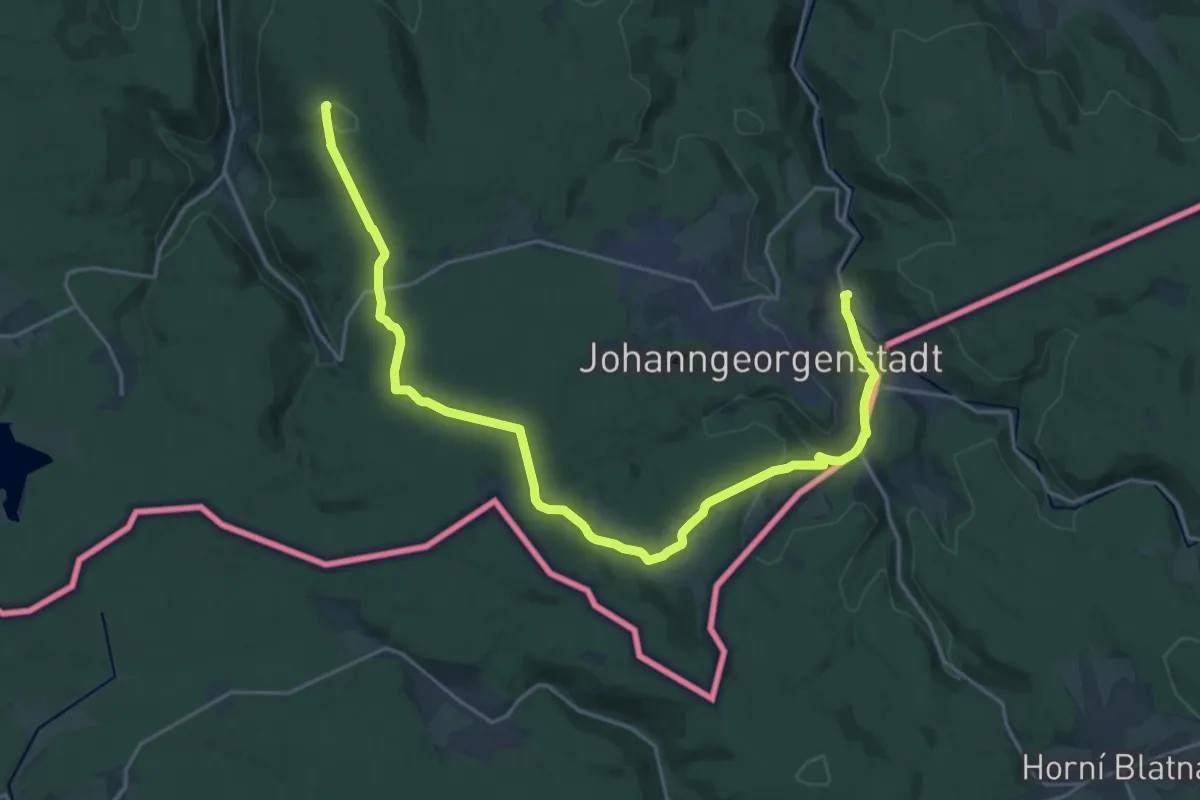
Demanding · Summit
Grüner Strich
24.1 km · ↑ 531 m · 6 h 51 min
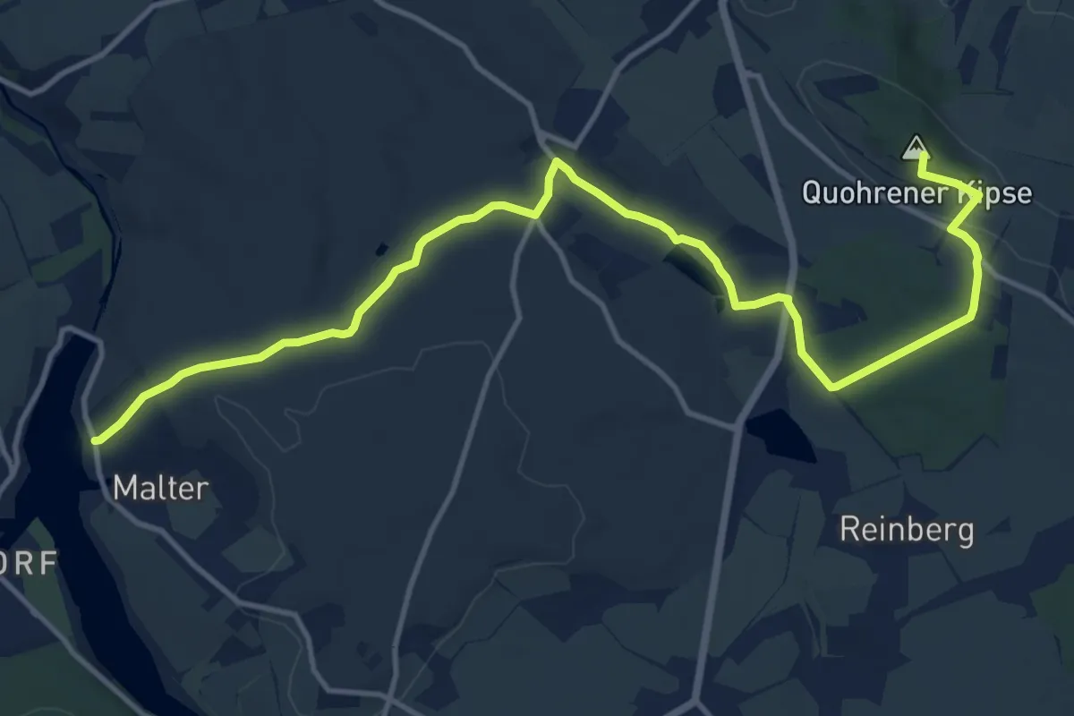
Medium · Summit
Grüner Strich
13.9 km · ↑ 235 m · 3 h 47 min
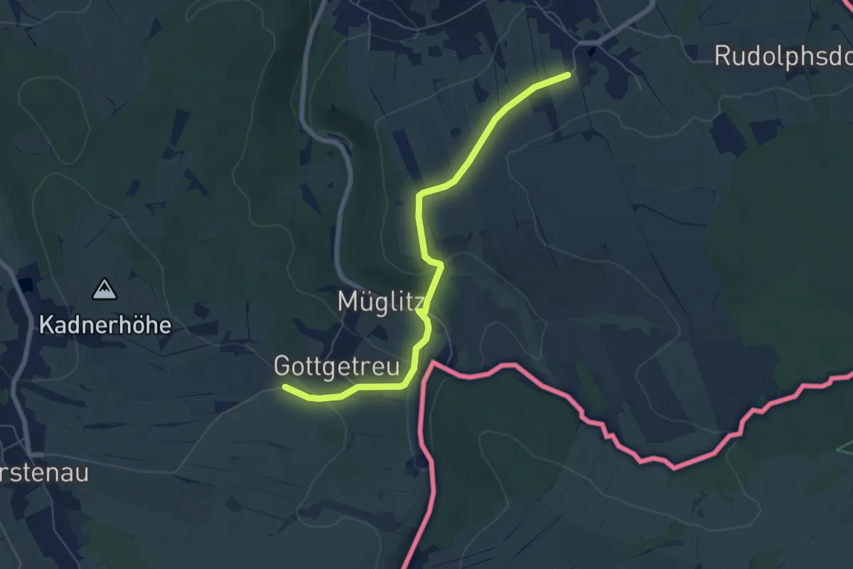
Easy · Trail
Grüner Strich
5.8 km · ↑ 146 m · 1 h 41 min
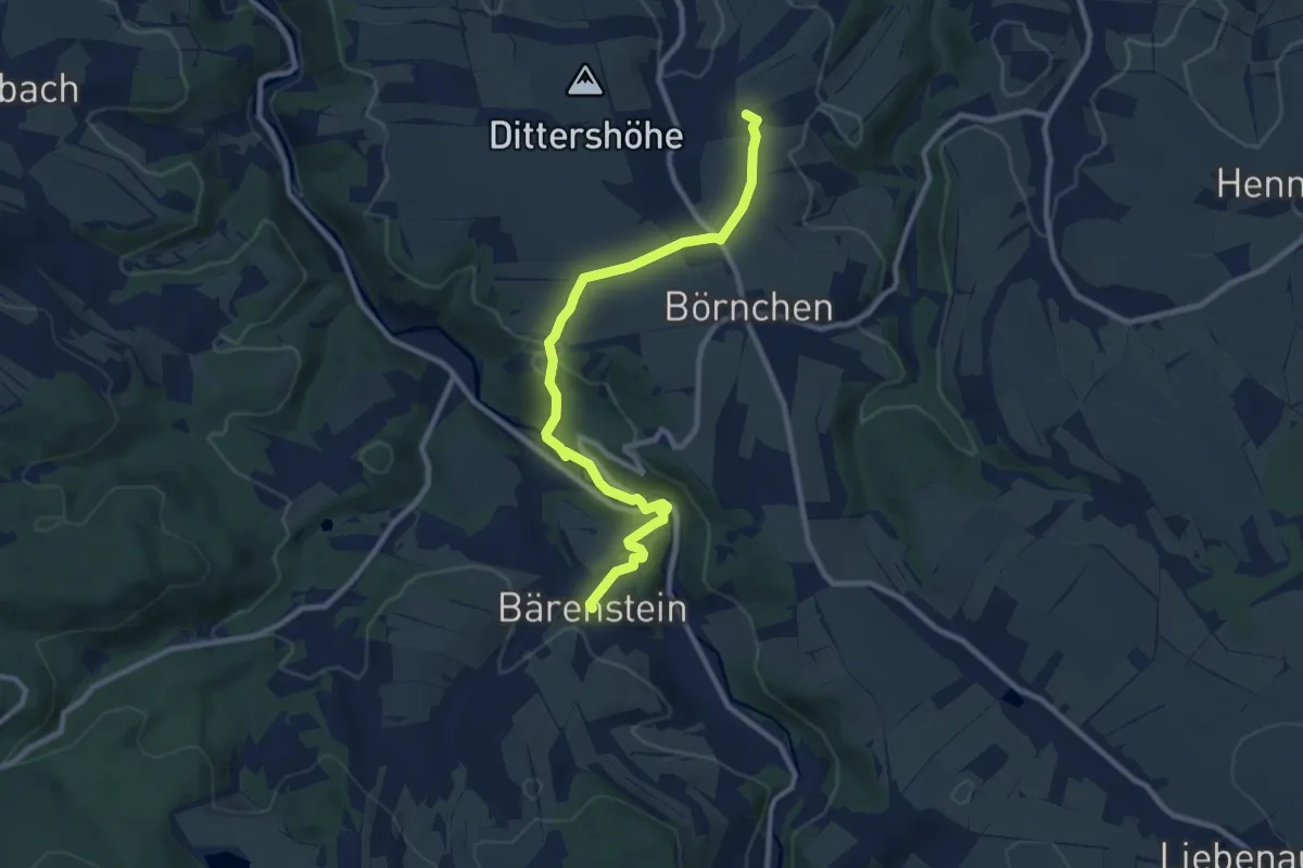
Medium · Trail
Grüner Strich
9.4 km · ↑ 263 m · 2 h 48 min
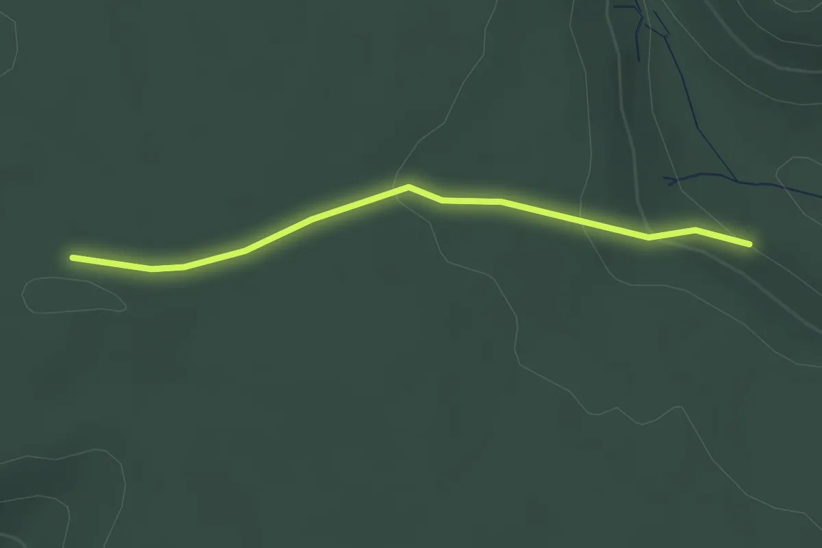
Easy · Trail
Grüner Strich
2.3 km · ↑ 76 m · 43 min
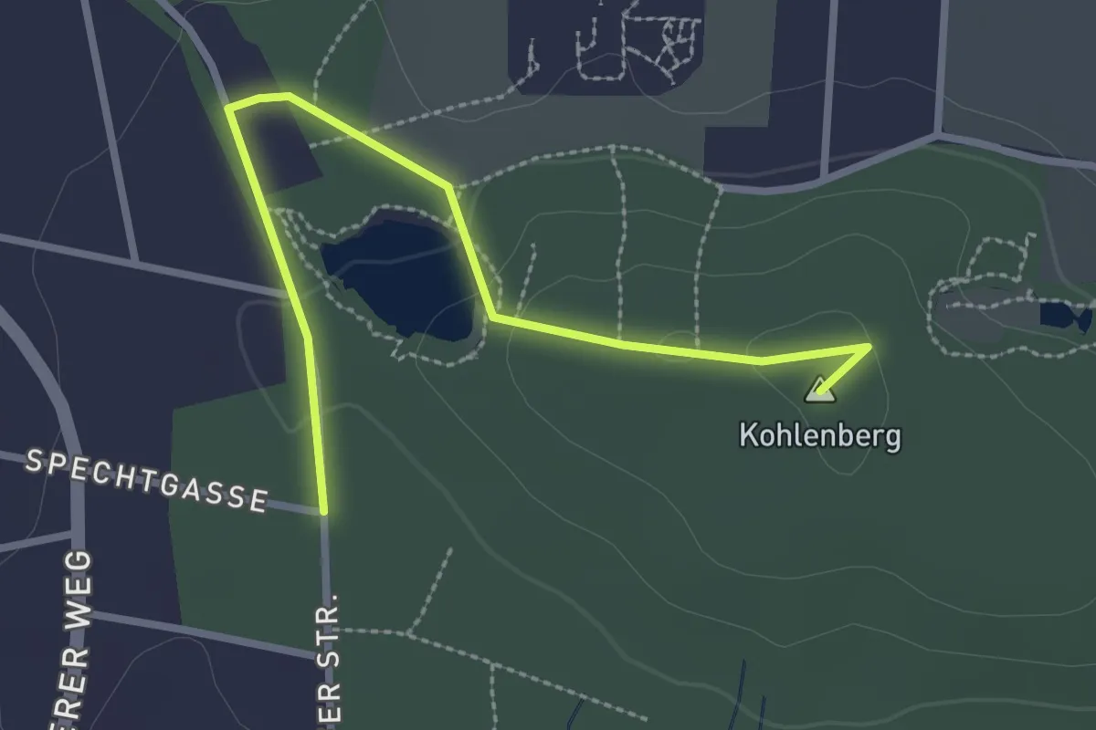
Easy · Summit
Grüner Strich
2.7 km · ↑ 38 m · 43 min
Medium · Trail
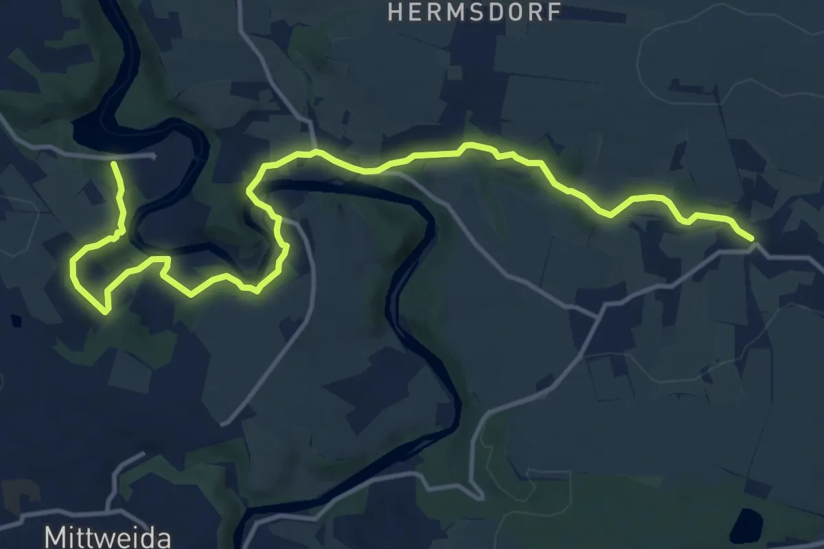
Grüner Strich
13.5 km · ↑ 297 m · 3 h 50 min
Medium · Trail
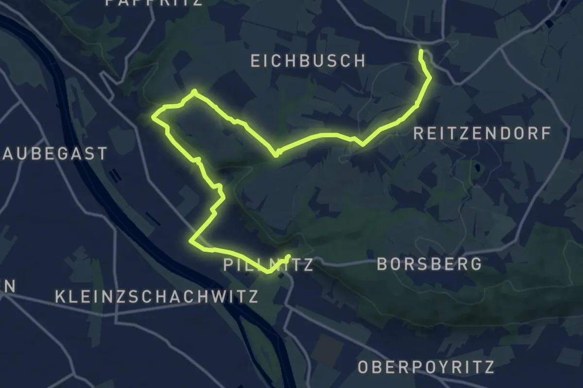
Grüner Strich
14.5 km · ↑ 384 m · 4 h 15 min
Medium · Trail
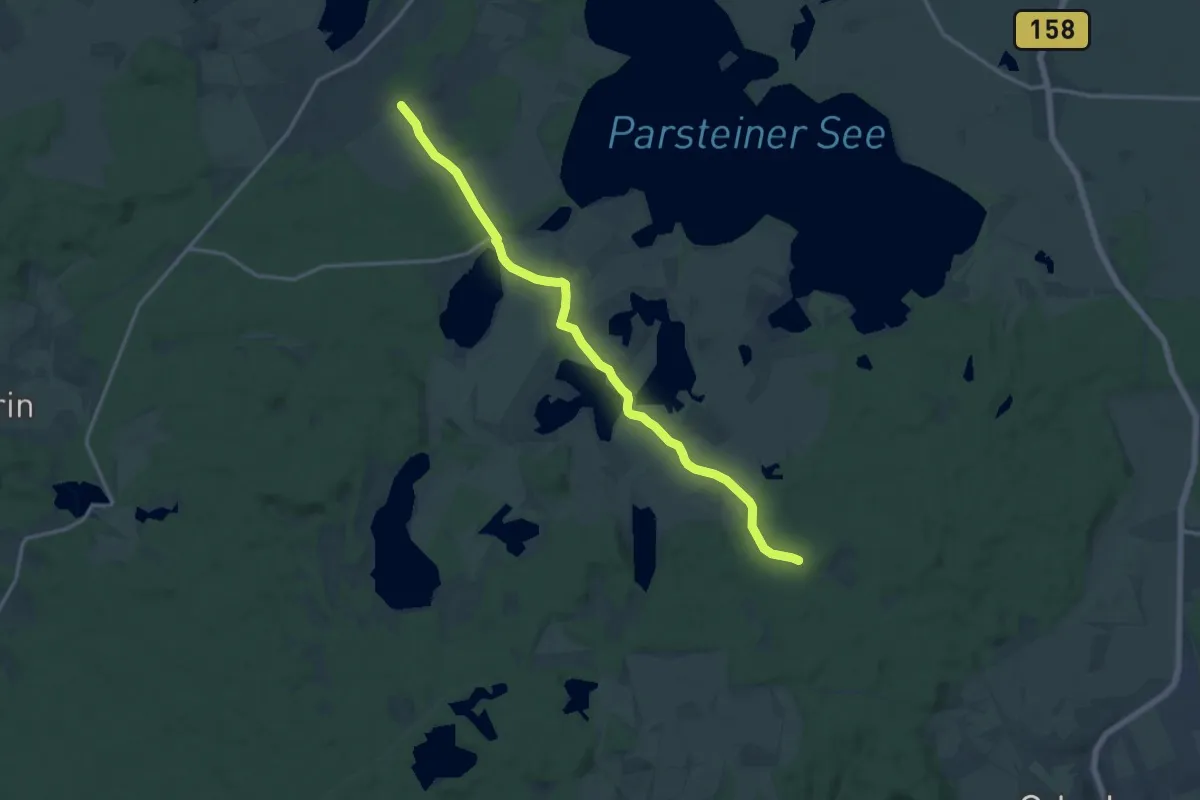
Grüner Strich
13.7 km · ↑ 73 m · 3 h 23 min
Demanding · Trail
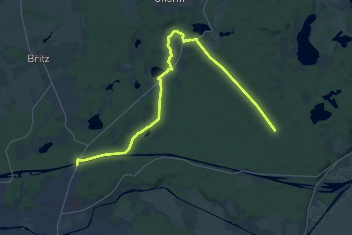
Grüner Strich
22.8 km · ↑ 165 m · 5 h 44 min