Trails in Germany
36,852 hiking trails, each with its route, climb, walking time and grade.
All trails, page 200 of 768
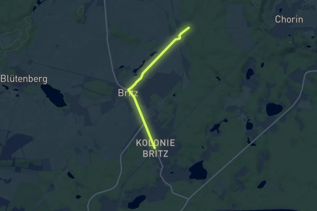
Easy · Trail
Grüner Strich
7.9 km · ↑ 33 m · 1 h 56 min
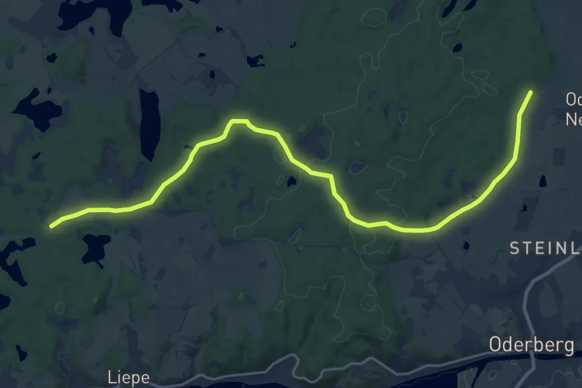
Medium · Trail
Grüner Strich
16.3 km · ↑ 154 m · 4 h 11 min
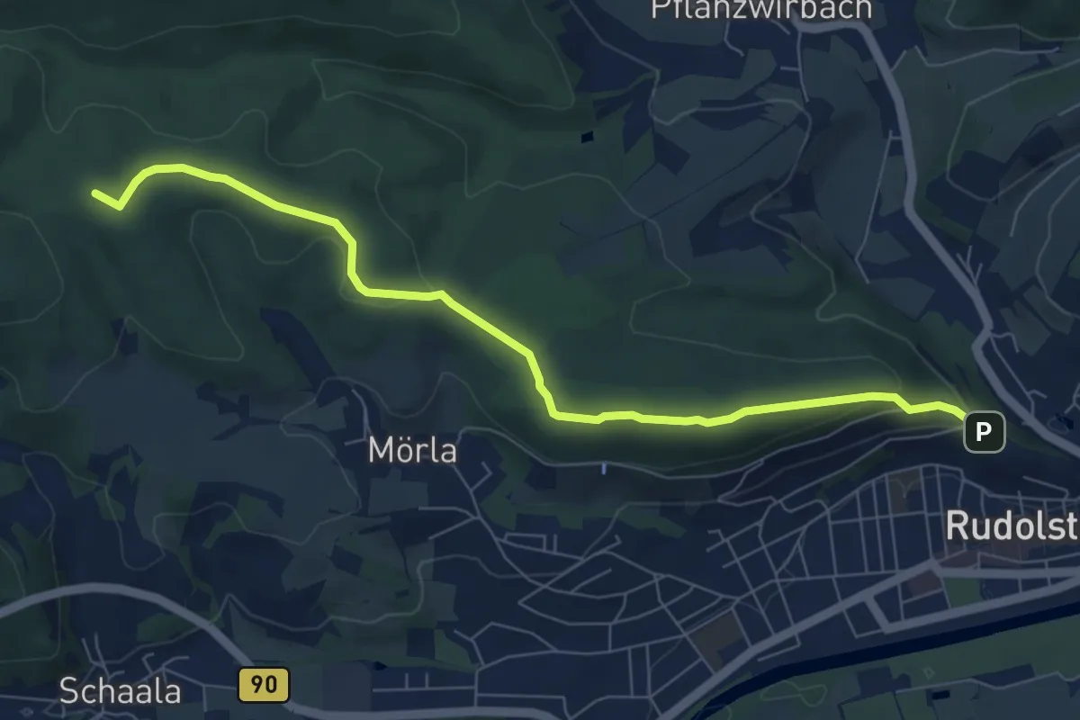
Easy · Summit
Grüner Strich Rudolstadt
7.3 km · ↑ 183 m · 2 h 7 min
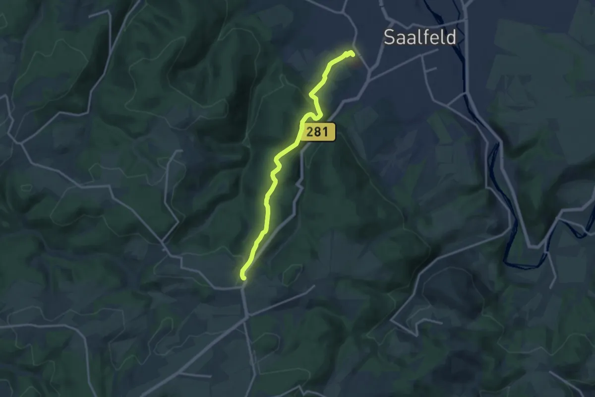
Medium · Trail
Grüner Strich (Saalfeld Richtung Arnsgereuth)
10.7 km · ↑ 337 m · 3 h 15 min
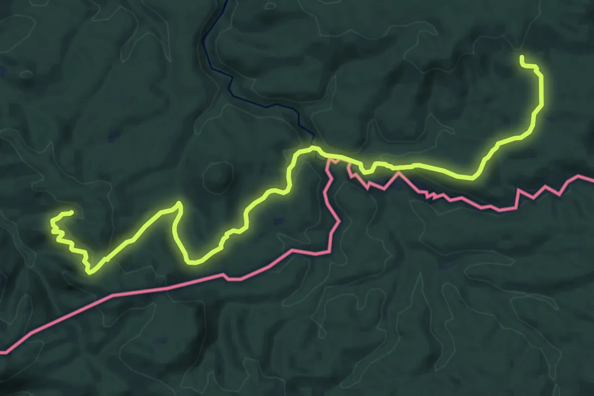
Medium · Trail
Grüner Strich, Sächsische Schweiz (rechtselbisch)
16.1 km · ↑ 583 m · 5 h 5 min
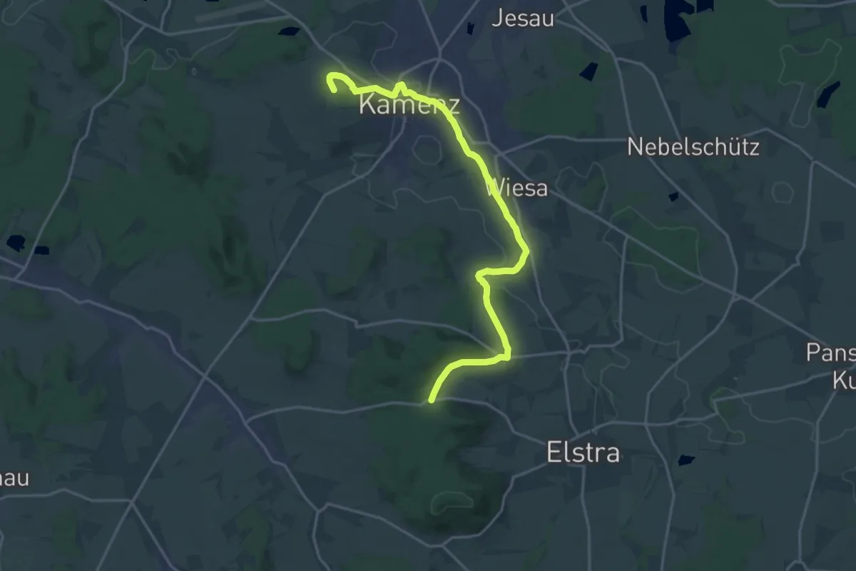
Medium · Summit
Grüner Strich Wohla – Kamenz – Weißig
17.7 km · ↑ 304 m · 4 h 50 min
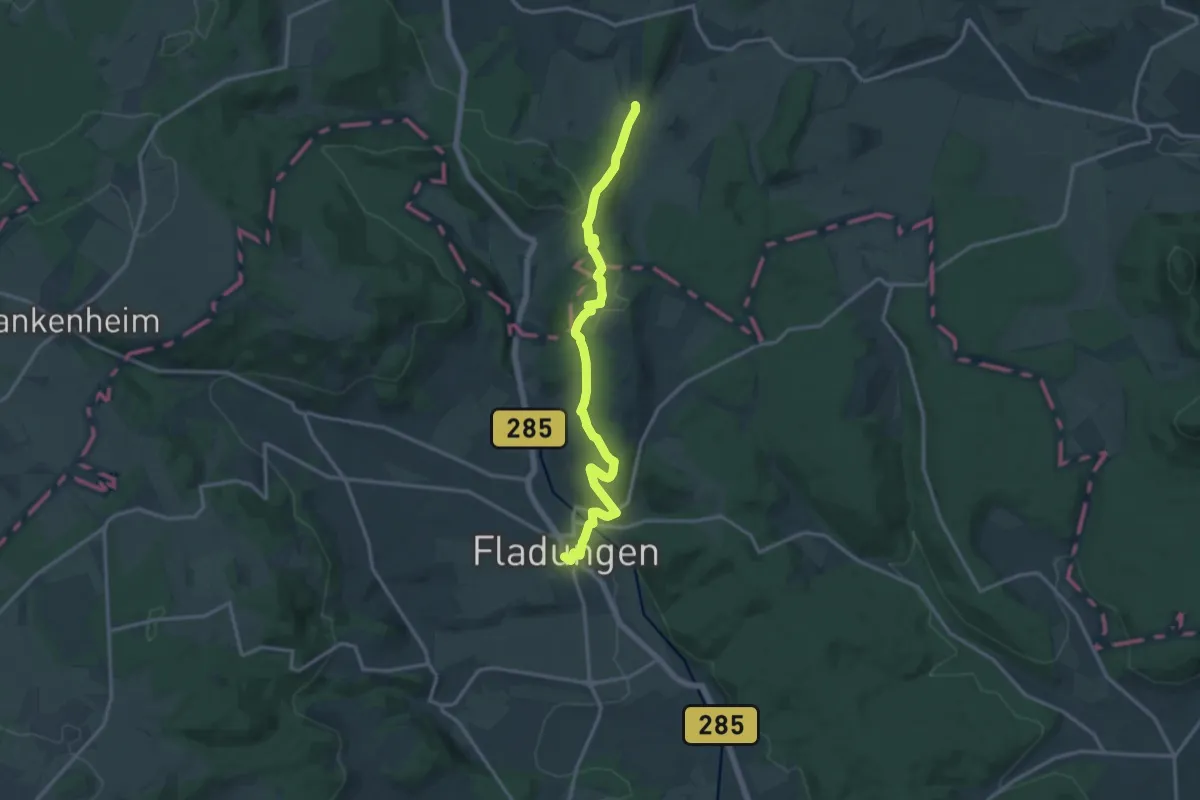
Medium · Trail
Grüner Tropfen
13.7 km · ↑ 349 m · 4 h
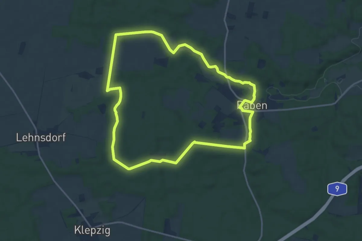
Medium · Trail
Grüne Rummel Wanderweg
10.5 km · ↑ 90 m · 2 h 49 min
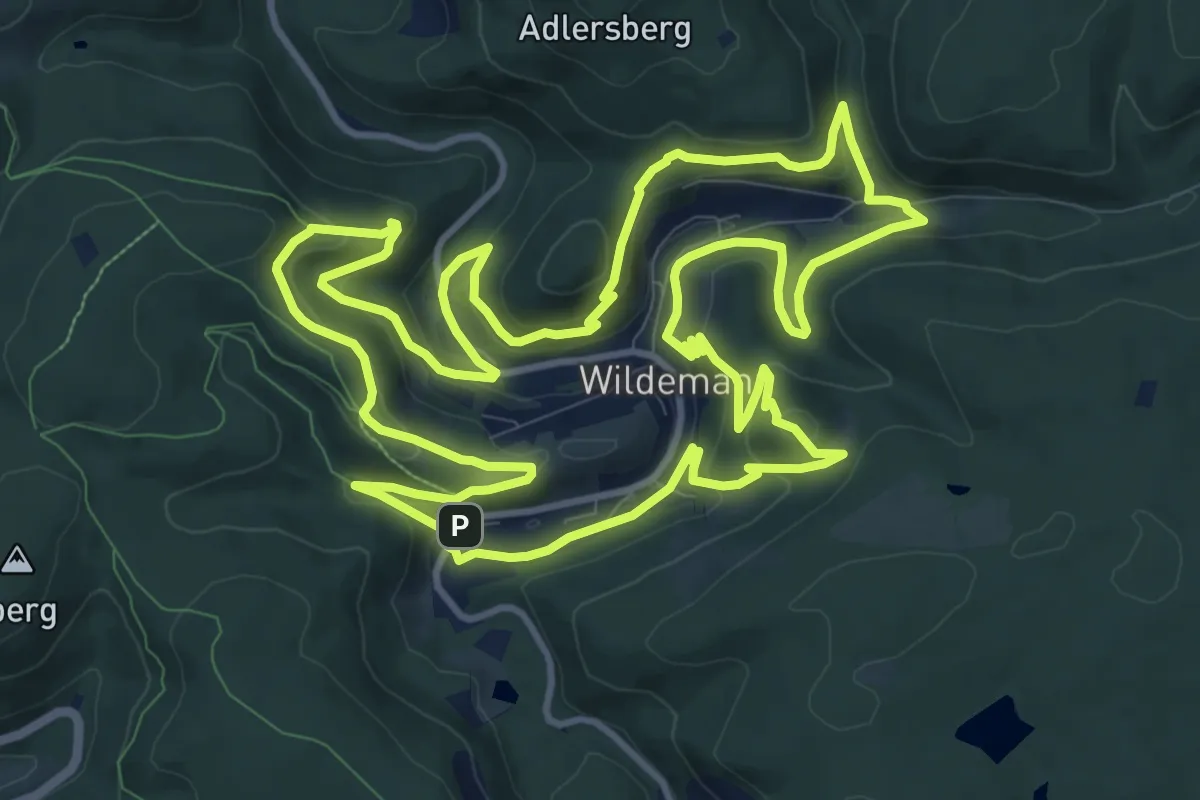
Medium · Summit
Grüne Runde
12.4 km · ↑ 466 m · 4 h 7 min
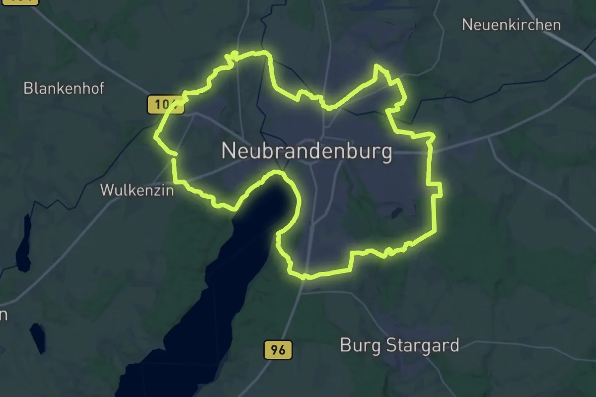
Demanding · Trail
Grüne Runde Neubrandenburg
39.7 km · ↑ 317 m · 10 h 37 min
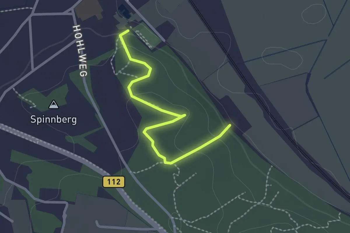
Easy · Trail
Grüner Wanderweg
2.1 km · ↑ 57 m · 37 min
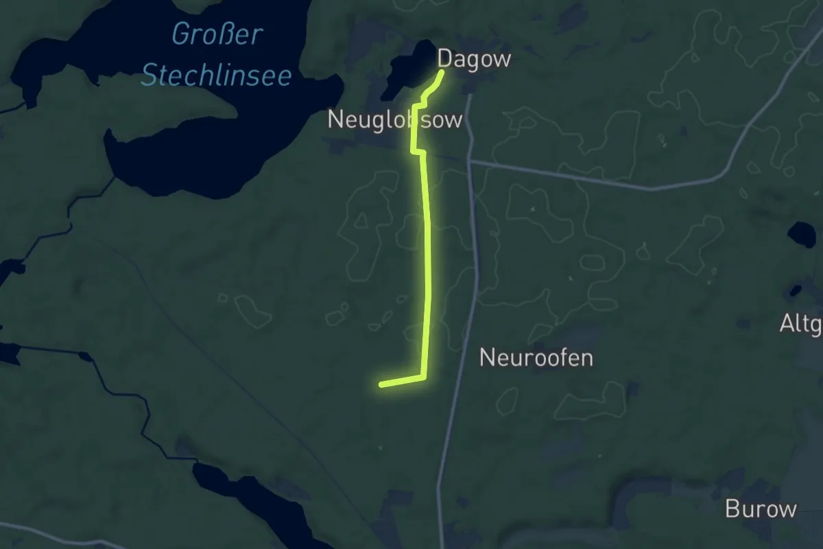
Easy · Trail
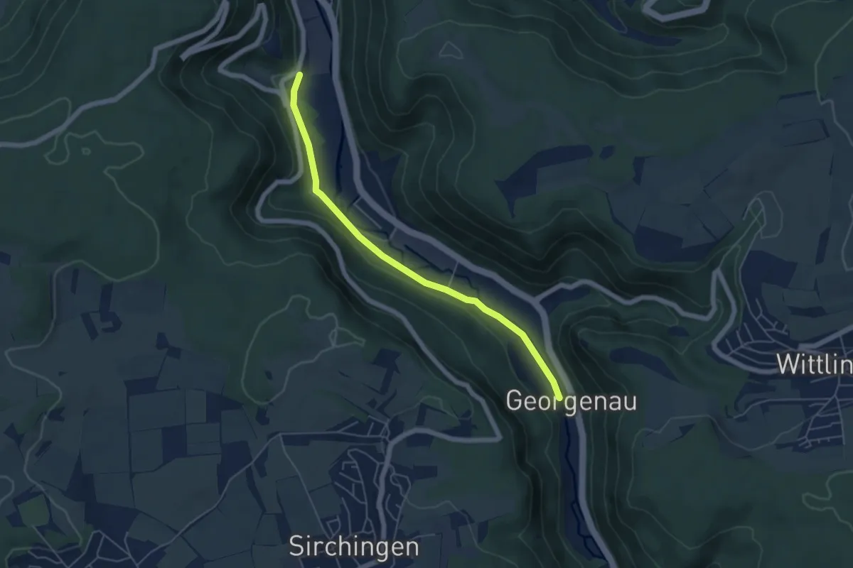
"Grüner Weg"
7.1 km · ↑ 53 m · 1 h 47 min
Easy · Trail
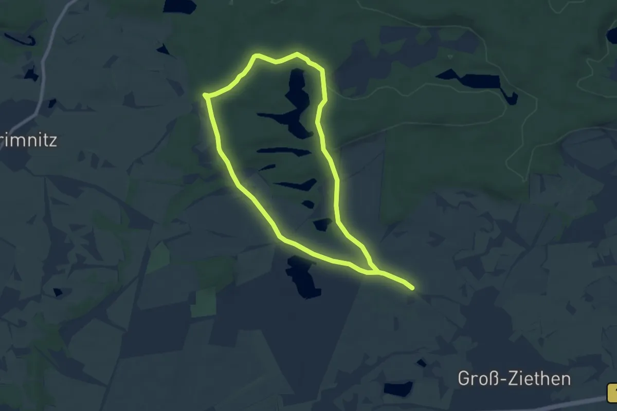
Grünerweg parkrun
5.0 km · ↑ 47 m · 1 h 17 min
Easy · Trail
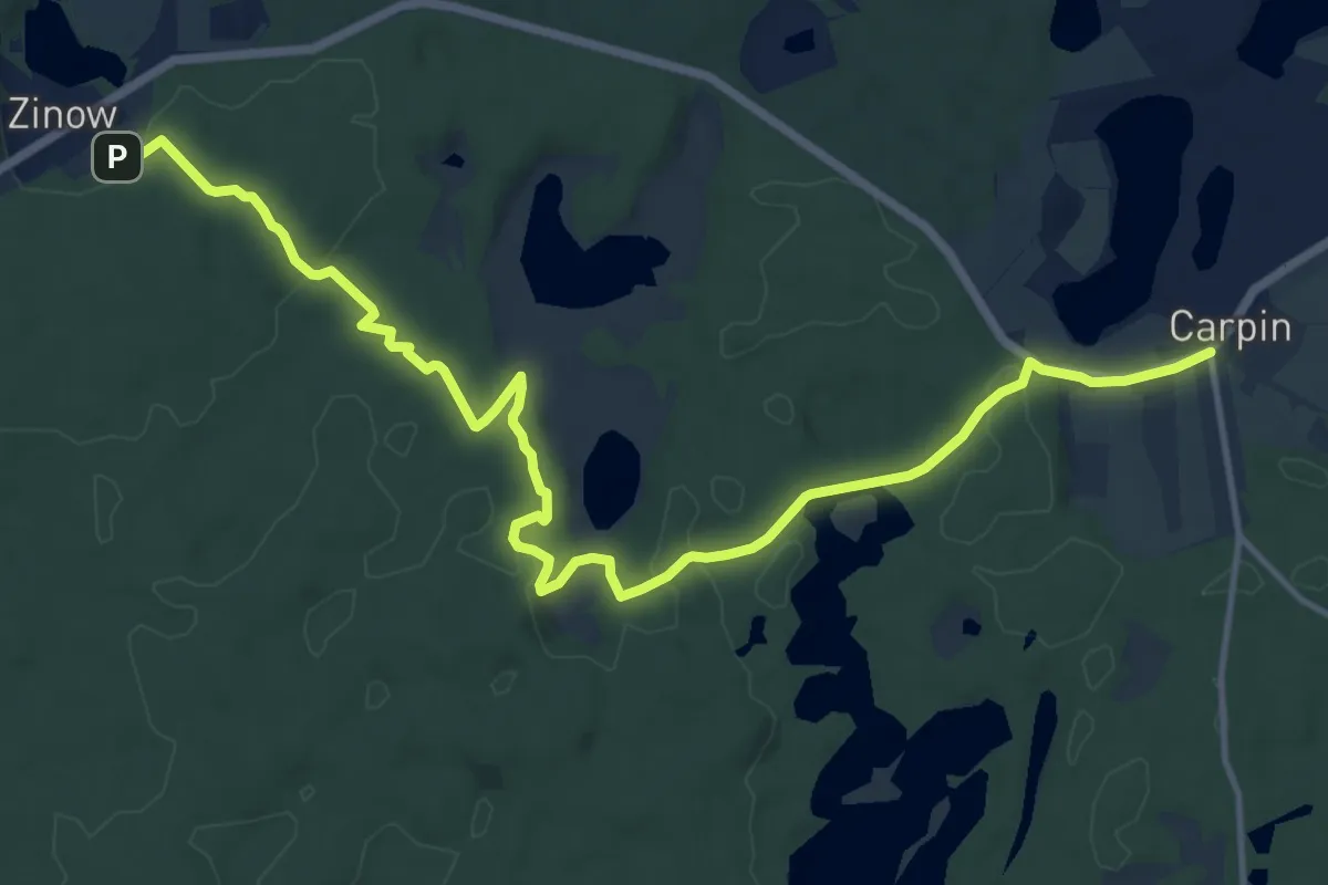
Grünes Buchenblatt
6.1 km · ↑ 44 m · 1 h 37 min
Medium · Trail
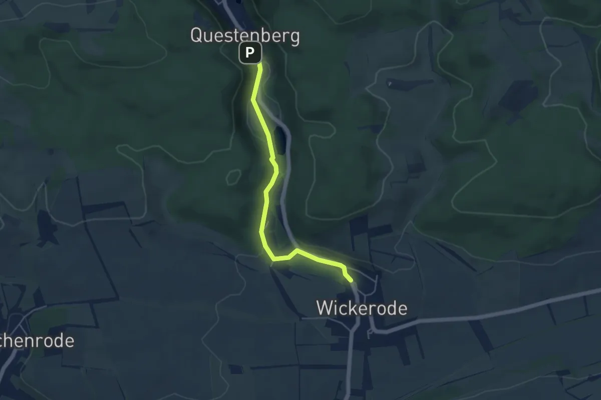
Grünes Buchenblatt Serrahn
13.8 km · ↑ 236 m · 3 h 46 min
Easy · Trail
grünes Dreieck
3.9 km · ↑ 94 m · 1 h 8 min
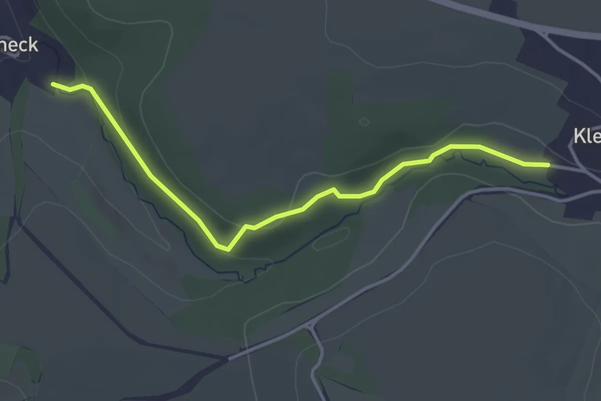
Easy · Trail
Grünes Dreieck
3.3 km · ↑ 71 m · 55 min
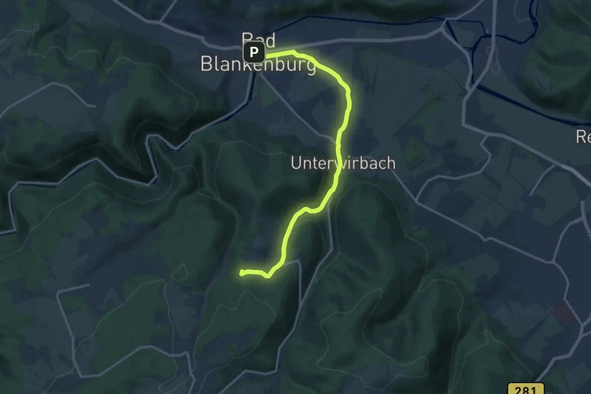
Medium · Summit
Grünes Dreieck Bad Blankenburg - Dittrichshütte
12.1 km · ↑ 352 m · 3 h 37 min
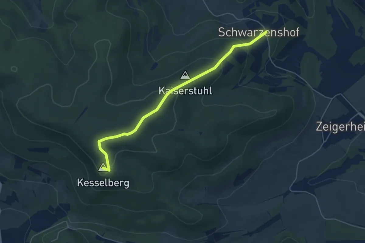
Easy · Summit
Grünes Dreieck bei Bad Blankenburg
4.5 km · ↑ 197 m · 1 h 29 min
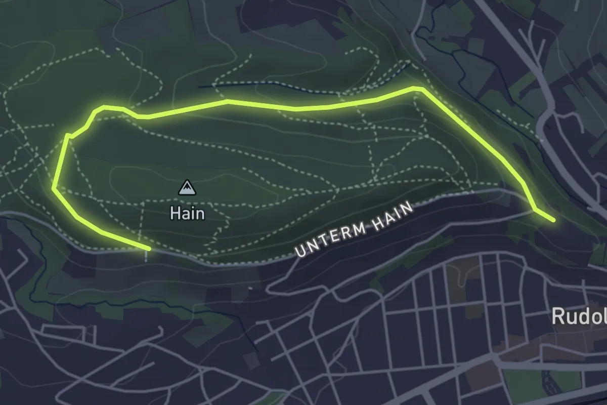
Medium · Trail
Grünes Dreieck Rudolstadt
4.8 km · ↑ 139 m · 1 h 27 min
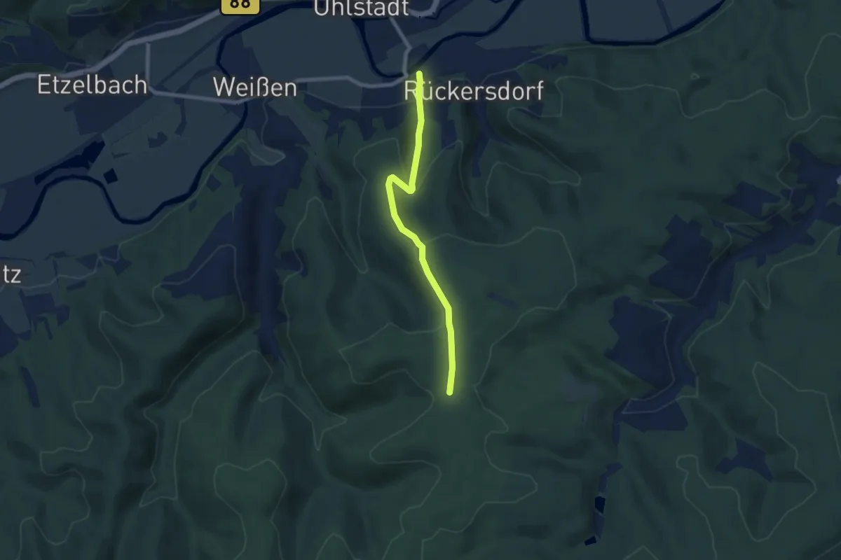
Easy · Trail
Grünes Dreieck Uhlstädter Heide
6.1 km · ↑ 244 m · 1 h 58 min
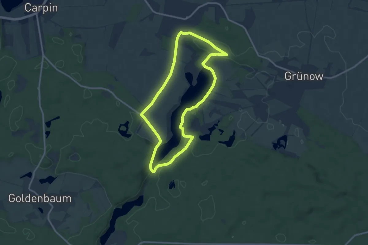
Easy · Trail
Grünes Eichenblatt Grünow
7.1 km · ↑ 58 m · 1 h 54 min
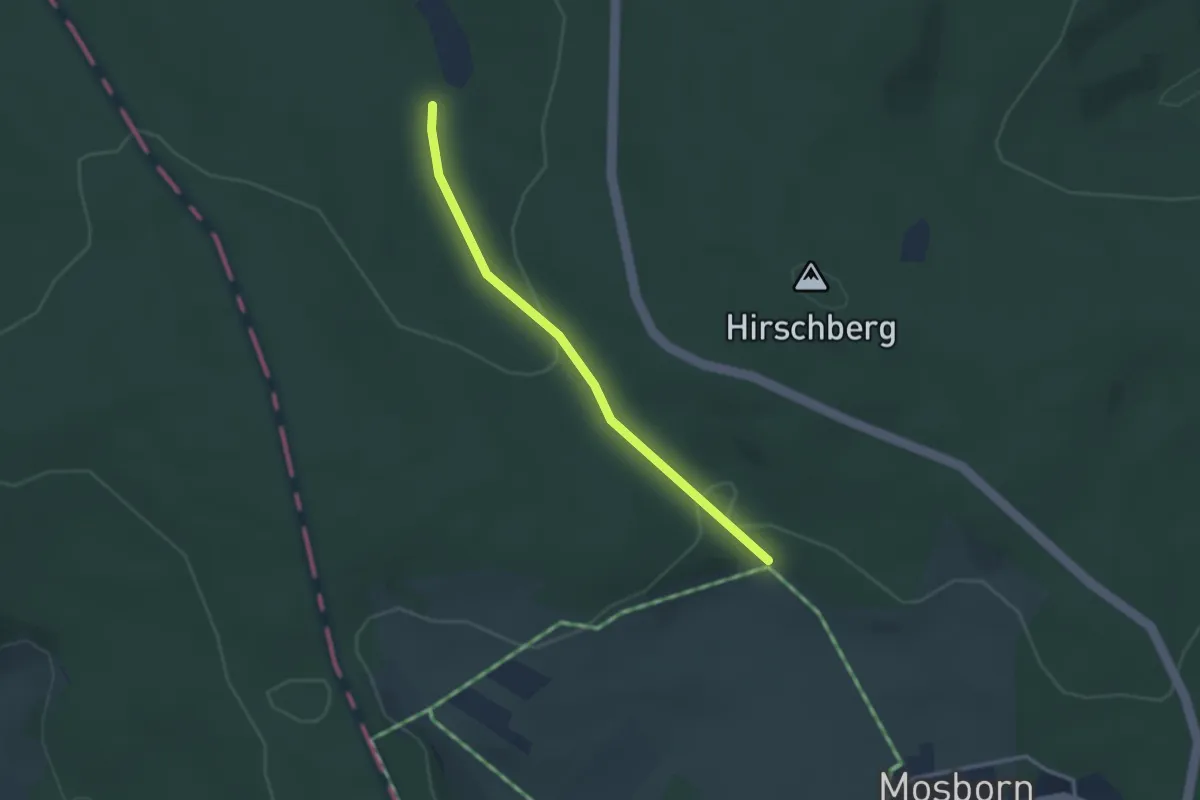
Easy · Trail
Grünes Eichenblatt, Rundweg Mosborn
1.3 km · ↑ 44 m · 24 min
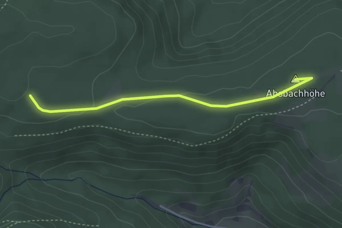
Easy · Summit
Grüne Sitzbank - Heidenstadt
3.3 km · ↑ 33 m · 51 min
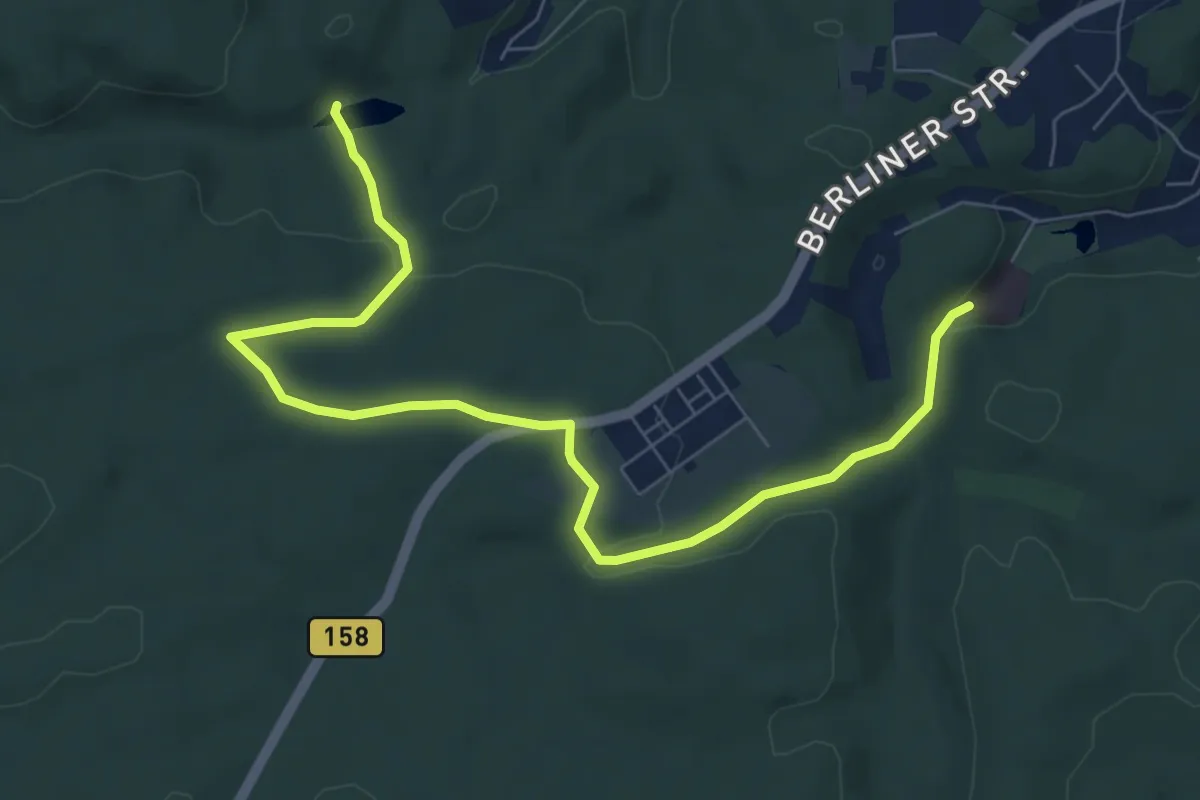
Easy · Trail
Grünes Kreuz
7.7 km · ↑ 151 m · 2 h 9 min
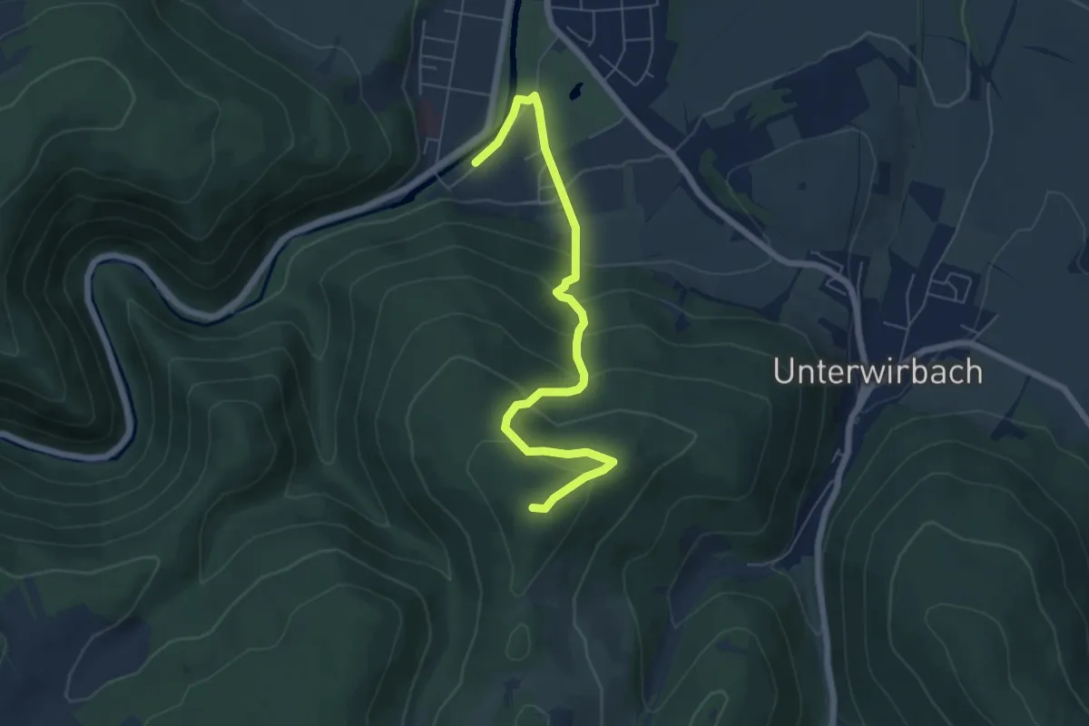
Medium · Summit
Grünes Kreuz Bad Blankenburg - Hainberg - Oberwirbach
6.0 km · ↑ 349 m · 2 h 11 min
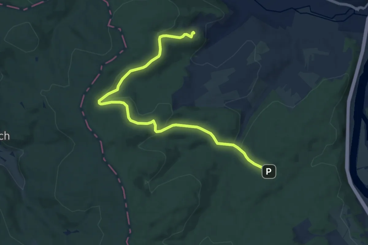
Medium · Trail
Grünes N Naturfreundehaus Eisenbach bis Waldhaus Obernburg
10.8 km · ↑ 288 m · 3 h 11 min
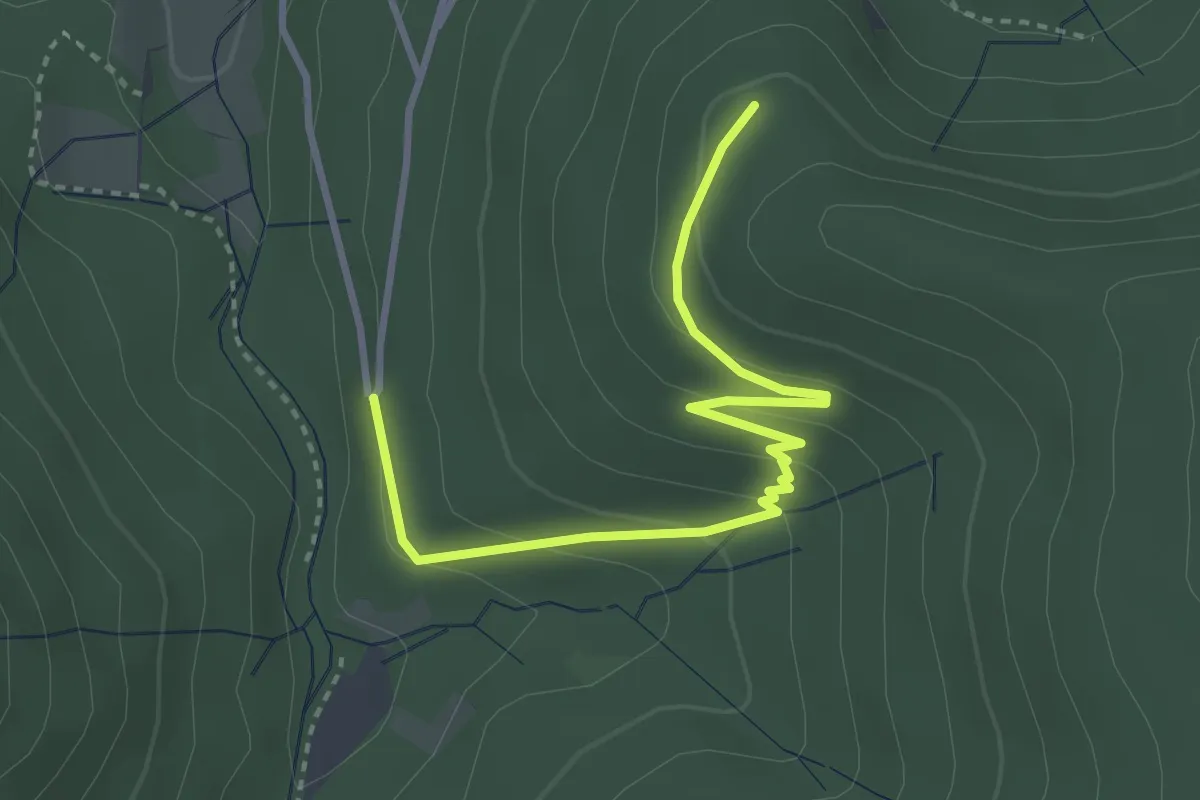
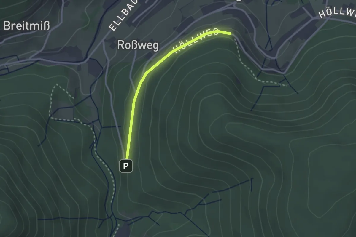
Easy · Trail
Grünes Plätzle - Höllkopfwegle
3.5 km · ↑ 175 m · 1 h 12 min
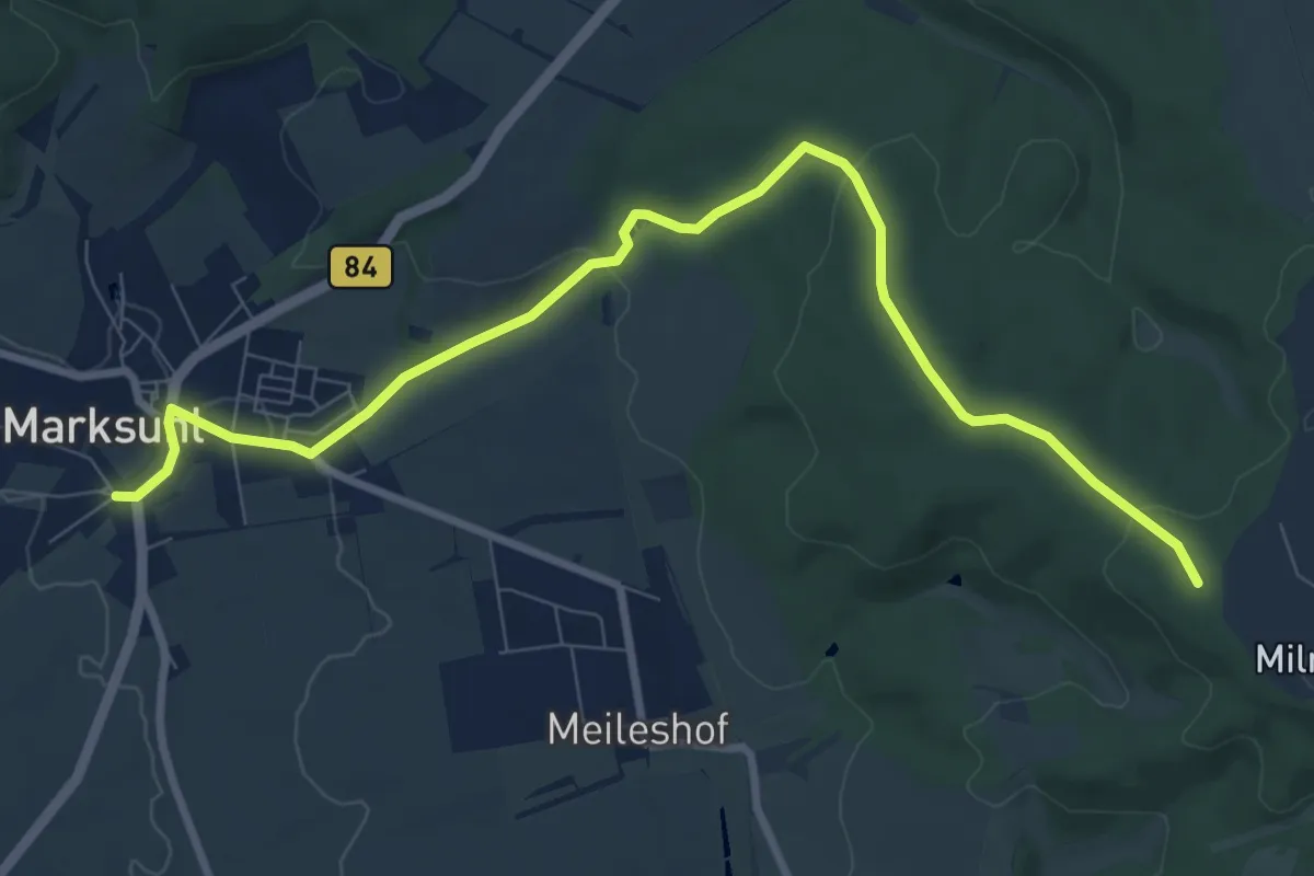
Easy · Trail
Grünes Plätzle - Höllrain
2.2 km · ↑ 55 m · 38 min
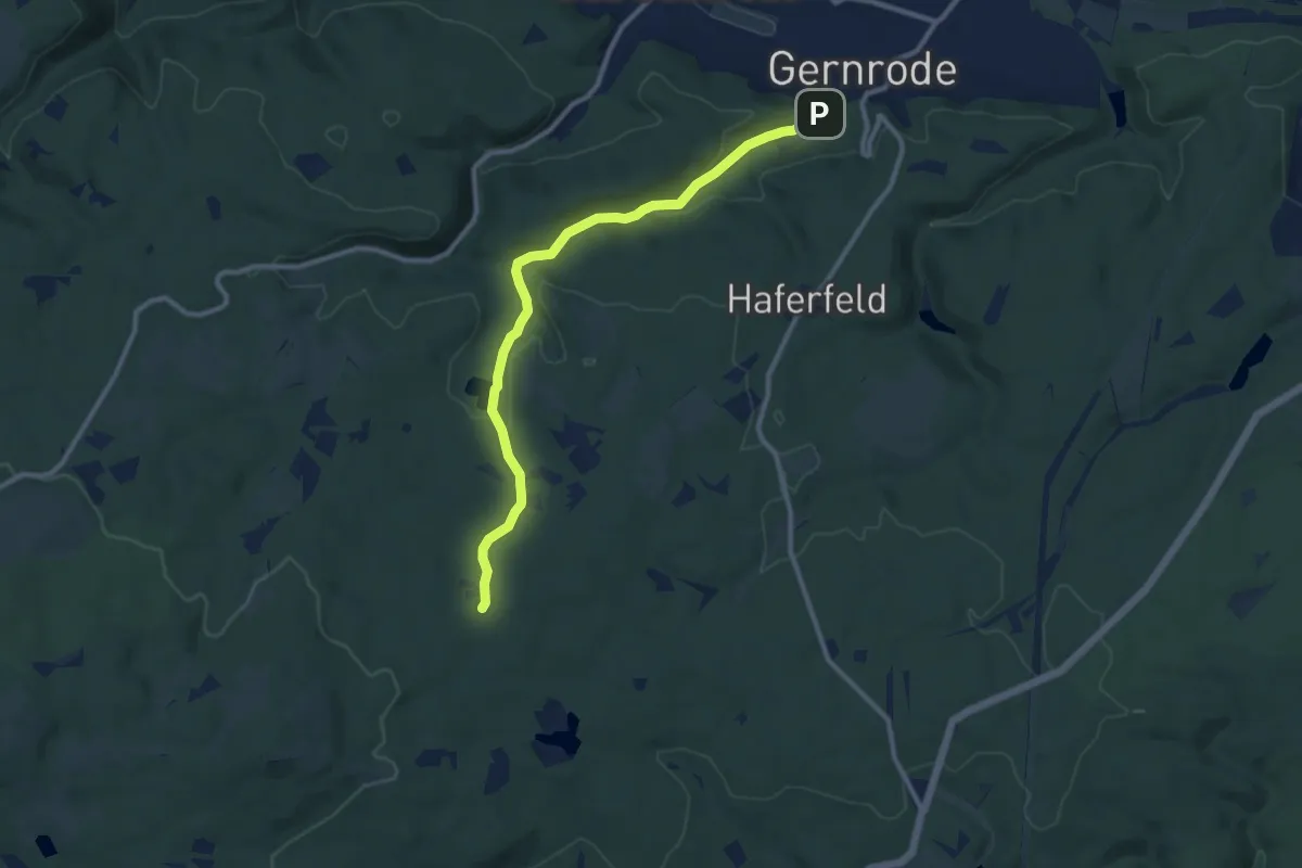
Medium · Trail
grünes Quadrat
9.2 km · ↑ 176 m · 2 h 33 min
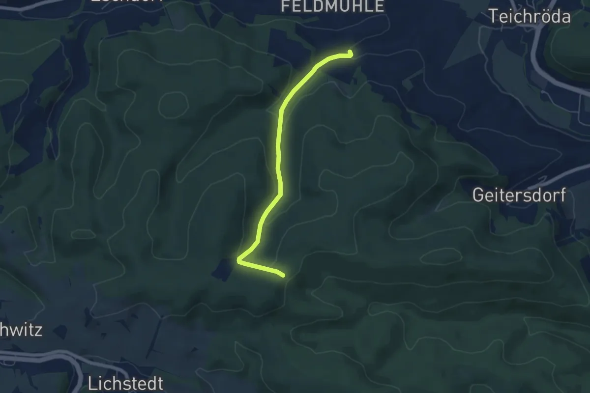
Medium · Trail
grünes Quadrat
9.3 km · ↑ 252 m · 2 h 44 min
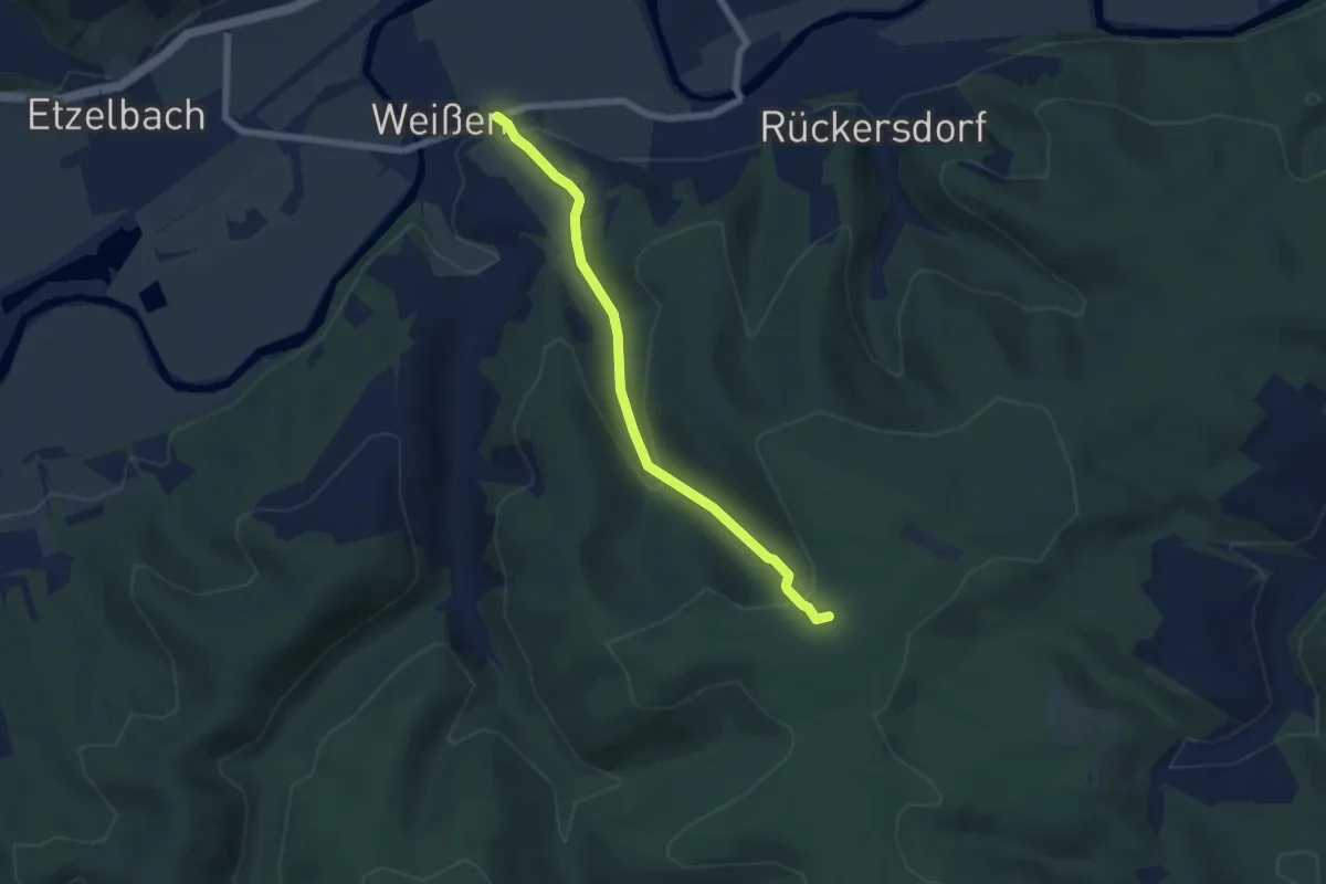
Easy · Trail
Grünes Quadrat Hopfgarten
4.8 km · ↑ 156 m · 1 h 29 min
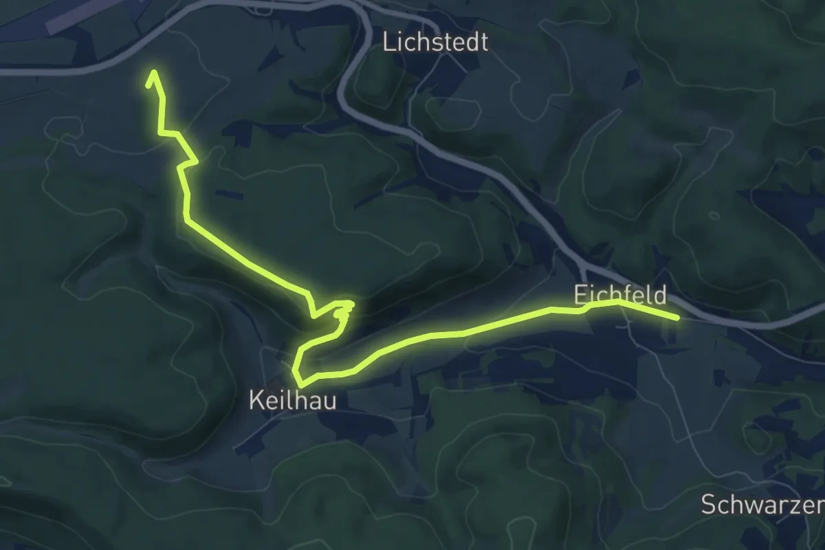
Easy · Trail
Grünes Quadrat Uhlstädter Heide
5.3 km · ↑ 218 m · 1 h 44 min
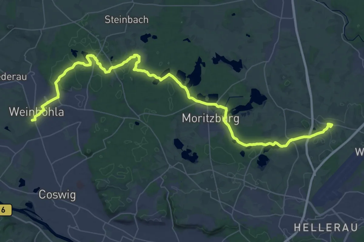
Medium · Summit
Grünes Rechteck bei Keilhau
9.9 km · ↑ 235 m · 2 h 51 min
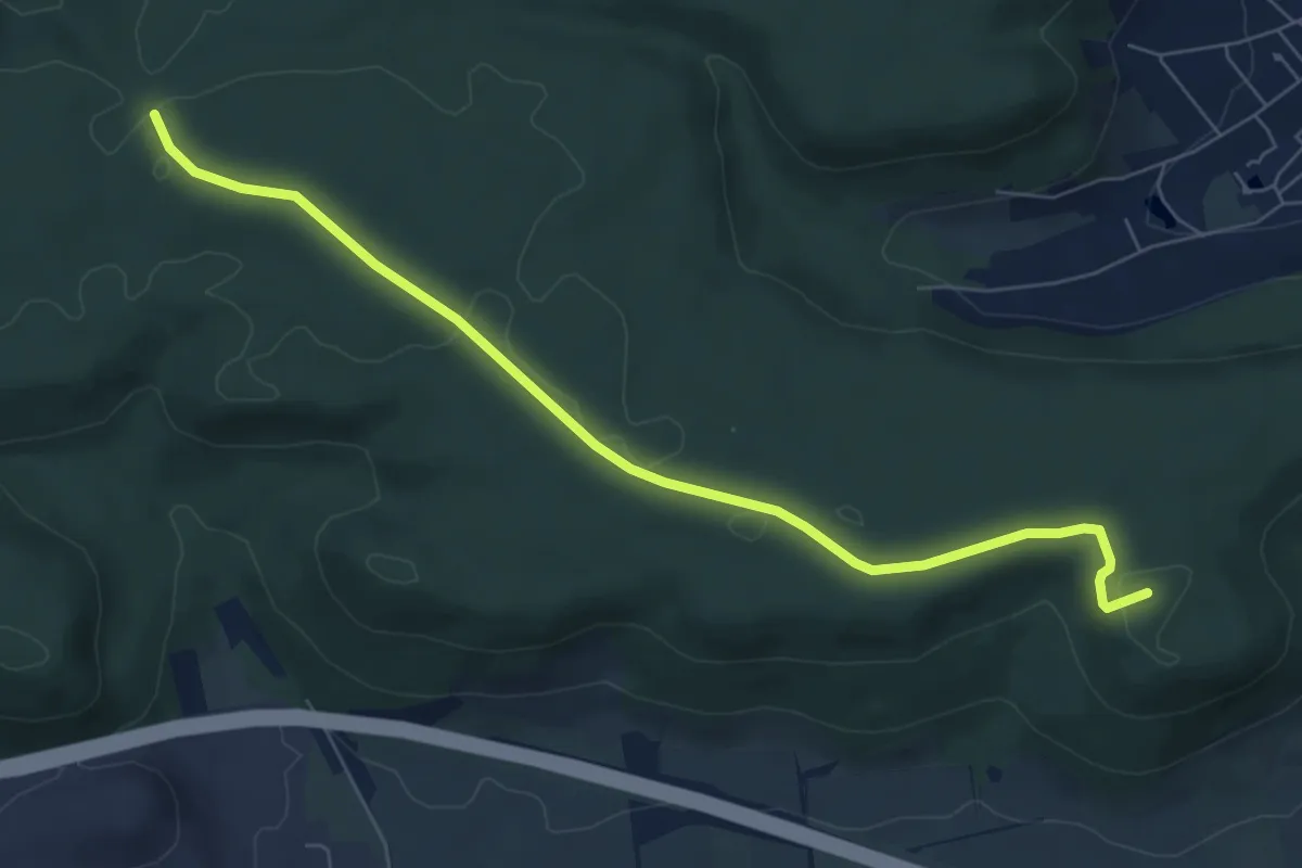
Demanding · Summit
Grüne Strich
43.3 km · ↑ 331 m · 10 h 57 min
Easy · Summit
Grünes X
6.9 km · ↑ 48 m · 1 h 43 min
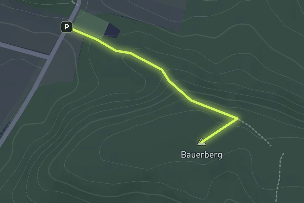
Easy · Summit
Grünes X
1.6 km · ↑ 61 m · 31 min
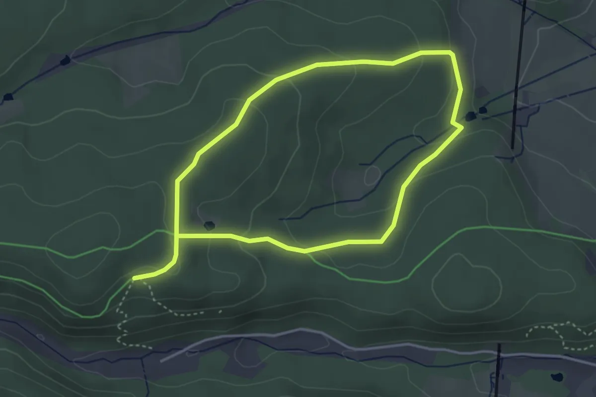
Easy · Trail
Grünes X,Gehren, Thüringer Wald
3.1 km · ↑ 93 m · 58 min
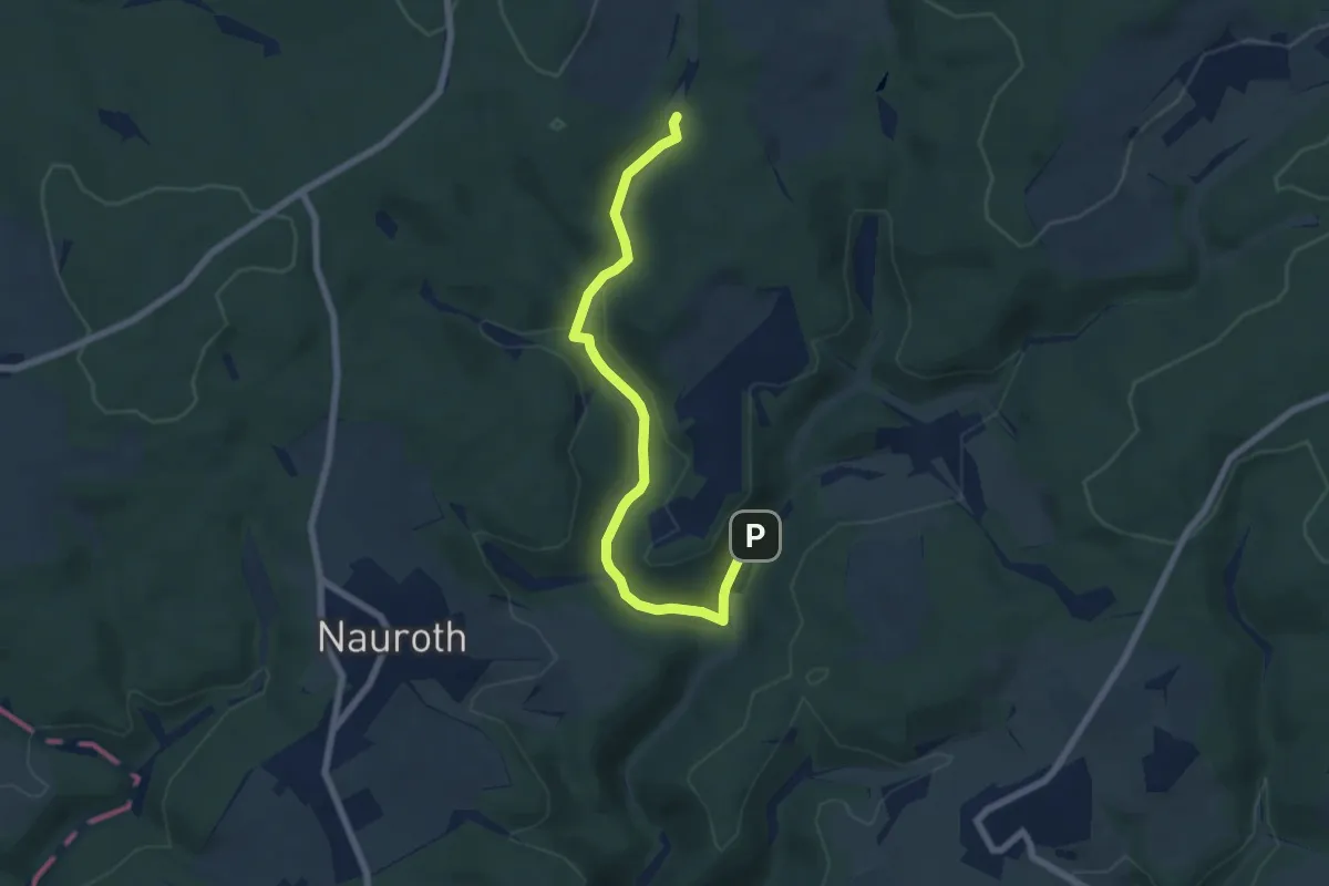
Easy · Trail
Grüne Tanne
3.2 km · ↑ 144 m · 1 h 5 min
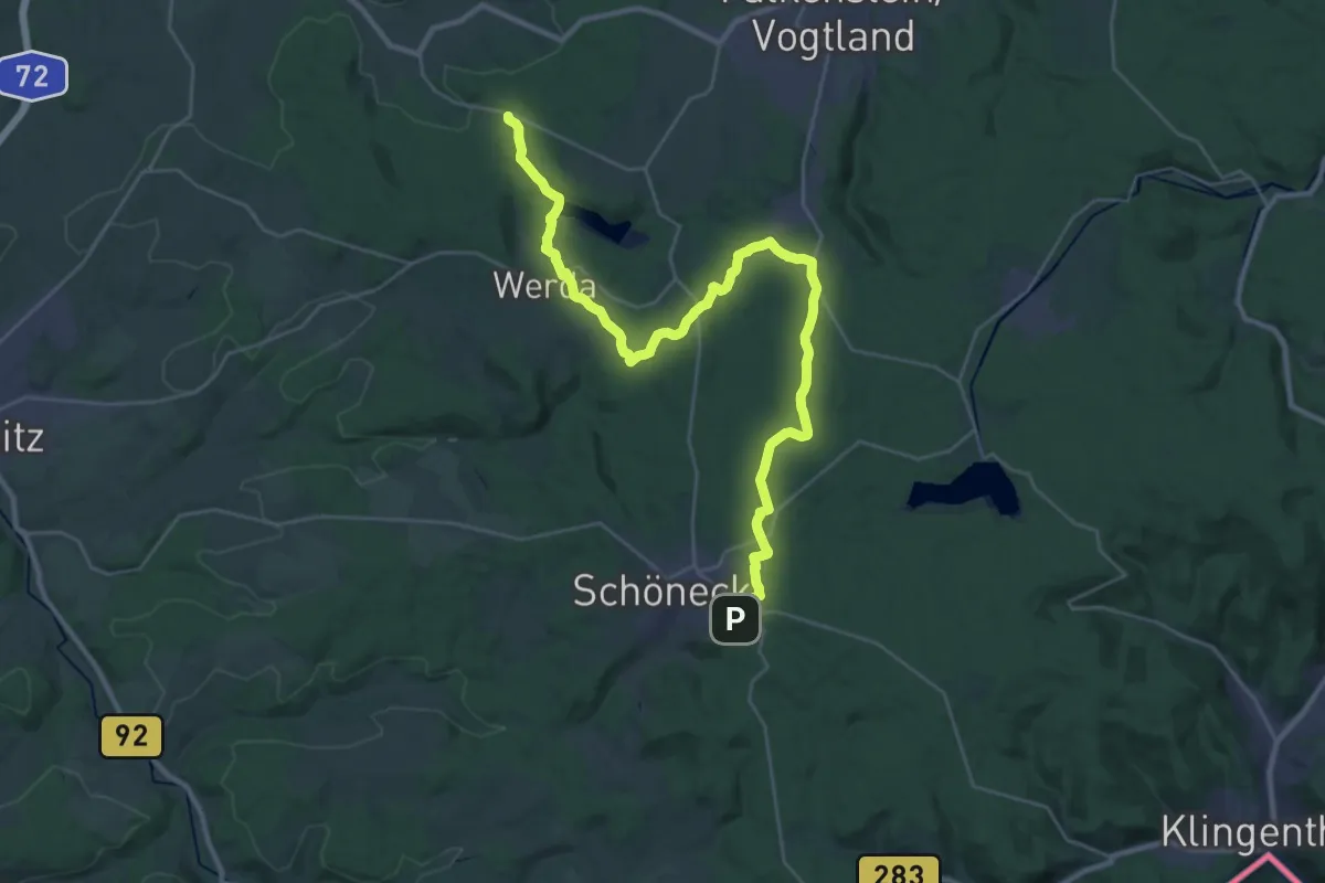
Medium · Trail
Grüne Wandermarkierung
16.5 km · ↑ 154 m · 4 h 34 min
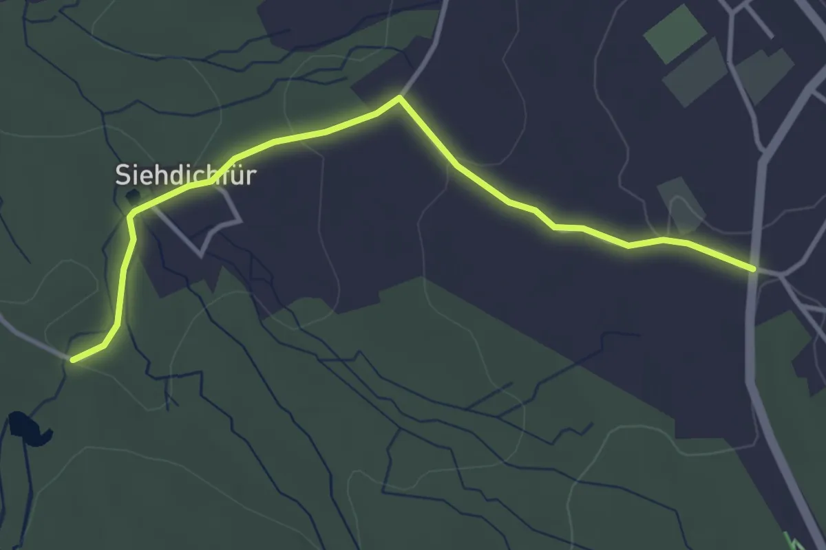
Easy · Trail
Grüne Wandermarkierung
3.4 km · ↑ 72 m · 57 min
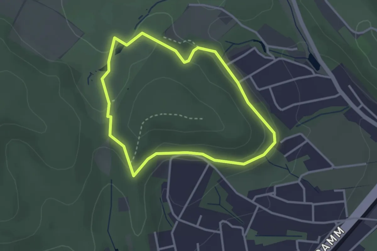
Easy · Trail
Grünfuchs-Pfad
2.3 km · ↑ 75 m · 45 min
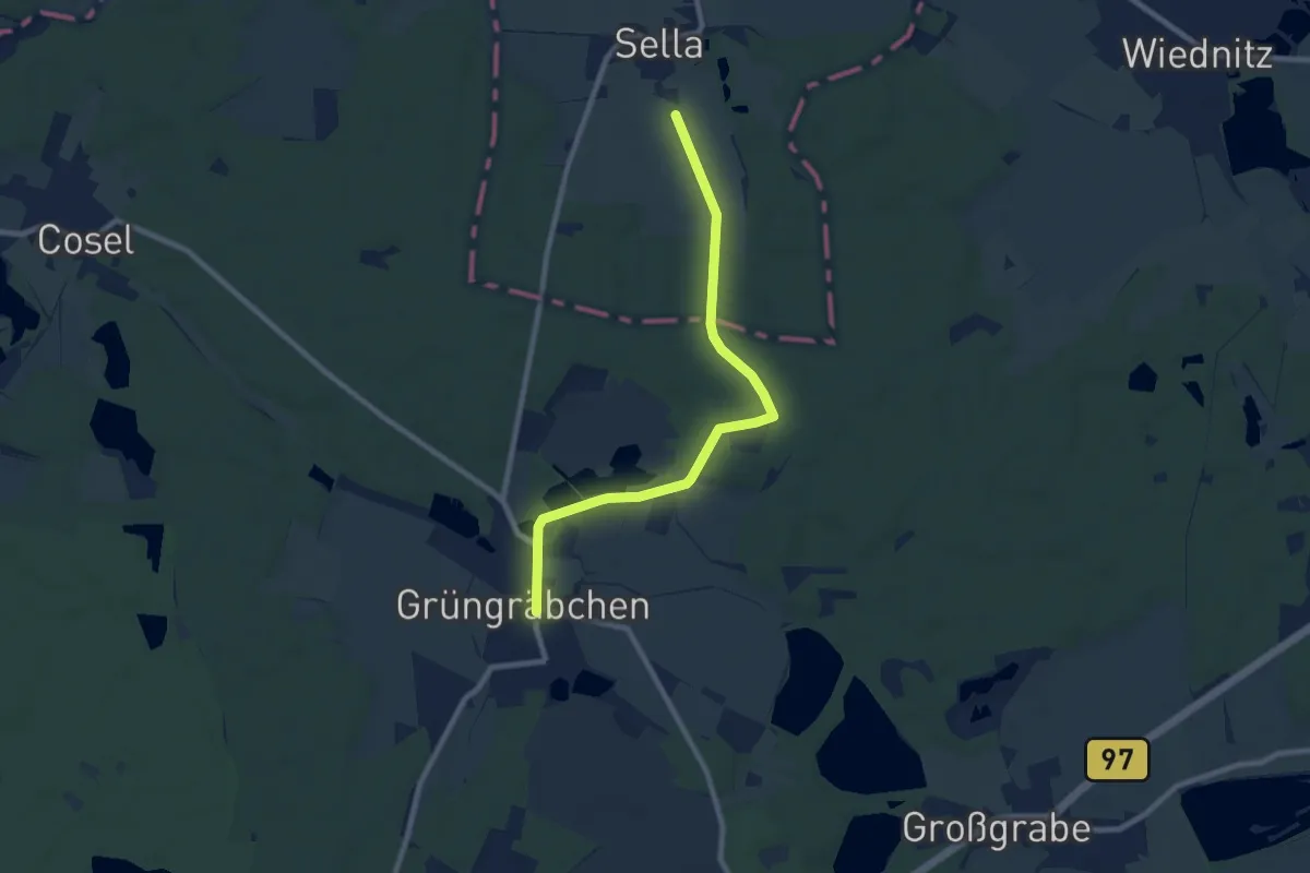
Easy · Trail
Grüngräbchen - Hohenbocka
7.8 km · ↑ 53 m · 1 h 58 min
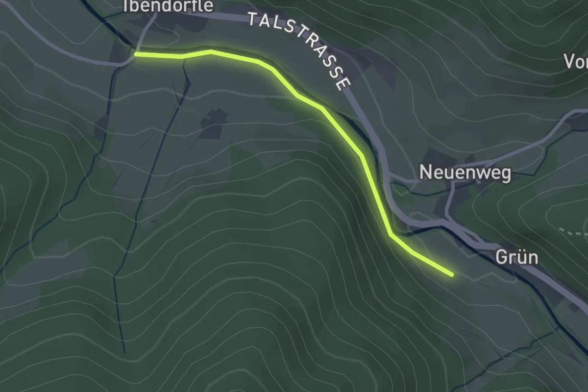
Easy · Trail
Grün - Ibendörfle
2.2 km · ↑ 79 m · 42 min
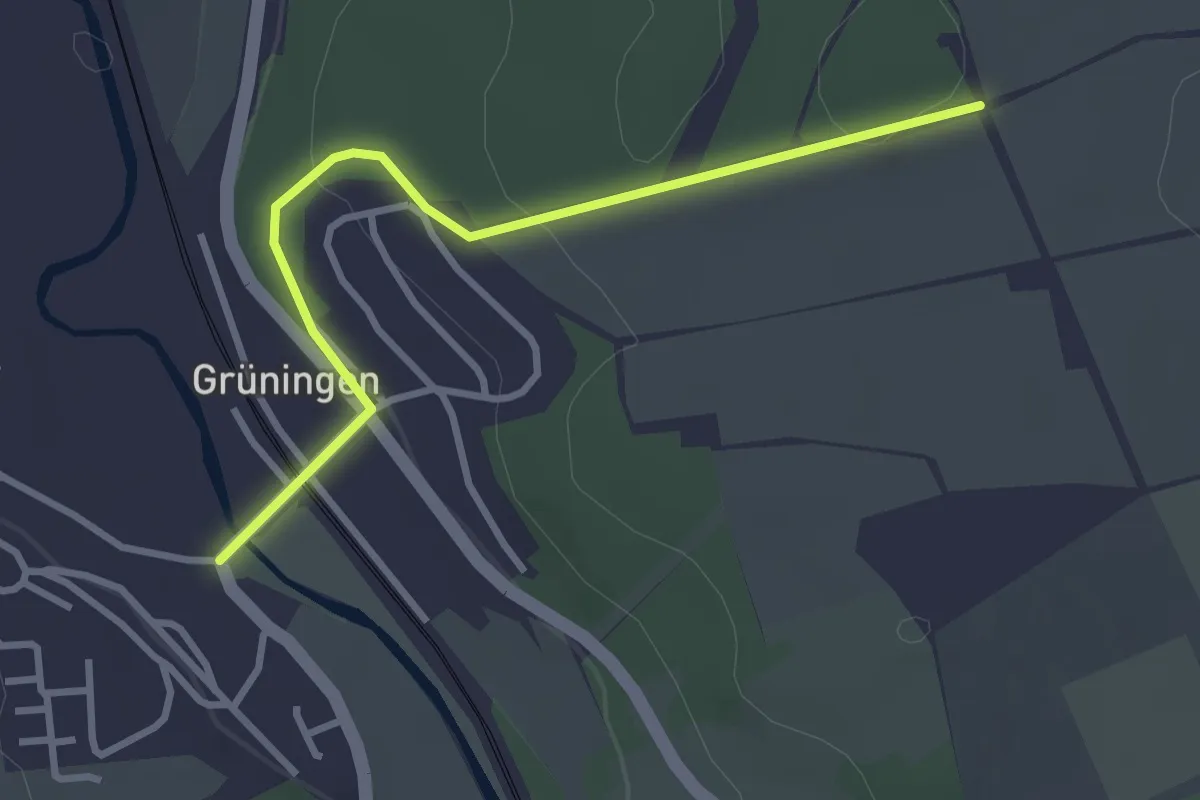
Easy · Trail
Grüningen Gasthaus Krone - Kapellenbuck
3.1 km · ↑ 66 m · 53 min
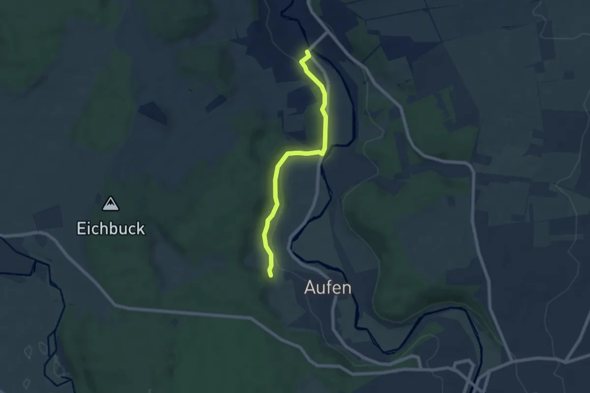
Easy · Trail
Grüningen Gasthaus Krone - Prozessionsweg
5.0 km · ↑ 92 m · 1 h 23 min
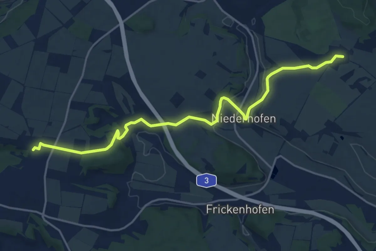
Medium · Trail
Grünkreuz
12.4 km · ↑ 246 m · 3 h 28 min
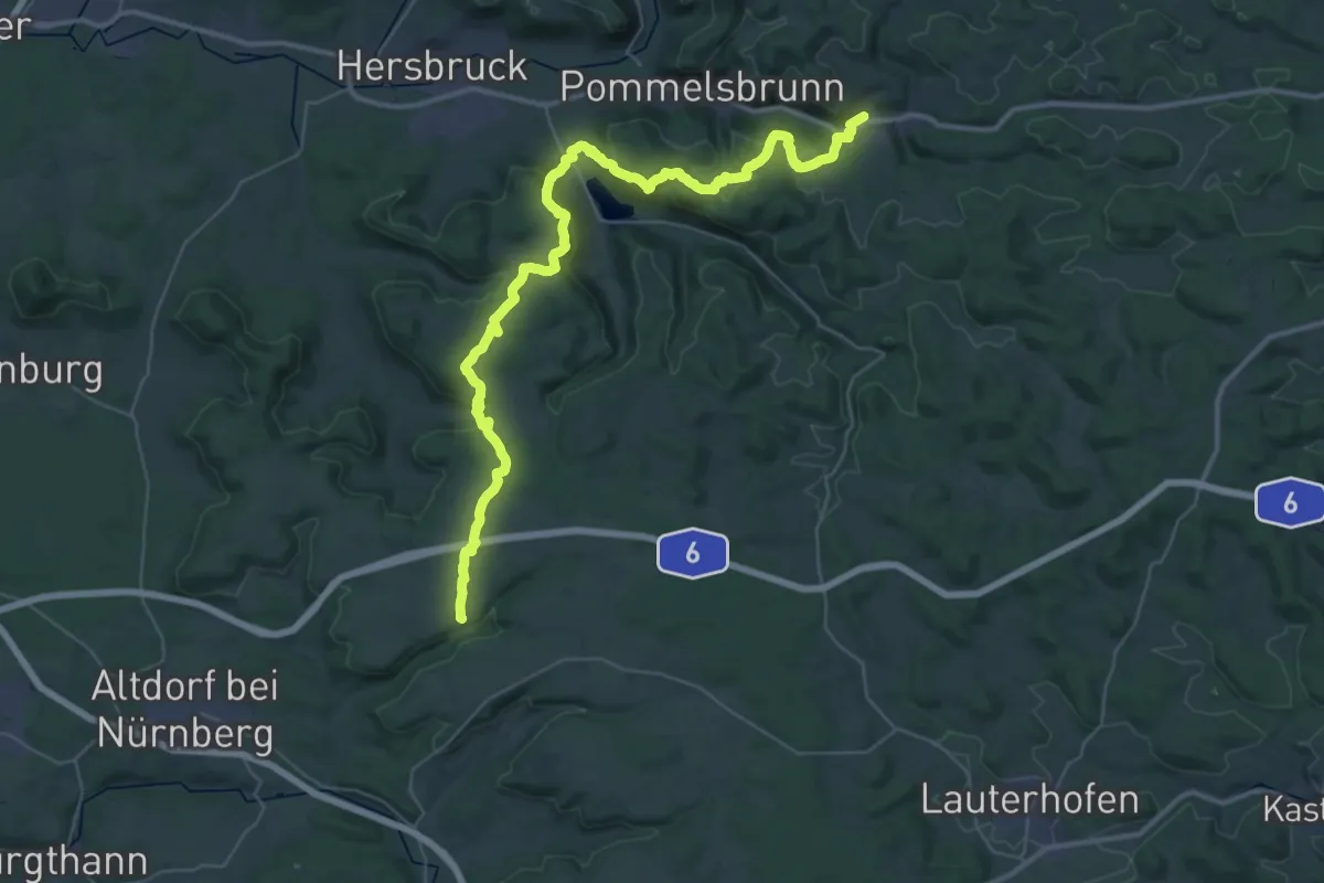
Demanding · Trail
Grünkreuz
22.4 km · ↑ 770 m · 7 h 11 min