Trails in Germany
36,852 hiking trails, each with its route, climb, walking time and grade.
All trails, page 201 of 768
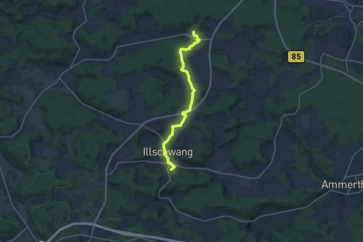
Medium · Summit
Grünkreuz
11.9 km · ↑ 356 m · 3 h 35 min
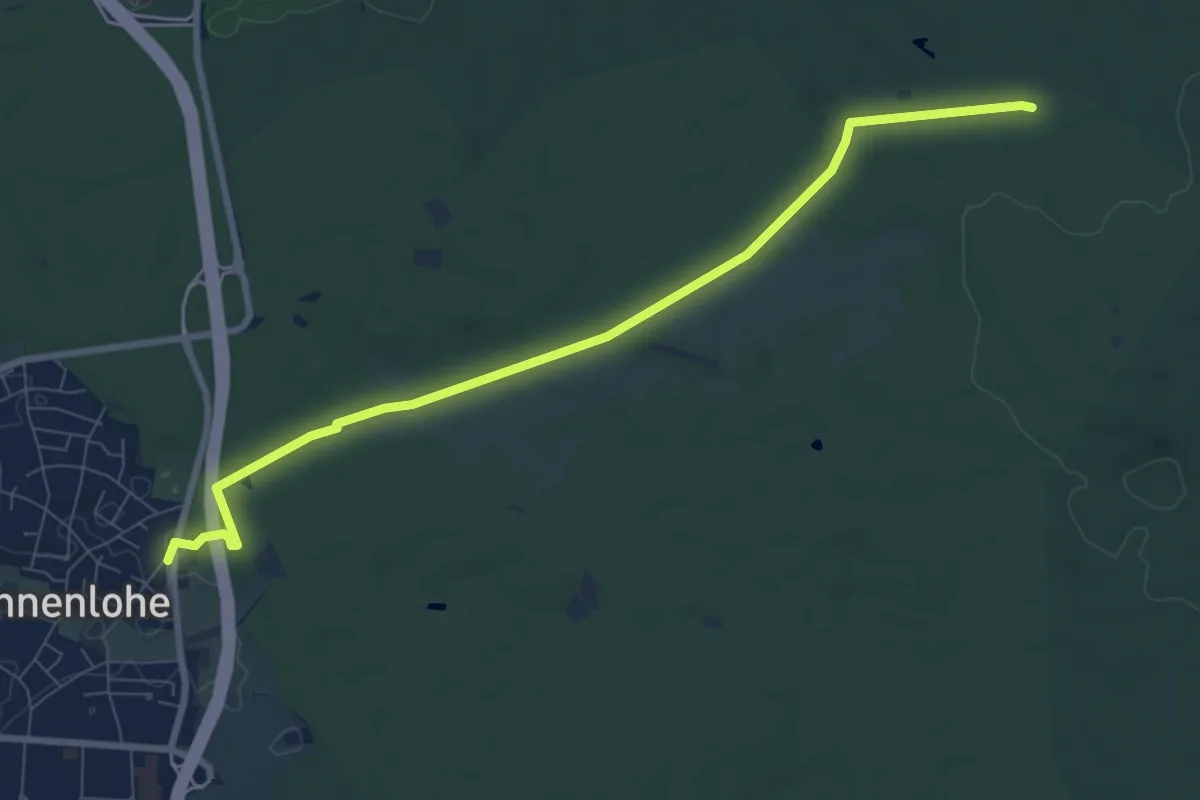
Medium · Trail
Grünkreuz Tennenlohe - Ohrwaschl
8.3 km · ↑ 70 m · 2 h 6 min
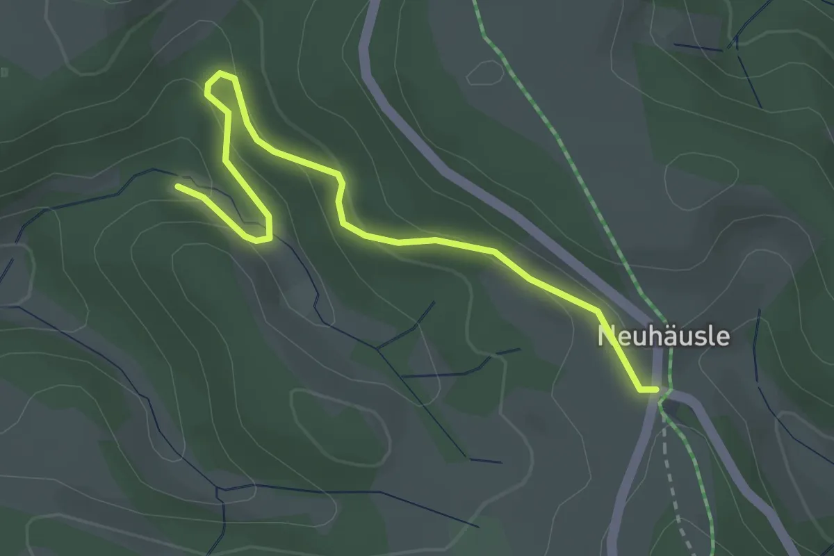
Easy · Trail
Grünloch - Neuhäusle
3.1 km · ↑ 151 m · 1 h 4 min
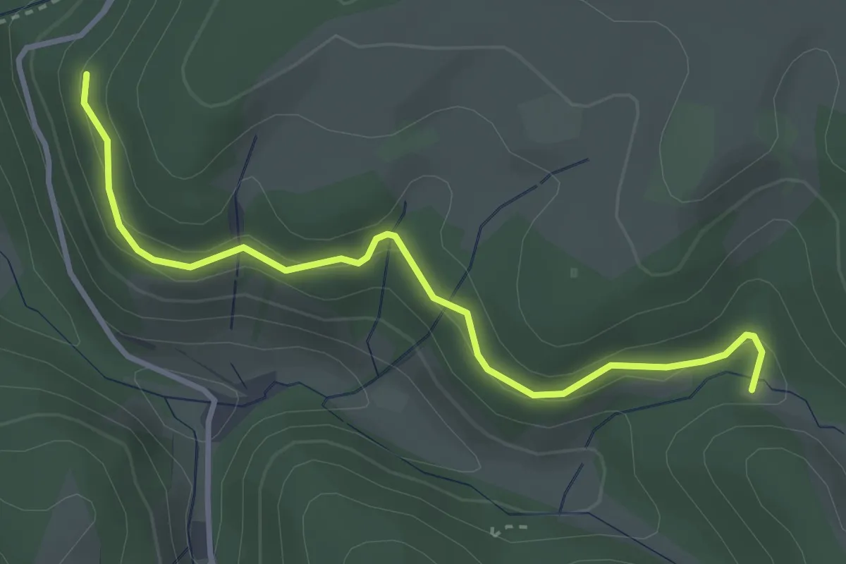
Easy · Trail
Grünloch - Stuhl
3.3 km · ↑ 160 m · 1 h 8 min
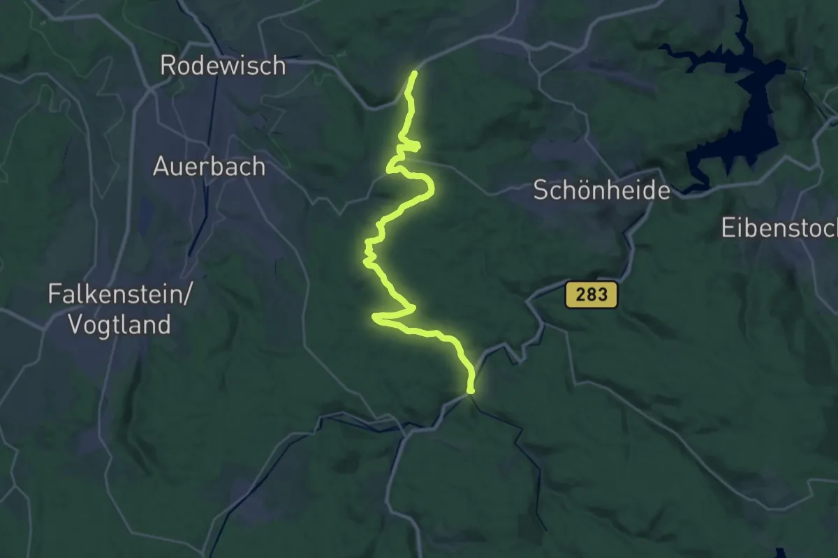
Demanding · Trail
grün mit Vogtland-Panorama-Weg Morgenröte-Rautenkranze-Waldpark Grünheide-
28.0 km · ↑ 597 m · 7 h 54 min
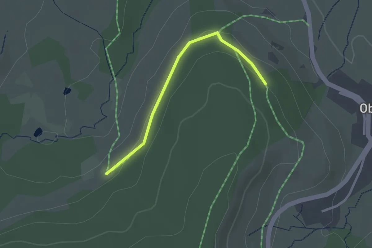
Easy · Trail
Grünplätz - Stöck
2.0 km · ↑ 93 m · 41 min
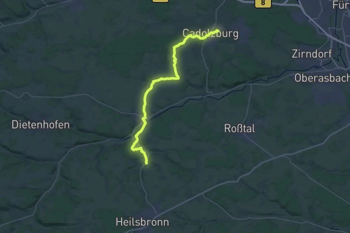
Medium · Trail
Grünpunkt
15.8 km · ↑ 222 m · 4 h 27 min
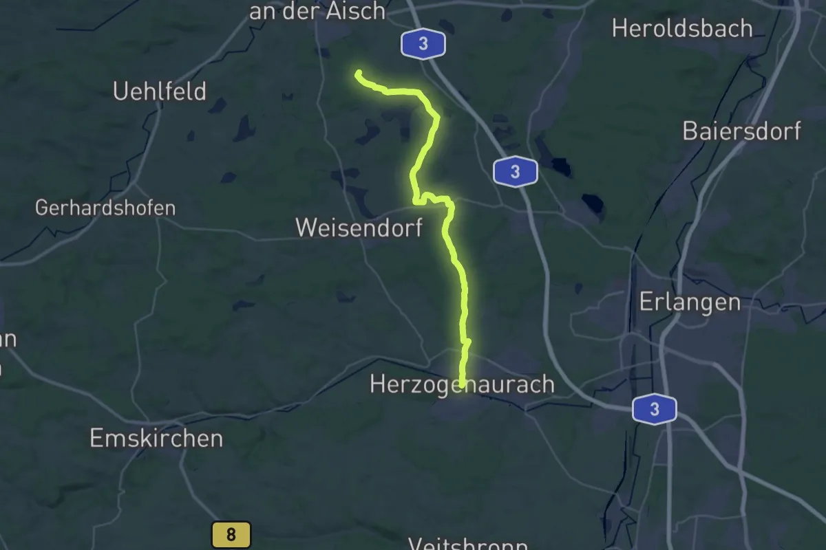
Demanding · Summit
Grünpunkt
33.7 km · ↑ 336 m · 8 h 41 min
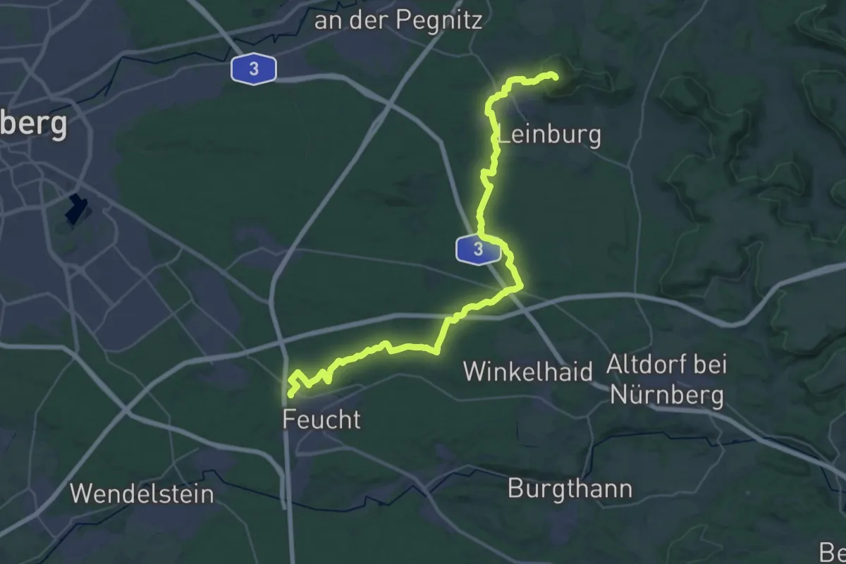
Demanding · Summit
Grünpunkt
38.7 km · ↑ 584 m · 10 h 24 min
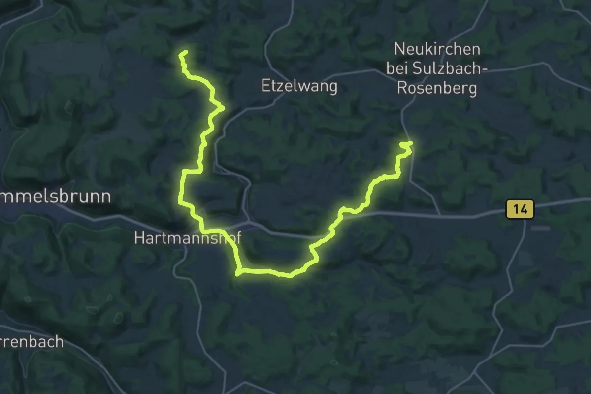
Demanding · Summit
Grünpunkt
27.3 km · ↑ 709 m · 7 h 58 min
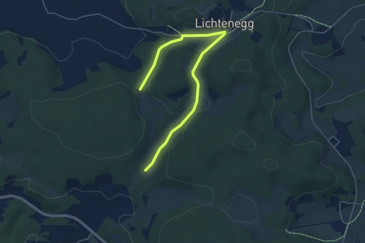
Easy · Trail
Grünpunkt
4.6 km · ↑ 86 m · 1 h 17 min
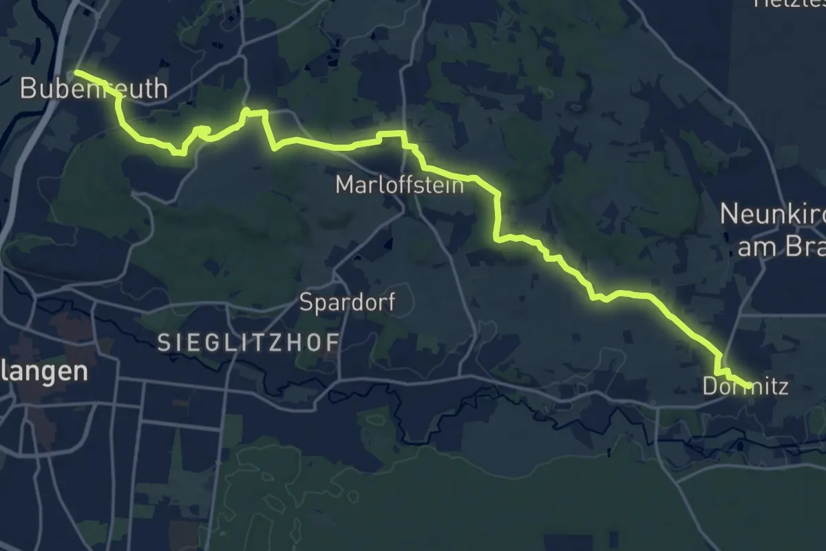
Demanding · Trail
Grünpunkt
23.0 km · ↑ 353 m · 6 h 11 min
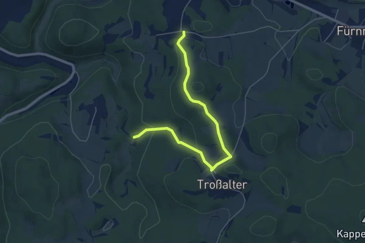
Medium · Summit
Grünring
2.4 km · ↑ 138 m · 52 min
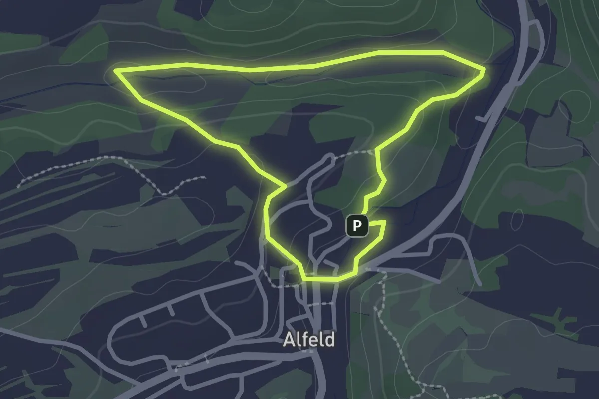
Easy · Trail
Grünring
2.2 km · ↑ 42 m · 38 min
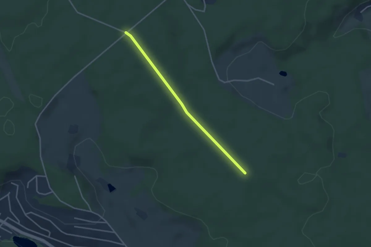
Easy · Trail
Grünschachen - Rotmoos
2.6 km · ↑ 32 m · 41 min
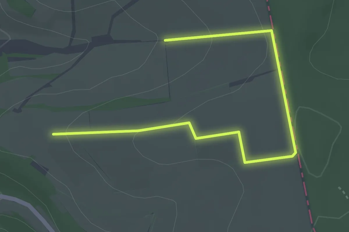
Easy · Trail
Grünseelchenweg
4.0 km · ↑ 109 m · 1 h 10 min
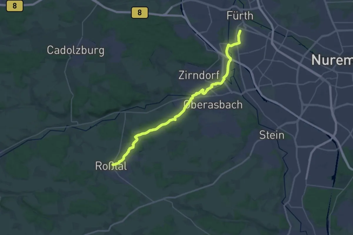
Demanding · Trail
Grünstrich
26.7 km · ↑ 262 m · 6 h 53 min
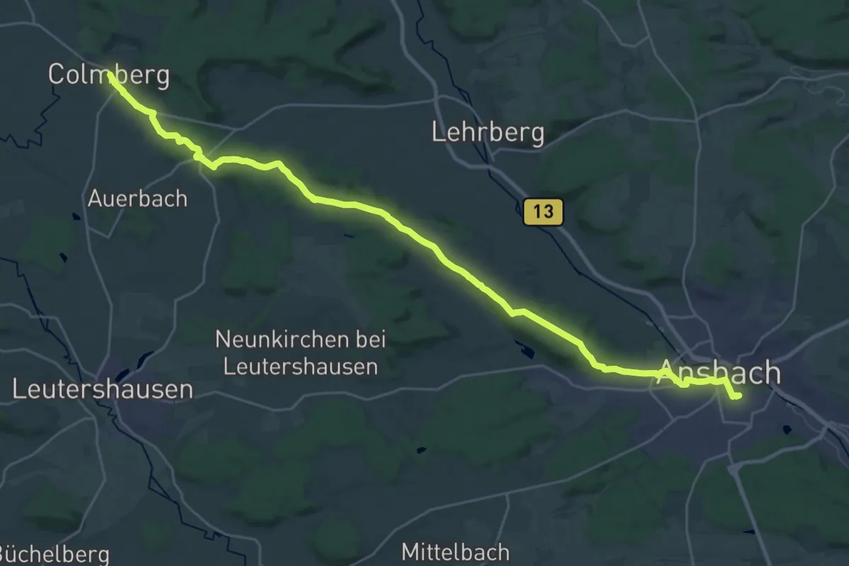
Demanding · Trail
Grünstrich
30.7 km · ↑ 301 m · 7 h 54 min
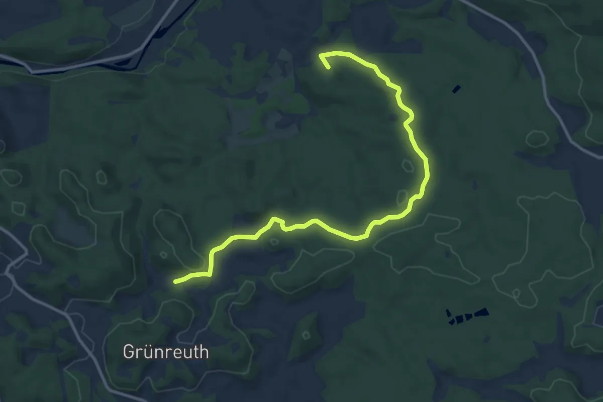
Medium · Summit
Grünstrich
10.0 km · ↑ 246 m · 2 h 53 min
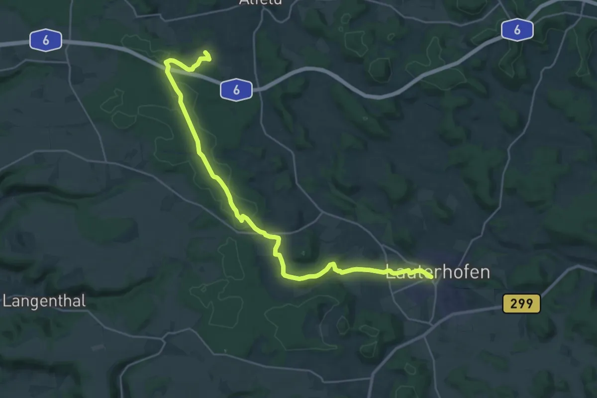
Demanding · Trail
Grünstrich
24.3 km · ↑ 367 m · 6 h 32 min
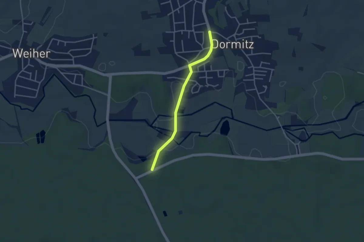
Easy · Trail
Grünstrich
2.7 km · ↑ 19 m · 41 min
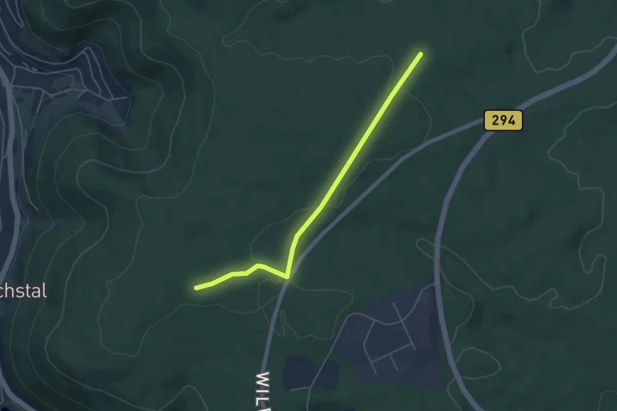
Easy · Trail
Grüntaler Weg - Platten
4.3 km · ↑ 56 m · 1 h 9 min
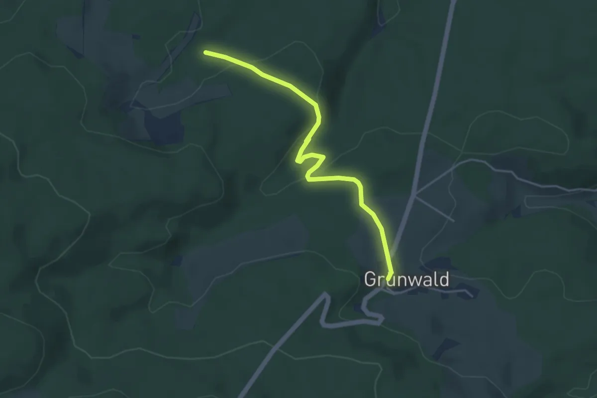
Easy · Trail
Grünwald - Schönenberg
3.9 km · ↑ 80 m · 1 h 5 min
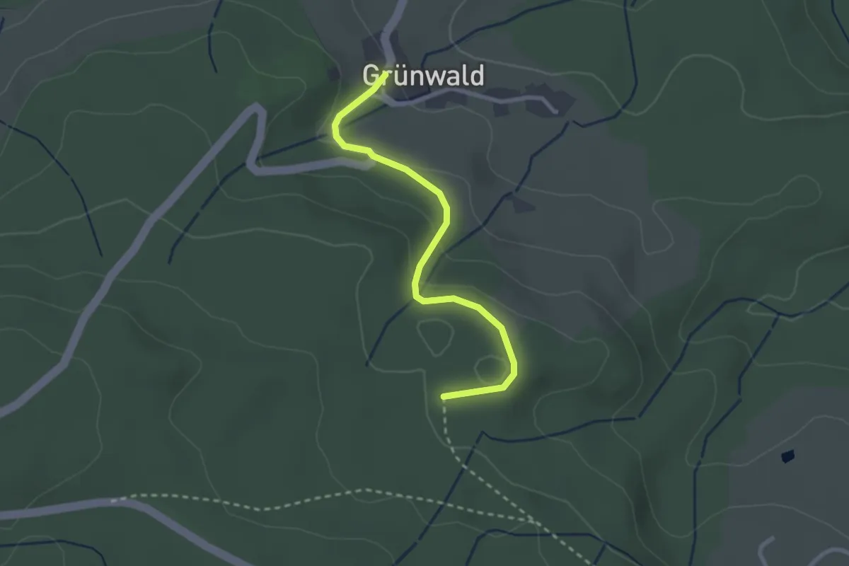
Easy · Trail
Grünwald - Teufelsküche
2.5 km · ↑ 99 m · 49 min
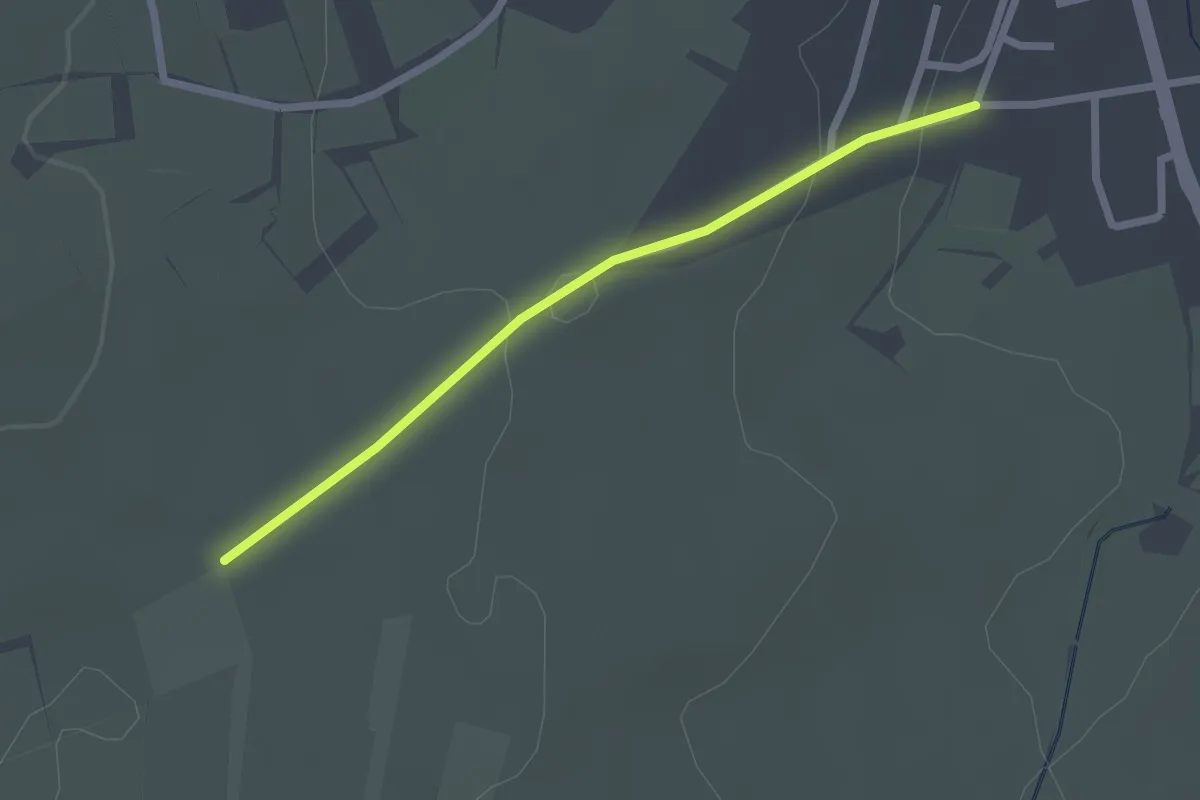
Easy · Trail
Grünwettersbach Rötling - Stuben
2.1 km · ↑ 48 m · 35 min
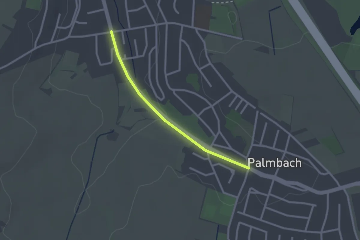
Easy · Trail
Grünwettersbach Seeplatte - Palmbach Ortsmitte
2.0 km · ↑ 23 m · 32 min
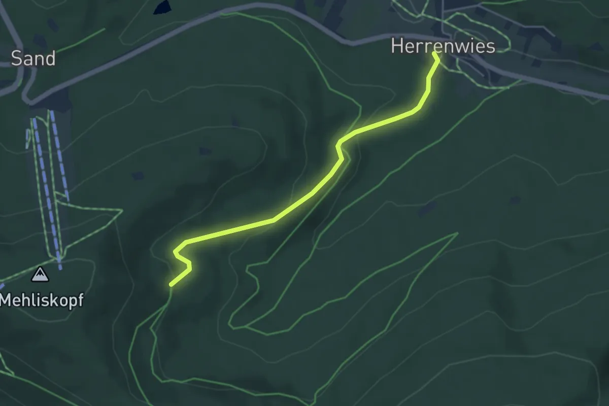
Easy · Trail
Grünwinkel - Herrenwies Dorfplatz
3.8 km · ↑ 148 m · 1 h 13 min
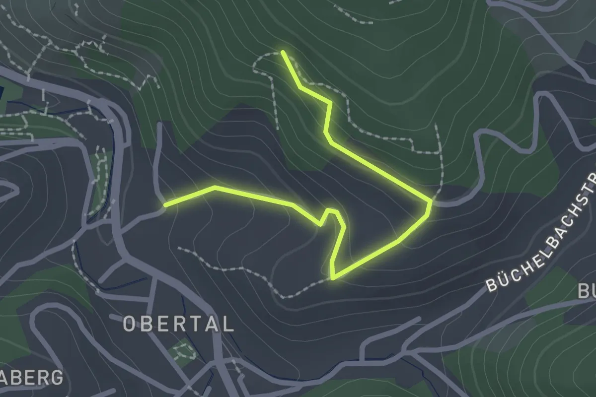
Easy · Trail
Grünwinkel - Obere Wolfinstraße
2.1 km · ↑ 145 m · 49 min
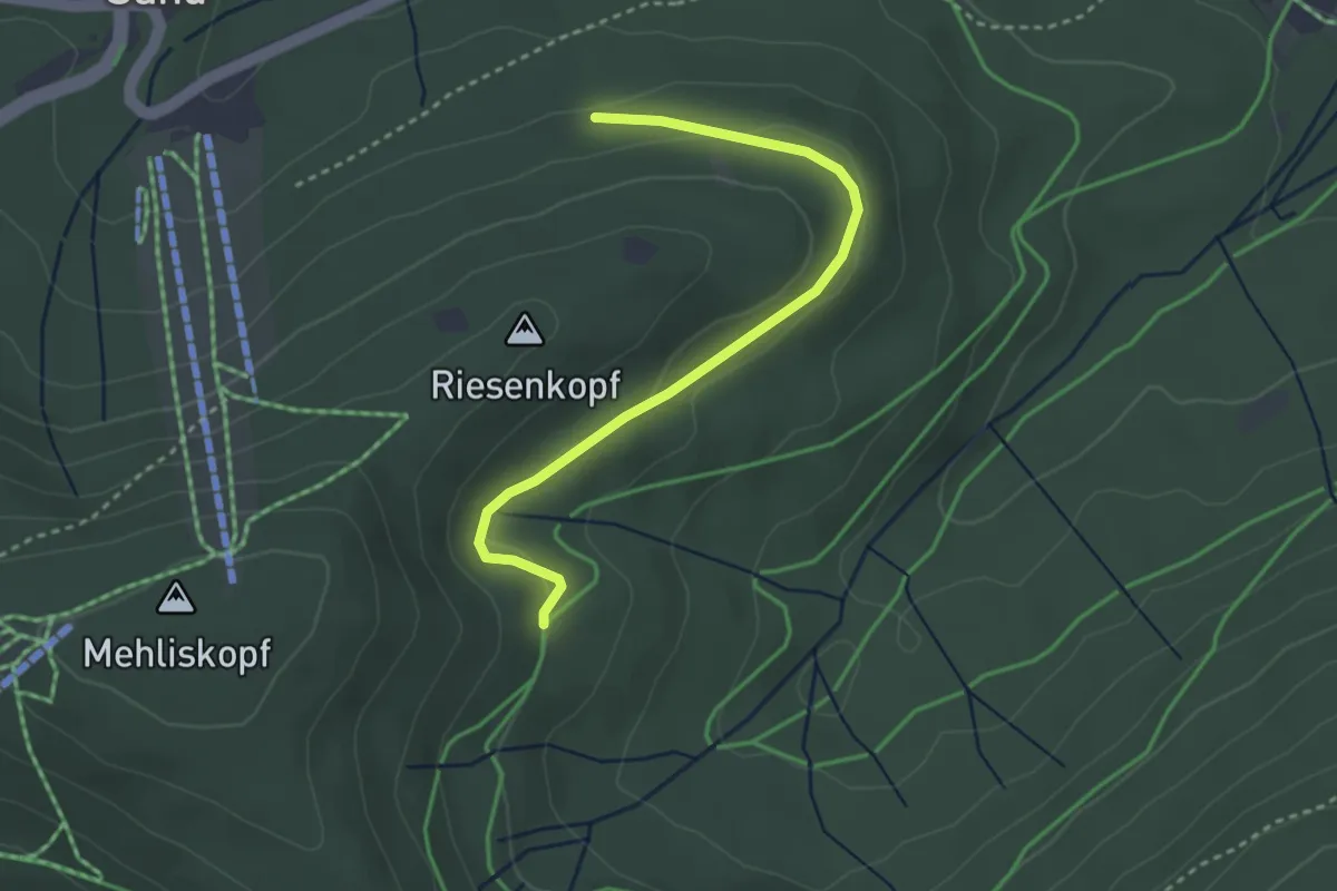
Easy · Trail
Grünwinkel - Unterm Riesenkopf
3.2 km · ↑ 64 m · 53 min
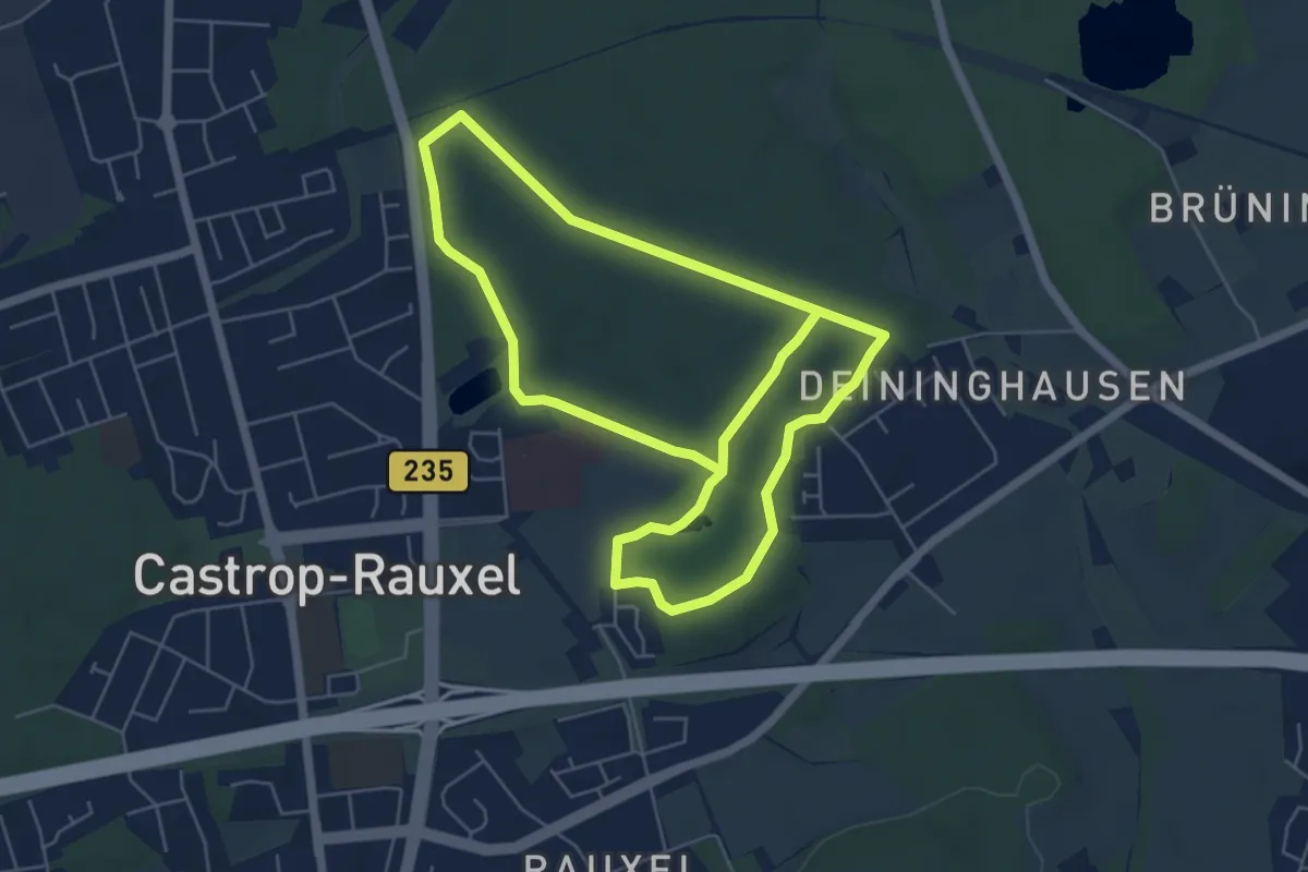
Easy · Trail
Grutholz Rundweg A1
5.2 km · ↑ 52 m · 1 h 24 min
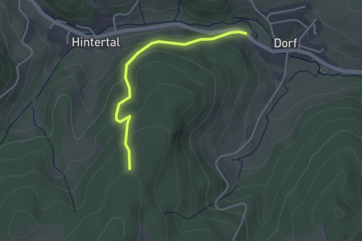
Easy · Trail
Gschächle - Gschächle-Weg
2.7 km · ↑ 177 m · 1 h 2 min
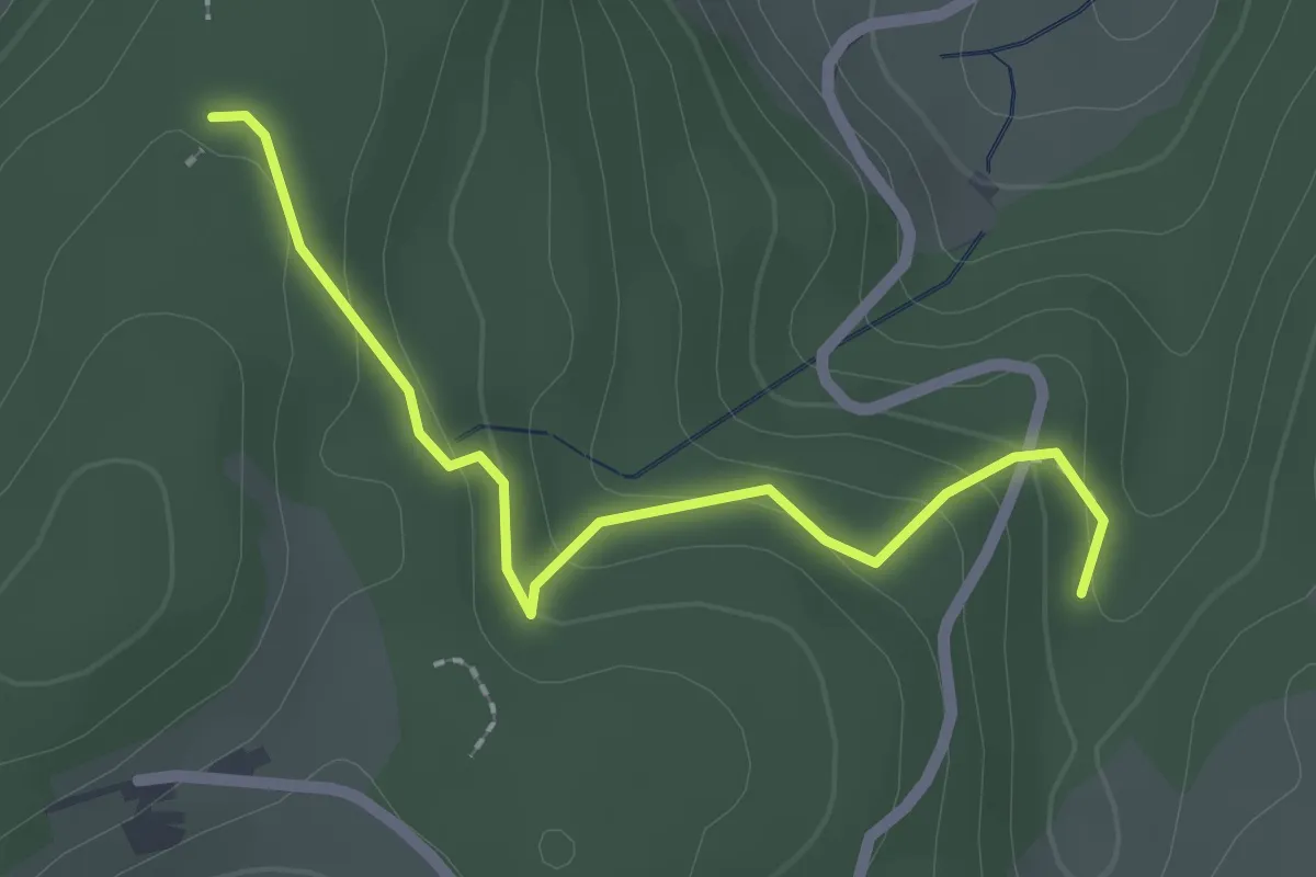
Easy · Trail
Gschächle - Joosenberg
2.1 km · ↑ 117 m · 46 min
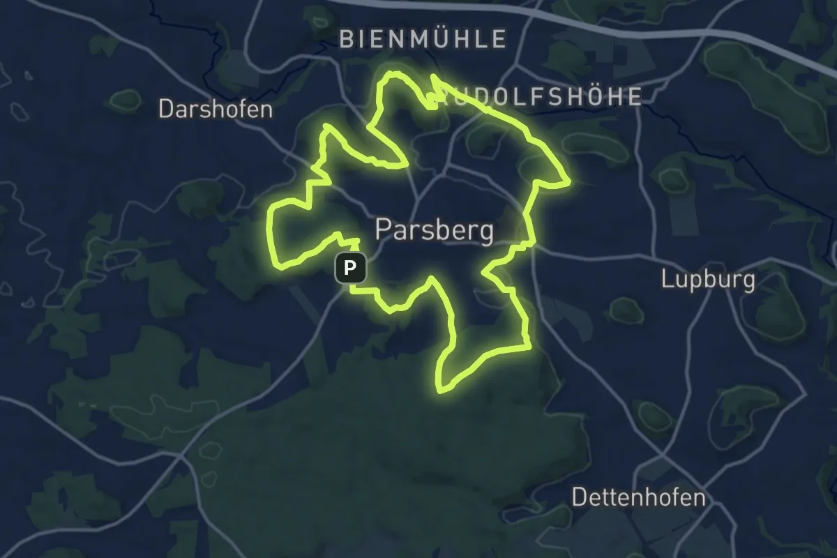
Medium · Summit
G´schichtenweg
14.9 km · ↑ 405 m · 4 h 35 min
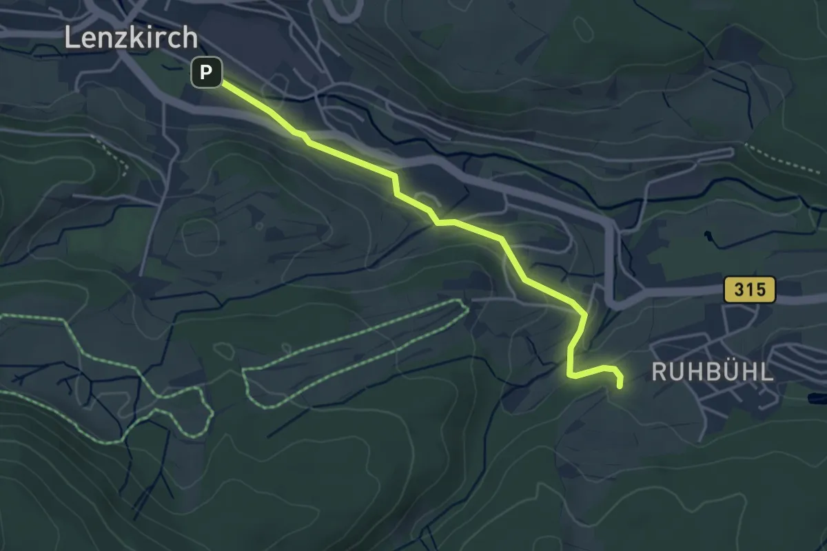
Easy · Trail
Gschind - Lenzkirch Kurpark
3.7 km · ↑ 59 m · 1 h
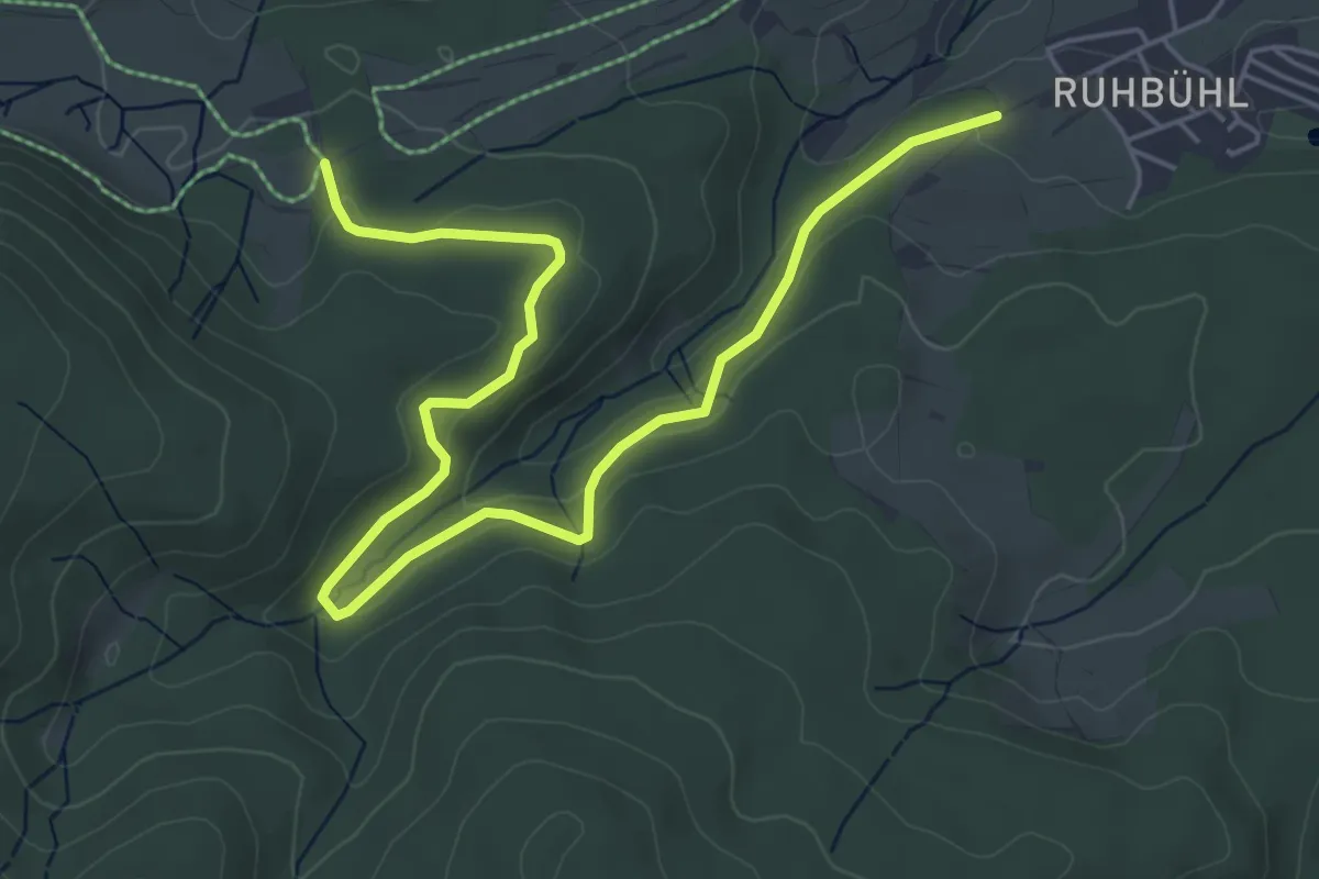
Easy · Trail
Gschind - Parkplatz Fuchsfarm
6.4 km · ↑ 166 m · 1 h 53 min
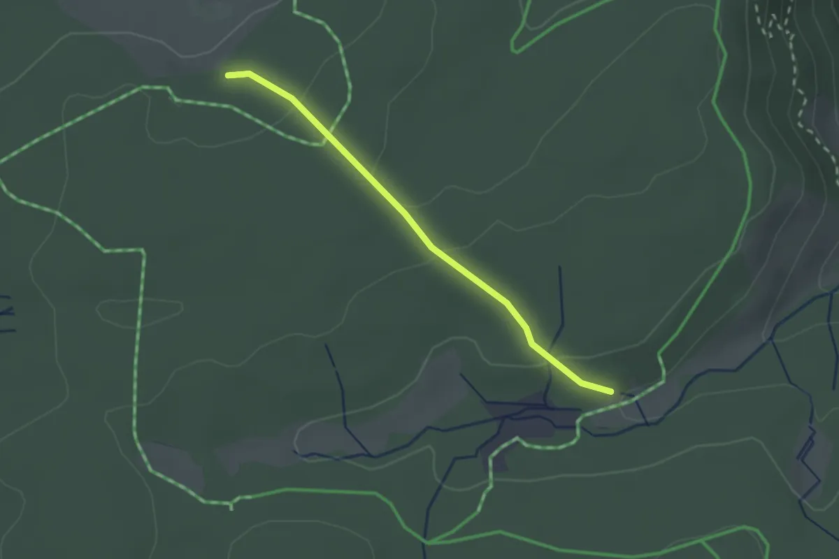
Easy · Trail
Gschwanderdobel - Jockenhof
2.0 km · ↑ 36 m · 33 min
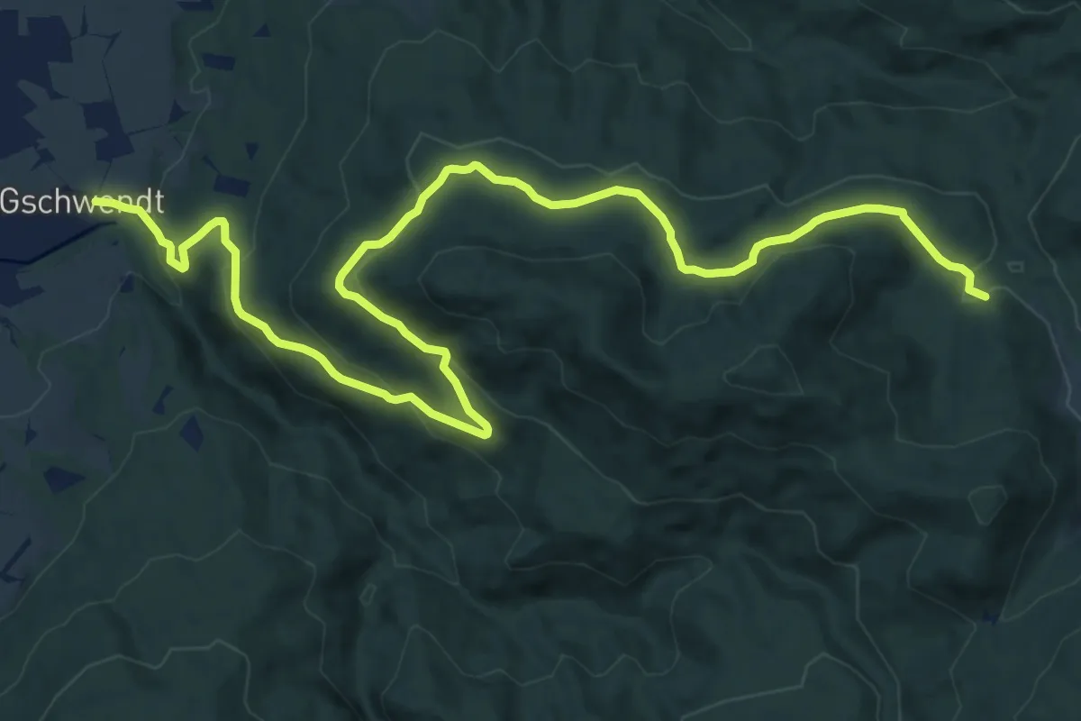
Medium · Trail
Gschwendt - Arzbach
16.1 km · ↑ 589 m · 5 h 5 min
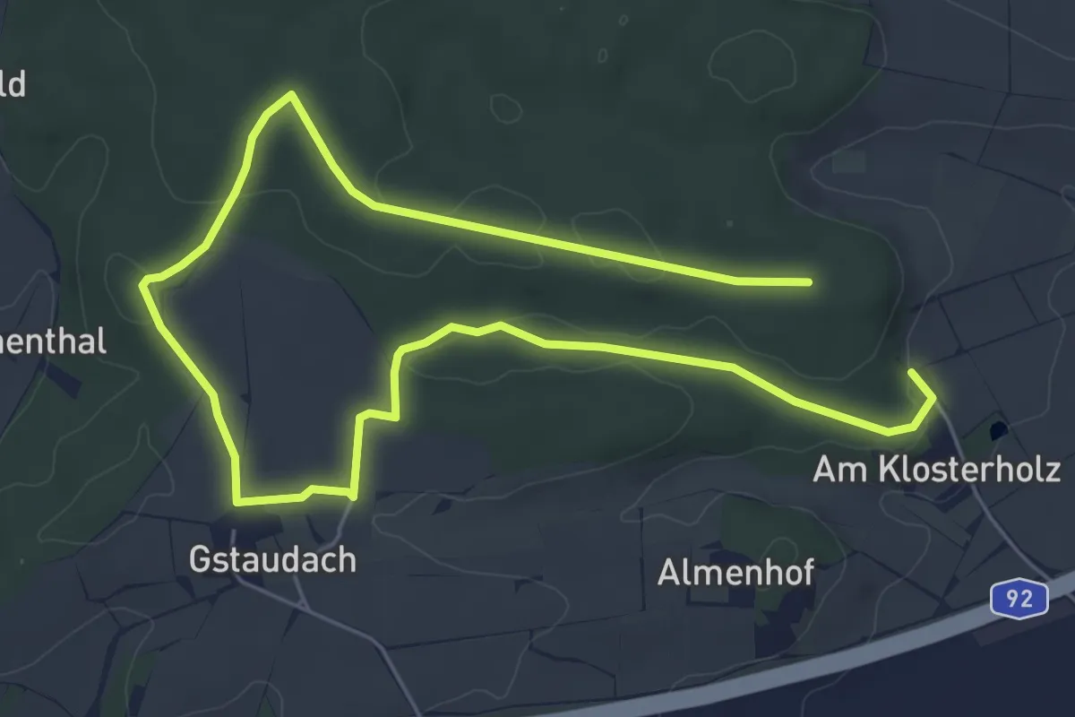
Medium · Trail
Gstaudacher Rundwanderweg O
9.1 km · ↑ 100 m · 2 h 21 min
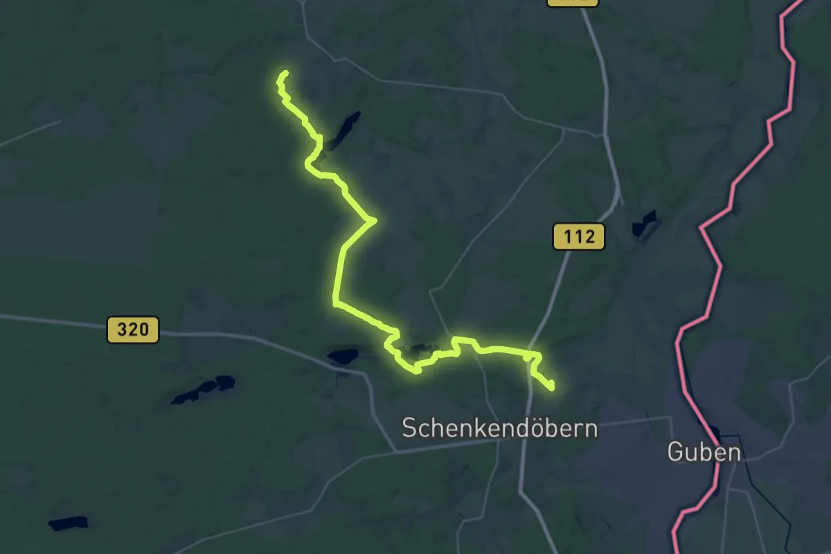
Demanding · Summit
Guben - Frankfurt Oder
34.9 km · ↑ 286 m · 8 h 52 min
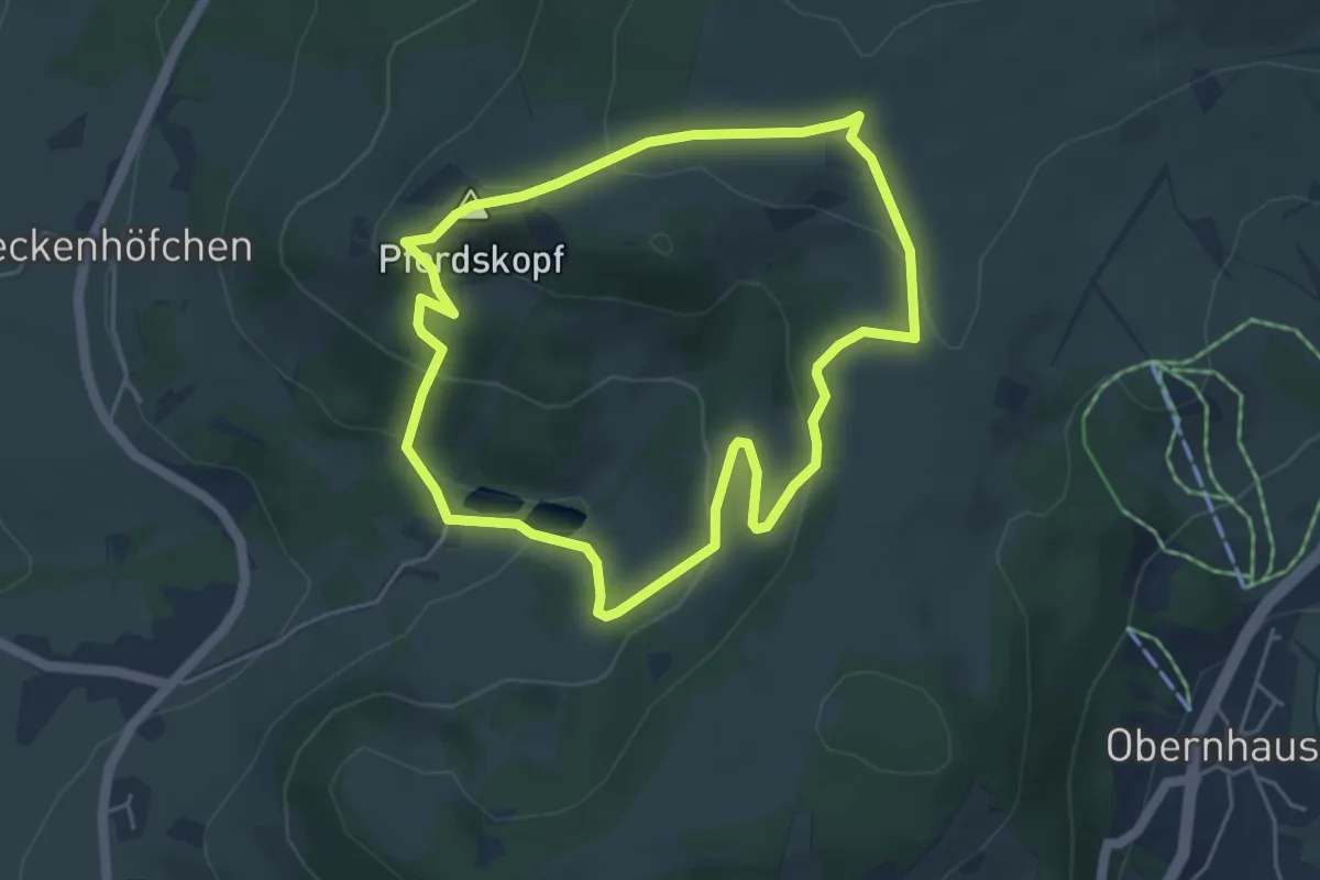
Medium · Summit
Guckaisee - Rhön-Rundweg 18
4.3 km · ↑ 183 m · 1 h 28 min
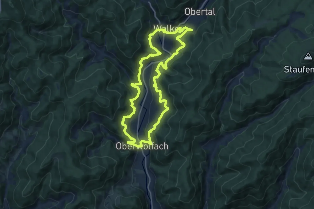
Medium · Trail
Guck a mol Wegle
12.1 km · ↑ 759 m · 4 h 40 min
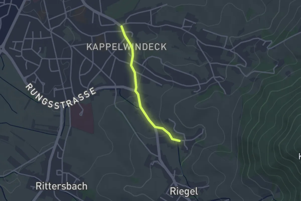
Easy · Trail
Gucken - Kappelwindeck Kirche
2.2 km · ↑ 30 m · 36 min
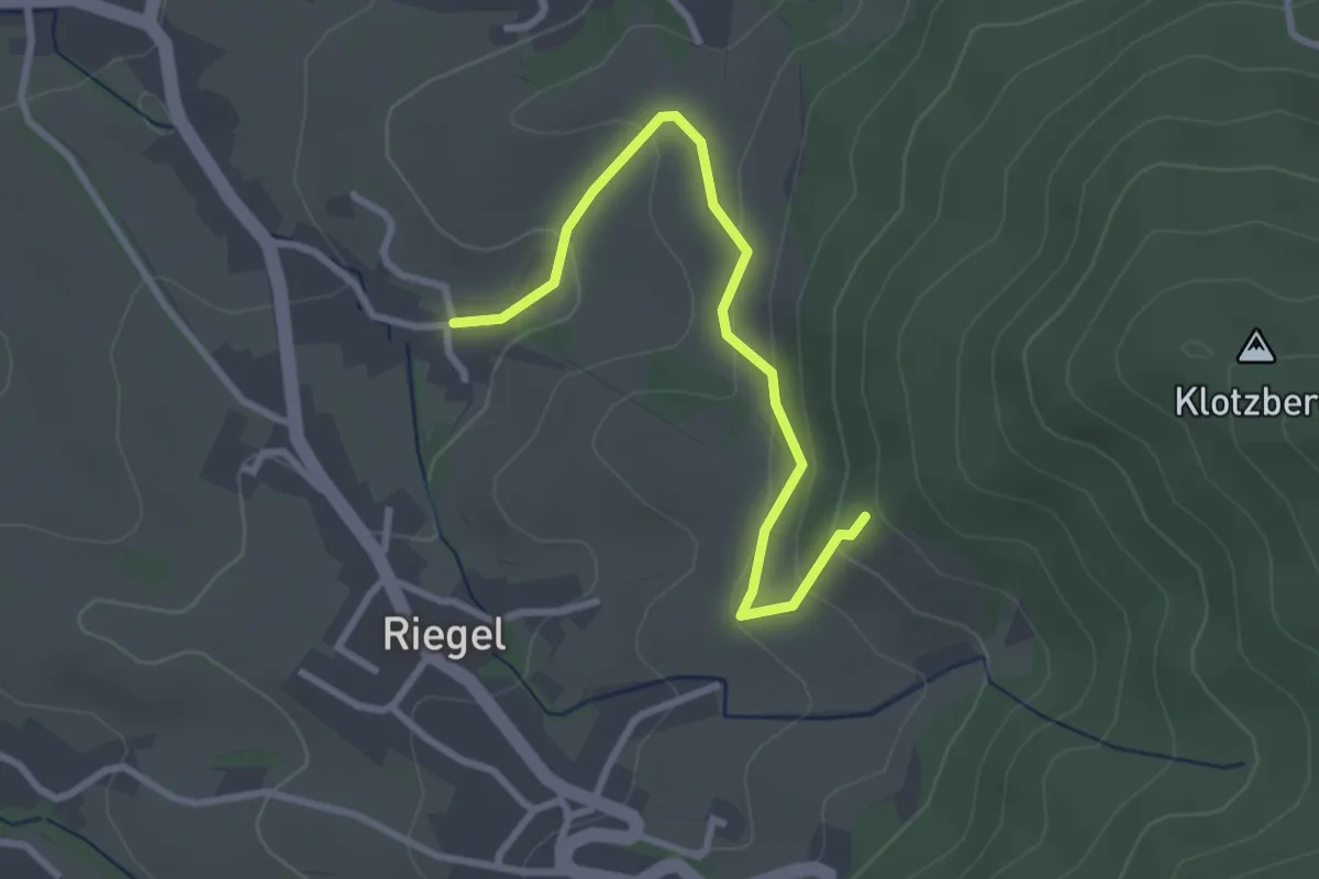
Easy · Trail
Gucken - Oberer Danngraben
2.8 km · ↑ 155 m · 1 h
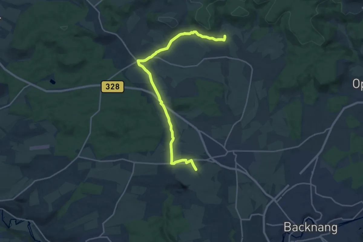
Medium · Trail
GUcK-Erlebnispfad
14.7 km · ↑ 137 m · 3 h 47 min
Easy · Trail
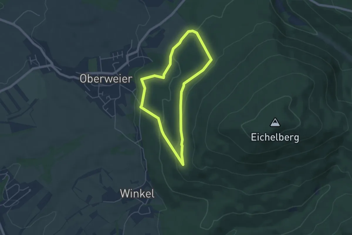
Guck'naus-Weg
3.8 km · ↑ 137 m · 1 h 15 min
Easy · Trail
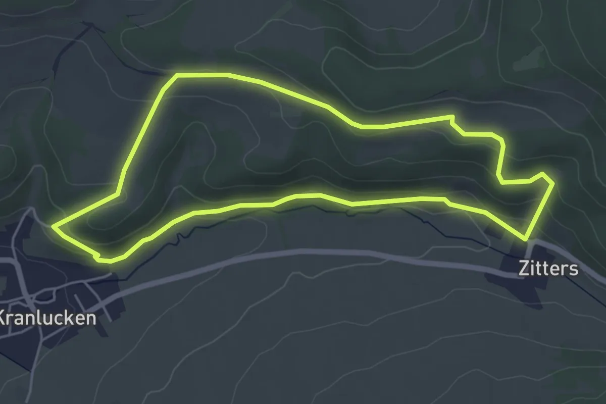
Guck- und Putschelweg
4.5 km · ↑ 121 m · 1 h 23 min
Easy · Trail
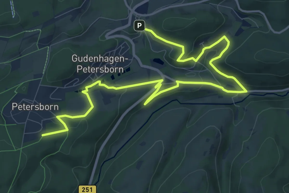
Gudenhagen/Petersborn GP1
6.6 km · ↑ 183 m · 2 h
Demanding · Summit
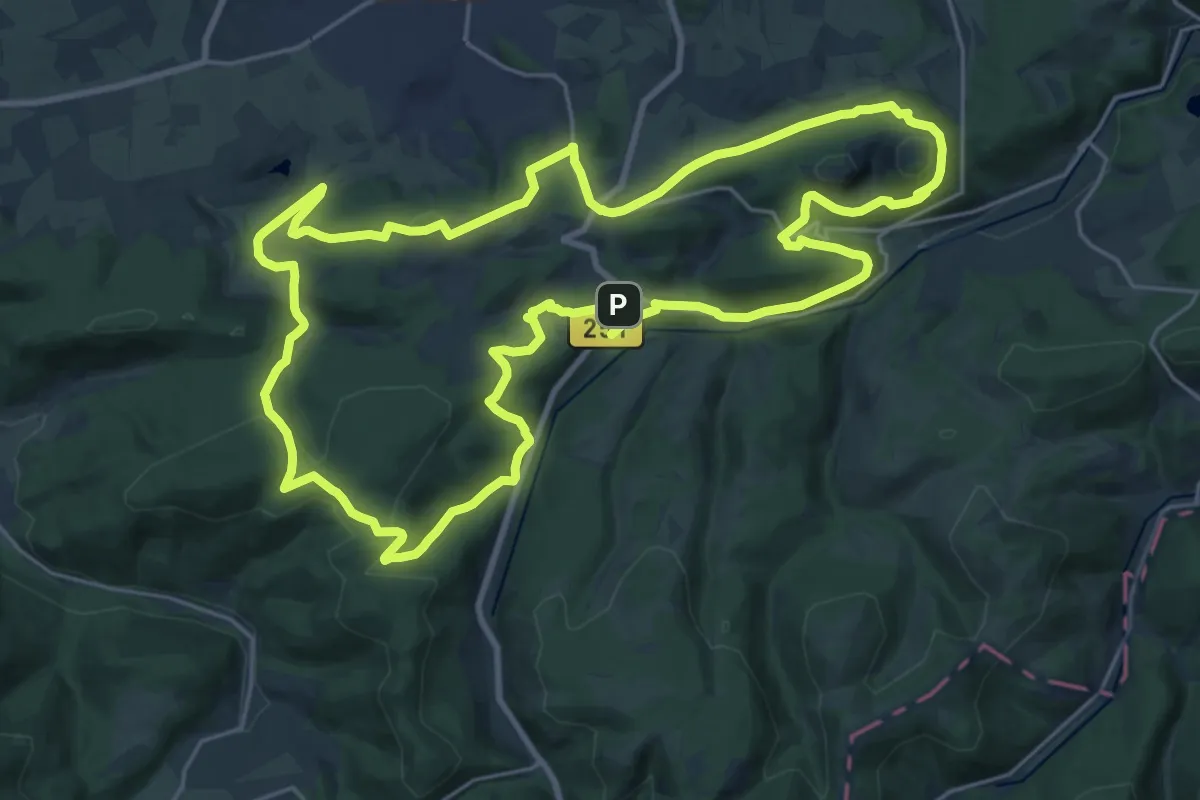
Gudenhagen/Petersborn GP2
23.2 km · ↑ 568 m · 7 h 2 min