Trails in Germany
36,852 hiking trails, each with its route, climb, walking time and grade.
All trails, page 202 of 768
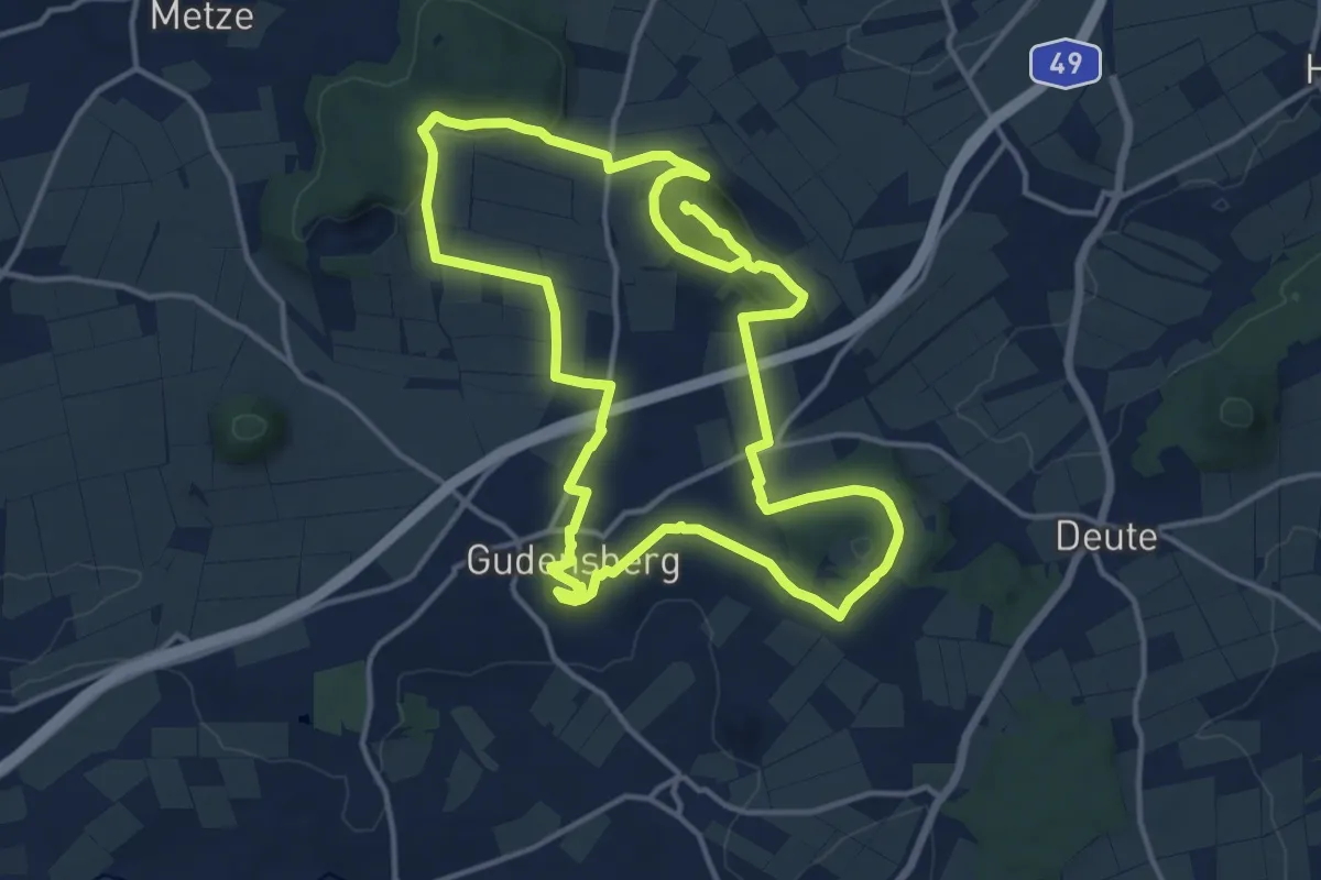
Medium · Summit
Gudensberger Panoramaweg Ostrunde
13.3 km · ↑ 288 m · 3 h 55 min
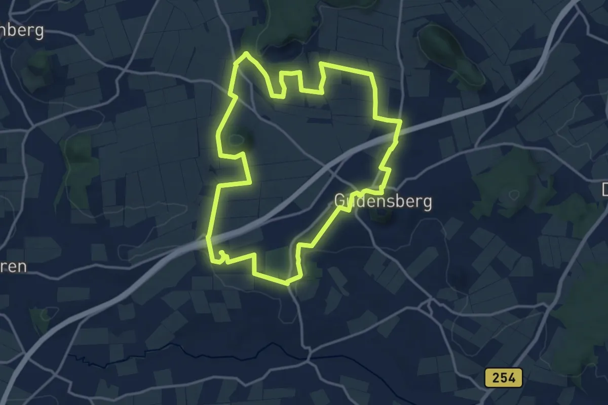
Medium · Summit
Gudensberger Panoramaweg Westrunde
12.0 km · ↑ 195 m · 3 h 25 min
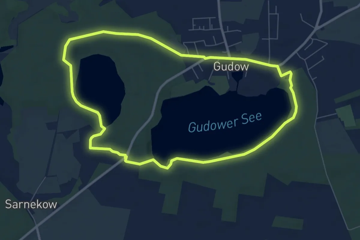
Easy · Trail
Gudow-Sarnekower See (1)
6.2 km · ↑ 19 m · 1 h 36 min
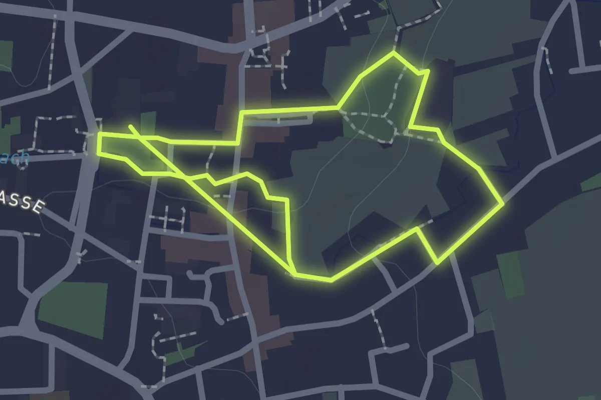
Easy · Trail
GuggemolWeg Stadt
1.9 km · ↑ 9 m · 30 min
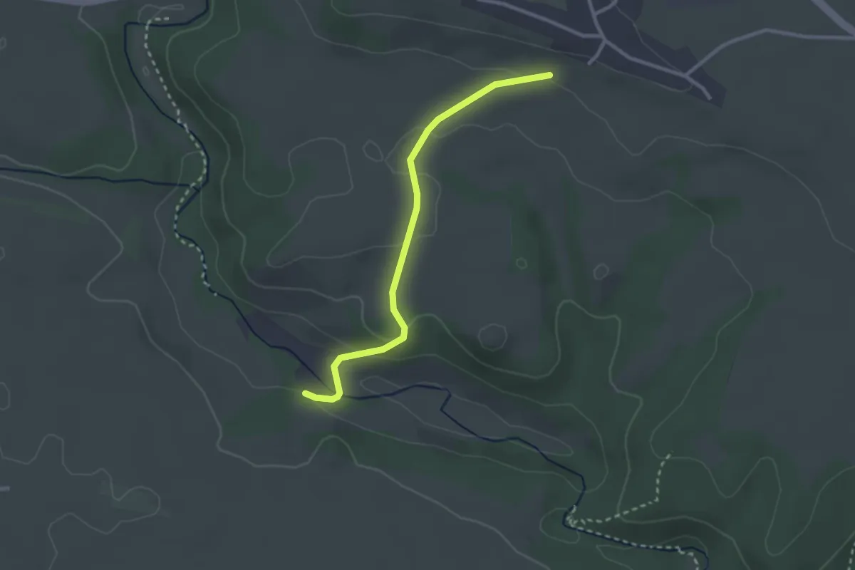
Easy · Trail
Guggenmühle - ?
2.6 km · ↑ 76 m · 47 min
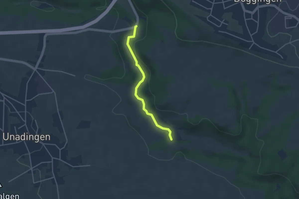
Easy · Trail
Guggenmühle - Posthaus
2.8 km · ↑ 28 m · 43 min
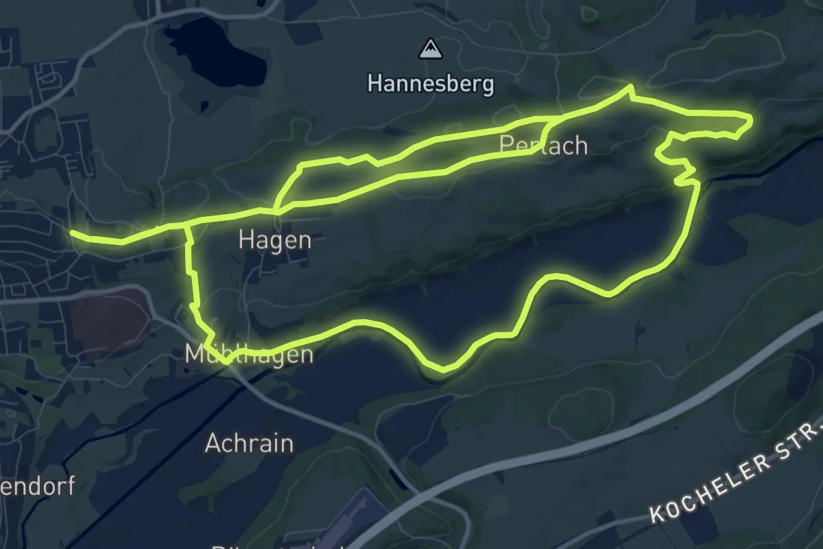
Medium · Trail
Guglhör-Rundweg
13.3 km · ↑ 226 m · 3 h 47 min
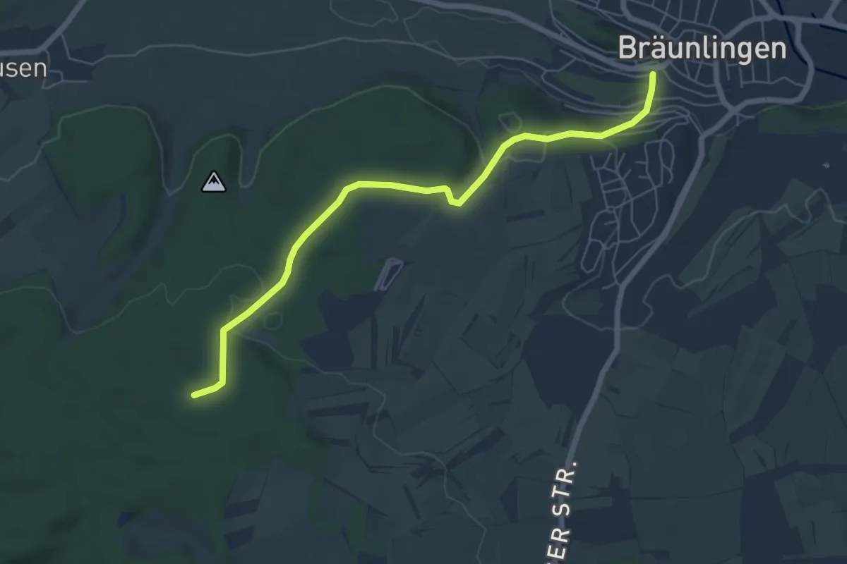
Easy · Trail
Guldenen - Bräunlingen Spitalplatz
6.2 km · ↑ 137 m · 1 h 45 min
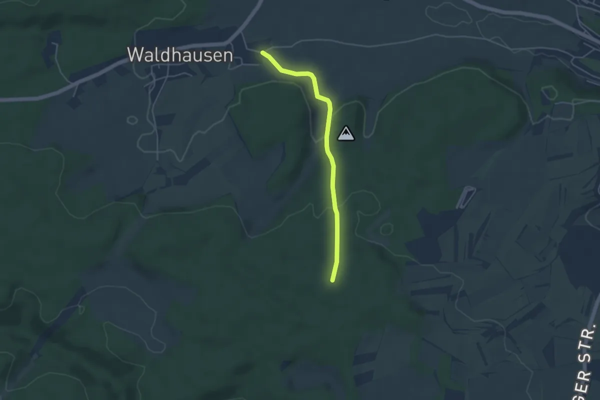
Easy · Trail
Guldenen - Waldhausen Mühle
3.7 km · ↑ 117 m · 1 h 8 min
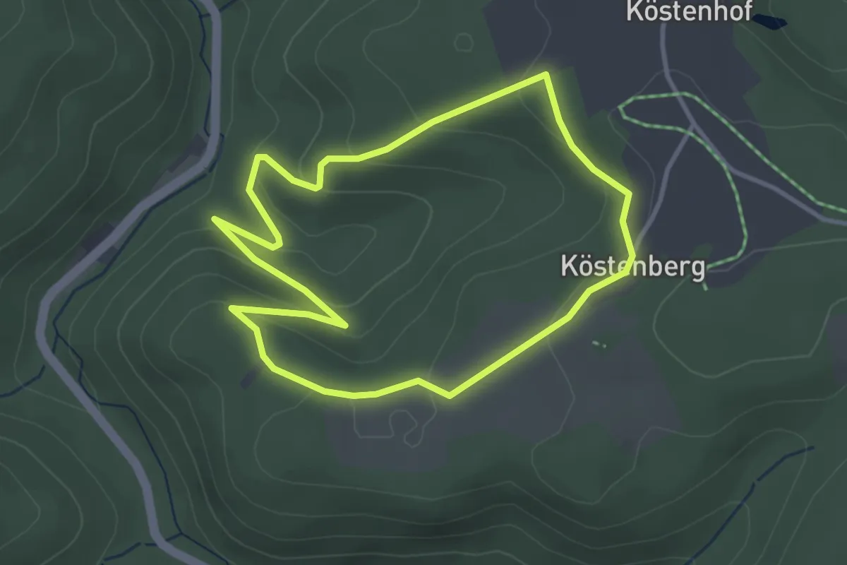
Easy · Trail
Güldenstein-Weg DÖ 53
3.0 km · ↑ 122 m · 1 h 1 min
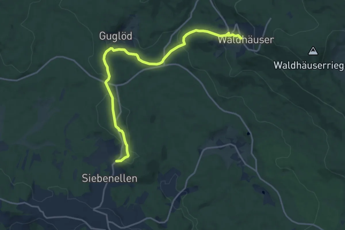
Medium · Trail
Guldenstrass
11.9 km · ↑ 355 m · 3 h 35 min
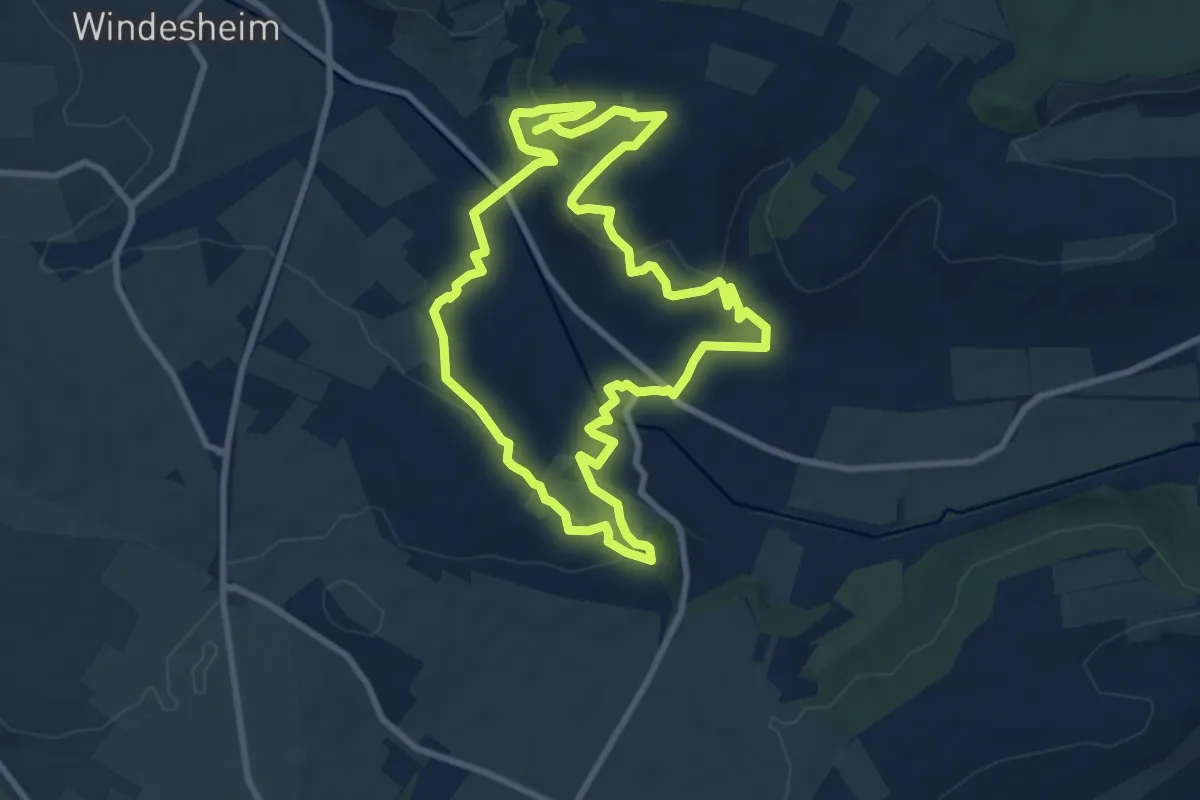
Medium · Trail
Guldentaler Krönchen
8.3 km · ↑ 239 m · 2 h 35 min
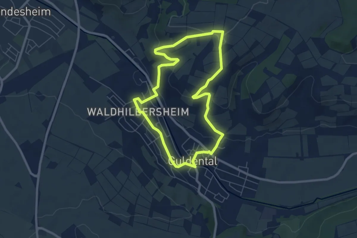
Easy · Trail
Guldentaler Weinwanderweg
5.3 km · ↑ 129 m · 1 h 37 min
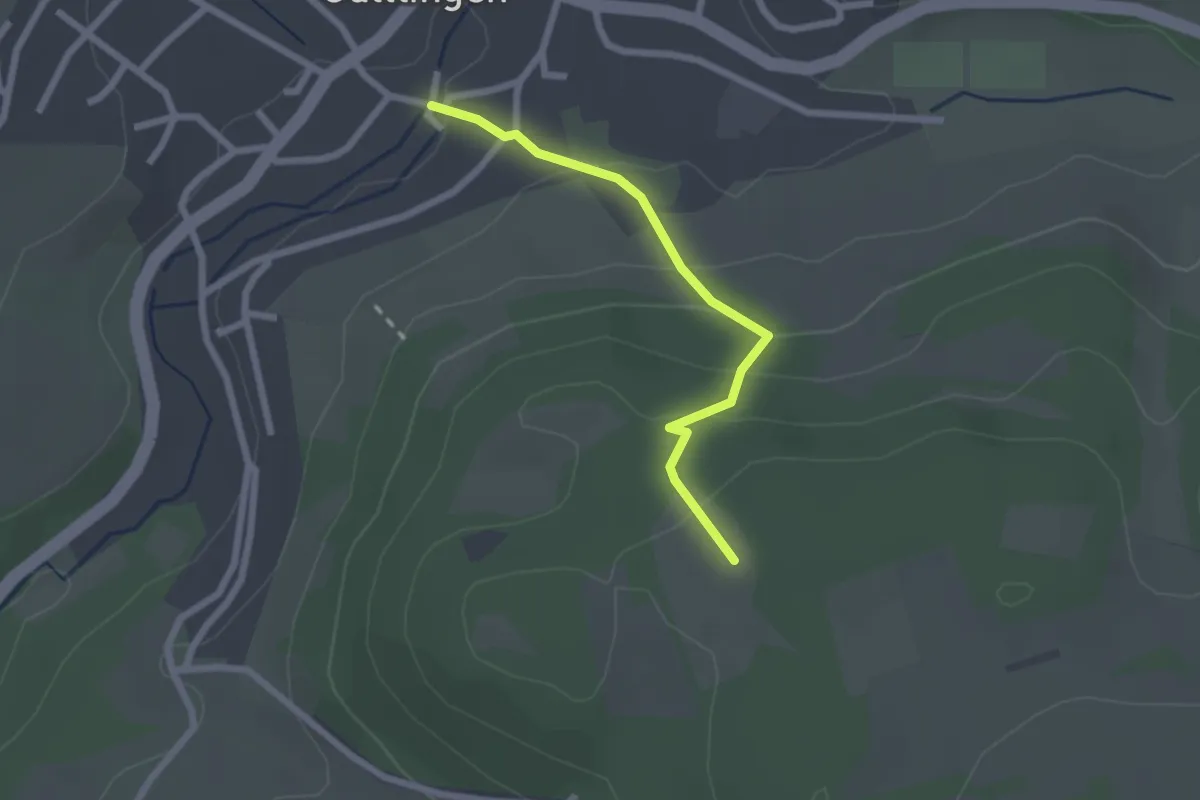
Easy · Trail
Gültlingen Backhaus - Kleiner Sportplatz
2.0 km · ↑ 125 m · 45 min
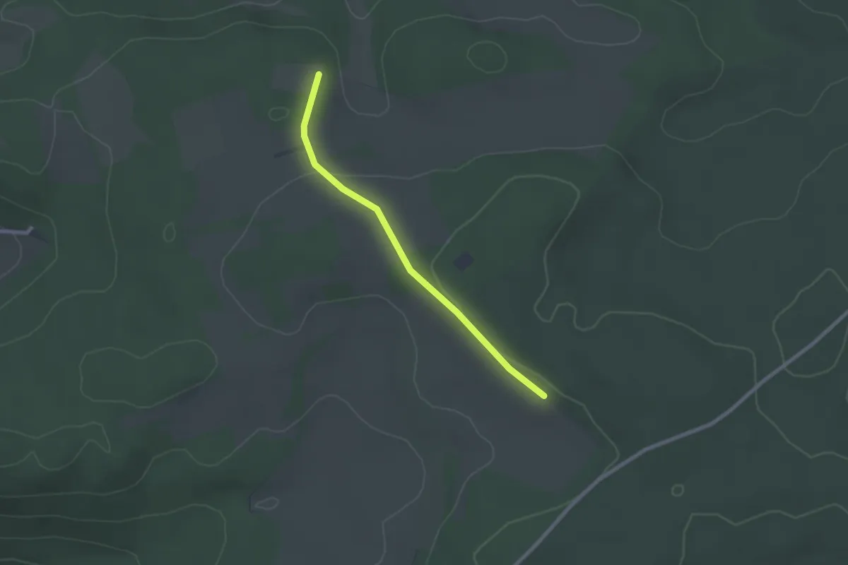
Easy · Trail
Gültlingen Schwarzwaldblick
2.1 km · ↑ 23 m · 32 min
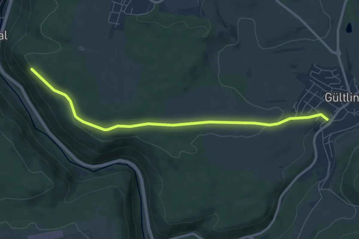
Easy · Trail
Gültlingen Unterdorf - Ehemalige Gaisburg
6.6 km · ↑ 105 m · 1 h 46 min
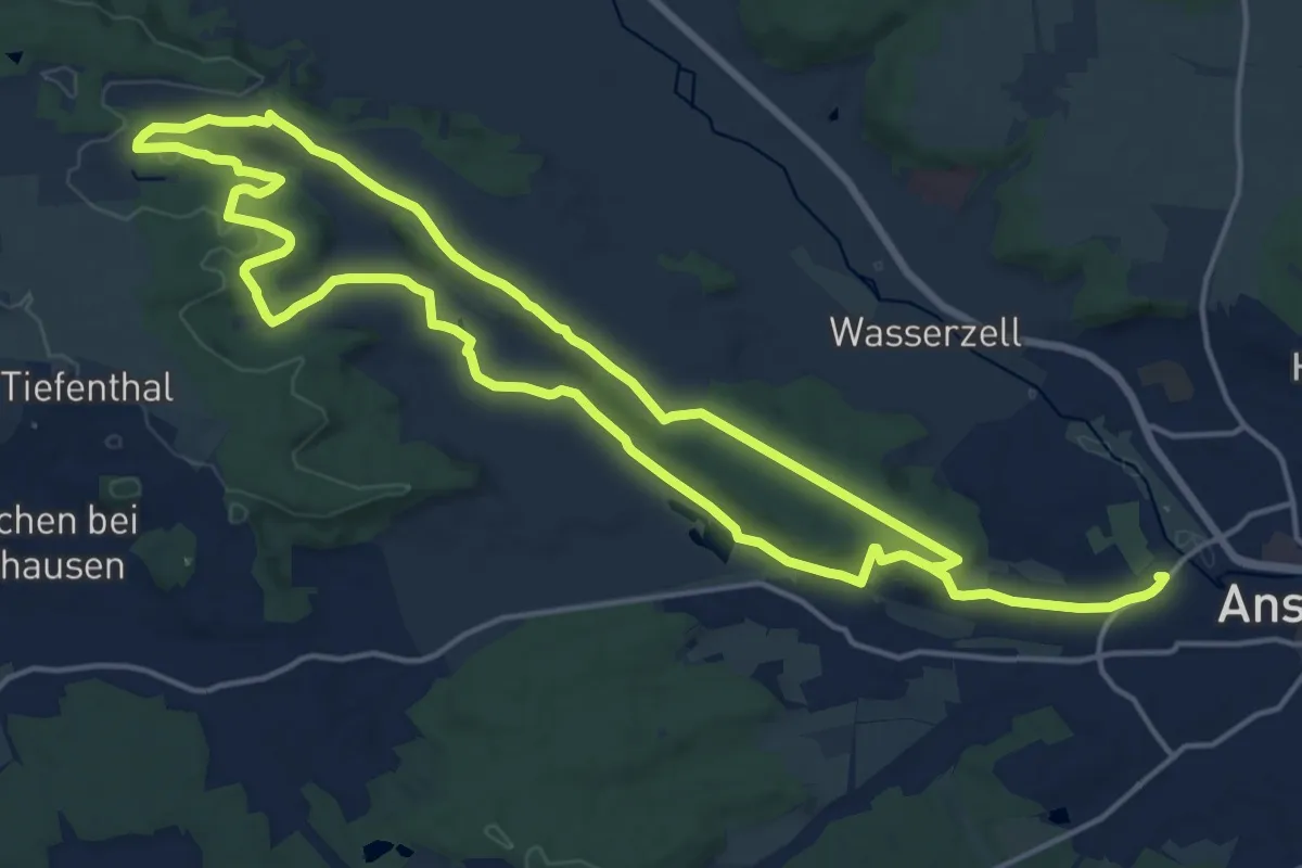
Medium · Trail
Gumbertusweg
15.7 km · ↑ 249 m · 4 h 26 min
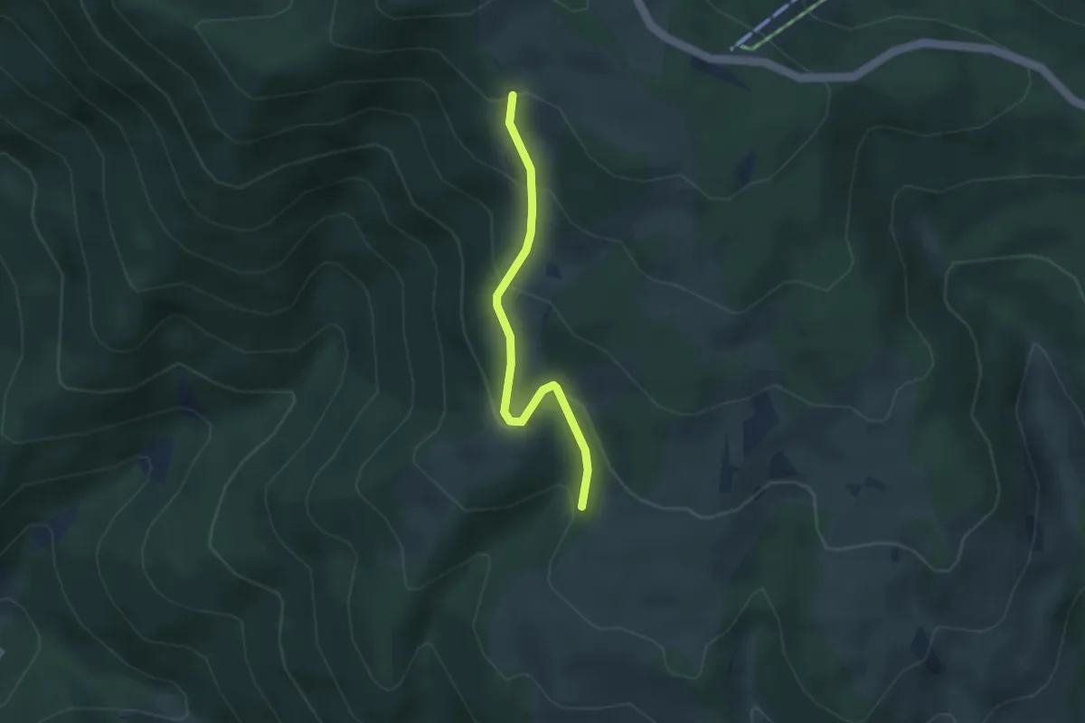
Easy · Trail
Gummenhofhütte - Oberhalb Dilgerhäusle
2.9 km · ↑ 207 m · 1 h 8 min
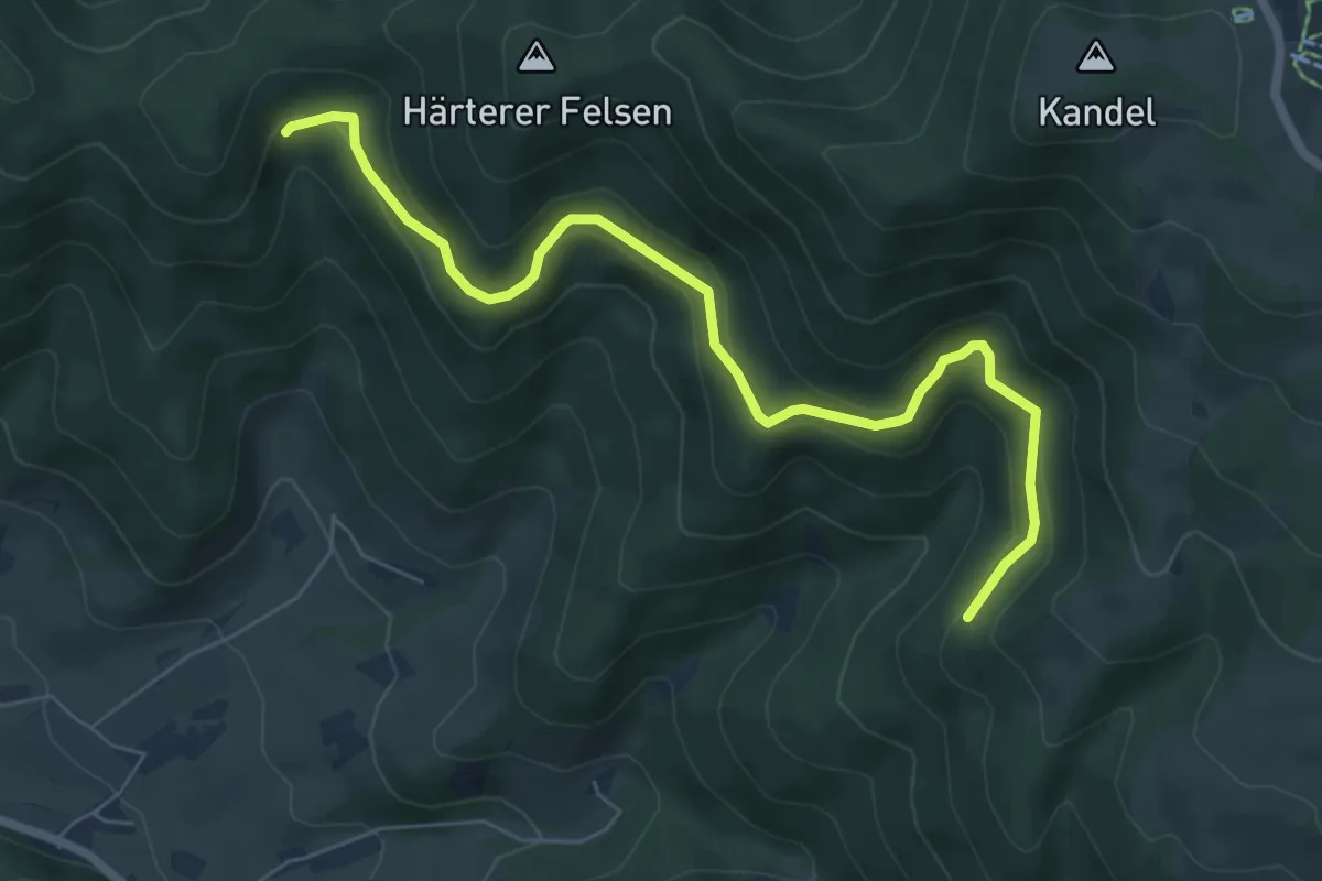
Medium · Trail
Gummenwald - Im Kandelwald
6.8 km · ↑ 349 m · 2 h 22 min
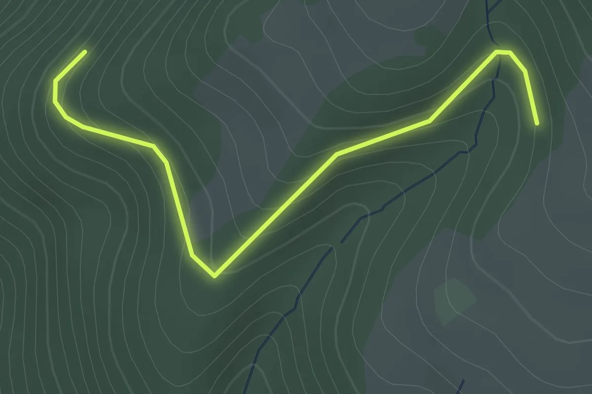
Easy · Trail
Gummenwald - Oberhalb Dilgerhäusle
2.3 km · ↑ 151 m · 53 min
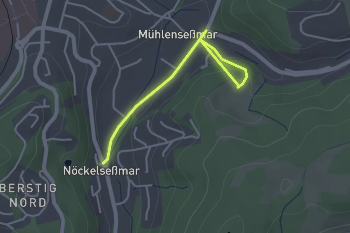
Easy · Trail
Gummersbach Rundweg A4
2.7 km · ↑ 75 m · 48 min
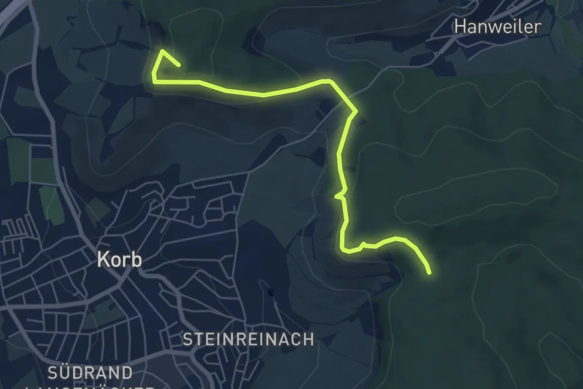
Easy · Summit
Gundelbach Beinsteiner Wald - Hörnleskopf - Hanweiler Sattel - Korber Kopf
5.6 km · ↑ 230 m · 1 h 49 min
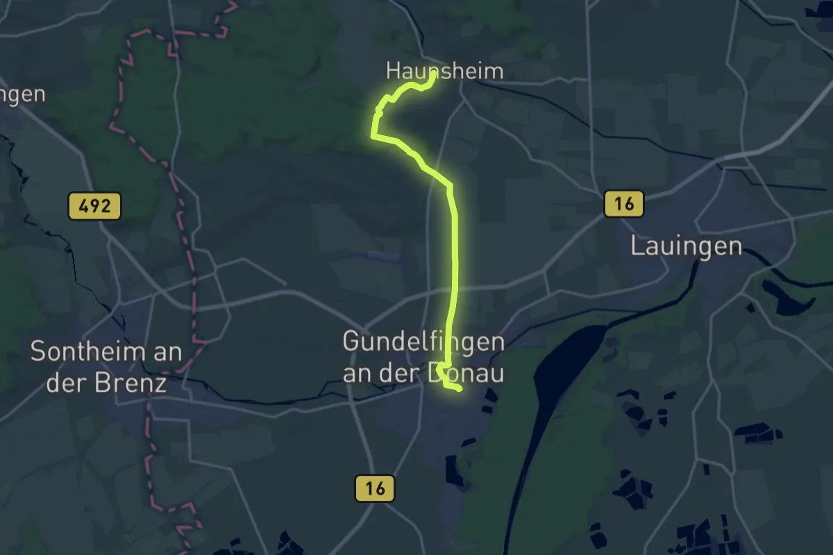
Medium · Trail
Gundelfingen - Haunsheim
15.0 km · ↑ 72 m · 3 h 42 min
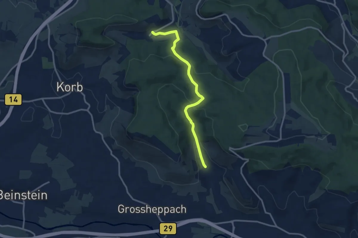
Medium · Trail
Gundelsbach - Kreuzeiche - Hanweiler
8.1 km · ↑ 313 m · 2 h 36 min
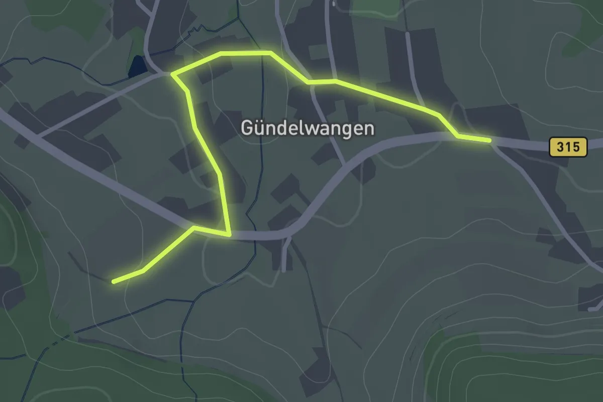
Easy · Trail
Gündelwangen - Mittlematt
2.7 km · ↑ 48 m · 45 min
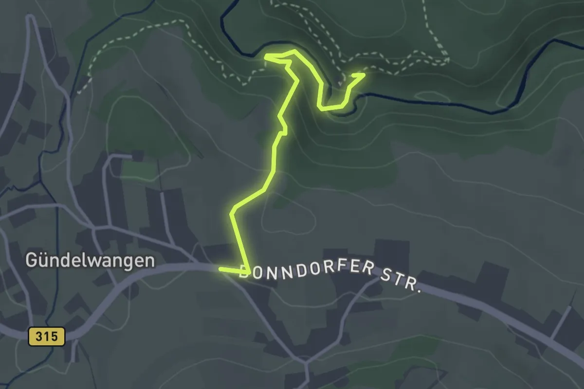
Demanding · Trail
Gündelwangen - Räuberschlössle
2.7 km · ↑ 133 m · 56 min
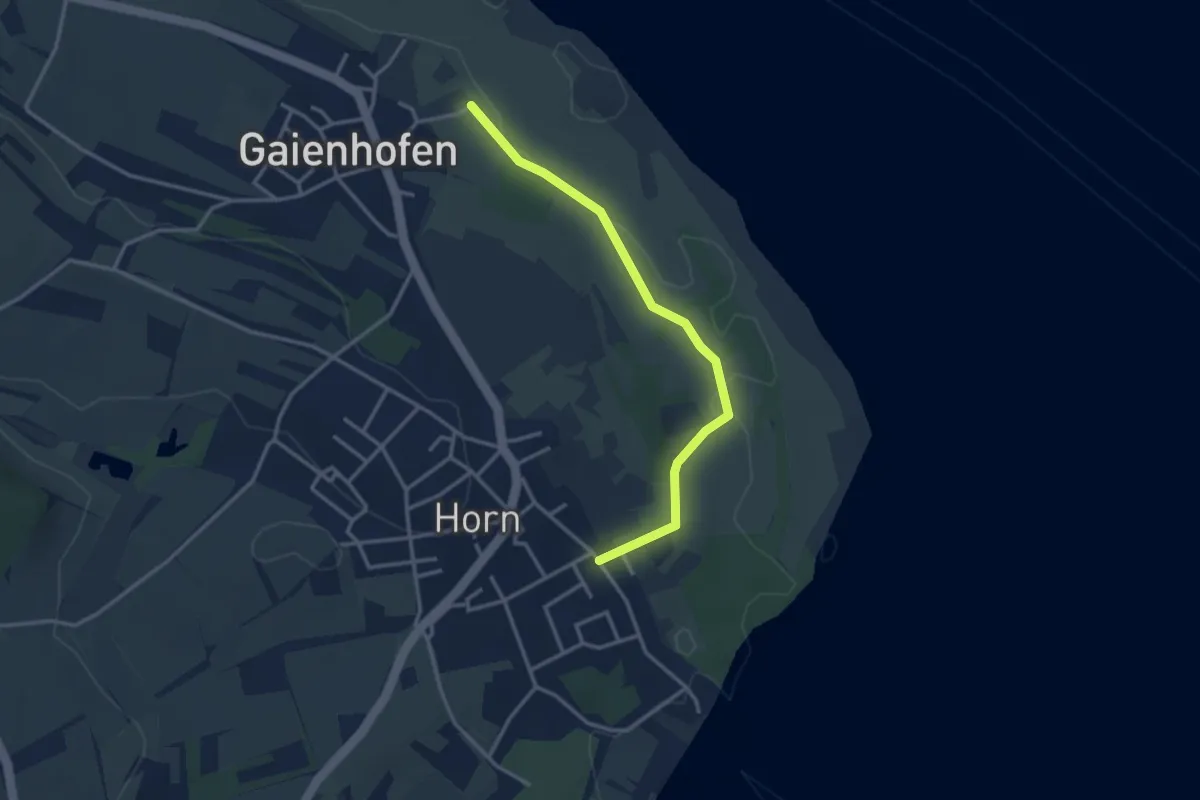
Easy · Trail
Gundholzen Frondwiesen - Horn Hörnliweg
3.2 km · ↑ 17 m · 47 min
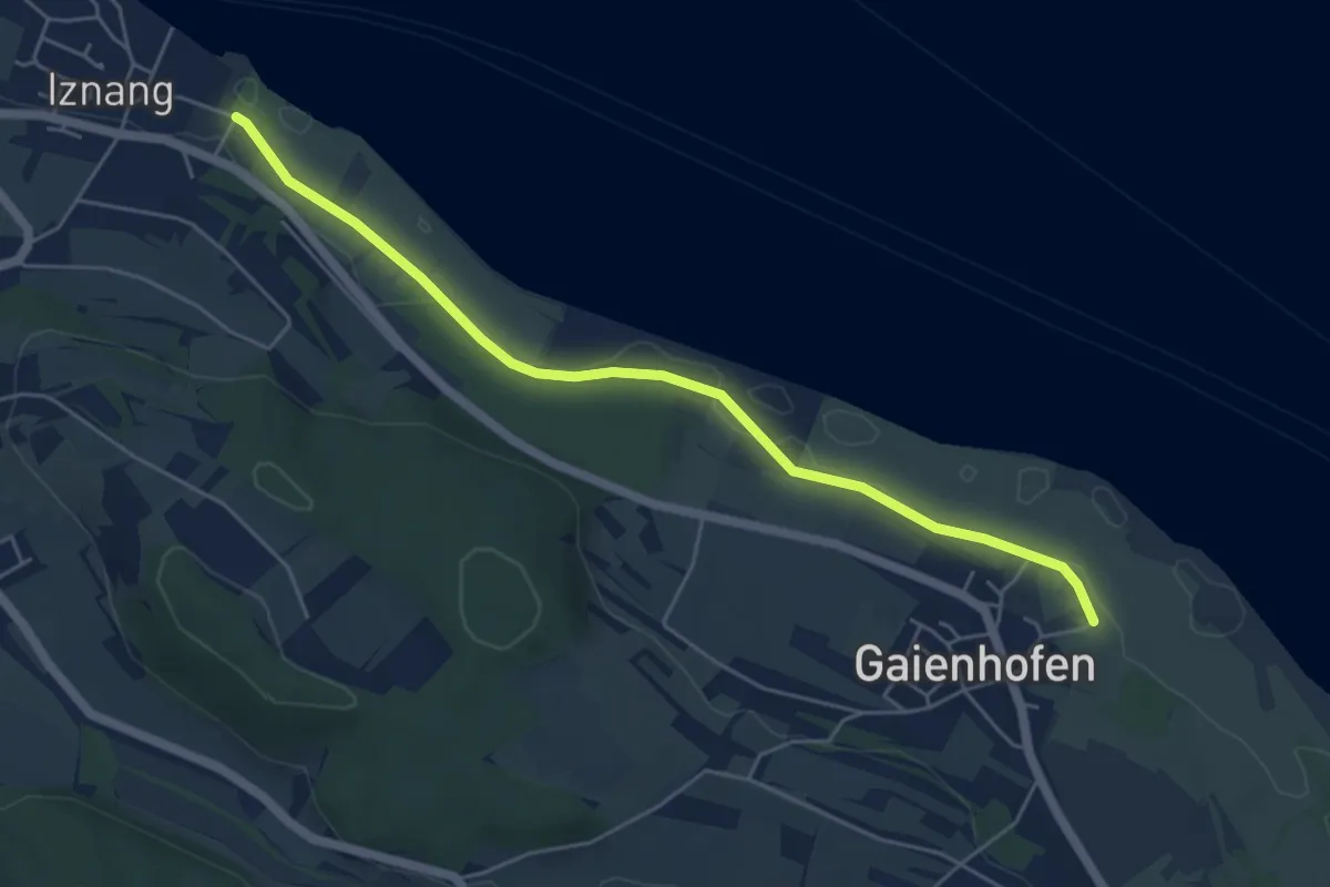
Easy · Trail
Gundholzen Frondwiesen - Iznang Strandbad
5.3 km · ↑ 9 m · 1 h 17 min
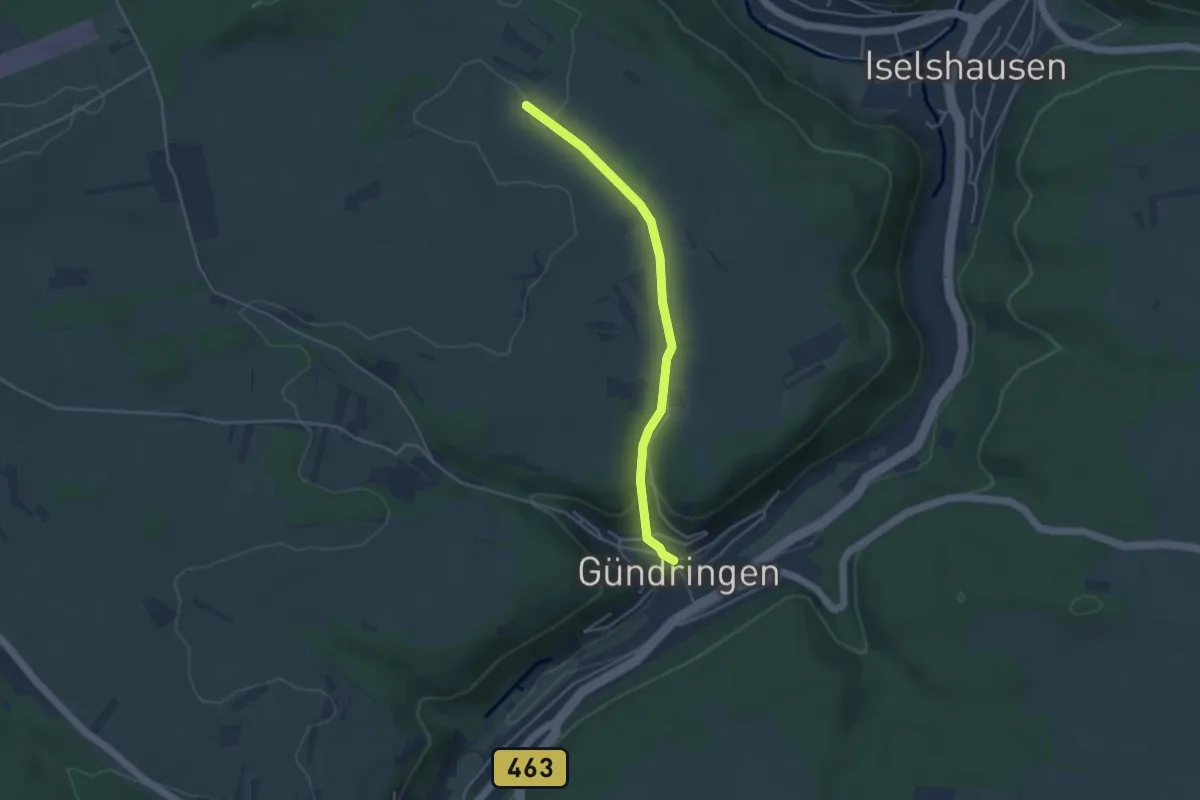
Easy · Trail
Gündringen - Fuchsloch
3.8 km · ↑ 98 m · 1 h 6 min
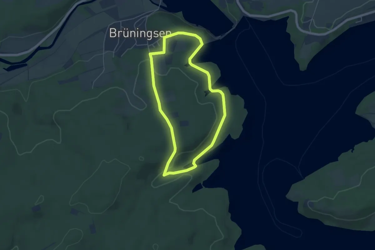
Easy · Summit
Günner Hude Rundweg A3
4.2 km · ↑ 83 m · 1 h 14 min
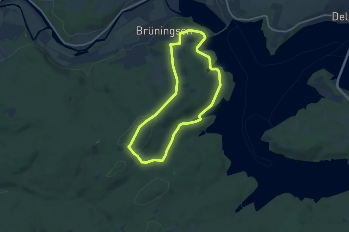
Easy · Summit
Günner Hude Rundweg A4
6.1 km · ↑ 111 m · 1 h 46 min
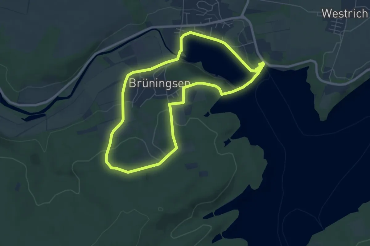
Easy · Summit
Günner Hude Rundweg A5
5.6 km · ↑ 105 m · 1 h 38 min
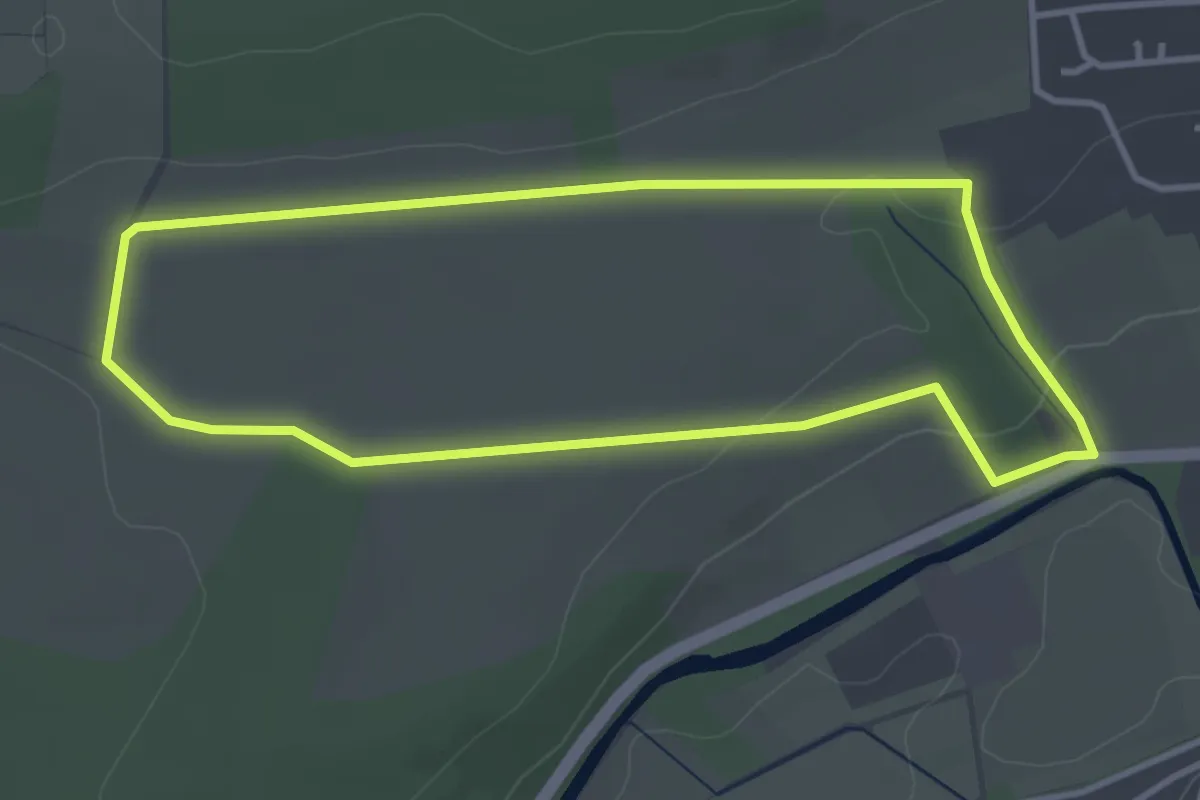
Easy · Trail
Günne Rundweg A13
3.2 km · ↑ 46 m · 54 min
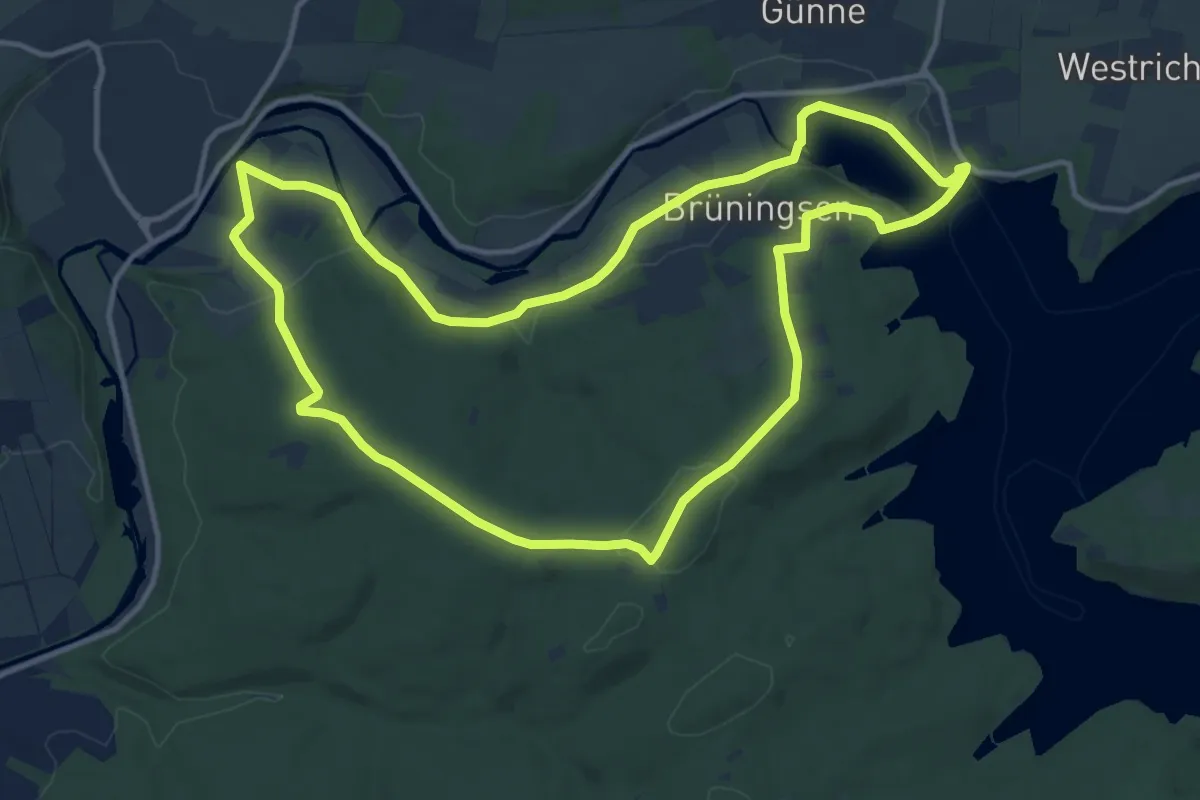
Medium · Summit
Günne Rundweg A14
12.0 km · ↑ 171 m · 3 h 22 min
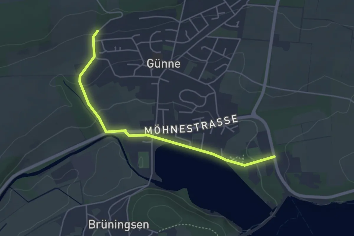
Easy · Trail
Günne Rundweg A6
1.9 km · ↑ 59 m · 35 min
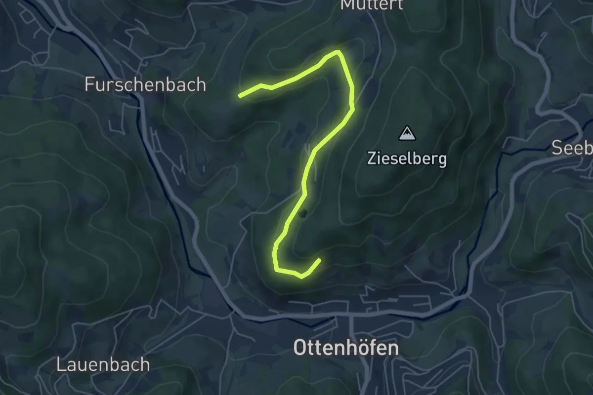
Easy · Trail
Günseck - Zieselberg
4.7 km · ↑ 230 m · 1 h 36 min
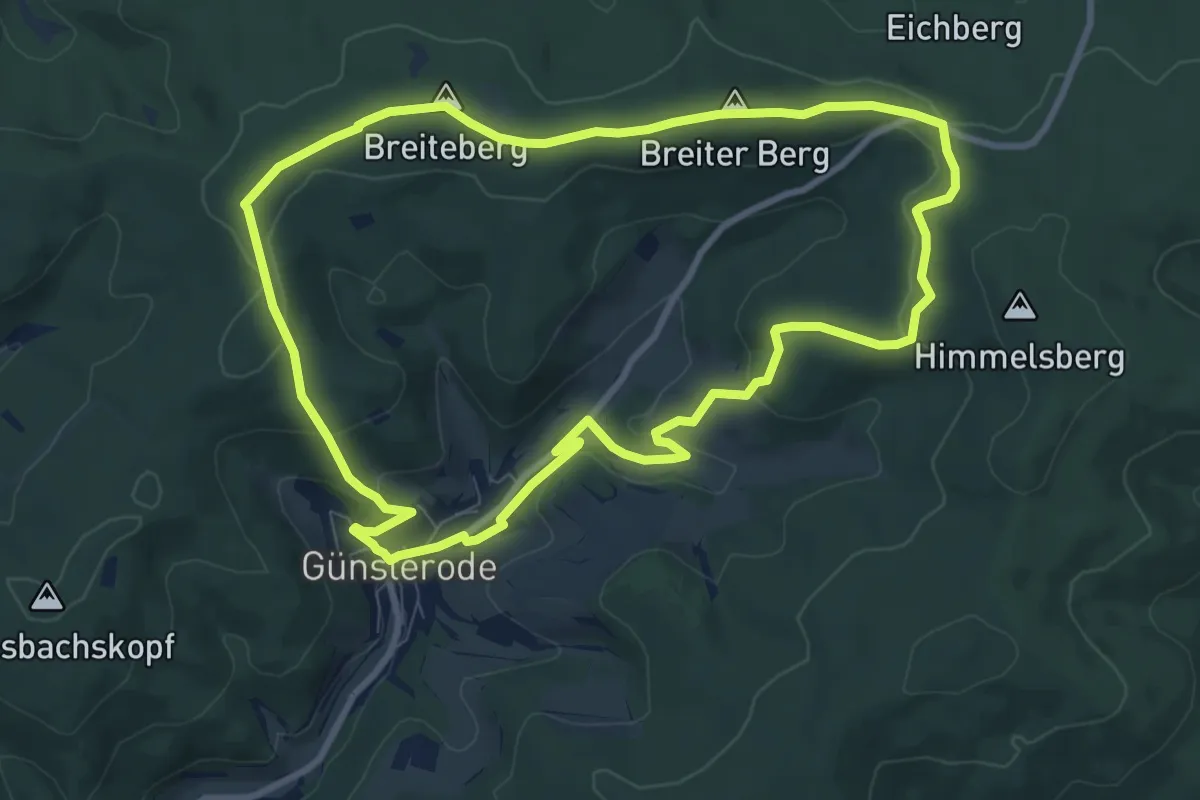
Medium · Summit
Günsteroder Rundweg G1
8.5 km · ↑ 216 m · 2 h 35 min
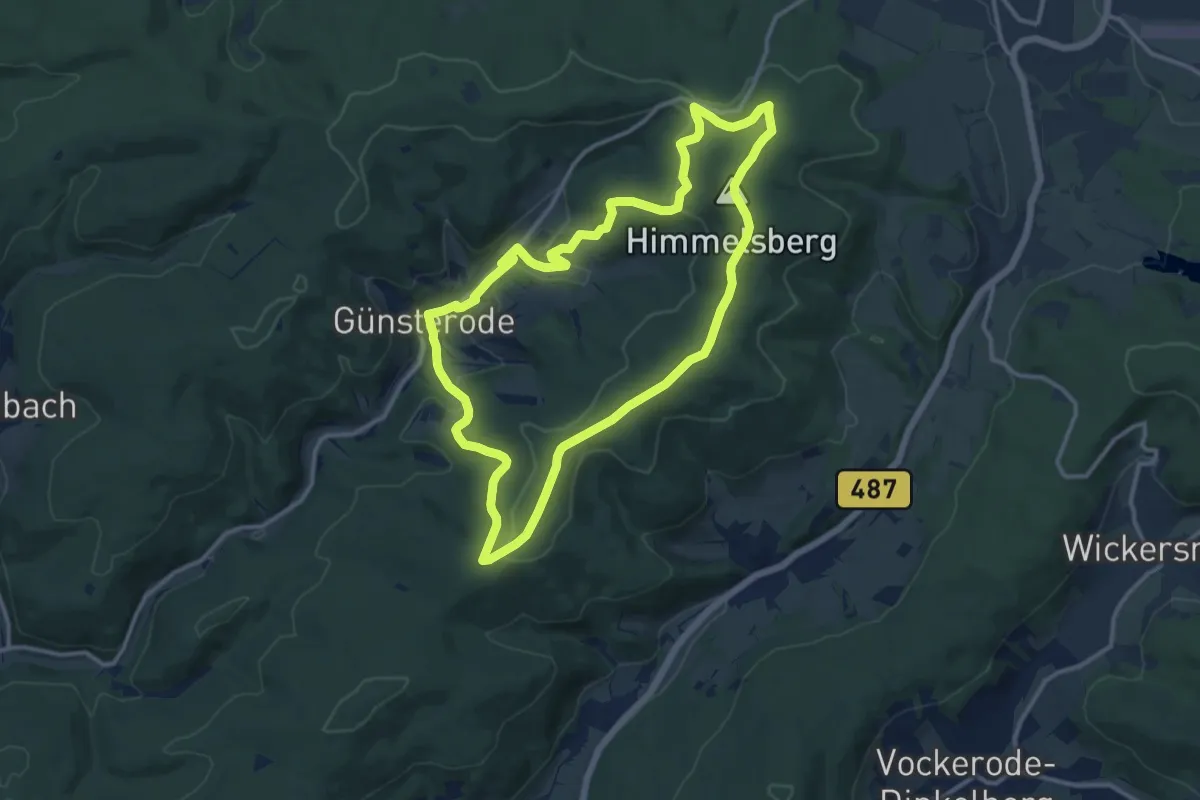
Medium · Summit
Günsteroder Rundweg G2
11.2 km · ↑ 266 m · 3 h 22 min
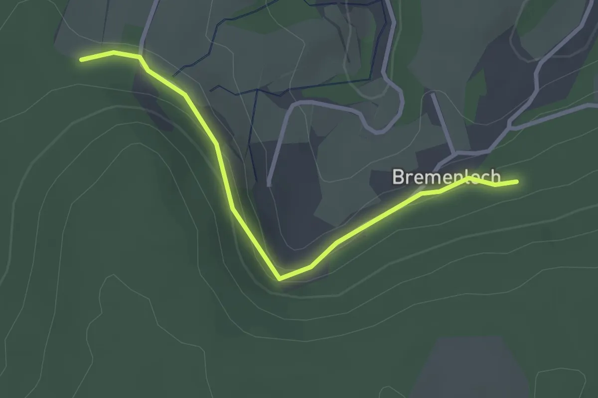
Easy · Trail
Güntersberg - Bremenloch
2.6 km · ↑ 55 m · 43 min
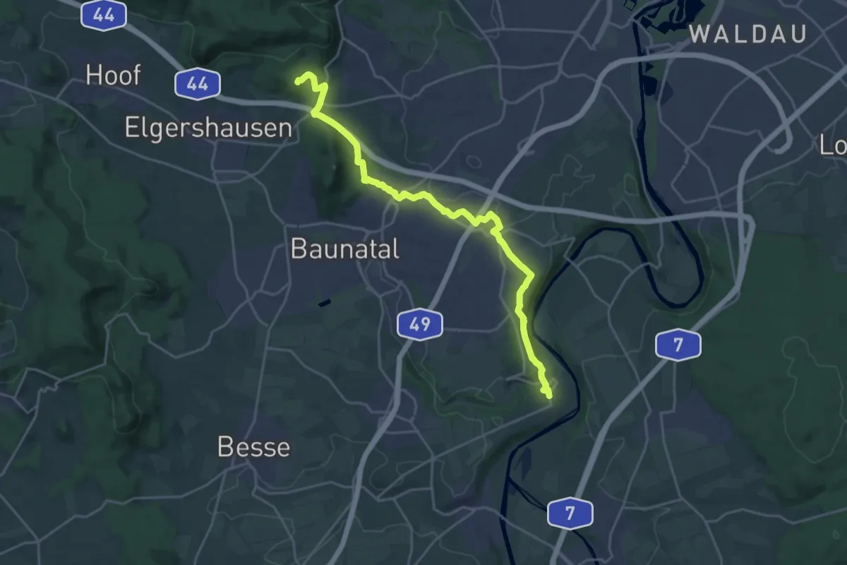
Demanding · Summit
Guntershausen - Bilsteiner Born
20.5 km · ↑ 431 m · 5 h 46 min
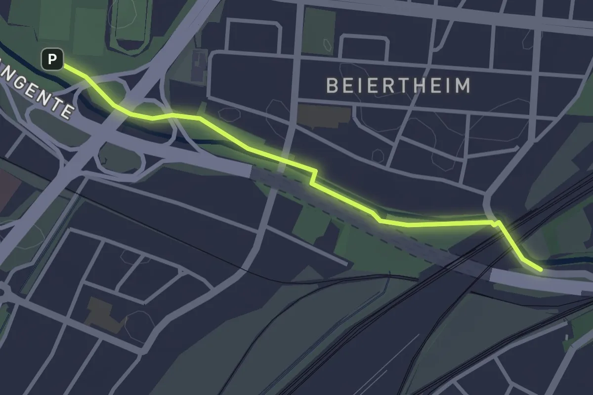
Easy · Trail
Günther-Klotz-Anlage - Weiherfeldbrücke
2.7 km · ↑ 4 m · 38 min
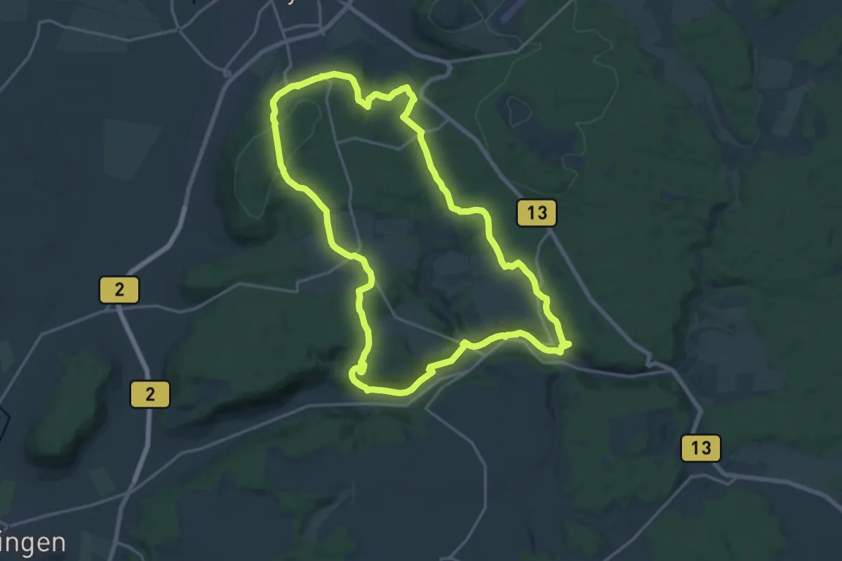
Medium · Trail
Gunthildisweg
16.8 km · ↑ 334 m · 4 h 56 min
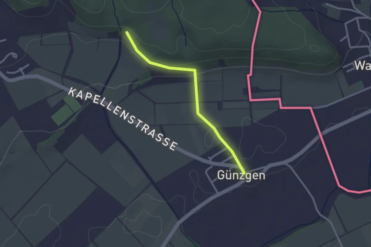
Easy · Trail
Günzgen - Am Bühl
2.2 km · ↑ 59 m · 39 min
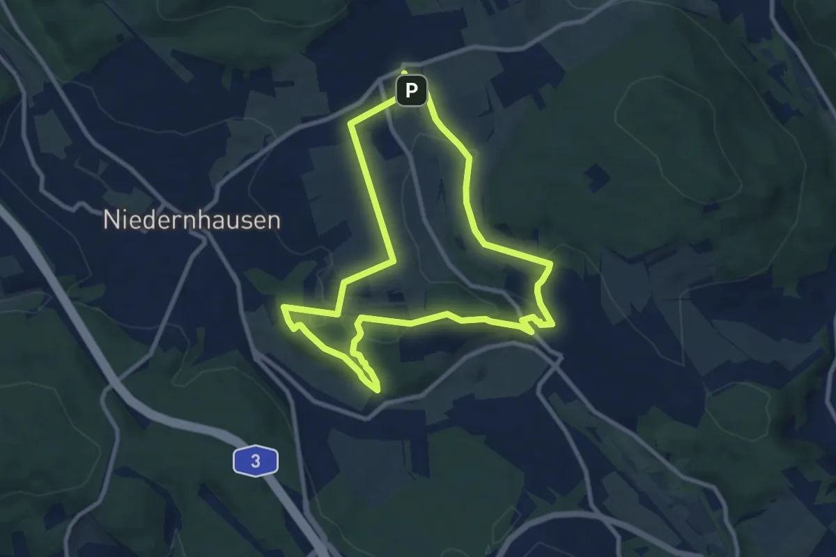
Easy · Trail
Gusbacher Strandweg
7.3 km · ↑ 199 m · 2 h 16 min
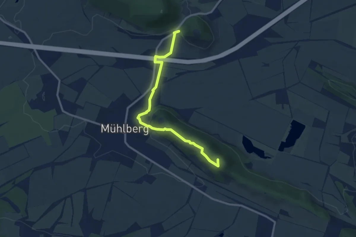
Easy · Summit
Gustav-Freytag-Weg
6.5 km · ↑ 132 m · 1 h 49 min
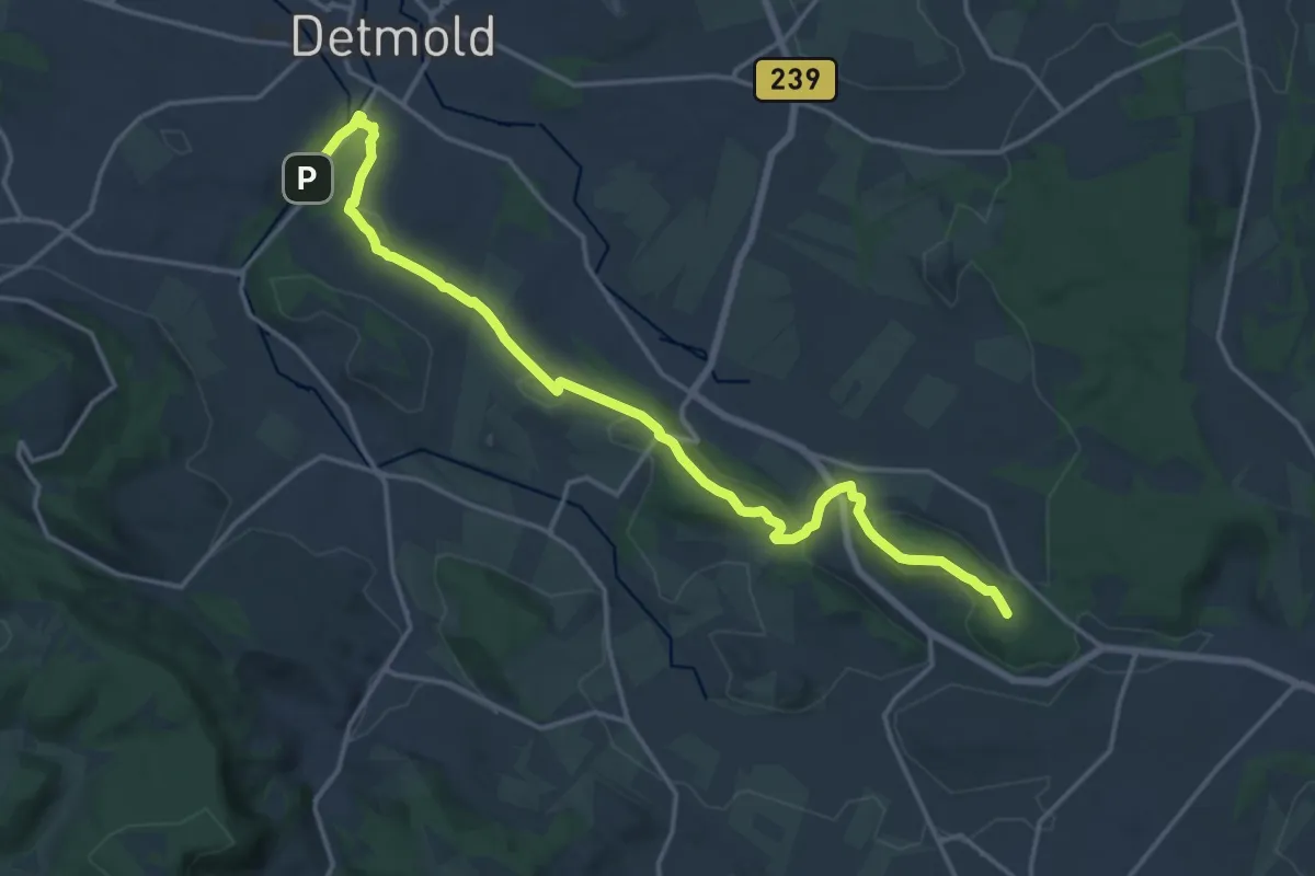
Medium · Summit
Gustav-Mesch-Weg
16.3 km · ↑ 332 m · 4 h 33 min
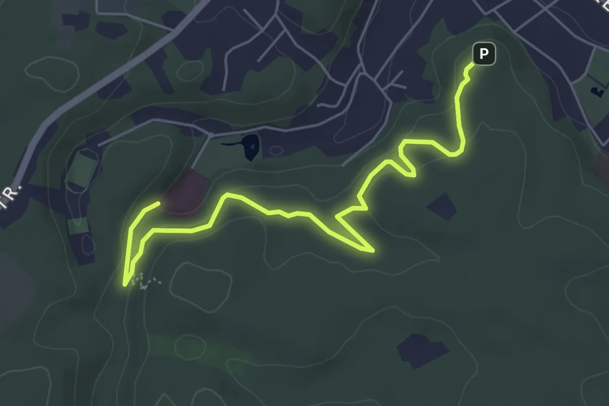
Easy · Trail
Gustav-Schüler-Weg
5.4 km · ↑ 143 m · 1 h 35 min
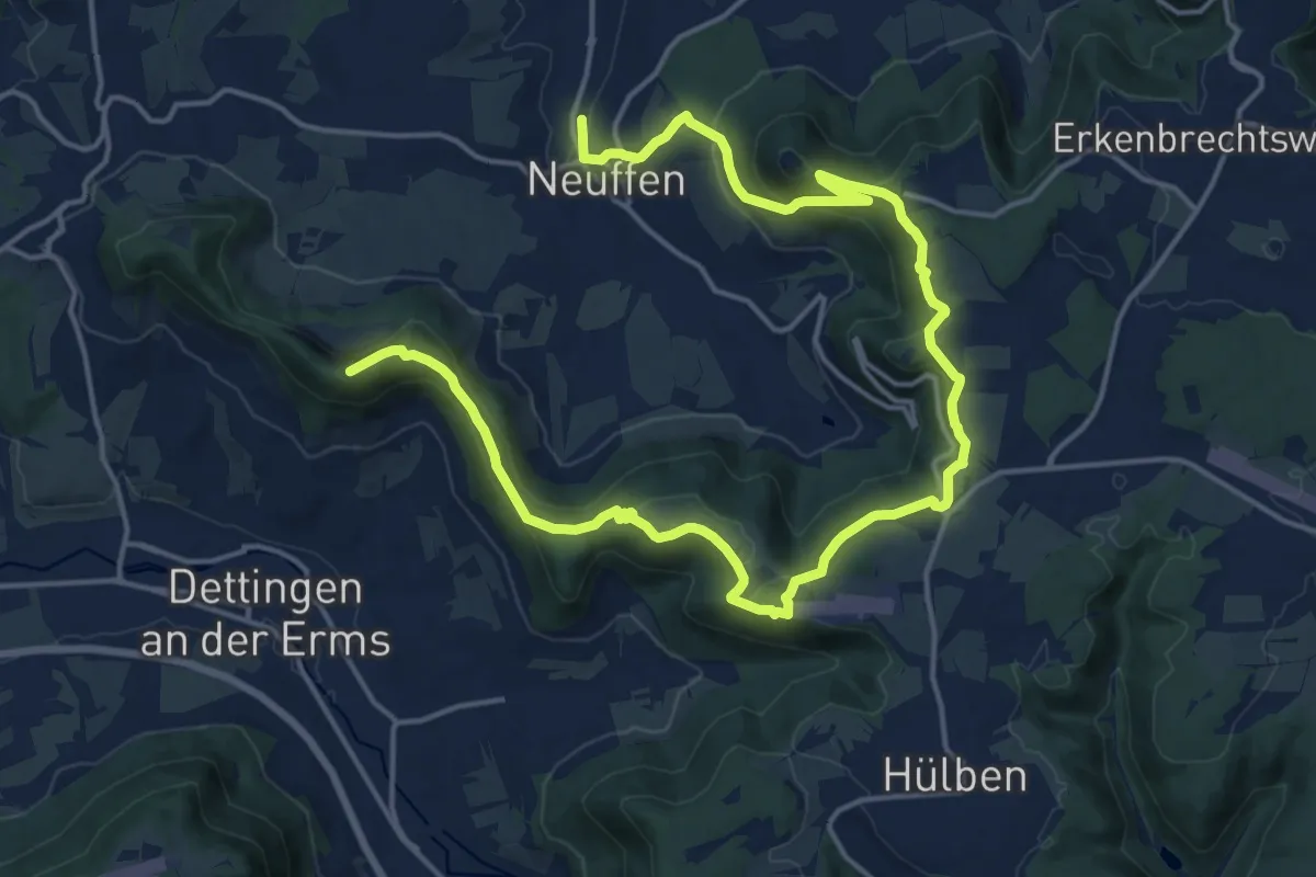
Demanding · Summit
Gustav-Ströhmfeld-Weg
23.3 km · ↑ 777 m · 7 h 10 min