Trails in Germany
36,852 hiking trails, each with its route, climb, walking time and grade.
All trails, page 203 of 768
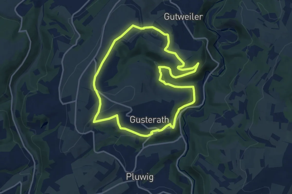
Medium · Summit
Gusterath 1
9.6 km · ↑ 250 m · 2 h 56 min
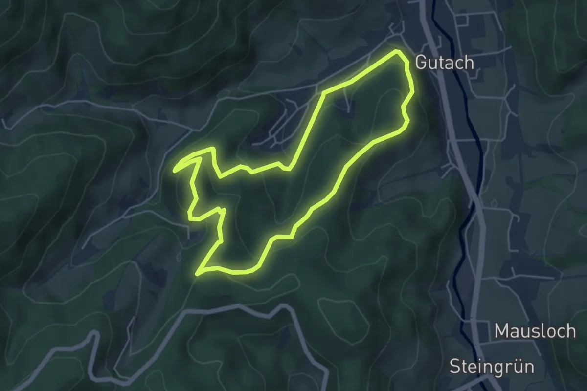
Easy · Summit
Gutach 4: Fuchsloch-Route
4.5 km · ↑ 249 m · 1 h 40 min
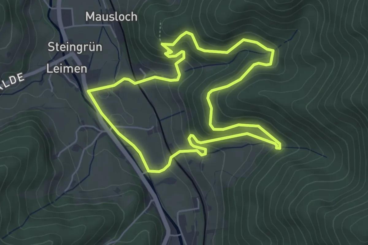
Easy · Summit
Gutach 5: Baumpfad
4.8 km · ↑ 252 m · 1 h 45 min
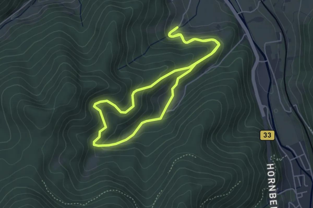
Easy · Trail
Gutach 6: Tierpfad
4.1 km · ↑ 282 m · 1 h 38 min
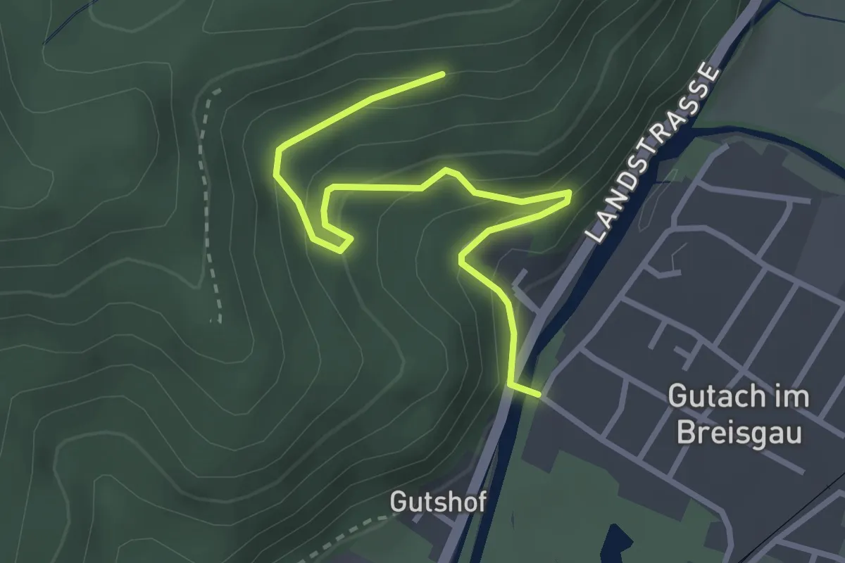
Easy · Trail
Gutach Gutach-Brücke - Oberer Rank
3.0 km · ↑ 224 m · 1 h 11 min
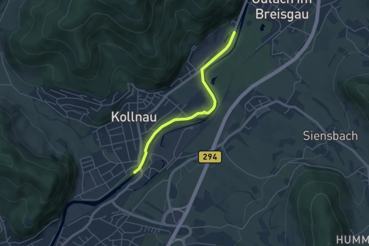
Easy · Trail
Gutach Landstraße - Kollnau Kleine Elz
4.0 km · ↑ 13 m · 59 min
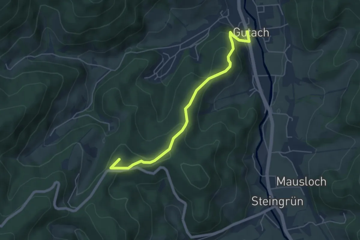
Medium · Summit
Gutach Ortsmitte - Vorderer Sand
4.7 km · ↑ 241 m · 1 h 38 min
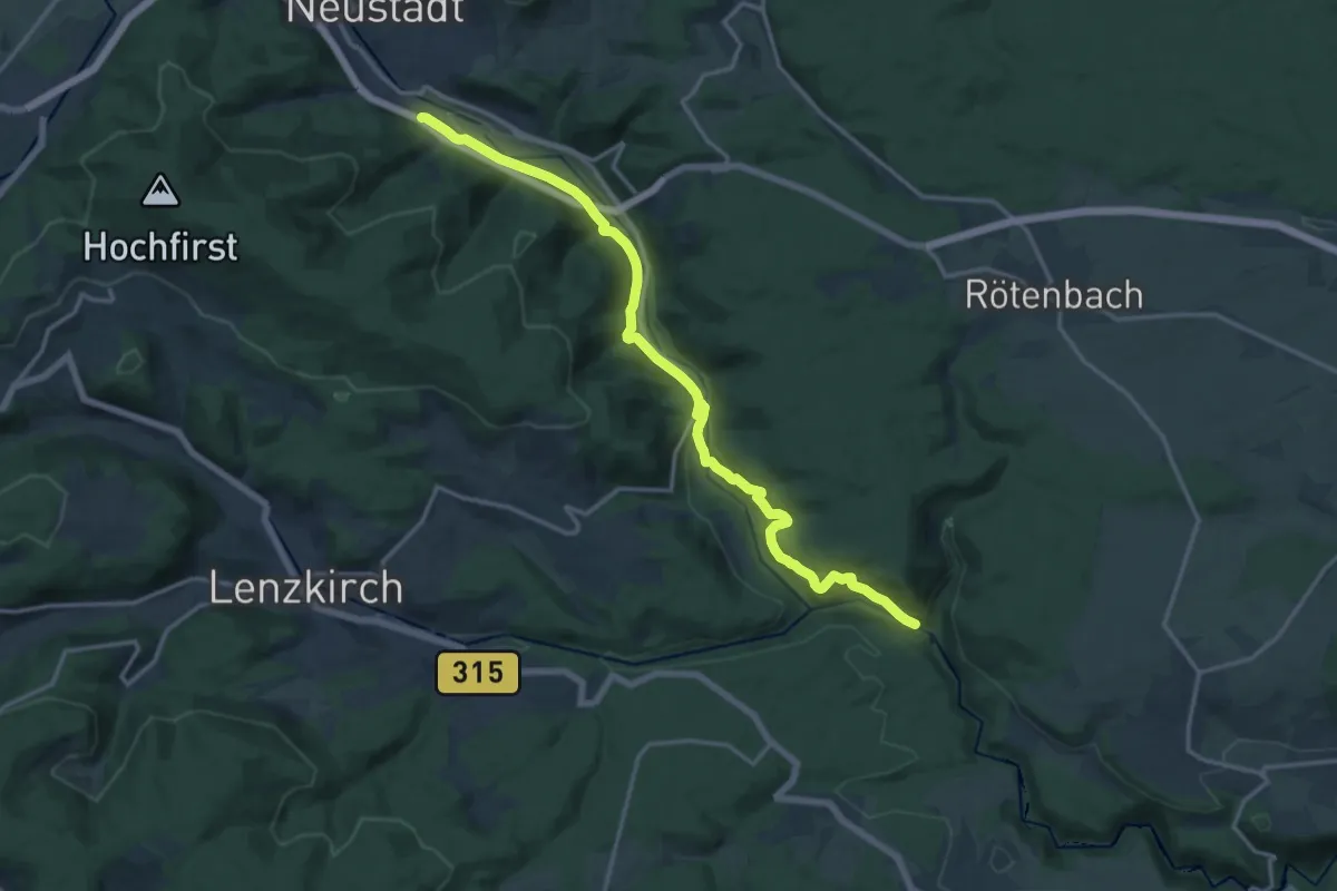
Medium · Trail
Gutachtal
16.2 km · ↑ 590 m · 5 h 7 min
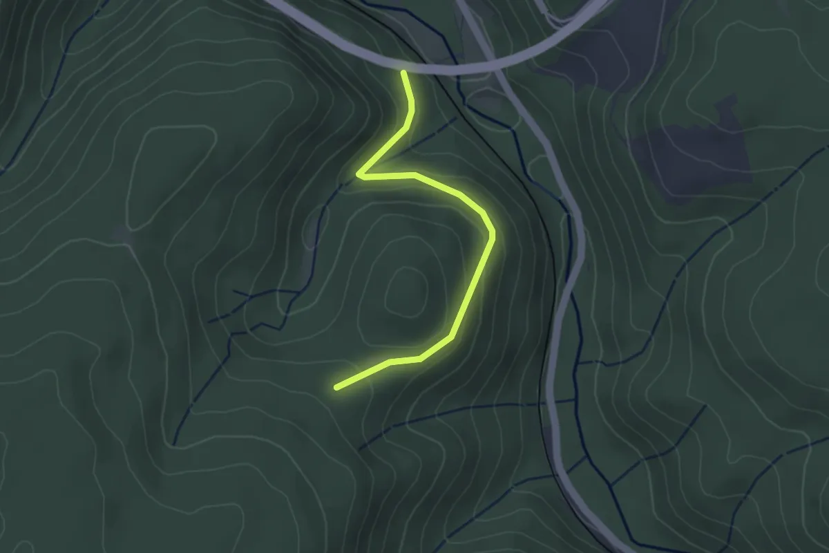
Easy · Trail
Gutachtalbrücke - Waldkönig
2.9 km · ↑ 124 m · 58 min
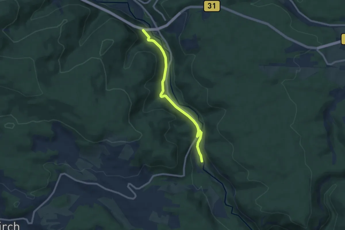
Medium · Trail
Gutachtalbrücke - Zipfelsäge Gutachbrücke
6.3 km · ↑ 167 m · 1 h 50 min
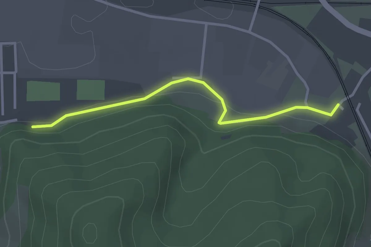
Easy · Trail
Gutach-Turm Hirschgasse - Hausach Parkplatz Tannenwald
2.5 km · ↑ 73 m · 45 min
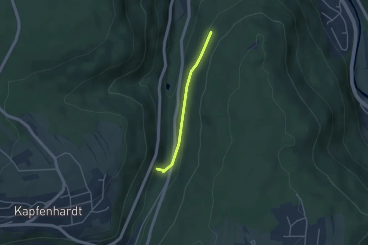
Easy · Trail
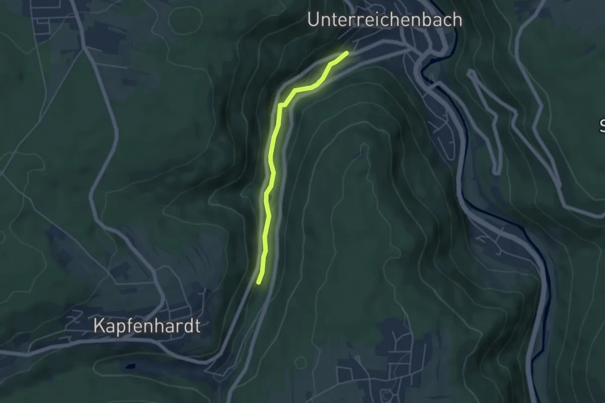
Gutbrunnen - Hardtberg
2.3 km · ↑ 85 m · 43 min
Easy · Trail
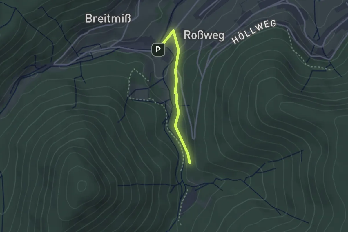
Gutbrunnen - Unterreichenbach Talstraße
3.8 km · ↑ 114 m · 1 h 8 min
Easy · Trail
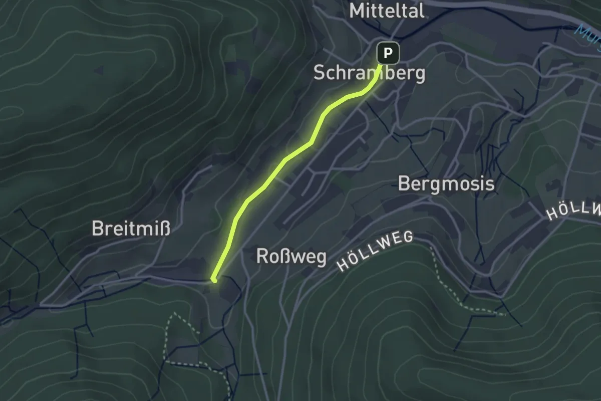
Gutellbachbrücke - Marienwegle
2.2 km · ↑ 64 m · 39 min
Easy · Trail
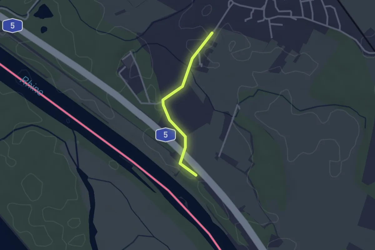
Gutellbachbrücke - Mitteltal Ahornweg
2.4 km · ↑ 22 m · 37 min
Easy · Trail
Gutenau - Kirchener Schwellen
2.2 km · ↑ 9 m · 32 min
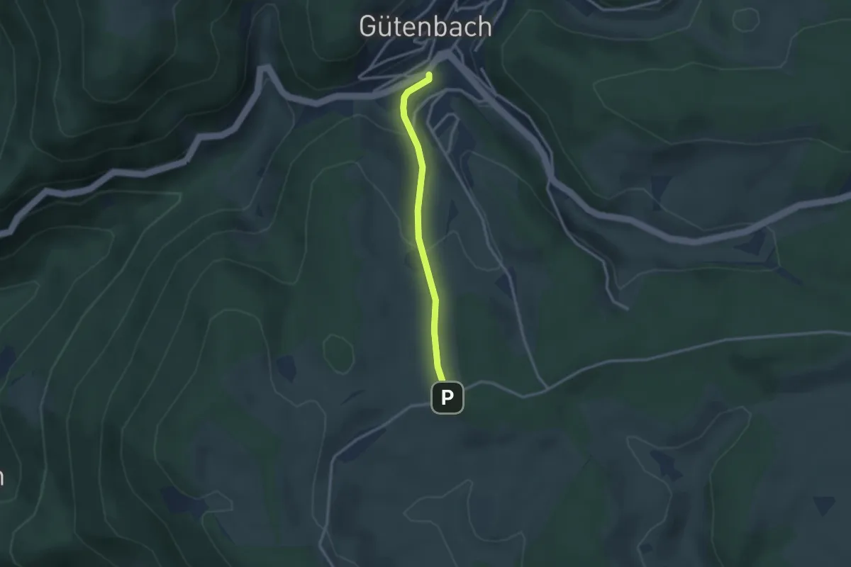
Easy · Trail
Gütenbach Breiteckweg - Fallengrund
2.3 km · ↑ 86 m · 44 min
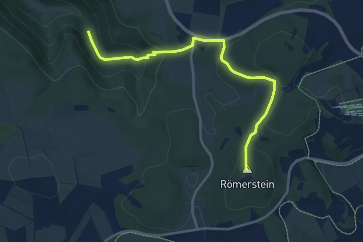
Medium · Summit
Gutenberg - Donntal -Donnstetten - Burkhardshöhle
6.3 km · ↑ 257 m · 2 h 3 min
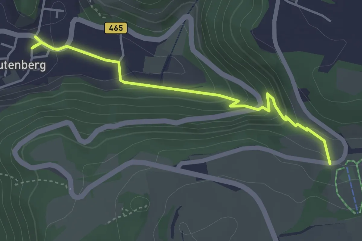
Medium · Trail
Gutenberg - Pfulb
3.5 km · ↑ 190 m · 1 h 15 min
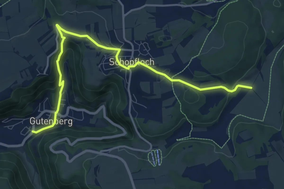
Medium · Trail
Gutenberg - Schopfloch - Donnstetten
10.0 km · ↑ 355 m · 3 h 8 min
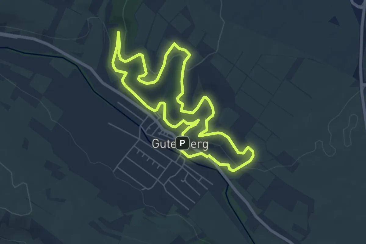
Easy · Trail
Gutenbergweg
5.1 km · ↑ 167 m · 1 h 38 min
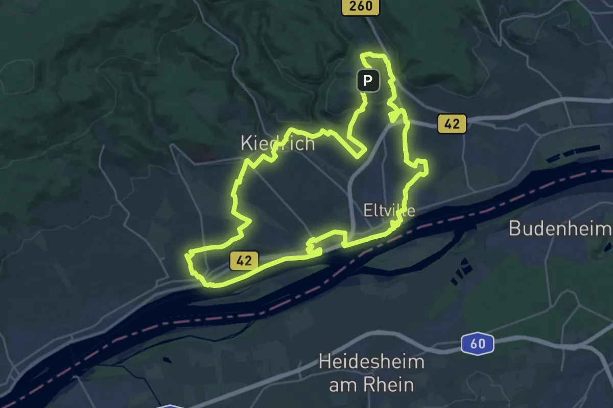
Demanding · Summit
Gutenbergweg
23.7 km · ↑ 339 m · 6 h 40 min
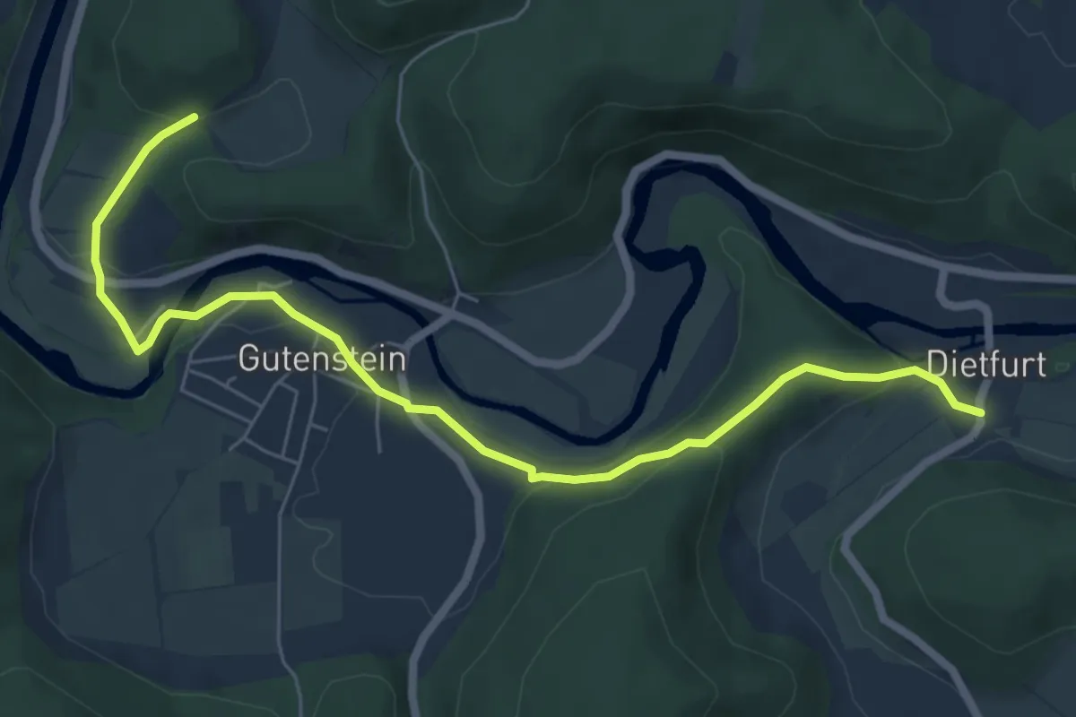
Easy · Trail
Gutenstein - Dietfurt
6.9 km · ↑ 184 m · 2 h 2 min
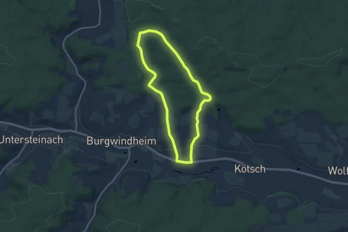
Easy · Trail
Güterwald
7.3 km · ↑ 143 m · 2 h 8 min
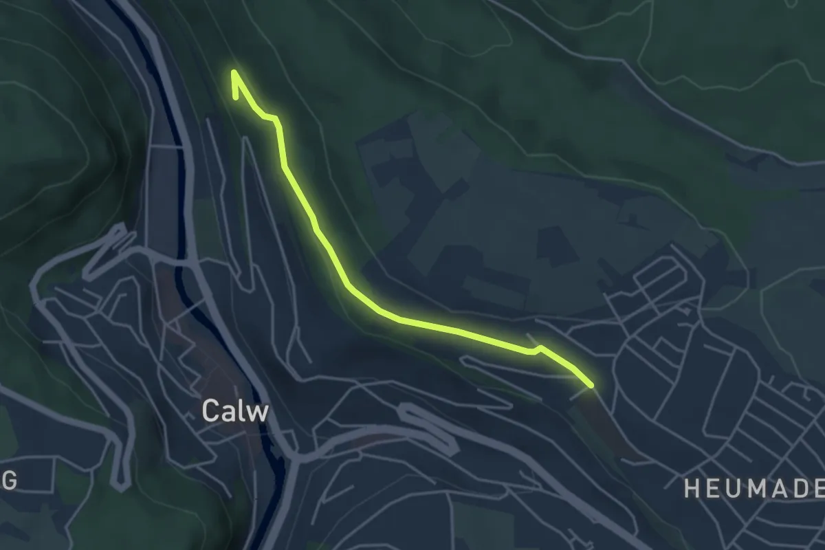
Easy · Trail
Gutleutberg - Heumaden
3.6 km · ↑ 96 m · 1 h 4 min
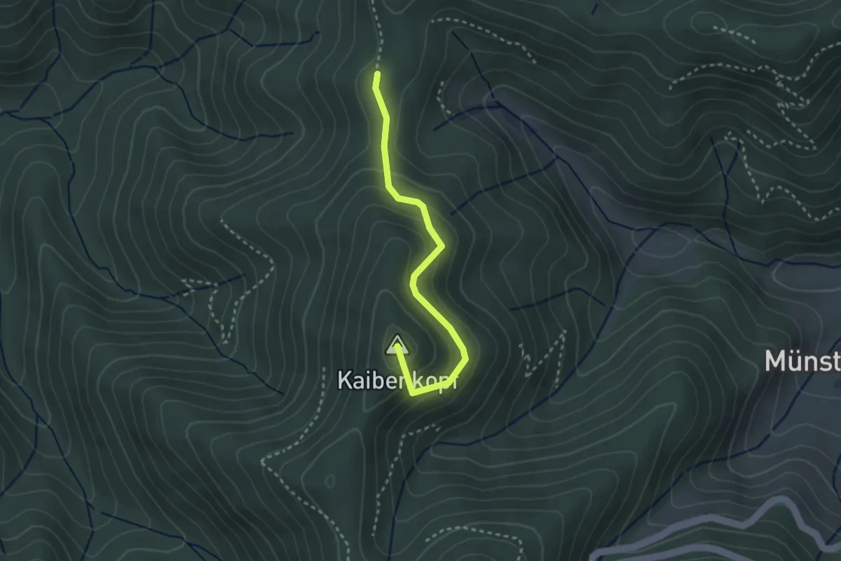
Easy · Summit
Gutmännerspass - Sirnitzgrund
2.7 km · ↑ 139 m · 56 min
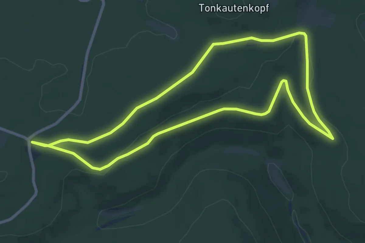
Easy · Trail
Gutsbezirk Spessart (Bellingser Kreuz) - Rundwanderweg Ameise
5.7 km · ↑ 71 m · 1 h 36 min
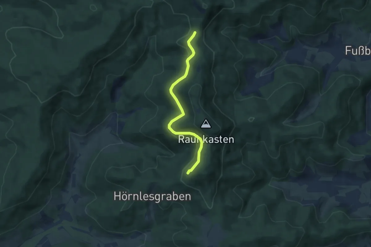
Easy · Trail
Guttahütte am Rebmesserstein - Rauhkasten
5.8 km · ↑ 138 m · 1 h 40 min
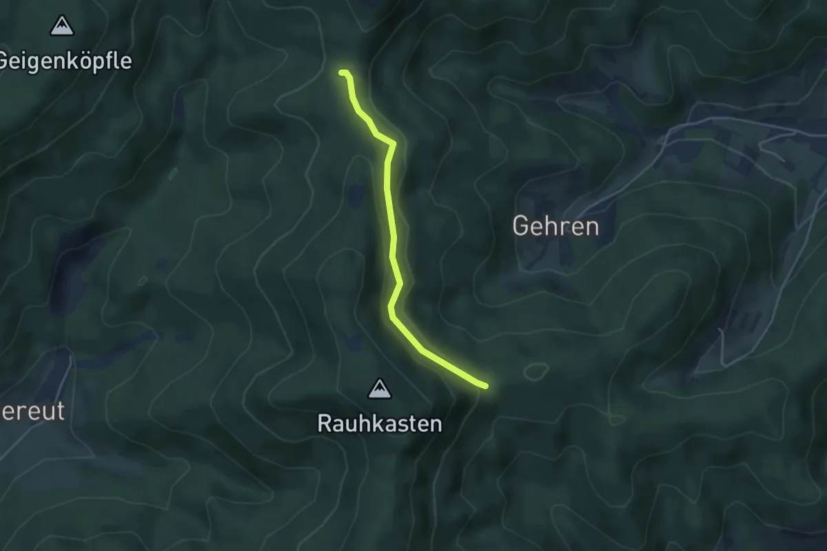
Easy · Trail
Guttahütte am Rebmesserstein - Schönwasen
3.4 km · ↑ 112 m · 1 h 3 min
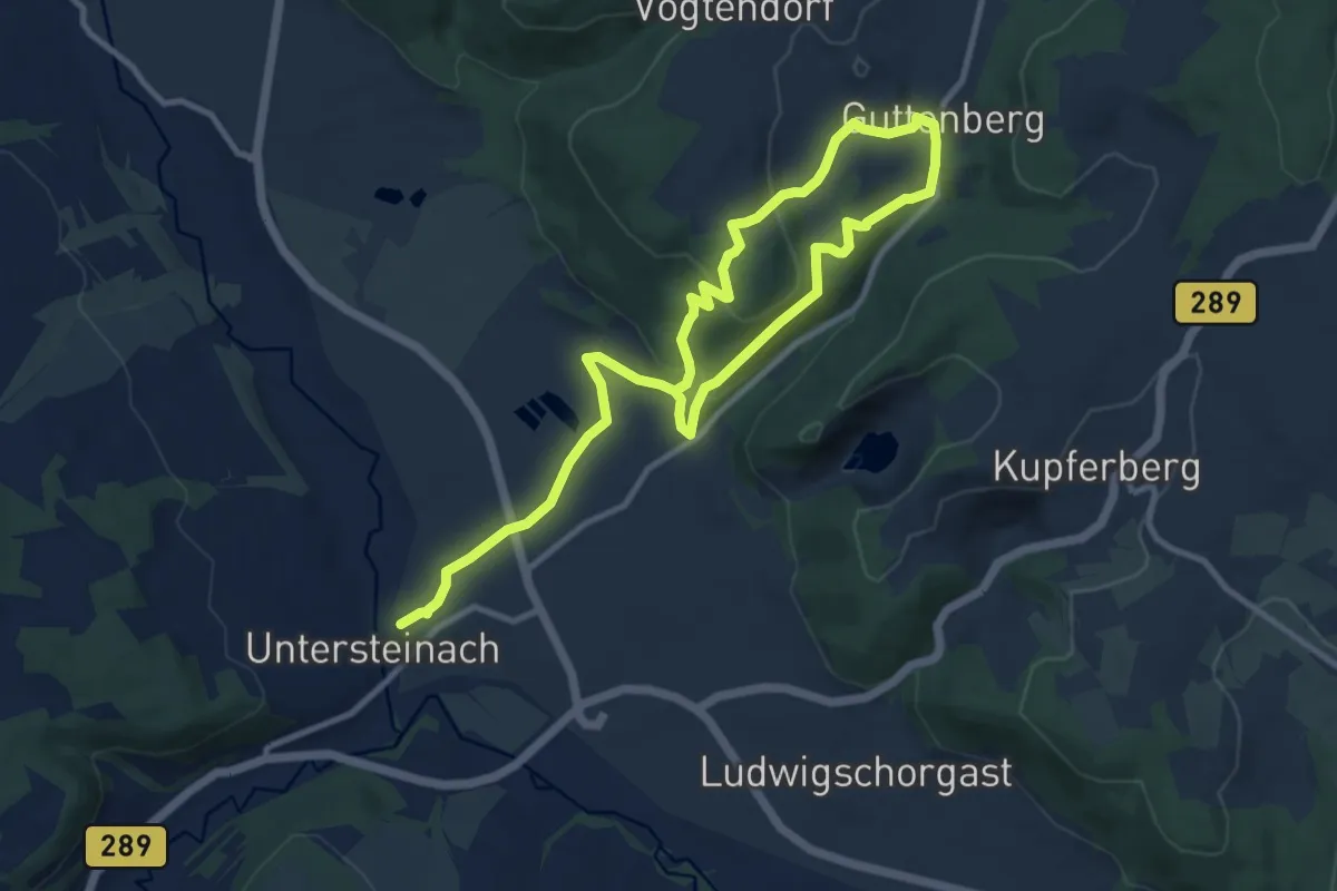
Easy · Trail
Guttenberg-Weg KU 37
7.3 km · ↑ 260 m · 2 h 22 min
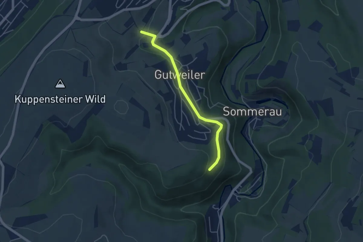
Easy · Trail
Gutweiler 1
3.7 km · ↑ 114 m · 1 h 7 min
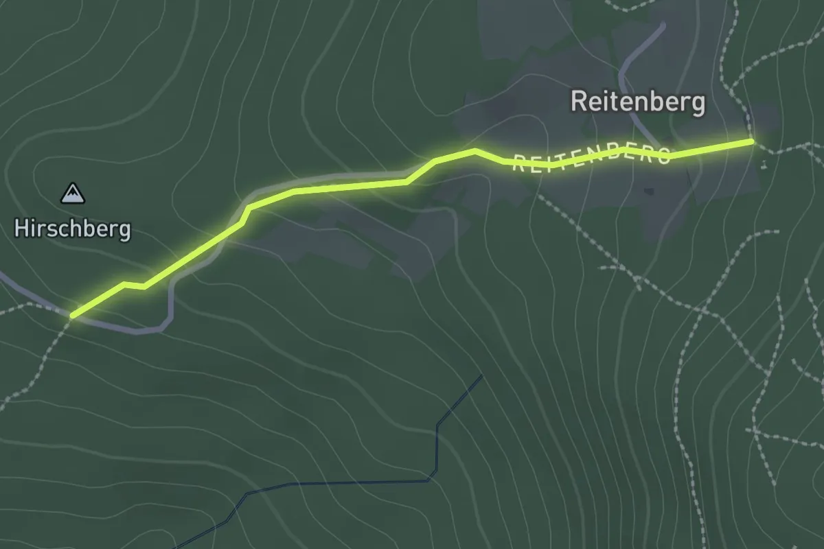
Easy · Trail
Gw2 Grafenwiesen - Reitenberg
2.2 km · ↑ 130 m · 48 min
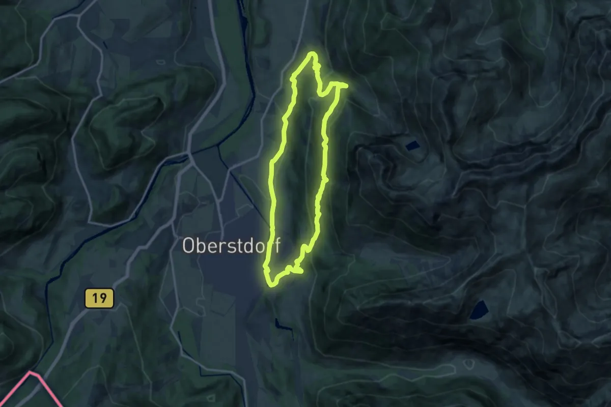
Medium · Trail
G - Winterwanderung zur Gaisalpe
11.5 km · ↑ 489 m · 3 h 56 min
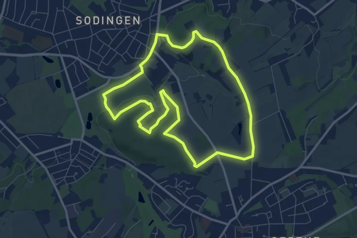
Easy · Summit
Gysenberg Rundweg A1
6.9 km · ↑ 81 m · 1 h 53 min
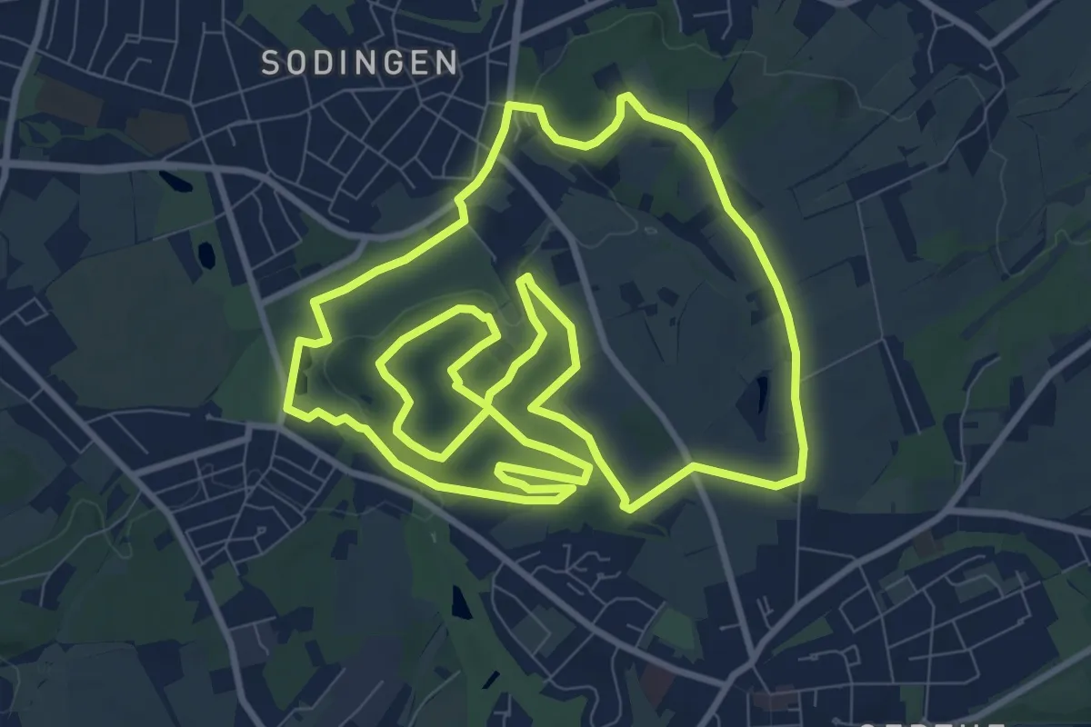
Medium · Summit
Gysenberg Rundweg A2
10.2 km · ↑ 114 m · 2 h 48 min
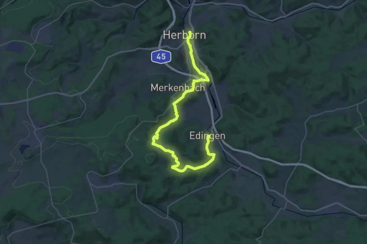
Medium · Trail
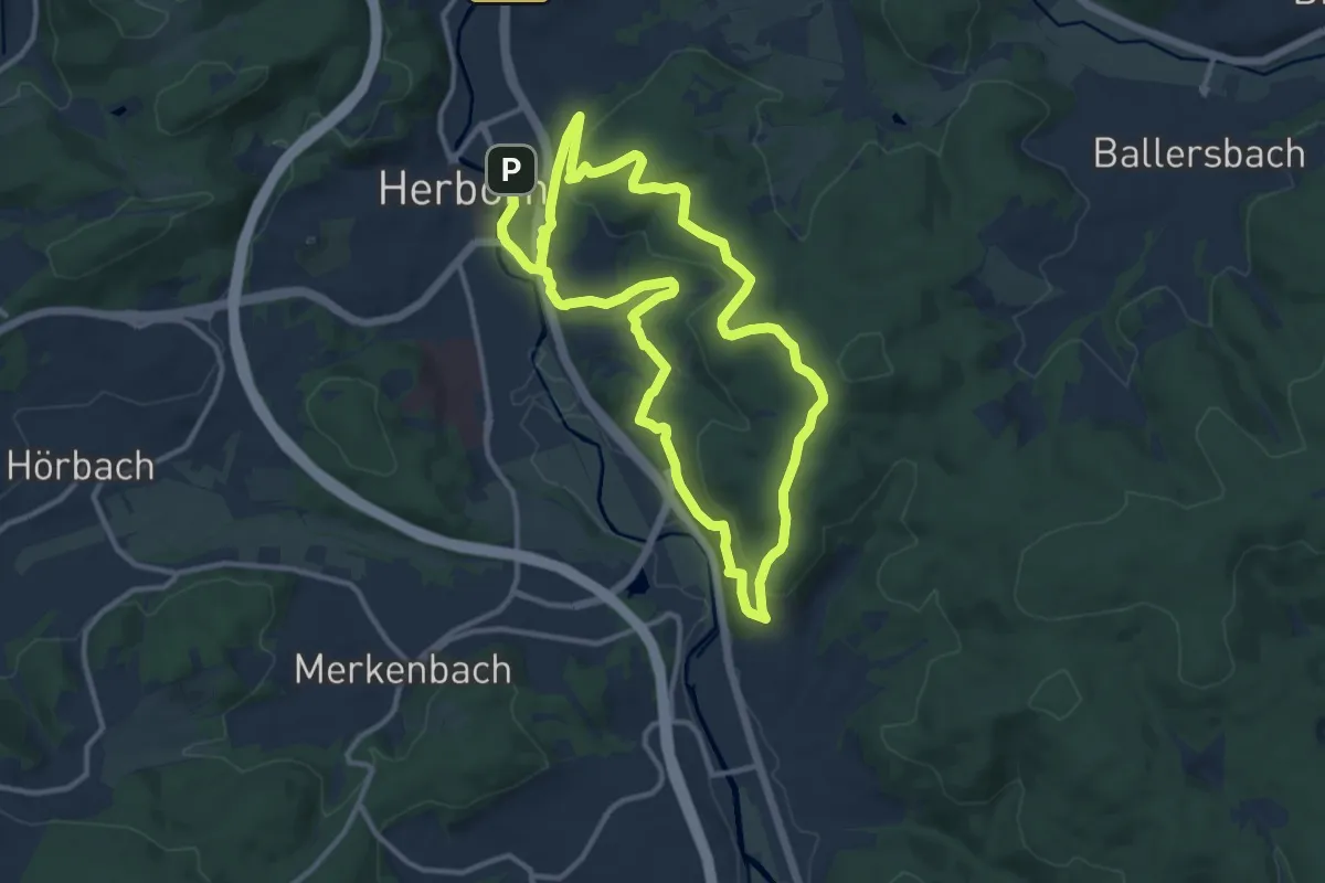
H1
16.1 km · ↑ 346 m · 4 h 46 min
Demanding · Trail
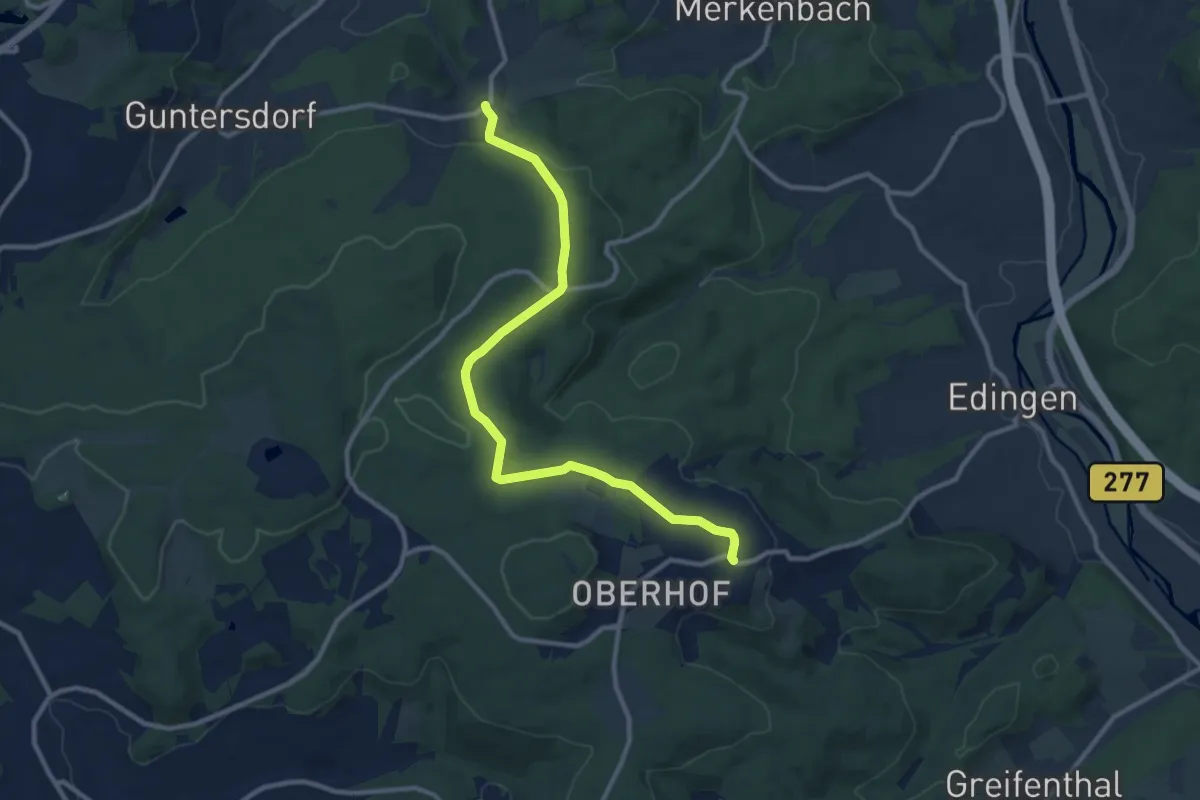
H10 Jahrtausendweg
21.3 km · ↑ 670 m · 6 h 29 min
Medium · Trail
H12 Laternenweg
10.3 km · ↑ 202 m · 2 h 53 min
Easy · Trail
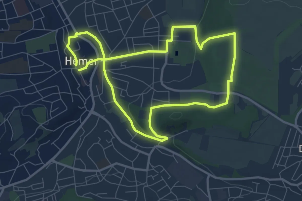
[H1] Stadtnahe Sehenswürdigkeiten
6.0 km · ↑ 78 m · 1 h 40 min
Easy · Trail
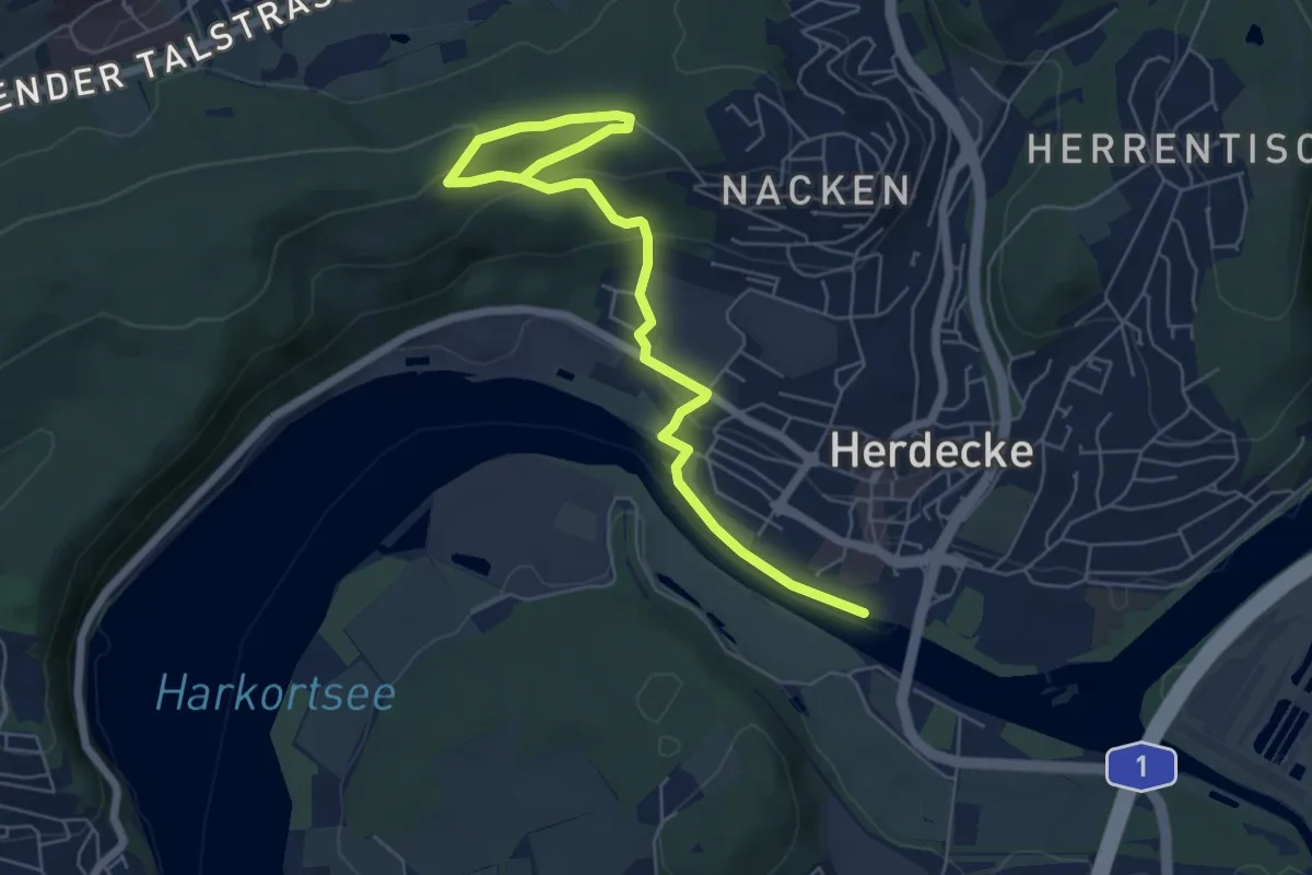
[H1] Viadukt und Nacken
3.3 km · ↑ 43 m · 58 min
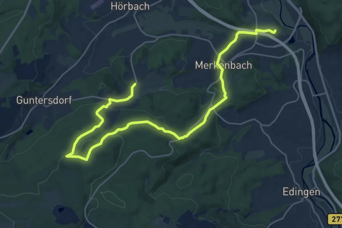
Demanding · Summit
H2 Hirschbergkoppe
18.6 km · ↑ 507 m · 5 h 29 min
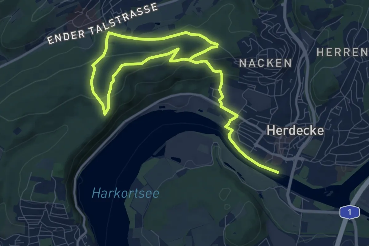
Easy · Trail
[H2] Ruhrtal zum Hickenstein
6.3 km · ↑ 144 m · 1 h 57 min
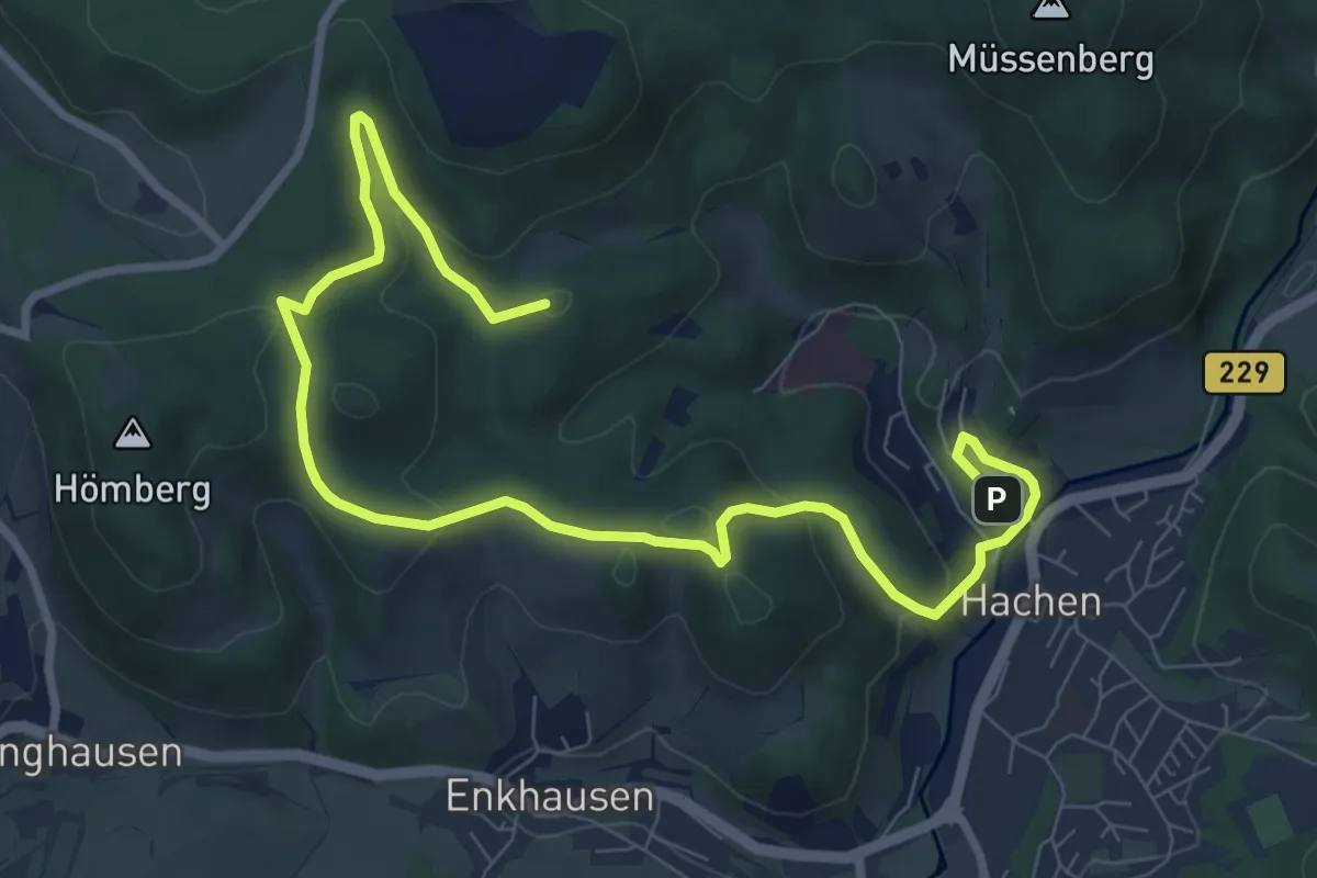
Easy · Summit
H2 Rundweg Hachen
6.9 km · ↑ 224 m · 2 h 12 min
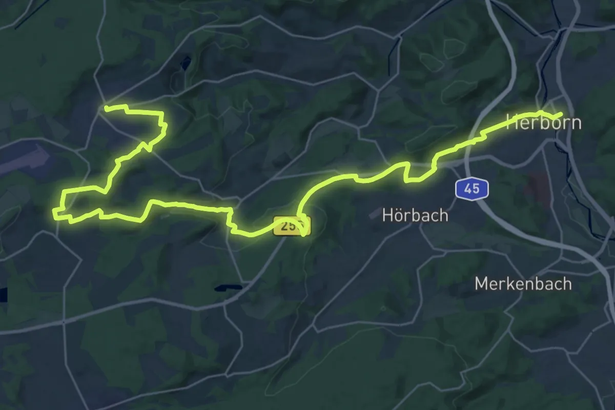
Medium · Trail
H3 Karl-Georg-Weg
17.1 km · ↑ 228 m · 4 h 53 min
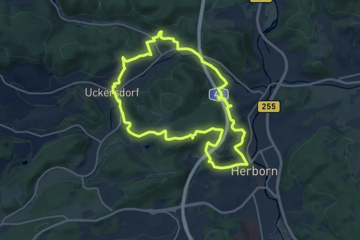
Medium · Summit
H4 Vogelparkweg
11.3 km · ↑ 406 m · 3 h 42 min
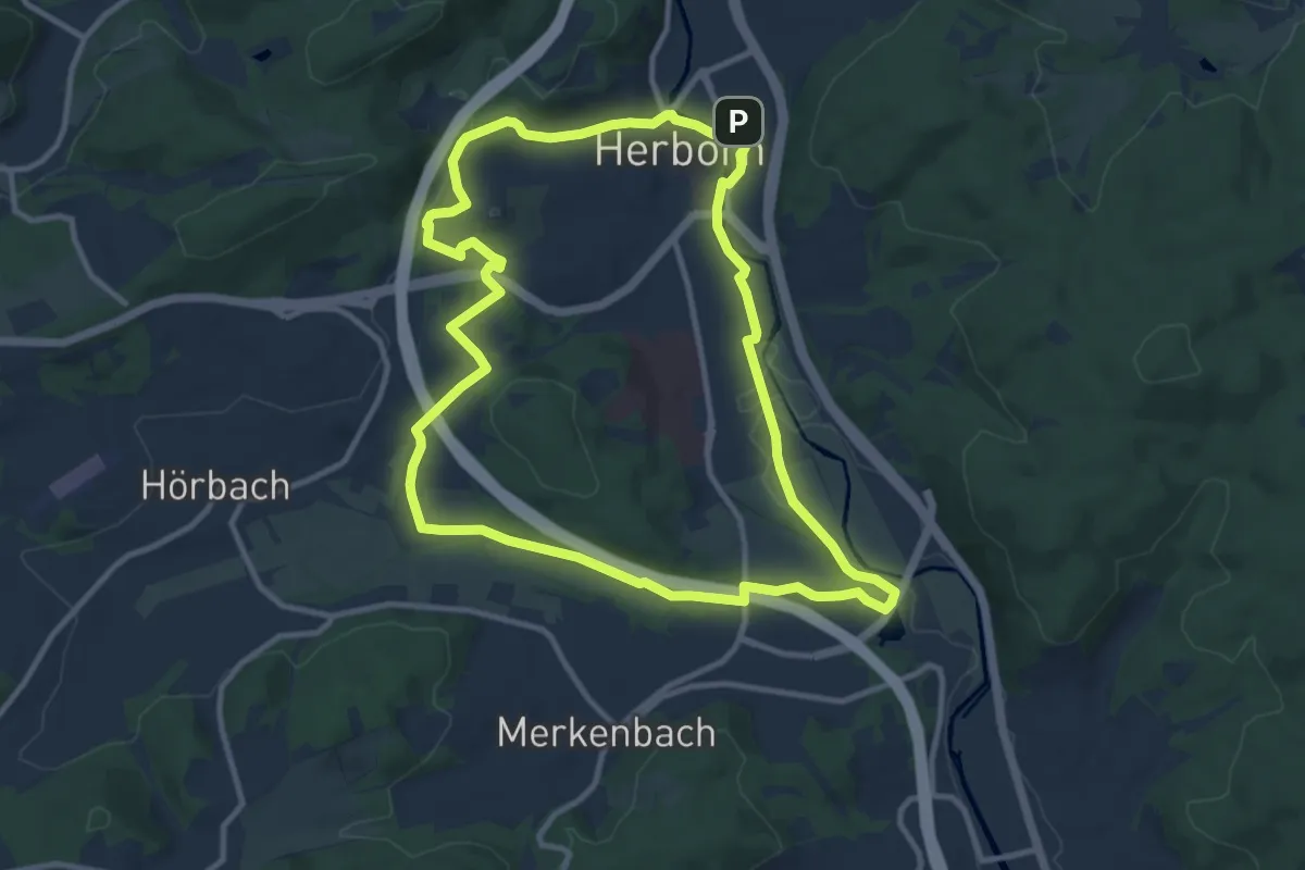
Medium · Summit
H5
10.0 km · ↑ 136 m · 2 h 48 min
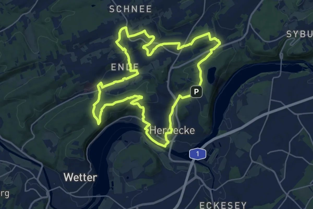
Medium · Trail
[H5] Westende - Kirchende - Ostende
17.5 km · ↑ 422 m · 5 h 18 min
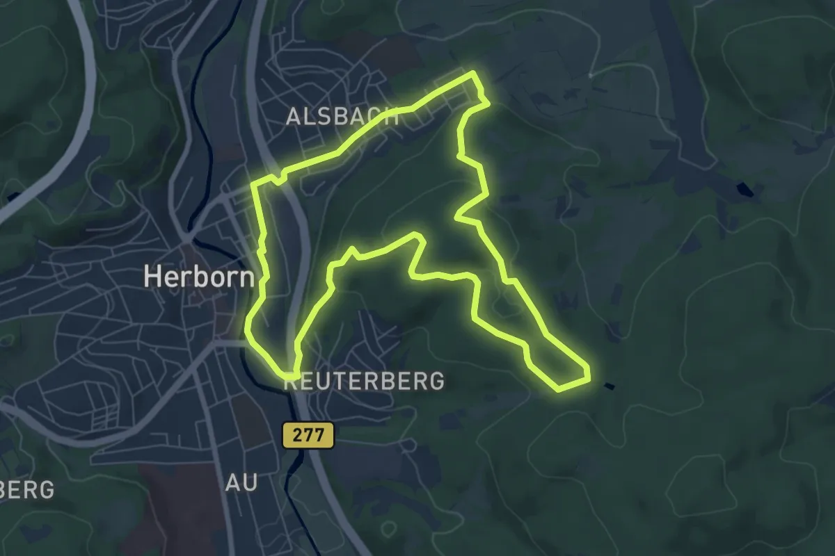
Easy · Summit
H6 Homberg-Weg
6.9 km · ↑ 204 m · 2 h 11 min