Trails in Germany
36,852 hiking trails, each with its route, climb, walking time and grade.
All trails, page 208 of 768
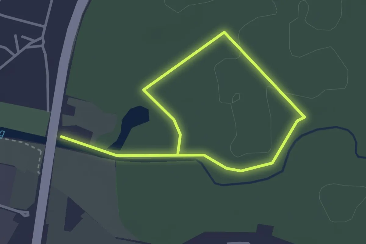
Easy · Trail
Hanau - Rundwanderweg Zecke
1.9 km · ↑ 4 m · 30 min
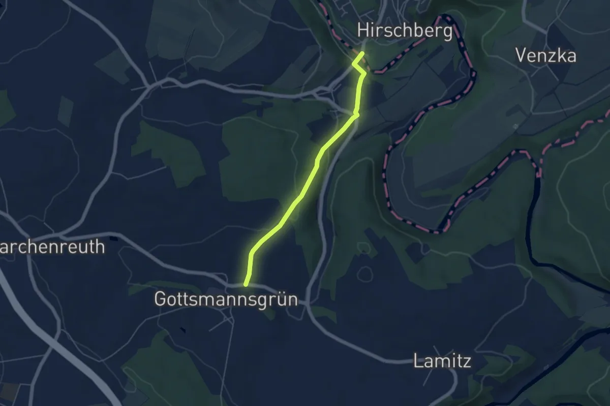
Easy · Trail
Handschuster-Weg
4.2 km · ↑ 145 m · 1 h 19 min
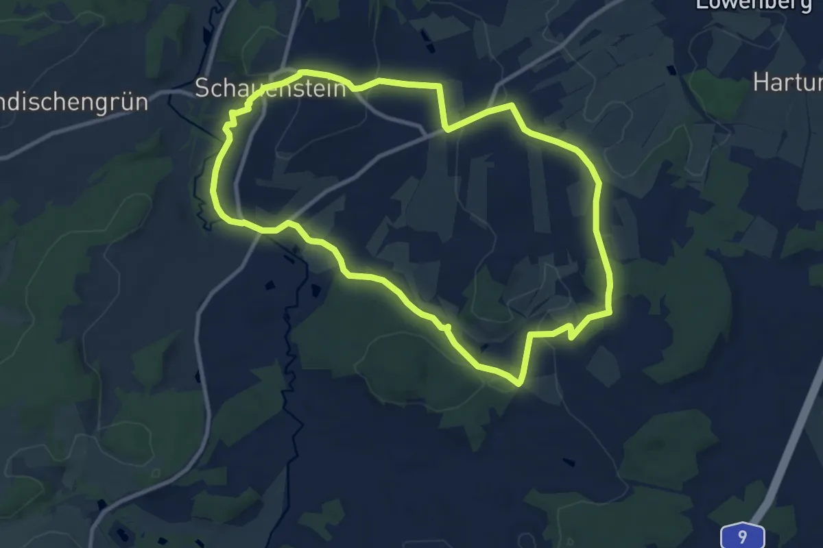
Medium · Trail
Handweber-Weg OS 24
9.0 km · ↑ 154 m · 2 h 34 min
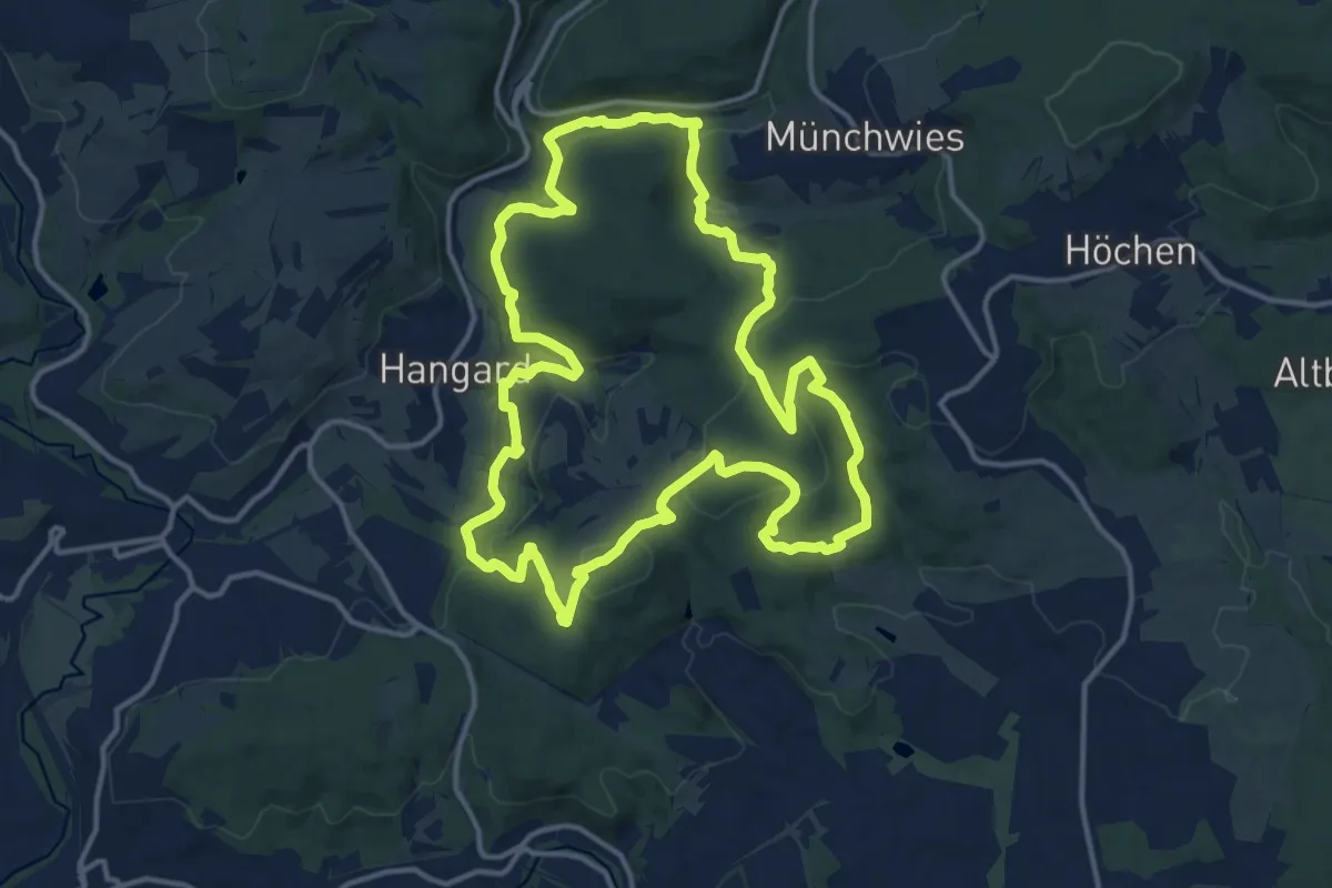
Medium · Summit
Hangarder Brunnenpfad
14.1 km · ↑ 440 m · 4 h 29 min
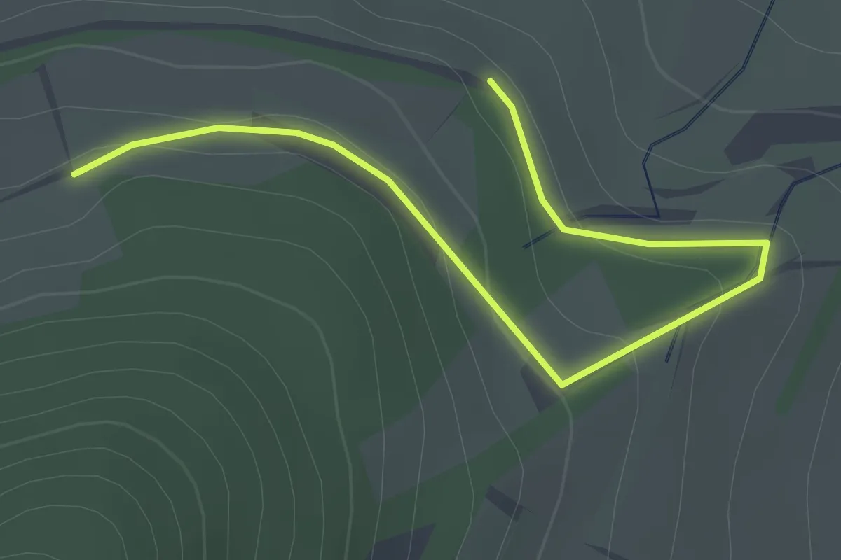
Easy · Trail
Hängele - TUTGE084
2.2 km · ↑ 60 m · 40 min
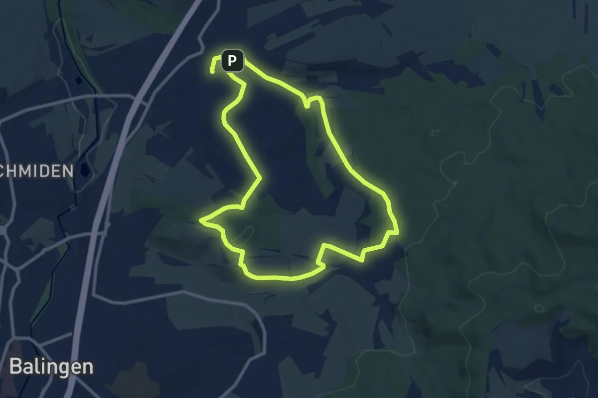
Easy · Trail
Hangenweg
7.5 km · ↑ 121 m · 2 h 9 min
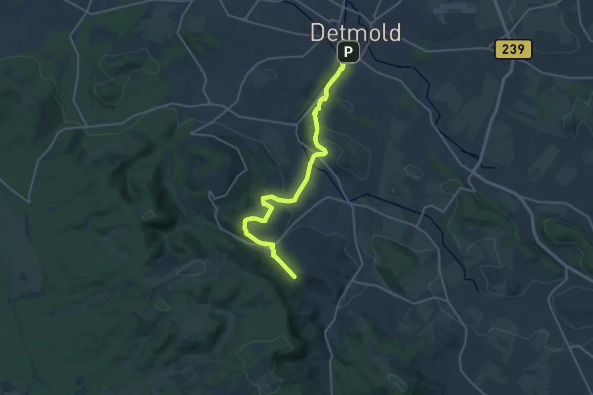
Medium · Trail
Hangsteinweg
13.2 km · ↑ 446 m · 4 h 5 min
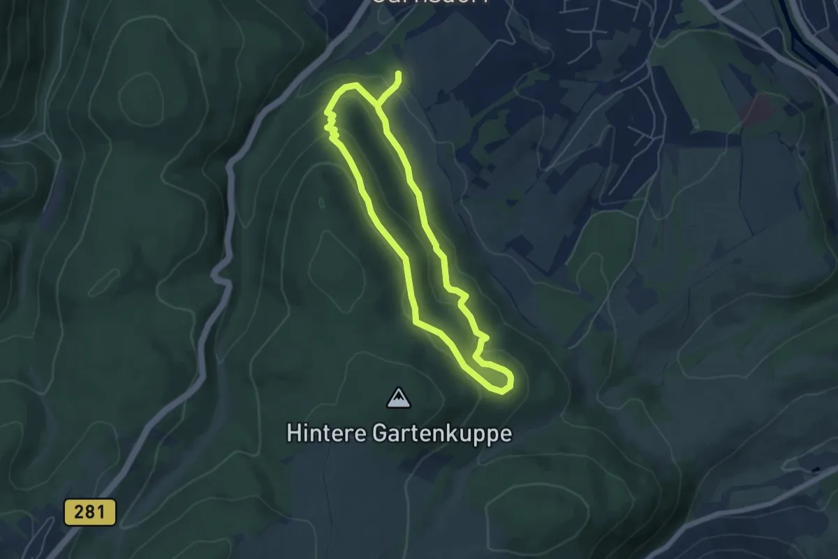
Easy · Trail
Hangweg
4.4 km · ↑ 195 m · 1 h 31 min
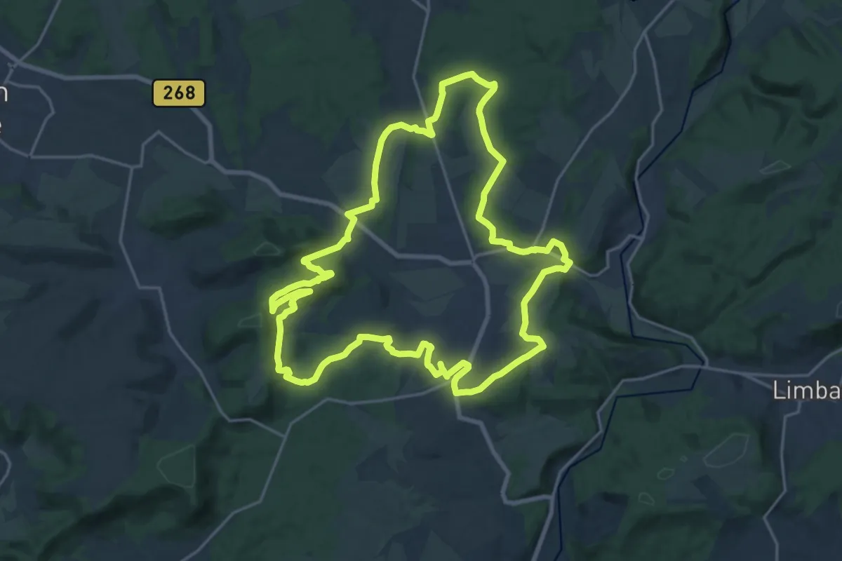
Demanding · Summit
Hannejuschtweg
18.7 km · ↑ 429 m · 5 h 36 min
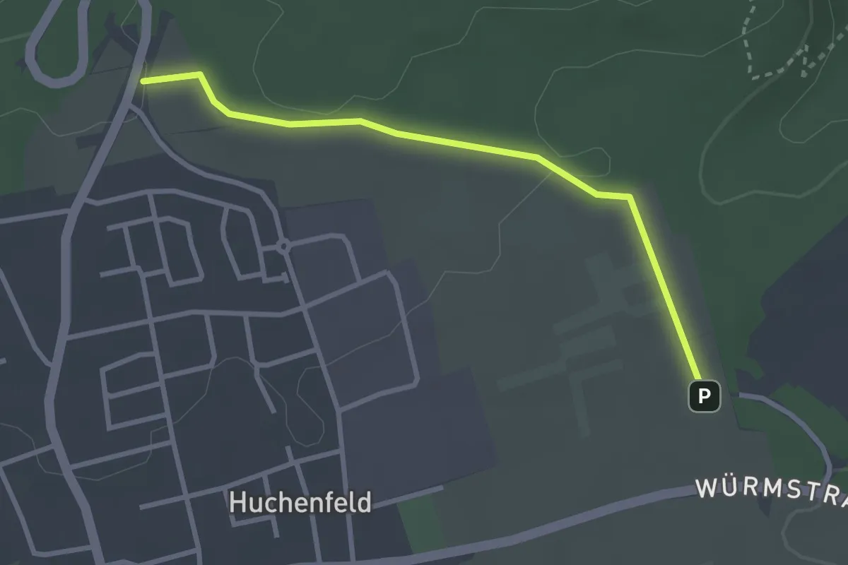
Easy · Trail
Hannwiesen - Depot
2.7 km · ↑ 45 m · 43 min
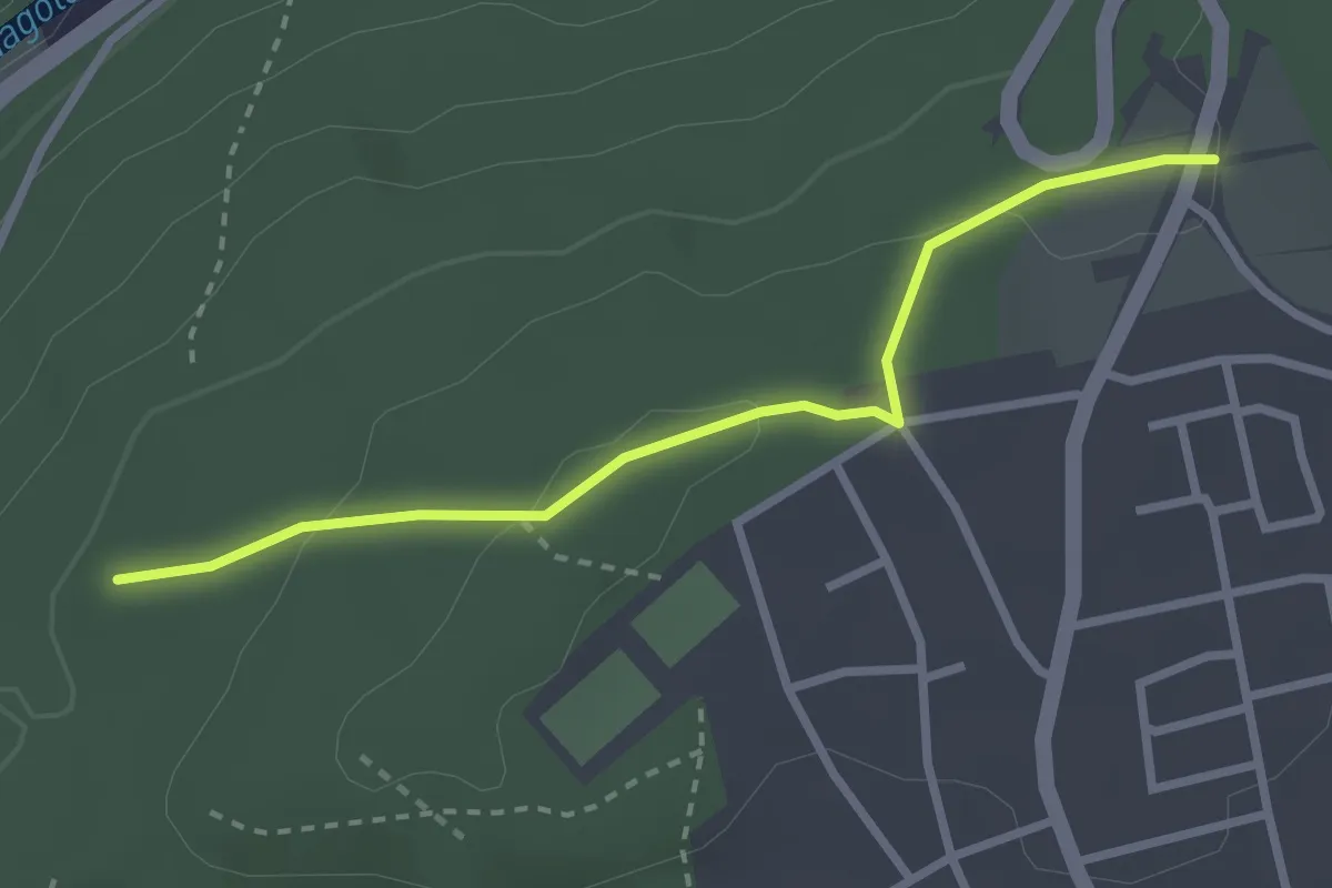
Easy · Trail
Hannwiesen - Forlenschlag
2.6 km · ↑ 77 m · 47 min
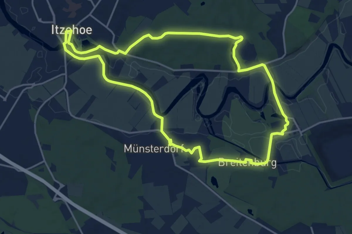
Medium · Trail
Hans Christian Andersen-Steig
11.2 km · ↑ 73 m · 2 h 57 min
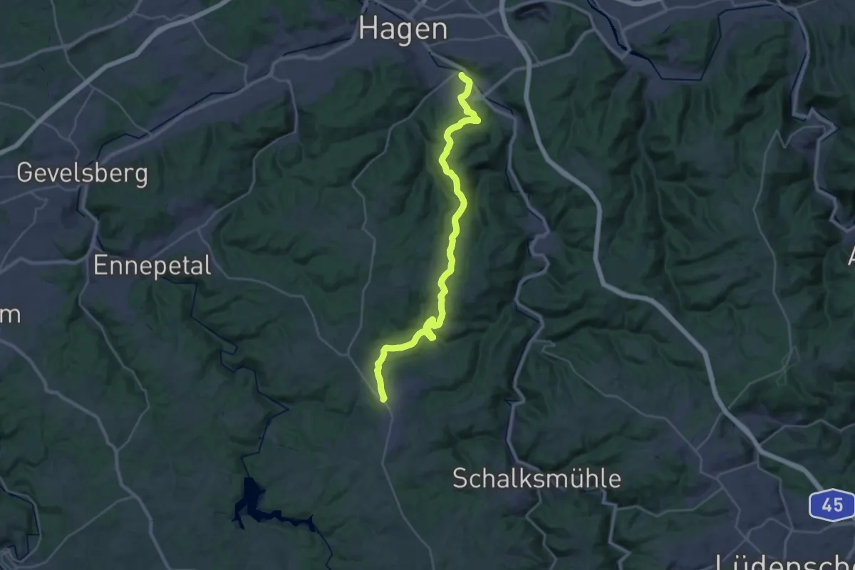
Demanding · Trail
Hanseweg
26.7 km · ↑ 702 m · 7 h 49 min
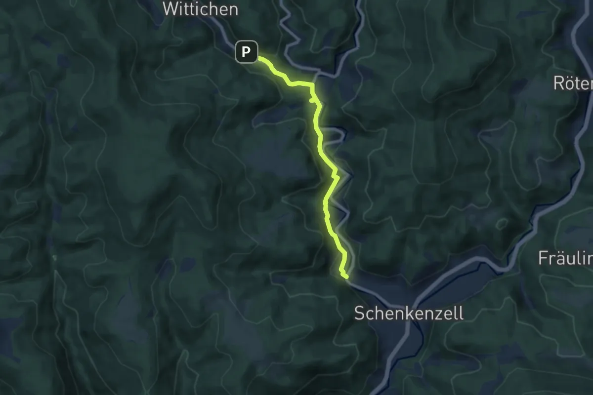
Easy · Trail
Hansjakobweg I
6.2 km · ↑ 220 m · 1 h 56 min
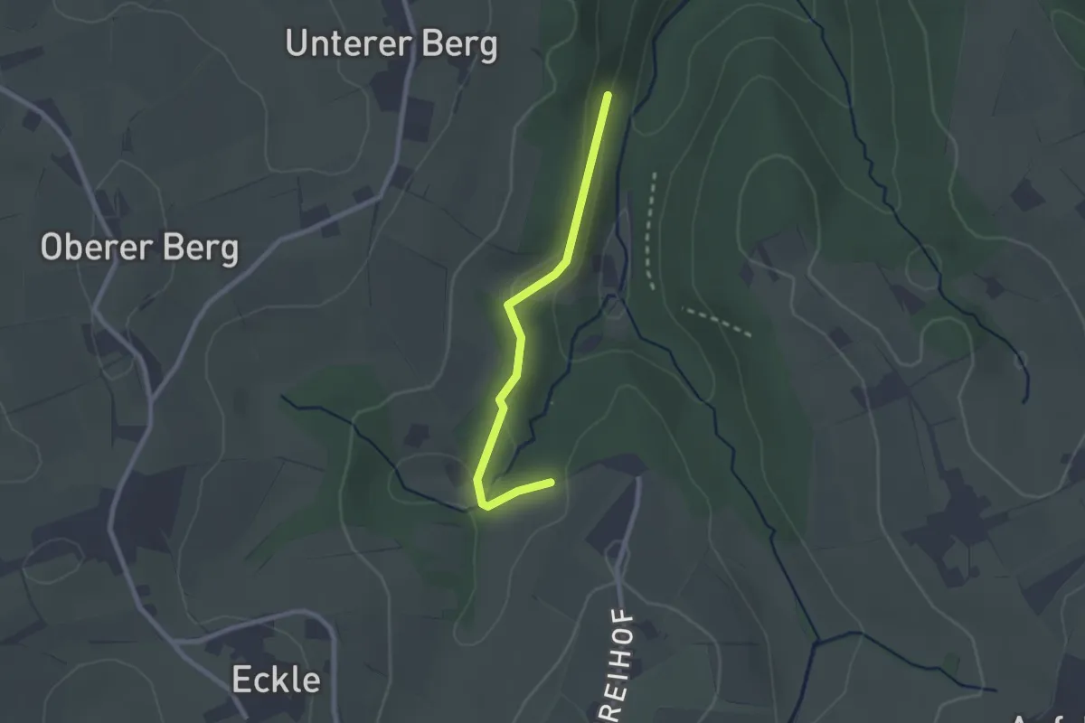
Easy · Trail
Hansjockenhof - Schießhalde
2.1 km · ↑ 39 m · 34 min
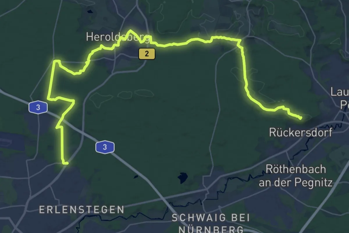
Demanding · Summit
Hans-Krauß-Weg
39.9 km · ↑ 558 m · 10 h 38 min
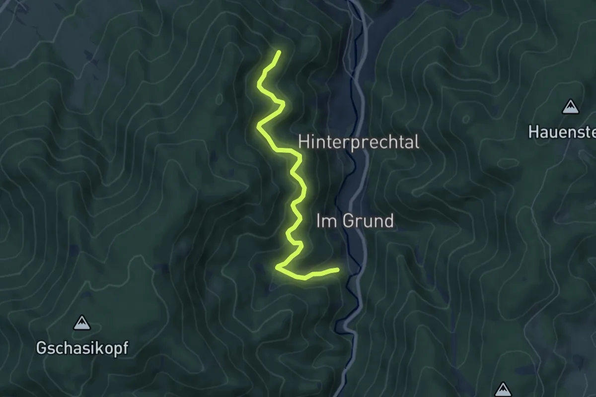
Medium · Trail
Hänslisbühl - Holzgrundbach
6.3 km · ↑ 375 m · 2 h 19 min
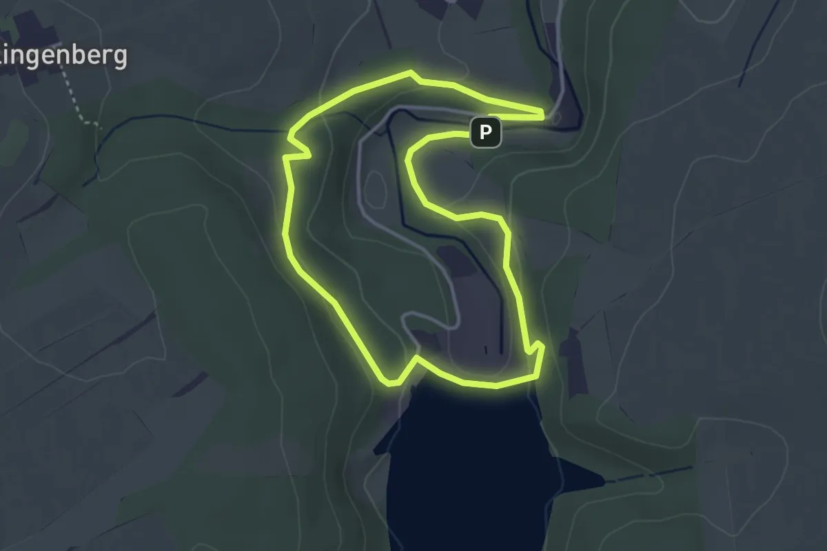
Easy · Trail
Hans-Poeltzig-Rundwanderweg
3.1 km · ↑ 81 m · 56 min
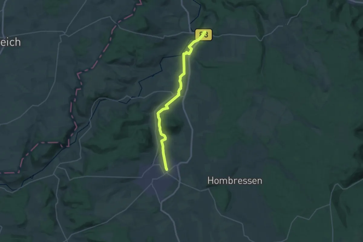
Demanding · Trail
Hans-Schmidt-Weg
21.6 km · ↑ 98 m · 5 h 19 min
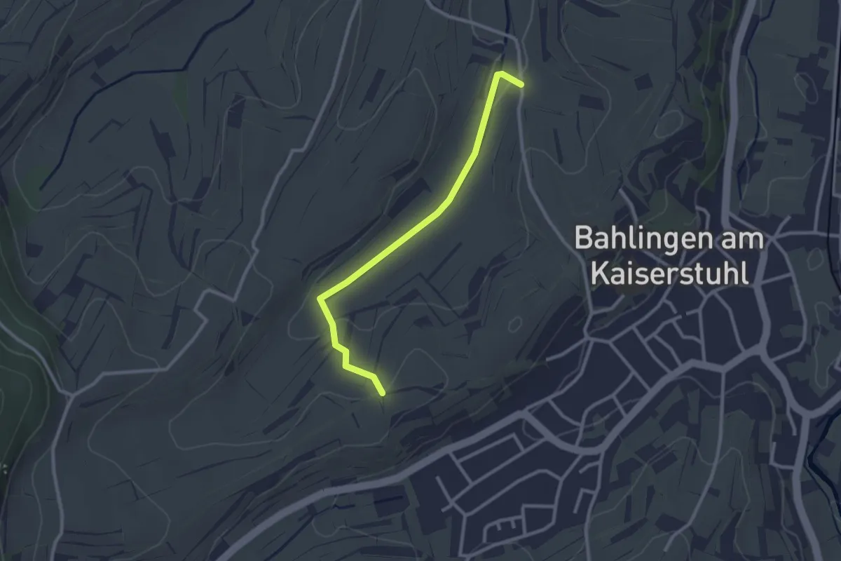
Easy · Trail
Hanstal - Riedgraben
2.5 km · ↑ 40 m · 40 min
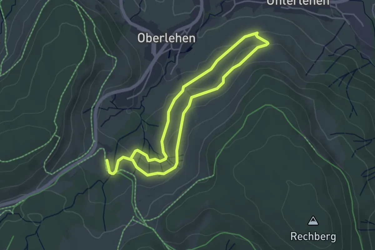
Easy · Trail
Hans-Thoma-Künstlerweg
3.3 km · ↑ 69 m · 59 min
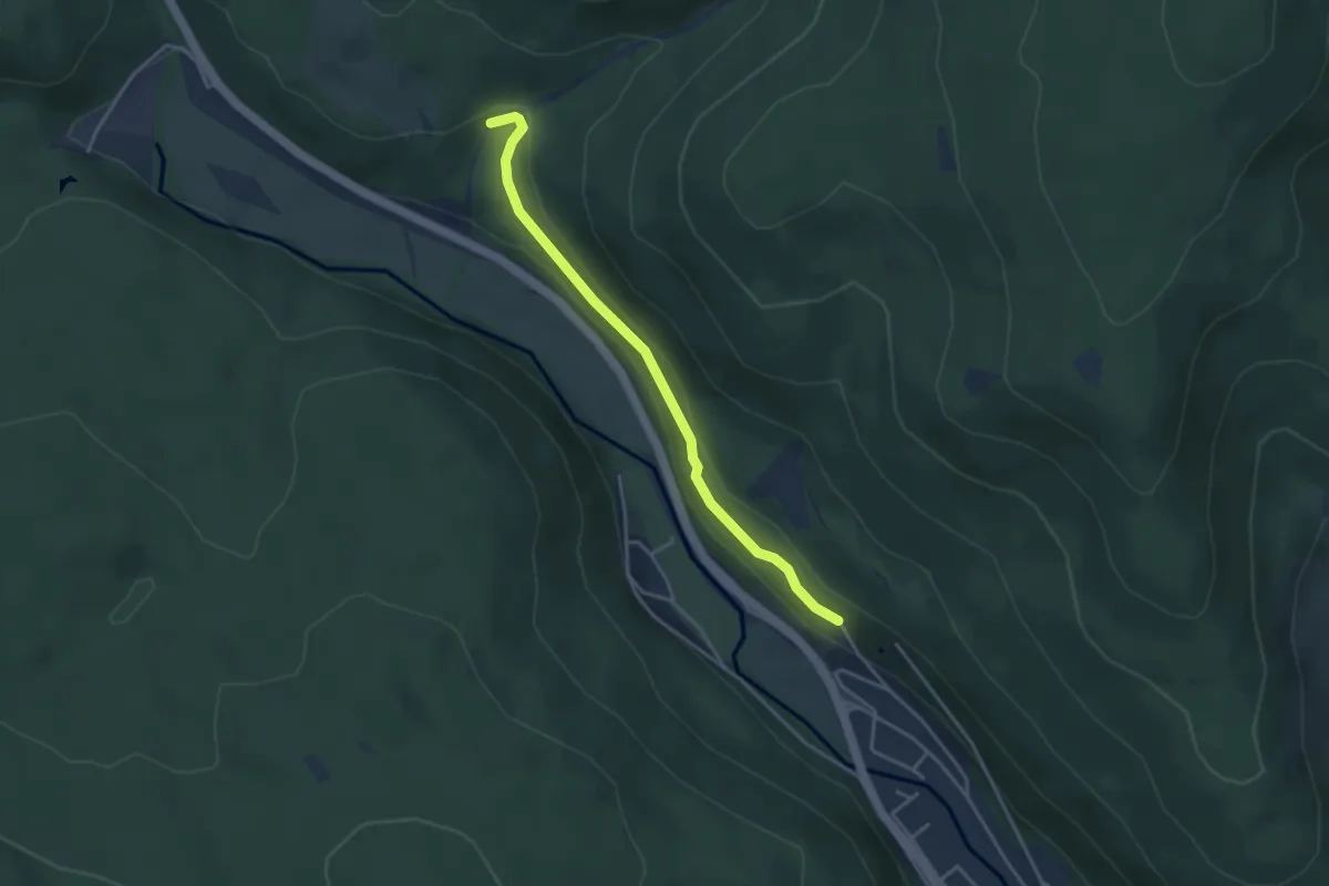
Easy · Trail
Hans-Thoma-Weg - Heuberg
3.5 km · ↑ 107 m · 1 h 4 min
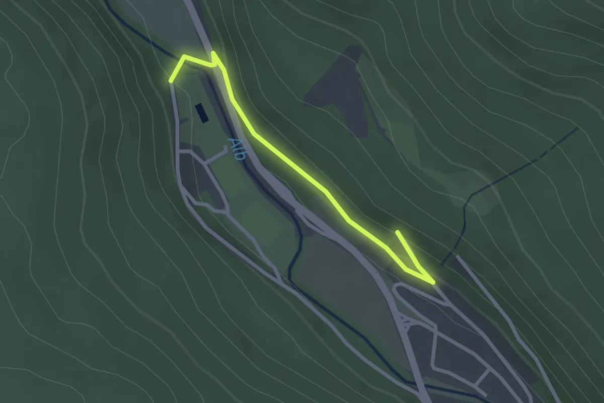
Easy · Trail
Hans-Thoma-Weg - St. Blasien Ehem. Schwimmbad
2.4 km · ↑ 45 m · 39 min
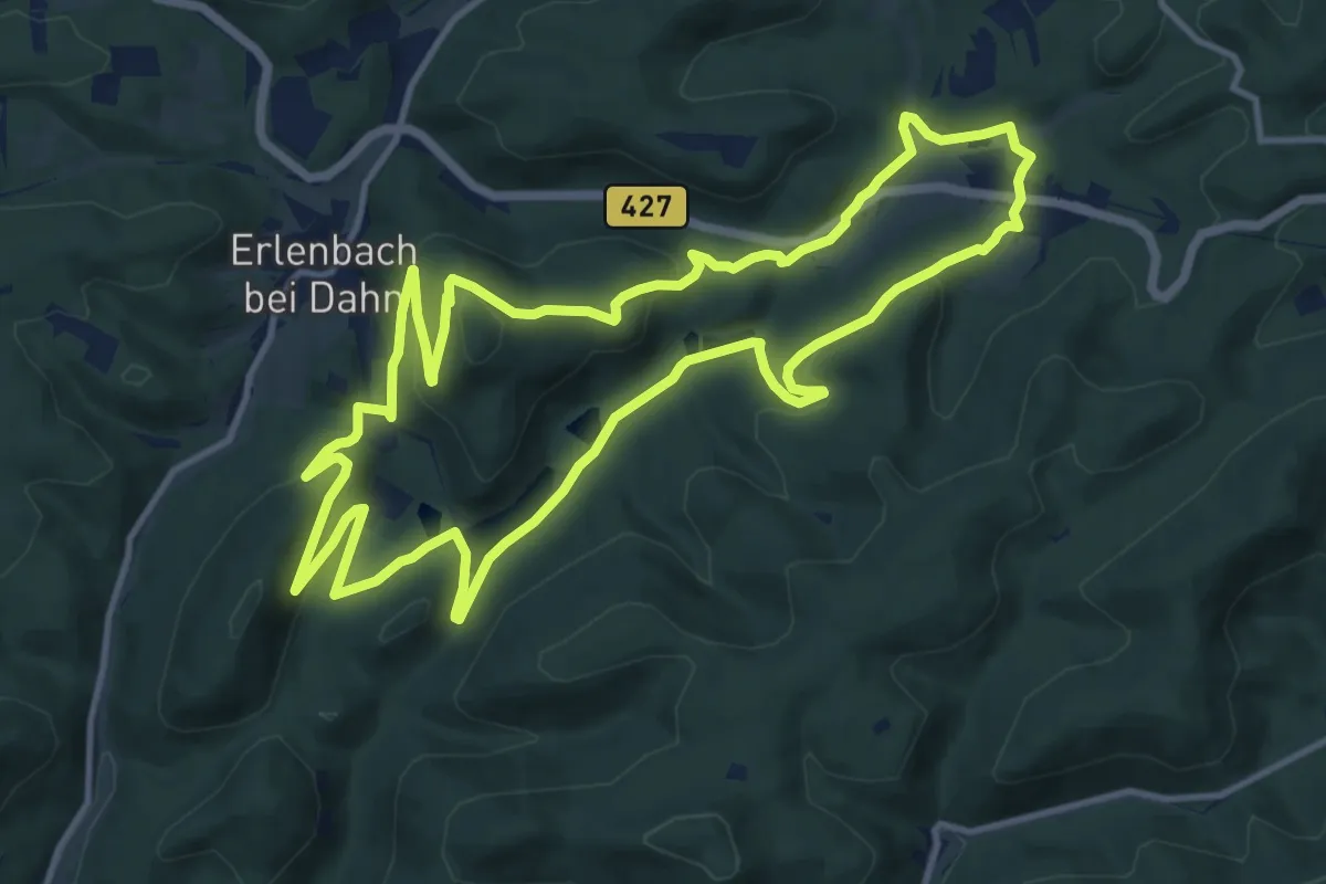
Medium · Summit
Hans-Trapp-Tour
12.2 km · ↑ 420 m · 3 h 58 min
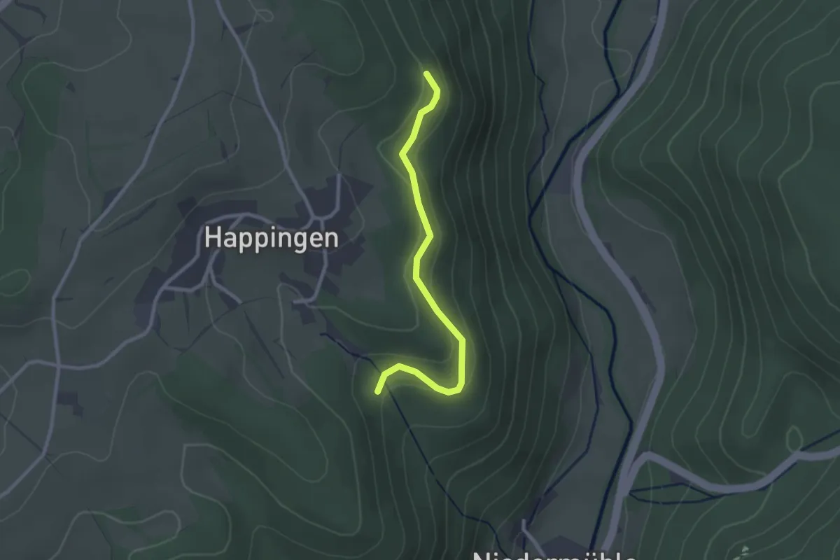
Easy · Trail
Happenmoos - Hinter den Äckern
2.4 km · ↑ 85 m · 45 min
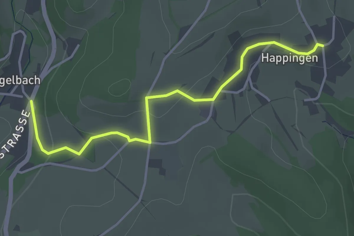
Easy · Trail
Happingen - Vogelbach
3.4 km · ↑ 98 m · 1 h 2 min
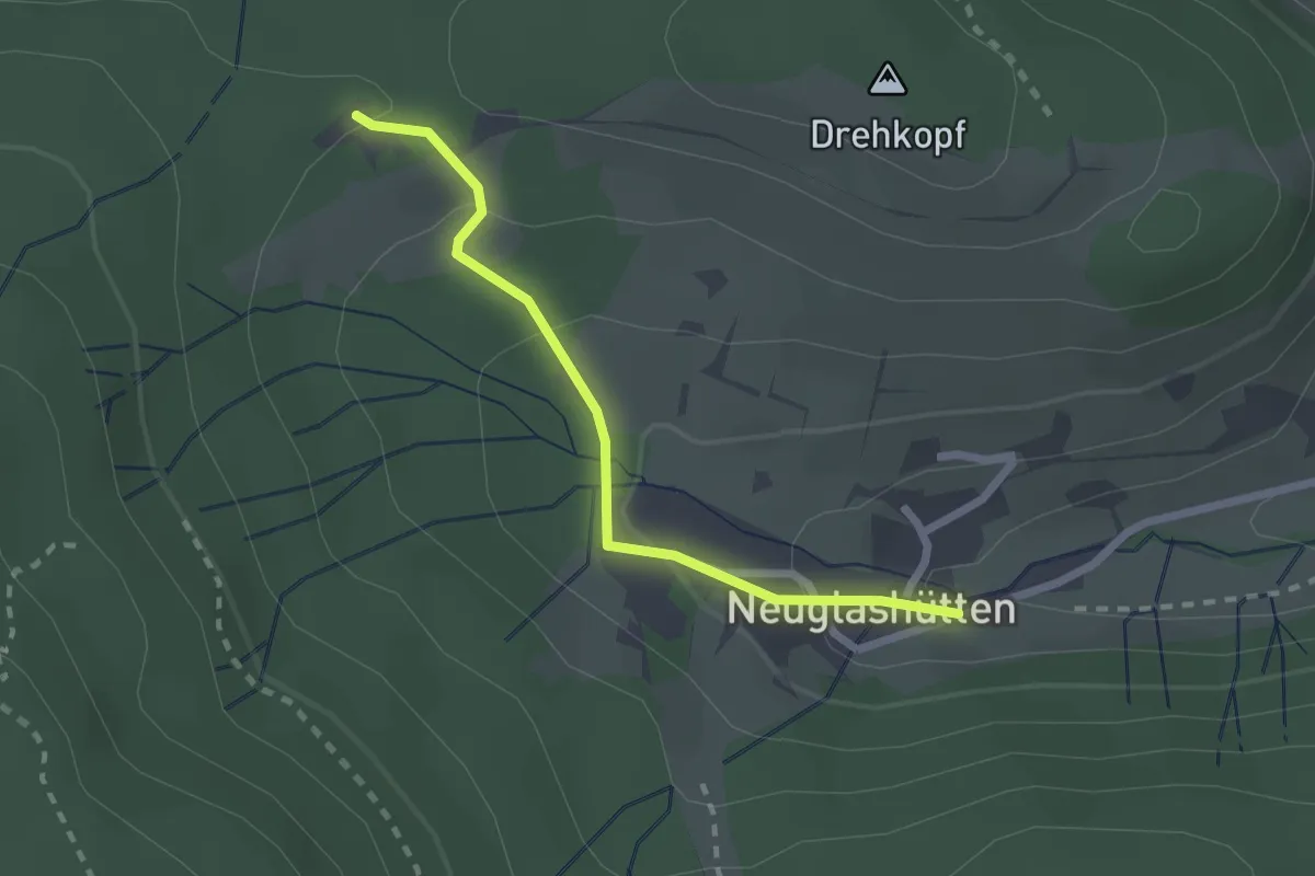
Easy · Trail
Happ - Neuglashütten Grüner Baum
2.1 km · ↑ 102 m · 43 min
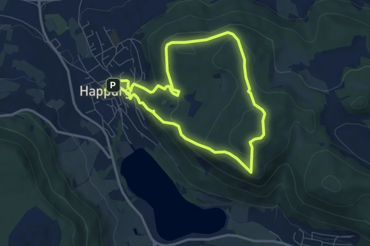
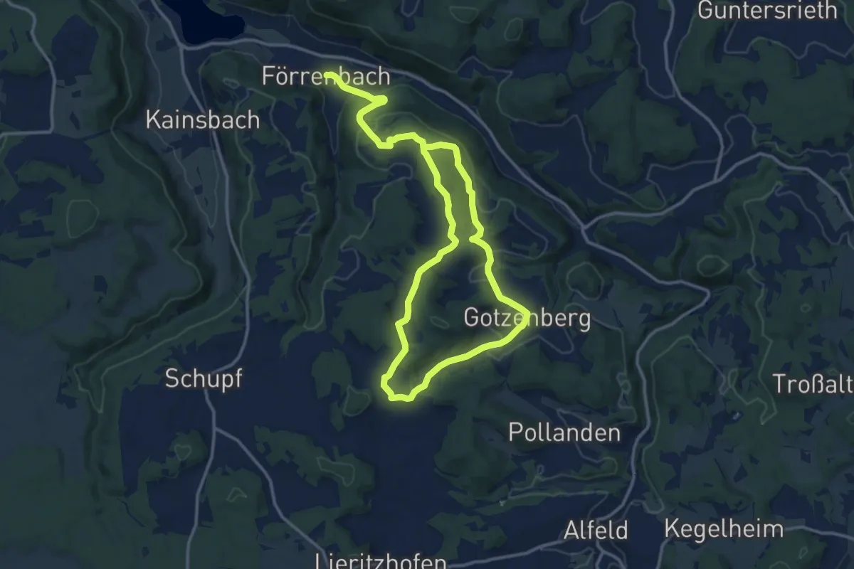
Medium · Summit
Happurg 1
5.7 km · ↑ 306 m · 2 h 6 min
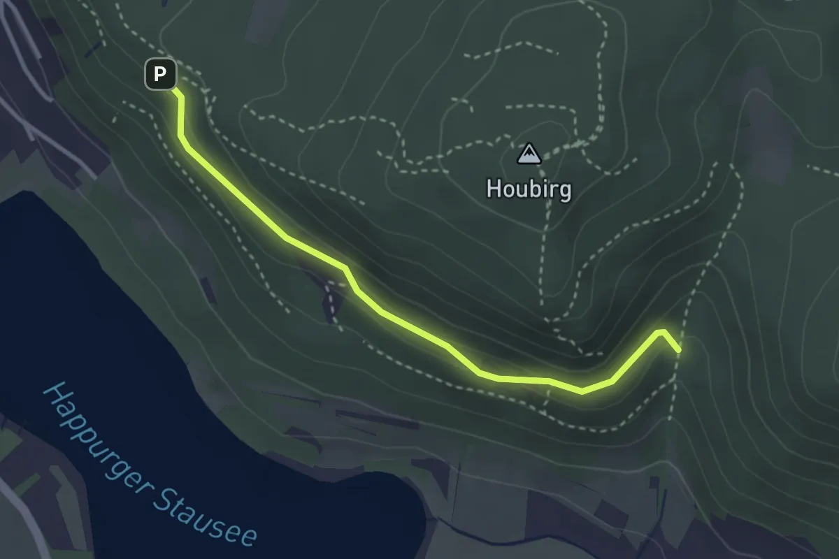
Medium · Summit
Happurg 10
10.3 km · ↑ 194 m · 3 h 4 min
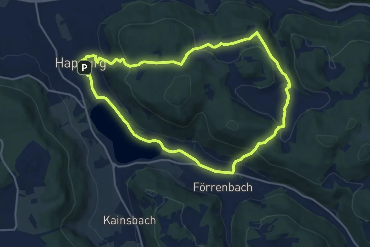
Easy · Trail
Happurg 11
3.0 km · ↑ 90 m · 54 min
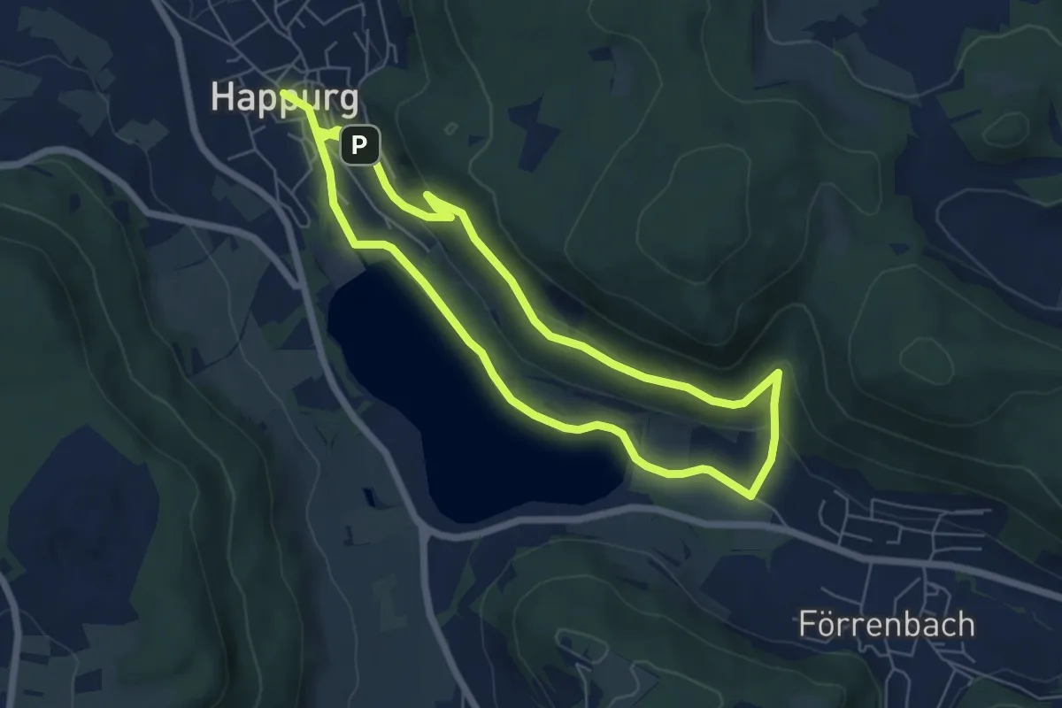
Medium · Trail
Happurg 2
9.1 km · ↑ 296 m · 2 h 55 min
Easy · Trail
Happurg 3
5.4 km · ↑ 117 m · 1 h 37 min
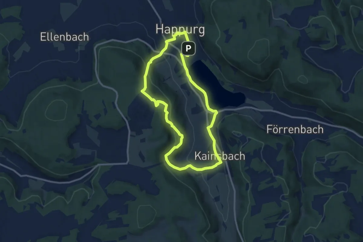
Easy · Trail
Happurg 4
7.8 km · ↑ 265 m · 2 h 32 min
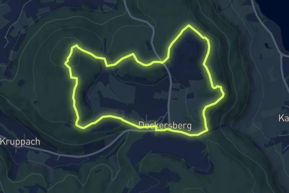
Easy · Summit
Happurg 5
6.9 km · ↑ 172 m · 2 h 6 min
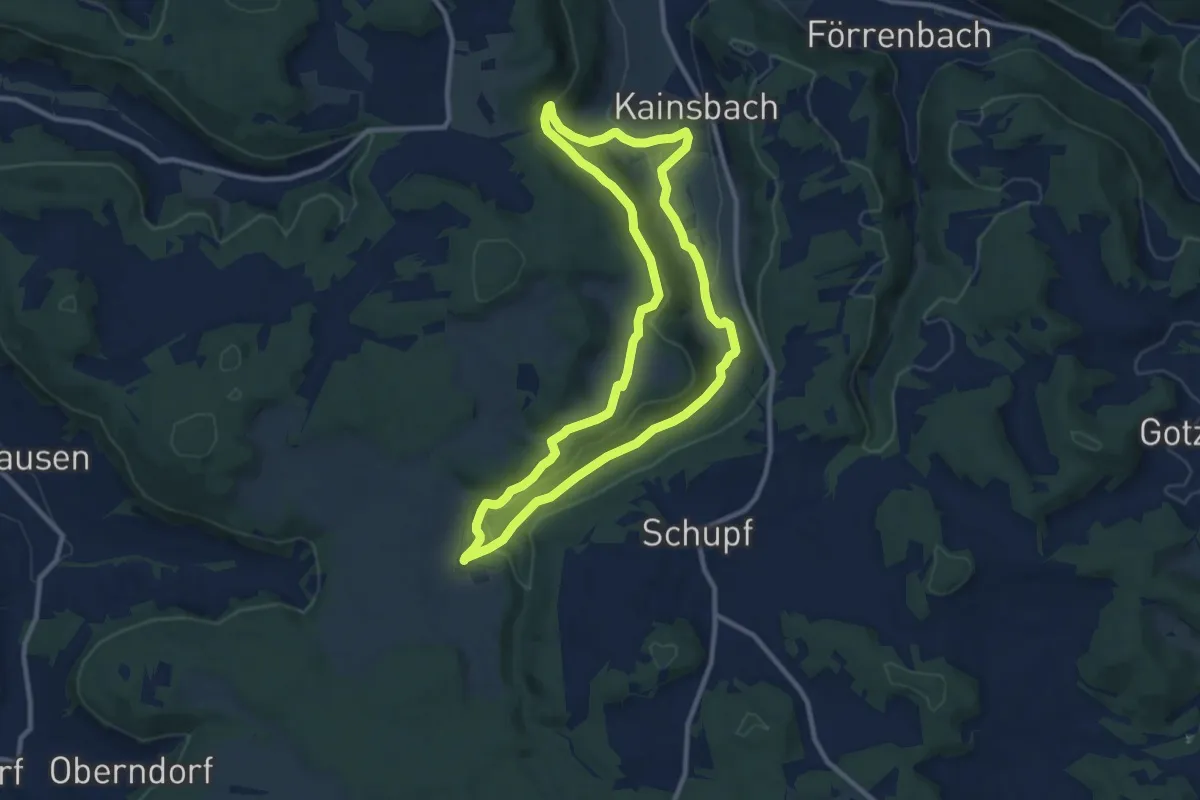
Medium · Trail
Happurg 7
9.6 km · ↑ 211 m · 2 h 51 min
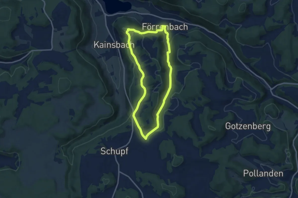
Medium · Trail
Happurg 8
8.1 km · ↑ 201 m · 2 h 27 min
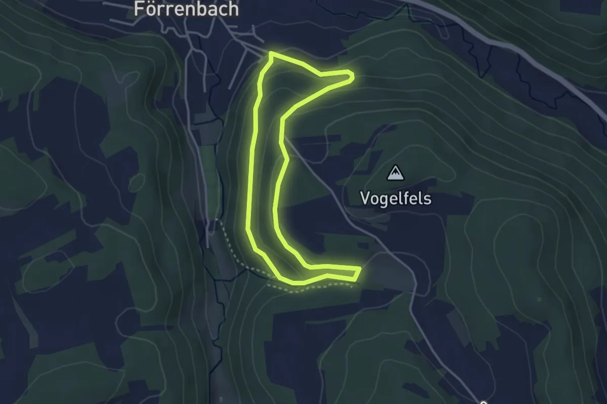
Easy · Trail
Happurg 9
2.9 km · ↑ 115 m · 58 min
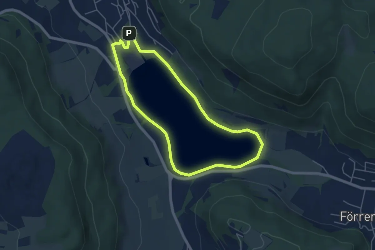
Easy · Trail
Happurg Bad Brückenauer Mineralwasser-Trail
3.9 km · ↑ 29 m · 1 h 2 min
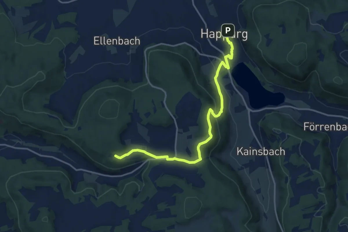
Medium · Trail
Happurg – Edelweißhütte
11.5 km · ↑ 323 m · 3 h 25 min
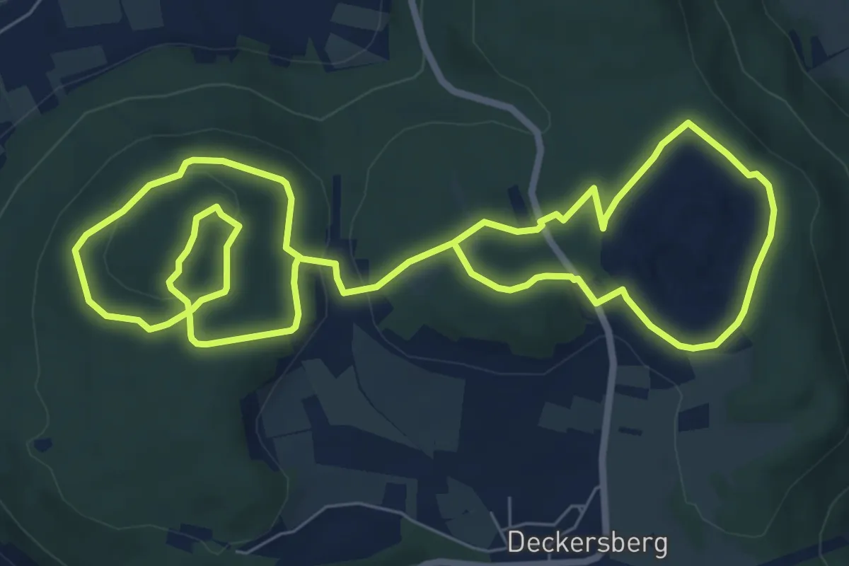
Easy · Summit
Happurg E.ON Bayern-Trail 1
6.6 km · ↑ 135 m · 1 h 58 min
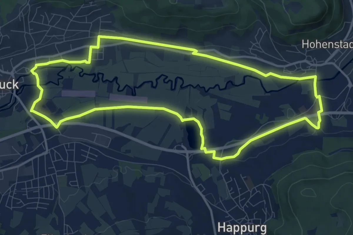
Medium · Trail
Happurg E.ON Bayern-Trail 2
9.6 km · ↑ 22 m · 2 h 28 min
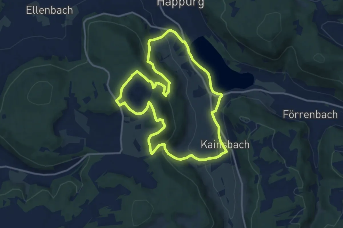
Medium · Trail
Happurg Haas Fertigbau-Trail
8.9 km · ↑ 260 m · 2 h 48 min
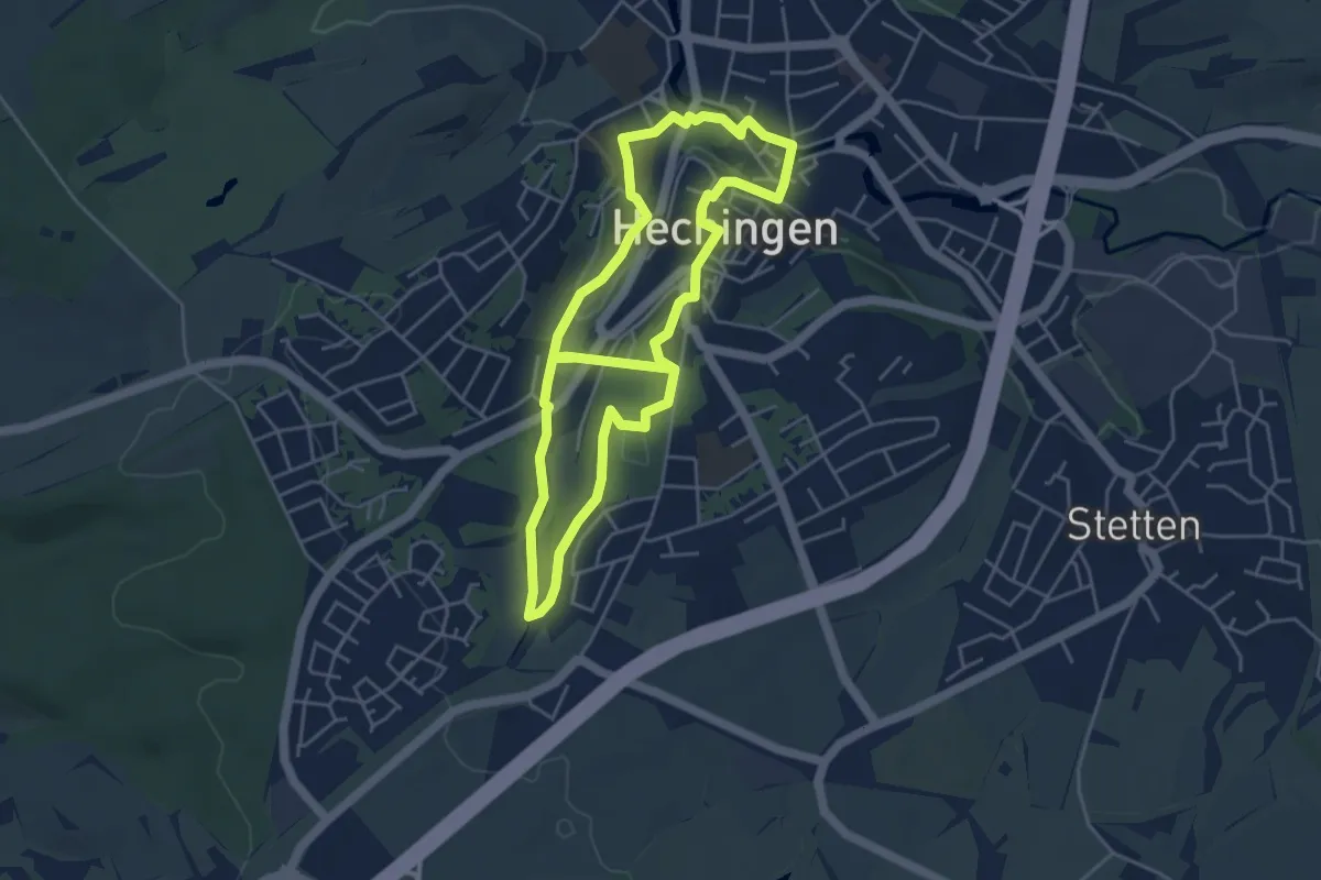
Easy · Trail
häppy - der Schaukelweg Hechingen
4.4 km · ↑ 97 m · 1 h 17 min
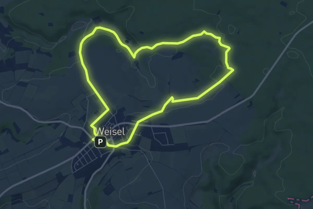
Easy · Trail
Harbach-Runde, Variante A
7.1 km · ↑ 131 m · 2 h 3 min
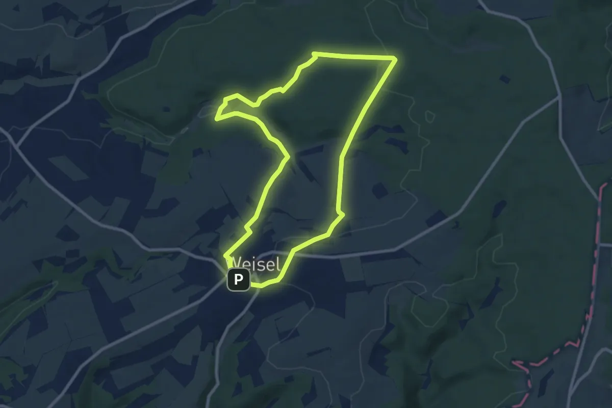
Easy · Trail
Harbach-Runde, Variante B
7.6 km · ↑ 165 m · 2 h 15 min
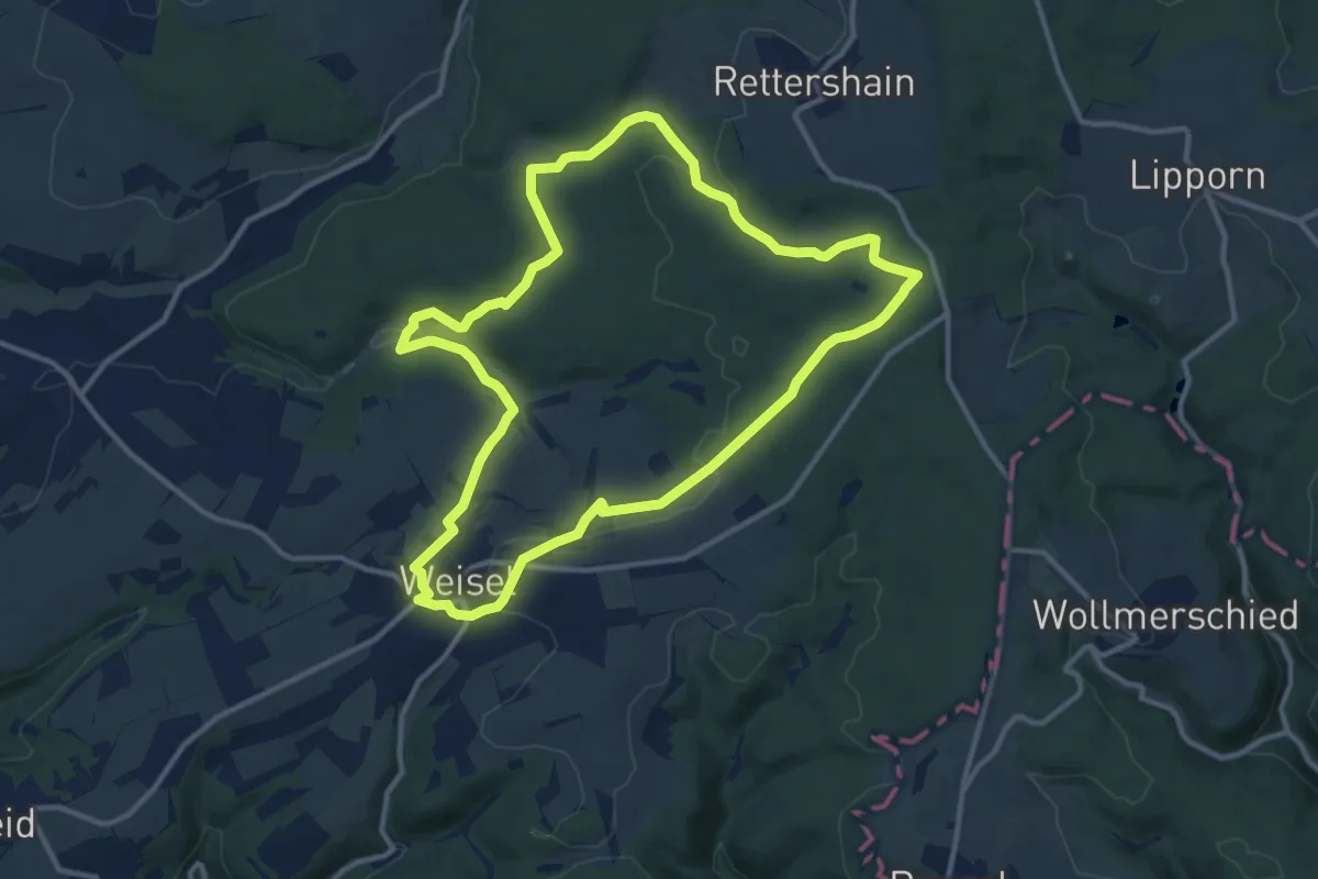
Medium · Trail
Harbach-Runde, Variante C
11.1 km · ↑ 220 m · 3 h 15 min
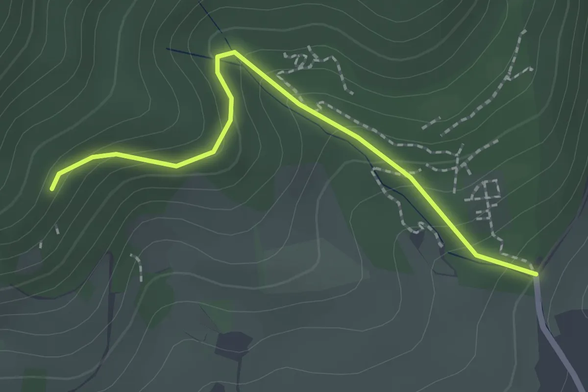
Easy · Trail
Harben - Hohberg
2.0 km · ↑ 164 m · 50 min
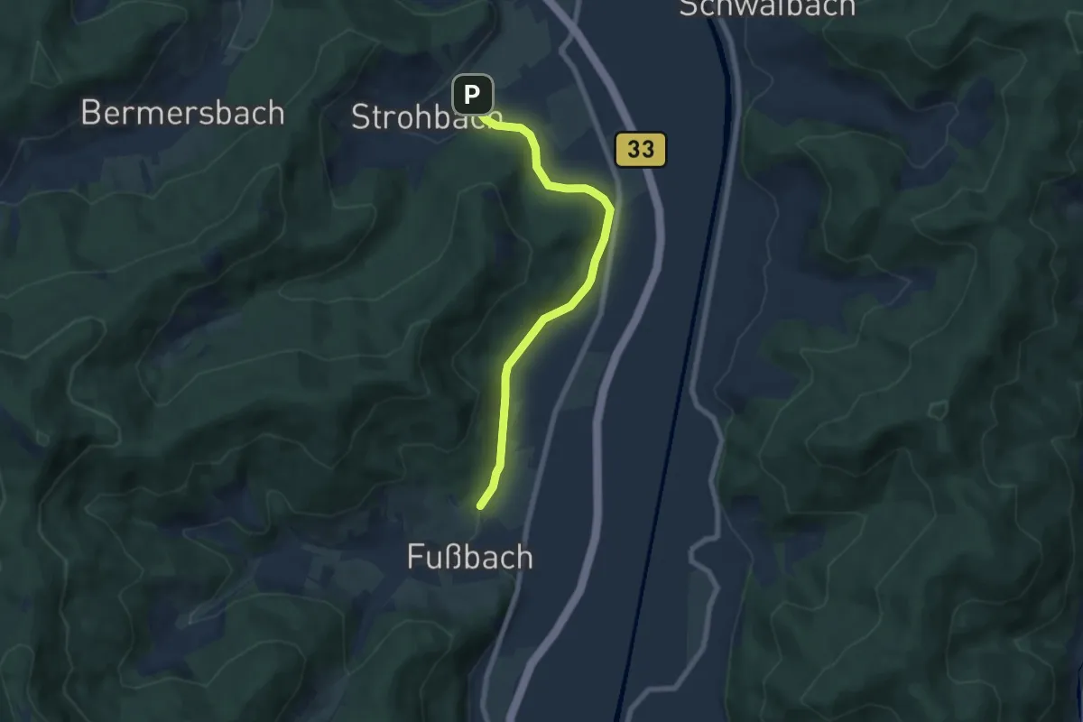
Easy · Trail
Harben - Strohbach
6.2 km · ↑ 142 m · 1 h 46 min