Trails in Germany
36,852 hiking trails, each with its route, climb, walking time and grade.
All trails, page 209 of 768
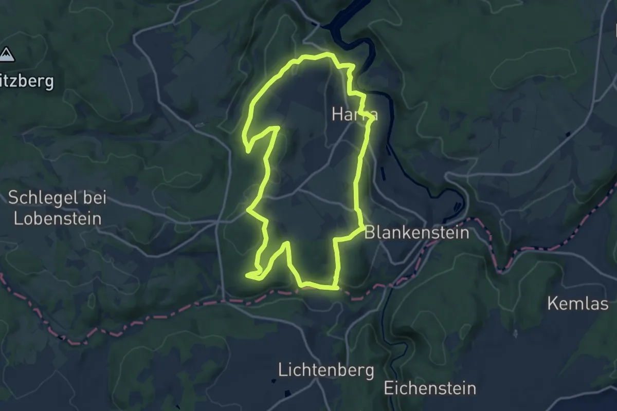
Medium · Trail
Harcher Leingstamauser-Weg
12.3 km · ↑ 309 m · 3 h 44 min
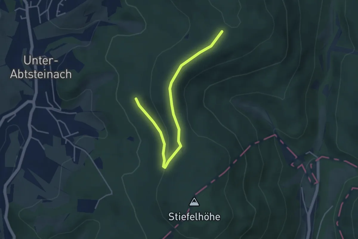
Easy · Trail
Hardberg-Weg
1.8 km · ↑ 73 m · 35 min
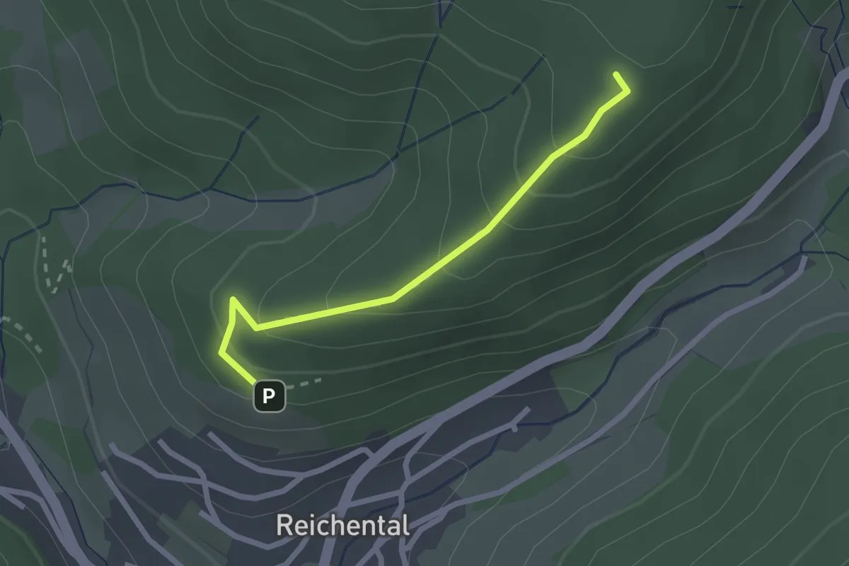
Easy · Trail
Hardbergweg - Alte Eichen
2.0 km · ↑ 153 m · 49 min
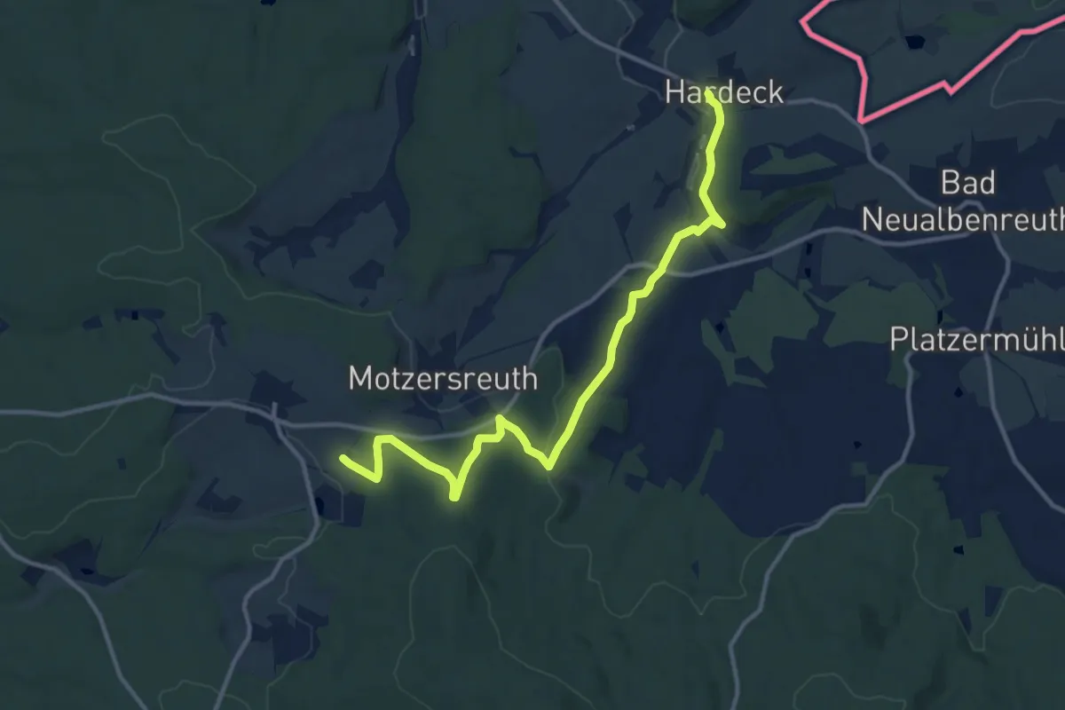
Medium · Trail
Hardeck – Naturfreundehaus Wernersreuth
12.1 km · ↑ 302 m · 3 h 30 min
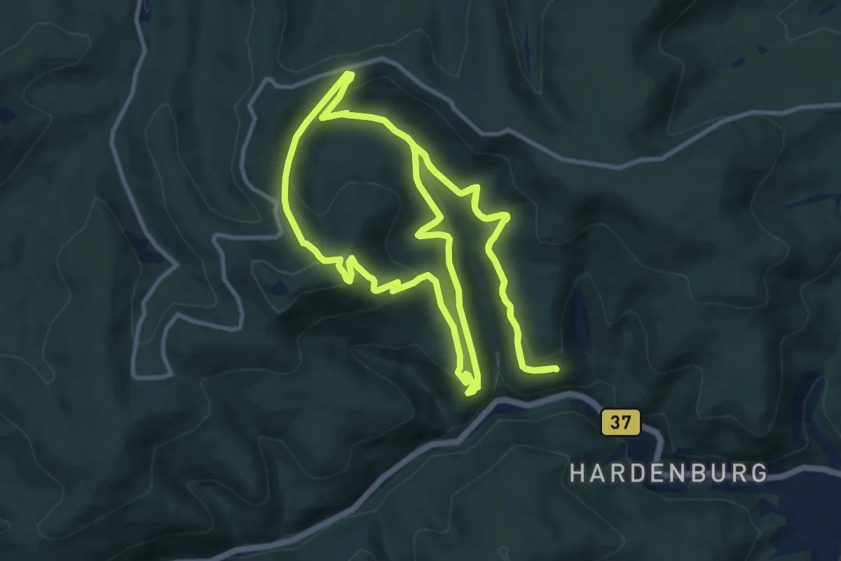
Medium · Summit
Hardenburg-Schlosseck-Rahnfels
11.4 km · ↑ 599 m · 4 h 9 min
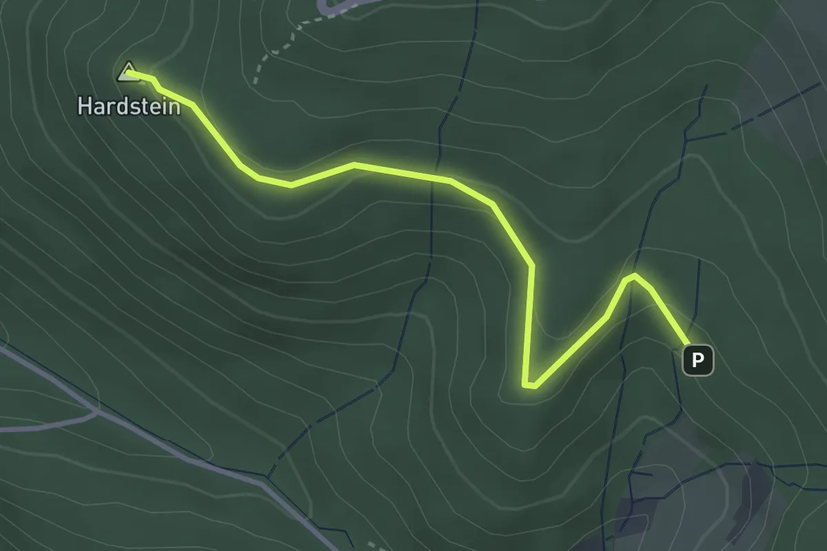
Easy · Summit
Hardsteinkreuz - Eichelsbachweg
3.3 km · ↑ 156 m · 1 h 7 min
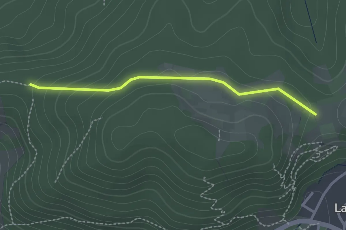
Easy · Trail
Hardtberghütte - Wegkreuz Haiderain
2.0 km · ↑ 72 m · 38 min
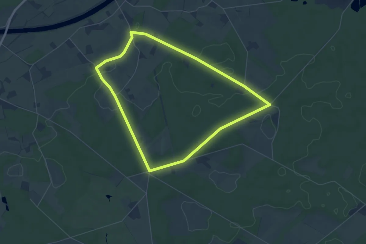
Easy · Trail
Hardtberg Rundweg A5
5.2 km · ↑ 39 m · 1 h 24 min
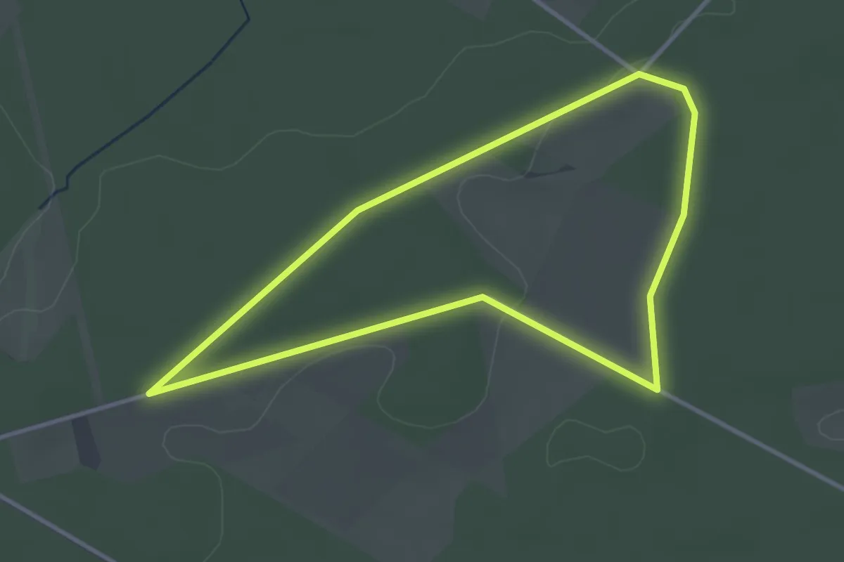
Easy · Trail
Hardtberg Rundweg A6
2.9 km · ↑ 23 m · 47 min
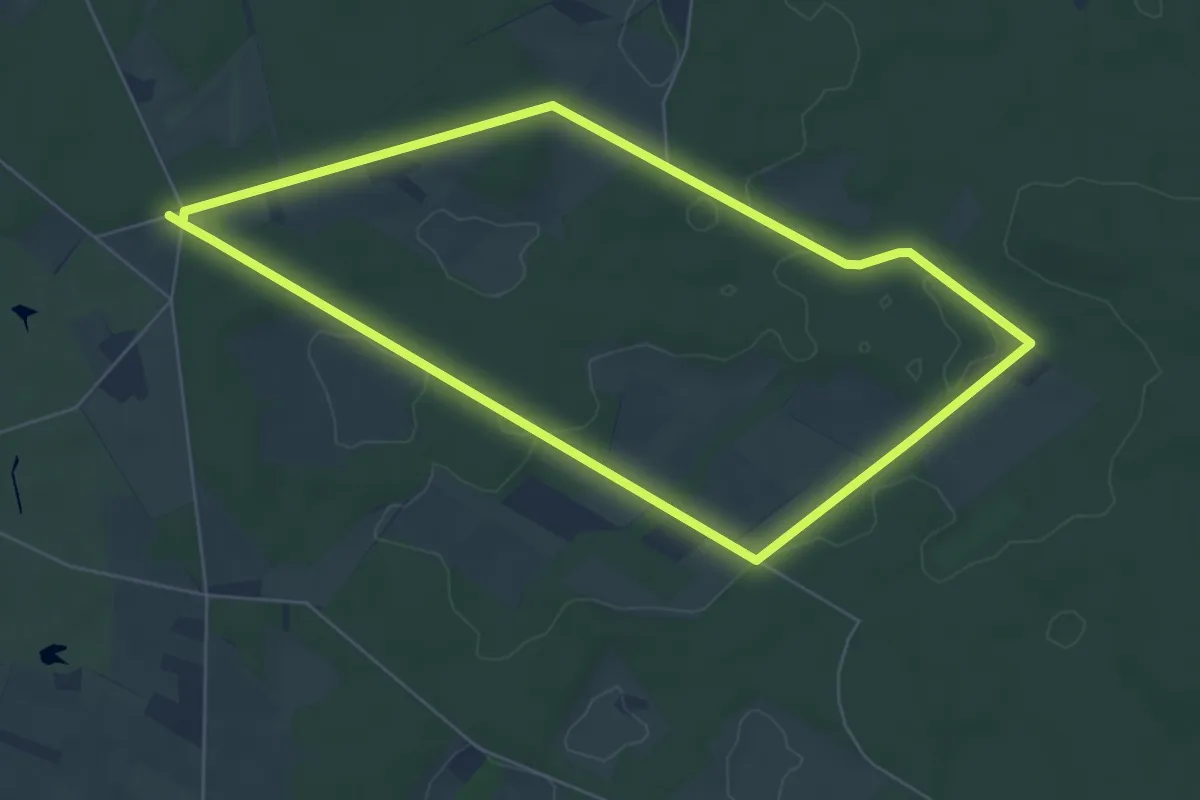
Easy · Trail
Hardtberg Rundweg A7
5.6 km · ↑ 32 m · 1 h 29 min
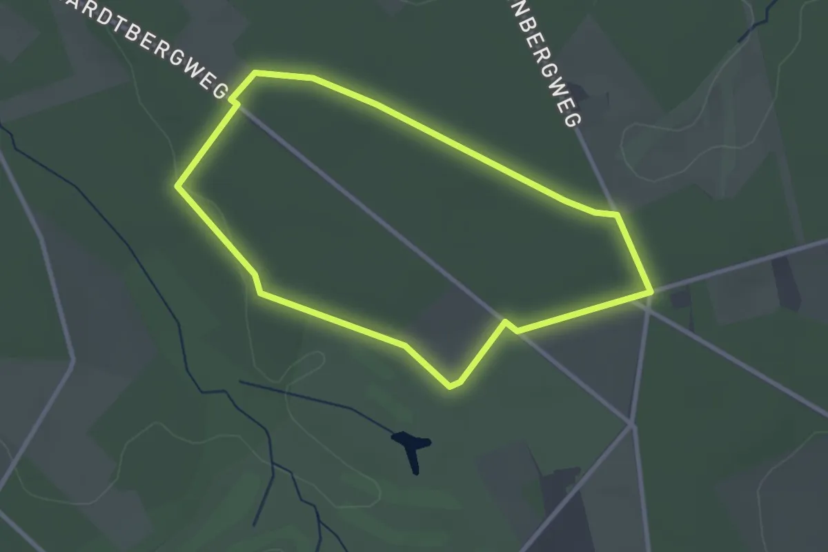
Easy · Trail
Hardtberg Rundweg A8
2.3 km · ↑ 9 m · 36 min
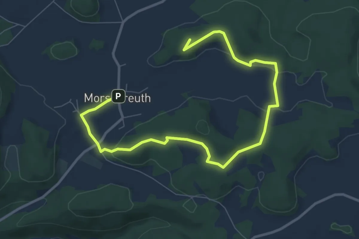
Easy · Summit
Hardtbergweg
5.5 km · ↑ 96 m · 1 h 34 min
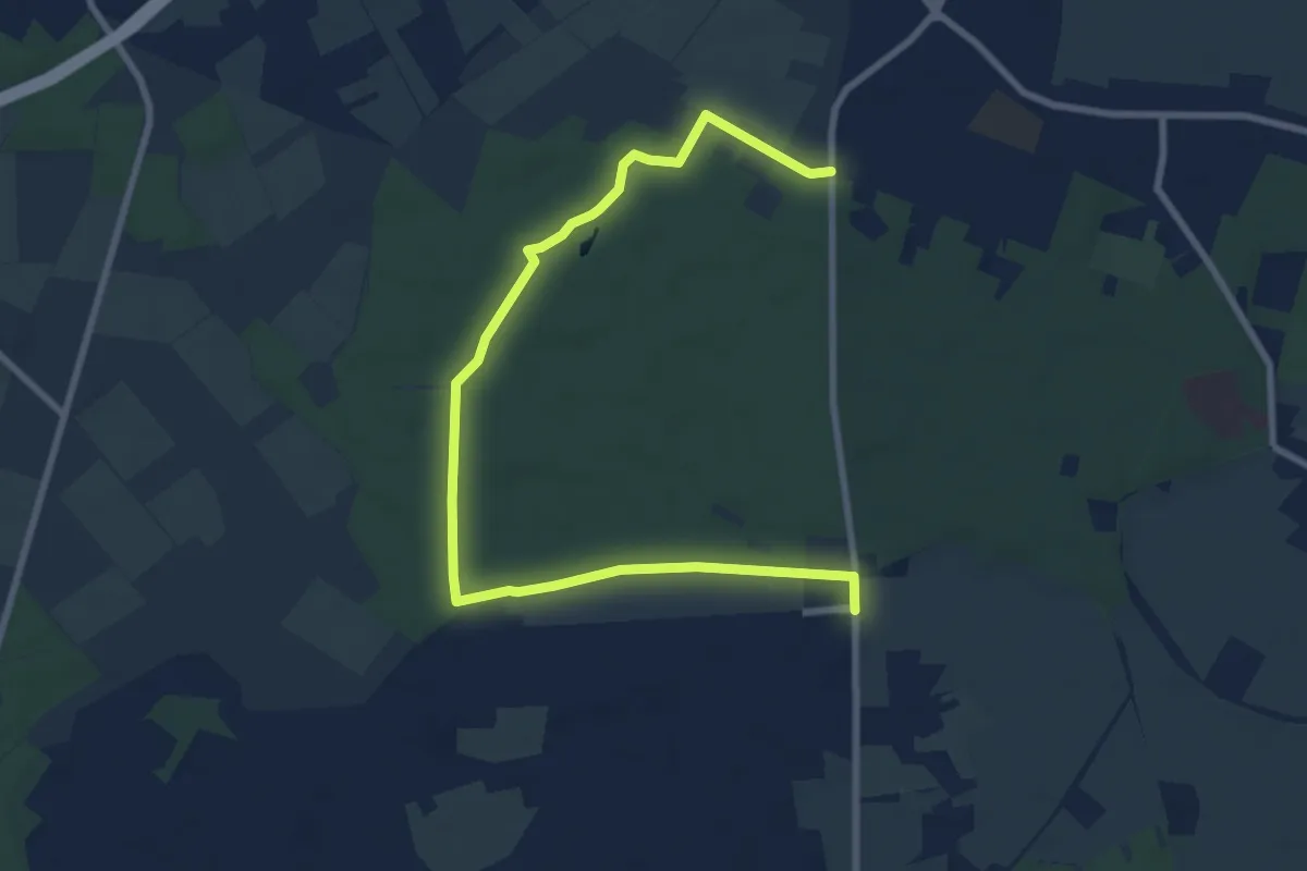
Medium · Trail
Hardter Hof - Hardt
9.2 km · ↑ 25 m · 2 h 13 min
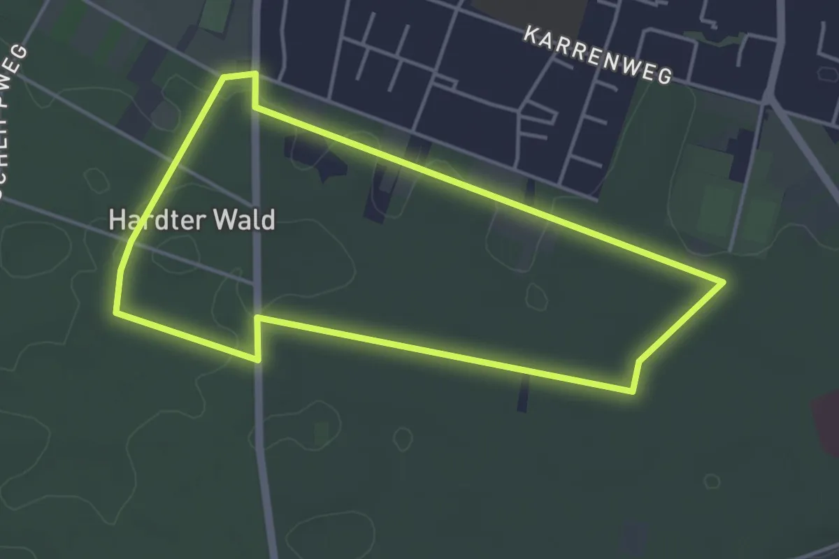
Easy · Trail
Hardter Wald 2
3.7 km · ↑ 4 m · 56 min
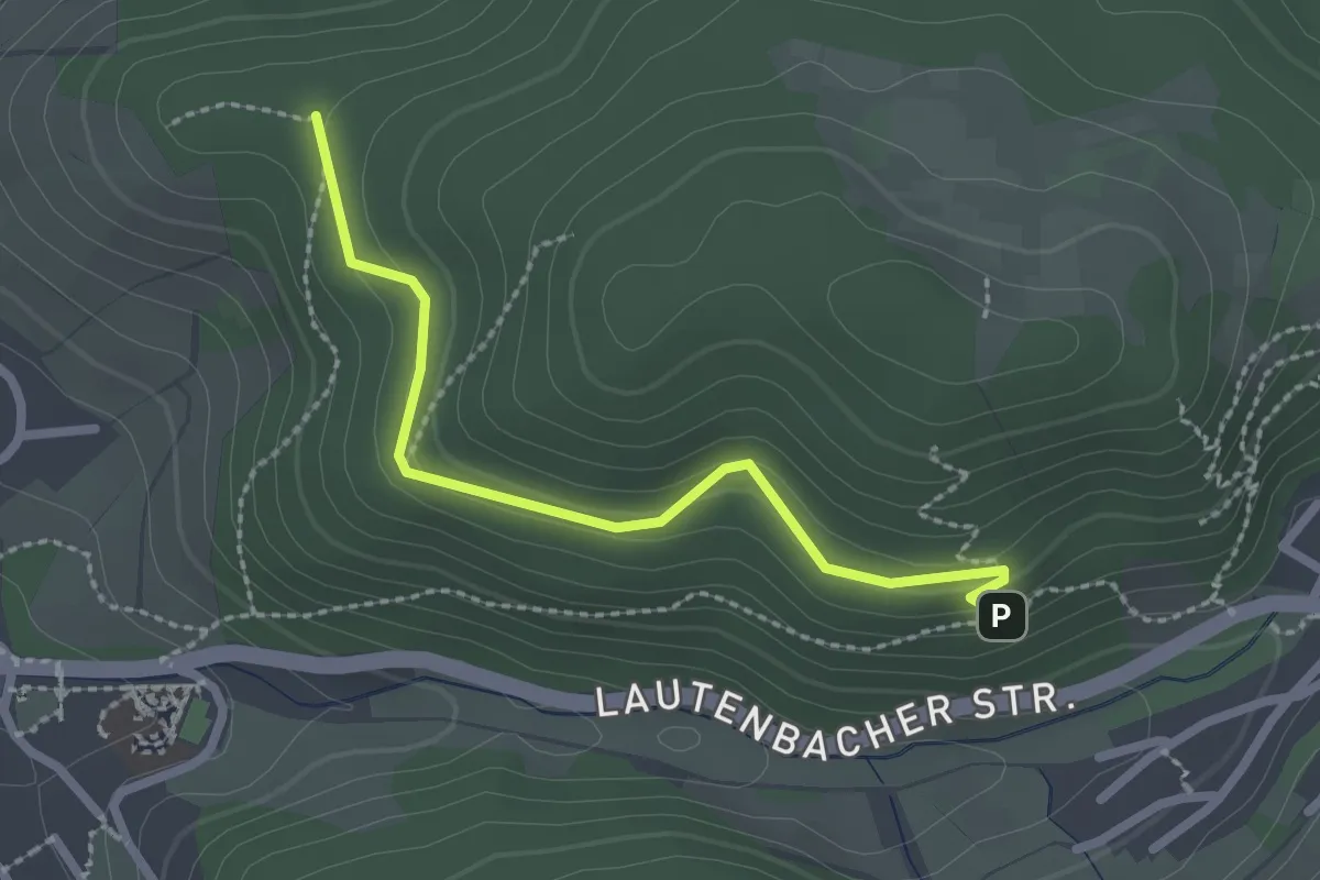
Easy · Trail
Hardt - Hardtberghütte
2.2 km · ↑ 125 m · 48 min
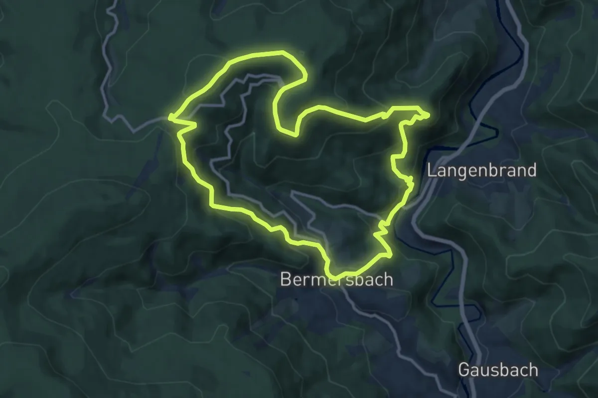
Medium · Summit
Hardtkopfrundweg
9.9 km · ↑ 536 m · 3 h 38 min
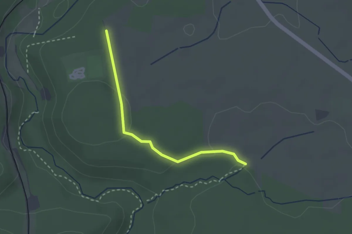
Easy · Trail
Hardtschachen - Krebsgraben
2.3 km · ↑ 48 m · 38 min
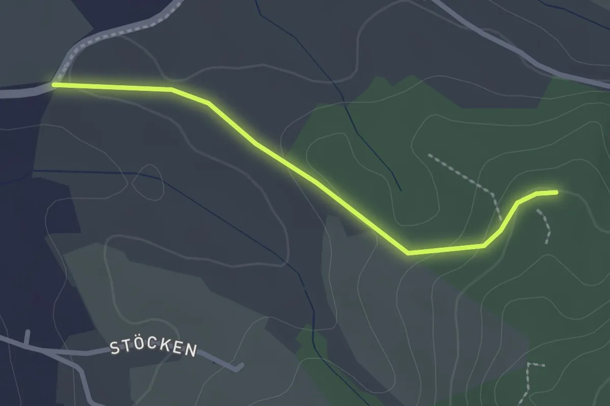
Easy · Trail
Hardtwald - Wasserreservoir
2.1 km · ↑ 45 m · 35 min
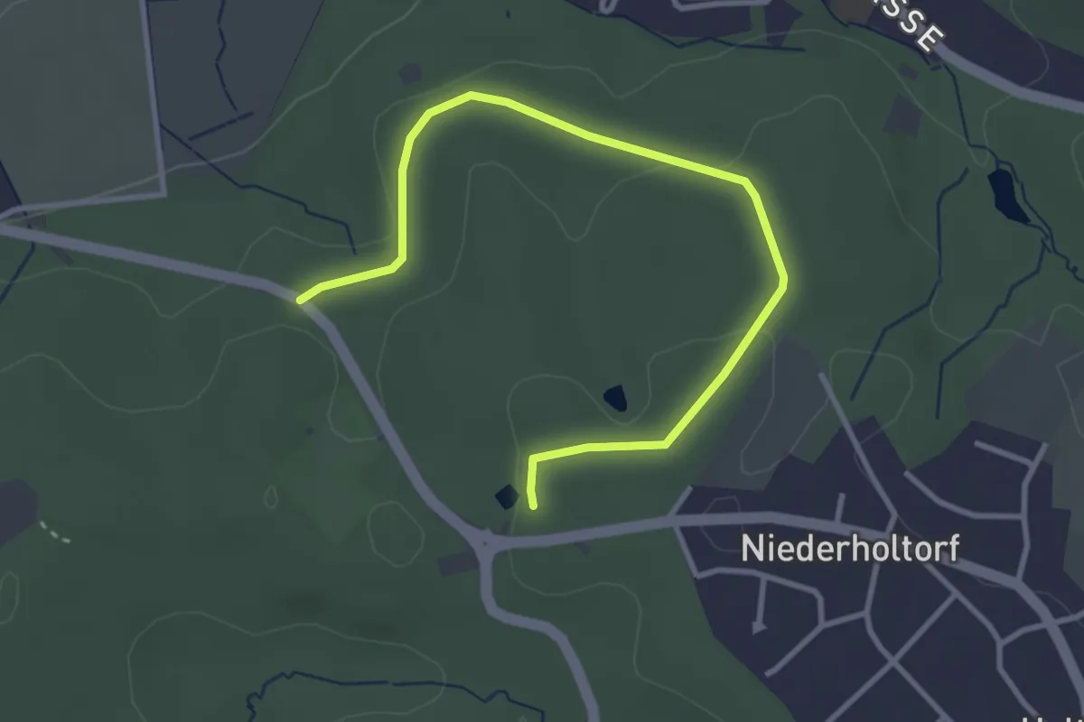
Easy · Summit
Hardtweiher-Rundweg
3.5 km · ↑ 43 m · 55 min
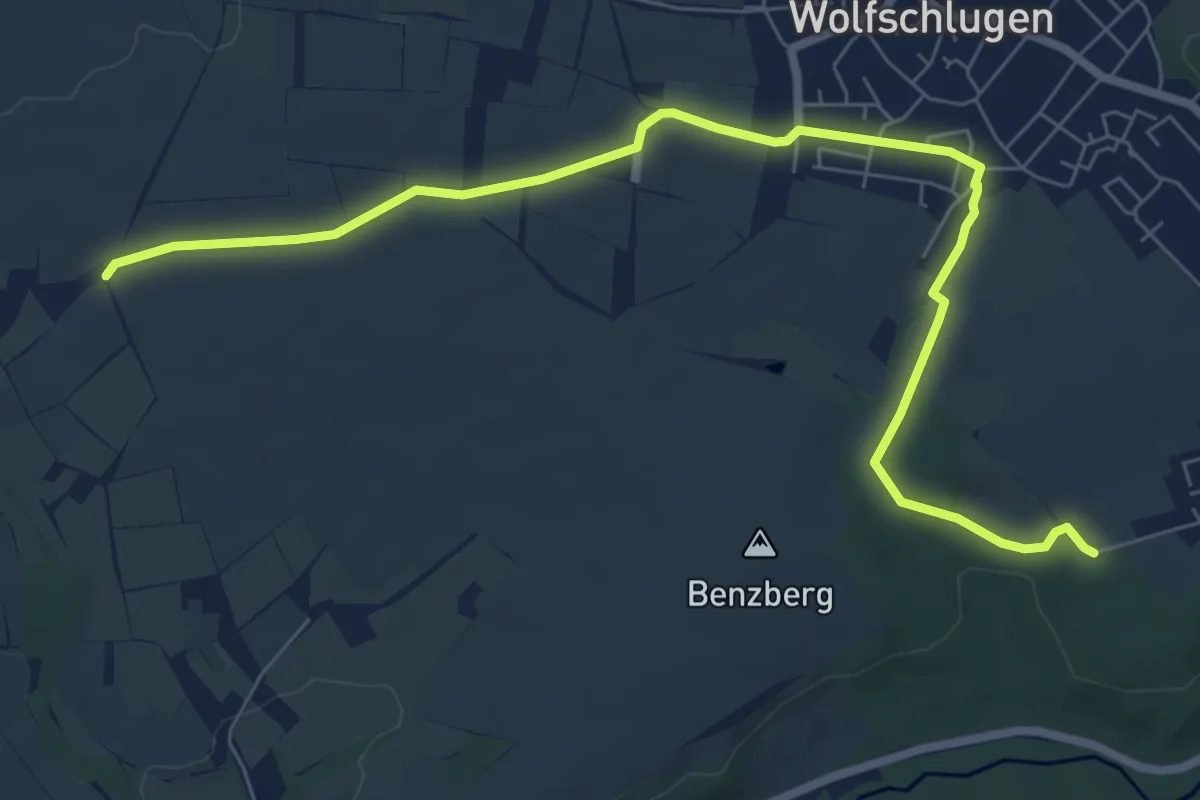
Medium · Trail
Hardt - Wolfschlugen - Harthausen
8.2 km · ↑ 64 m · 2 h 4 min
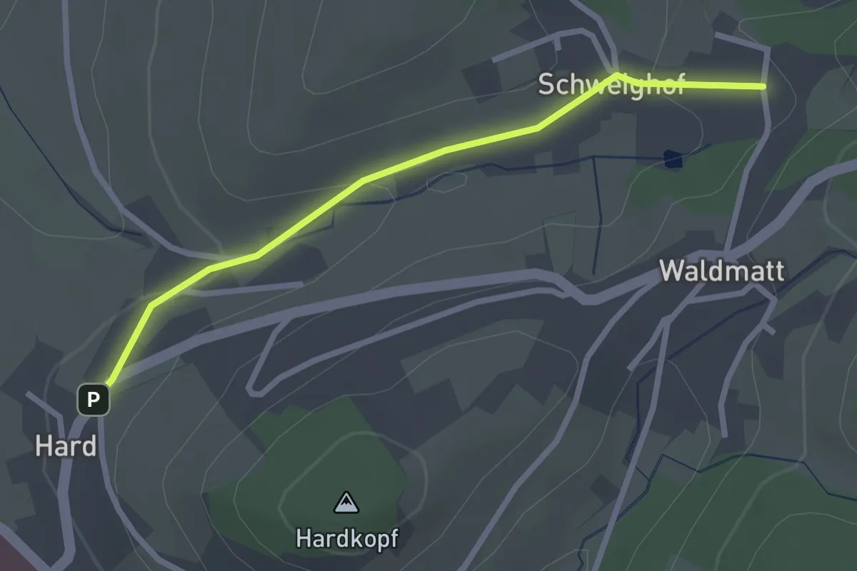
Easy · Trail
Hard - Waldmattstraße
2.3 km · ↑ 63 m · 41 min
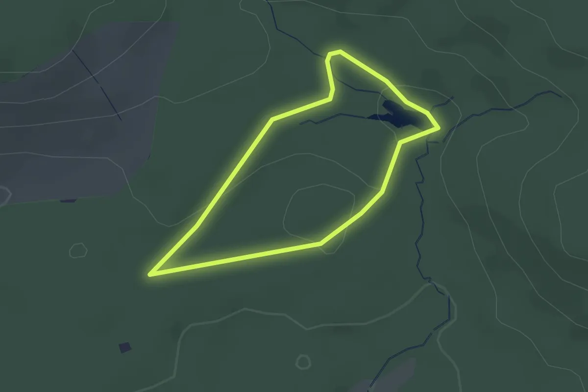
Easy · Trail
Hardy-Pfad
1.8 km · ↑ 22 m · 29 min
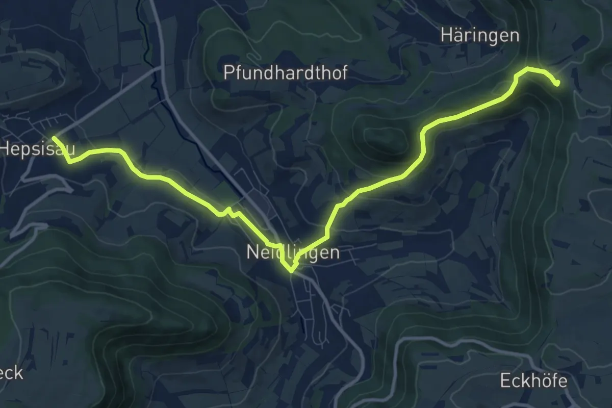
Medium · Trail
Häringen - Neidlingen - Hepsisau
11.3 km · ↑ 384 m · 3 h 30 min
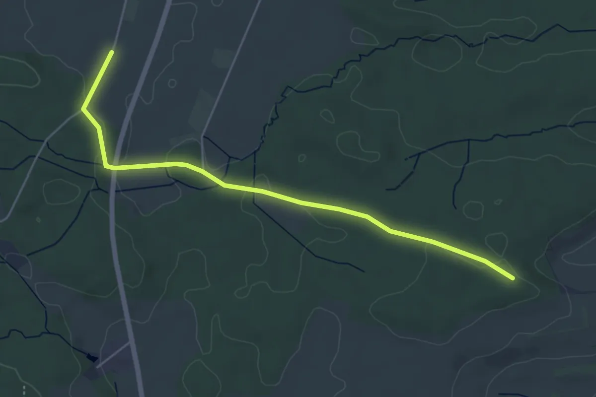
Easy · Trail
Häringshöfe - Hohe Mark
4.7 km · ↑ 61 m · 1 h 15 min
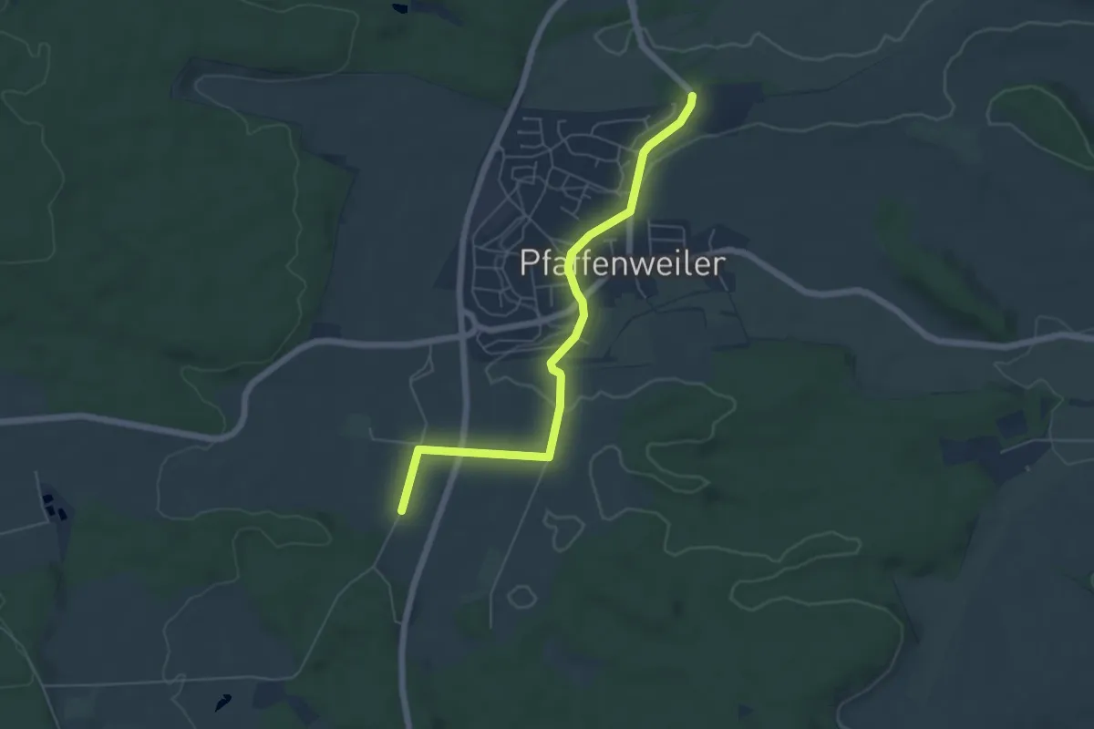
Easy · Trail
Häringshöfe - Pfaffenweiler Tannhörnle
5.4 km · ↑ 51 m · 1 h 23 min
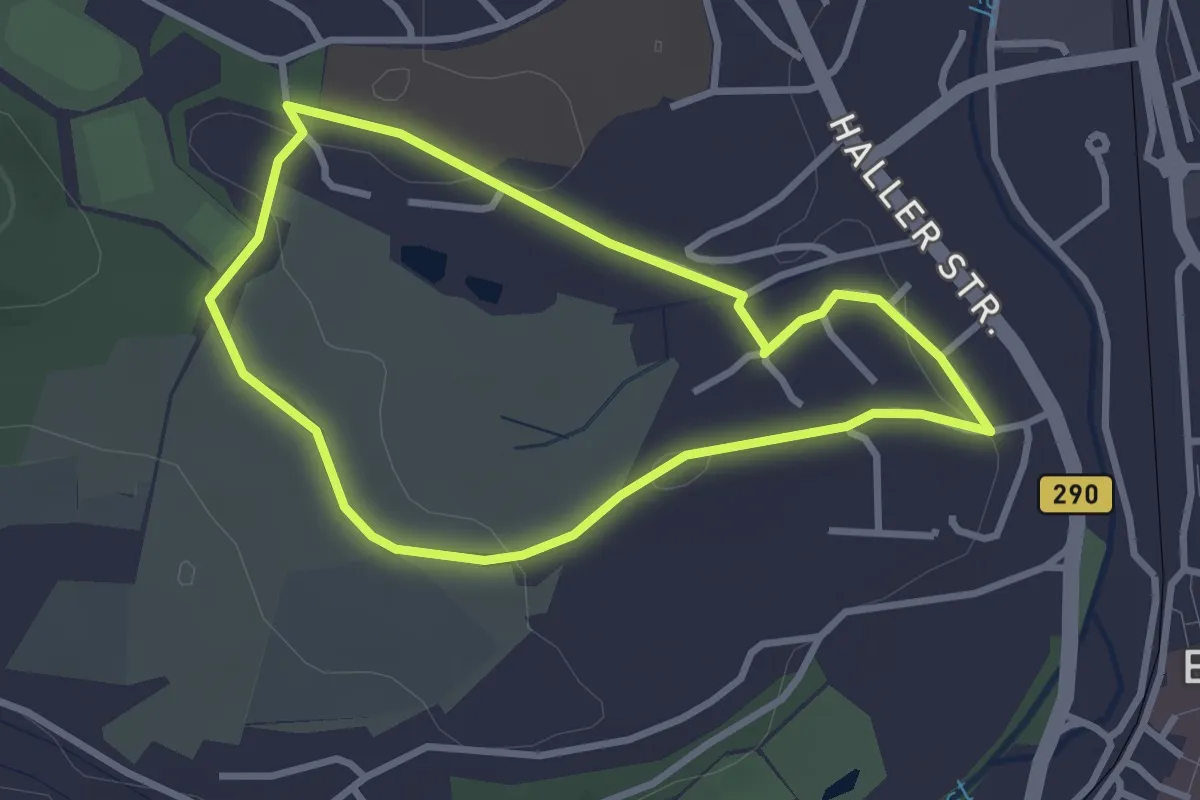
Easy · Trail
Hariolf-Rundweg
2.6 km · ↑ 29 m · 43 min
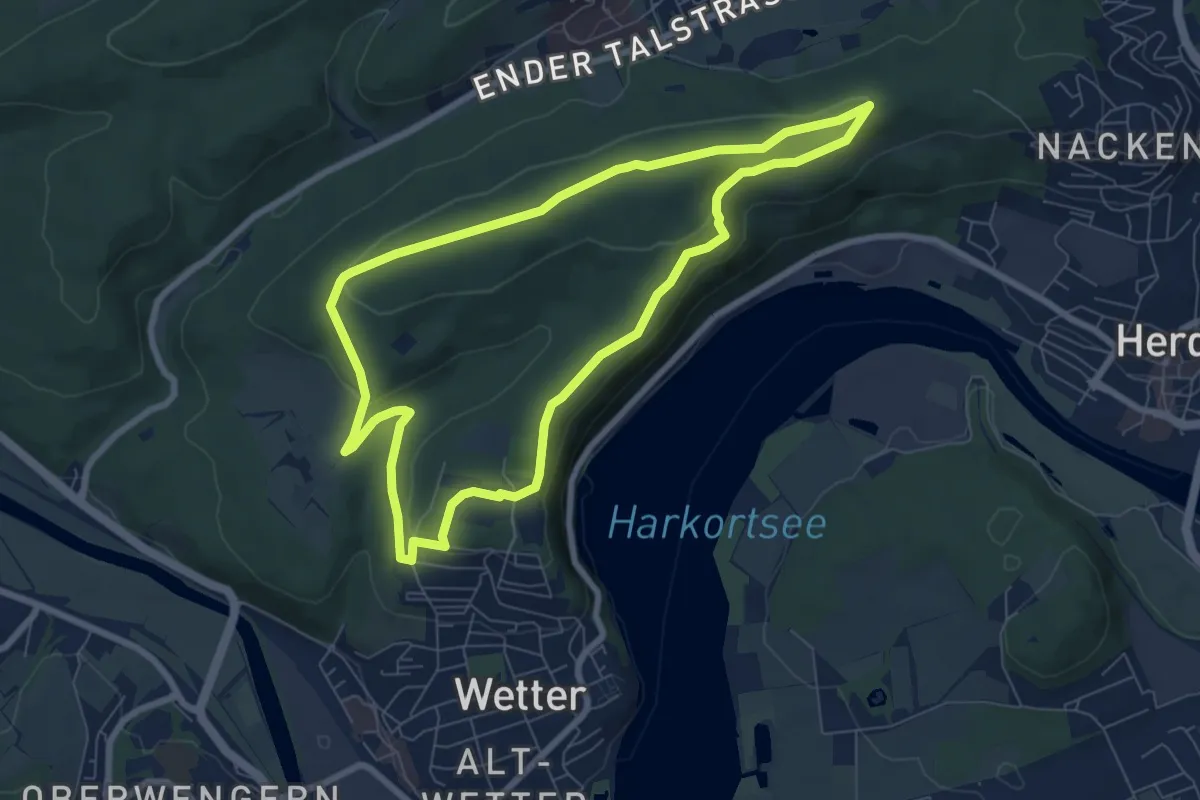
Easy · Summit
Harkortberg Rundweg A1
6.7 km · ↑ 137 m · 1 h 58 min
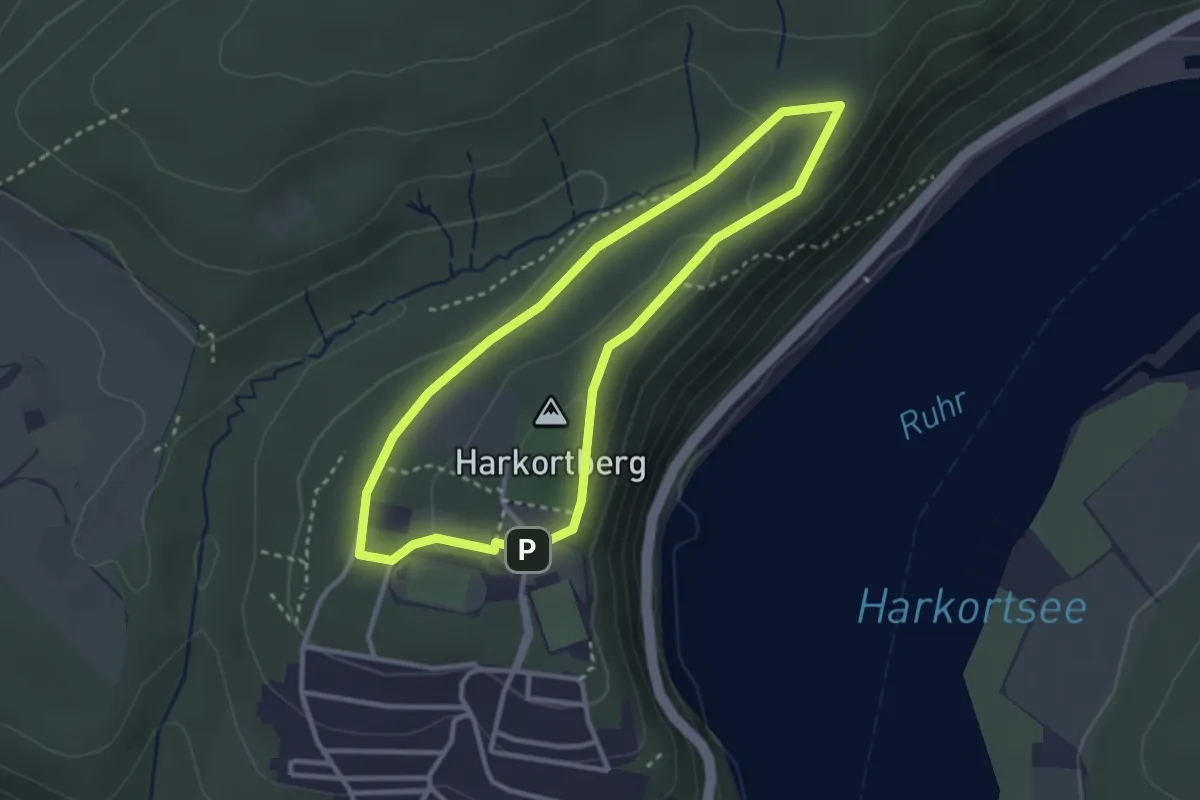
Easy · Summit
Harkortberg Rundweg A3
2.5 km · ↑ 41 m · 43 min
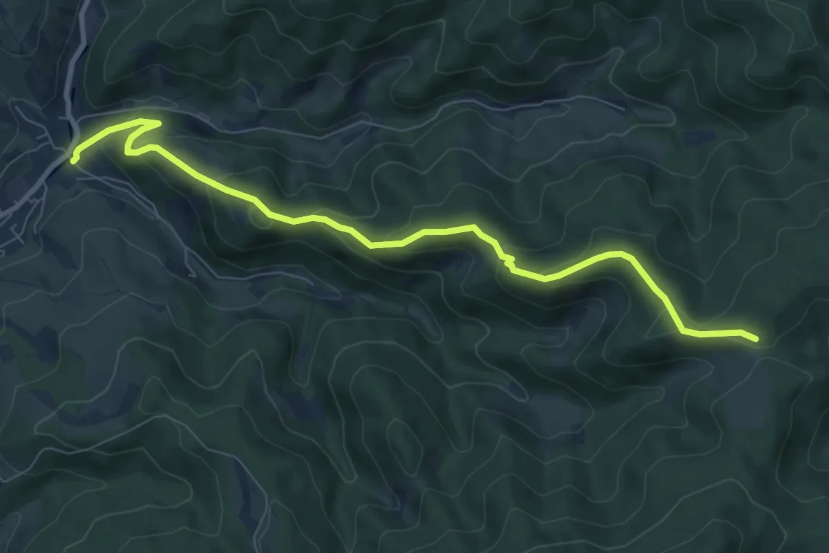
Medium · Trail
Hark - Riersbach An der Schmiede
8.2 km · ↑ 391 m · 2 h 46 min
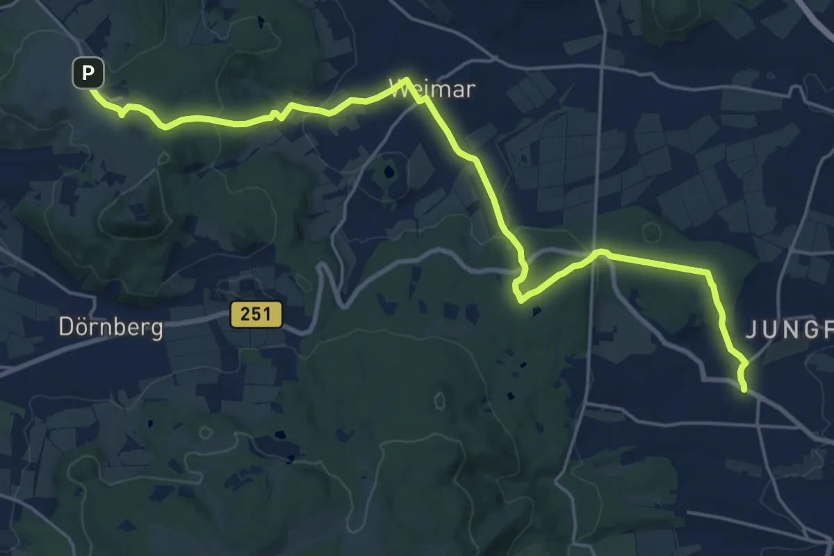
Demanding · Trail
Harleshausen - Dörnberghaus
20.8 km · ↑ 494 m · 5 h 58 min
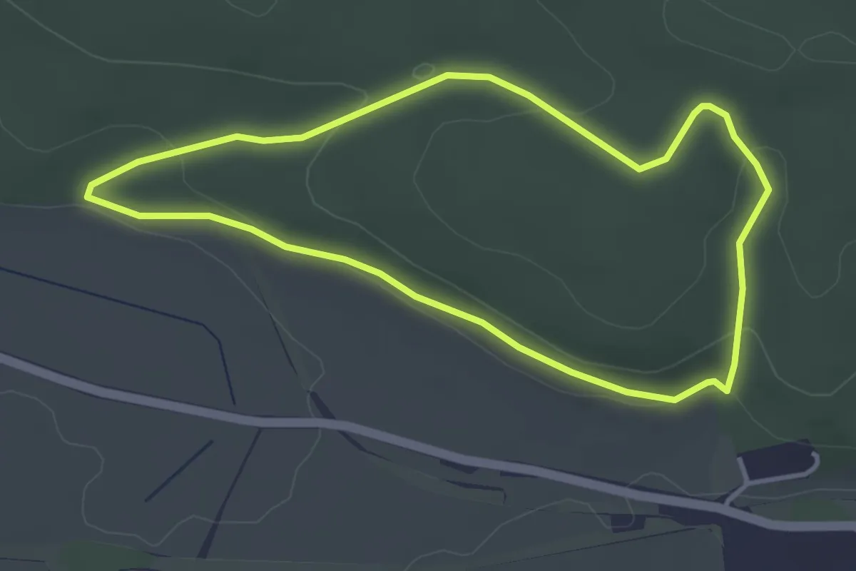
Easy · Trail
Harly Rundwanderweg 1
3.2 km · ↑ 72 m · 57 min
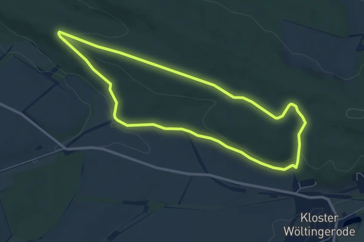
Easy · Trail
Harly Rundwanderweg 3
5.2 km · ↑ 92 m · 1 h 30 min
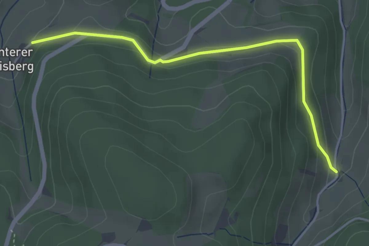
Easy · Trail
Harmersbach - Hinterer Geisberg
3.6 km · ↑ 99 m · 1 h 4 min
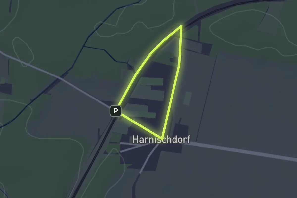
Easy · Trail
Harnischdorfer Rundweg
1.4 km · ↑ 8 m · 22 min
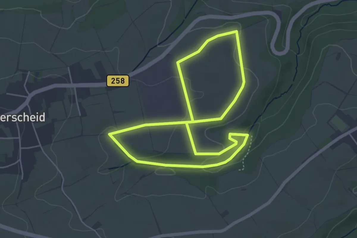
Easy · Trail
Harperscheid Grüner Weg Flurschilder
3.9 km · ↑ 69 m · 1 h 8 min
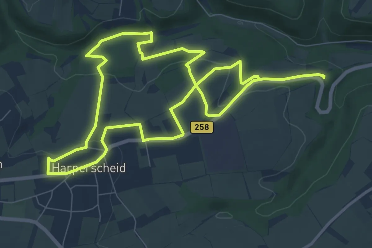
Easy · Trail
Harperscheid Roter Weg Flurschilder
6.7 km · ↑ 149 m · 2 h
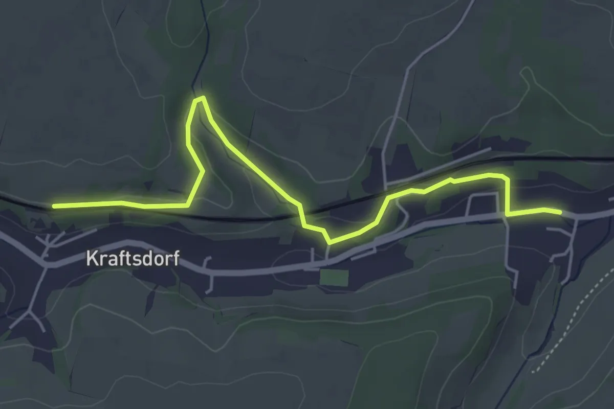
Easy · Trail
Harpersdorf - Steinbergbrücke
4.7 km · ↑ 84 m · 1 h 17 min
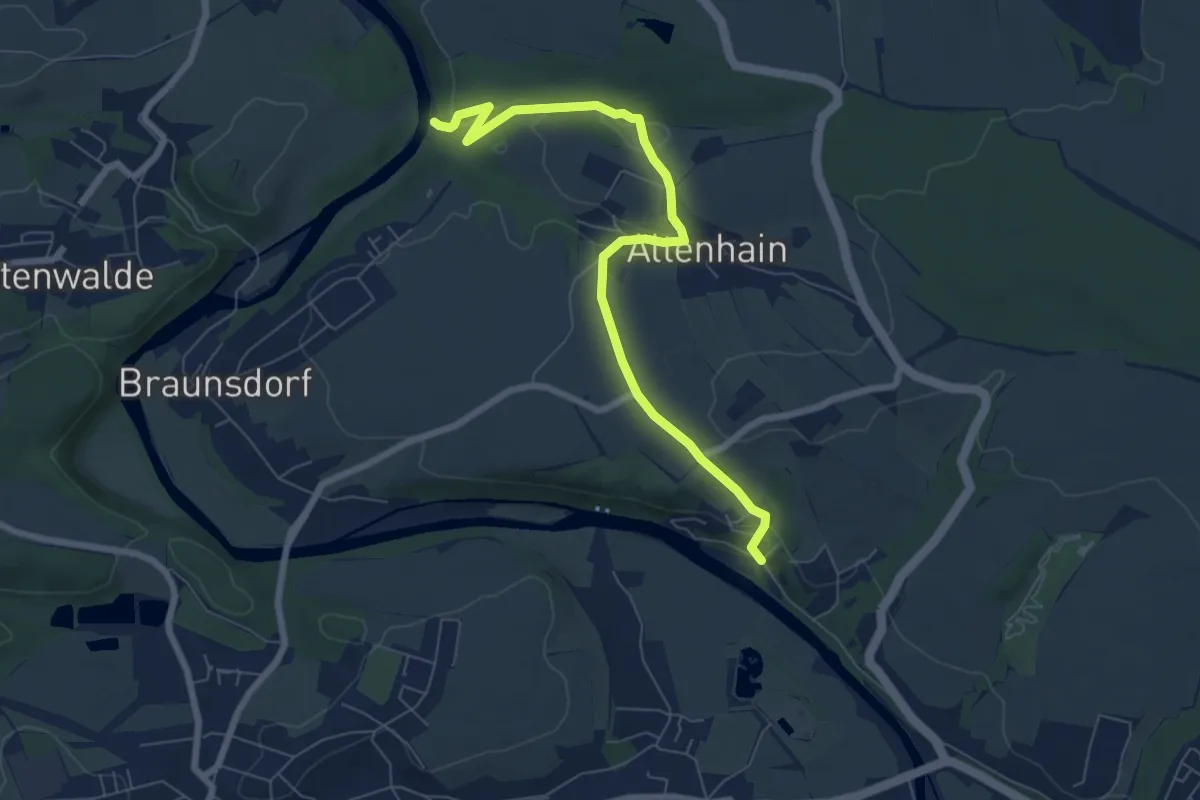
Medium · Trail
Harrasfelsen - Finkenmühle
6.8 km · ↑ 195 m · 2 h 2 min
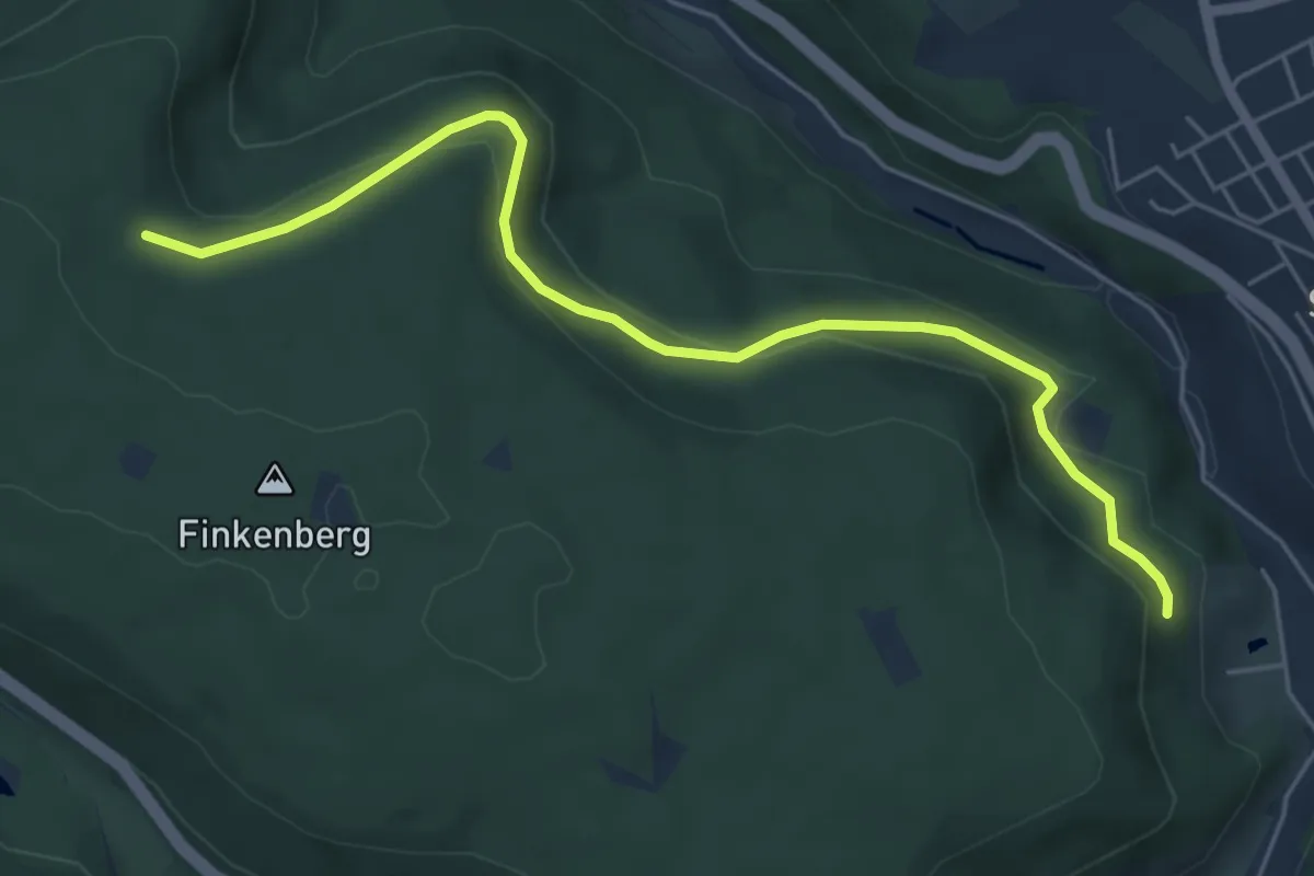
Easy · Trail
Harrerbuckel - Stöckacker
5.7 km · ↑ 191 m · 1 h 45 min
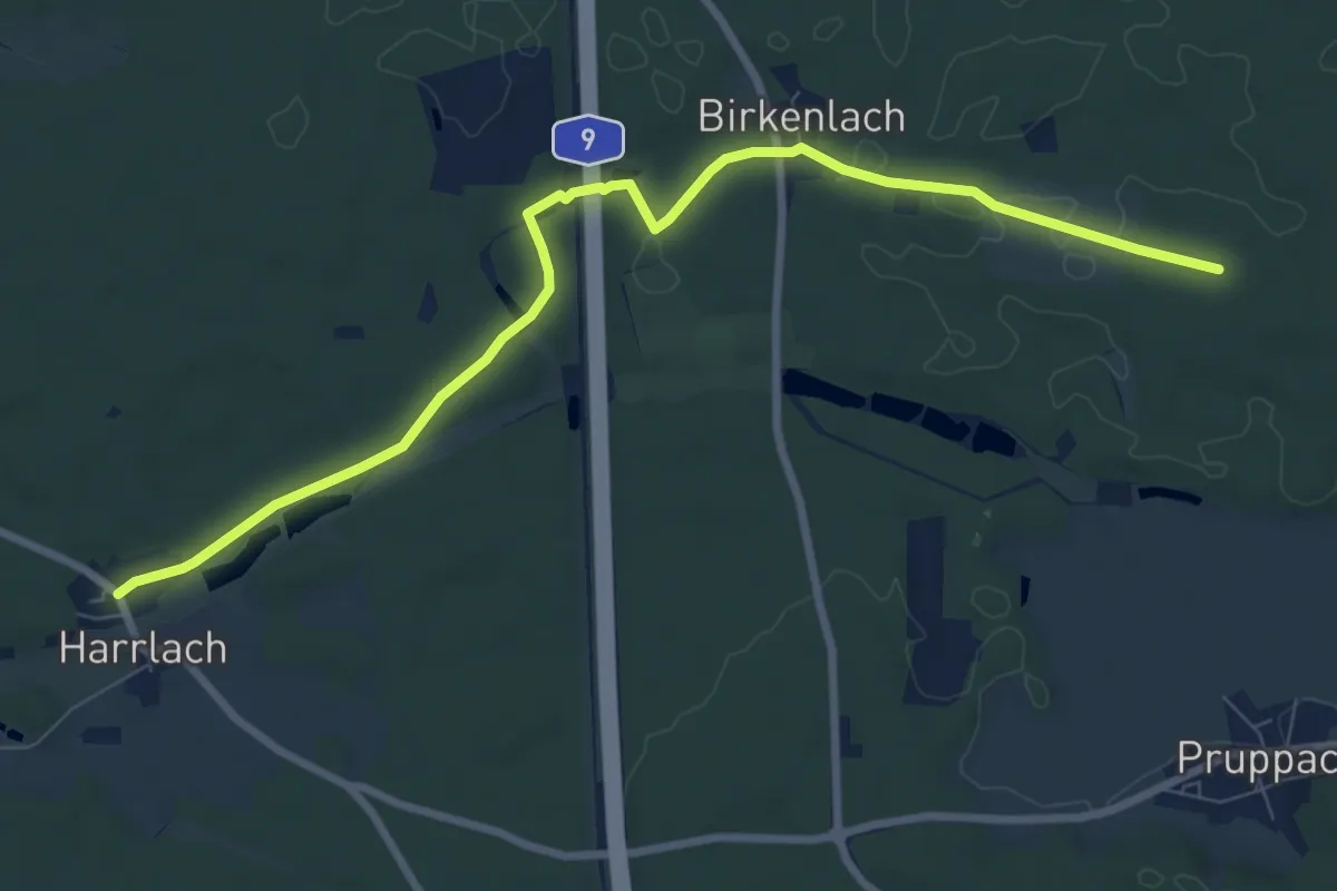
Medium · Trail
Harrlach-Asbach
8.6 km · ↑ 66 m · 2 h 10 min
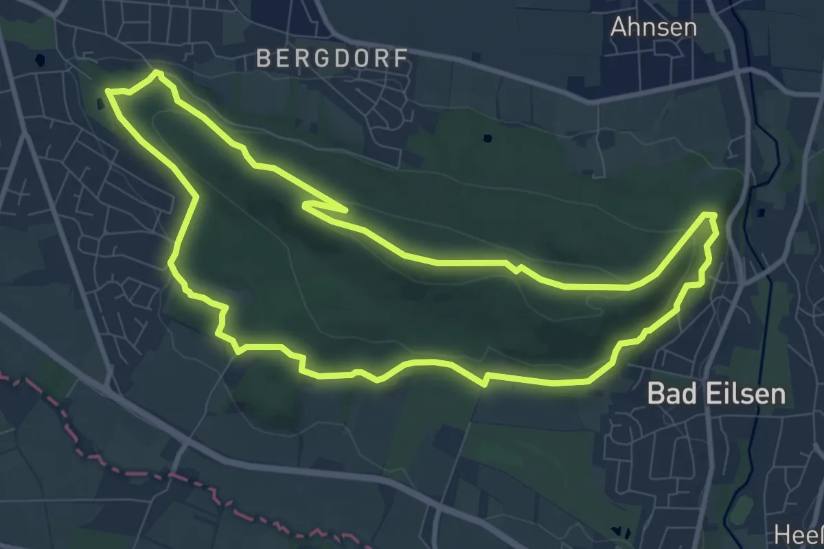
Medium · Summit
Harrl-Runde
8.5 km · ↑ 220 m · 2 h 36 min
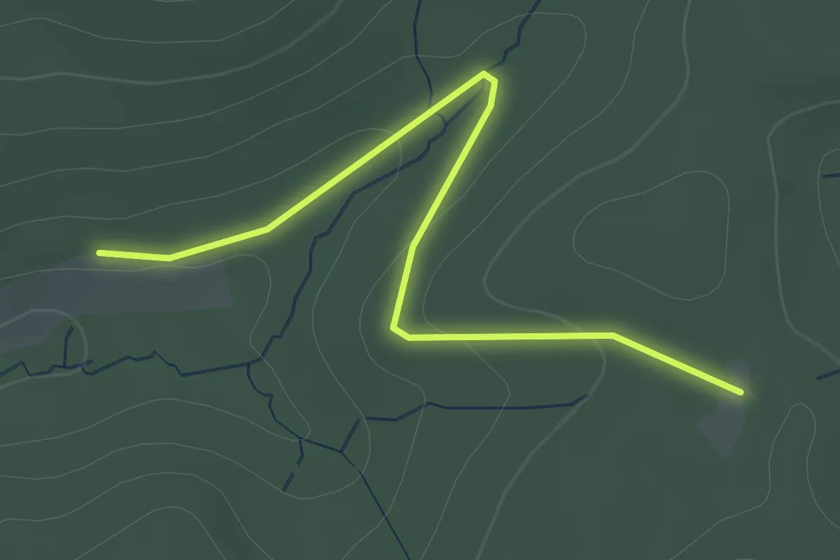
Easy · Trail
Harsbach - Schweinlachhütte
2.2 km · ↑ 42 m · 37 min
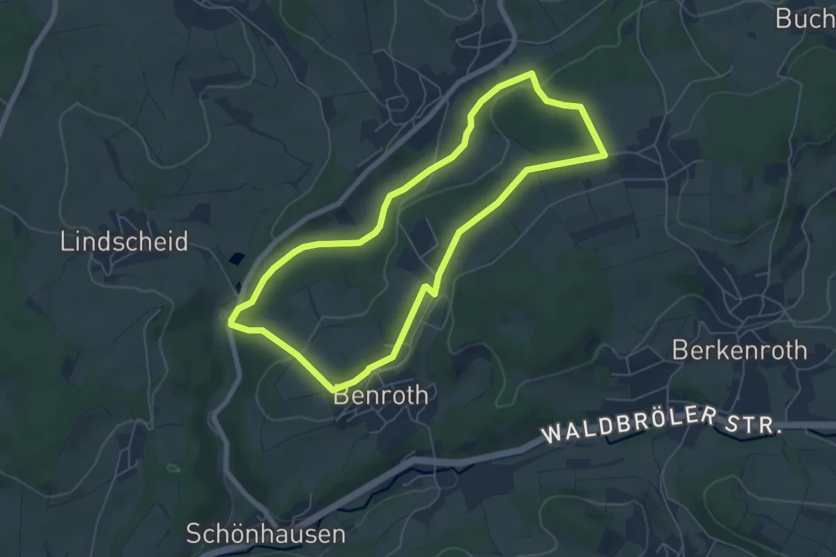
Easy · Trail
Harscheid Rundweg A2
5.1 km · ↑ 83 m · 1 h 27 min
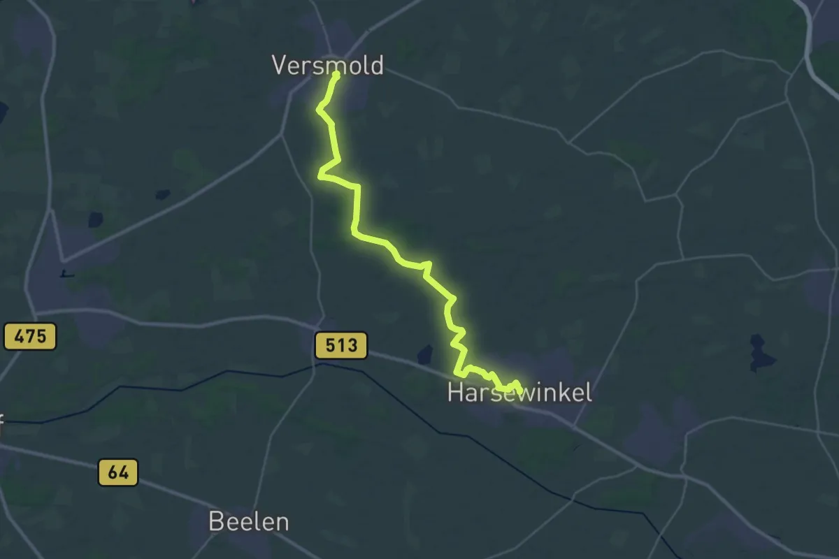
Demanding · Trail
Harsewinkeler Weg
29.1 km · ↑ 56 m · 7 h
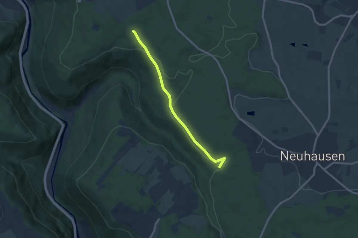
Easy · Trail
Hartäcker - Oberes Monbachtal
5.2 km · ↑ 86 m · 1 h 24 min
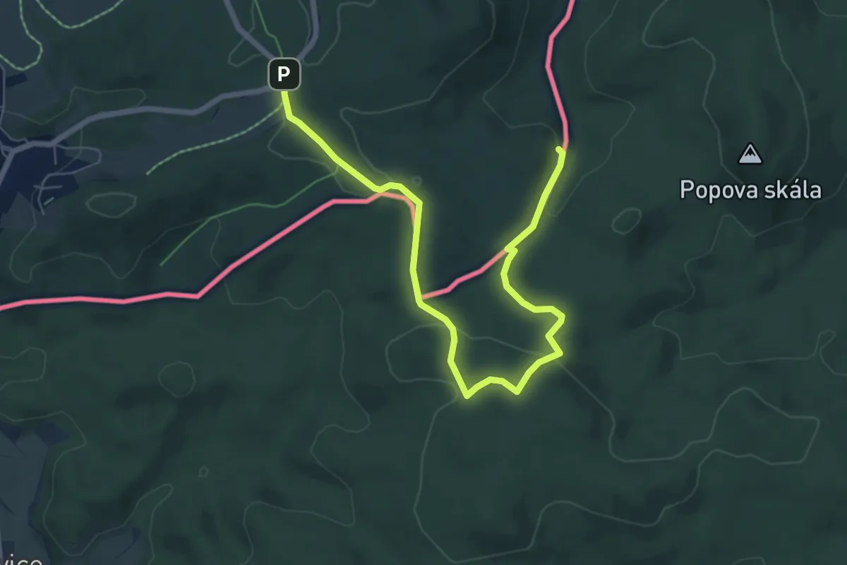
Easy · Summit
Hartau-Forsthaus Lückendorf
7.0 km · ↑ 136 m · 1 h 57 min
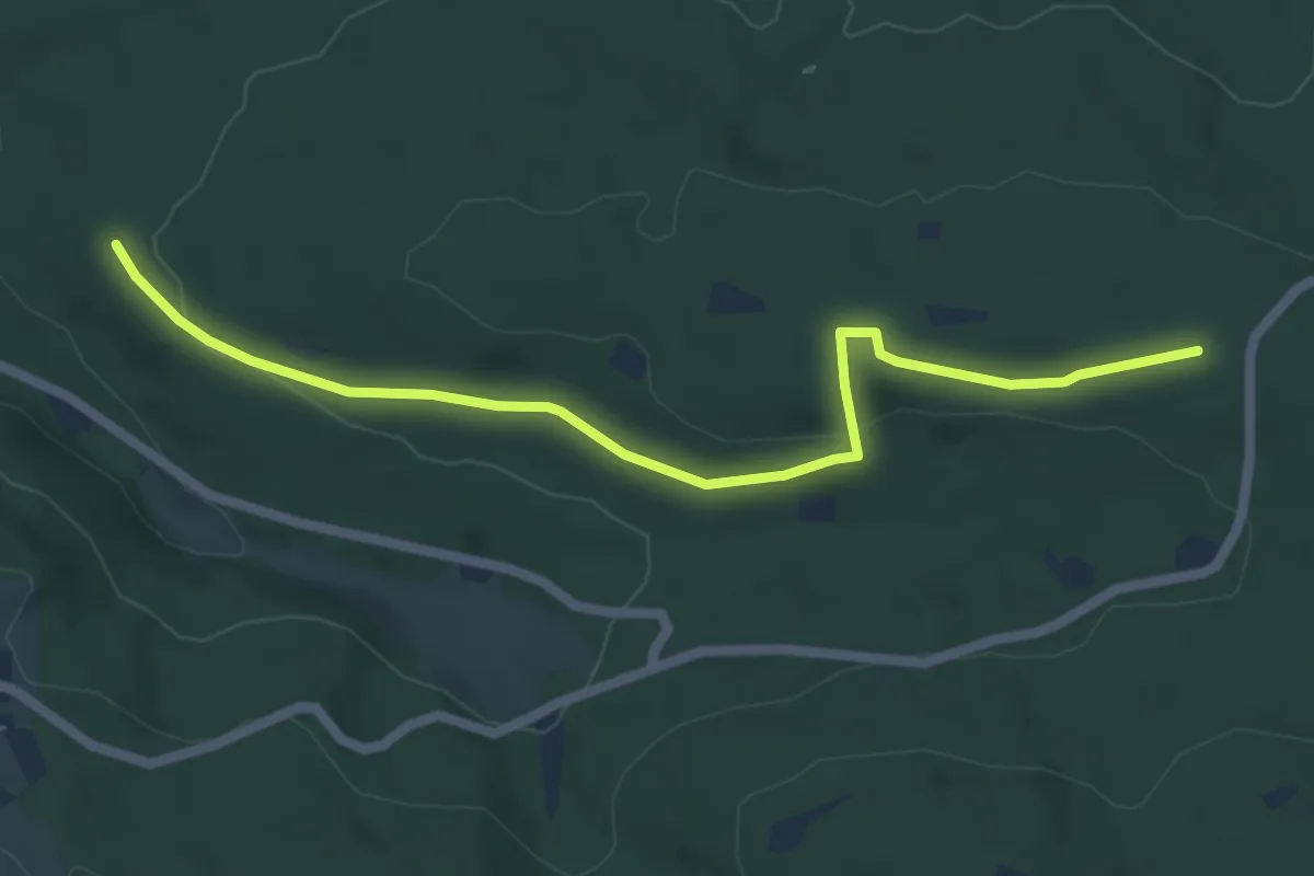
Easy · Trail
Hartberghütte - Bildstöckle
5.7 km · ↑ 101 m · 1 h 33 min
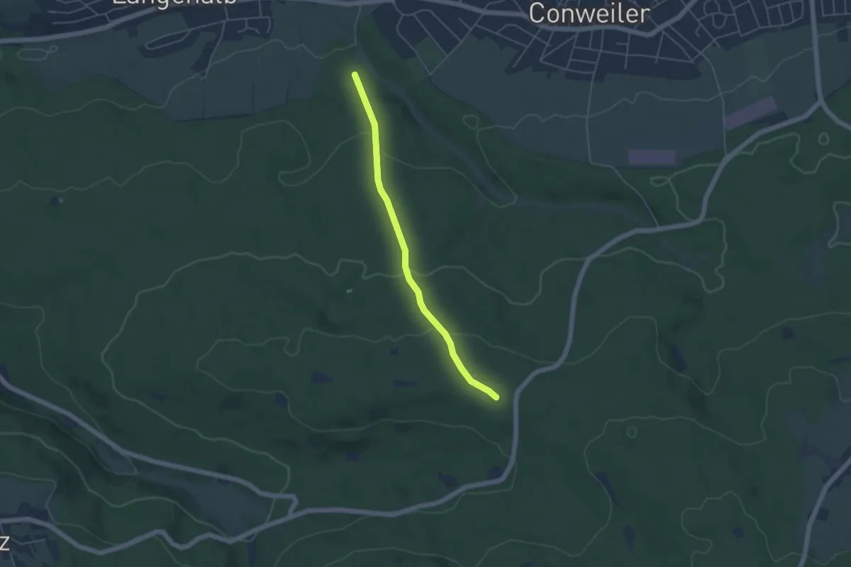
Easy · Trail
Hartberghütte - Dorfbach
4.1 km · ↑ 166 m · 1 h 20 min