Trails in Germany
36,852 hiking trails, each with its route, climb, walking time and grade.
All trails, page 210 of 768
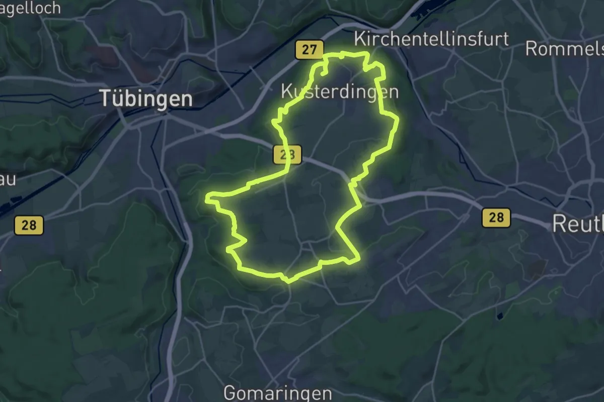
Demanding · Trail
Härtenrunde
21.4 km · ↑ 243 m · 5 h 52 min
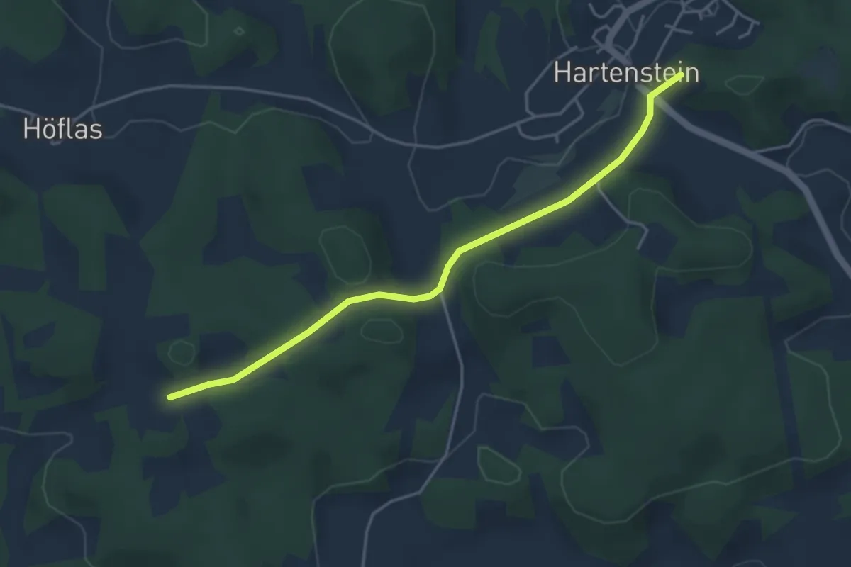
Easy · Summit
Hartenstein – Buchenhöhe
3.8 km · ↑ 55 m · 1 h 1 min
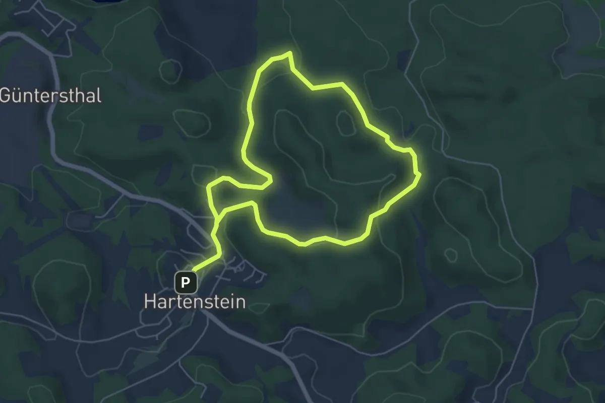
Easy · Summit
Hartenstein Natur-Erlebnispfad
4.4 km · ↑ 146 m · 1 h 26 min
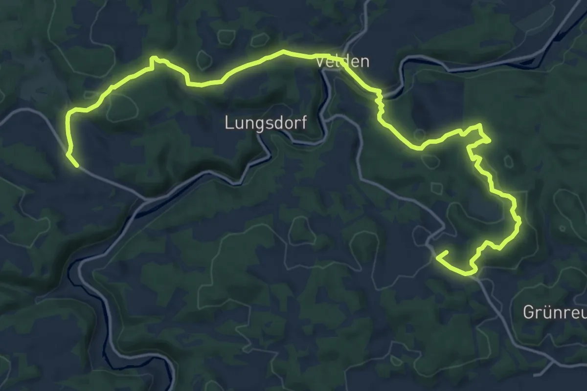
Demanding · Summit
Hartenstein-Raitenberg
18.8 km · ↑ 659 m · 5 h 52 min
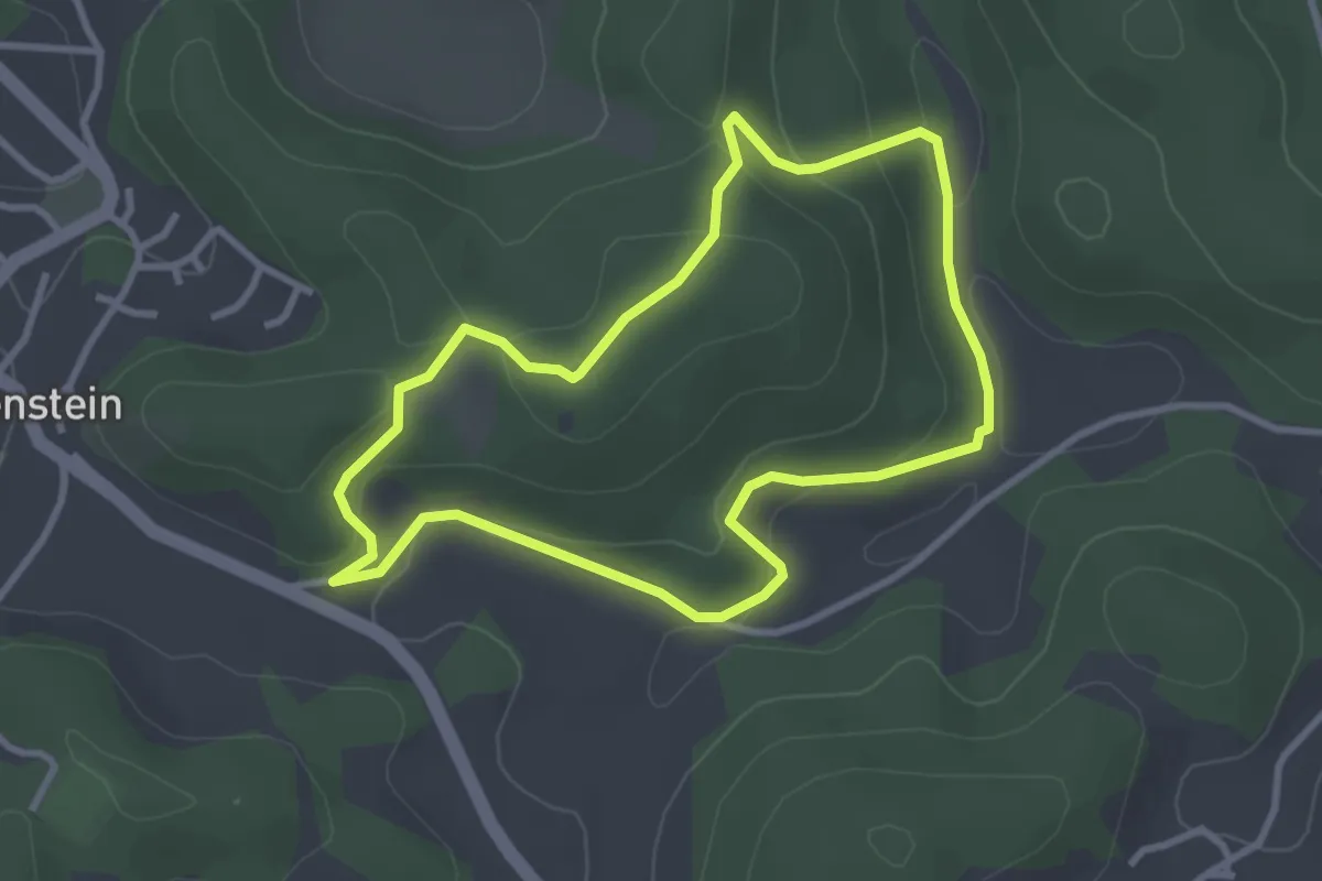
Easy · Summit
Hartenstein Rundwanderweg 5
2.8 km · ↑ 105 m · 56 min
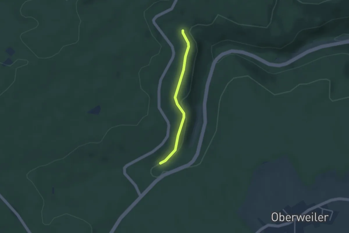
Easy · Trail
Harter Rain - Kleinenzbrunnen
2.4 km · ↑ 92 m · 45 min
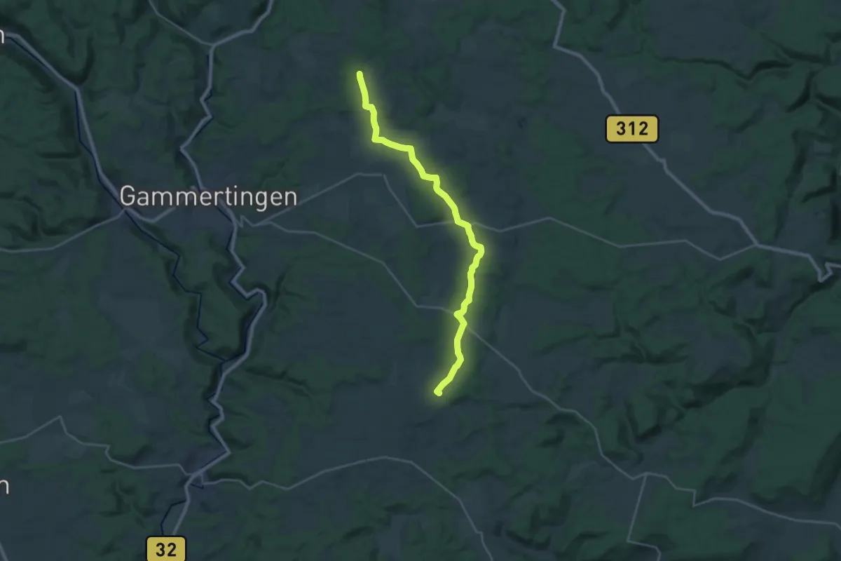
Demanding · Trail
Harthausen - Inneringen
22.7 km · ↑ 259 m · 5 h 55 min
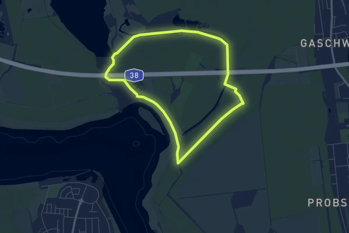
Easy · Trail
Harthbogen
5.7 km · ↑ 22 m · 1 h 28 min
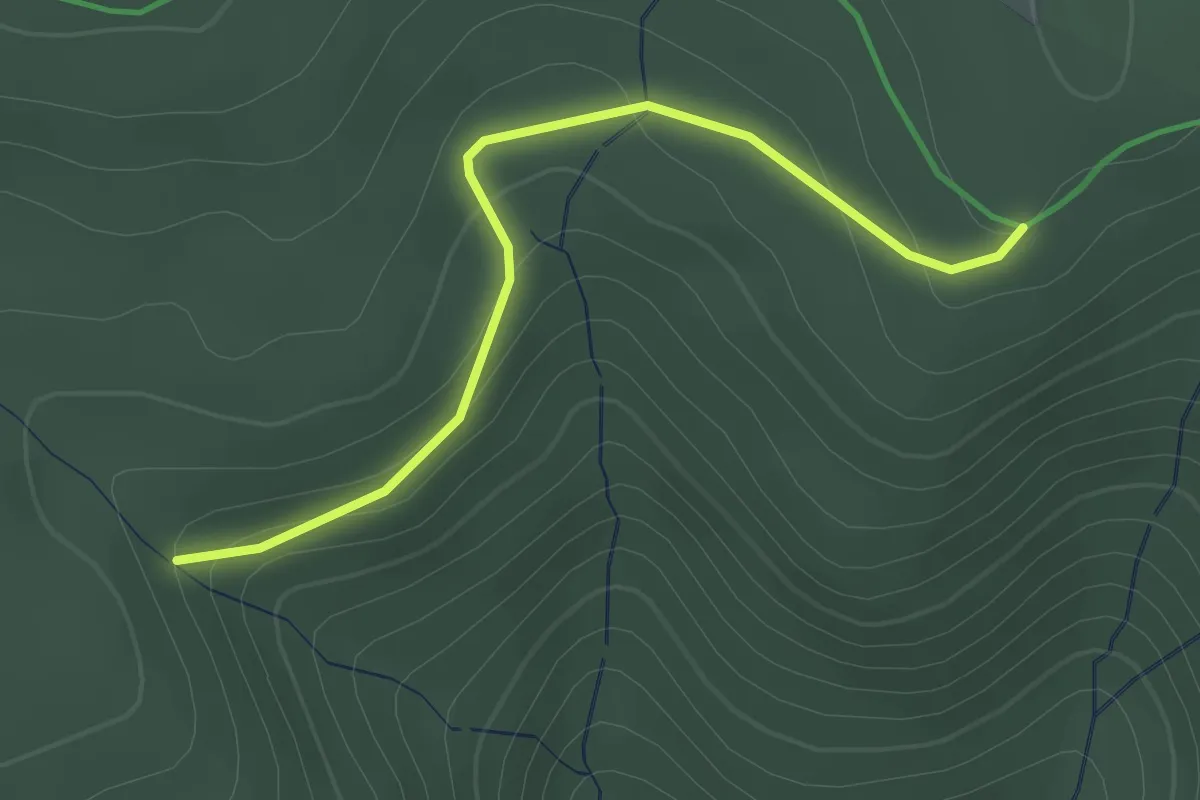
Easy · Trail
Härtle - Schöngrund
2.0 km · ↑ 83 m · 39 min
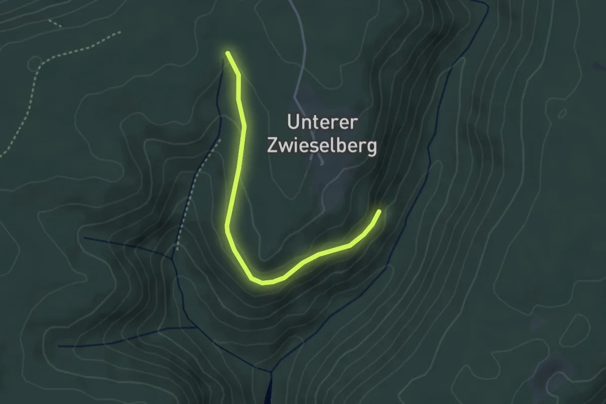
Easy · Trail
Härtle - Teufelloch
3.2 km · ↑ 116 m · 1 h
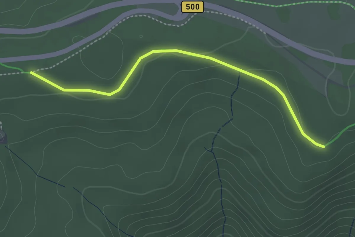
Easy · Trail
Härtle - Zuflucht
2.4 km · ↑ 27 m · 37 min
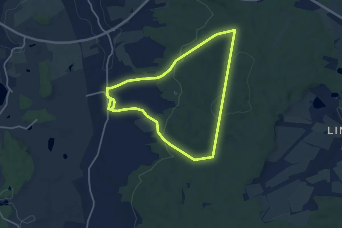
Easy · Trail
Hartmannsdorf - Hirschenstein - Hartmannsdorf
7.4 km · ↑ 215 m · 2 h 19 min
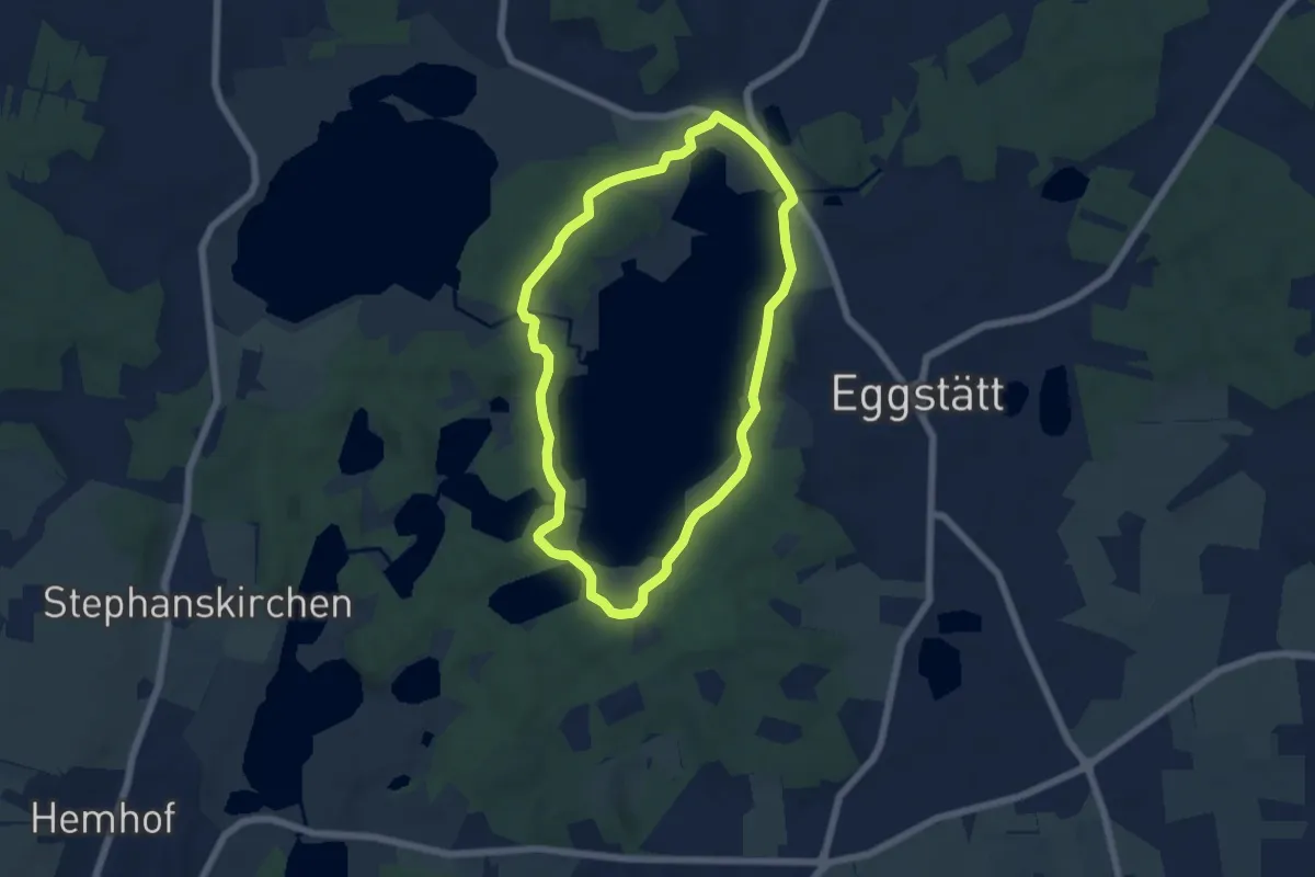
Easy · Trail
Hartseerundweg
5.3 km · ↑ 79 m · 1 h 29 min
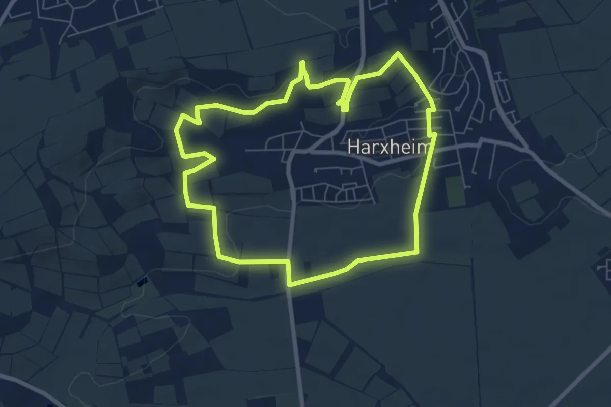
Easy · Trail
Harxheimer Panoramaweg
5.9 km · ↑ 108 m · 1 h 42 min
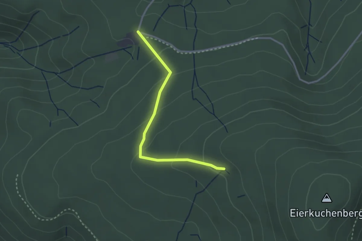
Easy · Trail
Harzbrunnen - Scherrhof
2.5 km · ↑ 124 m · 52 min
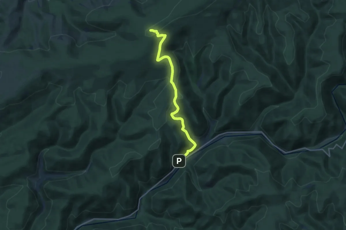
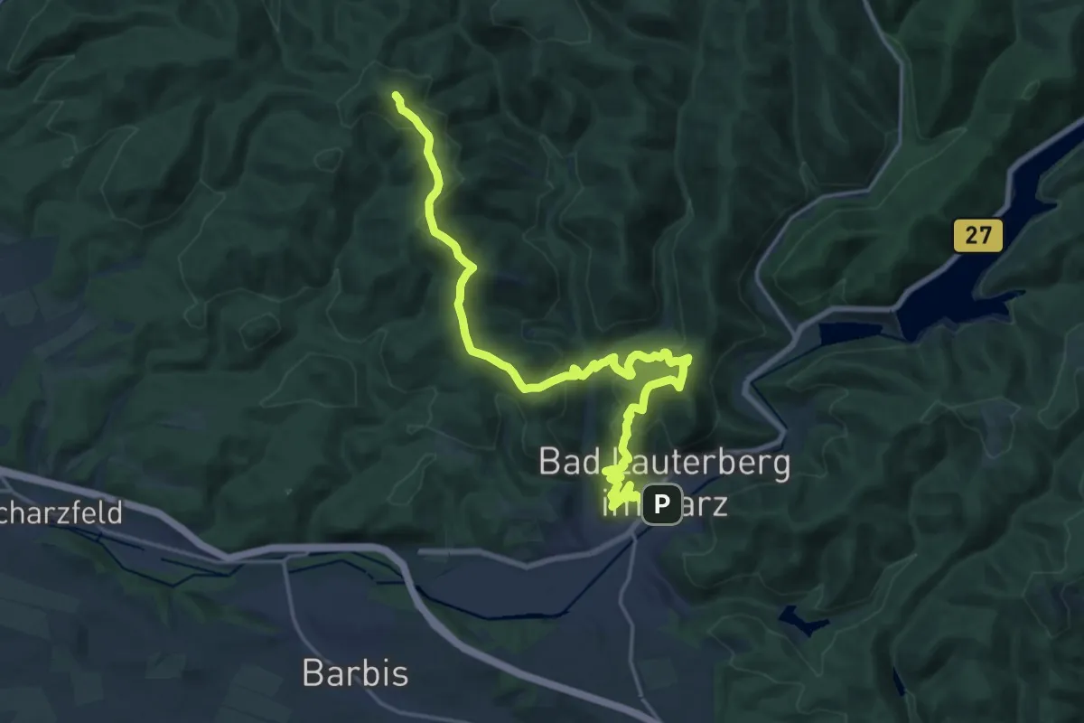
Medium · Summit
Harzer BaudenSteig Etappe 2
10.8 km · ↑ 469 m · 3 h 34 min
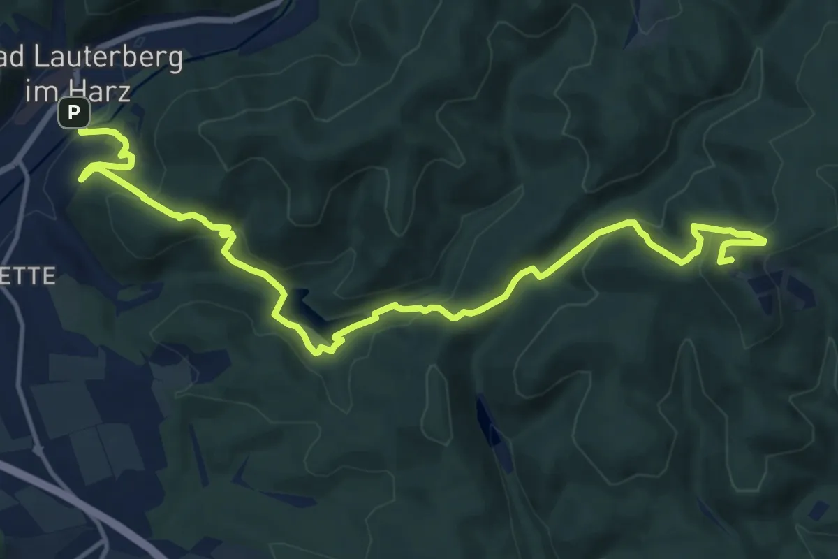
Demanding · Summit
Harzer Baudensteig Etappe 3
20.0 km · ↑ 1008 m · 6 h 55 min
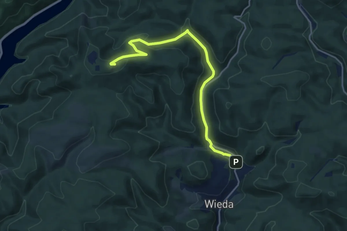
Medium · Summit
Harzer Baudensteig Etappe 4
14.2 km · ↑ 629 m · 4 h 43 min
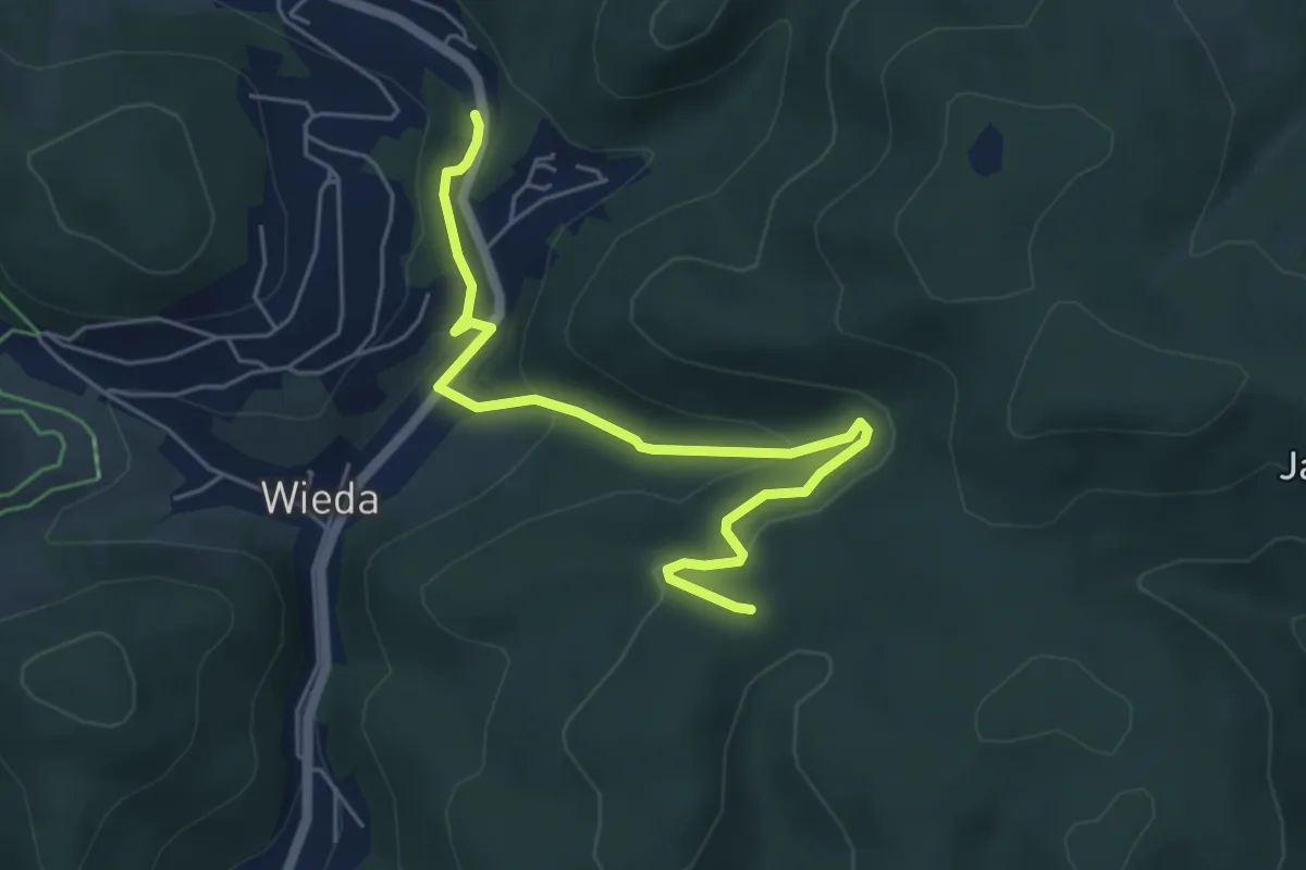
Medium · Summit
Harzer Baudensteig Etappe 5
11.2 km · ↑ 335 m · 3 h 22 min
Easy · Trail
Harzer Baudensteig Etappe 6
5.2 km · ↑ 217 m · 1 h 42 min
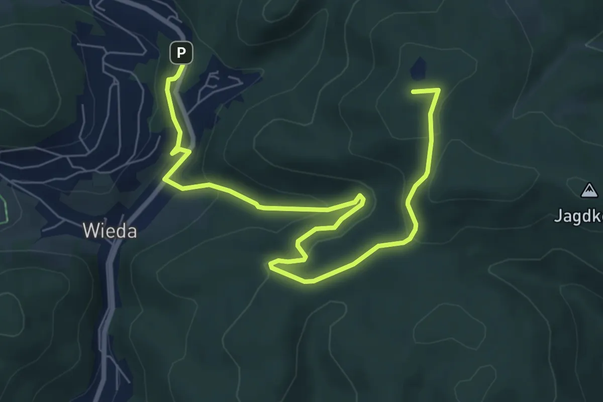
Medium · Summit
Harzer BaudenSteig Etappe 6
7.9 km · ↑ 315 m · 2 h 33 min
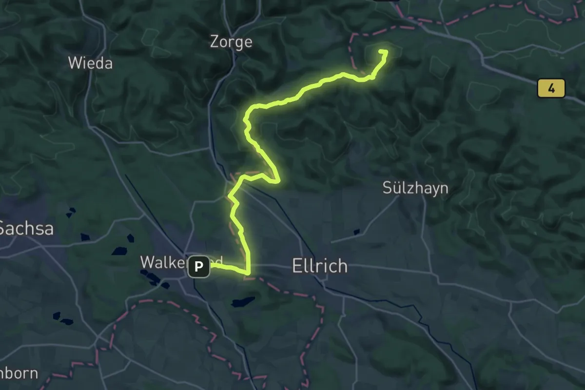
Demanding · Summit
Harzer Grenzweg (Grenzturm Rhoden - Grenzlandmuseum Tettenborn)
22.5 km · ↑ 509 m · 6 h 25 min
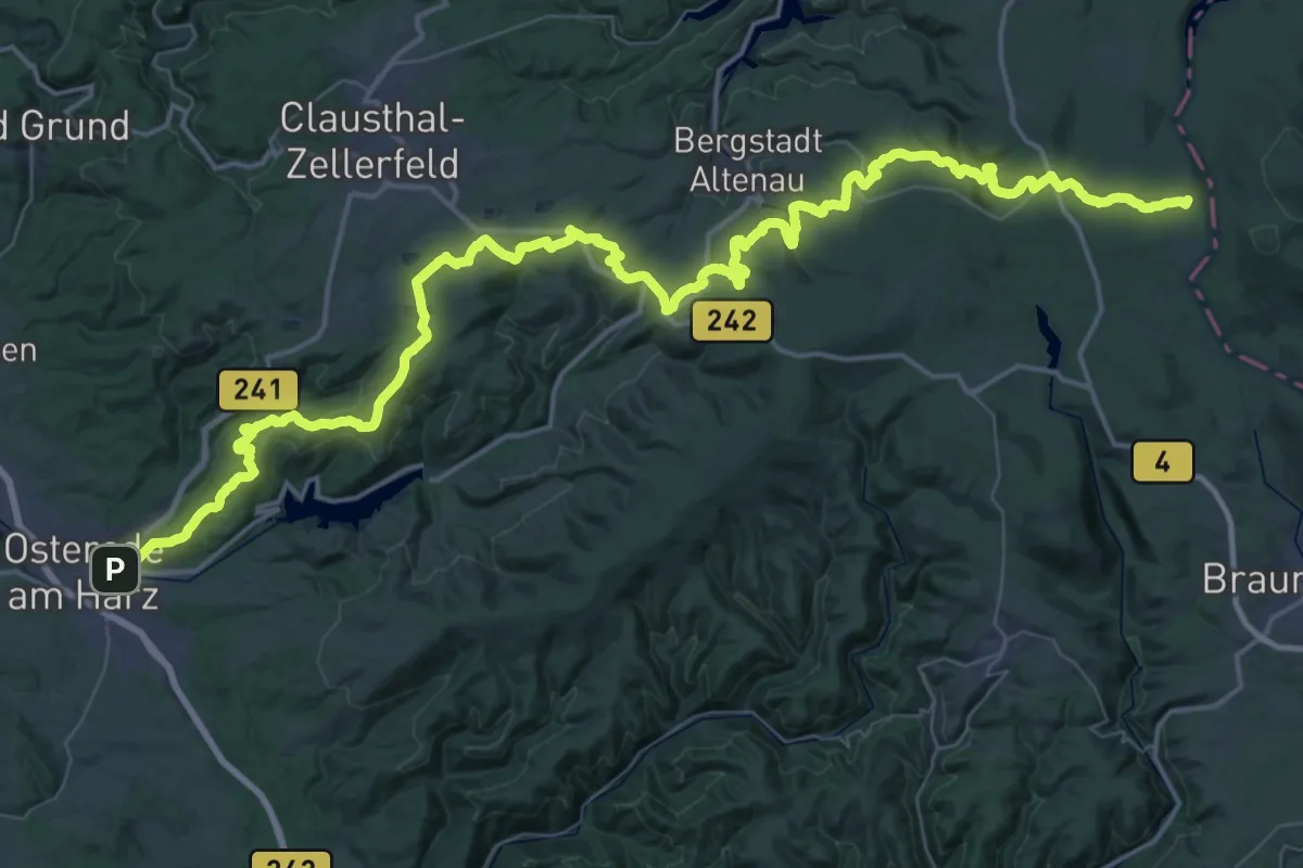
Demanding · Summit
Harzer-Hexen-Stieg
73.2 km · ↑ 1637 m · 20 h 49 min
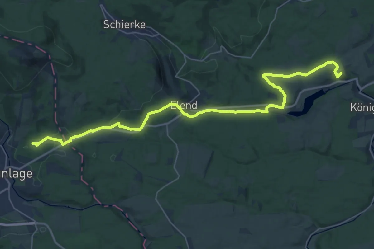
Demanding · Summit
Harzer Hexenstieg Brockenumgehung
24.7 km · ↑ 371 m · 6 h 38 min
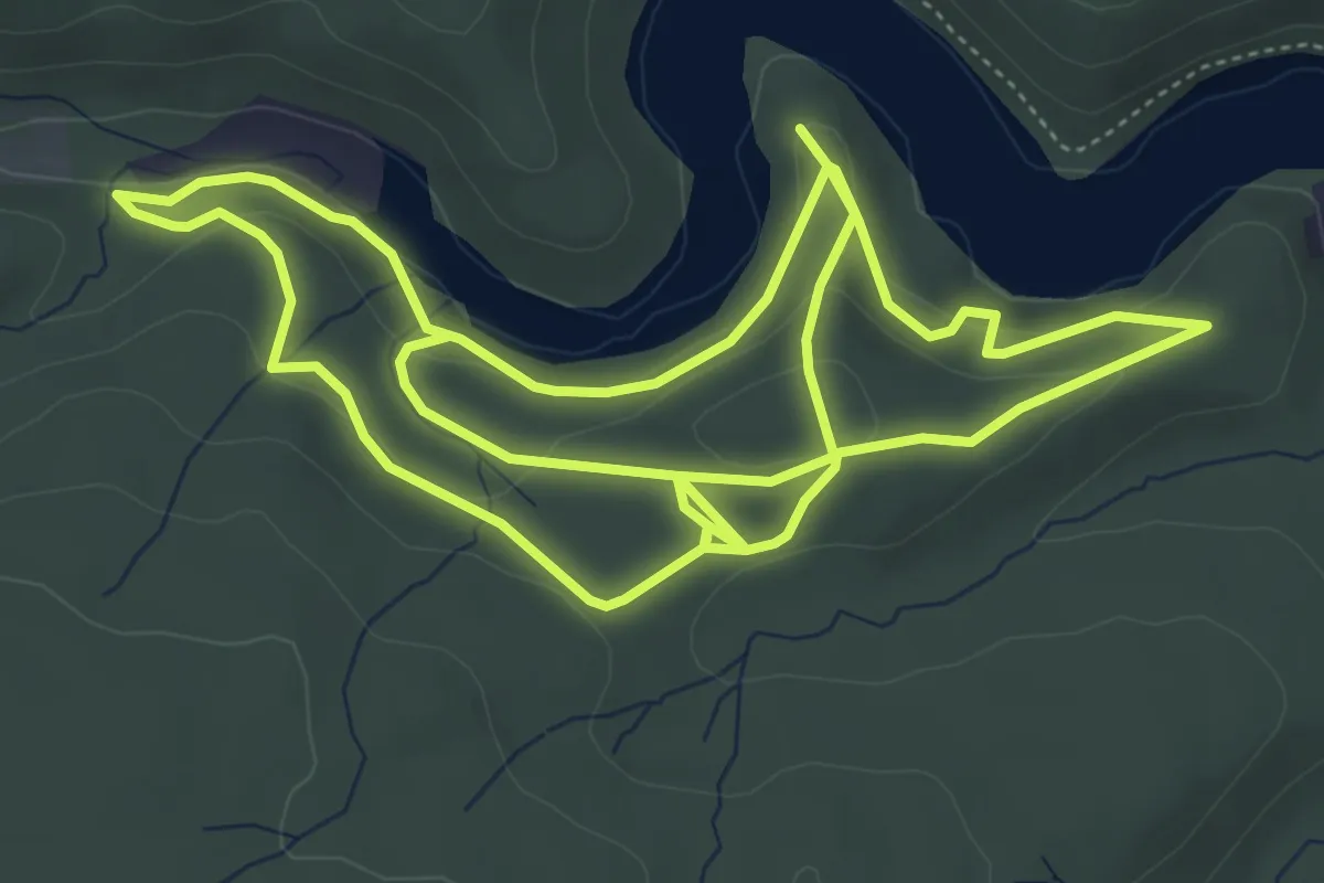
Easy · Trail
Harzer Naturistenstieg
5.5 km · ↑ 173 m · 1 h 45 min
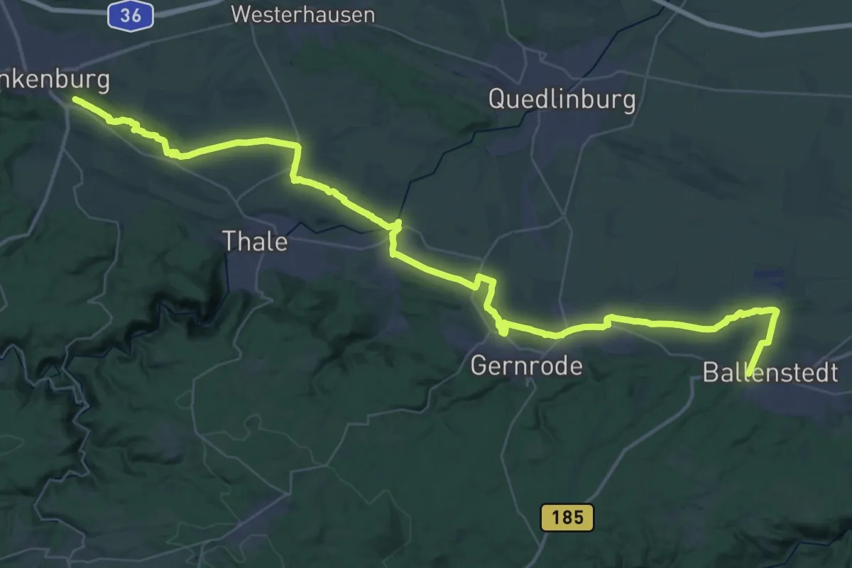
Demanding · Summit
Harzer Teufelsmauerstieg
52.5 km · ↑ 595 m · 13 h 40 min
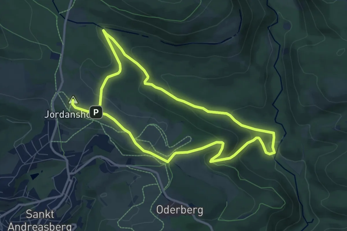
Medium · Summit
Harzer-Wandernadel-Runde
14.2 km · ↑ 465 m · 4 h 22 min
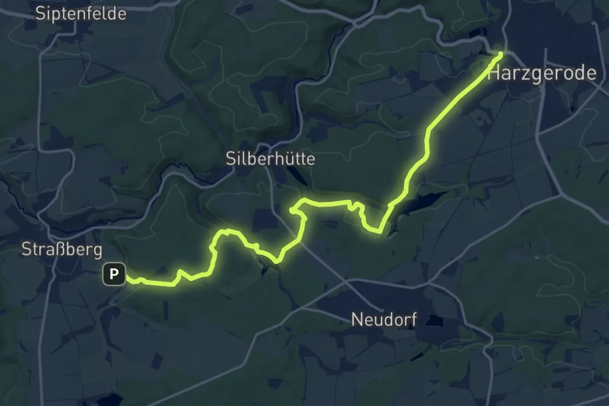
Demanding · Trail
Harzgeröder KugelSpass
18.6 km · ↑ 306 m · 5 h 4 min
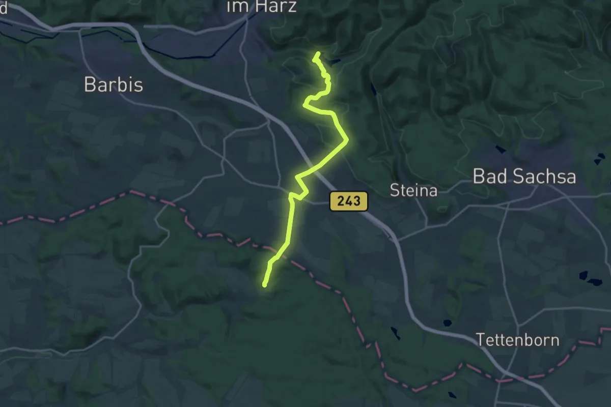
Medium · Trail
Harz-Hainleite-Wanderweg
14.8 km · ↑ 396 m · 4 h 21 min
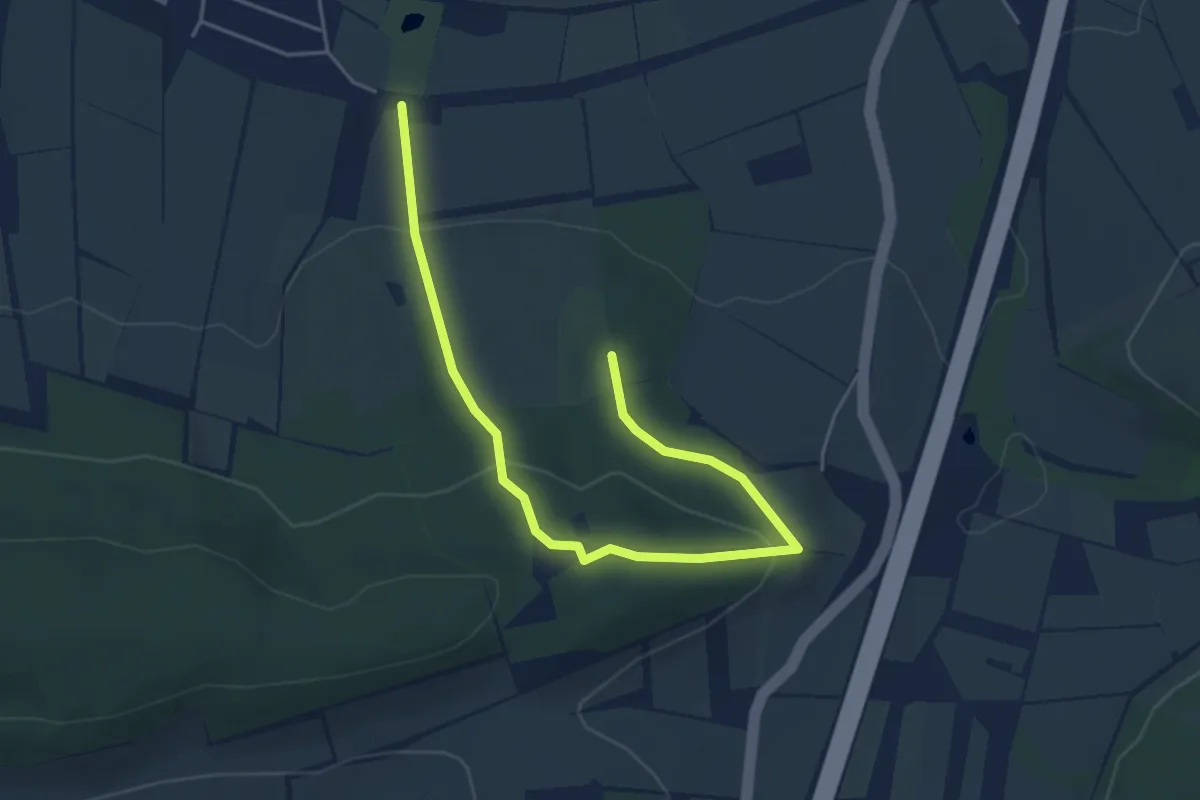
Easy · Summit
Harzhorn Rundwanderweg kurz
2.4 km · ↑ 110 m · 49 min
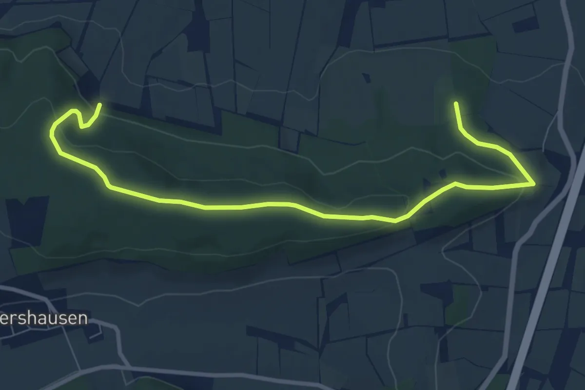
Easy · Summit
Harzhorn Rundwanderweg lang
4.1 km · ↑ 109 m · 1 h 16 min
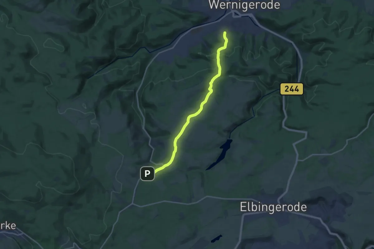
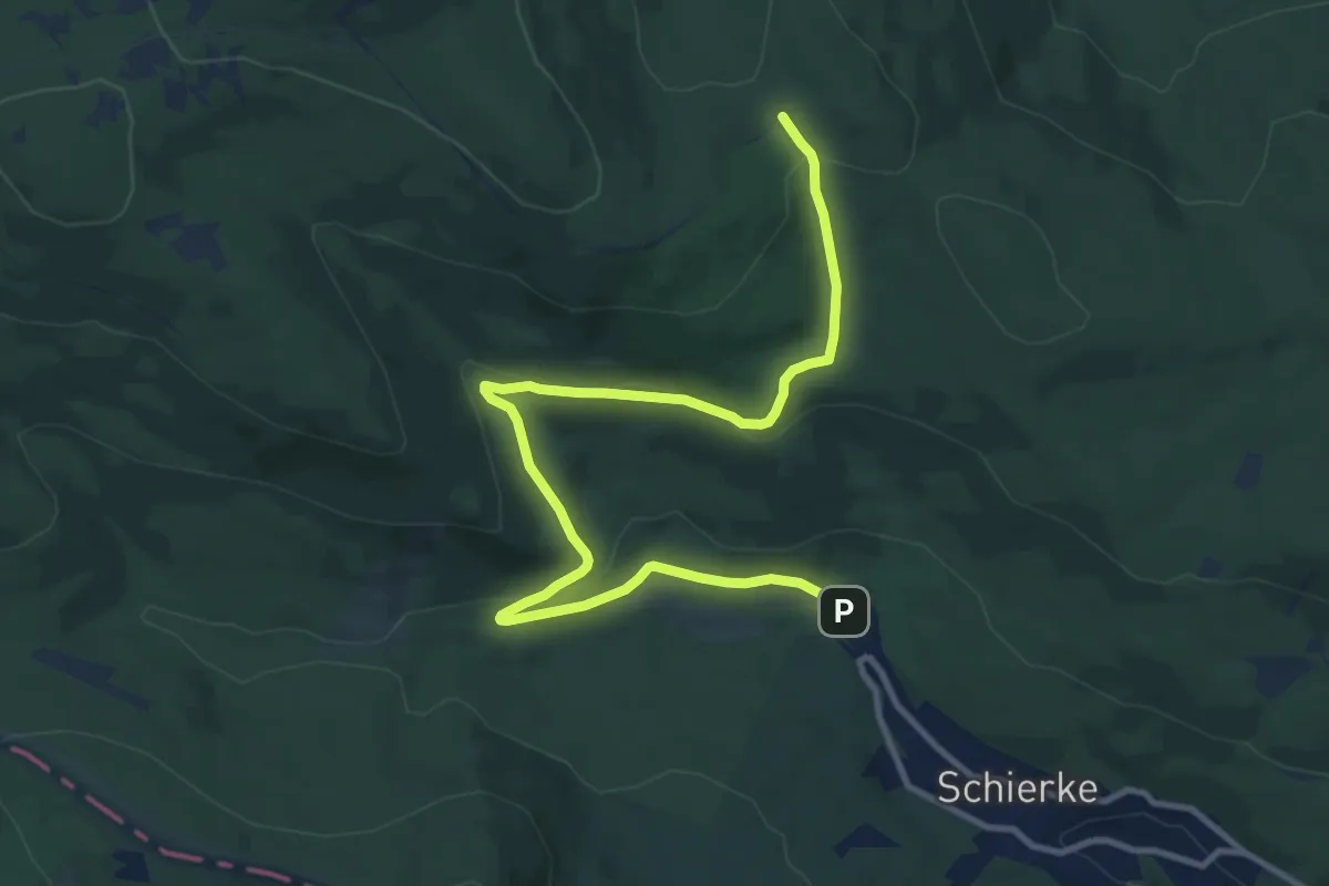
Medium · Trail
Harzklub-Weg 10A
12.9 km · ↑ 302 m · 3 h 42 min
Medium · Trail
Harzklub-Weg 10D
11.5 km · ↑ 283 m · 3 h 19 min
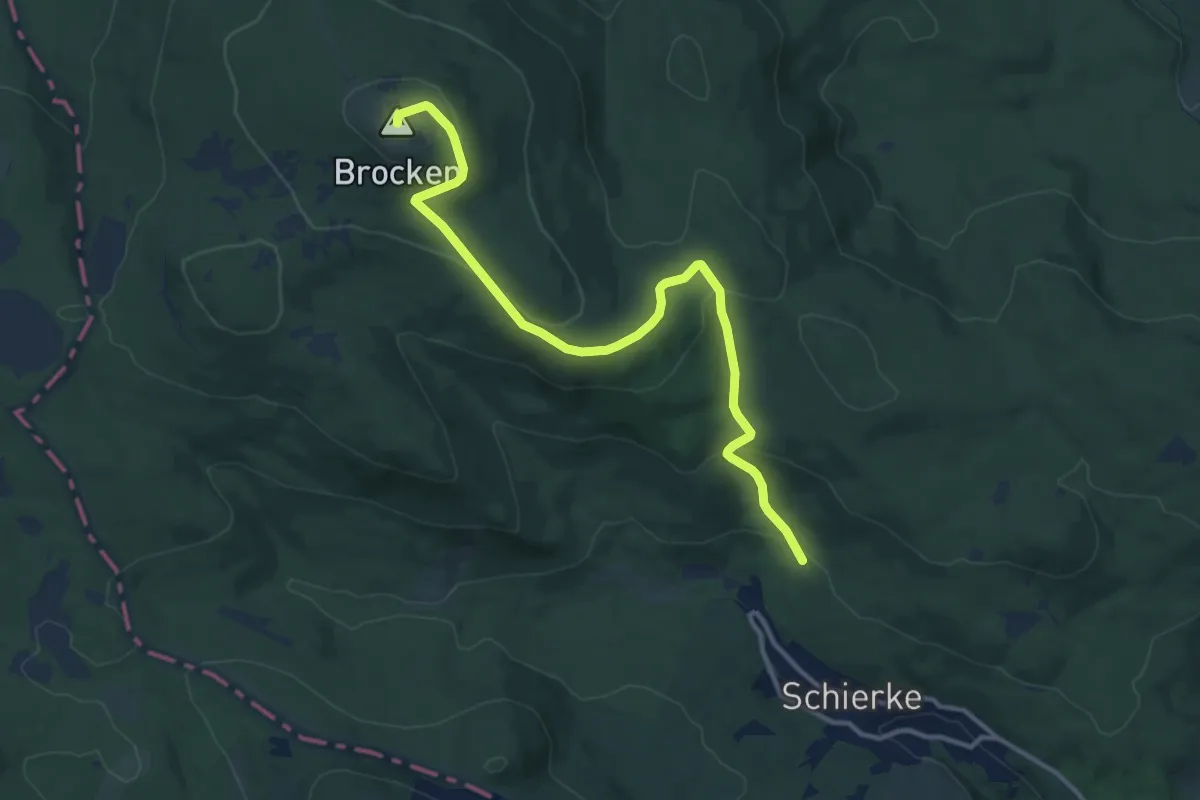
Medium · Summit
Harzklub-Weg 10E
12.3 km · ↑ 444 m · 3 h 52 min
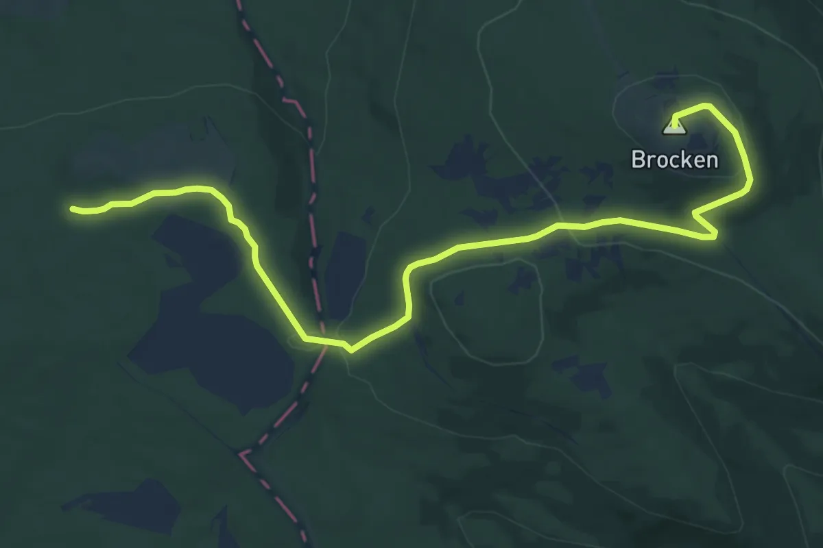
Medium · Summit
Harzklub-Weg 10F
12.2 km · ↑ 299 m · 3 h 31 min
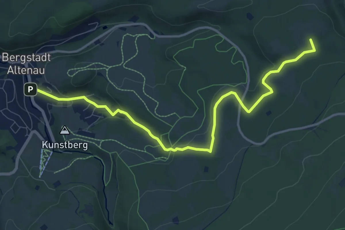
Demanding · Summit
Harzklub-Weg 10G
9.2 km · ↑ 197 m · 2 h 35 min
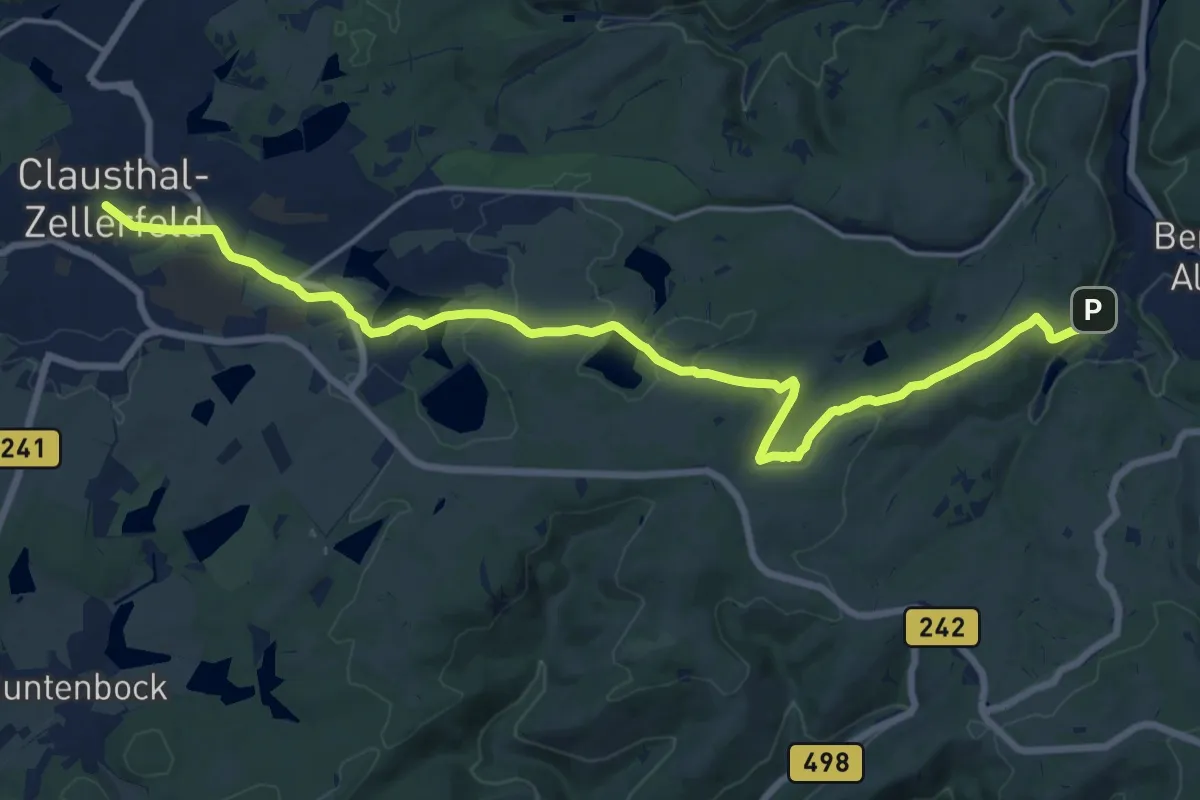
Medium · Trail
Harzklub-Weg 10H
17.4 km · ↑ 261 m · 4 h 41 min
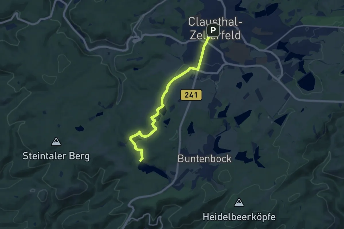
Medium · Trail
Harzklub-Weg 10K
10.1 km · ↑ 187 m · 2 h 48 min
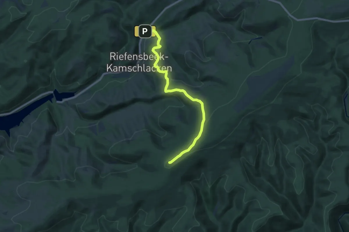
Medium · Summit
Harzklub-Weg 10L
12.7 km · ↑ 422 m · 3 h 55 min
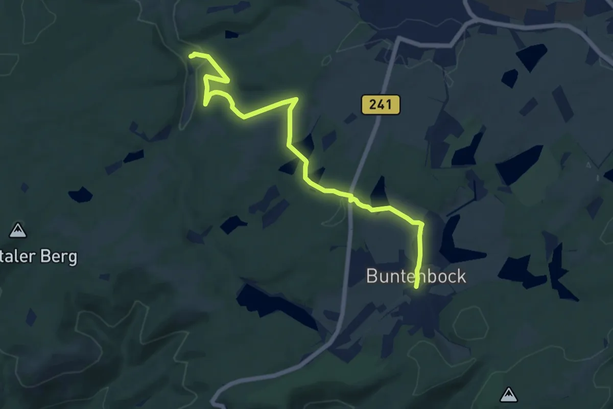
Medium · Trail
Harzklub-Weg 10L
9.5 km · ↑ 222 m · 2 h 43 min
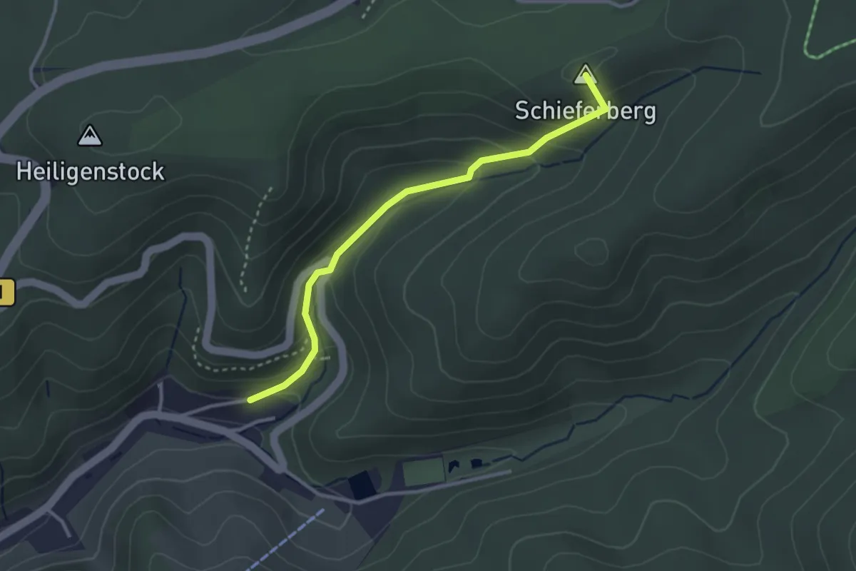
Easy · Summit
Harzklub-Weg 10N
2.7 km · ↑ 176 m · 1 h 1 min
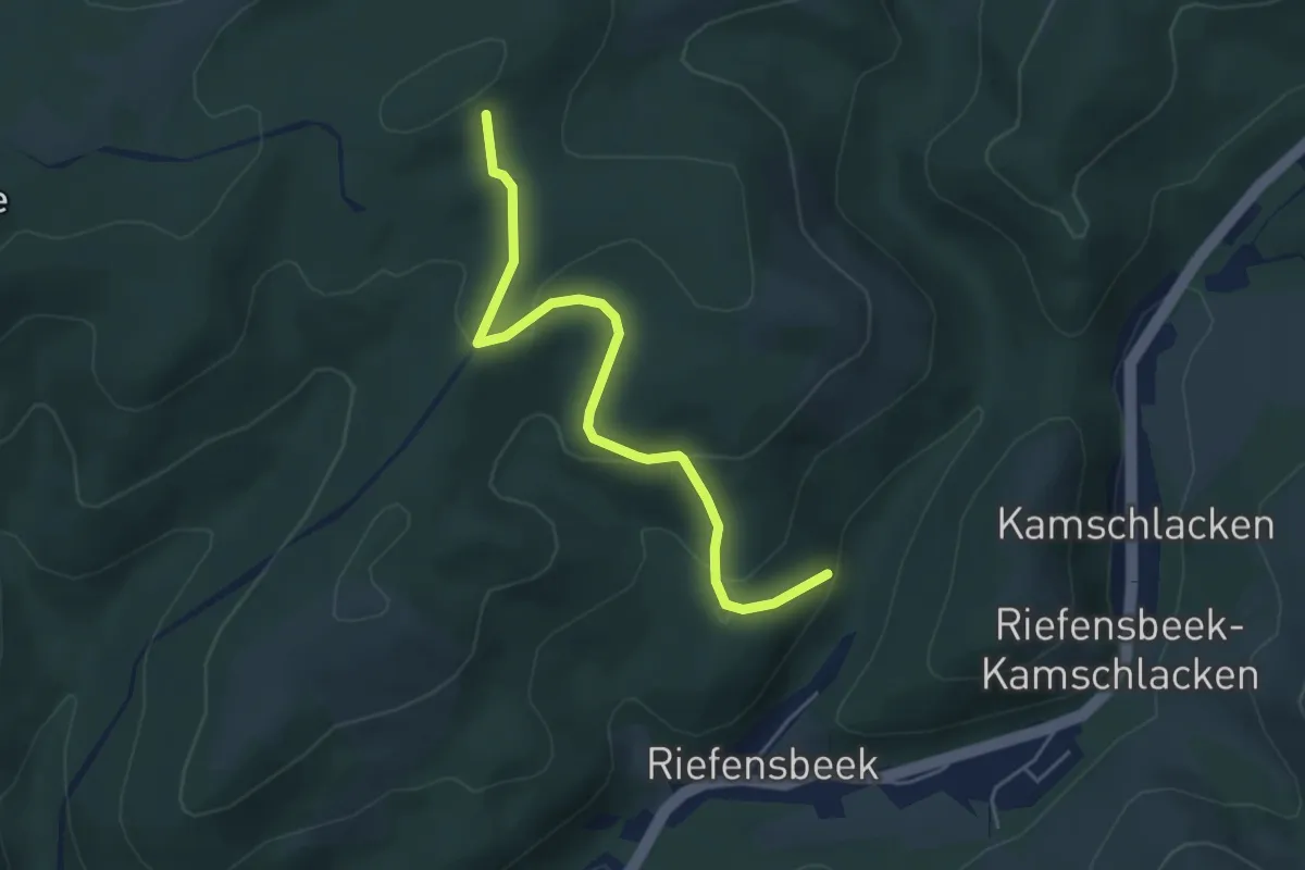
Easy · Summit
Harzklub-Weg 10P
4.4 km · ↑ 180 m · 1 h 25 min
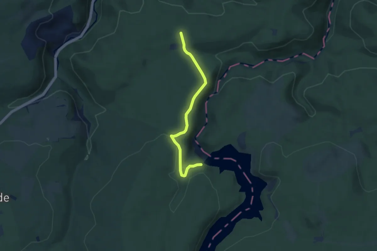
Easy · Trail
Harzklub-Weg 11A
5.7 km · ↑ 103 m · 1 h 34 min
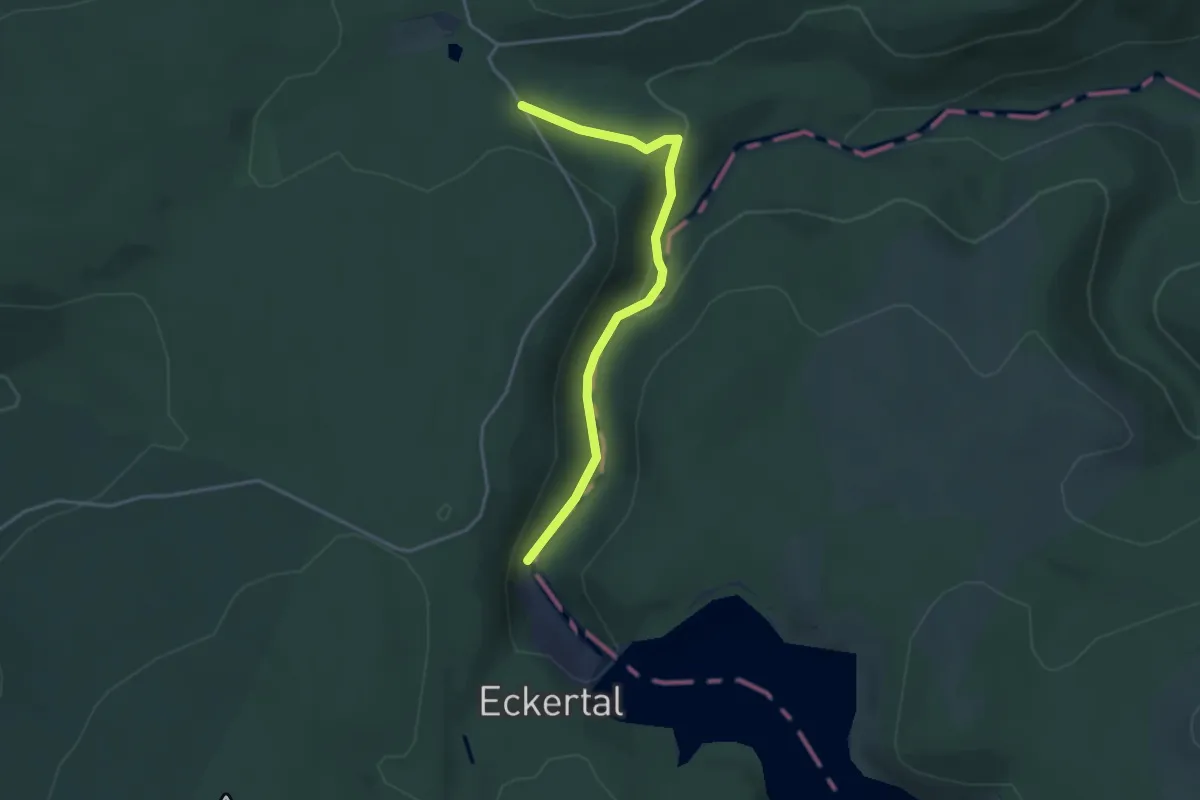
Easy · Trail
Harzklub-Weg 11B
3.3 km · ↑ 63 m · 54 min
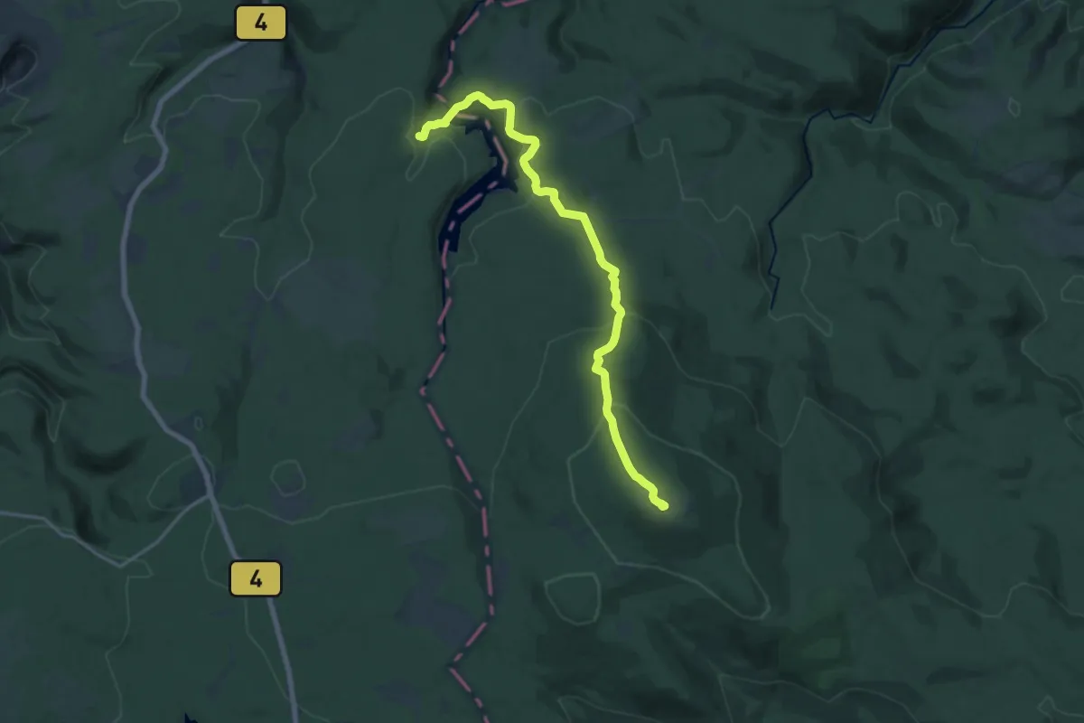
Medium · Summit
Harzklub-Weg 11C
15.1 km · ↑ 659 m · 5 h
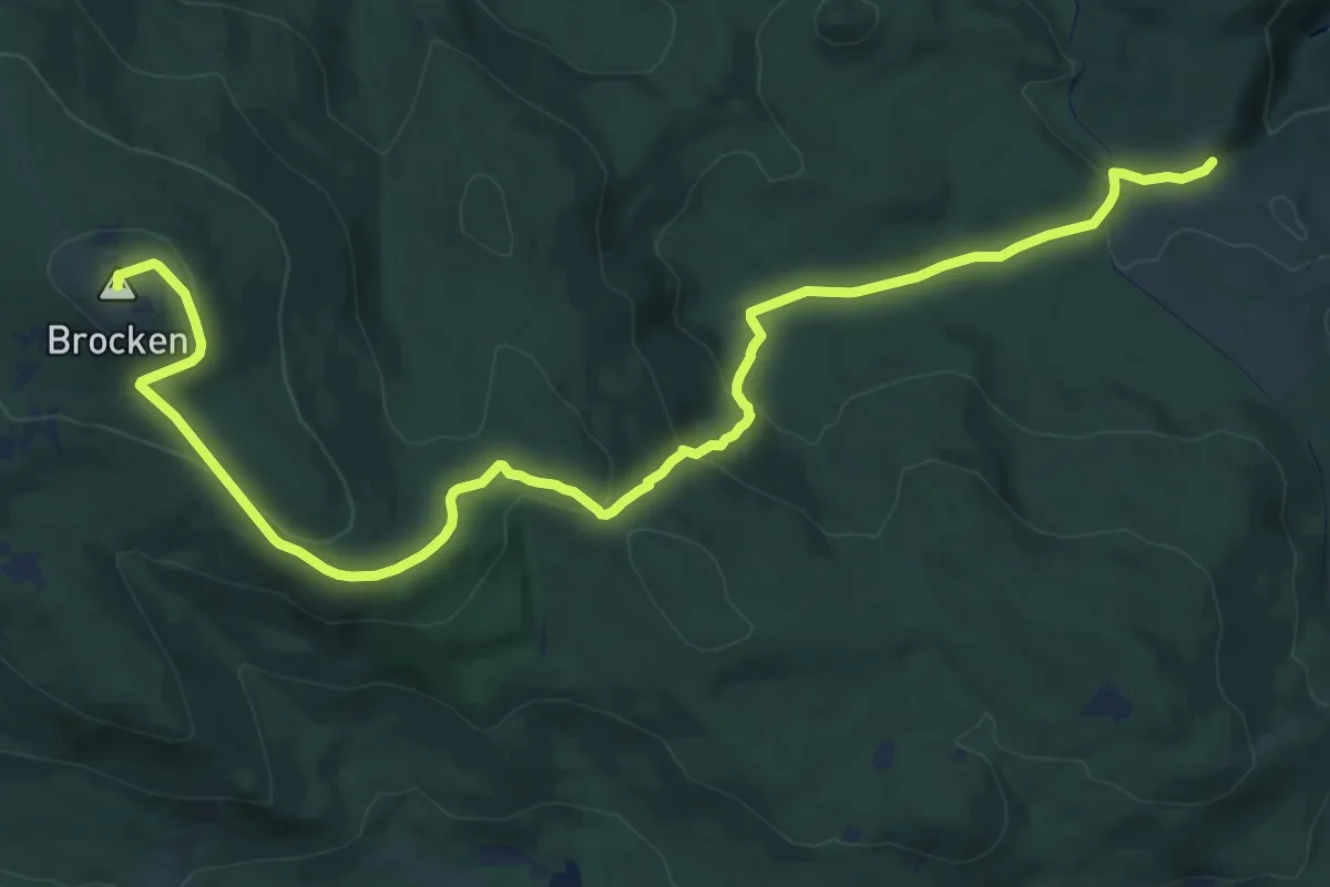
Medium · Summit
Harzklub-Weg 11D
17.6 km · ↑ 581 m · 5 h 25 min
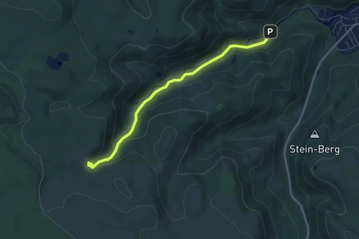
Easy · Trail
Harzklub-Weg 11E
5.7 km · ↑ 244 m · 1 h 53 min
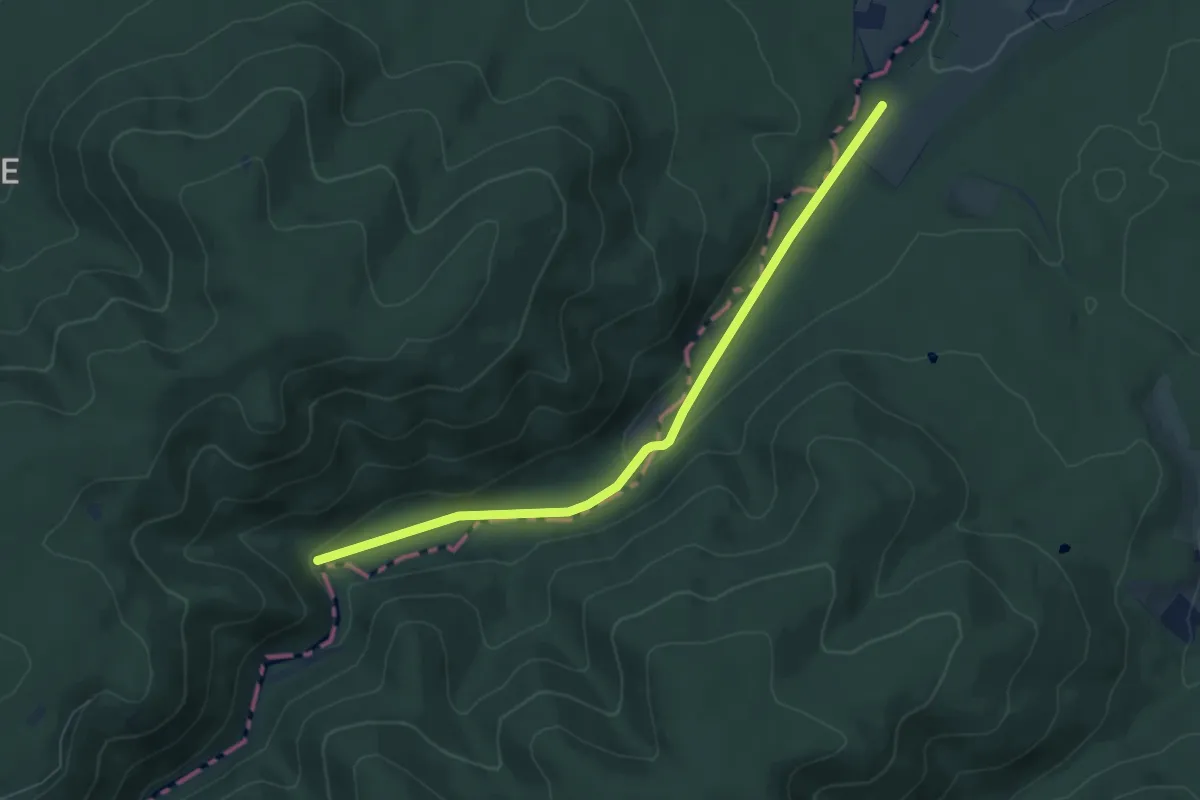
Easy · Trail
Harzklub-Weg 11G
6.0 km · ↑ 90 m · 1 h 36 min