Trails in Germany
36,852 hiking trails, each with its route, climb, walking time and grade.
All trails, page 220 of 768
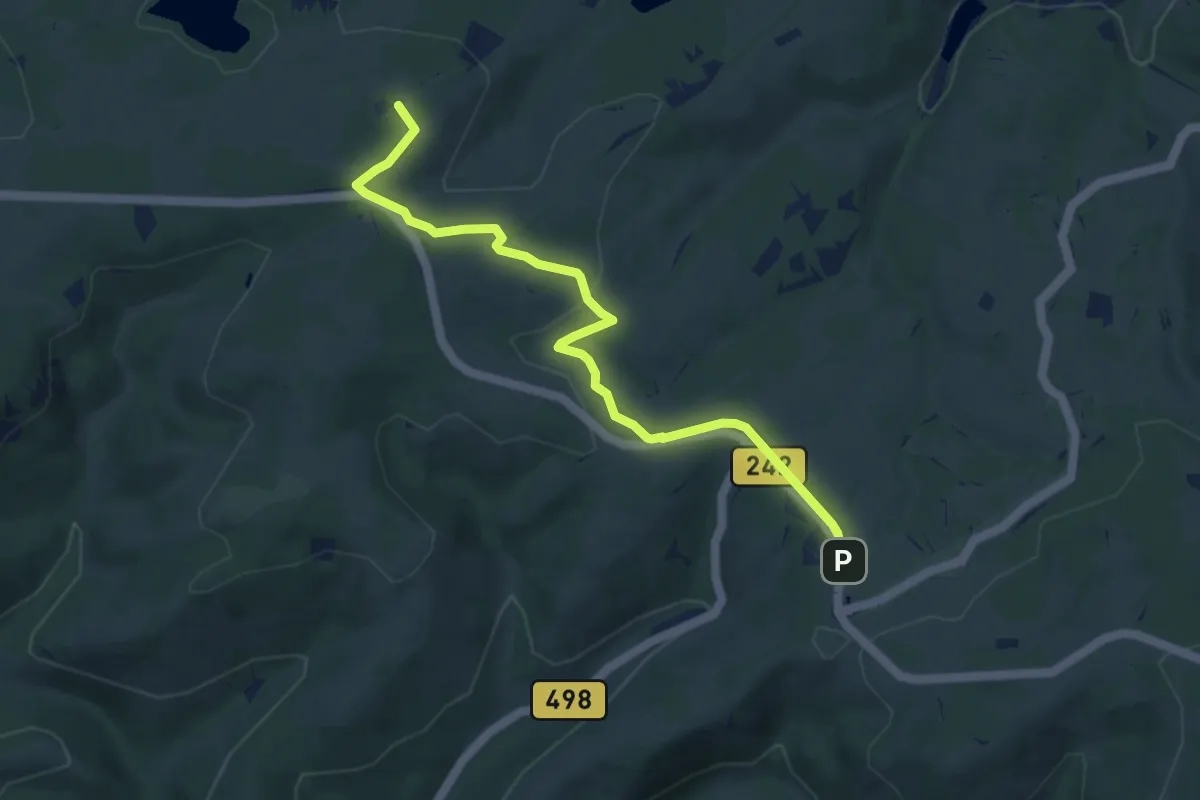
Easy · Summit
Harzklub-Weg 9A
7.2 km · ↑ 85 m · 1 h 53 min
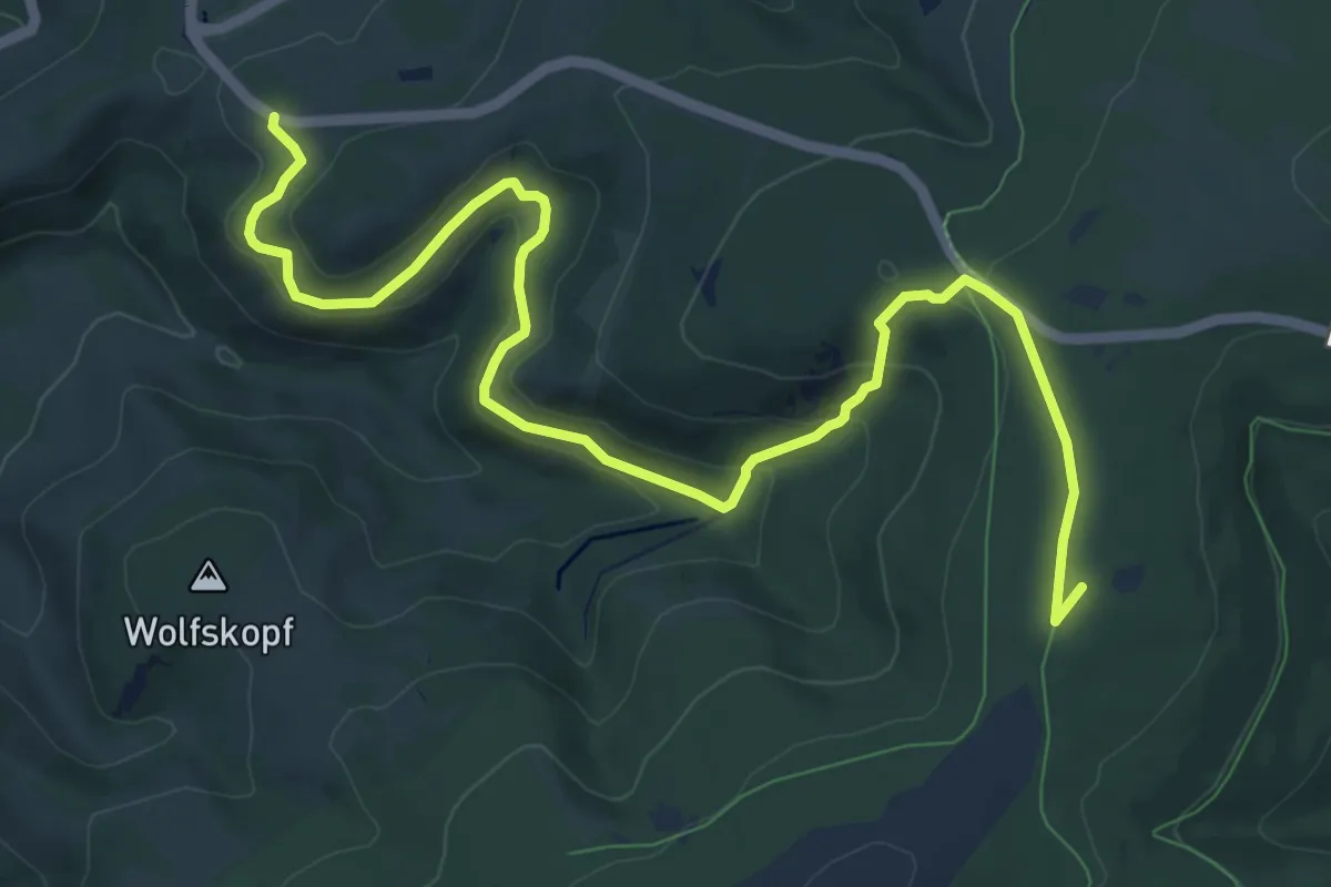
Medium · Summit
Harzklub-Weg 9B
10.9 km · ↑ 380 m · 3 h 23 min
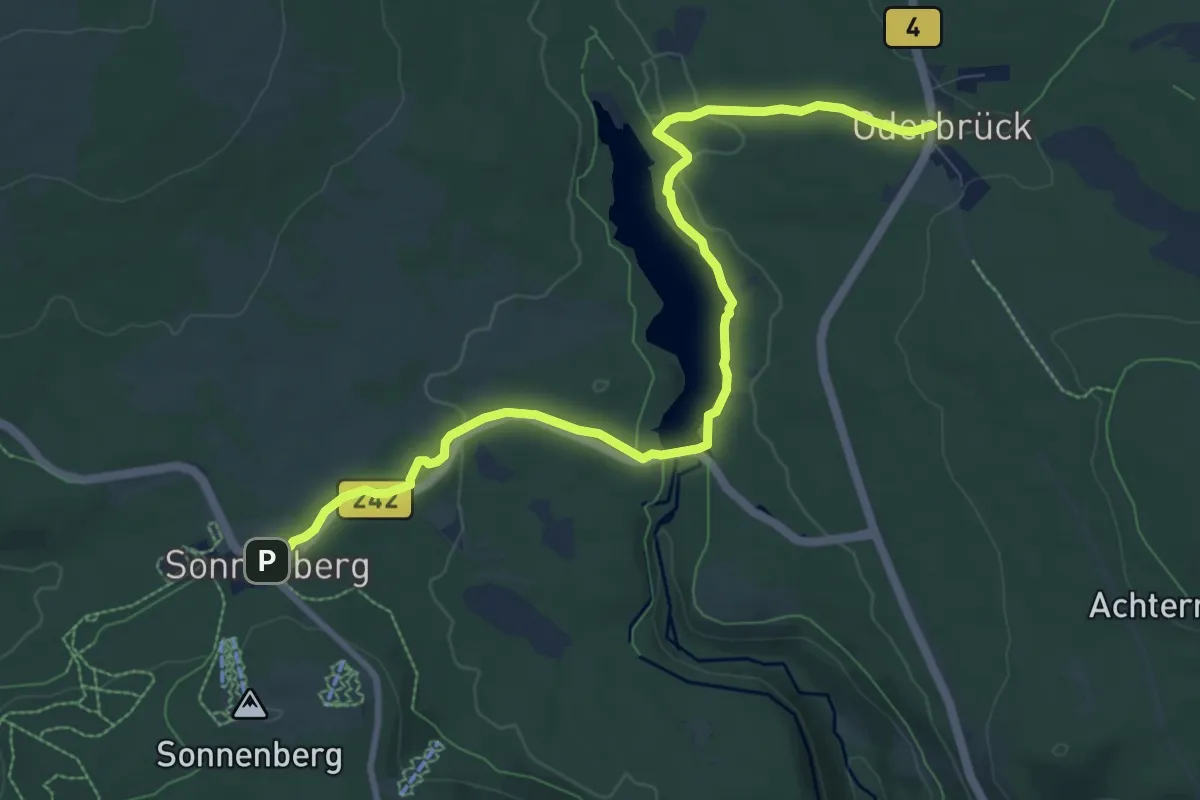
Medium · Trail
Harzklub-Weg 9C
9.3 km · ↑ 137 m · 2 h 30 min
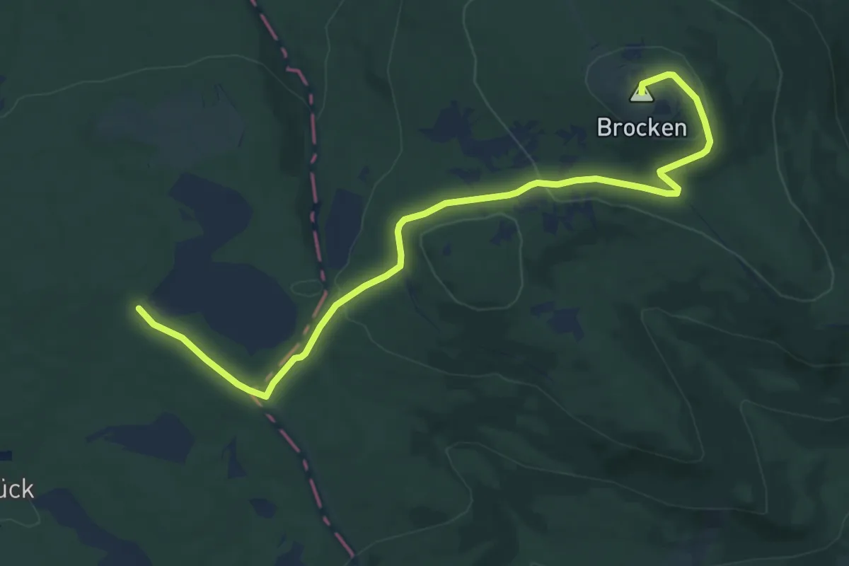
Medium · Summit
Harzklub-Weg 9D
11.5 km · ↑ 284 m · 3 h 20 min
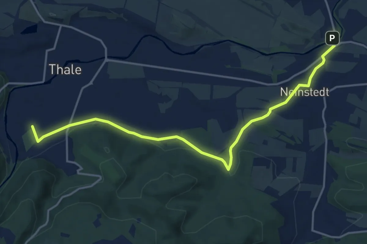
Medium · Trail
Harzklub-Weg Thale-Neinstedt
11.6 km · ↑ 126 m · 3 h
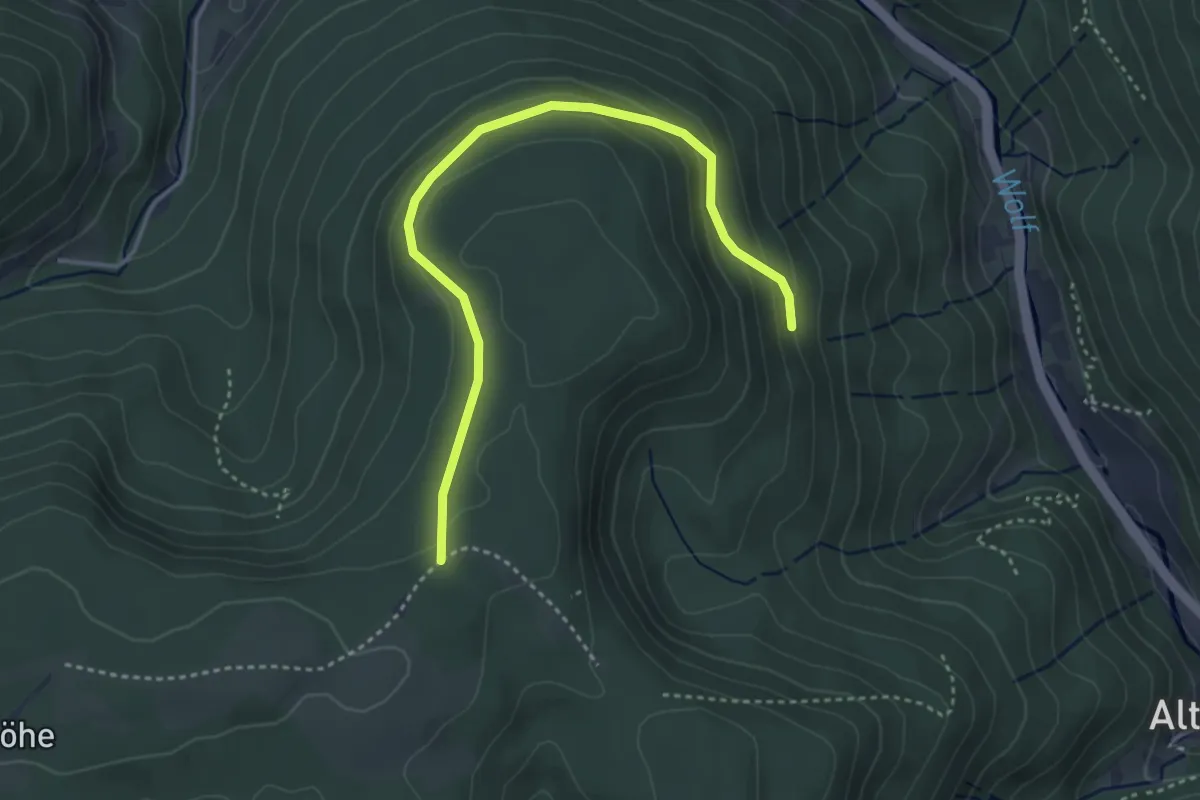
Easy · Trail
Harzsiedegrund - Mittelkopf
3.9 km · ↑ 158 m · 1 h 16 min
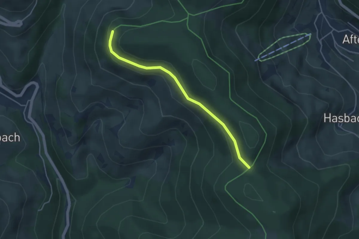
Easy · Trail
Hasbacher Höhe - Lailerhöhe
3.3 km · ↑ 91 m · 59 min
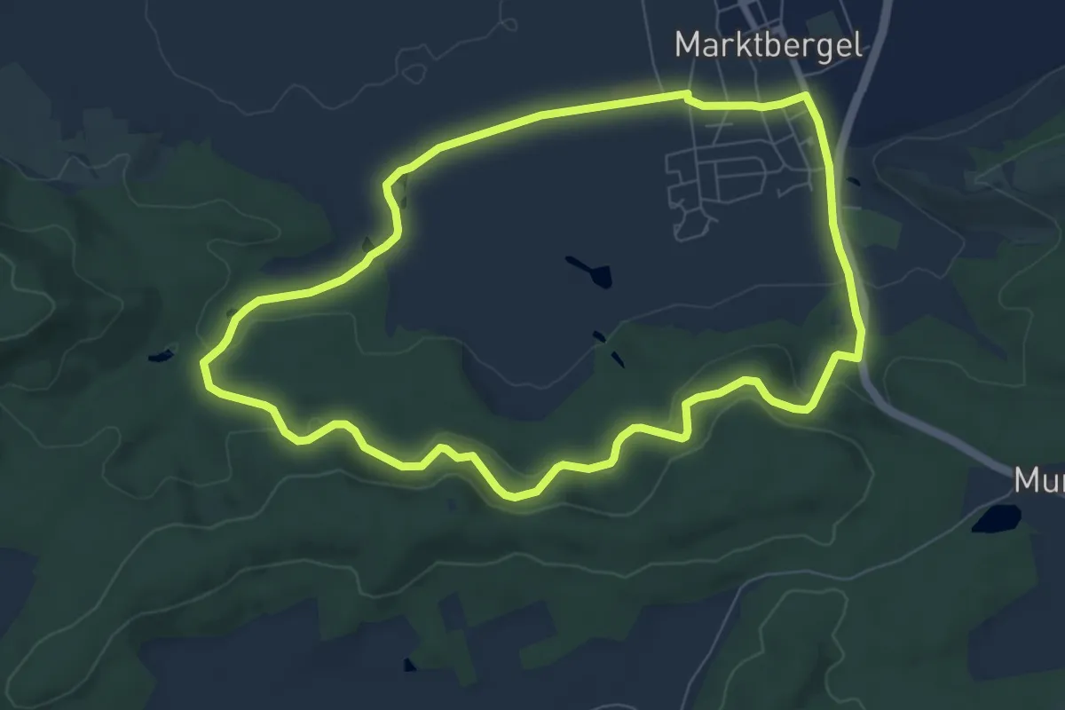
Easy · Trail
Hase
7.2 km · ↑ 186 m · 2 h 12 min
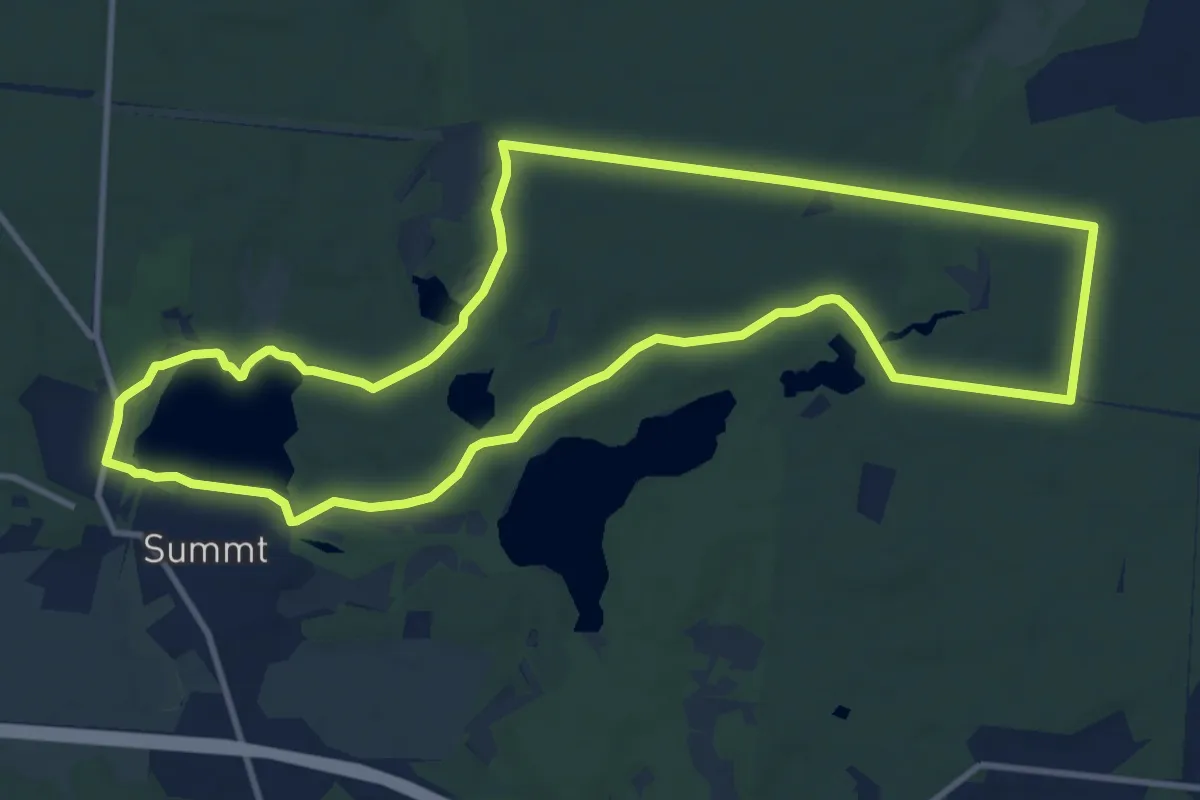
Medium · Trail
Hase
10.6 km · ↑ 66 m · 2 h 48 min
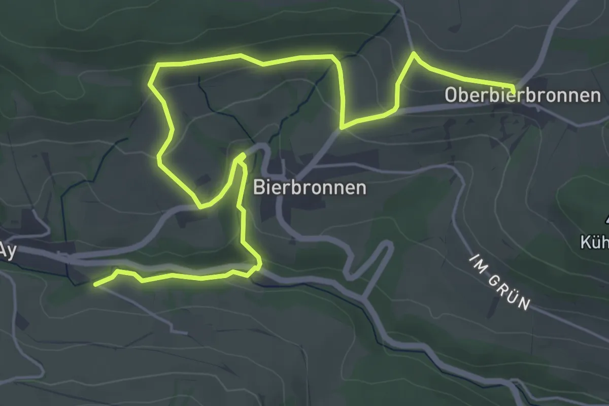
Easy · Trail
Haselbachbrücke - Oberbierbronnen
7.0 km · ↑ 203 m · 2 h 5 min
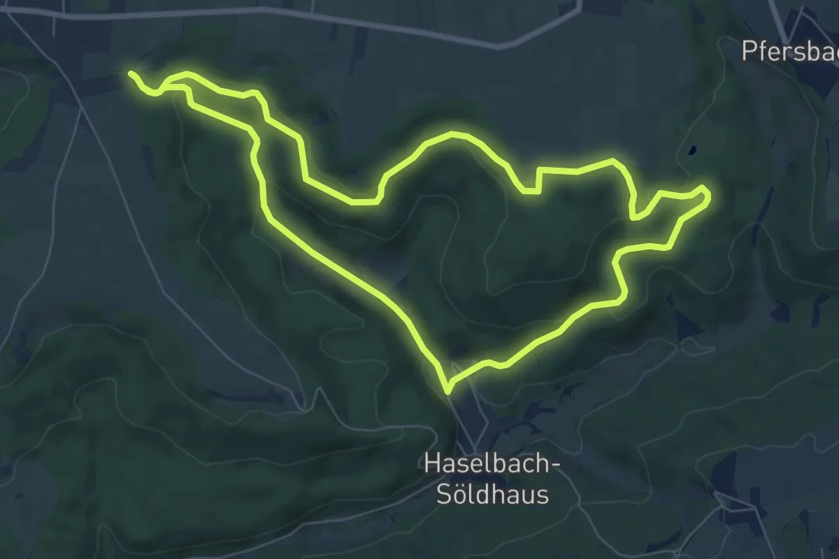
Easy · Trail
Haselbach-Rundweg
7.5 km · ↑ 183 m · 2 h 16 min
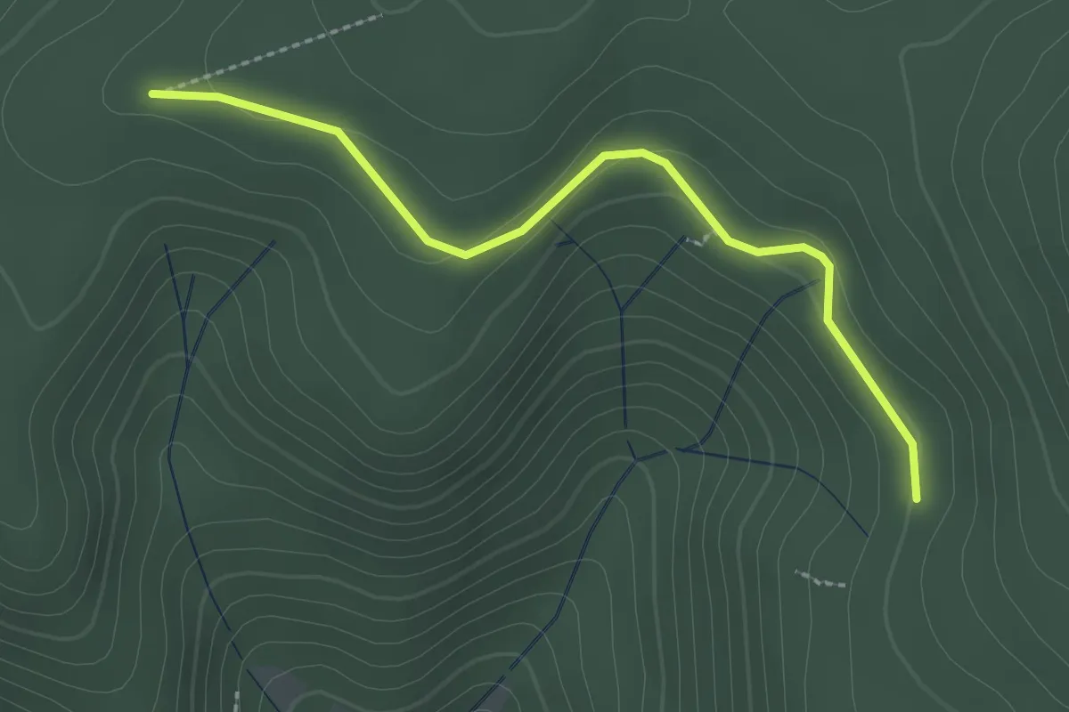
Easy · Trail
Haselgrund - Aulighalde
2.4 km · ↑ 49 m · 40 min
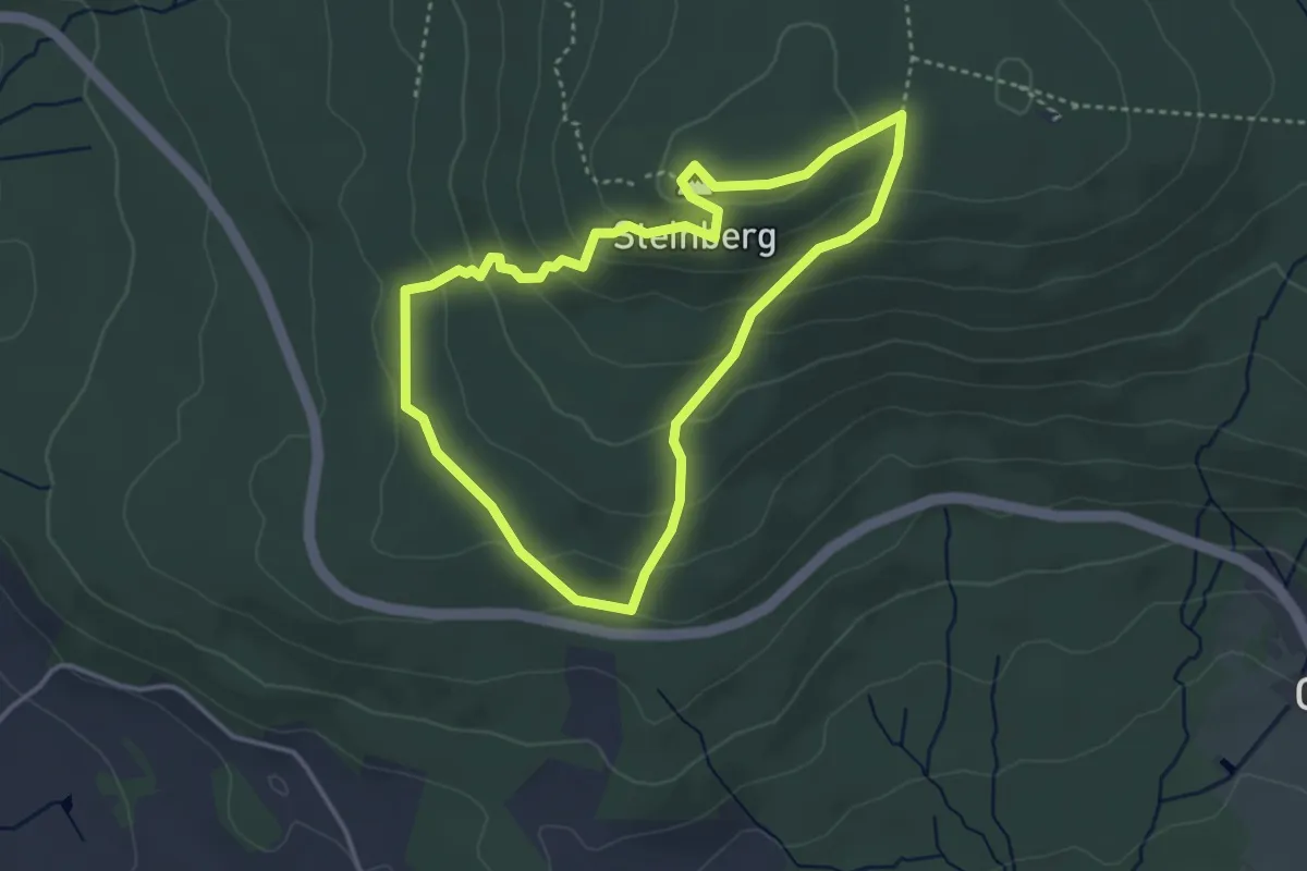
Medium · Summit
Haselhuhn
3.3 km · ↑ 170 m · 1 h 11 min
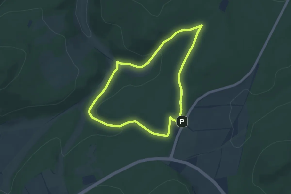
Easy · Summit
Haselnköppl, Naturparkweg 1
3.2 km · ↑ 84 m · 59 min
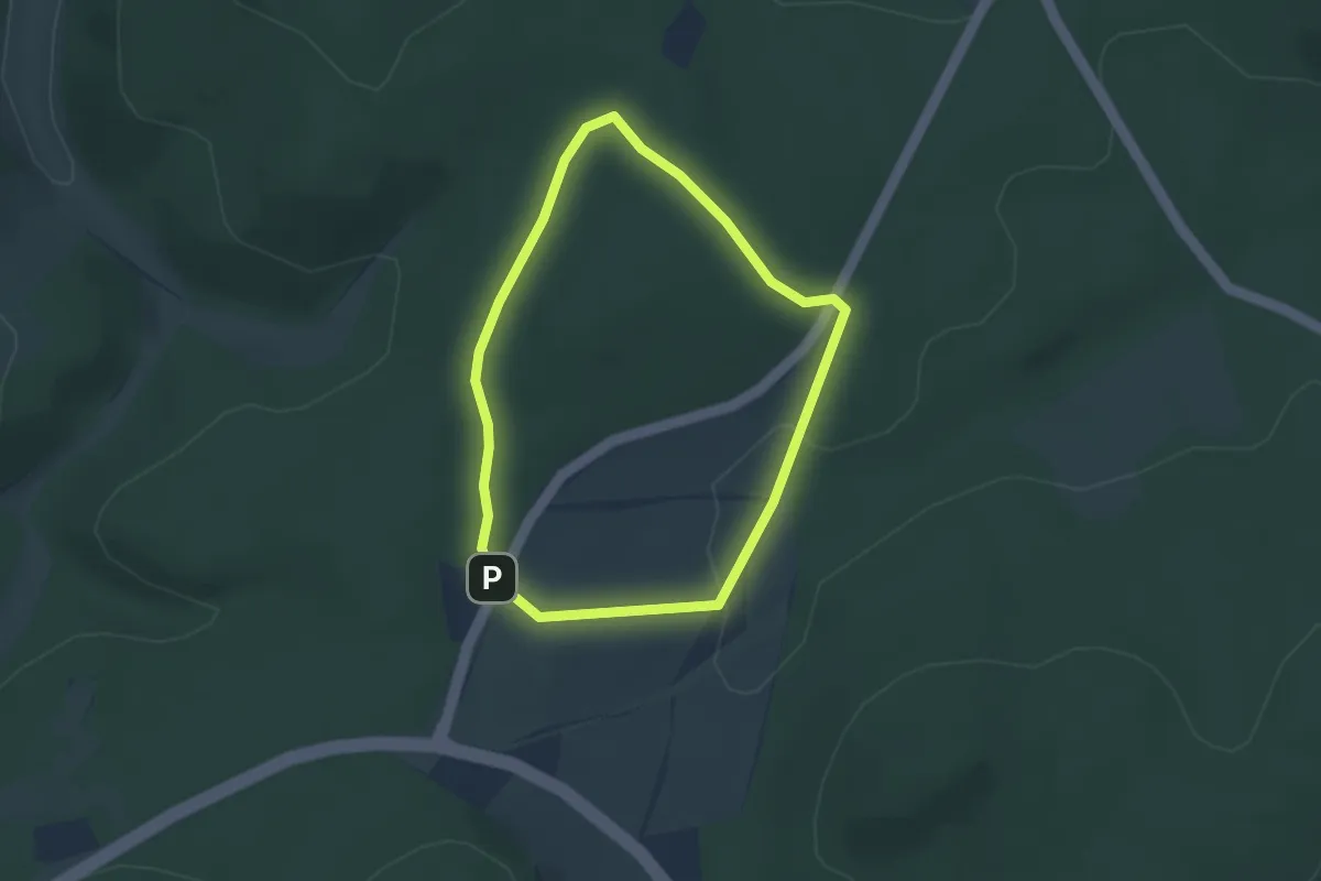
Easy · Trail
Haselnköppl, Naturparkweg 2
2.5 km · ↑ 32 m · 42 min
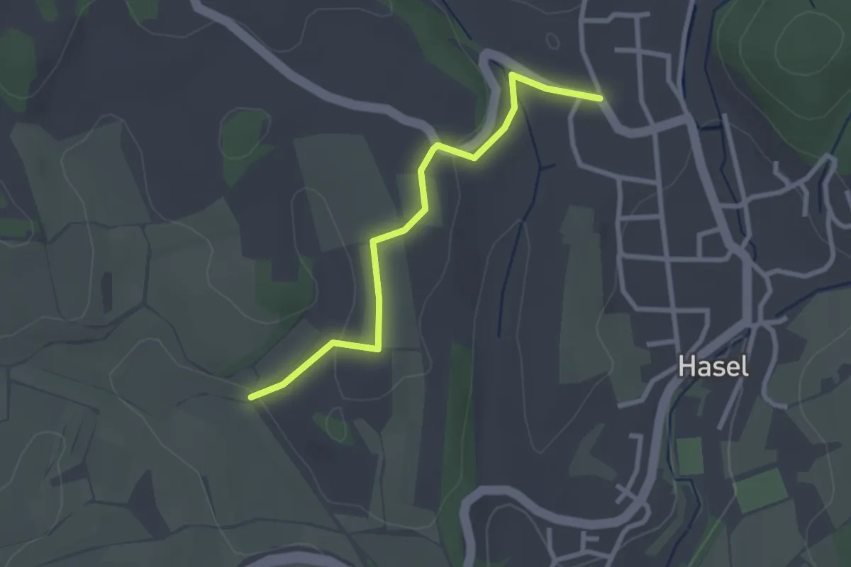
Easy · Trail
Hasel Oberdorf - Zay
2.5 km · ↑ 48 m · 41 min
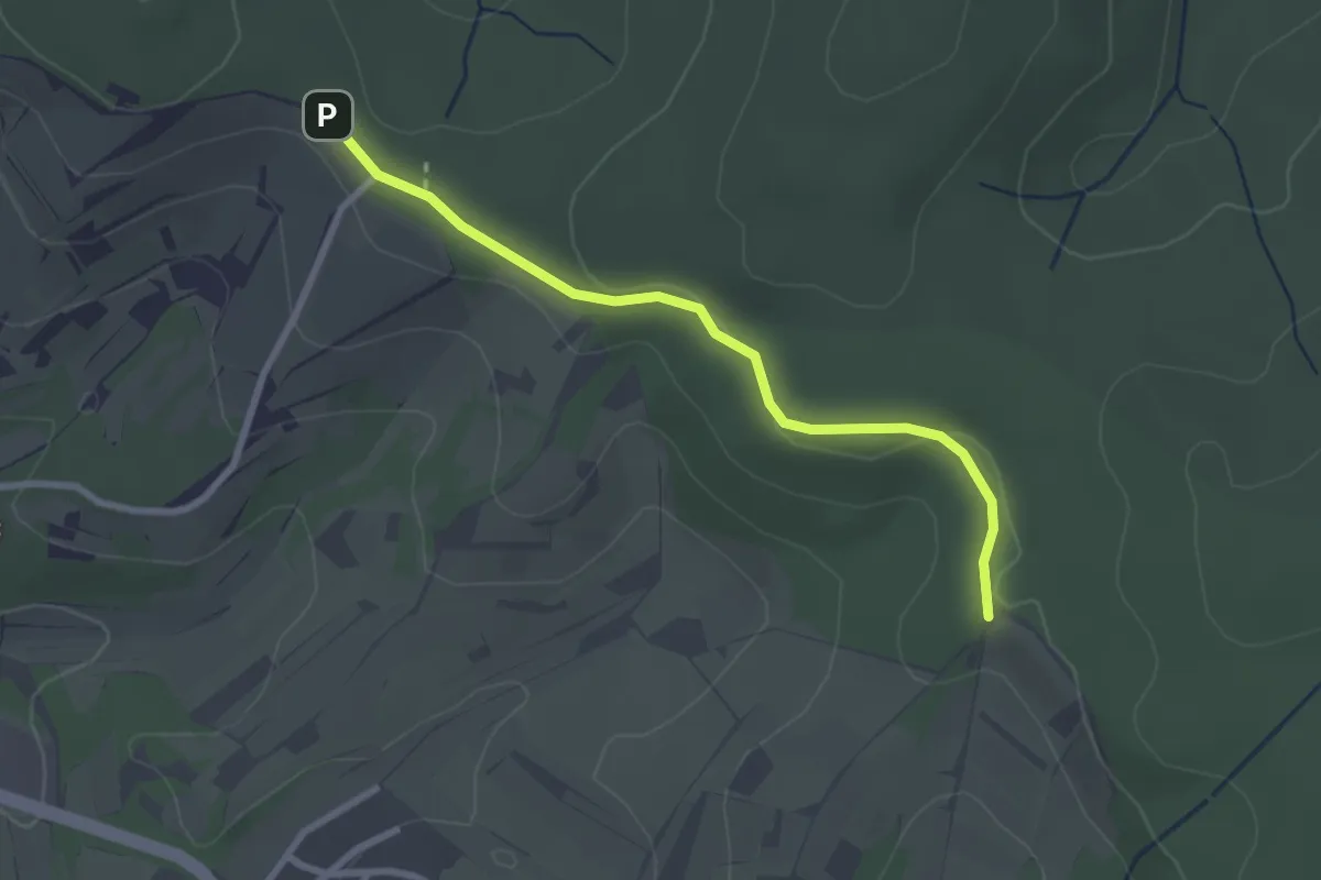
Easy · Trail
Haselstaude - Klotzwald
2.5 km · ↑ 38 m · 41 min
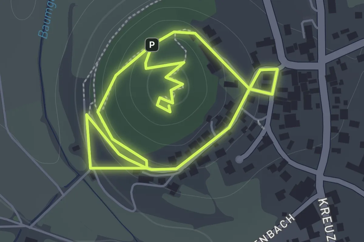
Medium · Trail
Haselsteiner Geschichtsweg
1.5 km · ↑ 48 m · 28 min
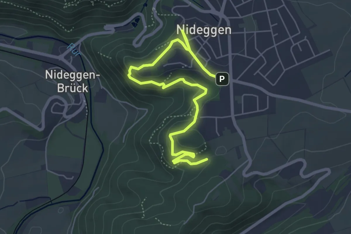
Easy · Trail
Hasenacker
5.9 km · ↑ 195 m · 1 h 49 min
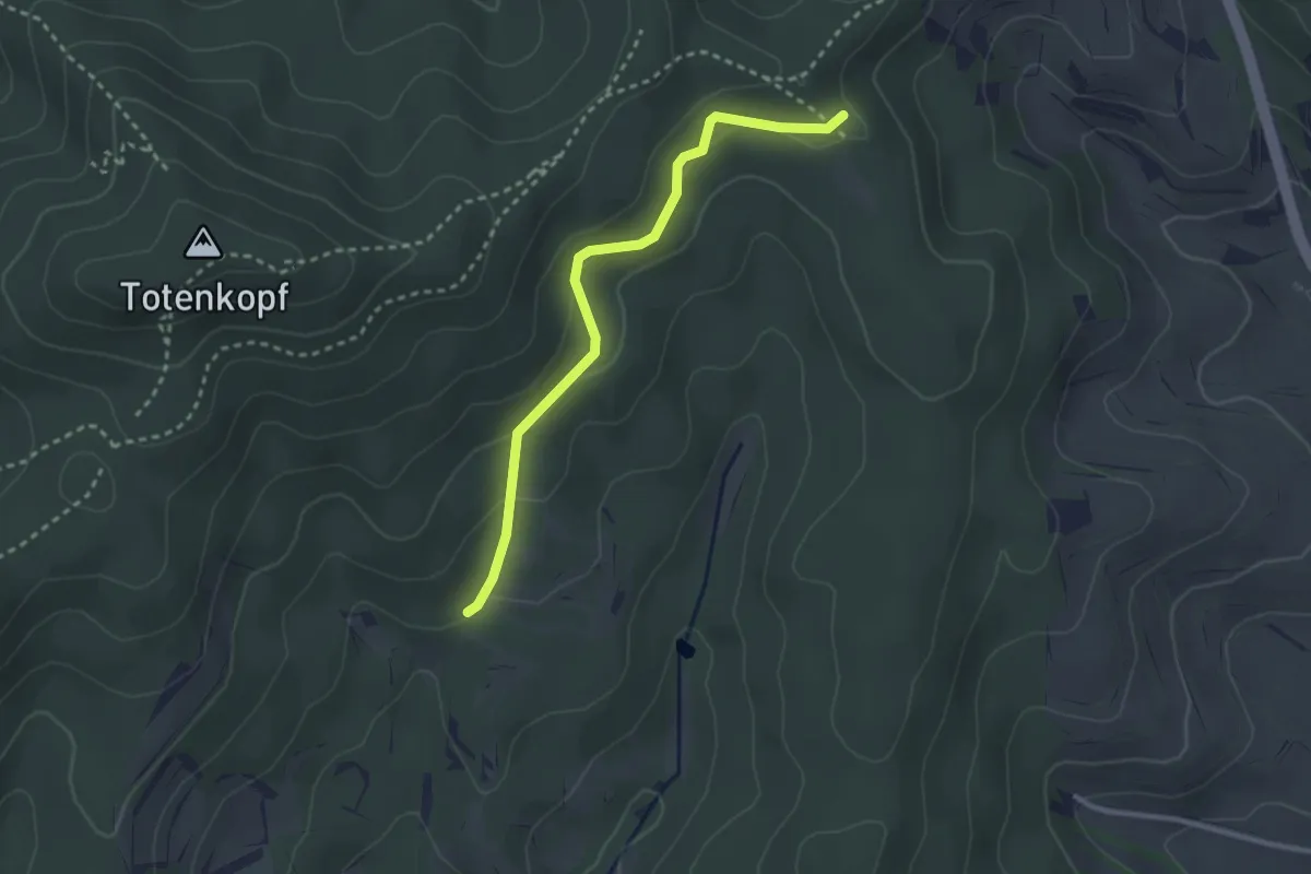
Easy · Trail
Hasenbeinmatte - Sautalweg
2.7 km · ↑ 141 m · 57 min
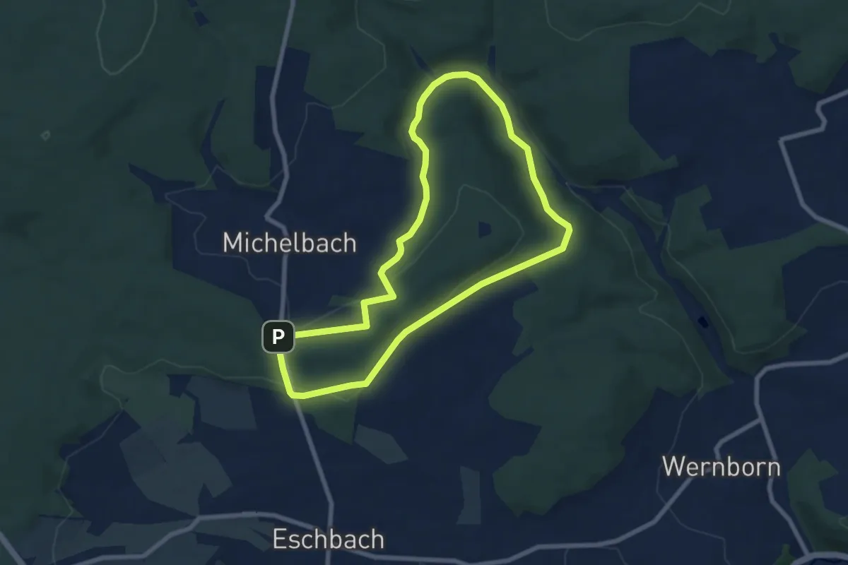
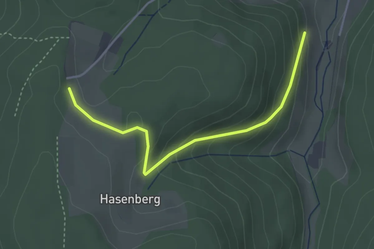
Easy · Trail
Hasenberg
6.3 km · ↑ 118 m · 1 h 50 min
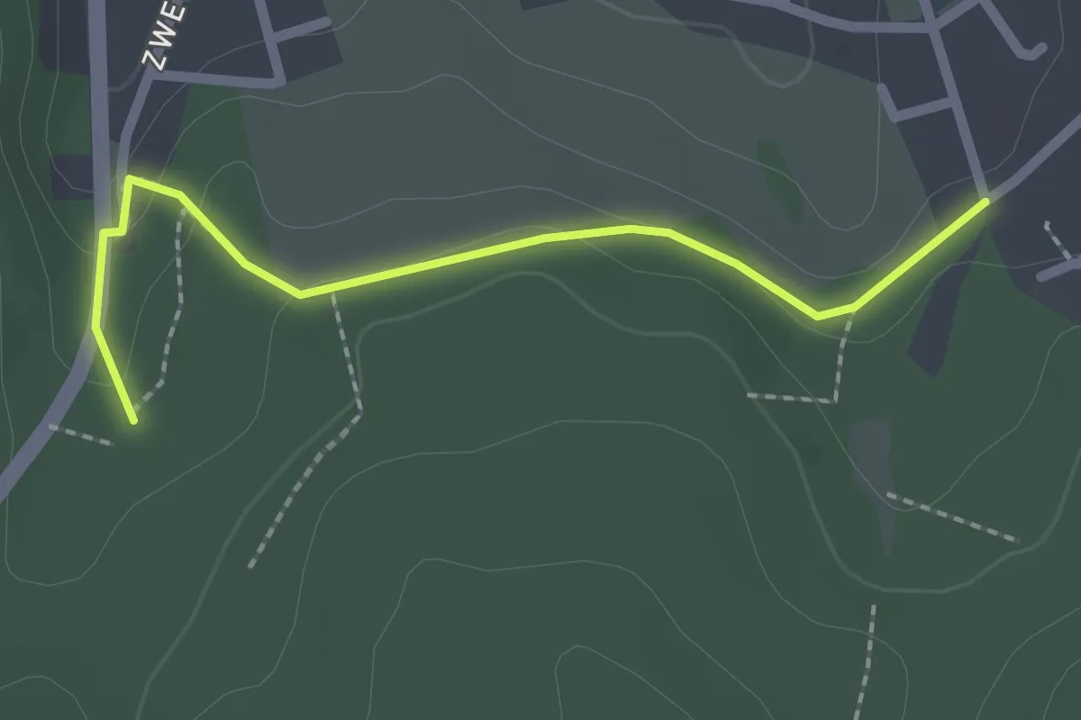
Easy · Trail
Hasenberg - Schwert
3.3 km · ↑ 185 m · 1 h 11 min
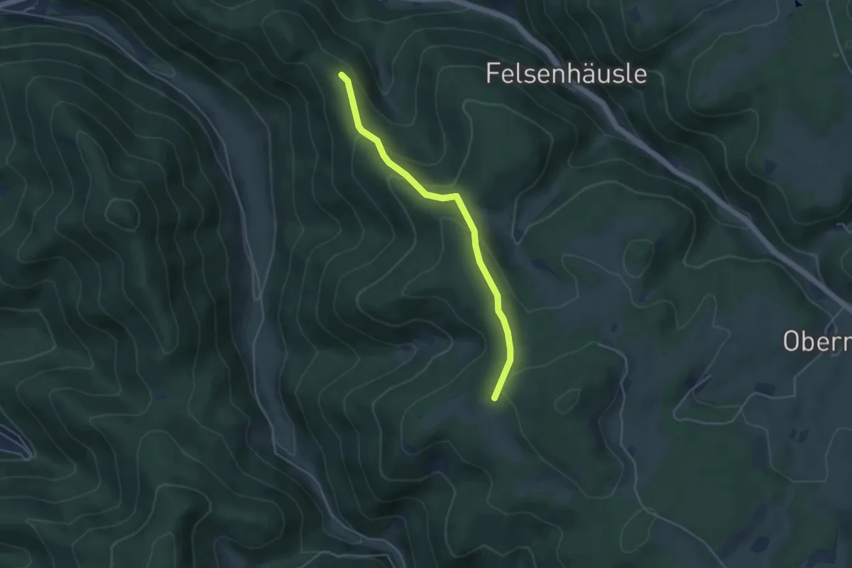
Easy · Trail
Hasenbuckel - Hinteres Feld
2.0 km · ↑ 57 m · 36 min
Easy · Trail
Haseneckle - Am Kräher Igelacker
4.0 km · ↑ 232 m · 1 h 26 min
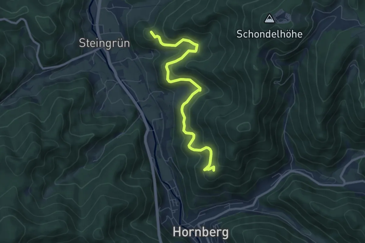
Medium · Summit
Hasenkäpfle - Markgrafenschanze
7.4 km · ↑ 393 m · 2 h 35 min
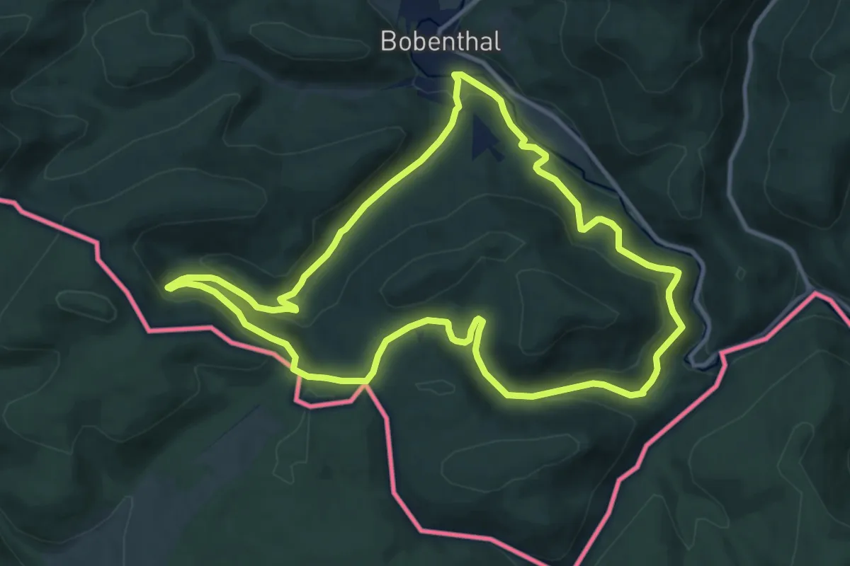
Medium · Trail
Hasenkopf-Runde
10.3 km · ↑ 368 m · 3 h 22 min
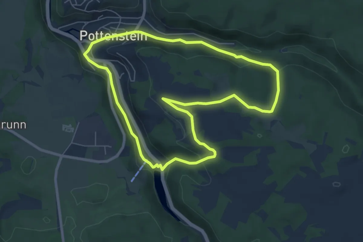
Easy · Trail
Hasenlochhöhle-Waldtempel
5.5 km · ↑ 141 m · 1 h 41 min
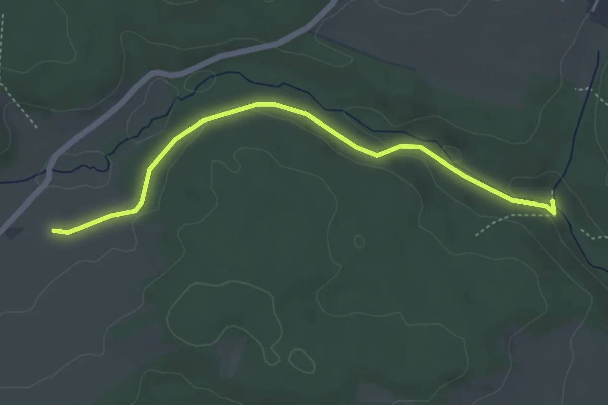
Easy · Trail
Hasenmerkle - Aisch
4.1 km · ↑ 56 m · 1 h 6 min
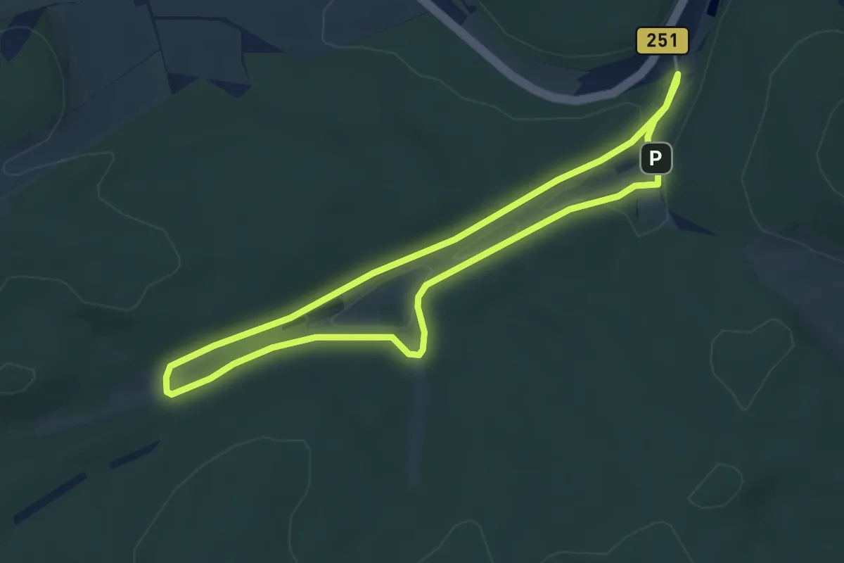
Easy · Trail
Hasenmühle, Rundweg 3
4.0 km · ↑ 51 m · 1 h 7 min
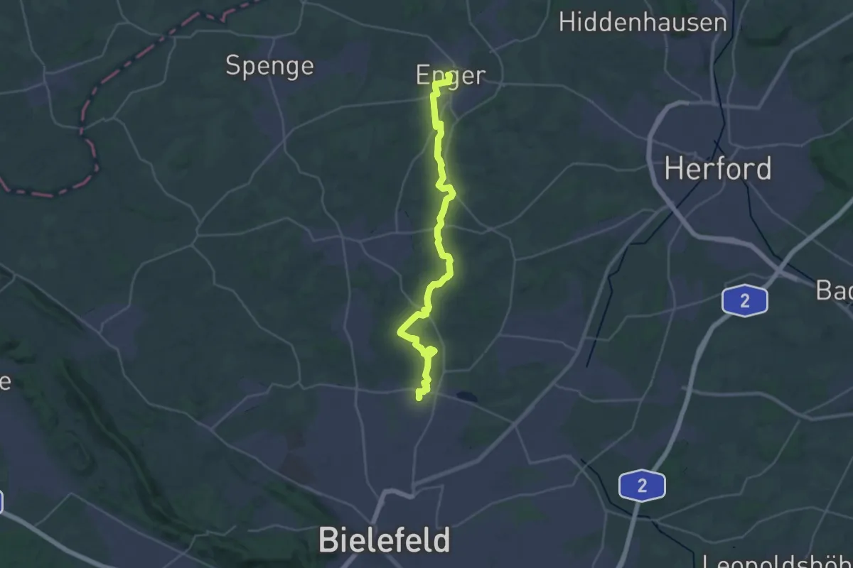
Demanding · Trail
Hasenpatt
26.5 km · ↑ 243 m · 6 h 47 min
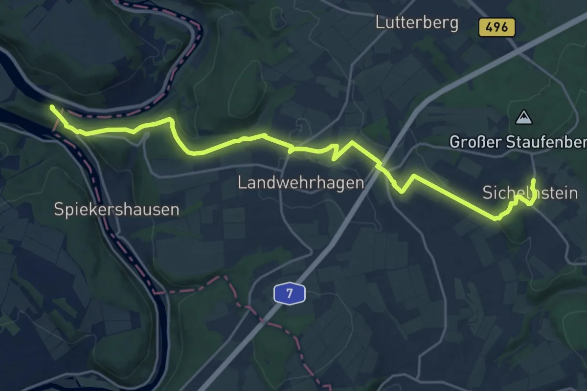
Medium · Trail
Hasenpfad
17.0 km · ↑ 359 m · 4 h 47 min
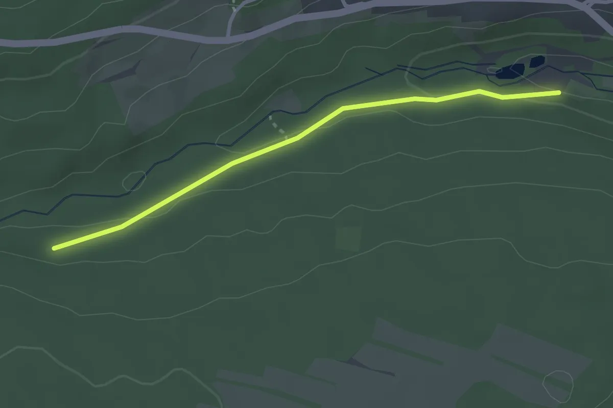
Easy · Trail
Hasenrain - Schwarzenberger Sägemühle
2.7 km · ↑ 67 m · 47 min
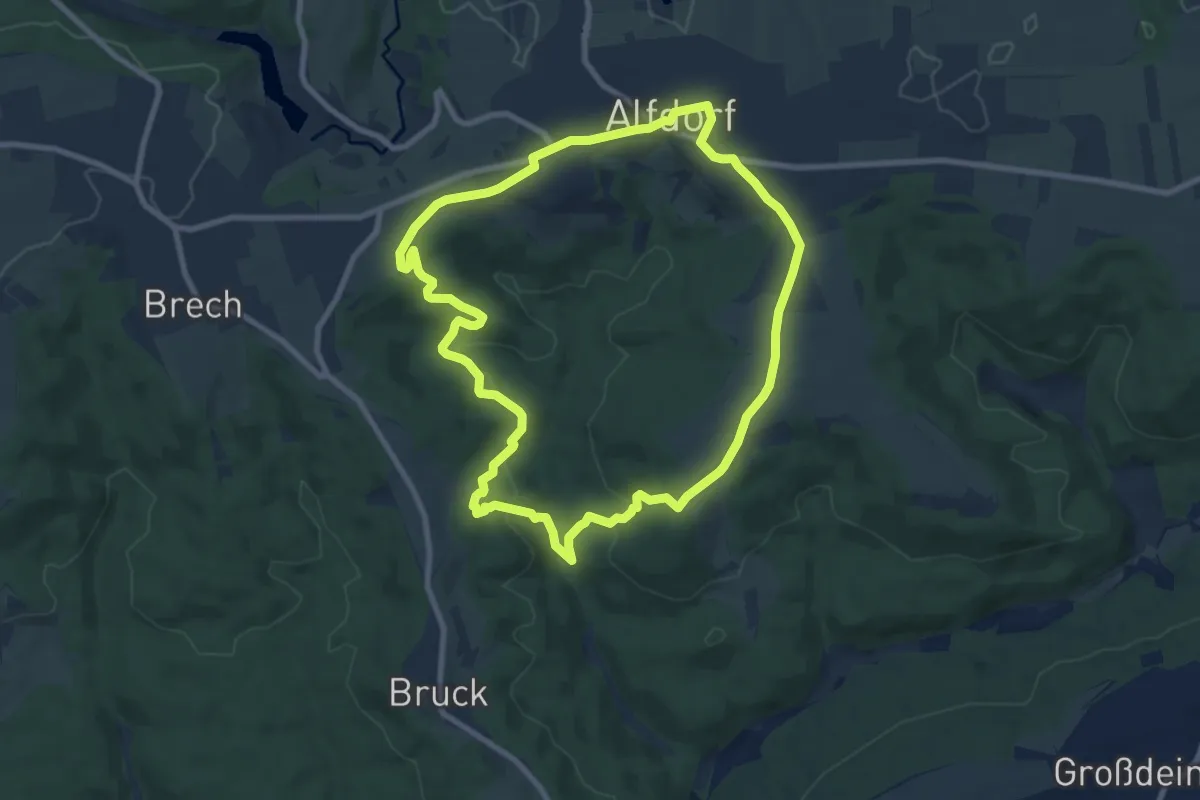
Medium · Trail
Hasen-Rundweg
8.3 km · ↑ 182 m · 2 h 28 min
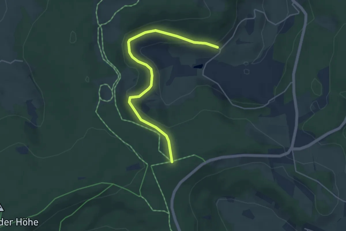
Easy · Trail
Hasenspielplatz - Föhrenbächle
4.1 km · ↑ 136 m · 1 h 16 min
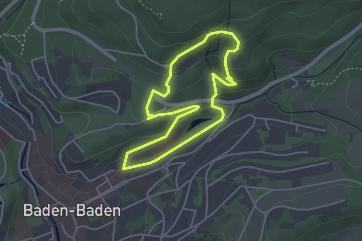
Easy · Trail
Hasensprung Rundweg
3.0 km · ↑ 134 m · 1 h 3 min
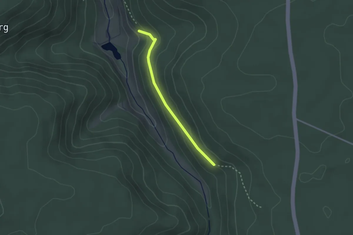
Easy · Trail
Hasensteige - Reichenbachtal
2.1 km · ↑ 95 m · 42 min
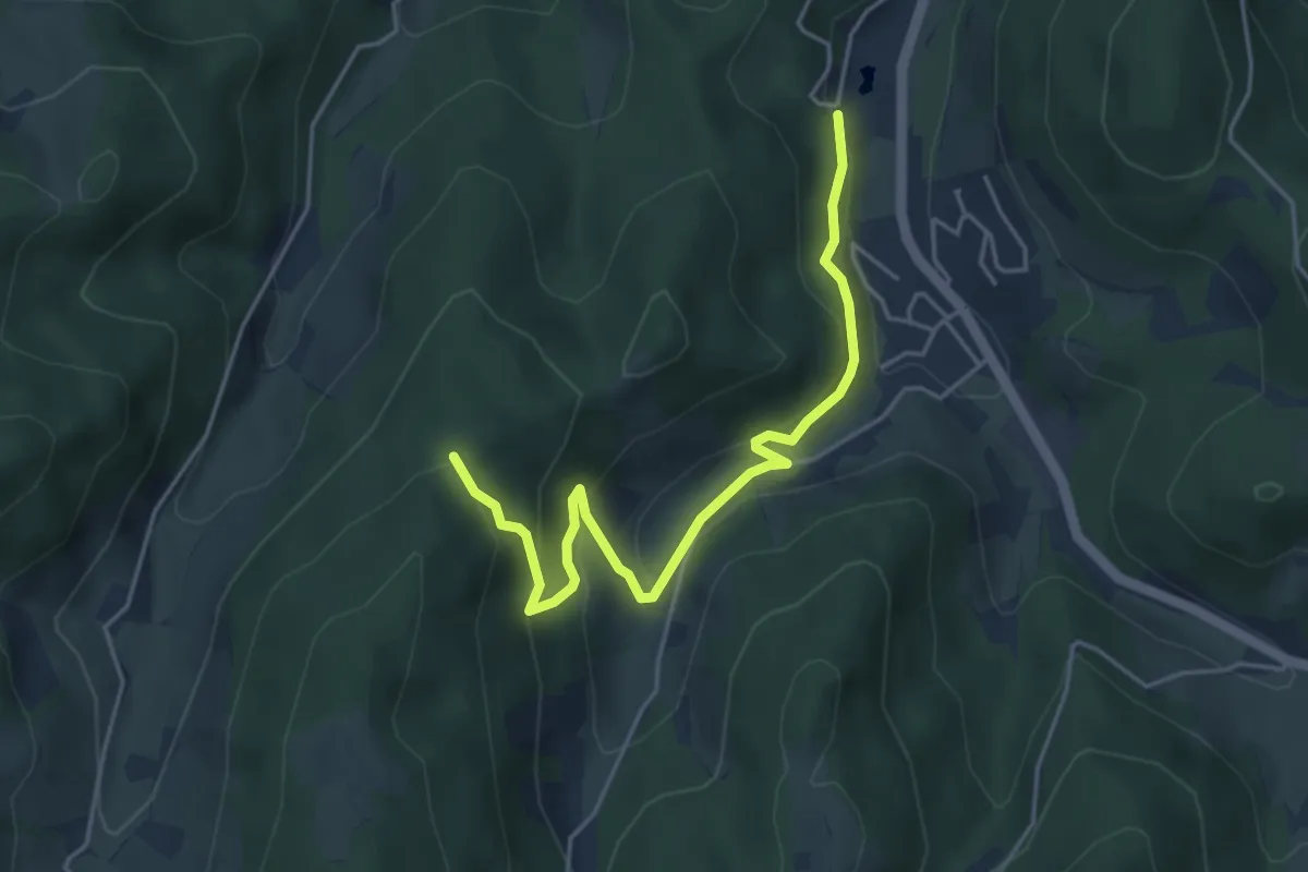
Easy · Trail
Hasenwald - Kohleck
4.6 km · ↑ 293 m · 1 h 43 min
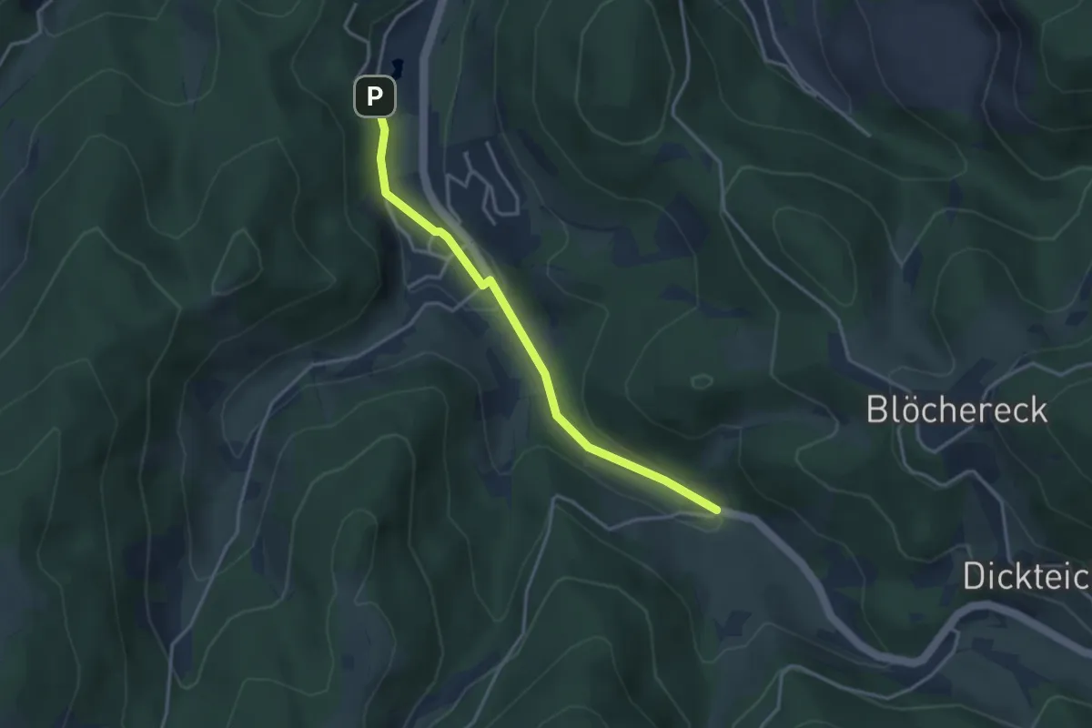
Easy · Trail
Hasenwald - Unterwasser Benz-Mühle
3.1 km · ↑ 75 m · 54 min
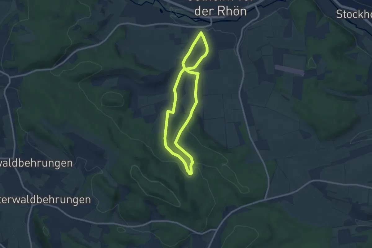
Easy · Summit
Hasenweg
6.9 km · ↑ 121 m · 1 h 59 min
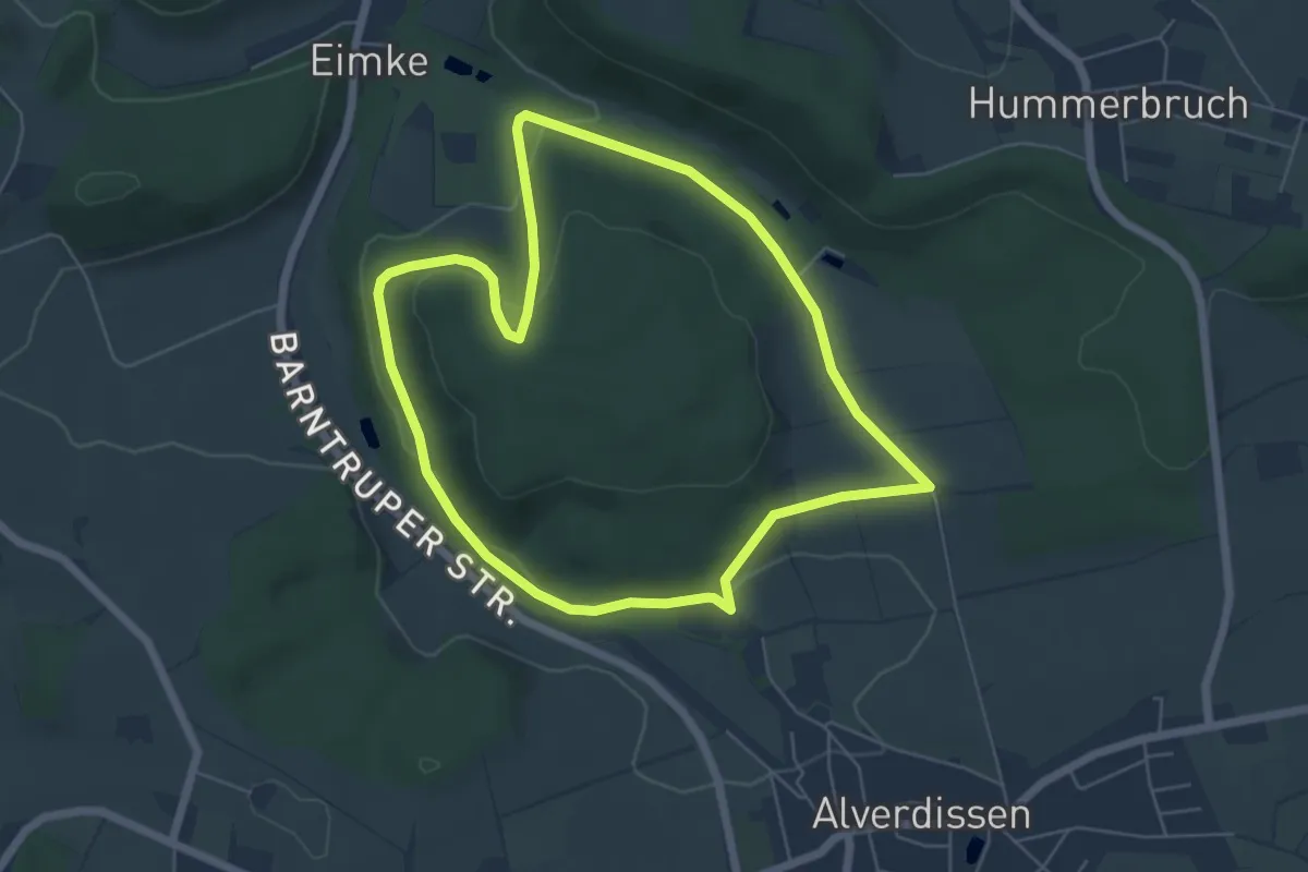
Easy · Trail
Hasenweg
5.1 km · ↑ 112 m · 1 h 31 min
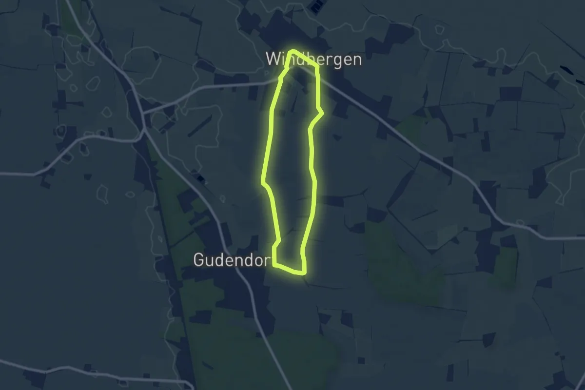
Easy · Trail
Hasenweg
5.6 km · ↑ 4 m · 1 h 25 min
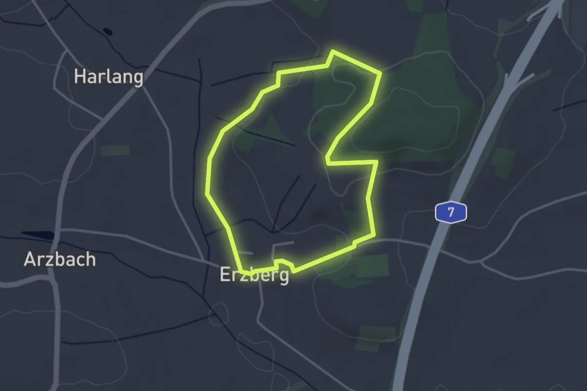
Easy · Trail
Hasenweg Erzberg-Runde
2.8 km · ↑ 46 m · 48 min
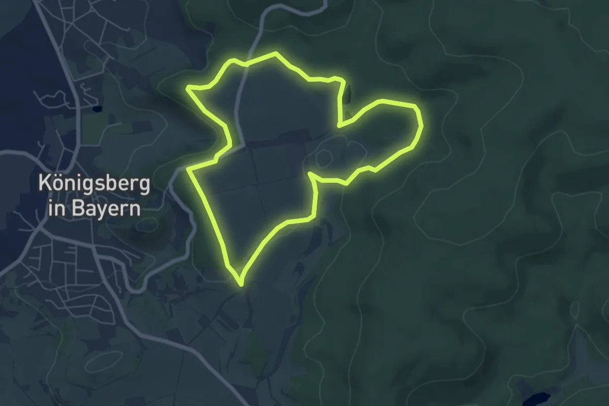
Easy · Trail
Hasenweg Königsberg
5.6 km · ↑ 82 m · 1 h 35 min
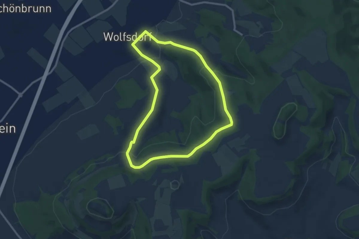
Easy · Trail
Hasenweg (Romansthal)
6.2 km · ↑ 150 m · 1 h 52 min
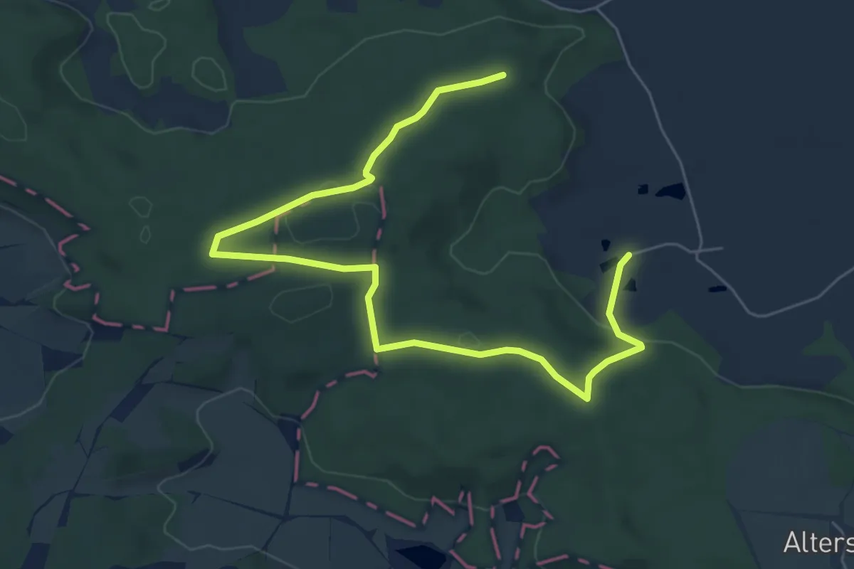
Easy · Summit
Hasenweg Schnelldorf
3.7 km · ↑ 99 m · 1 h 6 min
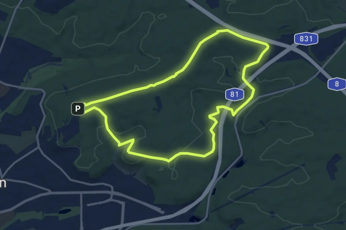
Medium · Summit
Hasenweg Sindelfingen (große Runde)
8.5 km · ↑ 111 m · 2 h 21 min
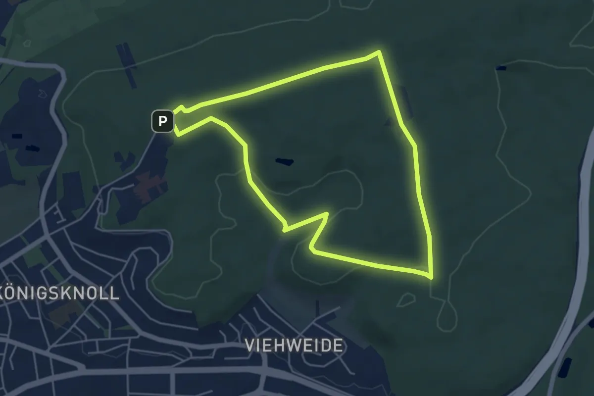
Easy · Summit
Hasenweg Sindelfingen (kleine Runde)
4.3 km · ↑ 64 m · 1 h 13 min
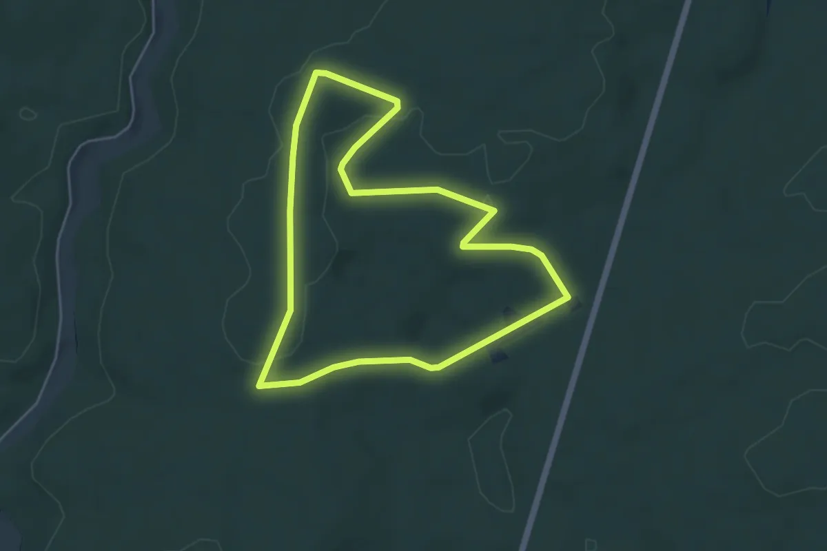
Easy · Trail
Hase rot
4.2 km · ↑ 50 m · 1 h 9 min