Trails in Germany
36,852 hiking trails, each with its route, climb, walking time and grade.
All trails, page 221 of 768
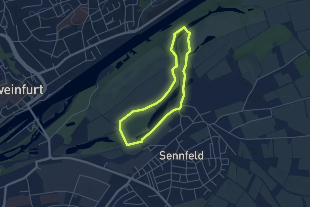
Easy · Trail
Hase-Weg Sennfeld
3.2 km · ↑ 9 m · 49 min
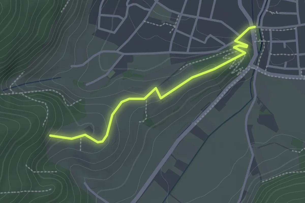
Easy · Trail
Haslach Am Schänzle - Hintere Schänzle
2.6 km · ↑ 96 m · 49 min
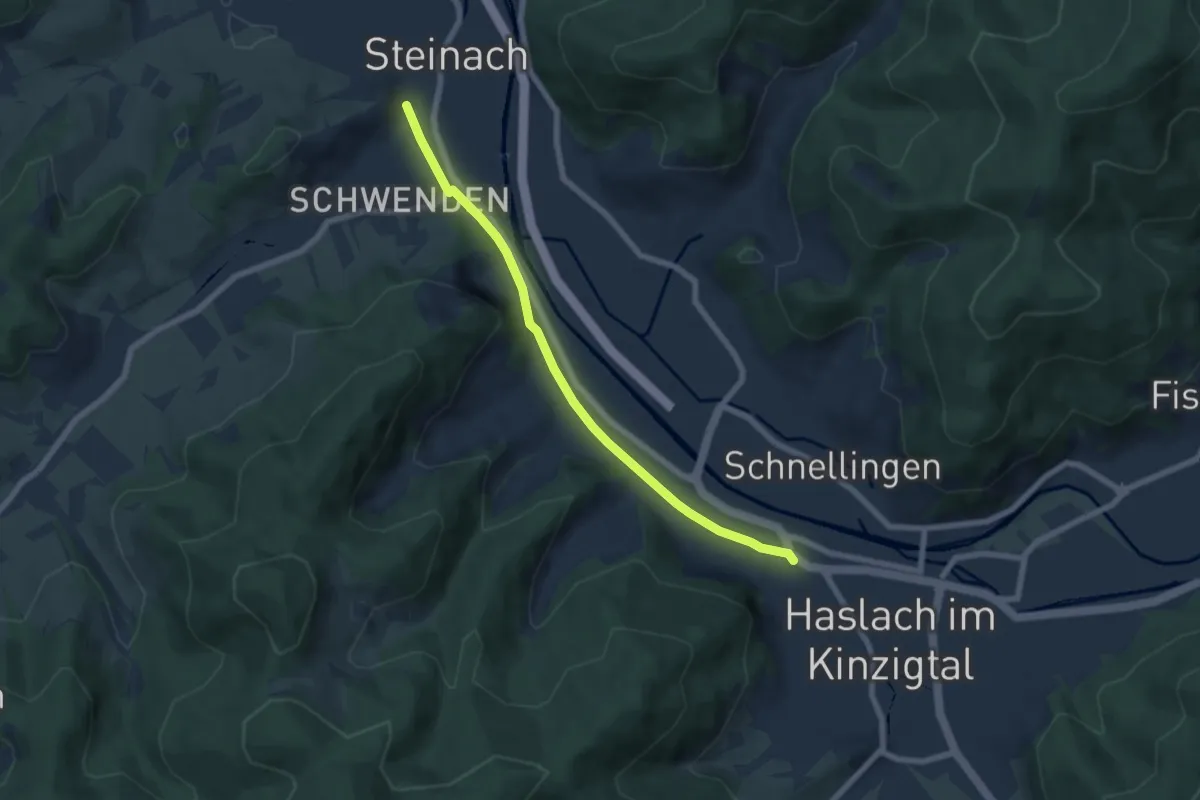
Easy · Trail
Haslach Freibad - Steinach Felsenkeller
6.2 km · ↑ 45 m · 1 h 34 min
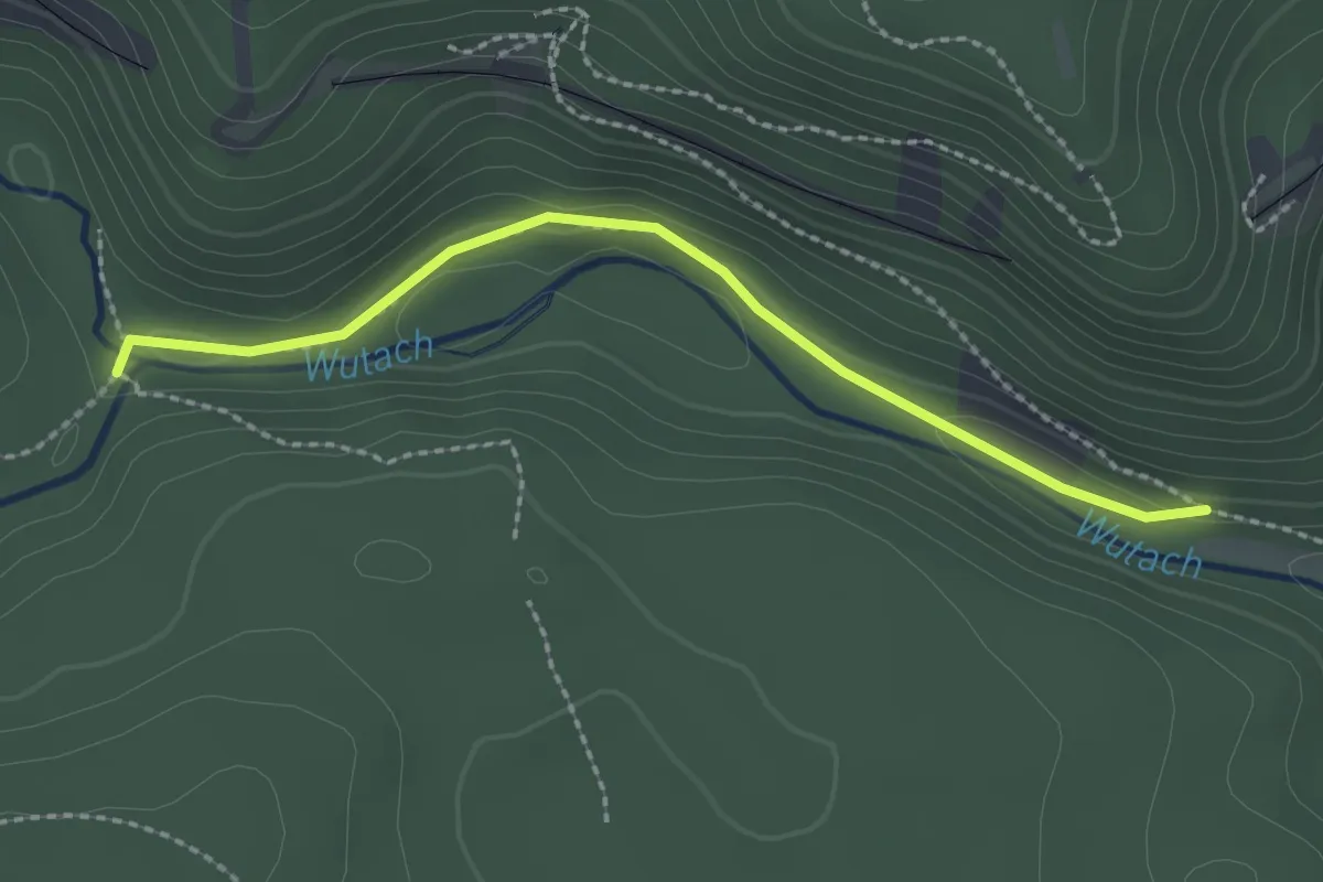
Medium · Trail
Haslachmündung - Wutachhalde
2.2 km · ↑ 38 m · 37 min
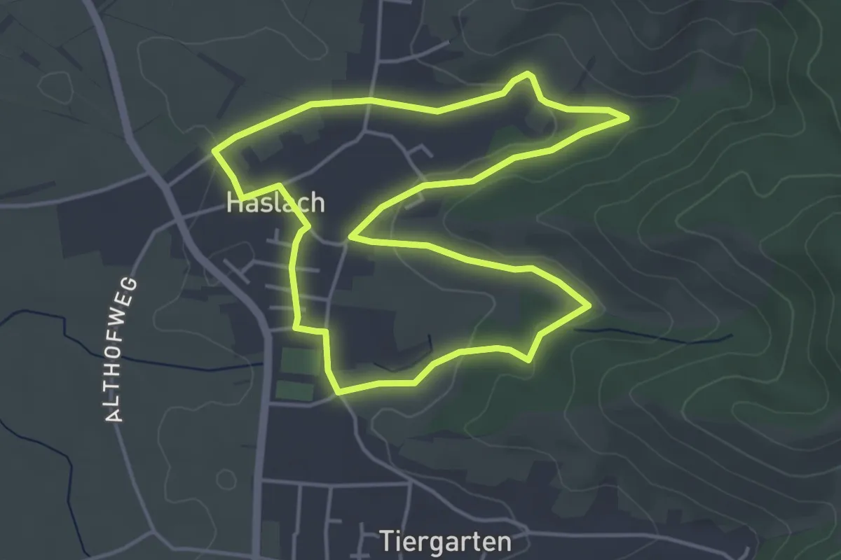
Easy · Trail
Haslach Runde 1
4.1 km · ↑ 56 m · 1 h 9 min
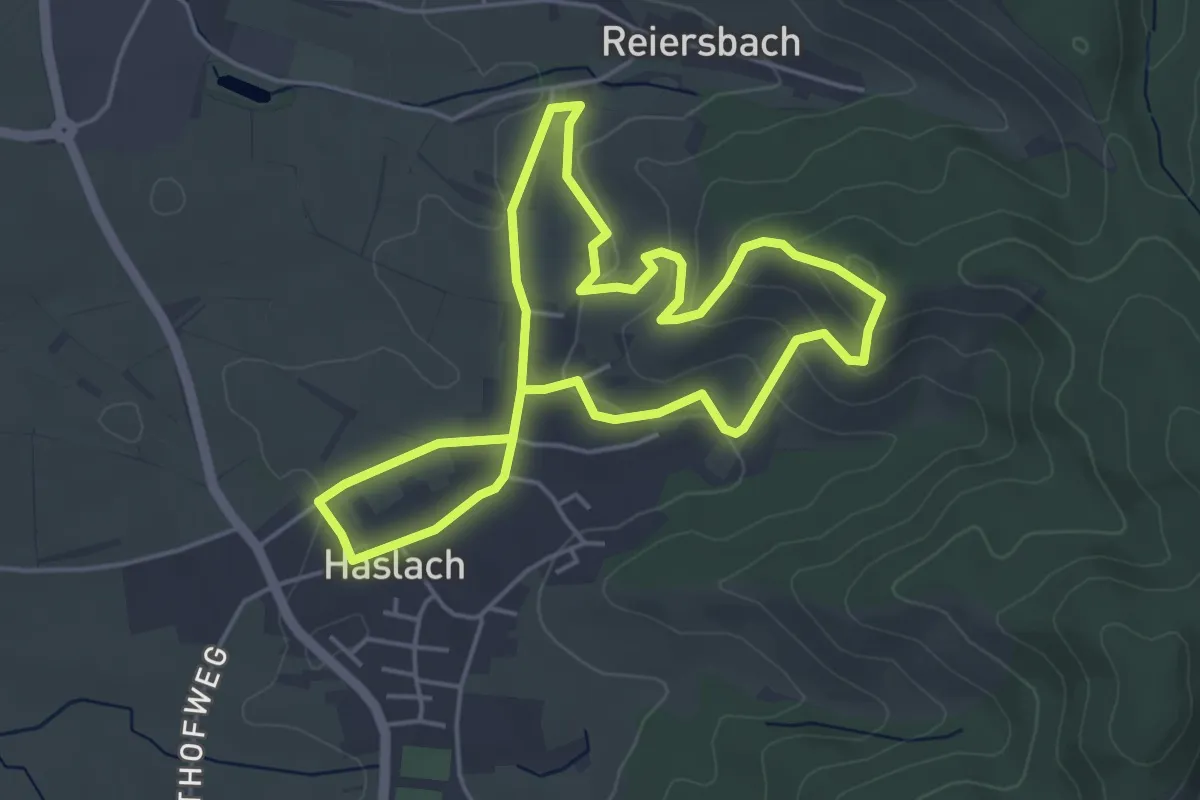
Easy · Trail
Haslach Runde 2
4.3 km · ↑ 127 m · 1 h 21 min
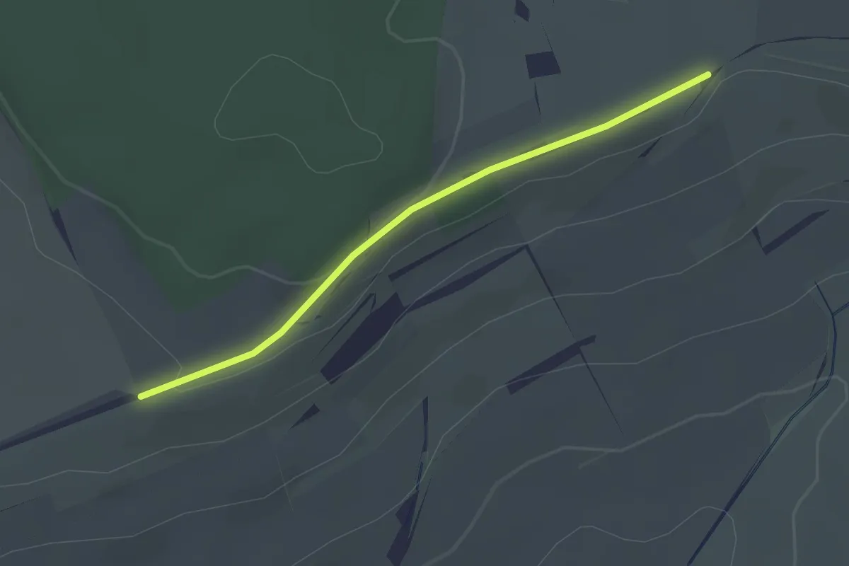
Easy · Trail
Haslen - Haslerhof
2.1 km · ↑ 42 m · 35 min
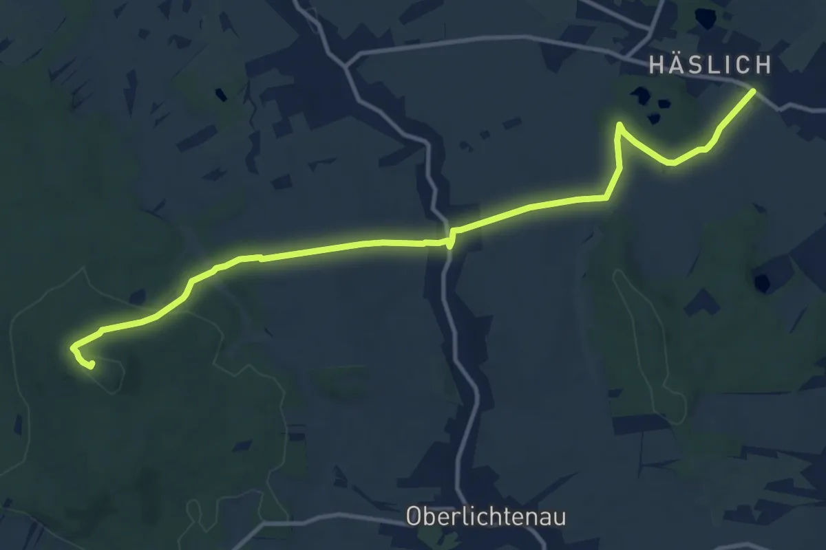
Medium · Summit
Häslich - Niederlichtenau - Keulenberg
11.6 km · ↑ 314 m · 3 h 25 min
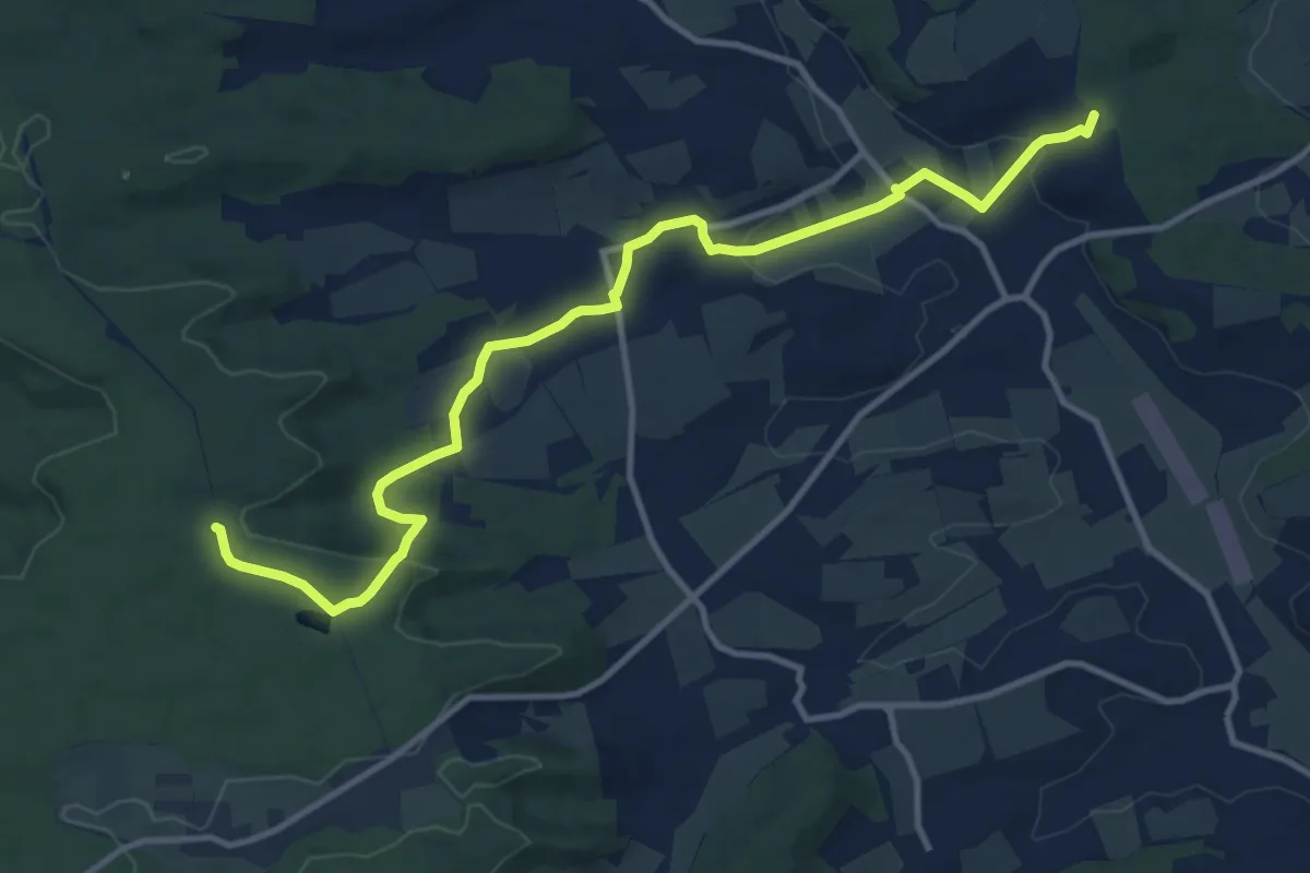
Medium · Trail
Haspelsee - Rappoltshofen - Vellberg / Kammerstatt
12.4 km · ↑ 172 m · 3 h 18 min
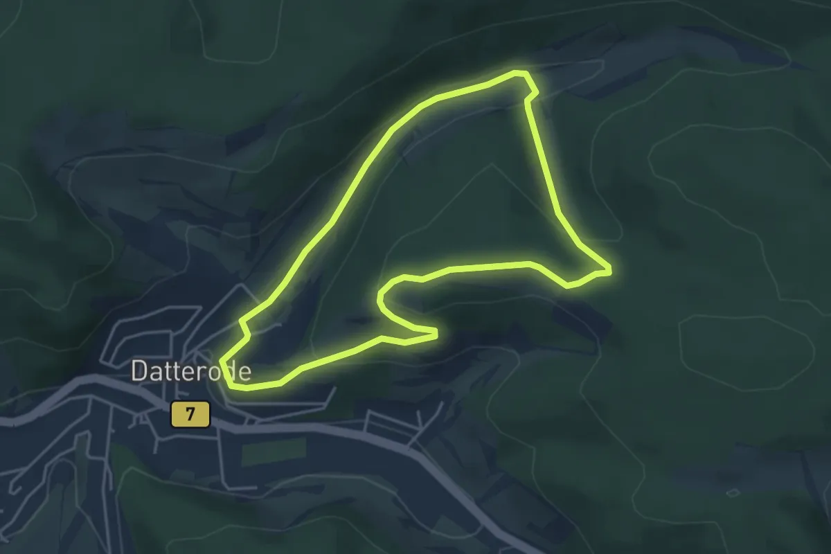
Easy · Trail
Hasselbachtal
3.7 km · ↑ 106 m · 1 h 9 min
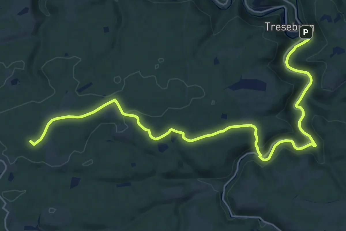
Medium · Summit
Hasselfelder Hexenweg
17.4 km · ↑ 300 m · 4 h 45 min
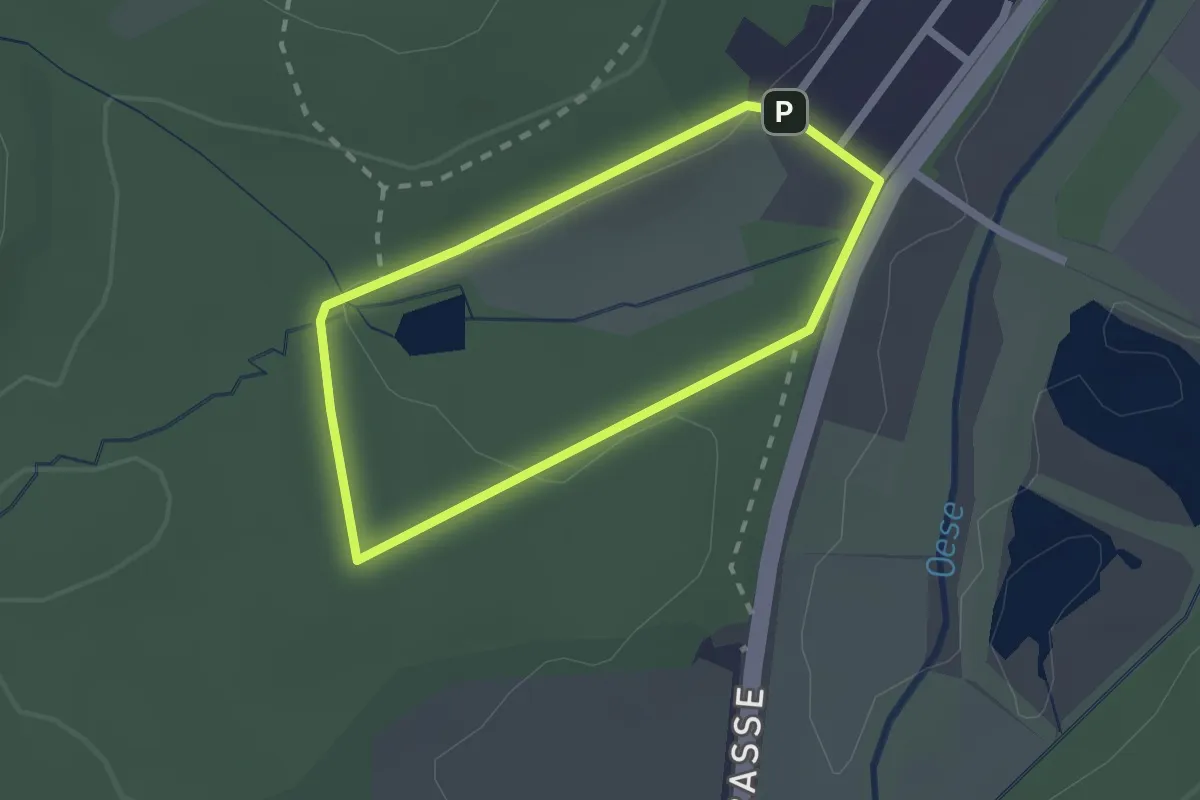
Easy · Trail
Hassenbruch A1
1.6 km · ↑ 29 m · 27 min
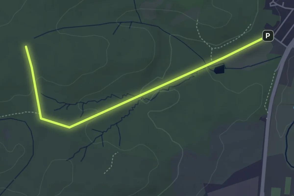
Easy · Trail
Hassenbruch A2
4.3 km · ↑ 76 m · 1 h 11 min
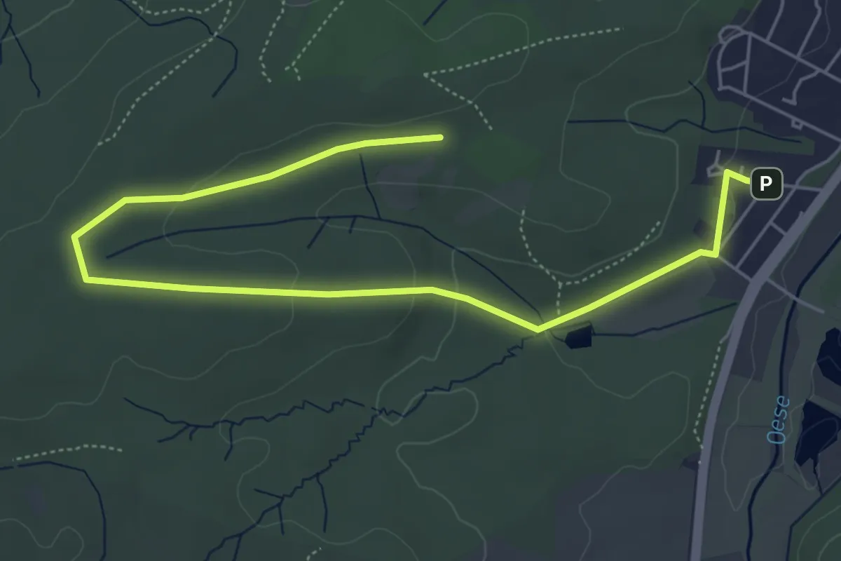
Easy · Trail
Hassenbruch A3
3.2 km · ↑ 89 m · 57 min
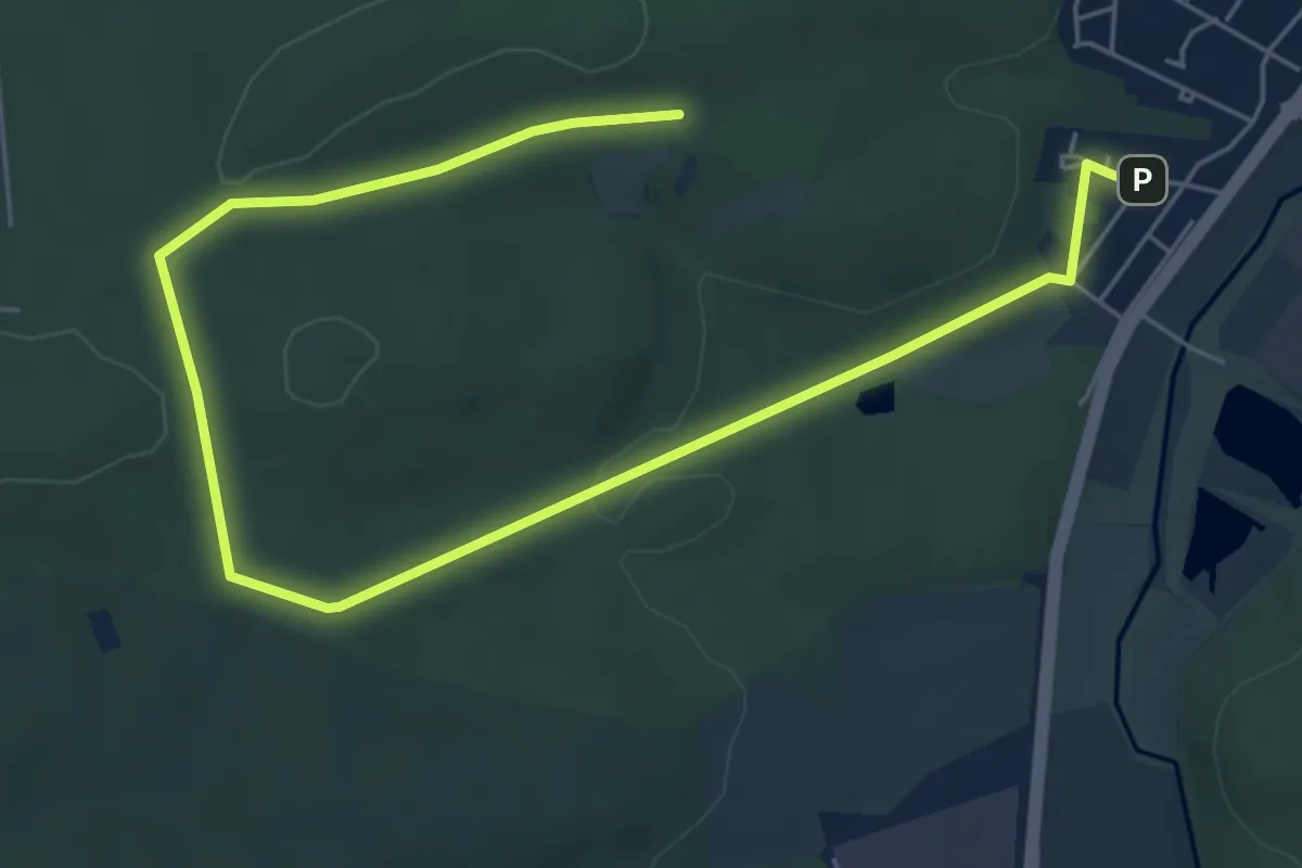
Easy · Trail
Hassenbruch A4
7.3 km · ↑ 114 m · 1 h 58 min
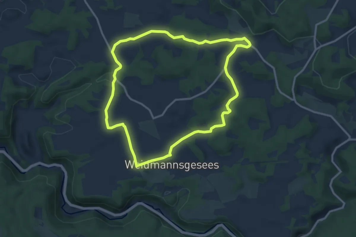
Easy · Trail
Haßlacher Rundwanderweg
7.2 km · ↑ 117 m · 2 h 4 min
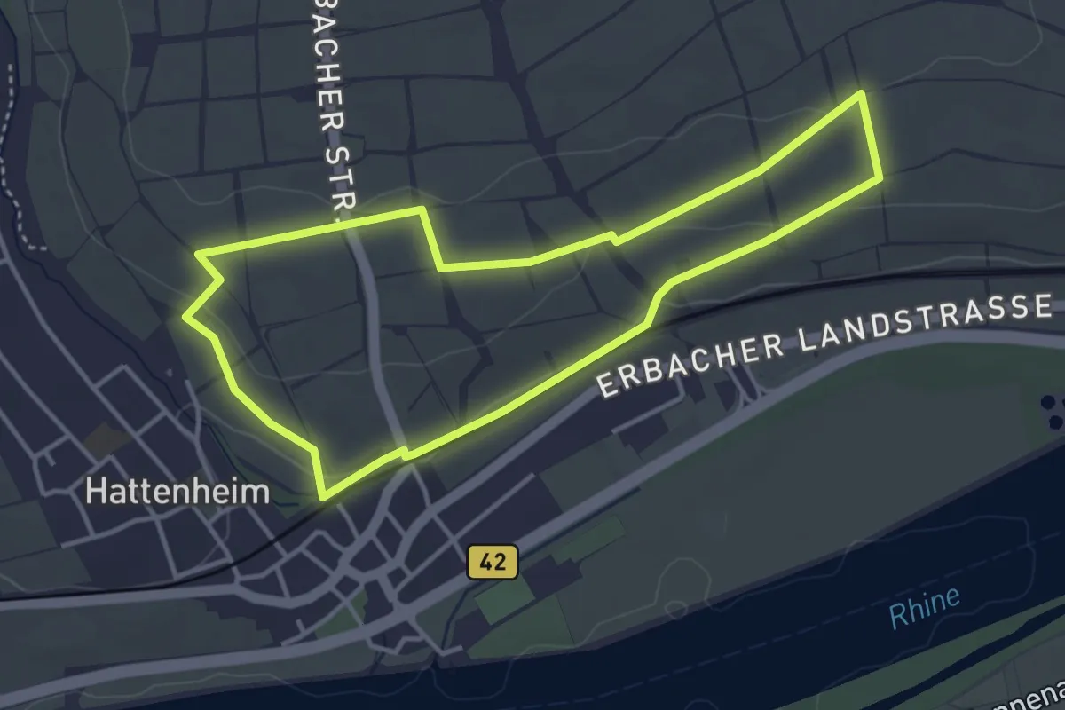
Easy · Trail
Hattenheimer Brunnenweg
3.4 km · ↑ 56 m · 59 min
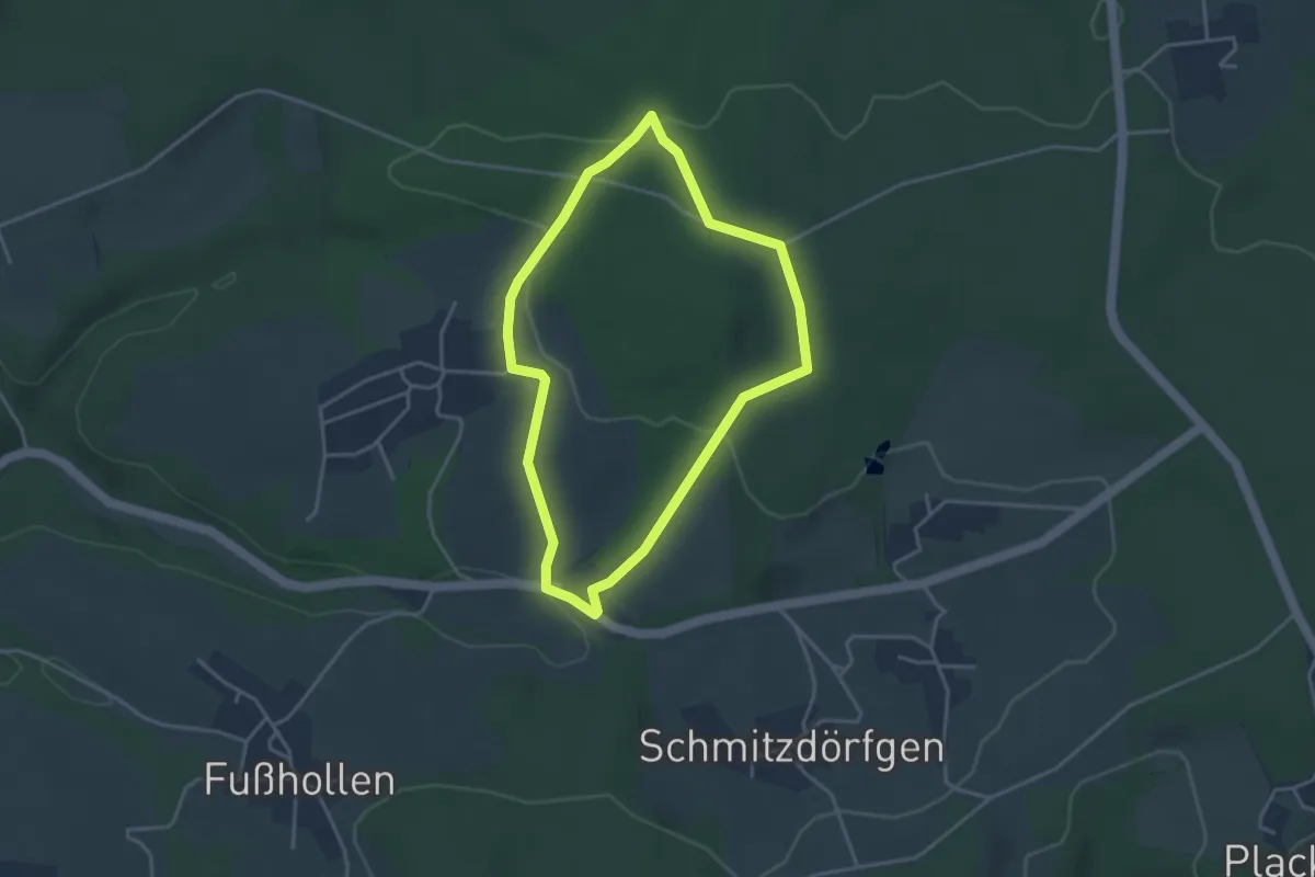
Easy · Trail
Hatterscheid Rundweg A1
3.1 km · ↑ 79 m · 57 min
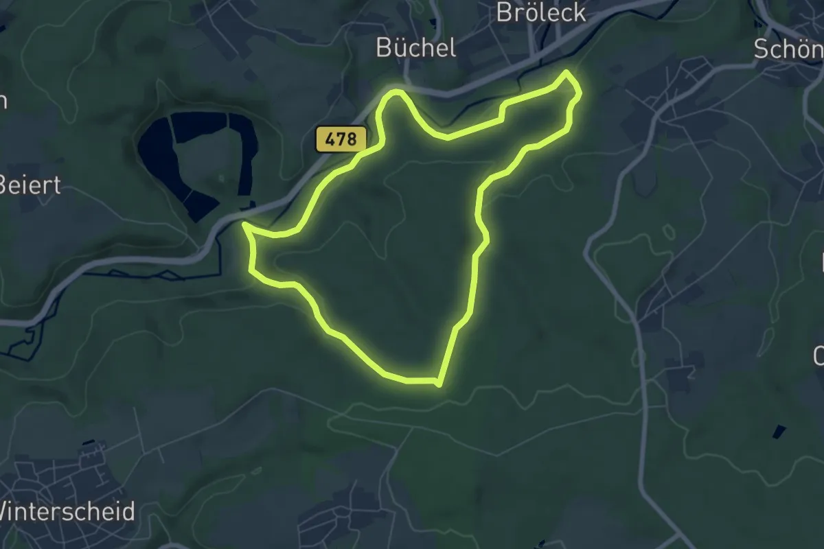
Easy · Trail
Hatterscheid Rundweg A2
6.4 km · ↑ 188 m · 2 h
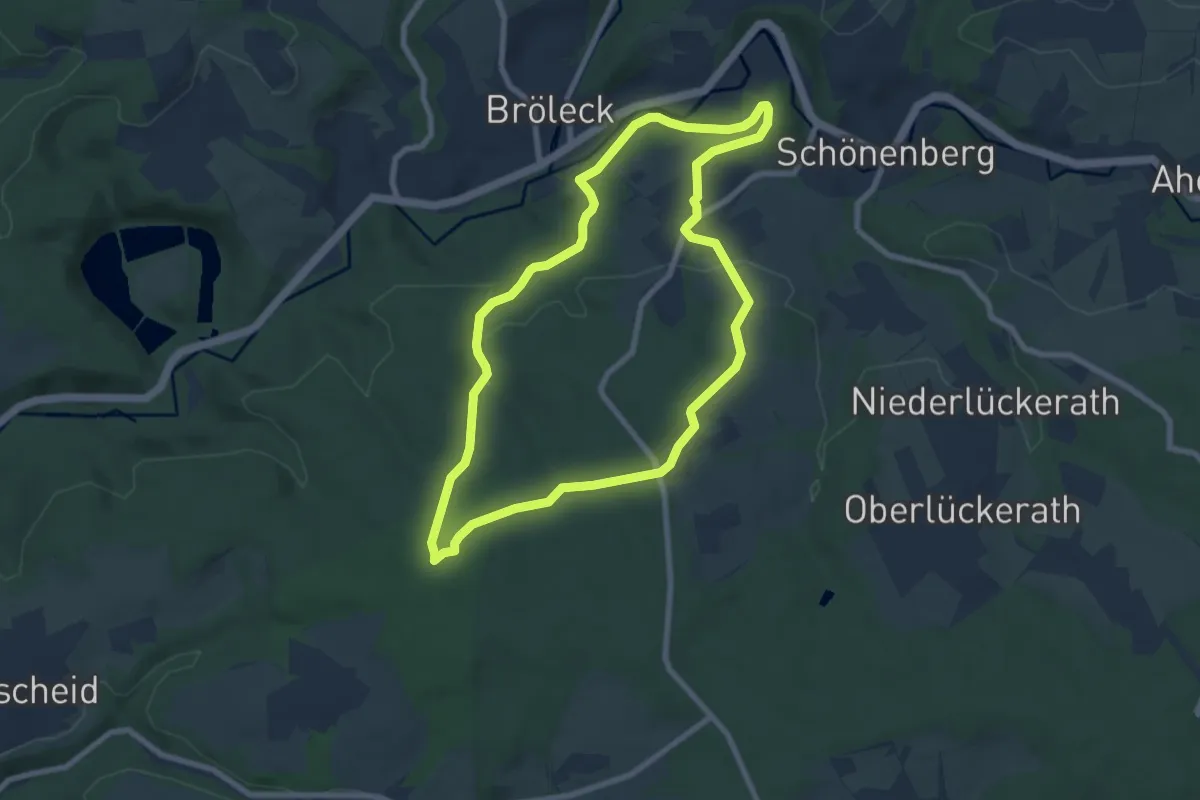
Easy · Trail
Hatterscheid Rundweg A3
7.0 km · ↑ 134 m · 2 h 2 min
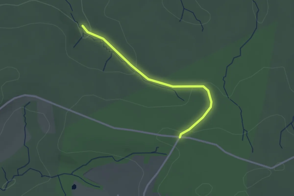
Easy · Trail
Hatterscheid Rundweg A4
1.1 km · ↑ 55 m · 22 min
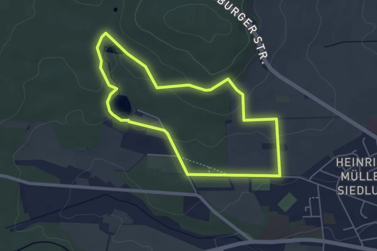
Easy · Trail
Hattsteinweiherweg
3.7 km · ↑ 67 m · 1 h 4 min
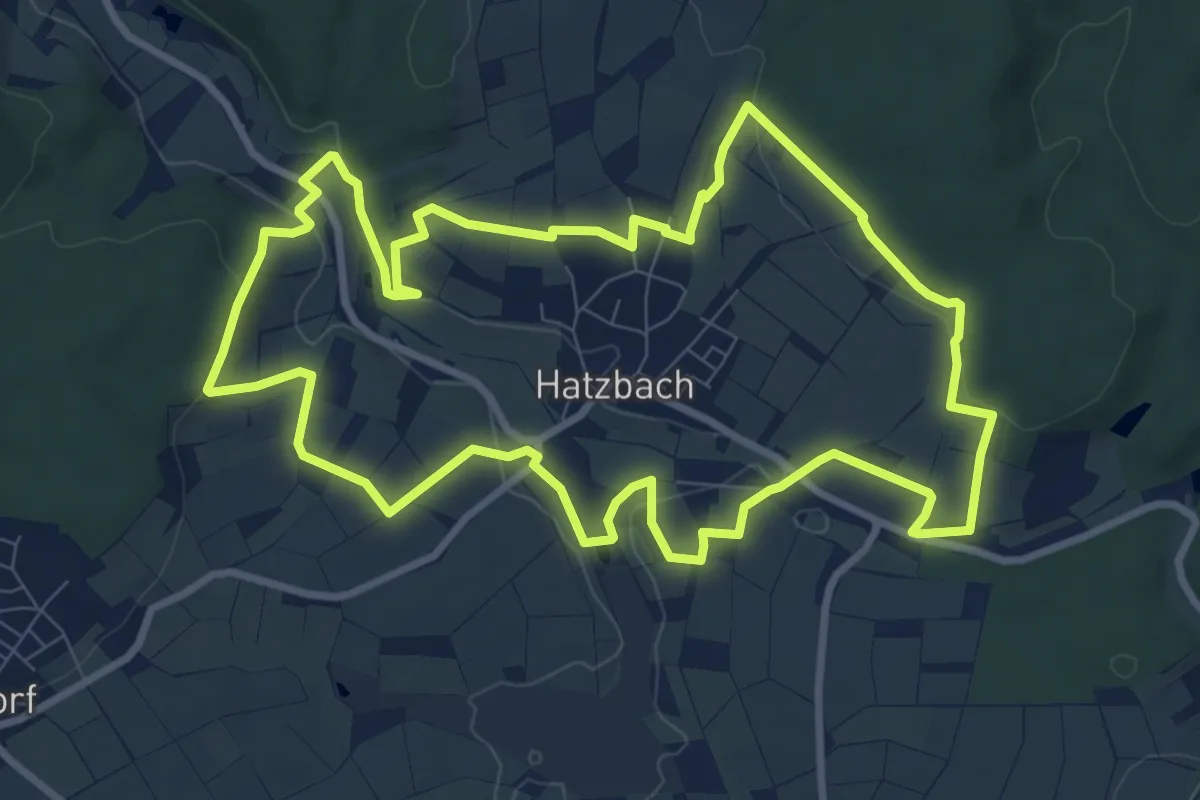
Medium · Trail
Hatzbacher Sagentour
9.0 km · ↑ 174 m · 2 h 38 min
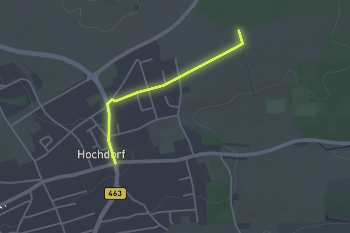
Easy · Trail
Hauäcker - Hochdorf Ortsmitte
2.4 km · ↑ 9 m · 35 min
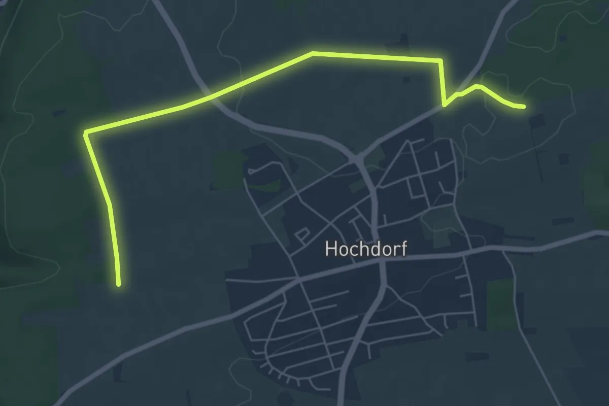
Easy · Trail
Hauäcker - Talsteige
6.1 km · ↑ 50 m · 1 h 33 min
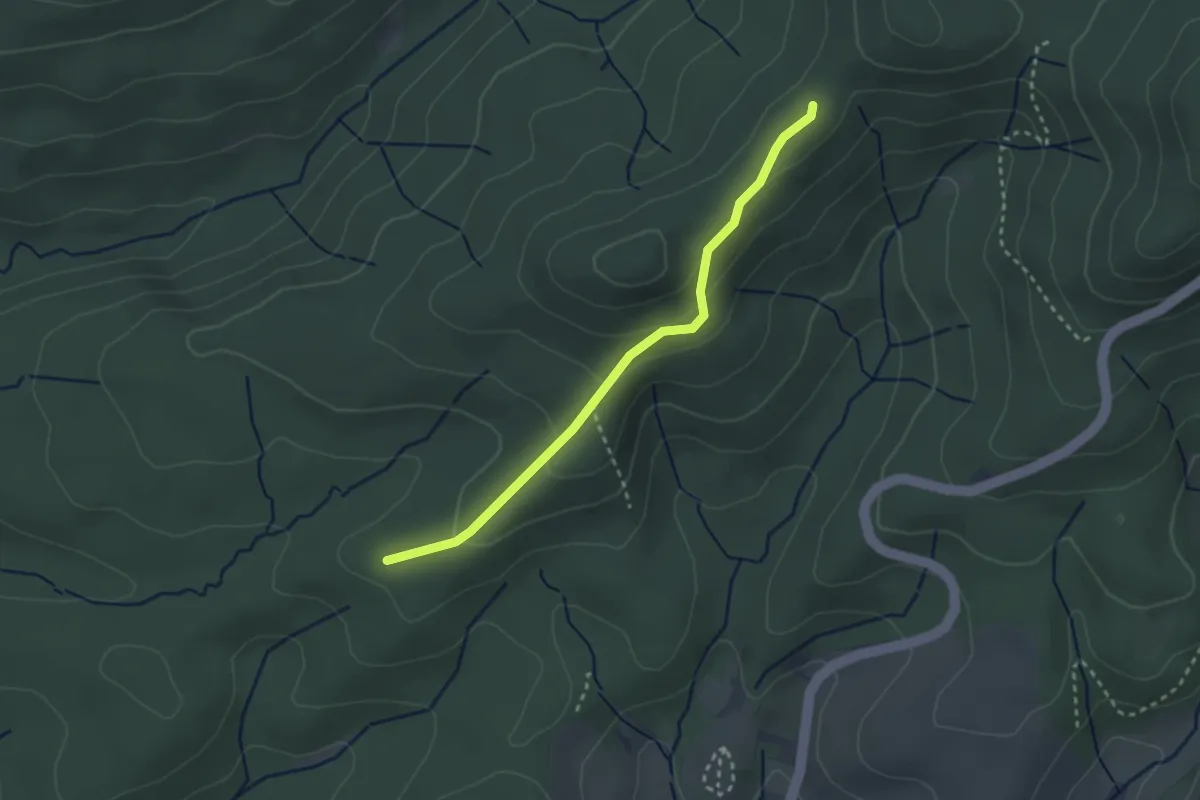
Easy · Trail
Haubensattel - Kieserstraße
2.6 km · ↑ 102 m · 50 min
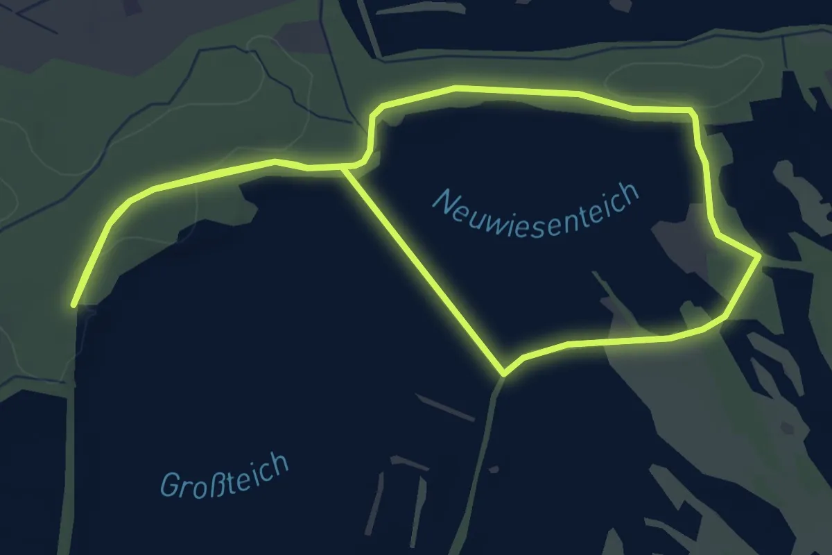
Easy · Trail
Haubentauerweg 4km
4.0 km · ↑ 9 m · 1 h 2 min
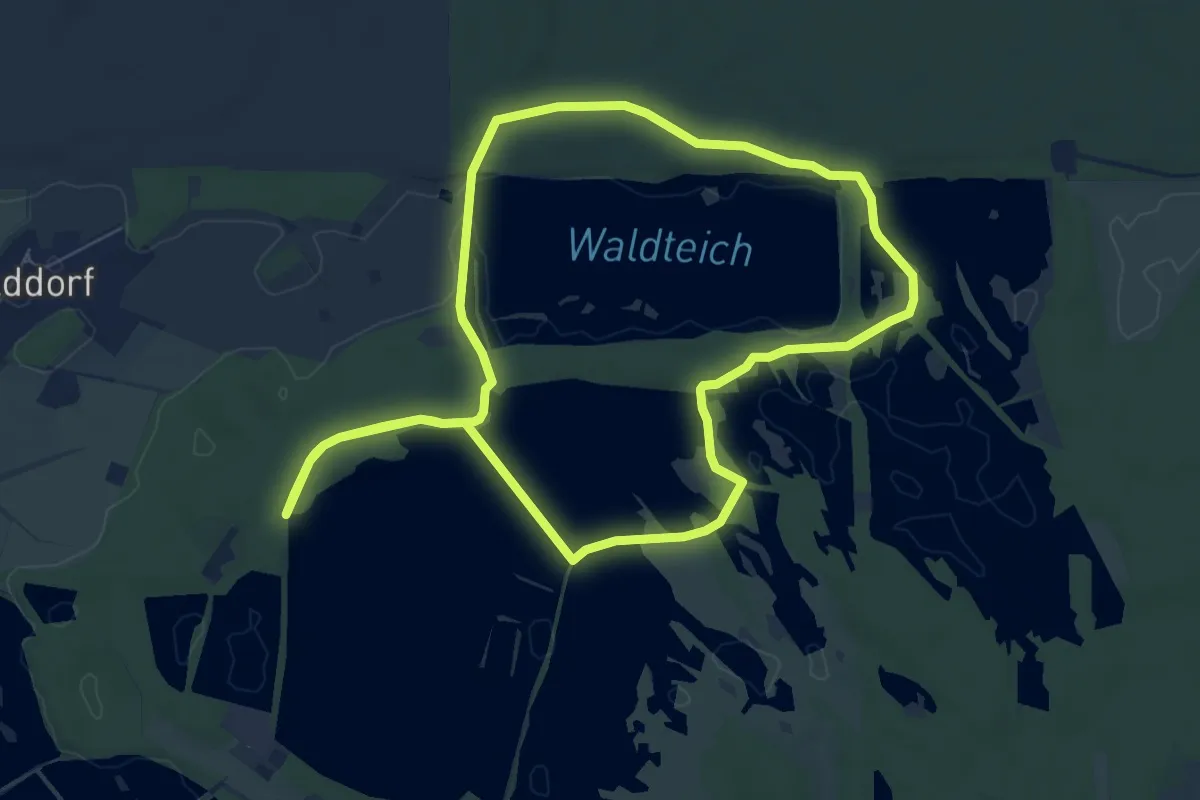
Easy · Trail
Haubentauerweg 7,5km
6.8 km · ↑ 23 m · 1 h 45 min
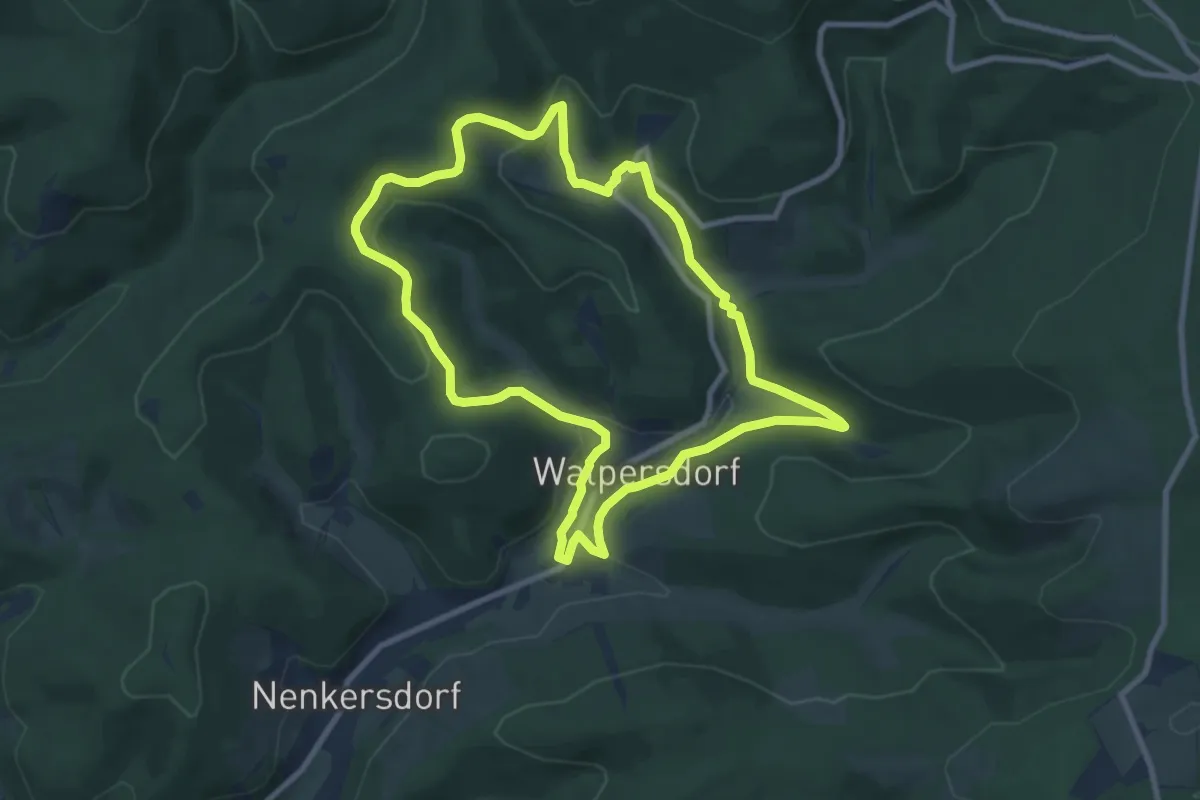
Easy · Trail
Haubergswichtel
8.0 km · ↑ 223 m · 2 h 28 min
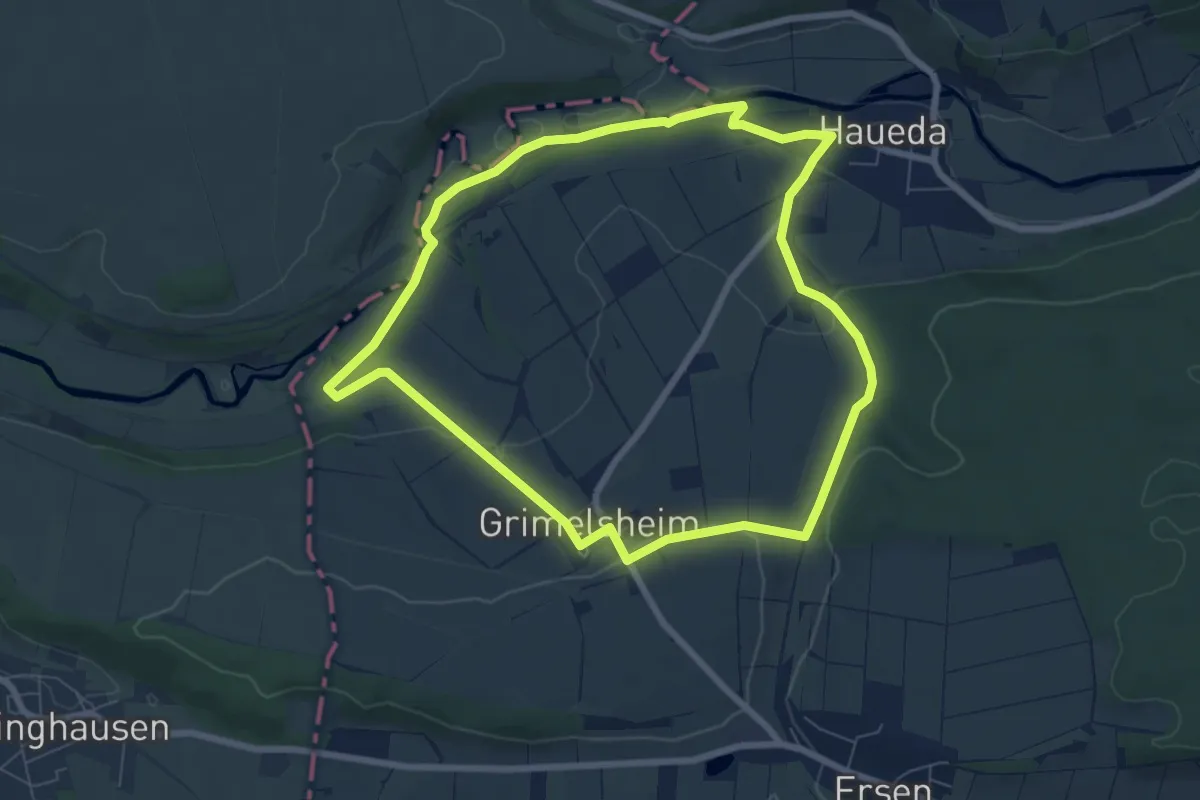
Easy · Trail
Haueda - H1
6.5 km · ↑ 113 m · 1 h 53 min
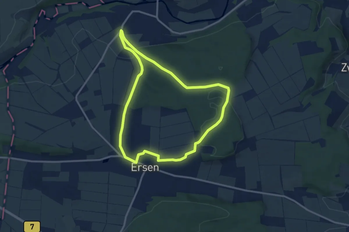
Easy · Trail
Haueda - H2
6.9 km · ↑ 134 m · 2 h 1 min
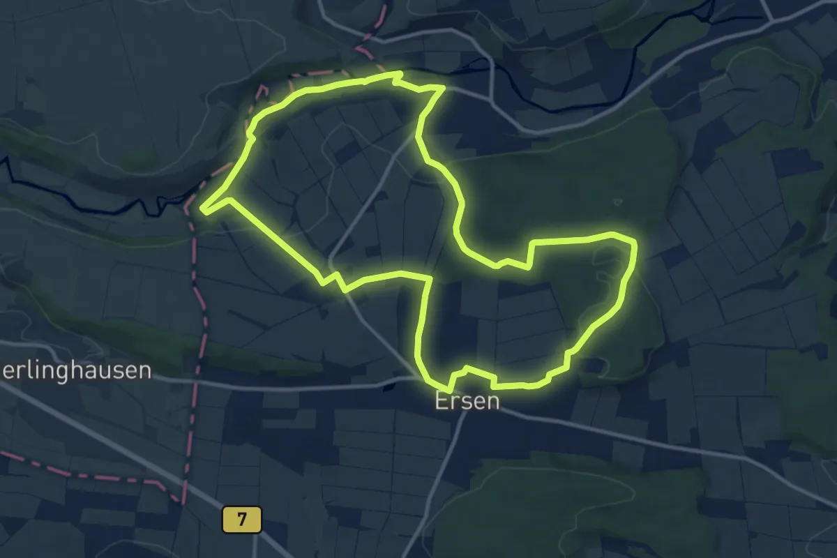
Medium · Trail
Haueda - H3
11.3 km · ↑ 180 m · 3 h 12 min
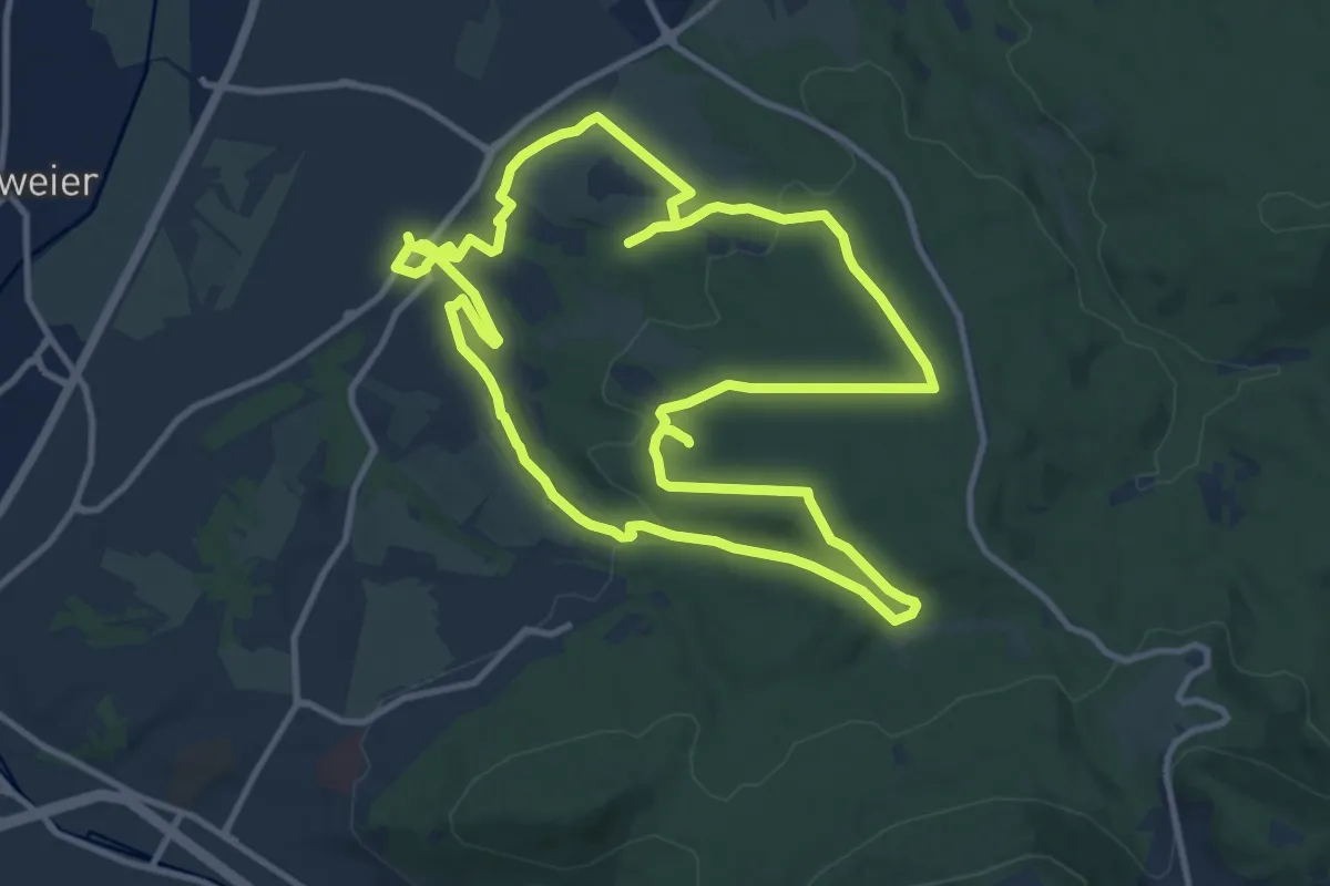
Medium · Trail
Hauenebersteiner Rundweg
12.1 km · ↑ 227 m · 3 h 32 min
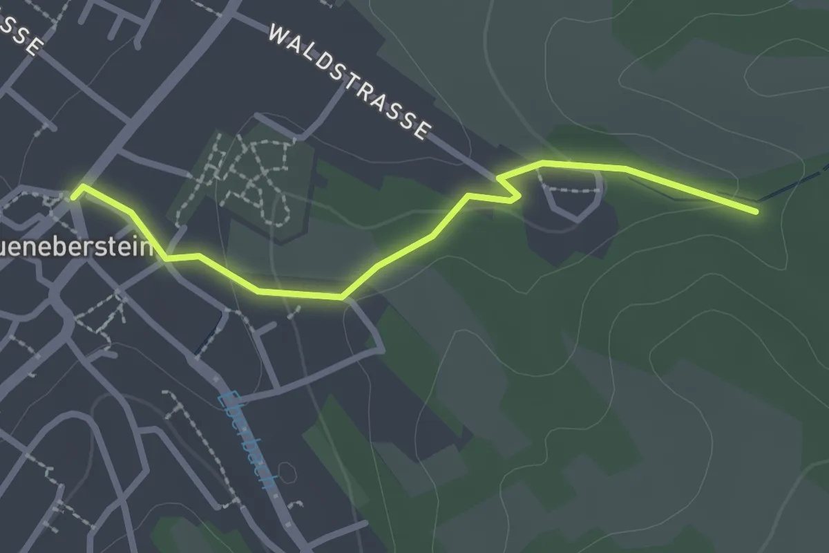
Easy · Trail
Haueneberstein Rathaus - Fuchslocher Klamm
2.2 km · ↑ 43 m · 36 min
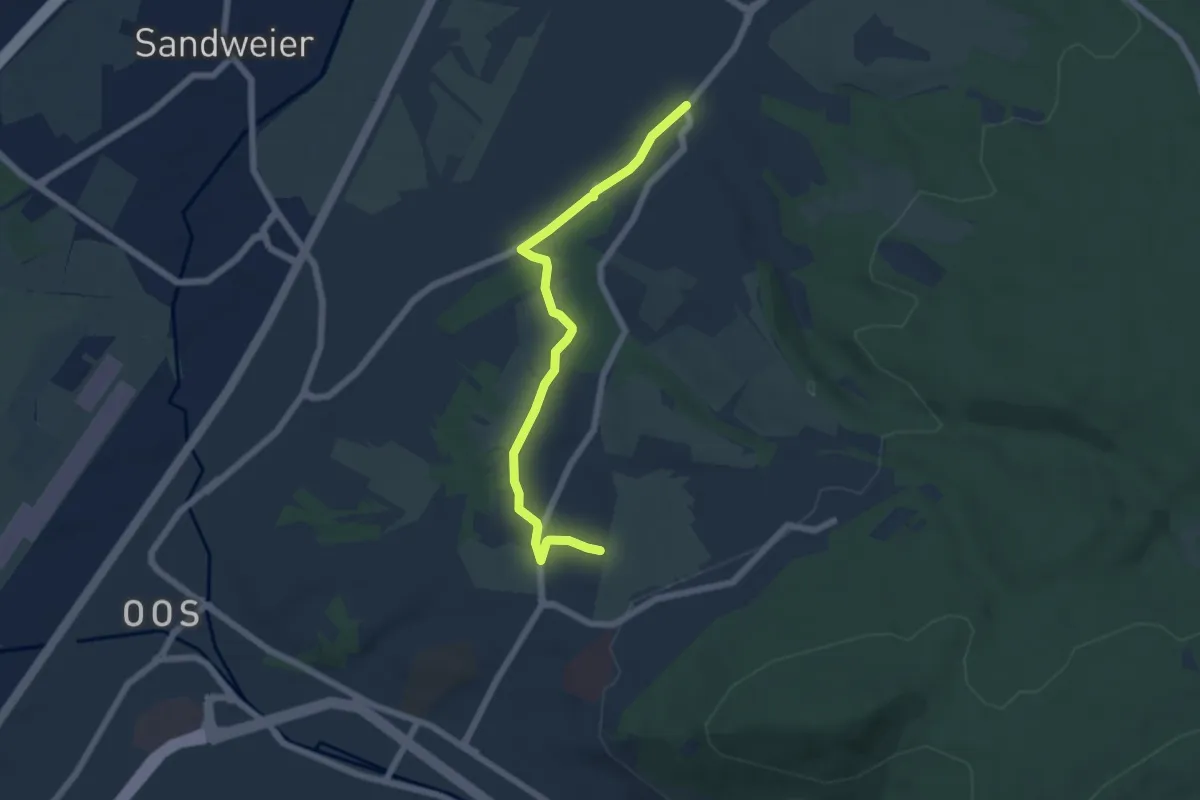
Easy · Trail
Haueneberstein Rathaus - Haid
5.7 km · ↑ 57 m · 1 h 28 min
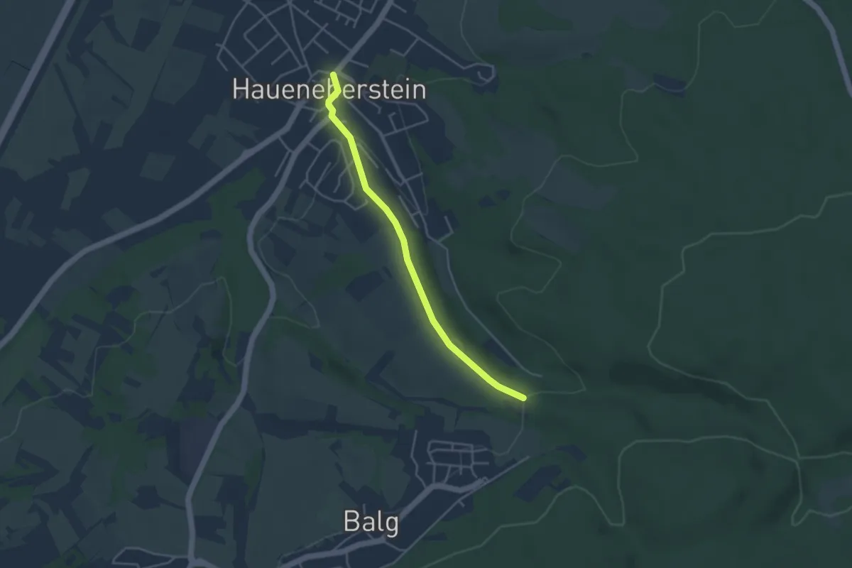
Easy · Trail
Haueneberstein Rathaus - Hinterfeld Hubertushof
3.5 km · ↑ 65 m · 58 min
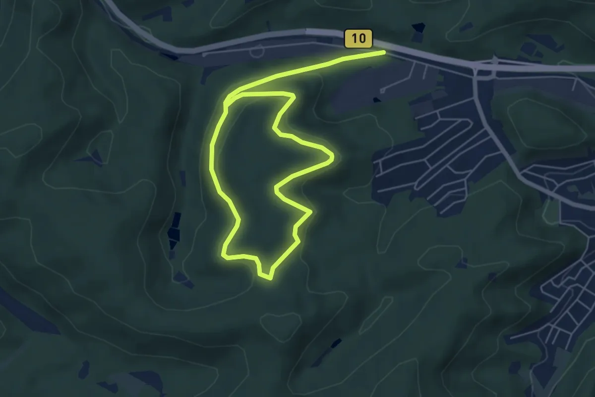
Easy · Summit
Hauensteiner B
4.1 km · ↑ 113 m · 1 h 18 min
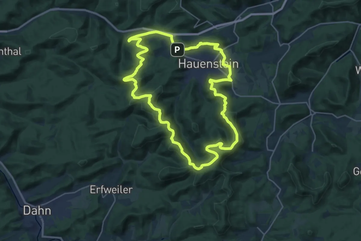
Demanding · Summit
Hauensteiner Höhenweg
18.1 km · ↑ 545 m · 5 h 42 min
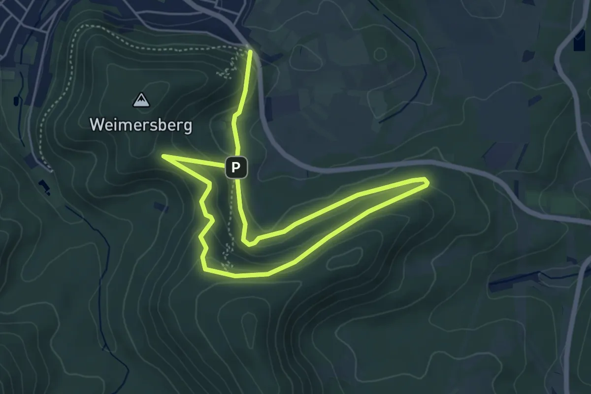
Easy · Trail
Hauensteiner L
3.7 km · ↑ 132 m · 1 h 13 min
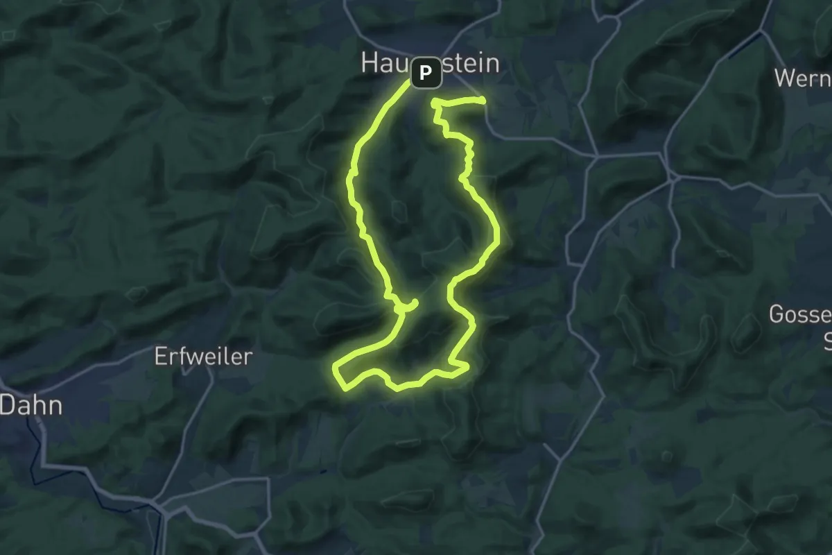
Medium · Summit
Hauensteiner Nr. 1
13.7 km · ↑ 522 m · 4 h 32 min
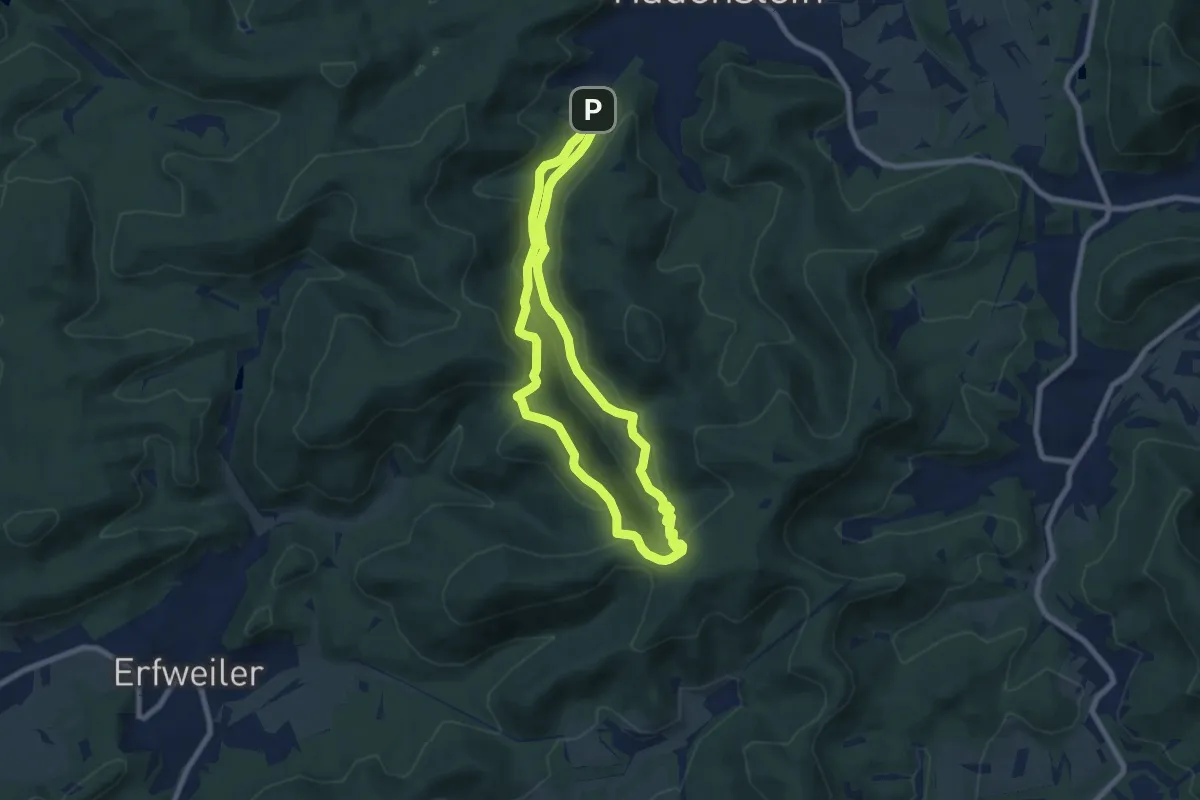
Easy · Summit
Hauensteiner Nr. 10
6.8 km · ↑ 257 m · 2 h 16 min
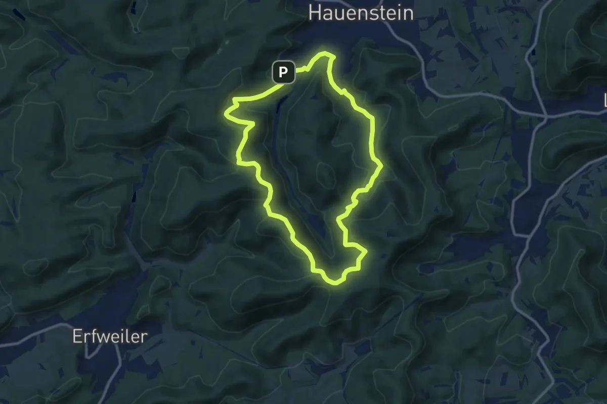
Medium · Summit
Hauensteiner Nr. 11
8.8 km · ↑ 351 m · 2 h 57 min
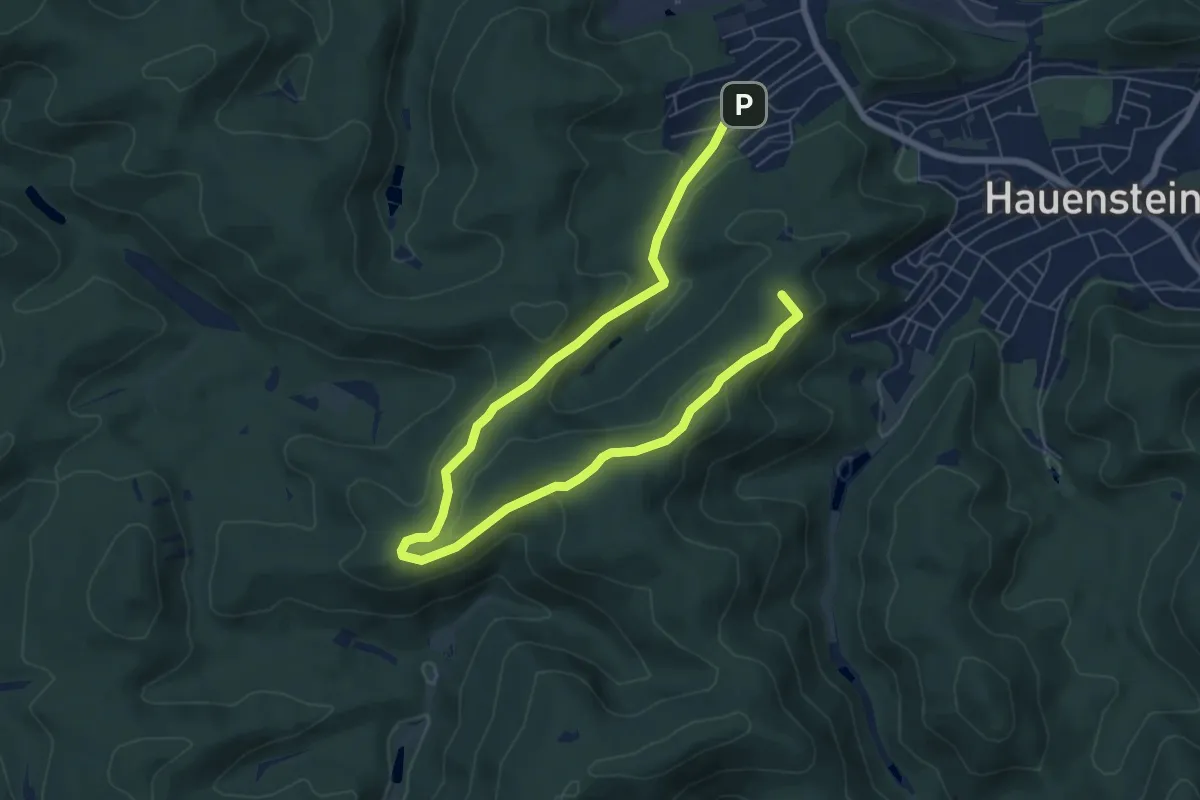
Medium · Summit
Hauensteiner Nr. 2
8.9 km · ↑ 291 m · 2 h 44 min
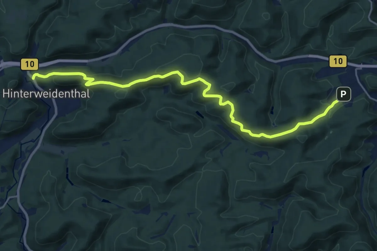
Medium · Summit
Hauensteiner Nr. 21
8.0 km · ↑ 219 m · 2 h 30 min
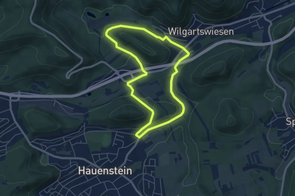
Easy · Trail
Hauensteiner Nr. 22
4.6 km · ↑ 110 m · 1 h 23 min
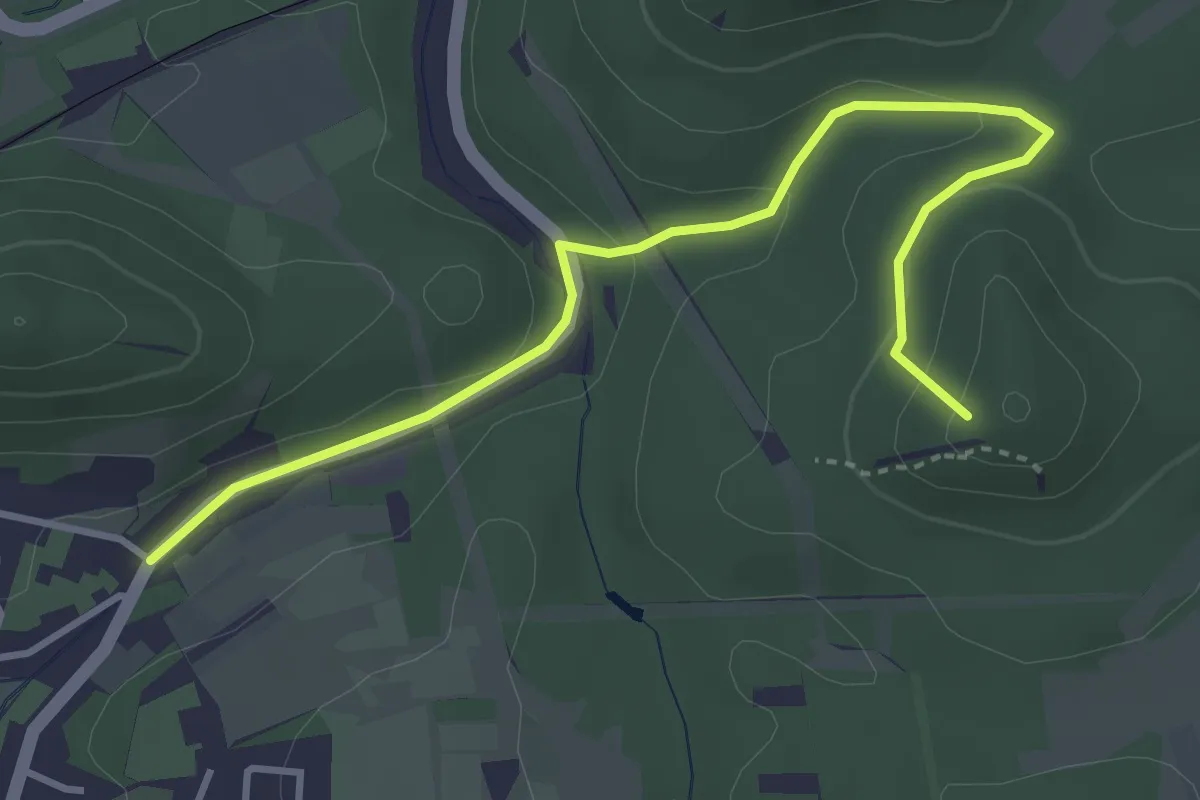
Easy · Summit
Hauensteiner Nr. 23
3.9 km · ↑ 121 m · 1 h 11 min
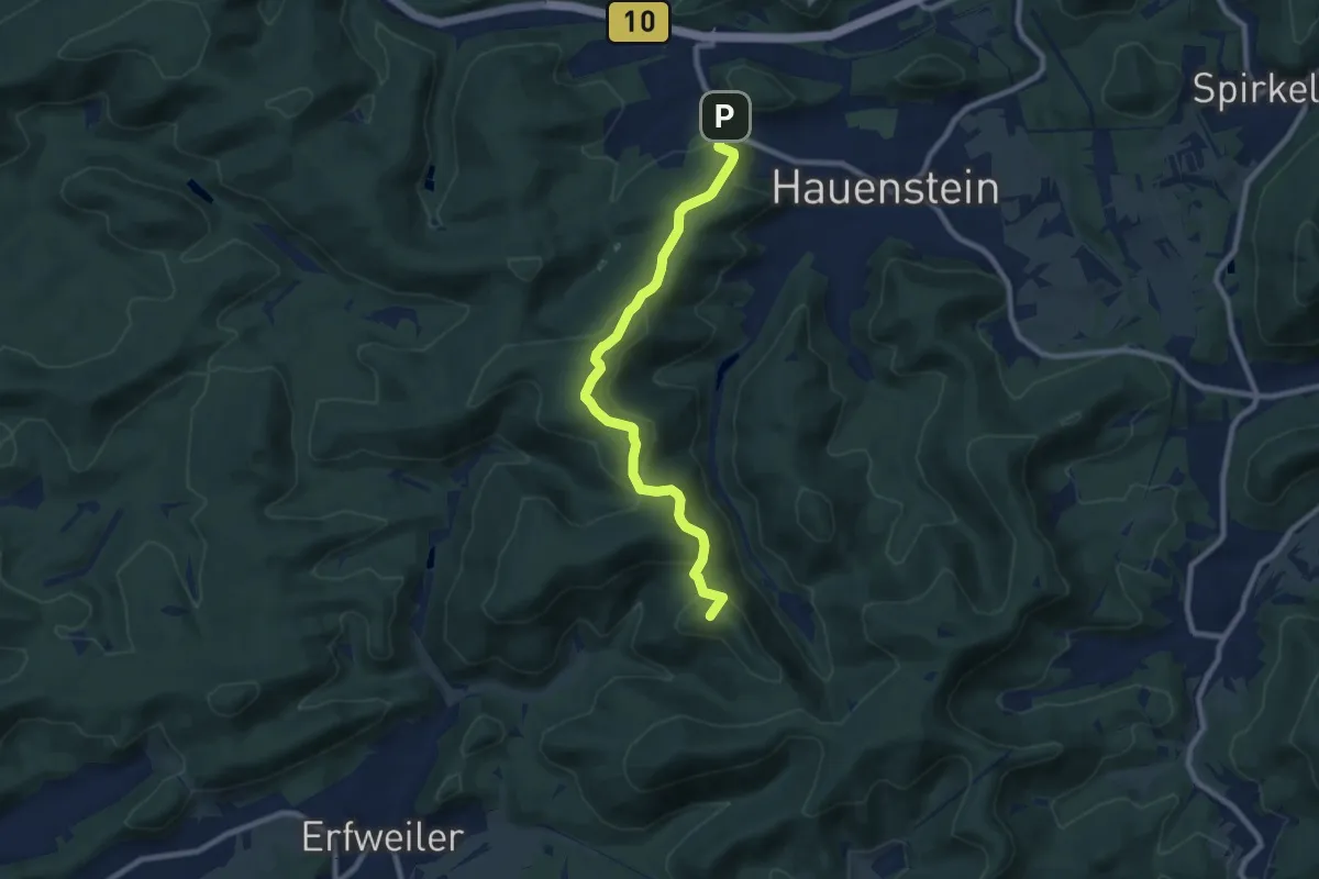
Medium · Summit
Hauensteiner Nr. 3
8.2 km · ↑ 304 m · 2 h 36 min
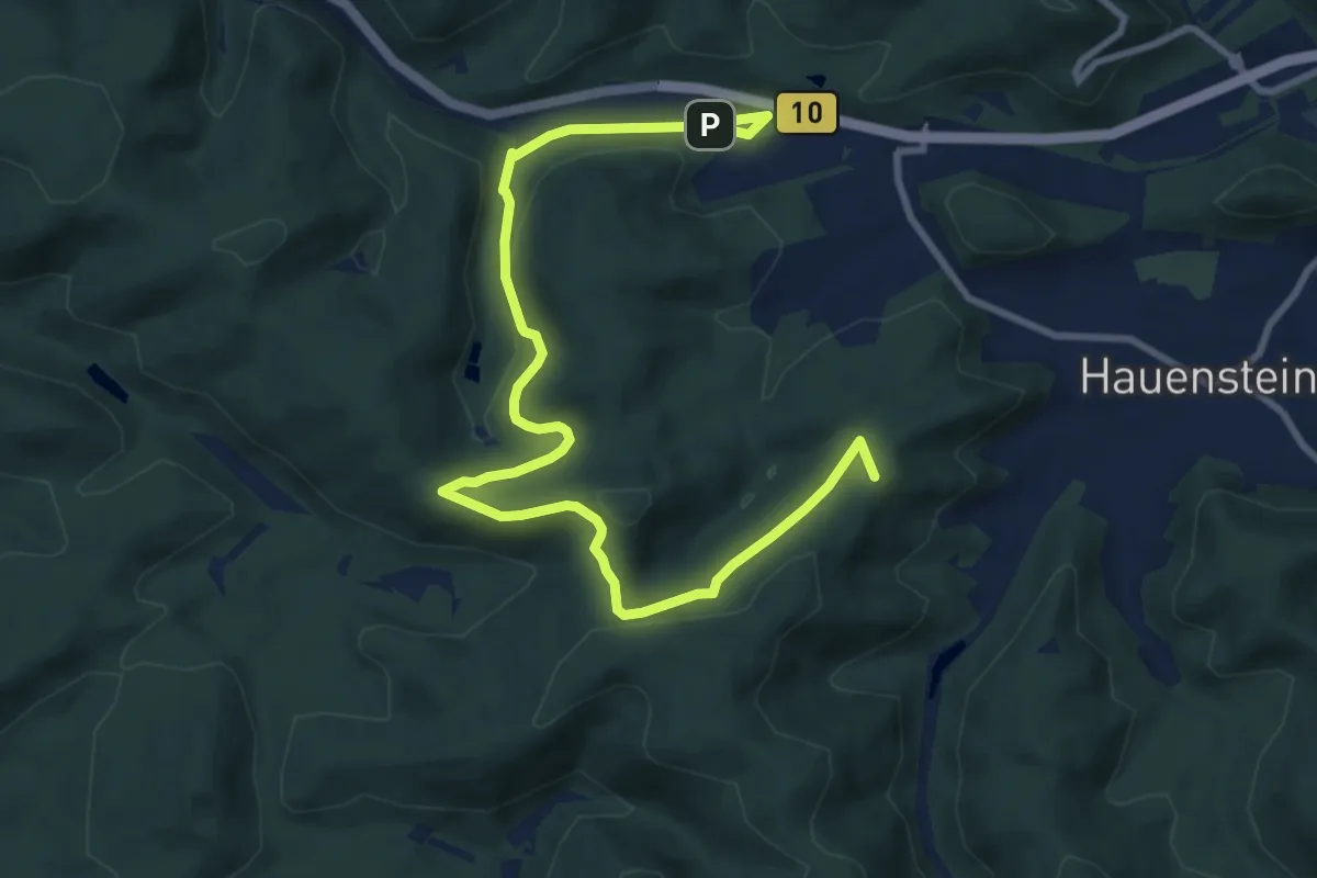
Medium · Summit
Hauensteiner Nr. 4
11.0 km · ↑ 296 m · 3 h 15 min