Trails in Germany
36,852 hiking trails, each with its route, climb, walking time and grade.
All trails, page 231 of 768
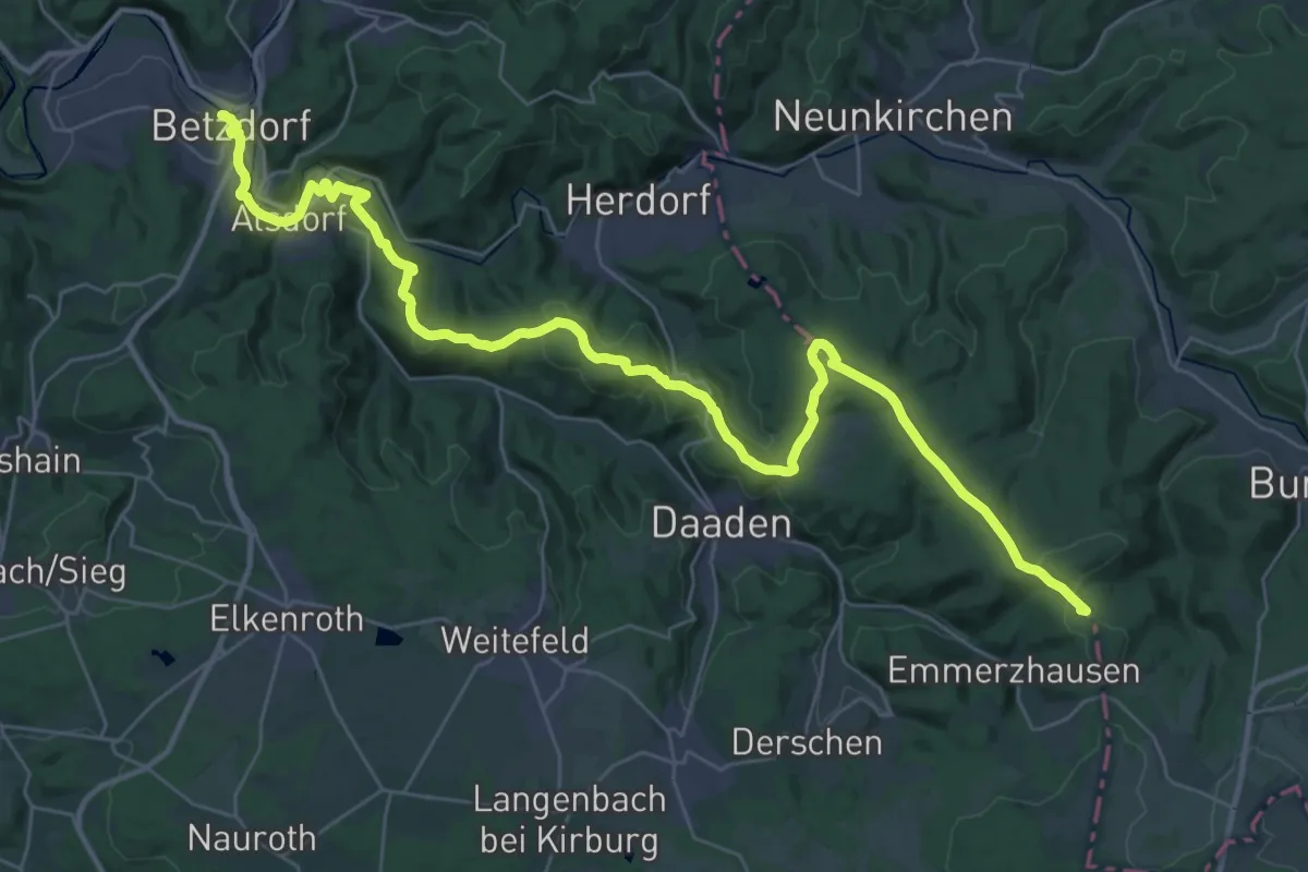
Demanding · Summit
Hellerhöhenweg
40.3 km · ↑ 904 m · 11 h 29 min
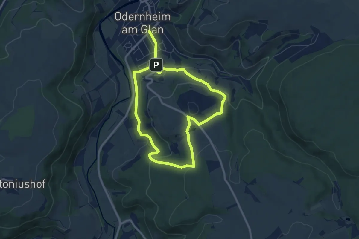
Easy · Trail
Hellersbergweg
6.0 km · ↑ 186 m · 1 h 54 min
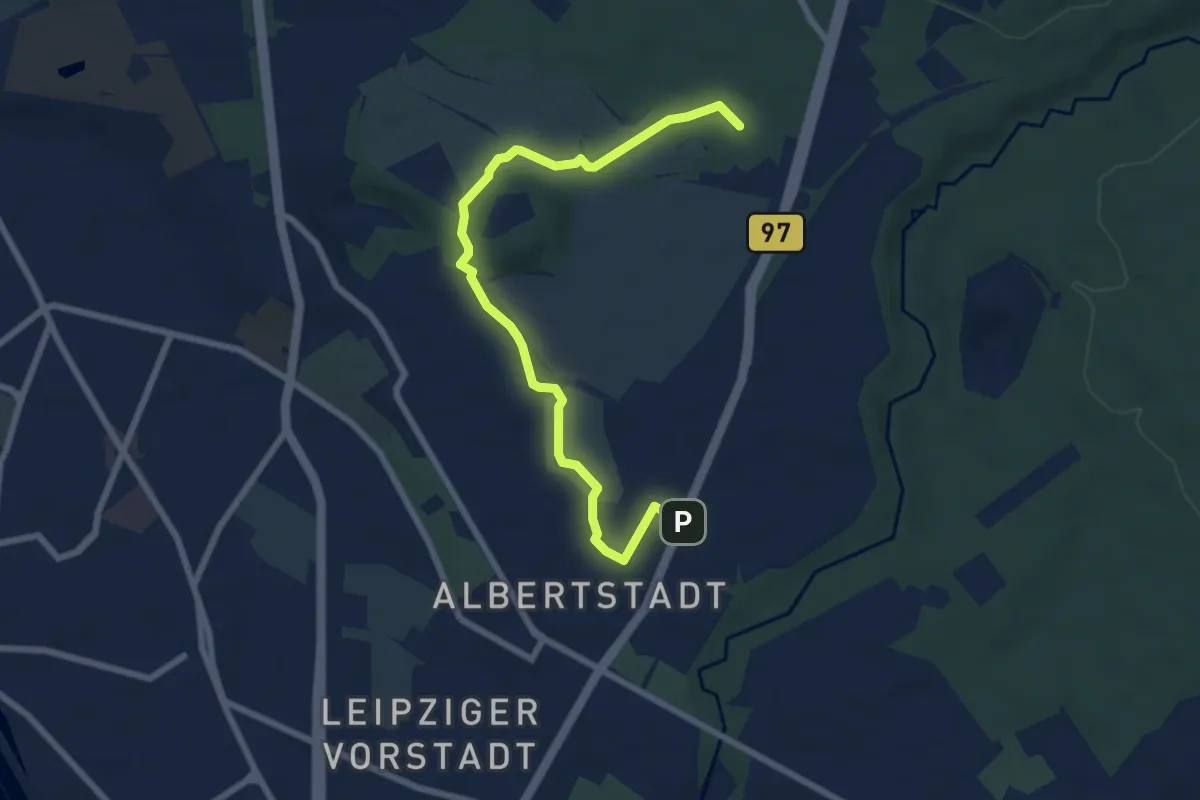
Easy · Summit
Hellerwanderweg
7.2 km · ↑ 29 m · 1 h 45 min
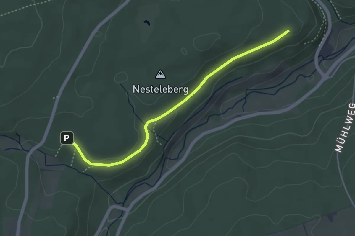
Easy · Trail
Heller Weg - Nestelberg
3.6 km · ↑ 28 m · 55 min
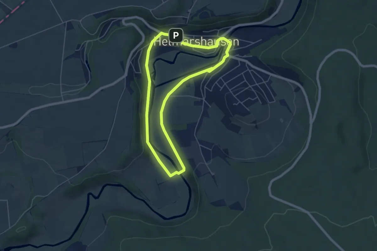
Easy · Trail
Helmarshausen, H2
4.4 km · ↑ 47 m · 1 h 13 min
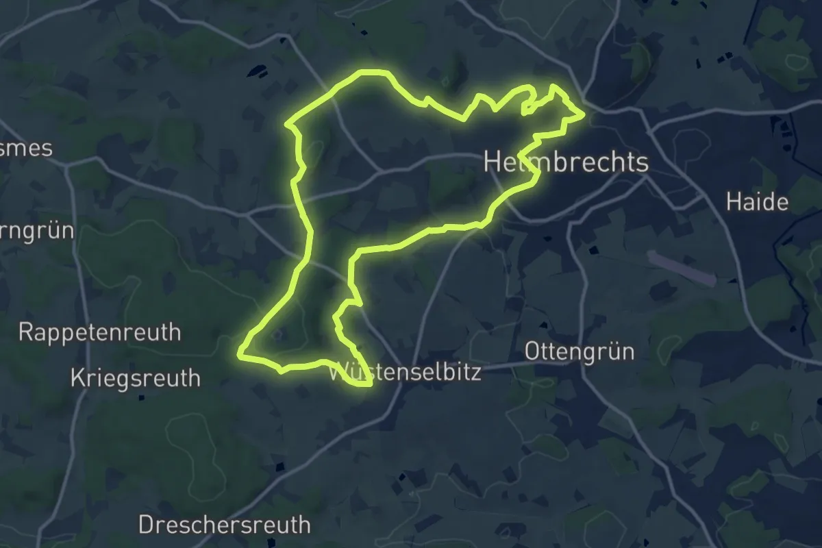
Medium · Trail
Helmbrecht-Weg OS 11
12.3 km · ↑ 270 m · 3 h 40 min
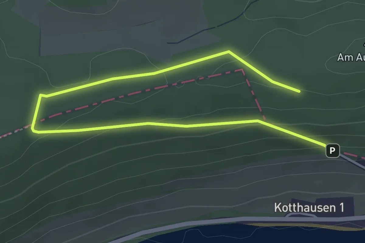
Easy · Summit
Helminghausen HL1
2.4 km · ↑ 92 m · 46 min
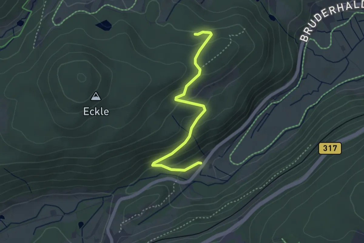
Easy · Trail
Helmlewald - Löffelschmiede
3.5 km · ↑ 180 m · 1 h 13 min
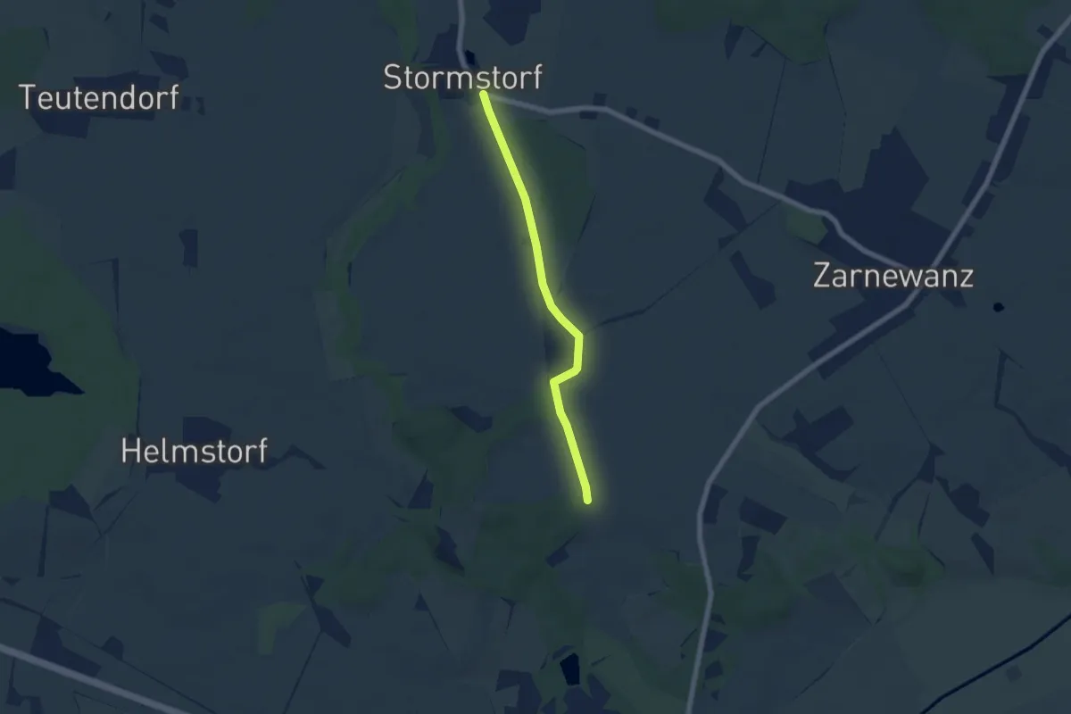
Easy · Trail
Helmstorf-Wolfsberger Mühle
4.8 km · ↑ 9 m · 1 h 9 min
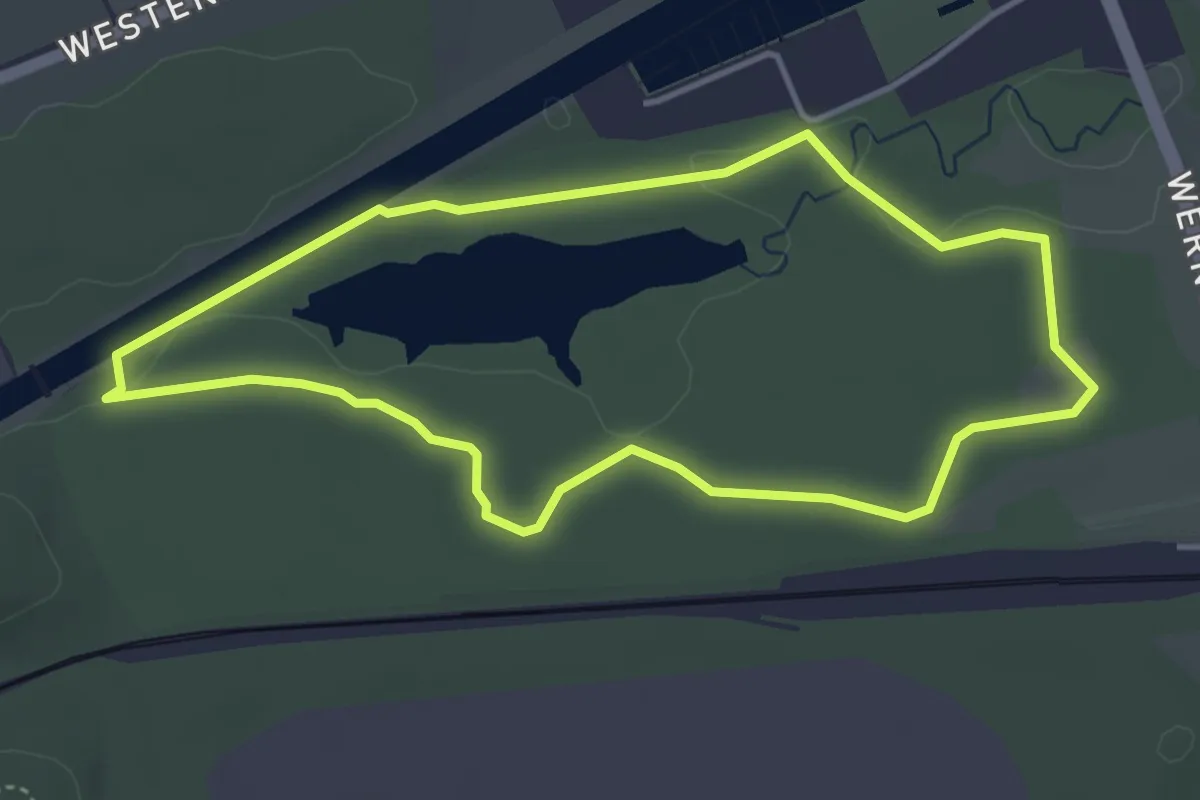
Easy · Trail
Helmut-July-Weg
3.6 km · ↑ 13 m · 56 min
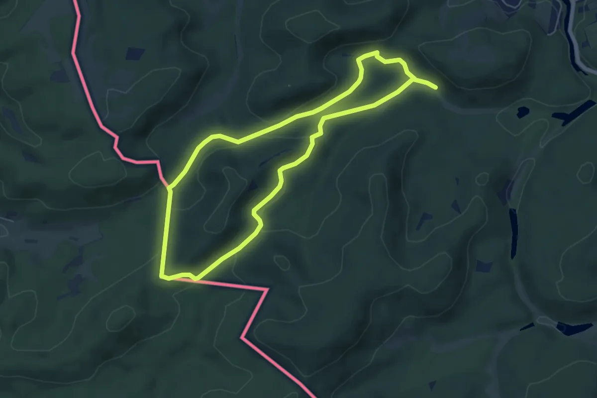
Easy · Trail
Helmut-Kohl-Wanderweg
5.1 km · ↑ 120 m · 1 h 32 min
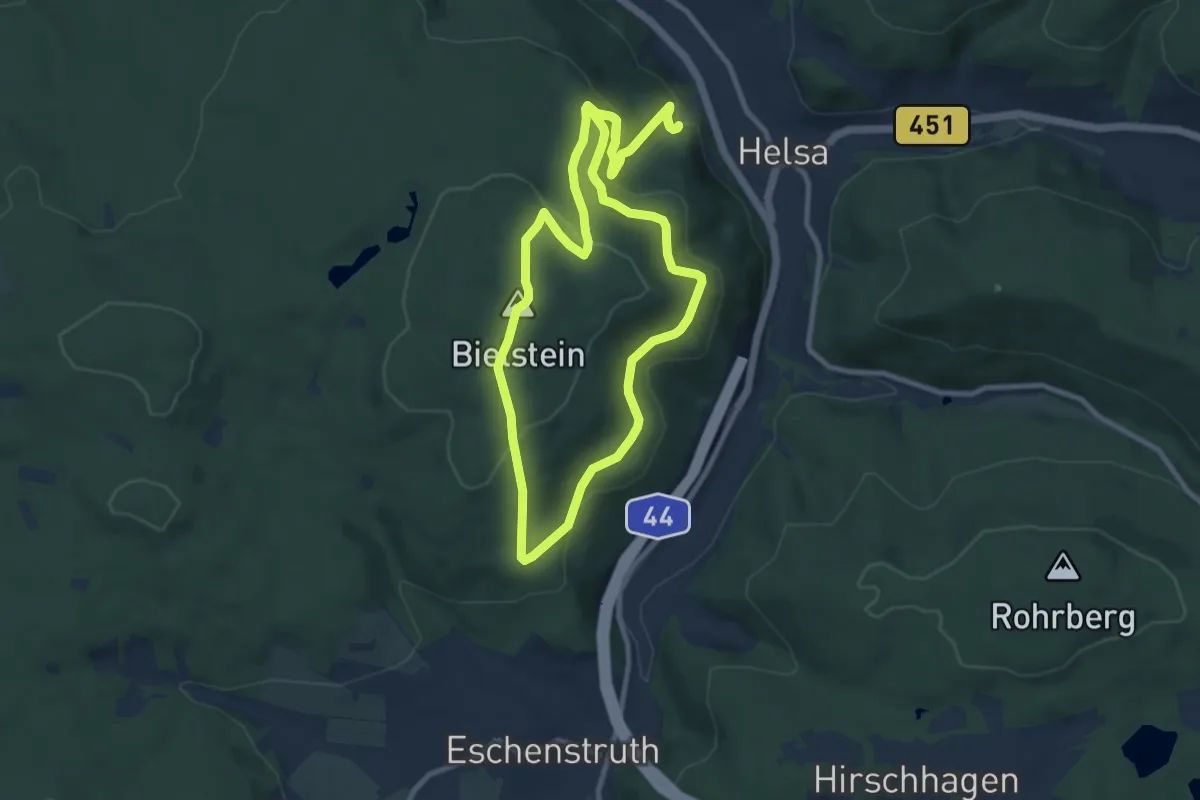
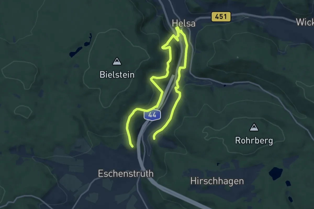
Medium · Summit
Helsaer Wanderweg Bilsteinkirche
9.3 km · ↑ 378 m · 3 h 8 min
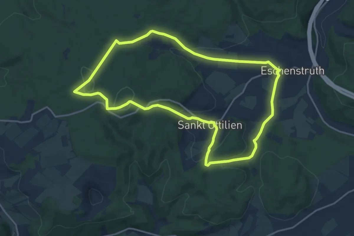
Medium · Trail
Helsaer Wanderweg Lewalterweg
14.7 km · ↑ 401 m · 4 h 20 min
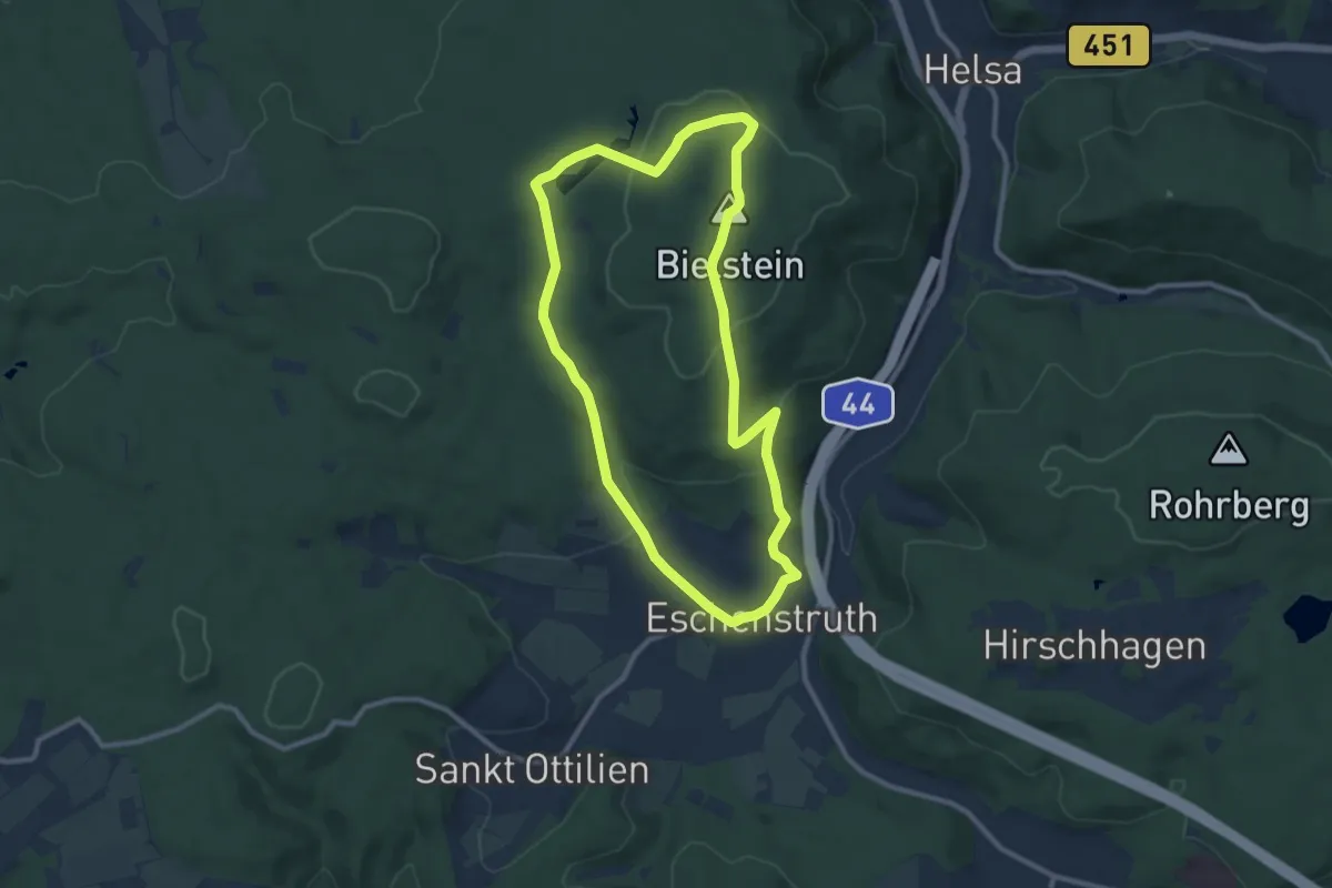
Medium · Summit
Helsa - Eschenstruth, E1
10.2 km · ↑ 252 m · 3 h 6 min
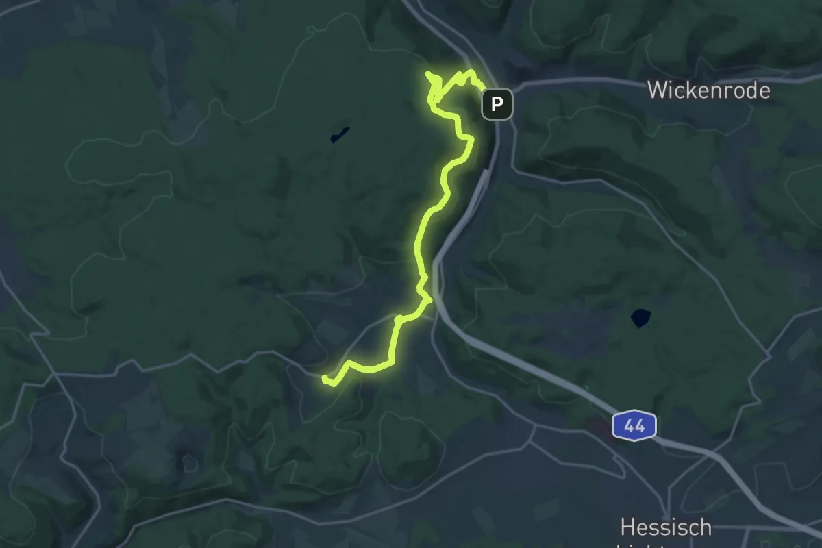
Medium · Summit
Helsa - Eschenstruth, E2
8.8 km · ↑ 245 m · 2 h 44 min
Demanding · Trail
Helsa - Franzosentriesch
18.0 km · ↑ 565 m · 5 h 29 min
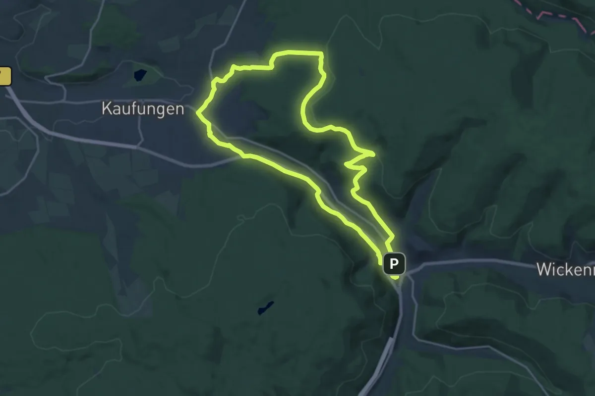
Medium · Trail
Helsa, H10 - Kaufungerweg
14.0 km · ↑ 261 m · 4 h 3 min
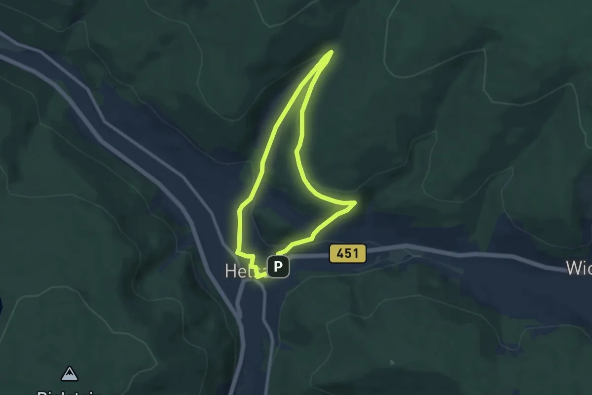
Easy · Trail
Helsa, H1 - Stubbergweg
5.0 km · ↑ 154 m · 1 h 36 min
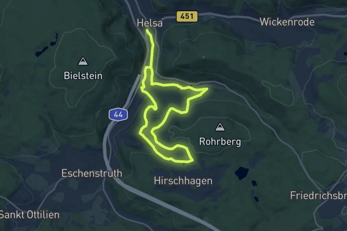
Medium · Trail
Helsa, H2 - Rohrbergweg
10.2 km · ↑ 221 m · 3 h 2 min
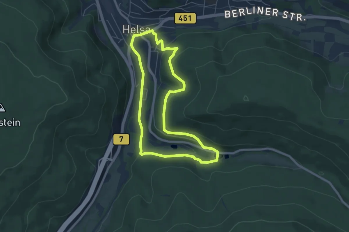
Easy · Trail
Helsa, H4 - Panoramaweg
4.9 km · ↑ 123 m · 1 h 29 min
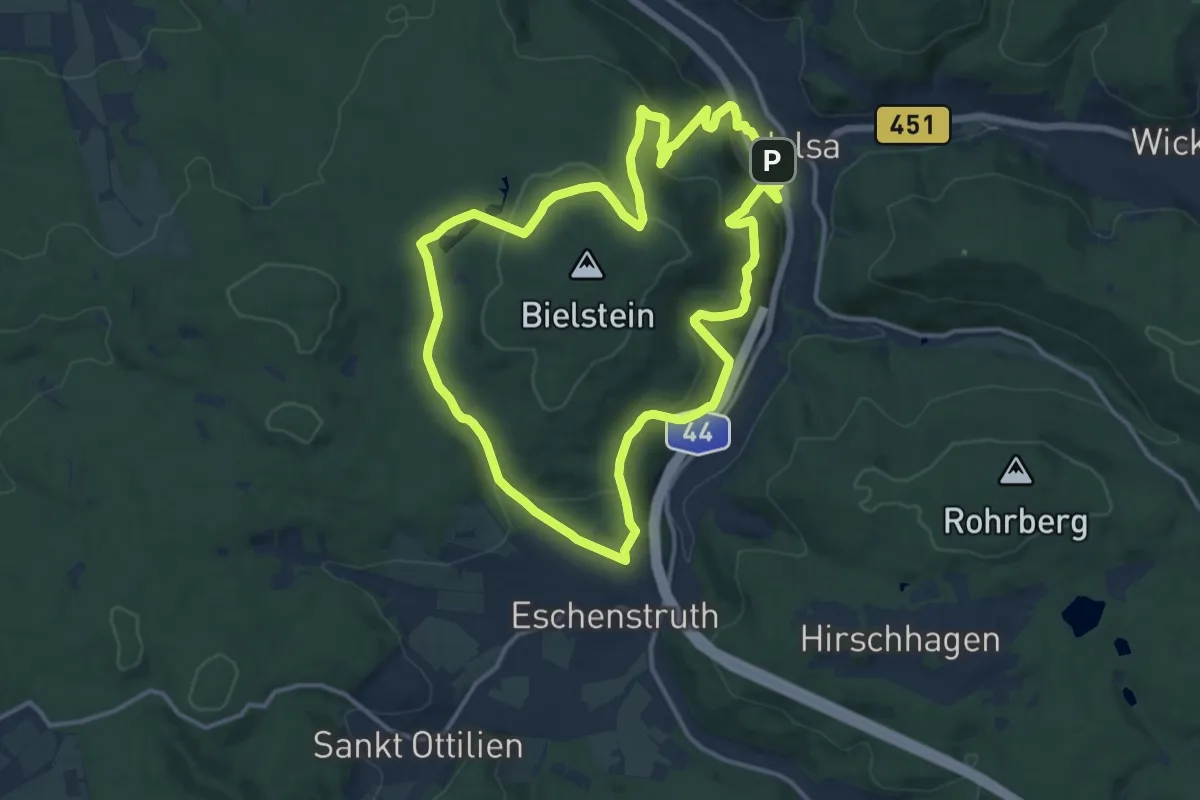
Medium · Summit
Helsa, H6 - Michelskopfweg
12.3 km · ↑ 425 m · 4 h
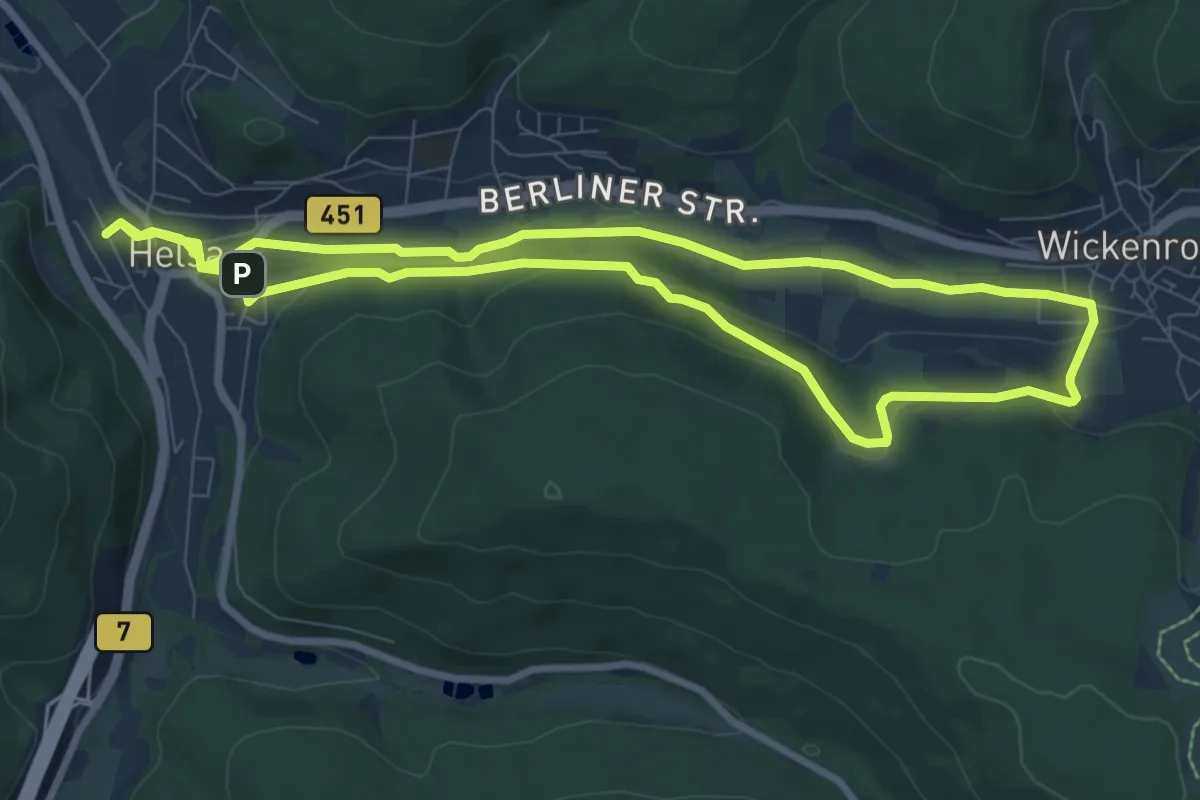
Easy · Trail
Helsa, H7 - Wickenröder Weg
7.9 km · ↑ 142 m · 2 h 17 min
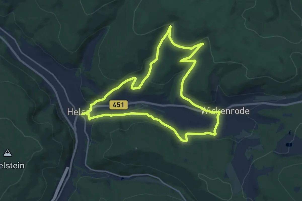
Medium · Trail
Helsa, H8 - Helserbornweg
11.0 km · ↑ 329 m · 3 h 27 min
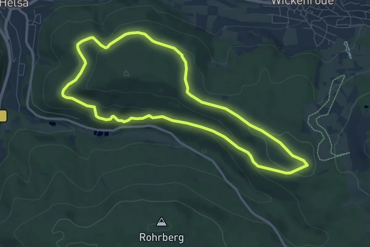
Easy · Trail
Helsa, Rundweg 11
6.9 km · ↑ 192 m · 2 h 9 min
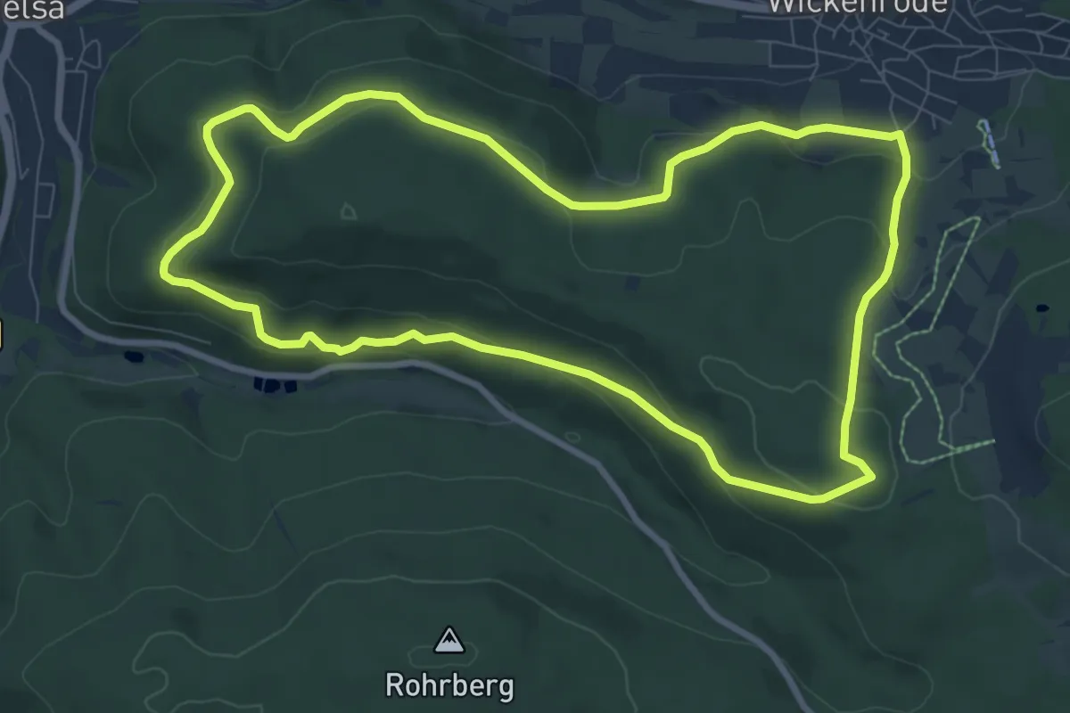
Medium · Trail
Helsa, Rundweg 12
8.0 km · ↑ 285 m · 2 h 37 min
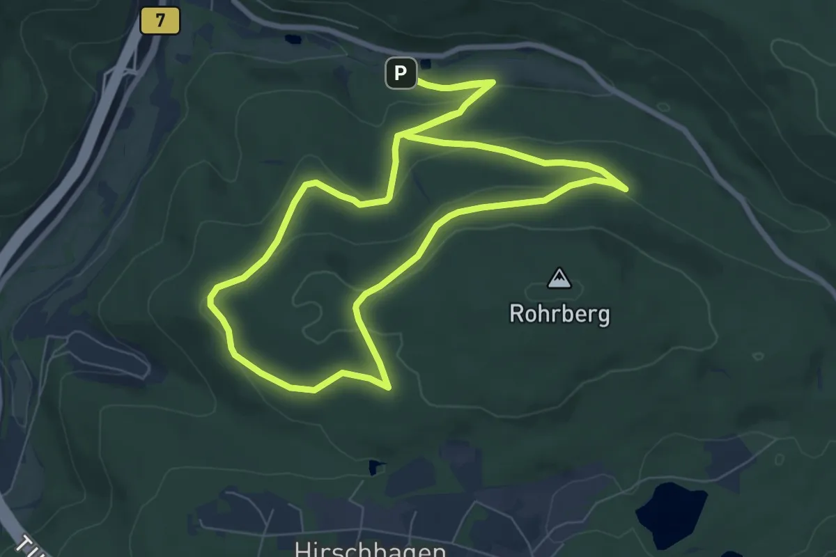
Easy · Trail
Helsa, Rundweg 13
7.0 km · ↑ 216 m · 2 h 13 min
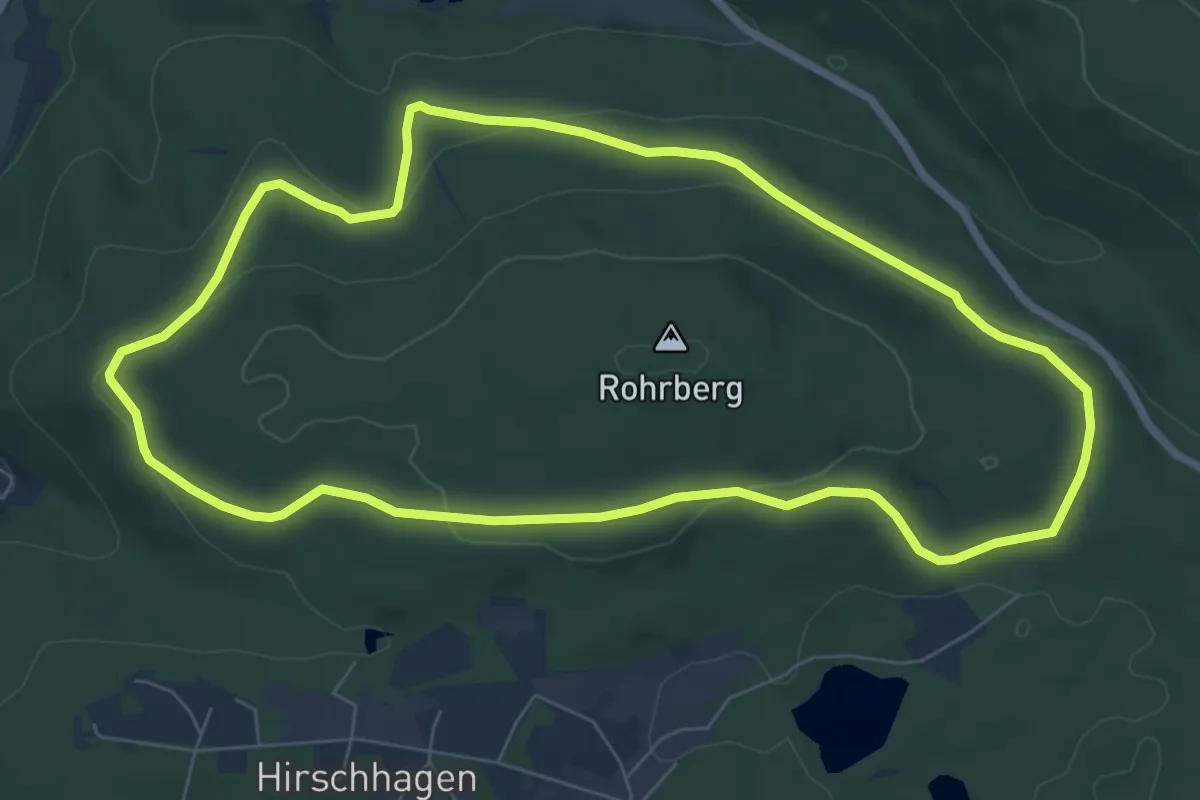
Easy · Trail
Helsa, Rundweg 14
6.8 km · ↑ 177 m · 2 h 5 min
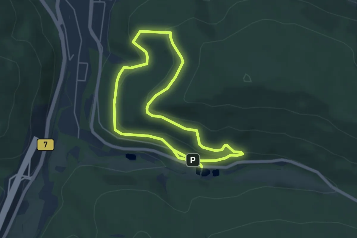
Easy · Trail
Helsa, Rundweg 16
3.8 km · ↑ 142 m · 1 h 16 min
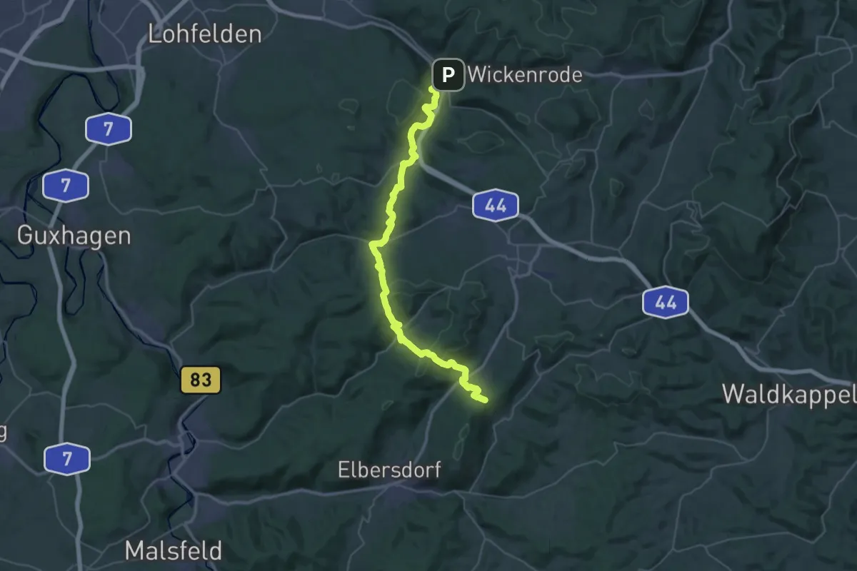
Demanding · Trail
Helsa - Schnellrode/X8
19.6 km · ↑ 779 m · 6 h 30 min
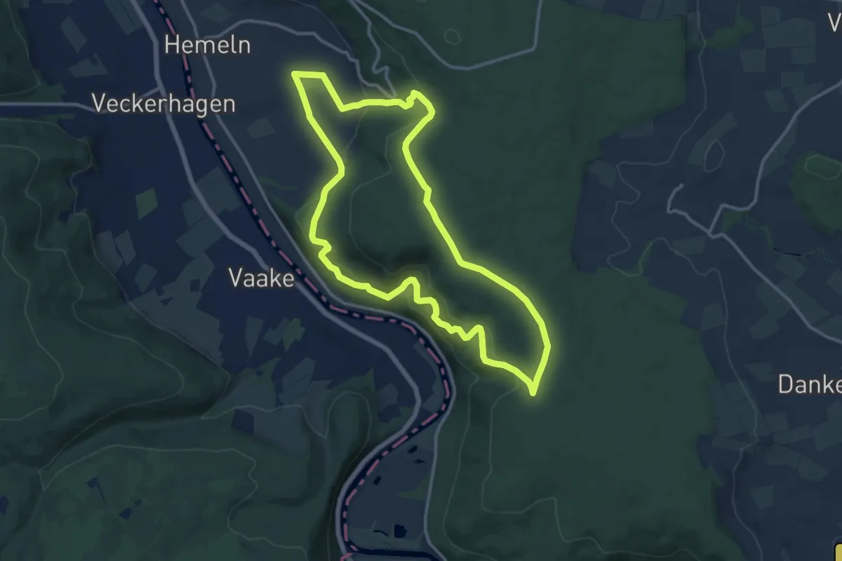
Medium · Summit
Hemeln H1
11.2 km · ↑ 386 m · 3 h 38 min
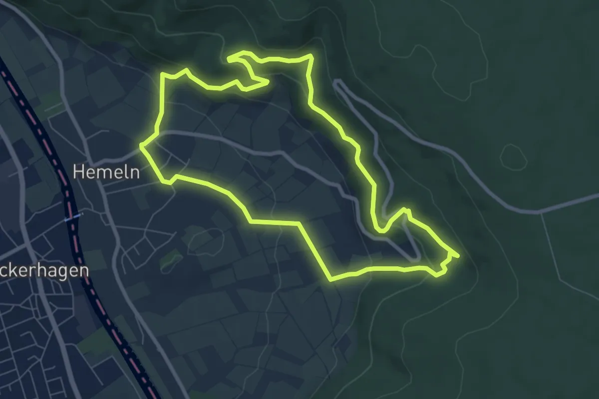
Easy · Trail
Hemeln H2
6.7 km · ↑ 257 m · 2 h 13 min
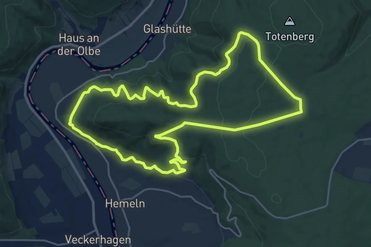
Medium · Trail
Hemeln H3
13.3 km · ↑ 537 m · 4 h 30 min
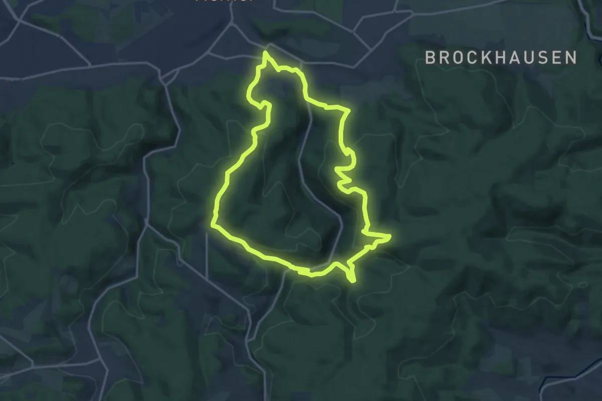
Medium · Trail
Hemer-Sundwig Rundweg A4
13.6 km · ↑ 479 m · 4 h 27 min
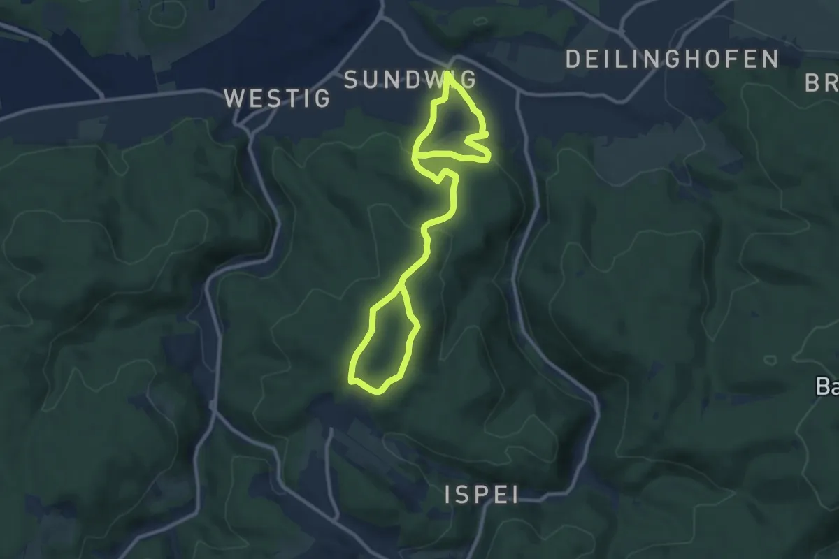
Medium · Trail
Hemer-Sundwig Rundweg A5
13.0 km · ↑ 407 m · 3 h 57 min
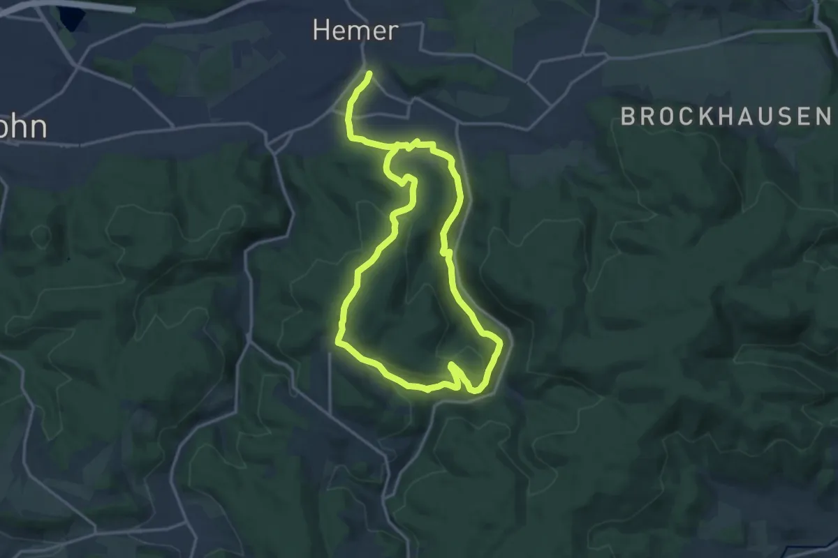
Demanding · Trail
Hemer-Westig Rundweg A6
23.0 km · ↑ 717 m · 6 h 59 min
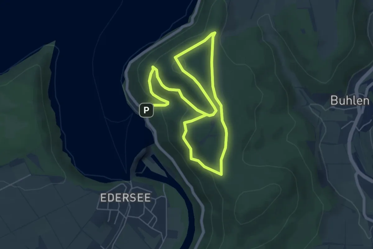
Easy · Summit
Hemfurth H1
4.2 km · ↑ 238 m · 1 h 31 min
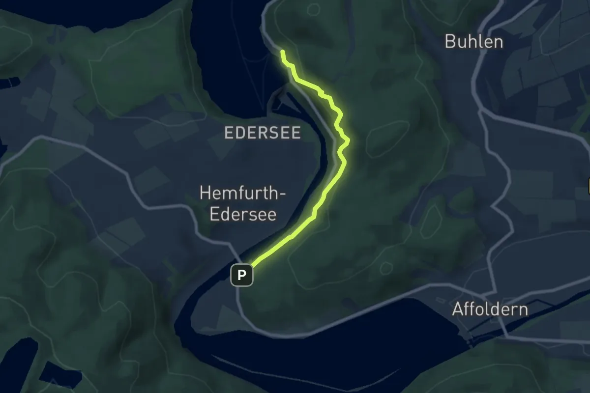
Easy · Trail
Hemfurth H2
2.7 km · ↑ 191 m · 1 h 4 min
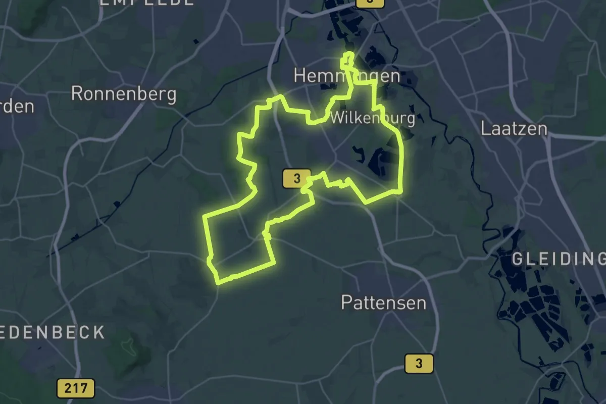
Demanding · Trail
Hemminger Landwirtschaftspfad
26.8 km · ↑ 62 m · 6 h 49 min
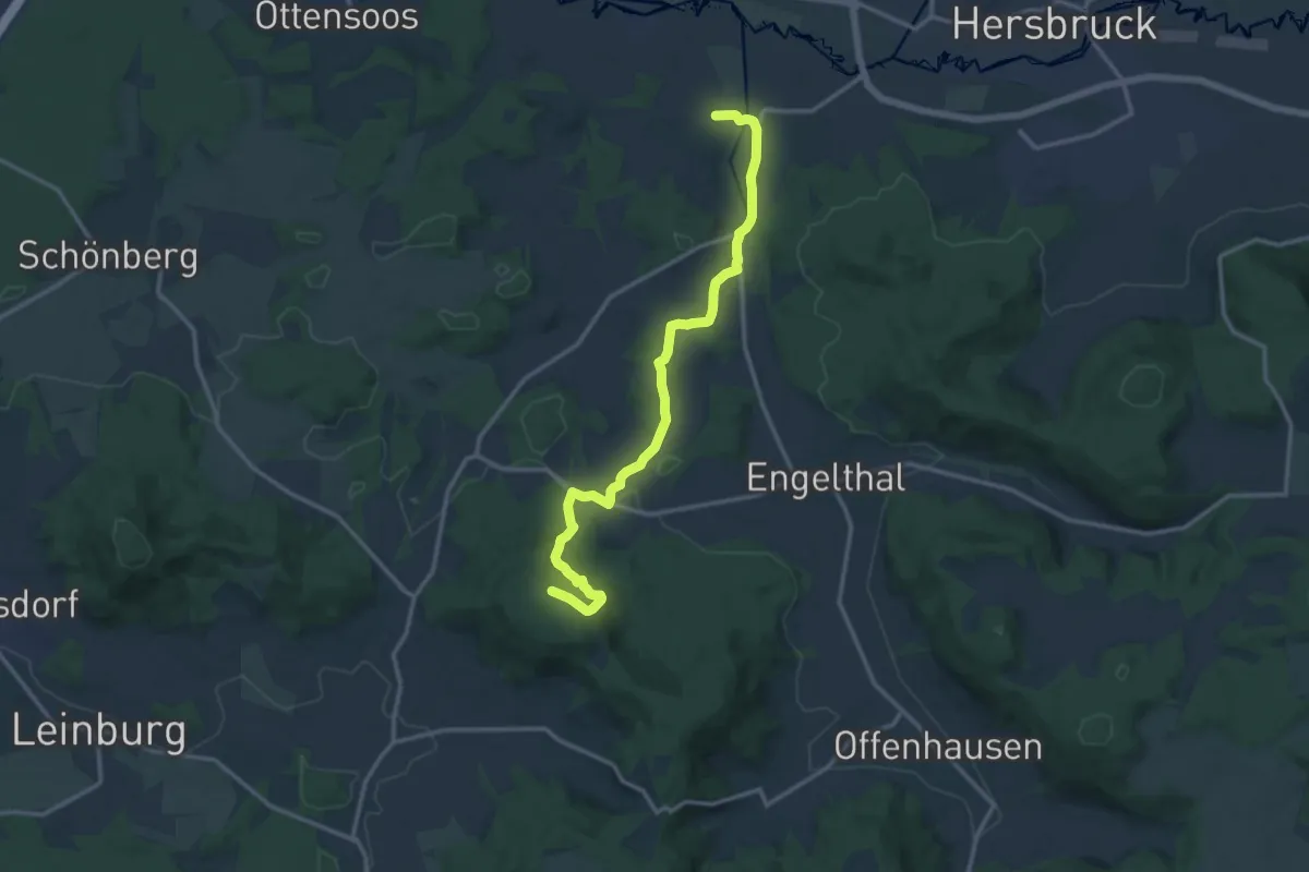
Medium · Trail
Henfenfeld – Nonnenberg
13.7 km · ↑ 312 m · 3 h 55 min
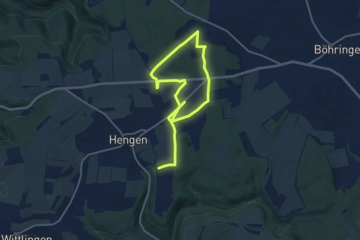
Medium · Trail
Hengener Dolinenweg
12.2 km · ↑ 161 m · 3 h 13 min
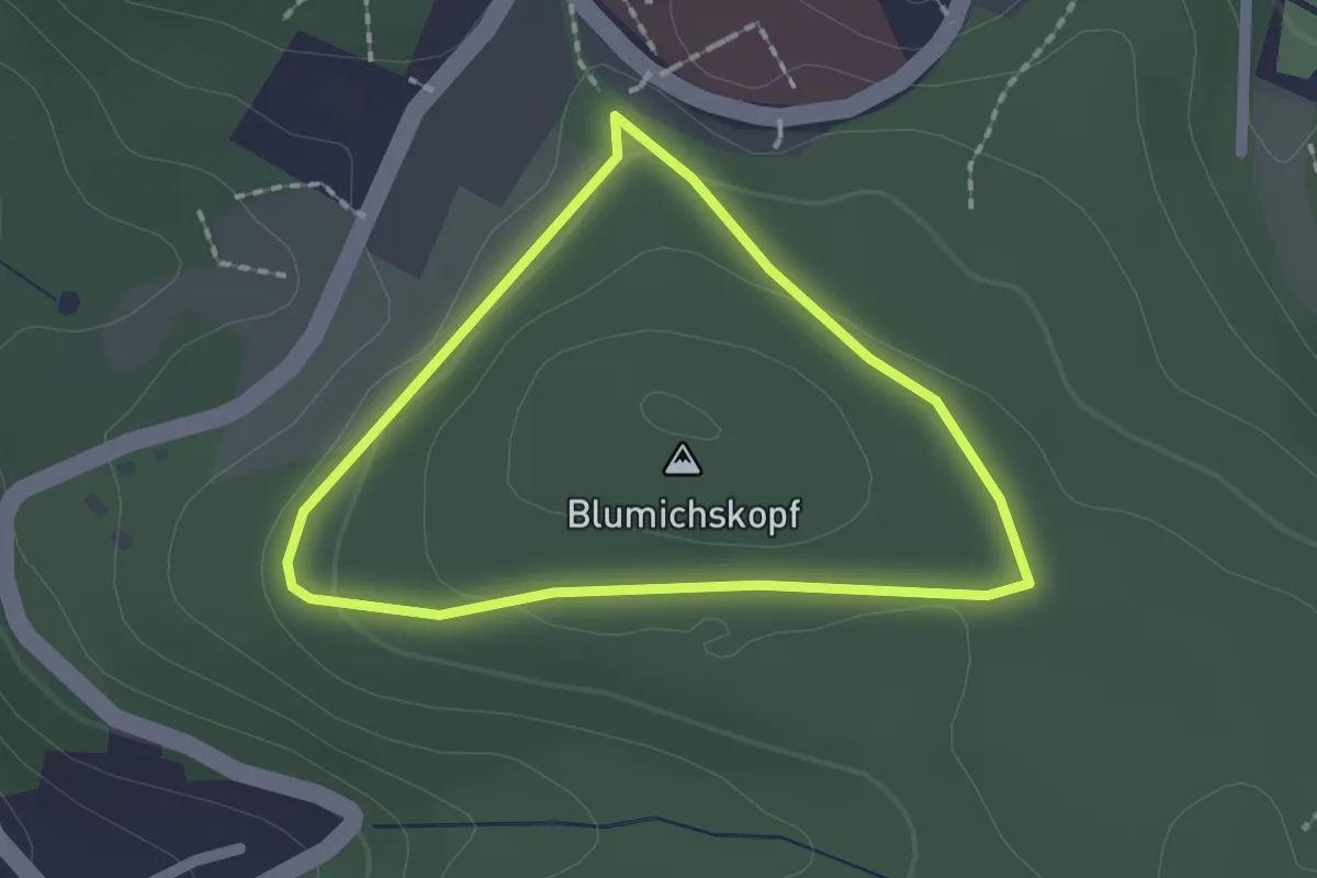
Easy · Summit
Hengsbach Rundweg A3
1.5 km · ↑ 25 m · 25 min
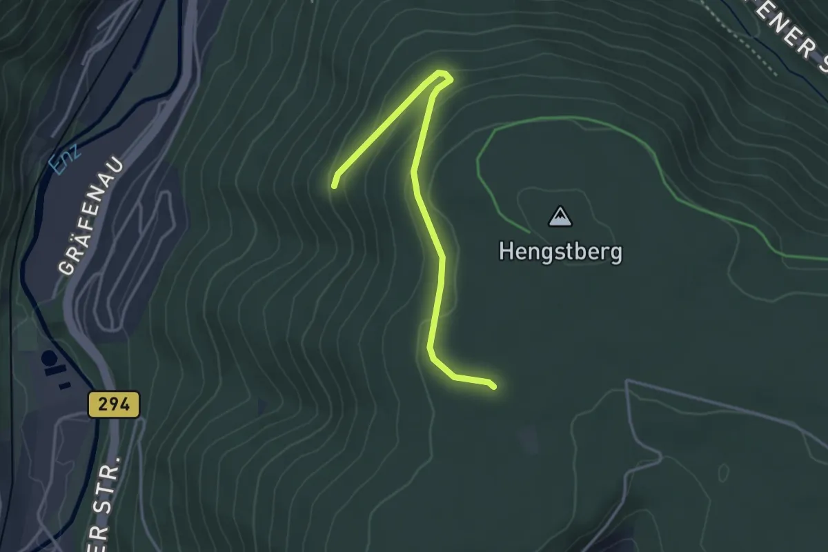
Easy · Trail
Hengstberg - Vordere Großtanne
3.2 km · ↑ 110 m · 1 h
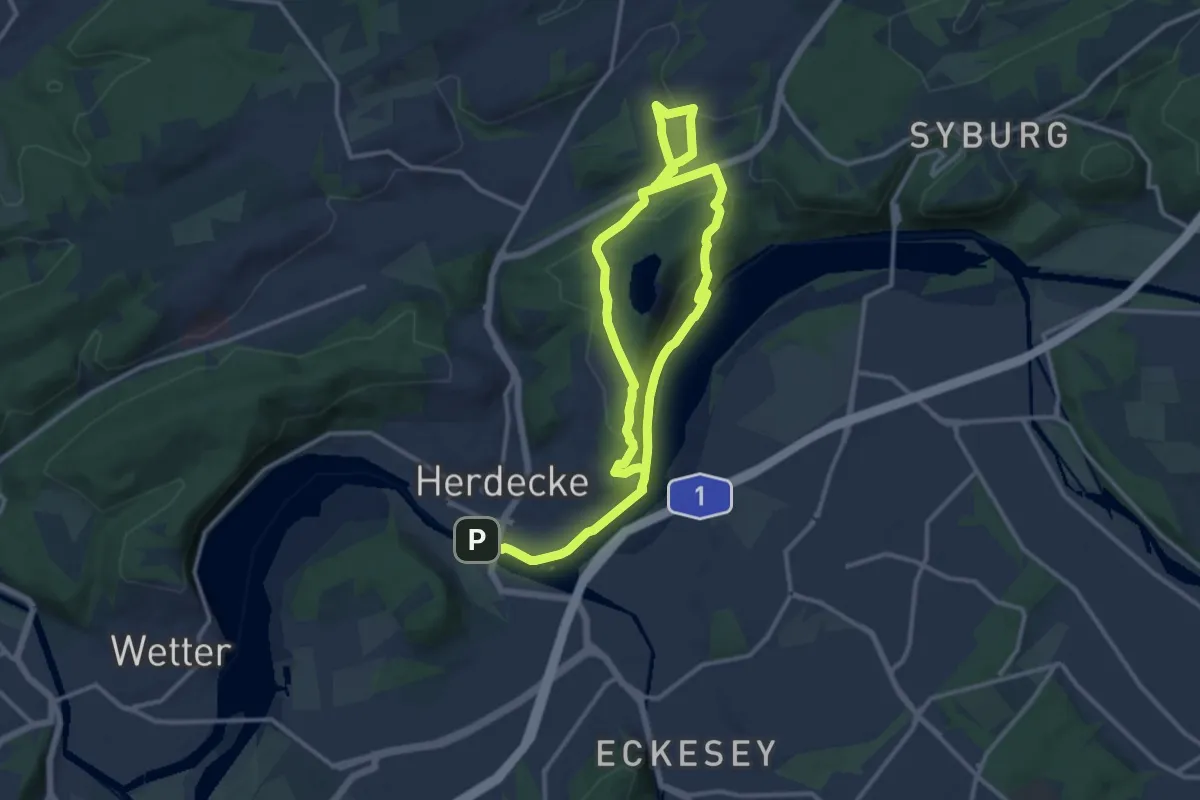
Medium · Summit
Hengsteysee und Teufelskanzel
9.8 km · ↑ 282 m · 3 h 3 min
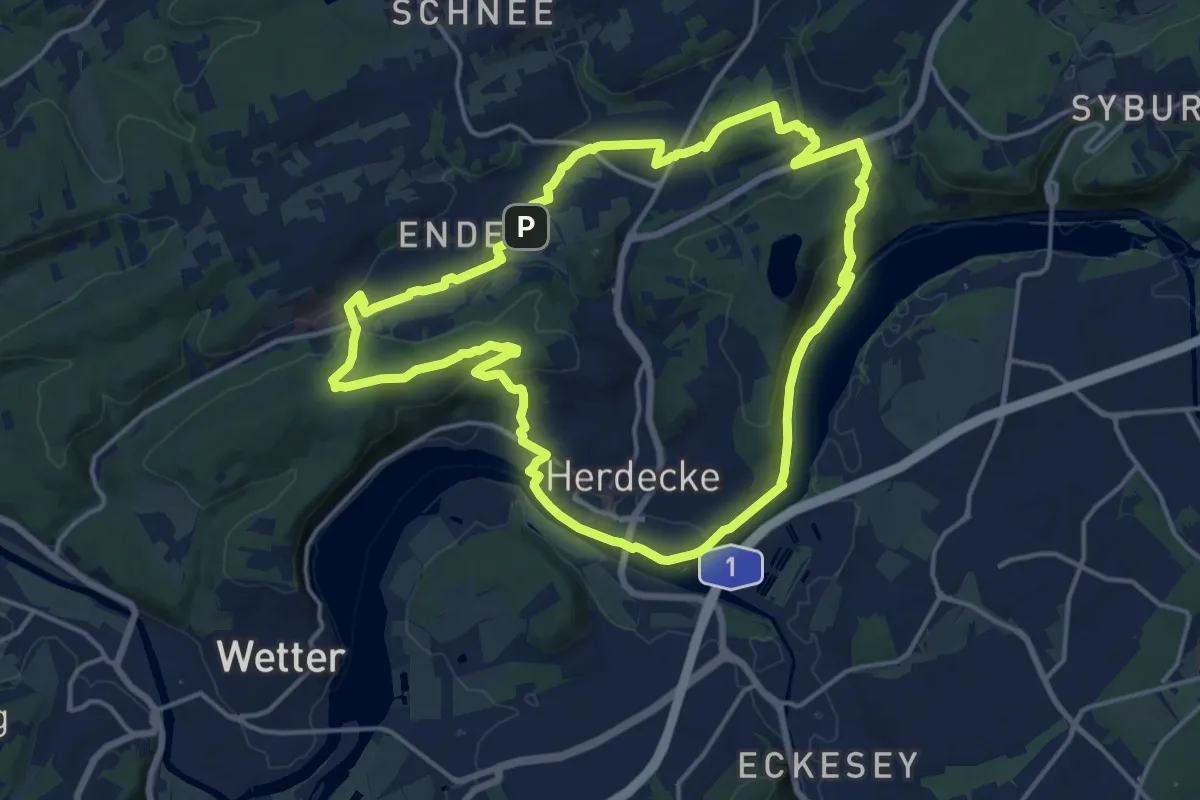
Medium · Trail
Hengstey- und Harkortsee
14.7 km · ↑ 323 m · 4 h 23 min
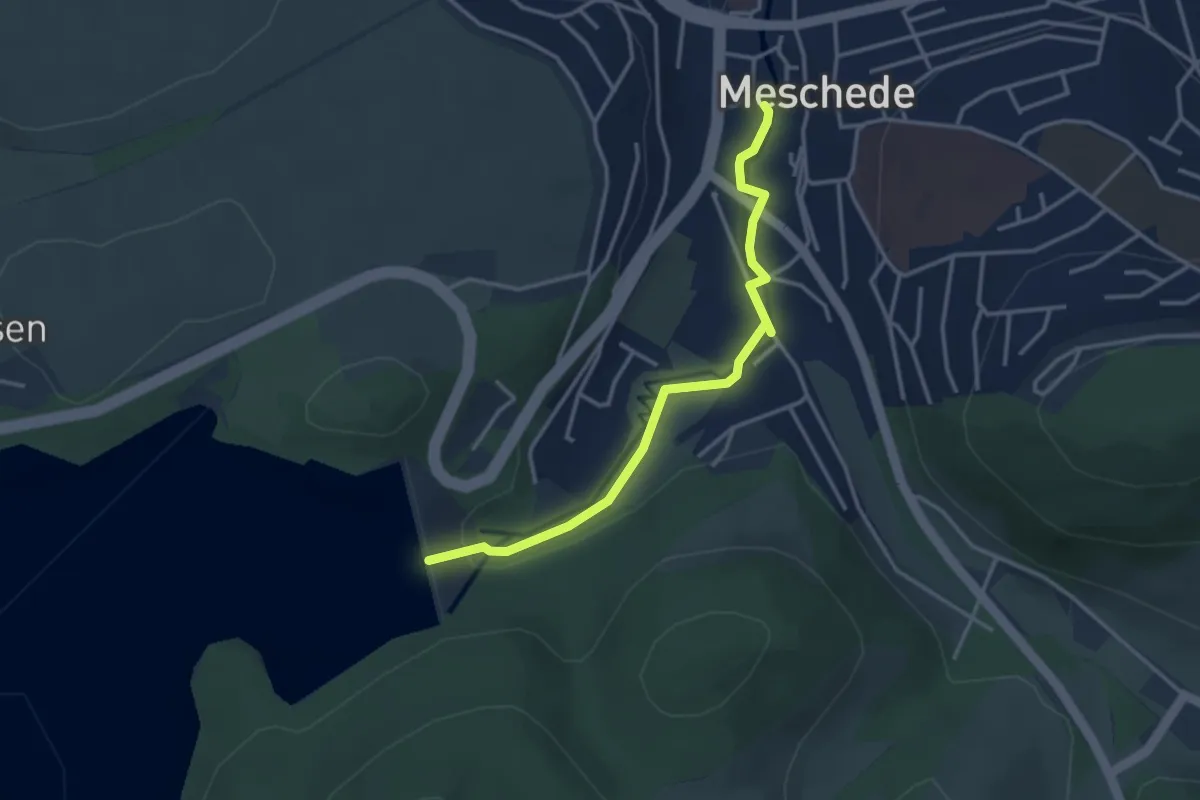
Easy · Trail
Henne-Boulevard
3.2 km · ↑ 65 m · 53 min
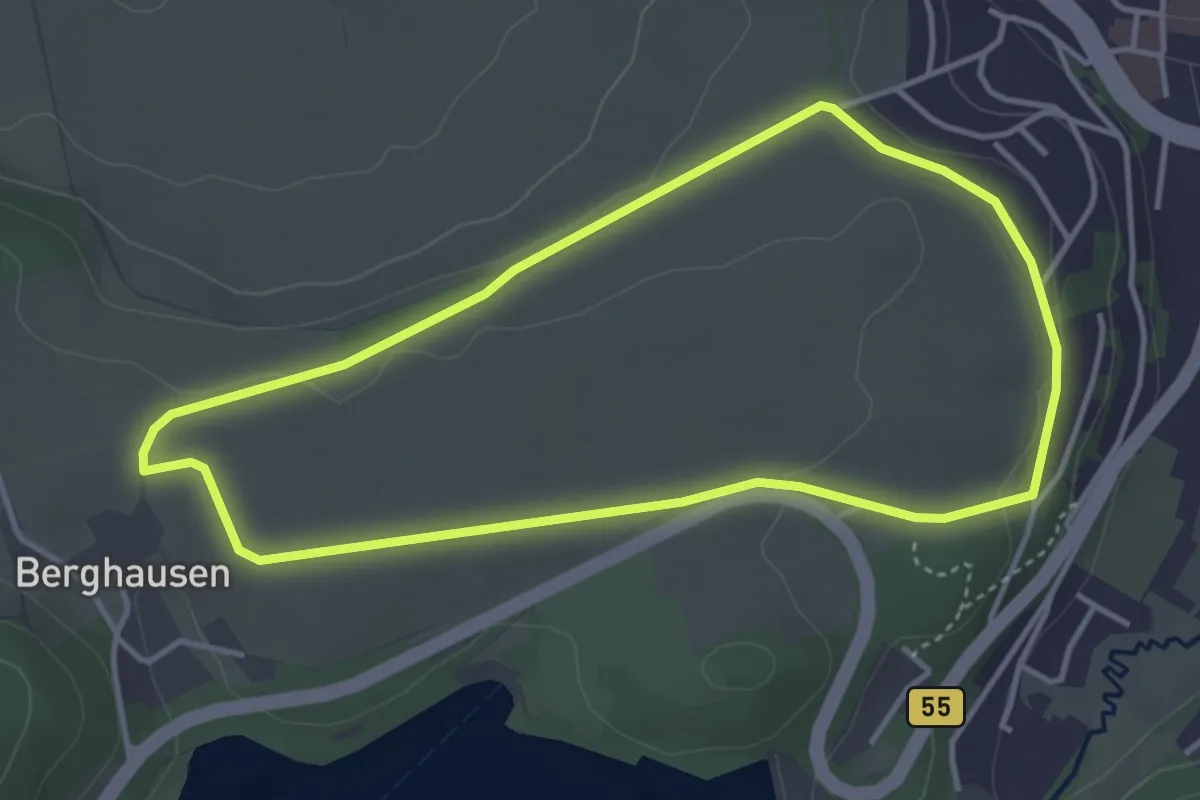
Easy · Trail
Hennedamm Rundweg A2
3.4 km · ↑ 49 m · 57 min
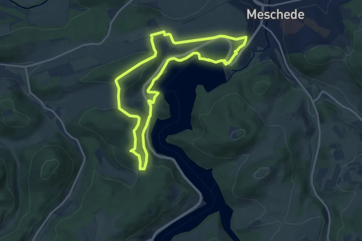
Medium · Trail
Hennedamm Rundweg A3
8.8 km · ↑ 213 m · 2 h 39 min
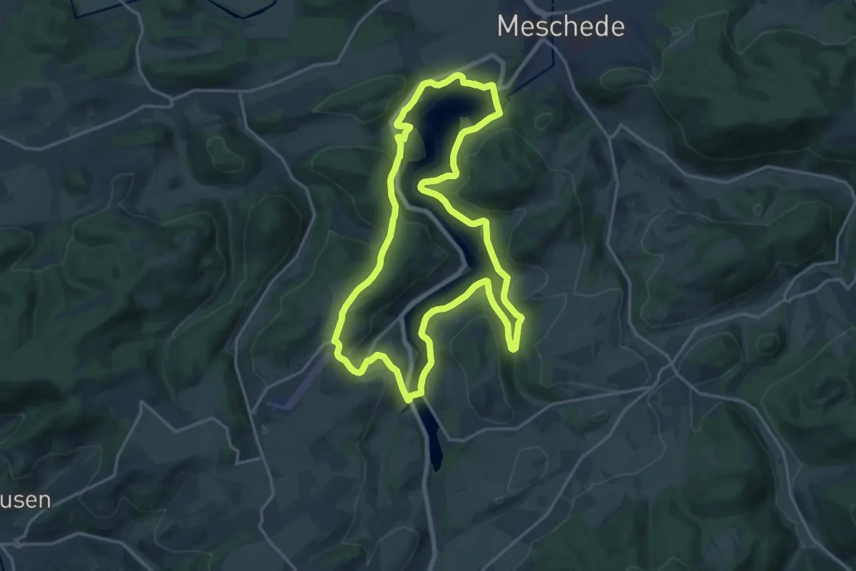
Medium · Summit
Hennedamm Rundweg A8
14.7 km · ↑ 303 m · 4 h 20 min