Trails in Germany
36,852 hiking trails, each with its route, climb, walking time and grade.
All trails, page 232 of 768
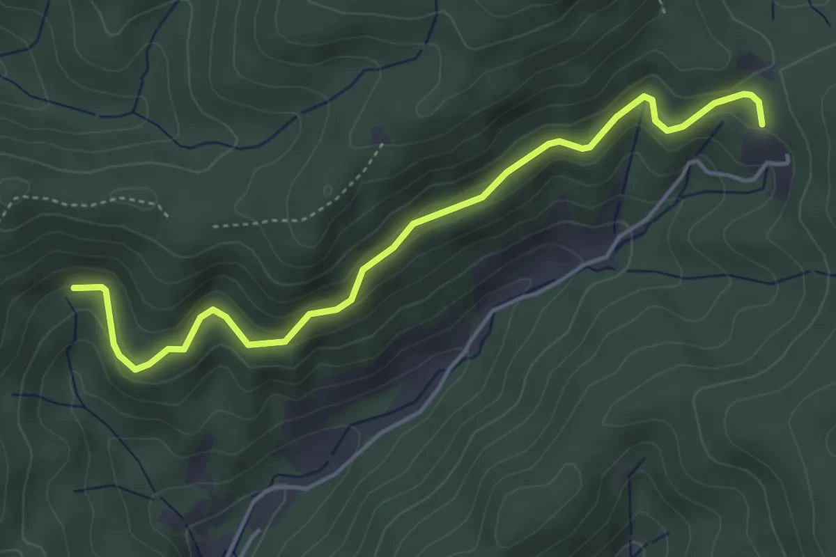
Easy · Trail
Hennenloch-Pavillon - Lindendobel
4.6 km · ↑ 238 m · 1 h 36 min
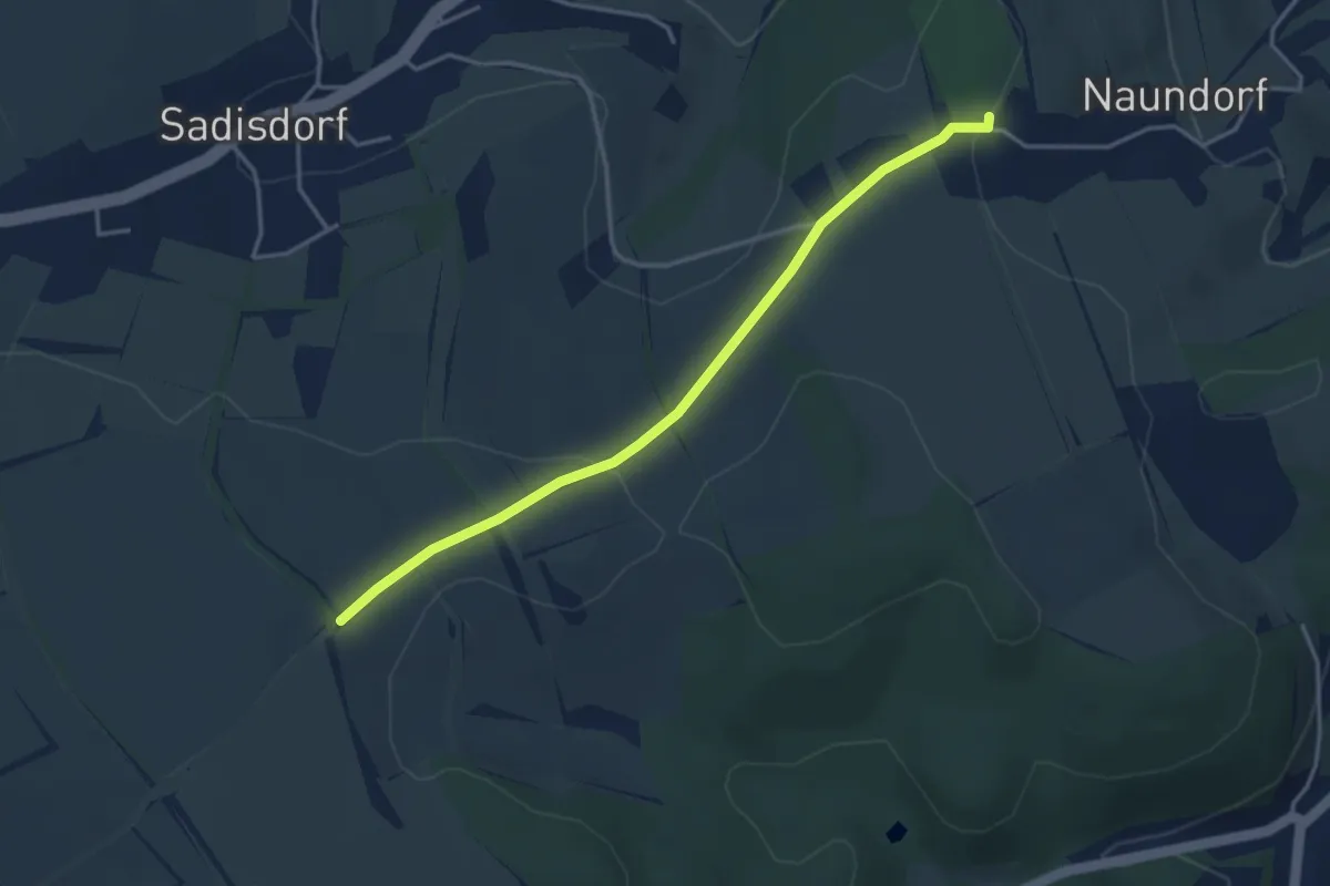
Easy · Trail
Hennersdorf - Schloss Naundorf
3.5 km · ↑ 68 m · 59 min
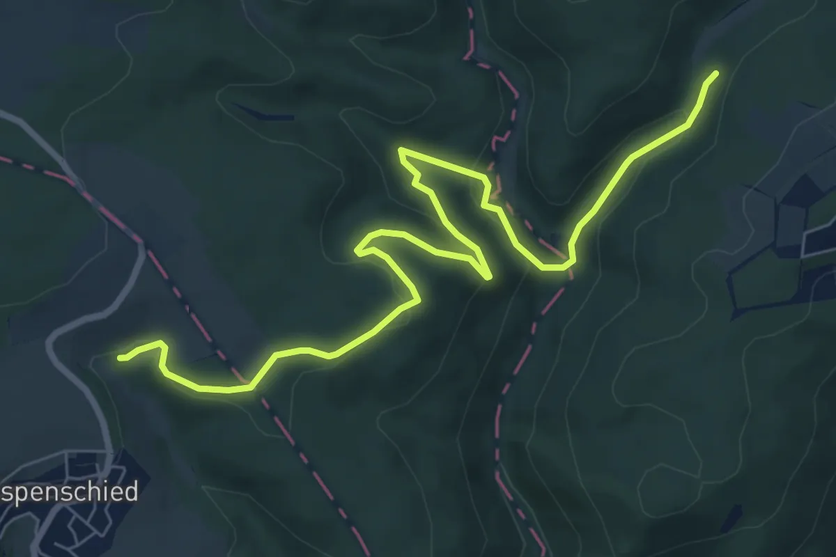
Medium · Trail
Hennethal - Oestrich-Winkel (liegendes U)
8.2 km · ↑ 205 m · 2 h 23 min
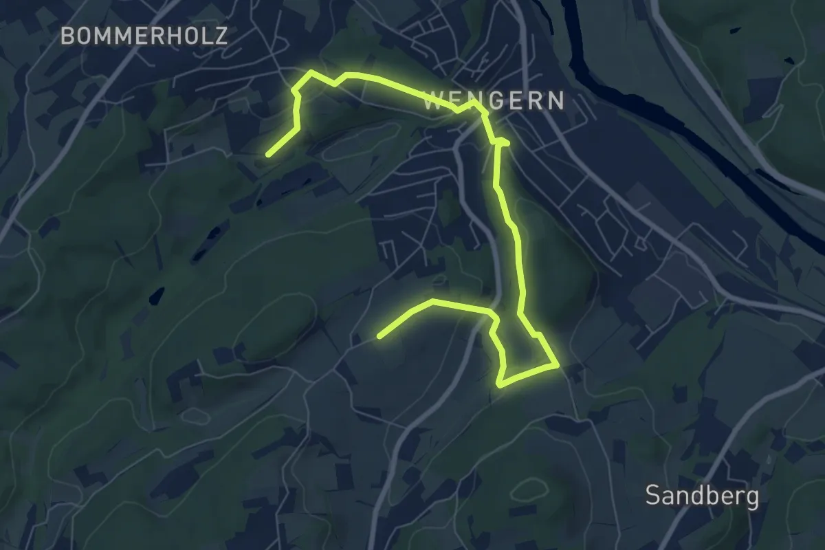
Easy · Trail
Henriette-Davidis-Weg
4.1 km · ↑ 138 m · 1 h 19 min
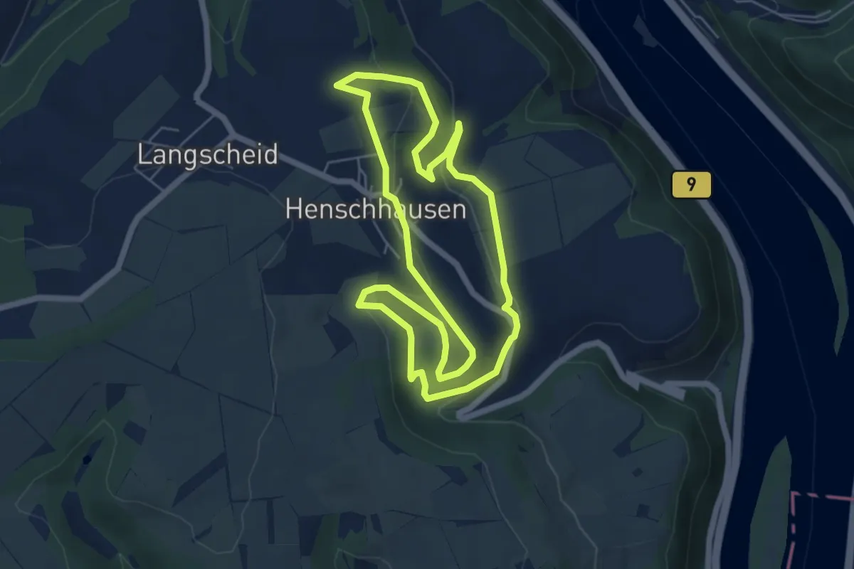
Easy · Trail
Henschhausener-Rundweg (Hahn, grüner Pfeil)
5.1 km · ↑ 127 m · 1 h 33 min
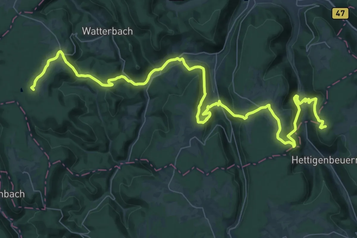
Demanding · Summit
Heppenheim - Tauberbischofsheim
51.0 km · ↑ 1769 m · 15 h 52 min
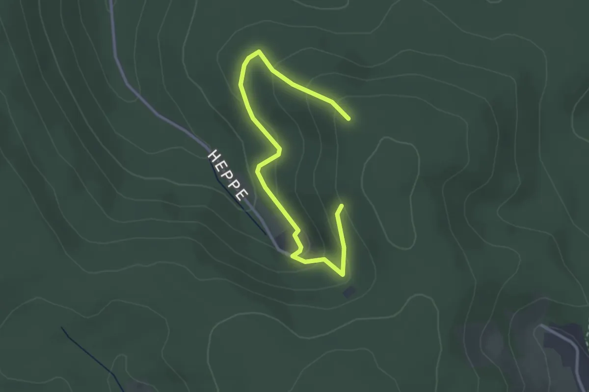
Easy · Trail
Heppe Rundweg 1
3.1 km · ↑ 150 m · 1 h 3 min
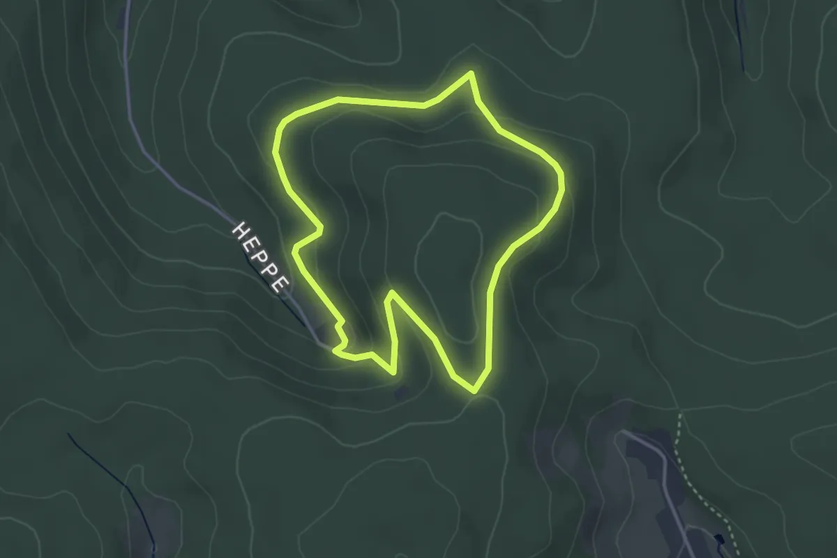
Easy · Trail
Heppe Rundweg 2
3.1 km · ↑ 88 m · 58 min
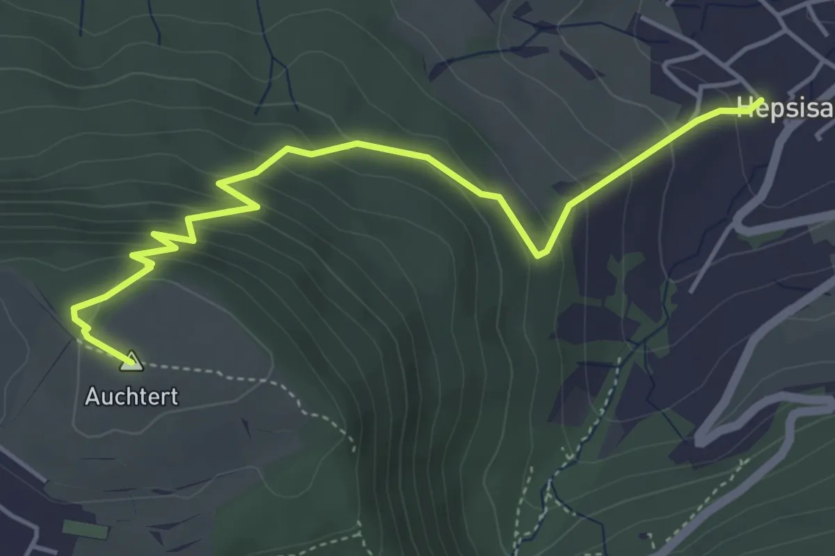
Medium · Summit
Hepsisau - Auchtert
4.8 km · ↑ 345 m · 1 h 52 min
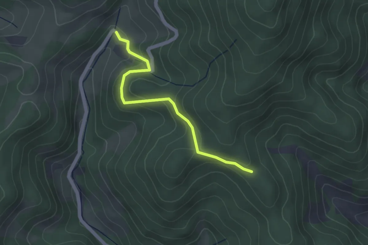
Easy · Trail
Herbeneck - Steinmauern
3.2 km · ↑ 141 m · 1 h 3 min
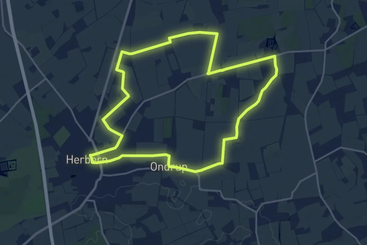
Medium · Trail
Herbern Rundweg A1
11.4 km · ↑ 30 m · 2 h 54 min
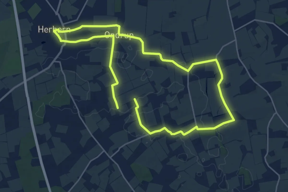
Medium · Trail
Herbern Rundweg A2
12.0 km · ↑ 35 m · 3 h 4 min
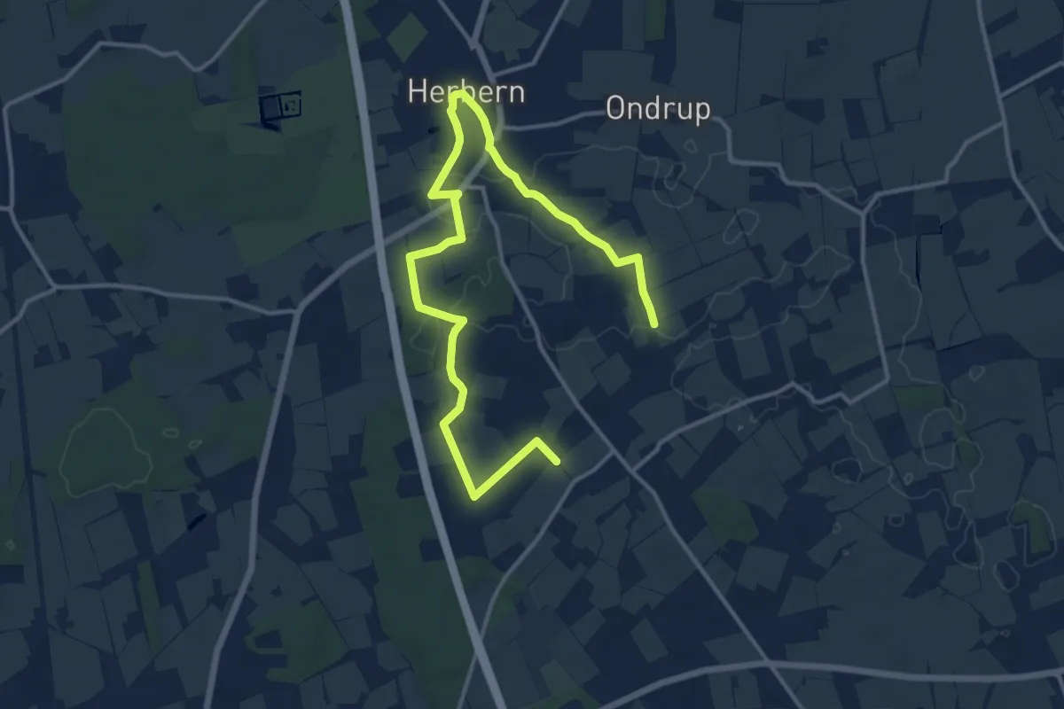
Easy · Trail
Herbern Rundweg A3
7.4 km · ↑ 38 m · 1 h 56 min
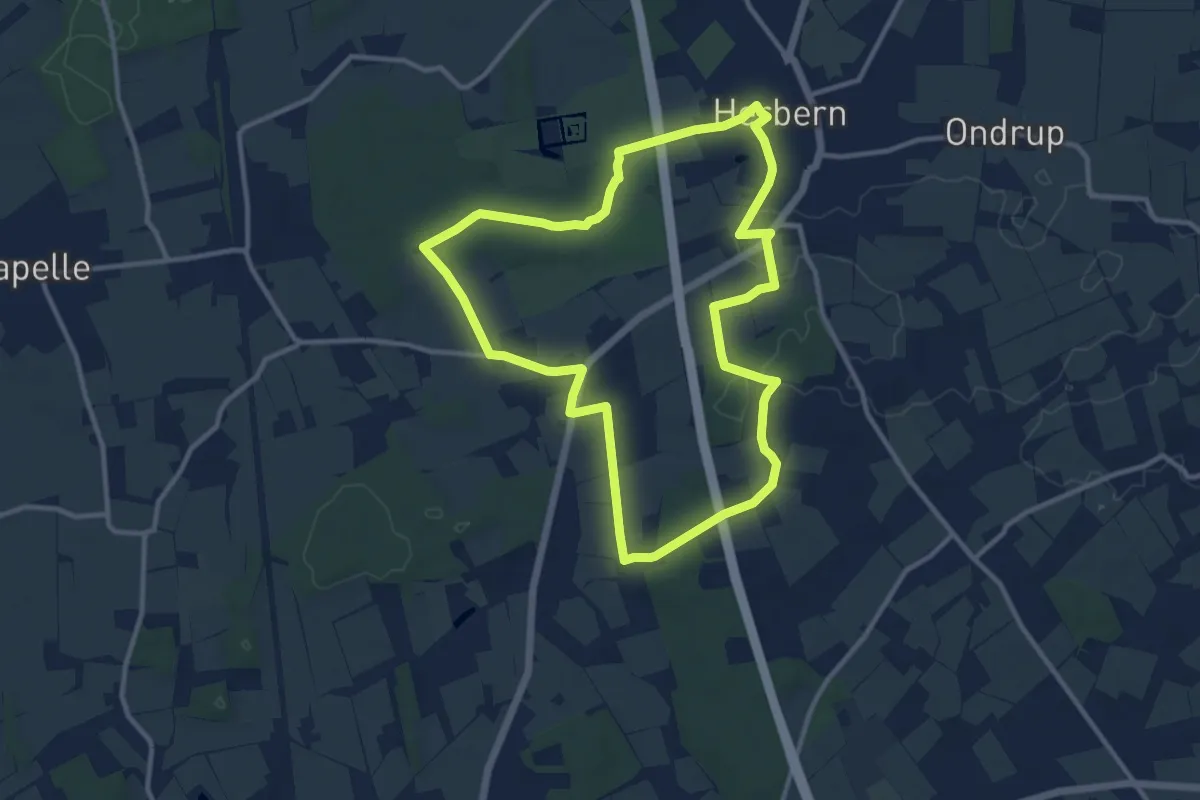
Medium · Trail
Herbern Rundweg A4
10.0 km · ↑ 45 m · 2 h 36 min
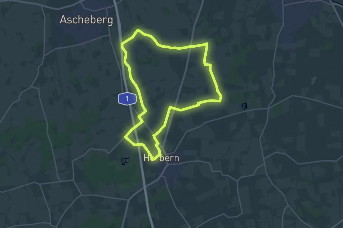
Medium · Trail
Herbern Rundweg A6
16.8 km · ↑ 29 m · 4 h 15 min
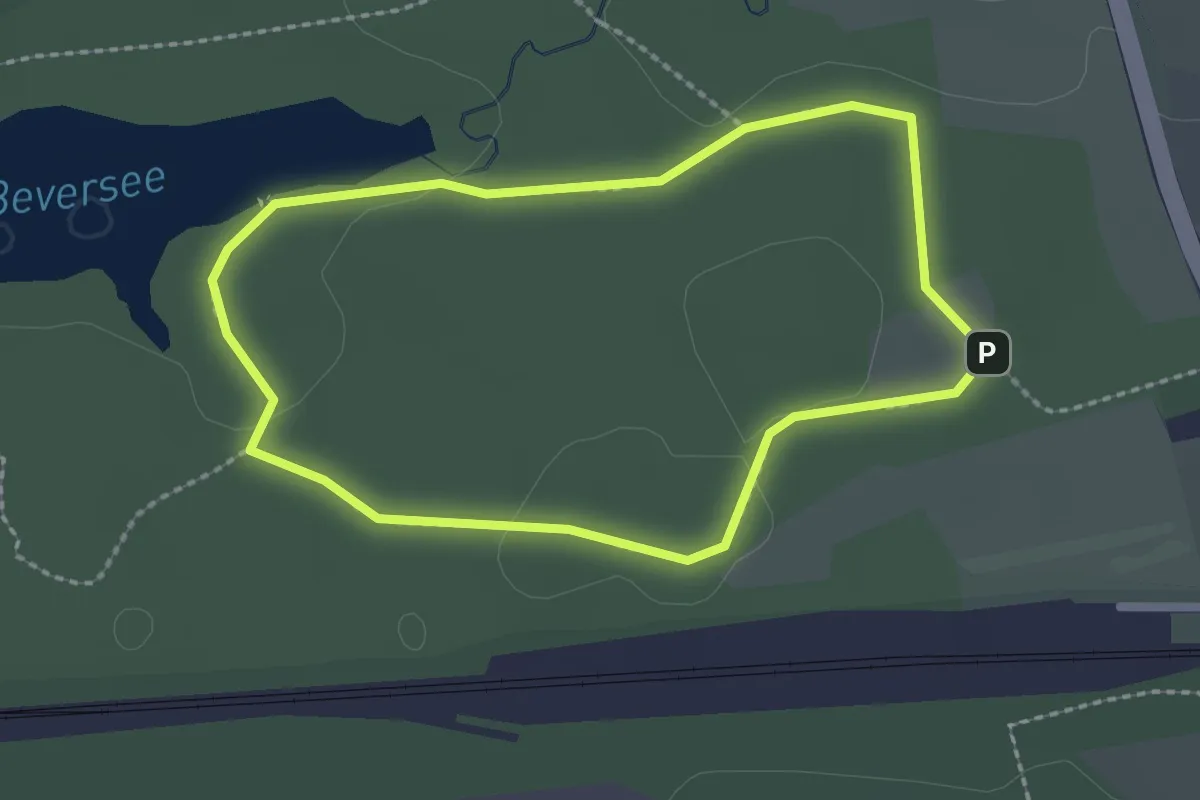
Easy · Trail
Herbert-Reiss-Weg
1.9 km · ↑ 13 m · 31 min
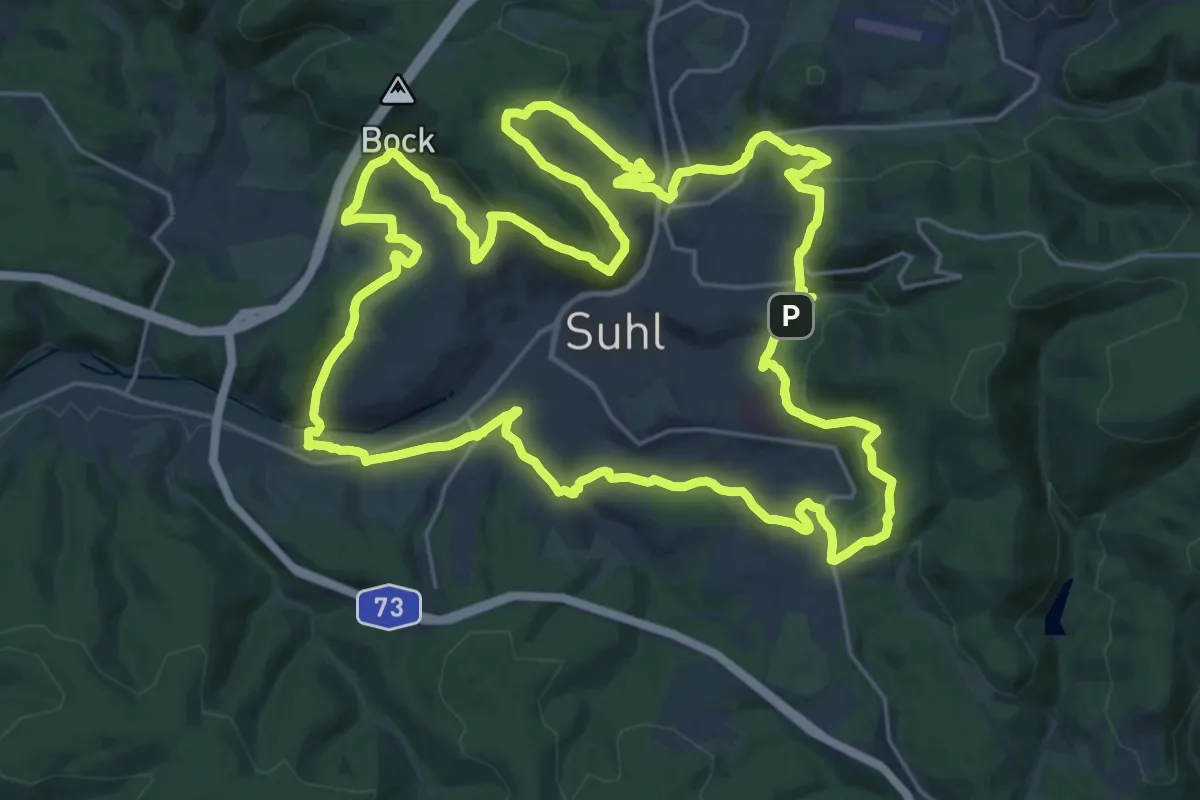
Demanding · Summit
Herbert-Roth-Wanderweg
24.8 km · ↑ 796 m · 7 h 55 min
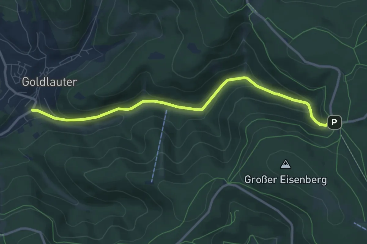
Easy · Trail
Herbert-Roth-Wanderweg
7.2 km · ↑ 279 m · 2 h 18 min
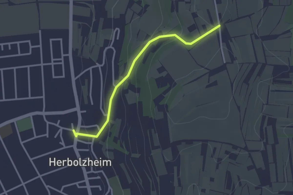
Easy · Trail
Herbolzheim Rathaus - Jungkinzig
2.5 km · ↑ 99 m · 48 min
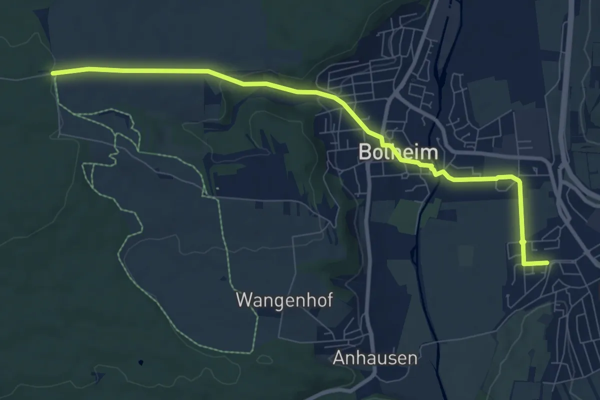
Medium · Trail
Herbrechtingen - Bolheim - Kohlhau
8.4 km · ↑ 132 m · 2 h 16 min
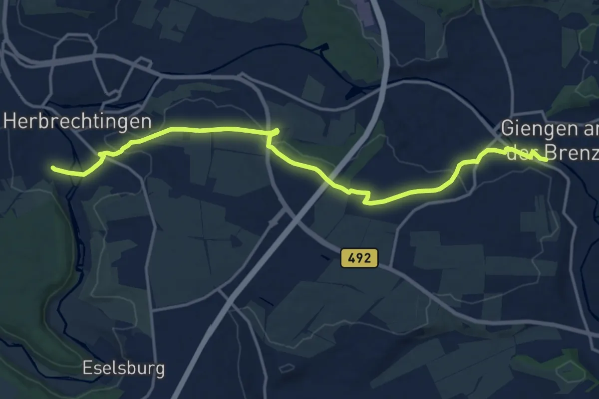
Medium · Trail
Herbrechtingen - Giengen
12.8 km · ↑ 154 m · 3 h 21 min
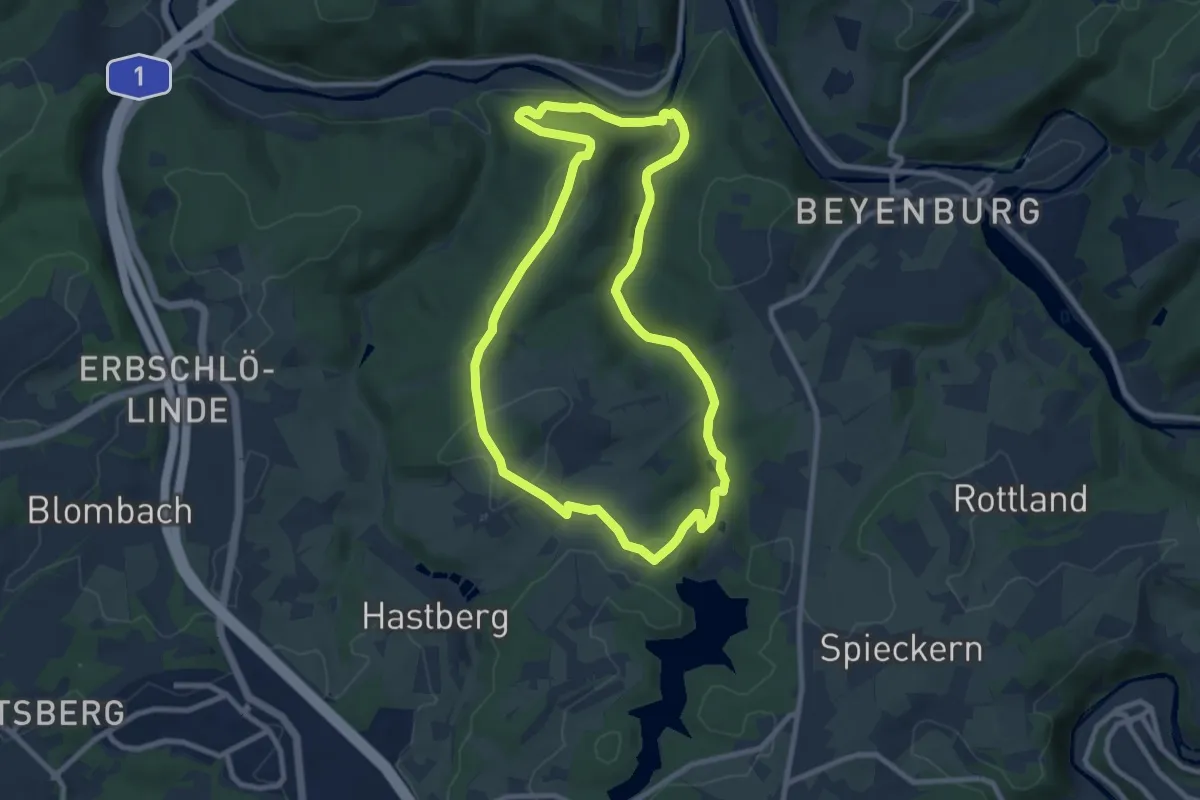
Medium · Summit
Herbringhauser Bach Rundweg A4
8.0 km · ↑ 162 m · 2 h 21 min
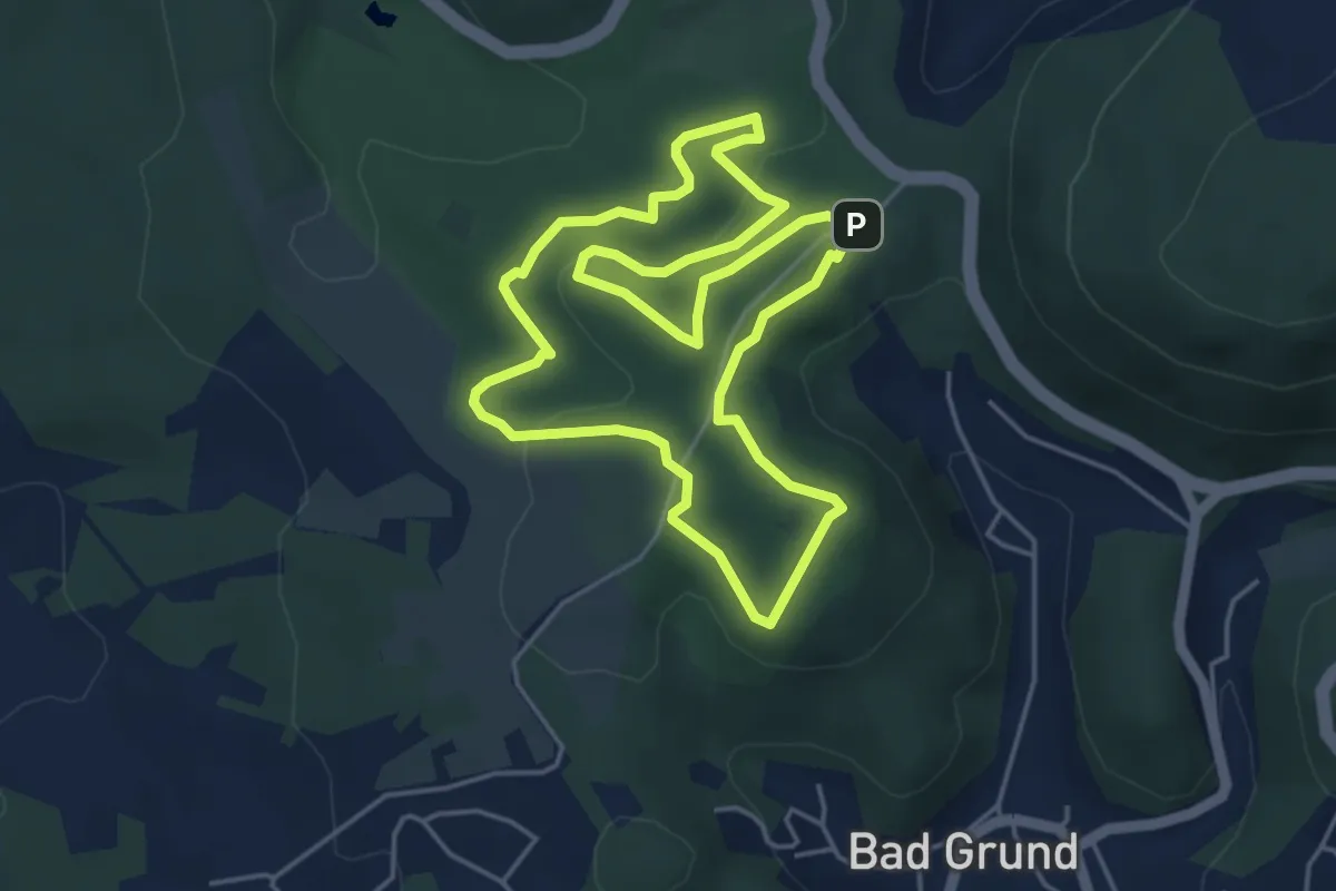
Easy · Summit
Herbstlaubweg
4.2 km · ↑ 106 m · 1 h 17 min
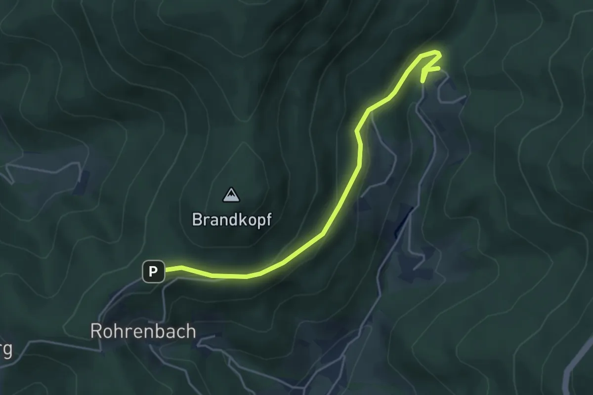
Easy · Trail
Herbstwasen - Renchtalhütte
4.1 km · ↑ 169 m · 1 h 21 min
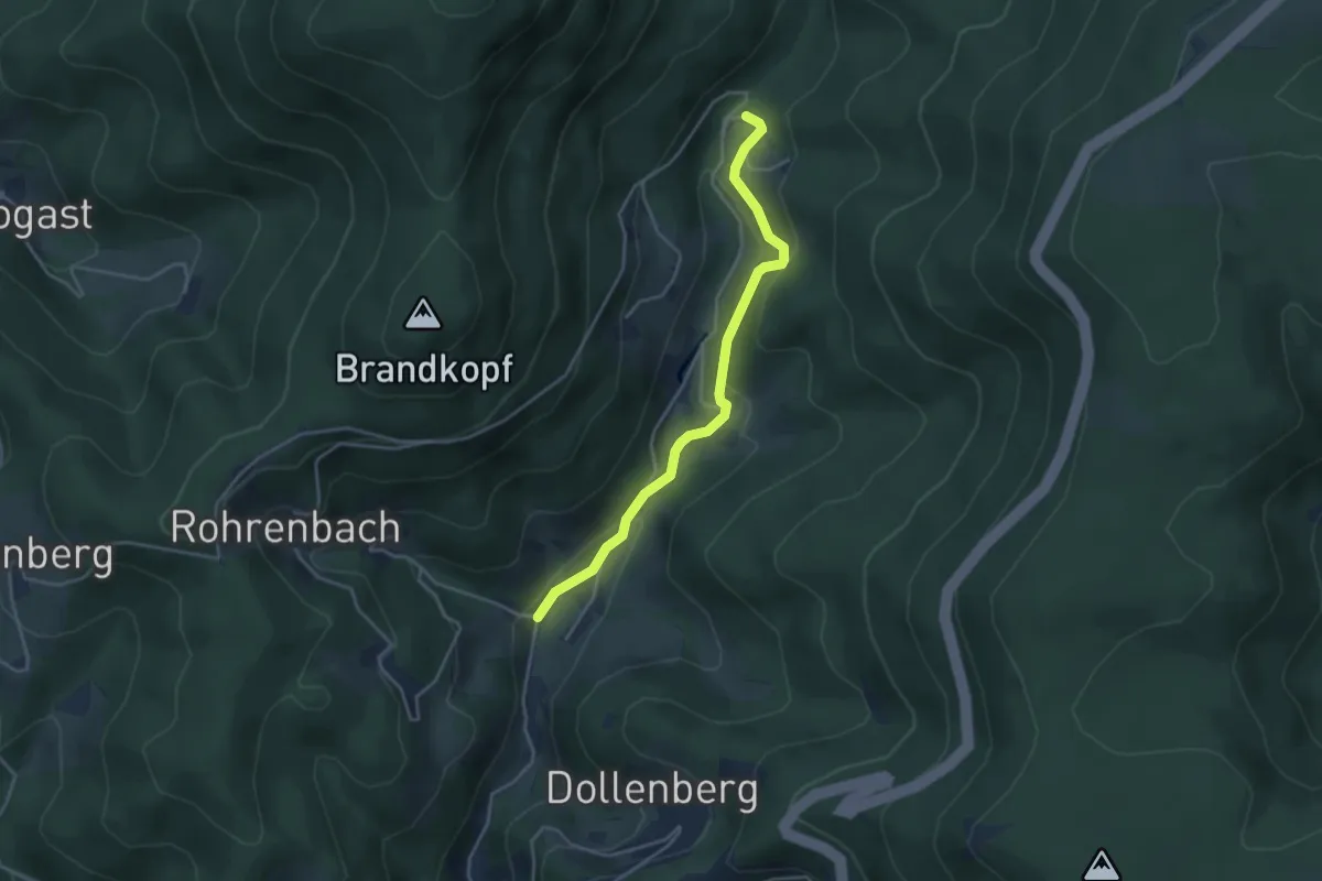
Easy · Trail
Herbstwasen - Rohrenbach
3.7 km · ↑ 154 m · 1 h 12 min
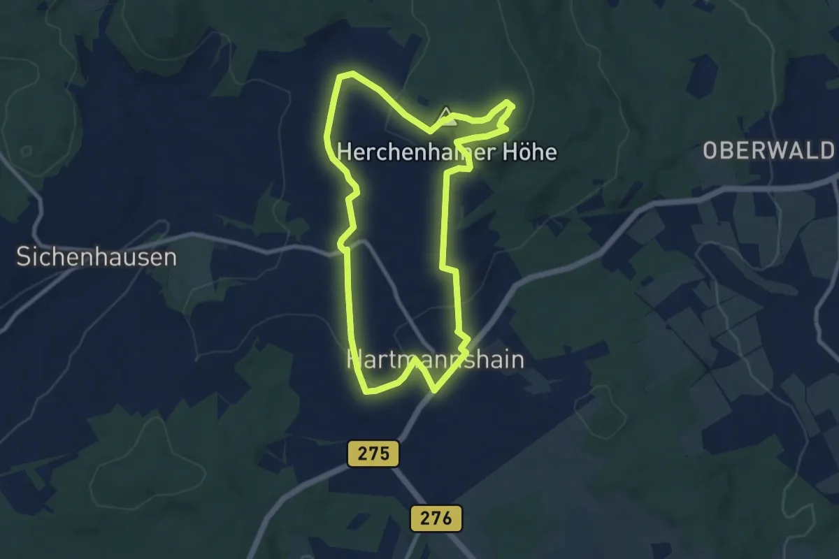
Medium · Summit
Herchenhainer Höhen Rundwanderweg
7.5 km · ↑ 199 m · 2 h 18 min
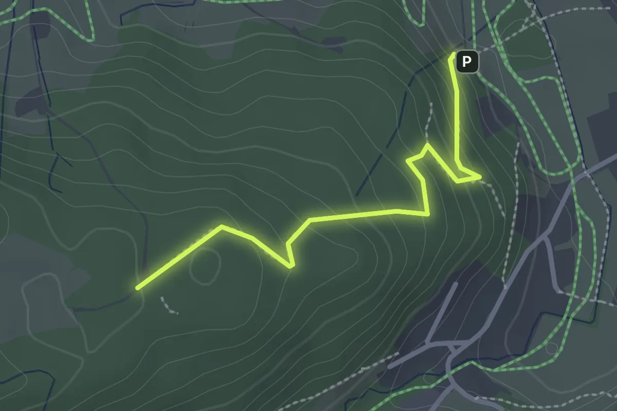
Easy · Trail
Herchenwald - Wolfsgrund
2.5 km · ↑ 163 m · 56 min
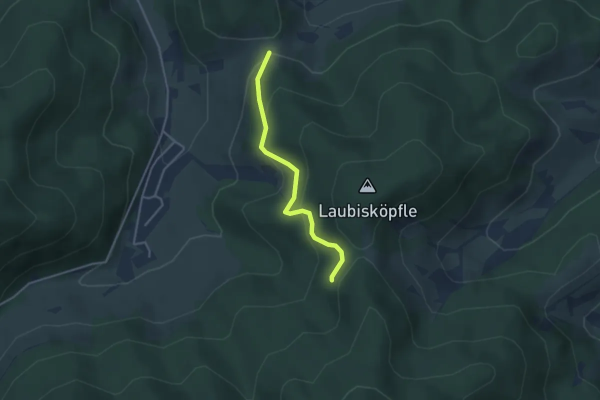
Medium · Trail
Herchersattel - Molzenwald
2.6 km · ↑ 141 m · 55 min
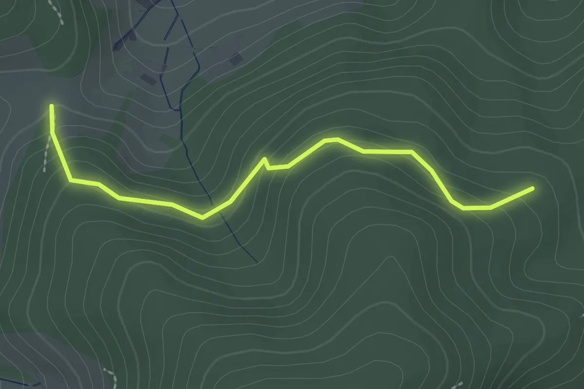
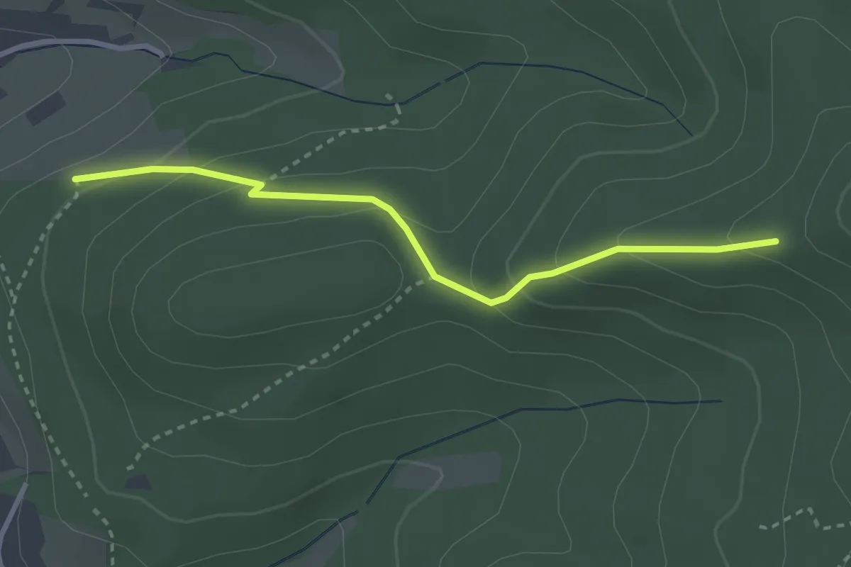
Easy · Trail
Herchersattel - Pfisterhöhe
2.3 km · ↑ 121 m · 48 min
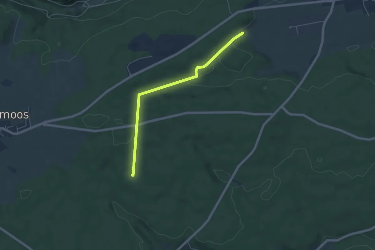
Easy · Trail
Herdle - Oberer Selmen
2.8 km · ↑ 178 m · 1 h 2 min
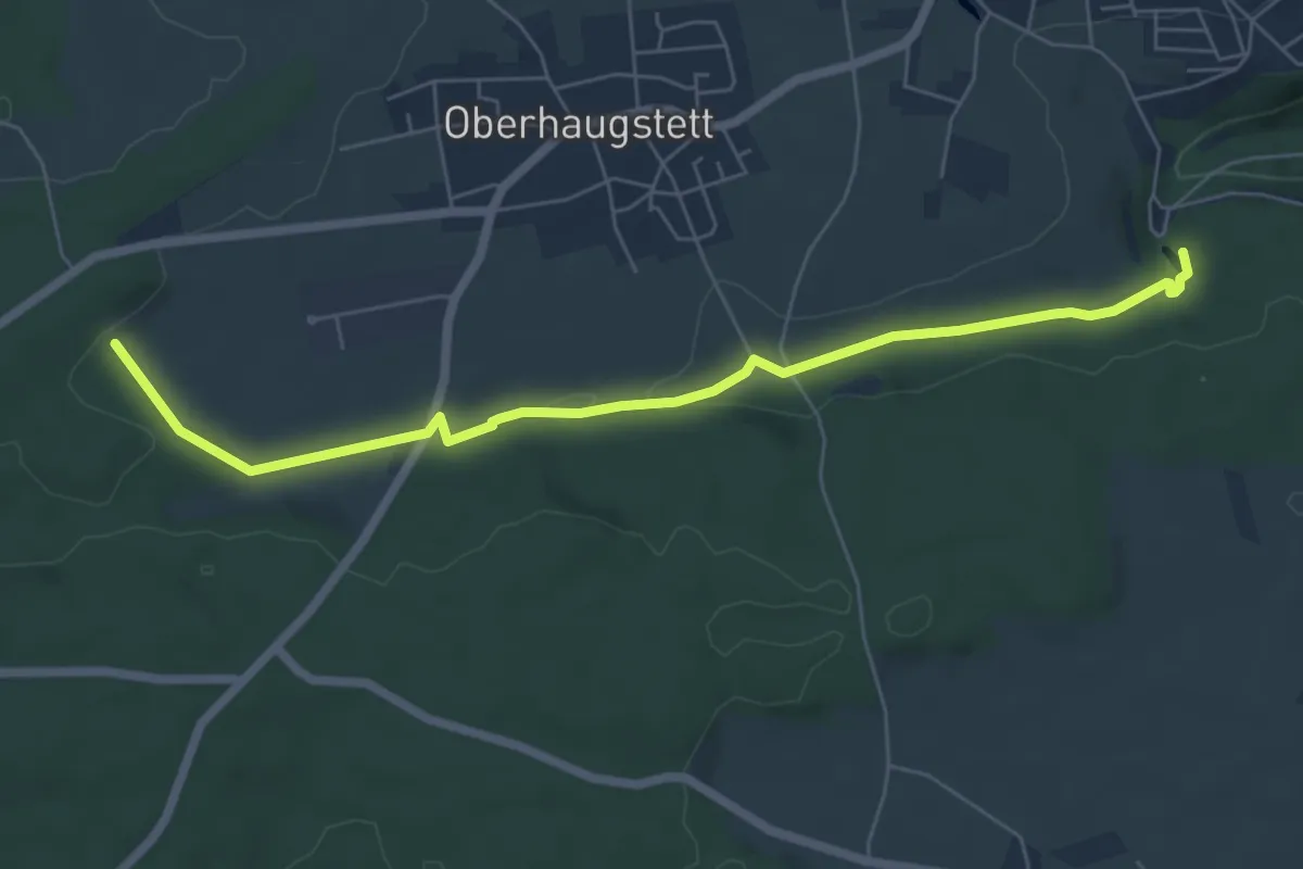
Easy · Trail
Herdweg - Buhlerwaldstern
4.4 km · ↑ 74 m · 1 h 12 min
Easy · Trail
Herdweg - Lochsägmühle
6.3 km · ↑ 78 m · 1 h 40 min
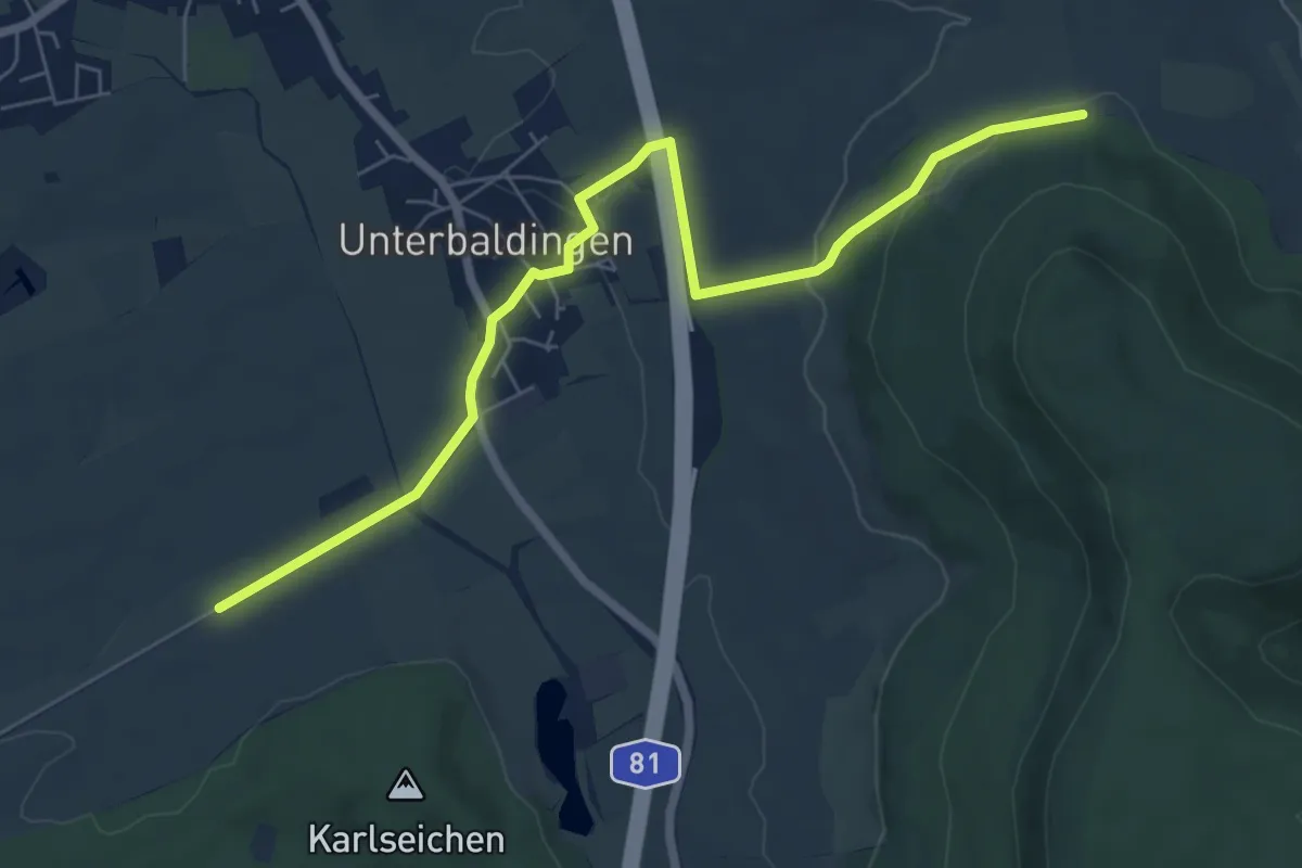
Easy · Trail
Herdweid - Rotmund
7.3 km · ↑ 130 m · 2 h 1 min
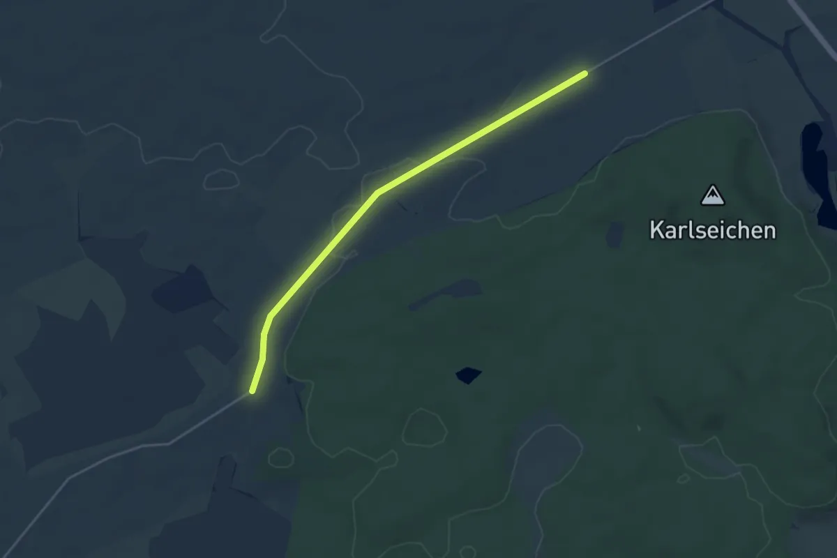
Easy · Trail
Herdweid - Torhäusle
3.9 km · ↑ 14 m · 57 min
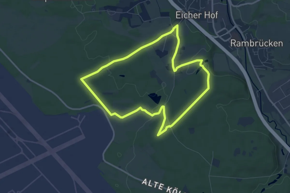
Easy · Trail
Herfeld-Tour
6.8 km · ↑ 39 m · 1 h 47 min
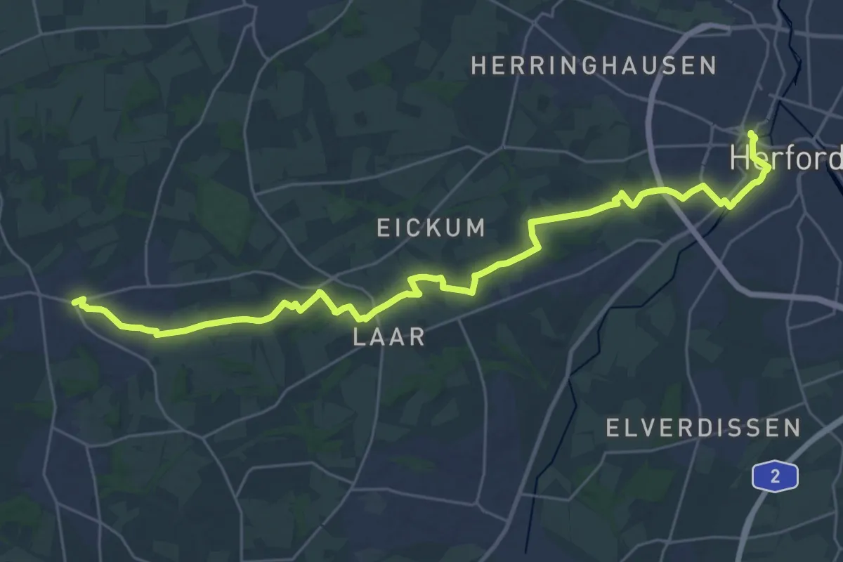
Demanding · Trail
Herfordweg
27.7 km · ↑ 213 m · 7 h 1 min
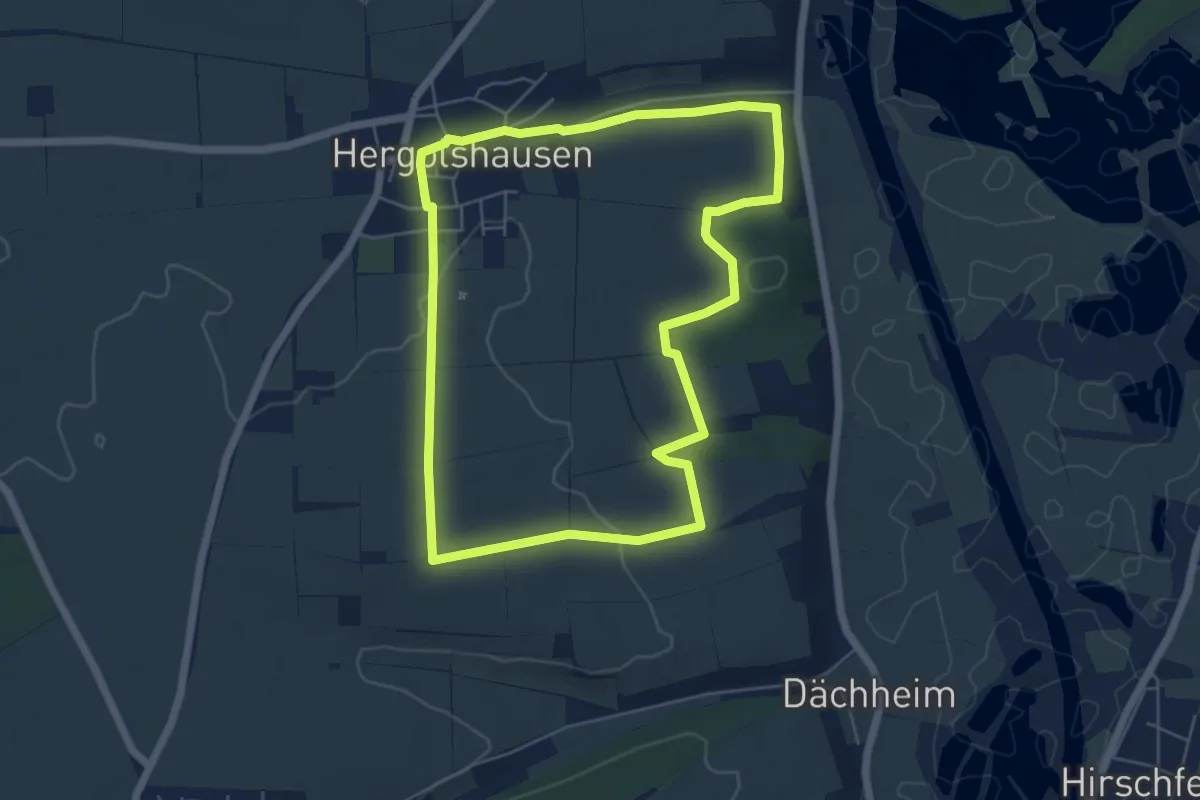
Easy · Trail
Hergolshäuser Rundweg - Oberes Werntal
5.3 km · ↑ 51 m · 1 h 26 min
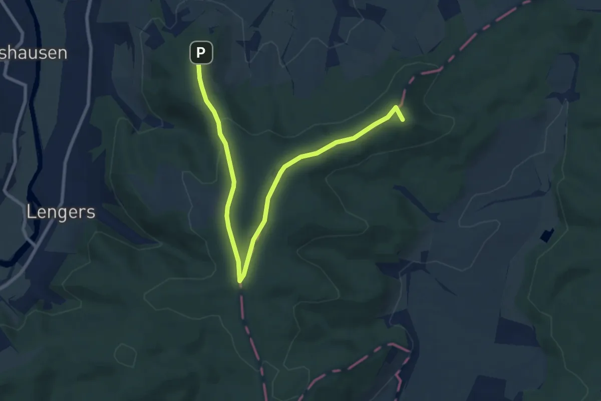
Medium · Summit
Heringen Weitwanderweg Nr.3
8.4 km · ↑ 141 m · 2 h 18 min
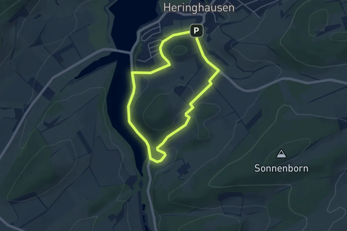
Easy · Summit
Heringhausen H3
3.5 km · ↑ 90 m · 1 h 4 min
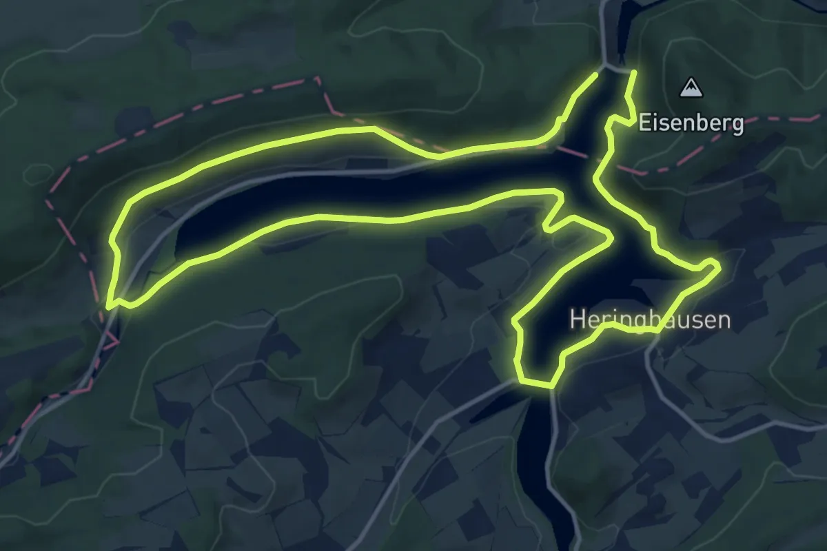
Medium · Summit
Heringhausen H6
12.4 km · ↑ 199 m · 3 h 32 min
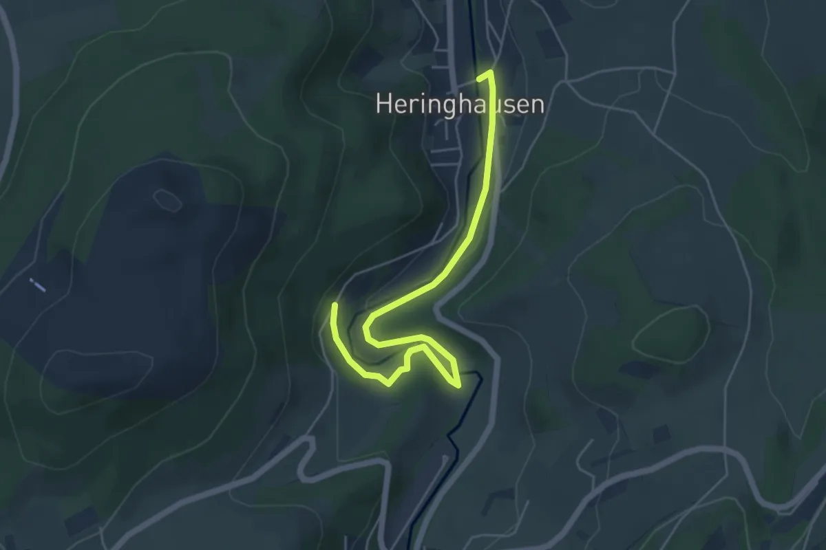
Easy · Trail
Heringhausen Rundweg H4
5.0 km · ↑ 86 m · 1 h 22 min
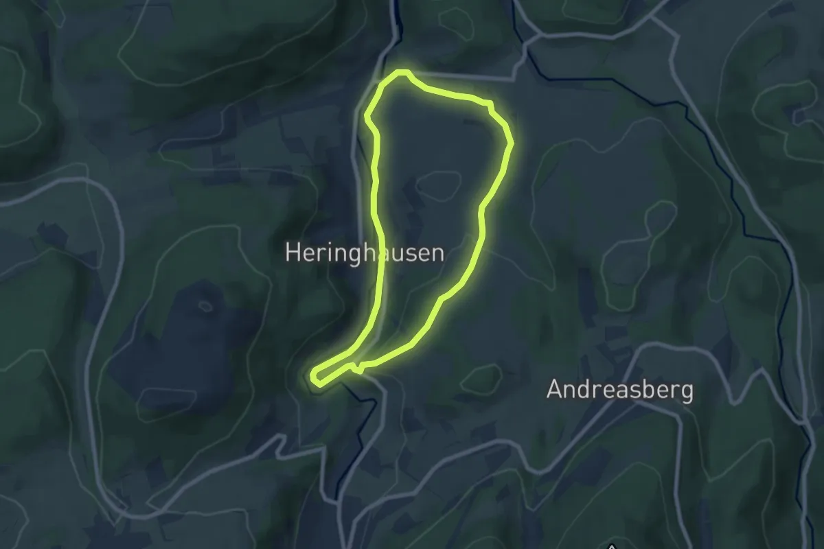
Easy · Trail
Heringhausen Rundweg H6
5.8 km · ↑ 132 m · 1 h 43 min
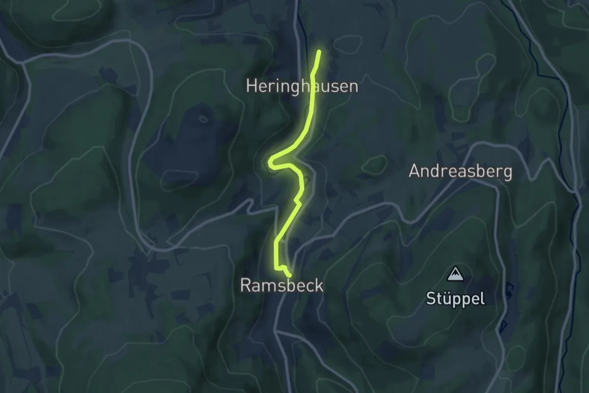
Easy · Trail
Heringhausen Rundweg H8
6.3 km · ↑ 92 m · 1 h 42 min
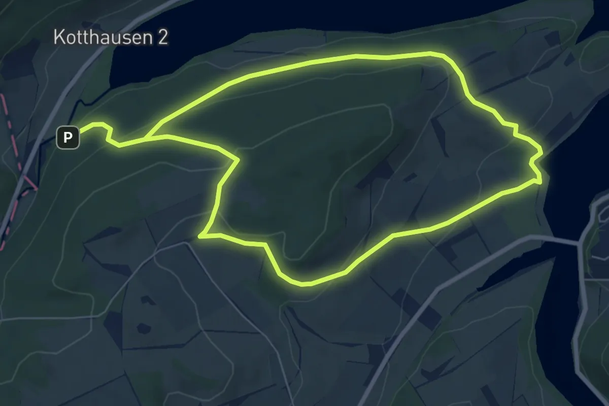
Easy · Trail
Heringshausen H4
5.9 km · ↑ 210 m · 1 h 53 min
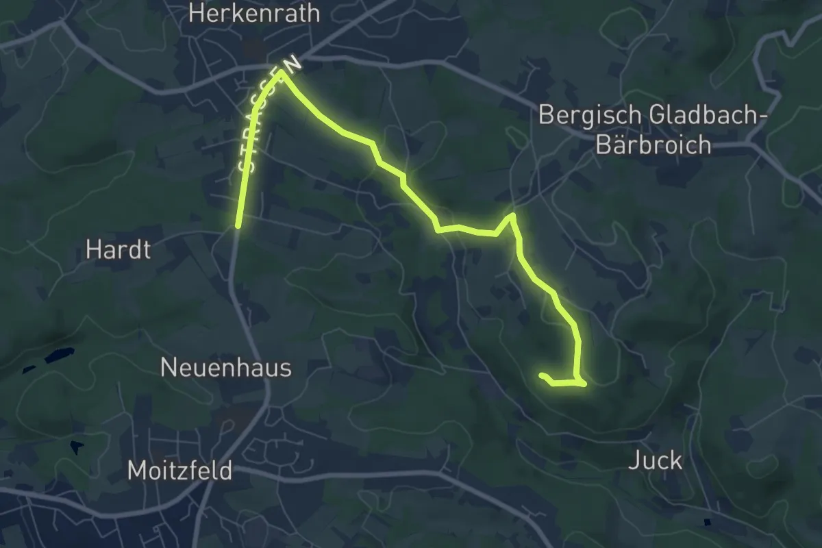
Easy · Trail
Herkenrath - Volbach - Dreispringen - Volbacher Mühle U
7.7 km · ↑ 191 m · 2 h 14 min
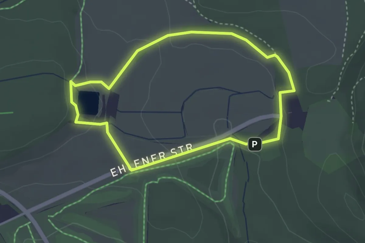
Easy · Trail
Herkules, Naturparkweg 8
2.6 km · ↑ 52 m · 46 min
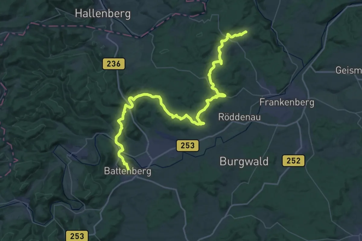
Demanding · Trail
Herkulesweg - Etappe 1
24.8 km · ↑ 508 m · 7 h 17 min
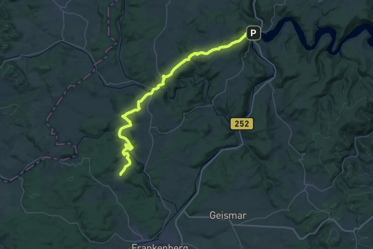
Demanding · Trail
Herkulesweg - Etappe 2
18.3 km · ↑ 419 m · 5 h 34 min