Trails in Germany
36,852 hiking trails, each with its route, climb, walking time and grade.
All trails, page 233 of 768
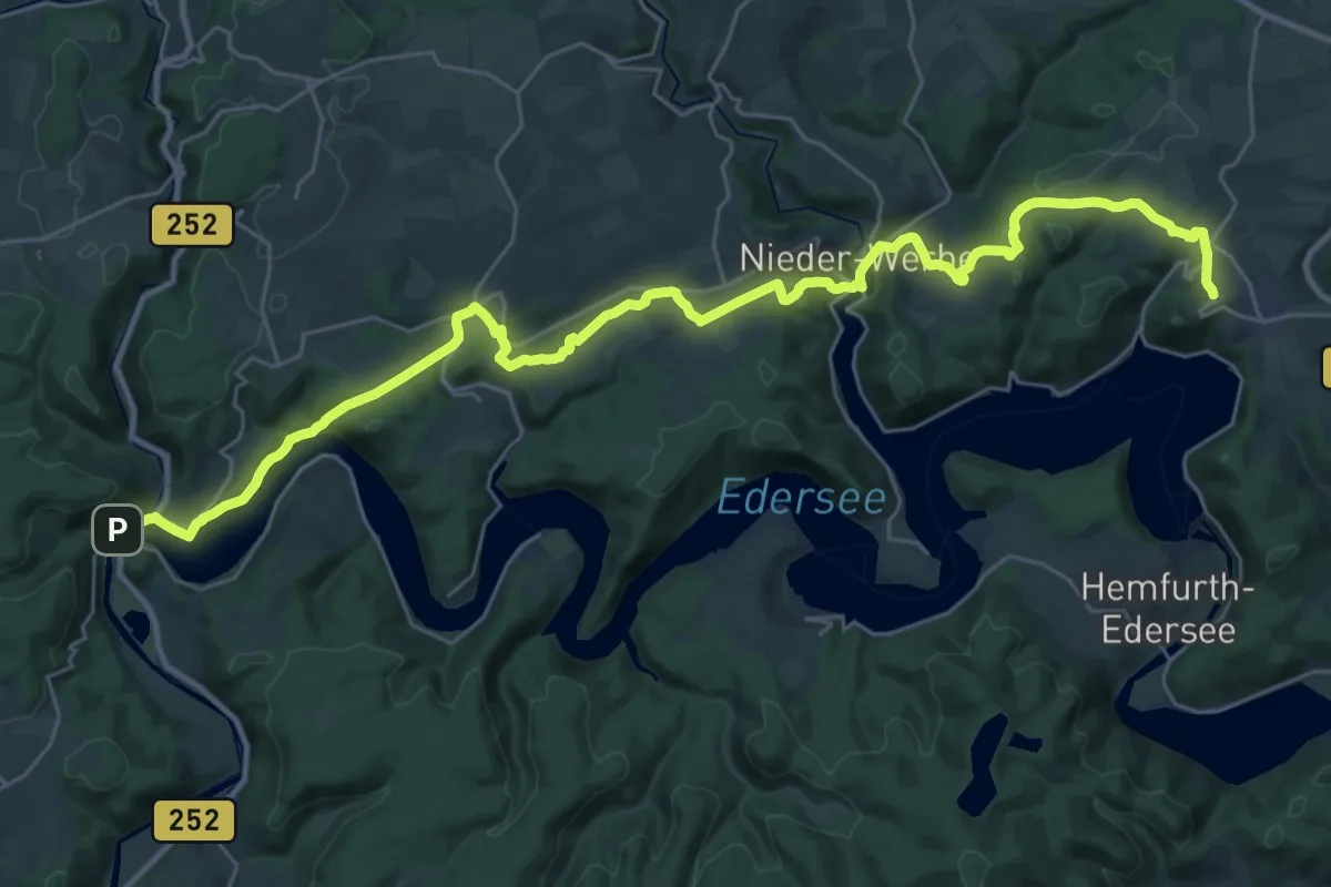
Medium · Trail
Herkulesweg - Etappe 3
17.2 km · ↑ 449 m · 5 h 12 min
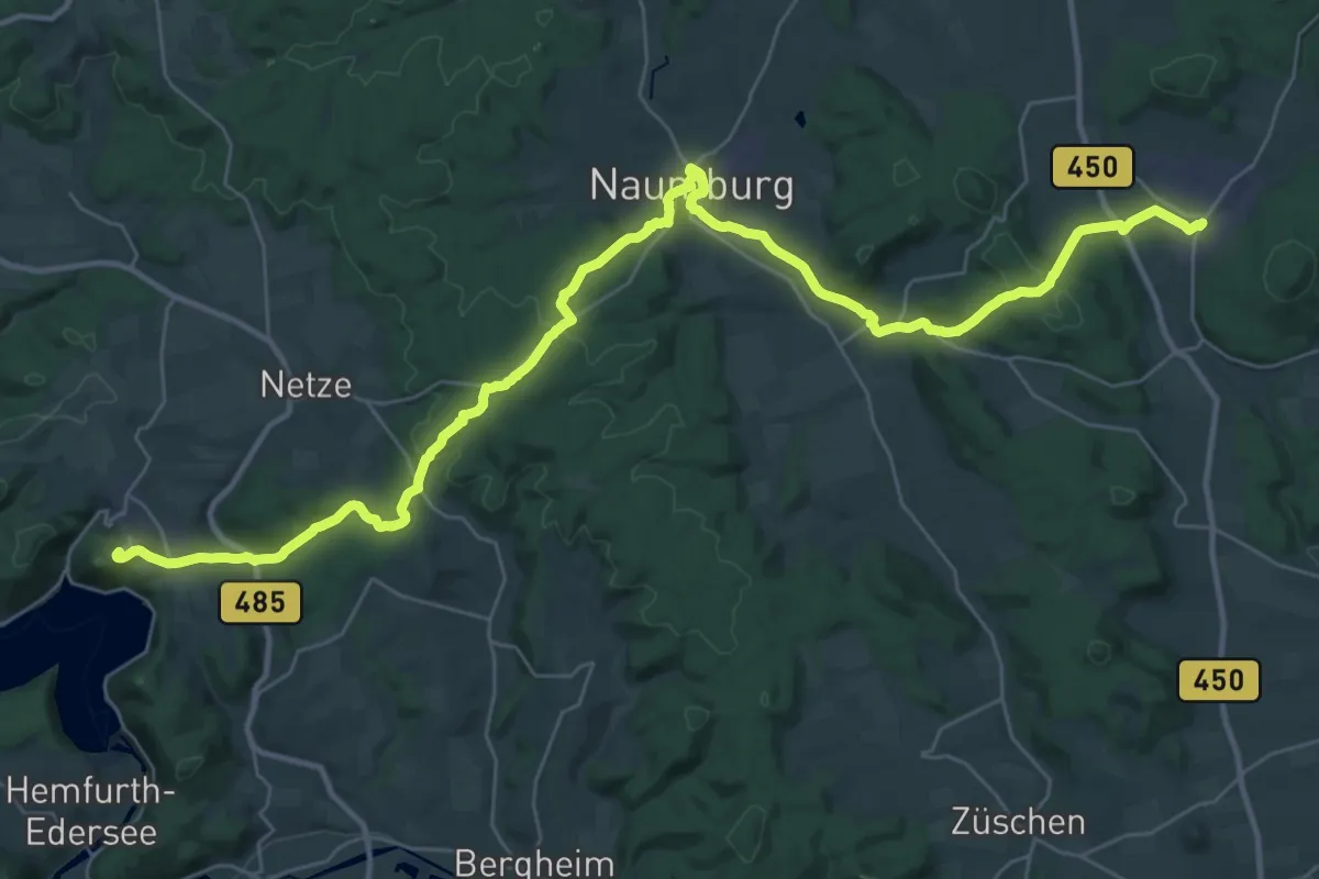
Demanding · Summit
Herkulesweg - Etappe 4
40.0 km · ↑ 929 m · 11 h 28 min
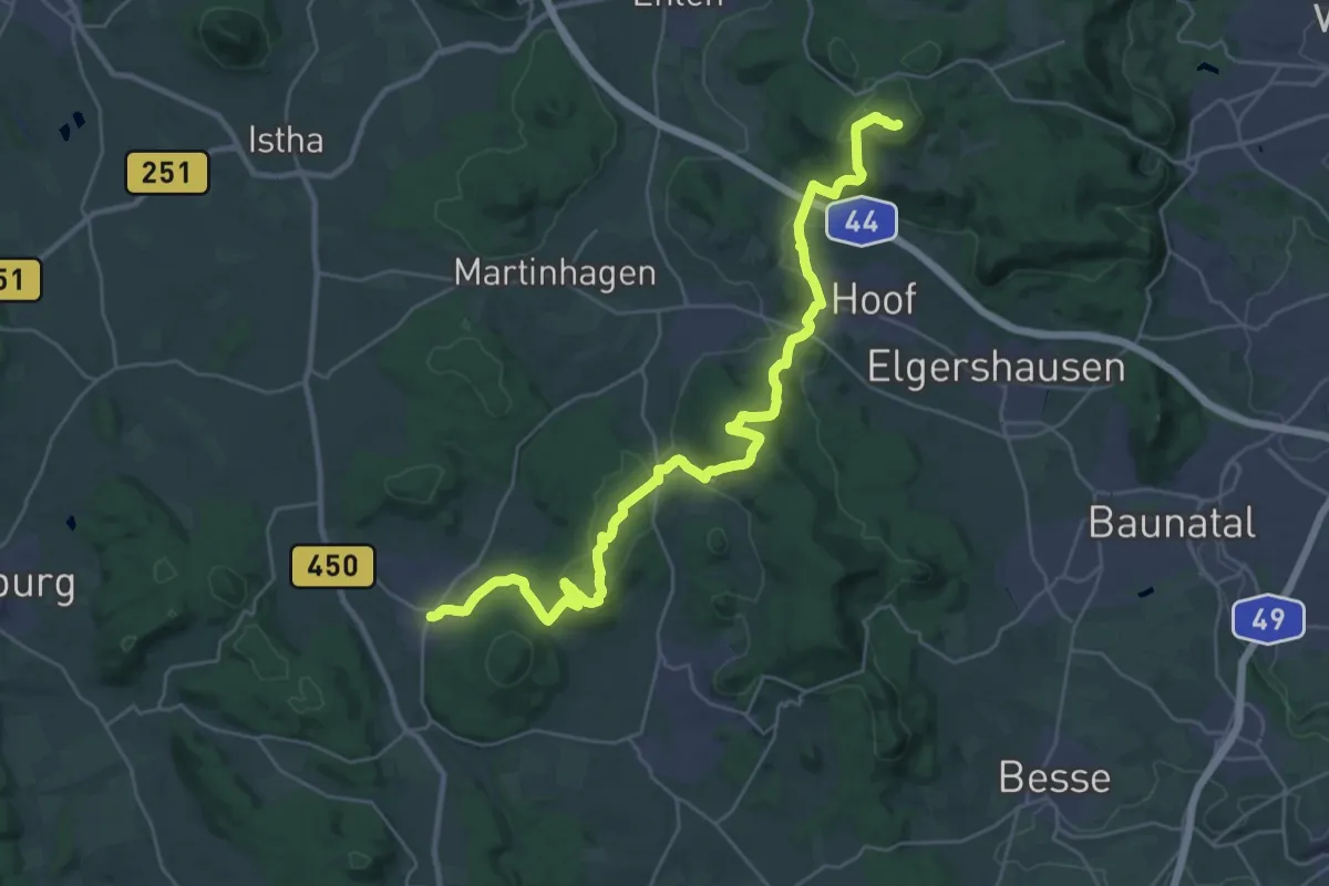
Demanding · Summit
Herkulesweg - Etappe 5
30.8 km · ↑ 791 m · 8 h 59 min
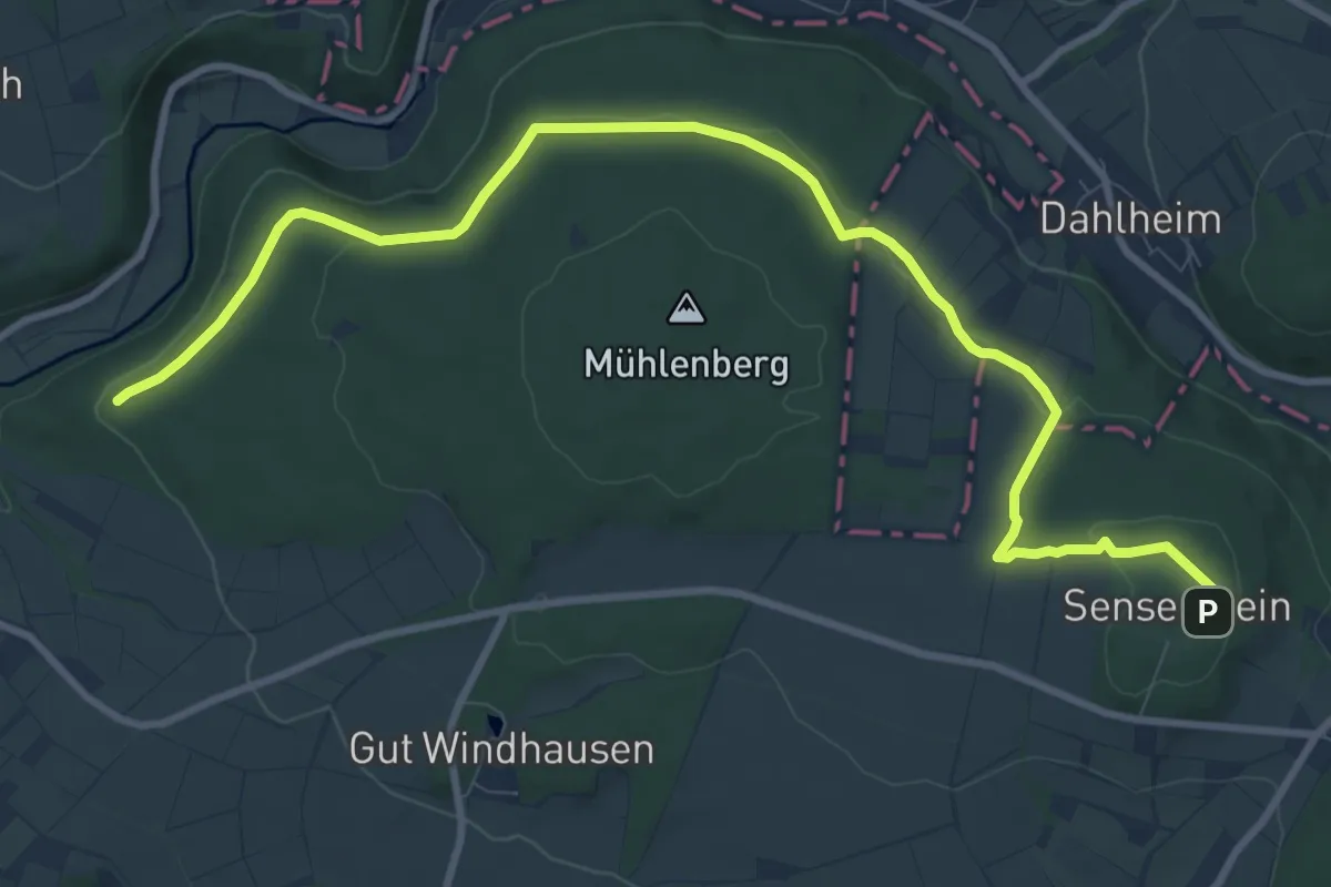
Medium · Trail
Herkulesweg - Etappe 6
10.9 km · ↑ 171 m · 2 h 56 min
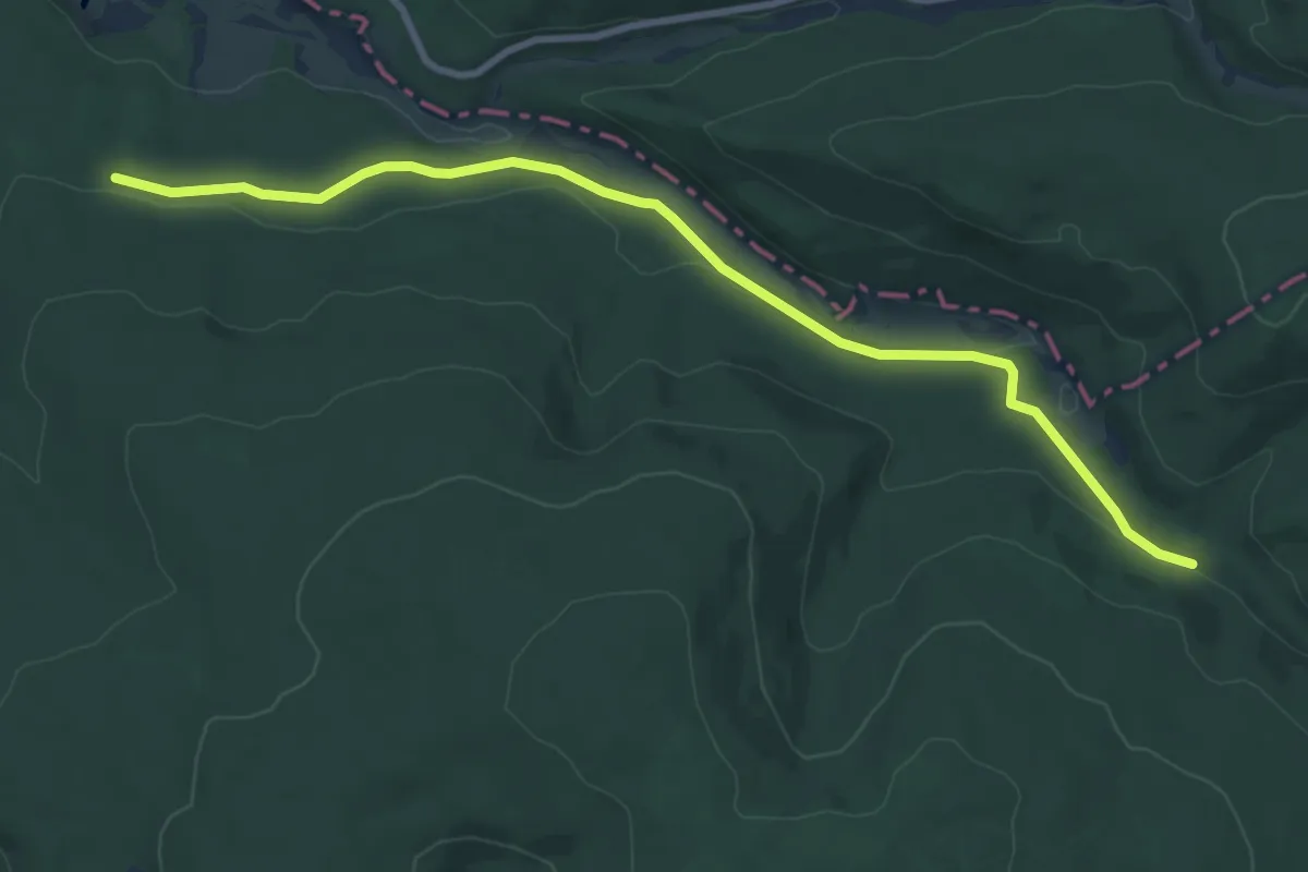
Medium · Trail
Herkulesweg - Etappe 7
8.7 km · ↑ 121 m · 2 h 19 min
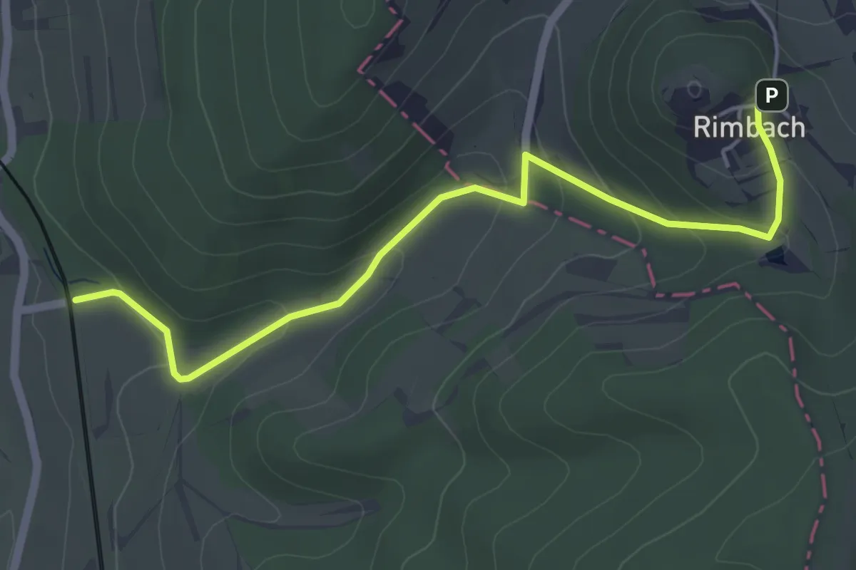
Easy · Trail
Herkulesweg - Etappe 8
4.7 km · ↑ 182 m · 1 h 30 min
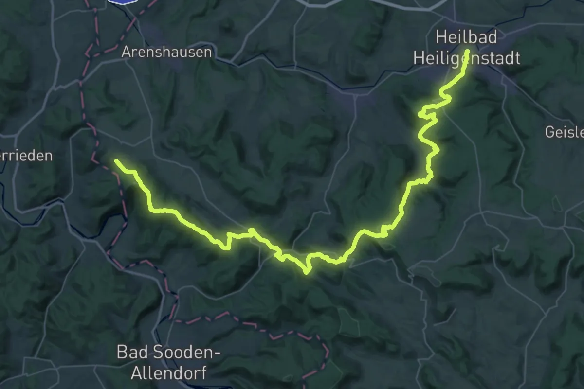
Demanding · Trail
Herkulesweg - Etappe 9
27.5 km · ↑ 899 m · 8 h 46 min
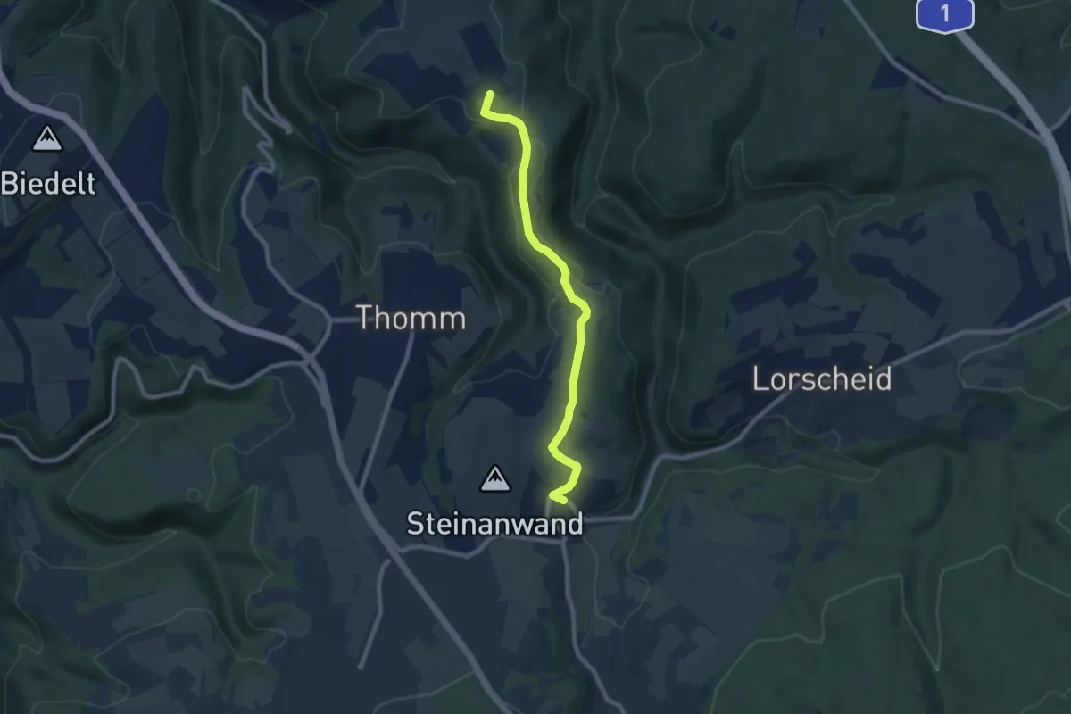
Easy · Summit
Herl 1
7.2 km · ↑ 117 m · 1 h 57 min
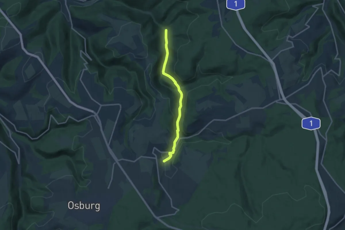
Medium · Trail
Herl 2
9.1 km · ↑ 223 m · 2 h 37 min
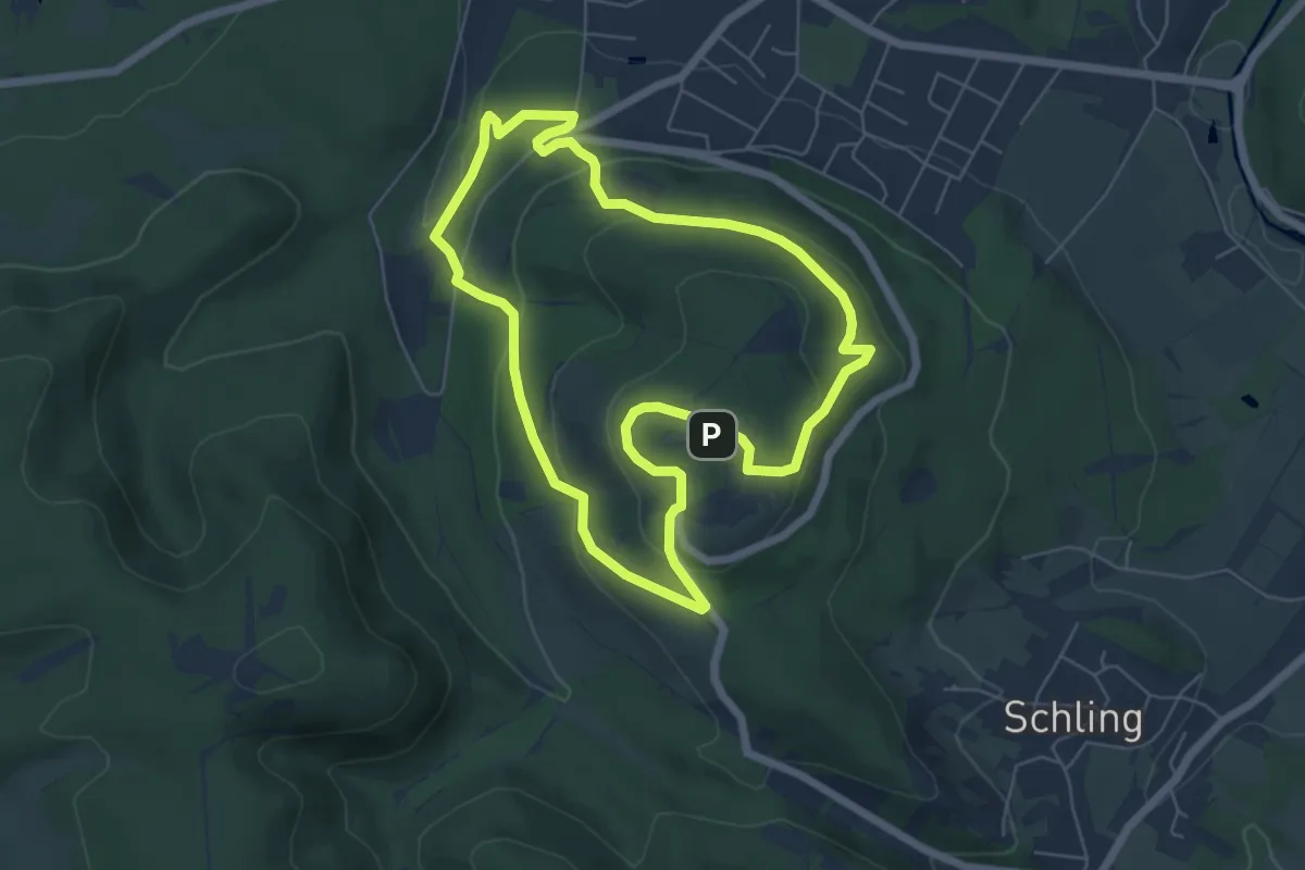
Easy · Summit
Hermann-Heidental-Route A2
5.3 km · ↑ 199 m · 1 h 46 min
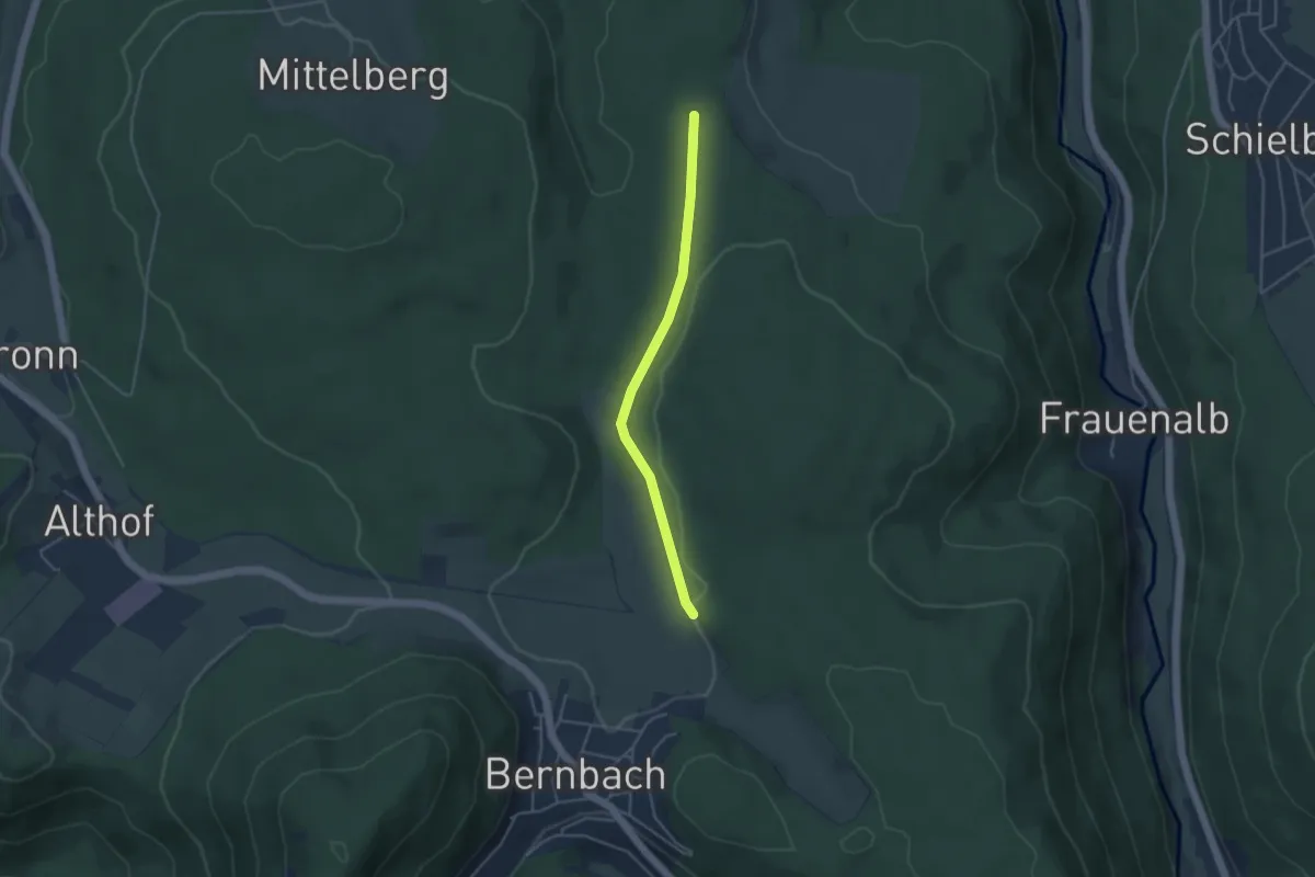
Easy · Trail
Hermann-Kern-Hütte - Bernbacher Heide
3.5 km · ↑ 56 m · 57 min
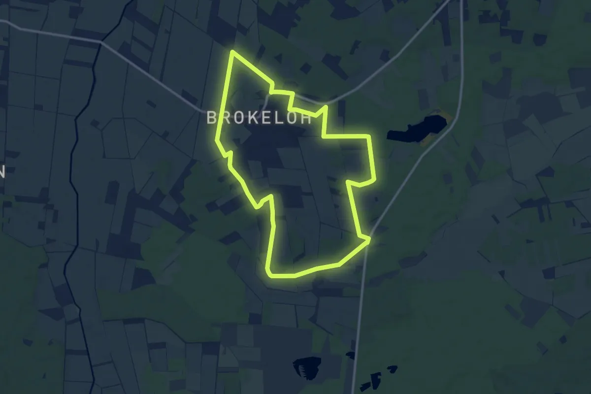
Medium · Trail
Hermann-Löns-Wanderweg um Brokeloh
9.9 km · ↑ 38 m · 2 h 33 min
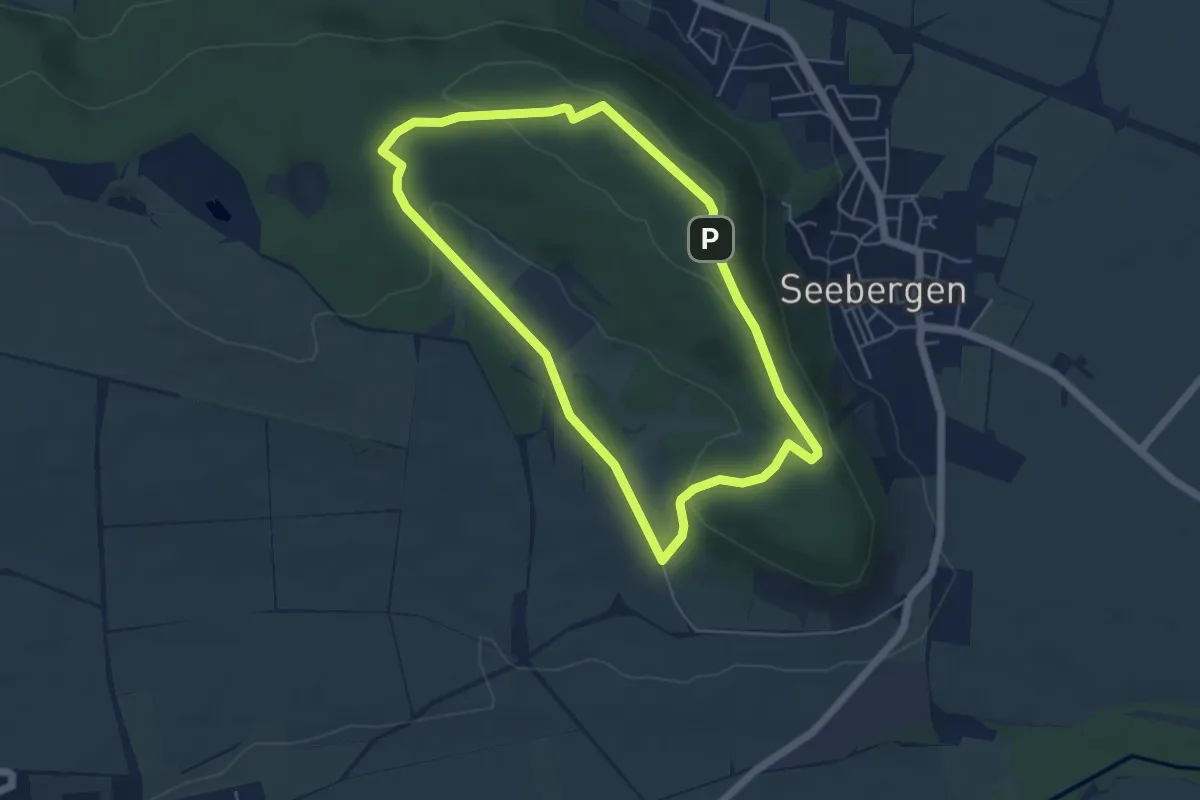
Easy · Trail
Hermann-Löns-Weg
4.5 km · ↑ 91 m · 1 h 19 min
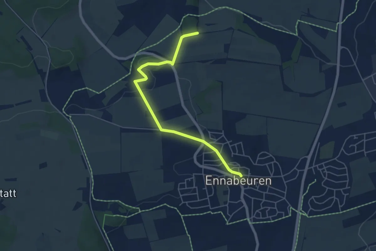
Easy · Trail
Hermannsbühl - Ennabeuren
4.9 km · ↑ 92 m · 1 h 22 min
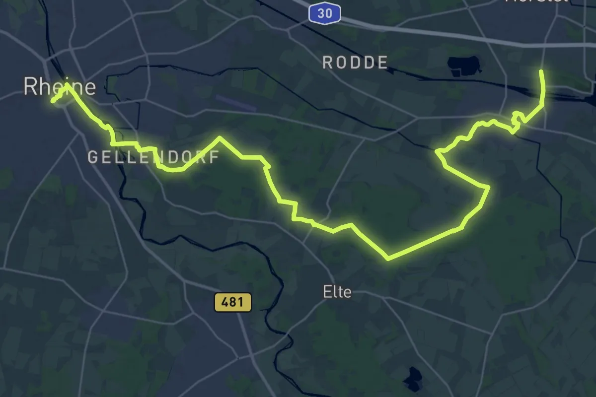
Demanding · Trail
Hermannshöhen - Etappe 01 von Rheine nach Hörstel
18.8 km · ↑ 48 m · 4 h 48 min
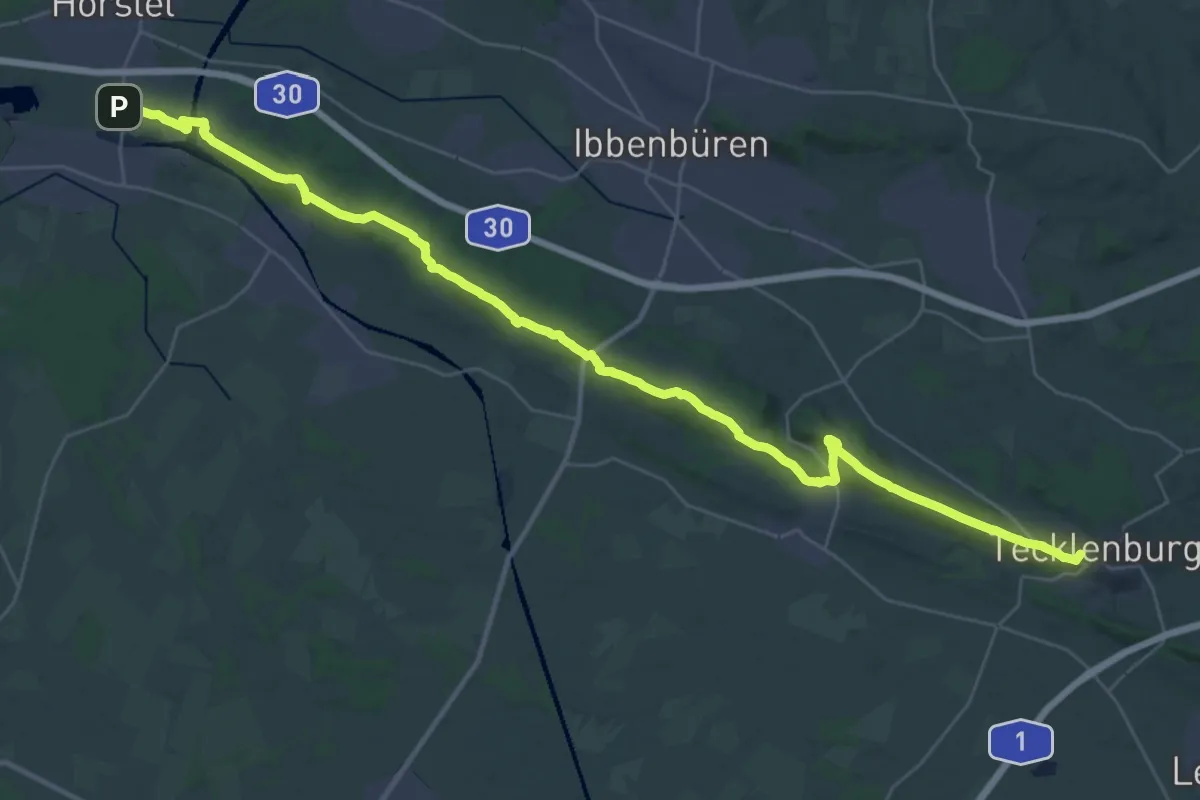
Demanding · Summit
Hermannshöhen - Etappe 02 von Hörstel nach Tecklenburg
38.9 km · ↑ 758 m · 10 h 50 min
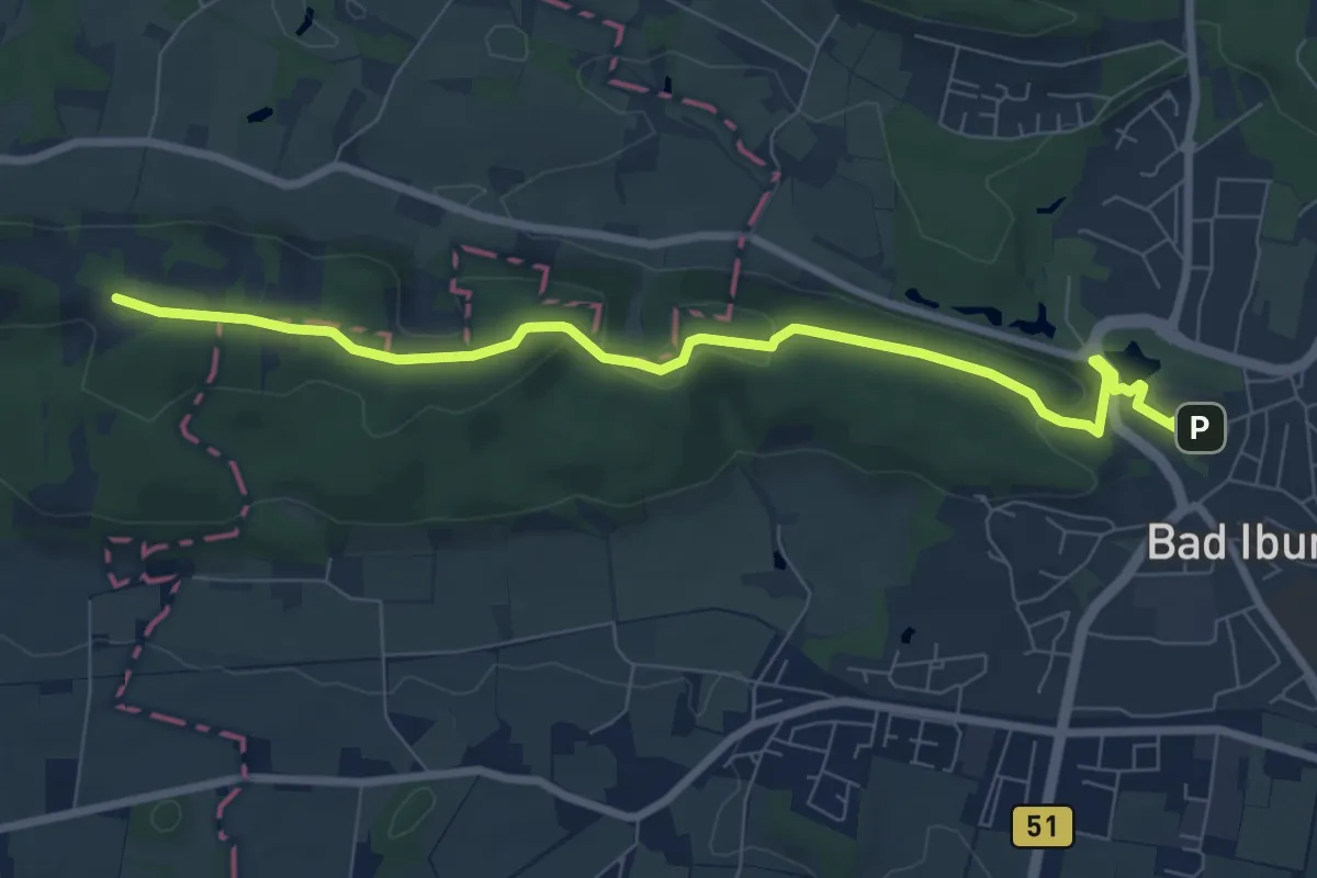
Easy · Summit
Hermannshöhen - Etappe 03 von Tecklenburg nach Bad Iburg
3.8 km · ↑ 111 m · 1 h 9 min
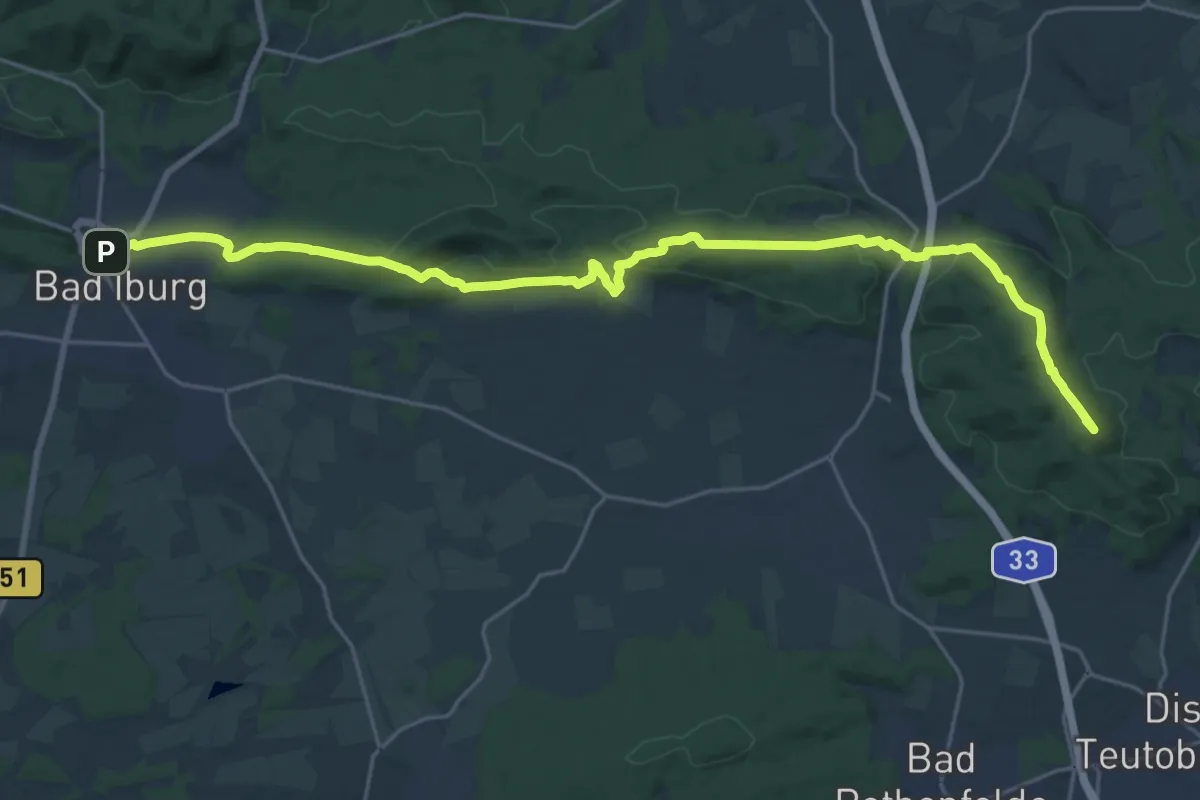
Demanding · Summit
Hermannshöhen - Etappe 04 von Bad Iburg nach Dissen
24.2 km · ↑ 542 m · 6 h 53 min
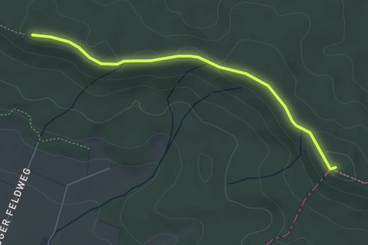
Easy · Summit
Hermannshöhen - Etappe 05 von Dissen nach Halle (Westf.)
4.0 km · ↑ 55 m · 1 h 4 min
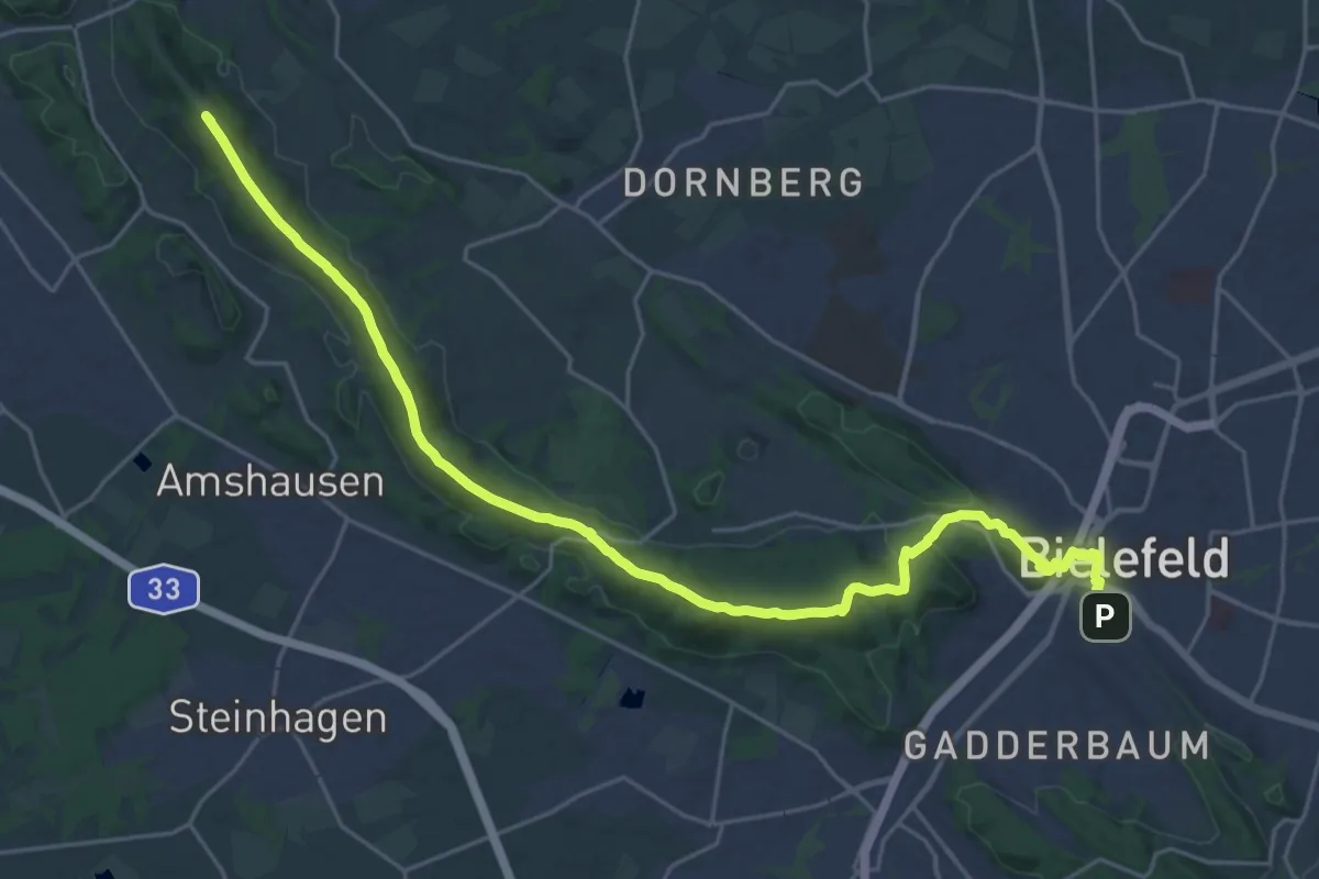
Demanding · Summit
Hermannshöhen - Etappe 06 von Halle (Westf.) nach Bielefeld
25.5 km · ↑ 575 m · 7 h 16 min
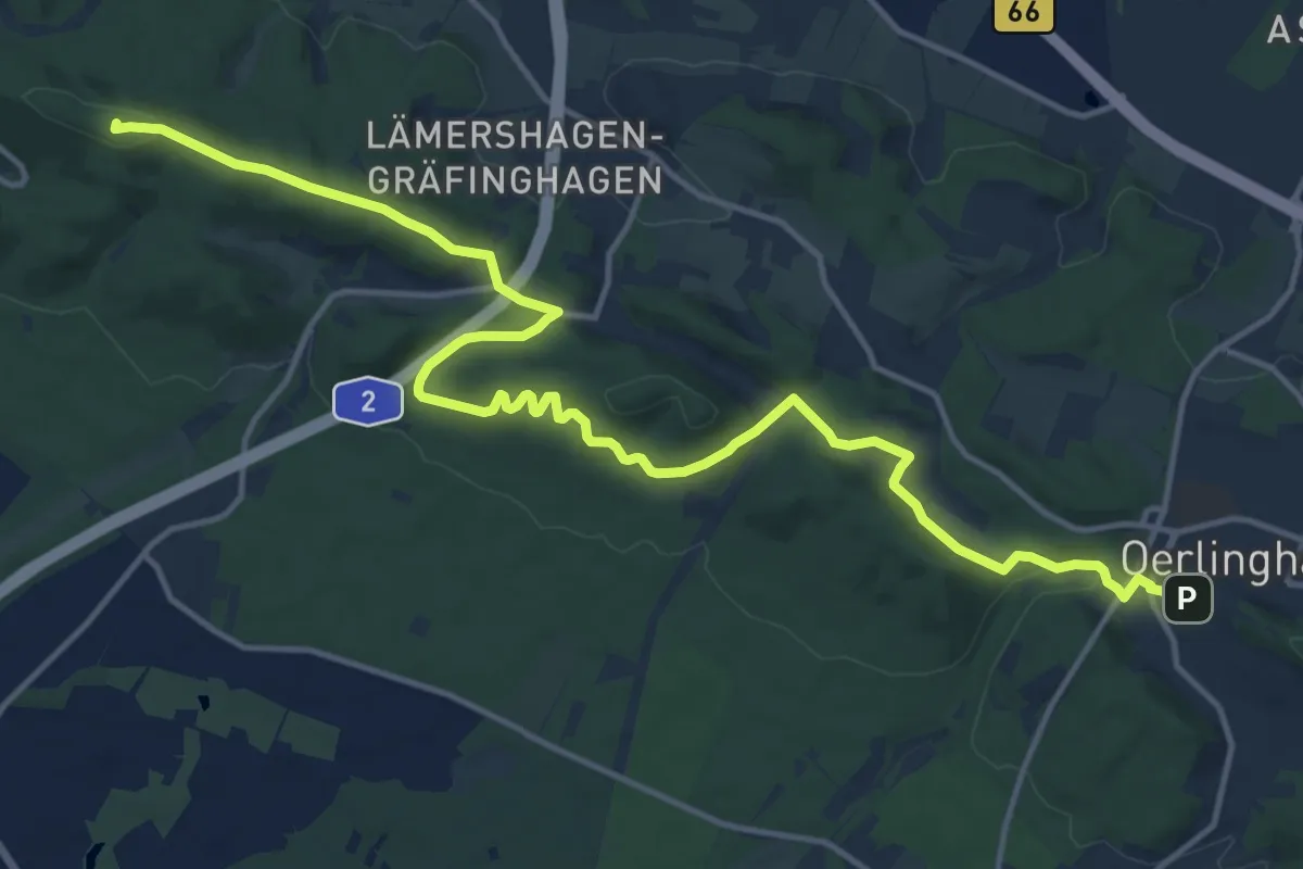
Medium · Summit
Hermannshöhen - Etappe 07 von Bielefeld nach Oerlinghausen
16.1 km · ↑ 398 m · 4 h 39 min
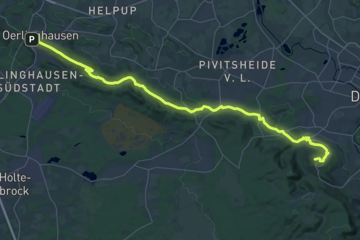
Demanding · Summit
Hermannshöhen - Etappe 08 von Oerlinghausen nach Detmold
34.8 km · ↑ 778 m · 9 h 55 min
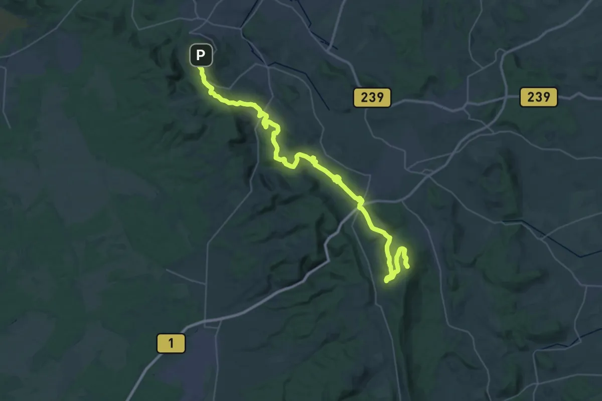
Demanding · Summit
Hermannshöhen - Etappe 09 von Detmold nach Leopoldstal
38.0 km · ↑ 1264 m · 11 h 43 min
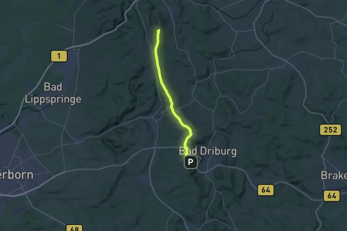
Demanding · Summit
Hermannshöhen - Etappe 10 von Horn-Bad Meinberg nach Bad Driburg
26.9 km · ↑ 365 m · 7 h 9 min
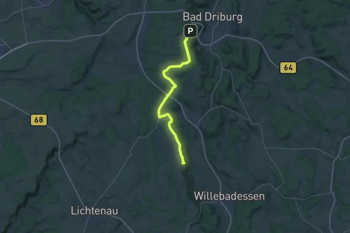
Demanding · Summit
Hermannshöhen - Etappe 11 von Bad Driburg nach Willebadessen
25.6 km · ↑ 410 m · 6 h 55 min
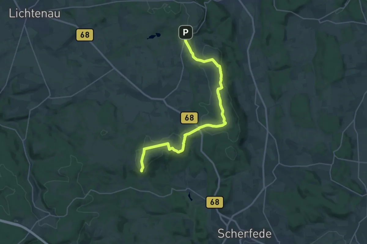
Demanding · Summit
Hermannshöhen - Etappe 12 von Willebadessen nach Blankenrode
21.4 km · ↑ 277 m · 5 h 39 min
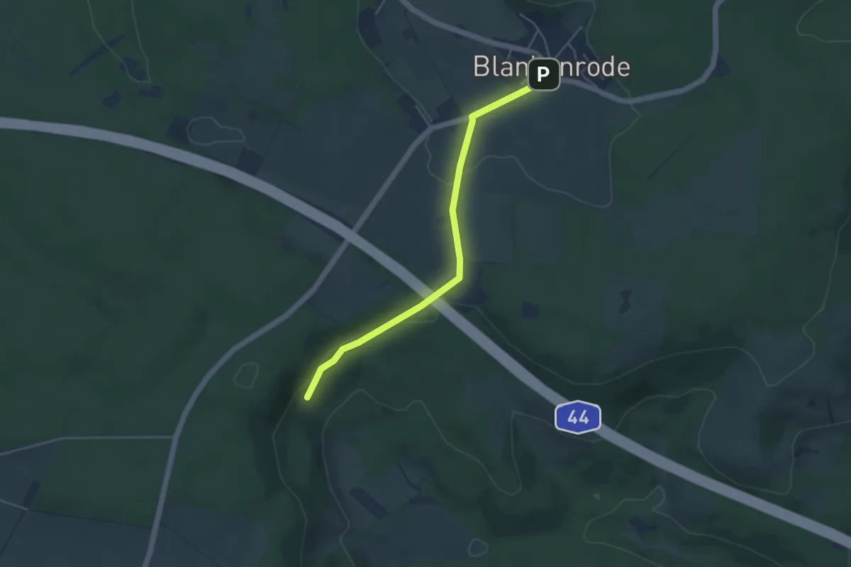
Easy · Trail
Hermannshöhen - Etappe 13 von Blankenrode nach Marsberg
3.9 km · ↑ 59 m · 1 h 3 min
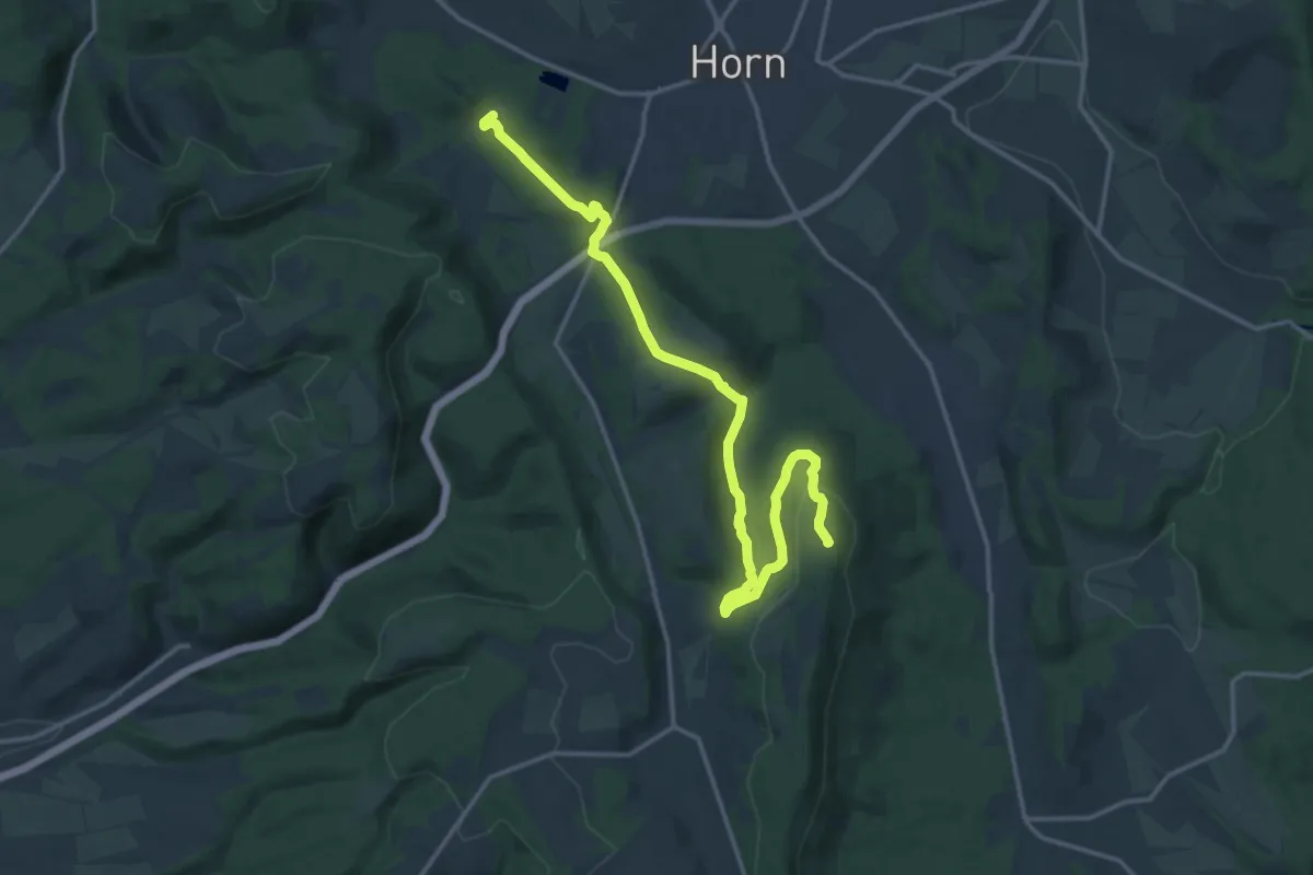
Medium · Summit
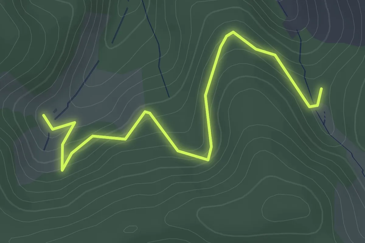
Hermannshöhen - Teil-Etappe 9 von den Externsteinen zum Velmerstot
15.6 km · ↑ 470 m · 4 h 42 min
Easy · Trail
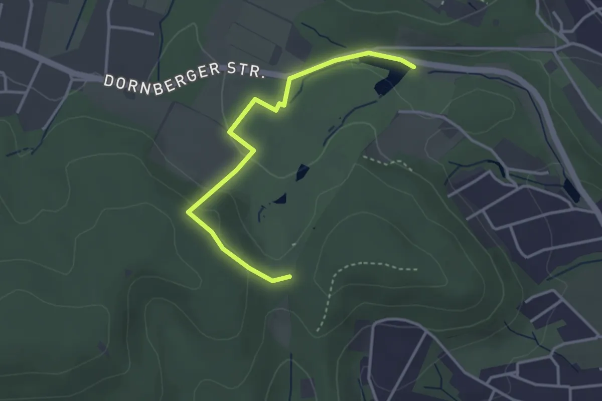
Hermannswald - Bechtolsberg
2.8 km · ↑ 185 m · 1 h 3 min
Easy · Trail
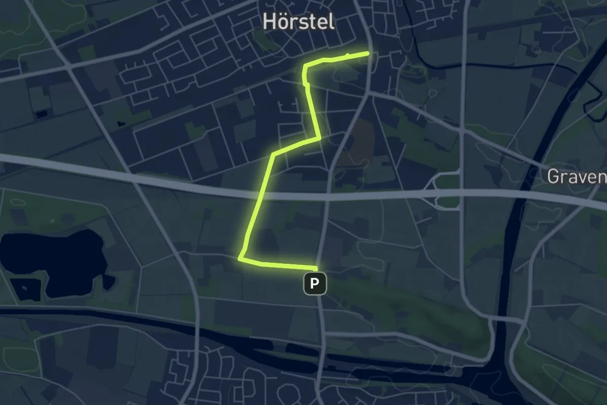
Hermannsweg - Bedarfsumleitung (Bielefeld - Tierpark Olderdissen)
3.0 km · ↑ 73 m · 52 min
Easy · Trail
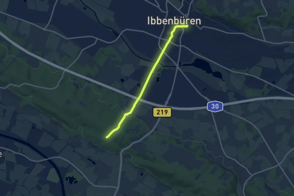
Hermannsweg - Zuweg Hörstel
4.9 km · ↑ 9 m · 1 h 11 min
Easy · Trail
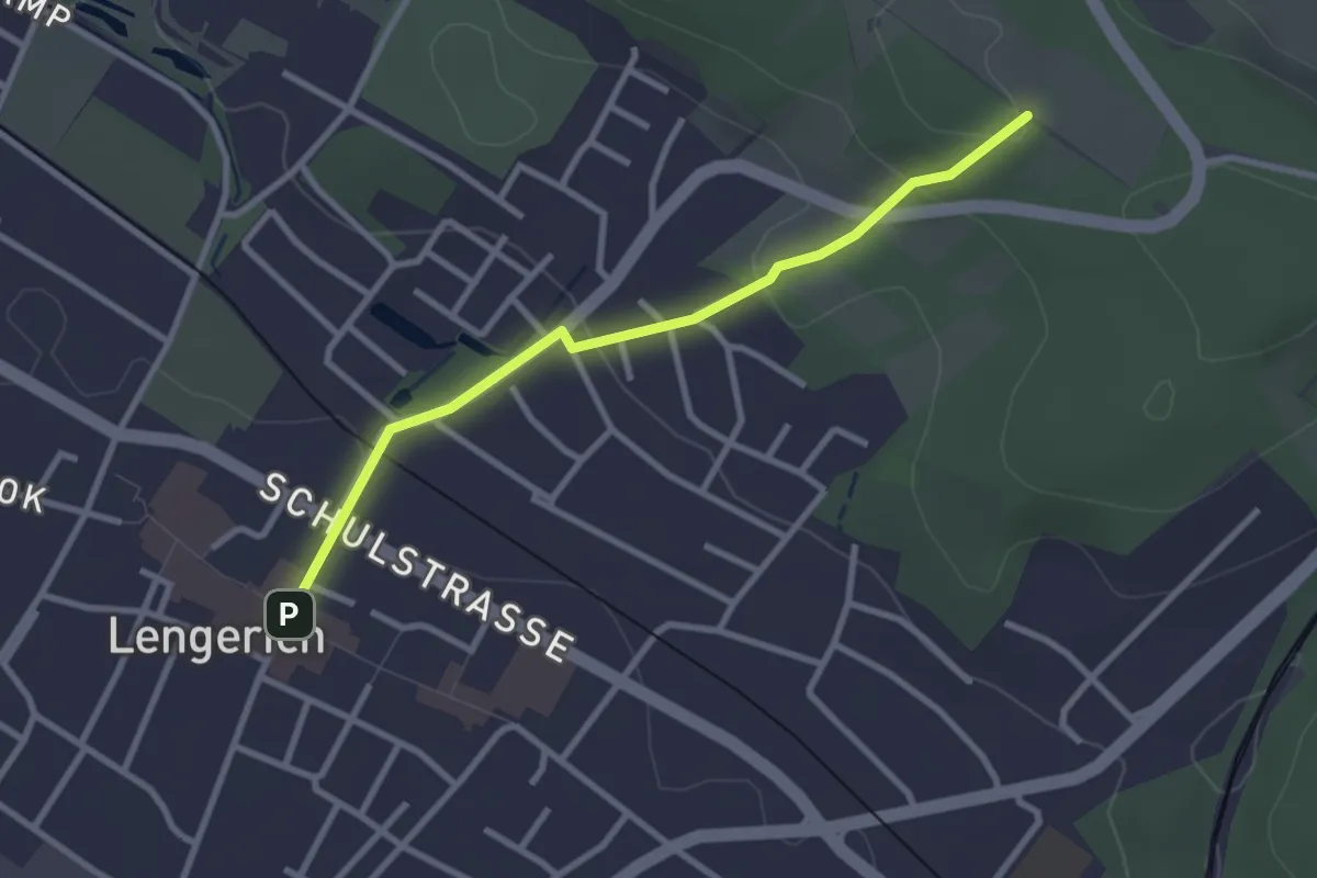
Hermannsweg - Zuweg Ibbenbüren
7.6 km · ↑ 98 m · 2 h
Easy · Trail
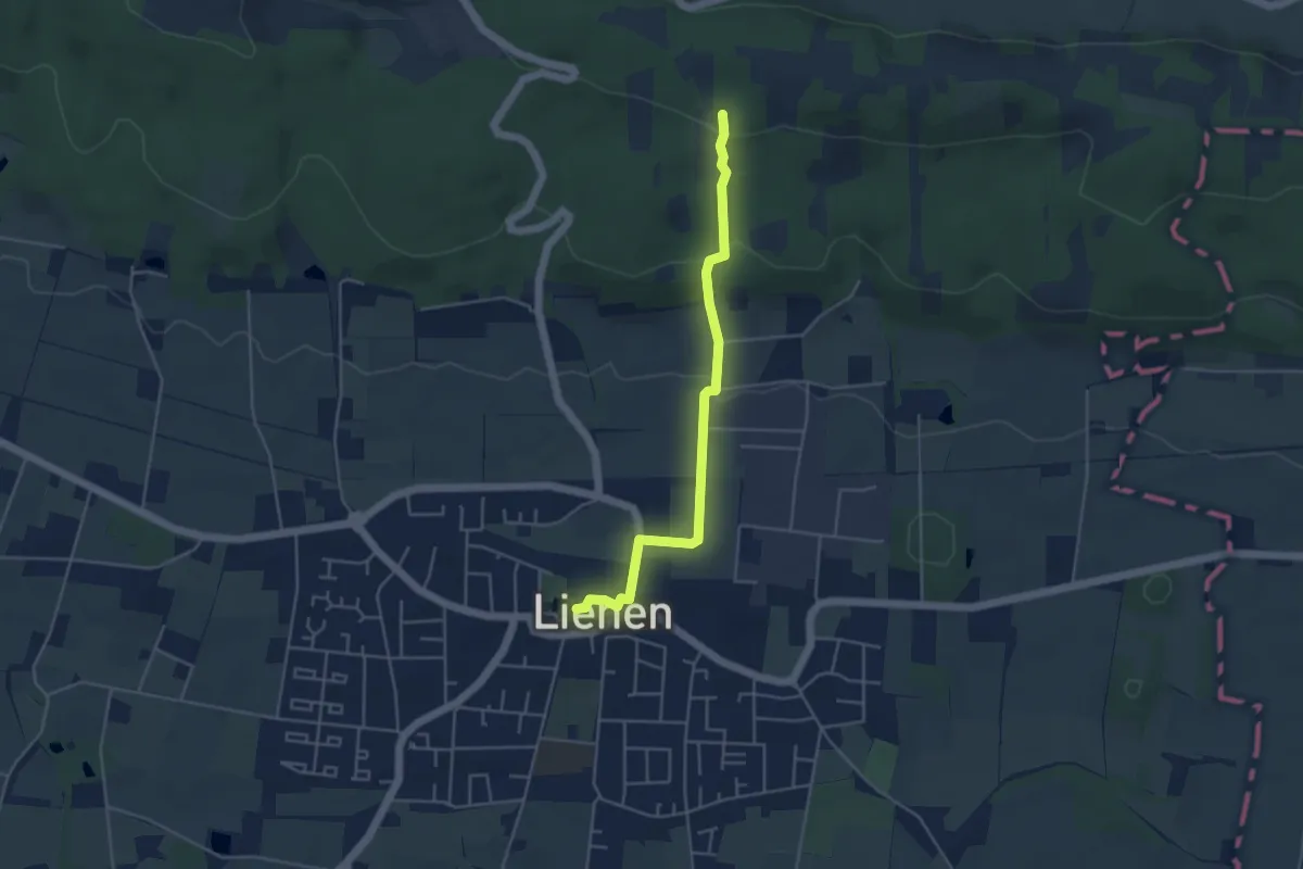
Hermannsweg - Zuweg Lengerich
2.5 km · ↑ 77 m · 46 min
Easy · Trail
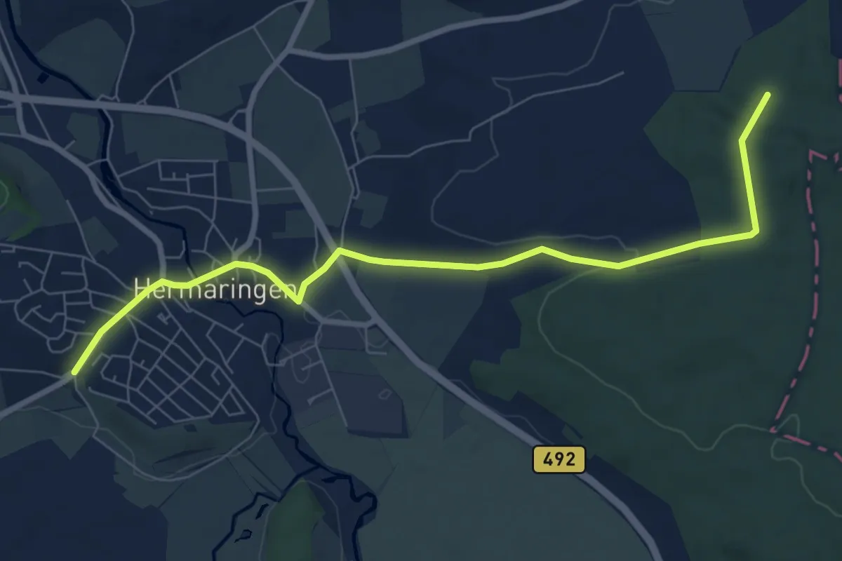
Hermannsweg - Zuweg Lienen
3.9 km · ↑ 123 m · 1 h 11 min
Easy · Trail
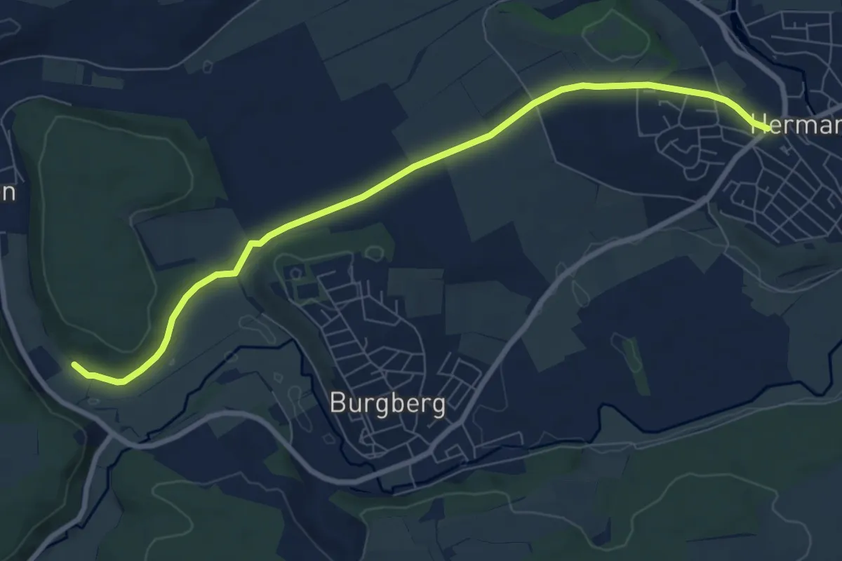
Hermaringen Am Hirschberg - Kühhau
7.9 km · ↑ 113 m · 2 h 6 min
Easy · Trail
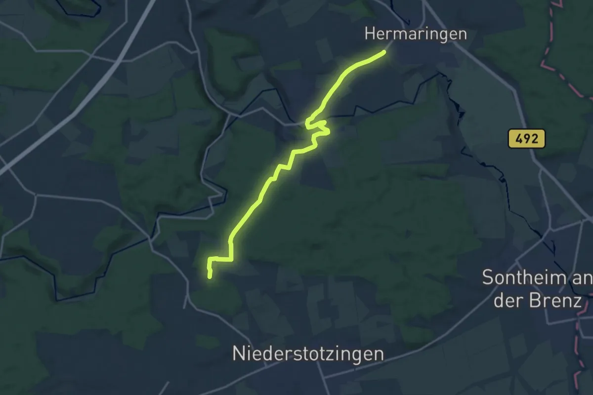
Hermaringen - Burgberg - Charlottenhöhle
8.0 km · ↑ 96 m · 2 h 6 min
Medium · Trail
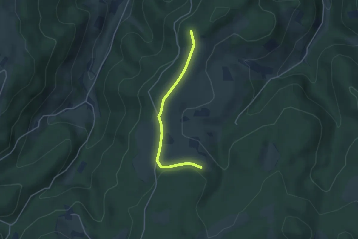
Hermaringen - Schloss Burgberg - Stetten o.L.
14.0 km · ↑ 174 m · 3 h 41 min
Easy · Trail
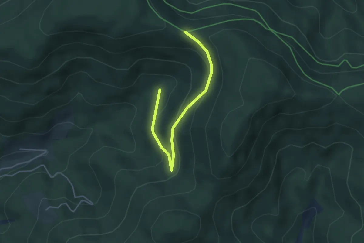
Hermen - Neuematte
3.0 km · ↑ 72 m · 51 min
Easy · Trail
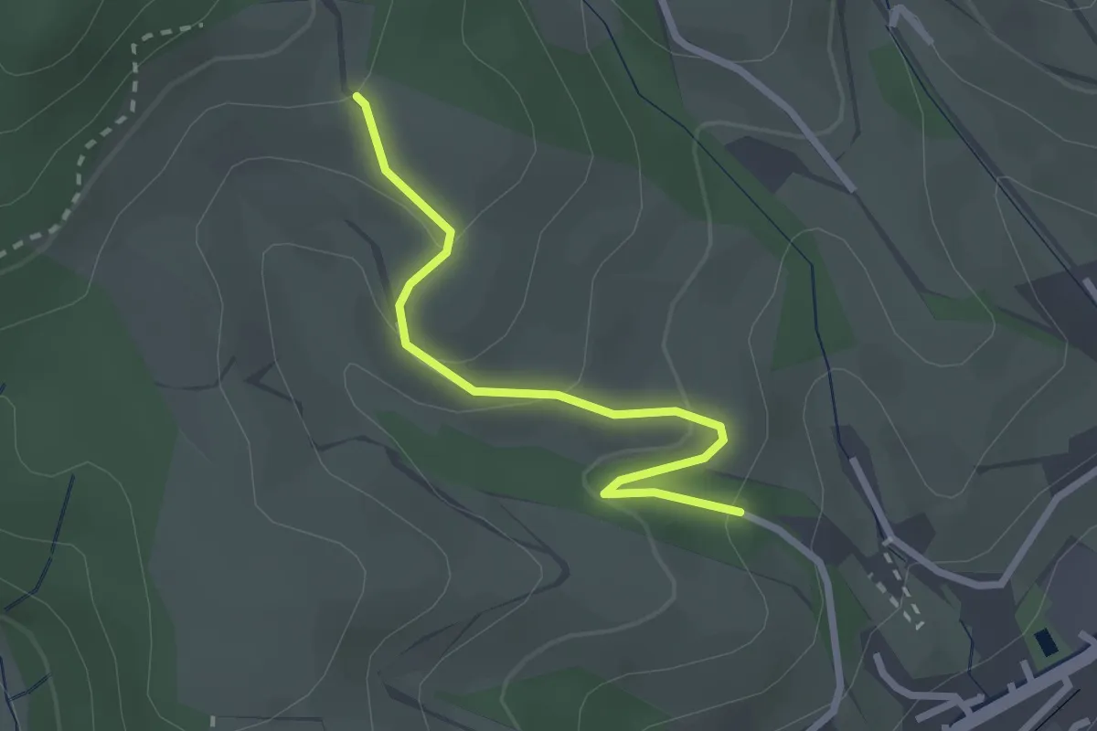
Hermersberger Hütte - Im Wasserloch
3.5 km · ↑ 182 m · 1 h 13 min
Easy · Trail
Hermersberg - Schafloch
2.3 km · ↑ 110 m · 47 min
Easy · Trail
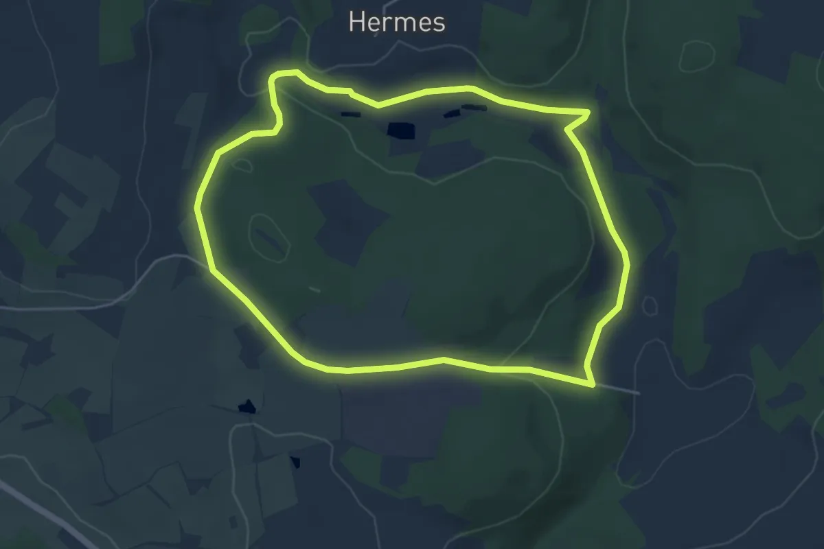
Hermeser-Weg KU 21
4.5 km · ↑ 94 m · 1 h 20 min
Medium · Trail
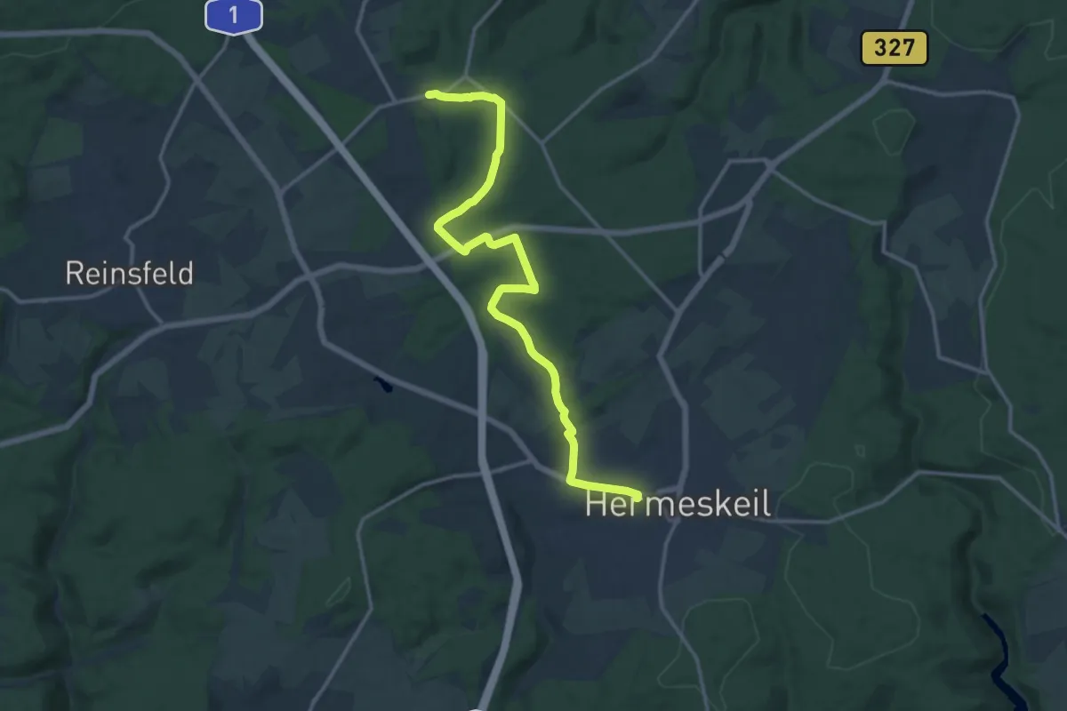
Hermeskeil 1
13.6 km · ↑ 221 m · 3 h 42 min
Easy · Trail
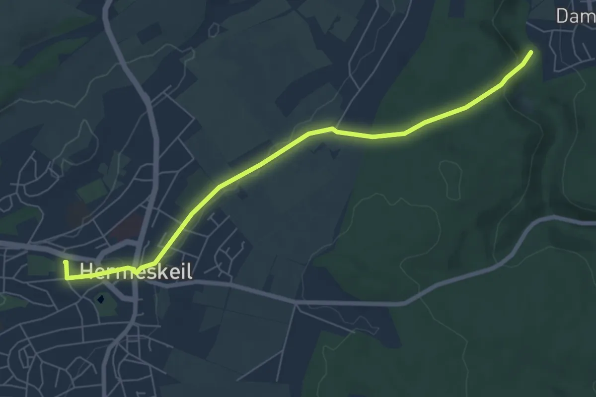
Hermeskeil 3
6.1 km · ↑ 126 m · 1 h 43 min
Medium · Trail
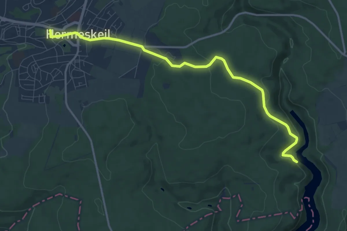
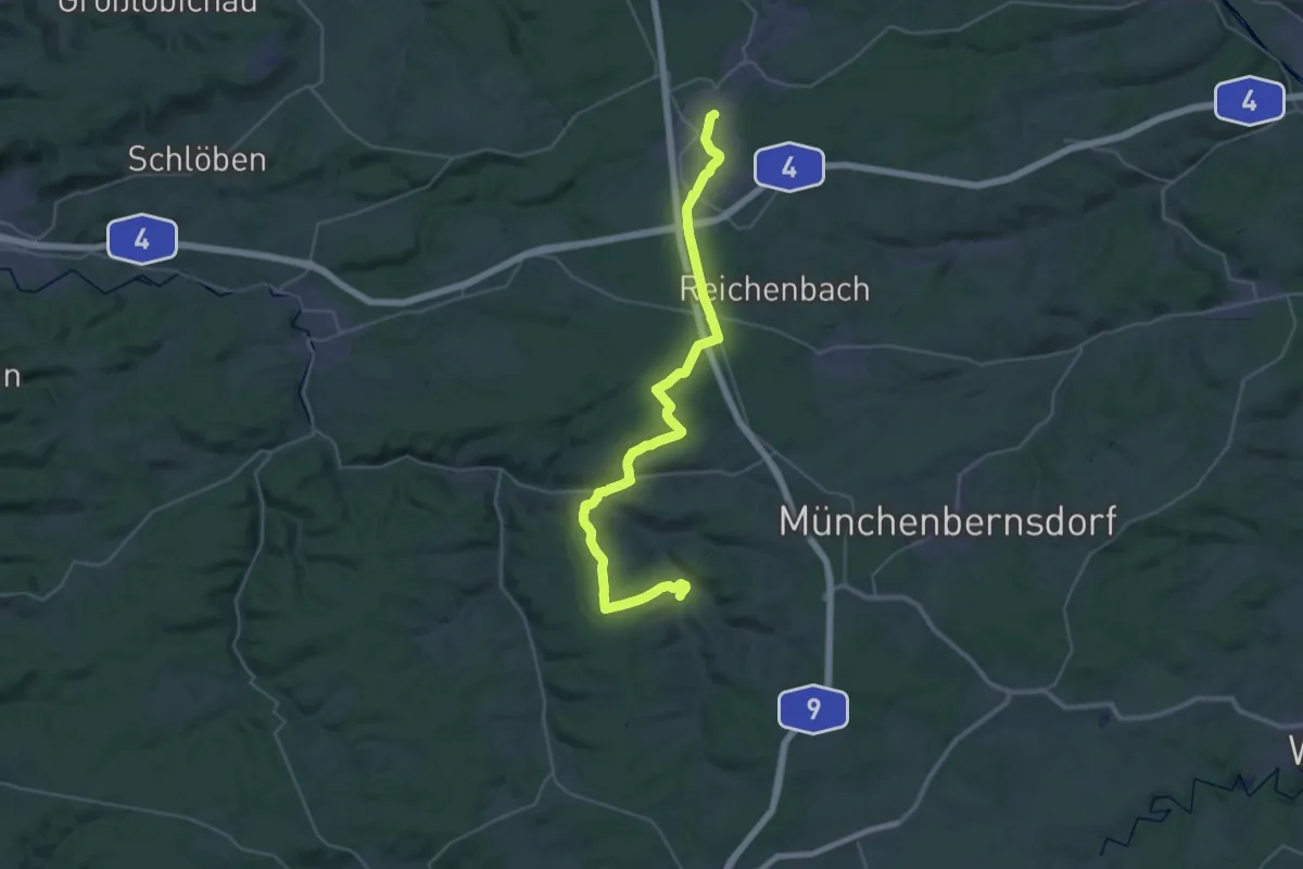
Hermeskeil 4
9.6 km · ↑ 274 m · 2 h 51 min
Medium · Trail
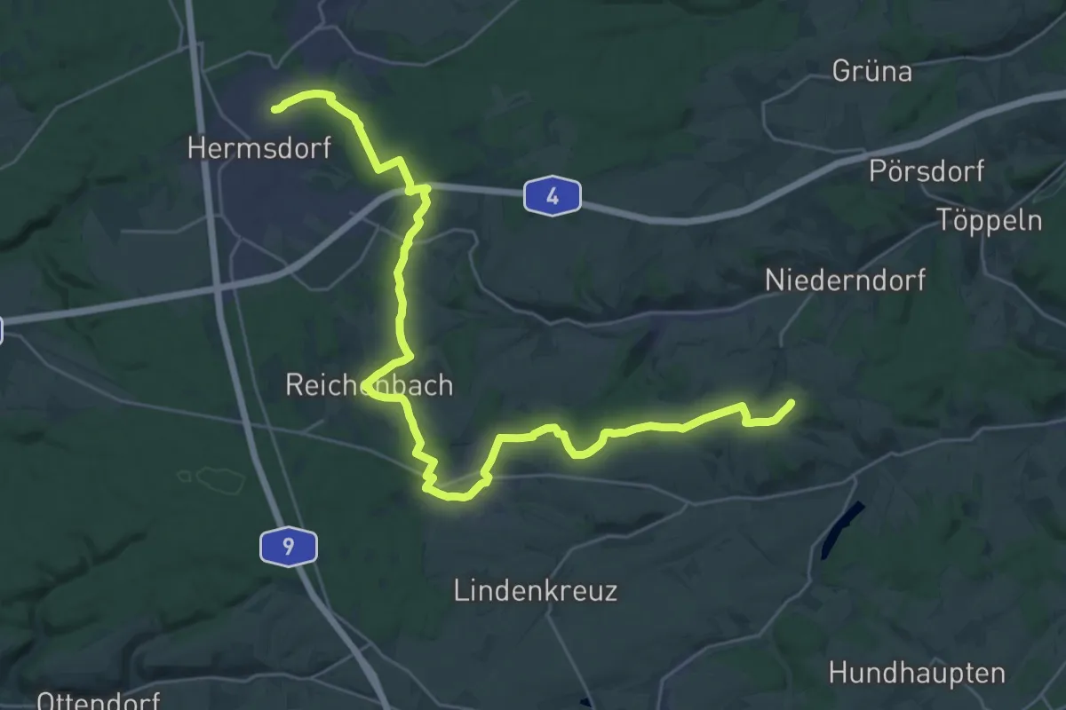
Hermsdorf - Renthendorf
16.7 km · ↑ 212 m · 4 h 40 min
Demanding · Summit
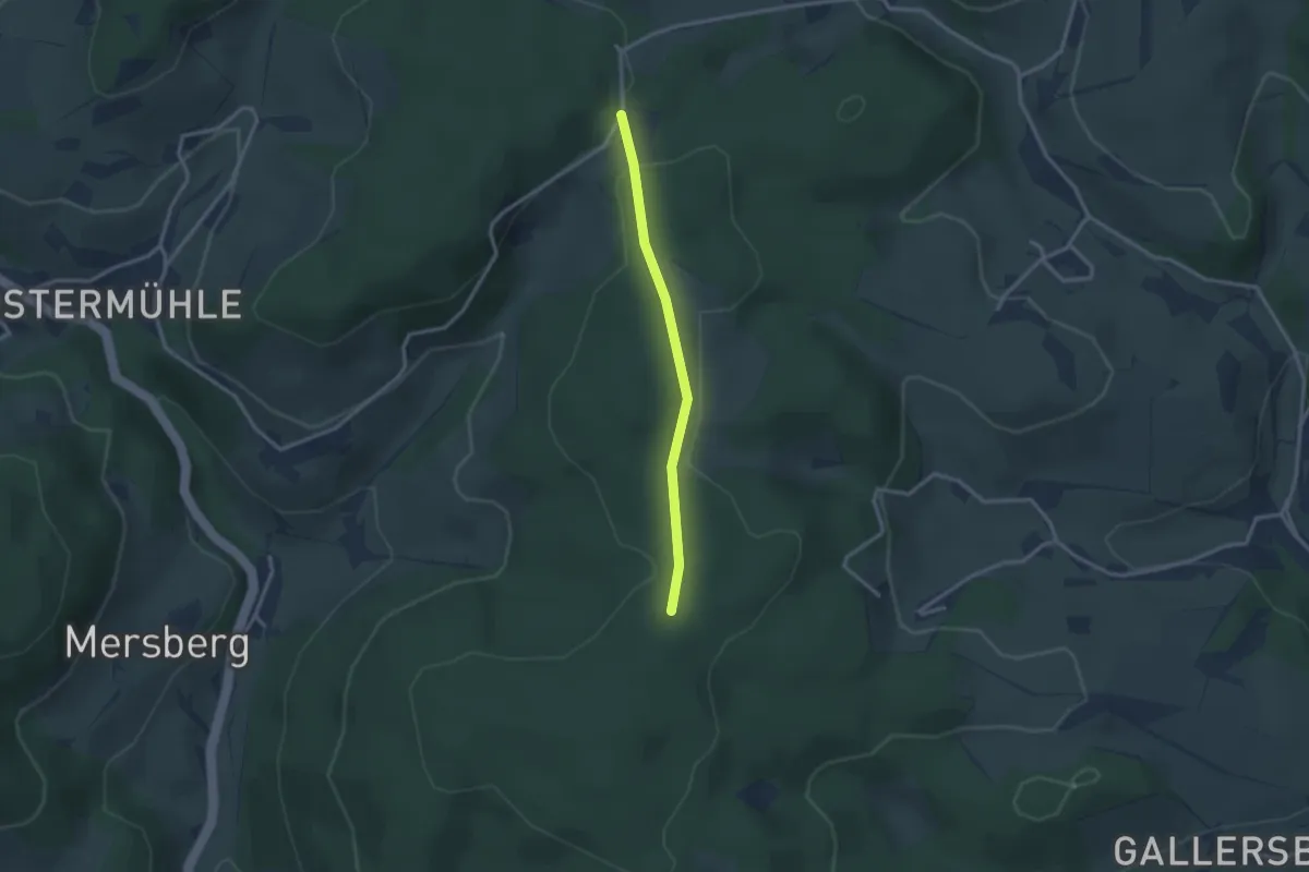
Hermsdorf - St. Gangloff - Frankenthal
31.3 km · ↑ 219 m · 7 h 52 min
Easy · Trail
Herne - An der Eckstraße
2.4 km · ↑ 9 m · 35 min
Easy · Trail
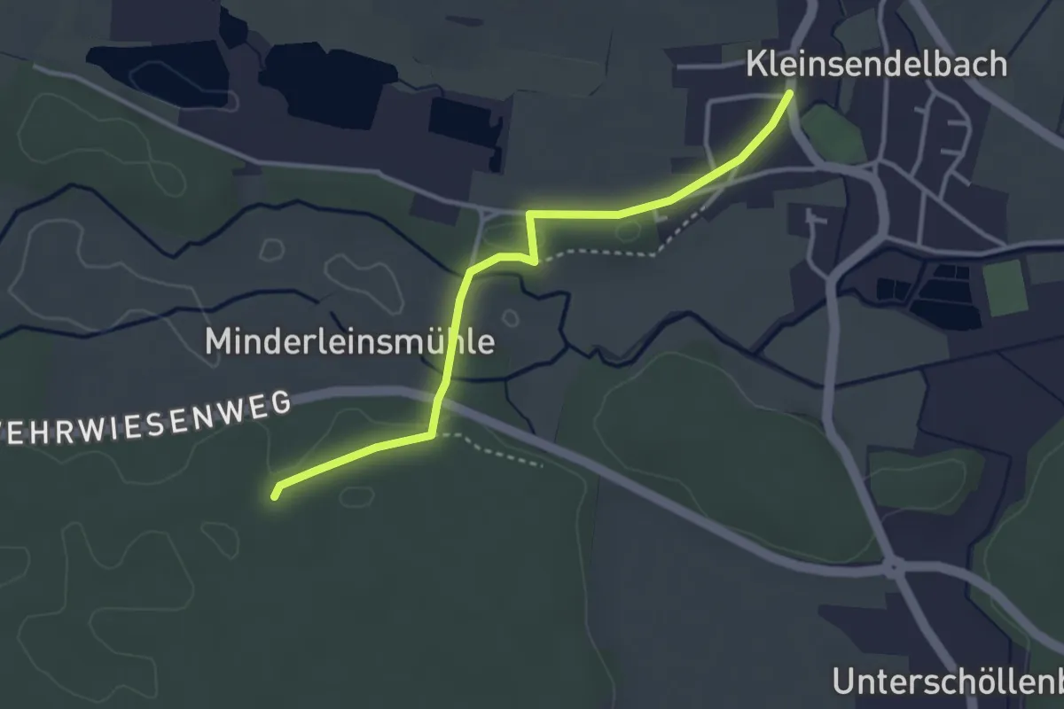
Heroldsberg-Kleinsendelbach
3.1 km · ↑ 17 m · 46 min