Trails in Germany
36,852 hiking trails, each with its route, climb, walking time and grade.
All trails, page 234 of 768
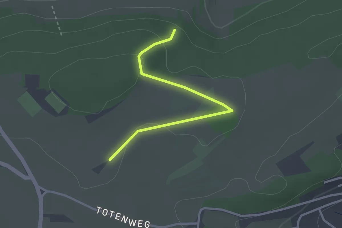
Easy · Trail
Herrenäcker - Buchhalde
2.5 km · ↑ 60 m · 44 min
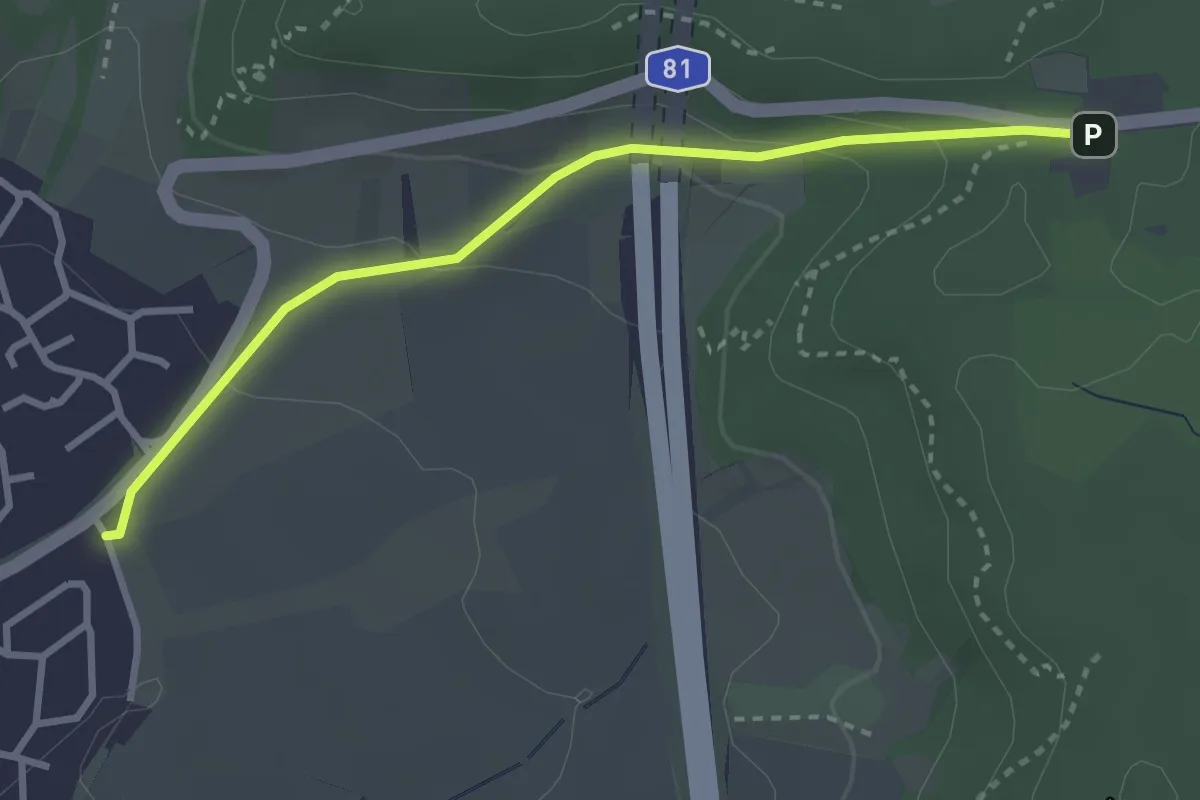
Easy · Trail
Herrenberger Bienenlehrpfad
3.0 km · ↑ 108 m · 56 min
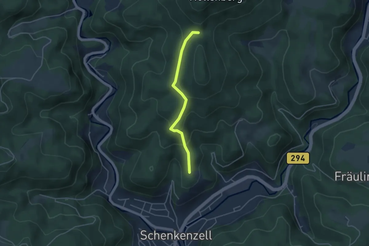
Easy · Trail
Herrenberg - Sattellege
3.2 km · ↑ 176 m · 1 h 8 min
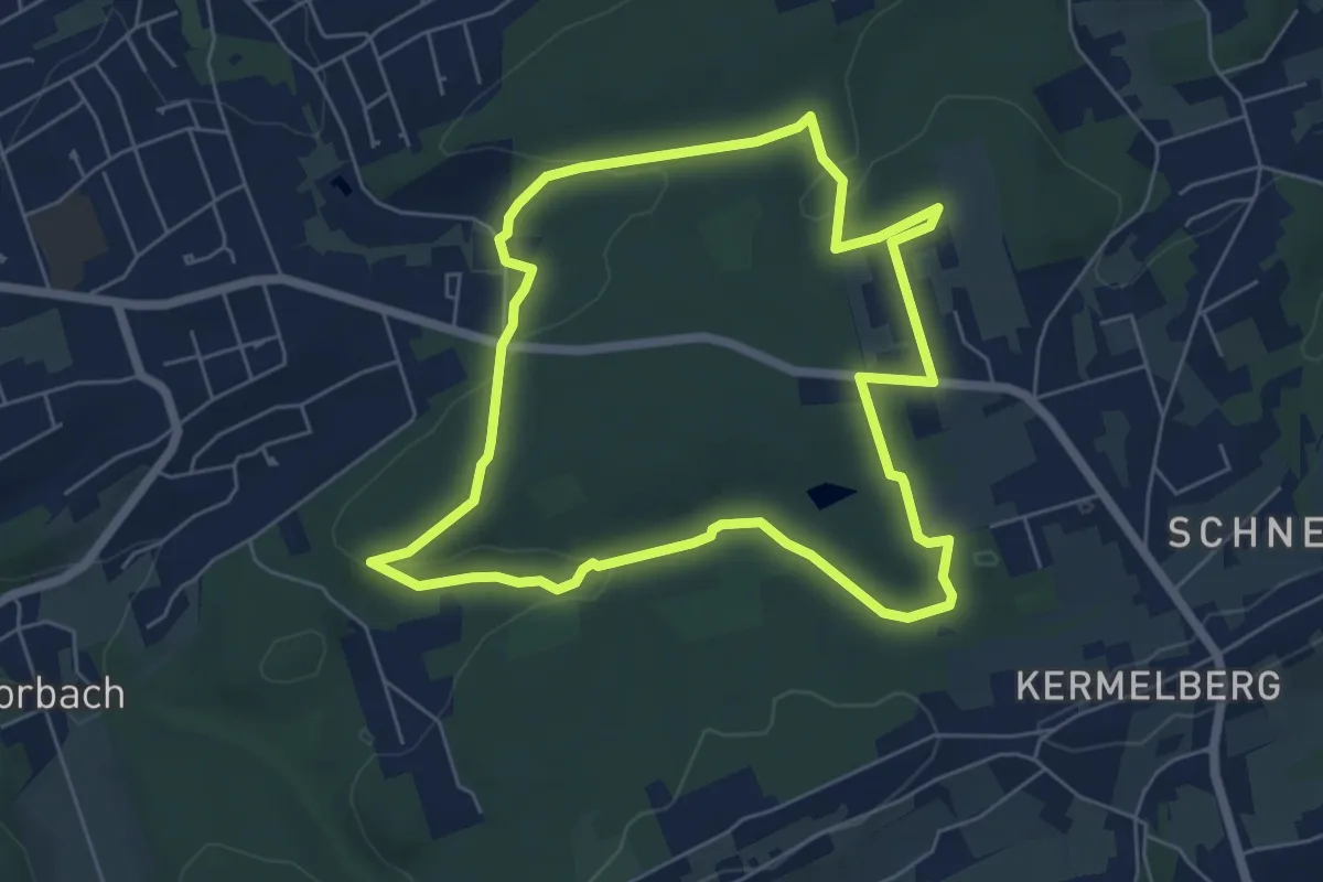
Easy · Trail
Herrenholz Rundweg A2
5.5 km · ↑ 106 m · 1 h 36 min
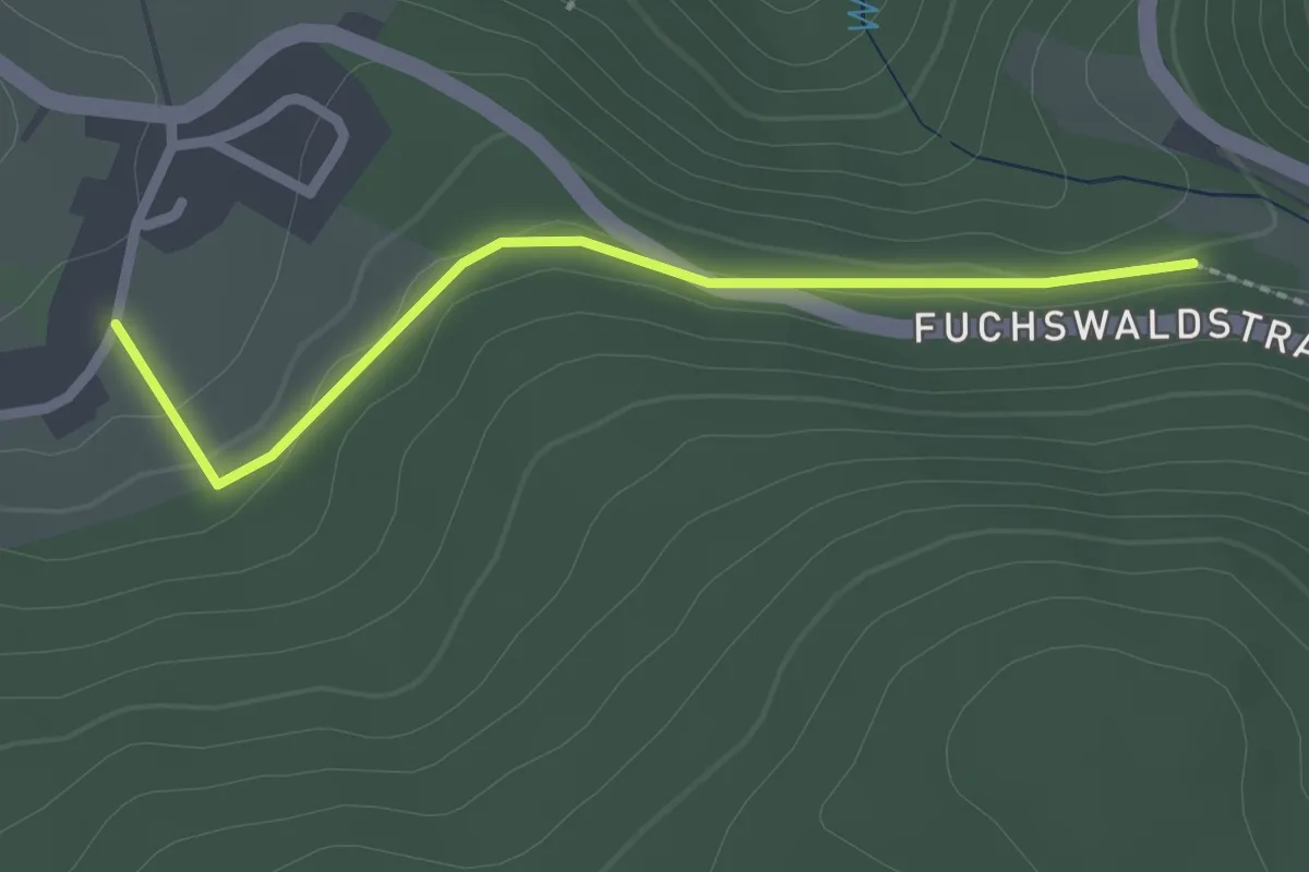
Easy · Trail
Herrenschwand Ehrsbergstraße - Unterm Weißenbachkopf
2.1 km · ↑ 40 m · 35 min
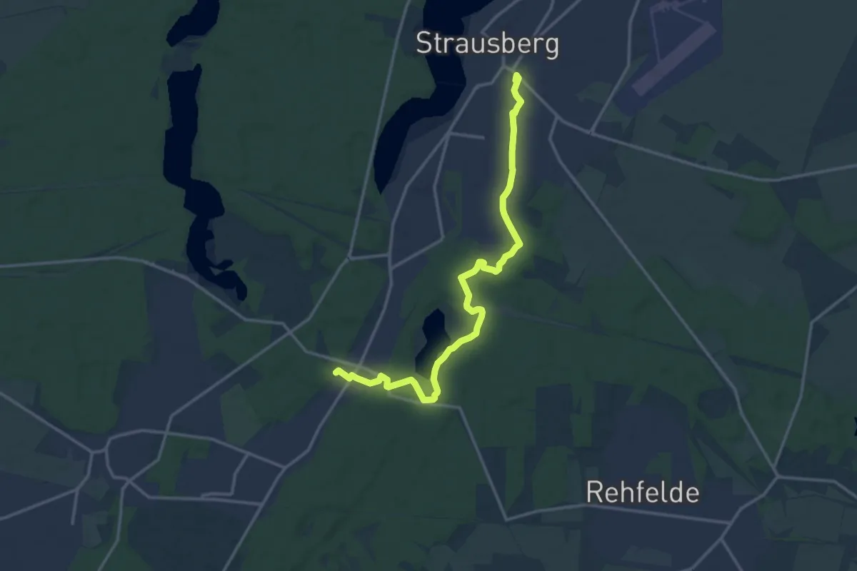
Medium · Trail
Herrensee Wanderung
13.5 km · ↑ 65 m · 3 h 19 min
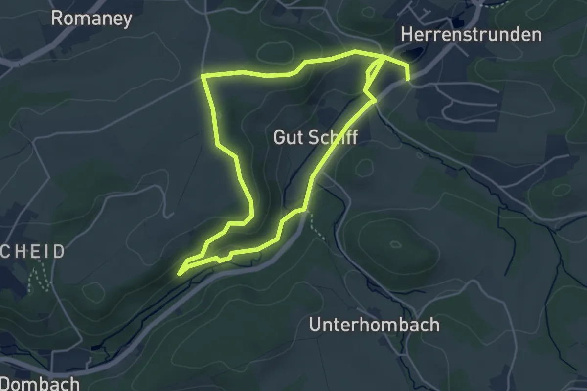
Easy · Trail
Herrenstrunden Rundweg A1
3.5 km · ↑ 77 m · 1 h 3 min
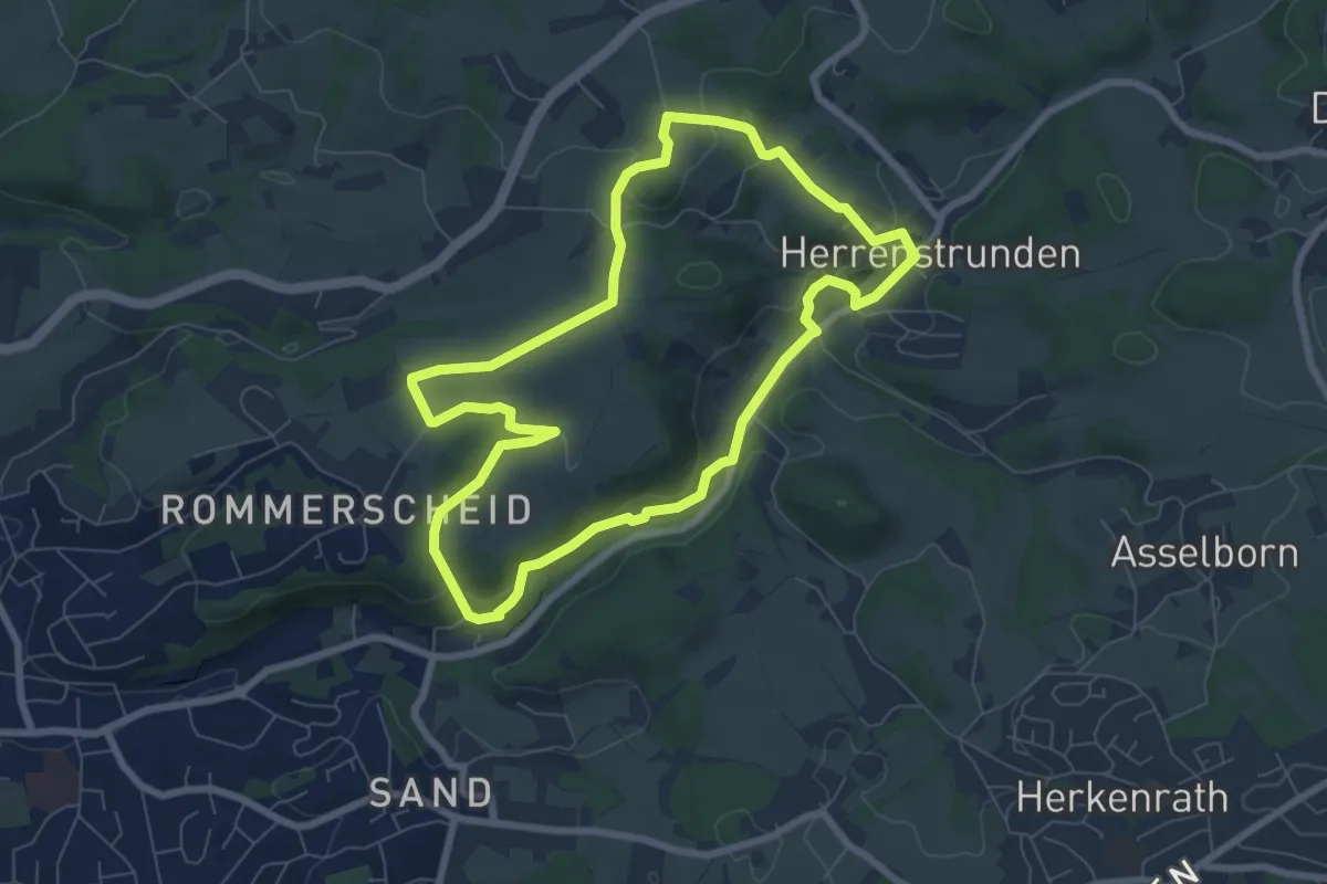
Easy · Trail
Herrenstrunden Rundweg A2
6.6 km · ↑ 113 m · 1 h 53 min
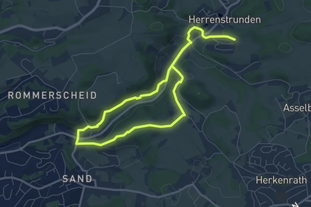
Easy · Trail
Herrenstrunden Rundweg A3
4.9 km · ↑ 99 m · 1 h 27 min
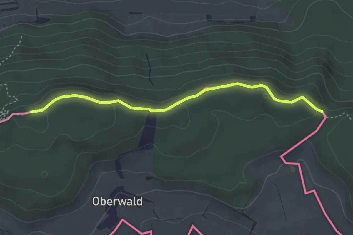
Easy · Trail
Herrentisch - Mariatann
3.5 km · ↑ 79 m · 1 h
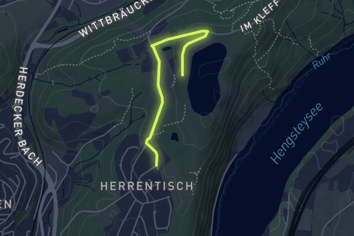
Expert · Summit
Herrentisch Rundweg O
4.4 km · ↑ 107 m · 1 h 19 min
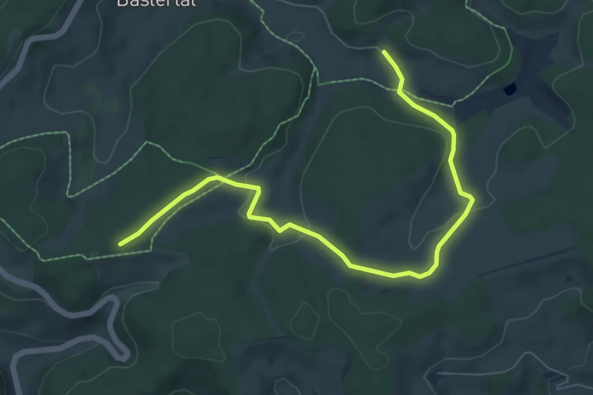
Easy · Trail
Herrenwälderweg - Hippen Ost
7.0 km · ↑ 159 m · 1 h 59 min
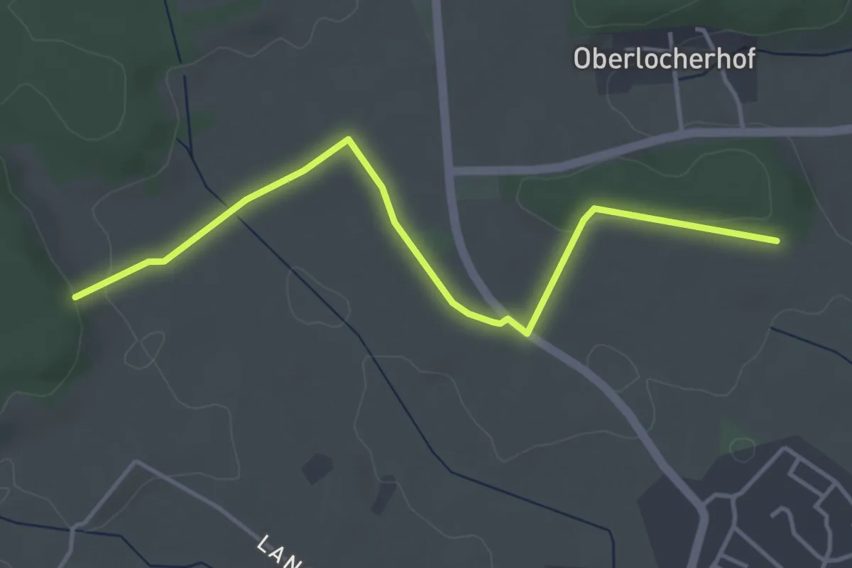
Easy · Trail
Herrenwald - Kohlholz
4.1 km · ↑ 53 m · 1 h 6 min
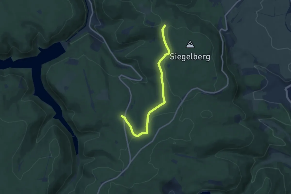
Easy · Trail
Herrenweg
7.0 km · ↑ 135 m · 1 h 56 min
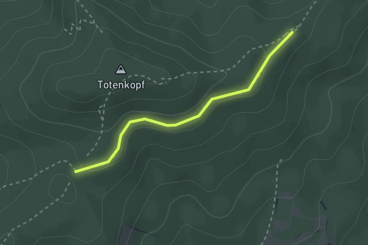
Easy · Trail
Herrenweg - Adlerhorstsattel
2.0 km · ↑ 69 m · 38 min
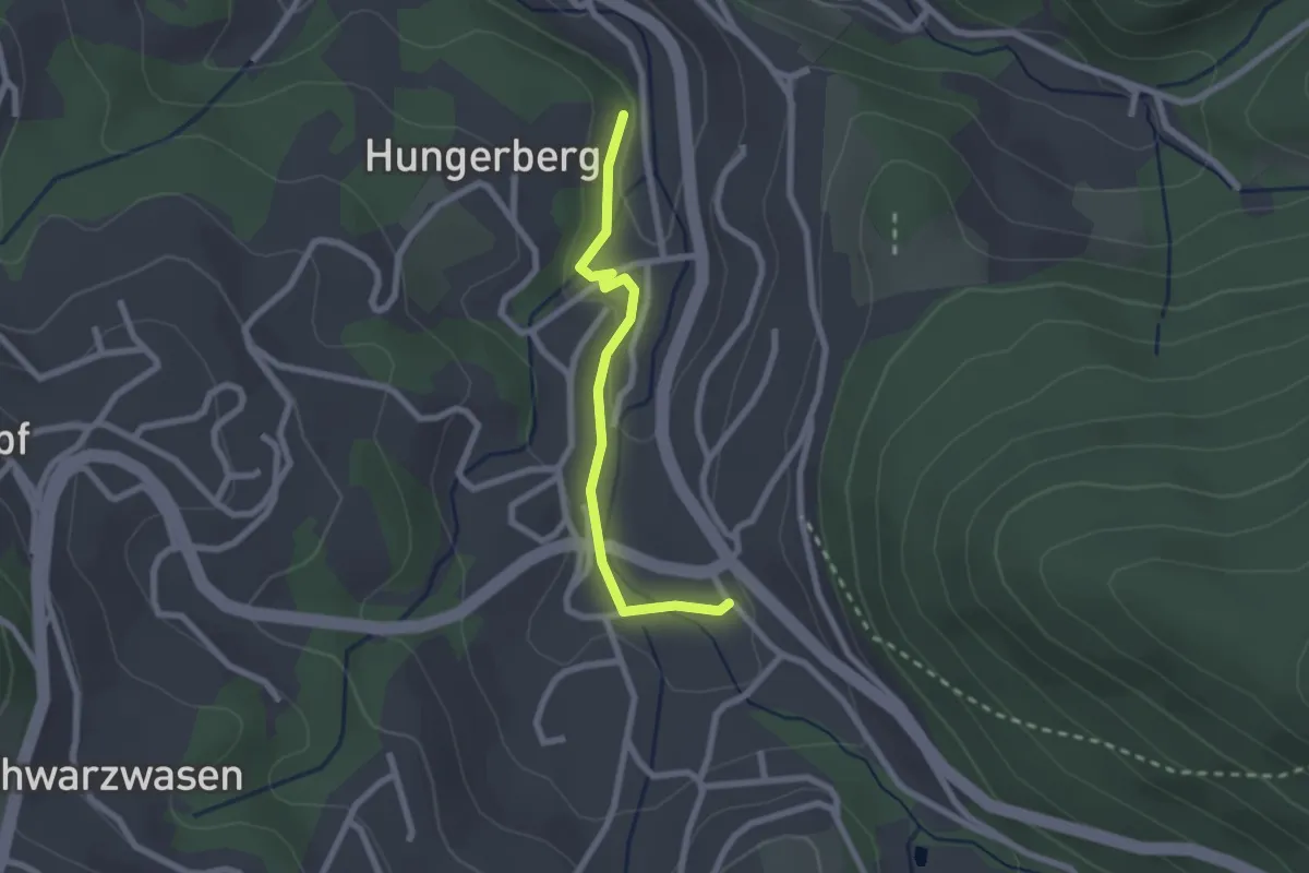
Easy · Trail
Herrenweg - Alte Säge
2.1 km · ↑ 49 m · 36 min
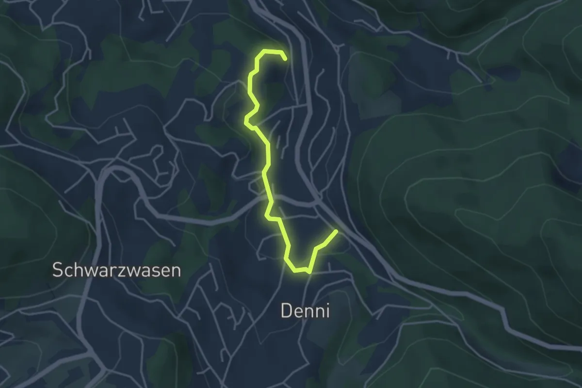
Easy · Trail
Herrenweg - Wiedenbach
3.2 km · ↑ 94 m · 58 min
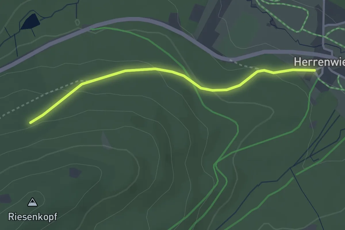
Easy · Trail
Herrenwies Dorfplatz - Ochsenkopfweg
2.8 km · ↑ 100 m · 52 min
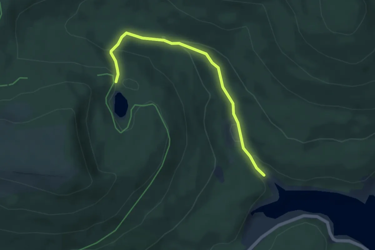
Medium · Trail
Herrenwieser See - Seebachmündung
3.9 km · ↑ 180 m · 1 h 19 min
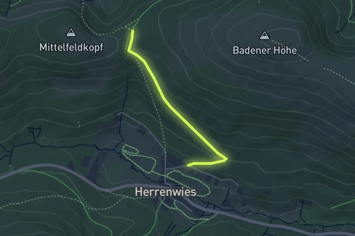
Easy · Trail
Herrenwies Forsthaus - Herrenwieser Sattel
2.9 km · ↑ 128 m · 58 min
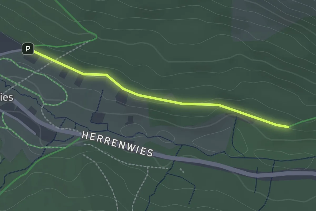
Easy · Trail
Herrenwies Forsthaus - Herrenwies Wanderheim
2.1 km · ↑ 21 m · 33 min
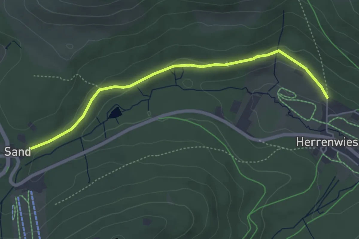
Easy · Trail
Herrenwies Kirche - Sandseeweg
4.3 km · ↑ 77 m · 1 h 11 min
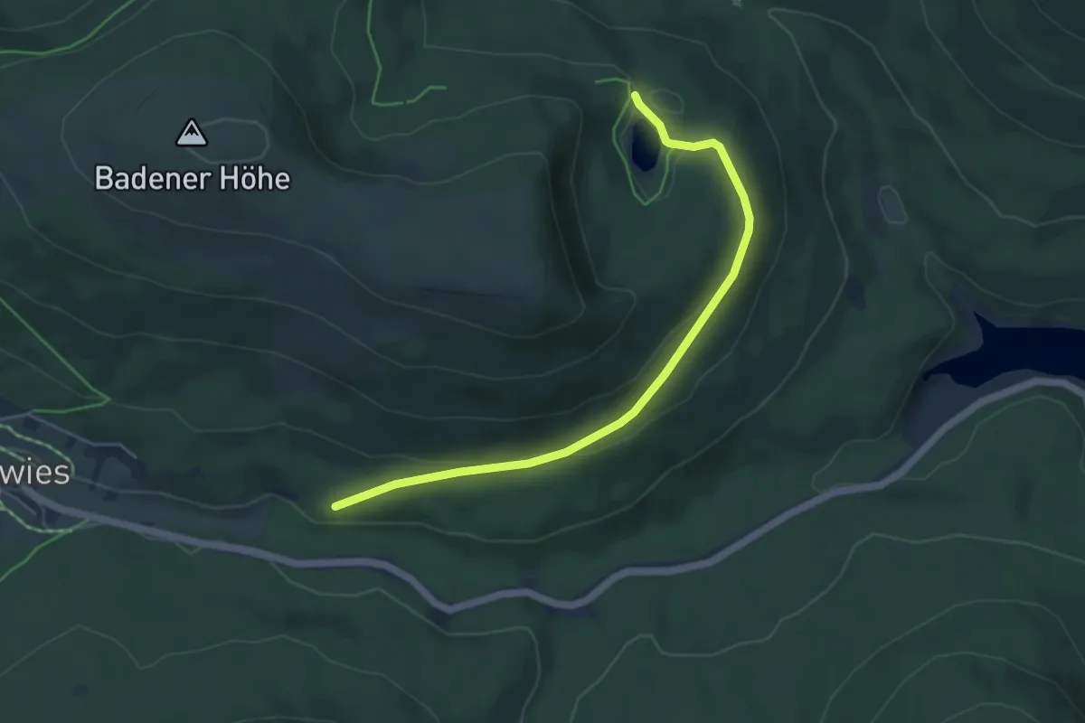
Easy · Trail
Herrenwies Wanderheim - Herrenwieser See
4.8 km · ↑ 119 m · 1 h 24 min
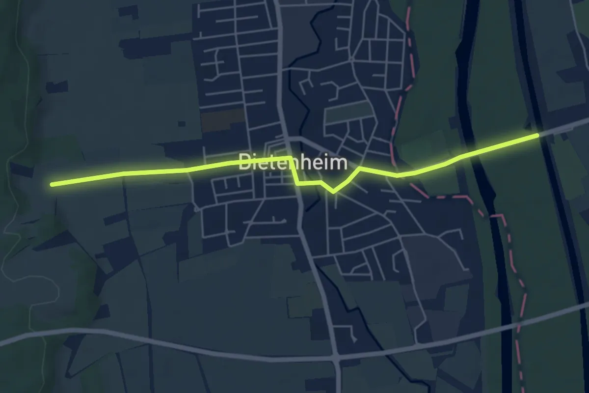
Easy · Trail
Herrgöttle-Kapelle - Dietenheim
5.1 km · ↑ 22 m · 1 h 15 min
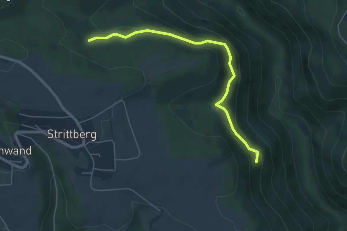
Demanding · Trail
Herrgottsholzweg - Glockenblumenweg
4.3 km · ↑ 190 m · 1 h 26 min
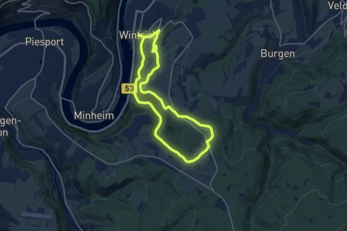
Medium · Trail
Herrgott´s Wanderweg
9.9 km · ↑ 380 m · 3 h 18 min
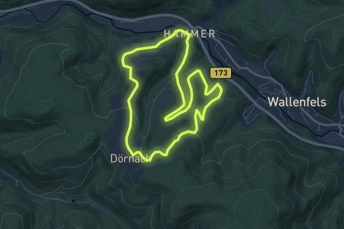
Easy · Trail
Herrgottswinkel-Weg RT 13
6.6 km · ↑ 317 m · 2 h 20 min
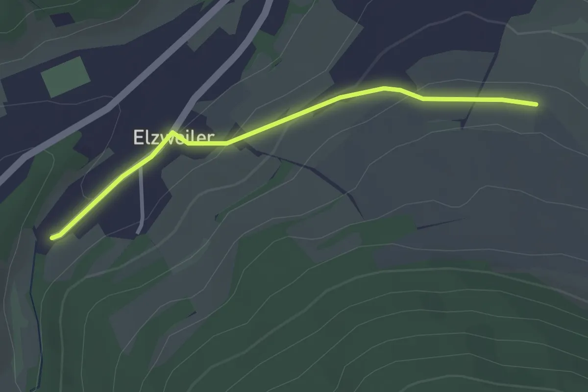
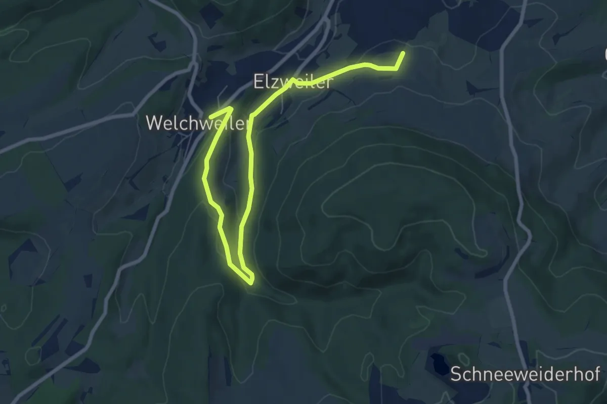
Easy · Trail
Herrmannsberger Wanderrouten 1
1.3 km · ↑ 67 m · 27 min
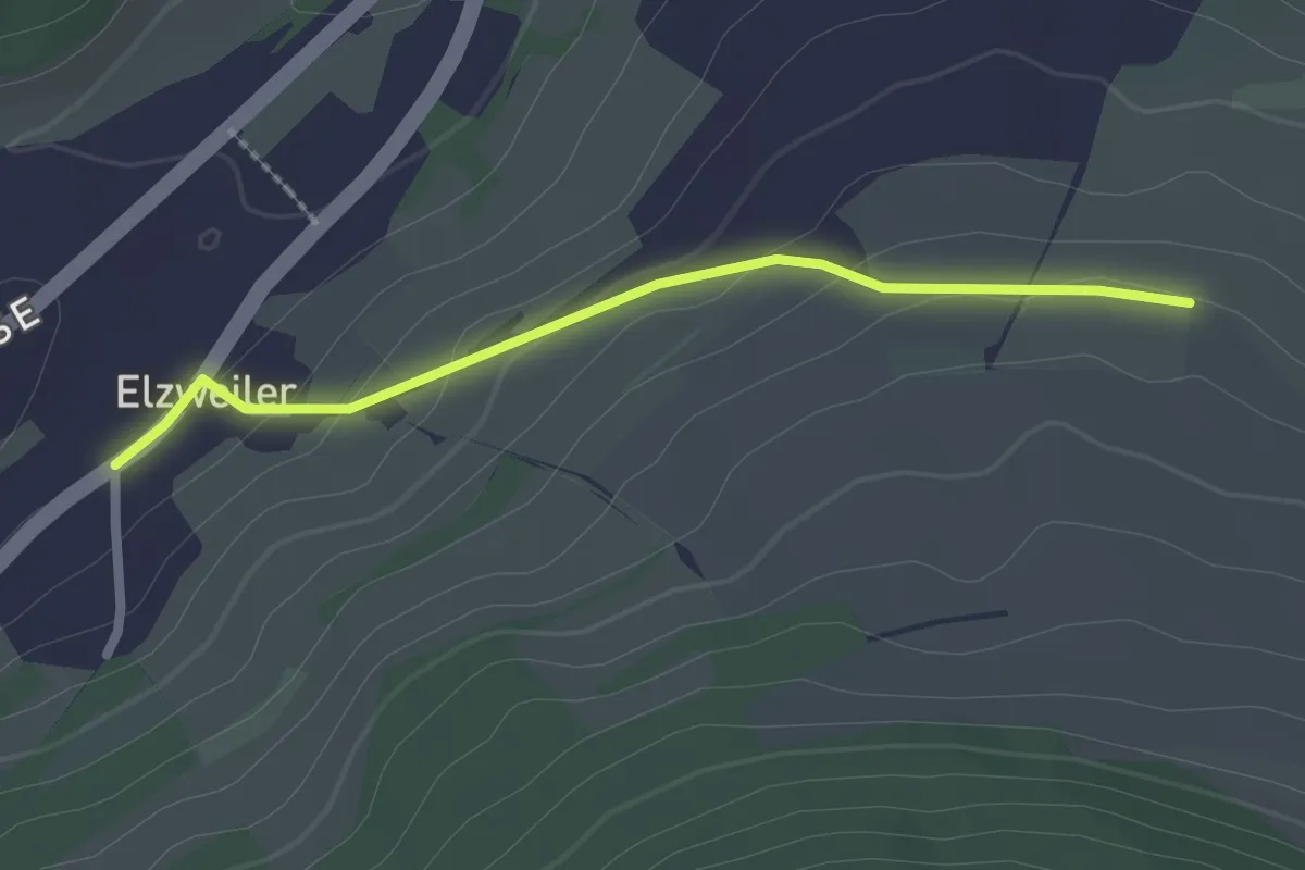
Easy · Trail
Herrmannsberger Wanderrouten 2
4.1 km · ↑ 110 m · 1 h 16 min
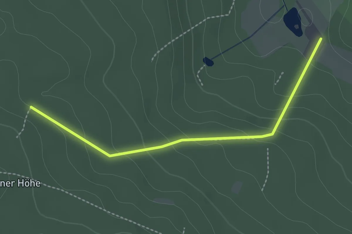
Easy · Trail
Herrmannsberger Wanderrouten 3
1.0 km · ↑ 71 m · 22 min
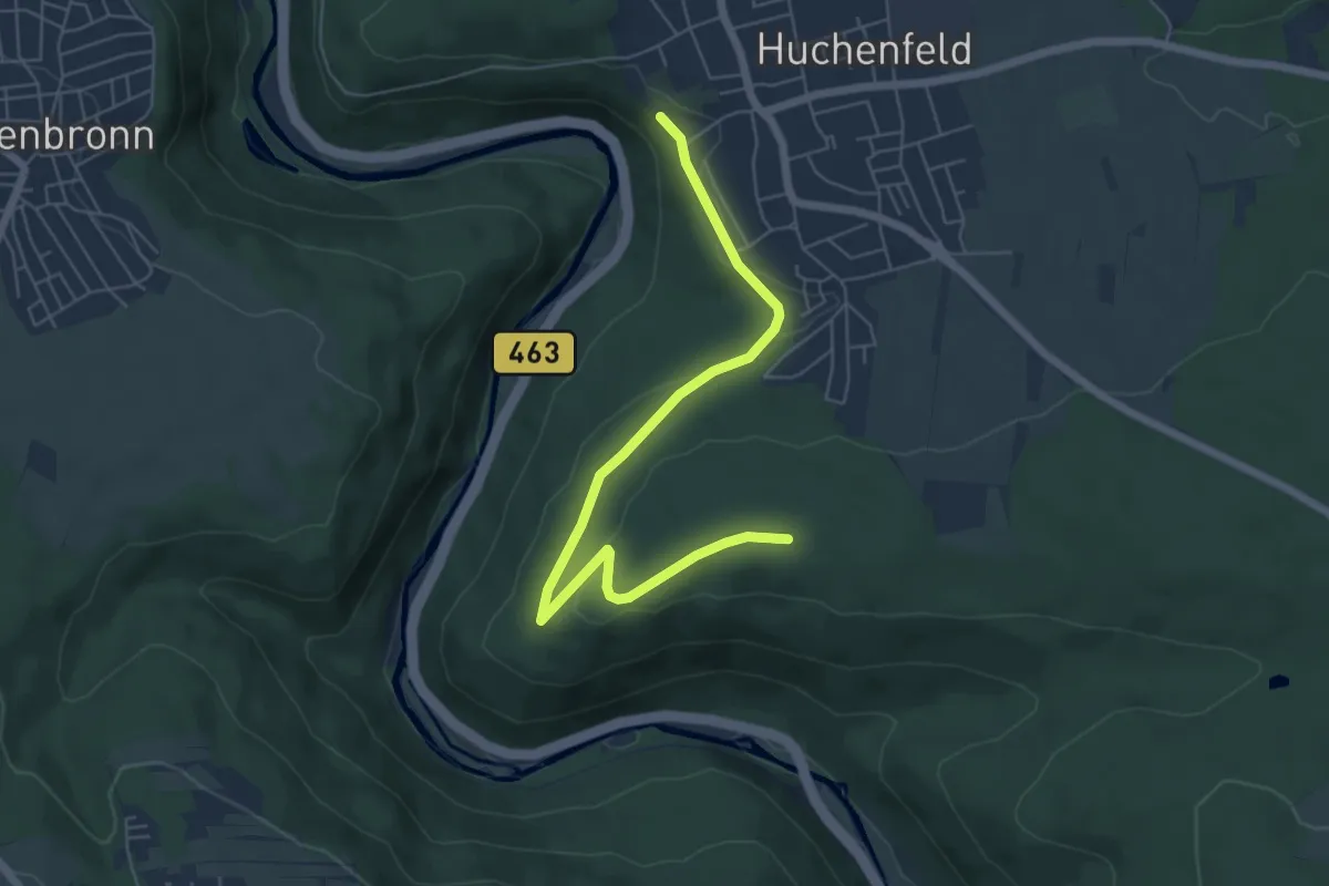
Easy · Trail
Herrmannsee - Eichberg
2.3 km · ↑ 110 m · 47 min
Easy · Trail
Herrmannsklinge - Wasserreservoir
6.1 km · ↑ 124 m · 1 h 43 min
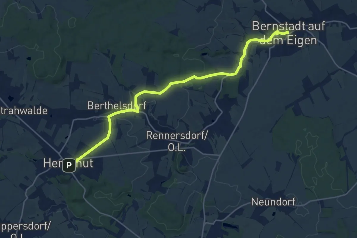
Medium · Trail
Herrnhut - Bernstadt (grüner Punkt)
16.4 km · ↑ 202 m · 4 h 19 min
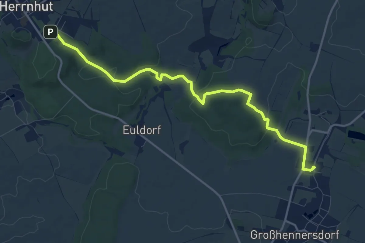
Medium · Trail
Herrnhuter Skulpturenpfad
9.8 km · ↑ 178 m · 2 h 42 min
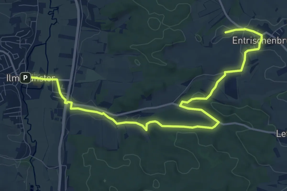
Medium · Summit
Herrnraster Weitblick-Runde
12.0 km · ↑ 214 m · 3 h 18 min
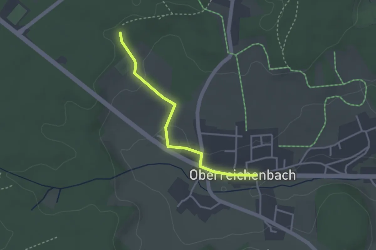
Easy · Trail
Herrschaftsbiegel - Oberreichenbach
2.6 km · ↑ 51 m · 43 min
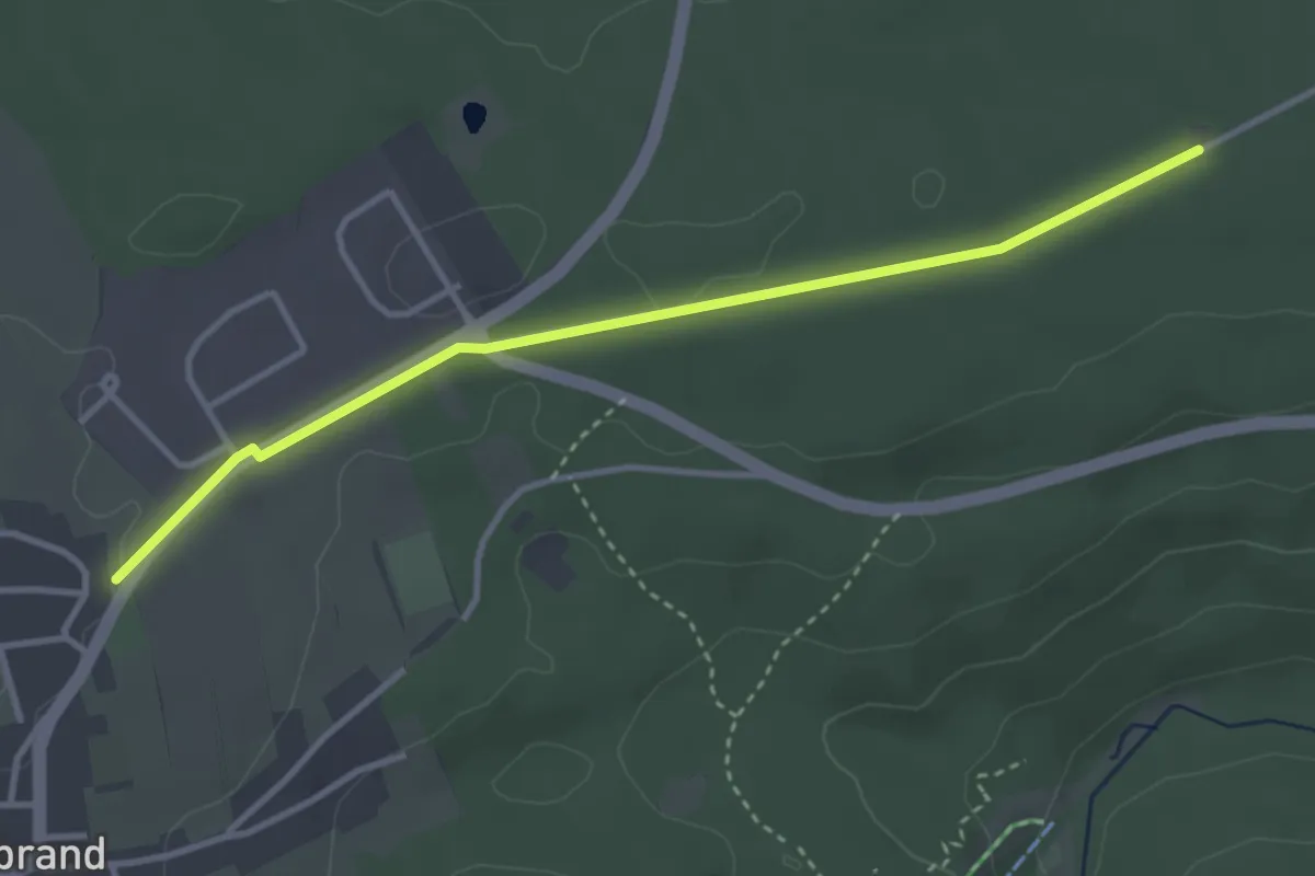
Easy · Trail
Herrschaftsbrunnen - Langenbrand Brückenäcker
3.4 km · ↑ 27 m · 52 min
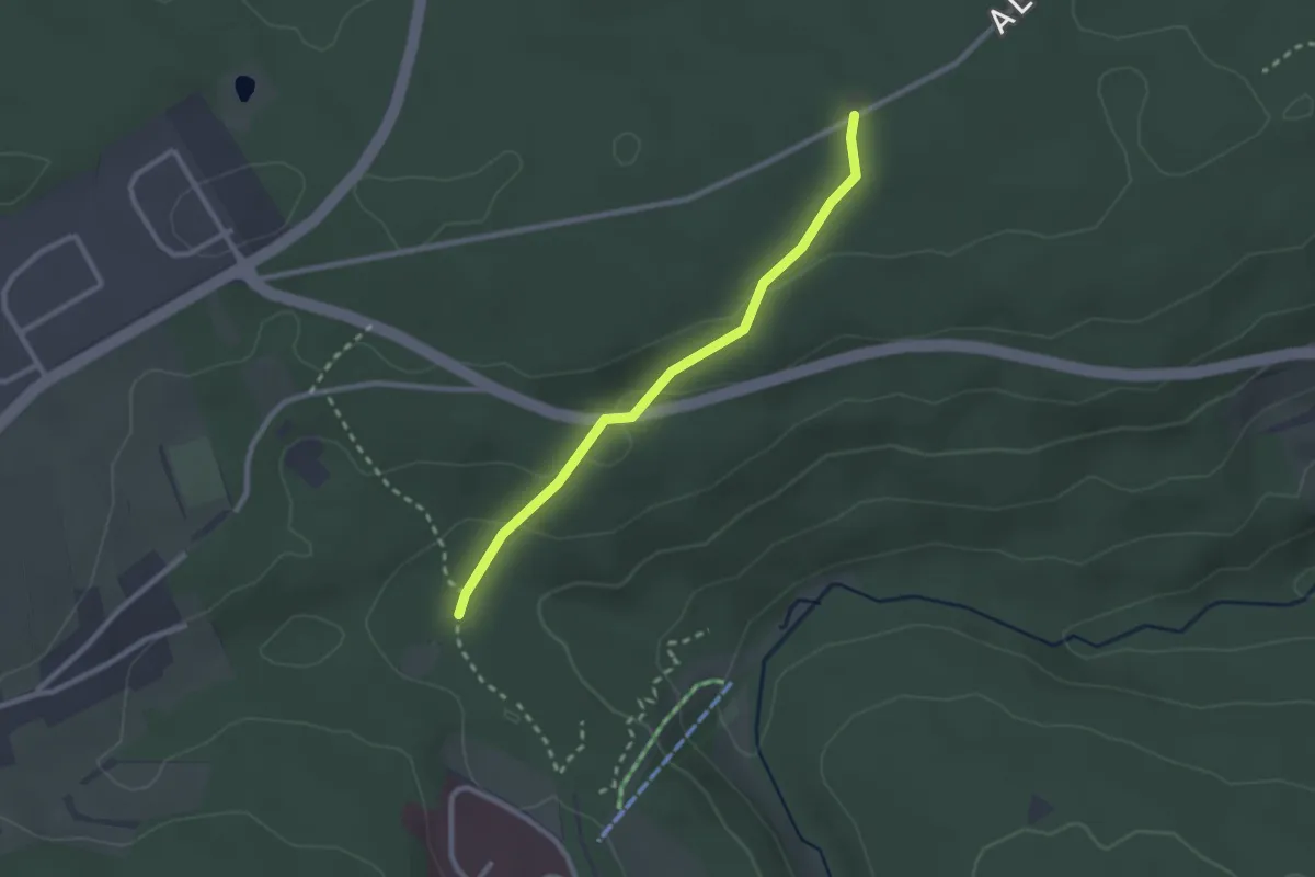
Easy · Trail
Herrschaftsbrunnen - Mühlgassenhütte
2.3 km · ↑ 62 m · 40 min
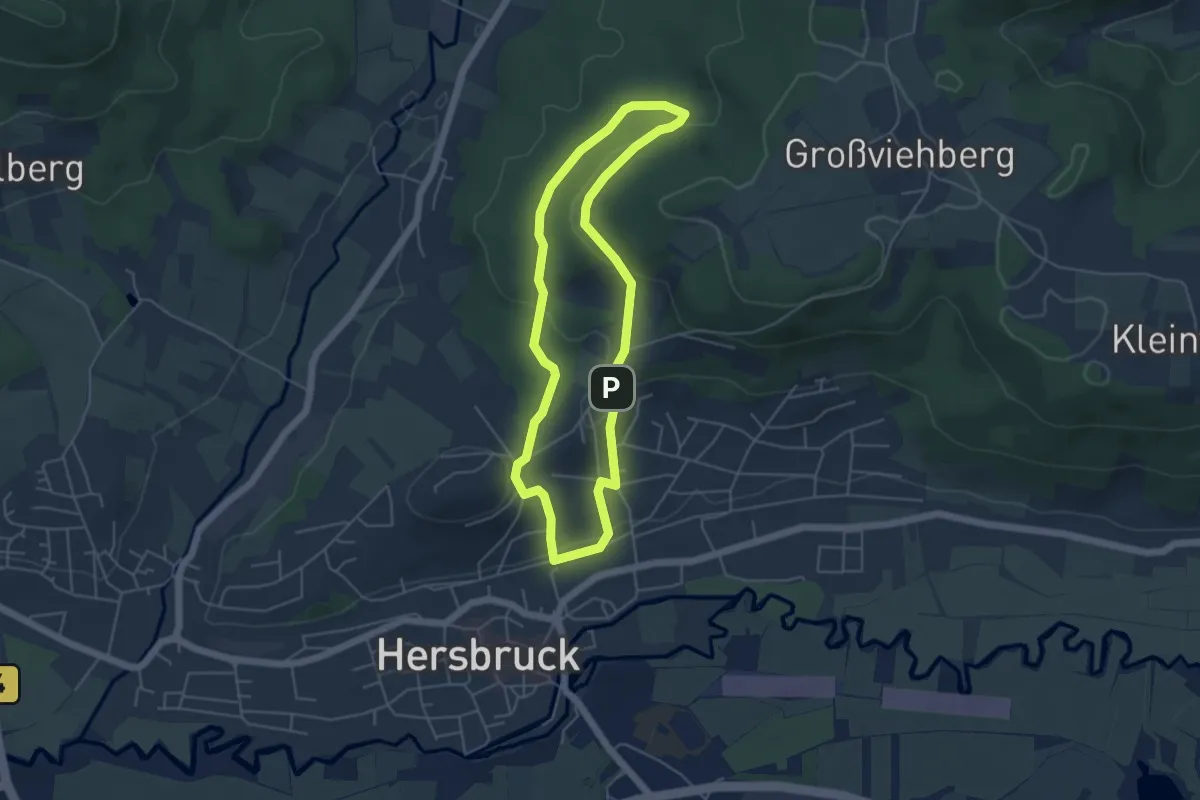
Easy · Trail
Hersbrucker Rundweg Nr. 1
4.3 km · ↑ 119 m · 1 h 20 min
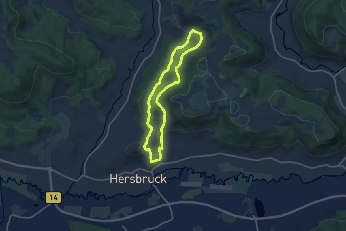
Easy · Trail
Hersbrucker Rundweg Nr. 2
6.9 km · ↑ 181 m · 2 h 6 min
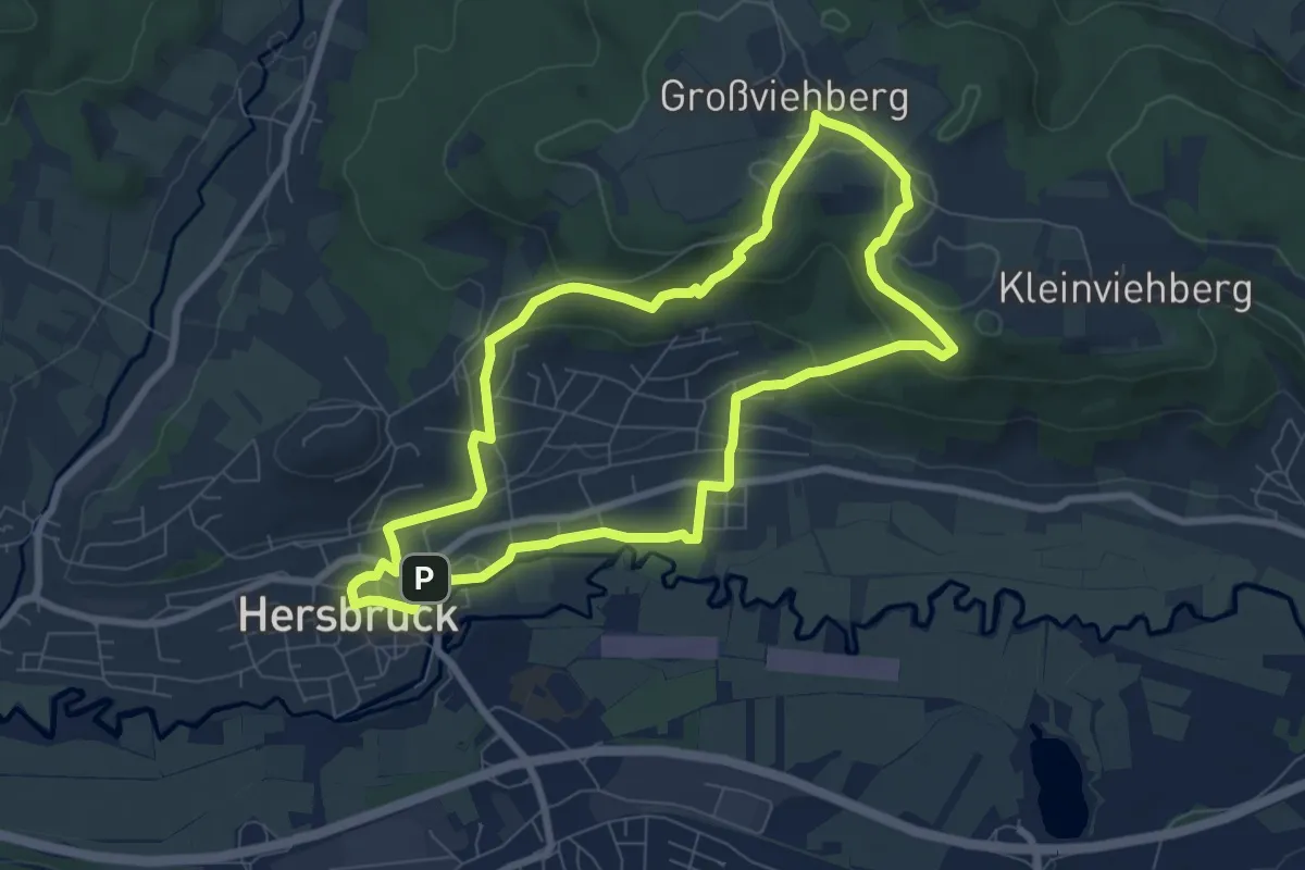
Easy · Trail
Hersbrucker Rundweg Nr. 3
7.1 km · ↑ 189 m · 2 h 11 min
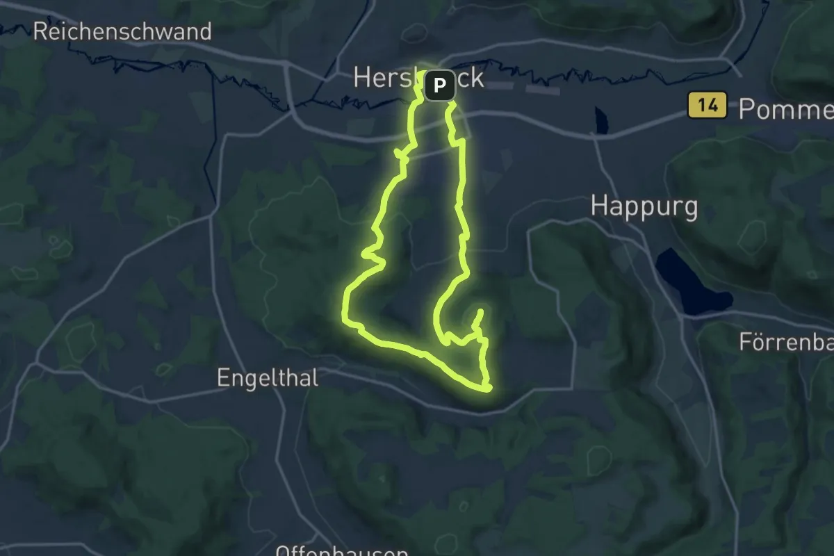
Medium · Summit
Hersbrucker Rundweg Nr. 4
13.7 km · ↑ 318 m · 4 h 7 min
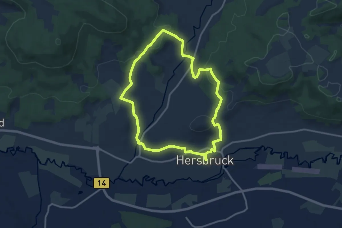
Easy · Trail
Hersbrucker Rundweg Nr. 5
7.3 km · ↑ 193 m · 2 h 14 min
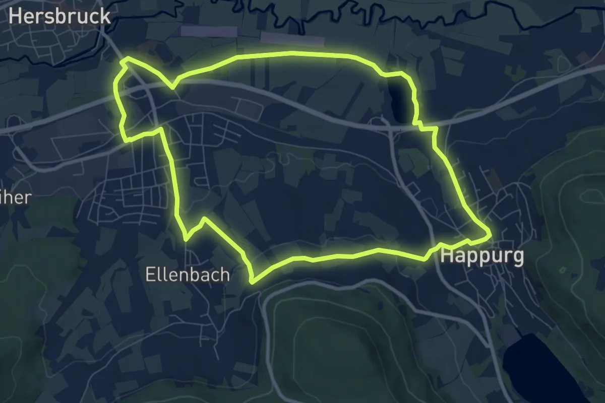
Medium · Trail
Hersbrucker Rundweg Nr. 6
8.3 km · ↑ 88 m · 2 h 15 min
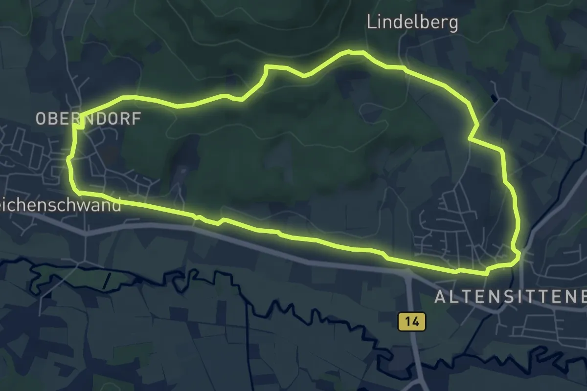
Easy · Trail
Hersbrucker Rundweg Nr. 7
7.4 km · ↑ 154 m · 2 h 11 min
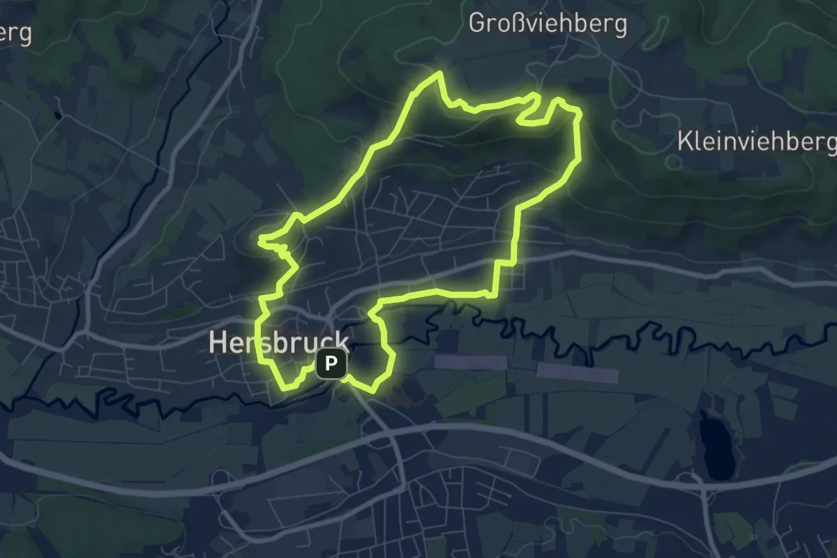
Easy · Summit
Hersbrucker Rundweg Nr. 8
7.5 km · ↑ 207 m · 2 h 20 min
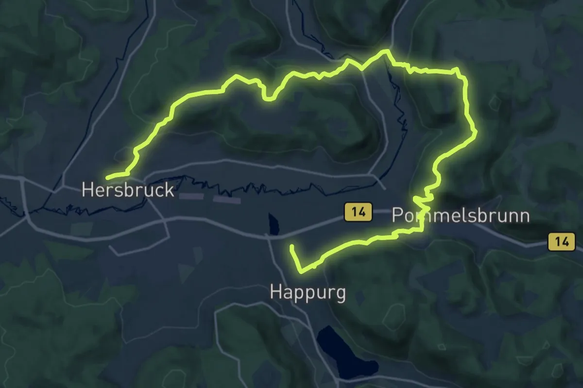
Medium · Trail
Hersbruck – Happurg
15.1 km · ↑ 506 m · 4 h 52 min
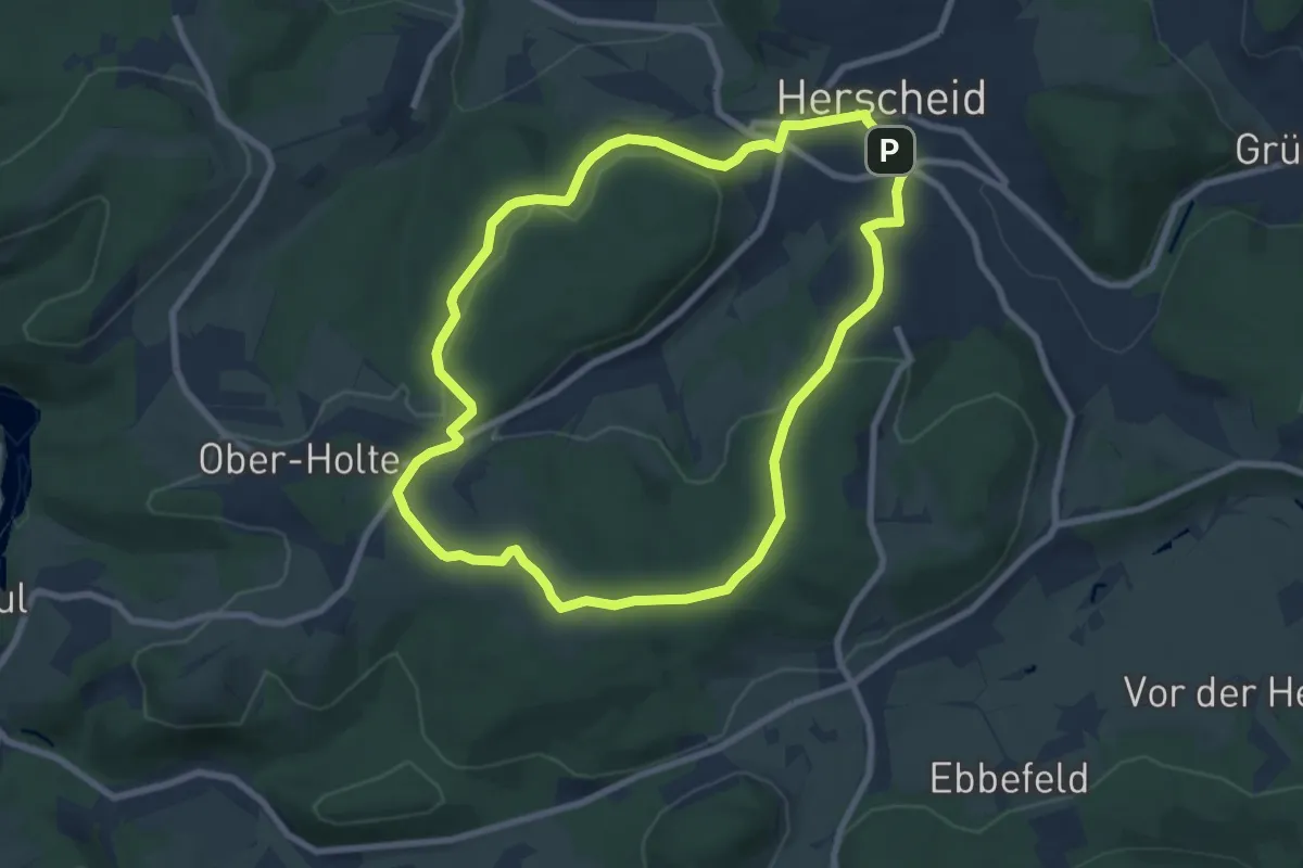
Easy · Summit
Herscheid Rundweg A1
7.1 km · ↑ 186 m · 2 h 11 min