Trails in Germany
36,852 hiking trails, each with its route, climb, walking time and grade.
All trails, page 237 of 768
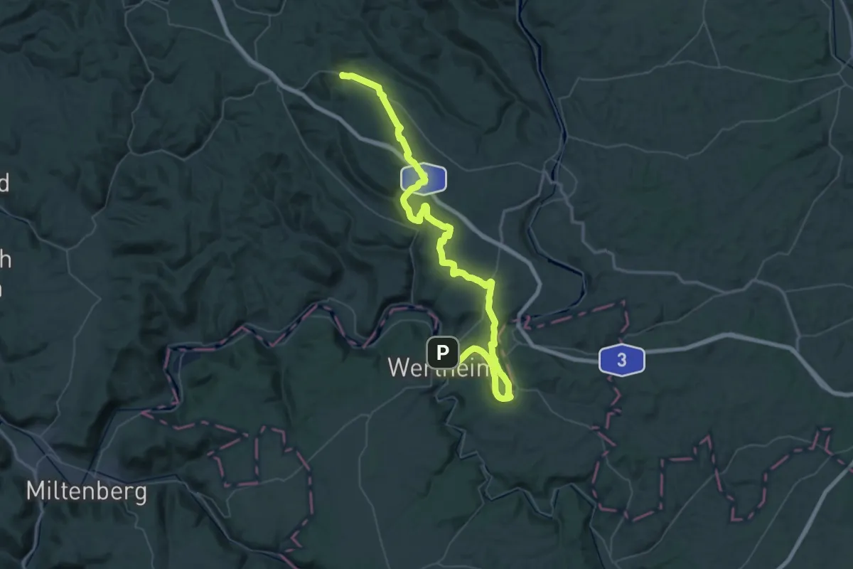
Demanding · Summit
Heunweg
65.7 km · ↑ 858 m · 17 h 22 min
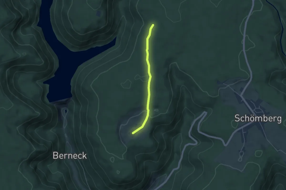
Easy · Trail
Heuplatz - Hinterrötenberg
3.7 km · ↑ 83 m · 1 h 3 min
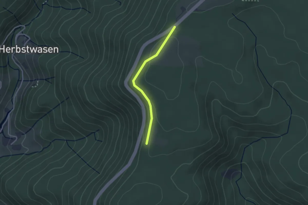
Easy · Trail
Heuplatz - Neuer Höhenweg
2.2 km · ↑ 69 m · 40 min
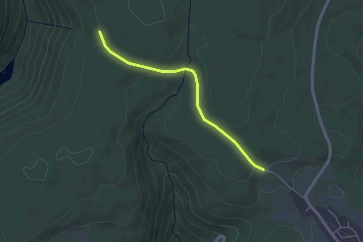
Easy · Trail
Heuplatz - Solhardt
3.2 km · ↑ 49 m · 52 min
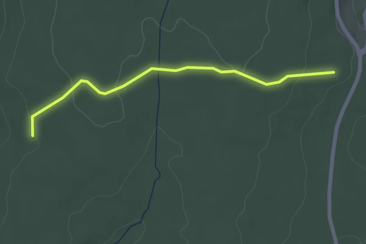
Easy · Trail
Heuplatz - Zur Baumscheibe
3.3 km · ↑ 65 m · 56 min
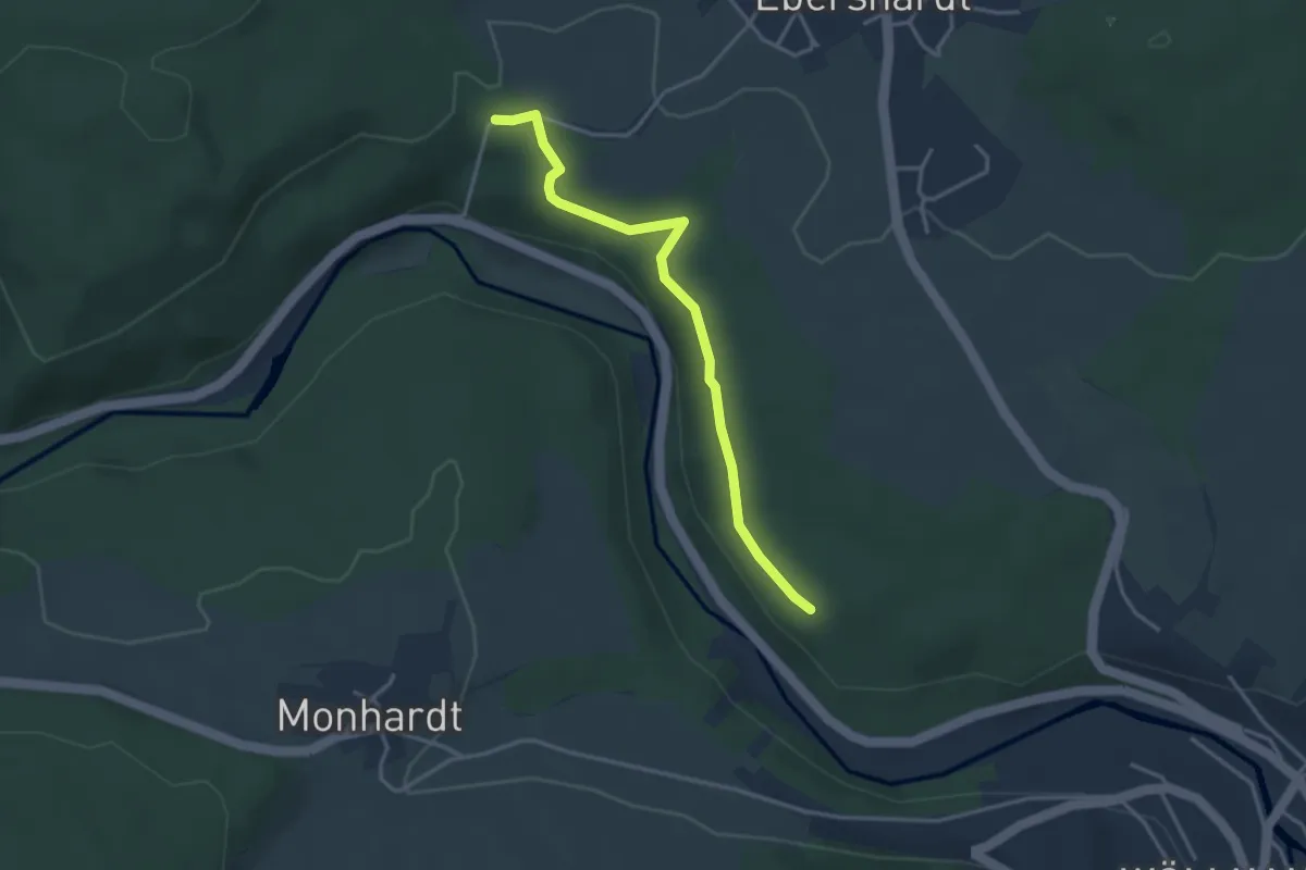
Easy · Trail
Heusteig (Davidsweg) - Burkardts-Wiese
3.3 km · ↑ 58 m · 54 min
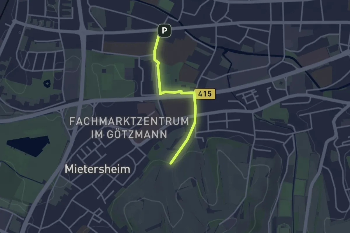
Easy · Trail
Heutal - Lahr Otto-Hahn-Straße
2.4 km · ↑ 13 m · 36 min
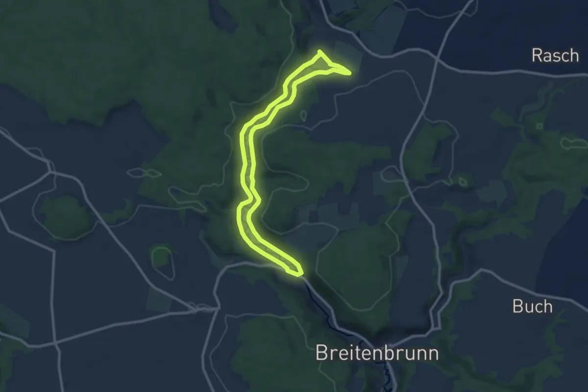
Easy · Trail
Heutalweg
7.6 km · ↑ 182 m · 2 h 18 min
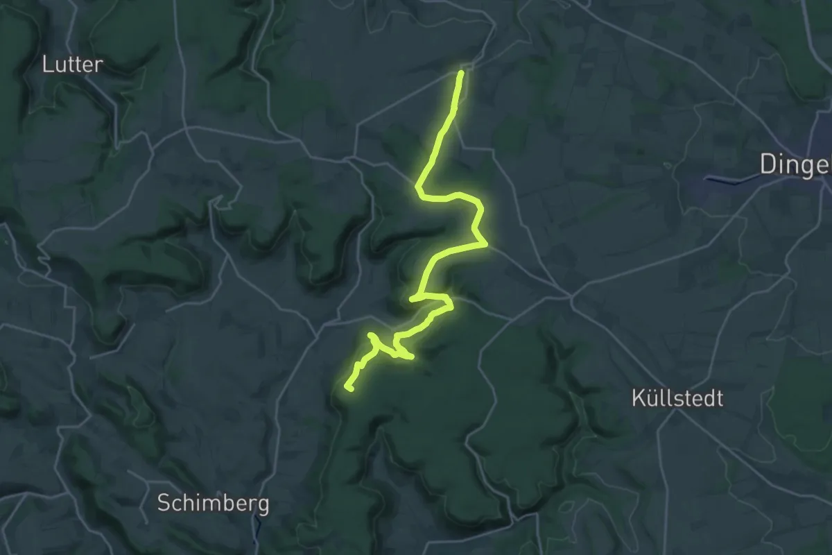
Demanding · Summit
Heuthen - Burg Gleichenstein - Klüschen Hagis - Ershausen
23.0 km · ↑ 596 m · 6 h 43 min
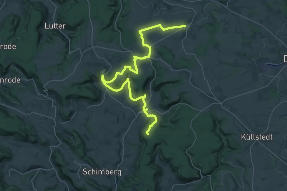
Demanding · Summit
Heuthen - Flinsberg - Bernterode - Martinfeld - Großbartloff
34.7 km · ↑ 928 m · 10 h 13 min
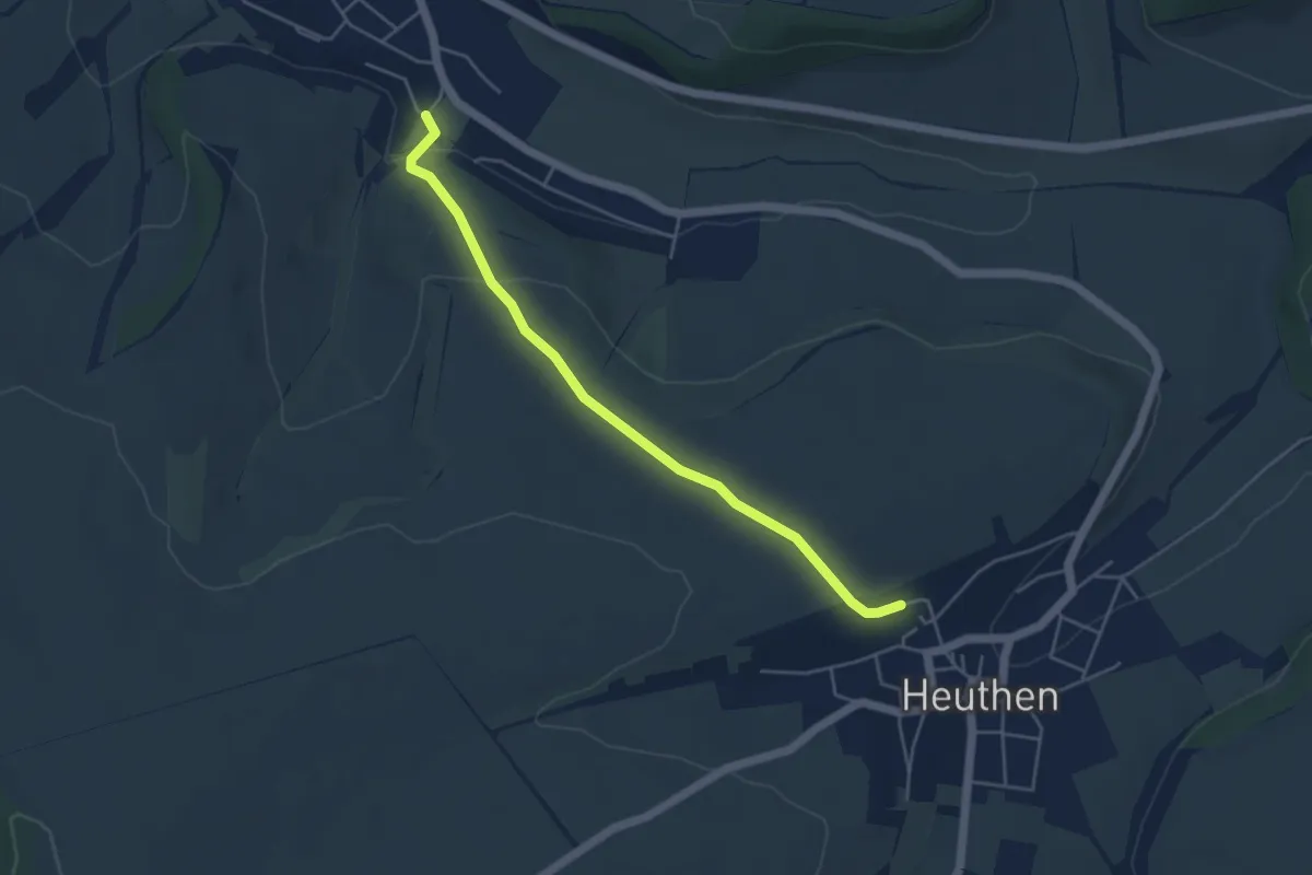
Easy · Trail
Heuthen - Geisleden
4.2 km · ↑ 117 m · 1 h 14 min
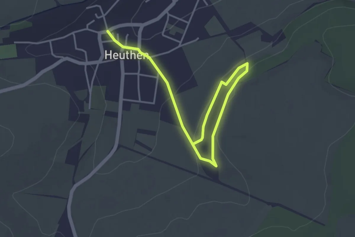
Easy · Trail
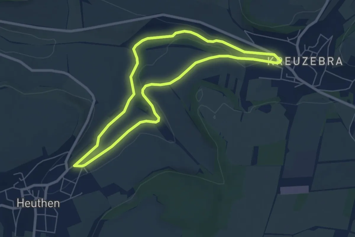
Heuthen Rundwanderweg 1
4.3 km · ↑ 73 m · 1 h 11 min
Easy · Trail
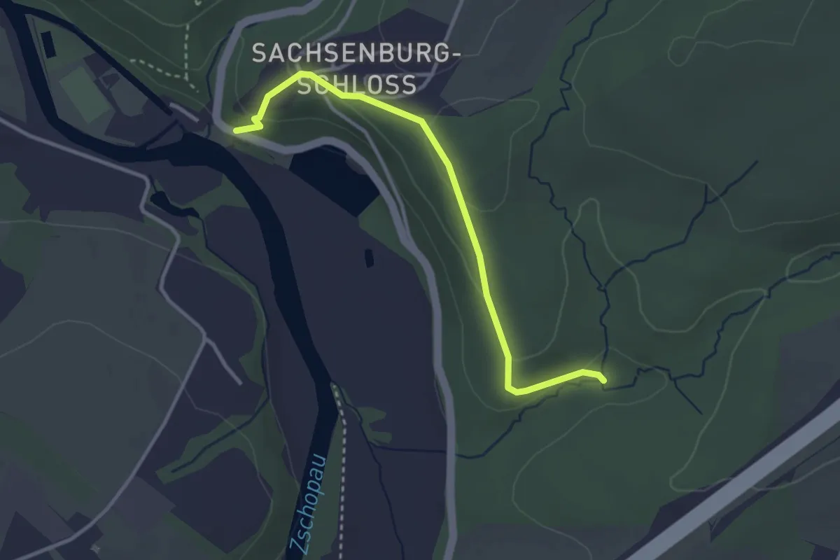
Heuthner Rundwanderweg 2
5.2 km · ↑ 35 m · 1 h 22 min
Easy · Trail
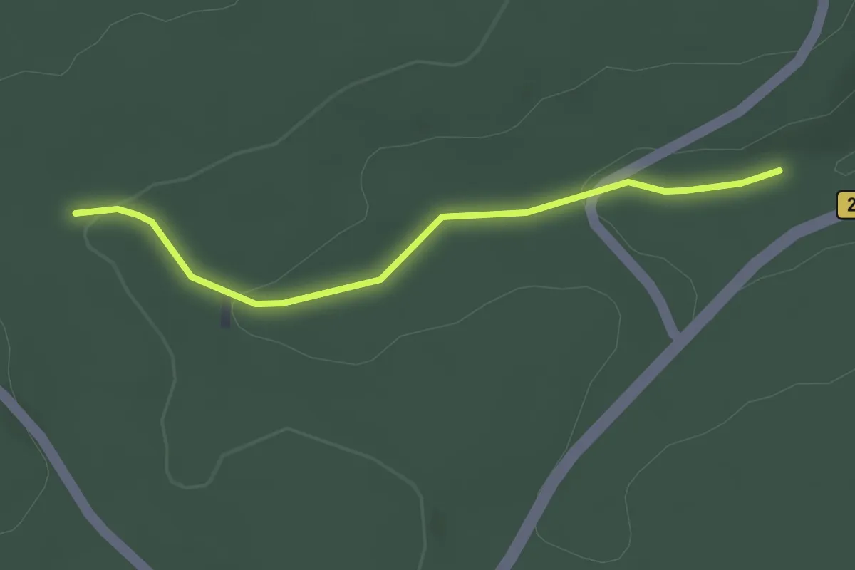
Heuweg
2.9 km · ↑ 85 m · 53 min
Easy · Trail
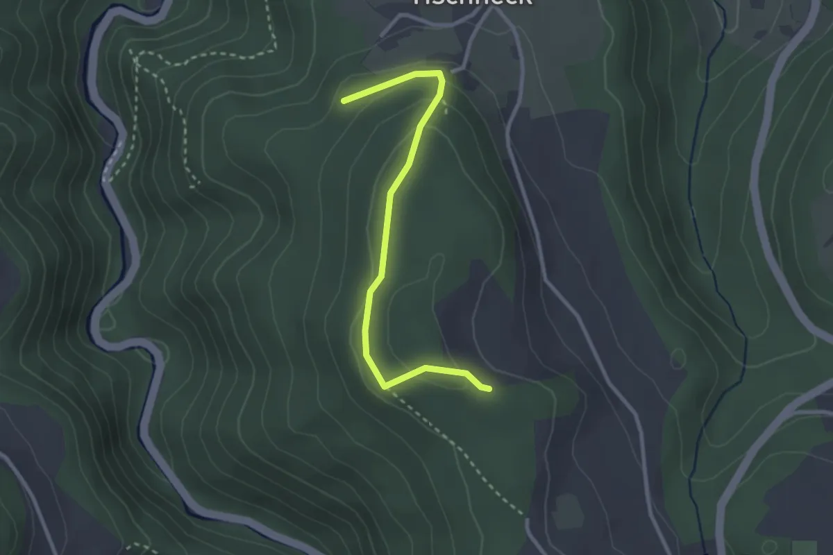
Heuweg - Kleinenzbrunnen
2.4 km · ↑ 59 m · 42 min
Easy · Trail
Heuwegle - Benediktinenhöhe
2.7 km · ↑ 114 m · 53 min
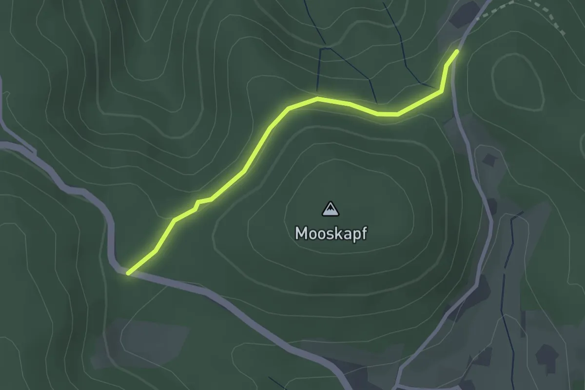
Easy · Trail
Heuwiese - Grusenloch
2.2 km · ↑ 47 m · 37 min
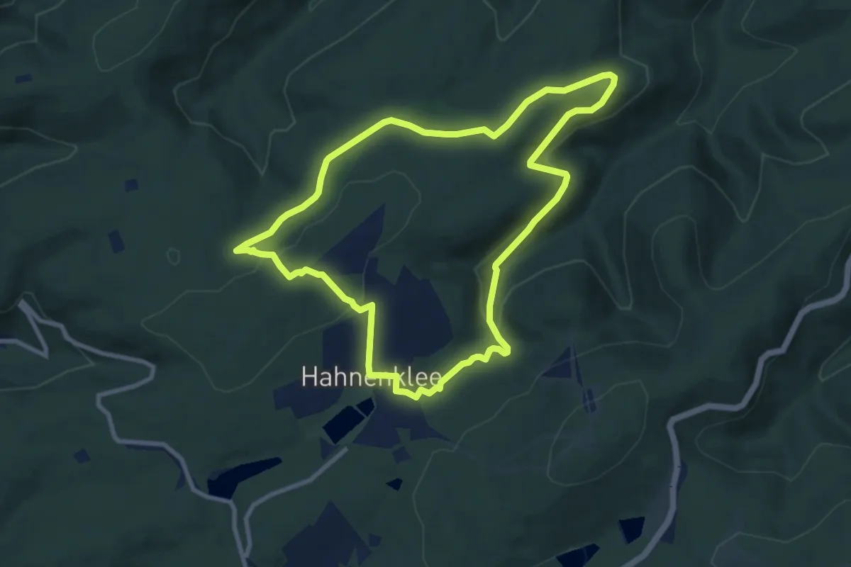
Easy · Summit
Hexenbankweg
7.5 km · ↑ 166 m · 2 h 14 min
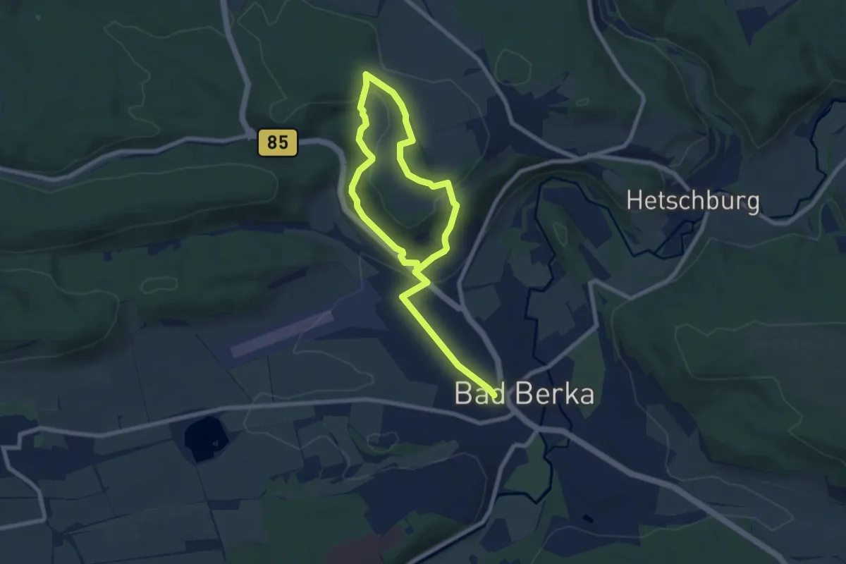
Easy · Summit
Hexenberg-Rundweg
5.0 km · ↑ 135 m · 1 h 34 min
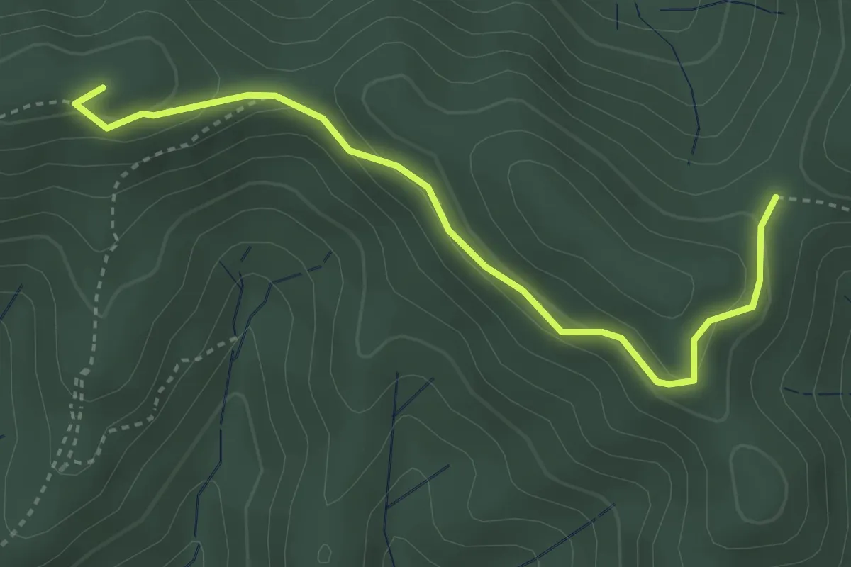
Medium · Summit
Hexenboden - Josefle
3.6 km · ↑ 188 m · 1 h 16 min
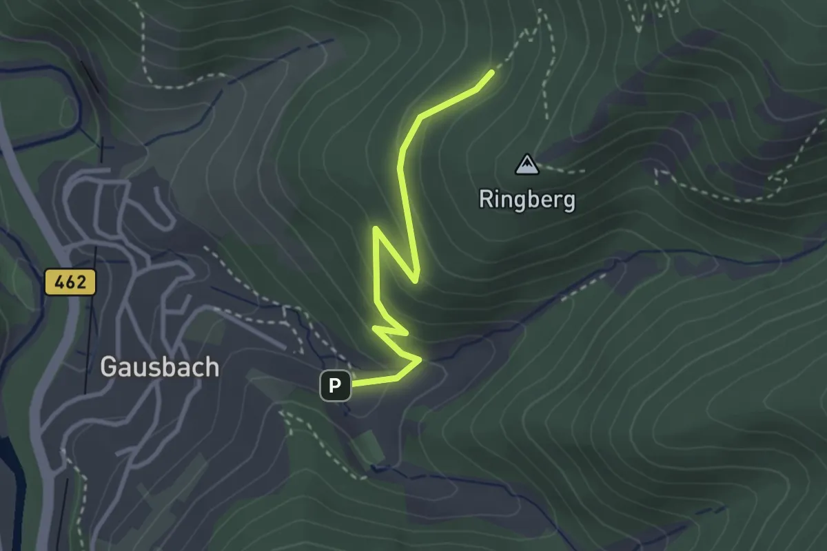
Medium · Trail
Hexenbrunnen - Ringberg
2.6 km · ↑ 145 m · 56 min
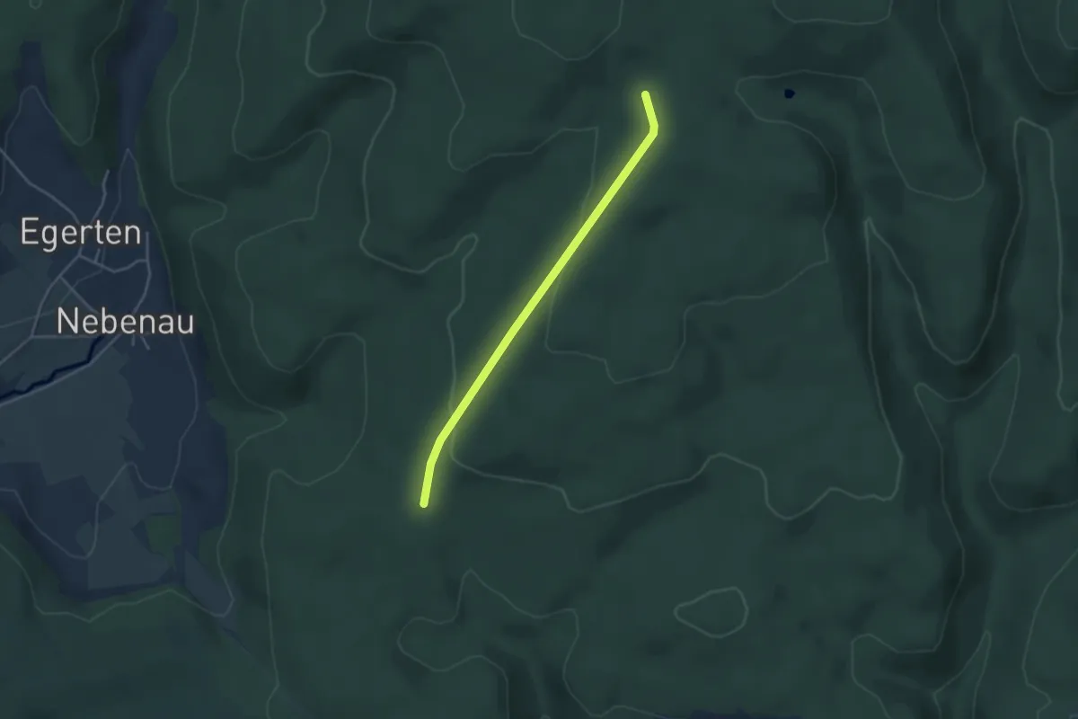
Easy · Trail
Hexenbrünnli - Siegenbachhüsli
3.5 km · ↑ 90 m · 1 h 1 min
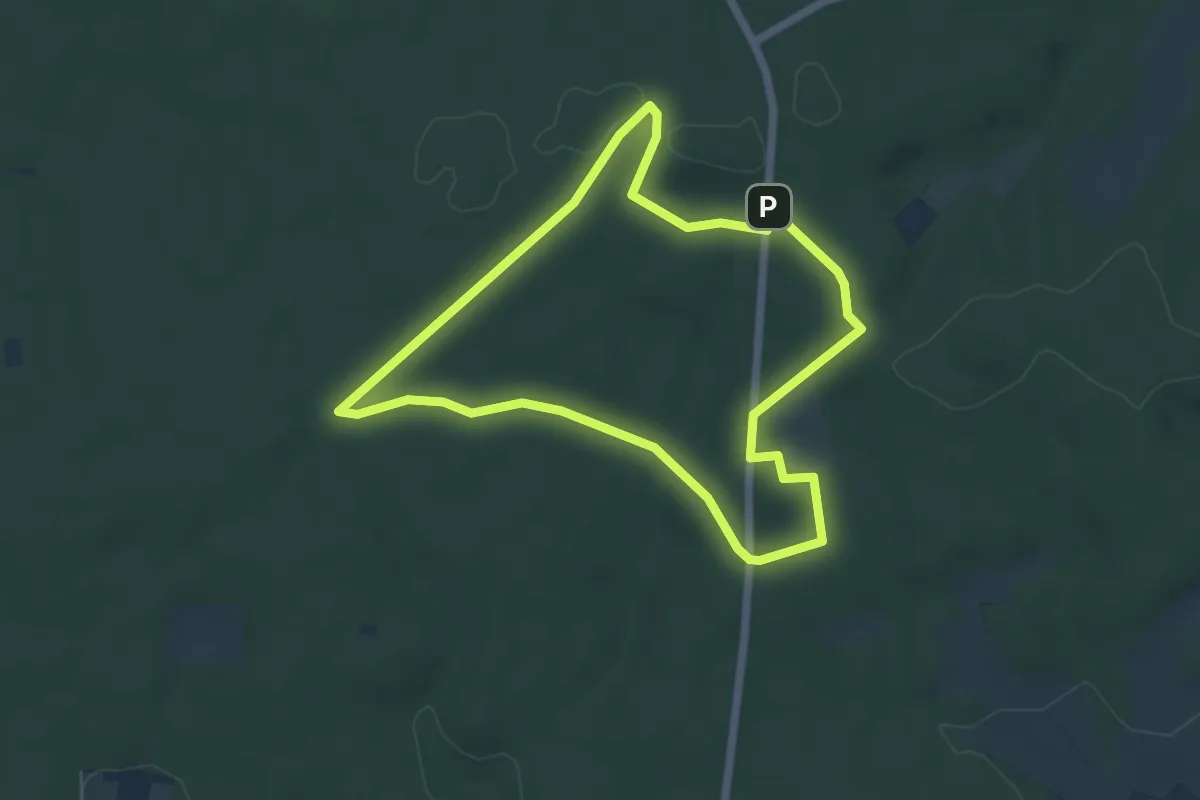
Easy · Trail
Hexenbuchen Rundweg A7
4.9 km · ↑ 41 m · 1 h 18 min
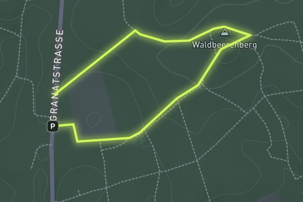
Easy · Summit
Hexenbuchen Rundweg A9
1.8 km · ↑ 28 m · 30 min
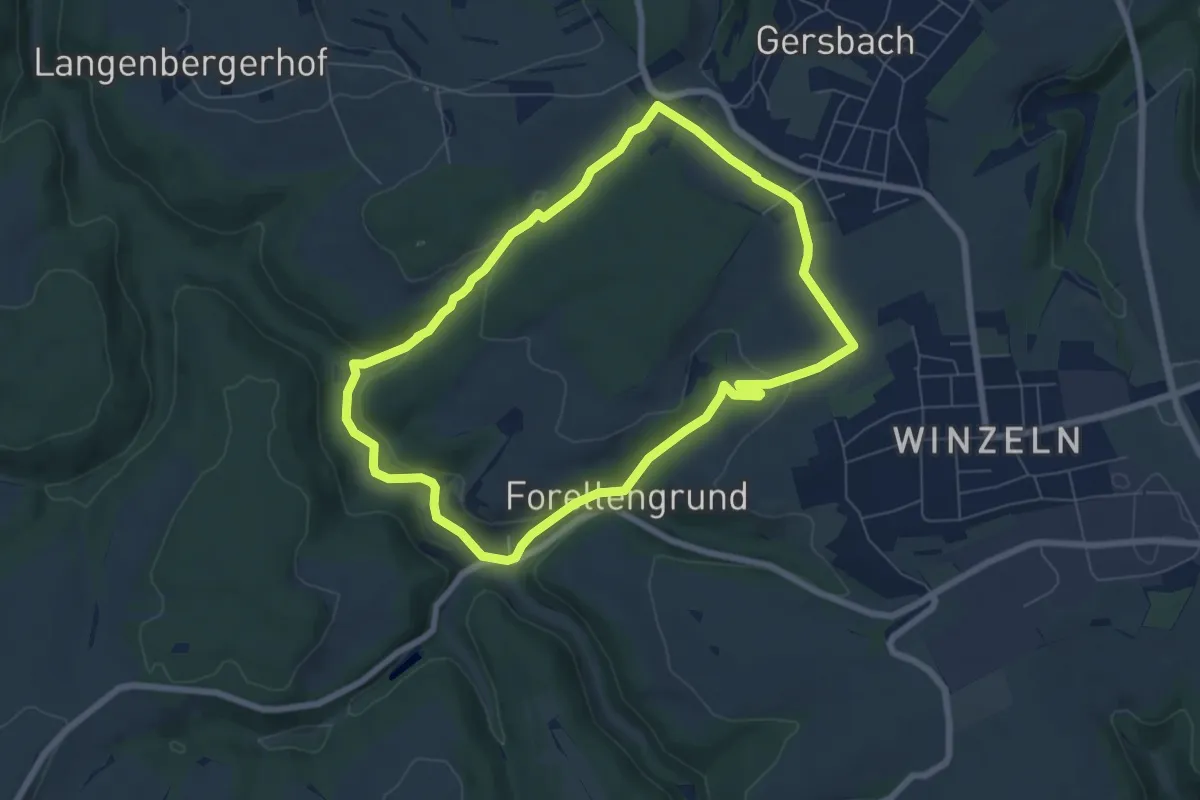
Easy · Trail
Hexenklamm
6.3 km · ↑ 163 m · 1 h 56 min
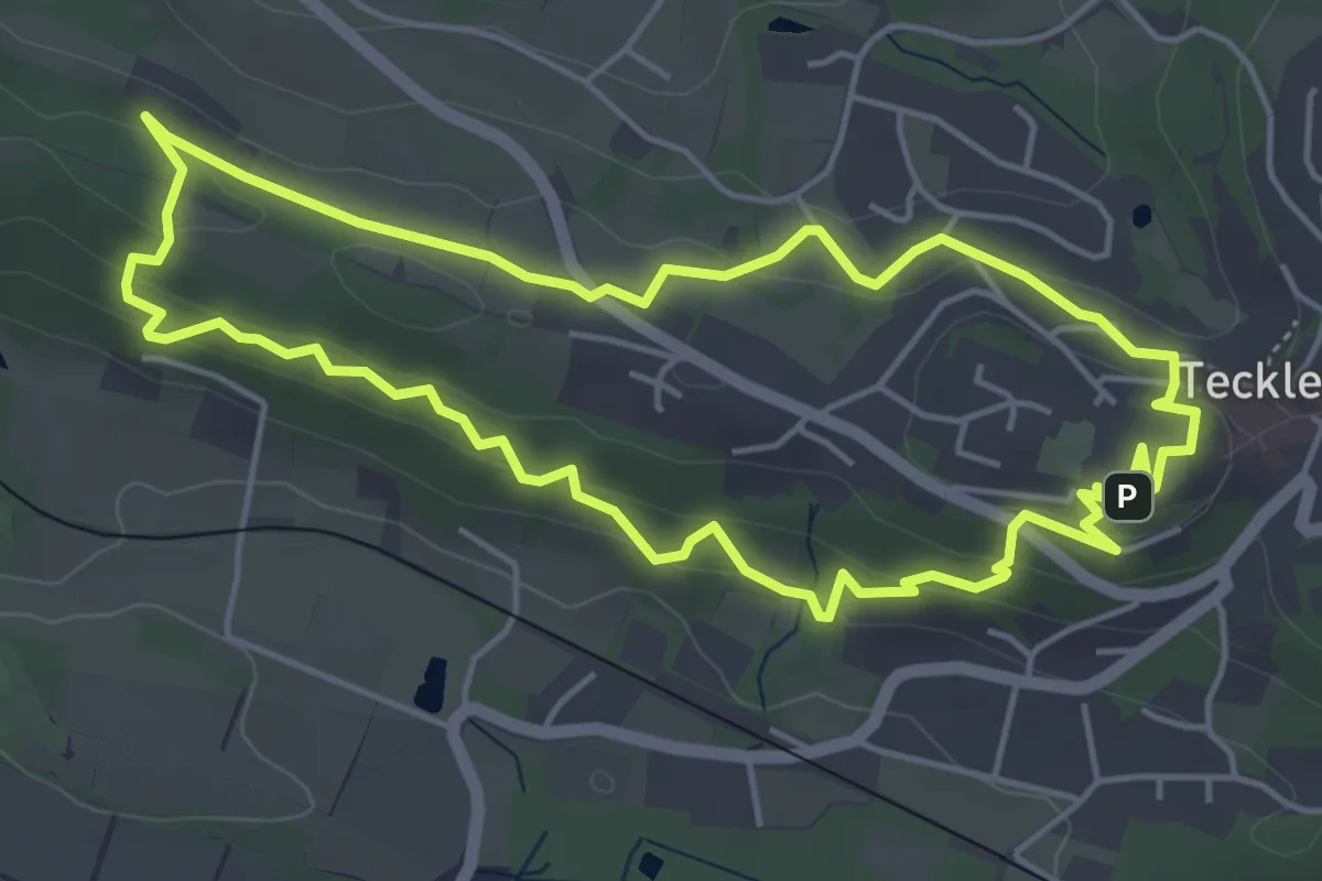
Easy · Summit
HexenPfad
4.4 km · ↑ 146 m · 1 h 25 min
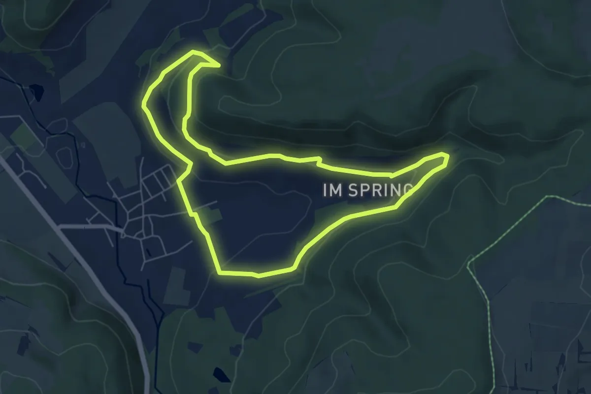
Easy · Trail
Hexenpfad Fischbach
5.9 km · ↑ 184 m · 1 h 52 min
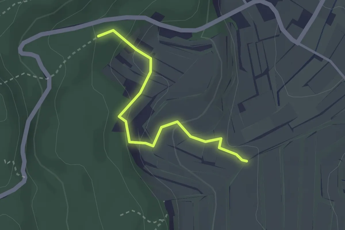
Easy · Trail
Hexenpfädli - Nägeler
2.4 km · ↑ 122 m · 50 min
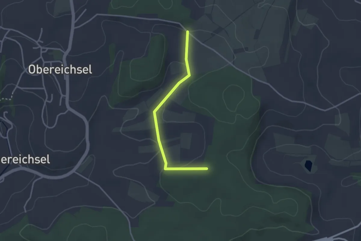
Easy · Trail
Hexenplatz - Buhrenboden
2.6 km · ↑ 58 m · 45 min
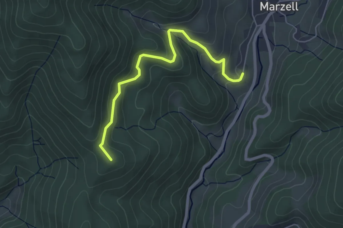
Easy · Summit
Hexenplatz - Marzell Außerdorf
4.4 km · ↑ 204 m · 1 h 28 min
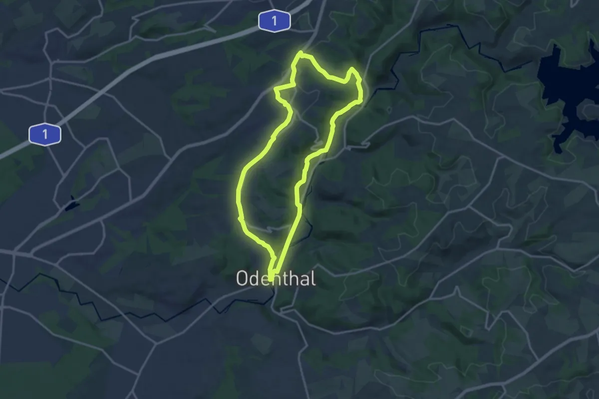
Medium · Trail
Hexenroute
11.4 km · ↑ 184 m · 3 h 15 min
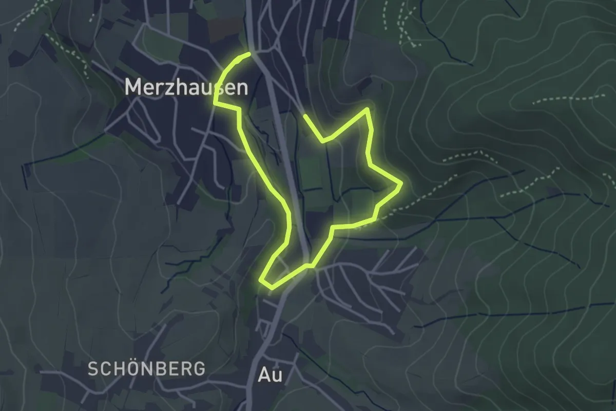
Easy · Trail
Hexentäler Vogellehrpfad
2.5 km · ↑ 101 m · 50 min
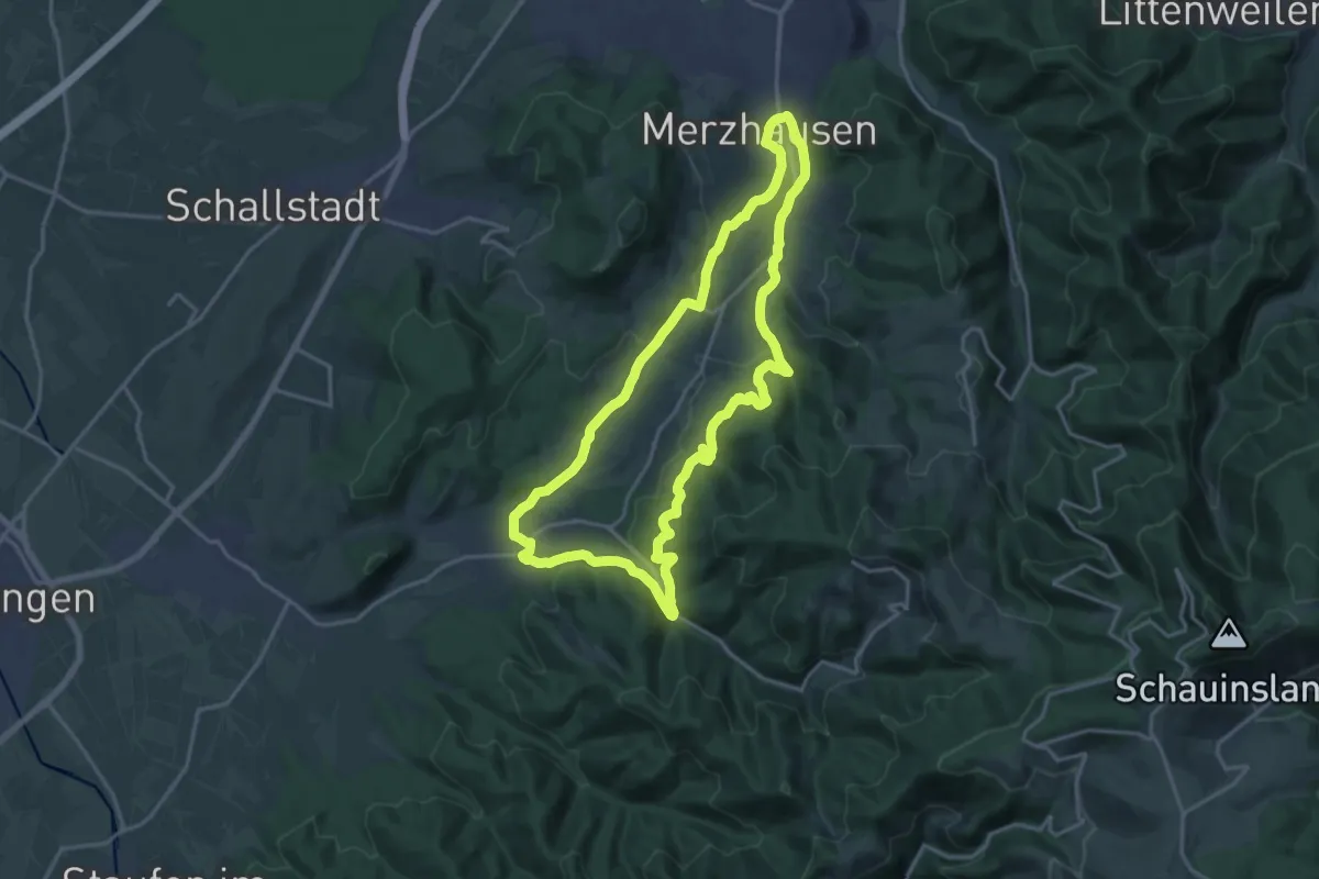
Medium · Trail
Hexental-Rundweg
17.7 km · ↑ 501 m · 5 h 31 min
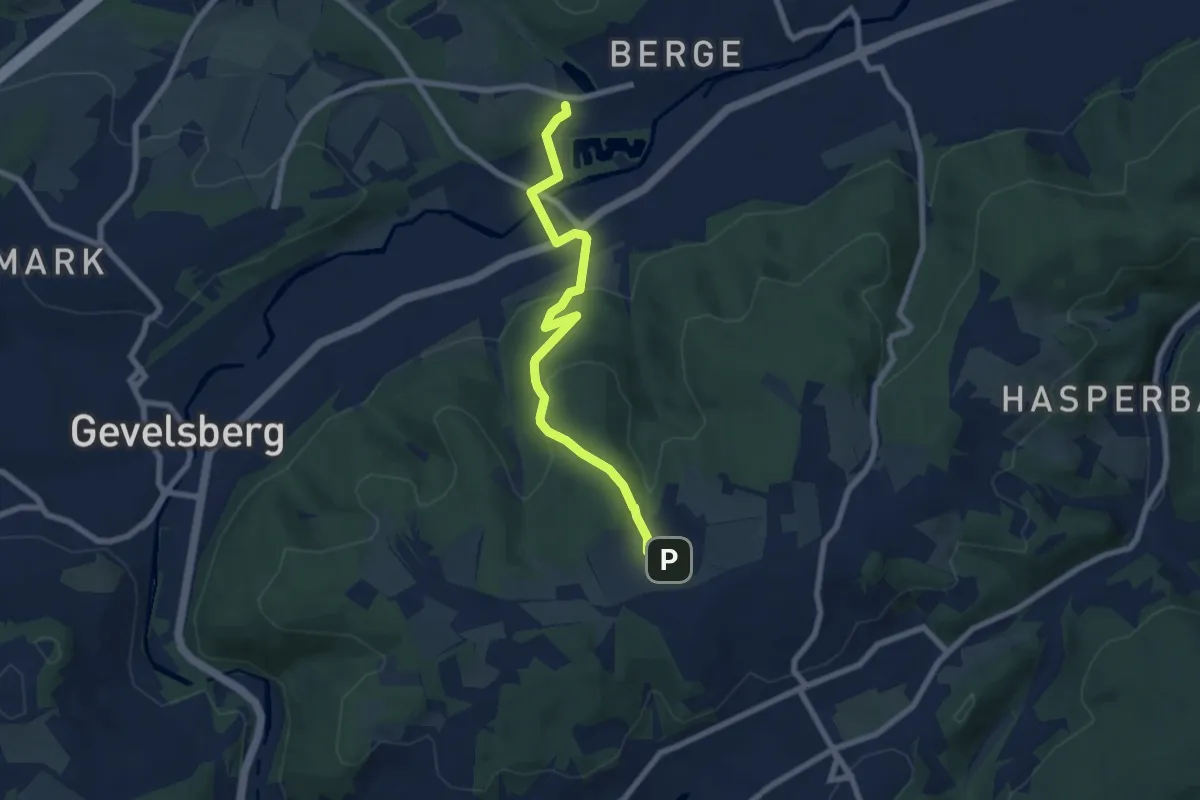
Easy · Trail
[H] Hageböllinger-Kopf-Weg
6.8 km · ↑ 224 m · 2 h 5 min
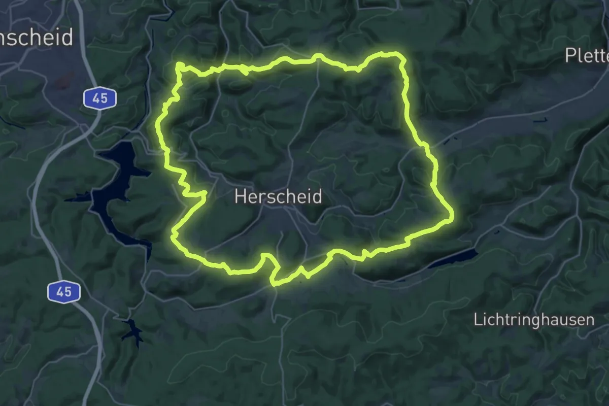
Demanding · Summit
(H) Herscheider Rundweg
29.9 km · ↑ 844 m · 9 h 19 min
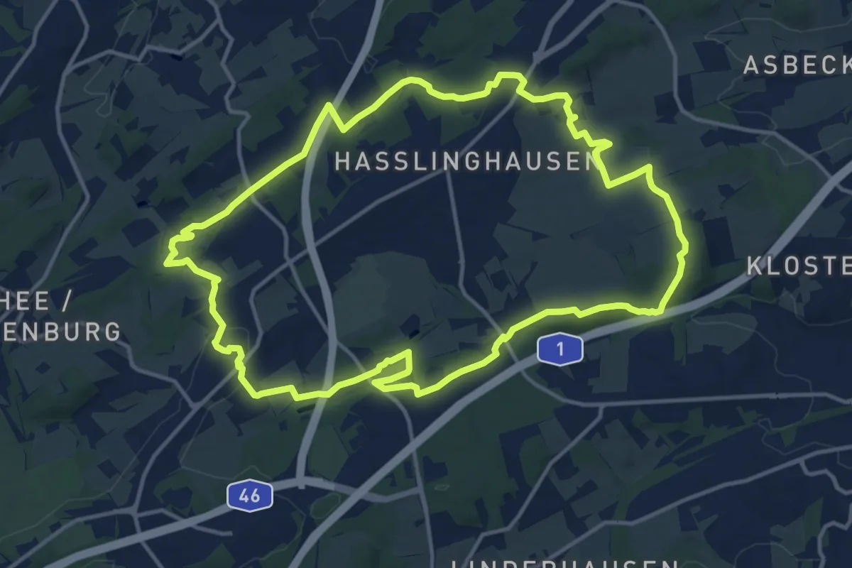
Medium · Trail
(HH) Rund um Hasslinghausen
12.5 km · ↑ 259 m · 3 h 40 min
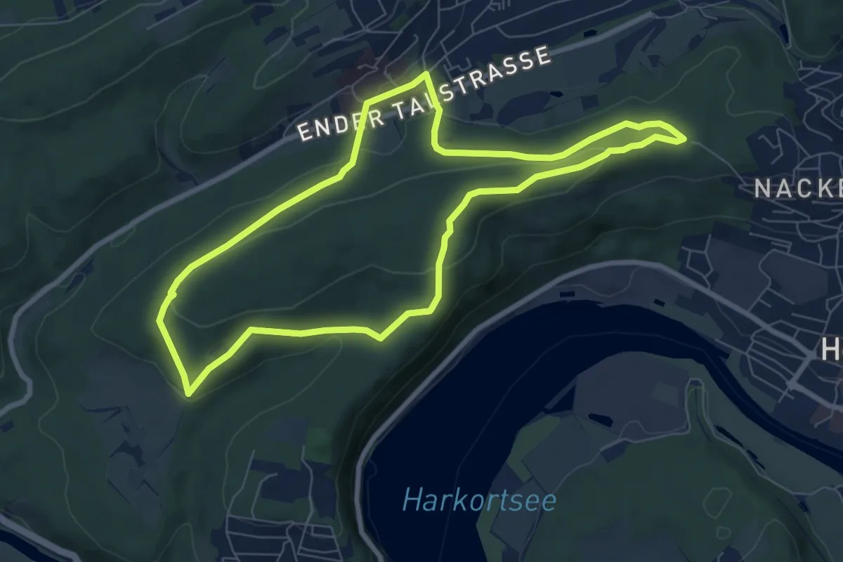
Easy · Trail
Hickenstein Rundweg A4
6.7 km · ↑ 158 m · 2 h 1 min
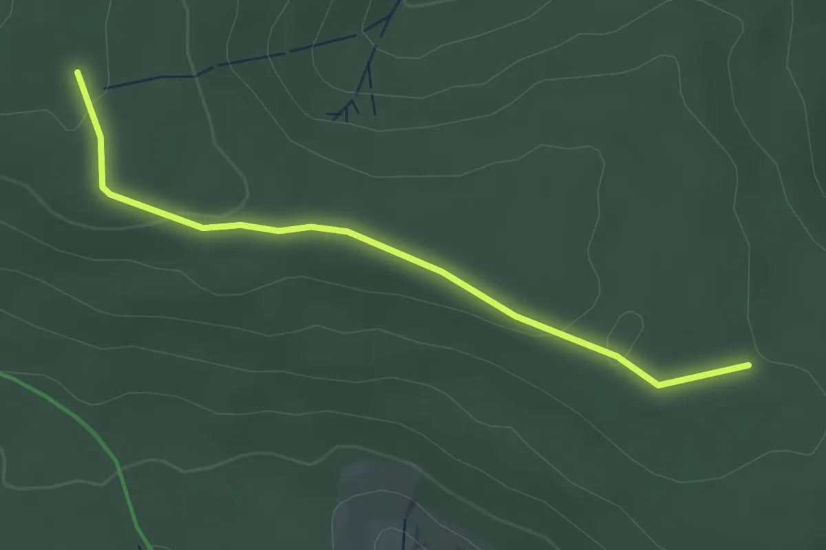
Easy · Trail
Hierabrunnen - Beerwald
3.1 km · ↑ 55 m · 51 min
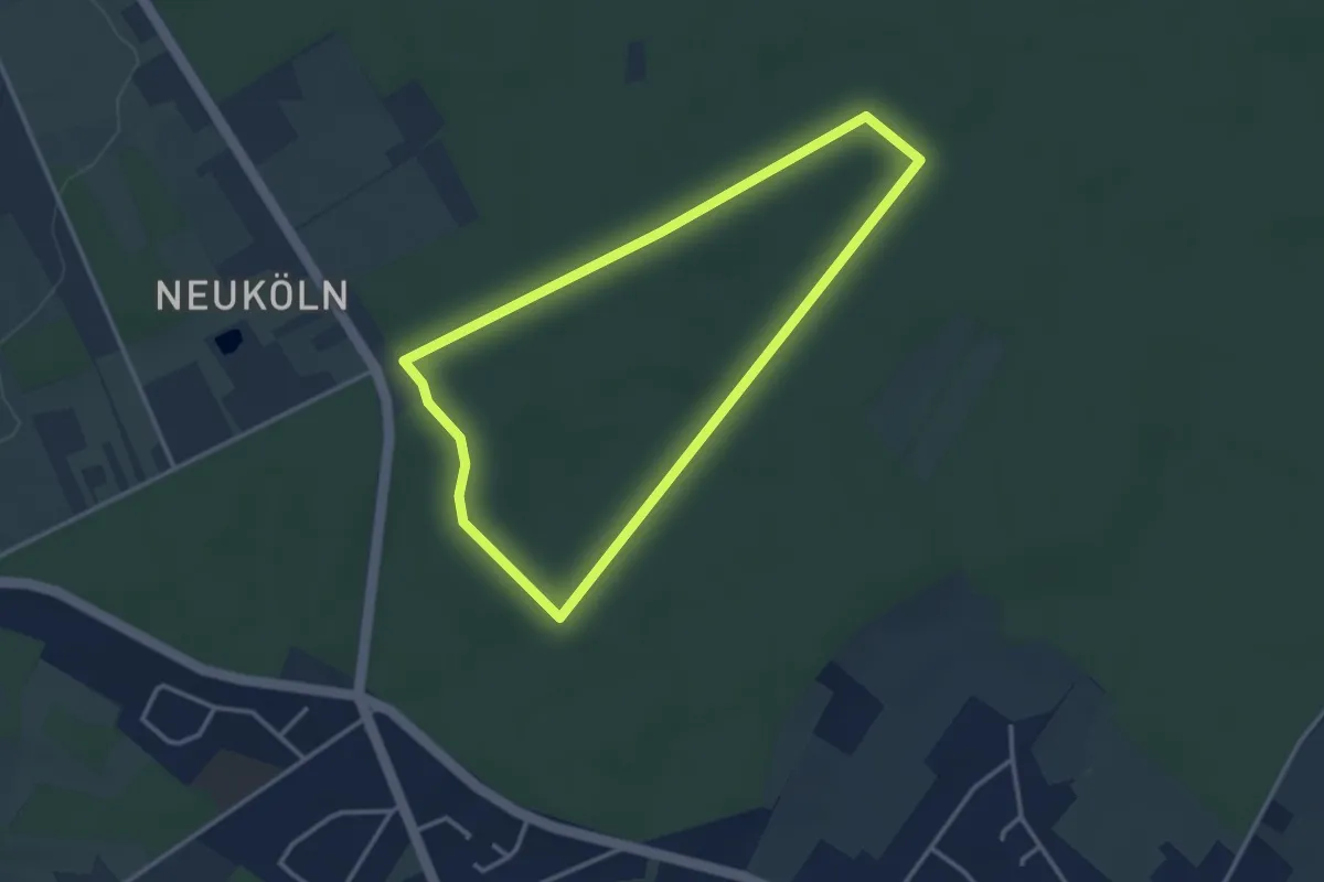
Easy · Trail
Hiesfelder Wald Rundweg A1
2.8 km · ↑ 13 m · 44 min
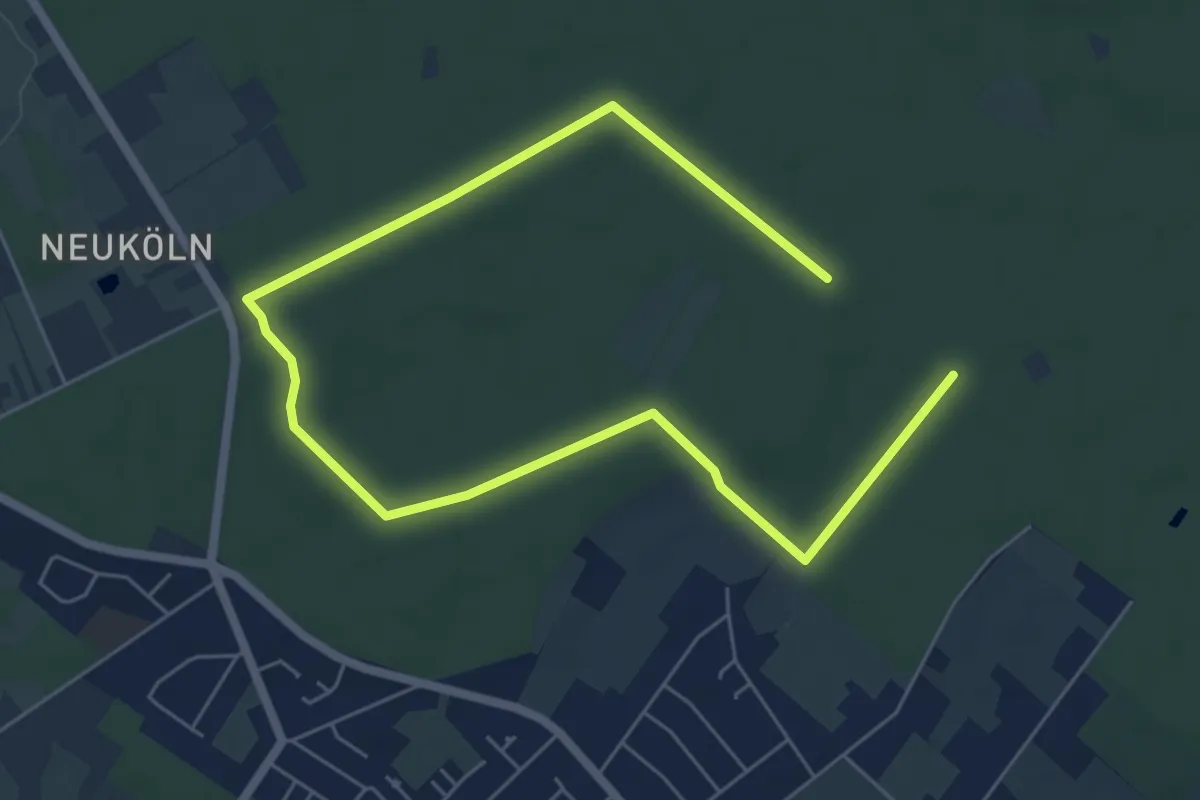
Easy · Trail
Hiesfelder Wald Rundweg A3
4.1 km · ↑ 8 m · 1 h 3 min
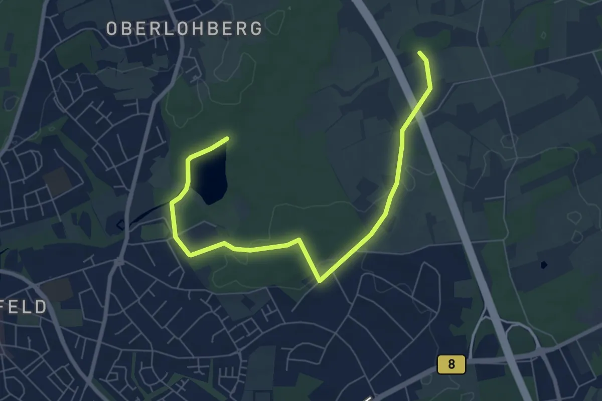
Easy · Trail
Hiesfeld Rundweg A1
3.5 km · ↑ 32 m · 56 min
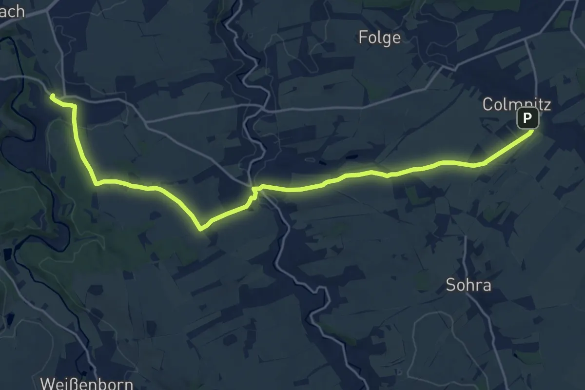
Demanding · Trail
Hilbersdorf - Colmnitz
18.9 km · ↑ 222 m · 4 h 56 min
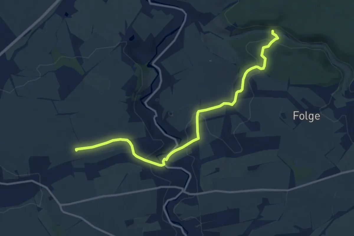
Medium · Summit
Hilbersdorf-Niederbobritzsch-Tännicht-Mittelpunkt Sachsen
9.2 km · ↑ 141 m · 2 h 29 min
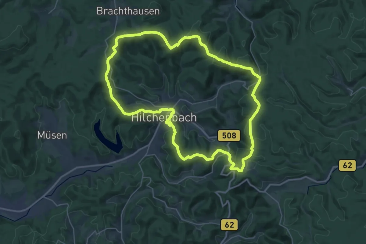
Demanding · Summit
Hilchenbacher Höhenring
23.7 km · ↑ 593 m · 7 h 13 min
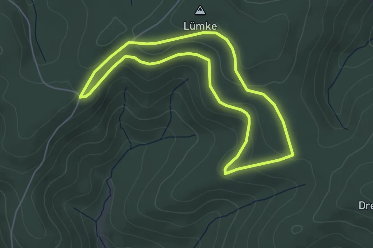
Easy · Summit
Hilchenbacher Windwanderweg
4.0 km · ↑ 101 m · 1 h 13 min
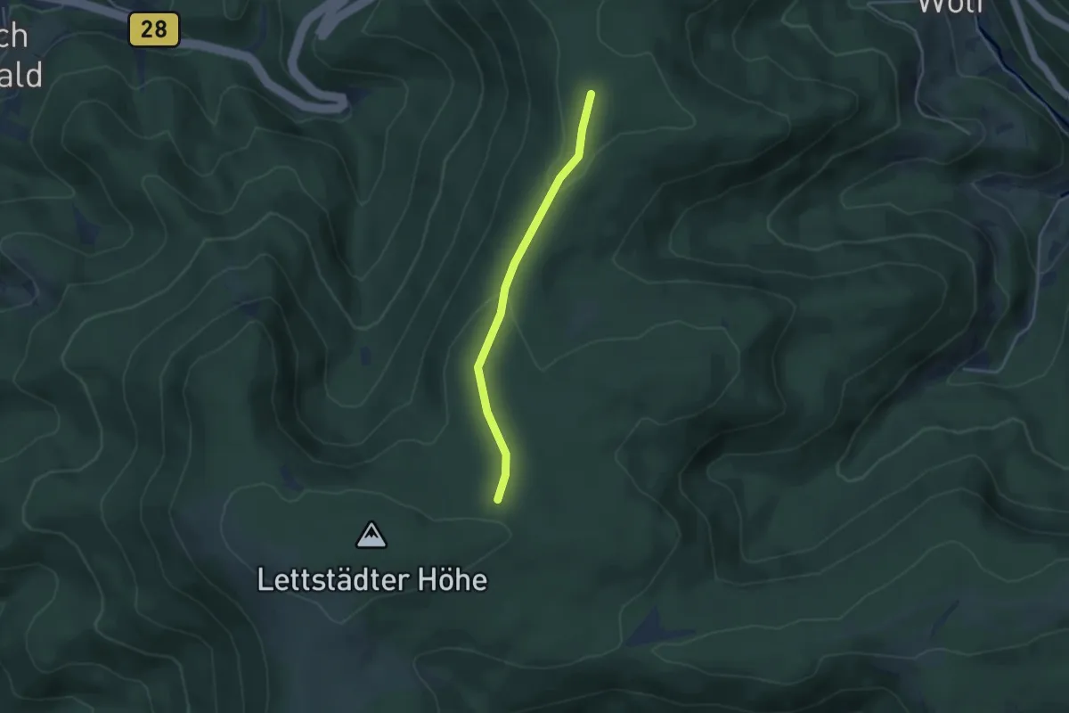
Easy · Trail
Hildahütte - Schnepfenmoos
3.3 km · ↑ 62 m · 54 min
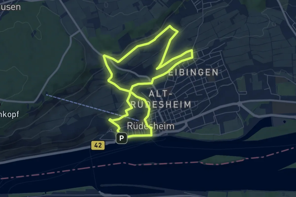
Easy · Trail
Hildegardweg
6.7 km · ↑ 213 m · 2 h 8 min
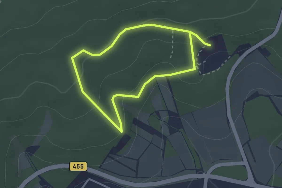
Easy · Trail
Hildegardweg
1.9 km · ↑ 95 m · 40 min